Trails in Austria
9,777 hiking trails, each with its route, climb, walking time and grade.
All trails, page 109 of 204
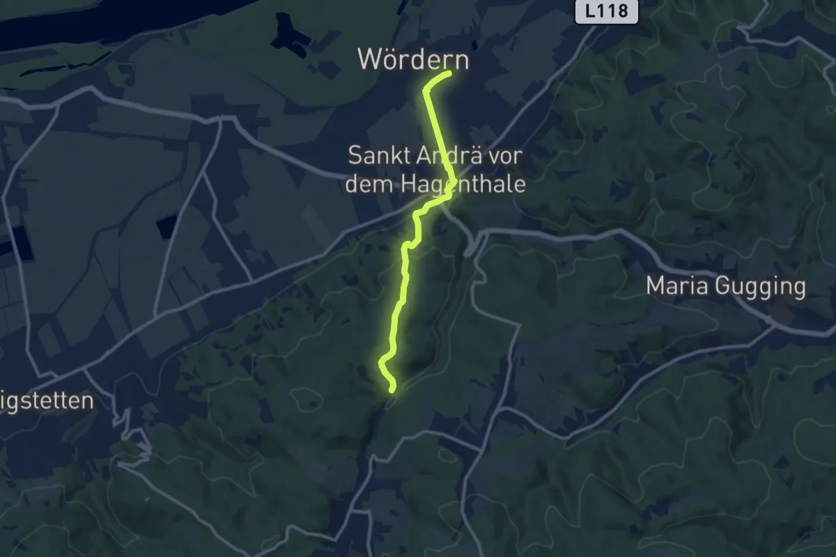
Medium · Trail
St. Andrä-Wördern Bahnhof - Greifvogelstation Hagenbachklamm
8.6 km · ↑ 240 m · 2 h 32 min
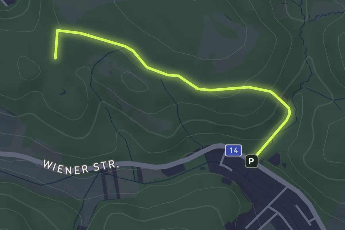
Easy · Summit
St. Andrä-Wördern Bahnhof - Lourdesgrotte/B14
3.0 km · ↑ 99 m · 56 min
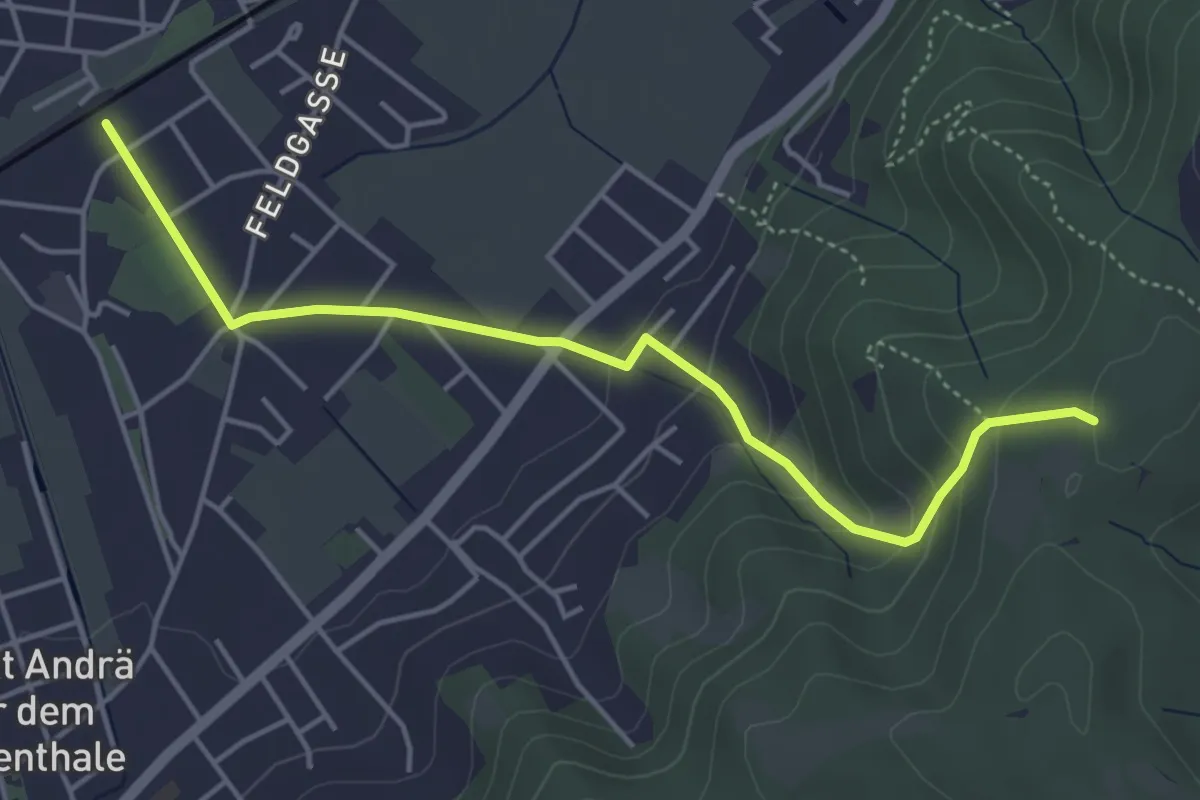
Easy · Trail
St. Andrä-Wördern Bahnhof - Schneiderzipf
4.6 km · ↑ 166 m · 1 h 27 min
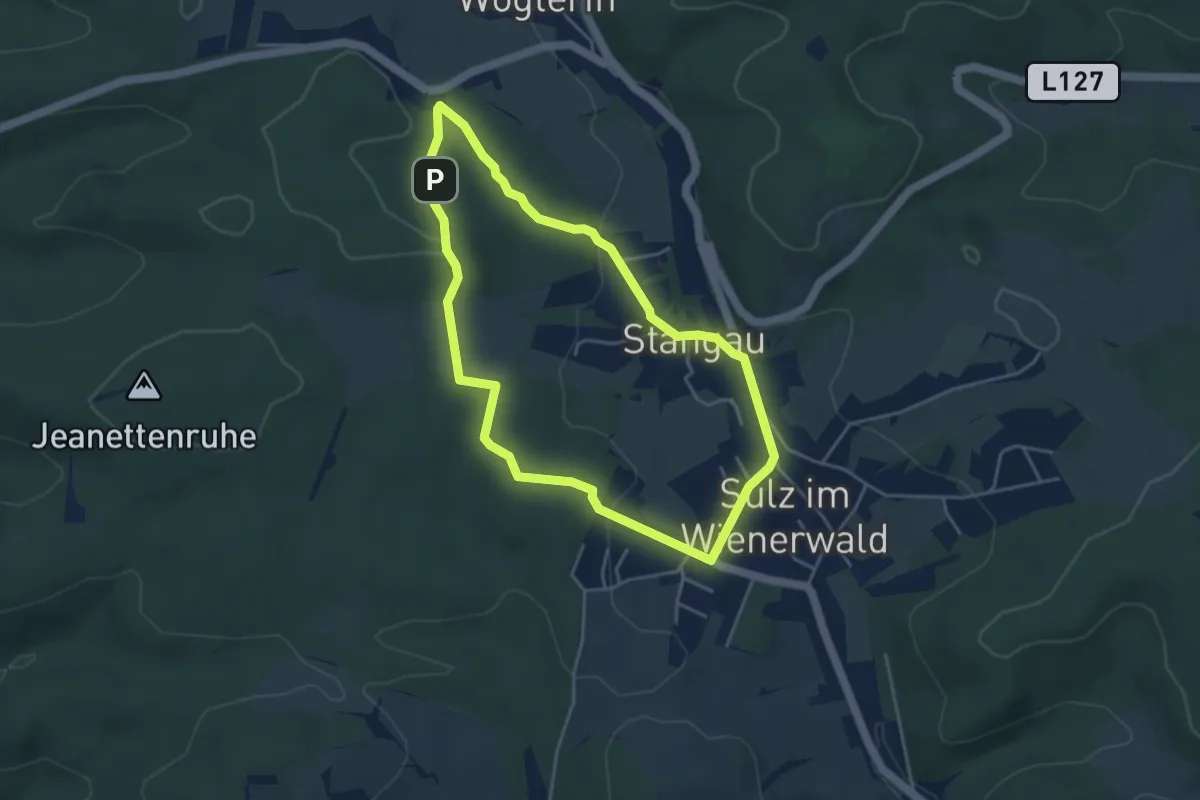
Easy · Trail
Stangau Rundwanderweg 2
3.9 km · ↑ 86 m · 1 h 9 min
Easy · Trail
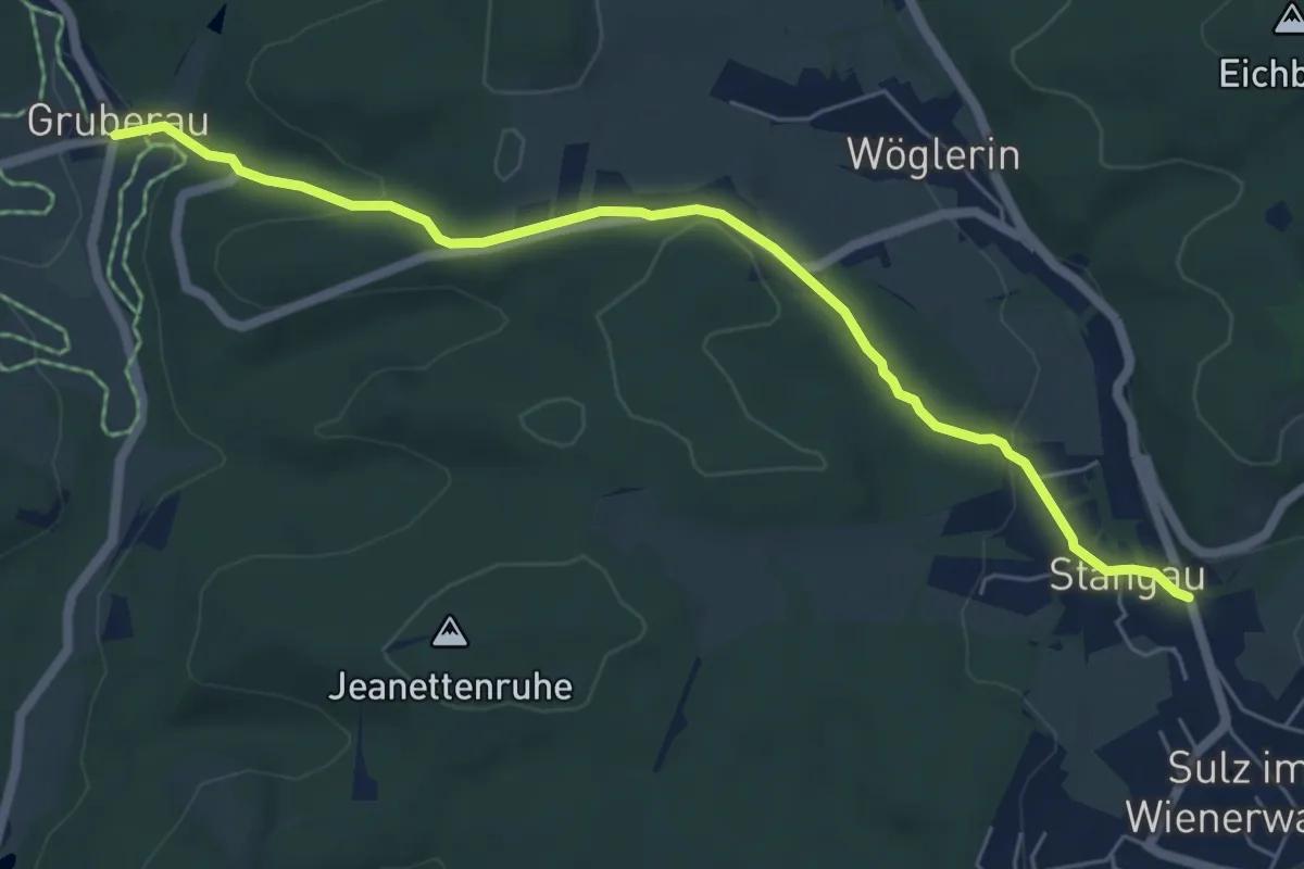
Stangau - Wöglerin - Gruberau
6.2 km · ↑ 158 m · 1 h 48 min
Medium · Trail
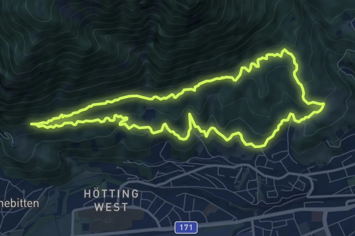
Stangensteig-Trail
8.8 km · ↑ 283 m · 2 h 49 min
Easy · Trail
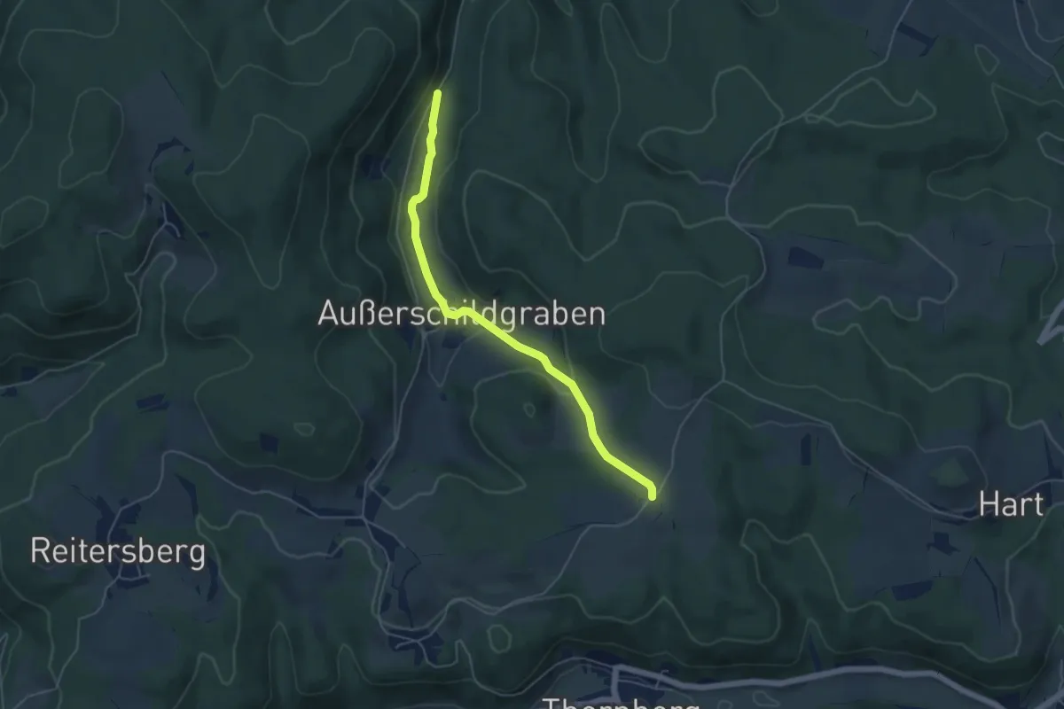
Stanghof - Außerschildgraben - Schiltern
4.9 km · ↑ 140 m · 1 h 27 min
Easy · Trail
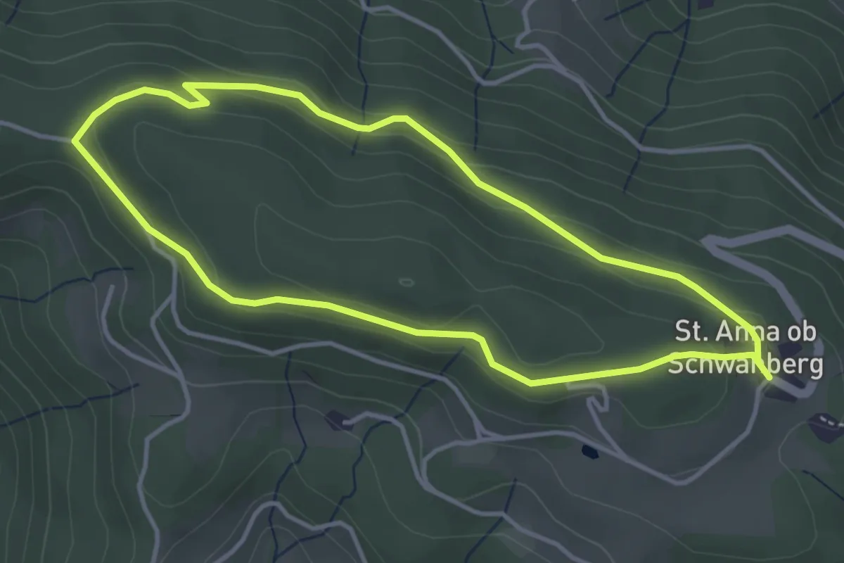
St. Anna Runde
3.6 km · ↑ 103 m · 1 h 8 min
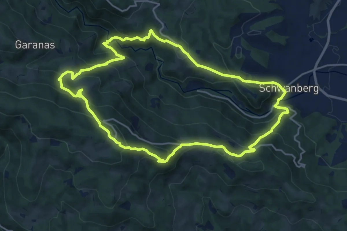
Medium · Summit
St. Anna Weg
12.2 km · ↑ 751 m · 4 h 40 min
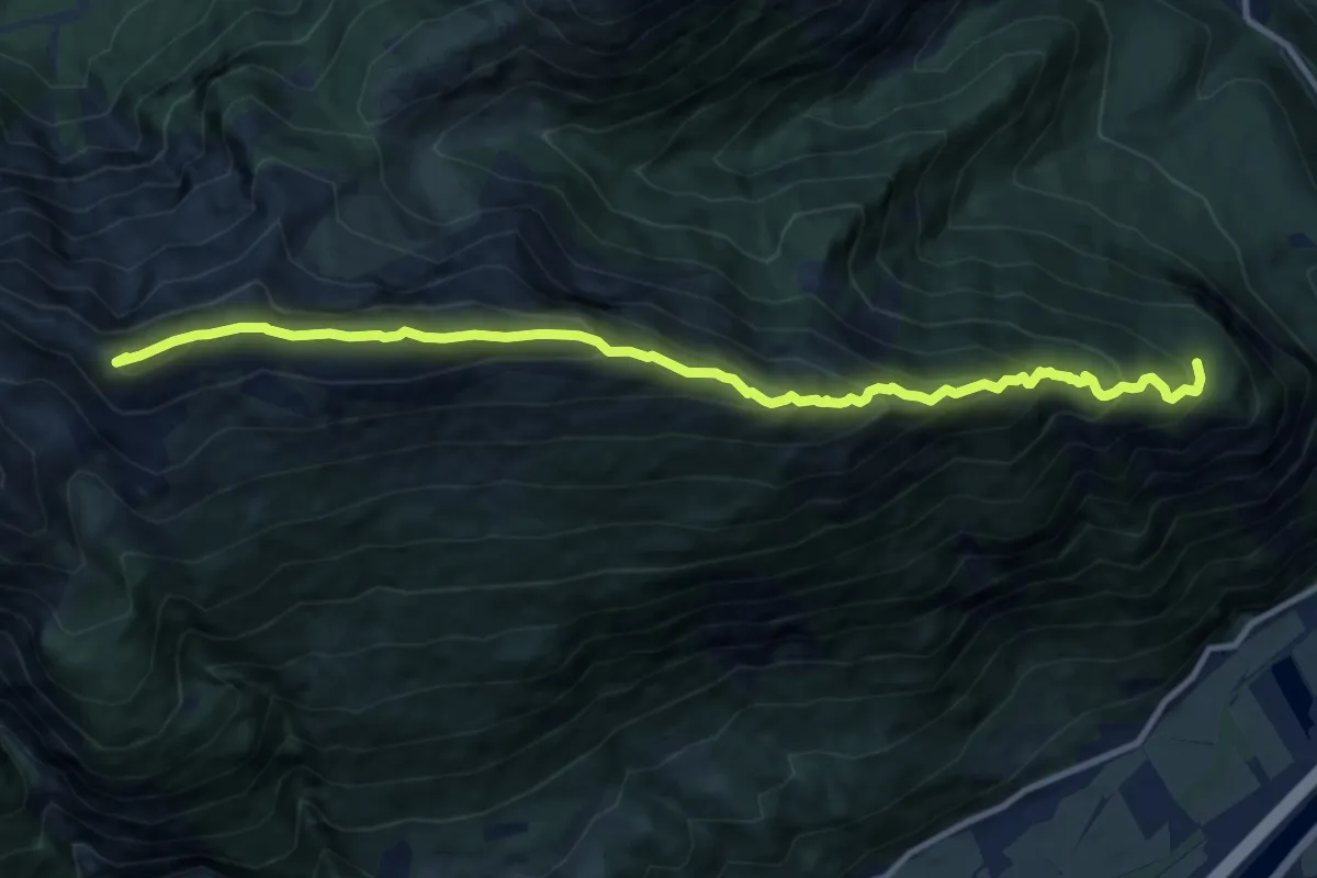
Demanding · Summit
Stanser Joch Kamm
11.5 km · ↑ 874 m · 4 h 37 min
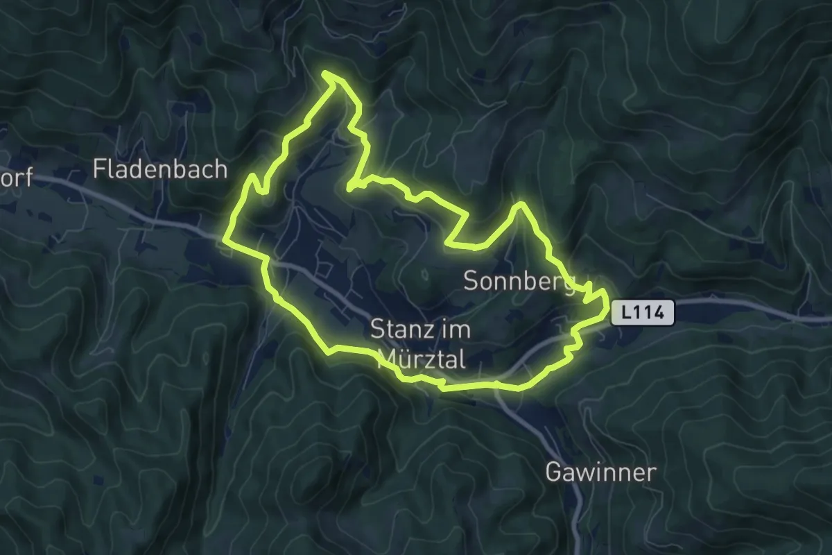
Medium · Trail
Stanzer Sonnenweg
8.3 km · ↑ 299 m · 2 h 44 min
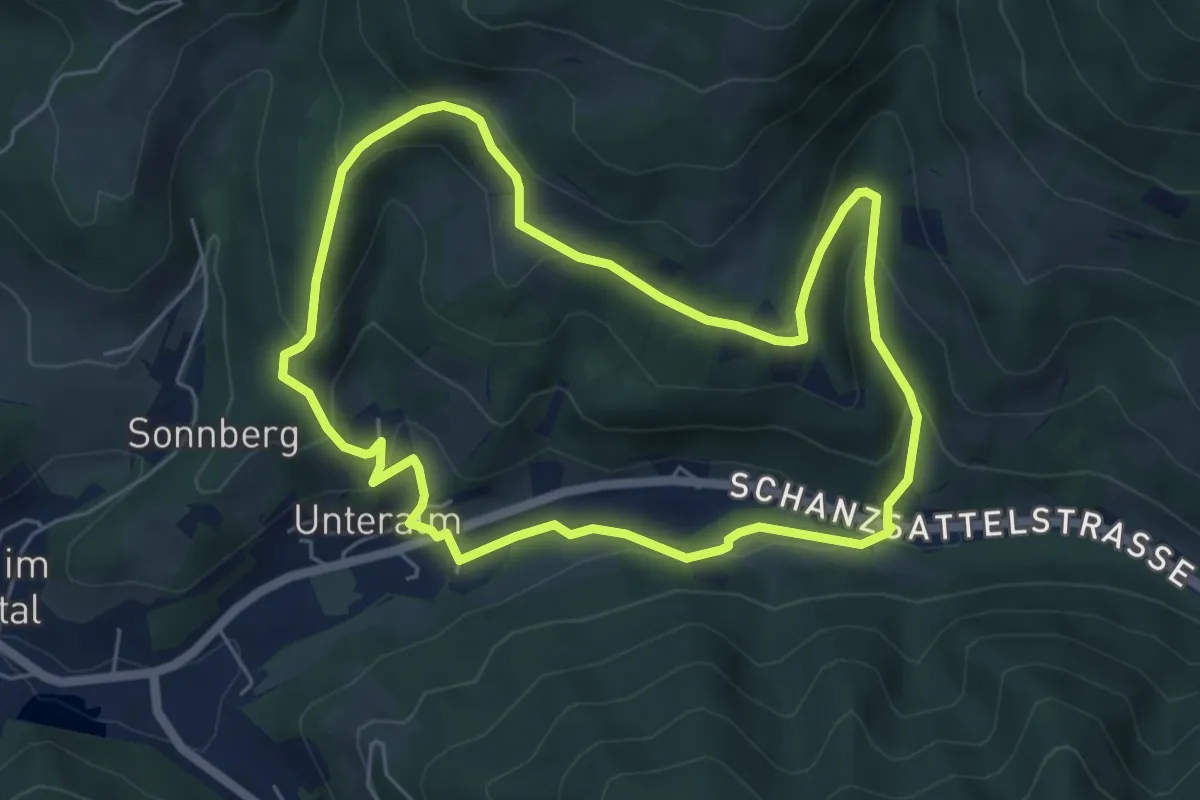
Medium · Trail
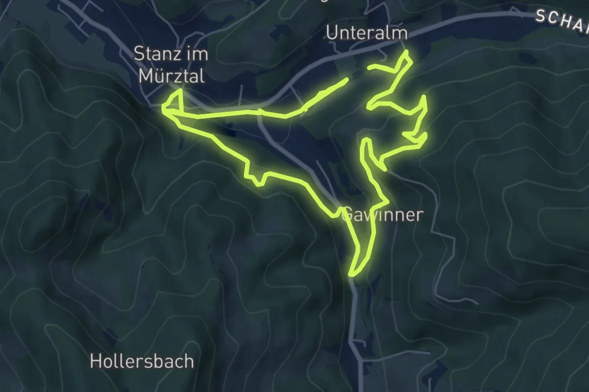
Stanzer WirteWanderWeg Almwirt
5.5 km · ↑ 223 m · 1 h 51 min
Easy · Trail
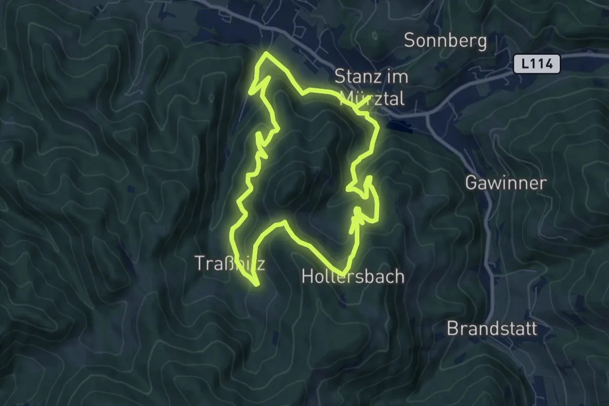
Stanzer WirteWanderWeg Dorfwirt
6.3 km · ↑ 225 m · 2 h 5 min
Medium · Trail
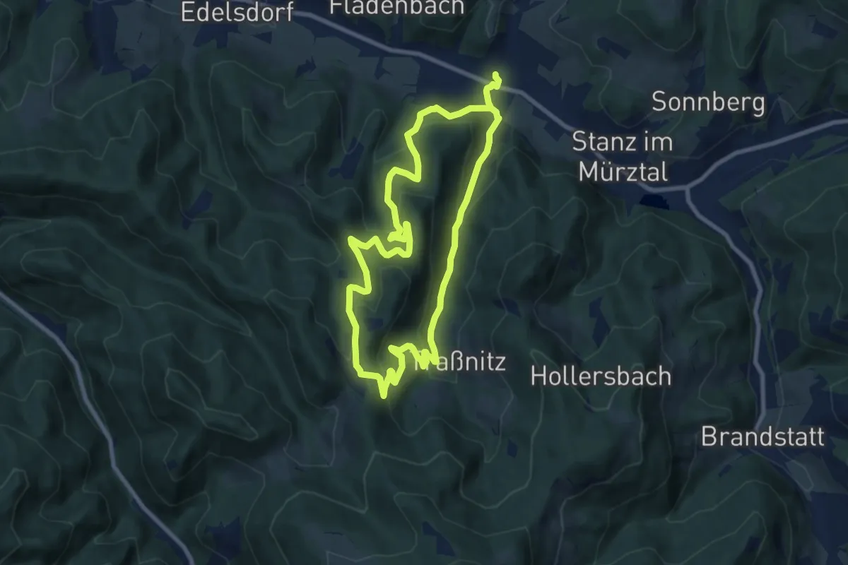
Stanzer WirteWanderWeg Tischlerwirt
8.0 km · ↑ 354 m · 2 h 47 min
Medium · Trail
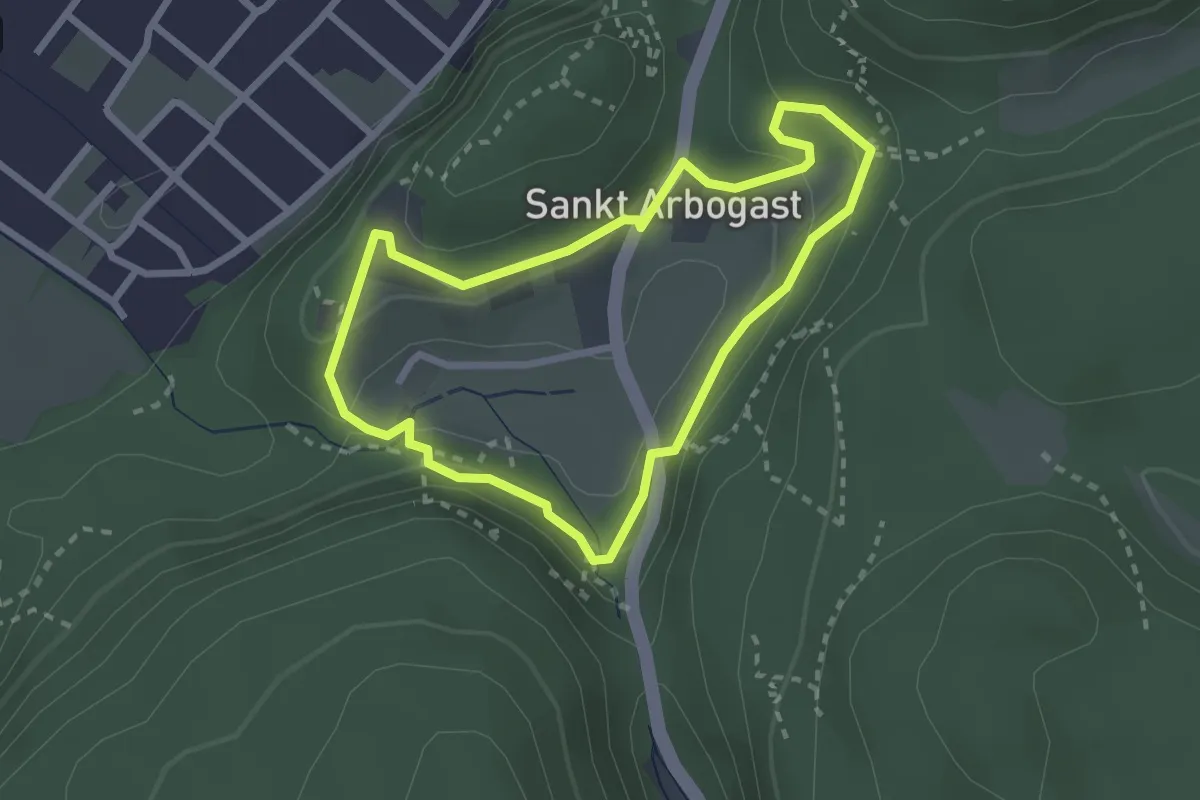
Stanzer WirteWanderweg Webergut
7.5 km · ↑ 321 m · 2 h 34 min
Easy · Trail
St. Arbogast-Rundweg
2.3 km · ↑ 86 m · 45 min
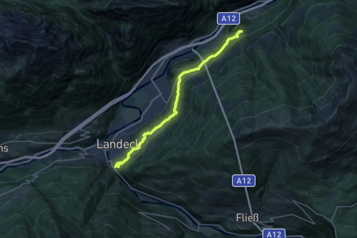
Medium · Trail
Starkenberger Panoramaweg - Abschnitt 1
15.1 km · ↑ 470 m · 4 h 35 min
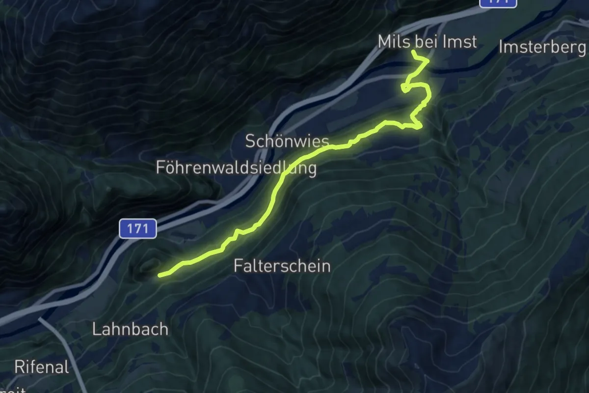
Medium · Trail
Starkenberger Panoramaweg - Abschnitt 2
13.3 km · ↑ 452 m · 4 h 6 min
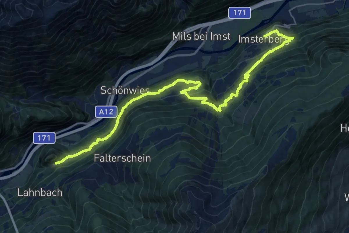
Demanding · Trail
Starkenberger Panoramaweg - Abschnitt 2a
22.1 km · ↑ 1009 m · 7 h 25 min
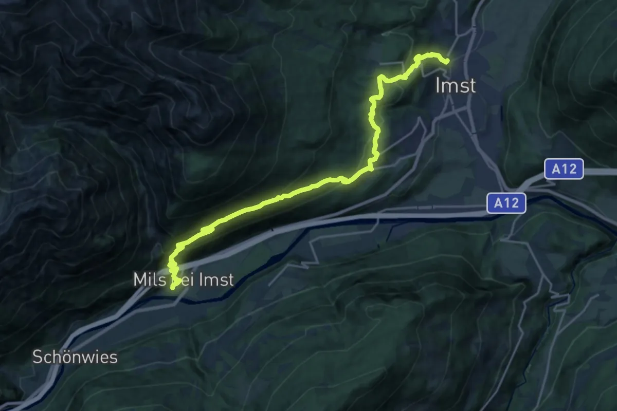
Demanding · Trail
Starkenberger Panoramaweg - Abschnitt 3
19.7 km · ↑ 1099 m · 7 h 2 min
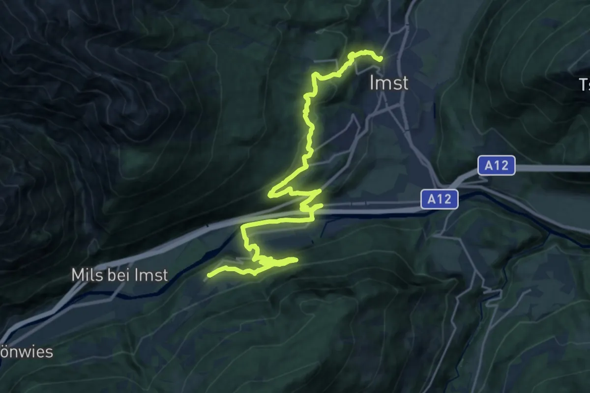
Medium · Trail
Starkenberger Panoramaweg - Abschnitt 3a
12.4 km · ↑ 465 m · 4 h 9 min
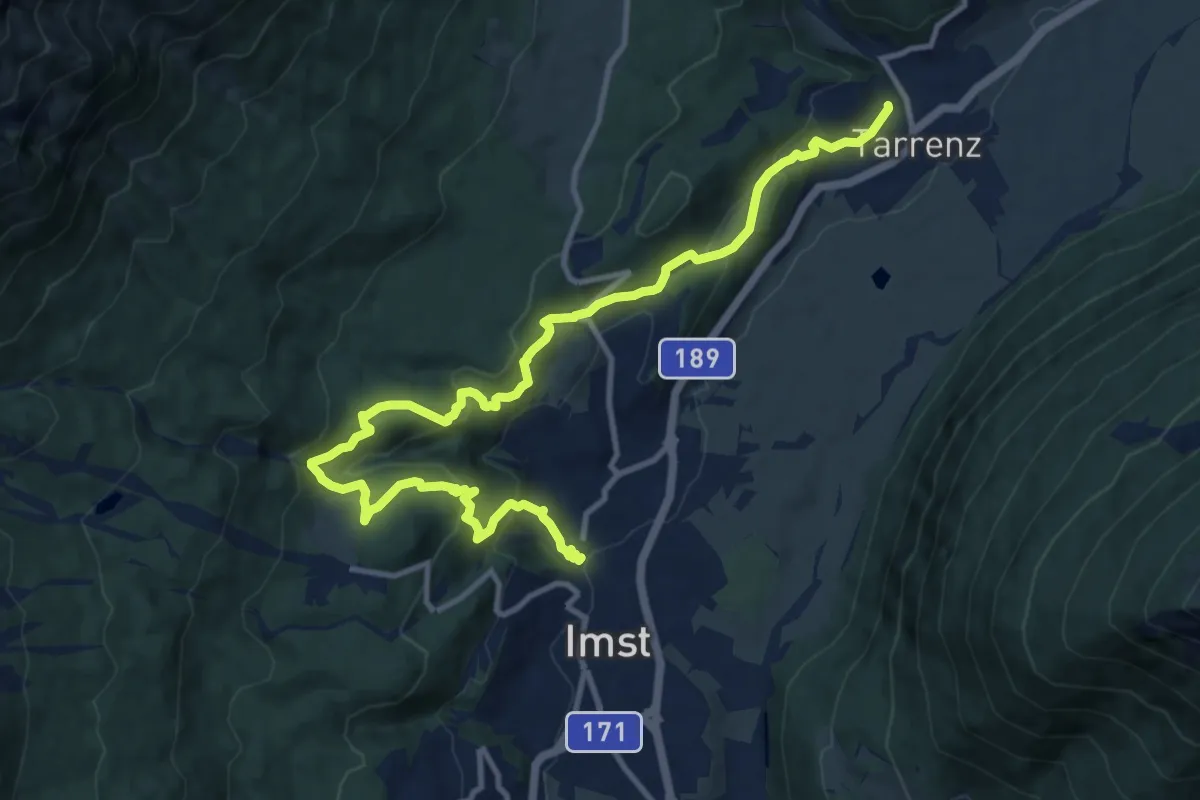
Medium · Trail
Starkenberger Panoramaweg - Abschnitt 4
14.0 km · ↑ 592 m · 4 h 36 min
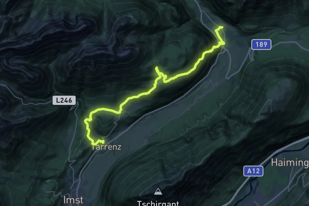
Demanding · Trail
Starkenberger Panoramaweg - Abschnitt 5
14.5 km · ↑ 831 m · 5 h 26 min
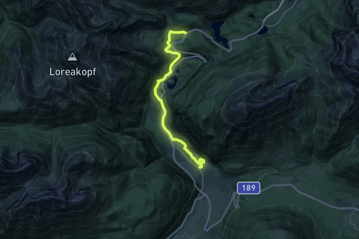
Medium · Trail
Starkenberger Panoramaweg - Abschnitt 6
17.2 km · ↑ 507 m · 5 h 10 min
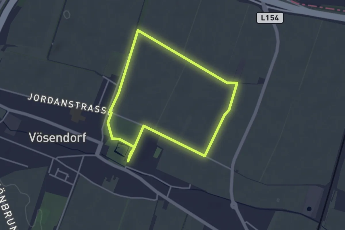
Easy · Trail
Starkl Runde
3.0 km · ↑ 5 m · 46 min
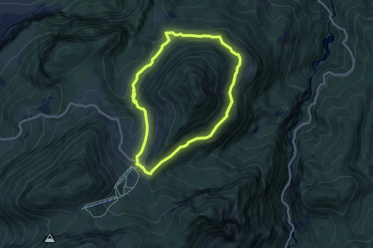
Medium · Summit
Staufenrunde
5.6 km · ↑ 228 m · 1 h 54 min
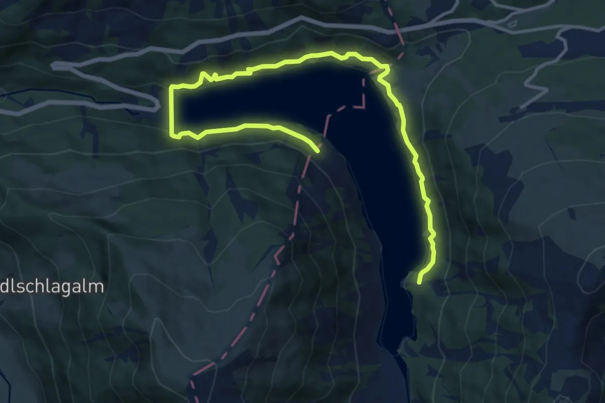
Medium · Trail
Stauseerunde
12.5 km · ↑ 226 m · 3 h 26 min
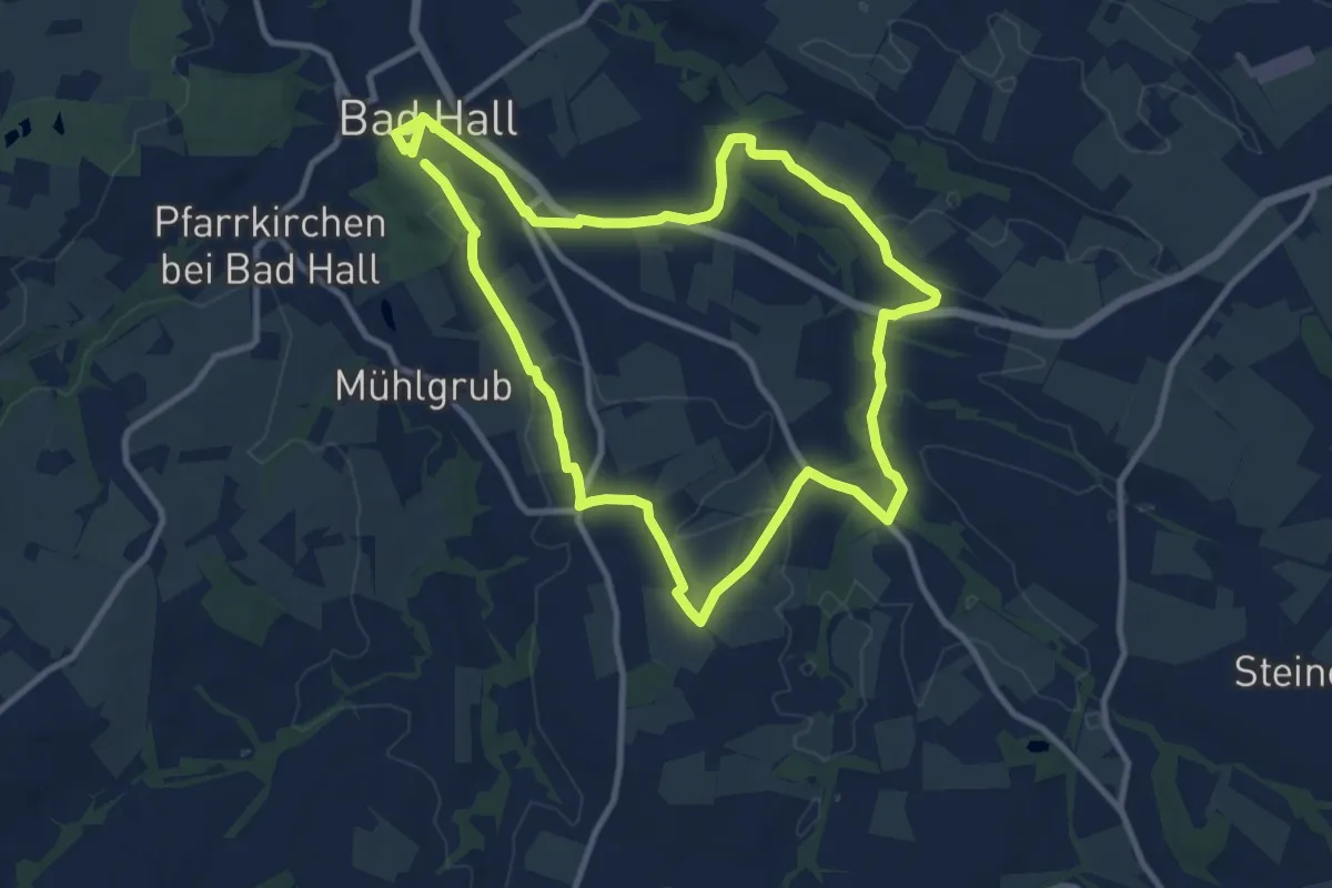
Medium · Trail
St. Blasien Rundwanderweg 13
10.0 km · ↑ 106 m · 2 h 44 min
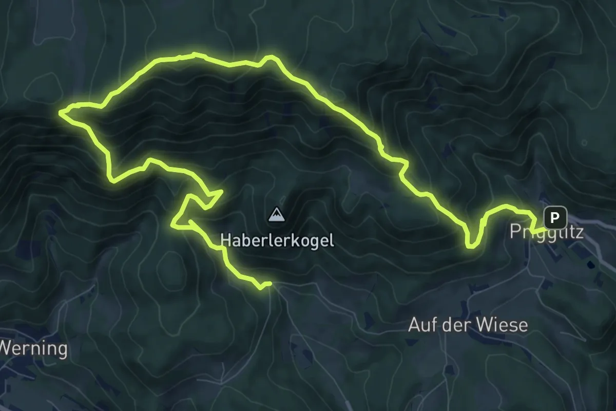
Demanding · Trail
St. Christof - Waldburgangerhütte - Prigglitz
16.9 km · ↑ 1447 m · 7 h 8 min
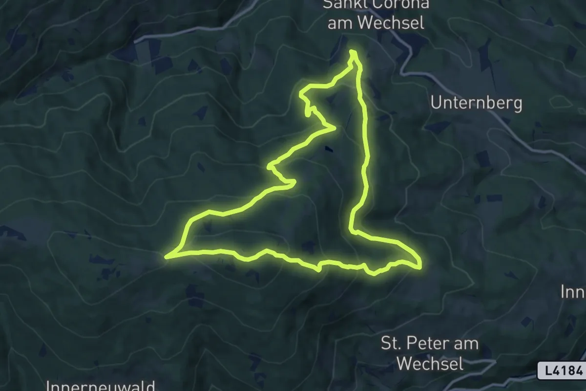
Medium · Summit
St. Corona - Almrauschhütte - Kampsteiner Schwaig - Herrgottschnitzerhütte - Simashütte - Orthof
11.3 km · ↑ 577 m · 4 h 5 min
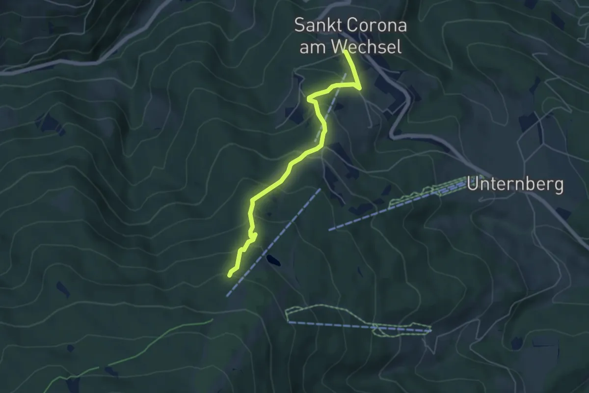
Medium · Trail
St. Corona - Orthof - Richtung Kampsteiner Schwaig
4.8 km · ↑ 337 m · 1 h 51 min
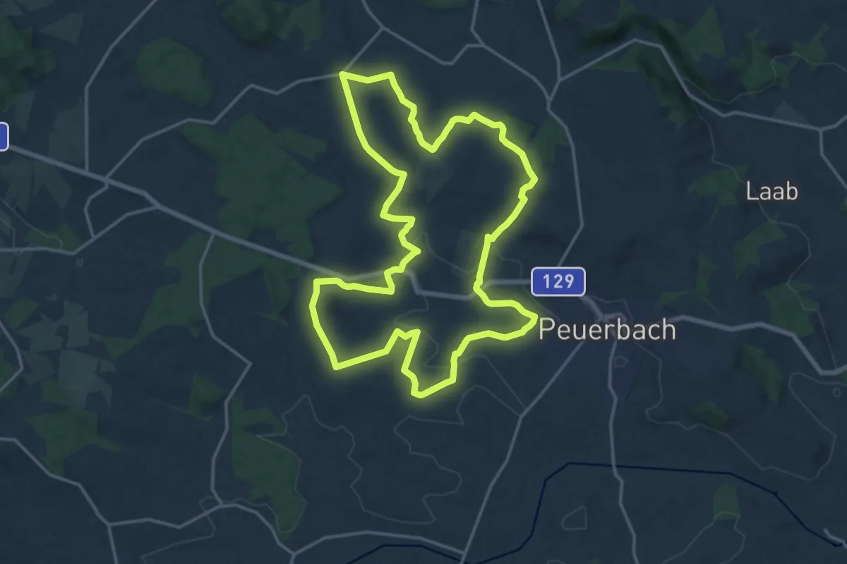
Medium · Trail
Steegener Mostweg
15.9 km · ↑ 239 m · 4 h 29 min
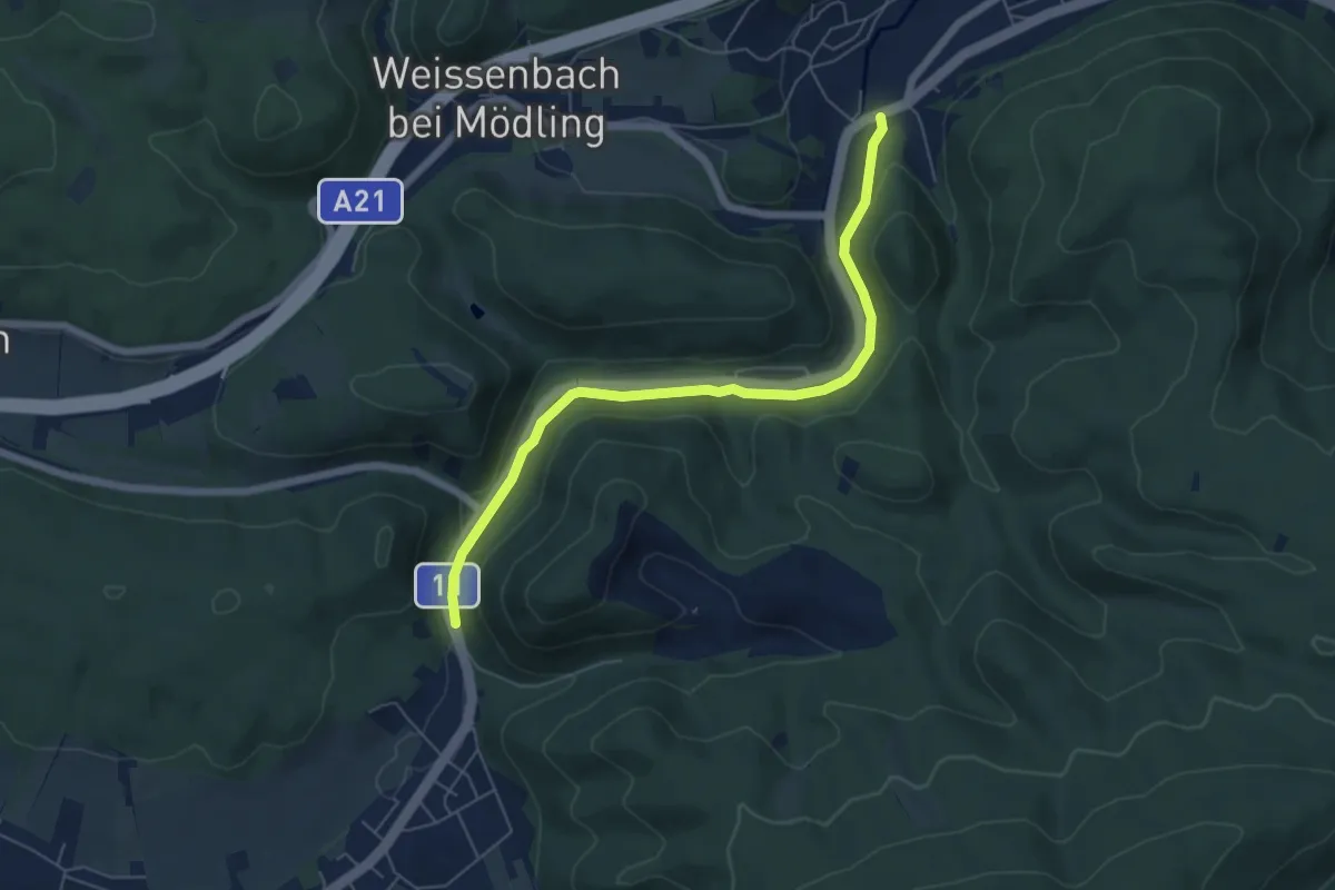
Easy · Trail
Stefanieweg
5.9 km · ↑ 96 m · 1 h 36 min
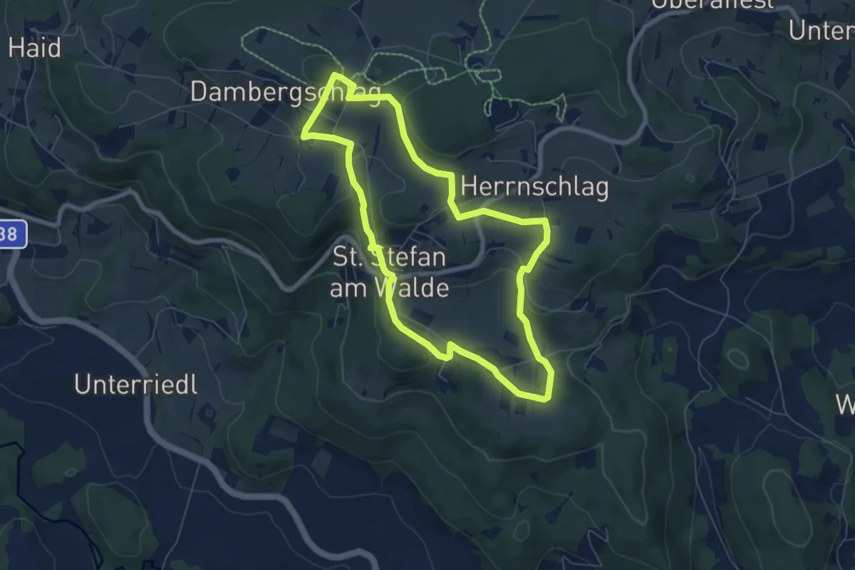
Easy · Trail
Steffinger Bankerlsteig
6.1 km · ↑ 138 m · 1 h 49 min
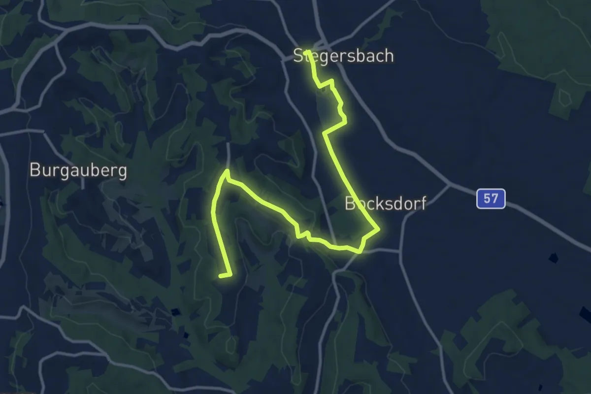
Medium · Summit
Stegersbach - Bergen
12.7 km · ↑ 174 m · 3 h 22 min
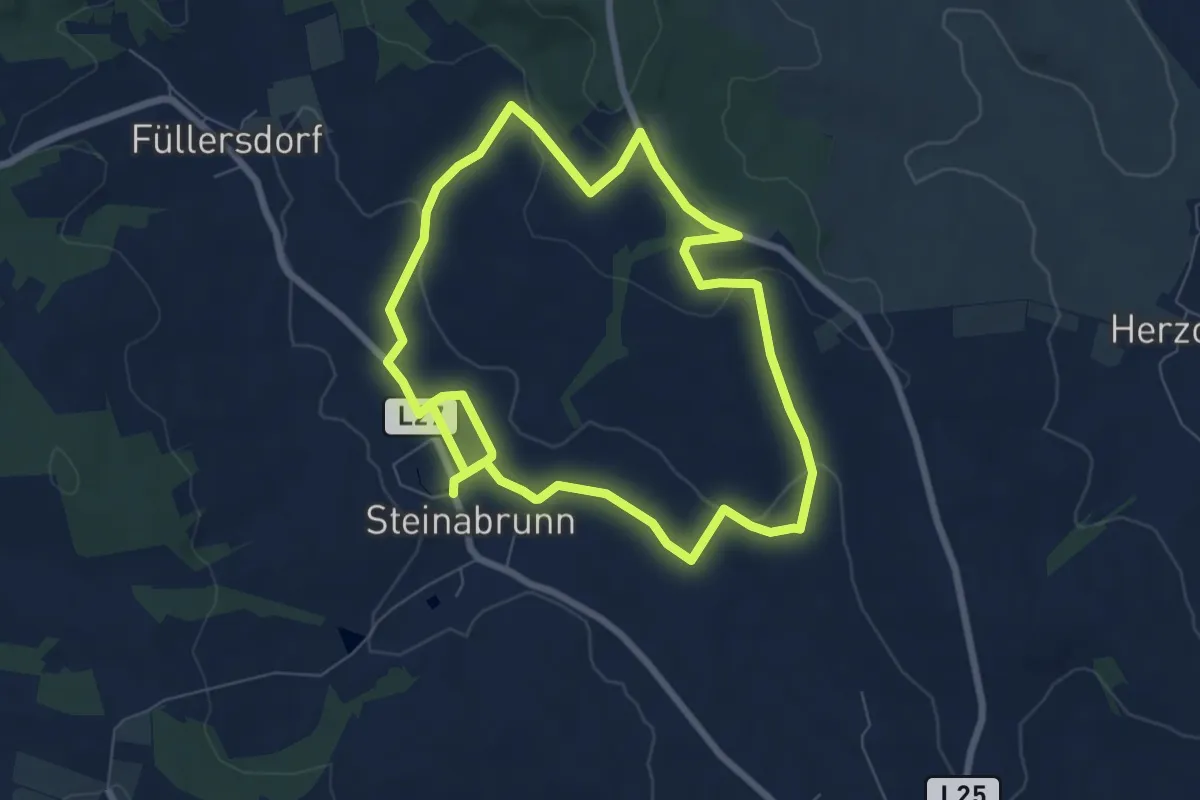
Medium · Trail
Steinabrunner Weinbergweg
13.6 km · ↑ 241 m · 3 h 44 min
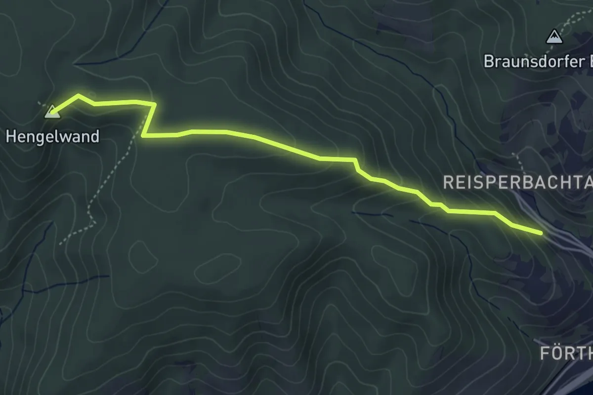
Easy · Summit
Stein a.d. Donau-Fesslhütte über Hengelwand (grün)
4.6 km · ↑ 252 m · 1 h 37 min
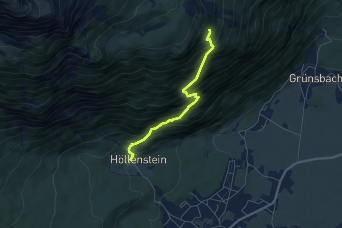
Demanding · Trail
Steinapfelsteig
4.4 km · ↑ 643 m · 2 h 25 min
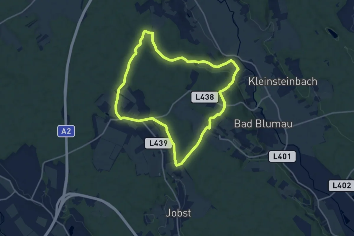
Medium · Trail
Steinbachgrabenweg
11.3 km · ↑ 149 m · 3 h 9 min
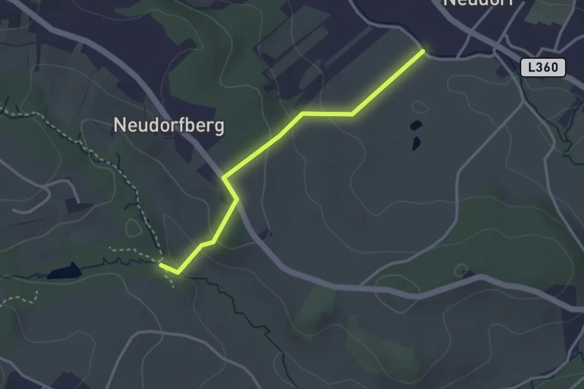
Easy · Trail
Steinbachklamm - Neudorf
2.7 km · ↑ 99 m · 51 min
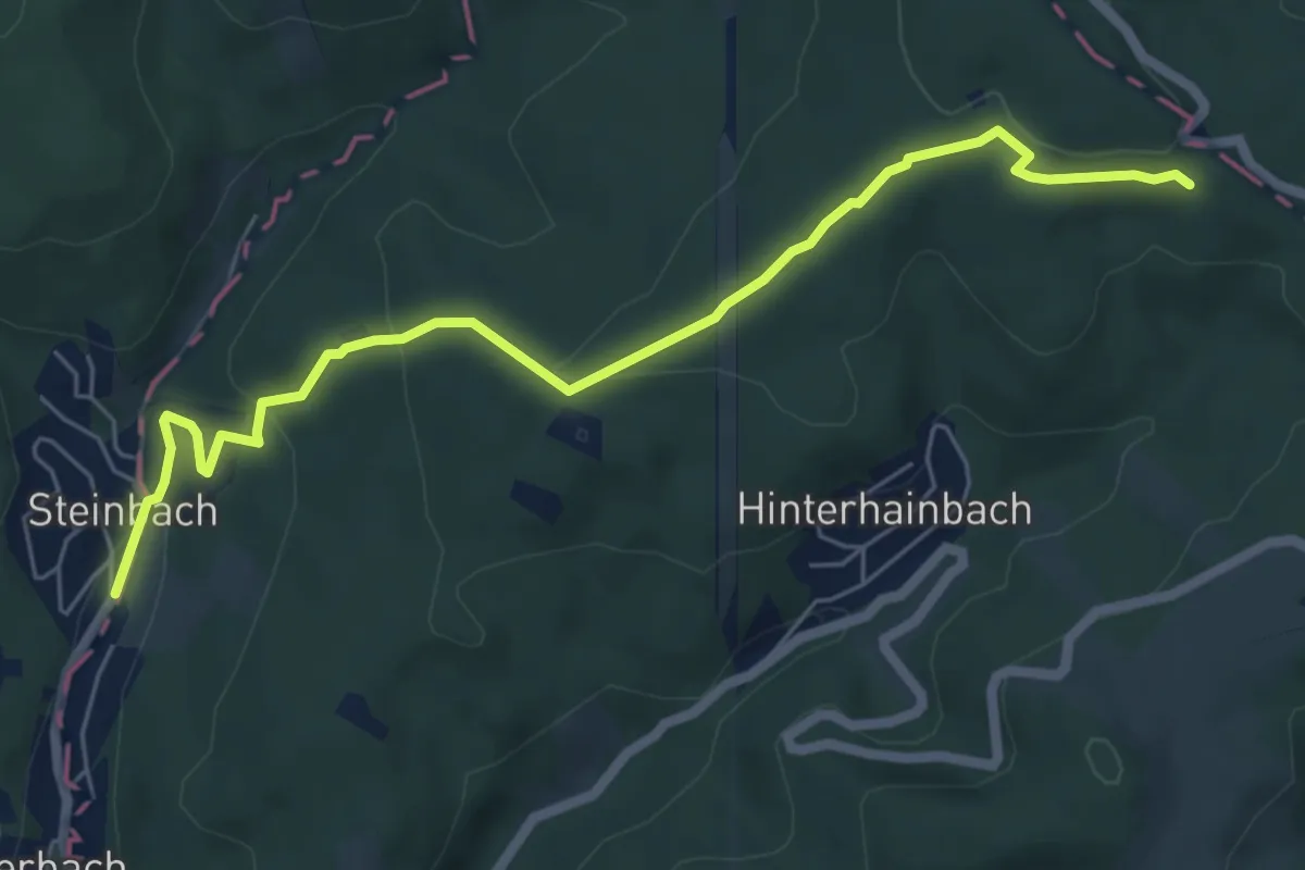
Easy · Trail
Steinbach - Moosbrunner Boden
6.5 km · ↑ 196 m · 1 h 58 min
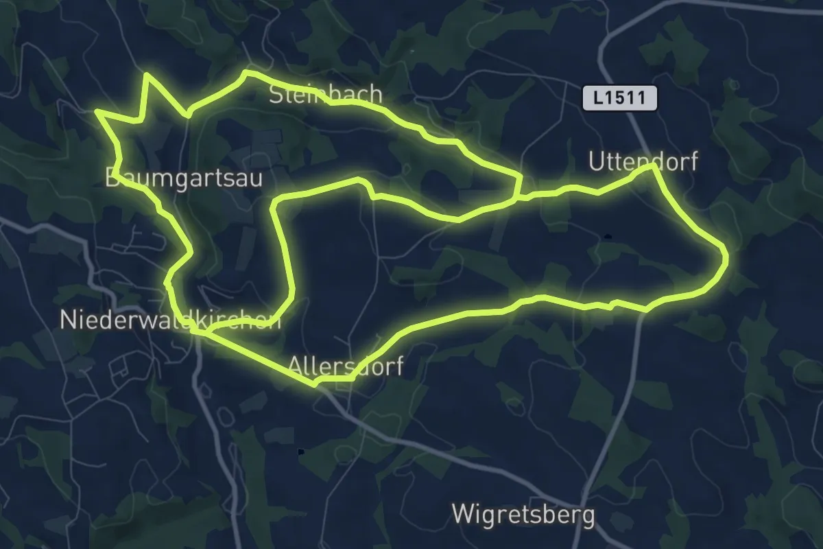
Demanding · Trail
Steinbach-Rundweg
25.4 km · ↑ 562 m · 7 h 12 min
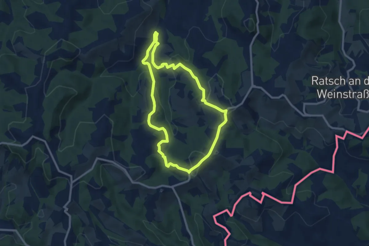
Easy · Trail
Steinbach - Südsteir. Weinstraße - Eckberg
6.5 km · ↑ 277 m · 2 h 14 min
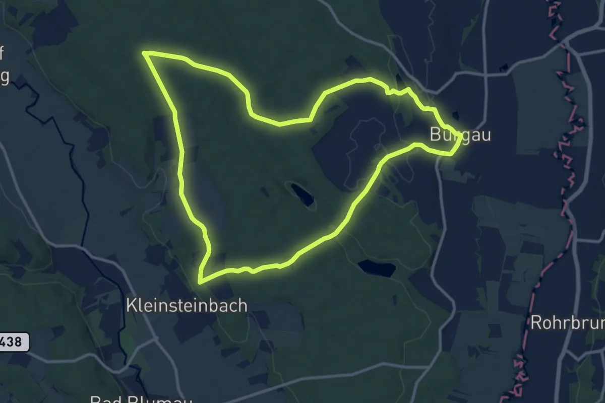
Medium · Trail
Steinbachwaldweg
10.9 km · ↑ 131 m · 3 h 1 min
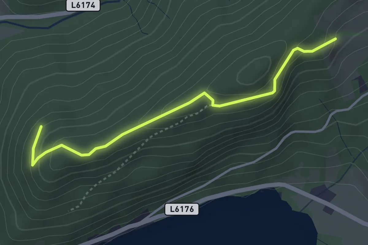
Easy · Trail
Steinbauernberg - Rehberg
3.5 km · ↑ 186 m · 1 h 13 min
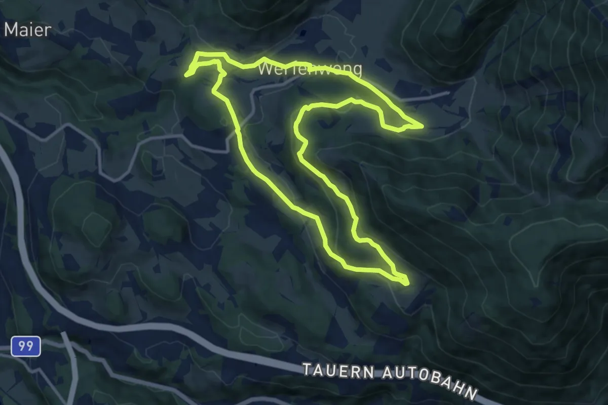
Medium · Trail
Steinbergrunde
10.3 km · ↑ 300 m · 3 h 14 min
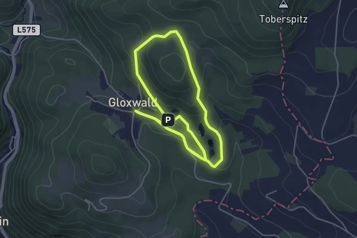
Easy · Trail
Steinbruch Runde
3.6 km · ↑ 114 m · 1 h 8 min
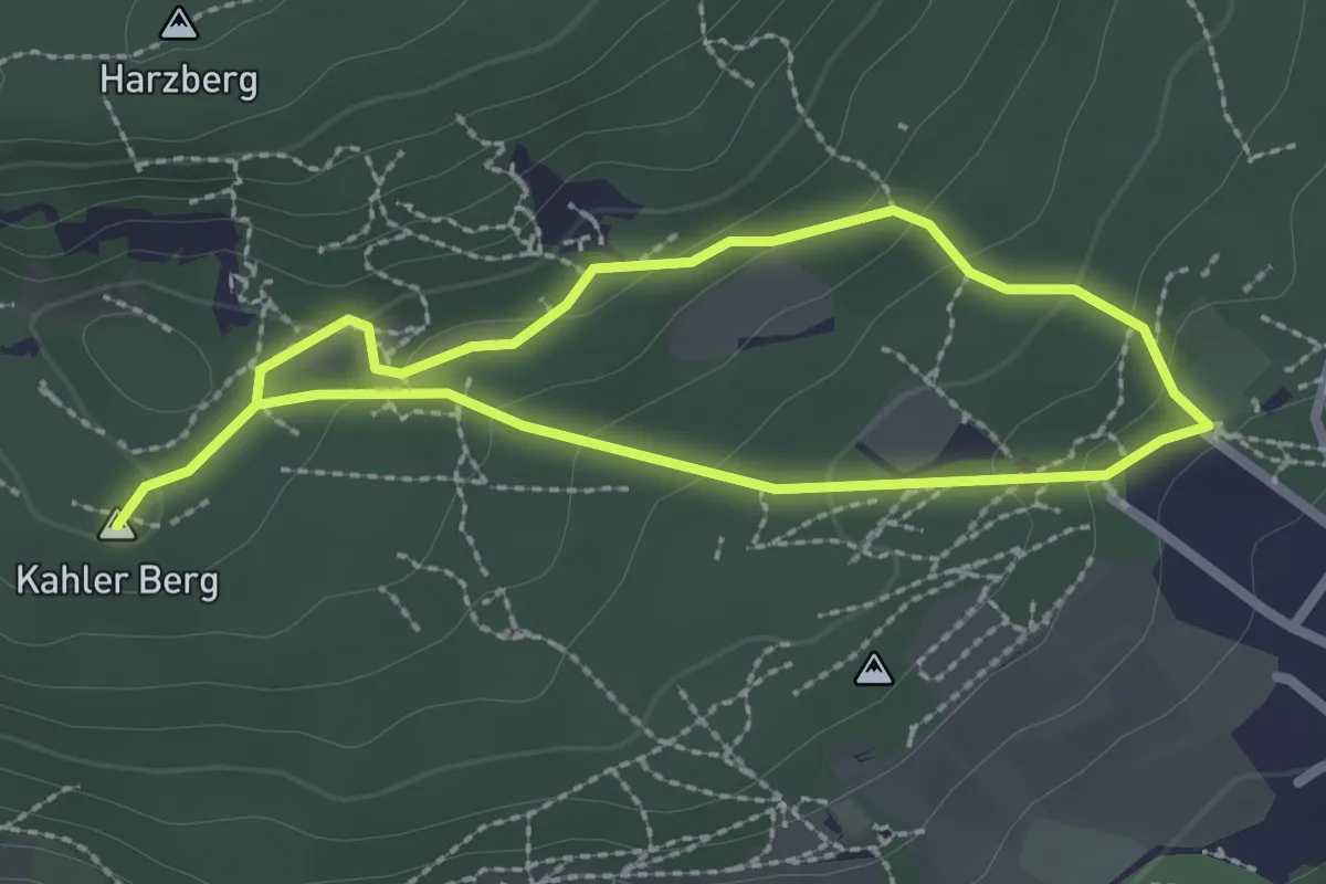
Easy · Summit
Steinbruch Runde B1
4.0 km · ↑ 168 m · 1 h 19 min