Trails in Austria
9,777 hiking trails, each with its route, climb, walking time and grade.
All trails, page 110 of 204
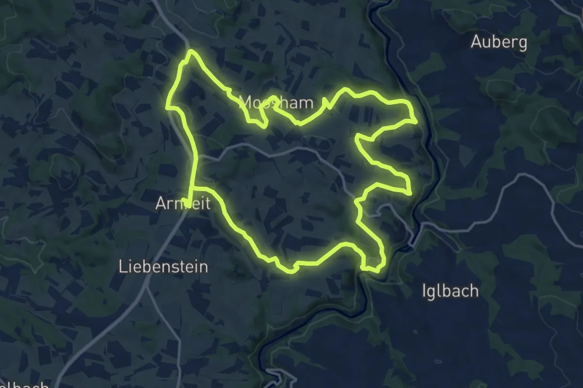
Medium · Trail
Steinbruchweg
14.9 km · ↑ 370 m · 4 h 31 min
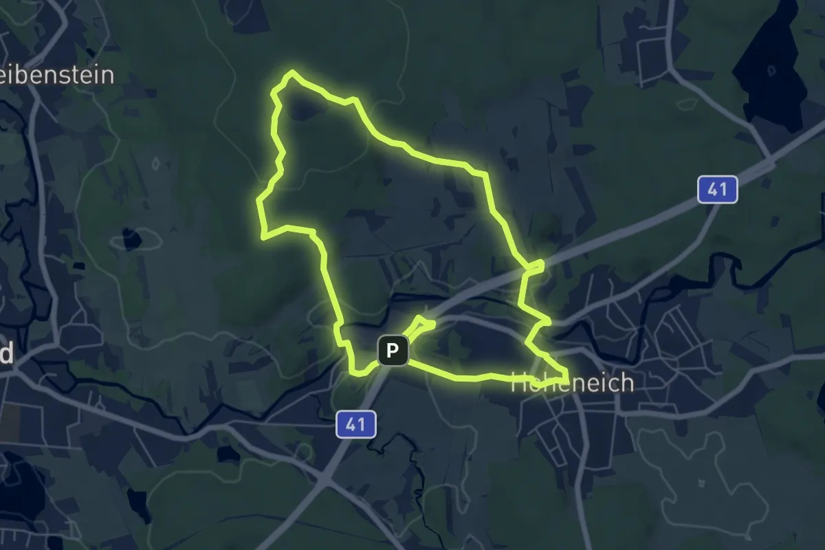
Easy · Trail
Steinbruchweg (11)
6.1 km · ↑ 102 m · 1 h 45 min
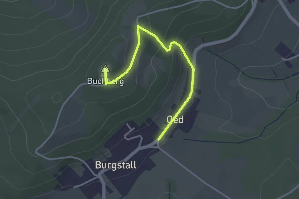
Easy · Summit
Steinbründlweg - Waldweg zum Buchberg
2.8 km · ↑ 127 m · 56 min
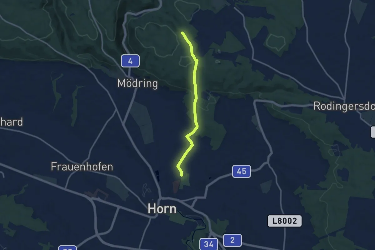
Medium · Trail
Steindlbergweg
8.1 km · ↑ 180 m · 2 h 18 min
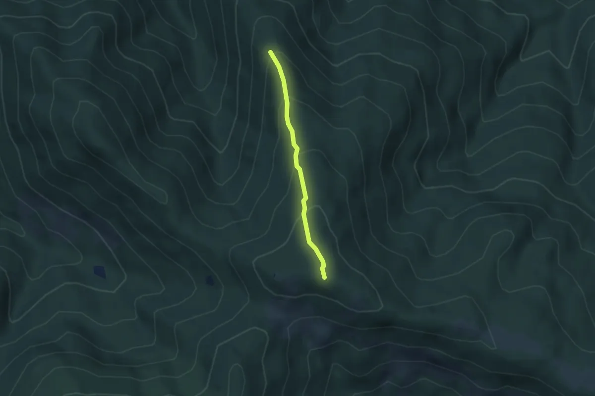
Easy · Summit
Steineck
1.4 km · ↑ 198 m · 41 min
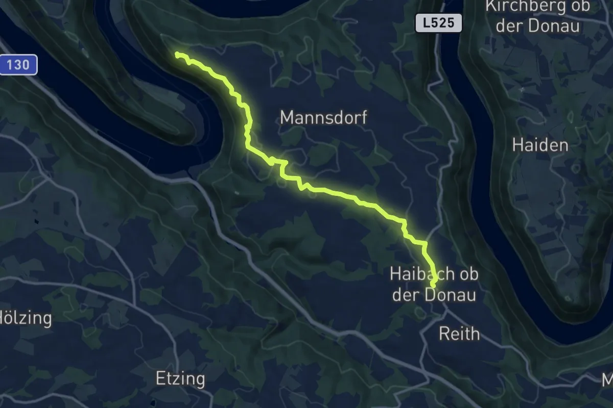
Medium · Summit
Steiner Felsen
12.3 km · ↑ 267 m · 3 h 29 min
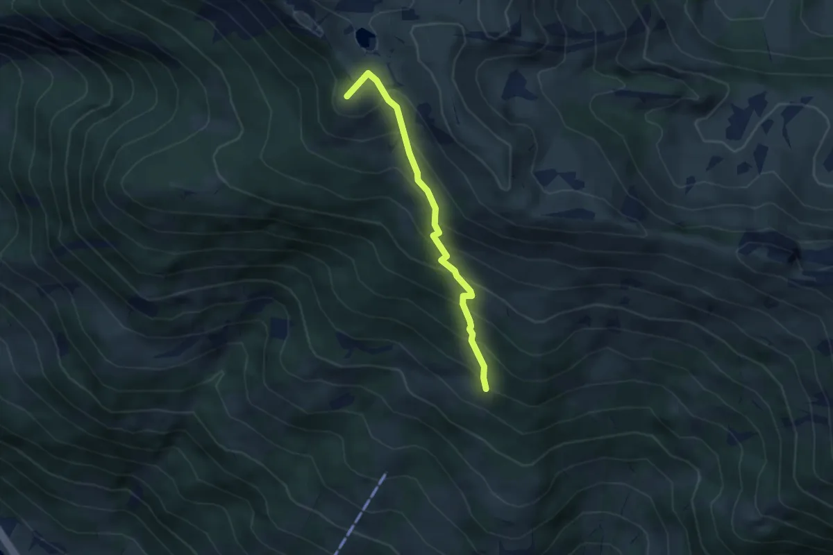
Medium · Summit
Steiner-Hochalm - Paarseen
3.5 km · ↑ 406 m · 1 h 42 min
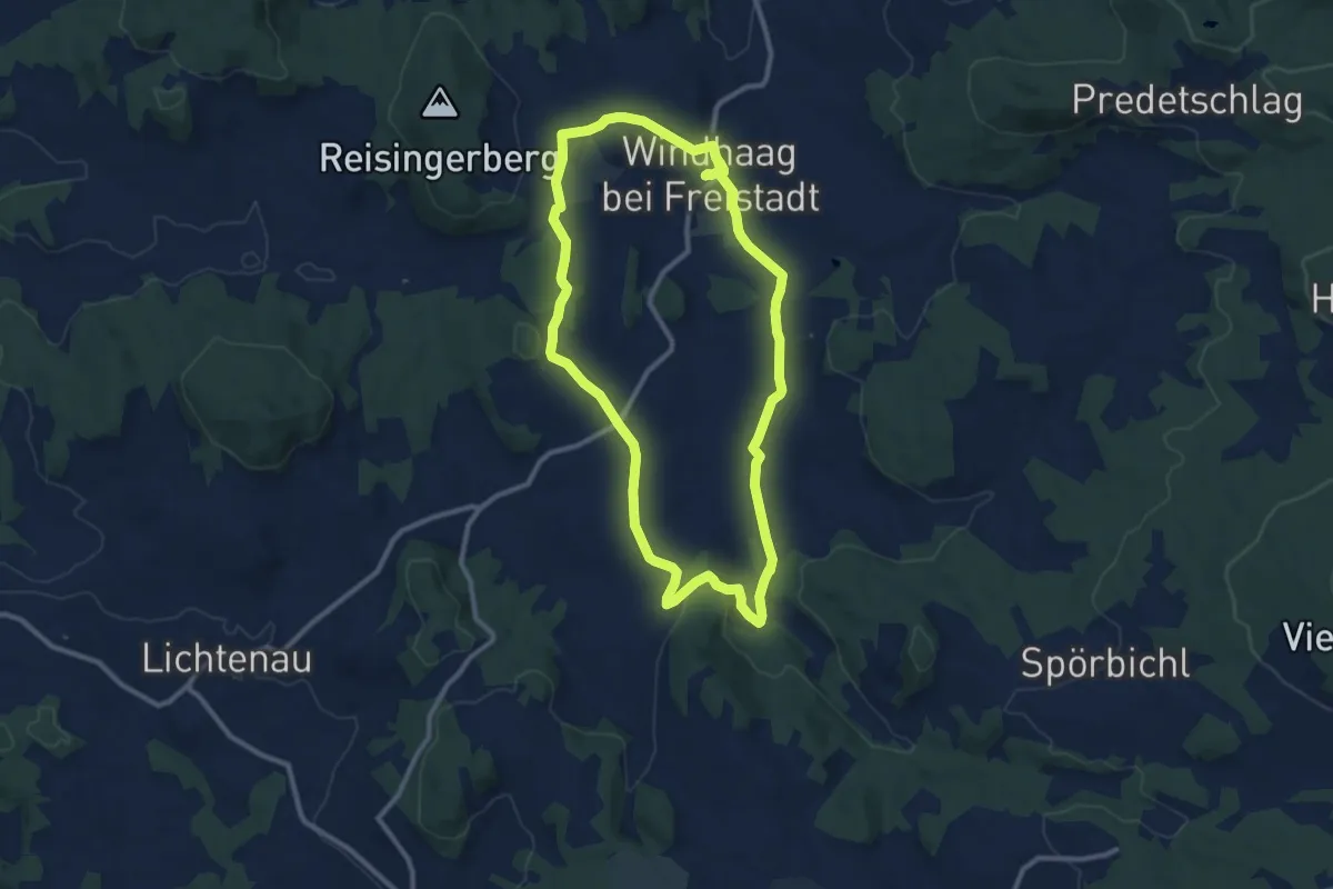
Medium · Trail
Steinerlebnisweg
9.9 km · ↑ 185 m · 2 h 53 min
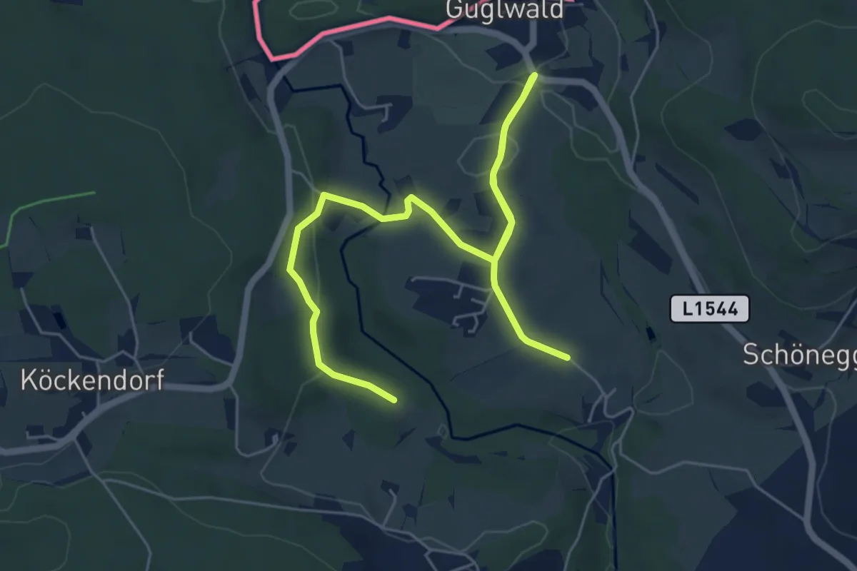
Easy · Trail
Steinerne Mühl Weg
7.1 km · ↑ 157 m · 2 h 1 min
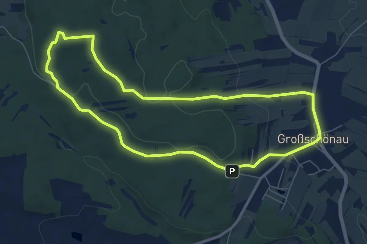
Easy · Summit
Steinernestubenweg
5.7 km · ↑ 126 m · 1 h 41 min
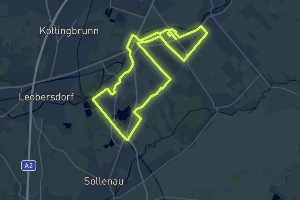
Demanding · Trail
Steinfeldlauf 19,4 km
19.1 km · ↑ 29 m · 4 h 51 min
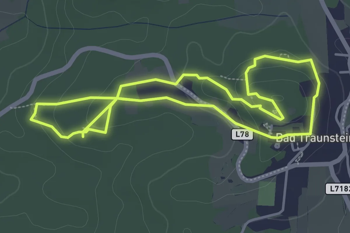
Medium · Trail
Stein-Gigantenweg 51
3.3 km · ↑ 96 m · 1 h 2 min
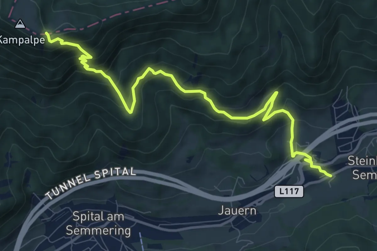
Demanding · Trail
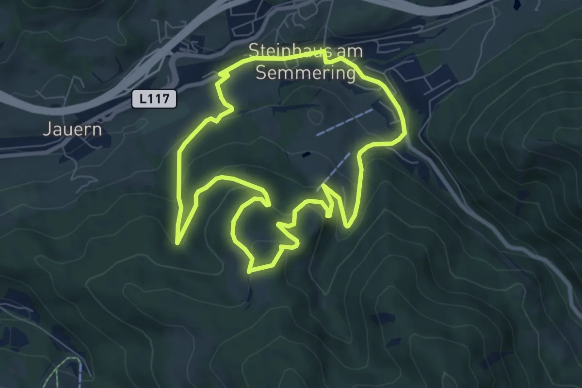
Steinhaus - Kampalpe
10.5 km · ↑ 675 m · 3 h 56 min
Easy · Trail
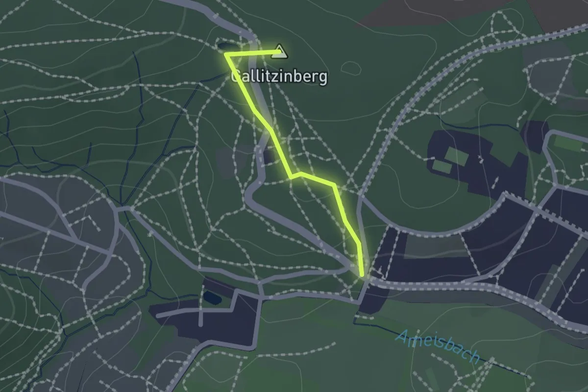
Steinhaus - Rettenberg Rundwanderweg
6.6 km · ↑ 259 m · 2 h 13 min
Easy · Summit
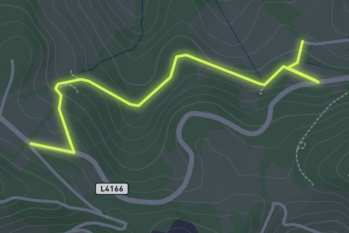
Steinhof - Kreuzeichenwiese
1.3 km · ↑ 42 m · 24 min
Easy · Trail
Steinhöfler - Kreuzbergstraße
3.1 km · ↑ 129 m · 1 h
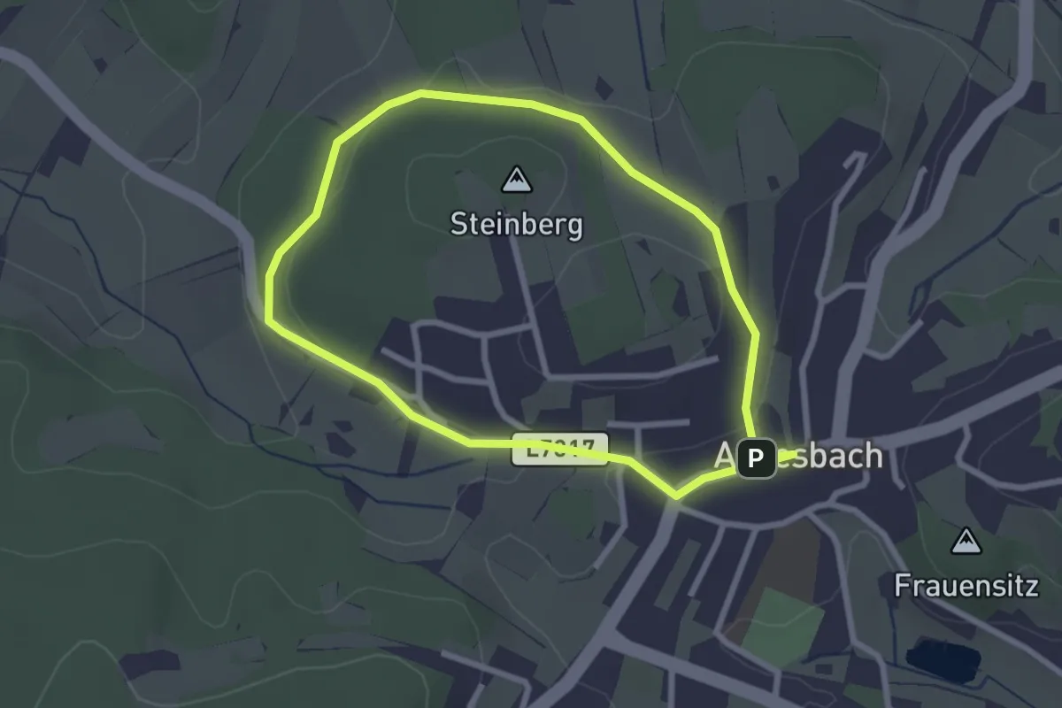
Easy · Summit
Steinkreuzweg 80
2.3 km · ↑ 40 m · 39 min
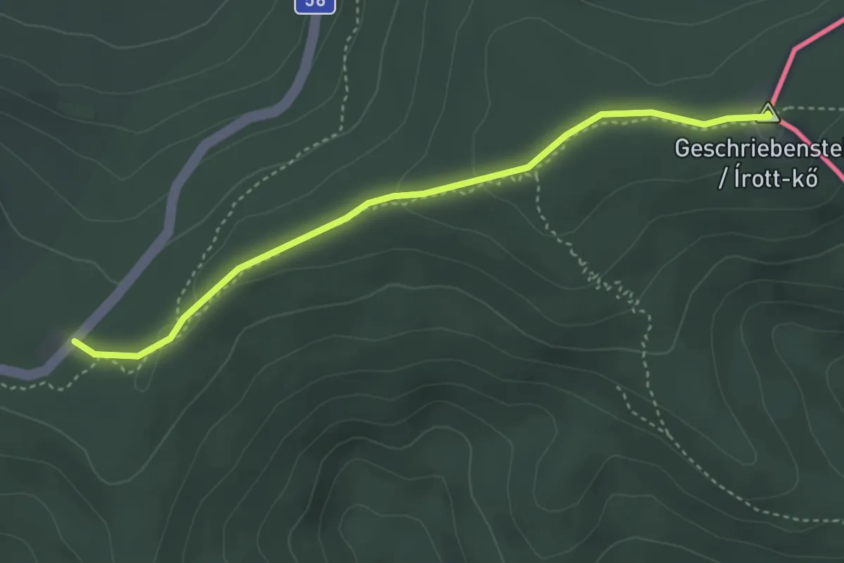
Easy · Summit
Steinlehrpfad
3.7 km · ↑ 77 m · 1 h 3 min
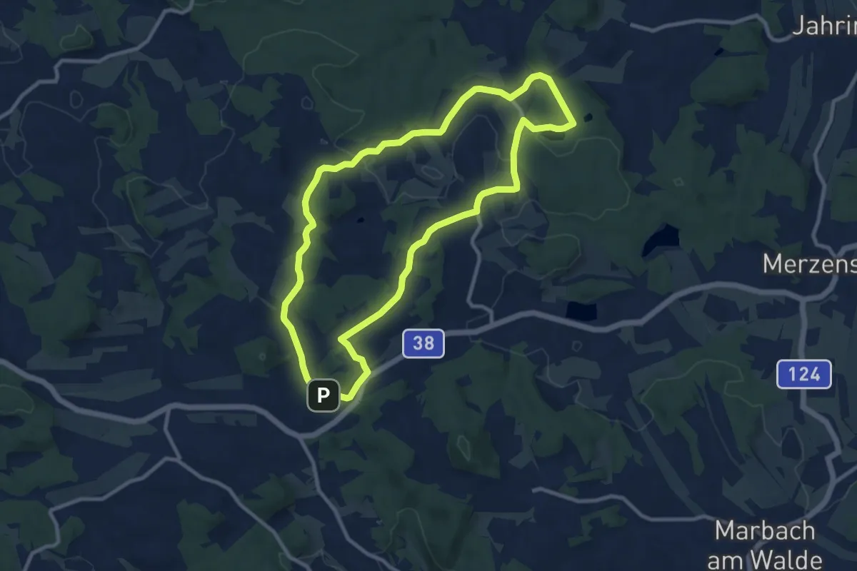
Medium · Trail
Steinpyramide - Wanderweg 30
9.1 km · ↑ 172 m · 2 h 39 min
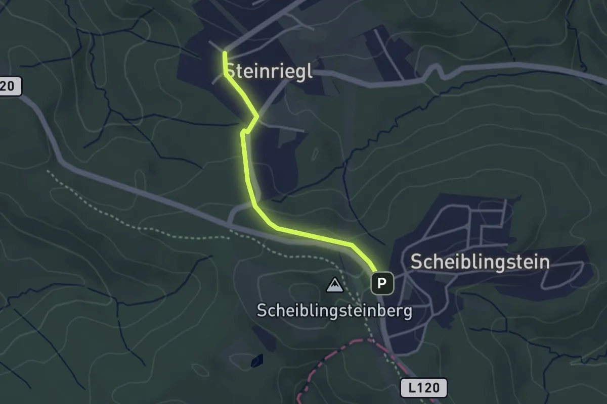
Easy · Trail
Steinriegl/Schulerweg - Scheiblingstein
2.6 km · ↑ 58 m · 44 min
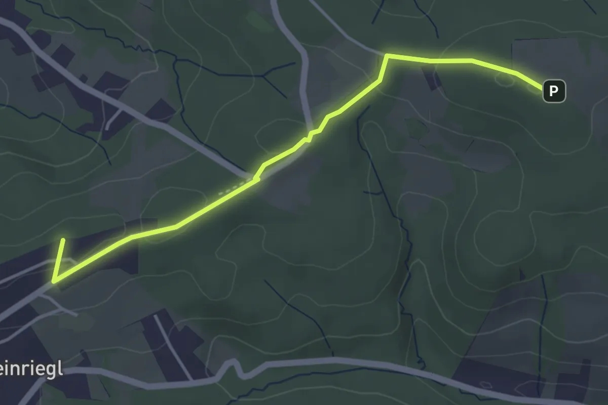
Easy · Summit
Steinriegl – Windischhütte
4.0 km · ↑ 86 m · 1 h 7 min
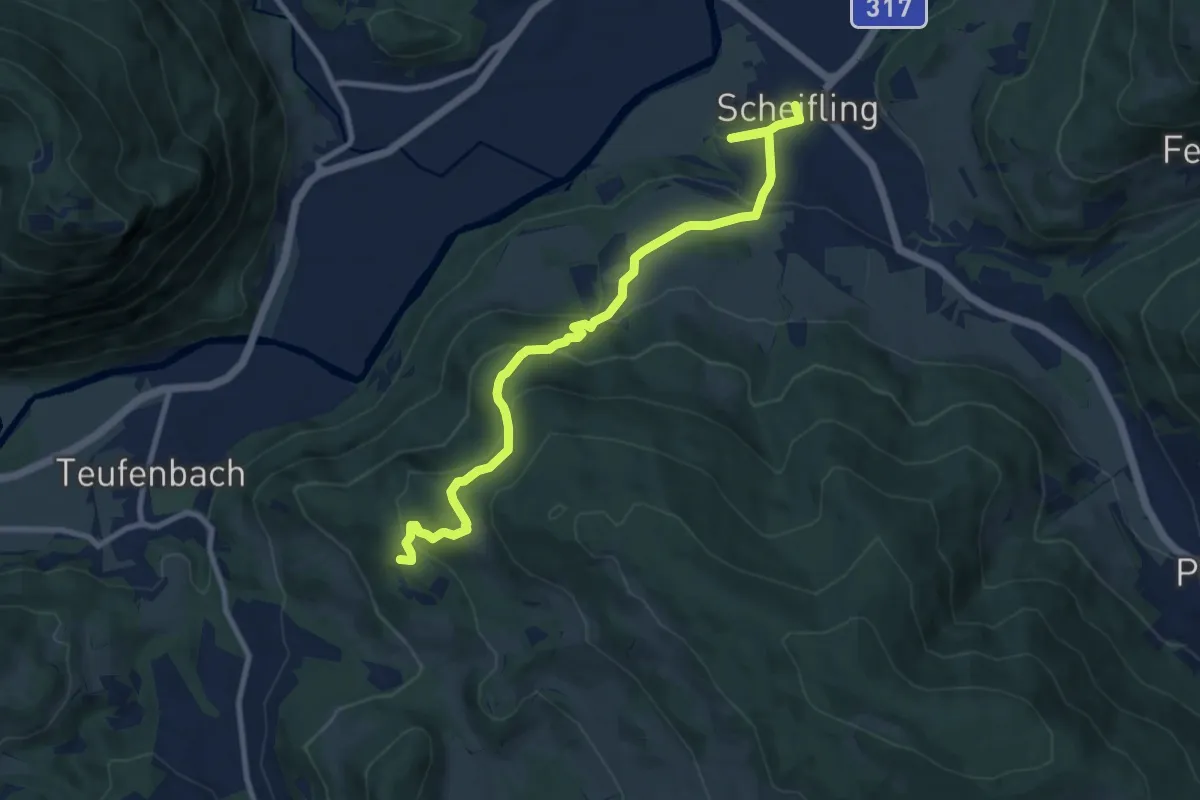
Medium · Trail
Steinschloss-Runde
5.1 km · ↑ 96 m · 1 h 38 min
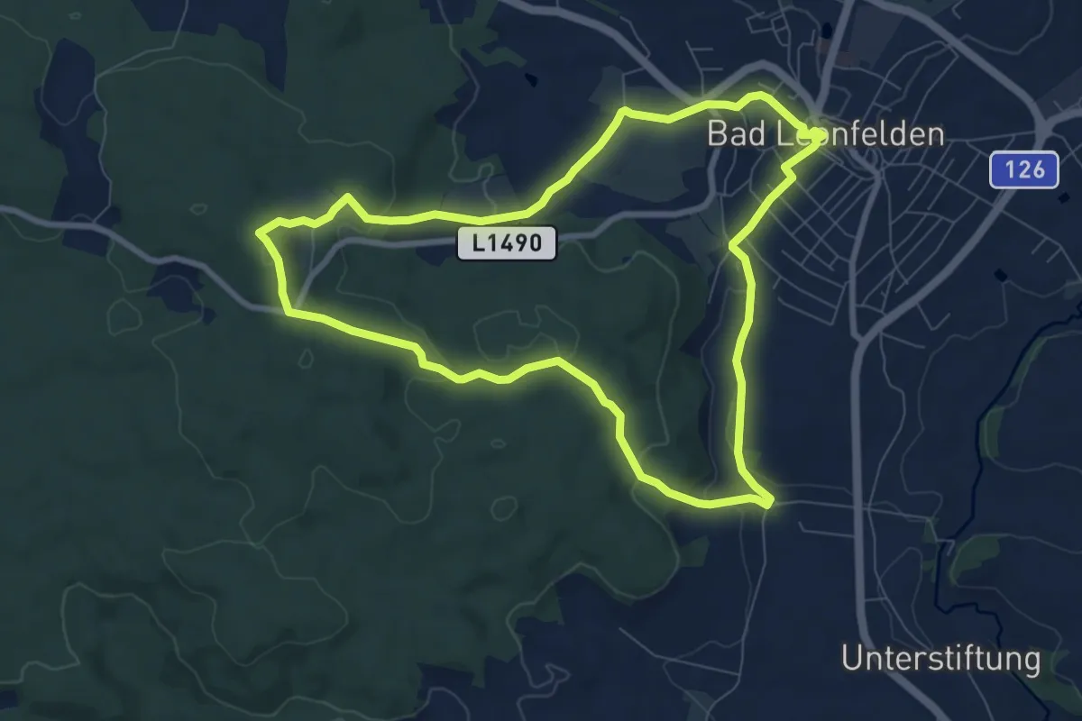
Easy · Trail
Steinwaldrunde
7.8 km · ↑ 205 m · 2 h 24 min
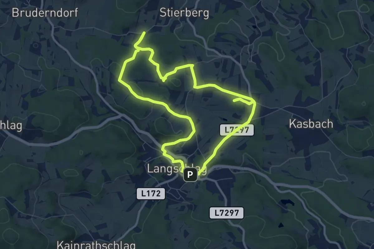
Easy · Summit
Steinwanderweg 91
7.8 km · ↑ 127 m · 2 h 14 min
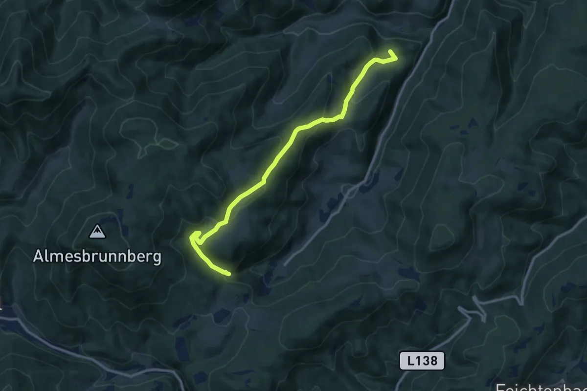
Medium · Summit
Steinwandgraben - Pogra - Berg - Steinwandklamm
10.0 km · ↑ 520 m · 3 h 29 min
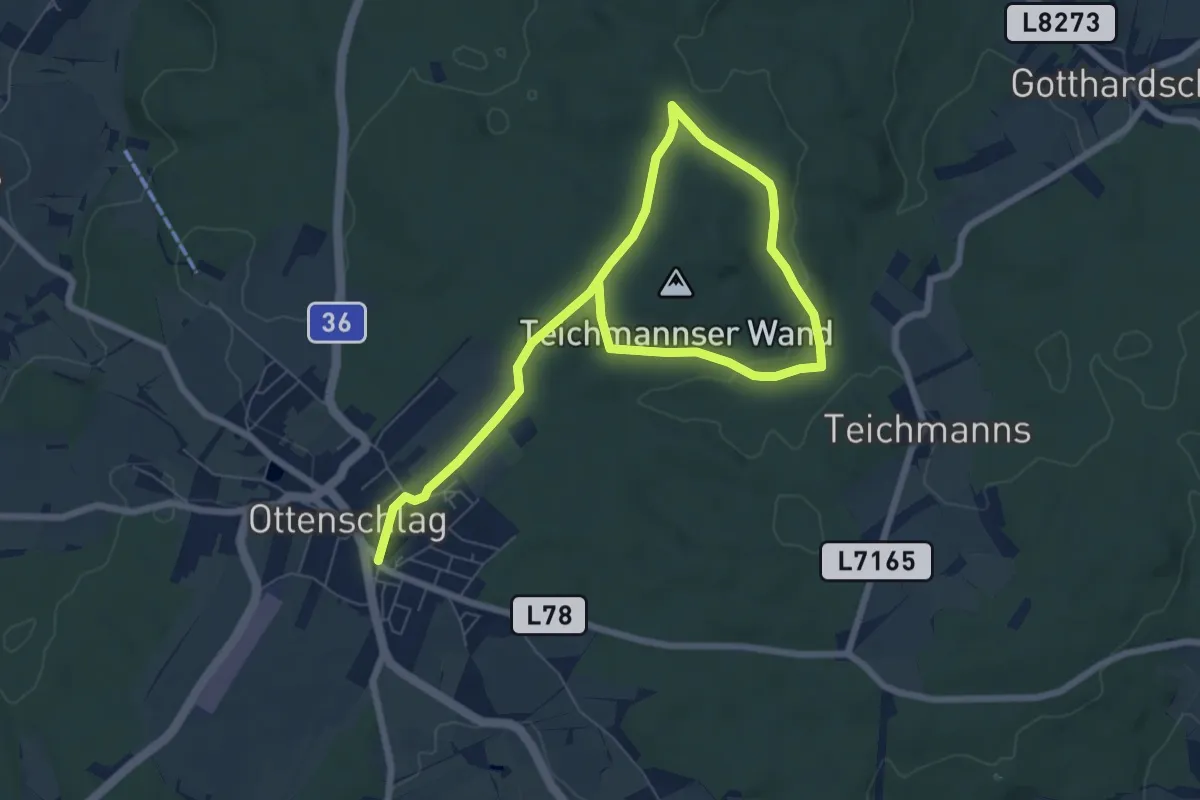
Medium · Trail
Steinwandweg 32
9.6 km · ↑ 106 m · 2 h 30 min
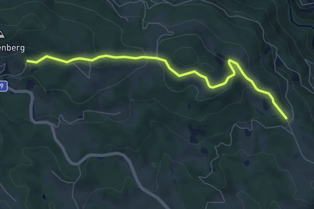
Easy · Trail
Steirischer Landesrundwanderweg Alternative
6.5 km · ↑ 245 m · 2 h 4 min
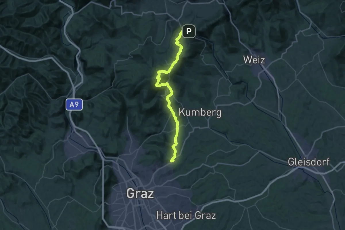
Demanding · Summit
Steirischer Mariazellerweg 06
24.3 km · ↑ 1119 m · 8 h 34 min
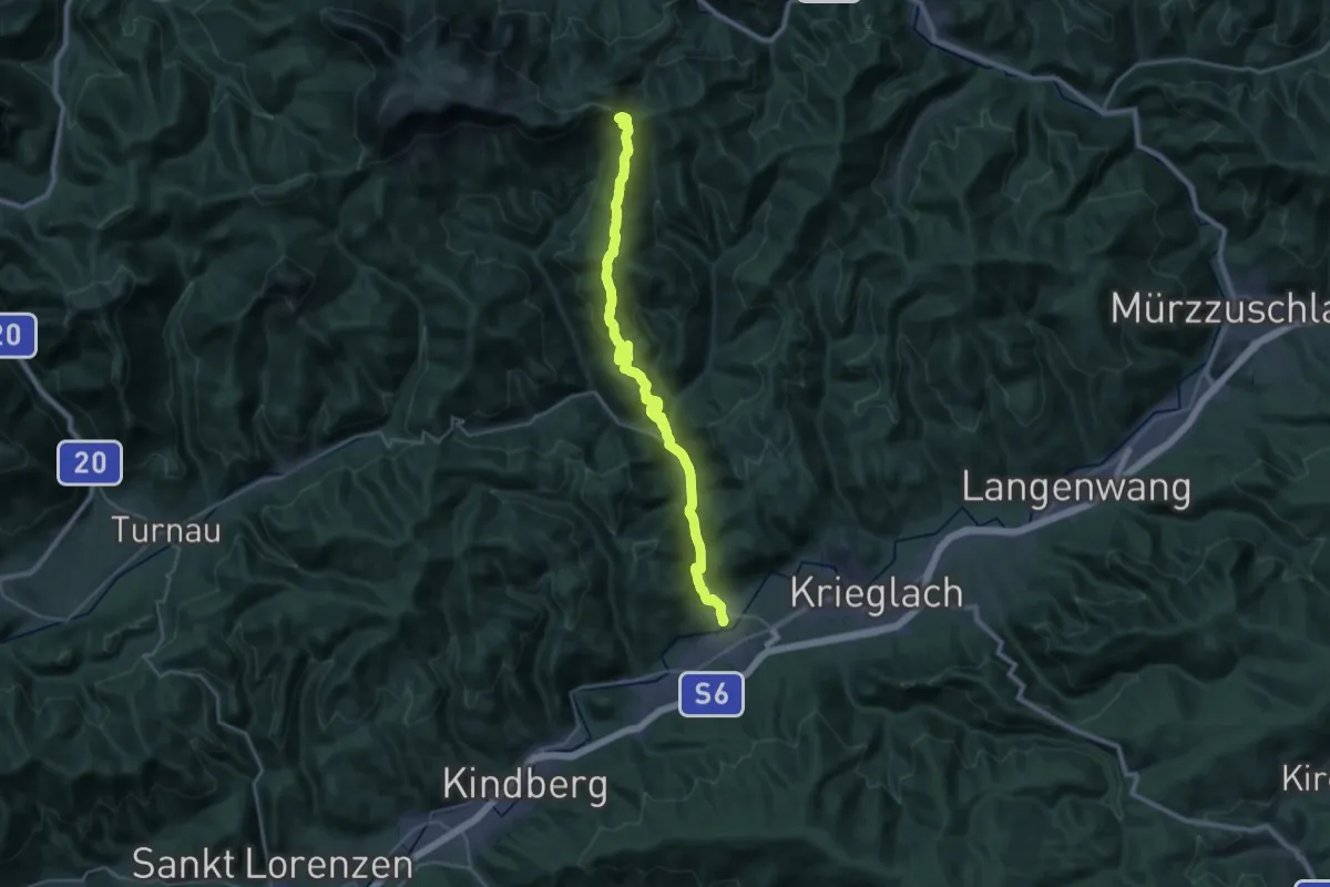
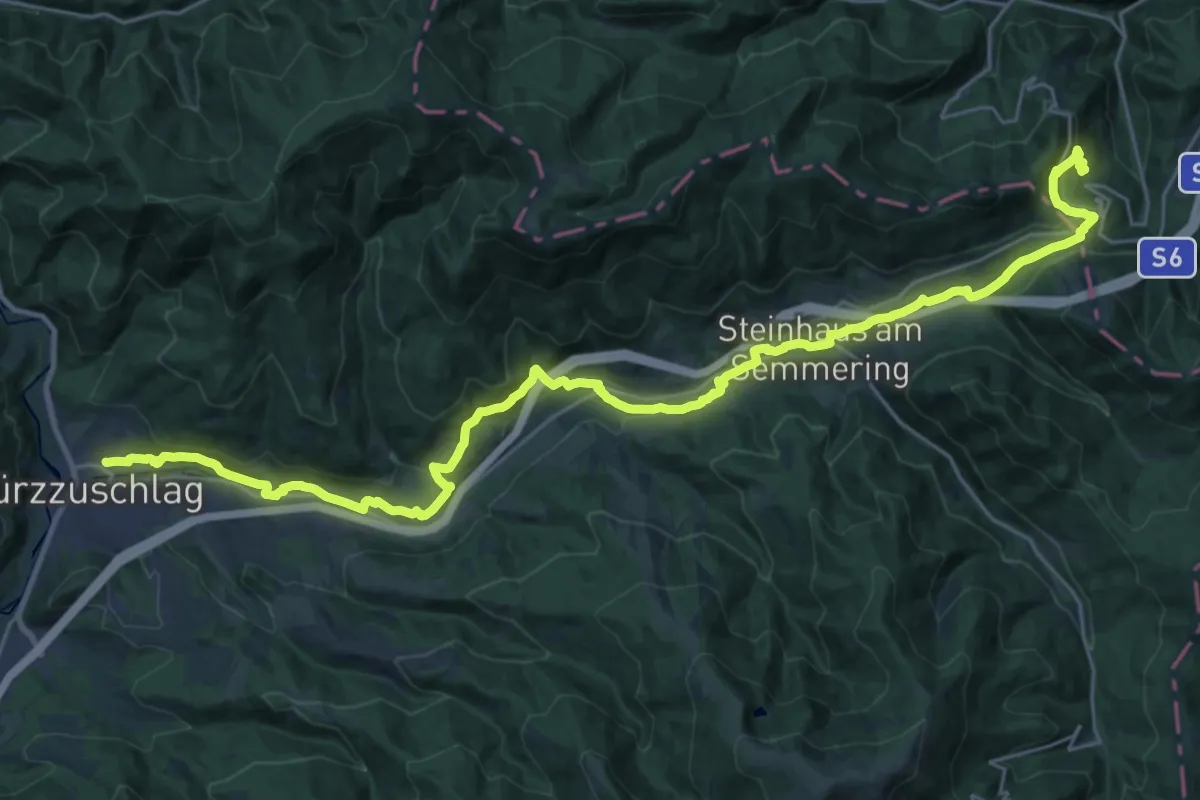
Demanding · Summit
Steirischer Mariazellerweg 06B
30.5 km · ↑ 1188 m · 9 h 46 min
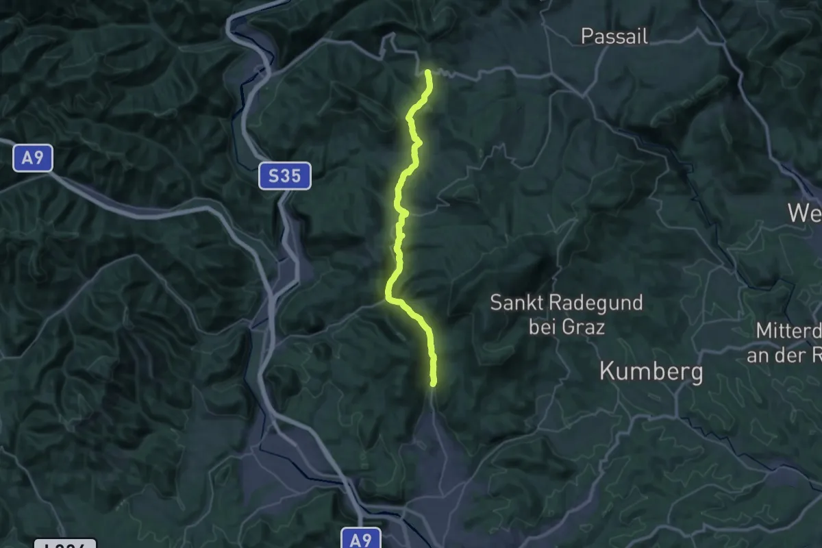
Medium · Trail
Steirischer Semmering Bahnwanderweg
17.1 km · ↑ 512 m · 5 h 16 min
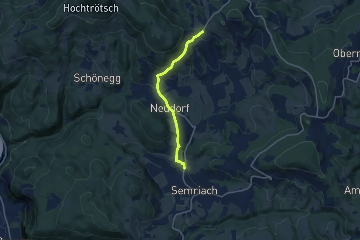
Medium · Trail
Steirischer Voralpenweg 740
15.4 km · ↑ 755 m · 5 h 16 min
Medium · Trail
Steirischer Voralpenweg 740a
8.3 km · ↑ 253 m · 2 h 30 min
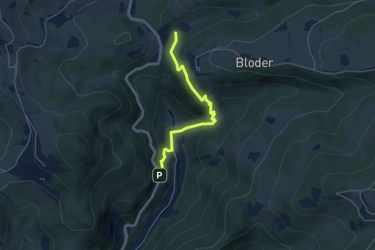
Medium · Trail
Steirischer Voralpenweg 740b
3.7 km · ↑ 295 m · 1 h 31 min
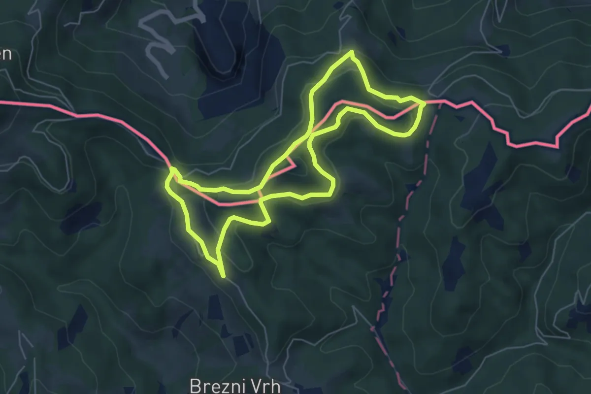
Easy · Summit
Steirisch - slowenischer Weg
5.3 km · ↑ 145 m · 1 h 39 min
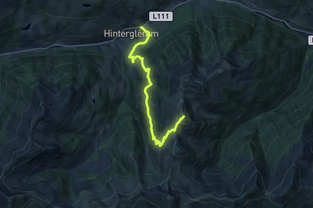
Demanding · Summit
Stemmerkogel
16.0 km · ↑ 1115 m · 6 h 12 min
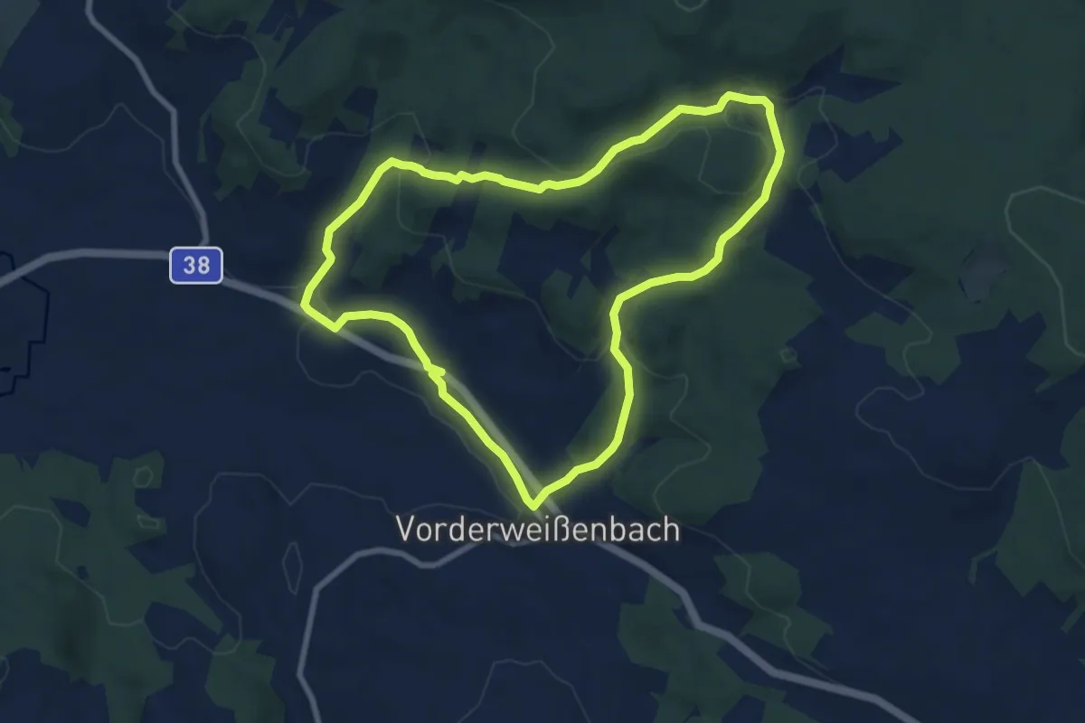
Easy · Trail
Sternwaldrunde
7.5 km · ↑ 238 m · 2 h 23 min
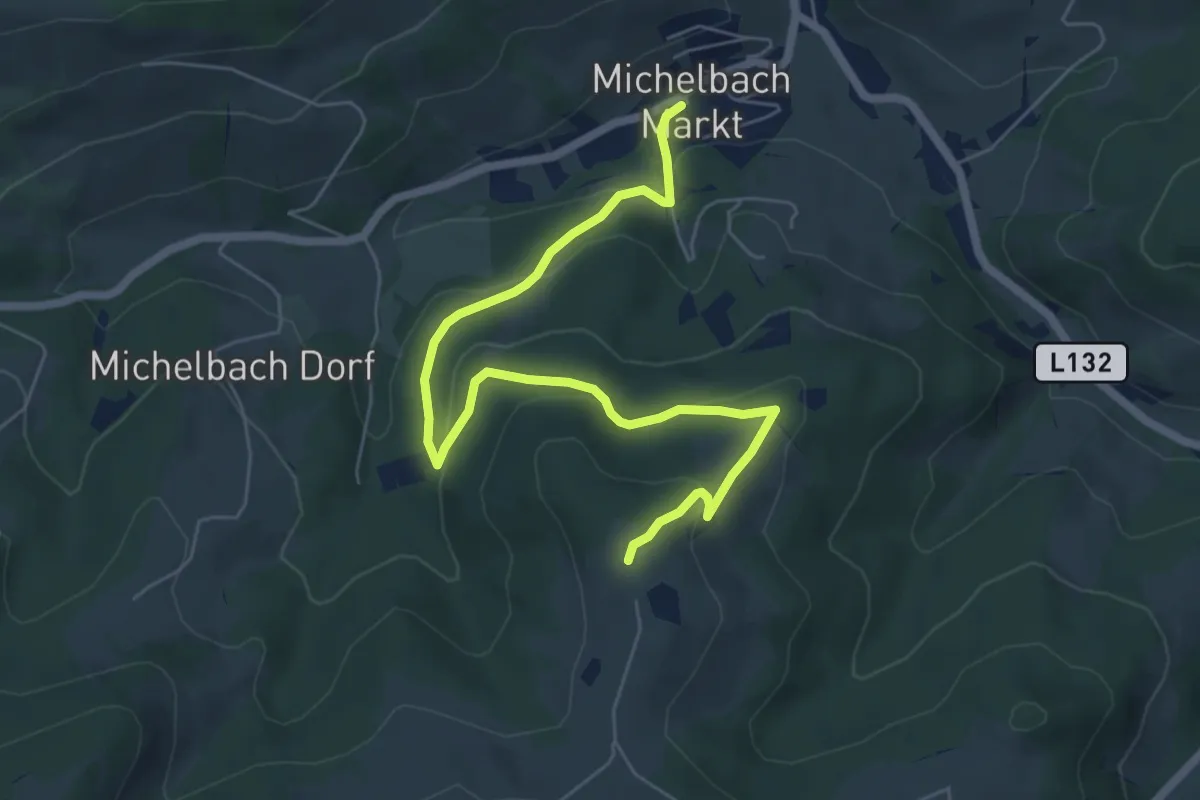
Easy · Trail
Sternwarteweg
6.9 km · ↑ 258 m · 2 h 12 min
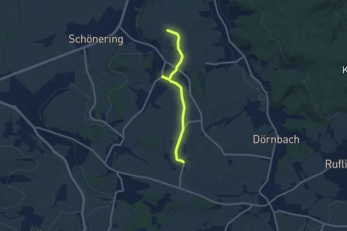
Easy · Trail
Sternweg Appersberg-Linde
5.7 km · ↑ 82 m · 1 h 31 min
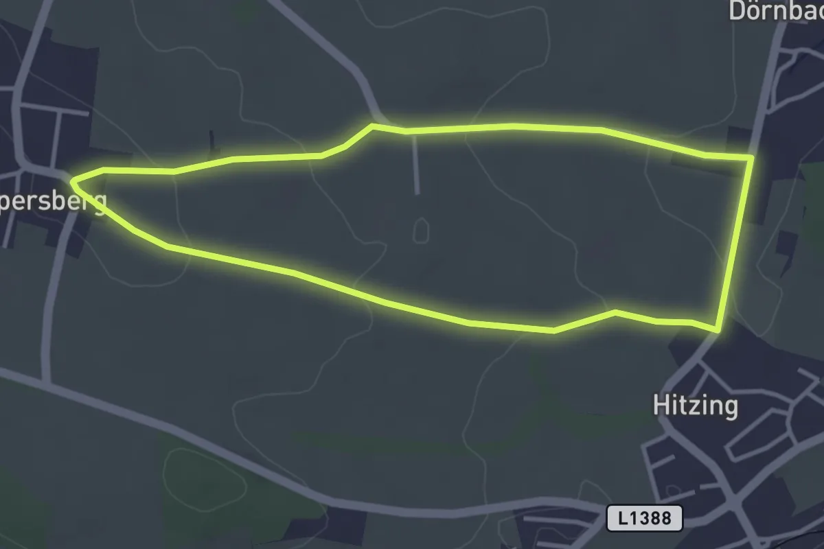
Easy · Trail
Sternweg Dörnbach-Appersberg
3.4 km · ↑ 70 m · 1 h
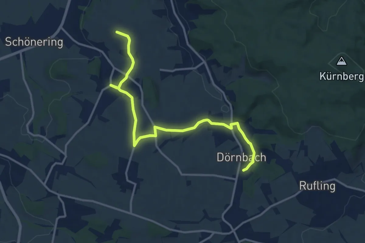
Medium · Trail
Sternweg Dörnbach-Linde
9.8 km · ↑ 121 m · 2 h 35 min
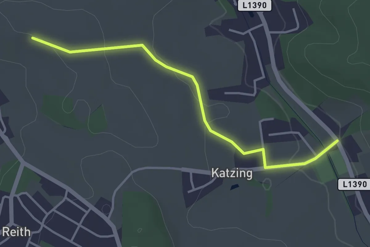
Easy · Trail
Sternweg Katzing-Linde
3.3 km · ↑ 53 m · 53 min
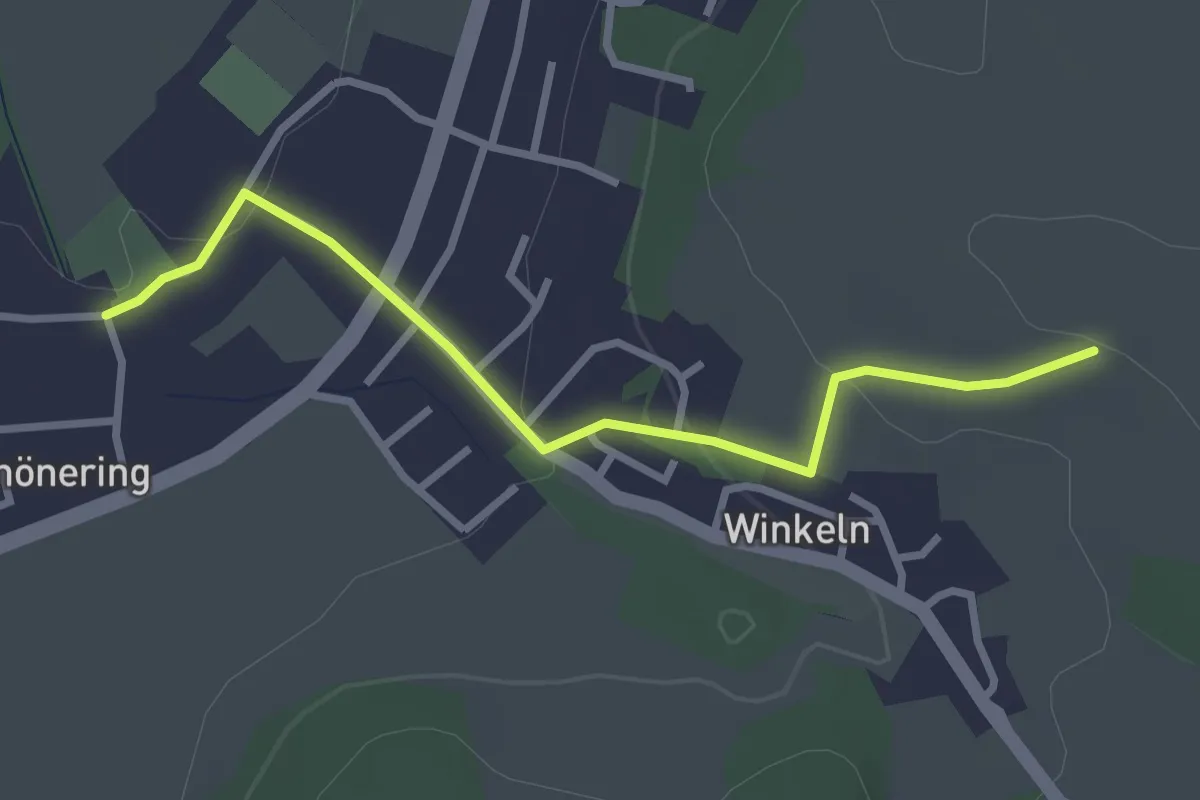
Easy · Trail
Sternweg Schönering-Linde
2.9 km · ↑ 77 m · 50 min
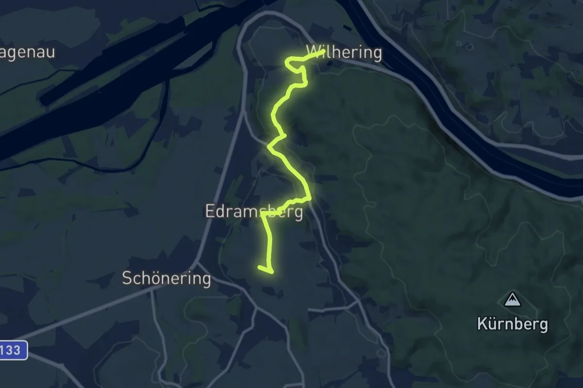
Medium · Trail
Sternweg Wilhering-Linde
9.6 km · ↑ 231 m · 2 h 46 min
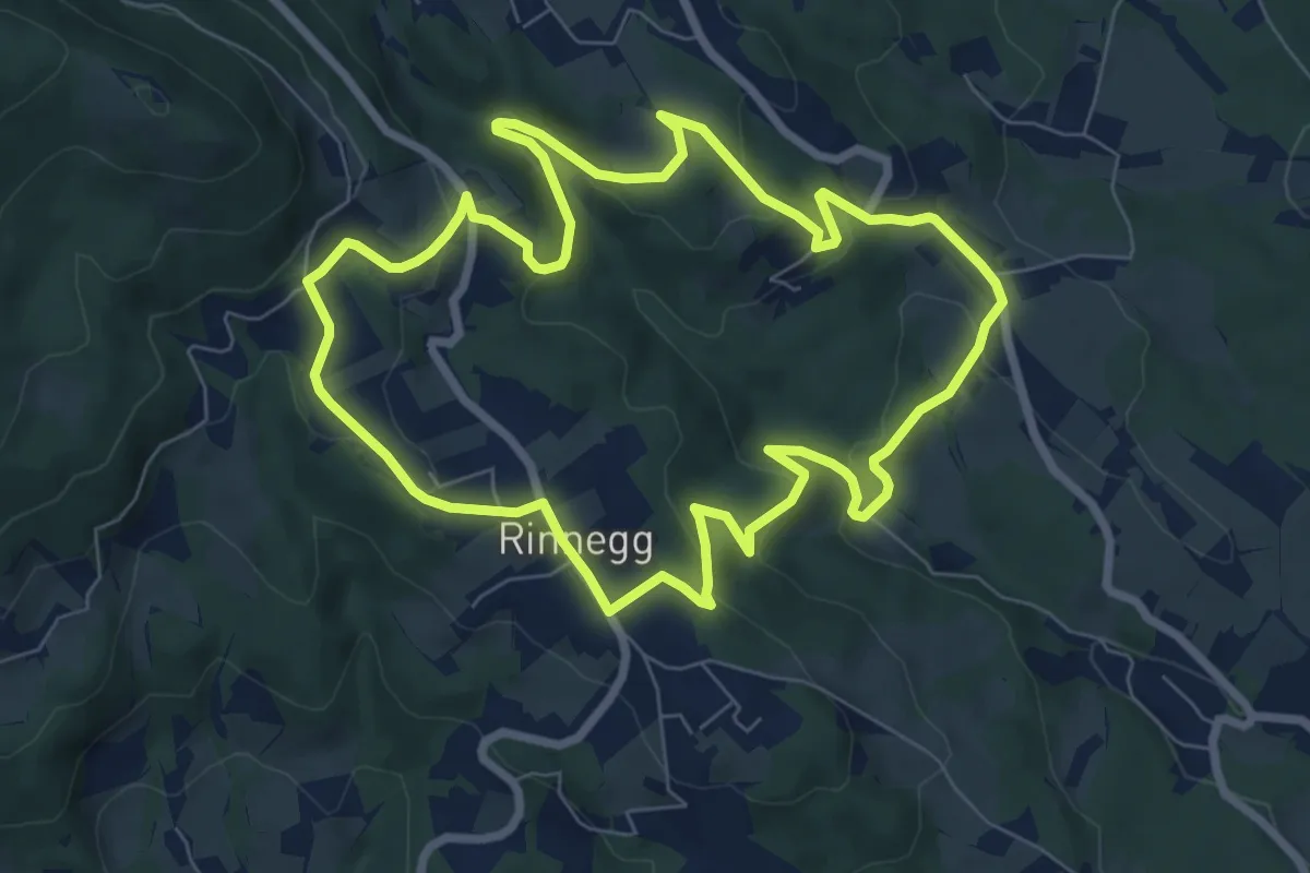
Easy · Trail
Ster- und Mühlgraben
7.7 km · ↑ 281 m · 2 h 31 min
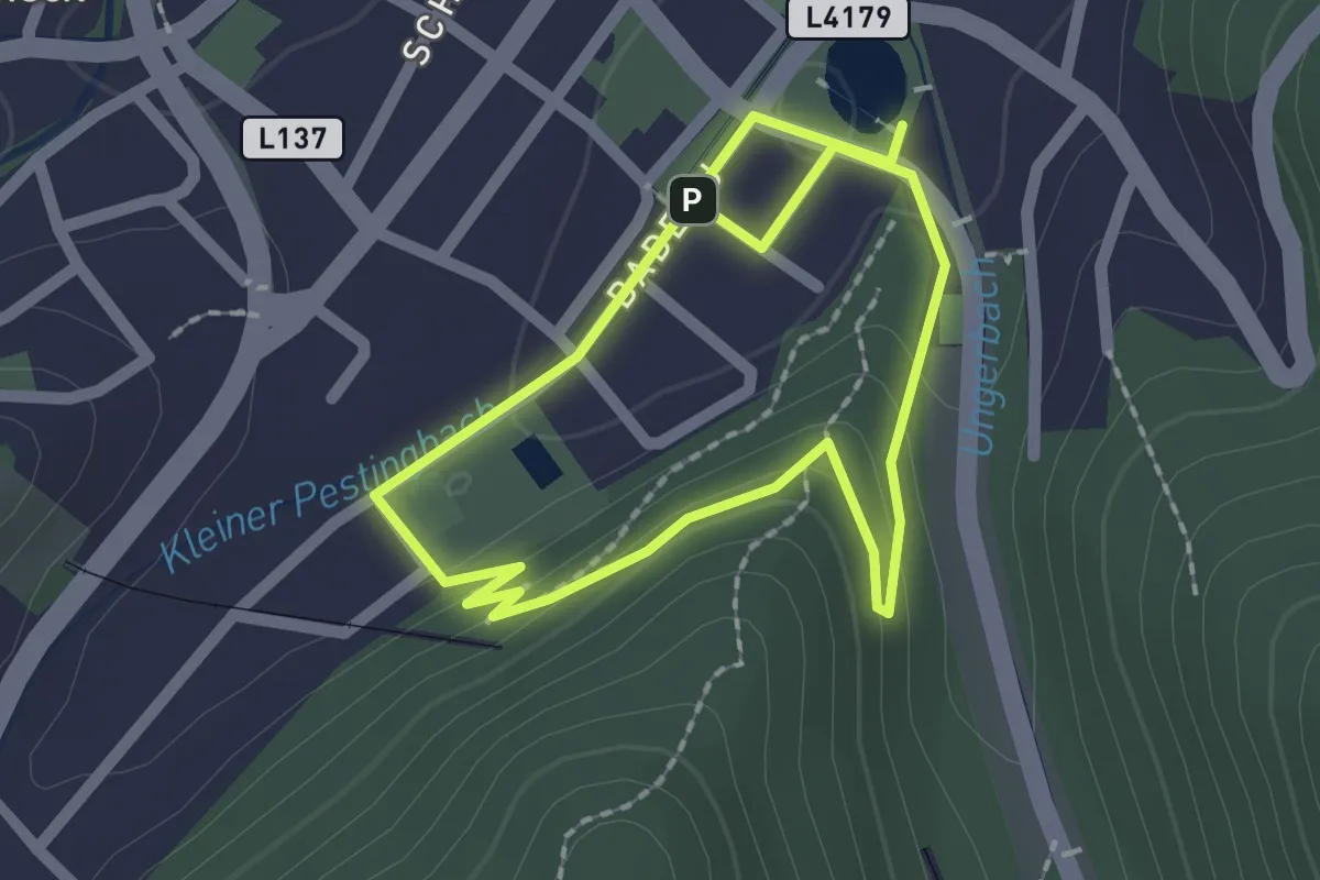
Easy · Trail
Sterzelwegrunde
1.7 km · ↑ 39 m · 31 min
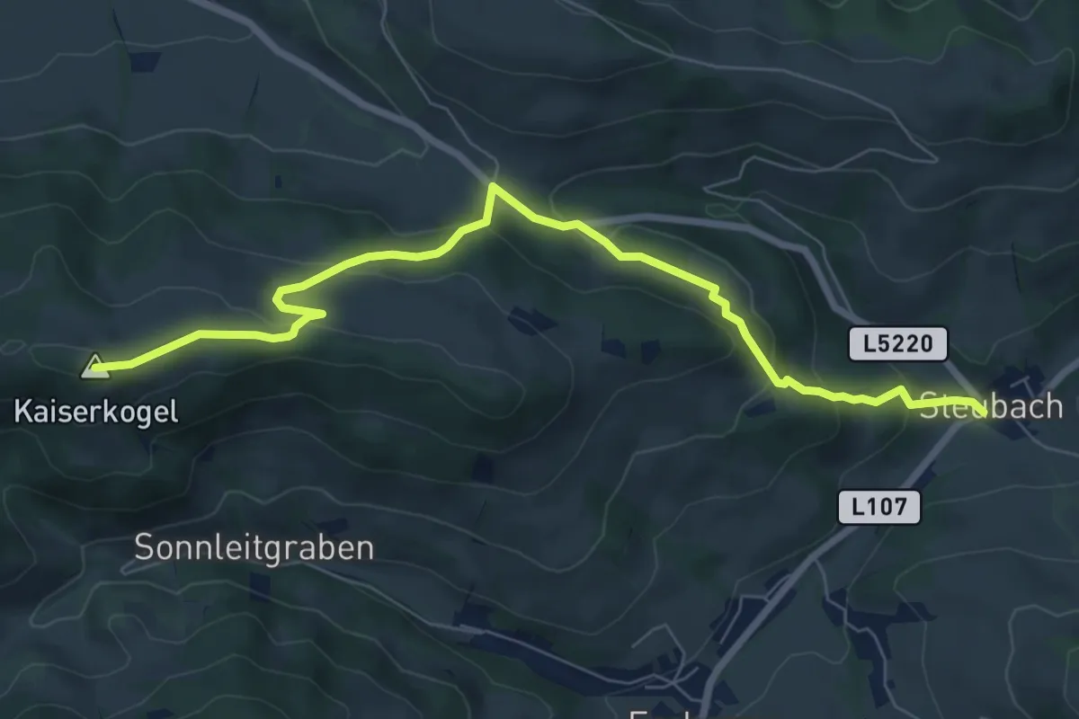
Medium · Summit
Steubach - Kaiserkogel
7.8 km · ↑ 401 m · 2 h 43 min
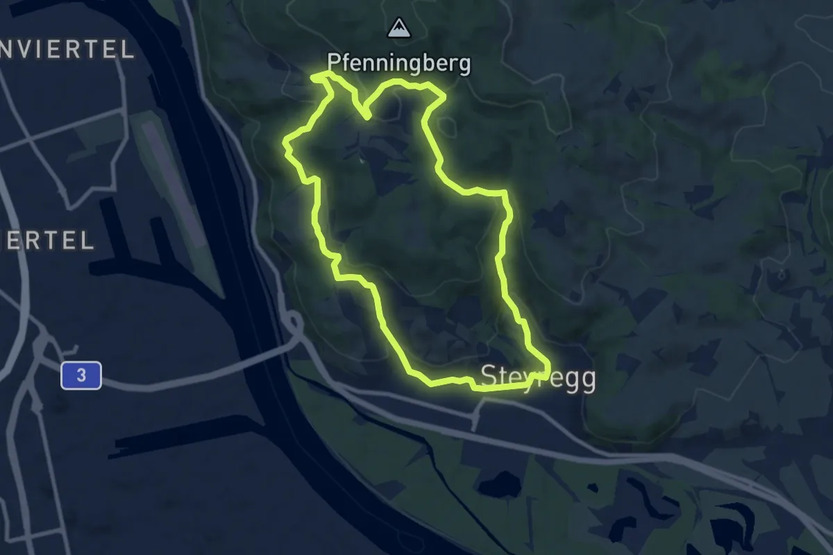
Medium · Trail
Steyregger Runde
8.5 km · ↑ 271 m · 2 h 43 min
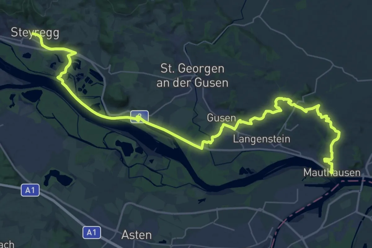
Demanding · Trail
Steyregg - Mauthausen Donausteig Etappe
20.1 km · ↑ 238 m · 5 h 33 min