Trails in Austria
9,777 hiking trails, each with its route, climb, walking time and grade.
All trails, page 111 of 204
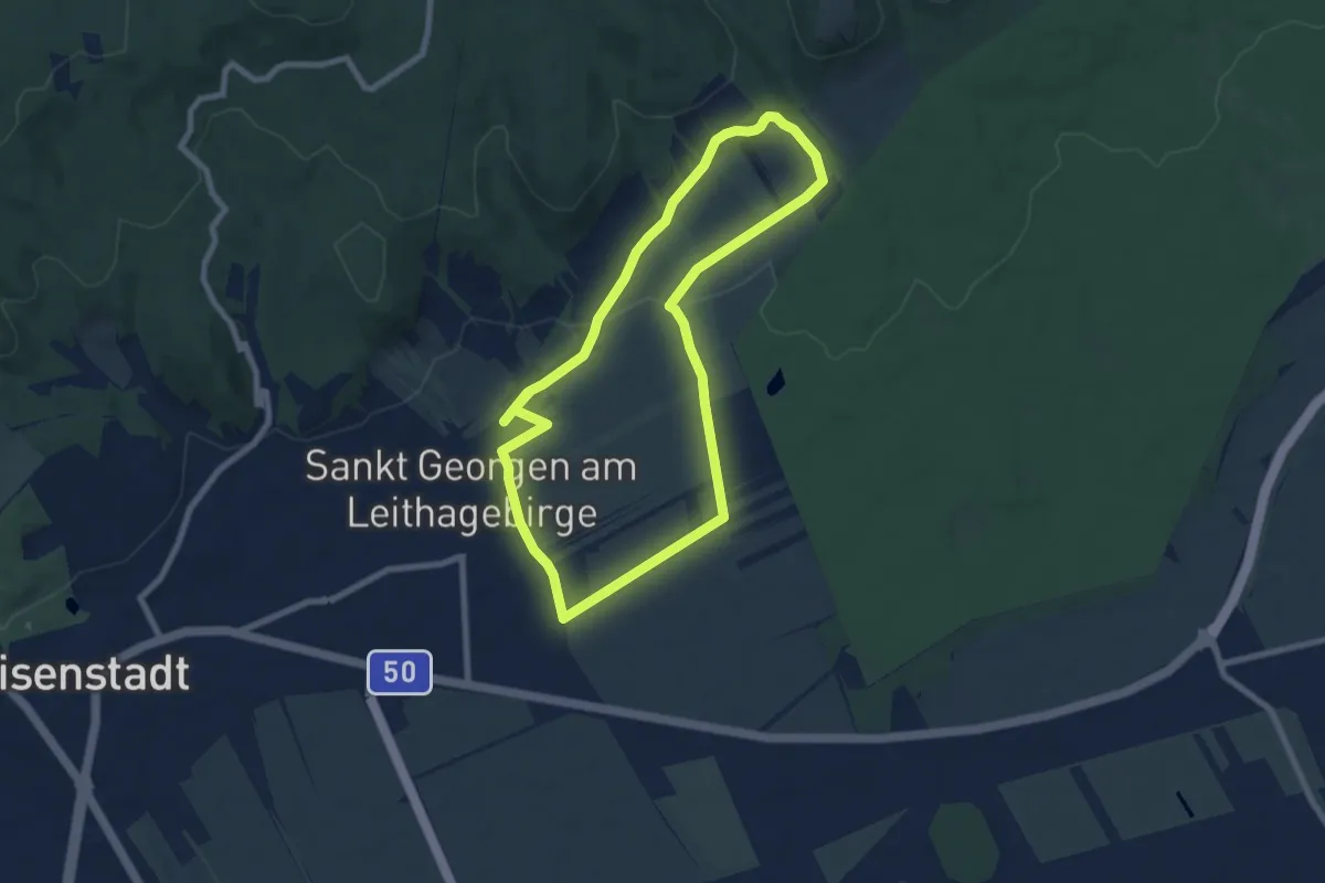
Easy · Trail
St. Georgen Walking & Laufrunde (1)
7.2 km · ↑ 123 m · 2 h 4 min
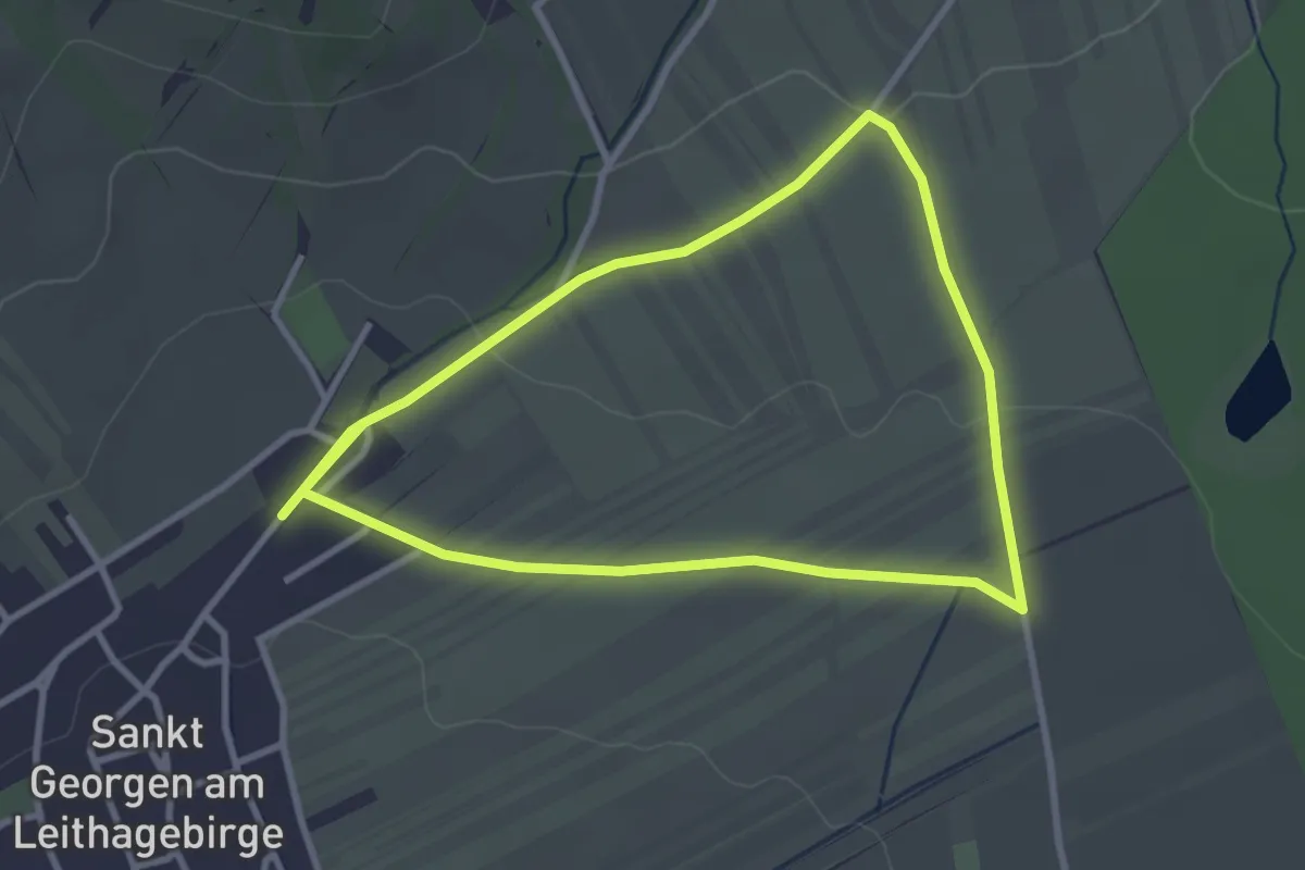
Easy · Trail
St. Georgen Walking & Laufrunde (2)
2.9 km · ↑ 36 m · 48 min
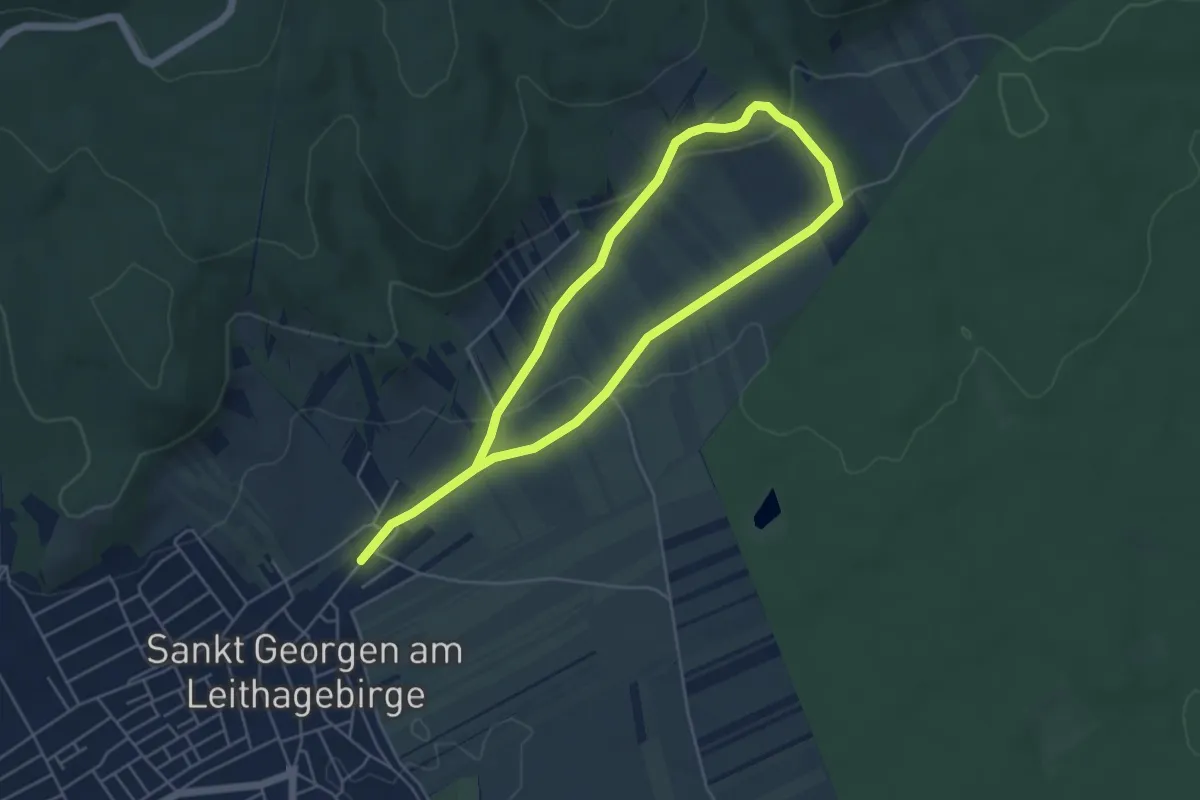
Easy · Trail
St. Georgen Walking & Laufrunde (3)
4.1 km · ↑ 80 m · 1 h 13 min
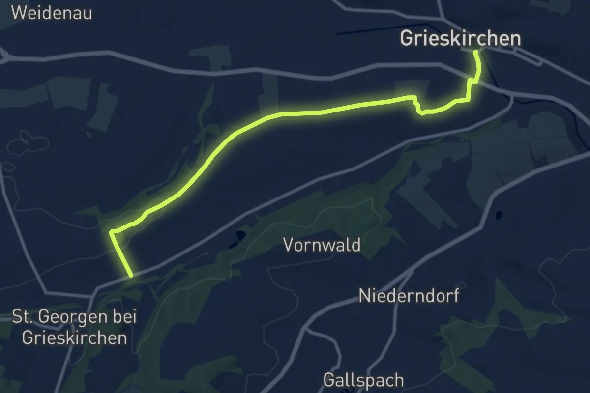
Medium · Trail
St. Georgner Allee
9.4 km · ↑ 93 m · 2 h 25 min
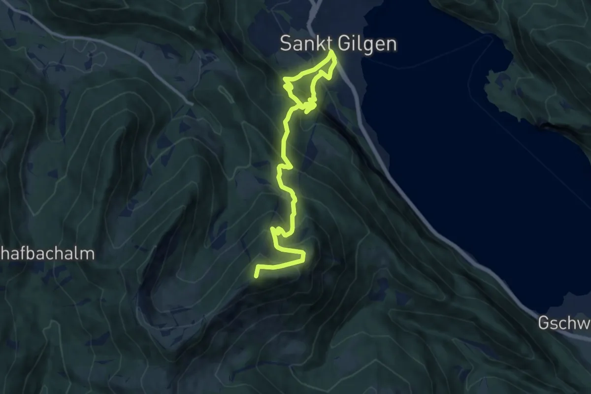
Demanding · Summit
St. Gilgen-Zwölferhorn
12.0 km · ↑ 1180 m · 5 h 23 min
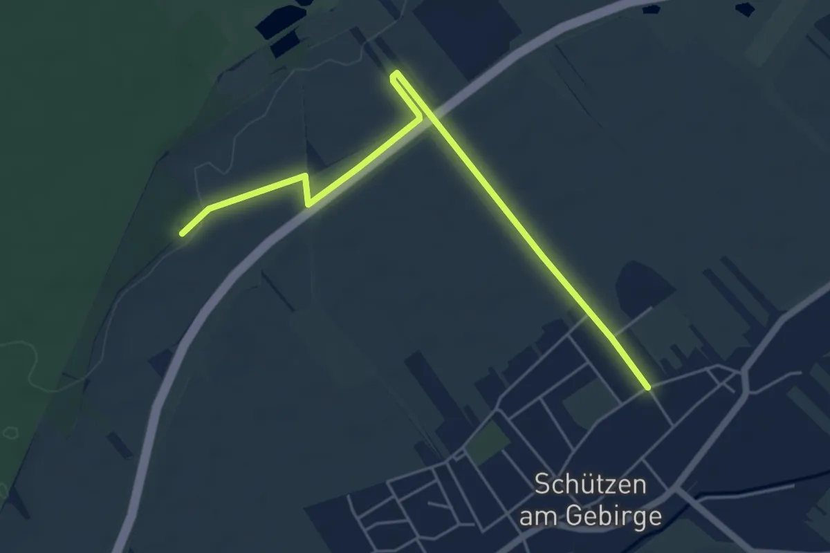
Easy · Trail
Stichweg Panzergraben
5.2 km · ↑ 30 m · 1 h 18 min
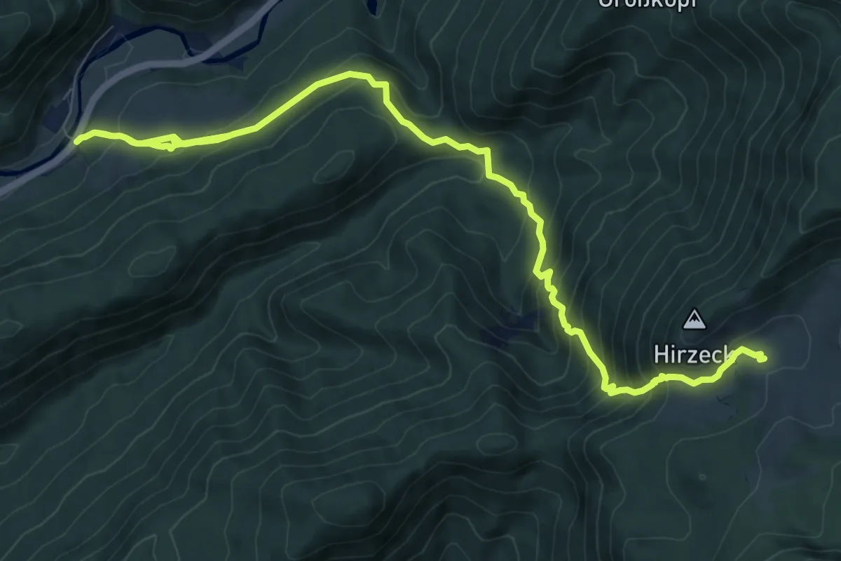
Demanding · Cabin
Stiegengraben - Ybbstalerhütte
14.7 km · ↑ 1148 m · 5 h 57 min
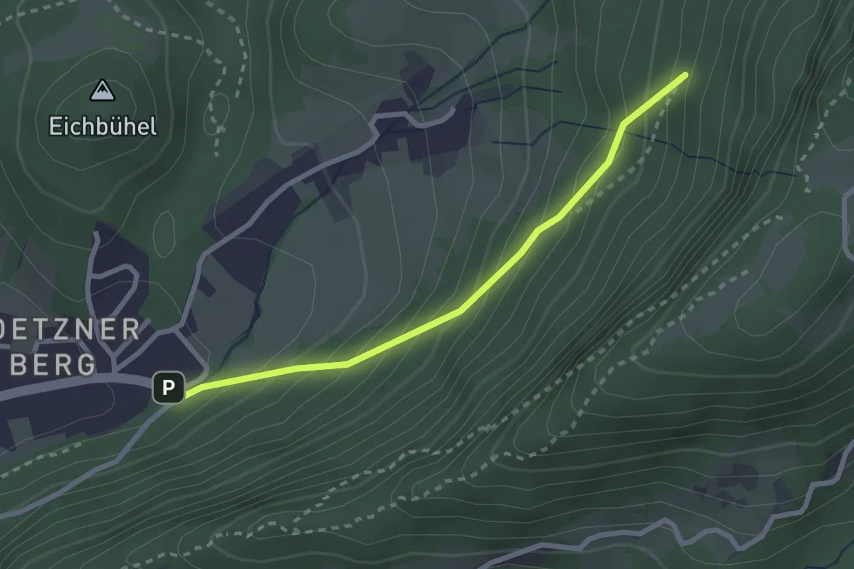
Easy · Trail
Stiegweg
2.4 km · ↑ 270 m · 1 h 9 min
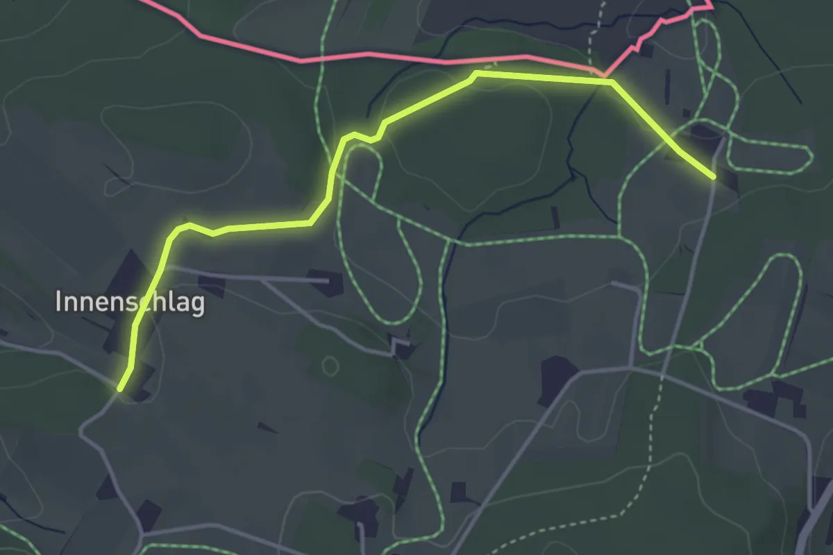
Easy · Cabin
Stifter Grenzsteig
3.8 km · ↑ 78 m · 1 h 4 min
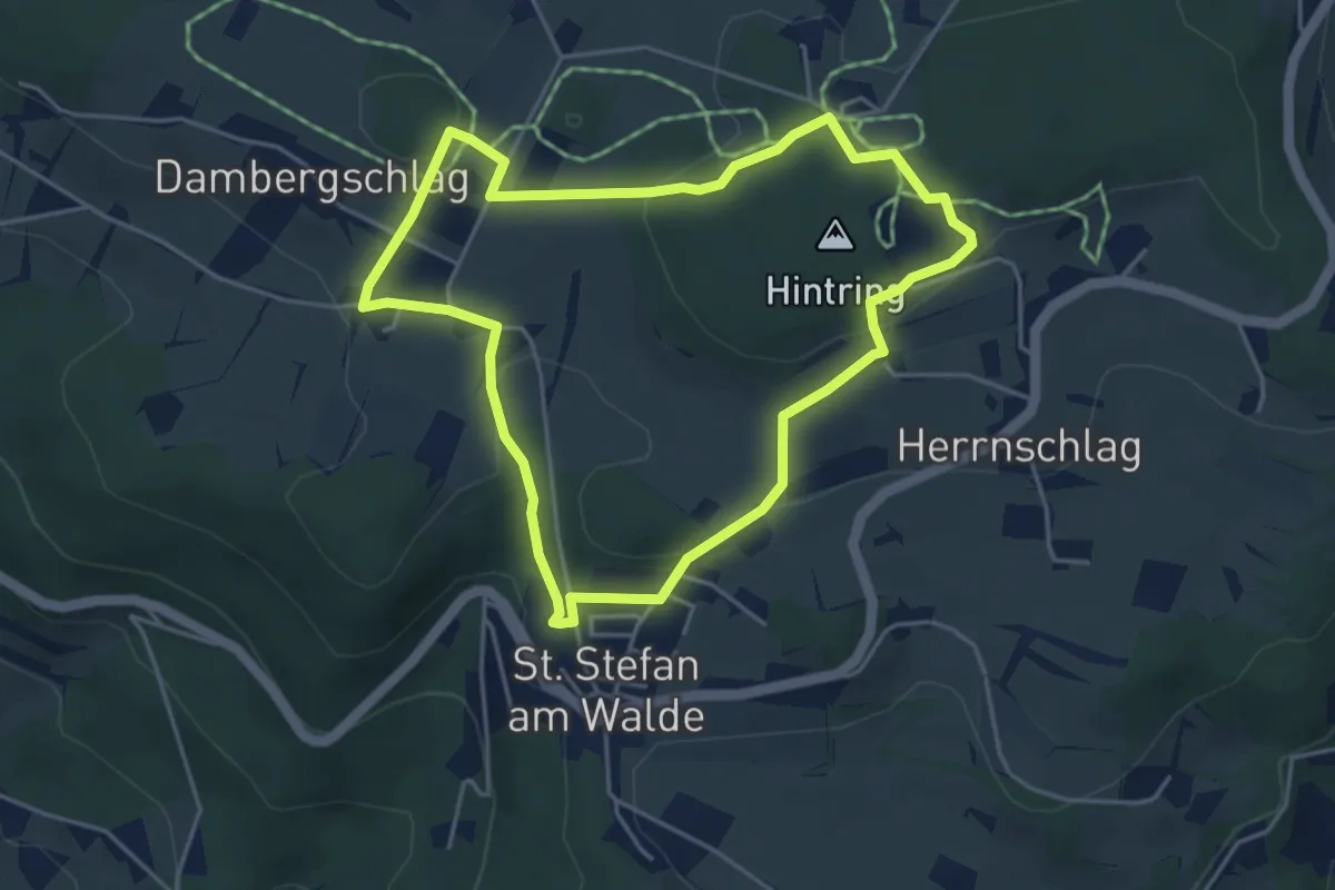
Easy · Trail
Stifter Panoramasteig
4.1 km · ↑ 120 m · 1 h 18 min
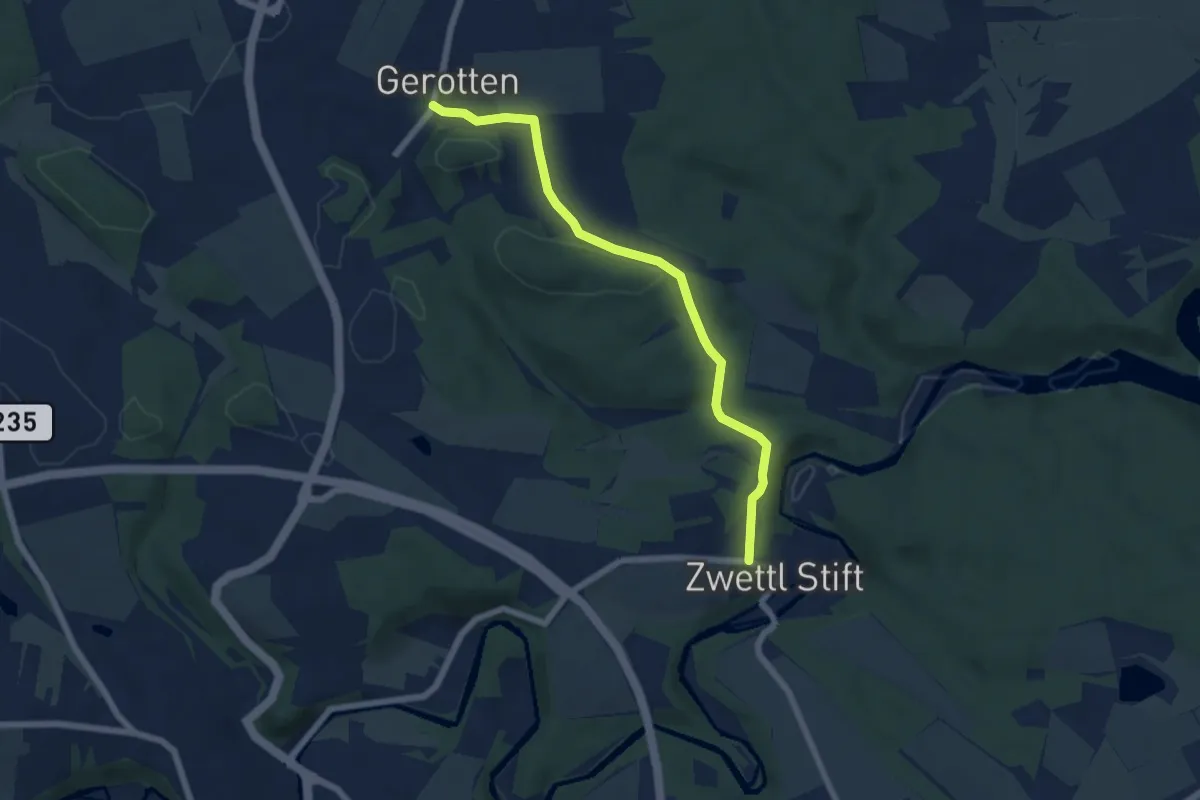
Easy · Trail
Stift Zwettl-Gerotten
6.0 km · ↑ 122 m · 1 h 40 min
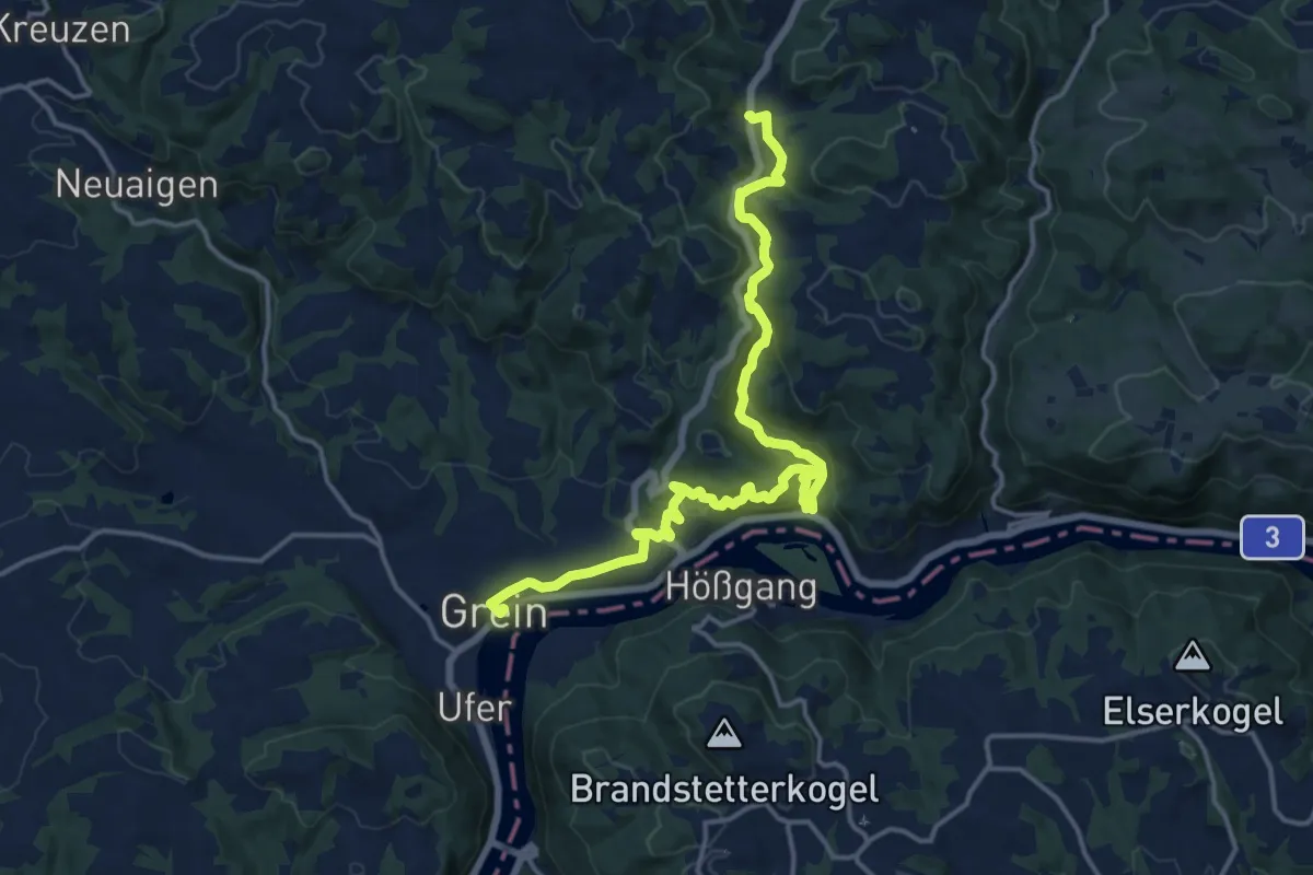
Medium · Trail
Stillensteinklamm
17.1 km · ↑ 572 m · 5 h 17 min
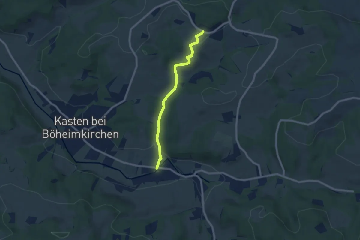
Easy · Trail
Stilles Tal
5.1 km · ↑ 119 m · 1 h 27 min
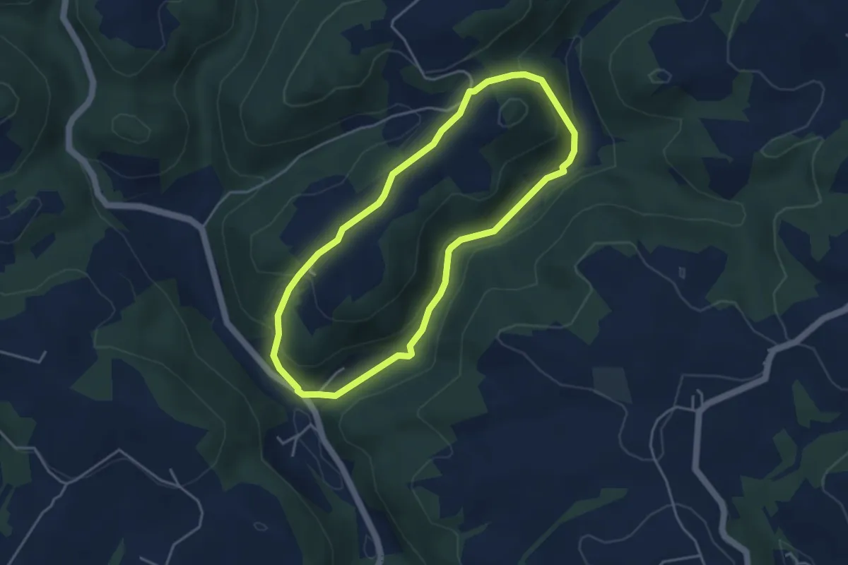
Easy · Trail
Stilles Tal Rundweg
3.6 km · ↑ 141 m · 1 h 12 min
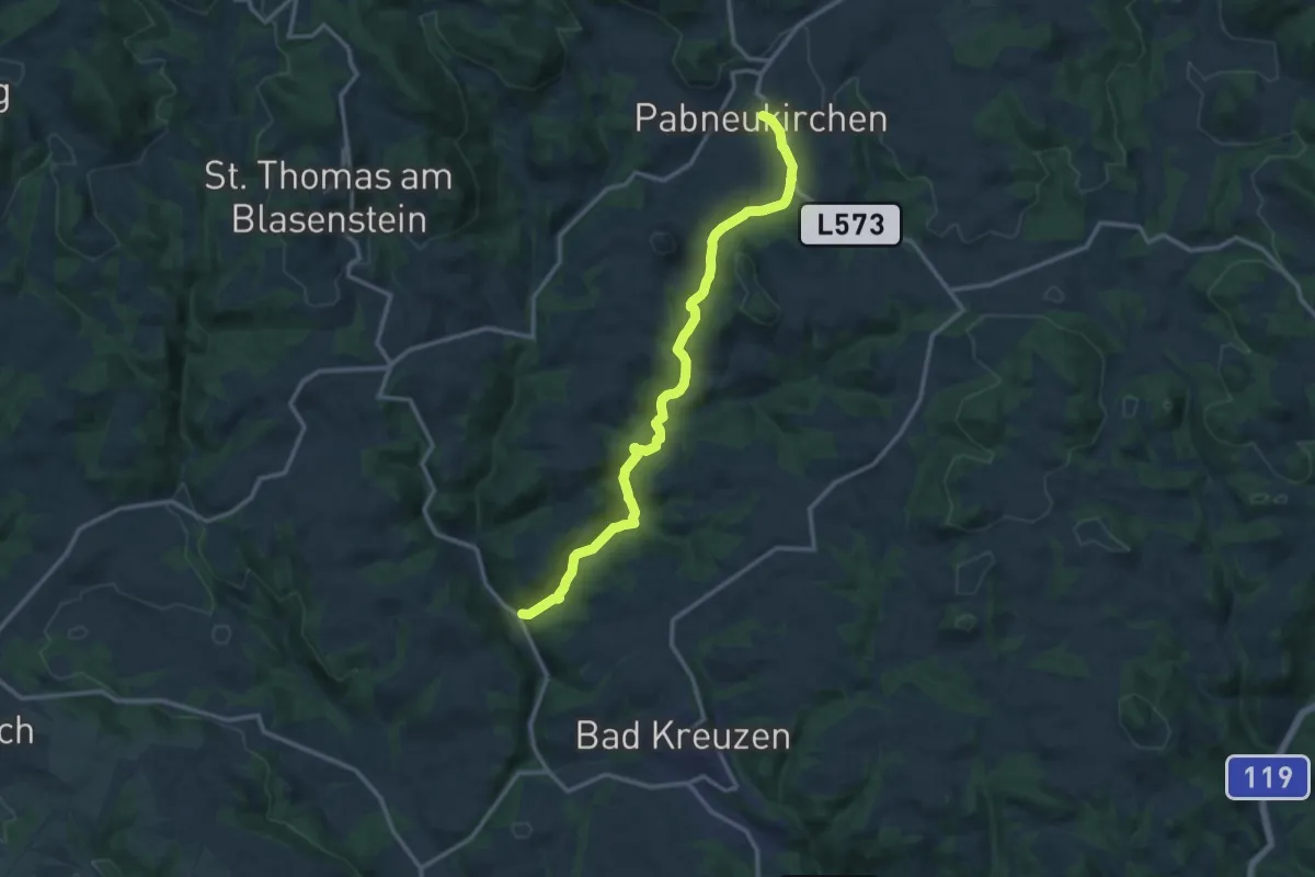
Medium · Trail
Stilles Tal Weg
13.2 km · ↑ 303 m · 3 h 46 min
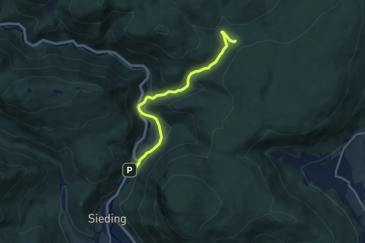
Easy · Trail
Stixenstein - Lärbaumkreuz
7.1 km · ↑ 219 m · 2 h 9 min
Medium · Trail
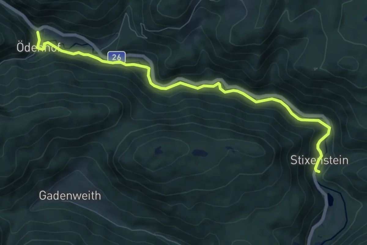
Stixenstein - Ödenhof
8.4 km · ↑ 51 m · 2 h 6 min
Easy · Trail
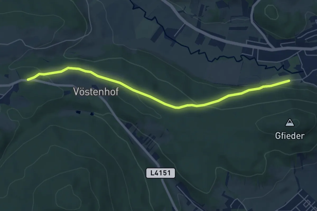
St. Johann Gfrieder - Bürg-Vöstenhof
5.9 km · ↑ 166 m · 1 h 46 min
Medium · Trail
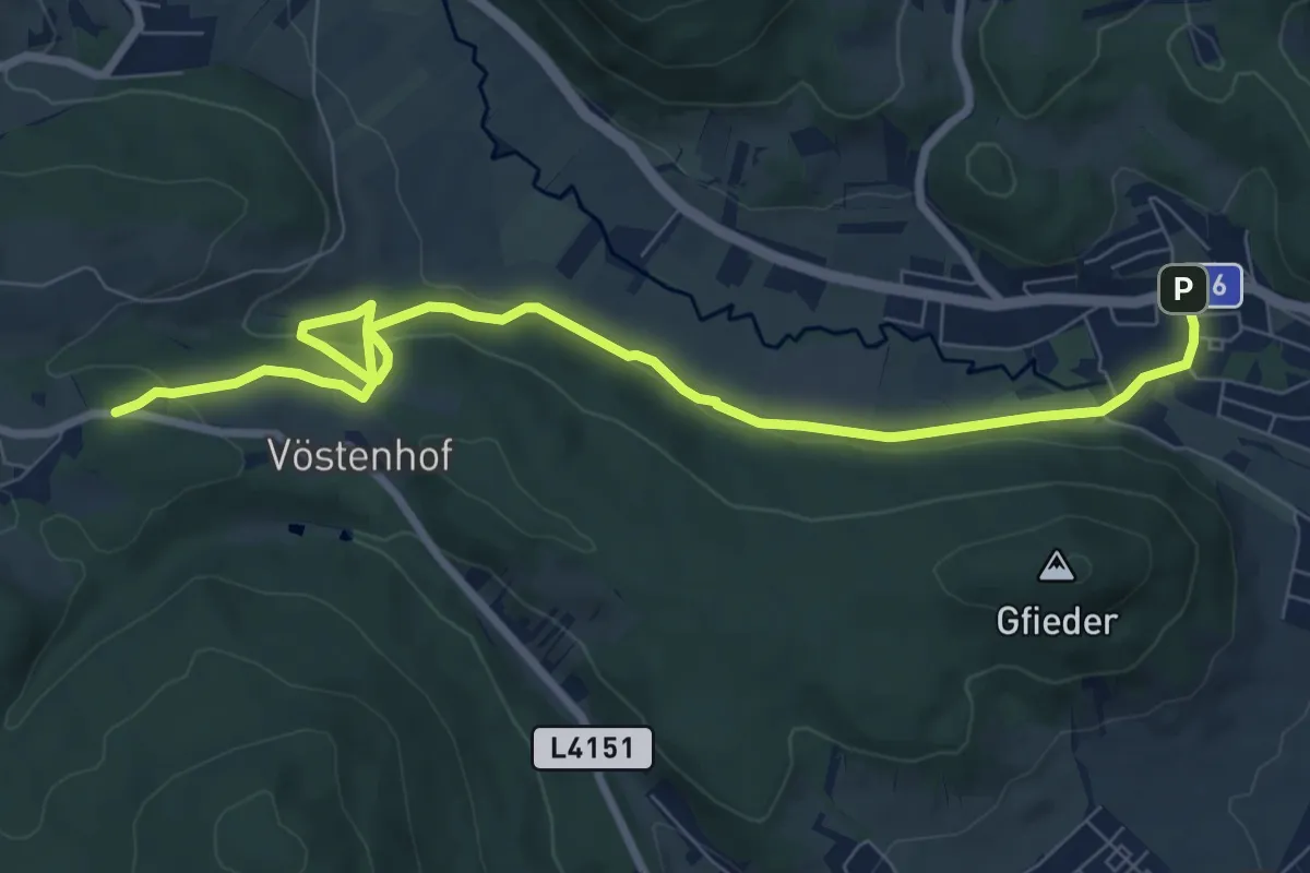
St. Johann Hauptstraße - Vöstenhof
9.2 km · ↑ 239 m · 2 h 42 min
Easy · Trail
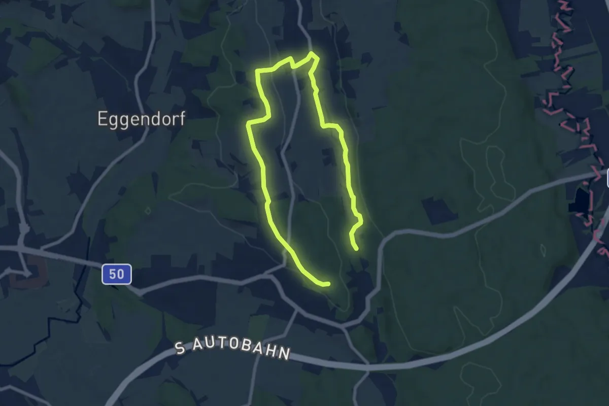
St. Johann i.d. Haide - Unterlungitz Rundewanderweg
5.4 km · ↑ 68 m · 1 h 28 min
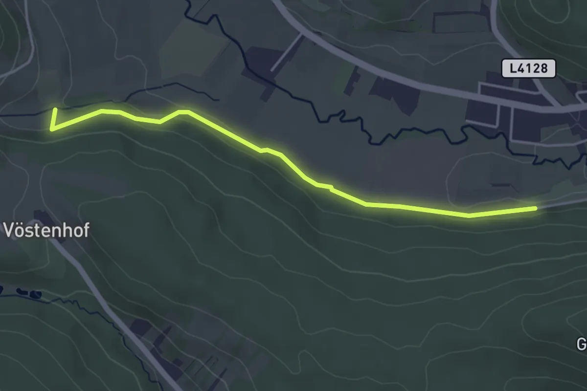
Easy · Trail
St. Johann - Richtung Sieding entlang des Waldes um den Lenzberg
4.0 km · ↑ 52 m · 1 h 4 min
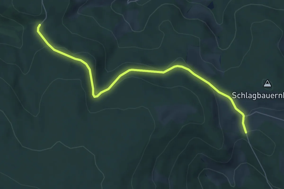
Easy · Trail
St. Kathrein - Oberer Schlagbauer - Ziesler Alm
6.2 km · ↑ 139 m · 1 h 46 min
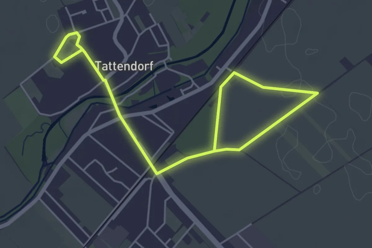
Easy · Trail
St. Laurent-Weinwanderweg Tattendorf
6.2 km · ↑ 0 m · 1 h 27 min
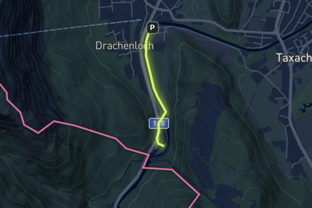
Easy · Trail
St. Leonhard - Dorfrunde
1.2 km · ↑ 13 m · 20 min
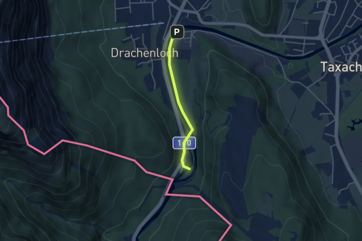
Easy · Trail
St. Leonhard - Entspannungstour
1.2 km · ↑ 13 m · 20 min
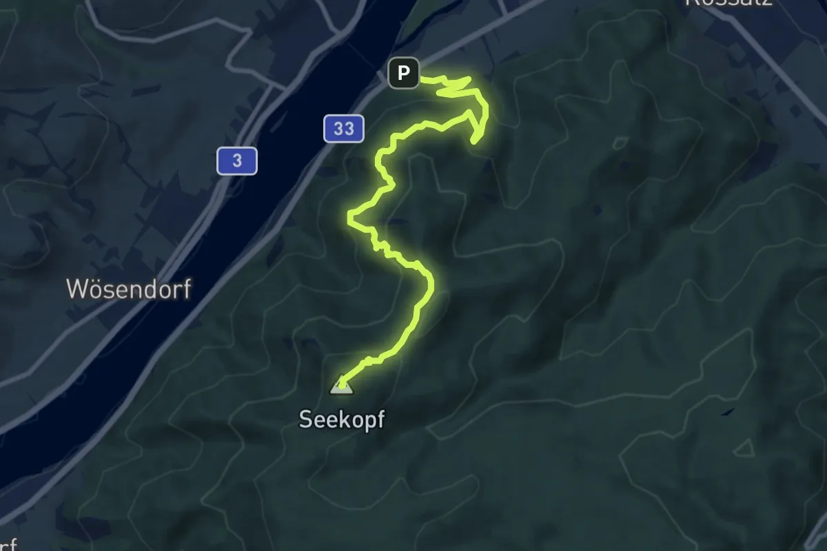
Medium · Summit
St. Lorenz - Seekopf
9.2 km · ↑ 604 m · 3 h 29 min
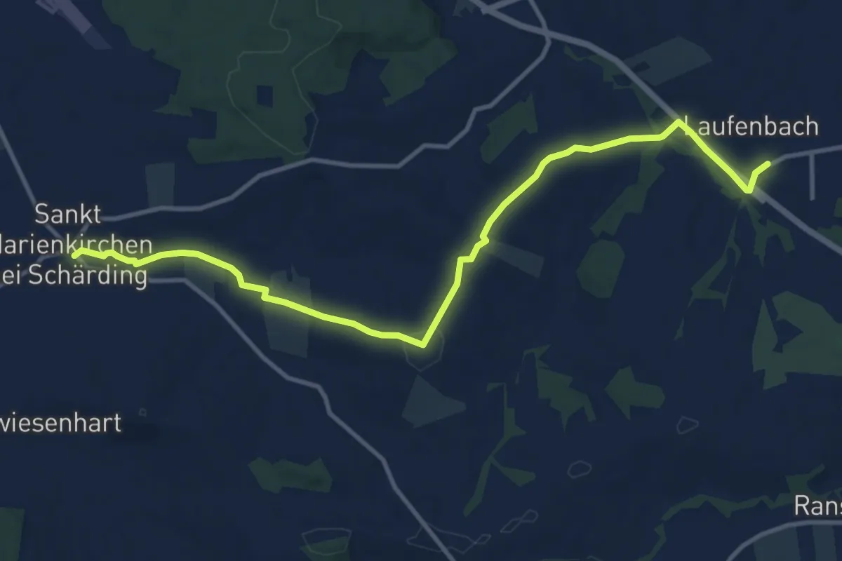
Medium · Trail
St. Marienkirchner Museumsweg nach Laufenbach
11.6 km · ↑ 196 m · 3 h 11 min
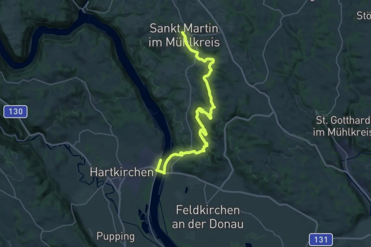
Demanding · Trail
St. Martin - Aschach Donausteig Etappe
25.3 km · ↑ 870 m · 7 h 51 min
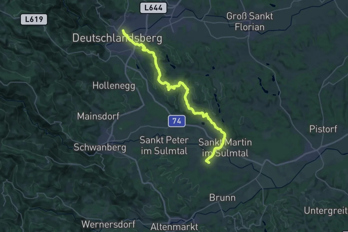
Demanding · Trail
St. Martiner Höhenweg
28.3 km · ↑ 438 m · 7 h 38 min
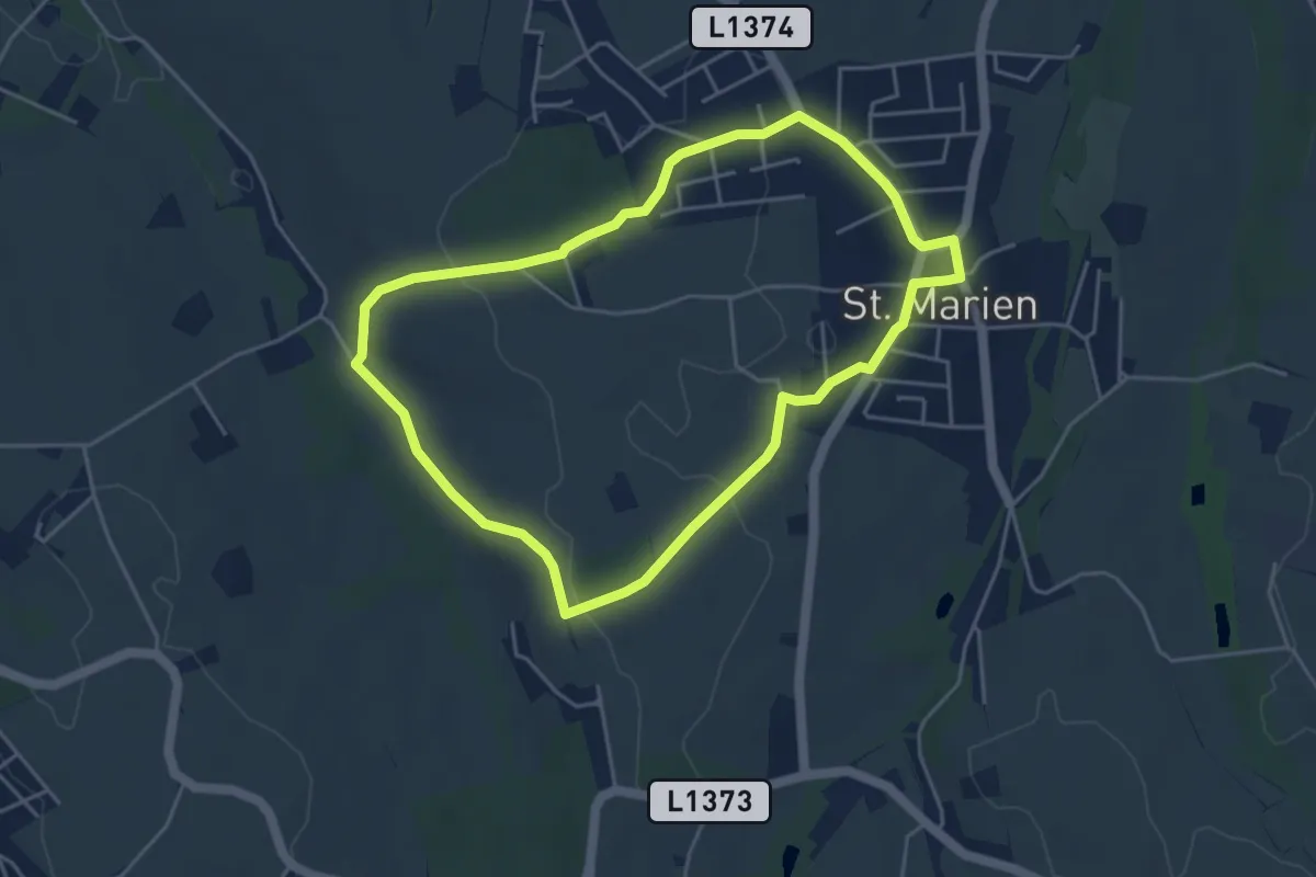
Easy · Trail
St. Michael
4.3 km · ↑ 52 m · 1 h 11 min
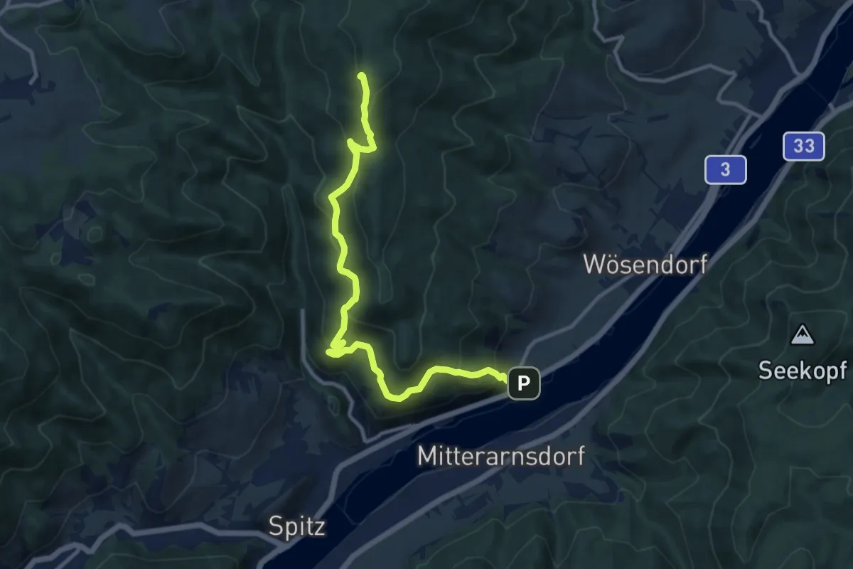
Medium · Summit
St. Michael-Gruberwarte/Buschandlwand (gelb)
10.9 km · ↑ 670 m · 4 h 1 min
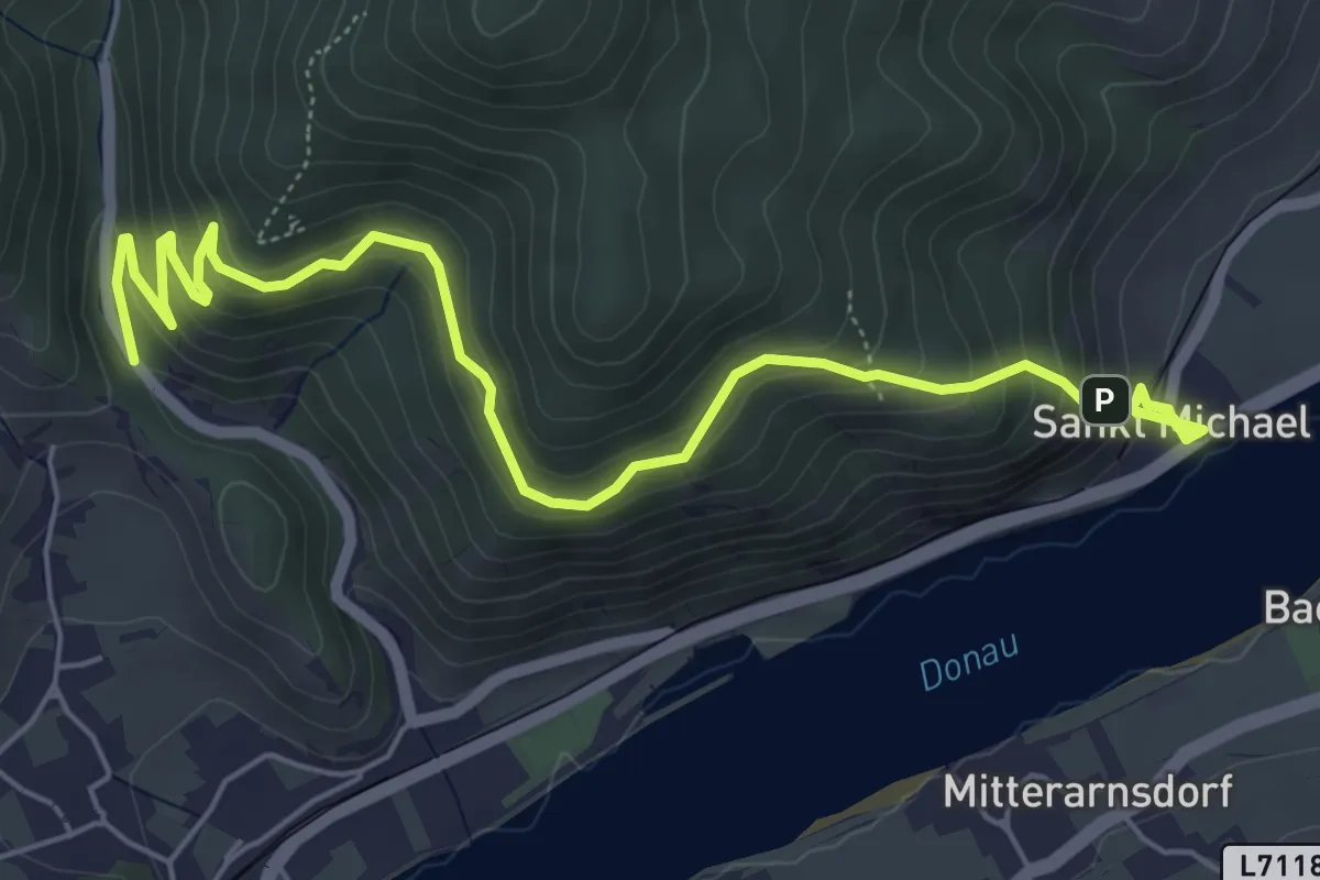
Medium · Trail
St. Michael-Kuhberg (rot)
6.8 km · ↑ 459 m · 2 h 36 min
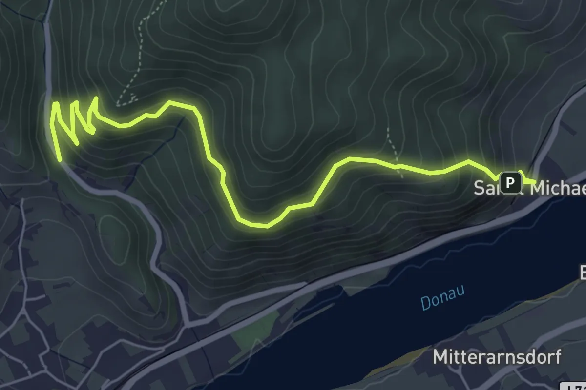
Medium · Trail
St.-Michael-Rundweg
6.4 km · ↑ 478 m · 2 h 33 min
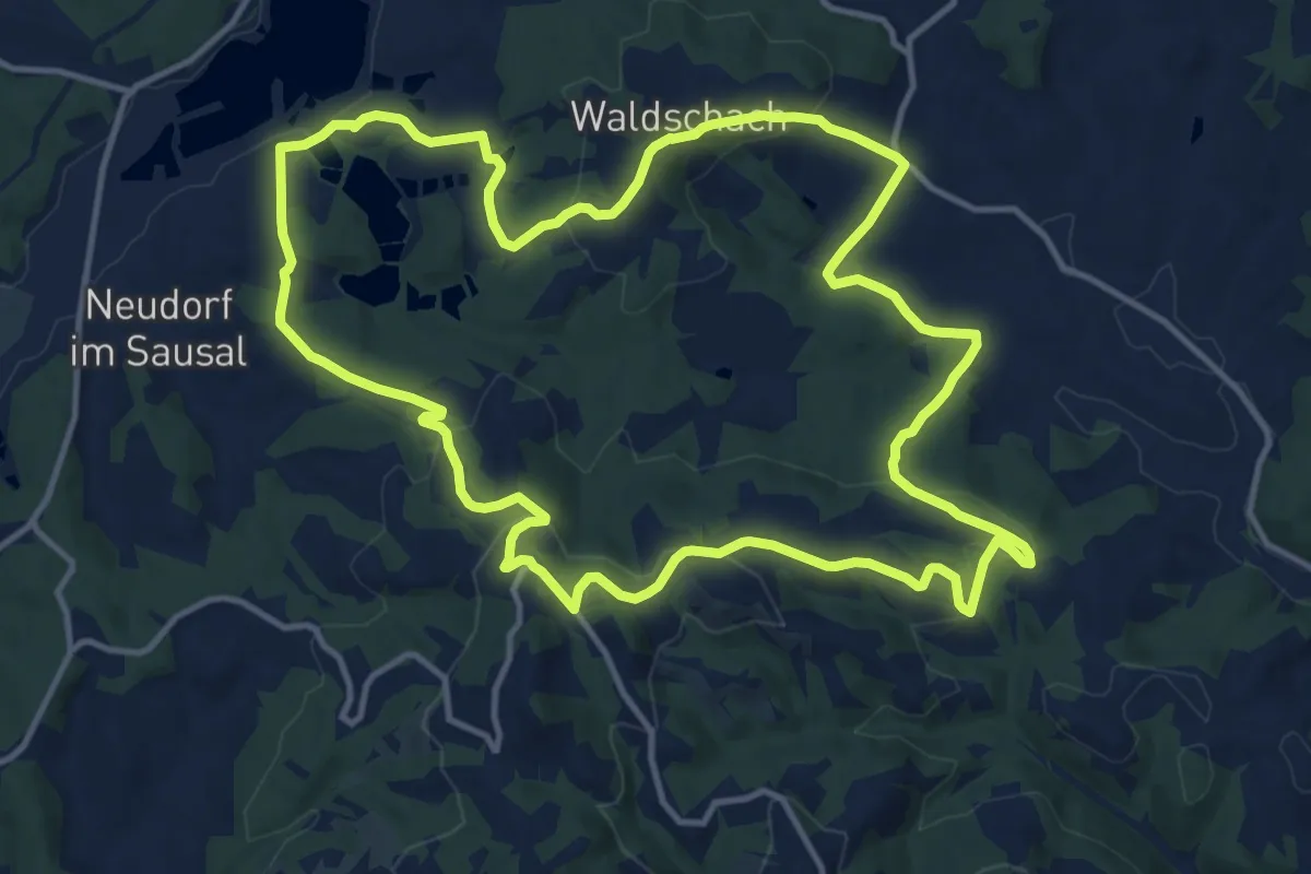
Medium · Trail
St. Nikolaier Buschenschanktour
13.9 km · ↑ 501 m · 4 h 34 min
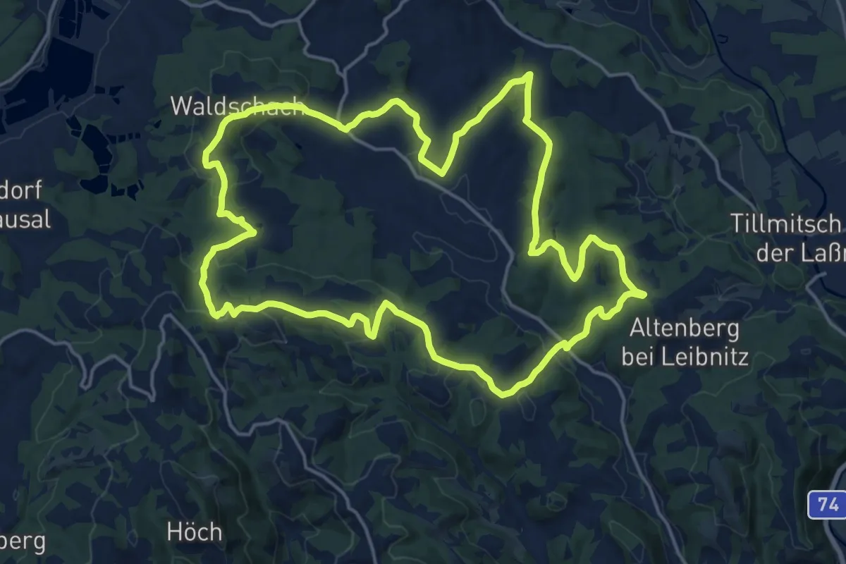
Medium · Trail
St. Nikolaier Panoramaweg
17.9 km · ↑ 602 m · 5 h 47 min
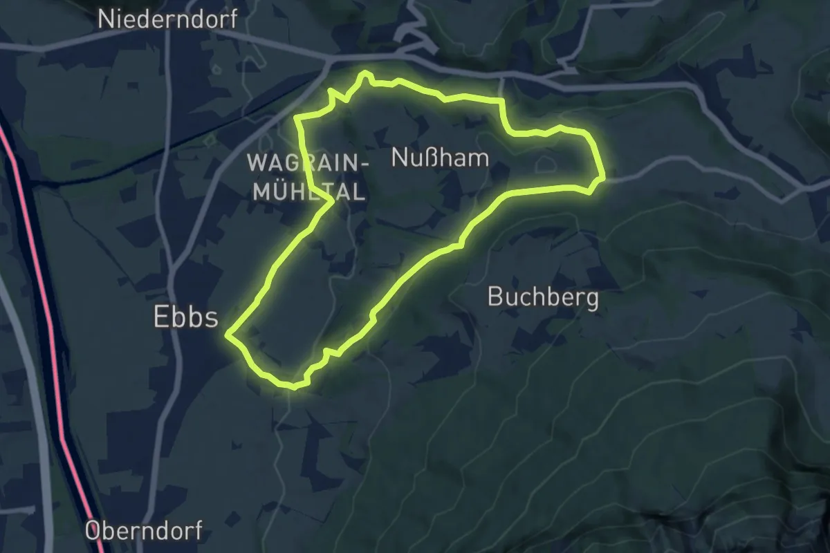
Medium · Trail
St. Nikolaus Rundweg
8.5 km · ↑ 178 m · 2 h 30 min
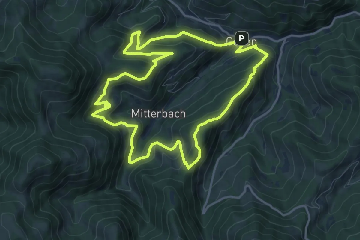
Medium · Trail
Stoakogler Heimatwanderweg
9.6 km · ↑ 506 m · 3 h 30 min
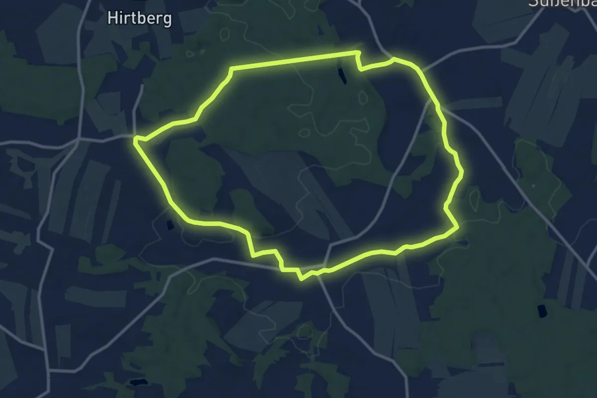
Medium · Trail
Stoana-Thaya-Weg 45
9.7 km · ↑ 96 m · 2 h 38 min
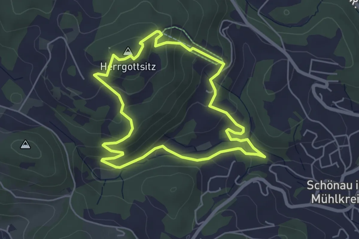
Easy · Summit
Stoaninger Alm - Herrgottsitz
4.2 km · ↑ 208 m · 1 h 30 min
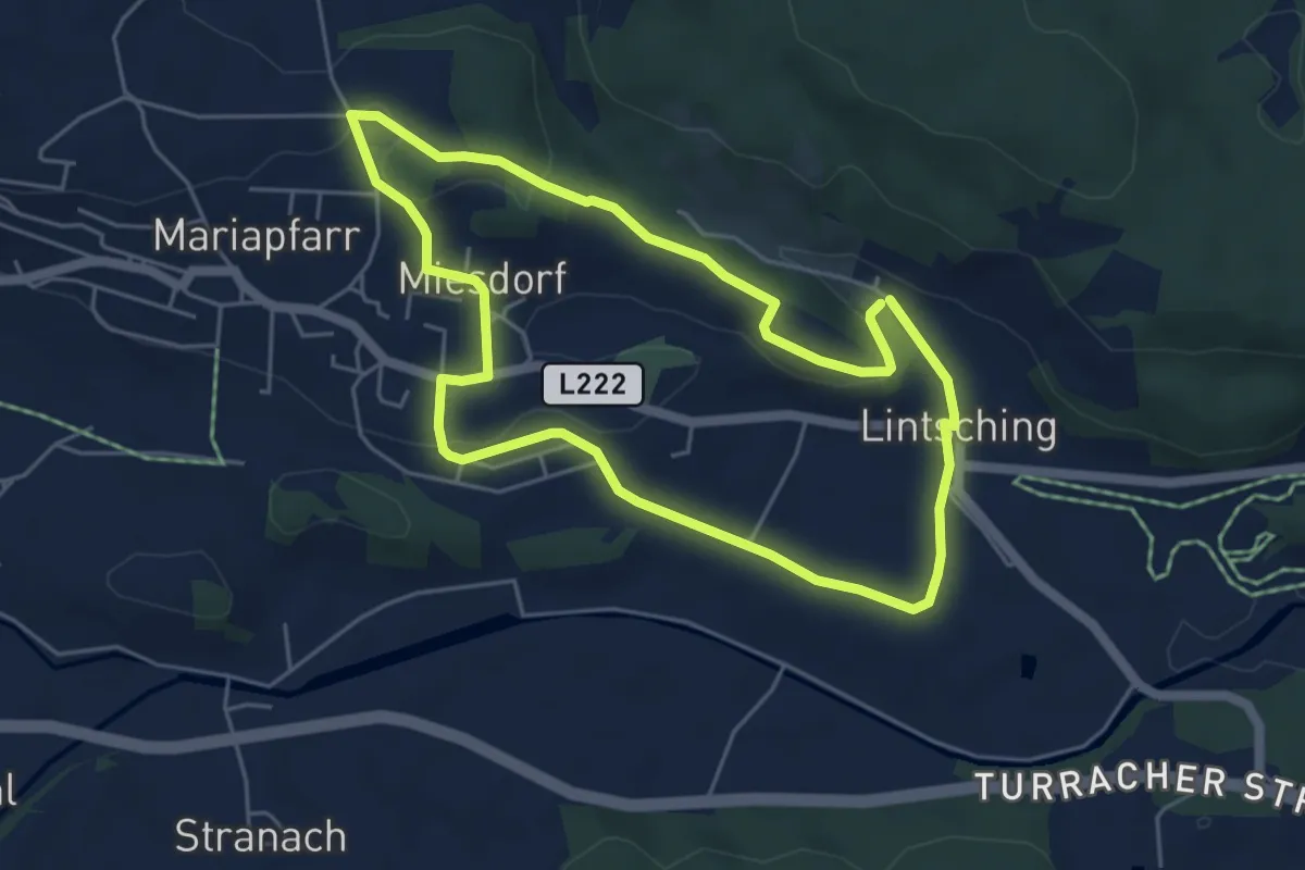
Easy · Trail
Stockerfeldrundweg
4.8 km · ↑ 93 m · 1 h 25 min
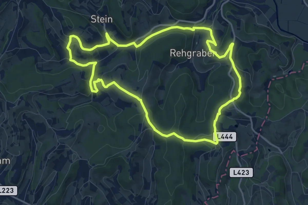
Medium · Trail
Stock & Stein
10.5 km · ↑ 228 m · 3 h 7 min
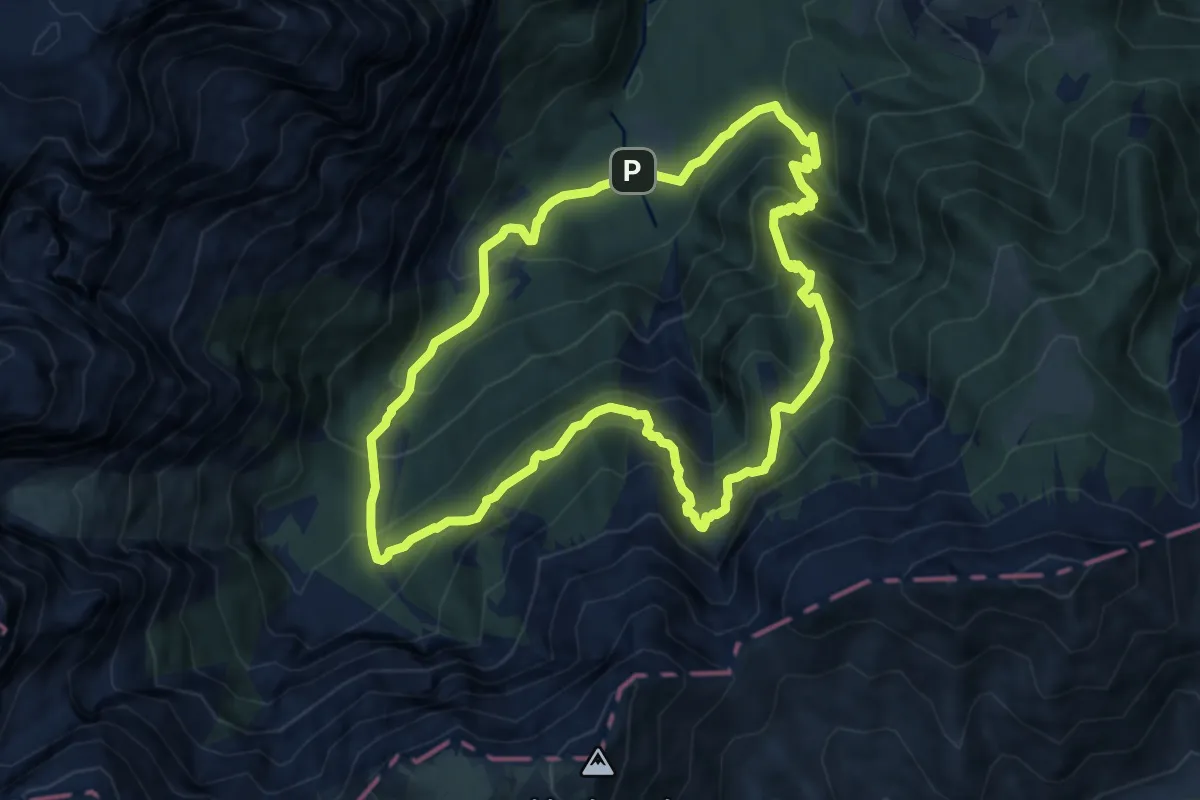
Demanding · Summit
Stoderer Dolomitensteig
9.3 km · ↑ 765 m · 3 h 59 min
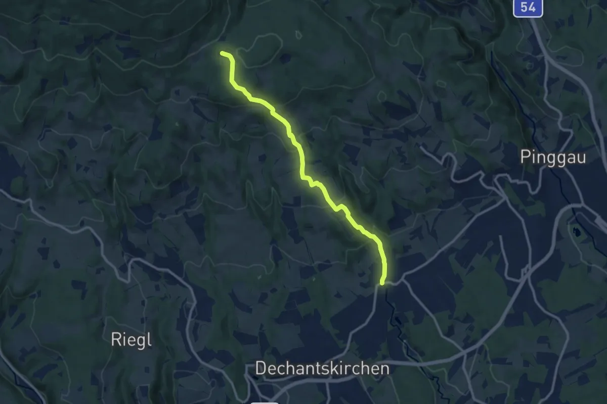
Medium · Trail
Stögersbach - Hilmtor
9.8 km · ↑ 456 m · 3 h 18 min
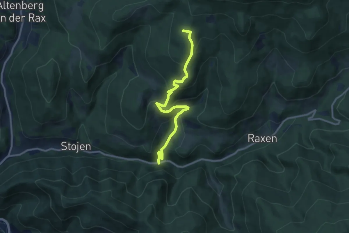
Medium · Summit
Stojen - Mitterbachweg - Kohlbachecksteig - Redensteig
7.8 km · ↑ 475 m · 2 h 52 min
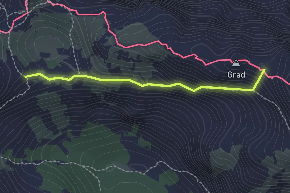
Medium · Summit
Stol (čez Vatelco)
1.8 km · ↑ 216 m · 54 min
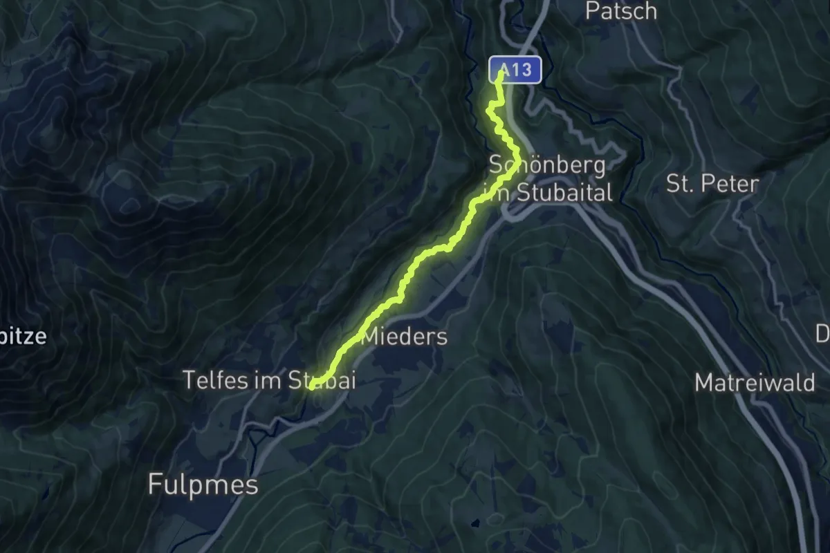
Medium · Trail
Stollensteig
11.6 km · ↑ 309 m · 3 h 24 min
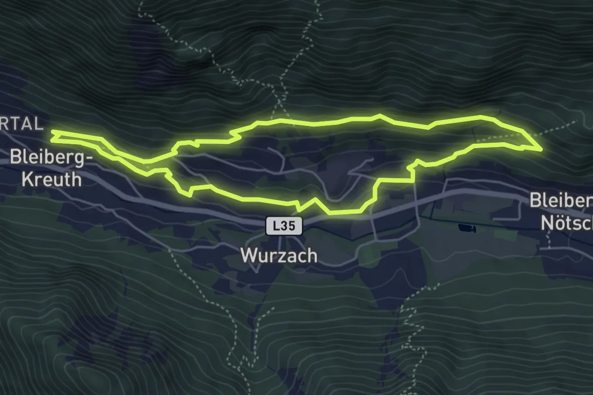
Medium · Trail
Stollenwanderweg
4.9 km · ↑ 171 m · 1 h 36 min
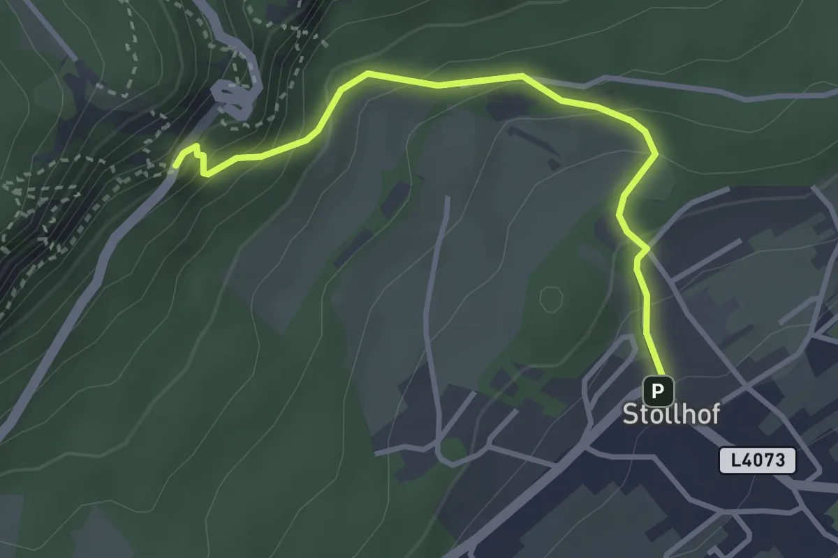
Easy · Trail
Stollhofer Anstieg
3.0 km · ↑ 251 m · 1 h 15 min