Trails in Austria
9,777 hiking trails, each with its route, climb, walking time and grade.
All trails, page 112 of 204
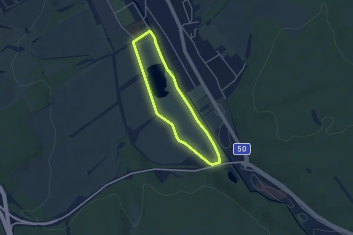
Easy · Trail
Stoober Bewegnungs.Parcours
2.6 km · ↑ 0 m · 39 min
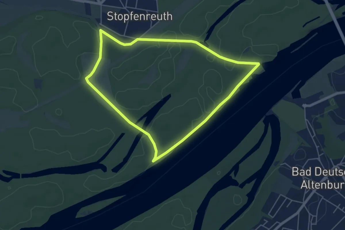
Easy · Trail
Stopfenreuther Donaurunde
4.6 km · ↑ 0 m · 1 h 8 min
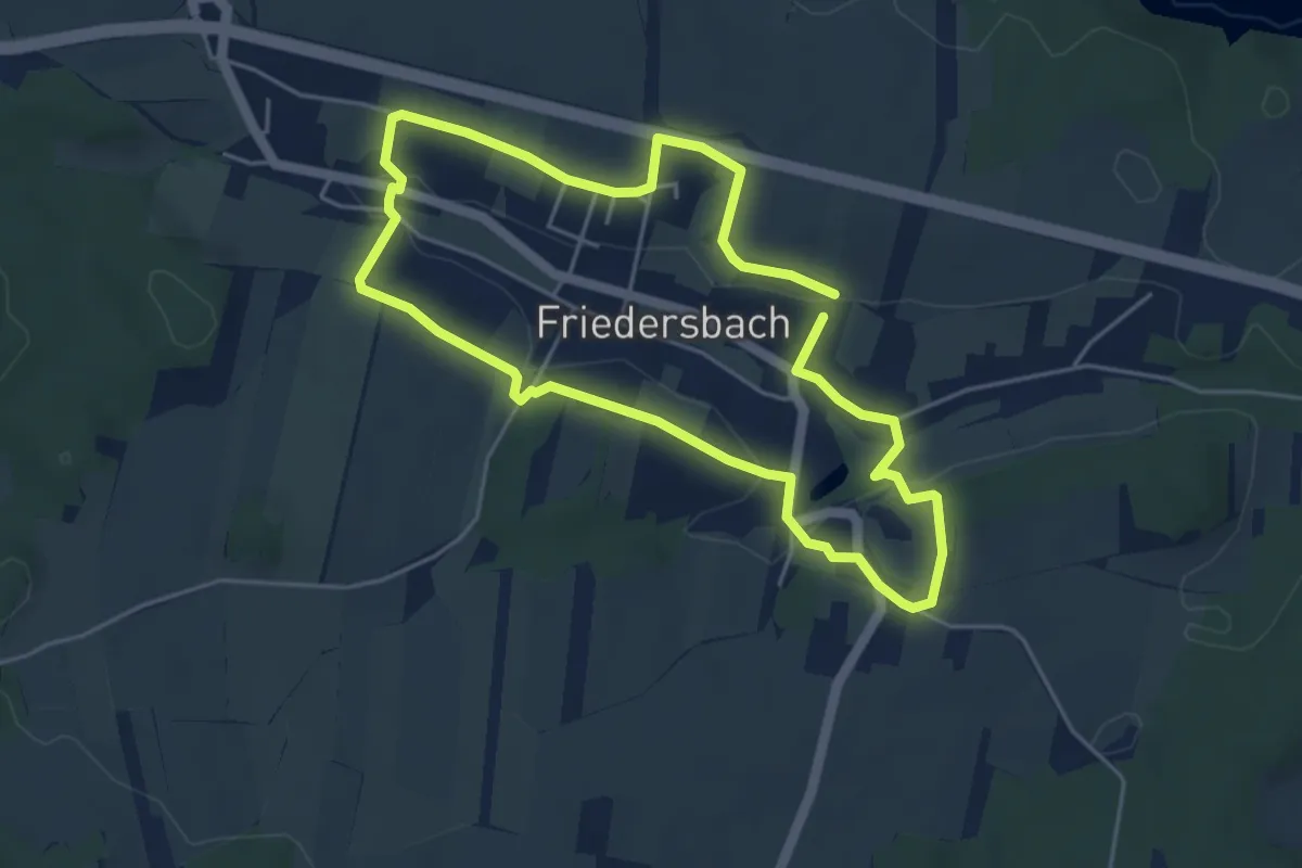
Easy · Trail
Storchenblickweg 57C
4.3 km · ↑ 83 m · 1 h 16 min
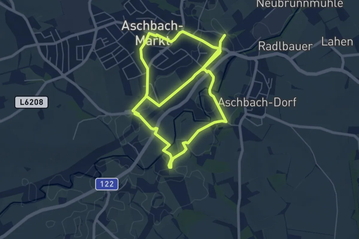
Medium · Trail
Storchenweg
10.5 km · ↑ 45 m · 2 h 34 min
Easy · Trail
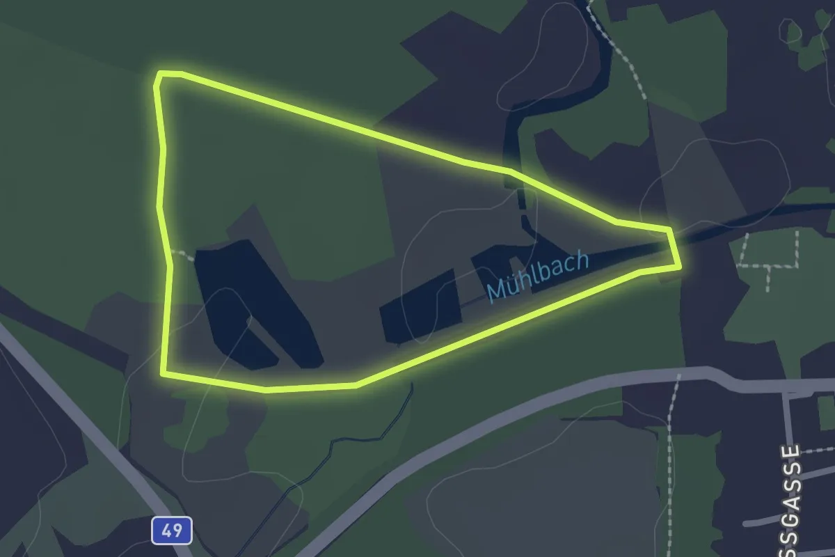
Storchenweg
2.0 km · ↑ 0 m · 30 min
Easy · Trail
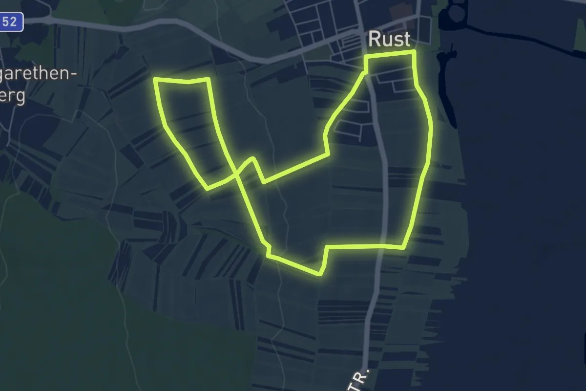
Storchenweg (Rust)
6.6 km · ↑ 70 m · 1 h 48 min
Medium · Trail
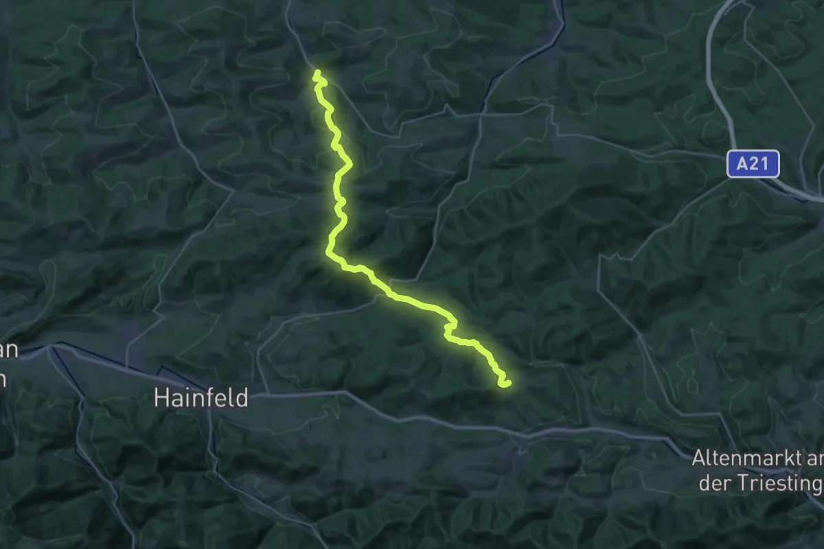
Stößing - Kreuzwirt - Gföhl-Stollberg - Klammhöhe - Anschluß Kaumberg - St. Corona
14.7 km · ↑ 656 m · 4 h 58 min
Demanding · Summit
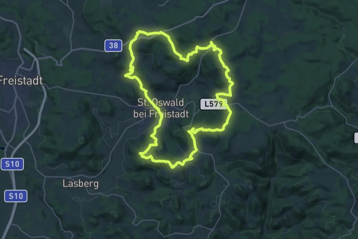
St. Oswalder Höhenweg
24.1 km · ↑ 791 m · 7 h 44 min
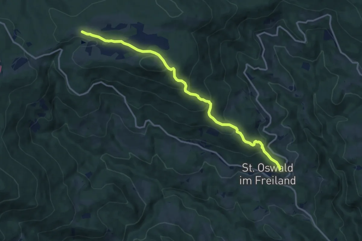
Medium · Trail
St. Oswalder Rundweg 1
10.9 km · ↑ 560 m · 3 h 48 min
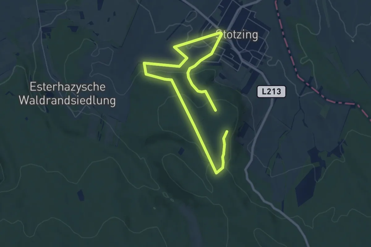
Easy · Trail
Stotzing (Dorfwirt) - Langackerkreuz - Kleinhalbjoch - Hoher Berg - Dorfwirt
4.8 km · ↑ 148 m · 1 h 31 min
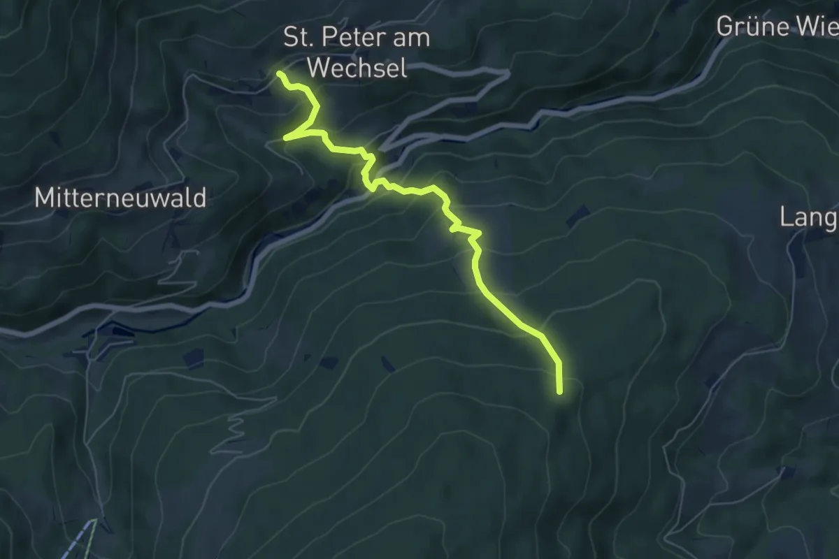
Medium · Trail
St. Peter - Heidstübl - Mönichkirchen
6.0 km · ↑ 513 m · 2 h 32 min
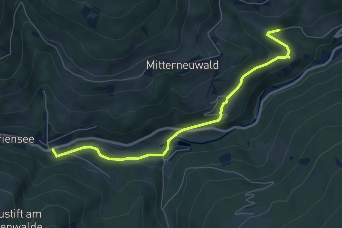
Easy · Trail
St. Peter - Mariensee
6.0 km · ↑ 214 m · 1 h 53 min
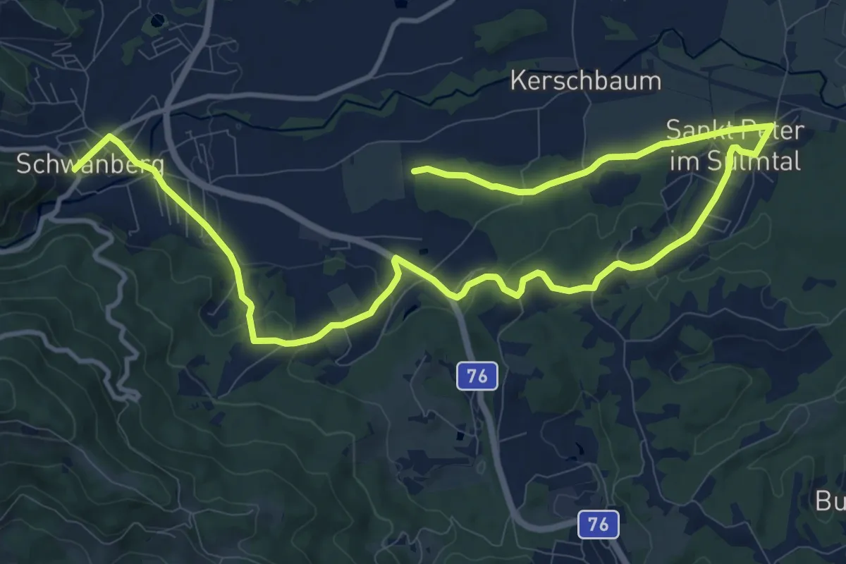
Medium · Trail
St. Peter Rundweg
8.2 km · ↑ 178 m · 2 h 25 min
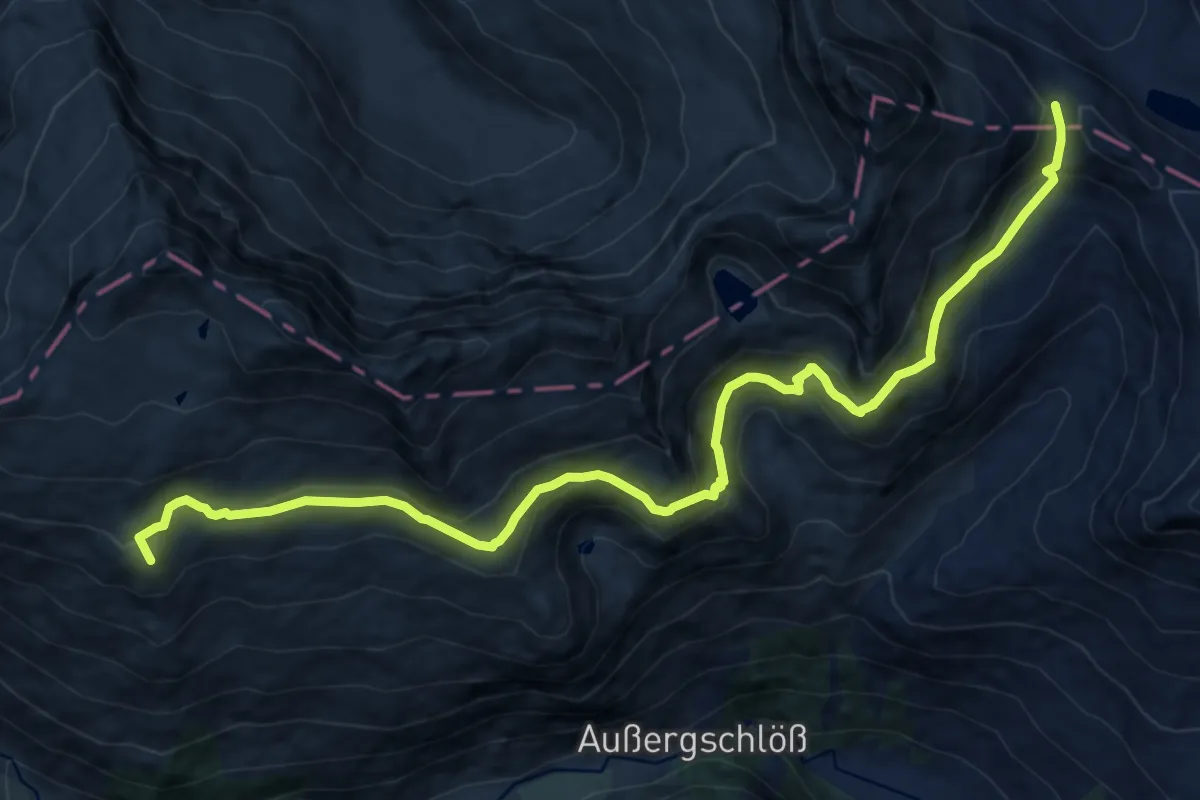
Demanding · Summit
St. Pöltner Westweg
14.6 km · ↑ 613 m · 4 h 47 min
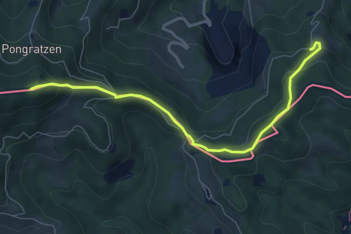
Medium · Summit
St. Pongratzenweg
6.2 km · ↑ 346 m · 2 h 12 min
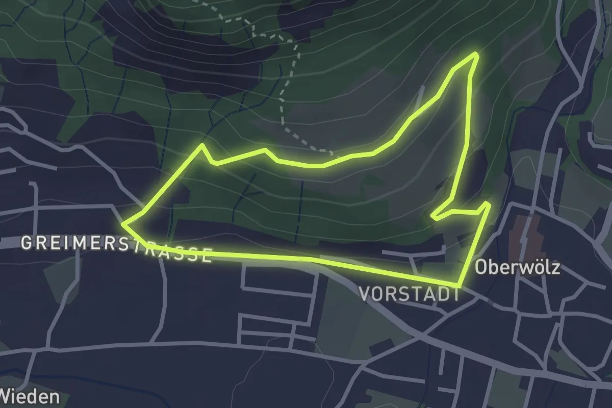
Easy · Trail
Strahbauer-Rundweg
2.6 km · ↑ 103 m · 53 min
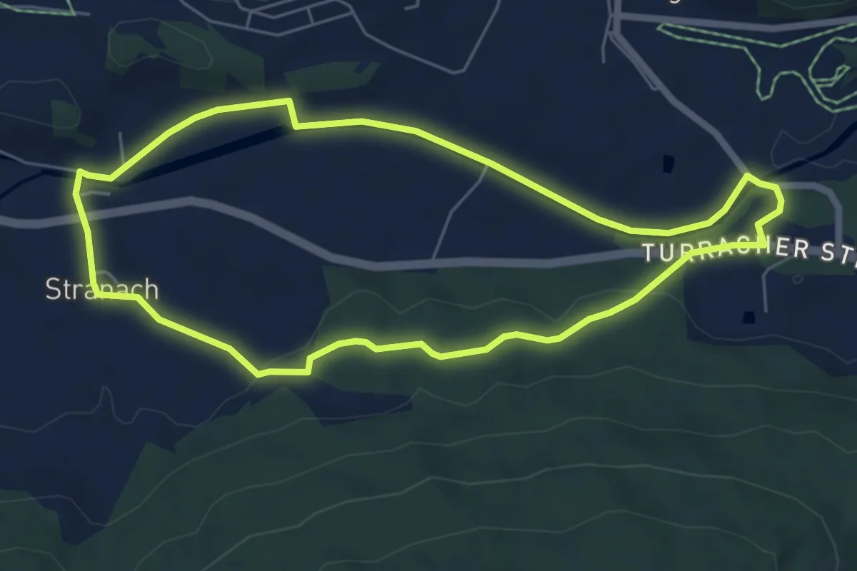
Easy · Trail
Stranachrundweg
5.5 km · ↑ 60 m · 1 h 31 min
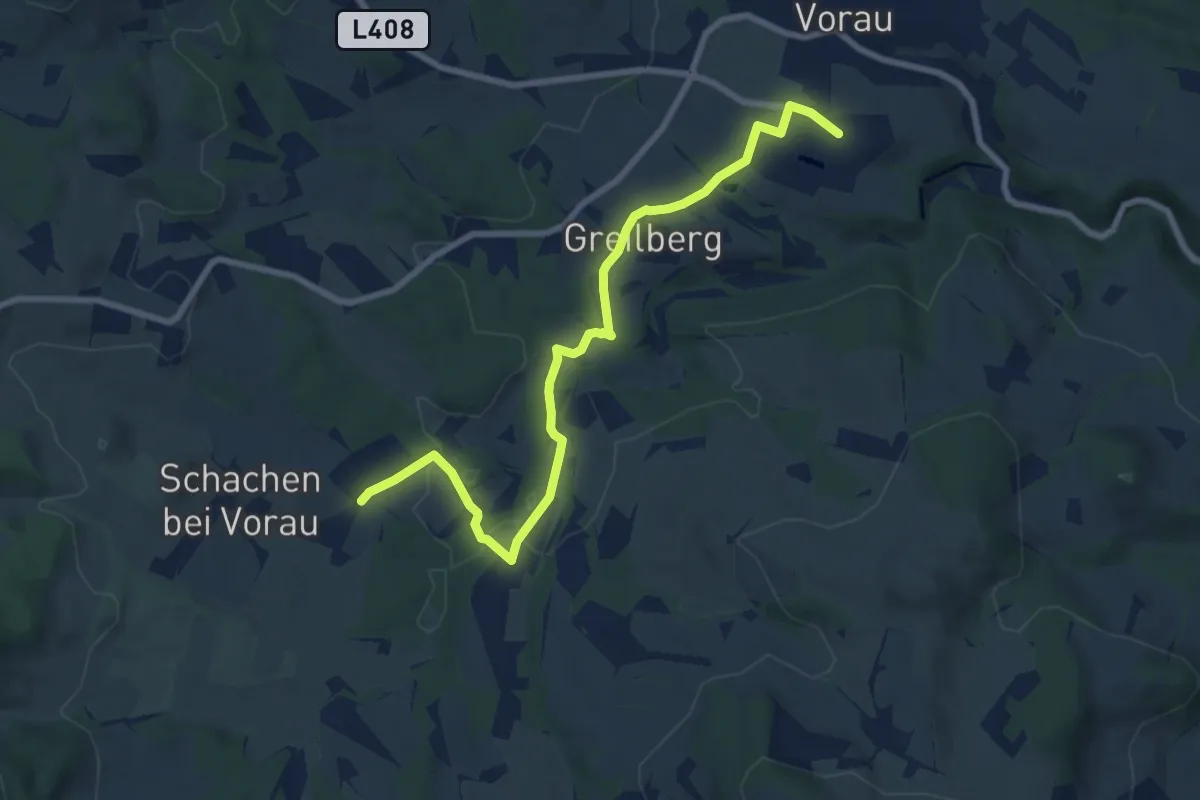
Medium · Trail
Strassbauerwirtweg
8.6 km · ↑ 206 m · 2 h 29 min
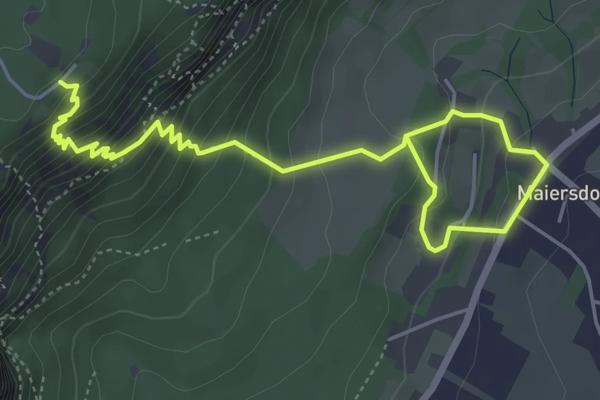
Demanding · Trail
Straßenbahnerweg
5.5 km · ↑ 535 m · 2 h 28 min
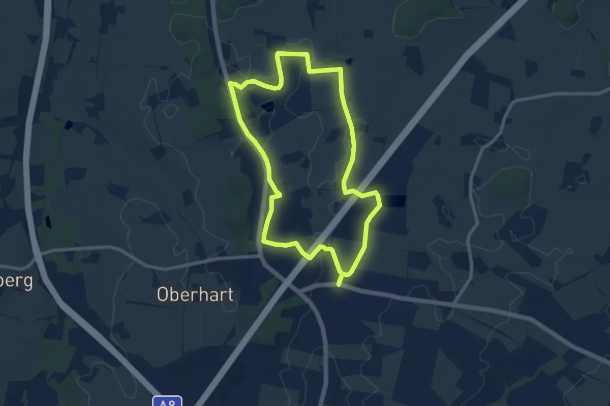
Easy · Trail
Strasser's Wanderfreude
6.4 km · ↑ 31 m · 1 h 40 min
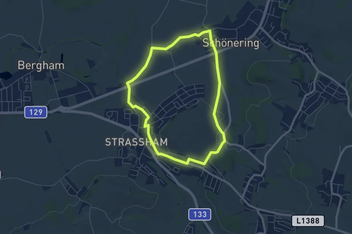
Easy · Trail
Strasshamer Runde
5.4 km · ↑ 65 m · 1 h 29 min
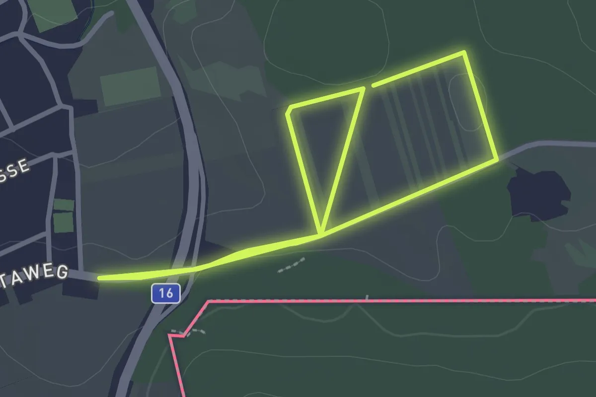
Easy · Trail
Strecke 1 (Lauf- und Walkingstrecke Klingenbach)
2.4 km · ↑ 9 m · 38 min
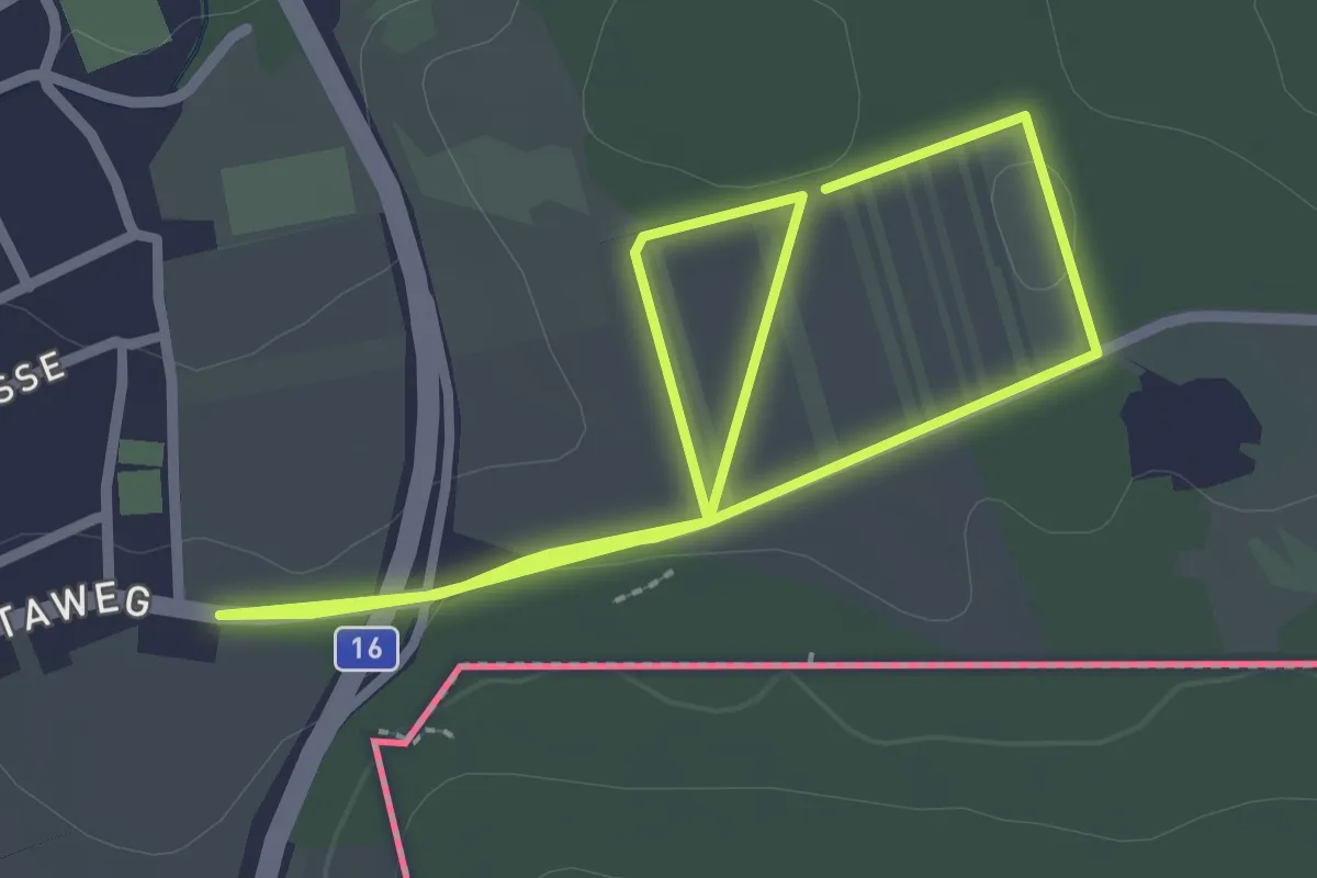
Easy · Trail
Strecke 2 (Lauf- und Walkingstrecke Klingenbach)
2.4 km · ↑ 9 m · 38 min
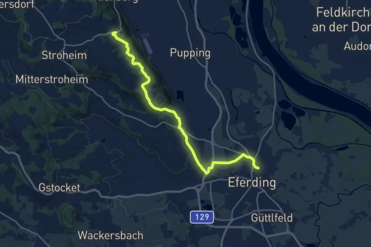
Medium · Trail
Stroheim
13.5 km · ↑ 277 m · 3 h 47 min
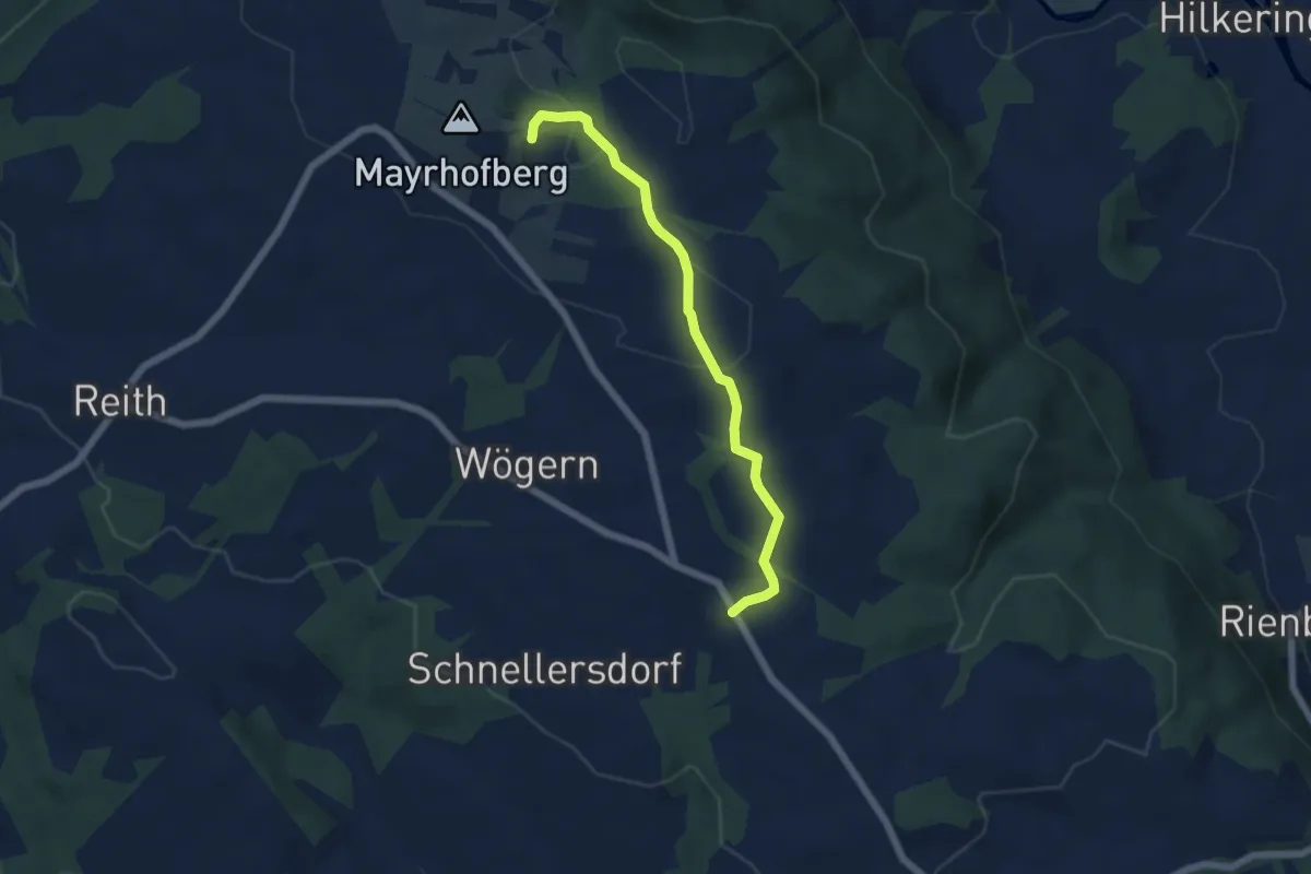
Easy · Trail
Stroheim Wanderweg 24
5.2 km · ↑ 130 m · 1 h 31 min
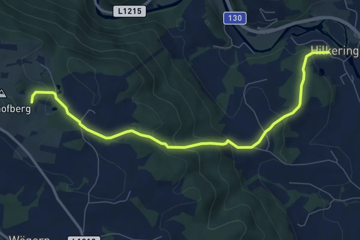
Medium · Trail
Stroheim Wanderweg 44
7.2 km · ↑ 342 m · 2 h 27 min
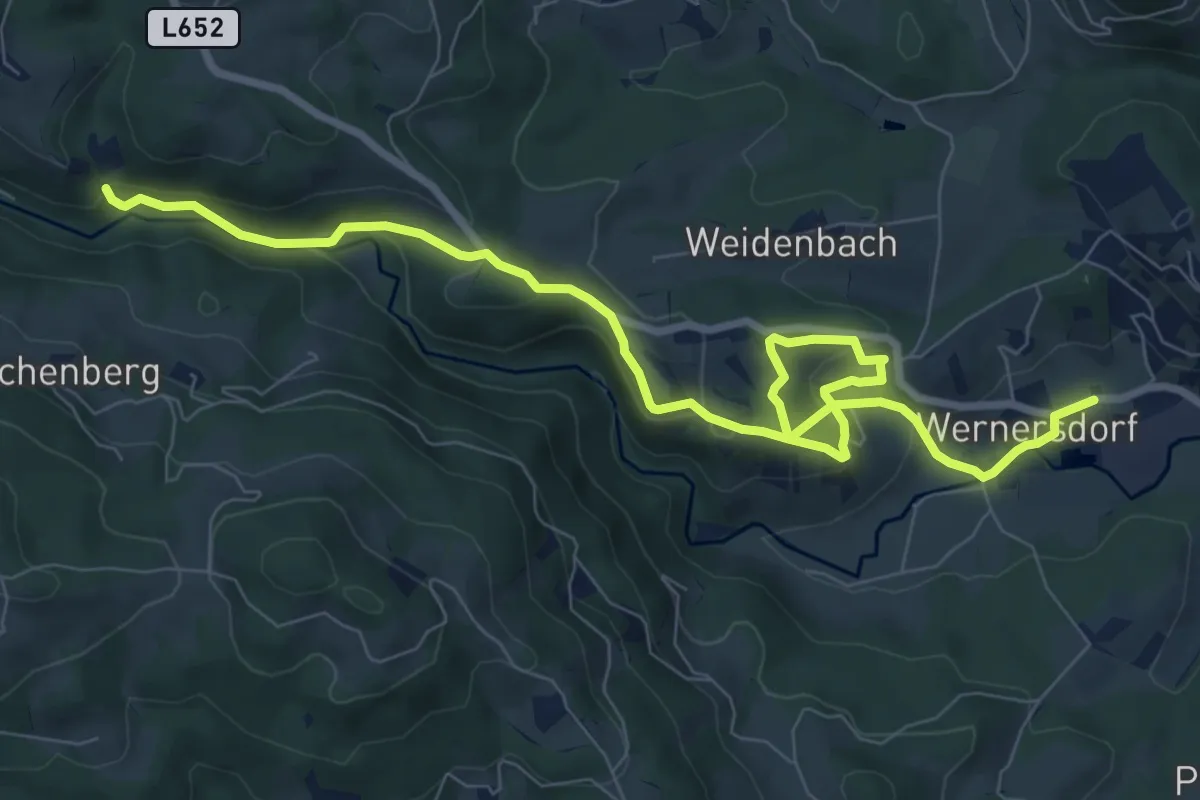
Medium · Trail
Strutz-Mühlen-Weg
10.5 km · ↑ 434 m · 3 h 25 min
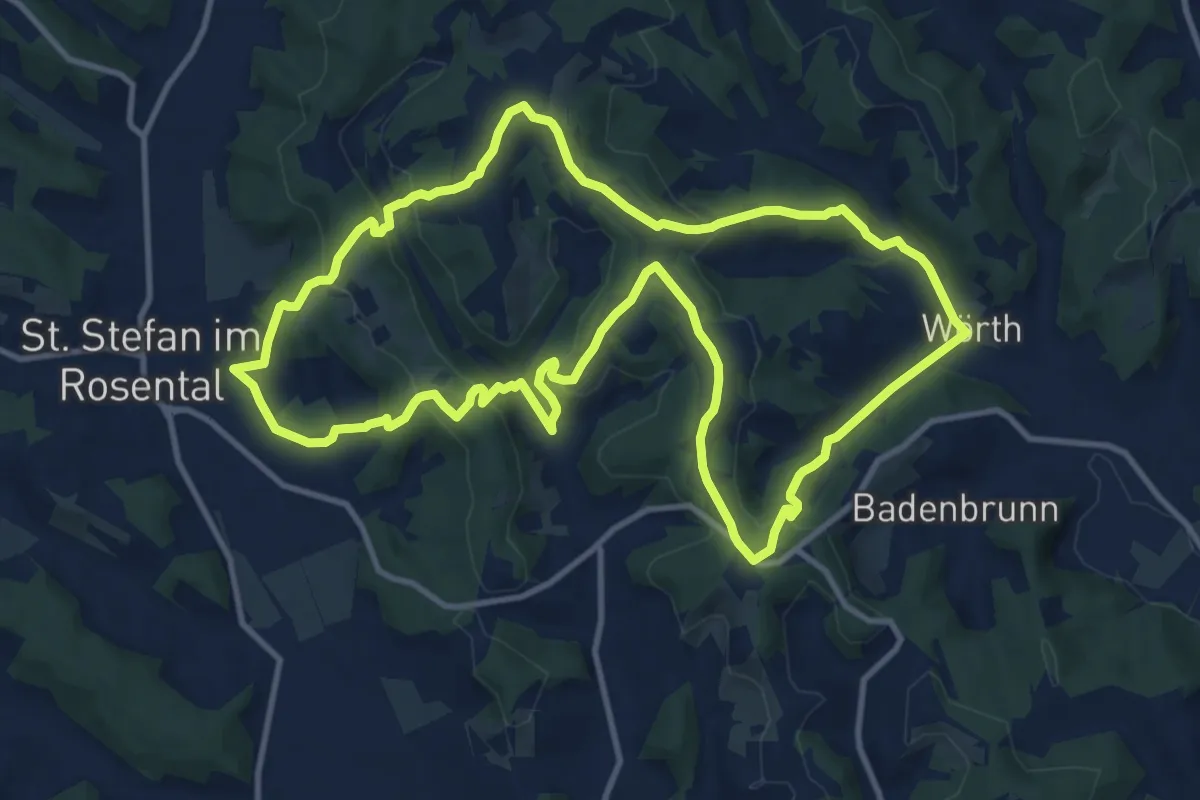
Medium · Summit
St. Stefan - Berg und Tal
12.2 km · ↑ 390 m · 3 h 54 min
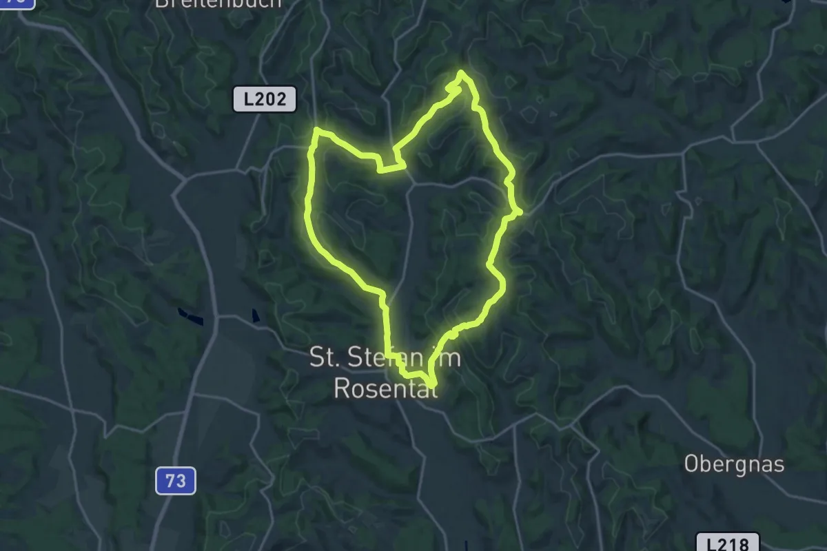
Medium · Summit
St. Stefan - Rundwanderung
17.5 km · ↑ 379 m · 5 h 12 min
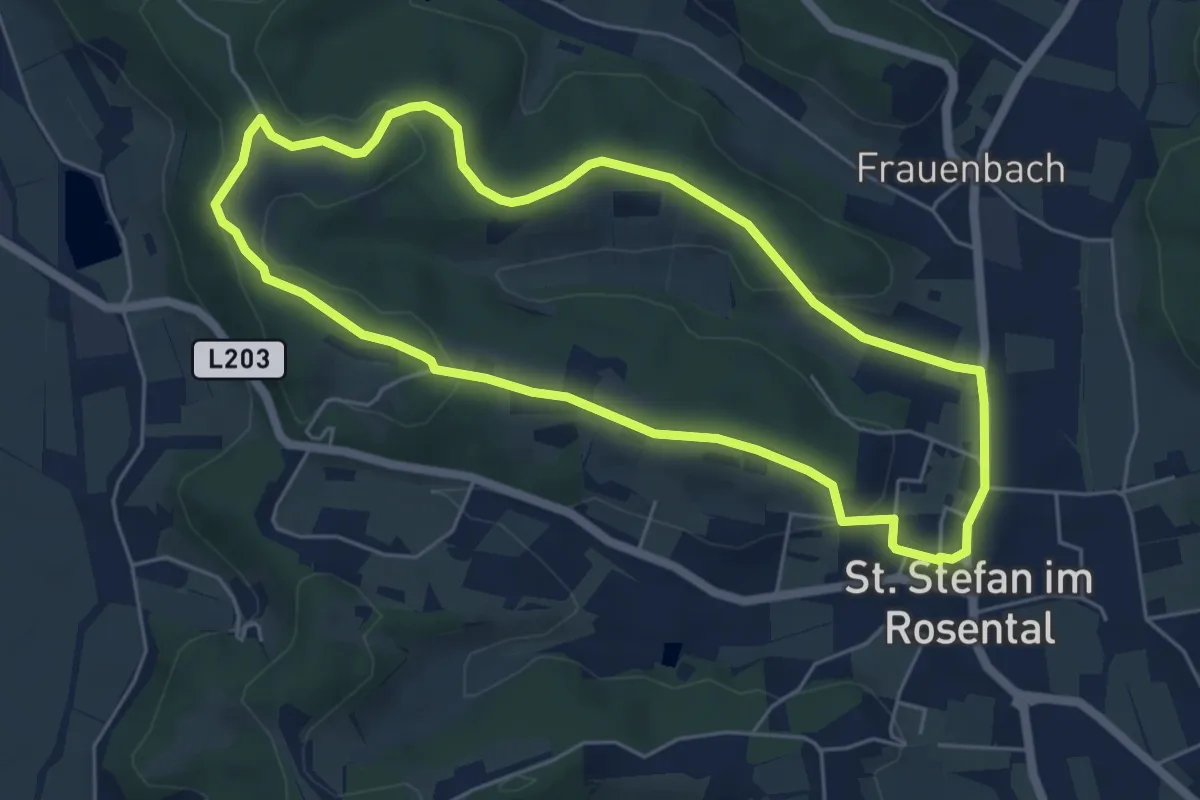
Easy · Trail
St. Stefan Rundwanderweg 1
5.5 km · ↑ 115 m · 1 h 37 min
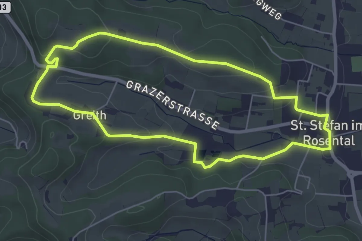
Easy · Trail
St. Stefan Rundwanderweg 2
4.8 km · ↑ 111 m · 1 h 26 min
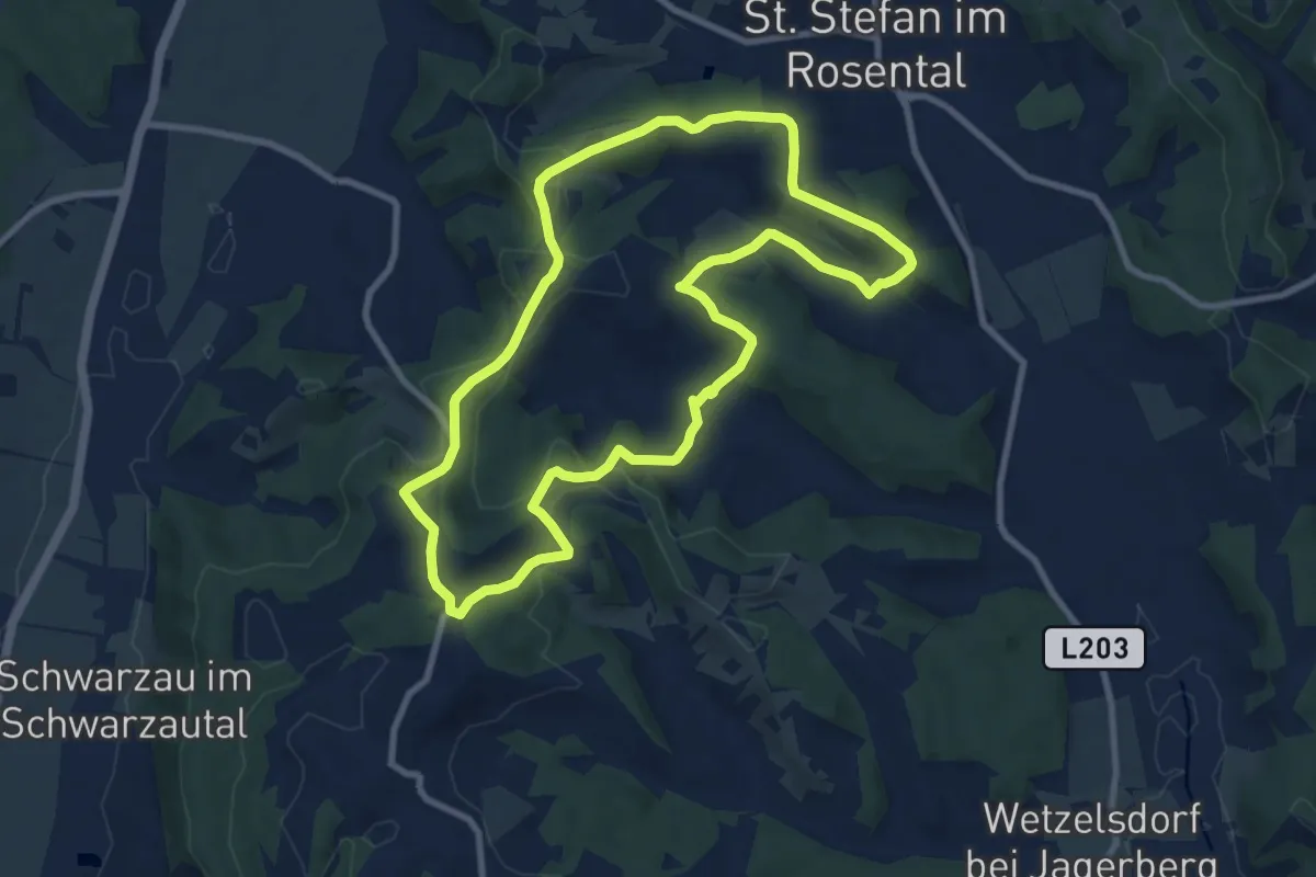
Medium · Trail
St. Stefan Rundwanderweg 3
9.0 km · ↑ 234 m · 2 h 45 min
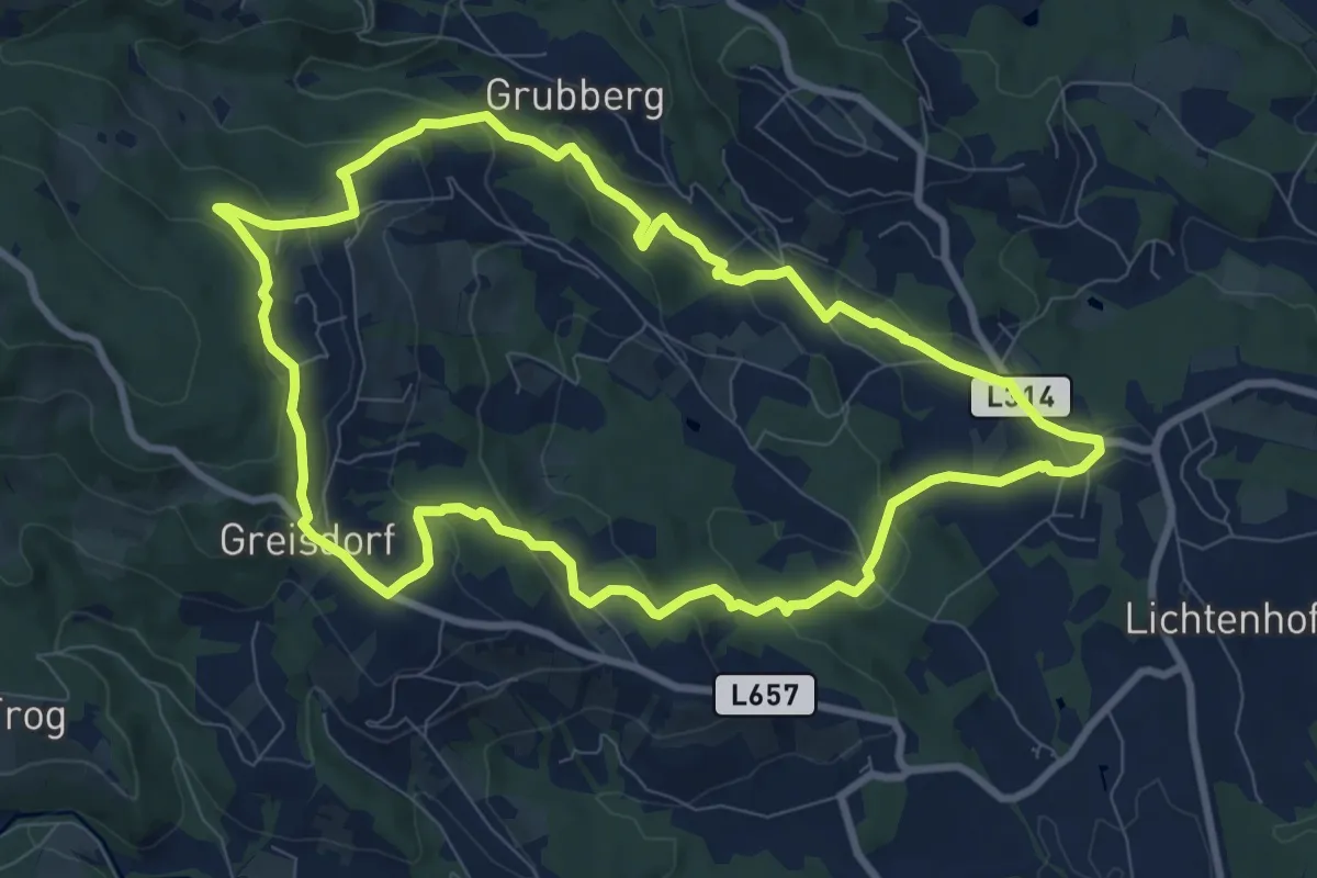
Medium · Trail
St. Stefan Rundweg
9.1 km · ↑ 321 m · 2 h 58 min
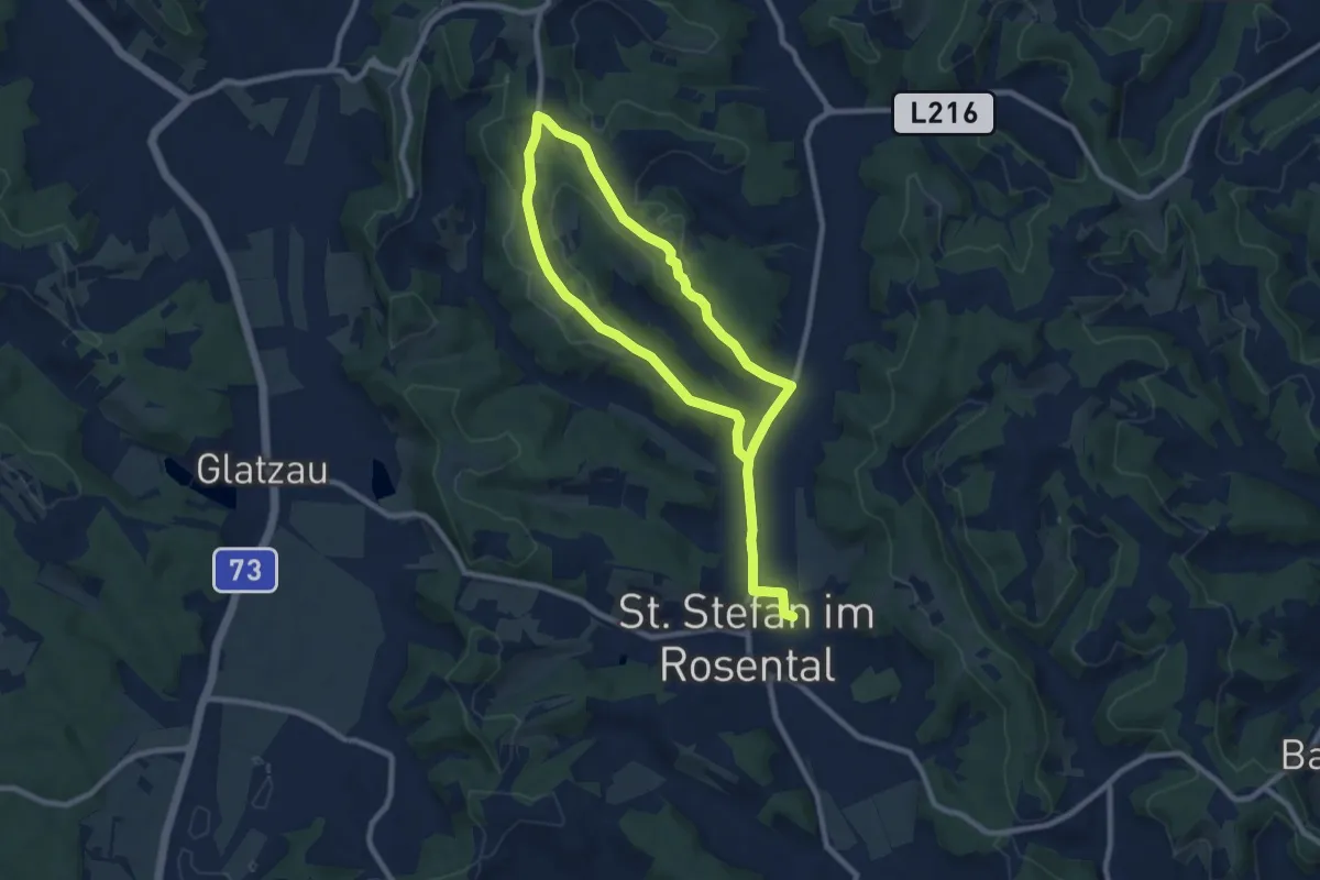
Medium · Trail
St. Stefan Wanderweg 10
14.2 km · ↑ 301 m · 4 h 1 min
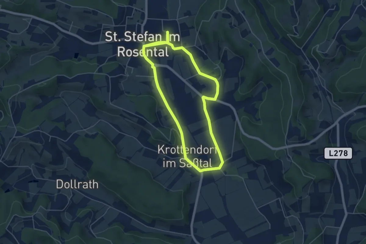
Easy · Trail
St. Stefan Wanderweg 11
4.8 km · ↑ 28 m · 1 h 15 min
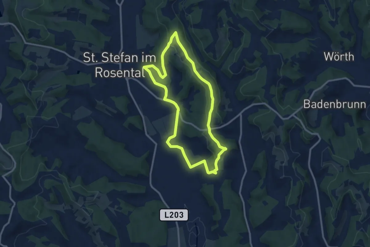
Easy · Trail
St. Stefan Wanderweg 12
7.8 km · ↑ 157 m · 2 h 18 min
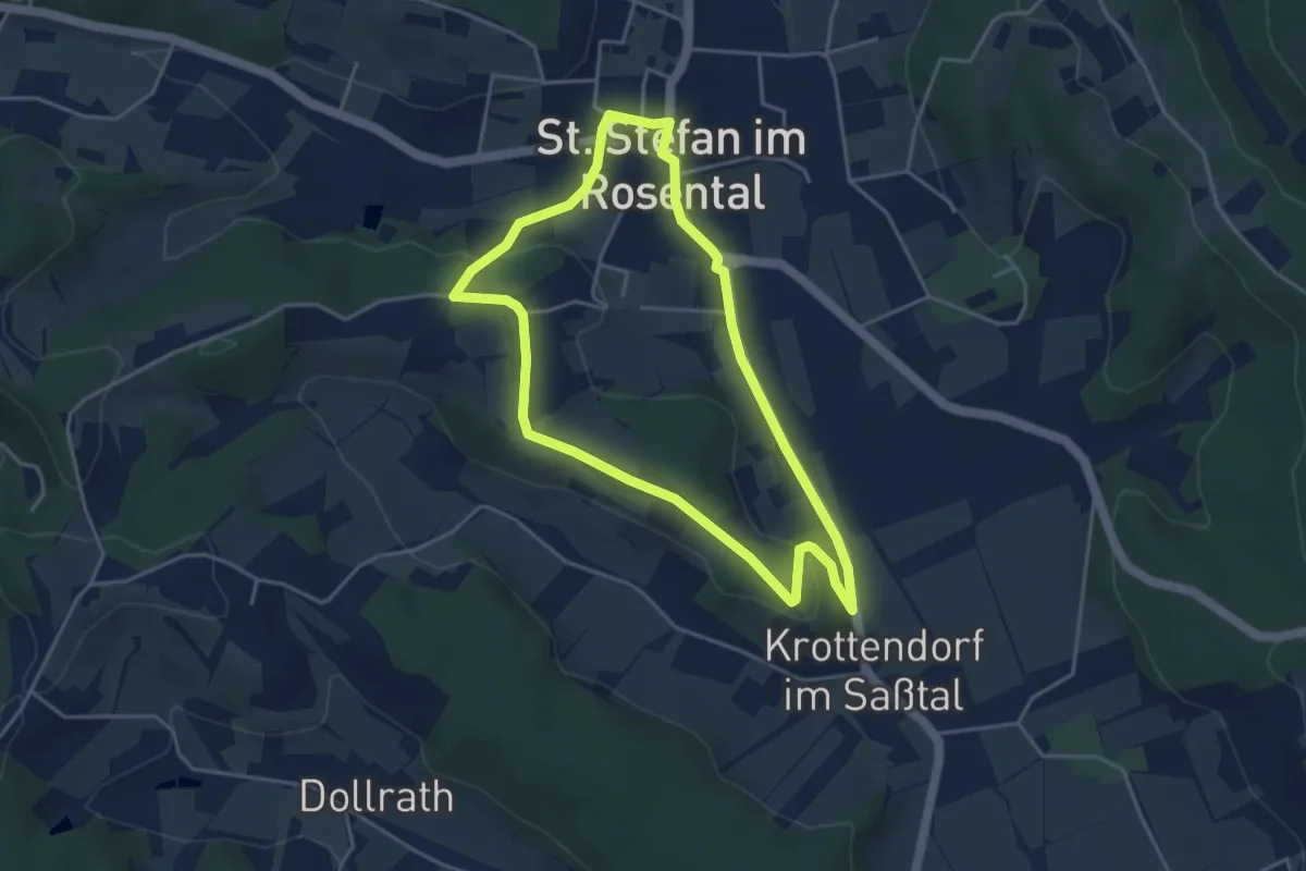
Easy · Trail
St. Stefan Wanderweg 5
4.0 km · ↑ 73 m · 1 h 9 min
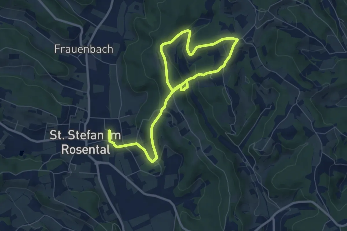
Medium · Trail
St. Stefan Wanderweg 6
10.4 km · ↑ 395 m · 3 h 18 min
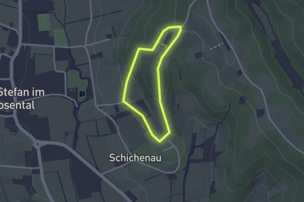
Easy · Trail
St. Stefan Wanderweg 7
1.6 km · ↑ 62 m · 32 min
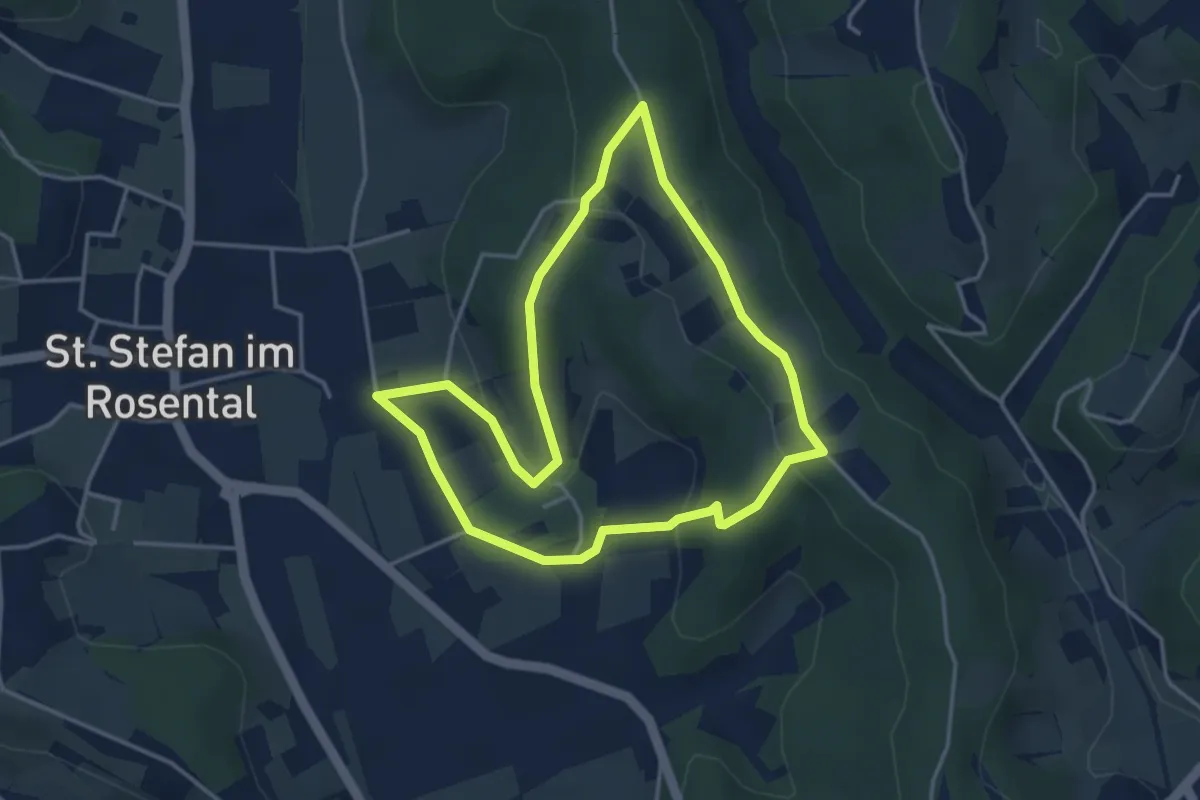
Easy · Trail
St. Stefan Wanderweg 8
3.7 km · ↑ 107 m · 1 h 9 min
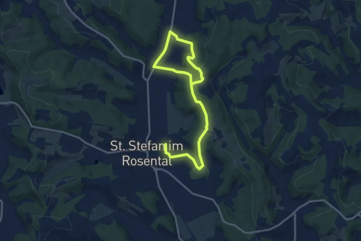
Medium · Trail
St. Stefan Wanderweg 9
9.9 km · ↑ 298 m · 2 h 59 min
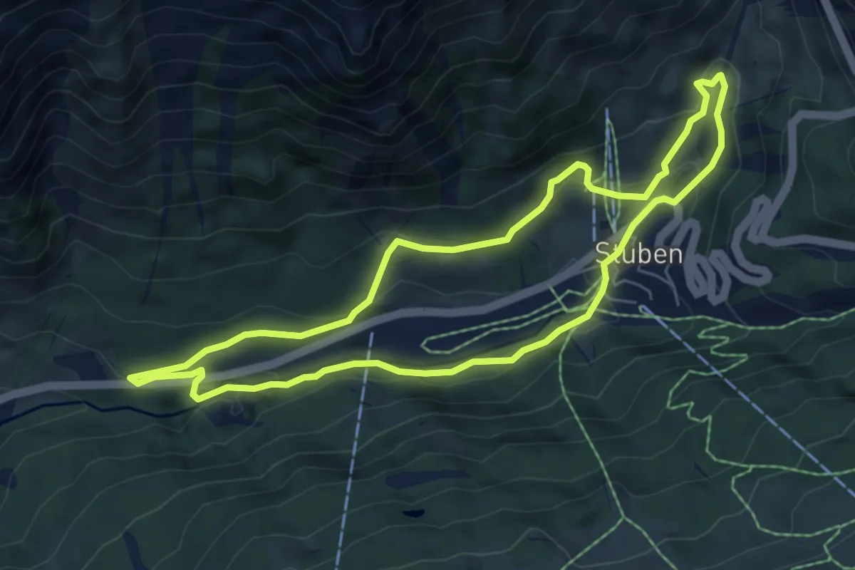
Easy · Trail
Stubener Rundweg
5.8 km · ↑ 201 m · 1 h 52 min
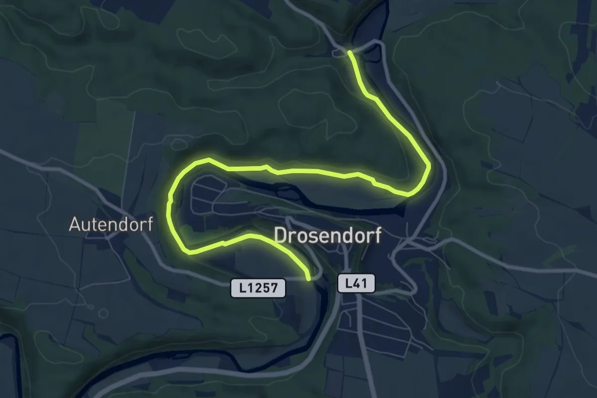
Medium · Trail
Studentensteig
9.3 km · ↑ 90 m · 2 h 24 min
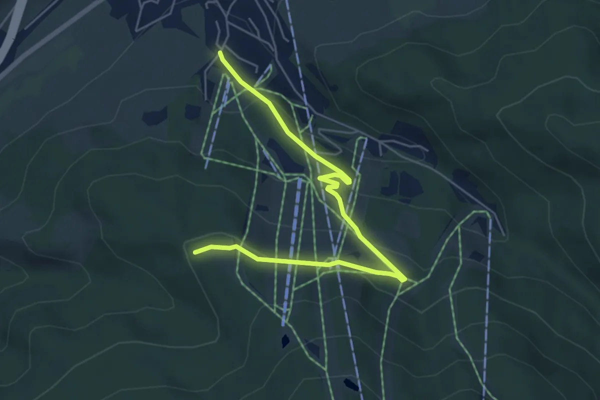
Easy · Trail
Stuhleckstraße - Gasthaus Eichtbauer - Rotes Kreuz
5.5 km · ↑ 189 m · 1 h 42 min
Easy · Trail
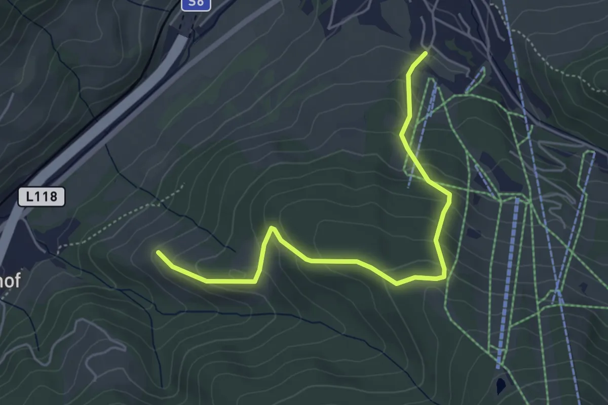
Stuhleckstraße - Schieferhof - Rotes Kreuz - Wanderweg 8
4.9 km · ↑ 306 m · 1 h 49 min
Easy · Trail
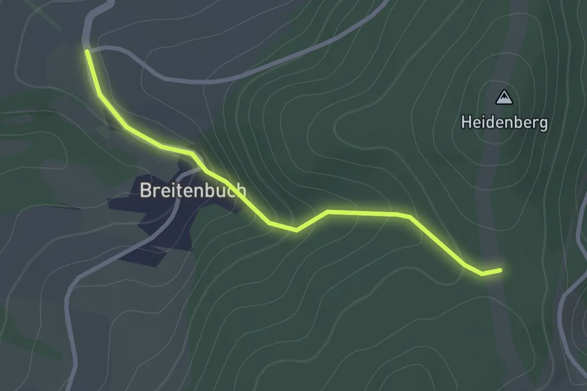
Stupfenreith (Abzweigung) - Breitenbuch - Heidenberg
2.2 km · ↑ 98 m · 44 min
Easy · Trail
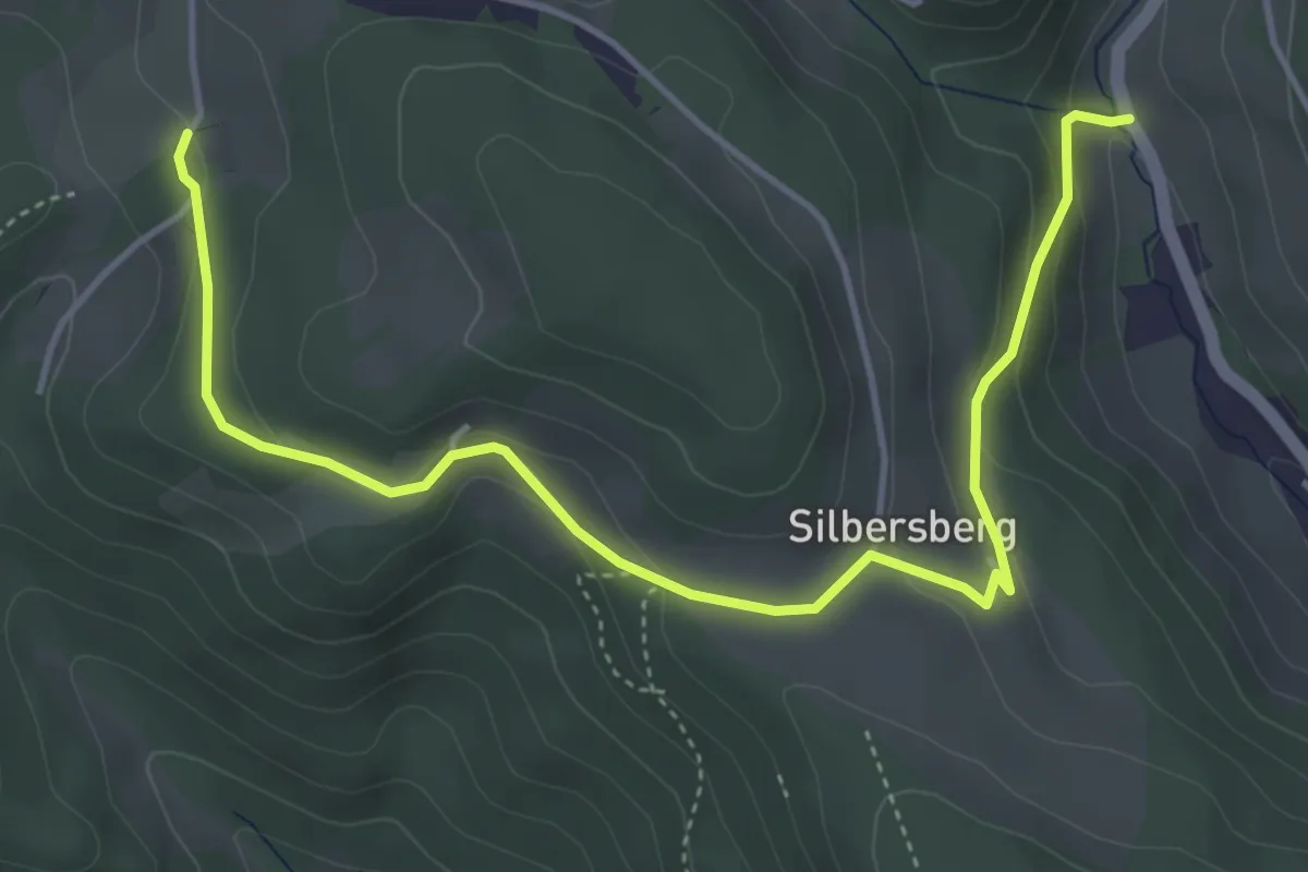
Stuppachgraben - Auf der Wiese
5.2 km · ↑ 195 m · 1 h 38 min
Easy · Trail
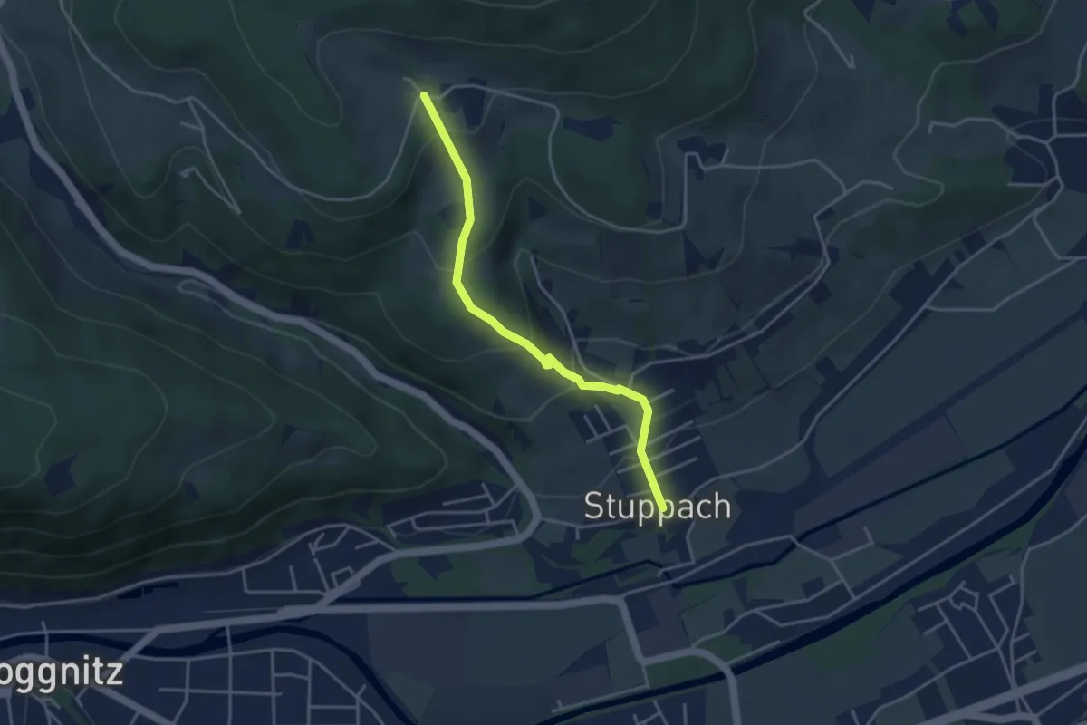
Stuppach - Saloder - Wegscheide
3.6 km · ↑ 212 m · 1 h 19 min