Trails in Austria
9,777 hiking trails, each with its route, climb, walking time and grade.
All trails, page 114 of 204
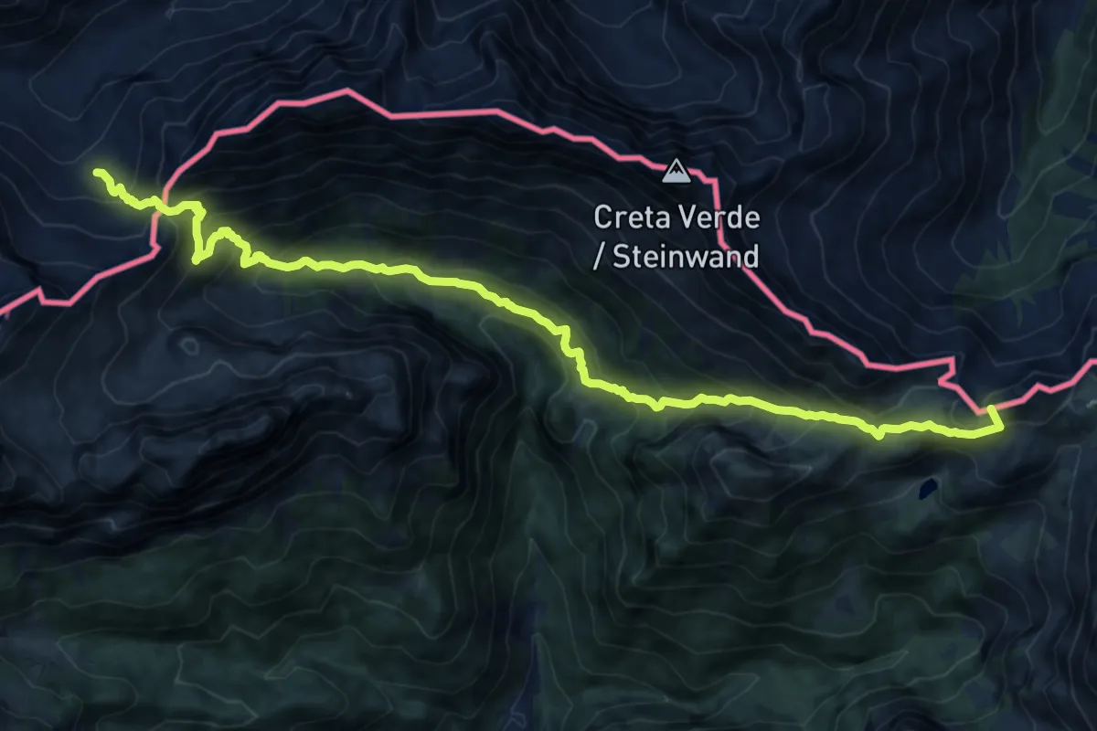
Demanding · Summit
Südalpenweg 03 - Etappe 22
16.3 km · ↑ 1423 m · 6 h 56 min
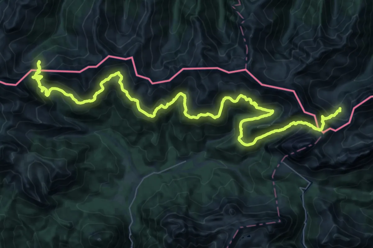
Demanding · Cabin
Südalpenweg 03 - Etappe 23
25.4 km · ↑ 1632 m · 9 h 50 min
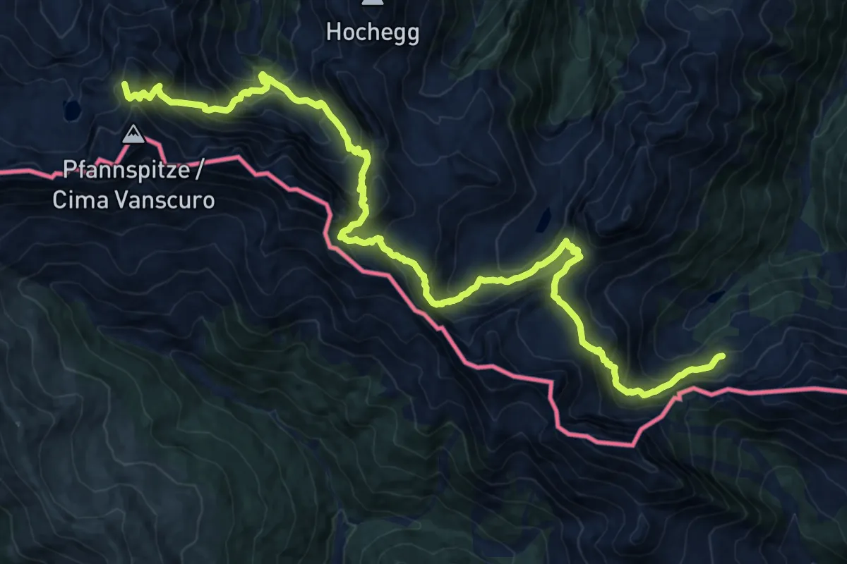
Demanding · Summit
Südalpenweg 03 - Etappe 24
23.4 km · ↑ 2345 m · 10 h 36 min
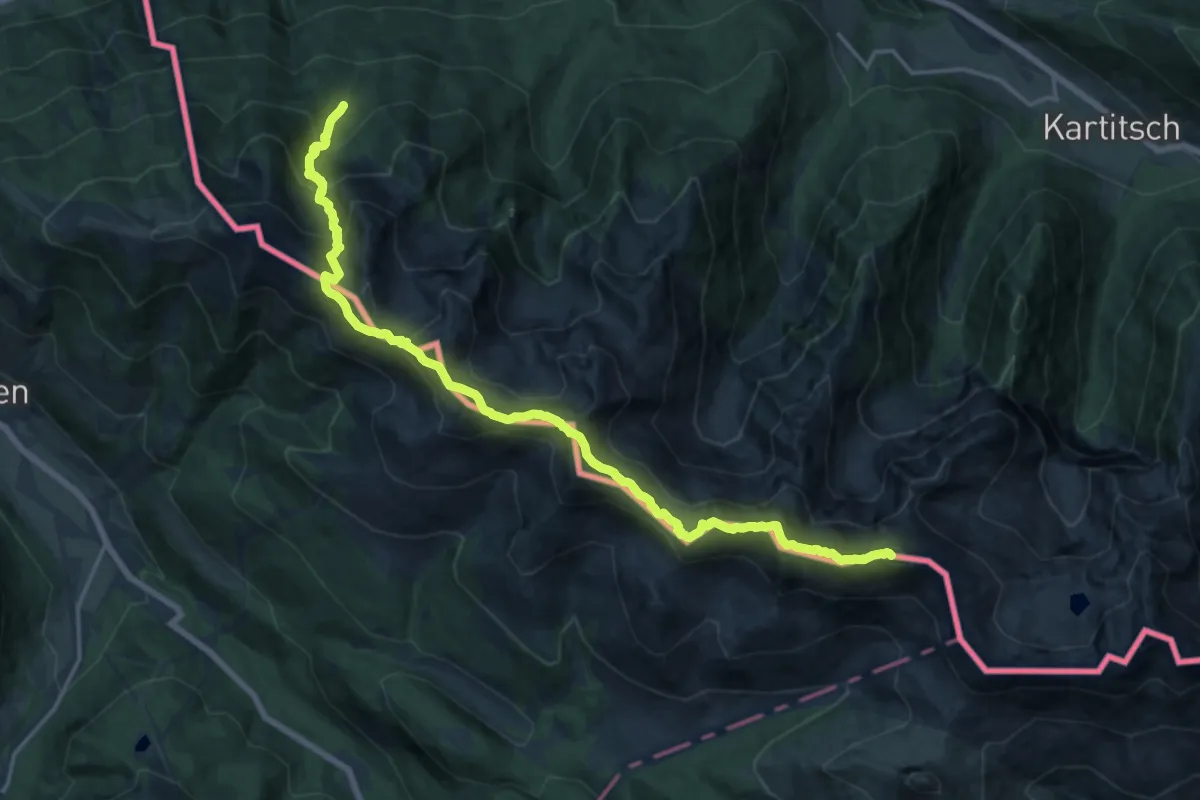
Demanding · Summit
Südalpenweg 03 - Etappe 25
19.6 km · ↑ 1521 m · 7 h 55 min
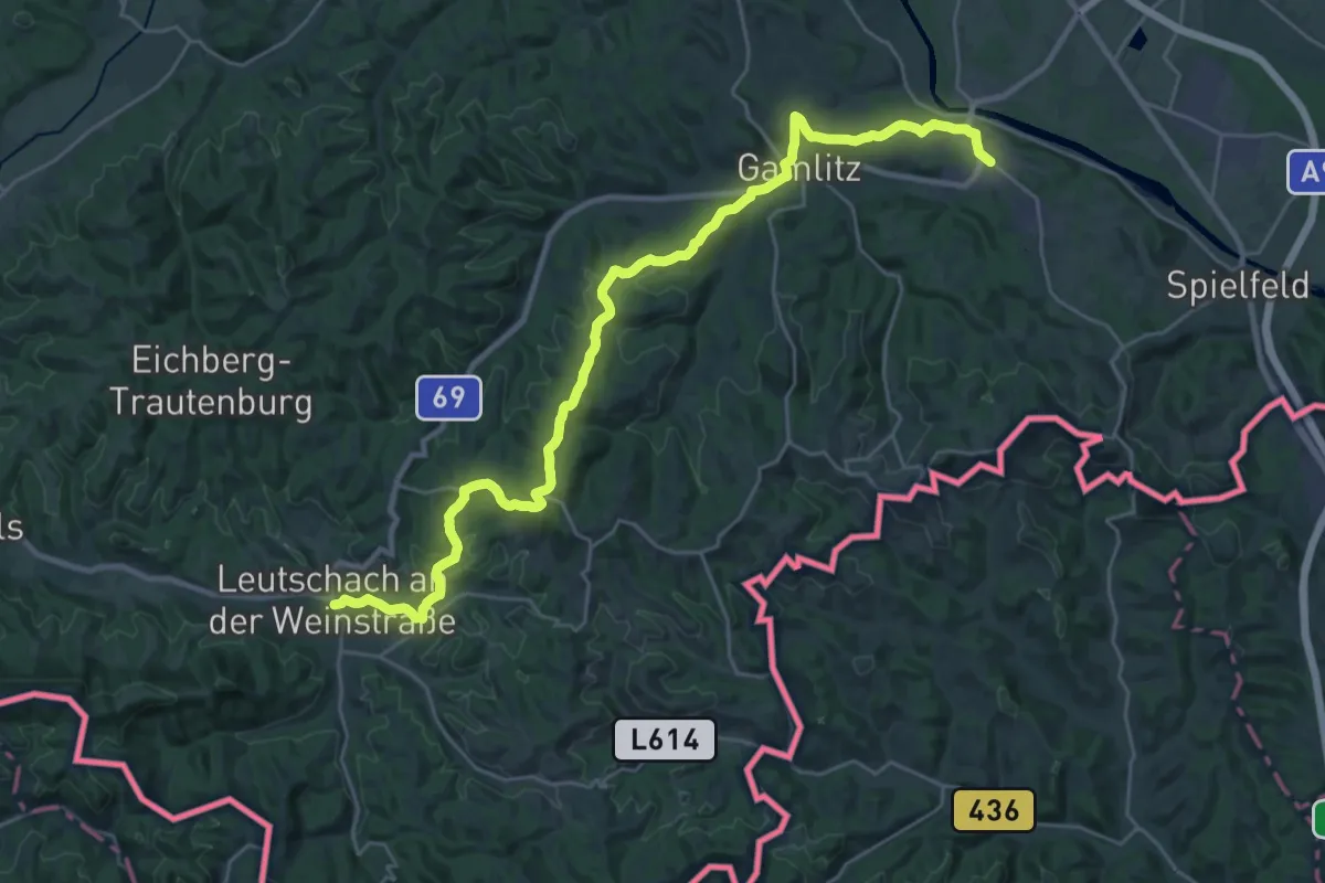
Medium · Trail
Südalpenweg 03 - Etappe 3
15.8 km · ↑ 424 m · 4 h 49 min
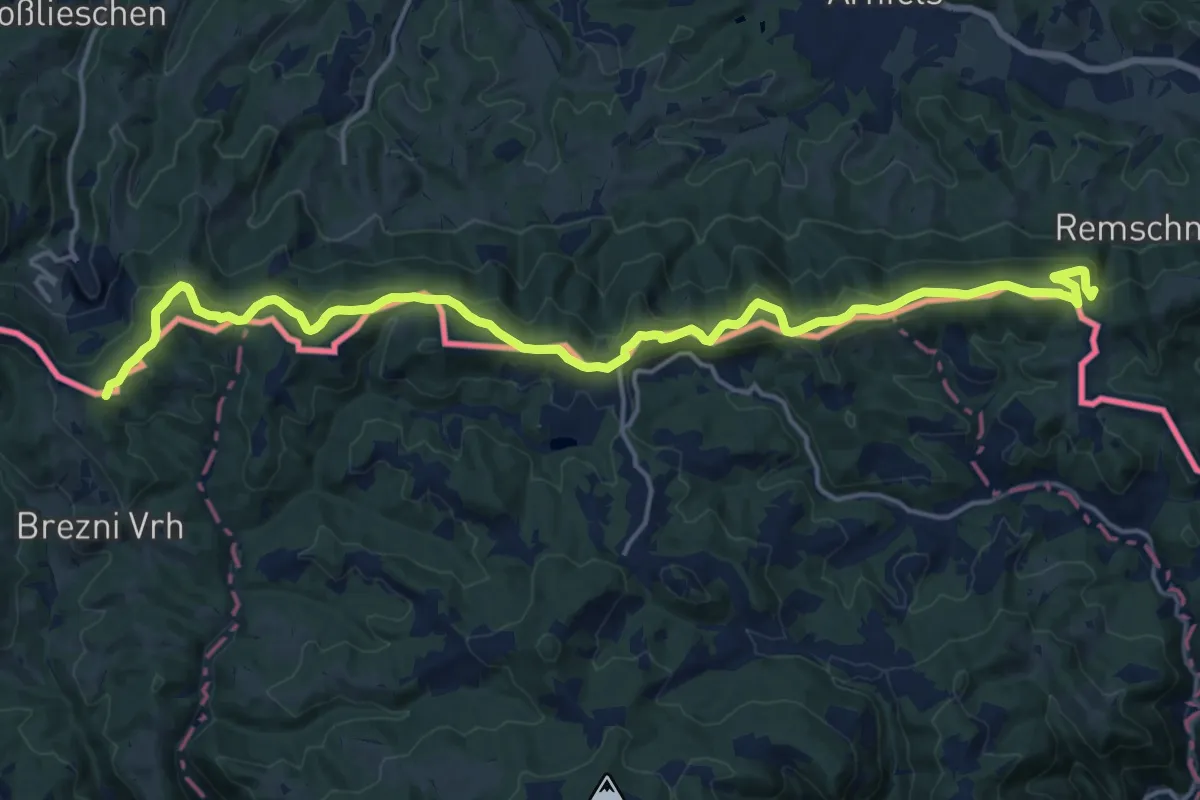
Demanding · Summit
Südalpenweg 03 - Etappe 4
20.5 km · ↑ 600 m · 6 h 8 min
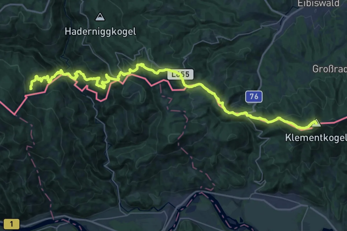
Demanding · Summit
Südalpenweg 03 - Etappe 5
36.0 km · ↑ 2080 m · 13 h
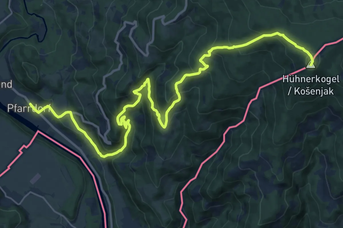
Demanding · Summit
Südalpenweg 03 - Etappe 6 ab Hühnerkogel
23.4 km · ↑ 1278 m · 8 h 18 min
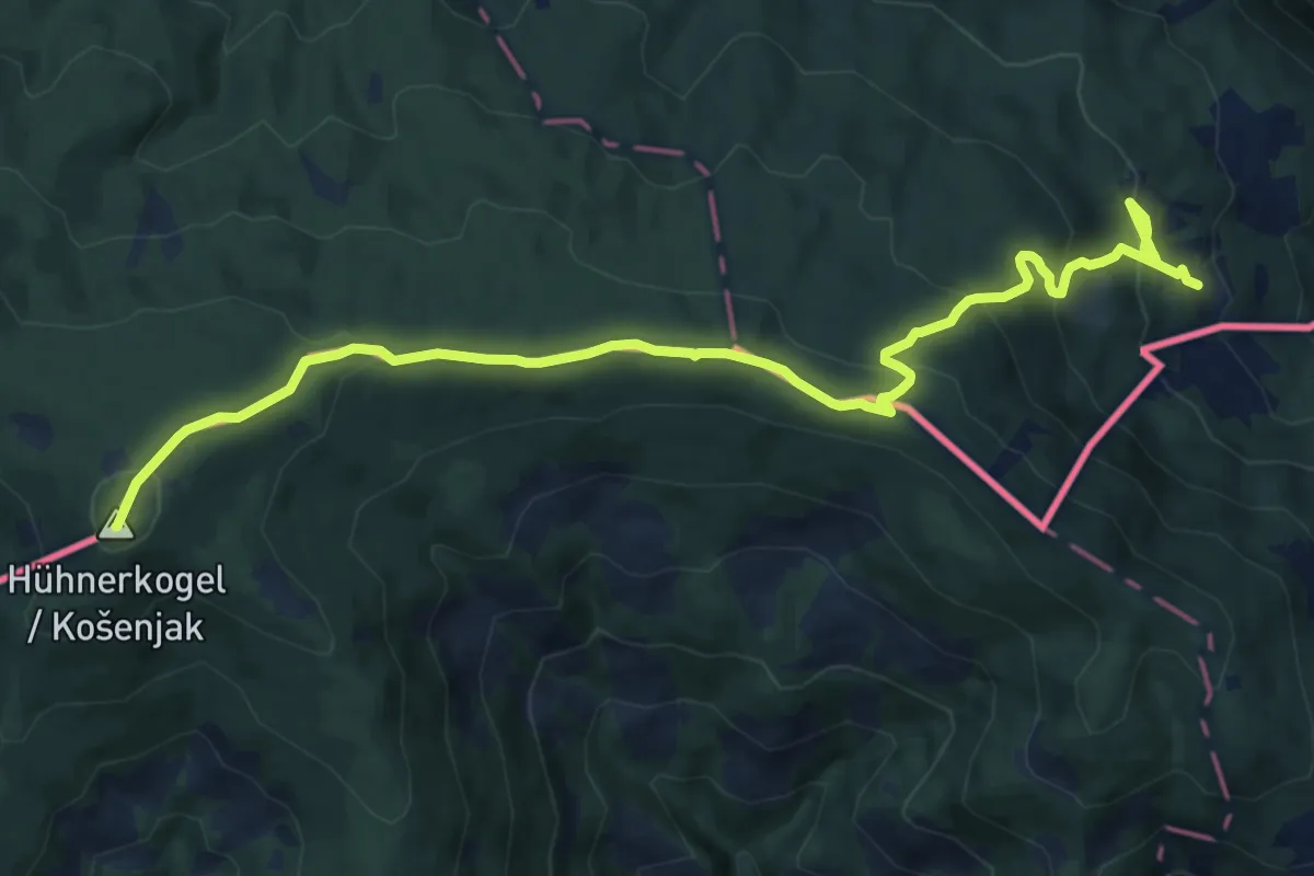
Medium · Summit
Südalpenweg 03 - Etappe 6 bis Hühnerkogel
13.4 km · ↑ 691 m · 4 h 40 min
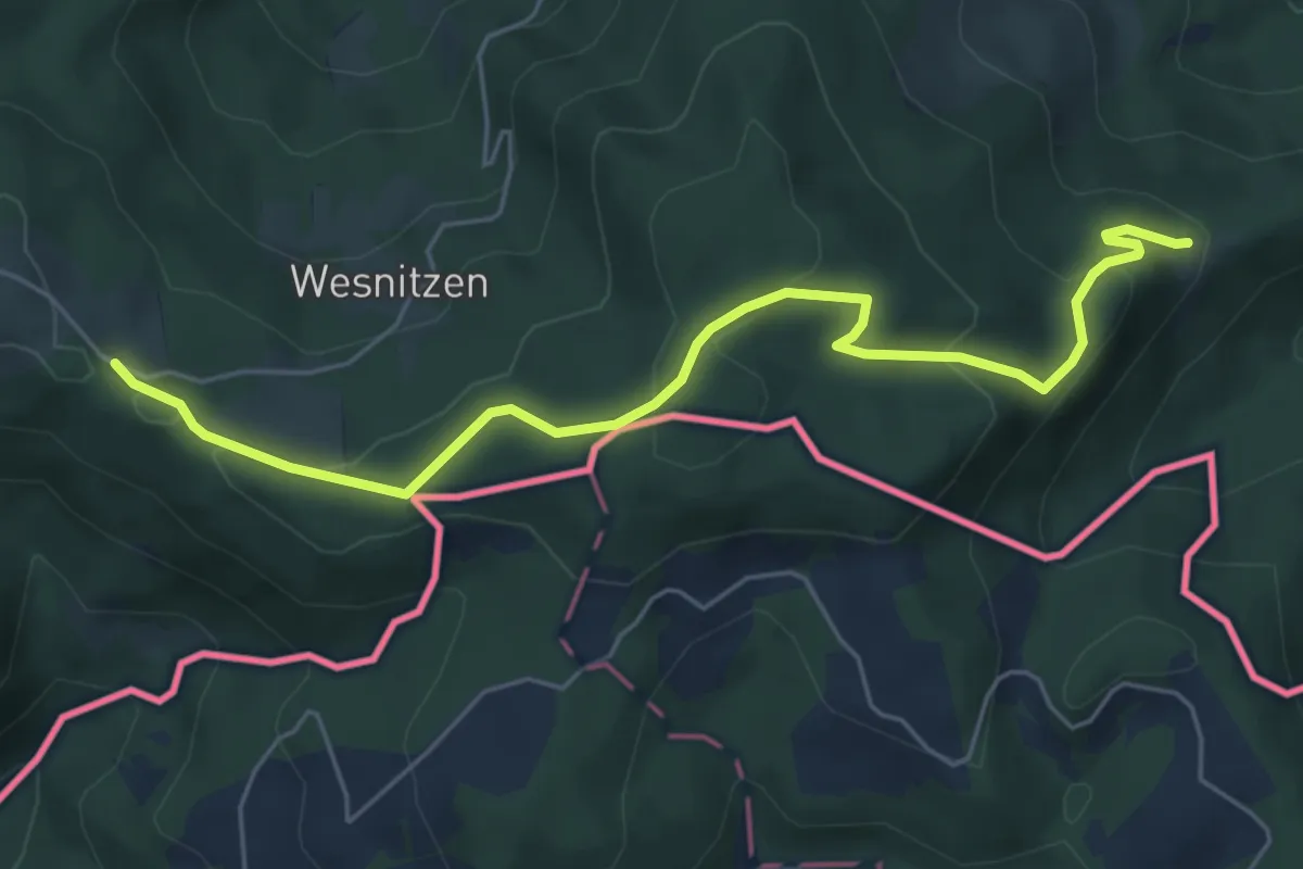
Easy · Trail
Südalpenweg 03 - Etappe 7
6.0 km · ↑ 210 m · 1 h 52 min
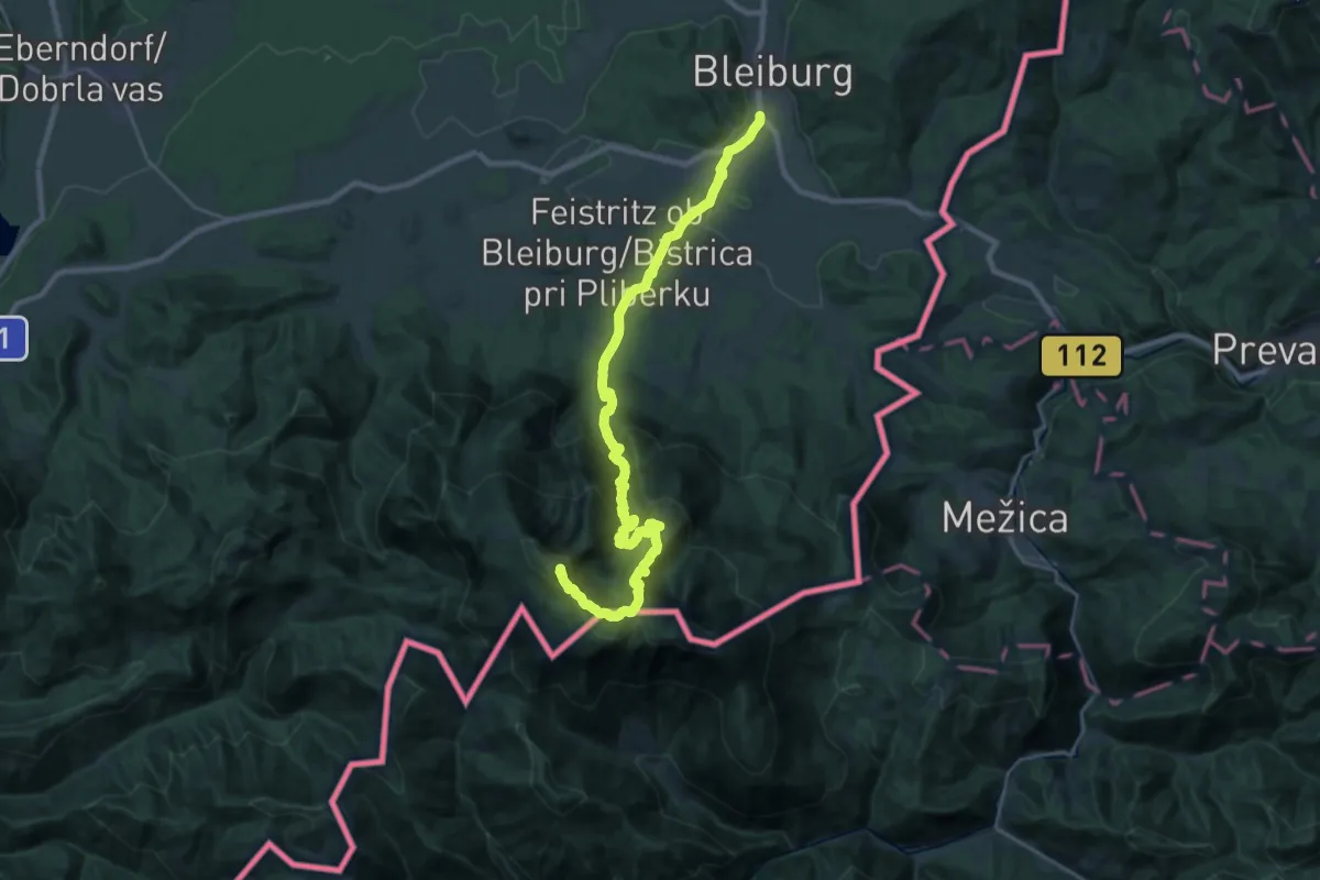
Demanding · Summit
Südalpenweg 03 - Etappe 8
29.8 km · ↑ 1886 m · 11 h 8 min
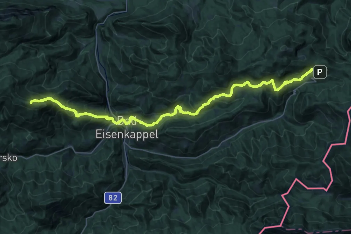
Demanding · Summit
Südalpenweg 03 - Etappe 9
32.5 km · ↑ 1989 m · 11 h 59 min
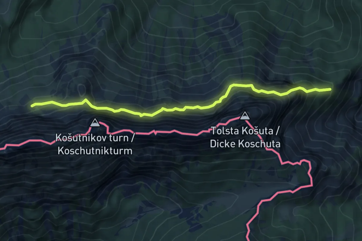
Demanding · Trail
Südalpenweg 603A
6.7 km · ↑ 673 m · 3 h 2 min
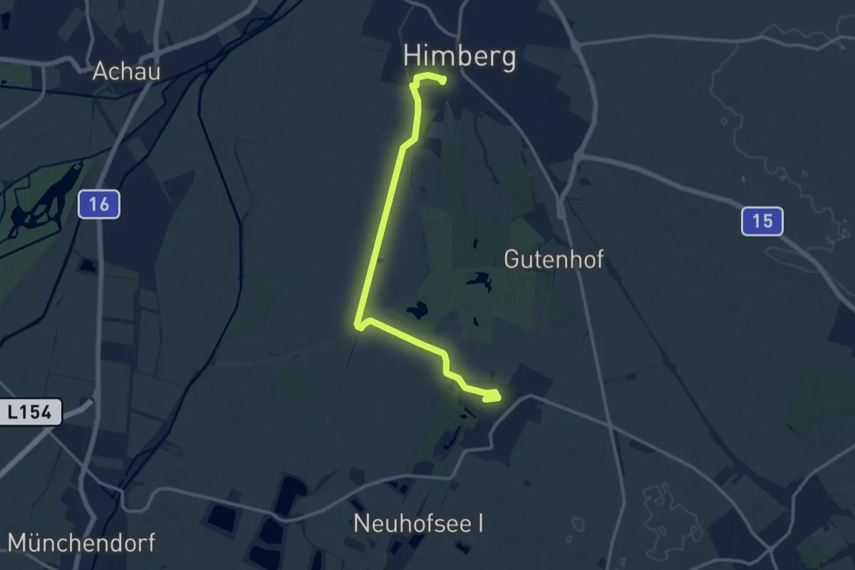
Medium · Trail
Südliche Neubach Route
11.6 km · ↑ 4 m · 2 h 45 min
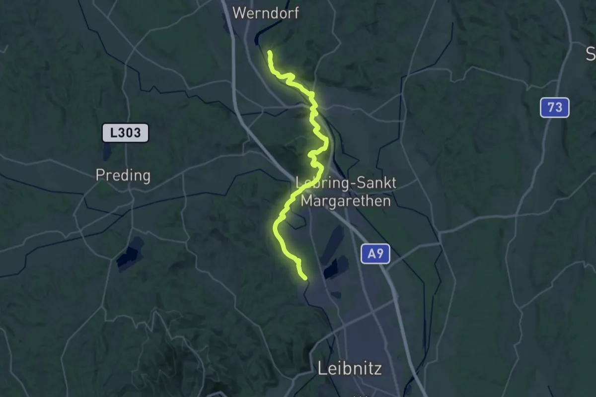
Medium · Pilgrim path
Südösterreichischer Jakobsweg
15.8 km · ↑ 208 m · 4 h 23 min
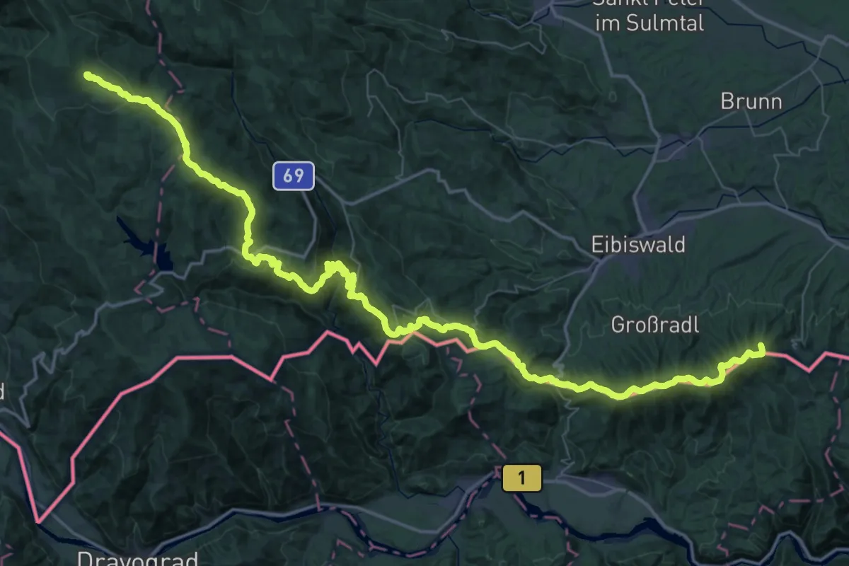
Demanding · Summit
Südsteirischer Höhenweg 560
72.9 km · ↑ 2947 m · 23 h 36 min
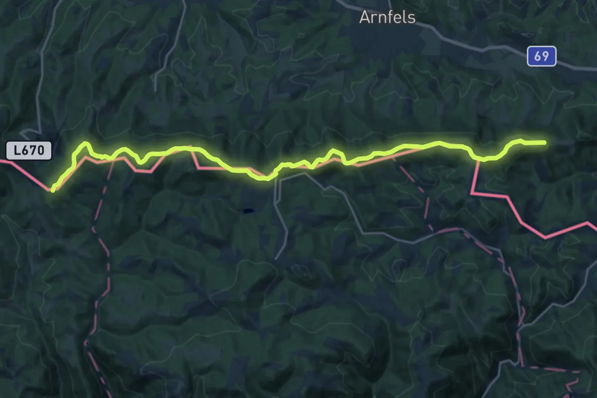
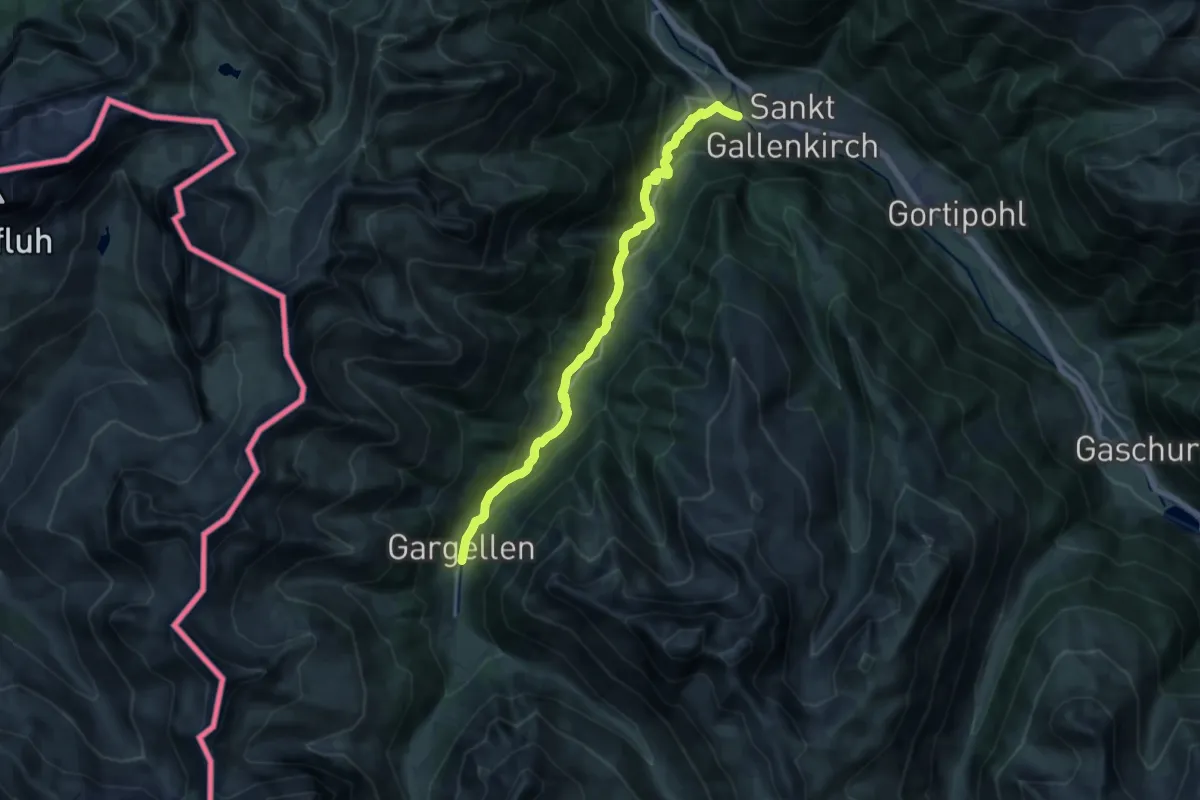
Demanding · Summit
Südsteirischer Höhenweg 560
22.0 km · ↑ 624 m · 6 h 32 min
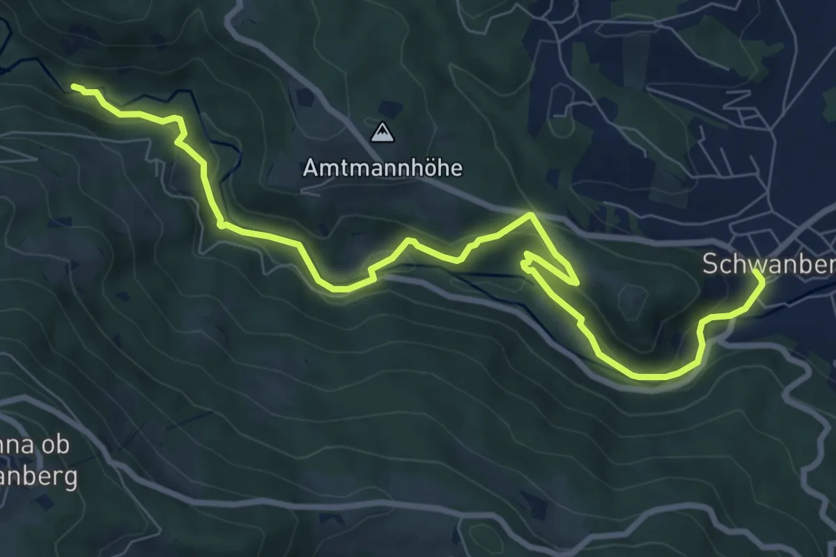
Medium · Trail
Suggadinweg
16.1 km · ↑ 659 m · 5 h 14 min
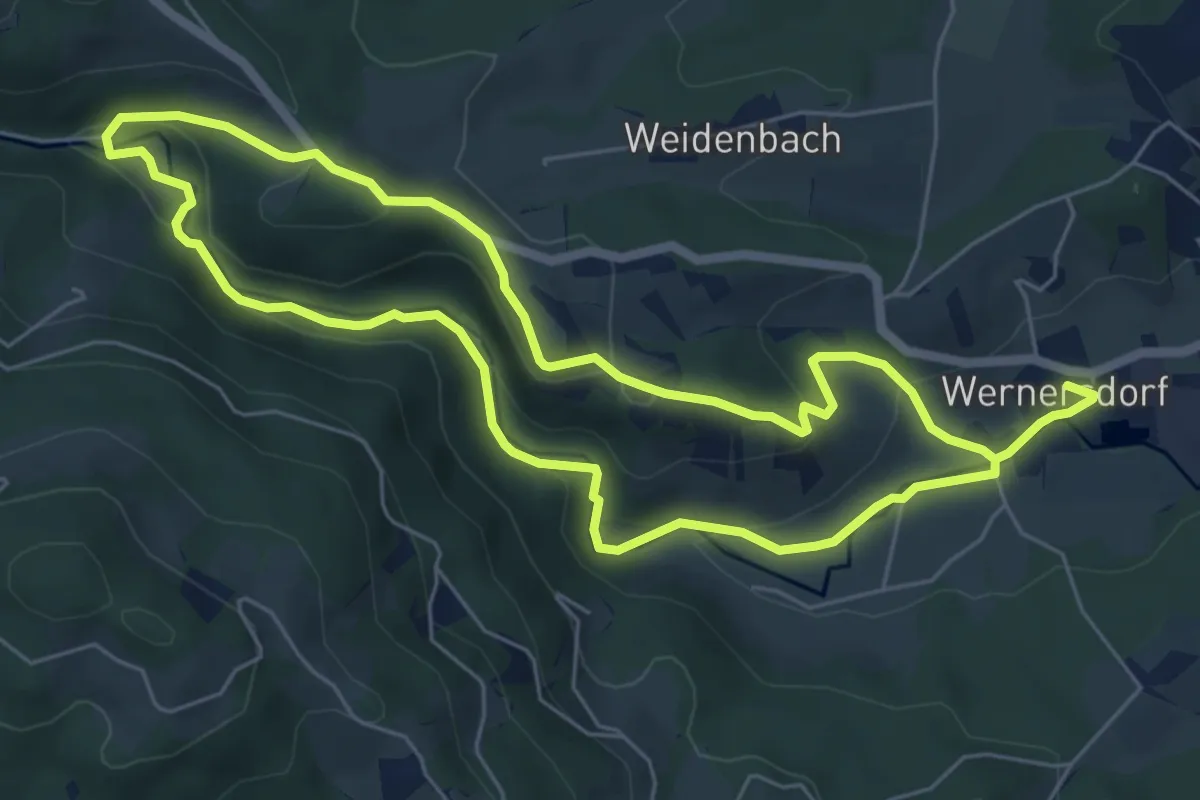
Medium · Trail
Sulmhüttenweg
9.4 km · ↑ 318 m · 2 h 54 min
Easy · Trail
Sulmklamm Rundweg
6.0 km · ↑ 161 m · 1 h 51 min
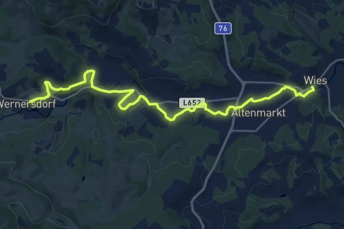
Medium · Trail
Sulmweg
14.4 km · ↑ 147 m · 3 h 43 min
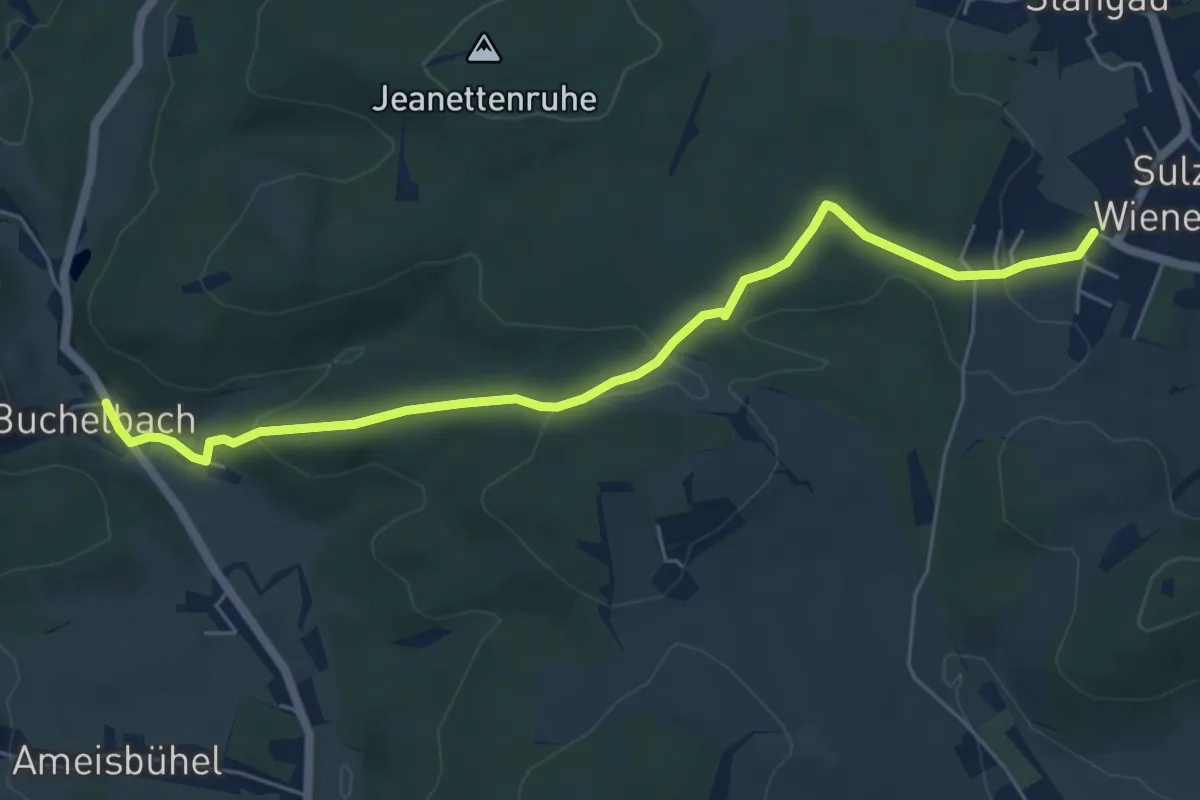
Easy · Trail
Sulz - Buchelbach
6.2 km · ↑ 150 m · 1 h 47 min
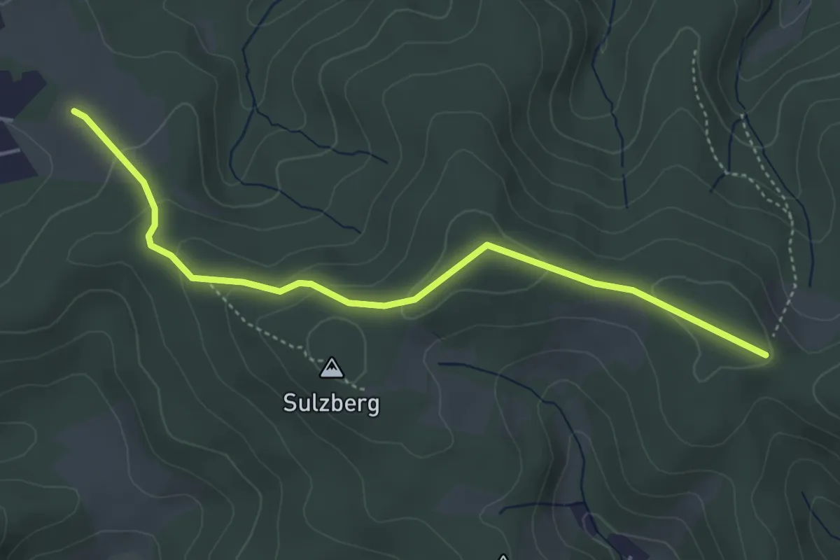
Easy · Trail
Sulzer Höhe - Kreuzsattel
4.4 km · ↑ 142 m · 1 h 21 min
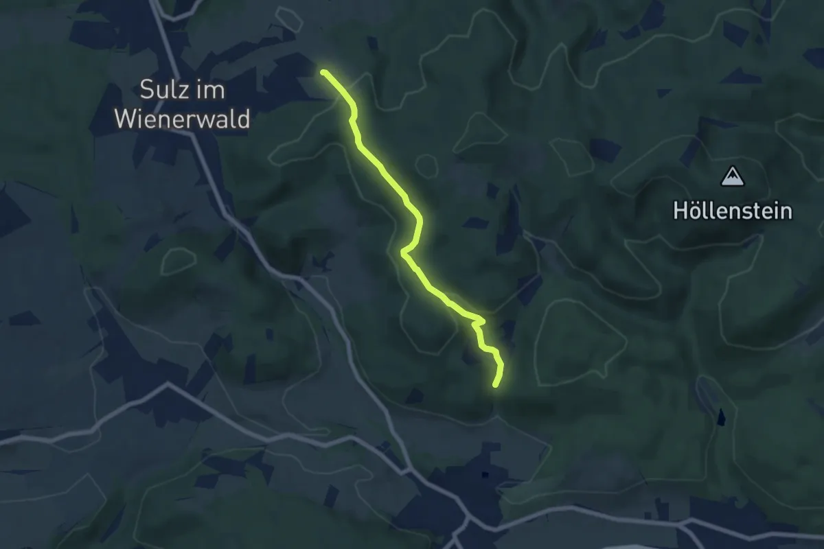
Easy · Trail
Sulzer Höhe - Schloß Wildegg
5.6 km · ↑ 181 m · 1 h 43 min
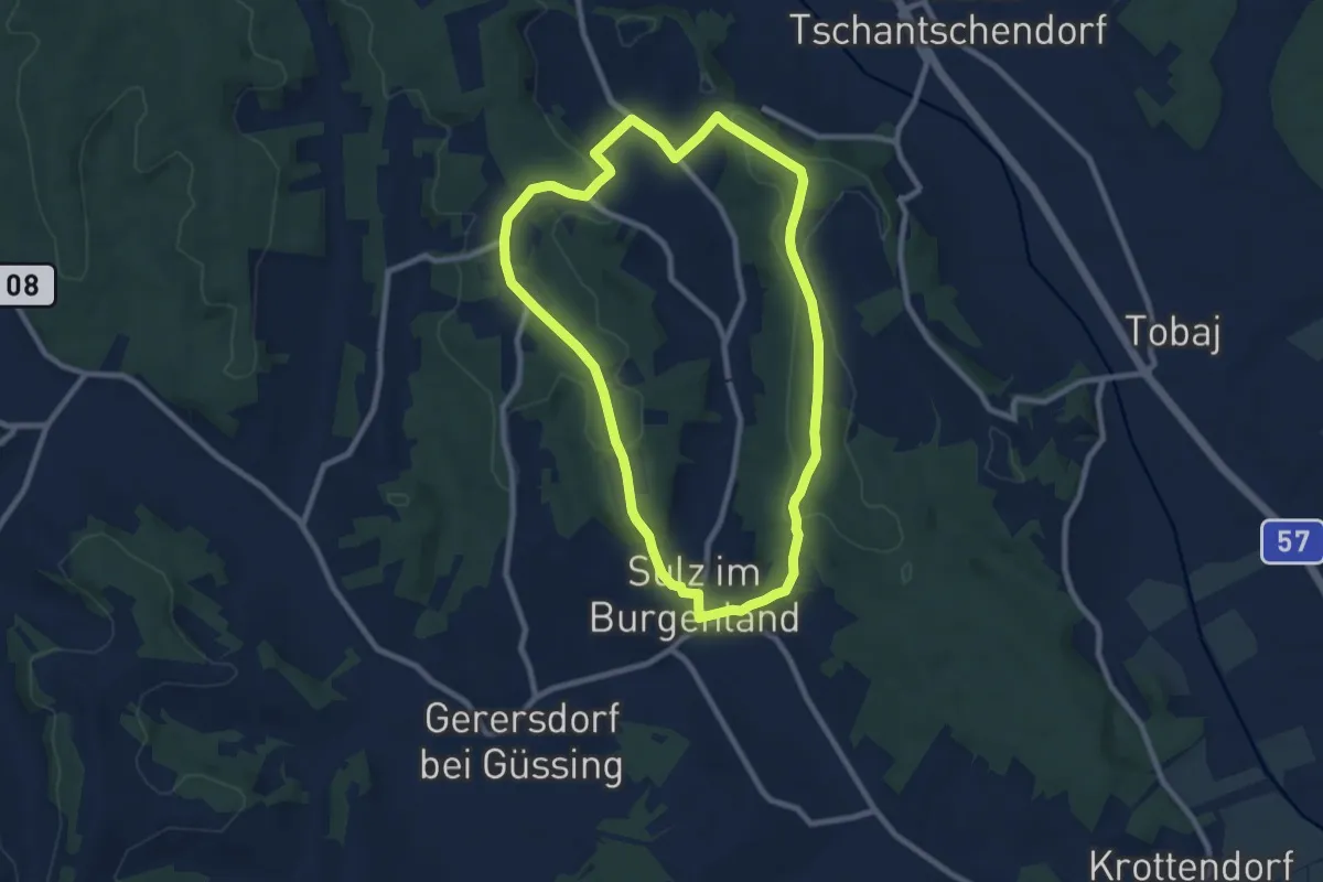
Medium · Trail
Sulzer Hotterweg
8.4 km · ↑ 176 m · 2 h 29 min
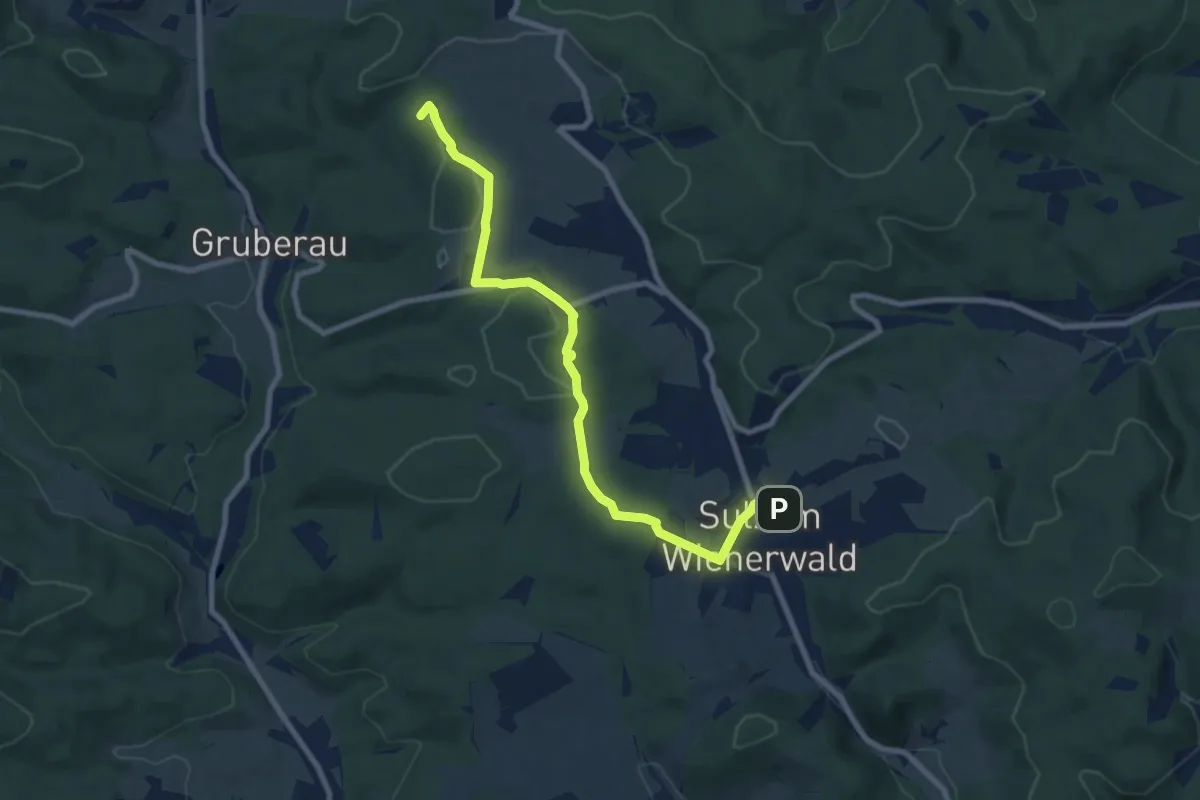
Medium · Summit
Sulz - Hochroterd
8.4 km · ↑ 146 m · 2 h 19 min
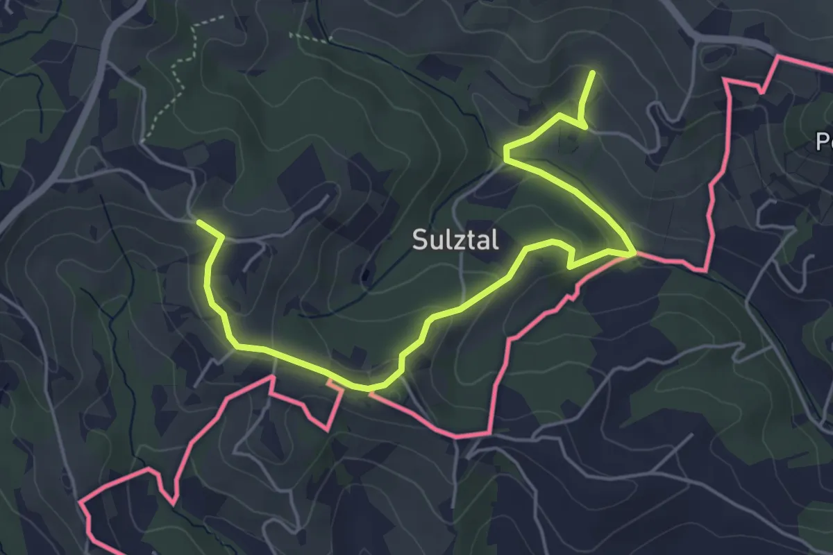
Easy · Trail
Sulztaler Rundweg
2.8 km · ↑ 147 m · 58 min
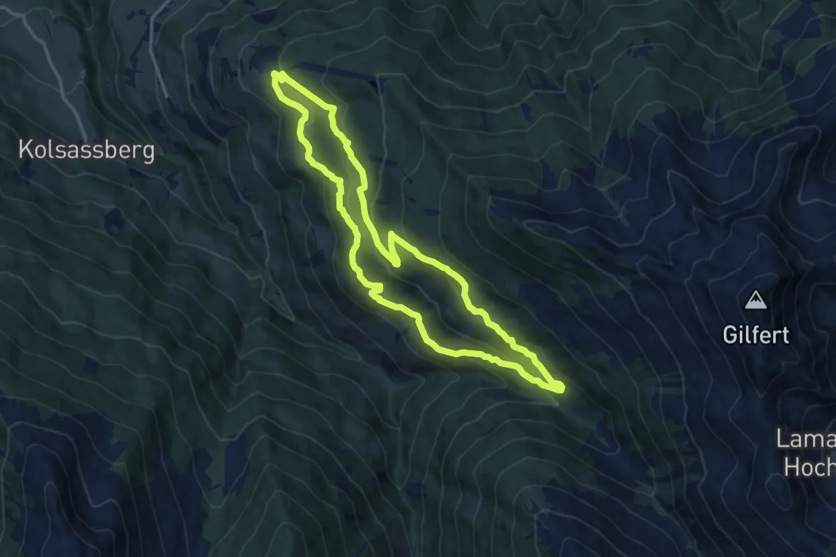
Medium · Trail
Sunnseitenrunde am Werberg
11.0 km · ↑ 456 m · 3 h 44 min
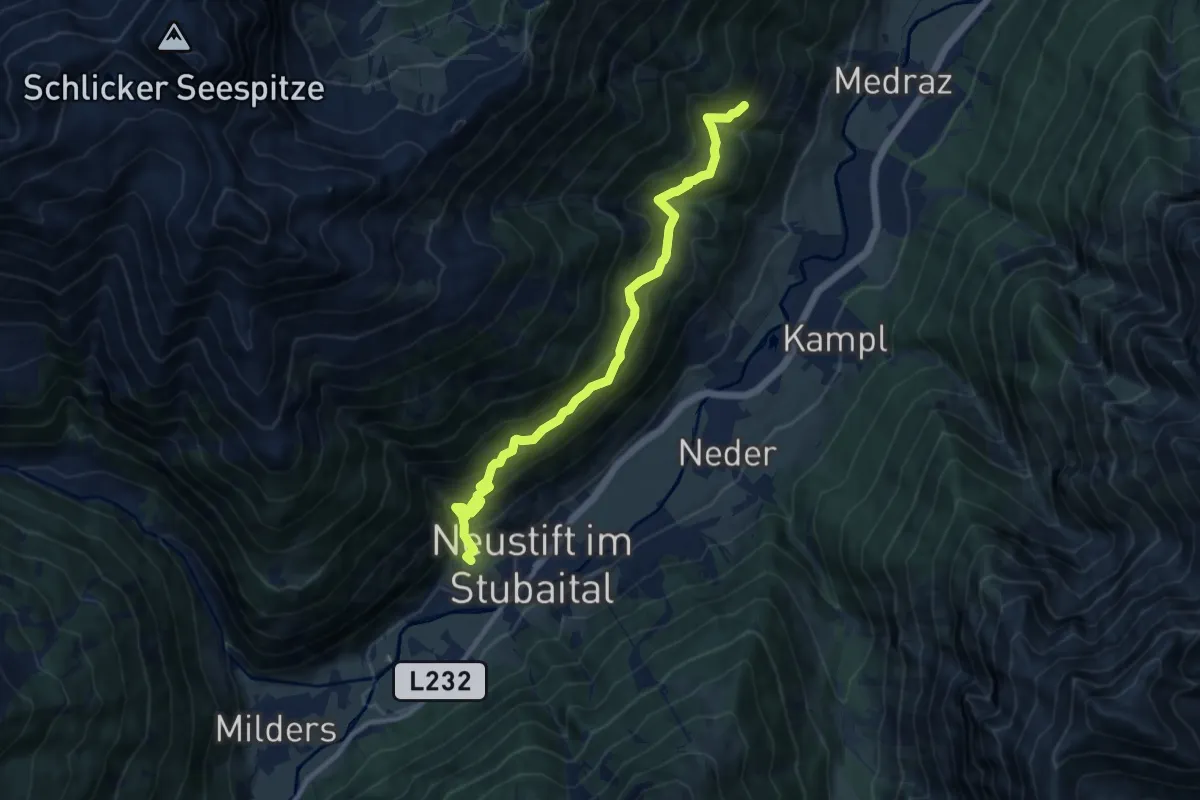
Medium · Trail
Sunnseit'n Weg
10.4 km · ↑ 623 m · 3 h 48 min
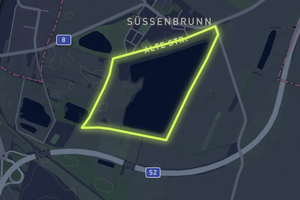
Easy · Trail
Süßenbrunner Teiche
3.2 km · ↑ 0 m · 48 min
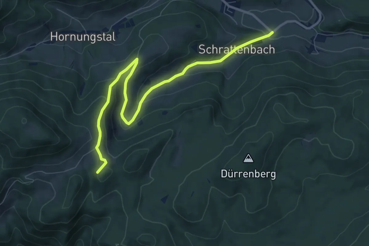
Medium · Summit
Suunto Runde bei Schrattenbach
8.8 km · ↑ 329 m · 2 h 47 min
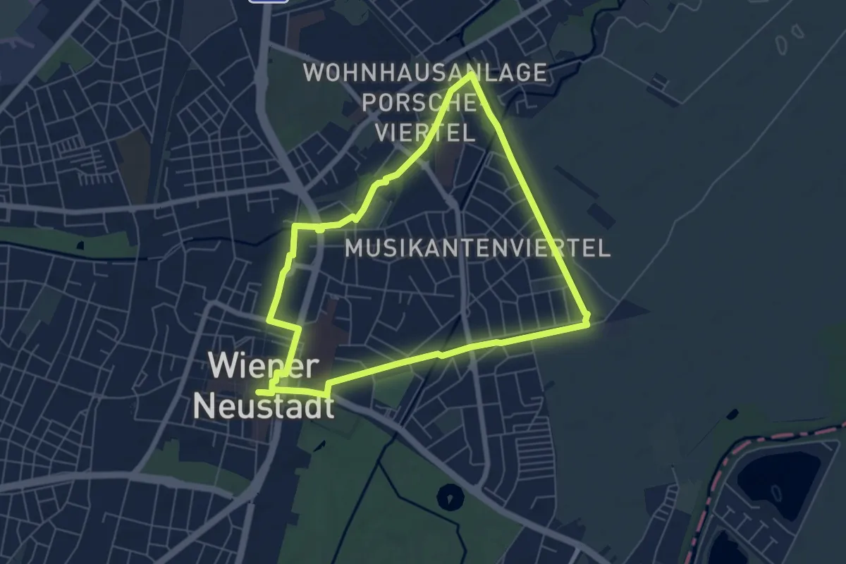
Easy · Trail
Suunto Runde (WN2)
6.0 km · ↑ 4 m · 1 h 30 min
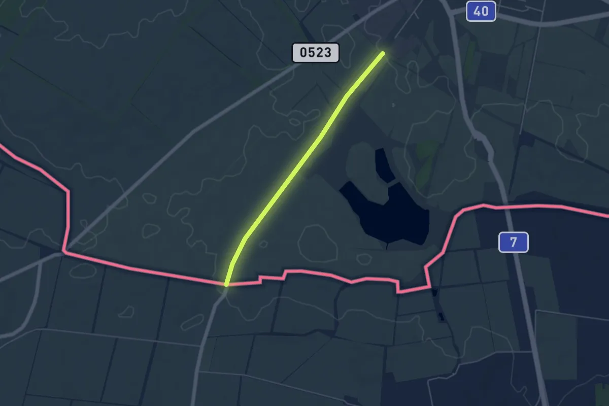
Easy · Pilgrim path
Svatojakubská cesta, Česko, Moravskoslezská trasa
2.1 km · ↑ 0 m · 32 min
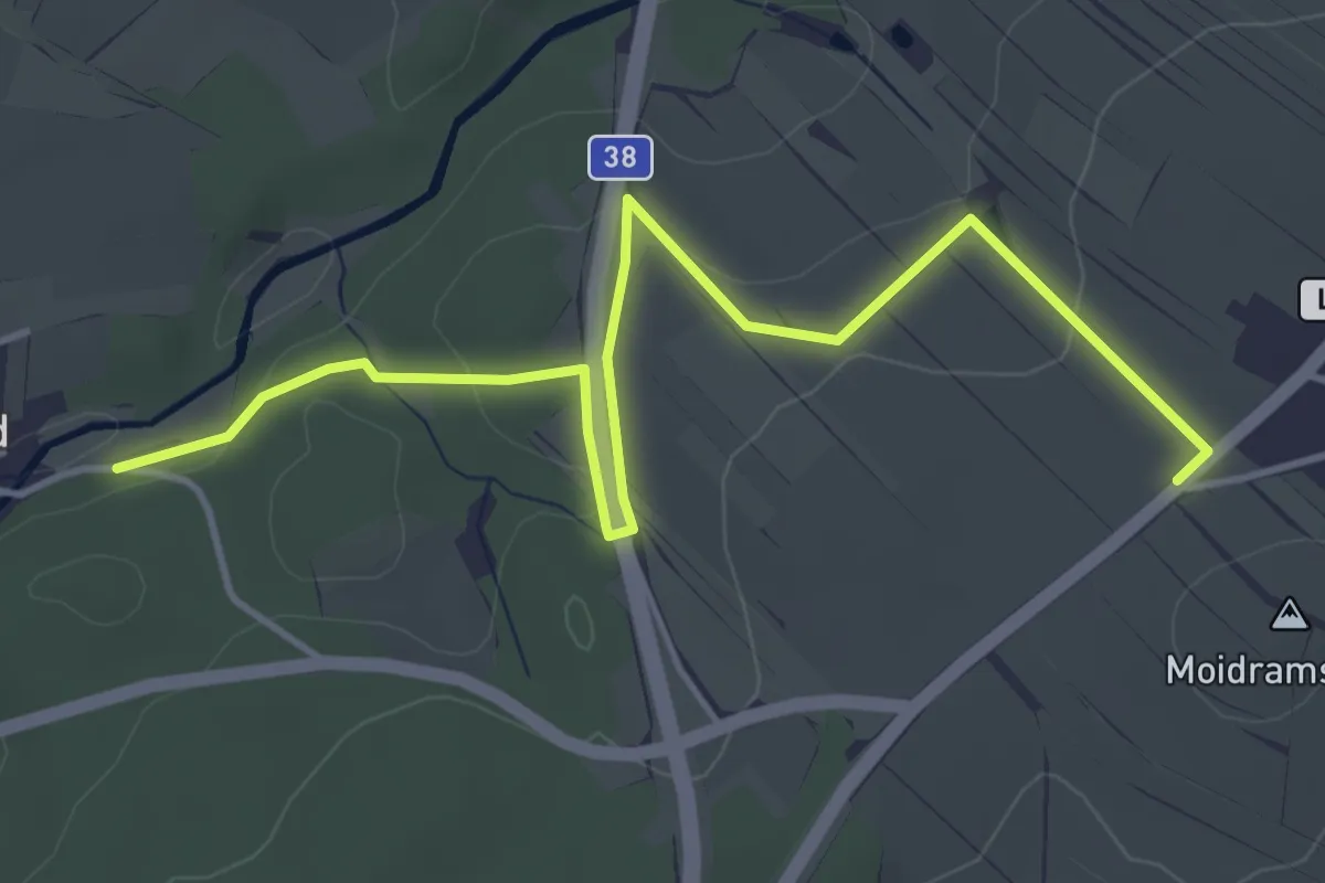
Easy · Trail
Syrafeld
4.8 km · ↑ 127 m · 1 h 25 min
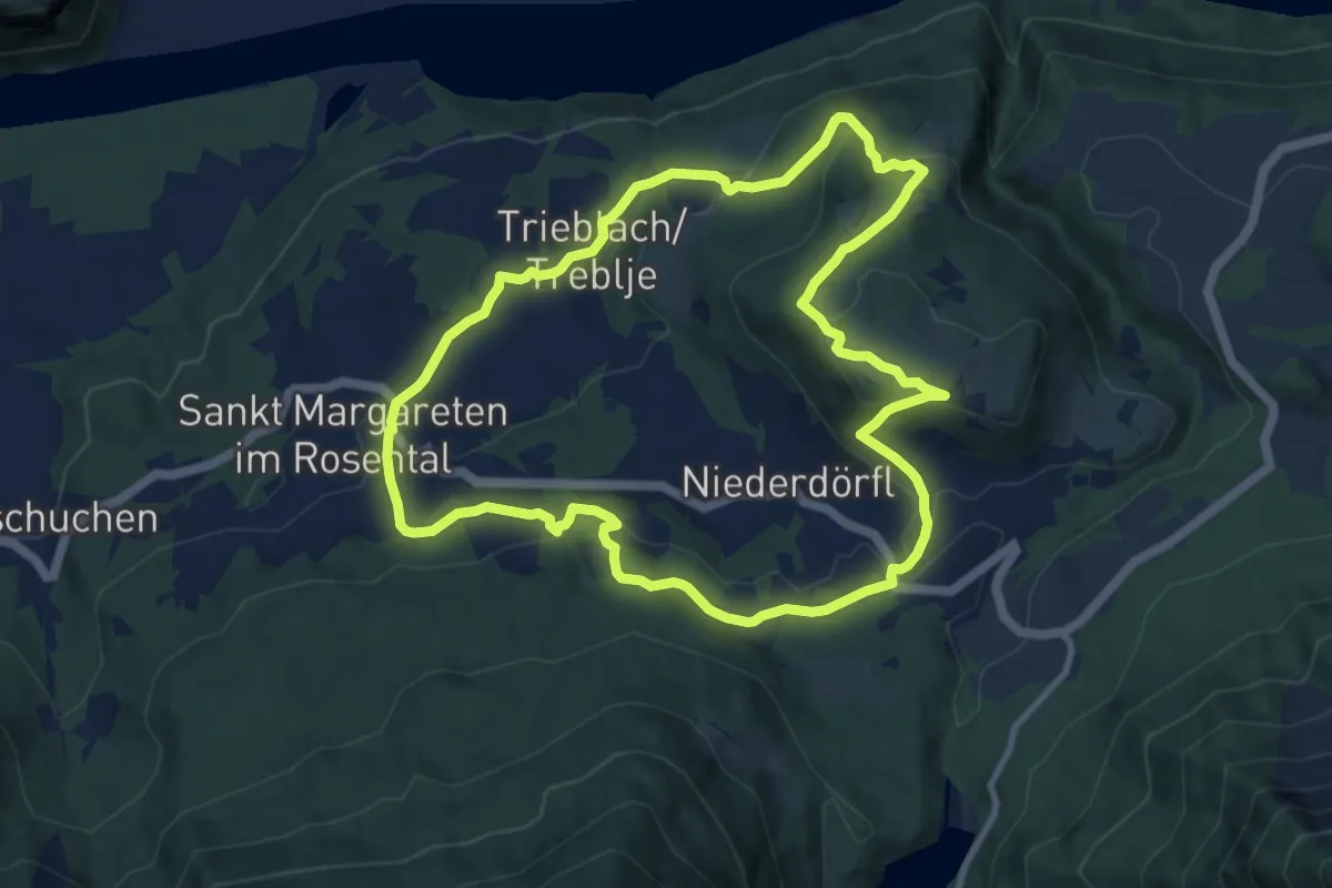
Medium · Trail
"Tafelberg" Panoramarunde
9.8 km · ↑ 313 m · 3 h 8 min
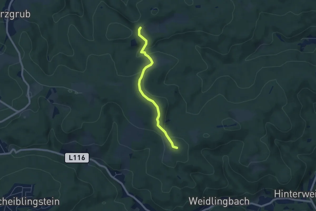
Easy · Summit
Taferlberg – Eichenhain
4.6 km · ↑ 148 m · 1 h 24 min
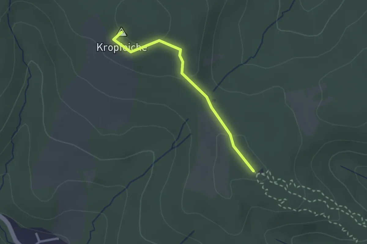
Easy · Summit
Taferlberg - Fitnessparcour
2.0 km · ↑ 41 m · 34 min
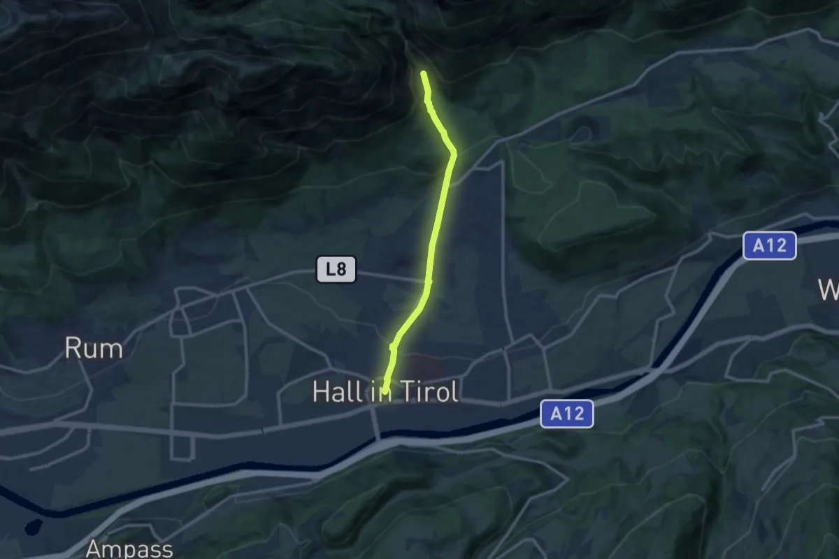
Medium · Trail
Tag 7 Variante1 Traumpfad München Venedig
9.0 km · ↑ 326 m · 2 h 51 min
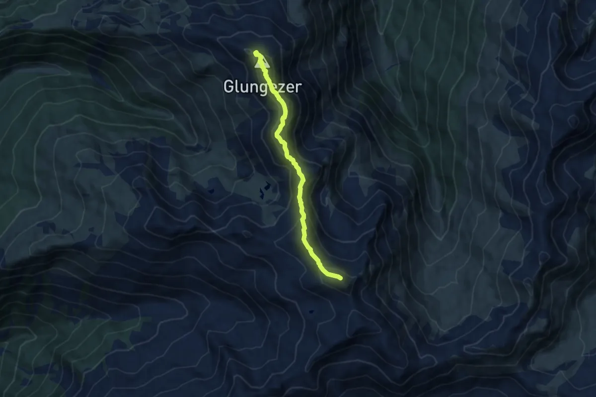
Demanding · Summit
Tag 8 V1 Traumpfad München Venedig
8.3 km · ↑ 669 m · 3 h 25 min
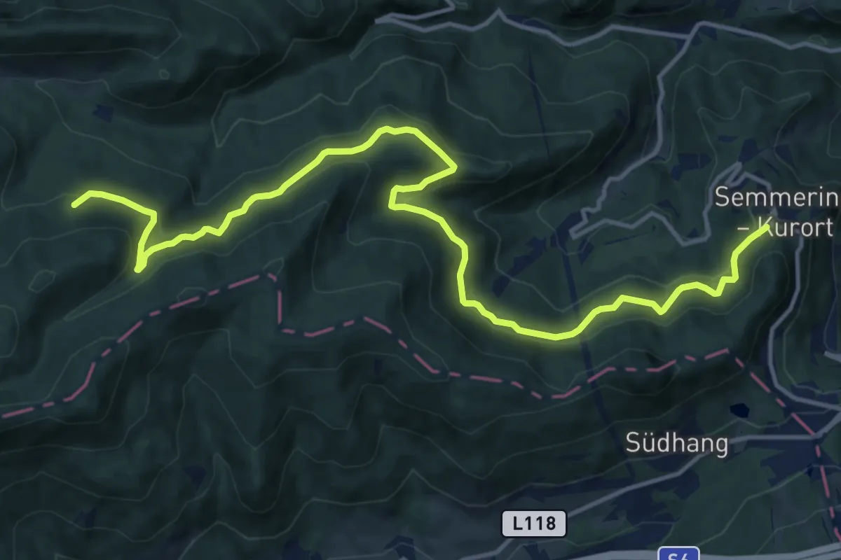
Medium · Summit
Talhof - Semmering
15.5 km · ↑ 373 m · 4 h 28 min
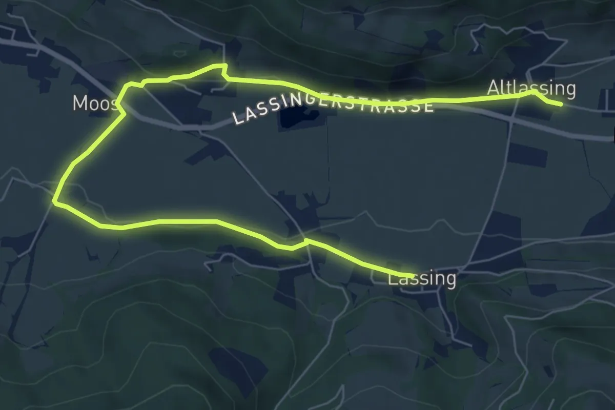
Easy · Trail
Talrunde Lassing
4.4 km · ↑ 90 m · 1 h 17 min
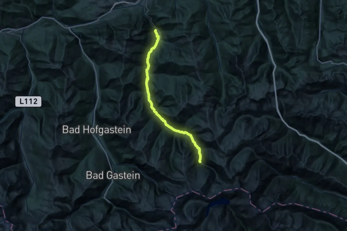
Demanding · Trail
Talwanderweg 10
23.8 km · ↑ 362 m · 6 h 37 min
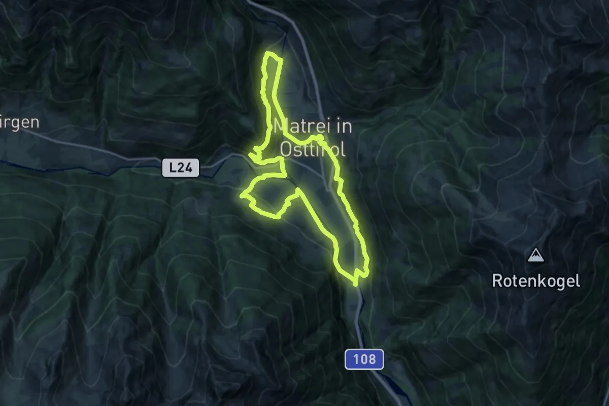
Medium · Trail
Talweg
15.3 km · ↑ 453 m · 4 h 49 min
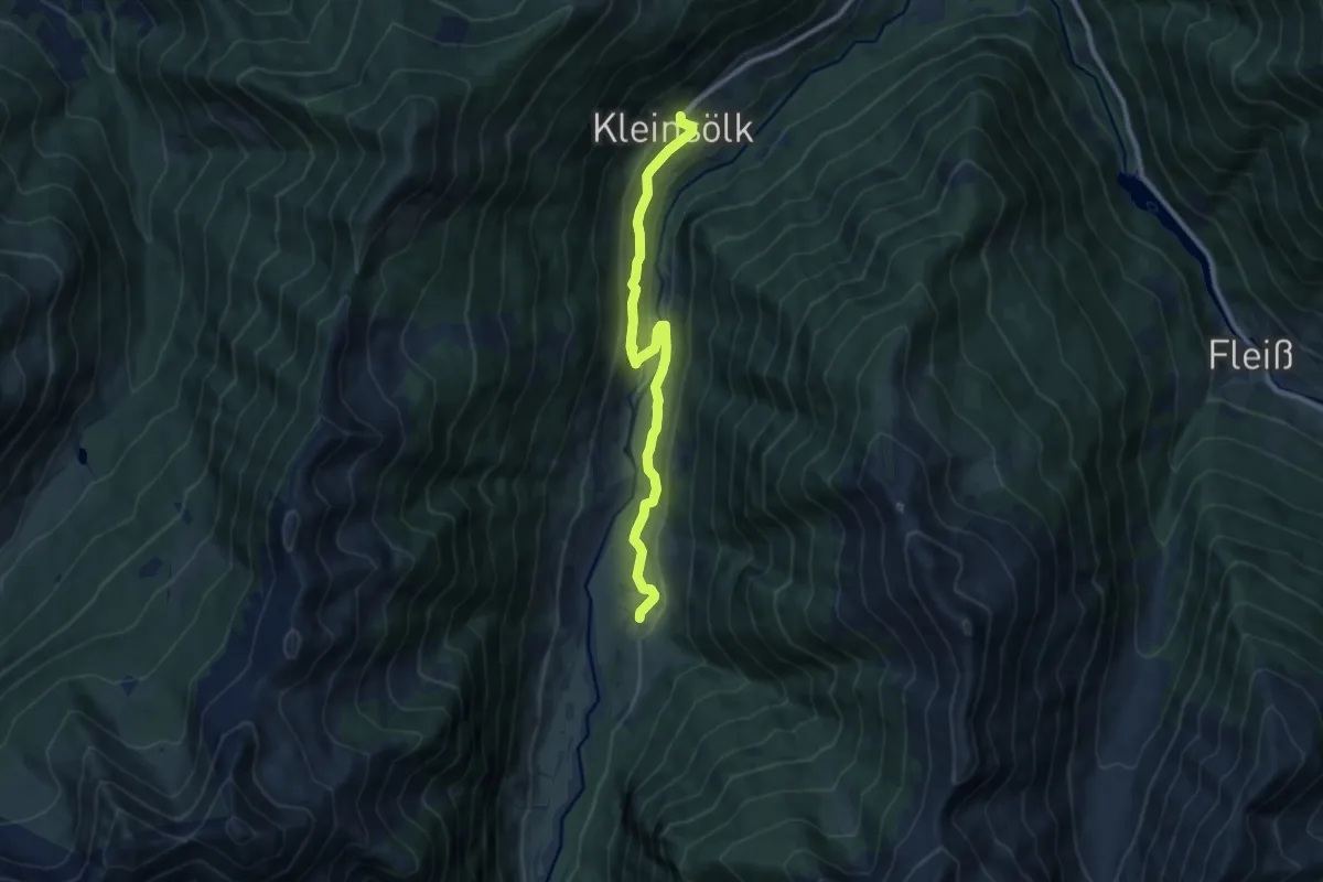
Medium · Trail
Talweg
9.5 km · ↑ 321 m · 2 h 56 min
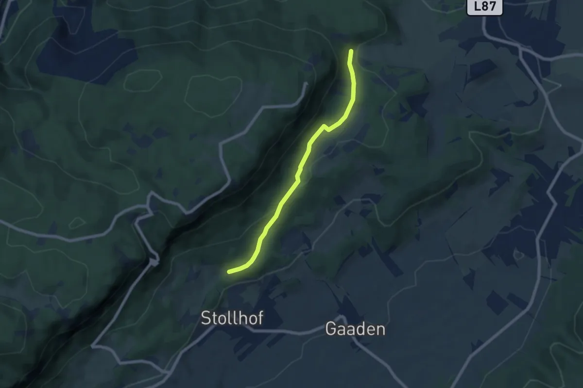
Easy · Trail
Talweg
5.5 km · ↑ 128 m · 1 h 34 min
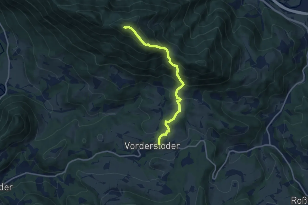
Medium · Summit
Tamberg
8.2 km · ↑ 717 m · 3 h 30 min
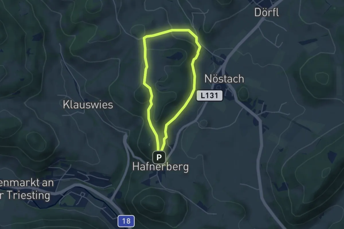
Easy · Summit
Tamberg Rundwanderweg (Hafnerberg)
3.8 km · ↑ 120 m · 1 h 13 min
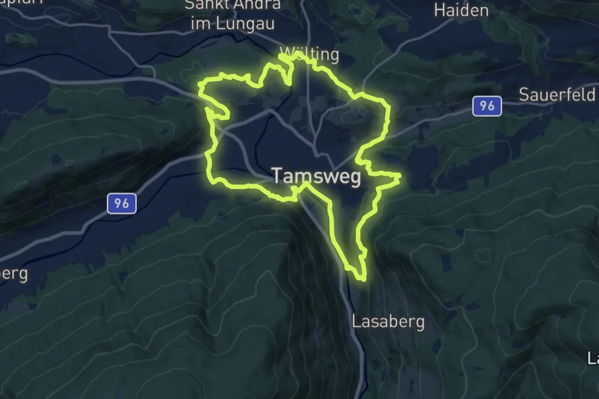
Medium · Trail
Tamsweger Rundweg
15.5 km · ↑ 496 m · 4 h 58 min