Trails in Austria
9,777 hiking trails, each with its route, climb, walking time and grade.
All trails, page 115 of 204
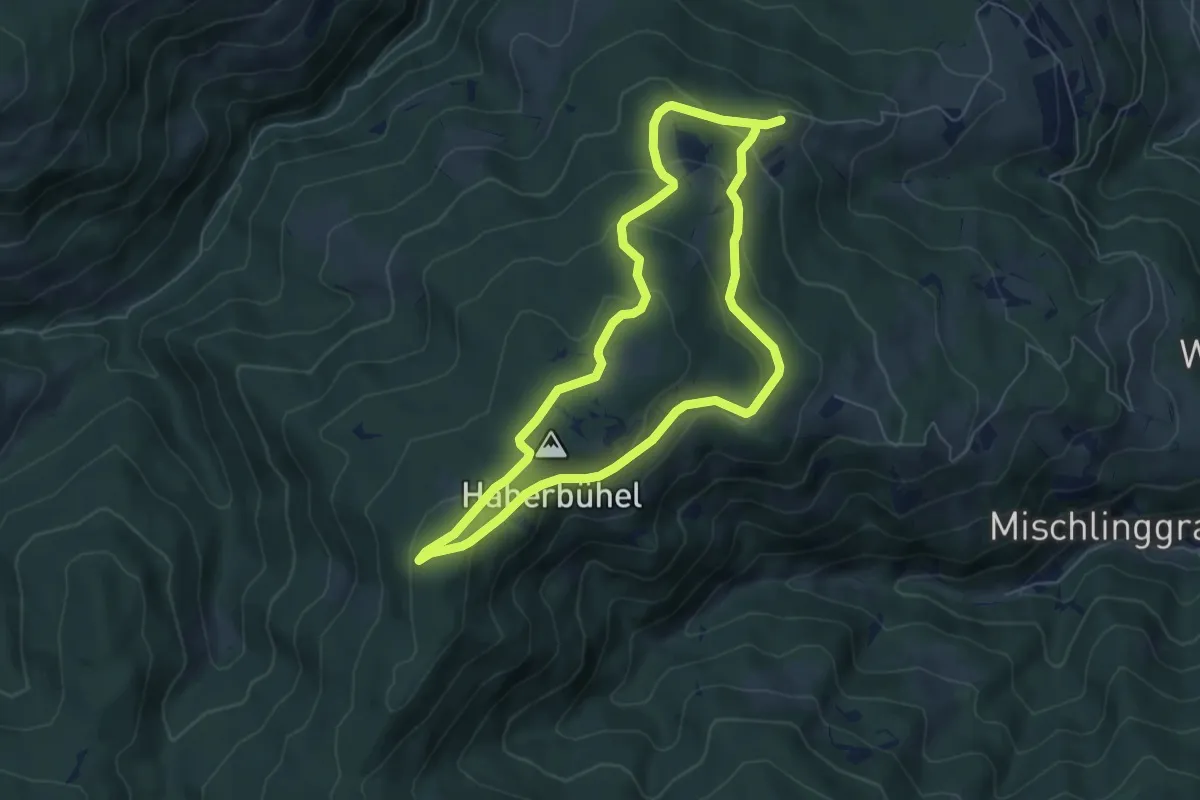
Medium · Summit
Tannebenrunde
5.8 km · ↑ 226 m · 1 h 57 min
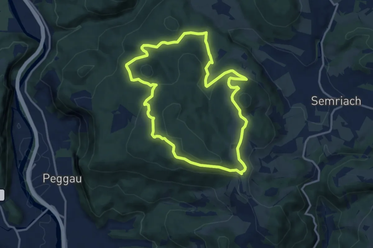
Medium · Trail
Tanneben-Rundweg
8.8 km · ↑ 250 m · 2 h 45 min
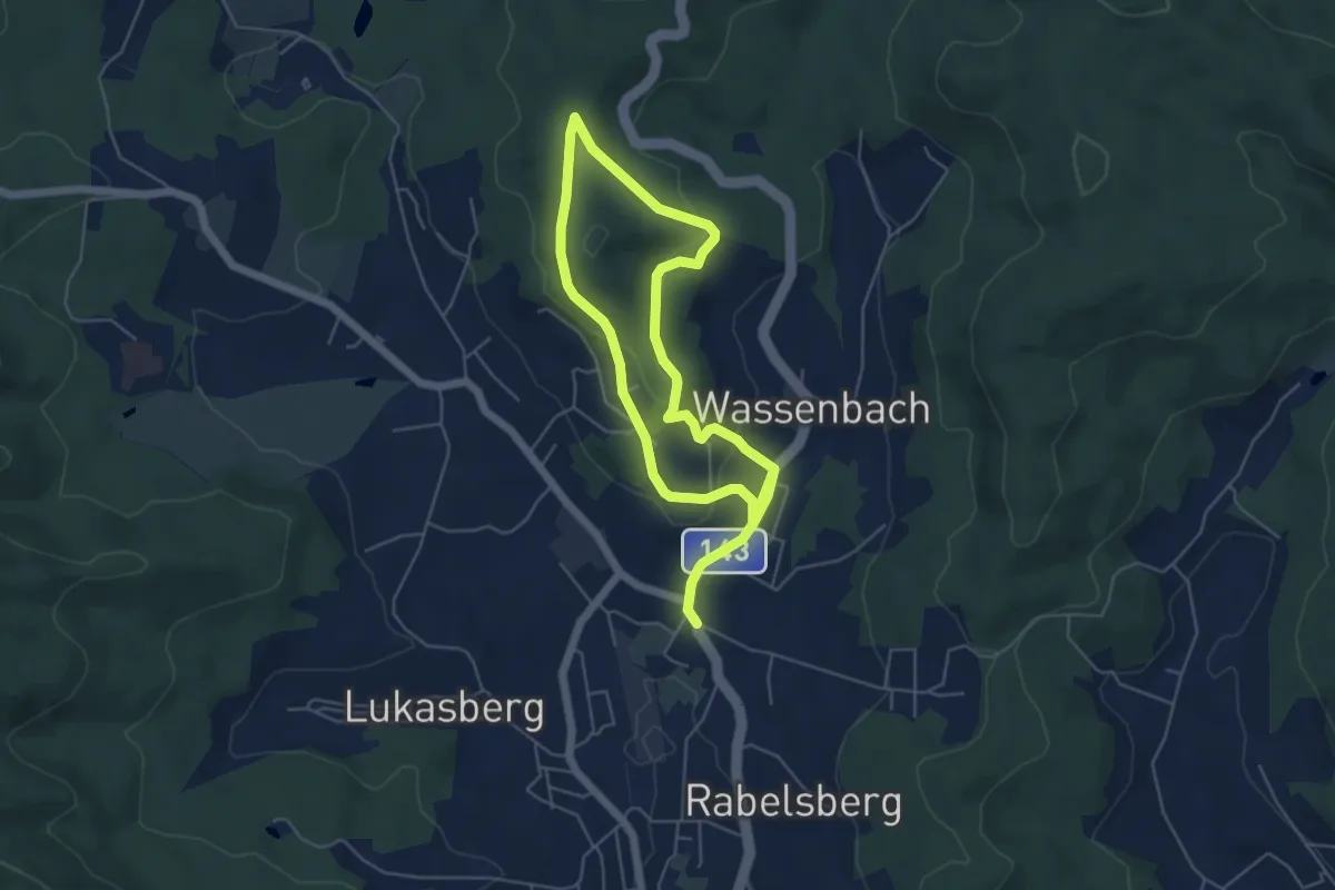
Medium · Trail
Tannenschlagweg
8.8 km · ↑ 232 m · 2 h 35 min
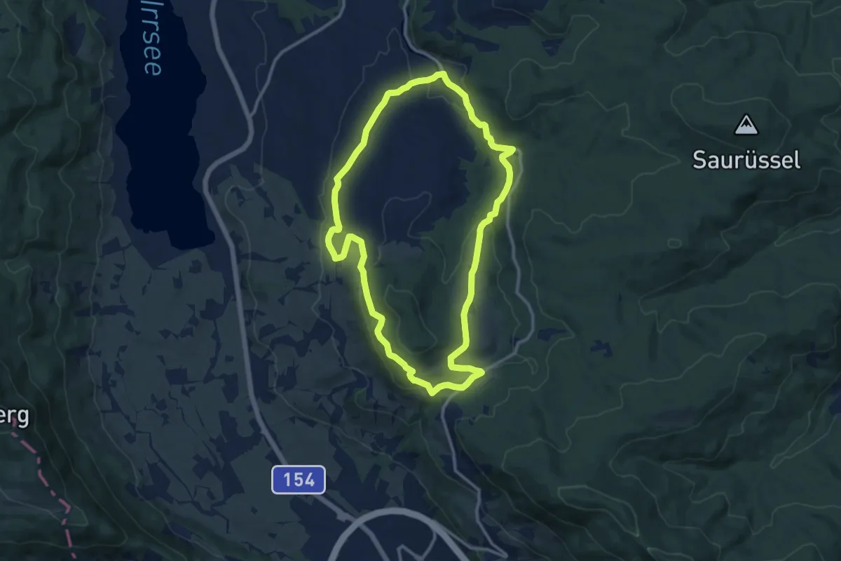
Medium · Trail
Tannenweg
10.6 km · ↑ 279 m · 3 h 15 min
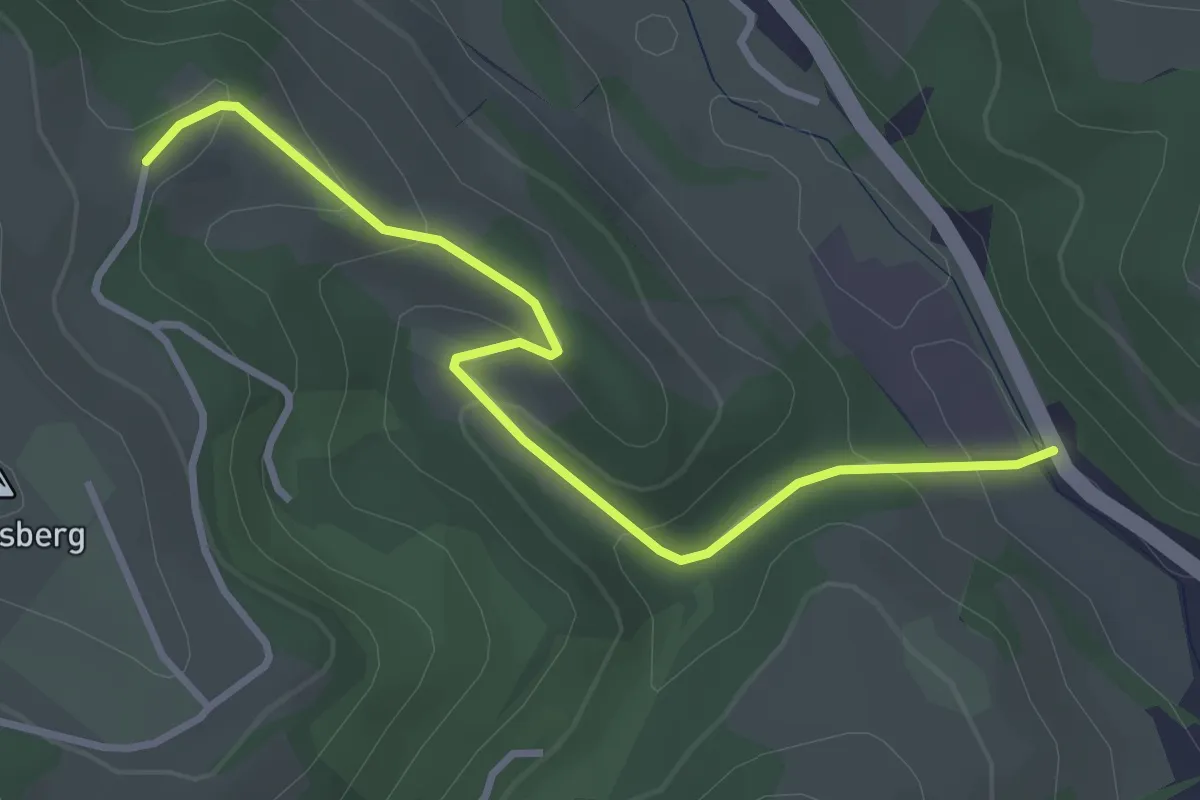
Easy · Trail
Tannheiß - Kobauer Brücke
3.4 km · ↑ 142 m · 1 h 6 min
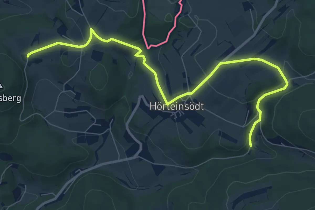
Easy · Trail
Tanzbodenweg
7.9 km · ↑ 289 m · 2 h 30 min
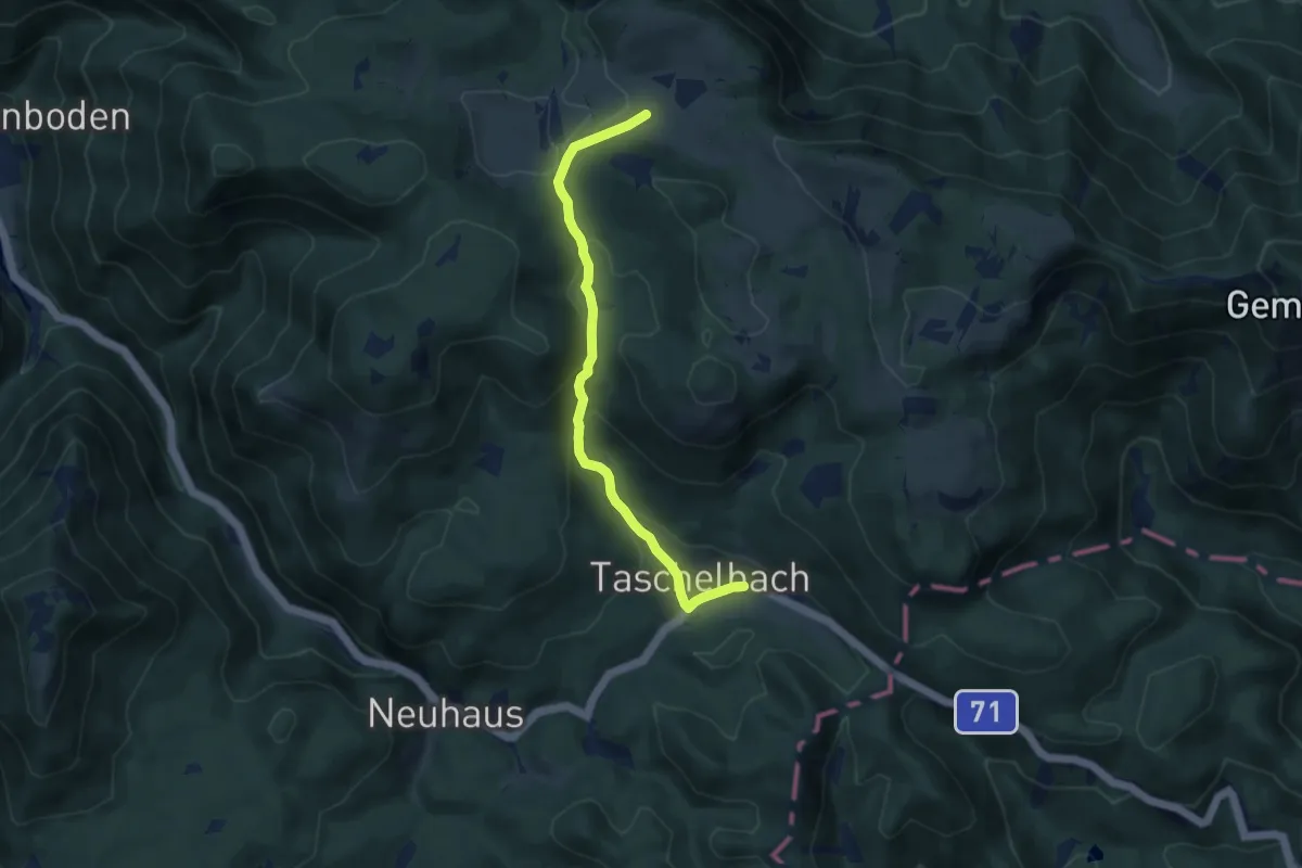
Easy · Cabin
Taschelbach-Feldwiesalm
7.6 km · ↑ 294 m · 2 h 25 min
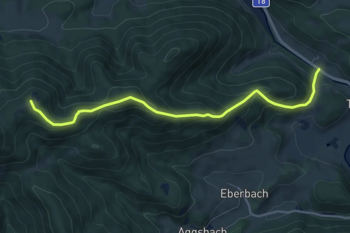
Medium · Summit
Taßhof - Hocheck
8.2 km · ↑ 530 m · 3 h 6 min
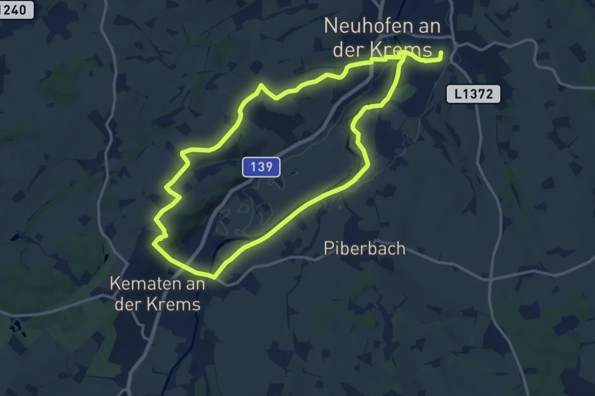
Demanding · Trail
Tassiloweg
21.0 km · ↑ 164 m · 5 h 19 min
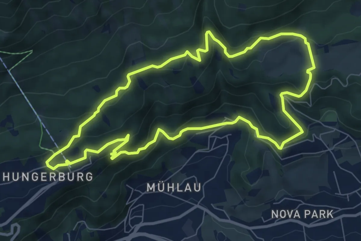
Medium · Trail
Tatzlwurm-Runde
7.3 km · ↑ 296 m · 2 h 27 min
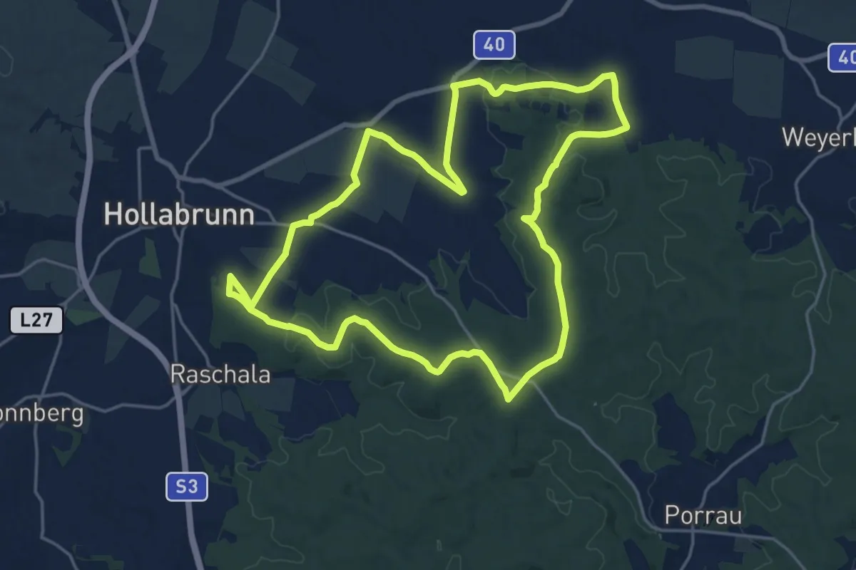
Medium · Summit
Taubenkogelweg
17.5 km · ↑ 248 m · 4 h 55 min
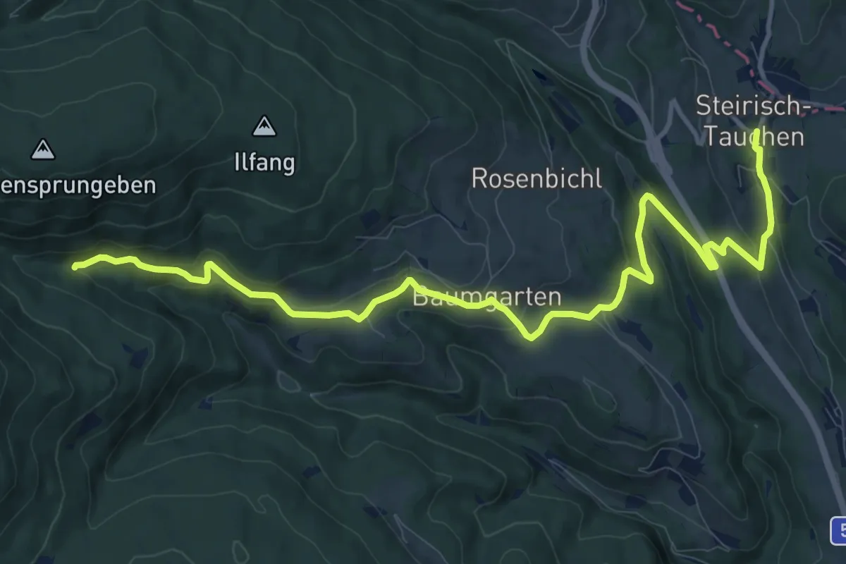
Medium · Trail
Tauchen - Baumgarten - Koglreith - Hofgraben
13.3 km · ↑ 412 m · 4 h 2 min
Easy · Trail
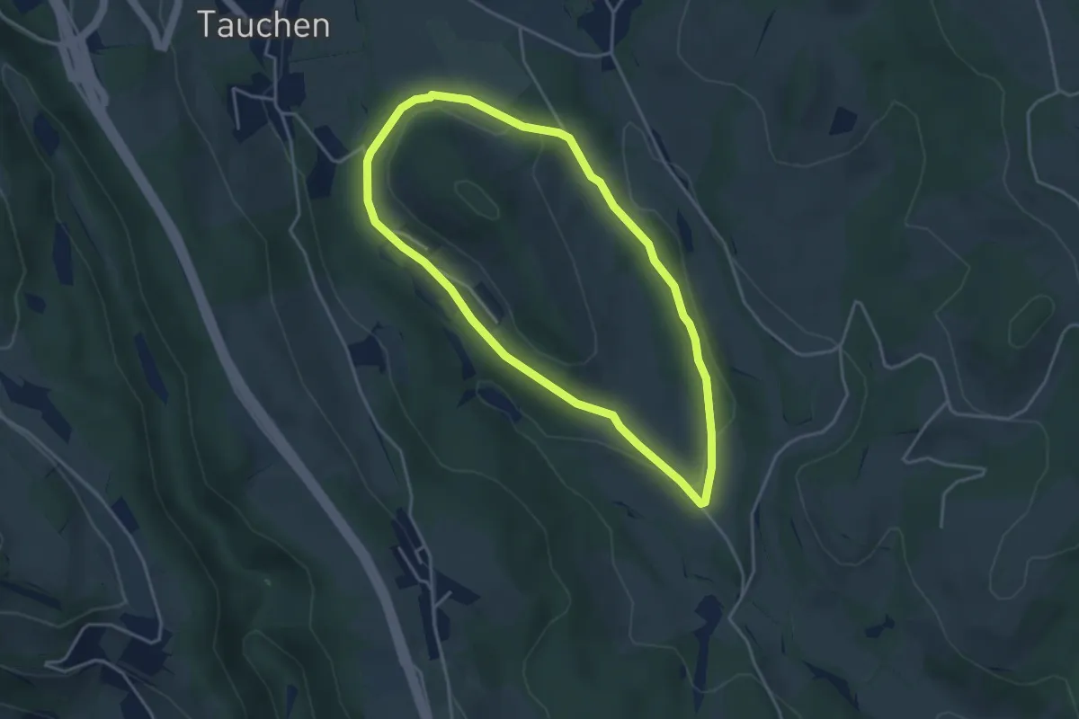
Tauchen-Schaueregg - Sommer Rundwanderweg
3.6 km · ↑ 51 m · 1 h
Demanding · Summit
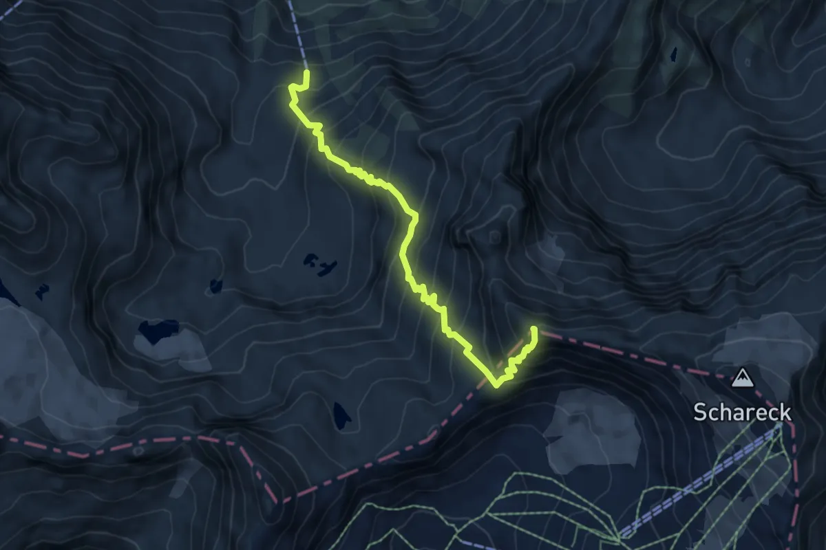
Tauerngolderlebnisweg
6.3 km · ↑ 743 m · 3 h 6 min
Easy · Trail
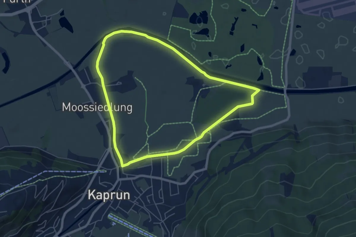
Tauern SPA-Runde
5.3 km · ↑ 8 m · 1 h 21 min
Easy · Trail
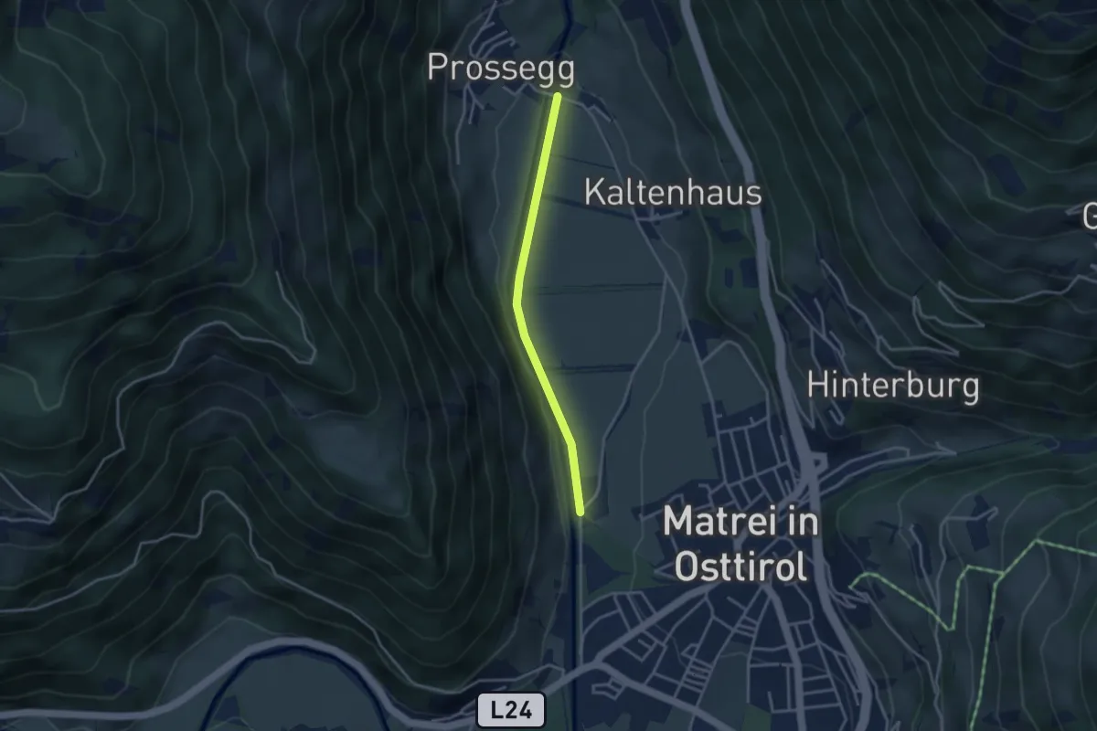
Tauerntal - Wanderweg
3.0 km · ↑ 0 m · 42 min
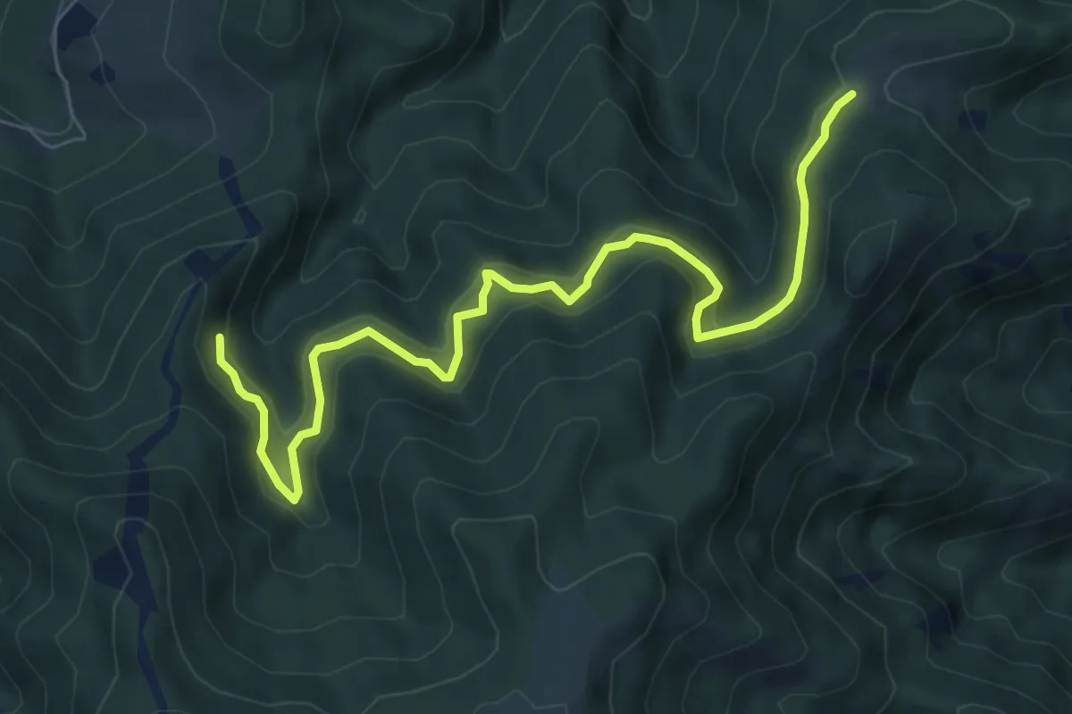
Medium · Trail
Tausendersteig
8.1 km · ↑ 192 m · 2 h 19 min
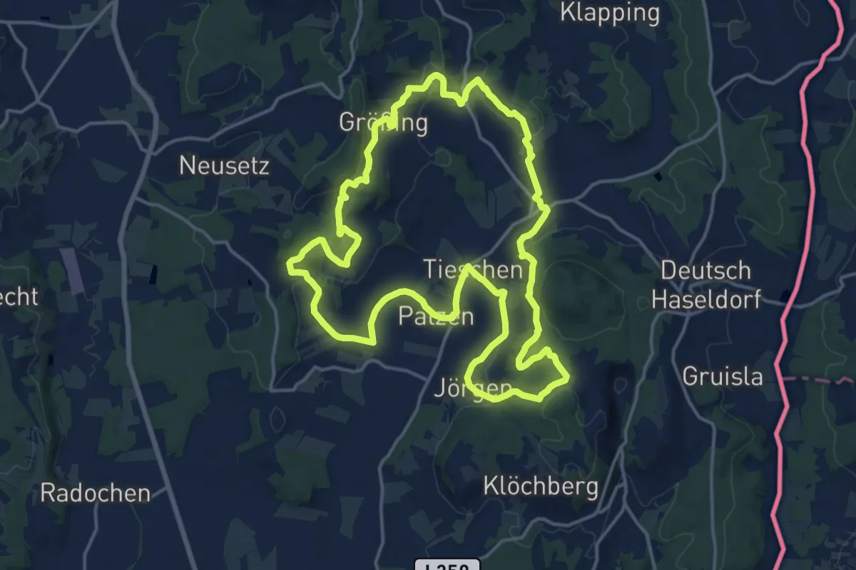
Medium · Trail
TAU - Weg der Riede
16.2 km · ↑ 437 m · 5 h
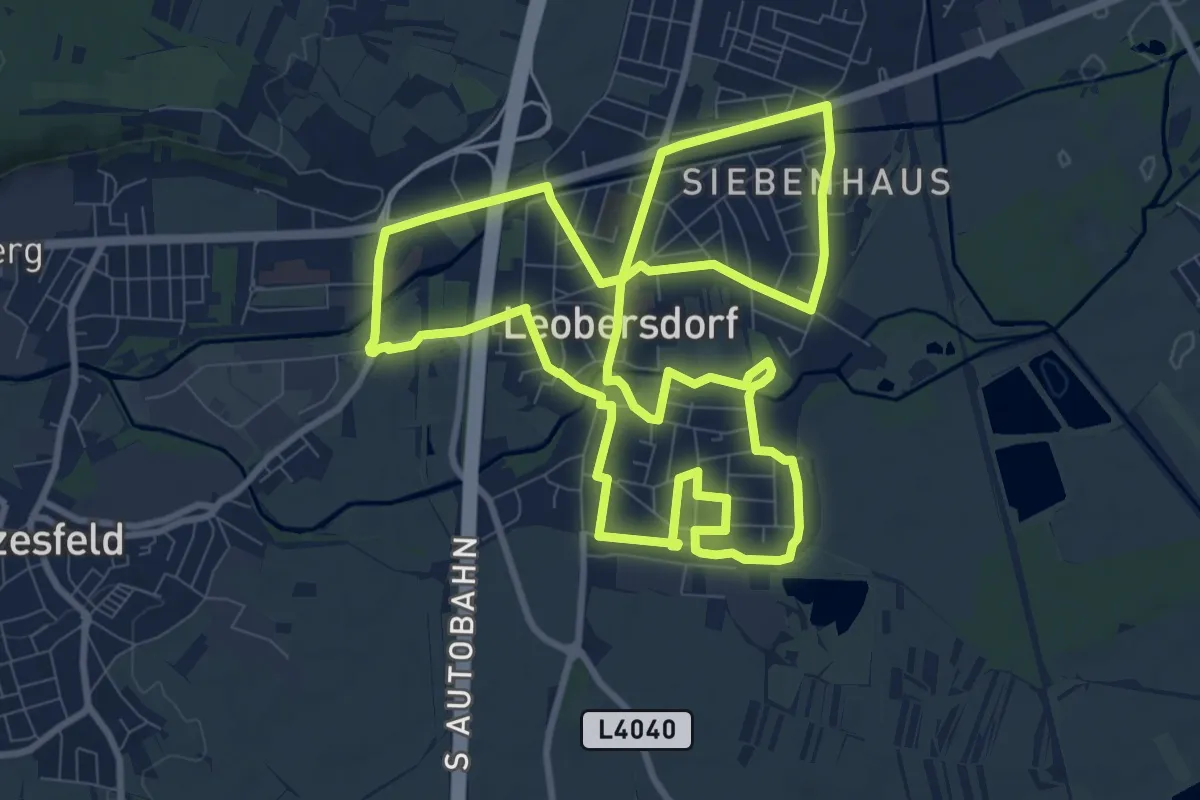
Medium · Trail
Tecon Runde "Leobersdorfer Brückenlauf"
10.3 km · ↑ 14 m · 2 h 36 min
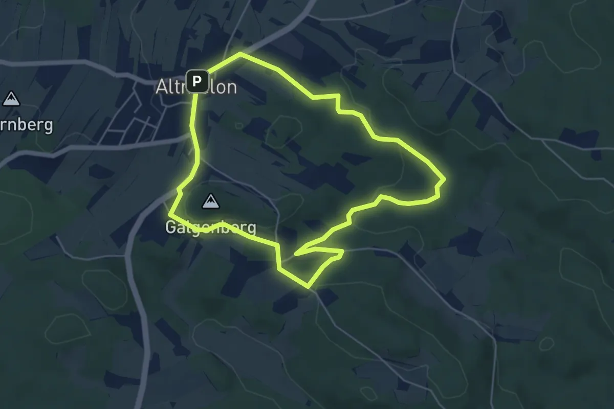
Easy · Summit
Teddybärentrail
4.7 km · ↑ 117 m · 1 h 26 min
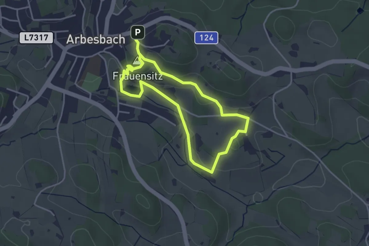
Easy · Summit
Teddybärentrail Arbesbach
2.8 km · ↑ 75 m · 52 min
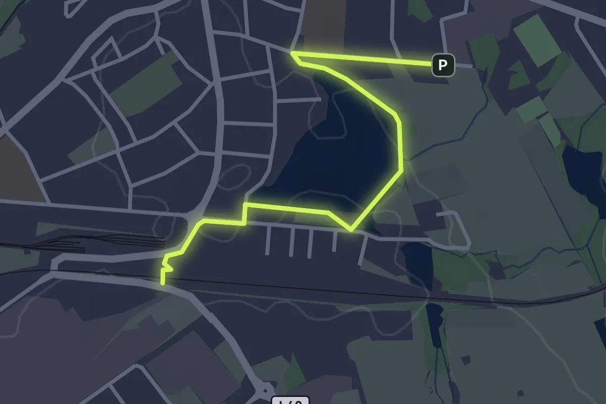
Easy · Trail
Teichkettenweg
1.6 km · ↑ 4 m · 24 min
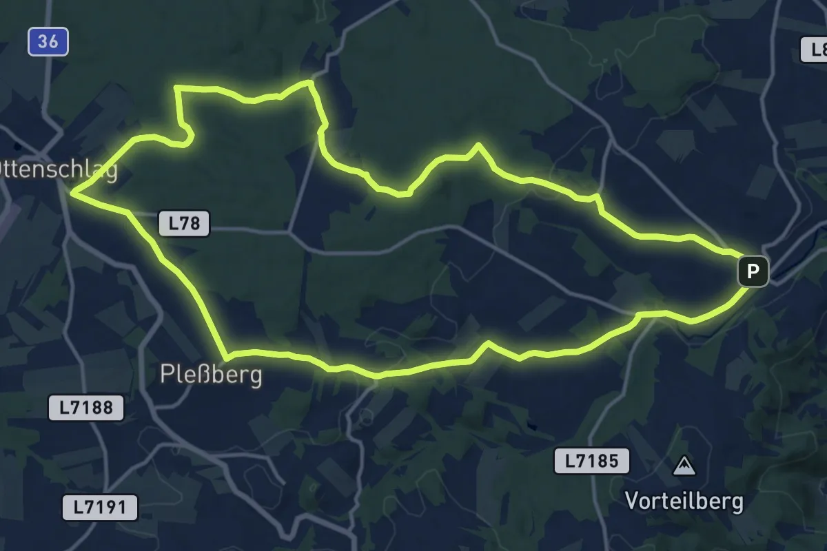
Medium · Trail
Teichmannser Wand - Weg
15.0 km · ↑ 281 m · 4 h 21 min
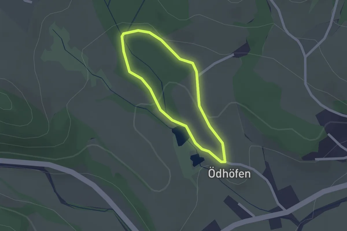
Easy · Trail
Teichrunde (Ödhöfen)
1.4 km · ↑ 25 m · 24 min
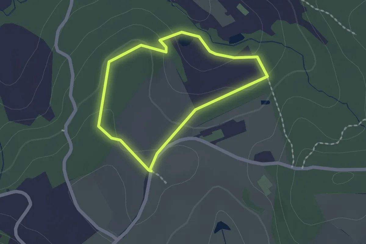
Easy · Trail
Teichschleife
1.4 km · ↑ 42 m · 26 min
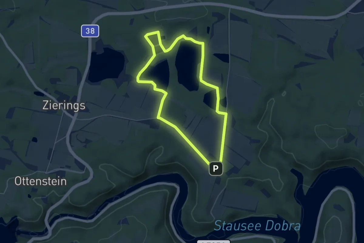
Easy · Trail
Teichwanderweg Nr. 51
4.8 km · ↑ 18 m · 1 h 14 min
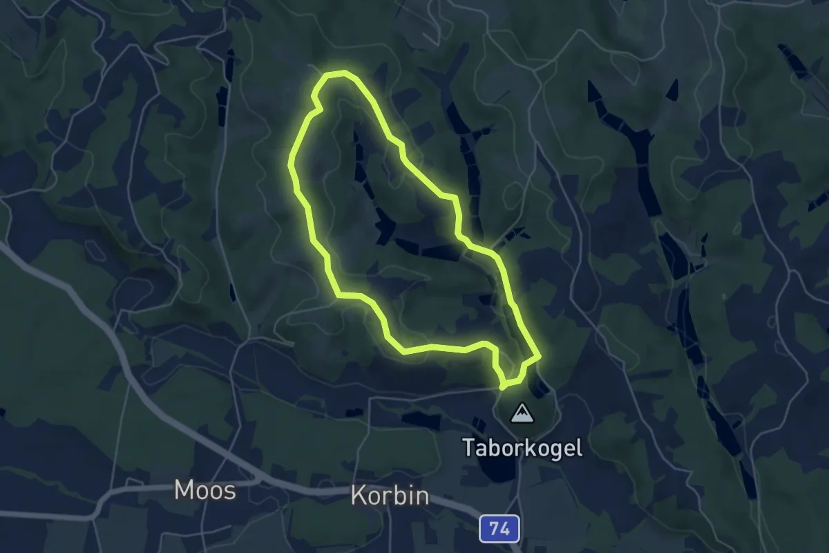
Easy · Trail
Teichweg im Sulmtal
4.7 km · ↑ 95 m · 1 h 23 min
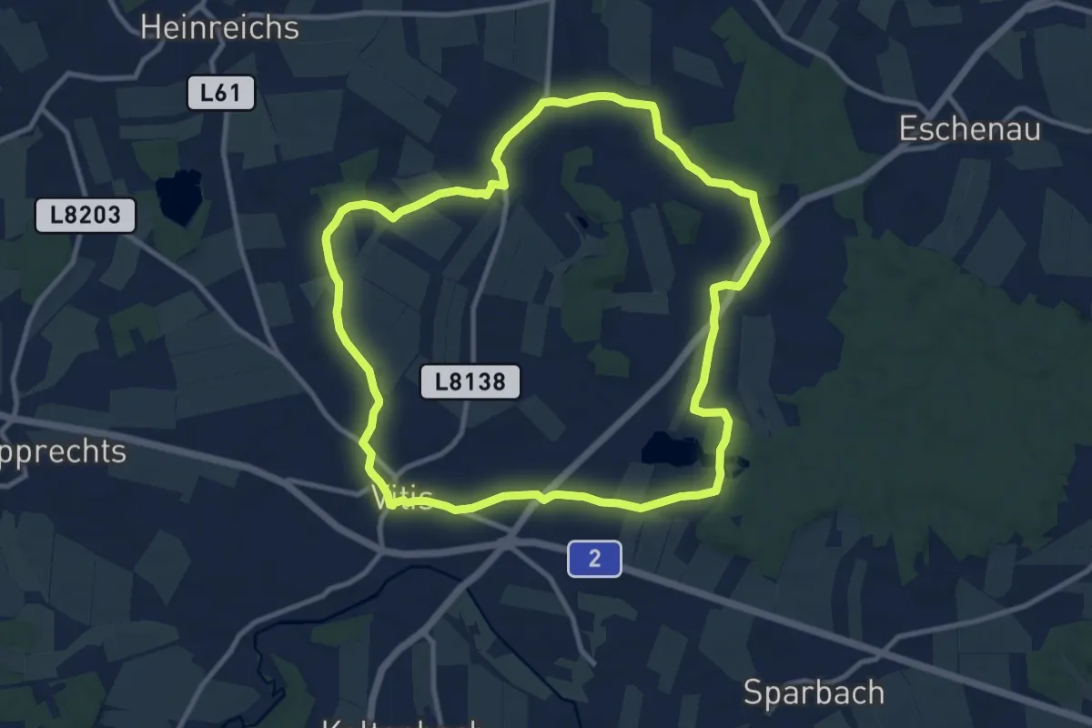
Medium · Trail
Teichweg Vitis
10.1 km · ↑ 95 m · 2 h 44 min
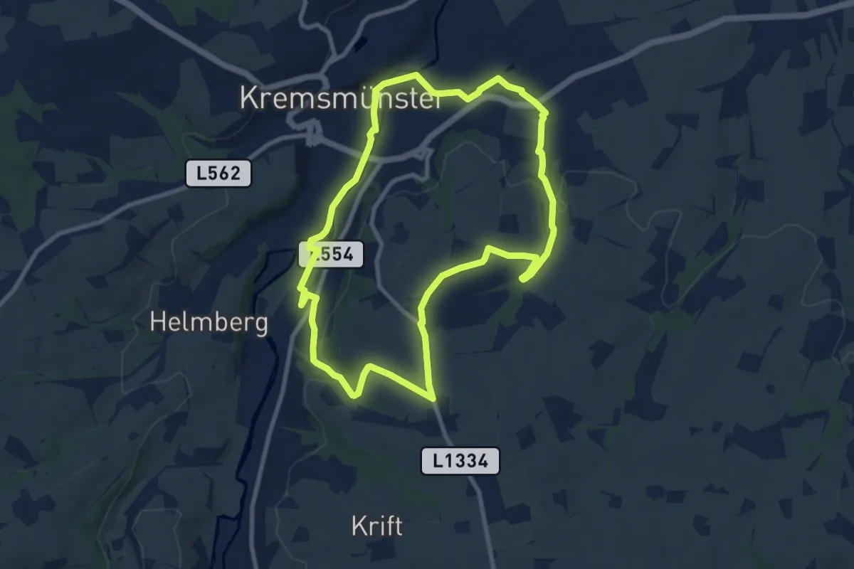
Easy · Summit
Tempetalweg - Wanderweg 40
7.9 km · ↑ 156 m · 2 h 18 min
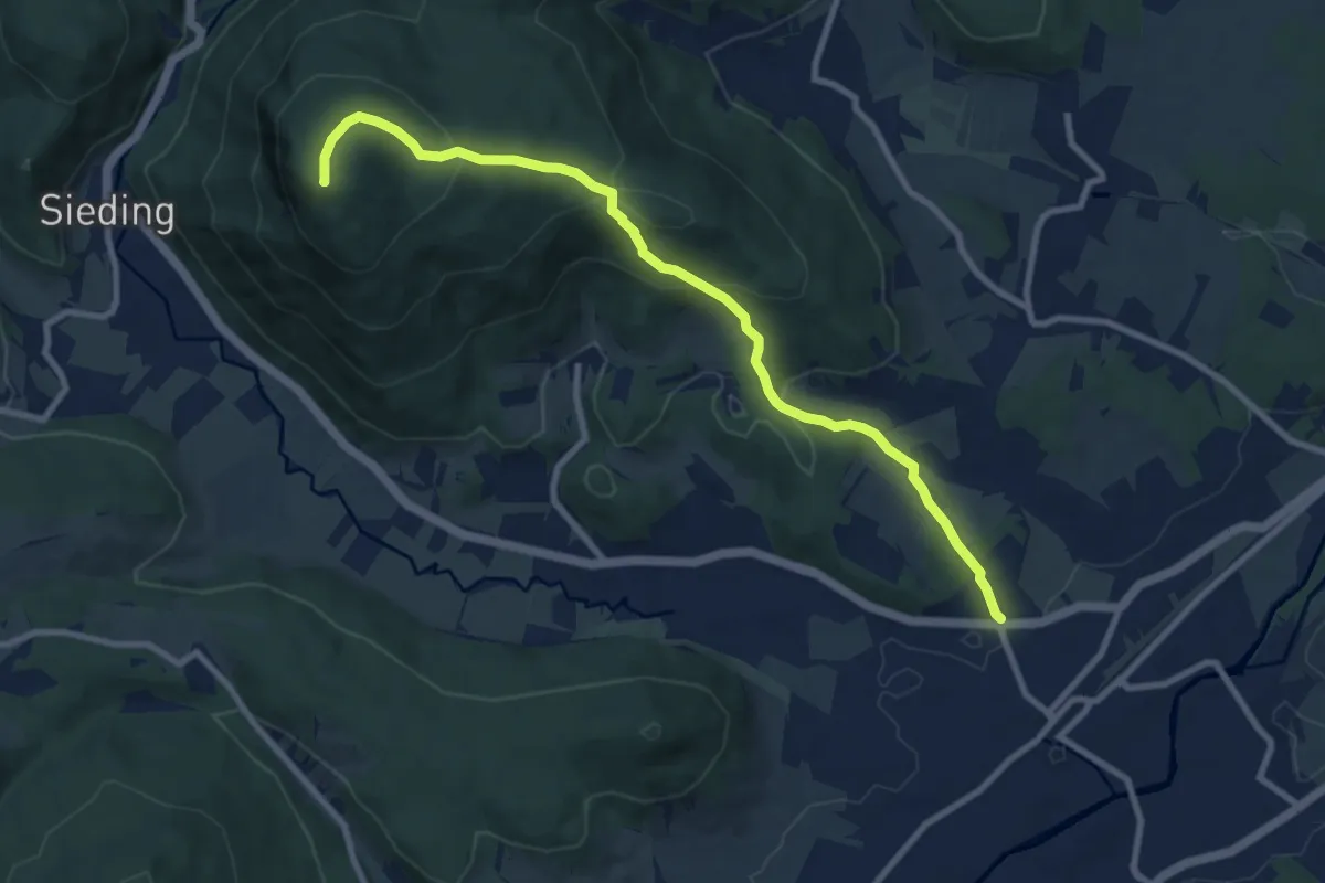
Medium · Summit
Ternitz Bhf - Gösing - Kranzstetten
9.4 km · ↑ 500 m · 3 h 18 min
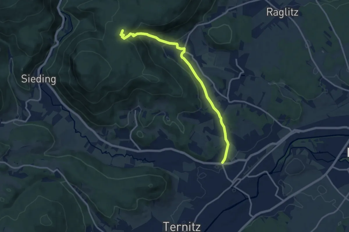
Medium · Cabin
Ternitz - Flatz - Naturfreundehaus Flatzer Wand
9.8 km · ↑ 356 m · 3 h 5 min
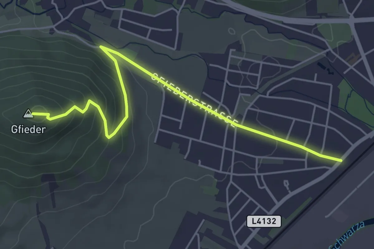
Easy · Summit
Ternitz - Gfieder
5.2 km · ↑ 207 m · 1 h 41 min
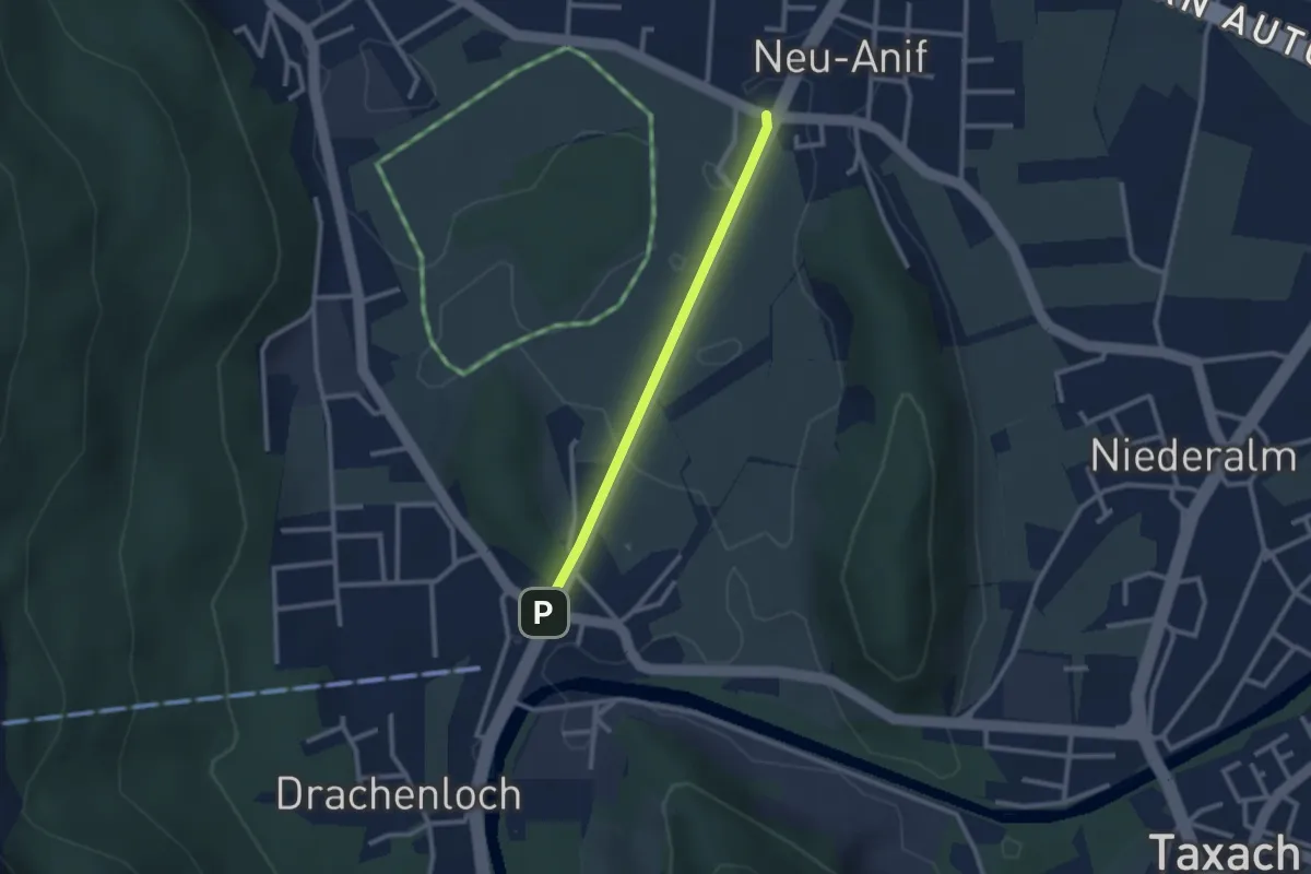
Easy · Trail
Testroute
1.1 km · ↑ 0 m · 16 min
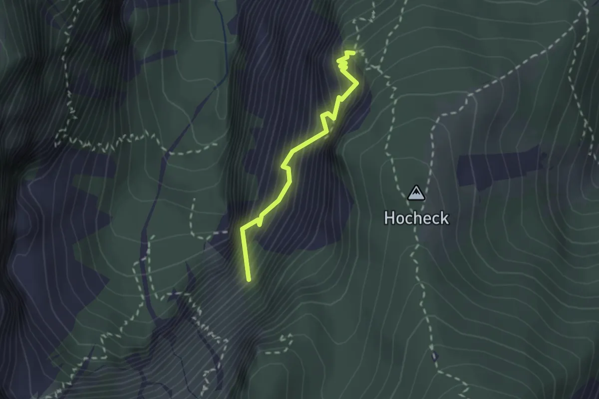
Expert · Summit
Teufelsbadstubensteig
1.8 km · ↑ 646 m · 1 h 50 min
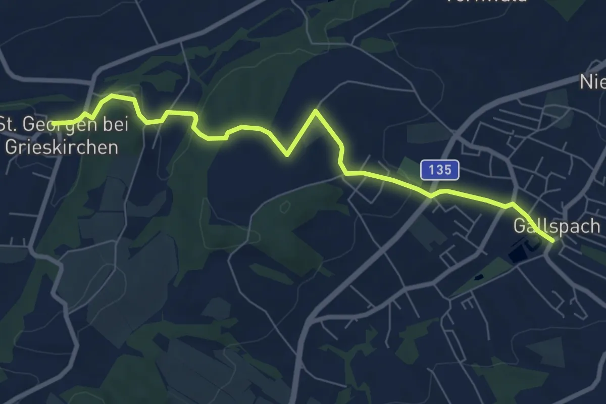
Easy · Trail
Teufelsgrabenweg
6.9 km · ↑ 208 m · 2 h 5 min
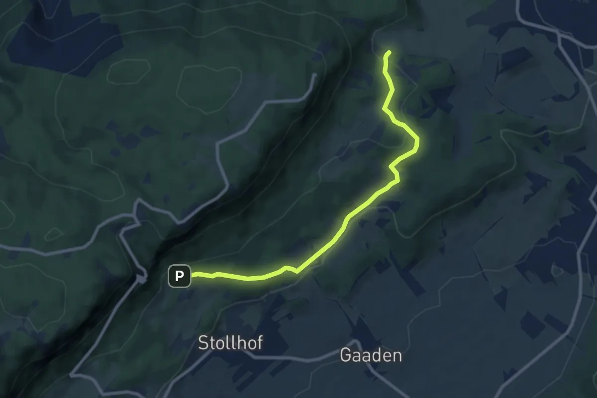
Easy · Trail
Teufelsgratparkplatz - Loderhof (Kapelle) - Einhornhöhle
7.3 km · ↑ 189 m · 2 h 8 min
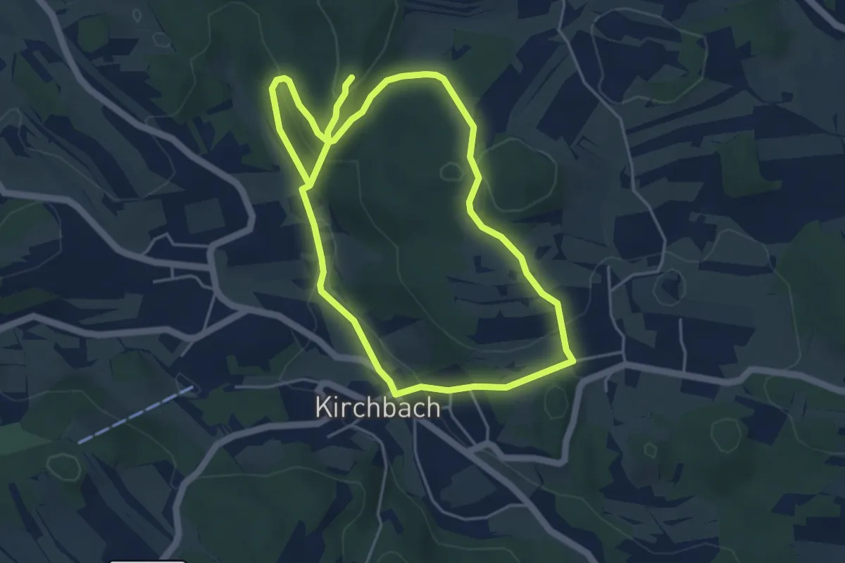
Easy · Trail
Teufelskirche 9
4.1 km · ↑ 203 m · 1 h 25 min
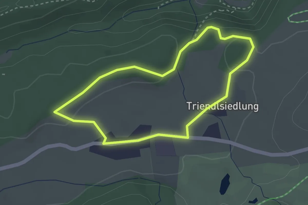
Easy · Trail
Teufelsmühlen-Run
2.5 km · ↑ 35 m · 41 min
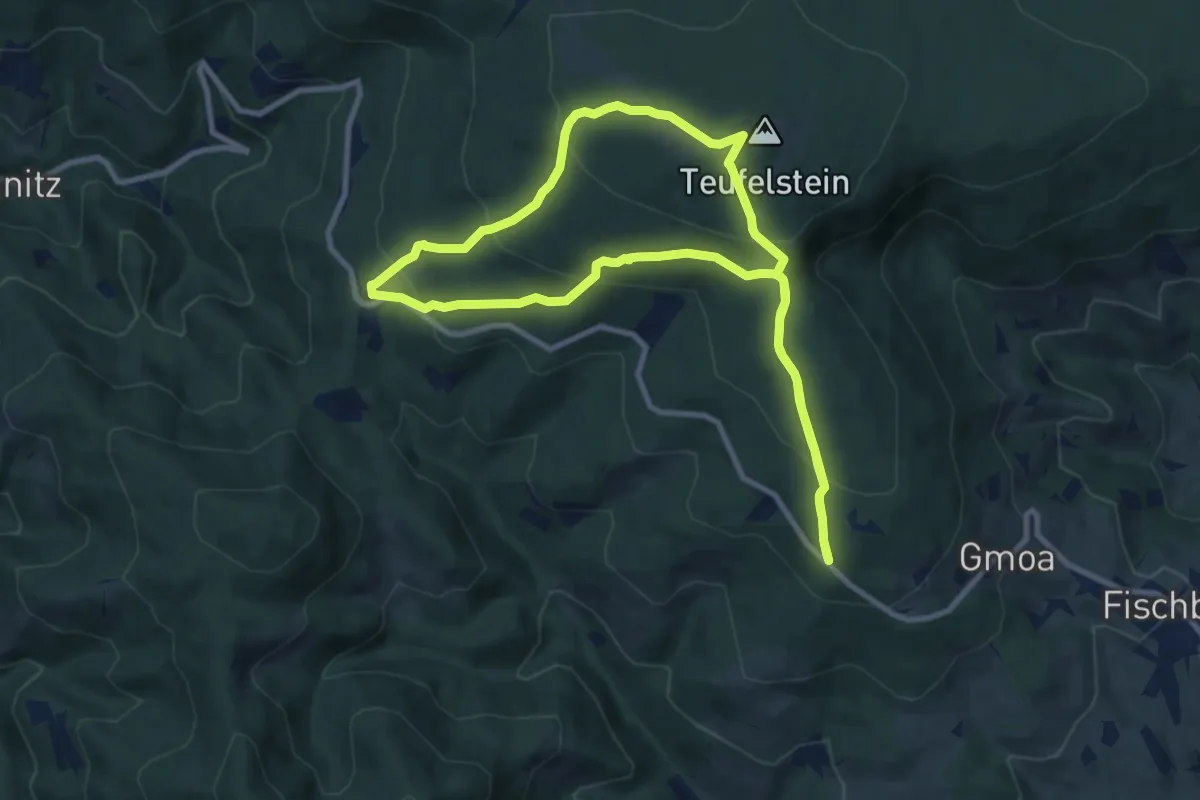
Medium · Summit
Teufelsteinrunde
8.9 km · ↑ 450 m · 3 h 11 min
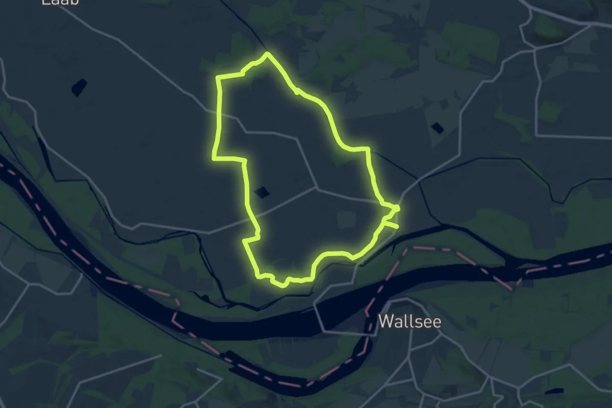
Medium · Trail
Teufelsweg
12.6 km · ↑ 4 m · 3 h 10 min
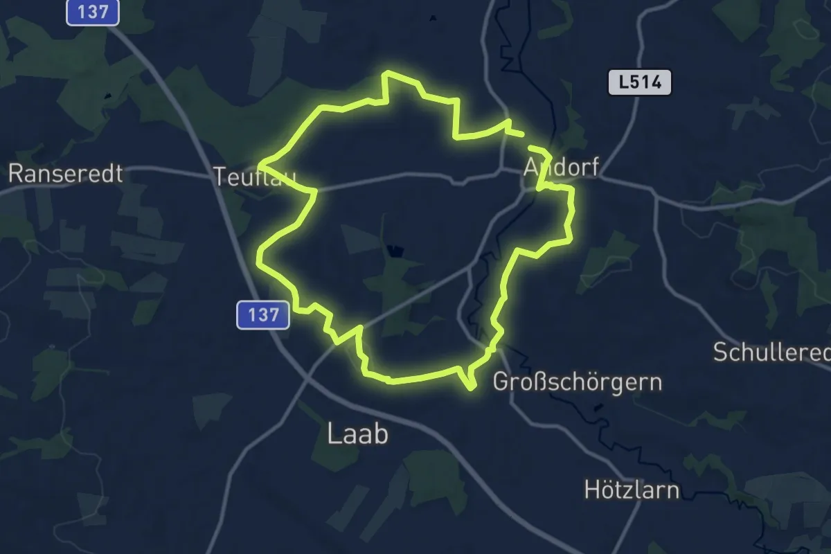
Medium · Trail
Teuflauer Holz
10.9 km · ↑ 107 m · 2 h 58 min
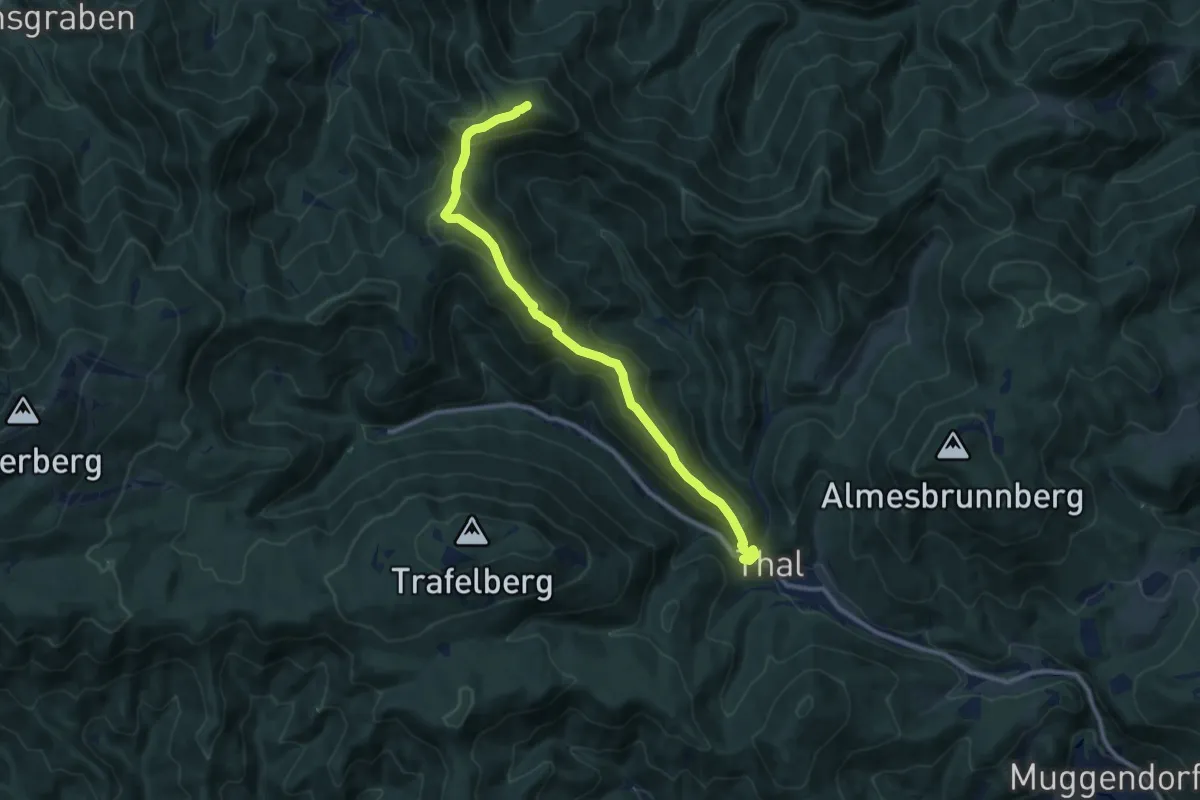
Medium · Summit
Thal - Kieneck (Enzianhütte)
10.8 km · ↑ 723 m · 4 h 7 min
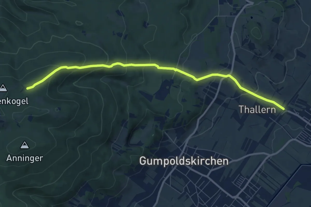
Medium · Trail
Thallern, Guntramsdorf - Anninger Schutzhaus
8.4 km · ↑ 407 m · 2 h 52 min
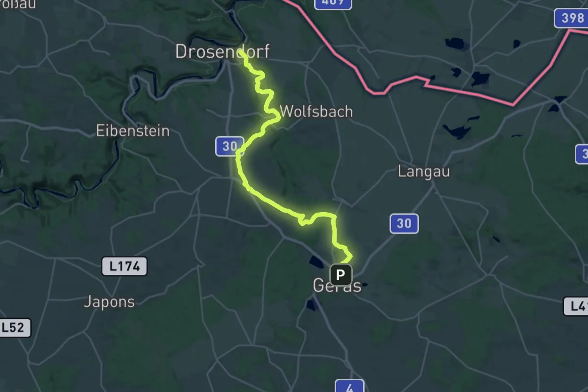
Demanding · Trail
Thaya-Taffa-Wild-Rundwanderweg
26.3 km · ↑ 343 m · 6 h 58 min
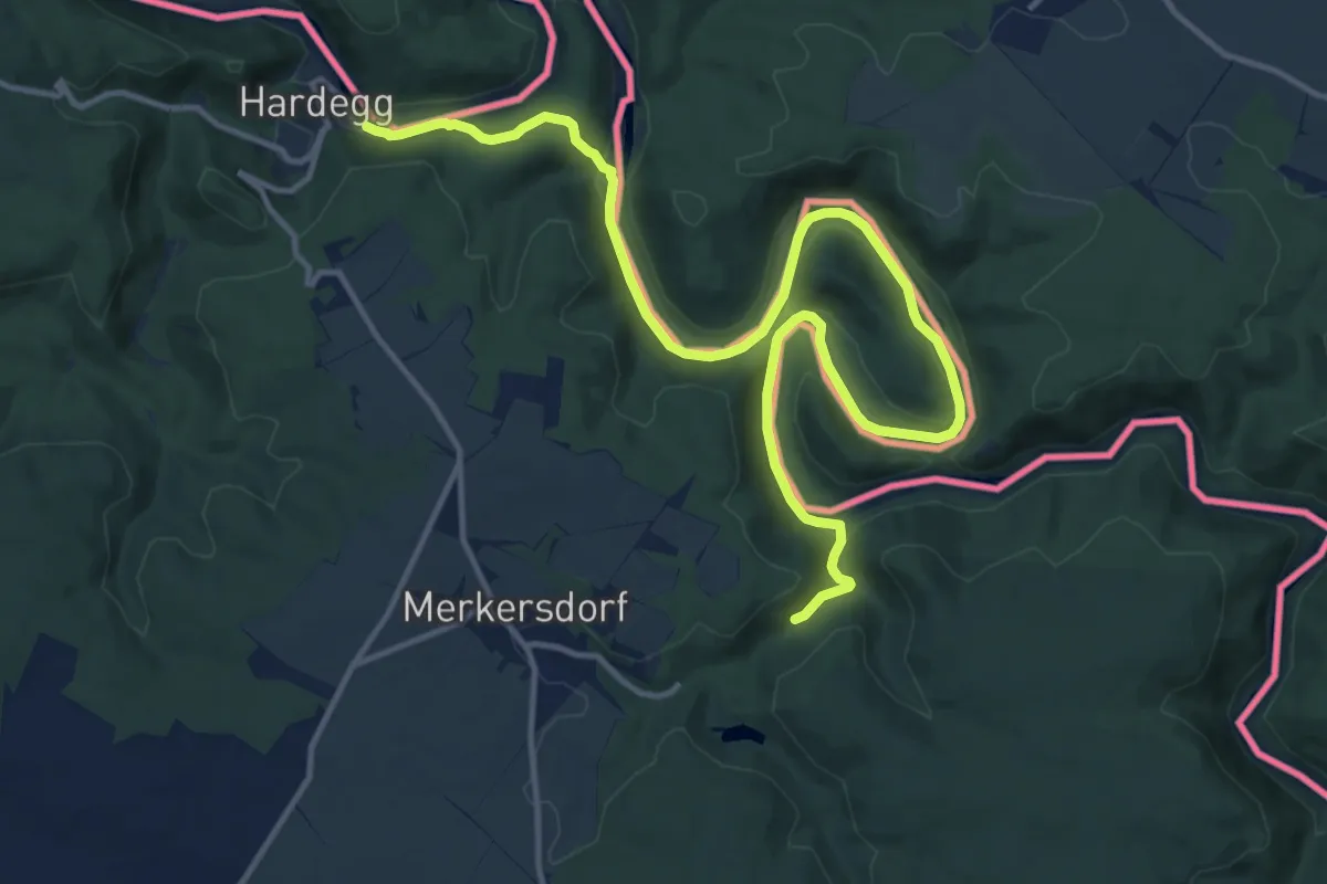
Medium · Trail
Thayatalweg - Variante Umlaufberg
16.9 km · ↑ 266 m · 4 h 34 min
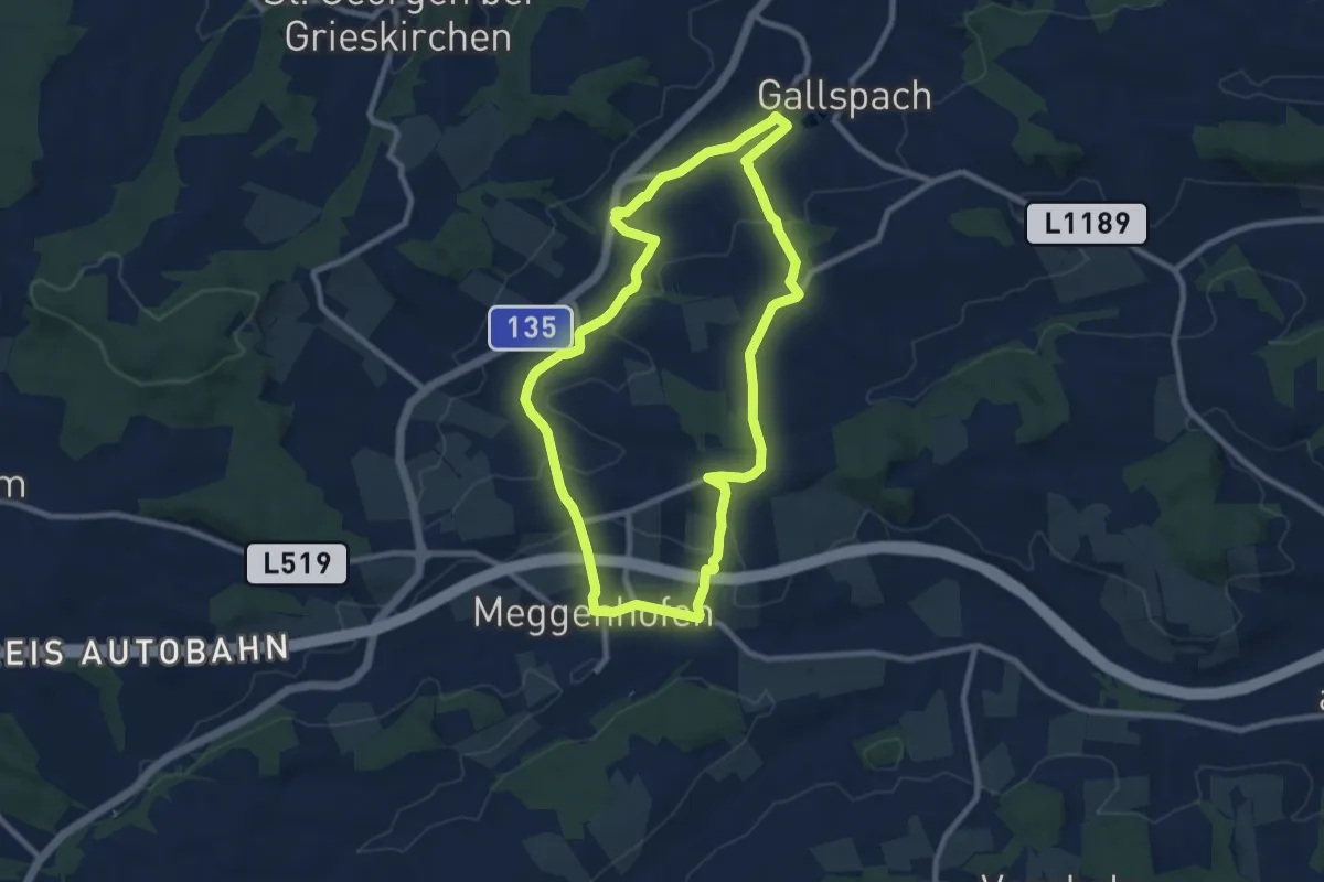
Medium · Trail
Theaterweg
8.4 km · ↑ 120 m · 2 h 22 min
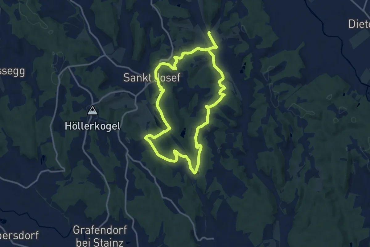
Demanding · Trail
Theaterwege St. Josef - blau
19.8 km · ↑ 399 m · 5 h 32 min
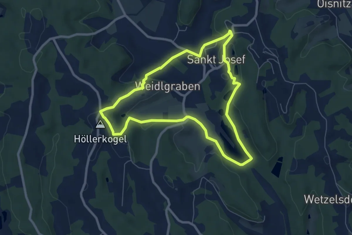
Easy · Summit
Theaterwege St. Josef - orange
5.9 km · ↑ 120 m · 1 h 44 min