Trails in Austria
9,777 hiking trails, each with its route, climb, walking time and grade.
All trails, page 116 of 204
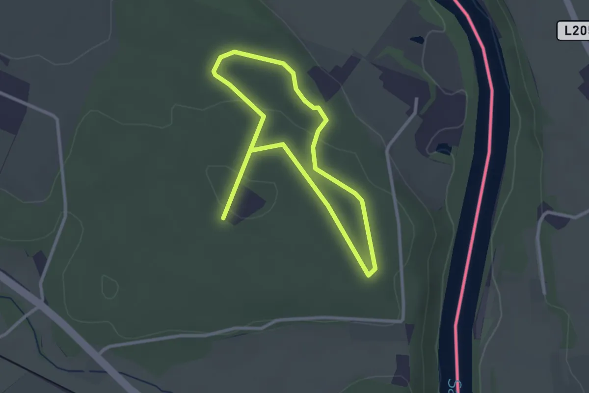
Easy · Trail
Themenpfad Osing "Unser Wald im Wandel"
2.2 km · ↑ 46 m · 39 min
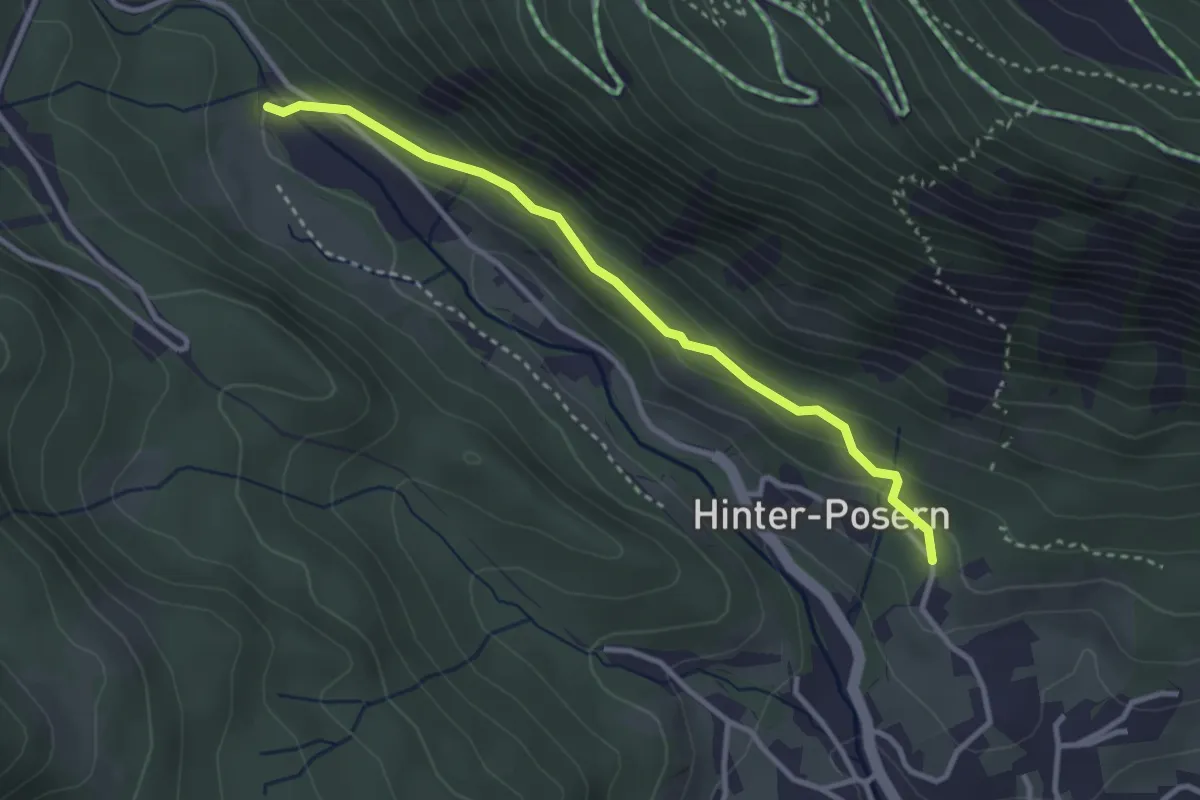
Easy · Trail
Themenweg Augstbach
3.1 km · ↑ 99 m · 56 min
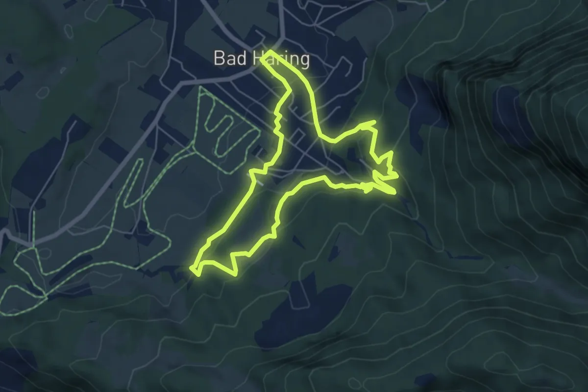
Easy · Trail
Themenweg "Bergbau & Kohle"
5.1 km · ↑ 198 m · 1 h 43 min
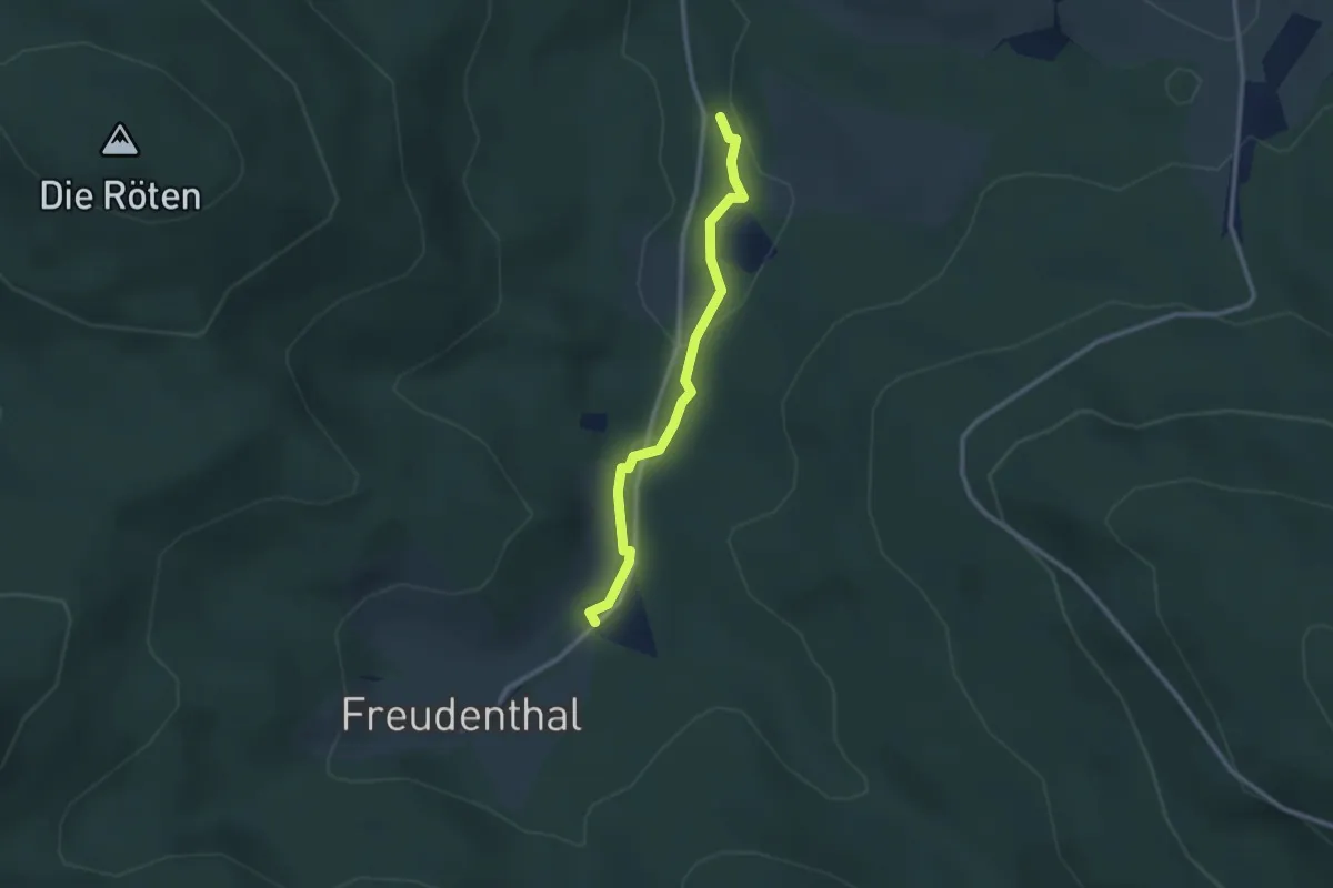
Easy · Trail
Themenweg "Das gläserne Tal"
2.4 km · ↑ 23 m · 37 min
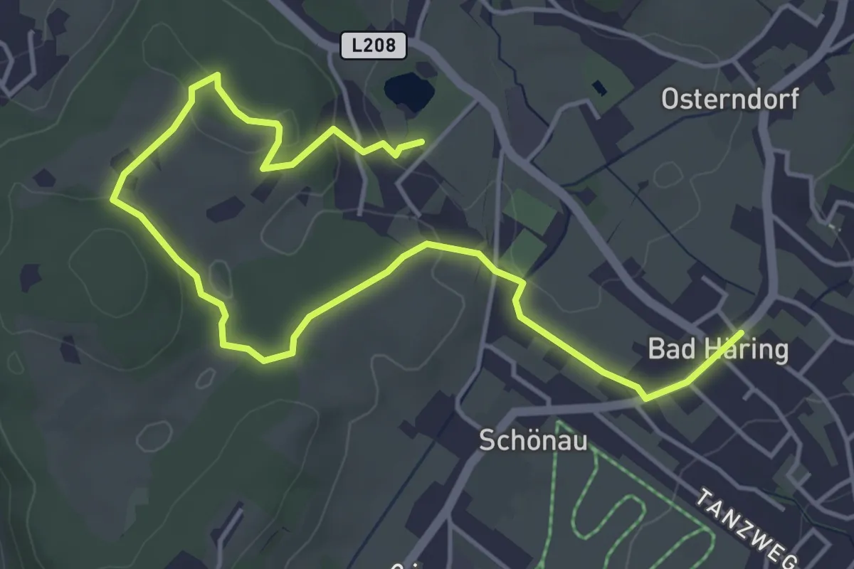
Easy · Trail
Themenweg "Erlebnis der Sinne"
5.9 km · ↑ 149 m · 1 h 42 min
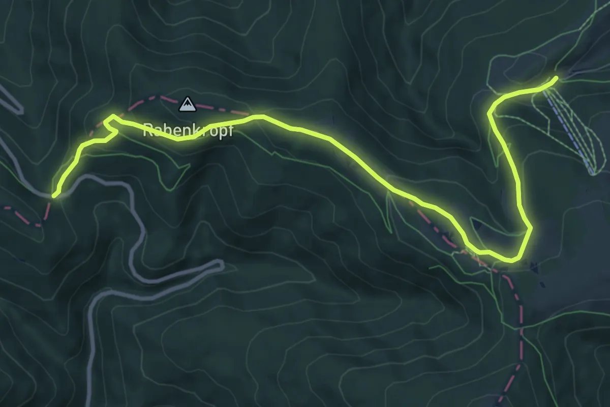
Medium · Trail
Themenweg Forst und Jagd
10.5 km · ↑ 418 m · 3 h 24 min
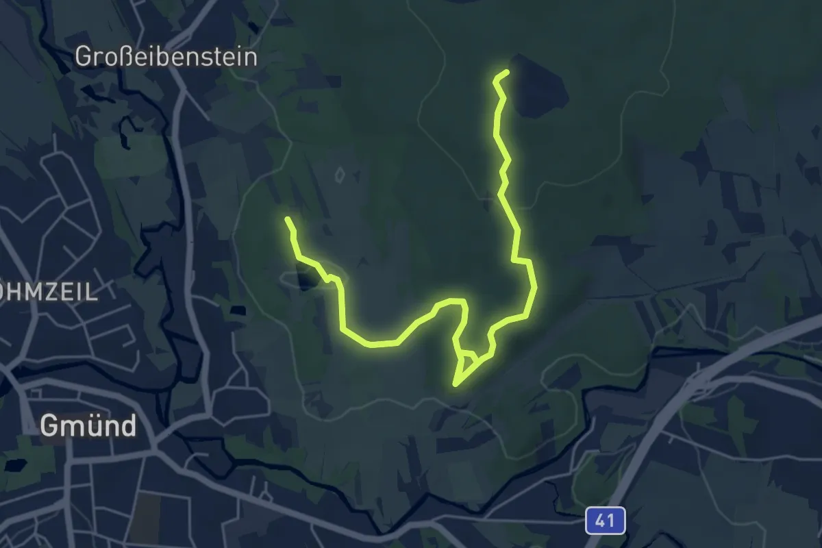
Easy · Trail
Themenweg GRANITkulTOUR
6.1 km · ↑ 116 m · 1 h 42 min
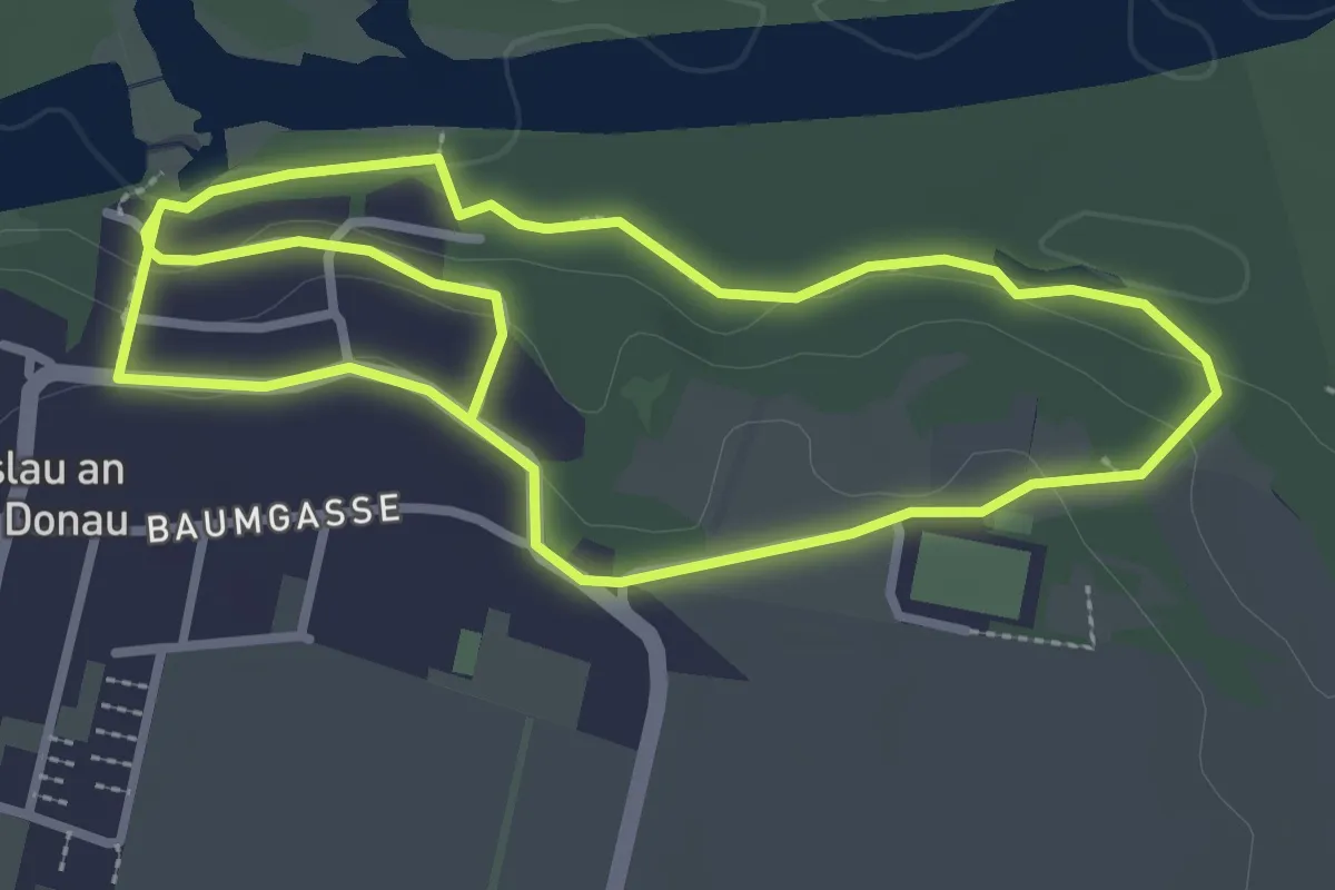
Easy · Trail
Themenweg Haslau
2.9 km · ↑ 73 m · 52 min
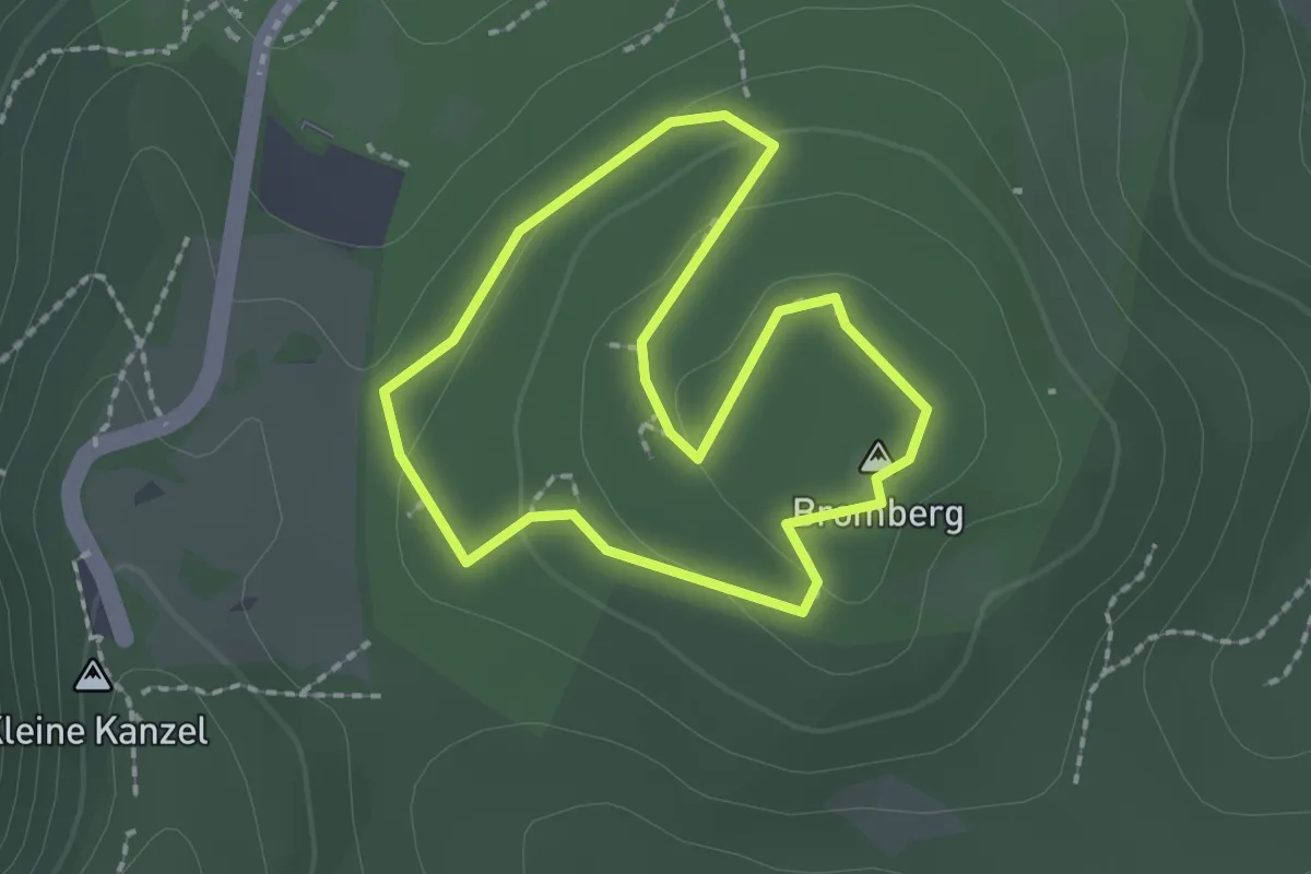
Easy · Summit
Themenweg Hexenwald
1.7 km · ↑ 49 m · 32 min
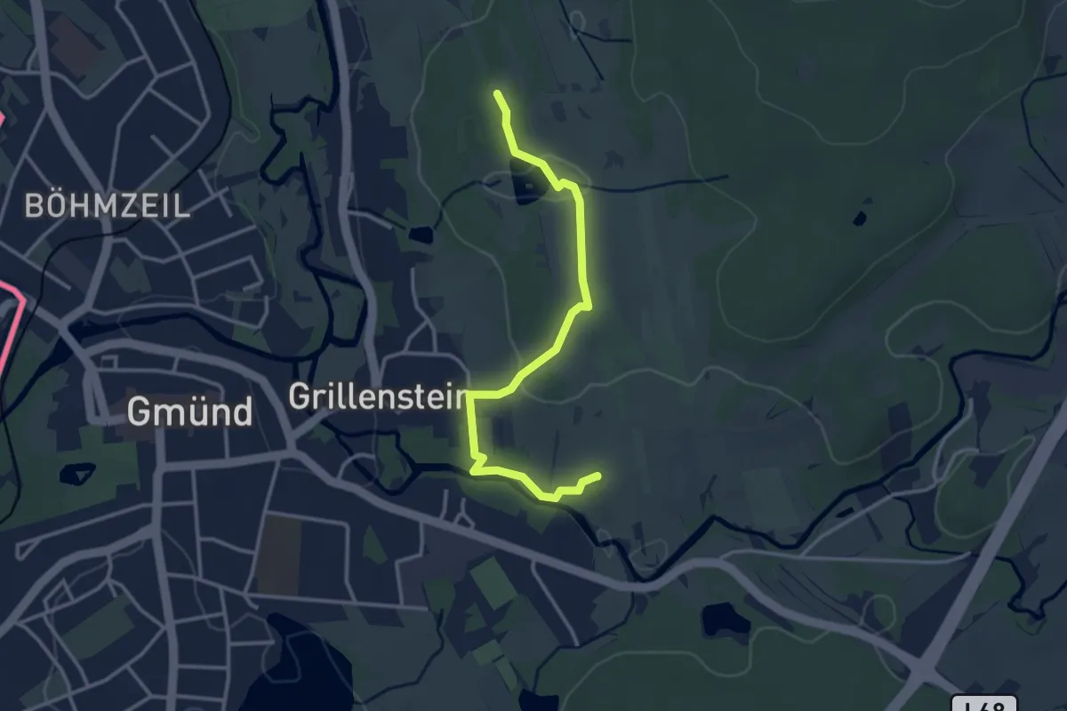
Easy · Summit
Themenweg LANDSCHAFTSkulTOUR
3.1 km · ↑ 70 m · 53 min
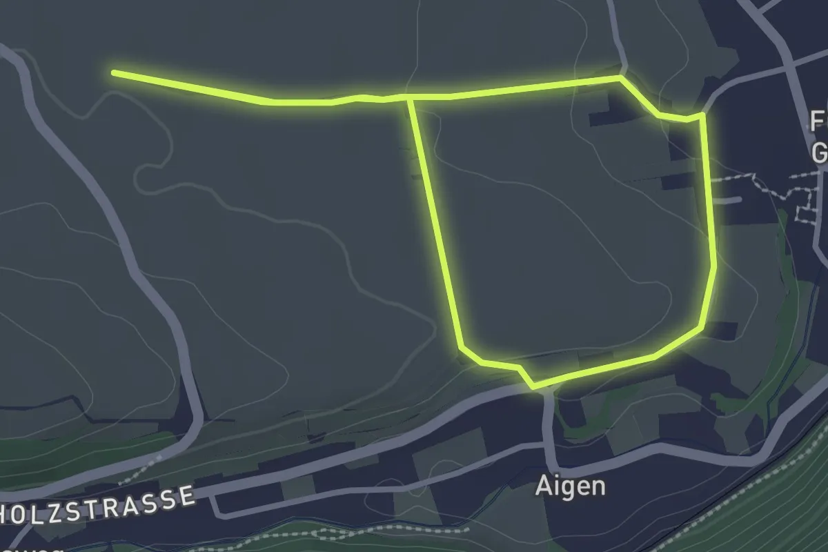
Easy · Trail
Themenweg Löss und Wein
2.5 km · ↑ 46 m · 44 min
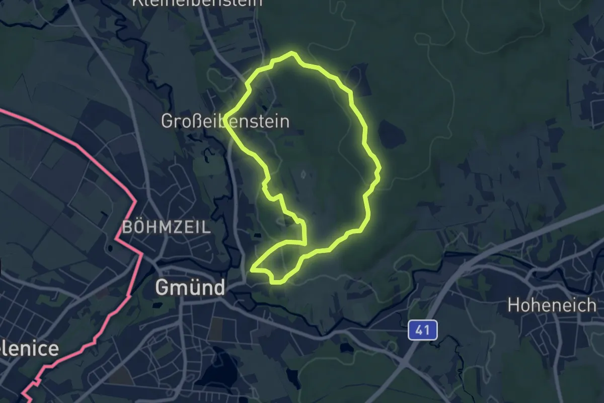
Easy · Trail
Themenweg MARIENkäferWEG
5.7 km · ↑ 97 m · 1 h 38 min
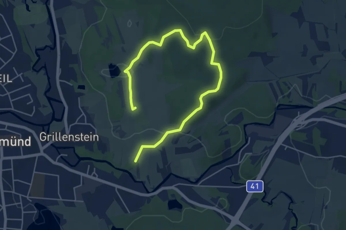
Easy · Summit
Themenweg MYTHOlogieTOUR
5.4 km · ↑ 84 m · 1 h 28 min
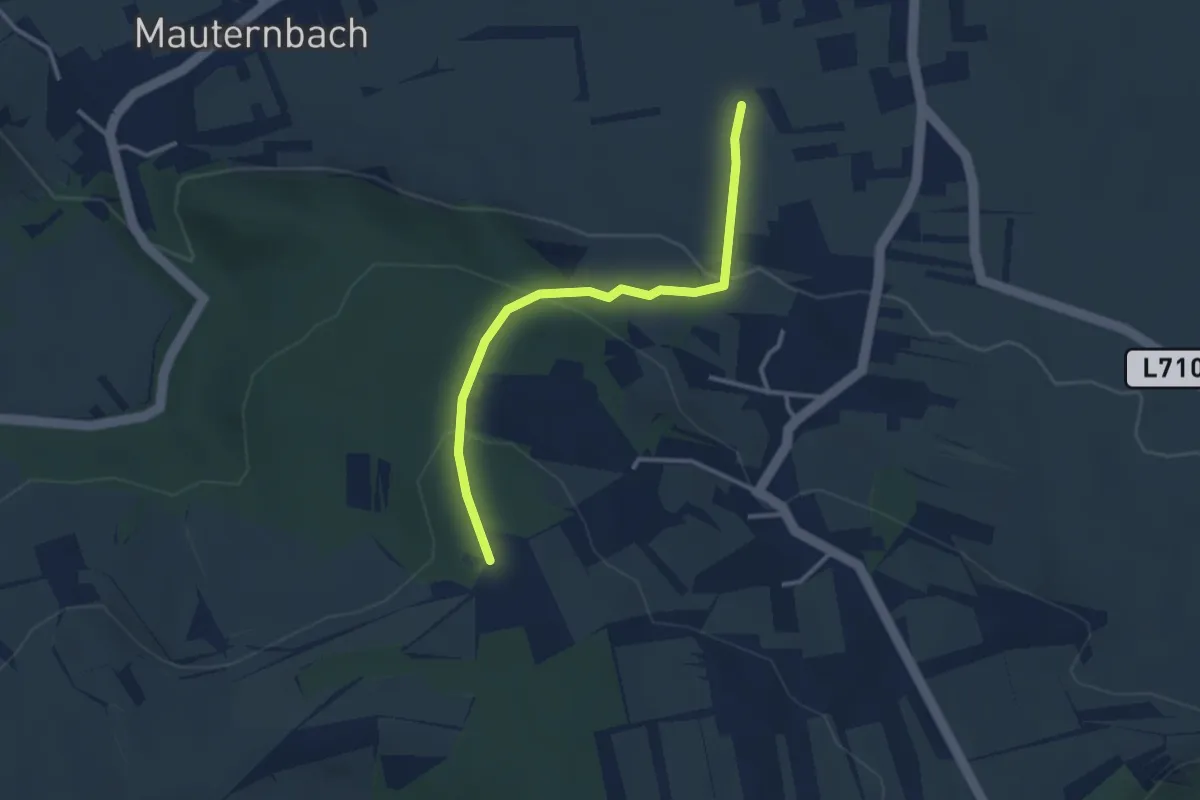
Easy · Trail
Themenweg Natur & Stein
2.9 km · ↑ 136 m · 59 min
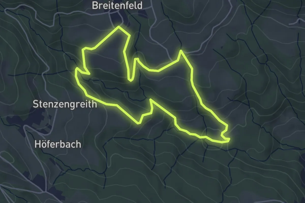
Easy · Trail
Themenweg Stenzengreith
4.5 km · ↑ 216 m · 1 h 35 min
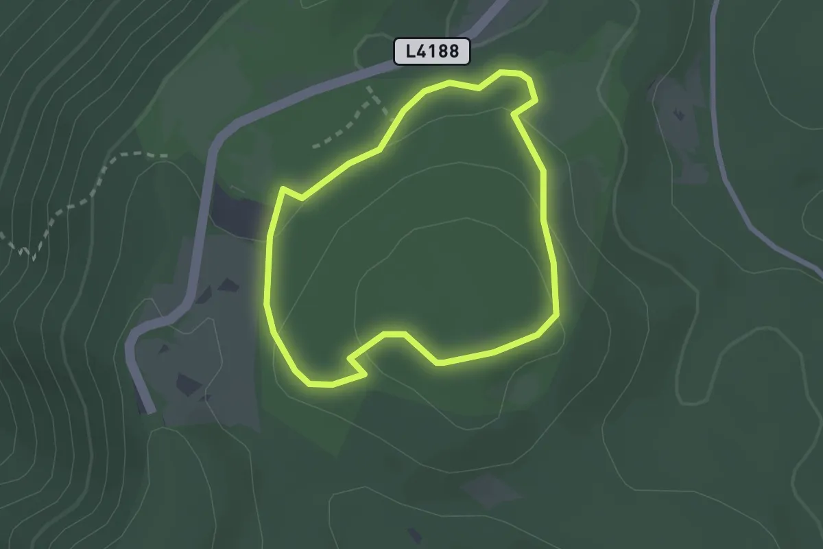
Easy · Summit
Themenweg Tiergehege
2.0 km · ↑ 77 m · 40 min
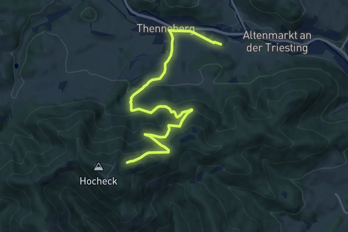
Medium · Trail
Thenneberg (Dornau) - Hocheck Schutzhaus
12.3 km · ↑ 564 m · 4 h 8 min
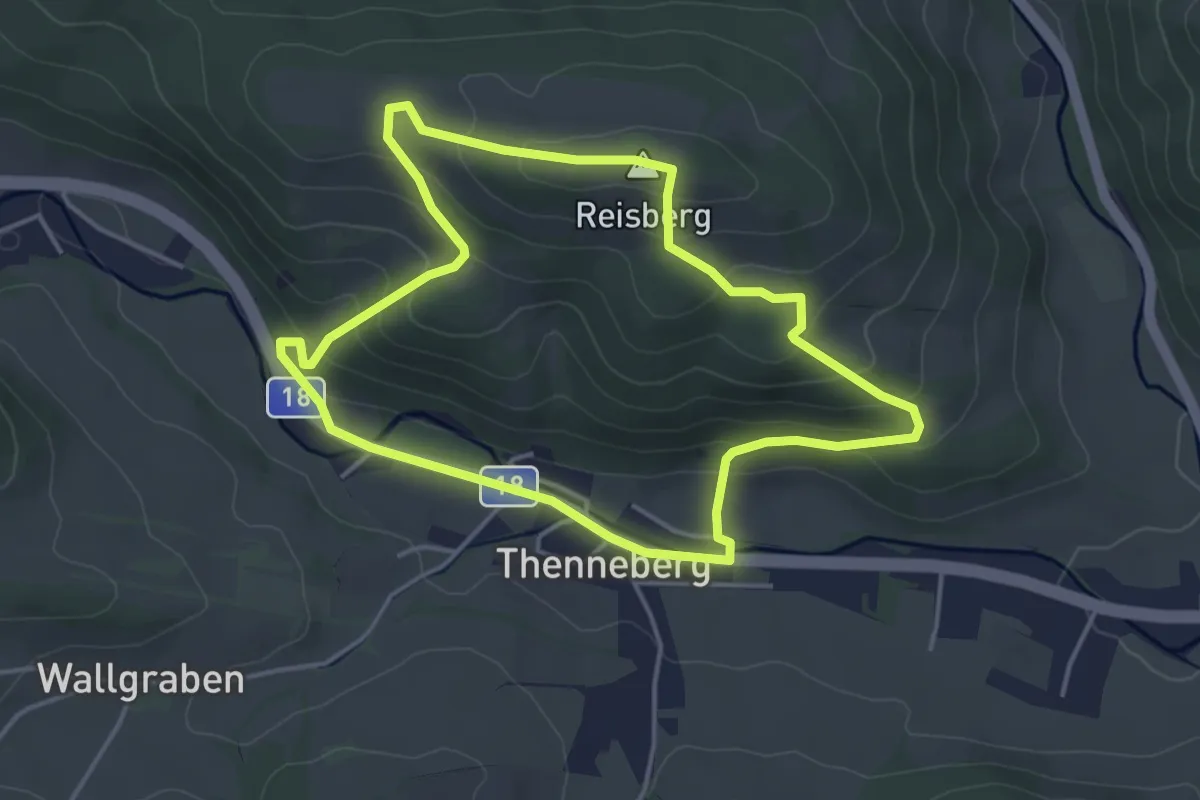
Easy · Summit
Thenneberg - Reisberg Rundwanderweg
4.0 km · ↑ 183 m · 1 h 23 min
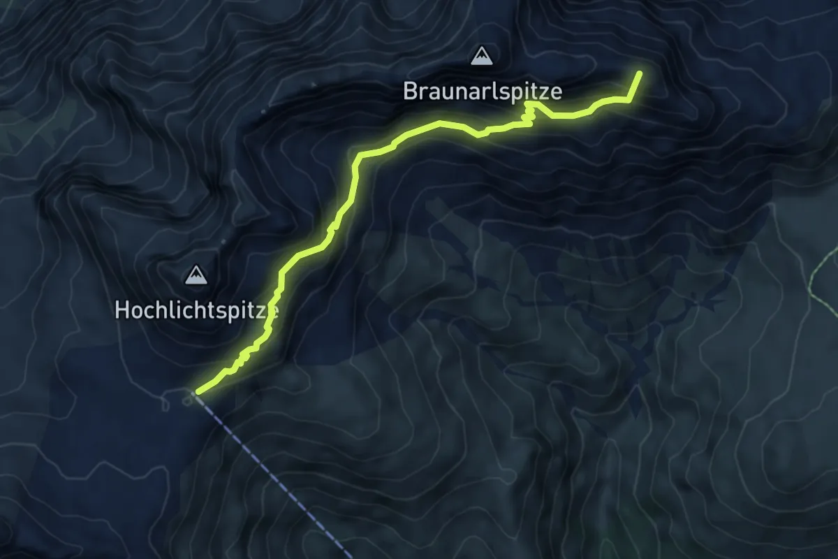
Expert · Summit
Theodor-Praßler-Weg
6.7 km · ↑ 639 m · 2 h 58 min
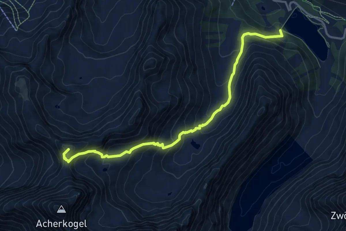
Expert · Summit
Theodor-Streich-Weg
9.3 km · ↑ 825 m · 3 h 59 min
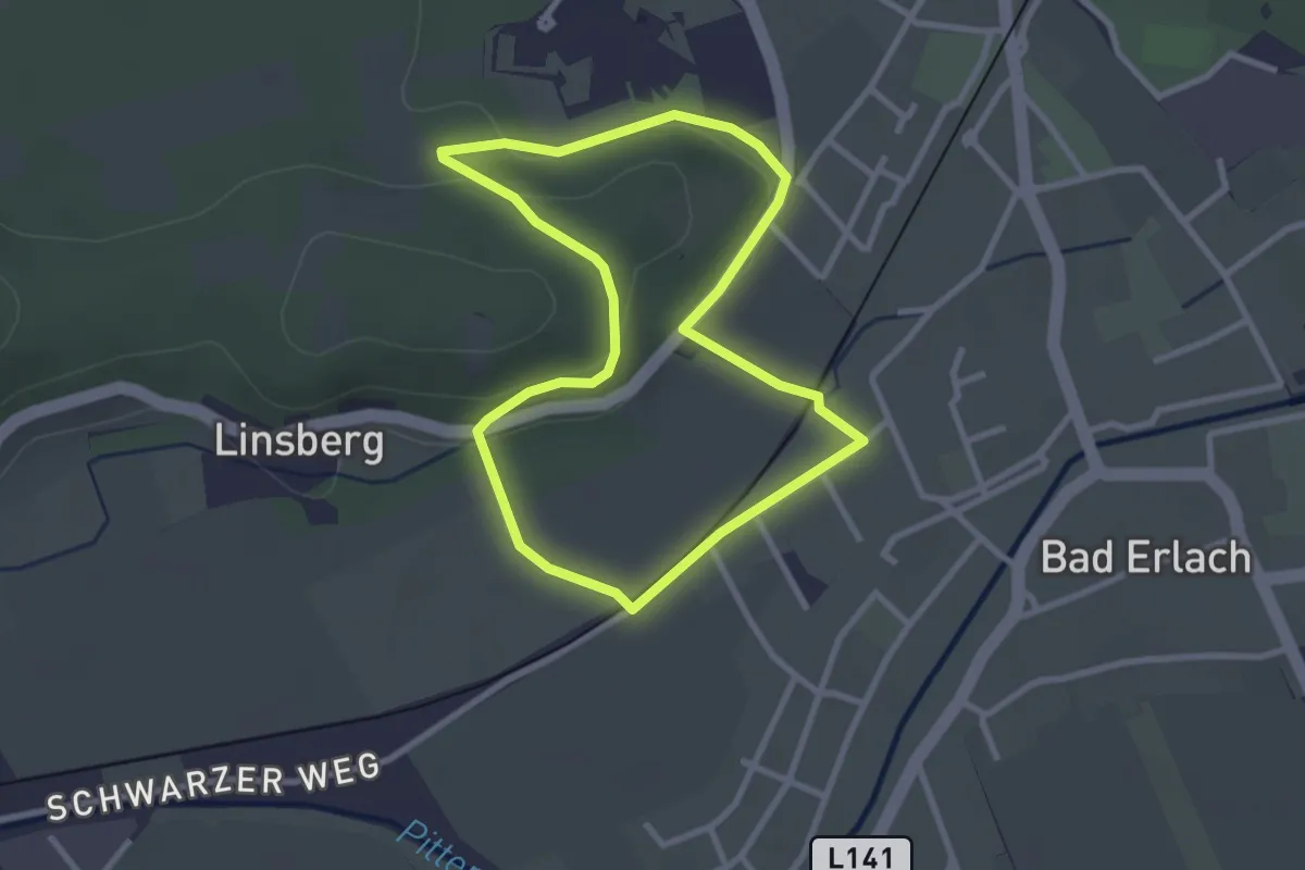
Easy · Trail
Thermenbäckerei Runde (Bewegungsarena Linsberg Asia)
2.6 km · ↑ 20 m · 42 min
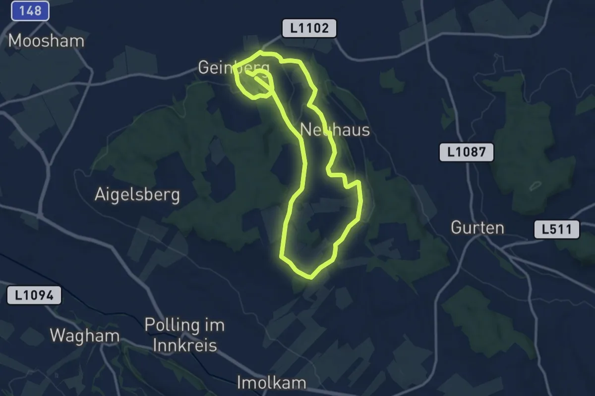
Medium · Trail
Thermenlauf
10.0 km · ↑ 142 m · 2 h 48 min
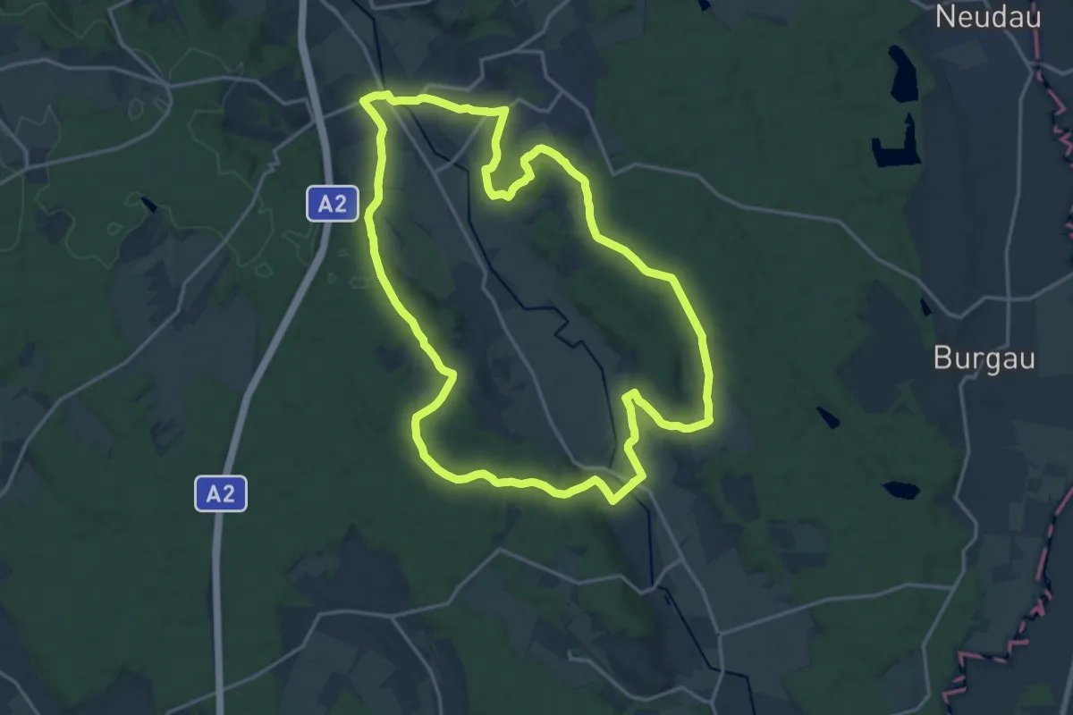
Medium · Trail
Thermenrundwanderweg (W1)
17.4 km · ↑ 226 m · 4 h 50 min
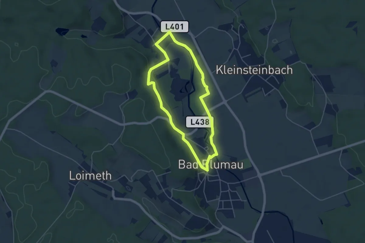
Easy · Trail
Thermenrundweg
4.1 km · ↑ 47 m · 1 h 8 min
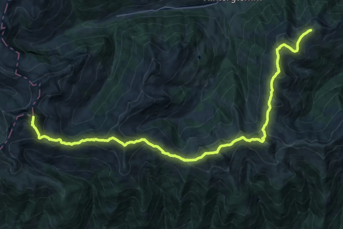
Demanding · Summit
The SEVEN SUMMITS of Saalbach Hinterglemm
33.7 km · ↑ 2677 m · 13 h 46 min
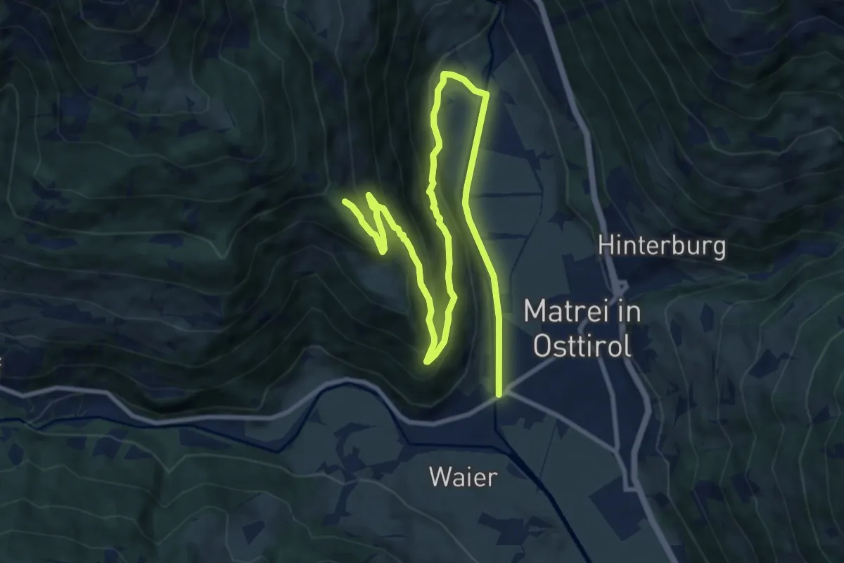
Medium · Trail
Thiemeweg
13.0 km · ↑ 512 m · 4 h 10 min
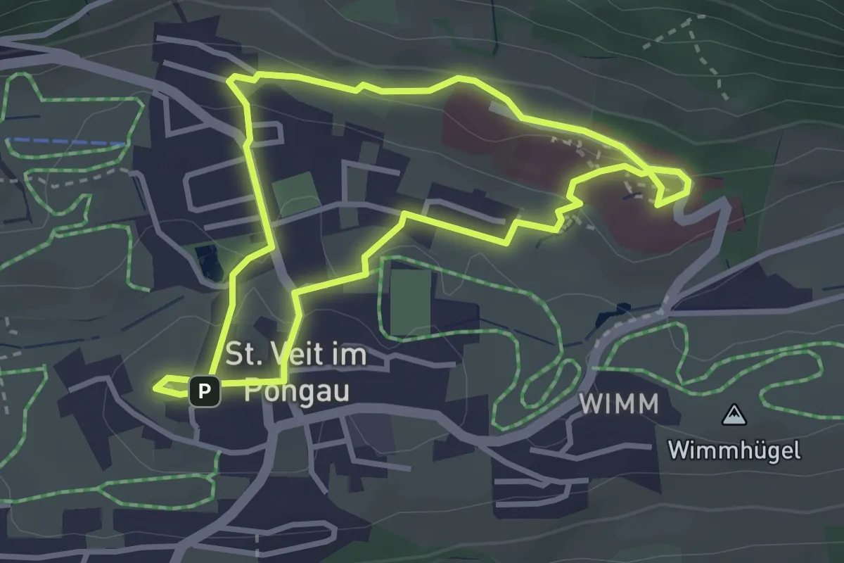
Easy · Trail
Thomas Bernhard Wanderweg
2.8 km · ↑ 67 m · 51 min
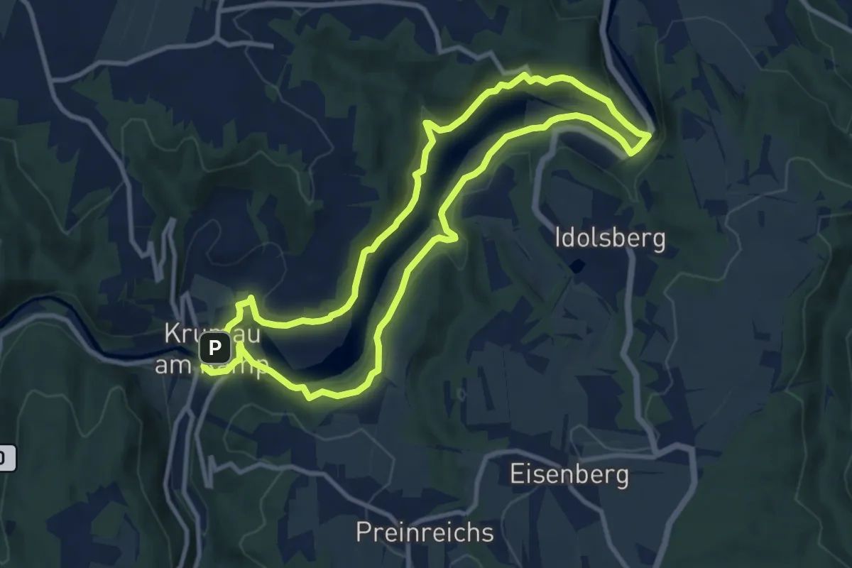
Demanding · Trail
Thurnberger Stauseetour
8.8 km · ↑ 229 m · 2 h 42 min
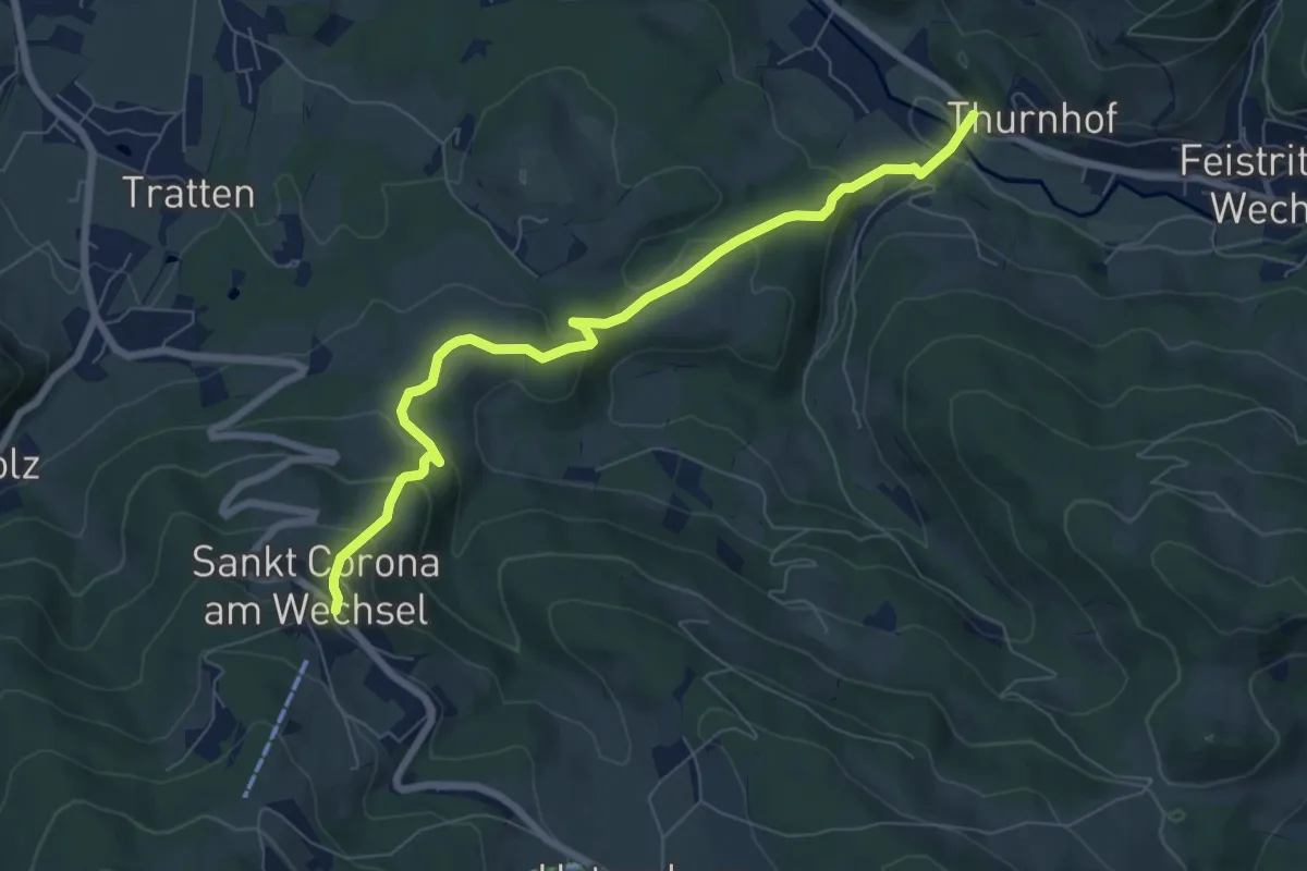
Medium · Trail
Thurnhof - Geieregg/Sellhof - Wieden - St. Corona
7.3 km · ↑ 346 m · 2 h 29 min
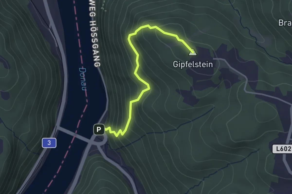
Easy · Summit
Tiefenbach (Donaubrücke) - Brandstetterkogelhütte
3.2 km · ↑ 294 m · 1 h 24 min
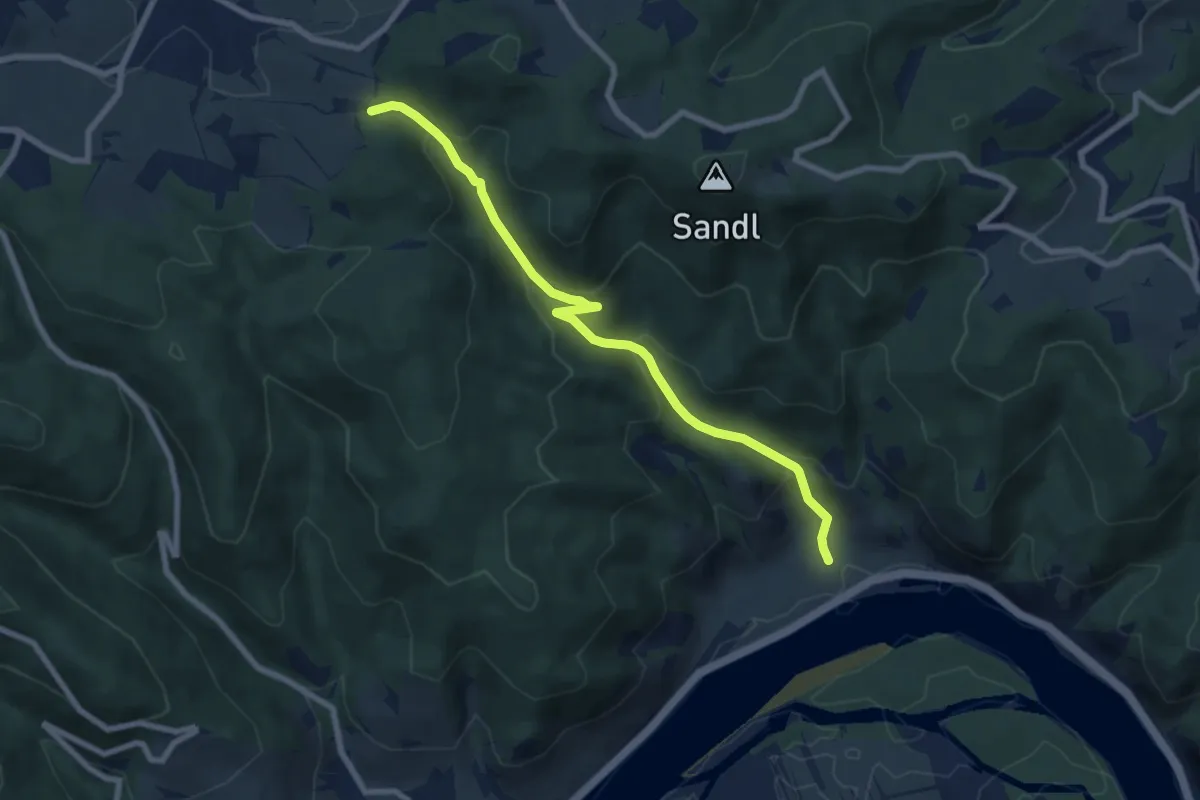
Medium · Trail
Tiefental
7.3 km · ↑ 432 m · 2 h 40 min
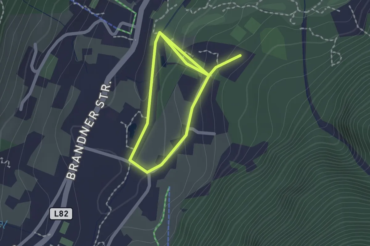
Easy · Trail
Tiererlebnispfad Brandnertal
1.3 km · ↑ 30 m · 24 min
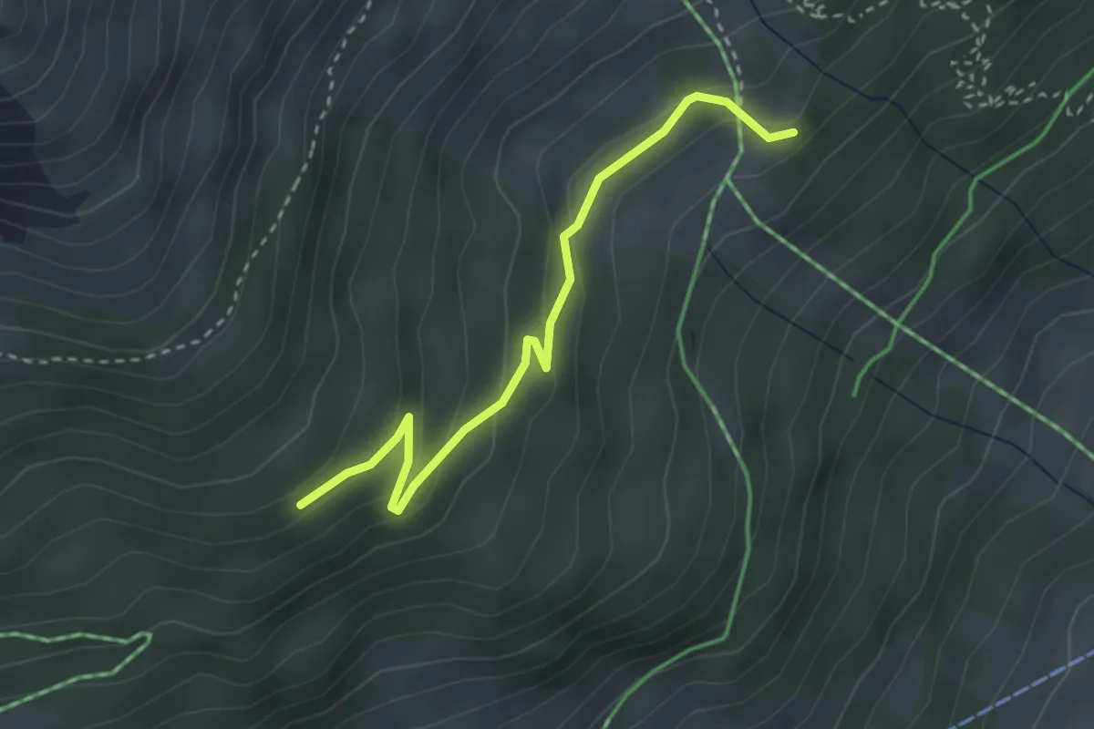
Medium · Trail
Tierlehrweg
3.0 km · ↑ 143 m · 1 h 1 min
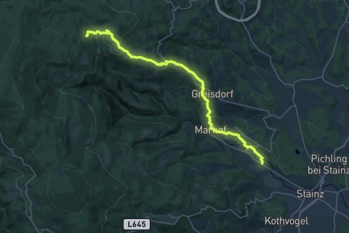
Demanding · Trail
Tier mal vier
20.8 km · ↑ 832 m · 6 h 42 min
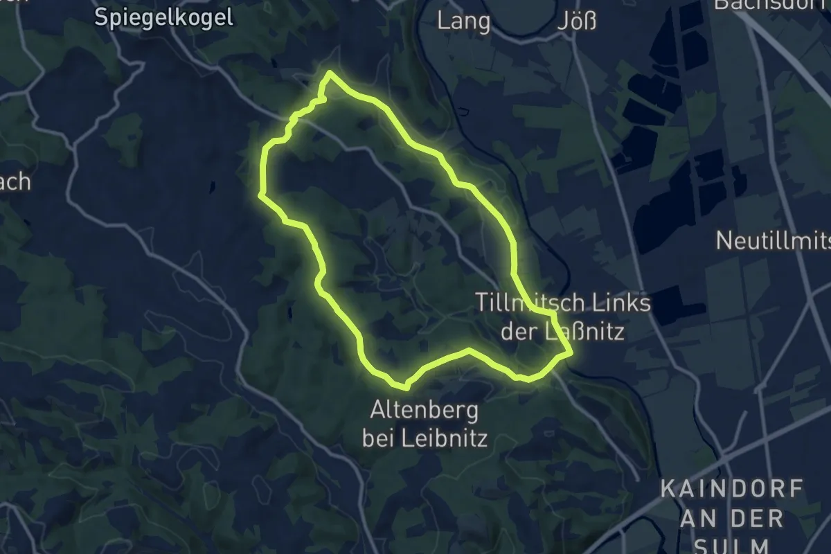
Medium · Trail
Tillmitscher Rundwanderweg
10.5 km · ↑ 147 m · 2 h 56 min
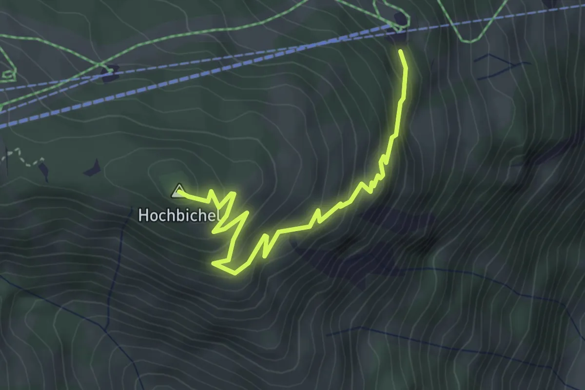
Medium · Summit
Tillys Waldlehrpfad
3.9 km · ↑ 289 m · 1 h 33 min
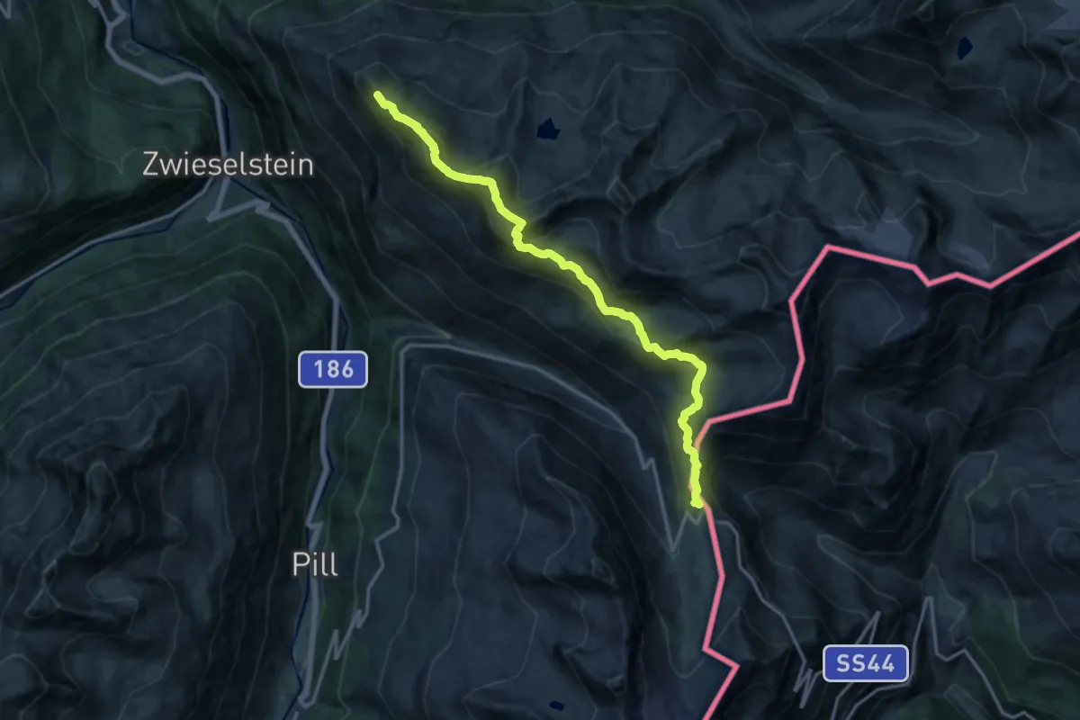
Demanding · Trail
Timmelsjoch - Brunnenkogel-Schutzhaus
14.5 km · ↑ 1197 m · 6 h 2 min
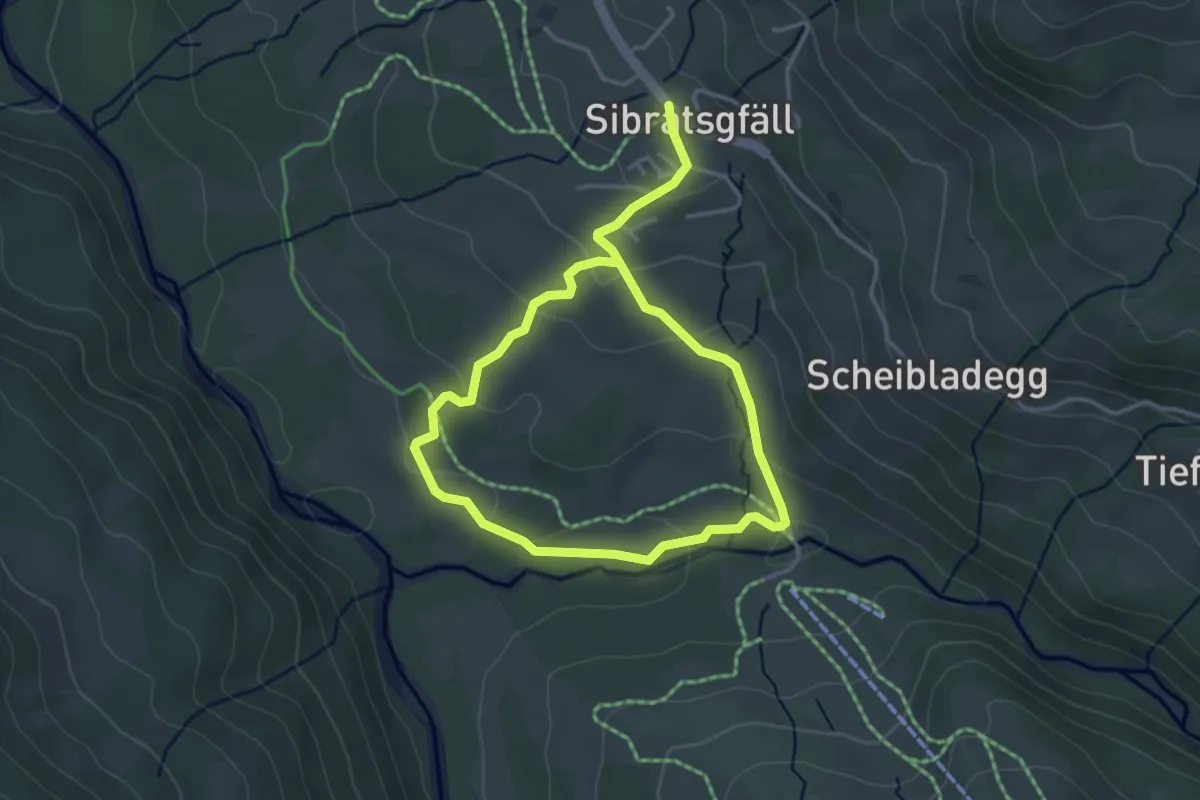
Easy · Trail
Tobelrundweg
5.6 km · ↑ 171 m · 1 h 42 min
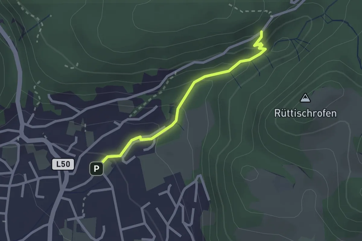
Medium · Trail
Tobelwandweg
2.0 km · ↑ 115 m · 44 min
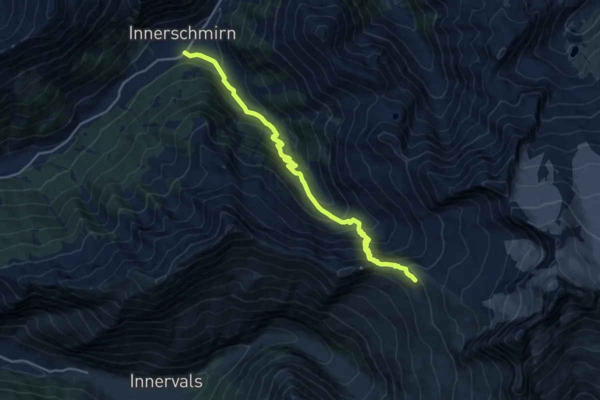
Demanding · Trail
Toldern - Steinernes Lamm
13.8 km · ↑ 1024 m · 5 h 28 min
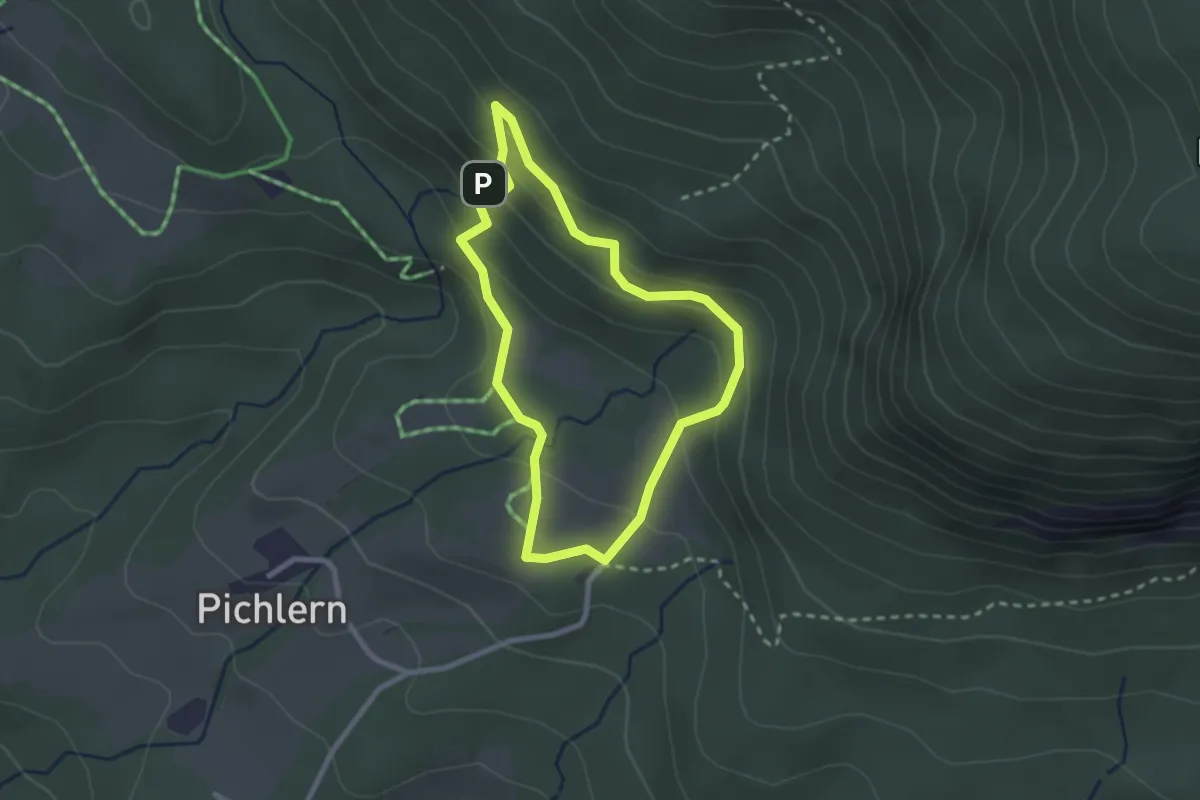
Easy · Trail
Toleranzweg
2.2 km · ↑ 103 m · 47 min
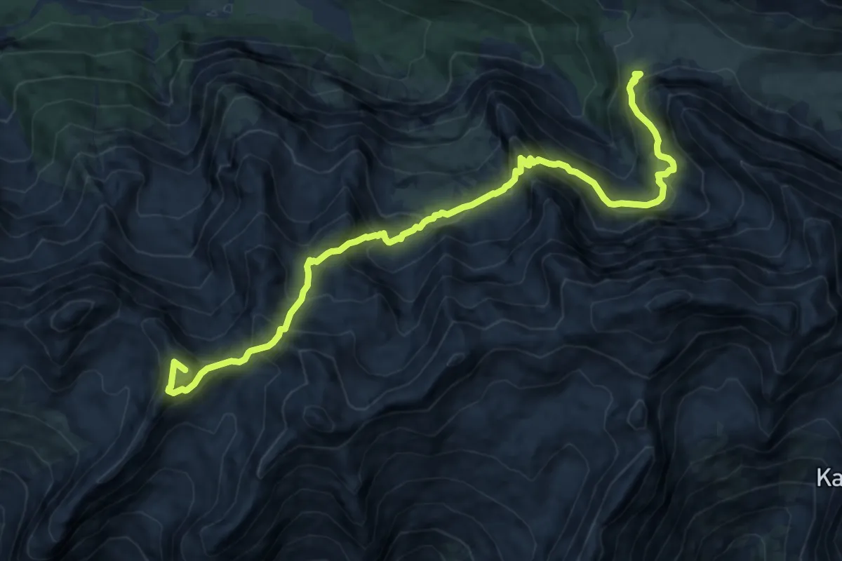
Expert · Summit
Toni-Gaugg-Höhenweg
13.0 km · ↑ 1357 m · 6 h 1 min
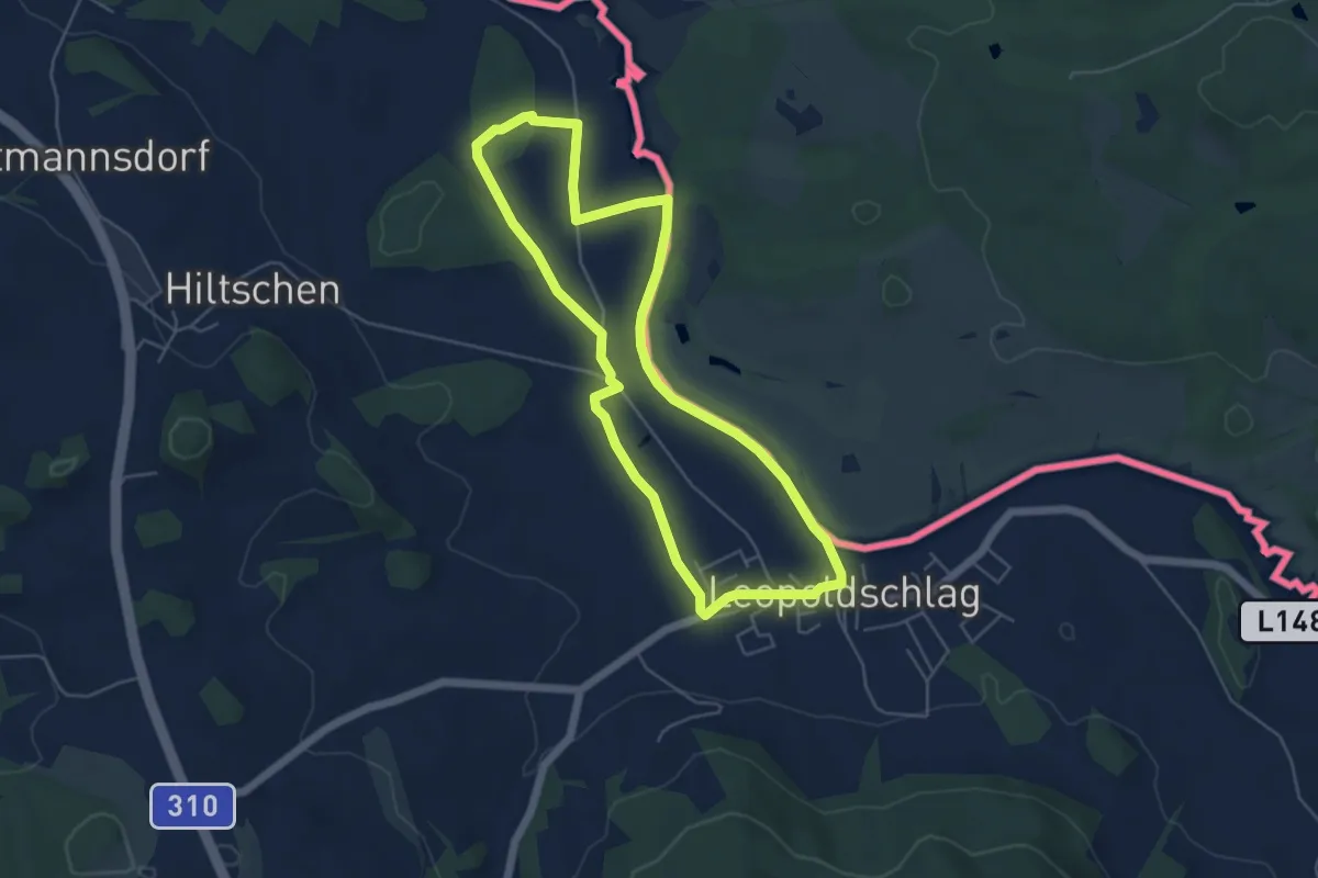
Easy · Trail
Töpferweg
4.8 km · ↑ 13 m · 1 h 14 min
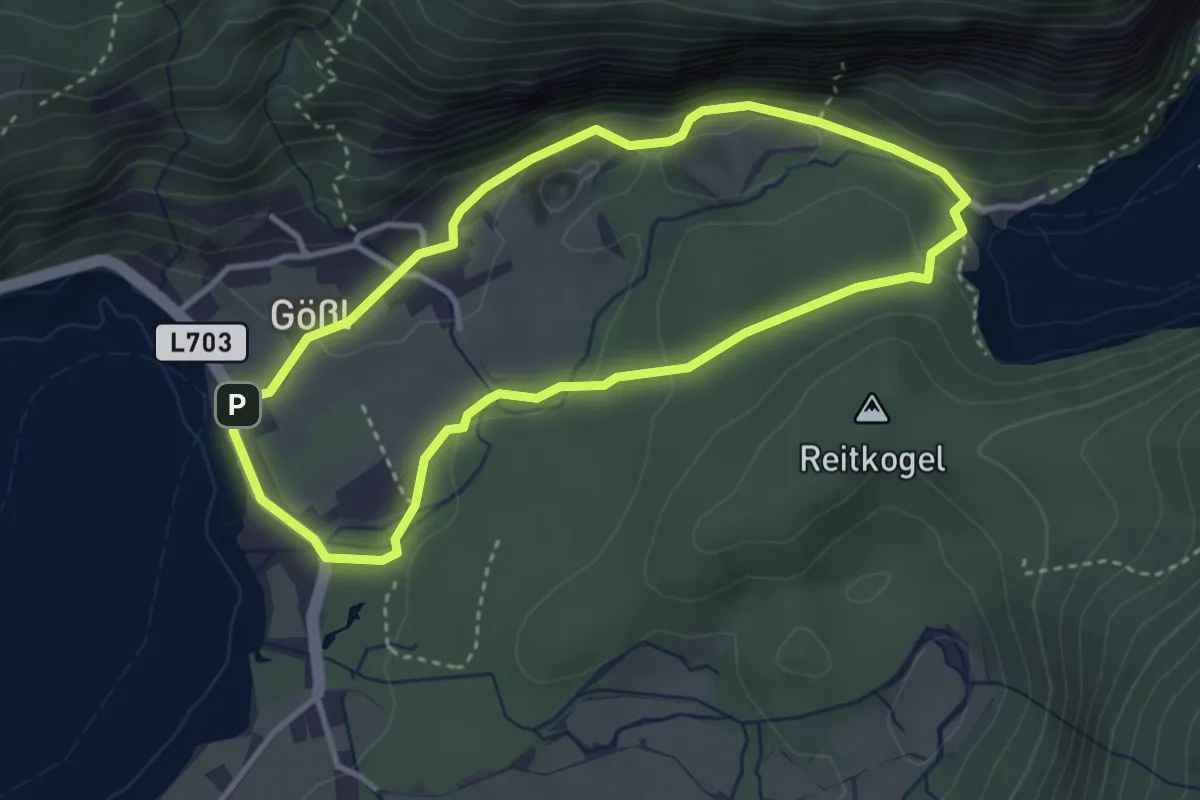
Easy · Trail
Toplitzsee Rundwanderweg
3.2 km · ↑ 46 m · 54 min
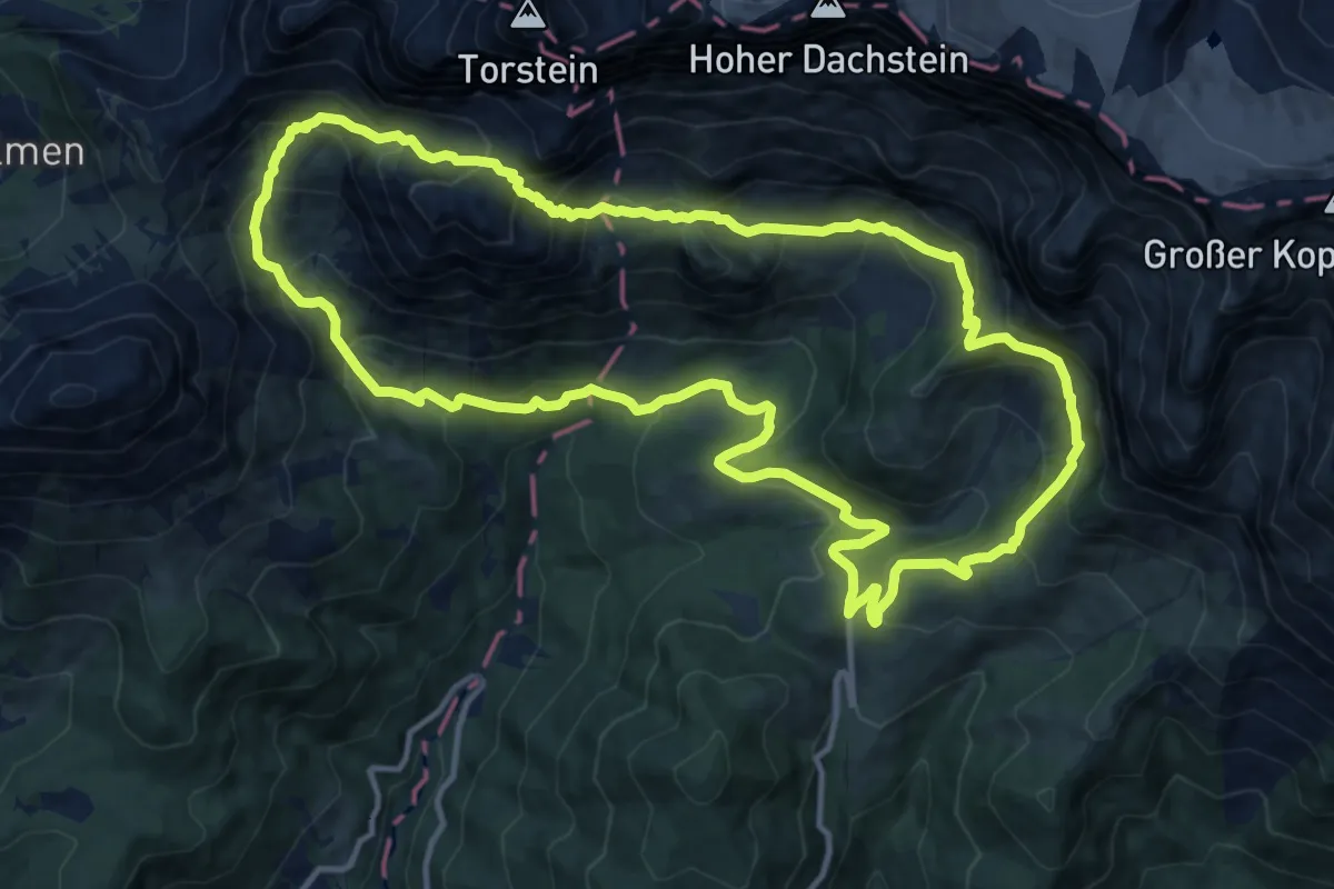
Demanding · Trail
Torwanderung
13.4 km · ↑ 875 m · 5 h 15 min
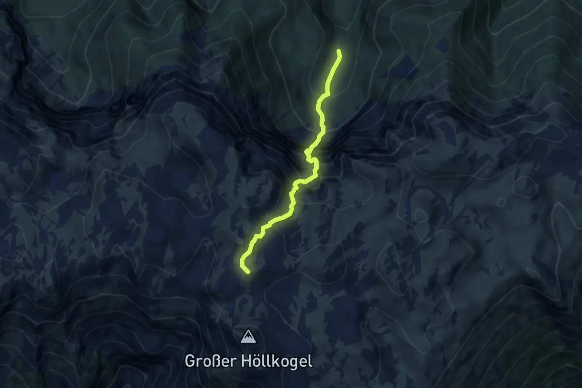
Expert · Summit
Totengraben, grosser
5.9 km · ↑ 966 m · 3 h 29 min
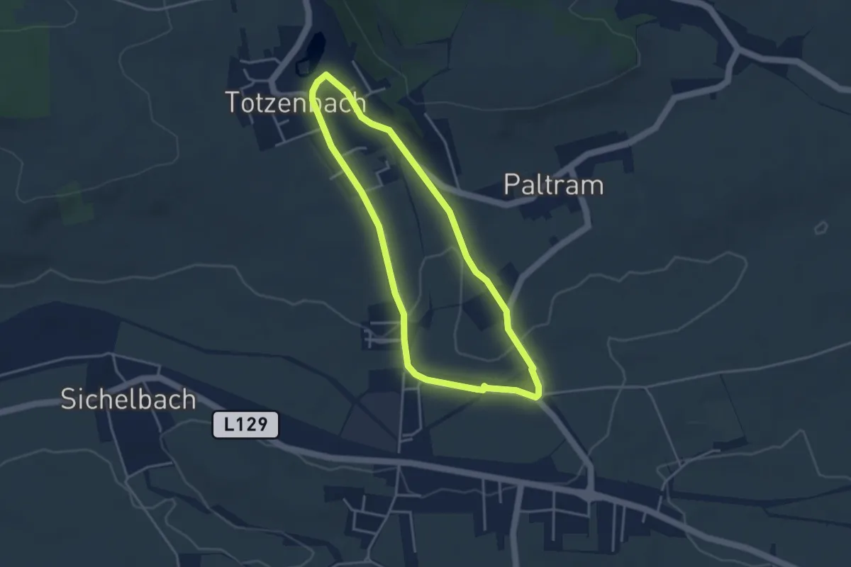
Easy · Trail
Totzenbach - Clementinum
3.3 km · ↑ 22 m · 53 min
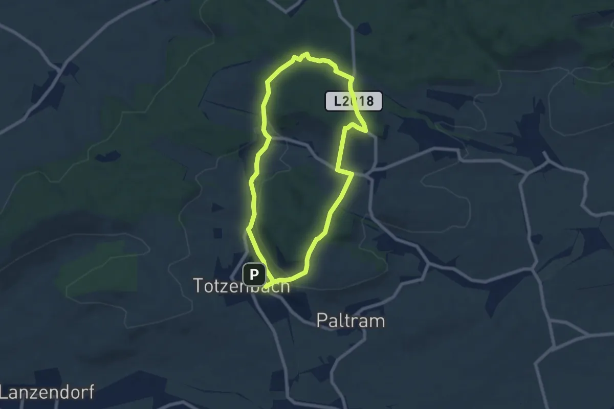
Easy · Trail
Totzenbach - Riesenfichte
5.8 km · ↑ 118 m · 1 h 42 min