Trails in Austria
9,777 hiking trails, each with its route, climb, walking time and grade.
All trails, page 117 of 204
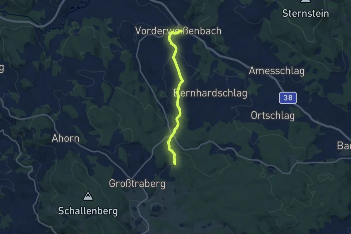
Medium · Trail
Trabergrunde
8.9 km · ↑ 233 m · 2 h 37 min
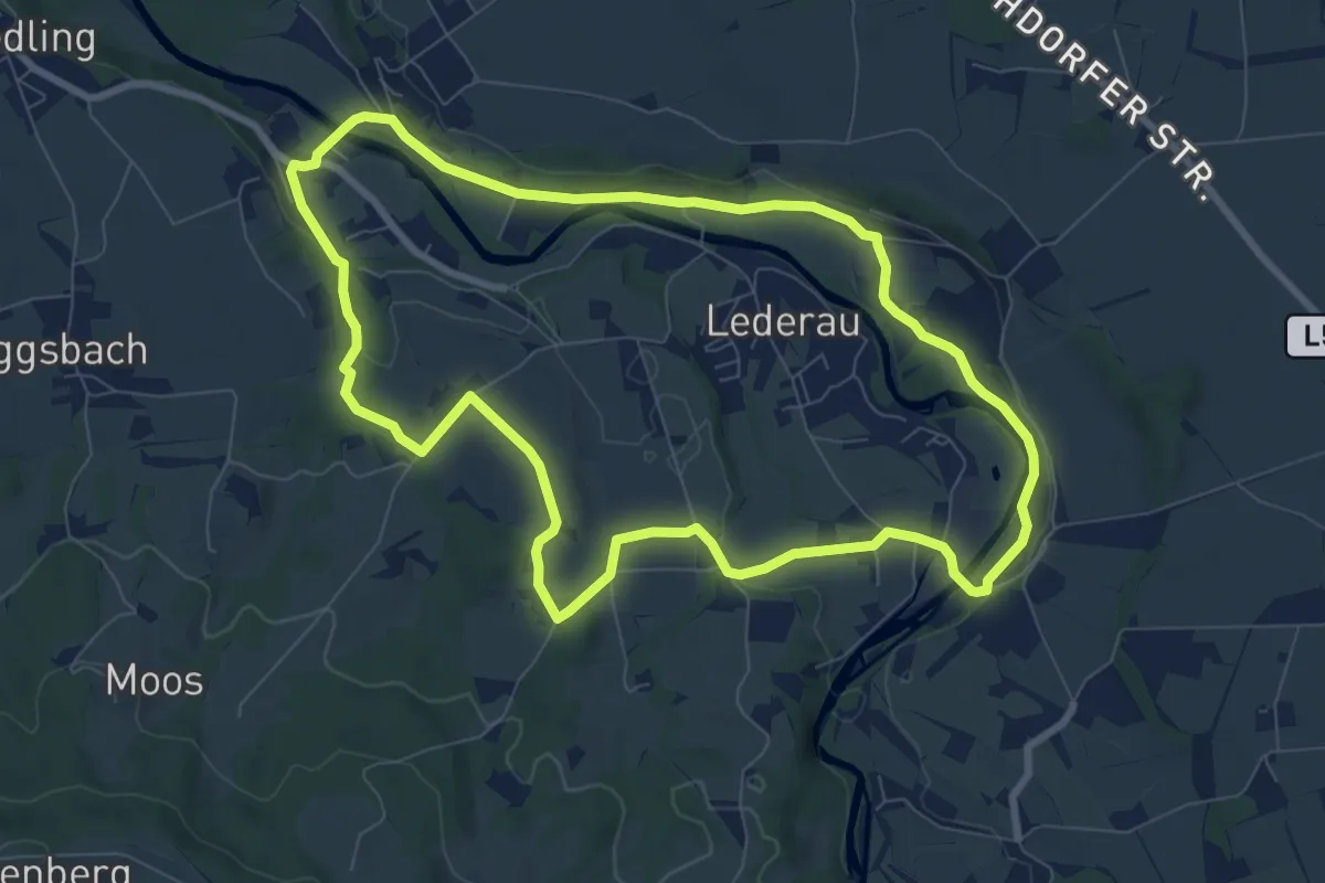
Medium · Trail
Trachtenvereinweg
8.2 km · ↑ 74 m · 2 h 13 min
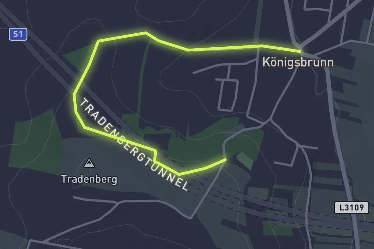
Easy · Trail
Tradenbergweg
3.9 km · ↑ 84 m · 1 h 6 min
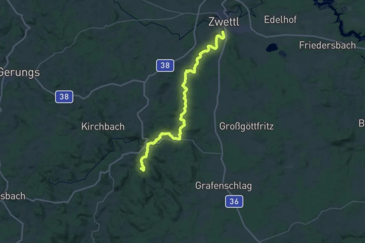
Medium · Trail
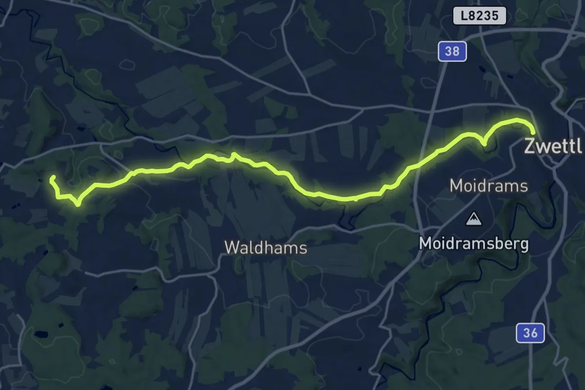
Traditioneller Wanderweg 1
16.8 km · ↑ 252 m · 4 h 39 min
Demanding · Trail
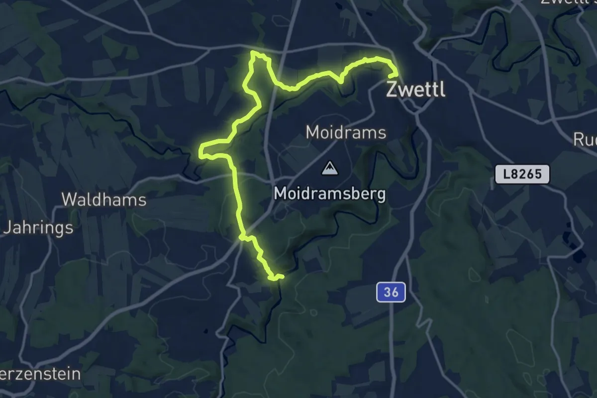
Traditioneller Wanderweg 11
18.0 km · ↑ 254 m · 4 h 48 min
Medium · Trail
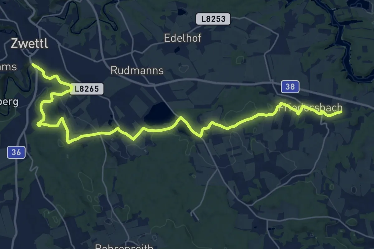
Traditioneller Wanderweg 12
15.3 km · ↑ 379 m · 4 h 26 min
Demanding · Trail
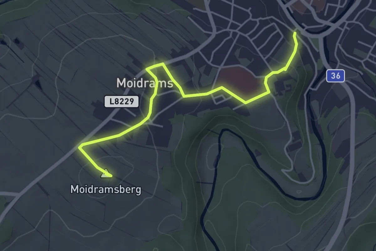
Traditioneller Wanderweg 13
26.6 km · ↑ 378 m · 7 h 6 min
Easy · Summit
Traditioneller Wanderweg 2 über Kaltenbrunnerfelsen
4.6 km · ↑ 133 m · 1 h 22 min
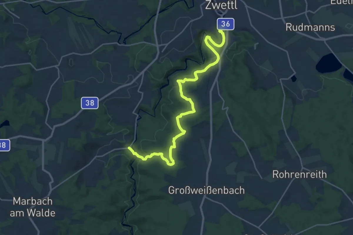
Demanding · Trail
Traditioneller Wanderweg 3 Zwettl-Uttissenbach
18.8 km · ↑ 509 m · 5 h 32 min
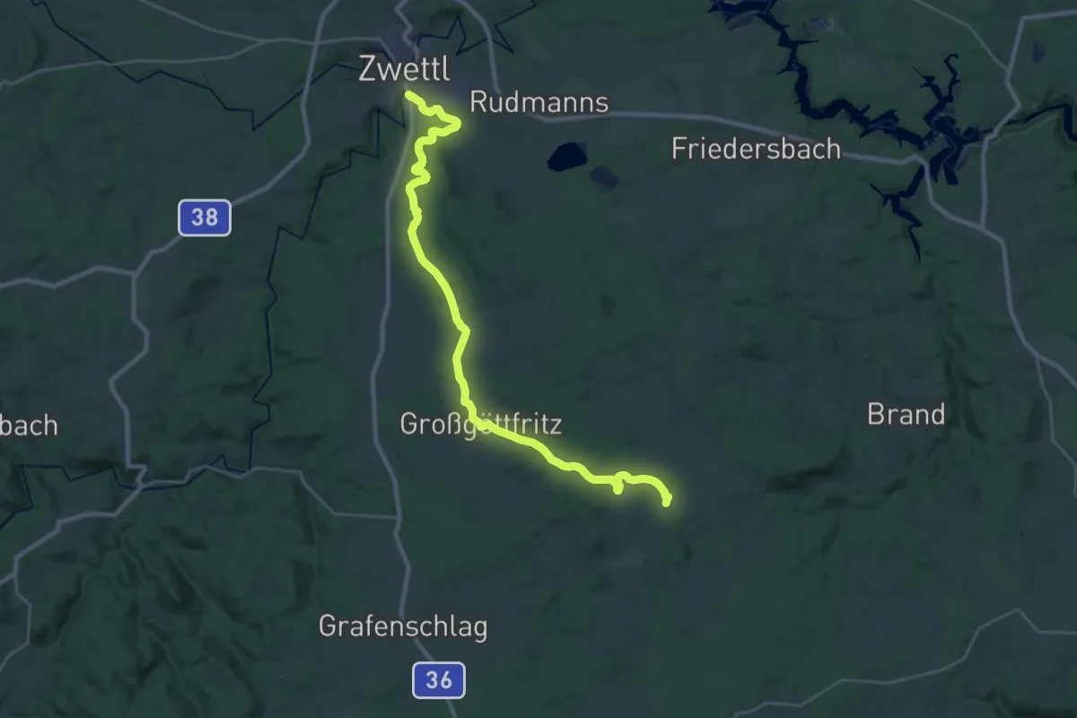
Demanding · Trail
Traditioneller Wanderweg 7
29.1 km · ↑ 425 m · 7 h 48 min
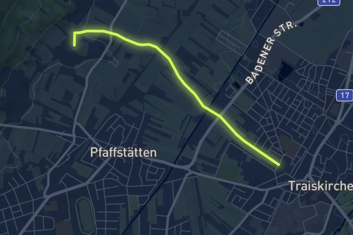
Easy · Summit
Traiskirchen, Südbahnweg II - Wiener Hochquellleitung
6.1 km · ↑ 72 m · 1 h 36 min
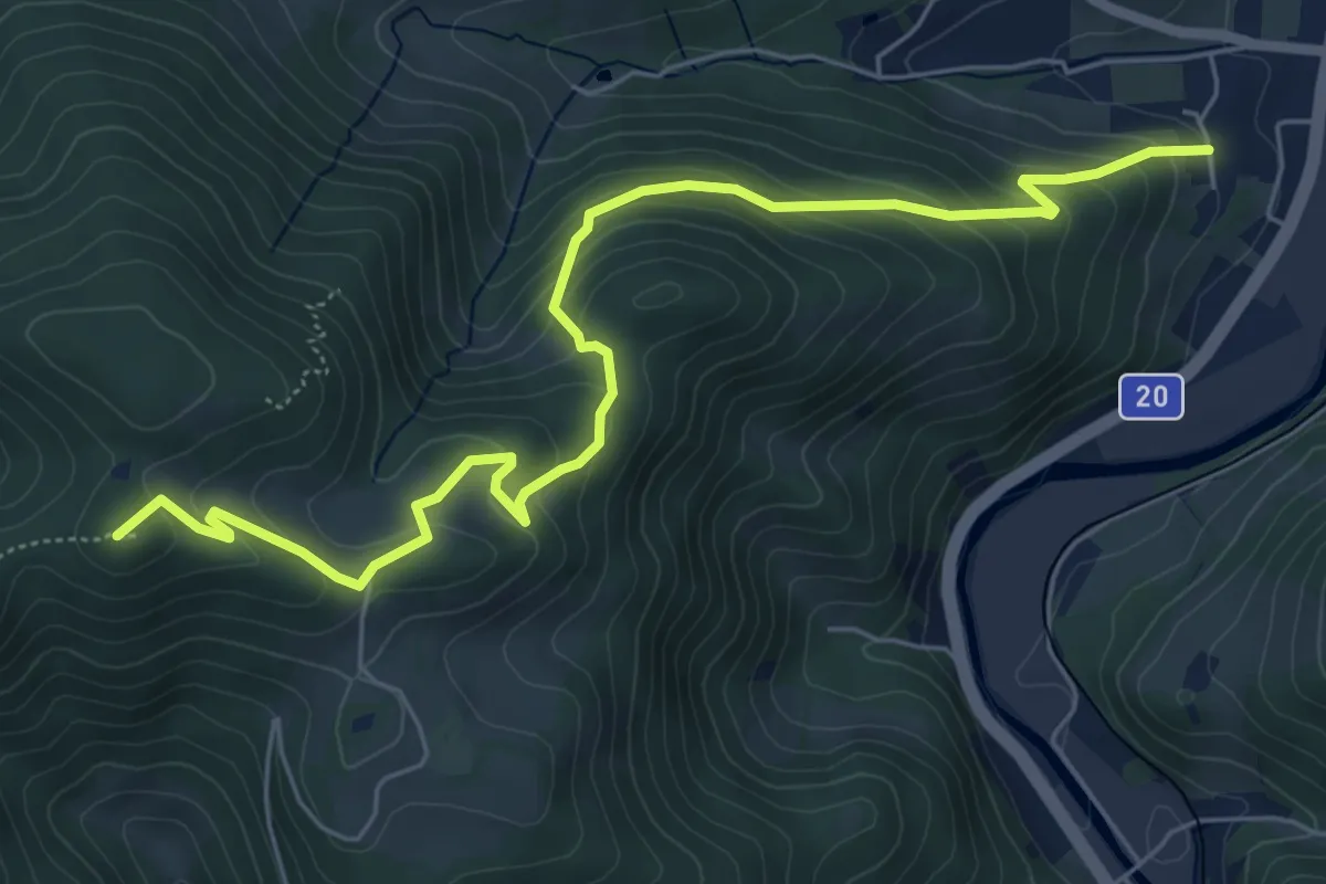
Medium · Summit
Traisner Rundwanderweg 3
6.8 km · ↑ 417 m · 2 h 30 min
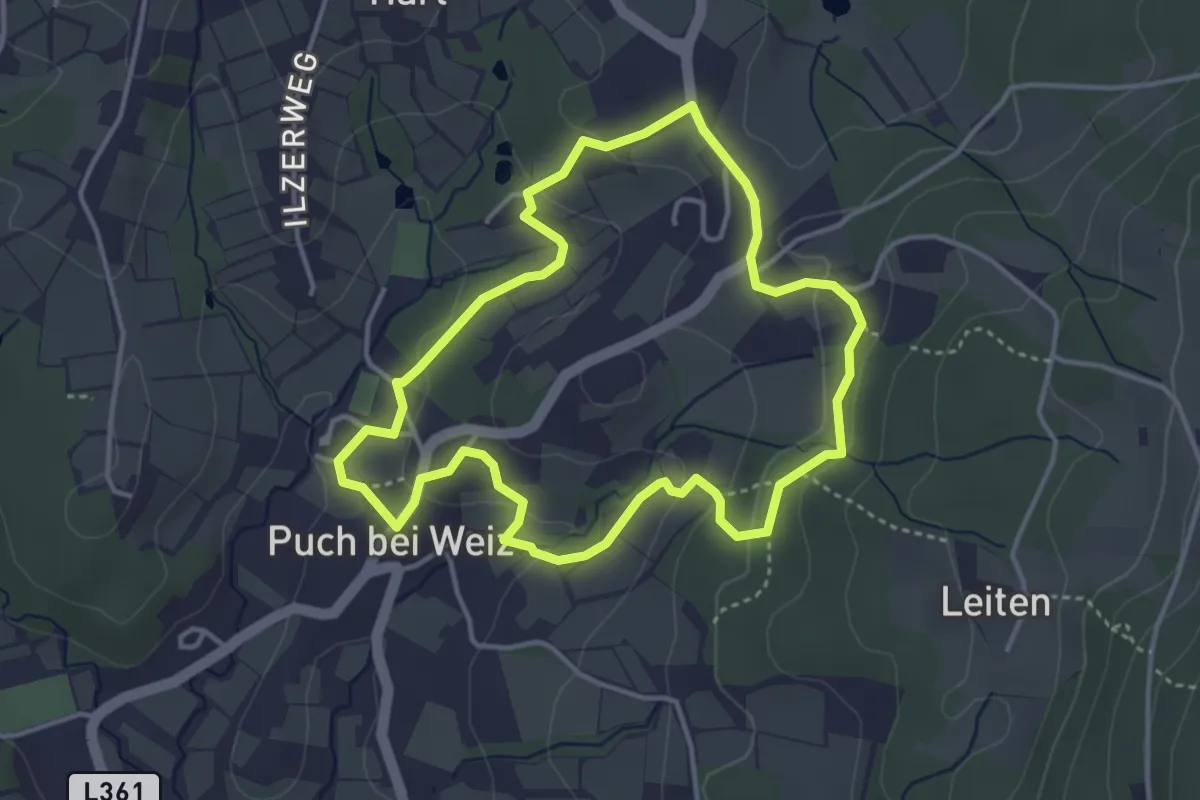
Easy · Trail
Tramway
3.6 km · ↑ 112 m · 1 h 9 min
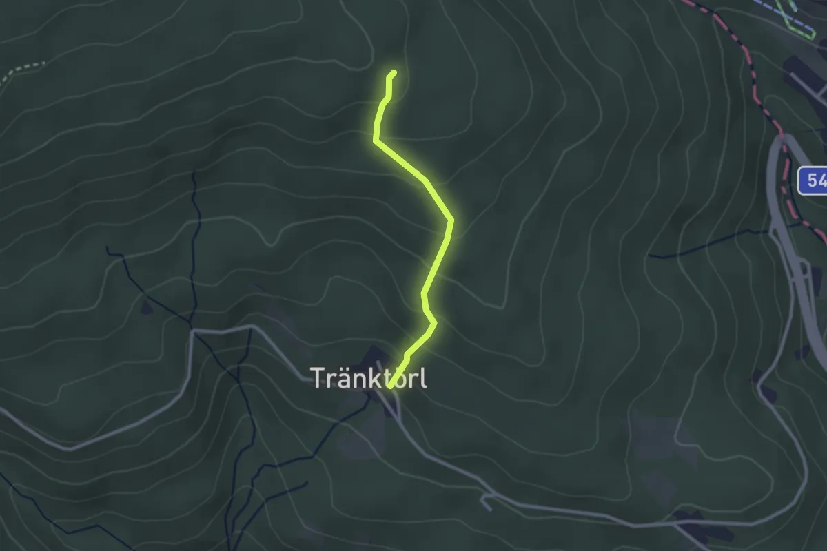
Easy · Trail
Tränktörl - Studentenkreuz
2.1 km · ↑ 165 m · 51 min
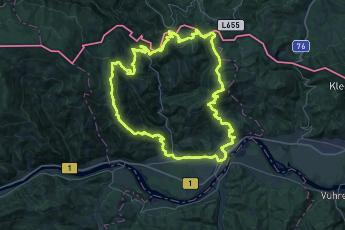
Demanding · Summit
Transverzala okoli Mute
27.5 km · ↑ 1765 m · 10 h 42 min
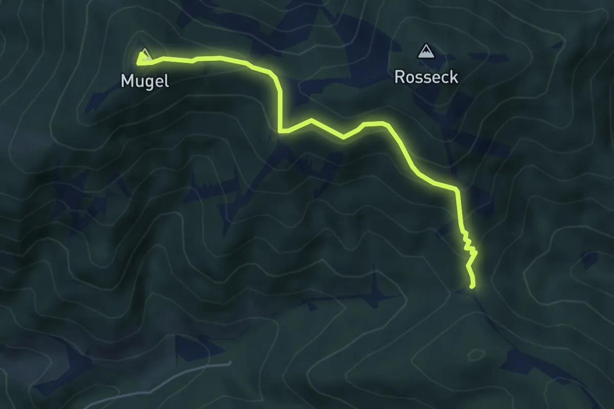
Medium · Summit
Trasattel - Mugelschutzhaus
4.9 km · ↑ 351 m · 1 h 55 min
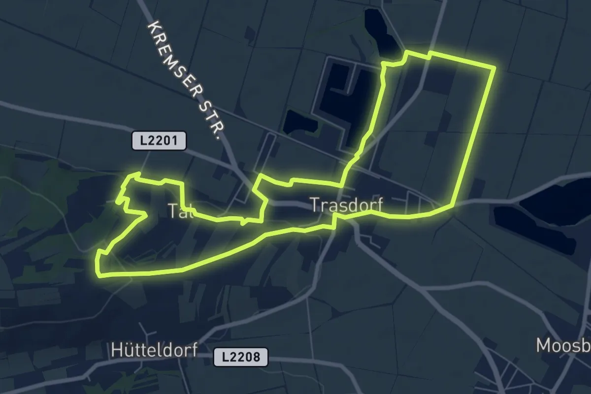
Easy · Trail
Trasdorfrunde
7.8 km · ↑ 104 m · 2 h 10 min
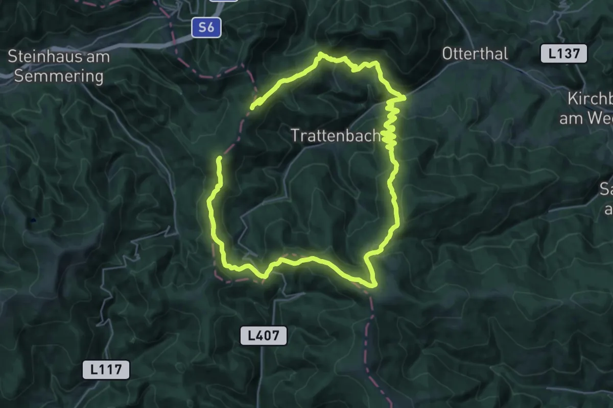
Demanding · Summit
Trattenbach Rundwanderweg T1
24.8 km · ↑ 1033 m · 8 h 27 min
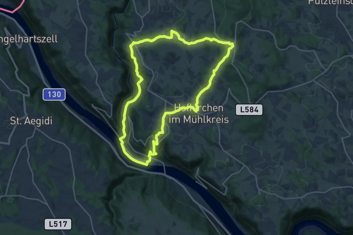
Medium · Trail
Traumblickrunde
15.4 km · ↑ 611 m · 5 h 11 min
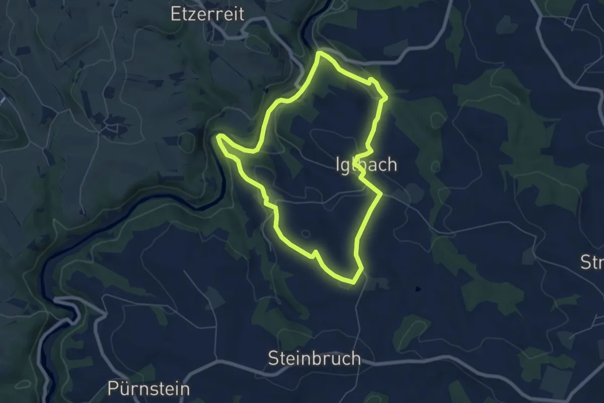
Easy · Trail
Traumweg
5.6 km · ↑ 137 m · 1 h 41 min
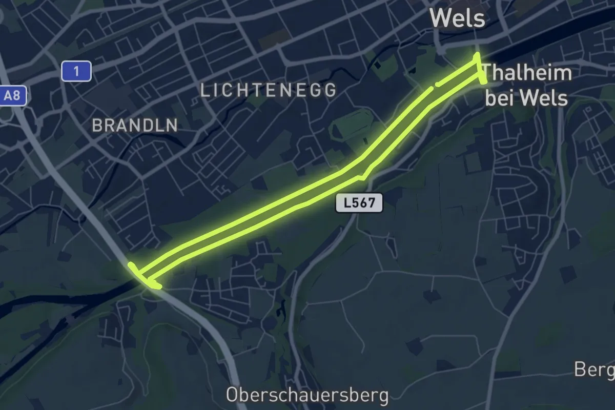
Easy · Trail
Traunufer Runde
6.5 km · ↑ 21 m · 1 h 40 min
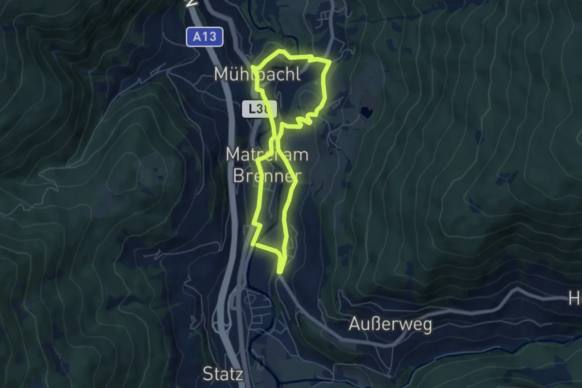
Easy · Trail
Trautson
4.8 km · ↑ 158 m · 1 h 32 min
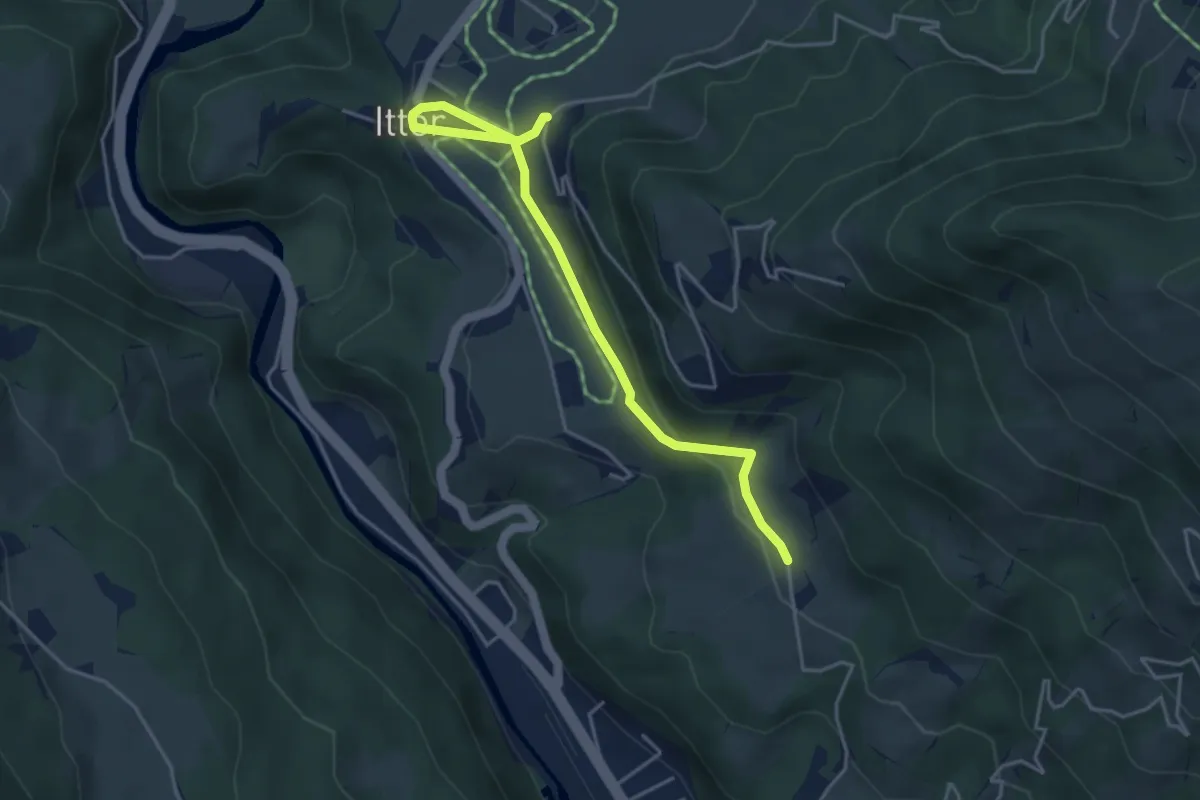
Easy · Trail
Treichl Runde
4.3 km · ↑ 73 m · 1 h 10 min
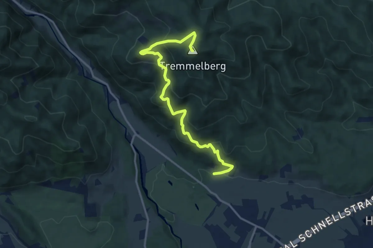
Medium · Summit
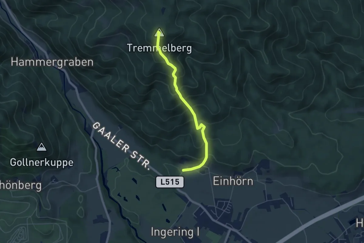
Tremmelberg "Turm im Gebirge" über Vorder-Tremmel
9.2 km · ↑ 492 m · 3 h 14 min
Medium · Summit
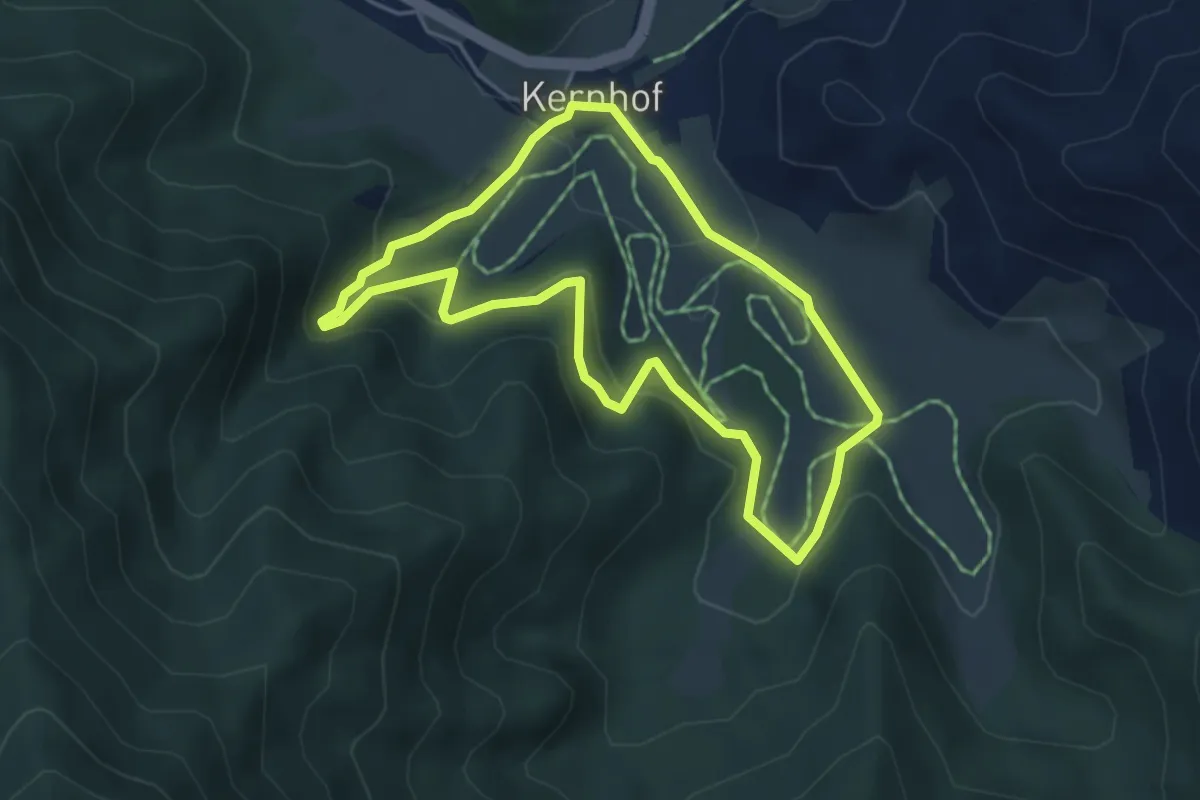
Tremmelberg "Turm im Gebirge" über Wolfsgrube
4.9 km · ↑ 492 m · 2 h 14 min
Easy · Trail
Trenk-Wasserfallweg
4.1 km · ↑ 111 m · 1 h 16 min
Demanding · Trail
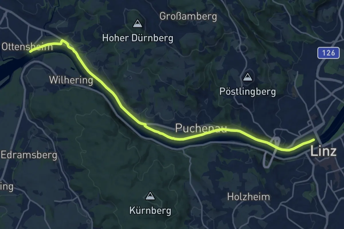
Treppelweg
18.7 km · ↑ 14 m · 4 h 26 min
Expert · Summit
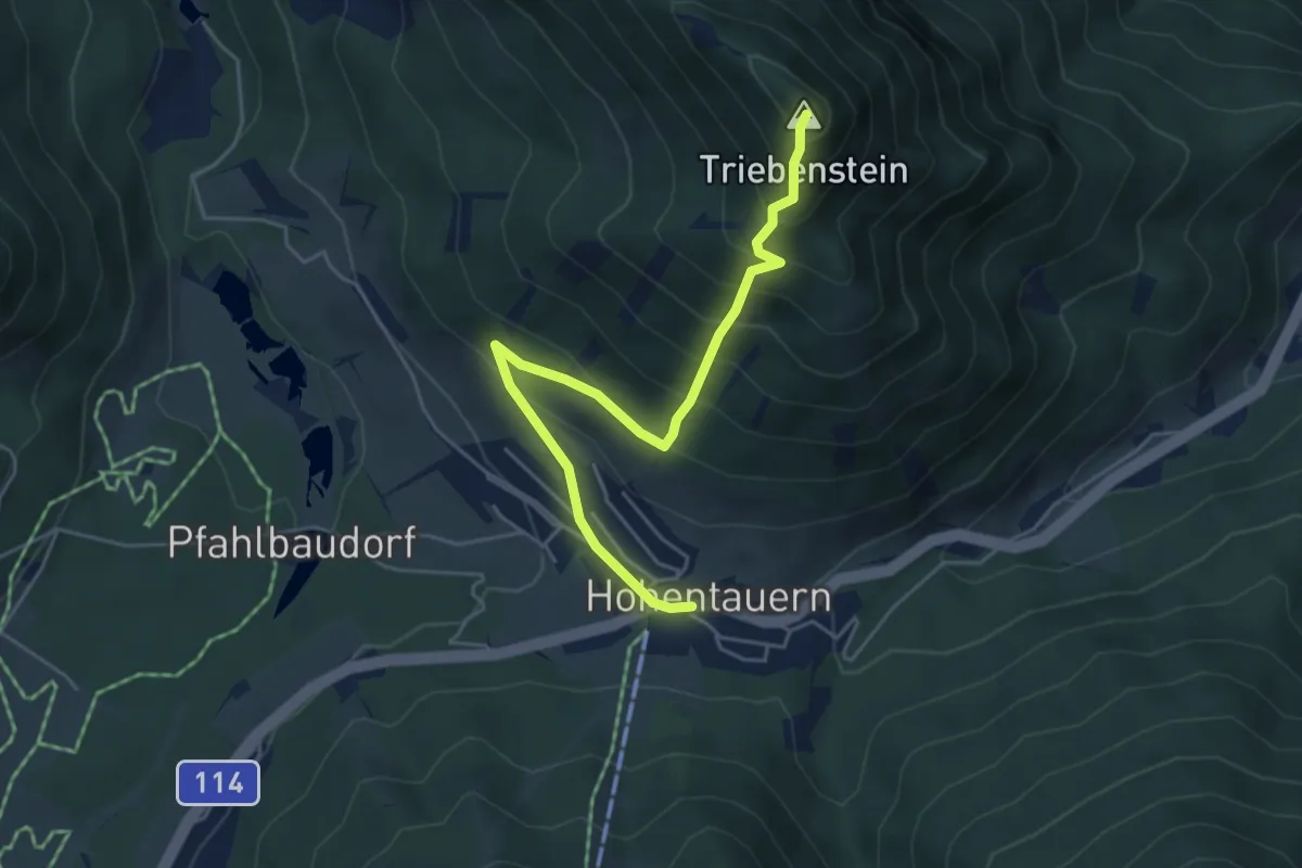
Triebenstein
5.0 km · ↑ 532 m · 2 h 20 min
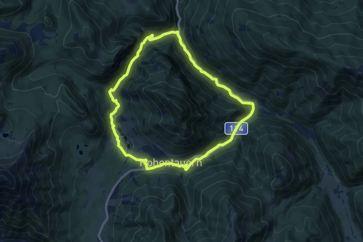
Medium · Trail
Triebensteinumrundung
12.3 km · ↑ 371 m · 3 h 53 min
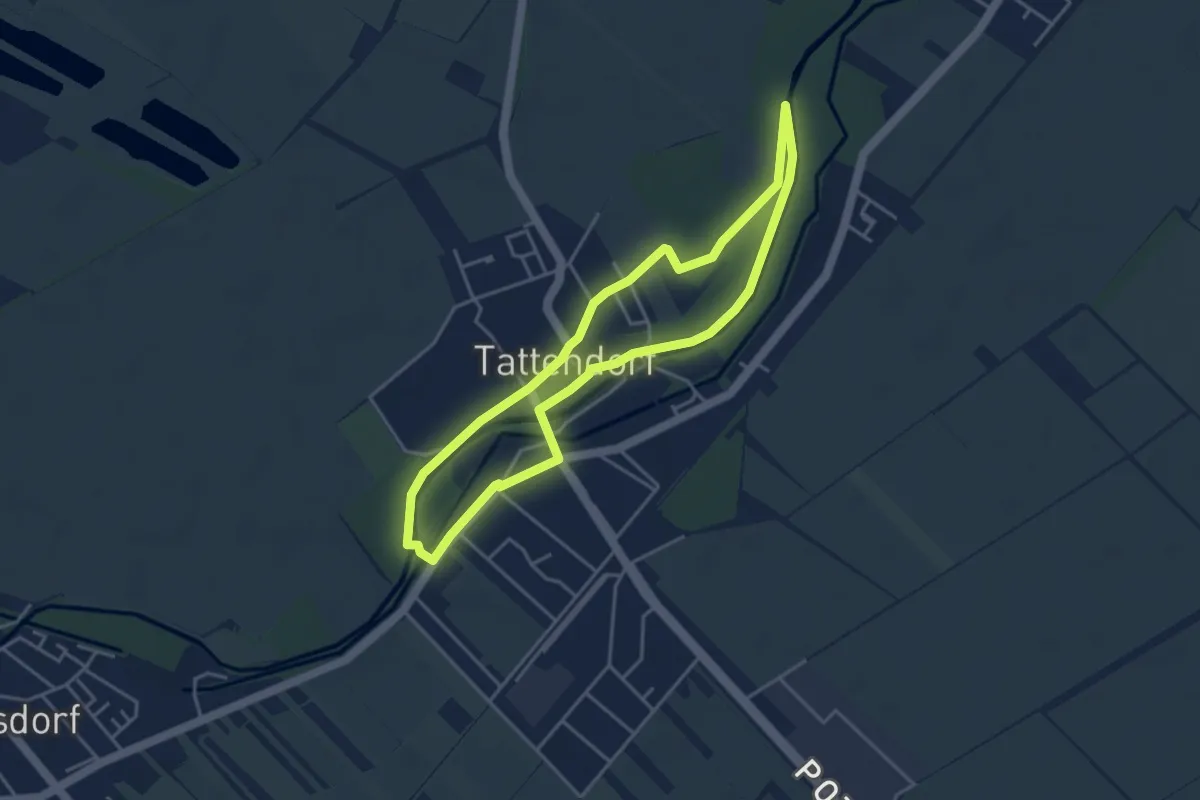
Easy · Trail
Triestingau-Wanderweg
3.7 km · ↑ 8 m · 57 min
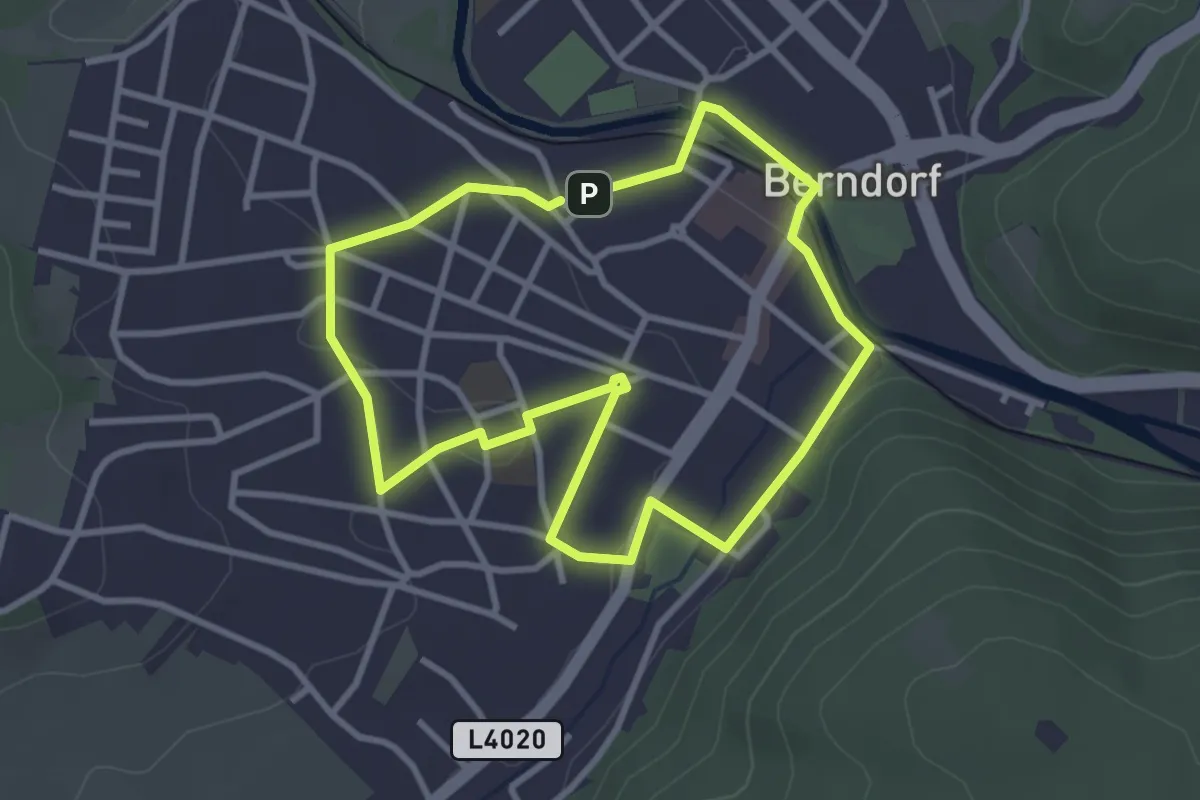
Easy · Trail
TRI Runde (Berndorf)
2.9 km · ↑ 31 m · 47 min
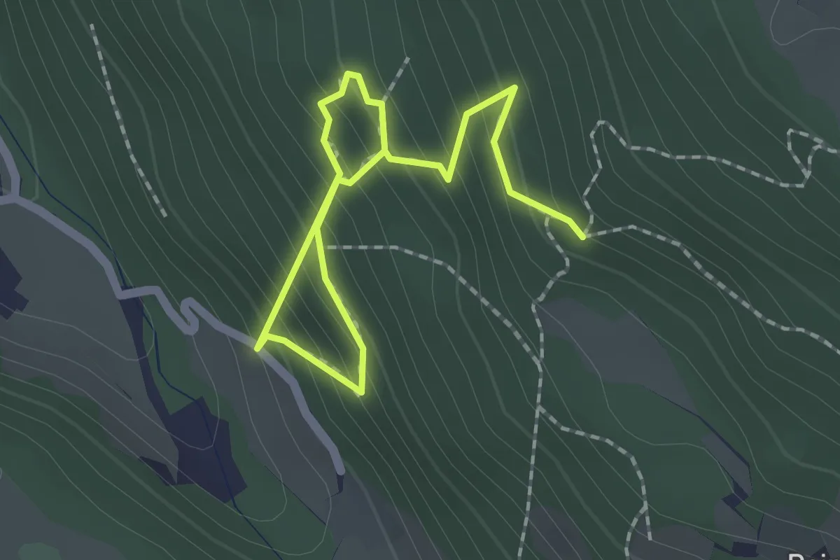
Expert · Trail
Trockene Klamm
2.4 km · ↑ 309 m · 1 h 14 min
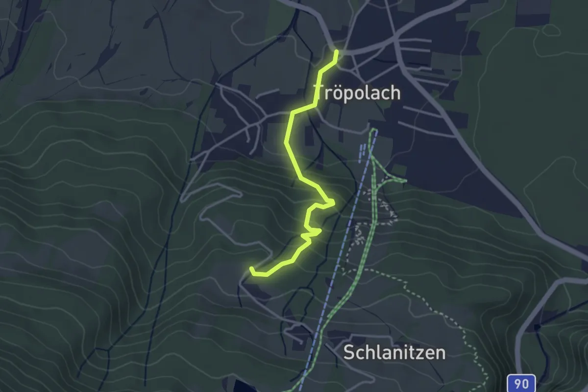
Easy · Trail
Tröpolach - Kirche St. Leonhard
3.0 km · ↑ 183 m · 1 h 6 min
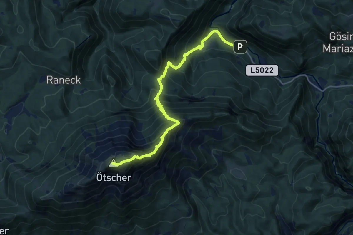
Expert · Summit
Trübenbach - Ötscher (Gipfel)
14.0 km · ↑ 1450 m · 6 h 27 min
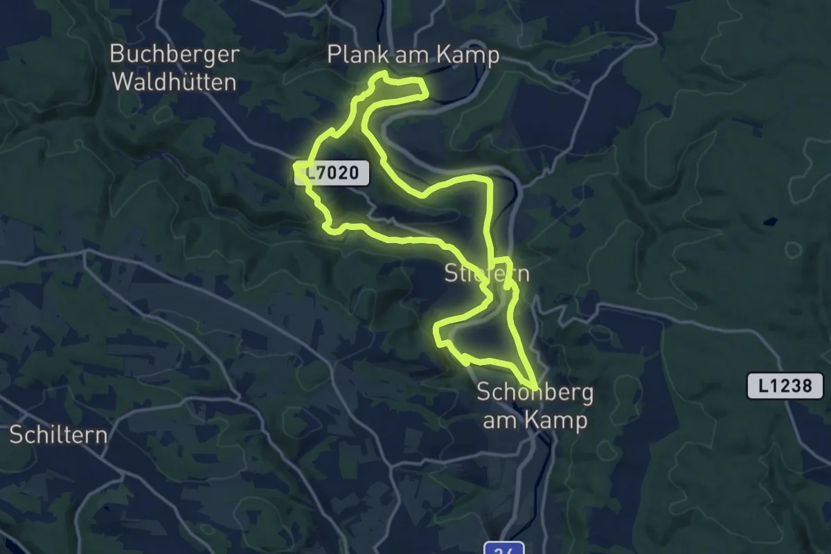
Medium · Summit
Trude-Marzik-Weg
14.0 km · ↑ 289 m · 4 h 7 min
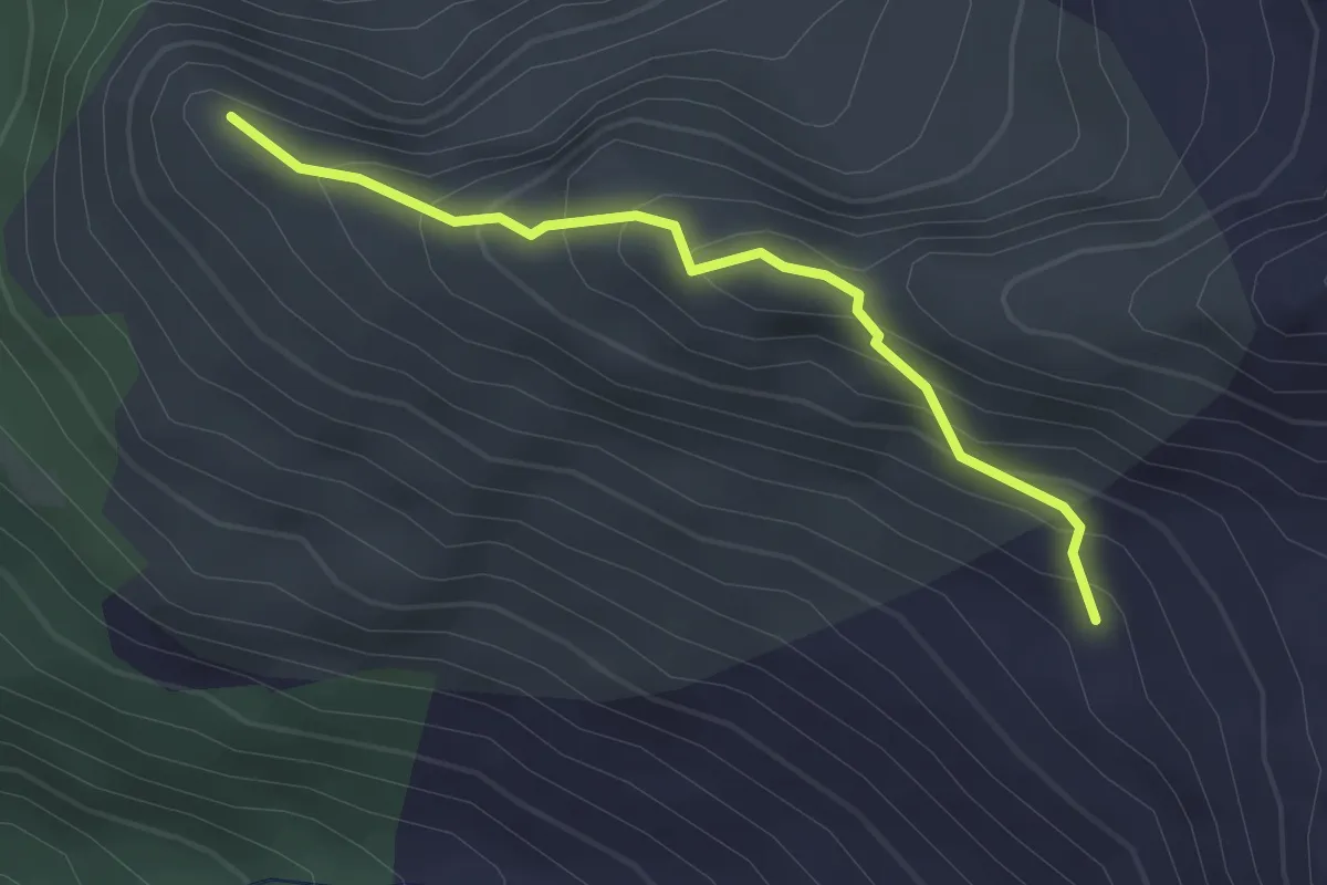
Easy · Summit
Trumpf Variante Sommerwandköpfl
2.5 km · ↑ 271 m · 1 h 10 min
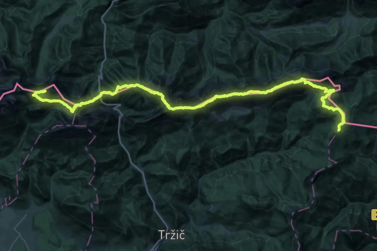
Expert · Summit
Tržiška planinska pot
54.1 km · ↑ 5676 m · 25 h 4 min
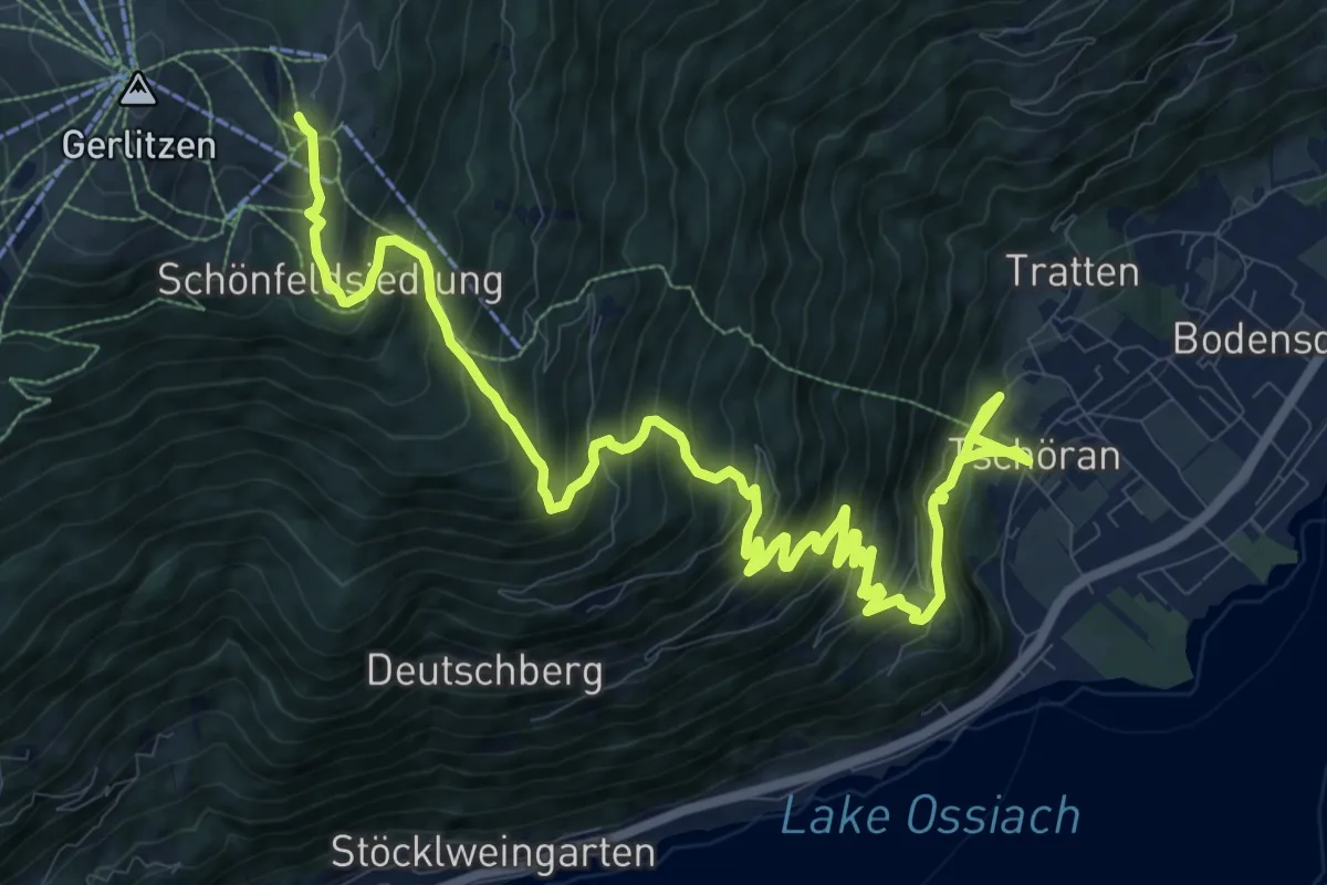
Demanding · Trail
Tschöran-Gerlitzen
15.8 km · ↑ 1279 m · 6 h 30 min
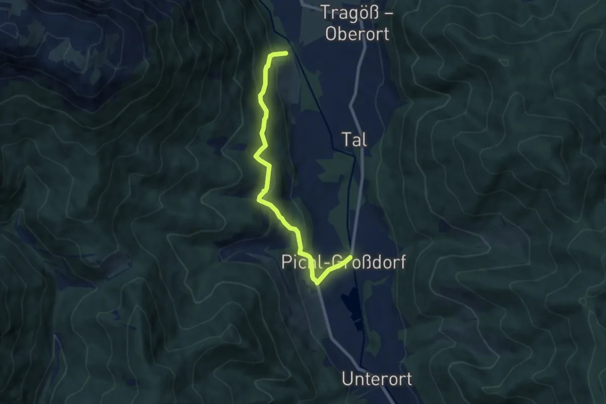
Medium · Trail
Tuffweg
7.3 km · ↑ 333 m · 2 h 26 min
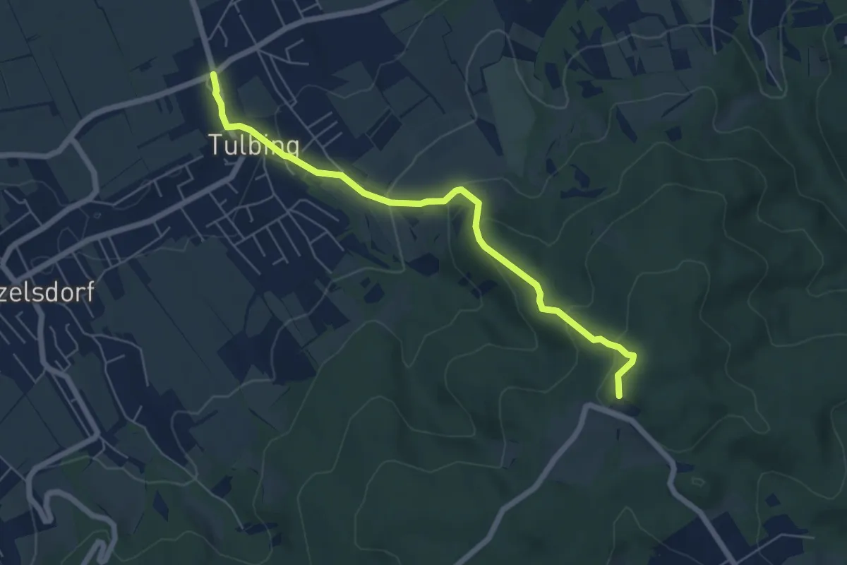
Easy · Trail
Tulbing - Tulbingerkogel/Hotel
5.8 km · ↑ 286 m · 1 h 59 min
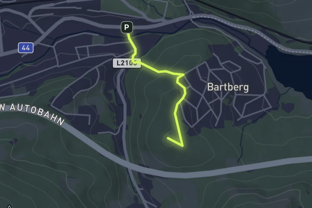
Easy · Summit
Tullnerbach (Bhf Tullnerbach-Preßbaum) - Wolfsgraben
2.6 km · ↑ 83 m · 47 min
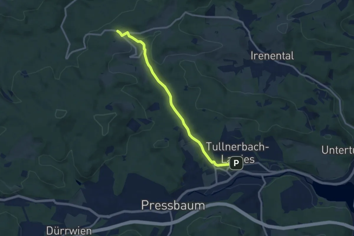
Easy · Trail
Tullnerbach Pressbaum Bahnhof - Rauchengern
7.5 km · ↑ 113 m · 2 h 1 min
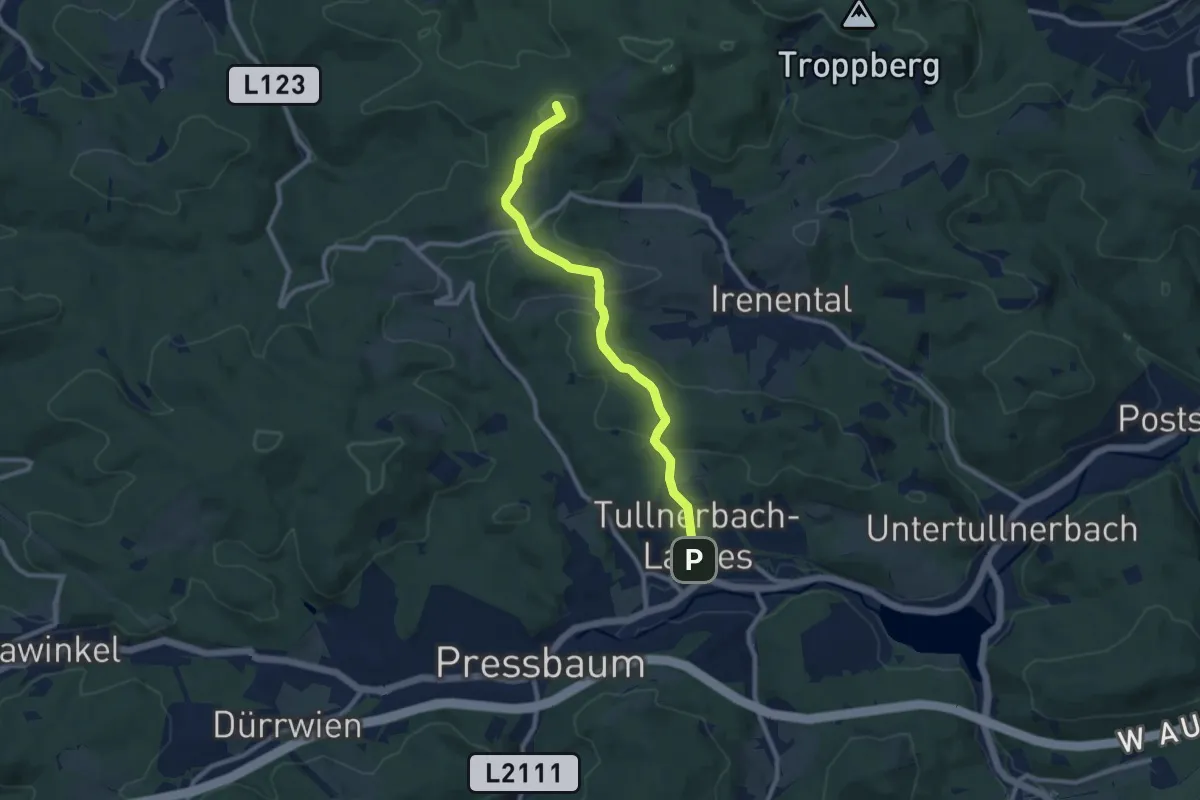
Medium · Summit
Tullnerbach Pressbaum Bahnhof - Strohzogl/Wienerwaldhof Rieger
8.9 km · ↑ 289 m · 2 h 43 min
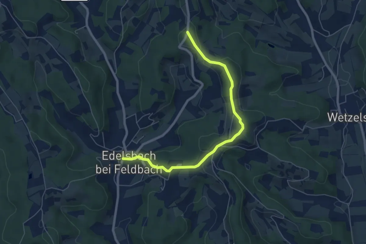
Easy · Trail
Tulpenwanderweg
3.0 km · ↑ 25 m · 51 min
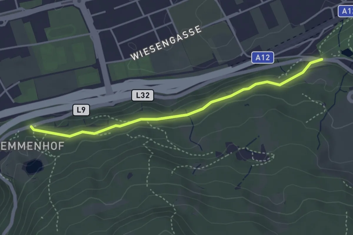
Easy · Trail
Tummelplatzweg
3.6 km · ↑ 97 m · 1 h 3 min
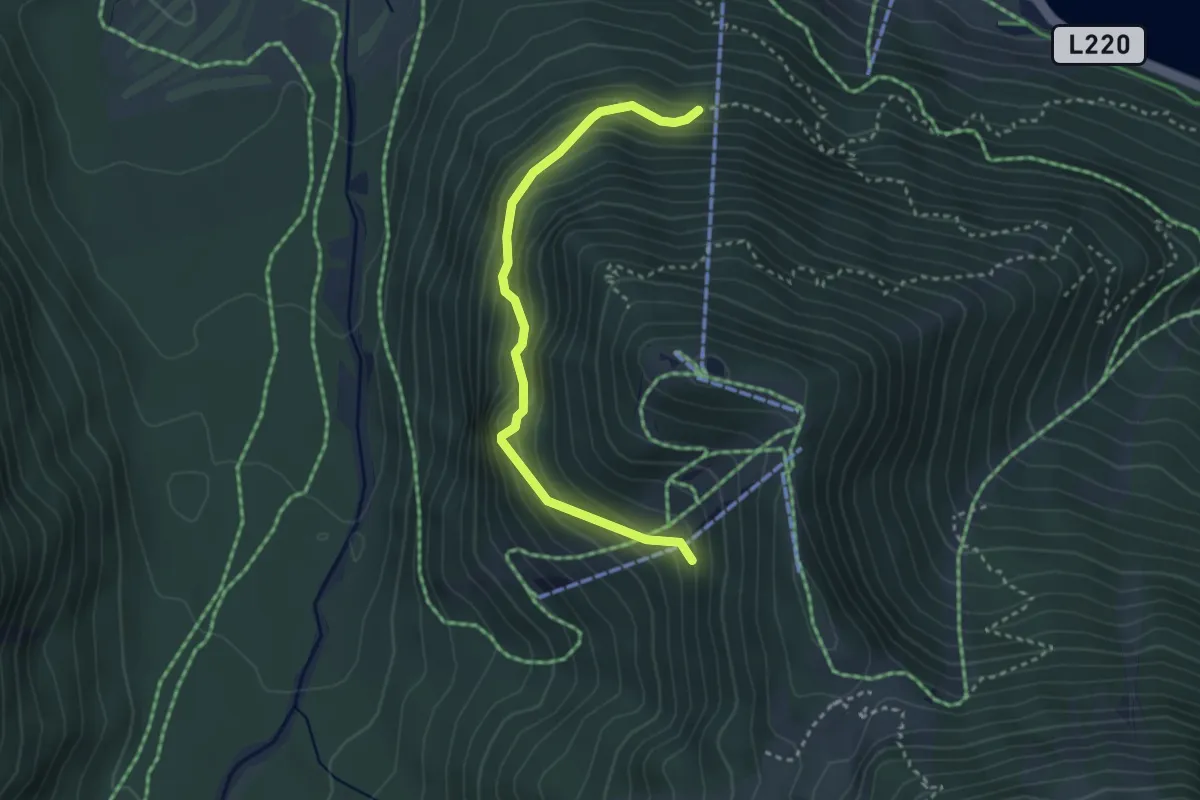
Medium · Trail
Tunnelweg
3.1 km · ↑ 260 m · 1 h 18 min
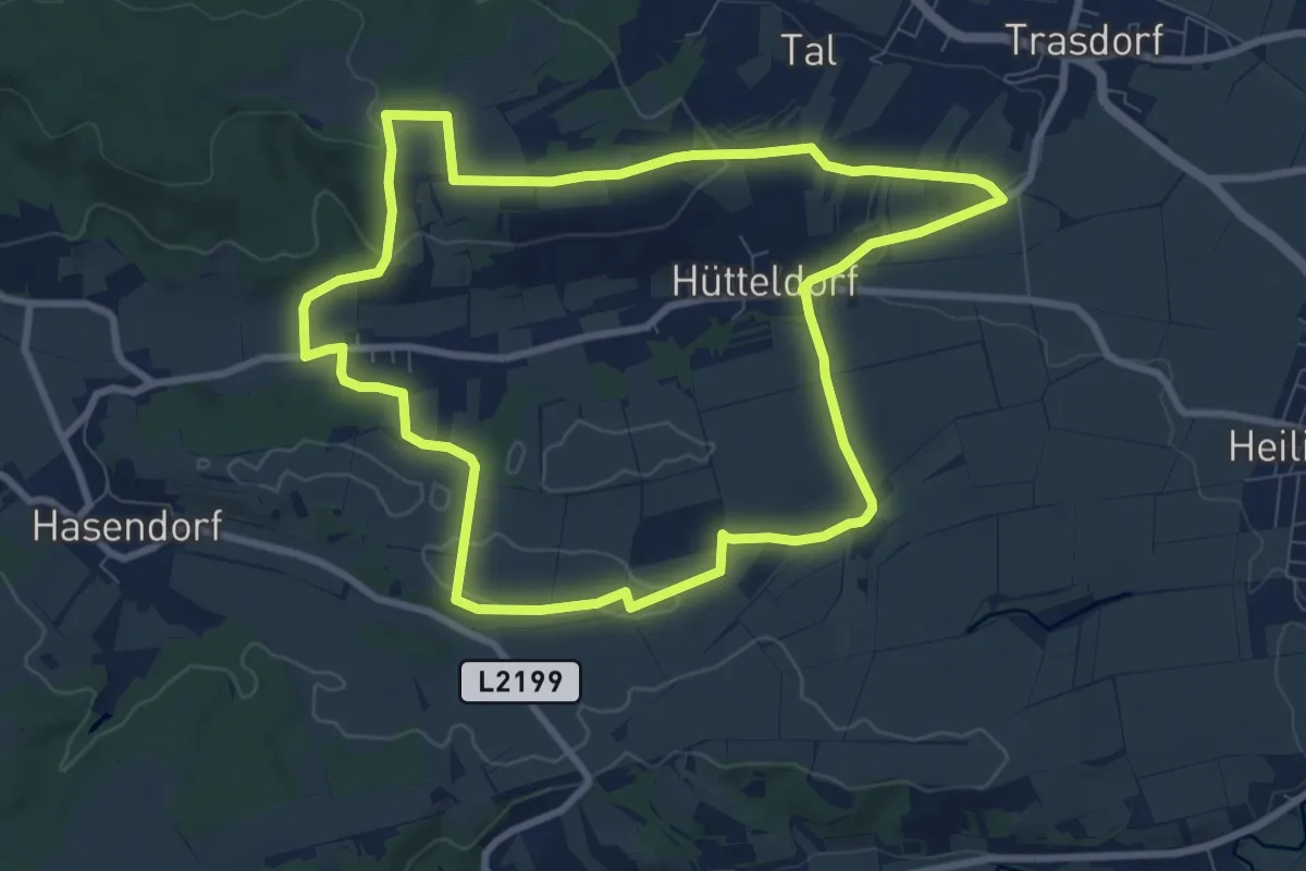
Medium · Trail
Türkenkreuzrunde
8.6 km · ↑ 158 m · 2 h 29 min
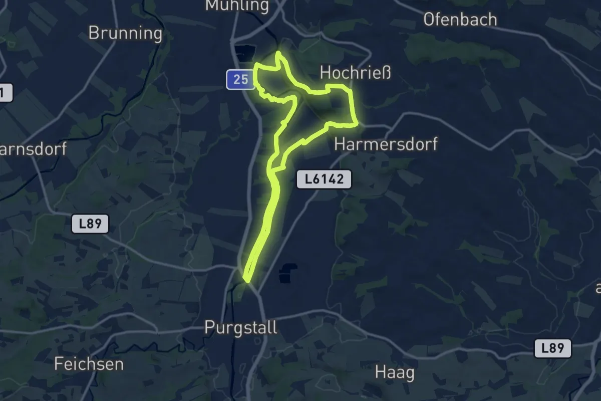
Medium · Summit
Türkensturzrunde
10.4 km · ↑ 133 m · 2 h 54 min