Trails in Austria
9,777 hiking trails, each with its route, climb, walking time and grade.
All trails, page 118 of 204
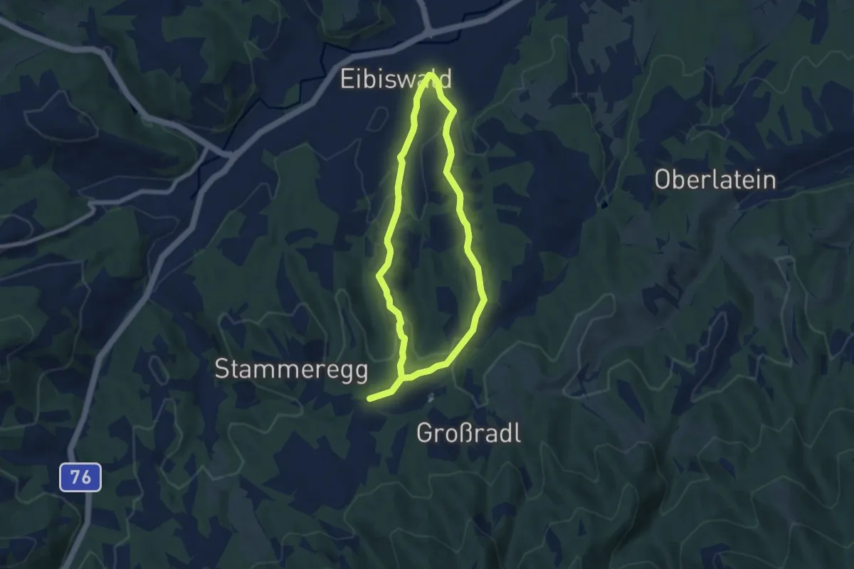
Easy · Trail
Turmbauerweg
5.6 km · ↑ 187 m · 1 h 48 min
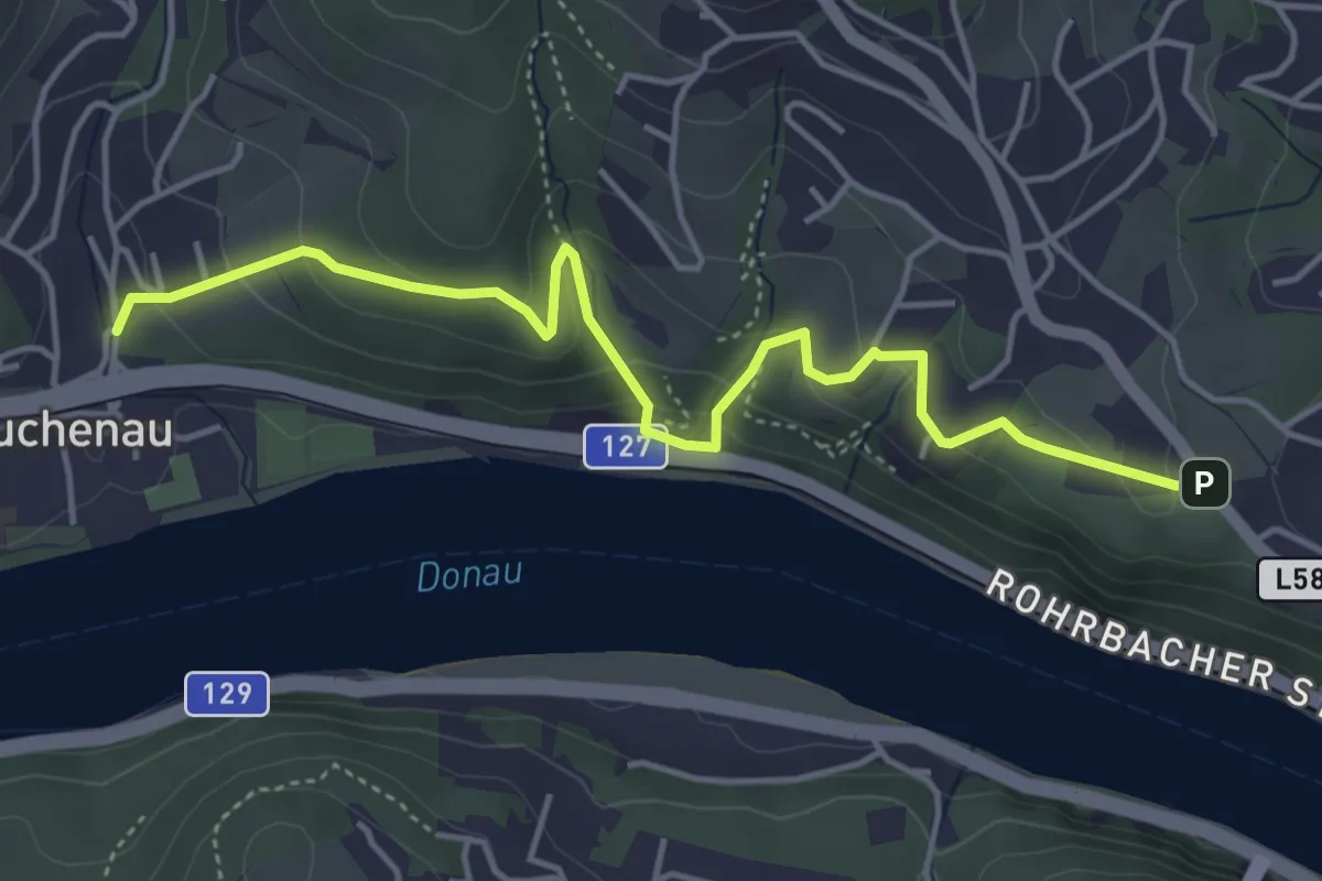
Medium · Trail
Türmeweg
4.7 km · ↑ 249 m · 1 h 39 min
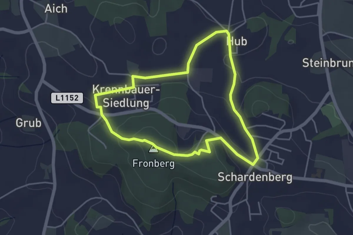
Easy · Summit
Turm Runde
3.4 km · ↑ 92 m · 1 h 3 min
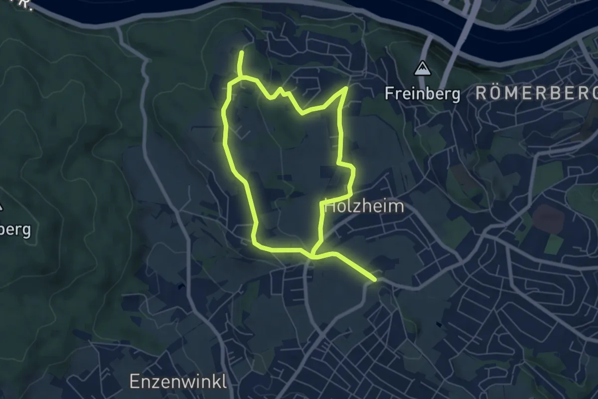
Easy · Trail
Turmwanderweg
5.7 km · ↑ 113 m · 1 h 41 min
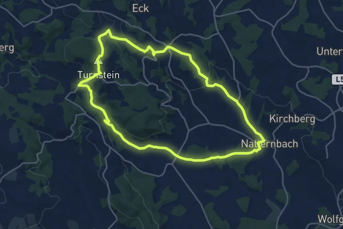
Medium · Summit
Turnstein Rundweg
12.4 km · ↑ 250 m · 3 h 39 min
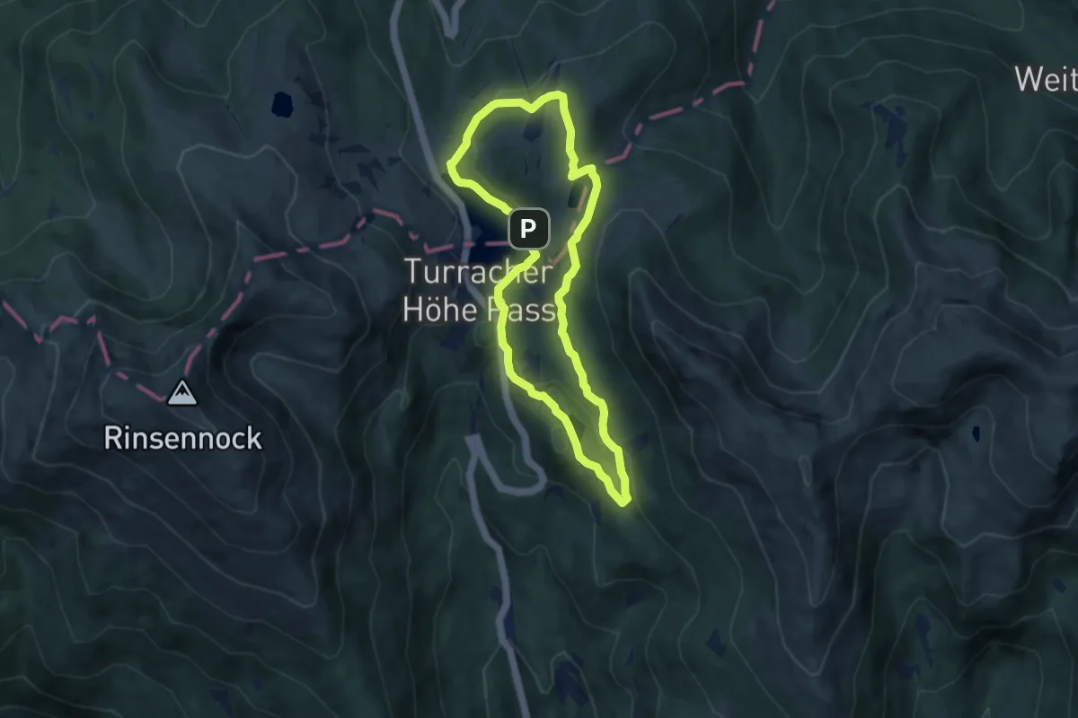
Easy · Summit
Turracher 3-Seen-Weg
6.9 km · ↑ 159 m · 2 h 4 min
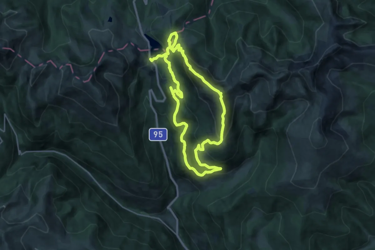
Medium · Summit
Turracher Seen- und Berge-Runde
14.6 km · ↑ 757 m · 5 h 18 min
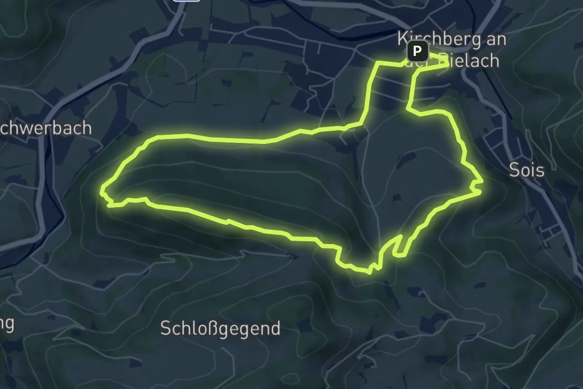
Medium · Trail
Tut Gut 1
7.1 km · ↑ 318 m · 2 h 28 min
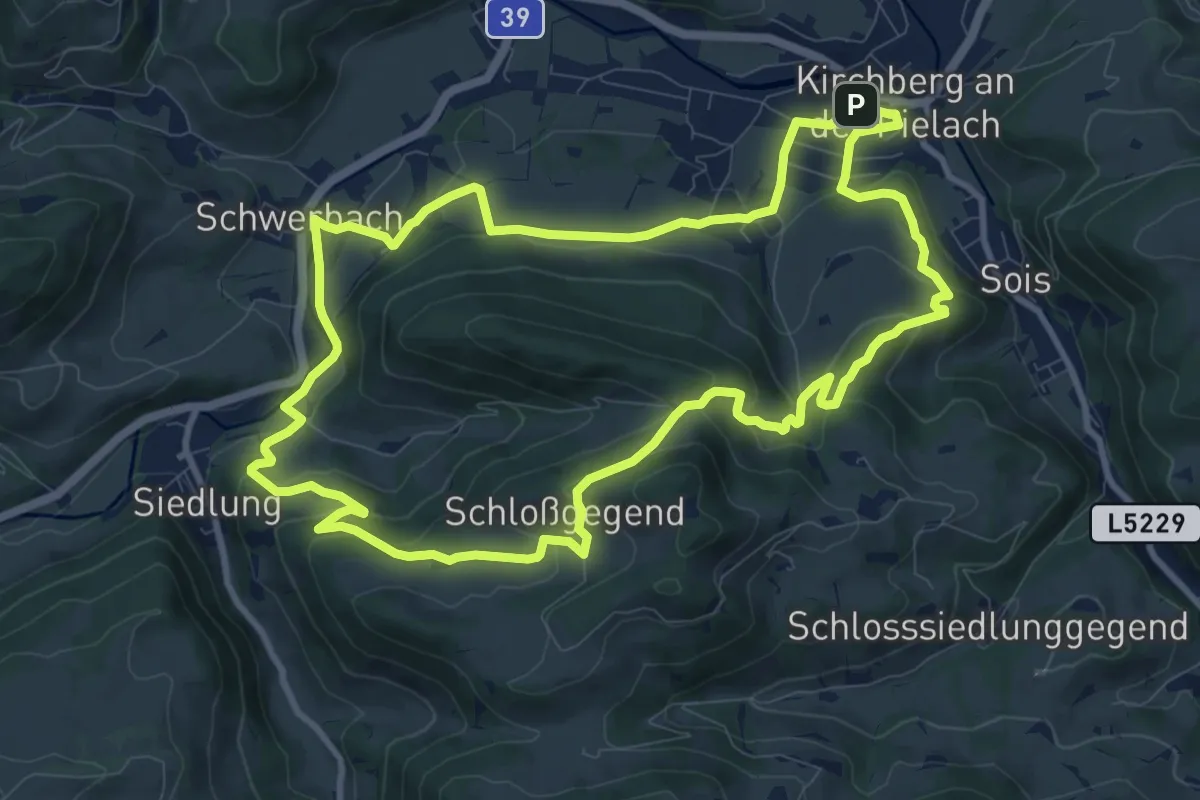
Medium · Trail
Tut Gut 2
10.4 km · ↑ 408 m · 3 h 28 min
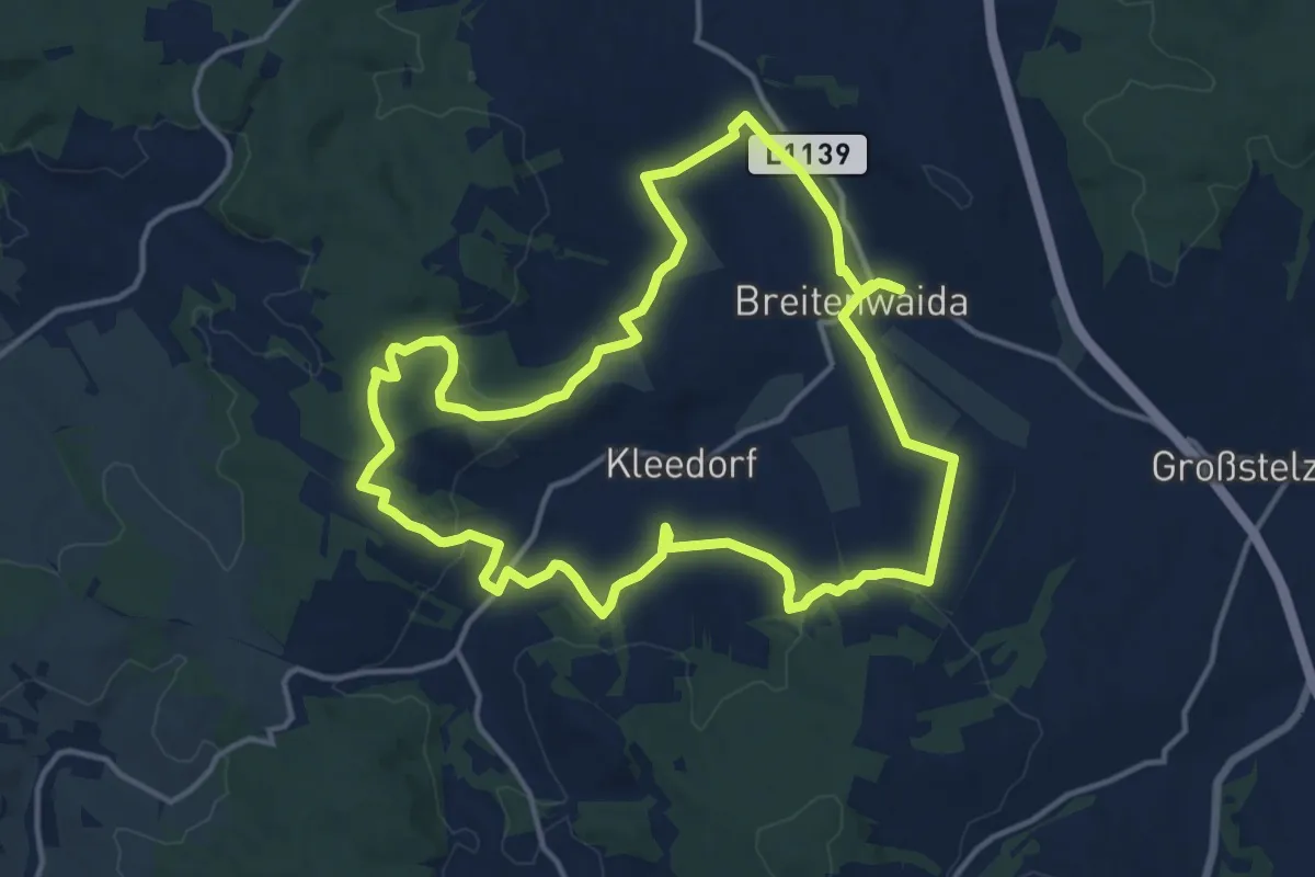
Medium · Trail
Tut Gut - Panoramaweg
14.0 km · ↑ 274 m · 4 h 6 min
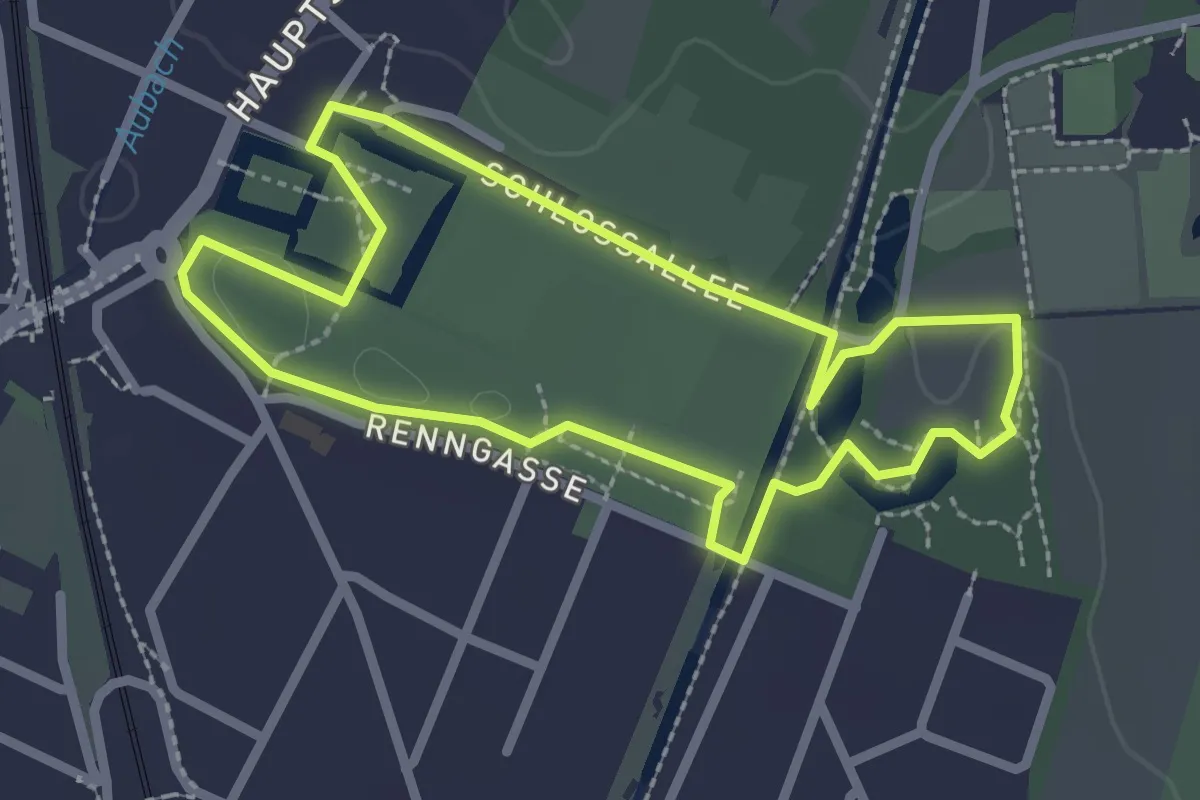
Easy · Trail
tut gut Route 1
2.3 km · ↑ 0 m · 35 min
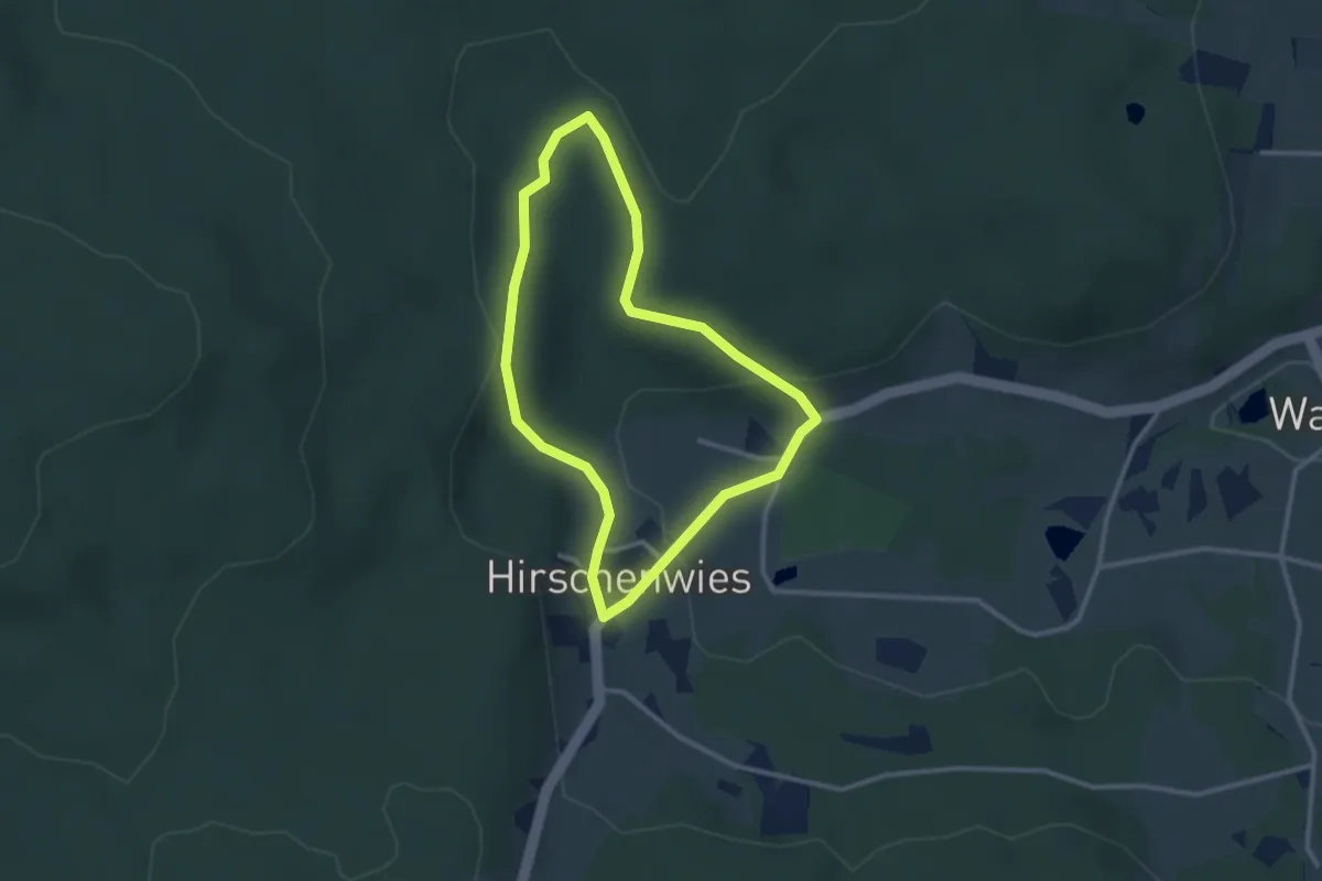
Easy · Trail
tut gut Route 1
2.5 km · ↑ 59 m · 45 min
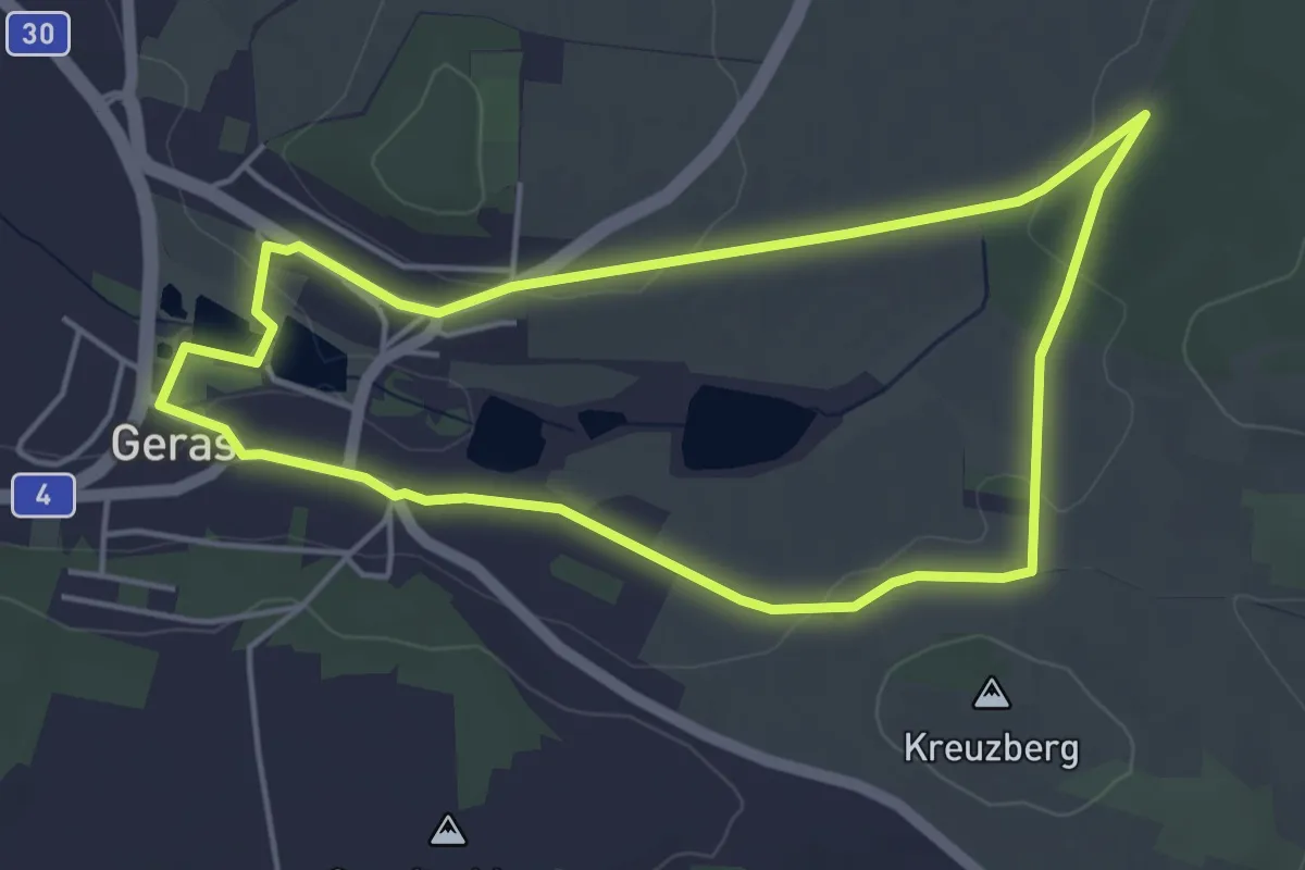
Easy · Trail
tut gut Route 1
4.3 km · ↑ 38 m · 1 h 10 min
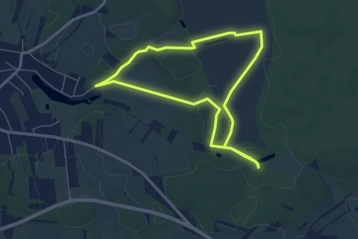
Easy · Trail
tut gut Route 1
4.6 km · ↑ 10 m · 1 h 10 min
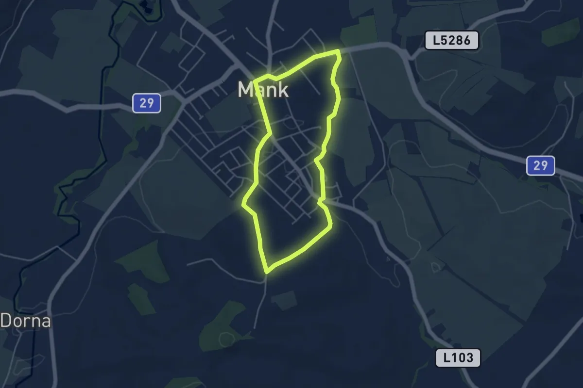
Easy · Trail
tut gut Route 1
3.7 km · ↑ 41 m · 1 h 1 min
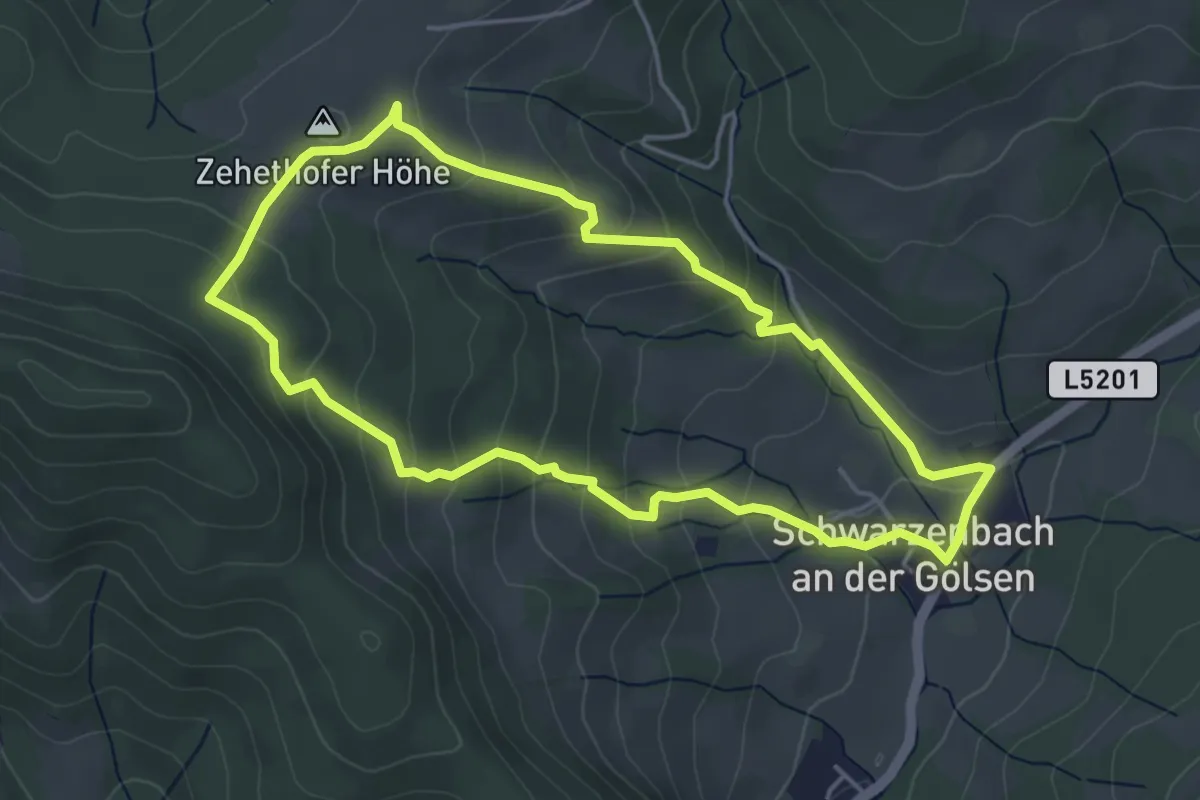
Easy · Summit
tut gut Route 1
4.3 km · ↑ 241 m · 1 h 35 min
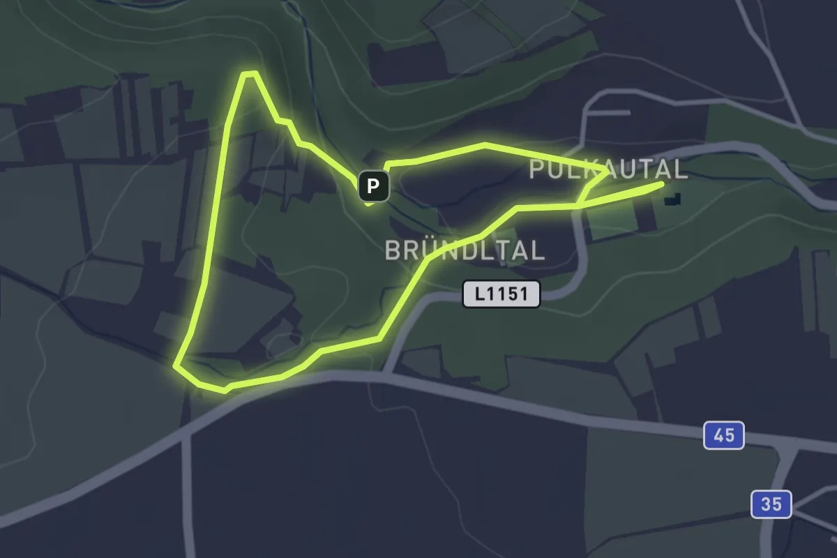
Easy · Trail
Tut gut Route 1
3.0 km · ↑ 79 m · 55 min
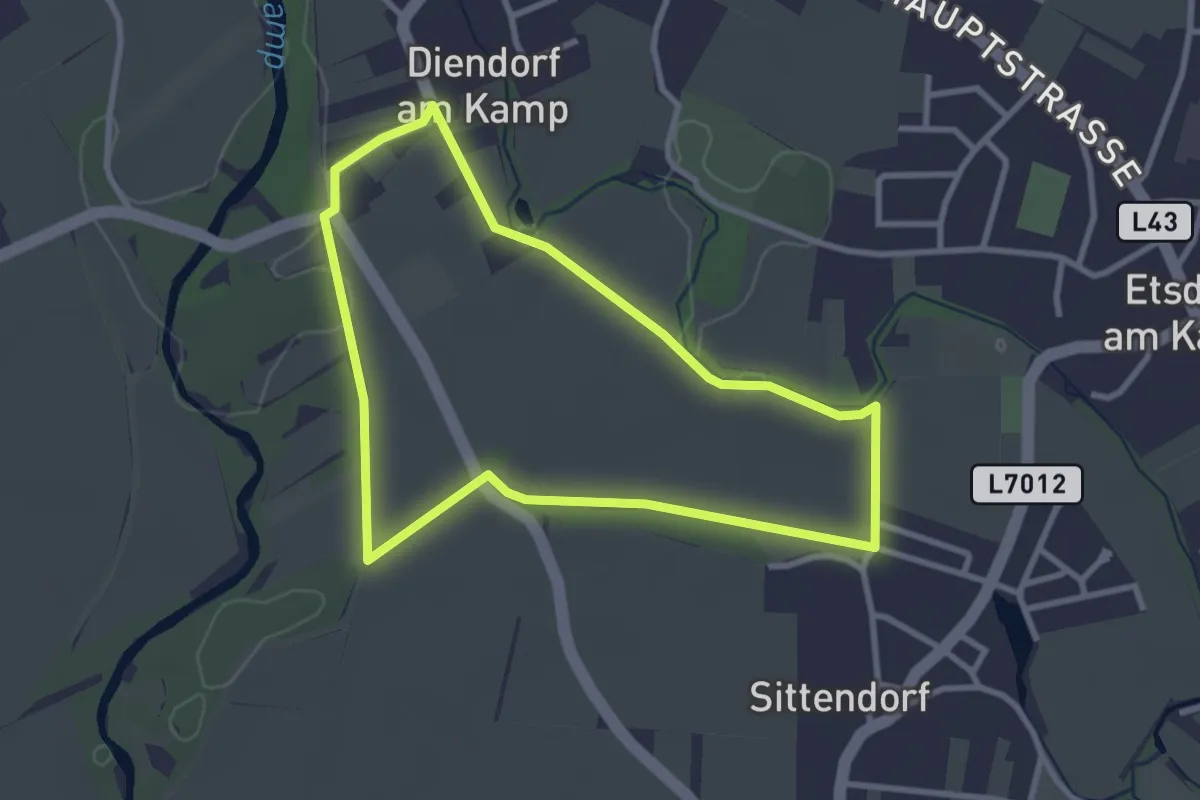
Easy · Trail
>>Tut gut<< Route 1 Grafenegg
2.8 km · ↑ 0 m · 42 min
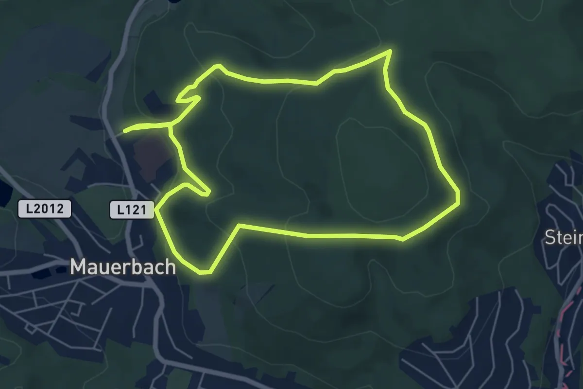
Easy · Summit
>>Tut gut<< Route 1 Mauerbach
5.3 km · ↑ 161 m · 1 h 41 min
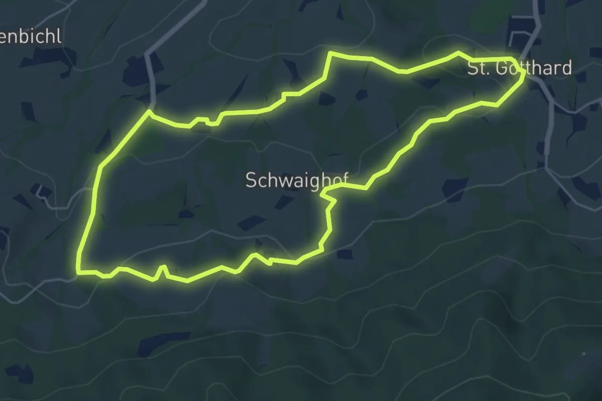
Easy · Trail
tut gut Route 1 (rot)
5.3 km · ↑ 166 m · 1 h 42 min
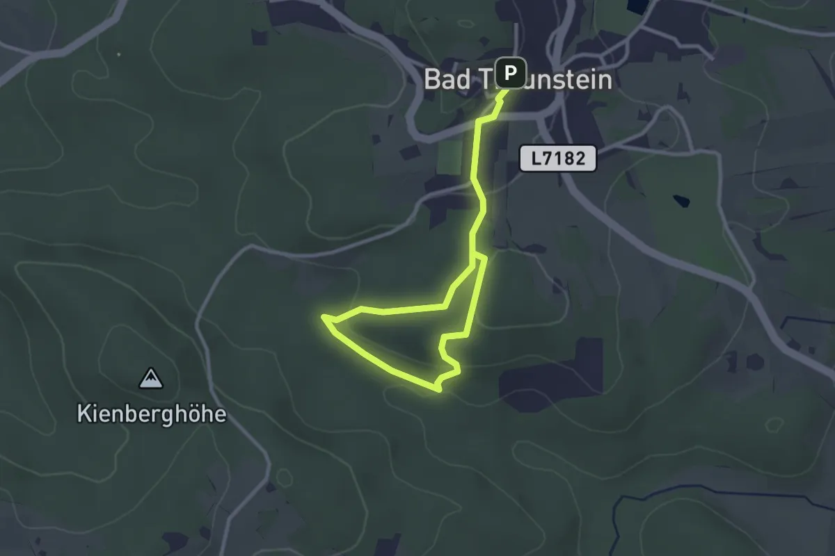
Easy · Trail
tutgut Route 1 – Wolfsgrub – Bad Traunstein
3.6 km · ↑ 110 m · 1 h 5 min
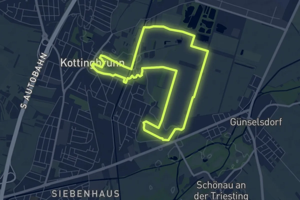
Easy · Trail
tut gut Route 2
7.6 km · ↑ 13 m · 1 h 56 min
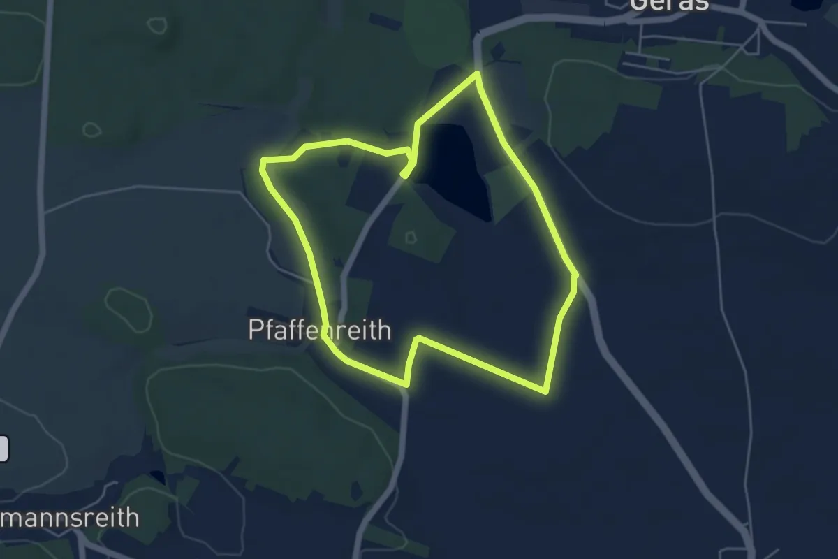
Easy · Trail
tut gut Route 2
4.6 km · ↑ 29 m · 1 h 12 min
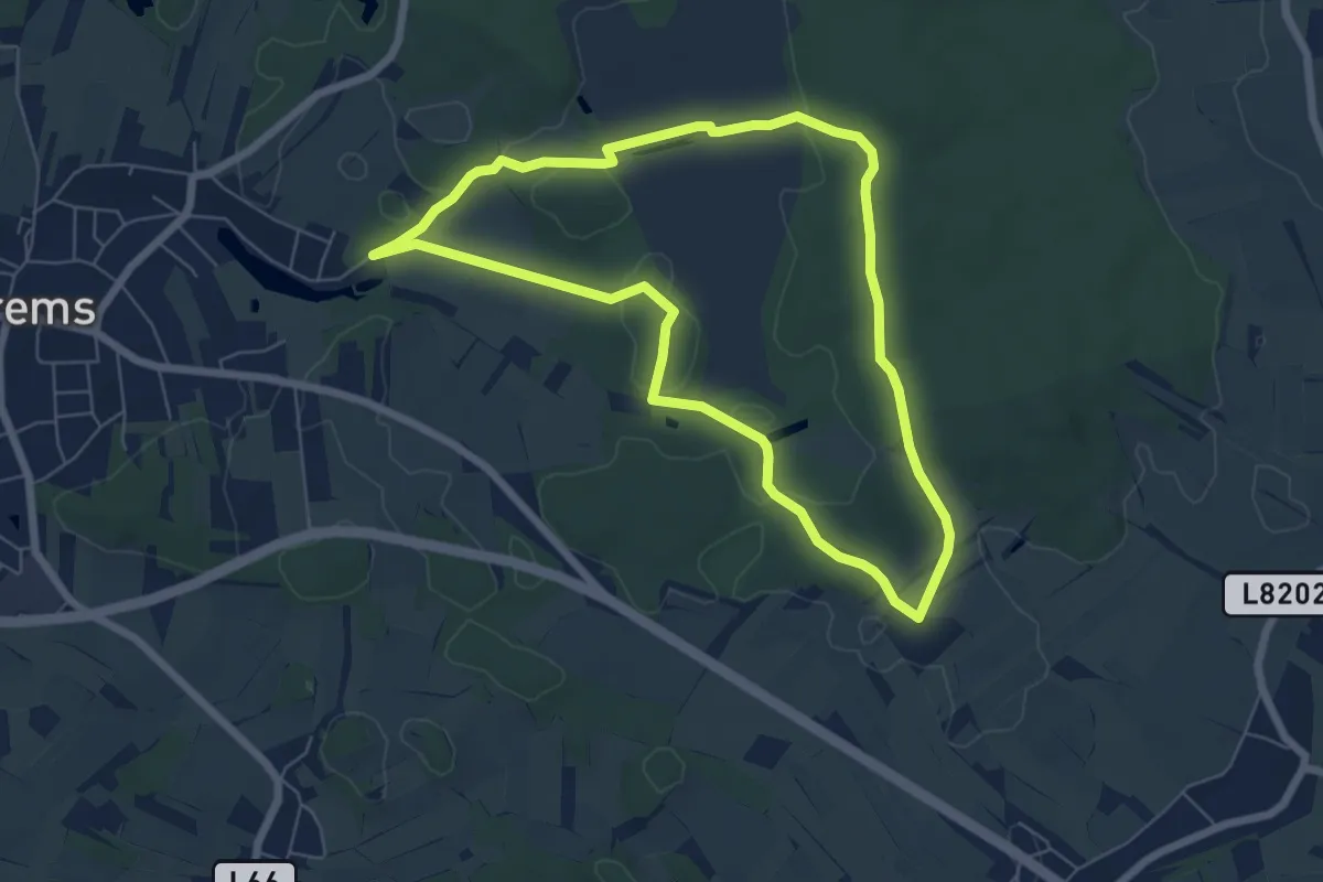
Easy · Trail
tut gut Route 2
5.9 km · ↑ 28 m · 1 h 32 min
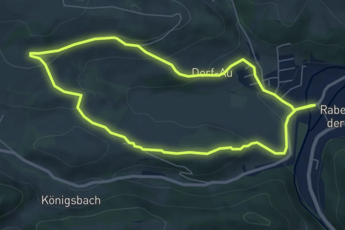
Easy · Trail
tut gut Route 2
5.3 km · ↑ 187 m · 1 h 43 min
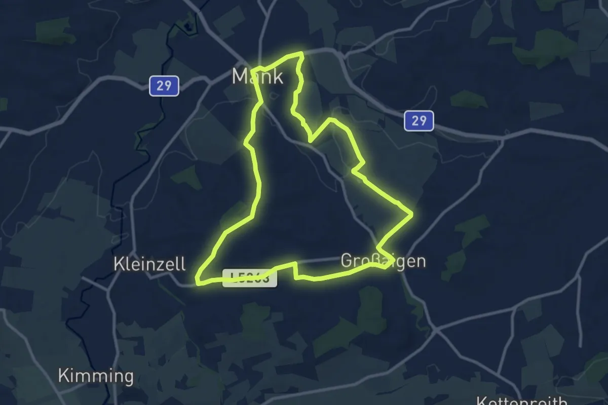
Medium · Trail
tut gut Route 2
9.5 km · ↑ 118 m · 2 h 38 min
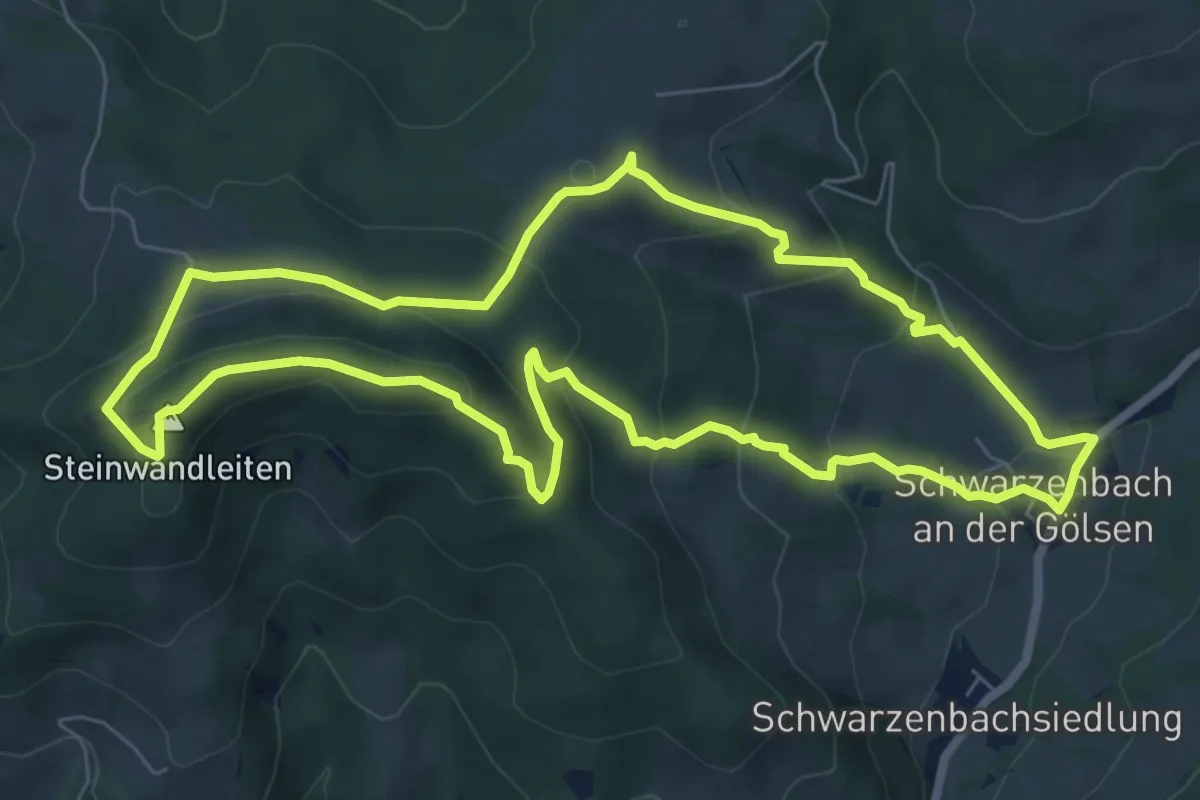
Medium · Summit
tut gut Route 2
7.2 km · ↑ 351 m · 2 h 34 min
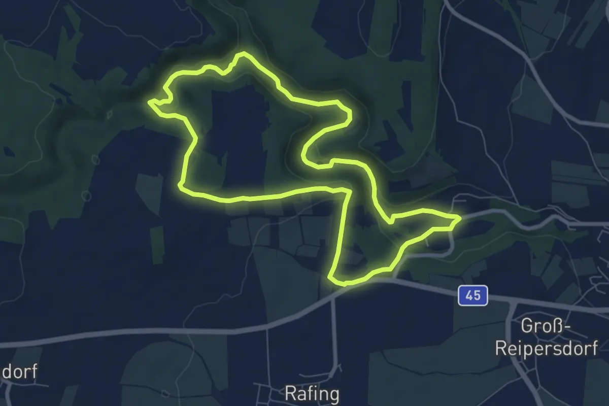
Easy · Trail
Tut gut Route 2
7.3 km · ↑ 127 m · 2 h 6 min
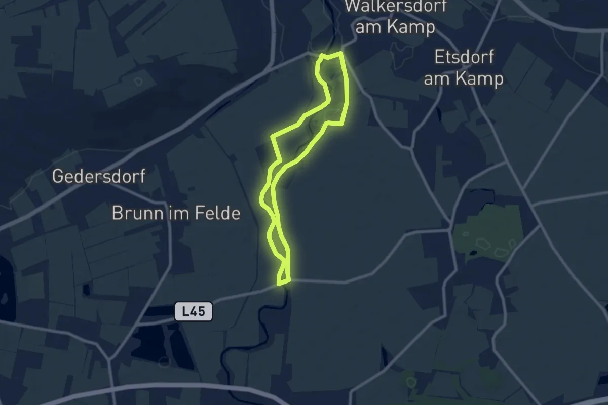
Easy · Trail
>>Tut gut<< Route 2 Grafenegg
6.4 km · ↑ 0 m · 1 h 35 min
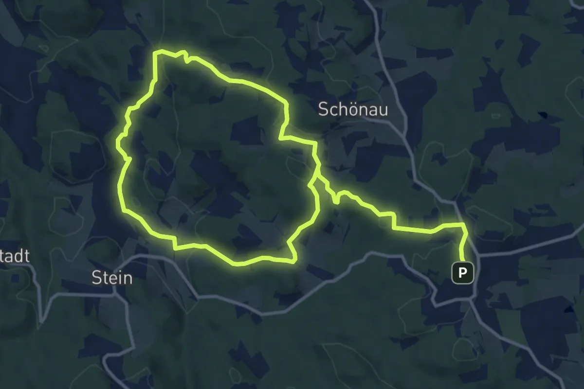
Medium · Trail
tutgut Route 2 Haberegg – Blättergraben
17.5 km · ↑ 489 m · 5 h 12 min
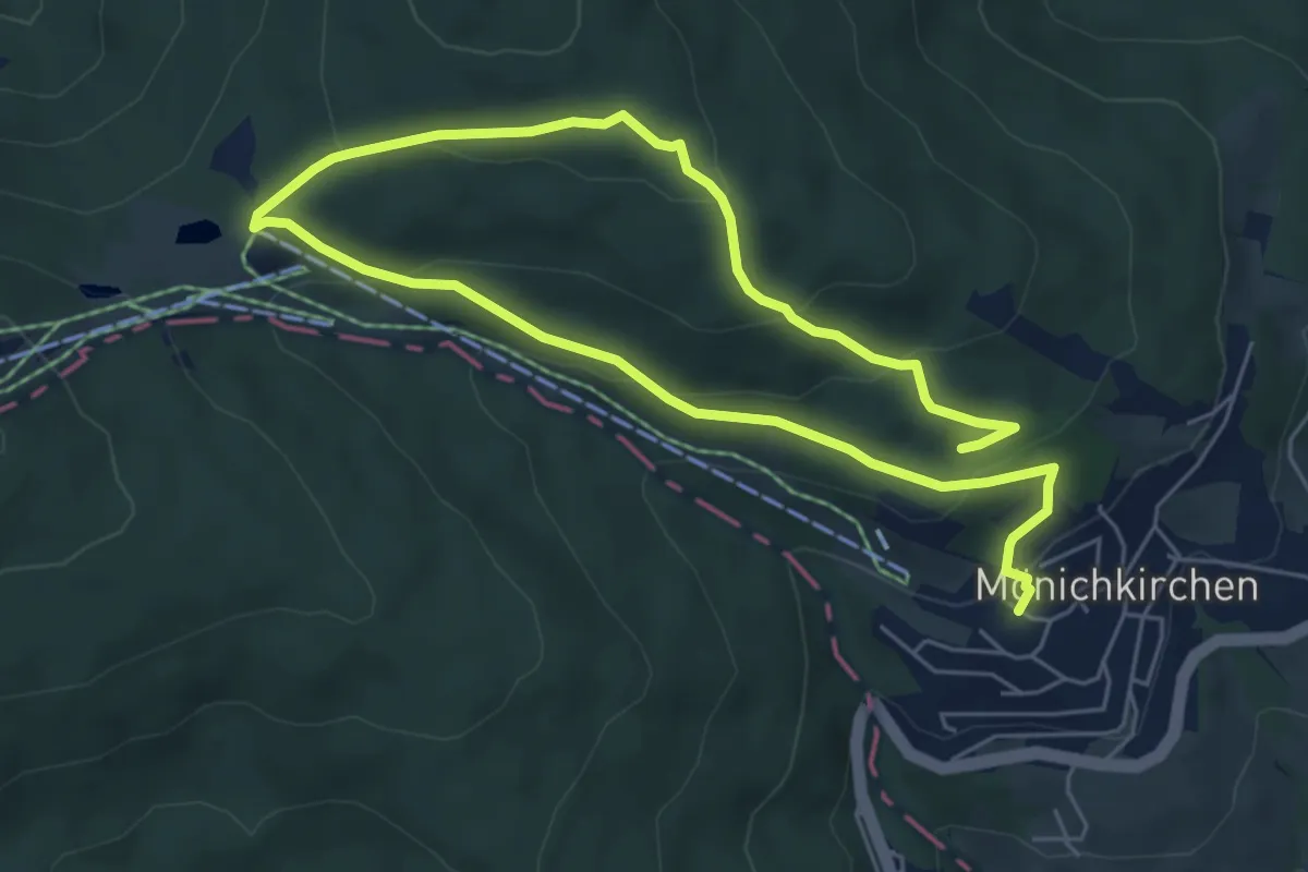
Medium · Trail
tut gut Route 2 Mönichkirchen
9.4 km · ↑ 391 m · 3 h 4 min
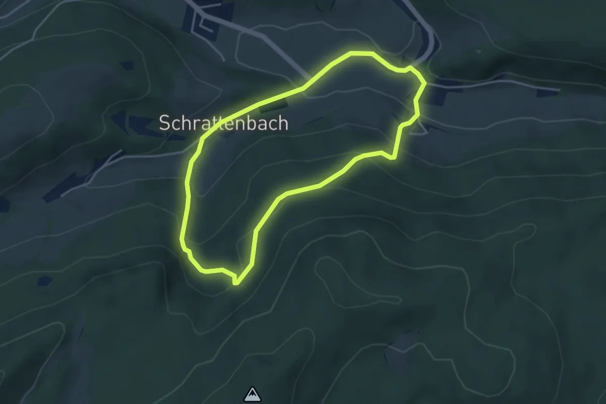
Medium · Trail
tut gut Route 2: Ruinenweg um Ruine Schrattenstein
3.5 km · ↑ 180 m · 1 h 15 min
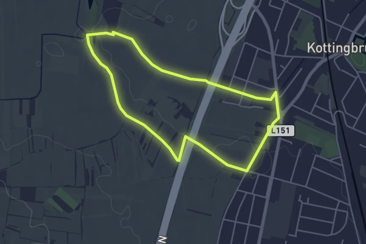
Easy · Trail
tut gut Route 3
3.6 km · ↑ 14 m · 57 min
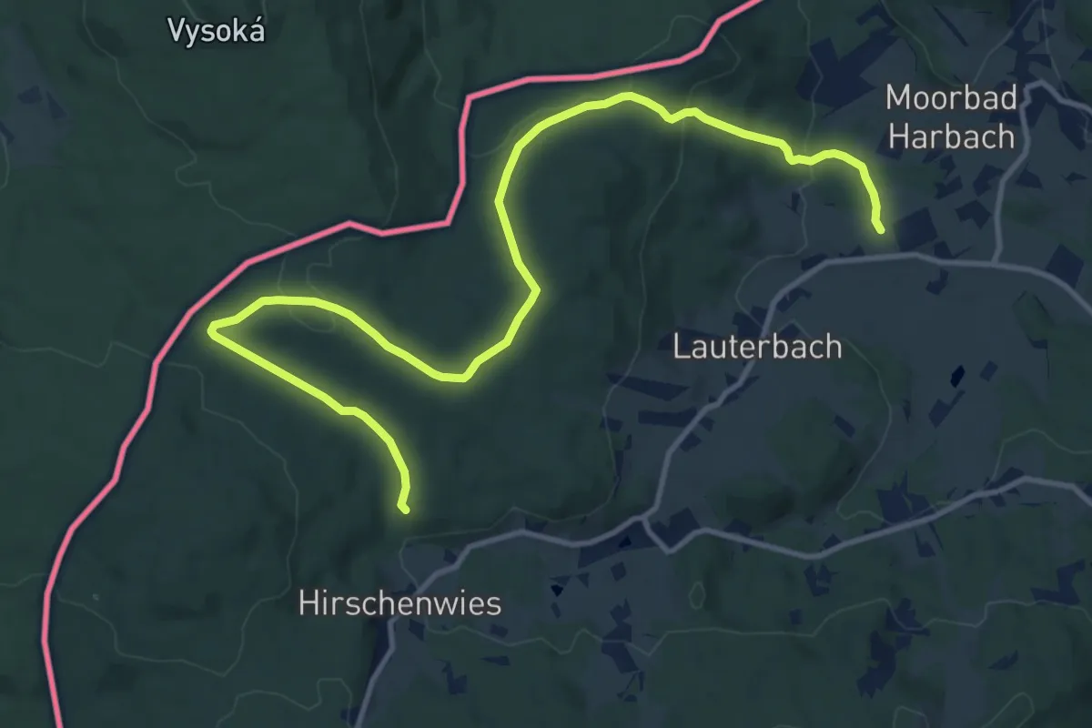
Easy · Trail
tut gut Route 3
7.0 km · ↑ 92 m · 2 h 1 min
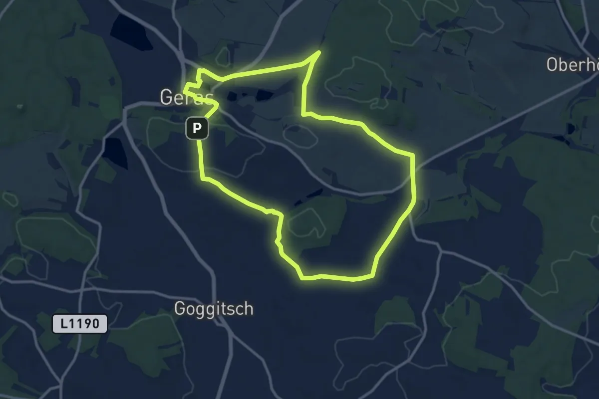
Medium · Trail
tut gut Route 3
10.2 km · ↑ 115 m · 2 h 47 min
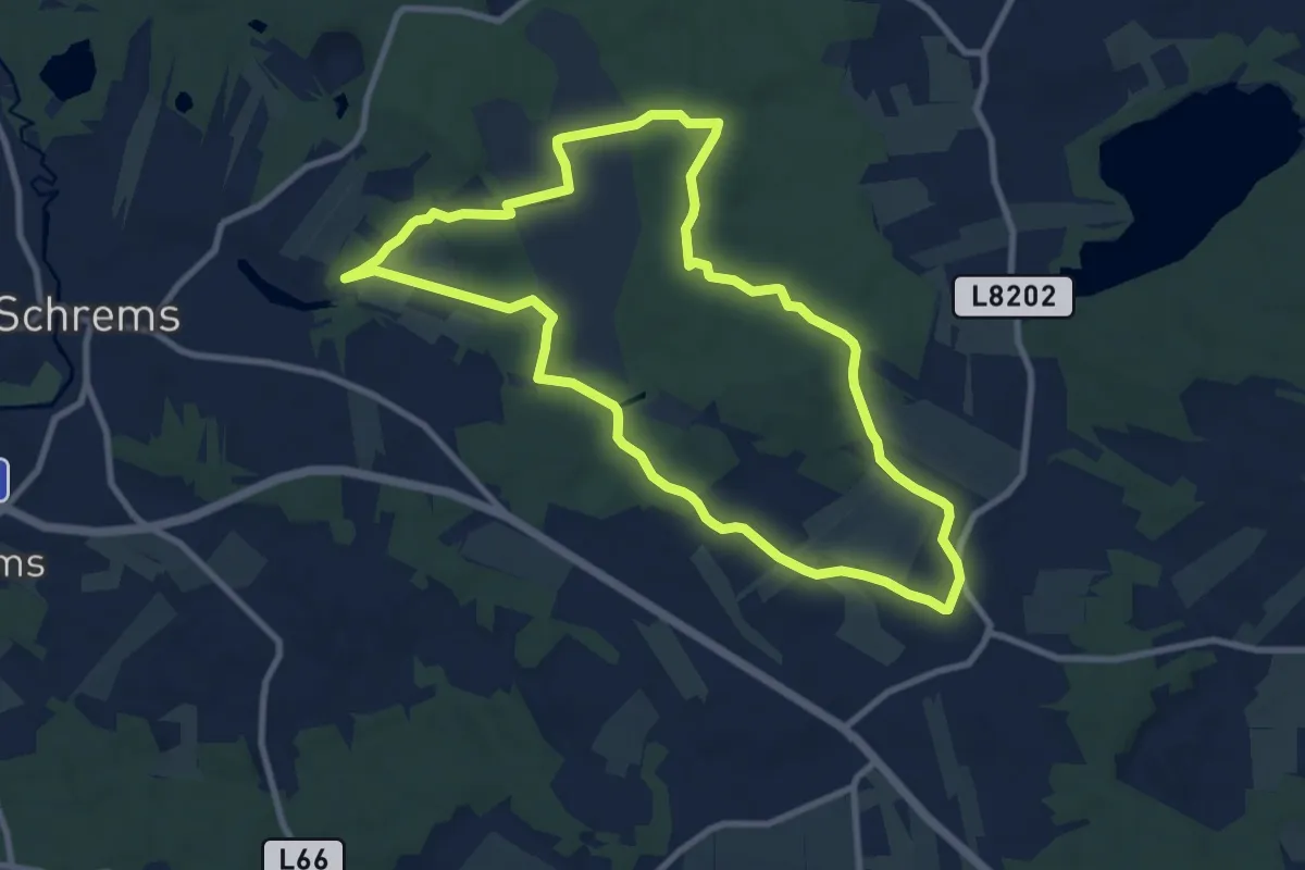
Medium · Trail
tut gut Route 3
9.0 km · ↑ 45 m · 2 h 21 min
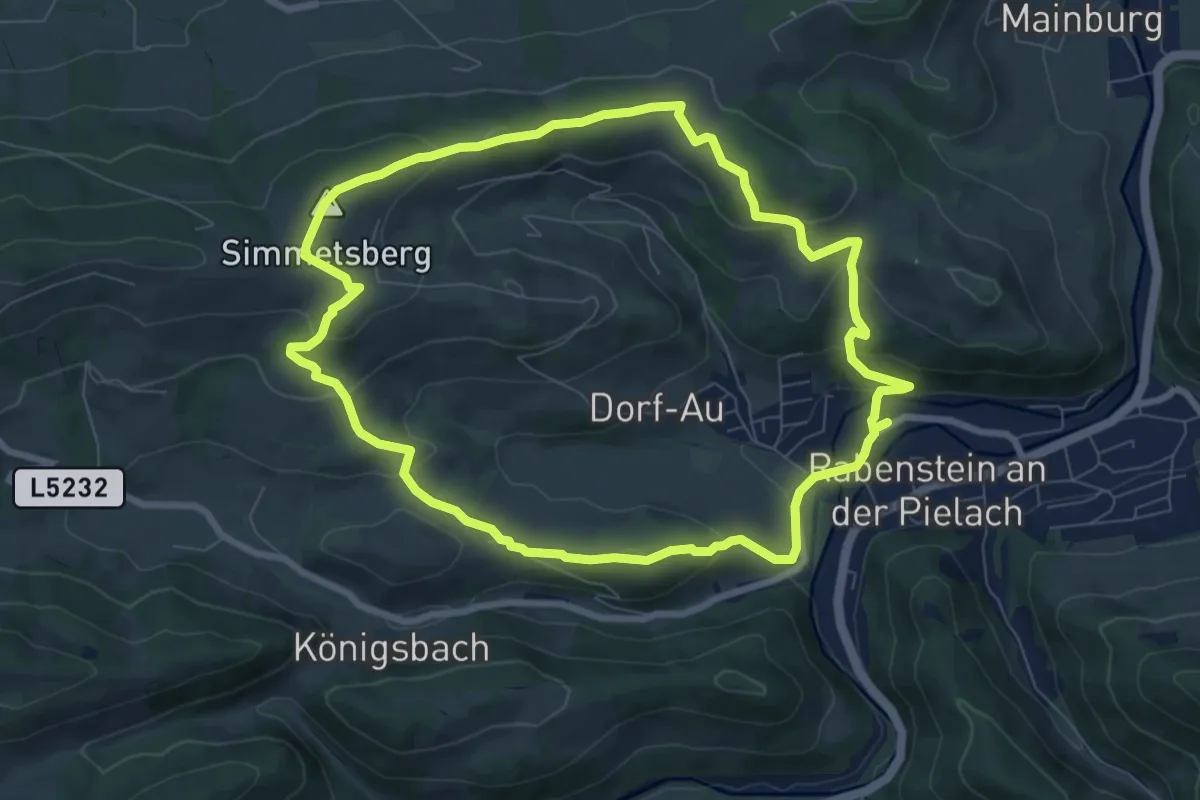
Easy · Summit
tut gut Route 3
7.9 km · ↑ 285 m · 2 h 35 min
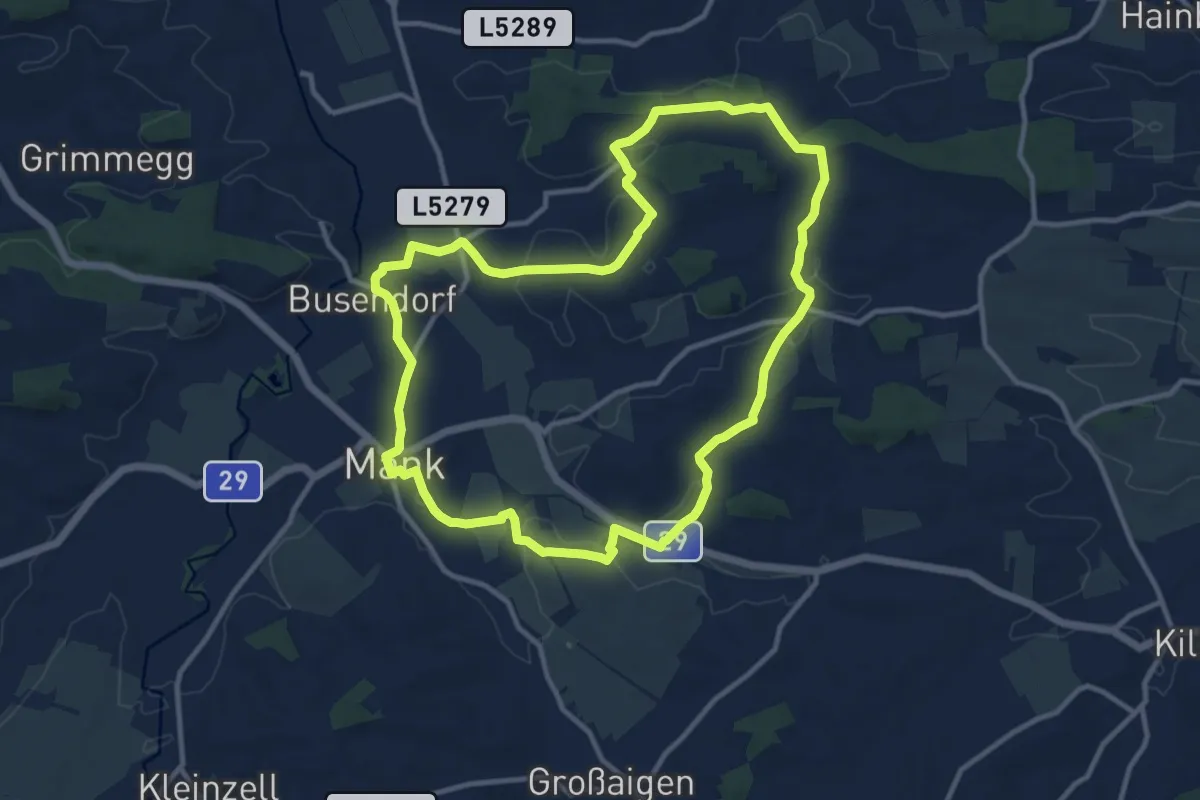
Medium · Trail
tut gut Route 3
11.2 km · ↑ 126 m · 3 h 5 min
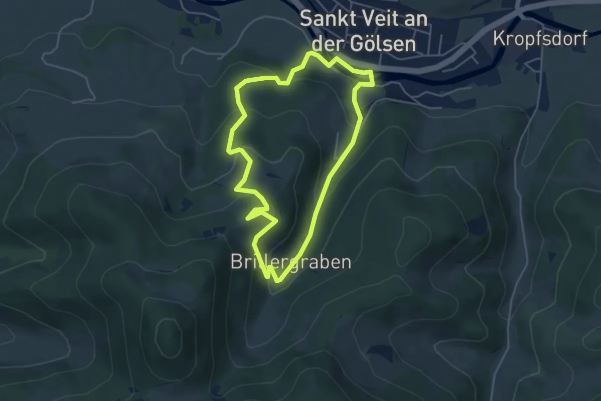
Medium · Trail
tut gut Route 3
3.8 km · ↑ 212 m · 1 h 25 min
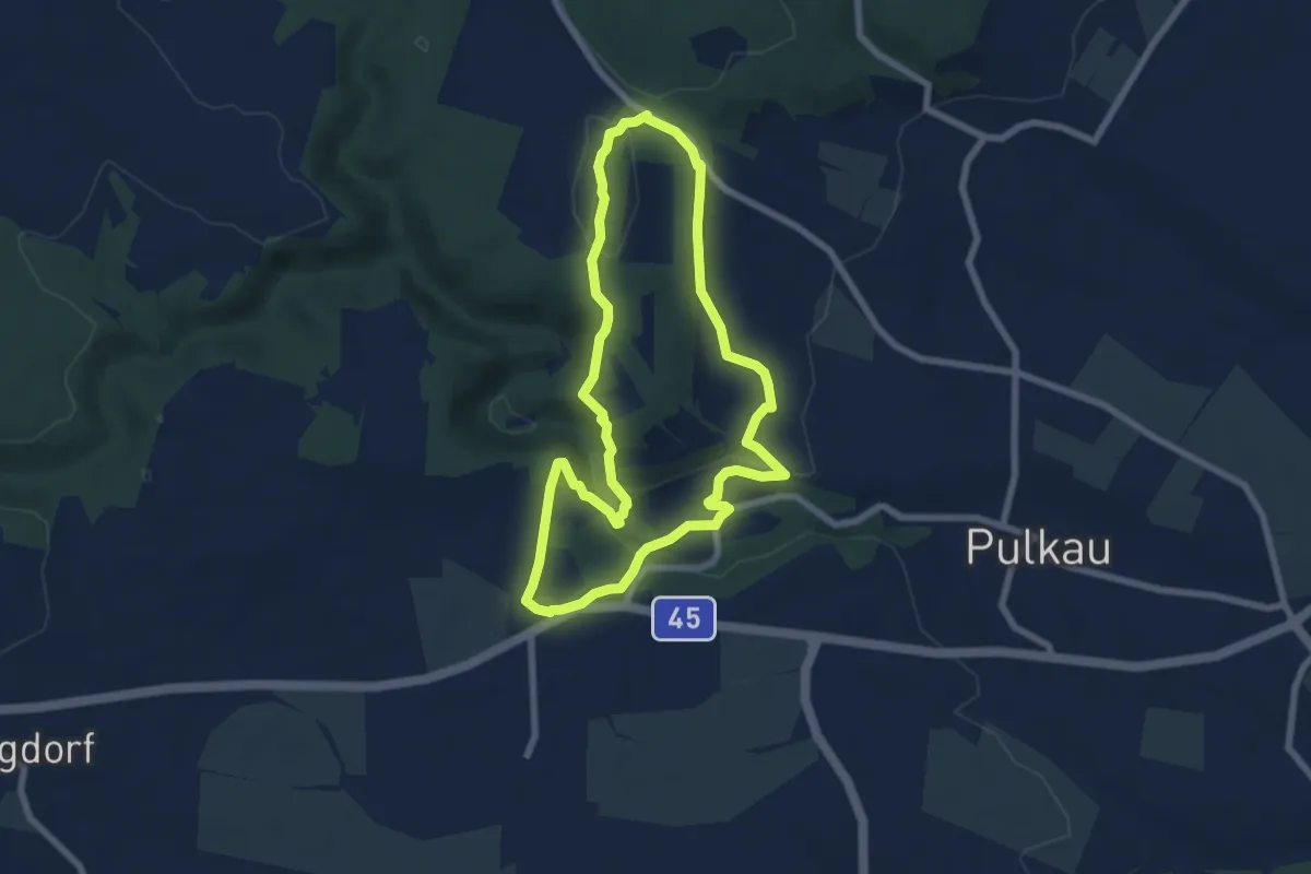
Easy · Summit
Tut gut Route 3
6.6 km · ↑ 212 m · 2 h 6 min
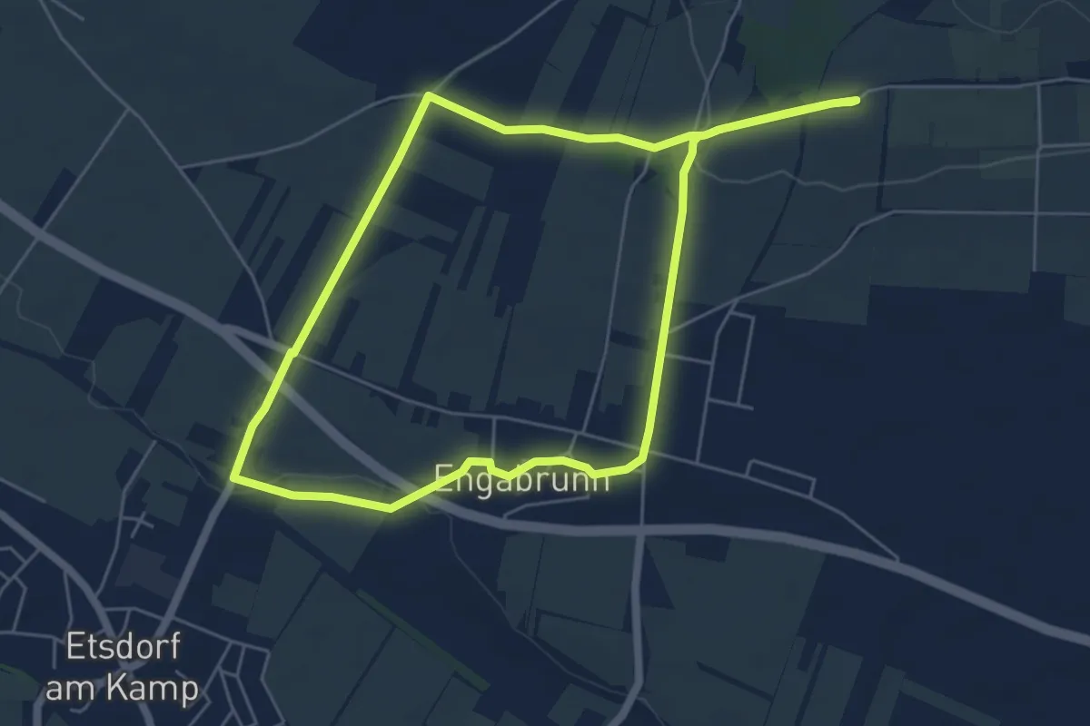
Easy · Trail
>>Tut gut<< Route 3 Grafenegg
5.3 km · ↑ 77 m · 1 h 30 min
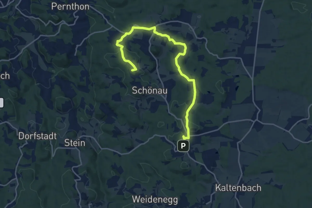
Medium · Summit
tutgut Route 3 Gr. Hummelberg – Aschen – Schönau
14.6 km · ↑ 410 m · 4 h 20 min
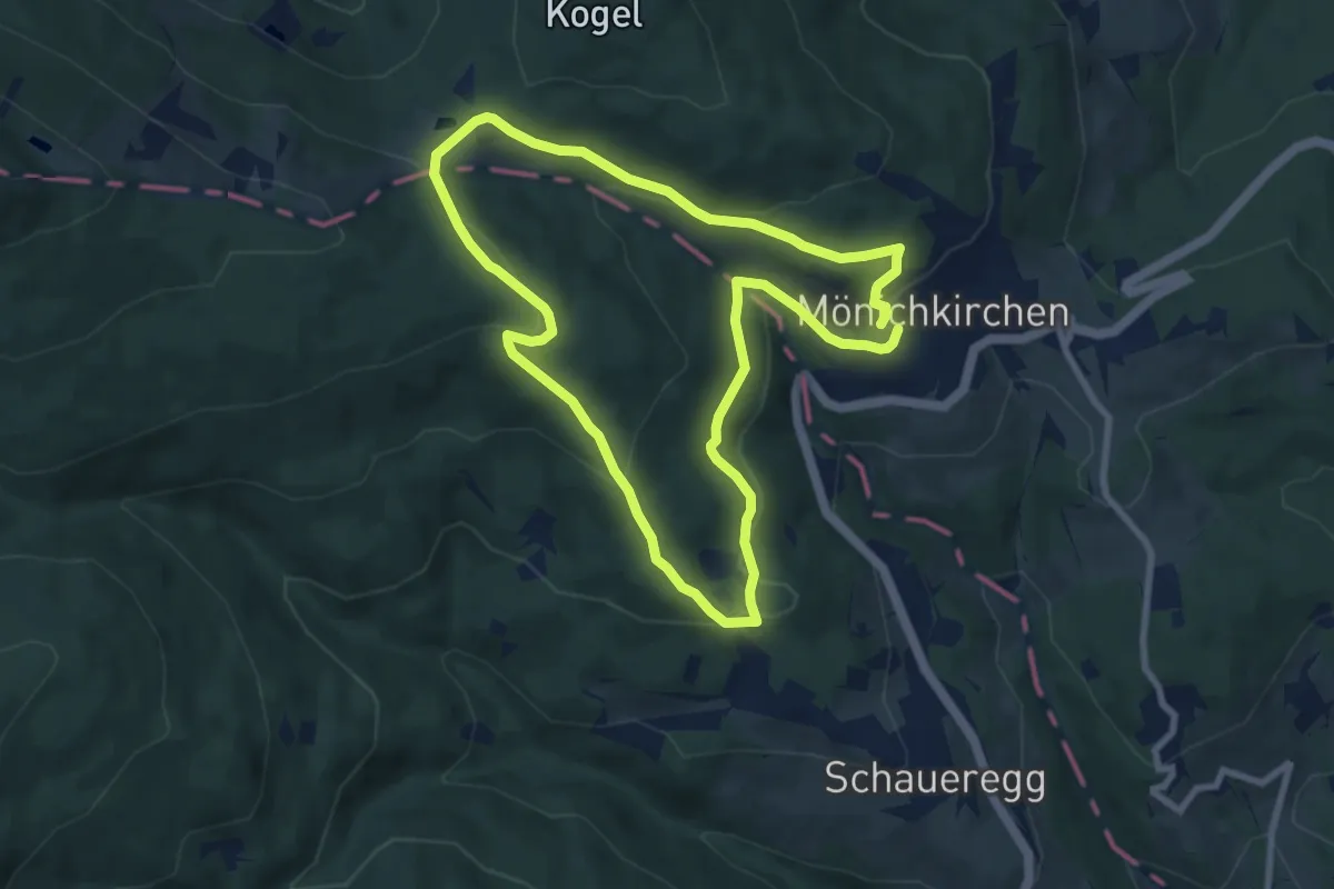
Easy · Trail
tut gut Route 3 Mönichkirchen
7.9 km · ↑ 272 m · 2 h 34 min
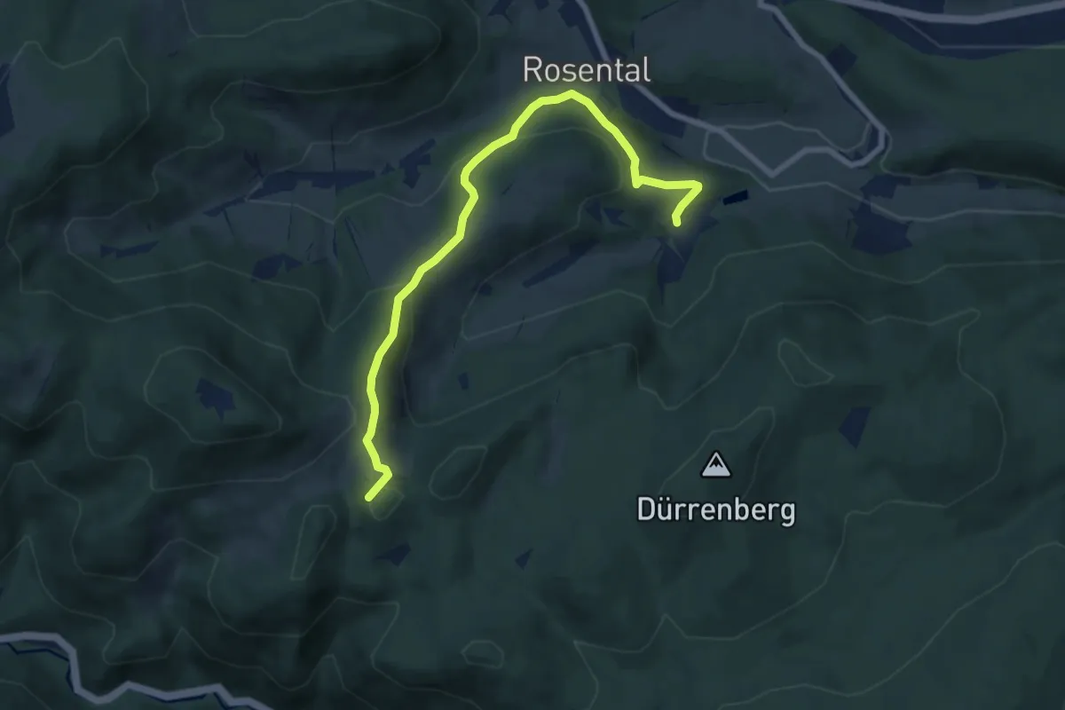
Medium · Summit
tut gut Route 3: Panoramaweg
7.6 km · ↑ 369 m · 2 h 41 min
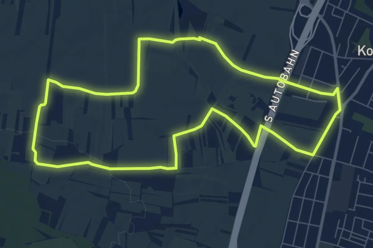
Easy · Trail
tut gut Route 4
6.8 km · ↑ 56 m · 1 h 50 min
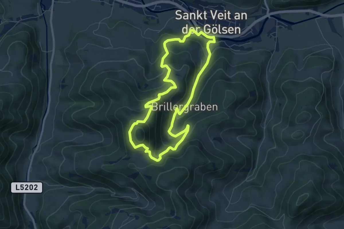
Medium · Summit
tut gut Route 4
6.5 km · ↑ 356 m · 2 h 24 min
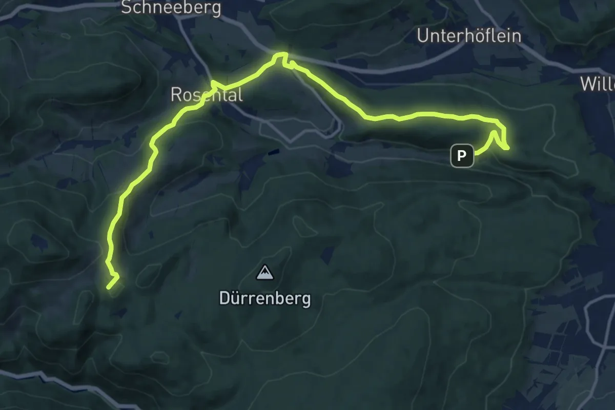
Medium · Summit
tut gut Route 4: Grablinger Tour
14.2 km · ↑ 479 m · 4 h 35 min
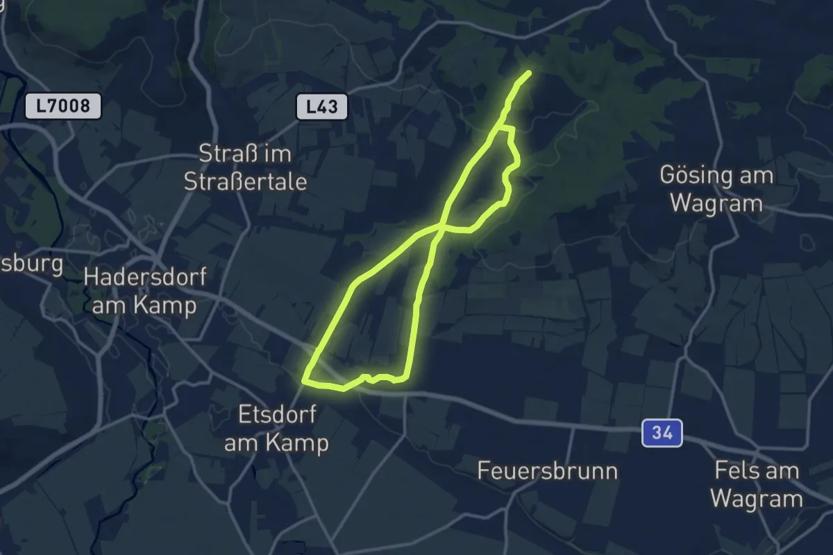
Medium · Trail
>>Tut gut<< Route 4 Grafenegg
10.6 km · ↑ 172 m · 3 h