Trails in Austria
9,777 hiking trails, each with its route, climb, walking time and grade.
All trails, page 120 of 204
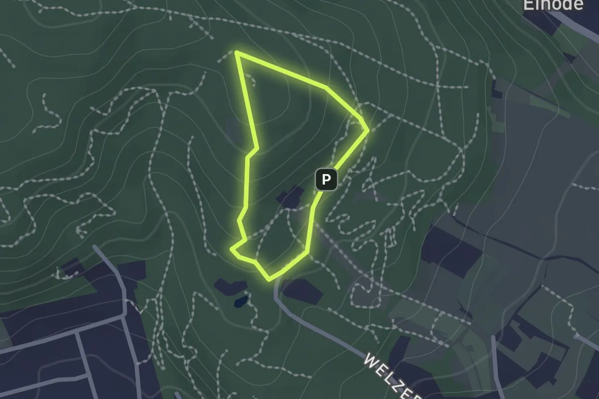
Easy · Summit
tut gut Wanderweg Baden Route 1
1.3 km · ↑ 57 m · 27 min
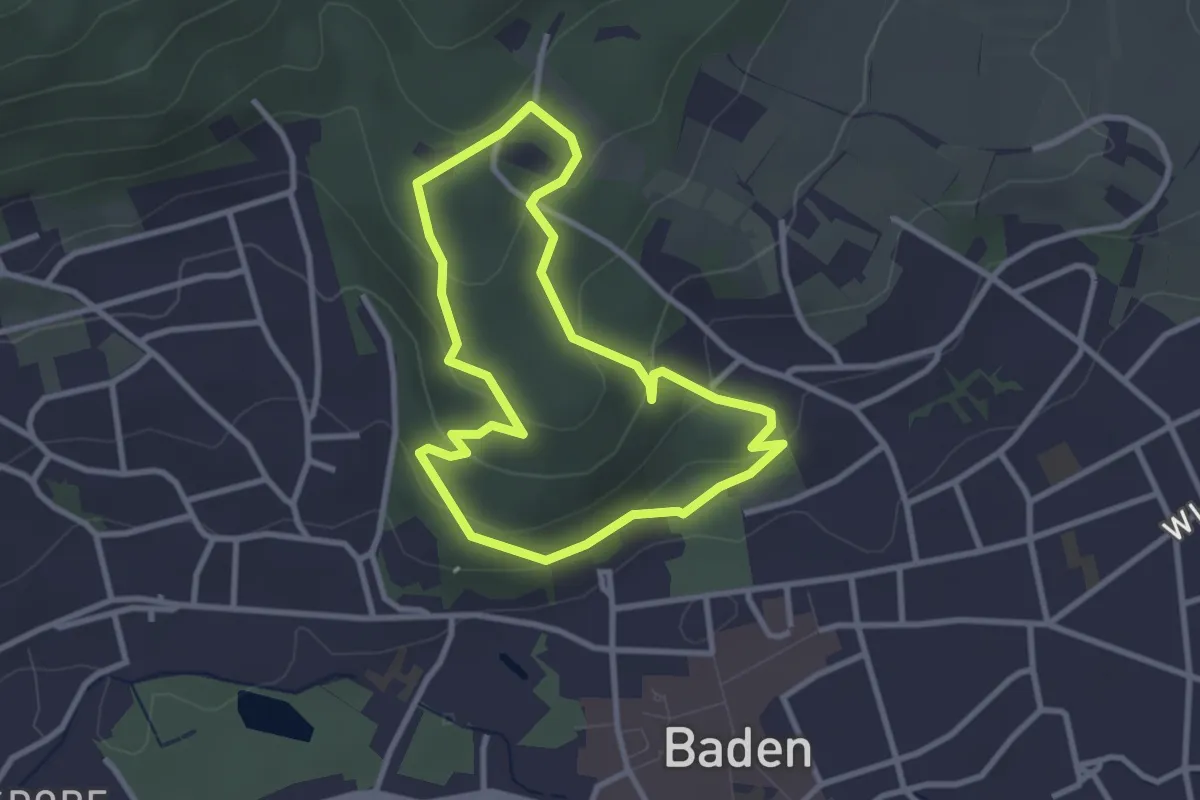
Easy · Trail
tut gut Wanderweg Baden Route 2
2.7 km · ↑ 104 m · 53 min
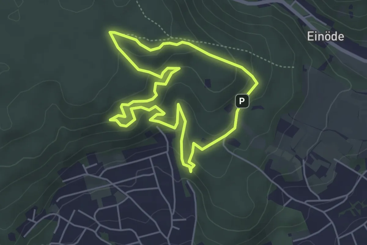
Easy · Summit
tut gut Wanderweg Baden Route 3
4.2 km · ↑ 155 m · 1 h 23 min
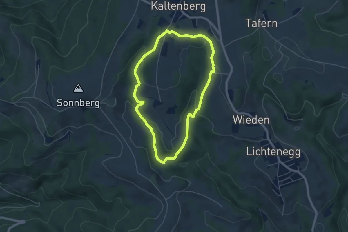
Easy · Trail
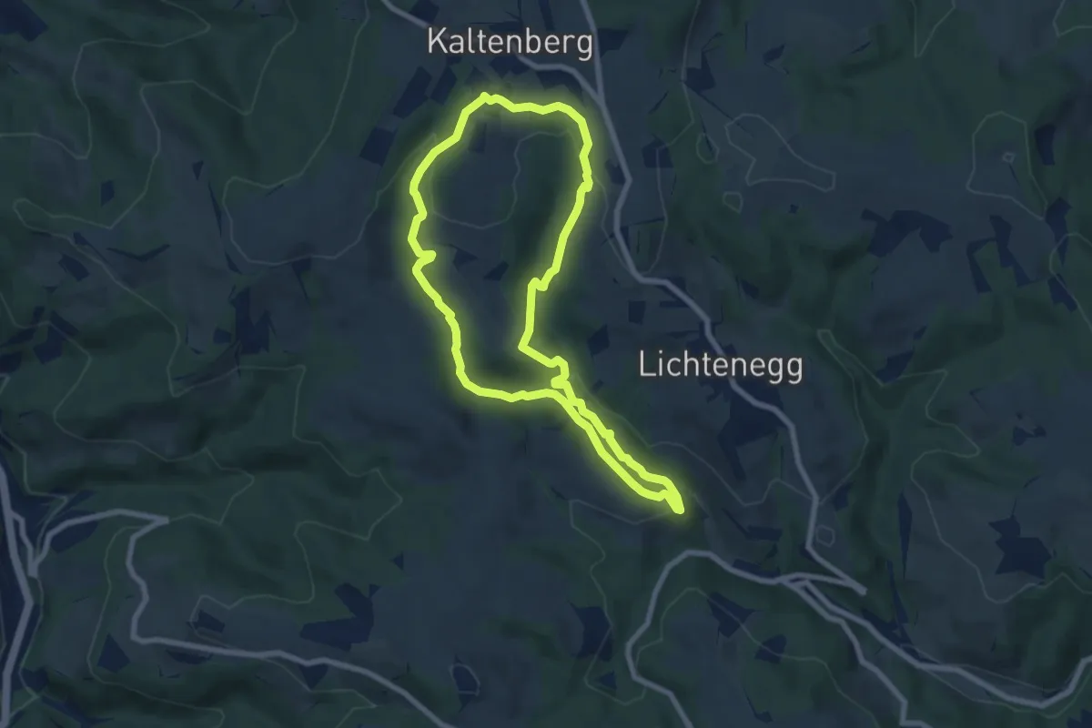
tut-gut-Wanderweg Kaltenberg Runde 1
4.4 km · ↑ 176 m · 1 h 29 min
Easy · Trail
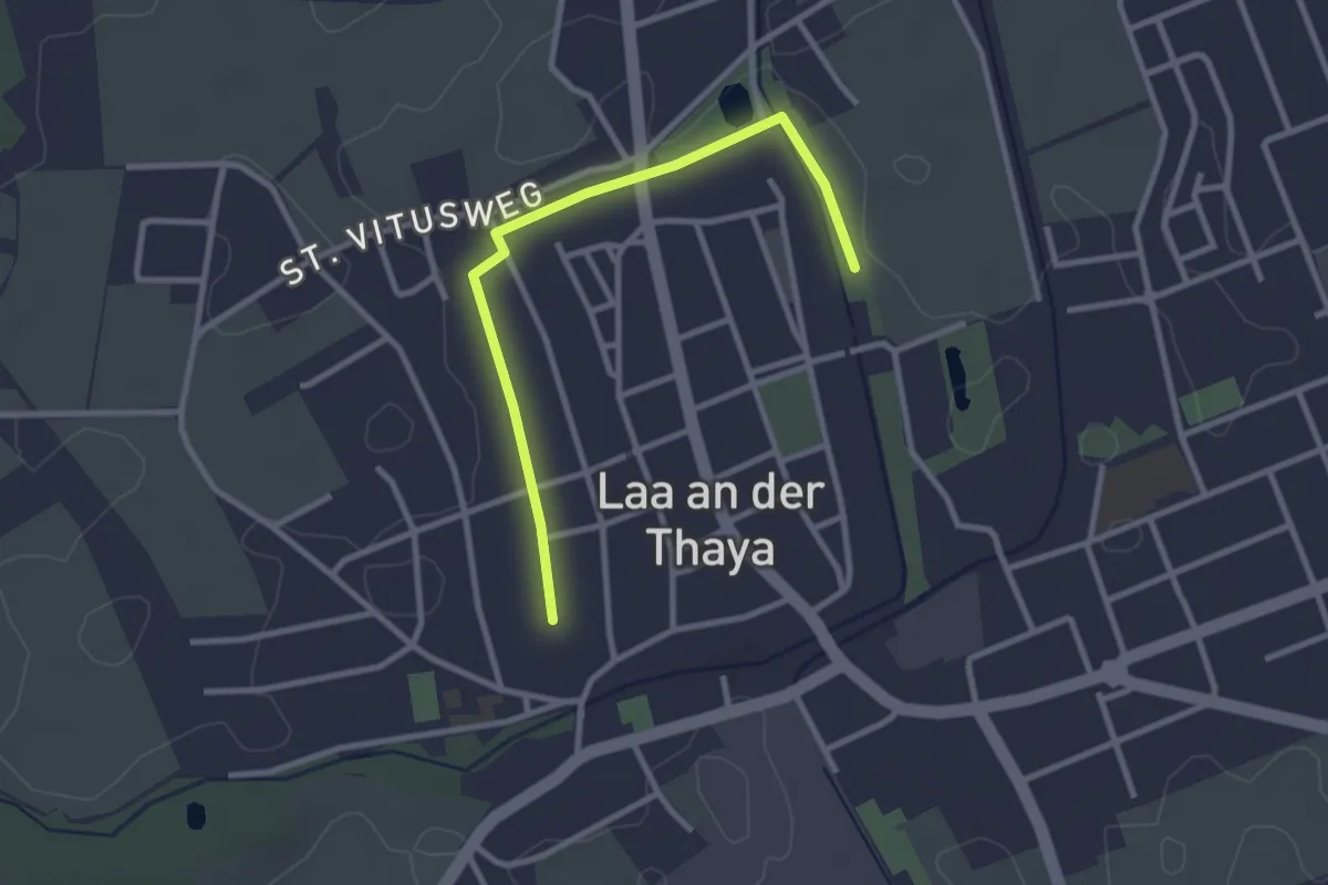
tut-gut-Wanderweg Kaltenberg Runde 2
6.9 km · ↑ 245 m · 2 h 16 min
Easy · Trail
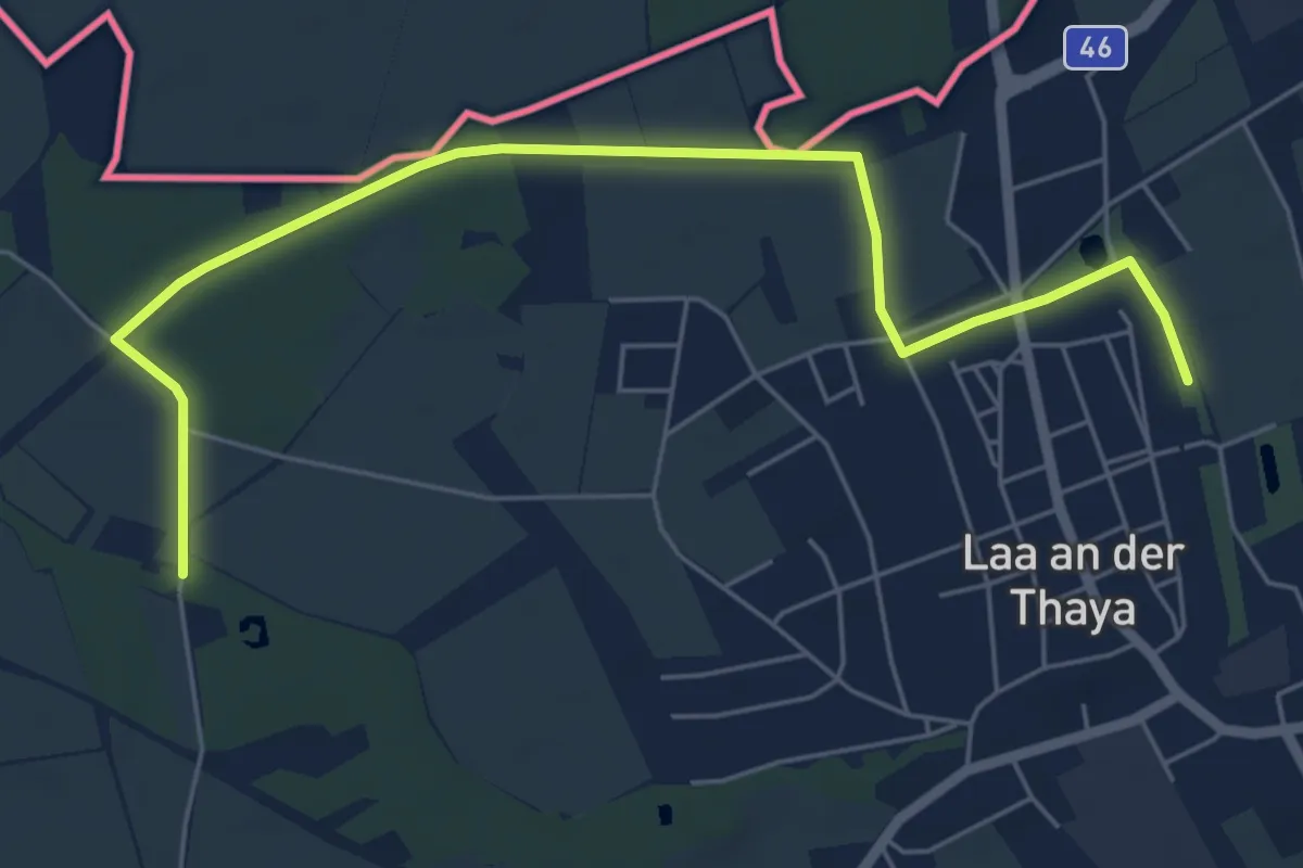
tut-gut-Wanderweg Laa an der Thaya Route 1
1.4 km · ↑ 0 m · 21 min
Easy · Trail
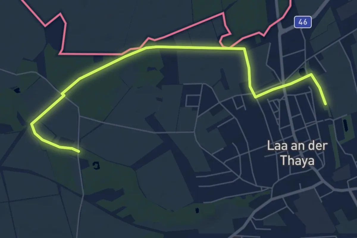
tut-gut-Wanderweg Laa an der Thaya Route 2
3.2 km · ↑ 0 m · 48 min
Easy · Trail
tut-gut-Wanderweg Laa an der Thaya Route 3
3.5 km · ↑ 0 m · 52 min
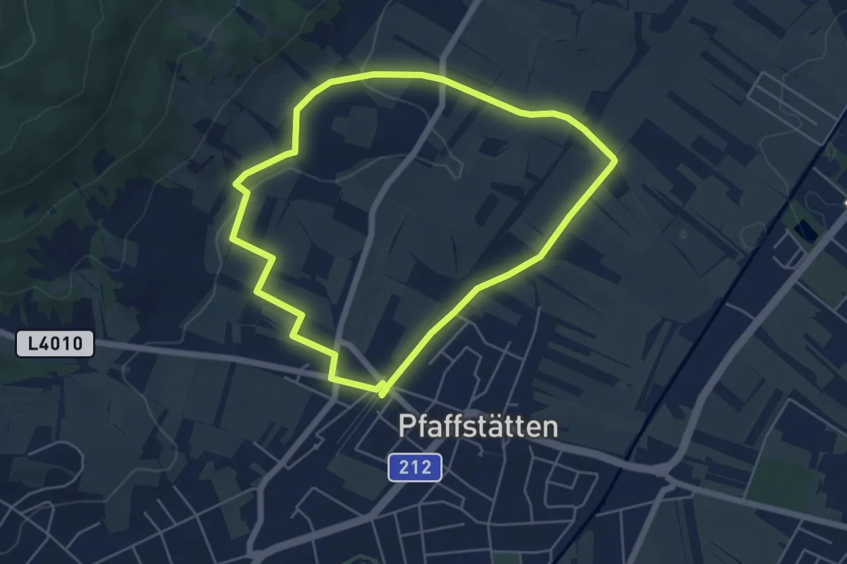
Easy · Summit
tut-gut-Wanderweg Pfaffstätten Route 1
4.6 km · ↑ 57 m · 1 h 16 min
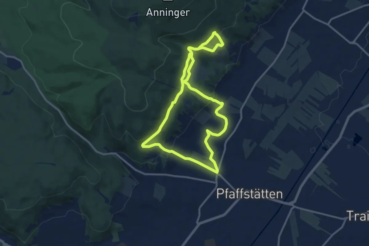
Medium · Summit
tut-gut-Wanderweg Pfaffstätten Route 2
8.2 km · ↑ 249 m · 2 h 35 min
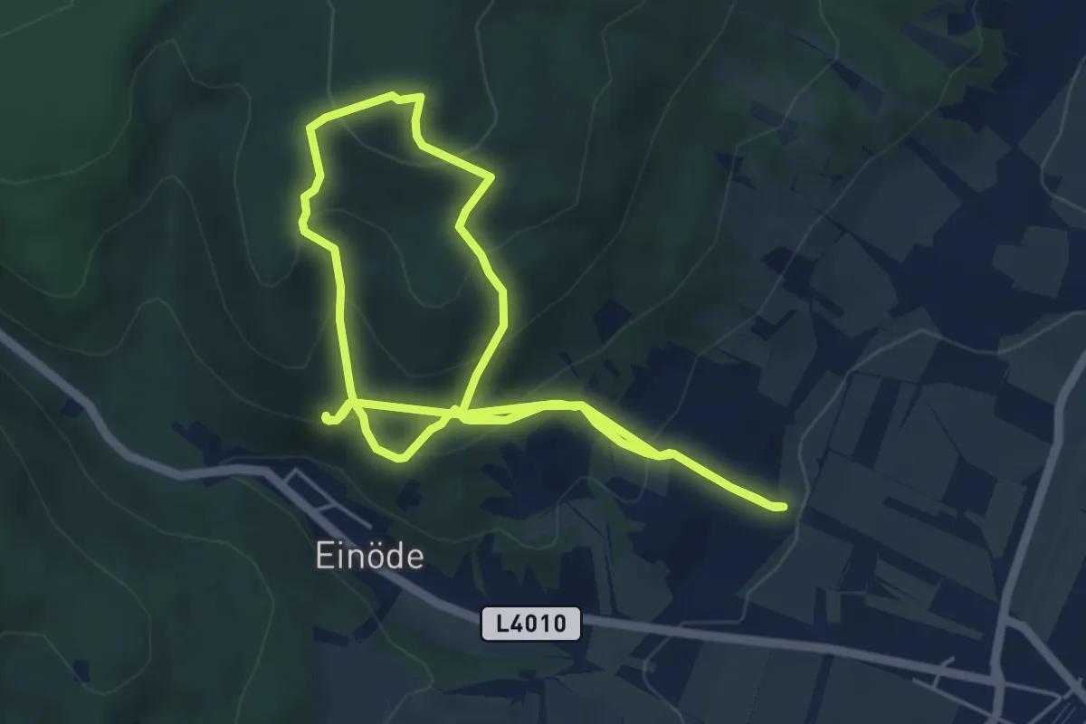
Medium · Summit
tut-gut-Wanderweg Pfaffstätten Route 3
5.0 km · ↑ 368 m · 2 h 1 min
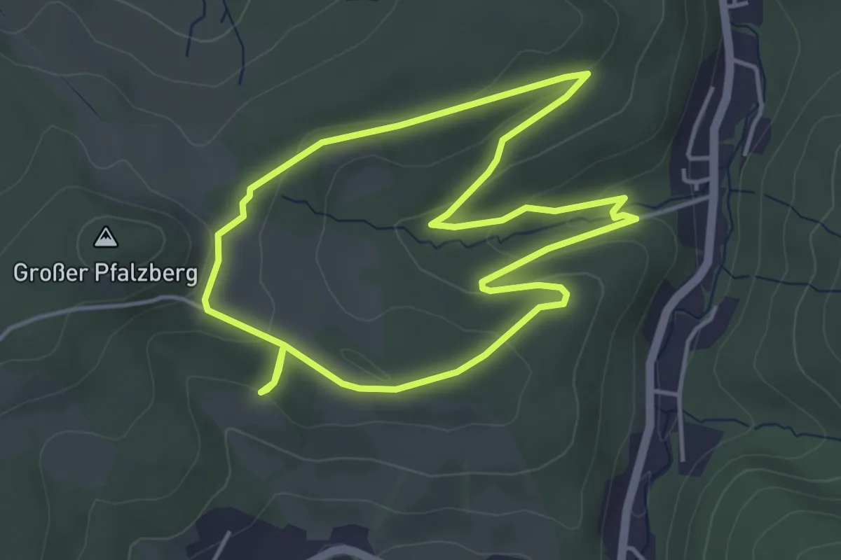
Easy · Trail
tut-gut-Wanderweg Pressbaum Route 1
4.0 km · ↑ 122 m · 1 h 16 min
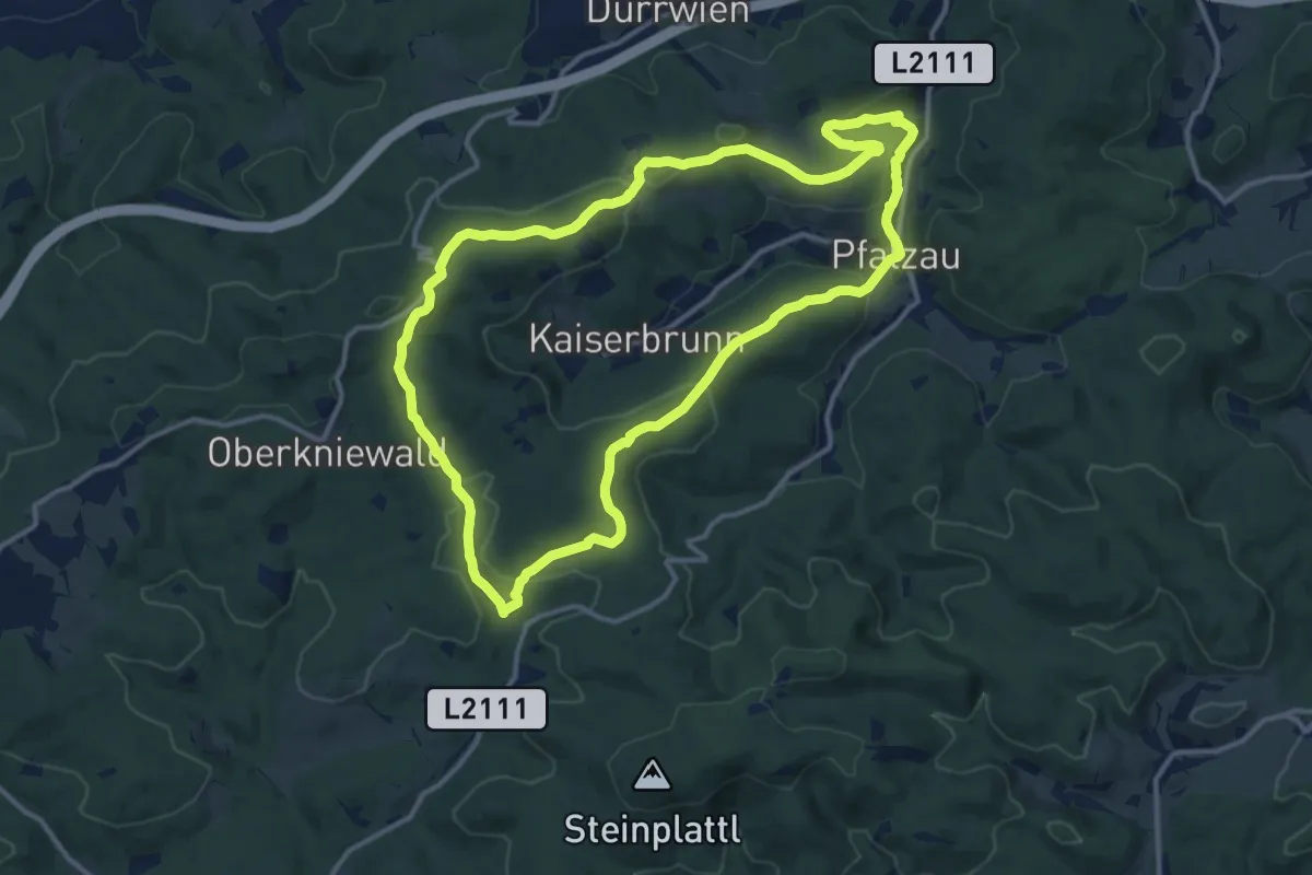
Medium · Trail
tut-gut-Wanderweg Pressbaum Route 3
12.6 km · ↑ 330 m · 3 h 52 min
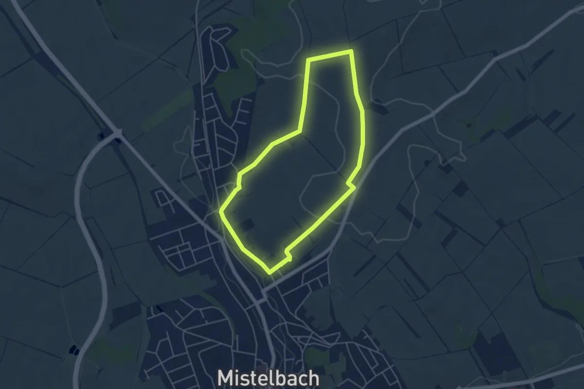
Easy · Summit
tutgut-Wanderweg Route 1
4.2 km · ↑ 72 m · 1 h 13 min
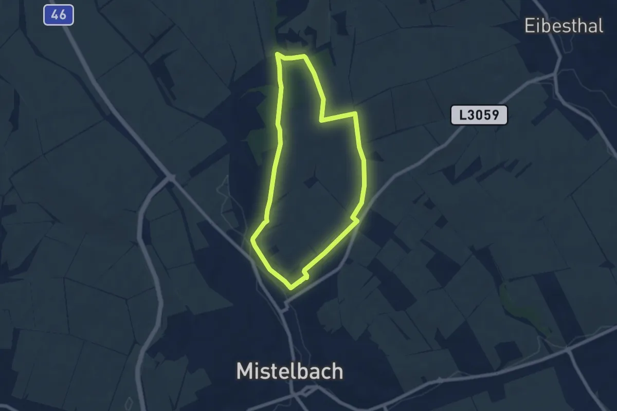
Easy · Summit
tutgut-Wanderweg Route 2
5.5 km · ↑ 111 m · 1 h 37 min
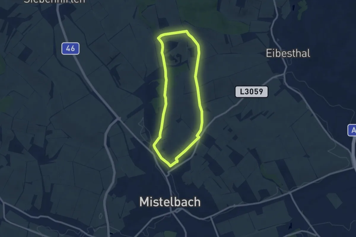
Easy · Summit
tutgut-Wanderweg Route 3
6.9 km · ↑ 120 m · 1 h 59 min
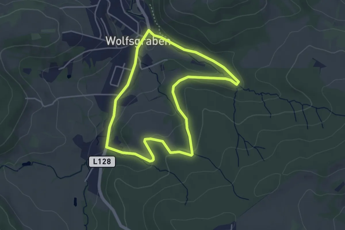
Easy · Trail
tut-gut-Wanderweg Wolfsgraben Route 1
3.5 km · ↑ 67 m · 1 h 2 min
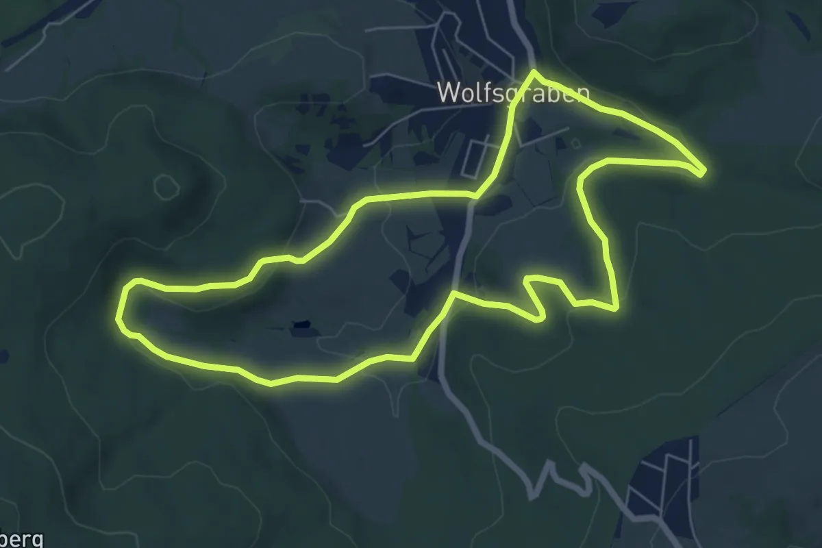
Easy · Trail
tut-gut-Wanderweg Wolfsgraben Route 2
6.2 km · ↑ 136 m · 1 h 51 min
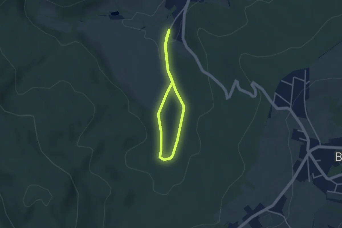
Easy · Trail
tut-gut-Wanderweg Wolfsgraben Route 3
2.1 km · ↑ 31 m · 36 min
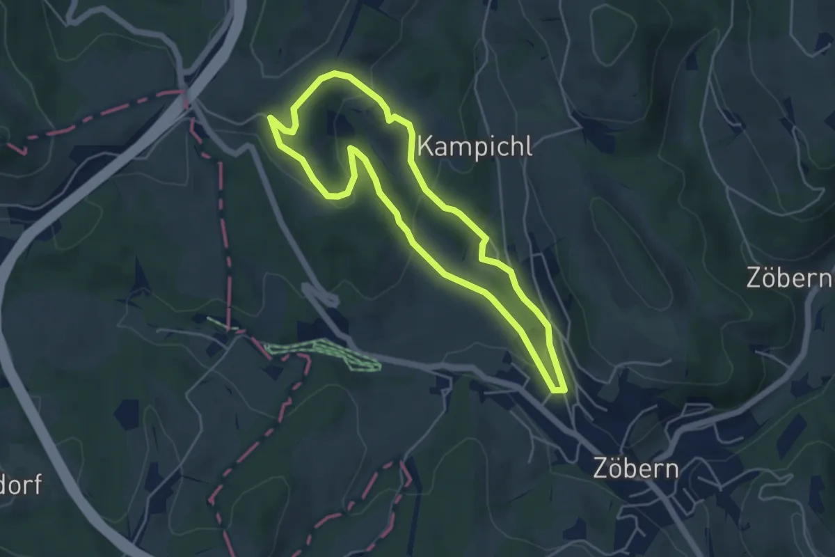
Easy · Trail
tut gut Wanderweg Zöbern Route 1
4.2 km · ↑ 140 m · 1 h 21 min
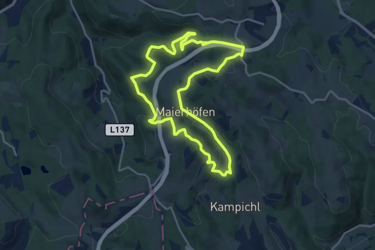
Medium · Summit
tut gut Wanderweg Zöbern Route 3
8.3 km · ↑ 306 m · 2 h 45 min
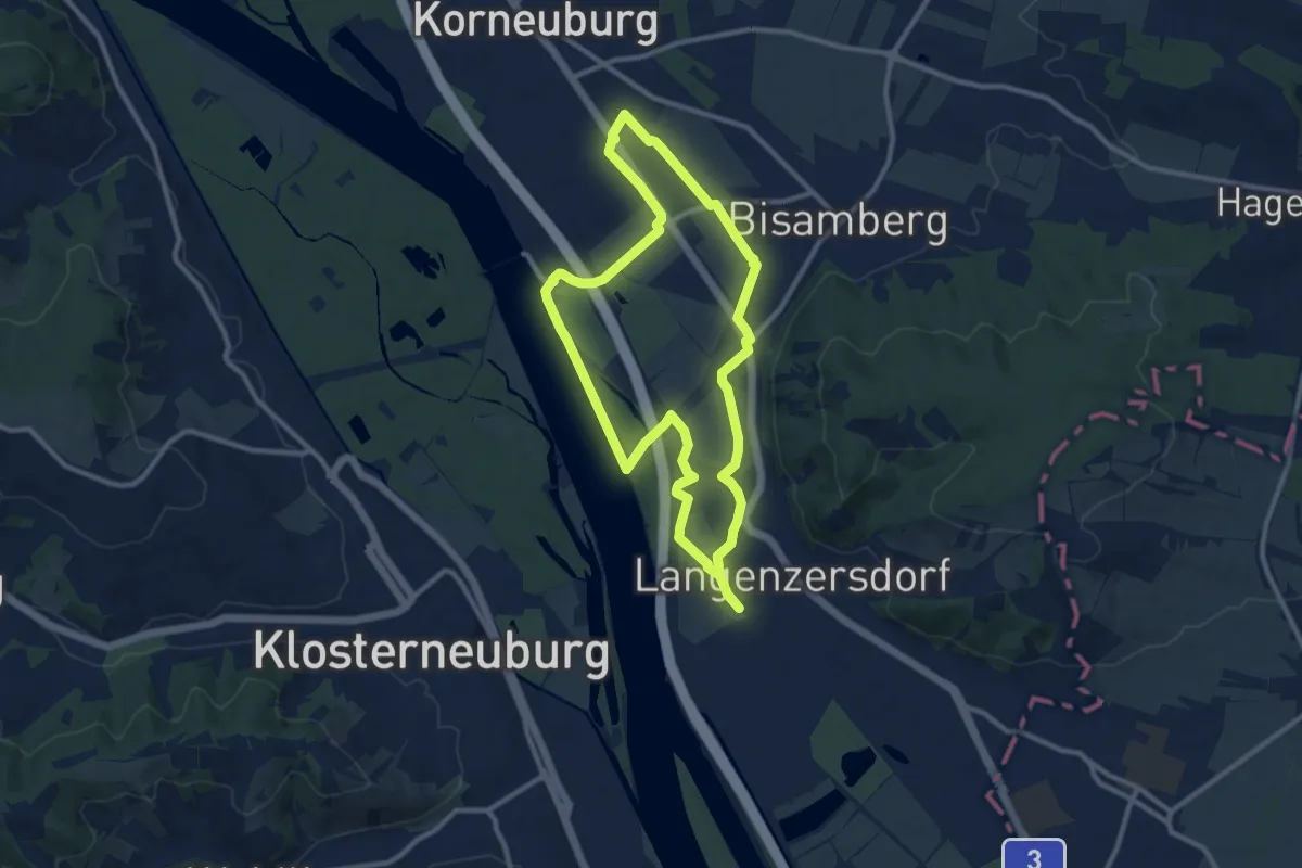
Medium · Trail
Tuttendörflweg
9.7 km · ↑ 0 m · 2 h 25 min
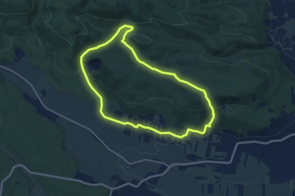
Easy · Trail
TVN Rundwanderweg Vöslauer Hütte
7.5 km · ↑ 227 m · 2 h 22 min
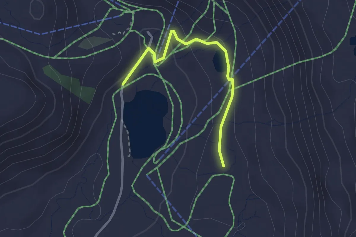
Easy · Trail
Twenger-Alm-Runde
2.3 km · ↑ 68 m · 41 min
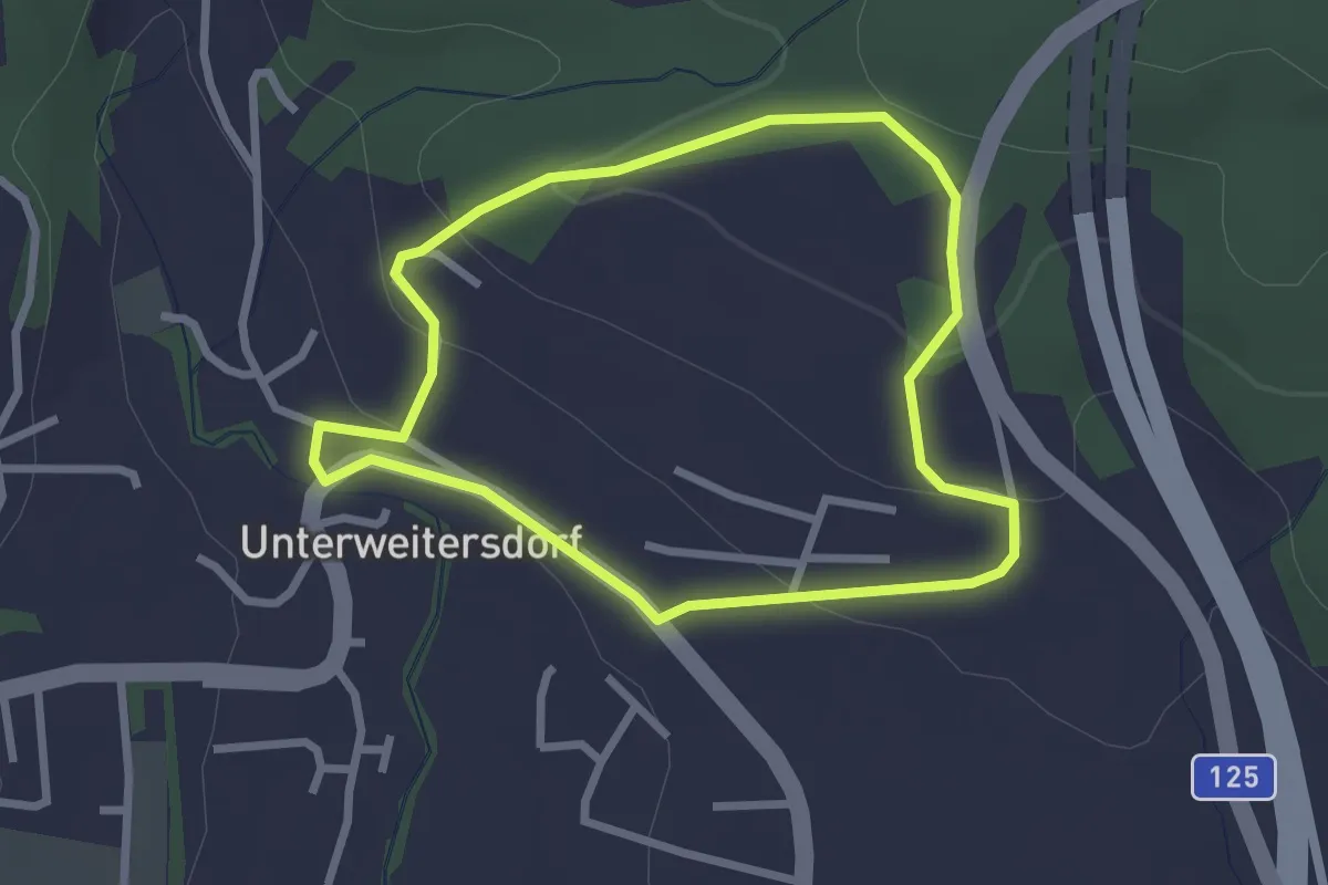
Easy · Trail
U1 Zur Waldandacht
2.4 km · ↑ 79 m · 46 min
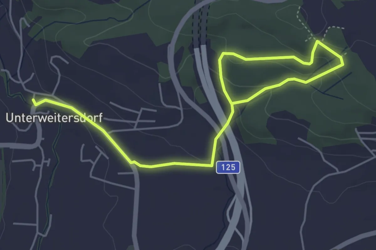
Easy · Trail
U2 Durch Den Austerwald
6.2 km · ↑ 205 m · 1 h 54 min
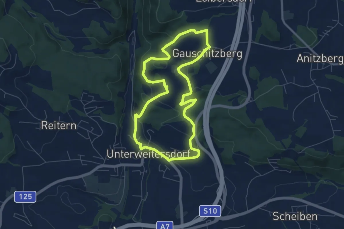
Easy · Trail
U3 Gauschitzberg
6.2 km · ↑ 190 m · 1 h 58 min
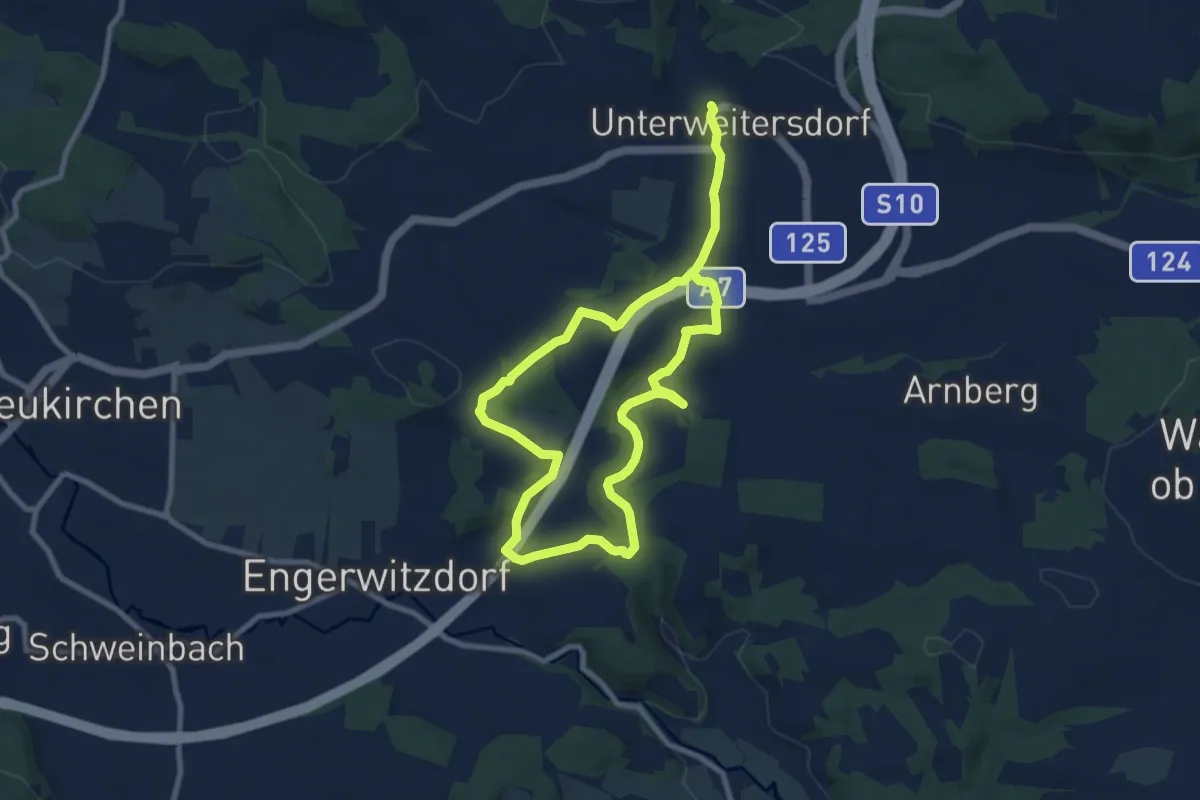
Medium · Trail
U4 Wögern-Kleines Gusental
14.1 km · ↑ 239 m · 3 h 51 min
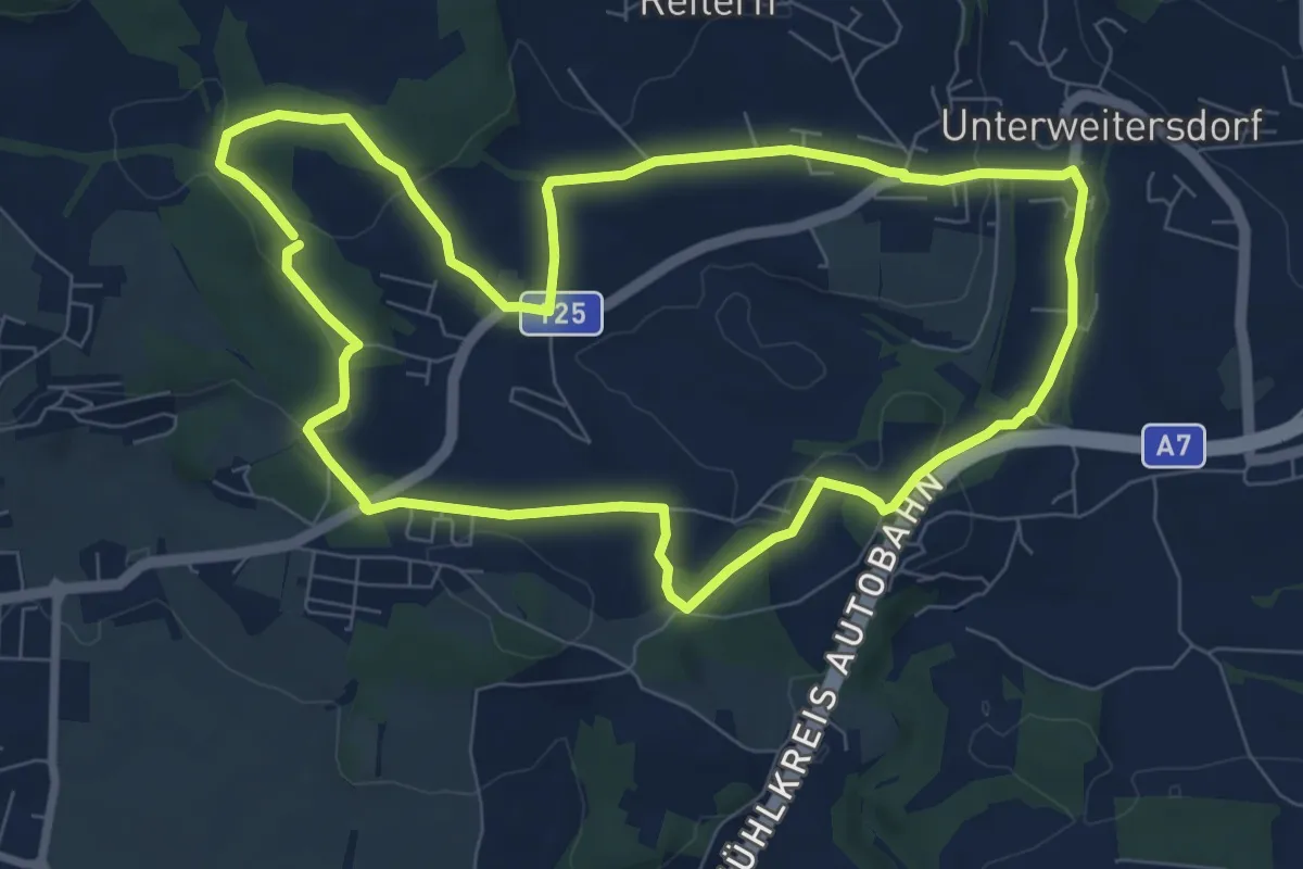
Easy · Trail
U5 Franzosengrab
8.0 km · ↑ 153 m · 2 h 20 min
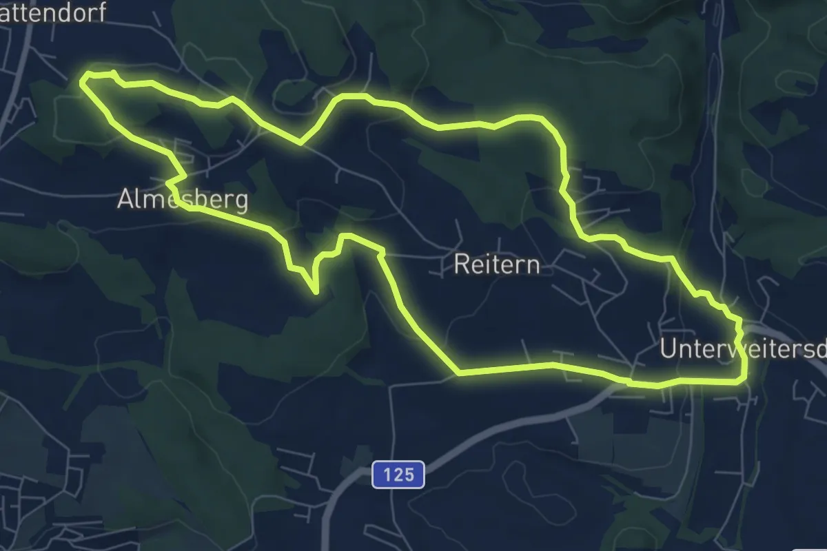
Medium · Trail
U6 Maria im Föhrenwald
8.1 km · ↑ 205 m · 2 h 29 min
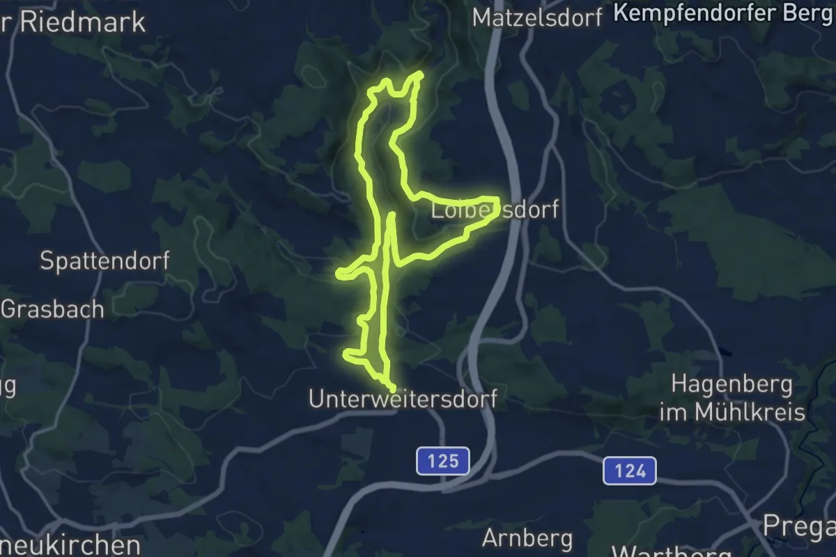
Medium · Trail
U7 Loibersdorf-Gusental
11.8 km · ↑ 223 m · 3 h 26 min
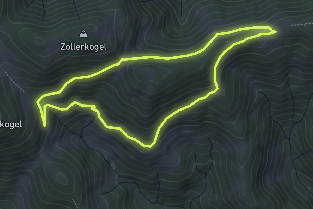
Easy · Trail
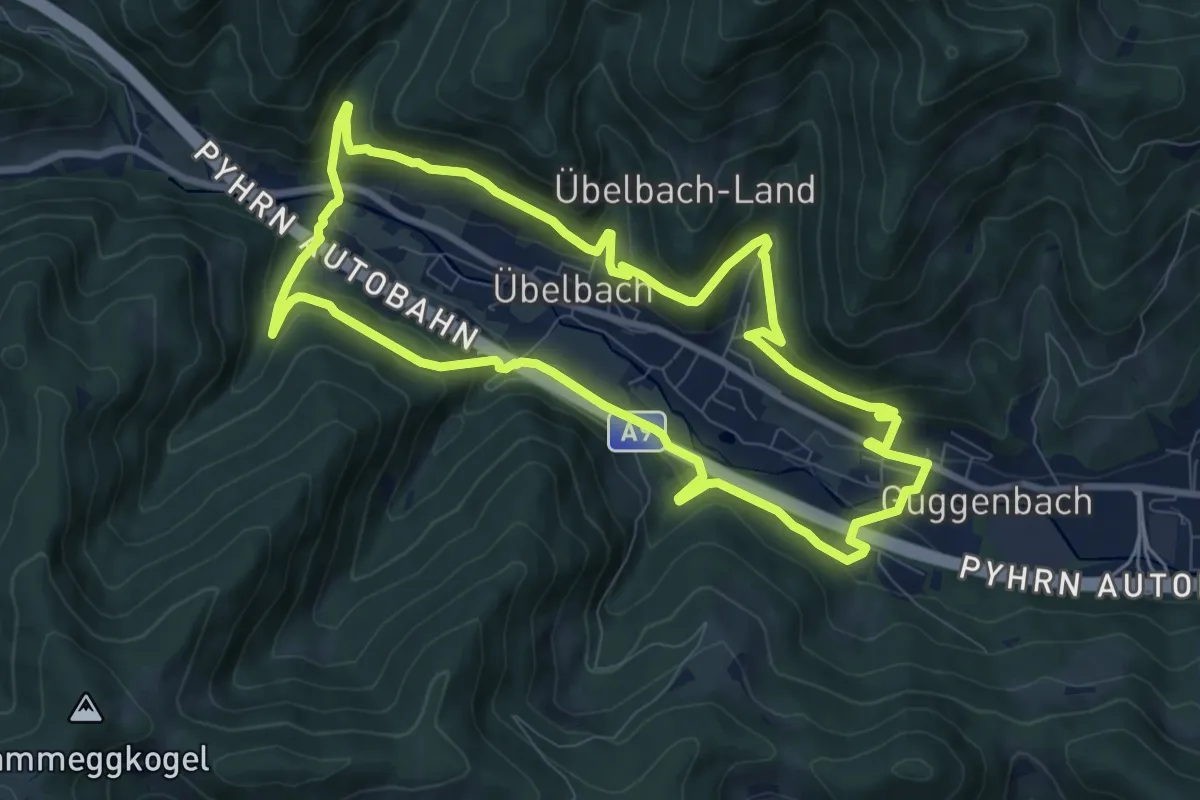
Übelbacher Bermuda Dreieck
4.7 km · ↑ 204 m · 1 h 37 min
Medium · Trail
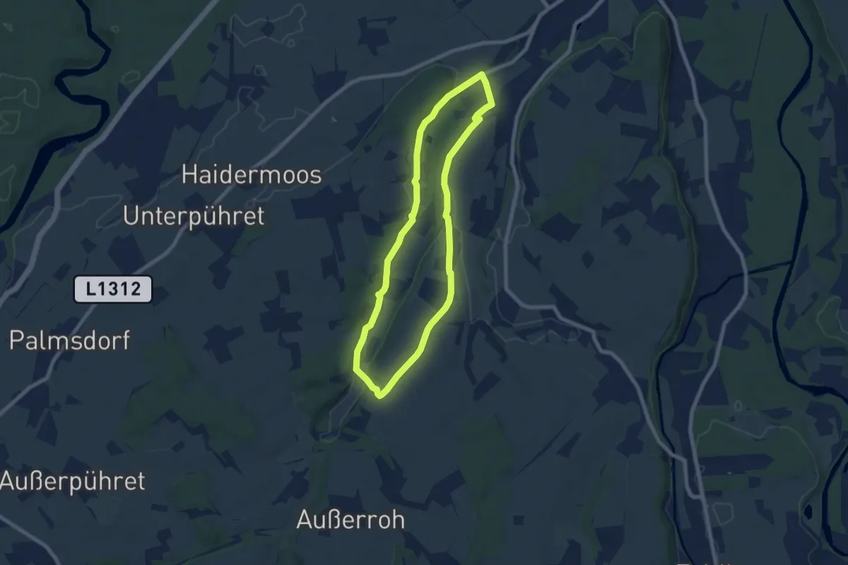
Übelbacher Silberweg
8.8 km · ↑ 321 m · 2 h 53 min
Easy · Trail
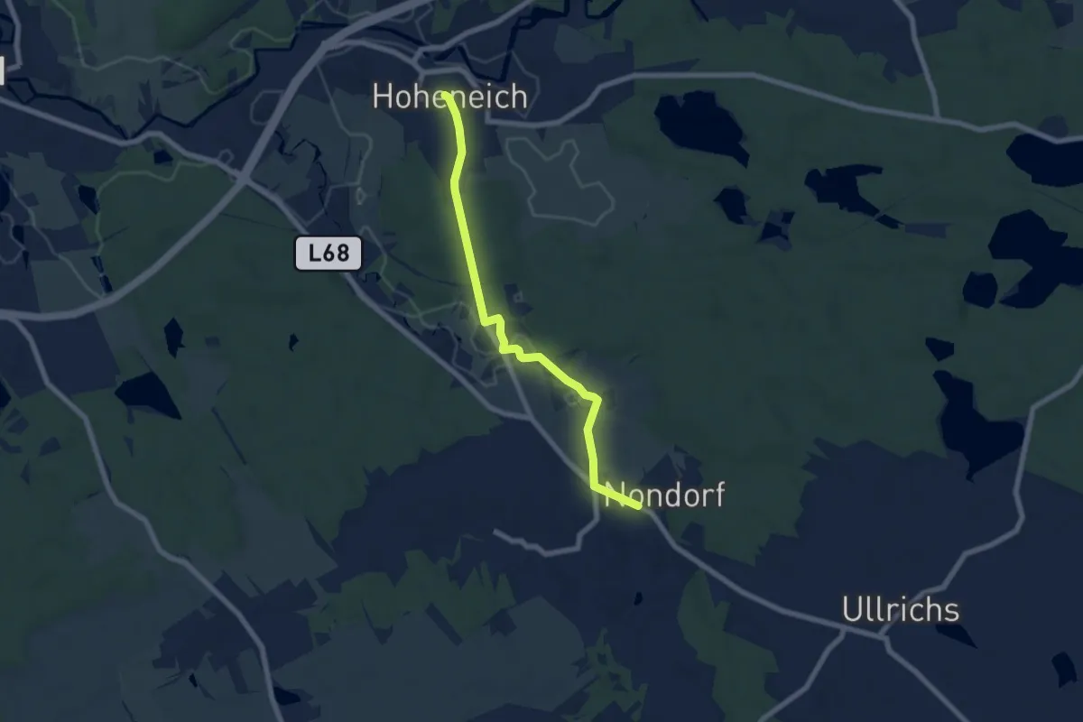
Über'd Moosleitn
6.3 km · ↑ 51 m · 1 h 42 min
Easy · Trail
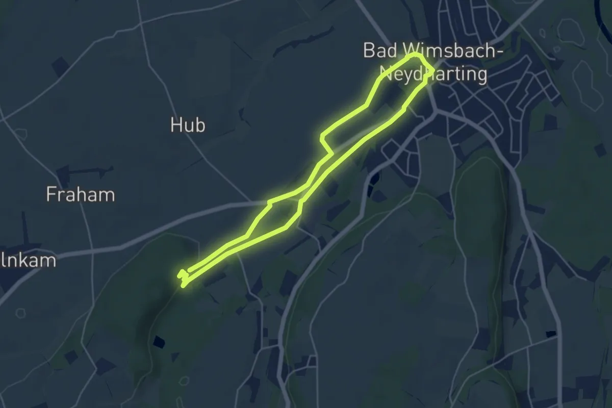
Überländerweg (13) - Verbindungsweg Nondorf-Hoheneich
6.2 km · ↑ 41 m · 1 h 33 min
Easy · Trail
Über'n Markt
4.3 km · ↑ 22 m · 1 h 8 min
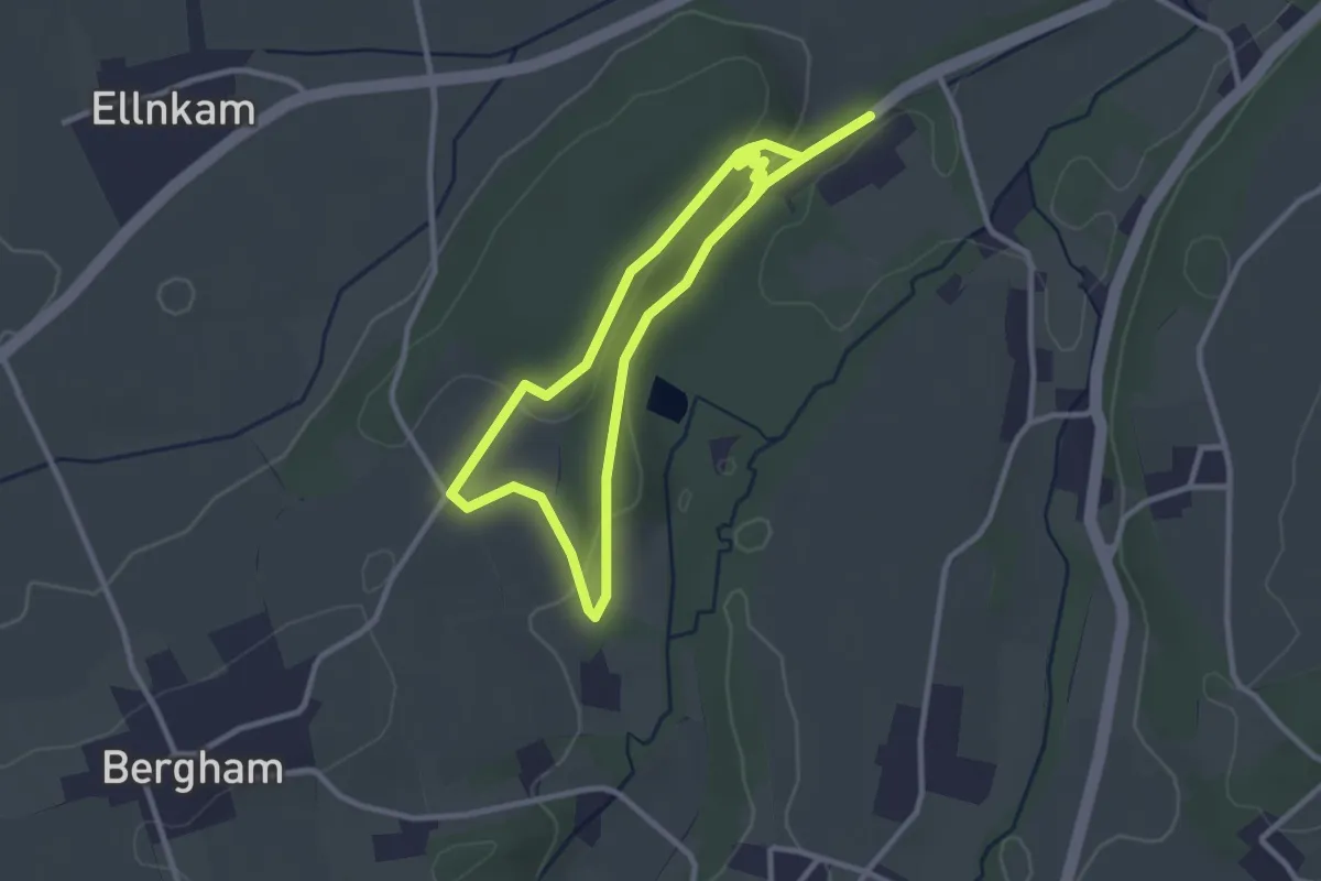
Easy · Trail
Übers Lahholz zum Moor
2.7 km · ↑ 61 m · 48 min
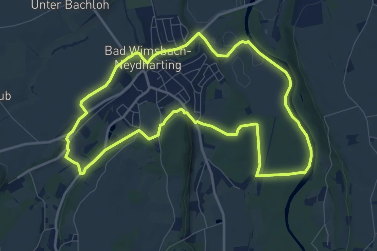
Easy · Trail
Über's Schloss
7.7 km · ↑ 50 m · 2 h 3 min
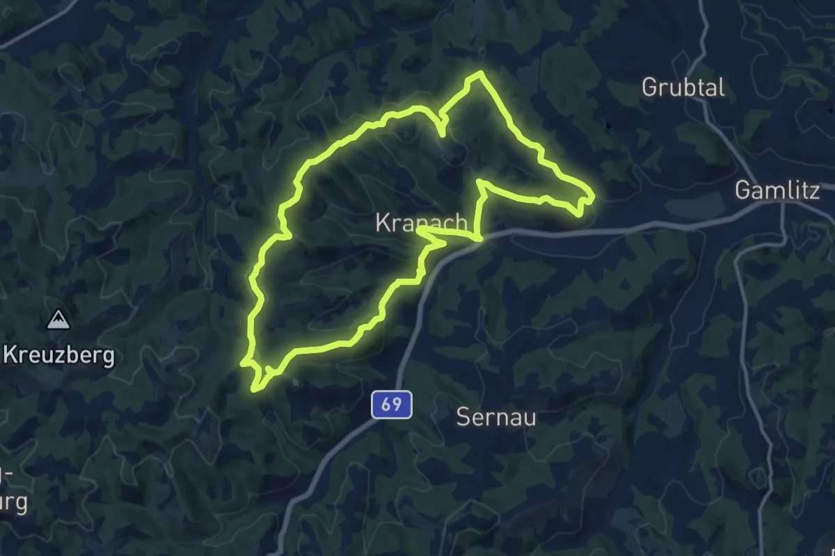
Medium · Summit
Über Stock und Wein
12.9 km · ↑ 484 m · 4 h 17 min
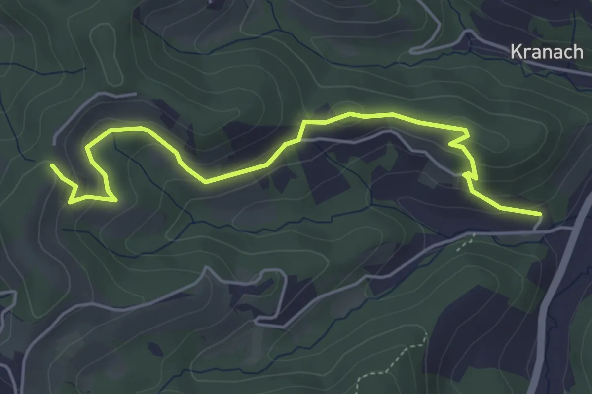
Easy · Trail
Über Stock und Wein - Variante
5.0 km · ↑ 215 m · 1 h 38 min
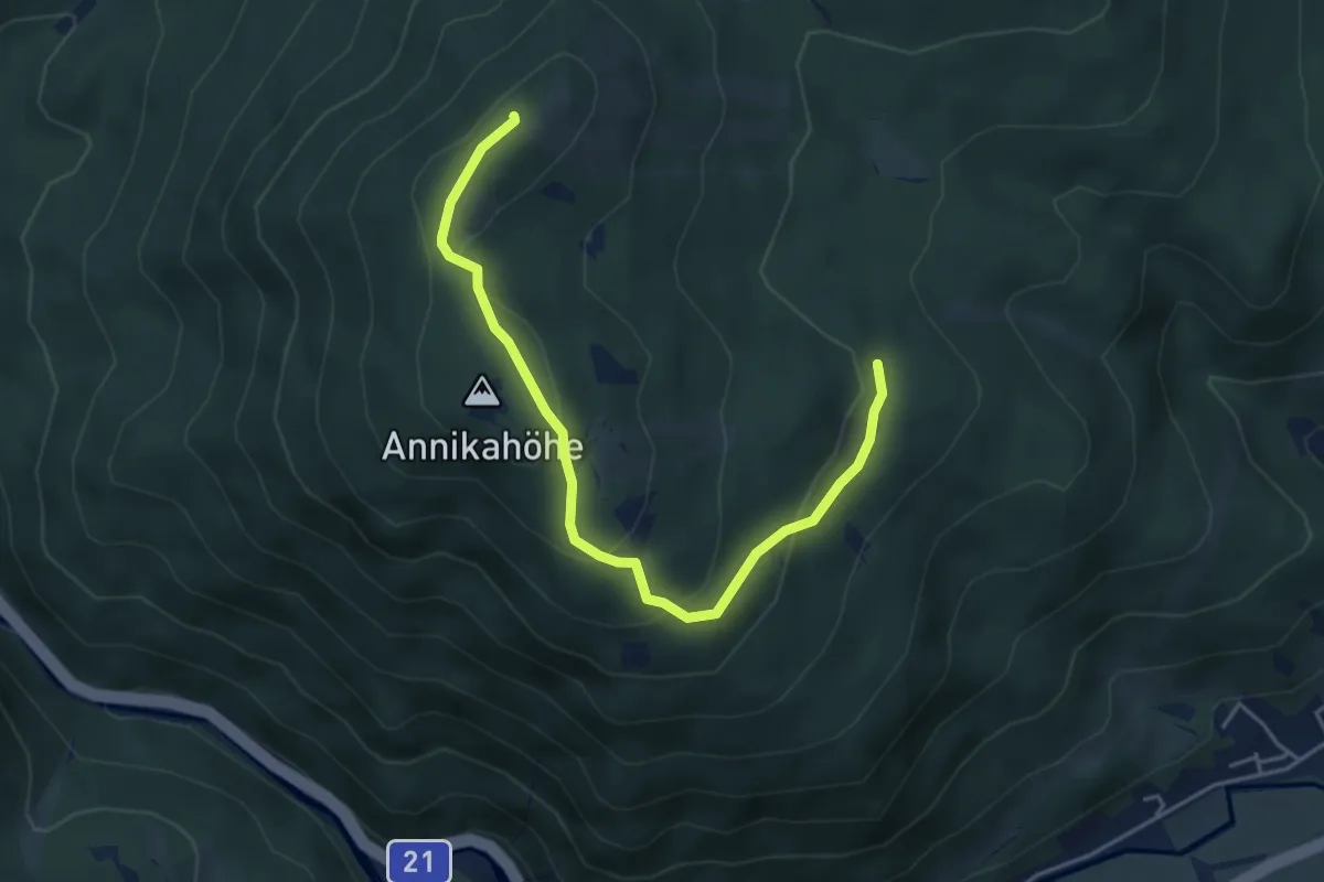
Easy · Summit
Über Vordere Mandling (Abstecher vom 01A)
4.7 km · ↑ 245 m · 1 h 38 min
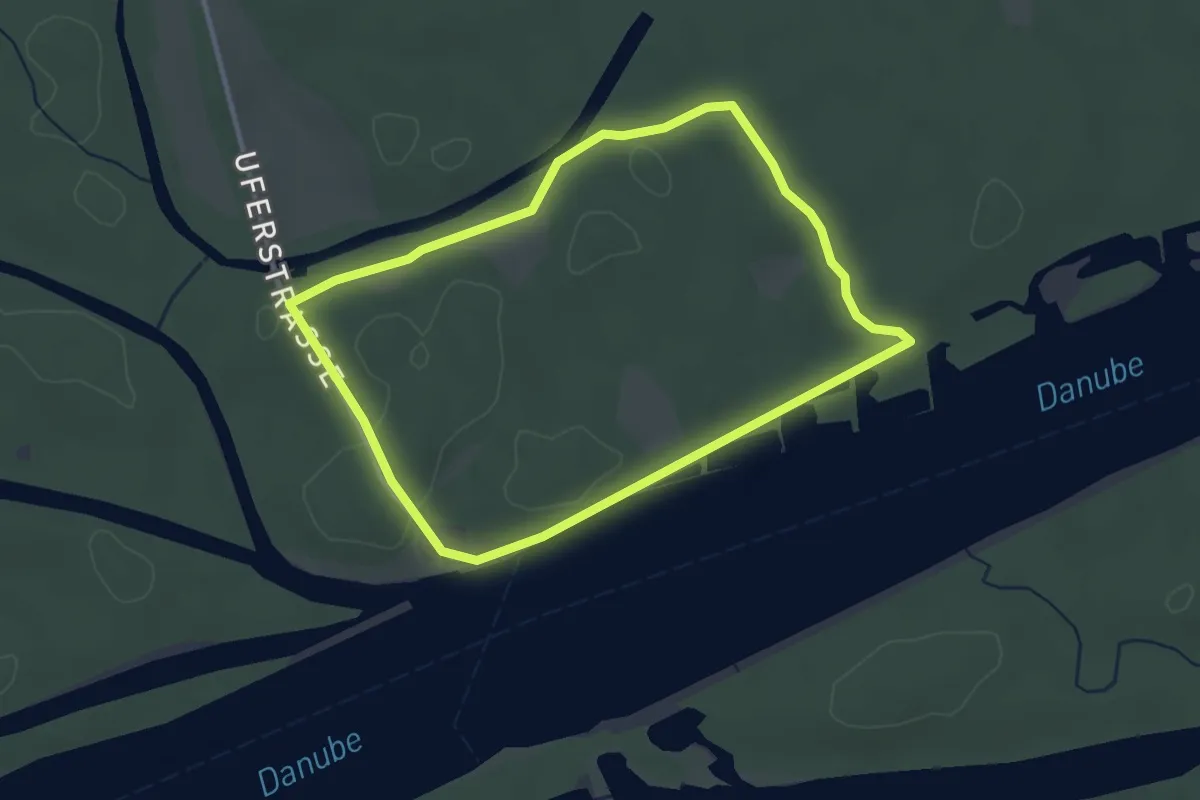
Easy · Trail
Uferhaus Runde
3.0 km · ↑ 0 m · 45 min
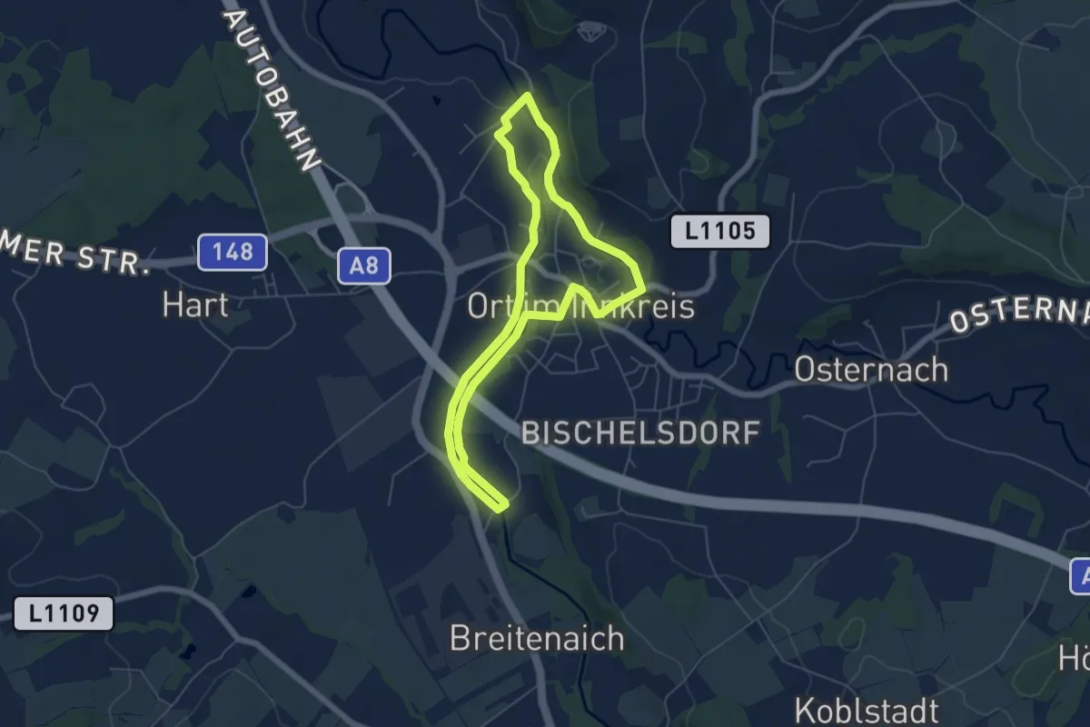
Easy · Trail
Uferweg
5.2 km · ↑ 15 m · 1 h 21 min
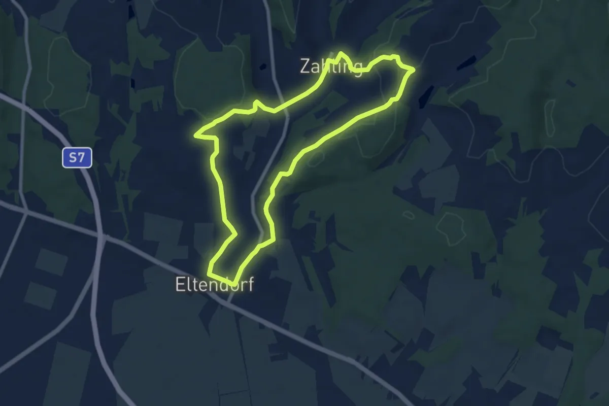
Easy · Trail
Uhudlerkunstwanderweg Teil 1
7.1 km · ↑ 129 m · 2 h 3 min
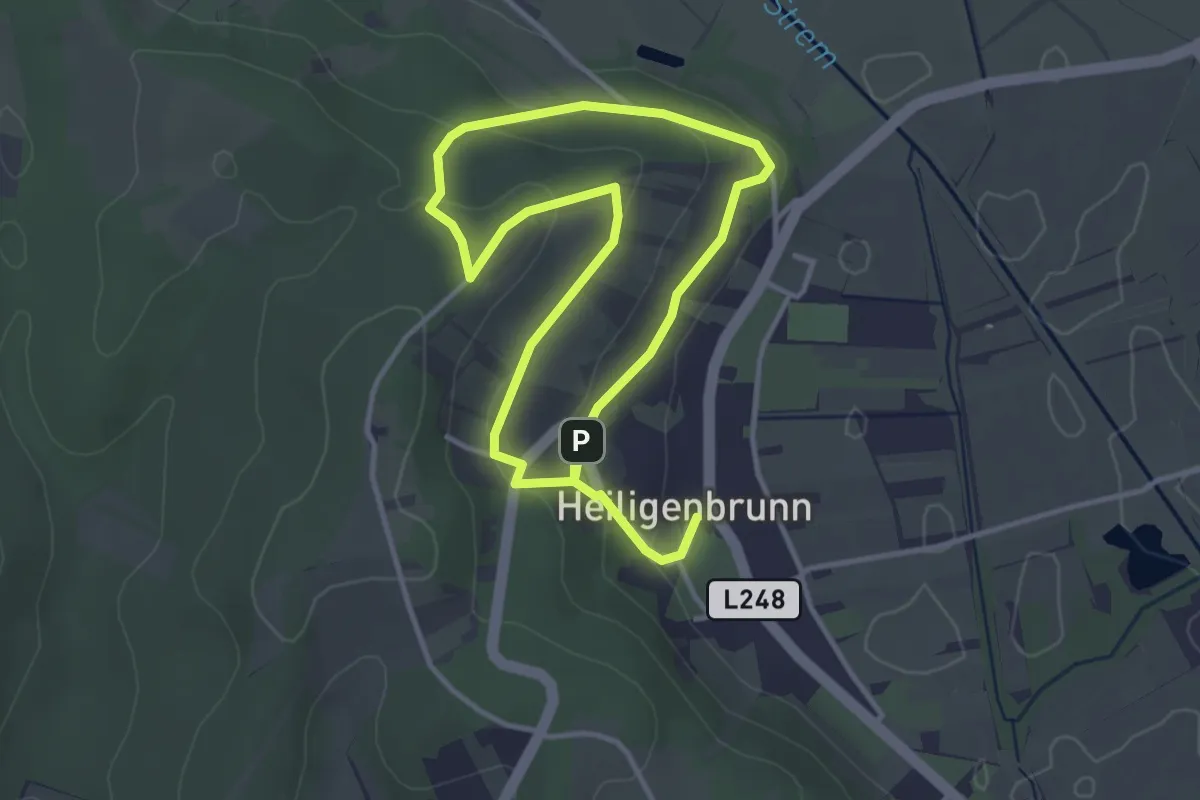
Easy · Trail
Uhudlerrunde
3.1 km · ↑ 72 m · 56 min
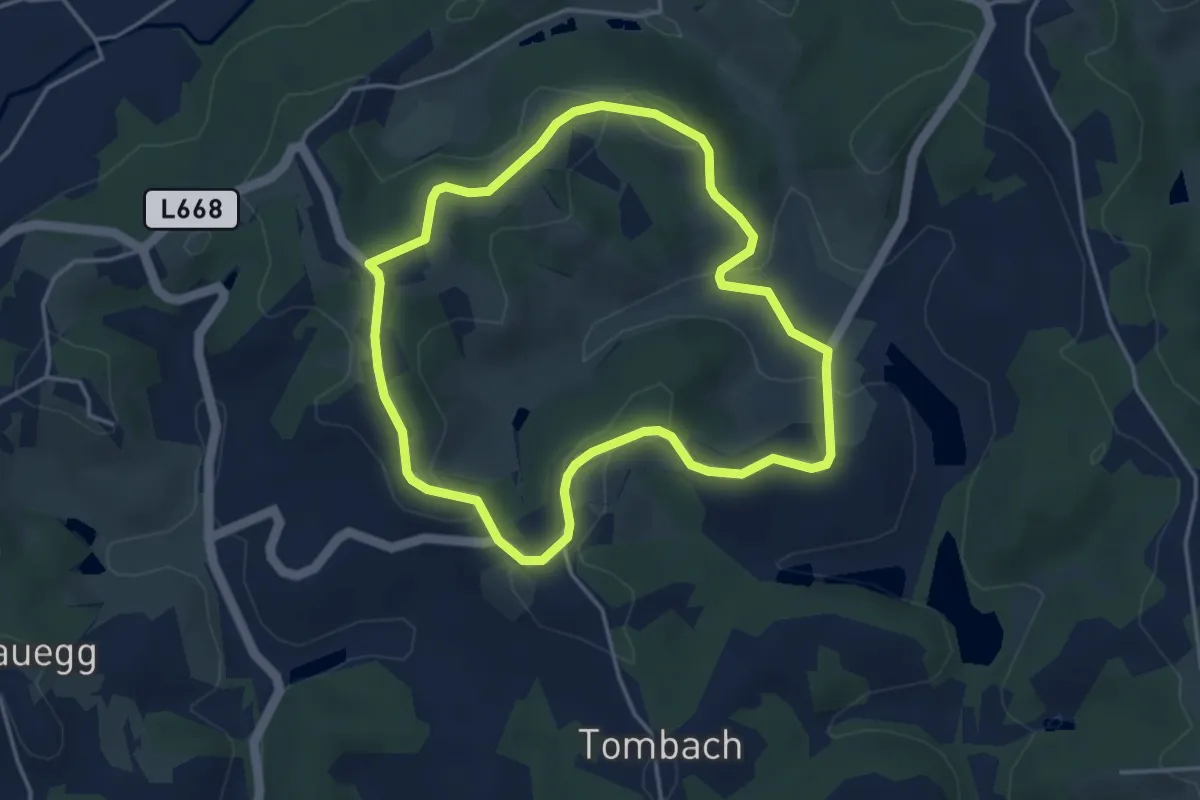
Easy · Trail
Ulricher Rundweg
3.9 km · ↑ 93 m · 1 h 11 min
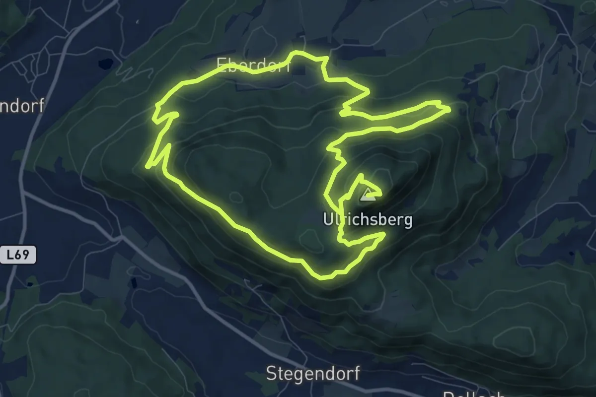
Demanding · Summit
Ulrichsberg-Gedächtniswanderung
19.2 km · ↑ 929 m · 6 h 33 min
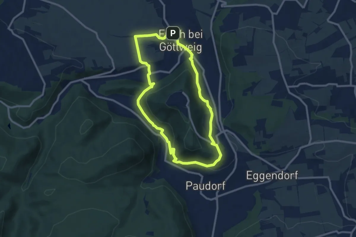
Medium · Trail
Um den Stiftsberg (F5)
6.5 km · ↑ 254 m · 2 h 10 min