Trails in Austria
9,777 hiking trails, each with its route, climb, walking time and grade.
All trails, page 121 of 204
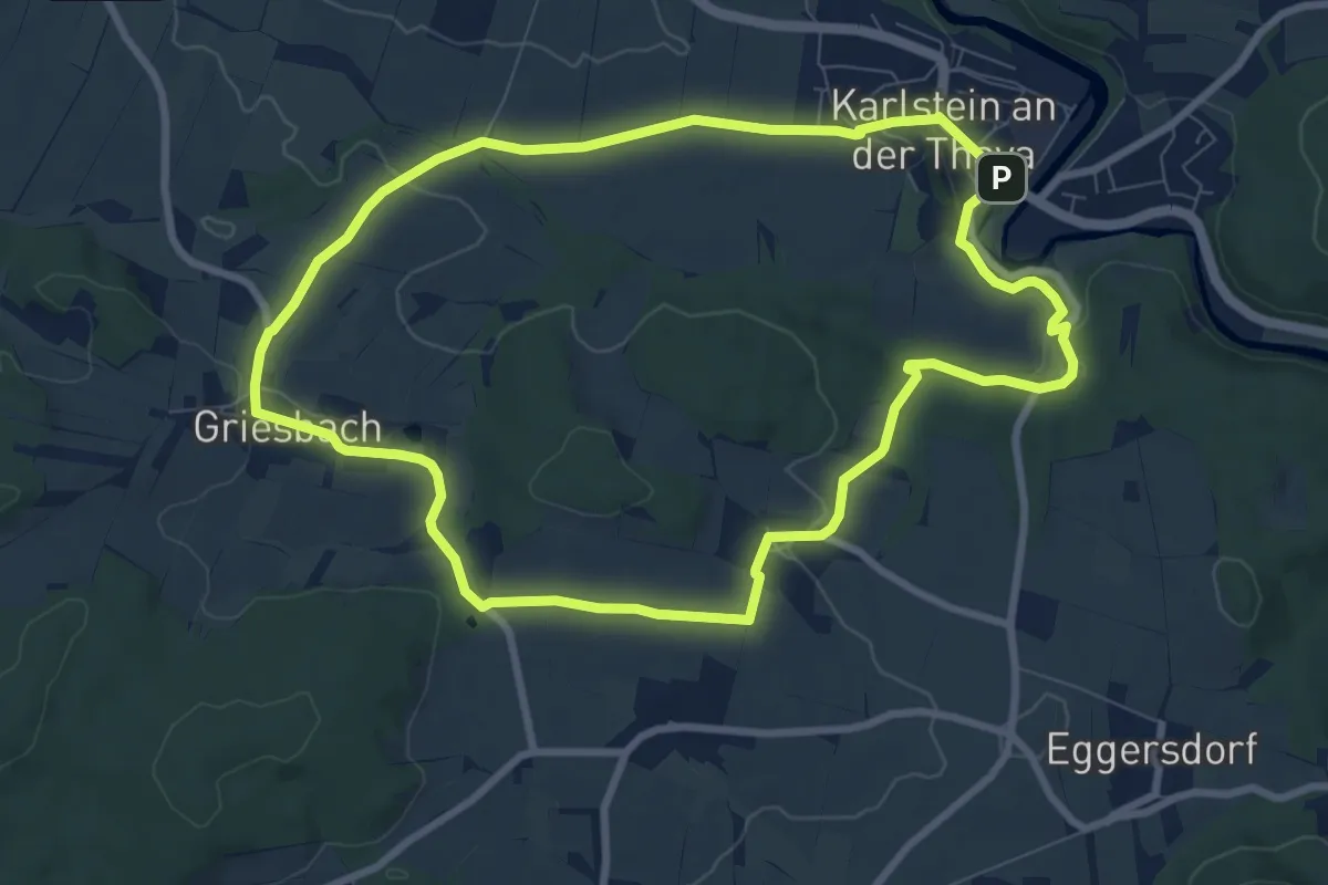
Medium · Trail
Um die Griesleiten
8.1 km · ↑ 162 m · 2 h 23 min
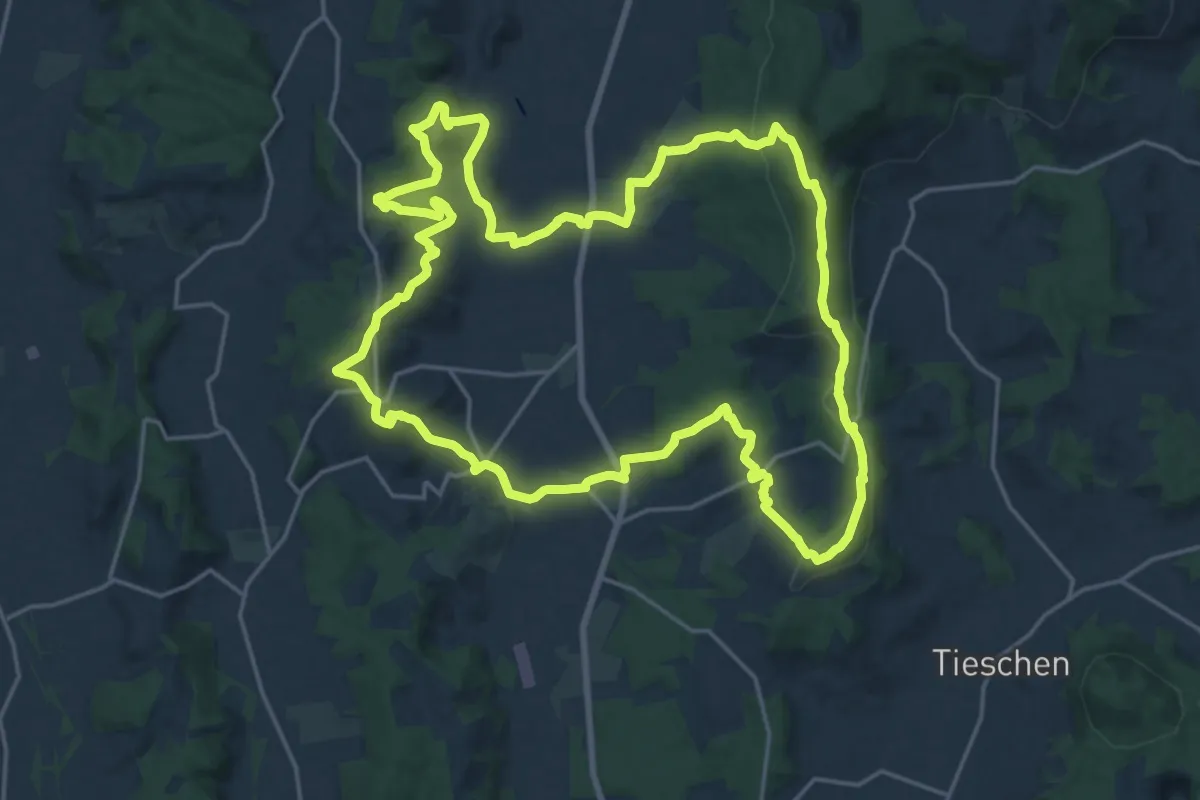
Demanding · Summit
Um die Mitte
21.7 km · ↑ 623 m · 6 h 47 min
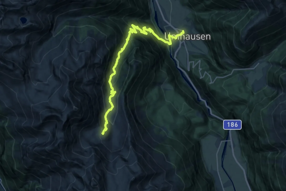
Demanding · Cabin
Umhausen - Frischmannhütte
20.5 km · ↑ 1264 m · 7 h 35 min
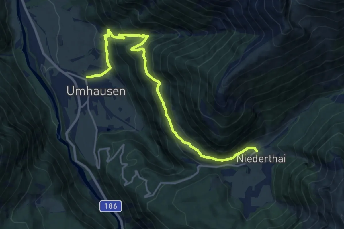
Medium · Trail
Umhauser Höhenweg
12.6 km · ↑ 589 m · 4 h 16 min
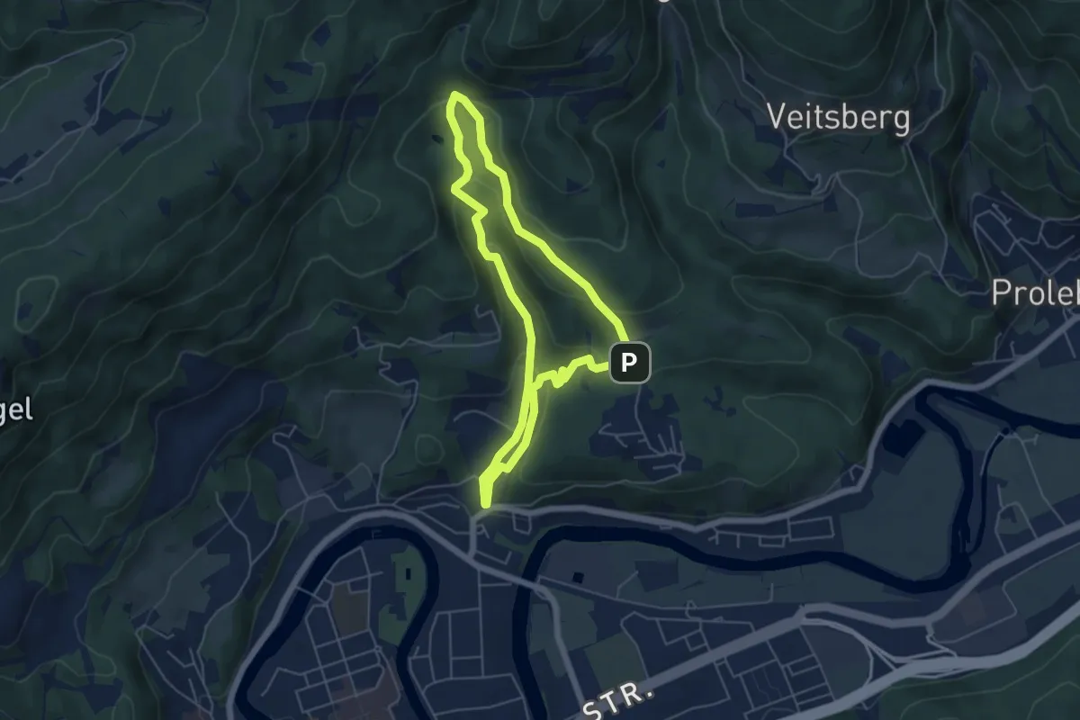
Easy · Trail
Umwelt und Naturlehrpfad
4.8 km · ↑ 212 m · 1 h 39 min
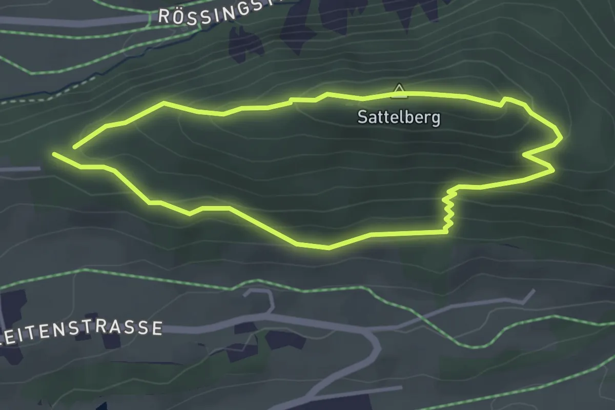
Medium · Summit
Umwelt- und Naturlehrpfad
3.1 km · ↑ 198 m · 1 h 12 min
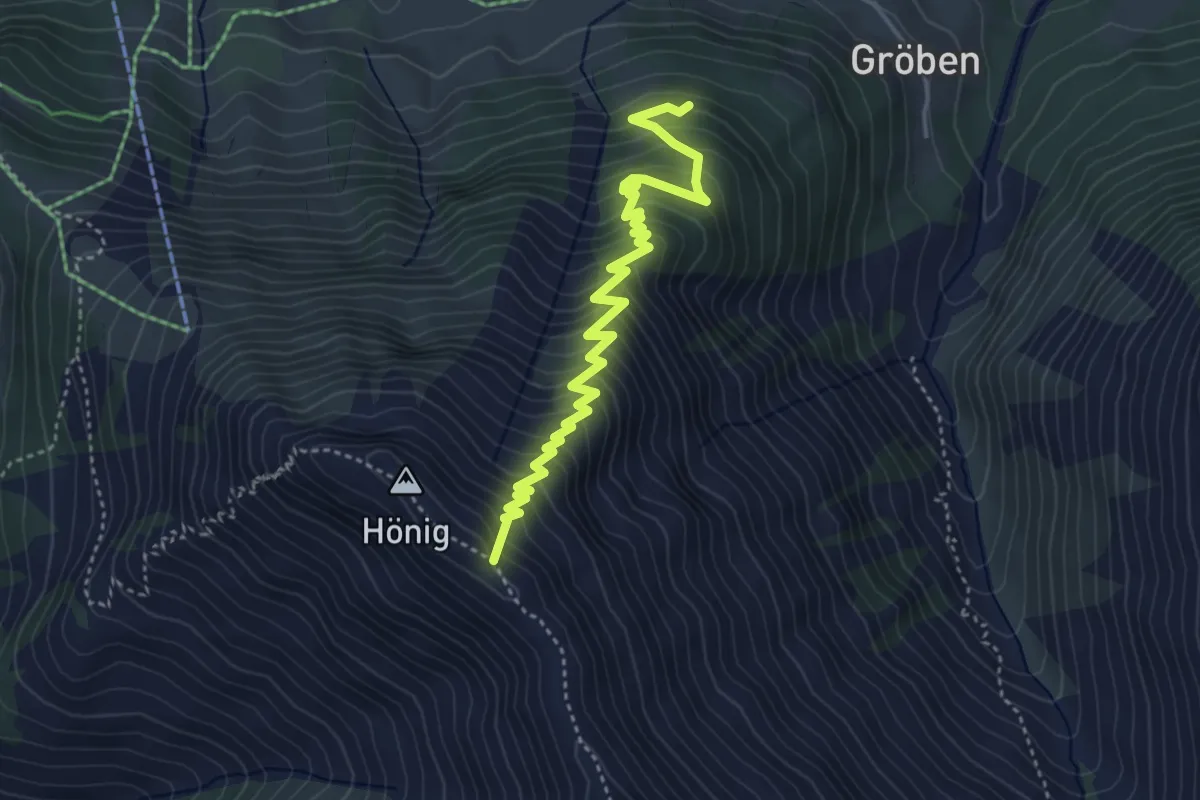
Medium · Summit
under construction Berwang - Hönig
4.6 km · ↑ 539 m · 2 h 15 min
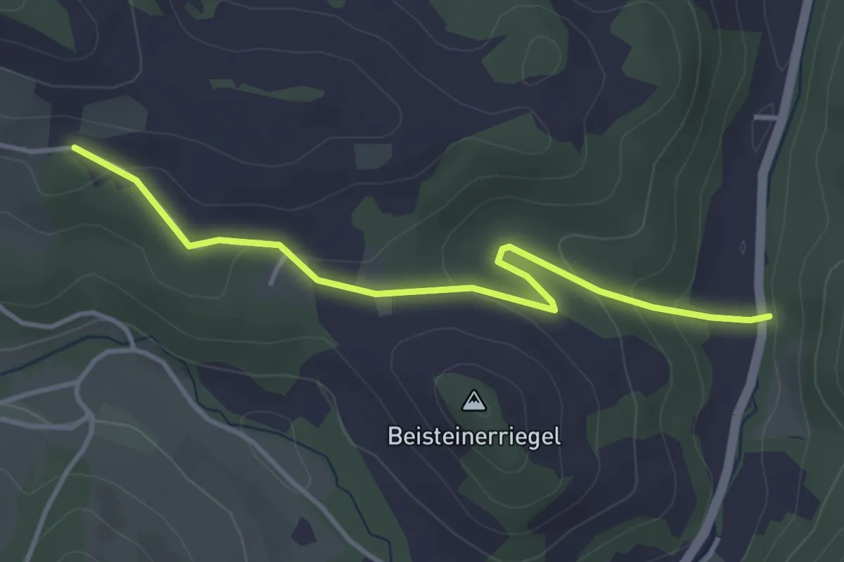
Easy · Trail
Ungerbach - Maierhöfen
3.6 km · ↑ 124 m · 1 h 8 min
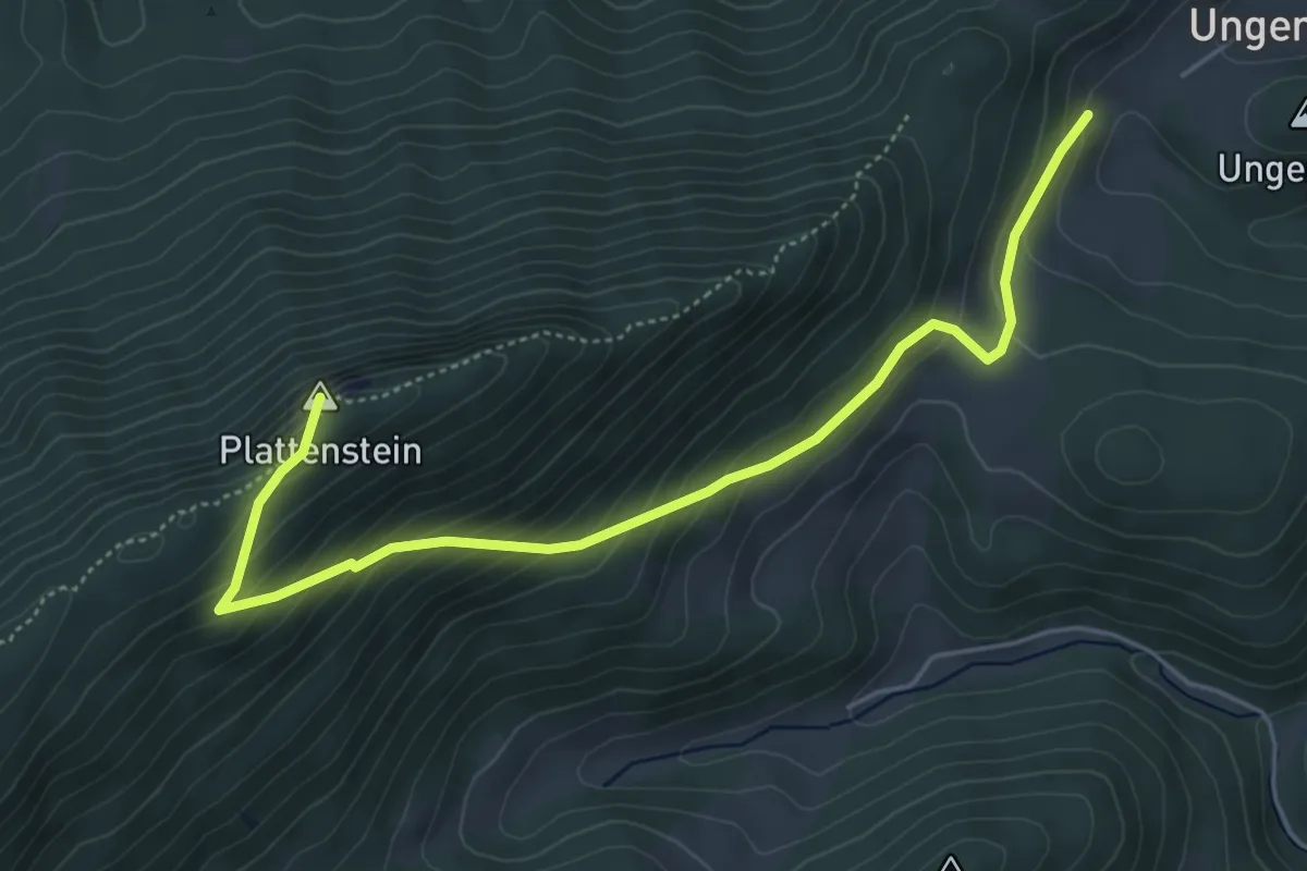
Medium · Summit
Ungerberg - Gauermannhütte
5.4 km · ↑ 390 m · 2 h 7 min
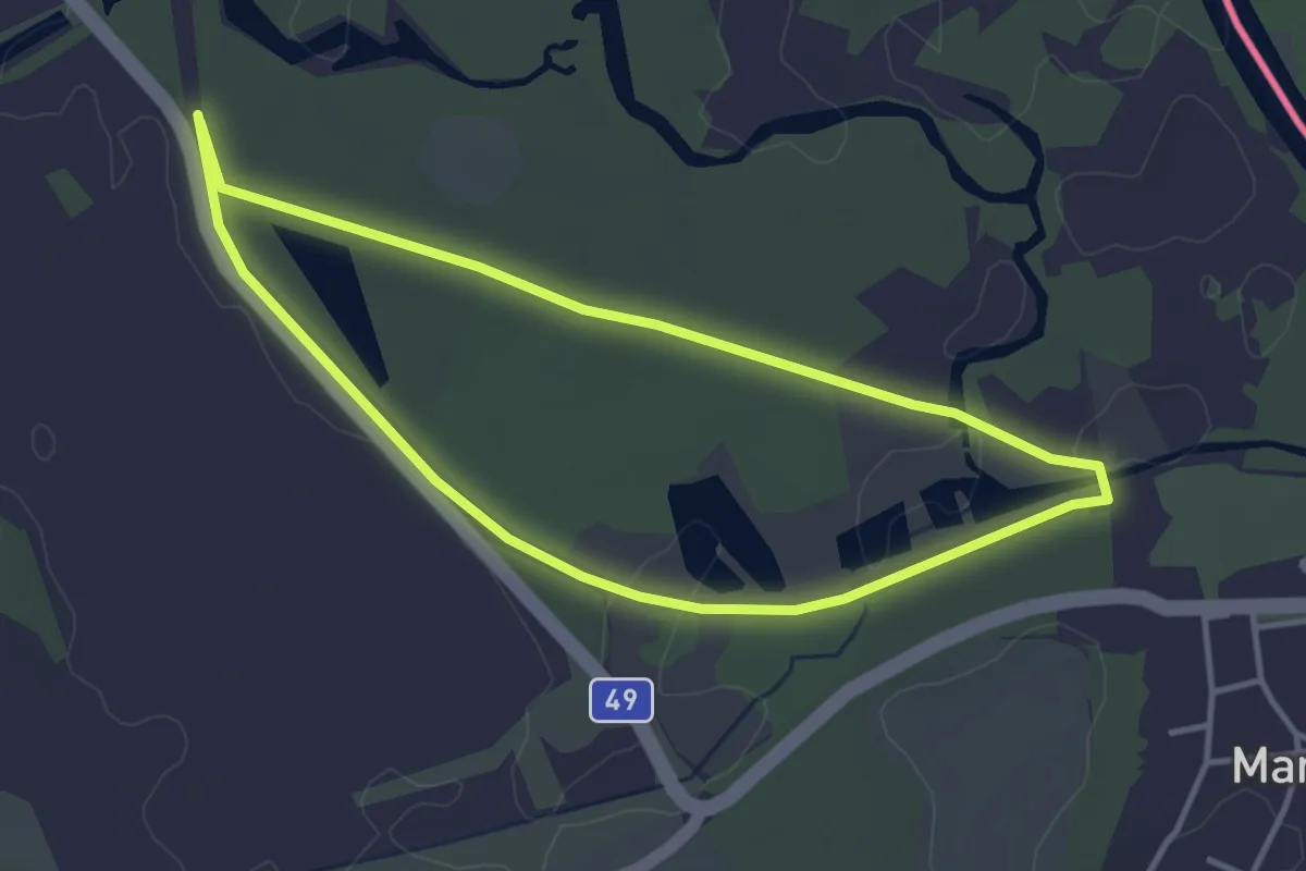
Easy · Trail
Unkenweg
3.4 km · ↑ 0 m · 51 min
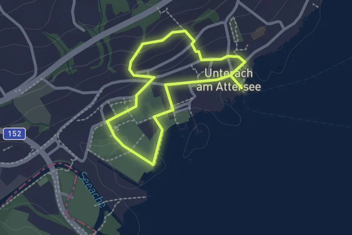
Easy · Trail
Unteracher Zeitrreiseweg
1.7 km · ↑ 37 m · 30 min
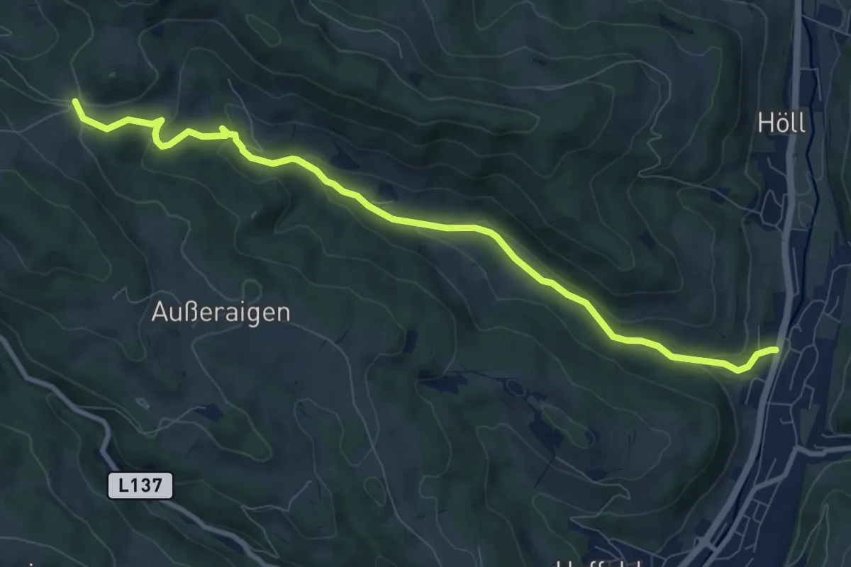
Medium · Trail
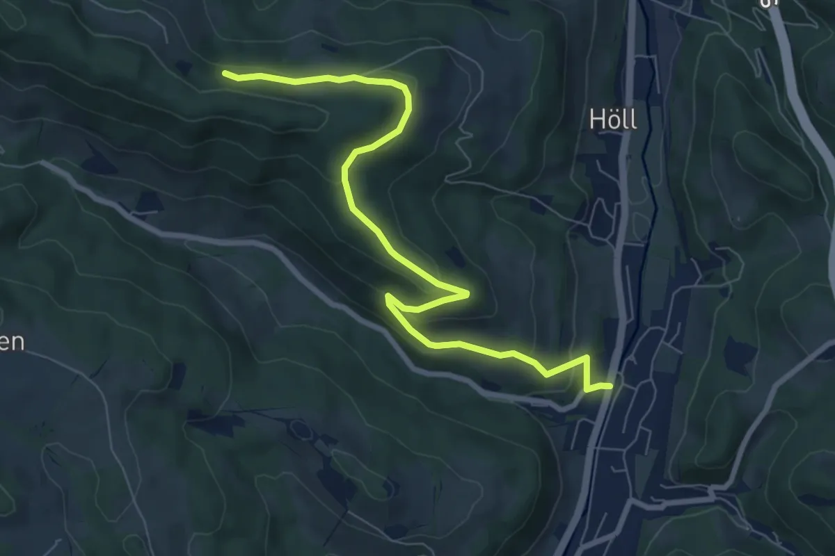
Unteraspang - Hottmannsgraben - Paßkapelle
9.3 km · ↑ 285 m · 2 h 49 min
Easy · Trail
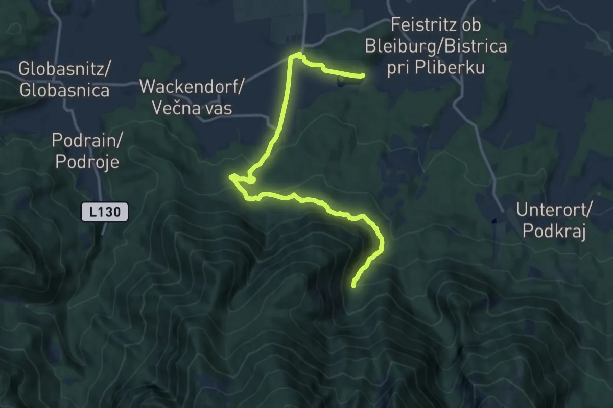
Unteraspang - Saurerhütte
8.0 km · ↑ 256 m · 2 h 26 min
Easy · Trail
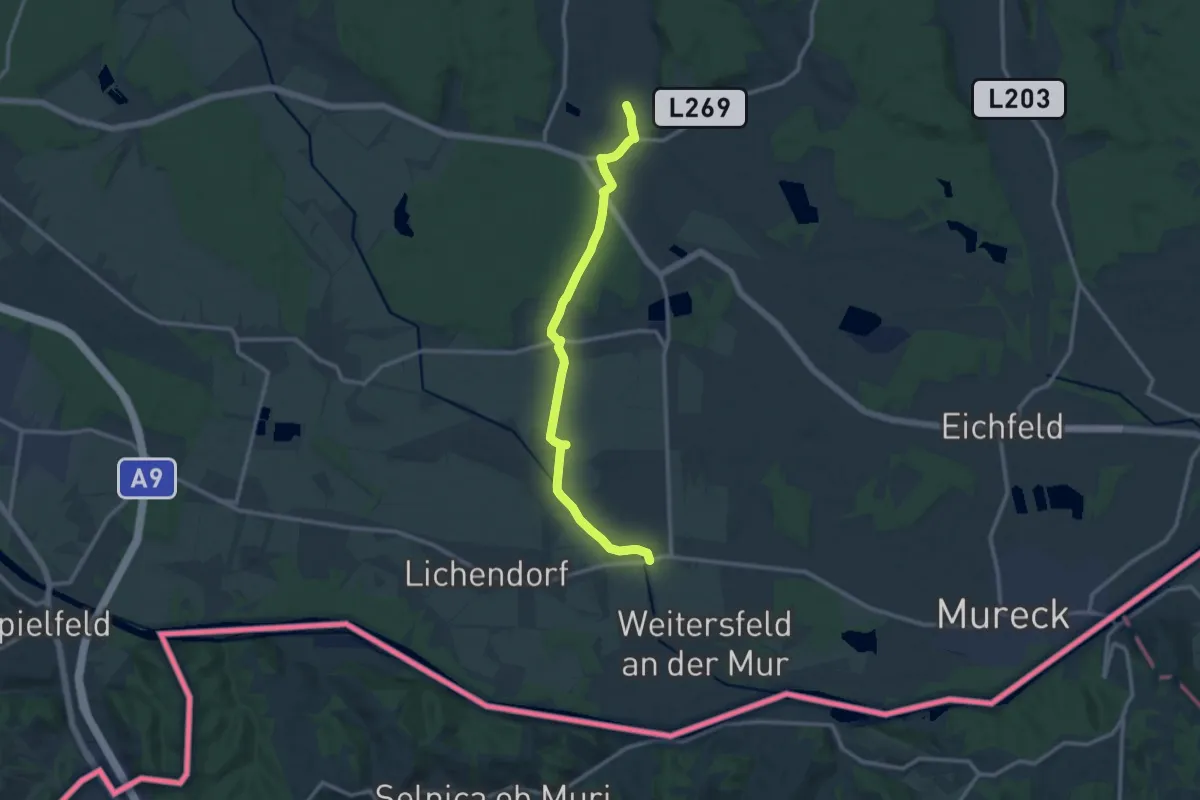
Unterbergenweg
6.3 km · ↑ 45 m · 1 h 51 min
Medium · Trail
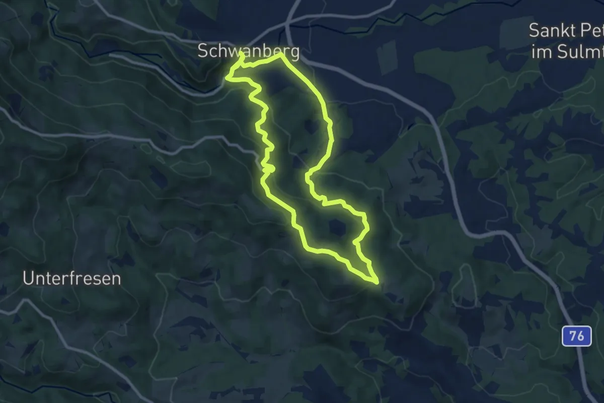
Unterer Saßtalweg
12.5 km · ↑ 28 m · 3 h 1 min
Medium · Trail
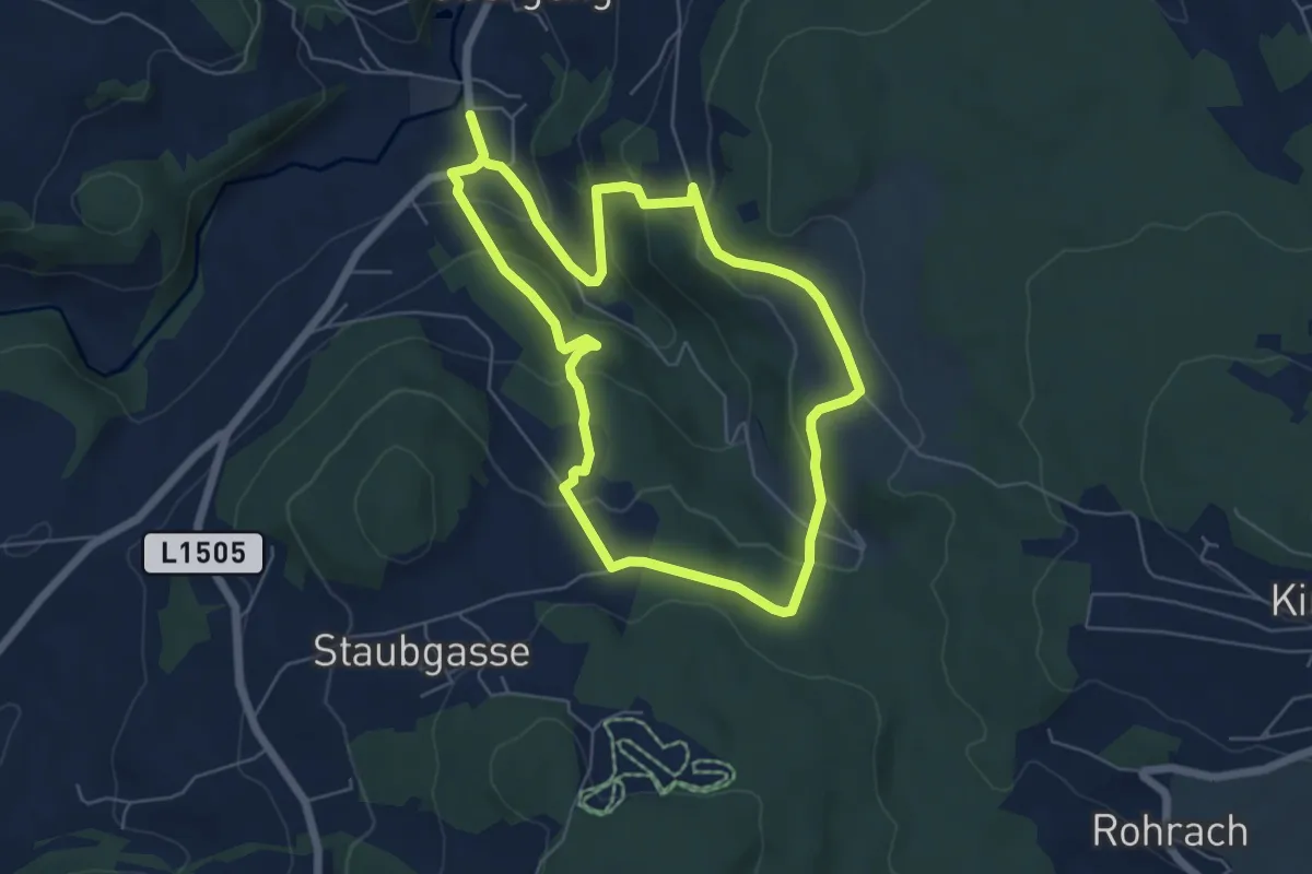
Unterfresen - Hochmasser Runde
8.9 km · ↑ 299 m · 2 h 52 min
Easy · Trail
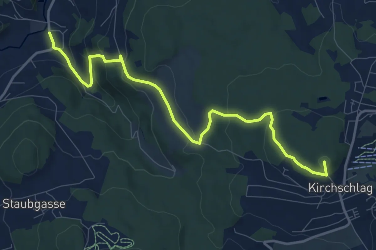
Untergenger Höhenweg
5.4 km · ↑ 252 m · 1 h 54 min
Medium · Summit
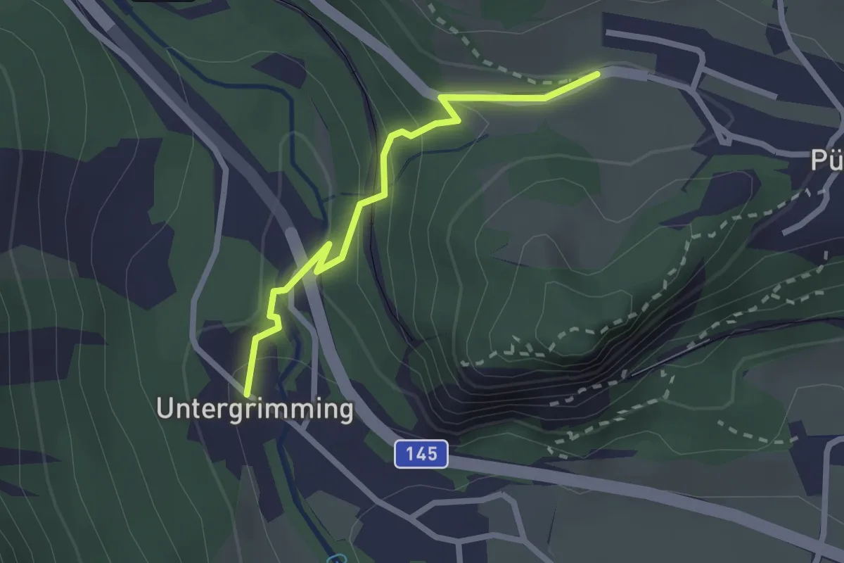
Untergeng-Kirchschlag
9.3 km · ↑ 380 m · 3 h 2 min
Medium · Trail
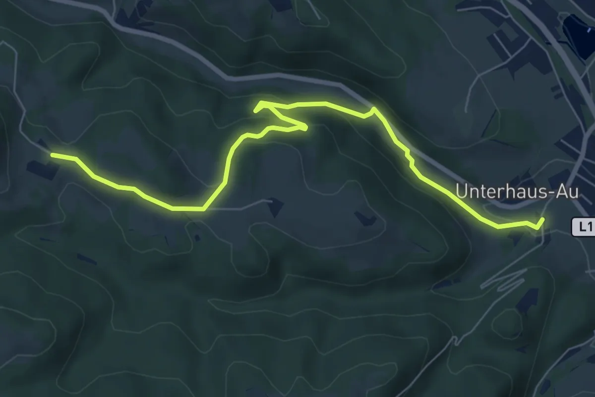
Untergrimming über Kaputzinersteig
2.0 km · ↑ 128 m · 45 min
Easy · Trail
Unterhaus - Kraxenberg
7.2 km · ↑ 188 m · 2 h 6 min
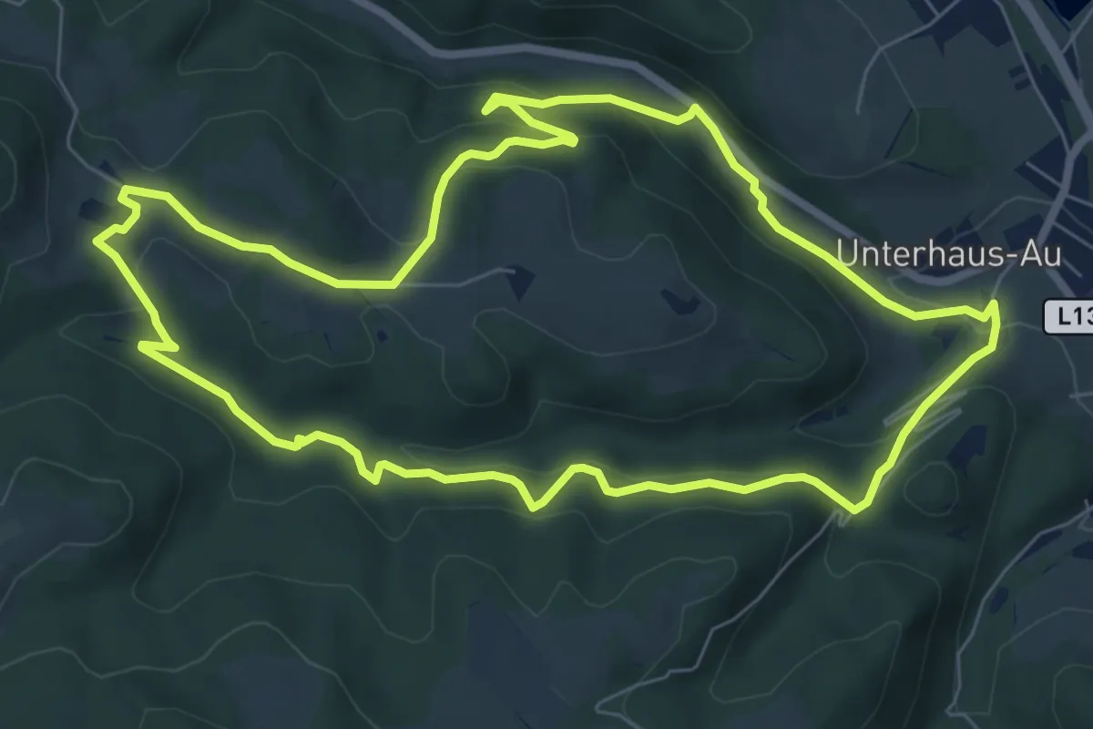
Easy · Trail
Unterhaus - Schloß Krumbach - Kraxenberg
7.4 km · ↑ 225 m · 2 h 20 min
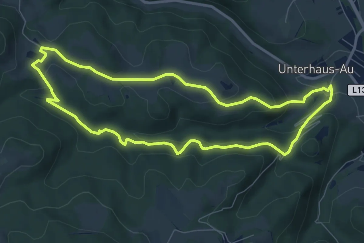
Easy · Trail
Unterhaus - Schloß Krumbach - Kraxenberg -Kölbel
6.5 km · ↑ 236 m · 2 h 8 min
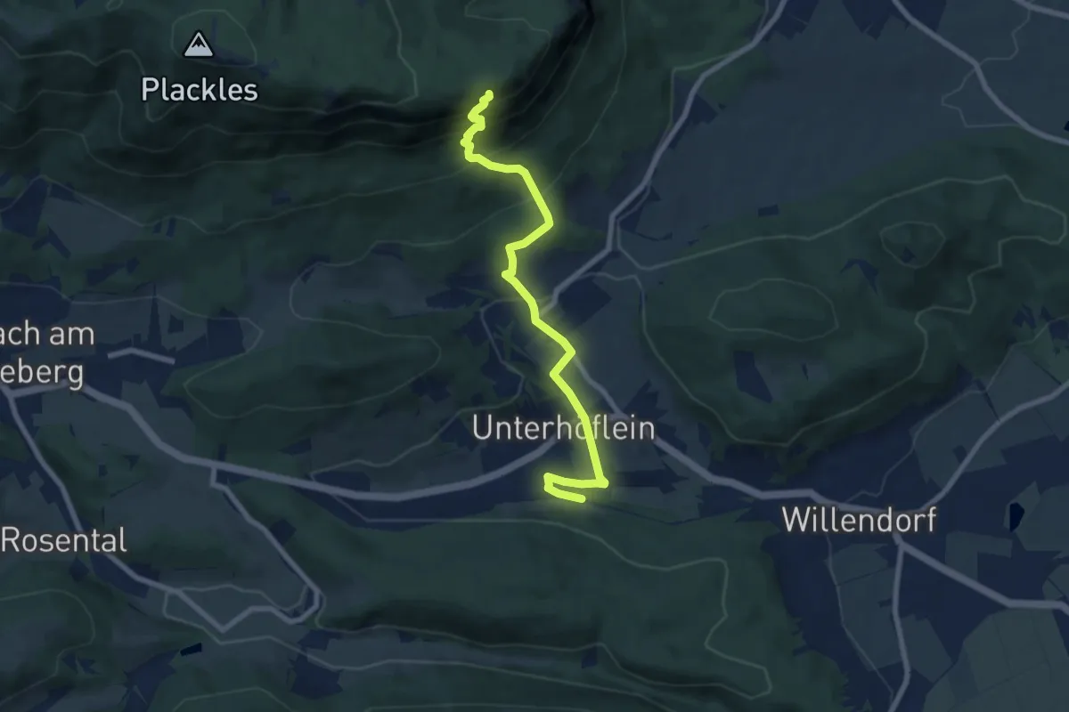
Expert · Cabin
Unter Höflein Bhf - Hubertushaus über Springlessteig
7.6 km · ↑ 524 m · 2 h 55 min
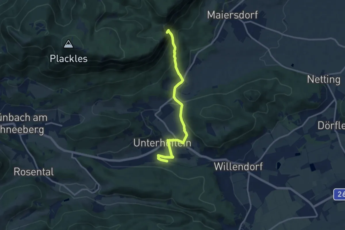
Medium · Summit
Unterhöflein Bhf - Zweiersdorf - Leitergraben
8.5 km · ↑ 317 m · 2 h 42 min
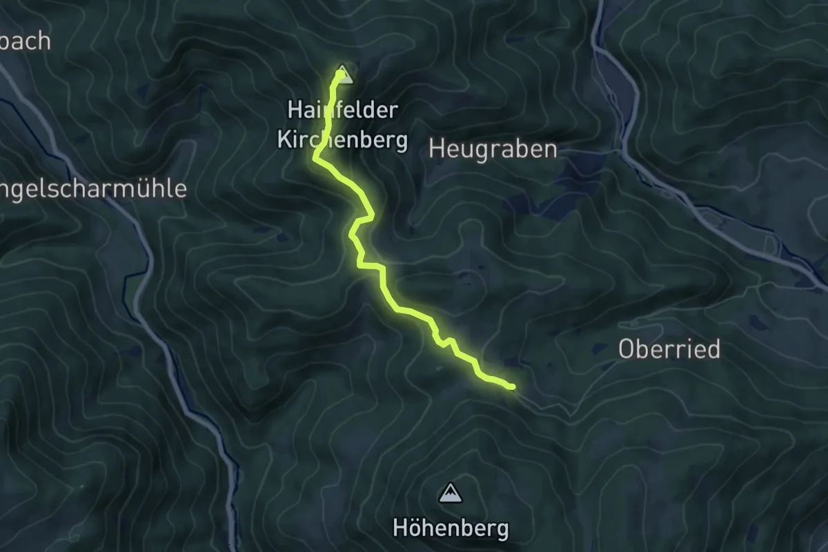
Easy · Summit
Unterhöhenberg - Hainfelder Hütte
5.7 km · ↑ 248 m · 1 h 52 min
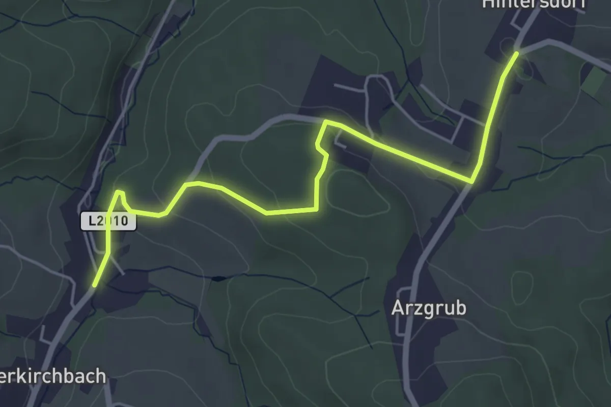
Easy · Trail
Unterkirchbach/Feuerwehr - Hintersdorf
4.9 km · ↑ 127 m · 1 h 26 min
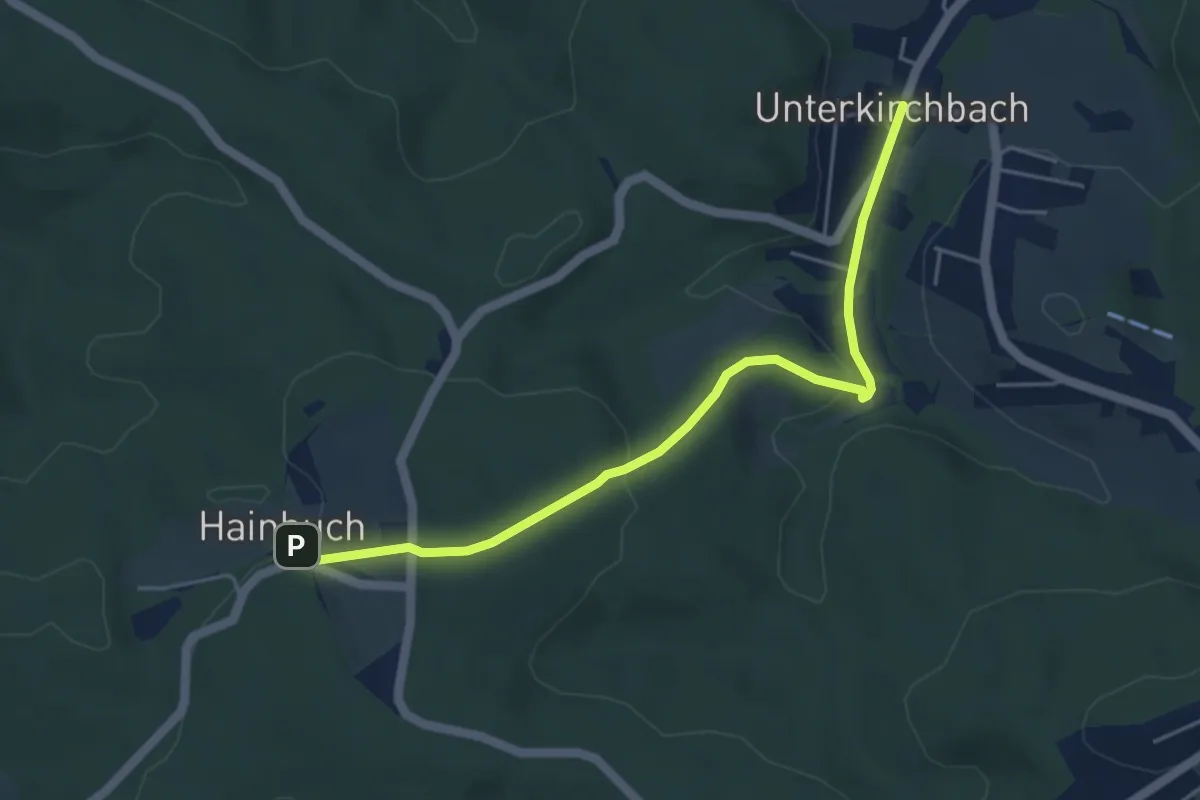
Easy · Trail
Unterkirchbach/Ort - Hainbuch
4.7 km · ↑ 119 m · 1 h 22 min
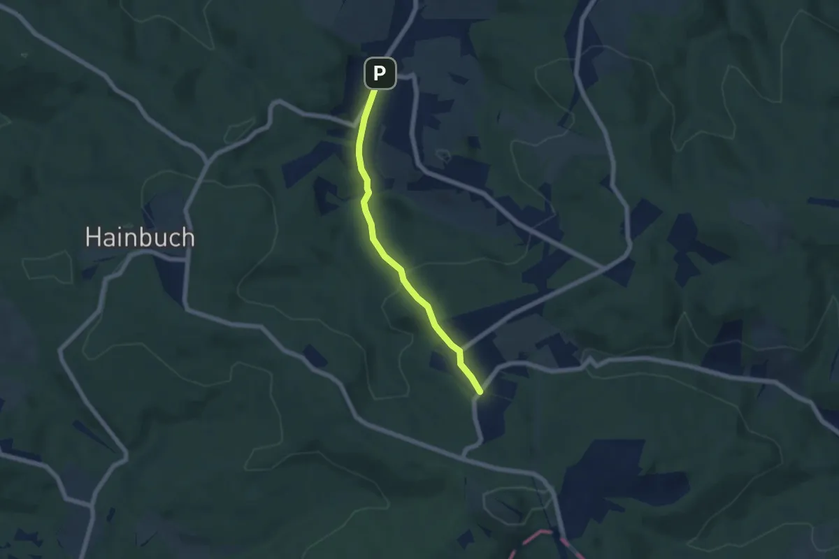
Easy · Trail
Unterkirchbach/Ort - Steinriegl
4.6 km · ↑ 118 m · 1 h 21 min
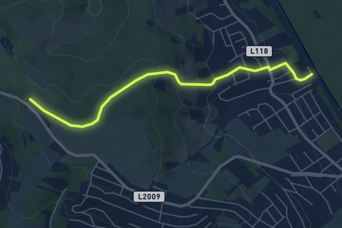
Easy · Trail
Unterkritzendorf Bahnhof - Weißer Hof
5.2 km · ↑ 232 m · 1 h 44 min
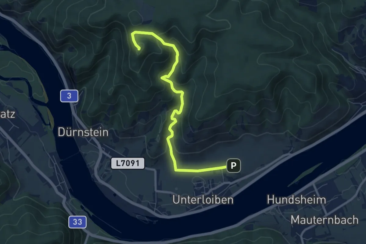
Medium · Trail
Unterloiben-Strahembergwarte
7.5 km · ↑ 369 m · 2 h 34 min
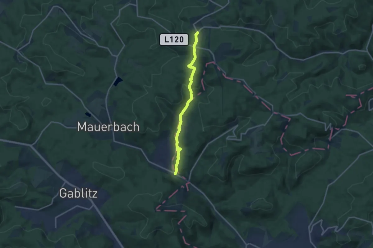
Medium · Trail
Untermauerbach - Steinriegl
10.1 km · ↑ 281 m · 3 h
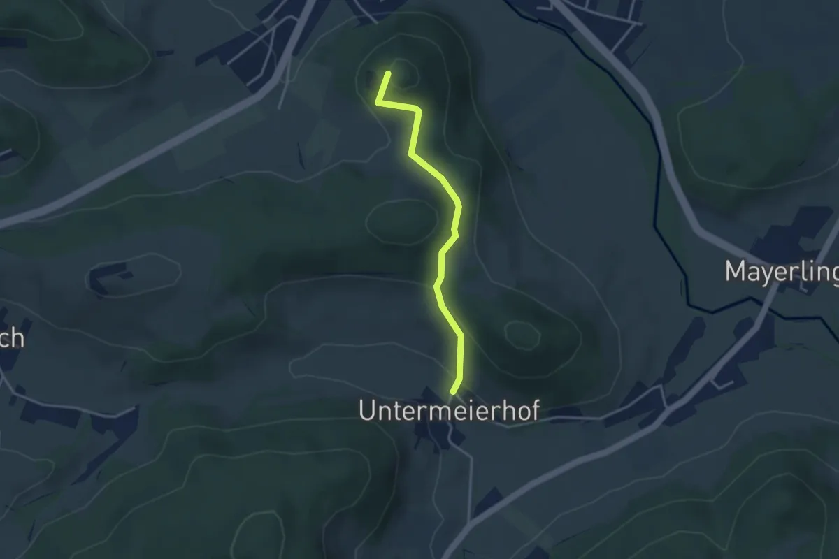
Easy · Summit
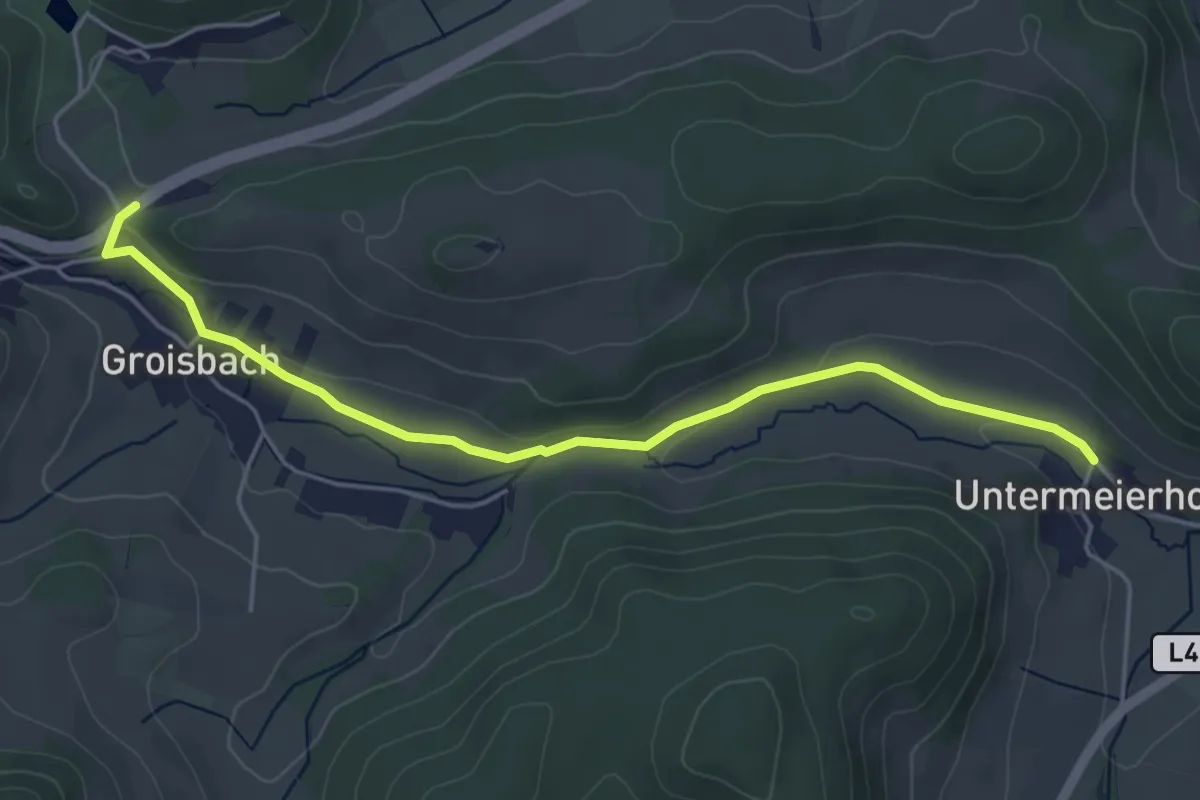
Untermeierhof - Alland
3.0 km · ↑ 143 m · 1 h 1 min
Easy · Trail
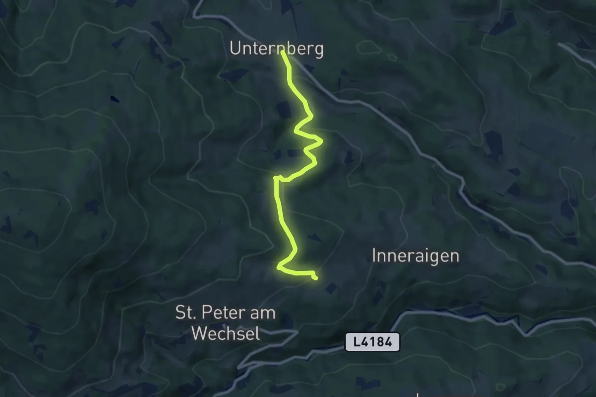
Untermeierhof - Groisbach
4.8 km · ↑ 63 m · 1 h 17 min
Easy · Trail
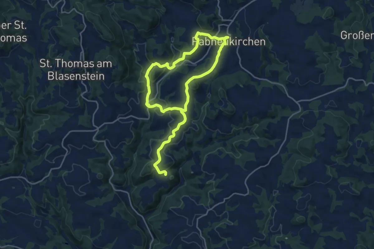
Unternberg - Gasthof Hansl am Oad - St. Peter
7.4 km · ↑ 302 m · 2 h 23 min
Demanding · Trail
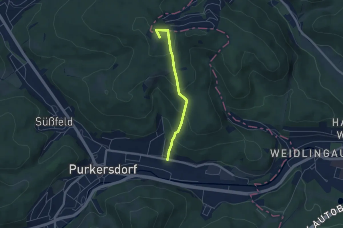
Unter-Pabneukirchen Rundweg
20.7 km · ↑ 651 m · 6 h 18 min
Easy · Summit
Unter Purkersdorf - Buchberg
3.9 km · ↑ 234 m · 1 h 26 min
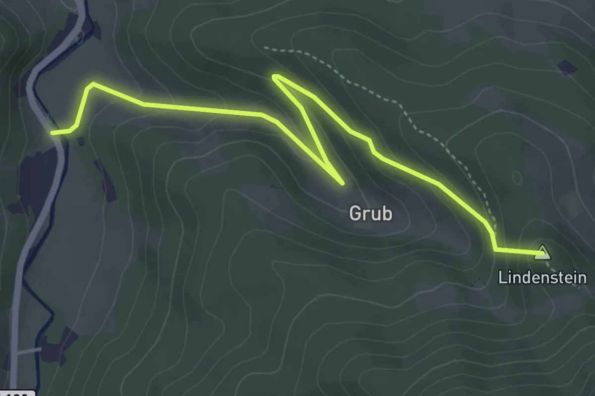
Easy · Summit
Unterrohrbach (B18) - Lindensteinhütte - Haxenmühle
4.7 km · ↑ 274 m · 1 h 43 min
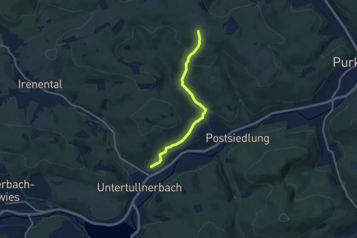
Easy · Trail
Unter Tullnerbach Bahnhof - Buchberg Ost
6.2 km · ↑ 303 m · 2 h 7 min
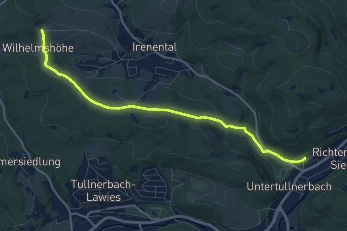
Medium · Trail
Unter Tullnerbach Bahnhof - Buchberg/Wilhelmshöhe
8.3 km · ↑ 215 m · 2 h 26 min
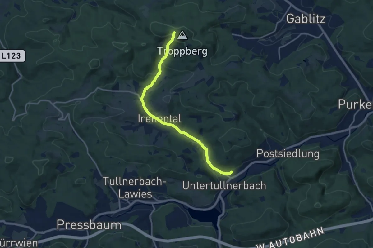
Medium · Trail
Unter Tullnerbach Bahnhof - Troppberg
10.8 km · ↑ 236 m · 3 h 4 min
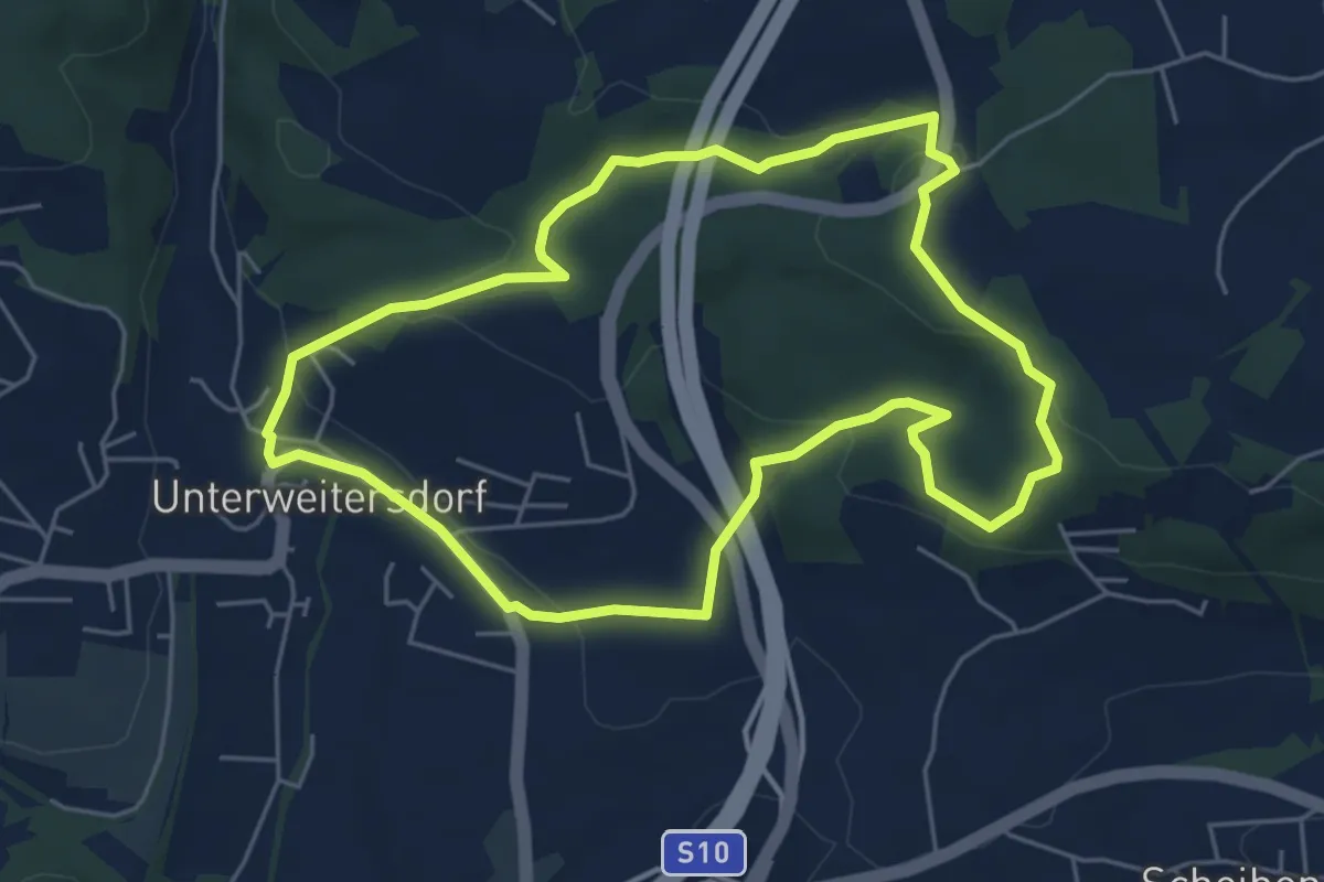
Easy · Trail
Unterweitersdorfer Sagenwanderweg
5.2 km · ↑ 137 m · 1 h 36 min
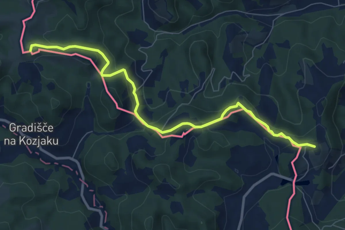
Easy · Trail
Urkräuterweg am Remschnig
7.6 km · ↑ 307 m · 2 h 27 min
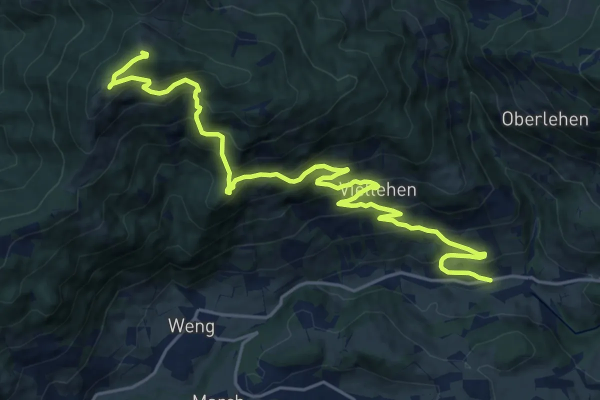
Demanding · Summit
Urpass-Gamskögerl-Hochegg
17.1 km · ↑ 1080 m · 6 h 22 min
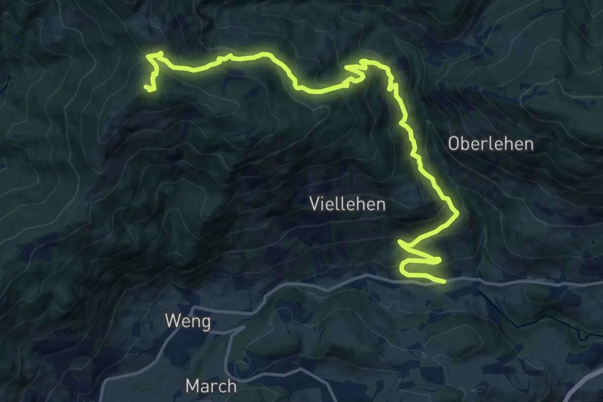
Demanding · Summit
Urpass-Stötzlbergalm-Hochegg
17.5 km · ↑ 1067 m · 6 h 26 min
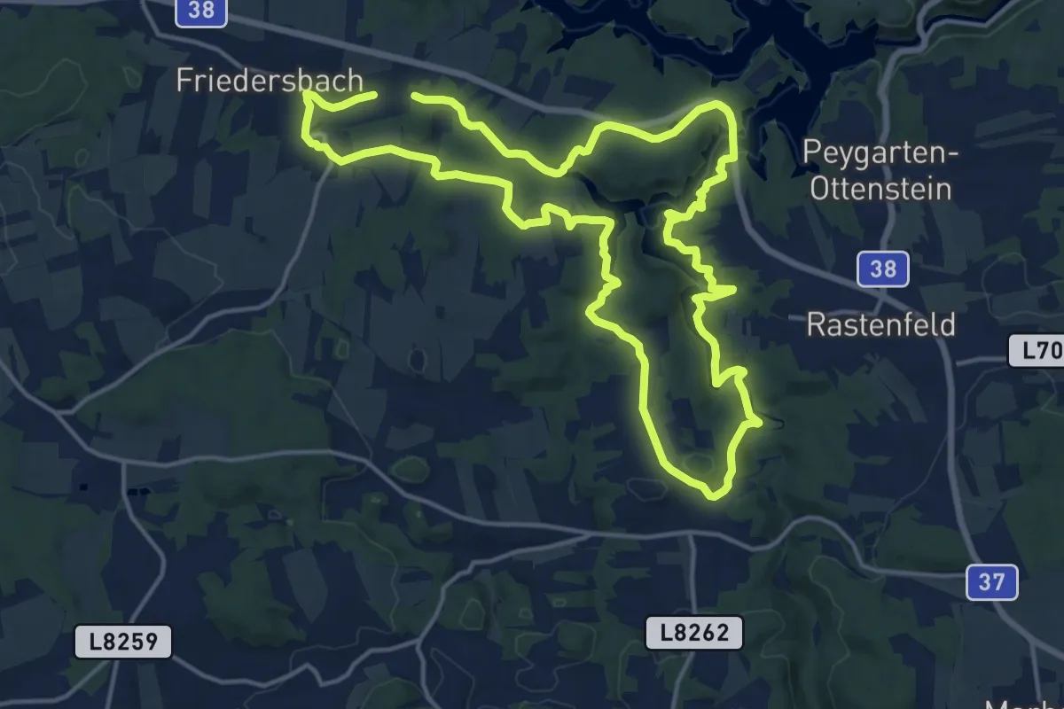
Medium · Summit
Vabindaweg 57d
14.6 km · ↑ 322 m · 4 h 22 min
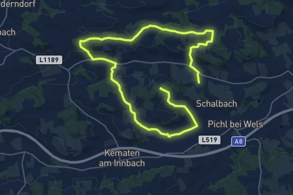
Demanding · Trail
Valentinsweg
24.9 km · ↑ 501 m · 6 h 58 min
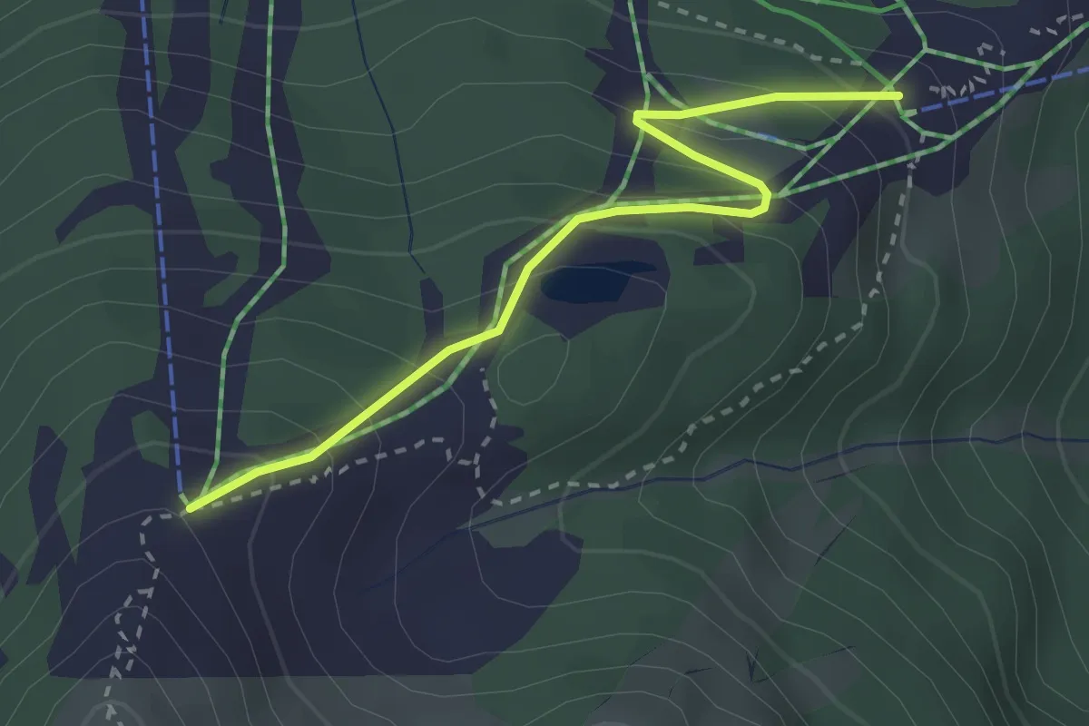
Easy · Trail
Variante Bergstation-Schneeberg
2.7 km · ↑ 224 m · 1 h 8 min
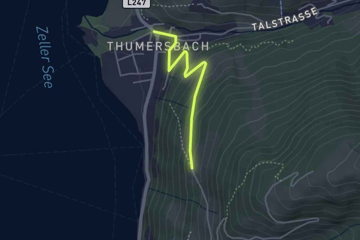
Easy · Trail
Variante Höhenweg
3.0 km · ↑ 149 m · 1 h 2 min