Trails in Austria
9,777 hiking trails, each with its route, climb, walking time and grade.
All trails, page 122 of 204
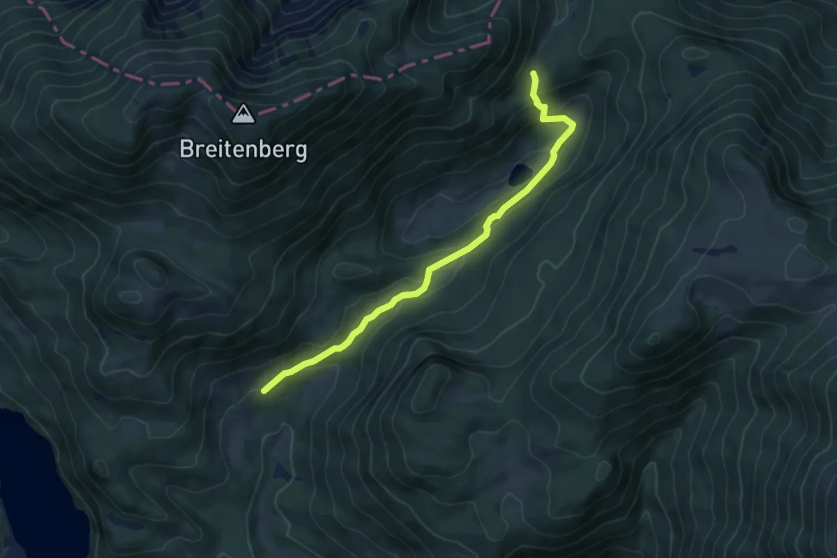
Easy · Trail
Variante Wanderweg 811: Zum Haleswiessee
6.3 km · ↑ 199 m · 1 h 55 min
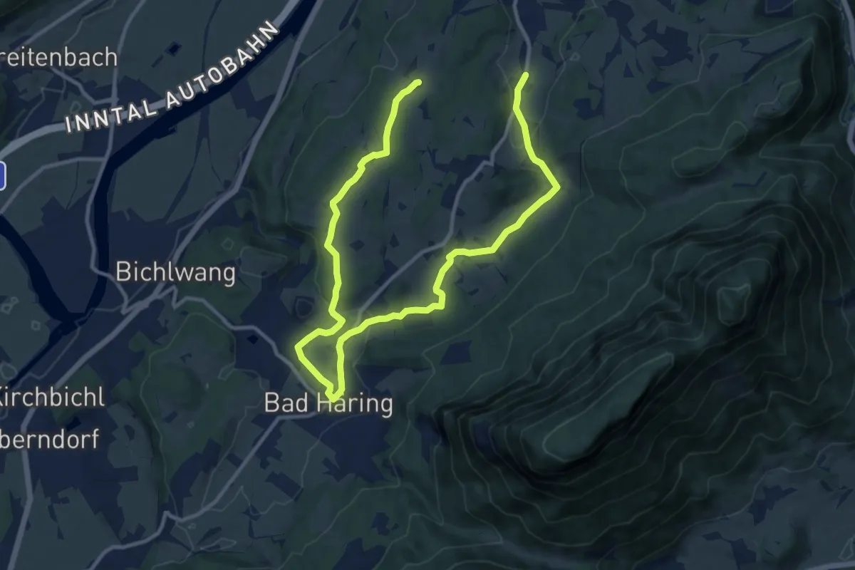
Medium · Trail
VBA-Runde
15.9 km · ↑ 252 m · 4 h 18 min
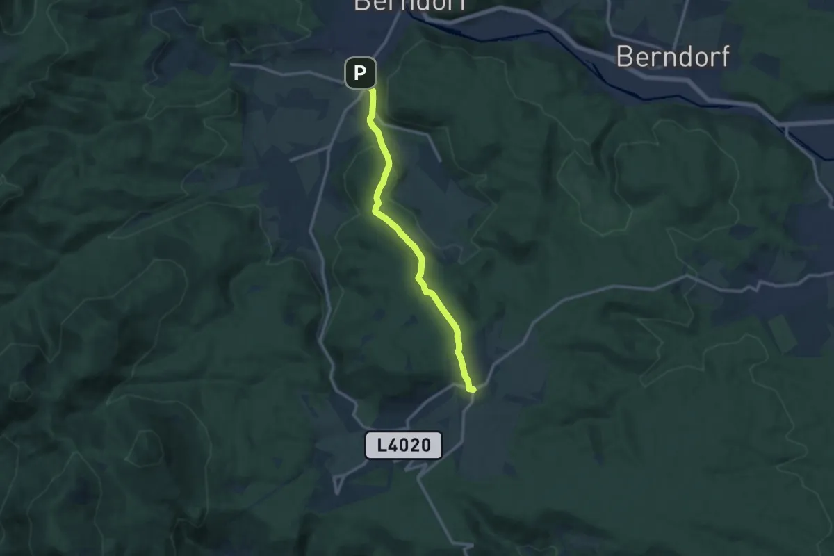
Medium · Trail
Veitsau - Aigen
9.8 km · ↑ 230 m · 2 h 49 min
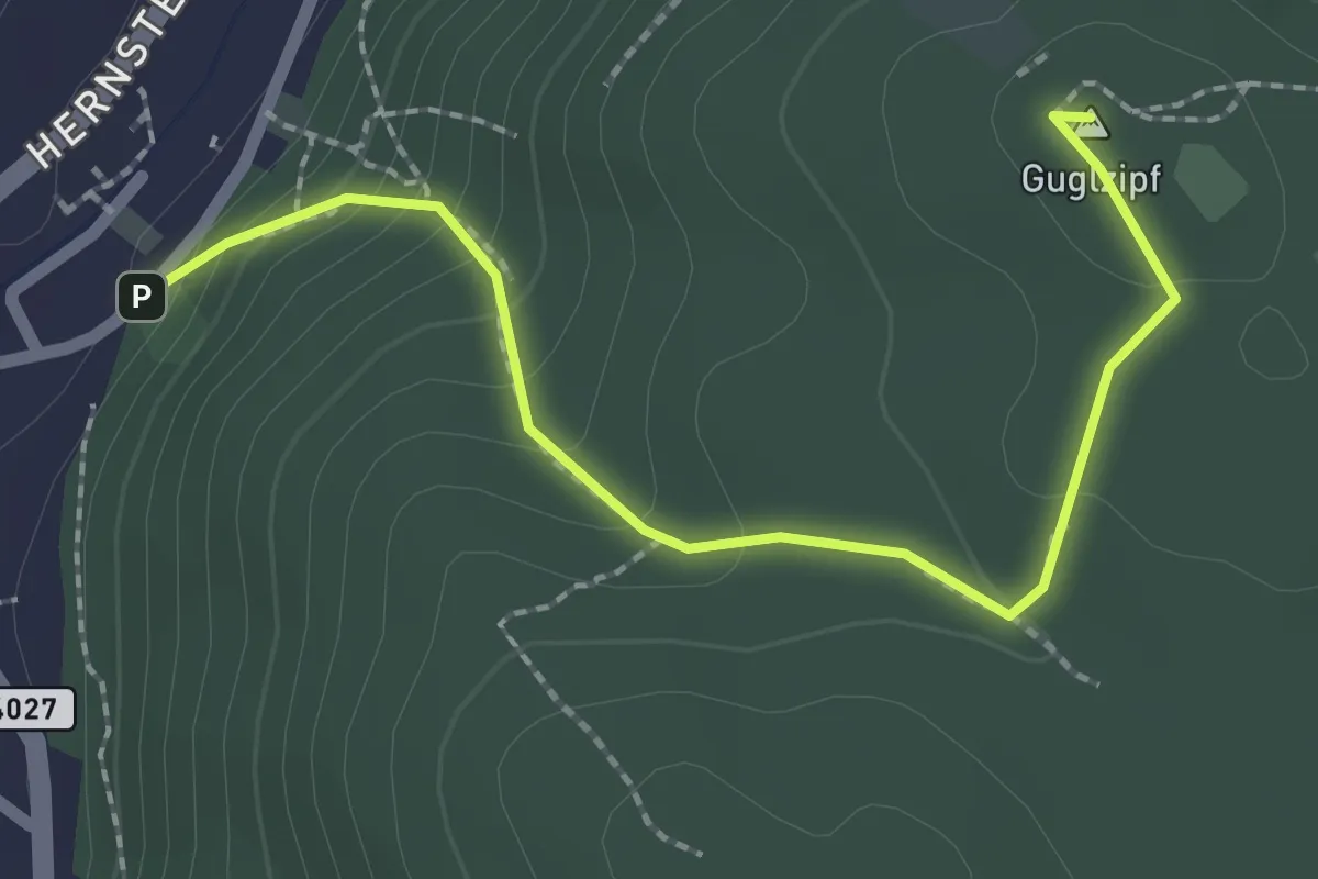
Easy · Summit
Veitsau - Guglzipf Waldhütte
2.3 km · ↑ 150 m · 52 min
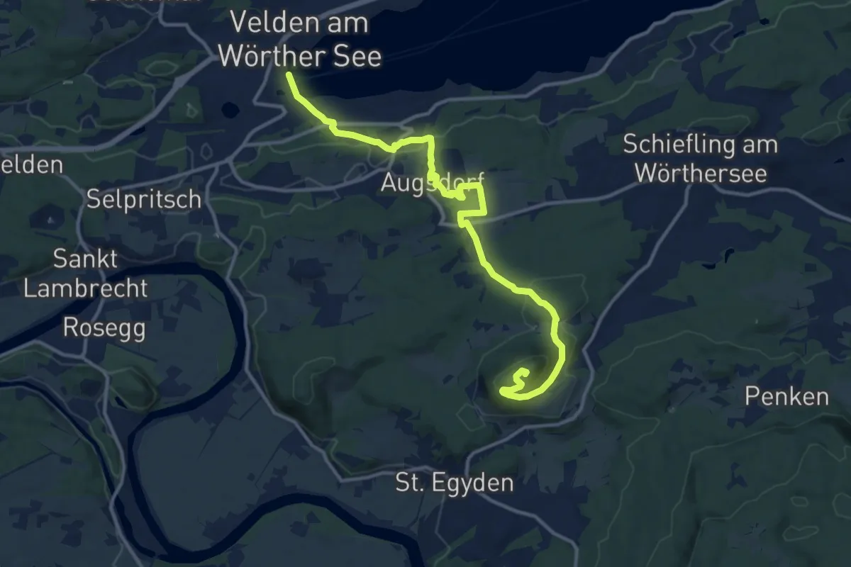
Medium · Summit
Velden-Kathreinkogel
13.4 km · ↑ 420 m · 4 h 5 min
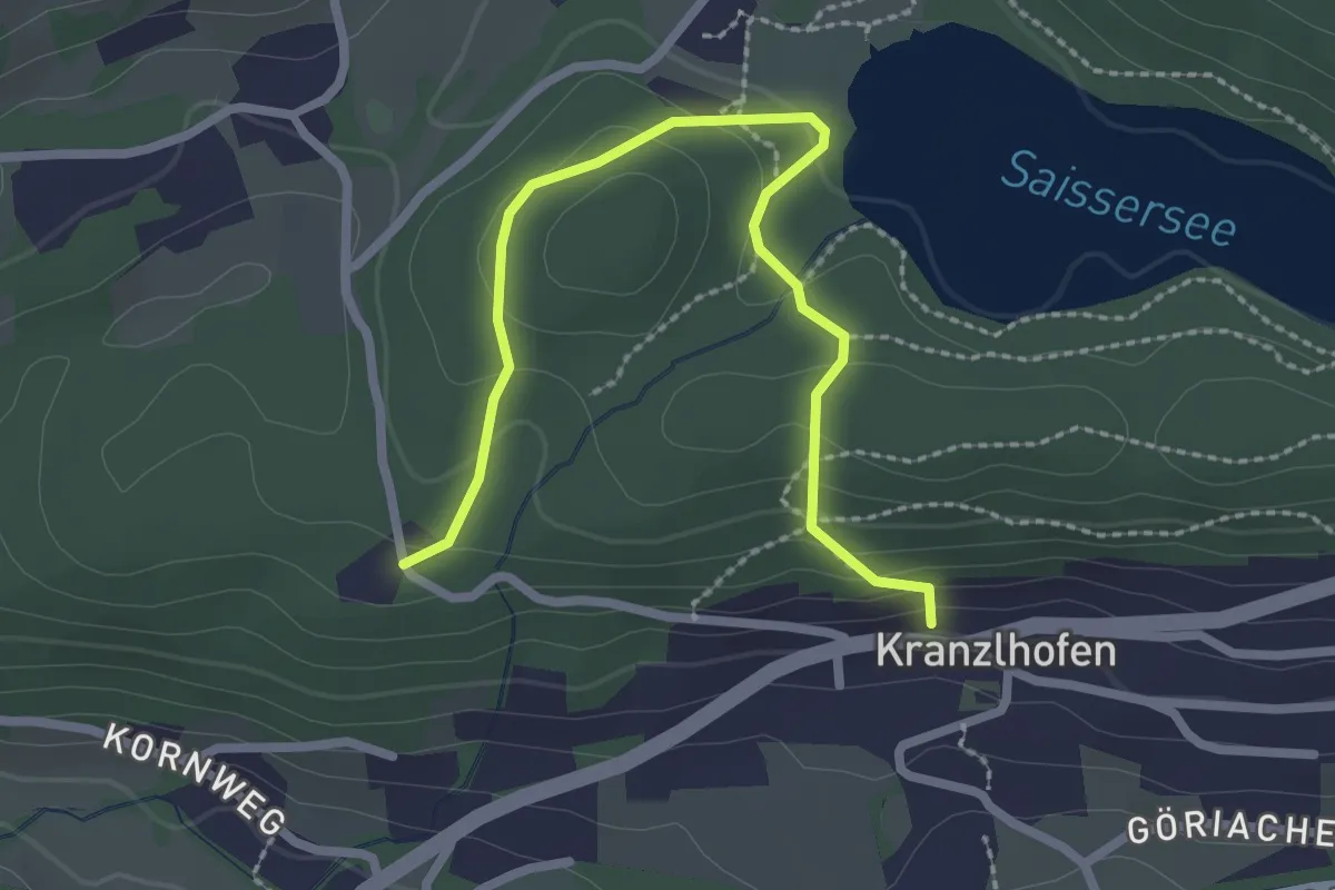
Easy · Trail
Velden Wanderweg 12
2.7 km · ↑ 112 m · 53 min
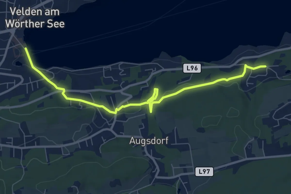
Easy · Trail
Velden Wanderweg 7
7.8 km · ↑ 161 m · 2 h 11 min
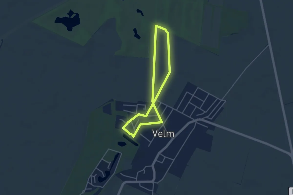
Easy · Trail
Velm Runde
2.9 km · ↑ 0 m · 43 min
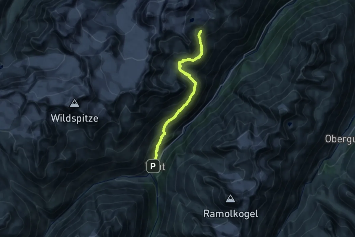
Demanding · Trail
Venter Höhenweg
17.0 km · ↑ 1080 m · 6 h 21 min
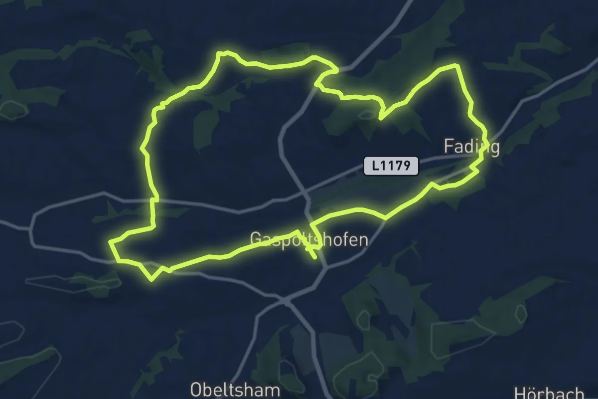
Medium · Trail
Venusrunde
10.4 km · ↑ 200 m · 3 h 2 min
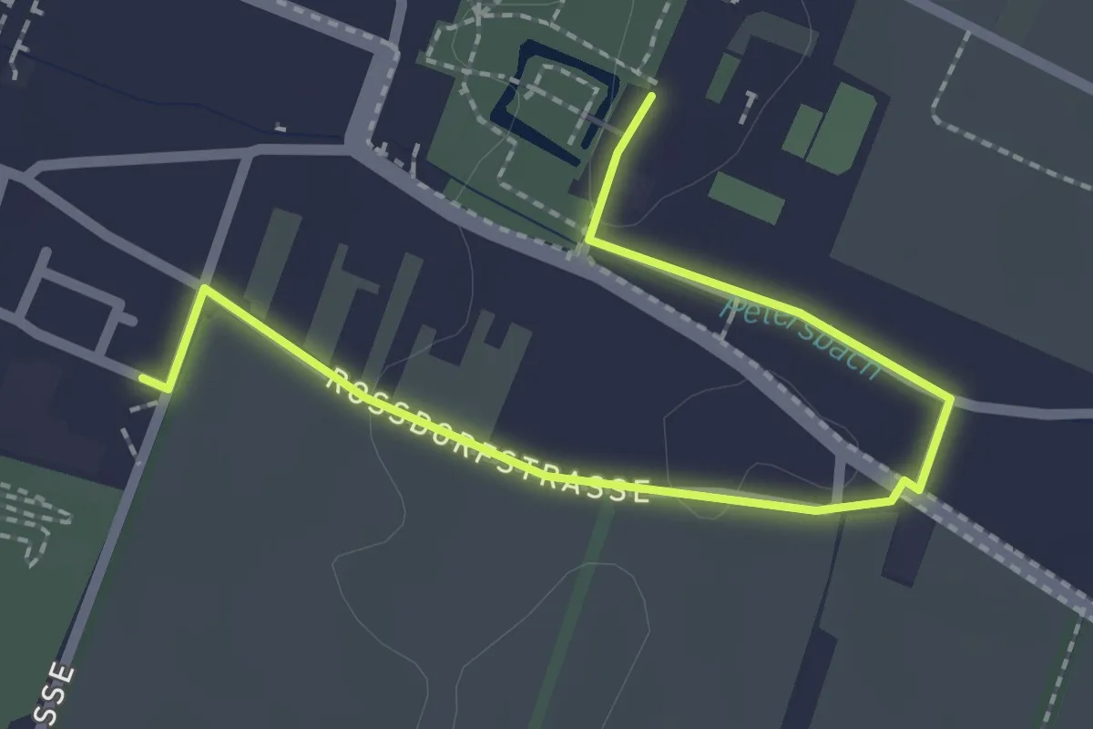
Easy · Trail
Verbindung
2.5 km · ↑ 4 m · 36 min
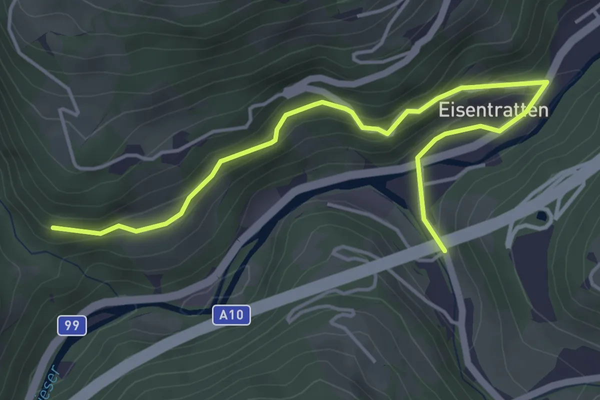
Easy · Trail
Verbindung Hochofenweg - Mühlenweg
4.8 km · ↑ 143 m · 1 h 26 min
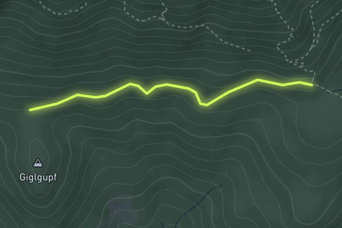
Easy · Trail
Verbindung Redensteig 831 - Reißtalersteig 826 unterhalb Reißtalerhütte
2.5 km · ↑ 64 m · 44 min
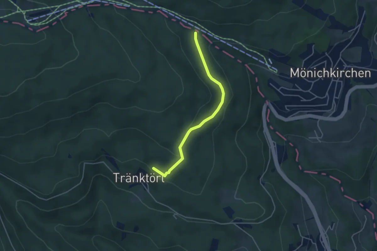
Easy · Trail
Verbindungswanderweg
3.4 km · ↑ 97 m · 1 h 1 min
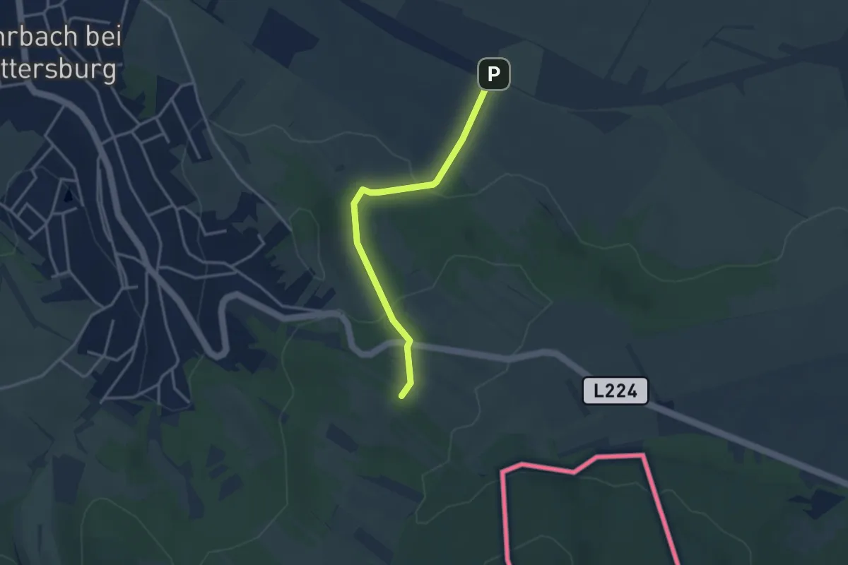
Easy · Trail
Verbindungswanderweg Teichwiesenrunde - Rohrbach/Herrentisch
3.0 km · ↑ 109 m · 57 min
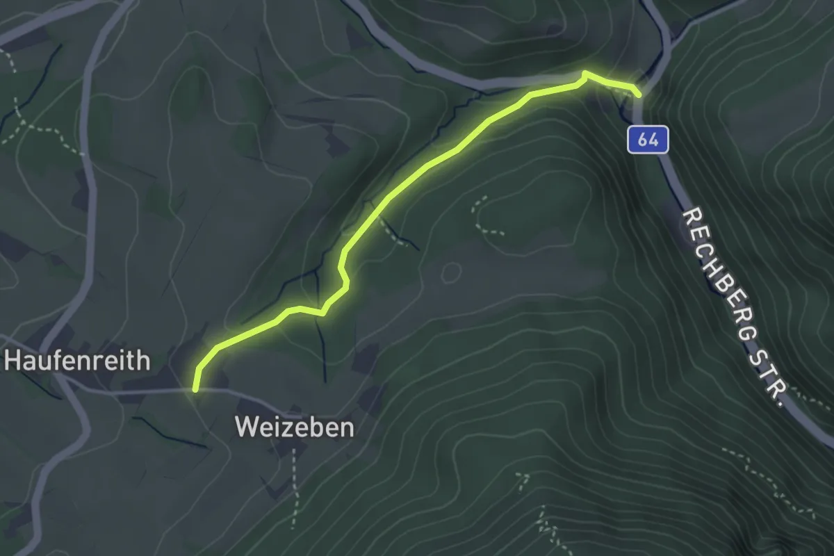
Medium · Trail
Verbindungsweg
3.3 km · ↑ 125 m · 1 h 3 min
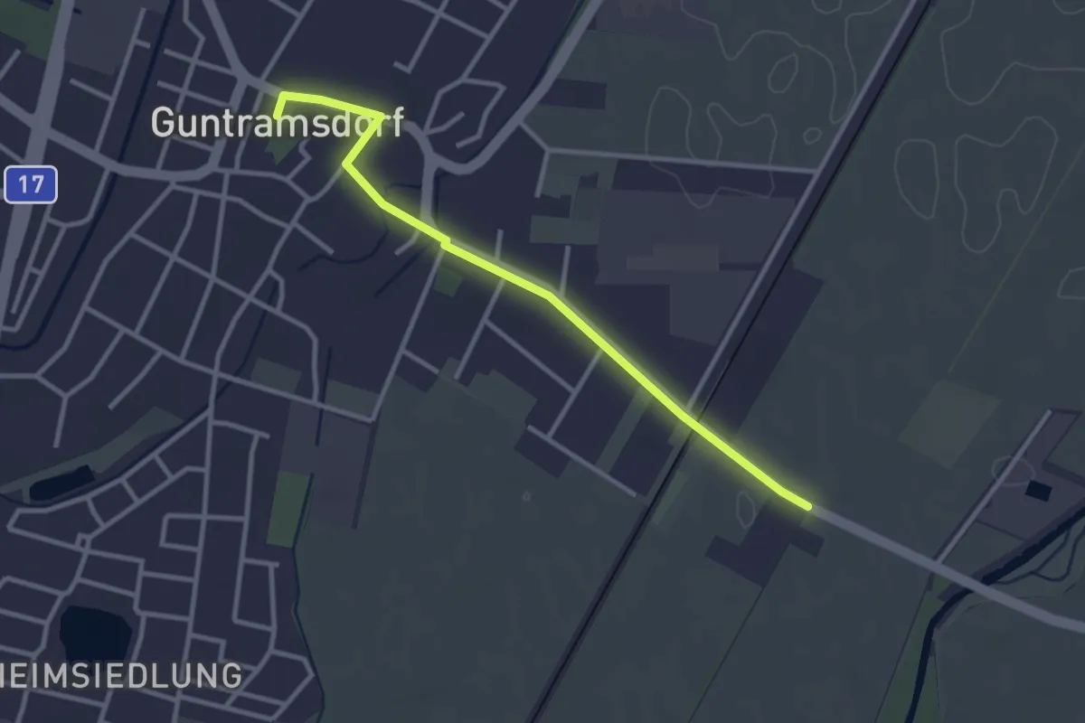
Easy · Trail
Verbindungsweg 1
3.0 km · ↑ 4 m · 43 min
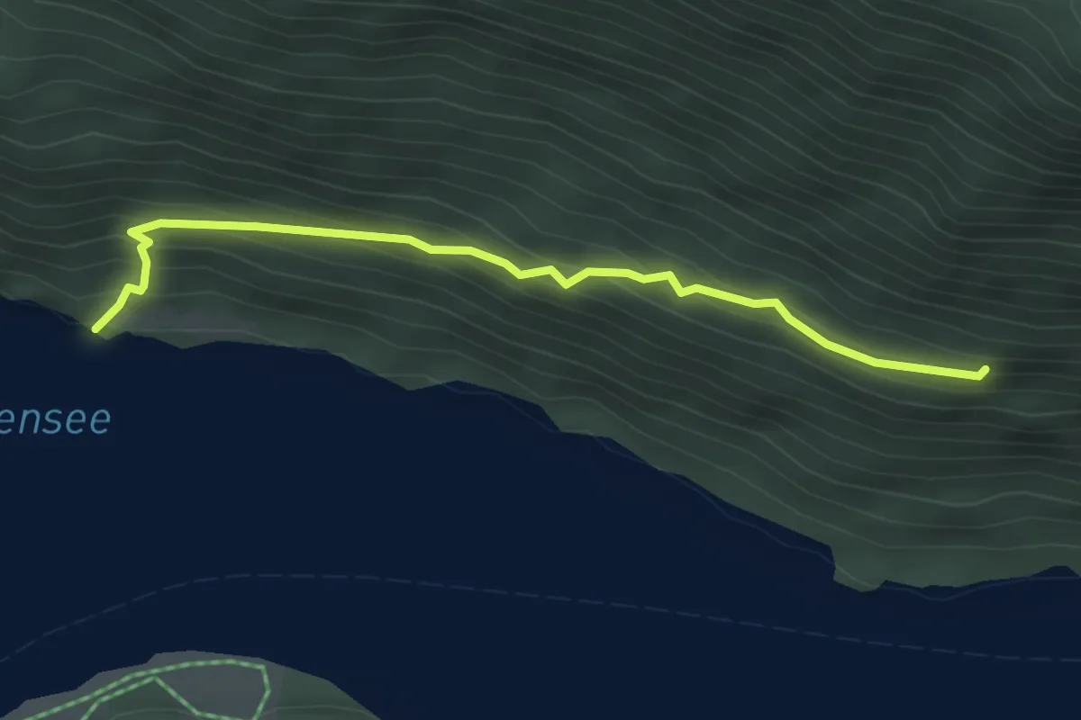
Medium · Trail
Verbindungsweg 10a
3.4 km · ↑ 212 m · 1 h 16 min
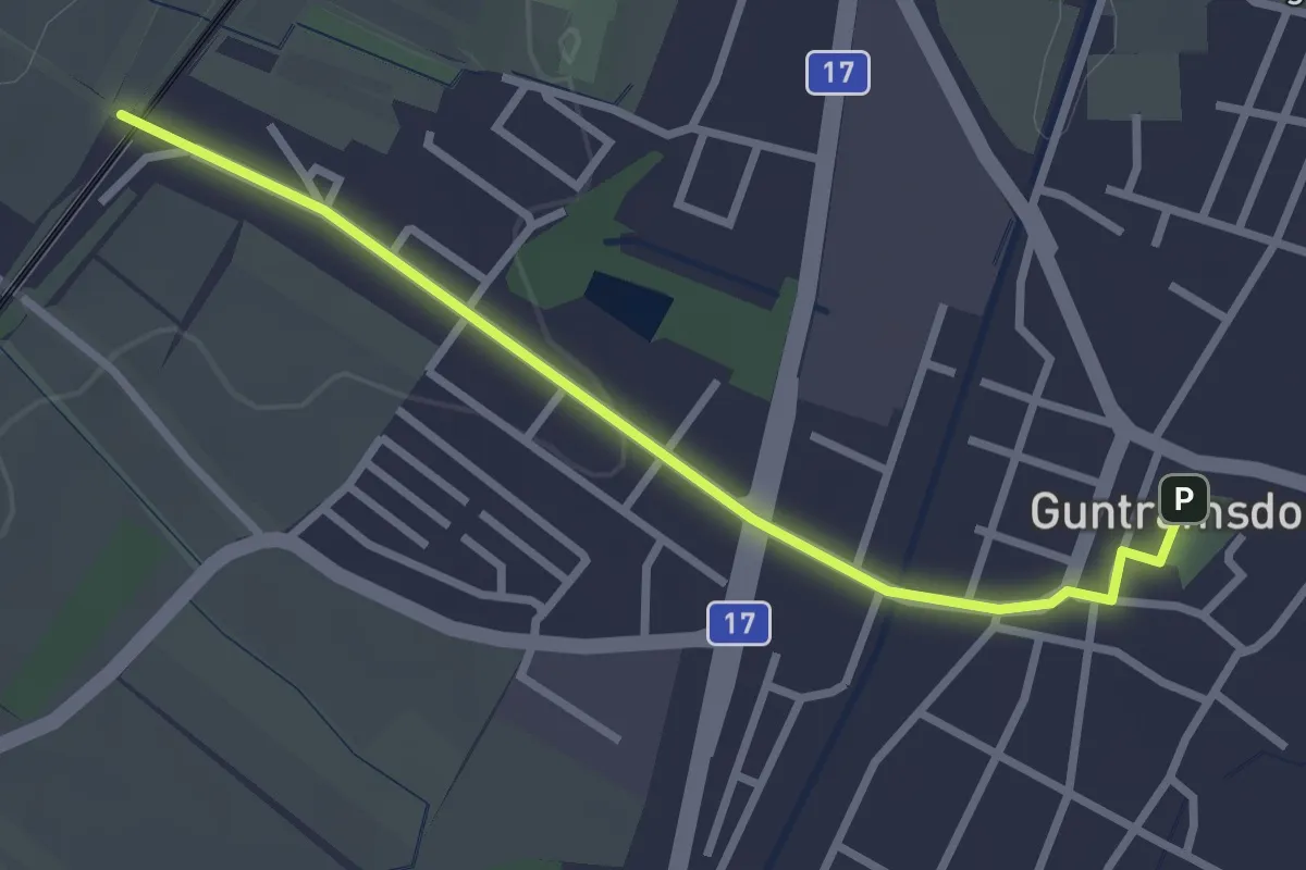
Easy · Trail
Verbindungsweg 2
2.8 km · ↑ 26 m · 43 min
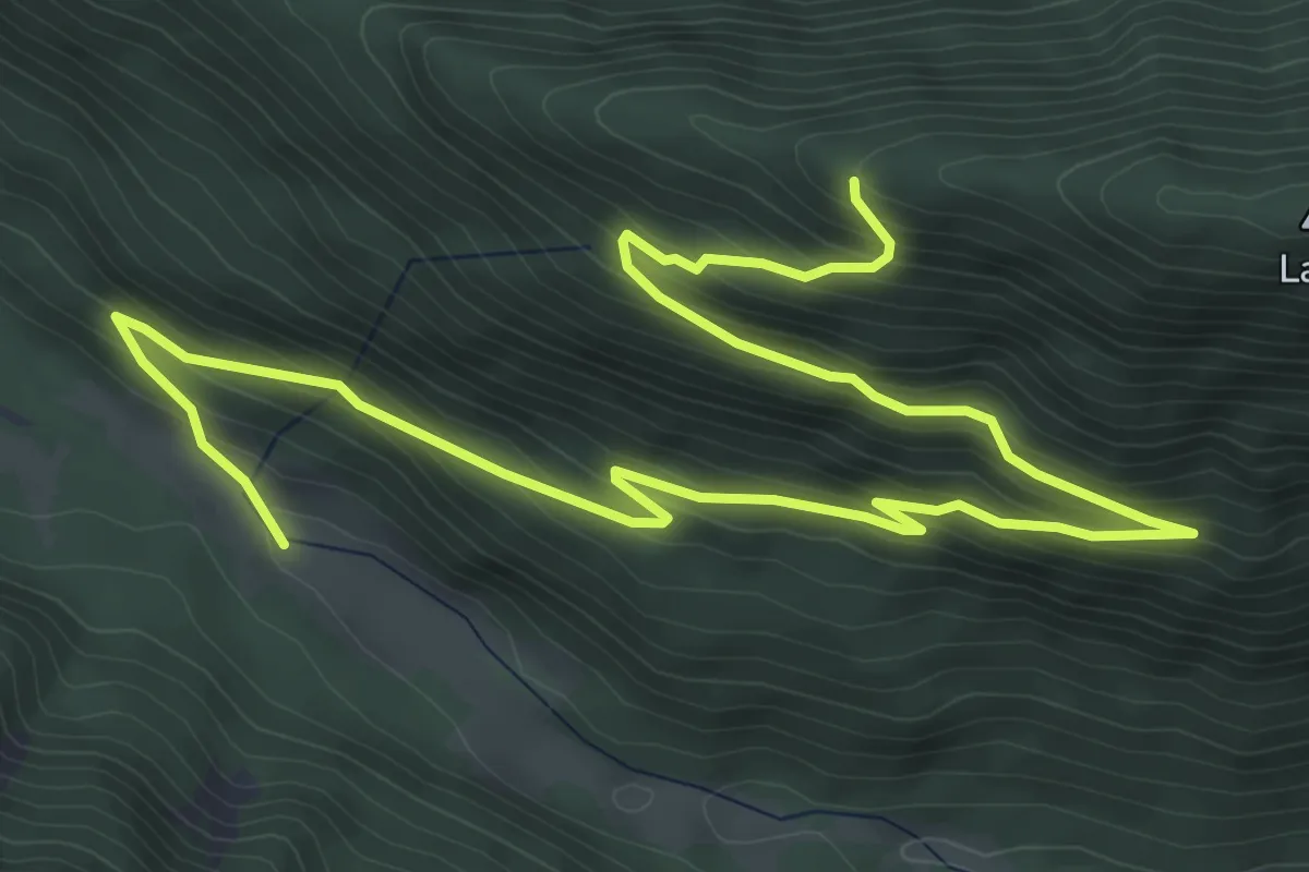
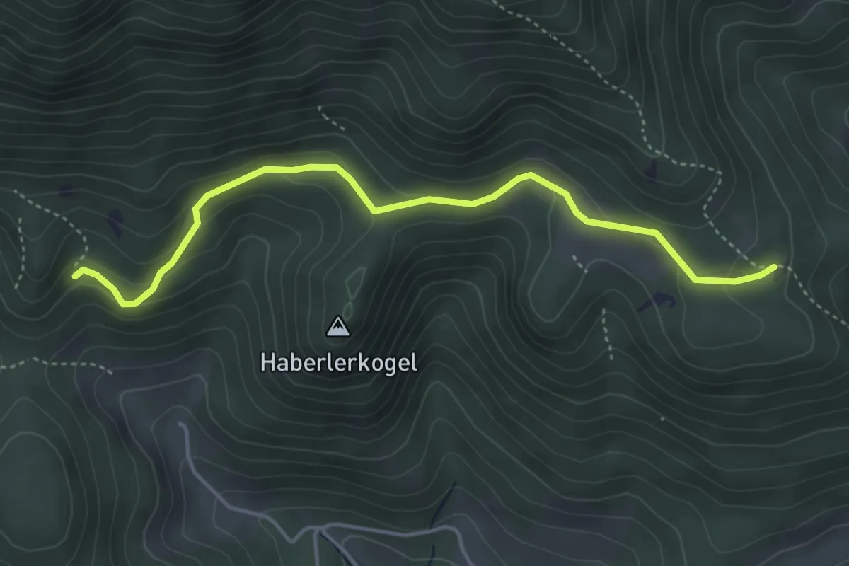
Medium · Cabin
Verbindungsweg 30b
8.7 km · ↑ 518 m · 3 h 11 min
Easy · Trail
Verbindungsweg Gahnshauswiese
4.3 km · ↑ 150 m · 1 h 21 min
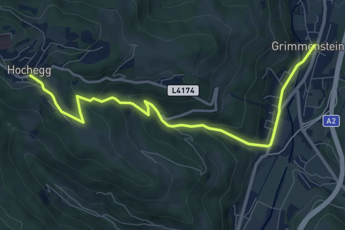
Medium · Trail
Verbindungsweg Hochegg-Grimmenstein
8.5 km · ↑ 341 m · 2 h 45 min
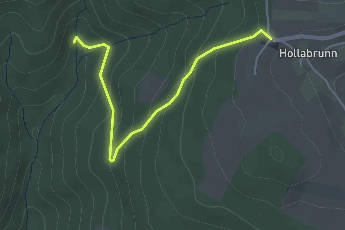
Easy · Trail
Verbindungsweg R10 ab Dorfbach - Gasthaus zur schönen Aussicht über Tannwald
3.3 km · ↑ 195 m · 1 h 13 min
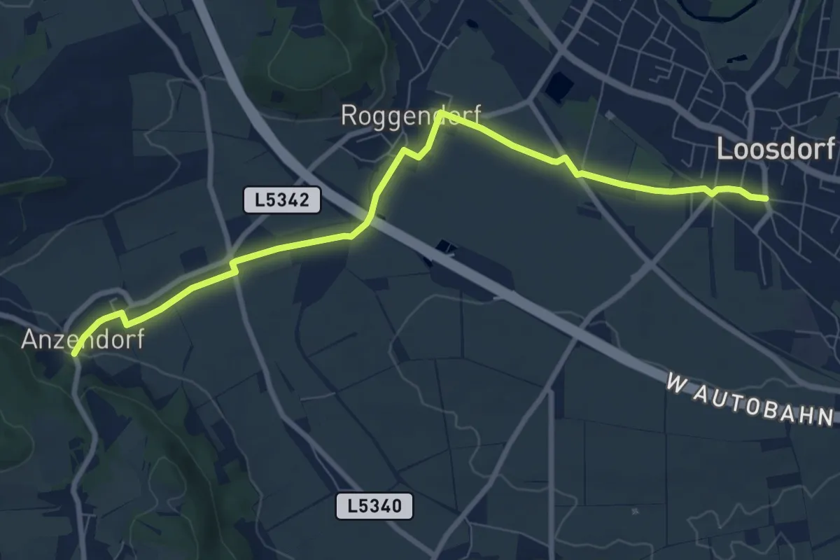
Medium · Trail
Verbindungsweg Schallaburg - Loosdorf
8.6 km · ↑ 46 m · 2 h 7 min
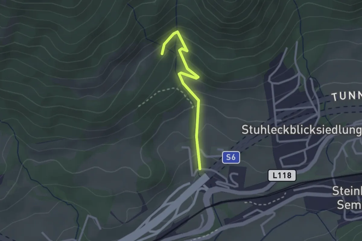
Easy · Trail
Verbindungsweg Schöllbauer - Wanderweg 6
2.1 km · ↑ 141 m · 49 min
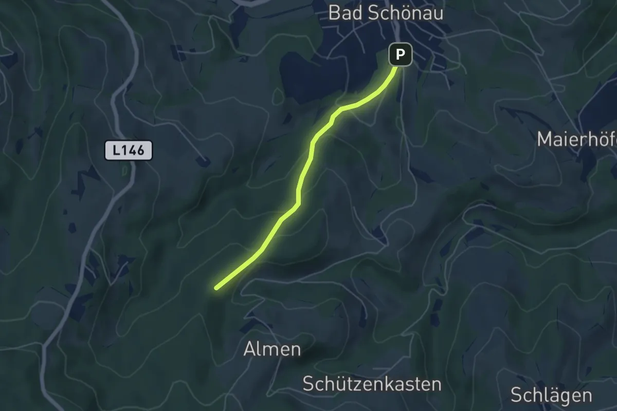
Easy · Trail
Verbindungsweg Schönau - Kirchschlager Hutwisch-Weg
4.2 km · ↑ 196 m · 1 h 25 min
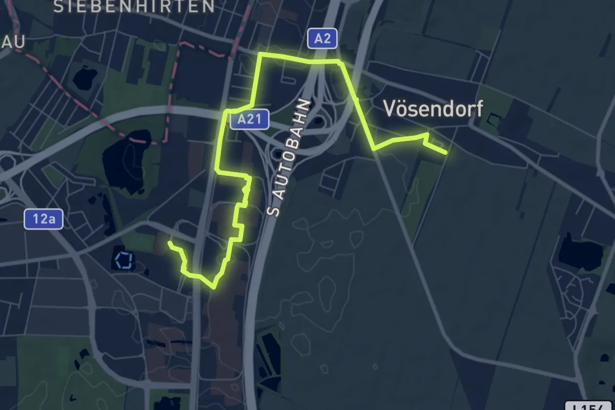
Medium · Trail
Verbindungsweg VB2 (Vösendorf - Brunn am Gebirge)
9.1 km · ↑ 66 m · 2 h 17 min
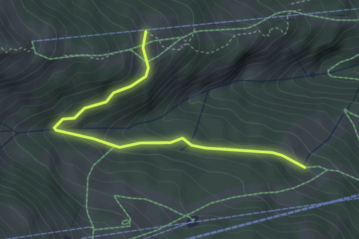
Easy · Cabin
Verbindungsweg Waldalm-Heimalm
3.7 km · ↑ 174 m · 1 h 15 min
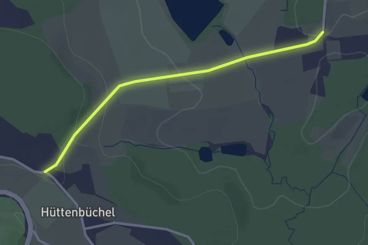
Easy · Trail
Verbindungsweg zu den Wanderwegen 4 & 5
2.3 km · ↑ 73 m · 43 min
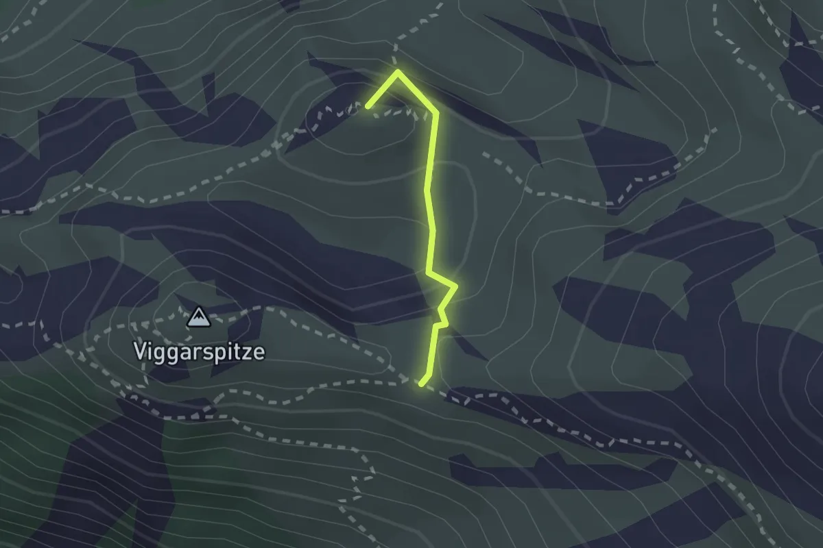
Demanding · Summit
Verbindung Zirbenweg - Höhenweg
1.4 km · ↑ 214 m · 48 min
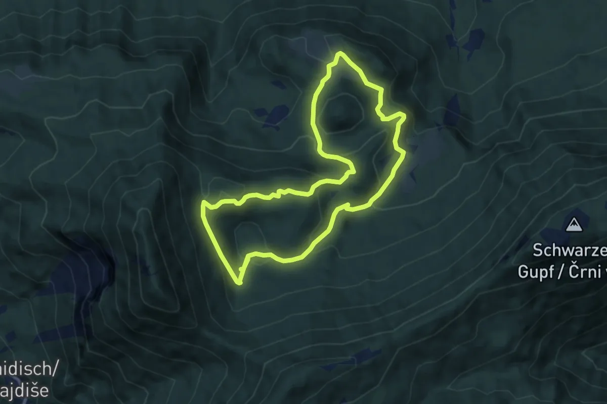
Medium · Summit
Verborgene Gletscherwelt Runde
8.3 km · ↑ 351 m · 2 h 49 min
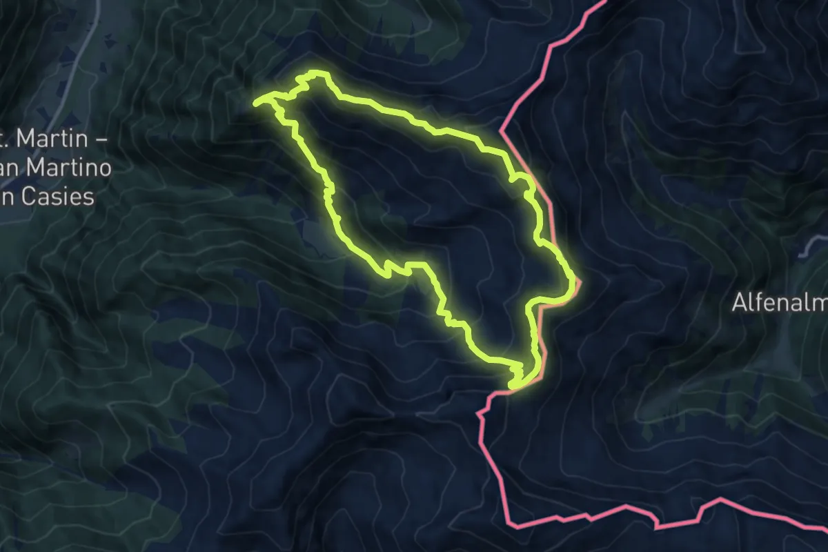
Demanding · Summit
Verseller Steig
11.0 km · ↑ 886 m · 4 h 41 min
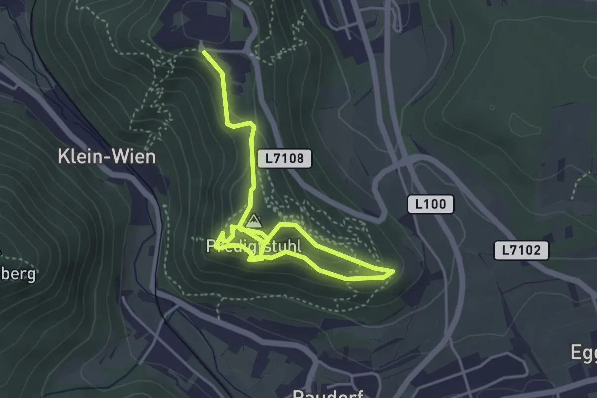
Medium · Summit
Verteidigungsweg 1914
2.5 km · ↑ 145 m · 56 min
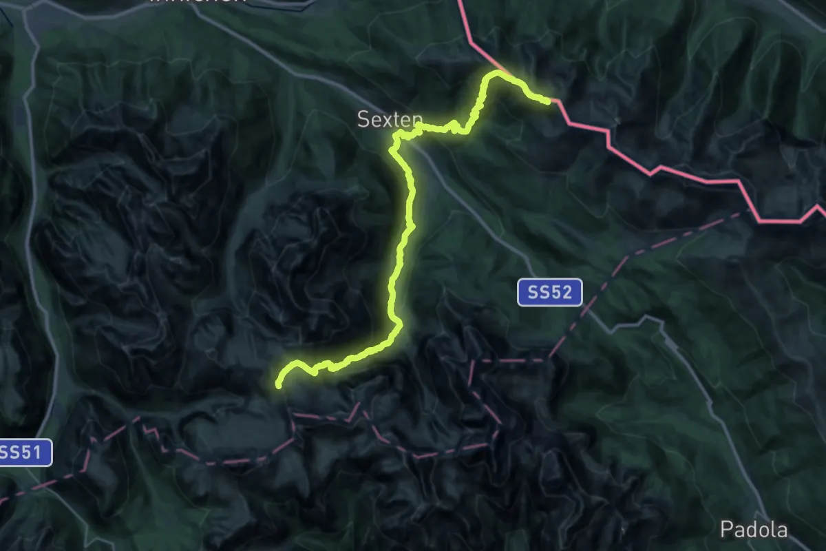
Demanding · Cabin
Via Alpina
18.1 km · ↑ 1219 m · 7 h 11 min
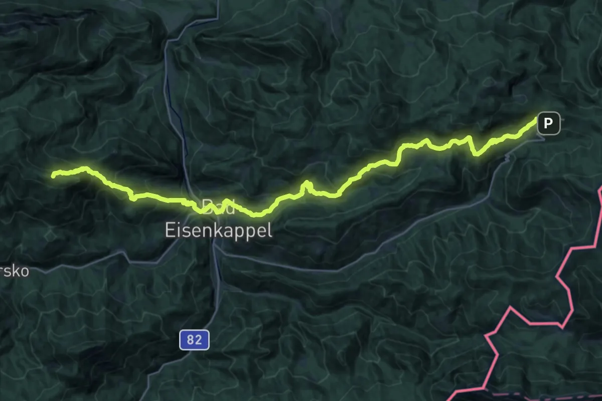
Demanding · Summit
Via Alpina Purple A11
32.2 km · ↑ 1971 m · 11 h 53 min
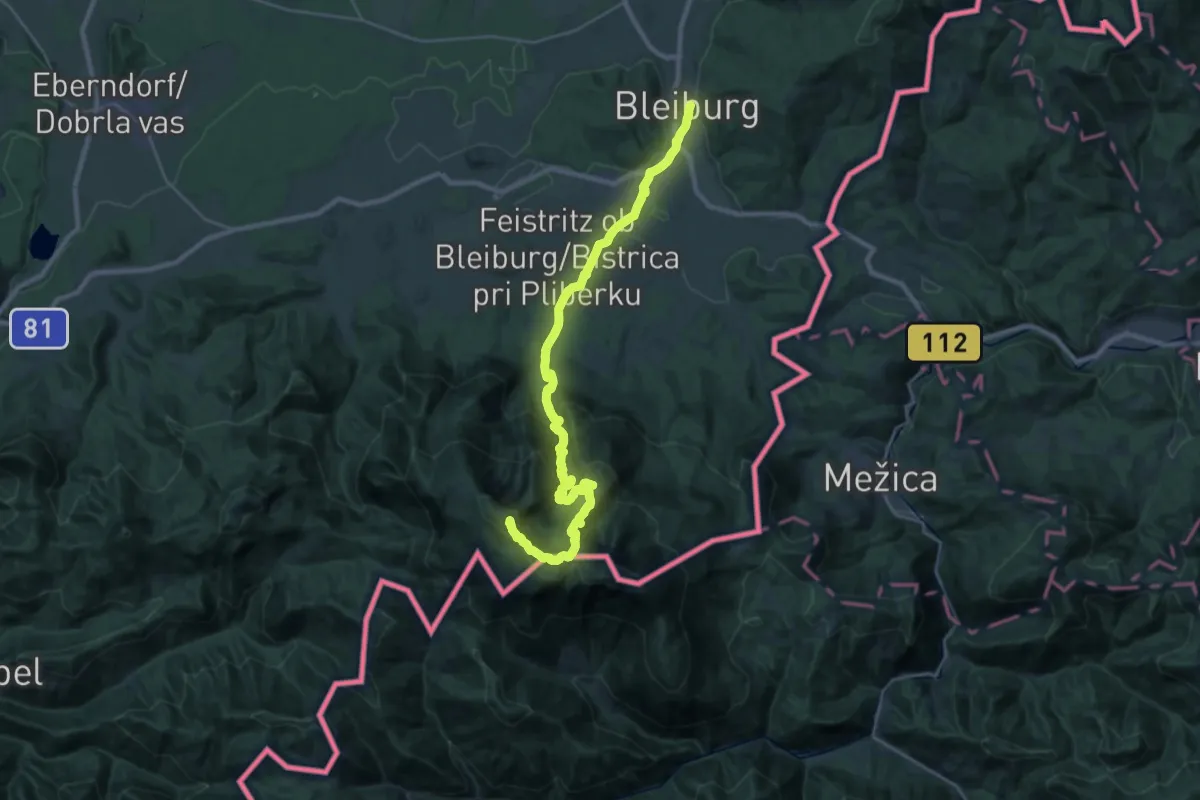
Demanding · Summit
Via Alpina Purple A12
31.6 km · ↑ 1908 m · 11 h 36 min
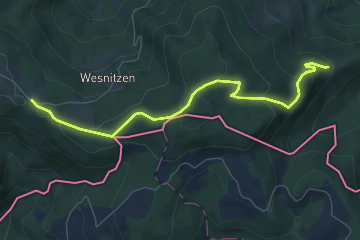
Easy · Trail
Via Alpina Purple A13
6.0 km · ↑ 210 m · 1 h 52 min
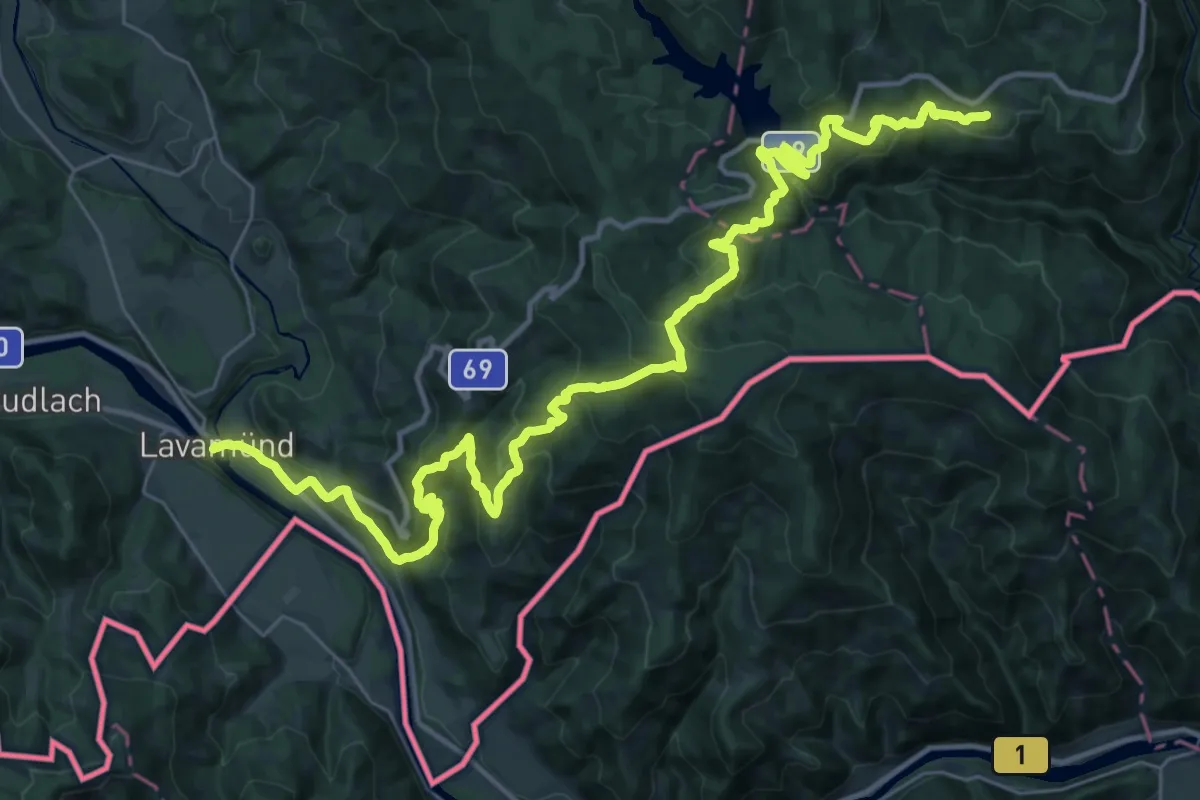
Demanding · Trail
Via Alpina Purple A14
21.5 km · ↑ 1401 m · 8 h 4 min
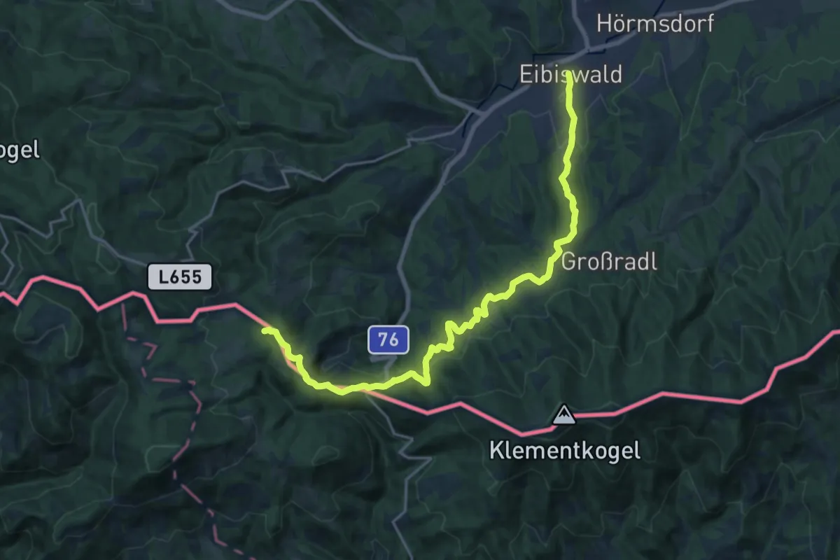
Demanding · Summit
Via Alpina Purple A15
19.5 km · ↑ 684 m · 6 h 6 min
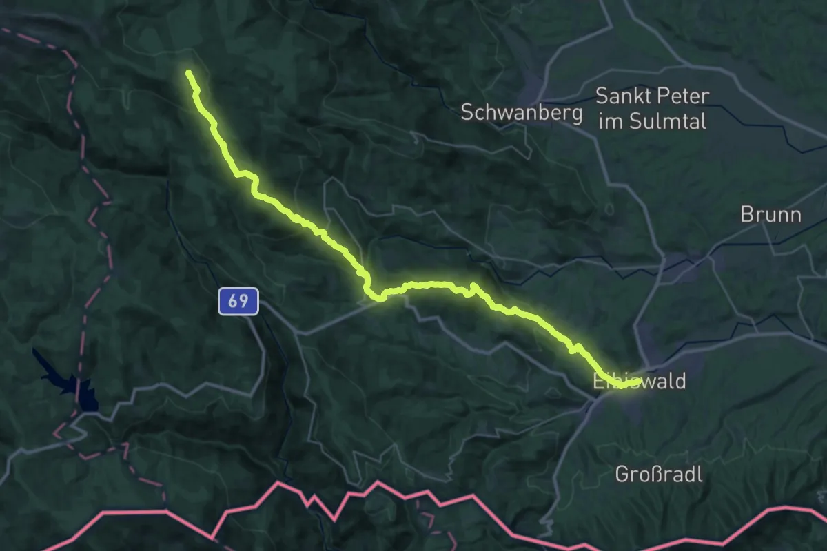
Demanding · Cabin
Via Alpina Purple A16
20.0 km · ↑ 1406 m · 7 h 27 min
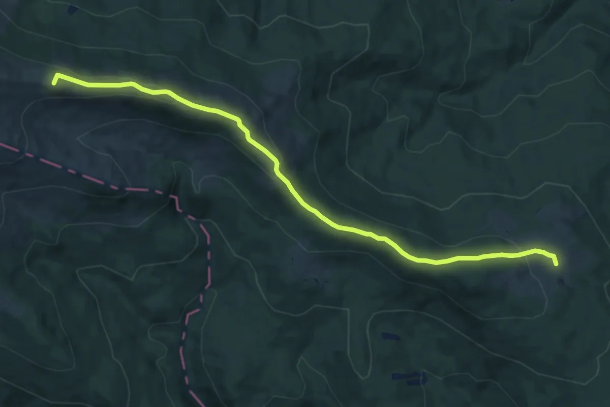
Medium · Summit
Via Alpina Purple A17
11.1 km · ↑ 352 m · 3 h 22 min
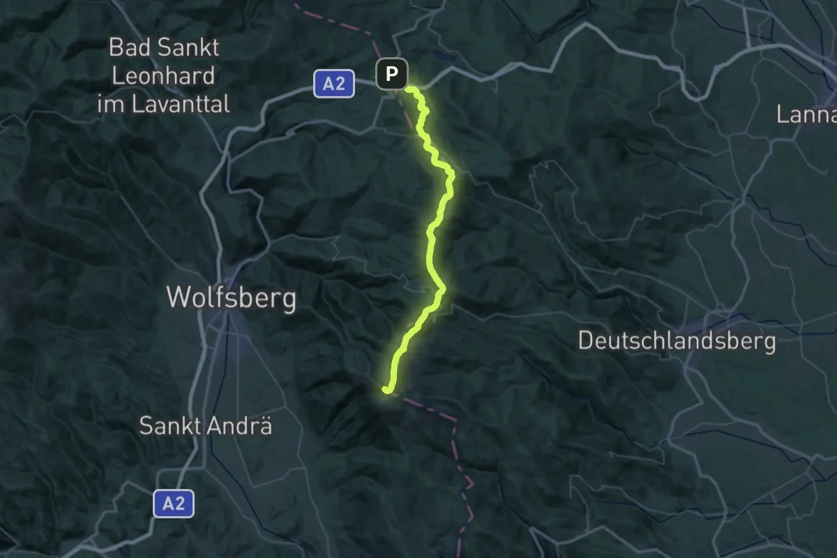
Demanding · Summit
Via Alpina Purple A18
51.5 km · ↑ 2008 m · 16 h 31 min
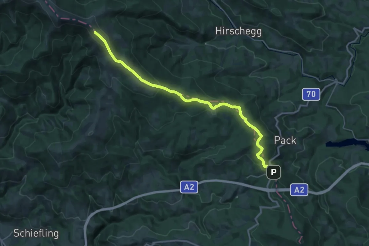
Demanding · Summit
Via Alpina Purple A19
23.0 km · ↑ 796 m · 7 h 10 min
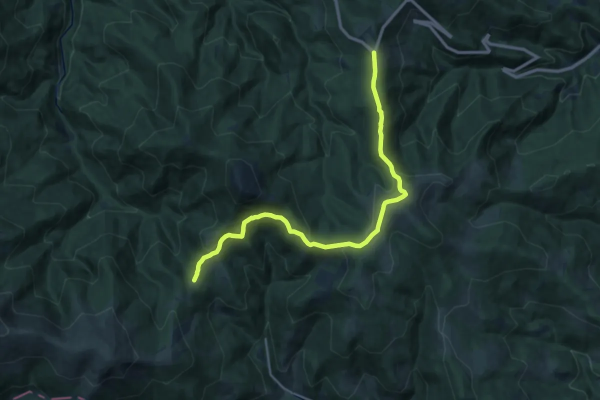
Medium · Cabin
Via Alpina Purple A20
17.1 km · ↑ 354 m · 4 h 48 min
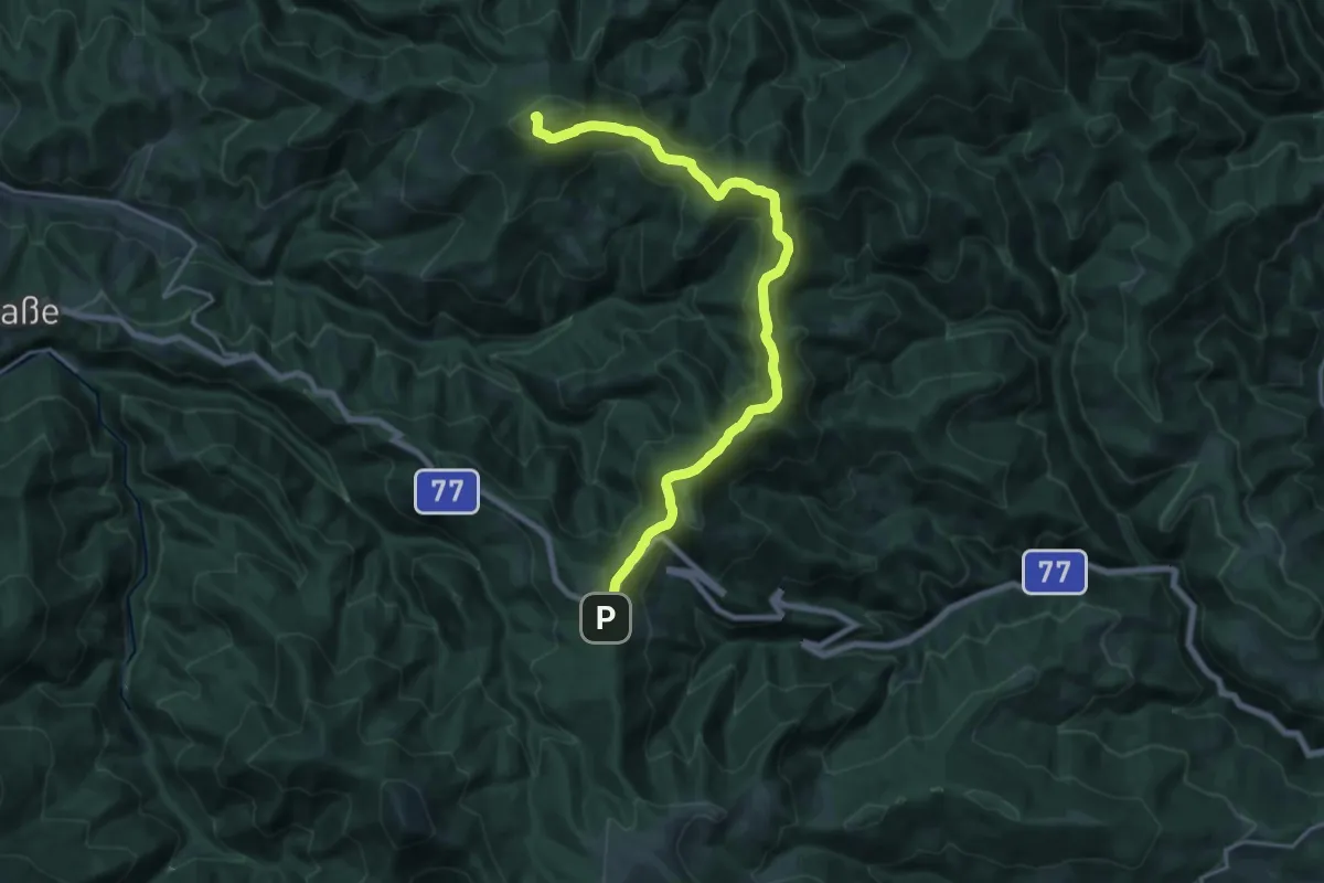
Demanding · Summit
Via Alpina Purple A21
20.6 km · ↑ 806 m · 6 h 37 min
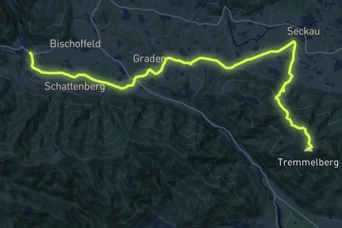
Demanding · Summit
Via Alpina Purple A22
24.2 km · ↑ 709 m · 7 h 14 min
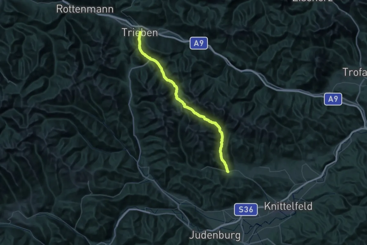
Demanding · Trail
Via Alpina Purple A23
34.1 km · ↑ 1008 m · 10 h 48 min
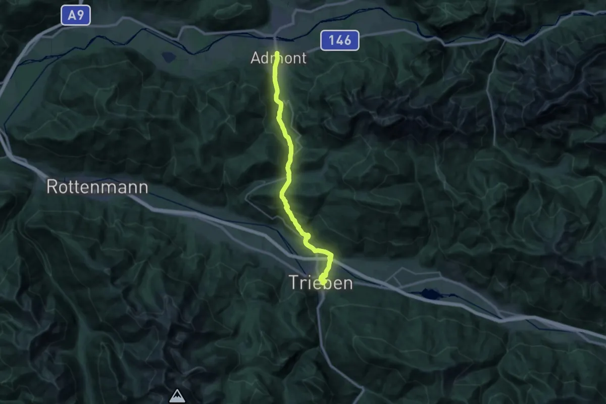
Demanding · Trail
Via Alpina Purple A24
24.4 km · ↑ 956 m · 7 h 50 min