Trails in Austria
9,777 hiking trails, each with its route, climb, walking time and grade.
All trails, page 124 of 204
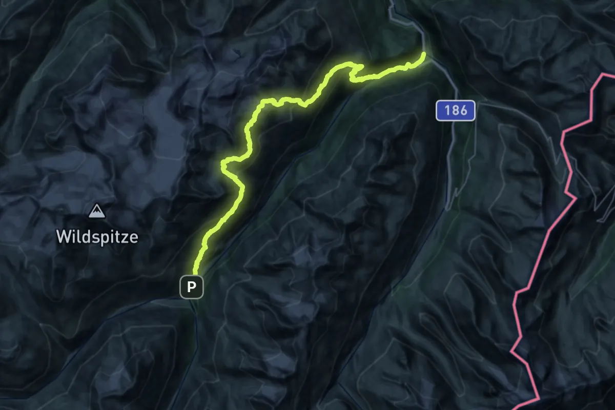
Demanding · Trail
Via Alpina Yellow B33
19.3 km · ↑ 1088 m · 7 h 25 min
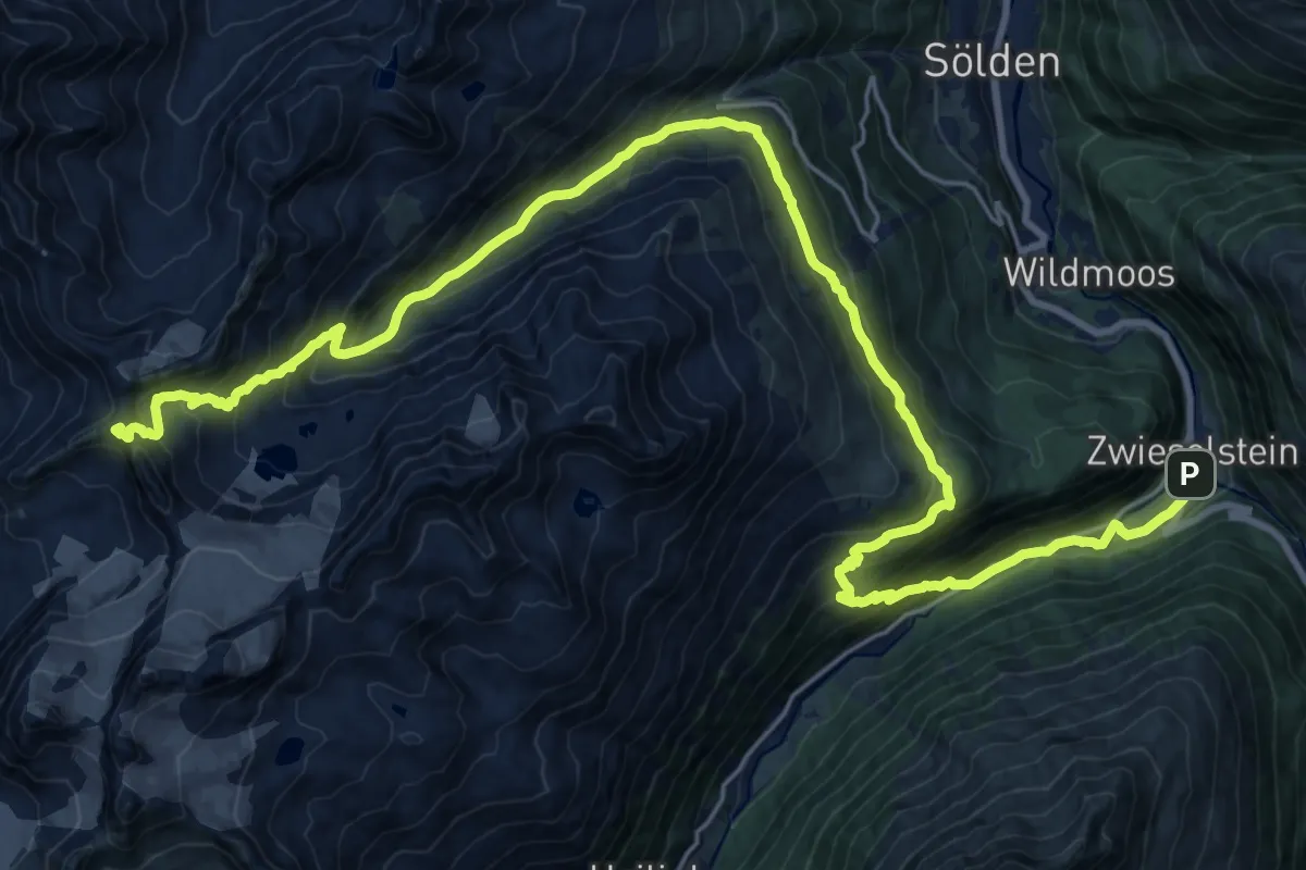
Expert · Summit
Via Alpina Yellow B34
29.9 km · ↑ 1717 m · 10 h 47 min
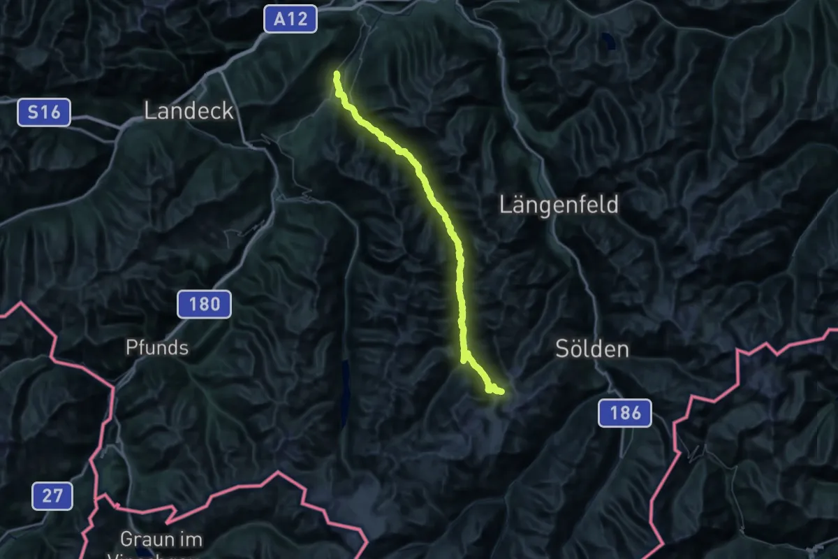
Demanding · Cabin
Via Alpina Yellow B35
36.5 km · ↑ 2122 m · 12 h 51 min
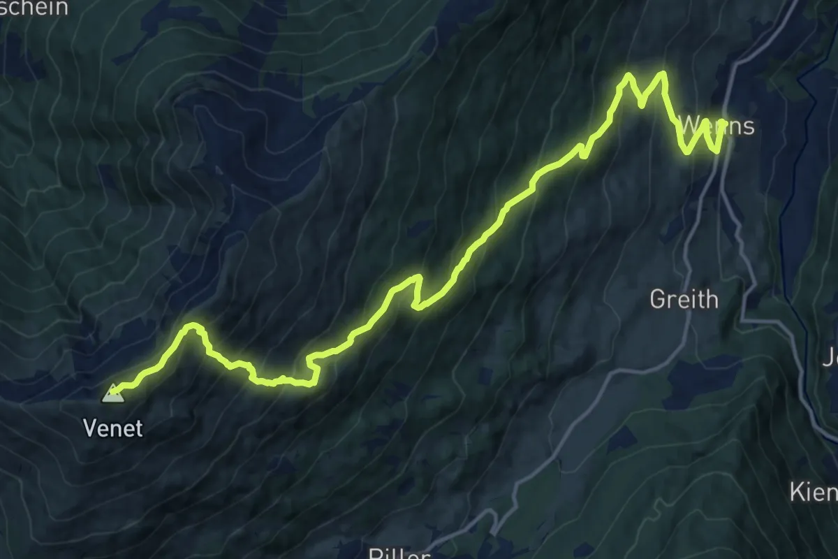
Demanding · Summit
Via Alpina Yellow B36
18.9 km · ↑ 1559 m · 7 h 50 min
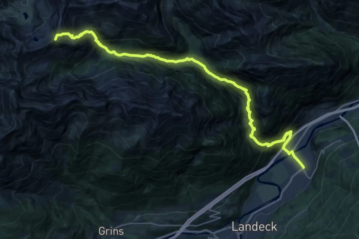
Demanding · Summit
Via Alpina Yellow B37
24.1 km · ↑ 2175 m · 10 h 24 min
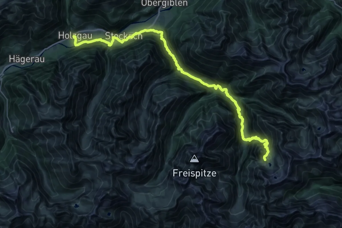
Demanding · Cabin
Via Alpina Yellow B38
18.6 km · ↑ 1395 m · 7 h 7 min
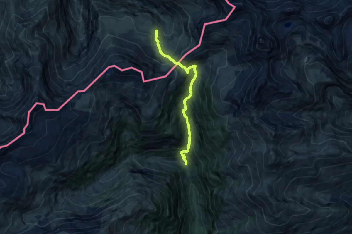
Medium · Cabin
Via Alpina Yellow B39
7.6 km · ↑ 783 m · 3 h 30 min
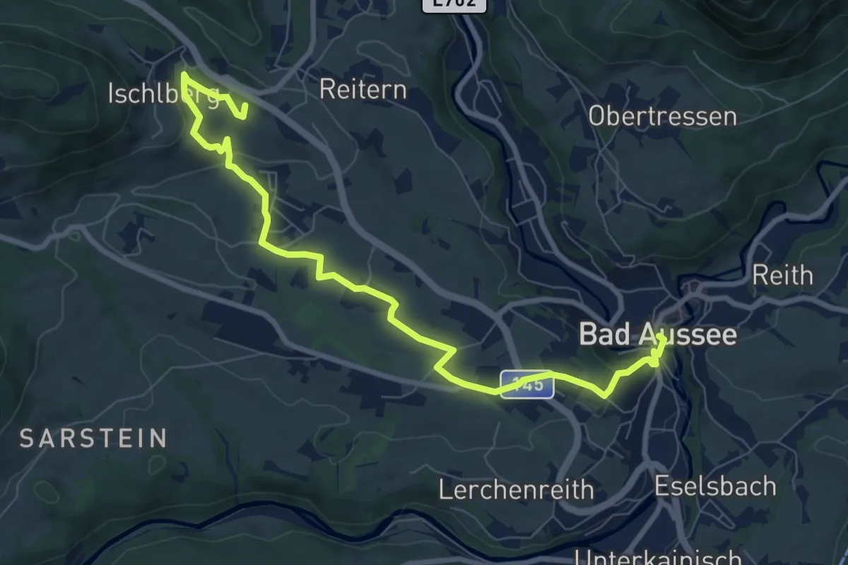
Medium · Summit
Via Artis - Bad Aussee
8.8 km · ↑ 191 m · 2 h 30 min
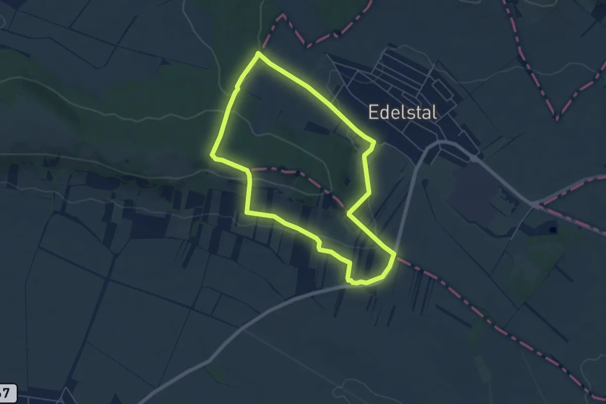
Easy · Trail
Via Cella Vinaria (Rundwanderweg Von Kellergasse zu Kellerviertel)
5.3 km · ↑ 118 m · 1 h 35 min
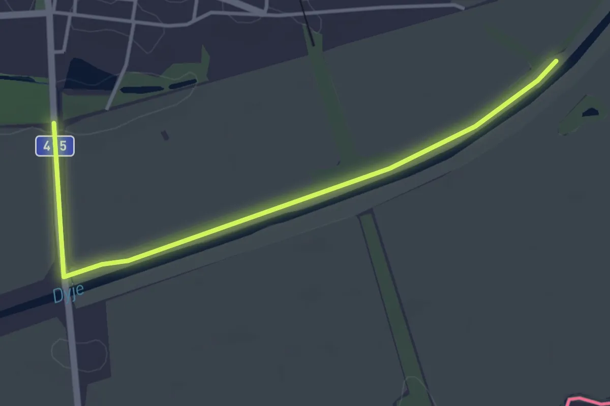
Easy · Trail
Via Czechia - Jižní (5. Mikulovská vrchovina a Dyjskosvratecký úval)
3.9 km · ↑ 5 m · 56 min
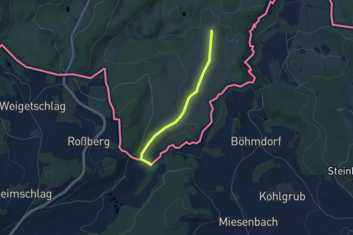
Easy · Trail
Via Czechia - Středozemím (8. Českokrumlovsko)
4.7 km · ↑ 94 m · 1 h 19 min
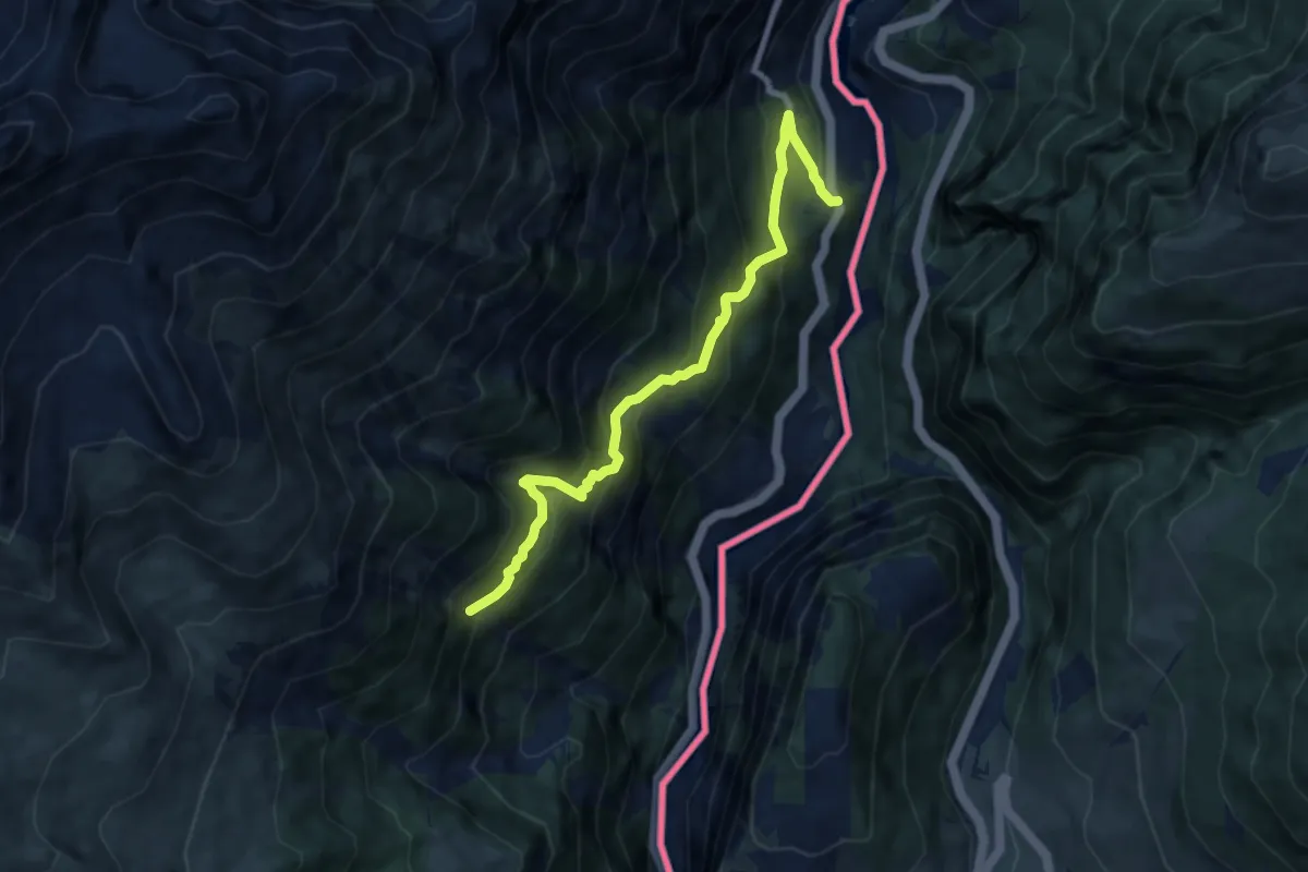
Demanding · Trail
Via Engiadina
7.7 km · ↑ 724 m · 3 h 23 min
Expert · Summit
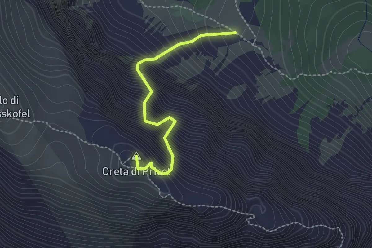
Via Fausto Schiavi
2.1 km · ↑ 686 m · 2 h
Expert · Summit
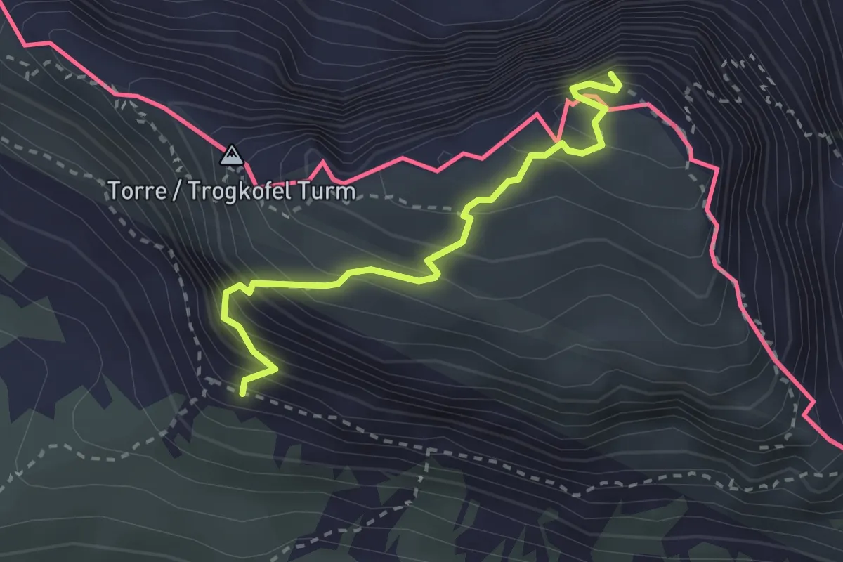
Via normale Creta di Aip
2.6 km · ↑ 424 m · 1 h 32 min
Demanding · Trail
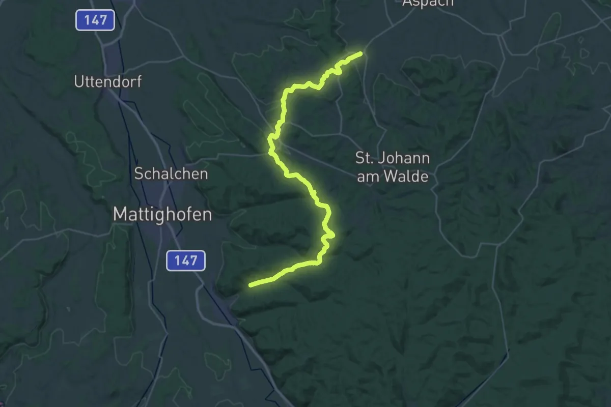
Via Nova
18.2 km · ↑ 474 m · 5 h 35 min
Medium · Trail
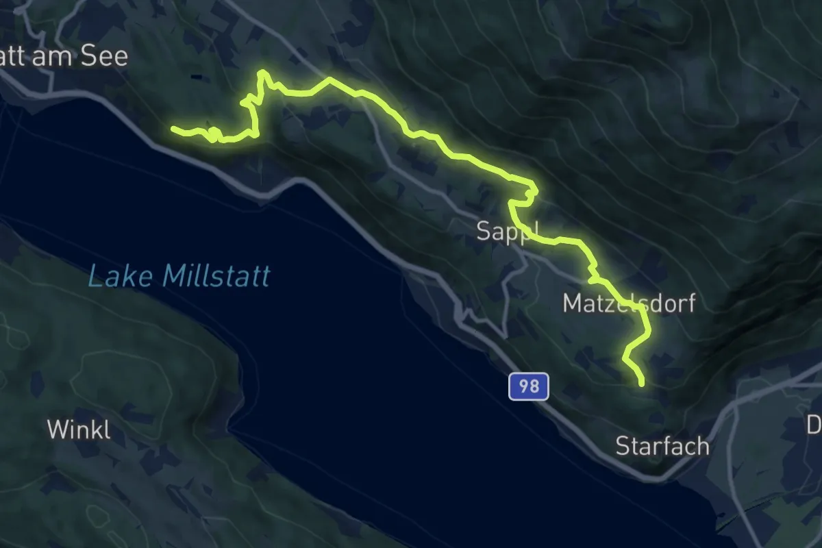
Via Paradiso
13.7 km · ↑ 535 m · 4 h 24 min
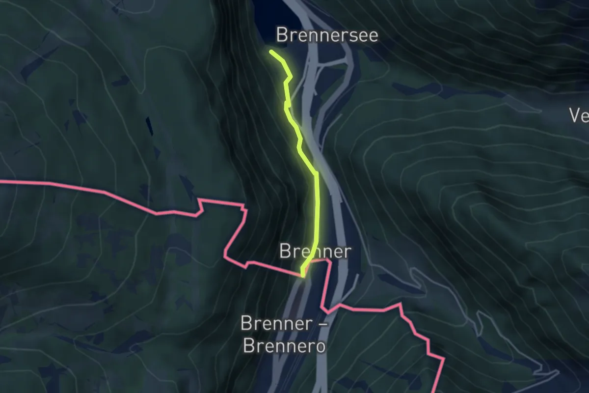
Easy · Trail
Via Romea - Part Austria
2.6 km · ↑ 64 m · 45 min
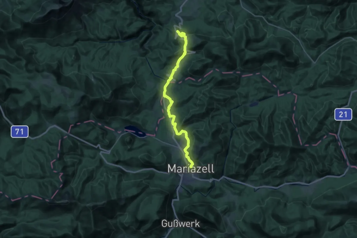
Demanding · Summit
Via Sacra
24.0 km · ↑ 851 m · 7 h 31 min
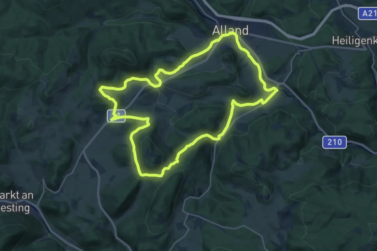
Medium · Summit
Via Sacra Rundwanderwege Alland
16.9 km · ↑ 390 m · 5 h 5 min
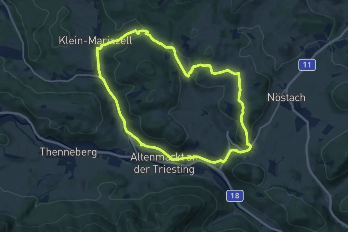
Medium · Summit
Via Sacra Rundwanderwege Altenmarkt
10.0 km · ↑ 272 m · 3 h 5 min
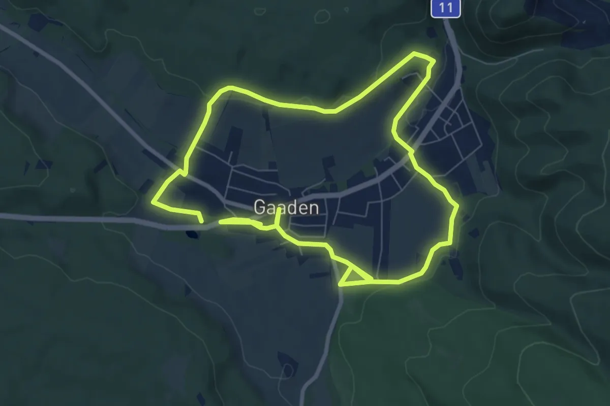
Medium · Summit
Via Sacra Rundwanderweg Gaaden
13.7 km · ↑ 203 m · 3 h 41 min
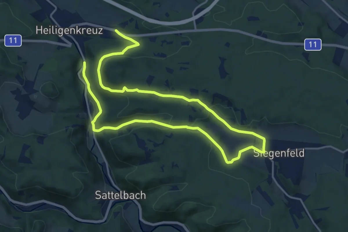
Demanding · Trail
Via Sacra Rundwanderweg Heiligenkreuz
18.6 km · ↑ 359 m · 5 h 10 min
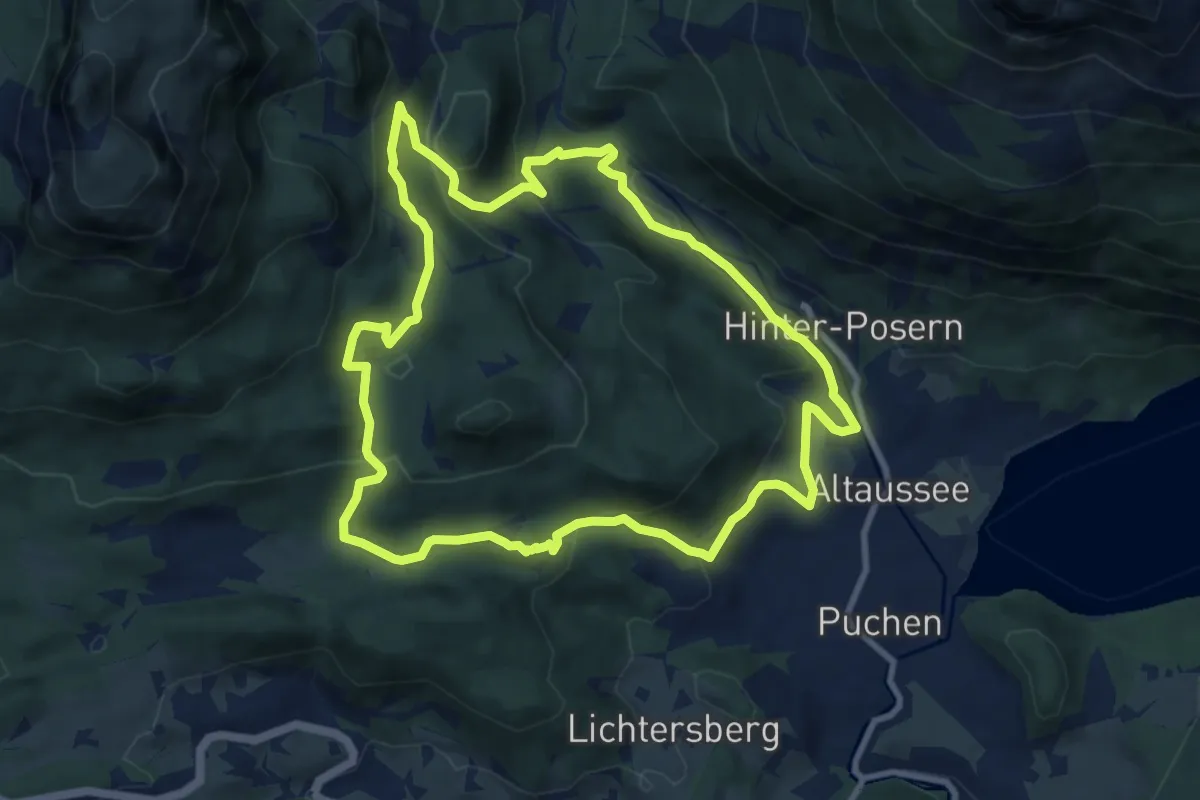
Expert · Summit
Via Salis
9.4 km · ↑ 402 m · 3 h 14 min
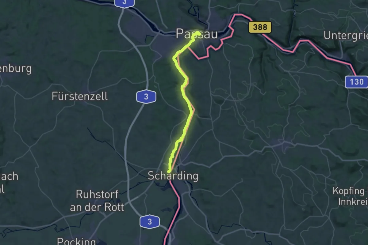
Medium · Trail
Via Sancti Martini HW-31-01 Passau - Neuhaus am Inn
16.1 km · ↑ 94 m · 4 h 15 min
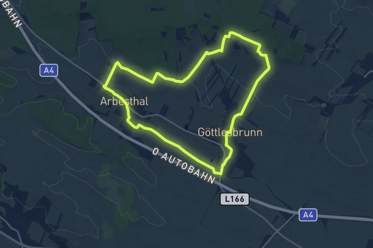
Medium · Summit
Via Vinum (Rundwanderweg Göttlesbrunn - Arbesthal)
11.7 km · ↑ 131 m · 3 h 13 min
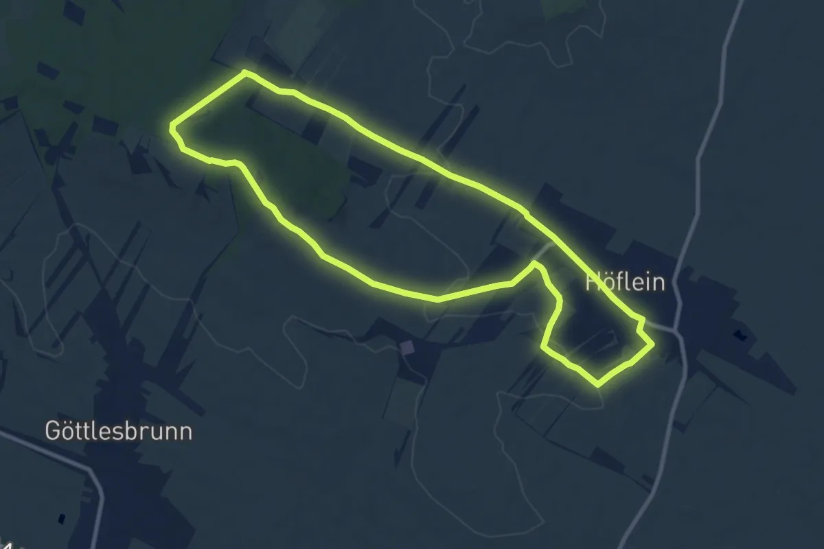
Medium · Trail
Via Vinum (Rundwanderweg Höflein)
9.0 km · ↑ 123 m · 2 h 31 min
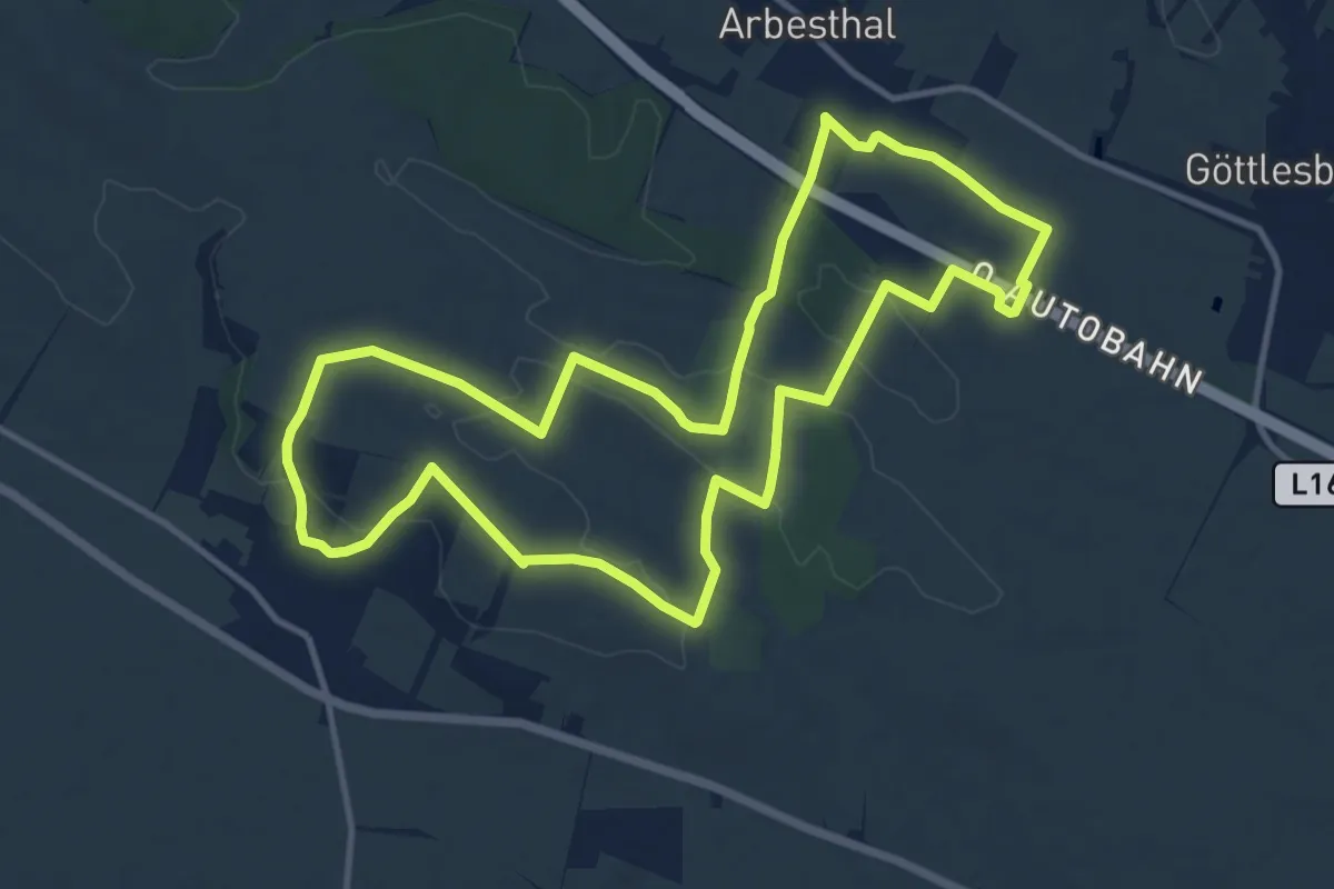
Medium · Summit
Via Vinum (Rundwanderweg Stixneusiedl)
11.9 km · ↑ 160 m · 3 h 20 min
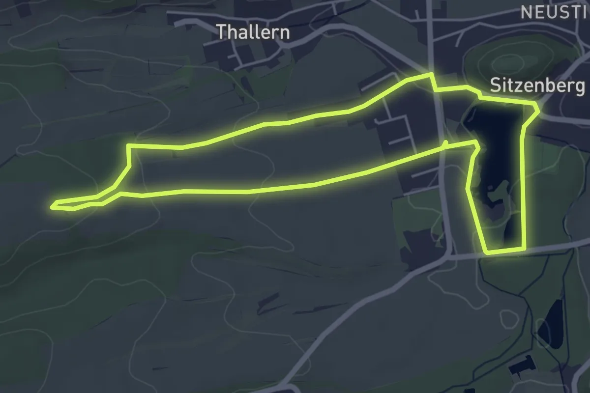
Easy · Trail
Vielfalt des Lebens
4.9 km · ↑ 71 m · 1 h 23 min
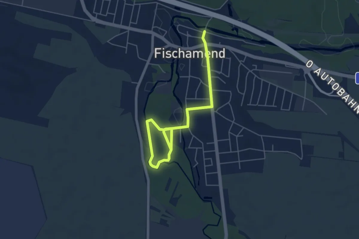
Easy · Trail
Vienna Airport Runde (Fischamend)
2.8 km · ↑ 4 m · 43 min
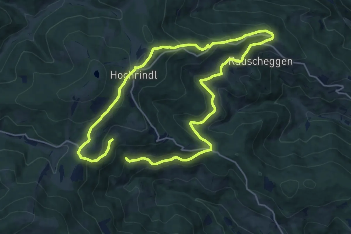
Medium · Trail
Vier-Aussichtspunkte-Weg
11.7 km · ↑ 487 m · 3 h 55 min
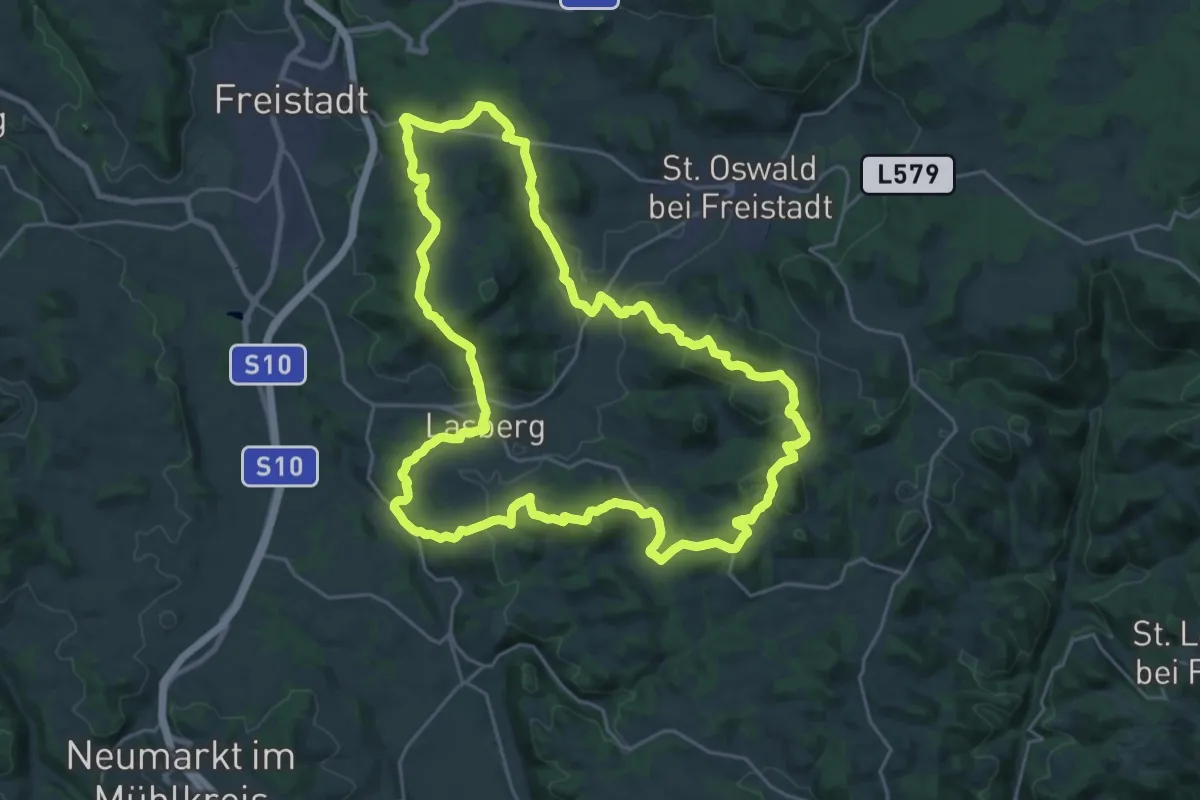
Demanding · Summit
Vier-Berge-Weg
25.3 km · ↑ 861 m · 8 h 12 min
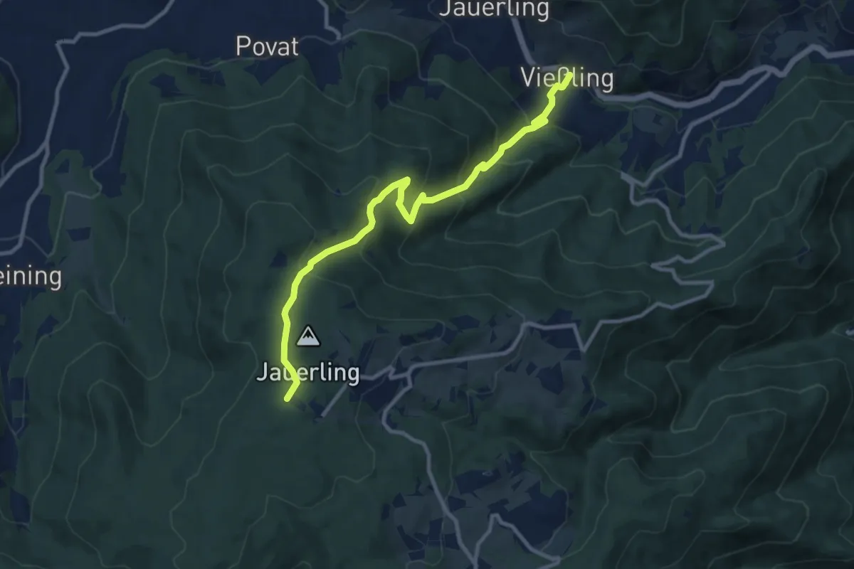
Medium · Trail
Vießling - Jauerling
9.8 km · ↑ 664 m · 3 h 45 min
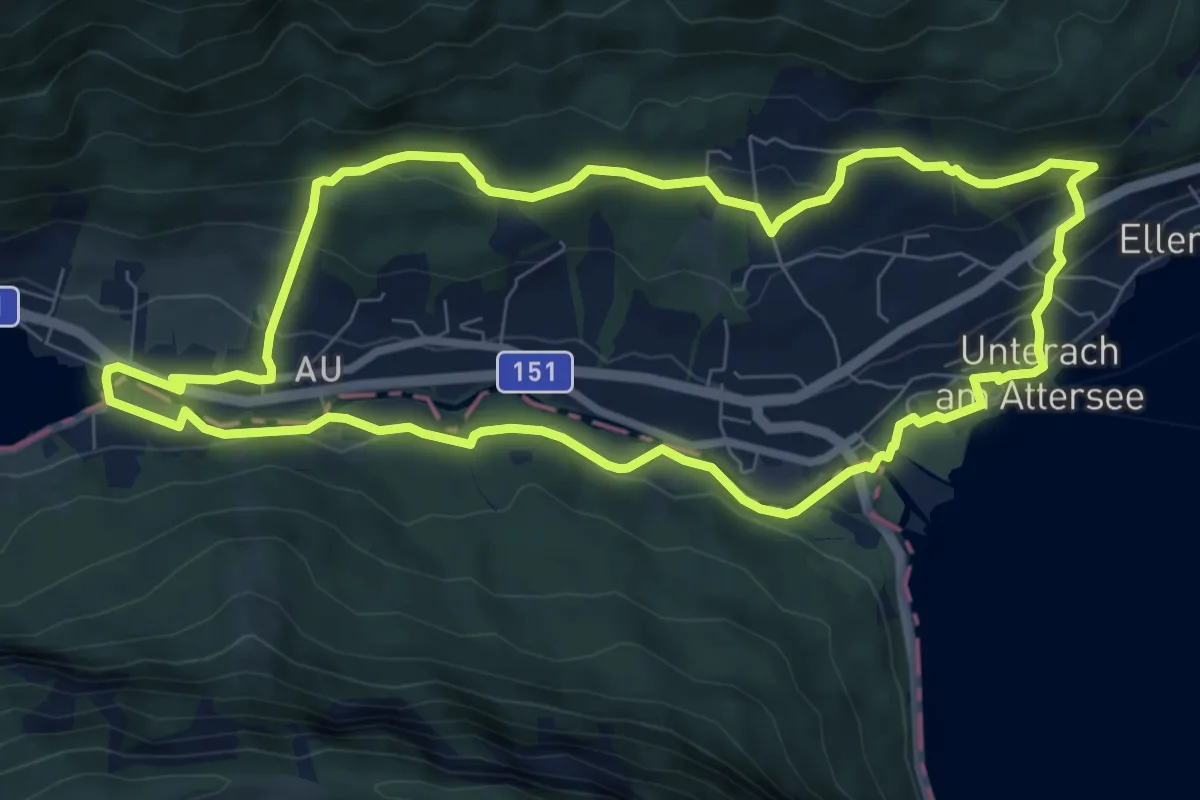
Medium · Trail
Viktor Kaplan Themenrundweg
8.2 km · ↑ 199 m · 2 h 29 min
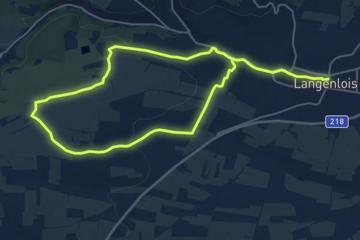
Demanding · Trail
Vino-Birdie-Tour
18.3 km · ↑ 307 m · 5 h
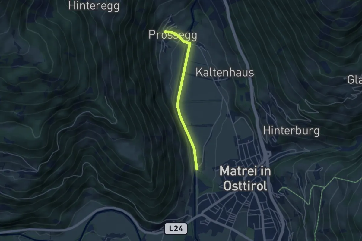
Easy · Trail
Virgentaler Sonnseitenweg
3.6 km · ↑ 35 m · 56 min
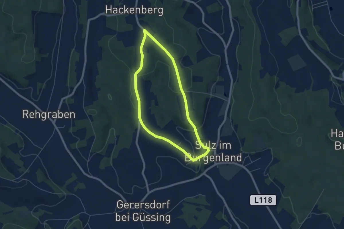
Easy · Trail
Vita 1
4.7 km · ↑ 97 m · 1 h 23 min
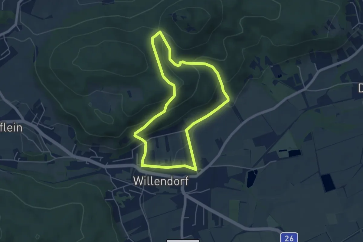
Easy · Summit
Vital Club Runde bei Willendorf
4.3 km · ↑ 177 m · 1 h 27 min
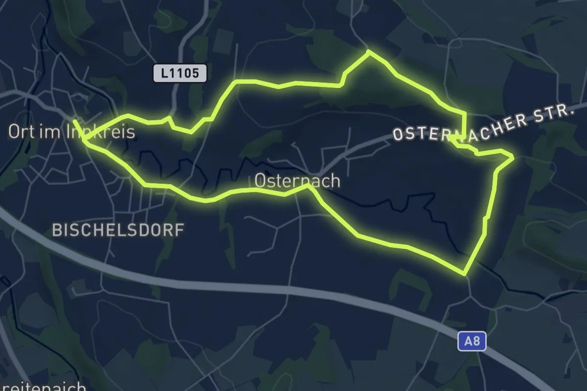
Easy · Trail
Vitalwanderweg
7.2 km · ↑ 94 m · 2 h
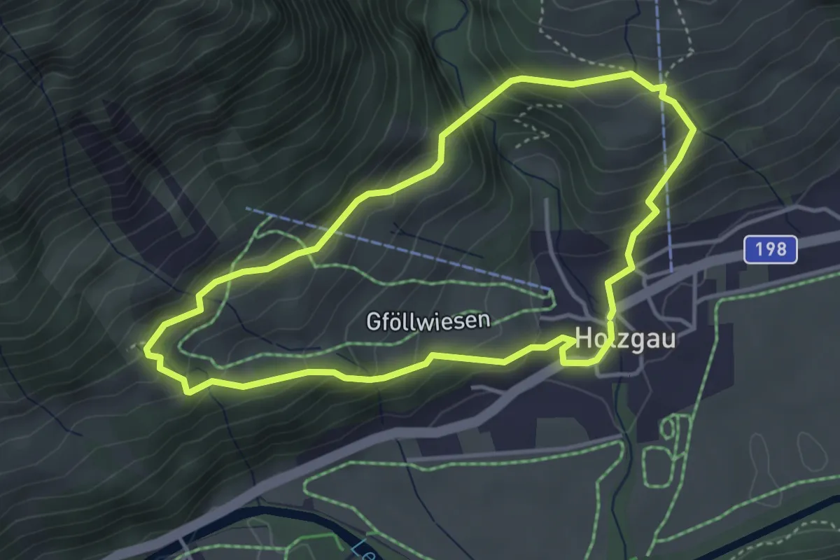
Medium · Trail
Vitalweg Holzgau
3.6 km · ↑ 320 m · 1 h 36 min
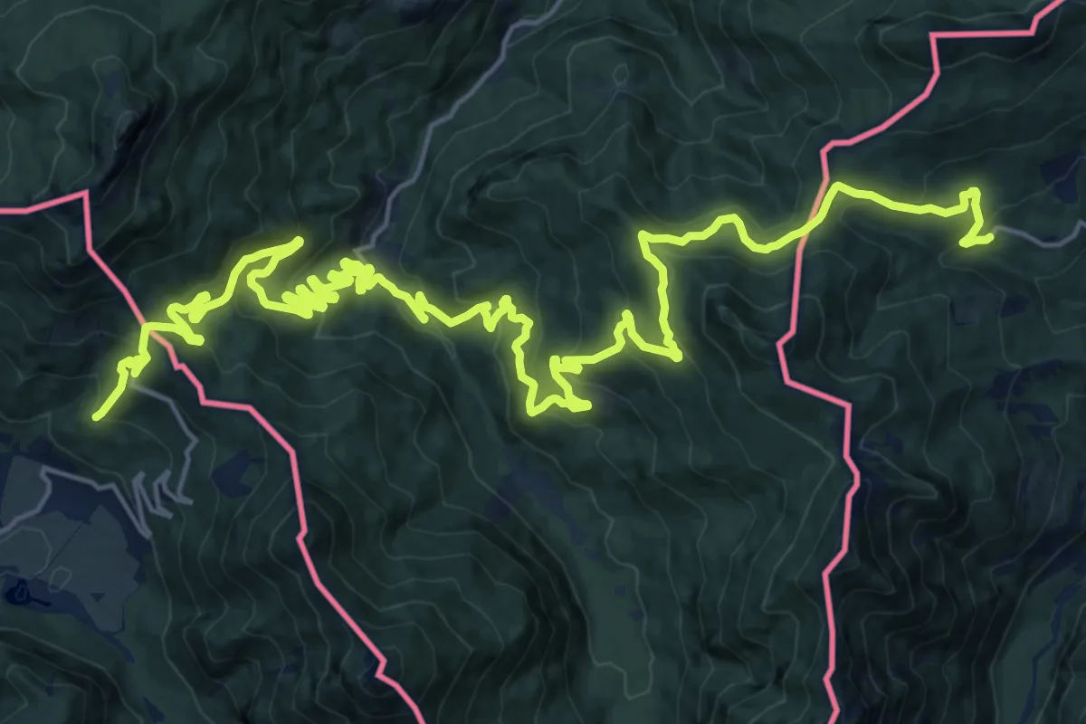
Medium · Trail
Vodne poti Kamniško-Savinjskih Alp
16.0 km · ↑ 700 m · 5 h 29 min
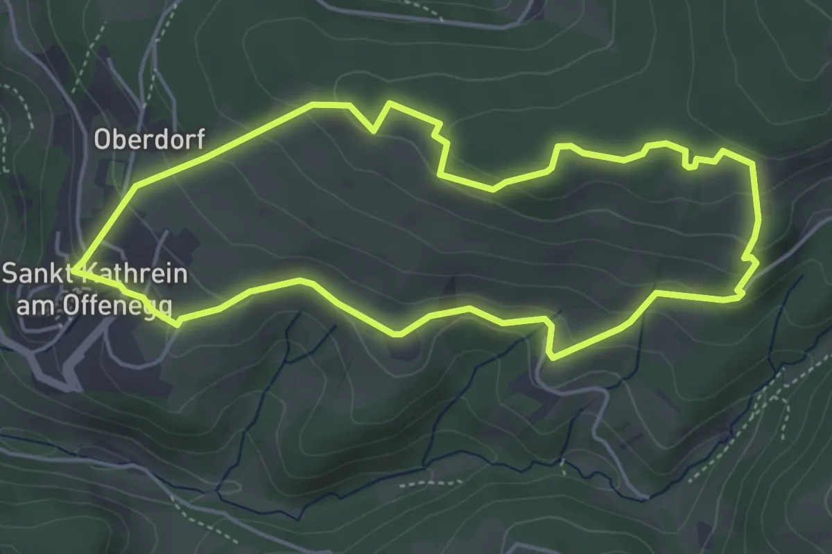
Easy · Trail
Vogelbeer Panormaweg
4.6 km · ↑ 173 m · 1 h 31 min
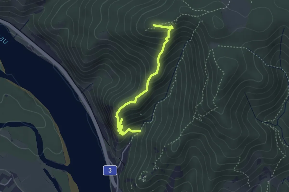
Demanding · Summit
Vogelbergsteig
3.2 km · ↑ 315 m · 1 h 27 min
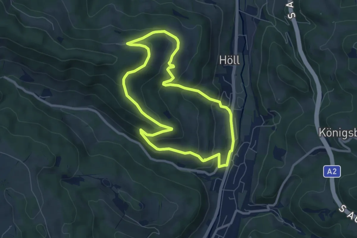
Easy · Trail
Vögelhöfenrundweg
6.3 km · ↑ 257 m · 2 h 8 min
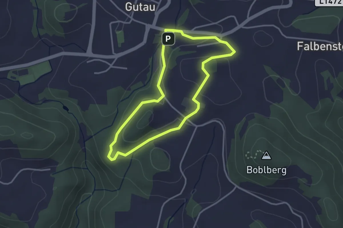
Easy · Trail
Vogelkundeweg
2.8 km · ↑ 75 m · 51 min
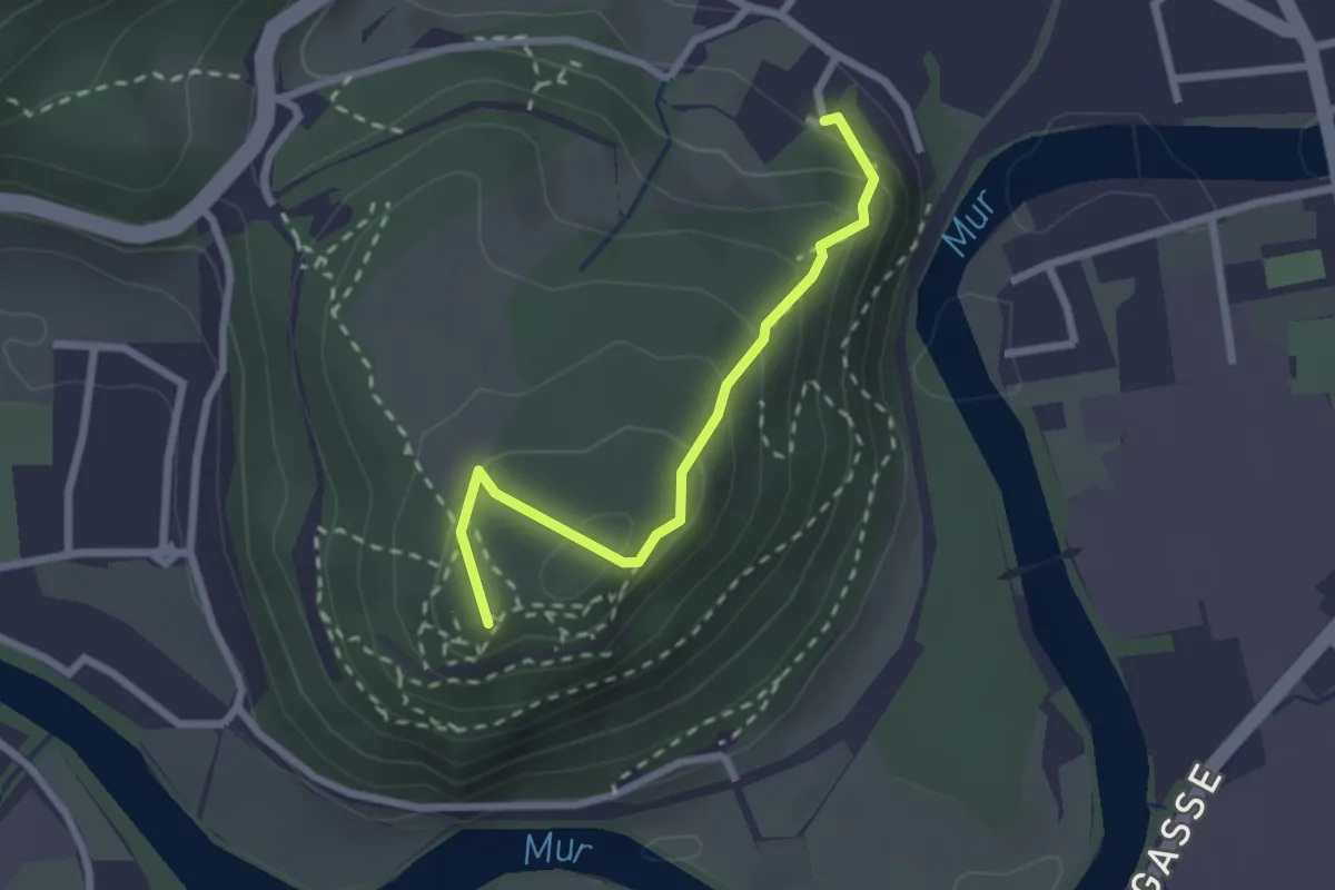
Easy · Summit
Vogelkundlicher Lehrpfad
2.2 km · ↑ 188 m · 56 min
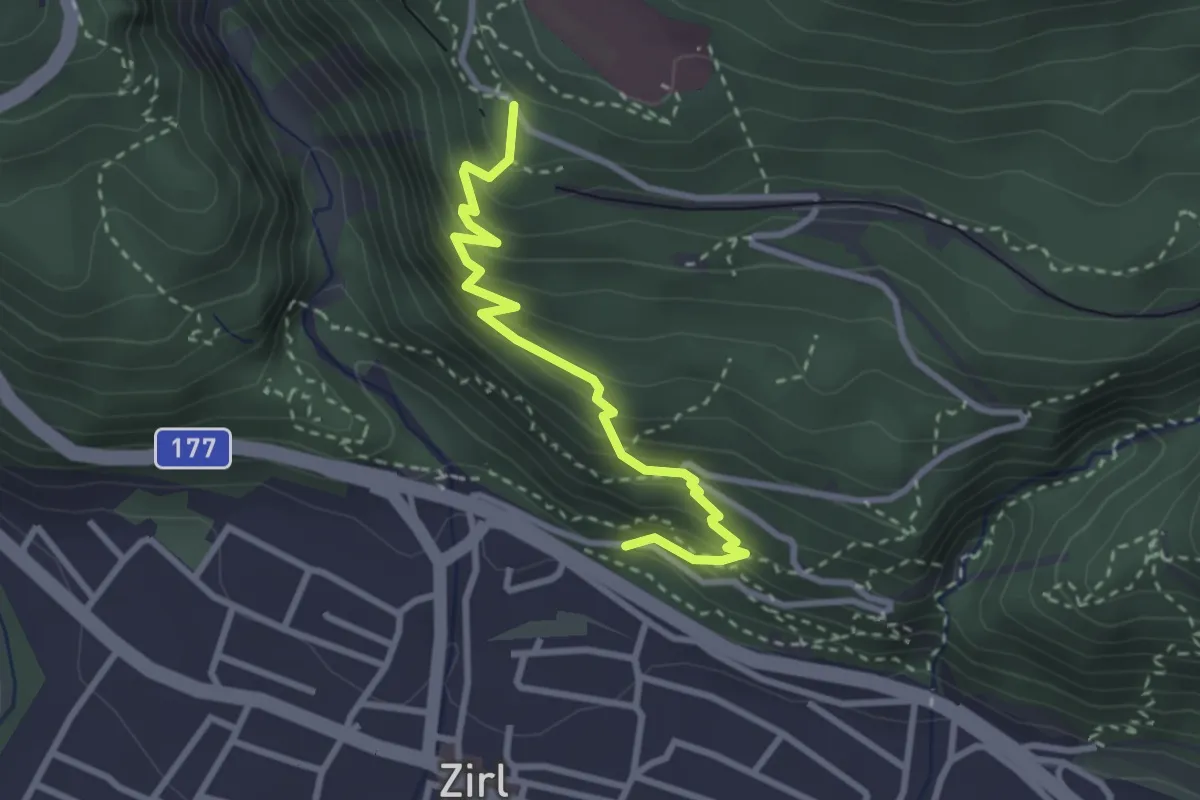
Medium · Trail
Vogellehrweg
2.9 km · ↑ 288 m · 1 h 18 min
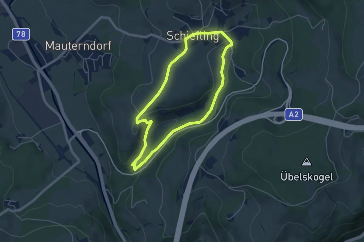
Easy · Trail
Vogelwanderweg
4.0 km · ↑ 133 m · 1 h 17 min
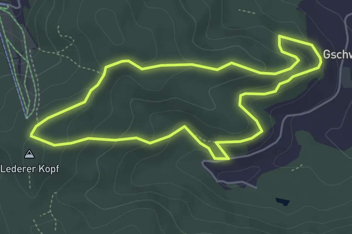
Easy · Summit
Vogerlweg
4.0 km · ↑ 142 m · 1 h 18 min