Trails in Austria
9,777 hiking trails, each with its route, climb, walking time and grade.
All trails, page 125 of 204
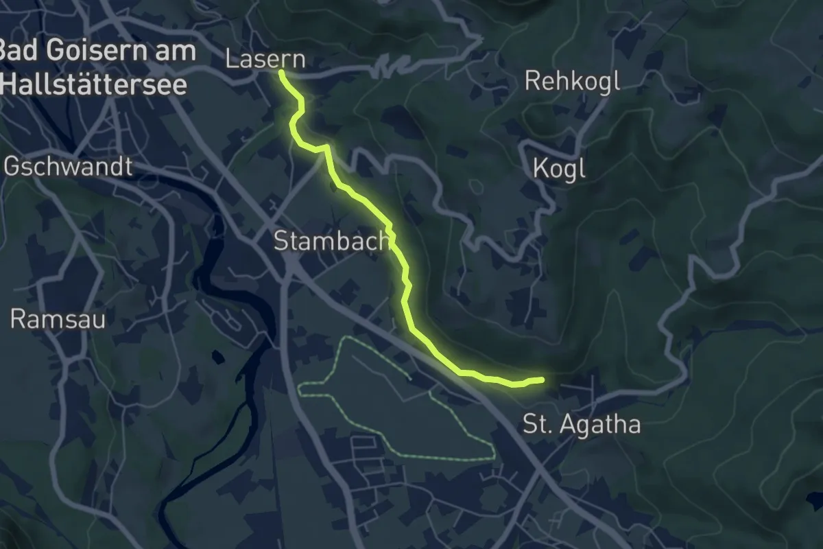
Easy · Trail
Volksbankweg (A11)
4.8 km · ↑ 102 m · 1 h 21 min
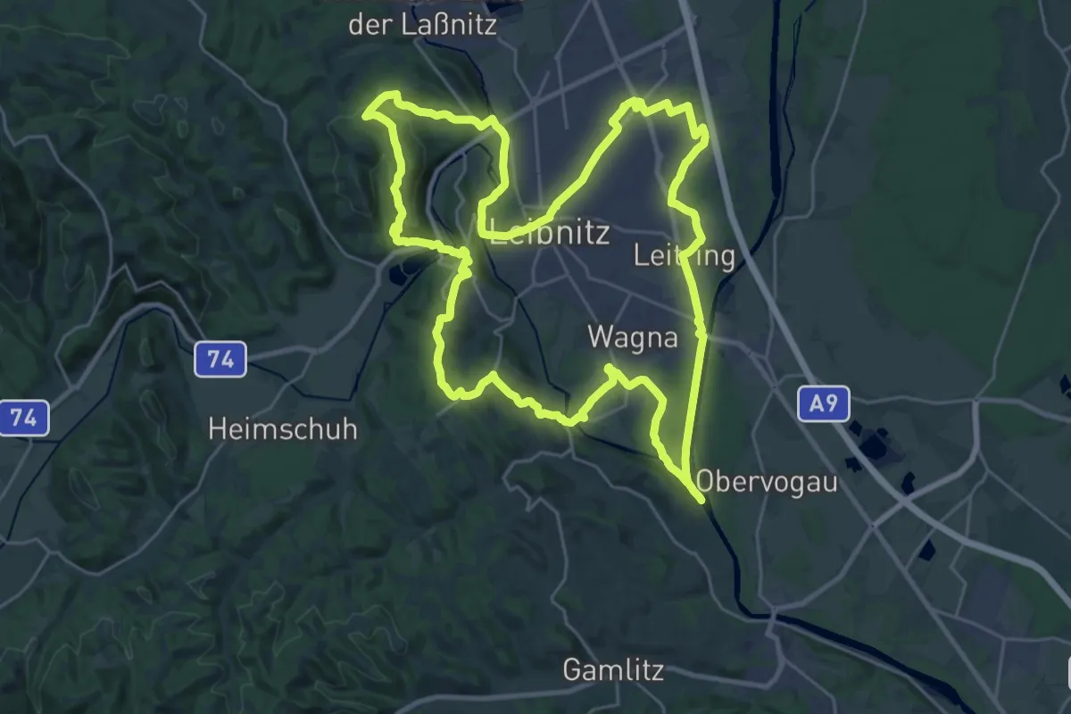
Demanding · Summit
Voller Genuss
28.6 km · ↑ 396 m · 8 h 1 min
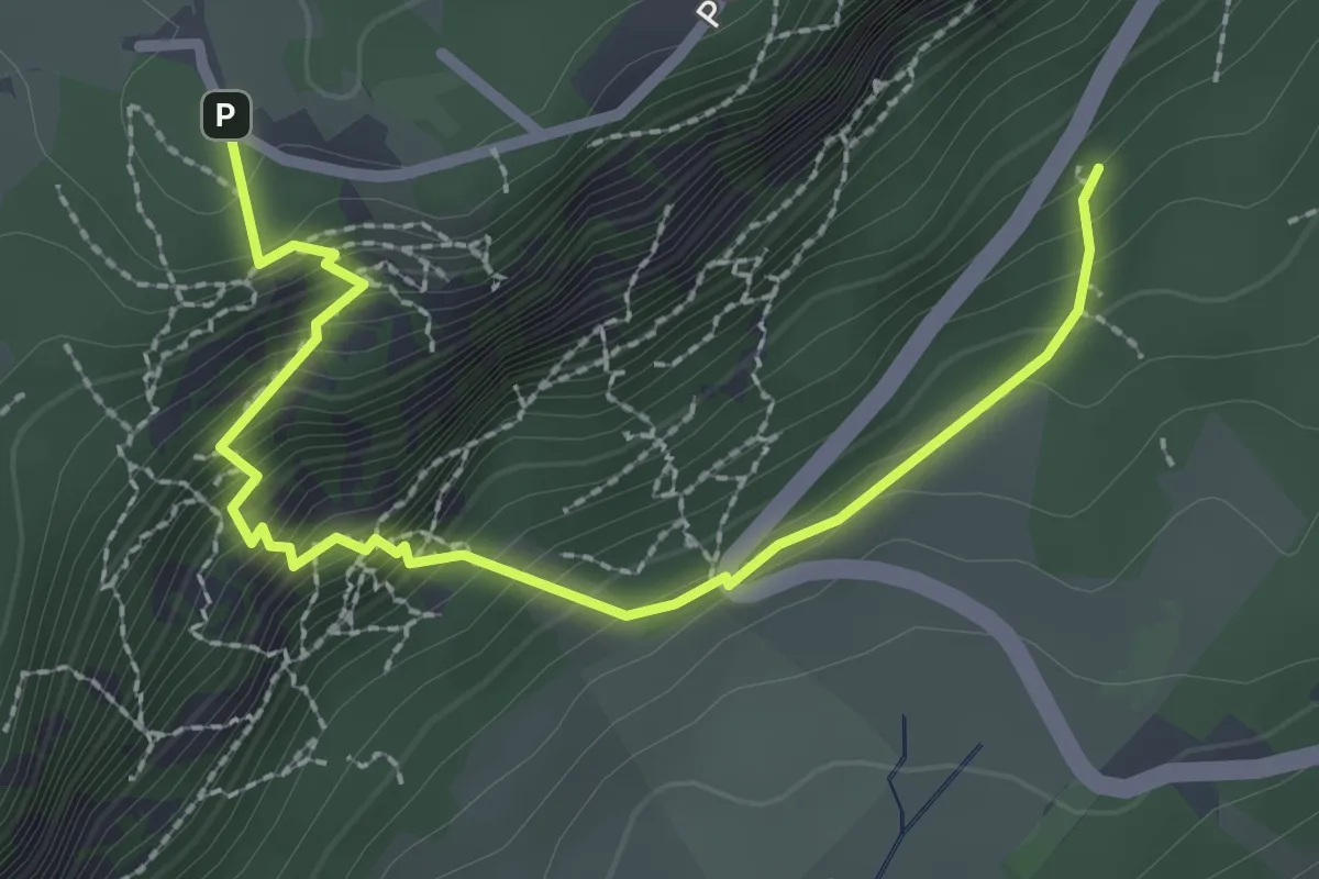
Demanding · Trail
Völlerin
2.8 km · ↑ 346 m · 1 h 24 min
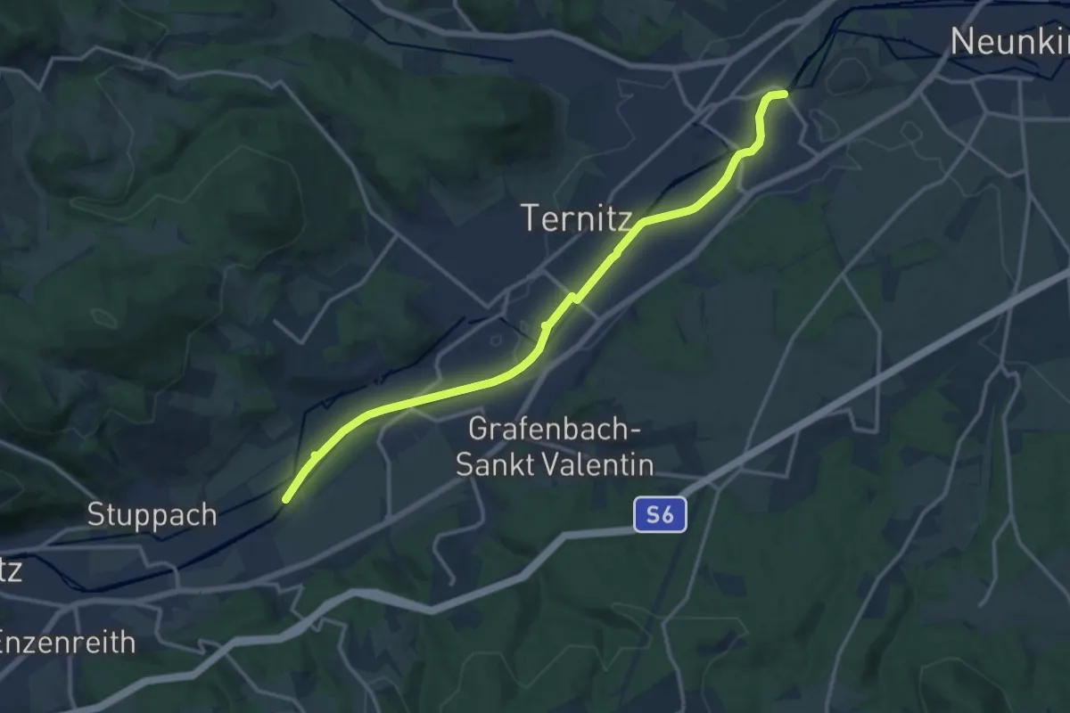
Medium · Trail
Volvo-Rath Strecke
13.6 km · ↑ 33 m · 3 h 18 min
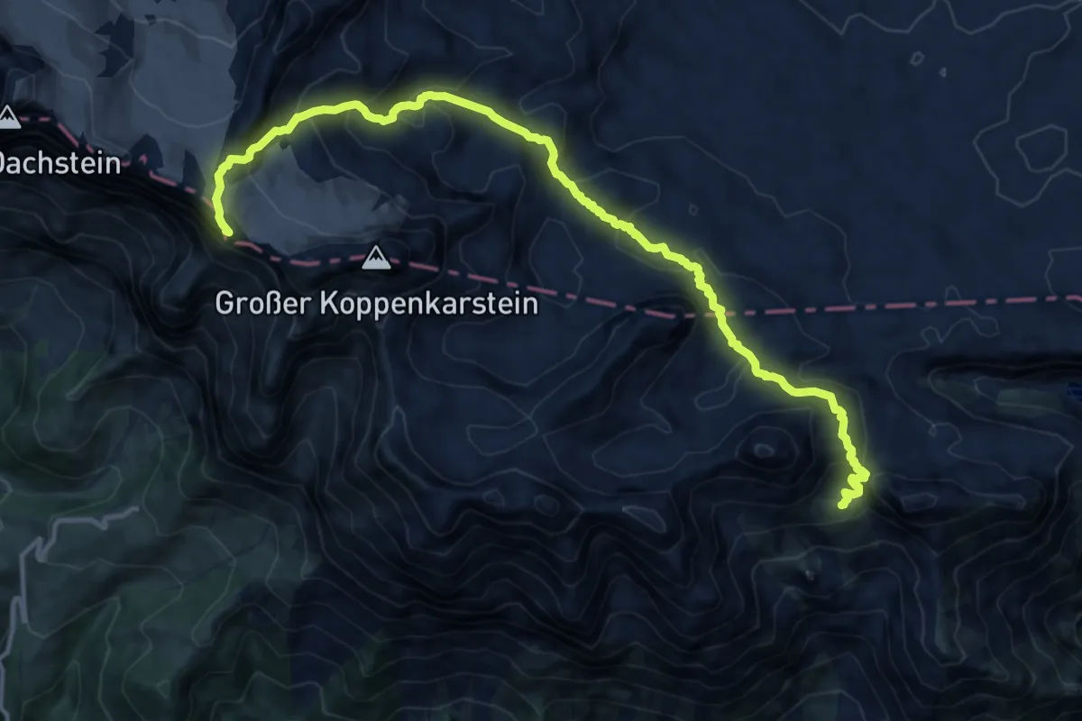
Expert · Summit
Vom Gletscher zum Wein (Südroute) Etappe 1
15.1 km · ↑ 1031 m · 5 h 48 min
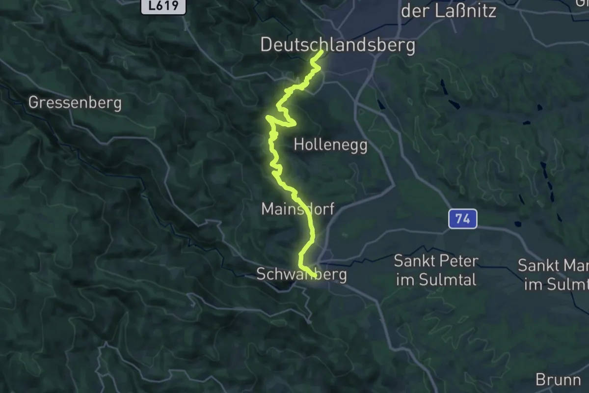
Demanding · Trail
Vom Gletscher zum Wein (Südroute) Etappe 19
21.6 km · ↑ 770 m · 6 h 46 min
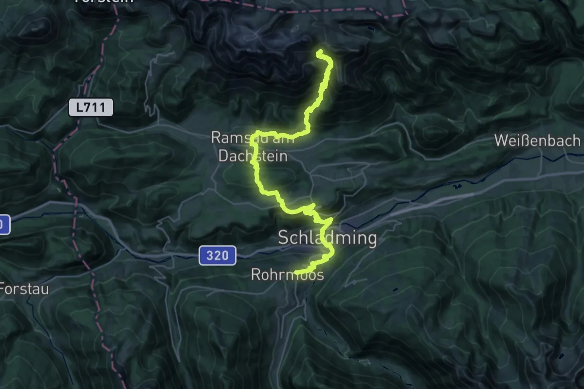
Demanding · Cabin
Vom Gletscher zum Wein (Südroute) Etappe 2
17.1 km · ↑ 1605 m · 7 h 9 min
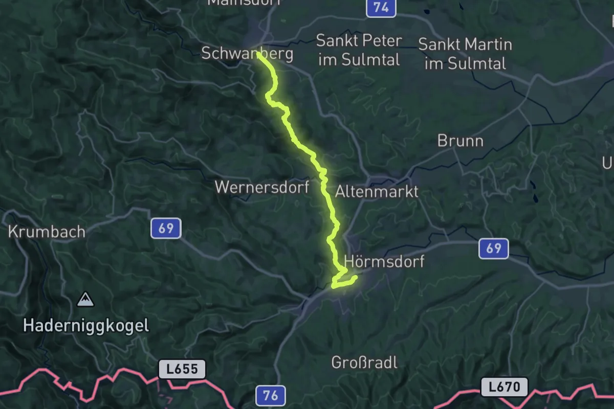
Demanding · Trail
Vom Gletscher zum Wein (Südroute) Etappe 20
23.2 km · ↑ 766 m · 7 h 8 min
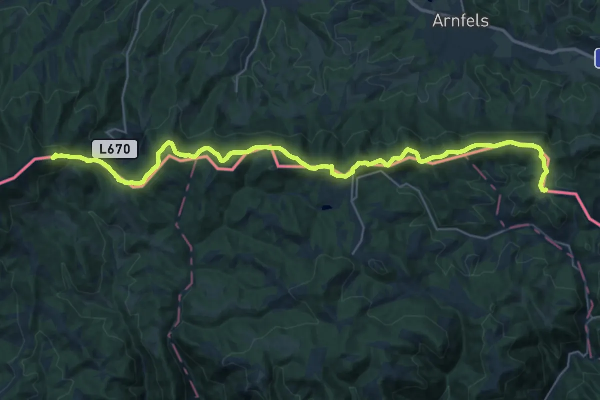
Demanding · Summit
Vom Gletscher zum Wein (Südroute) Etappe 21
24.5 km · ↑ 828 m · 7 h 35 min
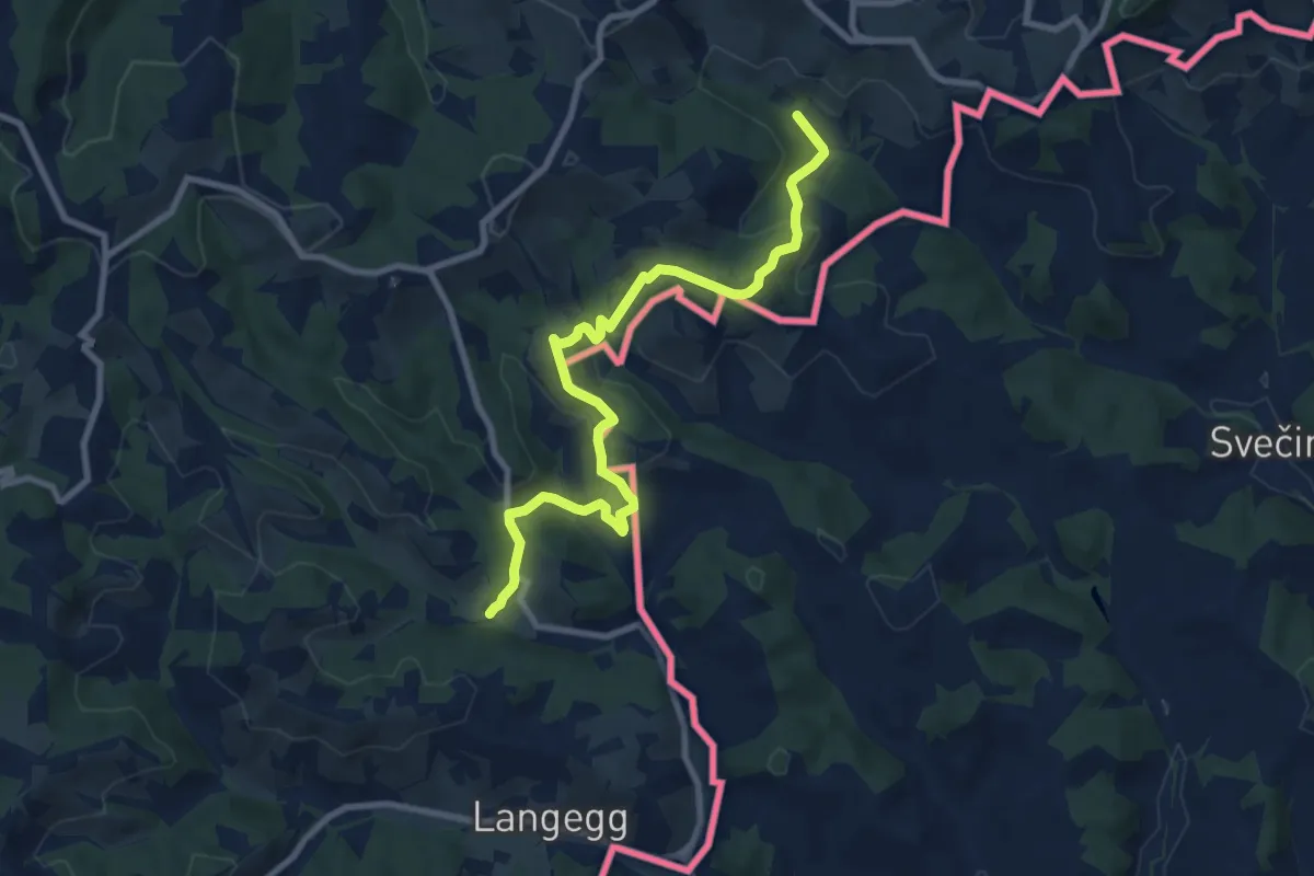
Medium · Trail
Vom Gletscher zum Wein (Südroute) Etappe 23
9.5 km · ↑ 492 m · 3 h 18 min
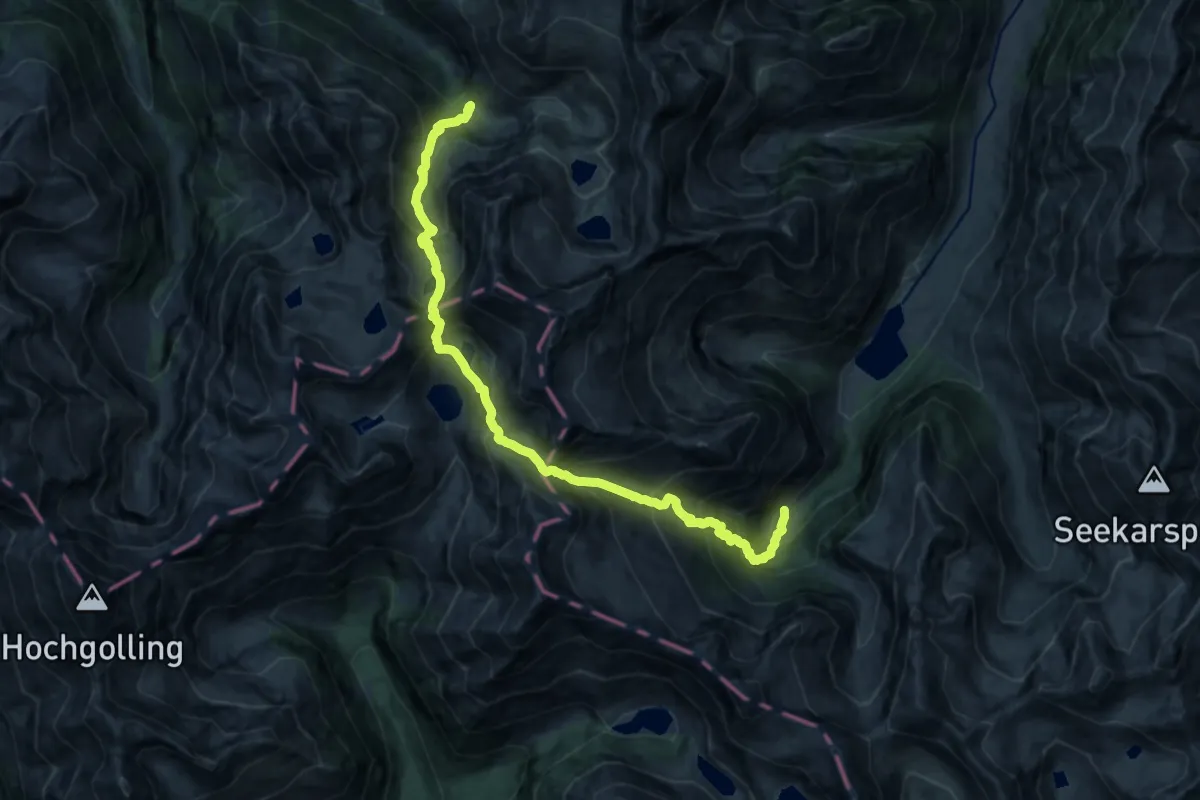
Demanding · Cabin
Vom Gletscher zum Wein (Südroute) Etappe 7
8.8 km · ↑ 1148 m · 4 h 33 min
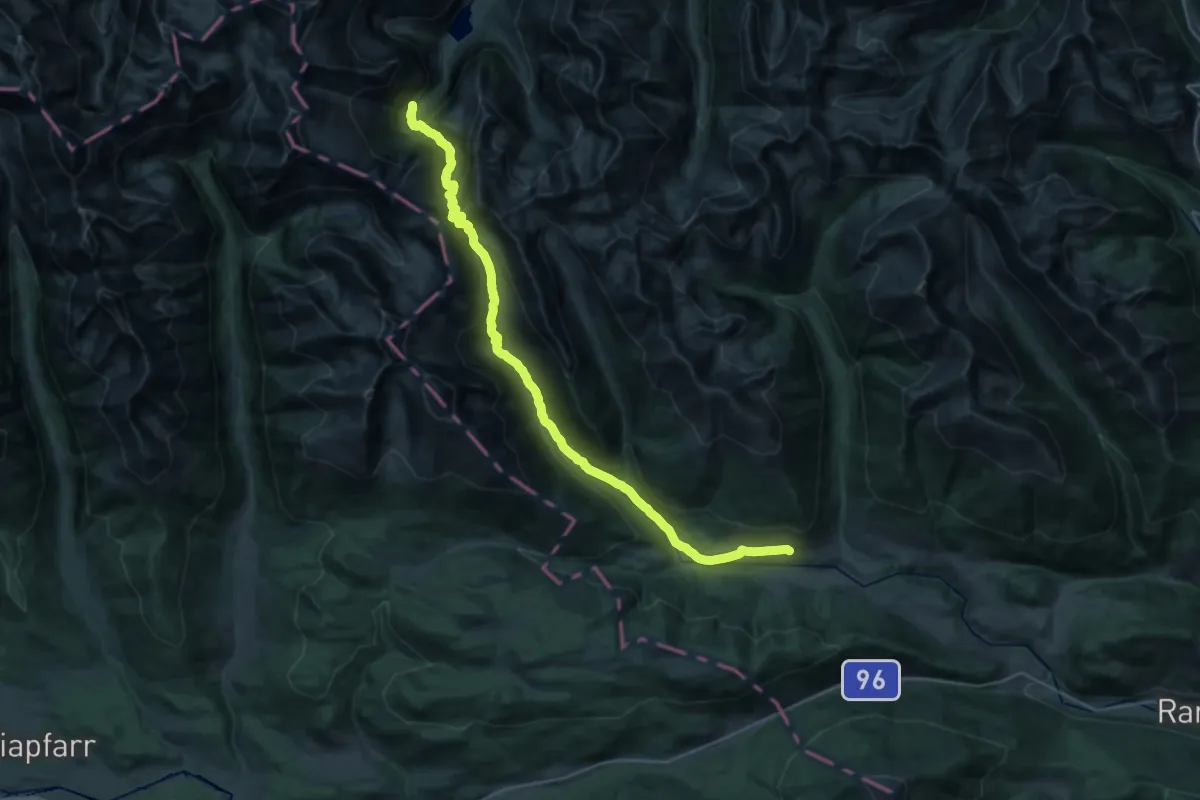
Demanding · Cabin
Vom Gletscher zum Wein (Südroute) Etappe 8
15.8 km · ↑ 935 m · 5 h 57 min
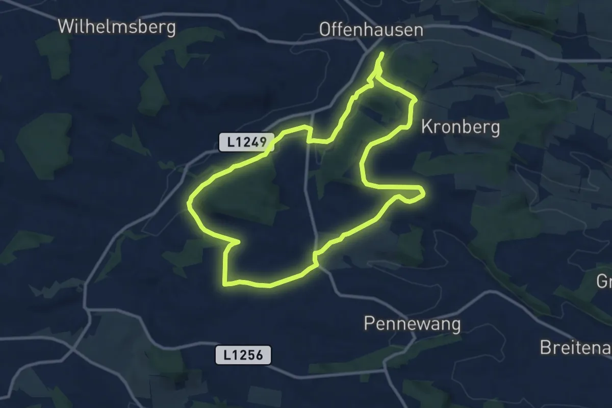
Medium · Trail
Vom Grünbach zum Rosenberg
9.6 km · ↑ 175 m · 2 h 47 min
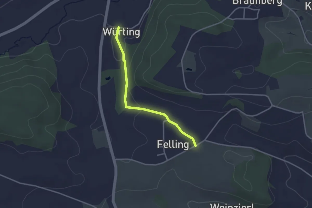
Easy · Trail
Vom Grünbach zum Rosenberg Abkürzung
2.4 km · ↑ 41 m · 40 min
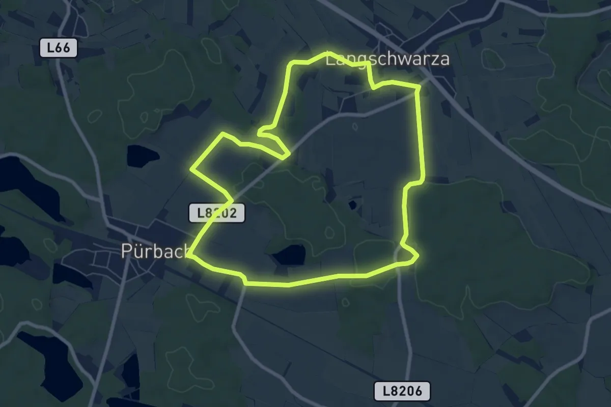
Easy · Trail
Vom Pferdehof zum Hoftheater-Wanderweg (Rundwanderweg W7)
7.2 km · ↑ 43 m · 1 h 54 min
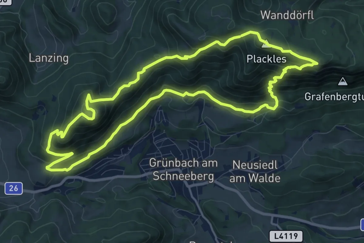
Medium · Summit
vom Urknall nach Grünbach
11.5 km · ↑ 667 m · 4 h 19 min
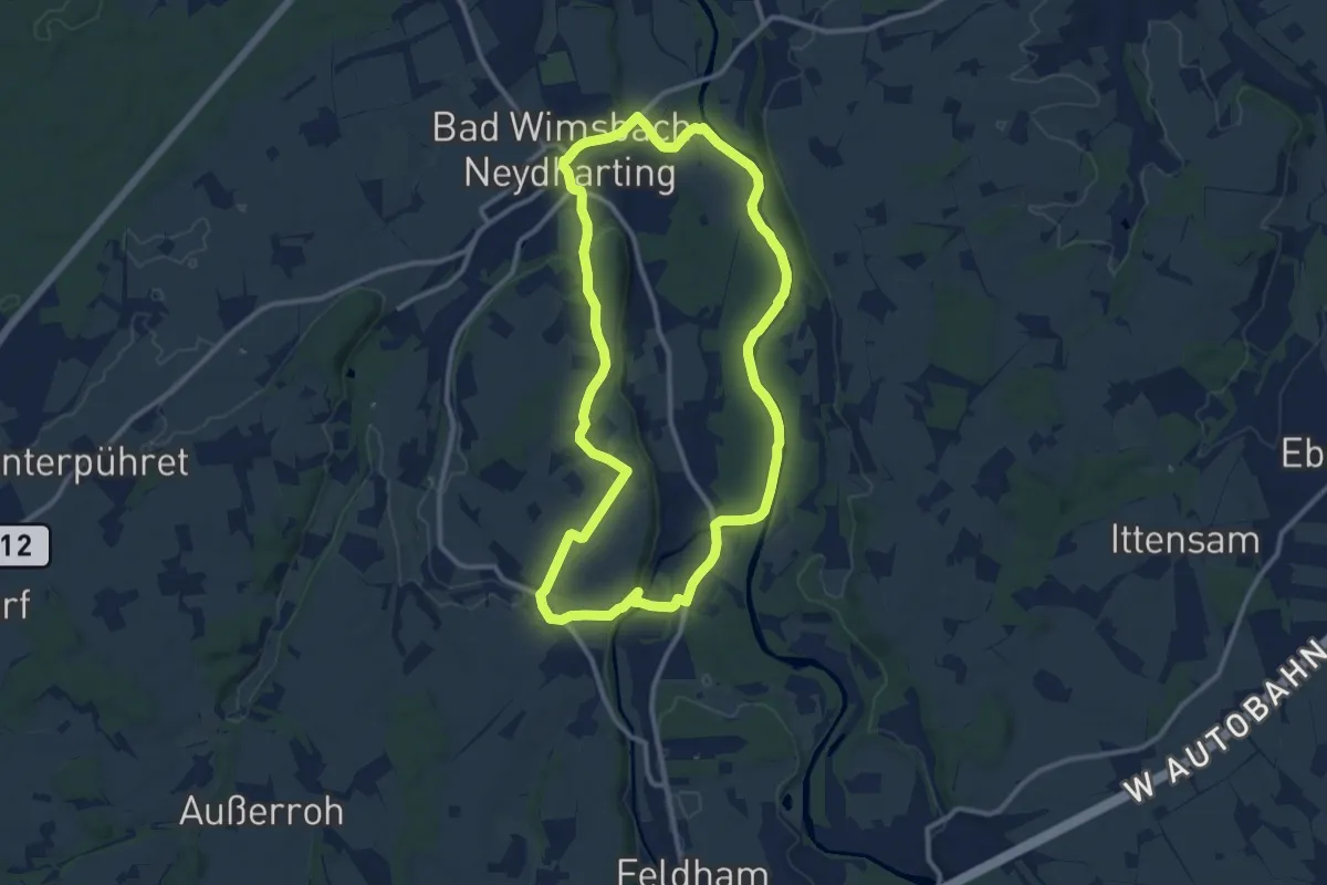
Medium · Trail
Vom Wasser zum Most
10.7 km · ↑ 93 m · 2 h 53 min
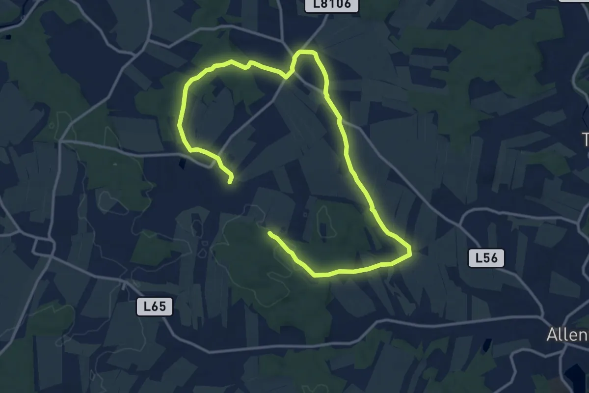
Medium · Trail
Von den Fuchshöhlen bis zur Wolfsgrube
16.0 km · ↑ 216 m · 4 h 14 min
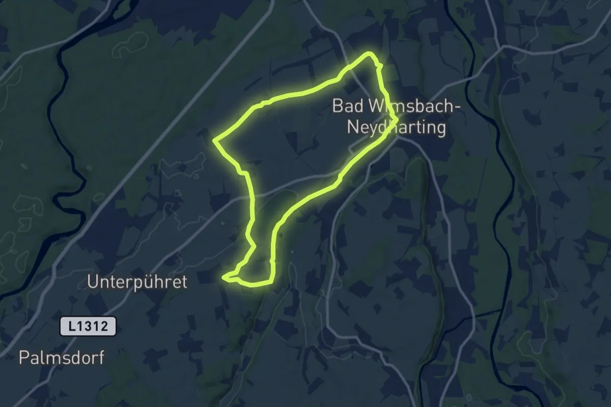
Medium · Trail
Von Dorf zu Dorf
9.7 km · ↑ 63 m · 2 h 34 min
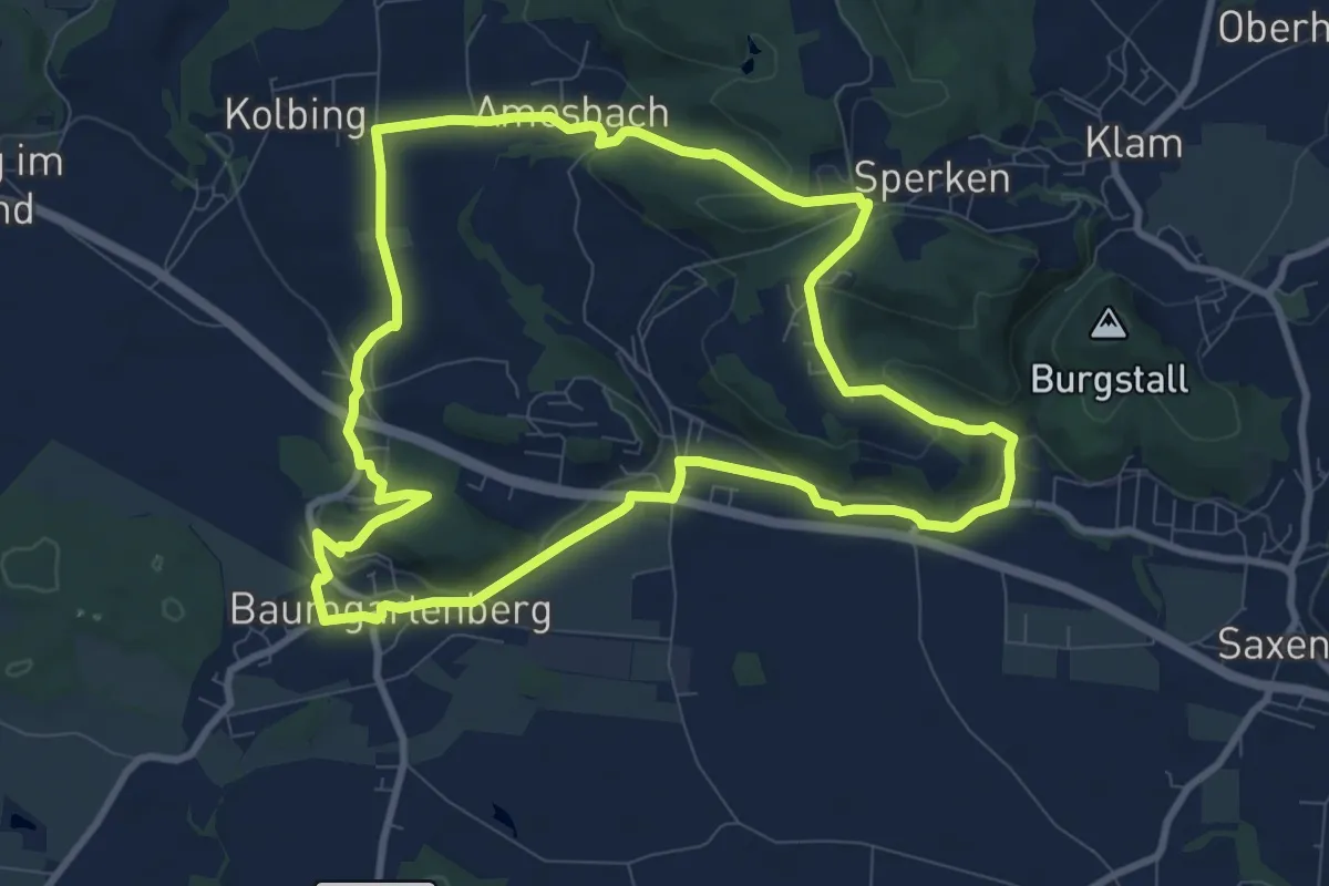
Medium · Trail
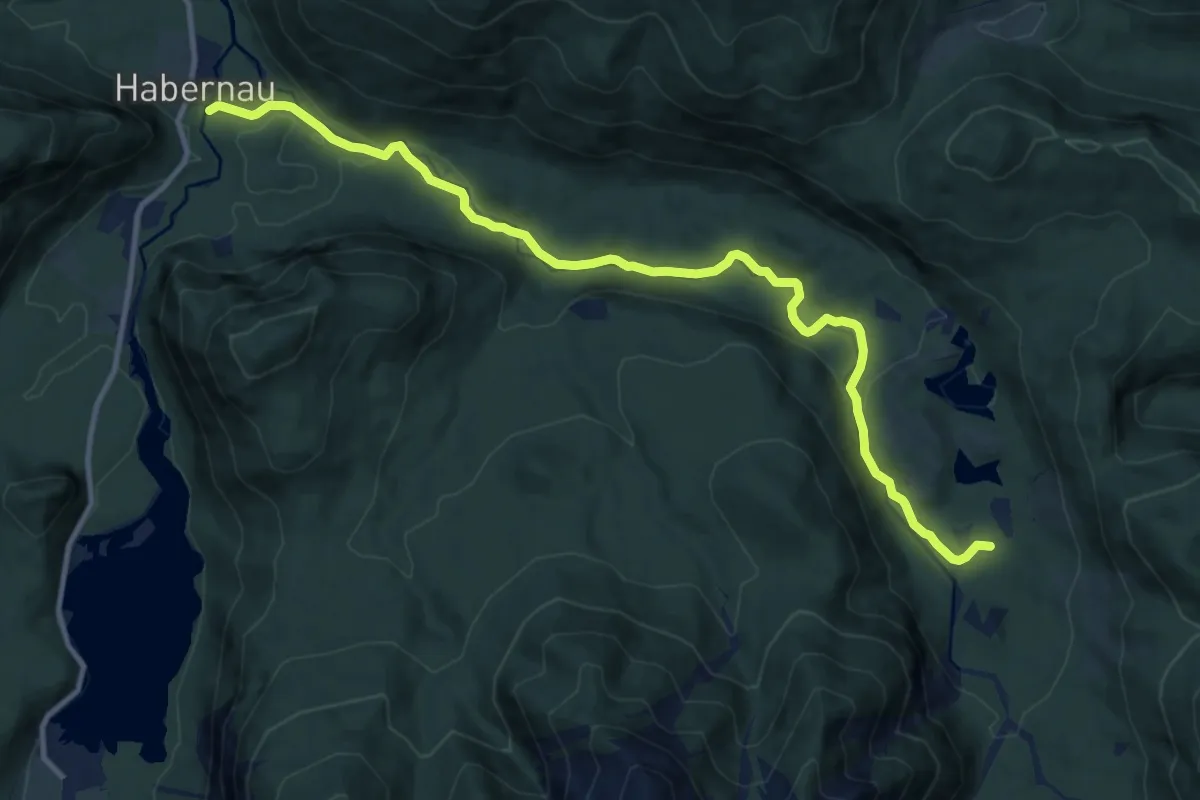
Voralpenblickrunde
9.3 km · ↑ 176 m · 2 h 42 min
Medium · Trail
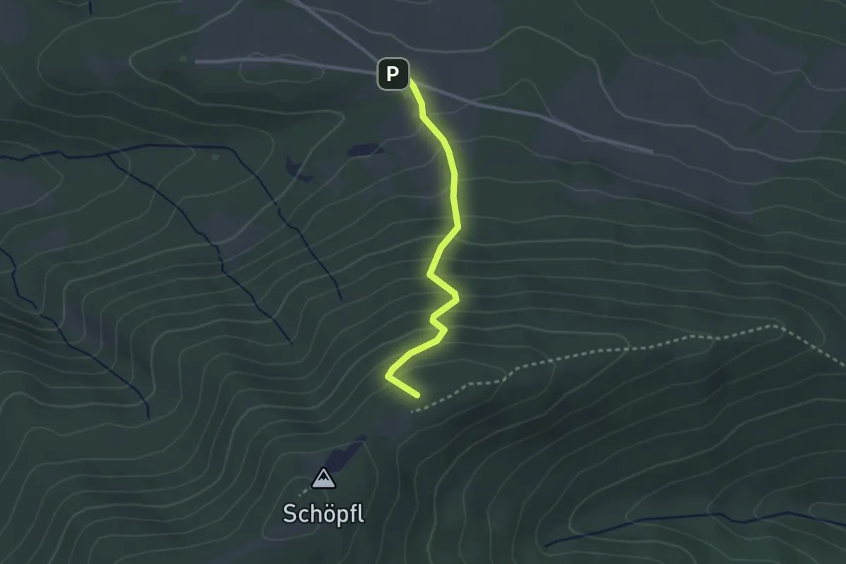
Voralpenweg
12.4 km · ↑ 141 m · 3 h 14 min
Easy · Summit
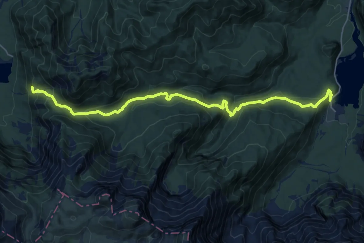
Voralpenweg 04 (Abstecher Schöpfl)
2.4 km · ↑ 238 m · 1 h 5 min
Demanding · Summit
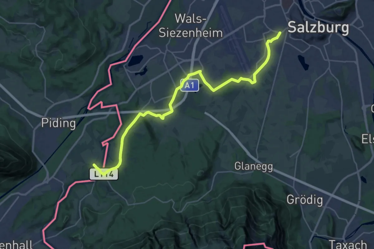
Voralpenweg 404
18.9 km · ↑ 886 m · 6 h 23 min
Medium · Pilgrim path
Voralpiner Jakobsweg
12.3 km · ↑ 10 m · 3 h 7 min
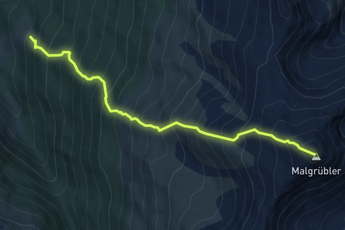
Demanding · Summit
Vorbergalm - Malgrübler
6.3 km · ↑ 1079 m · 3 h 50 min
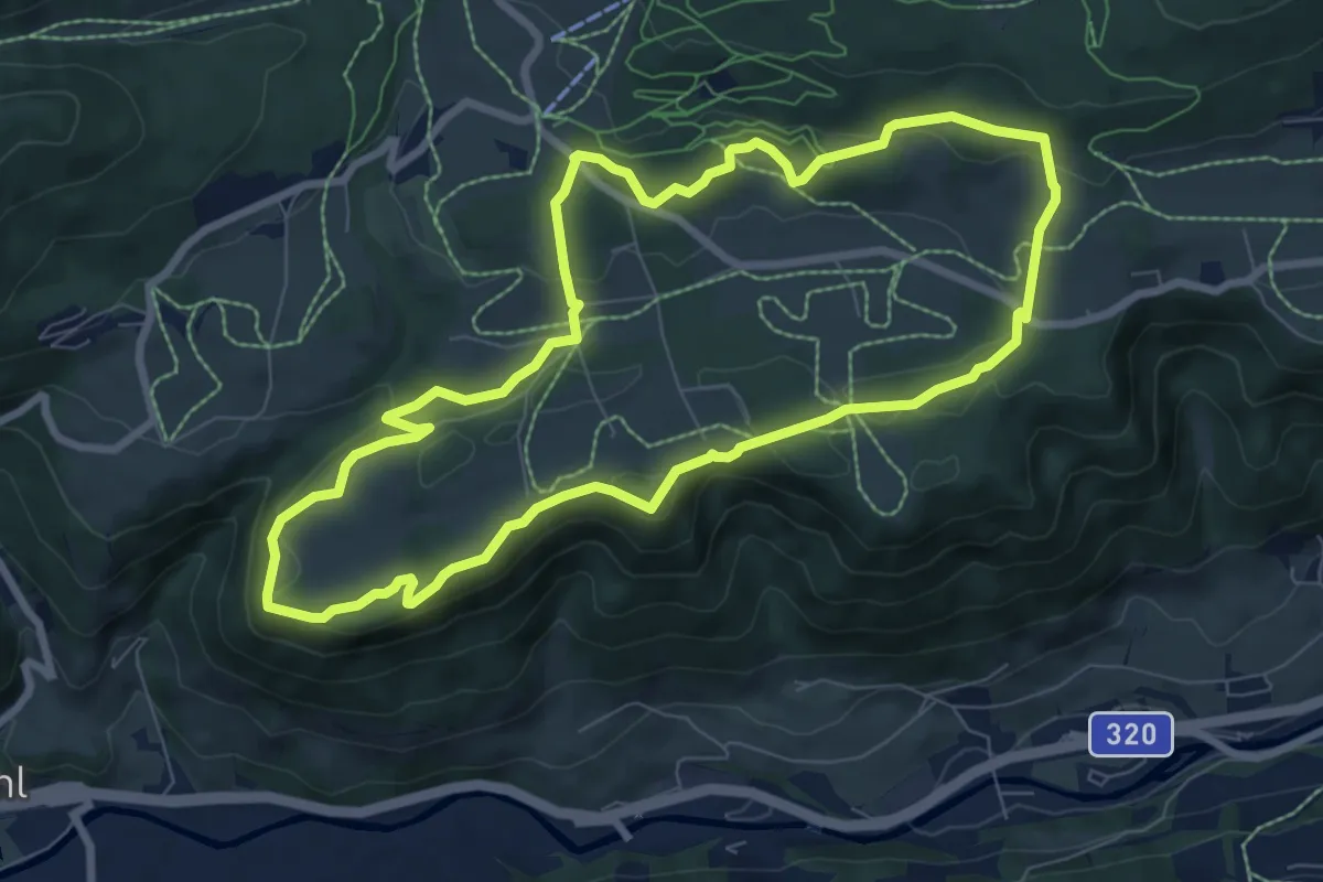
Medium · Trail
Vorbergrundweg
7.7 km · ↑ 236 m · 2 h 27 min
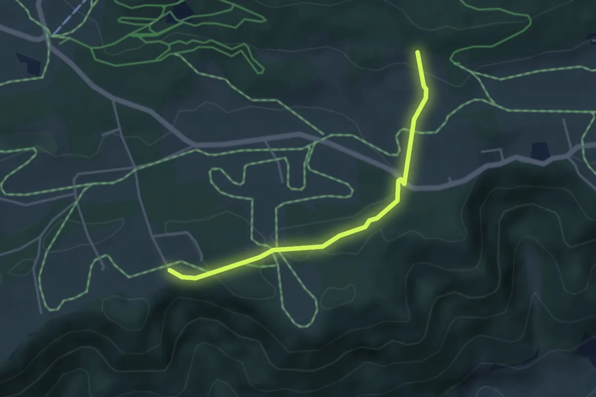
Easy · Trail
Vorberg Verbindung
3.6 km · ↑ 70 m · 1 h
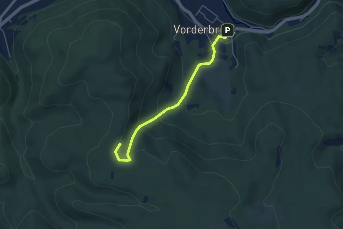
Easy · Summit
Vorderbrühl -Föhrenhof - Matterhörndl - Husarentempel
3.8 km · ↑ 209 m · 1 h 21 min
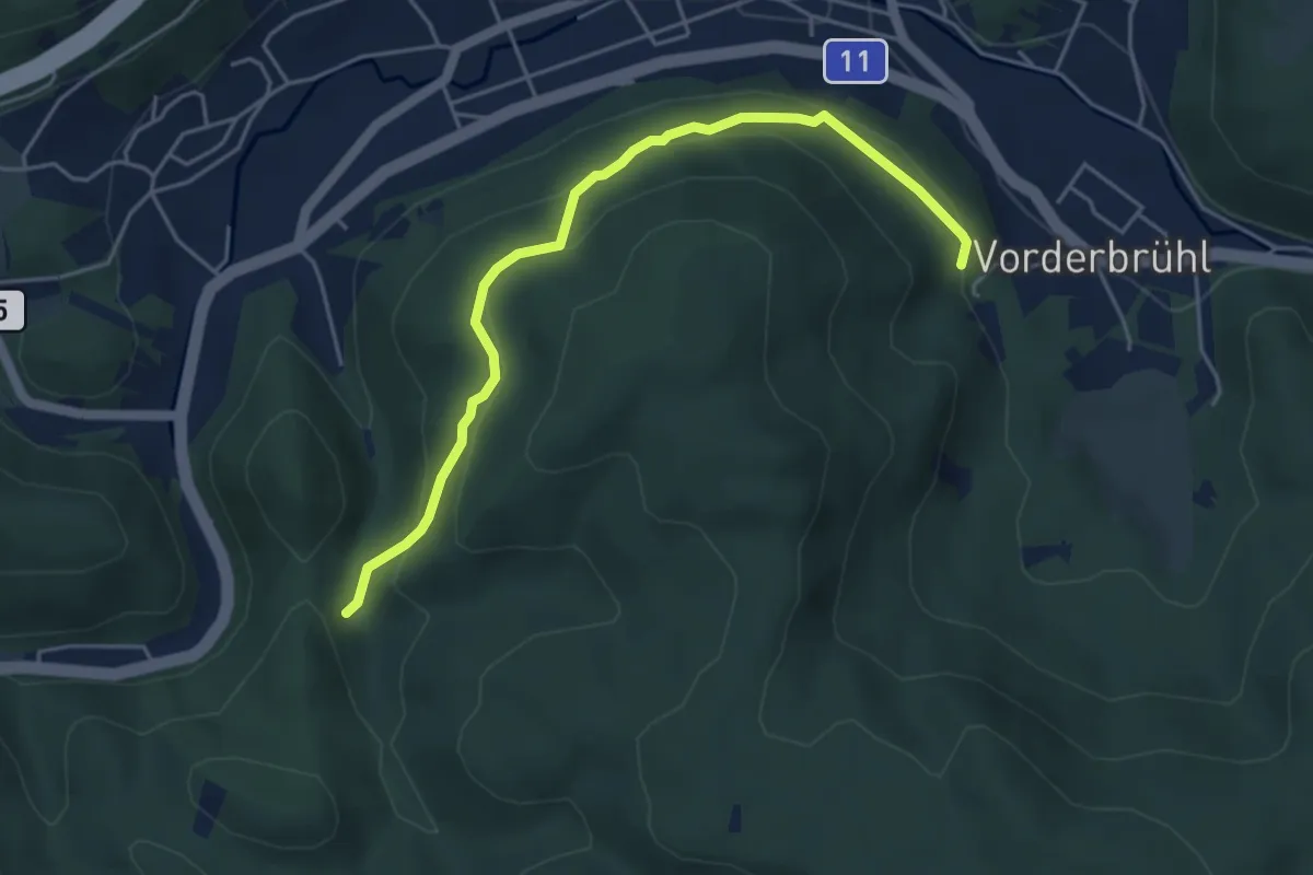
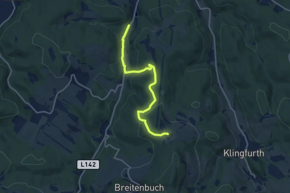
Easy · Trail
Vorderbrühl - Hinterbrühl -Kientalstraße (Forststraße)
4.8 km · ↑ 211 m · 1 h 35 min
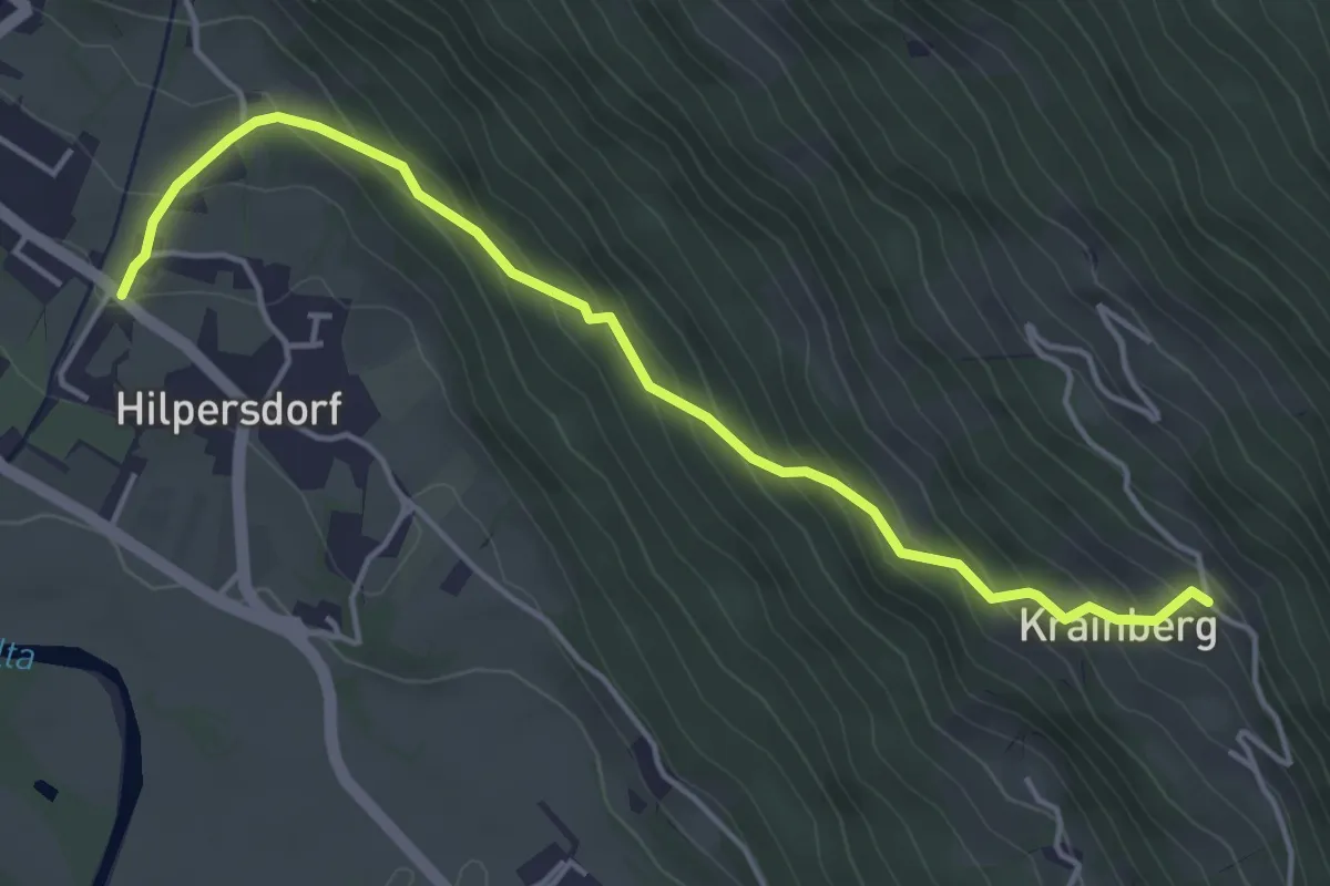
Easy · Trail
Vorderbrühl - Hinterbrühl - Stupfenreith
7.8 km · ↑ 228 m · 2 h 20 min
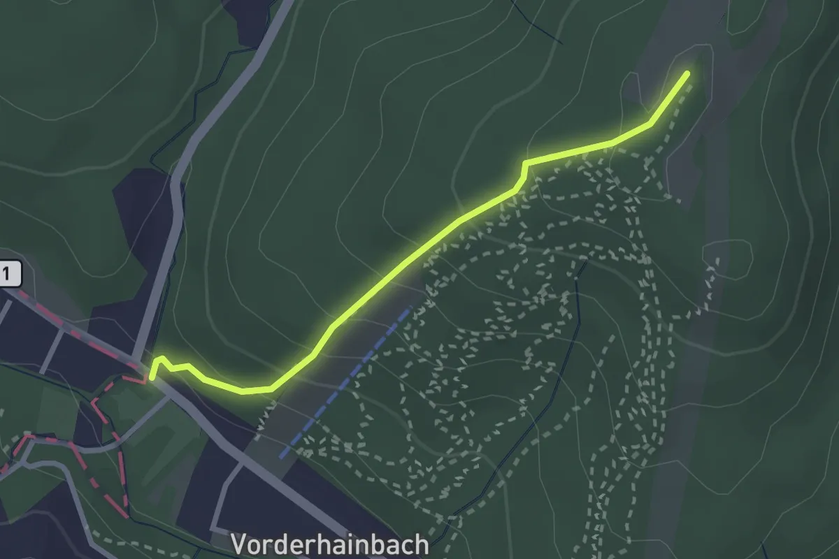
Medium · Trail
Vorderer Krainberg - Hilpersdorf
4.6 km · ↑ 349 m · 1 h 51 min
Easy · Trail
Vorderhainbach - Hohe Wand
2.4 km · ↑ 182 m · 58 min
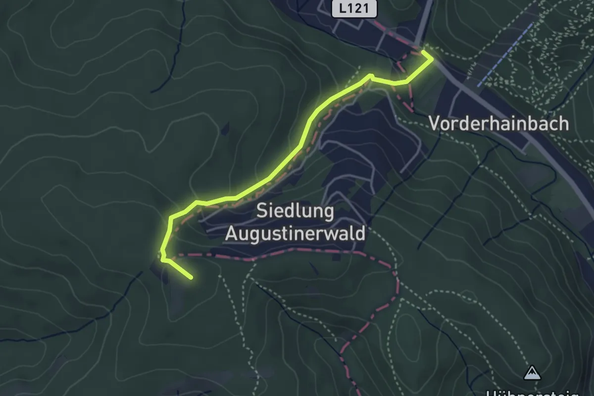
Medium · Summit
Vorderhainbach Nord - Buchberg
3.4 km · ↑ 214 m · 1 h 17 min
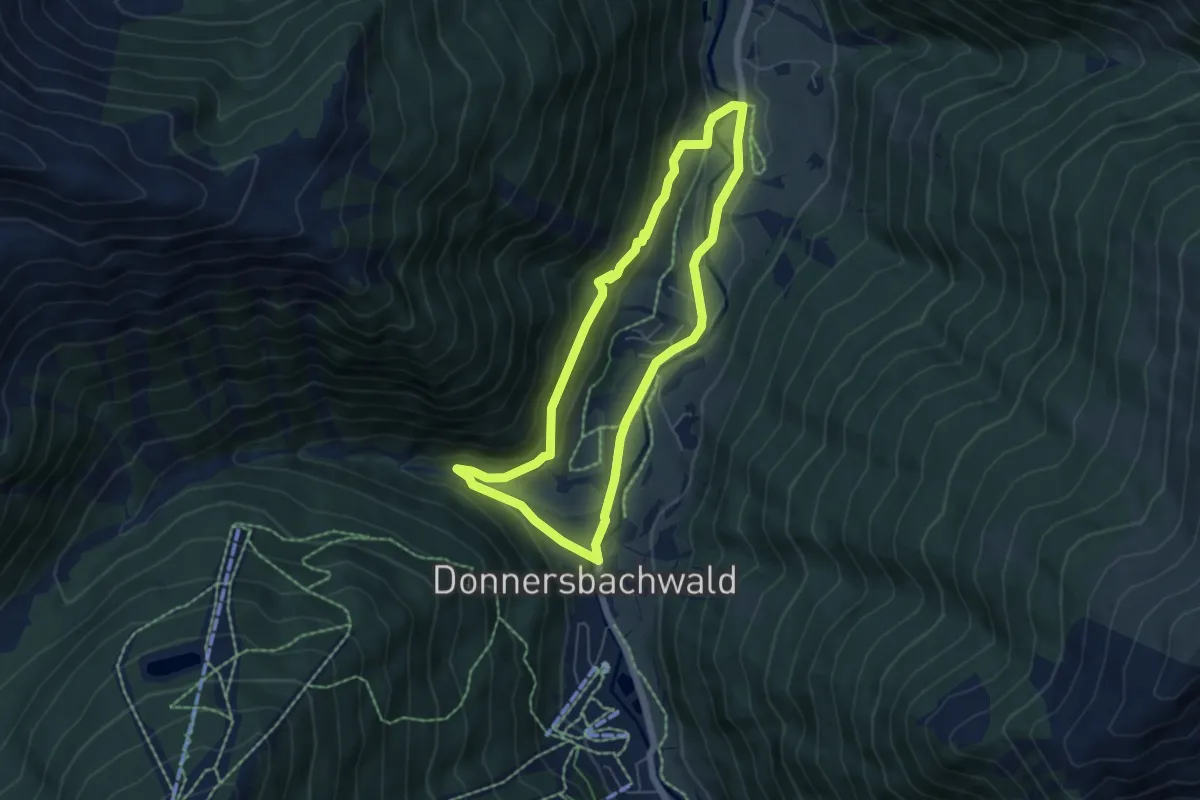
Medium · Trail
Vorderwaldrunde
5.2 km · ↑ 114 m · 1 h 32 min
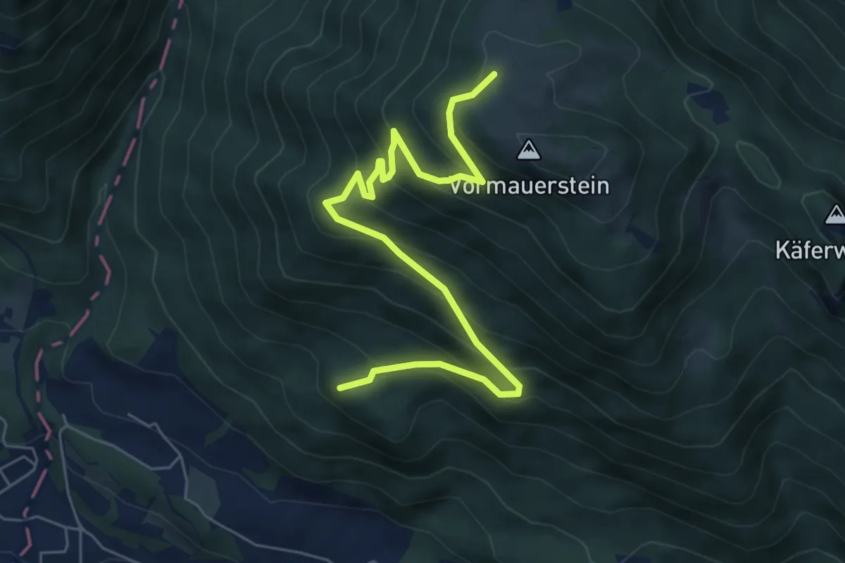
Medium · Summit
Vormaueralmweg
6.7 km · ↑ 529 m · 2 h 43 min
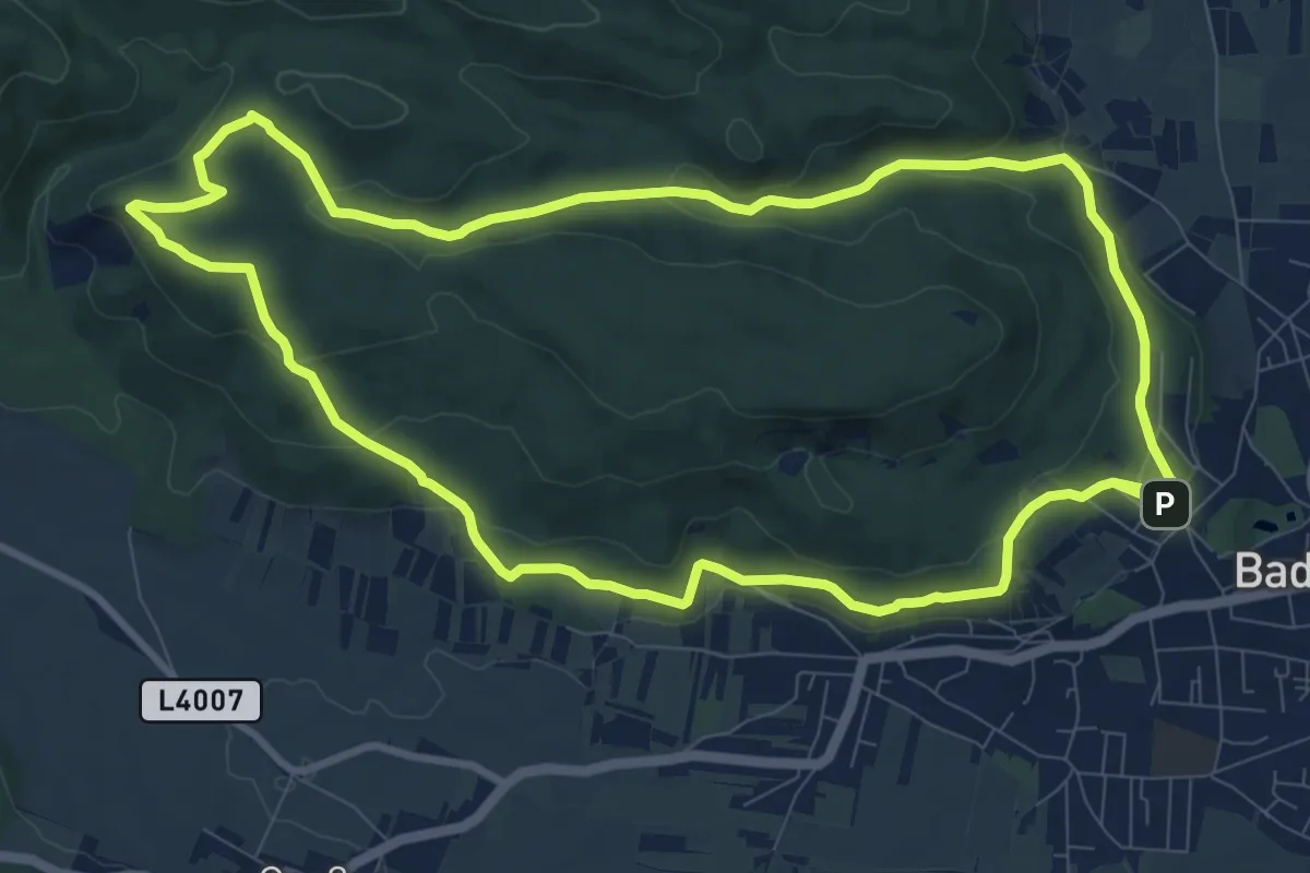
Medium · Summit
Vöslauer Hütte-Runde B5
10.1 km · ↑ 316 m · 3 h 12 min
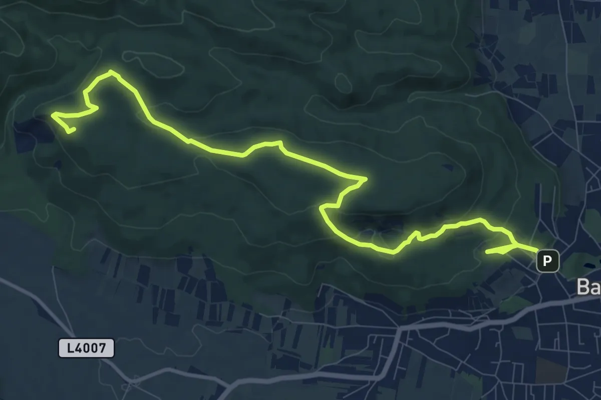
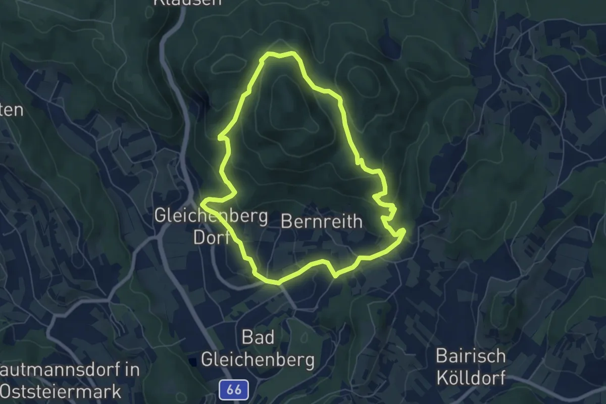
Medium · Summit
Vöslauer Hütte Runde über Lusthausboden (B5a)
12.1 km · ↑ 389 m · 3 h 42 min
Easy · Trail
Vulkankegel & Mühlsteinbruch
6.4 km · ↑ 260 m · 2 h 9 min
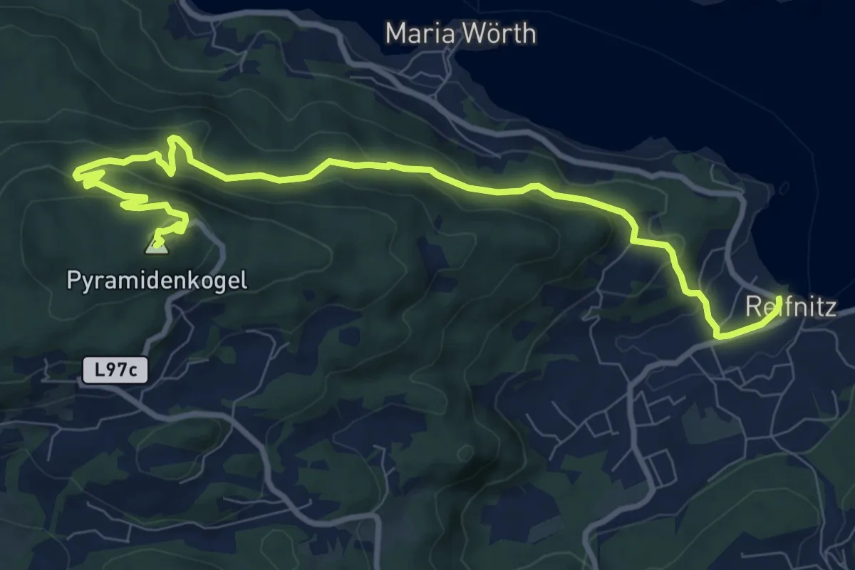
Medium · Summit
W17 Pyramidenkogelweg Reifnitz
10.7 km · ↑ 416 m · 3 h 25 min
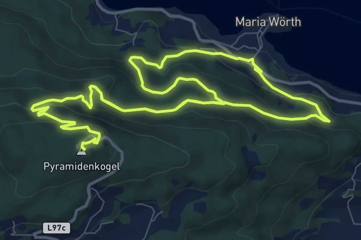
Medium · Summit
W18 Pyramidenkogelweg Maria Wörth
7.8 km · ↑ 393 m · 2 h 43 min
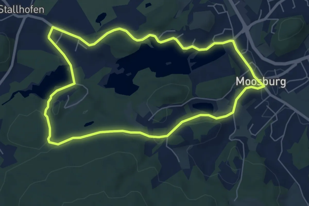
Easy · Trail
W1 Bannwaldweg
5.5 km · ↑ 64 m · 1 h 31 min
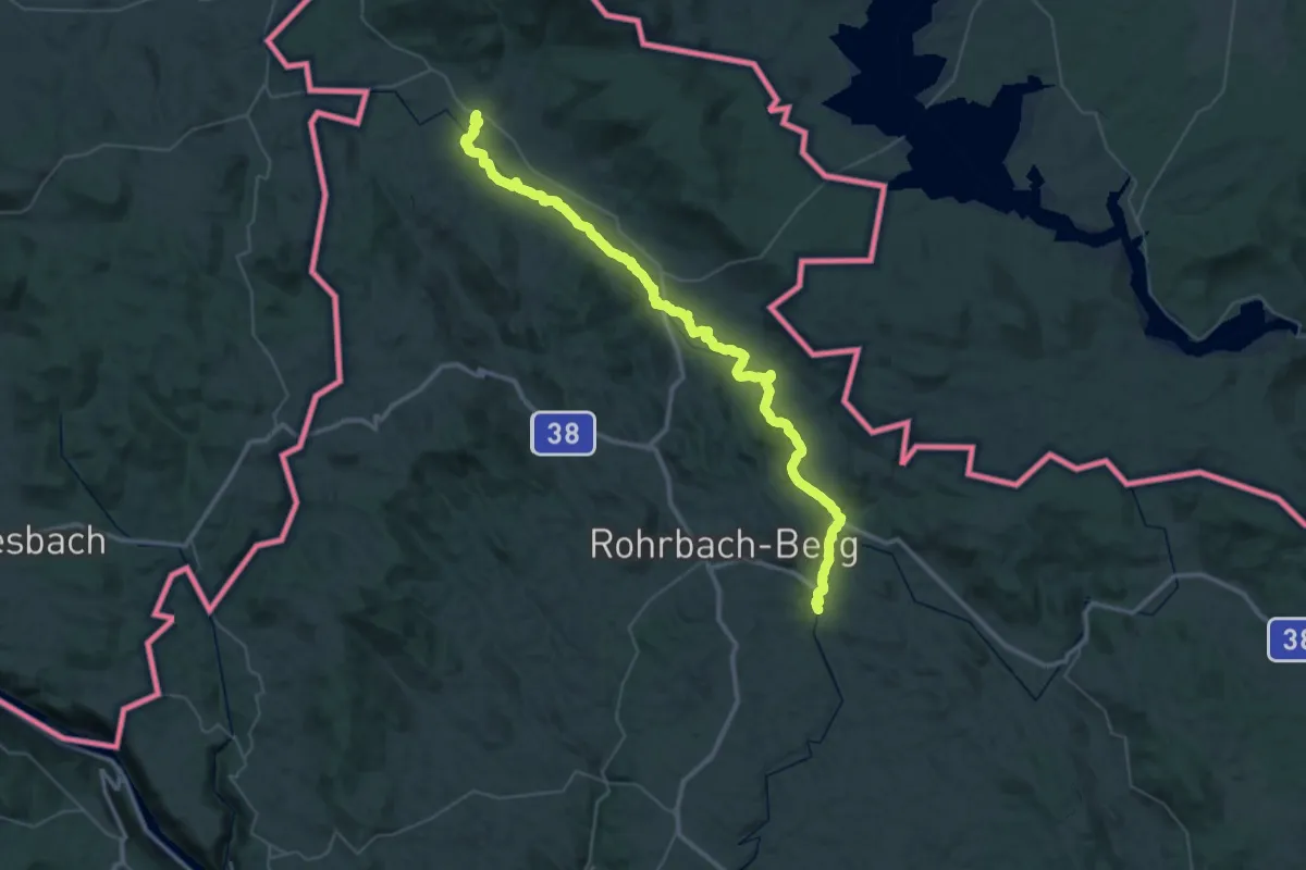
Demanding · Trail
W1, Große Mühl Wanderweg
25.7 km · ↑ 178 m · 6 h 53 min
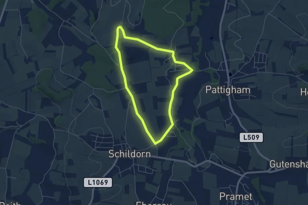
Easy · Trail
W6 Freidling Runde
4.6 km · ↑ 59 m · 1 h 17 min
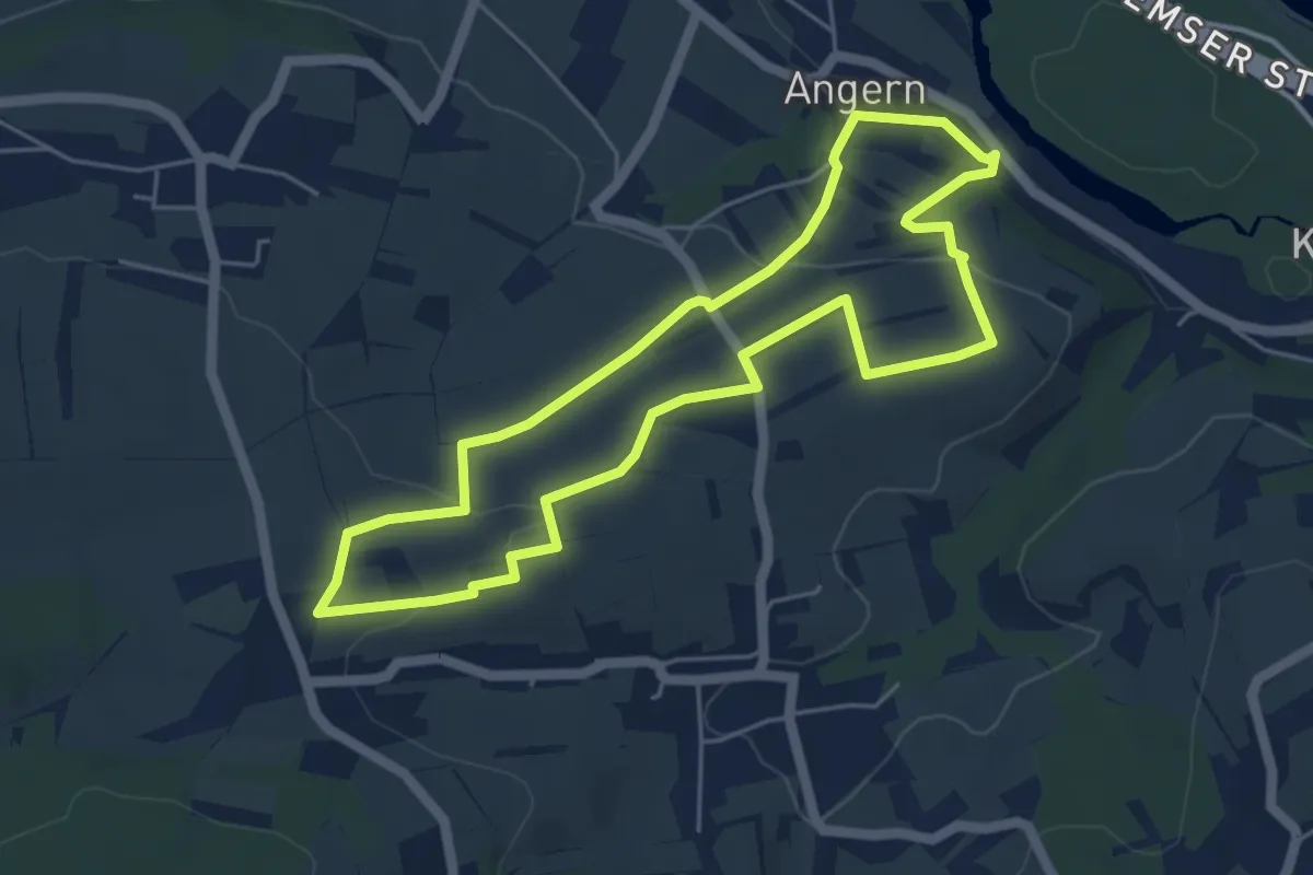
Easy · Trail
Wachauer Marillen-Erlebnisweg Angern - Krems Süd
4.8 km · ↑ 119 m · 1 h 27 min
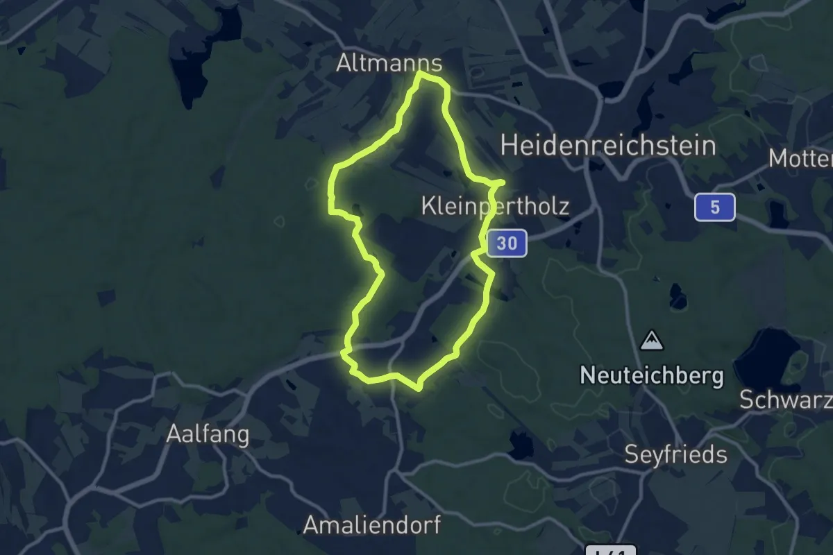
Medium · Trail
Wacholderweg
9.0 km · ↑ 95 m · 2 h 28 min
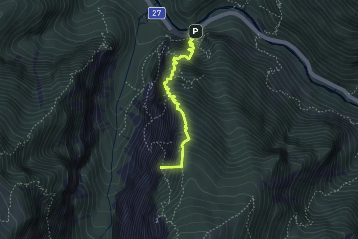
Demanding · Summit
Wachthüttelkammsteig
3.2 km · ↑ 773 m · 2 h 25 min
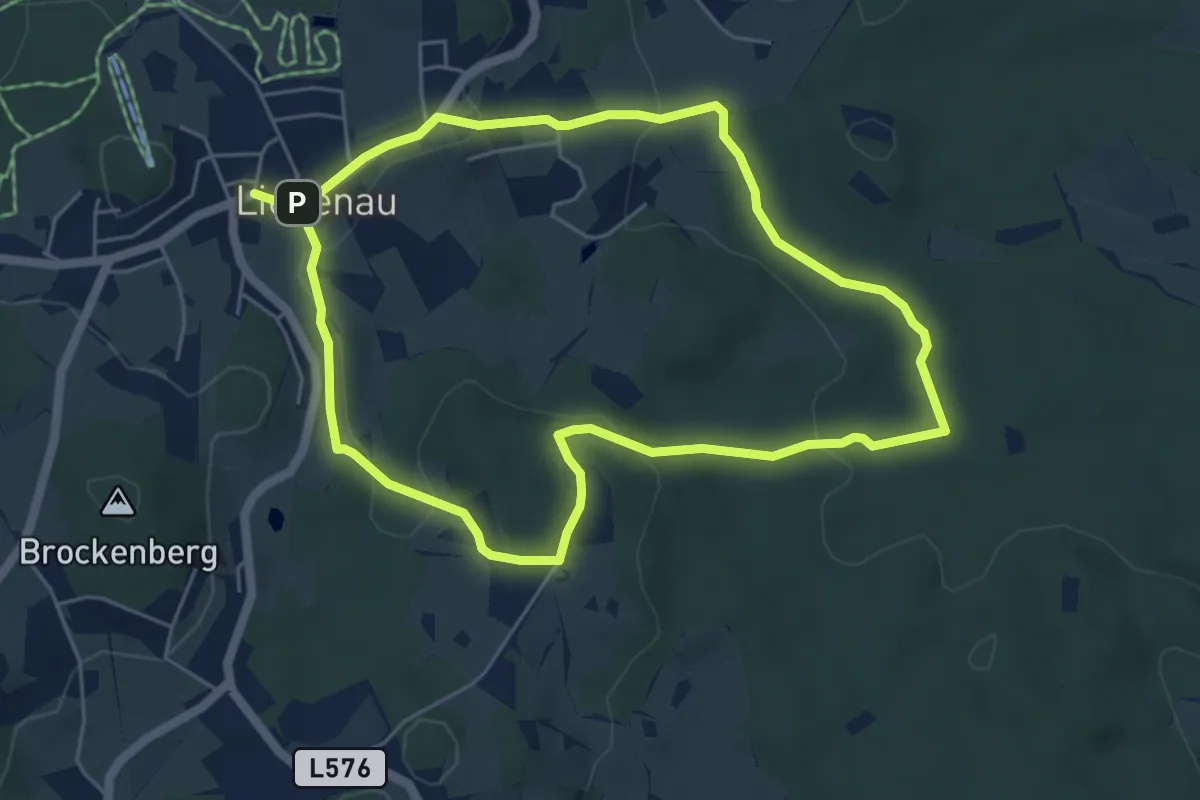
Easy · Trail
Wachtsteinweg Nr. 36
5.0 km · ↑ 130 m · 1 h 32 min
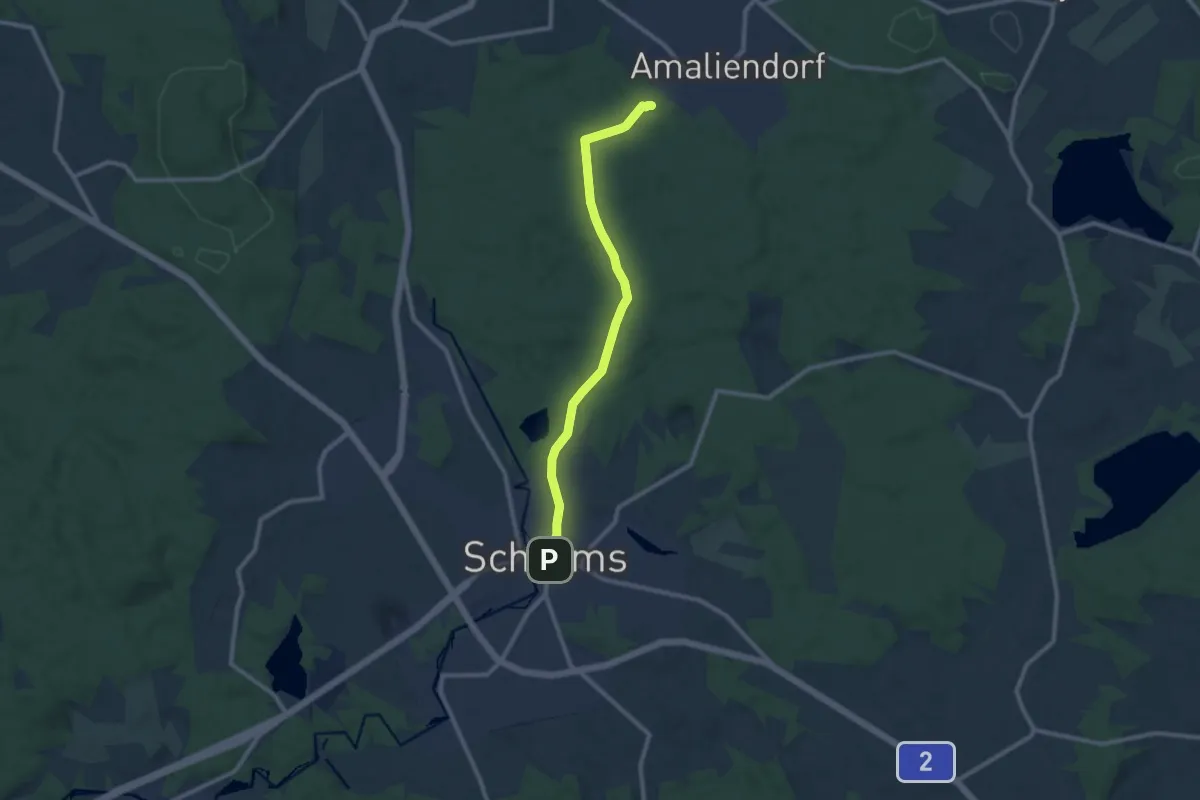
Medium · Trail
Wackelsteinweg (W11)
9.1 km · ↑ 55 m · 2 h 16 min