Trails in Austria
9,777 hiking trails, each with its route, climb, walking time and grade.
All trails, page 126 of 204
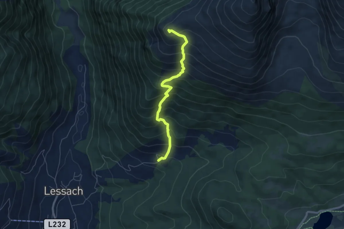
Medium · Summit
Wagenberg - Lachriegel
5.5 km · ↑ 698 m · 2 h 48 min
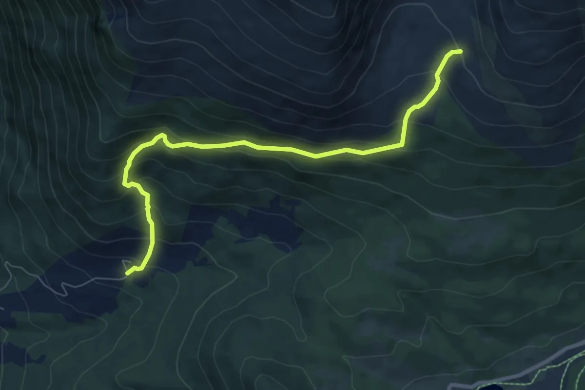
Medium · Trail
Wagenberg - Preberkessel
7.4 km · ↑ 587 m · 3 h 1 min
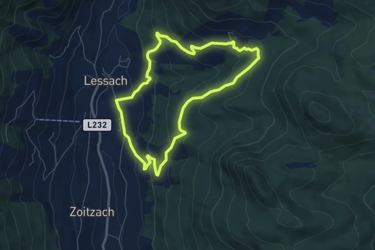
Medium · Trail
Wagenbergrundweg
5.8 km · ↑ 281 m · 2 h 3 min
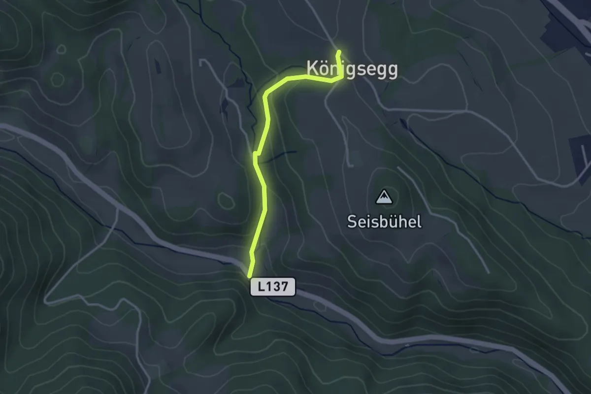
Easy · Trail
Wagenhofer Kapelle - Kraxenberg
2.5 km · ↑ 102 m · 49 min
Demanding · Trail
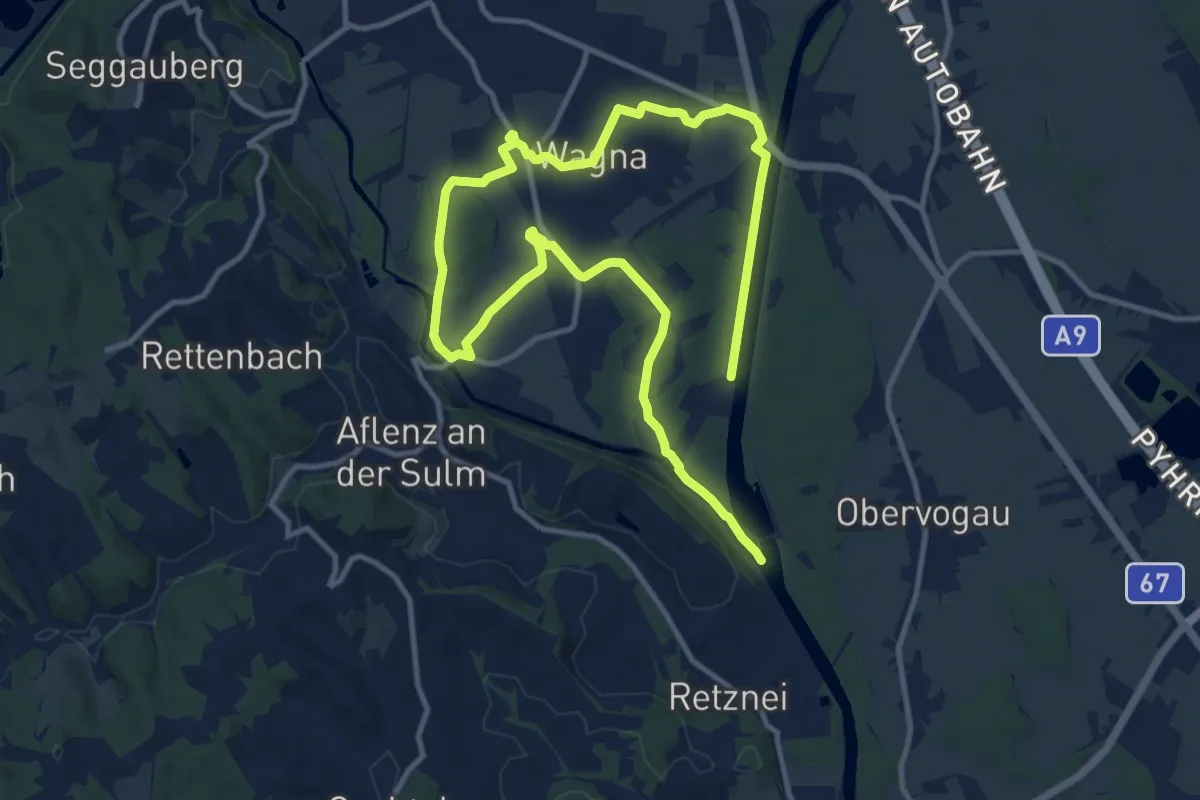
Wagna Genussplatzrunde
18.7 km · ↑ 17 m · 4 h 28 min
Medium · Trail
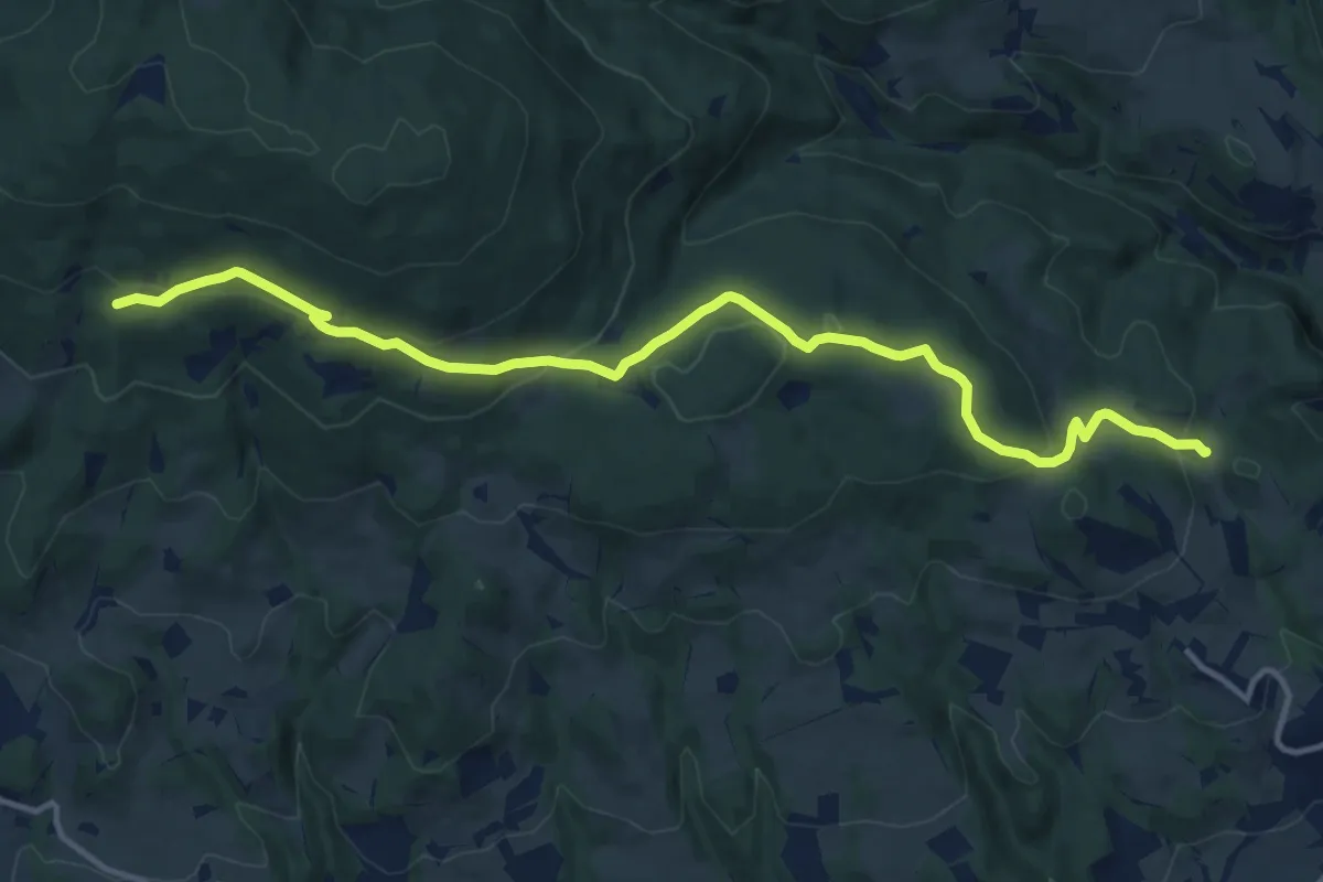
Wagner Kreuz - Hilmtor - Anschluß 936
13.8 km · ↑ 407 m · 4 h 8 min
Demanding · Summit
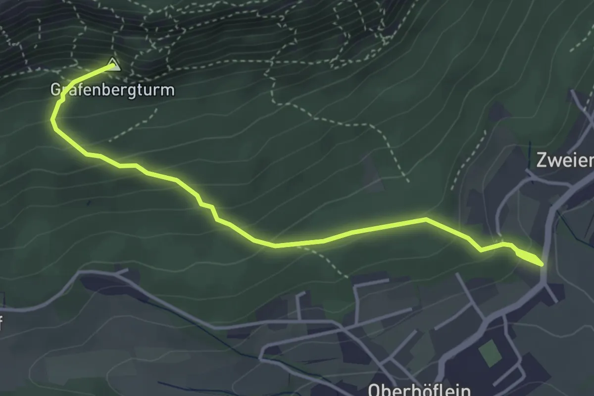
Wagnersteig
4.0 km · ↑ 330 m · 1 h 39 min
Easy · Trail
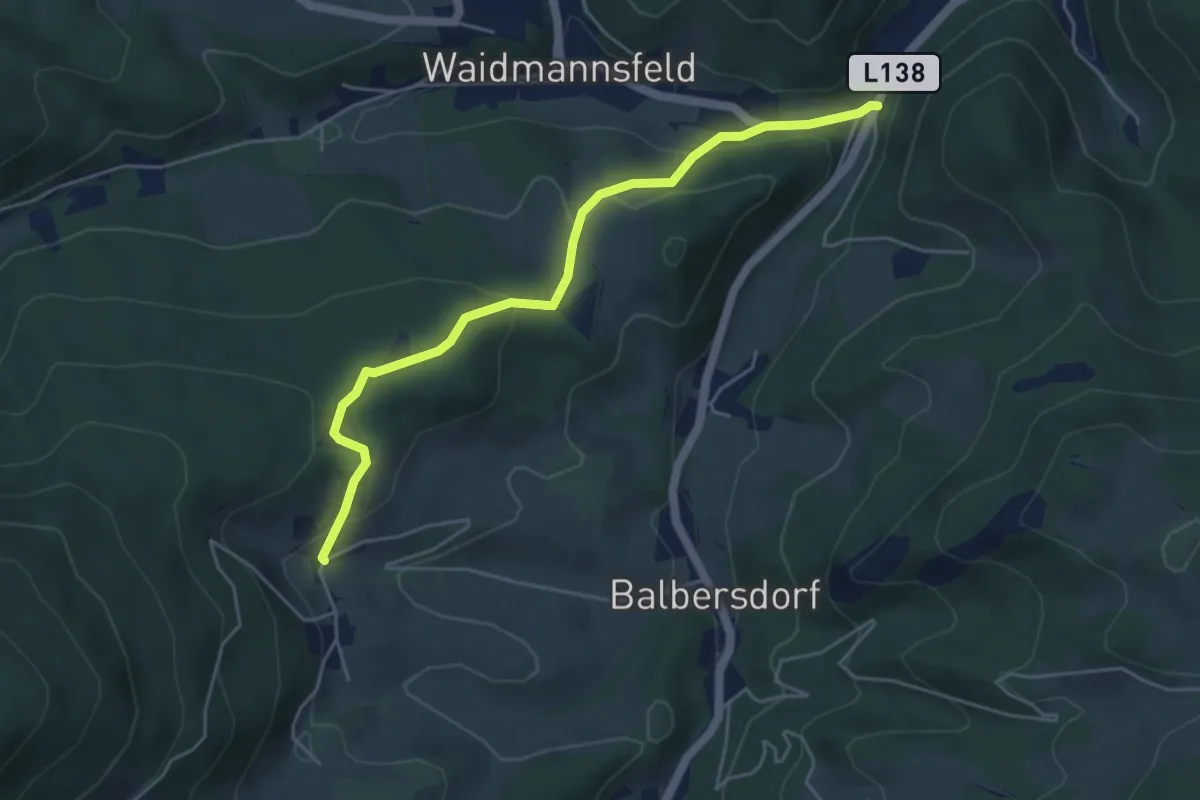
Waidmannsfeld/Landesstraße L138 - Hundsgrube - Frohnberg
4.8 km · ↑ 199 m · 1 h 35 min
Demanding · Trail
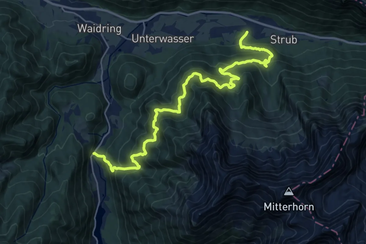
Waidringer Panoramaweg
20.6 km · ↑ 1017 m · 7 h 4 min
Demanding · Trail
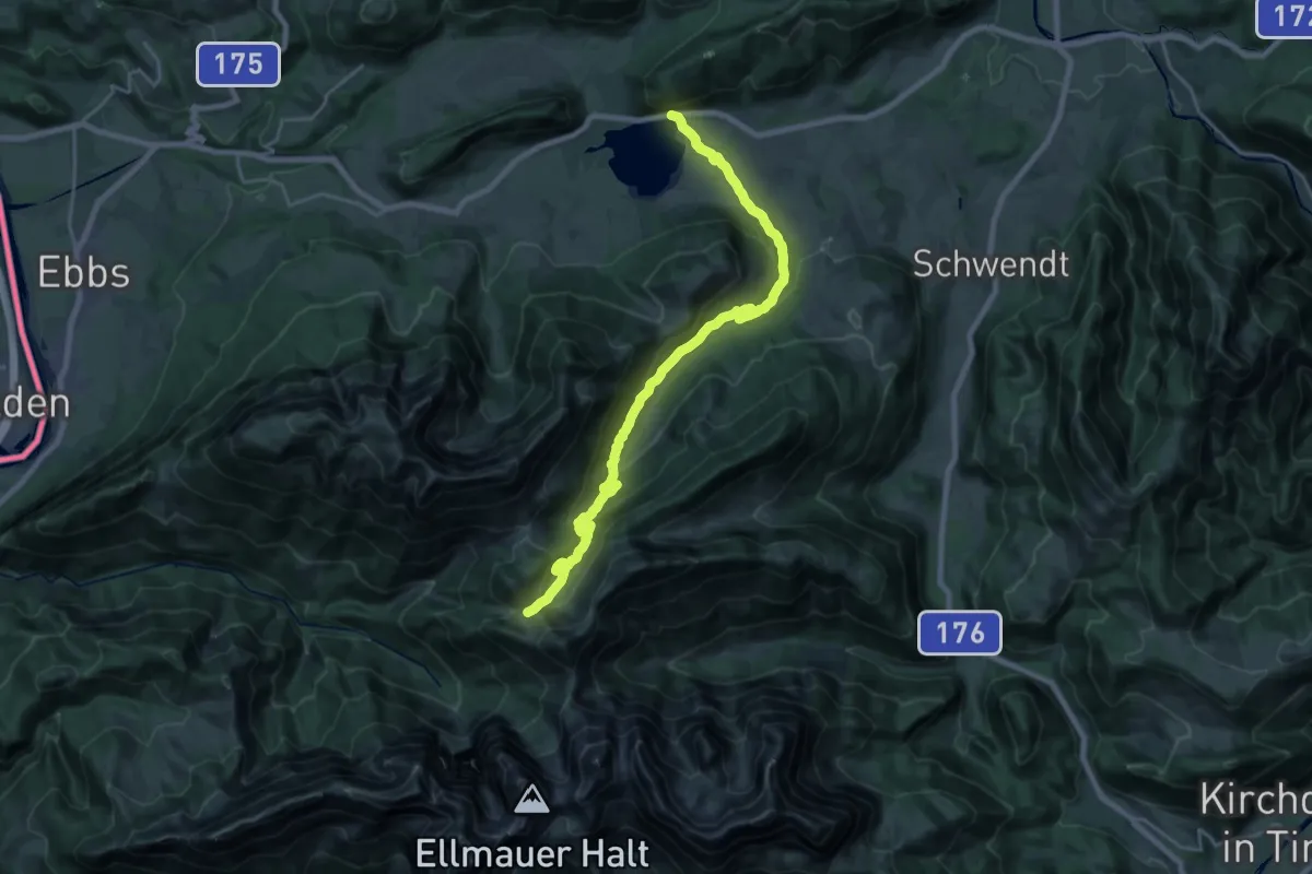
Walchsee - Habersauertal - Feldalm - Feldalmsattel
23.4 km · ↑ 810 m · 7 h 16 min
Medium · Summit
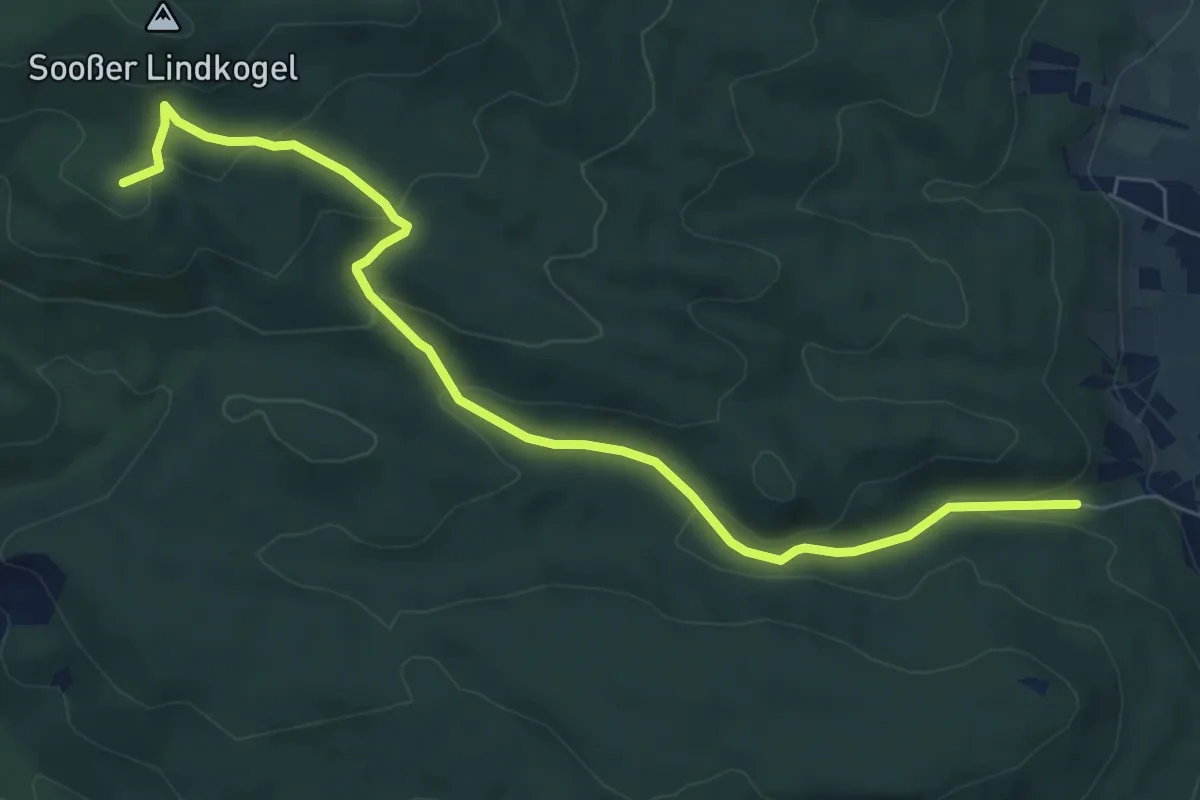
Waldandacht - Manhartsberg - Vöslauer Hütte
7.6 km · ↑ 355 m · 2 h 35 min
Medium · Trail
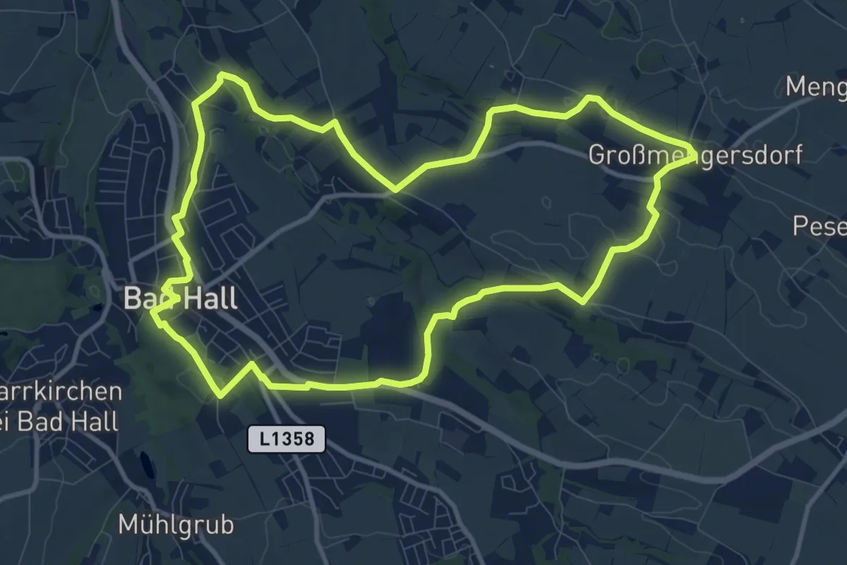
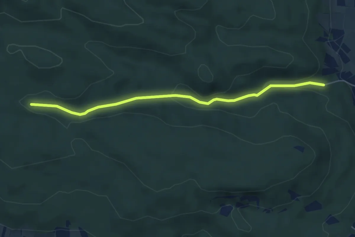
Waldandacht Rundwanderweg 12
10.1 km · ↑ 166 m · 2 h 53 min
Easy · Trail
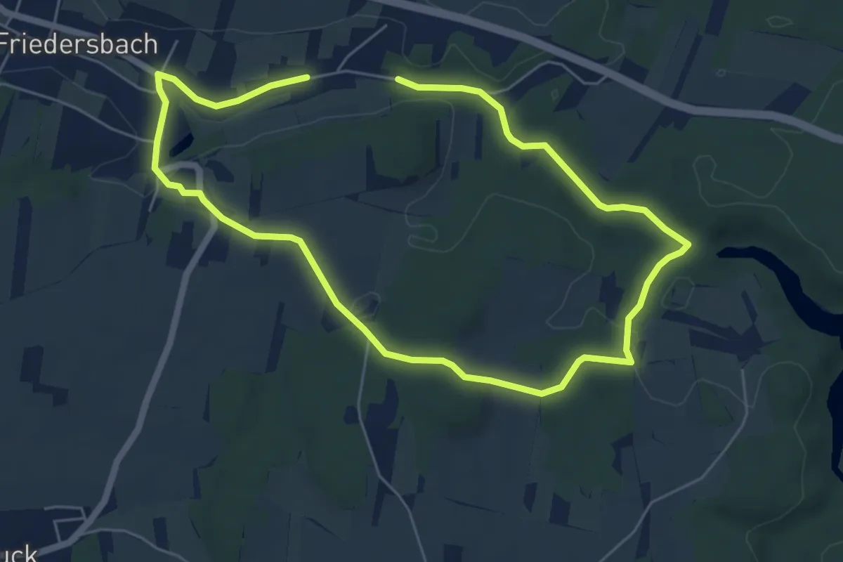
Waldandacht - Vöslauer Hütten Straße
4.9 km · ↑ 128 m · 1 h 26 min
Easy · Trail
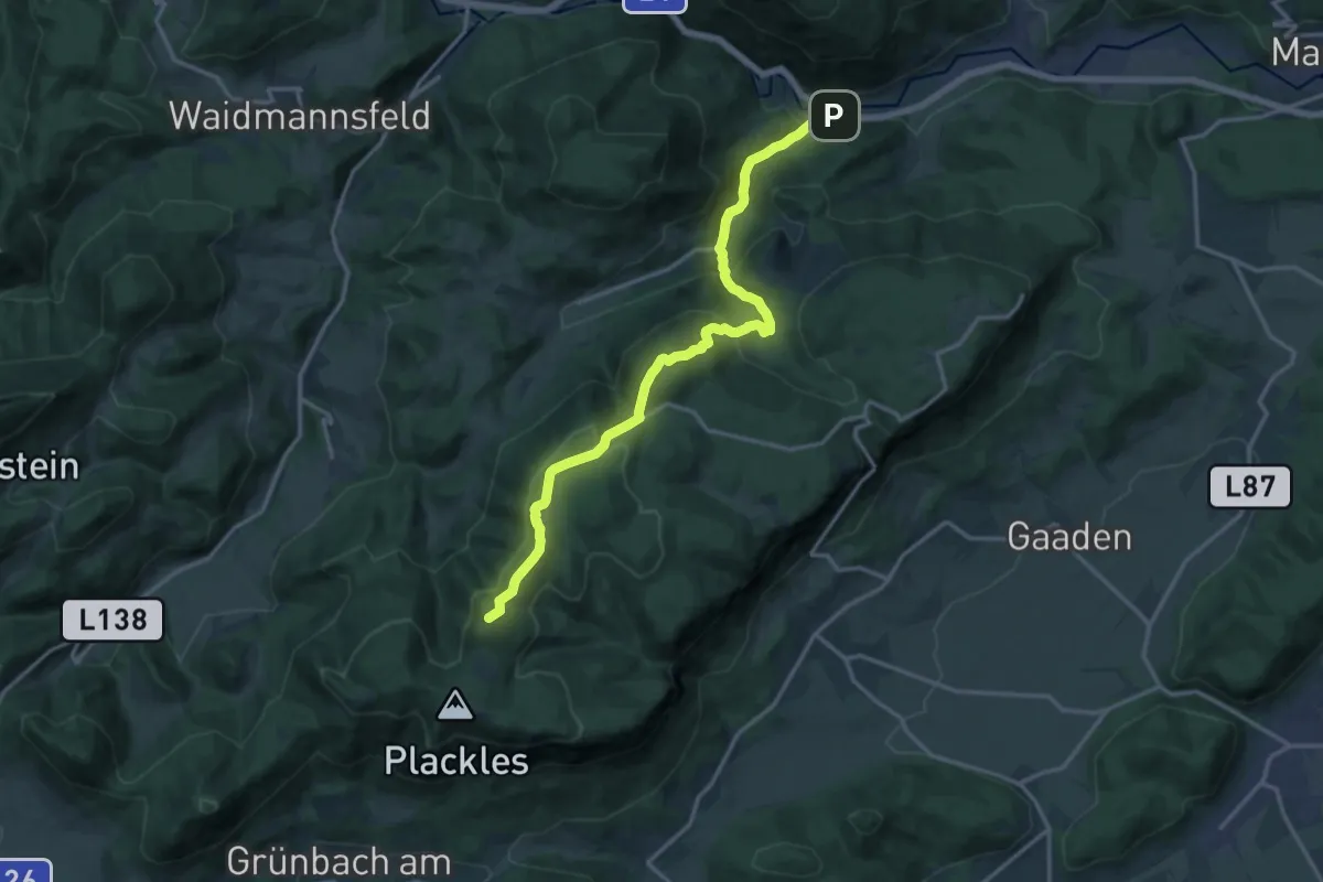
Waldbachweg 57A
4.7 km · ↑ 96 m · 1 h 22 min
Demanding · Summit
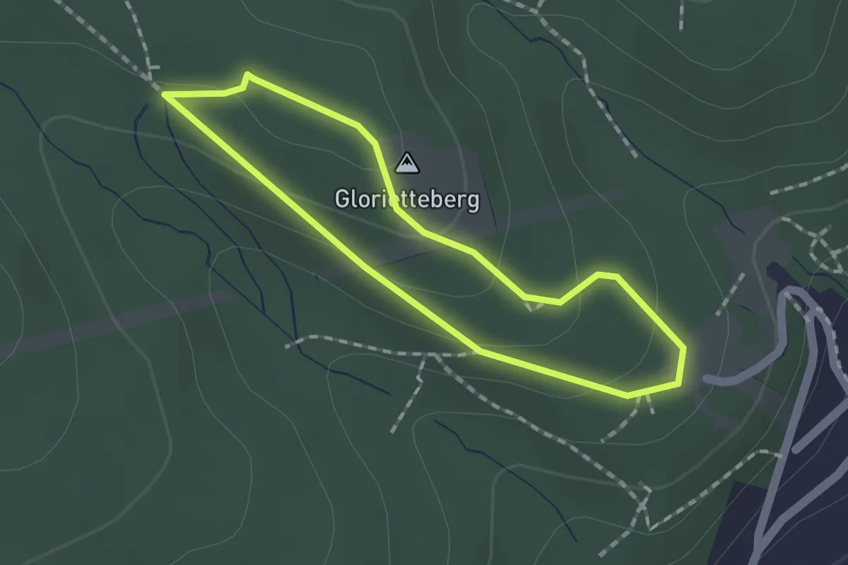
Waldegg - Waldeggersteig - Waldeggerhaus - Eicherthaus - Turmsteighütte
15.9 km · ↑ 890 m · 5 h 40 min
Easy · Summit
Walderlebnispfad
1.3 km · ↑ 46 m · 26 min
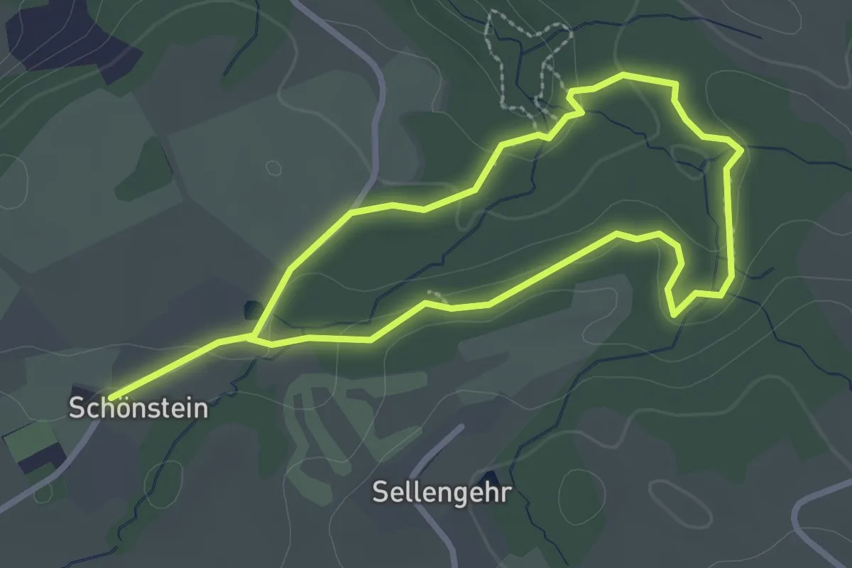
Easy · Trail
Walderlebnispfad Möggers
2.3 km · ↑ 70 m · 44 min
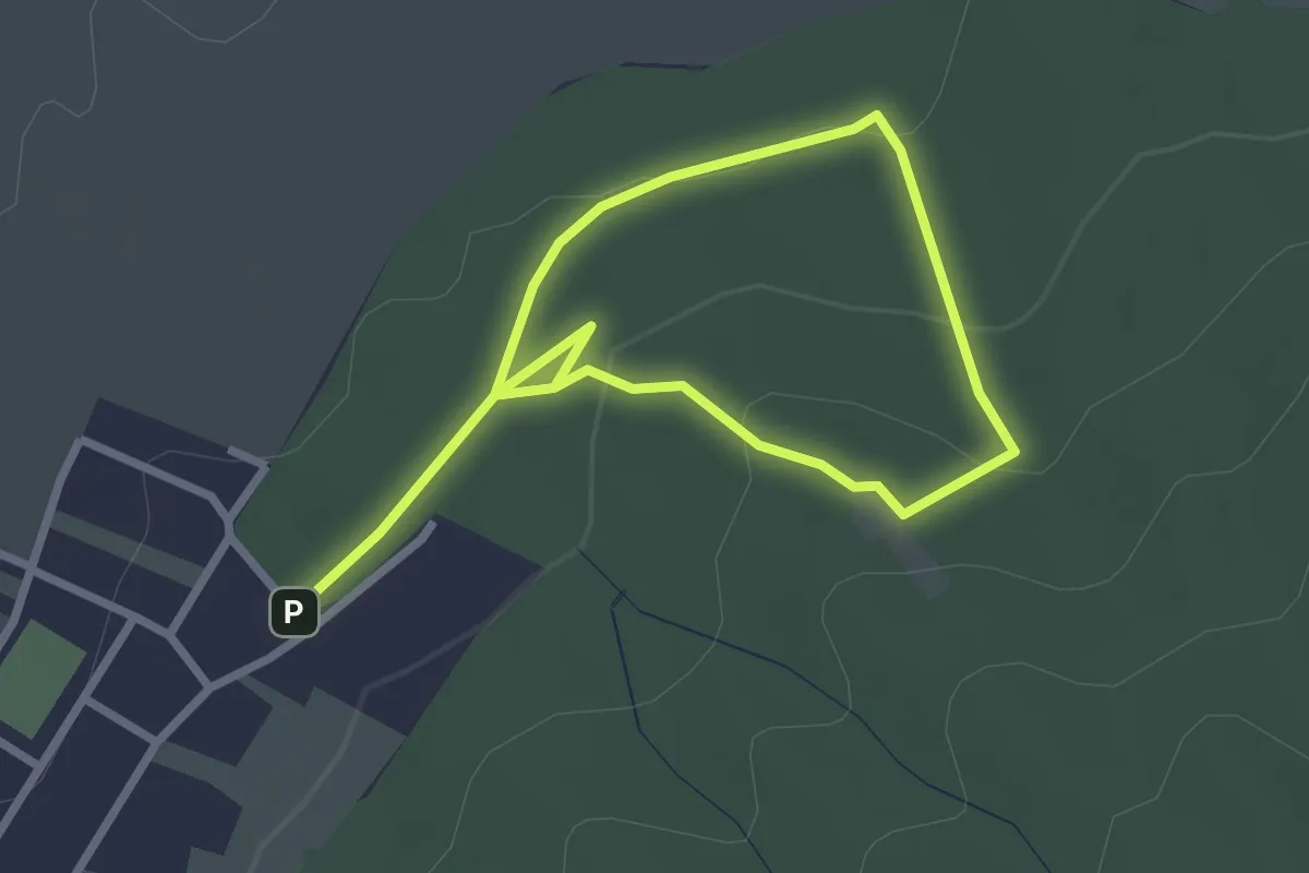
Easy · Trail
Walderlebnisweg 1 (Hornstein)
2.0 km · ↑ 51 m · 37 min
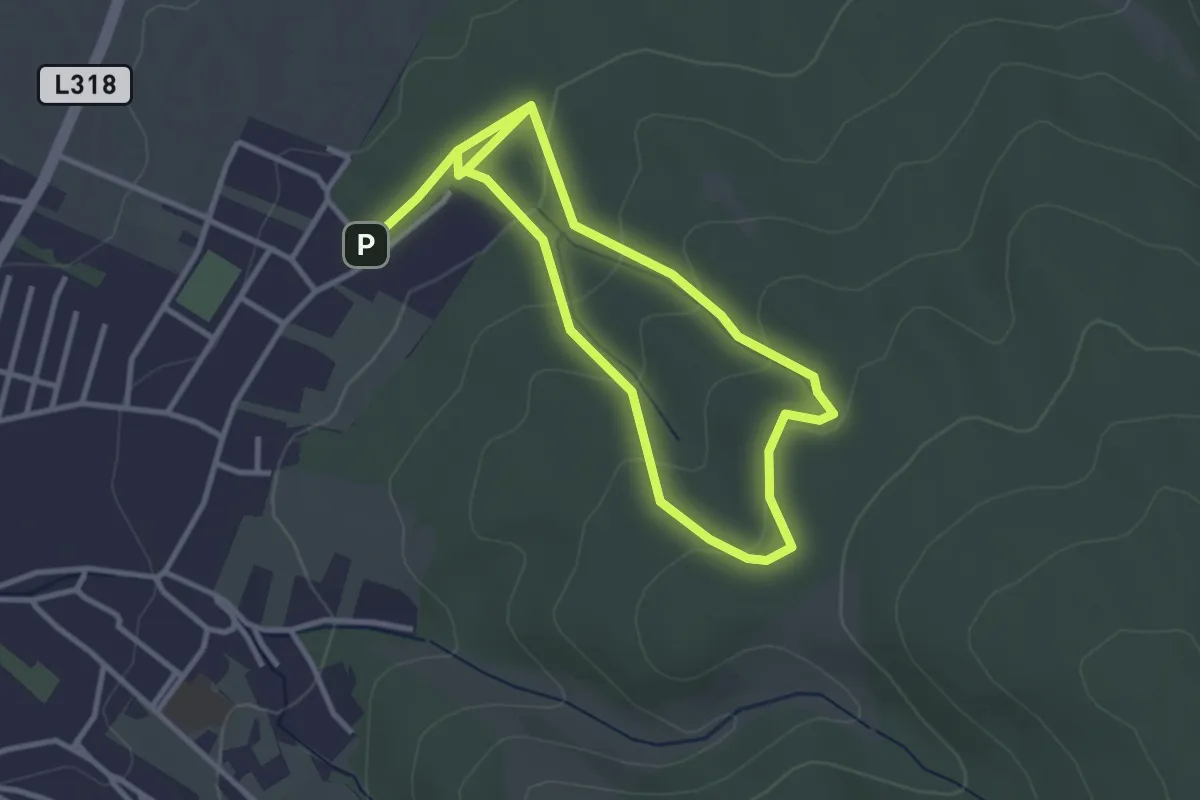
Easy · Trail
Walderlebnisweg 2 (Hornstein)
2.8 km · ↑ 92 m · 55 min
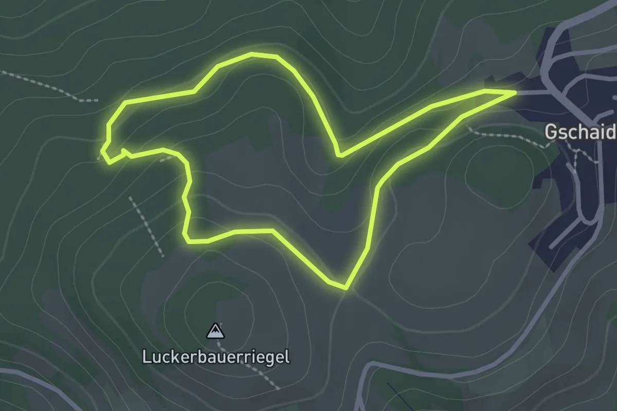
Easy · Trail
Walderlebnisweg Gschaidt
2.4 km · ↑ 73 m · 45 min
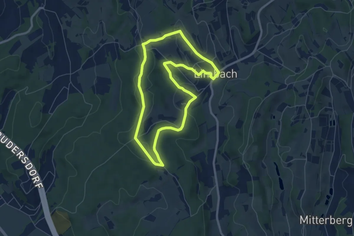
Easy · Trail
Walderlebnisweg (Limbach)
5.9 km · ↑ 125 m · 1 h 45 min
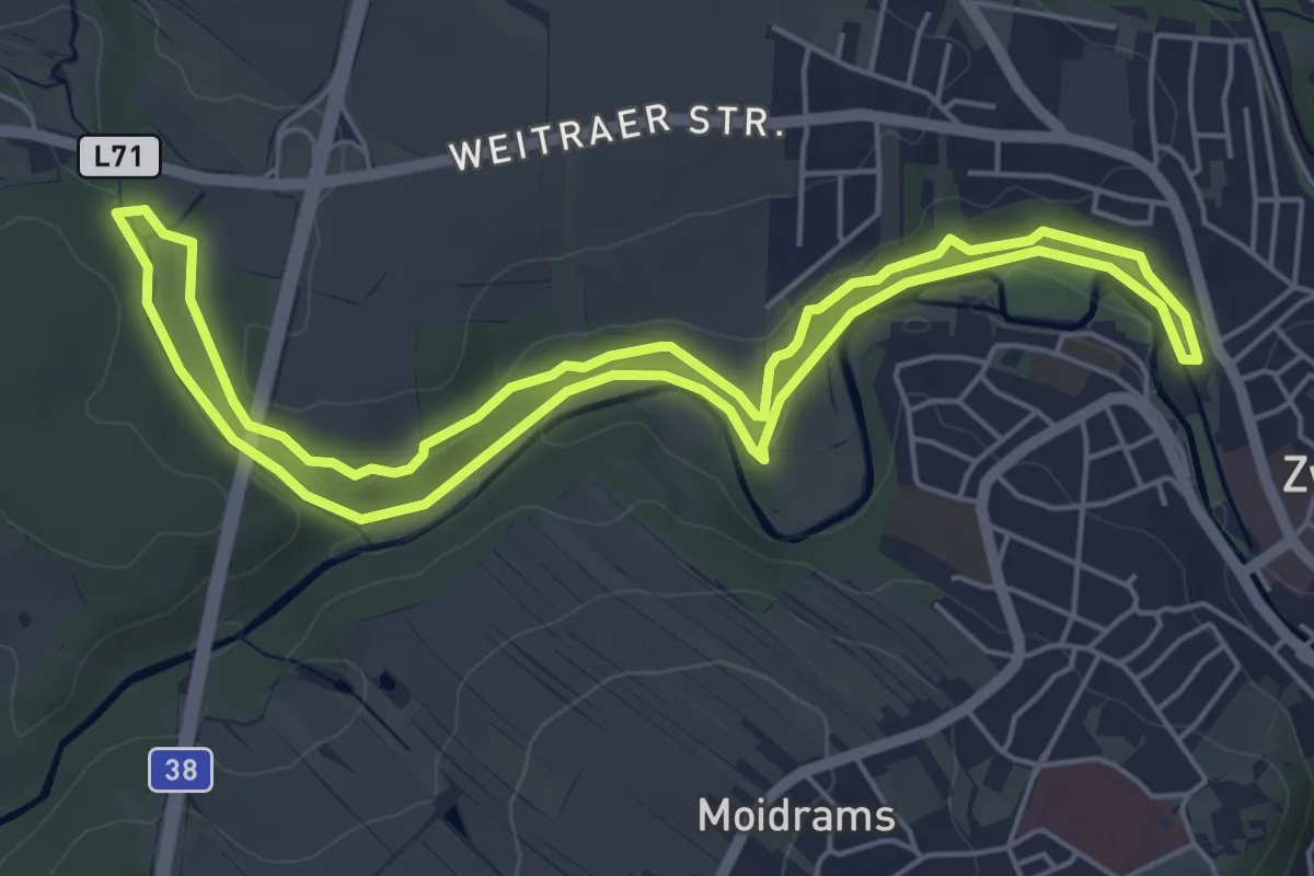
Easy · Trail
Walderlebnisweg Zwettl
5.3 km · ↑ 102 m · 1 h 32 min
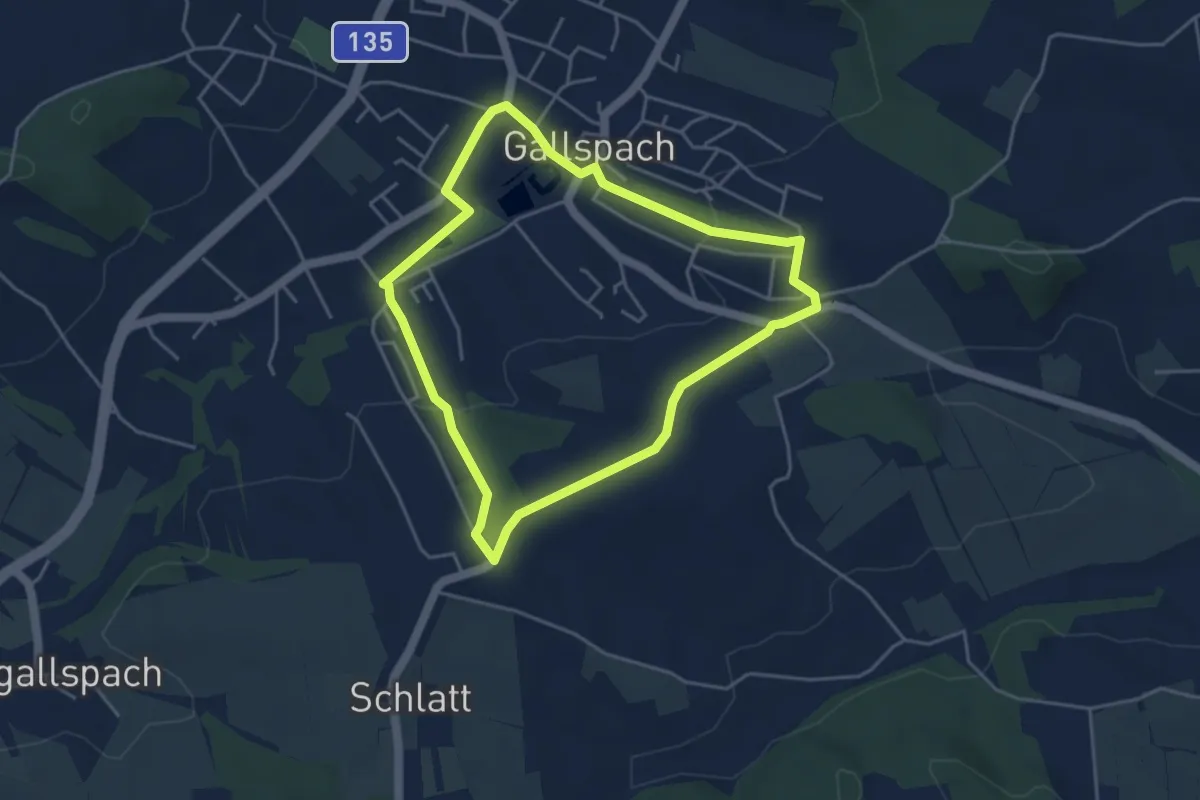
Easy · Trail
Waldesruhweg
4.0 km · ↑ 90 m · 1 h 12 min
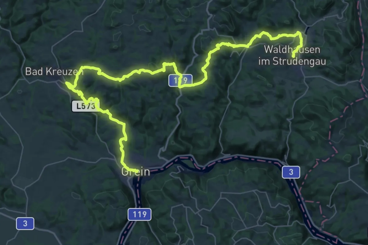
Demanding · Trail
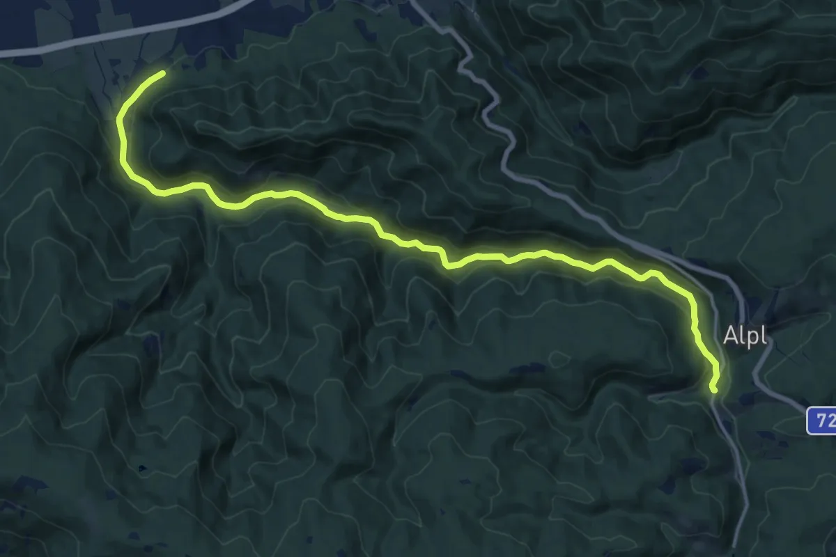
Waldhausen - Grein Donausteig Etappe
24.3 km · ↑ 941 m · 8 h 1 min
Demanding · Trail
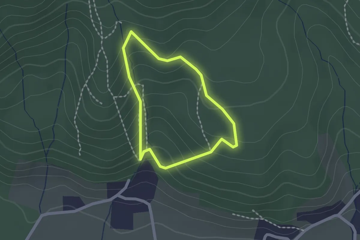
Waldheimatweg
18.1 km · ↑ 379 m · 5 h 5 min
Medium · Trail
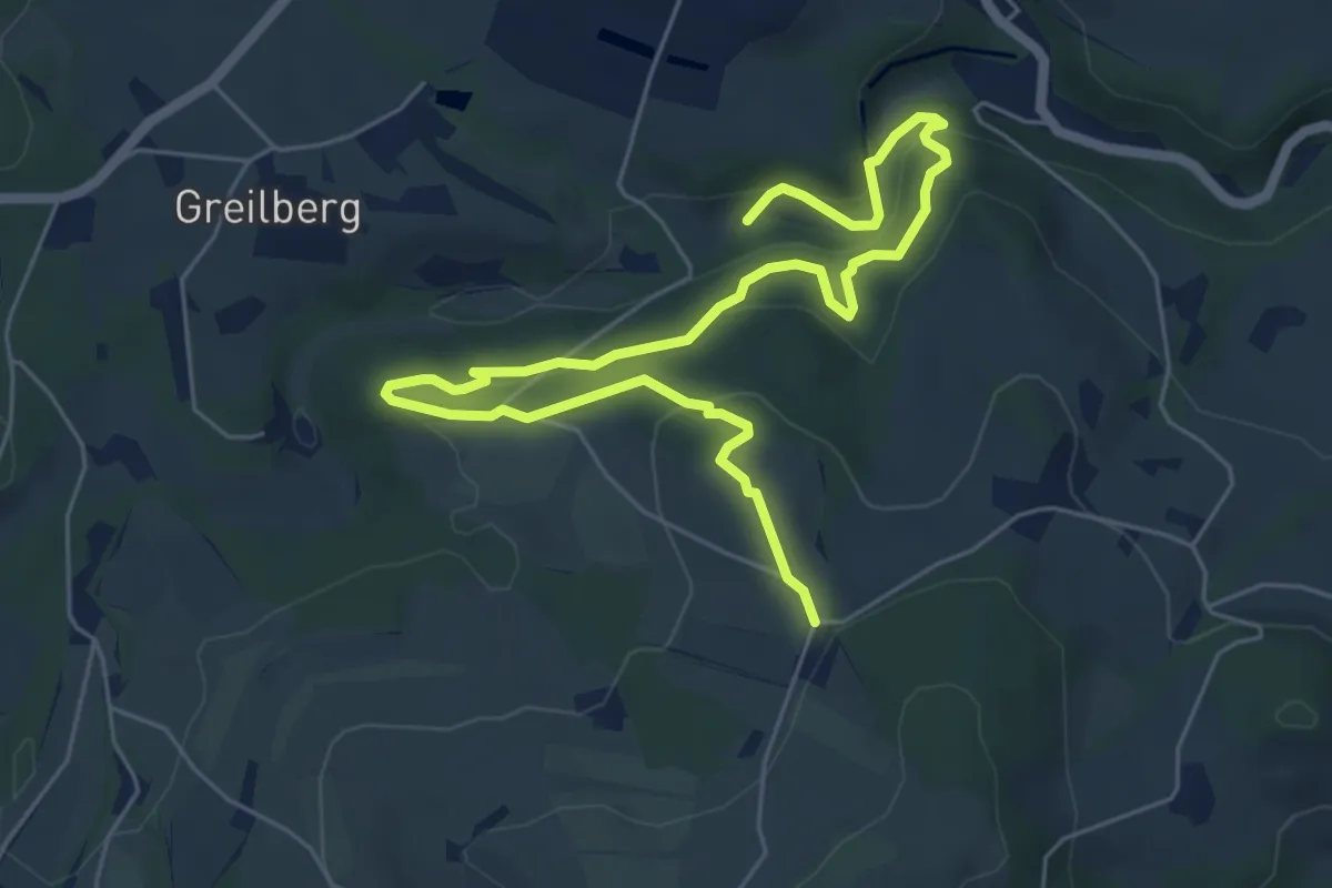
Waldlehrpfad
1.4 km · ↑ 80 m · 31 min
Medium · Trail
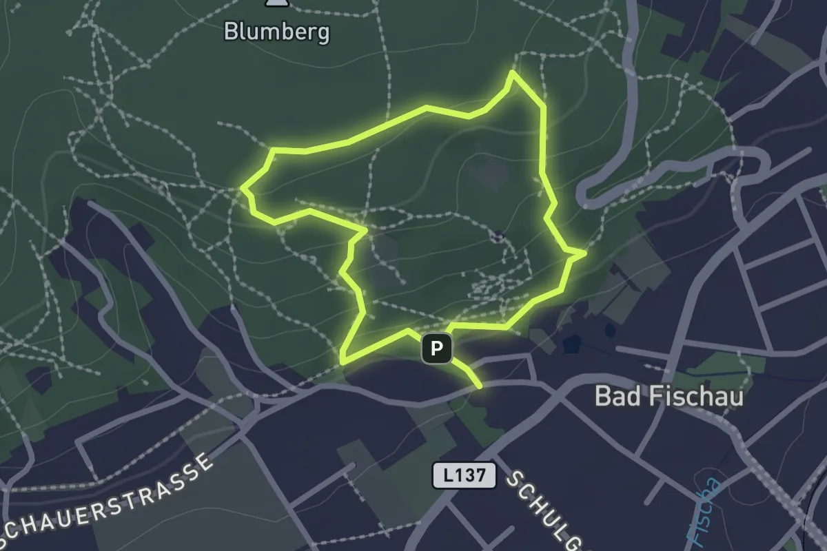
Waldlehrpfad
7.8 km · ↑ 269 m · 2 h 25 min
Easy · Trail
Waldlehrpfad
1.9 km · ↑ 57 m · 35 min
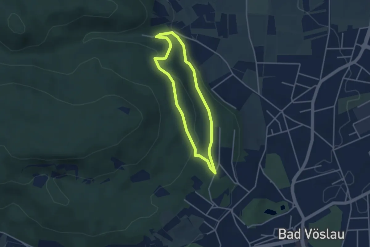
Easy · Trail
Waldlehrpfad
2.5 km · ↑ 72 m · 46 min
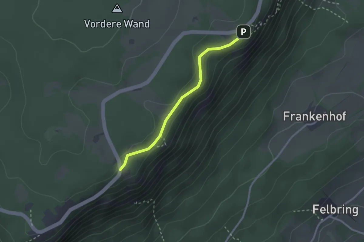
Easy · Trail
Waldlehrpfad
2.1 km · ↑ 35 m · 35 min
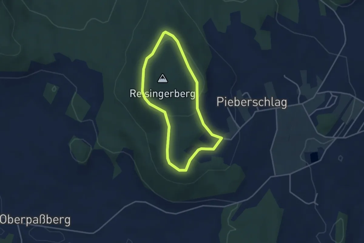
Easy · Trail
Waldlehrpfad
2.6 km · ↑ 38 m · 45 min
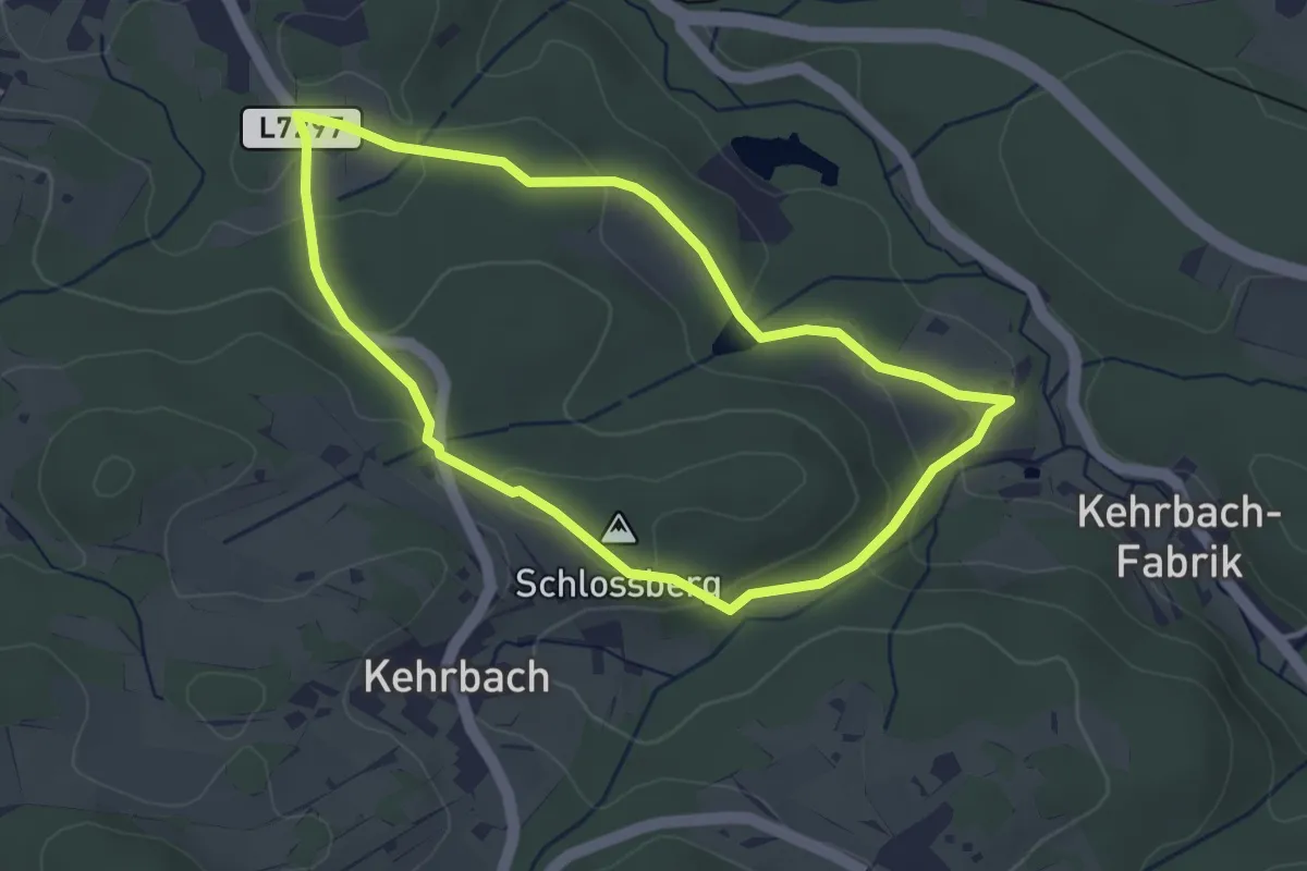
Easy · Summit
Waldlehrpfad 94
3.3 km · ↑ 91 m · 1 h 1 min
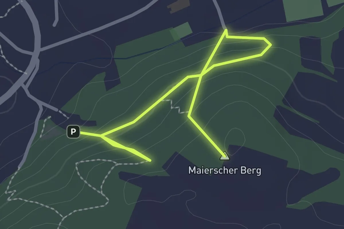
Easy · Summit
Waldlehrpfad Gars am Kamp
3.0 km · ↑ 196 m · 1 h 9 min
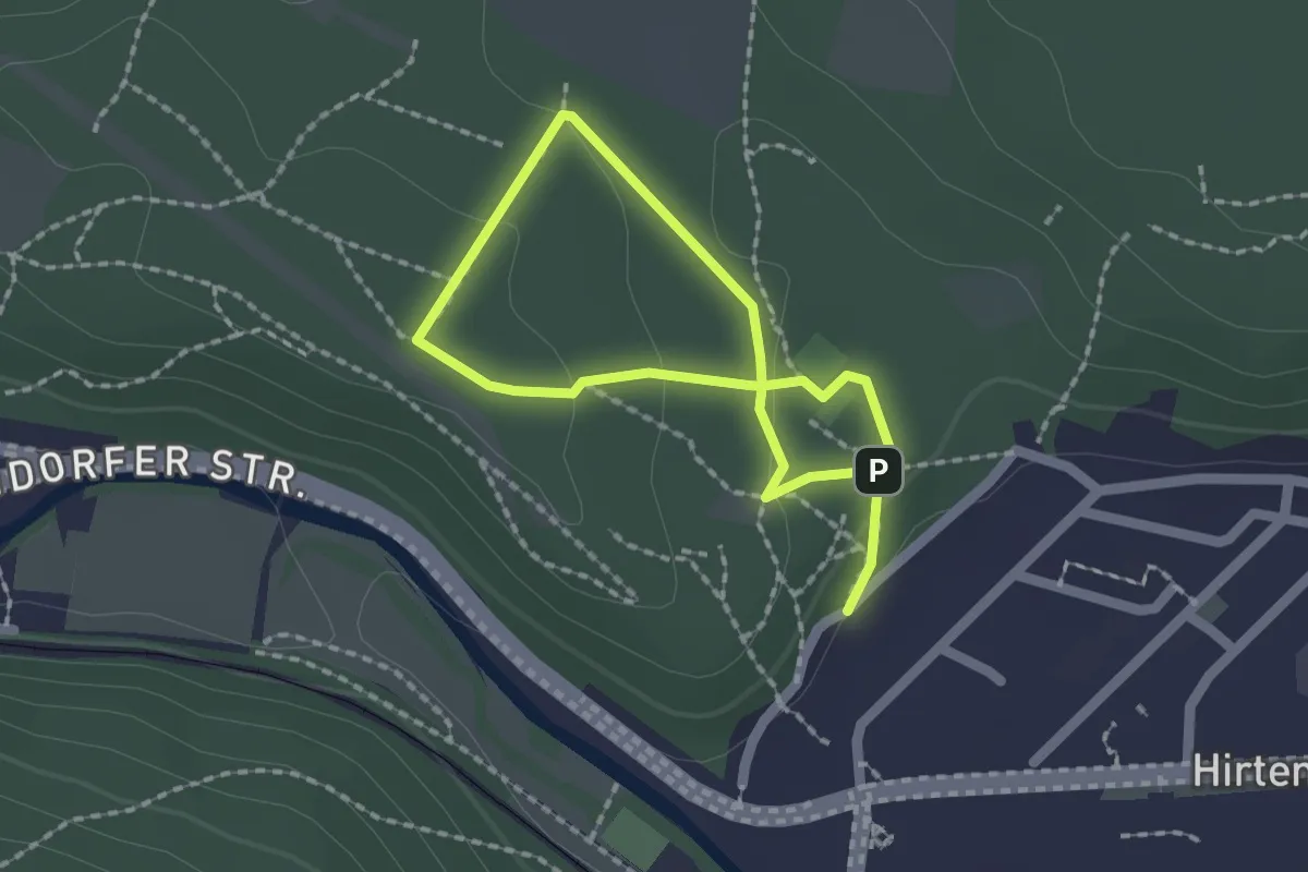
Easy · Summit
Waldlehrpfad Hirtenberg
1.4 km · ↑ 28 m · 24 min
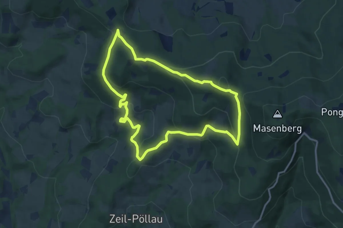
Medium · Trail
Waldlehrpfad Masenberg
8.4 km · ↑ 355 m · 2 h 52 min
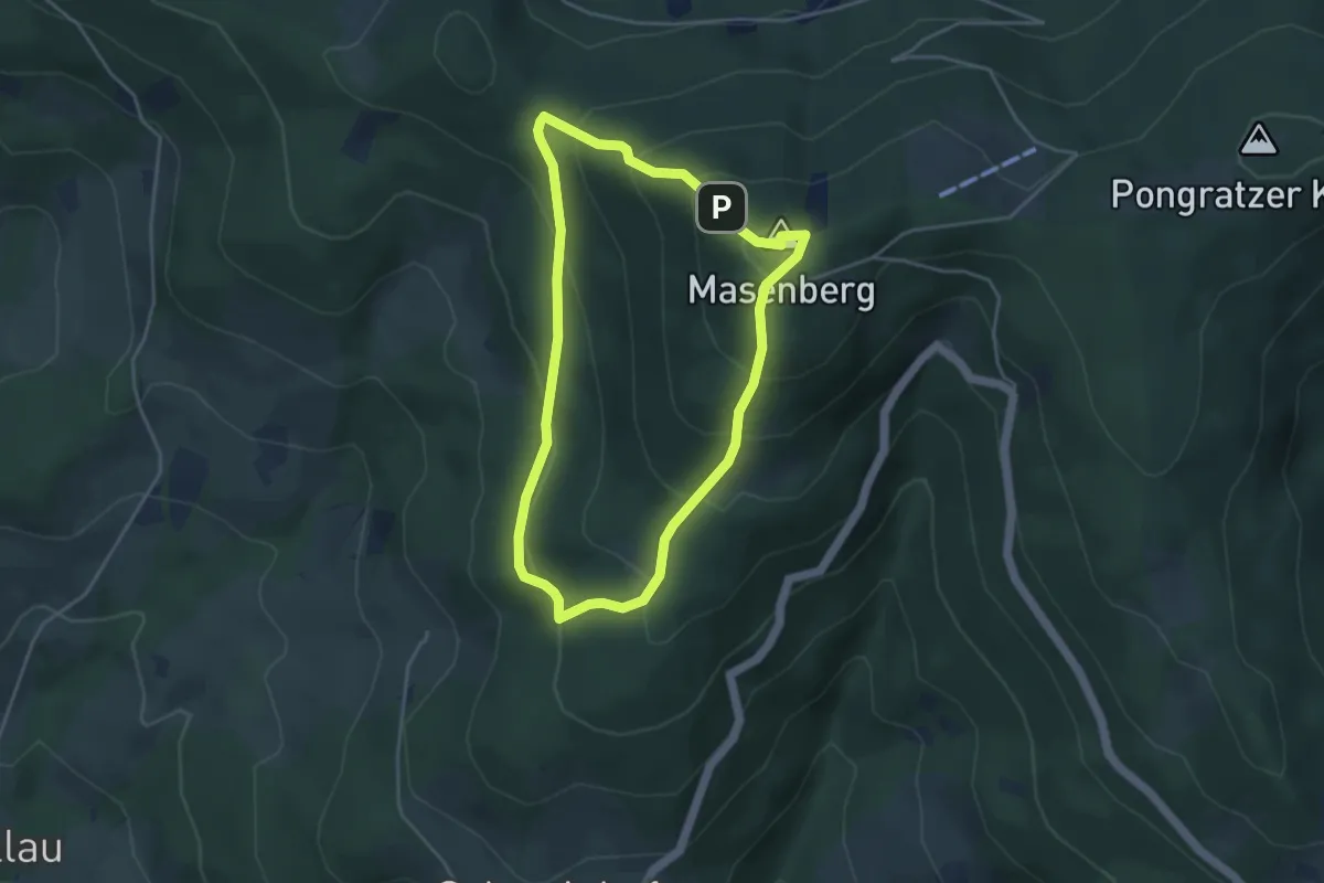
Easy · Summit
Waldlehrpfad Masenberg (Kurz)
3.7 km · ↑ 272 m · 1 h 31 min
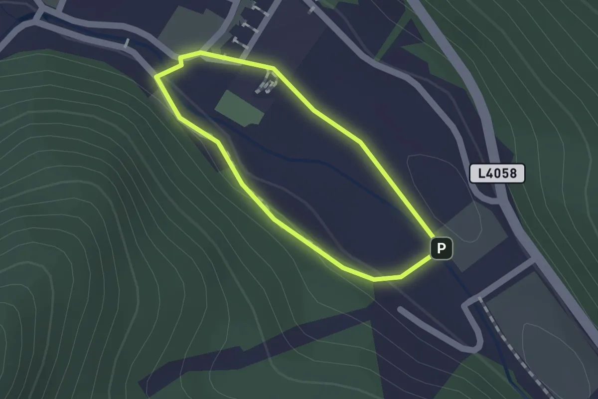
Easy · Trail
Waldlehrpfad Muggendorf
1.0 km · ↑ 4 m · 16 min
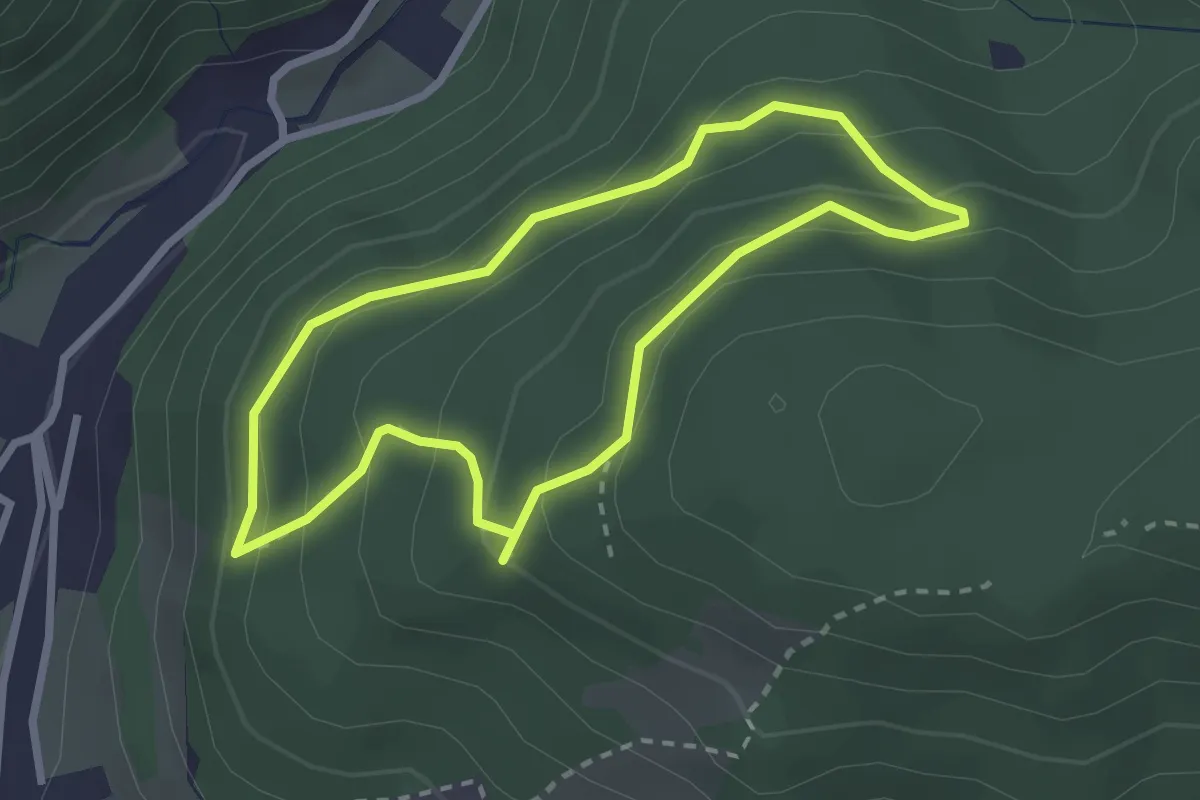
Easy · Trail
Waldlehrpfad Prevenhuber
2.3 km · ↑ 137 m · 53 min
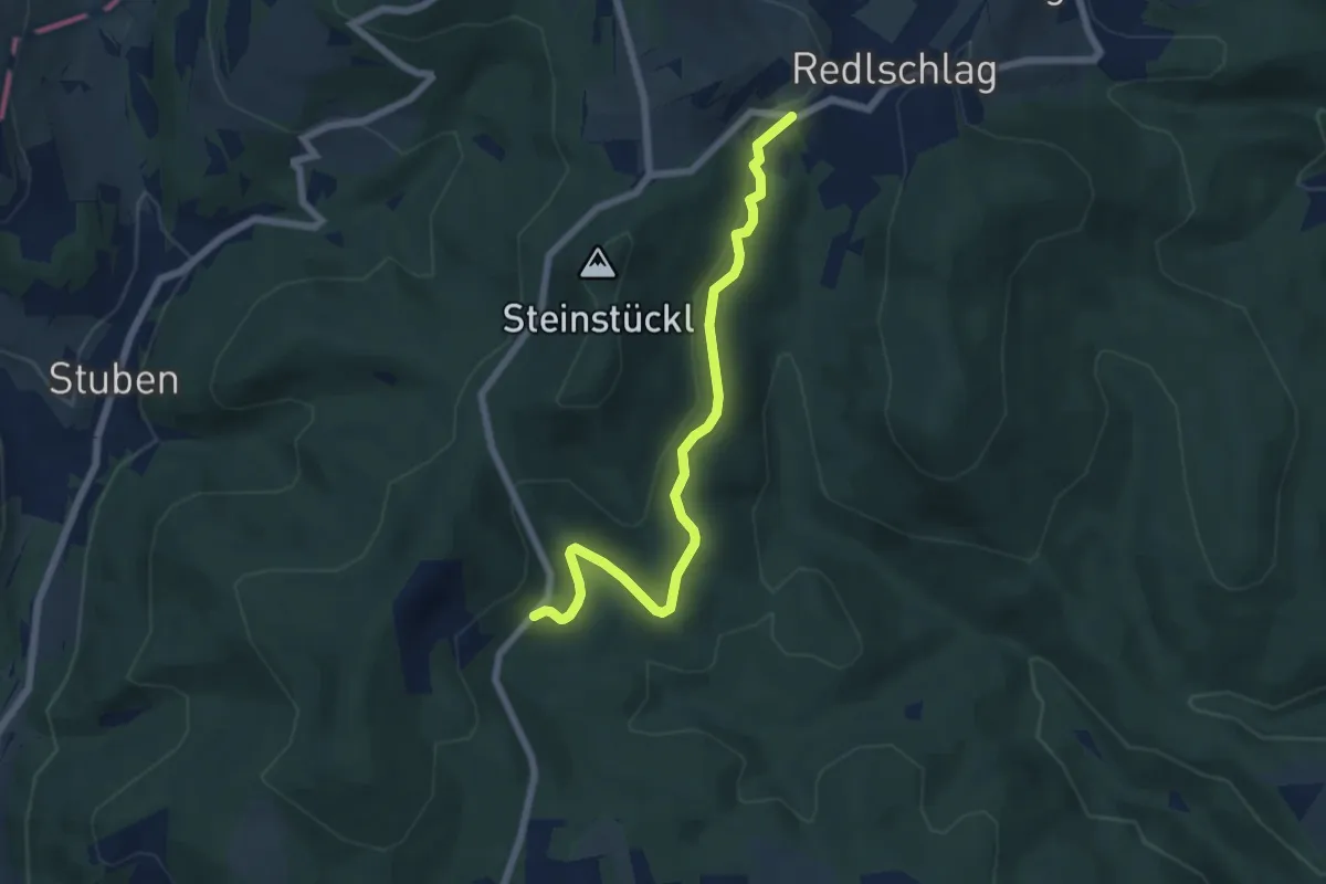
Easy · Trail
Waldlehrpfad (Redlschlag - Steinbruch)
6.3 km · ↑ 136 m · 1 h 47 min
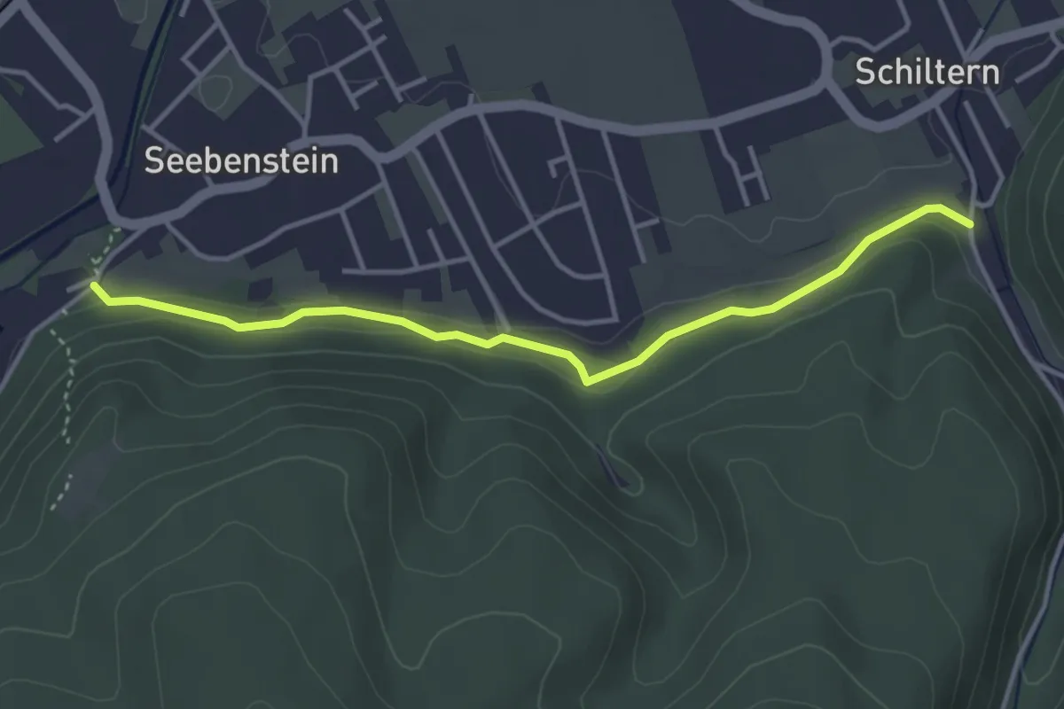
Easy · Trail
Waldlehrpfad Seebenstein
3.7 km · ↑ 74 m · 1 h 2 min
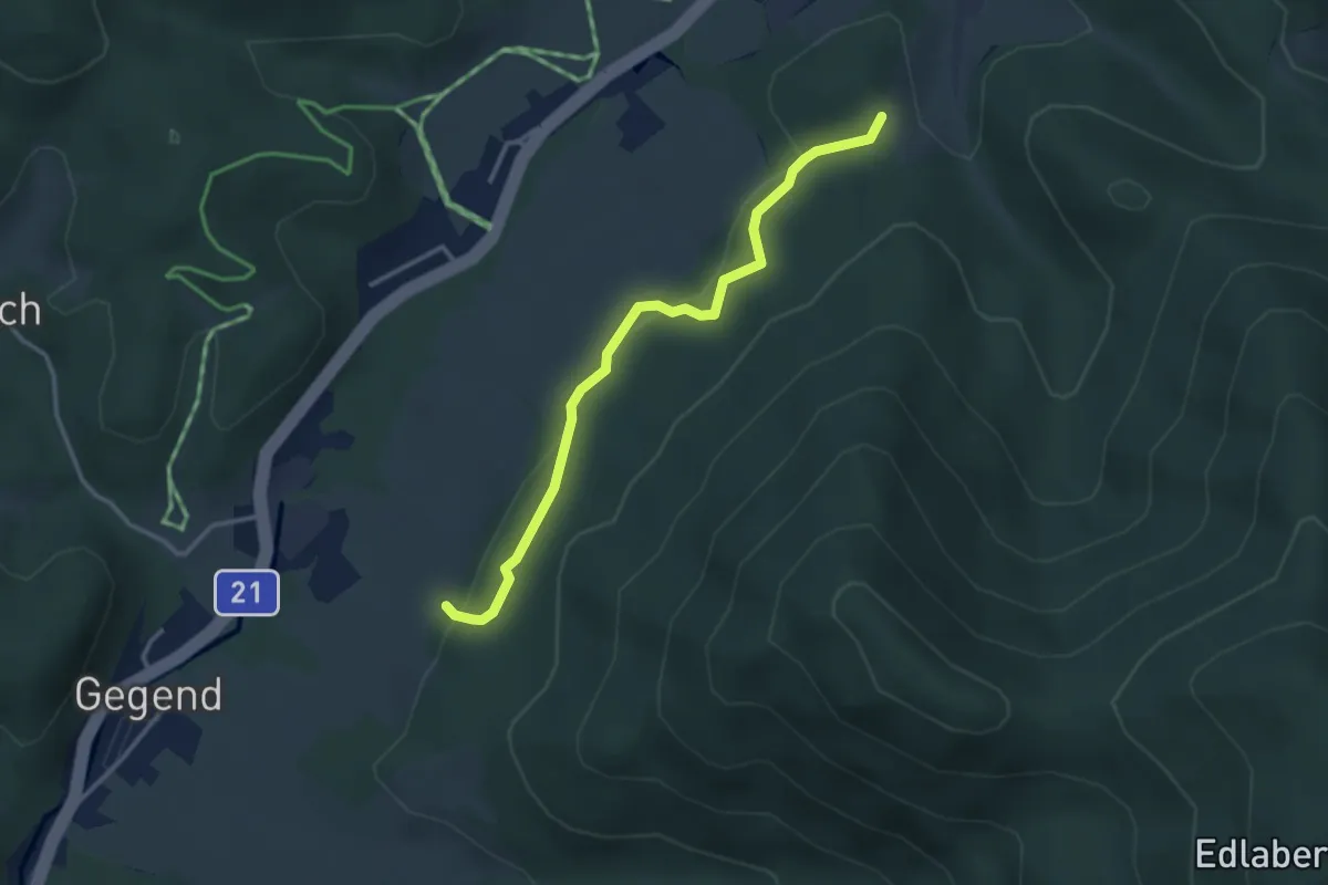
Easy · Trail
Waldlehrpfad Waldesruhe
3.2 km · ↑ 93 m · 58 min
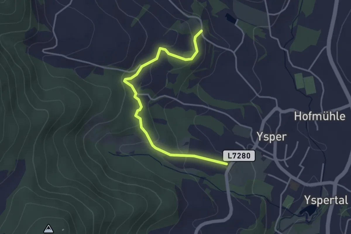
Easy · Trail
Waldlehrpfad Yspertal
3.5 km · ↑ 131 m · 1 h 6 min
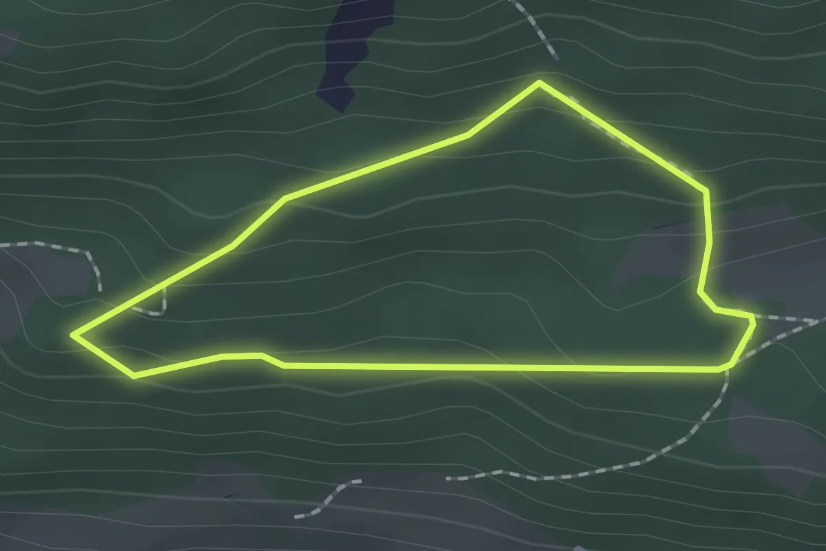
Easy · Trail
Waldlehrpfad Zedlacher Paradies
1.4 km · ↑ 75 m · 31 min
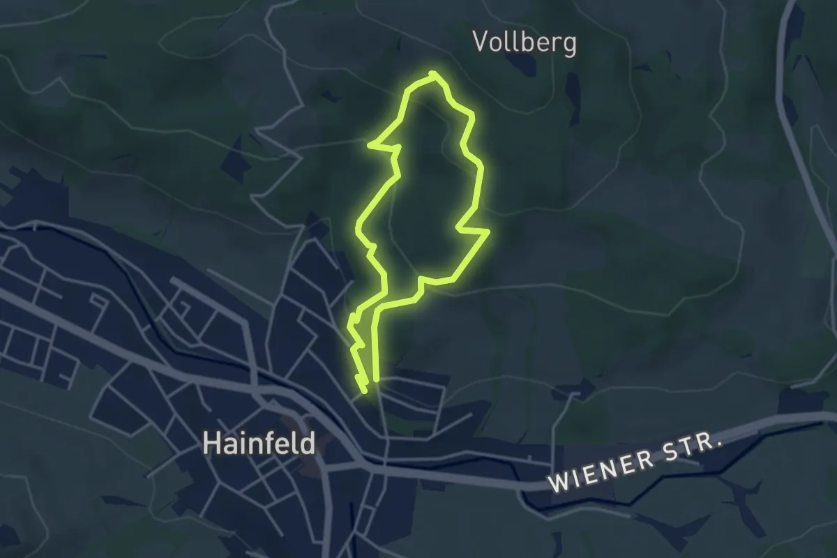
Medium · Trail
Waldlehrweg
2.9 km · ↑ 139 m · 1 h
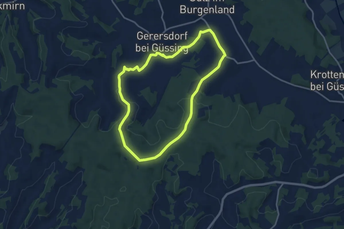
Medium · Trail
Wald- & Naturwanderweg
9.0 km · ↑ 117 m · 2 h 30 min
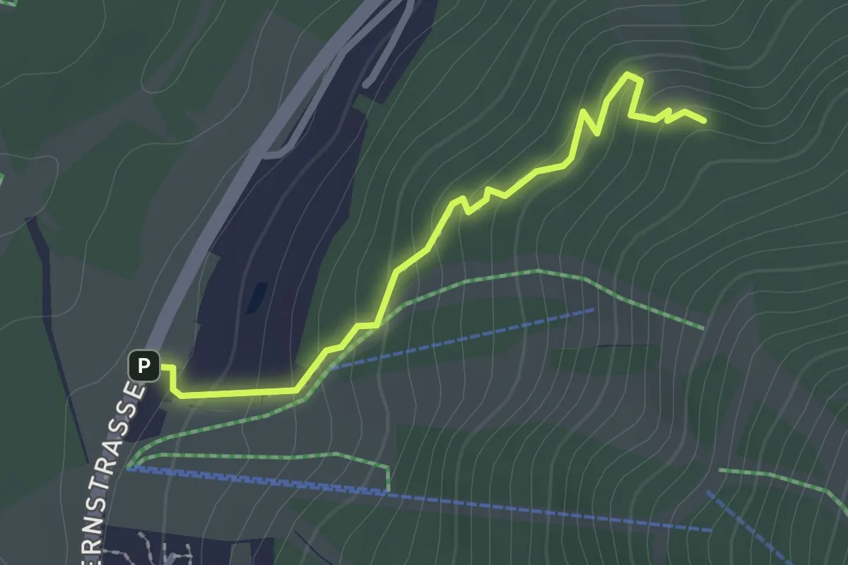
Medium · Trail
Waldpfad
2.1 km · ↑ 136 m · 48 min
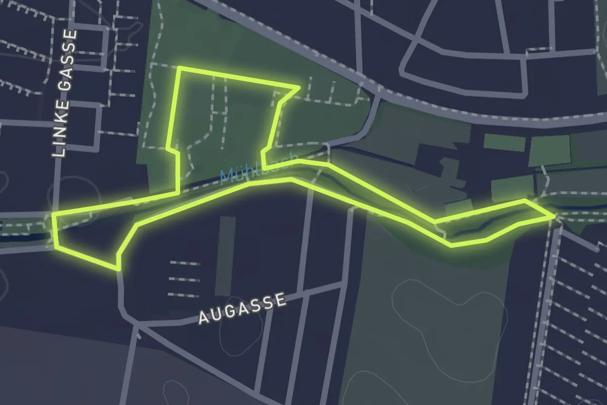
Easy · Trail
Waldrunde
2.0 km · ↑ 5 m · 31 min
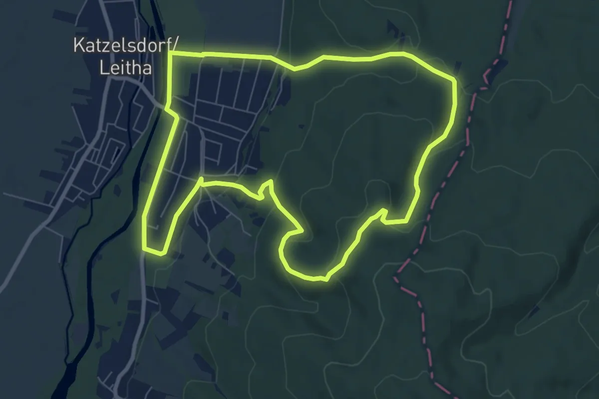
Easy · Trail
Waldrunde (Katzelsdorf)
7.2 km · ↑ 188 m · 2 h 13 min