Trails in Austria
9,777 hiking trails, each with its route, climb, walking time and grade.
All trails, page 127 of 204
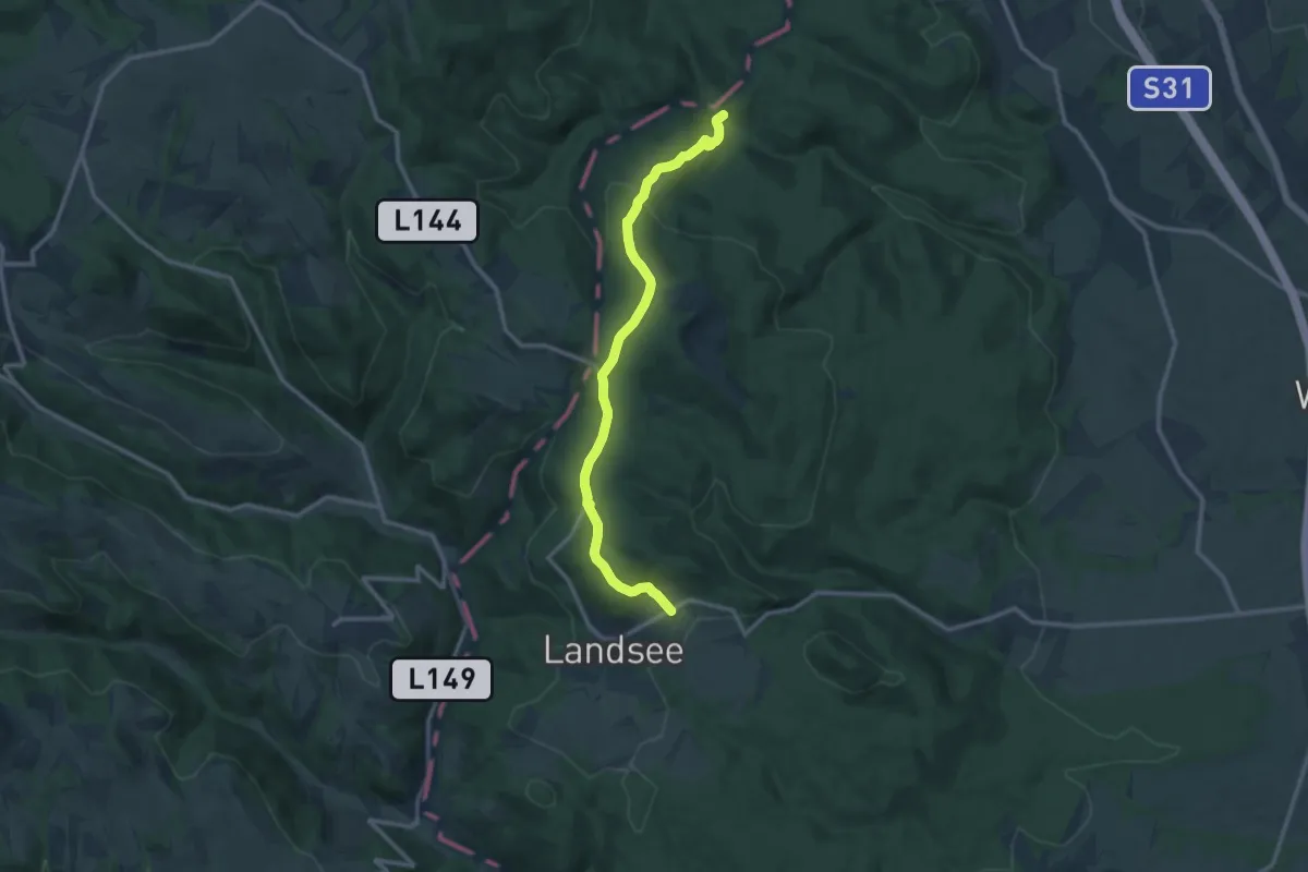
Medium · Trail
Waldsauerbrunn - Landsee
11.5 km · ↑ 455 m · 3 h 42 min
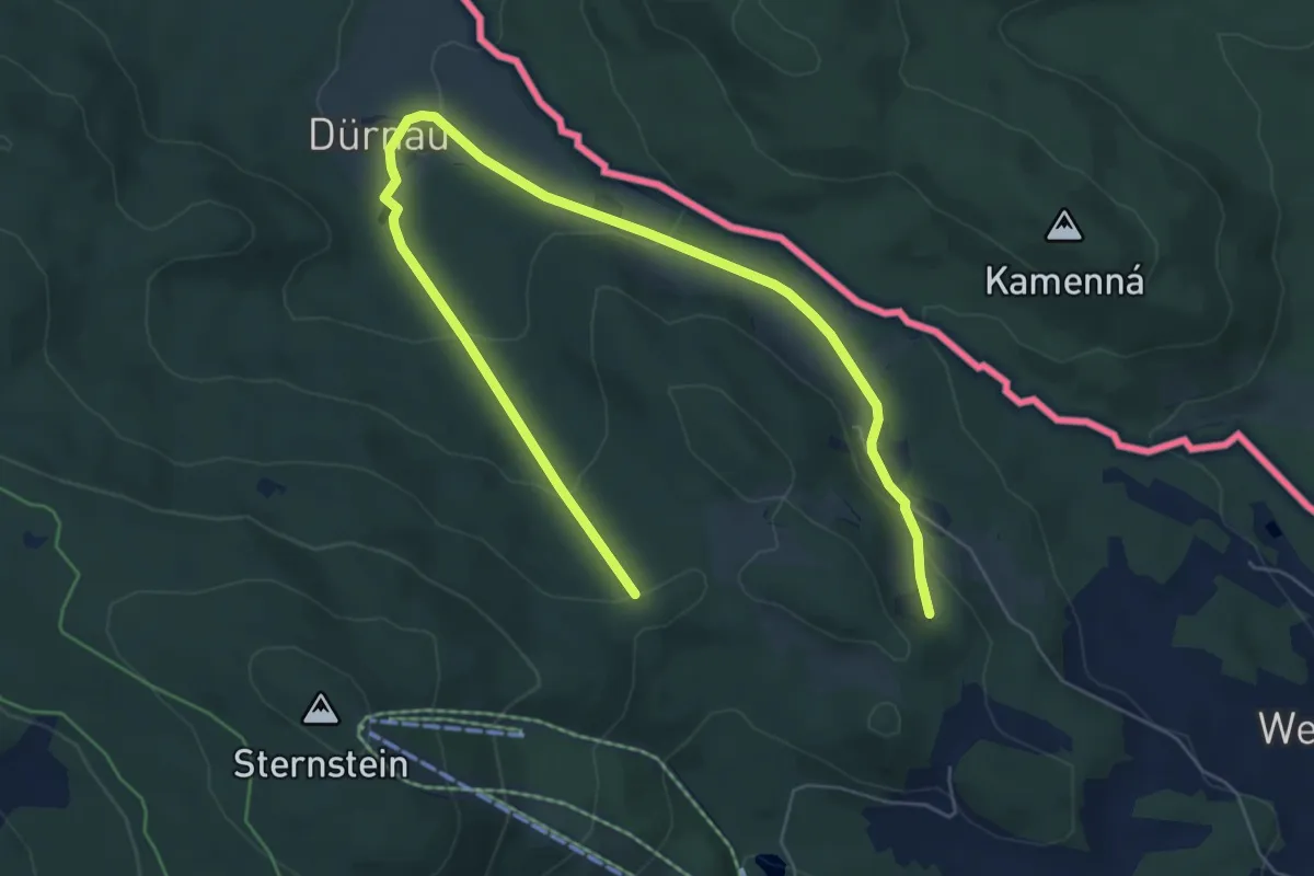
Medium · Trail
Waldschenke - Dürnau - Ablege 15
8.1 km · ↑ 257 m · 2 h 27 min
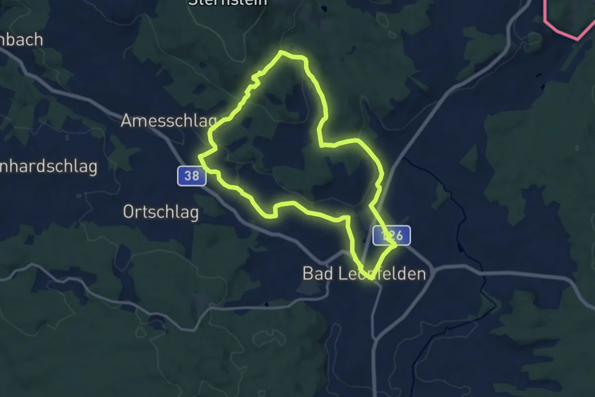
Medium · Trail
Waldschenke Runde
10.4 km · ↑ 247 m · 3 h 8 min
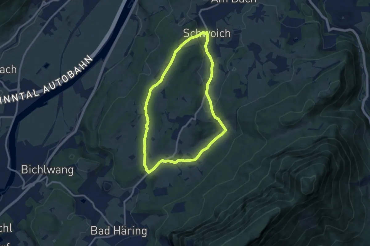
Easy · Trail
Waldschönauer Runde
7.0 km · ↑ 107 m · 1 h 59 min
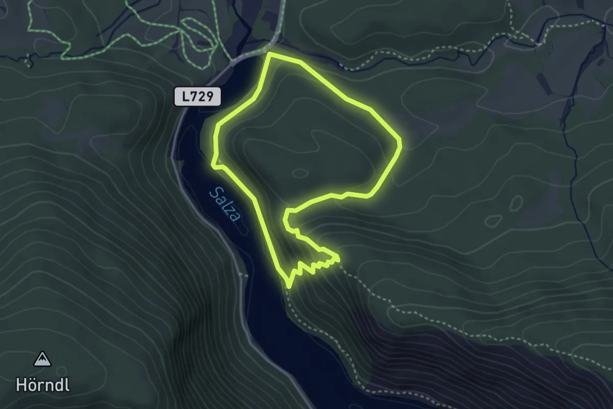
Easy · Trail
Waldsteig
3.0 km · ↑ 191 m · 1 h 11 min
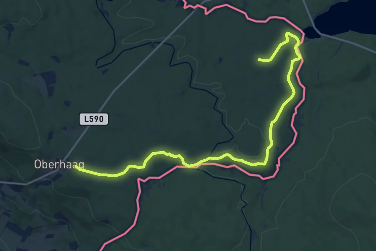
Easy · Trail
Waldsteig
6.7 km · ↑ 32 m · 1 h 47 min
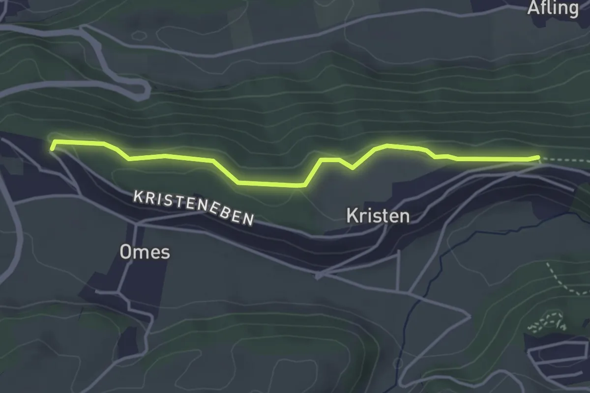
Medium · Trail
Waldsteig Kristeneben
3.6 km · ↑ 71 m · 1 h
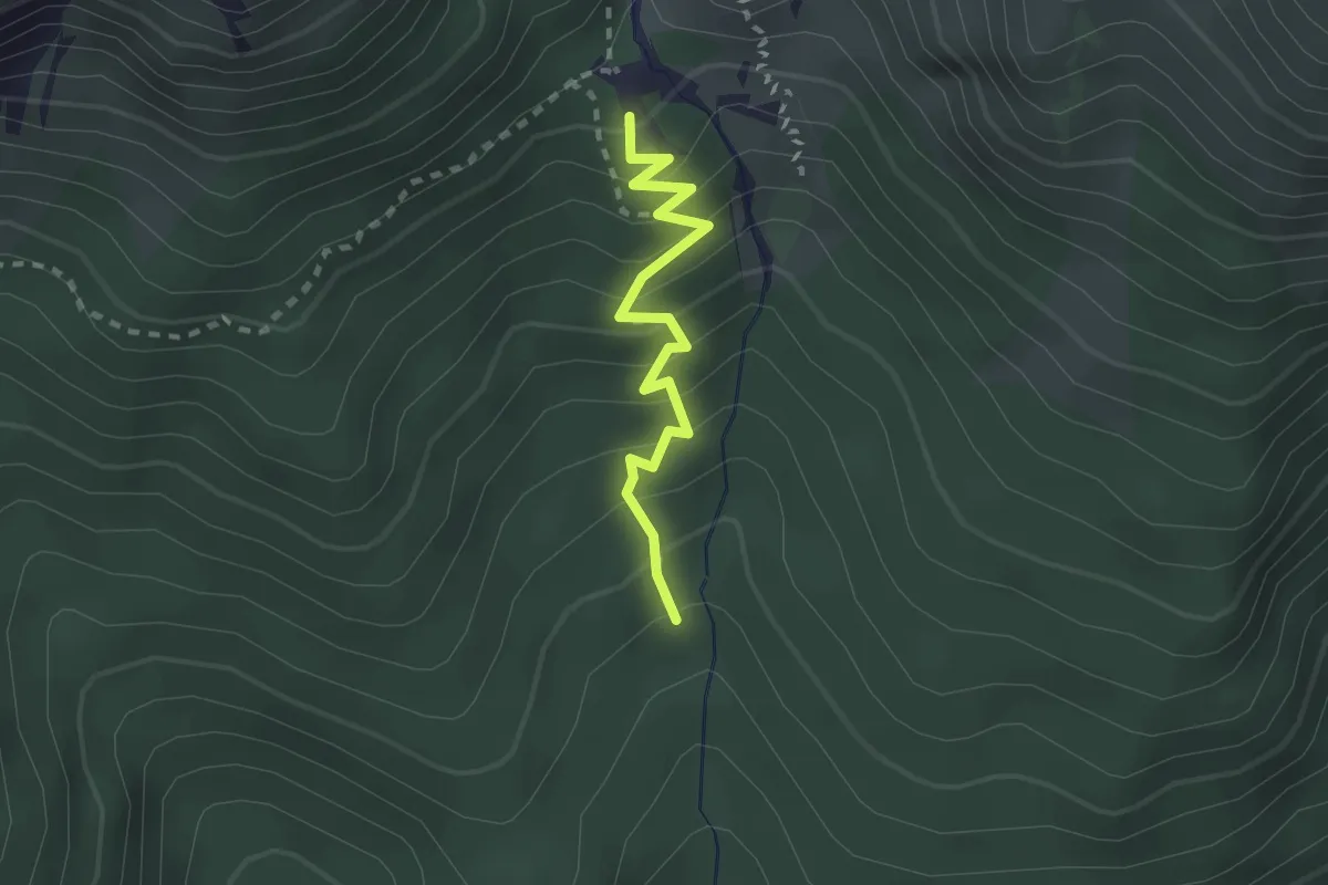
Medium · Cabin
Waldsteig Wettersteinhütte
2.1 km · ↑ 243 m · 1 h 2 min
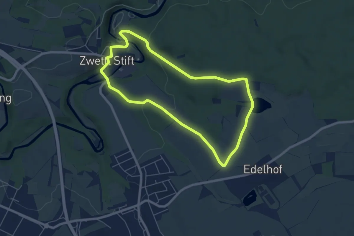
Easy · Trail
Waldteichweg 5
4.9 km · ↑ 100 m · 1 h 27 min
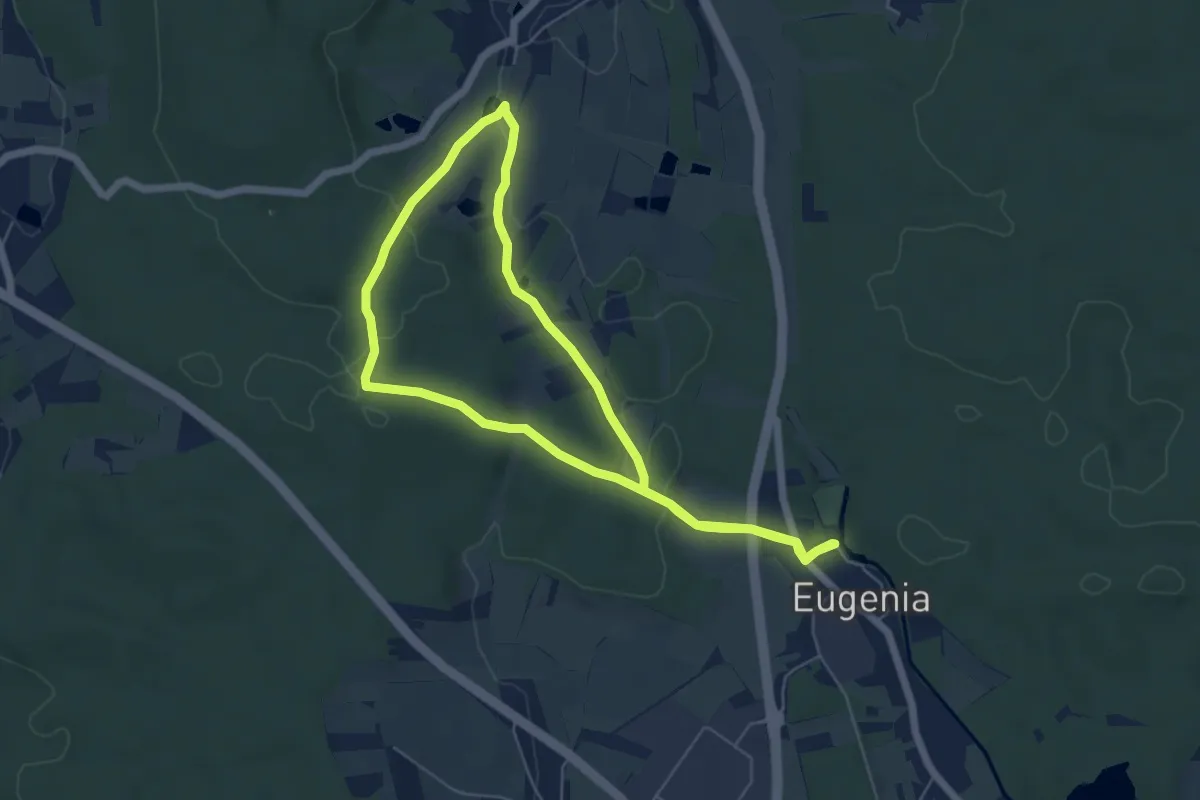
Easy · Trail
Wald und Tier
5.2 km · ↑ 78 m · 1 h 28 min
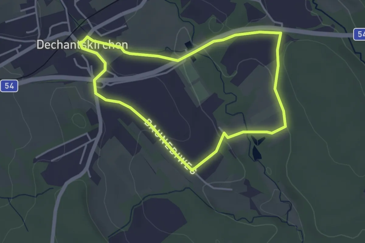
Easy · Trail
Waldviertelweg (Weg D, 3,7 km)
3.4 km · ↑ 70 m · 1 h 1 min
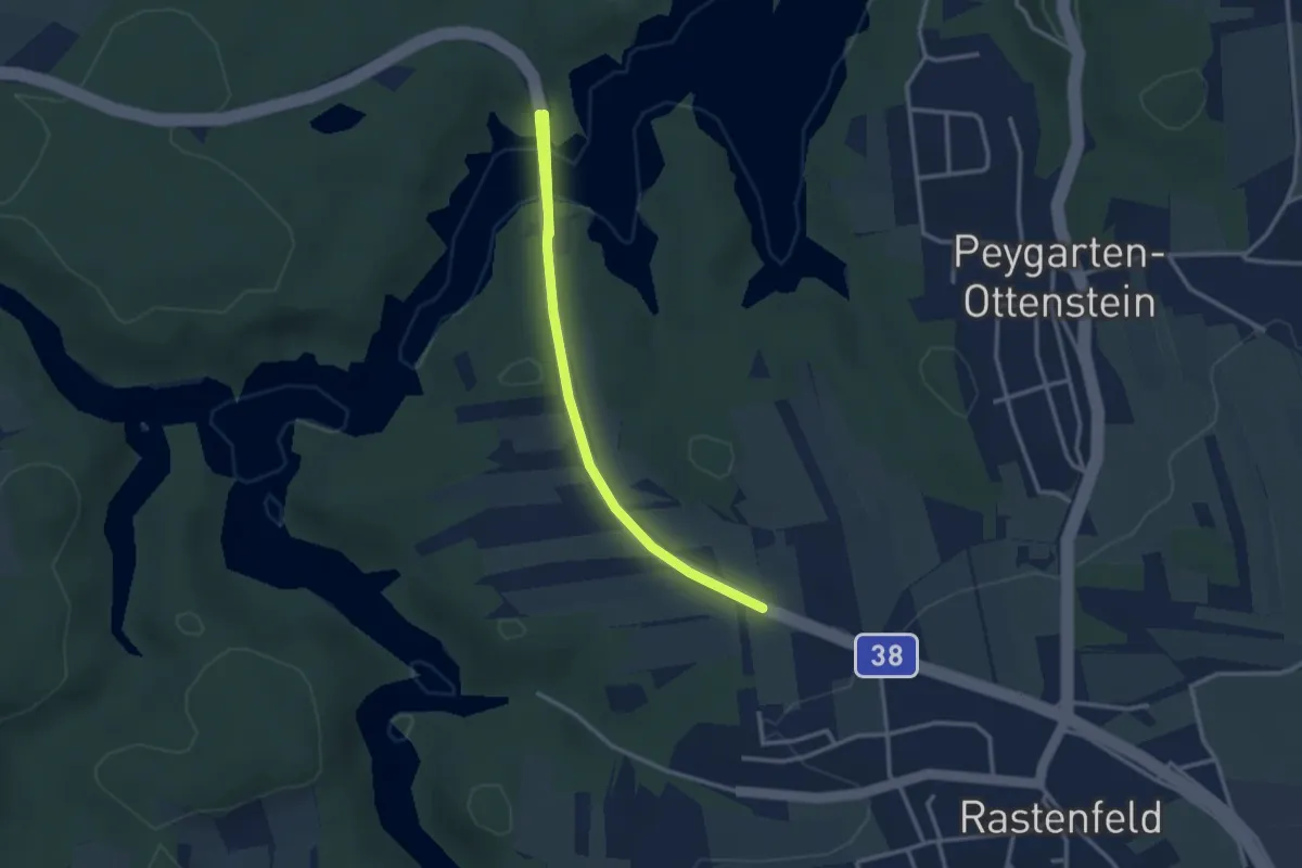
Easy · Trail
Waldviertler Kulturpfad*
3.1 km · ↑ 106 m · 58 min
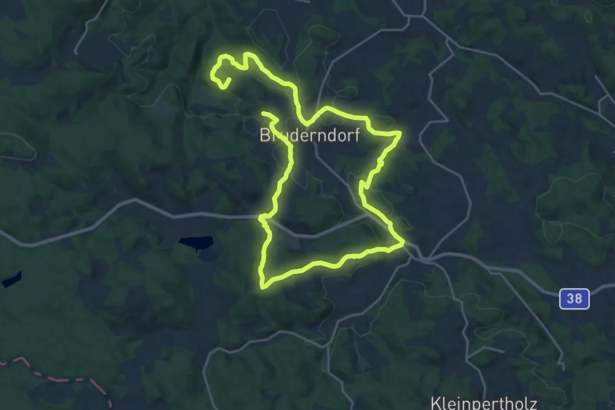
Demanding · Summit
Waldviertler Semmering-Bruderndorf
29.0 km · ↑ 729 m · 8 h 26 min
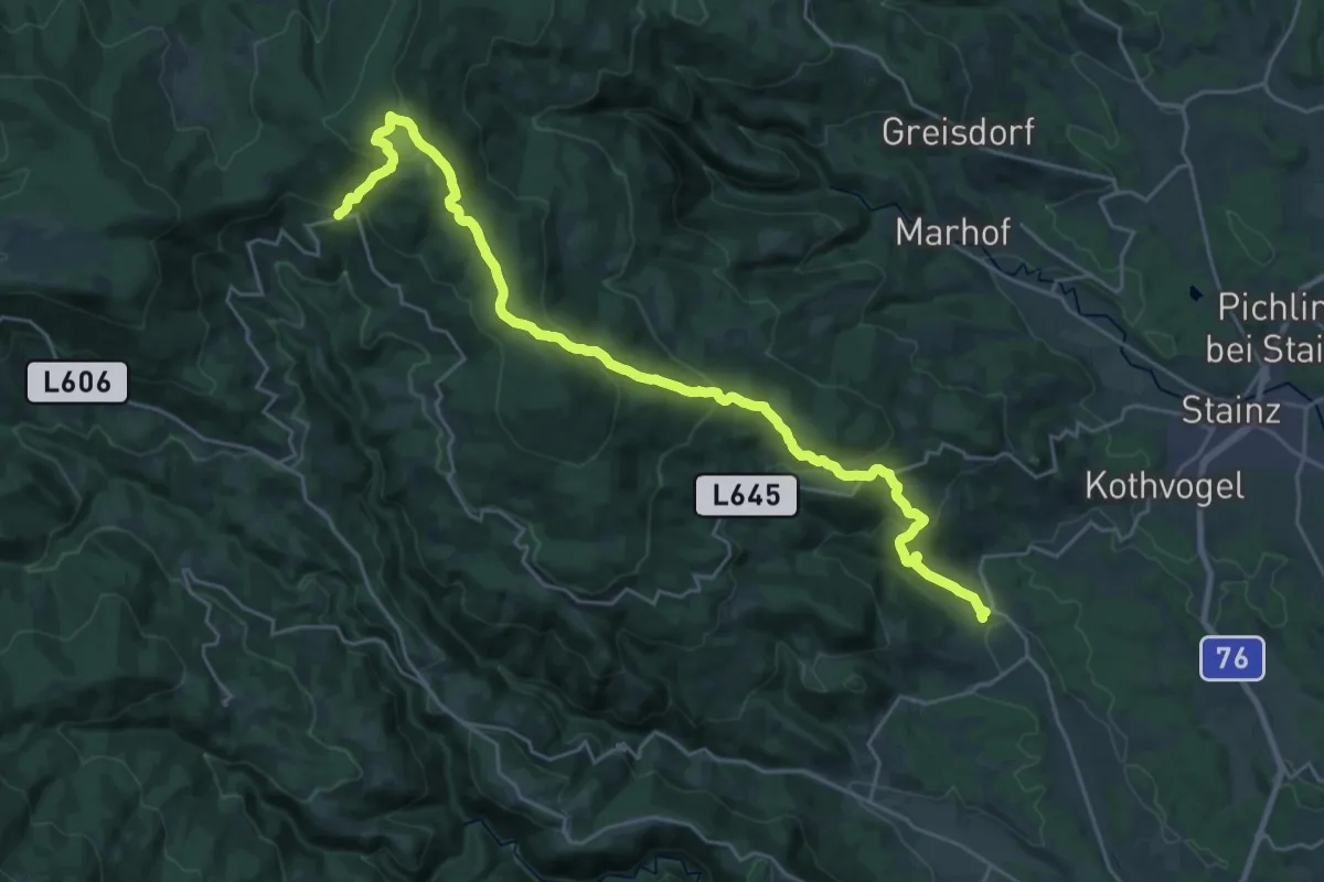
Demanding · Trail
Waldwanderweg
14.3 km · ↑ 1052 m · 5 h 29 min
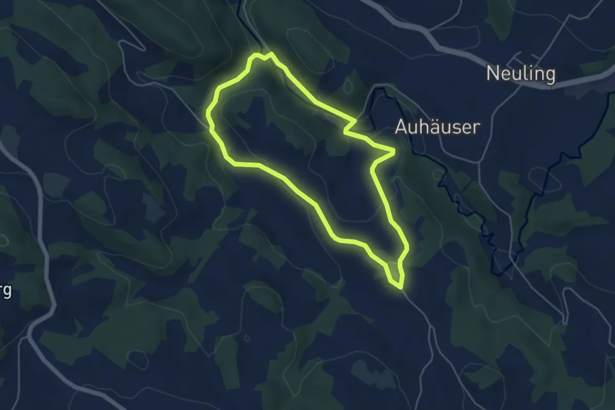
Easy · Trail
Waldwanderweg
4.1 km · ↑ 95 m · 1 h 14 min
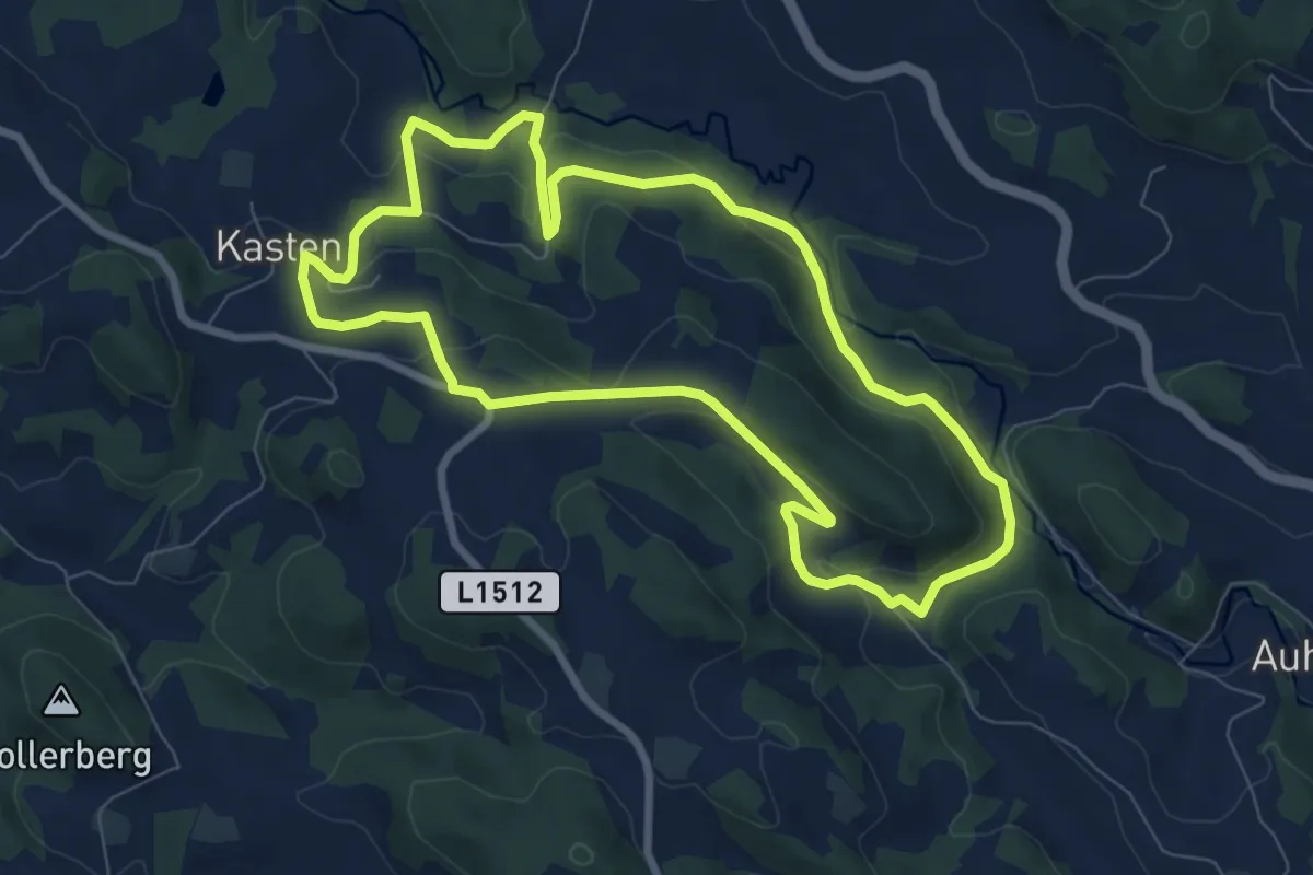
Easy · Trail
Waldwanderweg
7.6 km · ↑ 229 m · 2 h 25 min
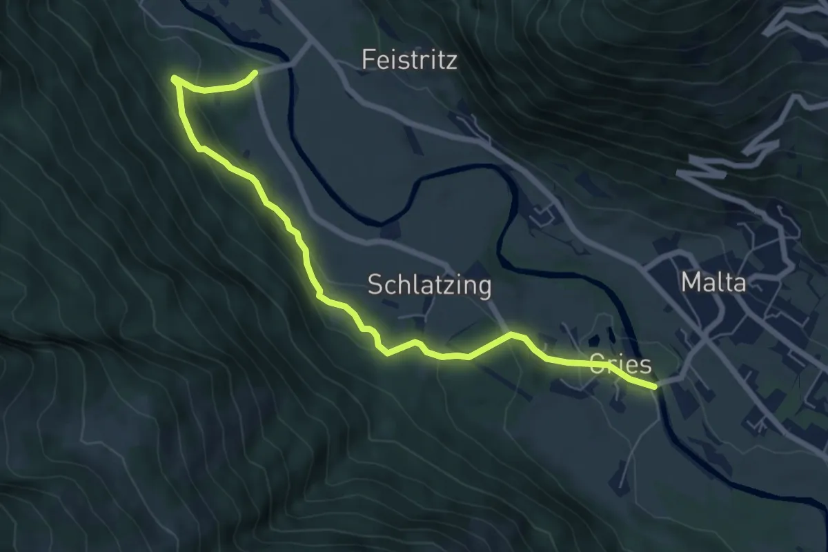
Easy · Trail
Waldwanderweg Schlatzingerau
6.9 km · ↑ 271 m · 2 h 14 min
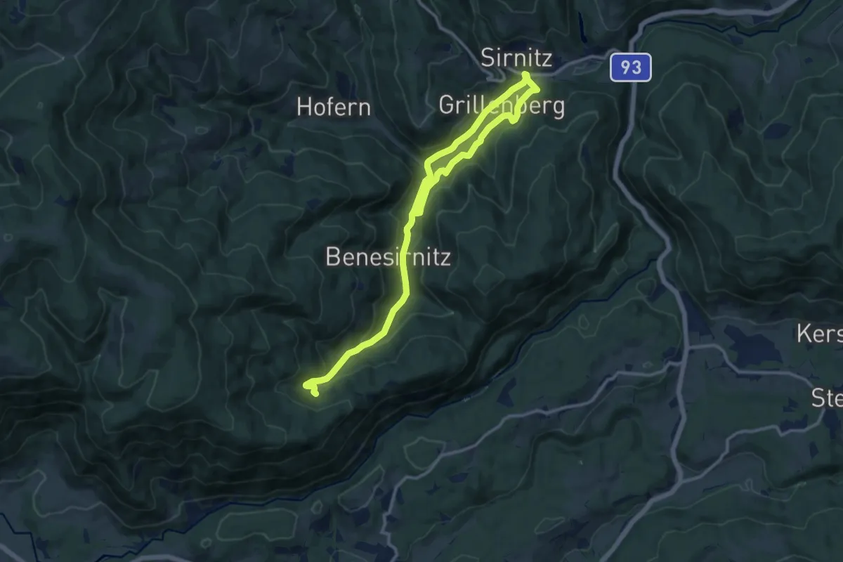
Medium · Trail
Waldweg
15.4 km · ↑ 505 m · 4 h 44 min
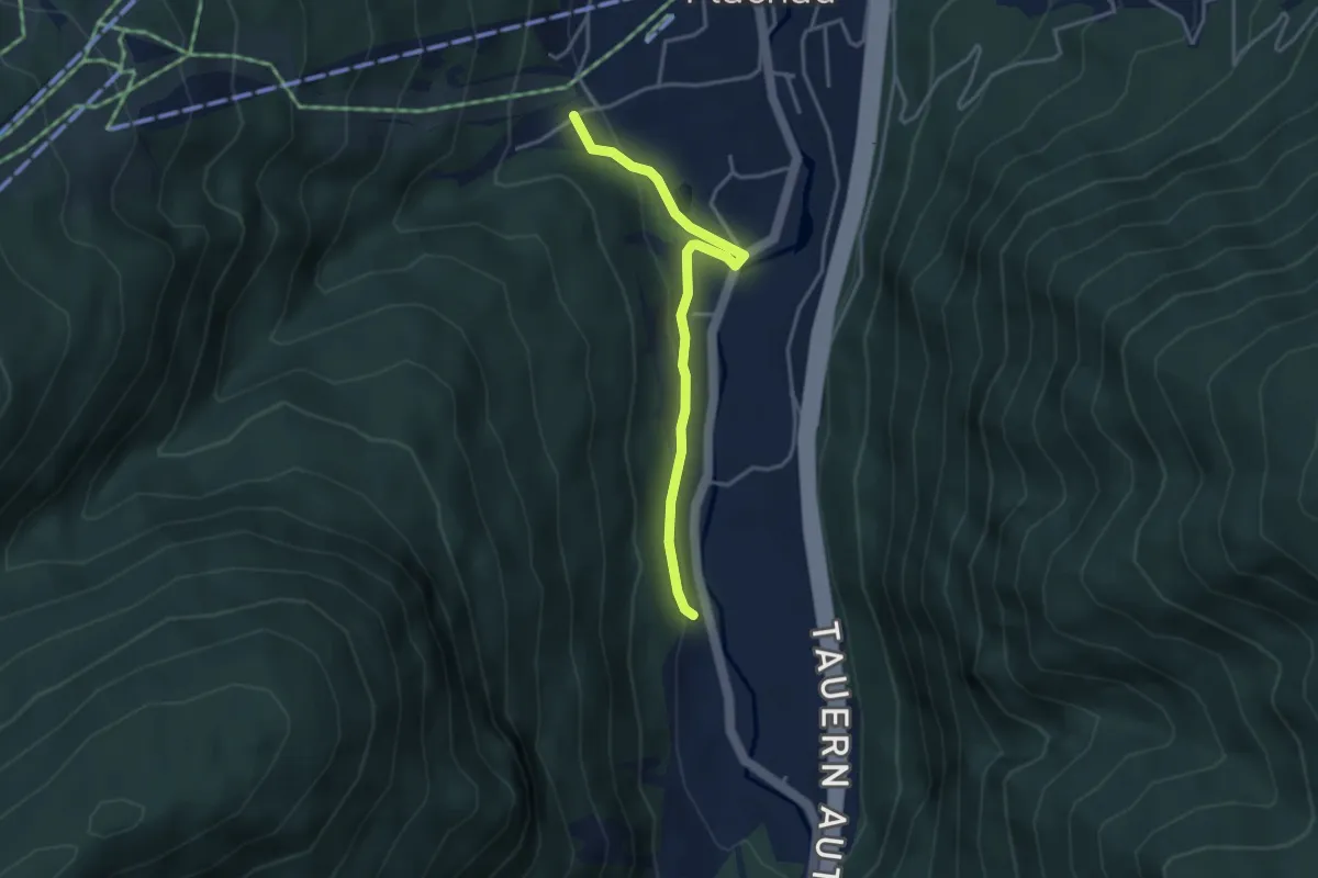
Easy · Trail
Waldweg 4
3.5 km · ↑ 90 m · 1 h 1 min
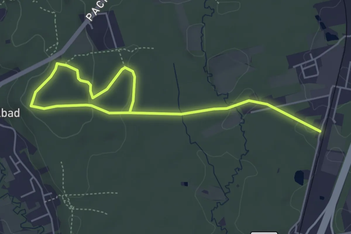
Easy · Trail
Waldweg der Lebensfreude
5.9 km · ↑ 114 m · 1 h 38 min
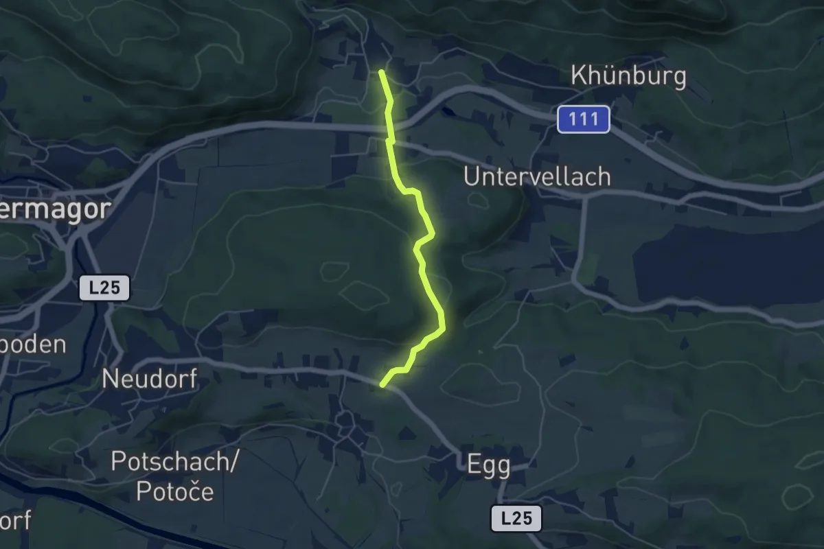
Easy · Trail
Waldweg Egg - Obervellach
4.4 km · ↑ 93 m · 1 h 15 min
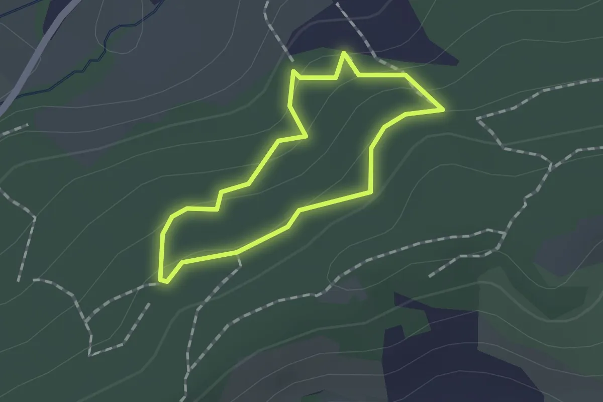
Easy · Trail
Waldweg Griesbauer
1.1 km · ↑ 26 m · 19 min
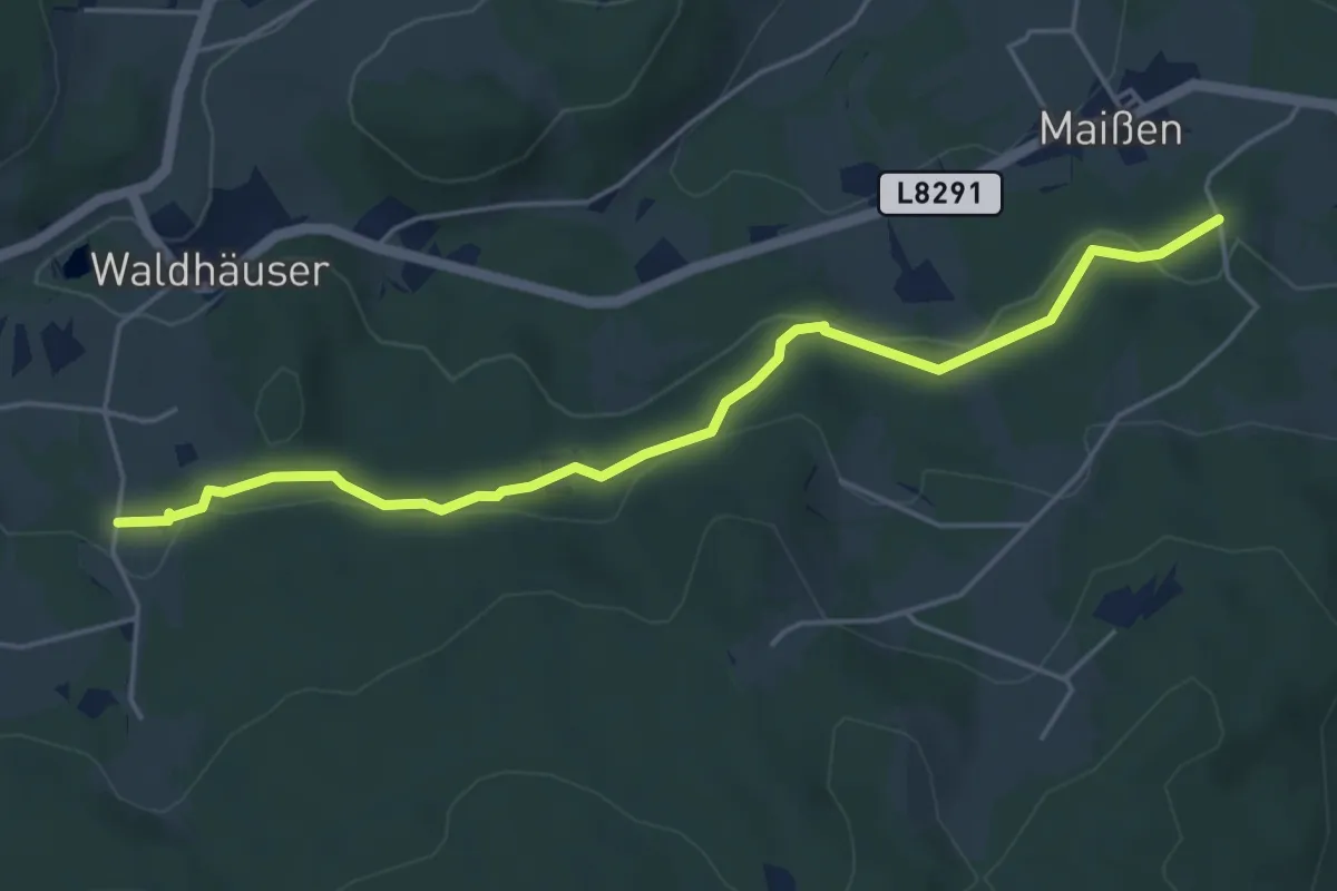
Easy · Trail
Waldweg Maißen - Hirschenwies
4.9 km · ↑ 113 m · 1 h 24 min
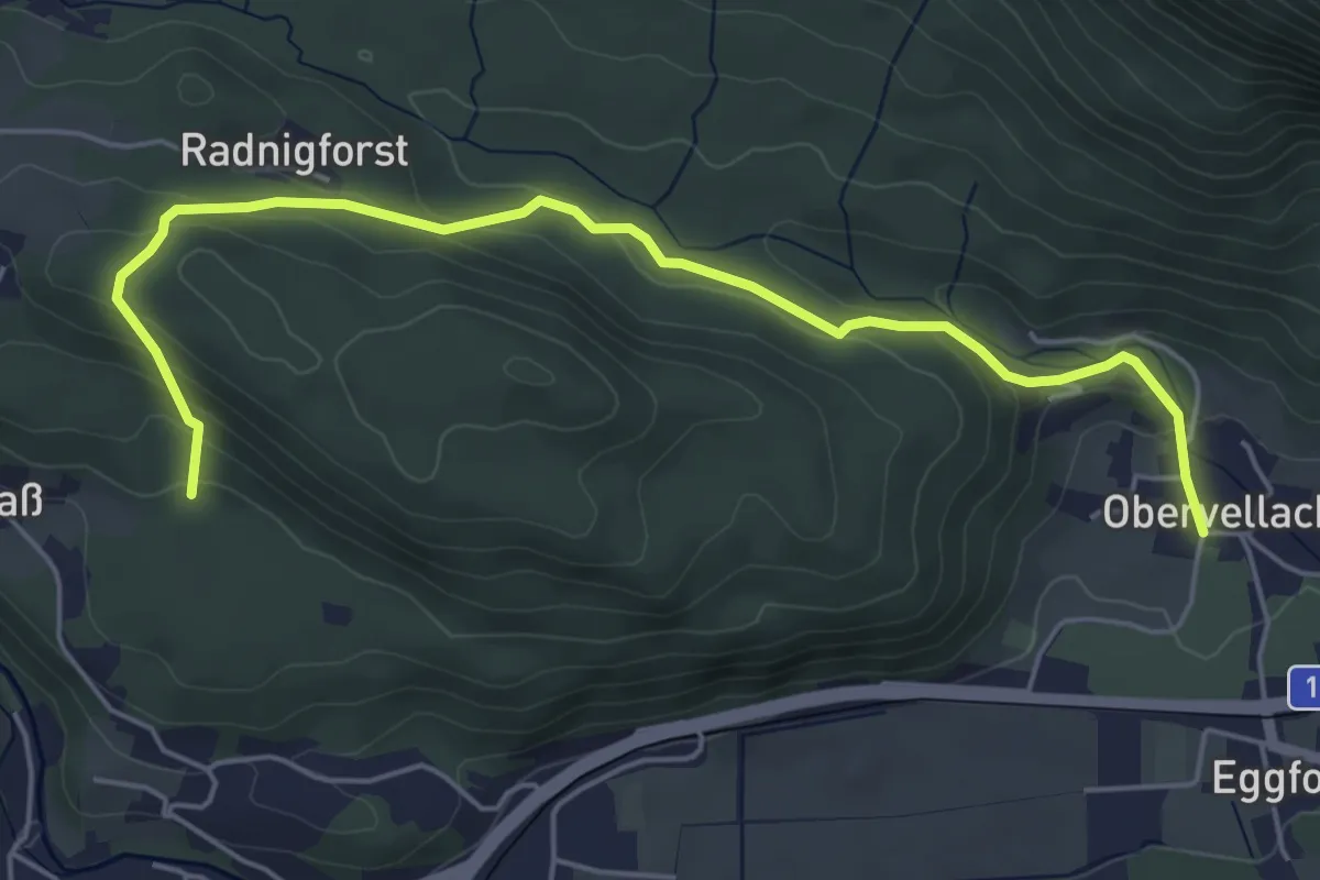
Easy · Trail
Waldweg Radnigforst - Obervellach (Gasthof Schluga)
5.8 km · ↑ 258 m · 1 h 56 min
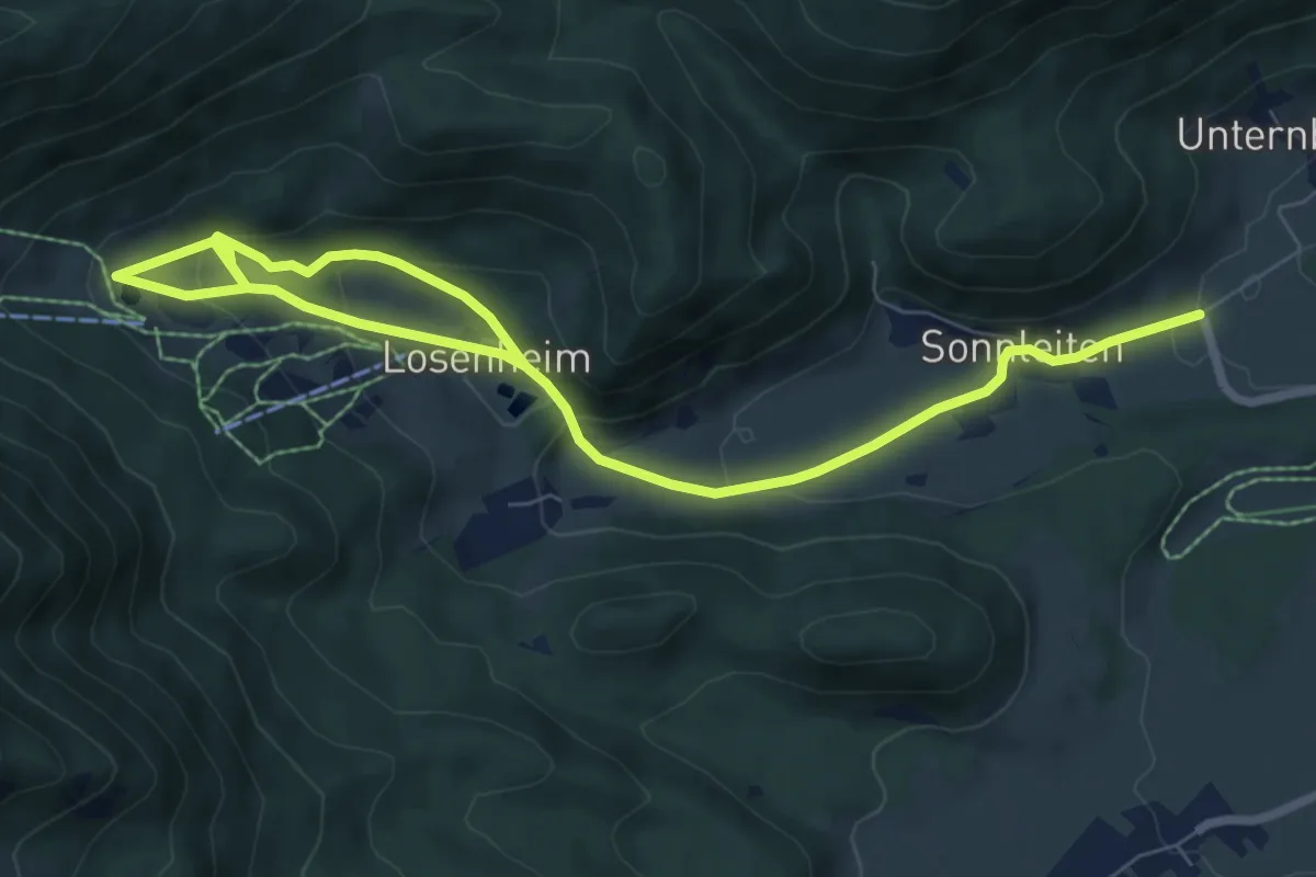
Medium · Trail
Waldweg Talstation Doppelsessellift (Losenheim)
10.0 km · ↑ 364 m · 3 h 9 min
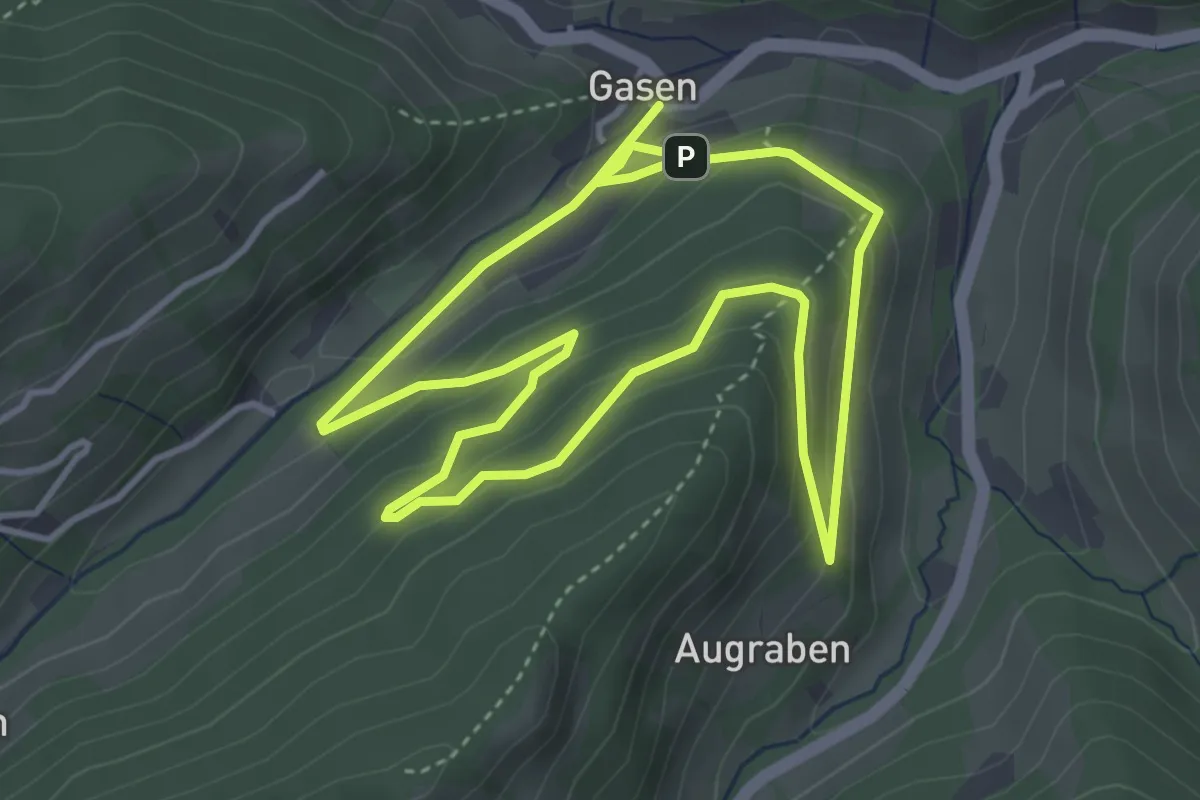
Easy · Trail
Waldweg zur Mühle
3.8 km · ↑ 132 m · 1 h 14 min
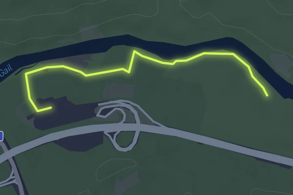
Easy · Trail
Waldweg zur Südrast
3.3 km · ↑ 9 m · 48 min
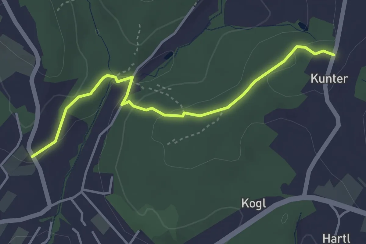
Medium · Trail
Wald-Wild-Wasser-Einladungsweg
3.4 km · ↑ 90 m · 1 h
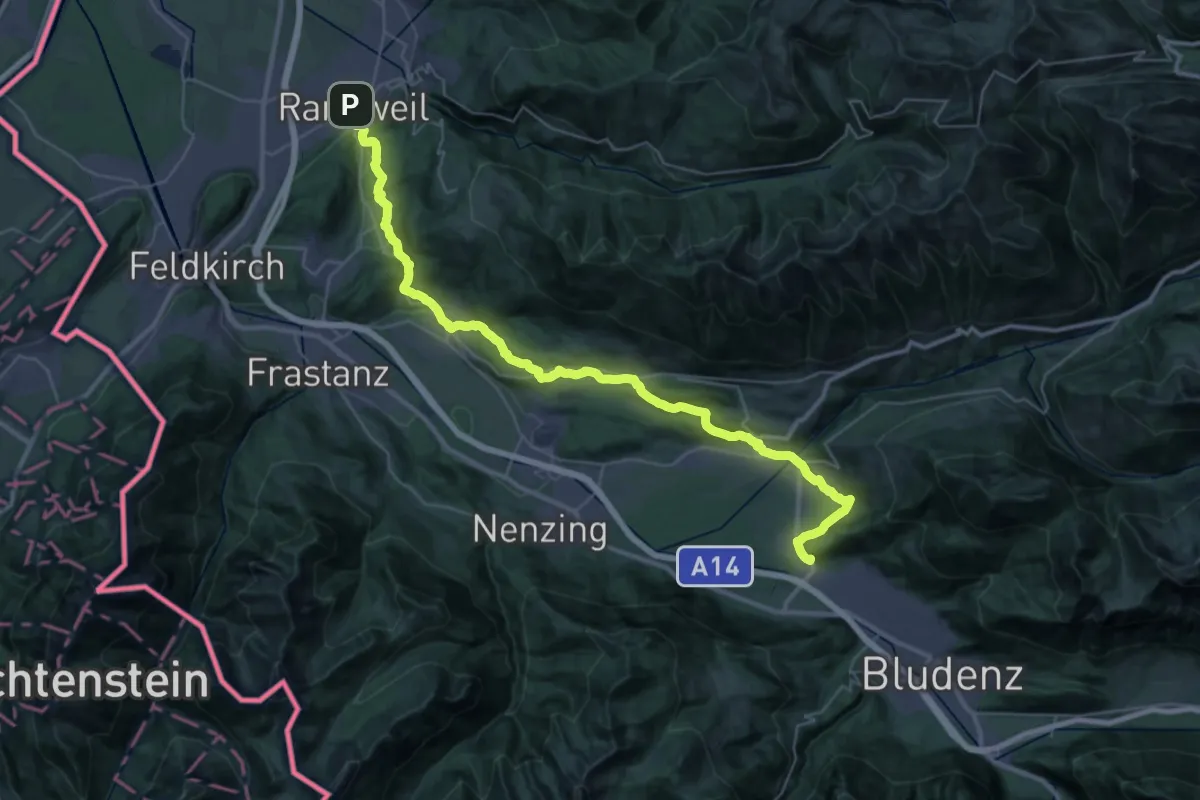
Demanding · Summit
Walgauweg
41.3 km · ↑ 980 m · 11 h 53 min
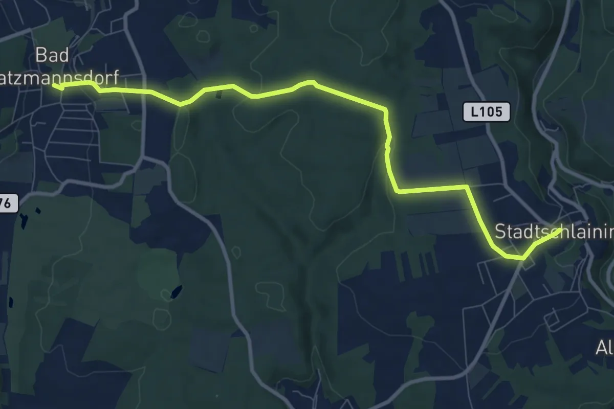
Medium · Trail
Walking/Wanderweg W11
9.3 km · ↑ 264 m · 2 h 46 min
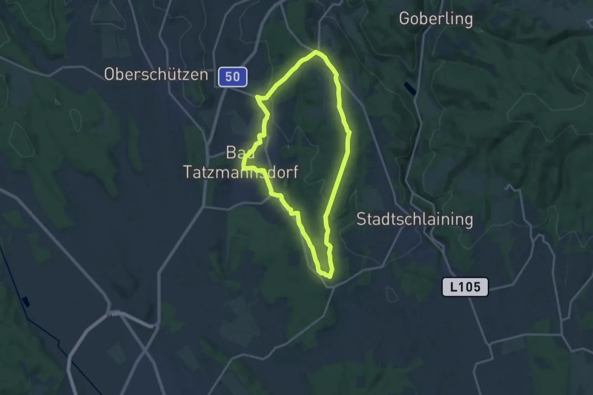
Medium · Trail
Walking/Wanderweg W12
11.7 km · ↑ 216 m · 3 h 24 min
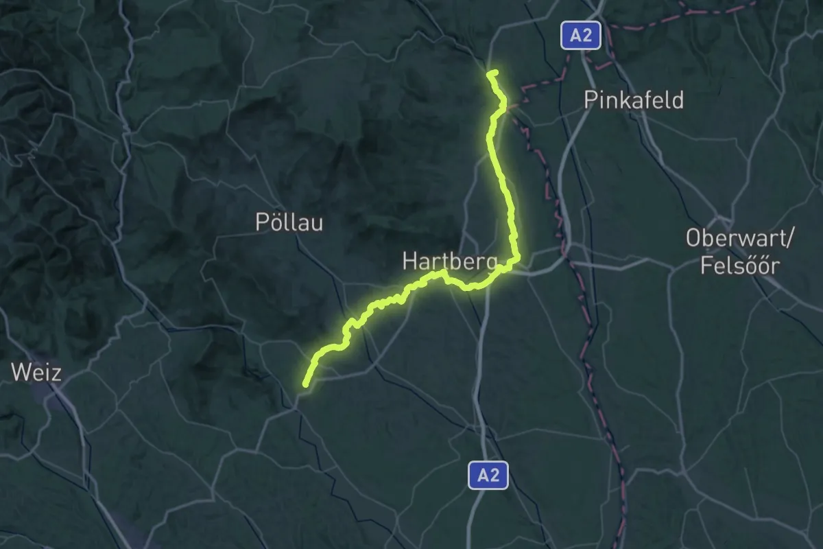
Demanding · Pilgrim path
Wallfahrerweg St Johann - Fieberbründl
35.3 km · ↑ 564 m · 10 h 4 min
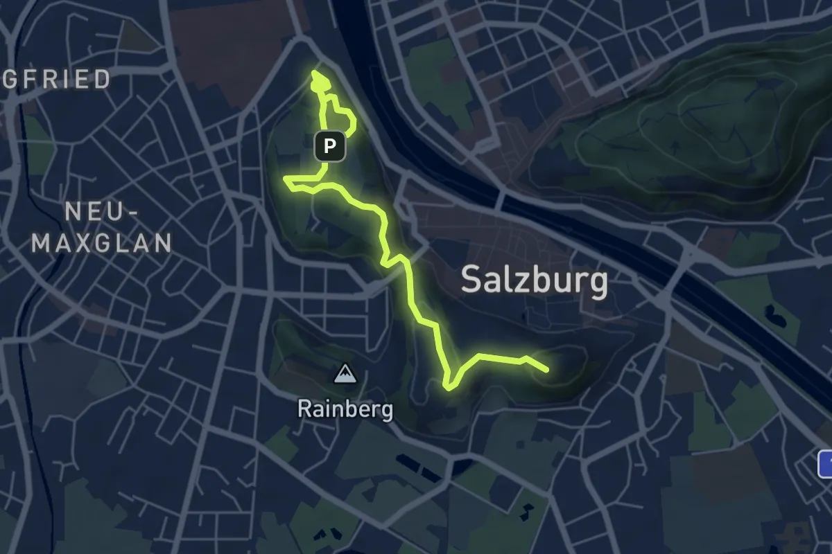
Easy · Summit
Wallfahrtsweg nach Mülln
5.9 km · ↑ 270 m · 1 h 59 min
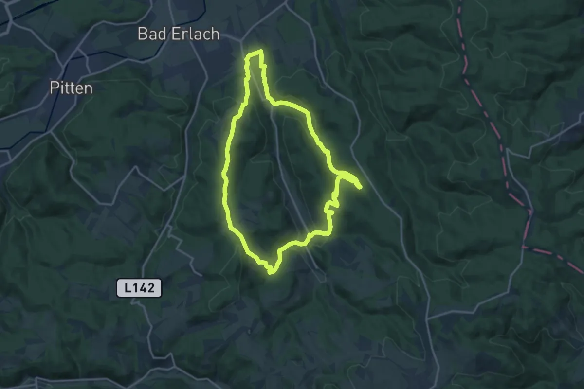
Medium · Summit
Walpersbacher Rundwanderweg WB1
13.3 km · ↑ 404 m · 4 h 12 min
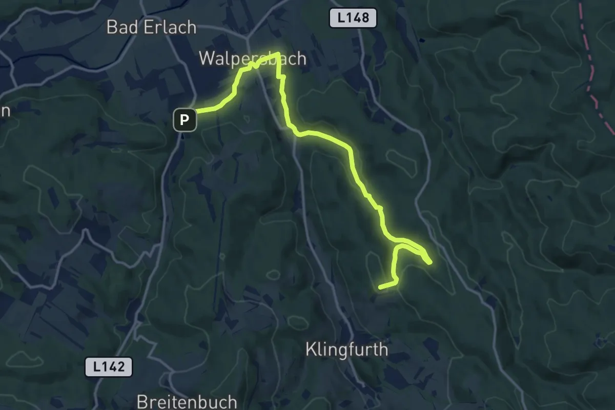
Medium · Summit
Walpersbach - Kalkgrube - Schauerleiten - Klingfurth - Walpersbach
13.8 km · ↑ 261 m · 3 h 50 min
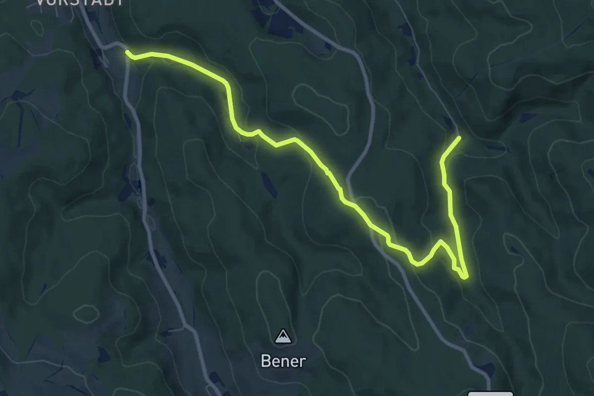
Medium · Trail
Walpersbach - Mehlberleiten
9.2 km · ↑ 273 m · 2 h 46 min
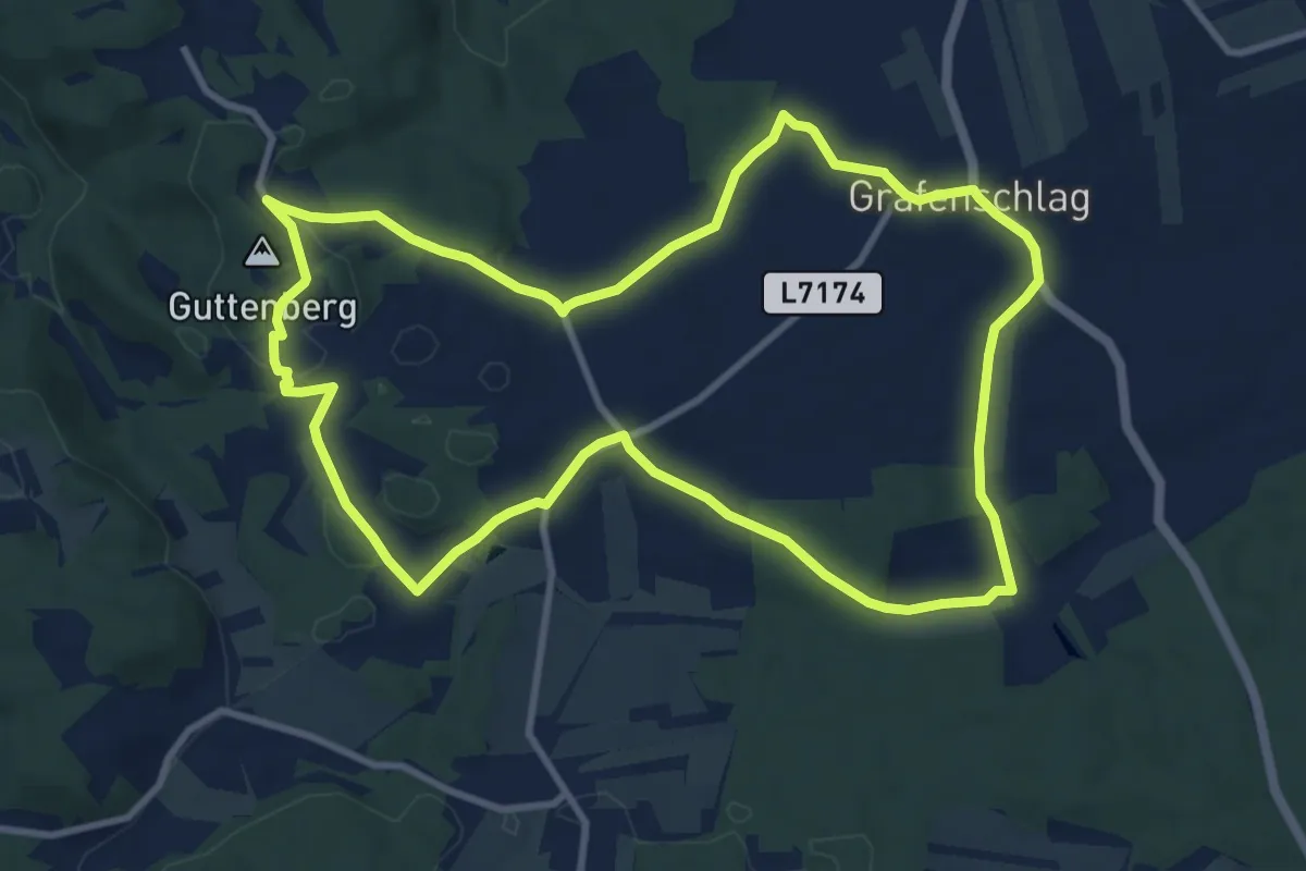
Medium · Trail
Walpurgisweg
10.0 km · ↑ 125 m · 2 h 47 min
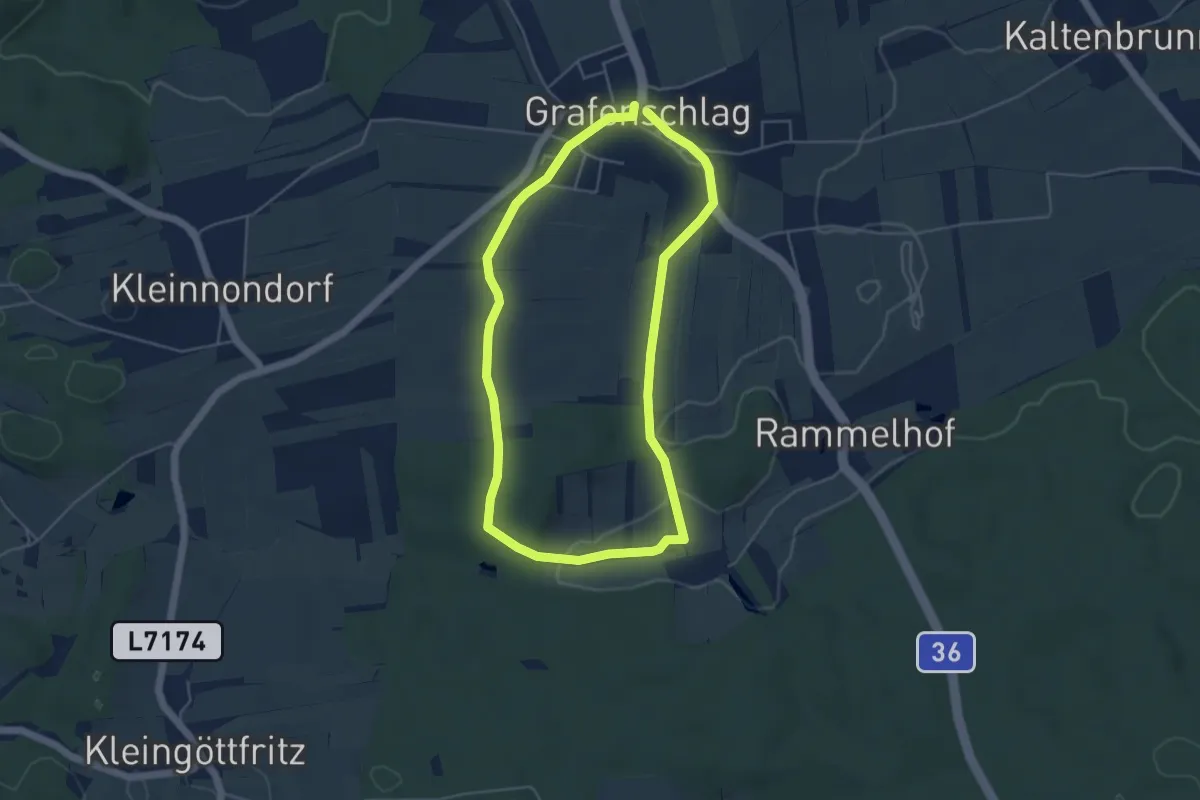
Easy · Trail
Walpurgisweg, Spazierrunde Nr. 81
4.3 km · ↑ 31 m · 1 h 9 min
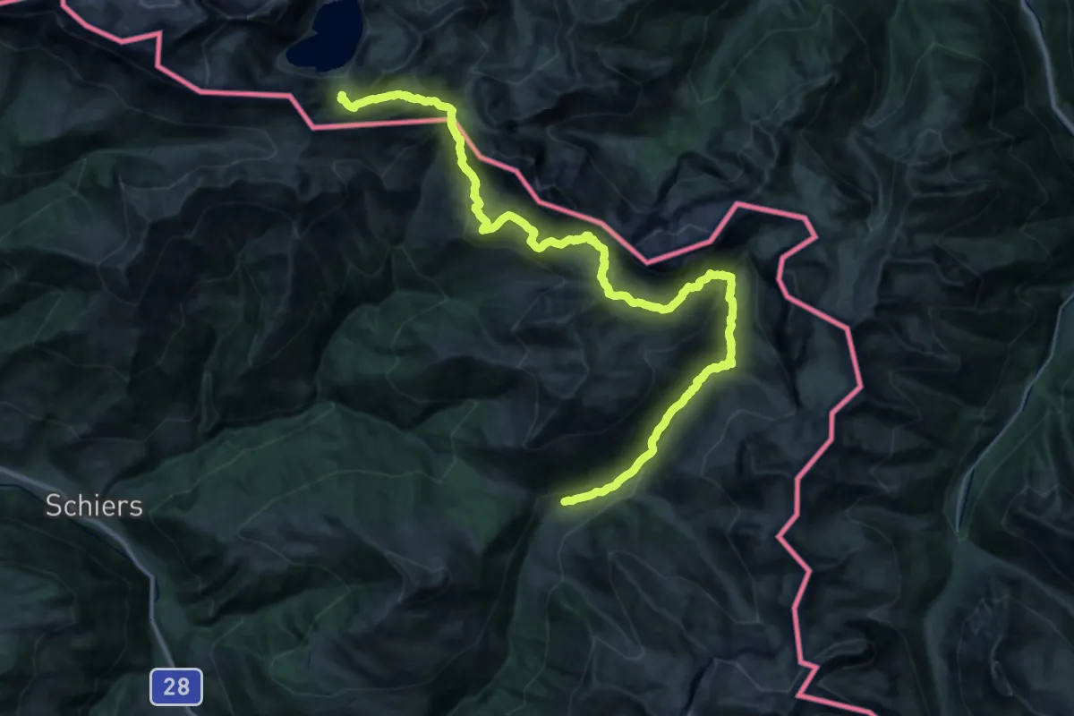
Demanding · Trail
Walserweg - Etappe 19
19.5 km · ↑ 747 m · 6 h 48 min
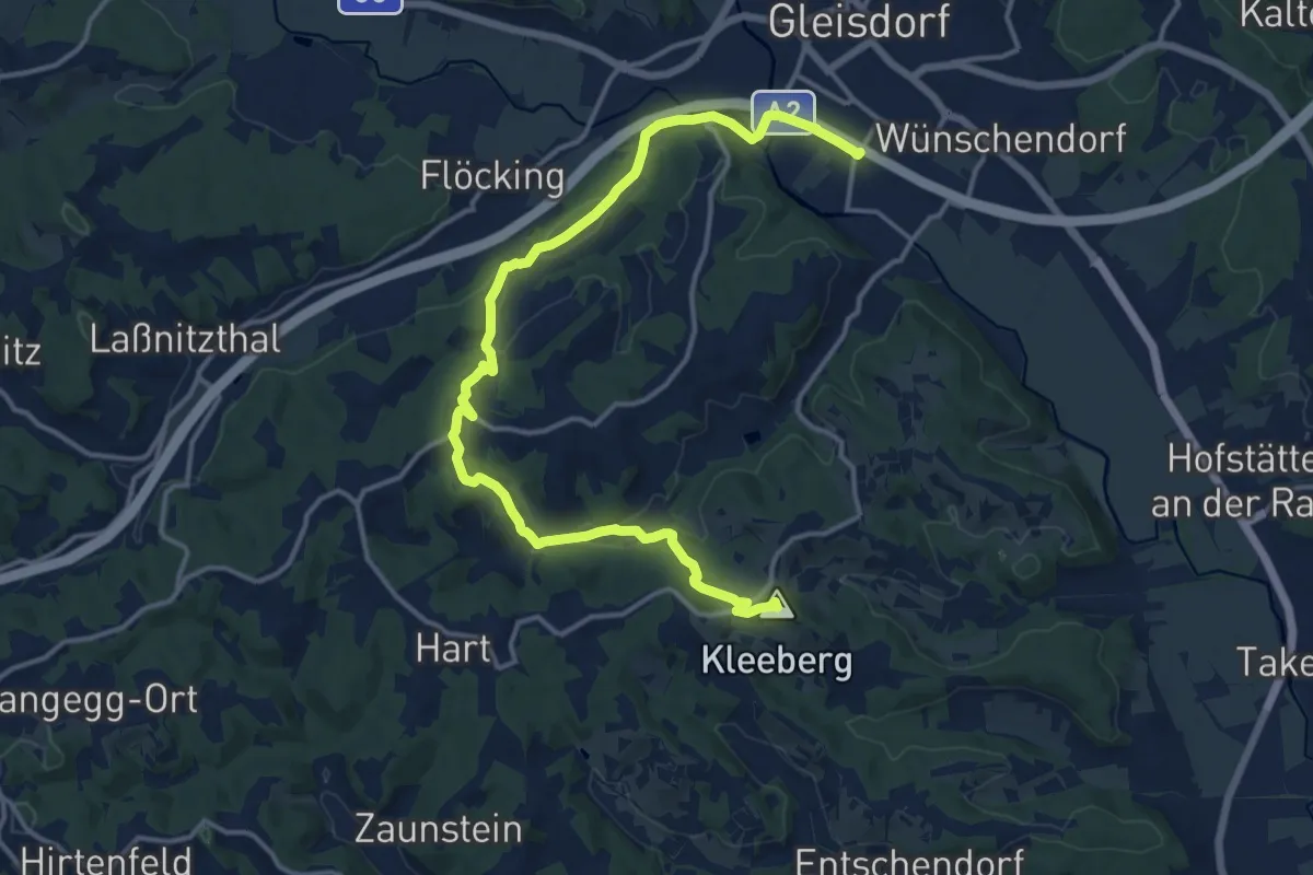
Medium · Summit
Wandern mit Aussicht
17.0 km · ↑ 414 m · 4 h 54 min
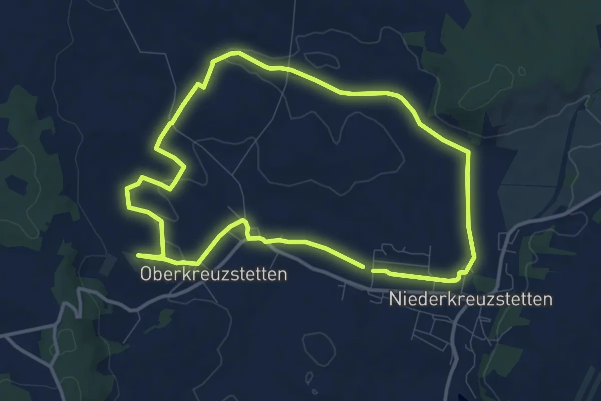
Medium · Trail
Wanderpuzzle Kreuzstetten
8.4 km · ↑ 114 m · 2 h 21 min
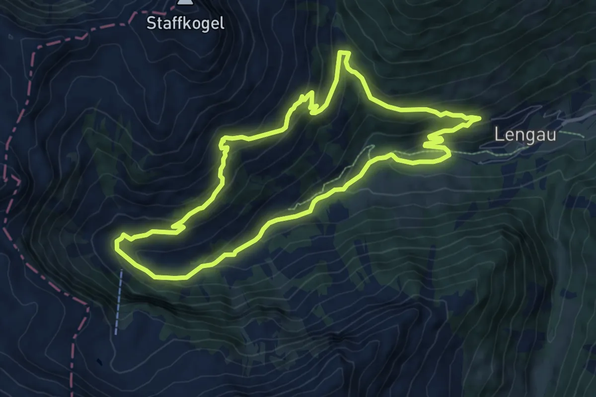
Medium · Trail
Wanderroute Talschluss Höhenweg
8.9 km · ↑ 465 m · 3 h 14 min
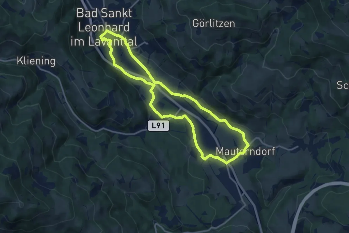
Medium · Trail
Wanderrunde Mauerndorf-Wiesenau
9.7 km · ↑ 107 m · 2 h 39 min
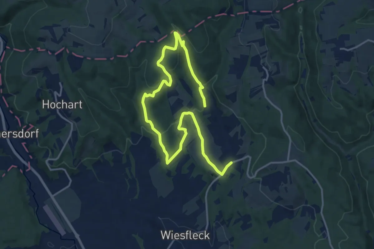
Medium · Trail
Wanderstrecke blaue Markierung
15.8 km · ↑ 508 m · 4 h 50 min
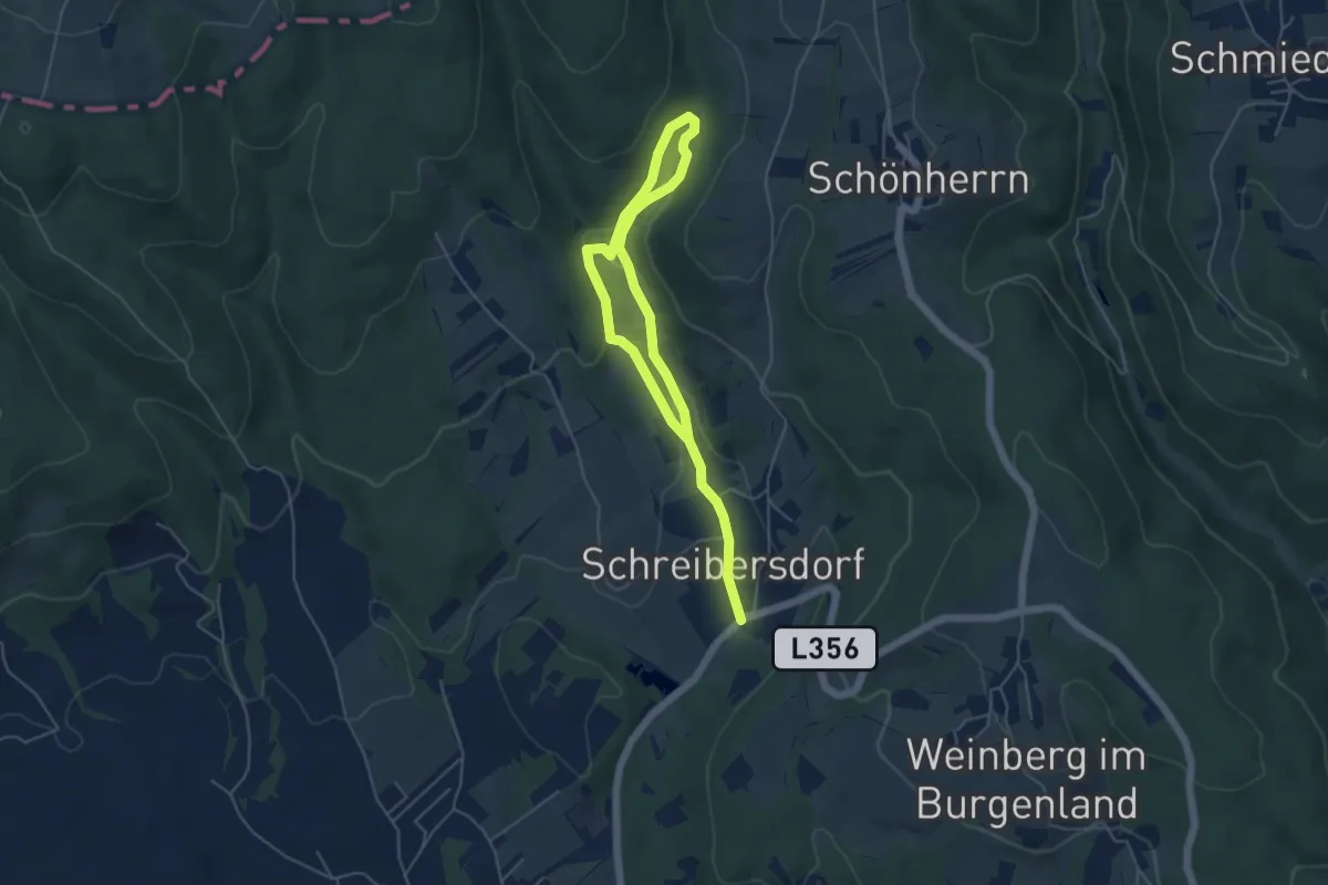
Easy · Trail
Wanderstrecke gelbe Markierung
7.2 km · ↑ 157 m · 2 h 2 min
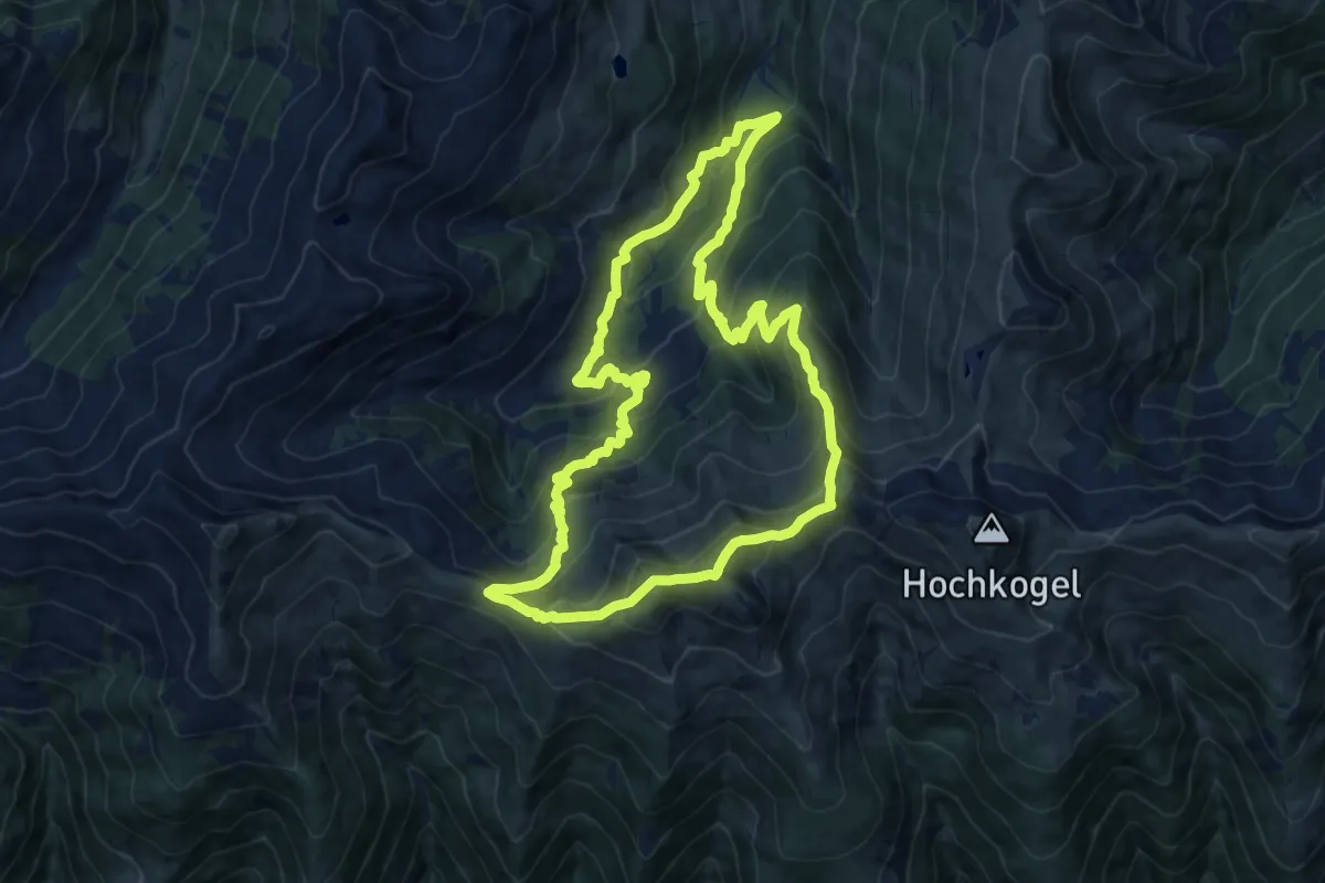
Demanding · Summit
Wandertour Bärensteigkogel
13.6 km · ↑ 1017 m · 5 h 36 min
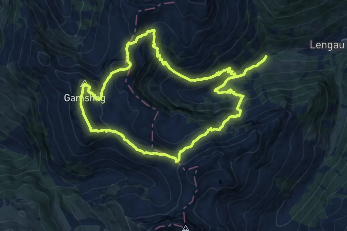
Expert · Summit
Wandertour Gamshag
14.3 km · ↑ 1096 m · 5 h 57 min
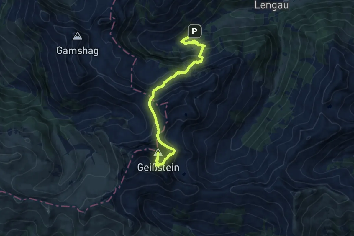
Demanding · Summit
Wandertour Geißstein
12.7 km · ↑ 1126 m · 5 h 26 min