Trails in Austria
9,777 hiking trails, each with its route, climb, walking time and grade.
All trails, page 128 of 204
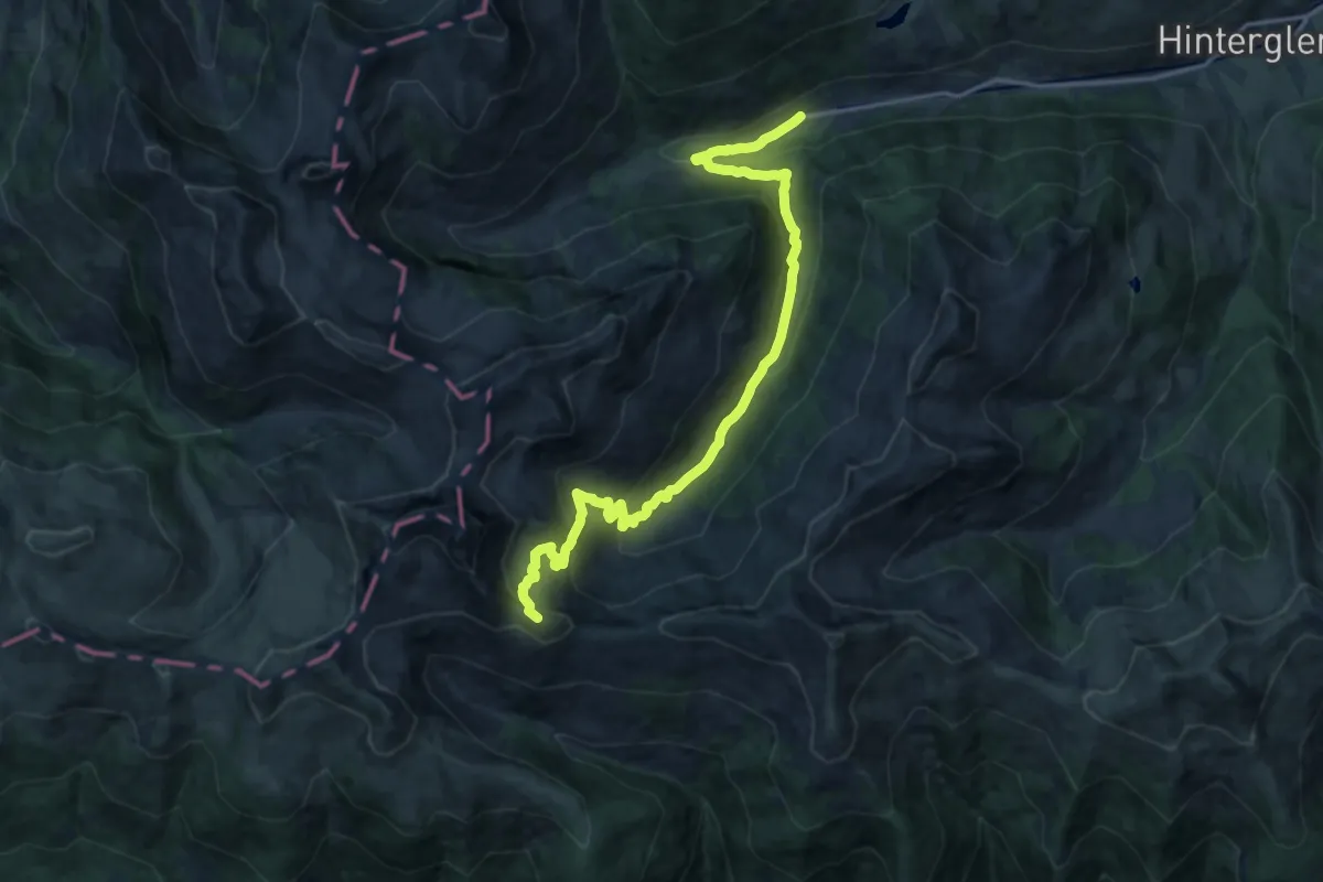
Demanding · Summit
Wandertour Geißstein ab Lengau
18.4 km · ↑ 932 m · 6 h 21 min
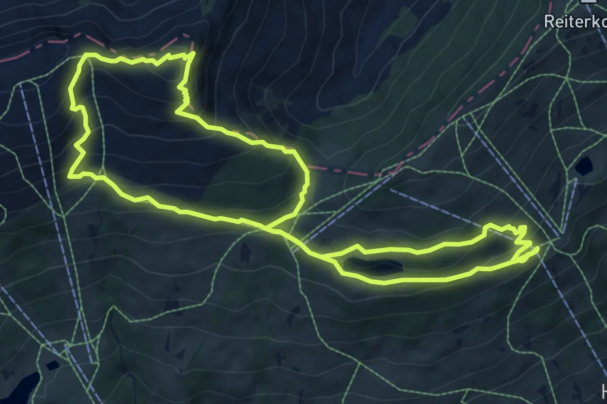
Medium · Summit
Wandertour Hochalmspitze
8.5 km · ↑ 517 m · 3 h 15 min
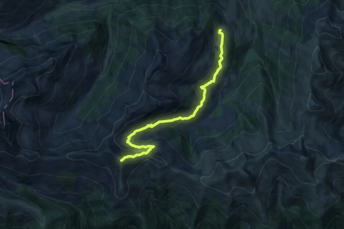
Demanding · Summit
Wandertour Manlitzkogel
15.4 km · ↑ 913 m · 5 h 37 min
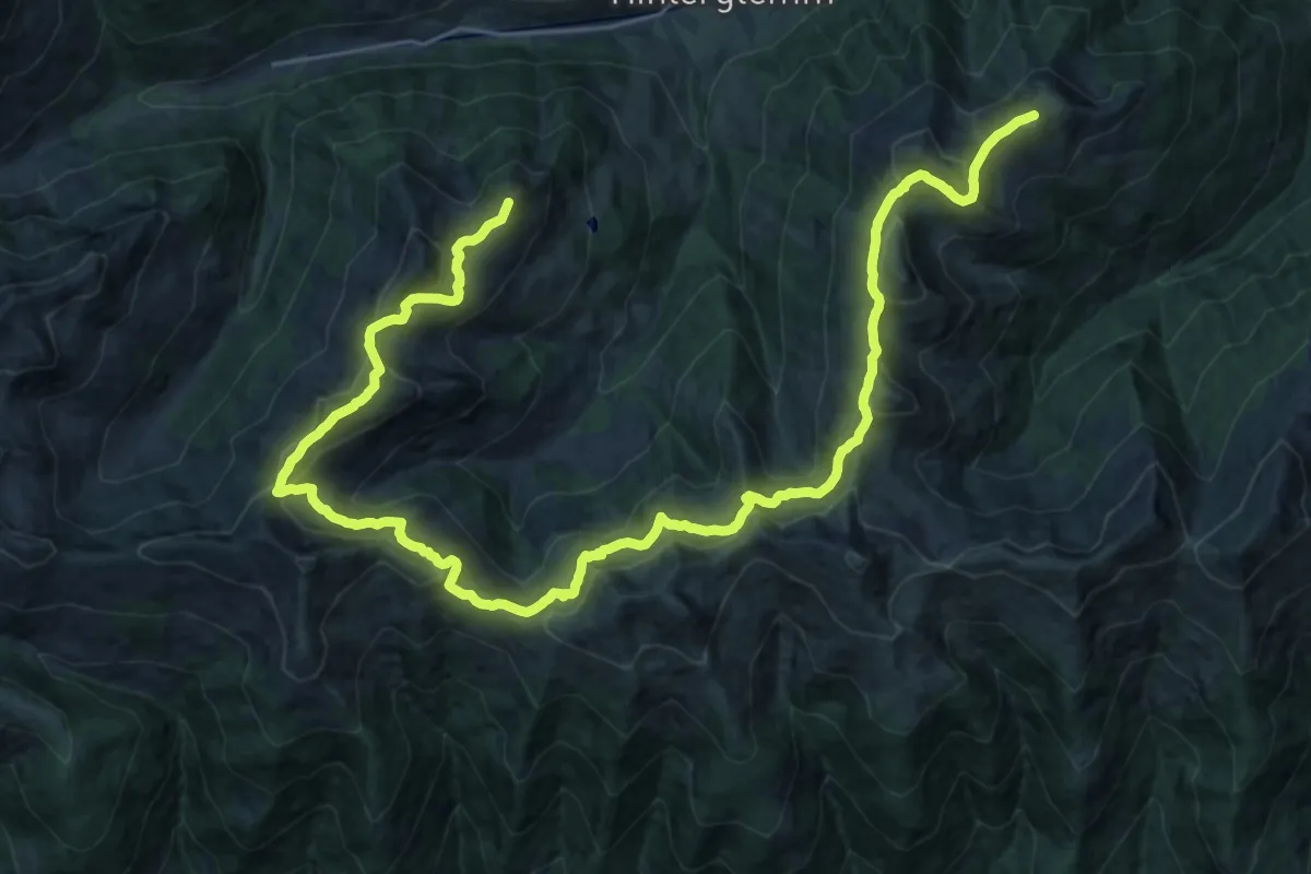
Demanding · Summit
Wandertour Panoramaweg
34.4 km · ↑ 1641 m · 11 h 41 min
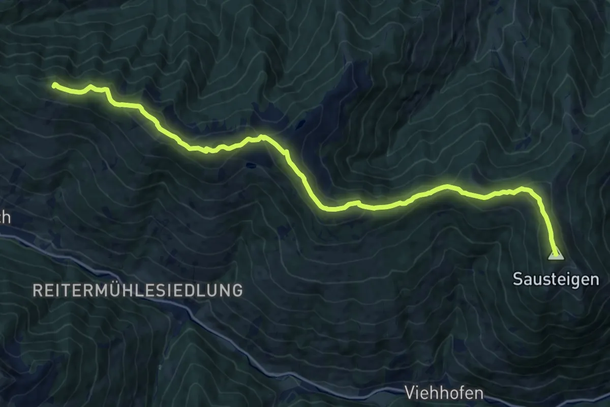
Demanding · Summit
Wandertour Saalachtaler Höhenweg
20.5 km · ↑ 993 m · 6 h 59 min
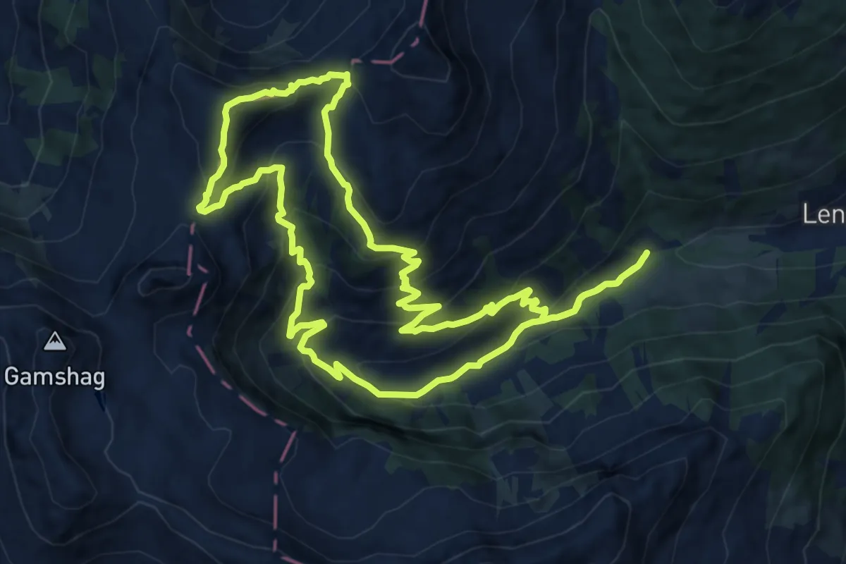
Expert · Summit
Wandertour Saalkogel
11.8 km · ↑ 833 m · 4 h 45 min
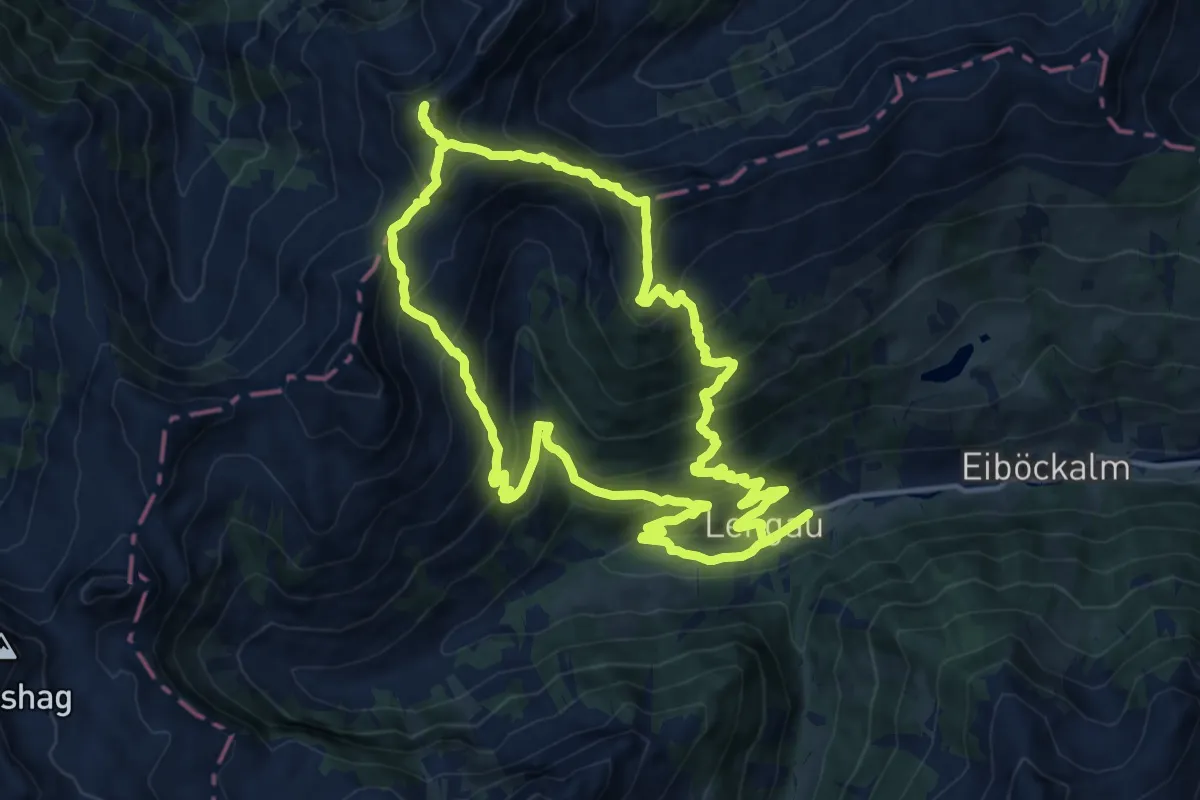
Demanding · Summit
Wandertour Sonnspitze
14.0 km · ↑ 1215 m · 6 h 9 min
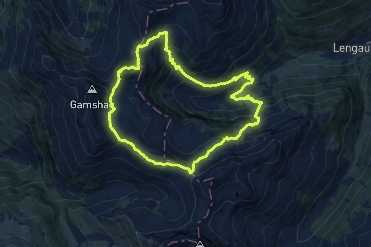
Expert · Summit
Wandertour Tristkogel
11.4 km · ↑ 951 m · 4 h 55 min
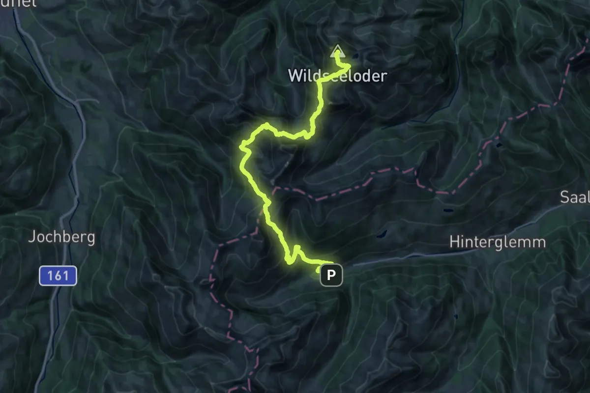
Demanding · Summit
Wandertour Wildseeloder ab Lengau
29.5 km · ↑ 2174 m · 11 h 41 min
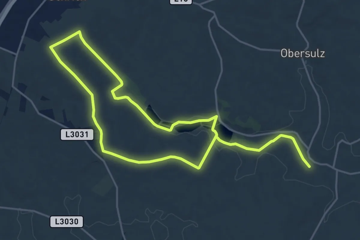
Demanding · Trail
Wanderung rund um die Nexinger Teiche
21.5 km · ↑ 210 m · 5 h 31 min
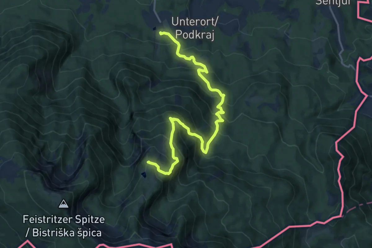
Demanding · Trail
Wandervogel
13.2 km · ↑ 1061 m · 5 h 25 min
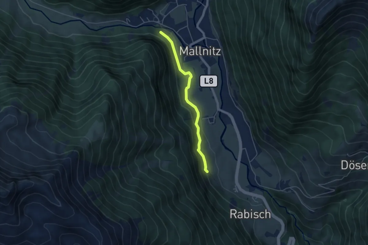
Easy · Trail
Wanderweg
3.9 km · ↑ 89 m · 1 h 7 min
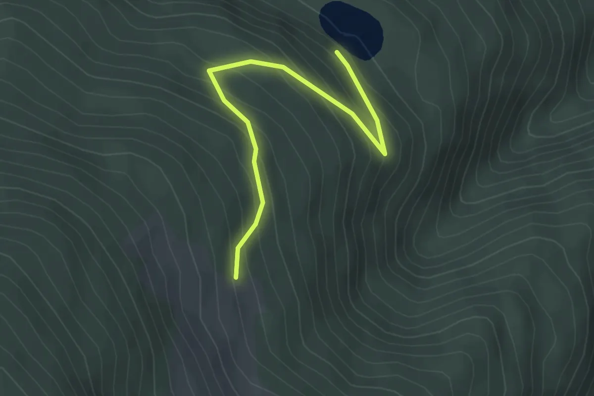
Easy · Cabin
Wanderweg
3.1 km · ↑ 234 m · 1 h 14 min
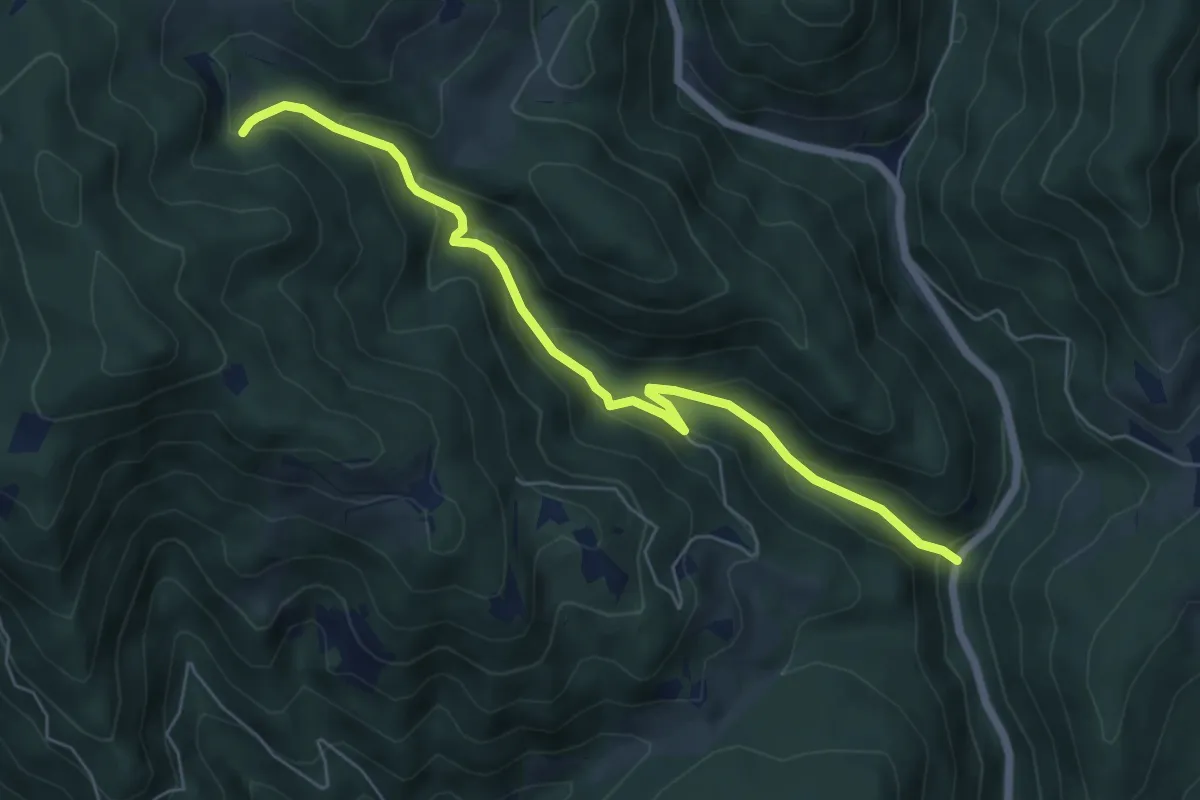
Medium · Trail
Wanderweg
6.2 km · ↑ 382 m · 2 h 18 min
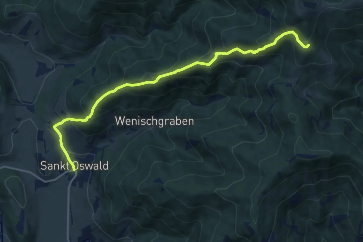
Demanding · Trail
Wanderweg 01
10.6 km · ↑ 817 m · 4 h 17 min
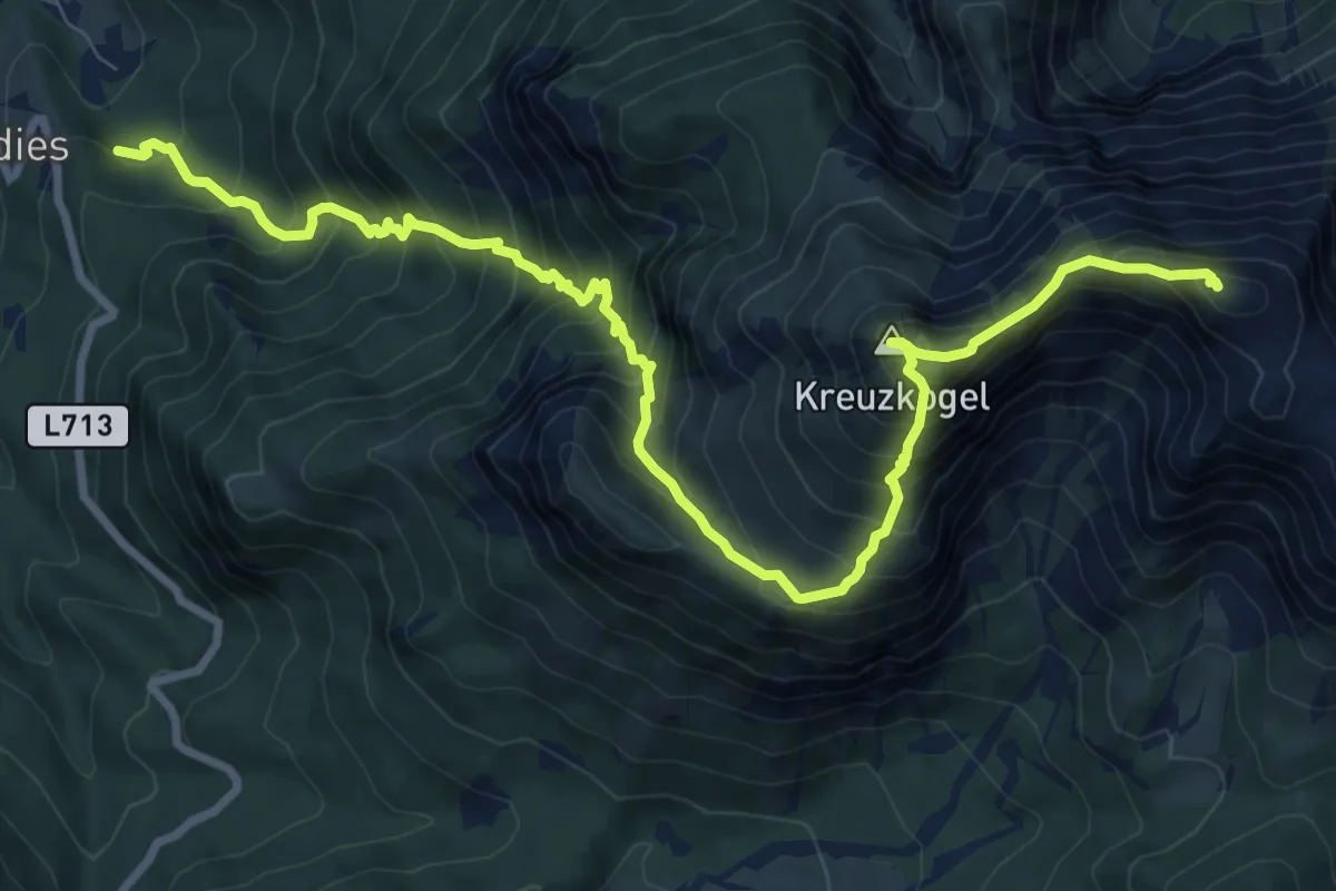
Expert · Summit
Wanderweg 01A
11.1 km · ↑ 1424 m · 5 h 42 min
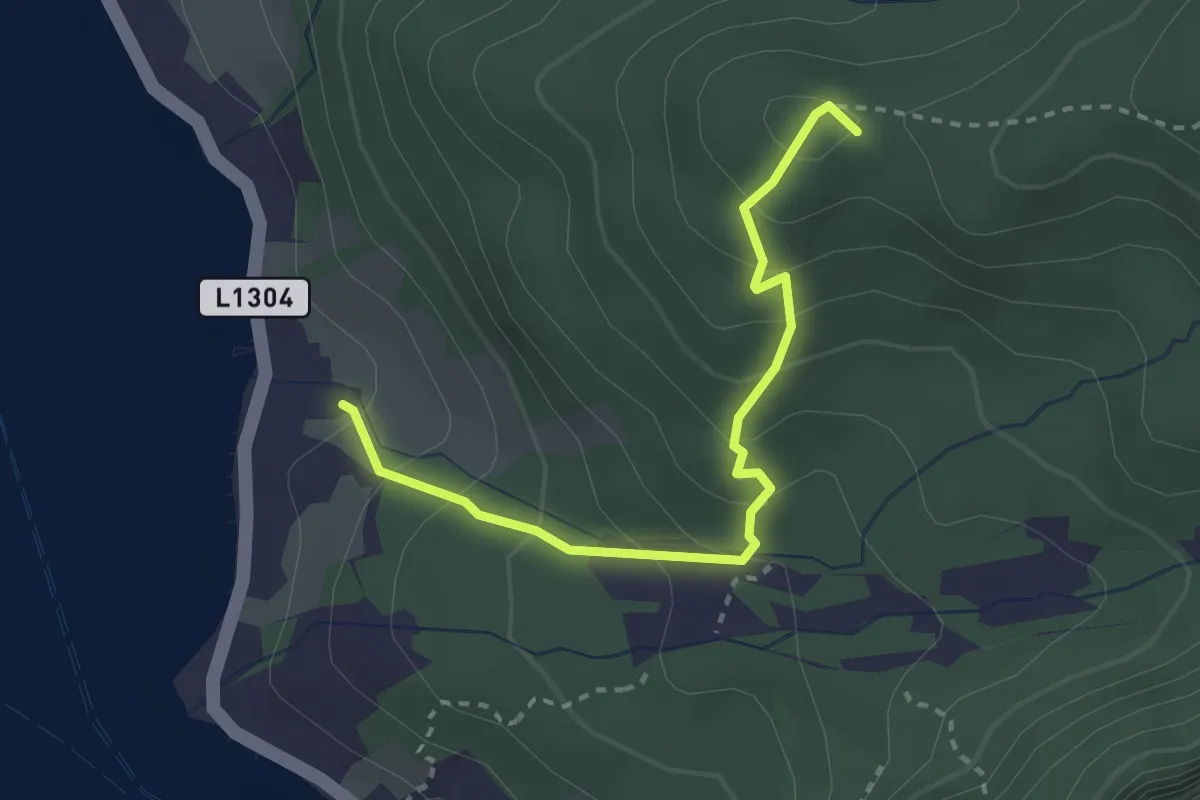
Easy · Summit
Wanderweg 02
2.8 km · ↑ 248 m · 1 h 12 min
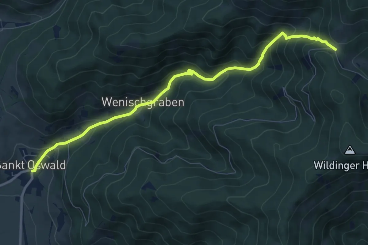
Medium · Trail
Wanderweg 02
8.1 km · ↑ 670 m · 3 h 22 min
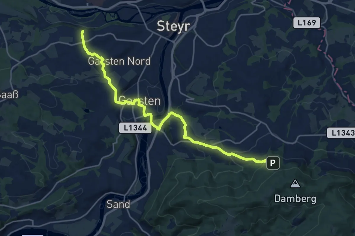
Medium · Trail
Wanderweg 06B
16.1 km · ↑ 494 m · 4 h 53 min
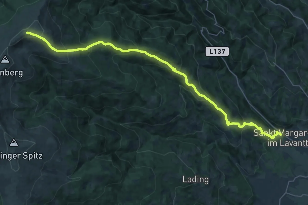
Demanding · Trail
Wanderweg 1
13.9 km · ↑ 1511 m · 6 h
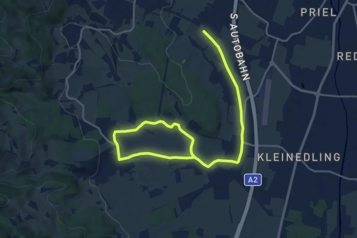
Medium · Trail
Wanderweg 1
13.2 km · ↑ 106 m · 3 h 20 min
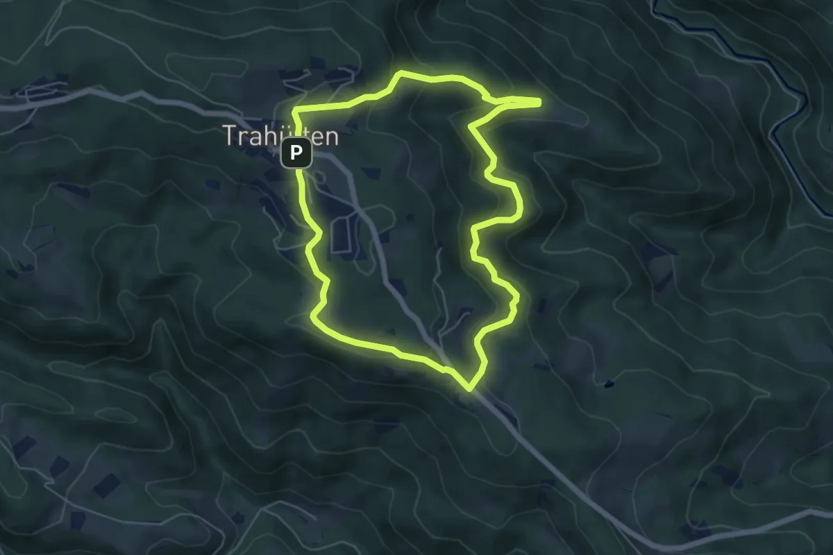
Medium · Trail
Wanderweg 1
5.4 km · ↑ 216 m · 1 h 48 min
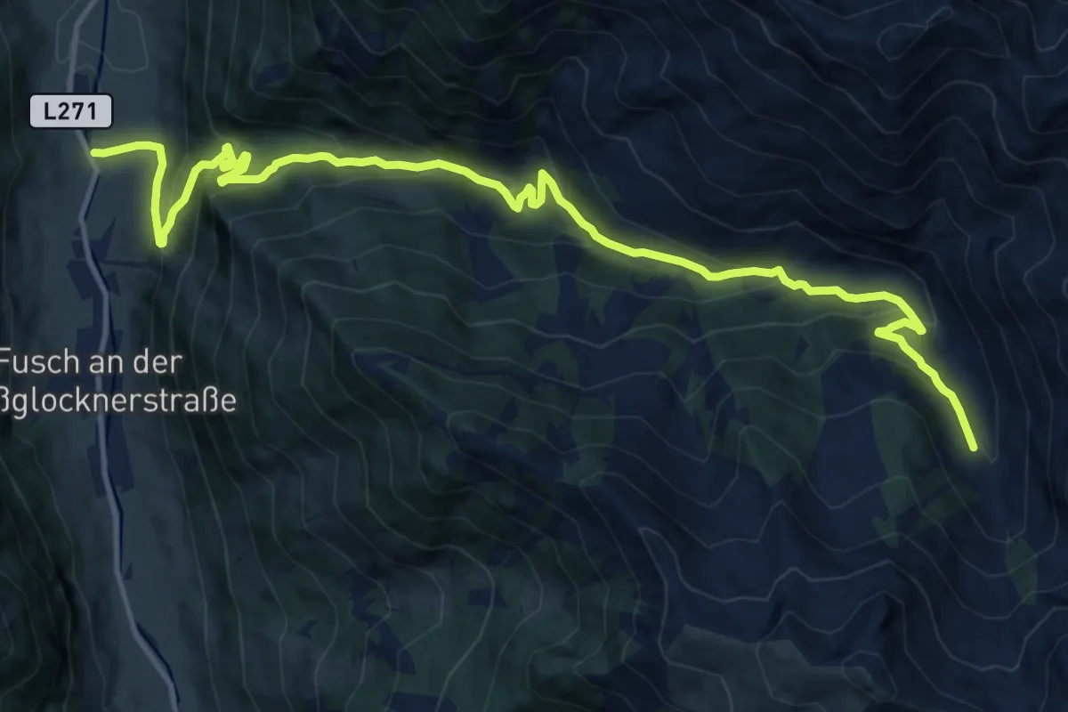
Medium · Trail
Wanderweg 1
15.4 km · ↑ 800 m · 5 h 22 min
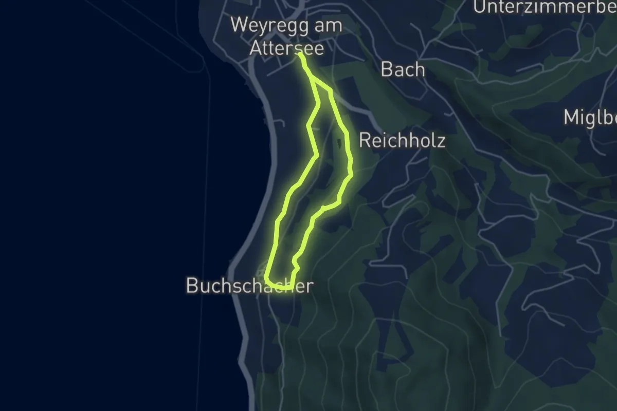
Easy · Trail
Wanderweg 1
3.1 km · ↑ 101 m · 1 h
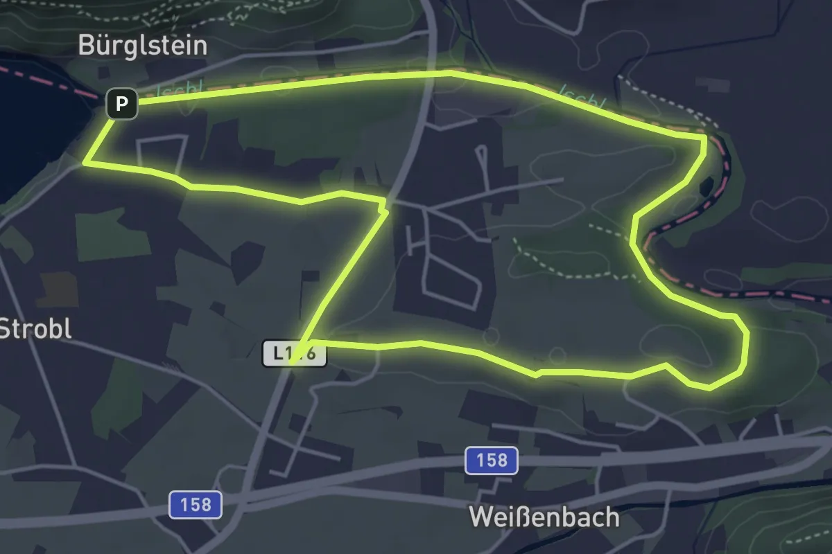
Easy · Trail
Wanderweg 1
4.9 km · ↑ 42 m · 1 h 19 min
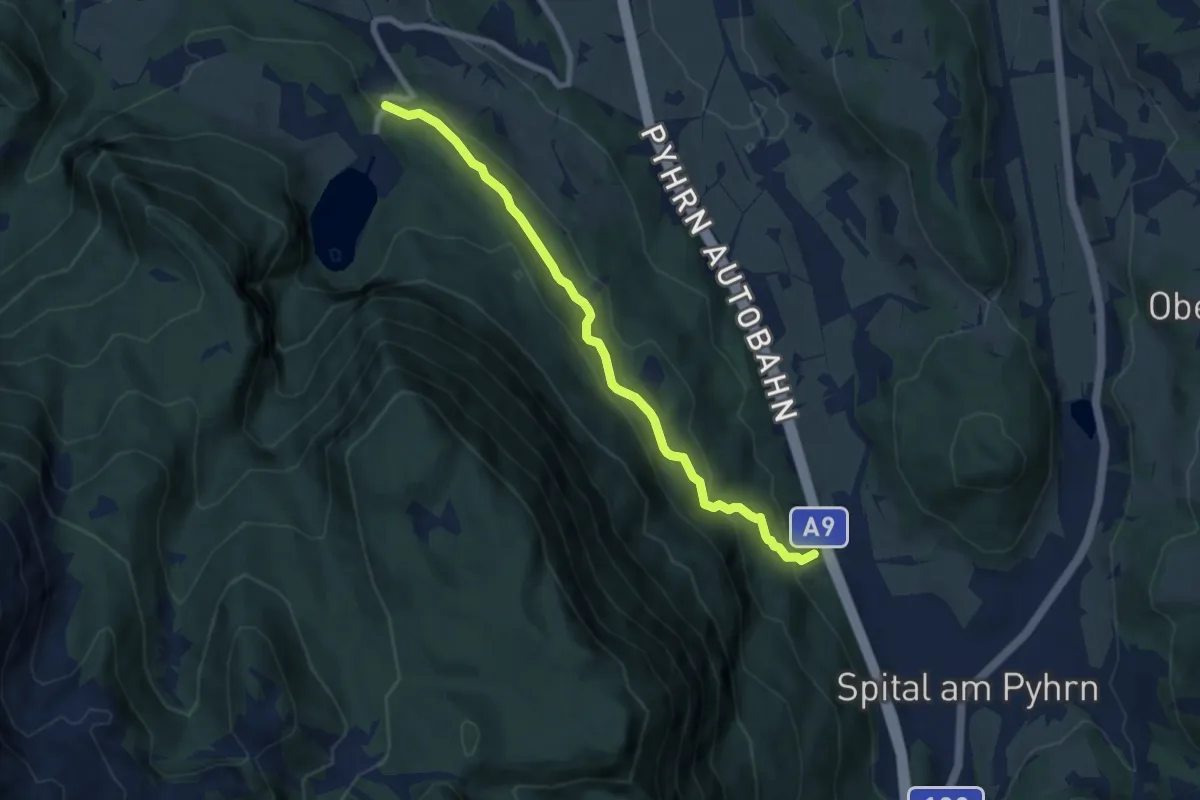
Easy · Trail
Wanderweg 1
7.6 km · ↑ 285 m · 2 h 24 min
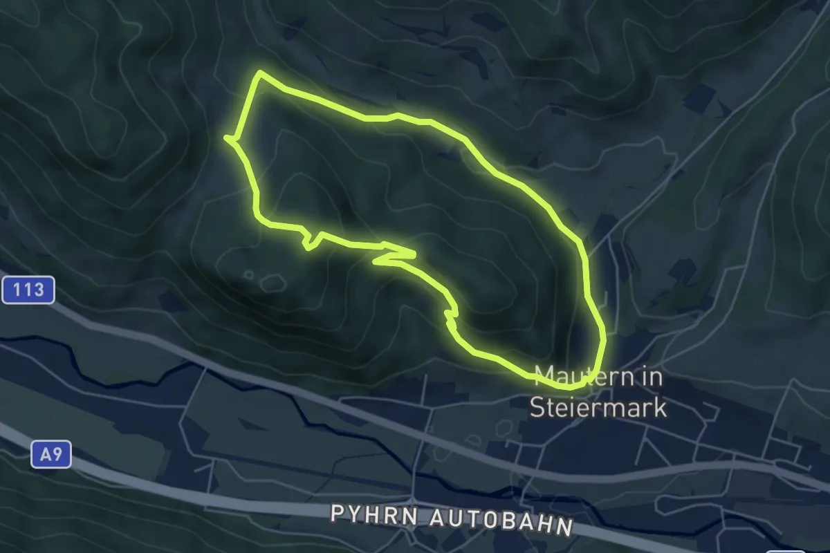
Medium · Trail
Wanderweg 1
5.0 km · ↑ 254 m · 1 h 48 min
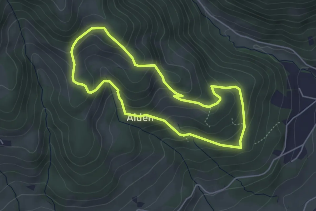
Medium · Trail
Wanderweg 1
3.8 km · ↑ 270 m · 1 h 33 min
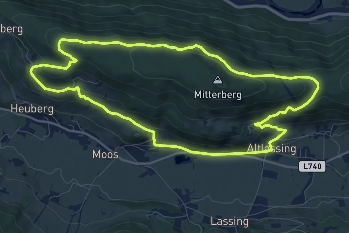
Medium · Trail
Wanderweg 1
9.2 km · ↑ 272 m · 2 h 53 min
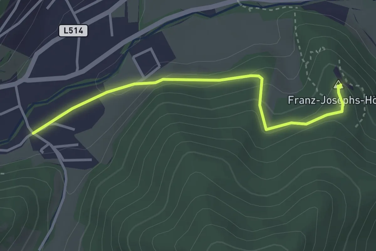
Medium · Summit
Wanderweg 1
2.9 km · ↑ 114 m · 56 min
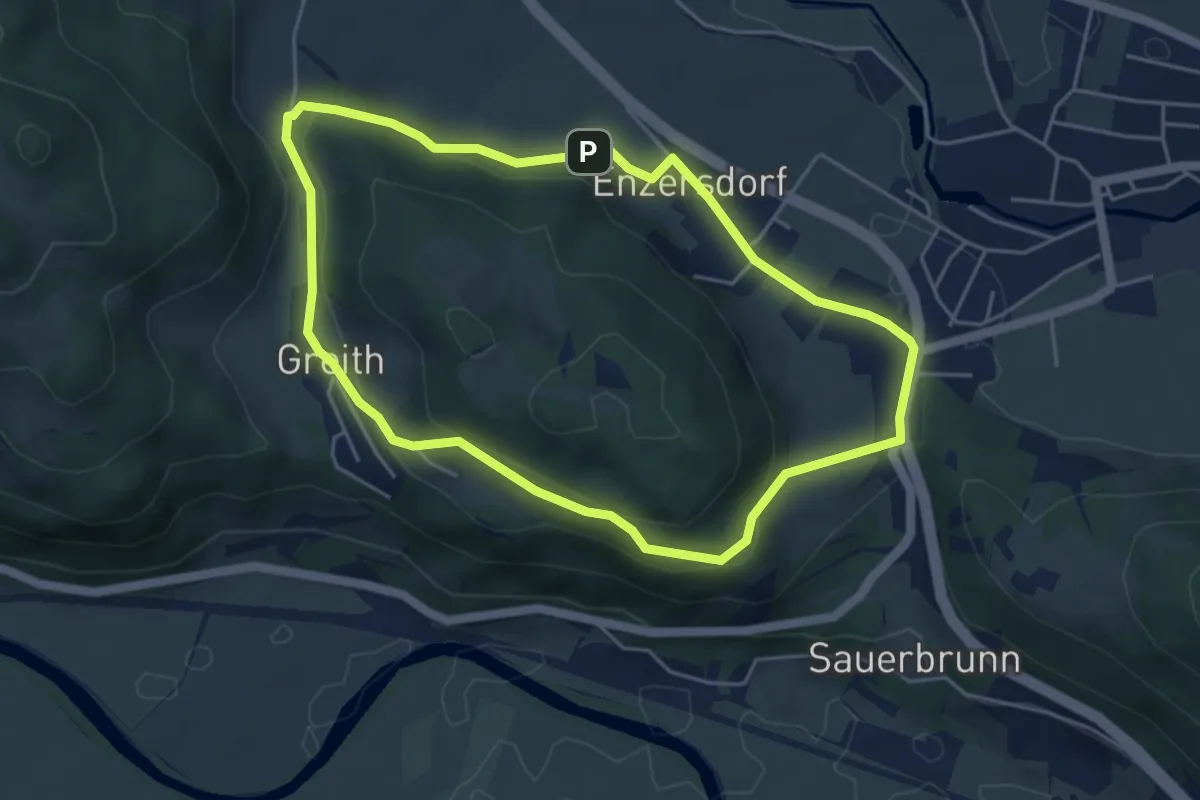
Easy · Trail
Wanderweg 1
4.5 km · ↑ 84 m · 1 h 19 min
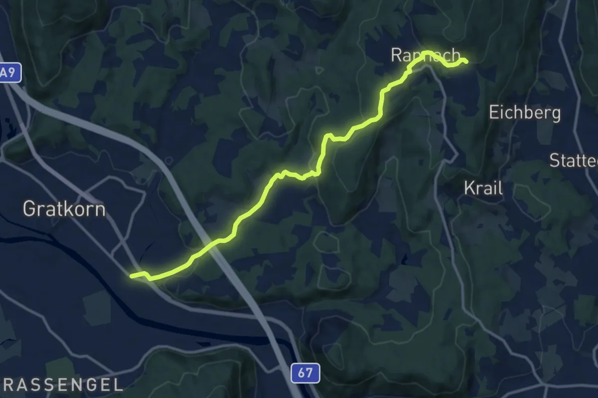
Medium · Trail
Wanderweg 1
11.3 km · ↑ 337 m · 3 h 24 min
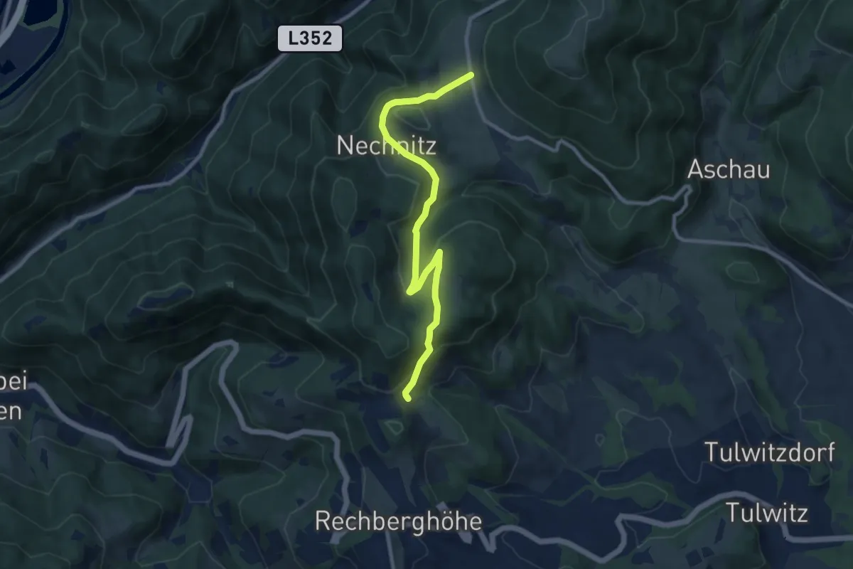
Medium · Trail
Wanderweg 1
9.2 km · ↑ 332 m · 2 h 54 min
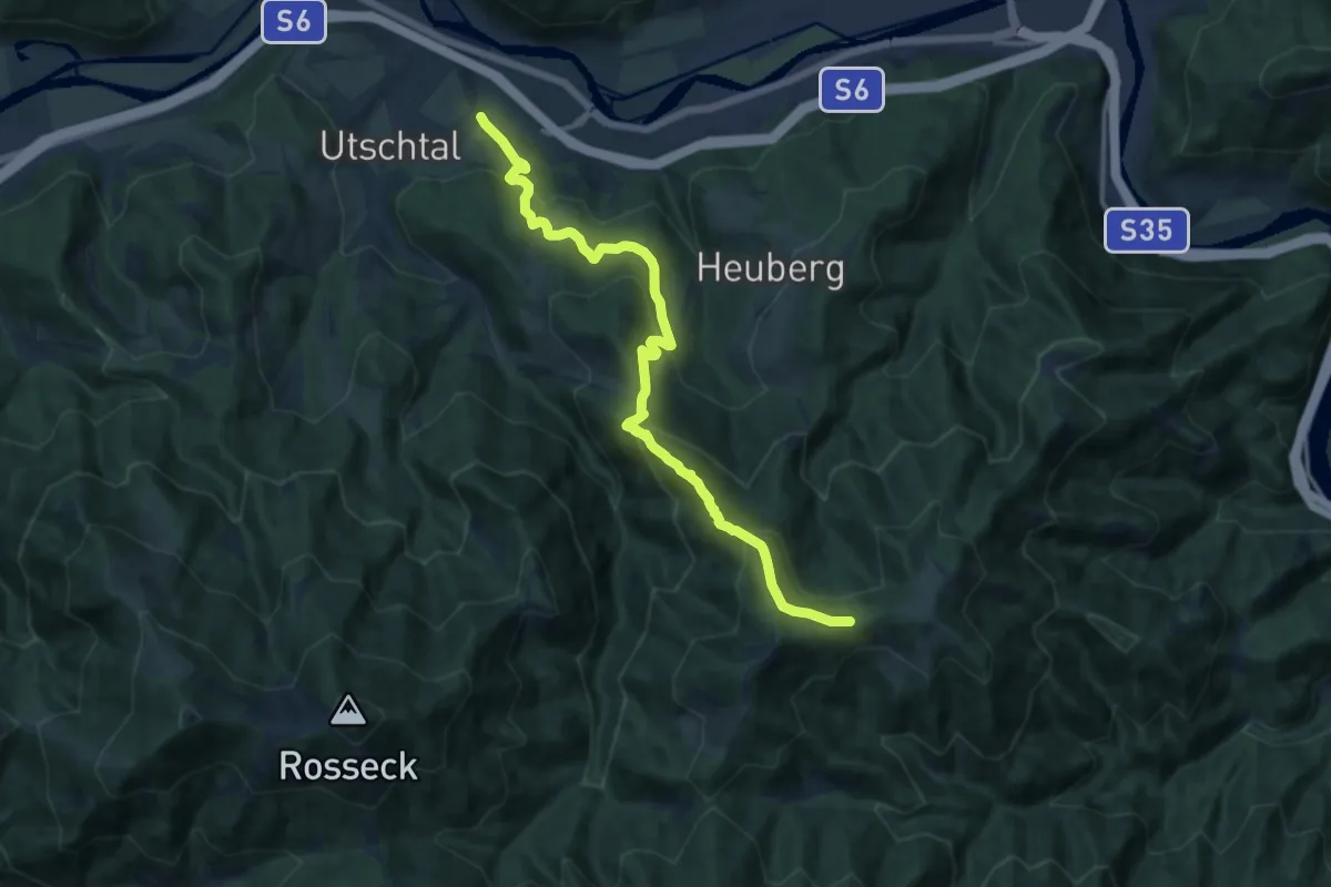
Demanding · Trail
Wanderweg 1
13.6 km · ↑ 803 m · 4 h 57 min
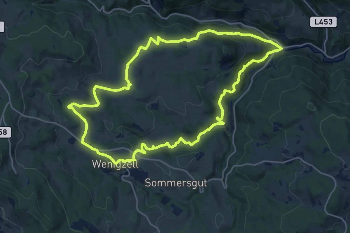
Medium · Trail
Wanderweg 1
14.8 km · ↑ 370 m · 4 h 30 min
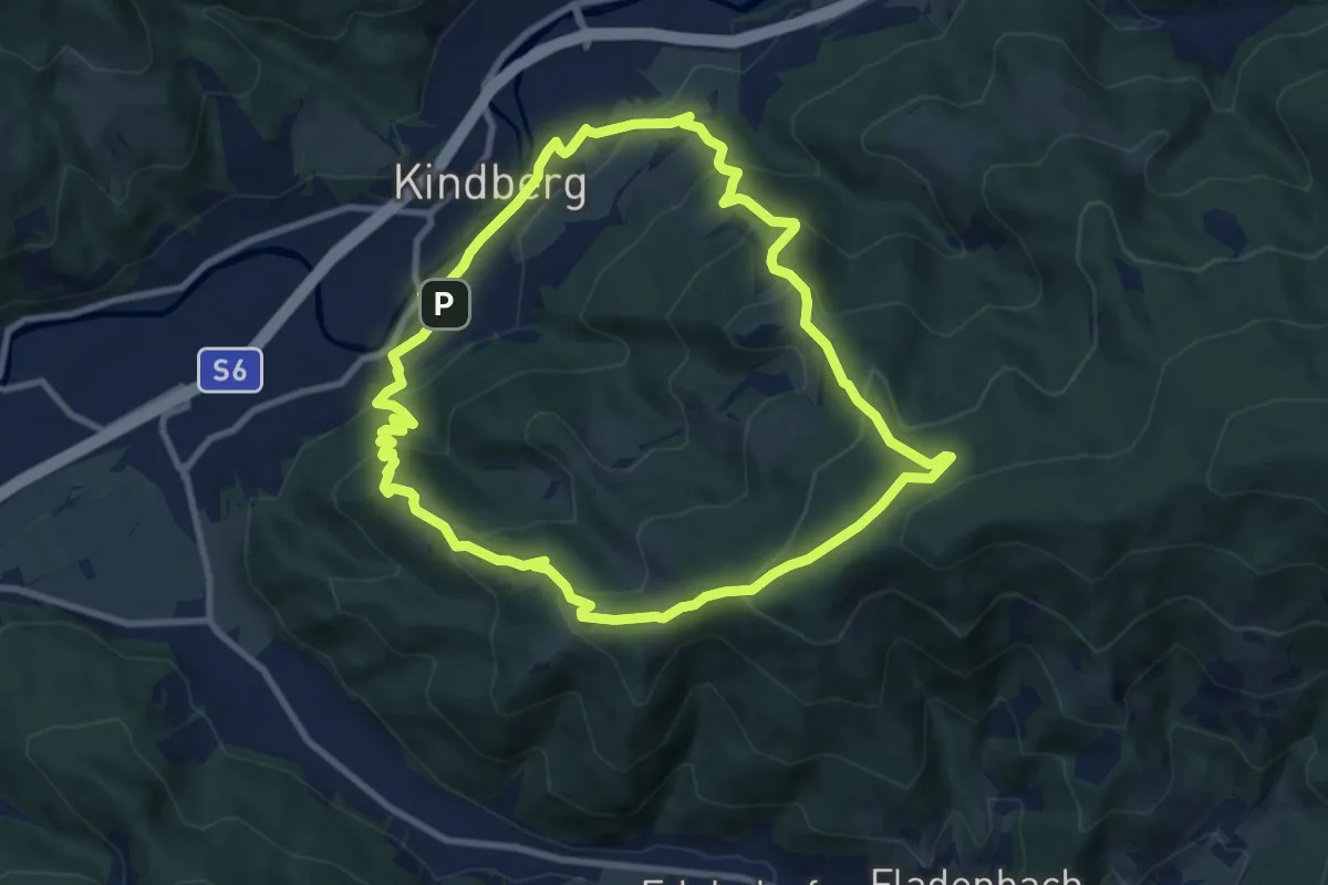
Medium · Summit
Wanderweg 1
9.2 km · ↑ 507 m · 3 h 23 min
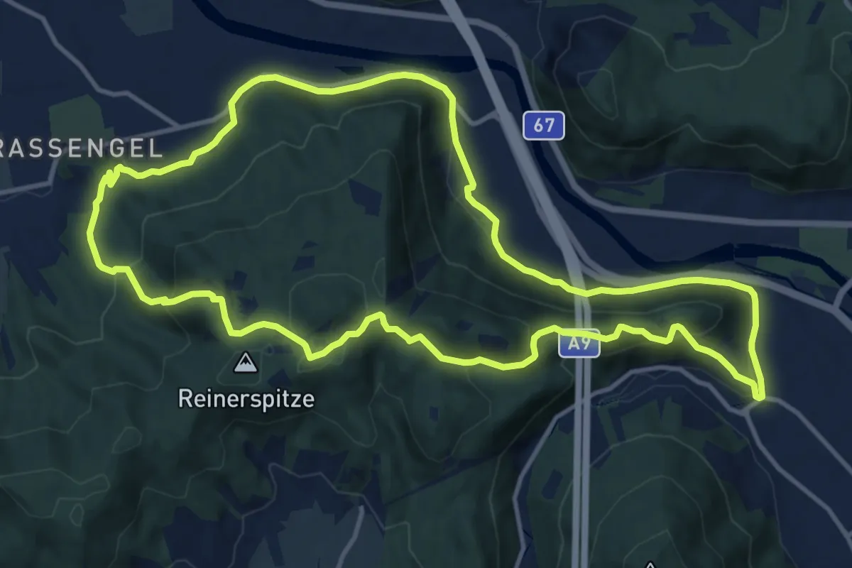
Medium · Summit
Wanderweg 1
11.9 km · ↑ 384 m · 3 h 49 min
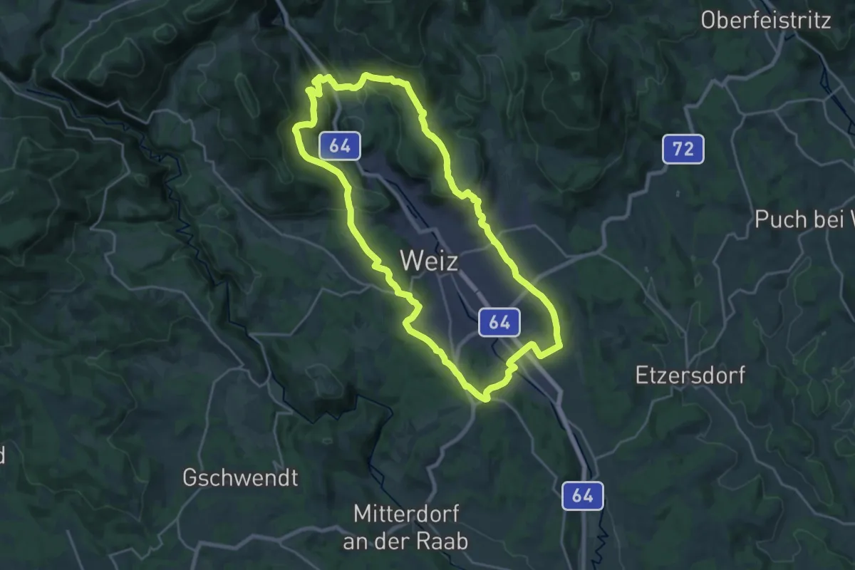
Demanding · Trail
Wanderweg 1
20.2 km · ↑ 540 m · 6 h 13 min
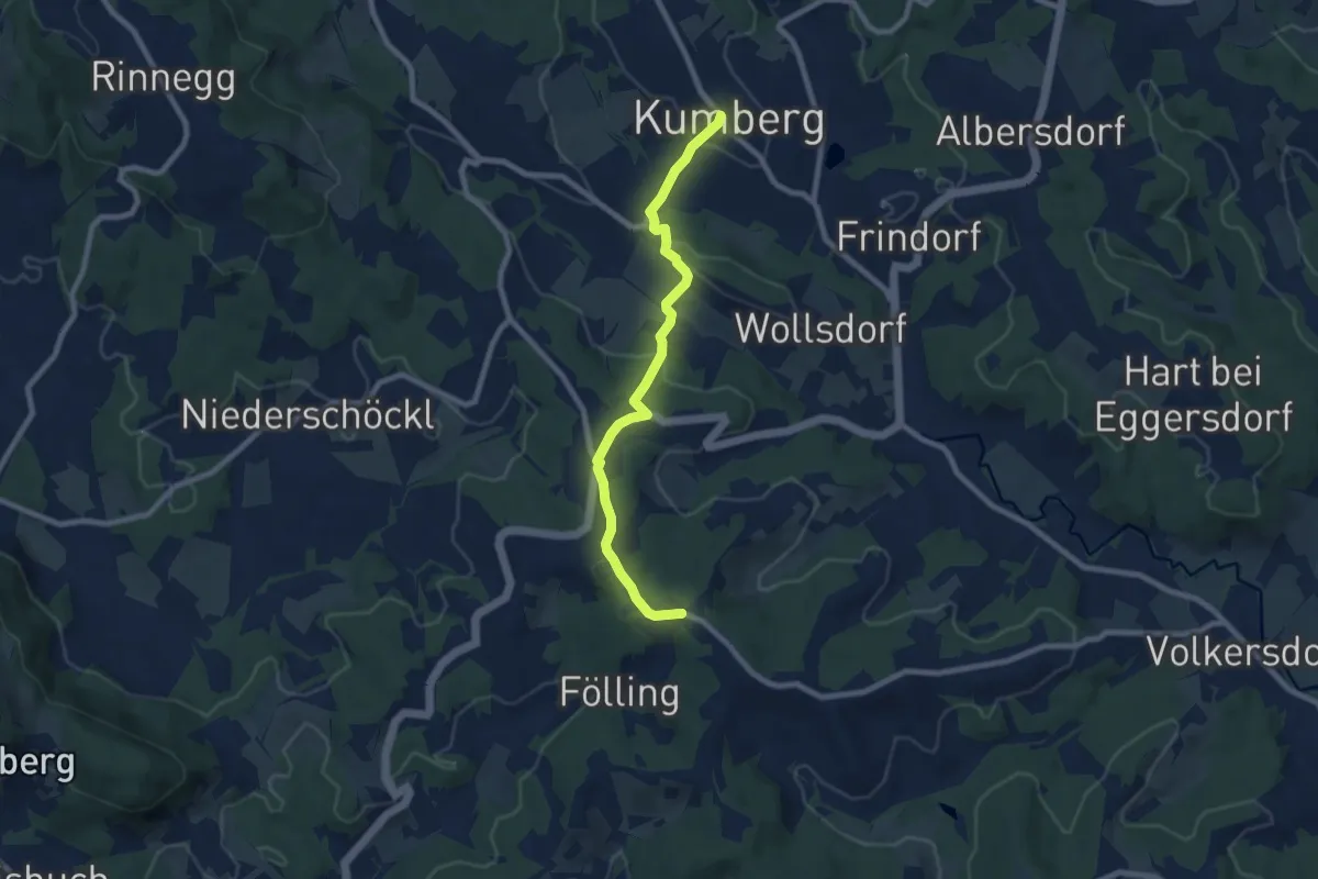
Easy · Trail
Wanderweg 1
7.9 km · ↑ 247 m · 2 h 24 min
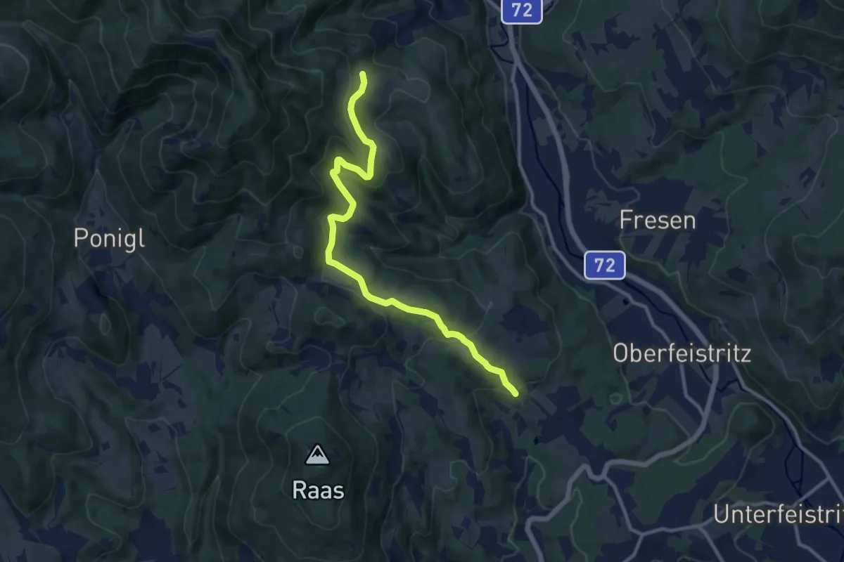
Easy · Trail
Wanderweg 1
5.4 km · ↑ 39 m · 1 h 34 min
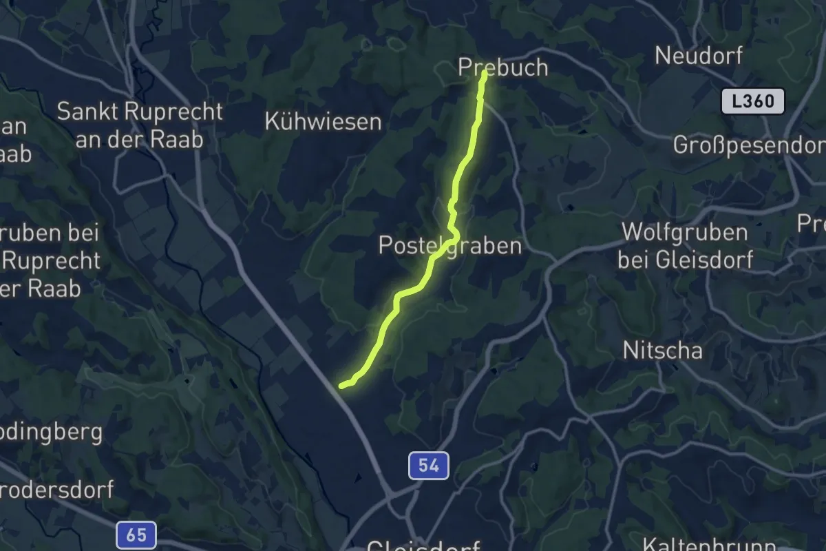
Medium · Trail
Wanderweg 1
9.4 km · ↑ 170 m · 2 h 36 min
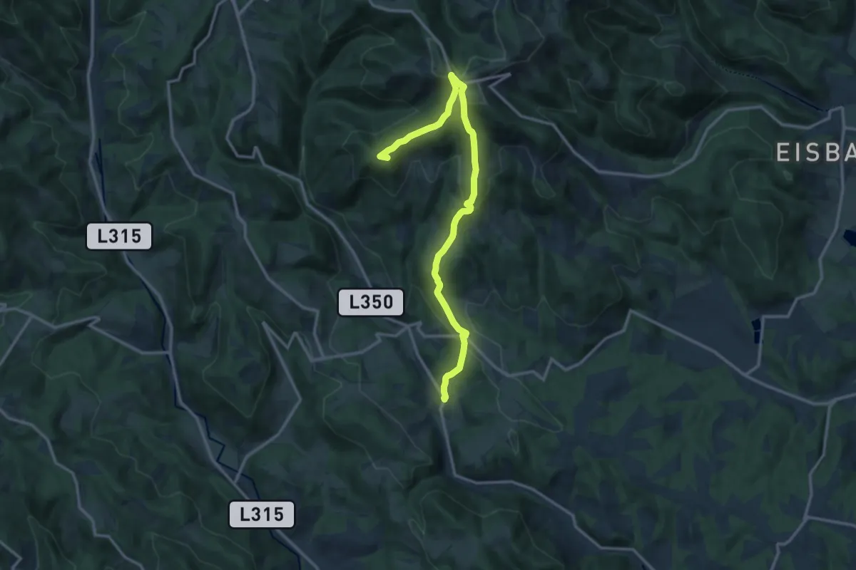
Medium · Summit
Wanderweg 1
13.2 km · ↑ 658 m · 4 h 33 min
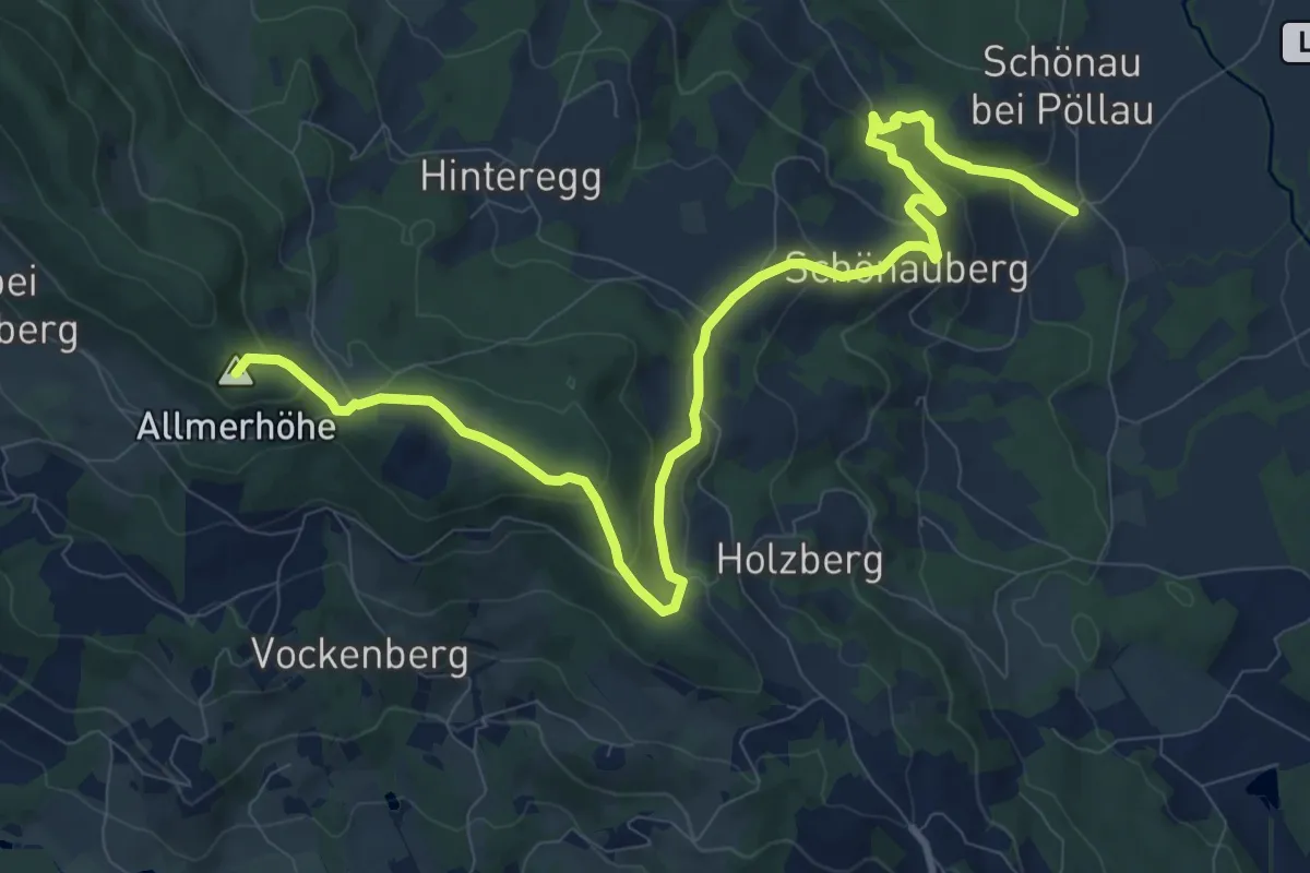
Medium · Summit
Wanderweg 1
12.6 km · ↑ 427 m · 3 h 54 min
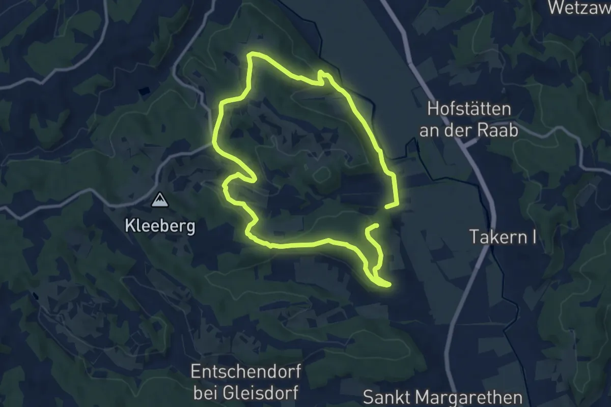
Medium · Trail
Wanderweg 1
8.8 km · ↑ 198 m · 2 h 38 min
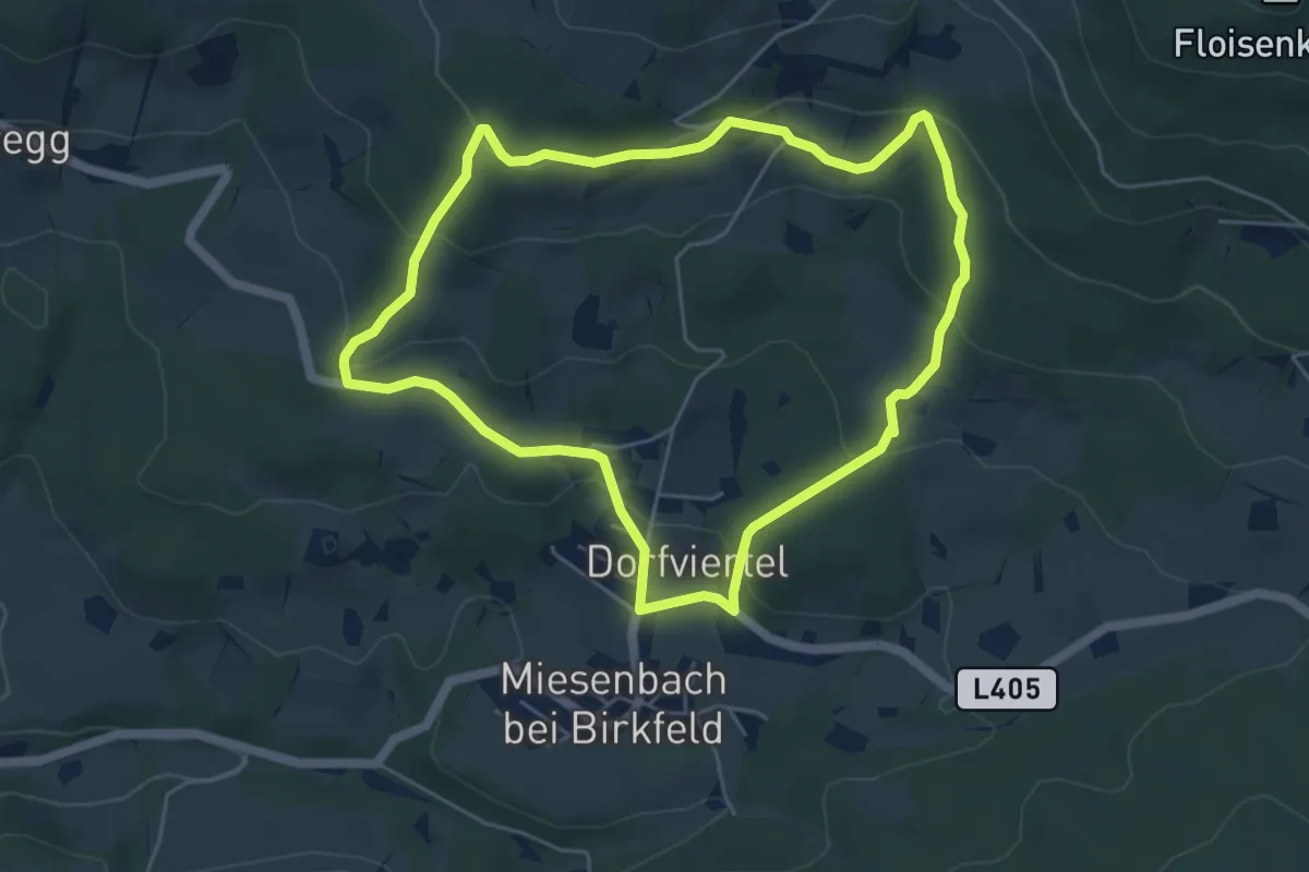
Easy · Trail
Wanderweg 1
5.2 km · ↑ 177 m · 1 h 41 min
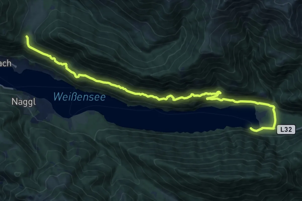
Demanding · Trail
Wanderweg 10
20.6 km · ↑ 667 m · 6 h 19 min
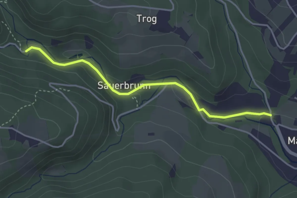
Easy · Trail
Wanderweg 10
3.3 km · ↑ 42 m · 53 min
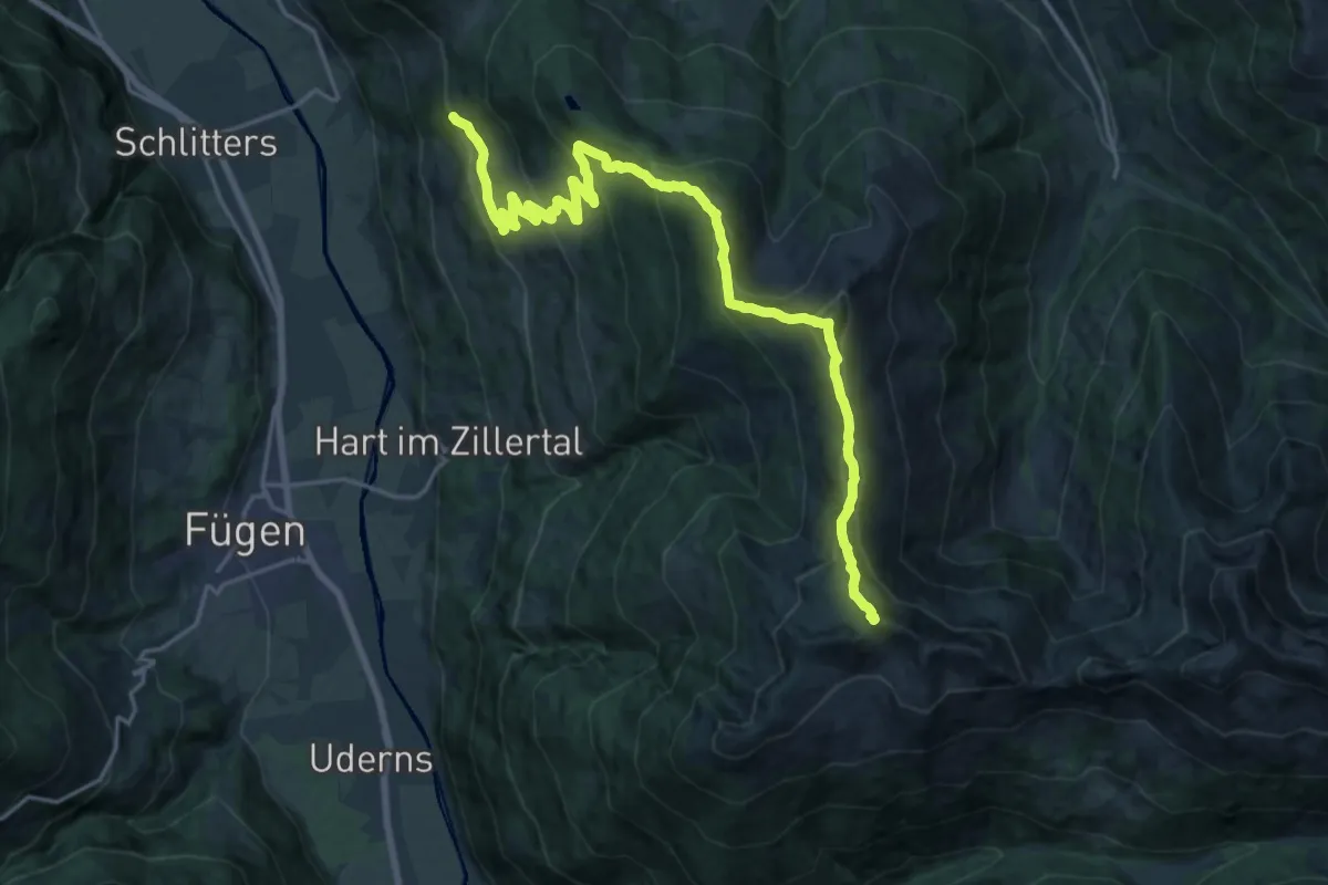
Demanding · Summit
Wanderweg 10
22.9 km · ↑ 1517 m · 8 h 41 min