Trails in Austria
9,777 hiking trails, each with its route, climb, walking time and grade.
All trails, page 131 of 204
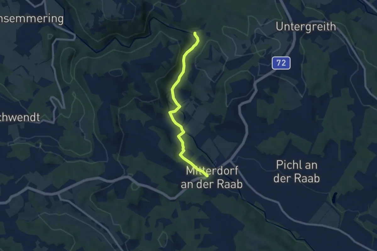
Easy · Trail
Wanderweg 12
6.0 km · ↑ 26 m · 1 h 29 min
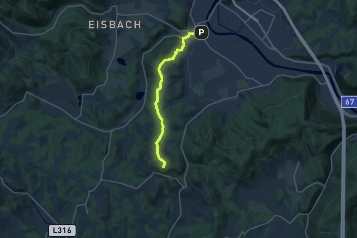
Medium · Summit
Wanderweg 12
11.0 km · ↑ 340 m · 3 h 20 min
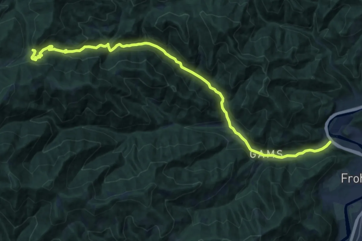
Demanding · Trail
Wanderweg 12
25.0 km · ↑ 753 m · 7 h 32 min
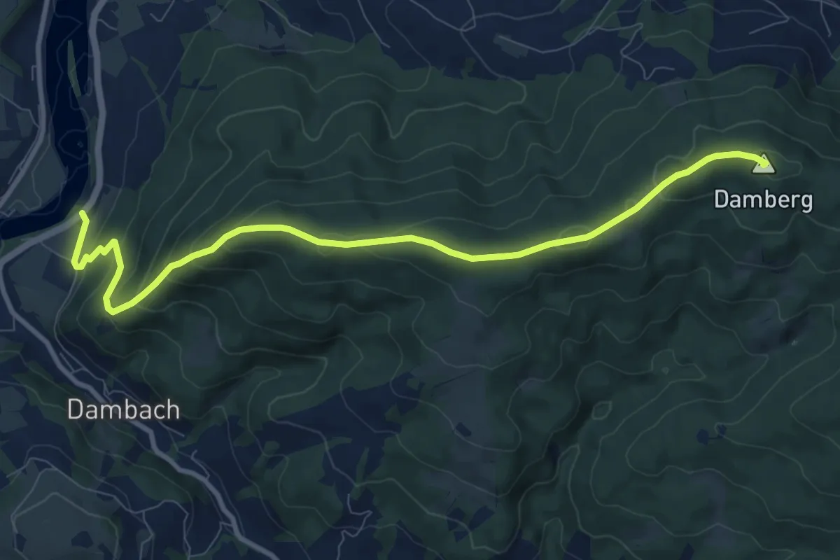
Medium · Summit
Wanderweg 12
10.0 km · ↑ 525 m · 3 h 30 min
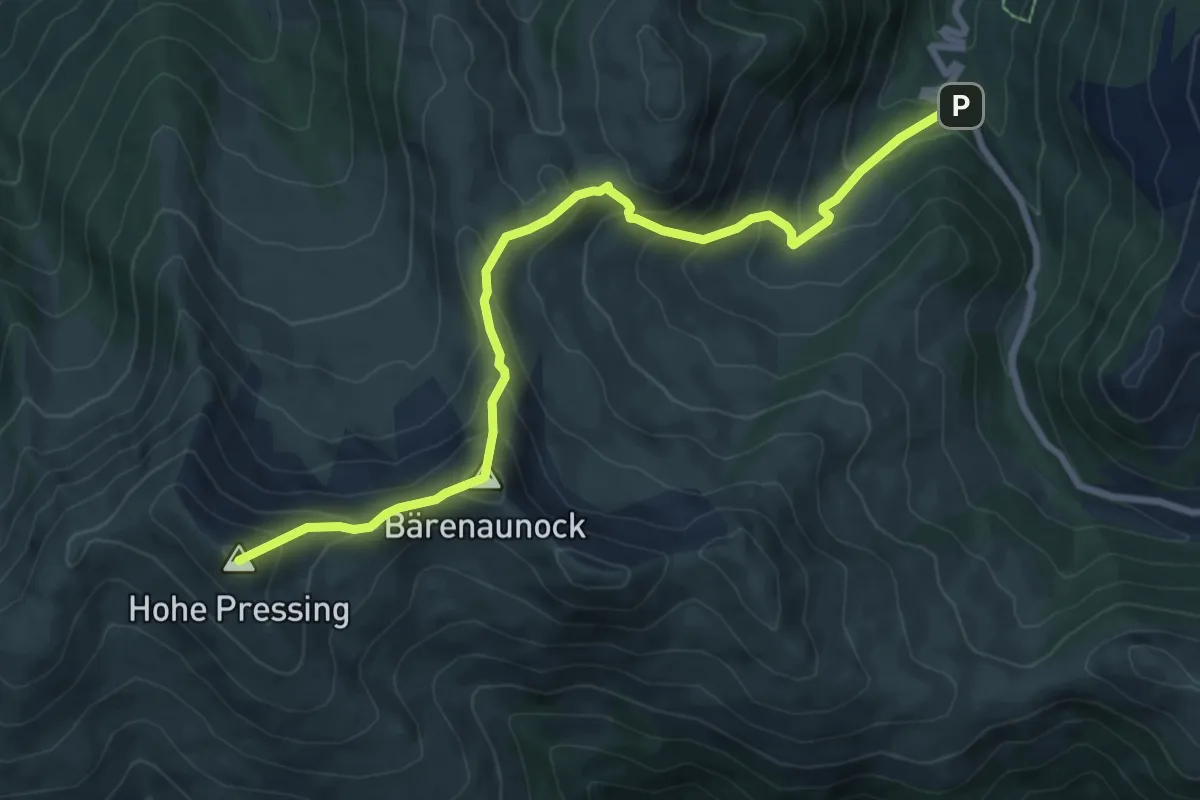
Demanding · Summit
Wanderweg 120 Permaunock
8.5 km · ↑ 762 m · 3 h 40 min
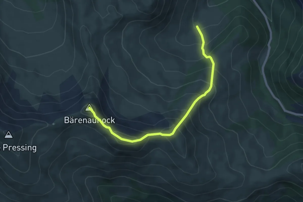
Medium · Summit
Wanderweg 121 Peitlernock
5.4 km · ↑ 622 m · 2 h 37 min
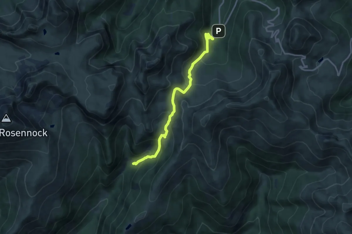
Medium · Cabin
Wanderweg 122
9.5 km · ↑ 587 m · 3 h 30 min
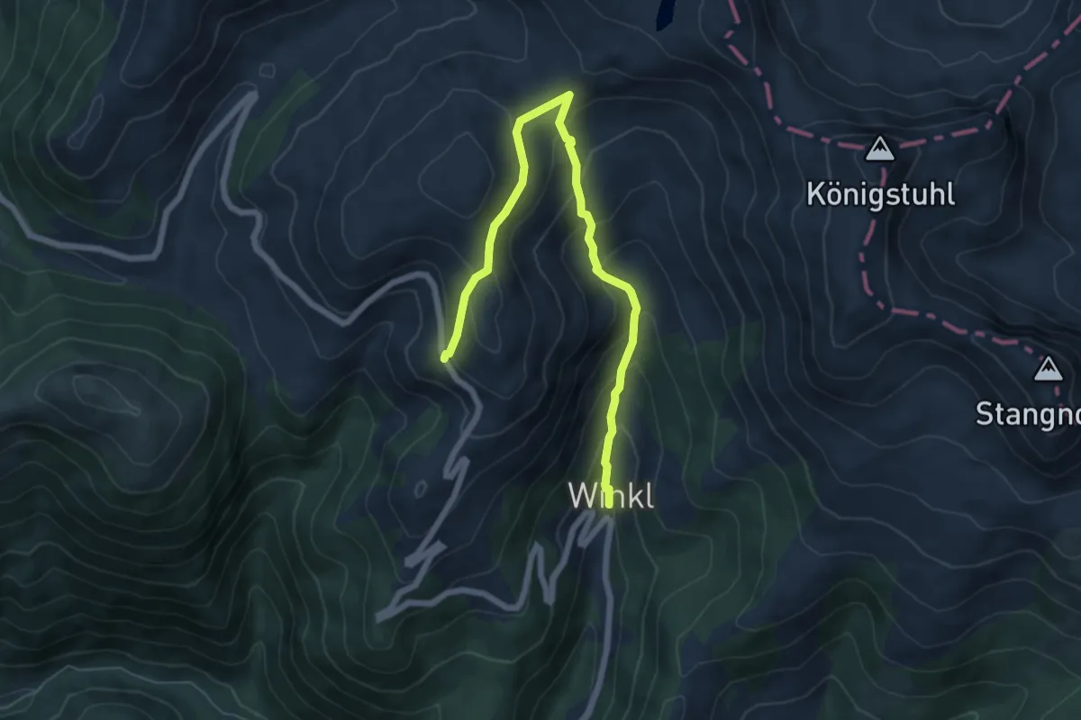
Medium · Trail
Wanderweg 122
6.9 km · ↑ 486 m · 2 h 40 min
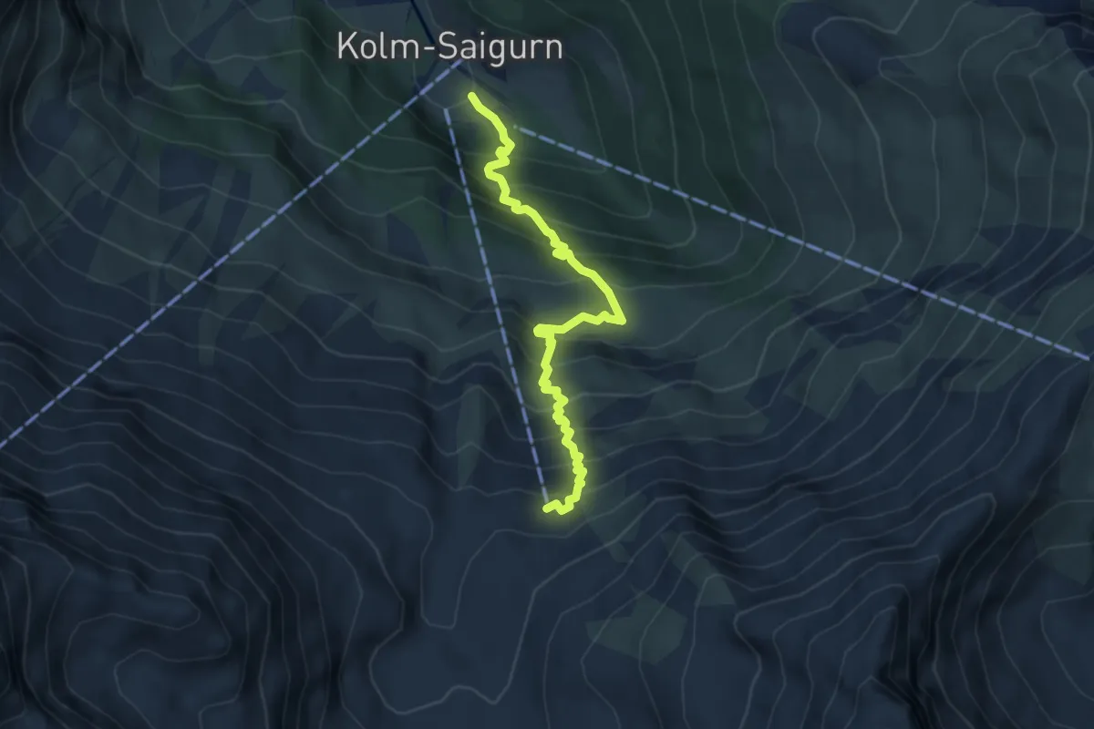
Medium · Cabin
Wanderweg 122
4.6 km · ↑ 574 m · 2 h 20 min
Medium · Trail
Wanderweg 122
9.6 km · ↑ 456 m · 3 h 16 min
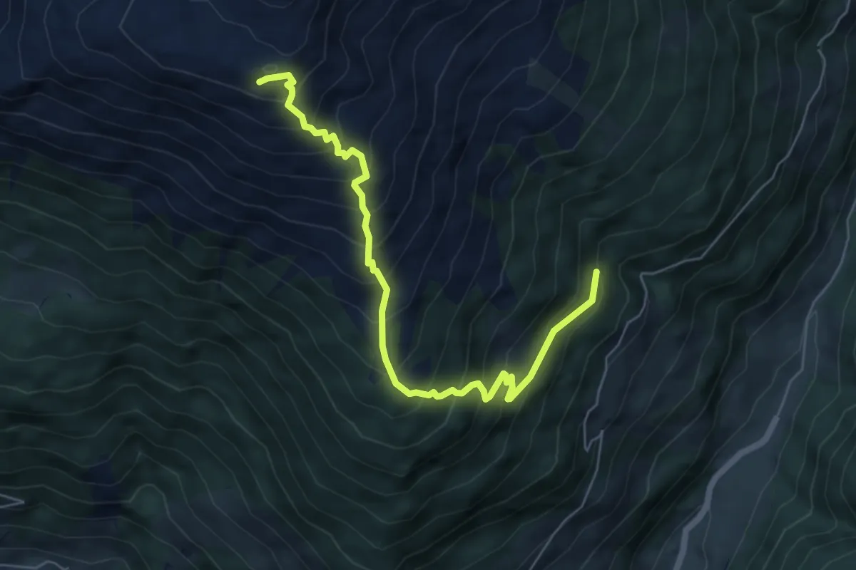
Medium · Trail
Wanderweg 123
6.3 km · ↑ 750 m · 3 h 7 min
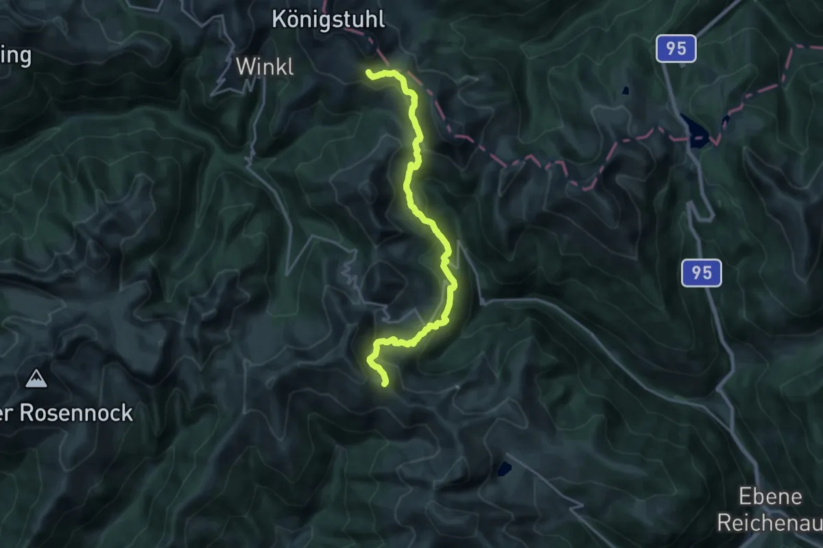
Demanding · Trail
Wanderweg 123
17.9 km · ↑ 917 m · 6 h 13 min
Medium · Trail
Wanderweg 123
10.2 km · ↑ 510 m · 3 h 31 min
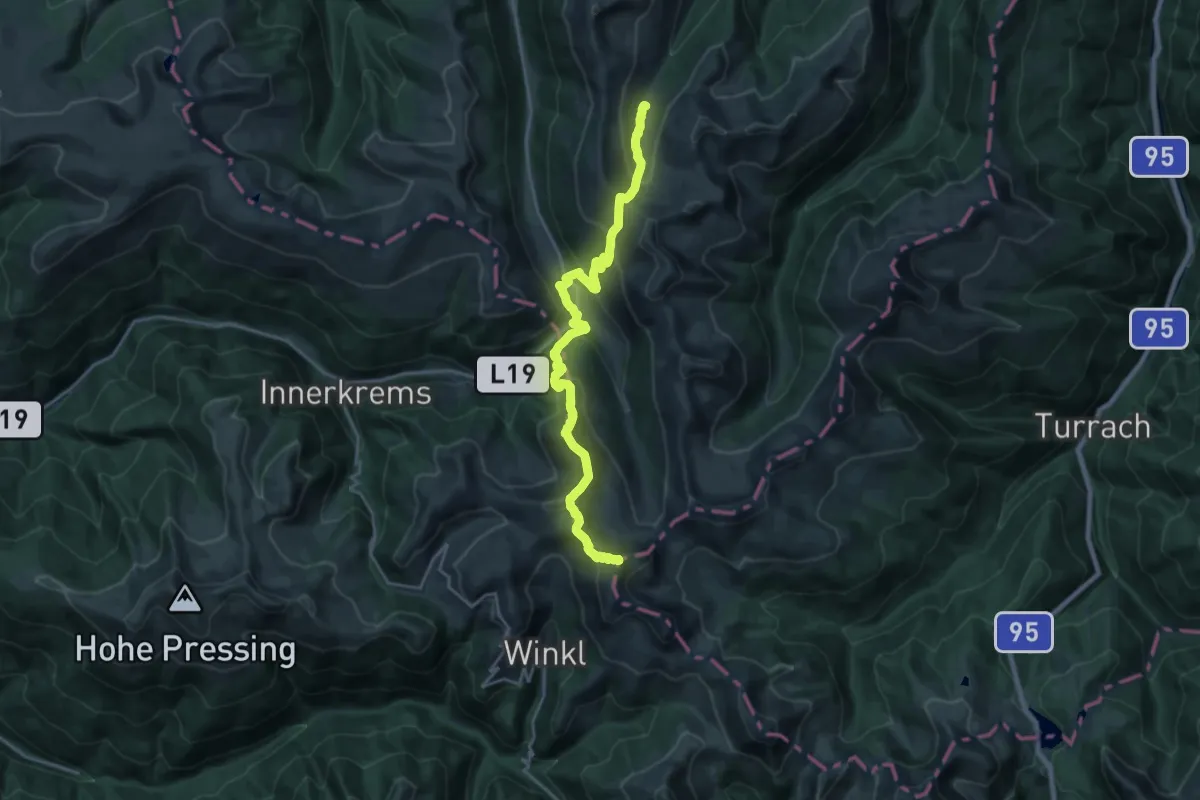
Demanding · Summit
Wanderweg 125
22.3 km · ↑ 1595 m · 8 h 43 min
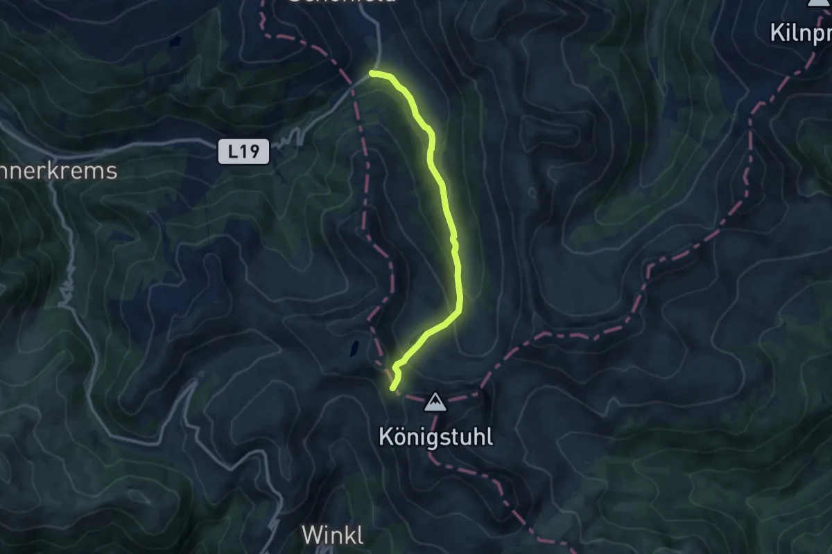
Medium · Cabin
Wanderweg 126
8.9 km · ↑ 470 m · 3 h 7 min
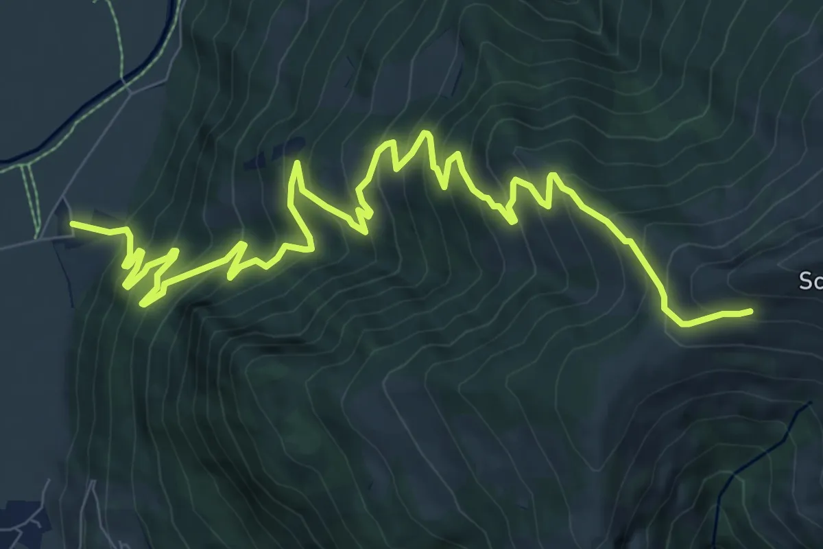
Demanding · Trail
Wanderweg 126
12.5 km · ↑ 1041 m · 5 h 12 min
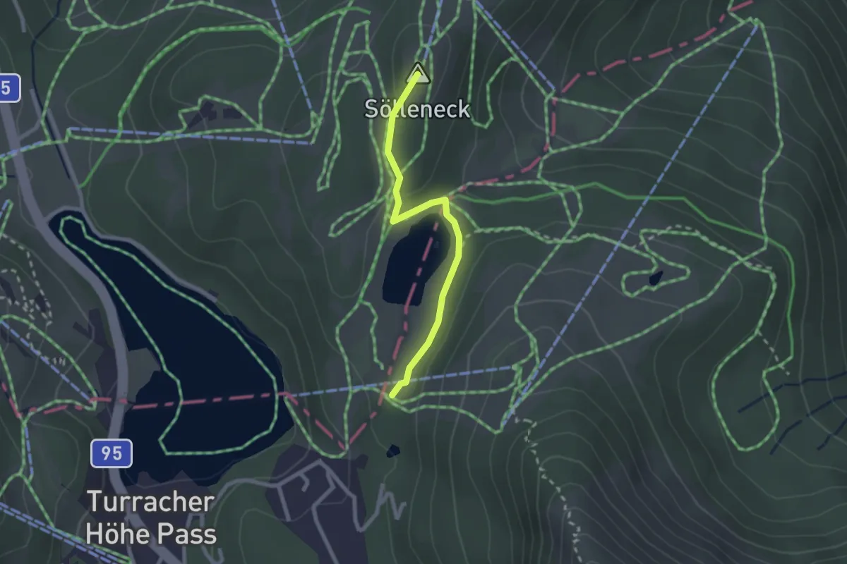
Easy · Summit
Wanderweg 127
2.1 km · ↑ 69 m · 39 min
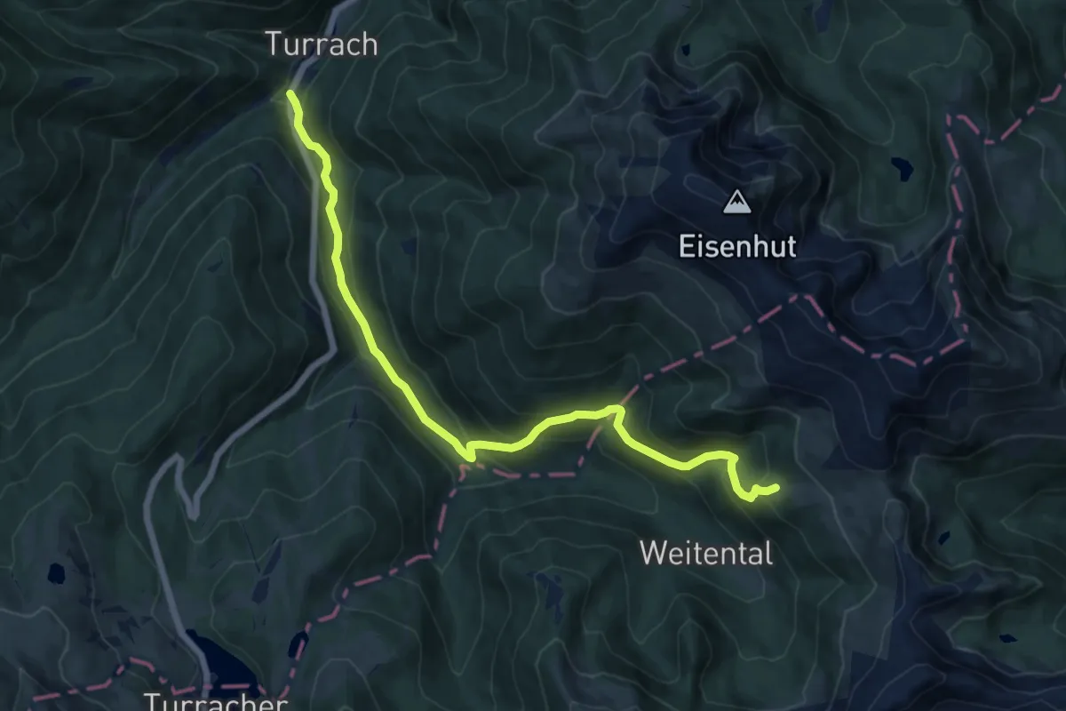
Medium · Trail
Wanderweg 128
13.1 km · ↑ 670 m · 4 h 33 min
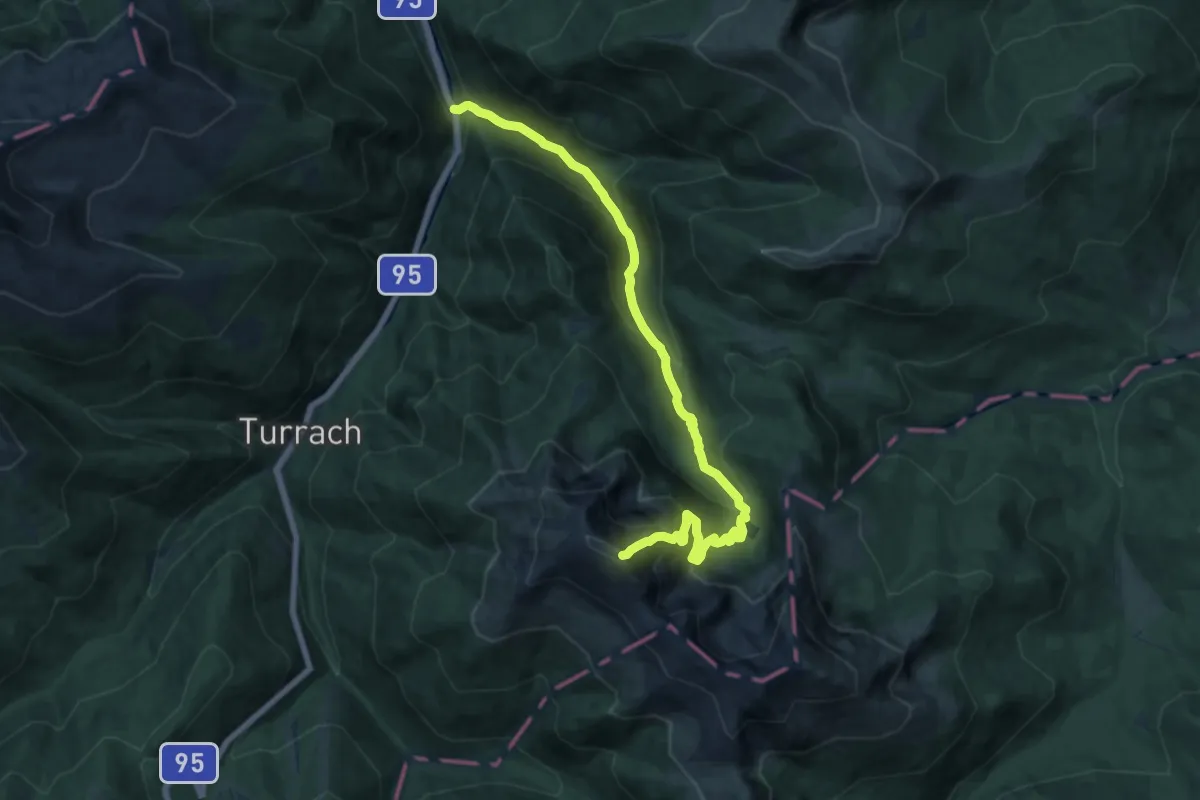
Demanding · Summit
Wanderweg 129
16.5 km · ↑ 1295 m · 6 h 41 min
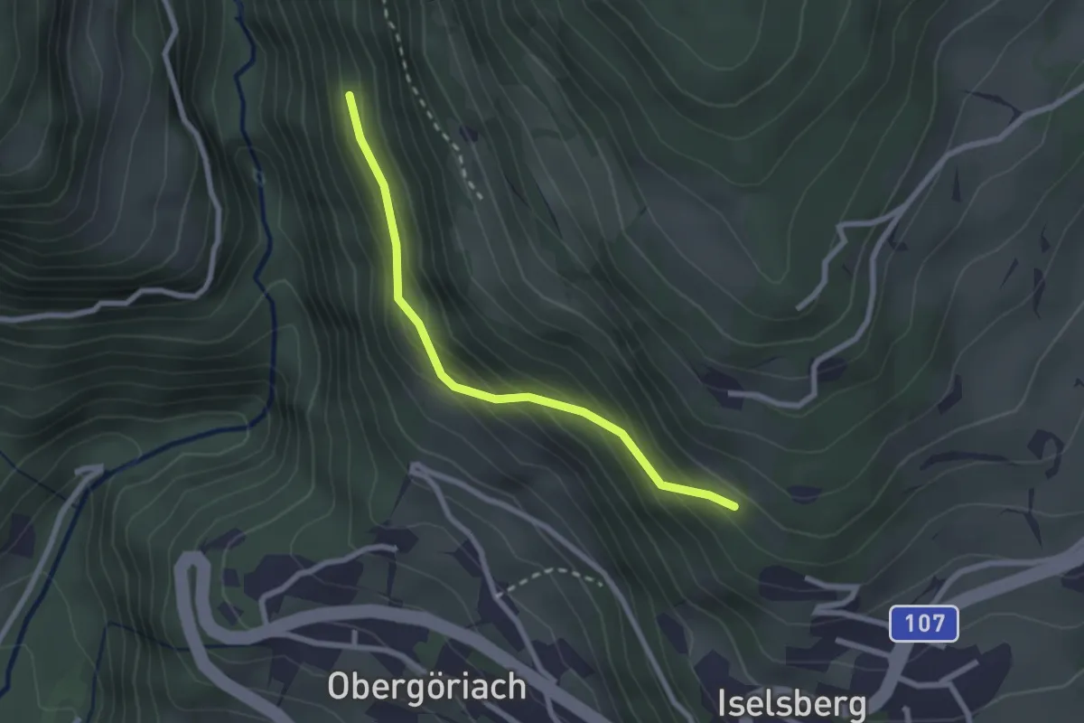
Easy · Trail
Wanderweg 12a
2.2 km · ↑ 188 m · 56 min
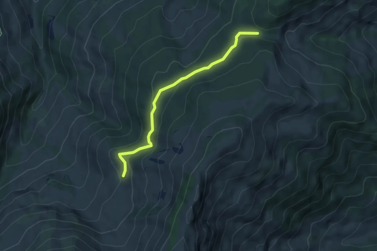
Medium · Trail
Wanderweg 12a
4.5 km · ↑ 120 m · 1 h 20 min
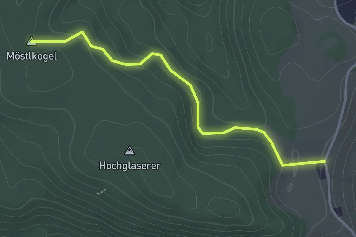
Easy · Summit
Wanderweg 12a
2.7 km · ↑ 92 m · 51 min
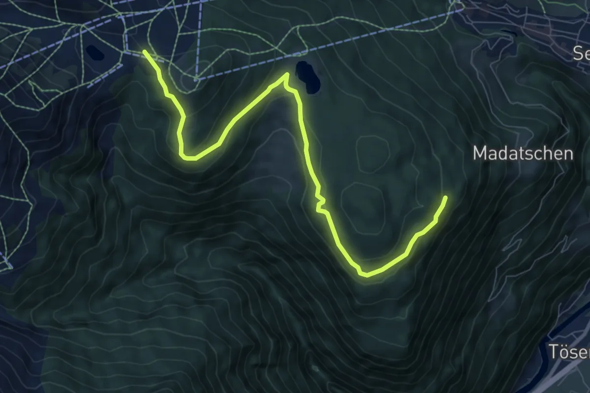
Medium · Trail
Wanderweg 12A
9.0 km · ↑ 304 m · 2 h 47 min
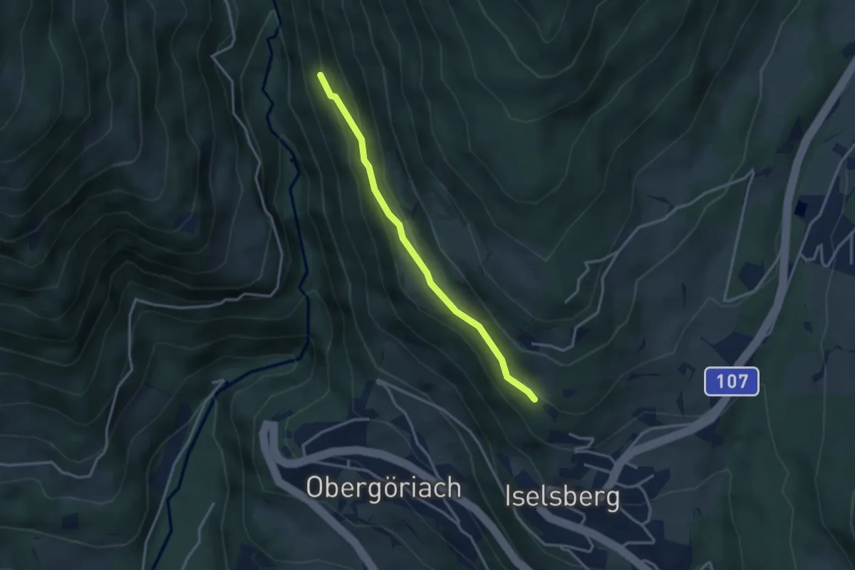
Medium · Trail
Wanderweg 12b
2.9 km · ↑ 137 m · 59 min
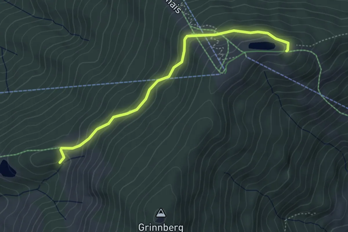
Easy · Trail
Wanderweg 12b
4.4 km · ↑ 214 m · 1 h 30 min
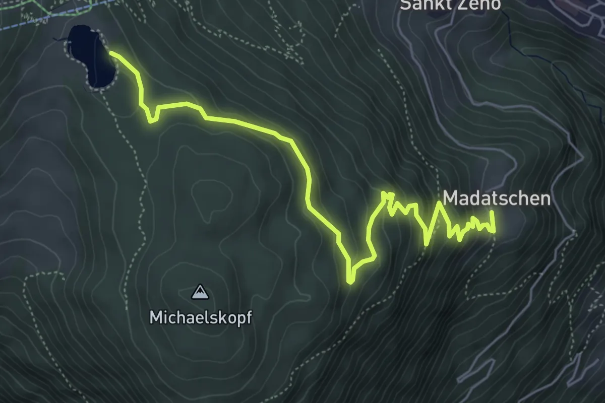
Easy · Trail
Wanderweg 12B
6.4 km · ↑ 315 m · 2 h 12 min
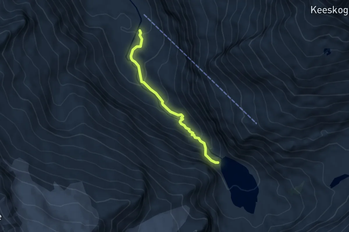
Expert · Trail
Wanderweg 12B
4.4 km · ↑ 268 m · 1 h 38 min
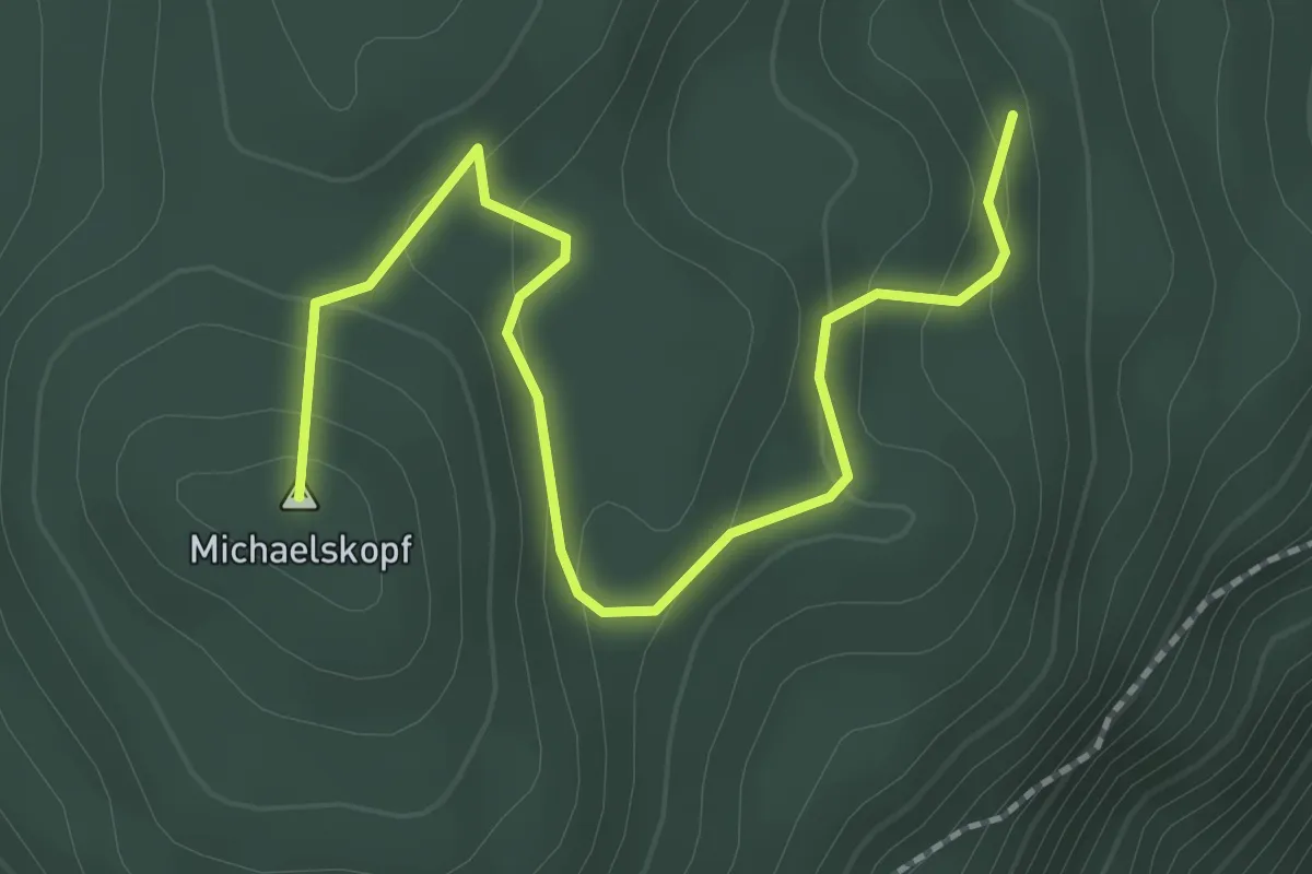
Easy · Summit
Wanderweg 12C
2.5 km · ↑ 129 m · 53 min
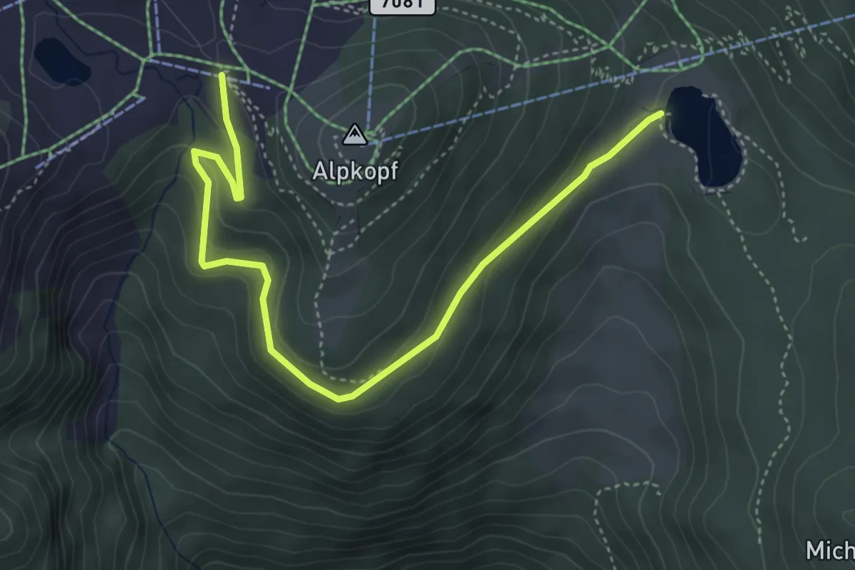
Easy · Trail
Wanderweg 12D
4.8 km · ↑ 162 m · 1 h 29 min
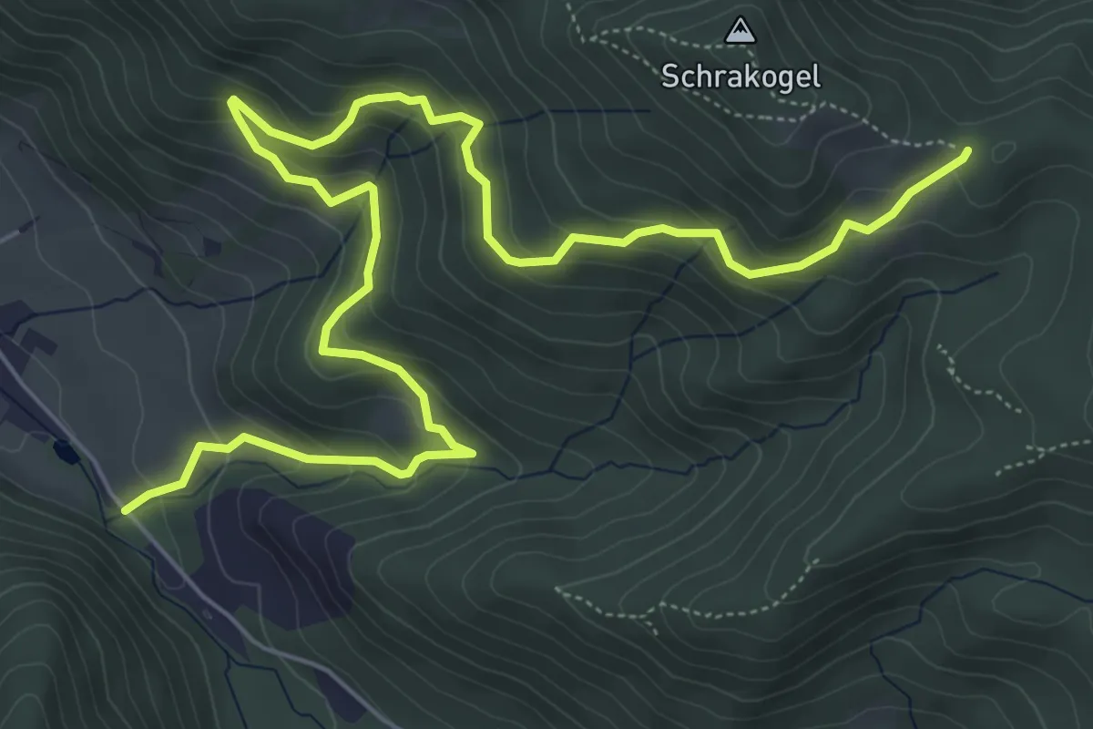
Medium · Trail
Wanderweg 12D
8.2 km · ↑ 399 m · 2 h 48 min
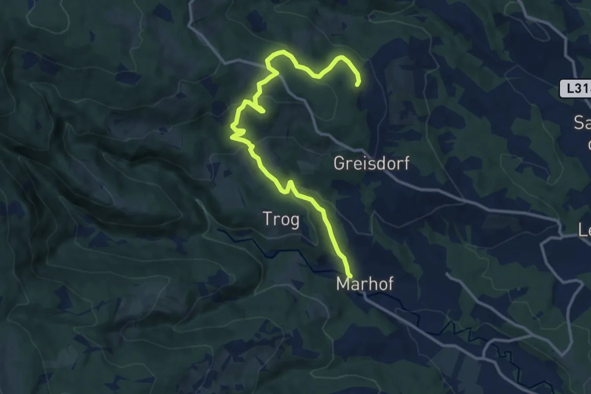
Medium · Trail
Wanderweg 12G
10.7 km · ↑ 462 m · 3 h 32 min
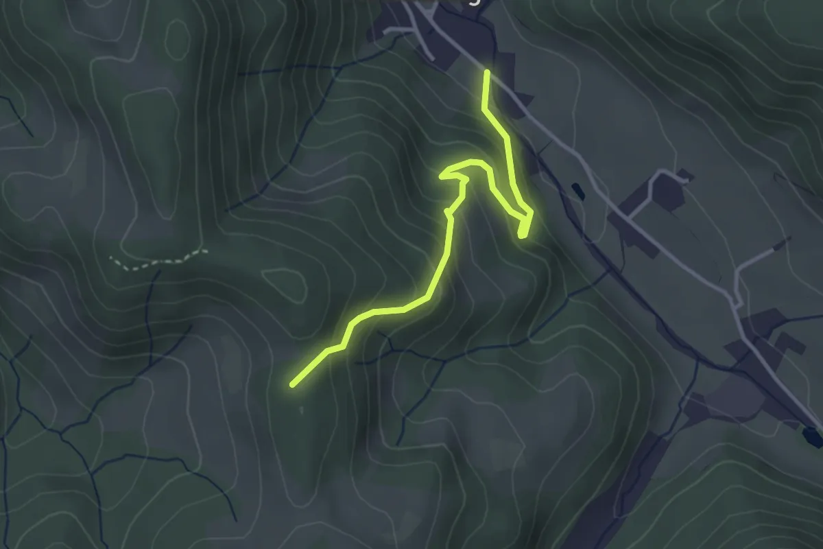
Easy · Trail
Wanderweg 12G
3.1 km · ↑ 236 m · 1 h 15 min
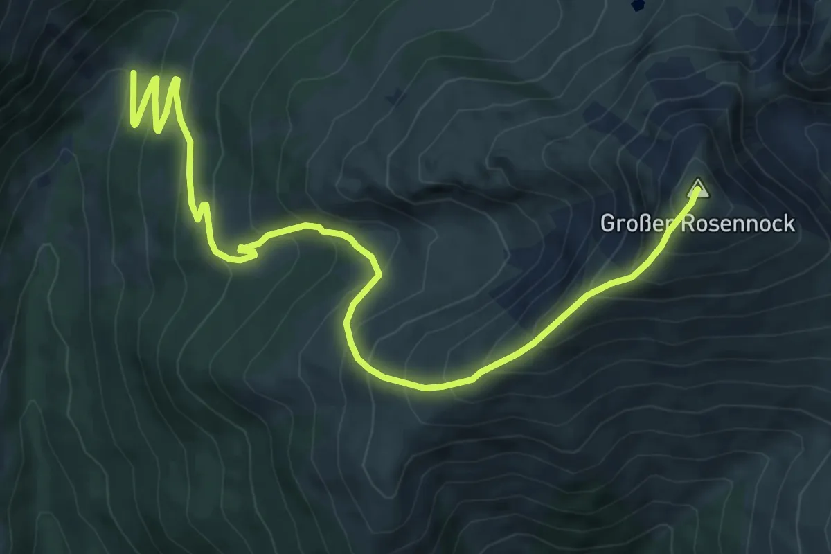
Demanding · Summit
Wanderweg 13
9.6 km · ↑ 832 m · 4 h 4 min
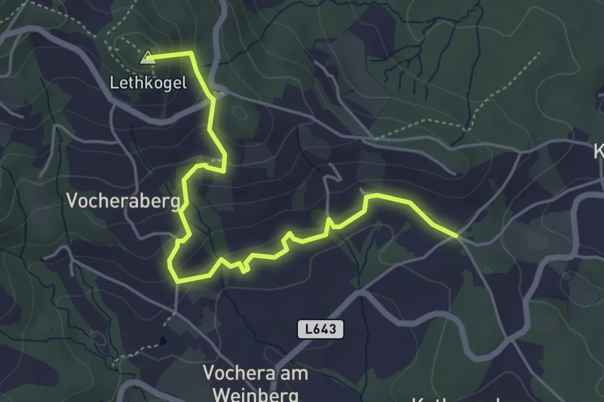
Medium · Summit
Wanderweg 13
4.9 km · ↑ 260 m · 1 h 44 min
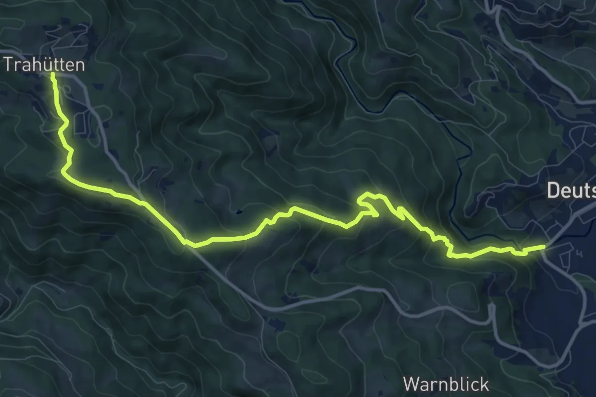
Medium · Trail
Wanderweg 13
12.1 km · ↑ 635 m · 4 h 13 min
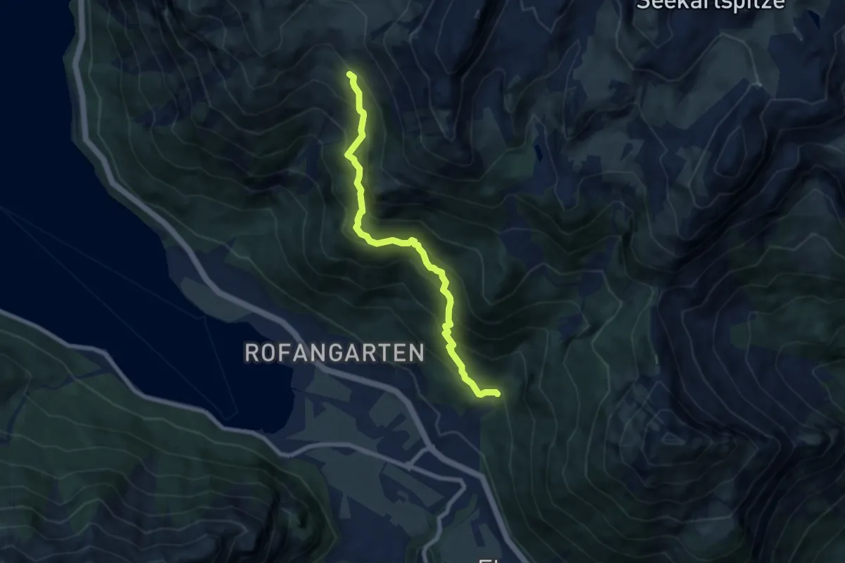
Medium · Cabin
Wanderweg 13
6.9 km · ↑ 631 m · 2 h 59 min
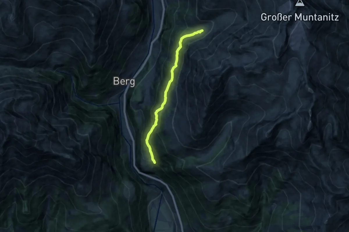
Medium · Trail
Wanderweg 13
10.3 km · ↑ 686 m · 3 h 54 min
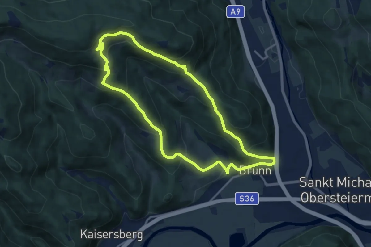
Medium · Trail
Wanderweg 13
8.1 km · ↑ 483 m · 3 h 5 min
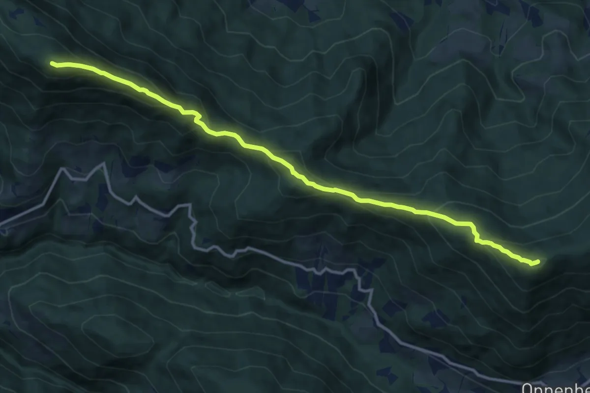
Medium · Summit
Wanderweg 13
11.6 km · ↑ 795 m · 4 h 27 min
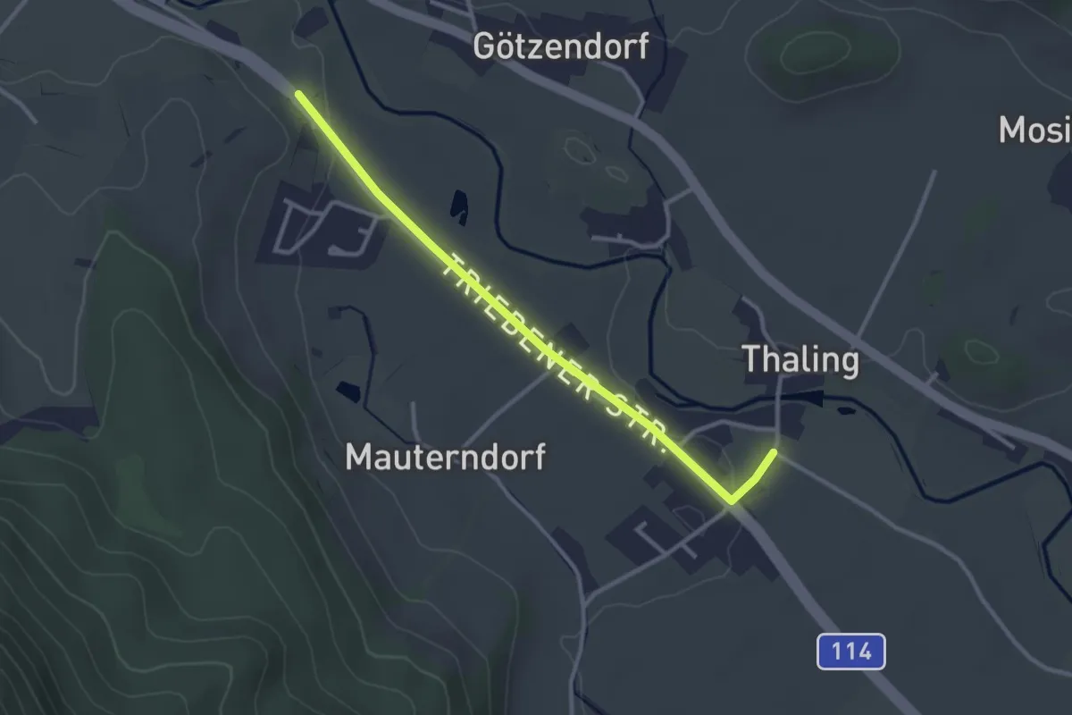
Easy · Trail
Wanderweg 13
2.9 km · ↑ 27 m · 44 min
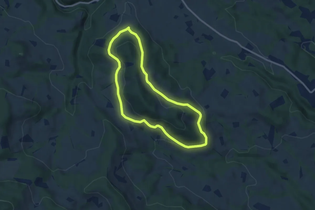
Easy · Trail
Wanderweg 13
6.2 km · ↑ 185 m · 1 h 57 min
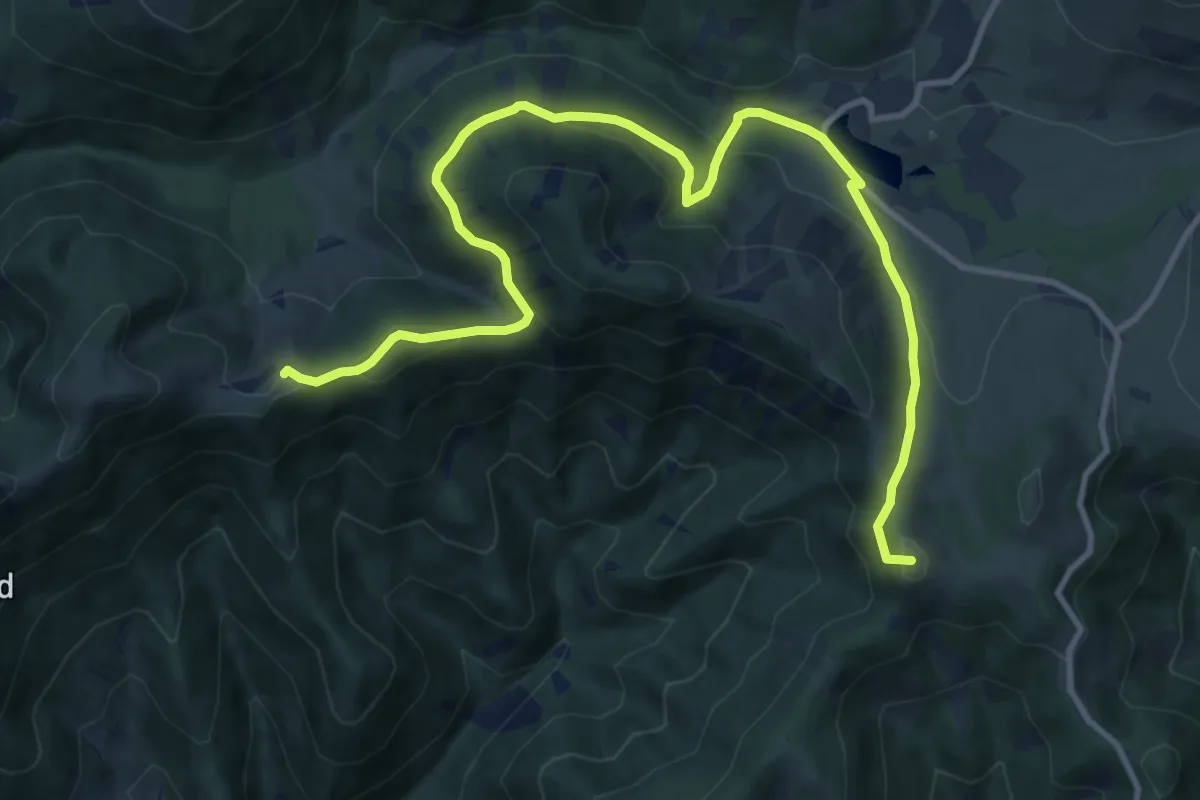
Medium · Summit
Wanderweg 13
13.4 km · ↑ 503 m · 4 h 15 min
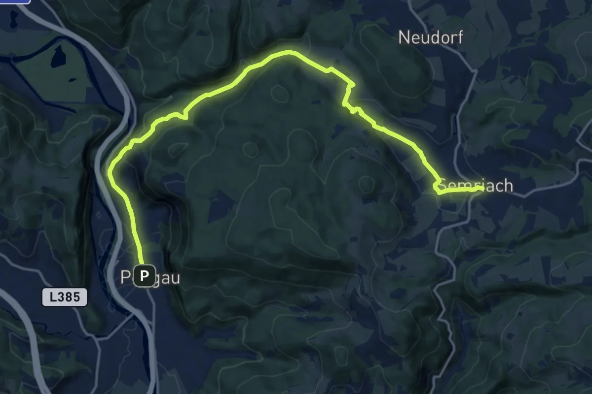
Medium · Trail
Wanderweg 13
17.1 km · ↑ 589 m · 5 h 18 min
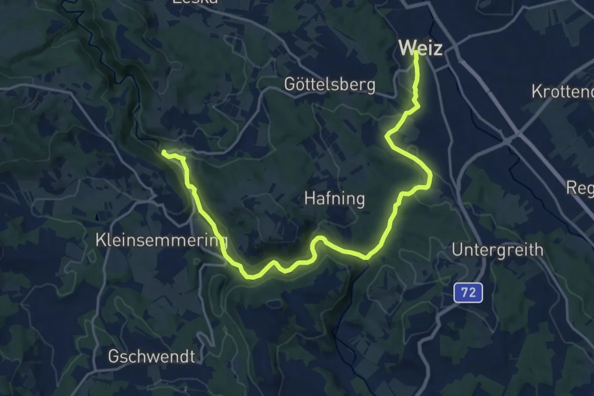
Medium · Trail
Wanderweg 13
16.7 km · ↑ 342 m · 4 h 40 min
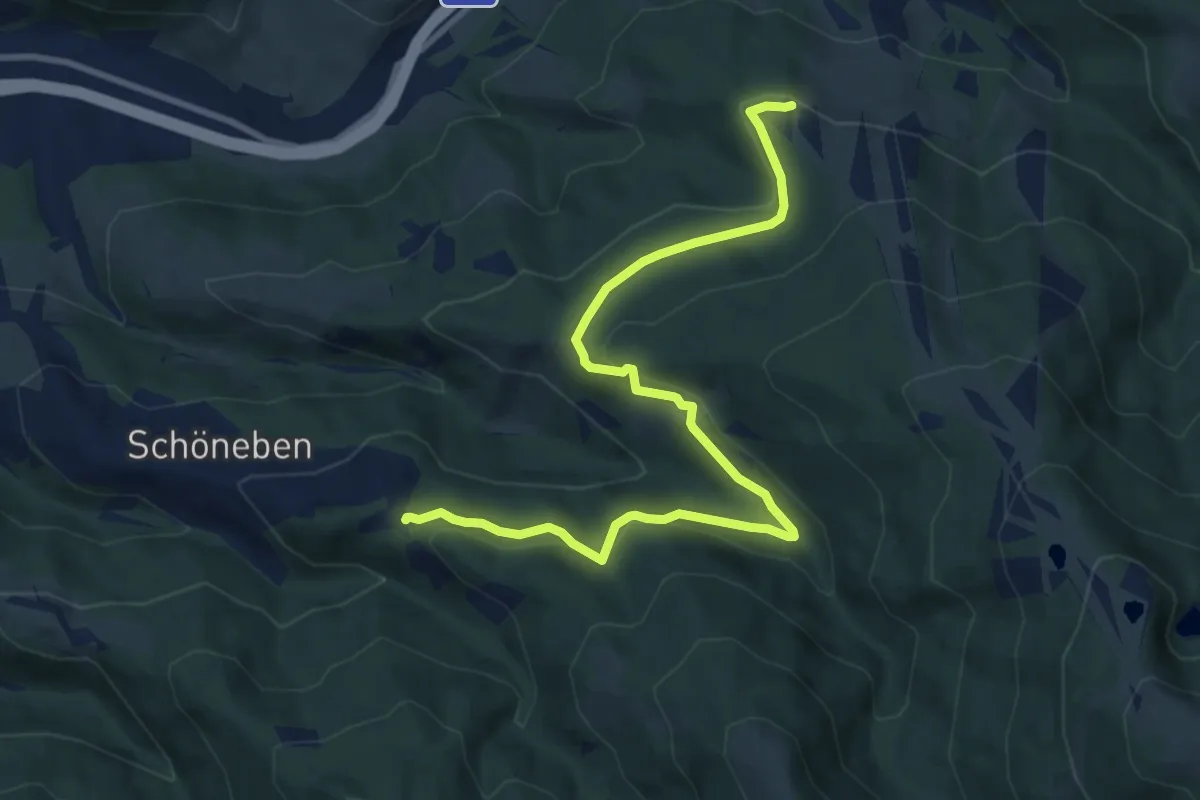
Medium · Trail
Wanderweg 13
10.7 km · ↑ 293 m · 3 h 10 min
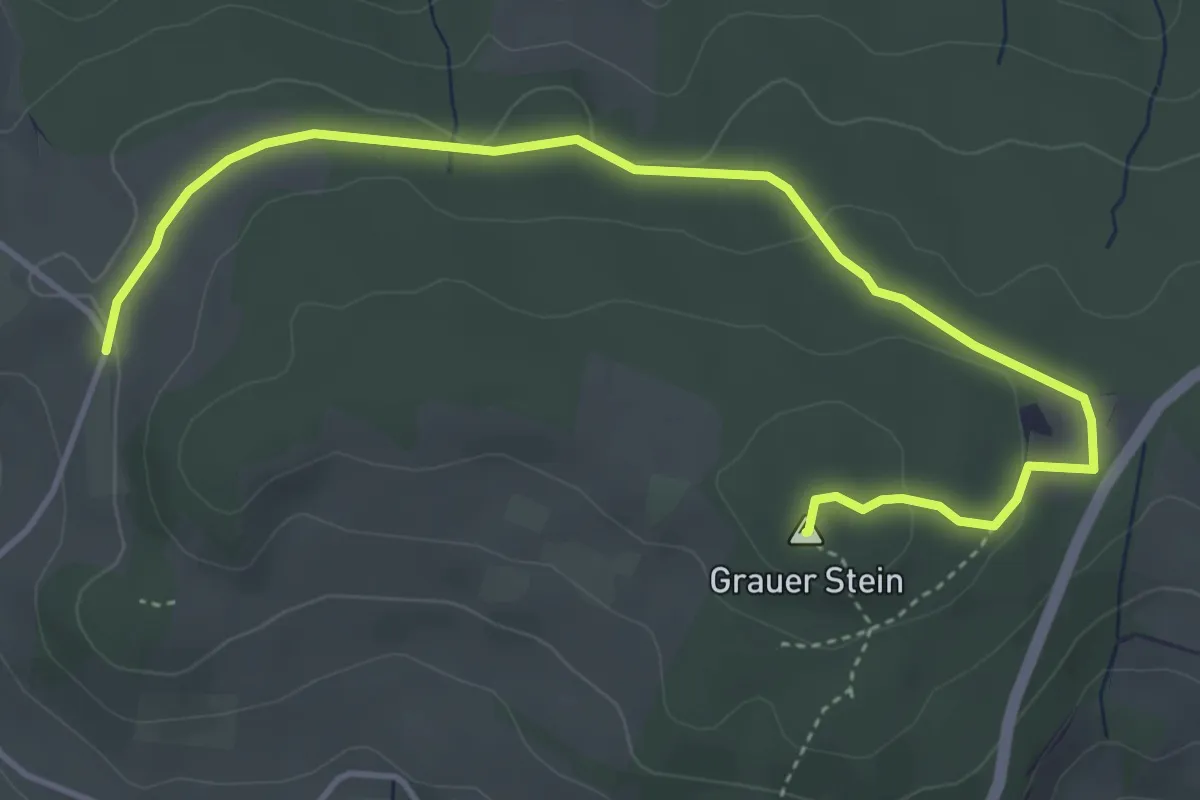
Easy · Summit
Wanderweg 13
5.1 km · ↑ 108 m · 1 h 26 min
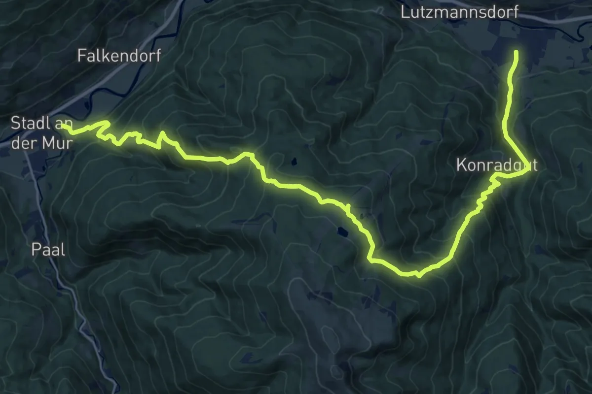
Demanding · Trail
Wanderweg 130
14.4 km · ↑ 881 m · 5 h 31 min
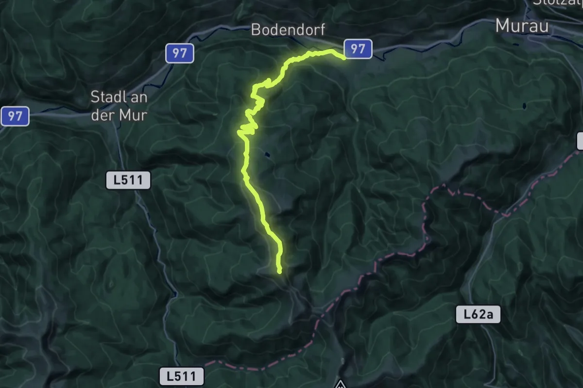
Demanding · Summit
Wanderweg 131 Kreischberg-Prankerhöhe
28.4 km · ↑ 1501 m · 9 h 57 min