Trails in Austria
9,777 hiking trails, each with its route, climb, walking time and grade.
All trails, page 132 of 204
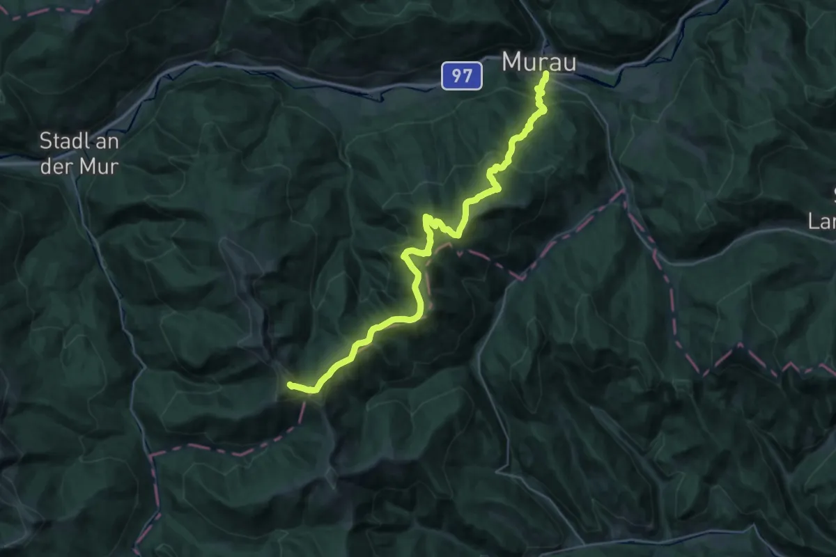
Demanding · Summit
Wanderweg 132 Prankerhöhe
35.7 km · ↑ 2547 m · 13 h 57 min
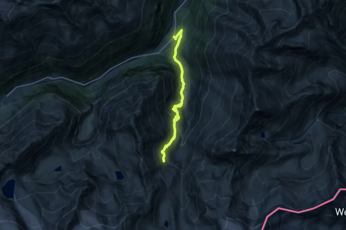
Demanding · Cabin
Wanderweg 134 - Stubai
12.1 km · ↑ 902 m · 4 h 49 min
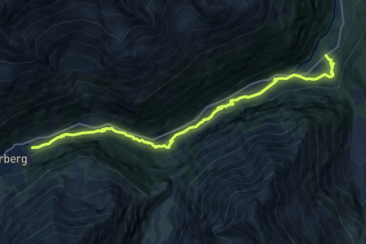
Medium · Trail
Wanderweg 135 - Stubai
12.2 km · ↑ 406 m · 3 h 45 min
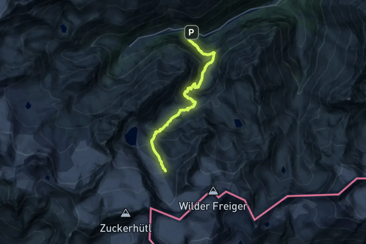
Demanding · Trail
Wanderweg 136 - Stubai
16.2 km · ↑ 1301 m · 6 h 38 min
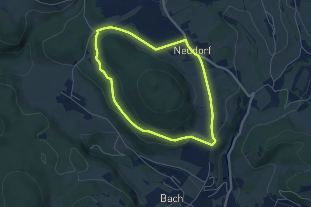
Easy · Trail
Wanderweg 13a
4.1 km · ↑ 84 m · 1 h 12 min
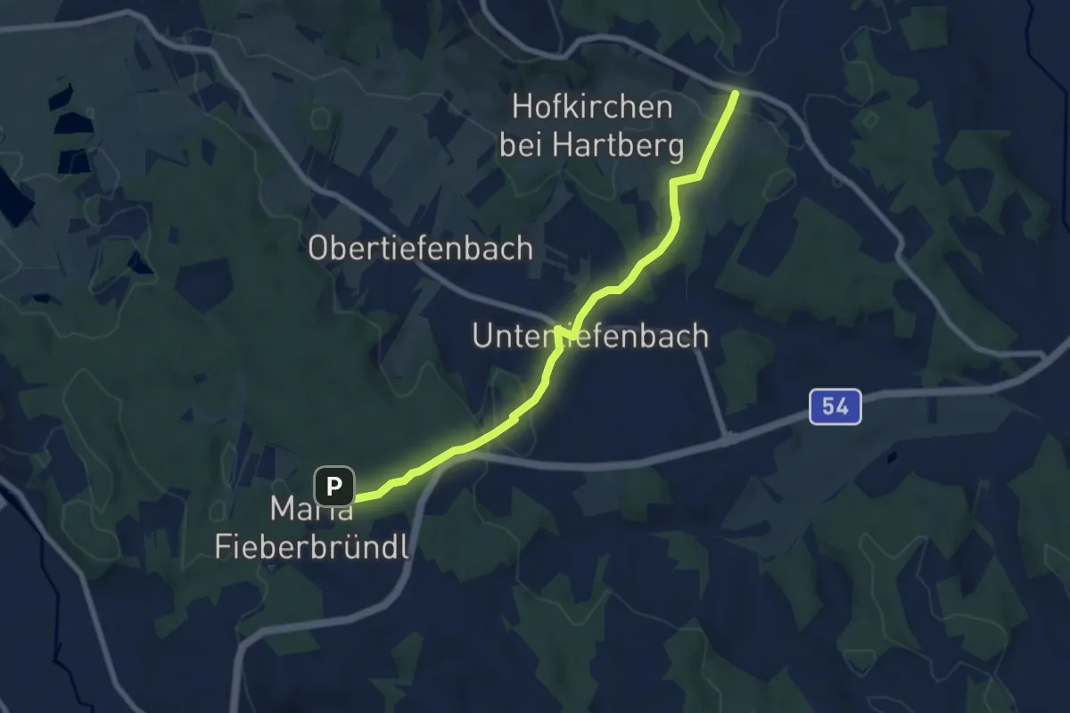
Easy · Trail
Wanderweg 13a
7.2 km · ↑ 174 m · 2 h 4 min
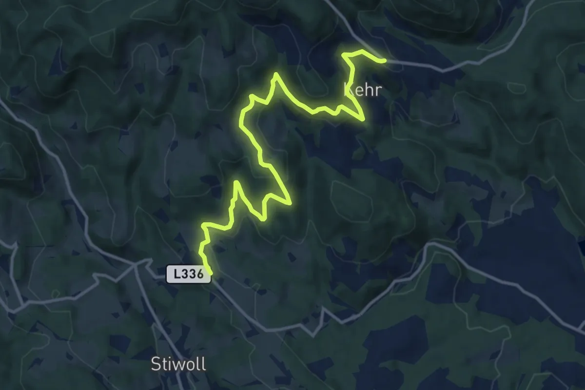
Medium · Trail
Wanderweg 13a
12.5 km · ↑ 405 m · 3 h 50 min
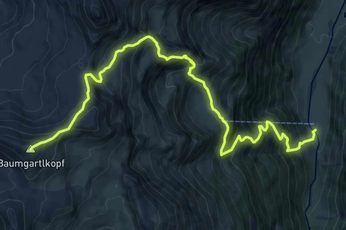
Demanding · Summit
Wanderweg 13 (Hirzbachalm)
12.5 km · ↑ 1290 m · 5 h 45 min
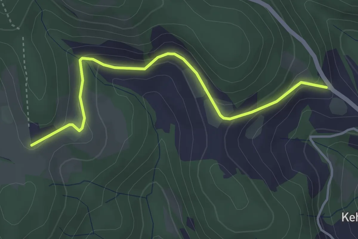
Easy · Trail
Wanderweg 13, Kainzweg
3.6 km · ↑ 147 m · 1 h 10 min
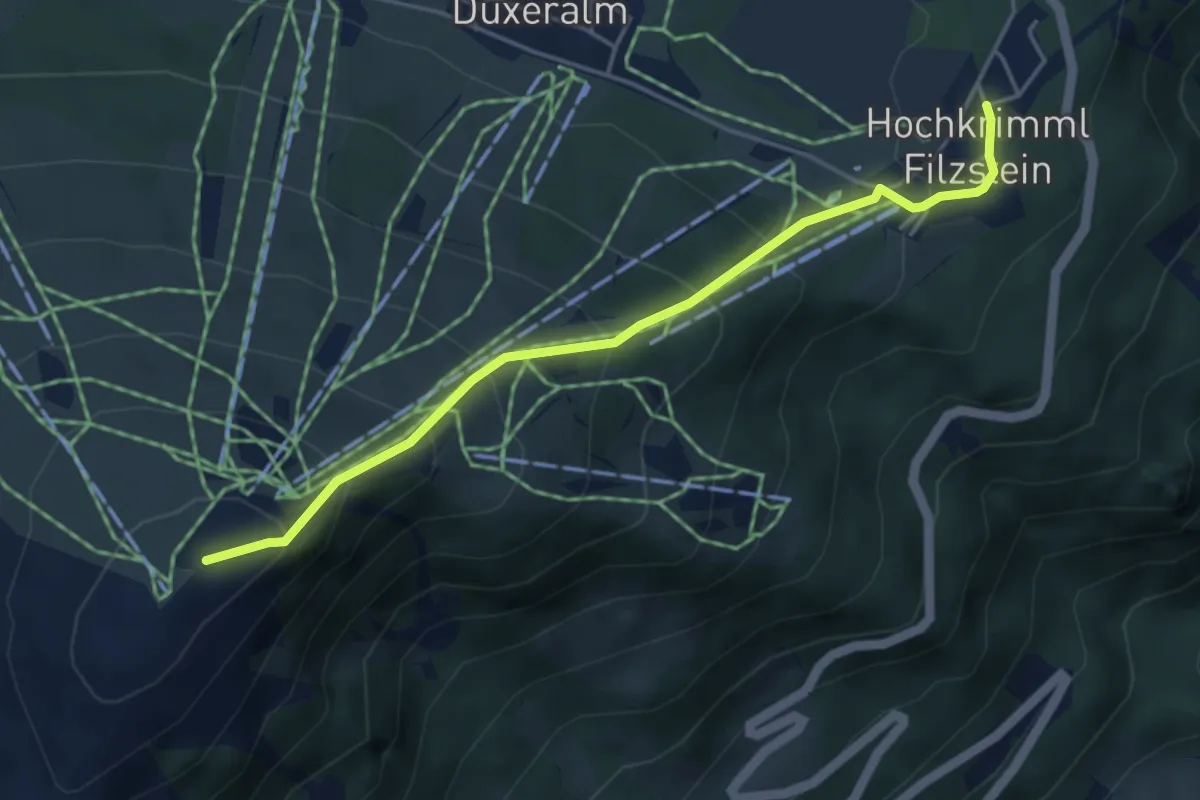
Medium · Summit
Wanderweg 13 - Krimml
4.4 km · ↑ 397 m · 1 h 53 min
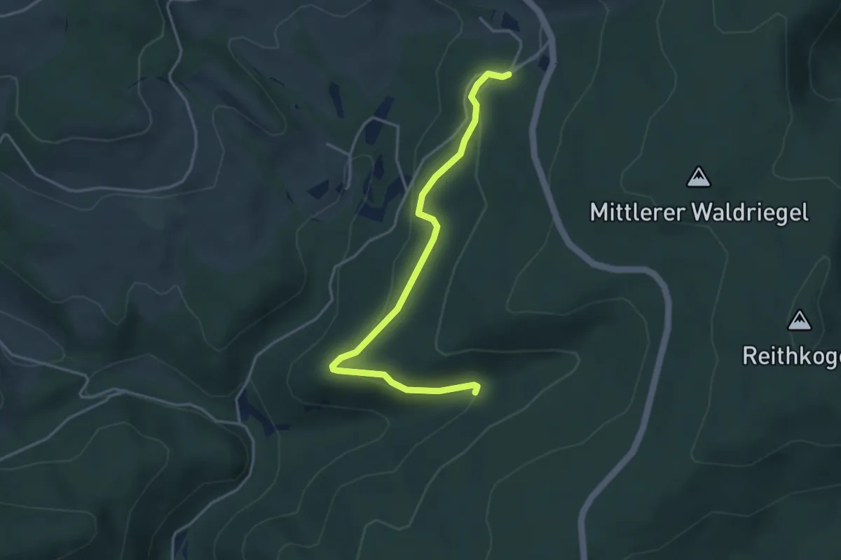
Easy · Trail
Wanderweg 13: Moosweg
3.9 km · ↑ 64 m · 1 h 4 min
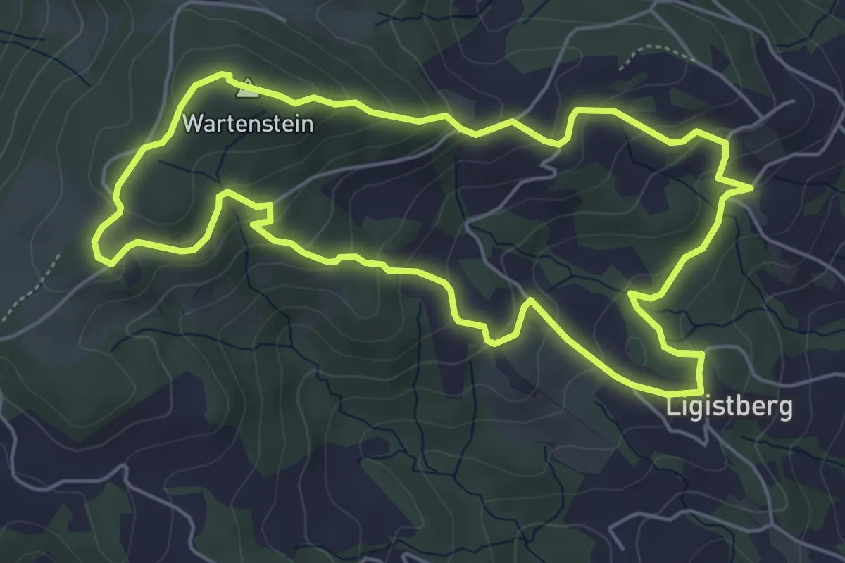
Easy · Summit
Wanderweg 13 Panoramaweg
5.4 km · ↑ 282 m · 1 h 58 min
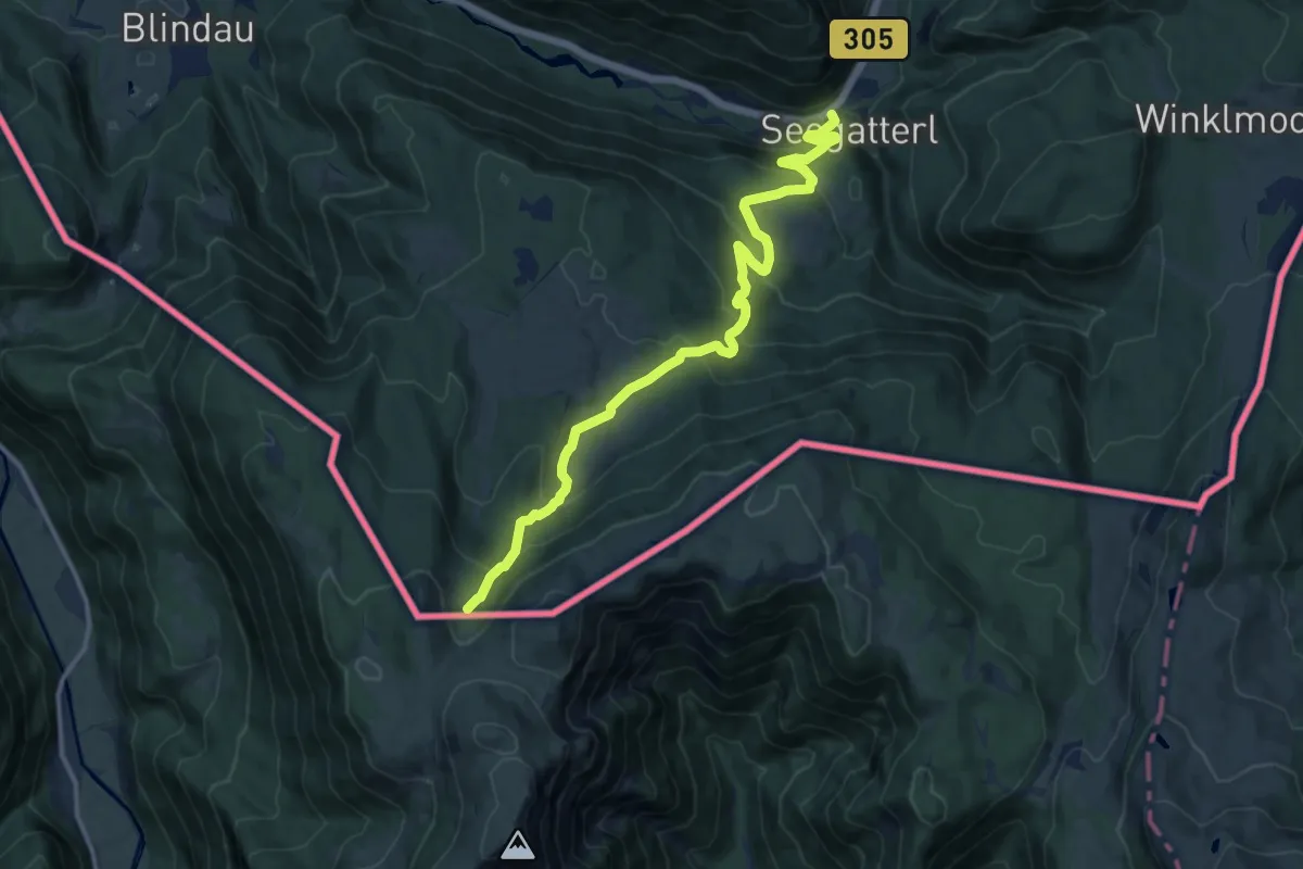
Medium · Trail
Wanderweg 13 - Reit im Winkl/Heutal
13.3 km · ↑ 691 m · 4 h 38 min
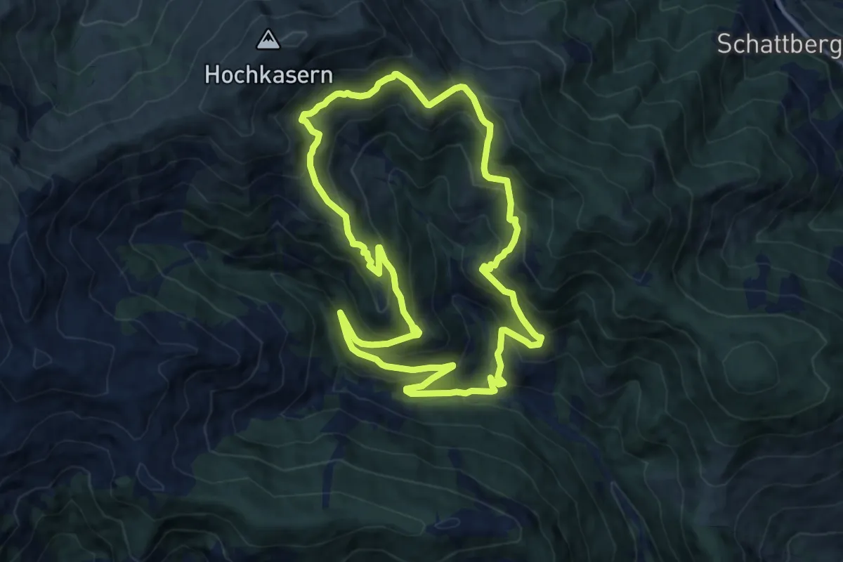
Medium · Trail
Wanderweg 13 (Richard Schernthaner Runde)
11.0 km · ↑ 643 m · 4 h 9 min
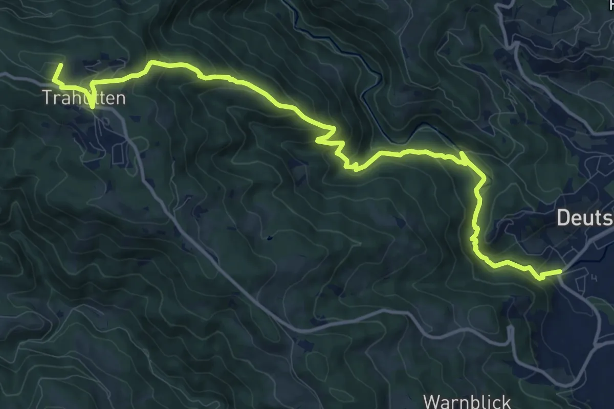
Medium · Summit
Wanderweg 14
13.6 km · ↑ 739 m · 4 h 49 min
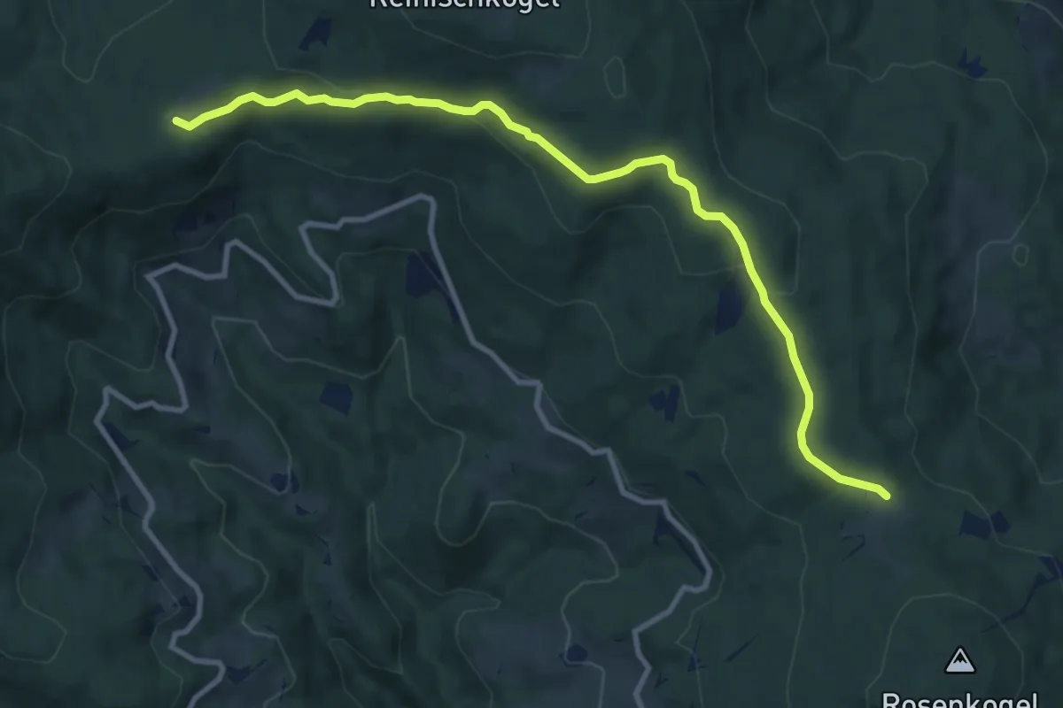
Medium · Trail
Wanderweg 14
10.0 km · ↑ 240 m · 2 h 53 min
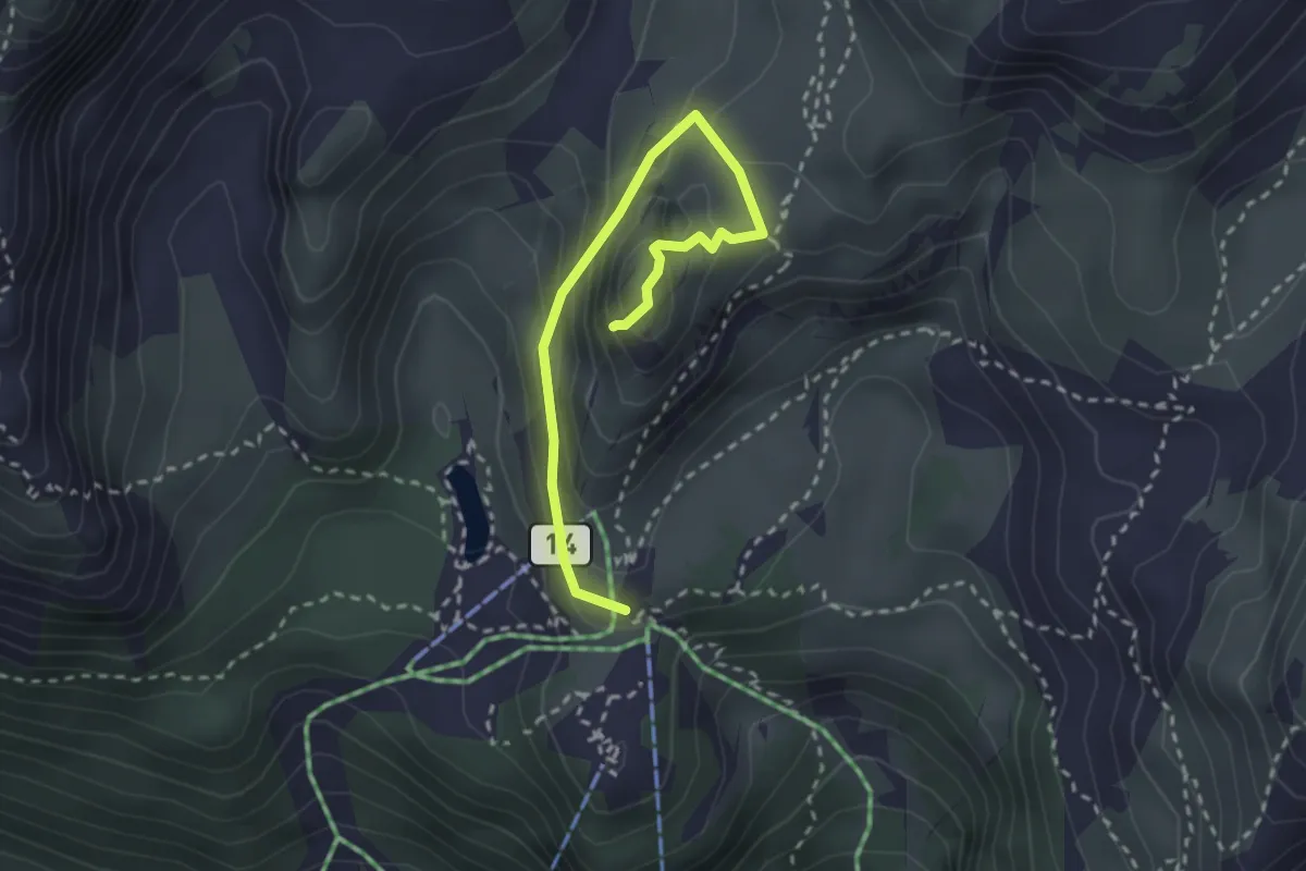
Medium · Summit
Wanderweg 14
2.8 km · ↑ 233 m · 1 h 9 min
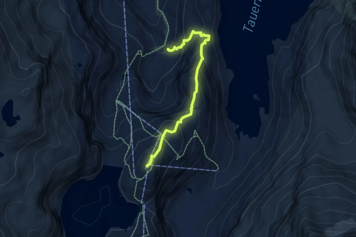
Medium · Summit
Wanderweg 14
4.8 km · ↑ 459 m · 2 h 7 min
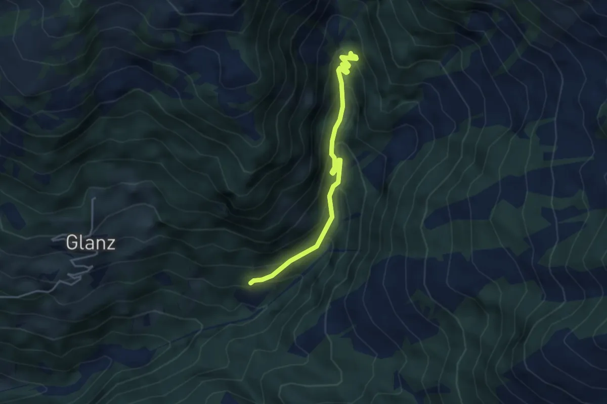
Easy · Trail
Wanderweg 14
3.8 km · ↑ 244 m · 1 h 26 min
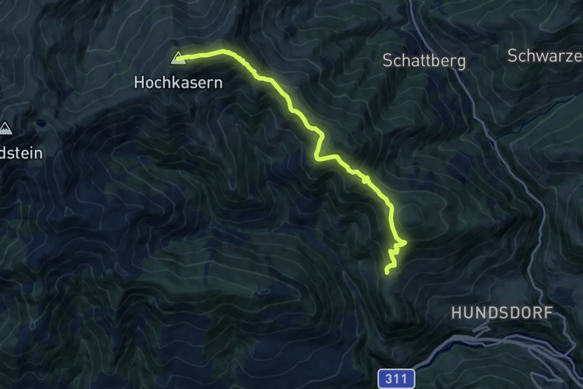
Expert · Summit
Wanderweg 14
13.6 km · ↑ 782 m · 4 h 54 min
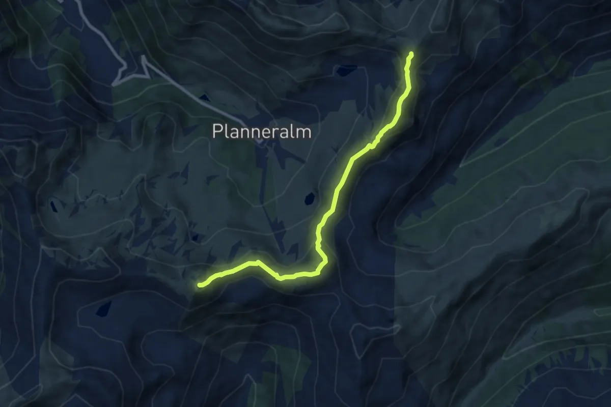
Medium · Summit
Wanderweg 14
8.0 km · ↑ 638 m · 3 h 16 min
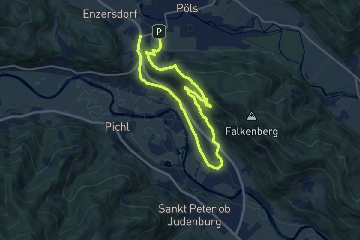
Medium · Trail
Wanderweg 14
16.3 km · ↑ 580 m · 5 h 6 min
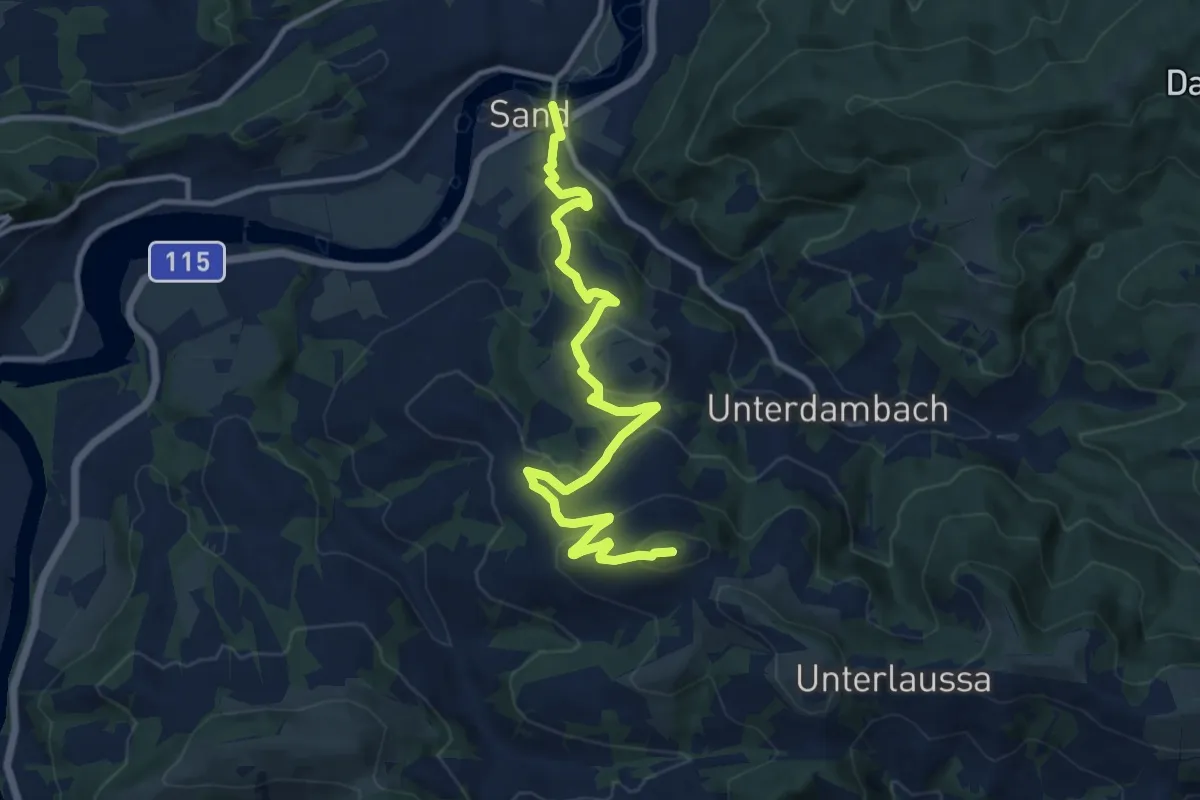
Medium · Summit
Wanderweg 14
12.4 km · ↑ 506 m · 4 h 1 min
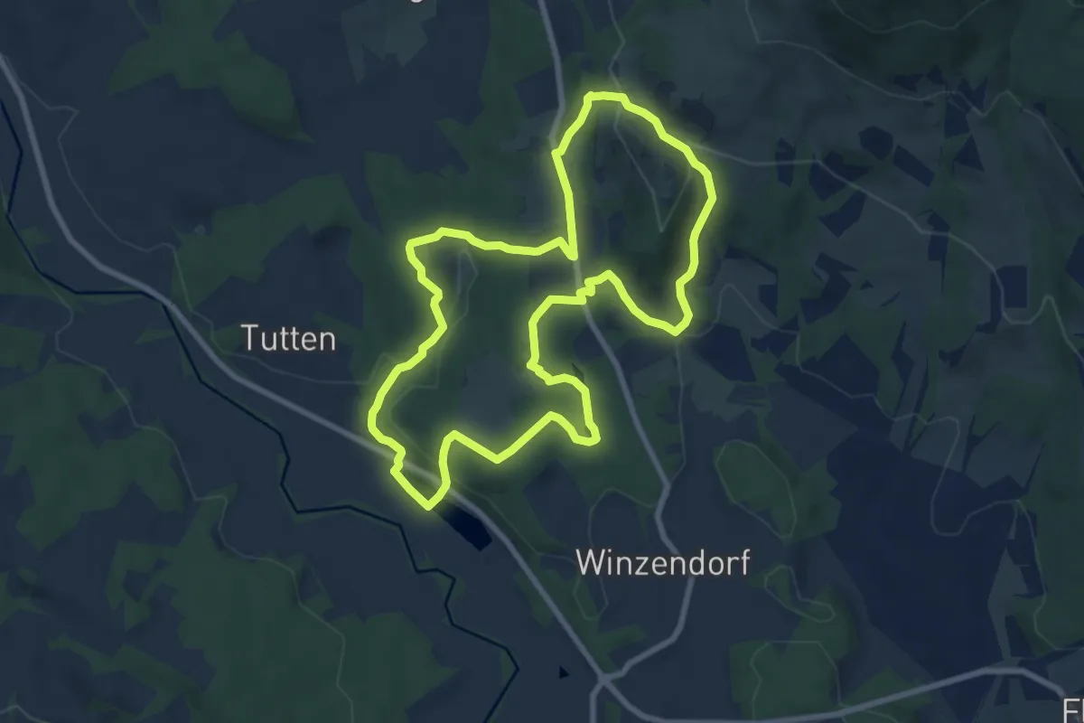
Easy · Trail
Wanderweg 14
7.9 km · ↑ 246 m · 2 h 30 min
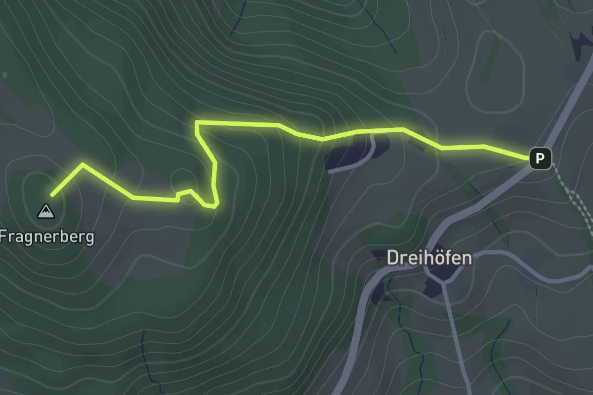
Medium · Summit
Wanderweg 14
2.8 km · ↑ 165 m · 1 h
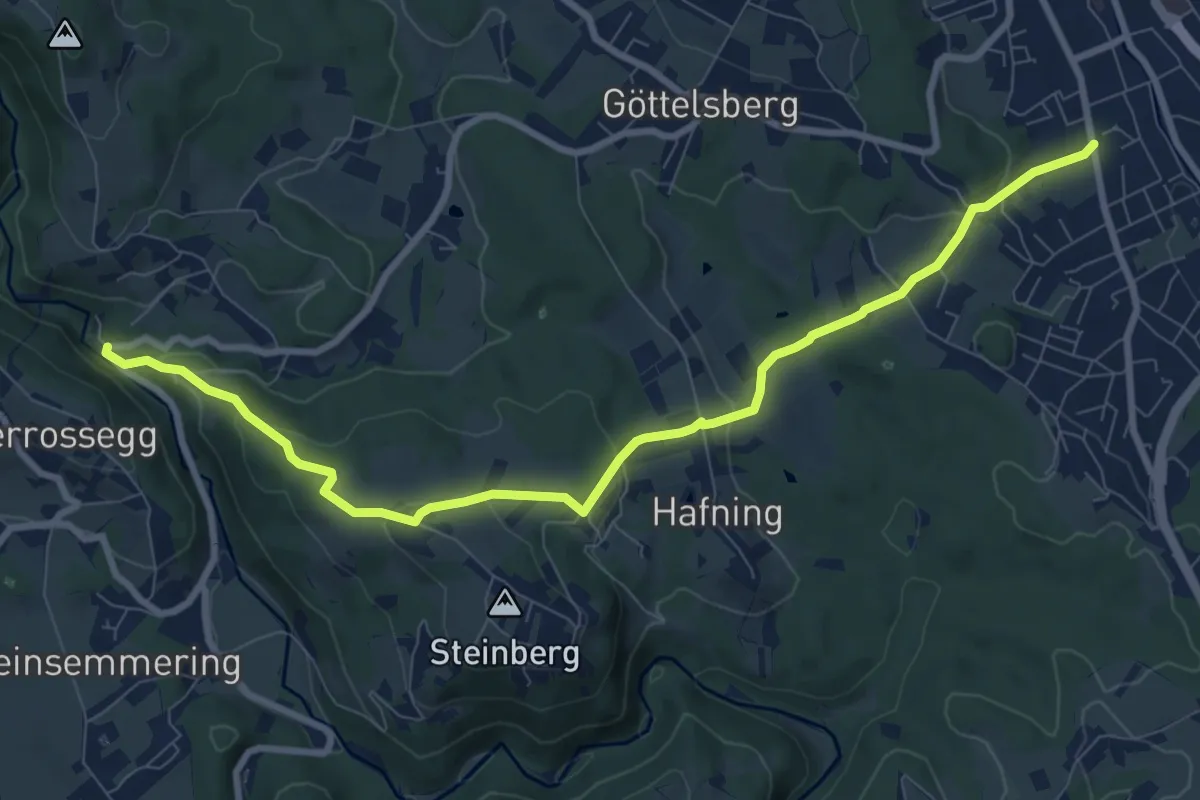
Medium · Trail
Wanderweg 14
9.7 km · ↑ 405 m · 3 h 9 min
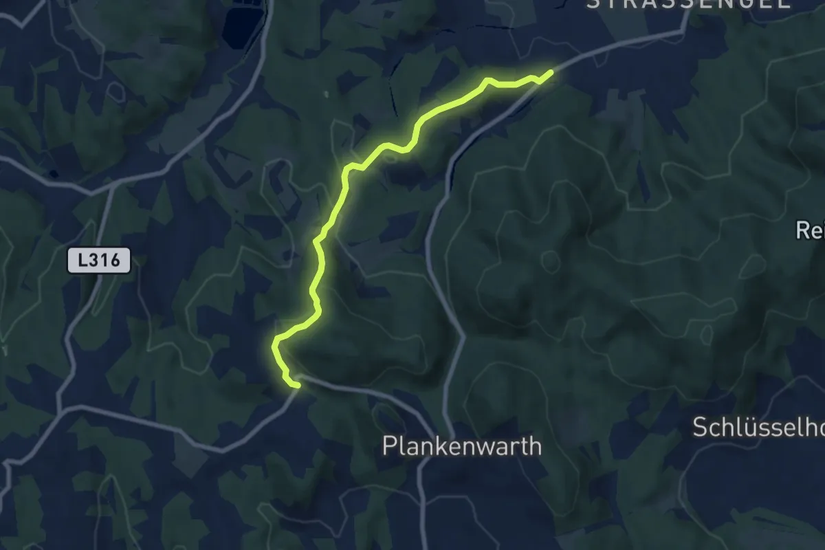
Medium · Trail
Wanderweg 14
7.0 km · ↑ 256 m · 2 h 12 min
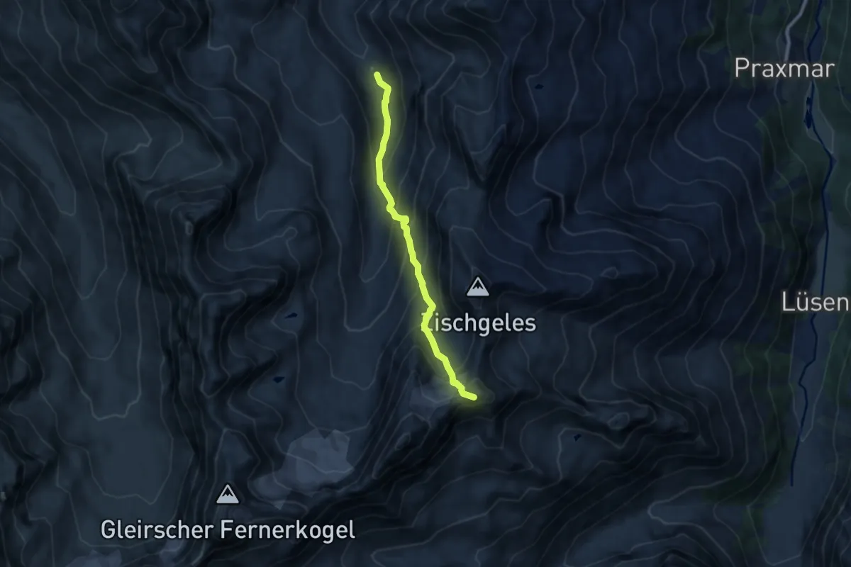
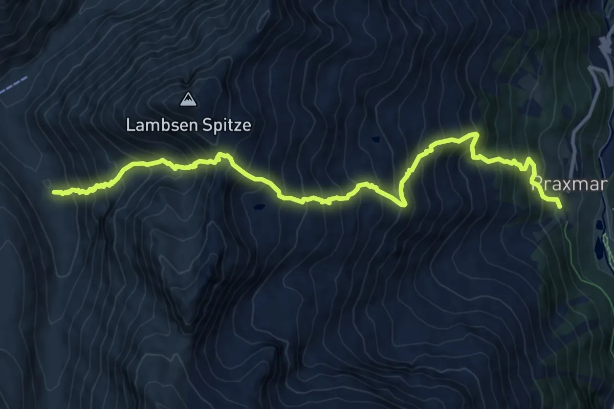
Expert · Summit
Wanderweg 143
7.3 km · ↑ 783 m · 3 h 25 min
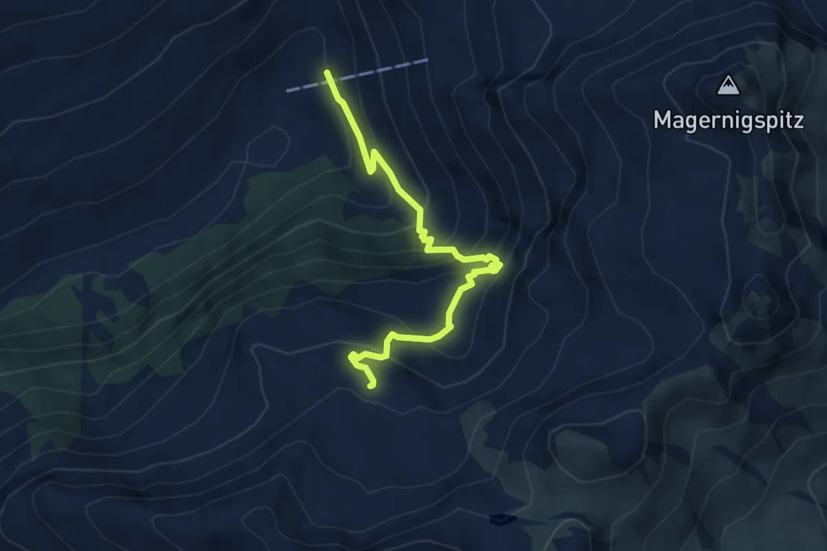
Expert · Trail
Wanderweg 144
11.0 km · ↑ 1564 m · 6 h
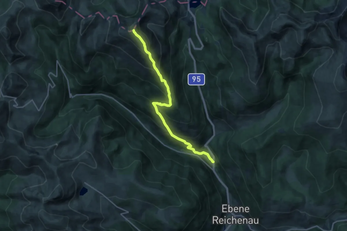
Medium · Trail
Wanderweg 149
4.3 km · ↑ 439 m · 1 h 58 min
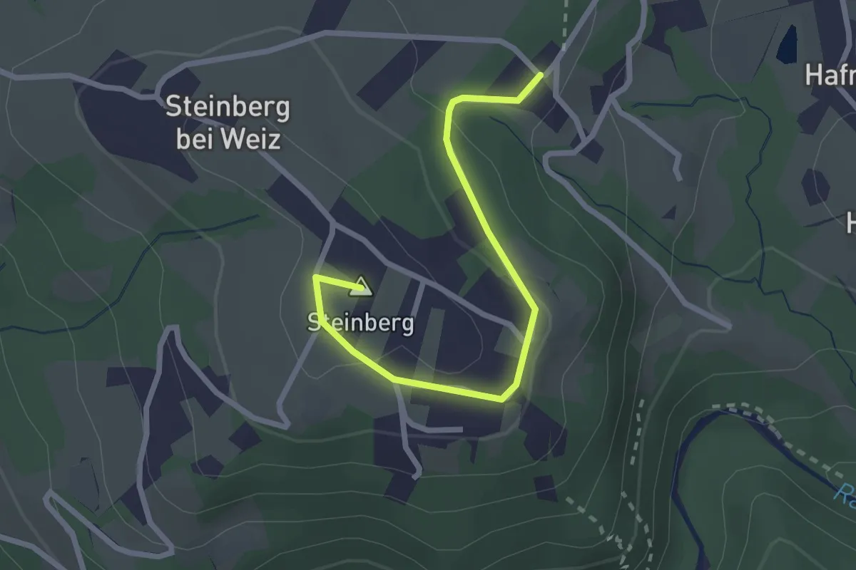
Demanding · Summit
Wanderweg 149
13.3 km · ↑ 1206 m · 5 h 45 min
Easy · Summit
Wanderweg 14a
2.4 km · ↑ 65 m · 43 min
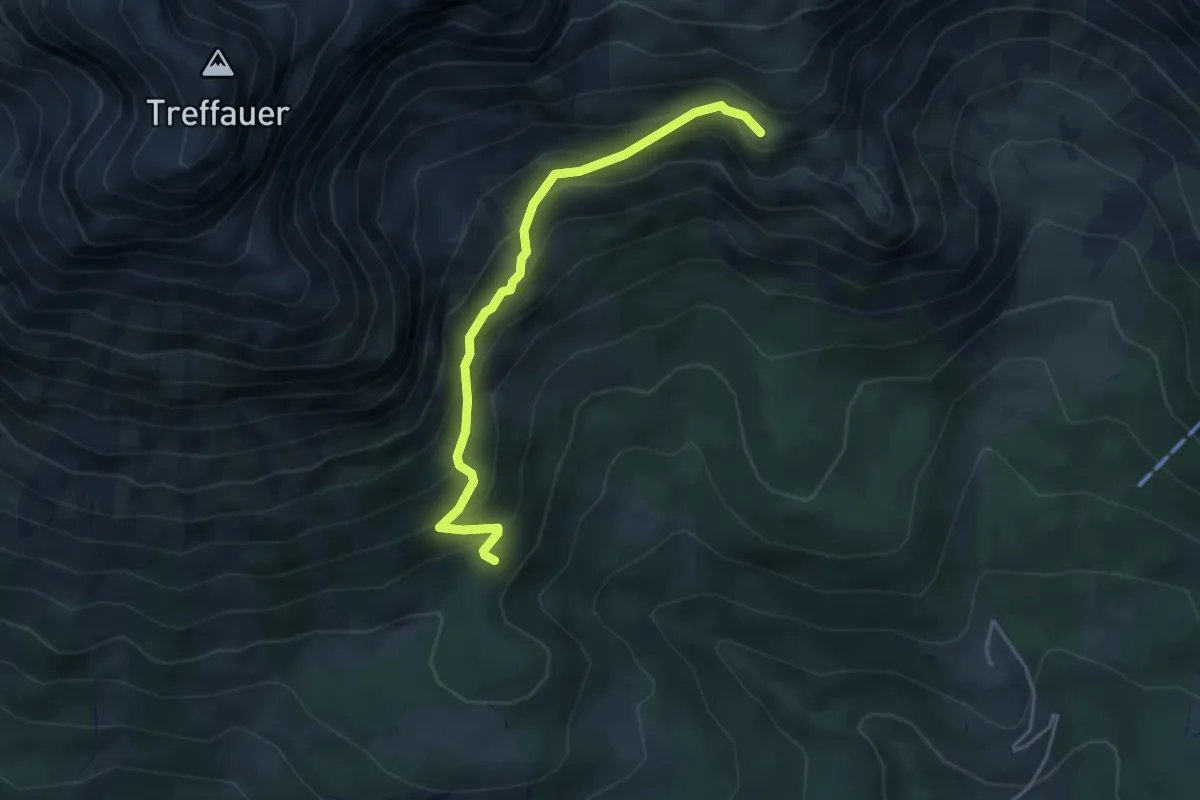
Medium · Cabin
Wanderweg 14a - Wilder Kaiser
4.0 km · ↑ 362 m · 1 h 44 min
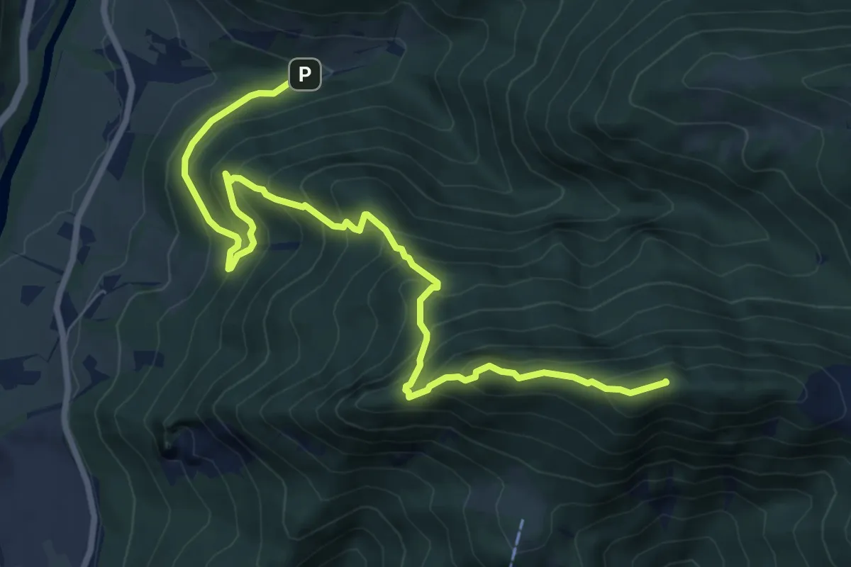
Demanding · Summit
Wanderweg 14 : Dorngraben - Dürres Eck - Gaisberg - Pfaffenboden - Mandlmais
8.8 km · ↑ 852 m · 3 h 55 min
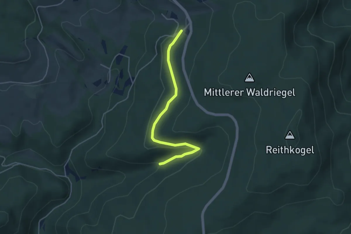
Easy · Trail
Wanderweg 14: Farnkräuterweg
3.8 km · ↑ 99 m · 1 h 6 min
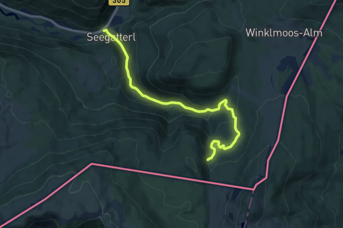
Medium · Trail
Wanderweg 14 - Reit im Winkl
10.1 km · ↑ 528 m · 3 h 31 min
Medium · Trail
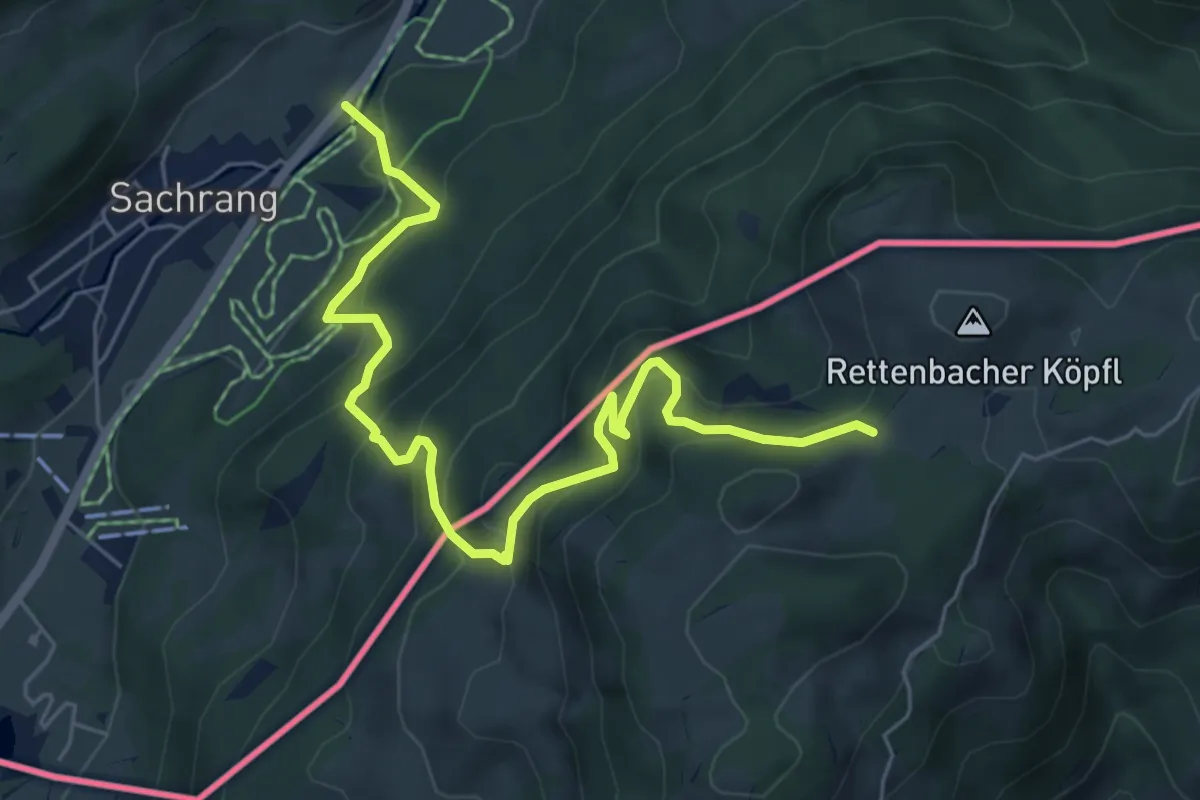
Wanderweg 14 - Sachrang
6.6 km · ↑ 523 m · 2 h 42 min
Medium · Trail
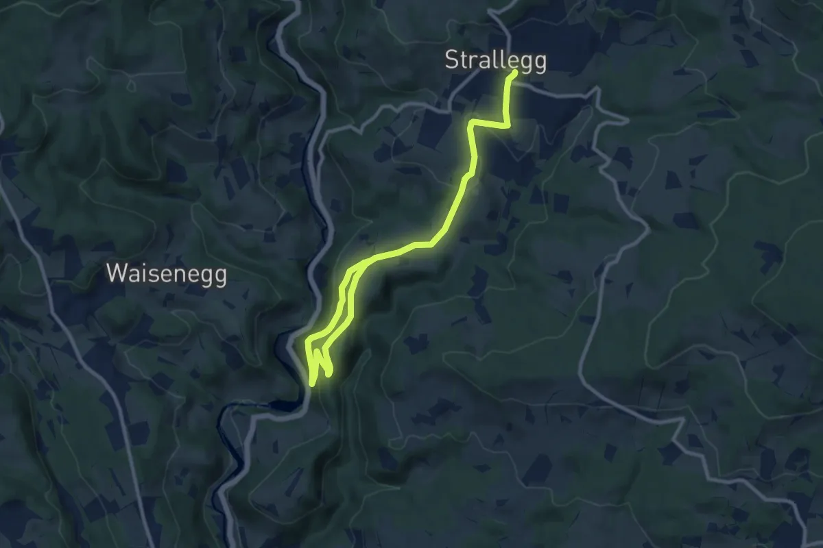
Wanderweg 14 - Seeweg
11.6 km · ↑ 377 m · 3 h 33 min
Medium · Trail
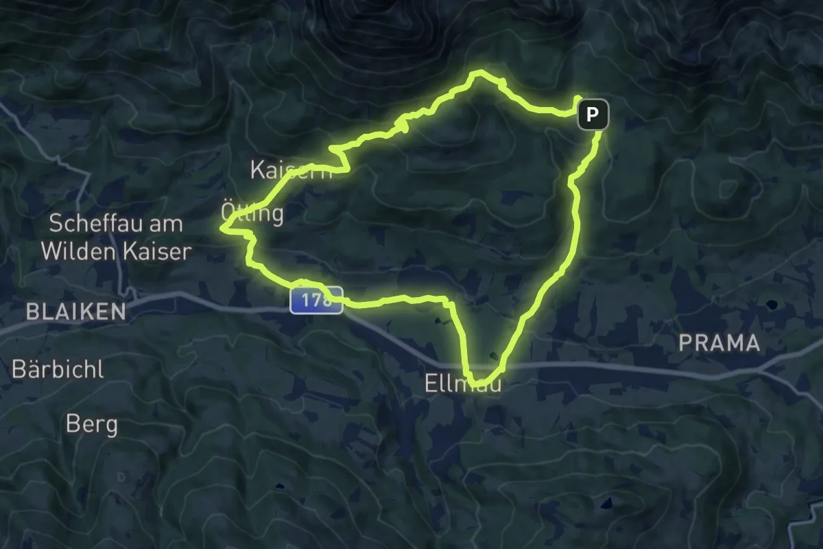
Wanderweg 14 - Wilder Kaiser
14.1 km · ↑ 564 m · 4 h 45 min
Medium · Trail
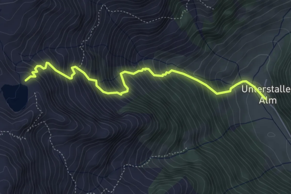
Wanderweg 15
5.4 km · ↑ 784 m · 2 h 58 min
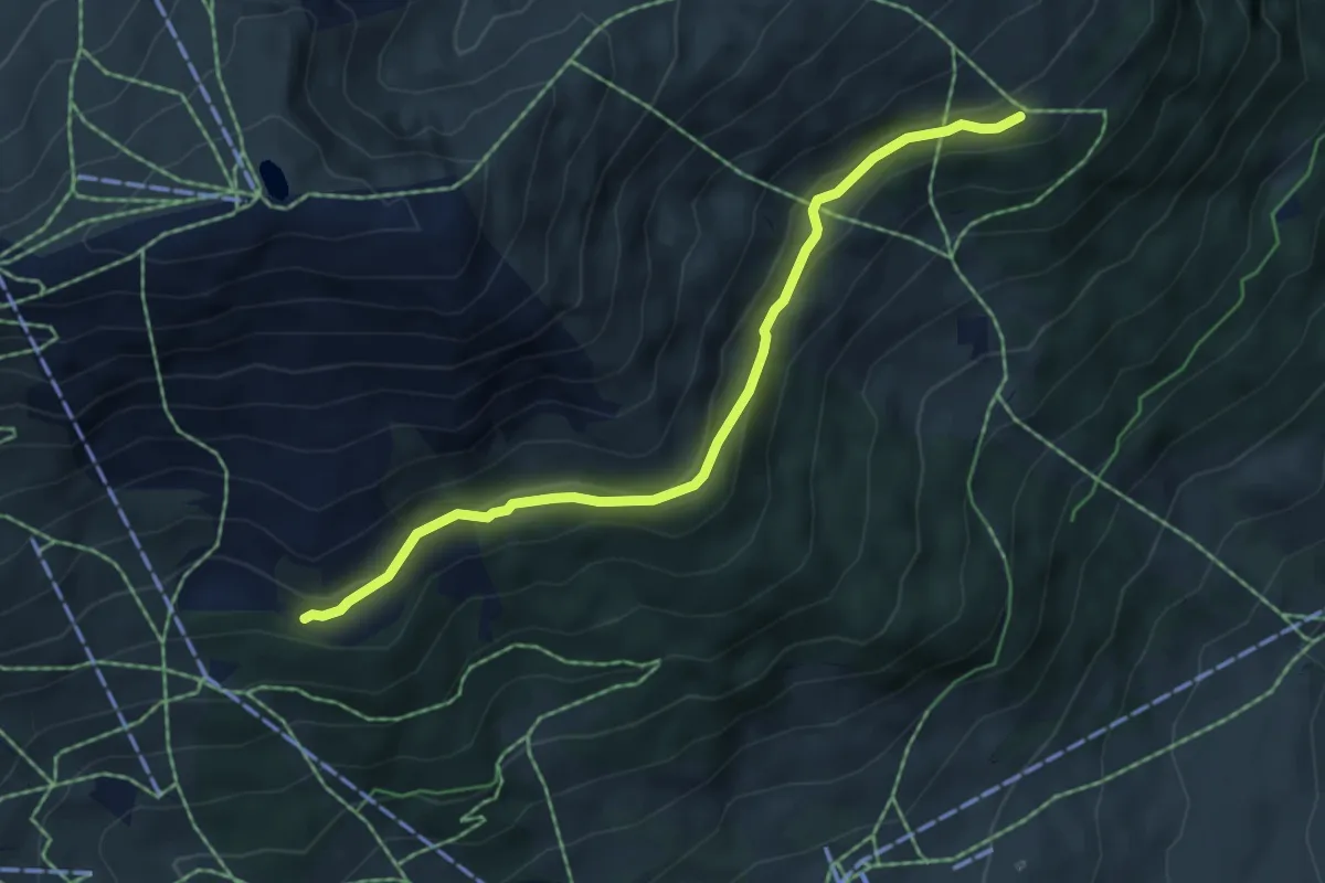
Easy · Trail
Wanderweg 15
5.3 km · ↑ 161 m · 1 h 36 min
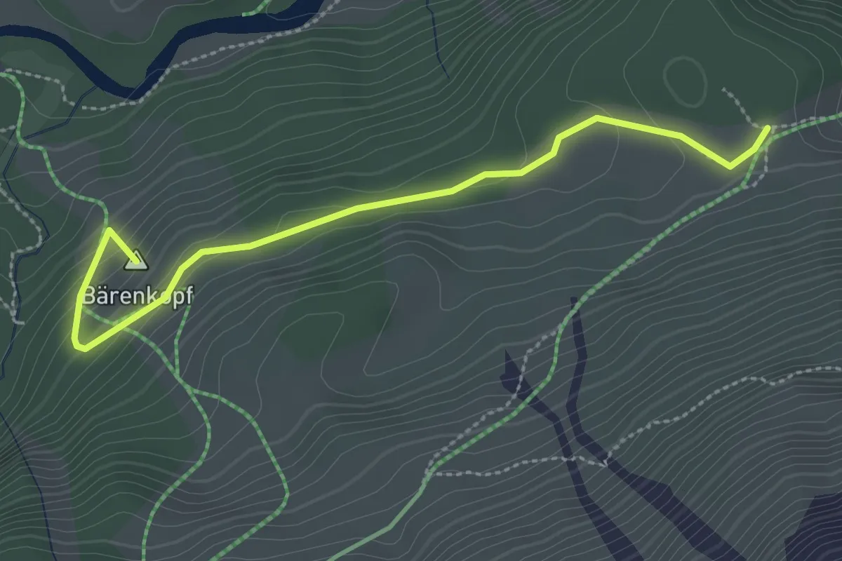
Easy · Summit
Wanderweg 15
2.9 km · ↑ 124 m · 58 min
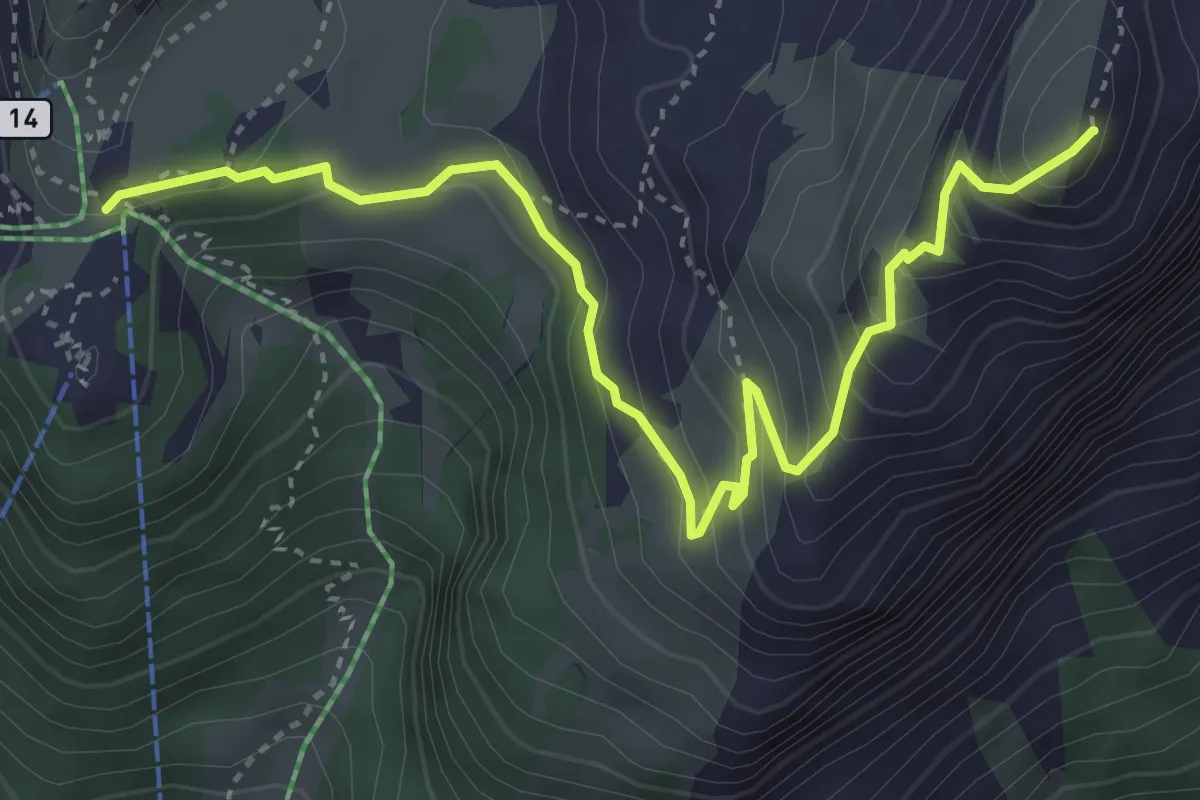
Expert · Summit
Wanderweg 15
4.4 km · ↑ 410 m · 1 h 56 min
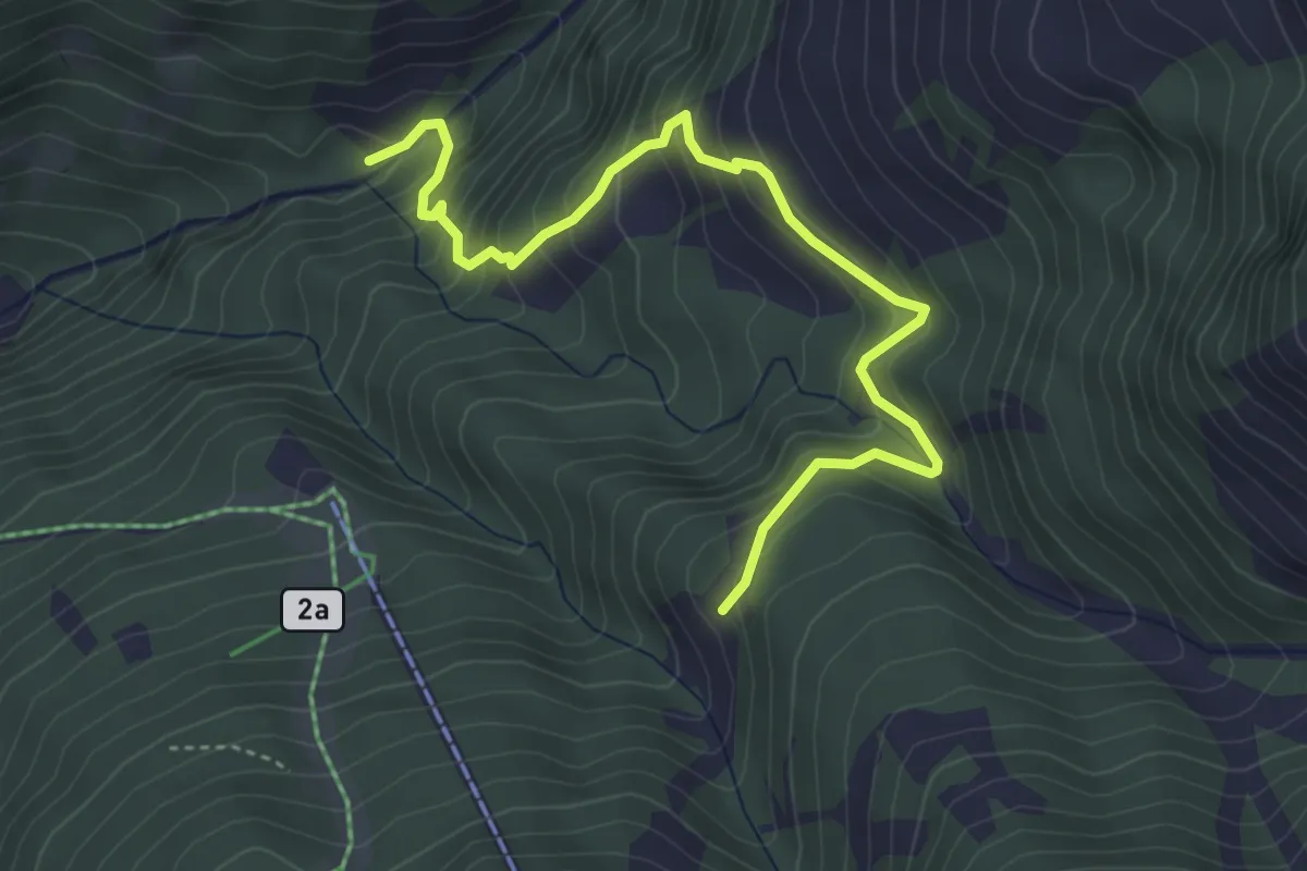
Medium · Trail
Wanderweg 15
4.5 km · ↑ 379 m · 1 h 53 min
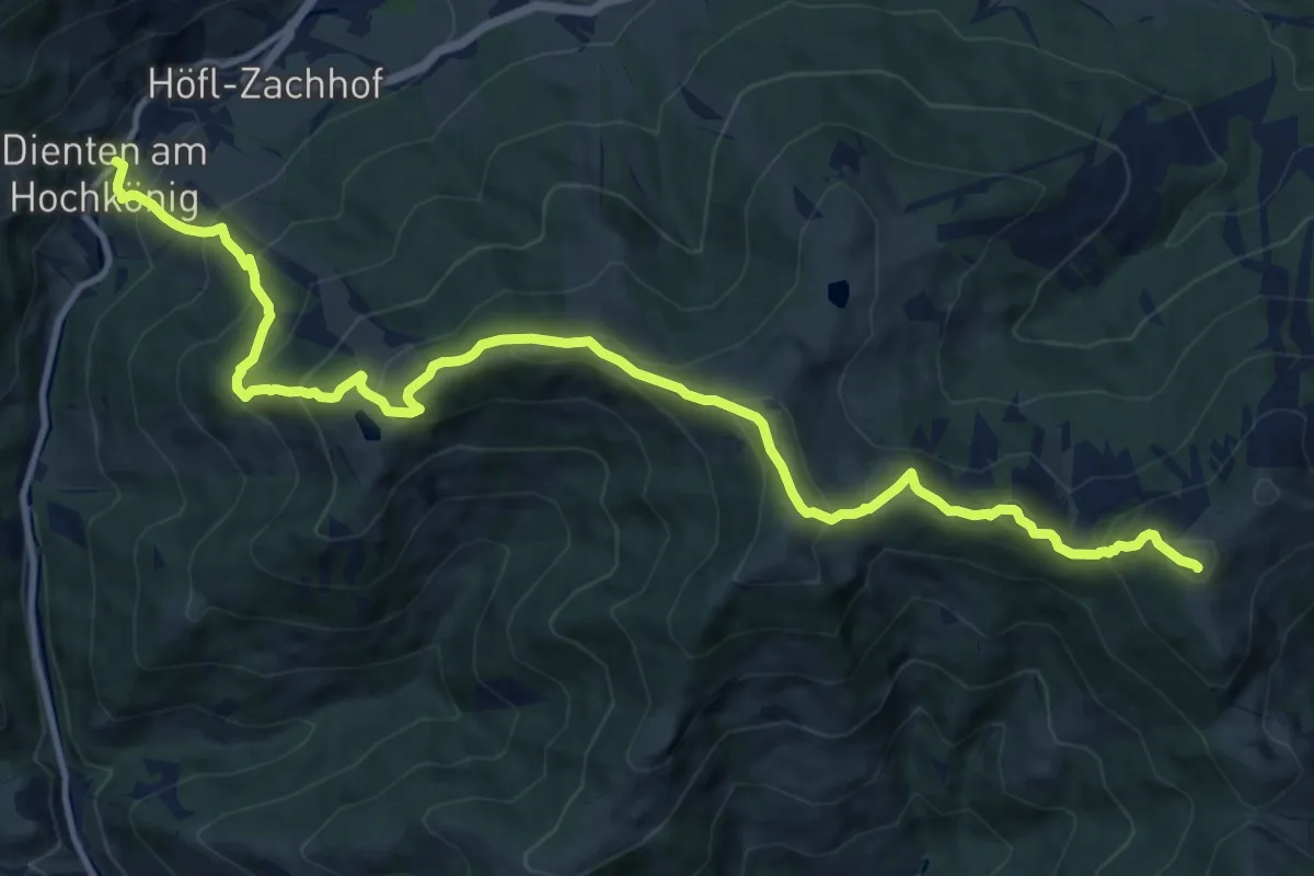
Demanding · Summit
Wanderweg 15
14.6 km · ↑ 1184 m · 6 h 1 min
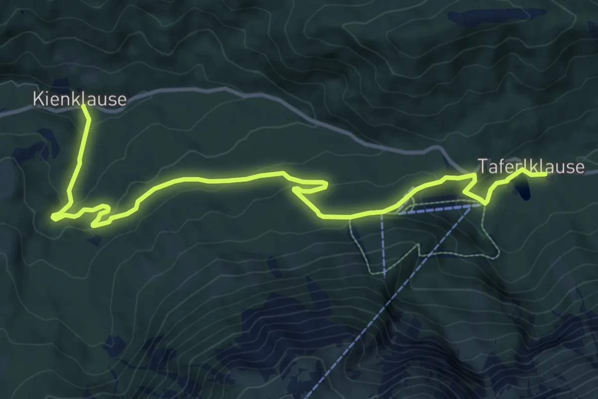
Medium · Trail
Wanderweg 15
11.4 km · ↑ 404 m · 3 h 34 min
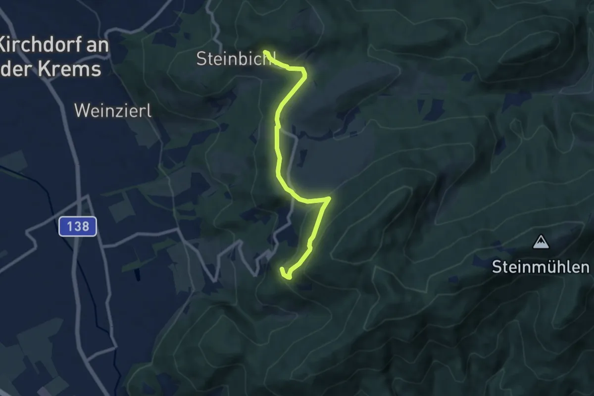
Easy · Trail
Wanderweg 15
7.0 km · ↑ 270 m · 2 h 14 min
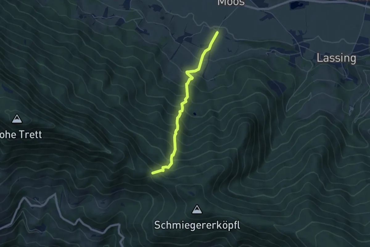
Medium · Trail
Wanderweg 15
5.1 km · ↑ 591 m · 2 h 29 min