Trails in Austria
9,777 hiking trails, each with its route, climb, walking time and grade.
All trails, page 140 of 204
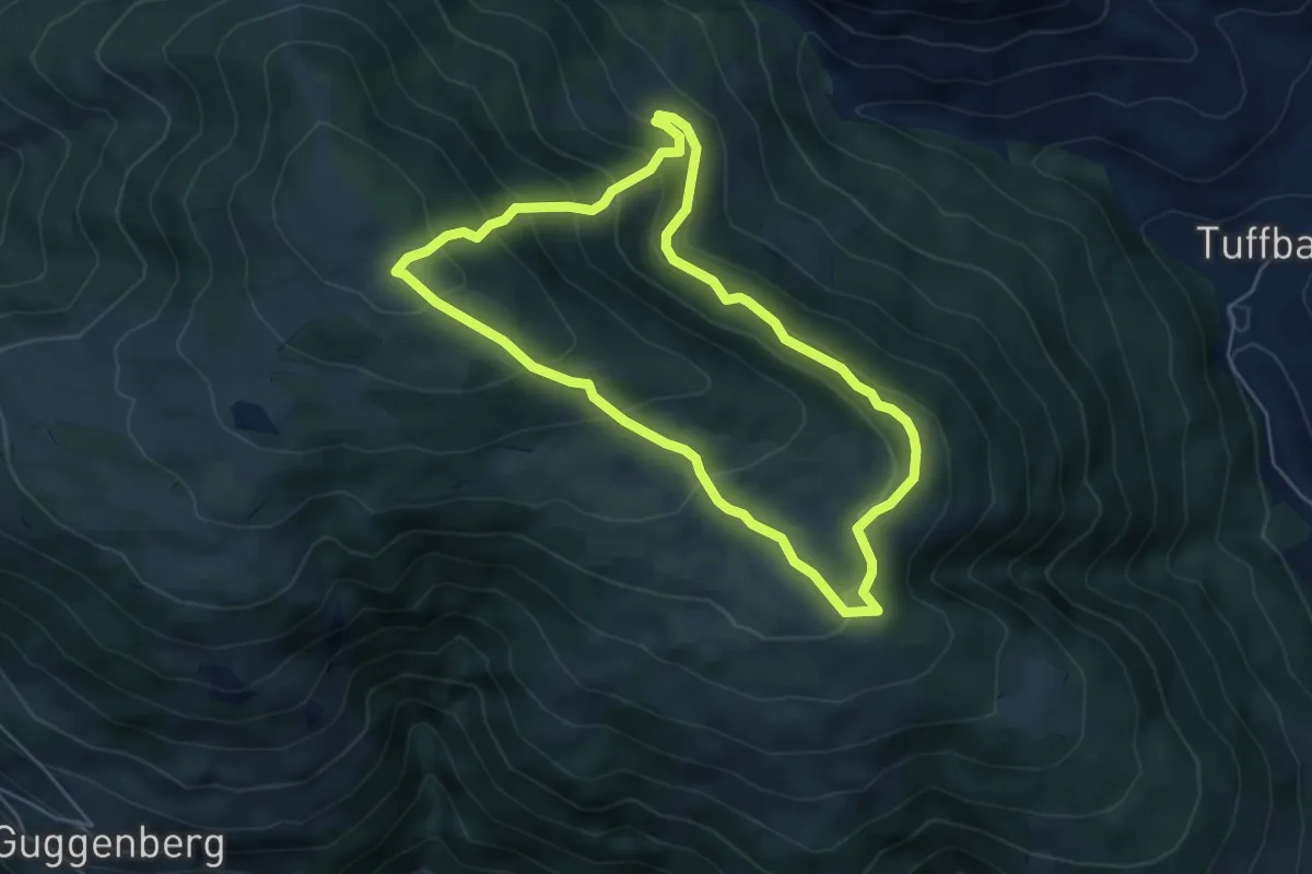
Medium · Cabin
Wanderweg 24 Samalm
4.9 km · ↑ 340 m · 1 h 58 min
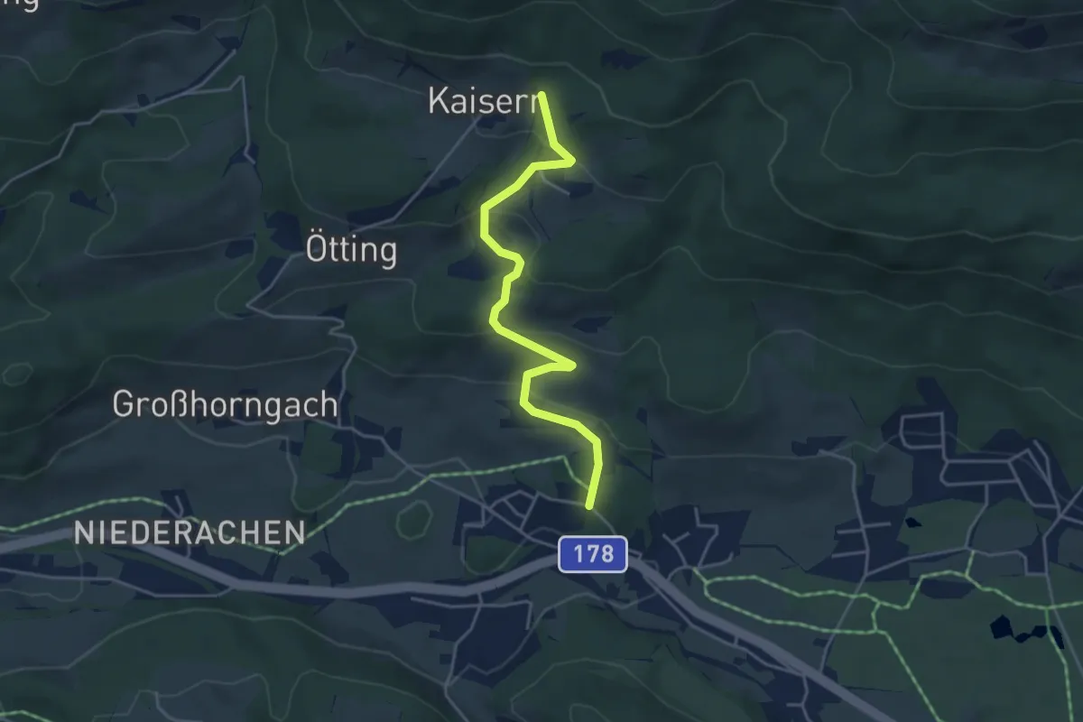
Easy · Trail
Wanderweg 24 - Wilder Kaiser
4.1 km · ↑ 197 m · 1 h 24 min
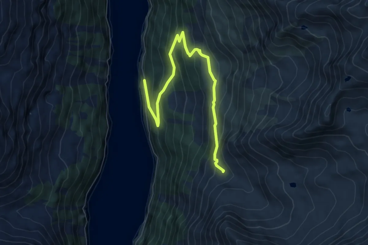
Medium · Trail
Wanderweg 25
8.1 km · ↑ 501 m · 3 h
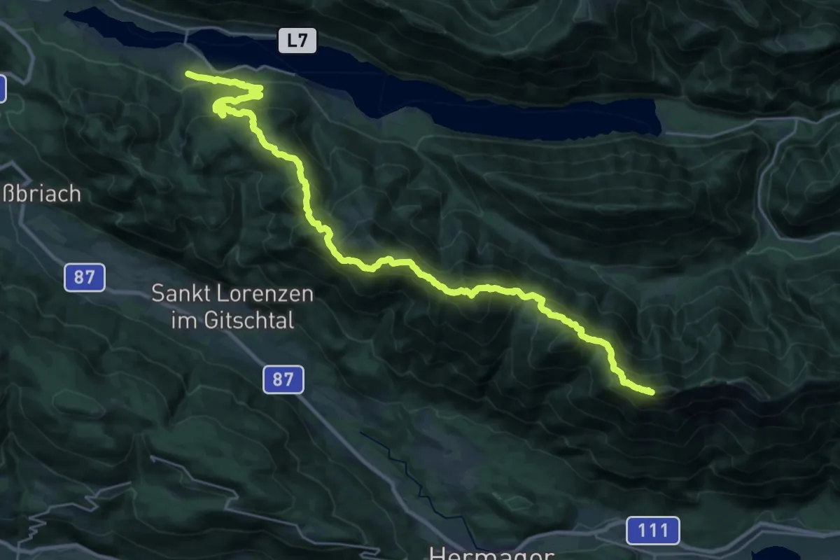
Demanding · Summit
Wanderweg 25
31.2 km · ↑ 2401 m · 12 h 34 min
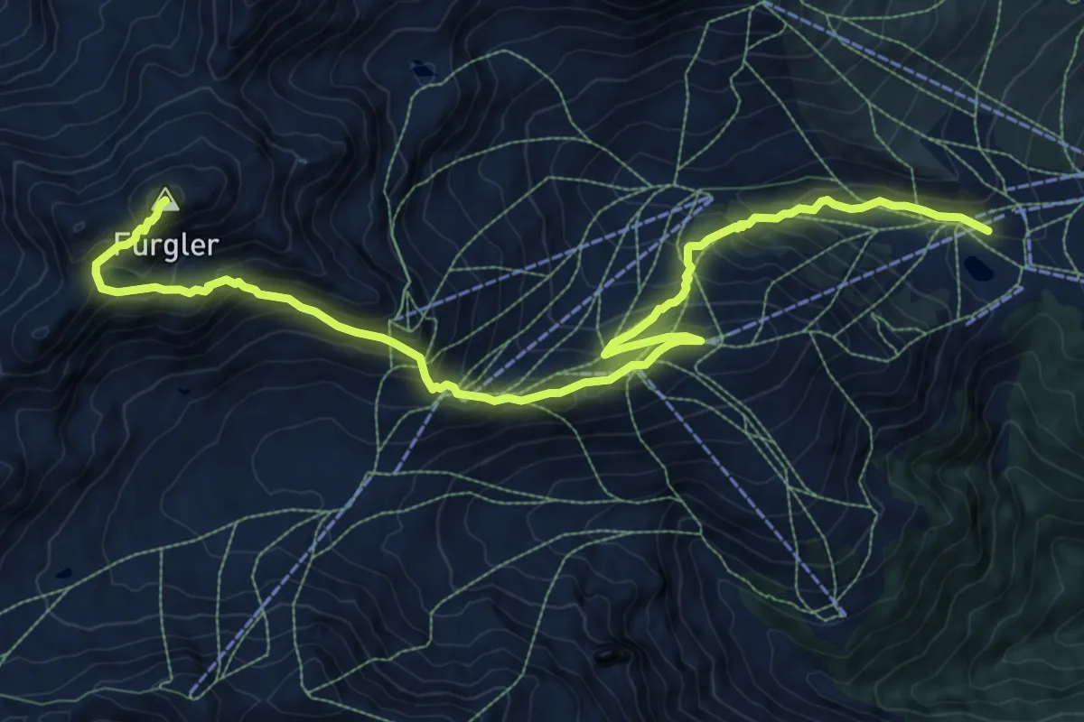
Demanding · Summit
Wanderweg 25
12.7 km · ↑ 1094 m · 5 h 22 min
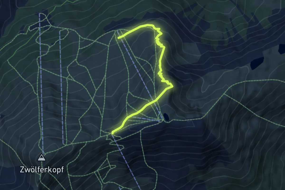
Medium · Trail
Wanderweg 25
5.9 km · ↑ 348 m · 2 h 9 min
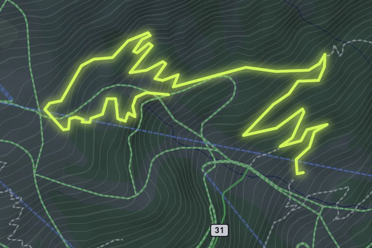
Medium · Trail
Wanderweg 25
5.7 km · ↑ 458 m · 2 h 21 min
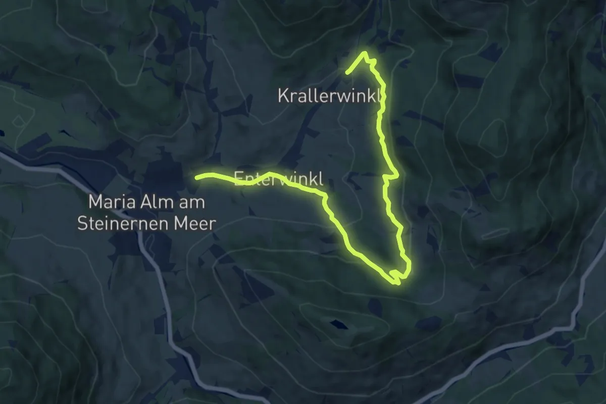
Medium · Trail
Wanderweg 25
11.8 km · ↑ 437 m · 3 h 44 min
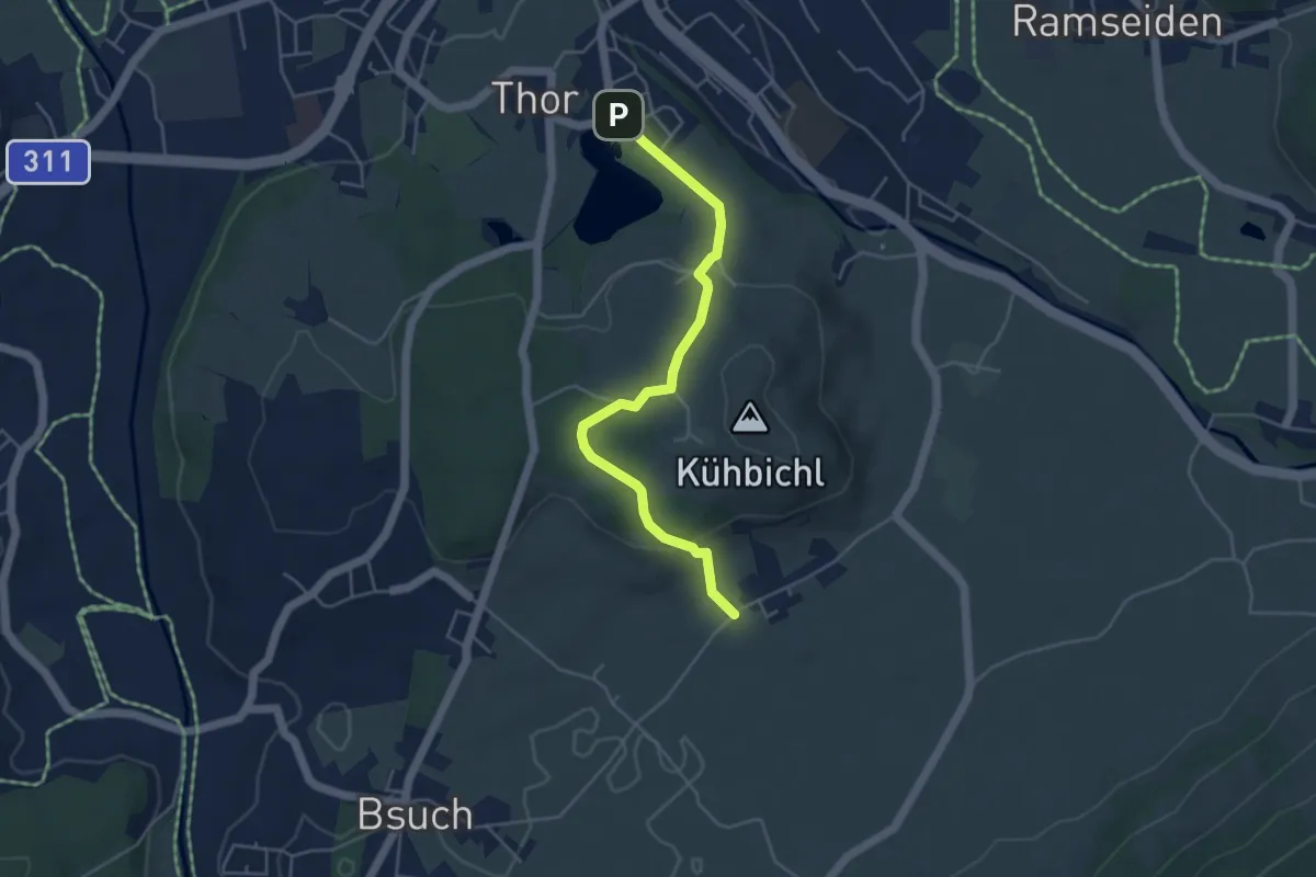
Easy · Trail
Wanderweg 25
4.5 km · ↑ 155 m · 1 h 24 min
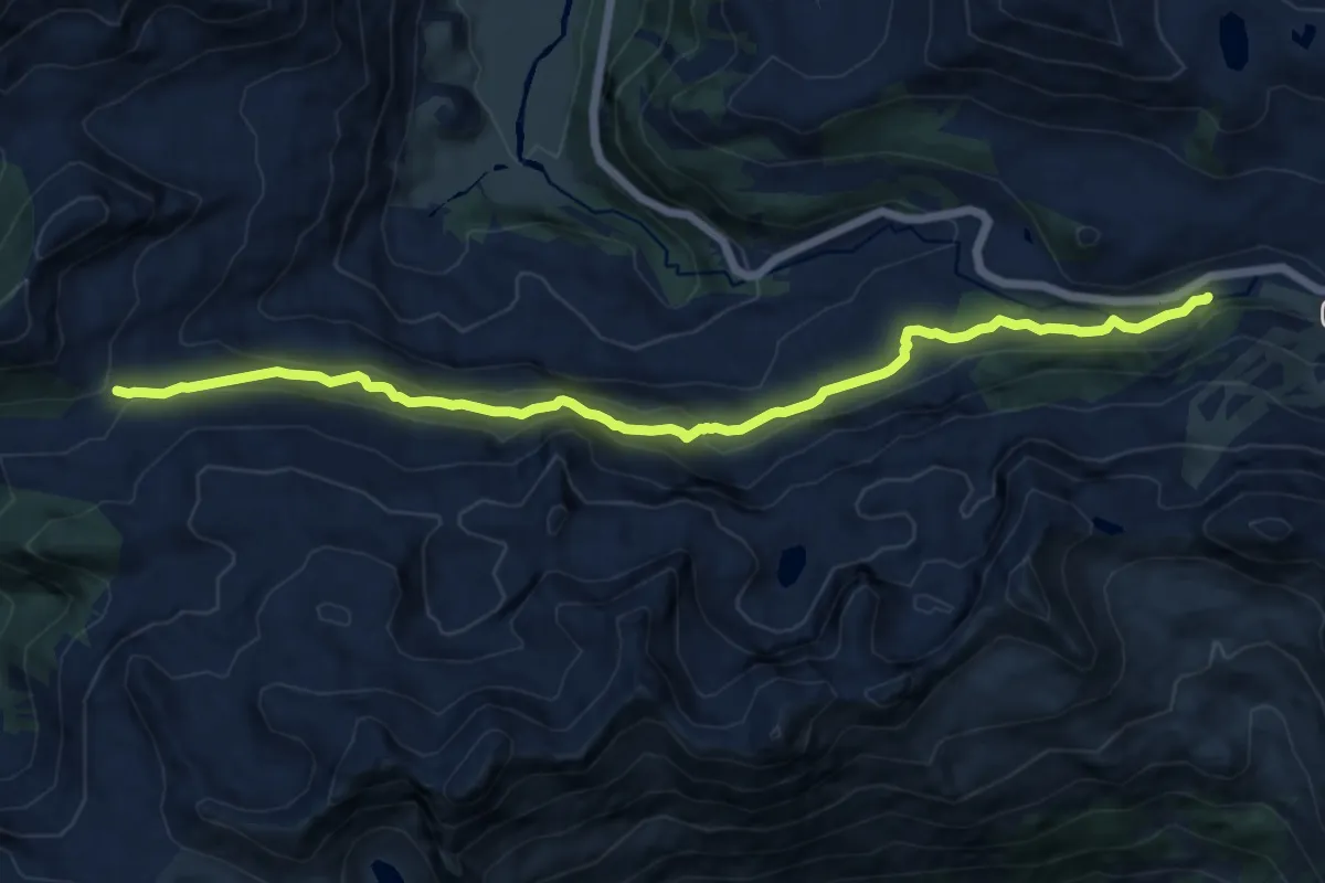
Medium · Trail
Wanderweg 25
12.7 km · ↑ 385 m · 3 h 49 min
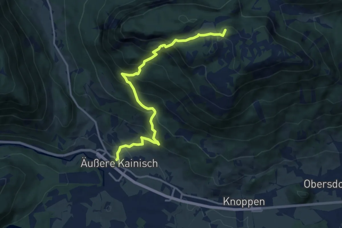
Demanding · Summit
Wanderweg 25
9.8 km · ↑ 840 m · 4 h 8 min
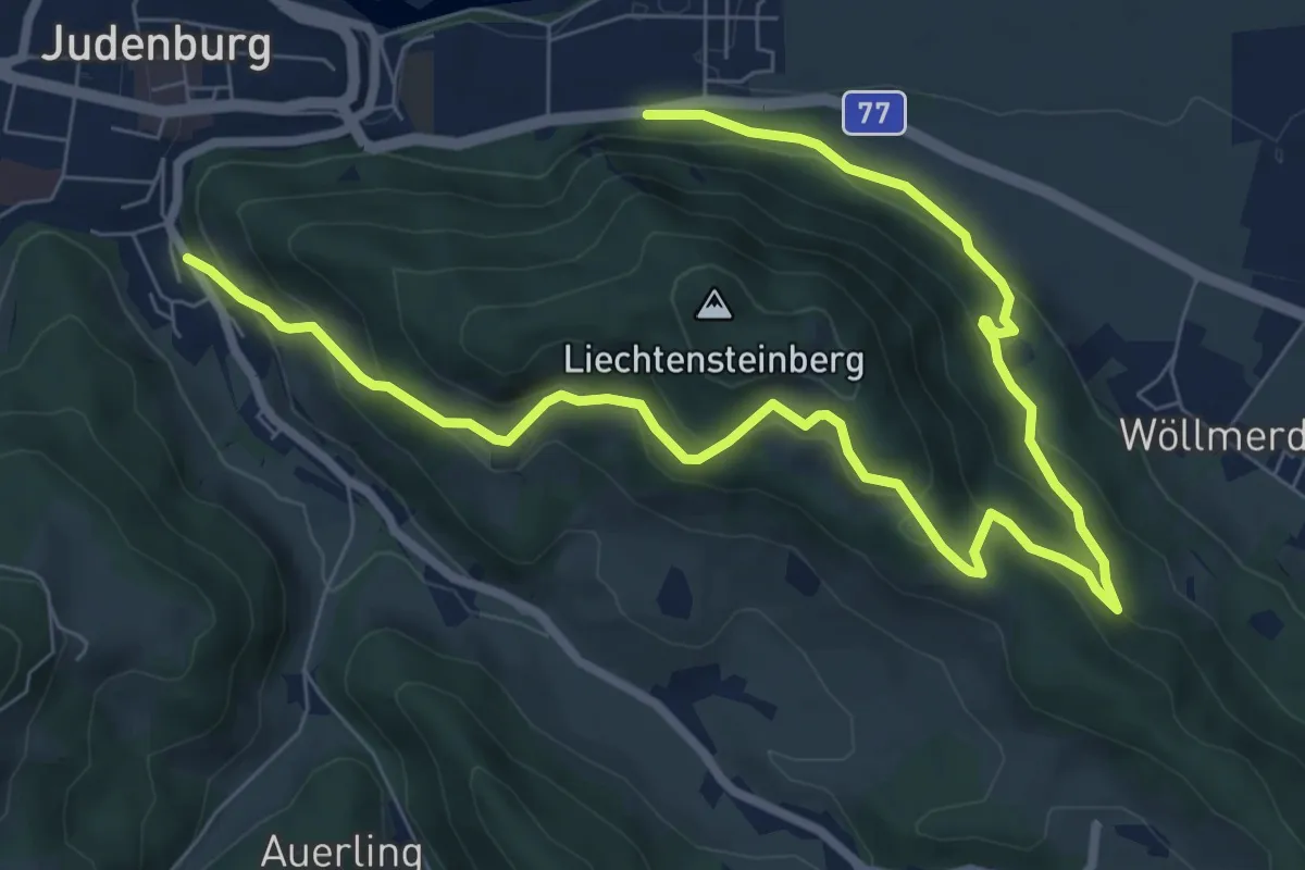
Medium · Trail
Wanderweg 25
11.1 km · ↑ 527 m · 3 h 45 min
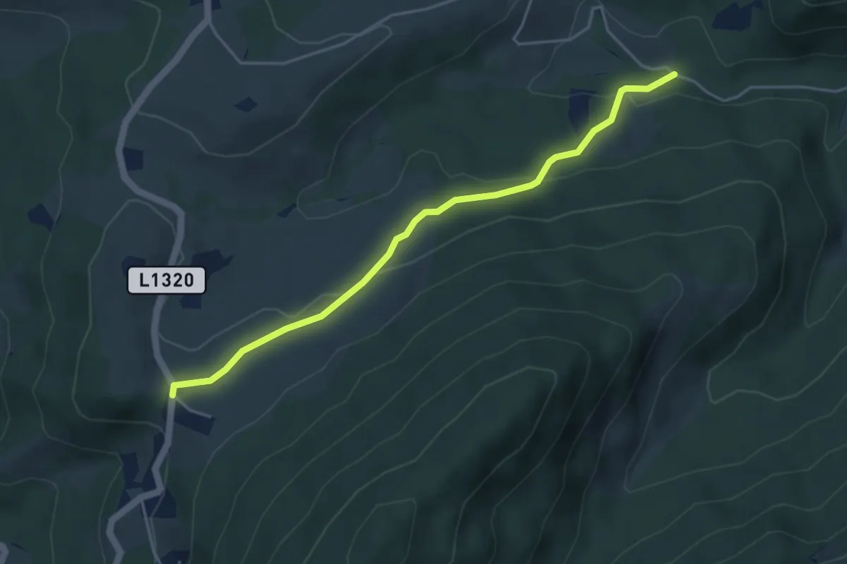
Easy · Trail
Wanderweg 25
4.2 km · ↑ 140 m · 1 h 17 min
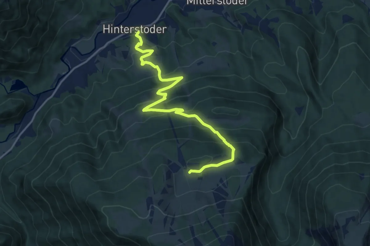
Demanding · Trail
Wanderweg 25
12.1 km · ↑ 816 m · 4 h 38 min
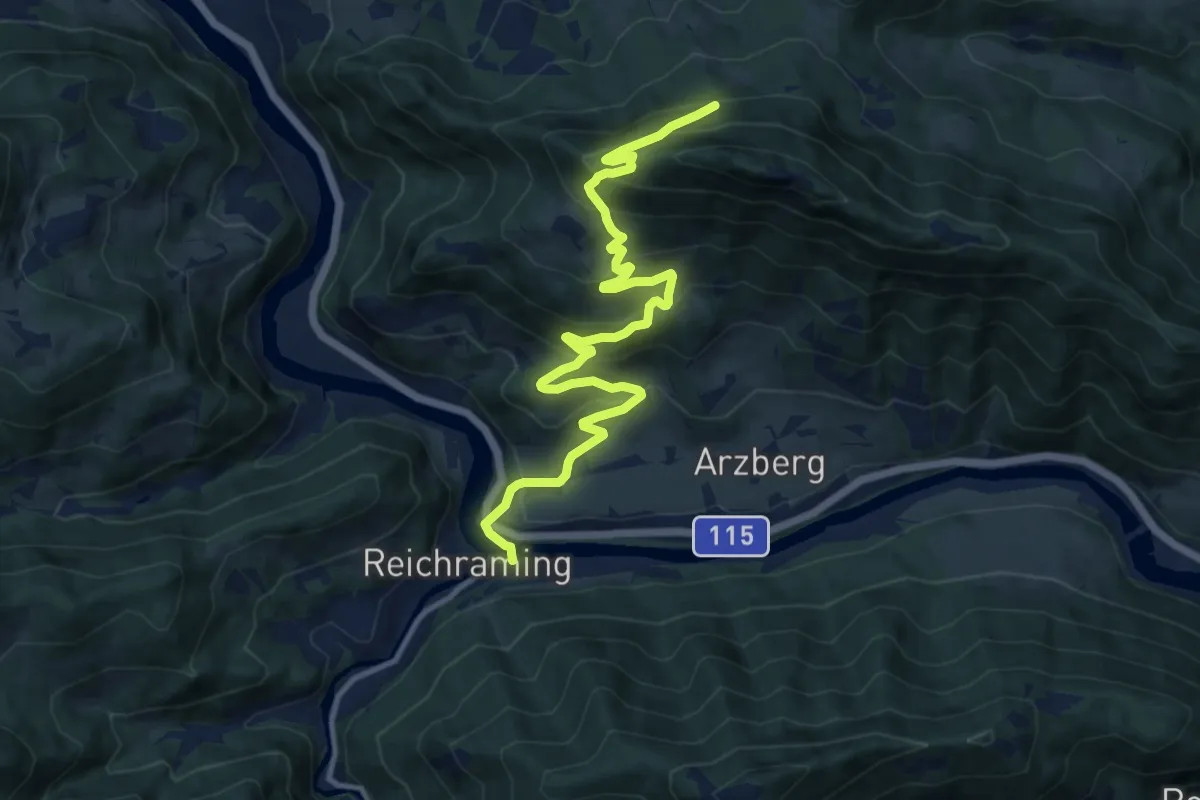
Demanding · Trail
Wanderweg 25
12.9 km · ↑ 838 m · 4 h 51 min
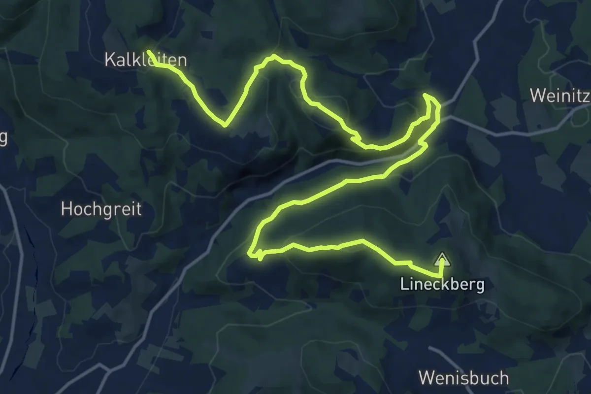
Medium · Summit
Wanderweg 25
17.5 km · ↑ 695 m · 5 h 38 min
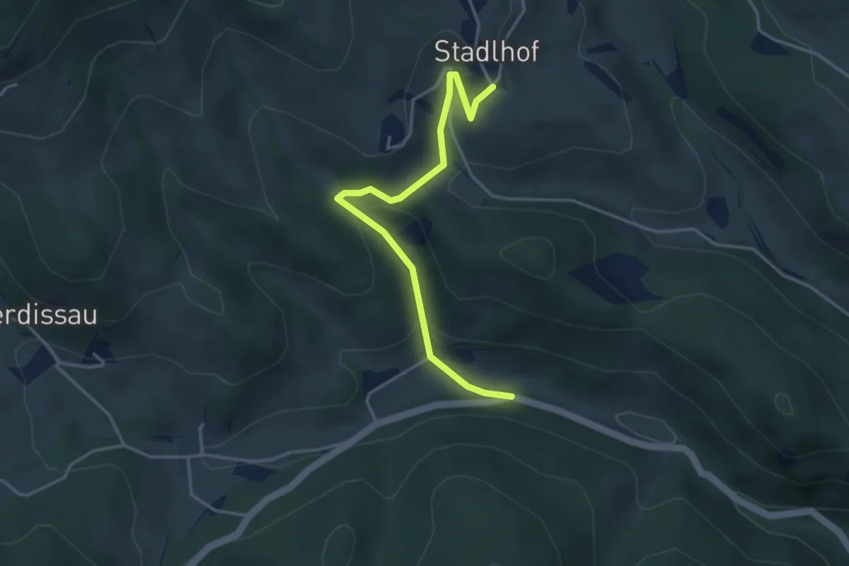
Easy · Trail
Wanderweg 25
3.6 km · ↑ 144 m · 1 h 10 min
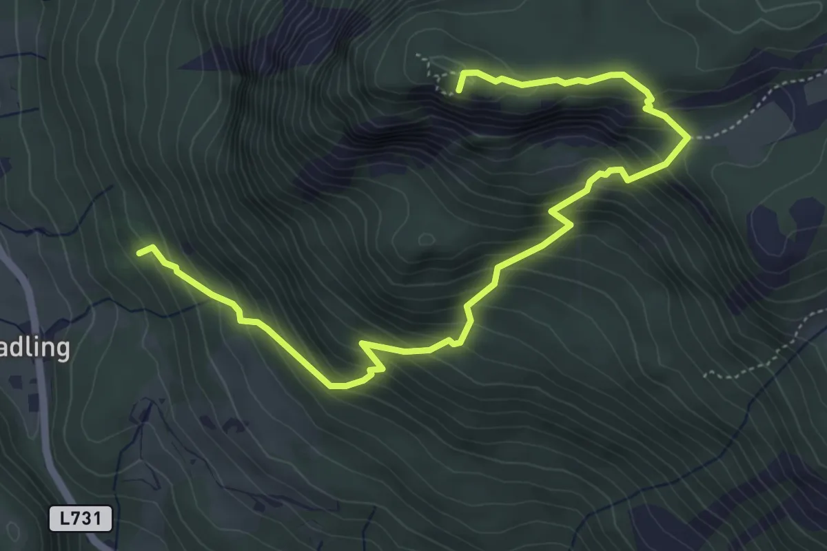
Medium · Summit
Wanderweg 253
6.2 km · ↑ 649 m · 2 h 53 min
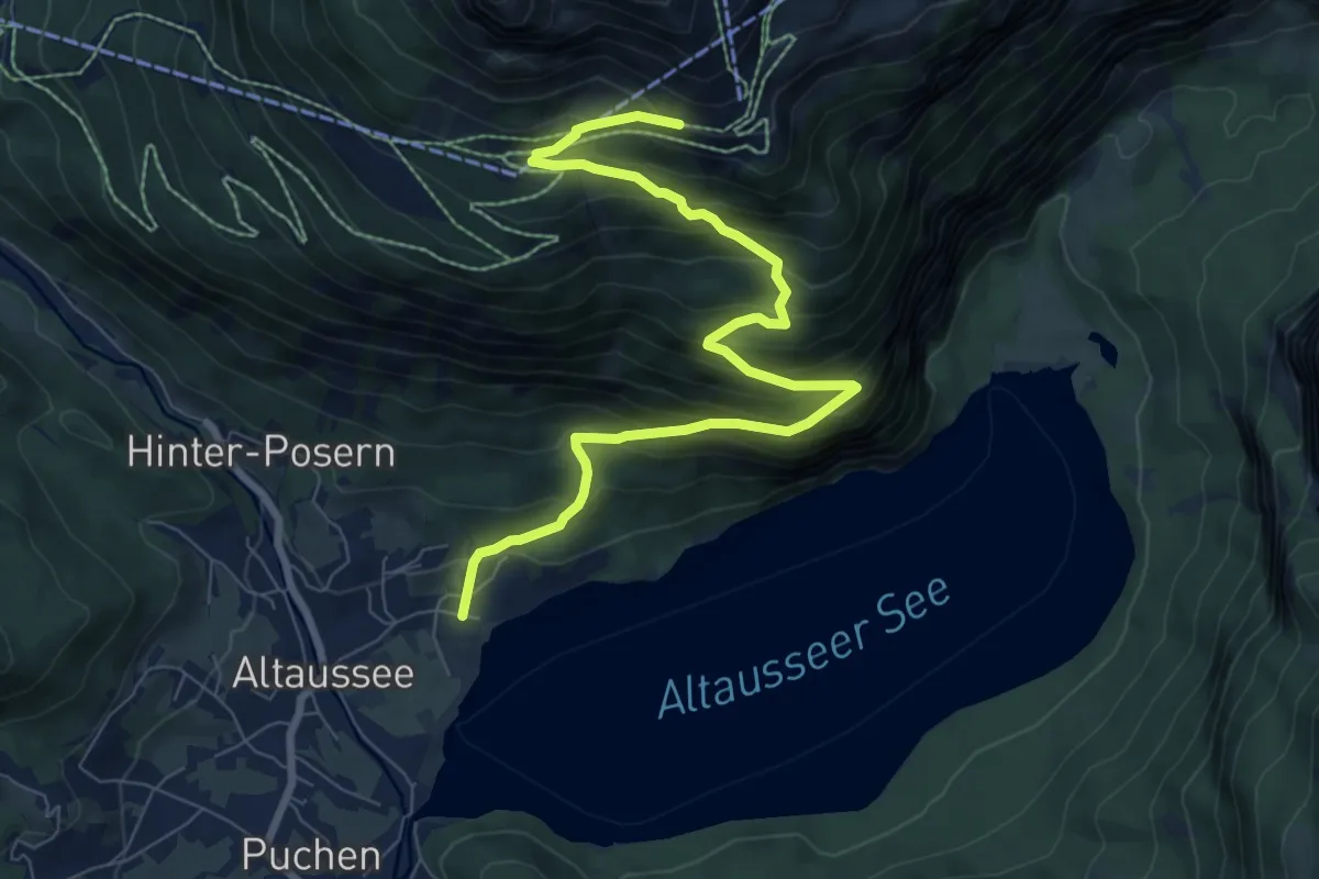
Medium · Cabin
Wanderweg 254
8.8 km · ↑ 772 m · 3 h 45 min
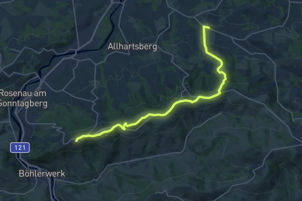
Demanding · Summit
Wanderweg 254 Mostviertler Rundwanderweg
18.5 km · ↑ 634 m · 5 h 44 min
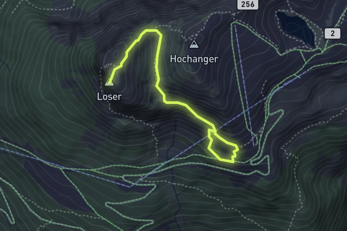
Medium · Summit
Wanderweg 255
3.9 km · ↑ 438 m · 1 h 52 min
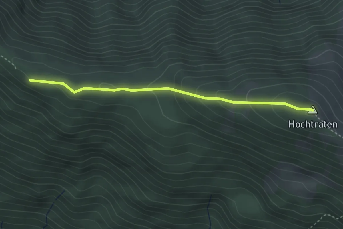
Medium · Summit
Wanderweg 256
3.2 km · ↑ 185 m · 1 h 9 min
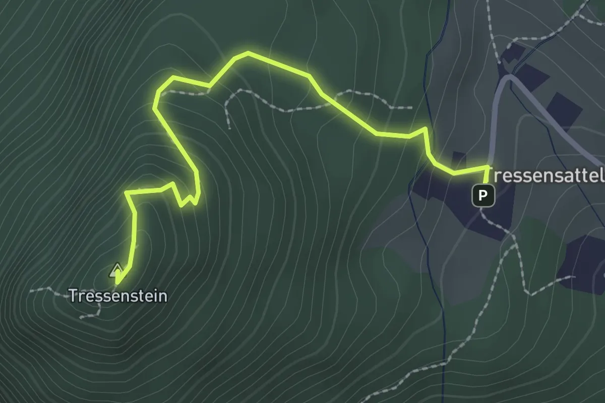
Medium · Summit
Wanderweg 258
2.4 km · ↑ 237 m · 1 h 5 min
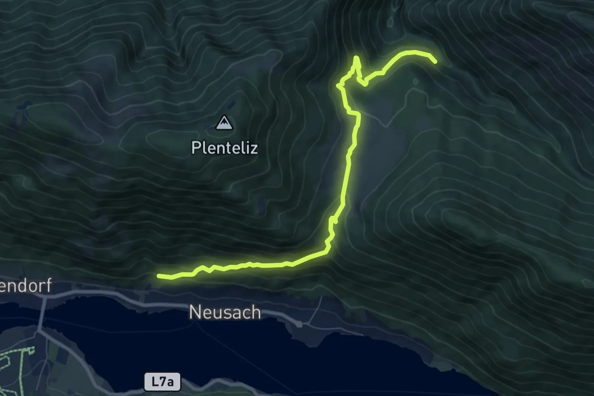
Medium · Trail
Wanderweg 259
8.8 km · ↑ 496 m · 3 h 9 min
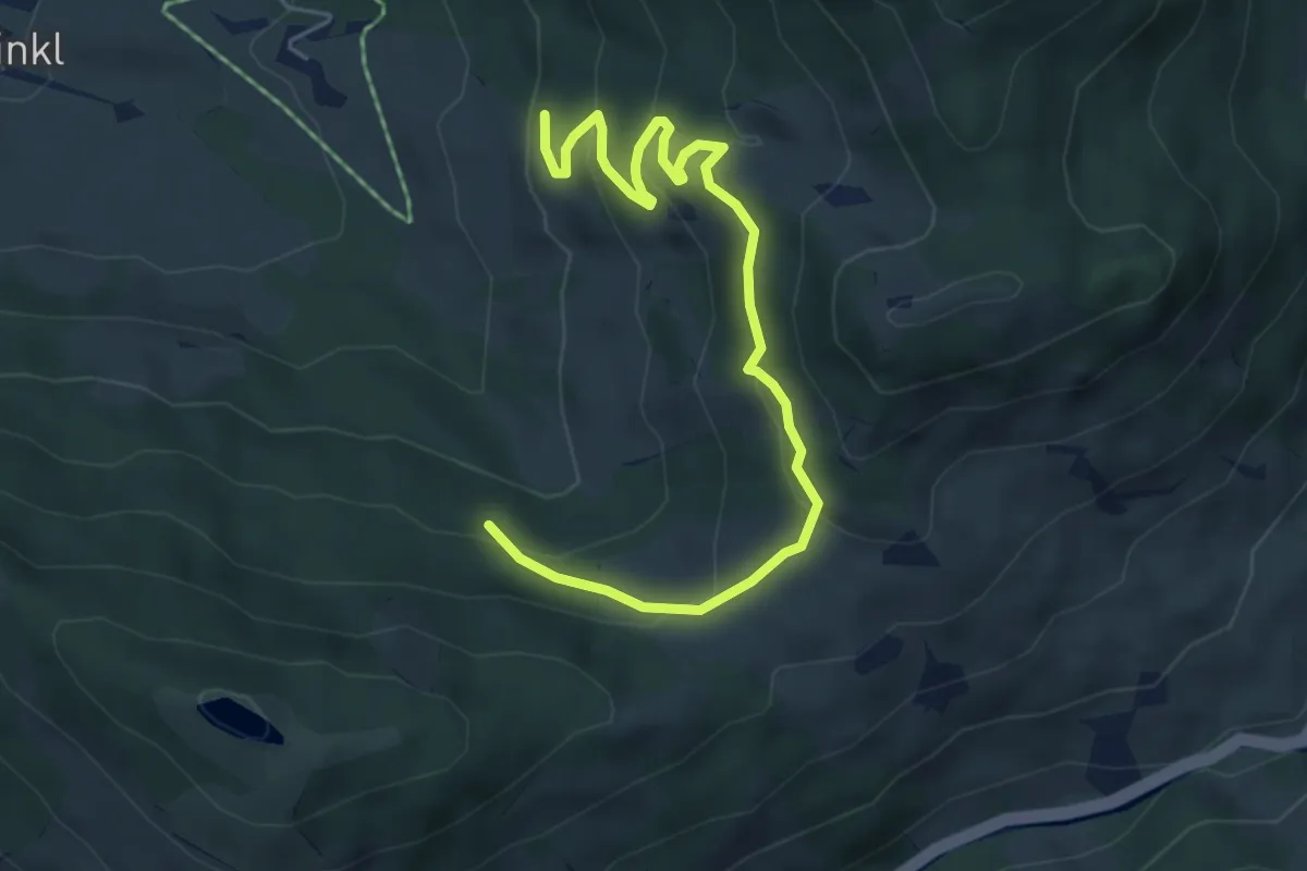
Medium · Trail
Wanderweg 25a
5.8 km · ↑ 293 m · 2 h 1 min
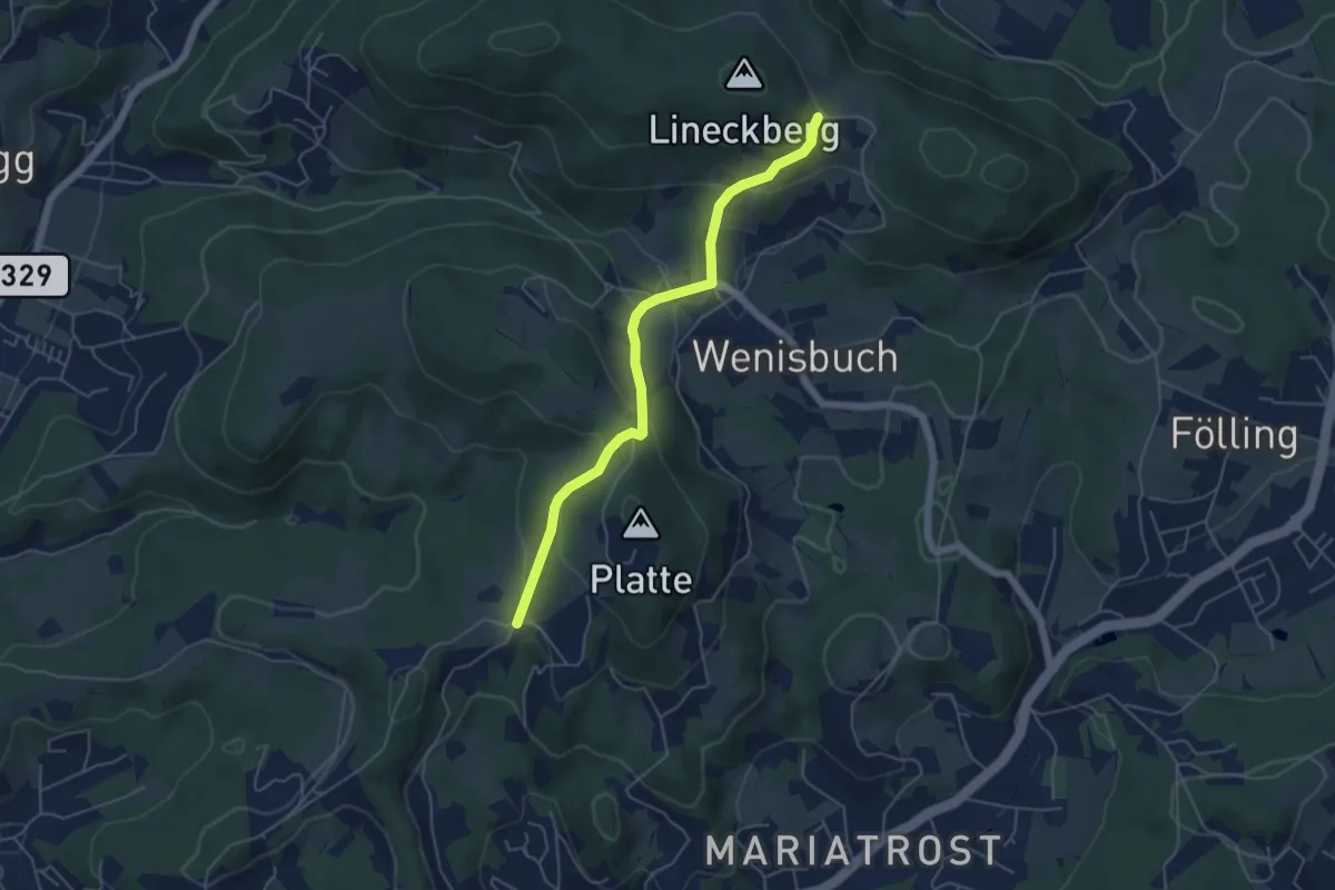
Easy · Trail
Wanderweg 25a
5.0 km · ↑ 218 m · 1 h 39 min
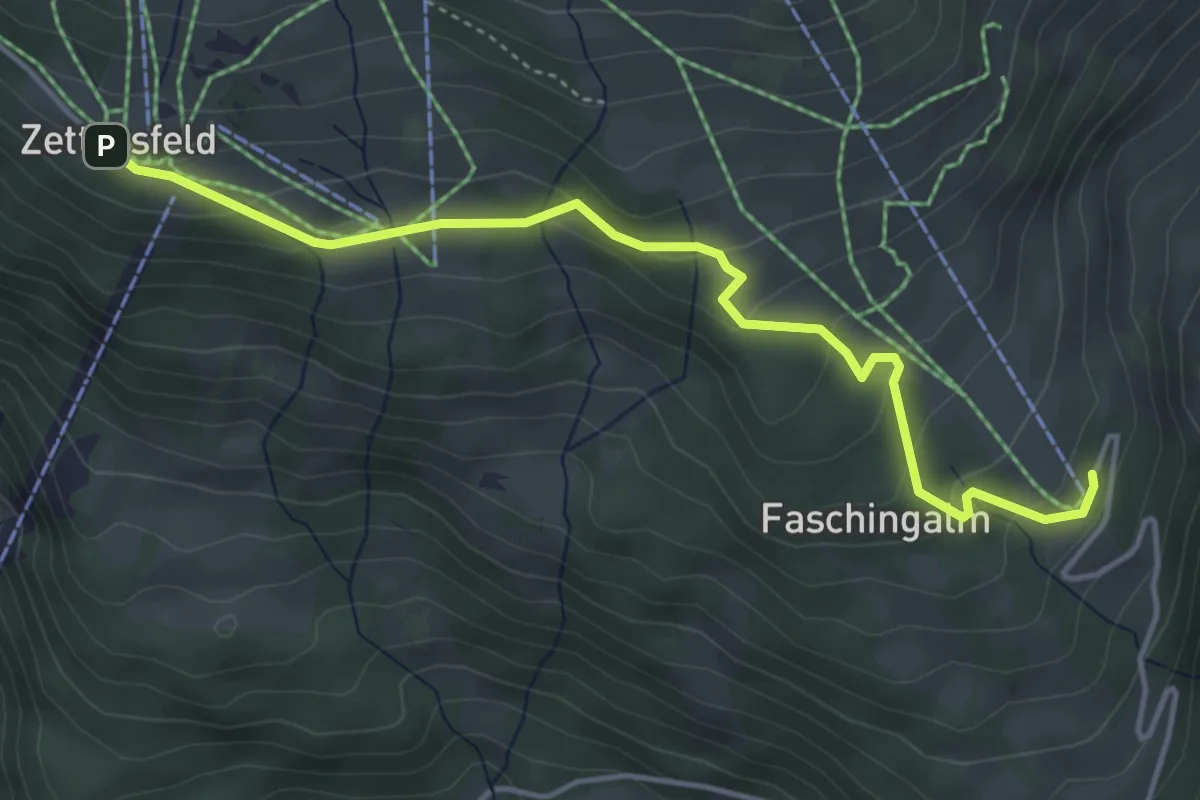
Easy · Trail
Wanderweg 25A
4.5 km · ↑ 188 m · 1 h 29 min
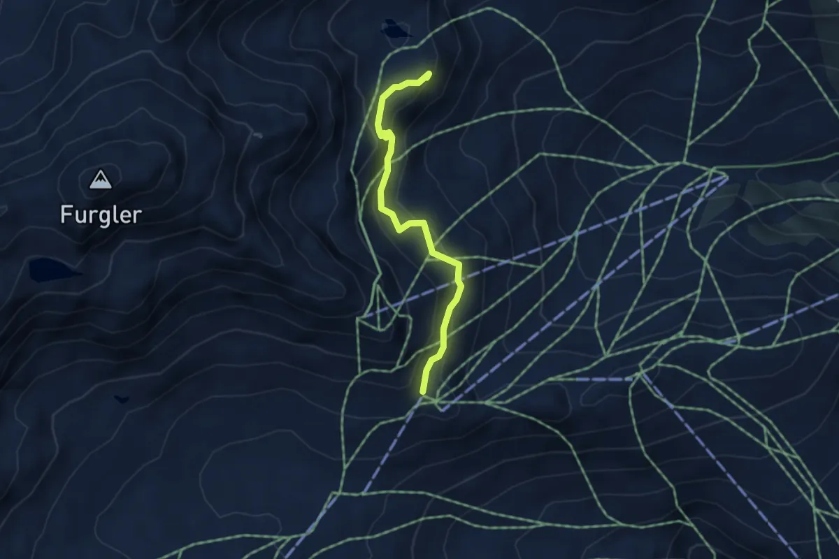
Medium · Summit
Wanderweg 25A
3.6 km · ↑ 153 m · 1 h 11 min
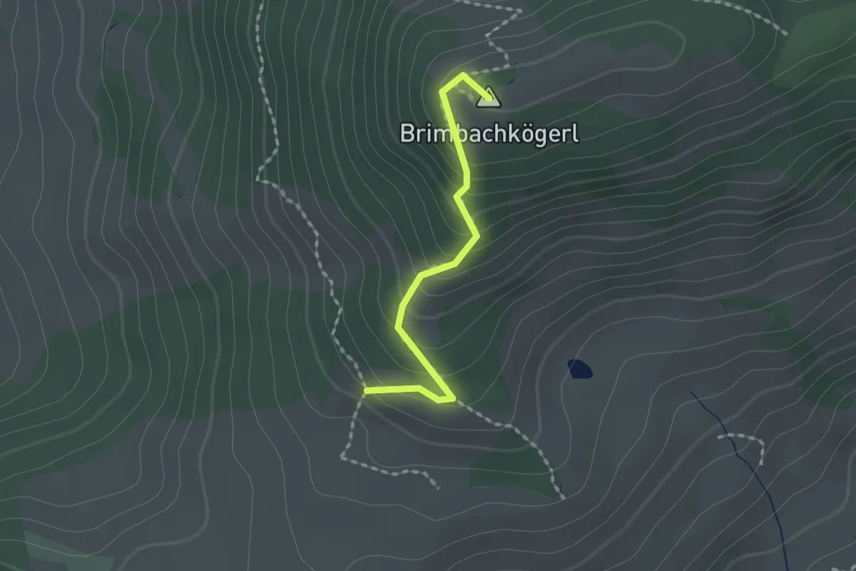
Easy · Summit
Wanderweg 25b
1.5 km · ↑ 152 m · 41 min
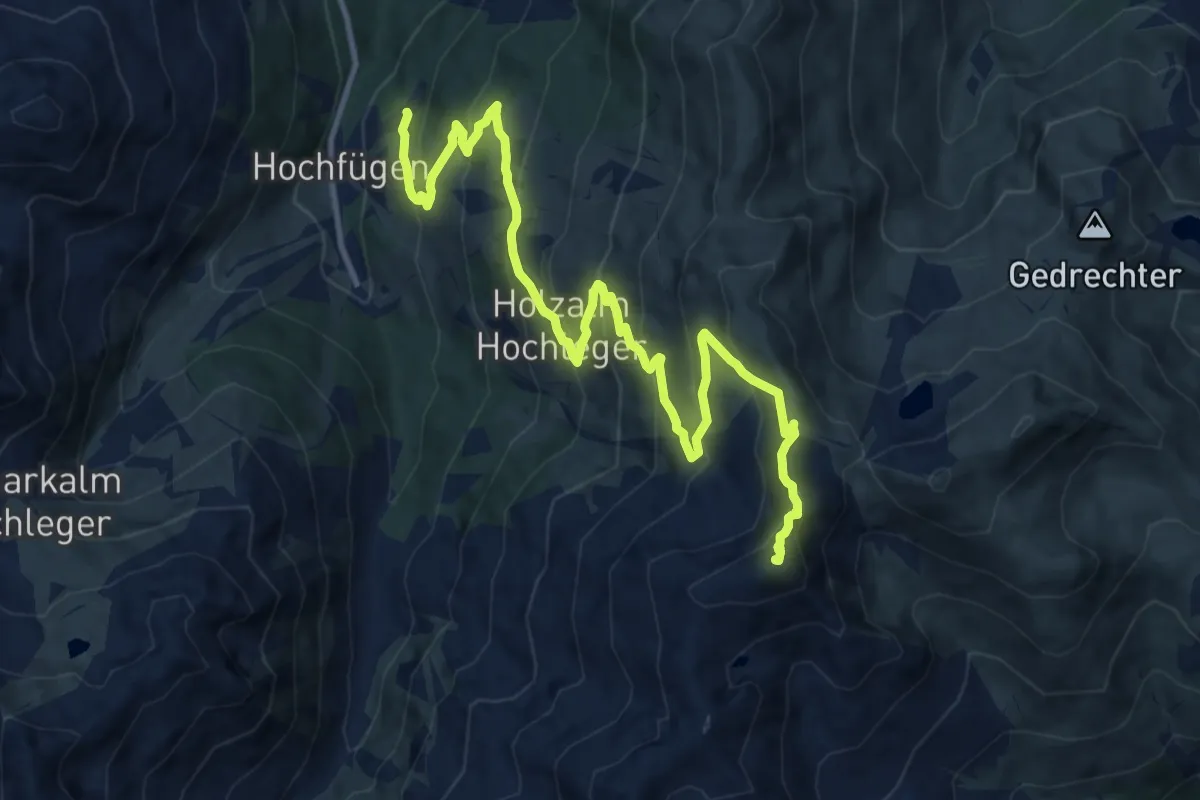
Demanding · Summit
Wanderweg 25 - Hochfügen
14.1 km · ↑ 941 m · 5 h 22 min
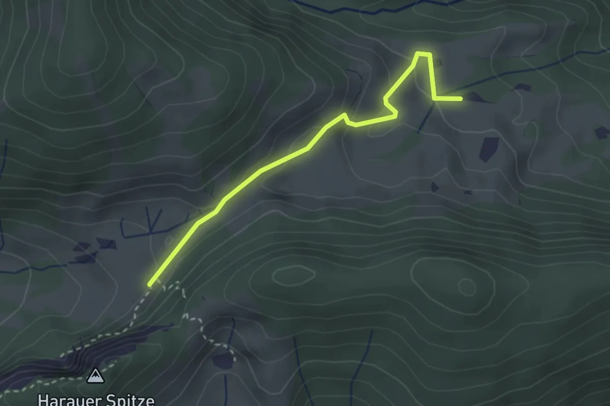
Easy · Trail
Wanderweg 25 - Kaiserwinkl
2.6 km · ↑ 85 m · 48 min
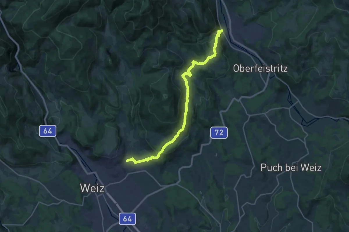
Medium · Trail
Wanderweg 25 Weiz-Anger
17.4 km · ↑ 602 m · 5 h 24 min
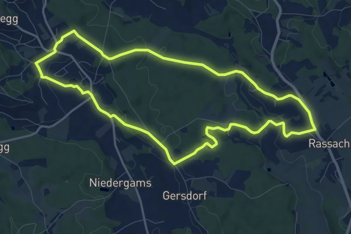
Medium · Trail
Wanderweg 26
9.4 km · ↑ 180 m · 2 h 45 min
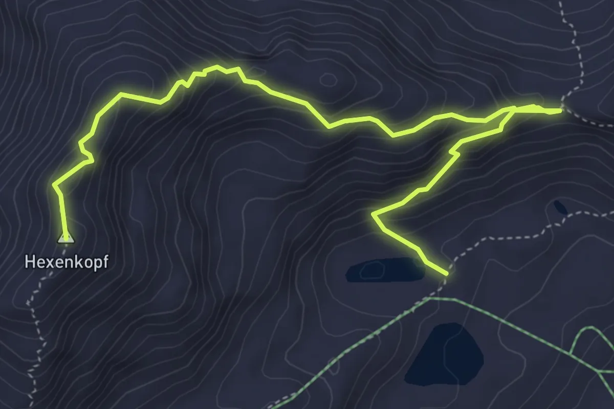
Expert · Summit
Wanderweg 26
5.8 km · ↑ 568 m · 2 h 36 min
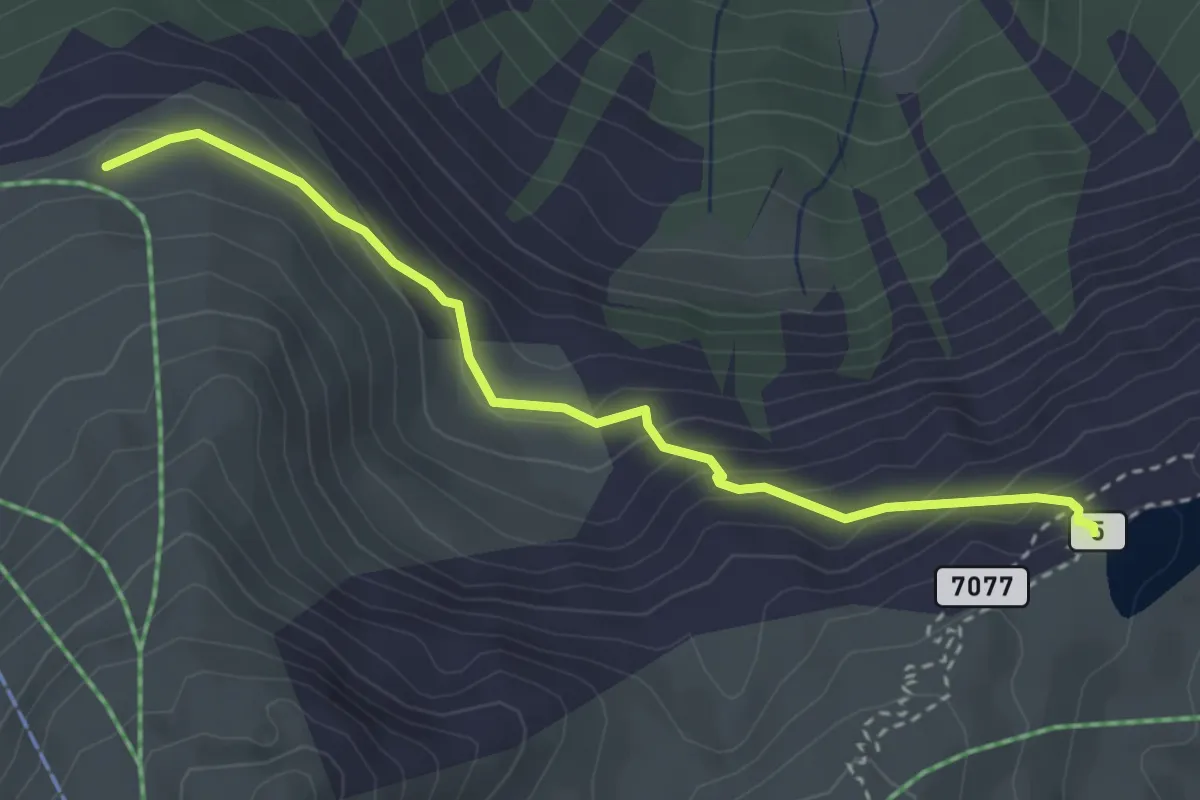
Easy · Trail
Wanderweg 26
3.3 km · ↑ 231 m · 1 h 17 min
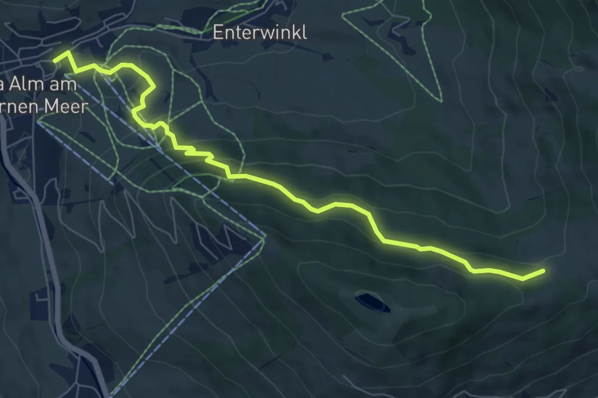
Medium · Trail
Wanderweg 26
7.4 km · ↑ 330 m · 2 h 27 min
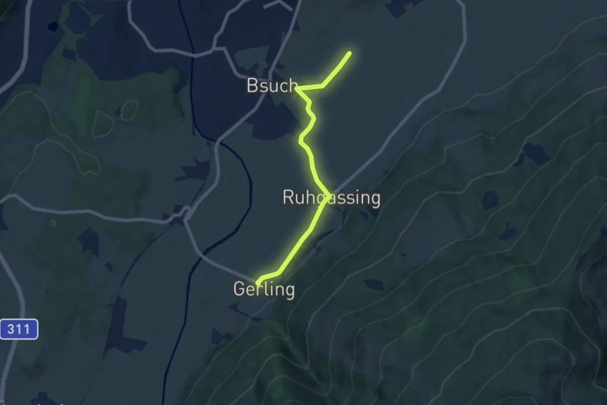
Easy · Trail
Wanderweg 26
5.7 km · ↑ 54 m · 1 h 28 min
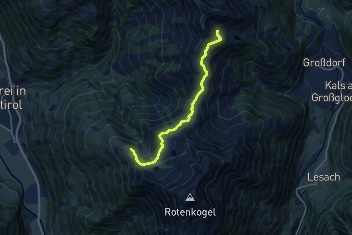
Medium · Trail
Wanderweg 26
10.1 km · ↑ 373 m · 3 h 11 min
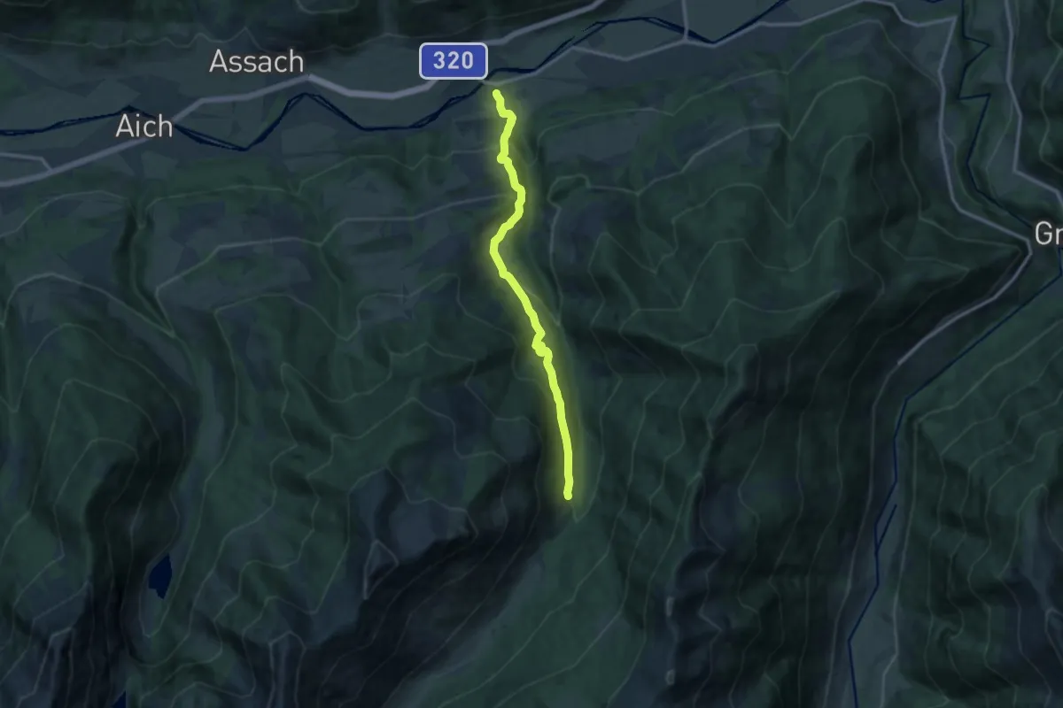
Medium · Trail
Wanderweg 26
11.1 km · ↑ 527 m · 3 h 45 min
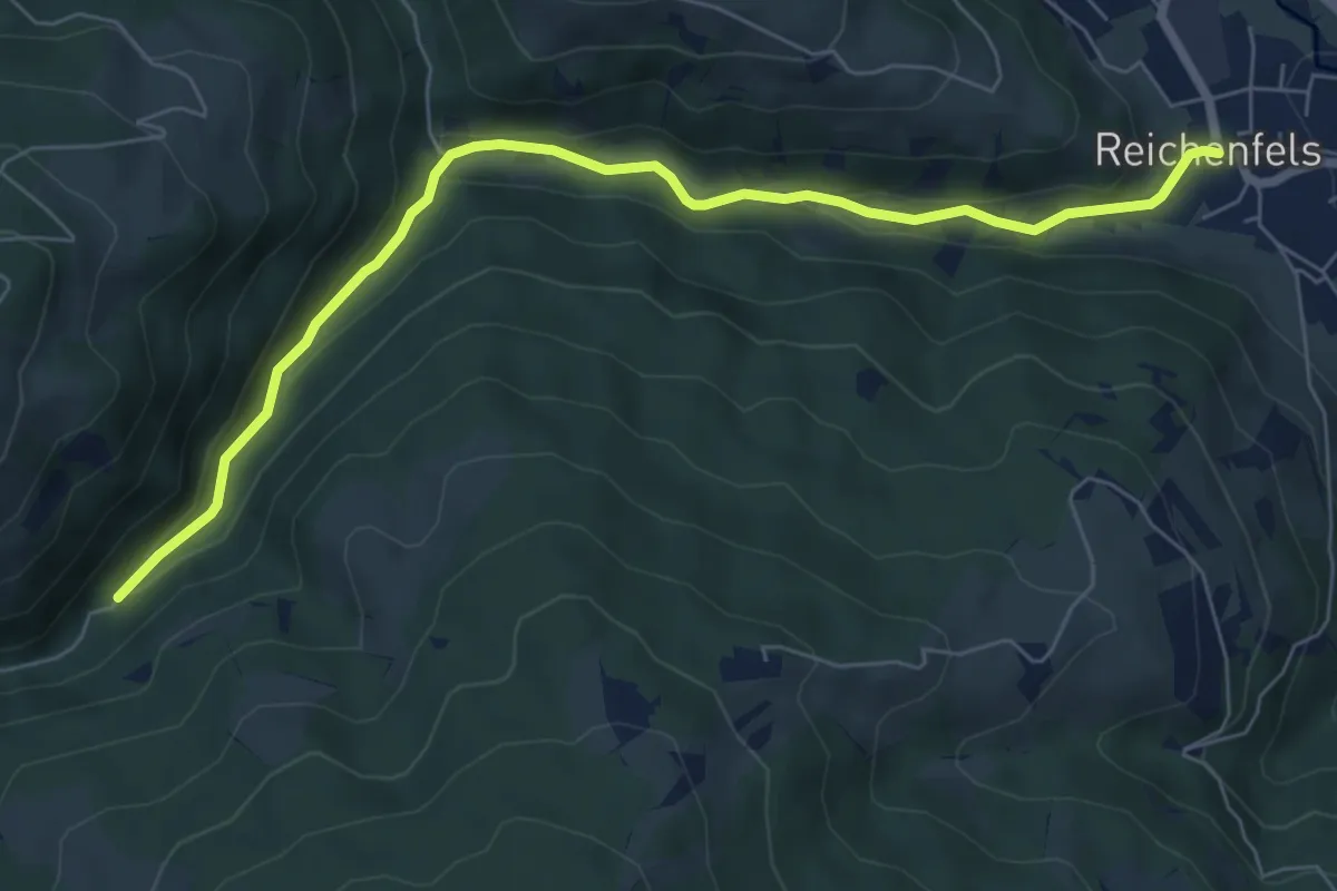
Easy · Trail
Wanderweg 26
7.2 km · ↑ 181 m · 2 h 6 min
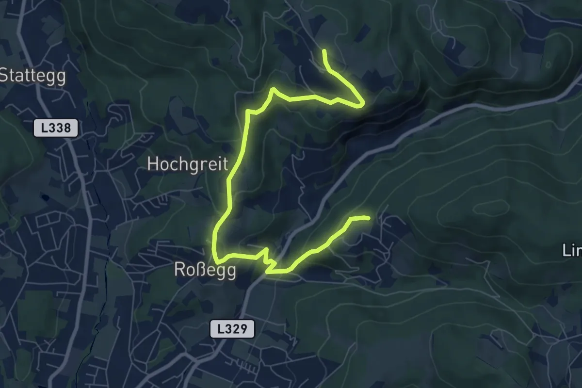
Medium · Trail
Wanderweg 26
8.4 km · ↑ 412 m · 2 h 52 min
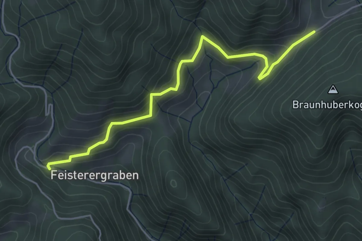
Easy · Trail
Wanderweg 26
4.7 km · ↑ 171 m · 1 h 29 min
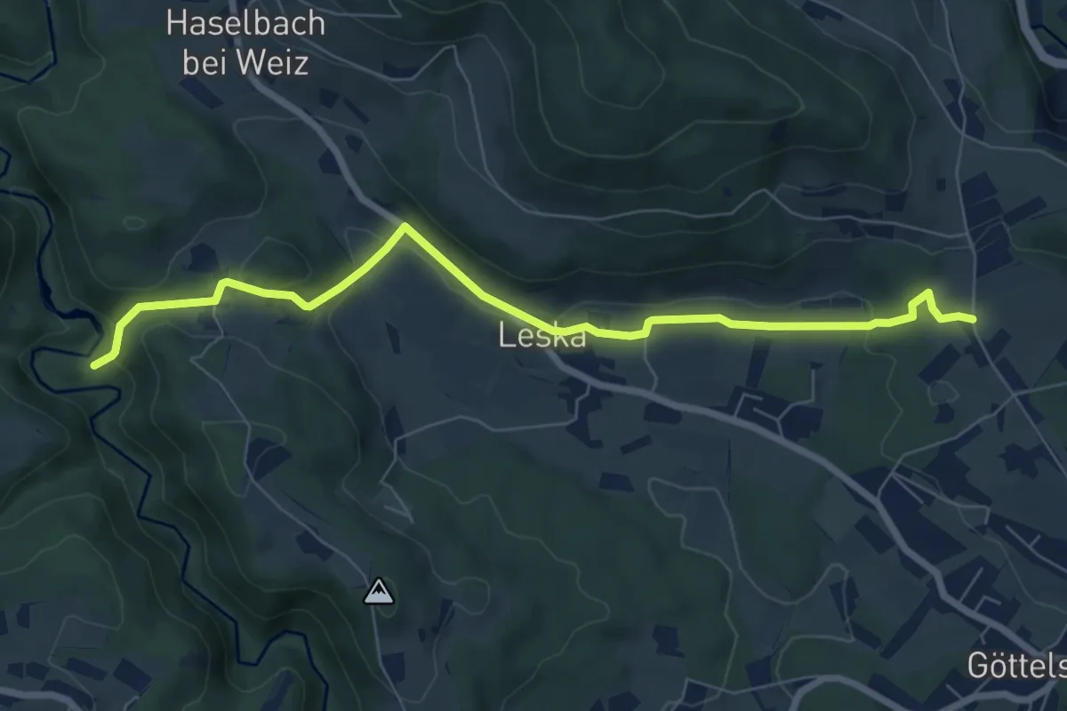
Easy · Trail
Wanderweg 26
7.6 km · ↑ 203 m · 2 h 14 min
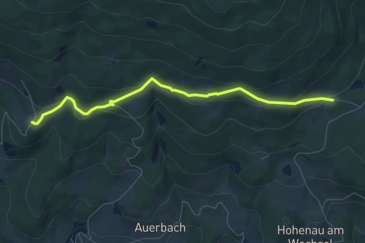
Easy · Trail
Wanderweg 26
6.6 km · ↑ 185 m · 1 h 57 min
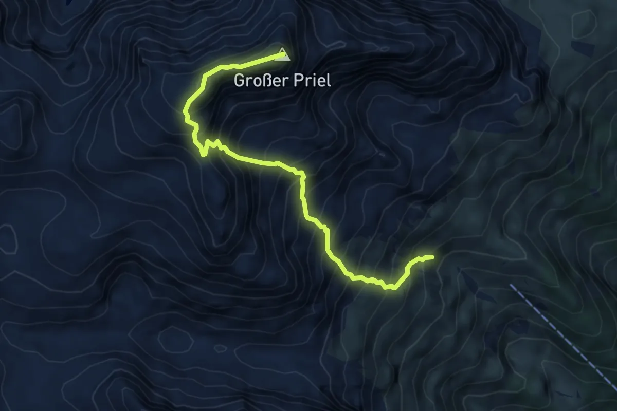
Expert · Summit
Wanderweg 260
6.3 km · ↑ 980 m · 3 h 36 min
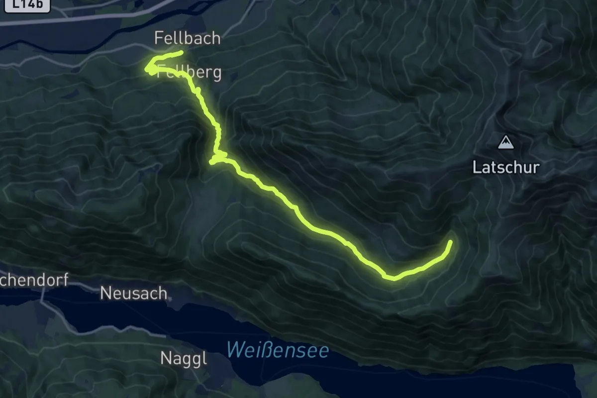
Demanding · Trail
Wanderweg 261
17.6 km · ↑ 890 m · 6 h 5 min
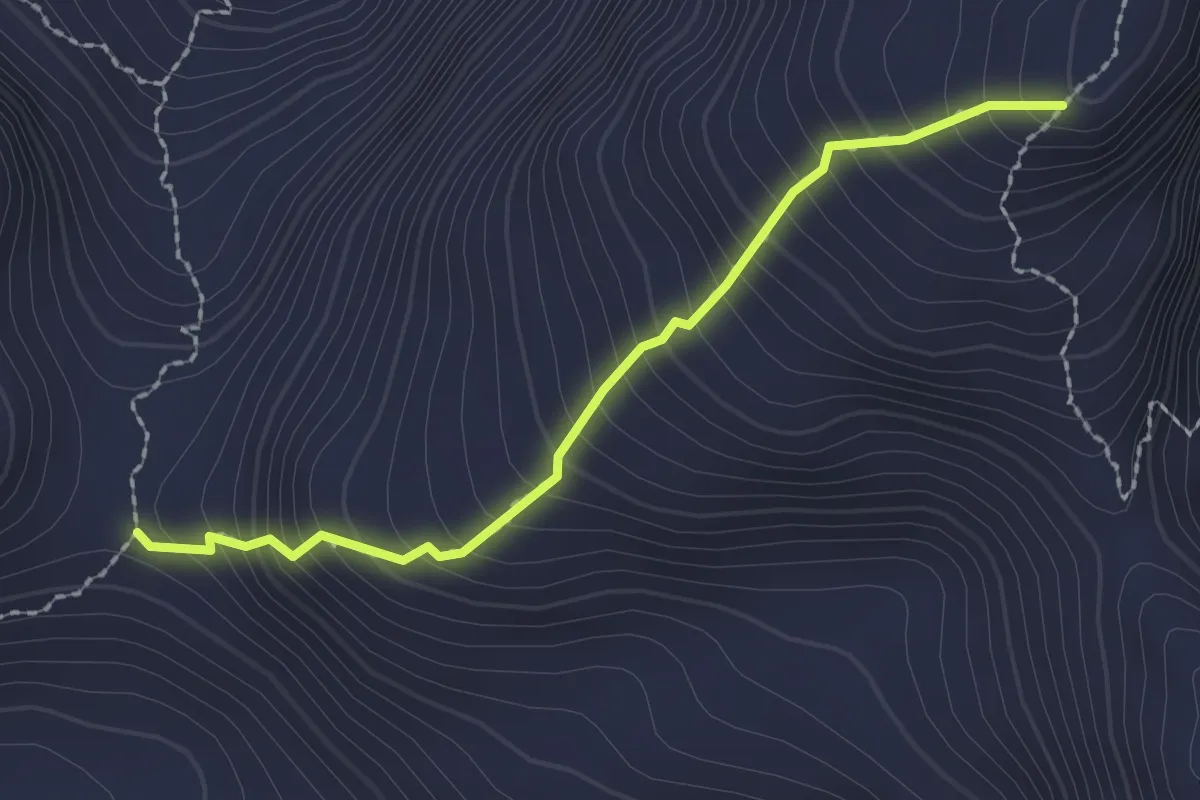
Medium · Trail
Wanderweg 262
2.1 km · ↑ 330 m · 1 h 12 min
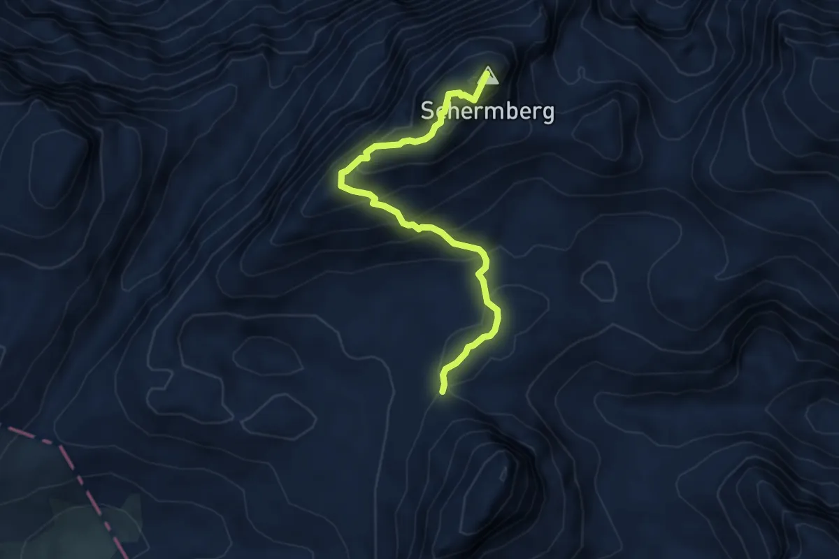
Demanding · Summit
Wanderweg 263
4.9 km · ↑ 465 m · 2 h 11 min