Trails in Austria
9,777 hiking trails, each with its route, climb, walking time and grade.
All trails, page 141 of 204
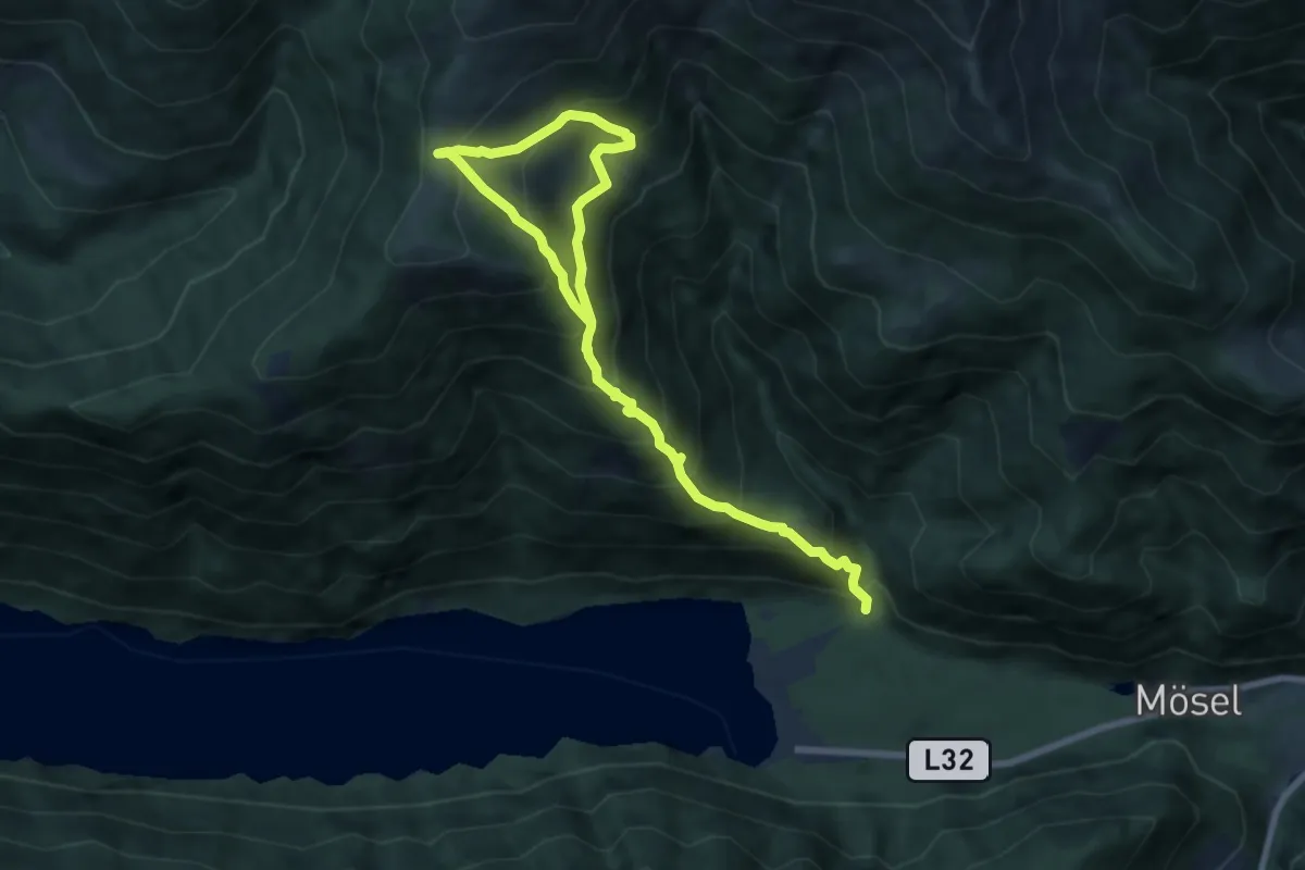
Demanding · Trail
Wanderweg 265
10.2 km · ↑ 1089 m · 4 h 46 min
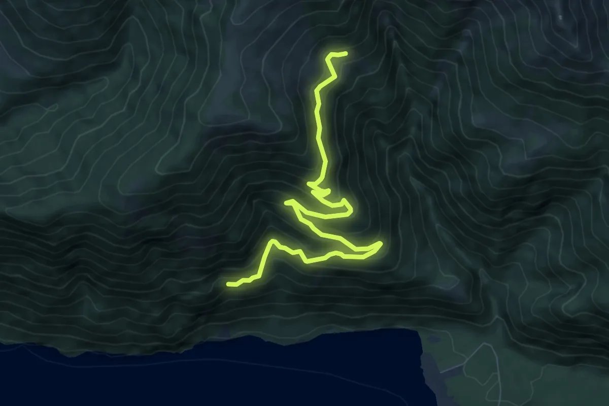
Medium · Cabin
Wanderweg 266
9.1 km · ↑ 417 m · 3 h 4 min
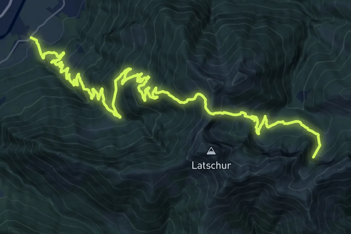
Demanding · Trail
Wanderweg 268
16.3 km · ↑ 1547 m · 6 h 51 min
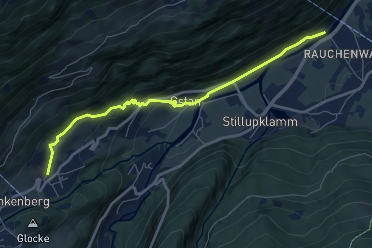
Medium · Trail
Wanderweg 26a
6.0 km · ↑ 240 m · 1 h 56 min
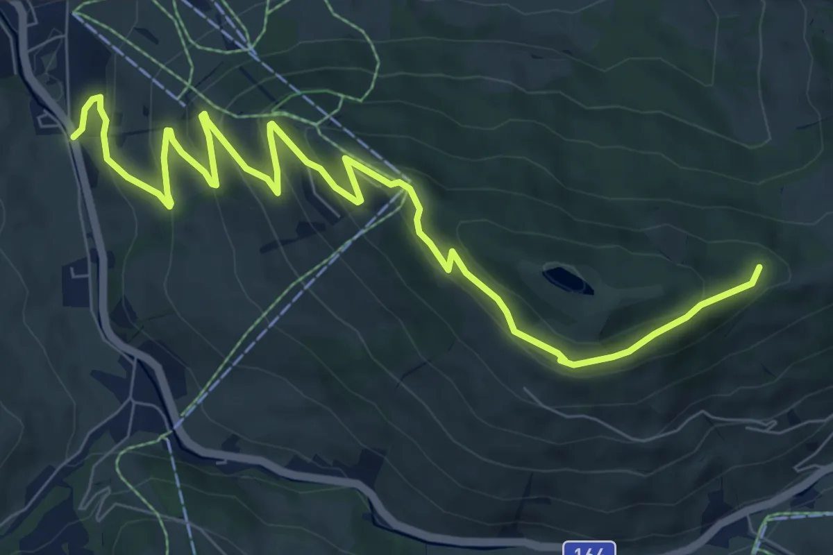
Medium · Trail
Wanderweg 26a
10.1 km · ↑ 469 m · 3 h 24 min
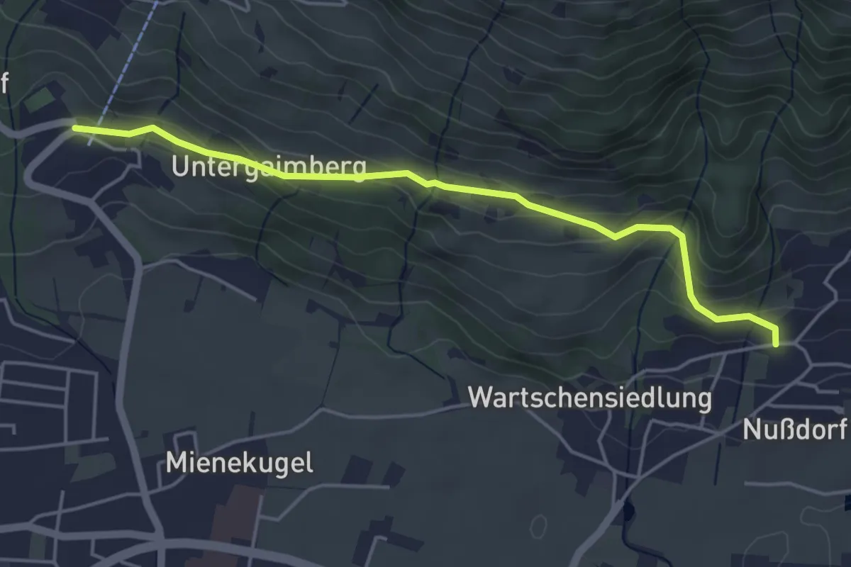
Easy · Trail
Wanderweg 26A
4.5 km · ↑ 208 m · 1 h 31 min
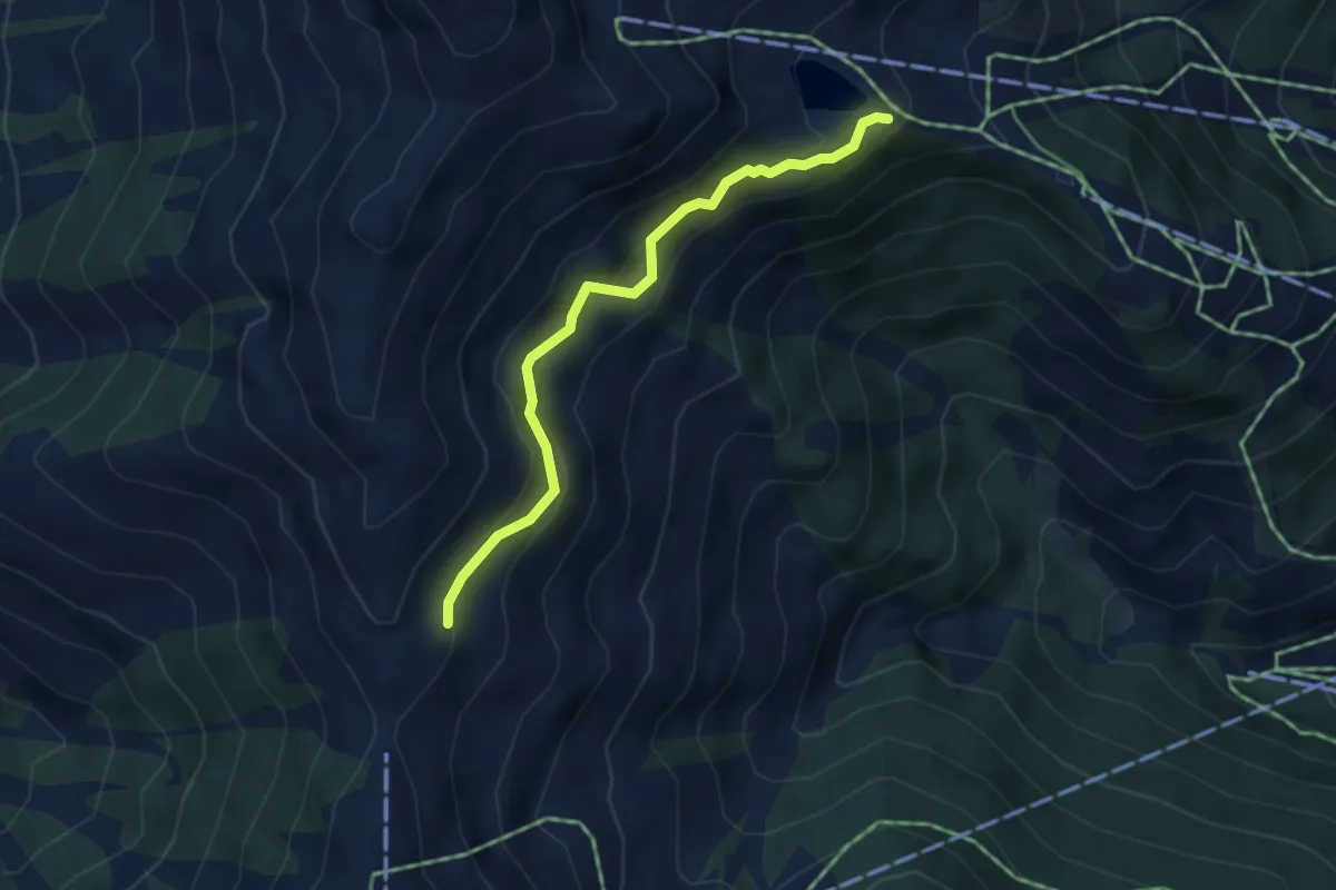
Easy · Trail
Wanderweg 26A
3.6 km · ↑ 119 m · 1 h 6 min
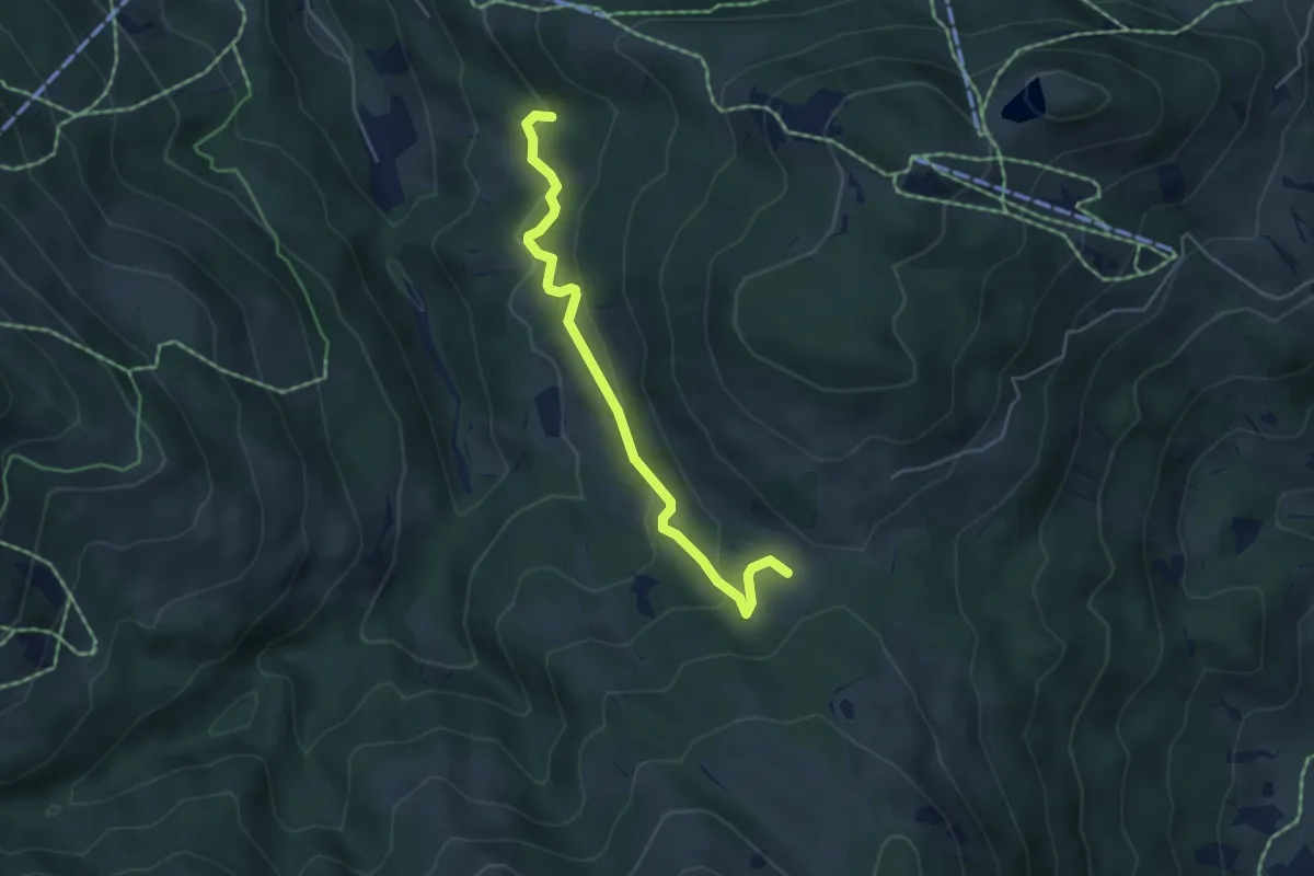
Easy · Trail
Wanderweg 26a - Wilder Kaiser
4.5 km · ↑ 148 m · 1 h 23 min
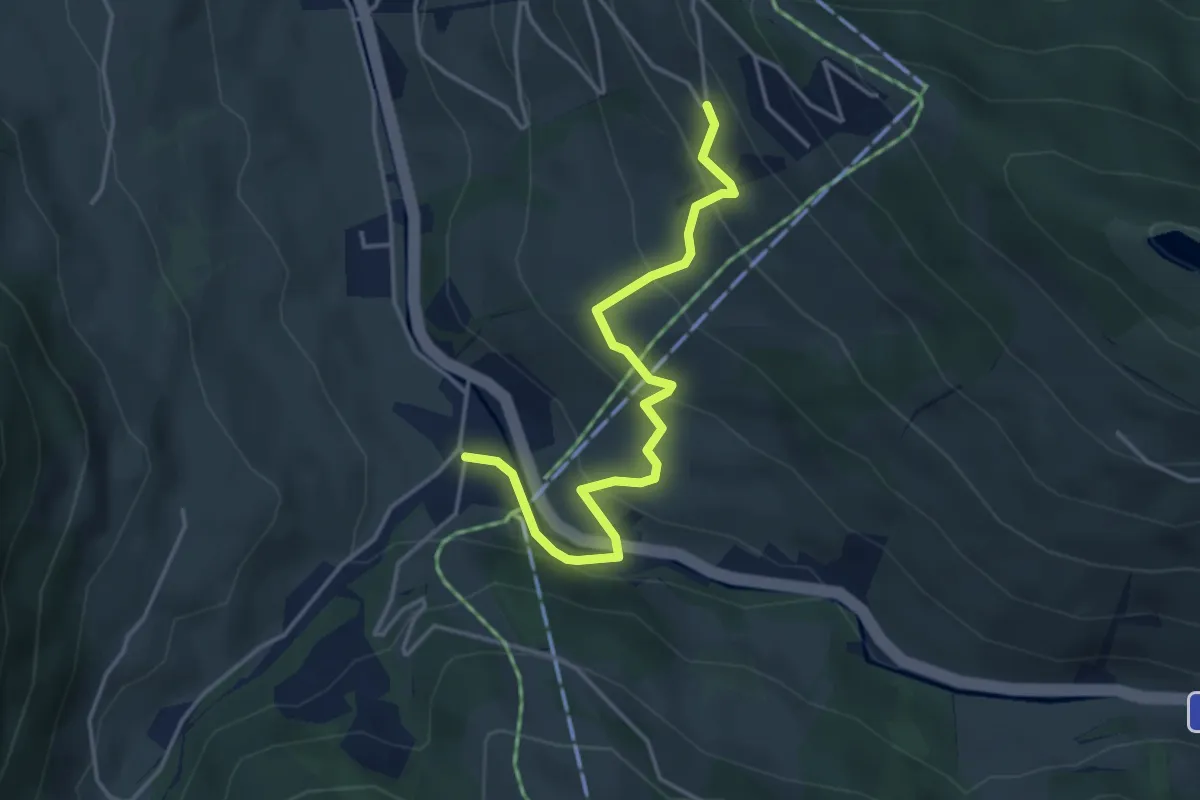
Easy · Trail
Wanderweg 26b
4.0 km · ↑ 215 m · 1 h 25 min
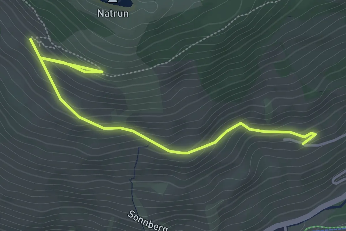
Easy · Trail
Wanderweg 26c
3.6 km · ↑ 195 m · 1 h 17 min
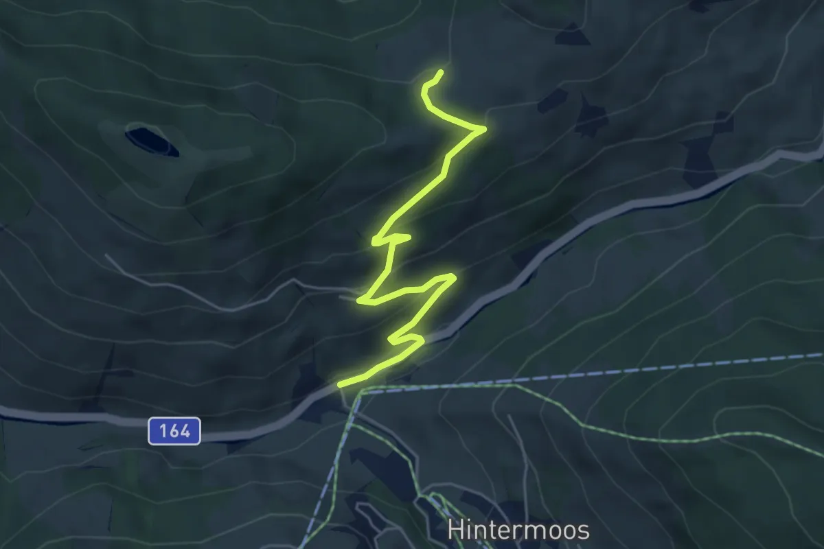
Easy · Trail
Wanderweg 26d
5.0 km · ↑ 237 m · 1 h 41 min
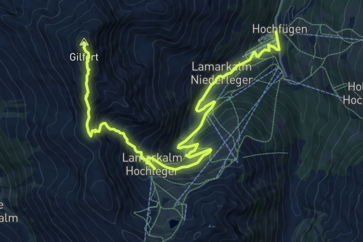
Demanding · Summit
Wanderweg 26 - Hochfügen
14.8 km · ↑ 1070 m · 5 h 49 min
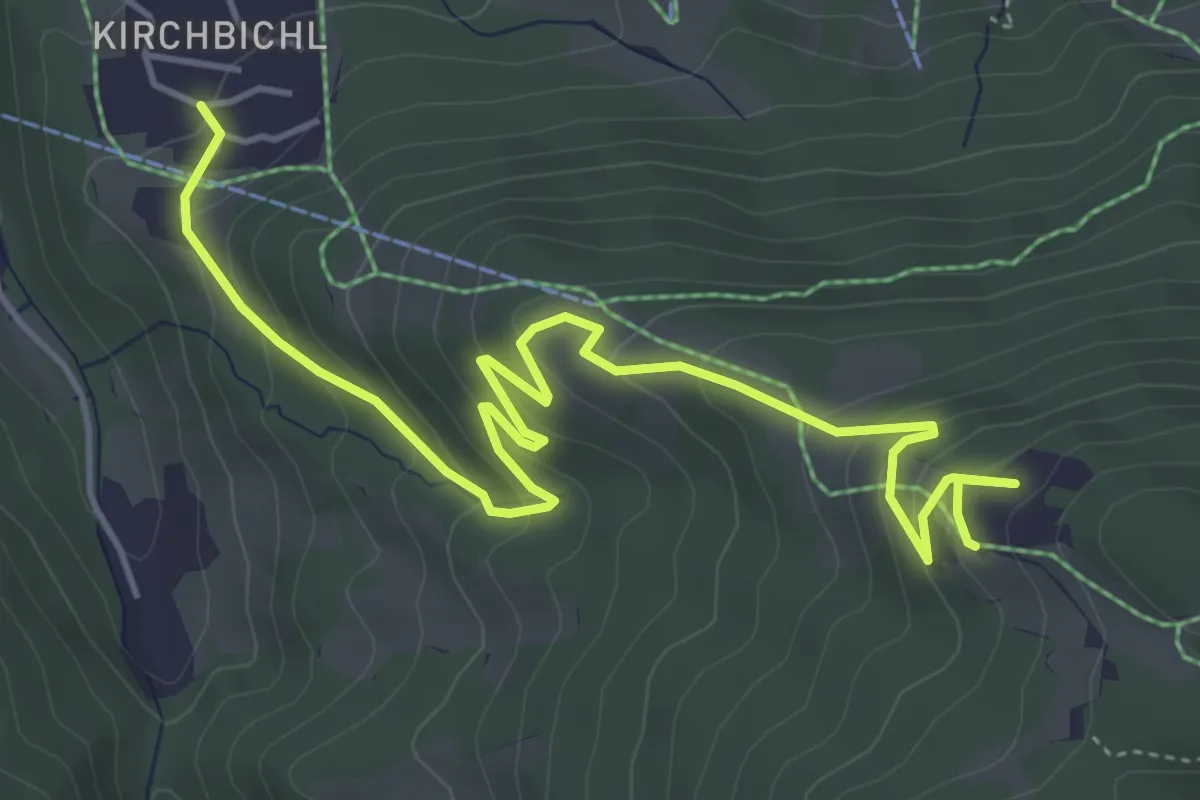
Medium · Trail
Wanderweg 26 - Wilder Kaiser
6.1 km · ↑ 348 m · 2 h 11 min
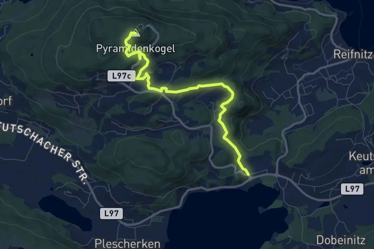
Medium · Summit
Wanderweg 27
8.5 km · ↑ 351 m · 2 h 46 min
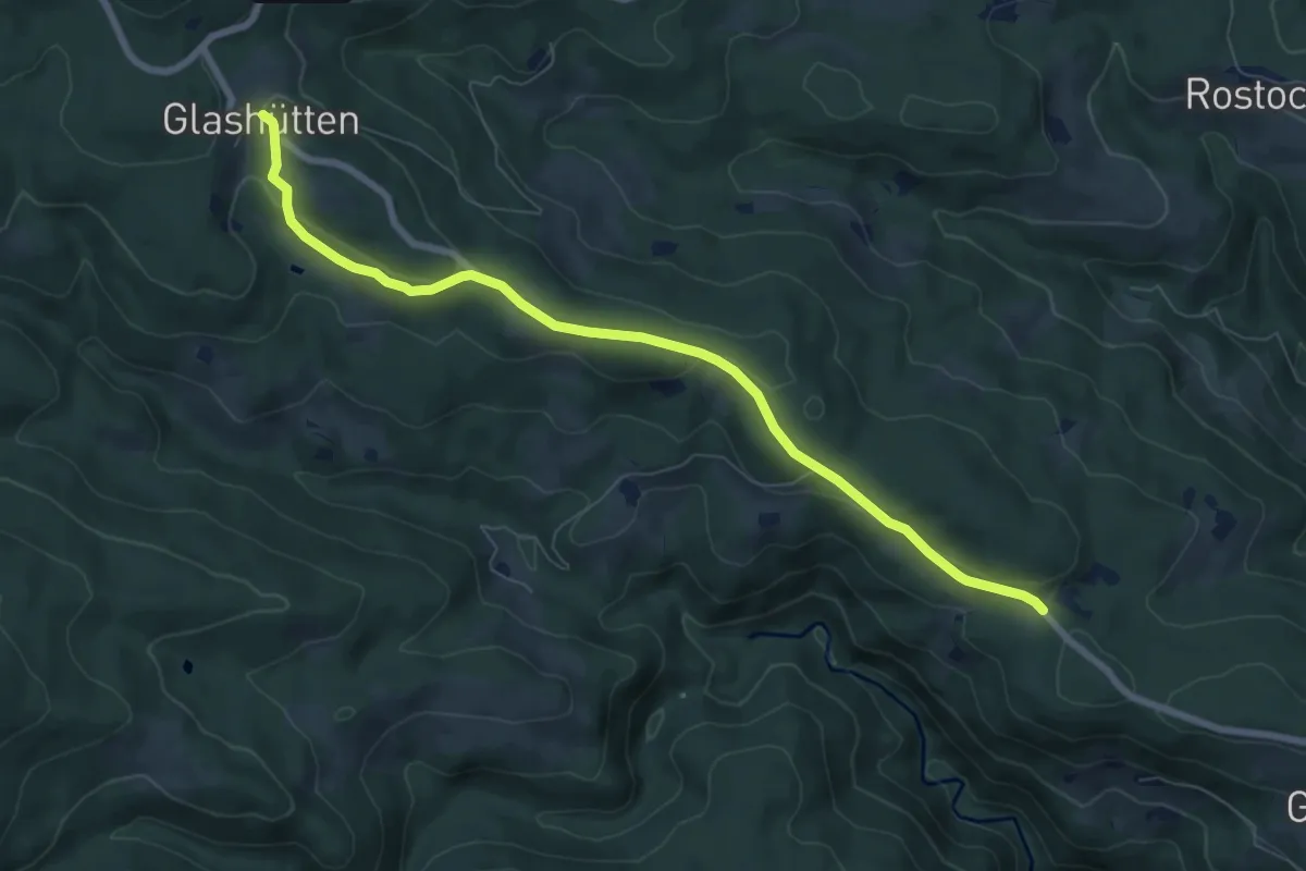
Easy · Trail
Wanderweg 27
7.7 km · ↑ 183 m · 2 h 13 min
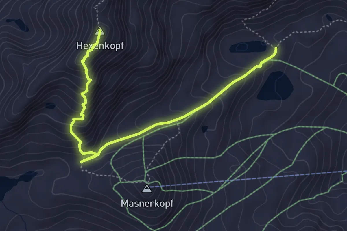
Expert · Summit
Wanderweg 27
5.1 km · ↑ 481 m · 2 h 16 min
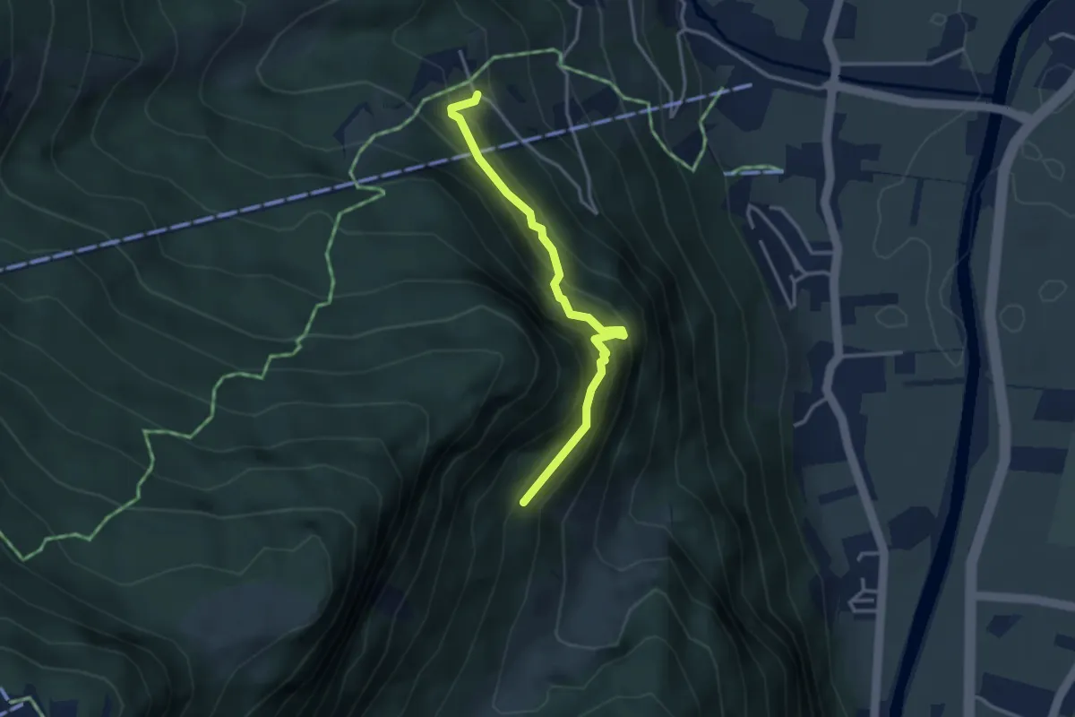
Easy · Trail
Wanderweg 27
3.1 km · ↑ 280 m · 1 h 20 min
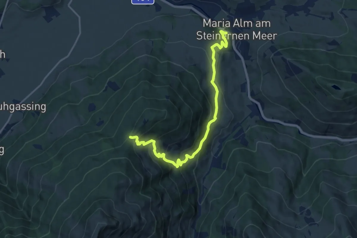
Medium · Summit
Wanderweg 27
11.2 km · ↑ 618 m · 3 h 59 min
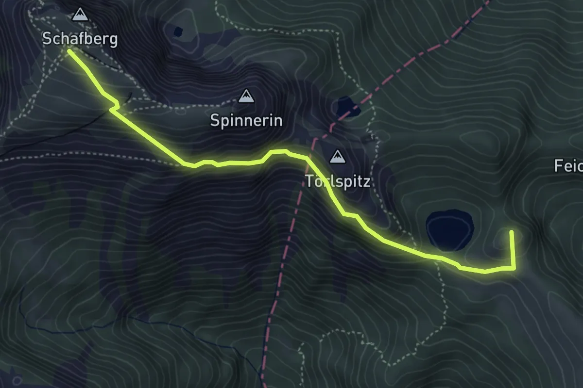
Expert · Summit
Wanderweg 27
4.8 km · ↑ 524 m · 2 h 17 min
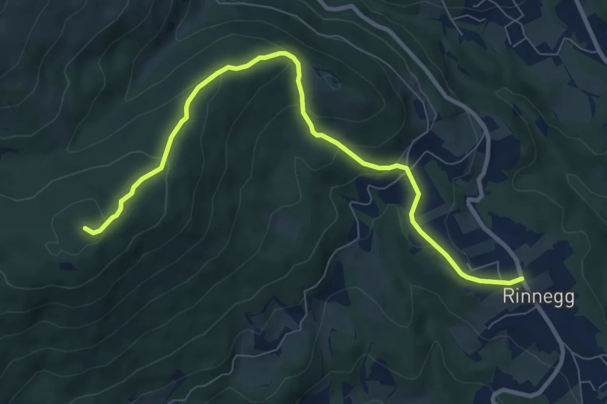
Medium · Summit
Wanderweg 27
8.0 km · ↑ 362 m · 2 h 40 min
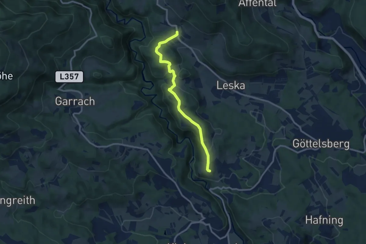
Easy · Trail
Wanderweg 27
7.7 km · ↑ 237 m · 2 h 20 min
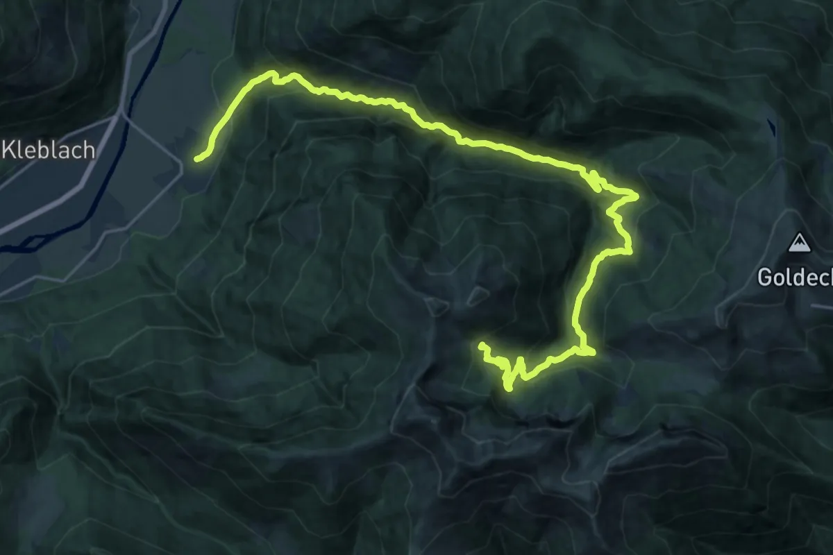
Demanding · Trail
Wanderweg 271
13.3 km · ↑ 1202 m · 5 h 21 min
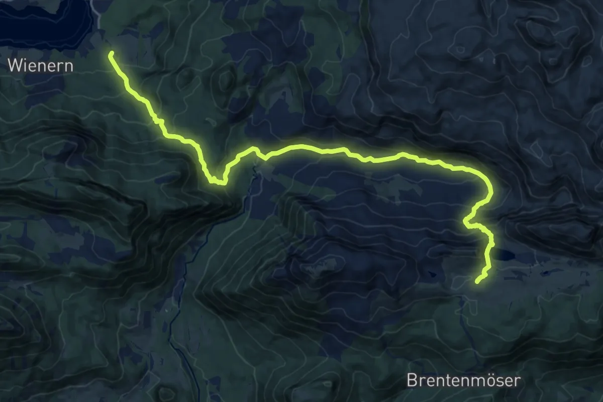
Demanding · Trail
Wanderweg 272
22.5 km · ↑ 1220 m · 7 h 57 min
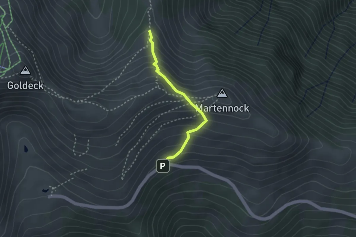
Medium · Cabin
Wanderweg 275
2.3 km · ↑ 229 m · 1 h 3 min
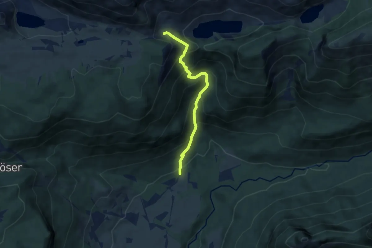
Demanding · Trail
Wanderweg 275
5.8 km · ↑ 585 m · 2 h 38 min
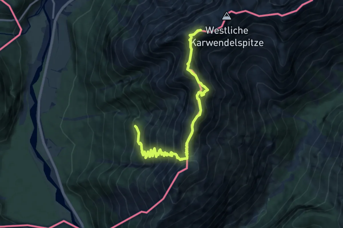
Expert · Summit
Wanderweg 276
10.4 km · ↑ 1373 m · 5 h 26 min
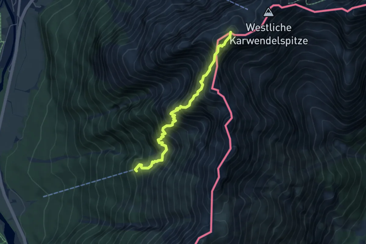
Expert · Summit
Wanderweg 277
5.4 km · ↑ 974 m · 3 h 23 min
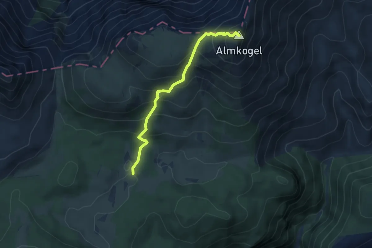
Medium · Summit
Wanderweg 277
4.1 km · ↑ 478 m · 2 h
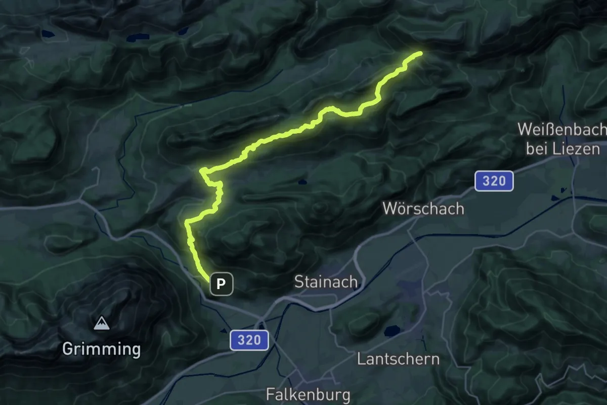
Demanding · Trail
Wanderweg 278
14.5 km · ↑ 1051 m · 5 h 31 min
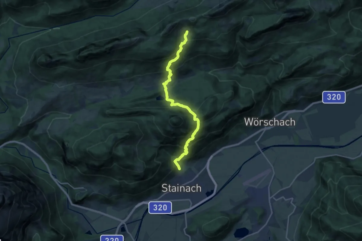
Demanding · Trail
Wanderweg 279
13.6 km · ↑ 1130 m · 5 h 39 min
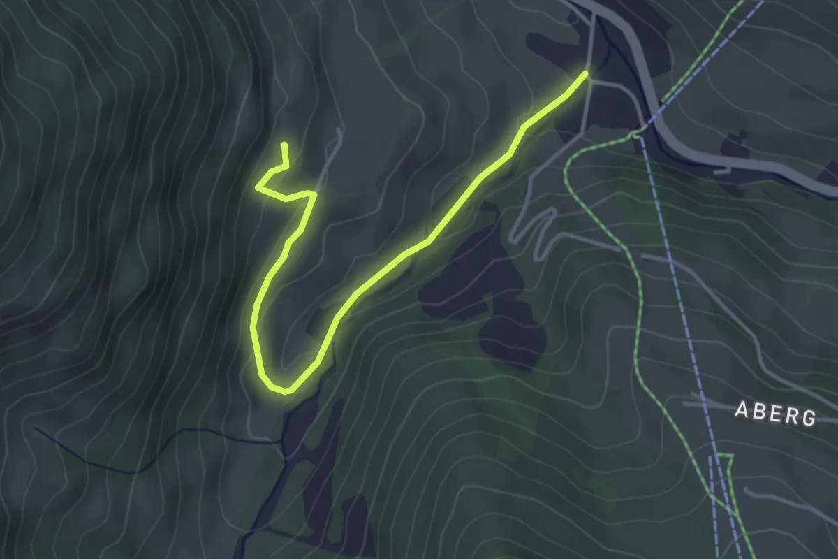
Easy · Trail
Wanderweg 27a
3.9 km · ↑ 123 m · 1 h 11 min
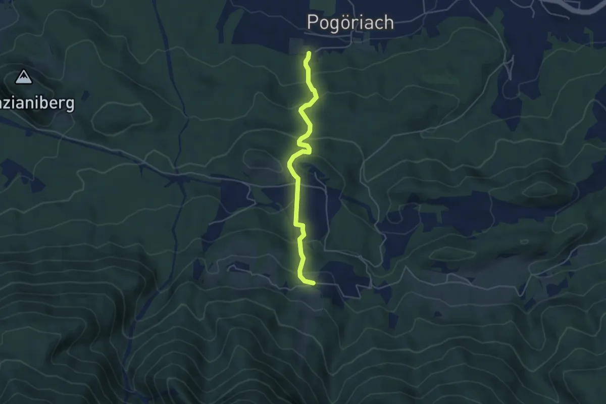
Medium · Trail
Wanderweg 27 - Finkenstein
4.3 km · ↑ 308 m · 1 h 41 min
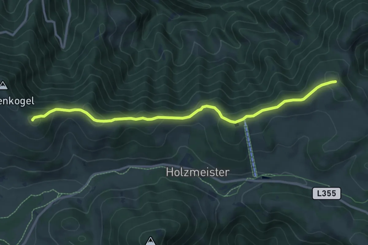
Medium · Summit
Wanderweg 27 (früher 7)
8.3 km · ↑ 430 m · 2 h 54 min
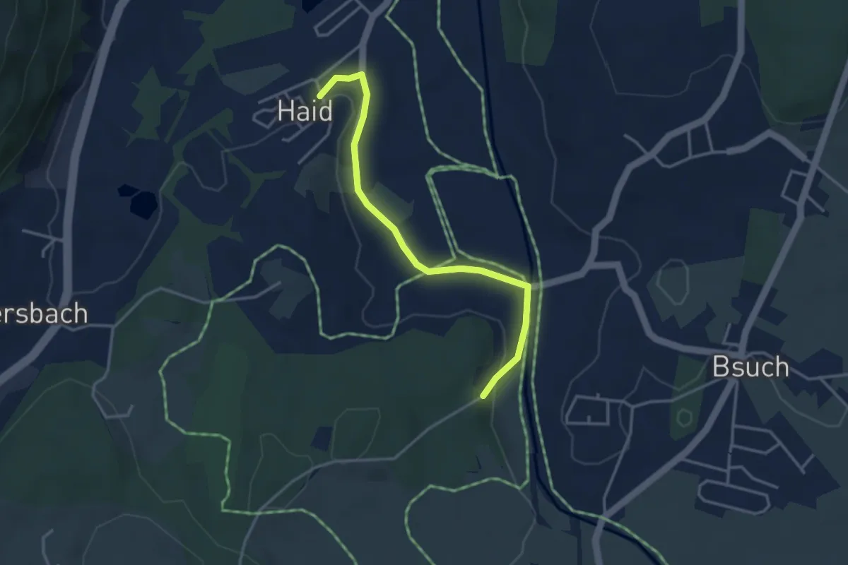
Easy · Trail
Wanderweg 27 (Haid Rundweg)
3.3 km · ↑ 23 m · 50 min
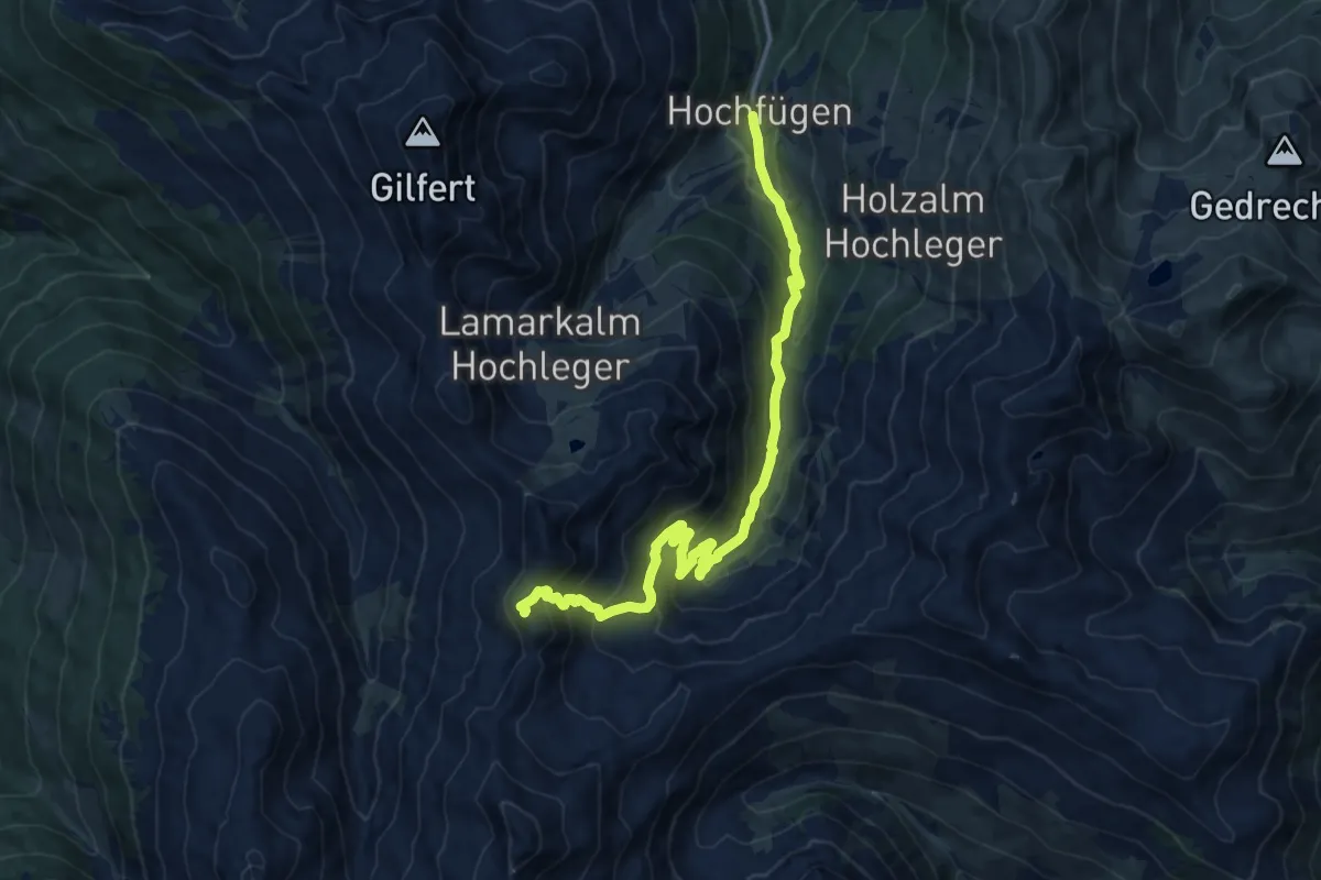
Demanding · Summit
Wanderweg 27 - Hochfügen
14.4 km · ↑ 919 m · 5 h 23 min
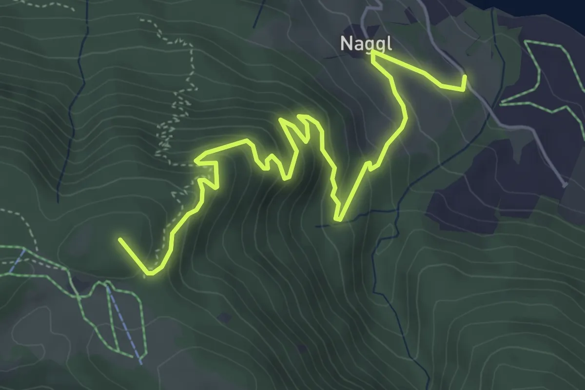
Medium · Summit
Wanderweg 28
6.2 km · ↑ 387 m · 2 h 17 min
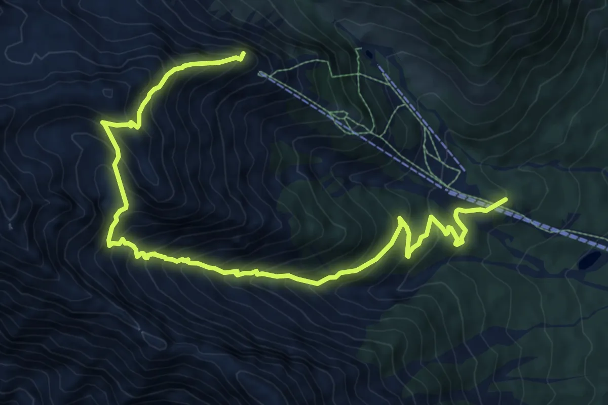
Demanding · Summit
Wanderweg 28
12.2 km · ↑ 1158 m · 5 h 23 min
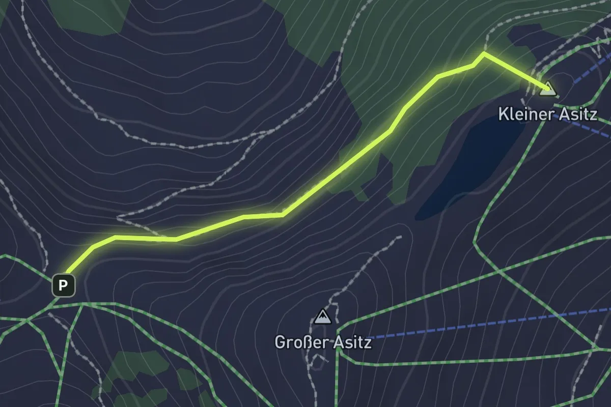
Medium · Summit
Wanderweg 28
1.8 km · ↑ 121 m · 42 min
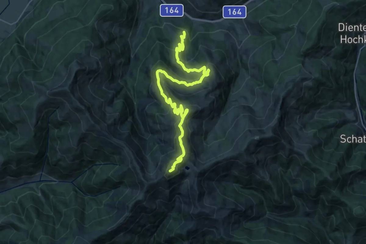
Demanding · Summit
Wanderweg 28
24.9 km · ↑ 1251 m · 8 h 35 min
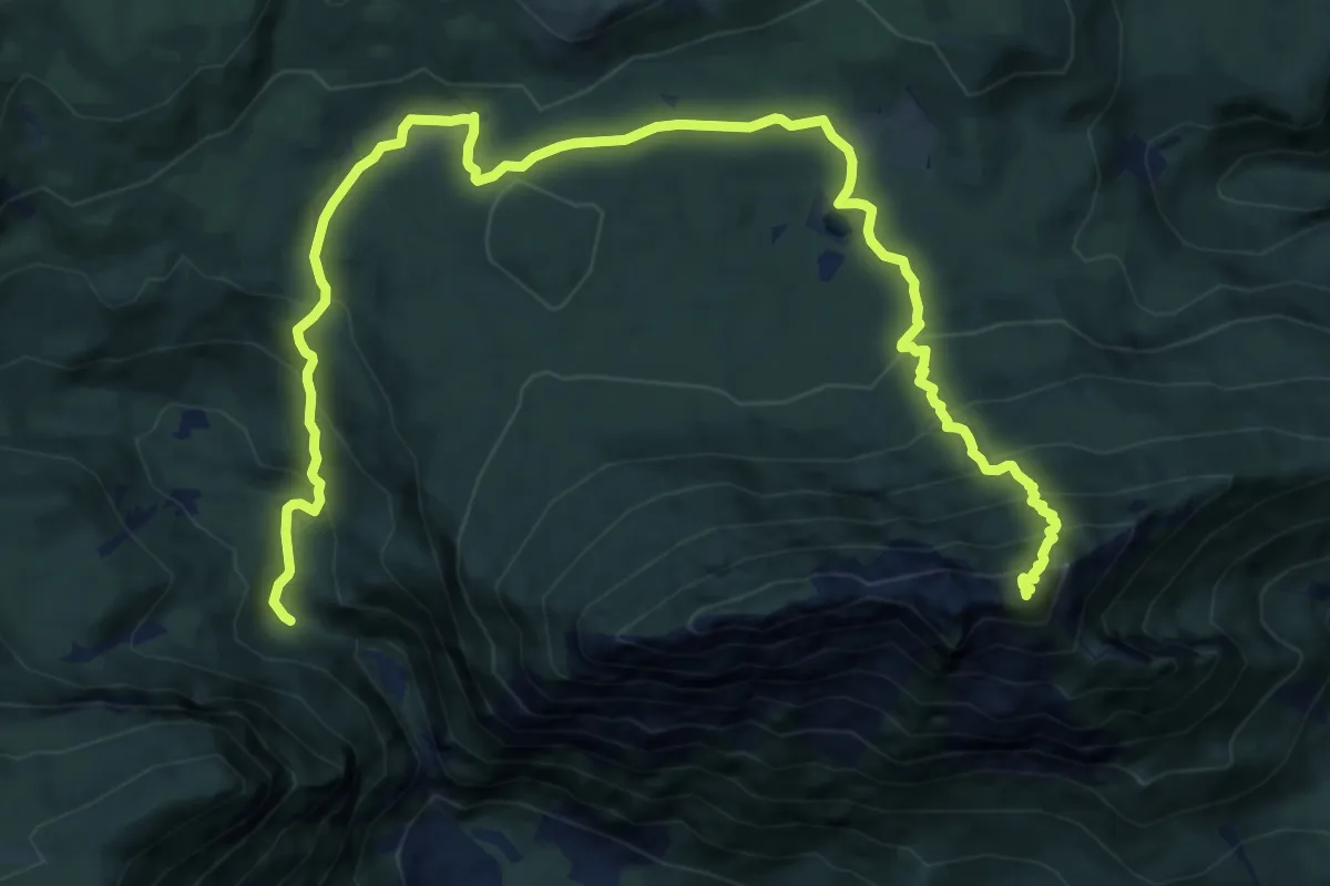
Expert · Summit
Wanderweg 28
16.2 km · ↑ 1160 m · 6 h 20 min
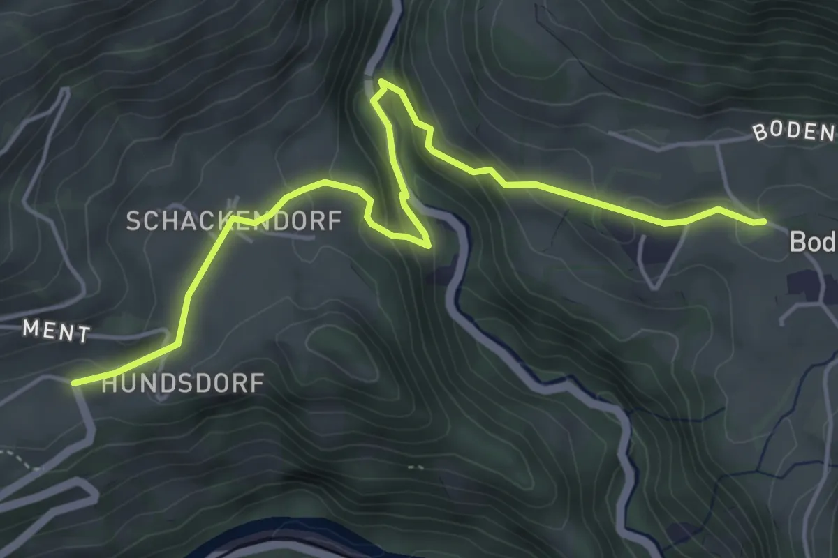
Medium · Trail
Wanderweg 28
5.3 km · ↑ 256 m · 1 h 48 min
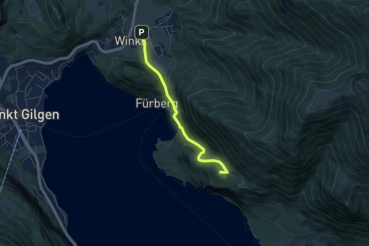
Medium · Summit
Wanderweg 28
5.1 km · ↑ 271 m · 1 h 47 min
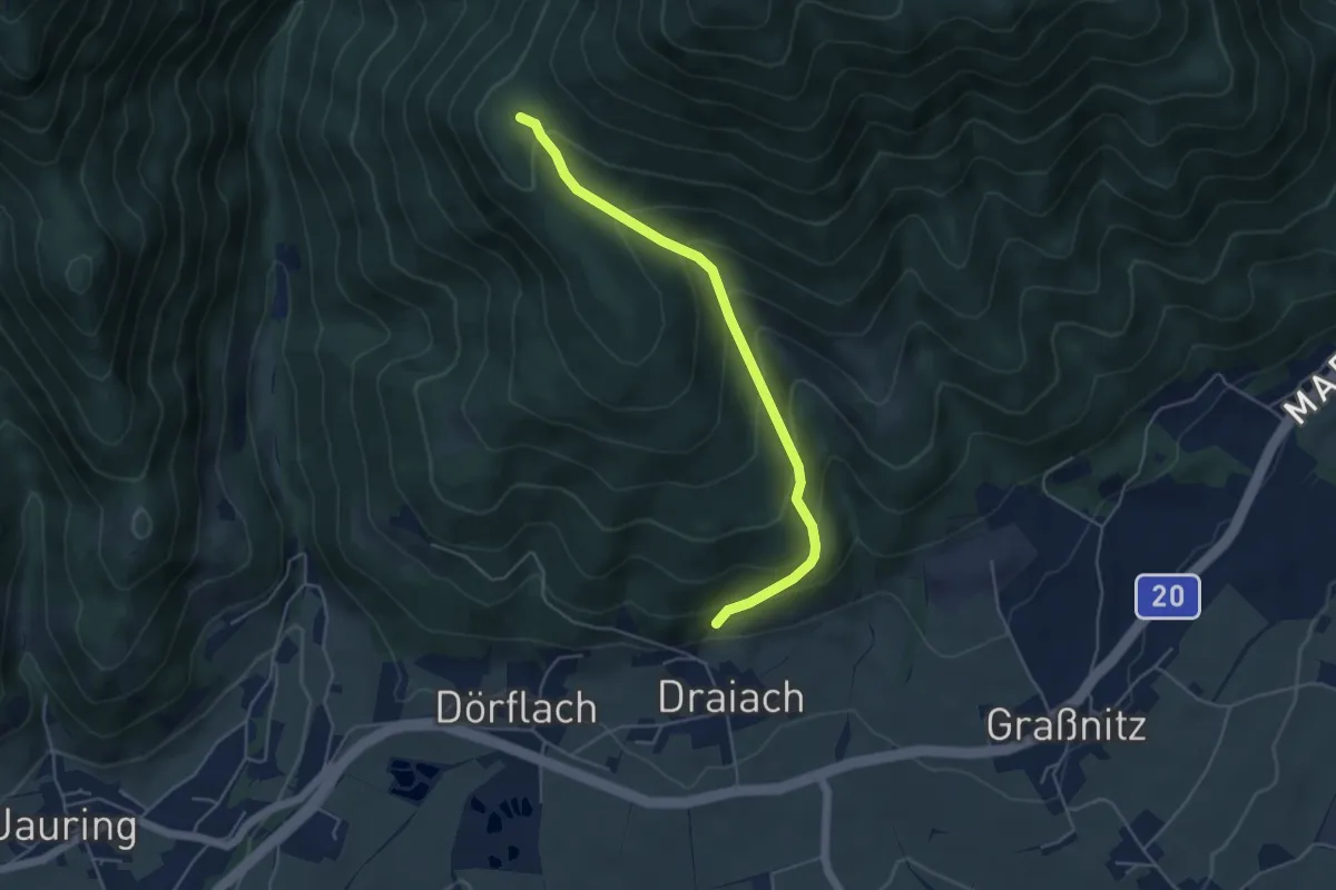
Medium · Trail
Wanderweg 28
4.6 km · ↑ 395 m · 1 h 56 min
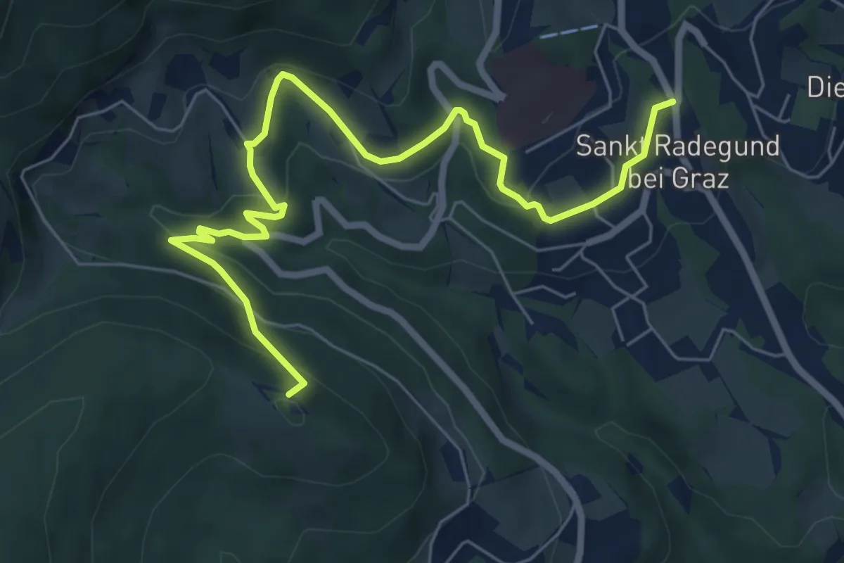
Demanding · Summit
Wanderweg 28
7.4 km · ↑ 343 m · 2 h 29 min
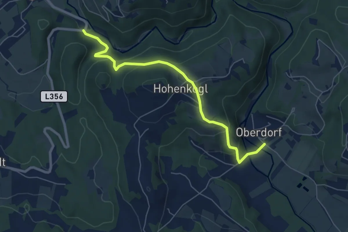
Easy · Trail
Wanderweg 28
5.7 km · ↑ 289 m · 1 h 58 min
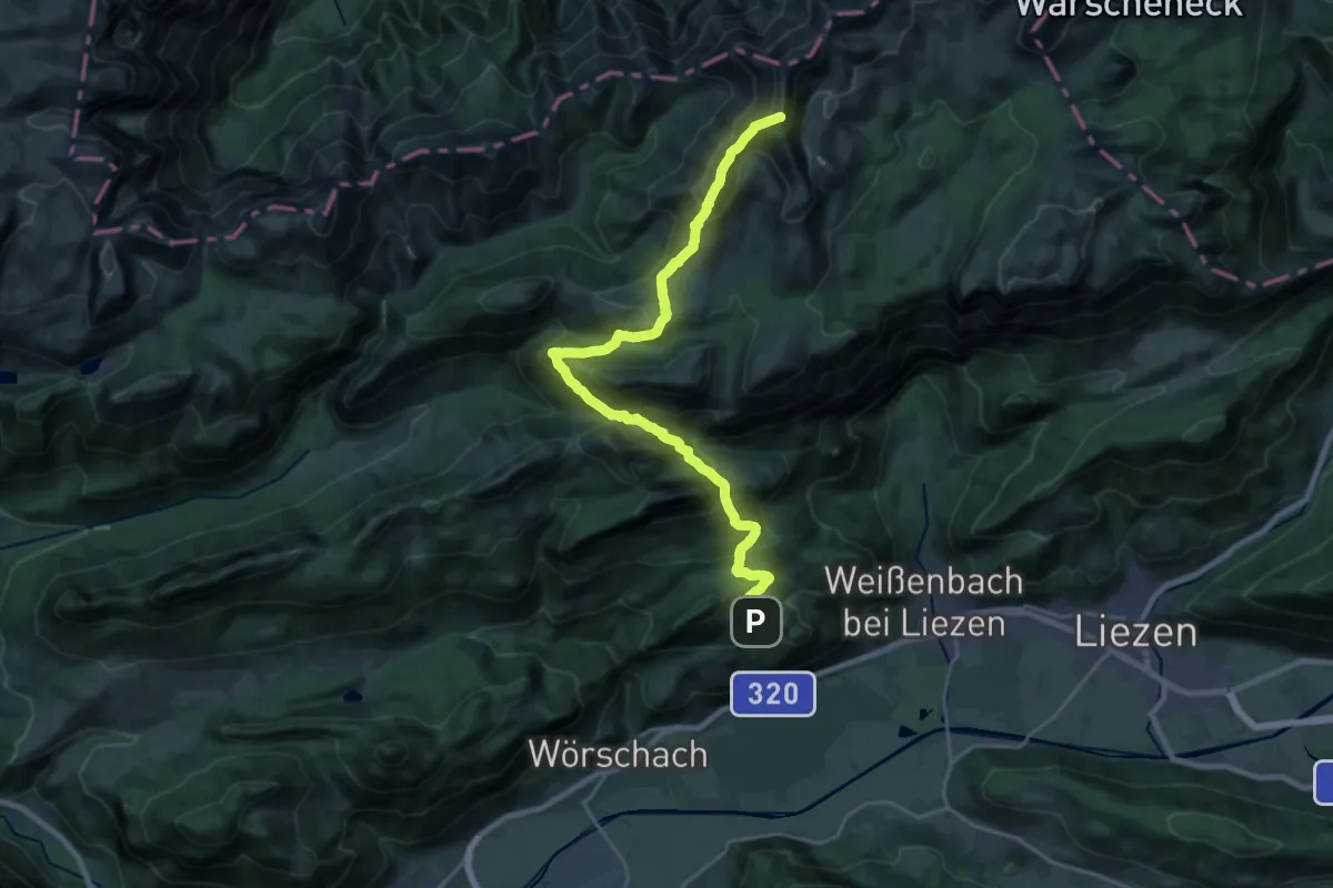
Demanding · Summit
Wanderweg 281
23.3 km · ↑ 1500 m · 8 h 45 min
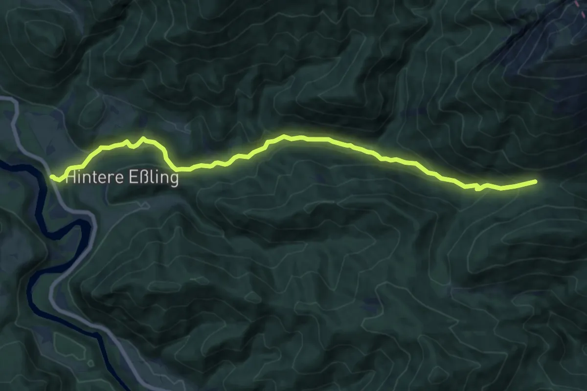
Medium · Trail
Wanderweg 282
12.8 km · ↑ 481 m · 4 h 4 min
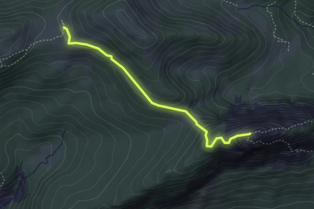
Expert · Summit
Wanderweg 282a
3.5 km · ↑ 302 m · 1 h 29 min