Trails in Austria
9,777 hiking trails, each with its route, climb, walking time and grade.
All trails, page 146 of 204
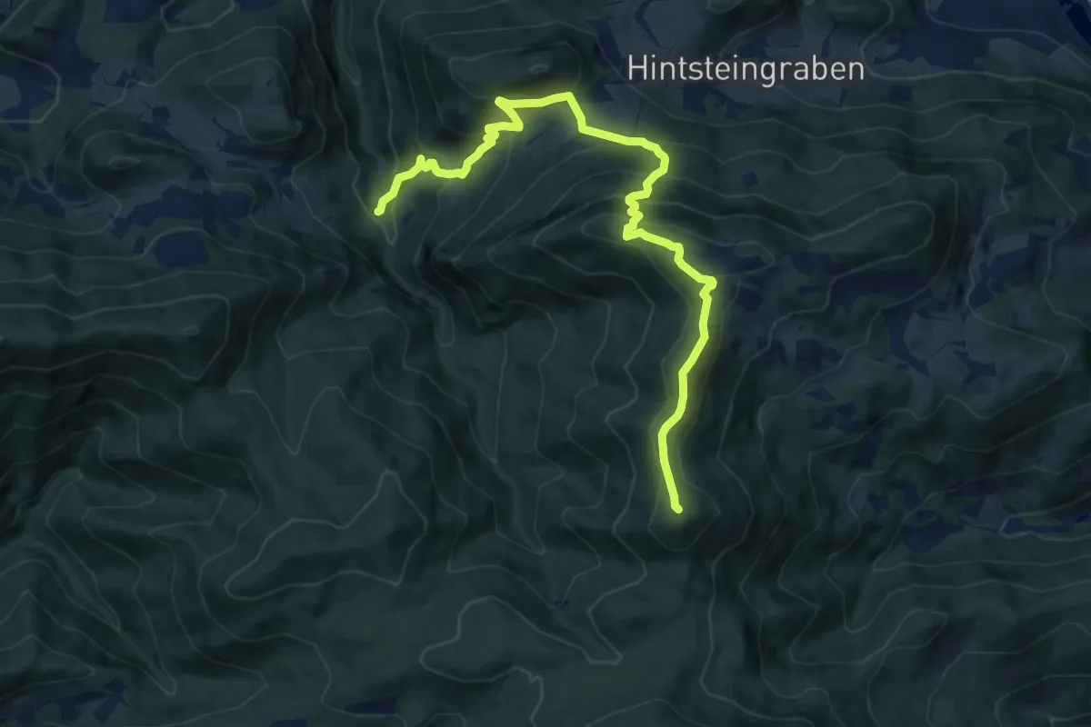
Demanding · Summit
Wanderweg 33
11.6 km · ↑ 897 m · 4 h 41 min
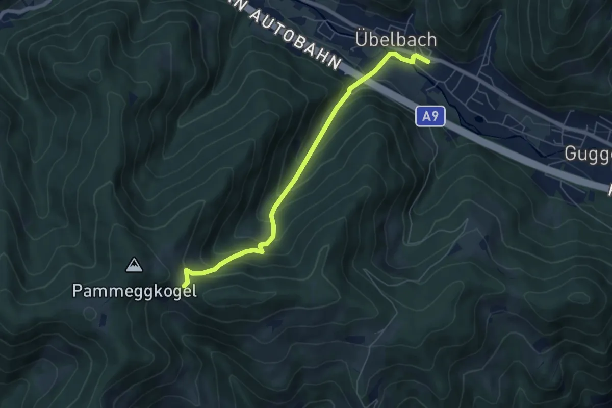
Medium · Cabin
Wanderweg 33
5.8 km · ↑ 449 m · 2 h 21 min
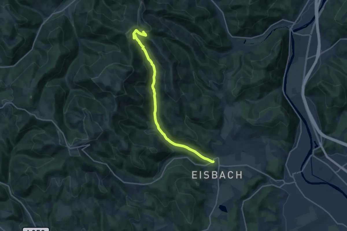
Medium · Cabin
Wanderweg 33
13.0 km · ↑ 544 m · 4 h 15 min
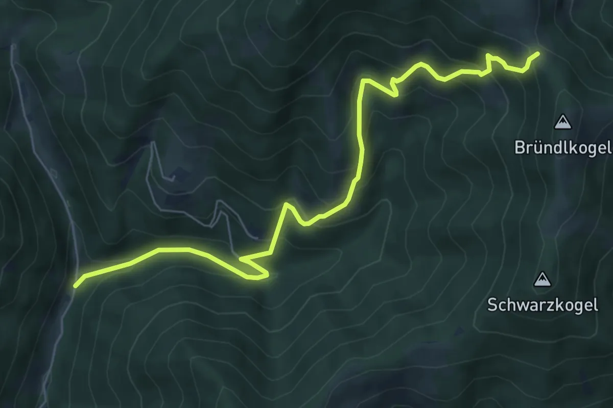
Medium · Trail
Wanderweg 33
7.2 km · ↑ 549 m · 2 h 54 min
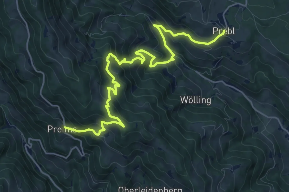
Demanding · Trail
Wanderweg 331
15.1 km · ↑ 822 m · 5 h 21 min
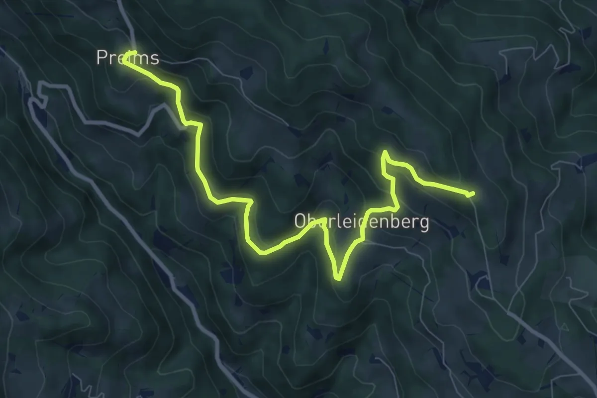
Medium · Trail
Wanderweg 332
9.1 km · ↑ 390 m · 3 h
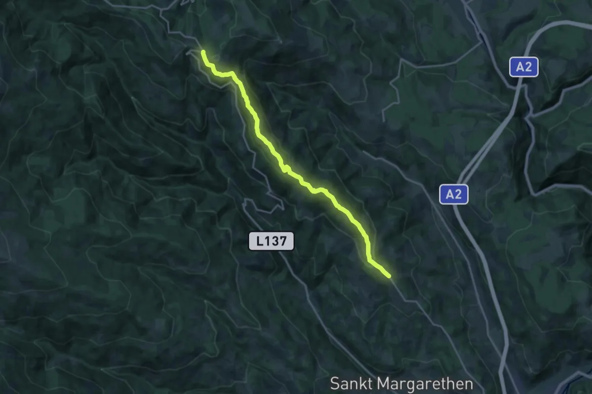
Medium · Trail
Wanderweg 333
15.6 km · ↑ 529 m · 4 h 50 min
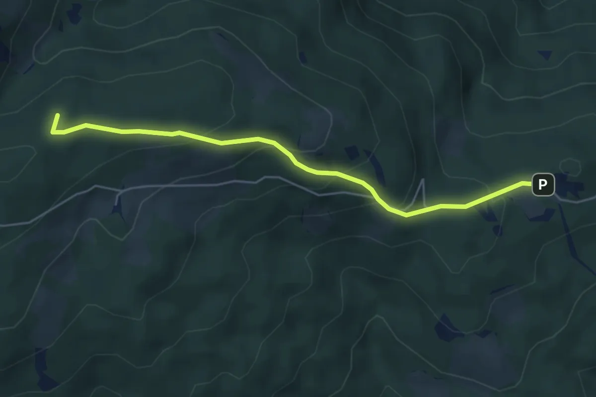
Medium · Summit
Wanderweg 334
4.8 km · ↑ 252 m · 1 h 41 min
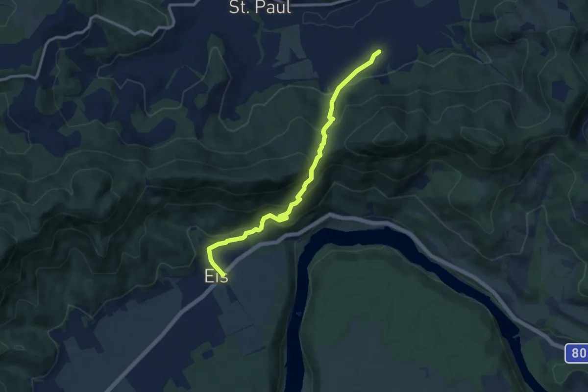
Medium · Trail
Wanderweg 335
7.7 km · ↑ 454 m · 2 h 48 min
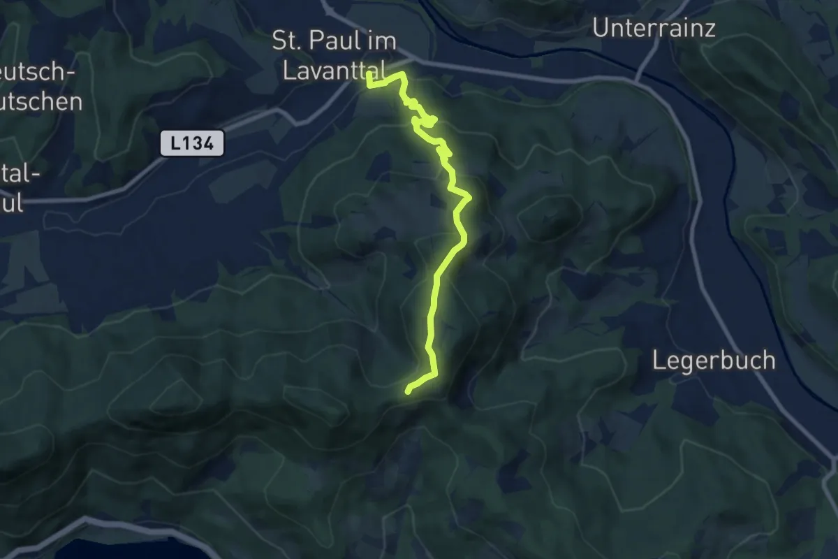
Medium · Trail
Wanderweg 336
7.5 km · ↑ 362 m · 2 h 34 min
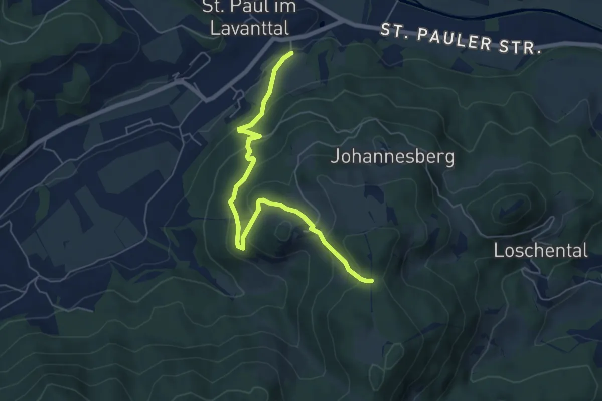
Easy · Trail
Wanderweg 336A
5.7 km · ↑ 295 m · 1 h 58 min
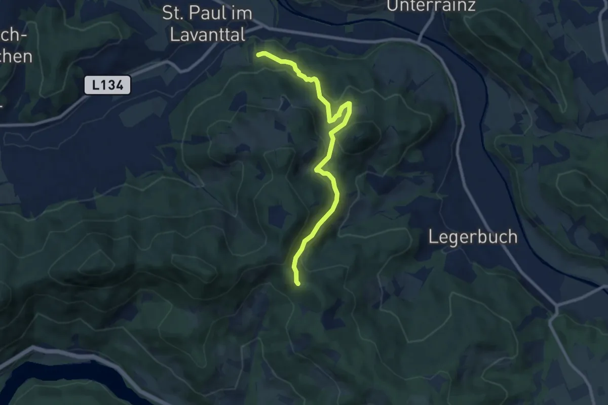
Medium · Trail
Wanderweg 336B
7.7 km · ↑ 335 m · 2 h 32 min
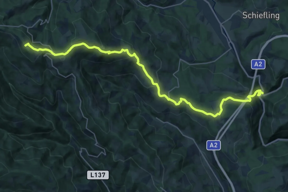
Demanding · Summit
Wanderweg 337
24.8 km · ↑ 1059 m · 8 h 10 min
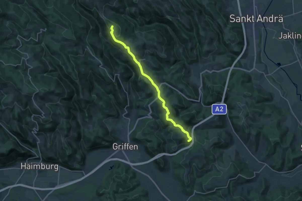
Medium · Summit
Wanderweg 338
17.0 km · ↑ 520 m · 5 h 9 min
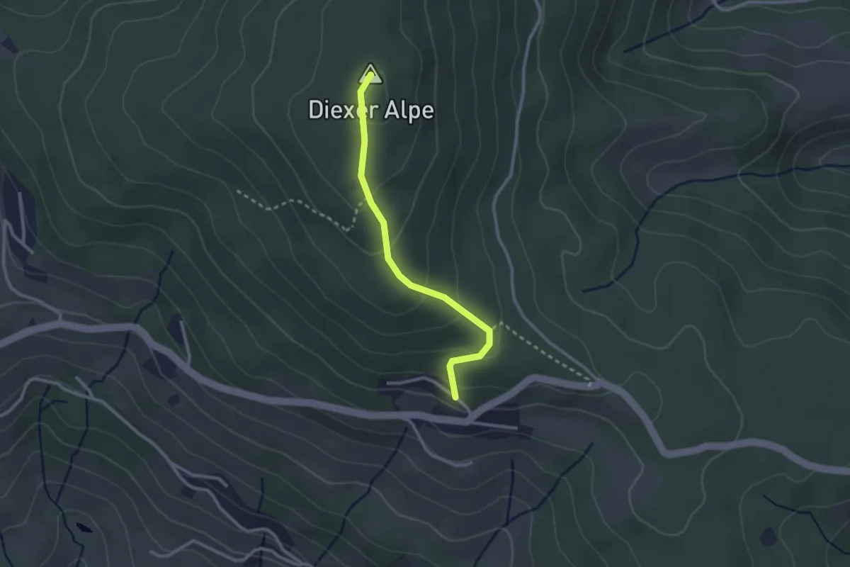
Easy · Summit
Wanderweg 339
2.4 km · ↑ 134 m · 51 min
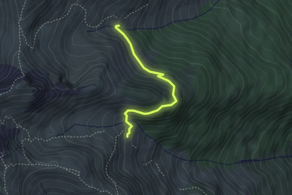
Medium · Cabin
Wanderweg 33a
3.1 km · ↑ 176 m · 1 h 7 min
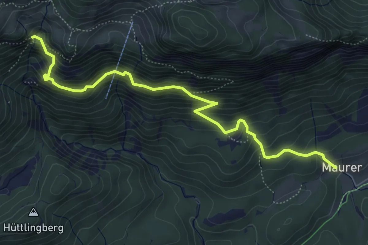
Medium · Trail
Wanderweg 33 - Niederkaiser
6.4 km · ↑ 518 m · 2 h 38 min
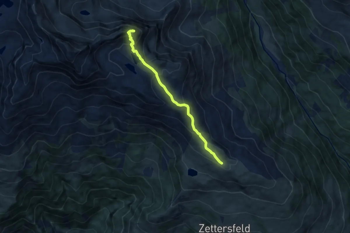
Medium · Summit
Wanderweg 34
7.4 km · ↑ 499 m · 2 h 50 min
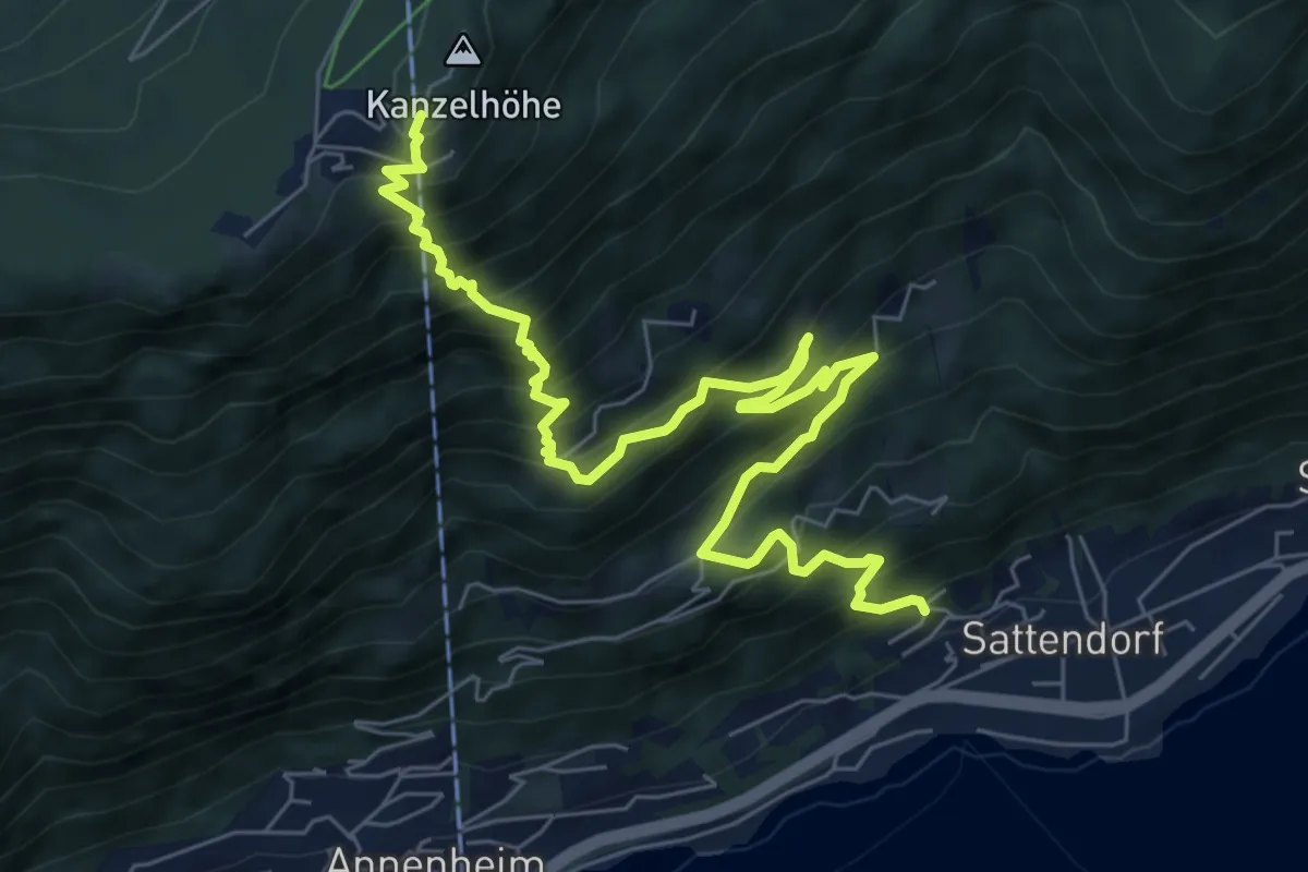
Demanding · Trail
Wanderweg 34
8.7 km · ↑ 941 m · 4 h 6 min
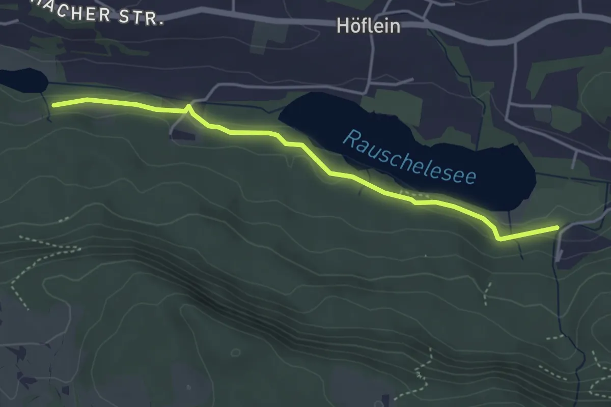
Easy · Trail
Wanderweg 34
4.0 km · ↑ 36 m · 1 h 1 min
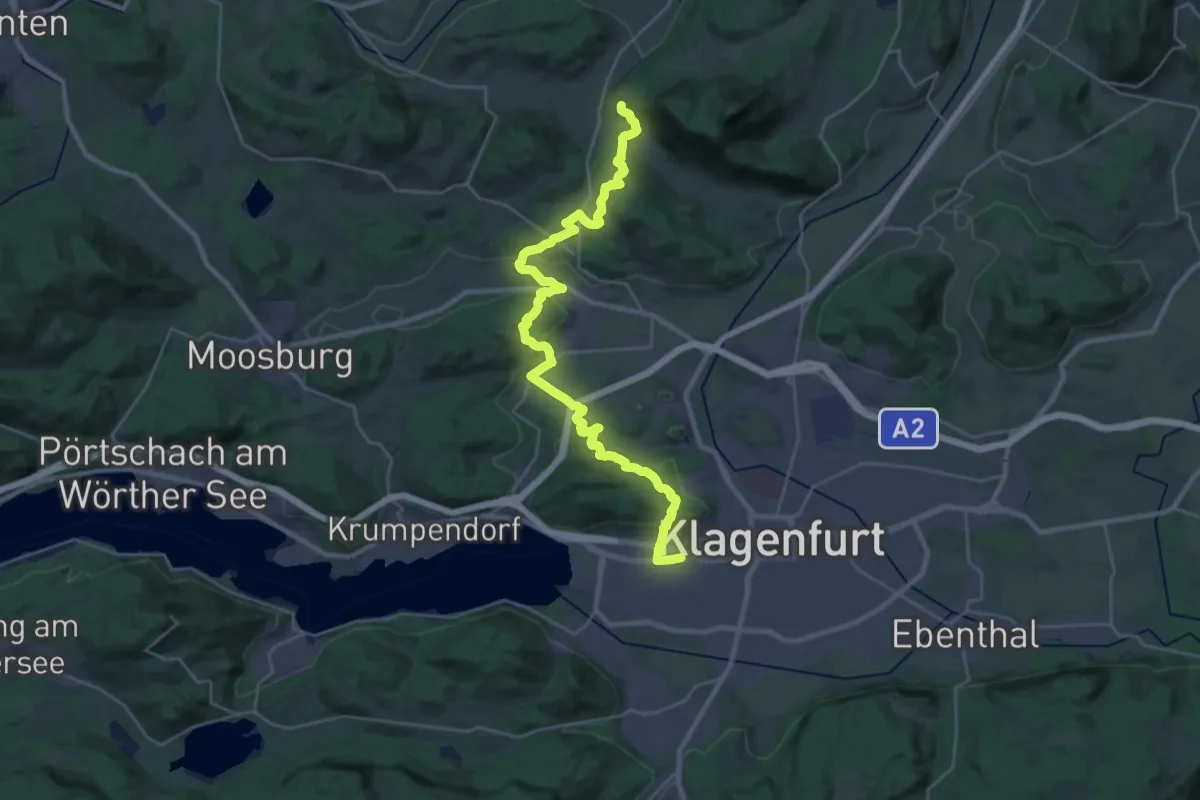
Medium · Trail
Wanderweg 34
17.0 km · ↑ 467 m · 5 h 10 min
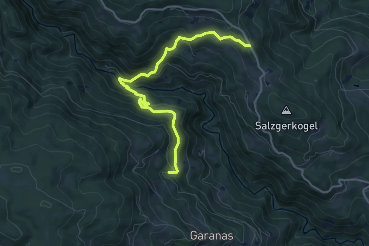
Medium · Trail
Wanderweg 34
9.2 km · ↑ 475 m · 3 h 12 min
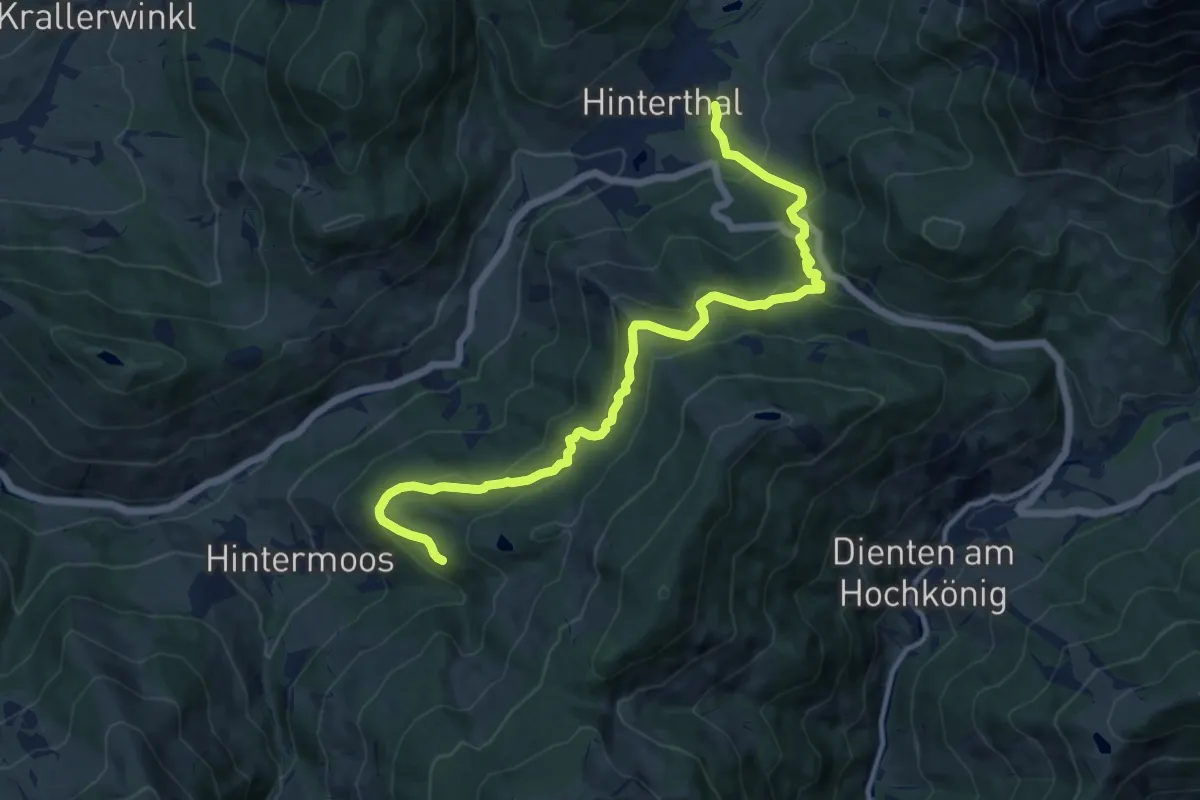
Medium · Trail
Wanderweg 34
13.2 km · ↑ 561 m · 4 h 20 min
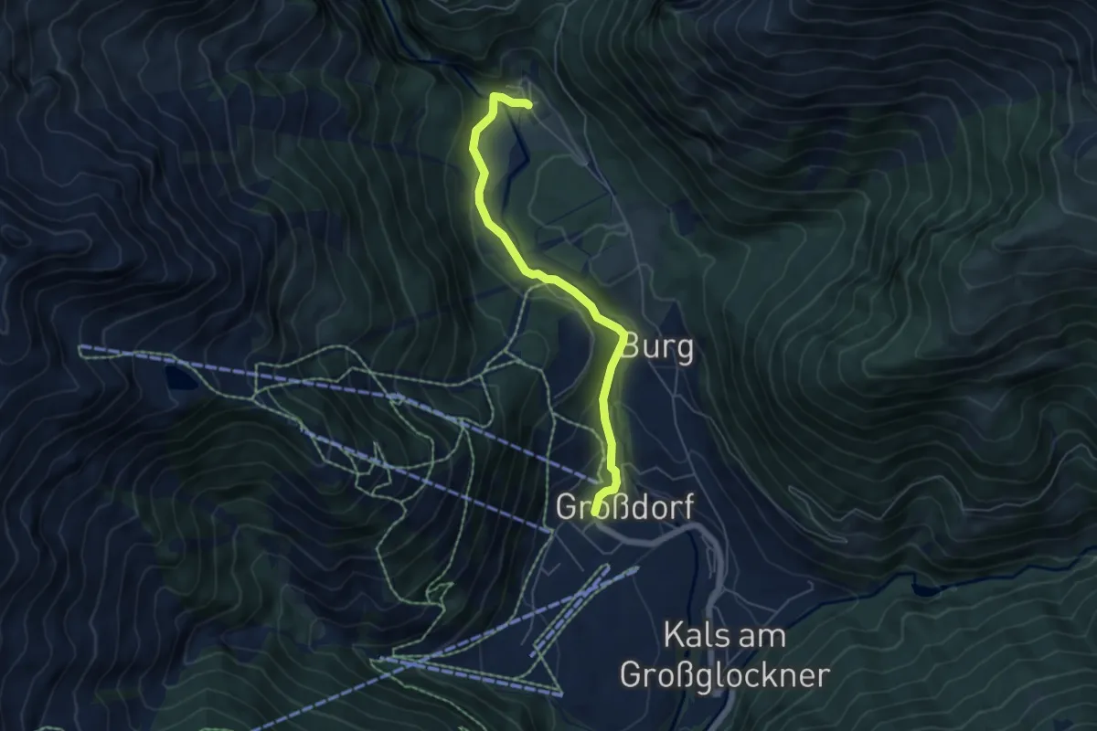
Easy · Trail
Wanderweg 34
5.1 km · ↑ 127 m · 1 h 29 min
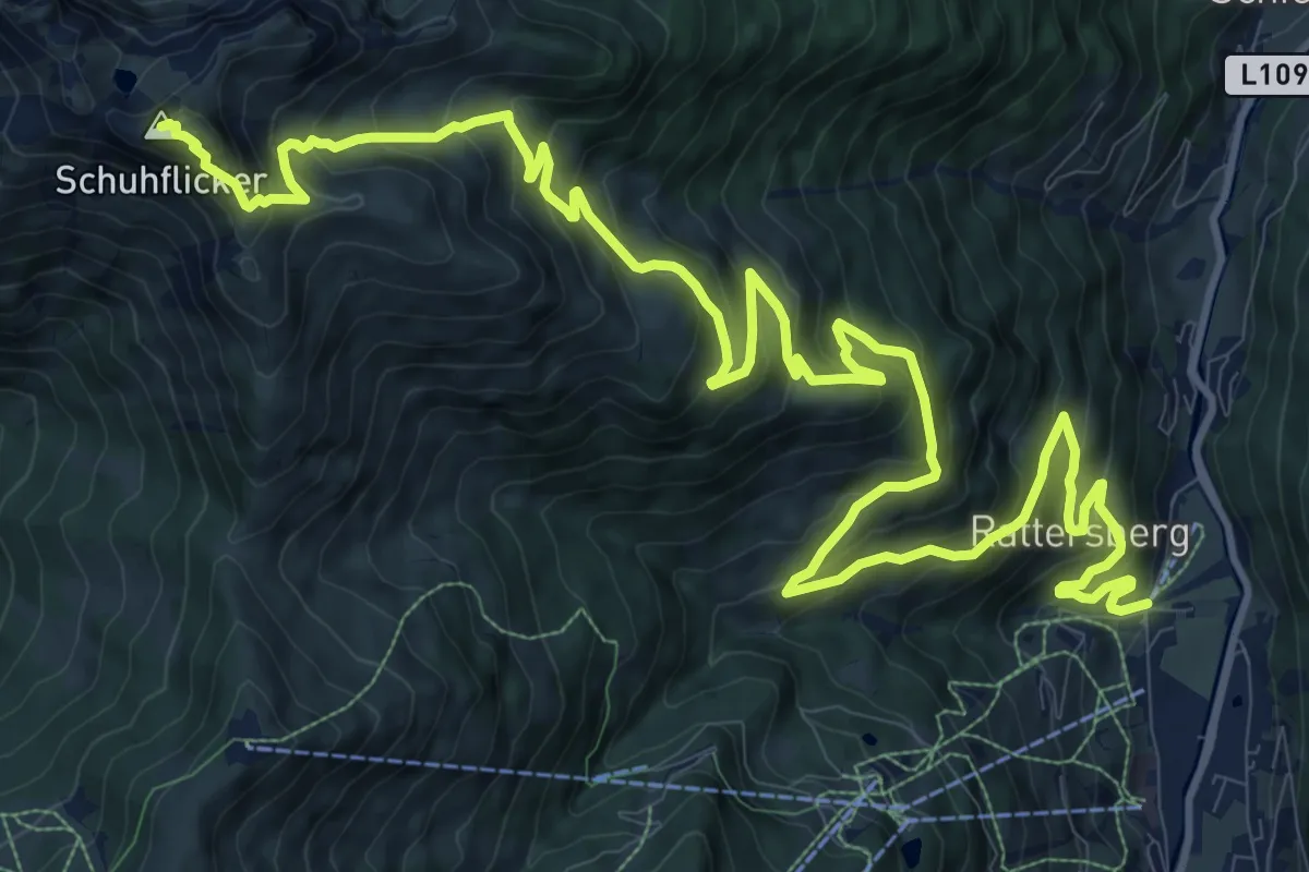
Demanding · Summit
Wanderweg 34
18.8 km · ↑ 1293 m · 7 h 15 min
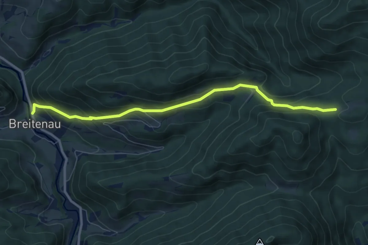
Medium · Trail
Wanderweg 34
7.1 km · ↑ 371 m · 2 h 29 min
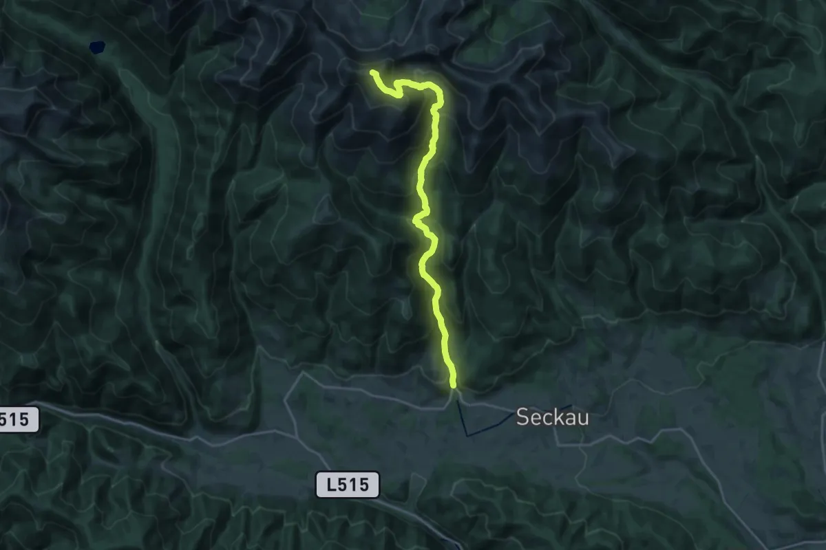
Demanding · Summit
Wanderweg 34
18.6 km · ↑ 1462 m · 7 h 34 min
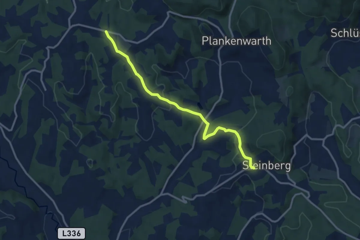
Easy · Trail
Wanderweg 34
7.9 km · ↑ 245 m · 2 h 24 min
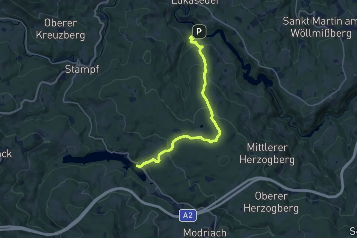
Medium · Trail
Wanderweg 34
13.5 km · ↑ 515 m · 4 h 19 min
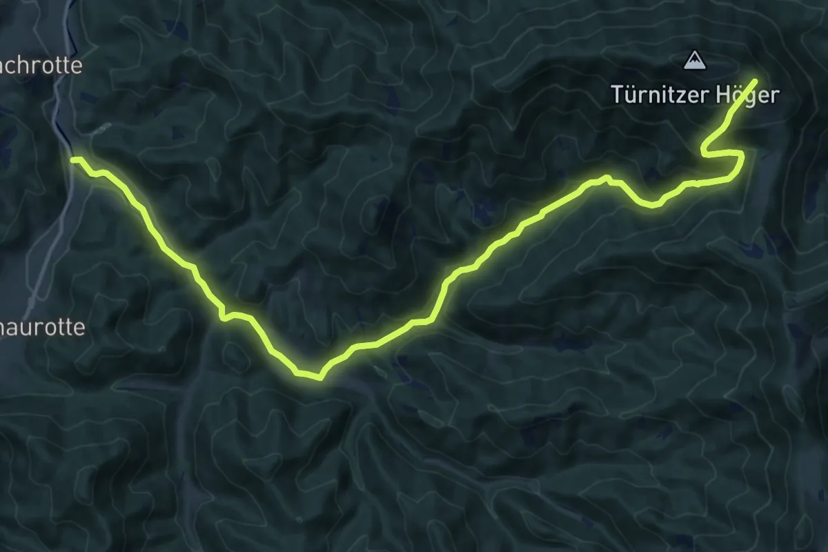
Demanding · Trail
Wanderweg 34
18.3 km · ↑ 838 m · 6 h 8 min
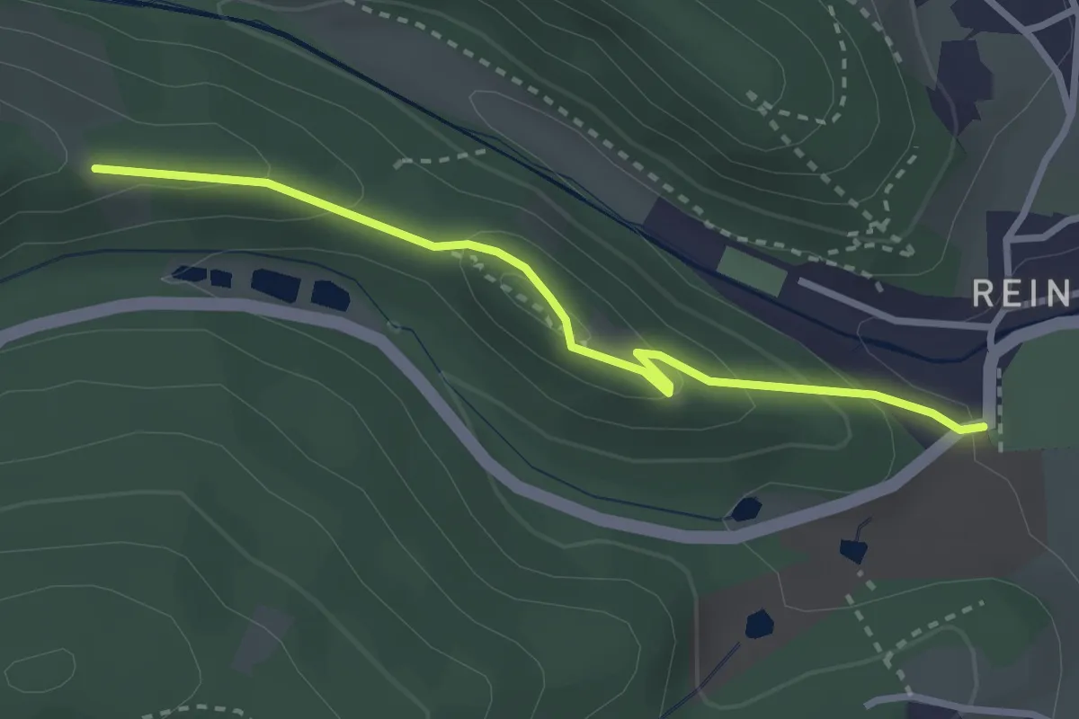
Easy · Trail
Wanderweg 34
2.8 km · ↑ 161 m · 1 h 1 min
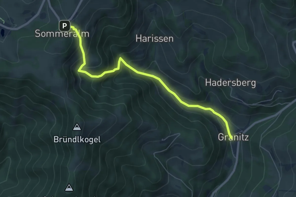
Medium · Trail
Wanderweg 34
6.3 km · ↑ 521 m · 2 h 37 min
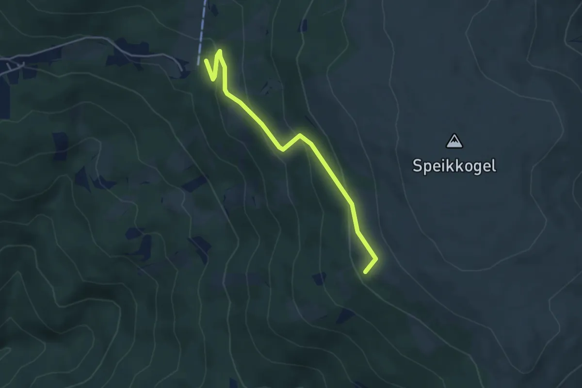
Easy · Summit
Wanderweg 341
3.9 km · ↑ 214 m · 1 h 23 min
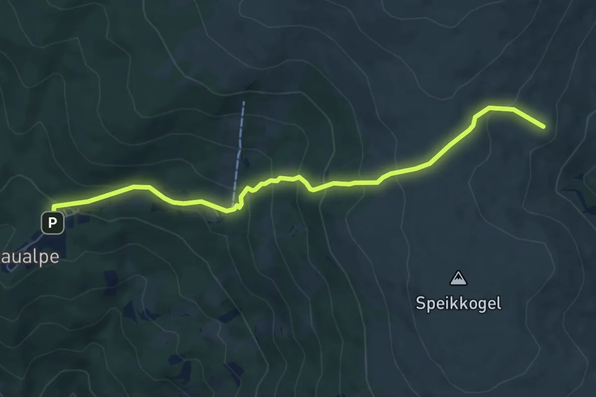
Medium · Cabin
Wanderweg 342
7.0 km · ↑ 448 m · 2 h 38 min
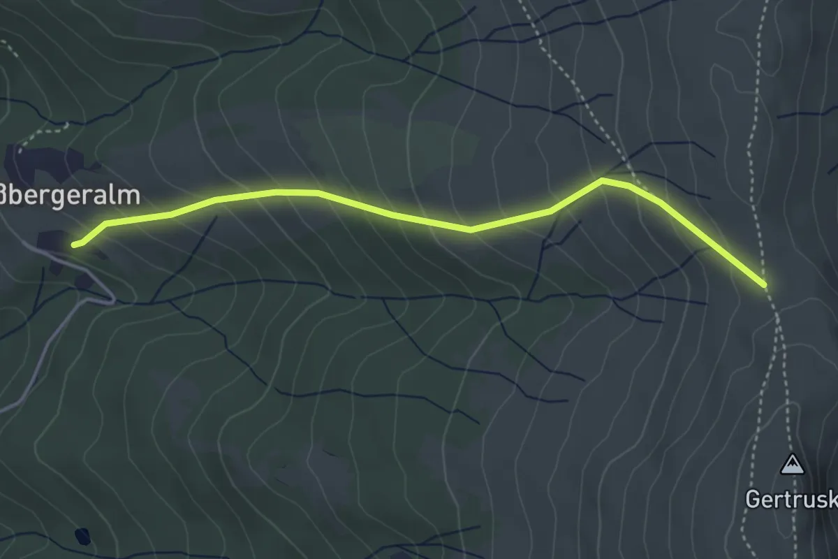
Medium · Trail
Wanderweg 343
4.0 km · ↑ 348 m · 1 h 42 min
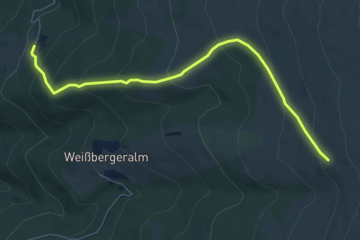
Medium · Trail
Wanderweg 344
6.1 km · ↑ 404 m · 2 h 19 min
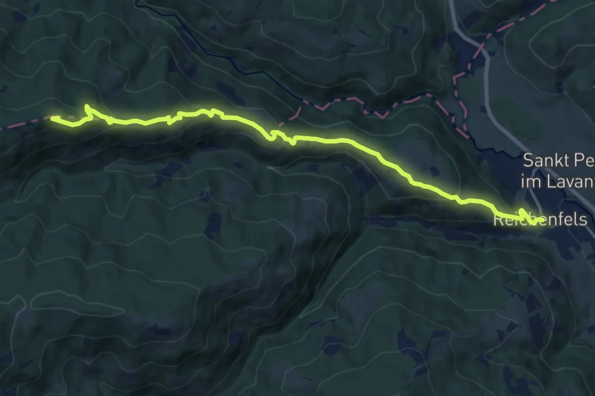
Medium · Summit
Wanderweg 345
14.2 km · ↑ 691 m · 4 h 51 min
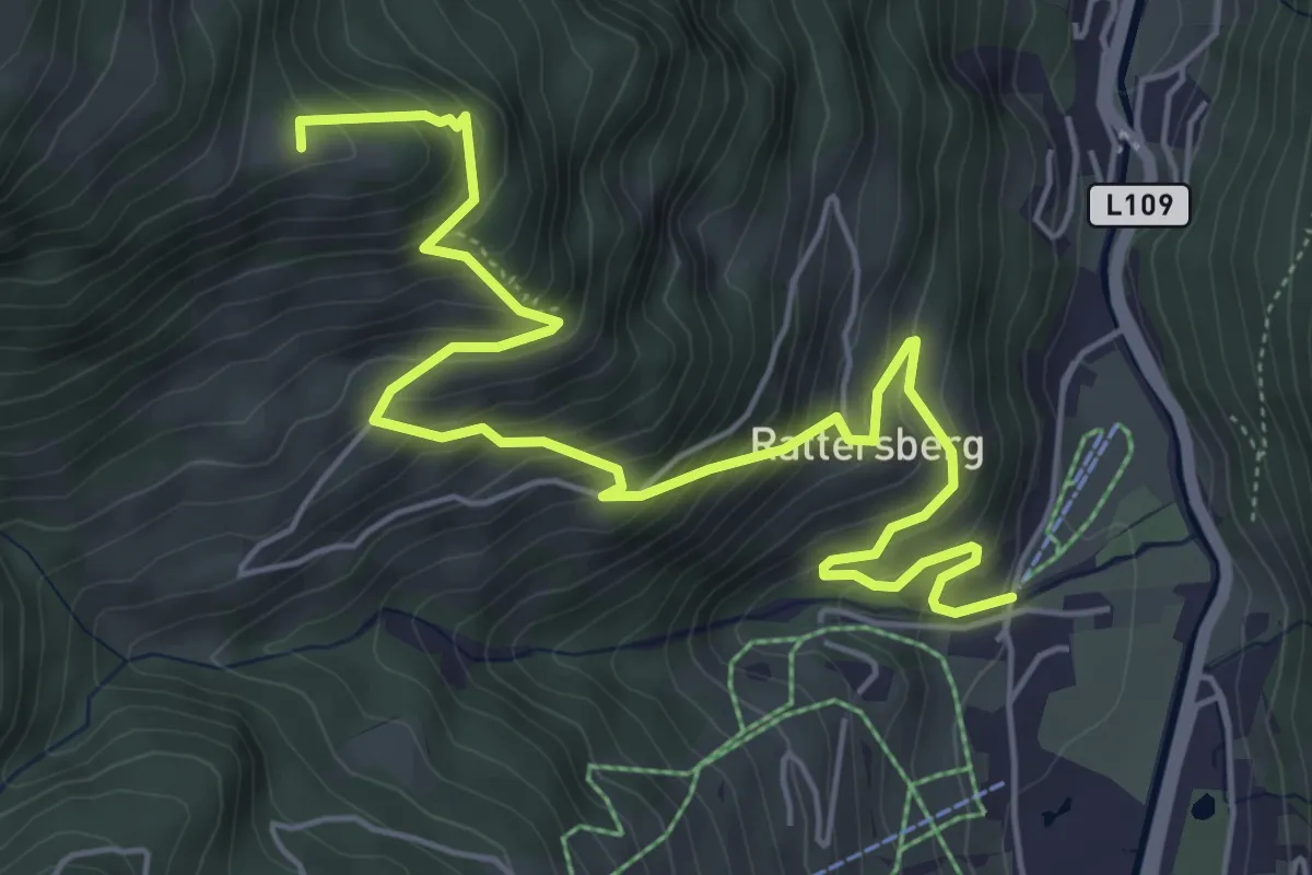
Medium · Summit
Wanderweg 34a
6.8 km · ↑ 589 m · 2 h 54 min
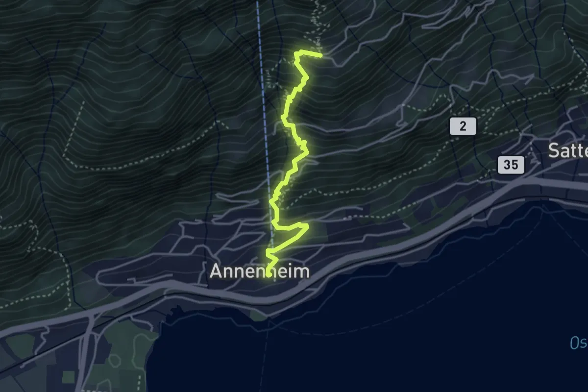
Demanding · Trail
Wanderweg 34A
3.4 km · ↑ 482 m · 1 h 51 min
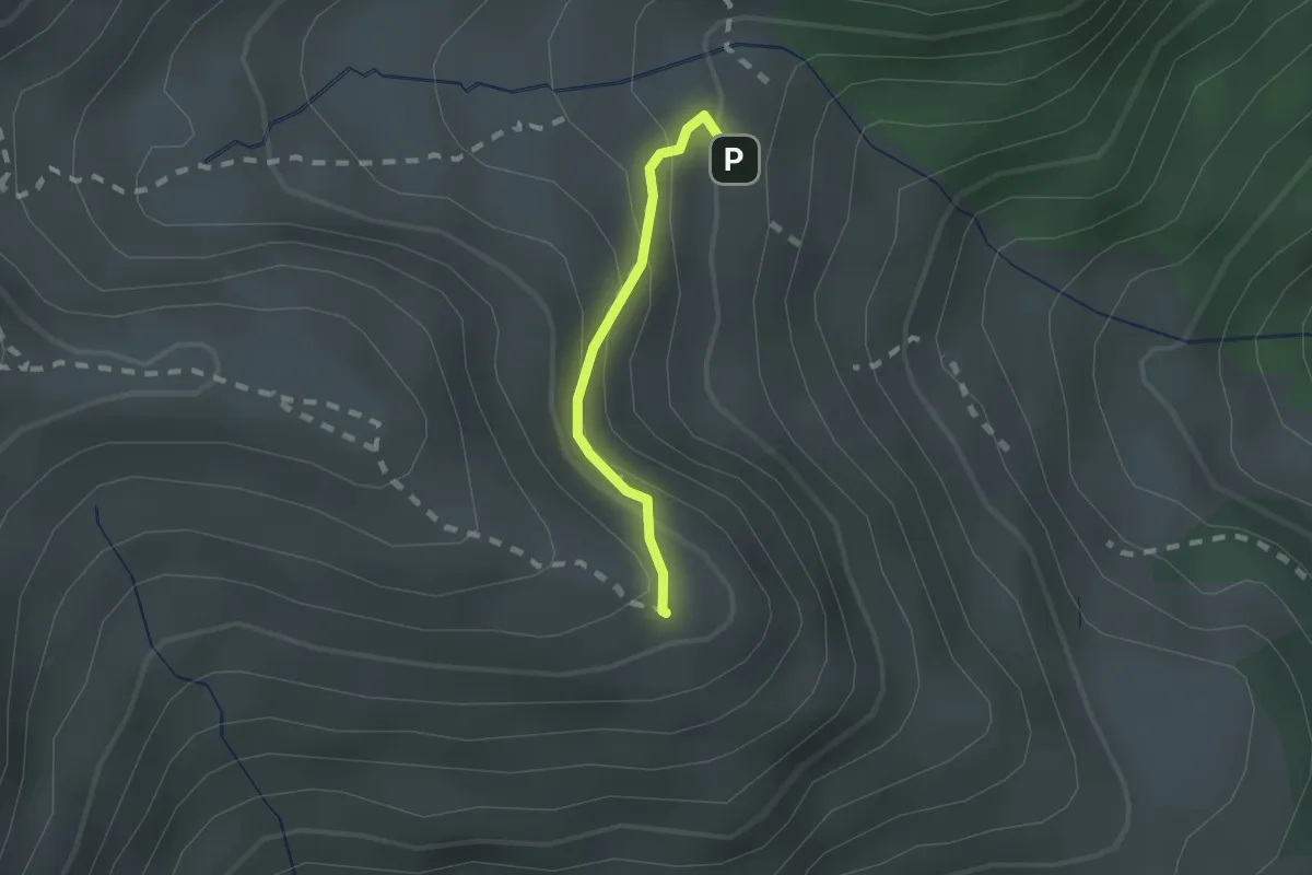
Medium · Summit
Wanderweg 34b
1.3 km · ↑ 125 m · 35 min
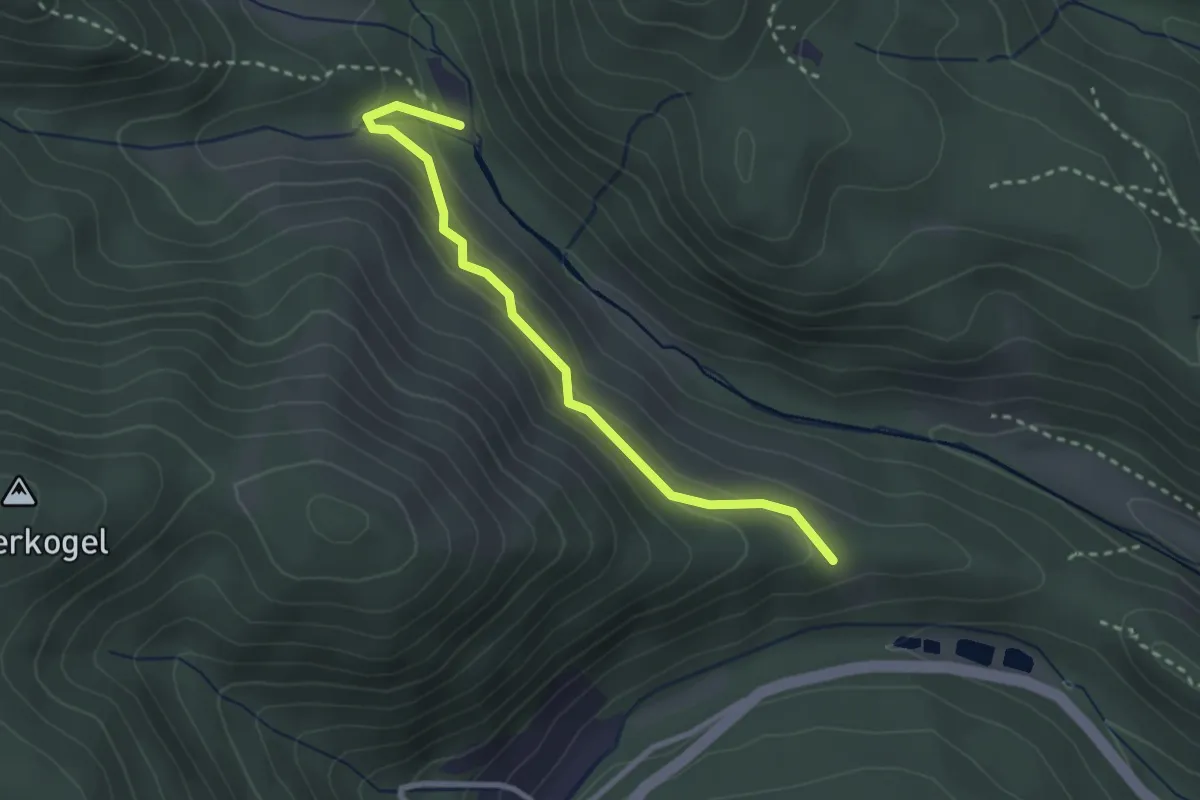
Easy · Trail
Wanderweg 34b
2.7 km · ↑ 96 m · 51 min
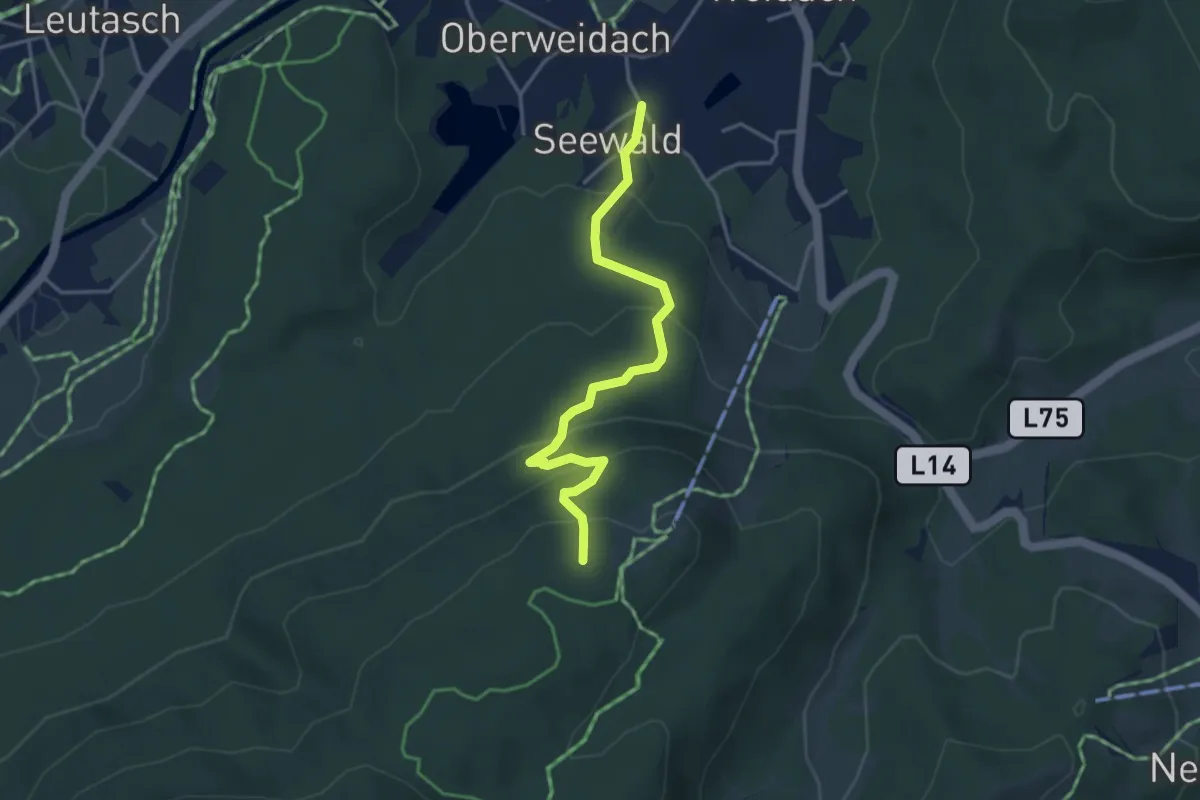
Easy · Summit
Wanderweg 34 (gelb)
3.7 km · ↑ 254 m · 1 h 25 min
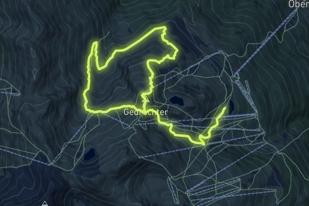
Medium · Summit
Wanderweg 34 - Kaltenbach
8.8 km · ↑ 466 m · 3 h 23 min
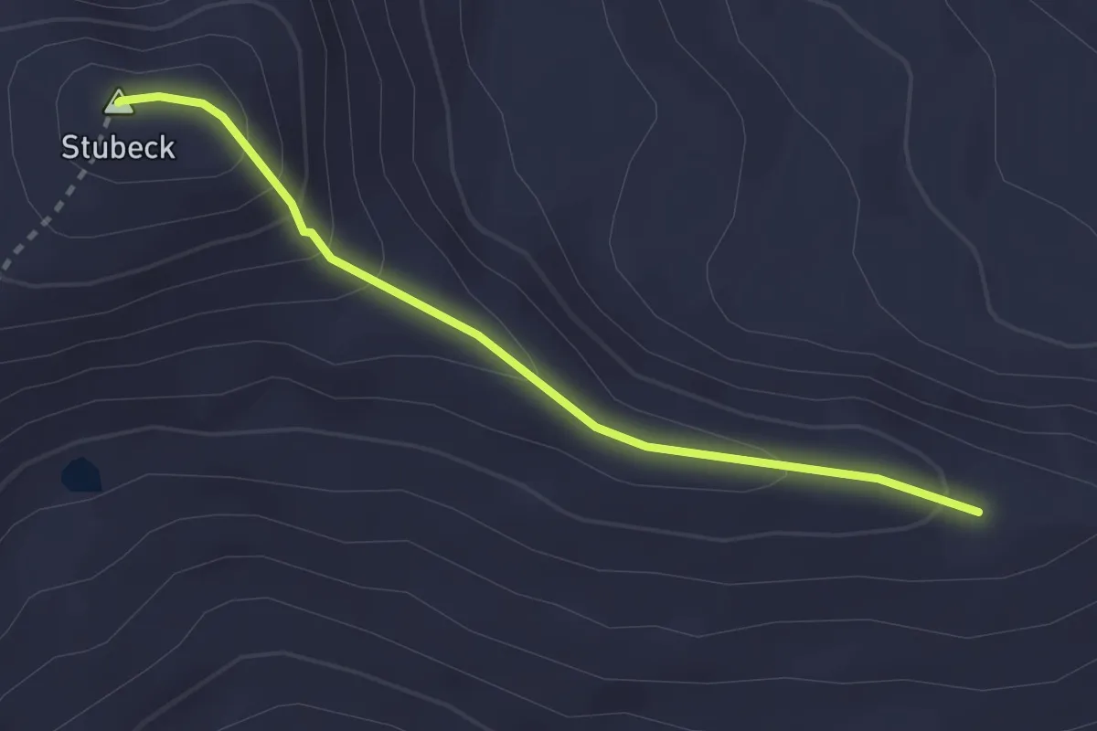
Easy · Summit
Wanderweg 35
2.5 km · ↑ 164 m · 57 min
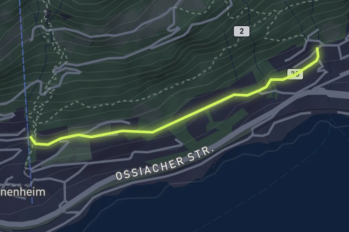
Easy · Trail
Wanderweg 35
2.6 km · ↑ 50 m · 43 min
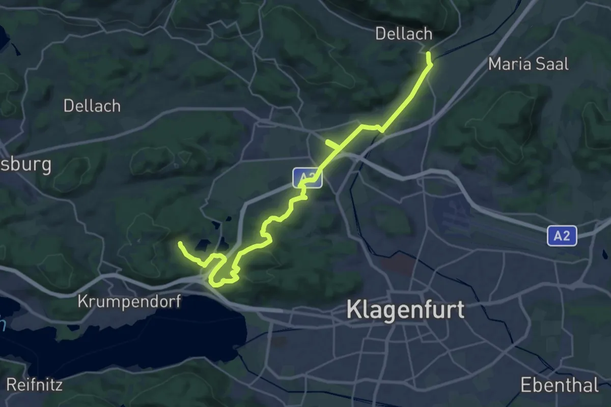
Demanding · Trail
Wanderweg 35
26.5 km · ↑ 415 m · 7 h 9 min
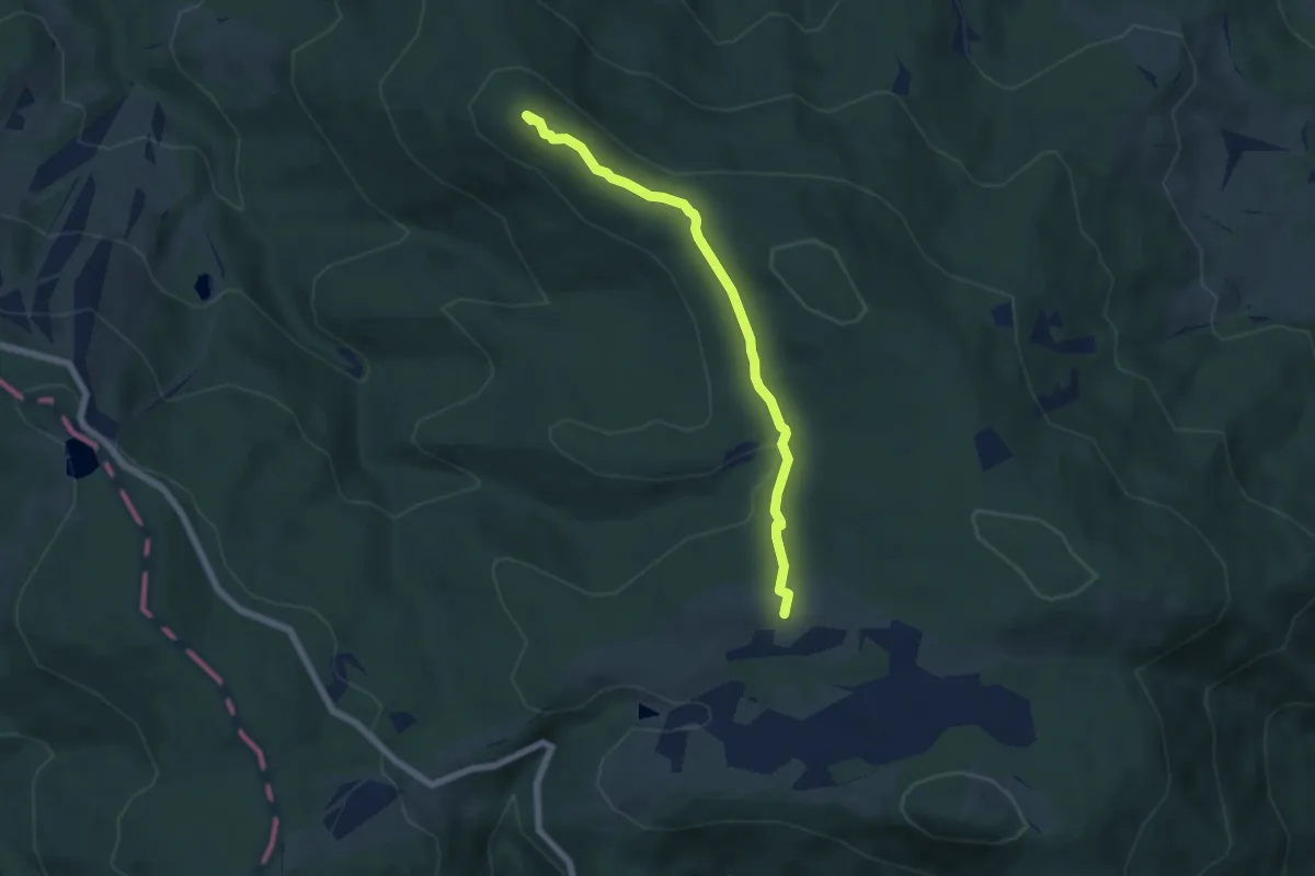
Easy · Summit
Wanderweg 35
5.7 km · ↑ 165 m · 1 h 42 min
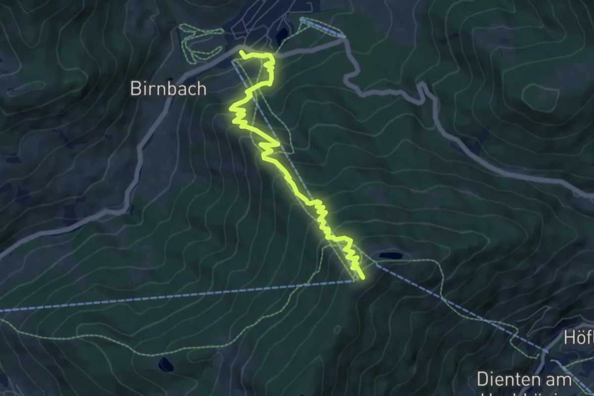
Medium · Summit
Wanderweg 35
8.1 km · ↑ 644 m · 3 h 19 min