Trails in Austria
9,777 hiking trails, each with its route, climb, walking time and grade.
All trails, page 147 of 204
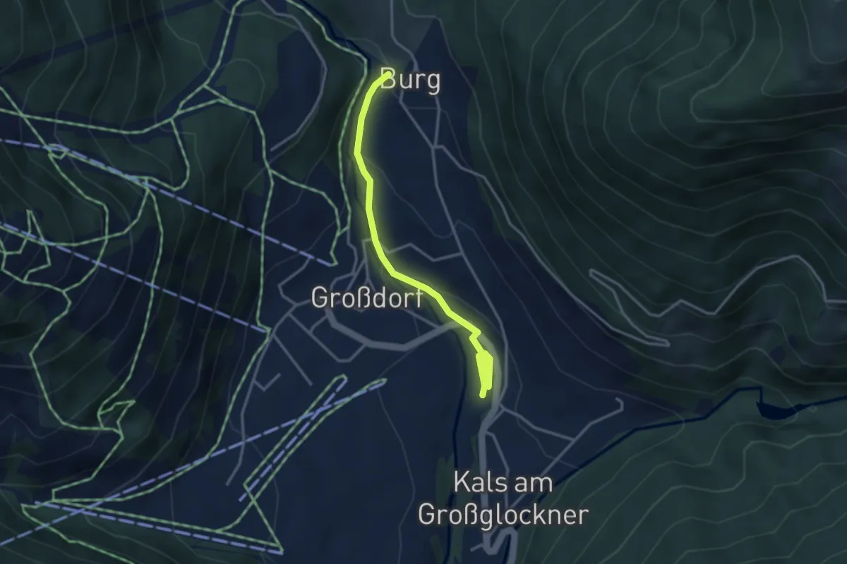
Easy · Trail
Wanderweg 35
3.2 km · ↑ 123 m · 1 h 1 min
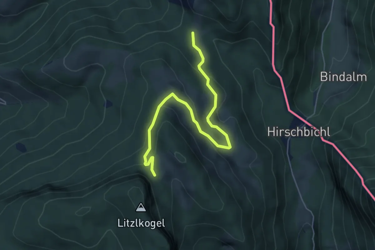
Medium · Trail
Wanderweg 35
5.2 km · ↑ 213 m · 1 h 42 min
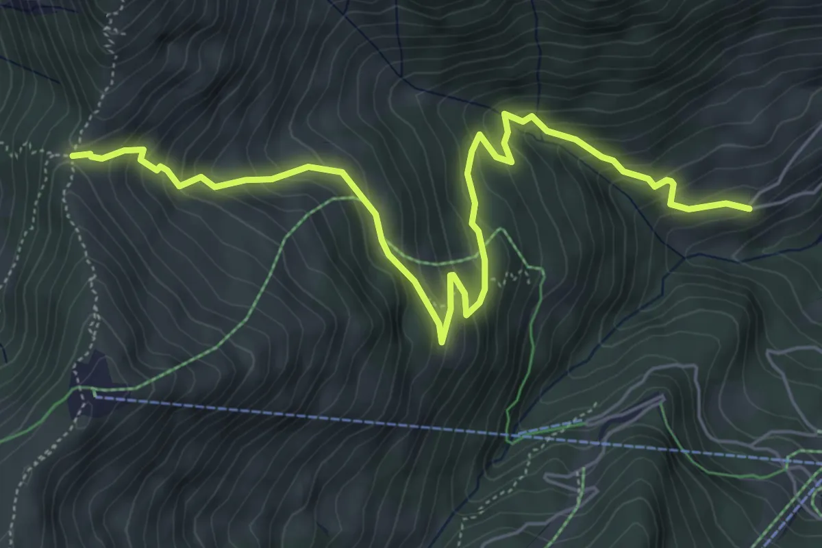
Medium · Trail
Wanderweg 35
6.9 km · ↑ 555 m · 2 h 50 min
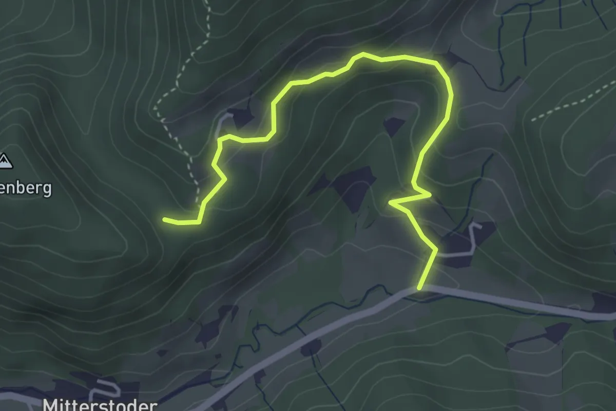
Easy · Trail
Wanderweg 35
3.9 km · ↑ 187 m · 1 h 19 min
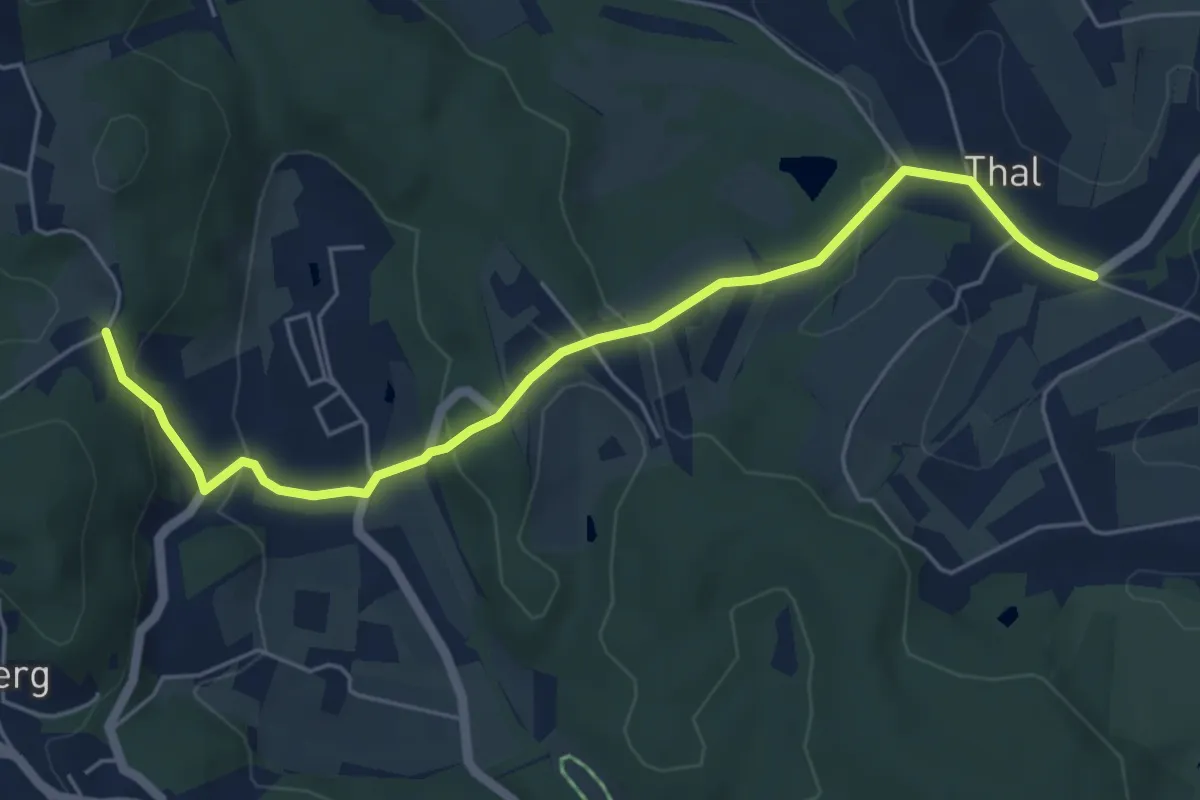
Easy · Trail
Wanderweg 35
5.8 km · ↑ 205 m · 1 h 49 min
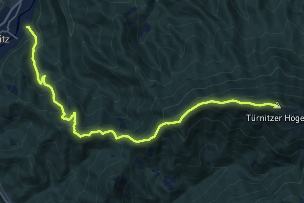
Demanding · Summit
Wanderweg 35
13.8 km · ↑ 1083 m · 5 h 36 min
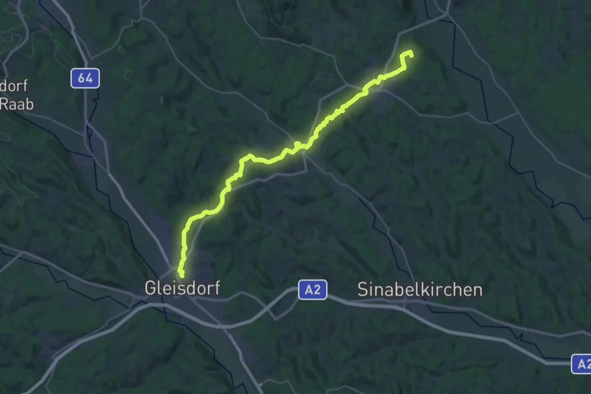
Demanding · Summit
Wanderweg 35
31.2 km · ↑ 673 m · 8 h 49 min
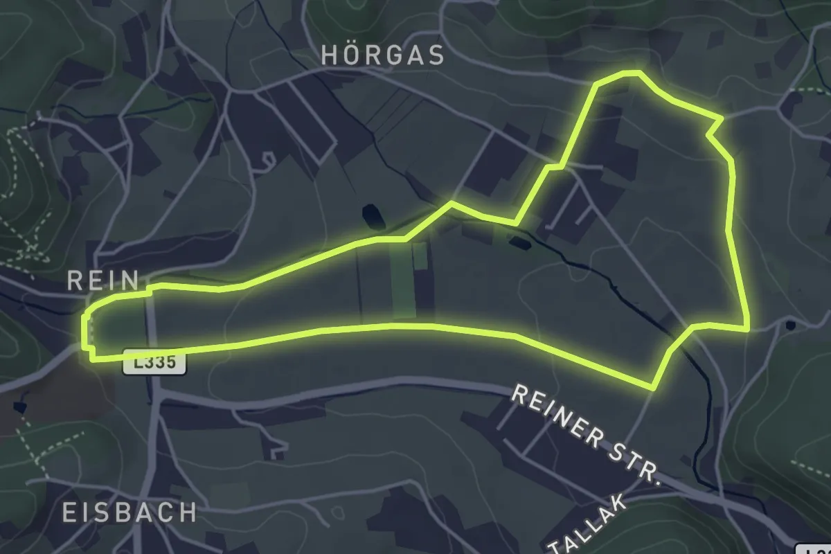
Easy · Trail
Wanderweg 35
4.7 km · ↑ 71 m · 1 h 20 min
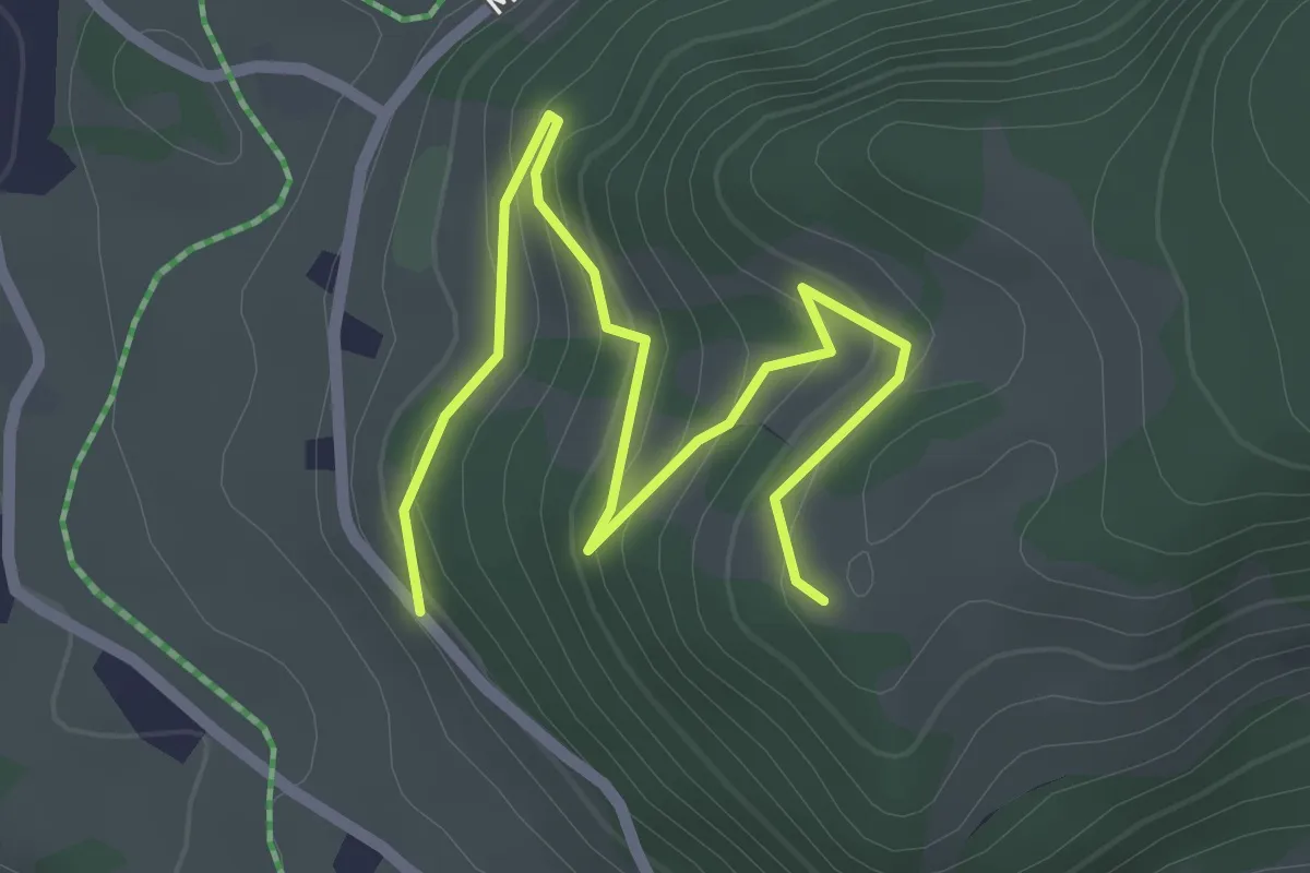
Easy · Trail
Wanderweg 35a - Kaiserwinkl
2.7 km · ↑ 130 m · 56 min
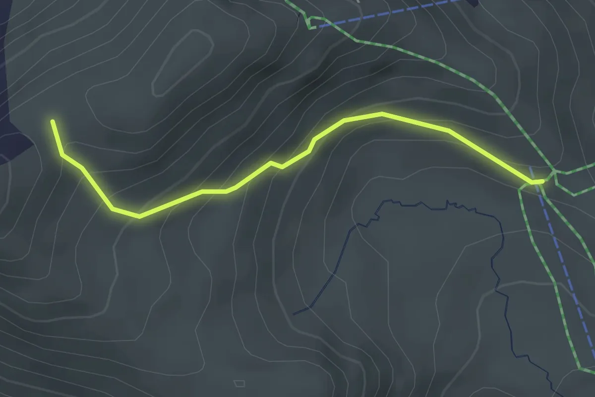
Easy · Trail
Wanderweg 35A - Kaltenbach
2.6 km · ↑ 214 m · 1 h 4 min
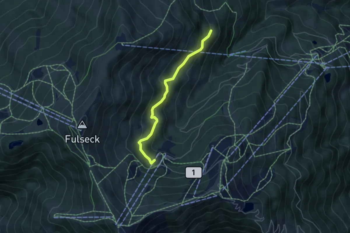
Easy · Trail
Wanderweg 35c
4.1 km · ↑ 171 m · 1 h 20 min
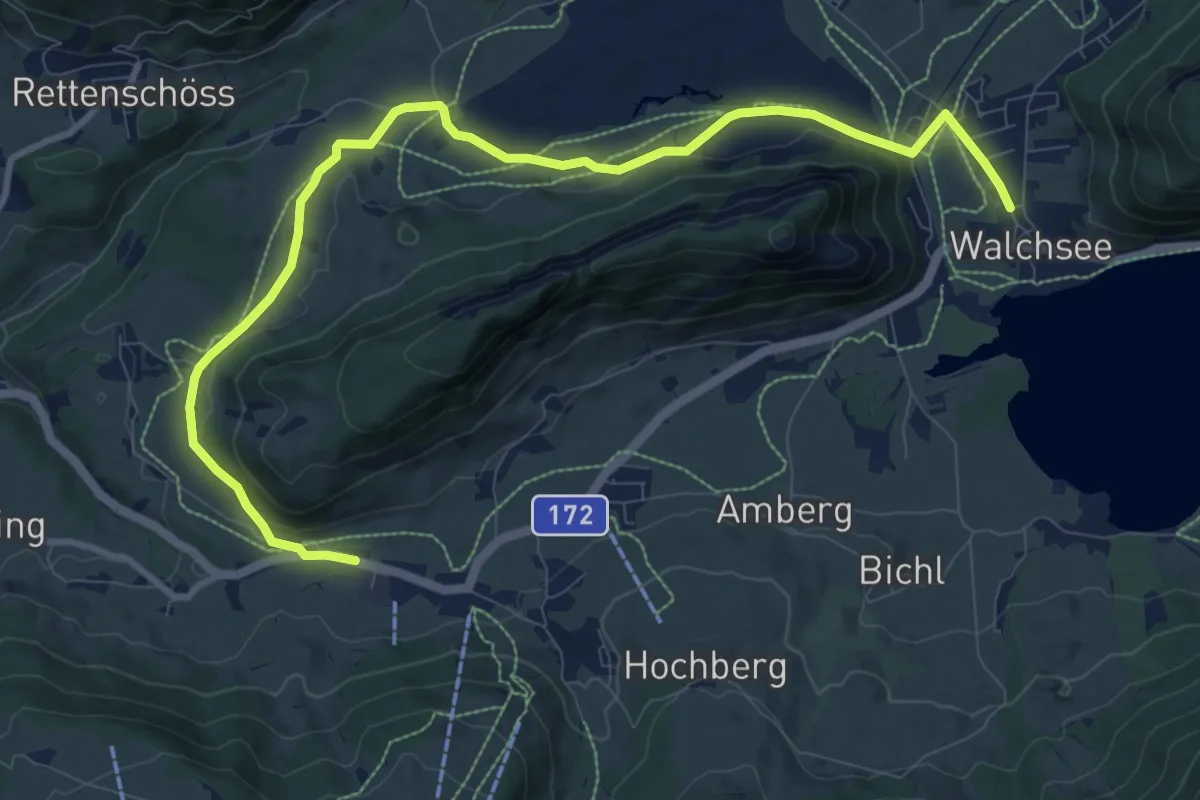
Medium · Trail
Wanderweg 35 - Kaiserwinkl
11.3 km · ↑ 114 m · 2 h 54 min
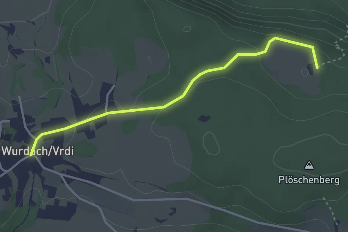
Easy · Trail
Wanderweg 36
3.0 km · ↑ 107 m · 57 min
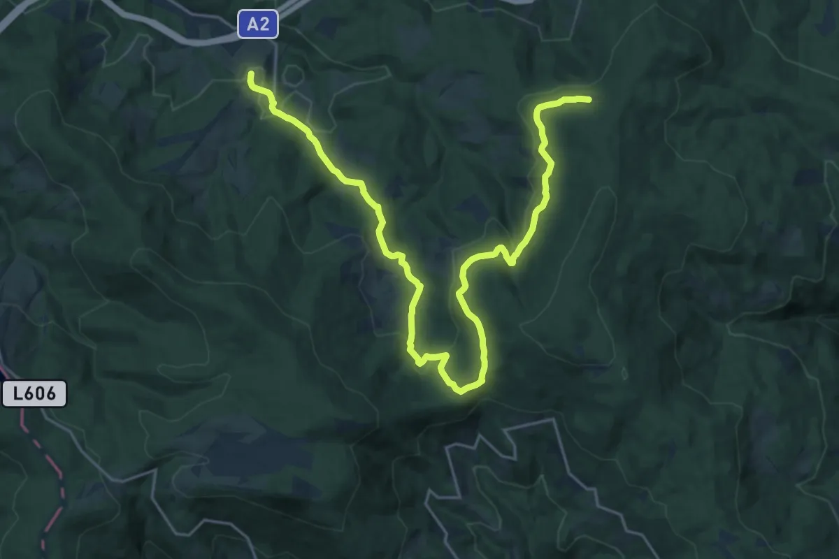
Demanding · Trail
Wanderweg 36
24.2 km · ↑ 703 m · 7 h 14 min
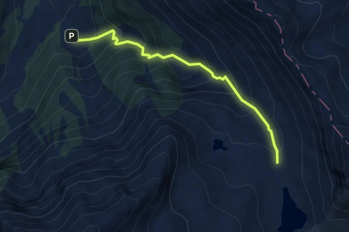
Medium · Trail
Wanderweg 36
4.5 km · ↑ 440 m · 2 h 1 min
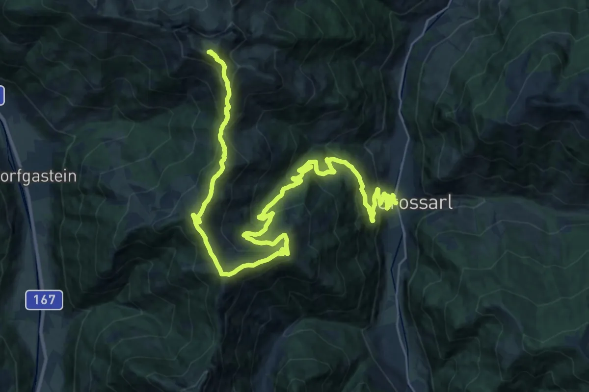
Expert · Summit
Wanderweg 36
32.2 km · ↑ 1952 m · 11 h 50 min
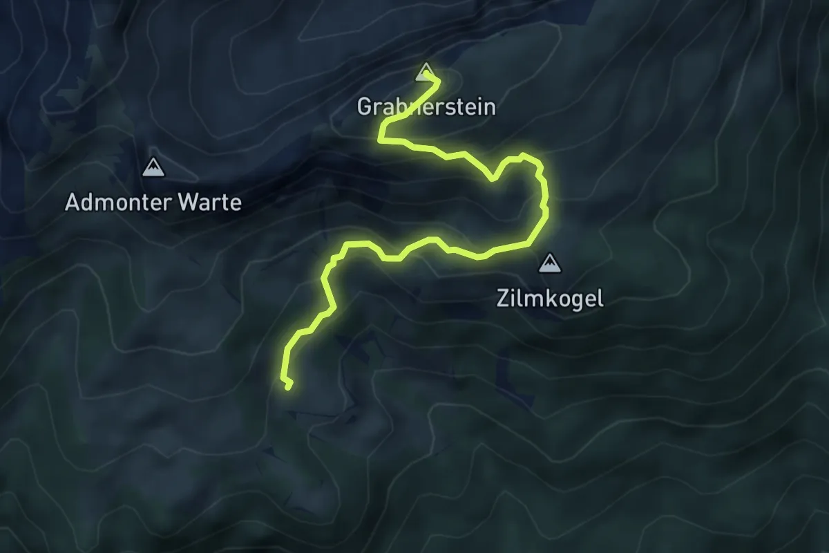
Expert · Summit
Wanderweg 36
5.0 km · ↑ 457 m · 2 h 10 min
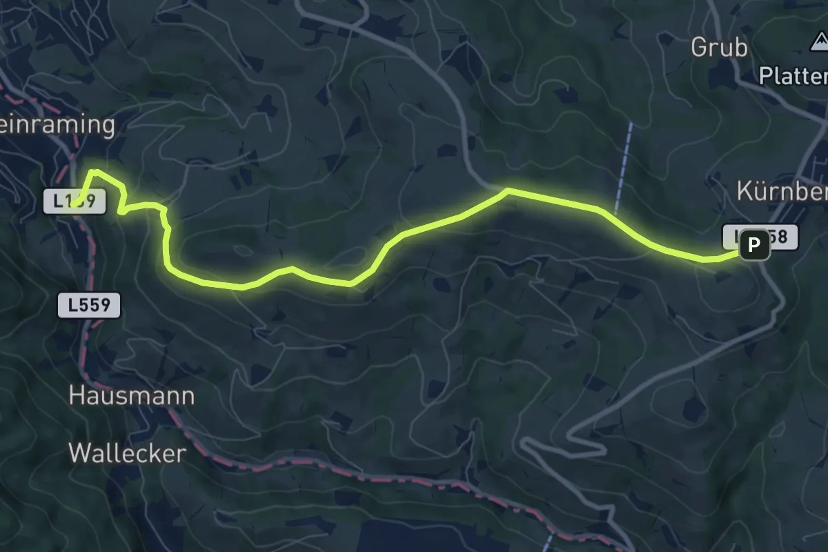
Medium · Trail
Wanderweg 360
9.5 km · ↑ 374 m · 3 h 4 min
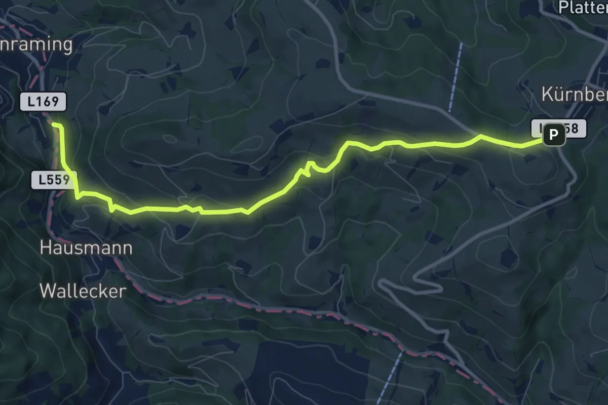
Medium · Trail
Wanderweg 361
9.5 km · ↑ 416 m · 3 h 9 min
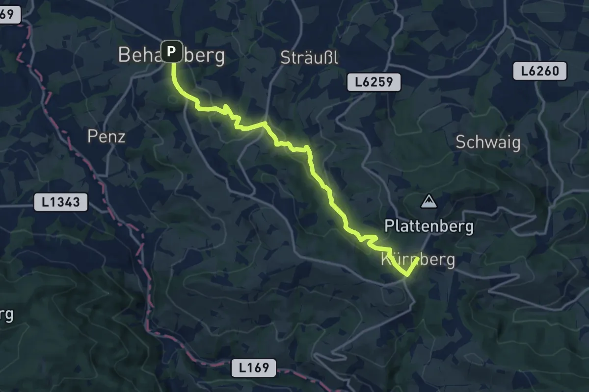
Medium · Trail
Wanderweg 362
12.9 km · ↑ 534 m · 4 h 12 min
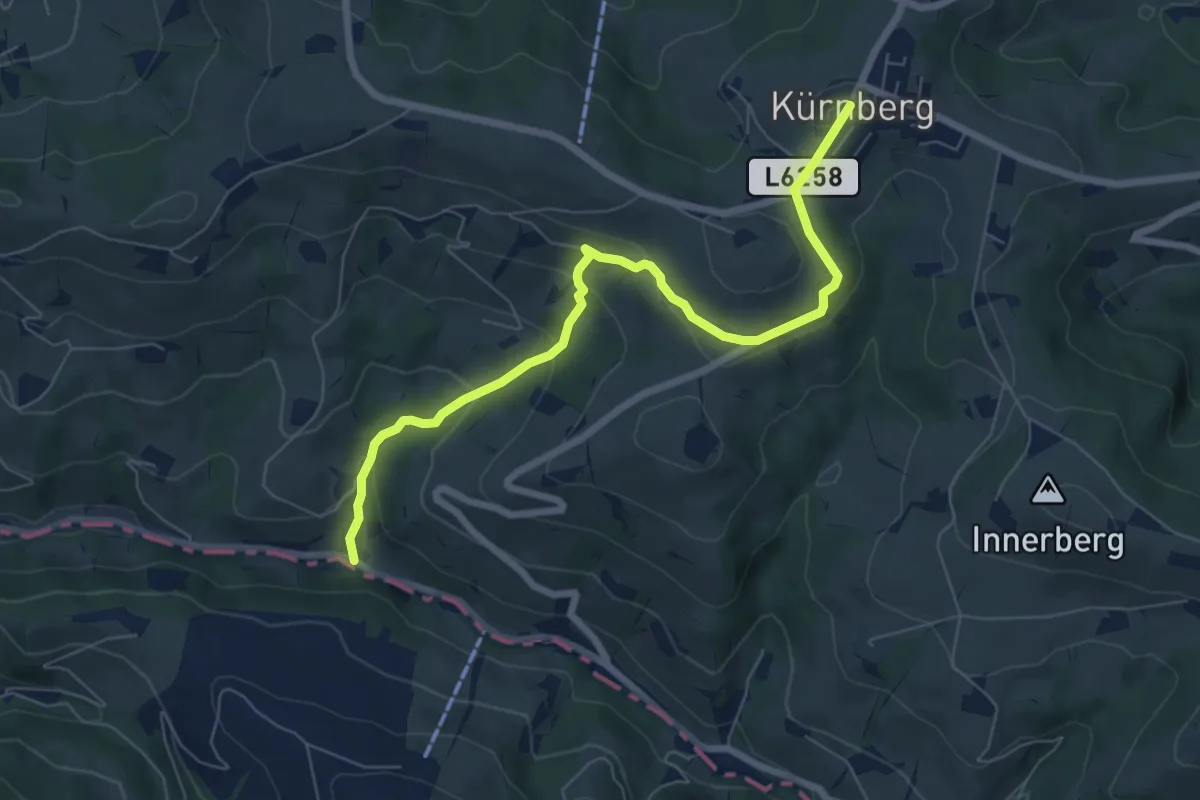
Easy · Trail
Wanderweg 363
7.1 km · ↑ 306 m · 2 h 21 min
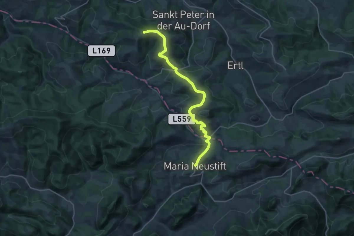
Demanding · Summit
Wanderweg 364
18.8 km · ↑ 557 m · 5 h 38 min
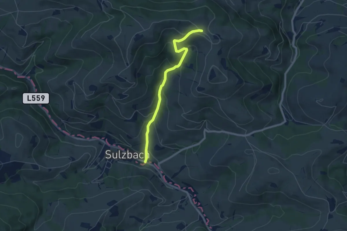
Easy · Trail
Wanderweg 365
5.3 km · ↑ 279 m · 1 h 51 min
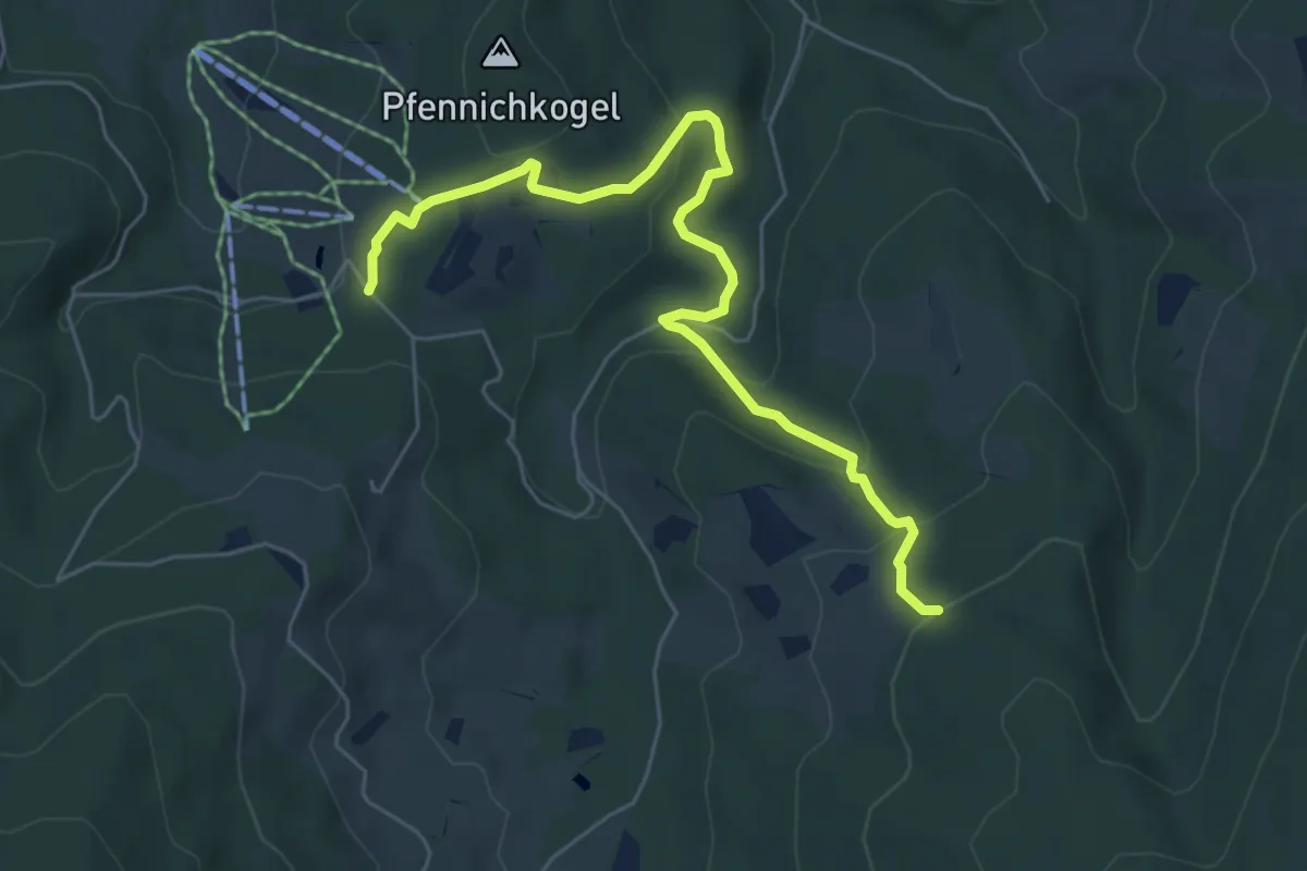
Easy · Trail
Wanderweg 36a
6.3 km · ↑ 290 m · 2 h 8 min
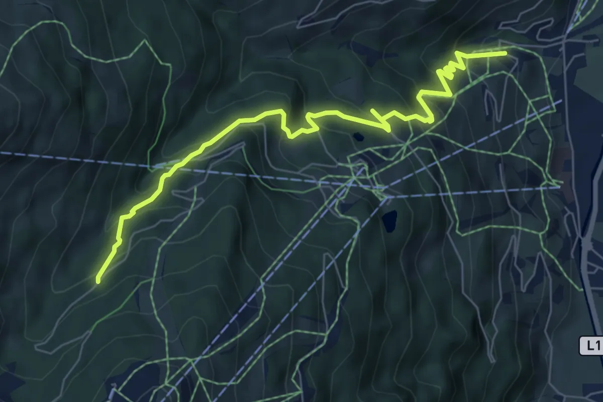
Medium · Trail
Wanderweg 36a
7.0 km · ↑ 563 m · 2 h 52 min
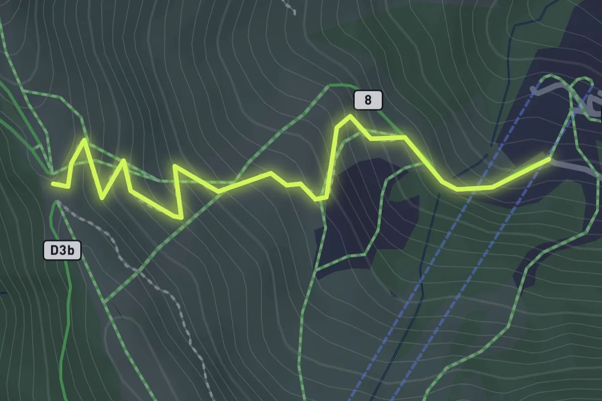
Medium · Trail
Wanderweg 36b
2.6 km · ↑ 233 m · 1 h 6 min
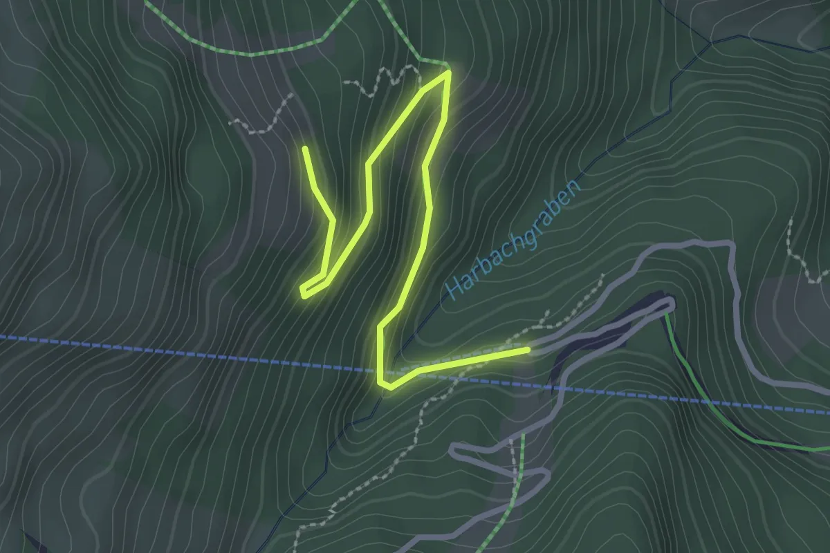
Easy · Trail
Wanderweg 36c
2.9 km · ↑ 158 m · 1 h 1 min
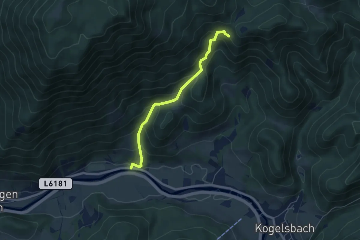
Medium · Trail
Wanderweg 36 Jörgl
4.7 km · ↑ 352 m · 1 h 52 min
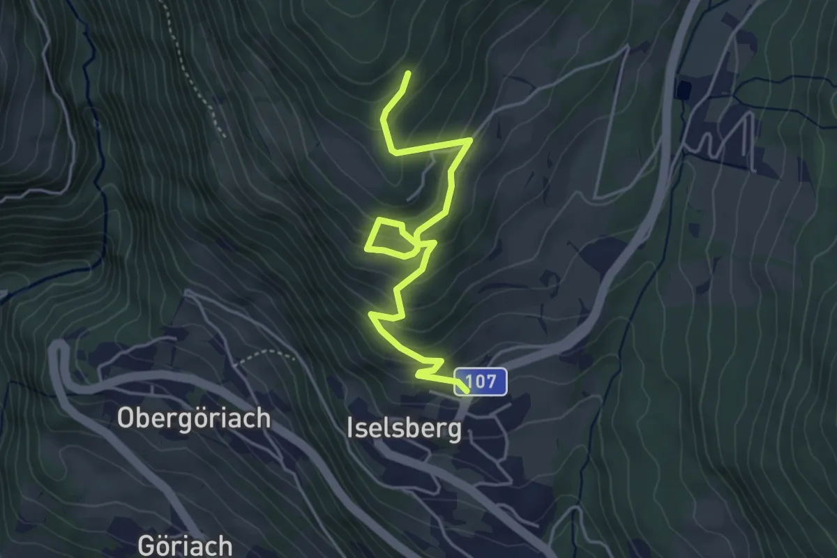
Medium · Trail
Wanderweg 37
4.5 km · ↑ 331 m · 1 h 47 min
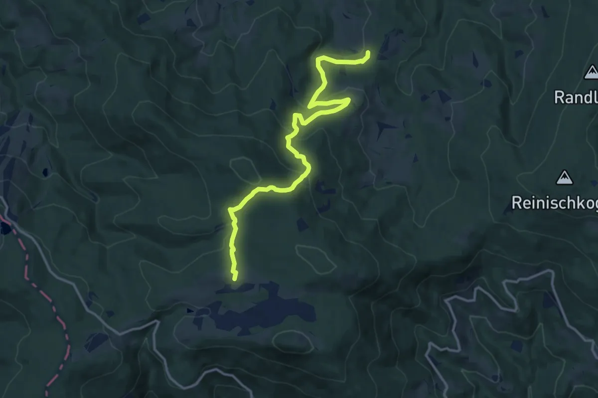
Medium · Trail
Wanderweg 37
12.5 km · ↑ 574 m · 4 h 11 min
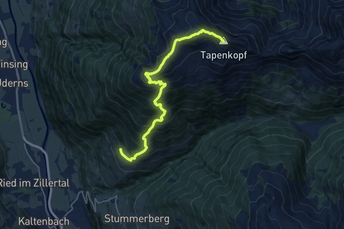
Expert · Summit
Wanderweg 37
14.2 km · ↑ 1476 m · 6 h 33 min
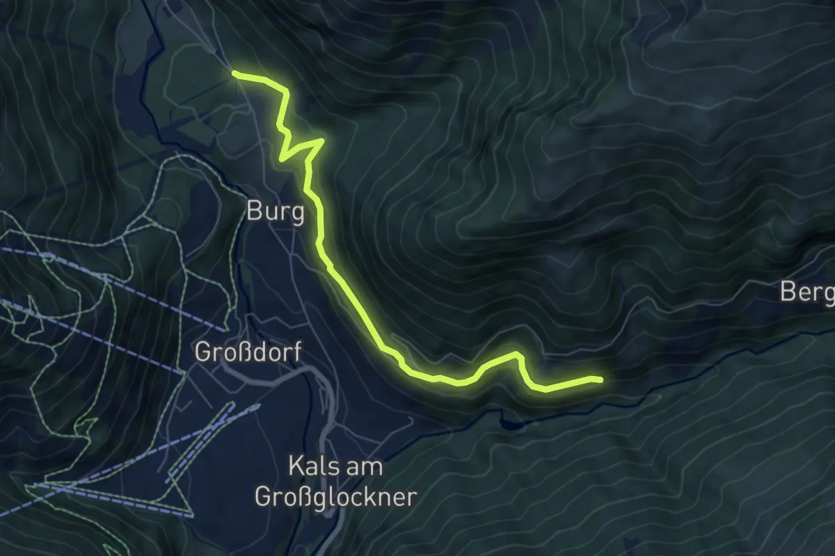
Easy · Trail
Wanderweg 37
7.1 km · ↑ 266 m · 2 h 15 min
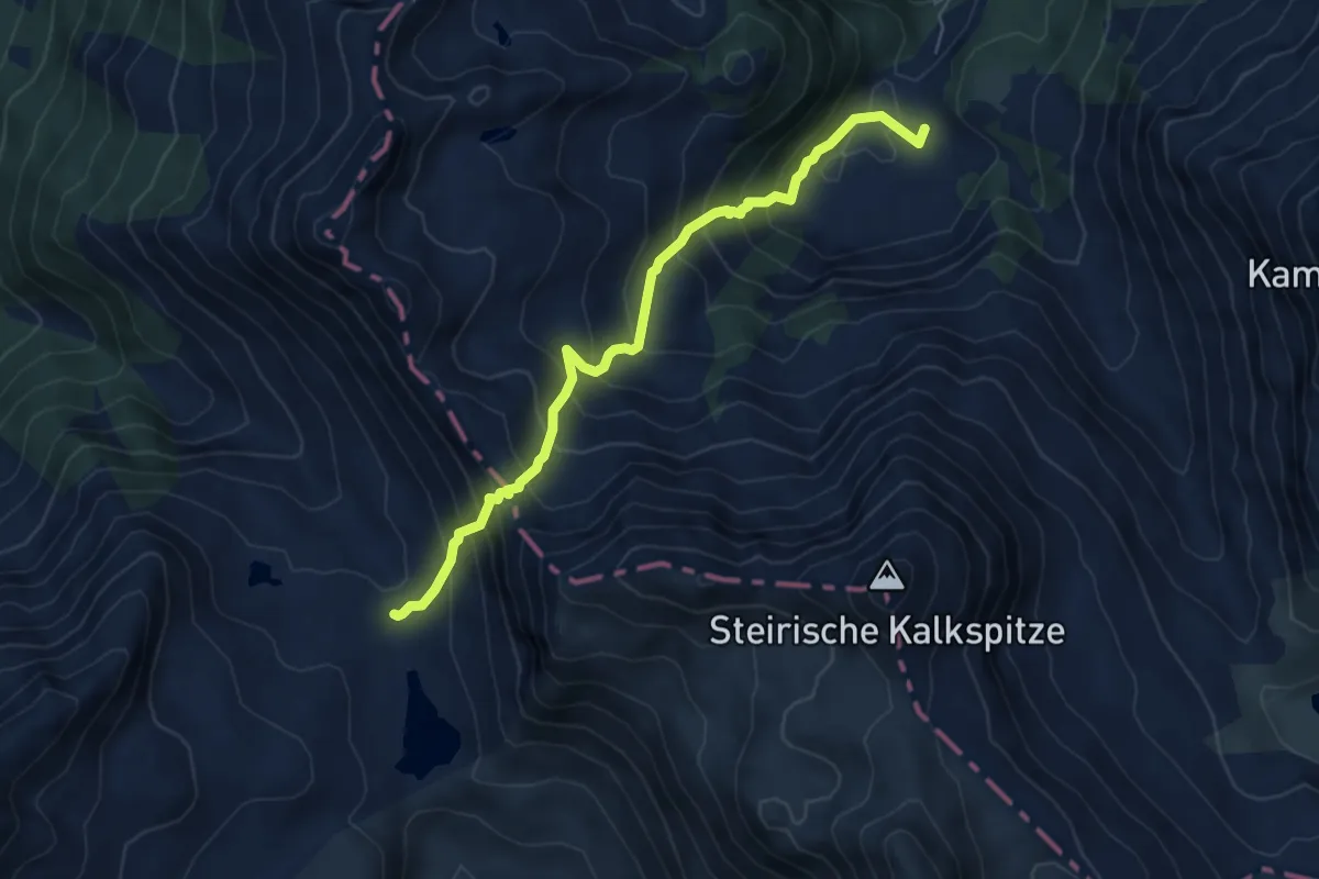
Expert · Trail
Wanderweg 37
6.0 km · ↑ 721 m · 2 h 59 min
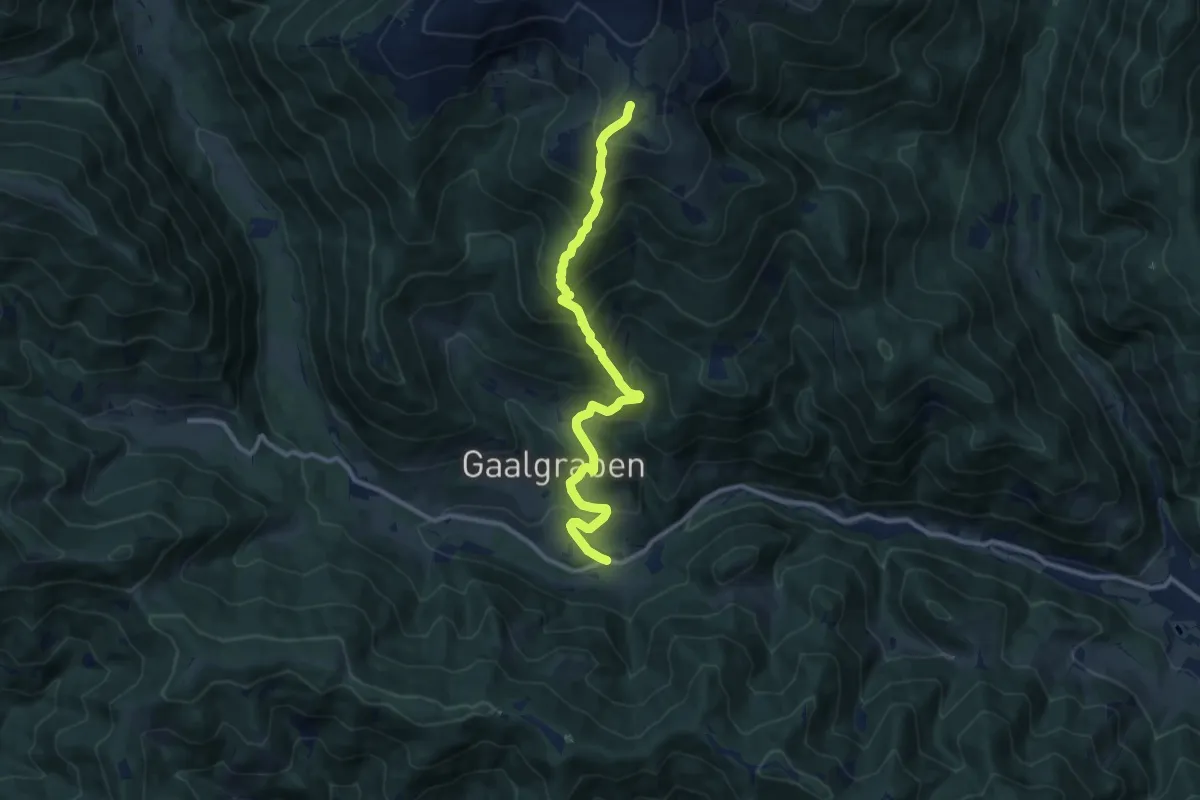
Demanding · Summit
Wanderweg 37
10.7 km · ↑ 923 m · 4 h 32 min
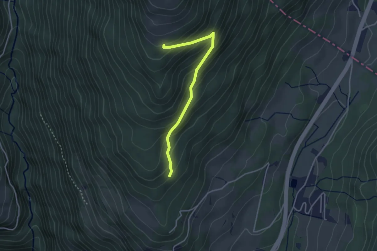
Easy · Cabin
Wanderweg 37a
2.9 km · ↑ 242 m · 1 h 12 min
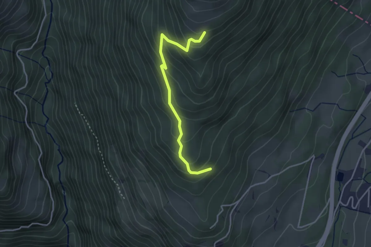
Easy · Cabin
Wanderweg 37b
3.1 km · ↑ 242 m · 1 h 15 min
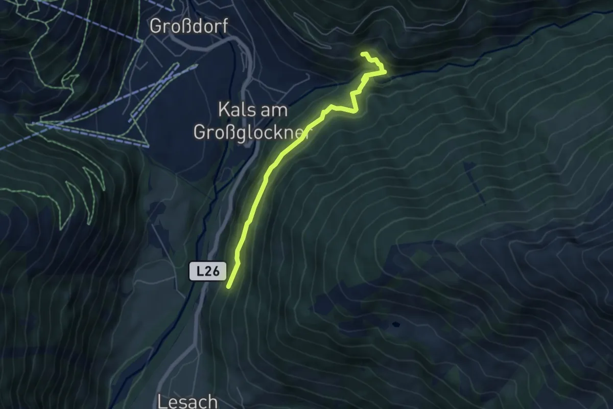
Medium · Trail
Wanderweg 37C
5.0 km · ↑ 321 m · 1 h 52 min
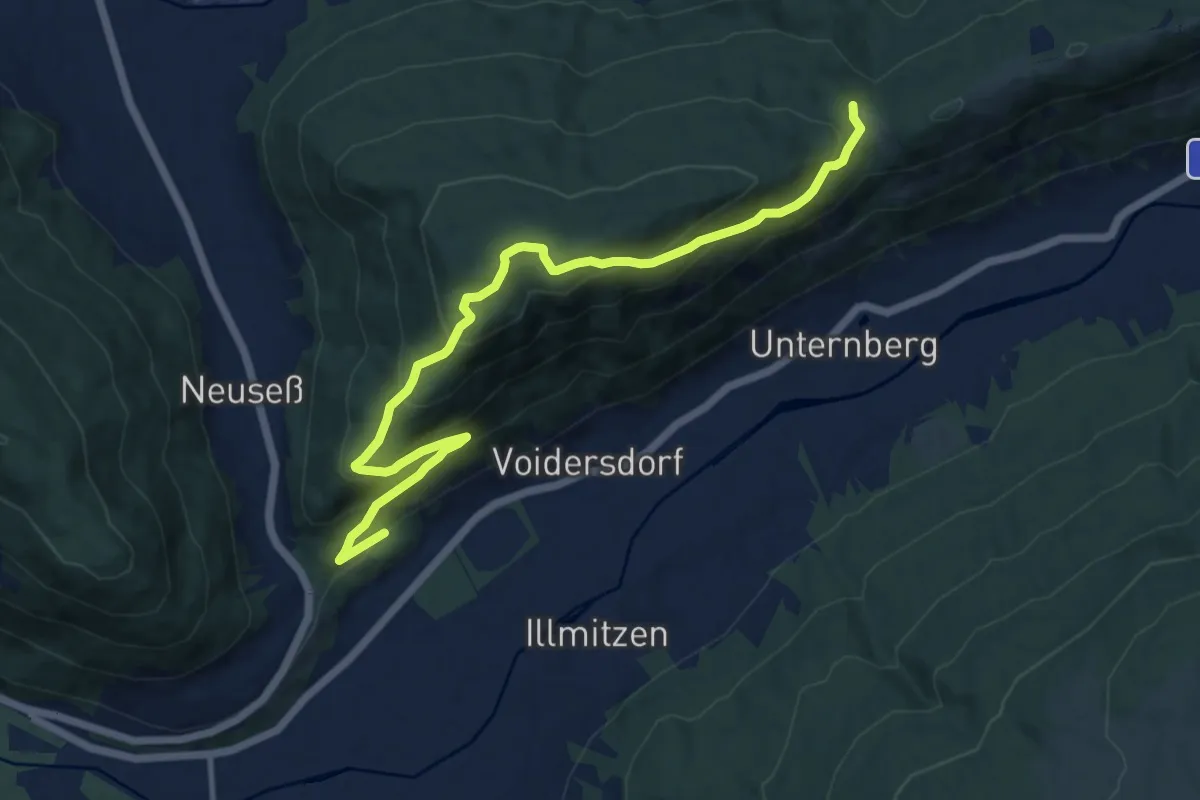
Medium · Trail
Wanderweg 37, Frimlkapelle - Schloss Moosham
12.8 km · ↑ 697 m · 4 h 32 min
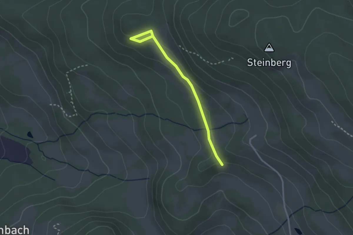
Easy · Trail
Wanderweg 38
2.4 km · ↑ 71 m · 43 min
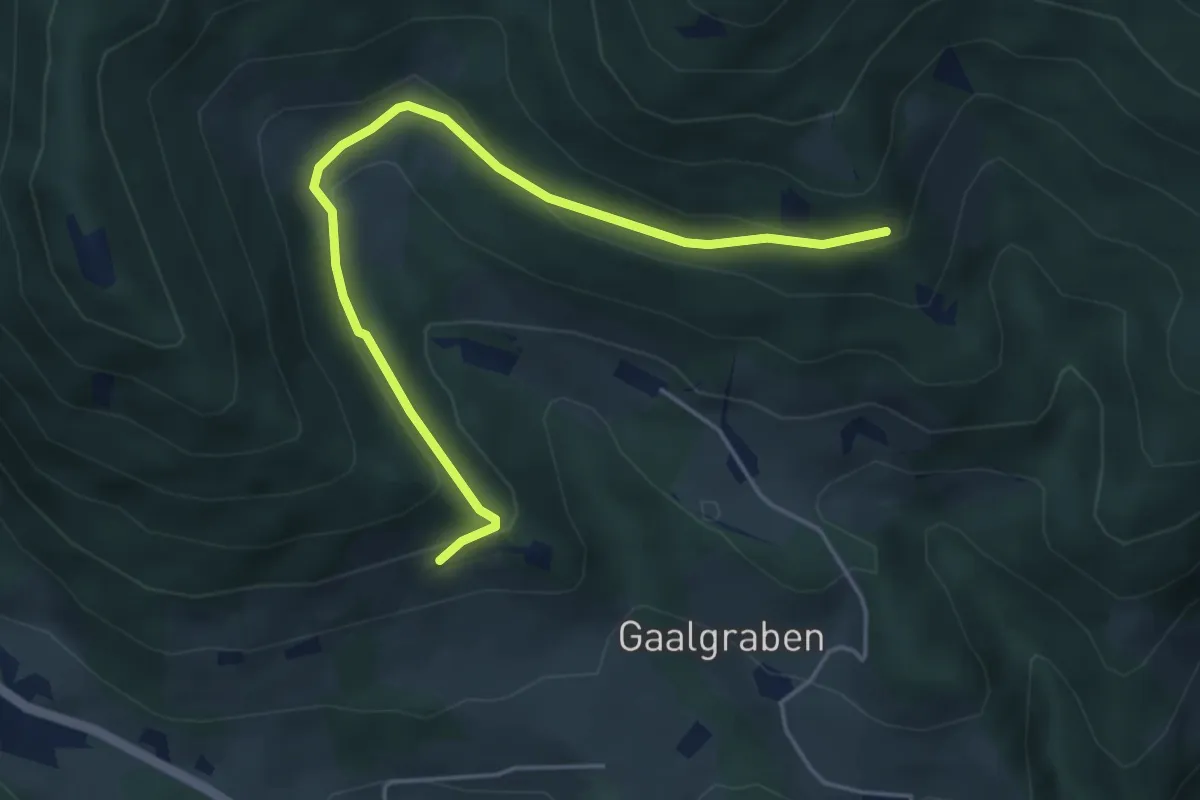
Easy · Cabin
Wanderweg 38
4.9 km · ↑ 180 m · 1 h 32 min
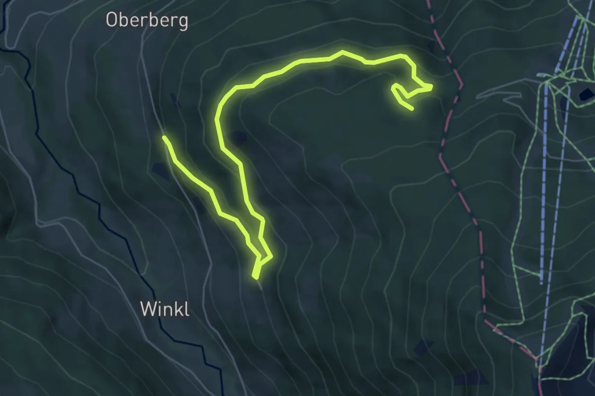
Easy · Trail
Wanderweg 38 Reiteralm
7.4 km · ↑ 280 m · 2 h 21 min
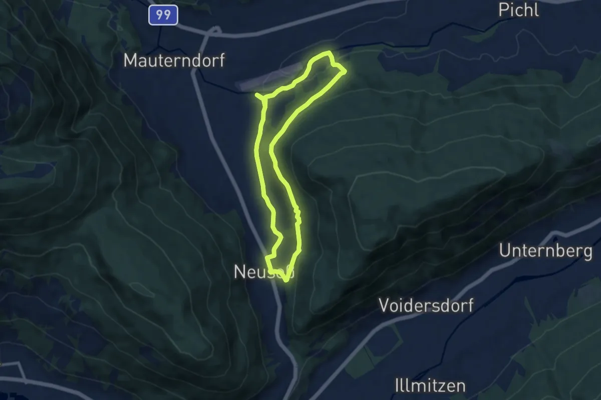
Easy · Trail
Wanderweg 38, Rundweg Mitterberg
7.5 km · ↑ 127 m · 2 h 9 min
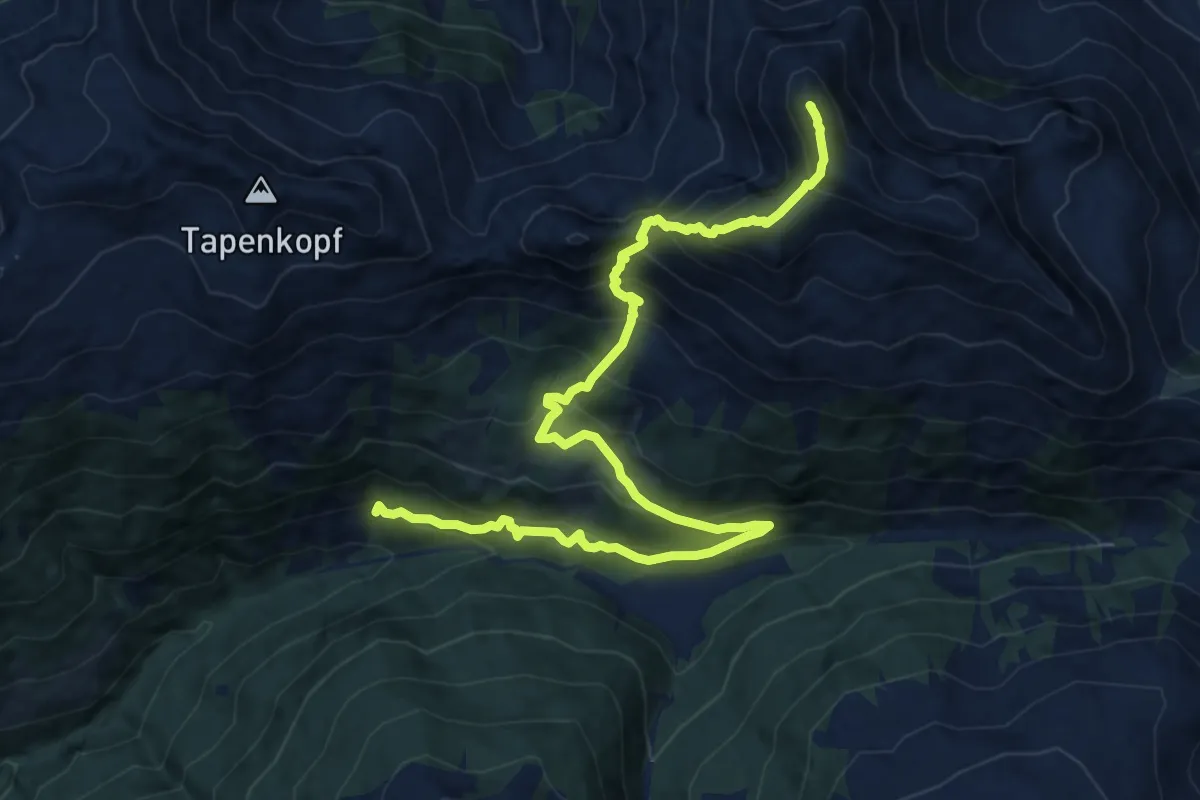
Expert · Summit
Wanderweg 38 - Stumm
14.9 km · ↑ 1329 m · 6 h 24 min
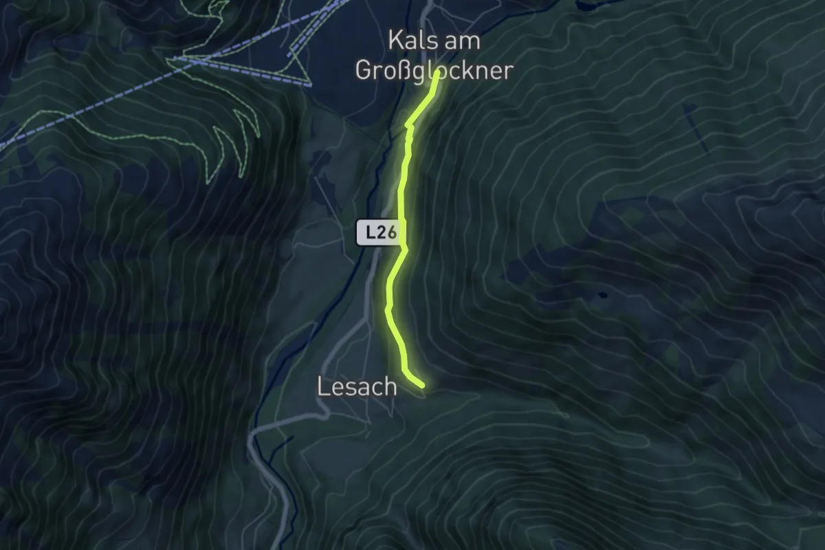
Easy · Trail
Wanderweg 39
4.2 km · ↑ 155 m · 1 h 20 min
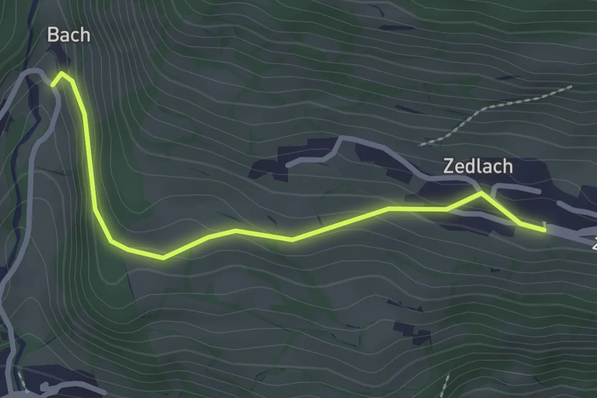
Easy · Trail
Wanderweg 39
2.3 km · ↑ 101 m · 45 min
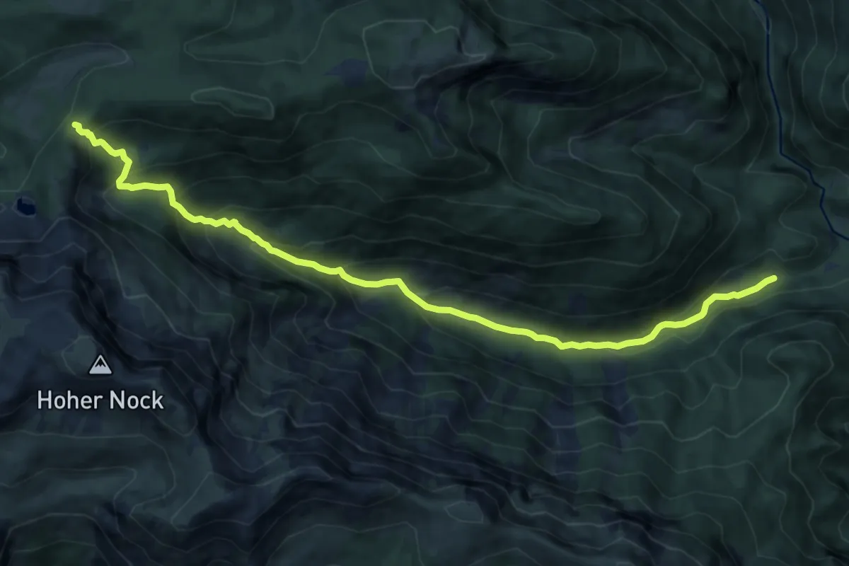
Medium · Trail
Wanderweg 39
11.9 km · ↑ 789 m · 4 h 30 min
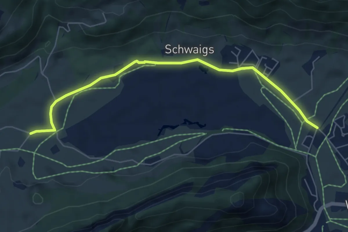
Easy · Trail
Wanderweg 39 - Kaiserwinkl
5.5 km · ↑ 15 m · 1 h 19 min
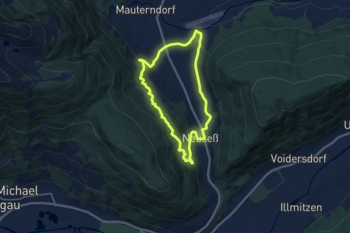
Medium · Trail
Wanderweg 39, Neuseß-Begöriach-Runde
8.1 km · ↑ 219 m · 2 h 29 min