Trails in Austria
9,777 hiking trails, each with its route, climb, walking time and grade.
All trails, page 148 of 204
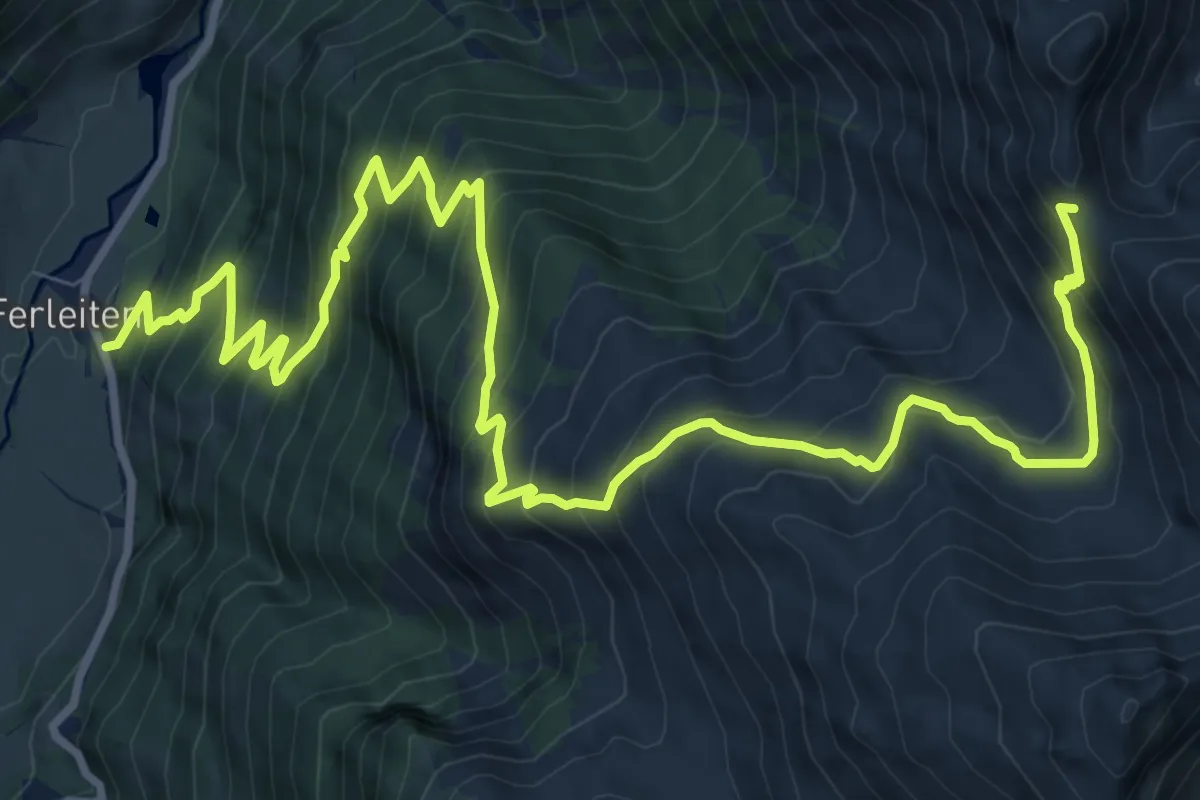
Demanding · Trail
Wanderweg 3A
14.2 km · ↑ 1313 m · 6 h 12 min
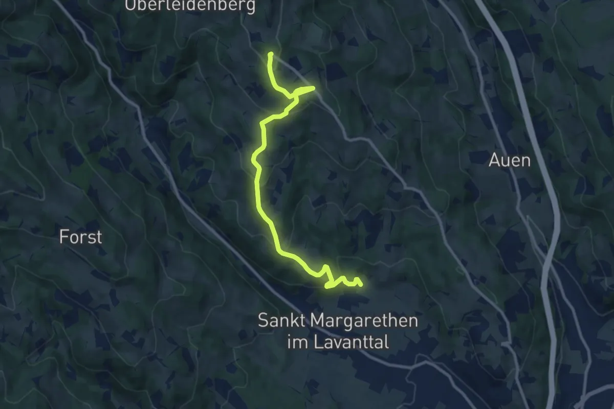
Medium · Trail
Wanderweg 3B
9.5 km · ↑ 486 m · 3 h 18 min
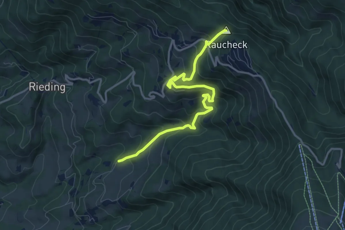
Medium · Summit
Wanderweg 3B
9.3 km · ↑ 557 m · 3 h 25 min
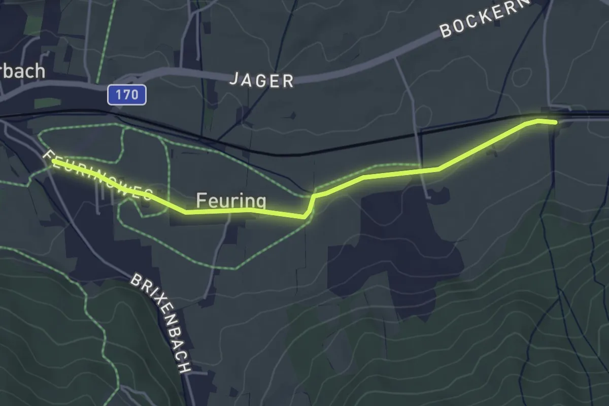
Easy · Trail
Wanderweg 3 - Brixen
4.1 km · ↑ 13 m · 1 h
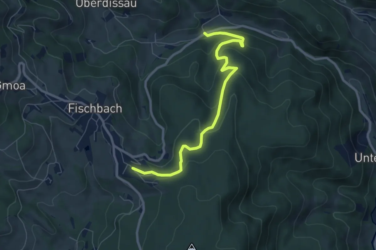
Easy · Trail
Wanderweg 3 - Dichterweg
6.8 km · ↑ 257 m · 2 h 10 min
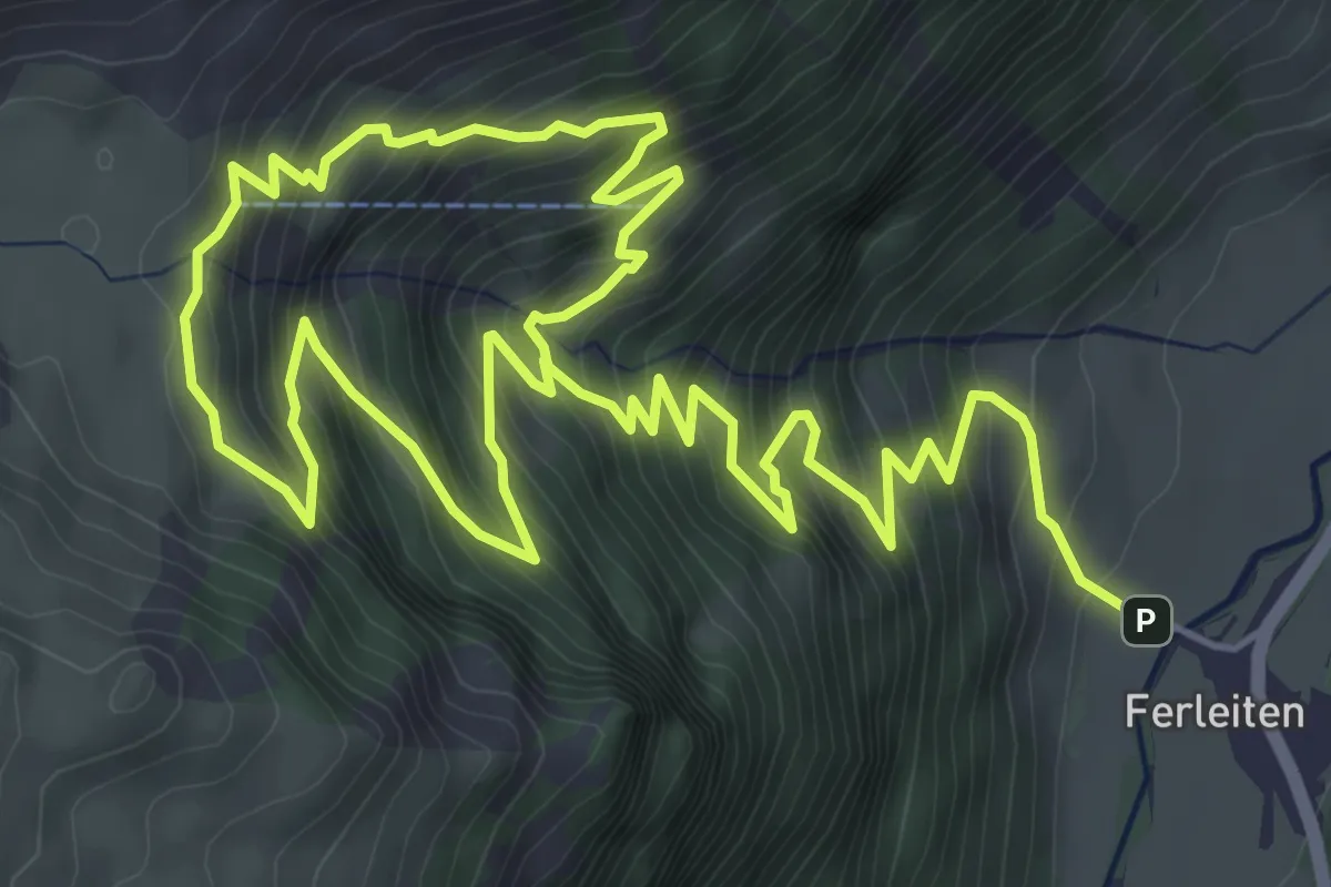
Demanding · Trail
Wanderweg 3D (Wasserfallrundweg)
10.5 km · ↑ 1040 m · 4 h 43 min
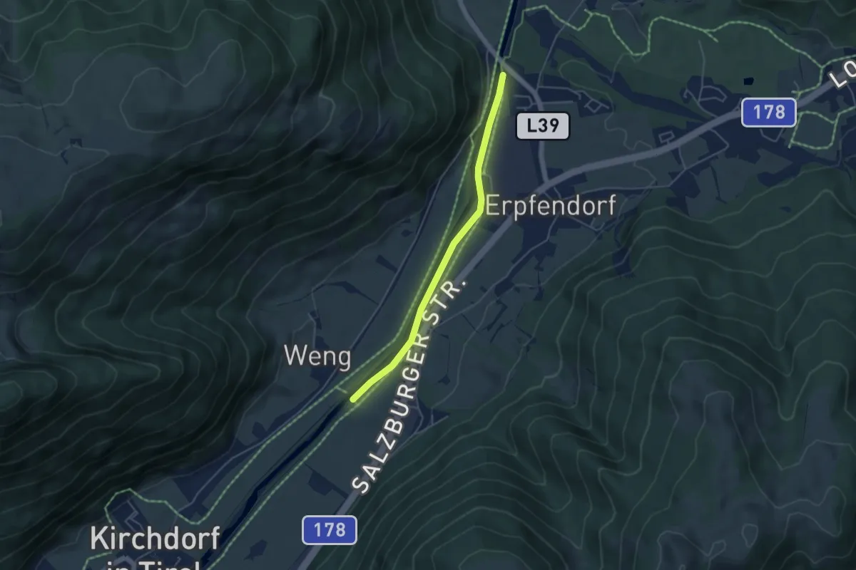
Easy · Trail
Wanderweg 3 - Erpfendorf
4.1 km · ↑ 4 m · 59 min
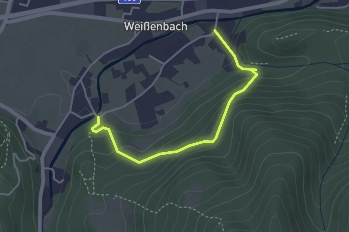
Medium · Trail
Wanderweg 3 Galbachsteig
3.2 km · ↑ 219 m · 1 h 14 min
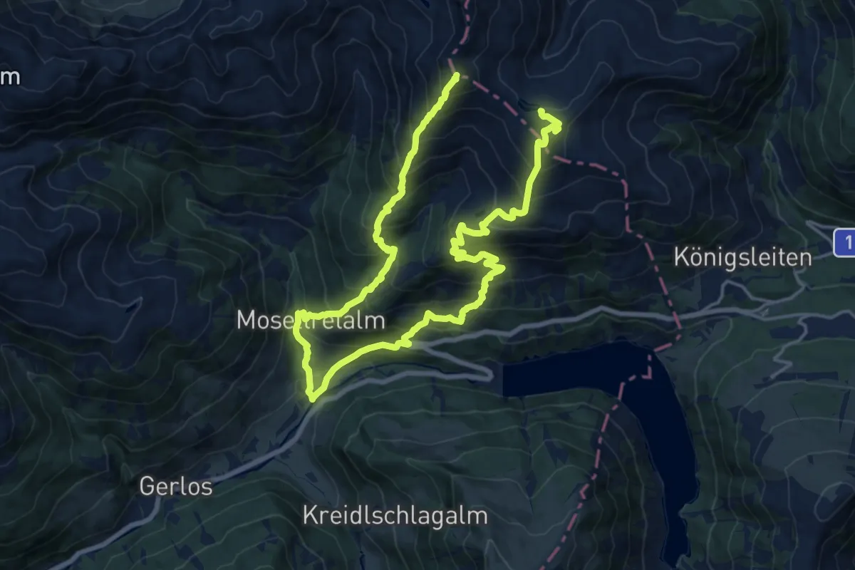
Demanding · Summit
Wanderweg 3 - Gerlos
25.6 km · ↑ 2310 m · 11 h 2 min
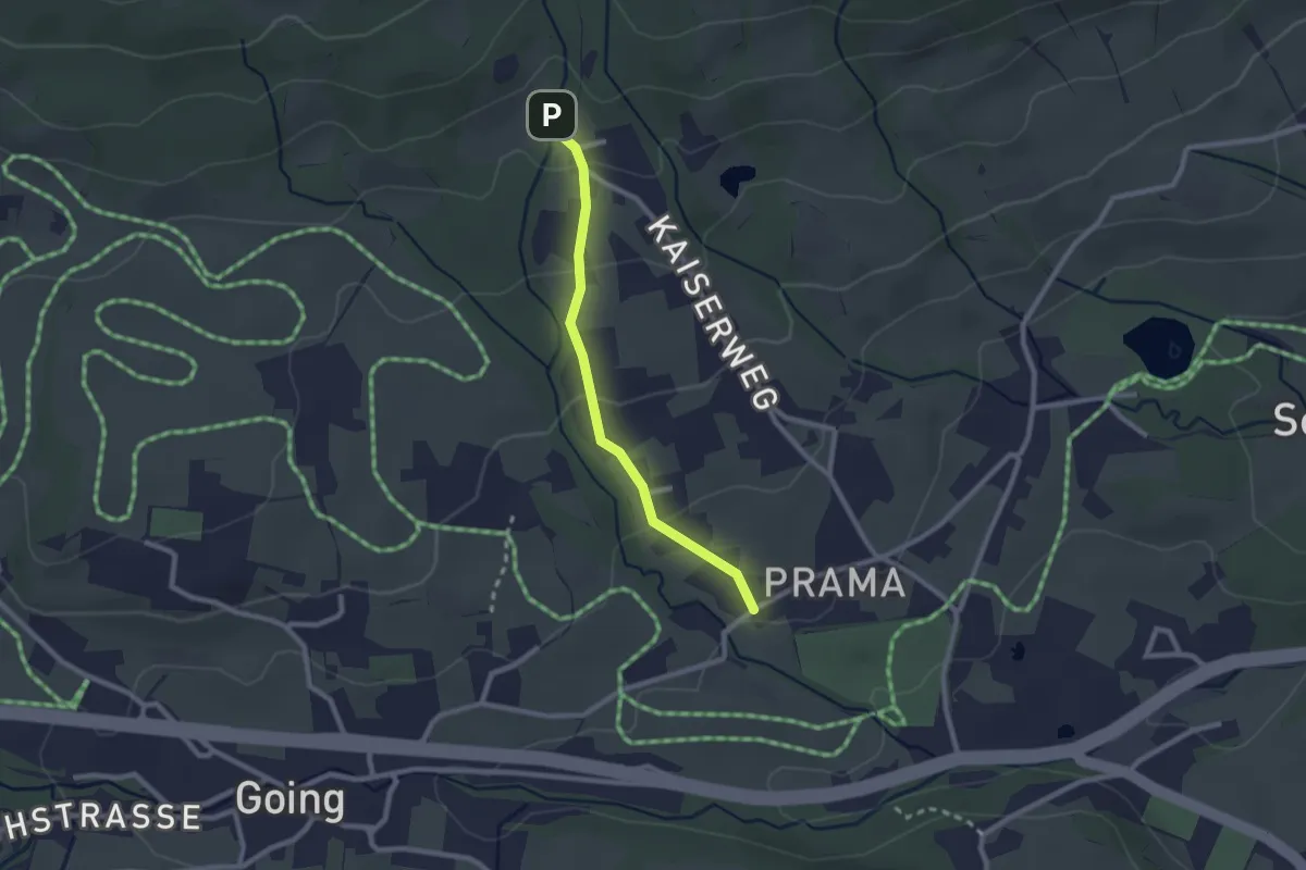
Easy · Trail
Wanderweg 3 - Going
2.1 km · ↑ 78 m · 40 min
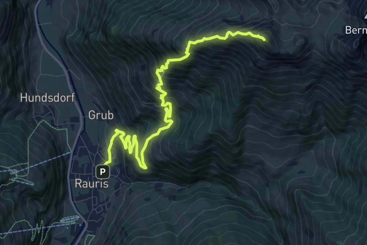
Demanding · Summit
Wanderweg 3 (Grubereckweg)
12.6 km · ↑ 1224 m · 5 h 38 min
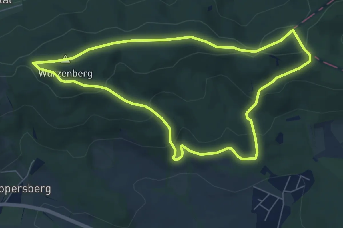
Easy · Summit
Wanderweg 3 (Laab im Walde)
5.5 km · ↑ 201 m · 1 h 48 min
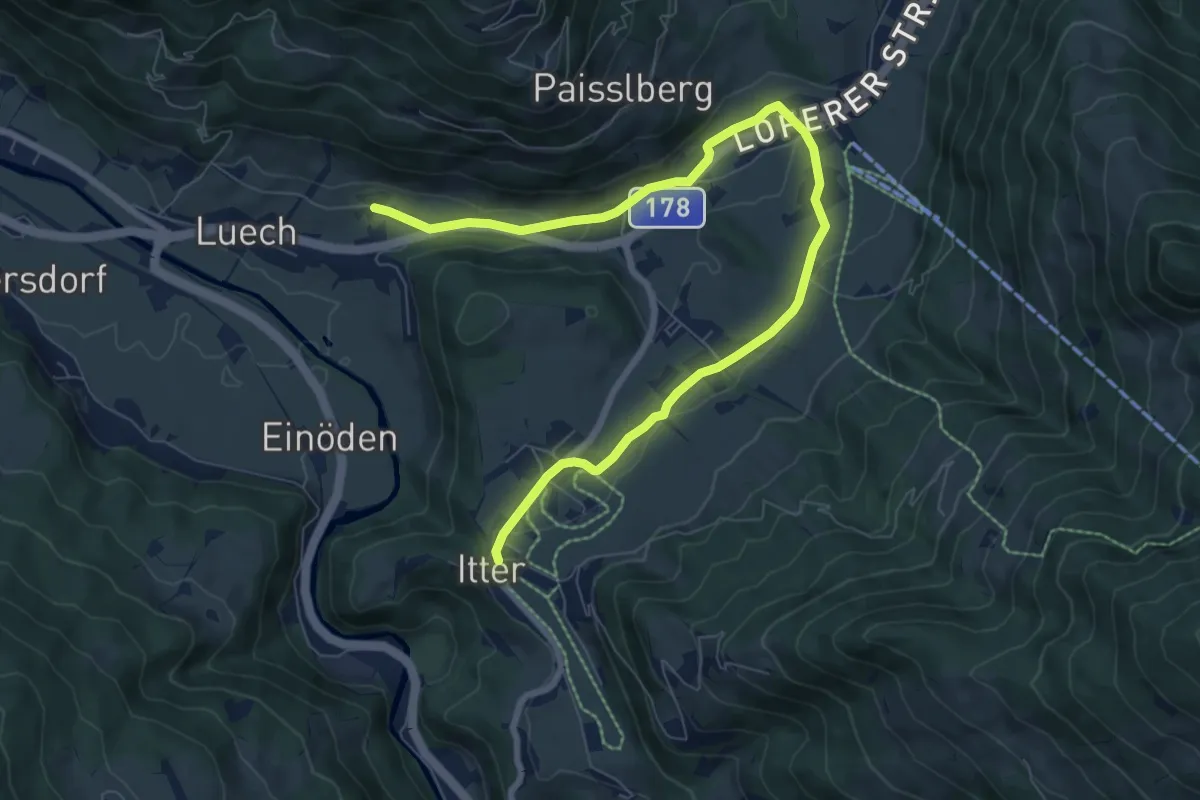
Medium · Trail
Wanderweg 3 - Söll
9.0 km · ↑ 168 m · 2 h 29 min
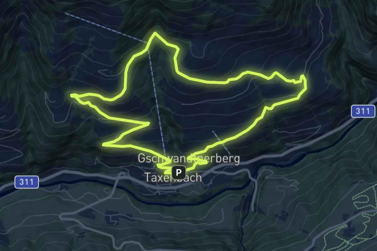
Medium · Trail
Wanderweg 3 (Untere Gschwandtnerberg Runde)
9.3 km · ↑ 432 m · 3 h 16 min
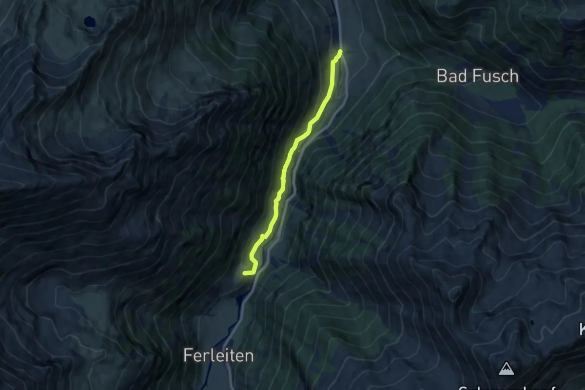
Medium · Summit
Wanderweg 3 (Wölflerweg)
6.6 km · ↑ 370 m · 2 h 21 min
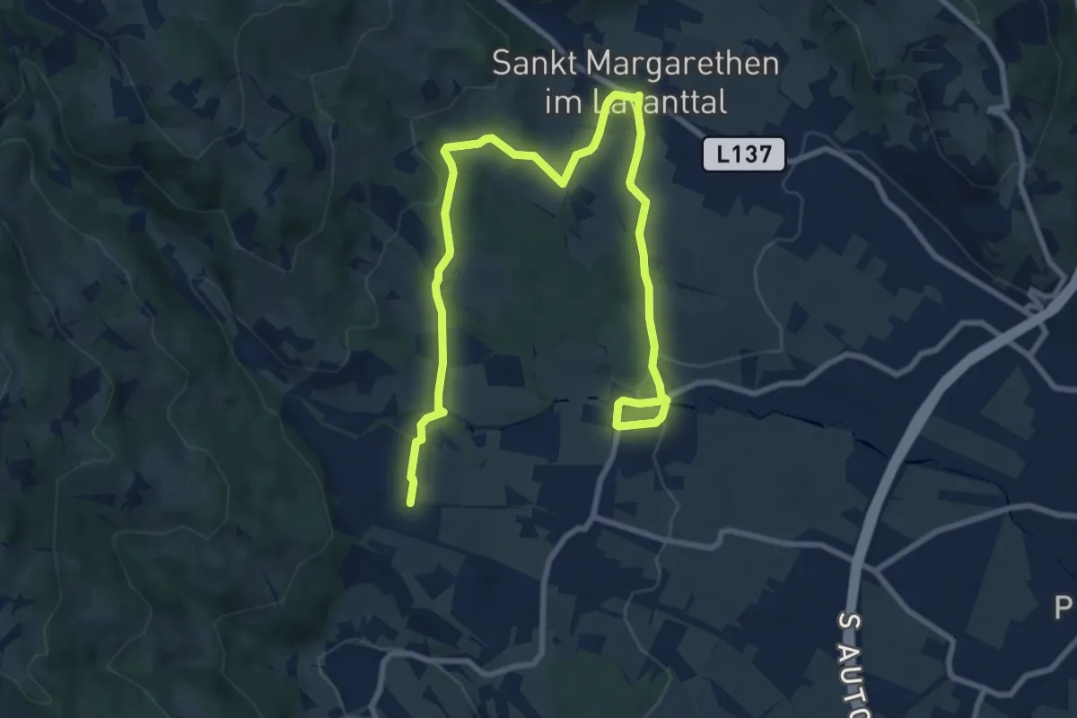
Medium · Trail
Wanderweg 4
11.7 km · ↑ 176 m · 3 h 9 min
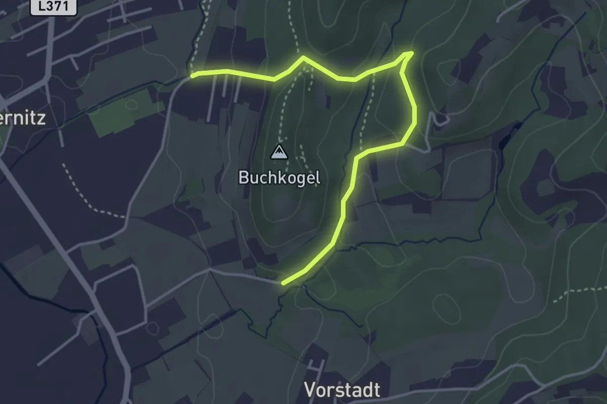
Easy · Trail
Wanderweg 4
3.8 km · ↑ 148 m · 1 h 13 min
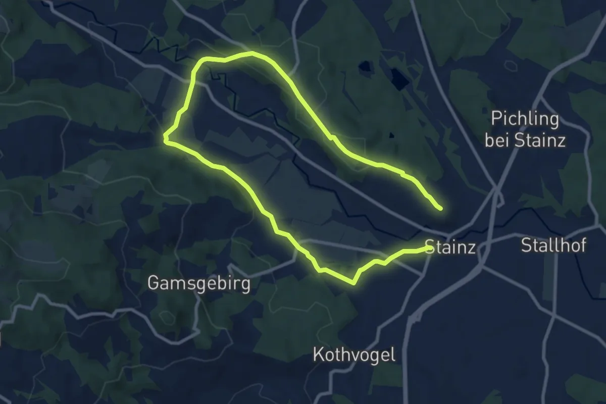
Easy · Trail
Wanderweg 4
6.8 km · ↑ 89 m · 1 h 52 min
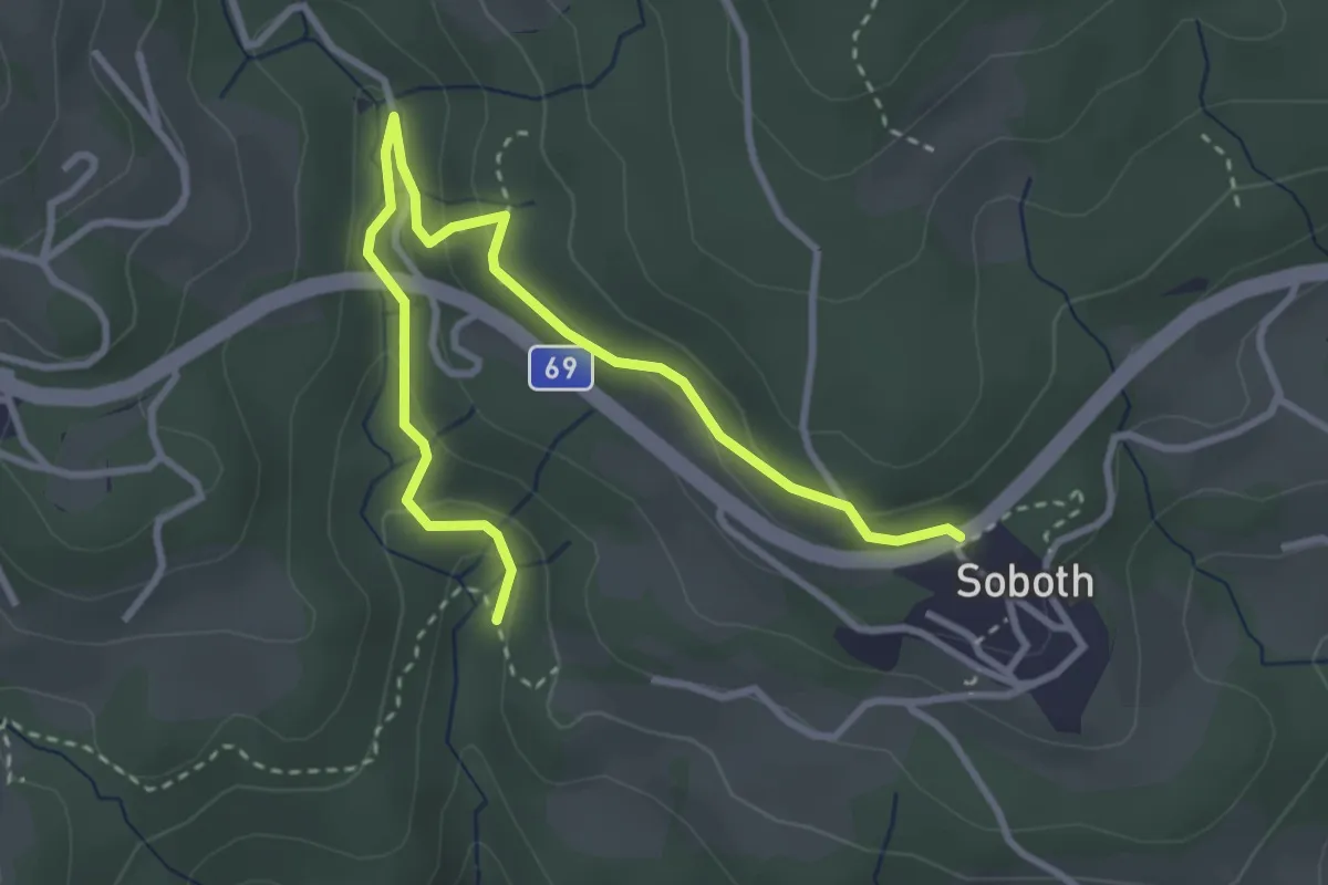
Easy · Trail
Wanderweg 4
3.9 km · ↑ 162 m · 1 h 16 min
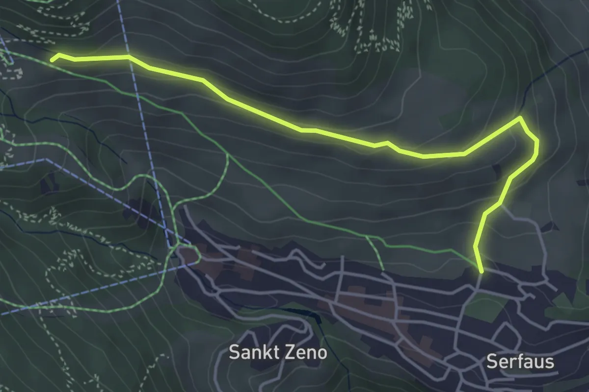
Easy · Trail
Wanderweg 4
4.5 km · ↑ 189 m · 1 h 28 min
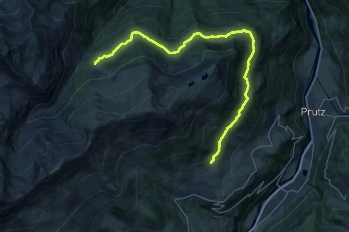
Demanding · Trail
Wanderweg 4
20.5 km · ↑ 438 m · 5 h 47 min
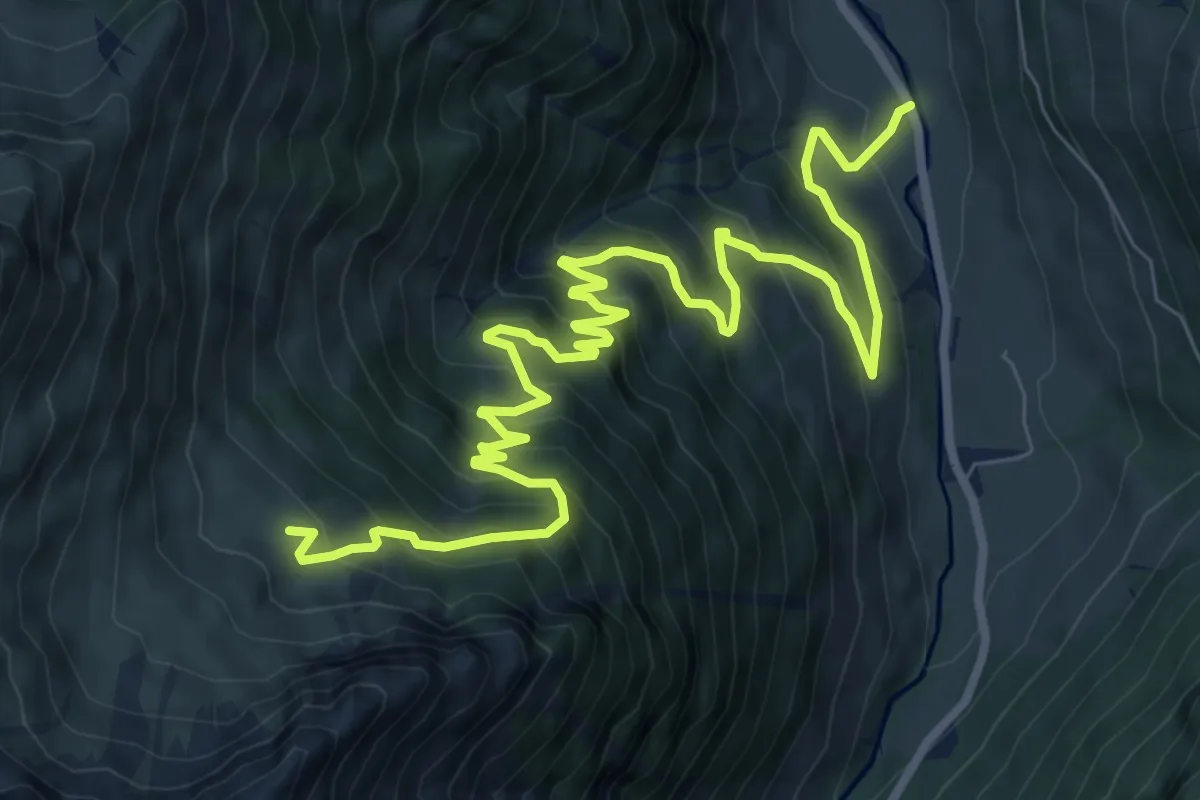
Demanding · Trail
Wanderweg 4
11.6 km · ↑ 894 m · 4 h 41 min
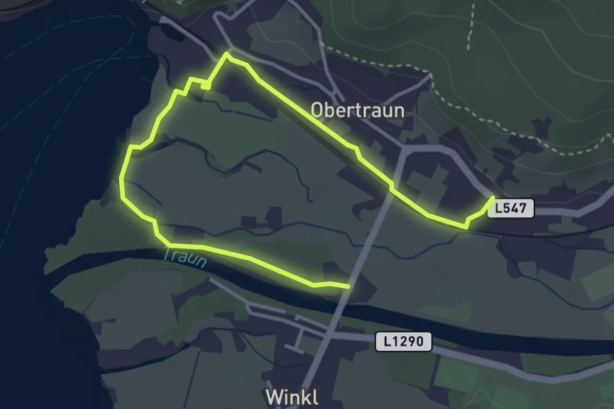
Medium · Trail
Wanderweg 4
4.5 km · ↑ 8 m · 1 h 4 min
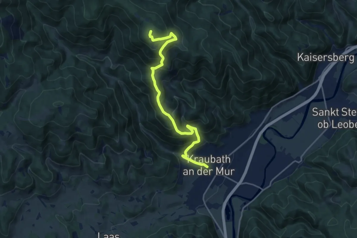
Demanding · Summit
Wanderweg 4
13.1 km · ↑ 879 m · 5 h
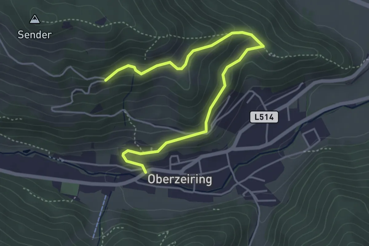
Easy · Trail
Wanderweg 4
4.8 km · ↑ 222 m · 1 h 37 min
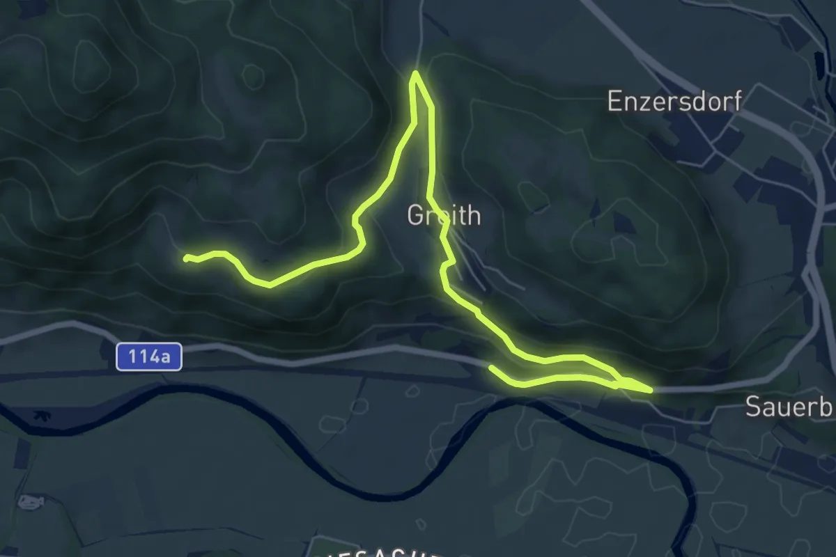
Medium · Trail
Wanderweg 4
8.2 km · ↑ 208 m · 2 h 23 min
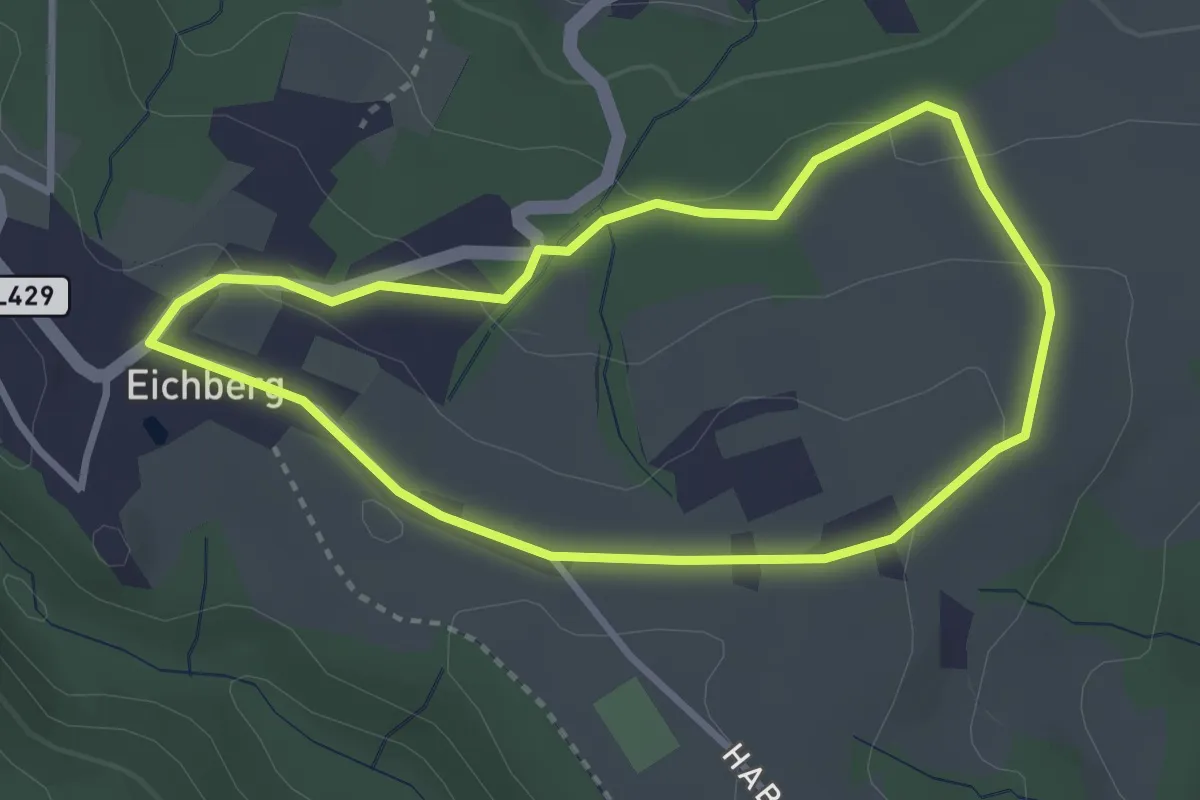
Easy · Trail
Wanderweg 4
2.9 km · ↑ 75 m · 53 min
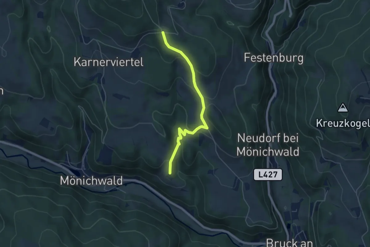
Easy · Trail
Wanderweg 4
4.8 km · ↑ 231 m · 1 h 38 min
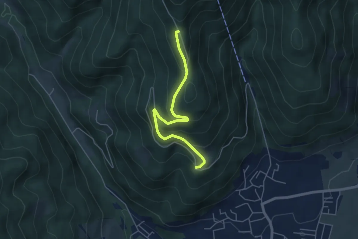
Medium · Trail
Wanderweg 4
4.2 km · ↑ 220 m · 1 h 28 min
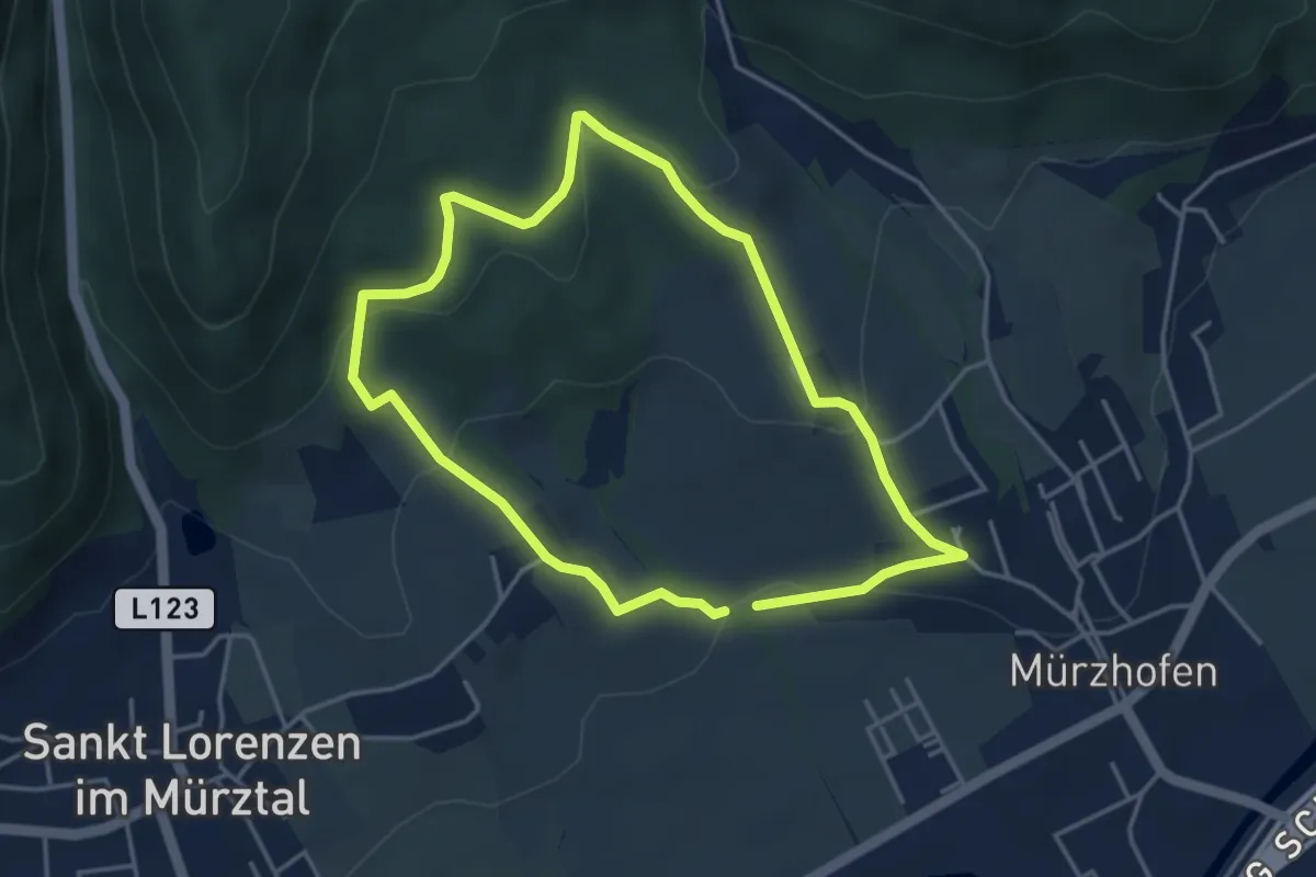
Easy · Trail
Wanderweg 4
3.7 km · ↑ 102 m · 1 h 8 min
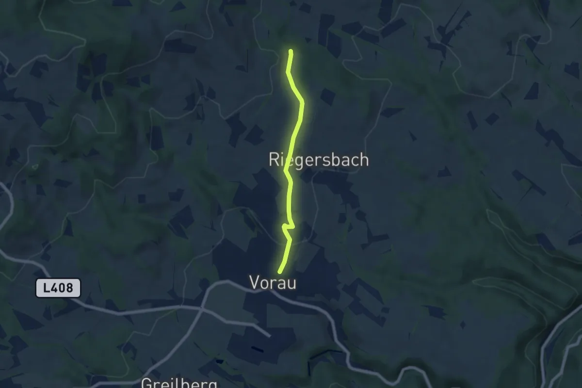
Easy · Trail
Wanderweg 4
4.8 km · ↑ 126 m · 1 h 24 min
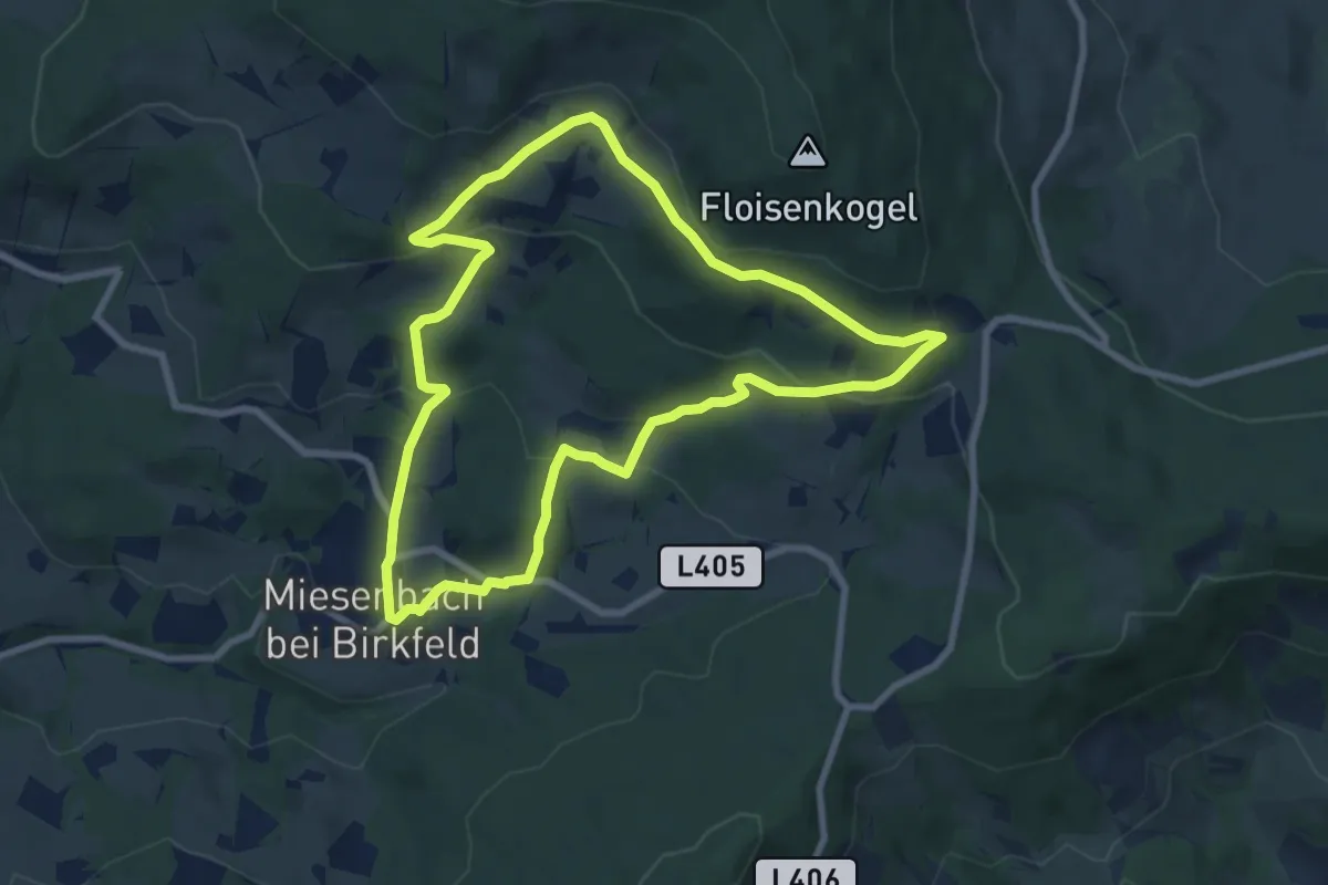
Easy · Trail
Wanderweg 4
7.8 km · ↑ 276 m · 2 h 33 min
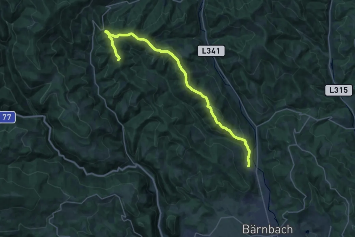
Demanding · Summit
Wanderweg 4
20.5 km · ↑ 752 m · 6 h 28 min
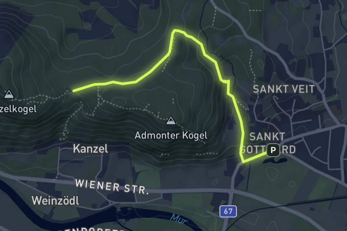
Medium · Trail
Wanderweg 4
4.8 km · ↑ 166 m · 1 h 30 min
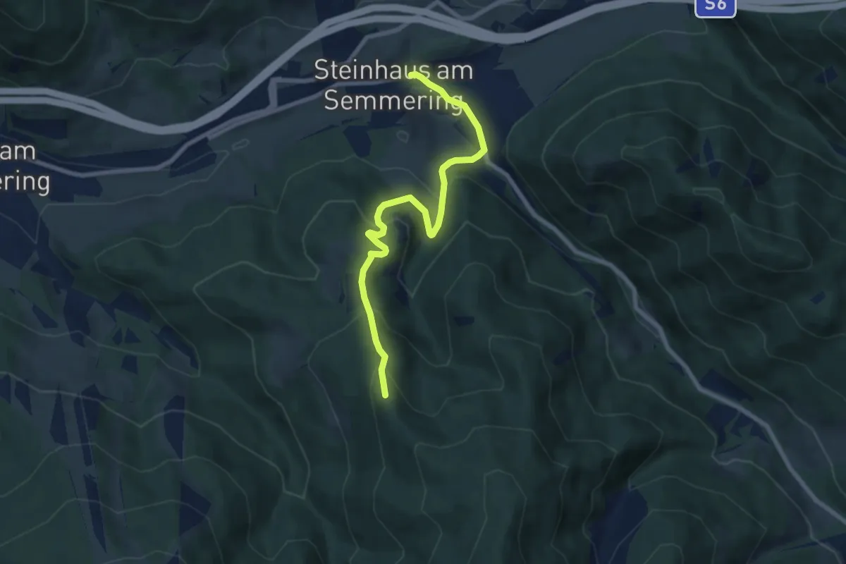
Medium · Trail
Wanderweg 4
7.2 km · ↑ 395 m · 2 h 33 min
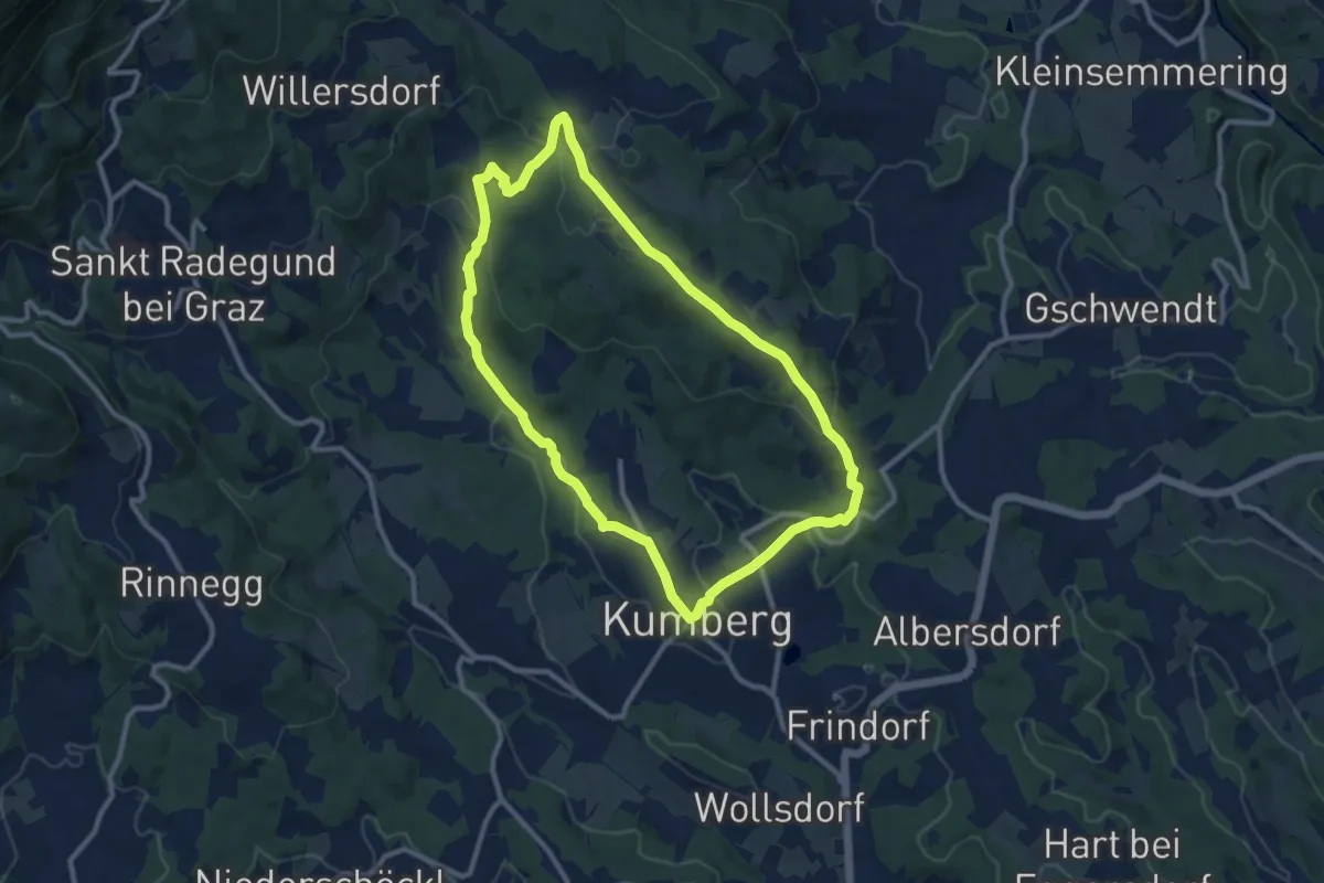
Medium · Trail
Wanderweg 4
9.7 km · ↑ 304 m · 3 h 5 min
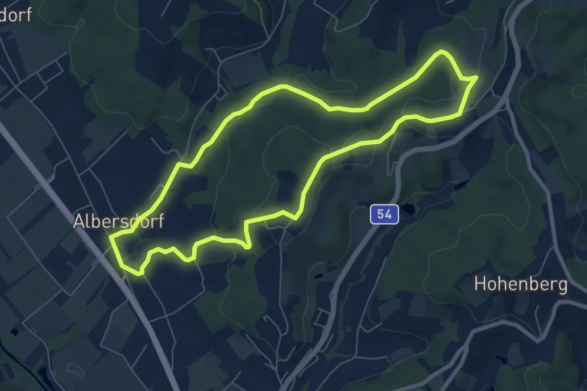
Easy · Trail
Wanderweg 4
6.4 km · ↑ 119 m · 1 h 52 min
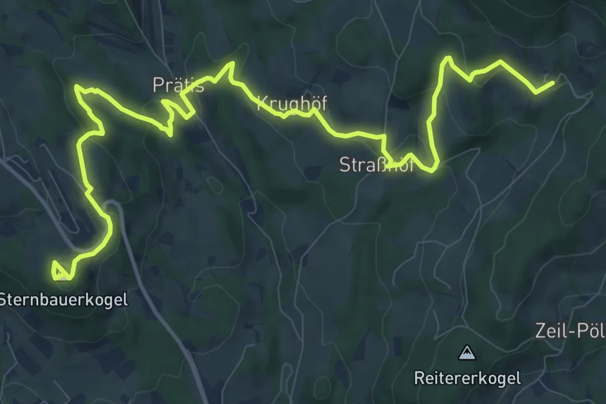
Medium · Summit
Wanderweg 4
14.1 km · ↑ 586 m · 4 h 36 min
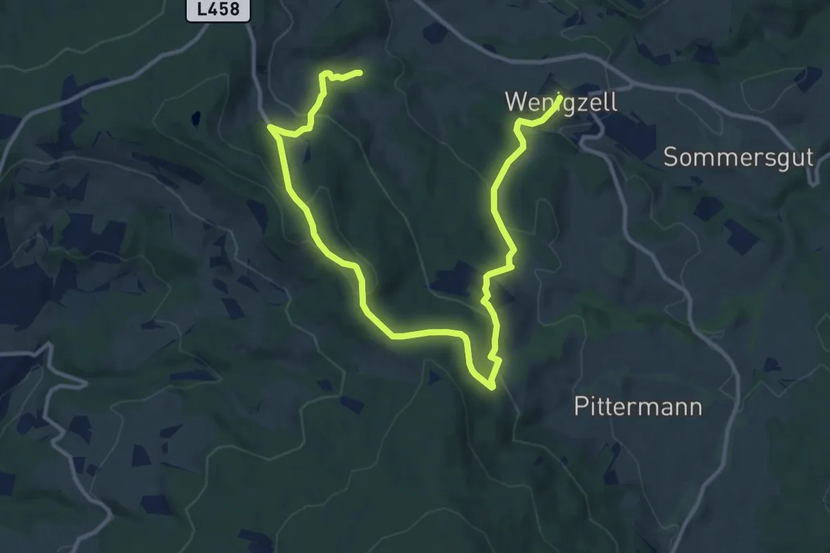
Easy · Summit
Wanderweg 4
6.8 km · ↑ 305 m · 2 h 19 min
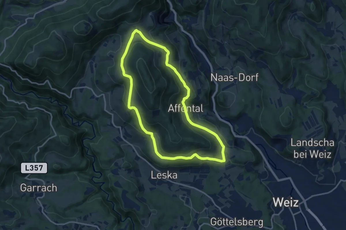
Medium · Trail
Wanderweg 4
10.2 km · ↑ 305 m · 3 h 13 min
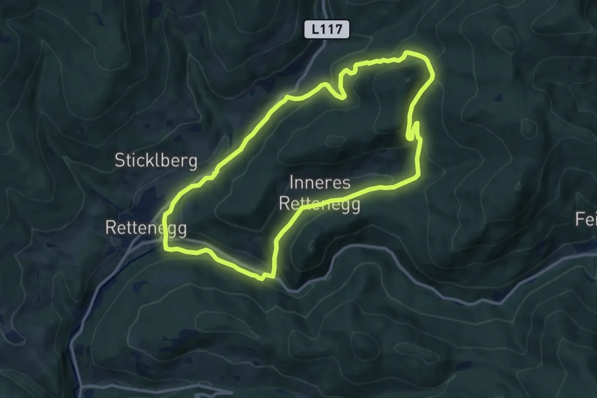
Medium · Trail
Wanderweg 4
10.0 km · ↑ 384 m · 3 h 20 min
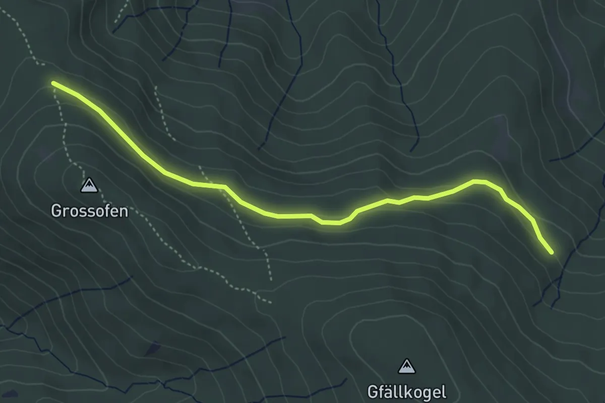
Easy · Trail
Wanderweg 40
4.6 km · ↑ 74 m · 1 h 15 min
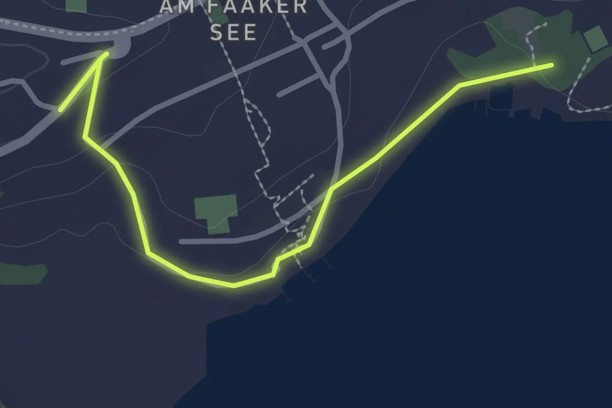
Easy · Trail
Wanderweg 40
2.7 km · ↑ 46 m · 44 min
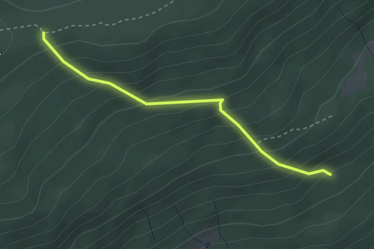
Medium · Trail
Wanderweg 40
2.5 km · ↑ 283 m · 1 h 12 min
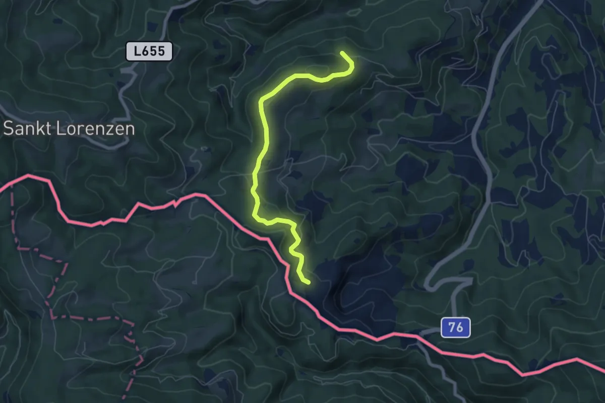
Easy · Trail
Wanderweg 40
6.2 km · ↑ 169 m · 1 h 50 min
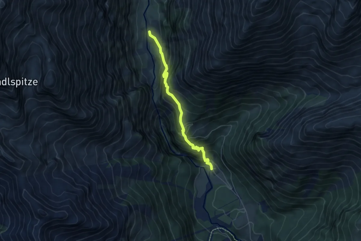
Demanding · Trail
Wanderweg 40
5.3 km · ↑ 535 m · 2 h 24 min
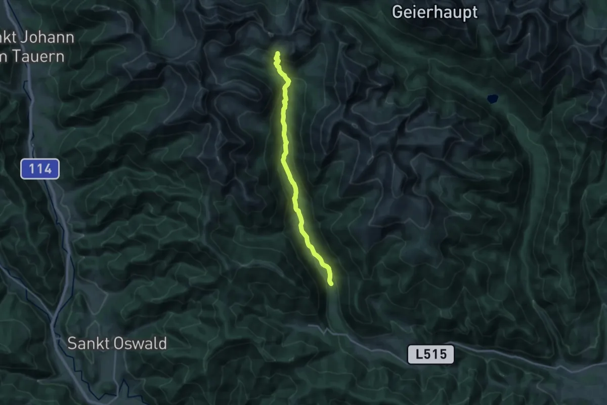
Medium · Trail
Wanderweg 40
16.2 km · ↑ 670 m · 5 h 17 min
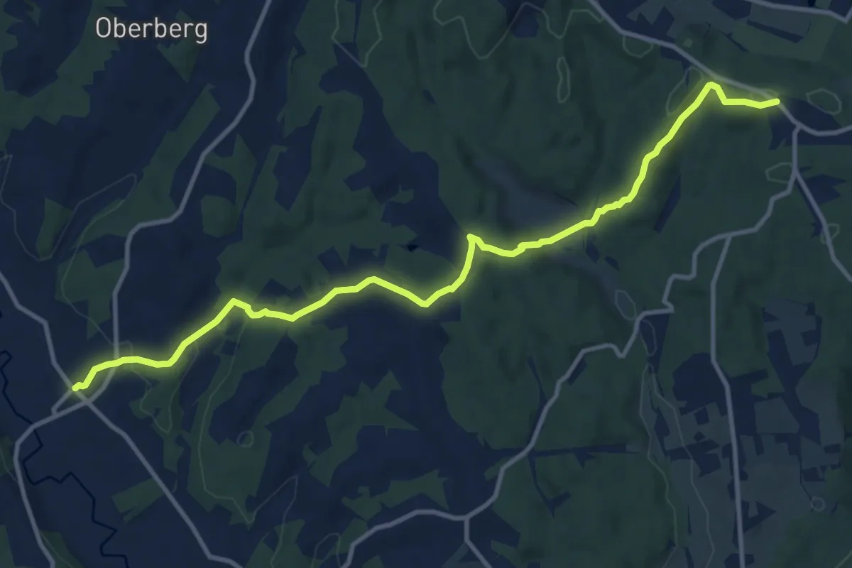
Medium · Trail
Wanderweg 40
11.8 km · ↑ 279 m · 3 h 23 min