Trails in Austria
9,777 hiking trails, each with its route, climb, walking time and grade.
All trails, page 152 of 204
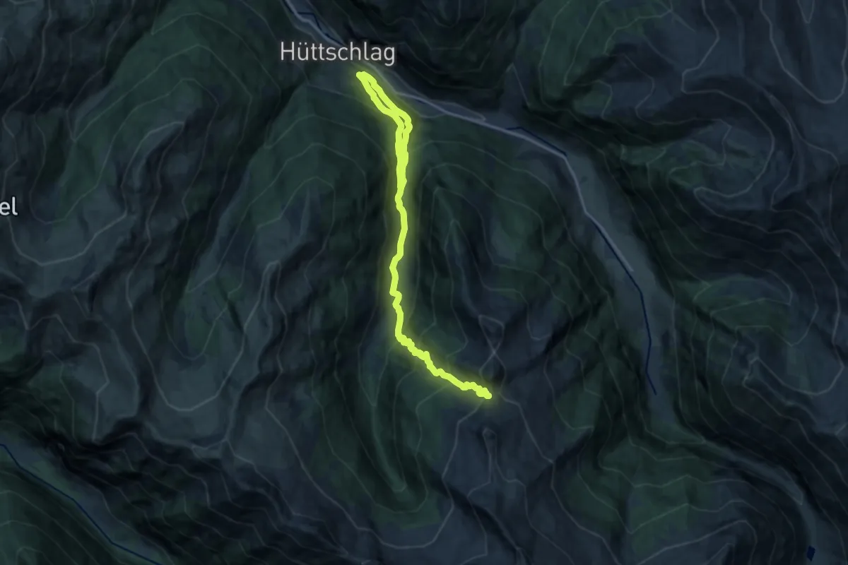
Demanding · Trail
Wanderweg 46
16.6 km · ↑ 1266 m · 6 h 40 min
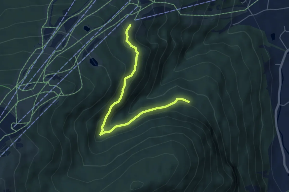
Easy · Trail
Wanderweg 46
4.9 km · ↑ 215 m · 1 h 37 min
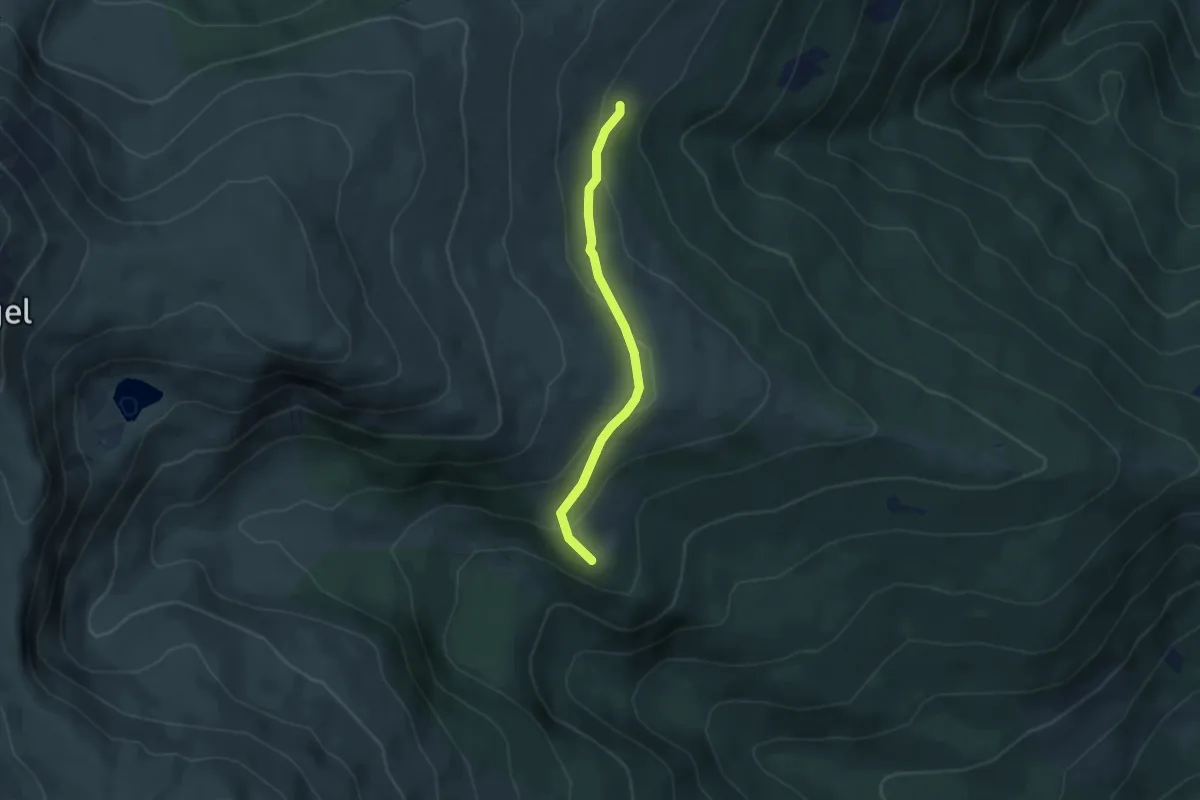
Easy · Trail
Wanderweg 46
3.6 km · ↑ 157 m · 1 h 12 min
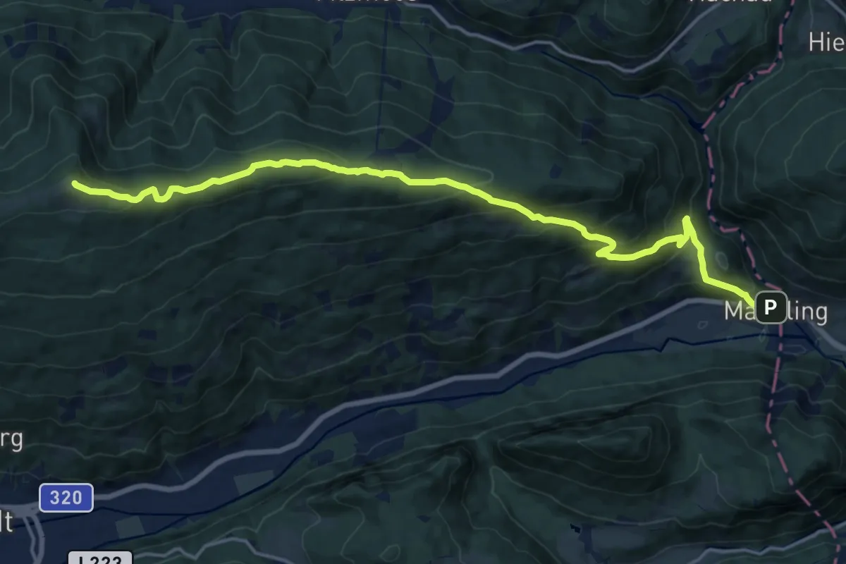
Demanding · Summit
Wanderweg 460
17.7 km · ↑ 1006 m · 6 h 22 min
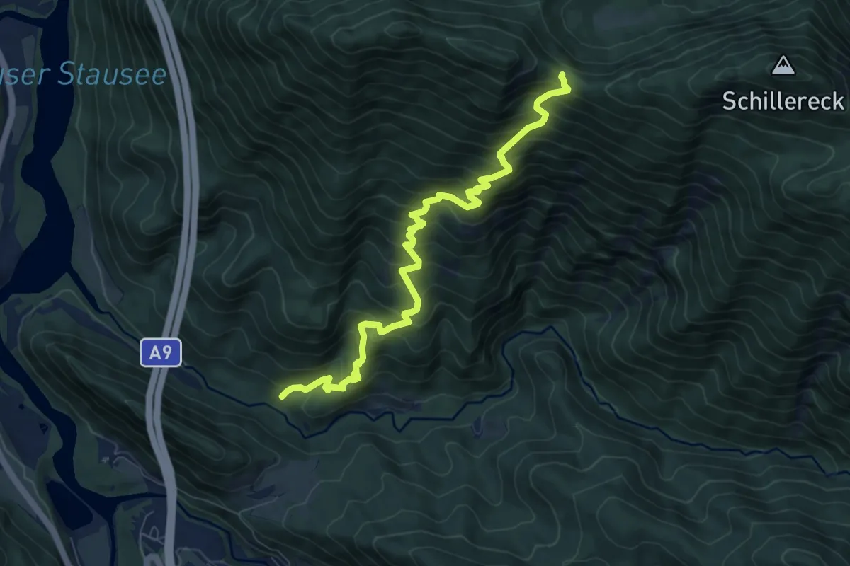
Demanding · Trail
Wanderweg 460
8.5 km · ↑ 963 m · 4 h 5 min
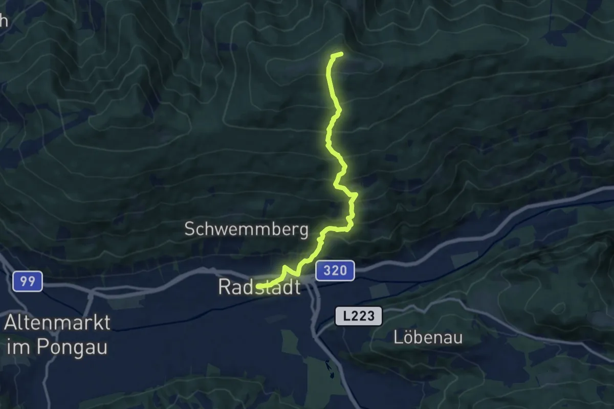
Demanding · Summit
Wanderweg 461
10.6 km · ↑ 967 m · 4 h 36 min
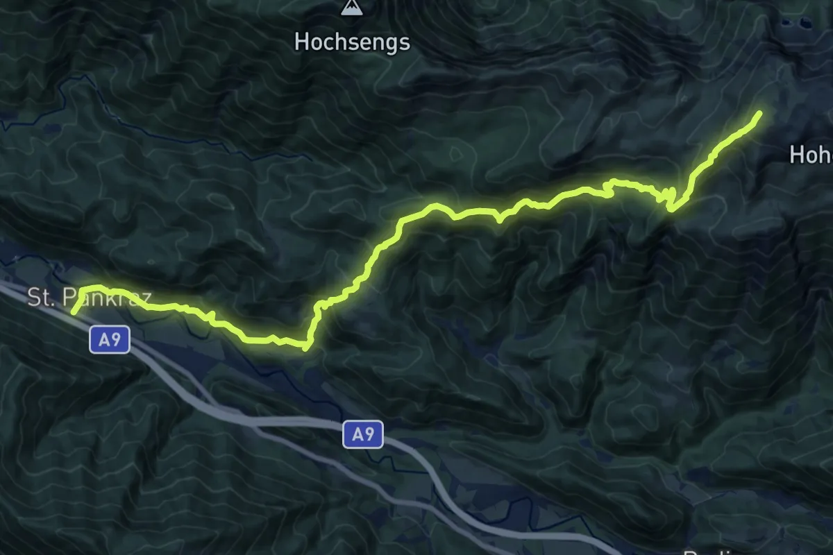
Demanding · Trail
Wanderweg 461
11.2 km · ↑ 1481 m · 5 h 20 min
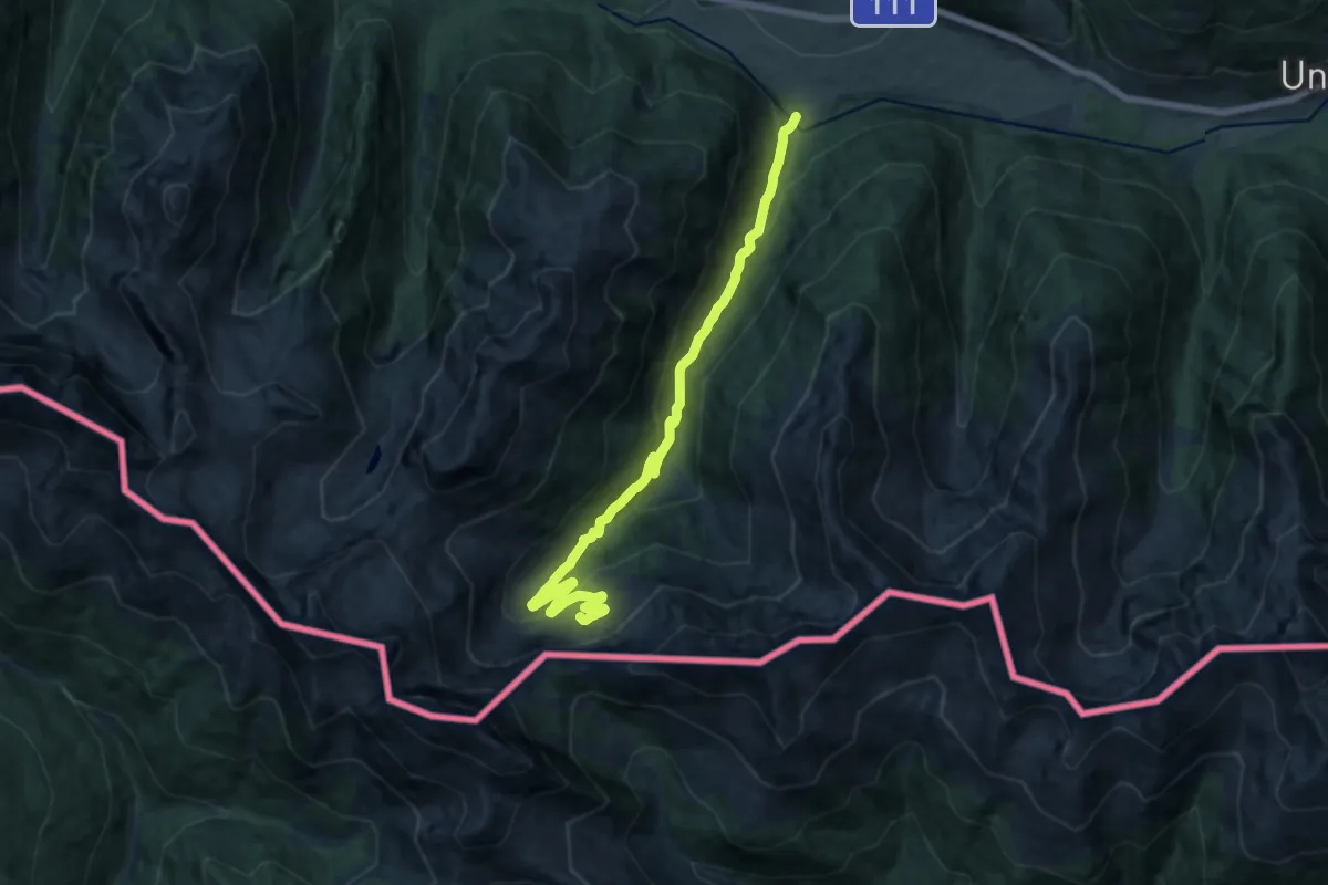
Medium · Cabin
Wanderweg 461 Porzehütte
15.2 km · ↑ 588 m · 4 h 51 min
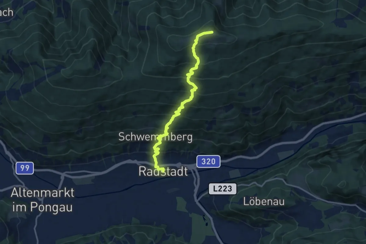
Demanding · Summit
Wanderweg 462
11.8 km · ↑ 921 m · 4 h 47 min
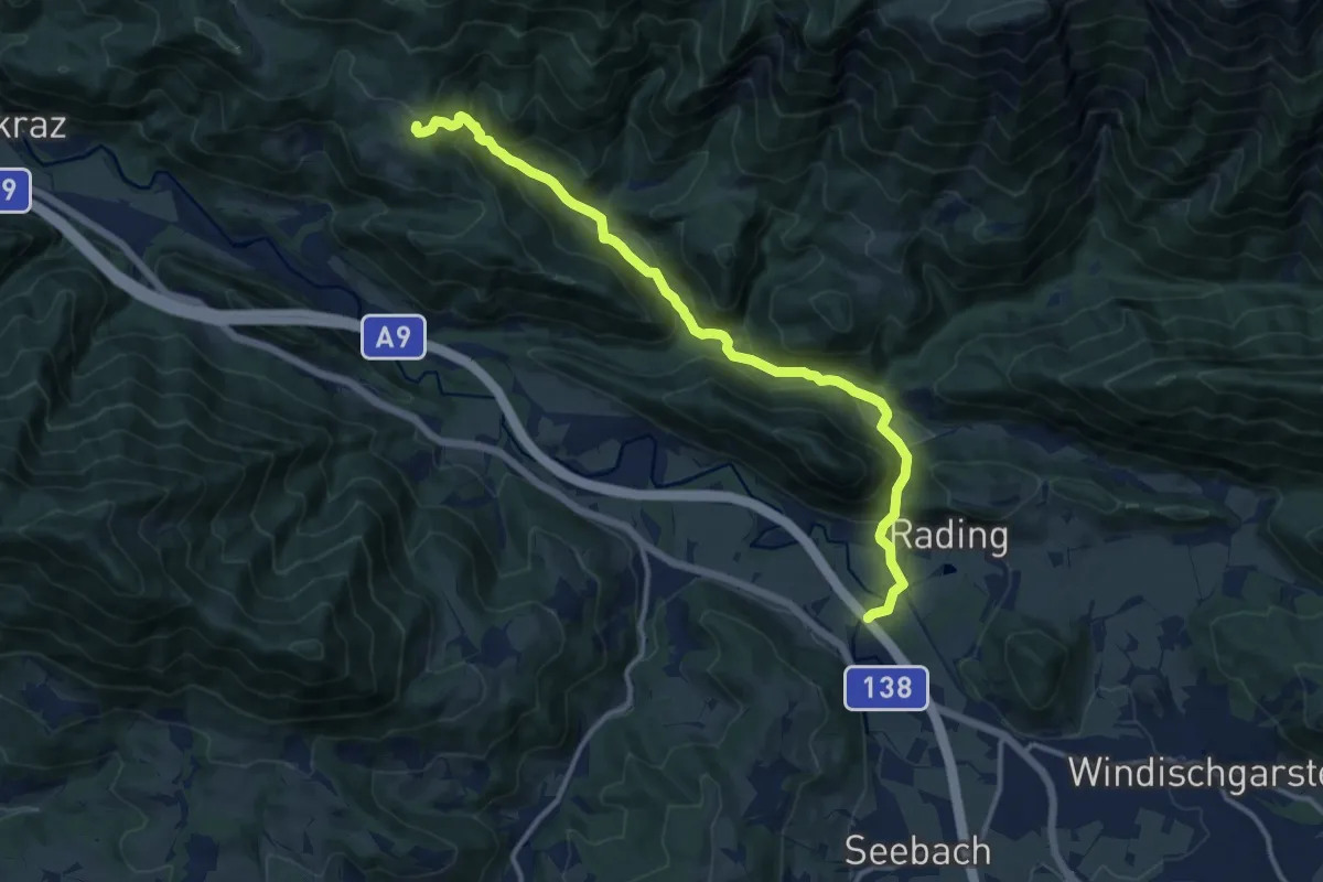
Medium · Trail
Wanderweg 462
12.9 km · ↑ 375 m · 3 h 51 min
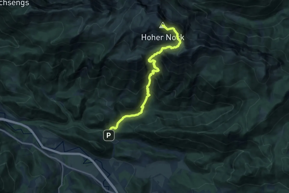
Demanding · Summit
Wanderweg 463
15.0 km · ↑ 1410 m · 6 h 35 min
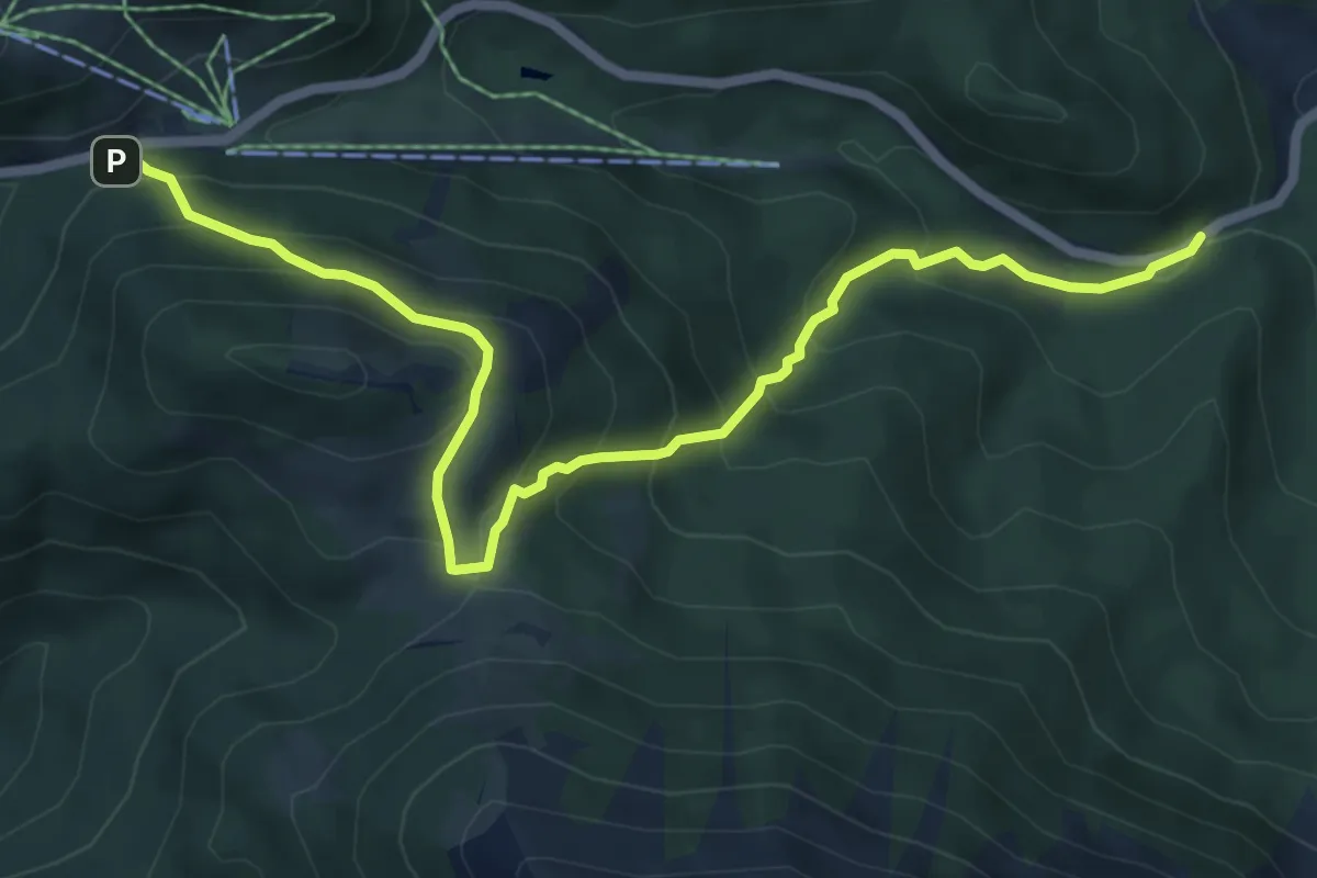
Medium · Trail
Wanderweg 463
7.1 km · ↑ 570 m · 2 h 55 min
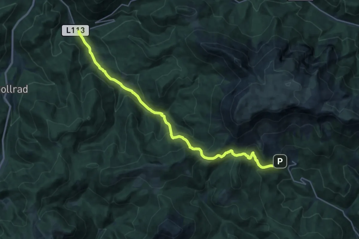
Demanding · Trail
Wanderweg 464
19.5 km · ↑ 895 m · 6 h 32 min
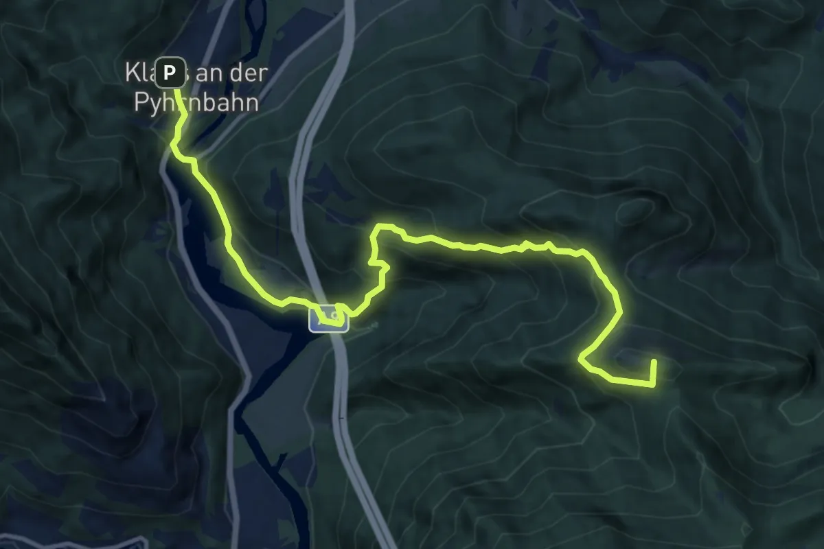
Demanding · Summit
Wanderweg 465
12.8 km · ↑ 855 m · 4 h 53 min
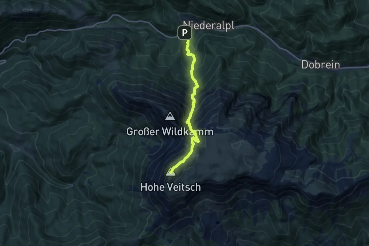
Demanding · Summit
Wanderweg 465
9.5 km · ↑ 1020 m · 4 h 27 min
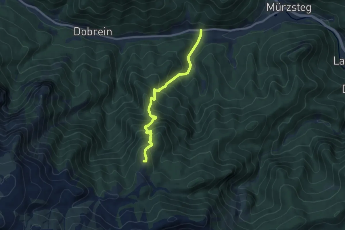
Medium · Summit
Wanderweg 466
5.7 km · ↑ 592 m · 2 h 37 min
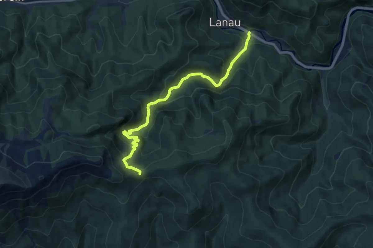
Medium · Trail
Wanderweg 467
9.5 km · ↑ 585 m · 3 h 31 min
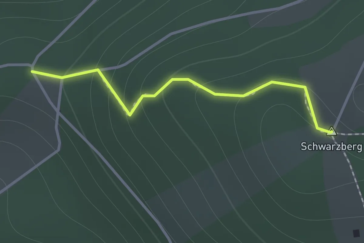
Medium · Summit
Wanderweg 467a
1.0 km · ↑ 95 m · 26 min
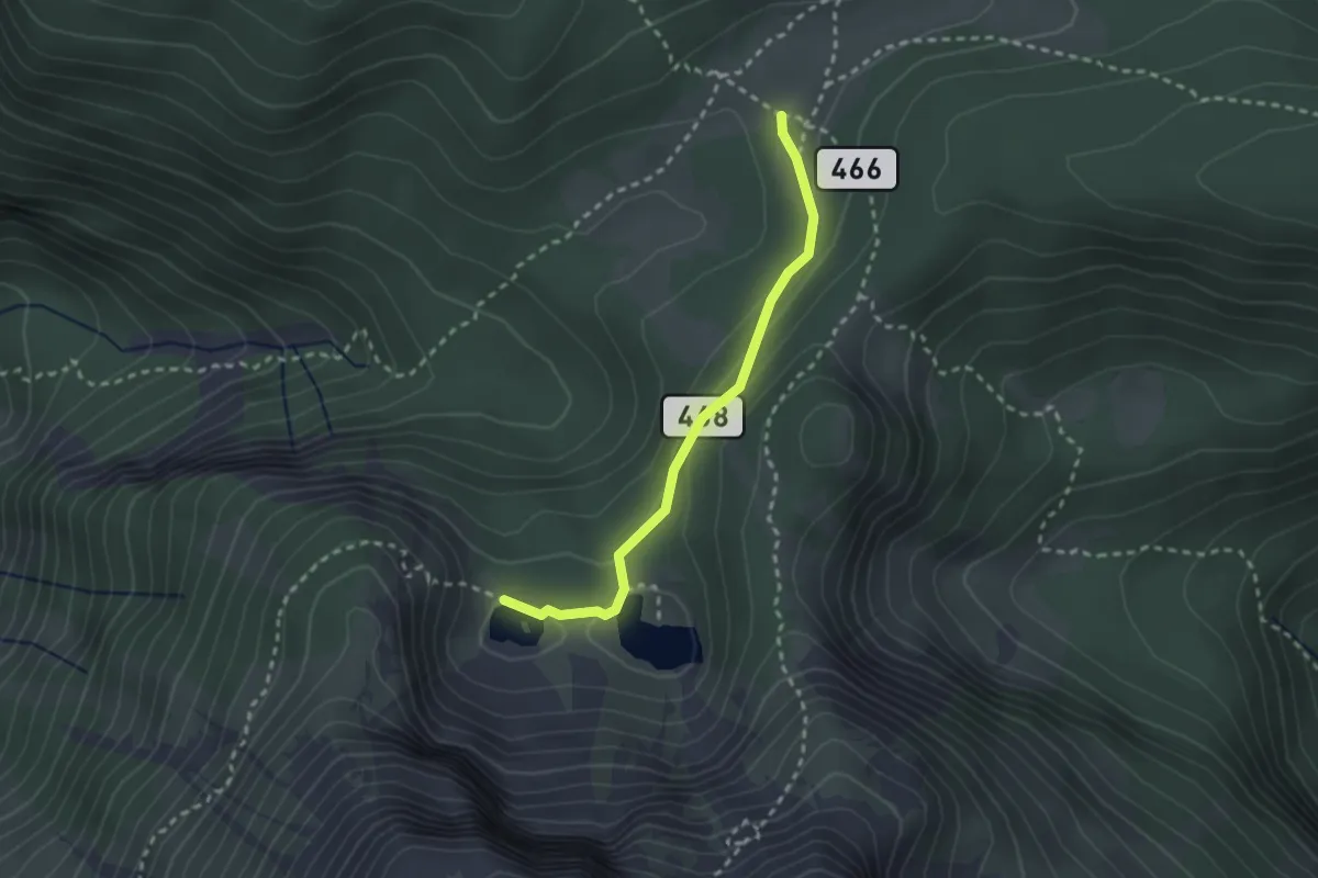
Demanding · Cabin
Wanderweg 468
2.3 km · ↑ 99 m · 46 min
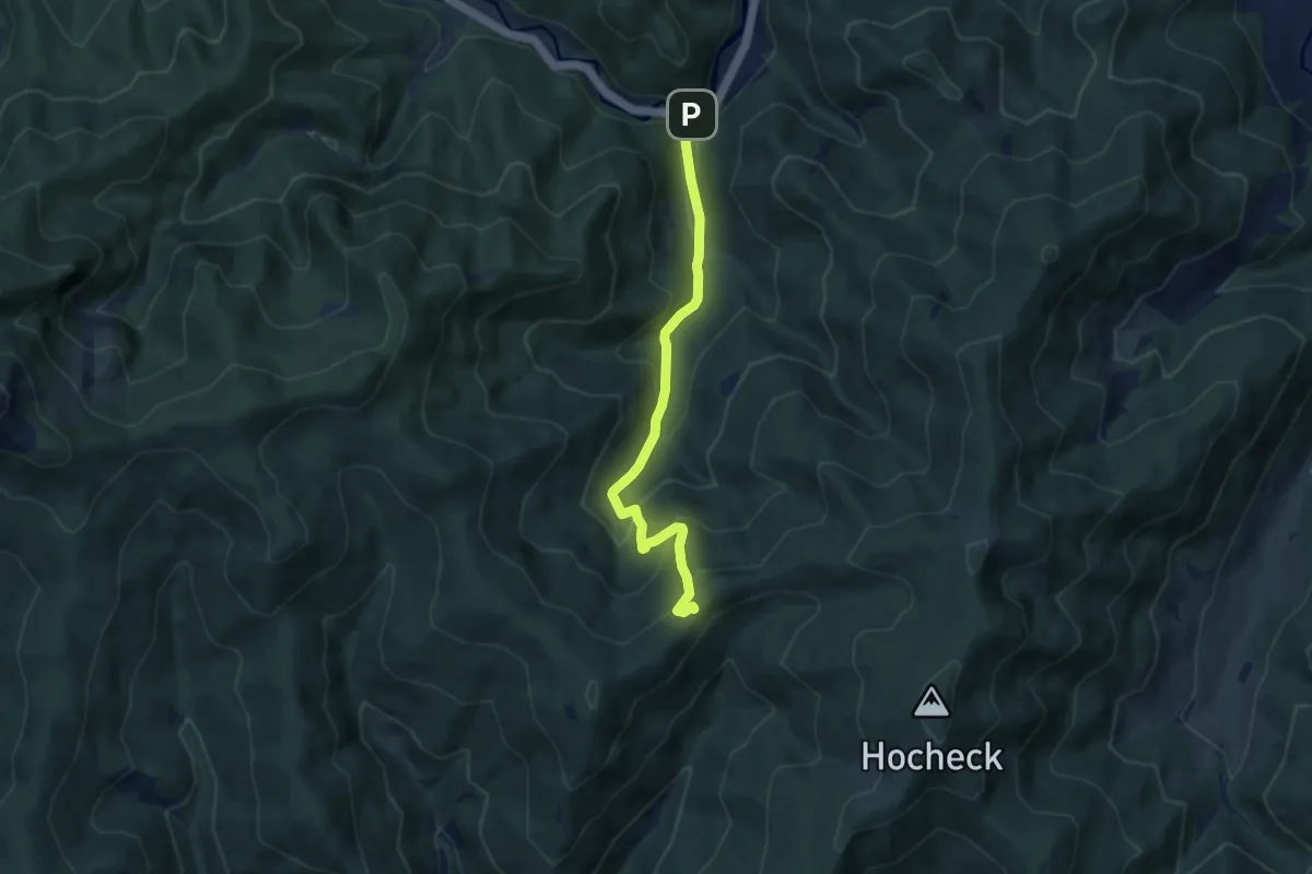
Medium · Trail
Wanderweg 468
7.1 km · ↑ 463 m · 2 h 40 min
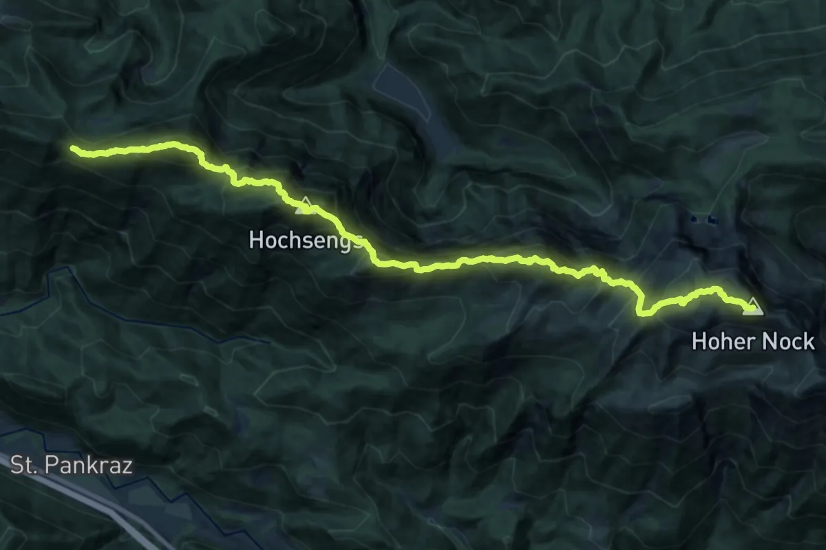
Demanding · Summit
Wanderweg 469
22.0 km · ↑ 2443 m · 10 h 30 min
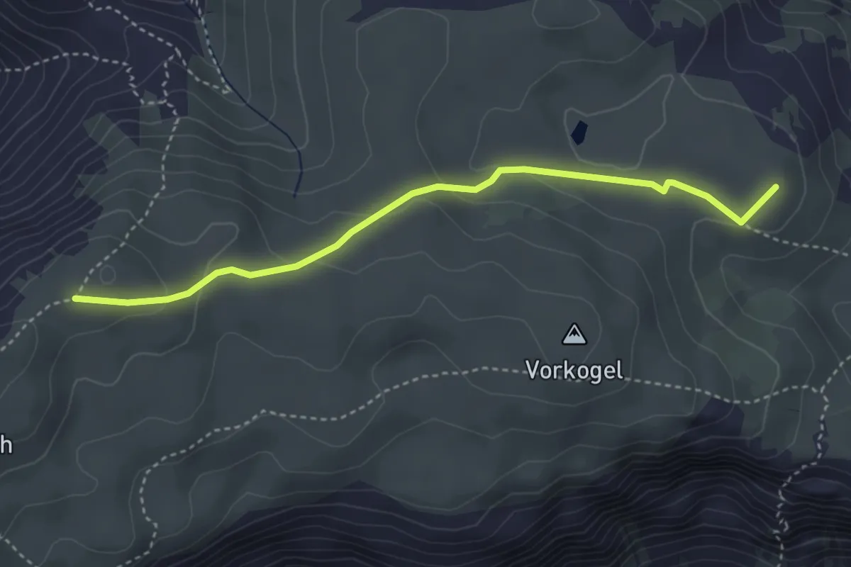
Easy · Summit
Wanderweg 469
3.7 km · ↑ 149 m · 1 h 12 min
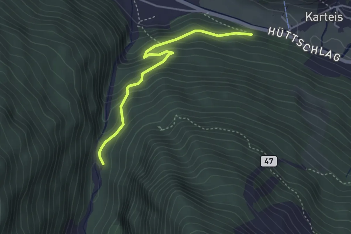
Medium · Trail
Wanderweg 46a
3.3 km · ↑ 223 m · 1 h 16 min
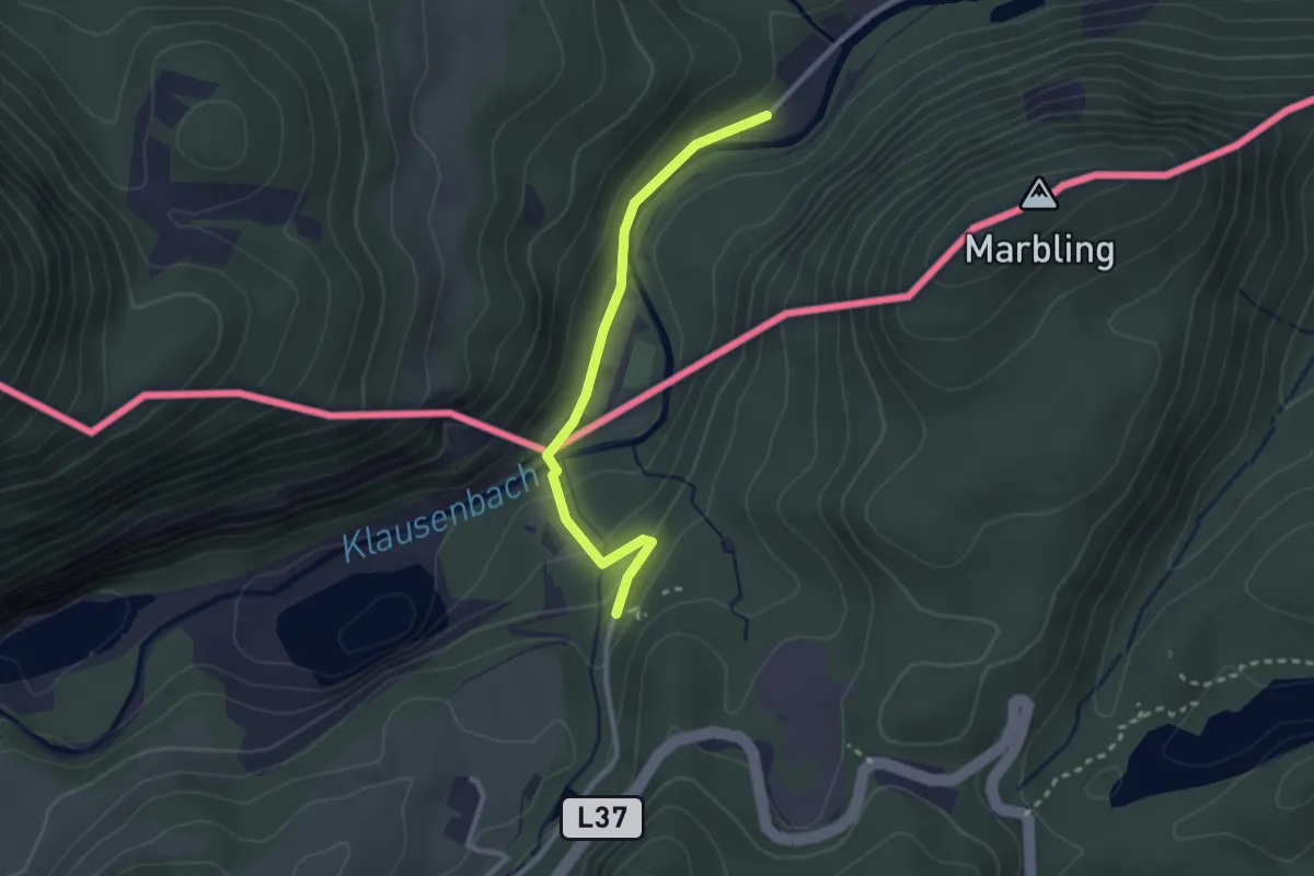
Easy · Trail
Wanderweg 46 - Kiefersfelden
2.5 km · ↑ 83 m · 46 min
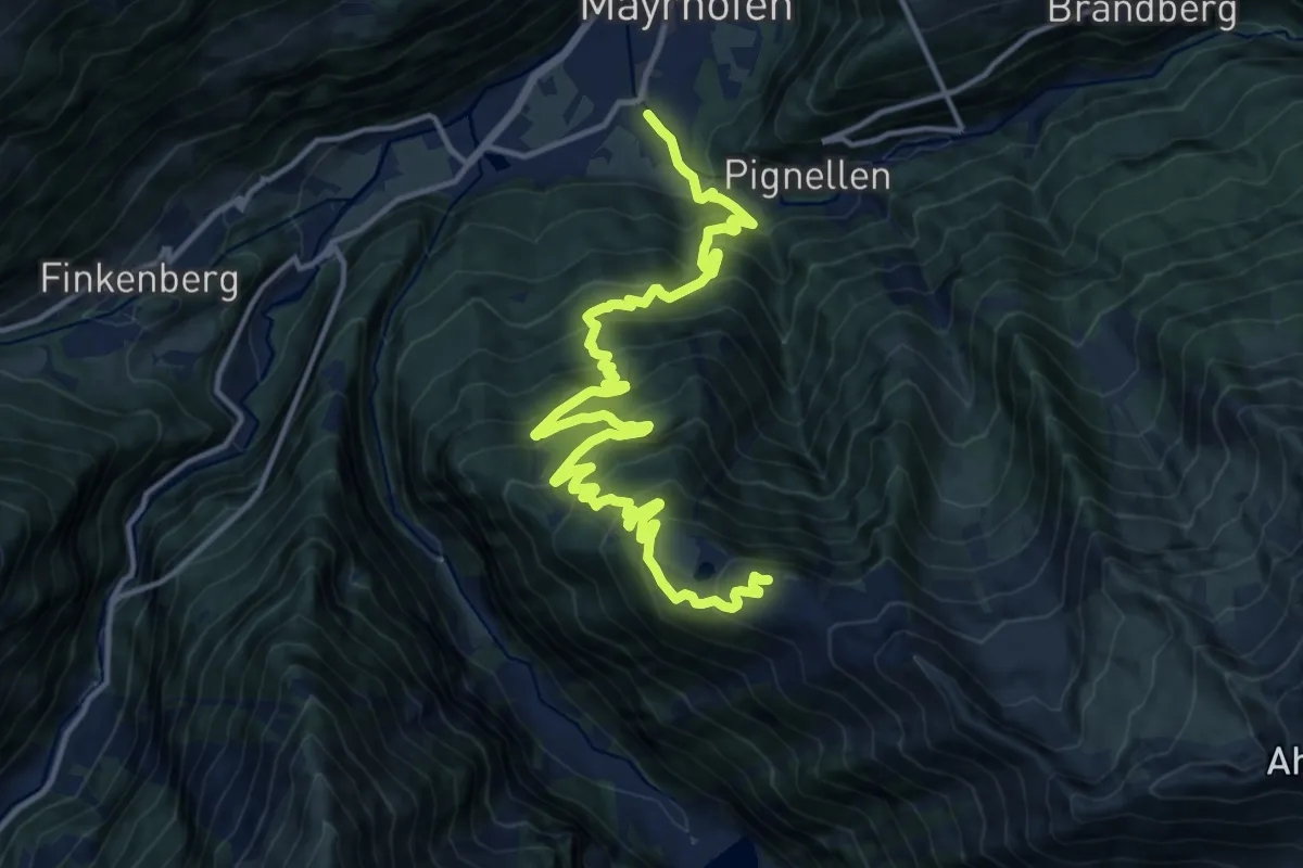
Demanding · Trail
Wanderweg 46: Mayrhofen => Ahornbahn Bergstation
17.6 km · ↑ 1305 m · 7 h
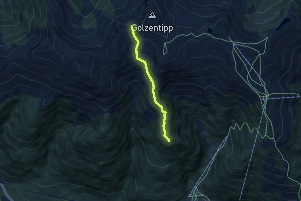
Easy · Summit
Wanderweg 47
3.5 km · ↑ 288 m · 1 h 27 min
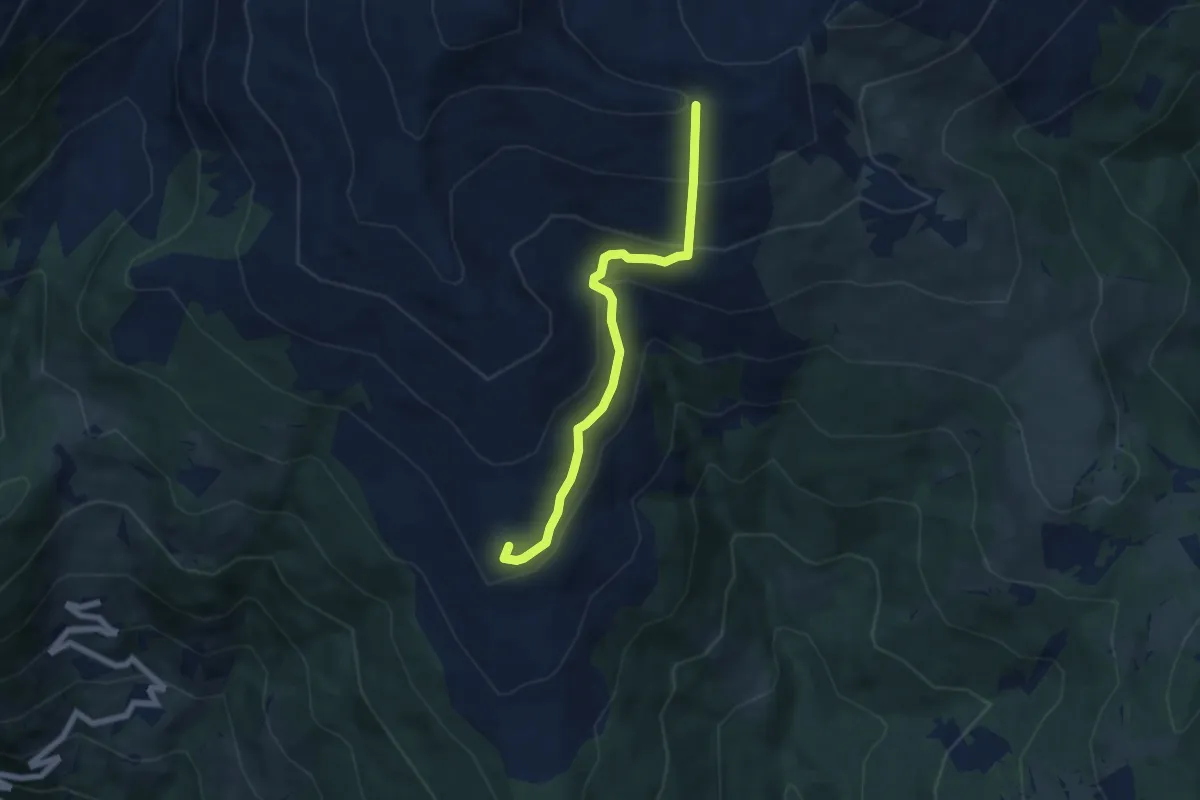
Medium · Summit
Wanderweg 47
6.0 km · ↑ 429 m · 2 h 21 min
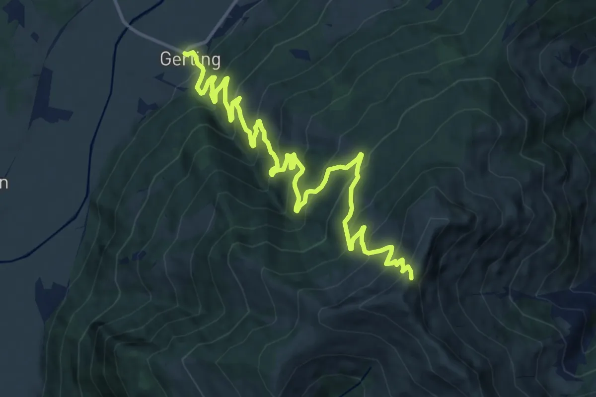
Demanding · Trail
Wanderweg 47
15.0 km · ↑ 1170 m · 6 h 4 min
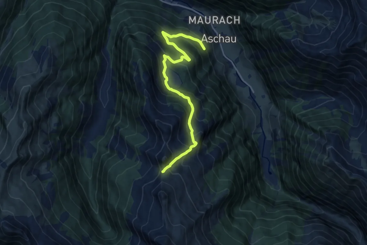
Demanding · Trail
Wanderweg 47
12.1 km · ↑ 858 m · 4 h 43 min
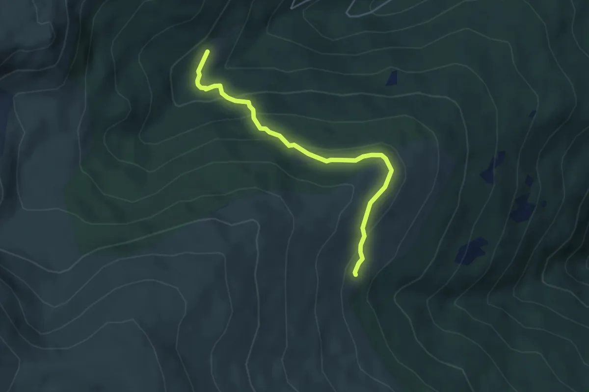
Medium · Trail
Wanderweg 47
4.5 km · ↑ 223 m · 1 h 32 min
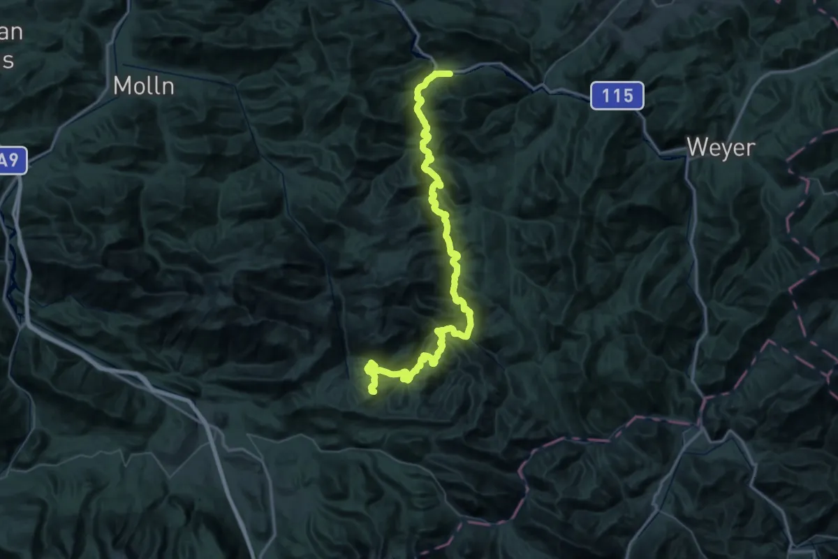
Demanding · Summit
Wanderweg 470
63.4 km · ↑ 2343 m · 20 h 3 min
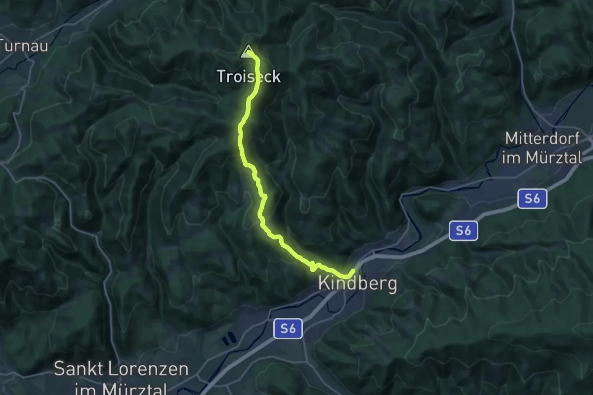
Demanding · Summit
Wanderweg 470
16.2 km · ↑ 897 m · 5 h 46 min
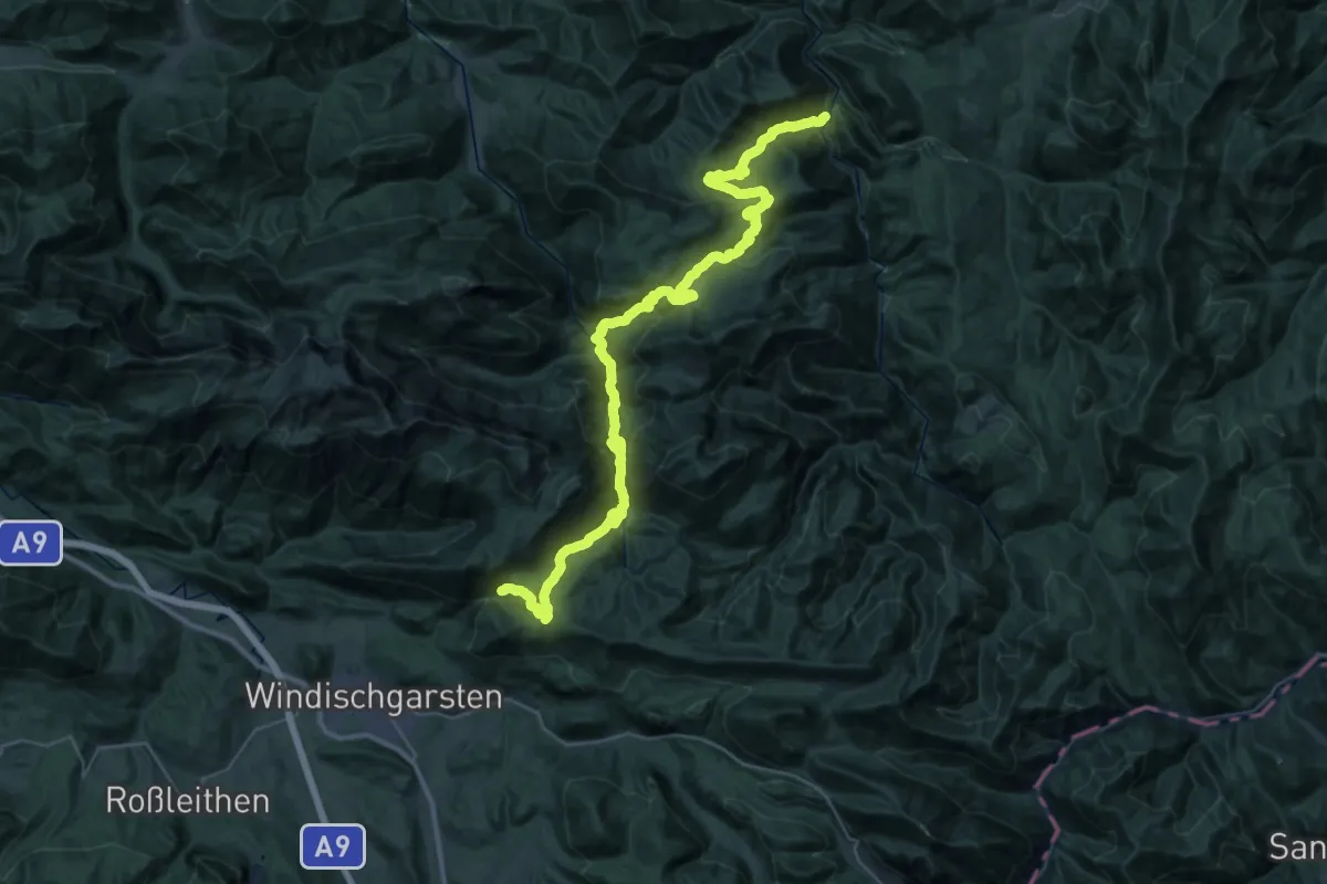
Demanding · Summit
Wanderweg 472
43.7 km · ↑ 2108 m · 14 h 53 min
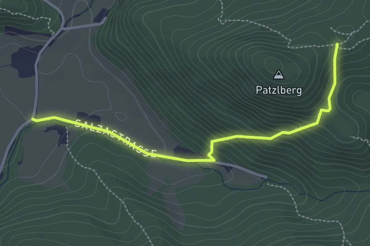
Easy · Trail
Wanderweg 472a
2.8 km · ↑ 191 m · 1 h 5 min
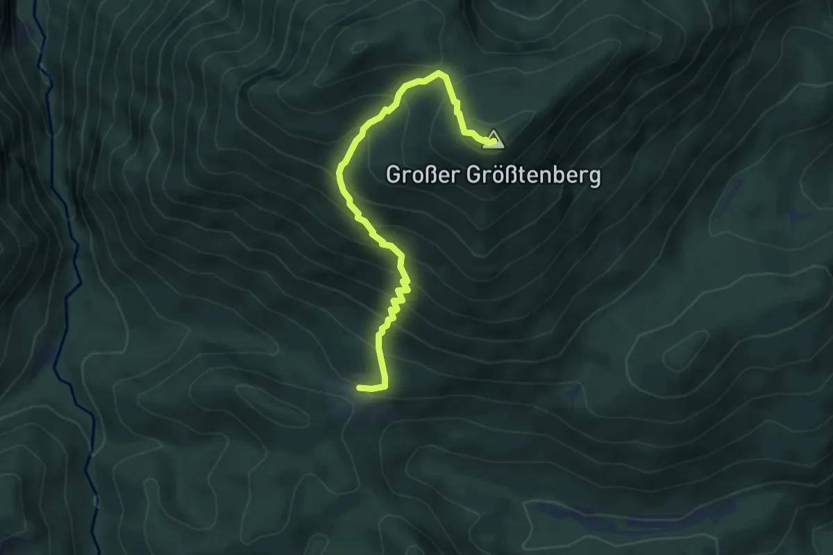
Medium · Summit
Wanderweg 473
4.9 km · ↑ 575 m · 2 h 24 min
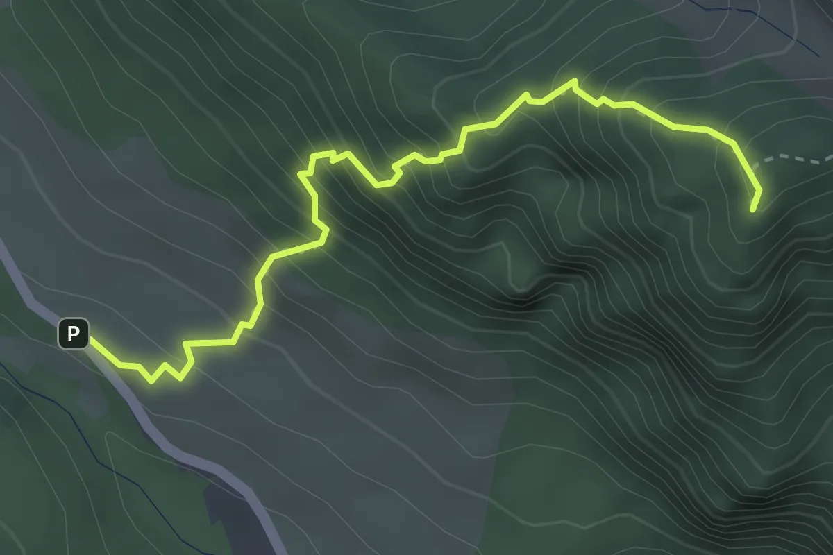
Expert · Trail
Wanderweg 474
3.4 km · ↑ 514 m · 1 h 55 min
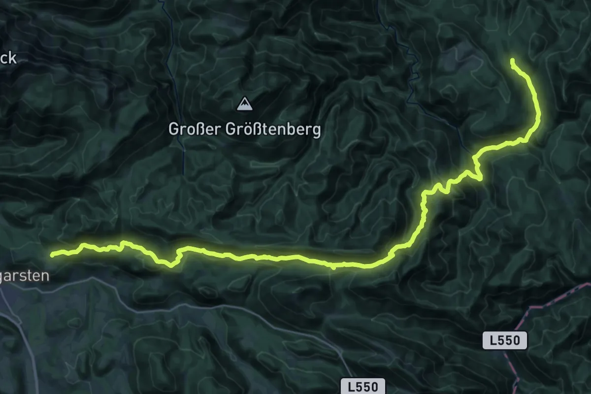
Demanding · Trail
Wanderweg 475
20.6 km · ↑ 801 m · 6 h 54 min
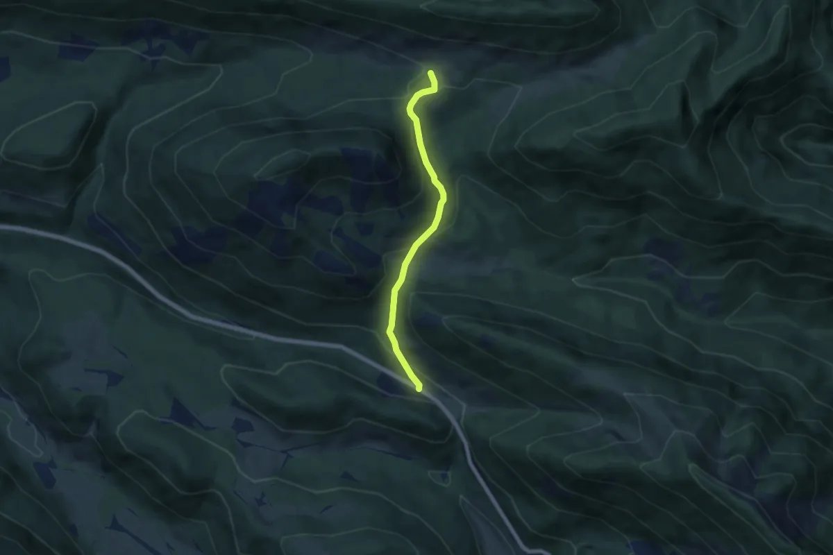
Easy · Trail
Wanderweg 475b
5.0 km · ↑ 231 m · 1 h 41 min
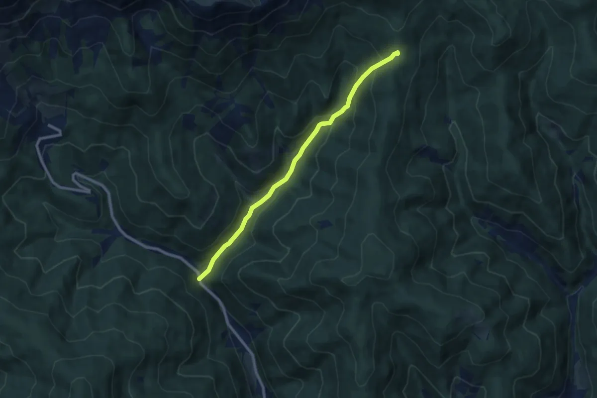
Medium · Trail
Wanderweg 476
7.1 km · ↑ 460 m · 2 h 40 min
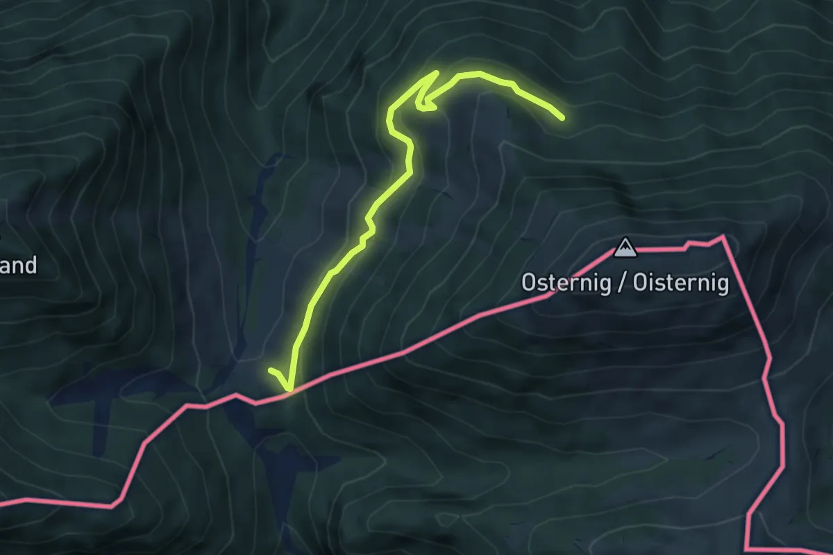
Easy · Cabin
Wanderweg 477
4.8 km · ↑ 232 m · 1 h 38 min
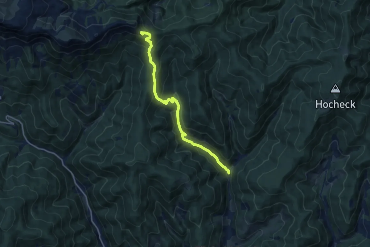
Medium · Summit
Wanderweg 477
11.2 km · ↑ 671 m · 4 h 6 min
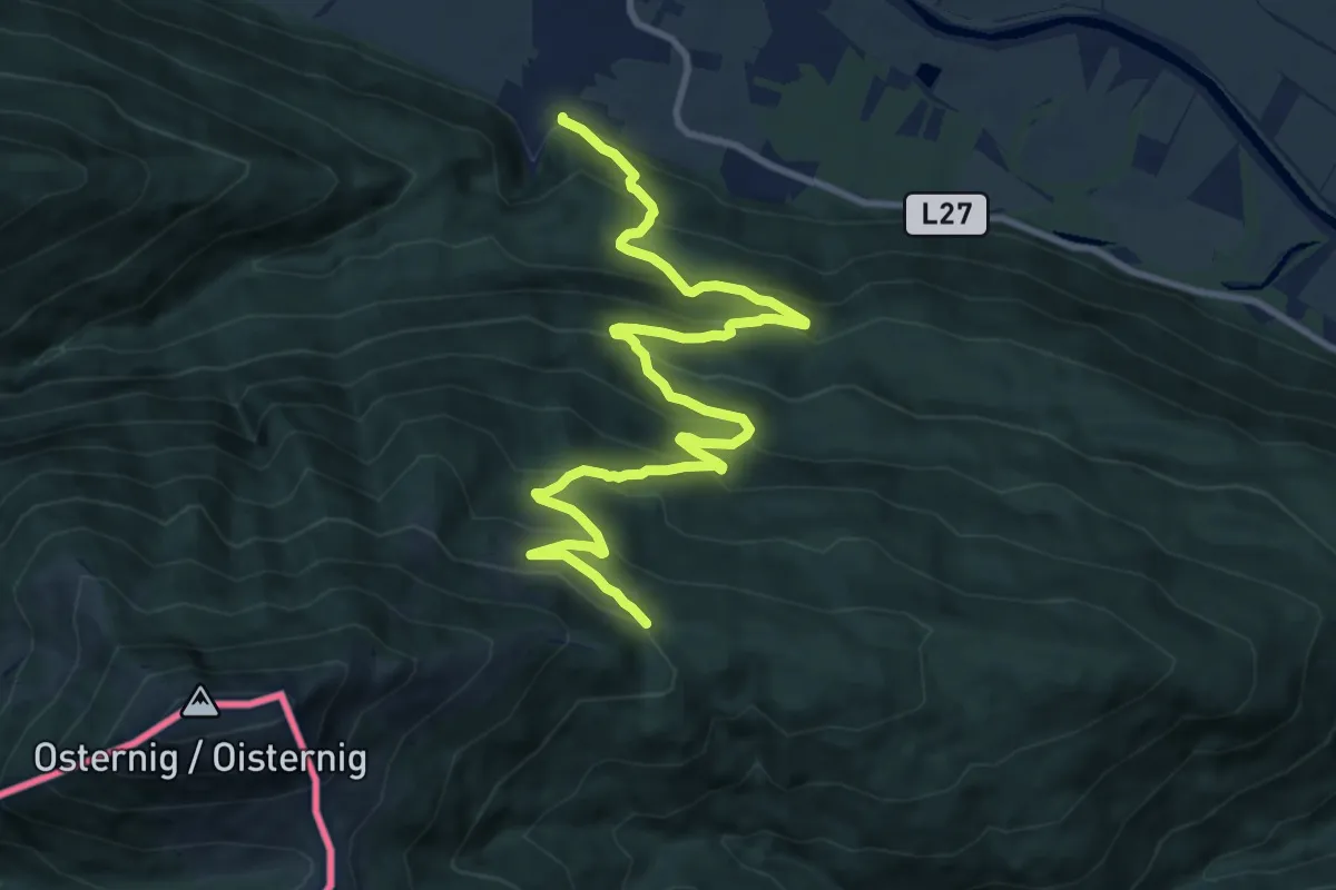
Demanding · Trail
Wanderweg 478
12.8 km · ↑ 895 m · 4 h 57 min
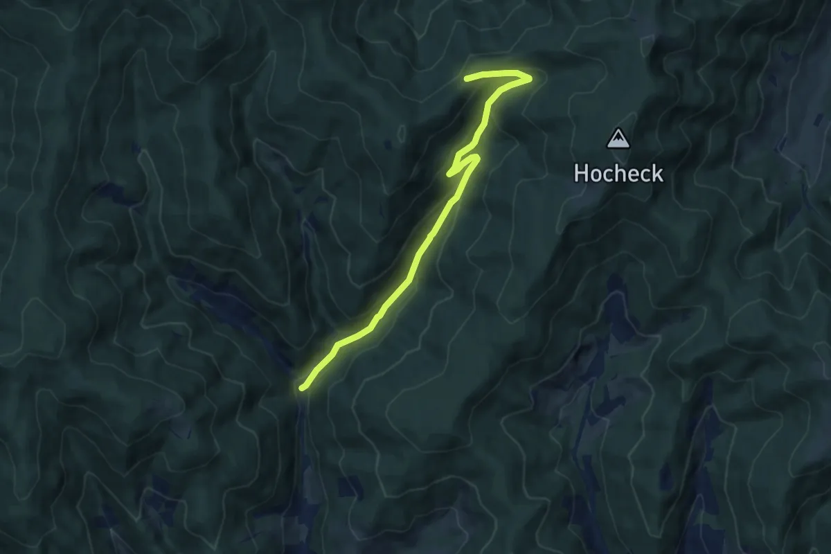
Medium · Trail
Wanderweg 478
9.1 km · ↑ 452 m · 3 h 7 min
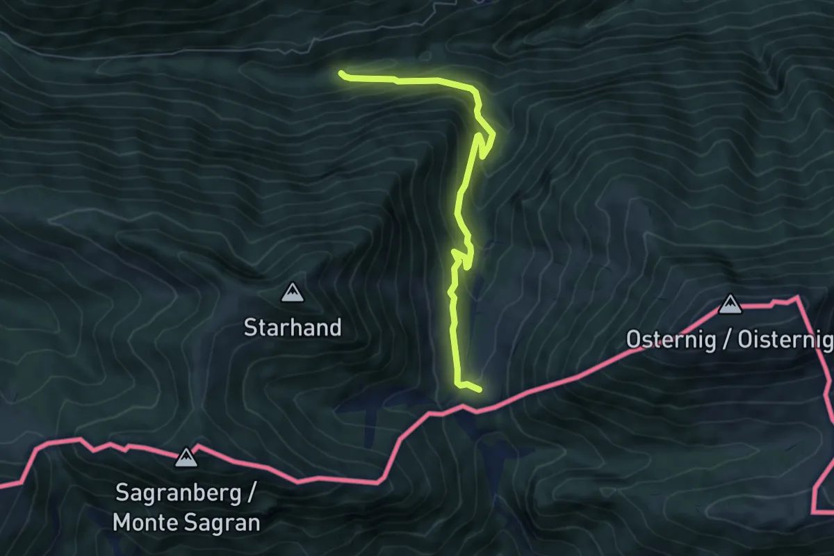
Medium · Cabin
Wanderweg 479
6.0 km · ↑ 408 m · 2 h 18 min
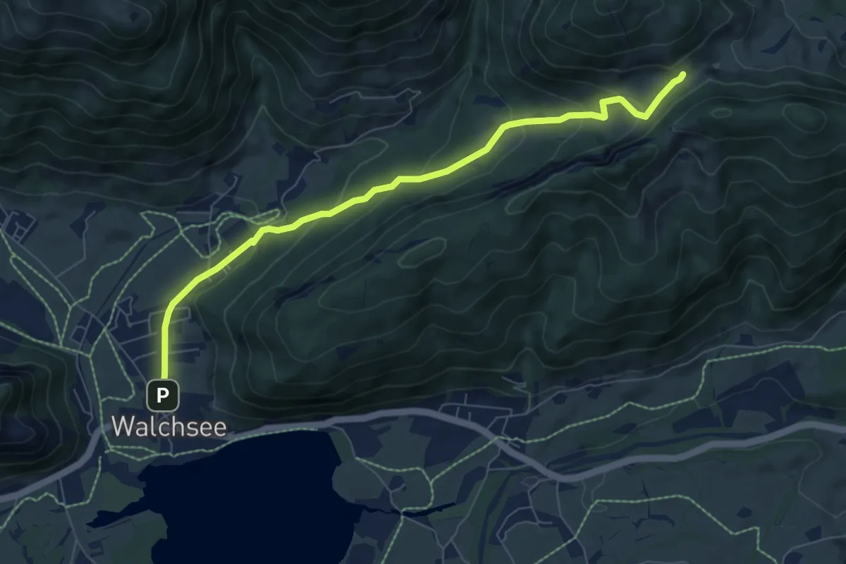
Easy · Trail
Wanderweg 47 - Kaiserwinkl
7.5 km · ↑ 300 m · 2 h 25 min
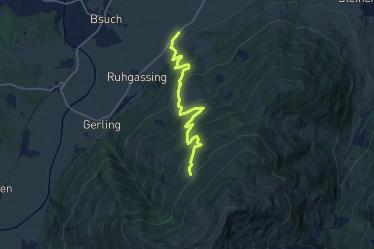
Medium · Trail
Wanderweg 48
9.5 km · ↑ 707 m · 3 h 47 min
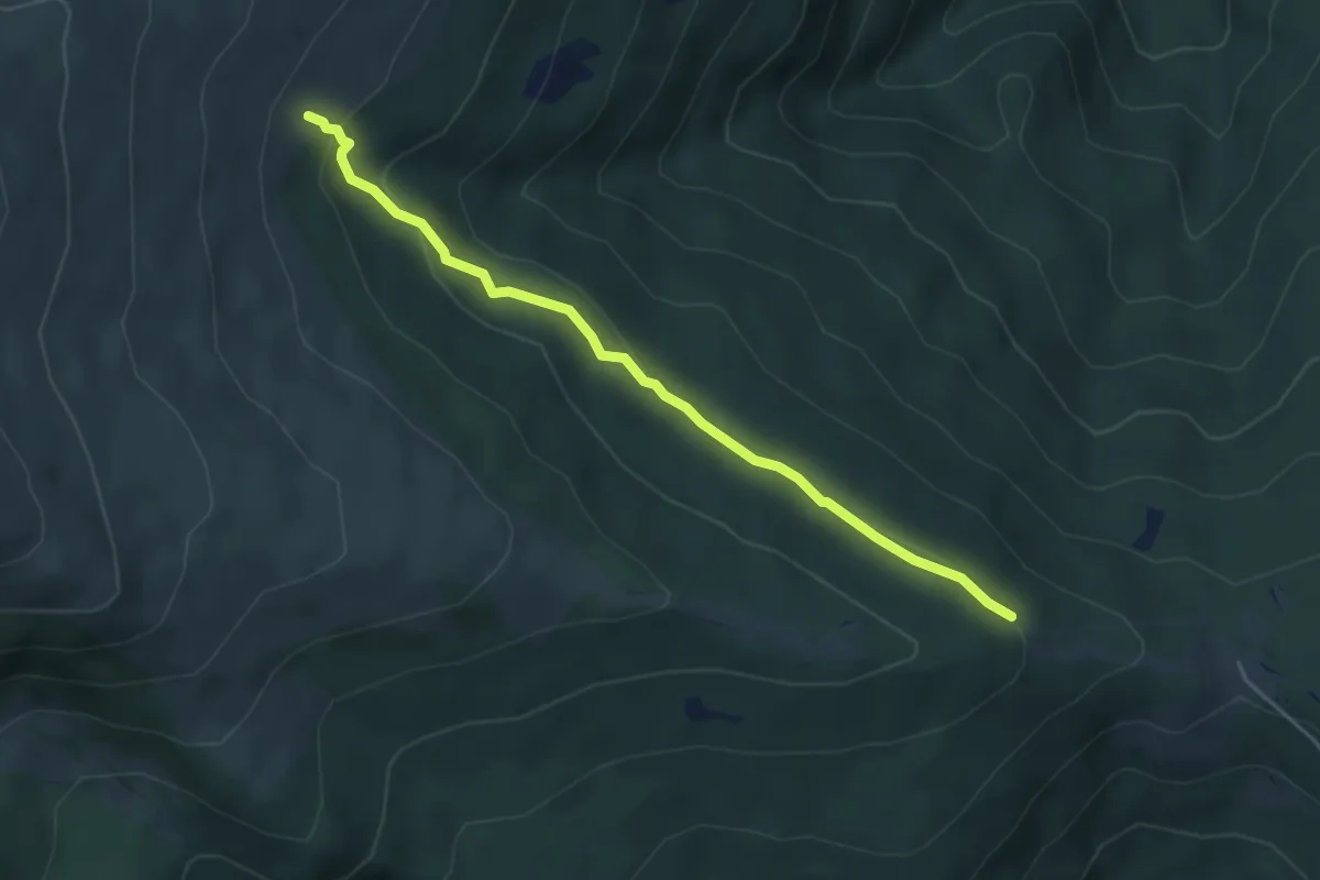
Medium · Trail
Wanderweg 48
4.5 km · ↑ 147 m · 1 h 22 min
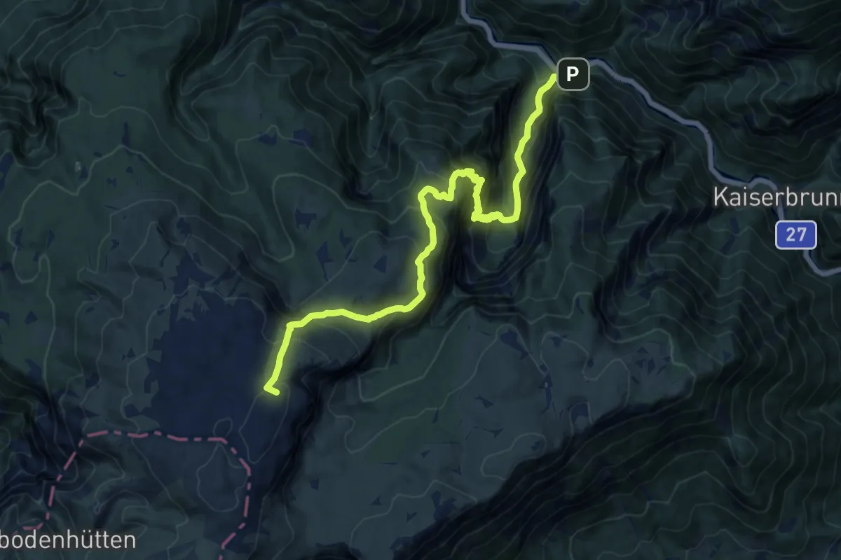
Expert · Summit
Wanderweg 48
15.2 km · ↑ 1490 m · 6 h 49 min