Trails in Austria
9,777 hiking trails, each with its route, climb, walking time and grade.
All trails, page 153 of 204
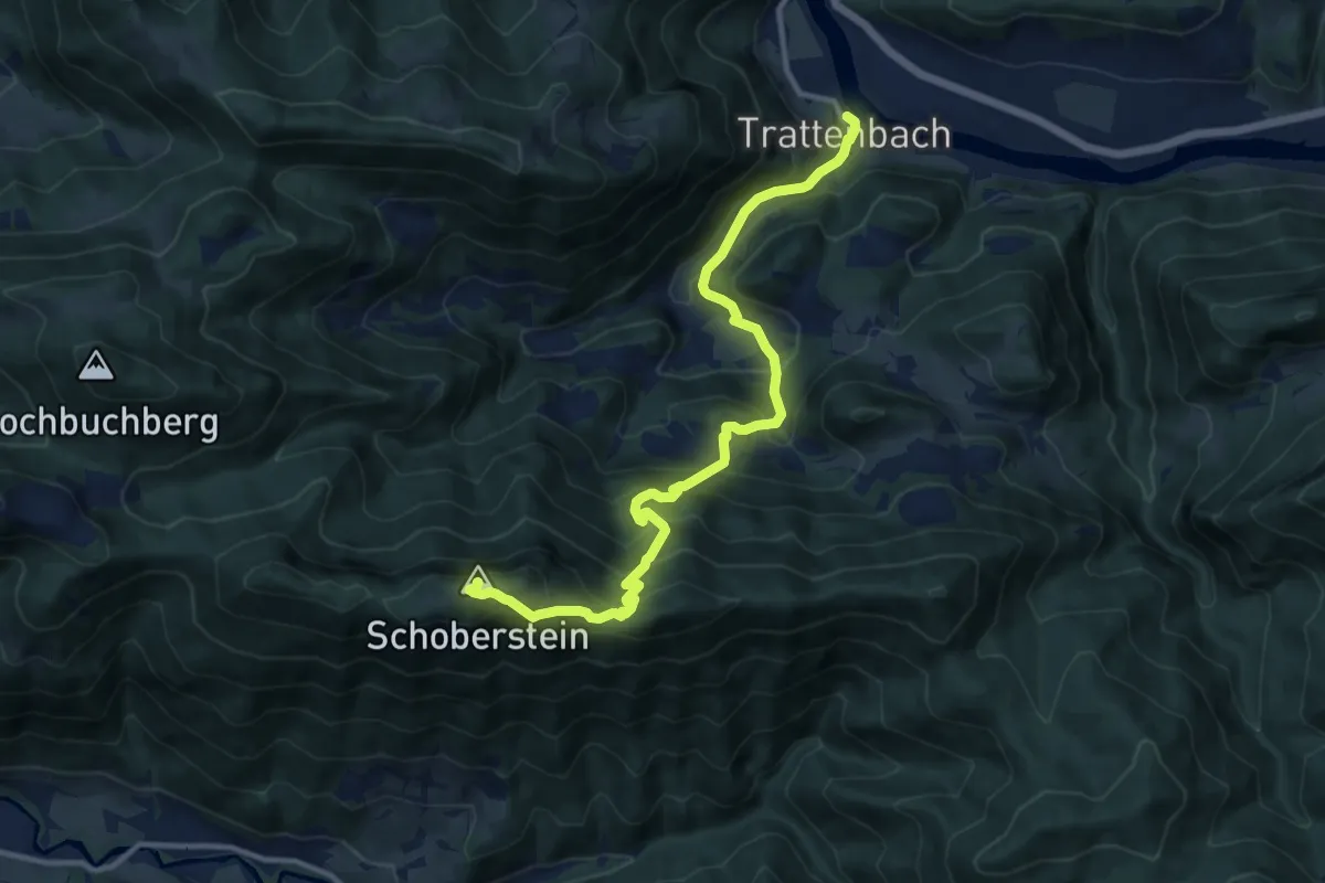
Demanding · Summit
Wanderweg 481
11.9 km · ↑ 950 m · 4 h 51 min
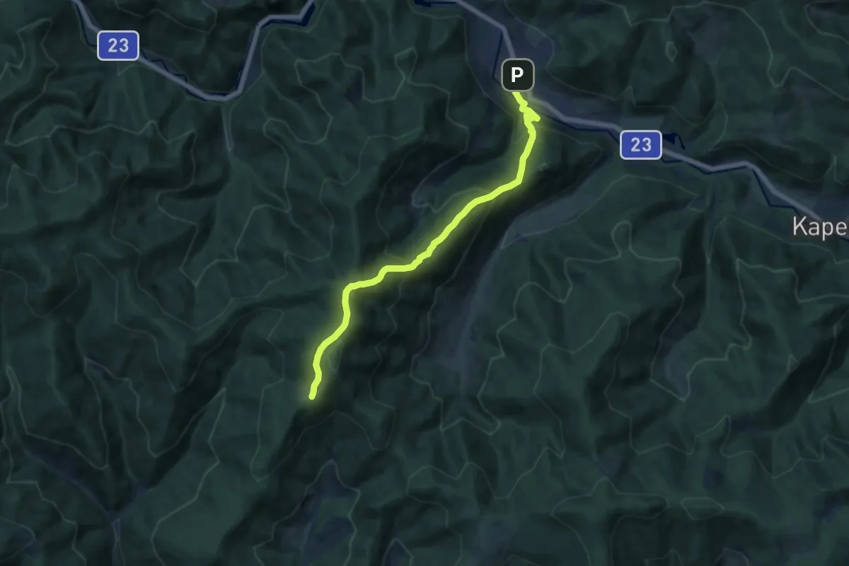
Medium · Trail
Wanderweg 481
12.0 km · ↑ 762 m · 4 h 29 min
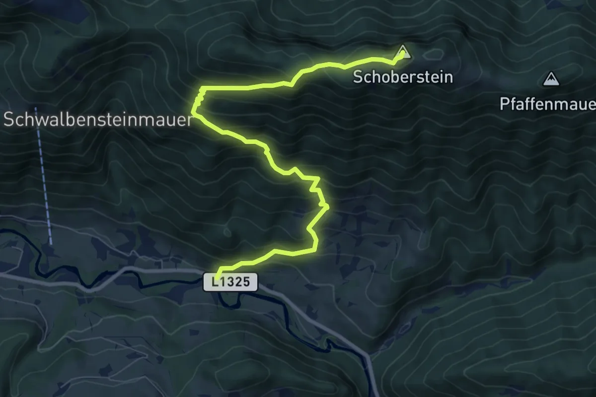
Demanding · Summit
Wanderweg 482
8.8 km · ↑ 828 m · 3 h 52 min
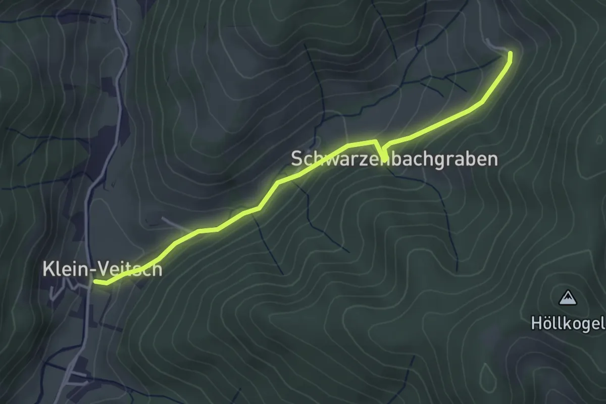
Easy · Trail
Wanderweg 482
3.7 km · ↑ 187 m · 1 h 17 min
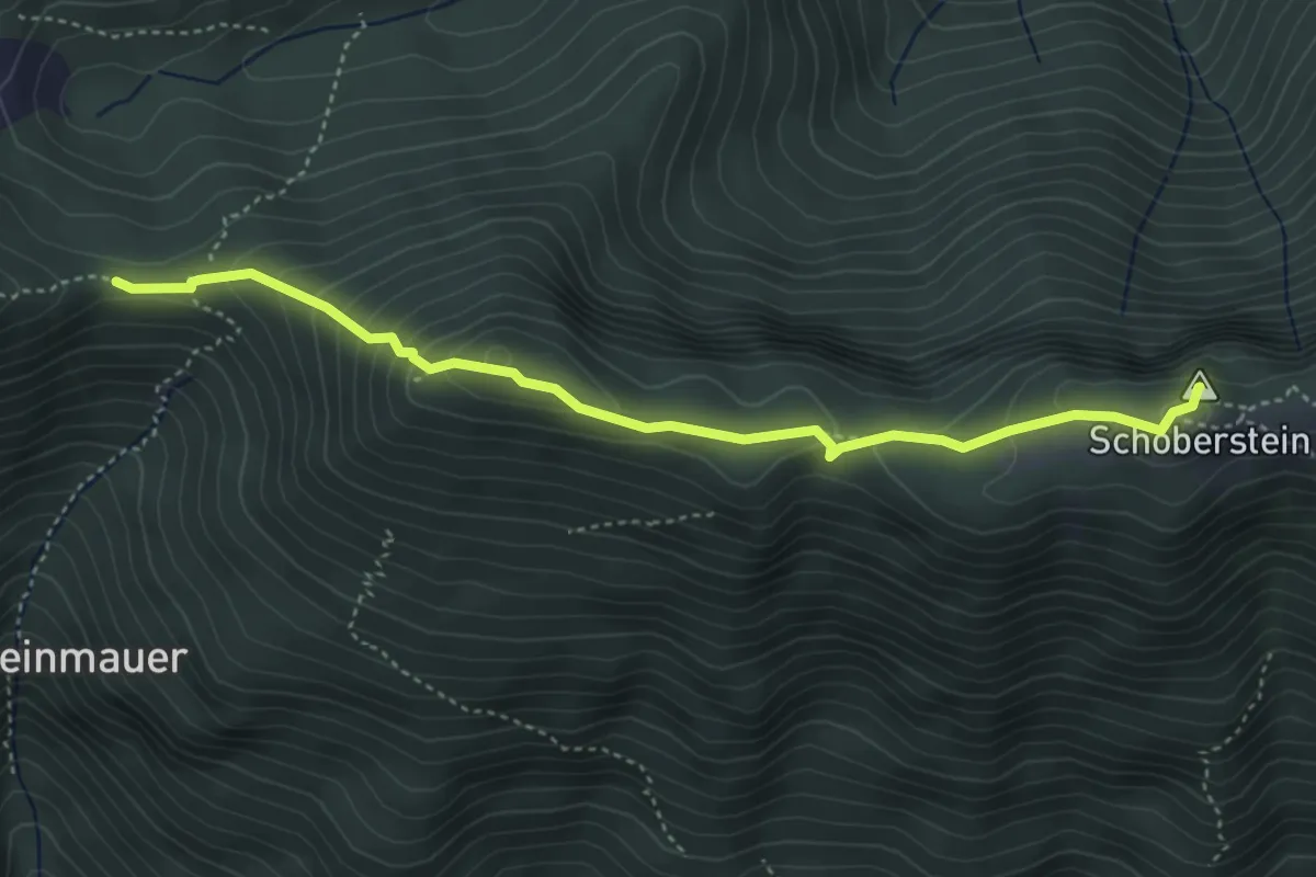
Medium · Summit
Wanderweg 483
4.2 km · ↑ 312 m · 1 h 40 min
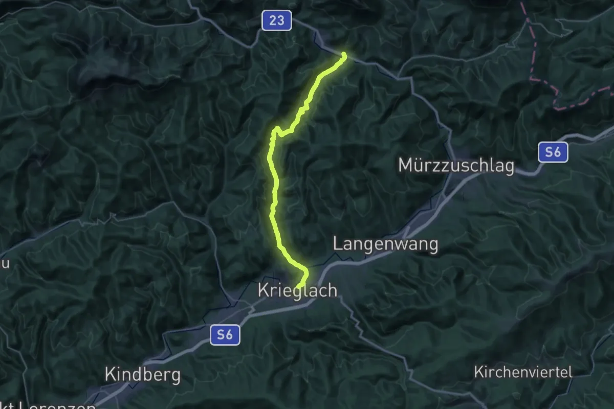
Medium · Trail
Wanderweg 483
16.5 km · ↑ 431 m · 5 h 7 min
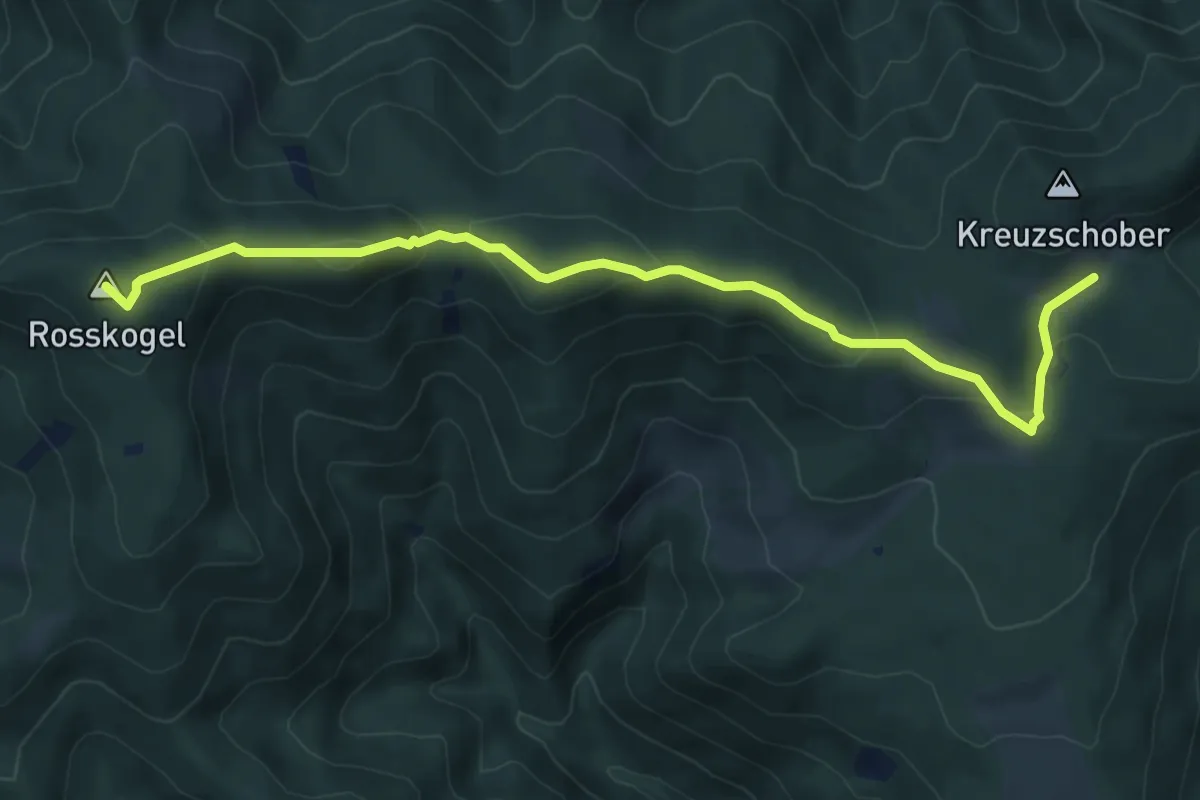
Medium · Summit
Wanderweg 484
7.5 km · ↑ 325 m · 2 h 29 min
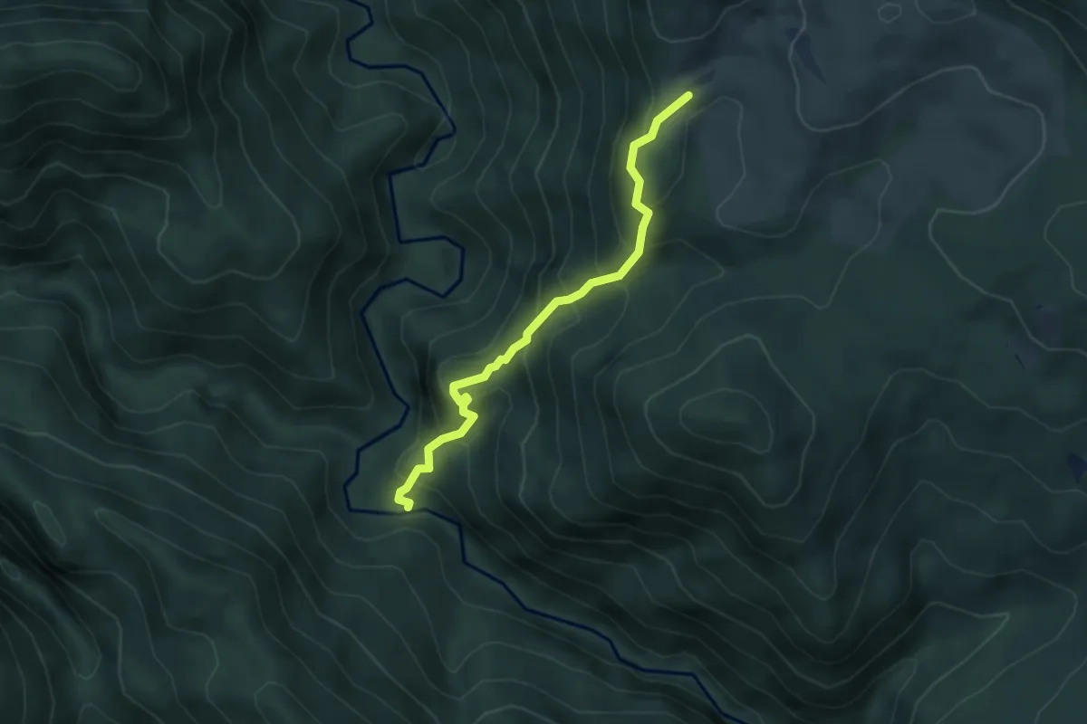
Demanding · Trail
Wanderweg 485
3.8 km · ↑ 506 m · 2 h
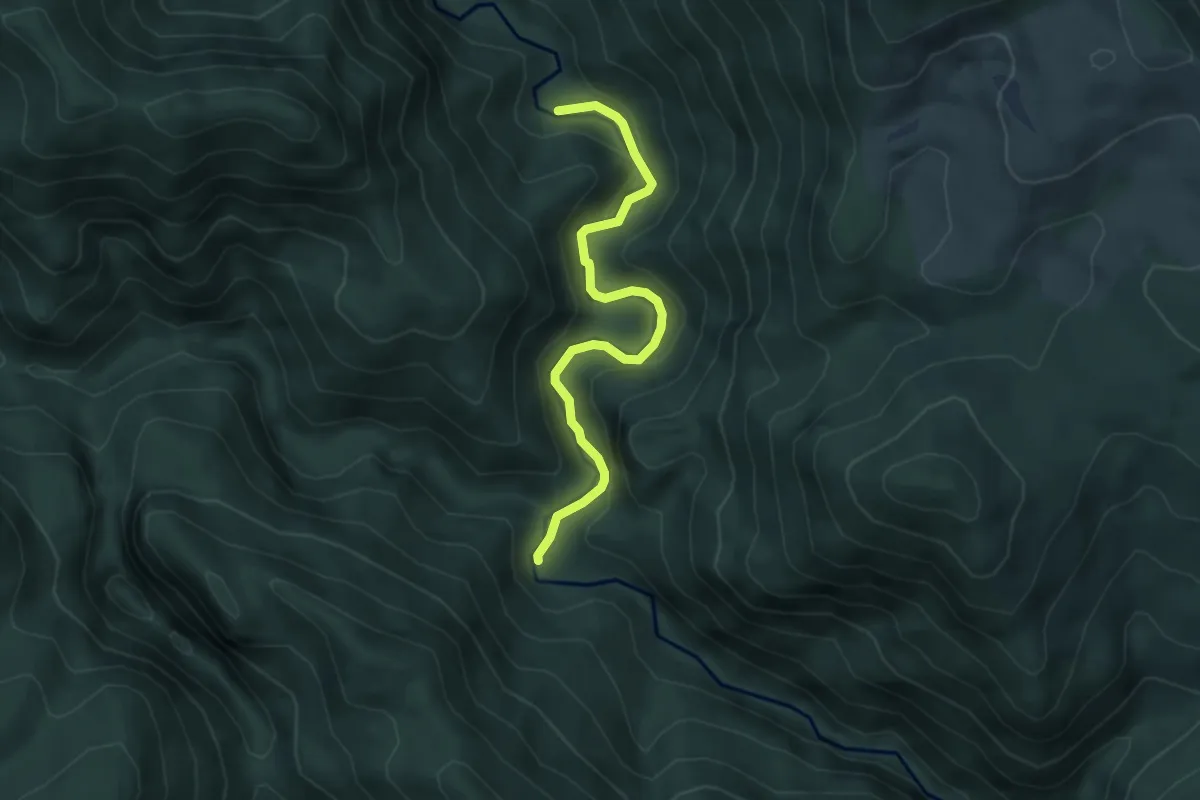
Easy · Trail
Wanderweg 486
4.4 km · ↑ 210 m · 1 h 30 min
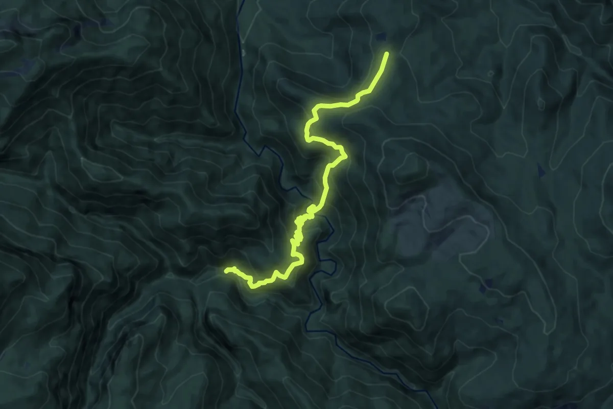
Demanding · Trail
Wanderweg 487
11.5 km · ↑ 801 m · 4 h 27 min
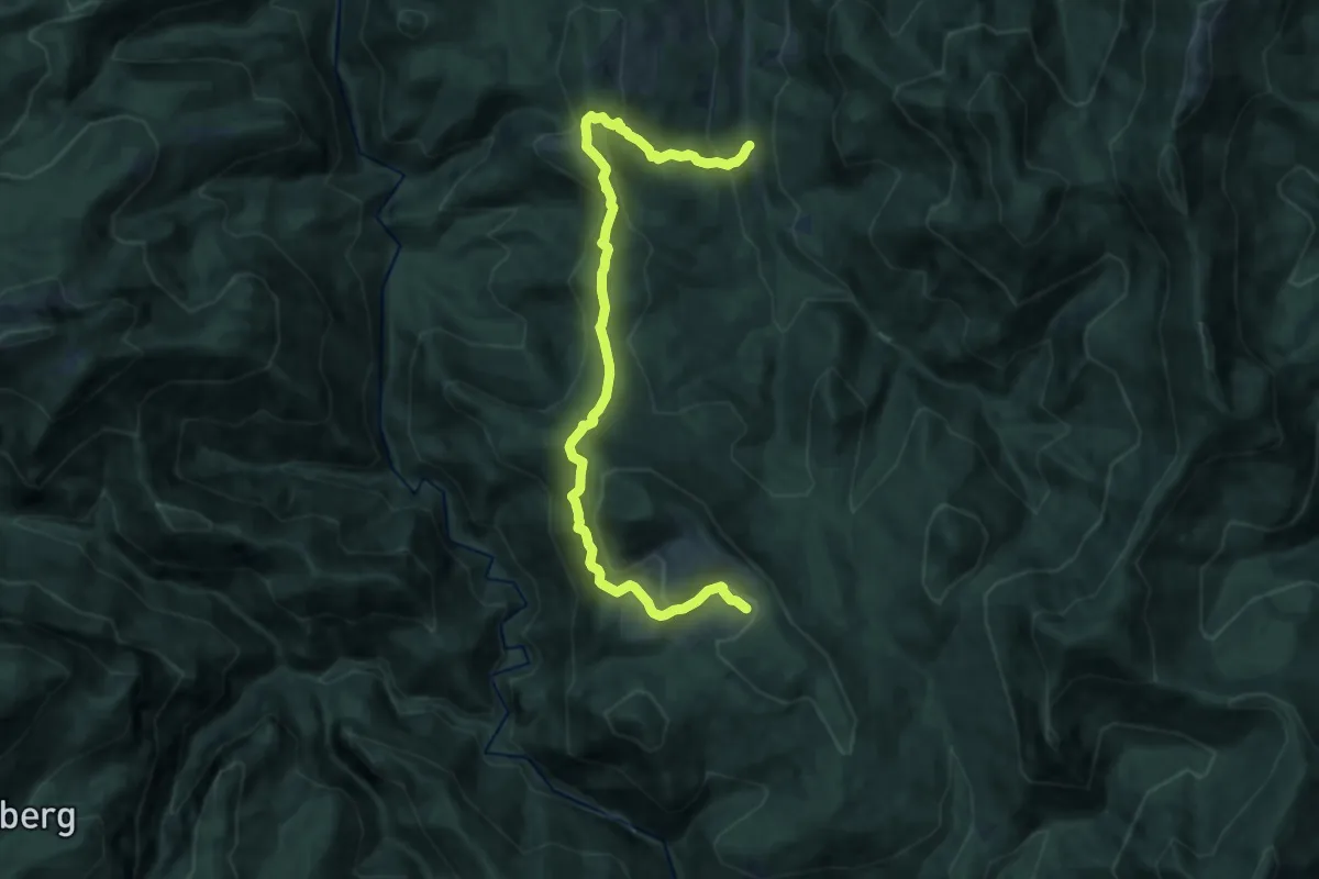
Medium · Cabin
Wanderweg 488
14.3 km · ↑ 748 m · 4 h 59 min
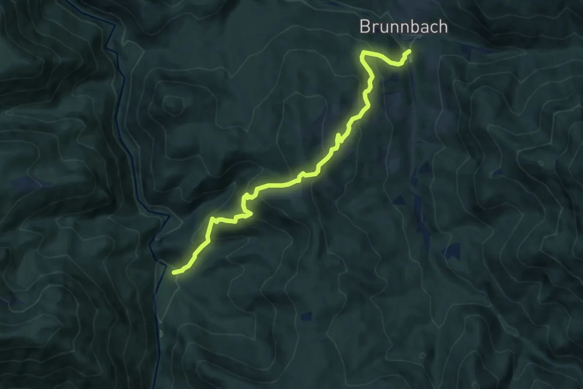
Medium · Cabin
Wanderweg 489
9.8 km · ↑ 653 m · 3 h 43 min
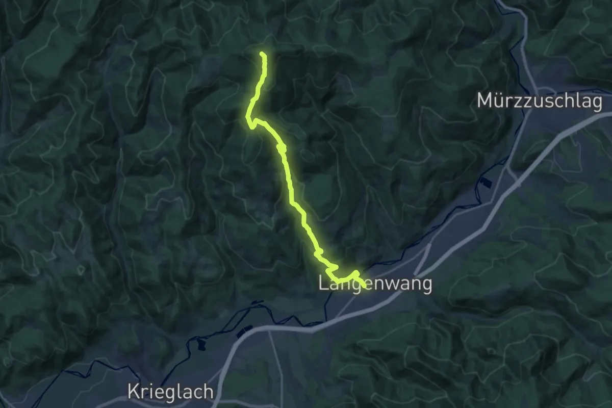
Demanding · Summit
Wanderweg 489
16.4 km · ↑ 848 m · 5 h 42 min
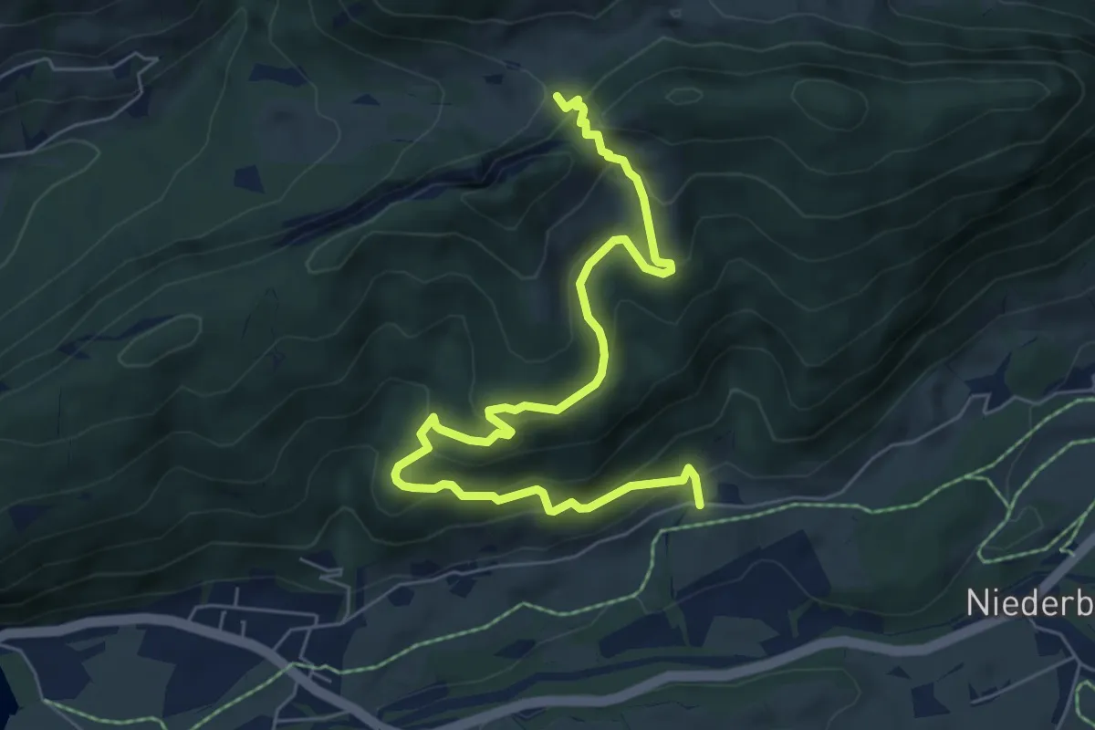
Demanding · Trail
Wanderweg 48 - Kaiserwinkl
7.3 km · ↑ 483 m · 2 h 46 min
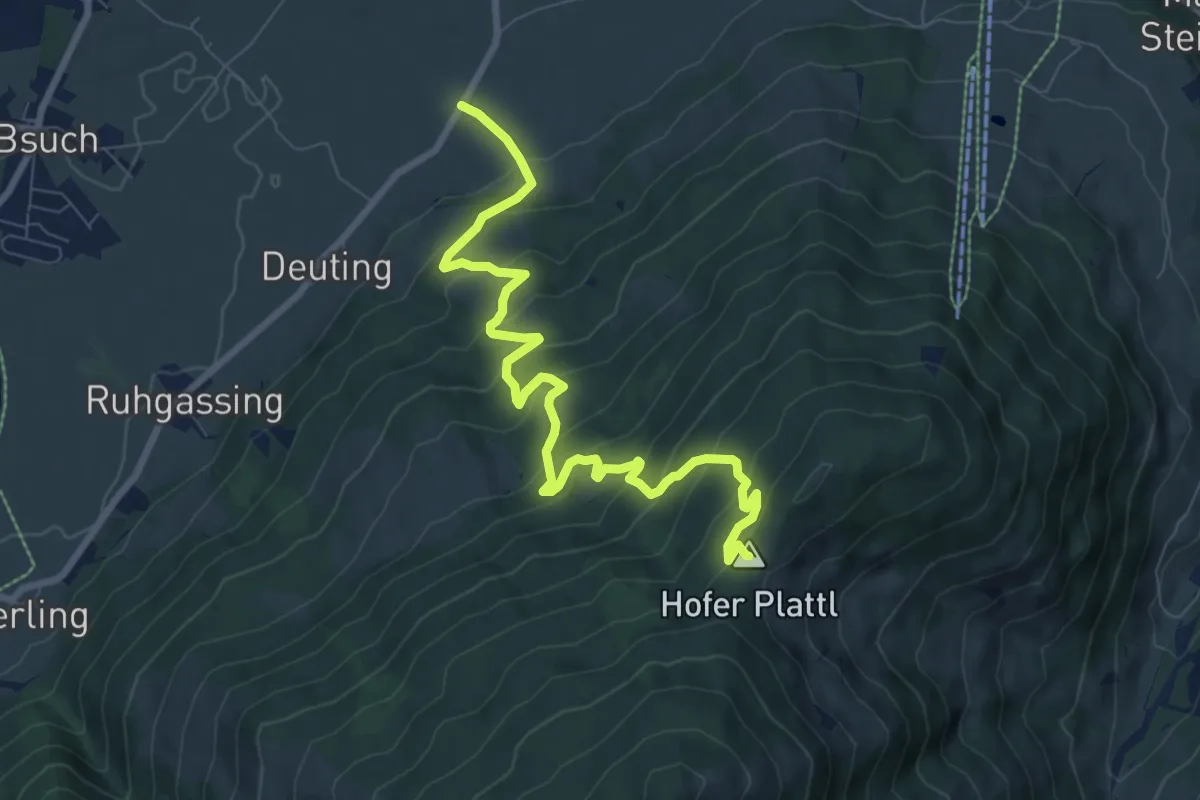
Medium · Summit
Wanderweg 49
9.2 km · ↑ 625 m · 3 h 32 min
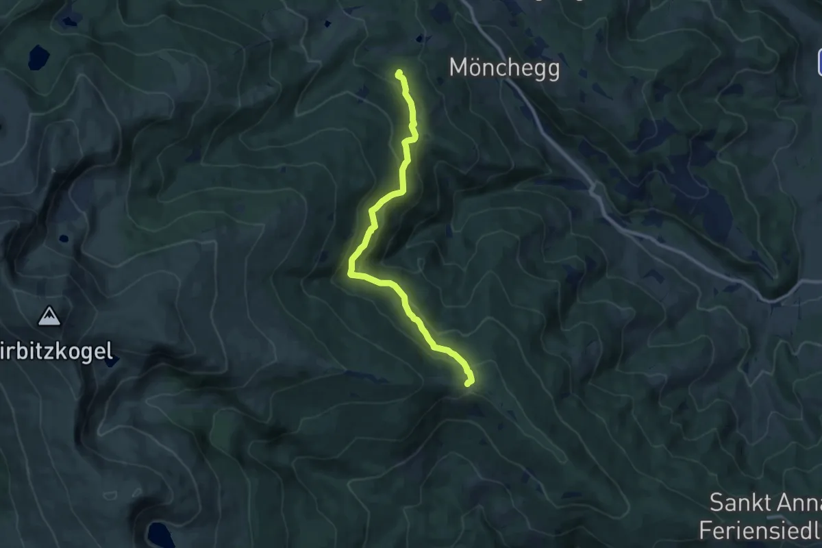
Medium · Trail
Wanderweg 49
9.7 km · ↑ 337 m · 3 h 1 min
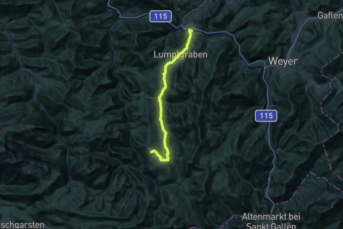
Demanding · Summit
Wanderweg 490
33.3 km · ↑ 1099 m · 10 h 15 min
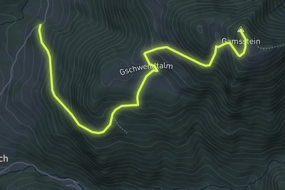
Medium · Summit
Wanderweg 491
6.8 km · ↑ 664 m · 3 h 3 min
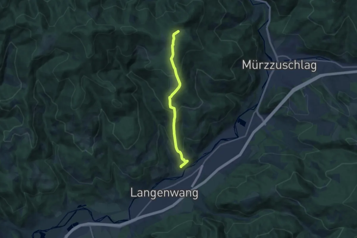
Medium · Cabin
Wanderweg 491
10.2 km · ↑ 620 m · 3 h 46 min
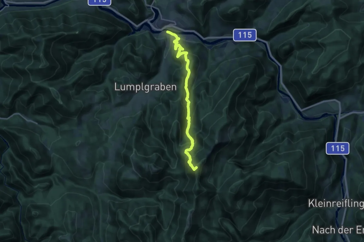
Demanding · Summit
Wanderweg 492
16.4 km · ↑ 1112 m · 6 h 18 min
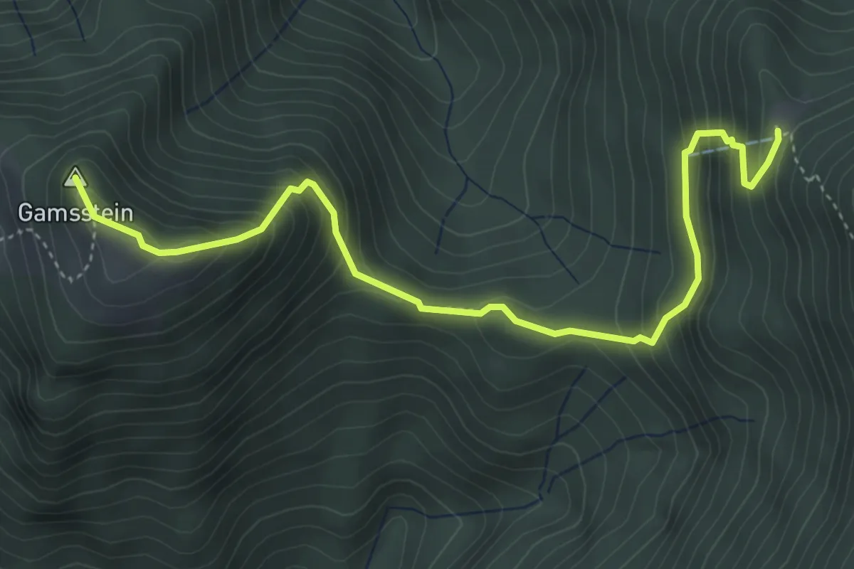
Medium · Summit
Wanderweg 492a
4.8 km · ↑ 518 m · 2 h 15 min
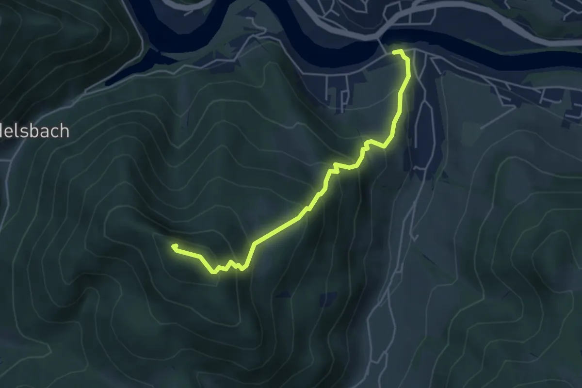
Demanding · Summit
Wanderweg 493
4.3 km · ↑ 476 m · 2 h 3 min
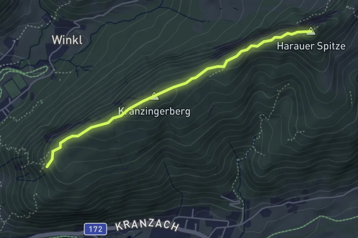
Medium · Summit
Wanderweg 49 - Kaiserwinkl
4.3 km · ↑ 342 m · 1 h 45 min
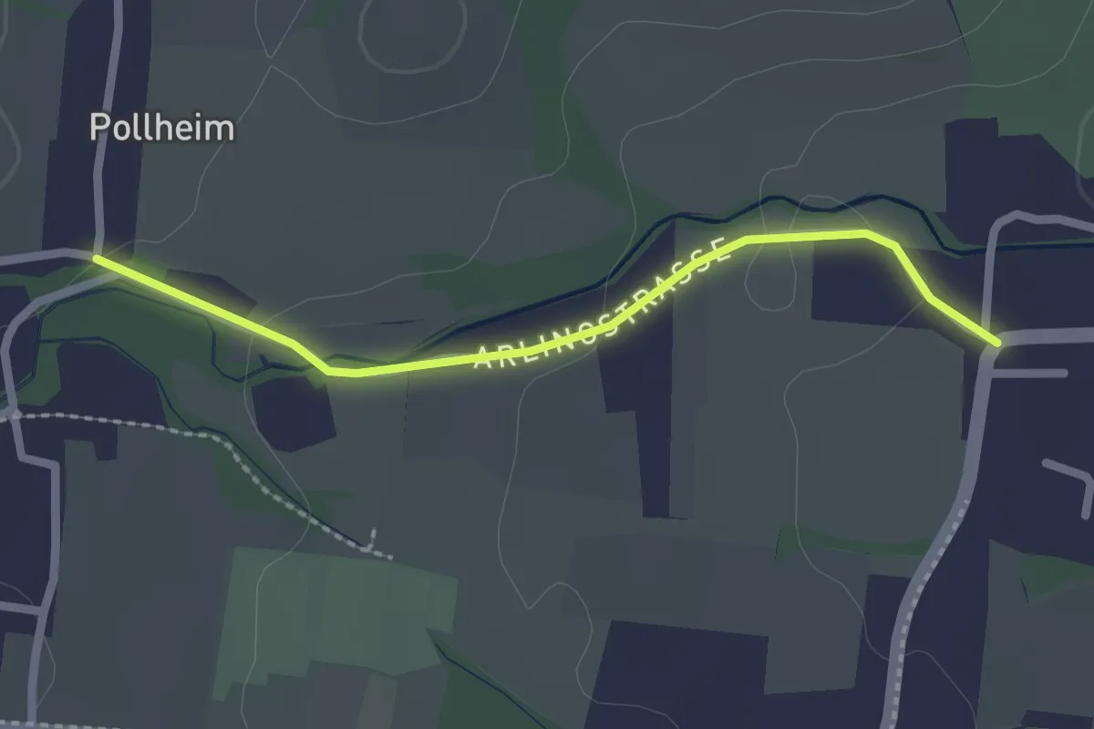
Easy · Trail
Wanderweg 4A
2.1 km · ↑ 33 m · 34 min
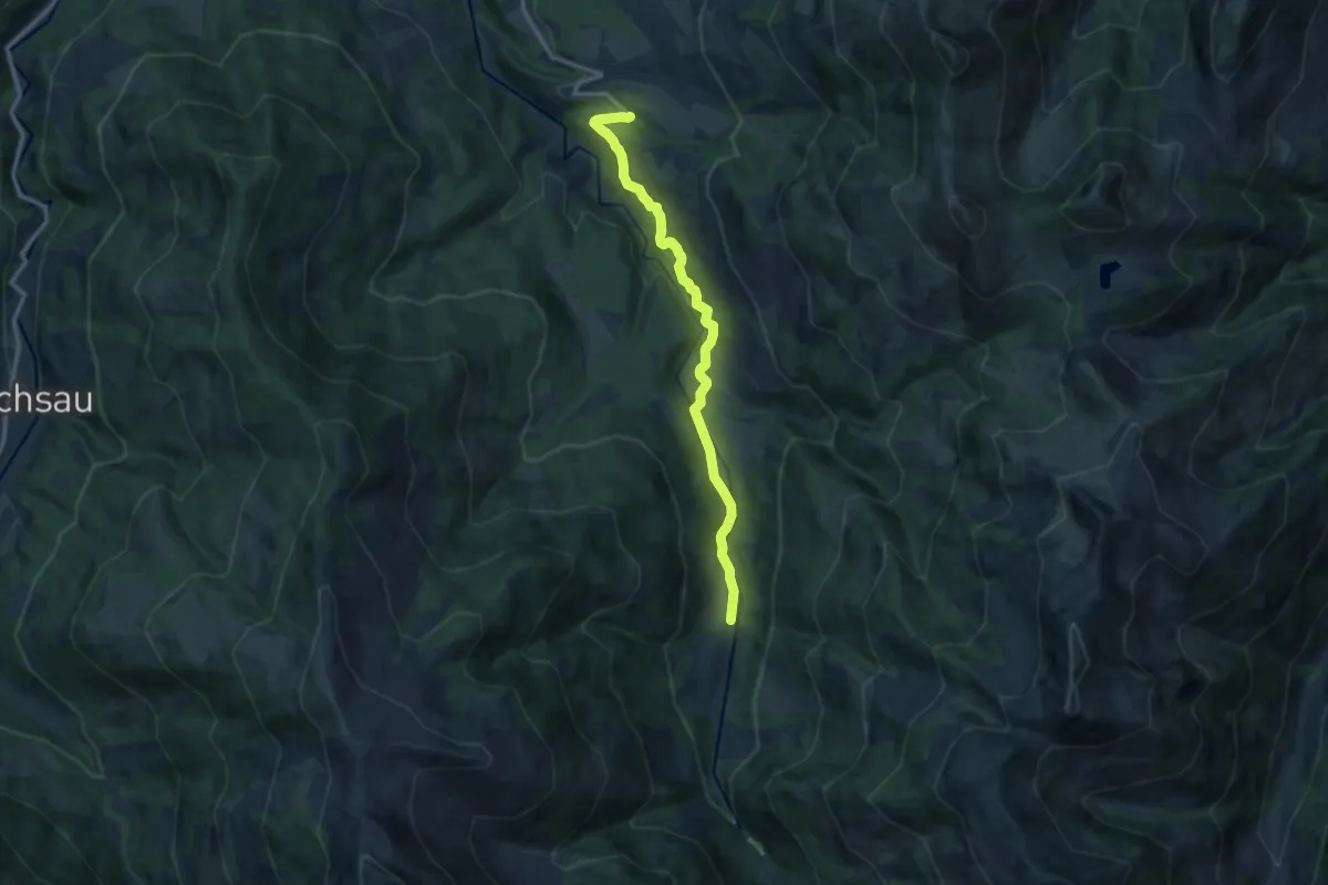
Medium · Cabin
Wanderweg 4 - Brixen
11.4 km · ↑ 117 m · 2 h 57 min
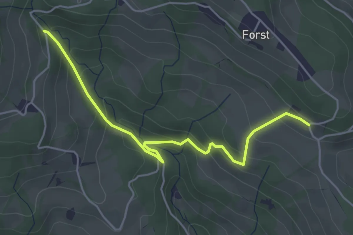
Easy · Trail
Wanderweg 4C
4.3 km · ↑ 271 m · 1 h 36 min
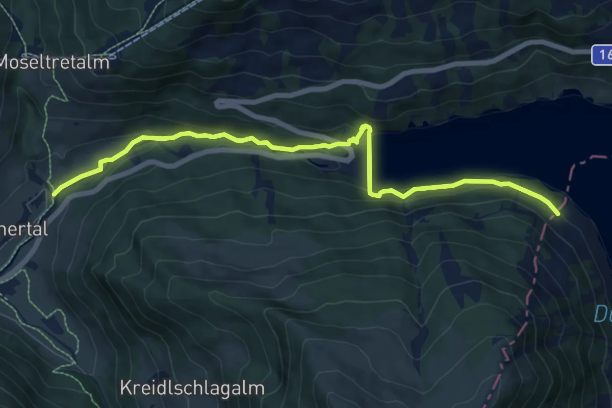
Medium · Trail
Wanderweg 4 - Gerlos
8.7 km · ↑ 192 m · 2 h 29 min
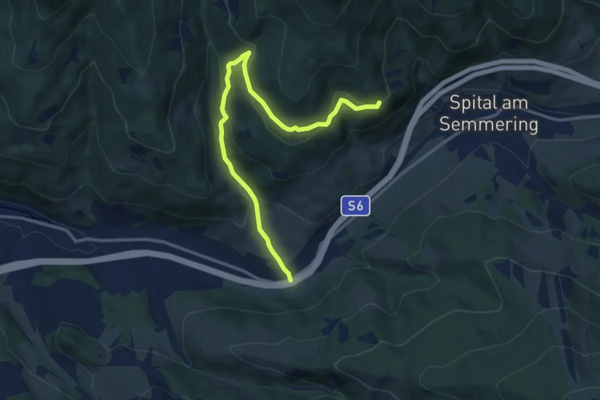
Medium · Trail
Wanderweg 4 - Grauschenhof - Anschluß an Wanderweg 5 & 6 (Nähe Räuberhöhle)
9.0 km · ↑ 407 m · 3 h
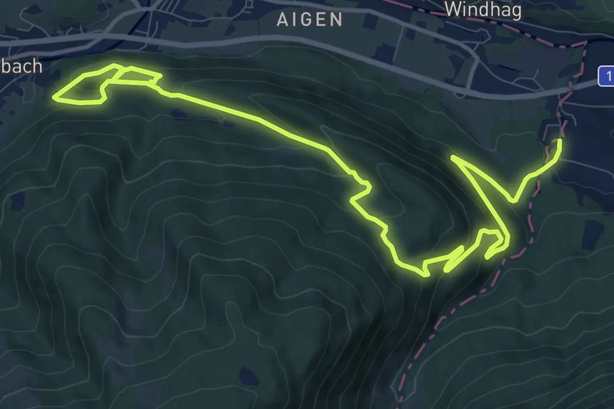
Medium · Trail
Wanderweg 4 Hoferriedlweg
14.4 km · ↑ 656 m · 4 h 50 min
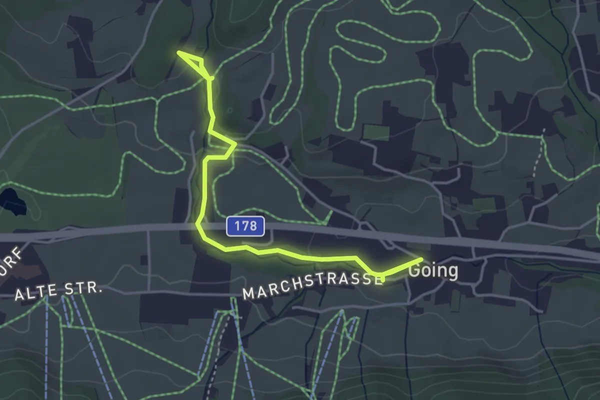
Easy · Trail
Wanderweg 4 - Schwendterrundweg
4.1 km · ↑ 51 m · 1 h 5 min
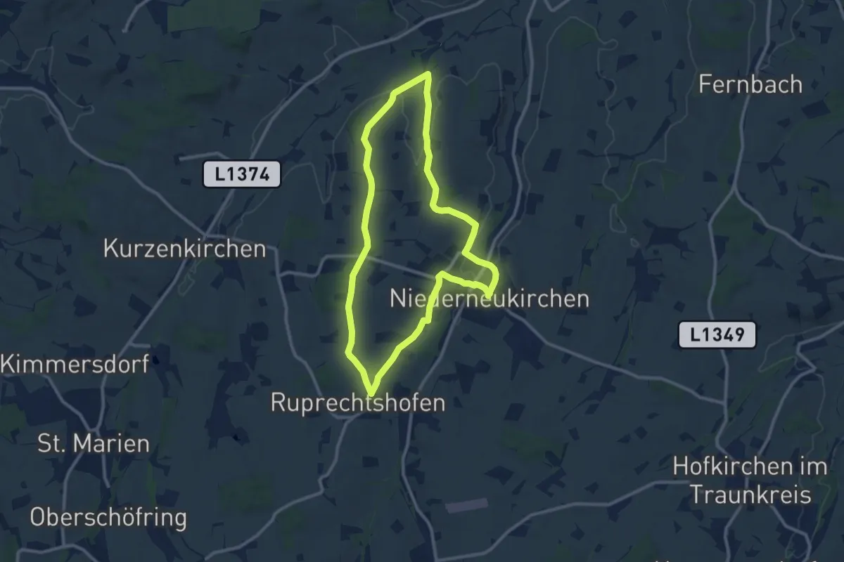
Medium · Trail
Wanderweg 4 Steggraben-Ruprechtshofen
9.5 km · ↑ 150 m · 2 h 42 min
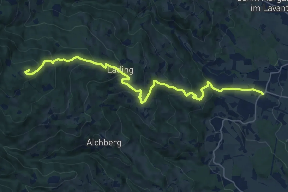
Demanding · Summit
Wanderweg 5
17.9 km · ↑ 832 m · 6 h 2 min
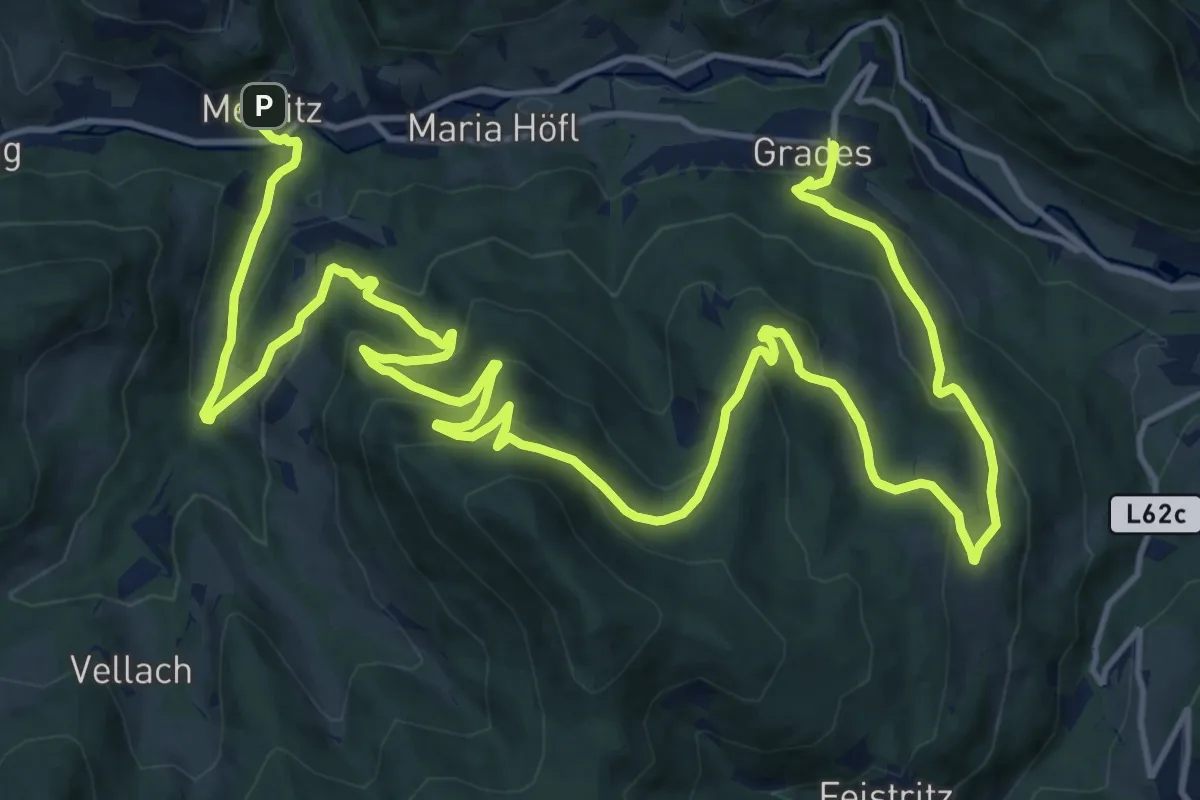
Medium · Trail
Wanderweg 5
12.7 km · ↑ 518 m · 4 h 18 min
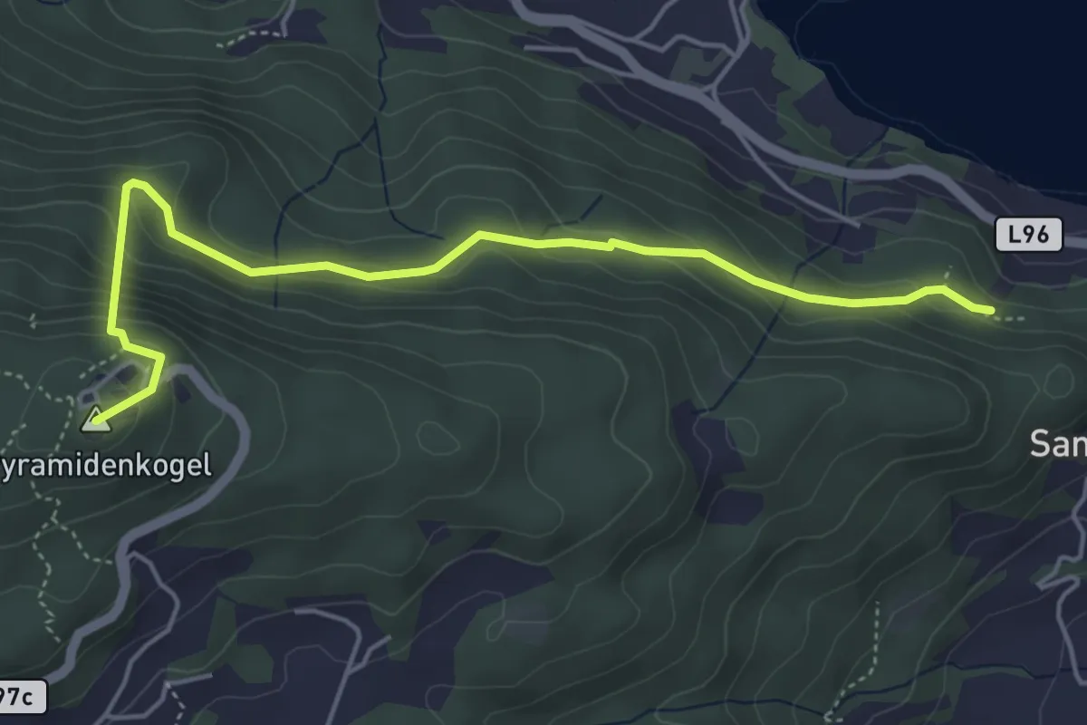
Medium · Summit
Wanderweg 5
5.1 km · ↑ 334 m · 1 h 56 min
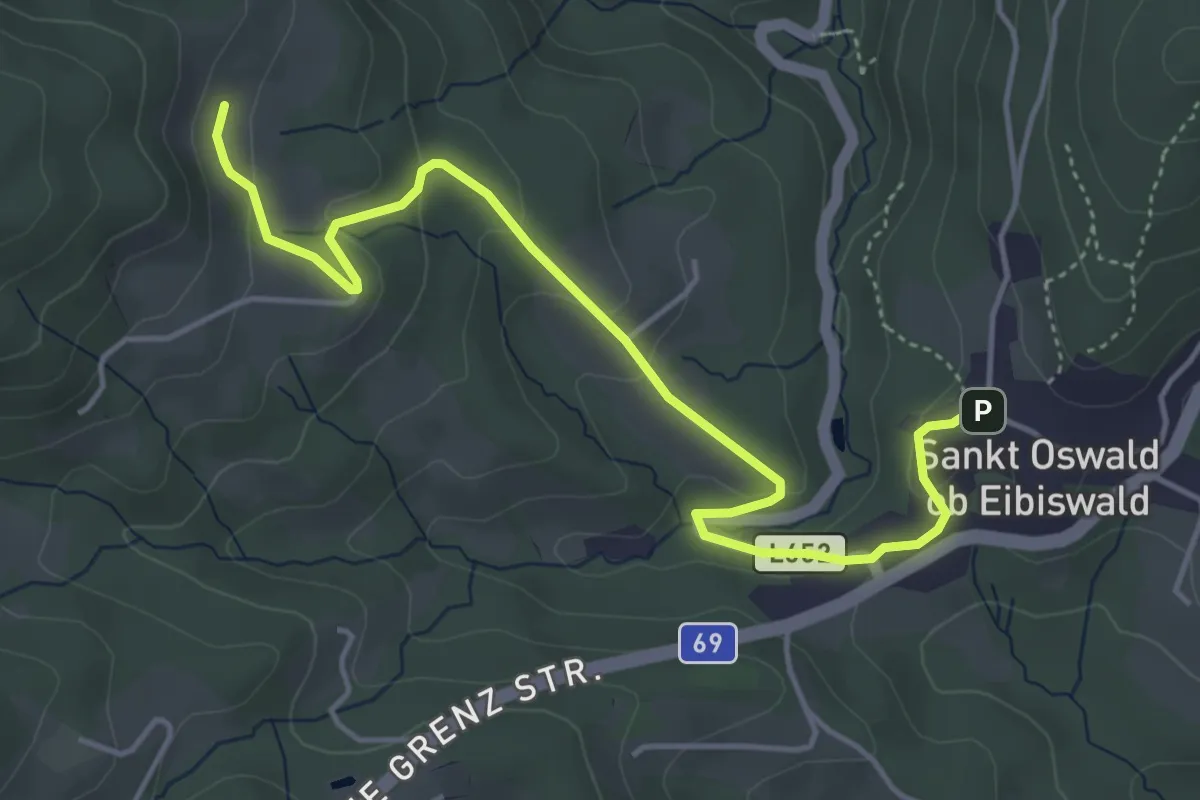
Easy · Trail
Wanderweg 5
5.1 km · ↑ 198 m · 1 h 38 min
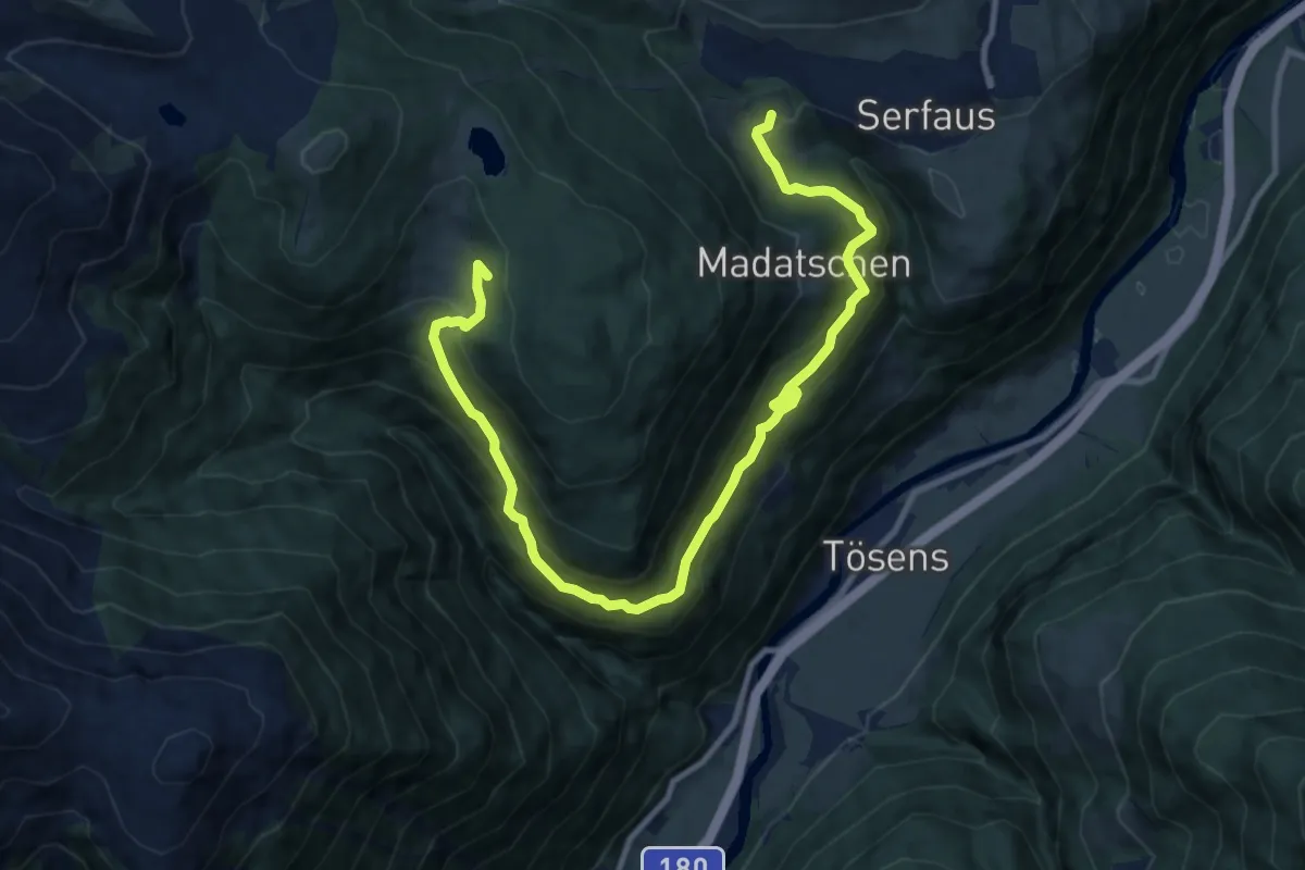
Medium · Trail
Wanderweg 5
12.4 km · ↑ 610 m · 4 h 15 min
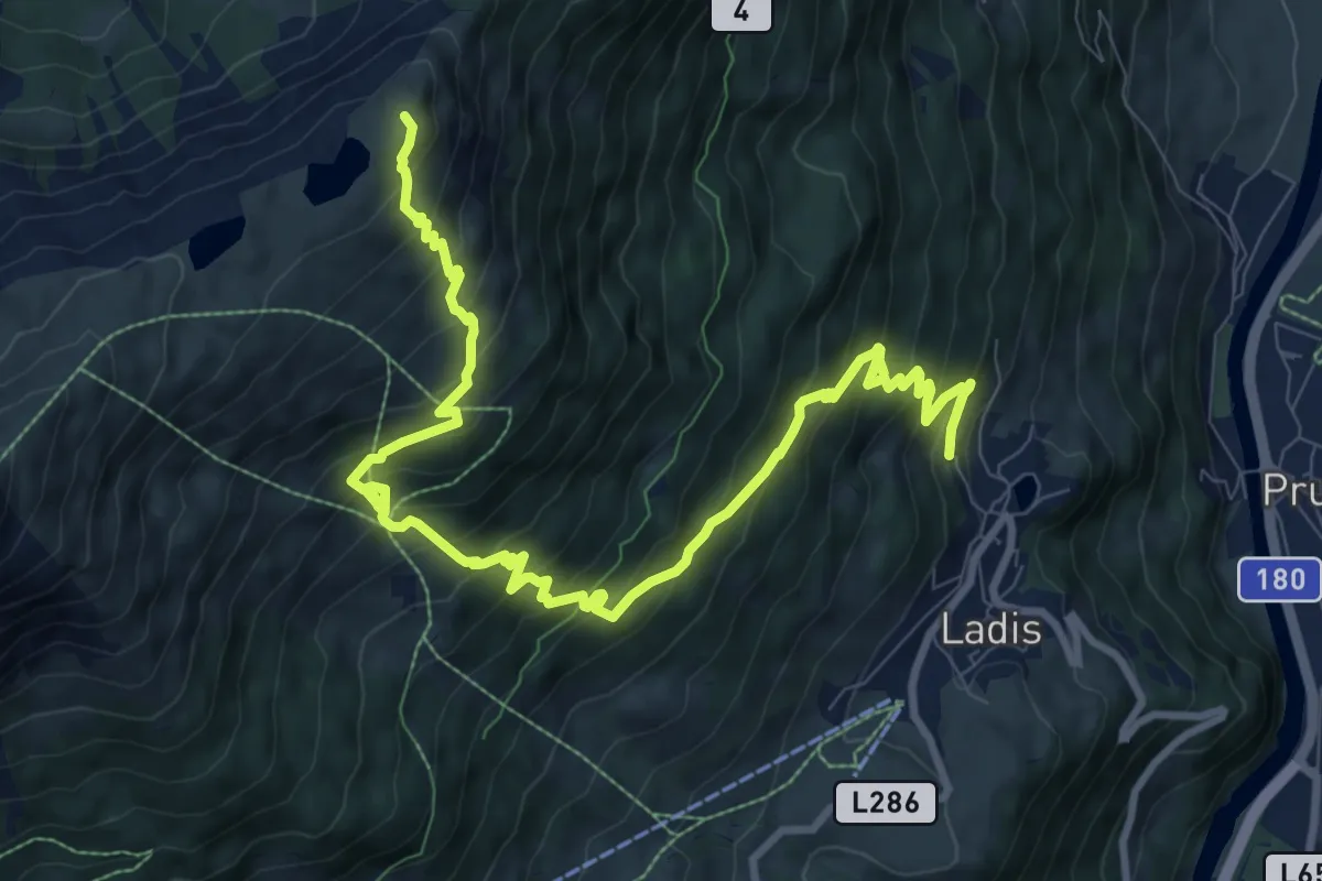
Demanding · Summit
Wanderweg 5
12.5 km · ↑ 1109 m · 5 h 21 min
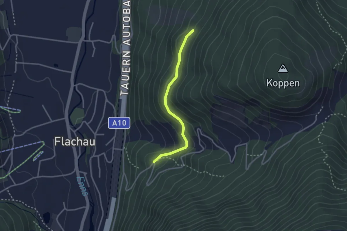
Easy · Trail
Wanderweg 5
2.4 km · ↑ 112 m · 48 min
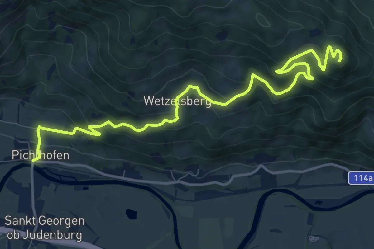
Medium · Summit
Wanderweg 5
11.2 km · ↑ 510 m · 3 h 45 min
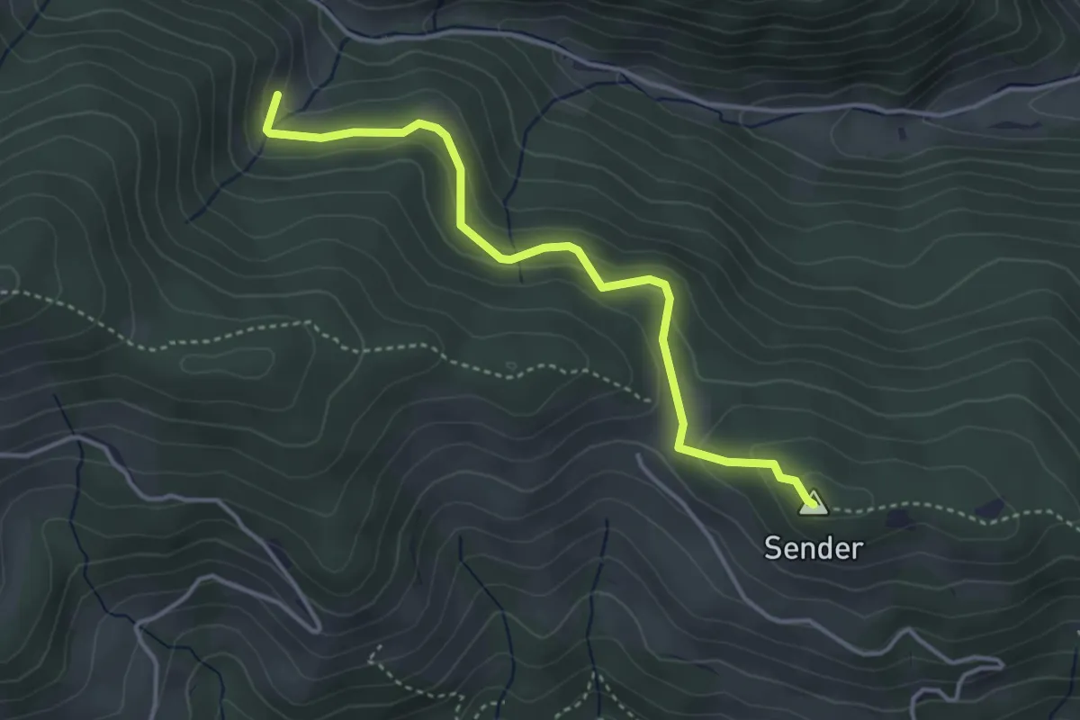
Easy · Summit
Wanderweg 5
3.7 km · ↑ 126 m · 1 h 9 min
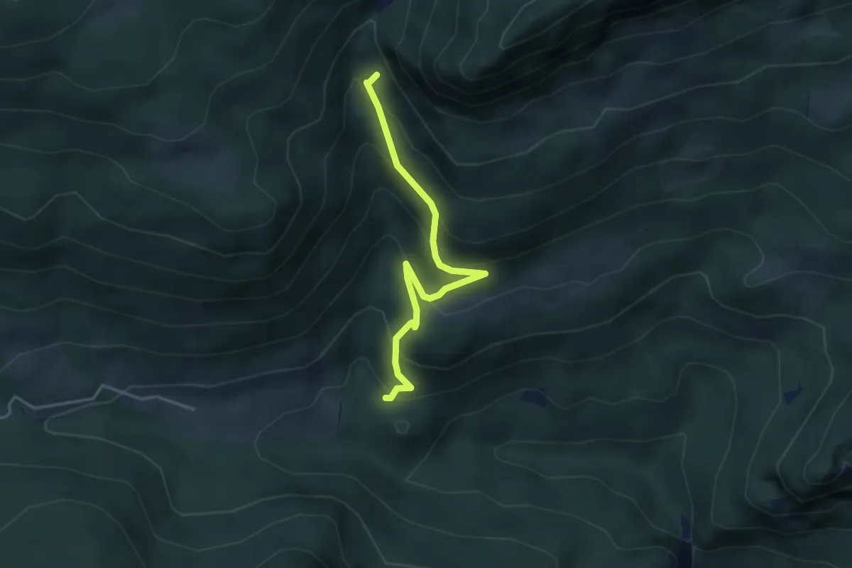
Medium · Trail
Wanderweg 5
3.6 km · ↑ 291 m · 1 h 29 min
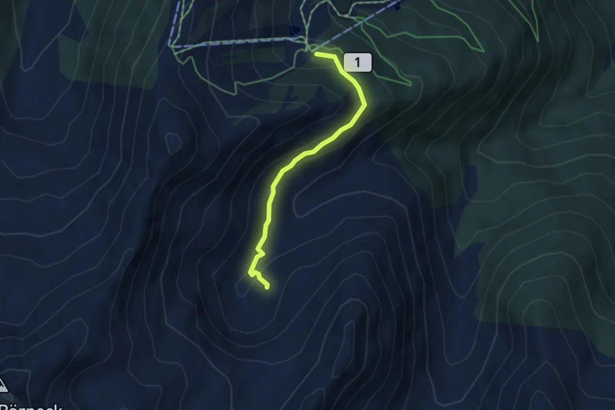
Medium · Trail
Wanderweg 5
3.3 km · ↑ 115 m · 1 h 2 min
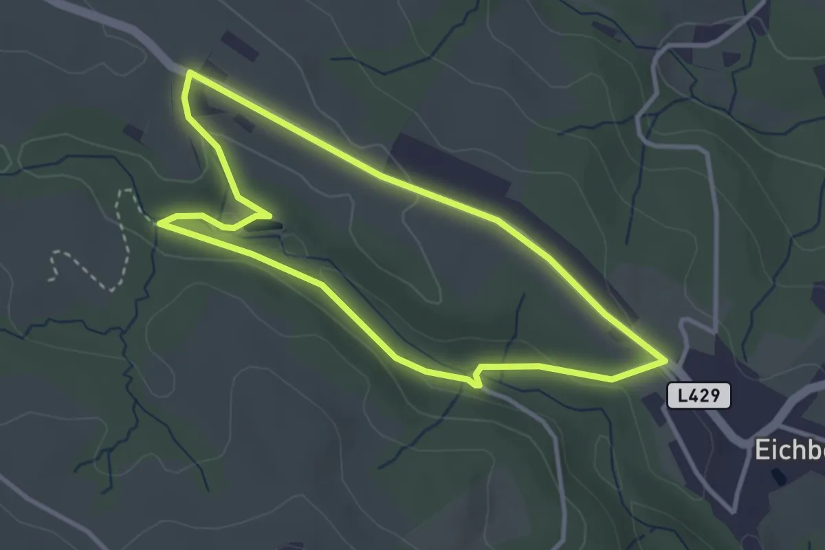
Easy · Trail
Wanderweg 5
3.0 km · ↑ 77 m · 55 min
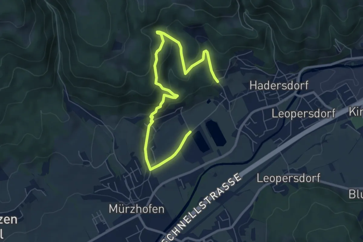
Medium · Trail
Wanderweg 5
8.2 km · ↑ 336 m · 2 h 41 min
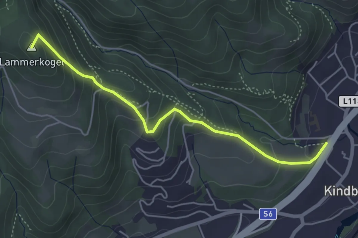
Medium · Summit
Wanderweg 5
4.2 km · ↑ 291 m · 1 h 38 min
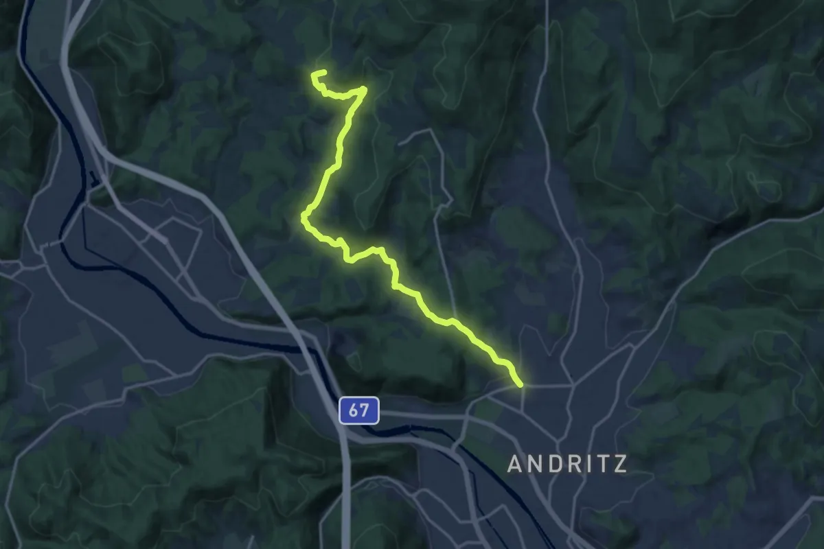
Medium · Trail
Wanderweg 5
16.5 km · ↑ 614 m · 5 h 13 min
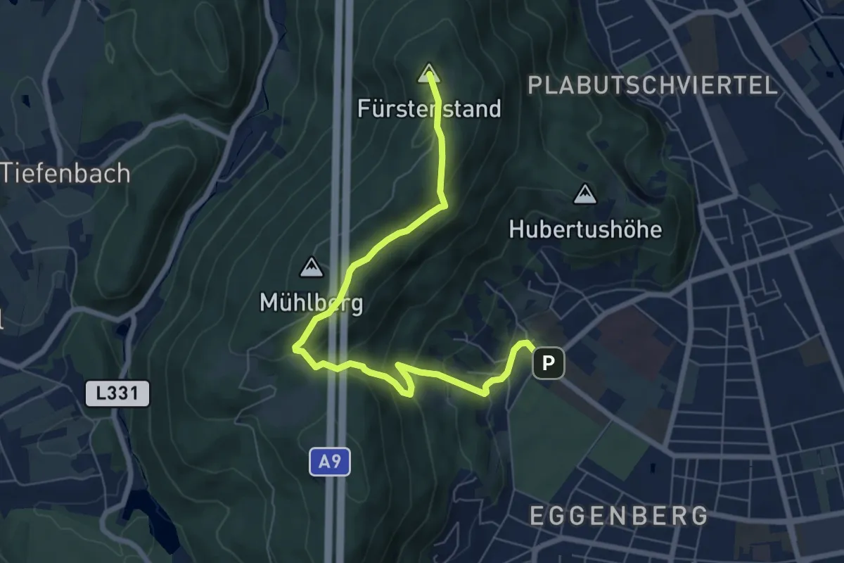
Medium · Summit
Wanderweg 5
7.3 km · ↑ 419 m · 2 h 38 min
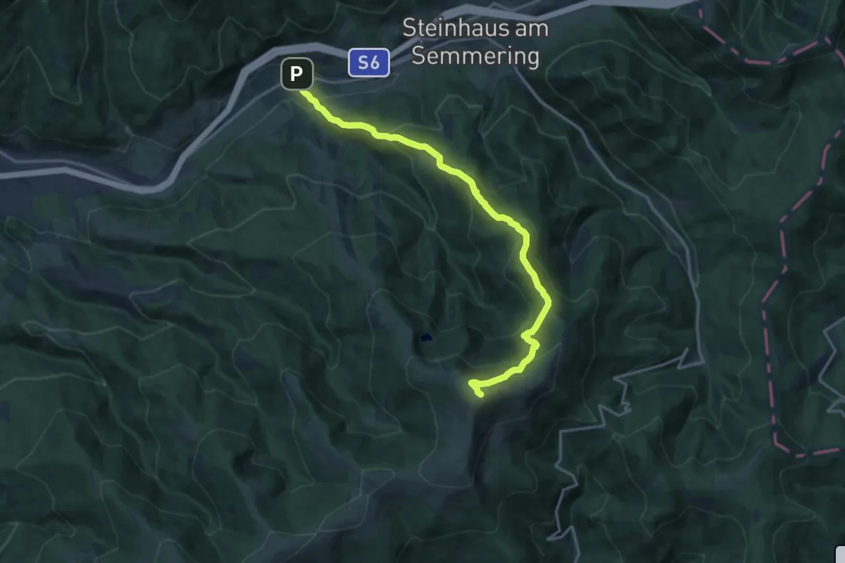
Demanding · Summit
Wanderweg 5
15.8 km · ↑ 1108 m · 6 h 8 min