Trails in Austria
9,777 hiking trails, each with its route, climb, walking time and grade.
All trails, page 154 of 204
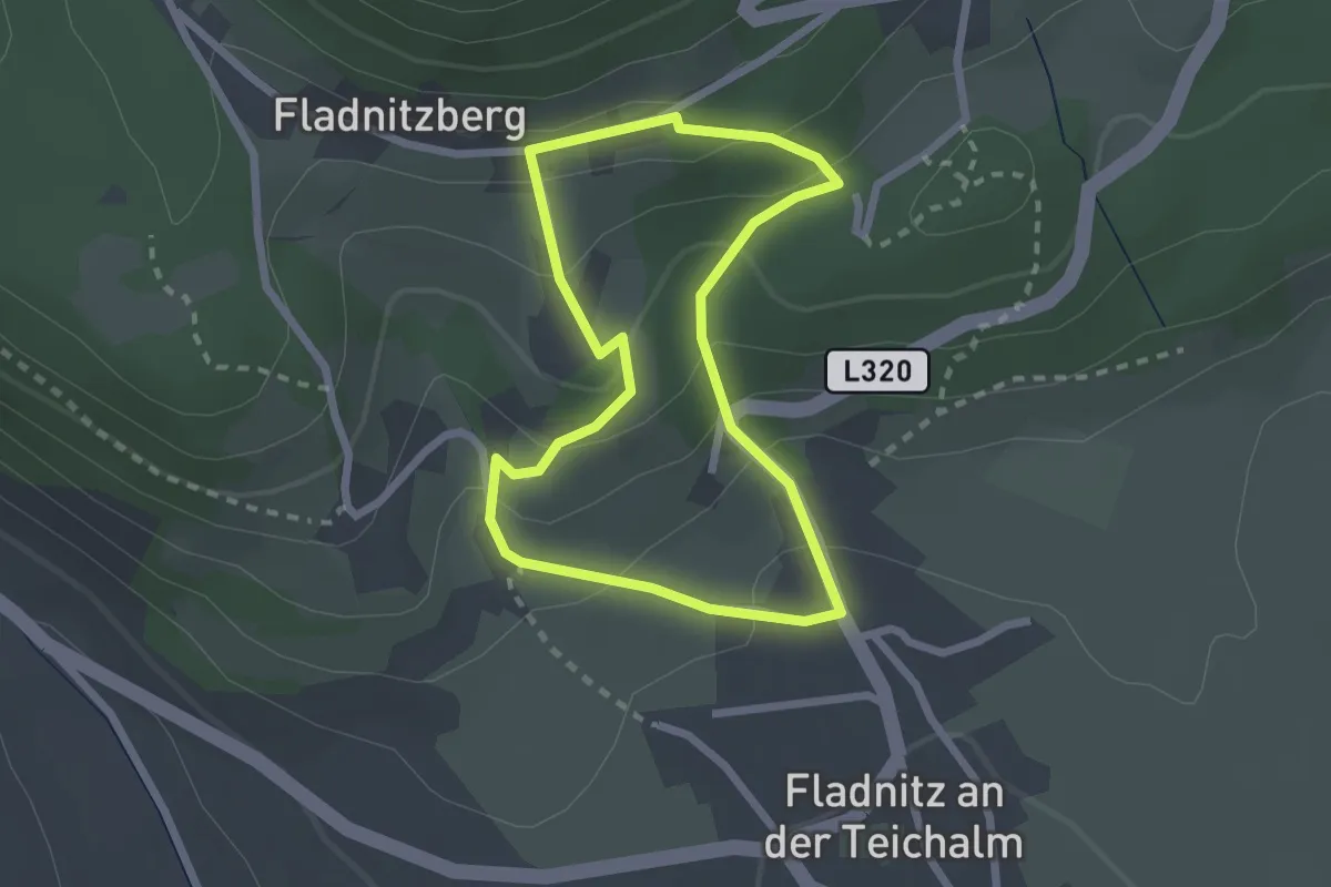
Easy · Trail
Wanderweg 5
2.1 km · ↑ 138 m · 49 min
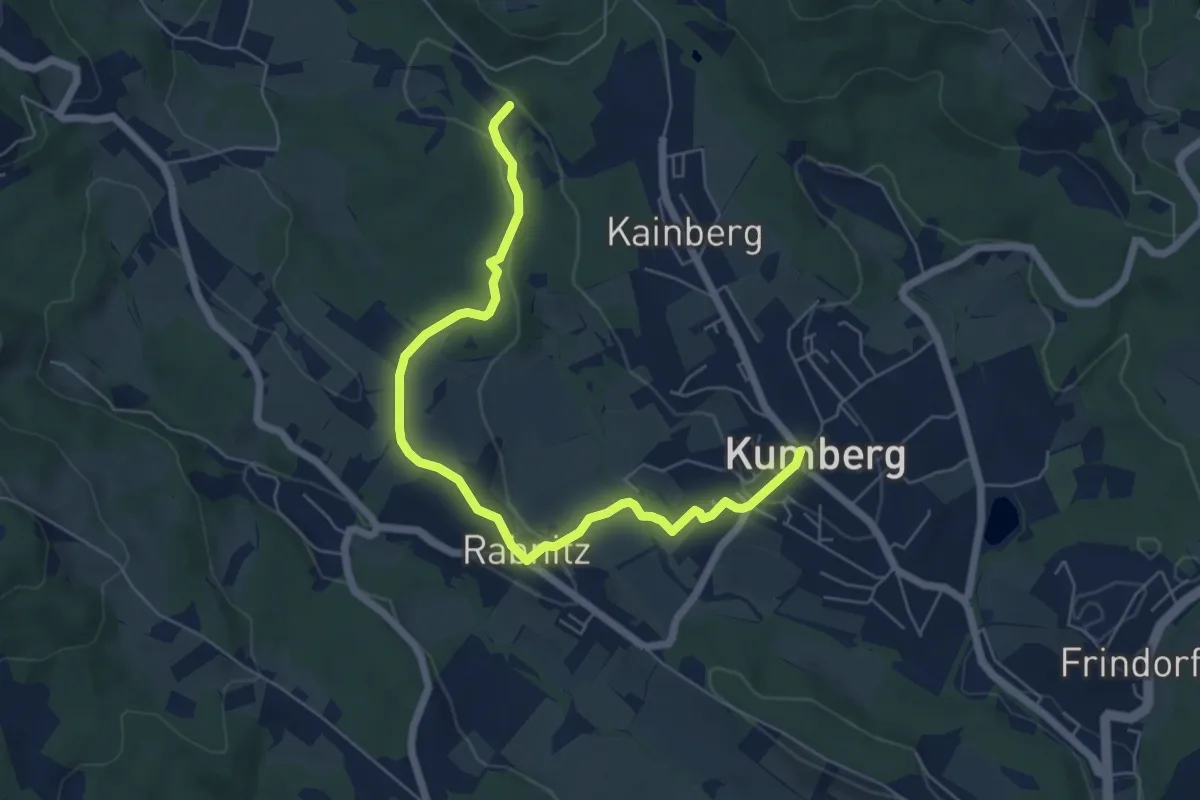
Easy · Trail
Wanderweg 5
6.6 km · ↑ 176 m · 1 h 56 min
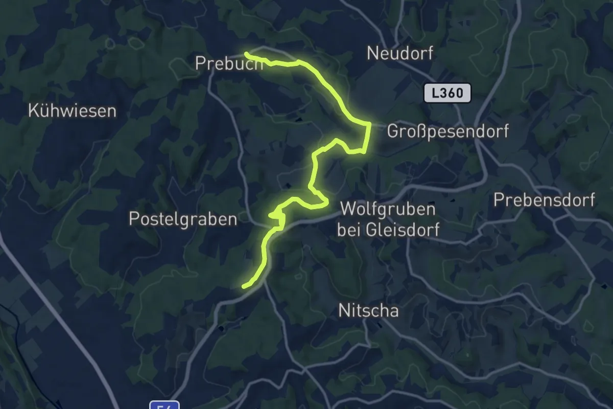
Medium · Trail
Wanderweg 5
14.4 km · ↑ 390 m · 4 h 15 min
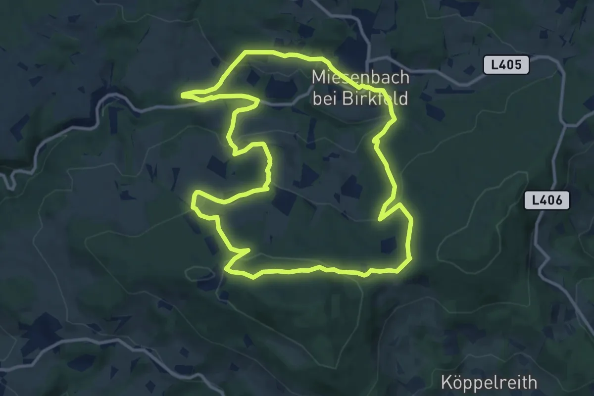
Medium · Trail
Wanderweg 5
10.3 km · ↑ 374 m · 3 h 23 min
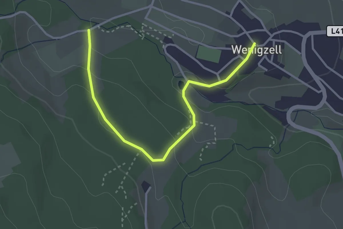
Easy · Trail
Wanderweg 5
1.6 km · ↑ 51 m · 31 min
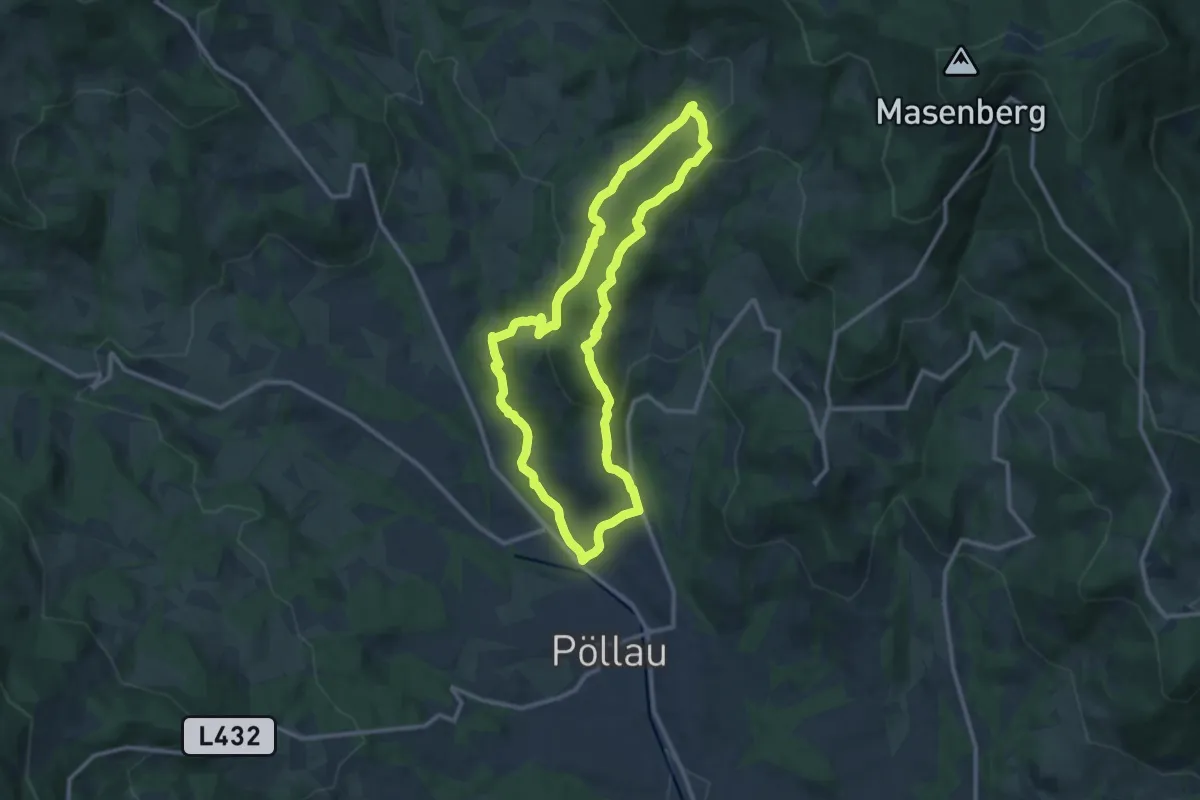
Medium · Summit
Wanderweg 5
10.8 km · ↑ 403 m · 3 h 35 min
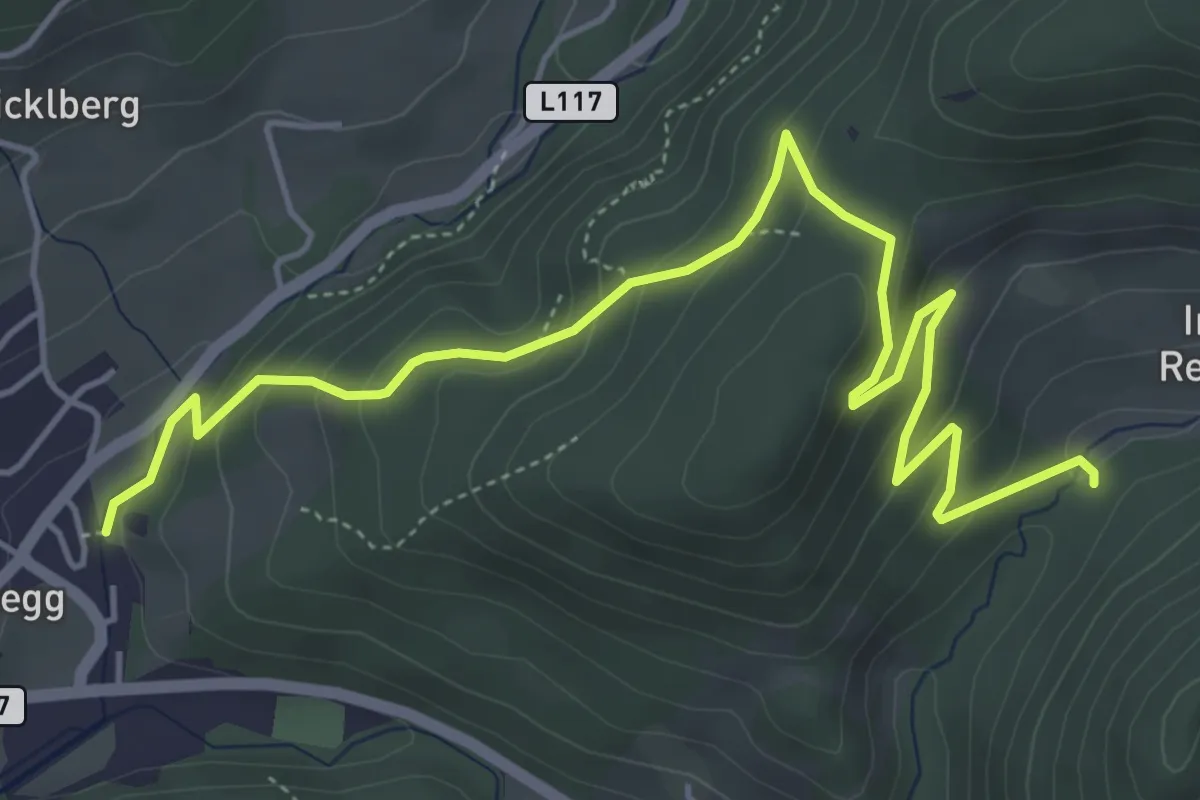
Easy · Trail
Wanderweg 5
3.1 km · ↑ 134 m · 1 h 6 min
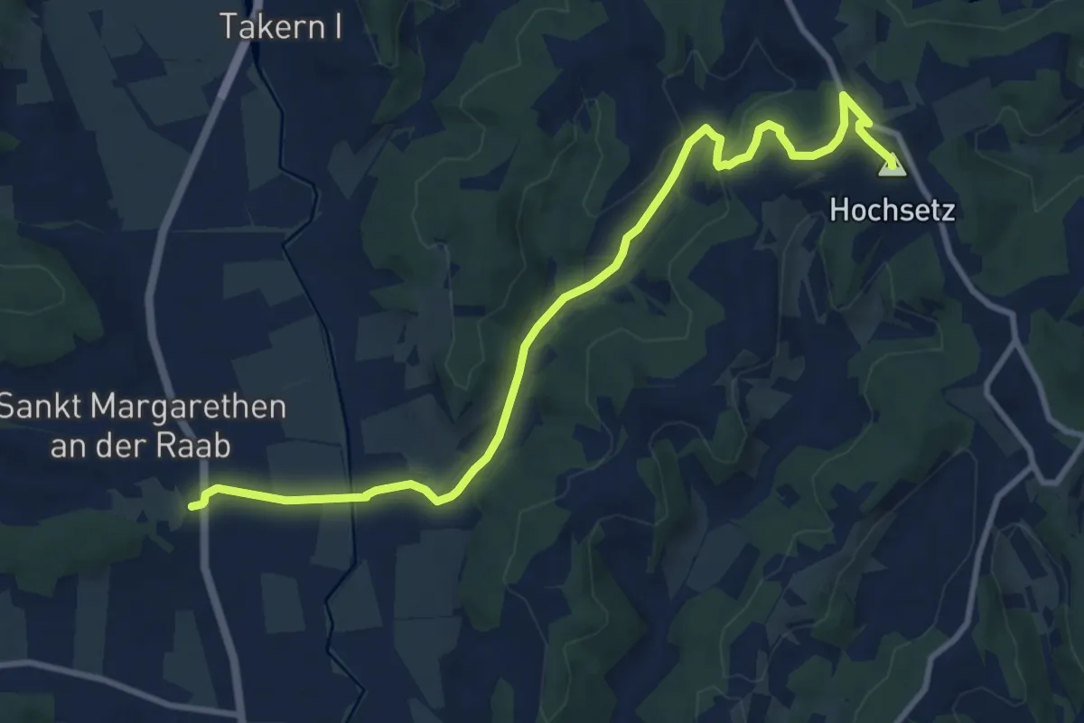
Medium · Summit
Wanderweg 5
10.7 km · ↑ 159 m · 2 h 52 min
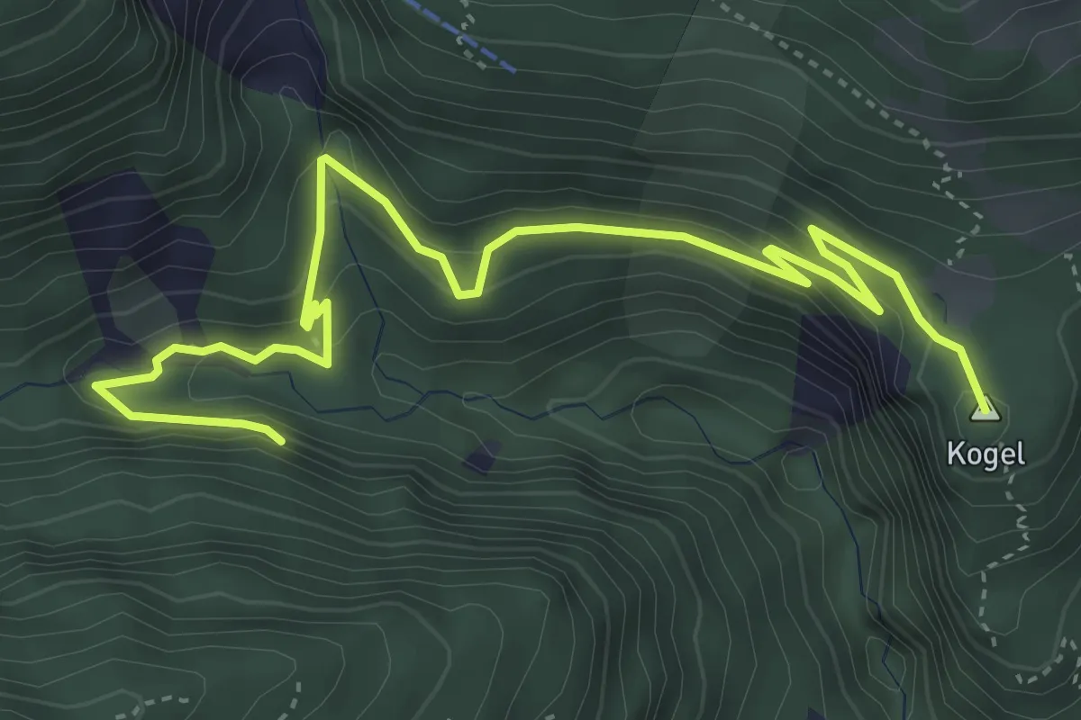
Easy · Summit
Wanderweg 50
5.3 km · ↑ 235 m · 1 h 46 min
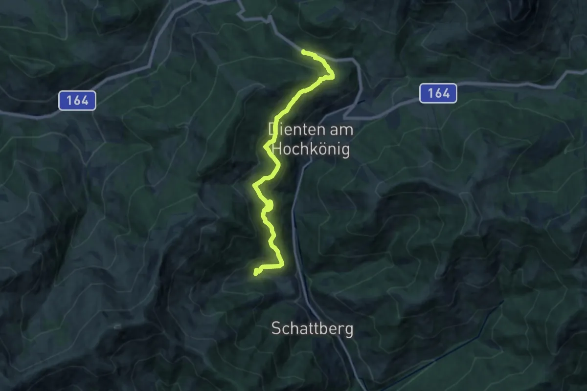
Medium · Trail
Wanderweg 50
13.9 km · ↑ 458 m · 4 h 17 min
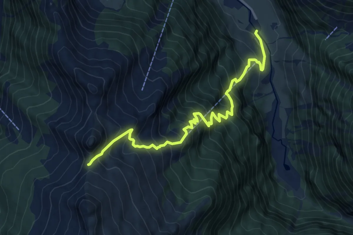
Demanding · Trail
Wanderweg 50
9.4 km · ↑ 998 m · 4 h 23 min
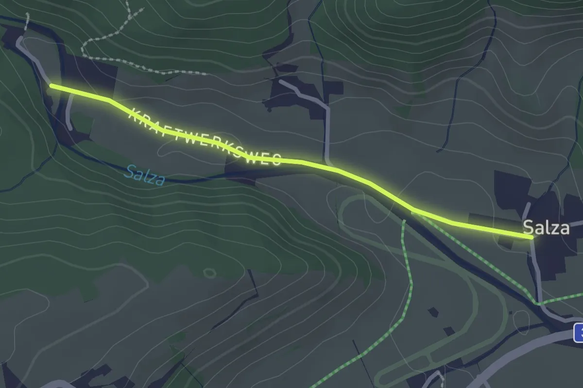
Easy · Trail
Wanderweg 50
2.2 km · ↑ 4 m · 32 min
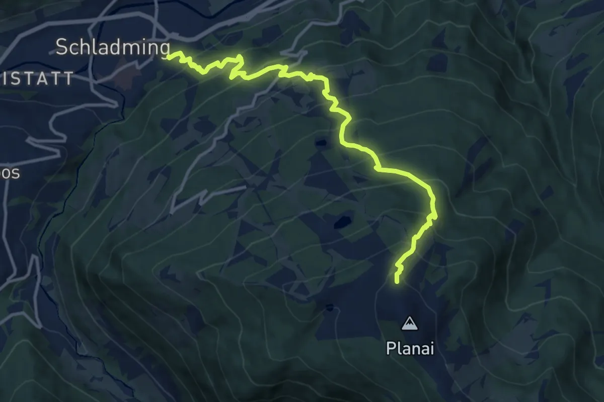
Demanding · Trail
Wanderweg 50
12.0 km · ↑ 1073 m · 5 h 10 min
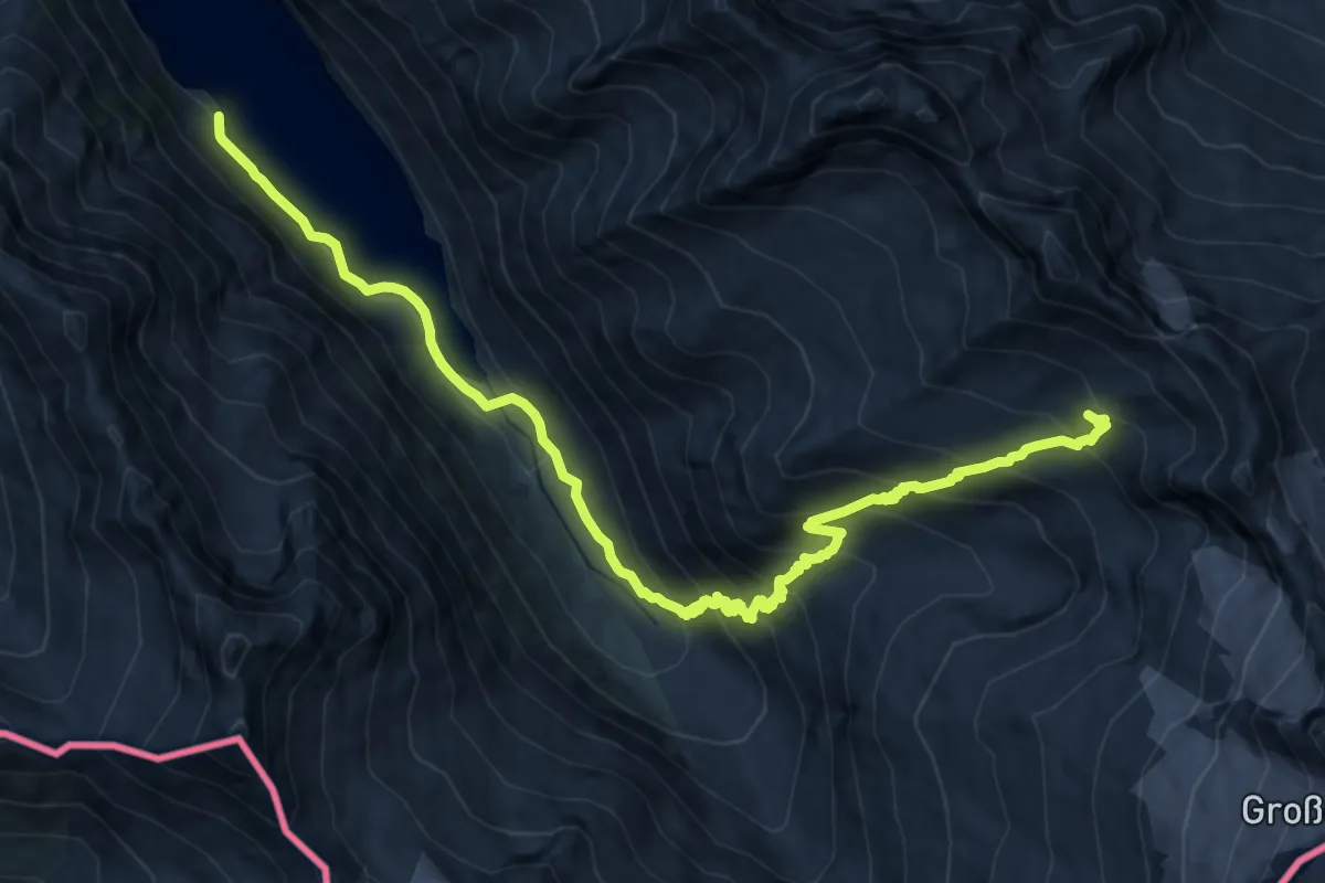
Demanding · Trail
Wanderweg 502
14.3 km · ↑ 1046 m · 5 h 38 min
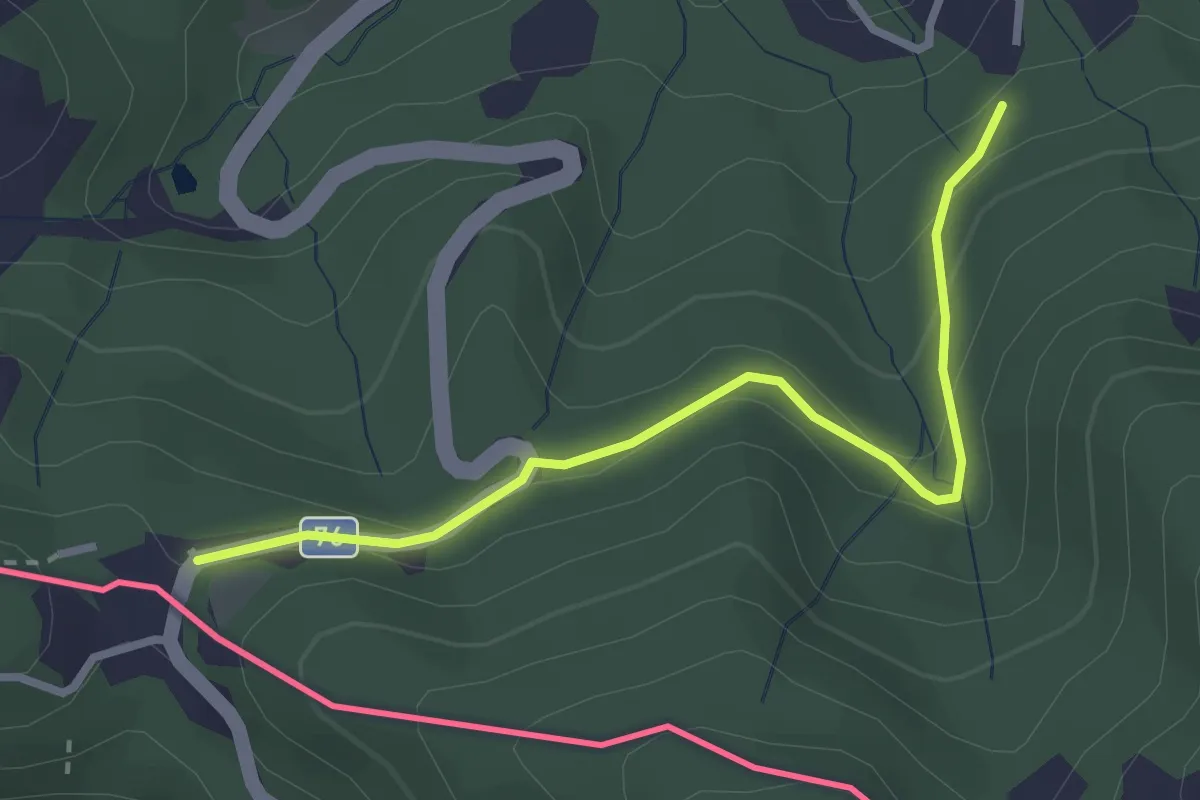
Easy · Trail
Wanderweg 505
2.9 km · ↑ 120 m · 56 min
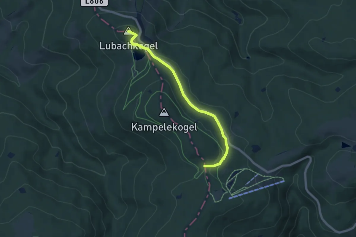
Easy · Summit
Wanderweg 505a
4.9 km · ↑ 73 m · 1 h 18 min
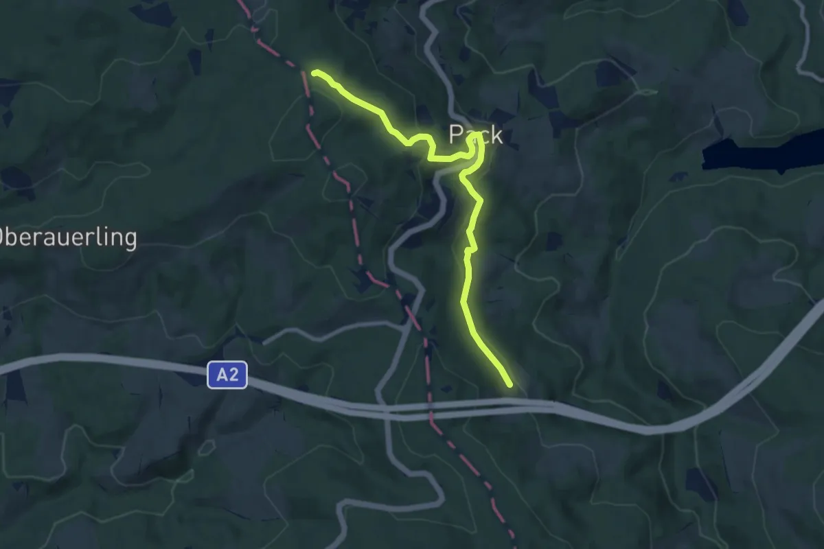
Medium · Trail
Wanderweg 505A
8.2 km · ↑ 286 m · 2 h 33 min
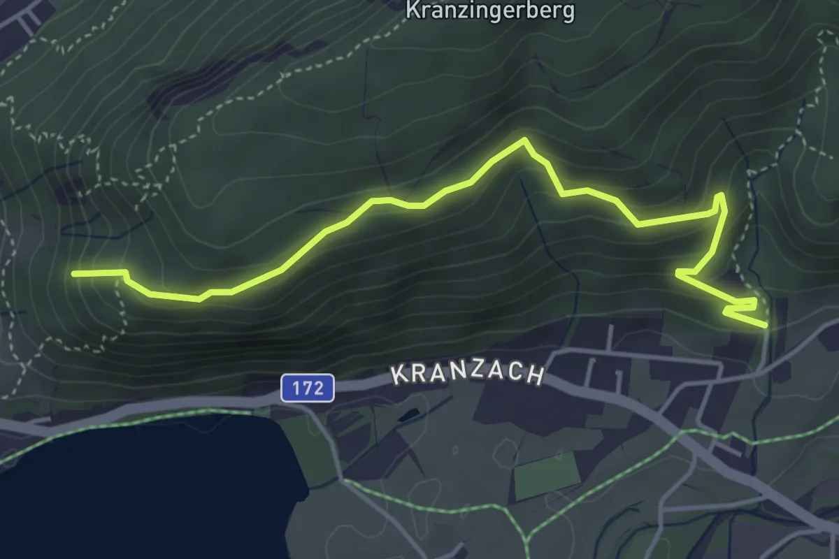
Medium · Summit
Wanderweg 50 - Kaiserwinkl
4.5 km · ↑ 284 m · 1 h 41 min
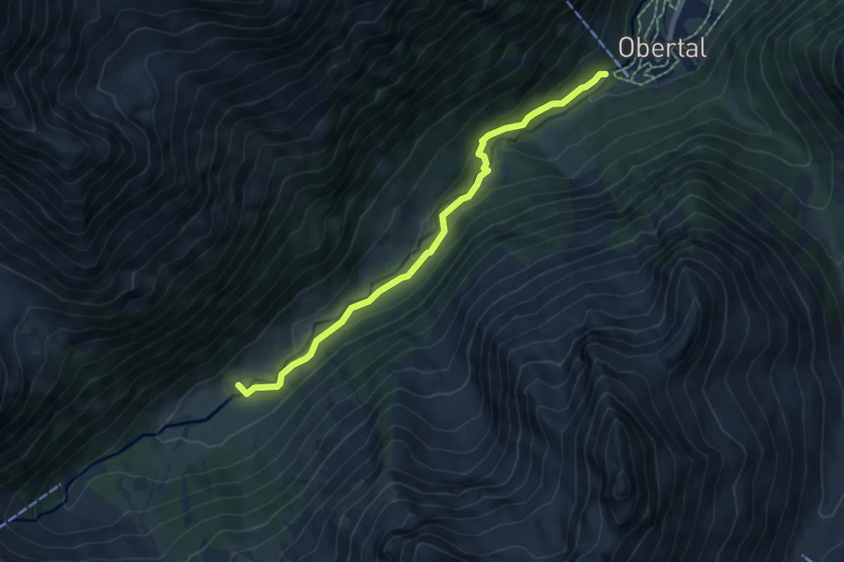
Medium · Trail
Wanderweg 50 - Laponesalm
5.7 km · ↑ 222 m · 1 h 49 min
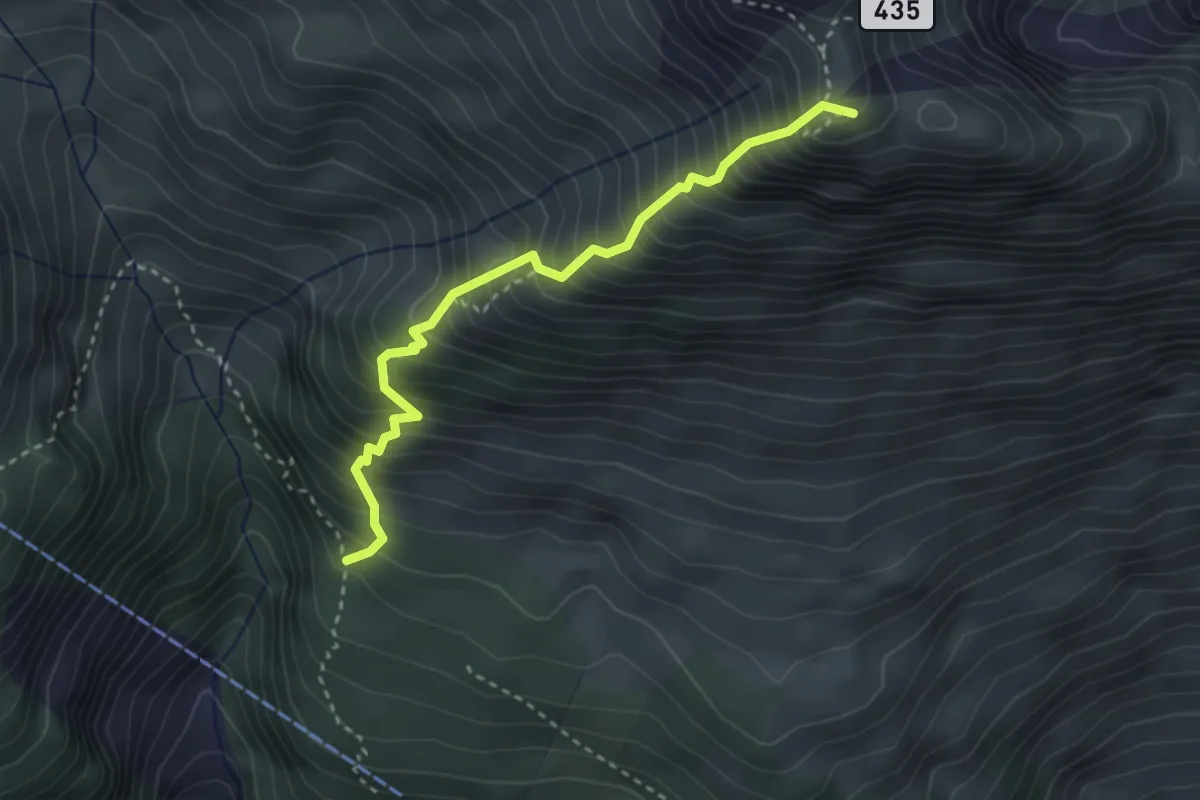
Demanding · Summit
Wanderweg 51
3.1 km · ↑ 658 m · 2 h 10 min
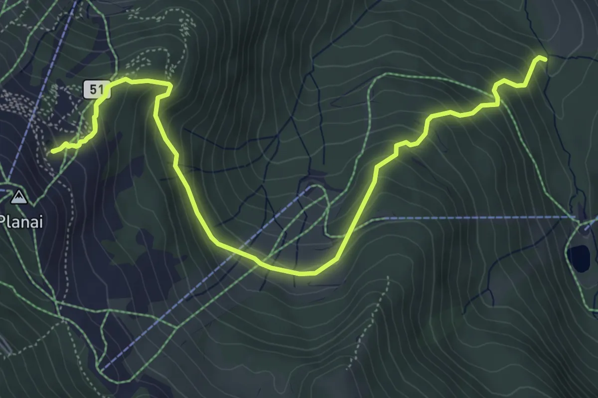
Demanding · Trail
Wanderweg 51
7.5 km · ↑ 572 m · 3 h
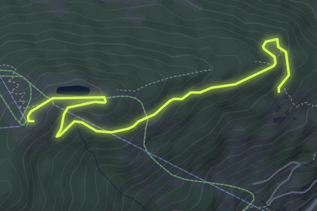
Easy · Summit
Wanderweg 51
5.7 km · ↑ 250 m · 1 h 54 min
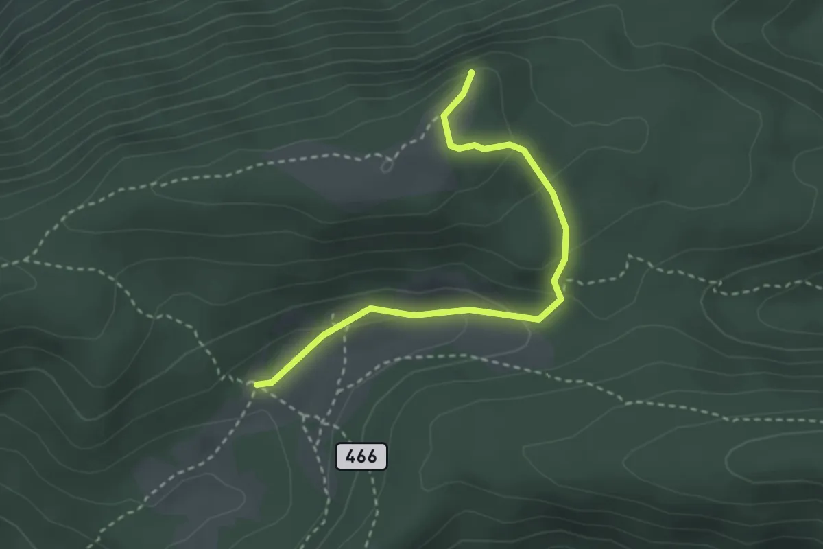
Medium · Summit
Wanderweg 51
2.9 km · ↑ 137 m · 59 min
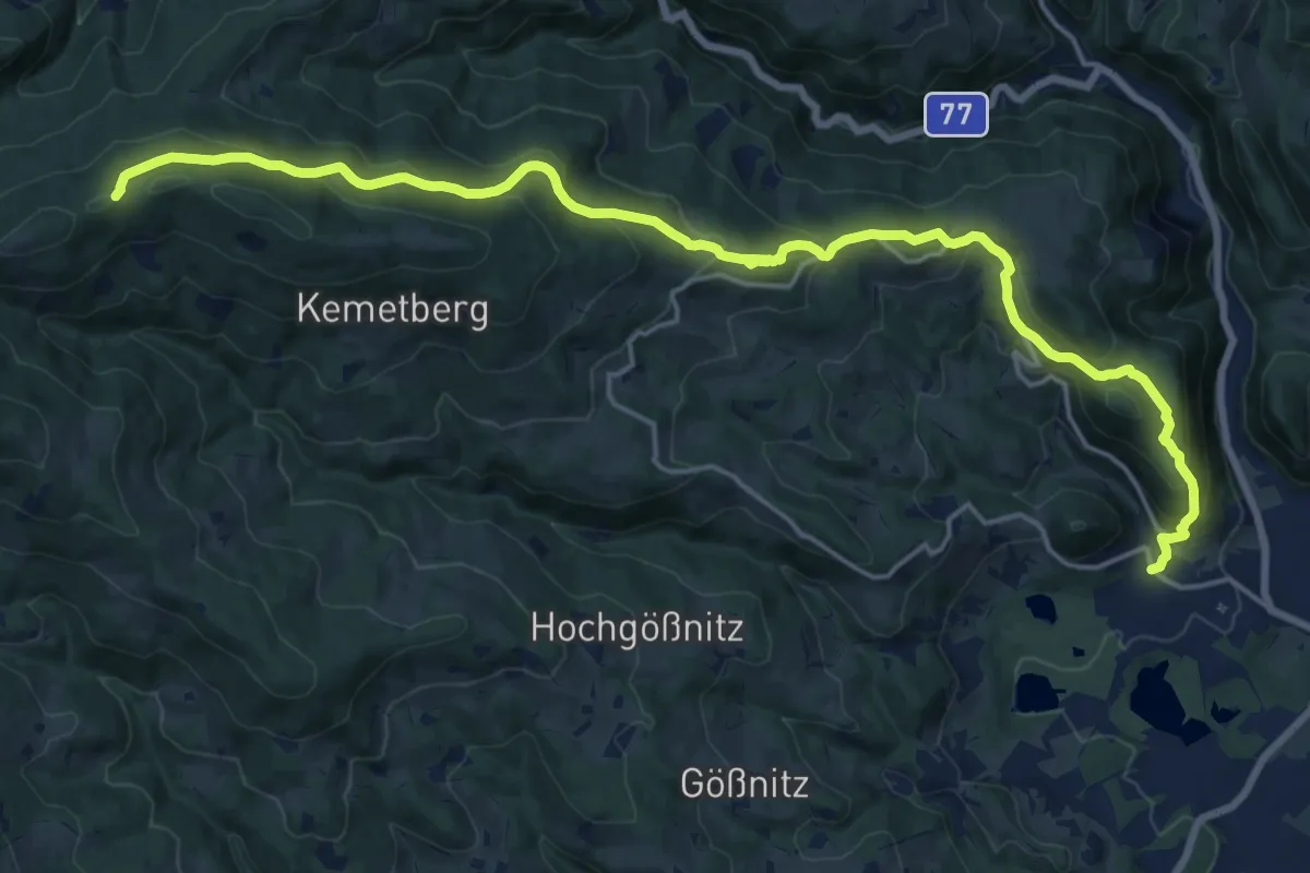
Demanding · Trail
Wanderweg 51
21.5 km · ↑ 955 m · 7 h 9 min
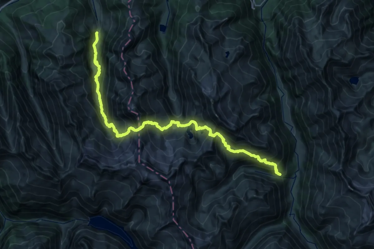
Expert · Trail
Wanderweg 511
18.7 km · ↑ 1537 m · 8 h 13 min
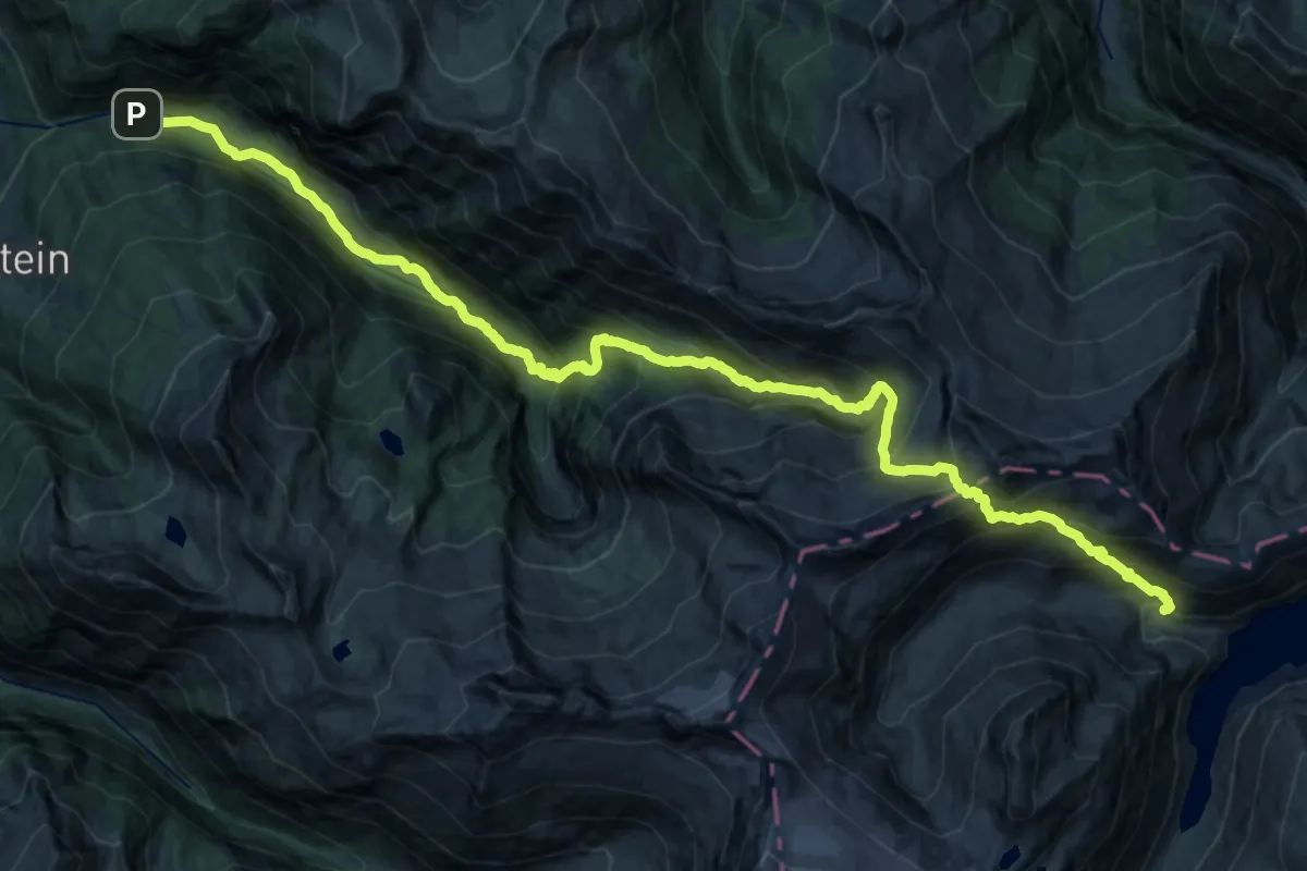
Expert · Trail
Wanderweg 511
20.1 km · ↑ 1773 m · 8 h 24 min
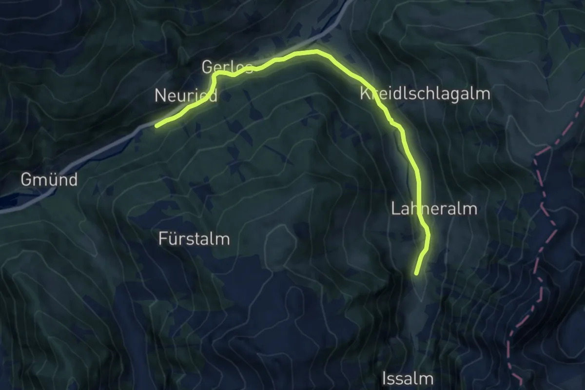
Medium · Trail
Wanderweg 511 - Gerlos
11.8 km · ↑ 158 m · 3 h 7 min
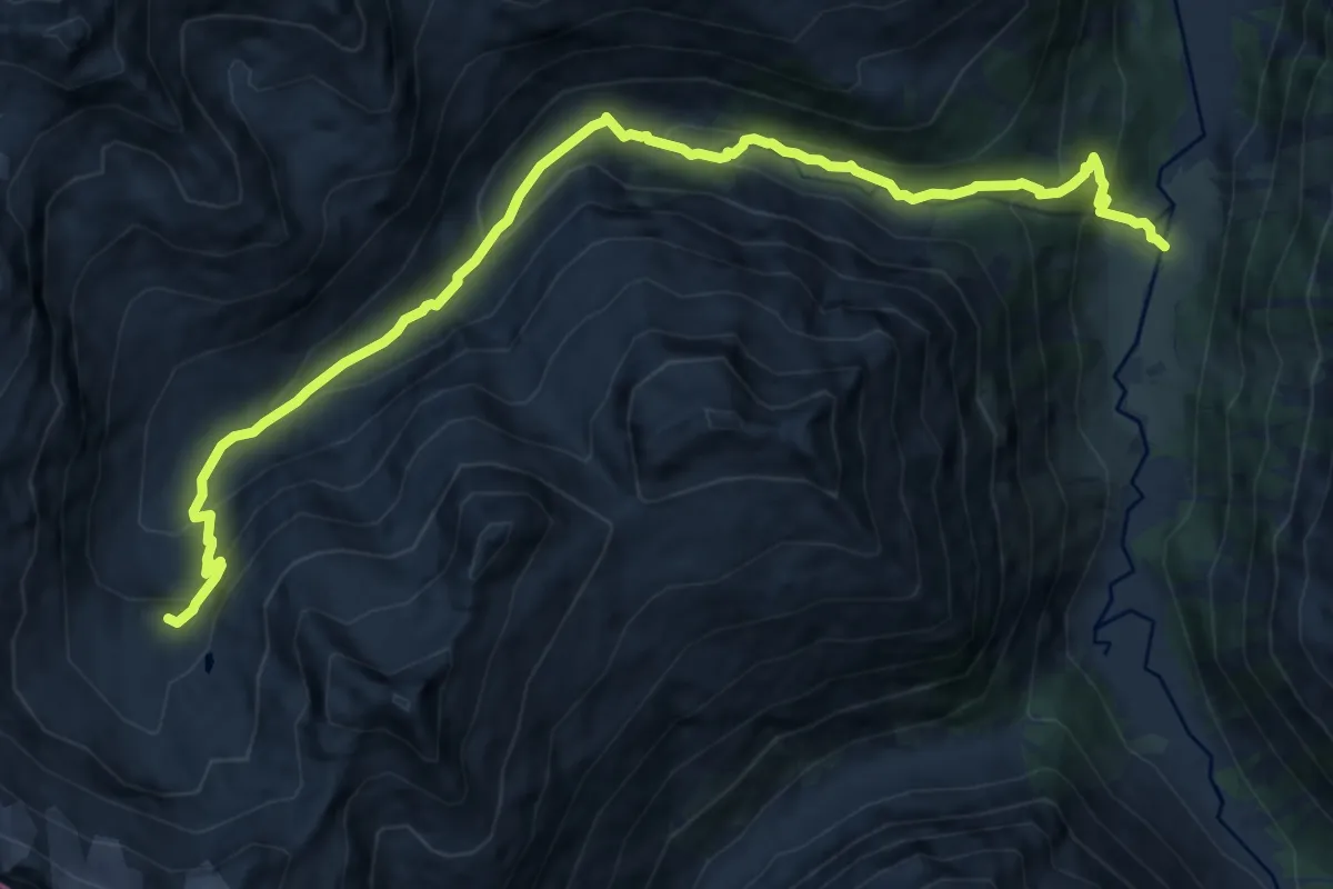
Expert · Cabin
Wanderweg 512
13.2 km · ↑ 742 m · 4 h 44 min
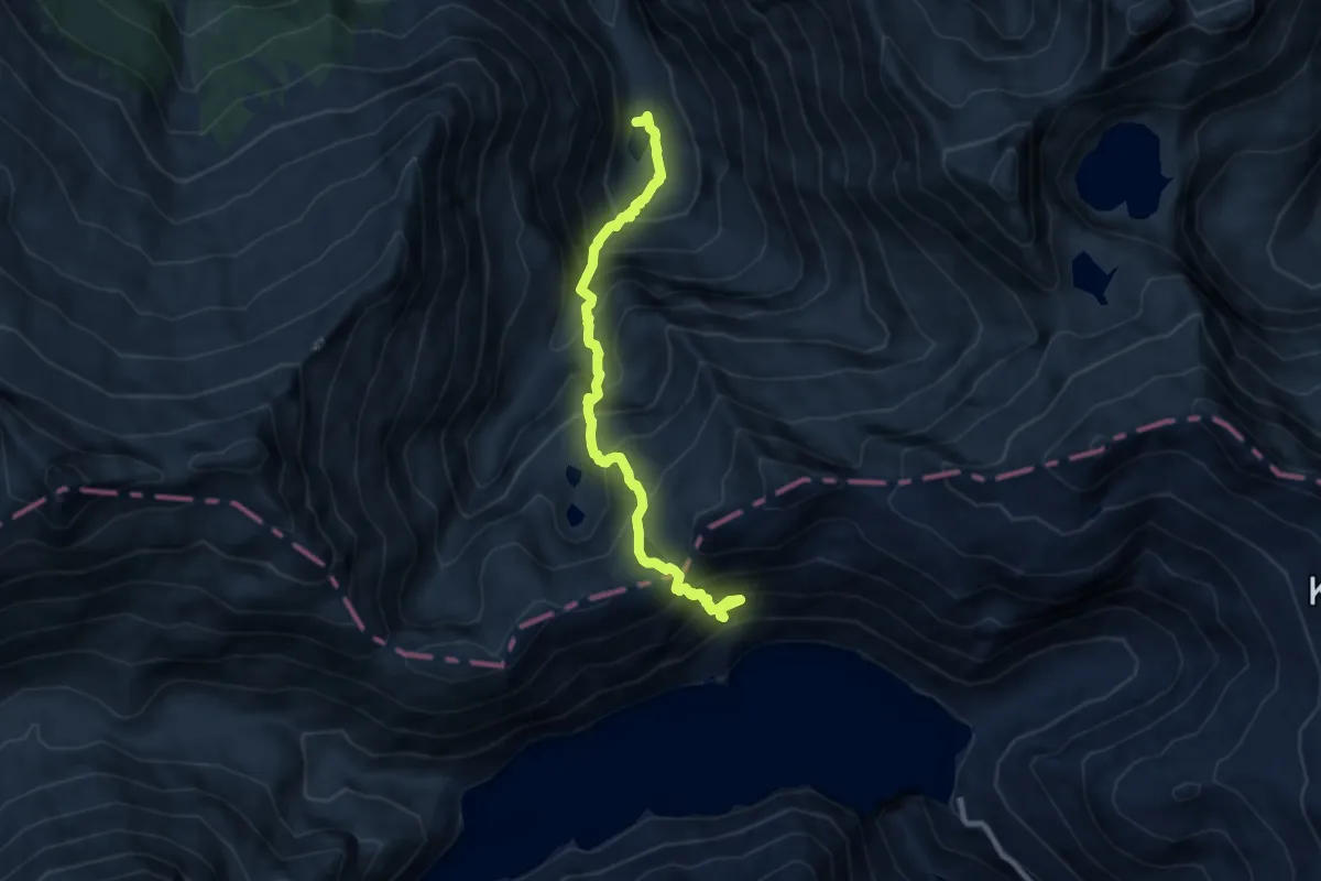
Expert · Trail
Wanderweg 512
8.5 km · ↑ 1105 m · 4 h 24 min
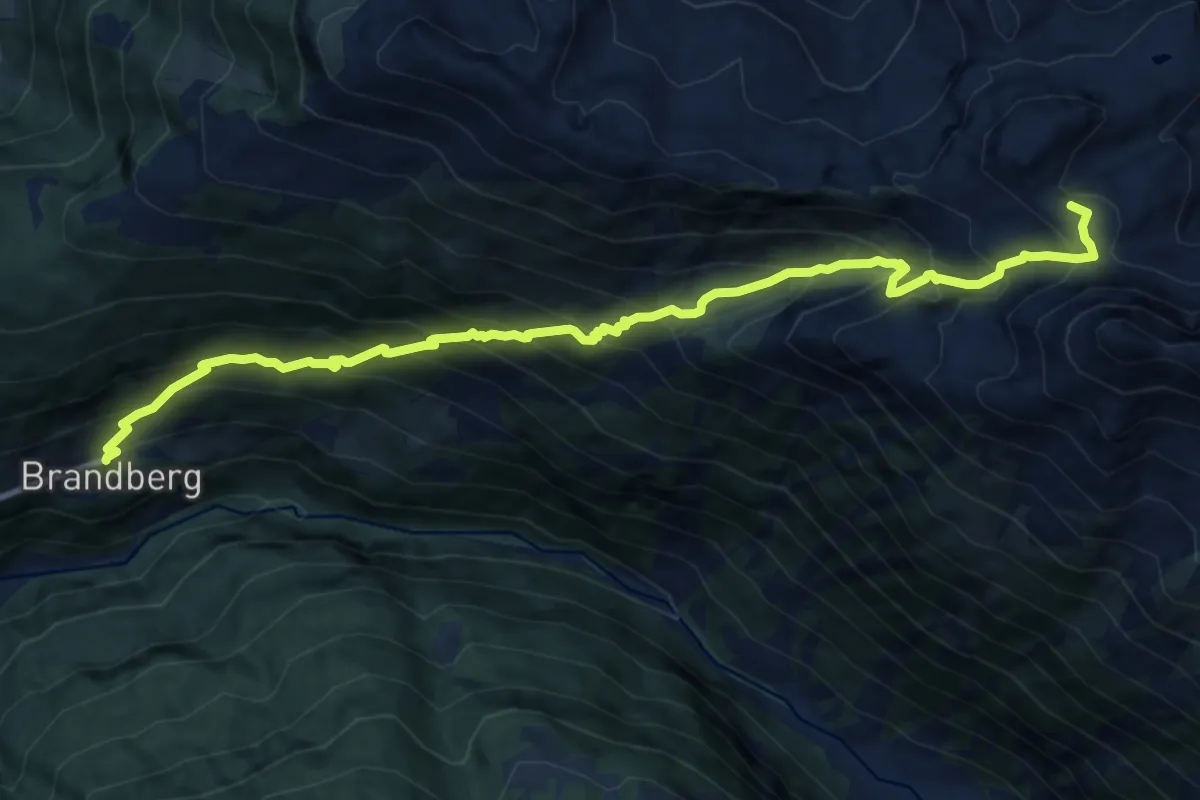
Demanding · Summit
Wanderweg 513
12.1 km · ↑ 1293 m · 5 h 40 min
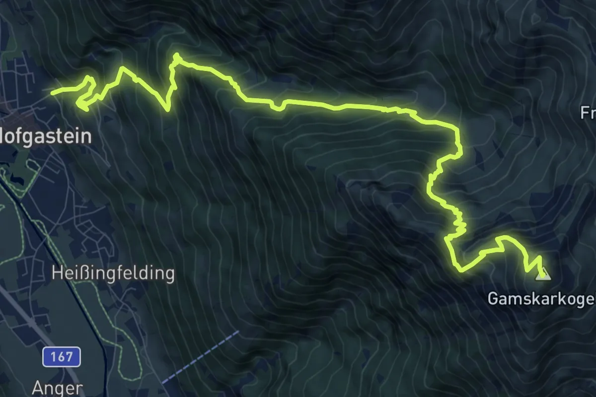
Demanding · Summit
Wanderweg 513
15.3 km · ↑ 1597 m · 7 h 4 min
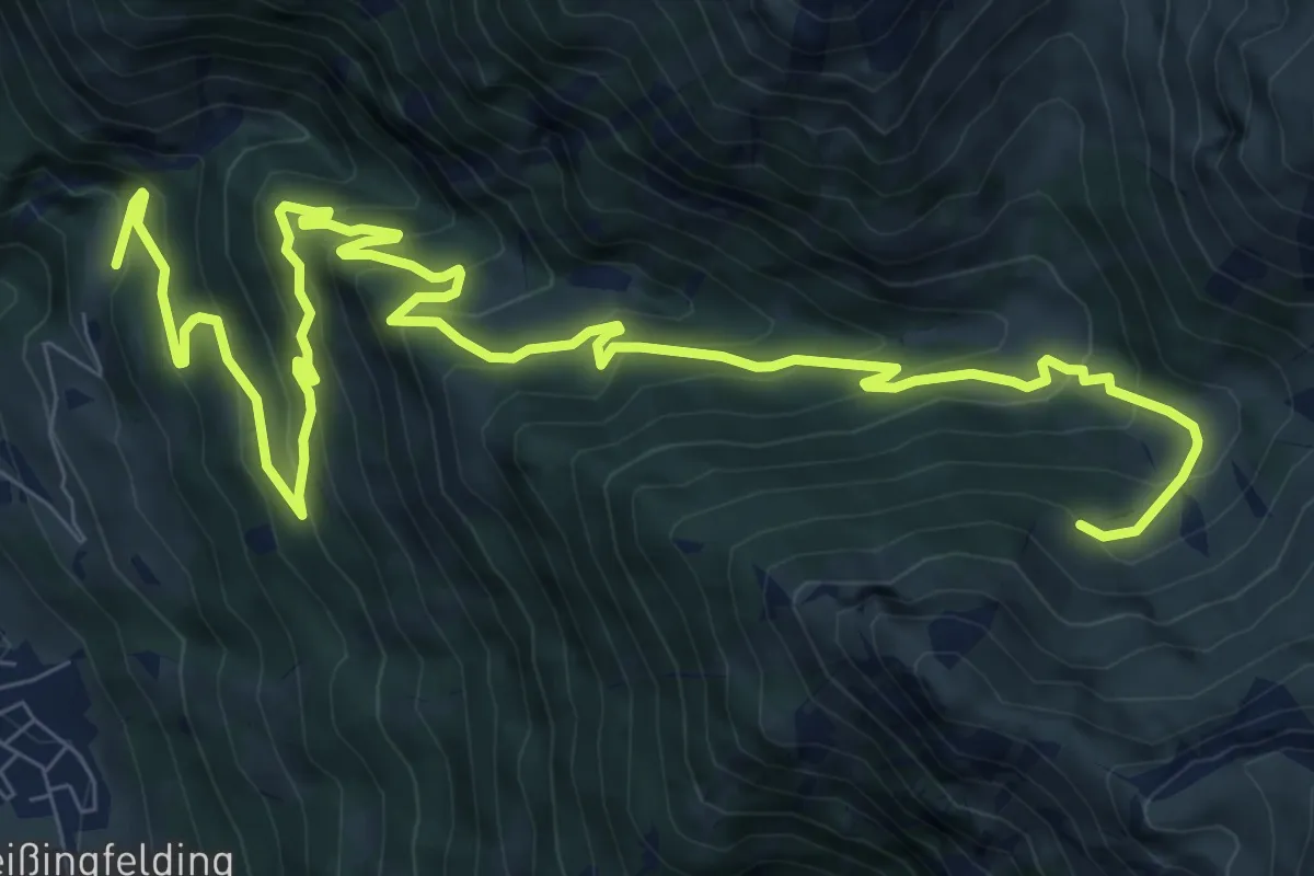
Demanding · Trail
Wanderweg 513A
13.1 km · ↑ 828 m · 4 h 54 min
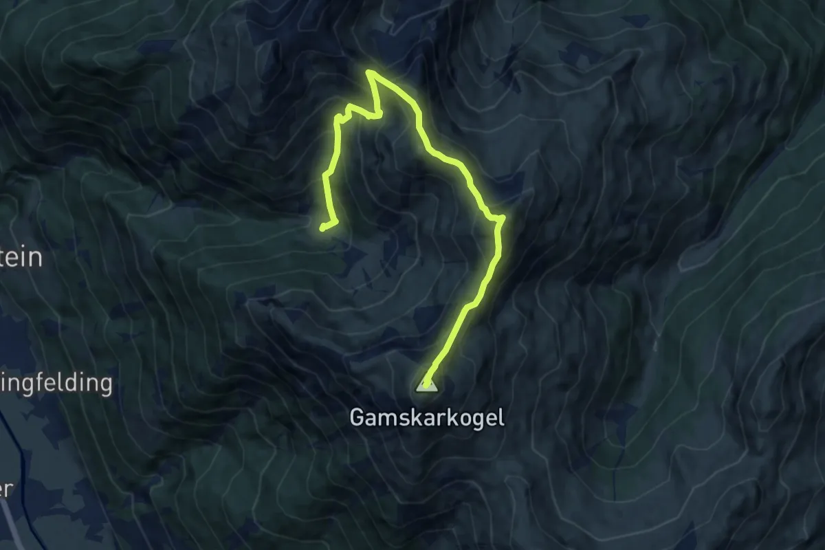
Demanding · Summit
Wanderweg 513B
10.5 km · ↑ 1024 m · 4 h 42 min
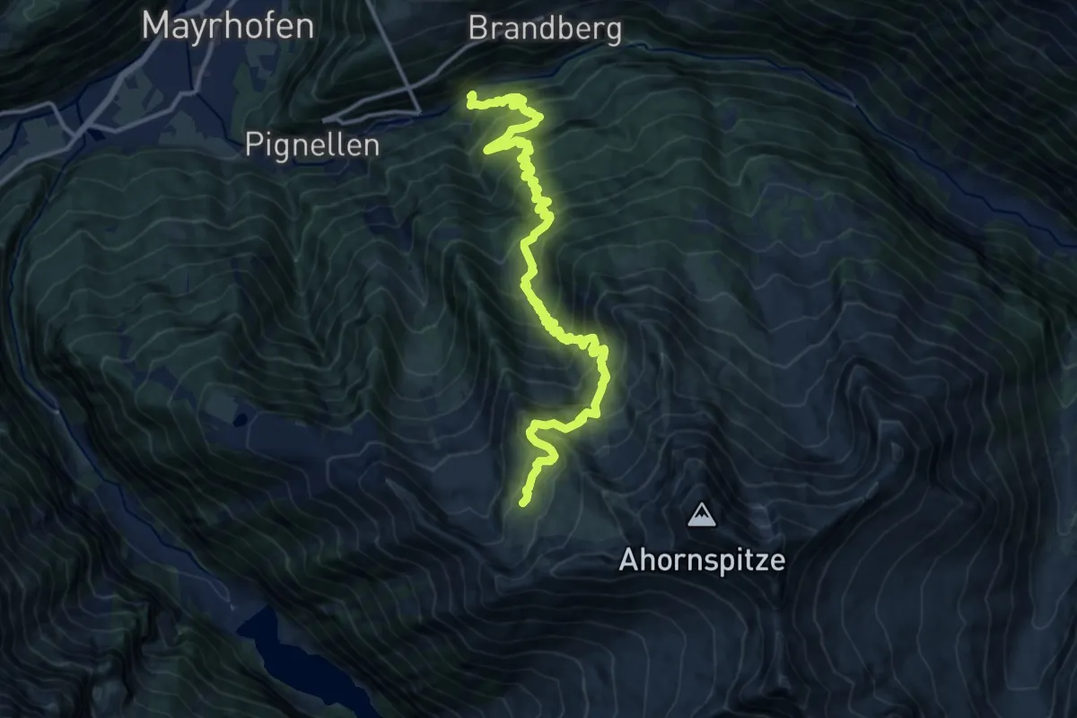
Demanding · Cabin
Wanderweg 514
15.8 km · ↑ 1489 m · 6 h 58 min
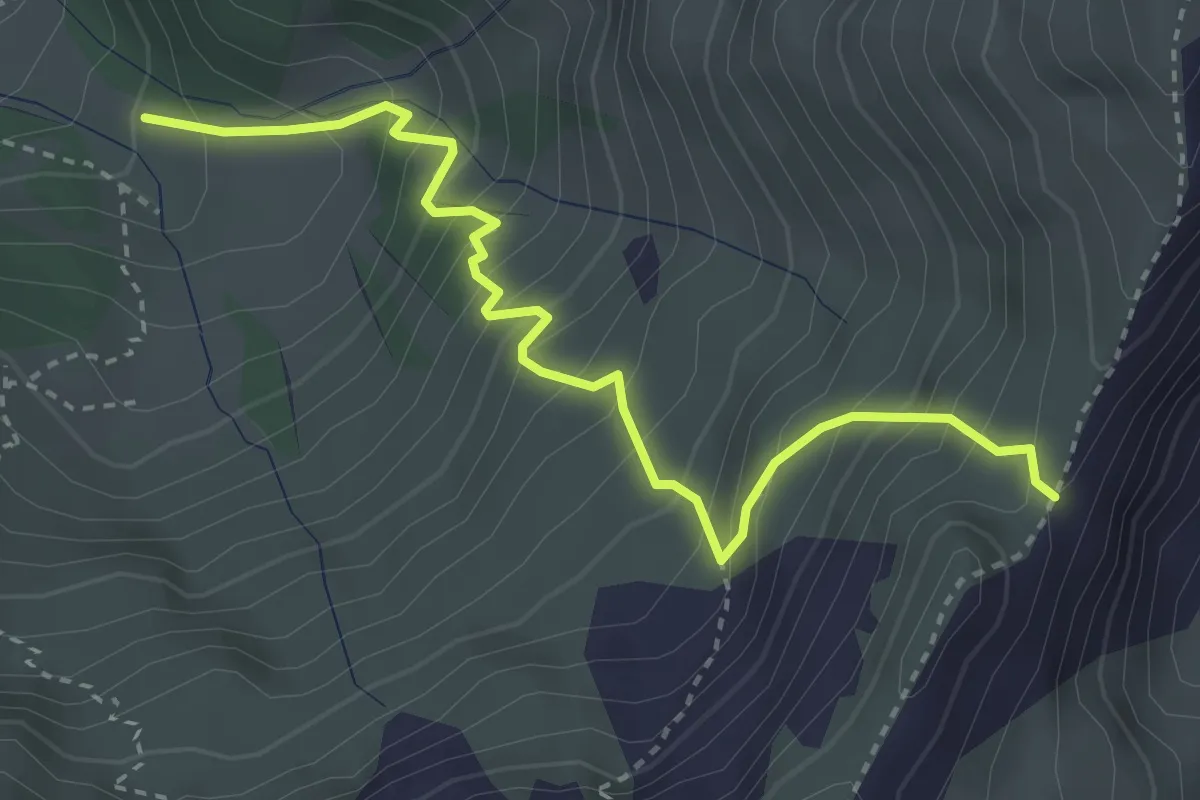
Medium · Trail
Wanderweg 514
3.6 km · ↑ 483 m · 1 h 54 min
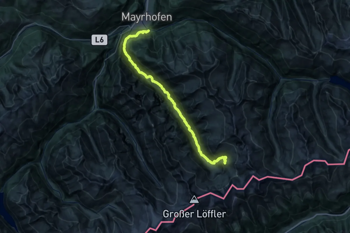
Demanding · Cabin
Wanderweg 515
19.0 km · ↑ 1524 m · 7 h 19 min
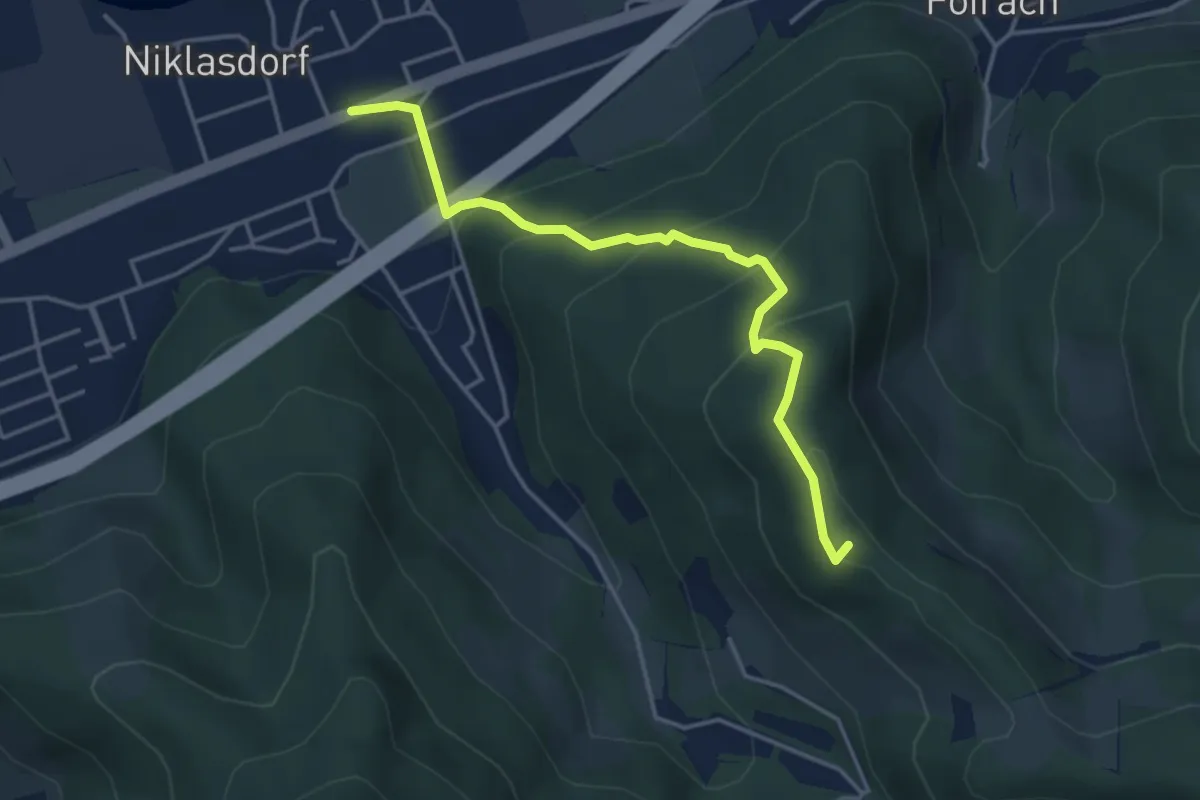
Medium · Summit
Wanderweg 518
4.0 km · ↑ 277 m · 1 h 33 min
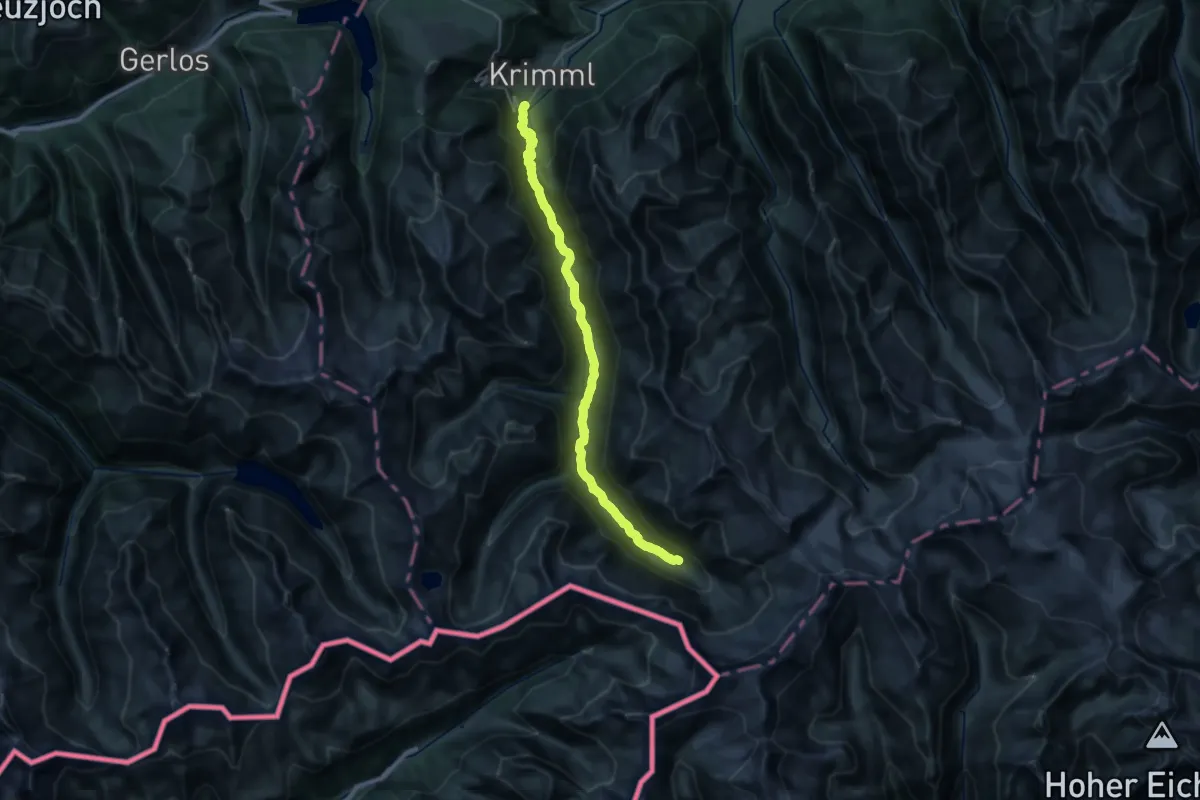
Medium · Trail
Wanderweg 519
16.6 km · ↑ 775 m · 5 h 28 min
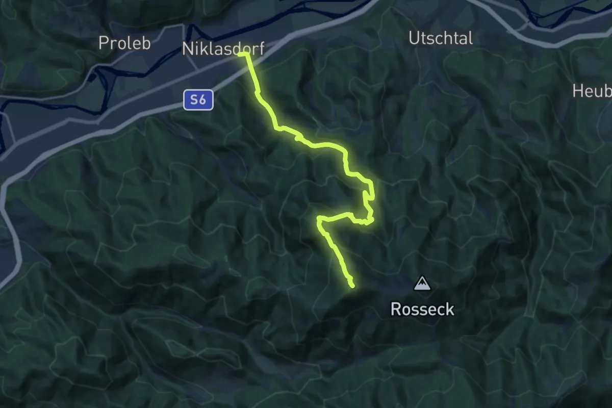
Demanding · Summit
Wanderweg 519
15.3 km · ↑ 1098 m · 5 h 59 min
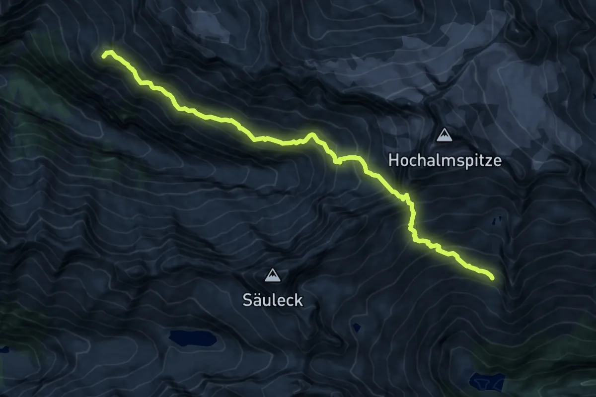
Expert · Summit
Wanderweg 519 Celler Weg
15.9 km · ↑ 1415 m · 6 h 49 min
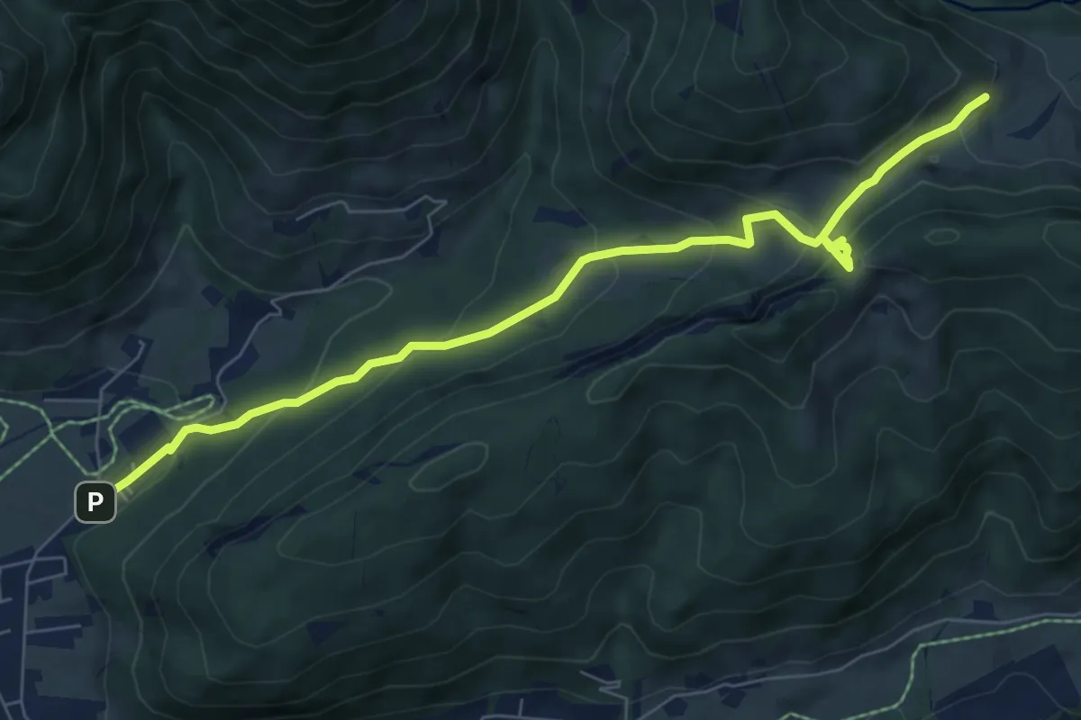
Demanding · Trail
Wanderweg 51 - Kaiserwinkl
7.6 km · ↑ 460 m · 2 h 47 min
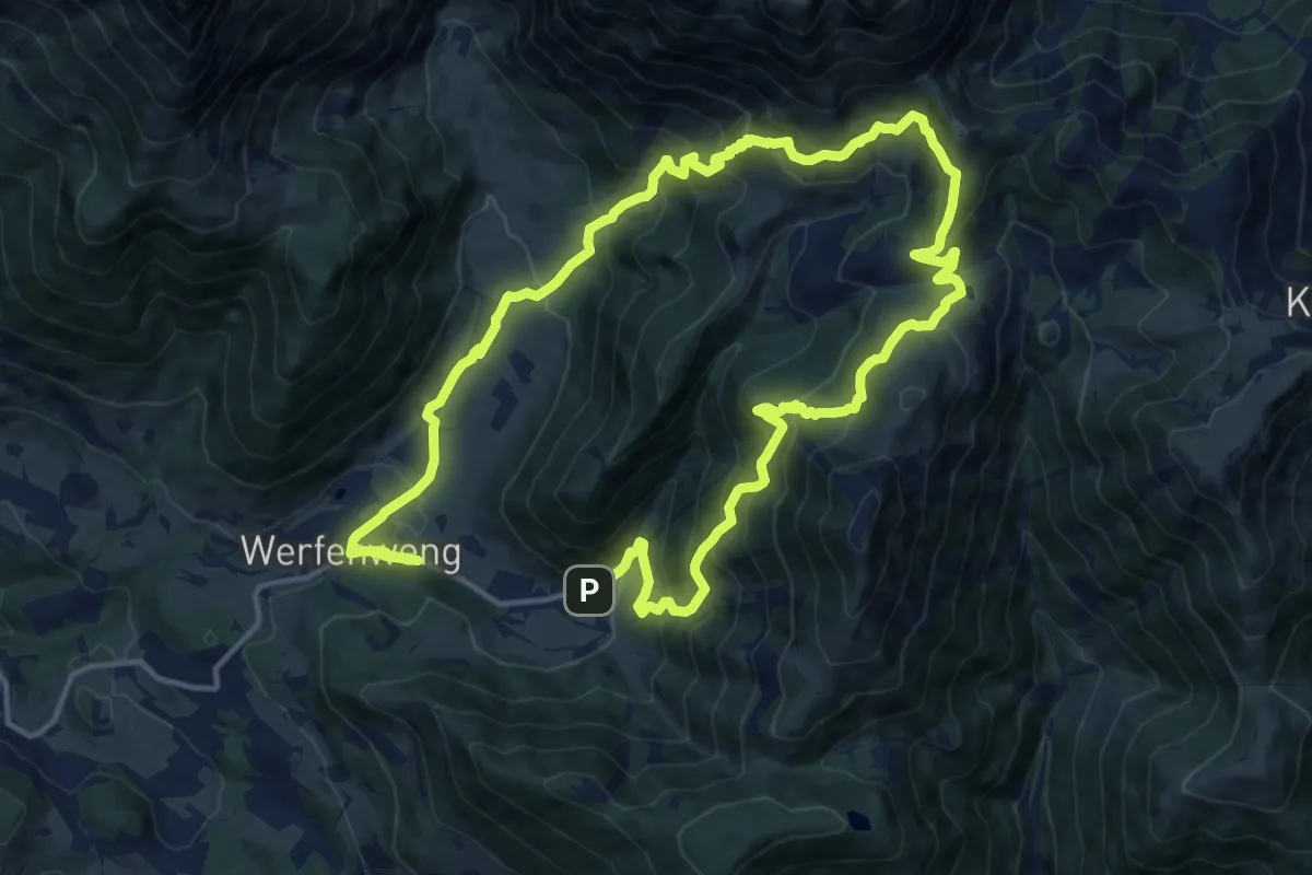
Demanding · Trail
Wanderweg 51 - Werfenweng
13.1 km · ↑ 800 m · 5 h 2 min
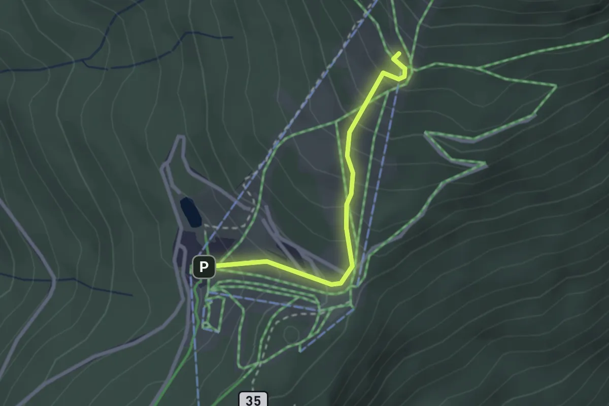
Easy · Trail
Wanderweg 52
2.2 km · ↑ 223 m · 1 h 1 min
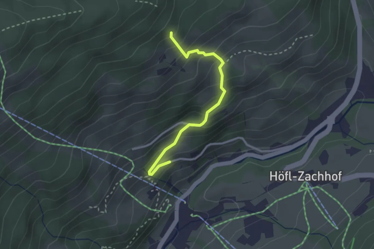
Medium · Trail
Wanderweg 52
2.3 km · ↑ 229 m · 1 h 3 min
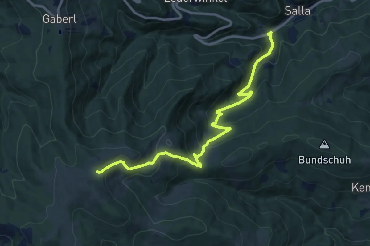
Medium · Trail
Wanderweg 52
12.7 km · ↑ 739 m · 4 h 35 min
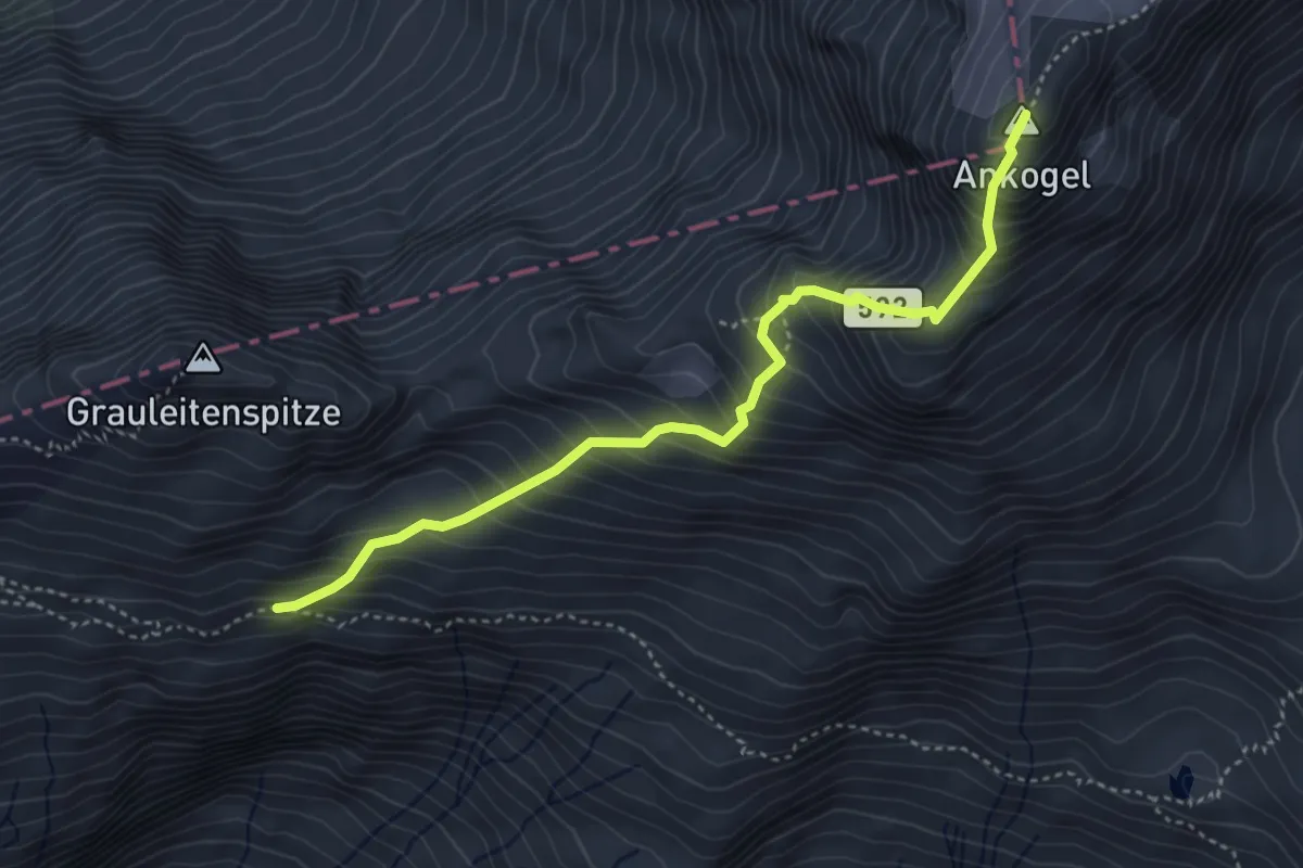
Expert · Summit
Wanderweg 520
4.2 km · ↑ 643 m · 2 h 22 min
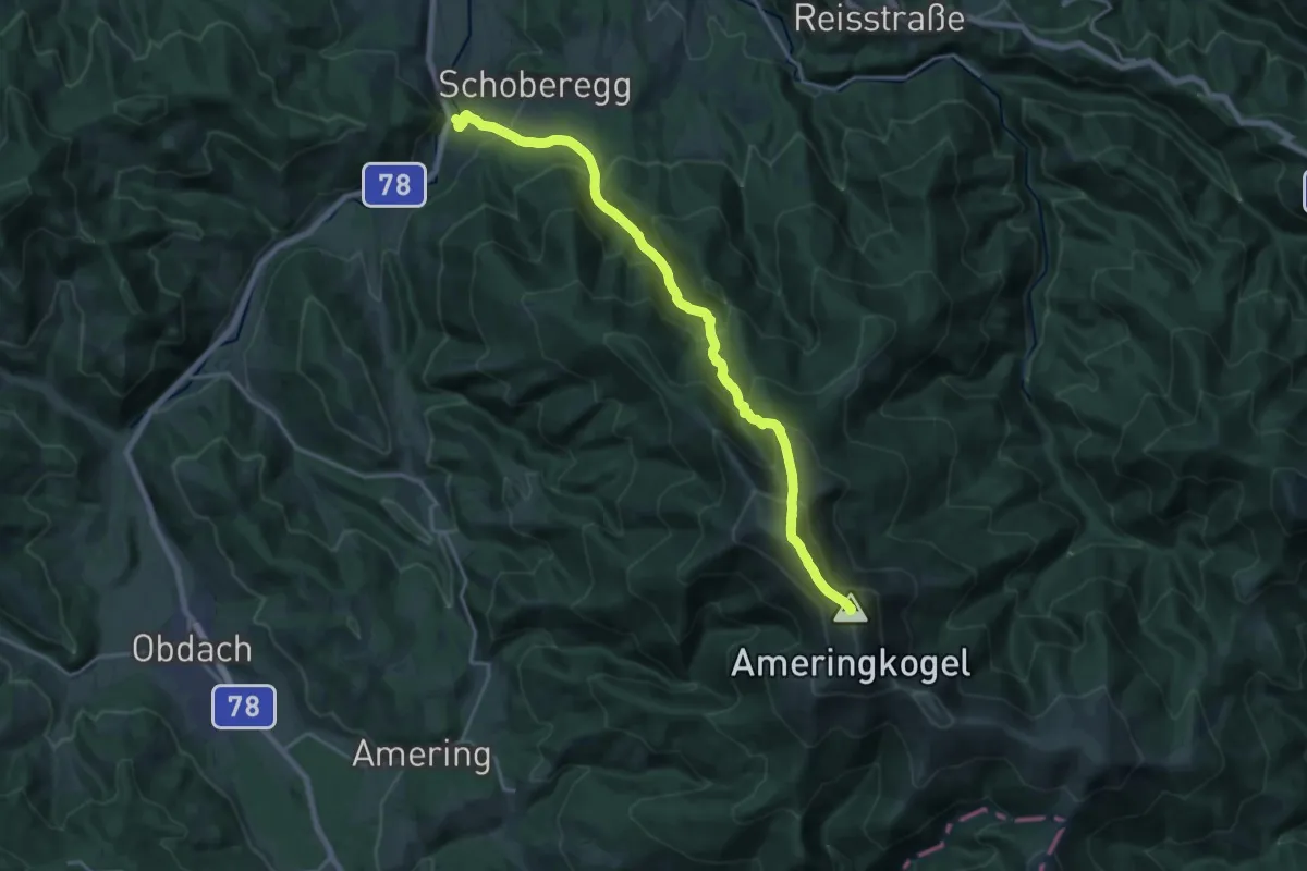
Demanding · Summit
Wanderweg 520
19.1 km · ↑ 1598 m · 7 h 58 min
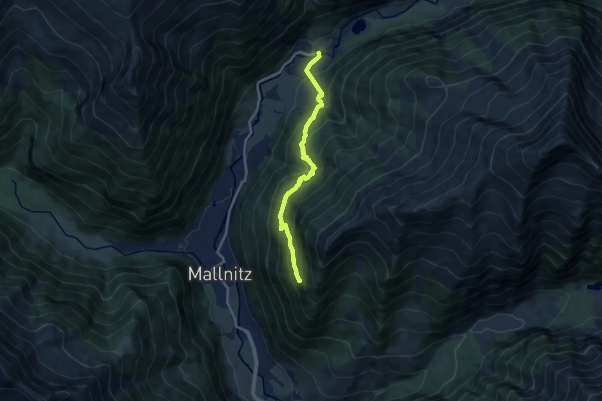
Medium · Trail
Wanderweg 521
7.7 km · ↑ 617 m · 3 h 10 min