Trails in Austria
9,777 hiking trails, each with its route, climb, walking time and grade.
All trails, page 157 of 204
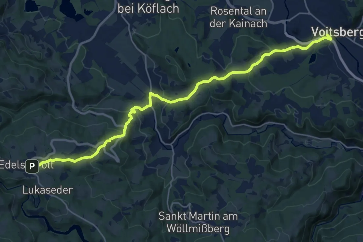
Demanding · Trail
Wanderweg 550
18.3 km · ↑ 589 m · 5 h 36 min
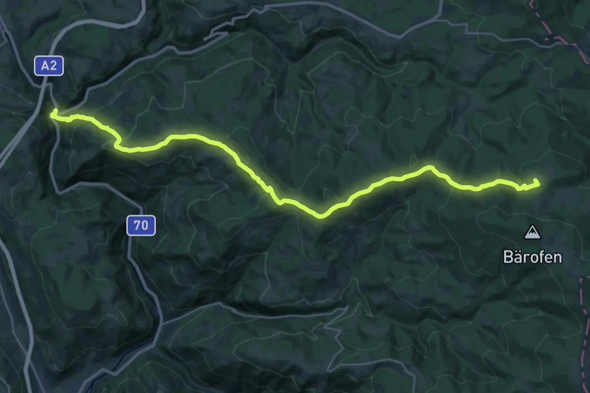
Demanding · Summit
Wanderweg 551
28.3 km · ↑ 1111 m · 9 h 6 min
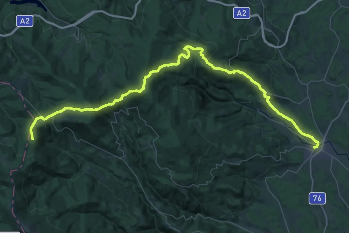
Demanding · Trail
Wanderweg 551
26.9 km · ↑ 1519 m · 9 h 28 min
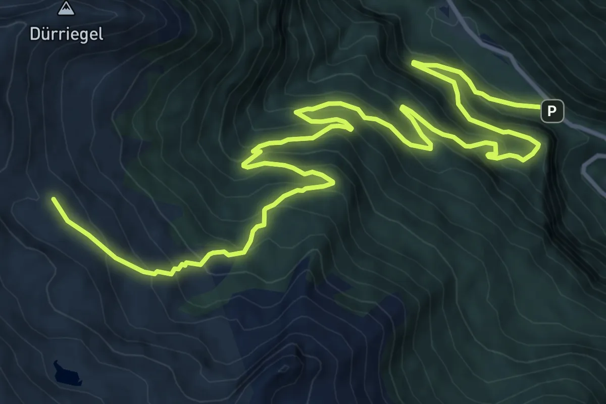
Demanding · Cabin
Wanderweg 551
15.4 km · ↑ 1003 m · 5 h 48 min
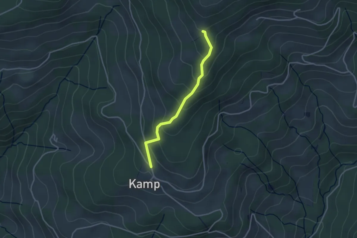
Easy · Trail
Wanderweg 551A
2.5 km · ↑ 144 m · 54 min
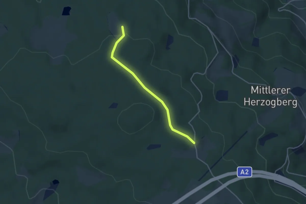
Easy · Trail
Wanderweg 552
2.9 km · ↑ 40 m · 46 min
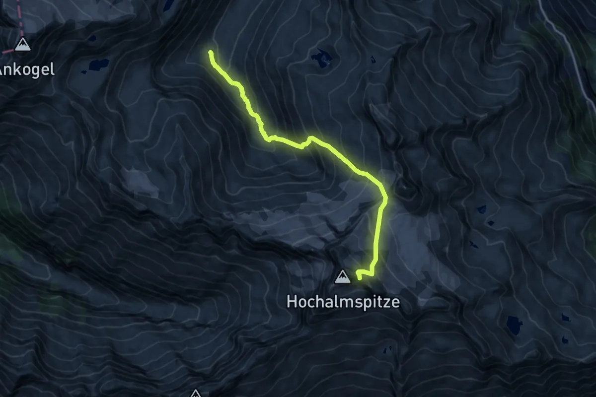
Expert · Cabin
Wanderweg 552
12.4 km · ↑ 1343 m · 5 h 50 min
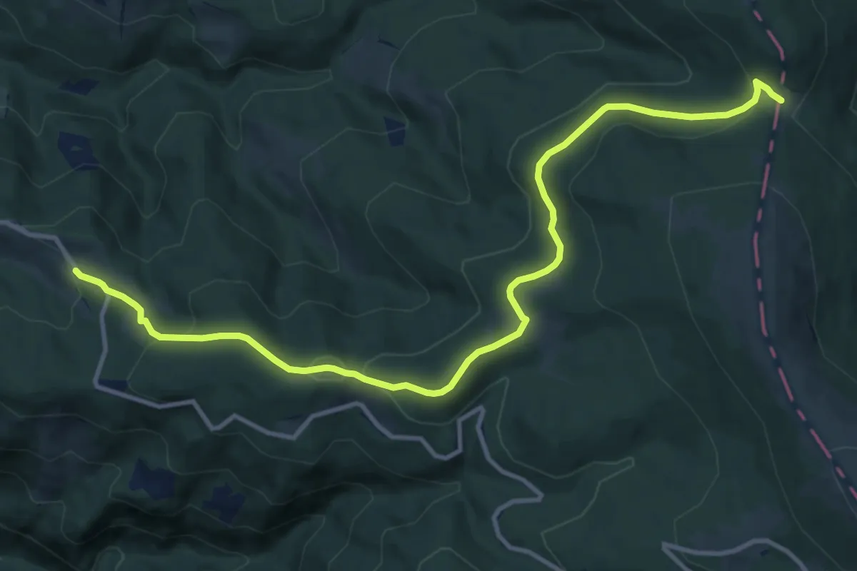
Medium · Trail
Wanderweg 553
12.5 km · ↑ 374 m · 3 h 46 min
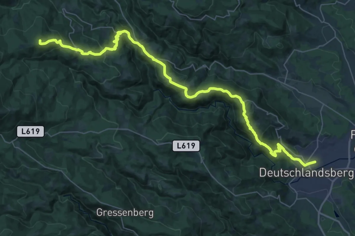
Demanding · Summit
Wanderweg 553
35.5 km · ↑ 1492 m · 11 h 37 min
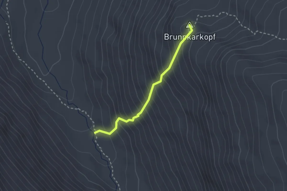
Expert · Summit
Wanderweg 553
2.0 km · ↑ 353 m · 1 h 15 min
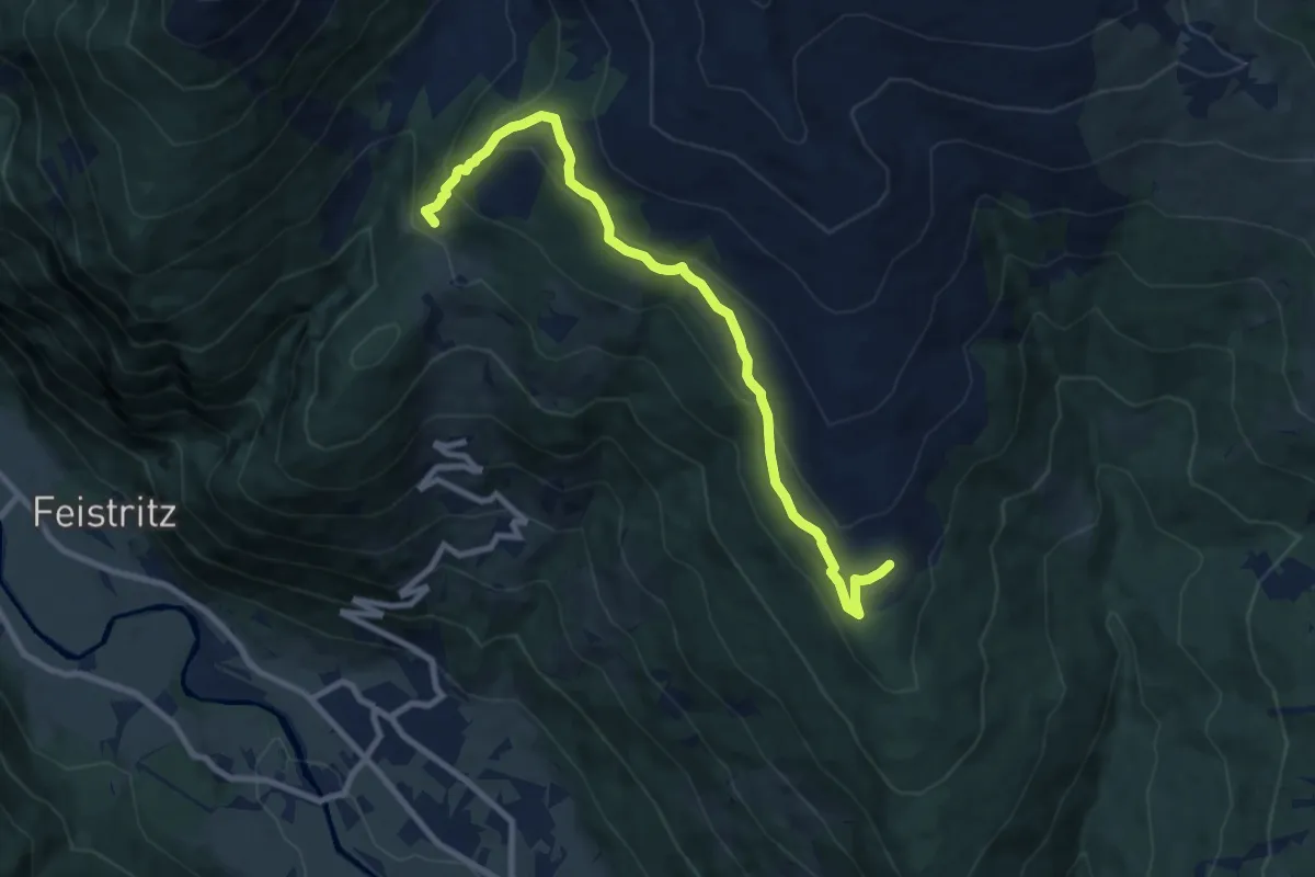
Medium · Cabin
Wanderweg 555
9.3 km · ↑ 455 m · 3 h 11 min
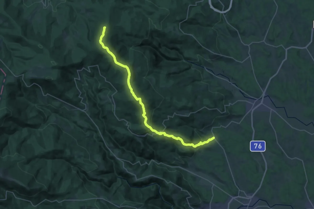
Demanding · Summit
Wanderweg 555
30.0 km · ↑ 1319 m · 9 h 56 min
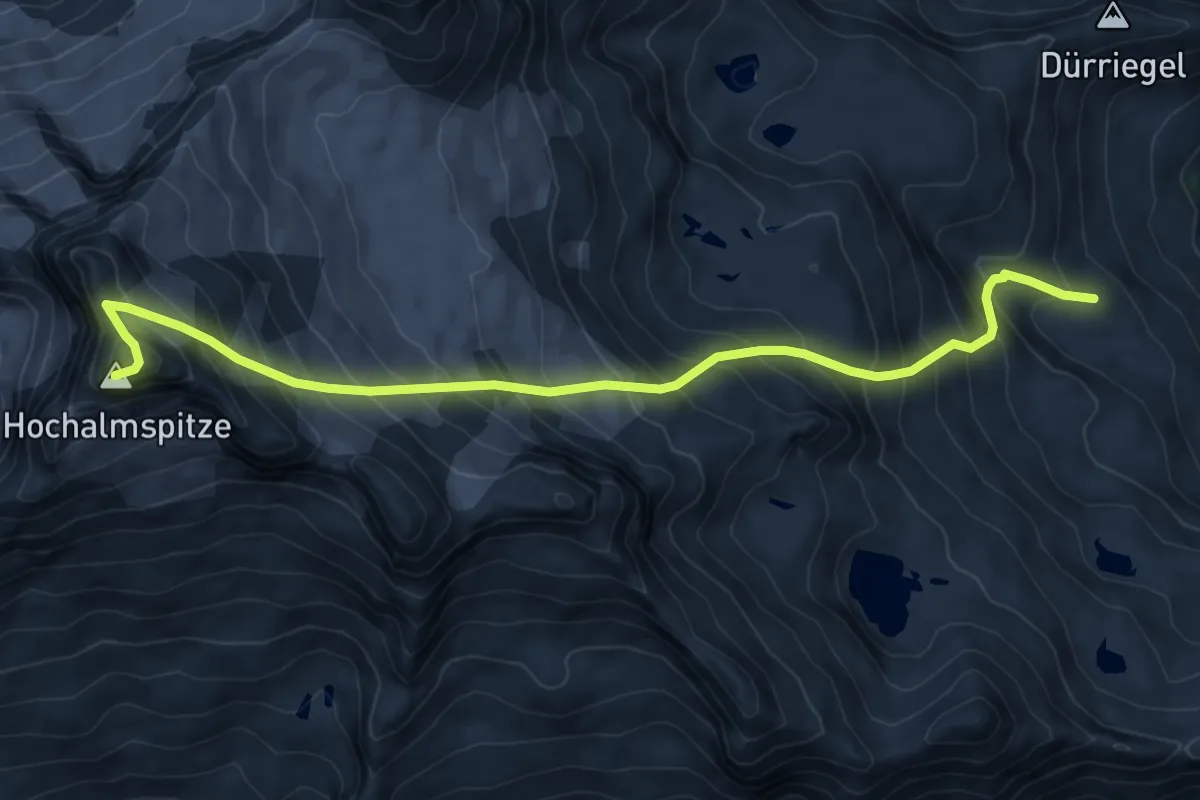
Expert · Summit
Wanderweg 556
9.1 km · ↑ 1159 m · 4 h 40 min
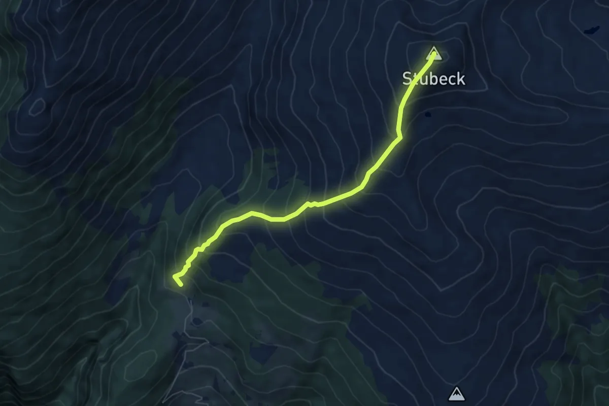
Medium · Summit
Wanderweg 557
6.1 km · ↑ 747 m · 3 h 4 min
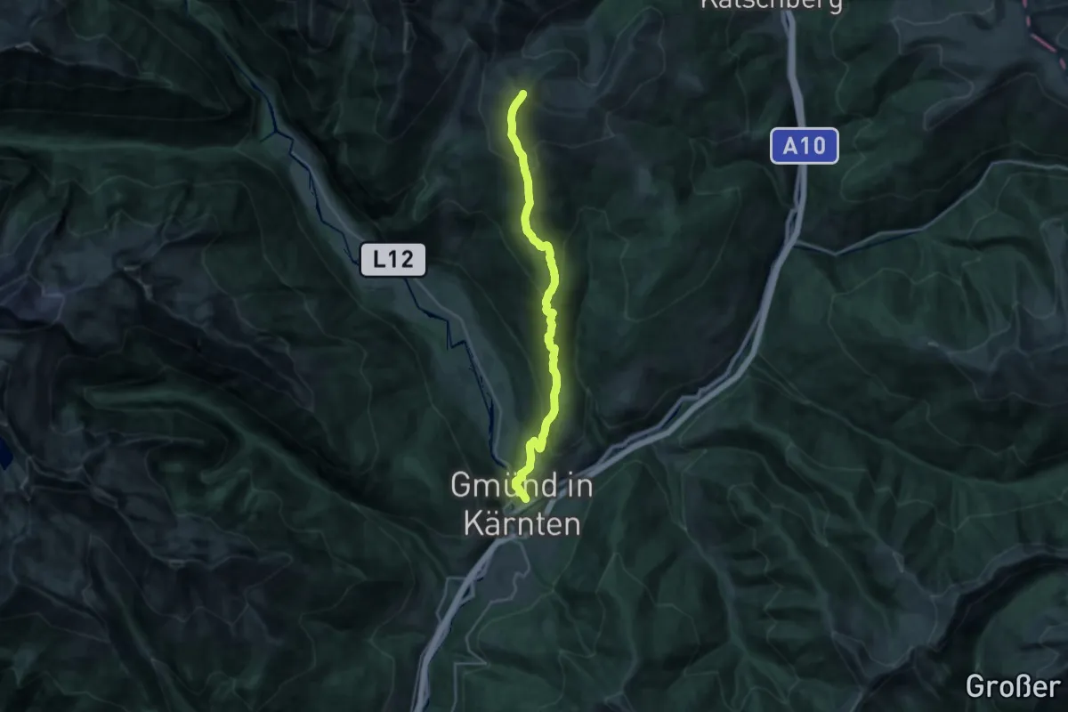
Demanding · Summit
Wanderweg 558
22.9 km · ↑ 1632 m · 8 h 57 min
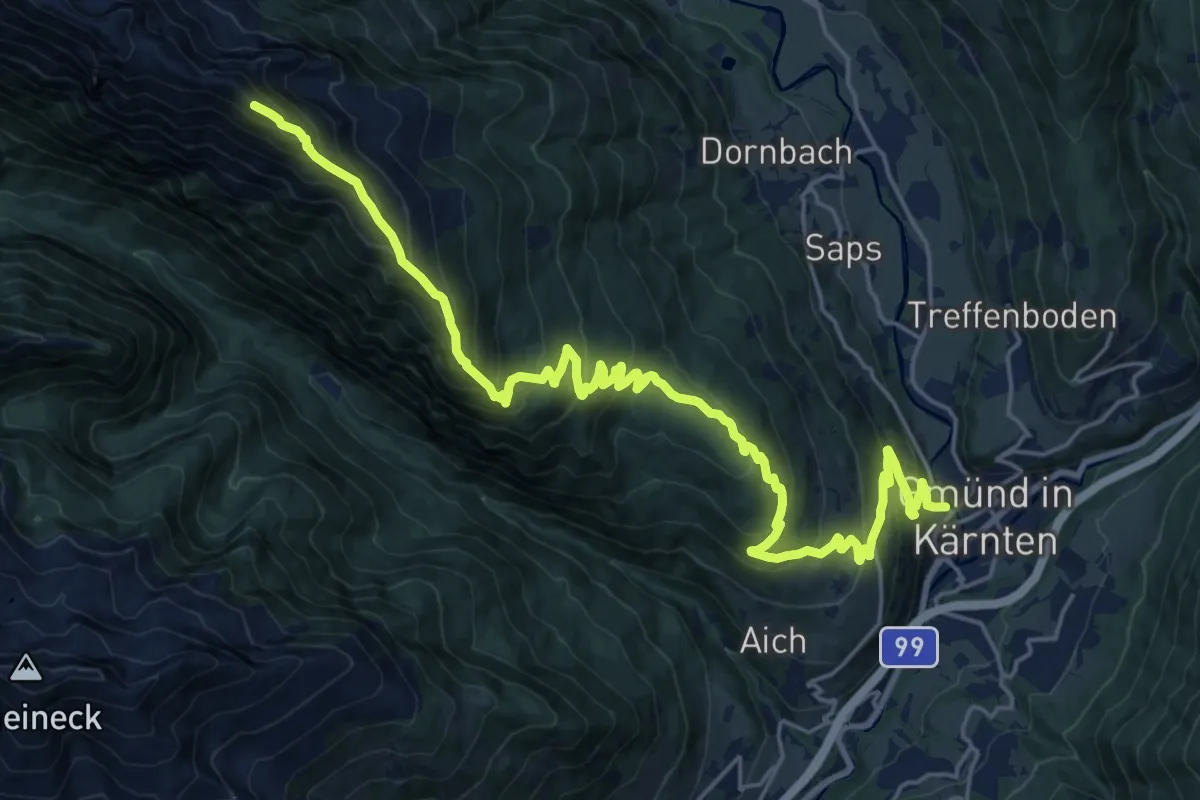
Demanding · Summit
Wanderweg 559
25.7 km · ↑ 1675 m · 9 h 41 min
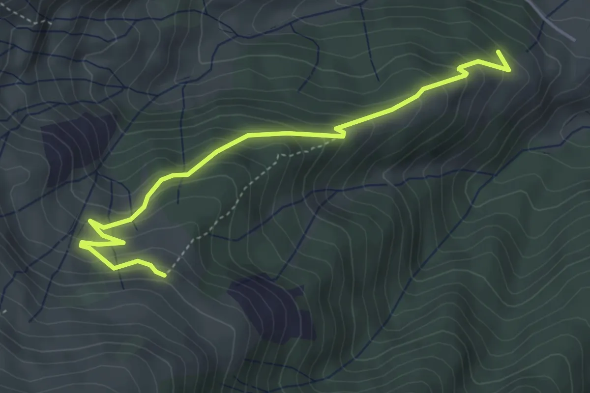
Medium · Trail
Wanderweg 55a
4.5 km · ↑ 335 m · 1 h 47 min
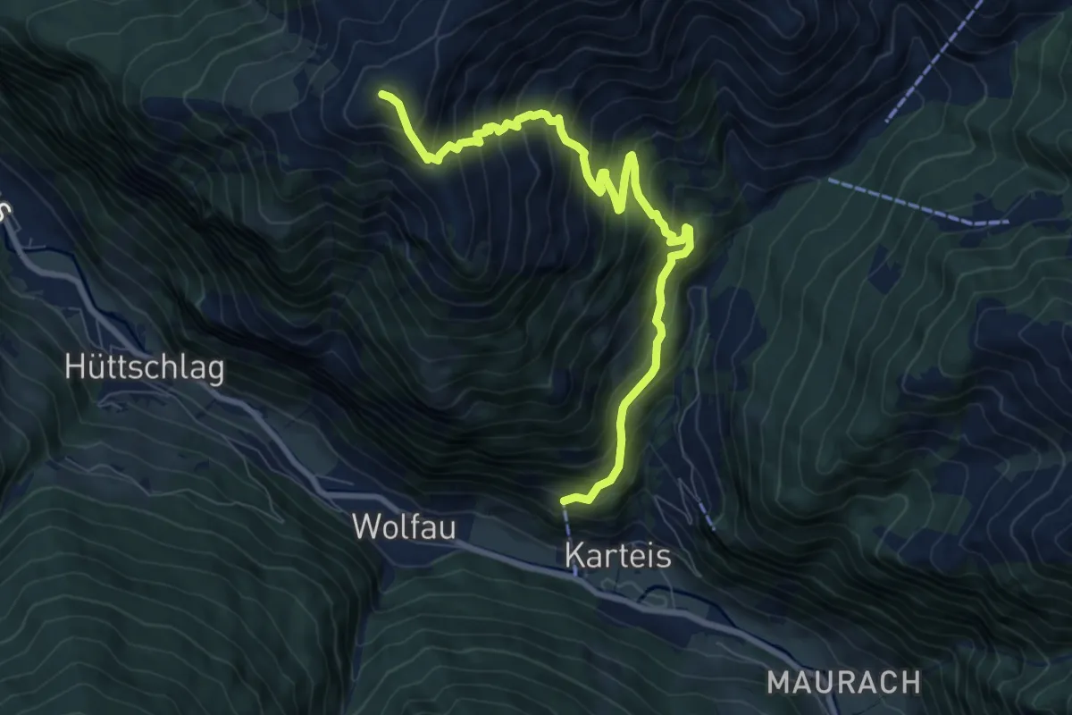
Demanding · Summit
Wanderweg 55a
8.9 km · ↑ 937 m · 4 h 8 min
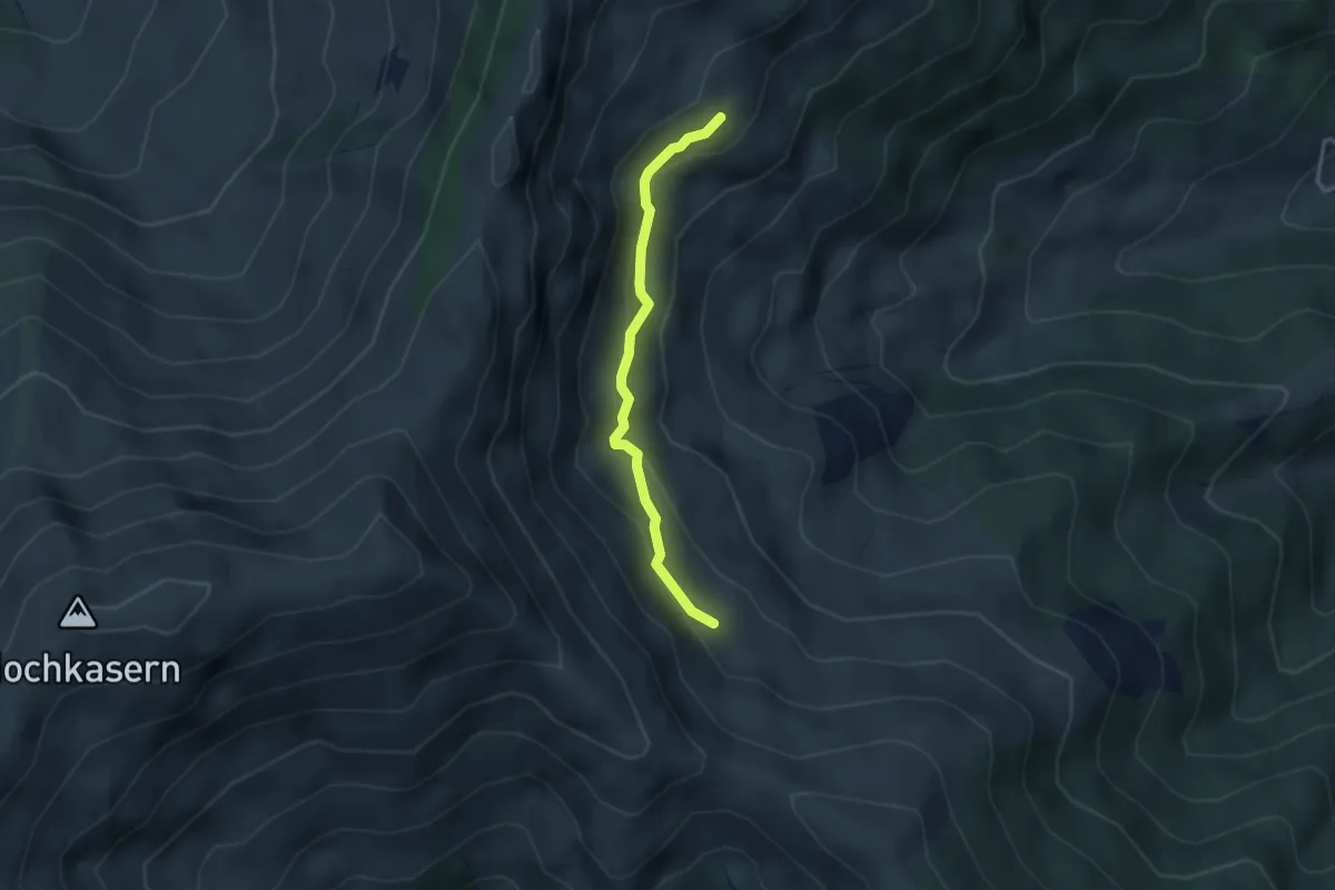
Medium · Trail
Wanderweg 55b
2.9 km · ↑ 123 m · 57 min
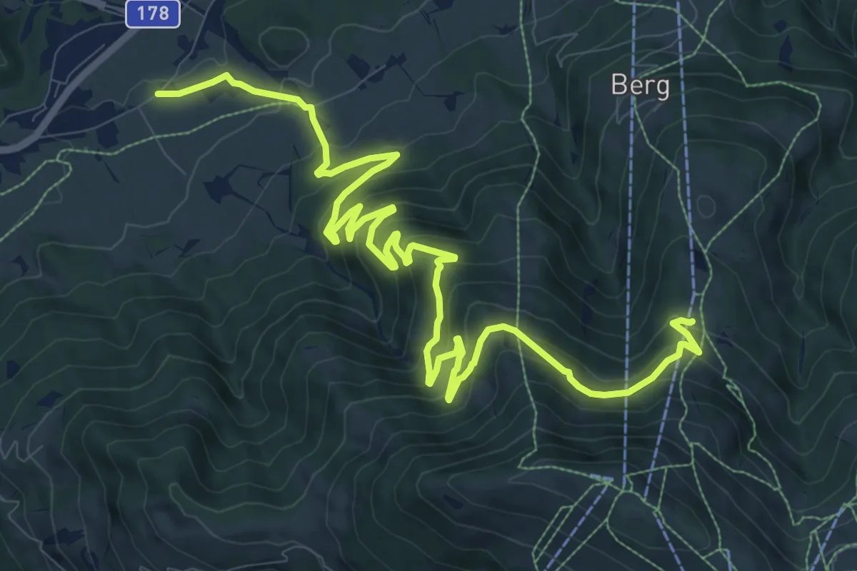
Medium · Trail
Wanderweg 55 - Kaisergebirge
14.6 km · ↑ 764 m · 5 h 6 min
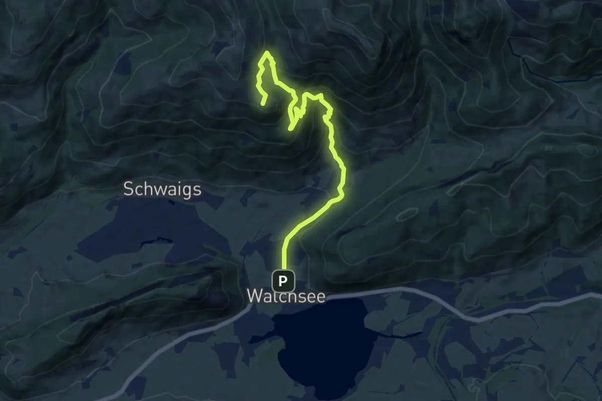
Medium · Summit
Wanderweg 55 - Kaiserwinkl
10.3 km · ↑ 597 m · 3 h 44 min
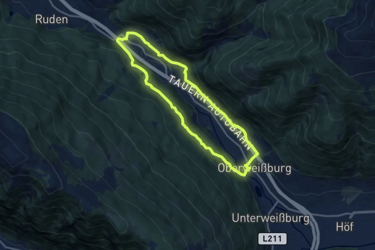
Easy · Trail
Wanderweg 55, Oberweißburg-Fell Rundweg
7.6 km · ↑ 235 m · 2 h 25 min
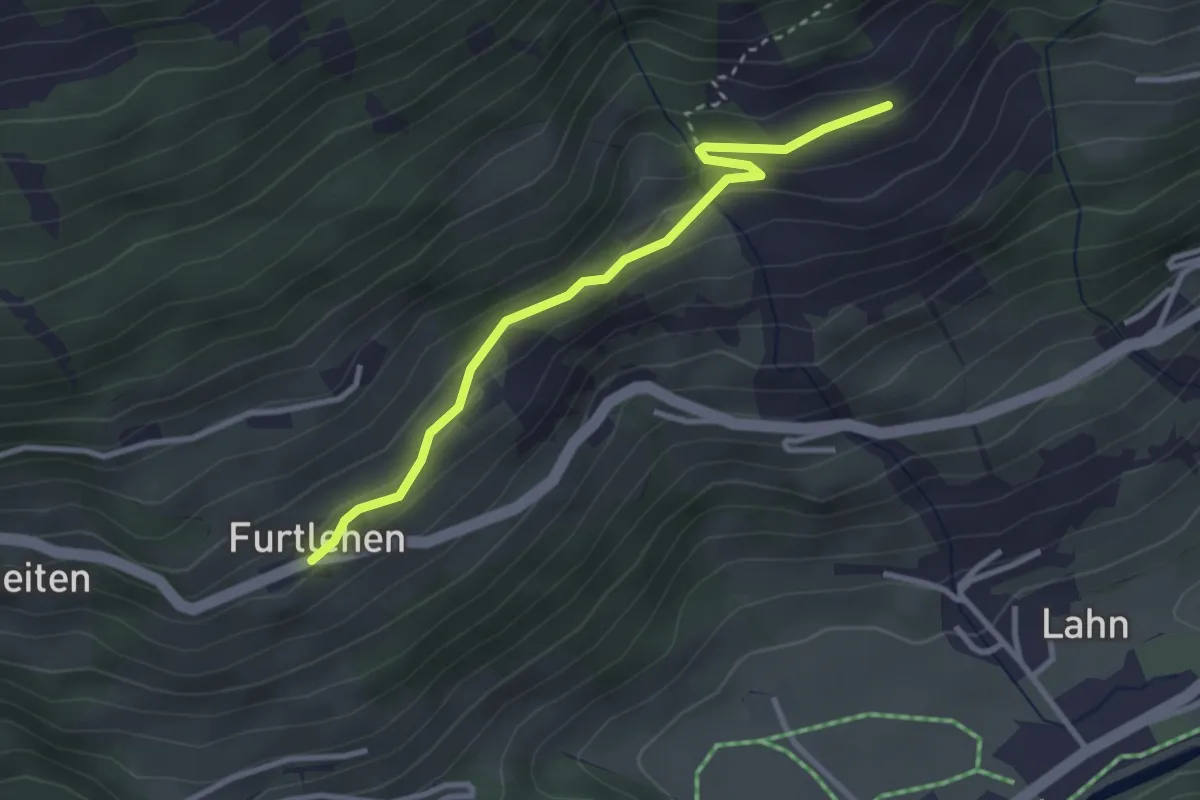
Easy · Trail
Wanderweg 55 - Wald/Königsleiten
3.0 km · ↑ 79 m · 53 min
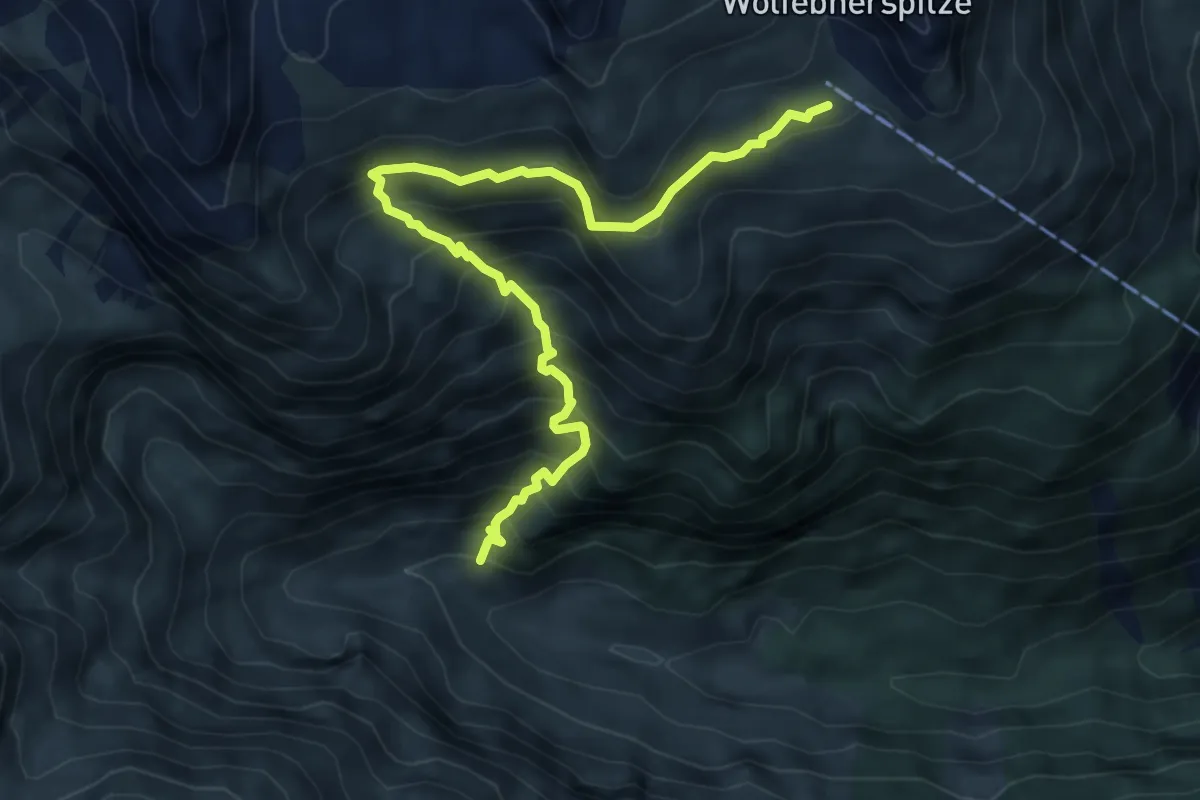
Demanding · Cabin
Wanderweg 56
6.4 km · ↑ 782 m · 3 h 12 min
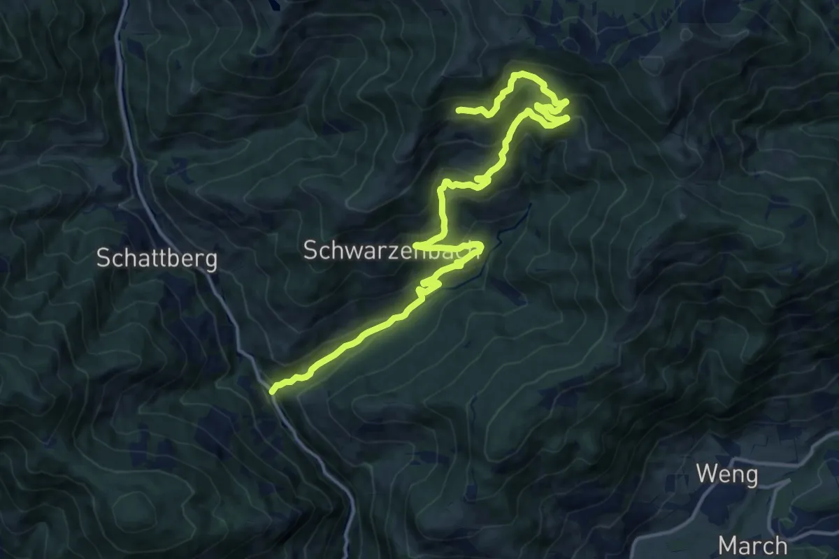
Demanding · Trail
Wanderweg 56
18.0 km · ↑ 796 m · 5 h 59 min
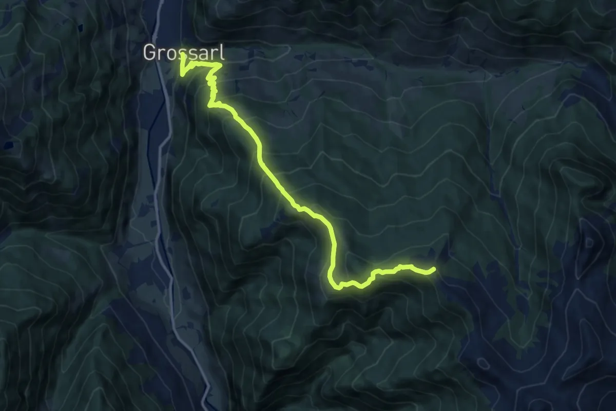
Demanding · Summit
Wanderweg 56
12.7 km · ↑ 1048 m · 5 h 15 min
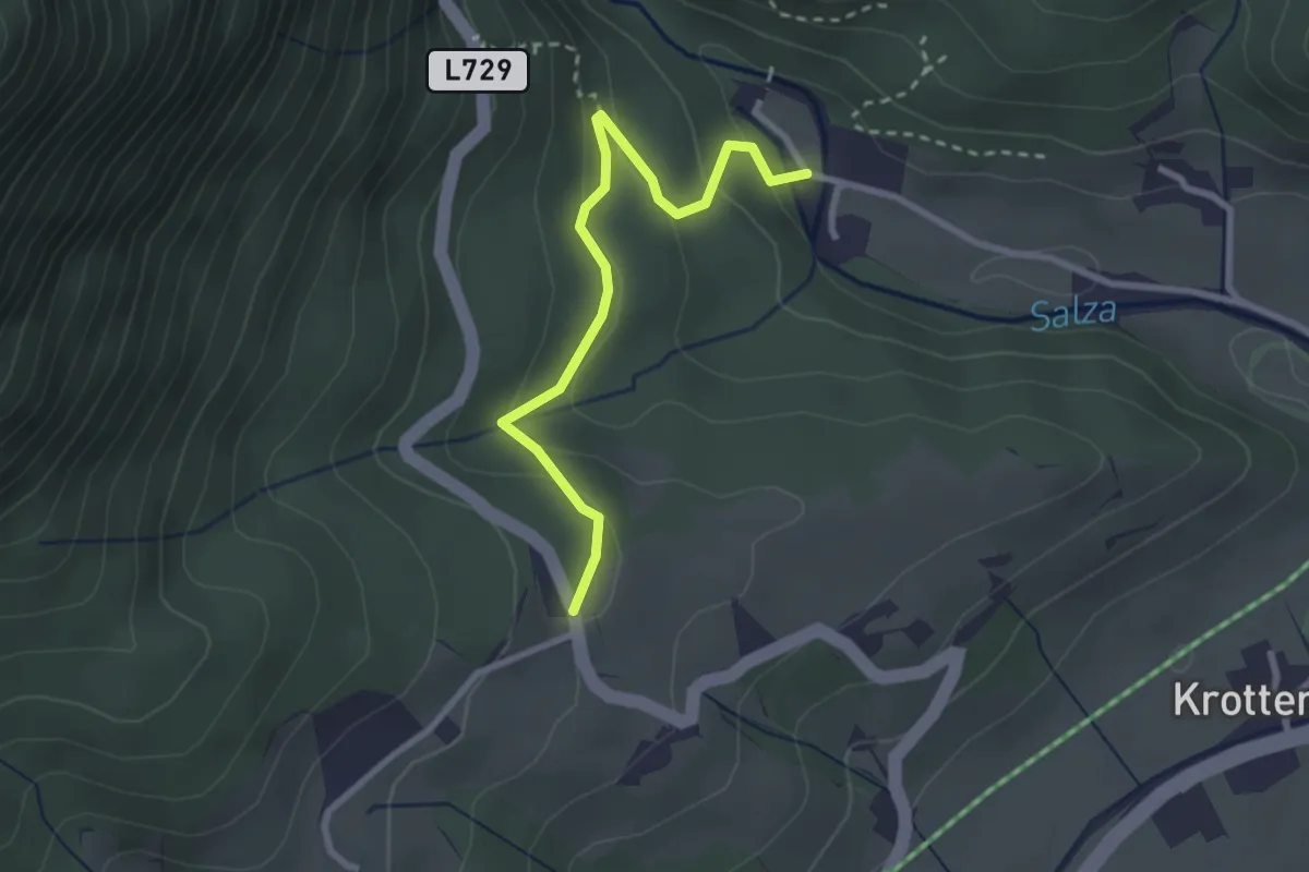
Easy · Trail
Wanderweg 56
2.7 km · ↑ 115 m · 53 min
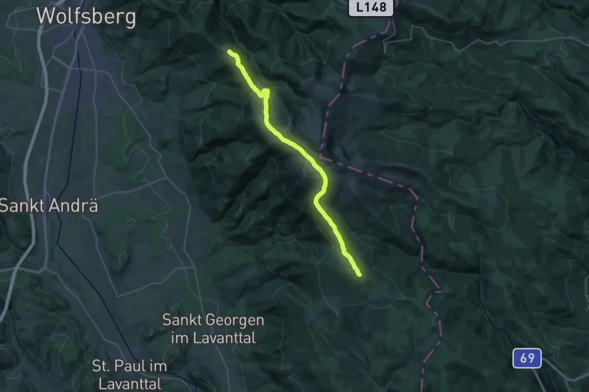
Demanding · Summit
Wanderweg 560
25.6 km · ↑ 1222 m · 8 h 42 min
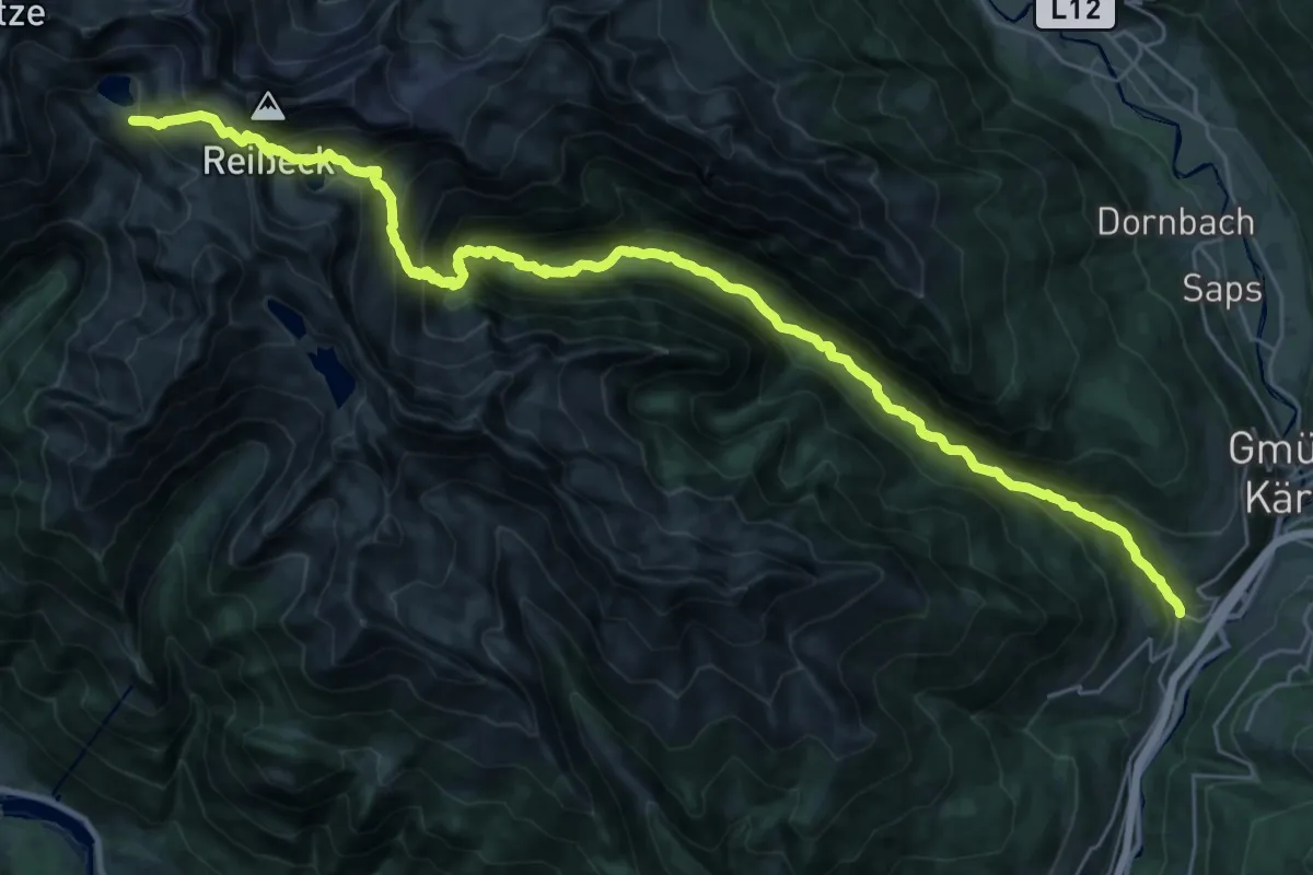
Expert · Trail
Wanderweg 561
17.8 km · ↑ 390 m · 6 h 7 min
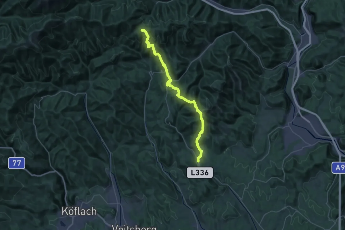
Demanding · Trail
Wanderweg 561
16.6 km · ↑ 1046 m · 6 h 5 min
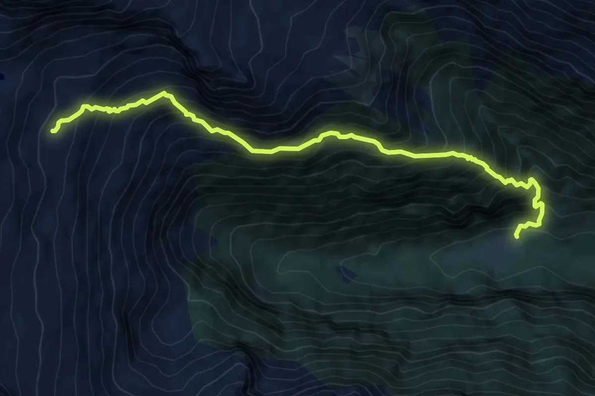
Demanding · Trail
Wanderweg 561B
8.6 km · ↑ 1034 m · 4 h 16 min
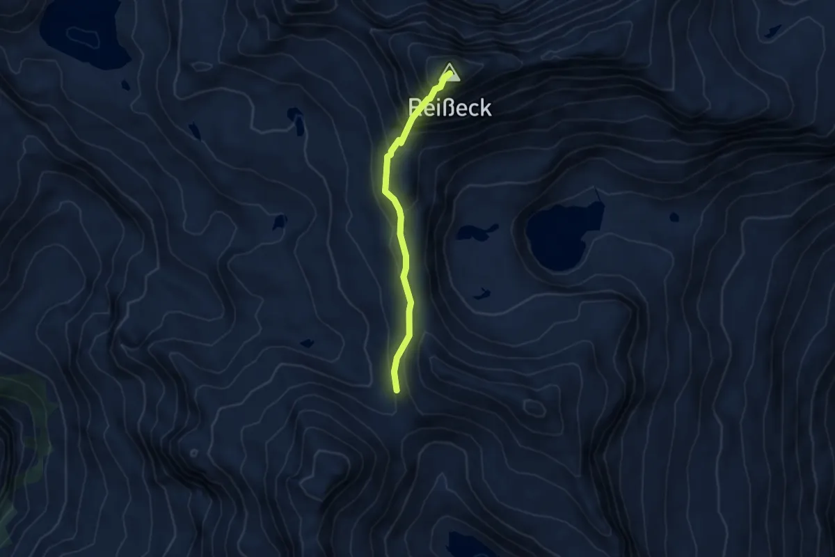
Expert · Summit
Wanderweg 562
3.7 km · ↑ 411 m · 1 h 46 min
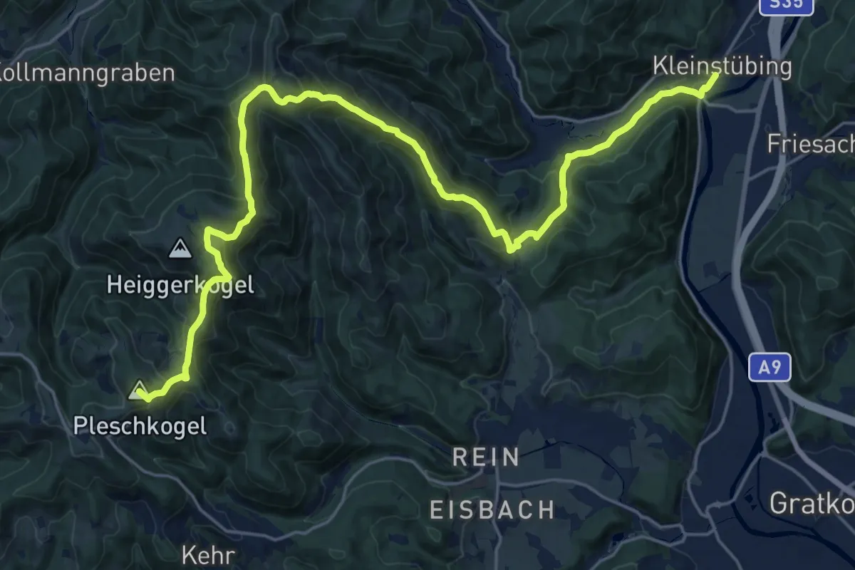
Demanding · Summit
Wanderweg 562
25.7 km · ↑ 1105 m · 8 h 27 min
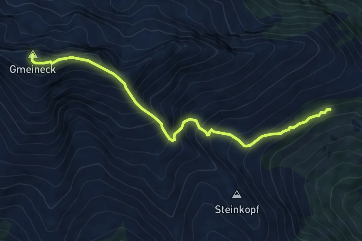
Demanding · Summit
Wanderweg 563
7.5 km · ↑ 840 m · 3 h 35 min
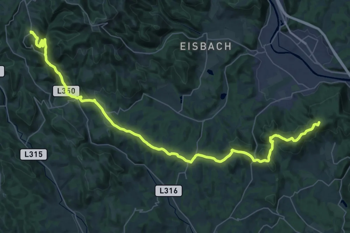
Demanding · Summit
Wanderweg 563
38.7 km · ↑ 959 m · 11 h 13 min
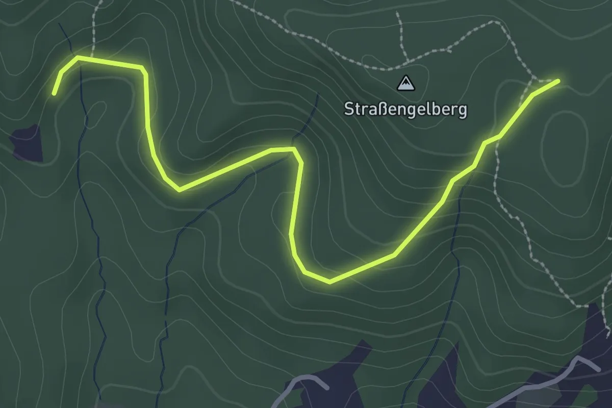
Easy · Trail
Wanderweg 563a
3.2 km · ↑ 87 m · 56 min
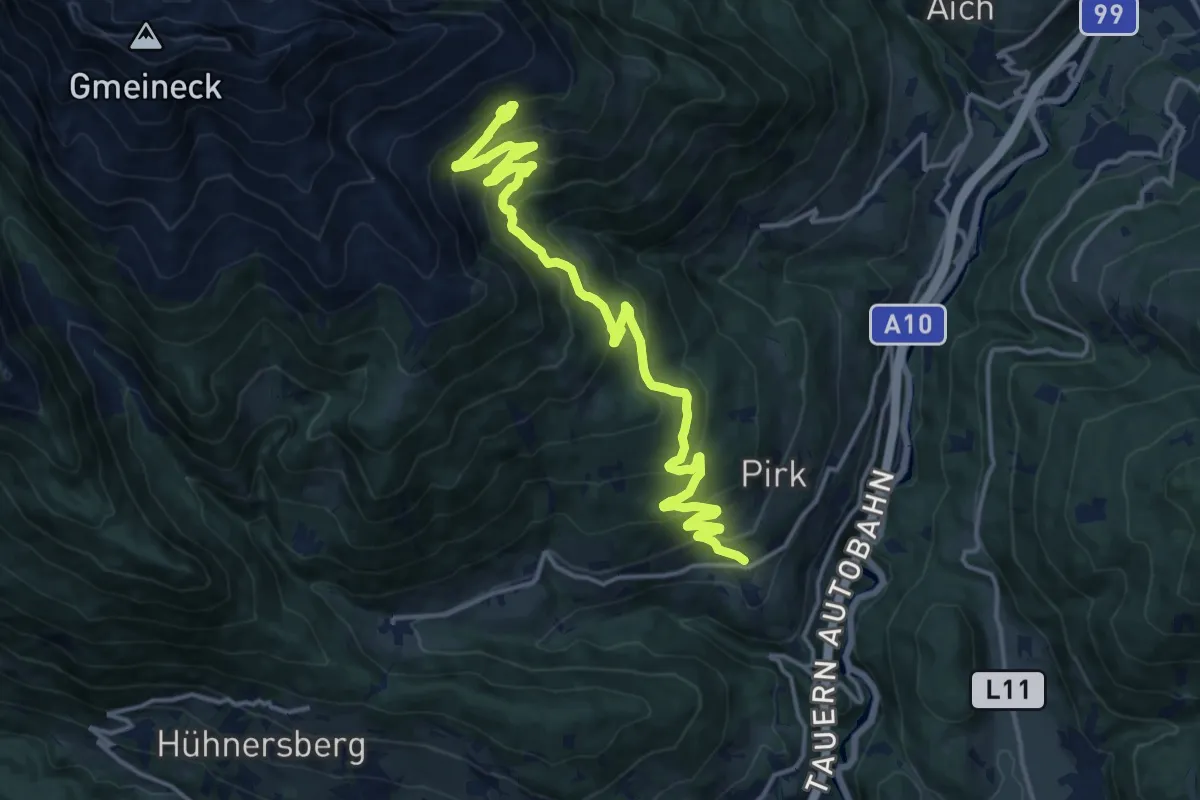
Demanding · Cabin
Wanderweg 564
17.6 km · ↑ 844 m · 5 h 59 min
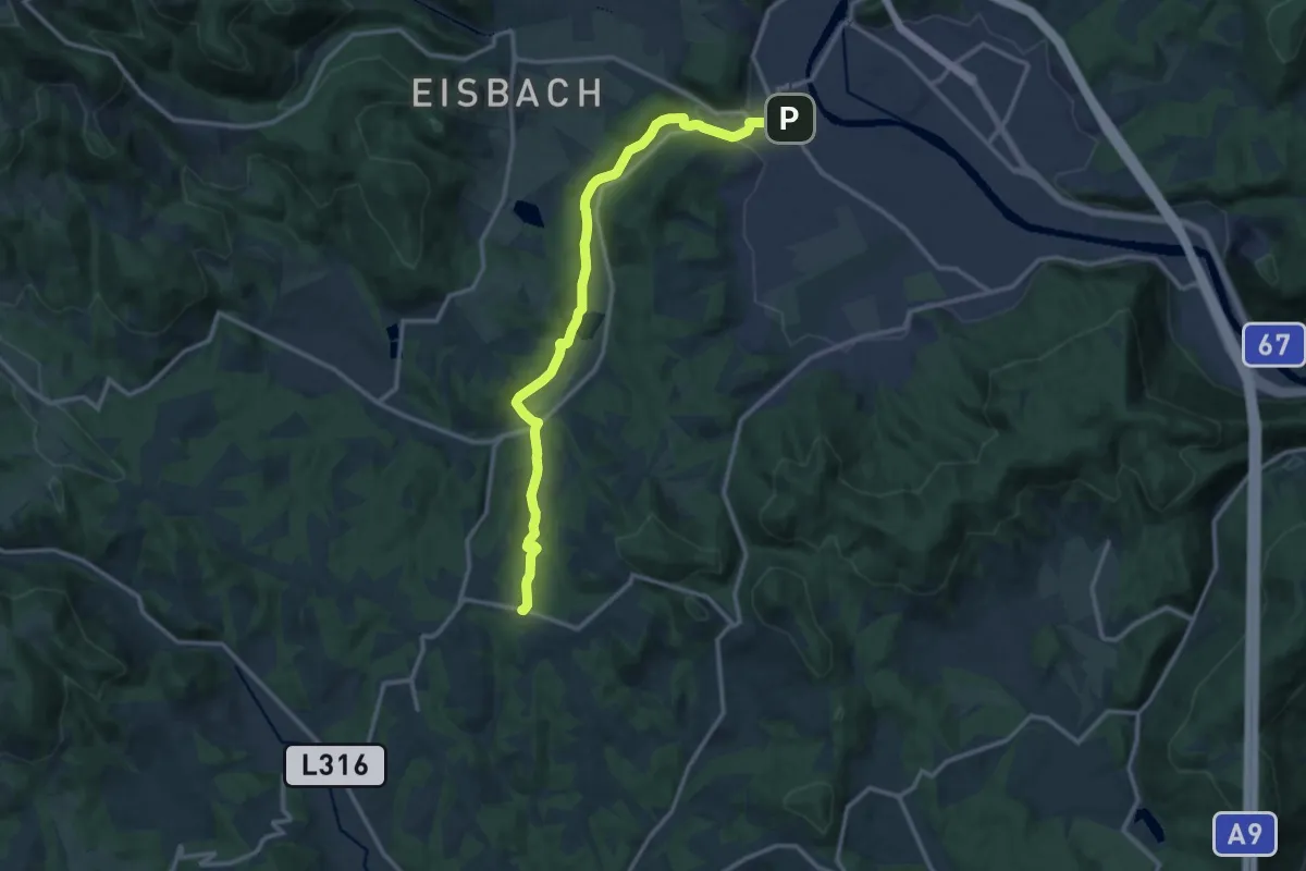
Medium · Trail
Wanderweg 564, Schirningtalweg
13.8 km · ↑ 173 m · 3 h 39 min
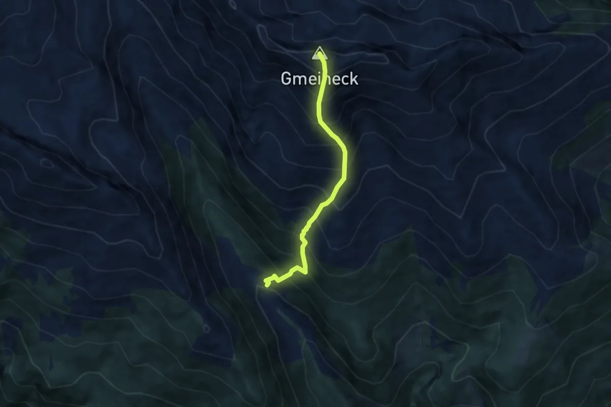
Demanding · Summit
Wanderweg 565
5.8 km · ↑ 1075 m · 3 h 43 min
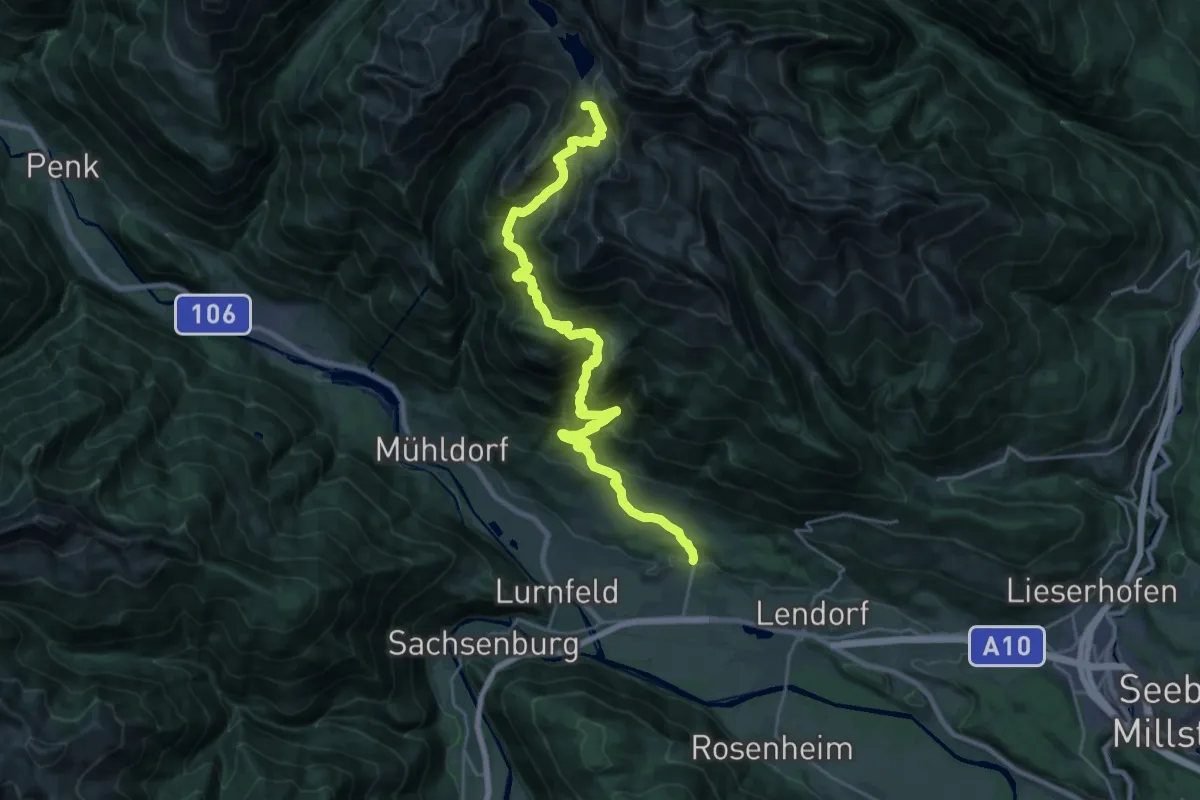
Expert · Summit
Wanderweg 568
28.3 km · ↑ 2078 m · 11 h 11 min
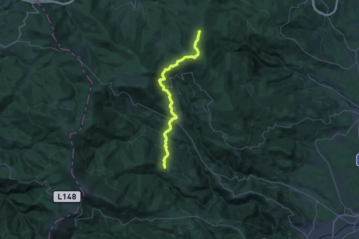
Demanding · Summit
Wanderweg 568
25.8 km · ↑ 1199 m · 8 h 42 min
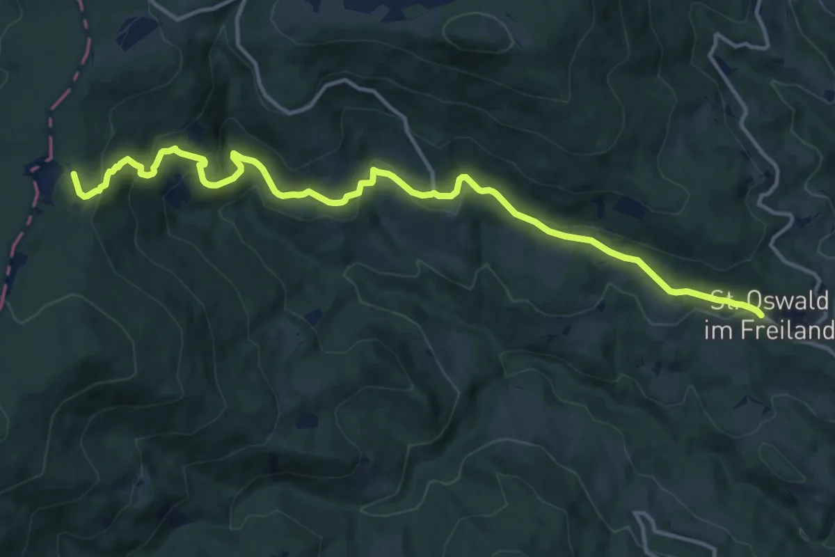
Medium · Trail
Wanderweg 568b
14.3 km · ↑ 568 m · 4 h 36 min
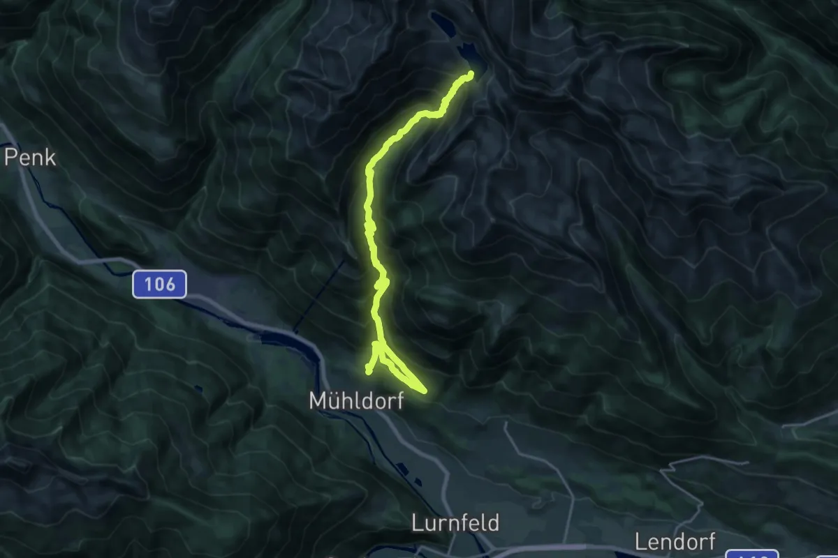
Expert · Cabin
Wanderweg 569
11.1 km · ↑ 1626 m · 5 h 29 min
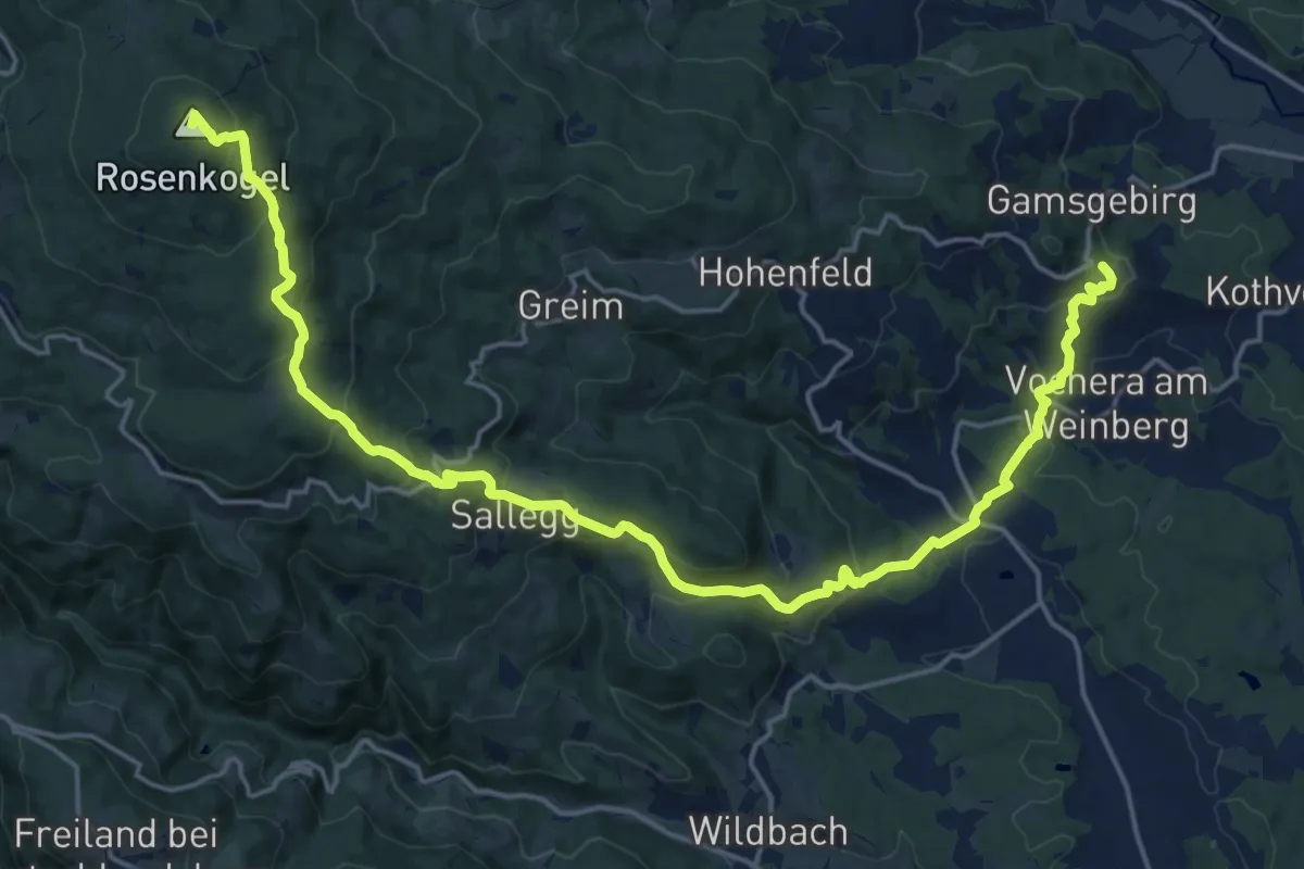
Demanding · Summit
Wanderweg 569
22.9 km · ↑ 1186 m · 7 h 58 min
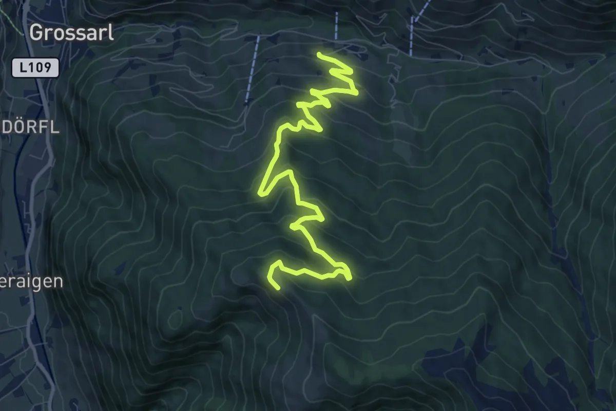
Medium · Trail
Wanderweg 56a
11.0 km · ↑ 575 m · 3 h 50 min
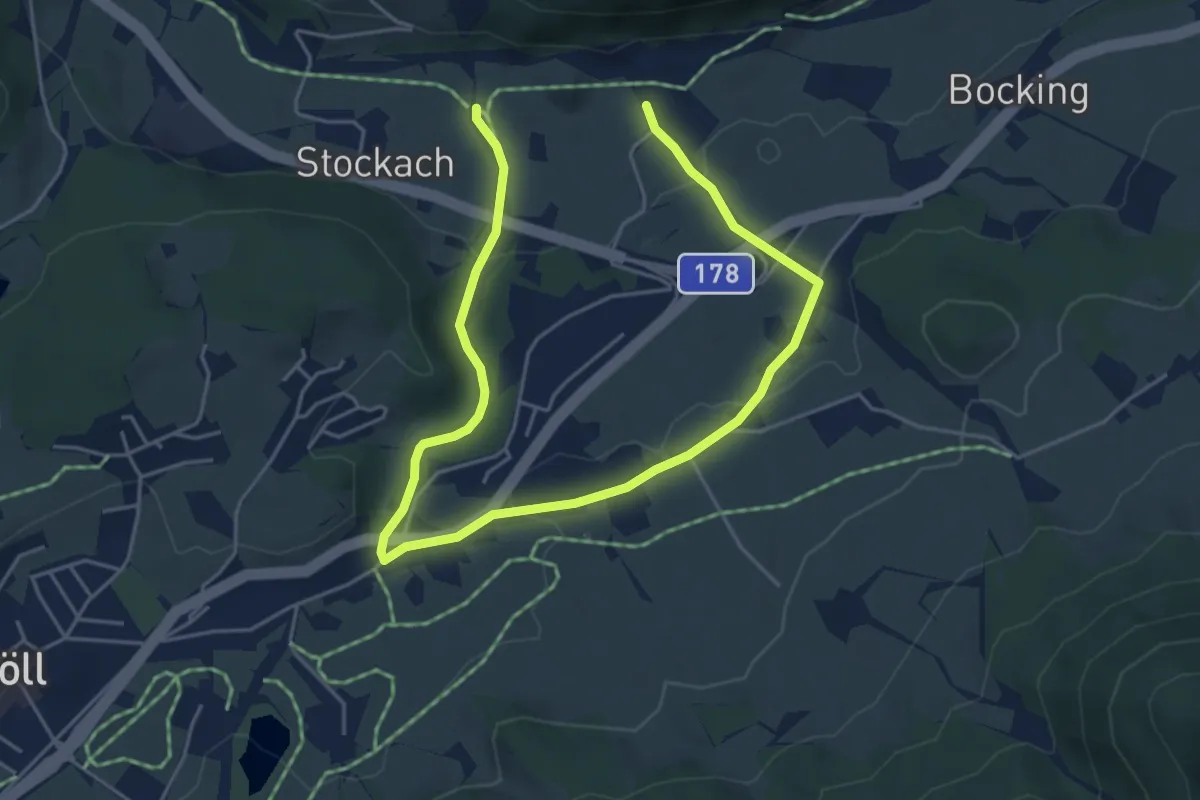
Easy · Trail
Wanderweg 56a - Söll
6.7 km · ↑ 152 m · 1 h 55 min
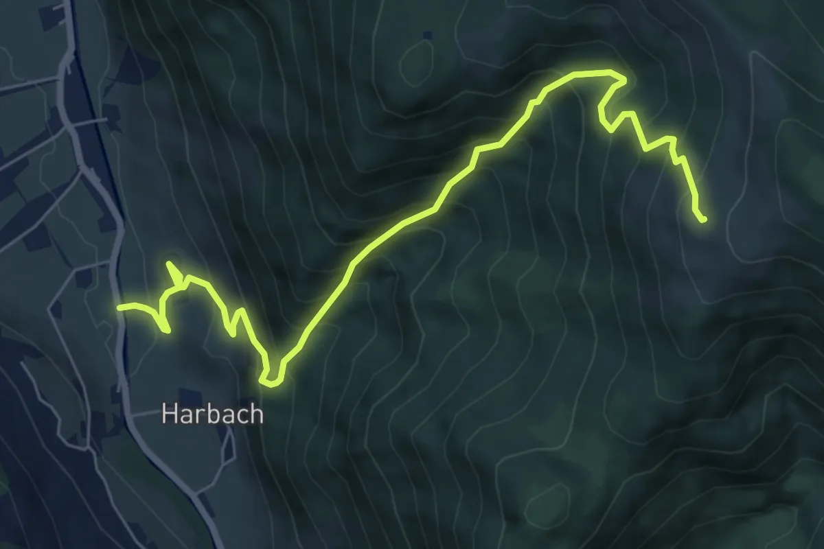
Demanding · Cabin
Wanderweg 56b
7.5 km · ↑ 838 m · 3 h 35 min
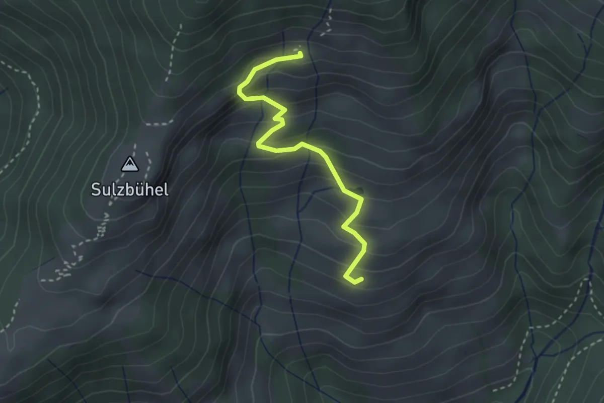
Medium · Cabin
Wanderweg 56c
2.7 km · ↑ 234 m · 1 h 9 min