Trails in Austria
9,777 hiking trails, each with its route, climb, walking time and grade.
All trails, page 158 of 204
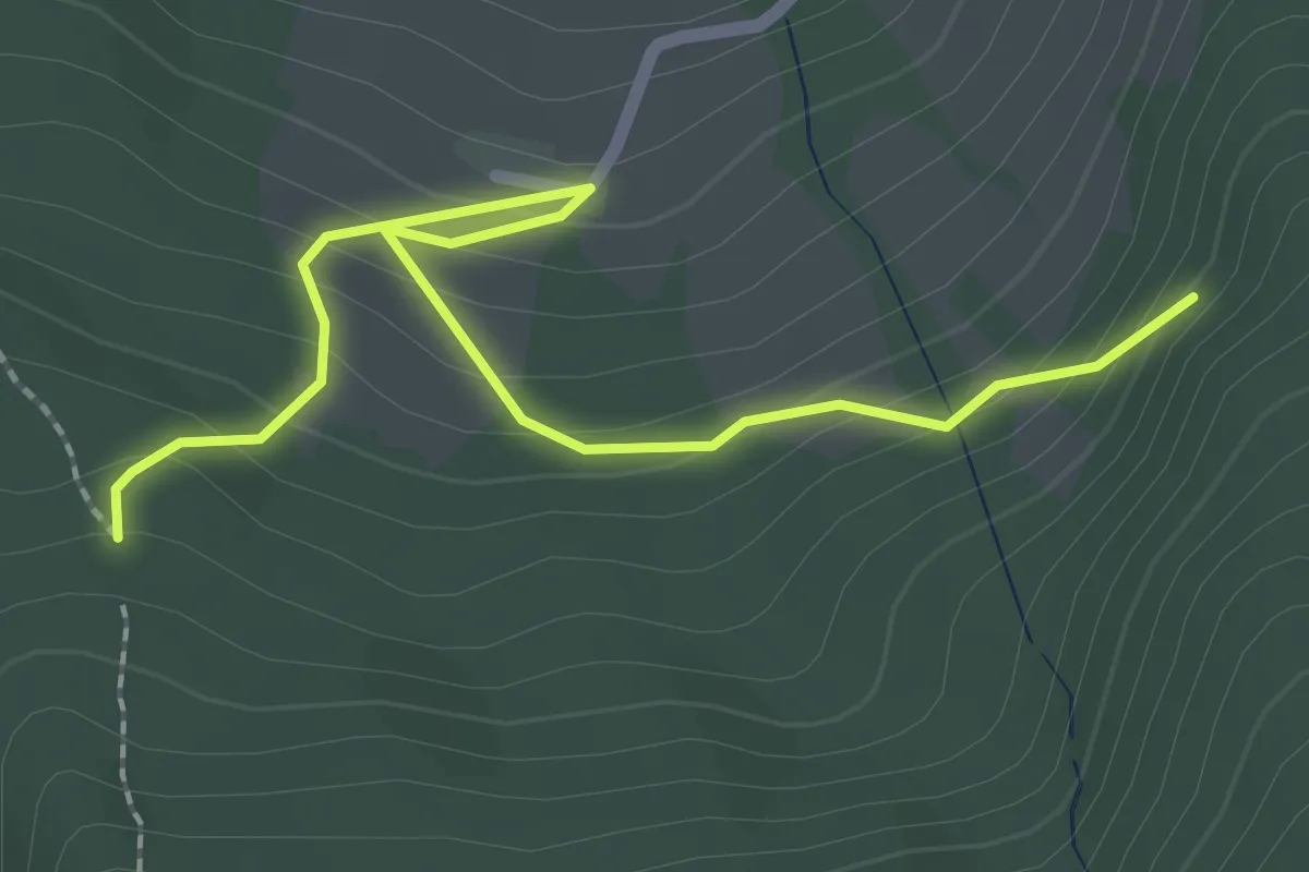
Medium · Trail
Wanderweg 56c
2.5 km · ↑ 172 m · 57 min
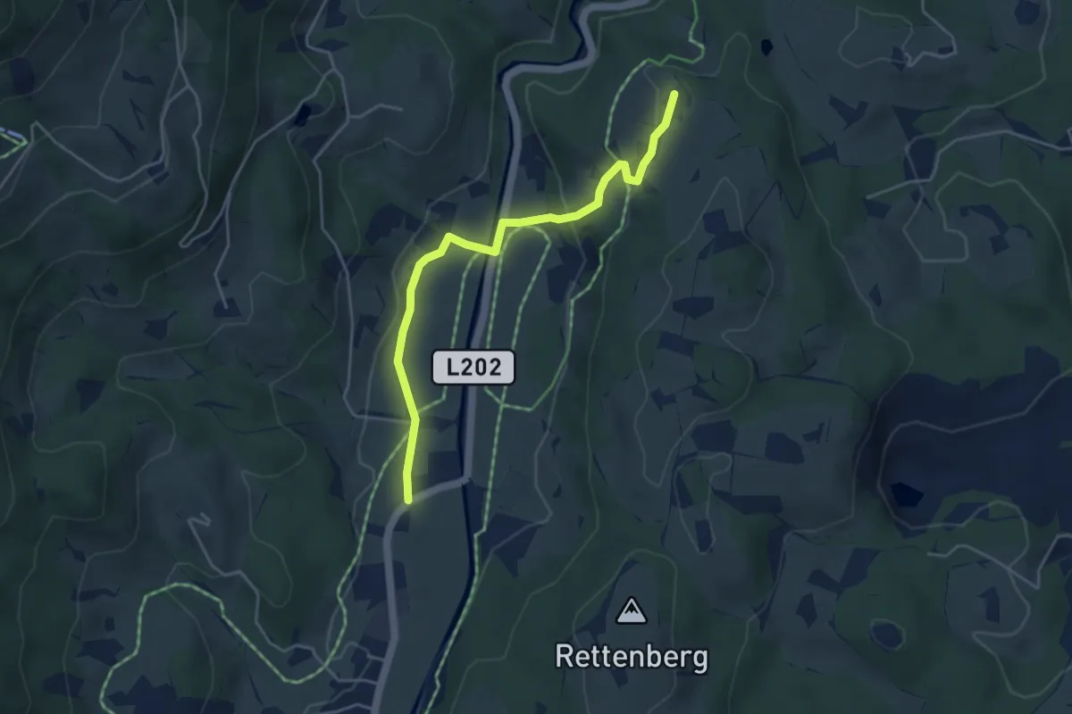
Easy · Trail
Wanderweg 56 - Kitzbühel
4.2 km · ↑ 96 m · 1 h 12 min
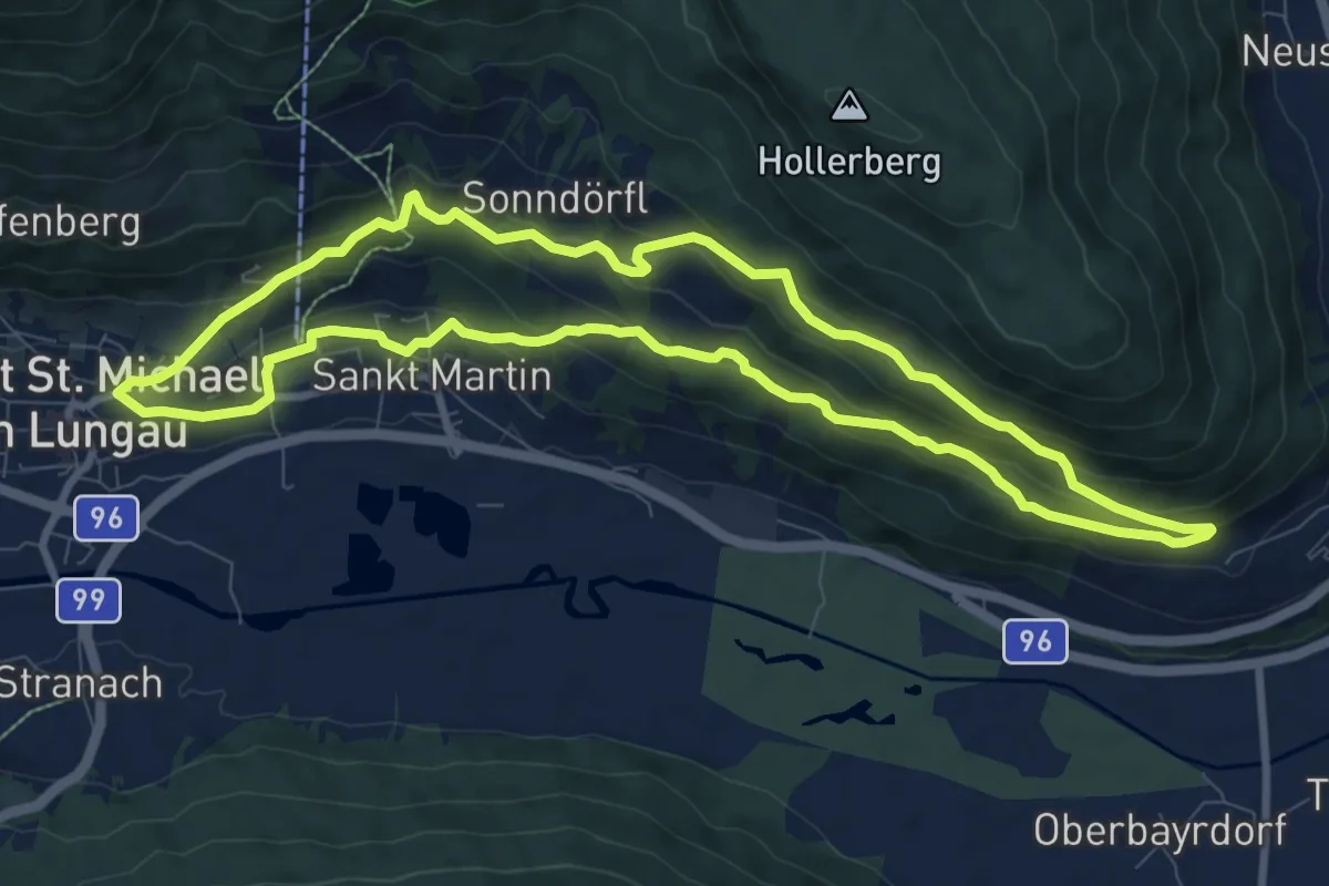
Medium · Trail
Wanderweg 56, Martiniberg Rundwanderweg
9.1 km · ↑ 394 m · 3 h 8 min
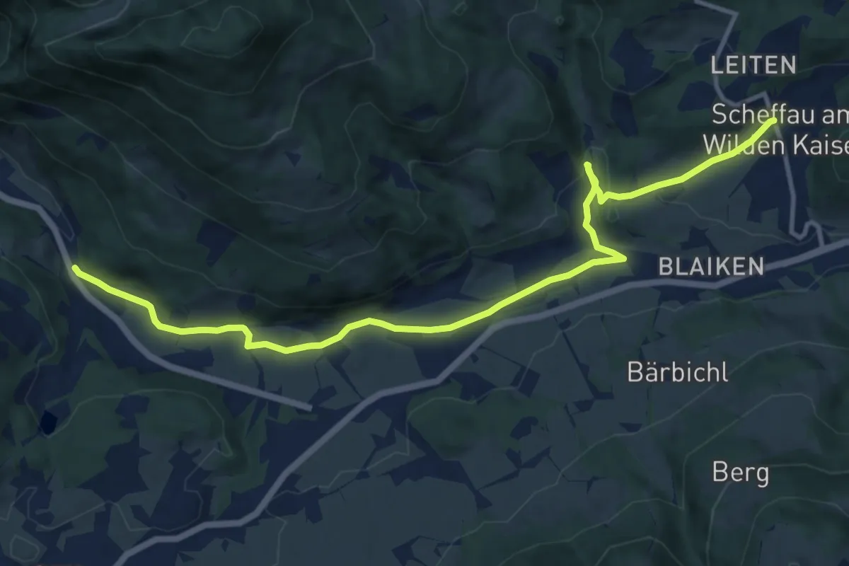
Medium · Trail
Wanderweg 56 - Wilder Kaiser
11.9 km · ↑ 161 m · 3 h 9 min
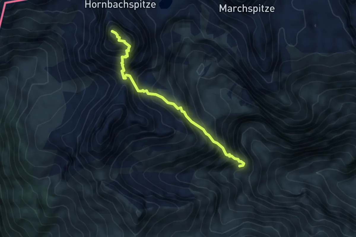
Demanding · Summit
Wanderweg 57
5.1 km · ↑ 833 m · 3 h 1 min
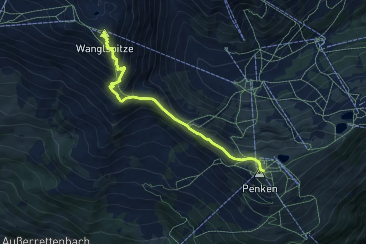
Medium · Summit
Wanderweg 57
6.9 km · ↑ 477 m · 2 h 40 min
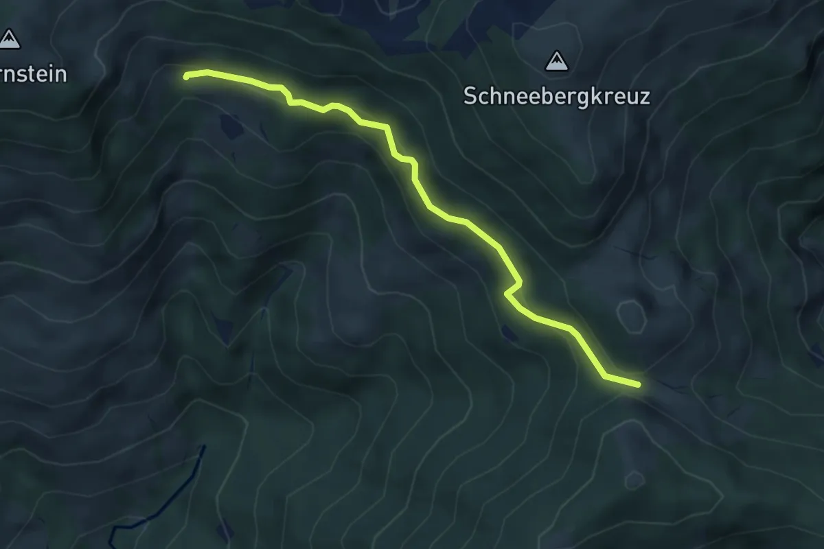
Easy · Trail
Wanderweg 57
4.4 km · ↑ 164 m · 1 h 24 min
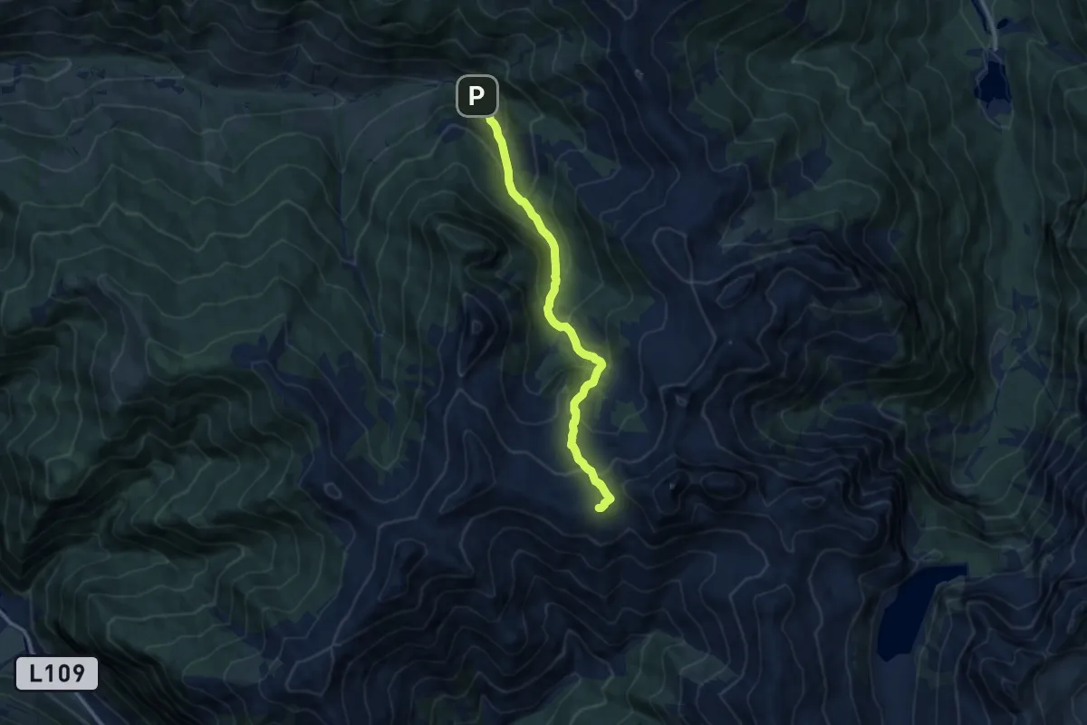
Medium · Trail
Wanderweg 57
9.3 km · ↑ 777 m · 3 h 52 min
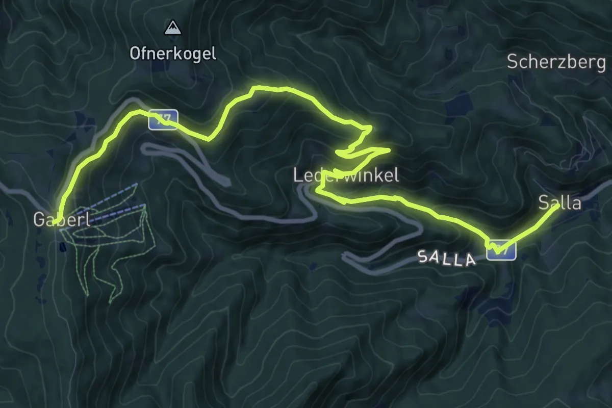
Demanding · Cabin
Wanderweg 57
15.8 km · ↑ 803 m · 5 h 28 min
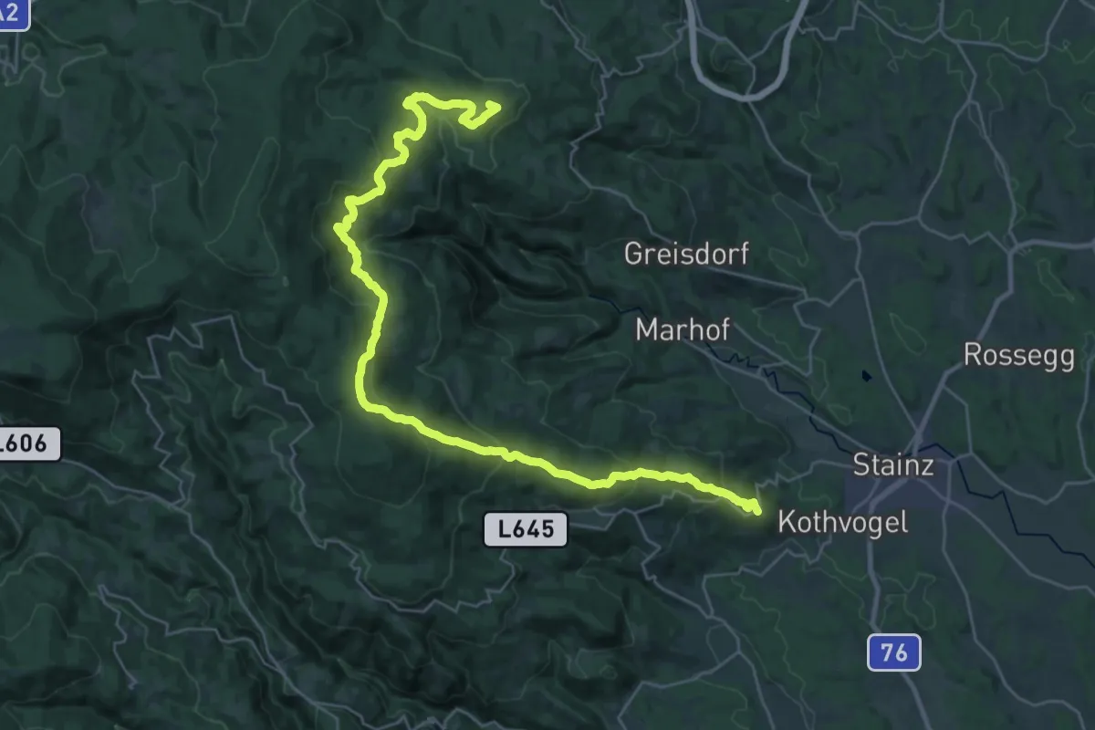
Demanding · Summit
Wanderweg 571
35.5 km · ↑ 1457 m · 11 h 32 min
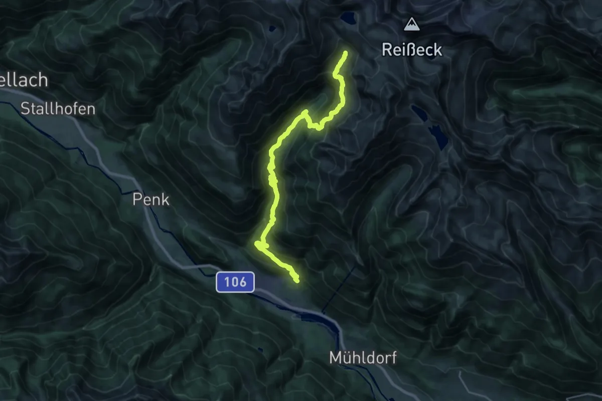
Demanding · Trail
Wanderweg 572
12.3 km · ↑ 1435 m · 5 h 32 min
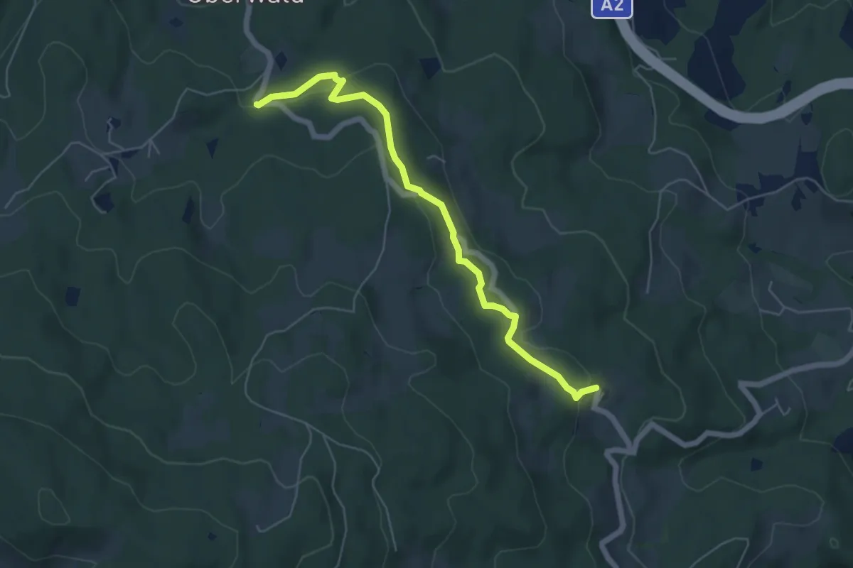
Easy · Trail
Wanderweg 574
5.4 km · ↑ 112 m · 1 h 31 min
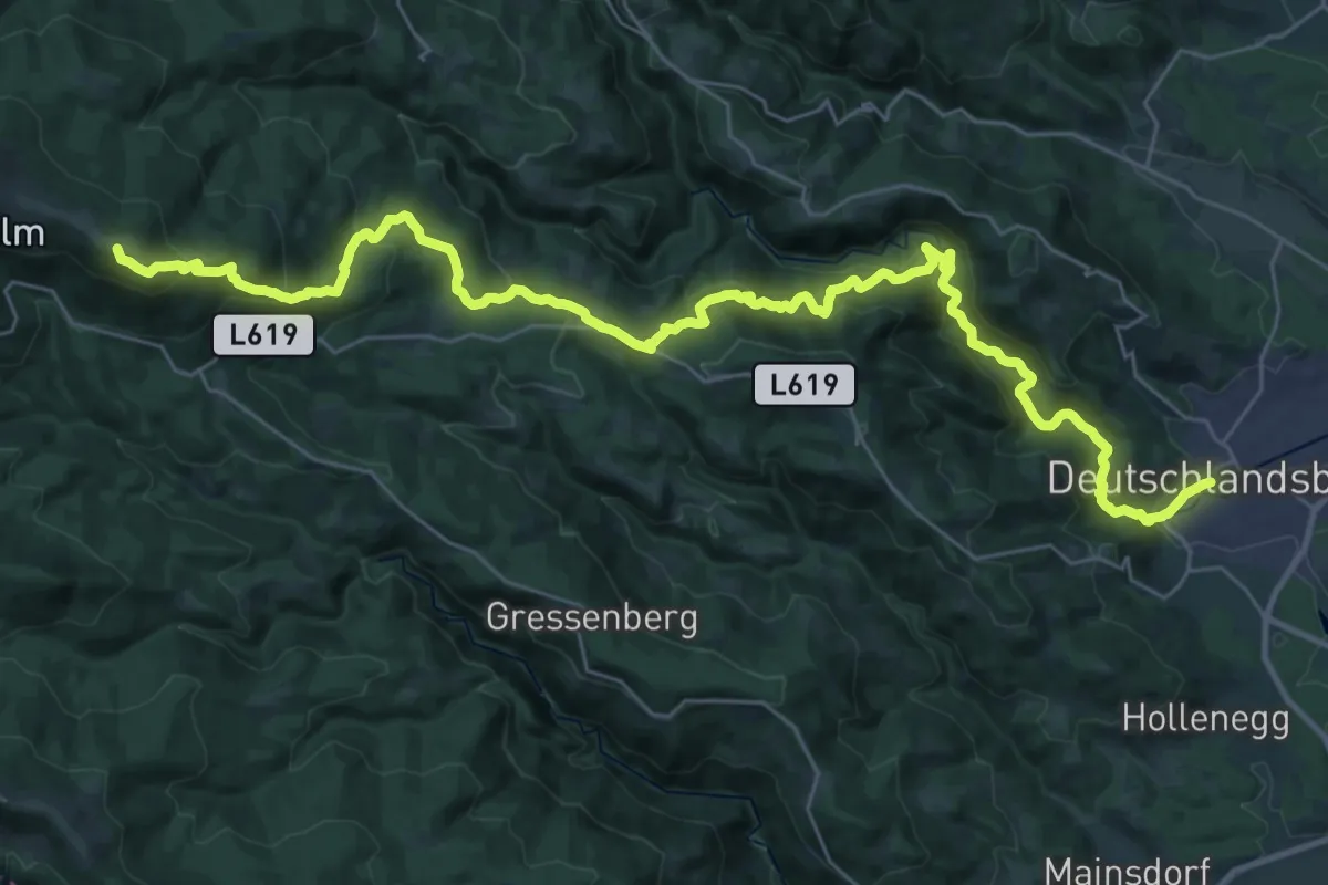
Demanding · Summit
Wanderweg 578
39.9 km · ↑ 1492 m · 12 h 39 min
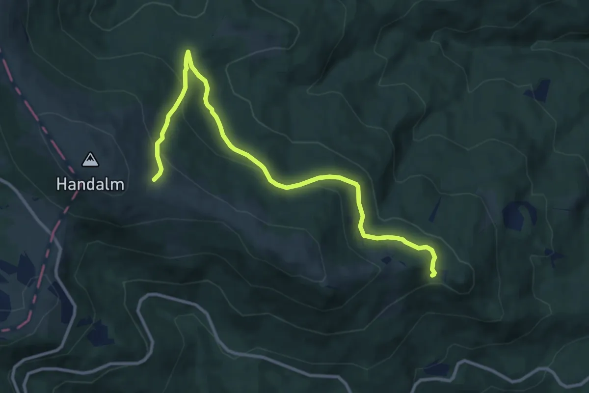
Medium · Trail
Wanderweg 578B
9.8 km · ↑ 386 m · 3 h 10 min
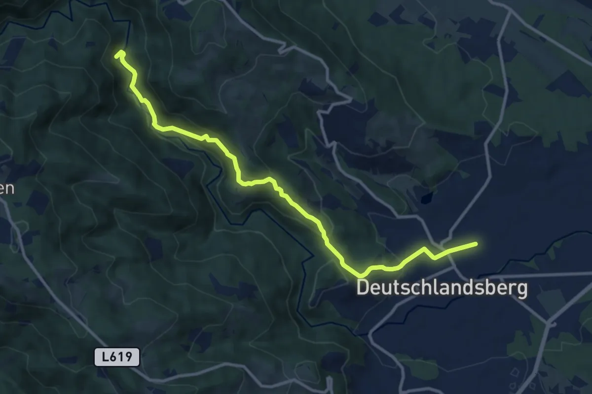
Medium · Trail
Wanderweg 578B
10.4 km · ↑ 340 m · 3 h 12 min
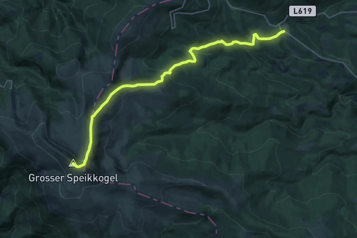
Demanding · Summit
Wanderweg 579
19.7 km · ↑ 1076 m · 7 h
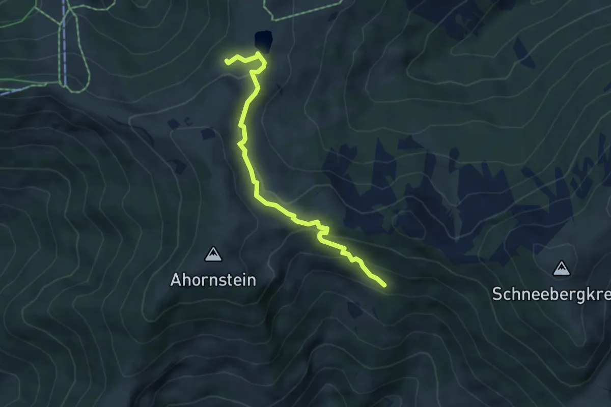
Medium · Trail
Wanderweg 57a
4.4 km · ↑ 185 m · 1 h 27 min
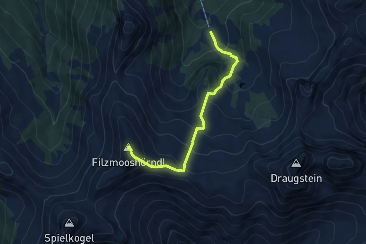
Medium · Summit
Wanderweg 57a
5.2 km · ↑ 456 m · 2 h 13 min
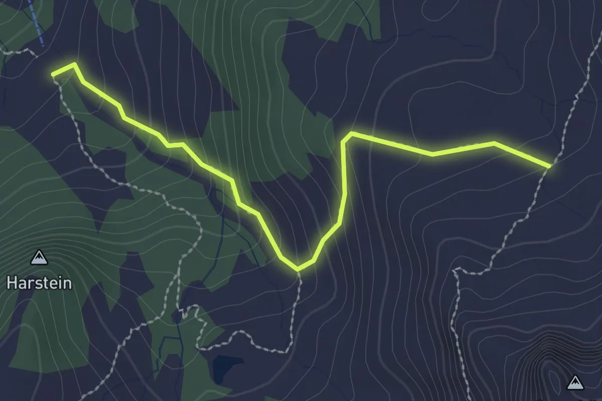
Medium · Cabin
Wanderweg 57b
2.7 km · ↑ 208 m · 1 h 5 min
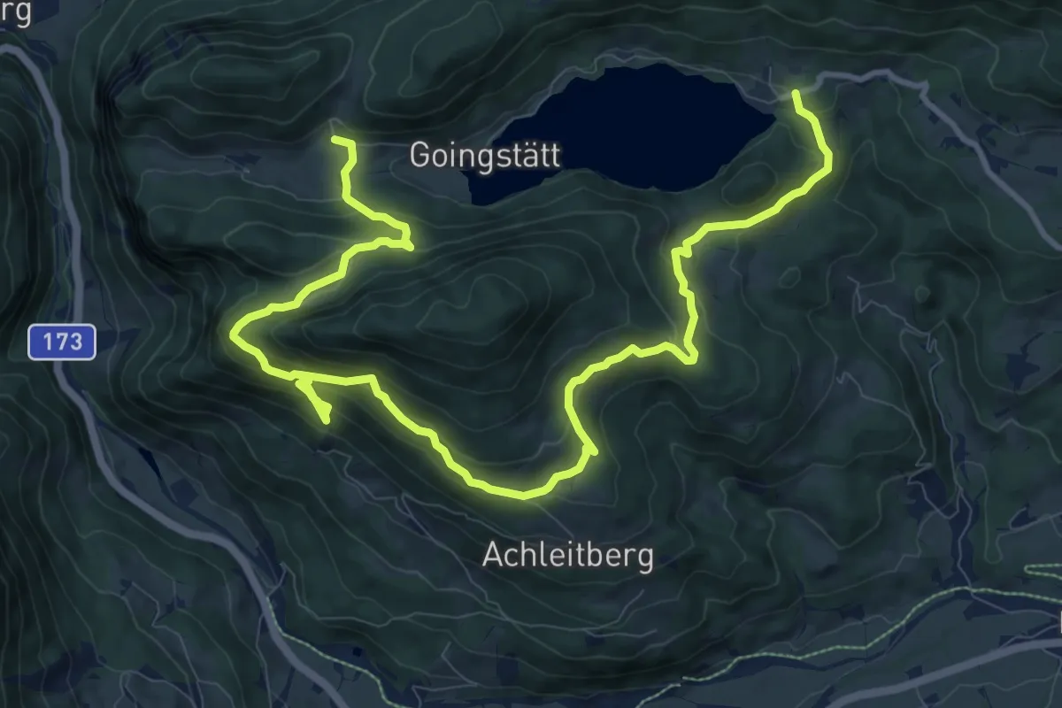
Medium · Trail
Wanderweg 57 - Wilder Kaiser
14.5 km · ↑ 662 m · 4 h 51 min
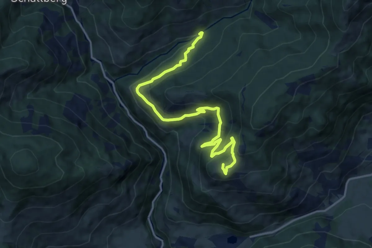
Medium · Trail
Wanderweg 58
12.0 km · ↑ 528 m · 3 h 59 min
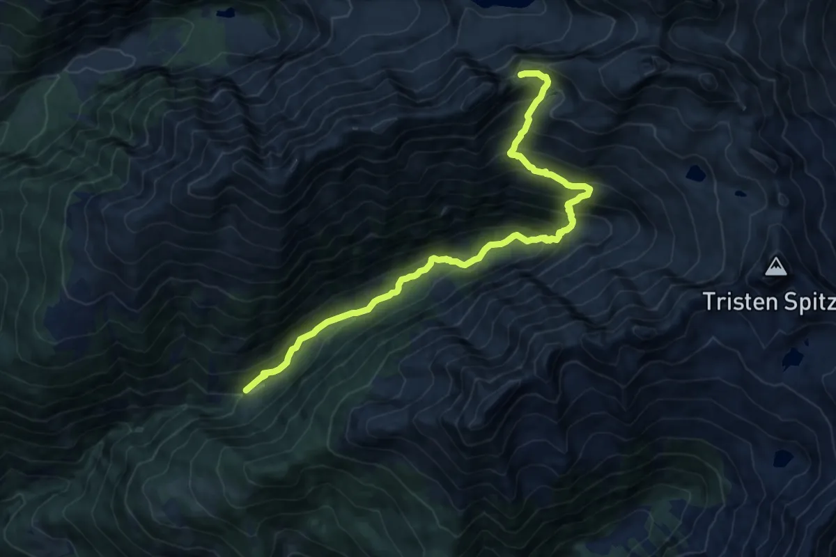
Demanding · Trail
Wanderweg 580
13.8 km · ↑ 1148 m · 5 h 45 min
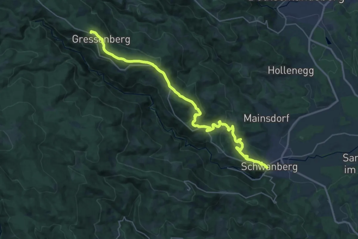
Demanding · Summit
Wanderweg 582
24.2 km · ↑ 786 m · 7 h 25 min
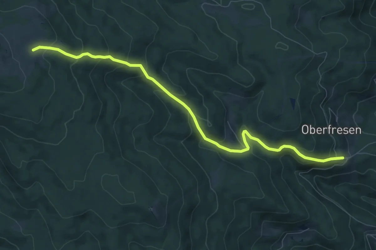
Medium · Cabin
Wanderweg 587
9.3 km · ↑ 512 m · 3 h 18 min
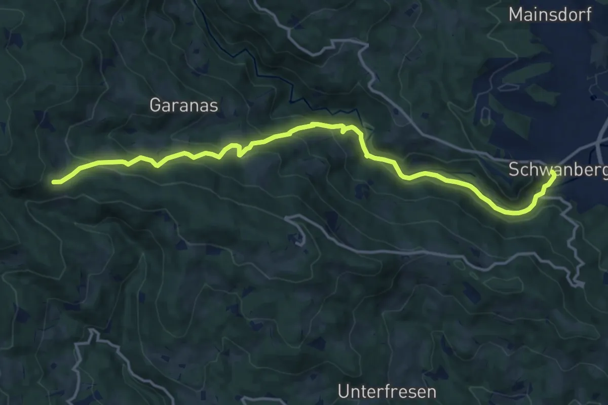
Medium · Trail
Wanderweg 587
14.6 km · ↑ 656 m · 4 h 52 min
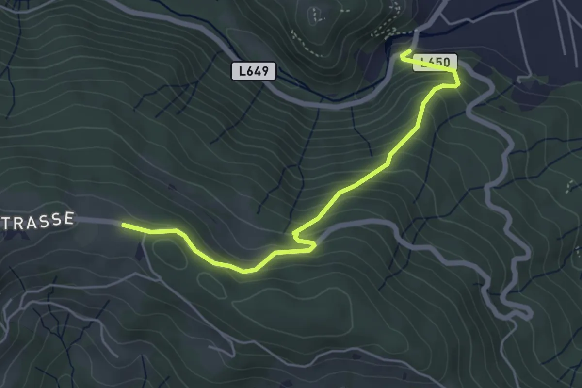
Medium · Trail
Wanderweg 587a
4.5 km · ↑ 370 m · 1 h 53 min
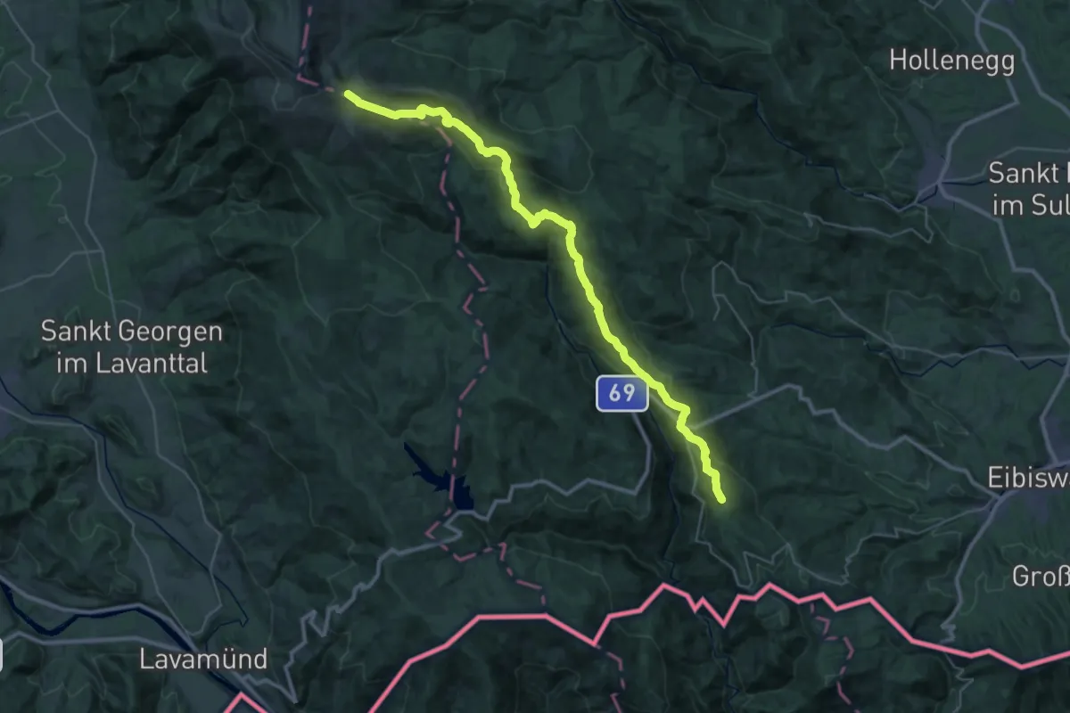
Demanding · Summit
Wanderweg 588
37.3 km · ↑ 1427 m · 11 h 54 min
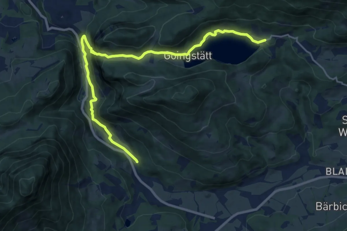
Medium · Trail
Wanderweg 58 - Wilder Kaiser
13.9 km · ↑ 490 m · 4 h 20 min
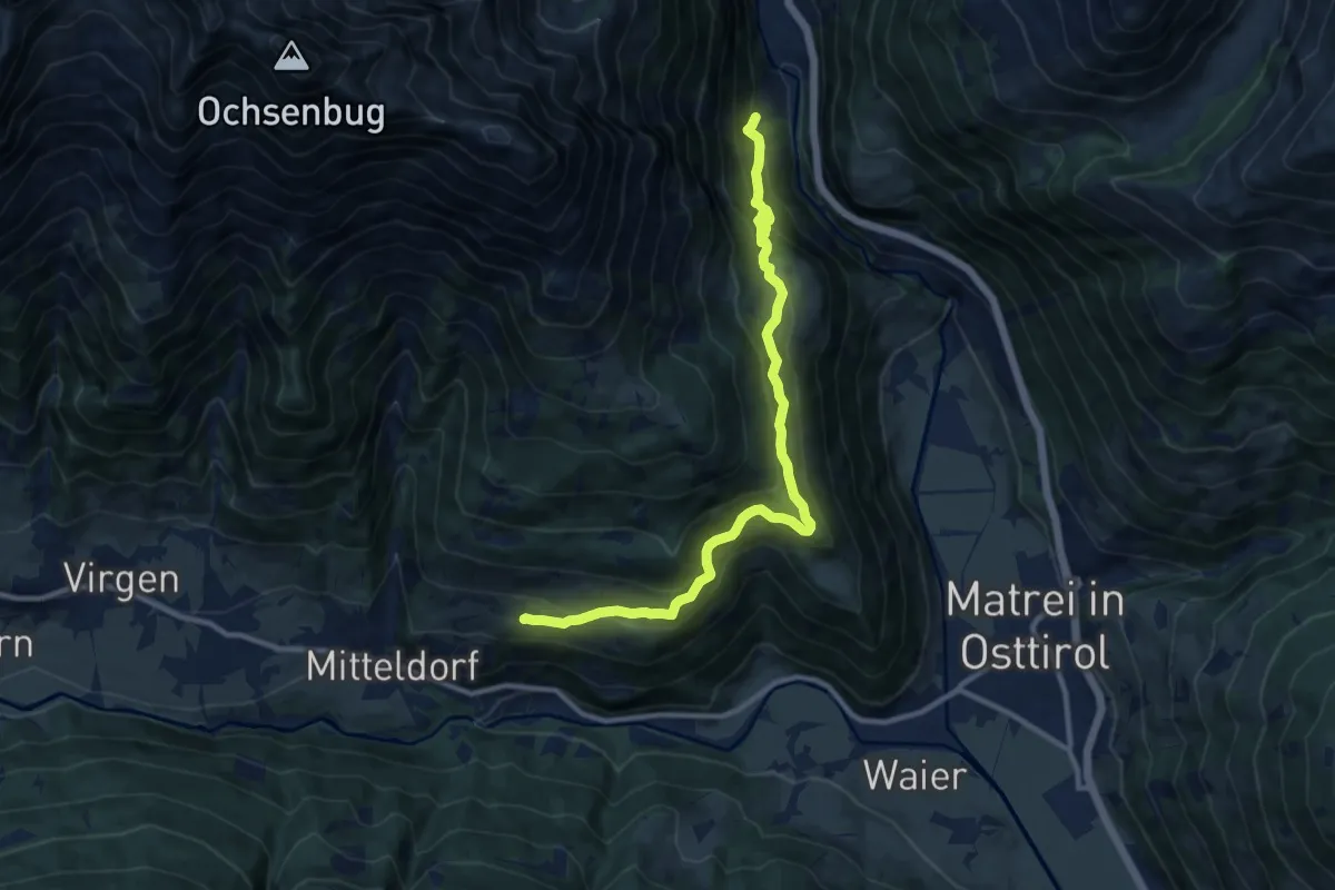
Medium · Trail
Wanderweg 59
11.3 km · ↑ 522 m · 3 h 48 min
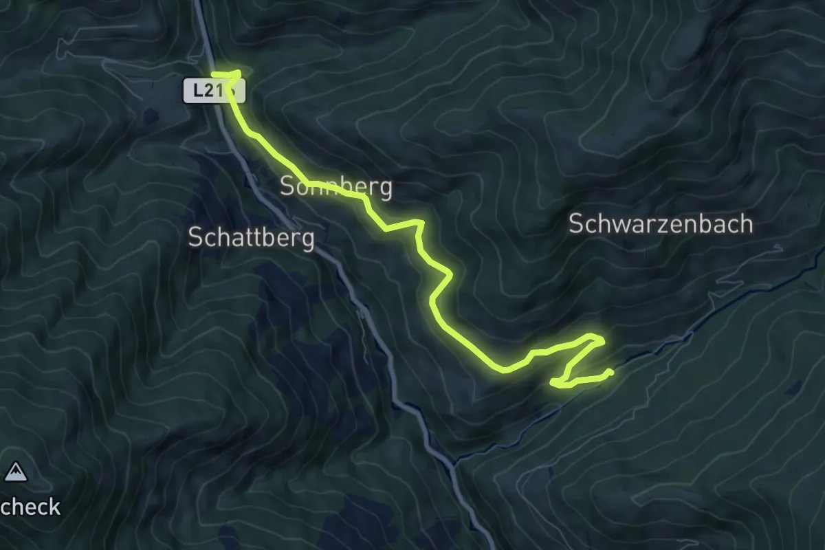
Medium · Trail
Wanderweg 59
8.7 km · ↑ 325 m · 2 h 45 min
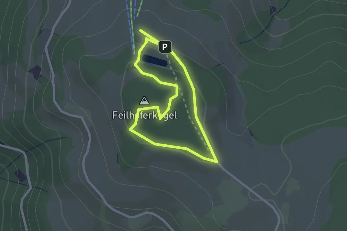
Easy · Summit
Wanderweg 59
1.8 km · ↑ 39 m · 32 min
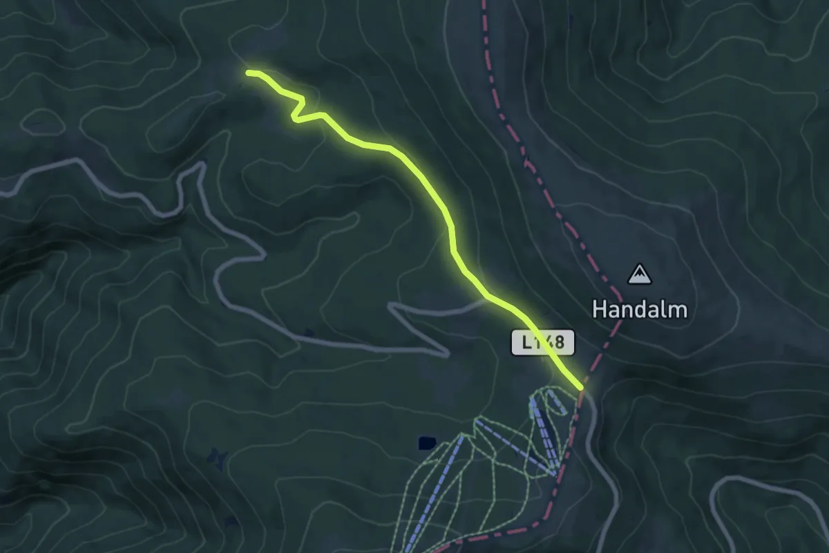
Easy · Trail
Wanderweg 590
6.0 km · ↑ 155 m · 1 h 46 min
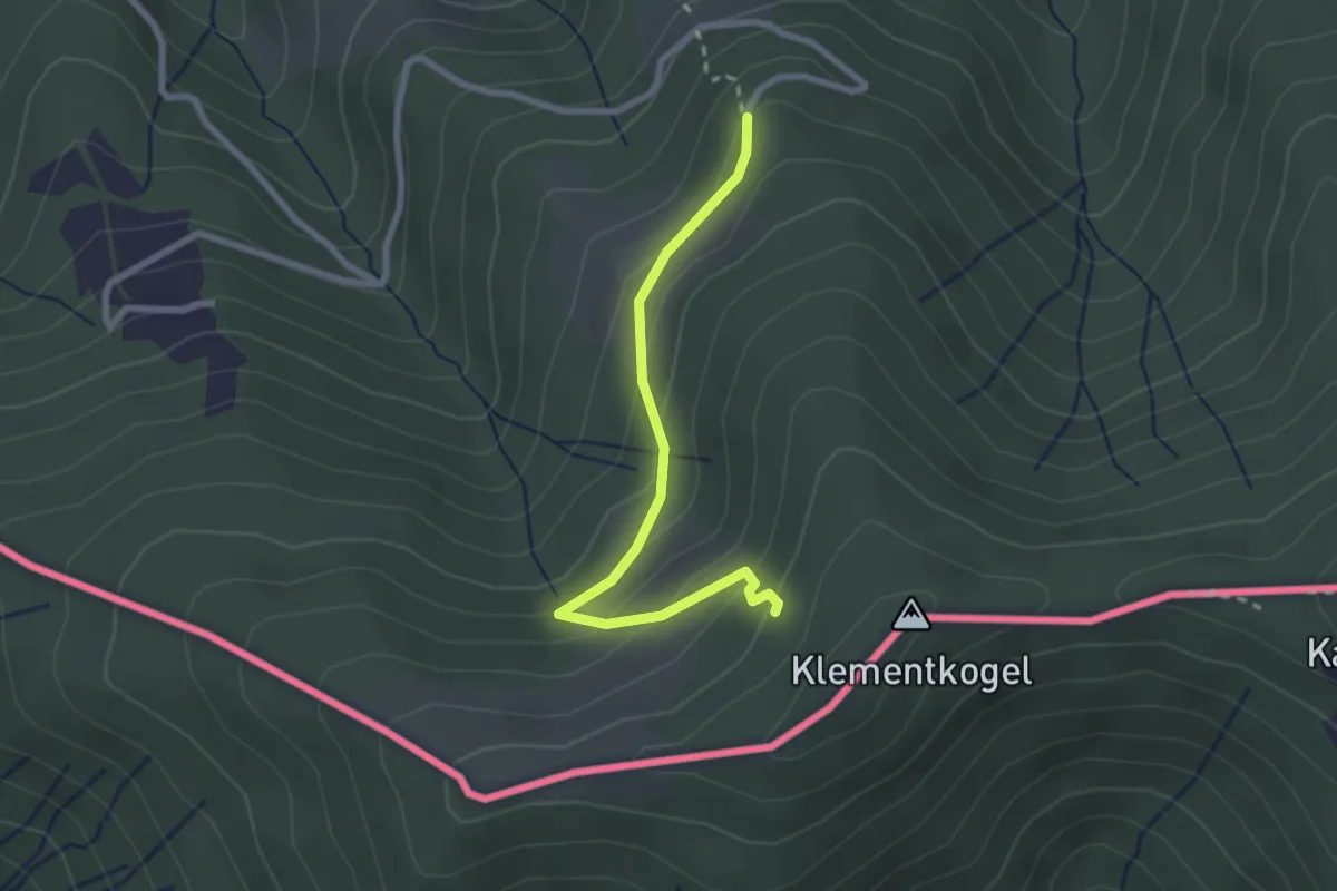
Easy · Cabin
Wanderweg 590
2.5 km · ↑ 143 m · 54 min
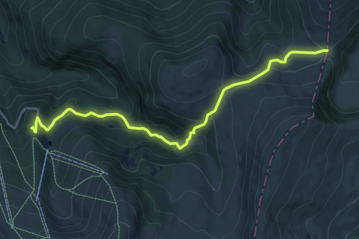
Medium · Trail
Wanderweg 591
9.0 km · ↑ 459 m · 3 h 8 min
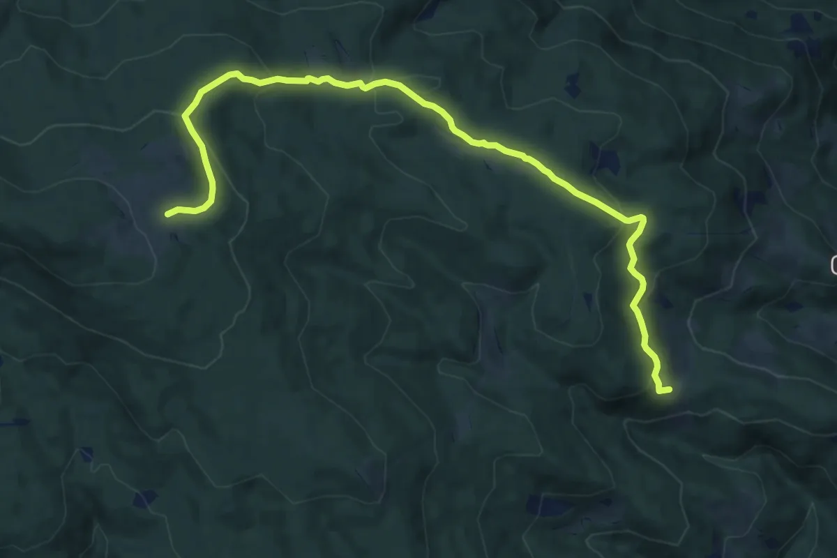
Medium · Cabin
Wanderweg 591
12.9 km · ↑ 504 m · 4 h 9 min
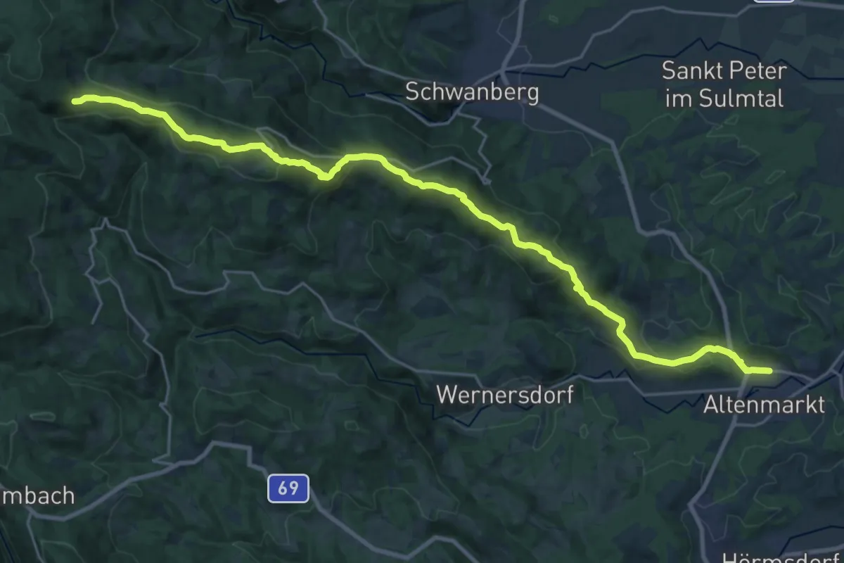
Medium · Trail
Wanderweg 591
13.0 km · ↑ 73 m · 3 h 47 min
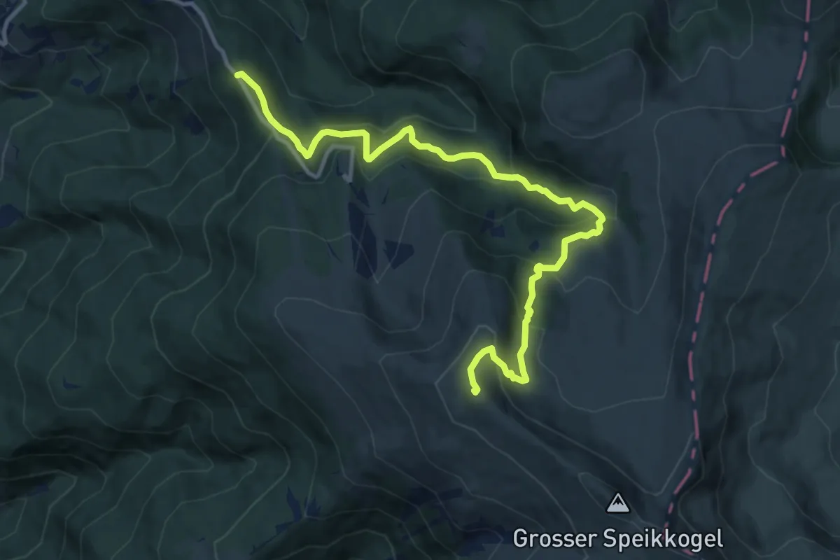
Medium · Summit
Wanderweg 592
12.2 km · ↑ 663 m · 4 h 18 min
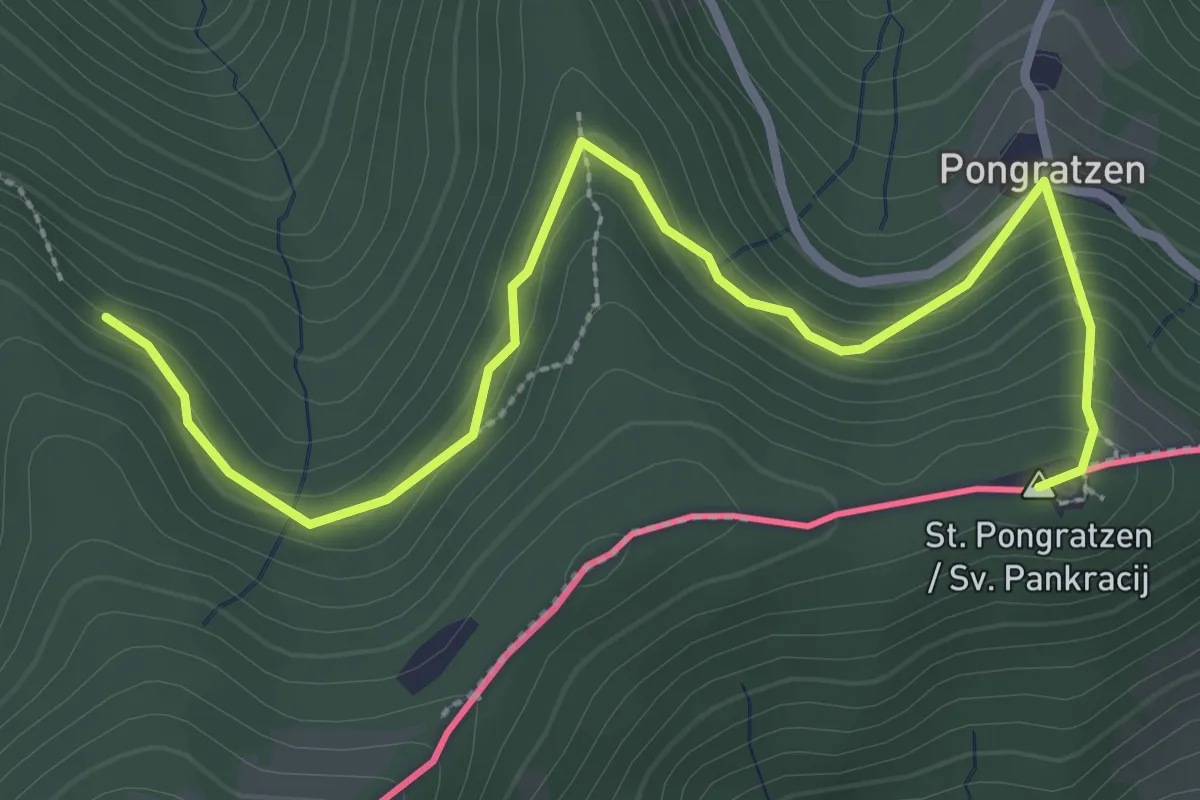
Easy · Summit
Wanderweg 592
3.5 km · ↑ 190 m · 1 h 14 min
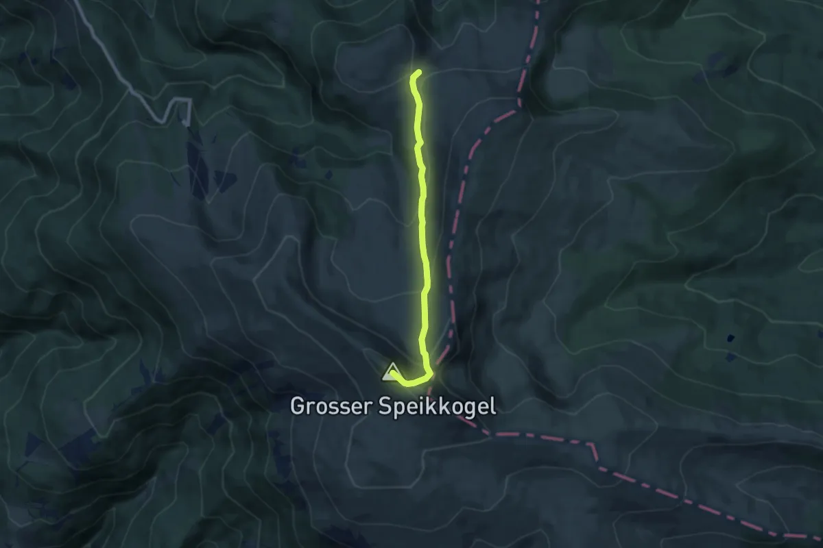
Medium · Summit
Wanderweg 593
6.7 km · ↑ 366 m · 2 h 23 min
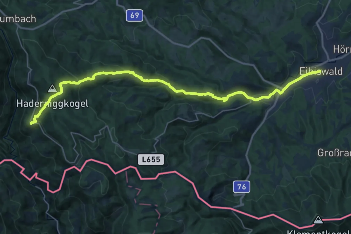
Demanding · Trail
Wanderweg 593
24.0 km · ↑ 1026 m · 7 h 53 min
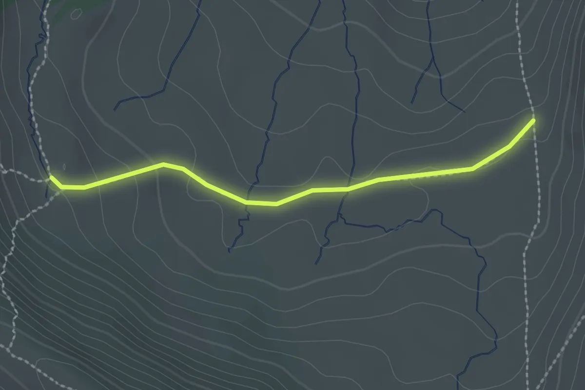
Easy · Trail
Wanderweg 593A
2.1 km · ↑ 54 m · 37 min
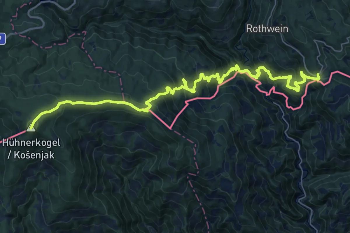
Demanding · Summit
Wanderweg 594
28.2 km · ↑ 1659 m · 10 h 16 min
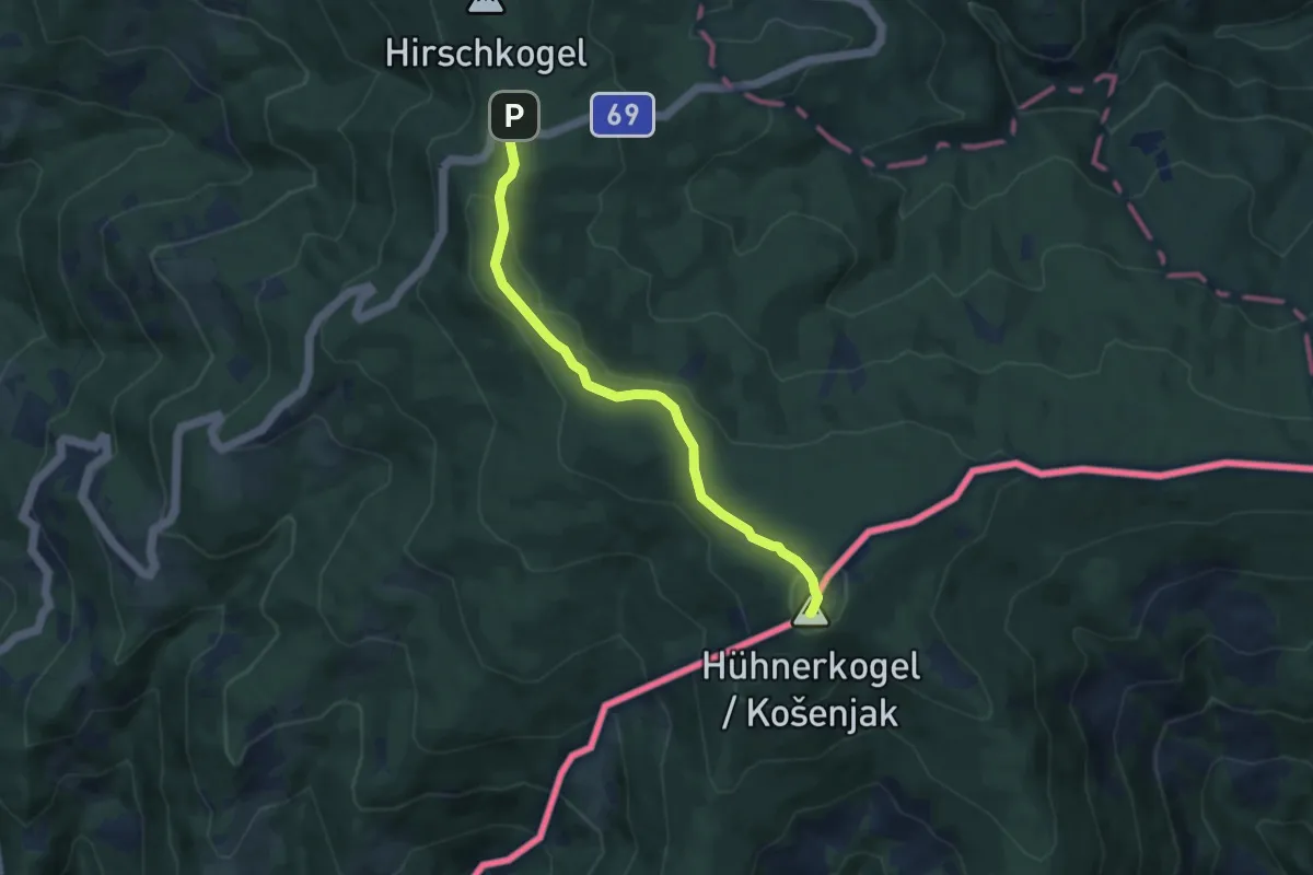
Medium · Summit
Wanderweg 594
7.0 km · ↑ 202 m · 2 h 6 min
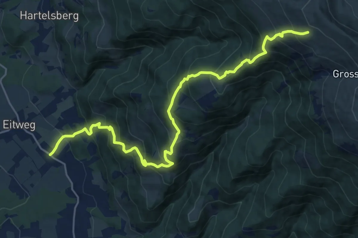
Demanding · Cabin
Wanderweg 595
16.3 km · ↑ 1405 m · 6 h 54 min
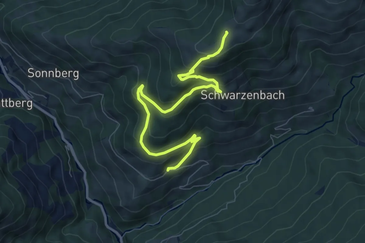
Medium · Trail
Wanderweg 59a
8.5 km · ↑ 450 m · 2 h 59 min
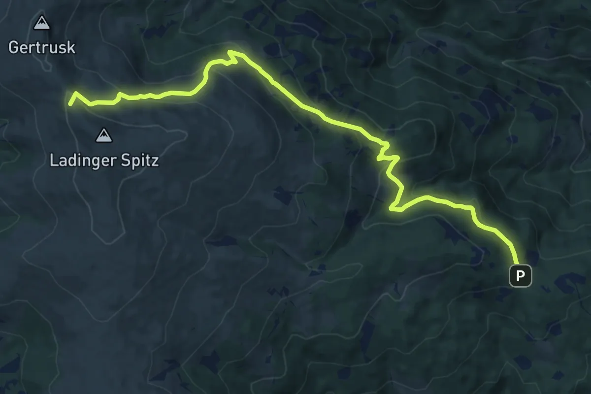
Medium · Summit
Wanderweg 5a
14.8 km · ↑ 661 m · 4 h 56 min
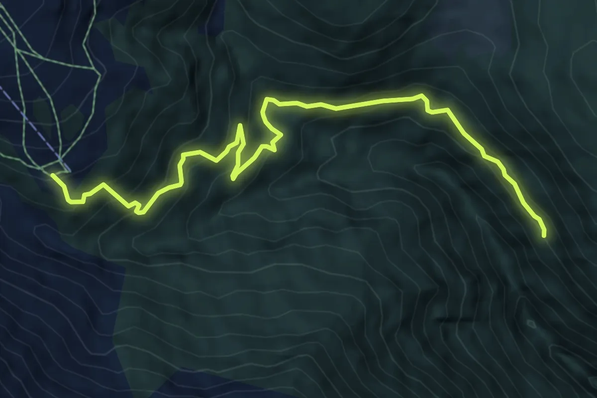
Medium · Trail
Wanderweg 5A
8.0 km · ↑ 429 m · 2 h 50 min
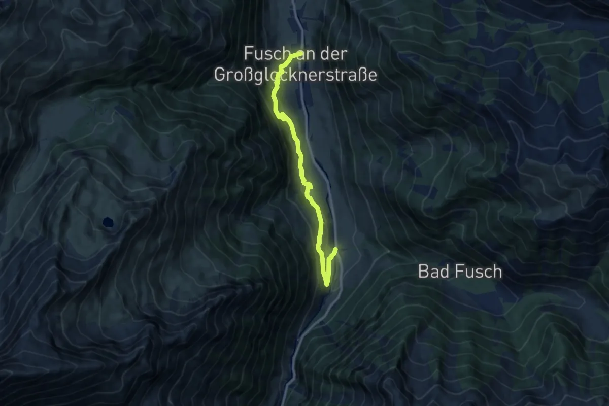
Medium · Trail
Wanderweg 5A (Fuscher Höhenweg)
8.9 km · ↑ 421 m · 3 h 1 min