Trails in Austria
9,777 hiking trails, each with its route, climb, walking time and grade.
All trails, page 164 of 204
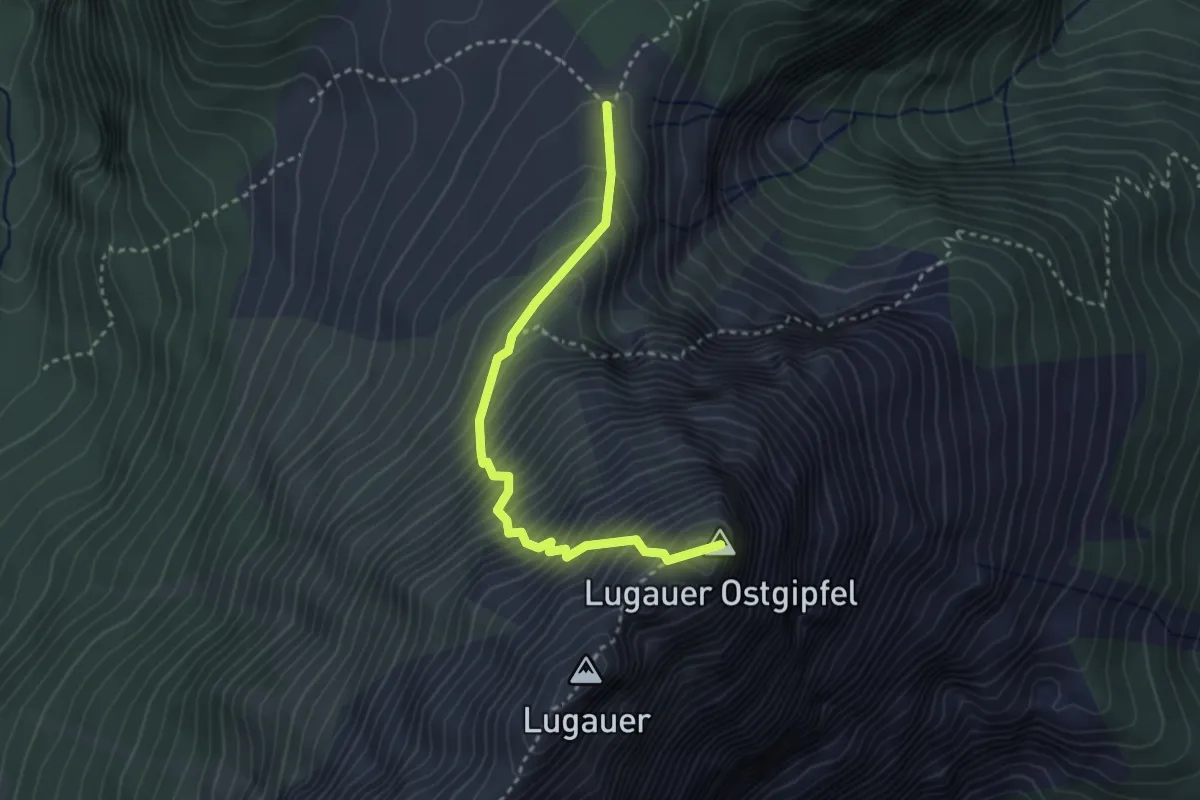
Expert · Summit
Wanderweg 667
3.1 km · ↑ 554 m · 1 h 56 min
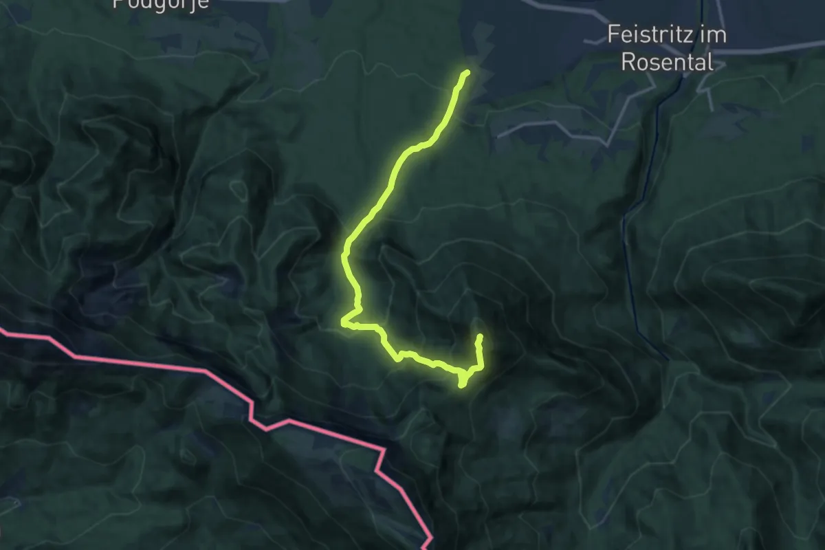
Demanding · Summit
Wanderweg 668
13.8 km · ↑ 1167 m · 5 h 48 min
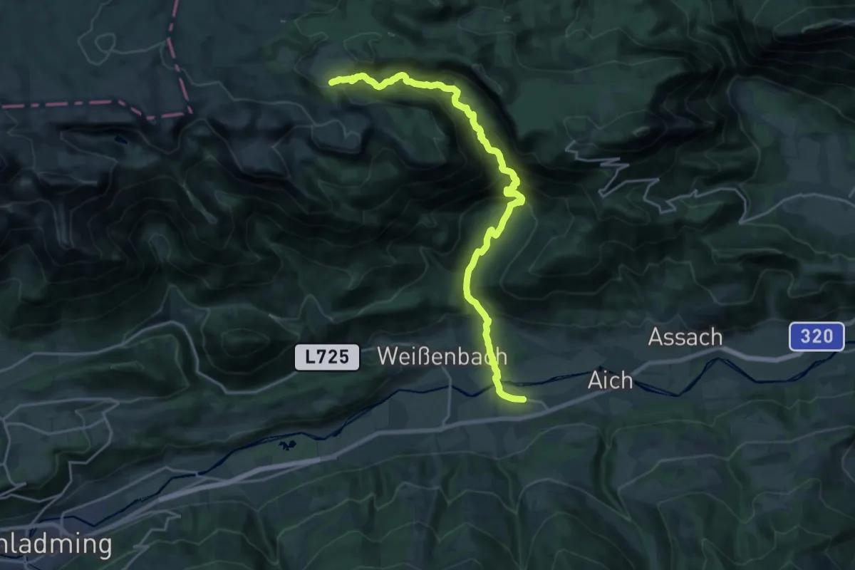
Demanding · Trail
Wanderweg 668
20.8 km · ↑ 1157 m · 7 h 25 min
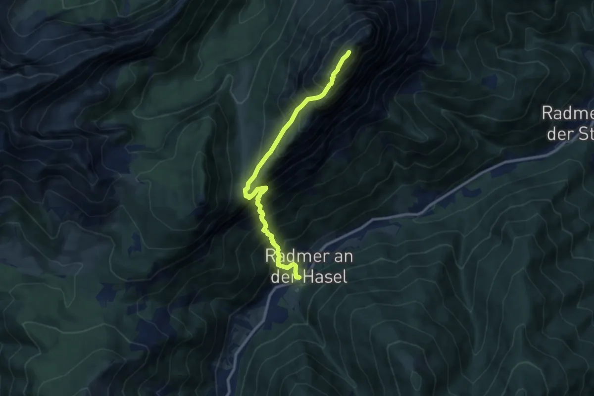
Expert · Summit
Wanderweg 668
8.5 km · ↑ 1340 m · 4 h 55 min
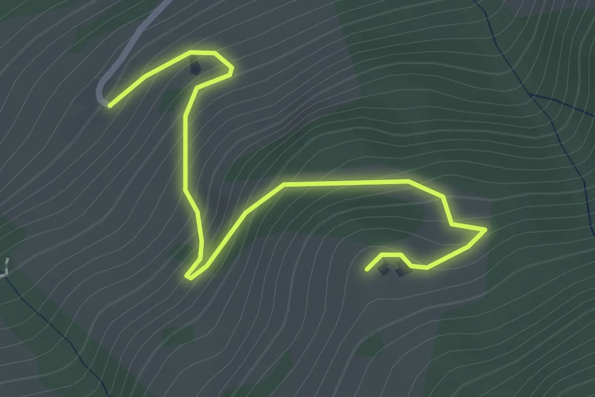
Easy · Cabin
Wanderweg 66a
2.5 km · ↑ 223 m · 1 h 4 min
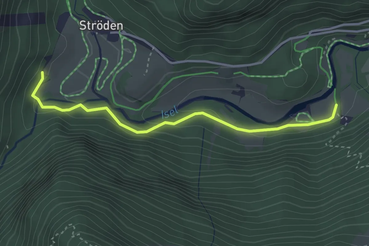
Easy · Trail
Wanderweg 67
3.1 km · ↑ 79 m · 54 min
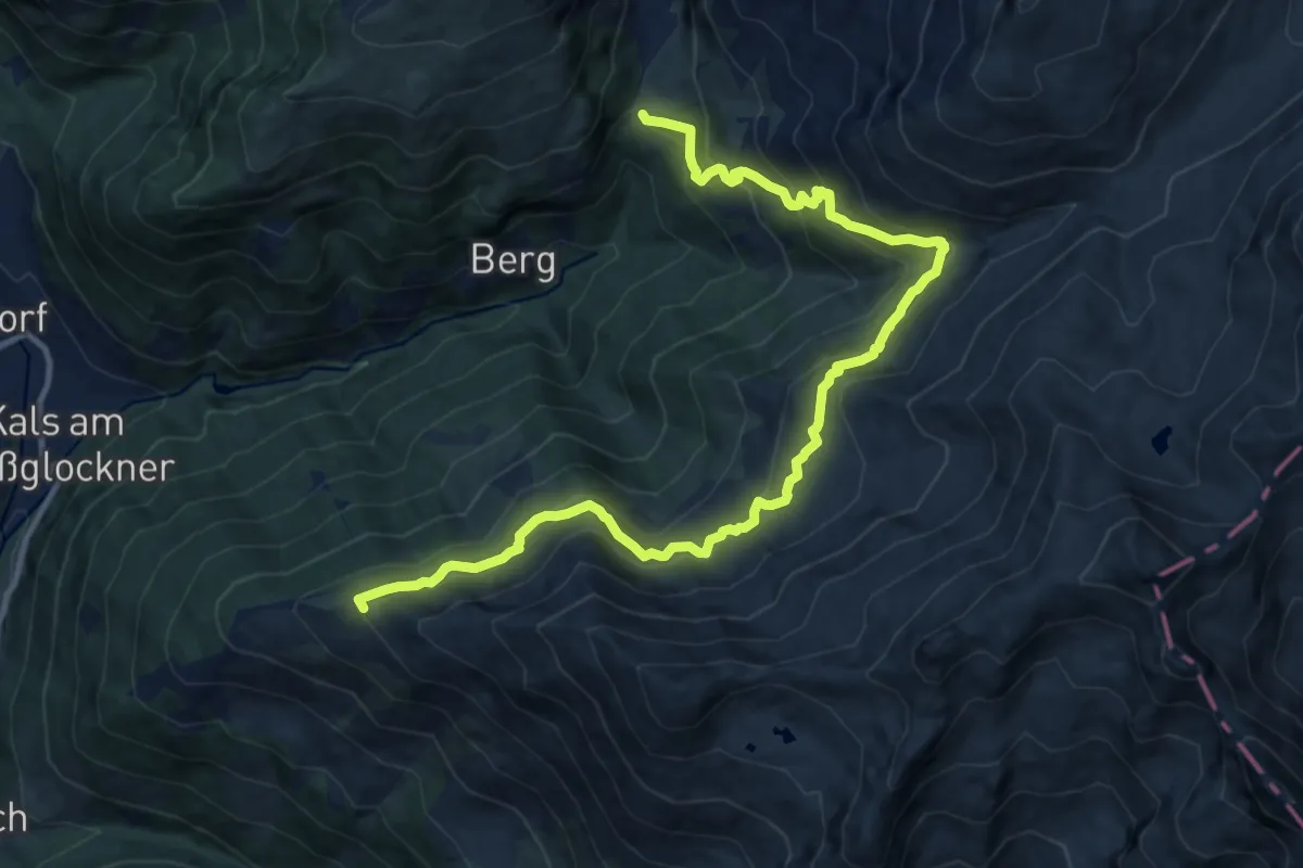
Demanding · Summit
Wanderweg 67
14.5 km · ↑ 802 m · 5 h 10 min
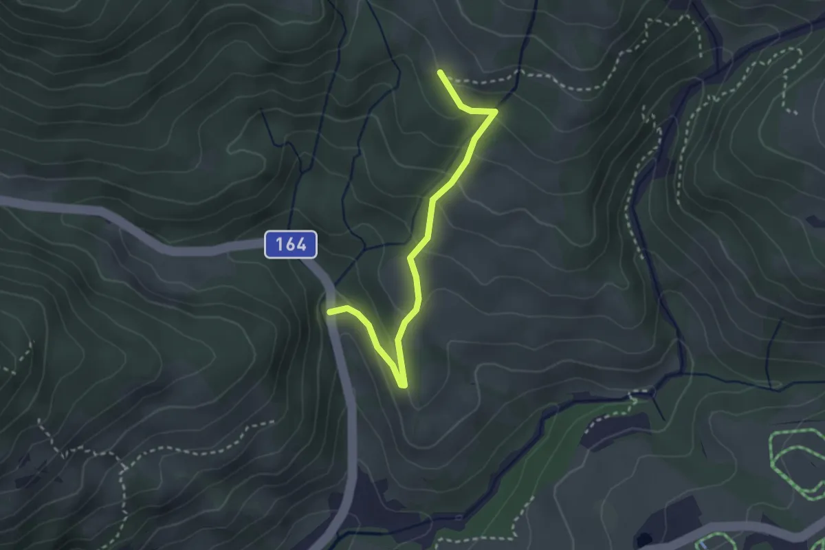
Easy · Trail
Wanderweg 67
2.8 km · ↑ 176 m · 1 h 2 min
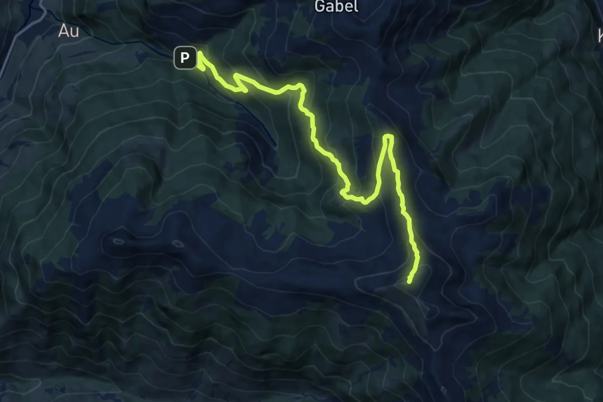
Demanding · Summit
Wanderweg 67
15.4 km · ↑ 1024 m · 5 h 51 min
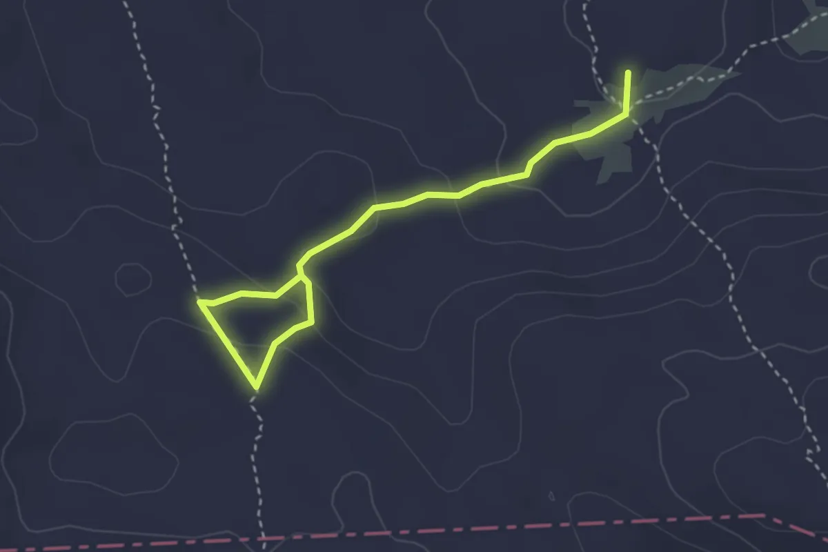
Demanding · Summit
Wanderweg 67
3.4 km · ↑ 194 m · 1 h 13 min
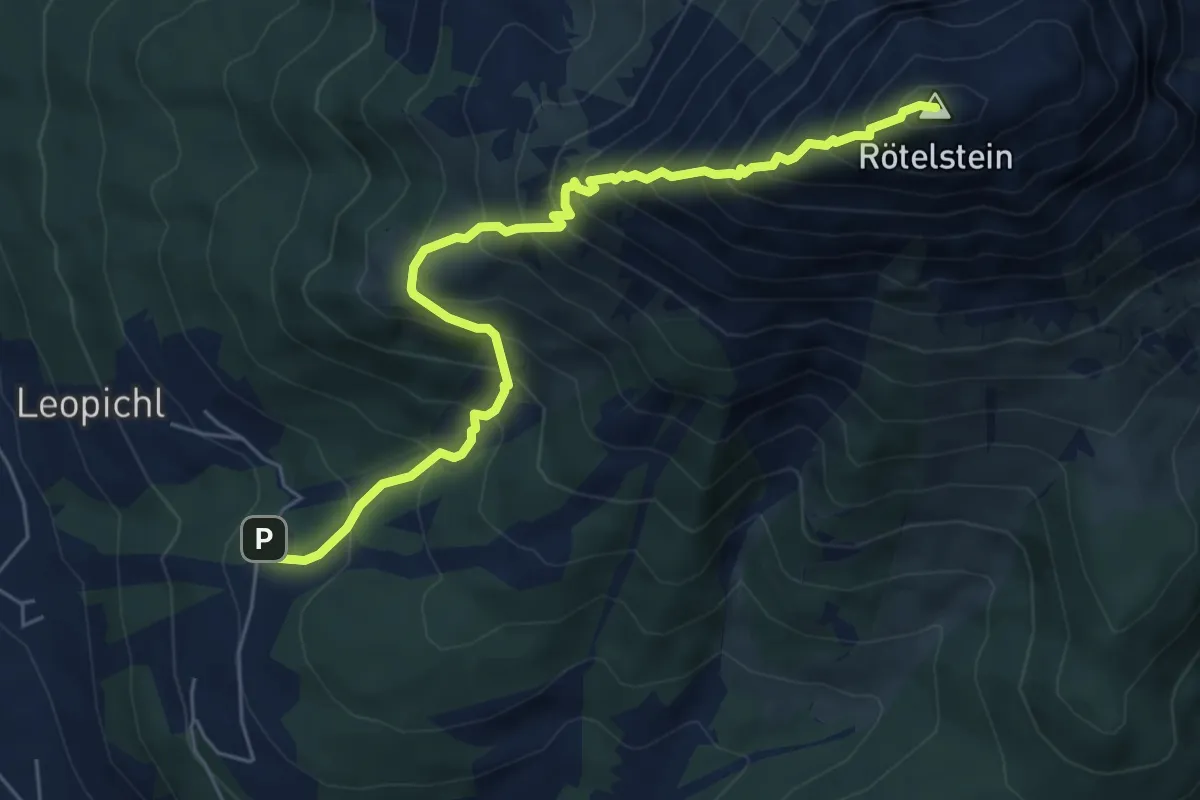
Demanding · Summit
Wanderweg 670
6.4 km · ↑ 929 m · 3 h 31 min
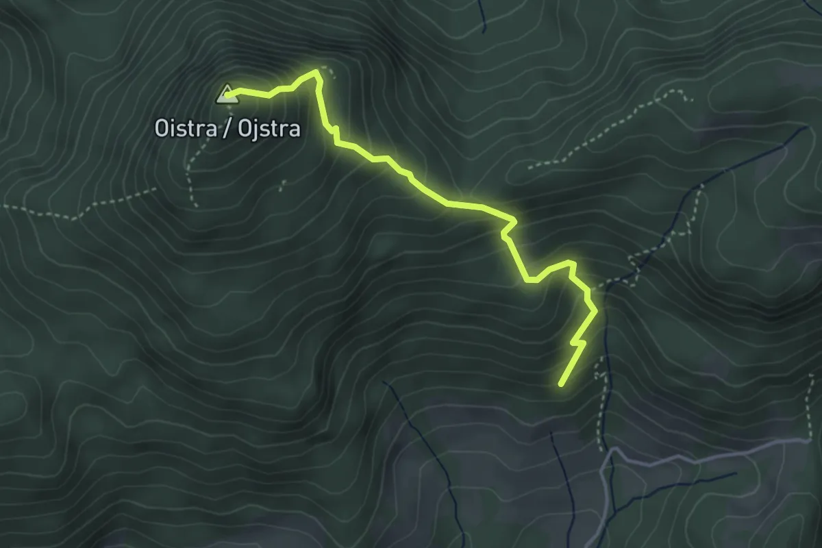
Medium · Summit
Wanderweg 671
3.7 km · ↑ 438 m · 1 h 49 min
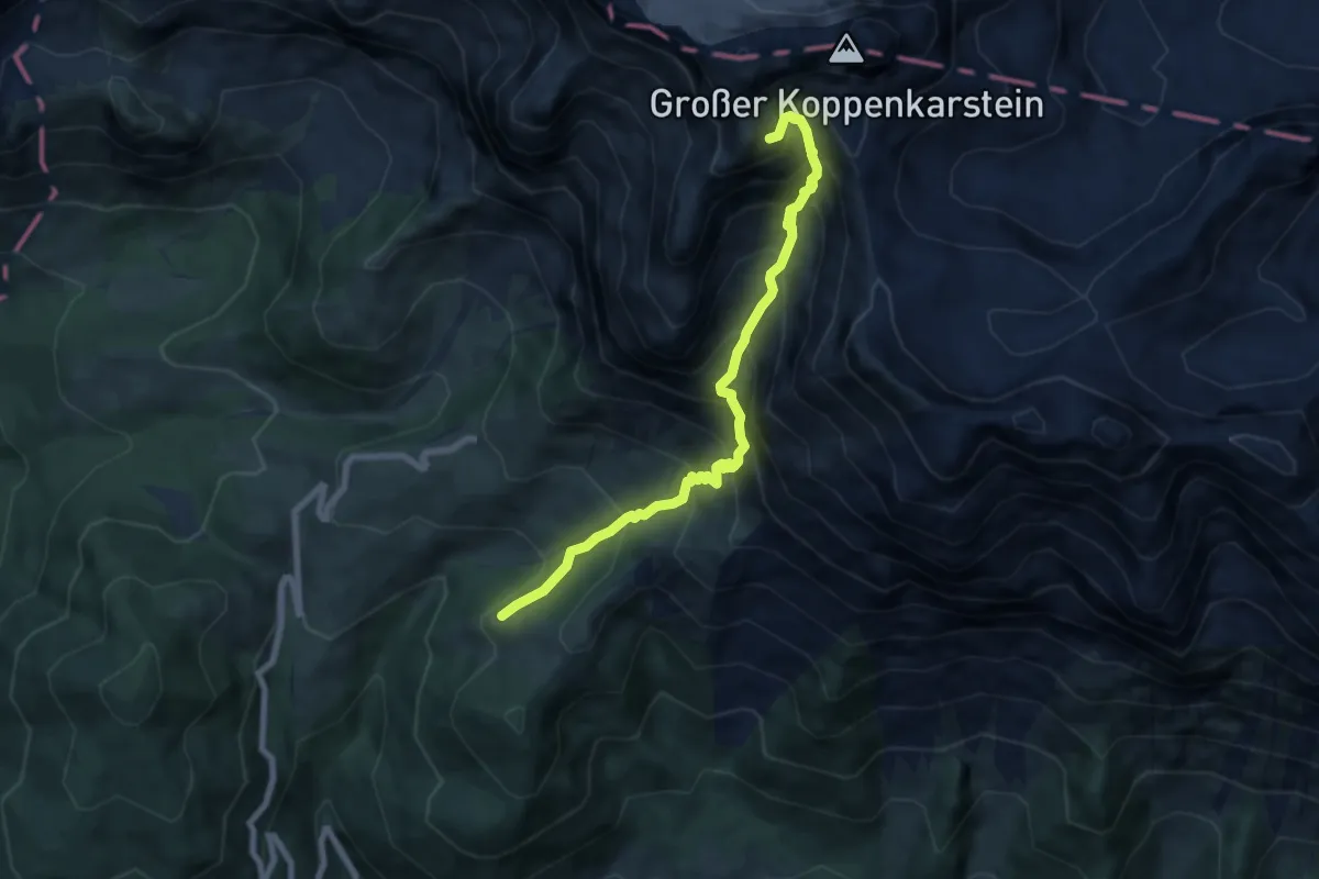
Expert · Summit
Wanderweg 672
7.4 km · ↑ 946 m · 3 h 48 min
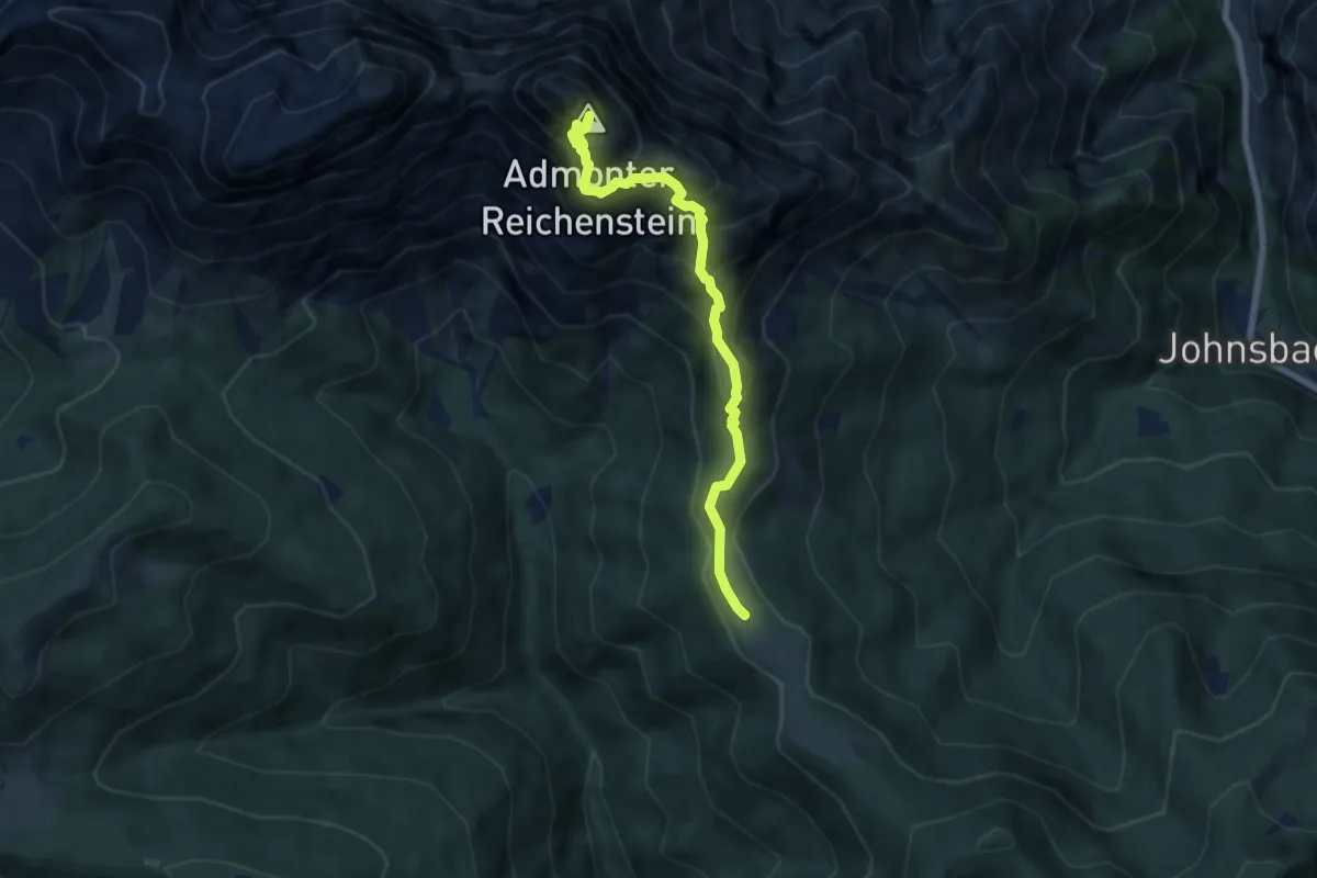
Expert · Summit
Wanderweg 672
6.7 km · ↑ 910 m · 3 h 33 min
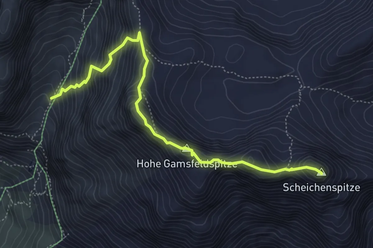
Expert · Summit
Wanderweg 673
5.5 km · ↑ 787 m · 3 h
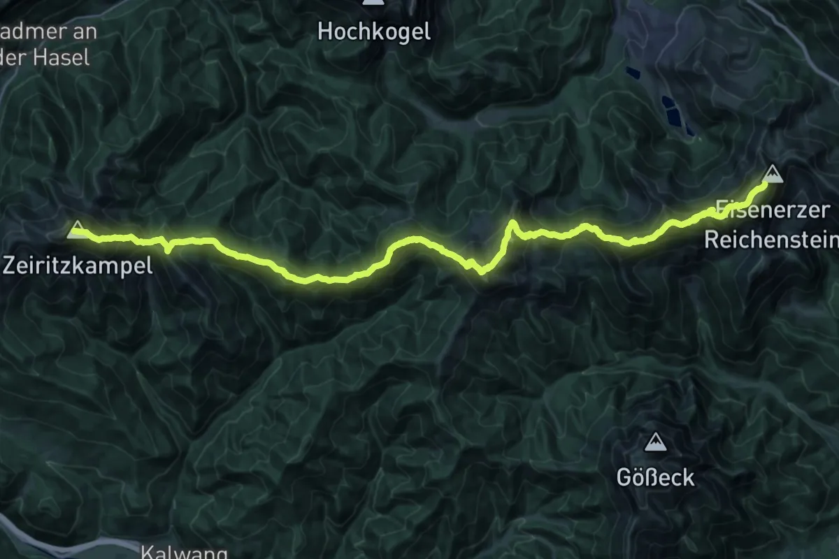
Expert · Summit
Wanderweg 673 - Theklasteig
39.8 km · ↑ 3424 m · 16 h 49 min
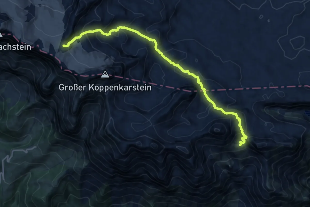
Expert · Cabin
Wanderweg 674
13.8 km · ↑ 986 m · 5 h 24 min
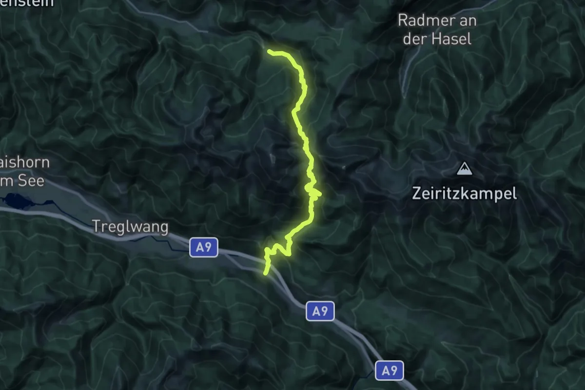
Medium · Trail
Wanderweg 674
10.9 km · ↑ 748 m · 4 h 27 min
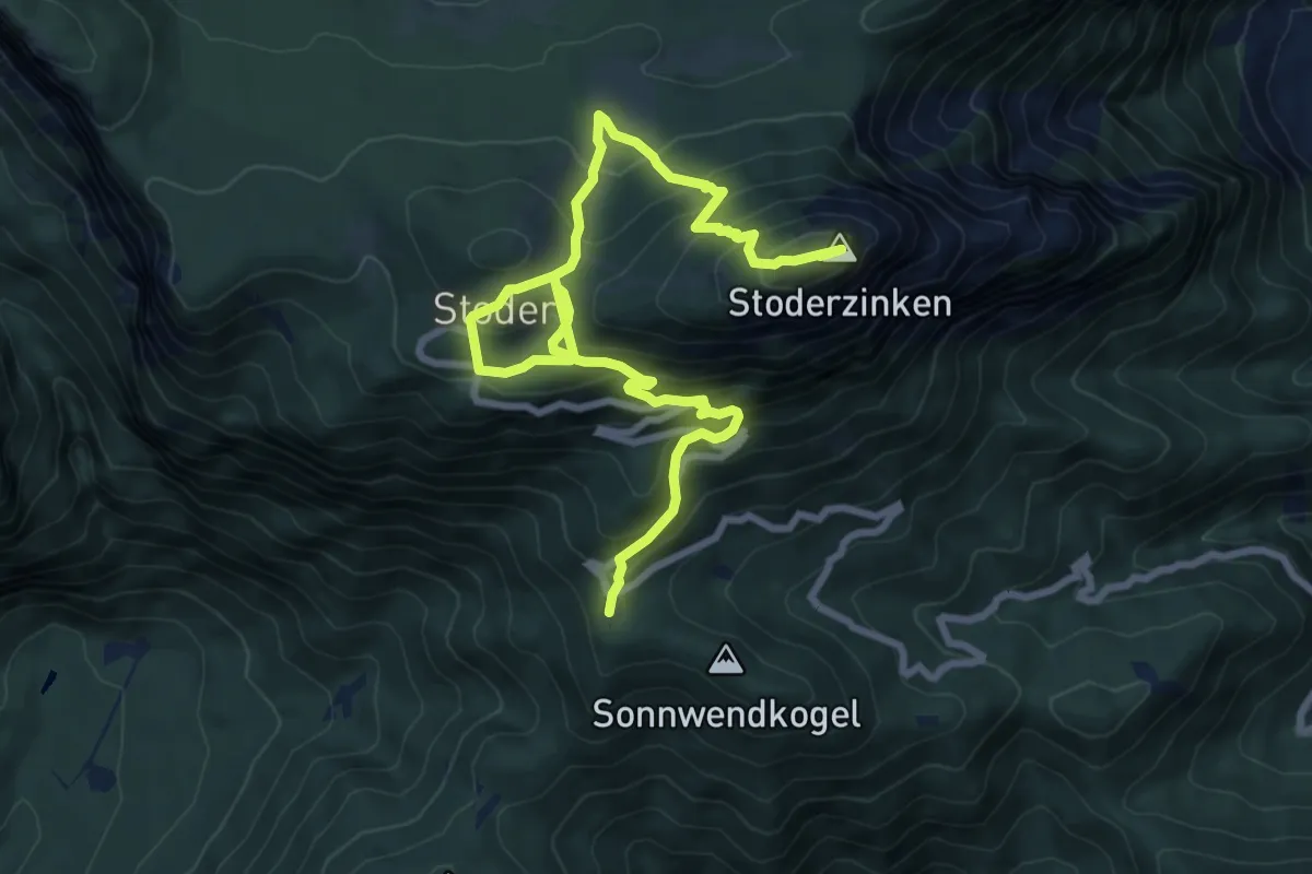
Demanding · Summit
Wanderweg 675
10.8 km · ↑ 904 m · 4 h 31 min
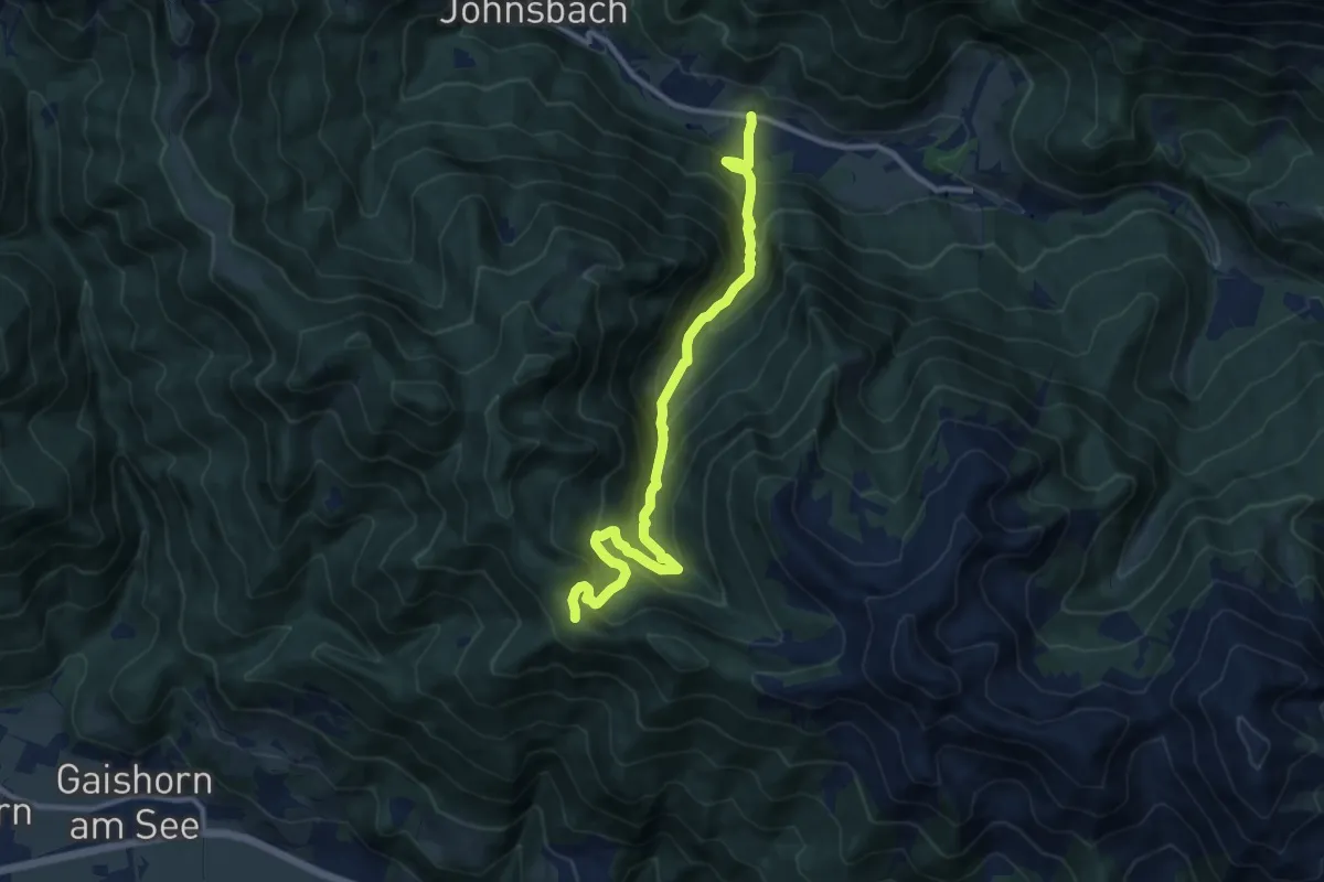
Medium · Trail
Wanderweg 675
11.3 km · ↑ 785 m · 4 h 22 min
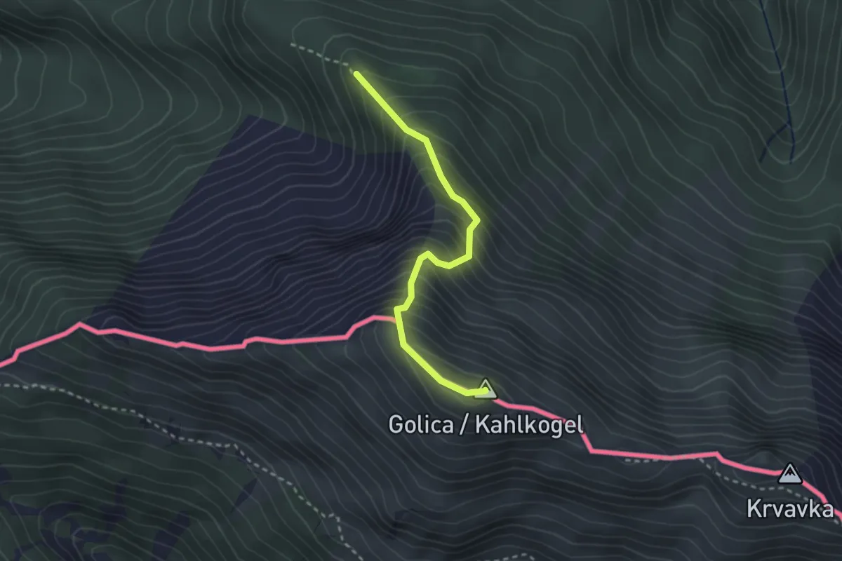
Medium · Summit
Wanderweg 676
2.6 km · ↑ 406 m · 1 h 29 min
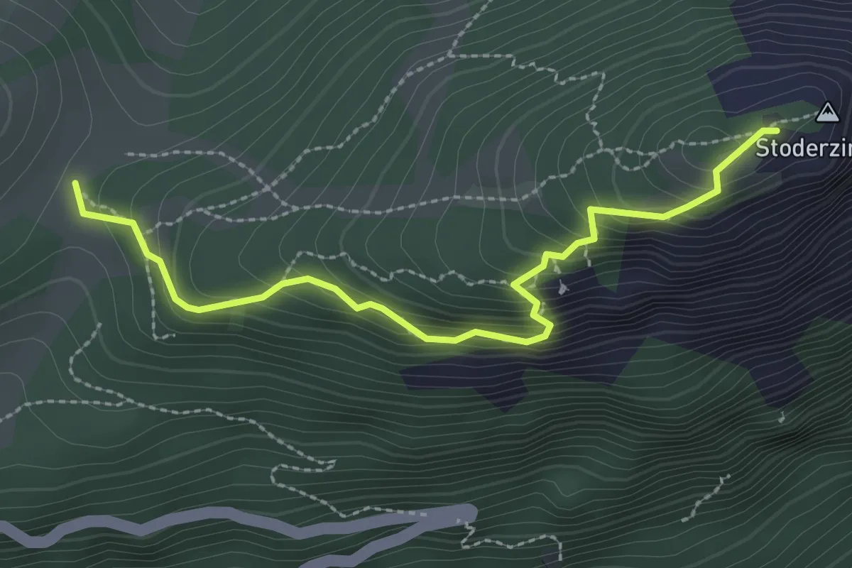
Demanding · Summit
Wanderweg 676
2.7 km · ↑ 238 m · 1 h 9 min
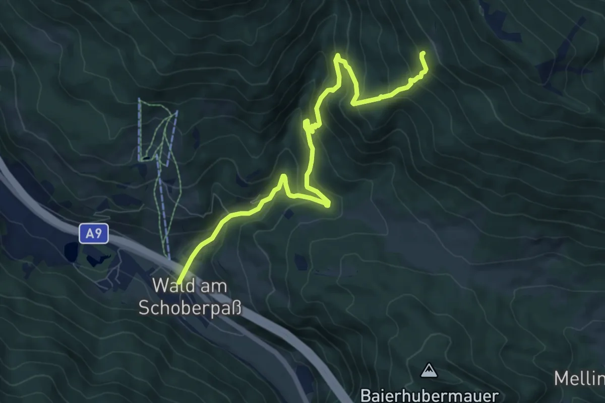
Medium · Trail
Wanderweg 676
9.1 km · ↑ 618 m · 3 h 29 min
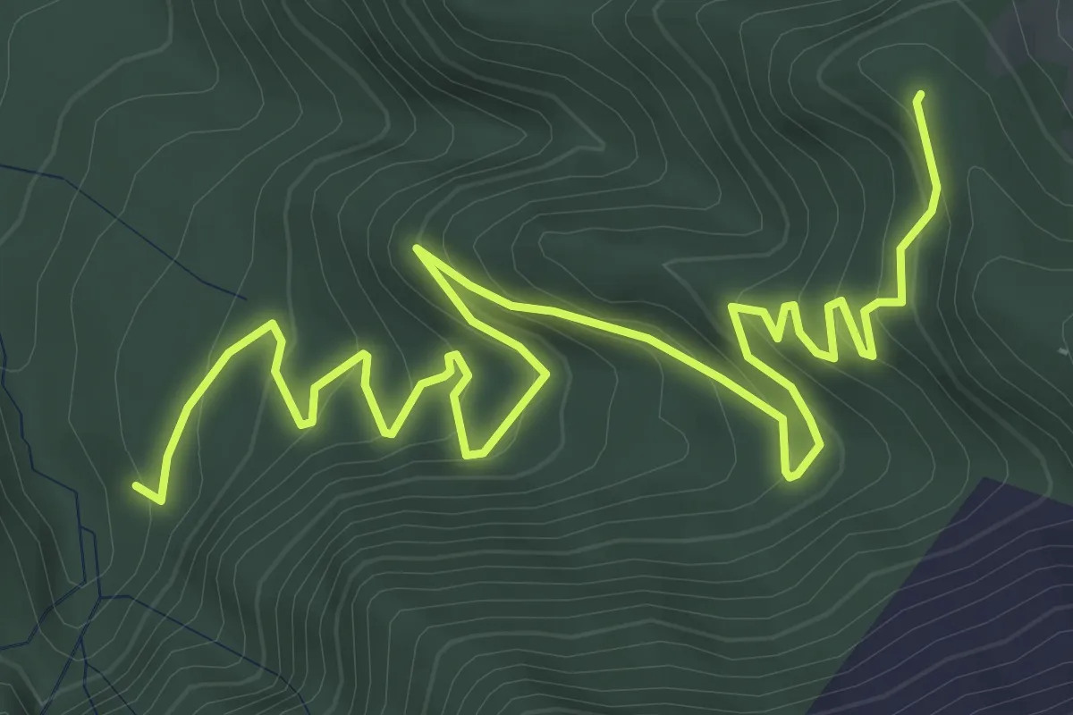
Medium · Trail
Wanderweg 677
7.0 km · ↑ 372 m · 2 h 27 min
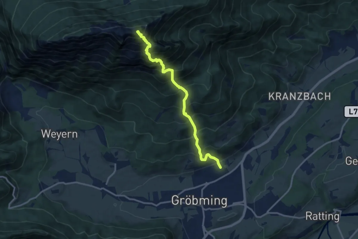
Expert · Summit
Wanderweg 677
8.5 km · ↑ 1334 m · 4 h 54 min
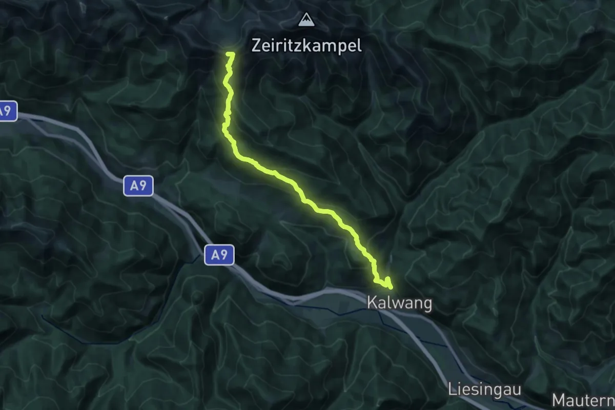
Demanding · Summit
Wanderweg 677
18.6 km · ↑ 1168 m · 6 h 56 min
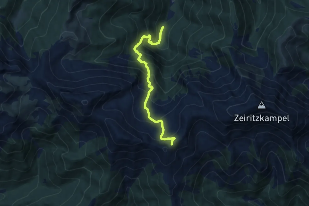
Demanding · Trail
Wanderweg 677a
8.3 km · ↑ 858 m · 3 h 49 min
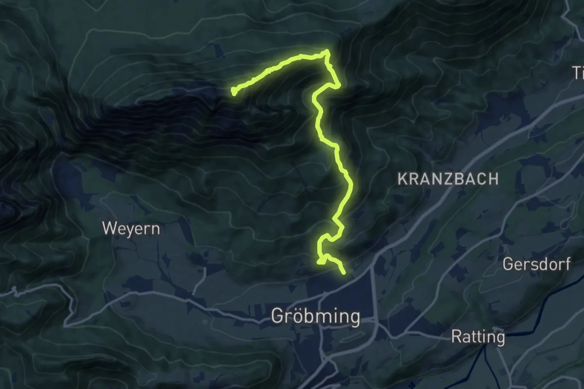
Expert · Summit
Wanderweg 678
13.4 km · ↑ 1367 m · 6 h 7 min
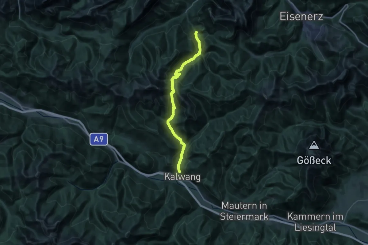
Demanding · Trail
Wanderweg 678
14.9 km · ↑ 885 m · 5 h 40 min
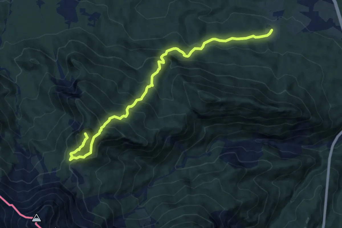
Demanding · Summit
Wanderweg 679
12.3 km · ↑ 1179 m · 5 h 27 min
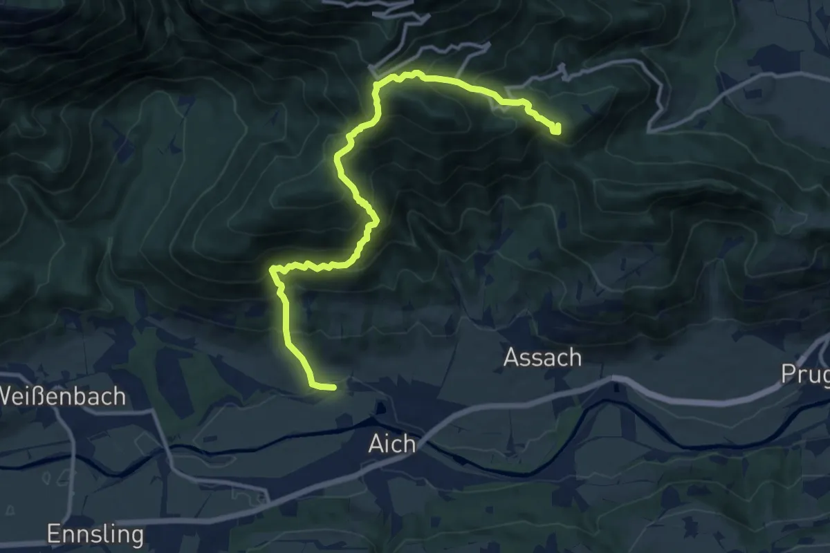
Expert · Summit
Wanderweg 679
12.2 km · ↑ 1115 m · 5 h 18 min
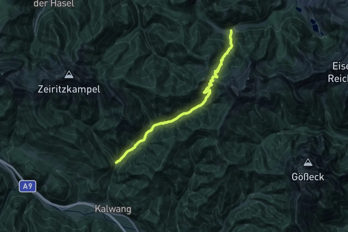
Medium · Trail
Wanderweg 679
12.1 km · ↑ 685 m · 4 h 35 min
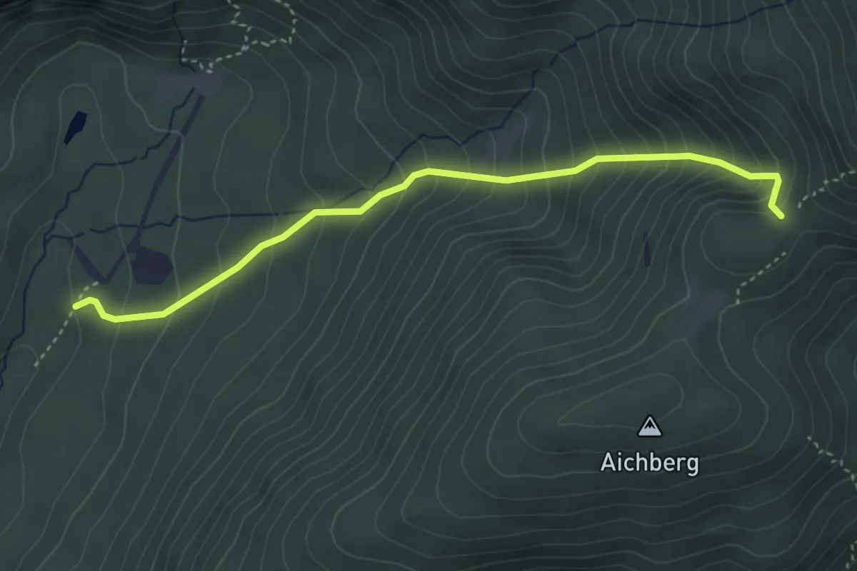
Medium · Trail
Wanderweg 679a
3.9 km · ↑ 468 m · 1 h 56 min
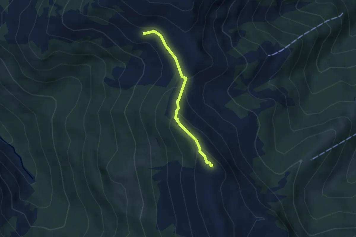
Medium · Summit
Wanderweg 67a
2.9 km · ↑ 173 m · 1 h 4 min
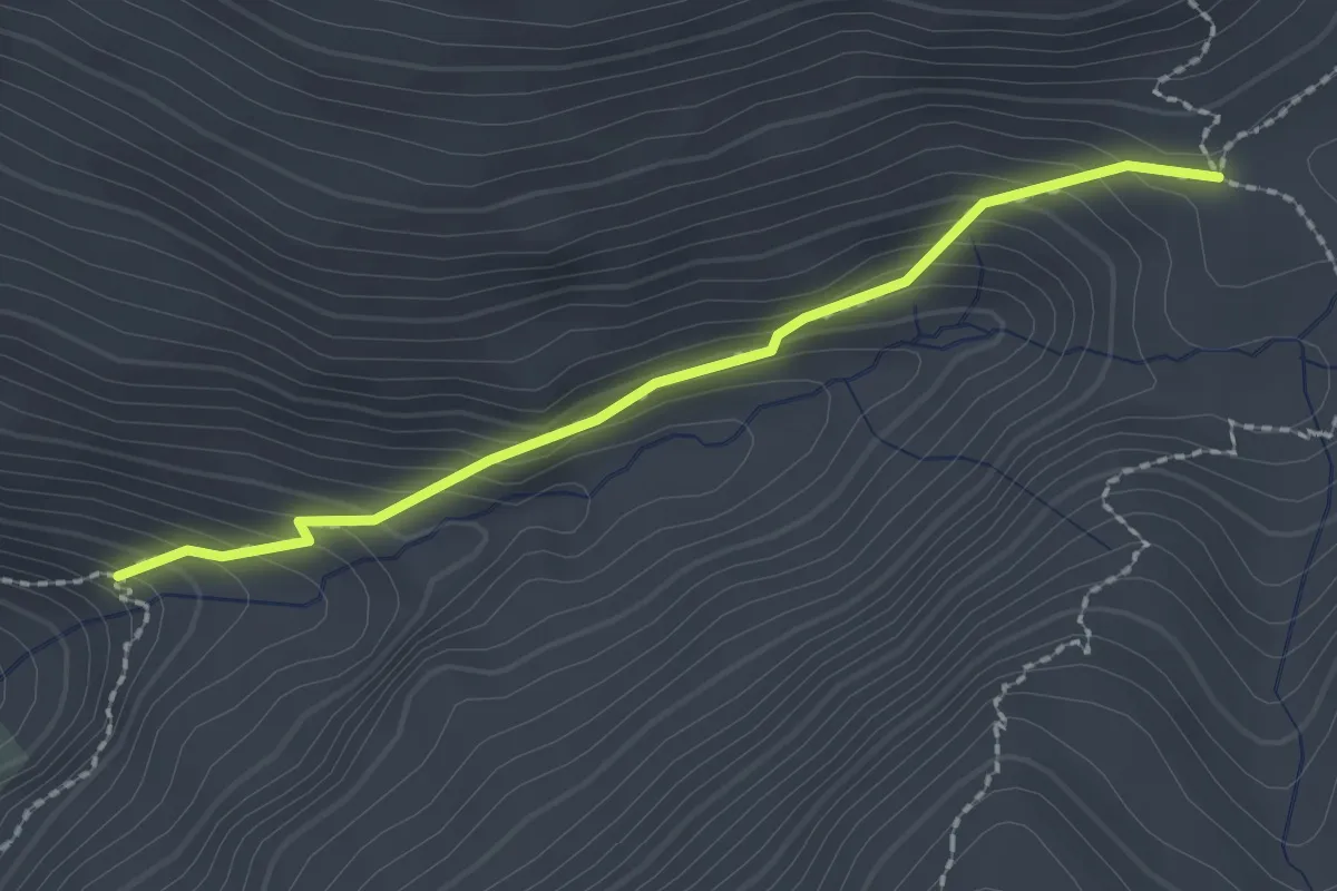
Medium · Trail
Wanderweg 67A
2.1 km · ↑ 194 m · 55 min
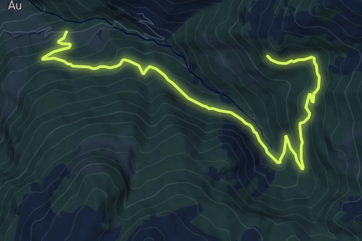
Medium · Trail
Wanderweg 67b
12.6 km · ↑ 573 m · 4 h 13 min
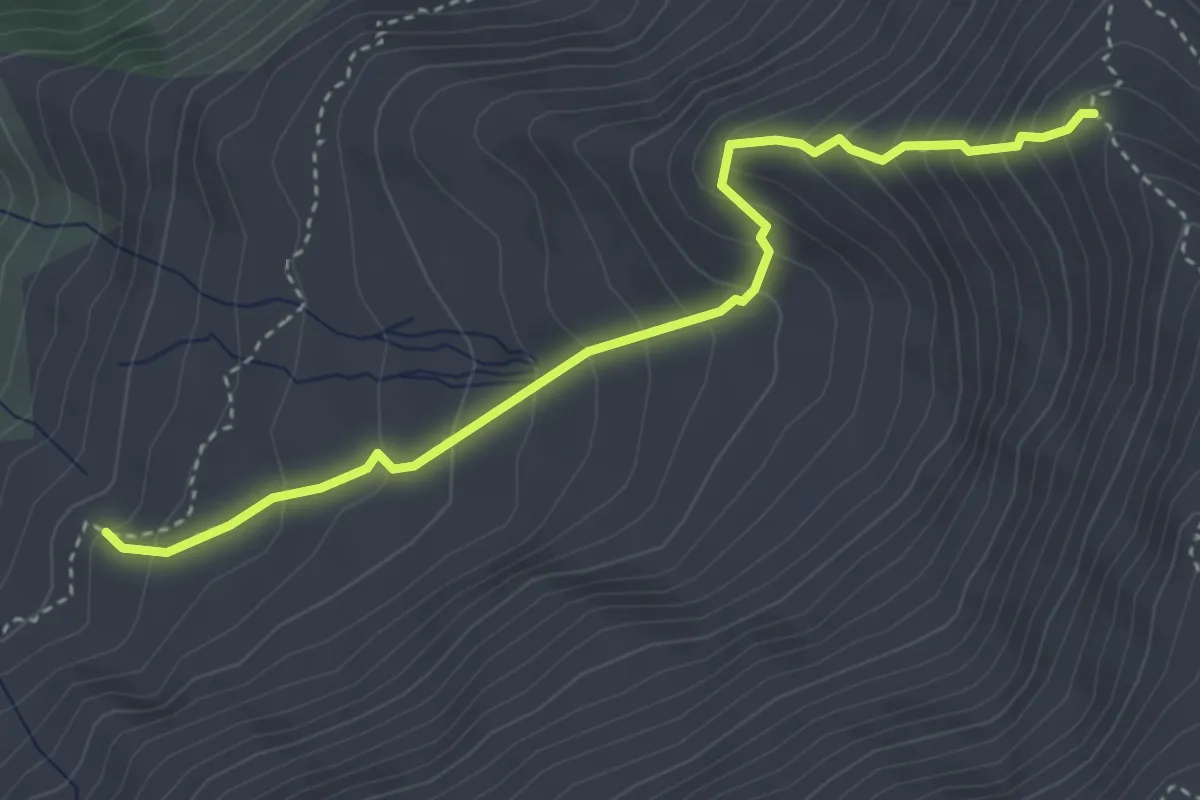
Medium · Trail
Wanderweg 67B
3.8 km · ↑ 435 m · 1 h 51 min
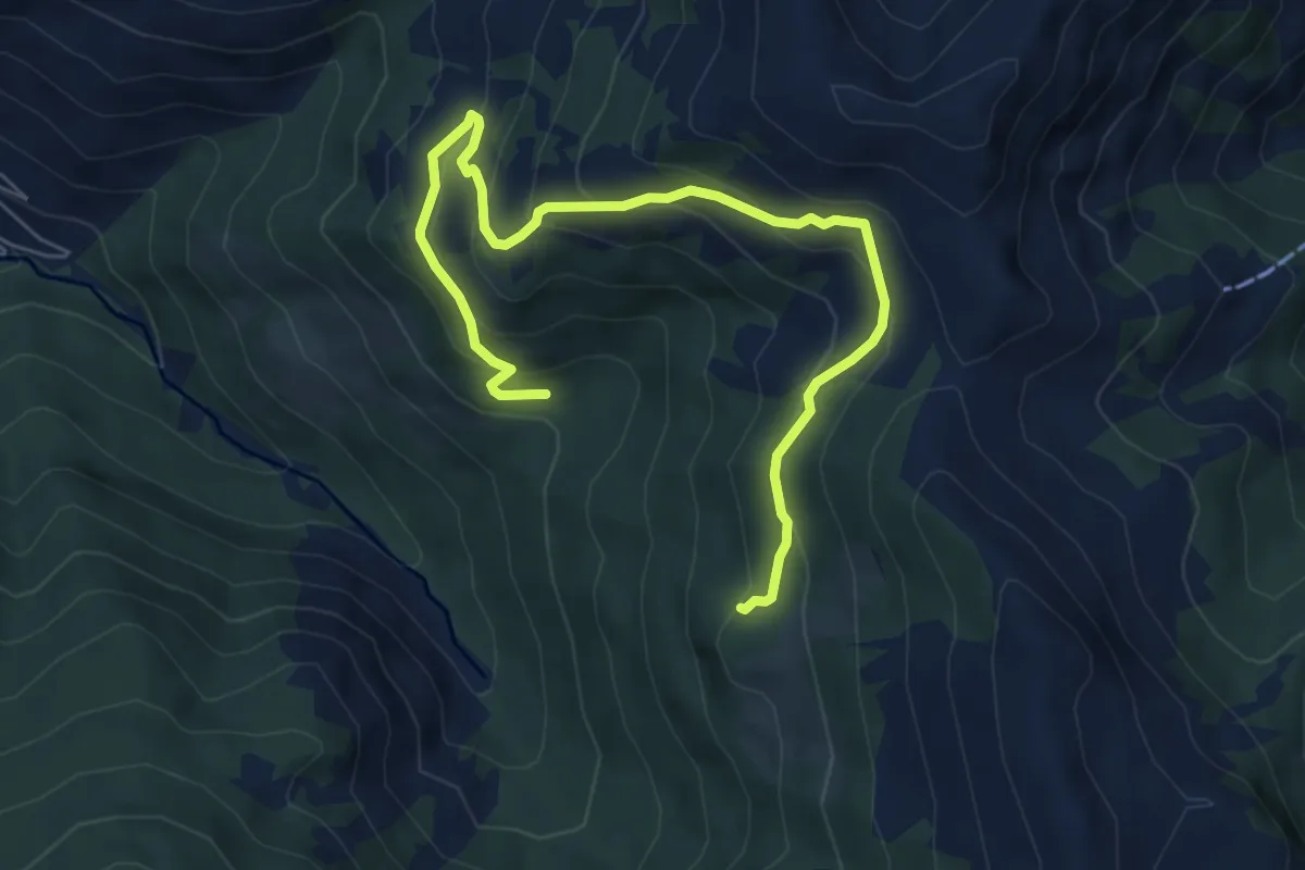
Medium · Trail
Wanderweg 67c
7.5 km · ↑ 453 m · 2 h 45 min
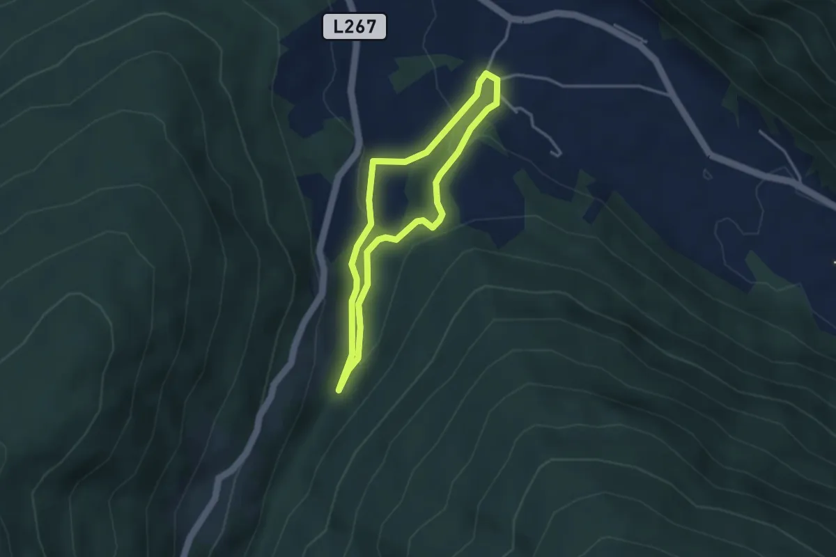
Easy · Trail
Wanderweg 67, Fötschlkogelrundweg, Thomatal
2.7 km · ↑ 70 m · 50 min
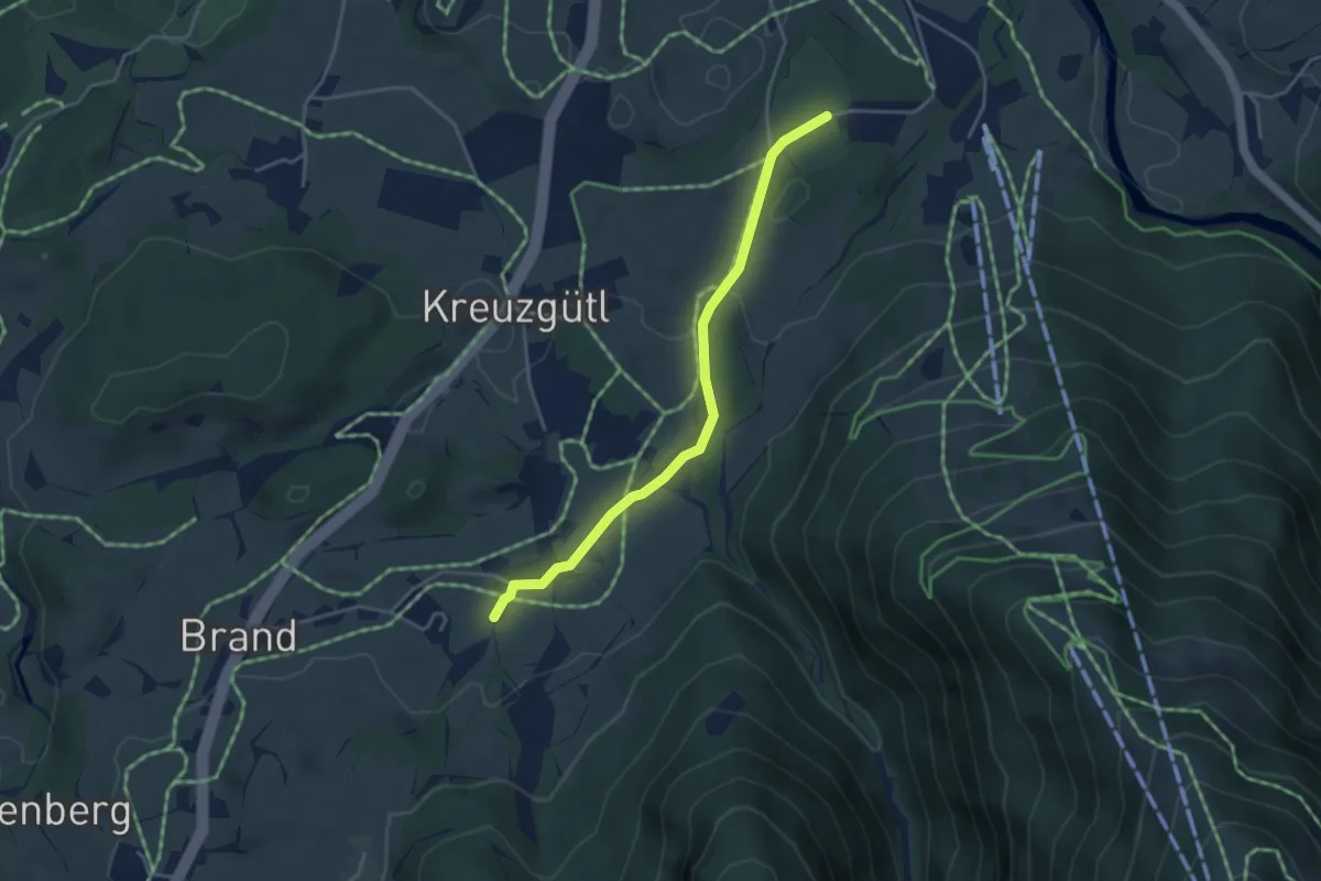
Easy · Trail
Wanderweg 67 - Kössen
3.7 km · ↑ 54 m · 59 min
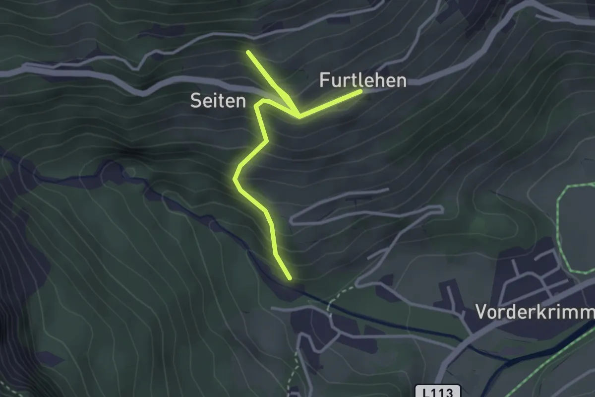
Medium · Trail
Wanderweg 67 - Wald/Königsleiten
3.2 km · ↑ 361 m · 1 h 32 min
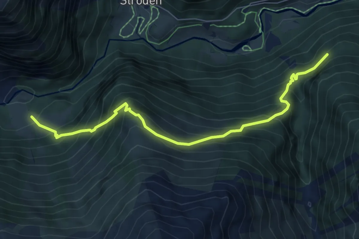
Demanding · Trail
Wanderweg 68
6.6 km · ↑ 801 m · 3 h 17 min
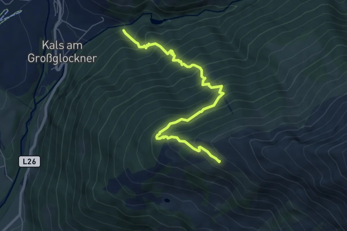
Medium · Cabin
Wanderweg 68
6.6 km · ↑ 741 m · 3 h 9 min
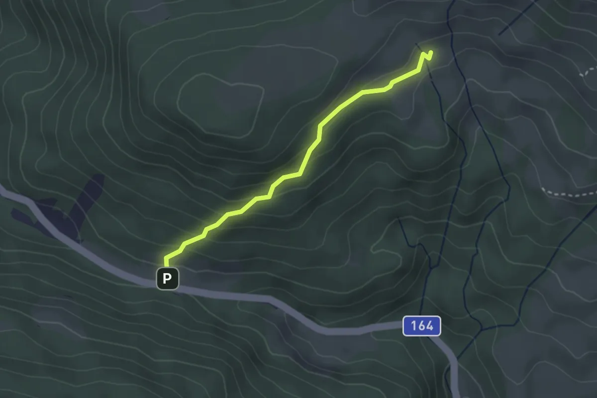
Easy · Cabin
Wanderweg 68
2.7 km · ↑ 179 m · 1 h 1 min
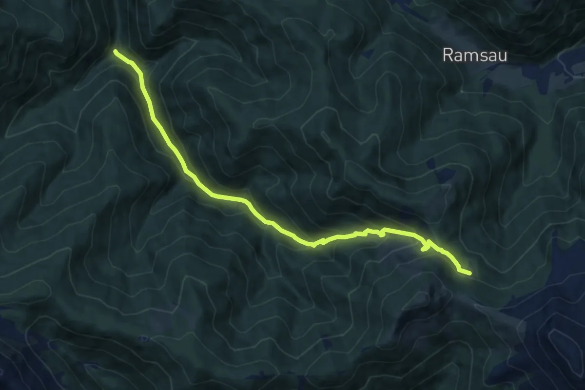
Medium · Cabin
Wanderweg 680
11.7 km · ↑ 790 m · 4 h 28 min
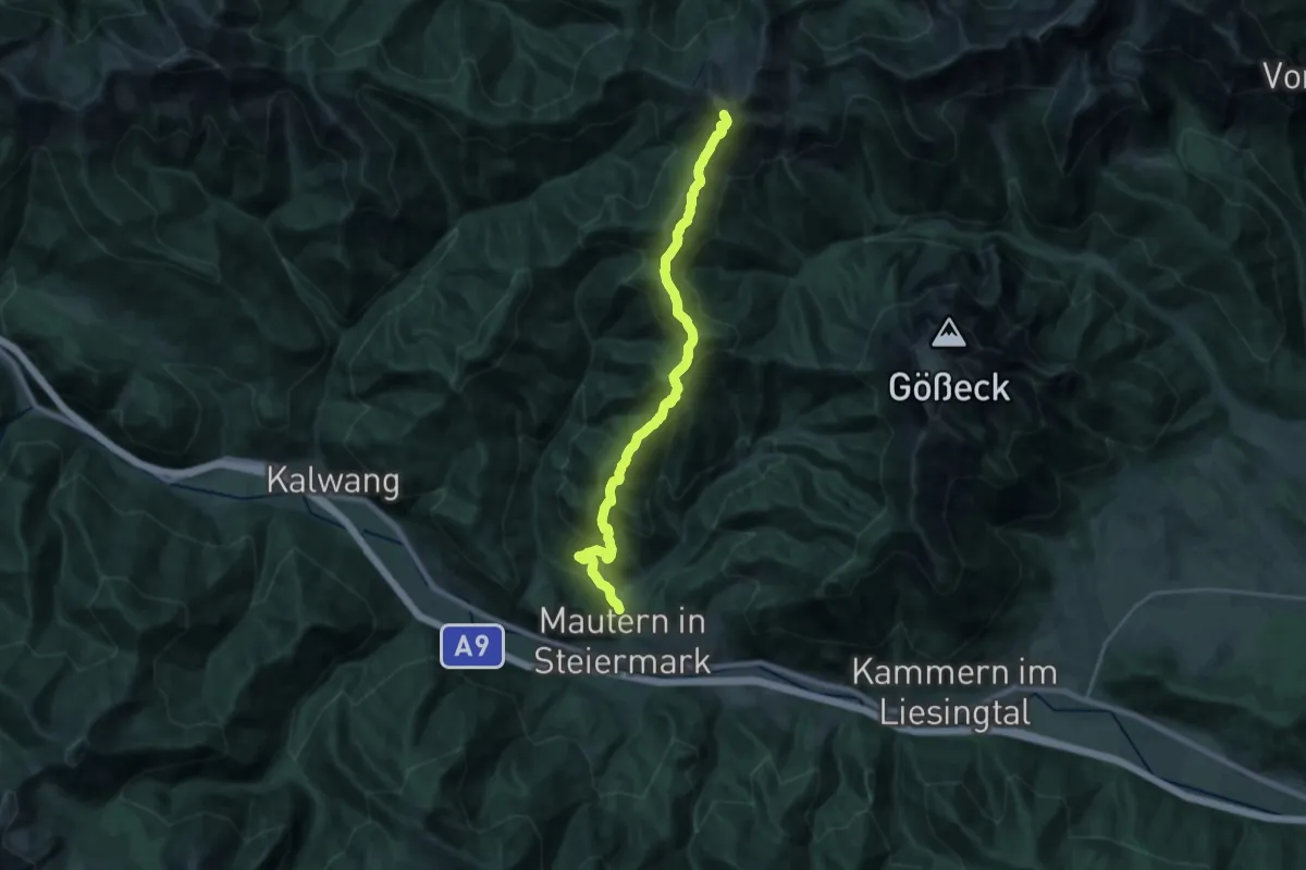
Demanding · Summit
Wanderweg 681
22.3 km · ↑ 1432 m · 8 h 21 min
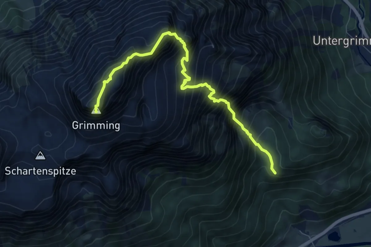
Expert · Summit
Wanderweg 681
8.4 km · ↑ 1457 m · 5 h 9 min
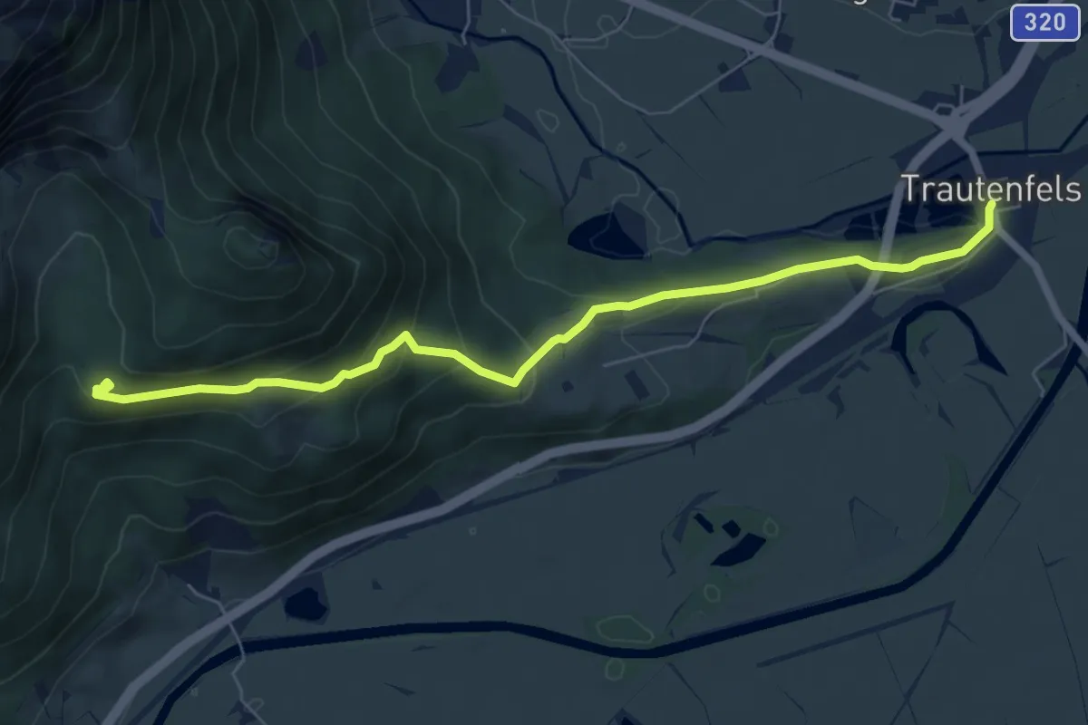
Medium · Cabin
Wanderweg 681
6.9 km · ↑ 337 m · 2 h 22 min