Trails in Austria
9,777 hiking trails, each with its route, climb, walking time and grade.
All trails, page 165 of 204
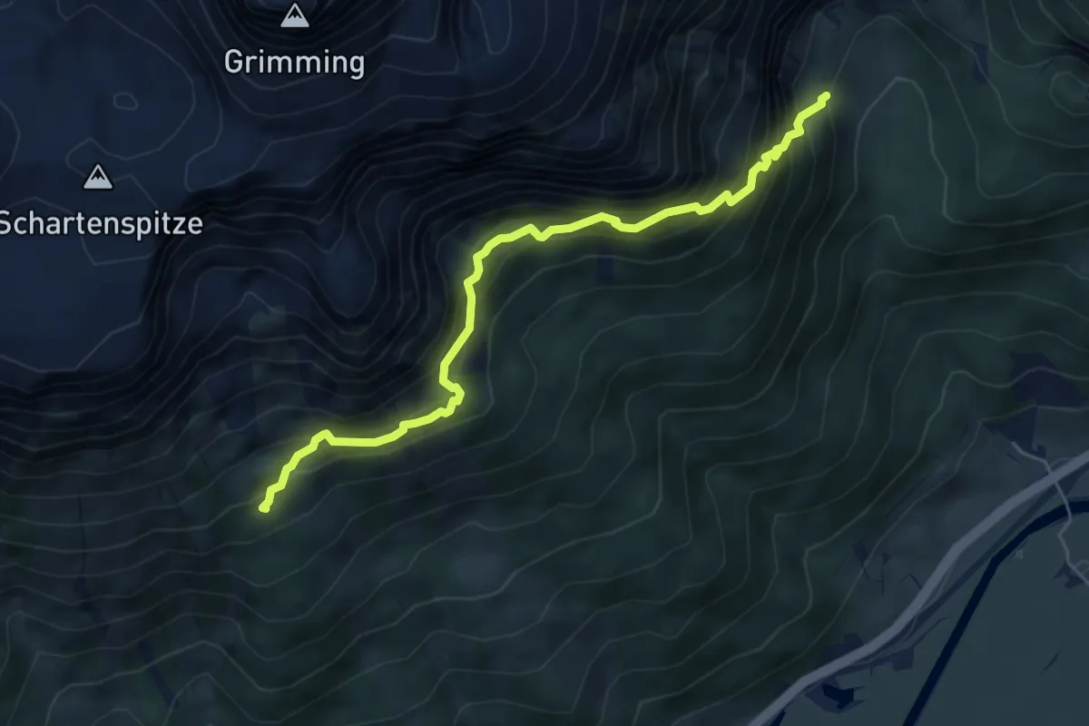
Medium · Summit
Wanderweg 682
5.8 km · ↑ 653 m · 2 h 46 min
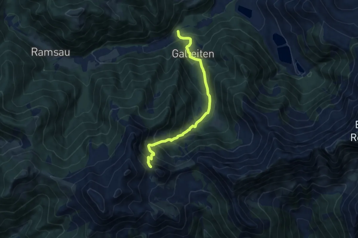
Demanding · Trail
Wanderweg 682
9.8 km · ↑ 875 m · 4 h 12 min
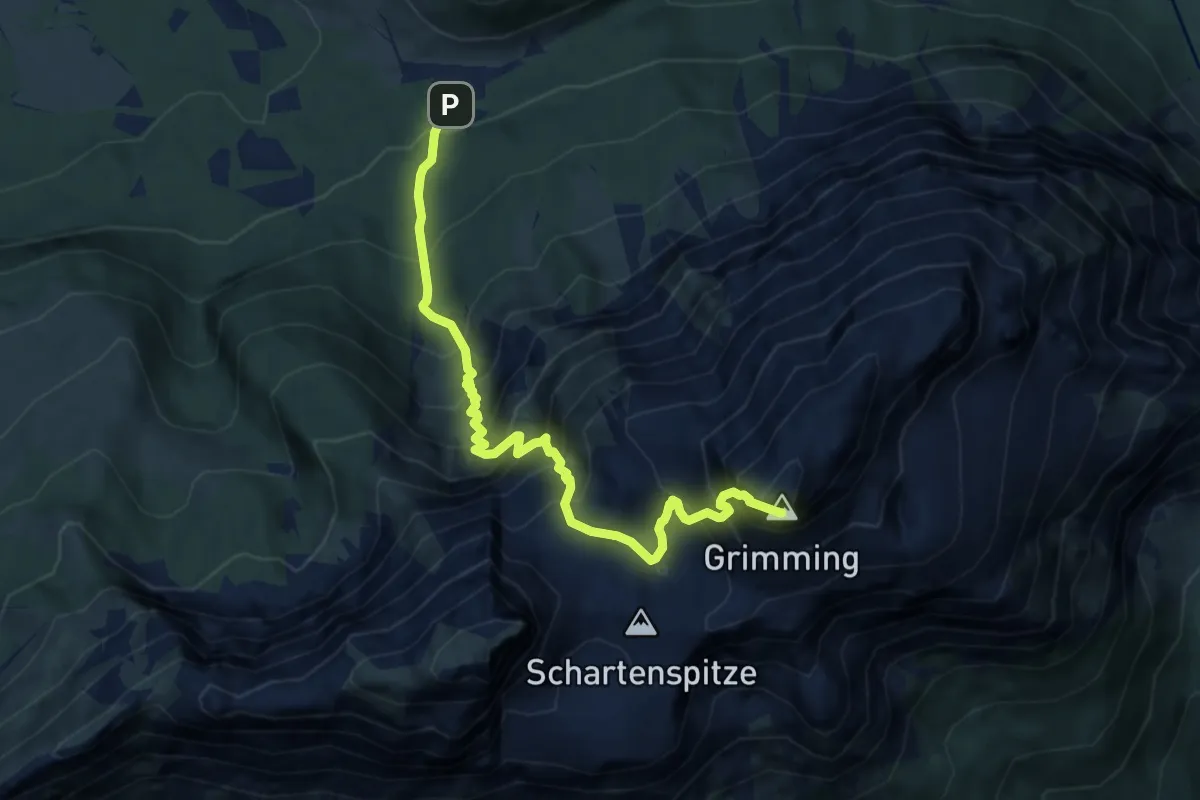
Expert · Summit
Wanderweg 683
8.6 km · ↑ 1381 m · 5 h 1 min
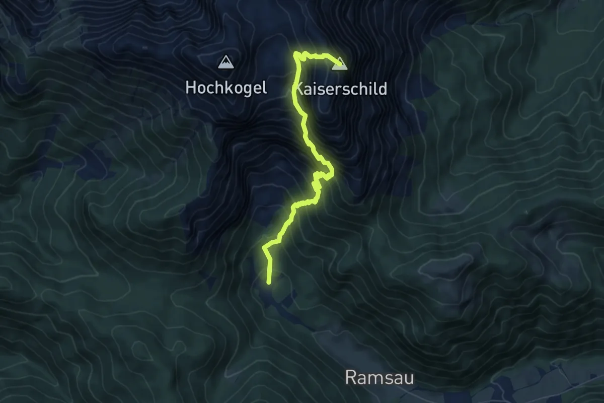
Demanding · Summit
Wanderweg 683
6.7 km · ↑ 1087 m · 3 h 57 min
Demanding · Summit
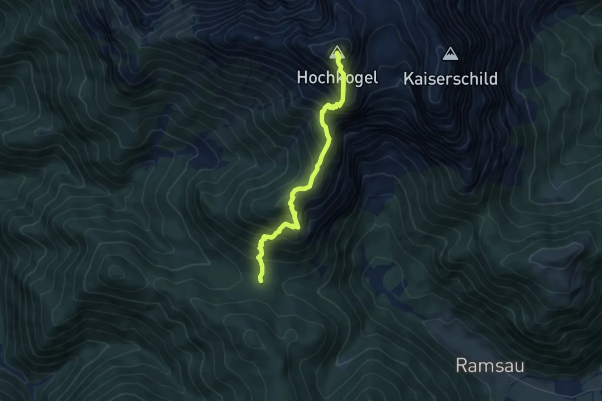
Wanderweg 683a
5.5 km · ↑ 821 m · 3 h 4 min
Medium · Summit
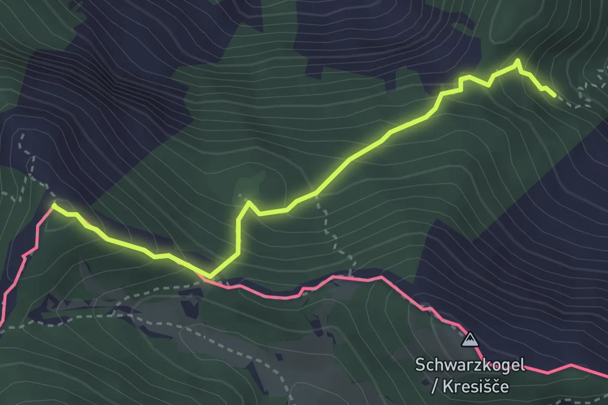
Wanderweg 683 - Karawanken
3.2 km · ↑ 395 m · 1 h 37 min
Demanding · Summit
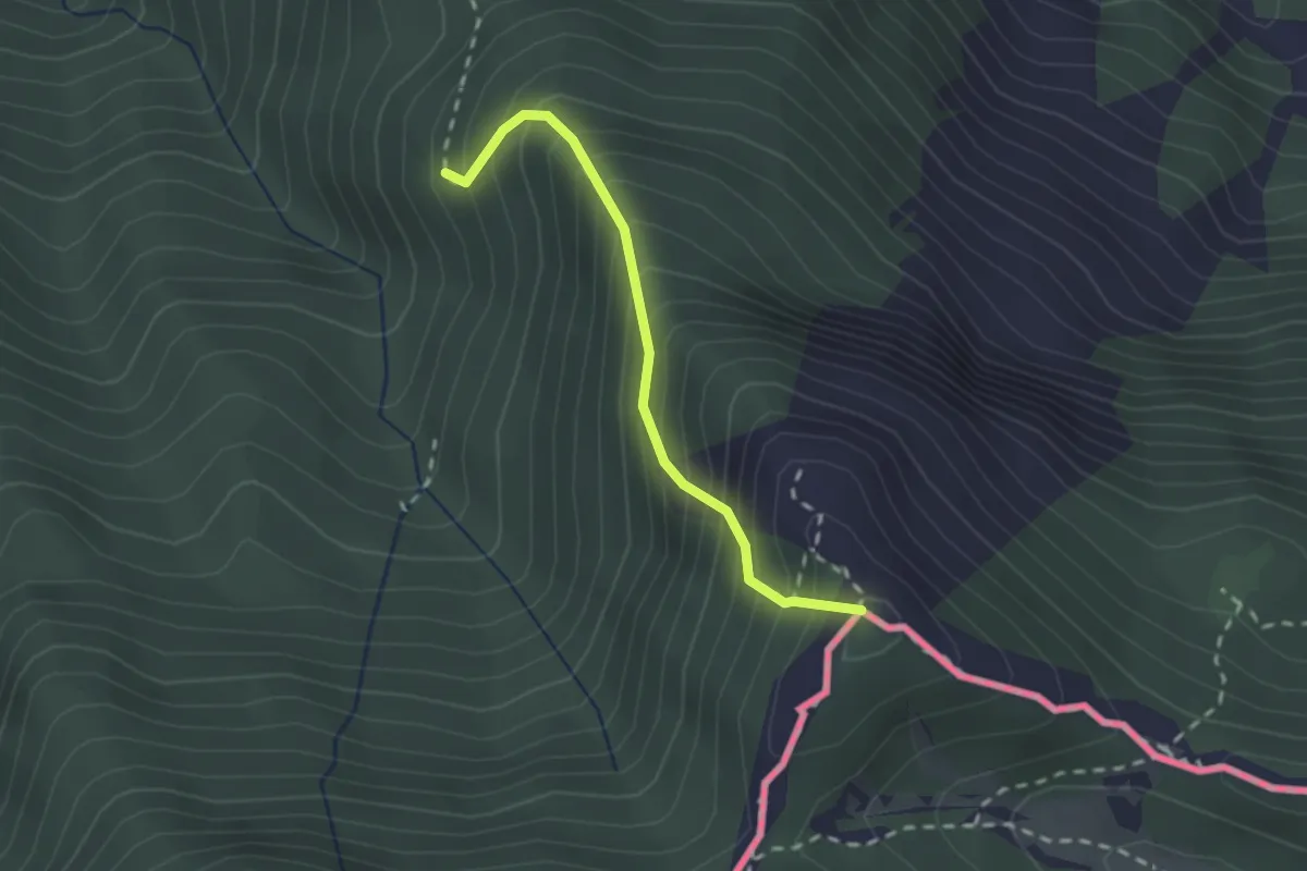
Wanderweg 684 - Karawanken
2.0 km · ↑ 378 m · 1 h 17 min
Demanding · Summit
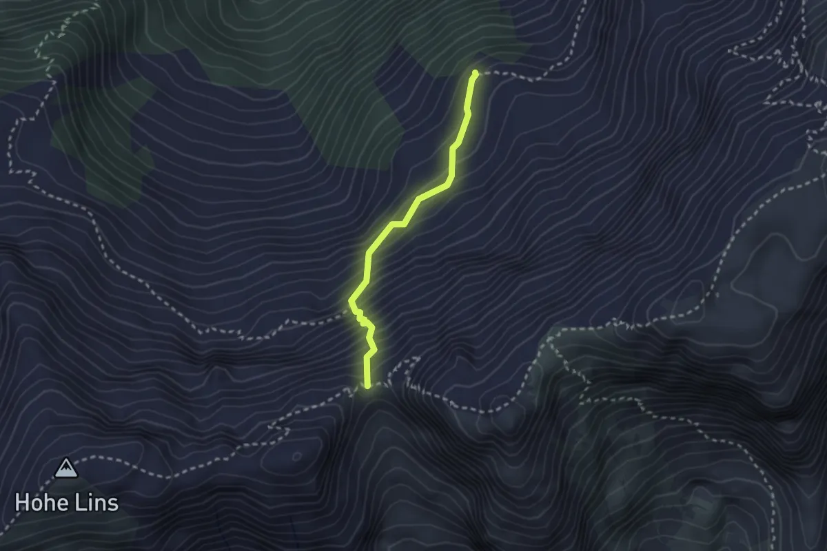
Wanderweg 685
2.2 km · ↑ 306 m · 1 h 10 min
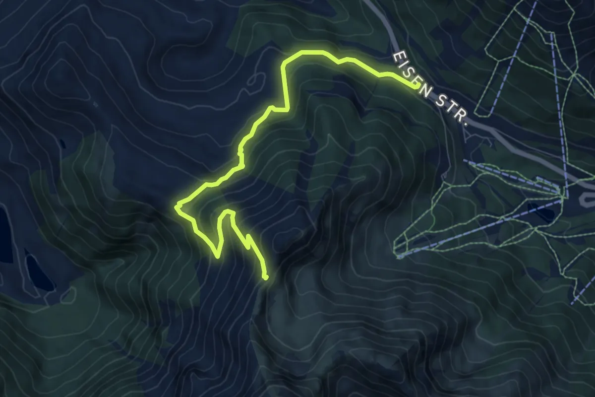
Medium · Trail
Wanderweg 686
8.8 km · ↑ 559 m · 3 h 17 min
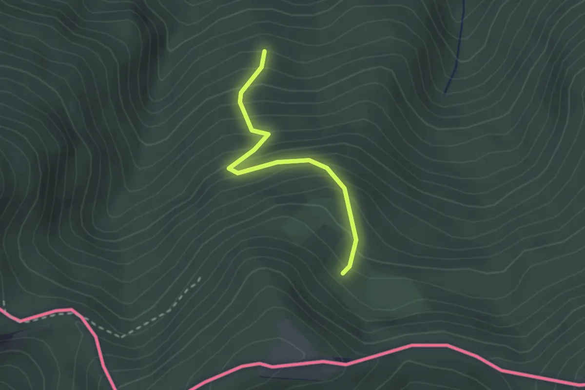
Easy · Trail
Wanderweg 687
2.1 km · ↑ 283 m · 1 h 7 min
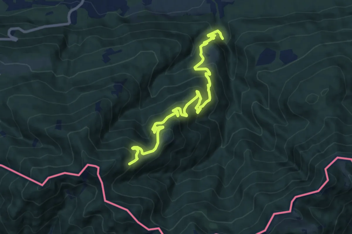
Demanding · Trail
Wanderweg 688
12.5 km · ↑ 844 m · 4 h 47 min
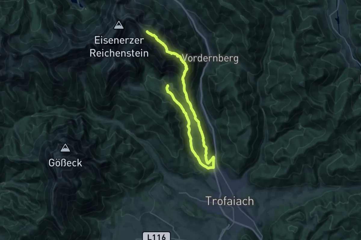
Expert · Summit
Wanderweg 689, Grete-Klinger-Steig
28.5 km · ↑ 1881 m · 10 h 48 min
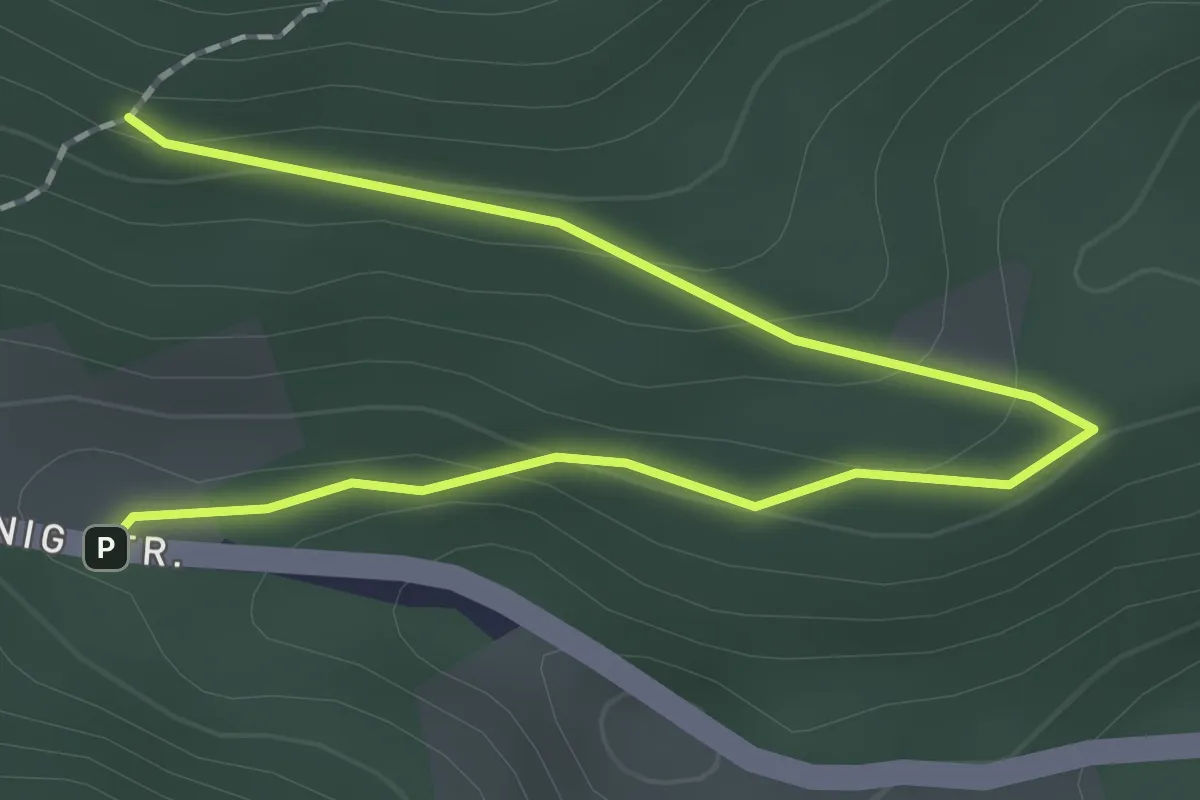
Easy · Trail
Wanderweg 68A
2.3 km · ↑ 72 m · 42 min
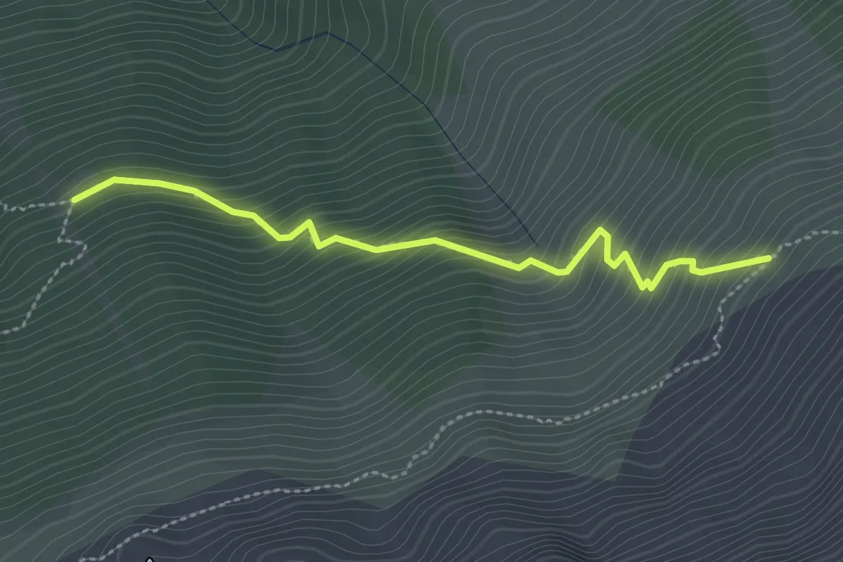
Medium · Trail
Wanderweg 69
2.5 km · ↑ 310 m · 1 h 16 min
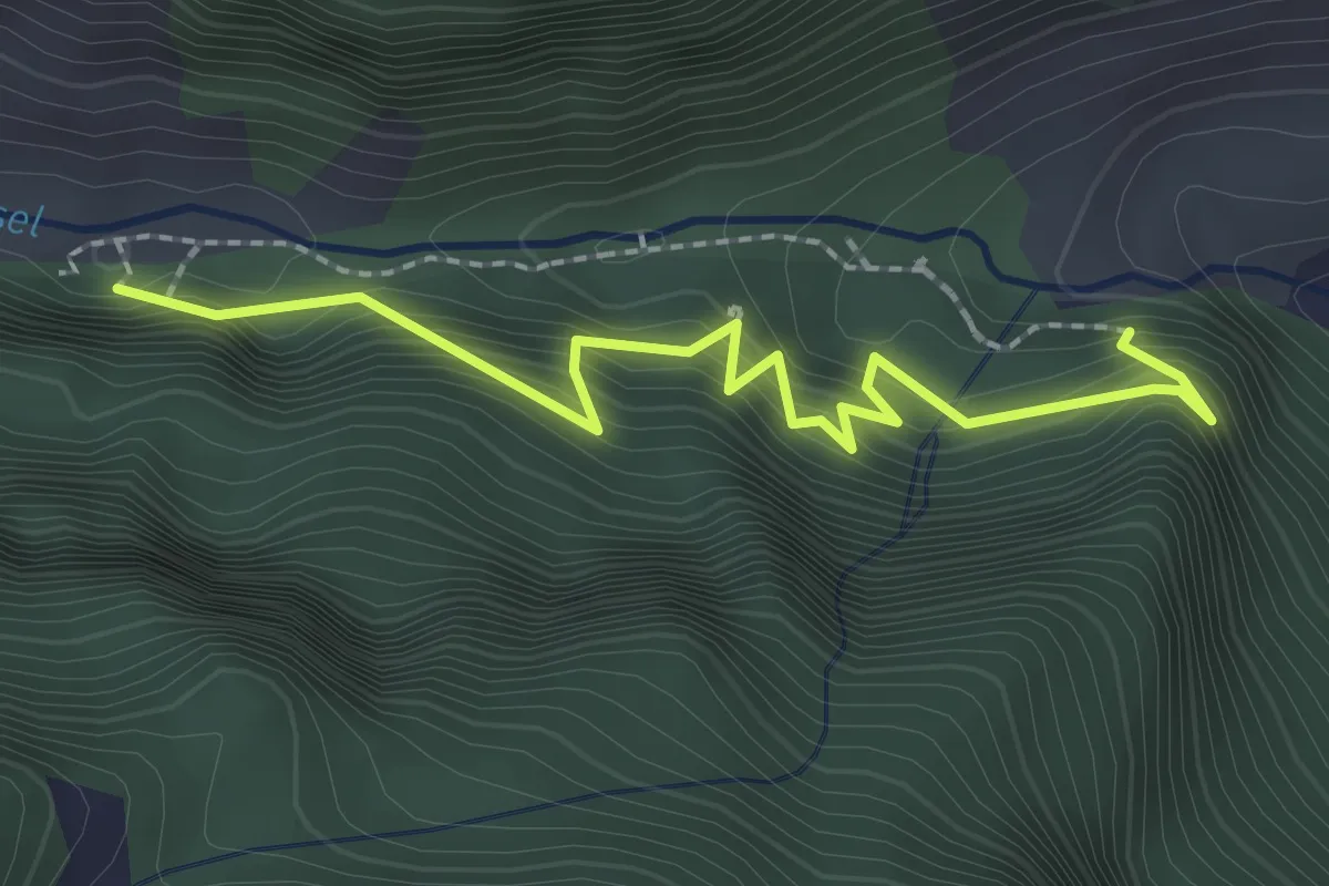
Easy · Trail
Wanderweg 69
2.3 km · ↑ 154 m · 53 min
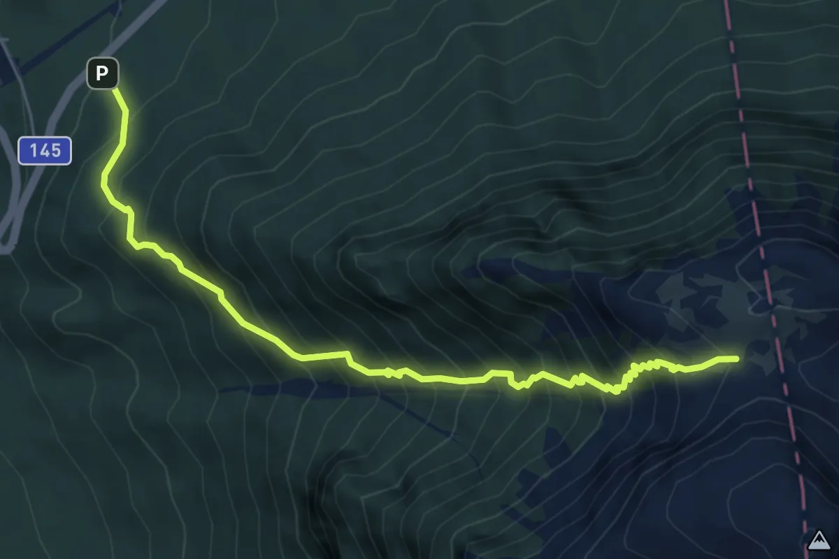
Demanding · Cabin
Wanderweg 690
6.4 km · ↑ 960 m · 3 h 36 min
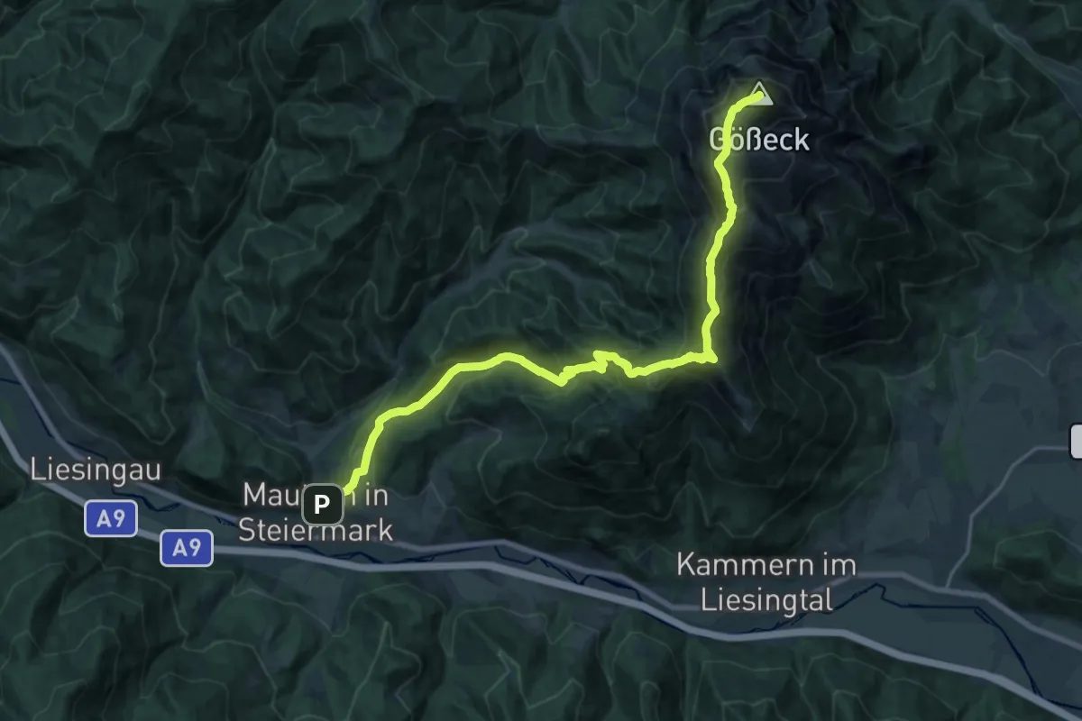
Demanding · Summit
Wanderweg 690
21.8 km · ↑ 1583 m · 8 h 34 min
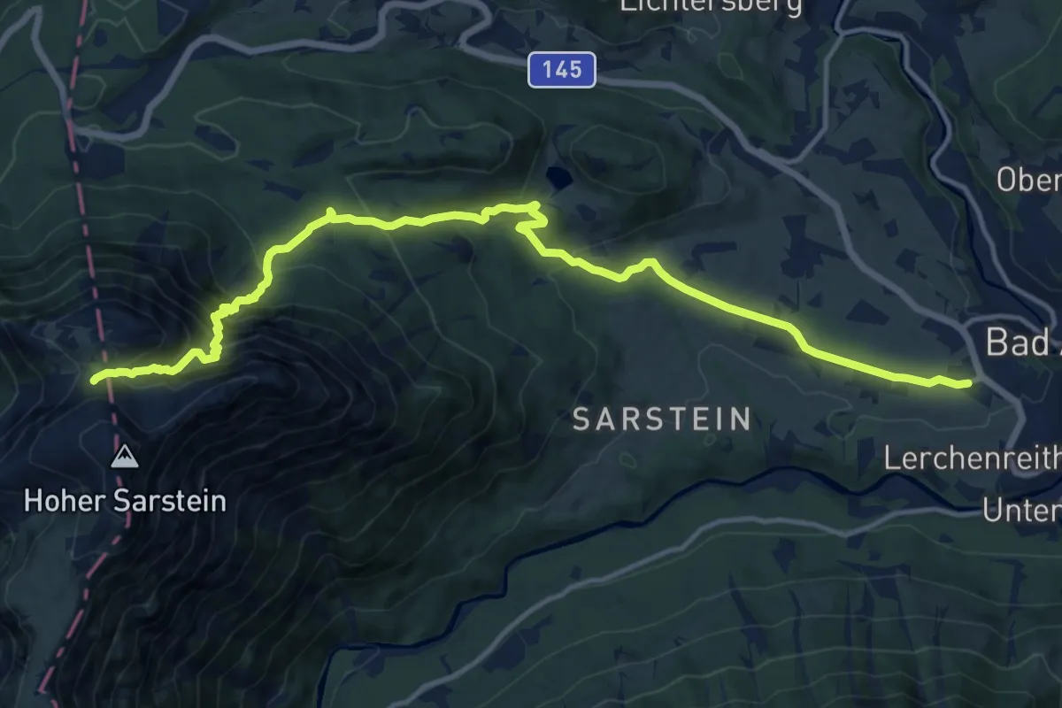
Demanding · Trail
Wanderweg 691
15.6 km · ↑ 1035 m · 5 h 55 min
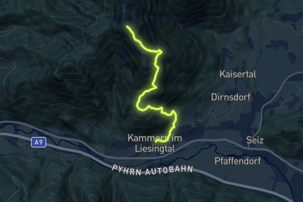
Demanding · Trail
Wanderweg 691
10.5 km · ↑ 1145 m · 4 h 58 min
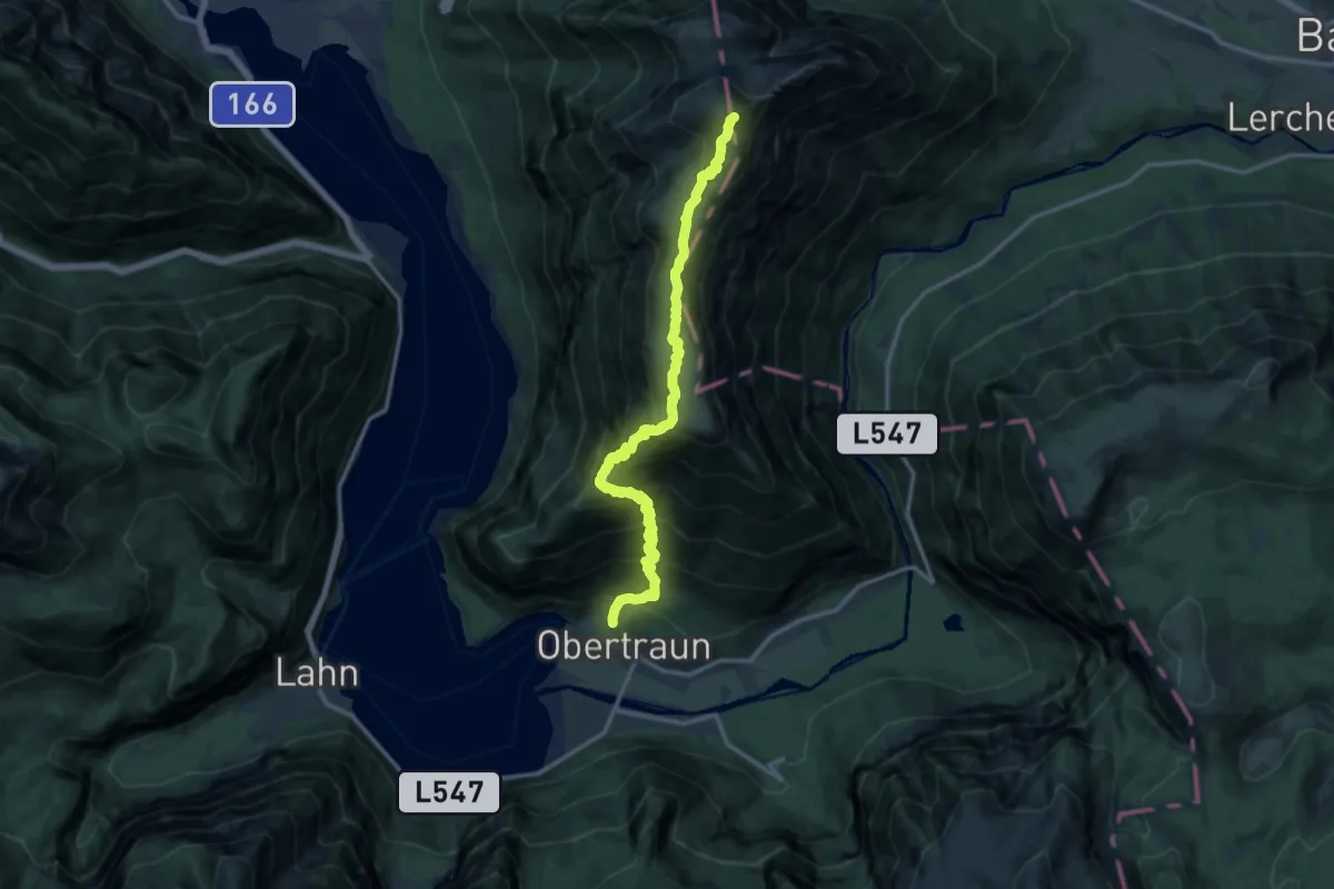
Demanding · Summit
Wanderweg 692
14.4 km · ↑ 1486 m · 6 h 37 min
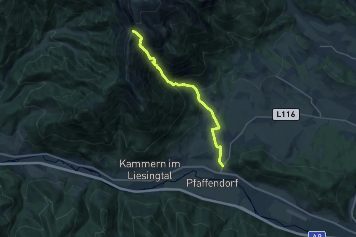
Demanding · Trail
Wanderweg 692
13.1 km · ↑ 1259 m · 5 h 49 min
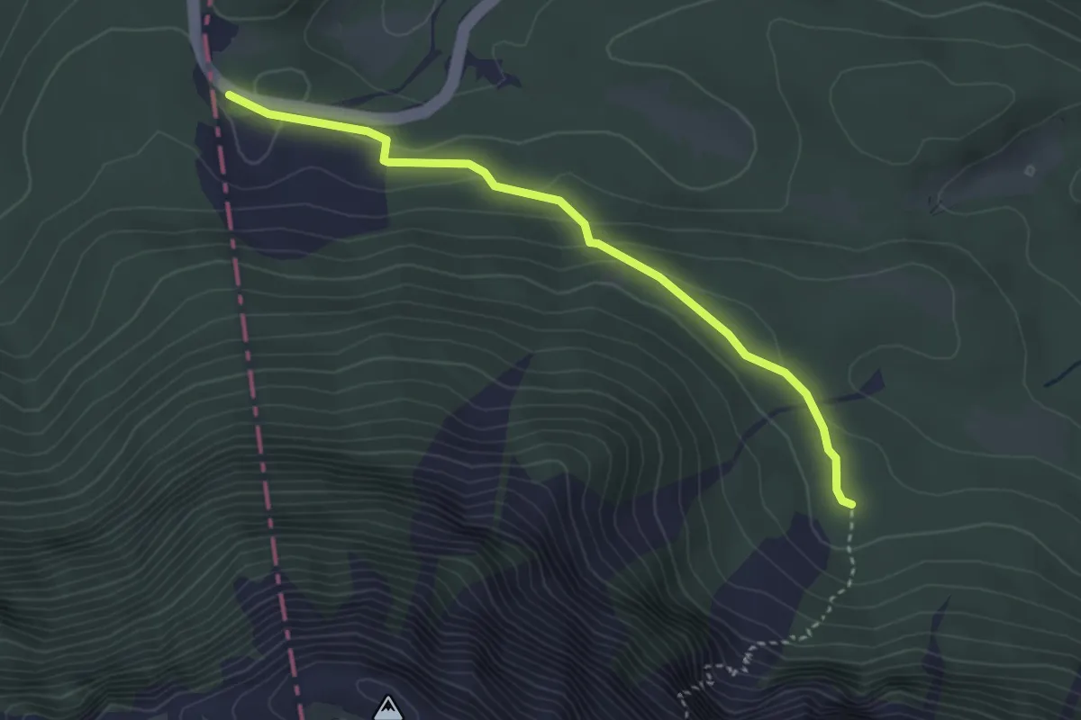
Easy · Trail
Wanderweg 693
3.4 km · ↑ 94 m · 1 h
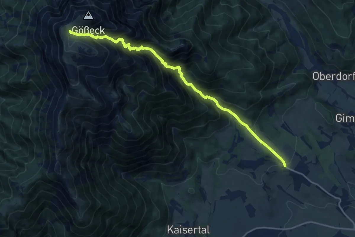
Demanding · Trail
Wanderweg 693
12.6 km · ↑ 1310 m · 5 h 48 min
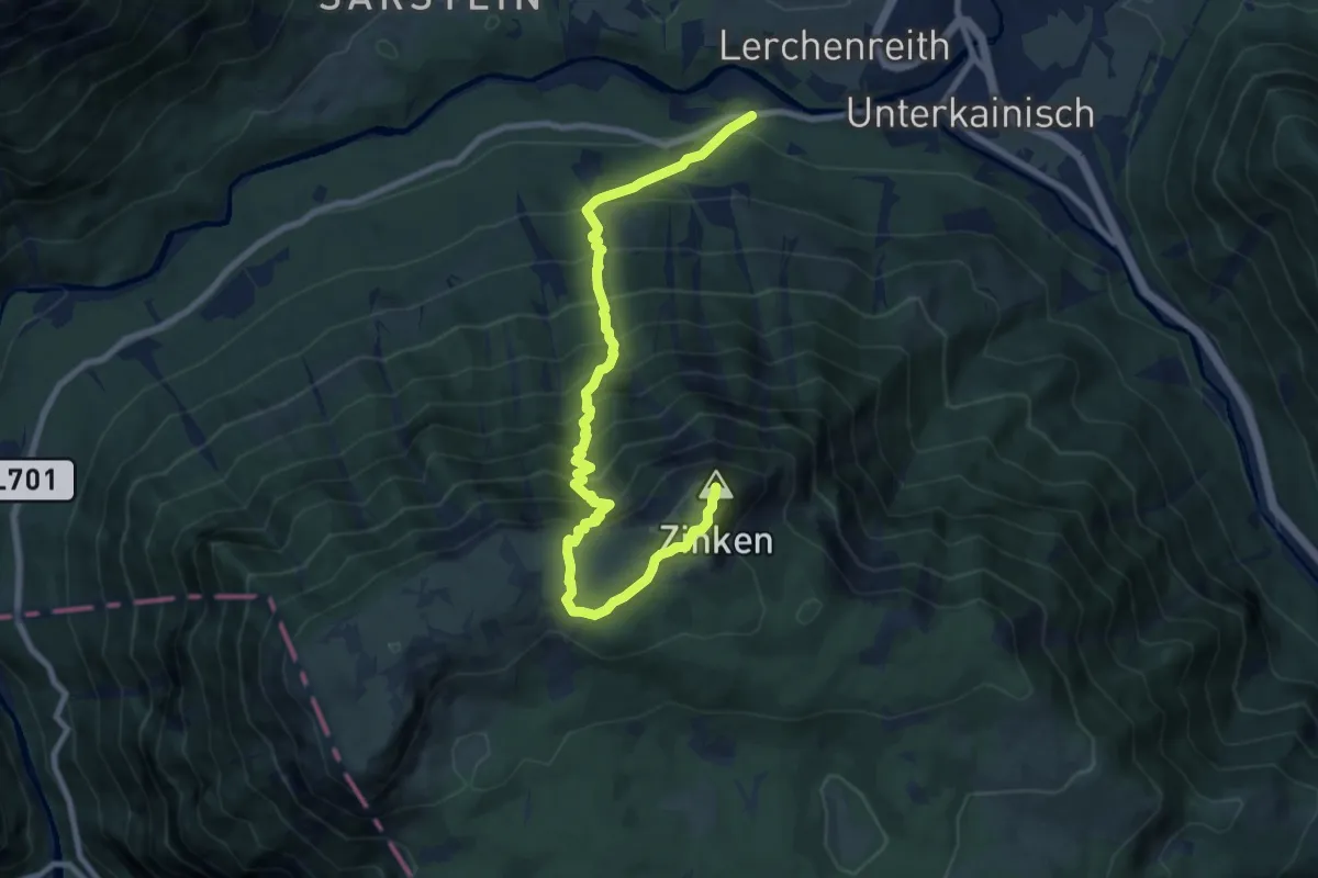
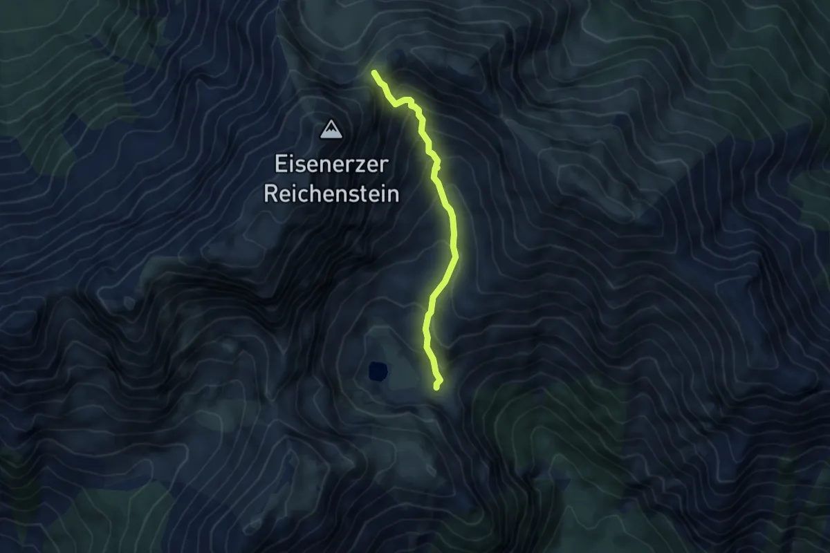
Demanding · Summit
Wanderweg 695
9.8 km · ↑ 1219 m · 4 h 57 min
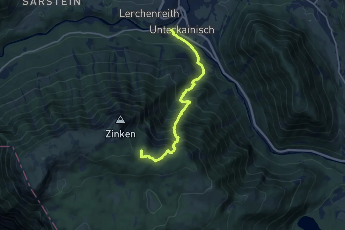
Medium · Cabin
Wanderweg 695
4.1 km · ↑ 449 m · 1 h 56 min
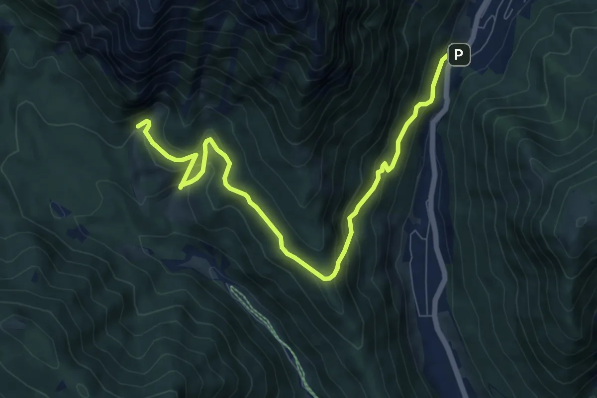
Demanding · Summit
Wanderweg 696
9.5 km · ↑ 1124 m · 4 h 40 min
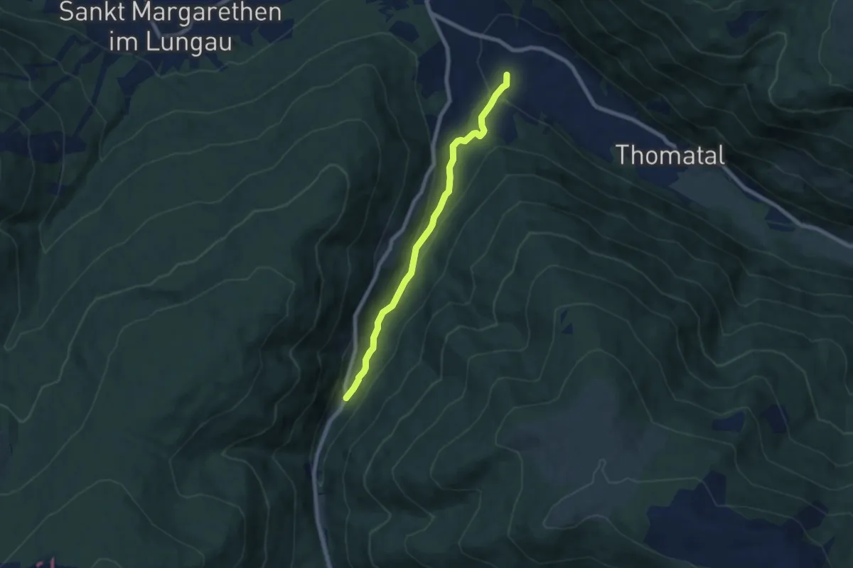
Medium · Trail
Wanderweg 696
8.8 km · ↑ 543 m · 3 h 15 min
Easy · Trail
Wanderweg 69, Höllweg Bundschuh, Thomatal
6.4 km · ↑ 165 m · 1 h 52 min
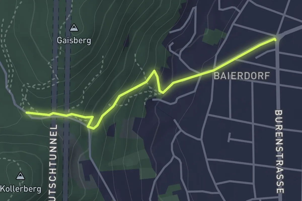
Medium · Trail
Wanderweg 6a
3.0 km · ↑ 161 m · 1 h 4 min
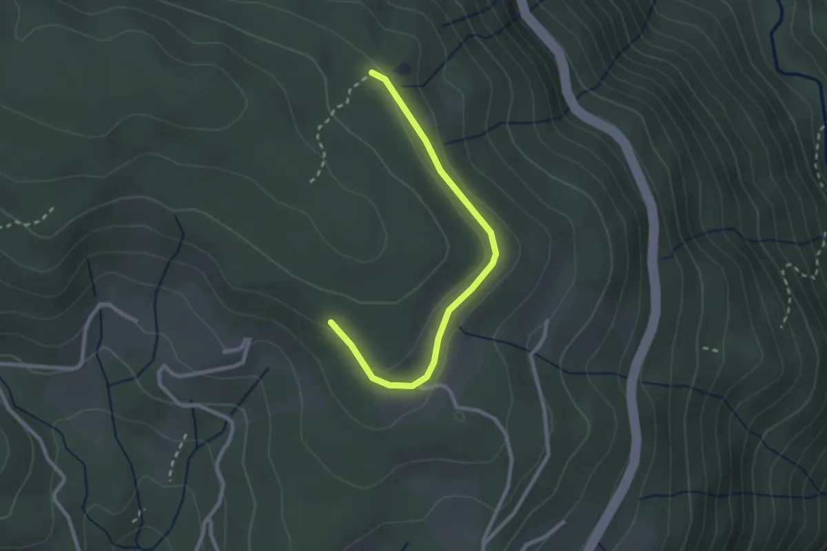
Easy · Trail
Wanderweg 6A
2.5 km · ↑ 34 m · 40 min
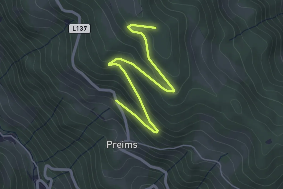
Easy · Trail
Wanderweg 6C
4.8 km · ↑ 206 m · 1 h 35 min
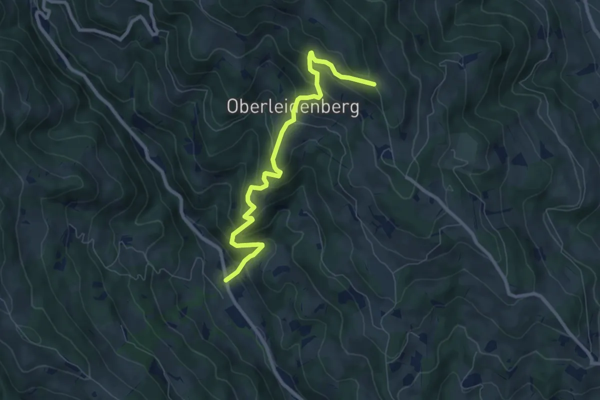
Medium · Trail
Wanderweg 6D
7.2 km · ↑ 509 m · 2 h 48 min
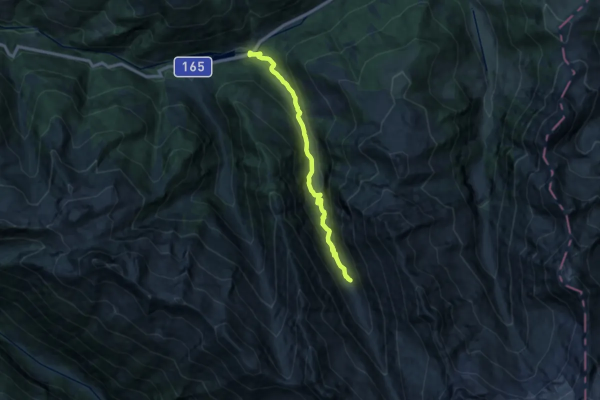
Medium · Trail
Wanderweg 6 - Gerlos
12.5 km · ↑ 494 m · 4 h 1 min
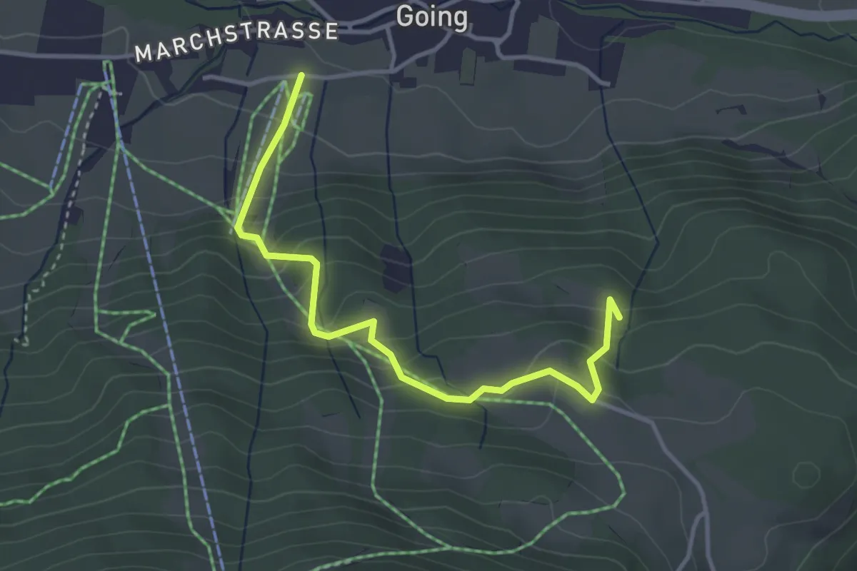
Easy · Trail
Wanderweg 6 - Going
3.6 km · ↑ 308 m · 1 h 31 min
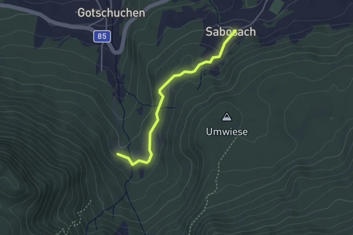
Easy · Trail
Wanderweg 6H
3.0 km · ↑ 67 m · 51 min
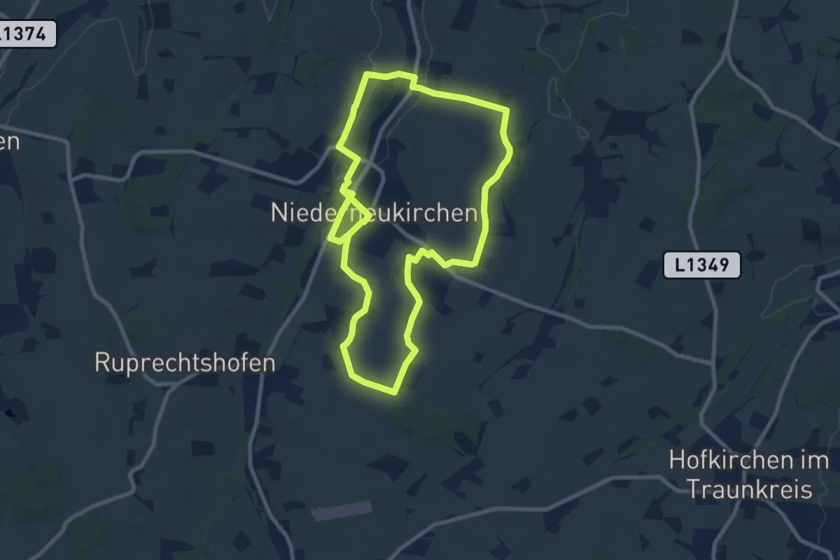
Medium · Trail
Wanderweg 6 Rund um den Kirchturm
8.2 km · ↑ 134 m · 2 h 19 min
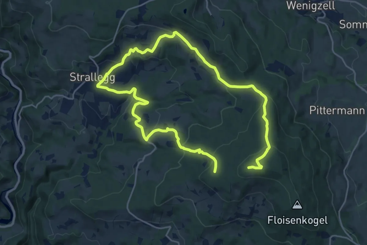
Medium · Trail
Wanderweg 6 - Wildwiesenweg
12.1 km · ↑ 479 m · 4 h 1 min
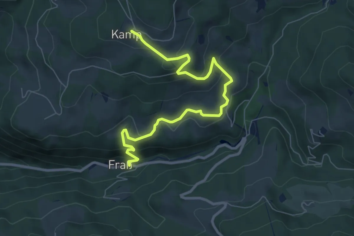
Medium · Trail
Wanderweg 7
7.3 km · ↑ 352 m · 2 h 28 min
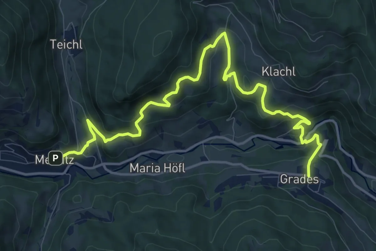
Medium · Trail
Wanderweg 7
13.0 km · ↑ 619 m · 4 h 24 min
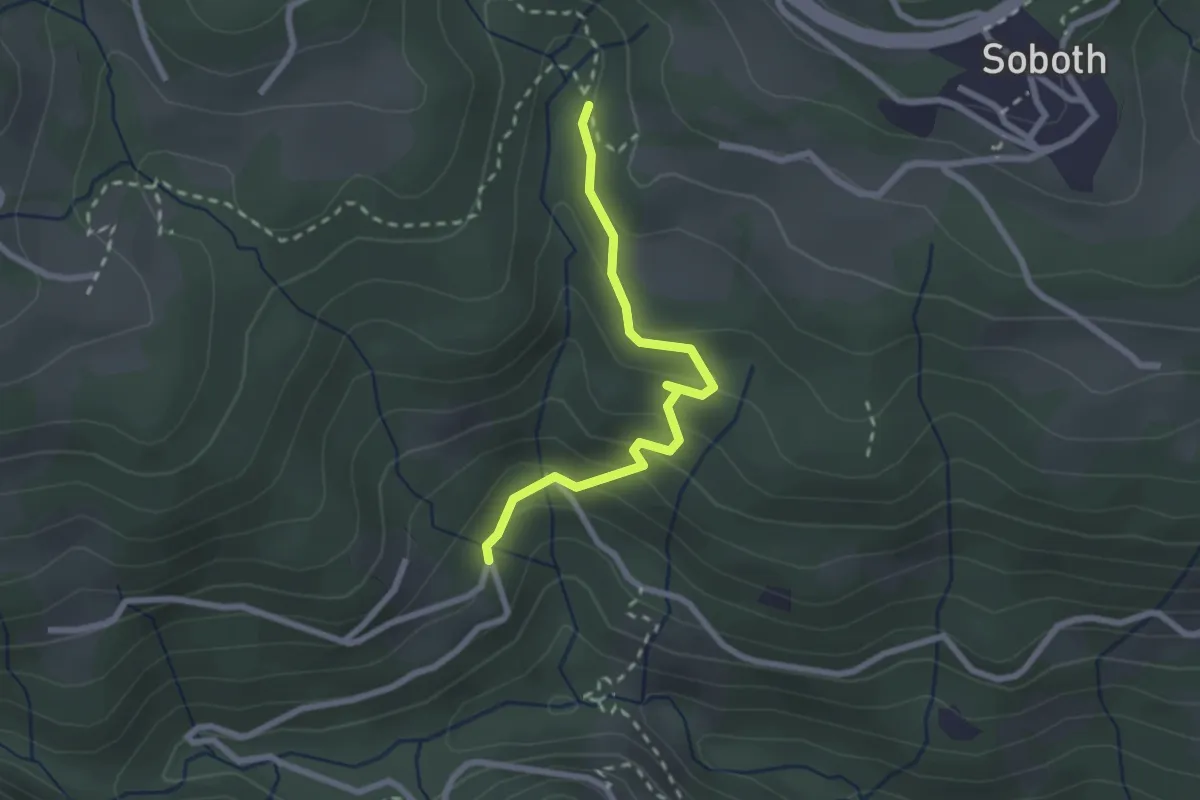
Easy · Trail
Wanderweg 7
2.3 km · ↑ 142 m · 51 min
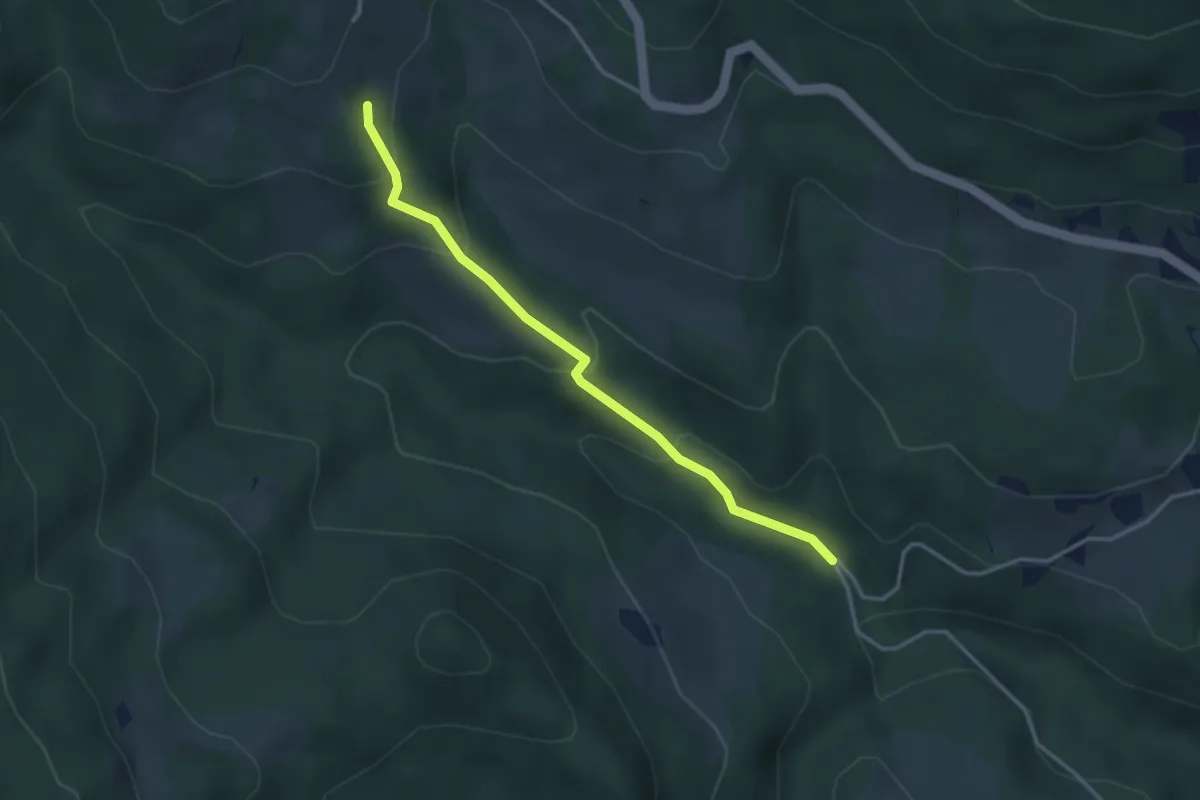
Easy · Trail
Wanderweg 7
3.3 km · ↑ 210 m · 1 h 14 min
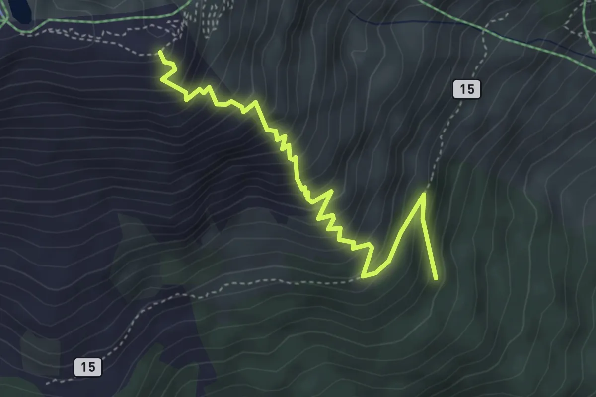
Medium · Trail
Wanderweg 7
4.4 km · ↑ 545 m · 2 h 13 min
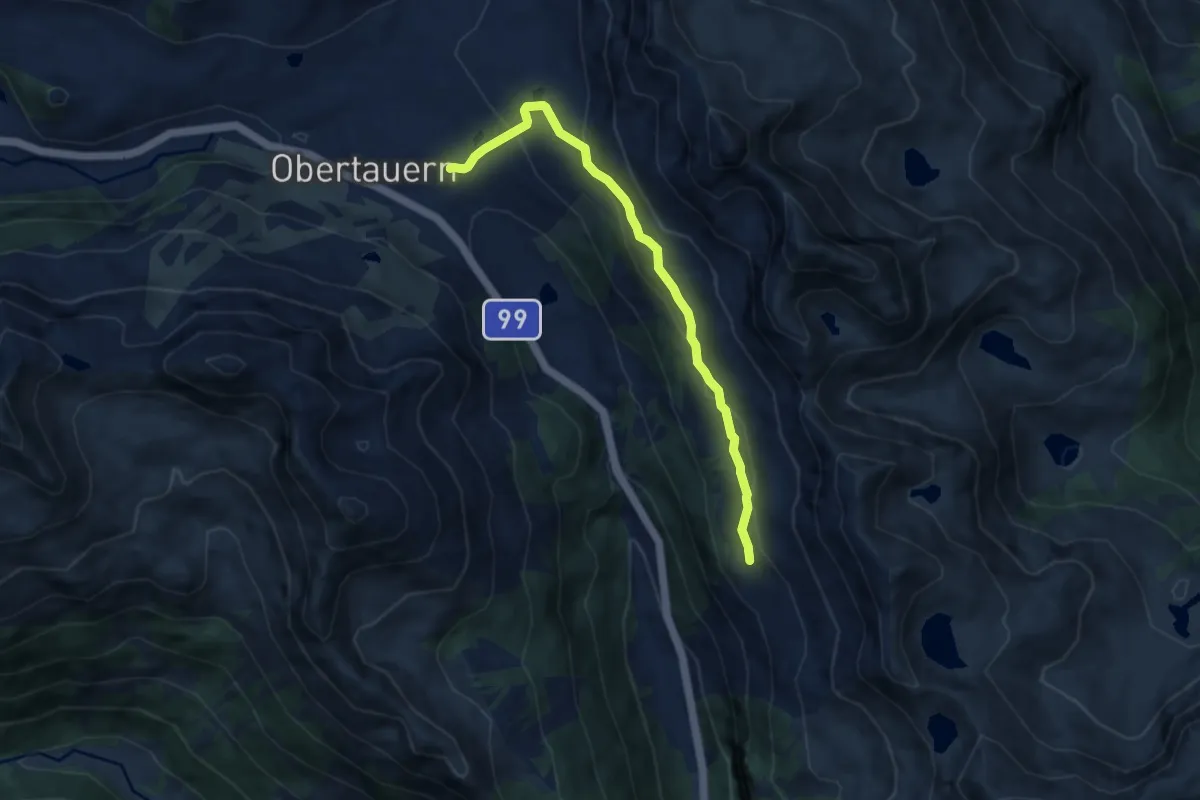
Medium · Trail
Wanderweg 7
7.6 km · ↑ 397 m · 2 h 39 min
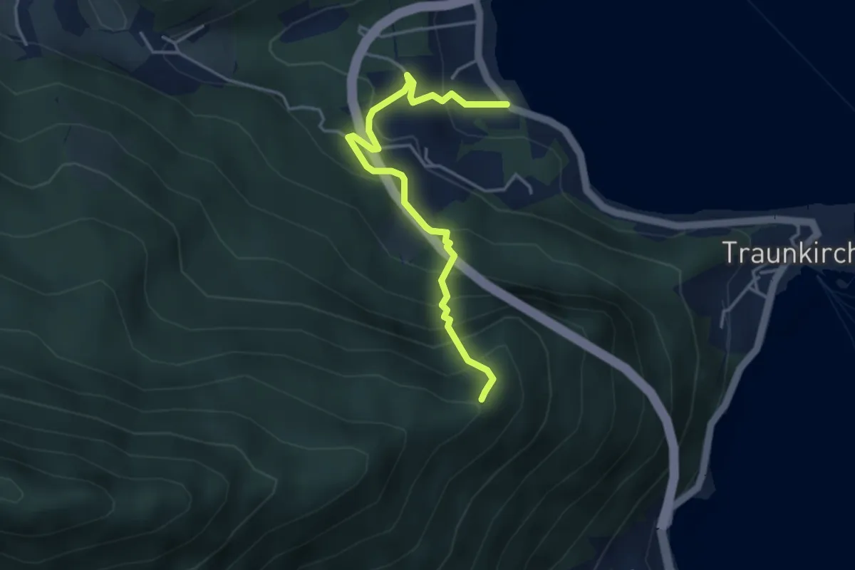
Medium · Summit
Wanderweg 7
3.8 km · ↑ 416 m · 1 h 47 min
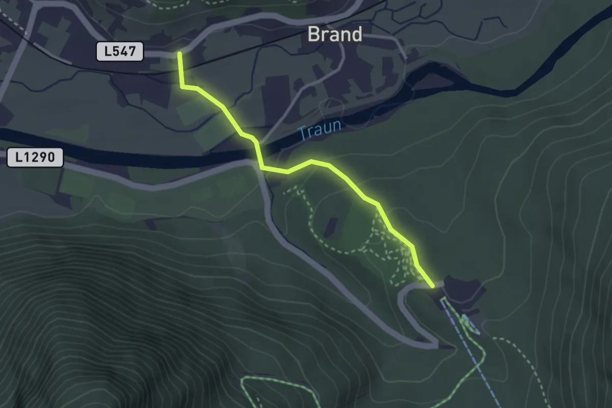
Easy · Trail
Wanderweg 7
2.6 km · ↑ 82 m · 48 min
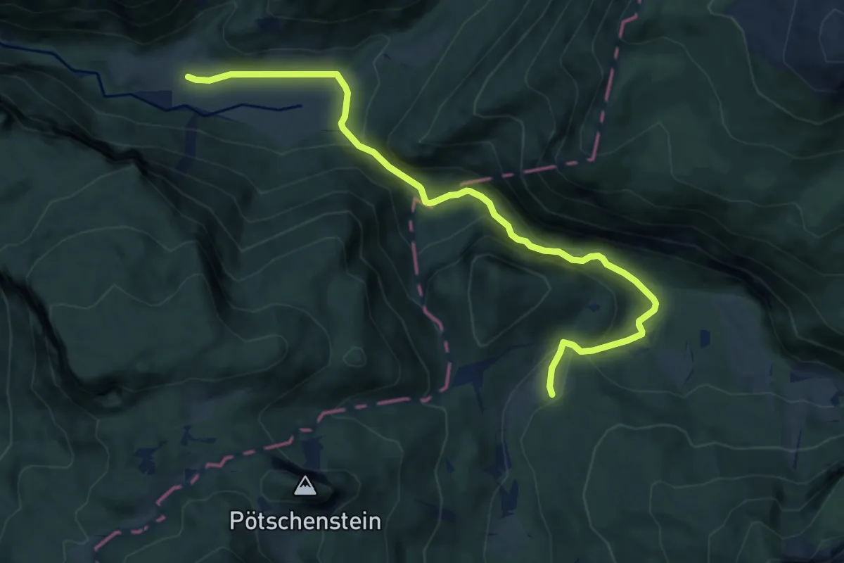
Medium · Trail
Wanderweg 7
10.1 km · ↑ 334 m · 3 h 7 min
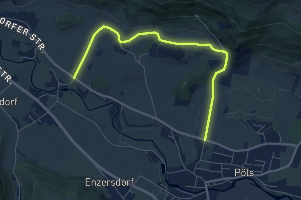
Easy · Trail
Wanderweg 7
6.3 km · ↑ 58 m · 1 h 37 min
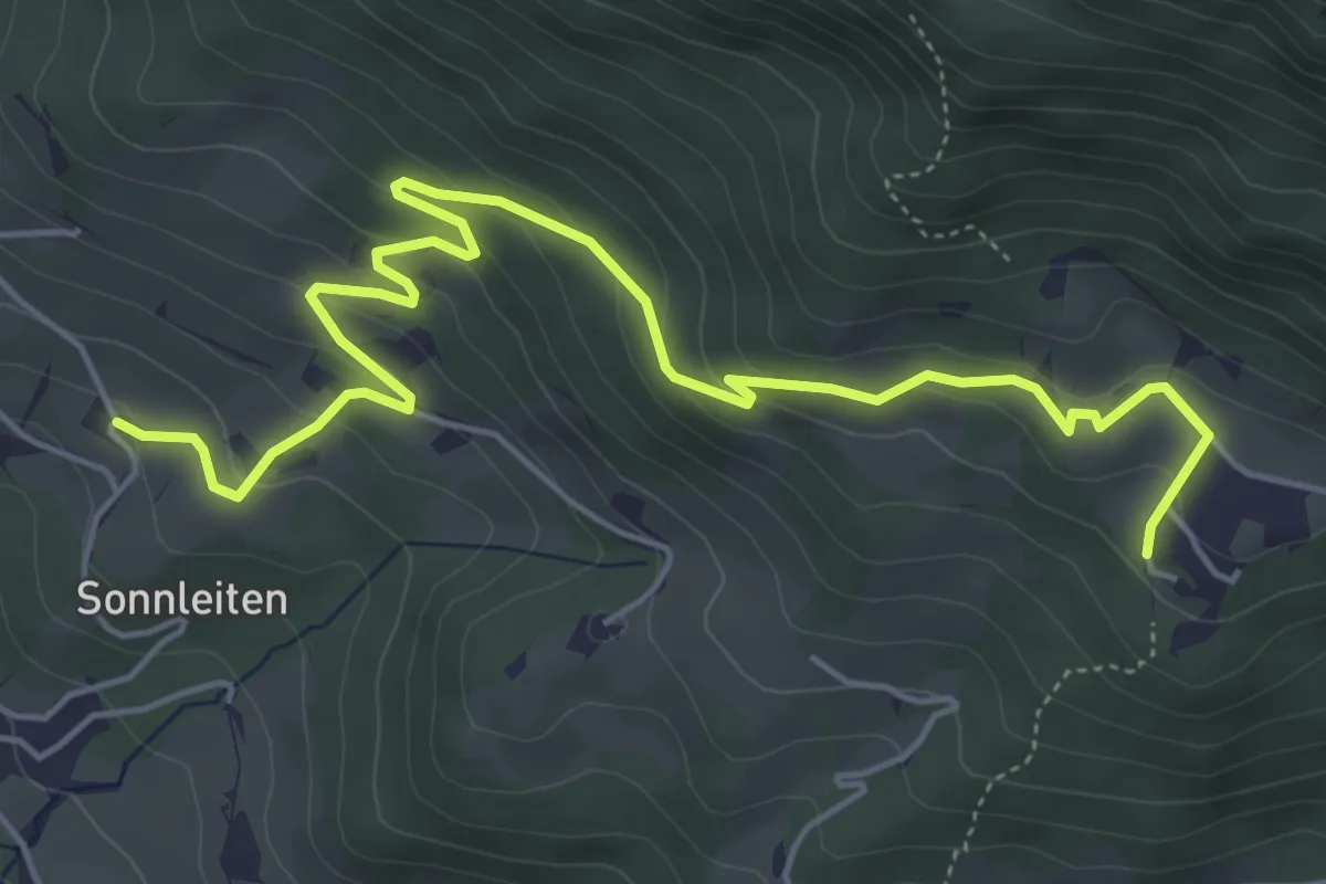
Easy · Trail
Wanderweg 7
6.3 km · ↑ 293 m · 2 h 7 min