Trails in Austria
9,777 hiking trails, each with its route, climb, walking time and grade.
All trails, page 180 of 204
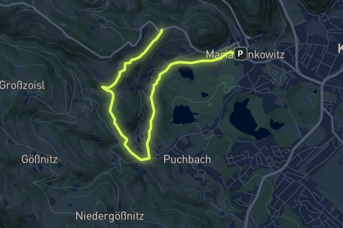
Easy · Trail
Wanderweg L2
5.3 km · ↑ 199 m · 1 h 41 min
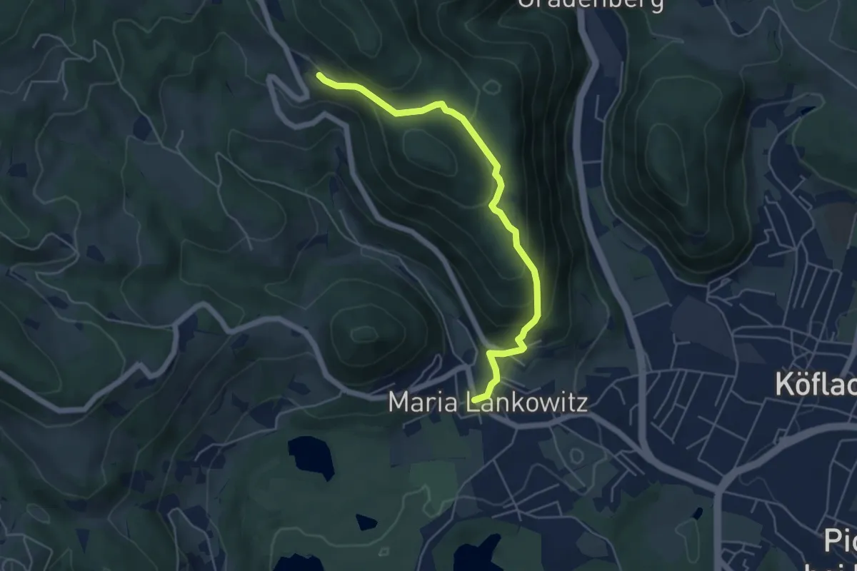
Medium · Trail
Wanderweg L3
5.0 km · ↑ 272 m · 1 h 47 min
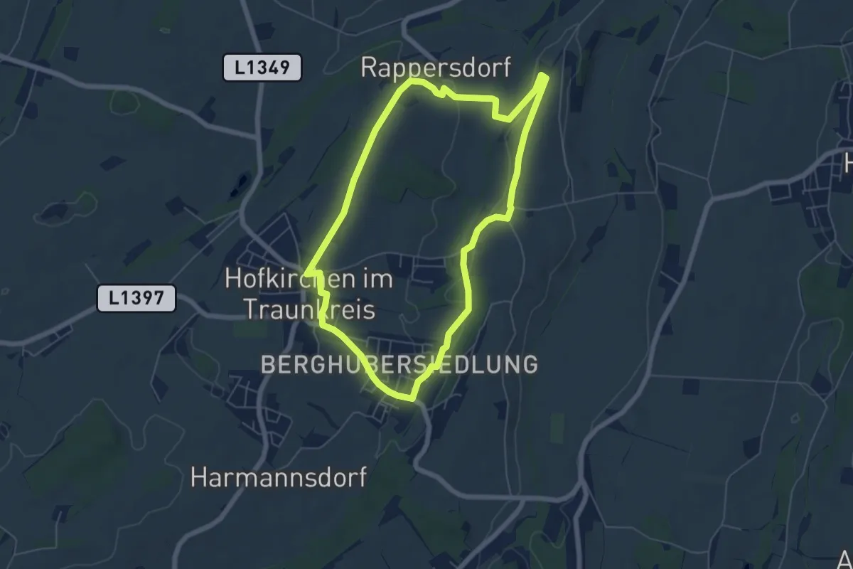
Easy · Trail
Wanderweg Lanzenberg
5.5 km · ↑ 80 m · 1 h 32 min
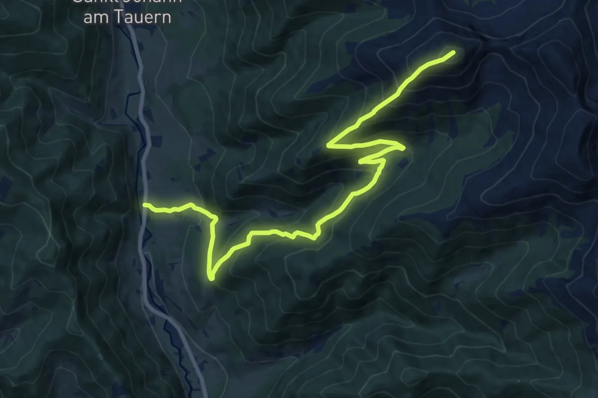
Demanding · Summit
Wanderweg Lärchkogel
16.6 km · ↑ 1249 m · 6 h 38 min
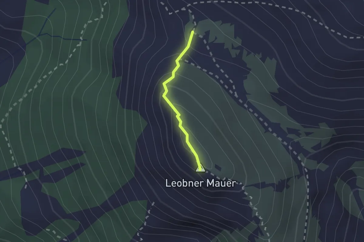
Demanding · Summit
Wanderweg Leobner Mauer
1.2 km · ↑ 104 m · 30 min
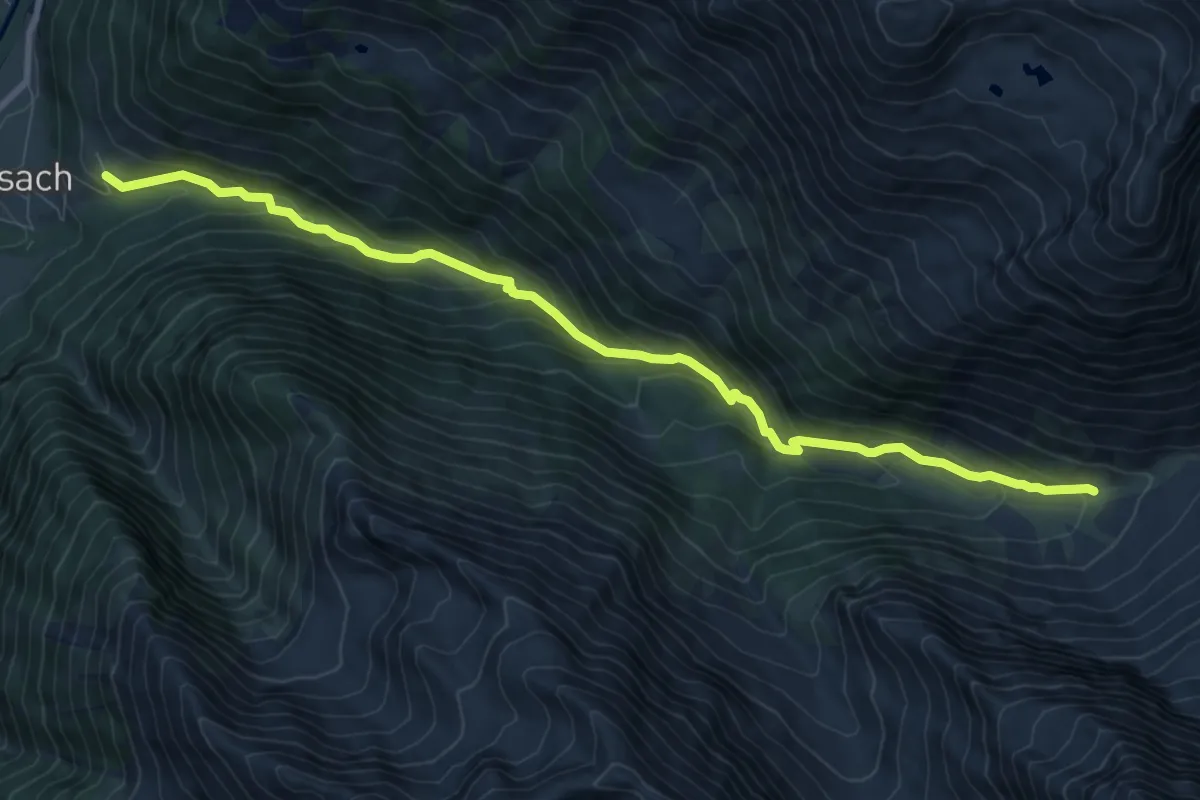
Expert · Trail
Wanderweg Lesachalm
9.9 km · ↑ 593 m · 3 h 38 min
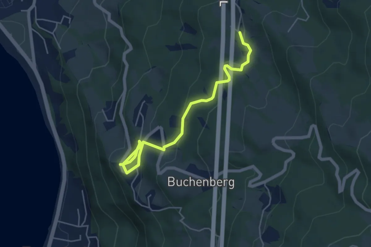
Easy · Trail
Wanderweg Lochau Haggen-Unterlagenfluh
4.5 km · ↑ 205 m · 1 h 31 min
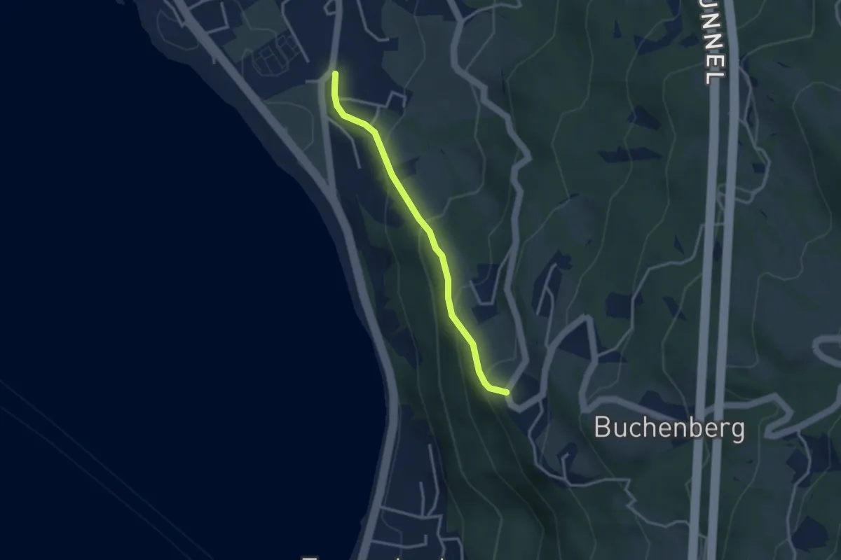
Easy · Trail
Wanderweg Lochau Wellenhof-Haggen
2.7 km · ↑ 217 m · 1 h 6 min
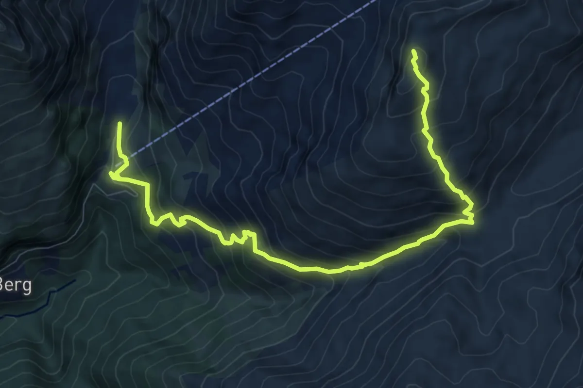
Demanding · Summit
Wanderweg Lucknerhaus - Peischlachtoerl
11.1 km · ↑ 972 m · 4 h 43 min
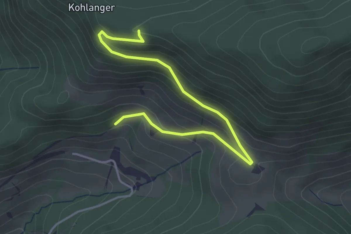
Easy · Trail
Wanderweg Mösl - Kohlanger
4.0 km · ↑ 225 m · 1 h 26 min
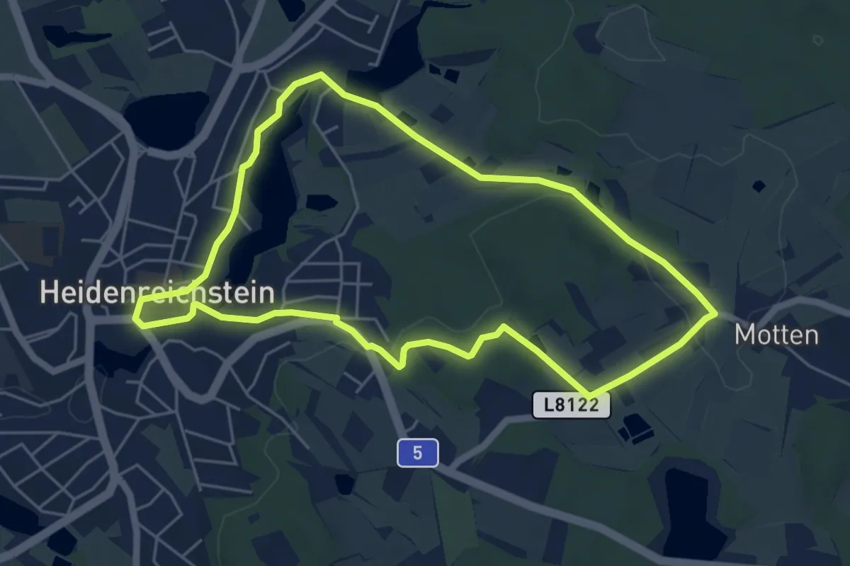
Easy · Trail
Wanderweg Motten
4.9 km · ↑ 65 m · 1 h 22 min
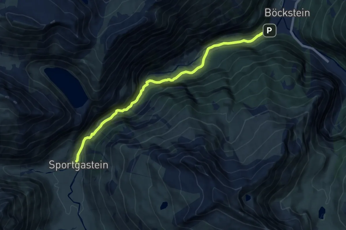
Medium · Trail
Wanderweg Naßfeld
11.4 km · ↑ 465 m · 3 h 43 min
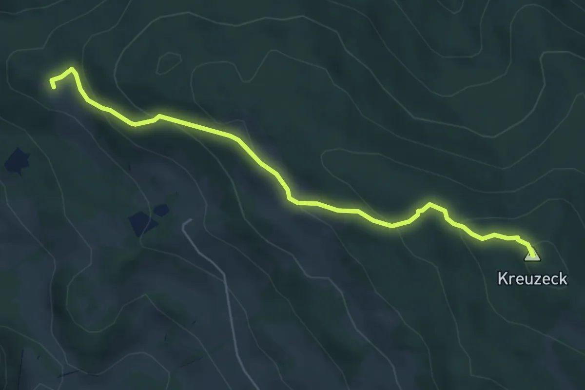
Medium · Summit
Wanderweg NL1
5.4 km · ↑ 293 m · 1 h 54 min
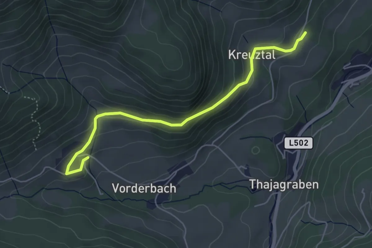
Easy · Trail
Wanderweg NL1
4.8 km · ↑ 143 m · 1 h 26 min
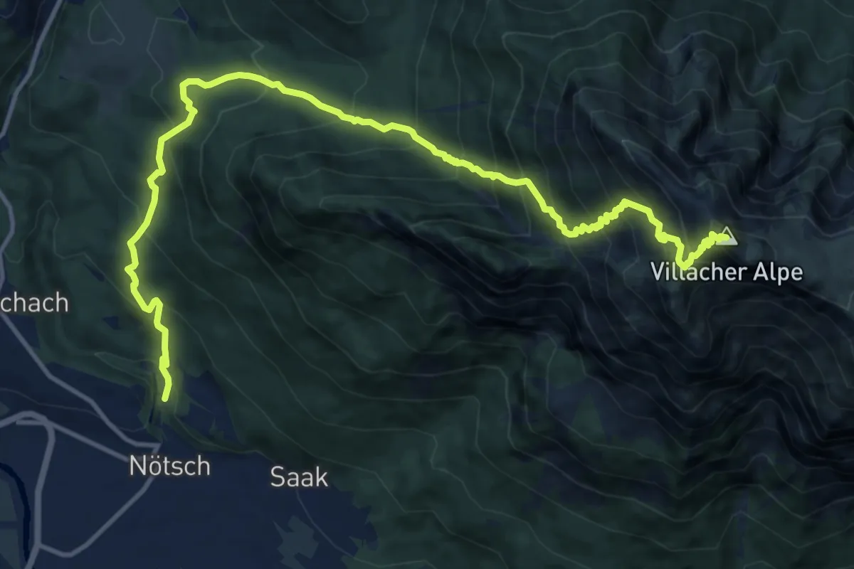
Demanding · Summit
Wanderweg Noetsch - Dobratsch
15.0 km · ↑ 1583 m · 6 h 58 min
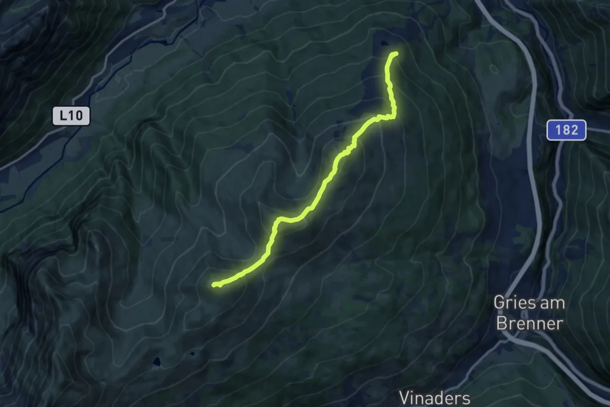
Demanding · Summit
Wanderweg Nr. 41
10.8 km · ↑ 1028 m · 4 h 46 min
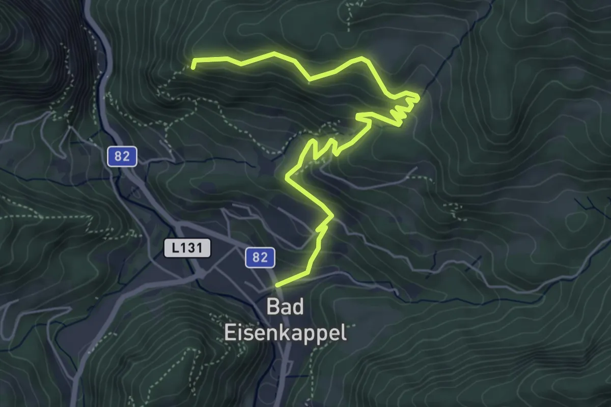
Medium · Trail
Wanderweg Nr.6
6.1 km · ↑ 340 m · 2 h 11 min
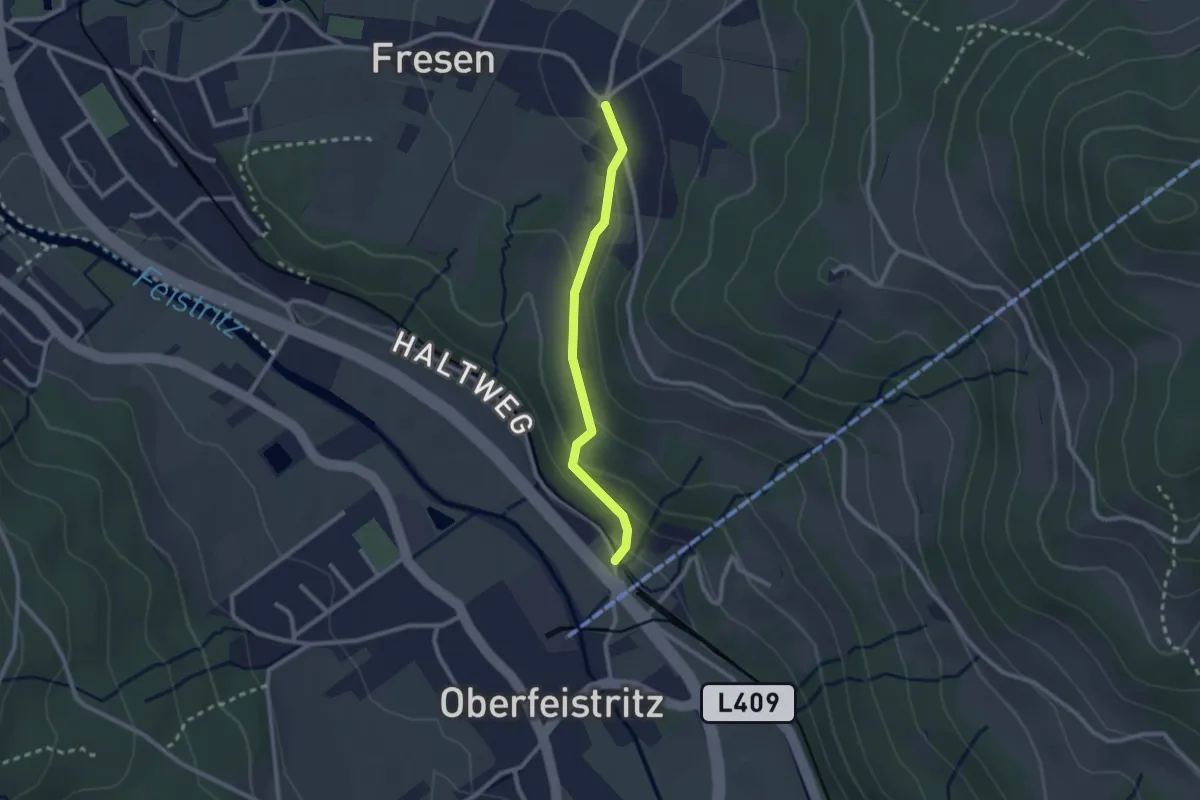
Easy · Trail
Wanderweg Oberfeistriz - Fresen
2.1 km · ↑ 95 m · 43 min
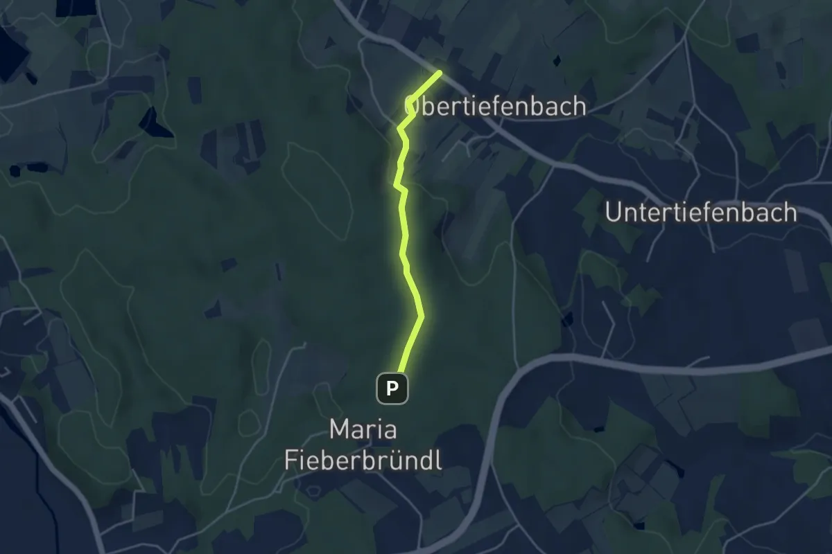
Easy · Trail
Wanderweg Obertiefenbach - Maria Fieberbründl
3.2 km · ↑ 101 m · 59 min
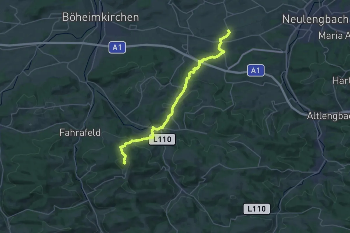
Demanding · Summit
Wanderweg Ollersbach - Waasen - Kasten - Hegerberg
22.1 km · ↑ 740 m · 6 h 49 min
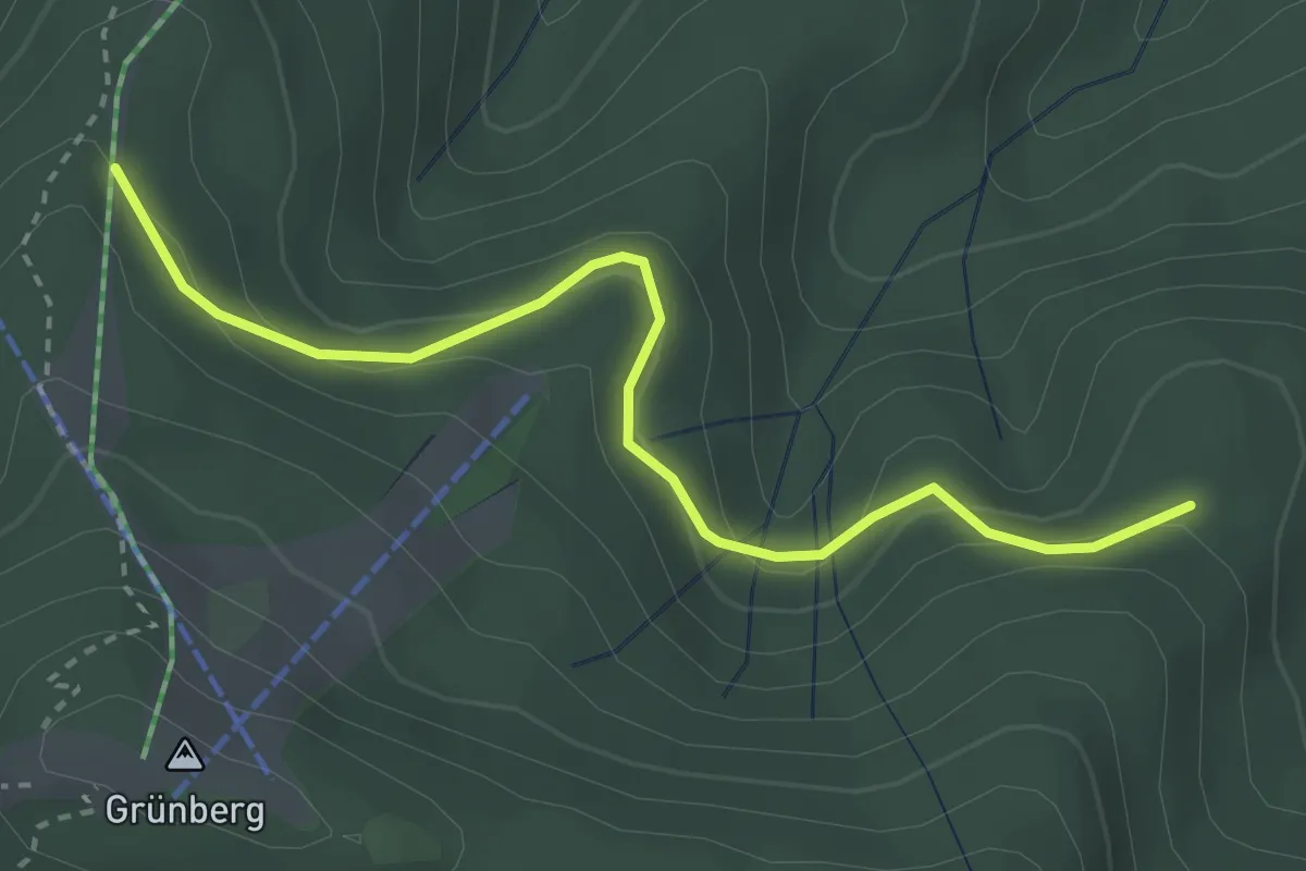
Easy · Trail
Wanderweg Ortnersteig - Franzl im Holz
3.2 km · ↑ 106 m · 58 min
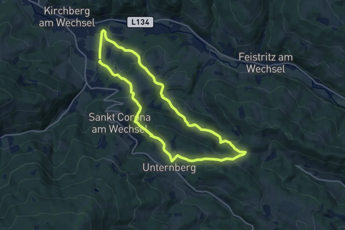
Medium · Trail
Wanderweg Passkapelle
10.9 km · ↑ 365 m · 3 h 32 min
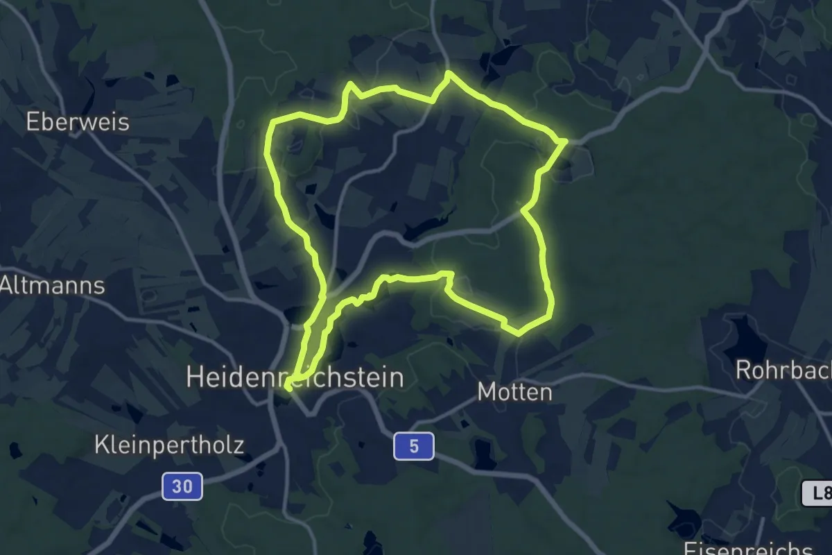
Medium · Trail
Wanderweg Pengers
11.3 km · ↑ 115 m · 3 h 4 min
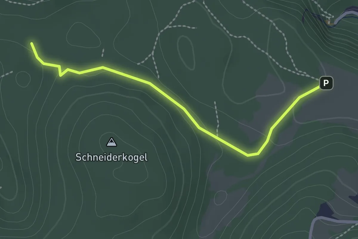
Easy · Trail
Wanderweg Peter am Stein - Semriach
2.4 km · ↑ 28 m · 38 min
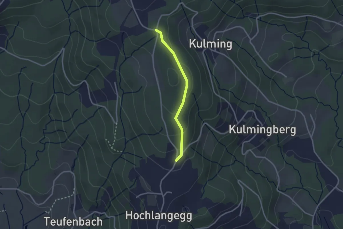
Easy · Trail
Wanderweg Pischelsdorf - Kulm
2.1 km · ↑ 55 m · 36 min
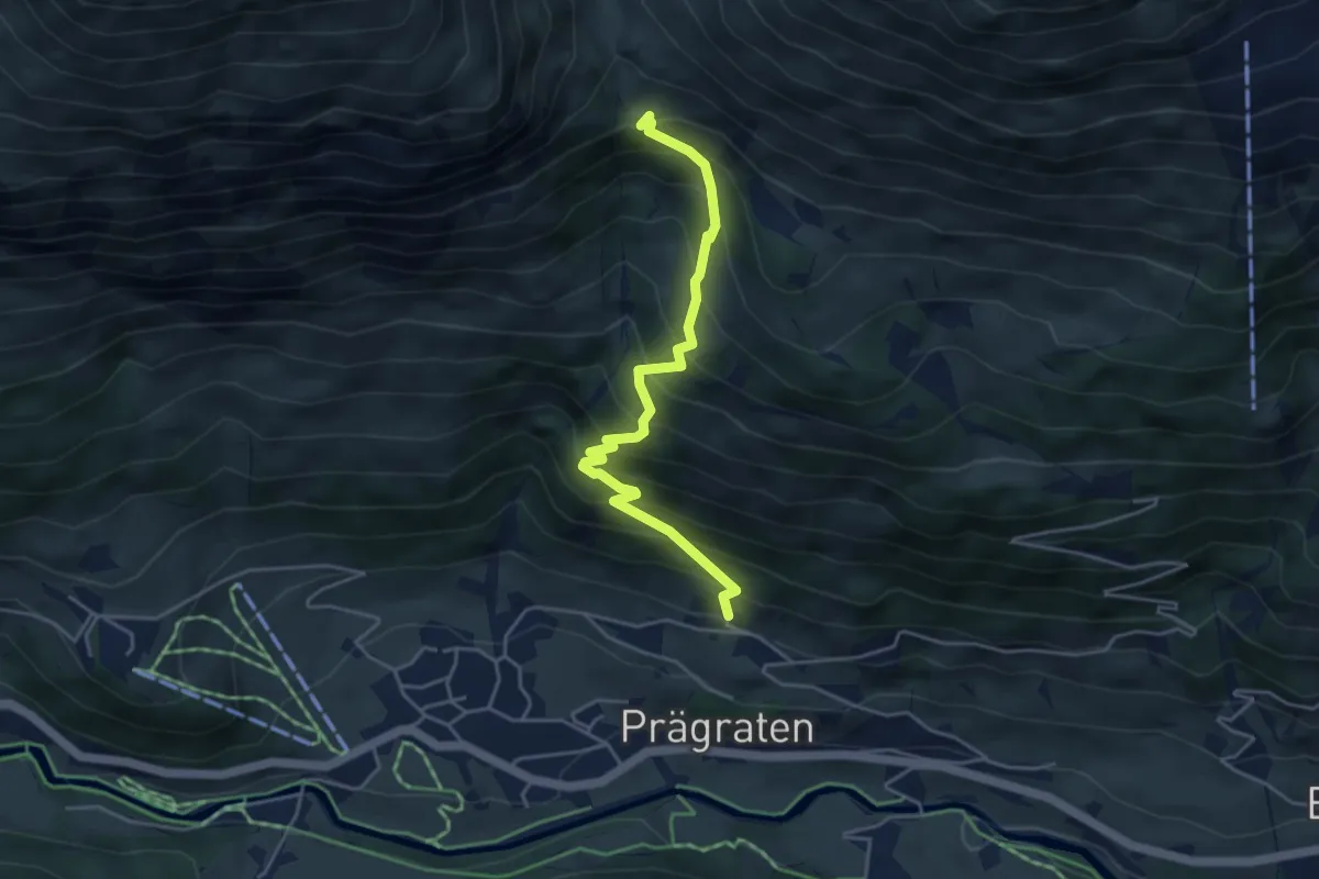
Medium · Trail
Wanderweg Praegraten - Eissee
4.4 km · ↑ 598 m · 2 h 20 min
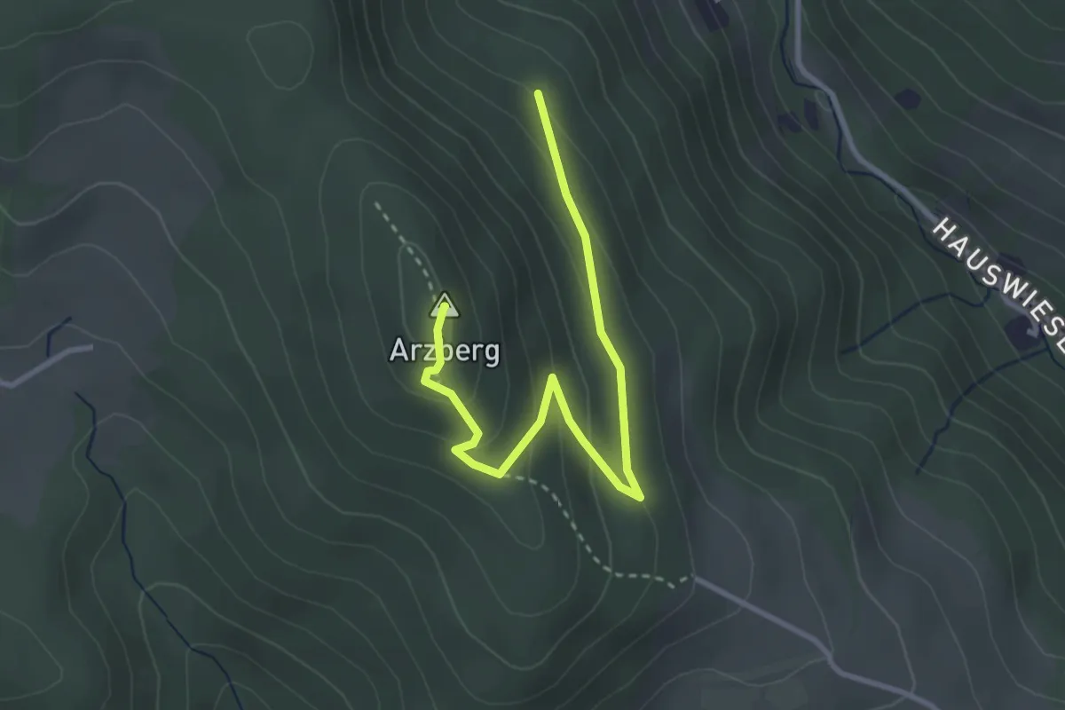
Medium · Summit
Wanderweg R
3.3 km · ↑ 175 m · 1 h 10 min
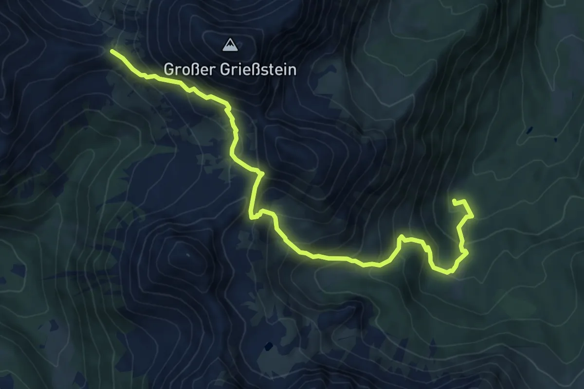
Demanding · Trail
Wanderweg R10
9.4 km · ↑ 861 m · 4 h 5 min
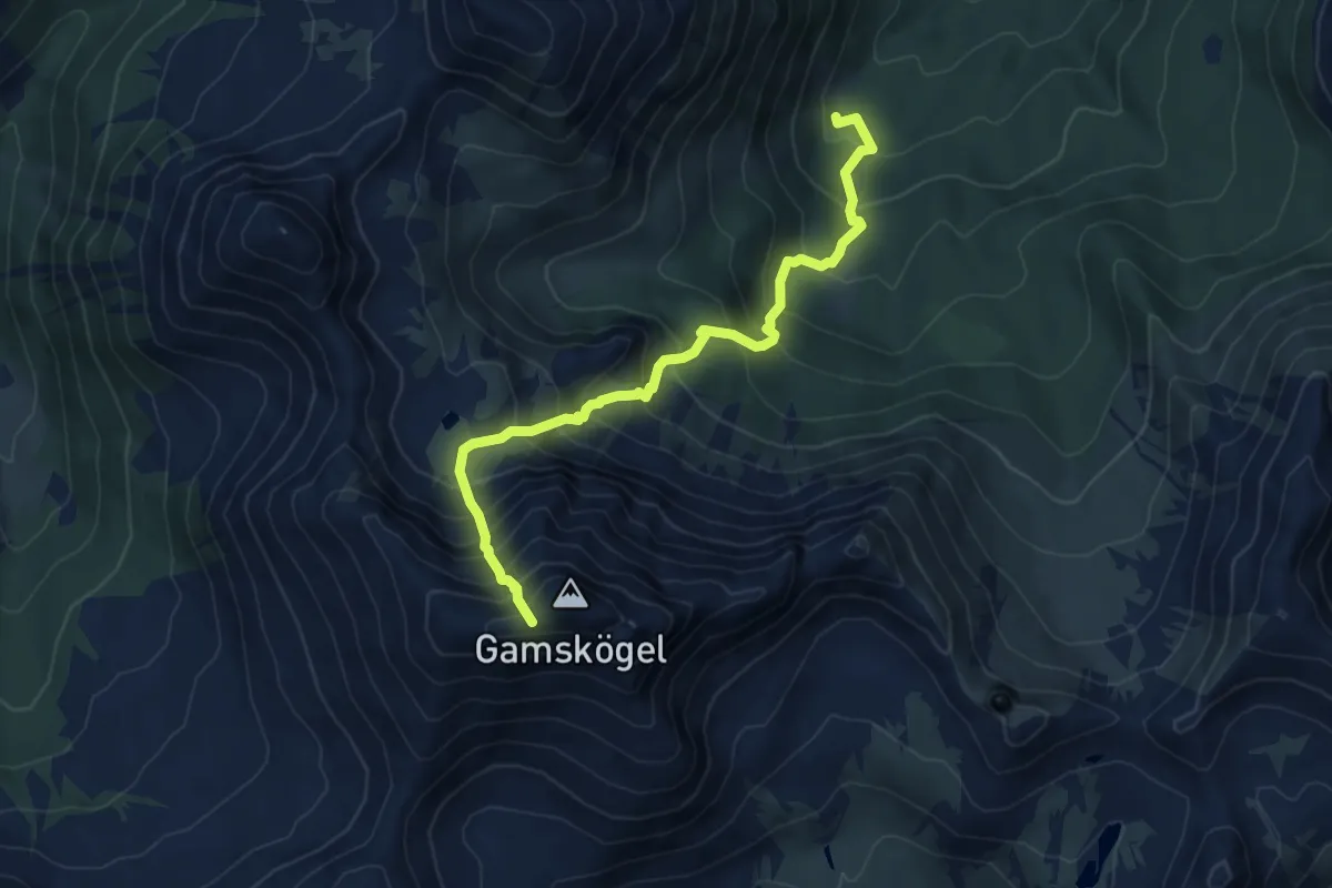
Demanding · Trail
Wanderweg R11
6.5 km · ↑ 895 m · 3 h 28 min
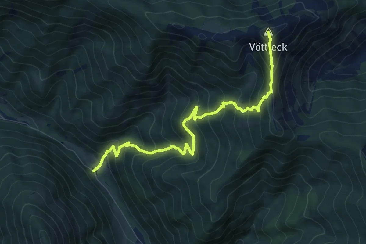
Demanding · Summit
Wanderweg R9
9.2 km · ↑ 815 m · 3 h 57 min
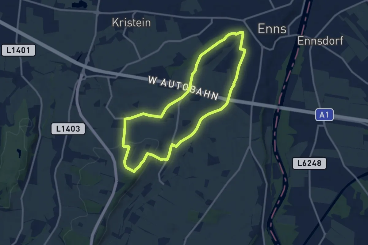
Easy · Trail
Wanderweg Rabenberg
7.7 km · ↑ 93 m · 2 h 7 min
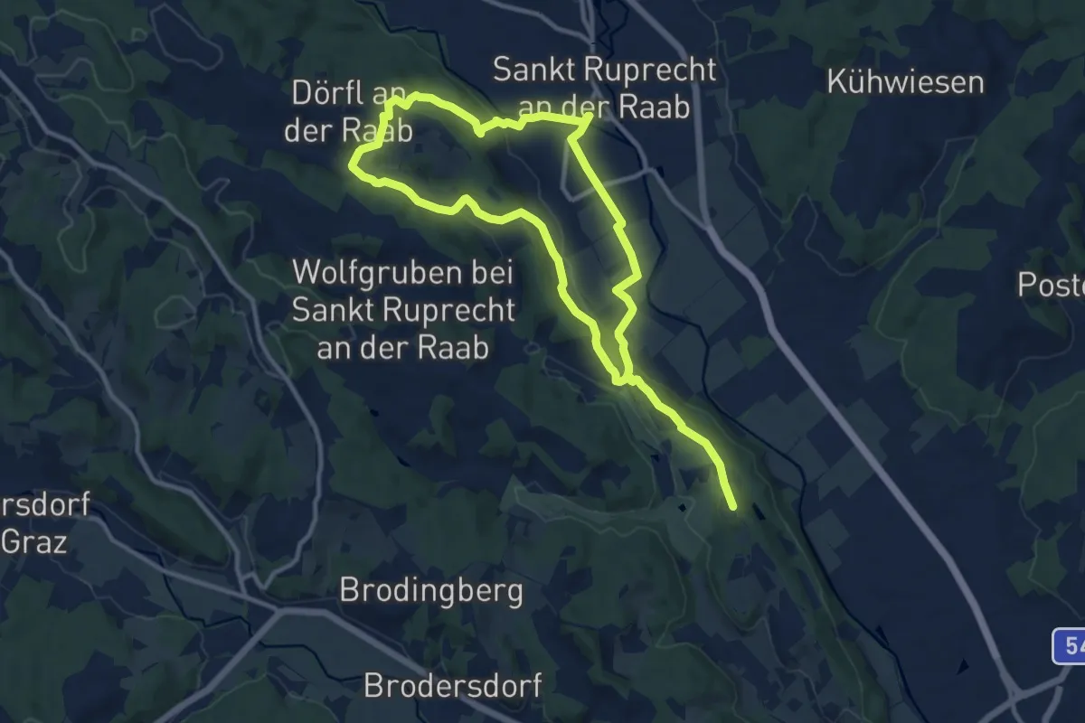
Medium · Trail
Wanderweg Rauchenbergweg
9.4 km · ↑ 205 m · 2 h 46 min
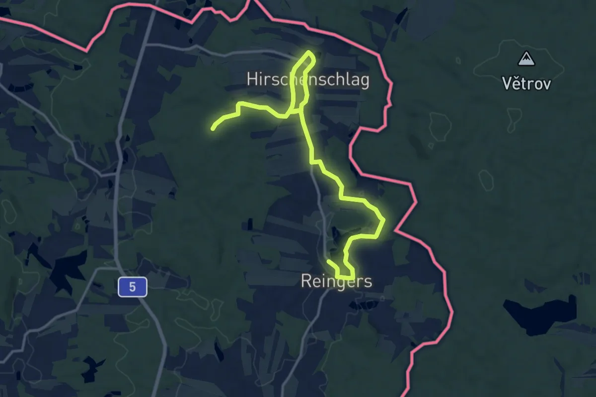
Easy · Trail
Wanderweg Reingers Nr. 51
7.1 km · ↑ 19 m · 1 h 51 min
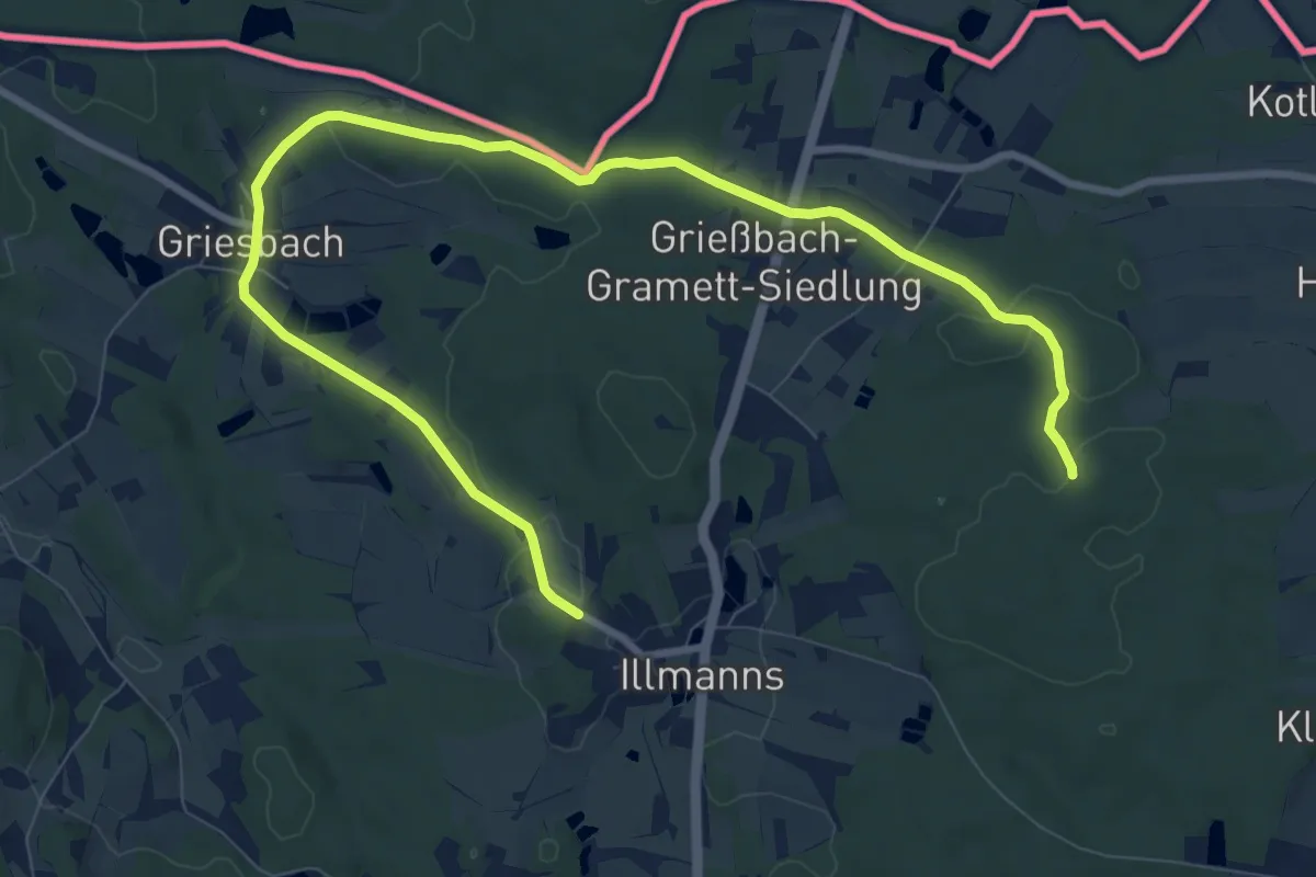
Easy · Trail
Wanderweg Reingers Nr. 52
5.7 km · ↑ 88 m · 1 h 36 min
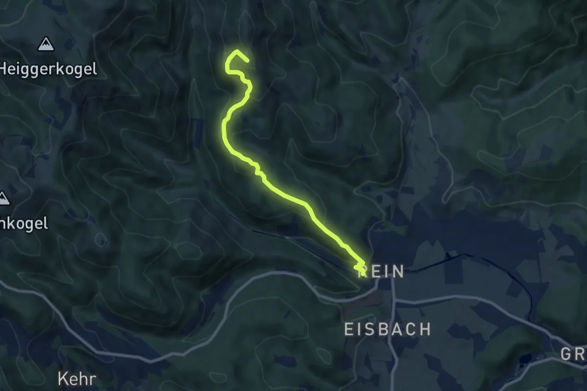
Medium · Summit
Wanderweg Rein - Mühlbacherhütte
7.6 km · ↑ 461 m · 2 h 47 min
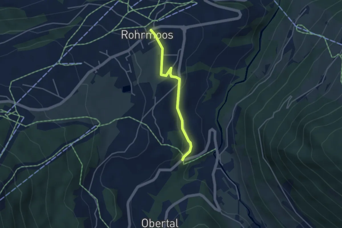
Easy · Trail
Wanderweg Rohrmoos - Untertal
3.0 km · ↑ 68 m · 51 min
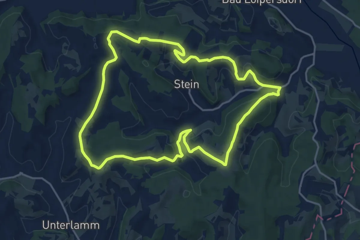
Medium · Trail
Wanderweg rund um Stein (Weg 3)
11.8 km · ↑ 269 m · 3 h 32 min
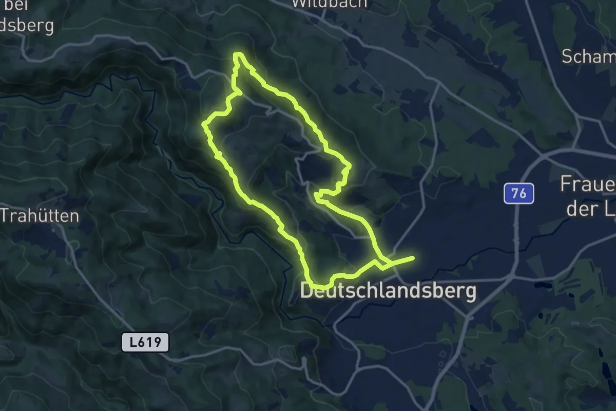
Medium · Trail
Wanderweg S
10.6 km · ↑ 470 m · 3 h 40 min
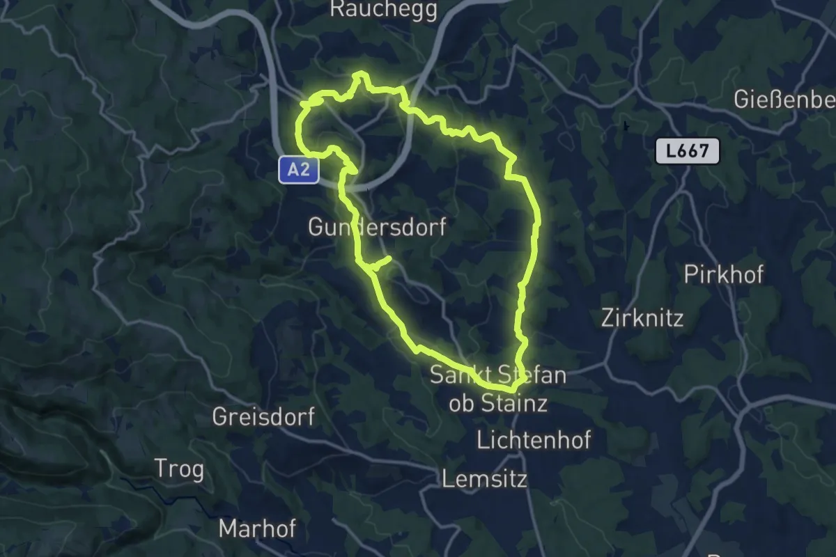
Demanding · Trail
Wanderweg S1
25.6 km · ↑ 765 m · 7 h 43 min
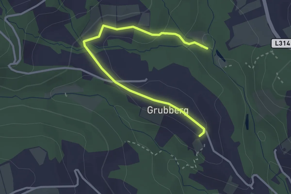
Easy · Trail
Wanderweg S11
2.9 km · ↑ 78 m · 51 min
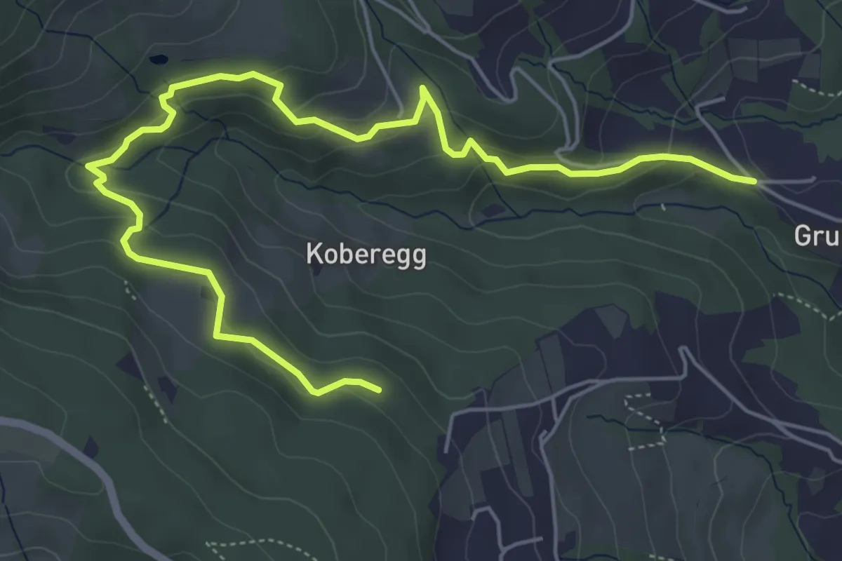
Easy · Trail
Wanderweg S12
6.8 km · ↑ 274 m · 2 h 13 min
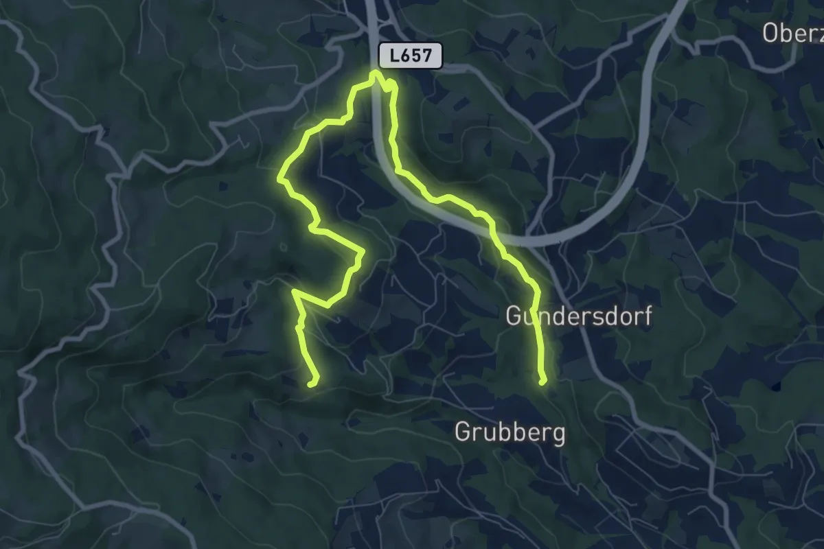
Medium · Trail
Wanderweg S13
11.0 km · ↑ 411 m · 3 h 29 min
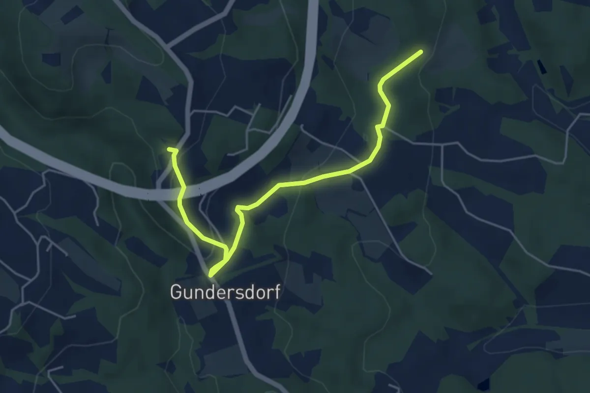
Easy · Trail
Wanderweg S1a
4.8 km · ↑ 146 m · 1 h 27 min
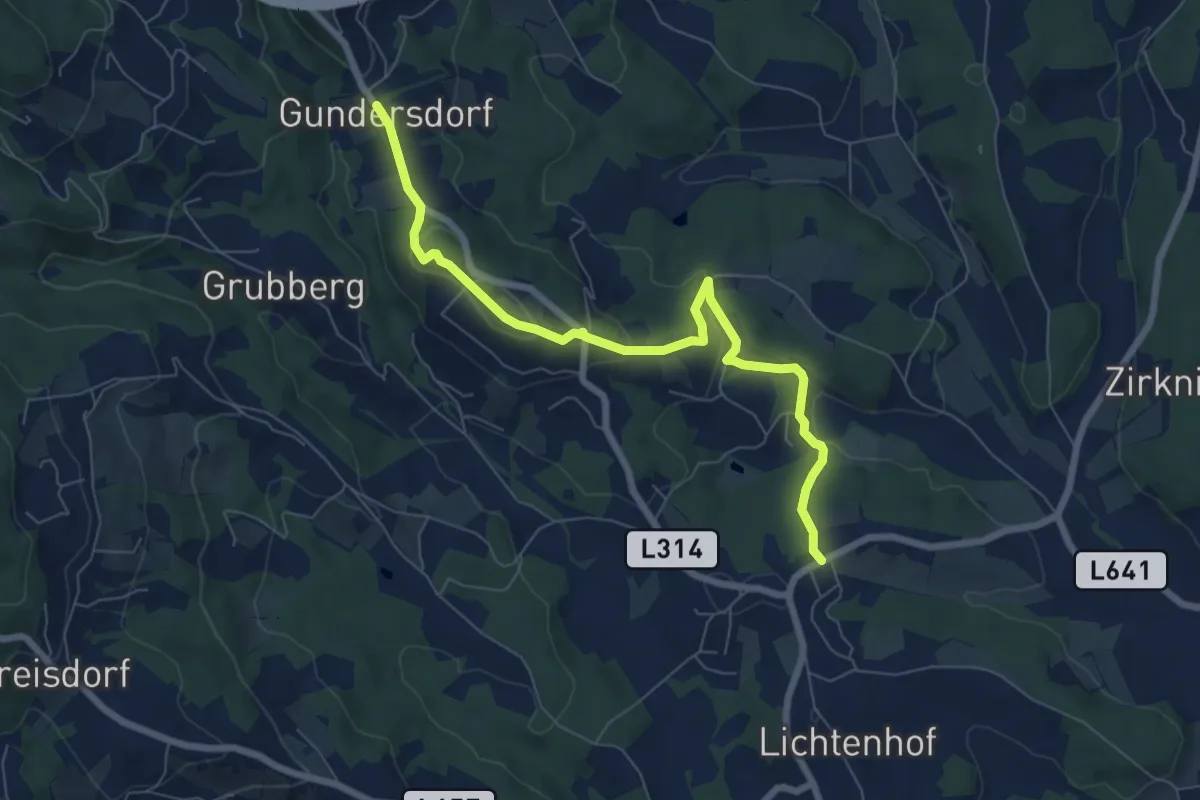
Easy · Trail
Wanderweg S2
7.5 km · ↑ 289 m · 2 h 23 min
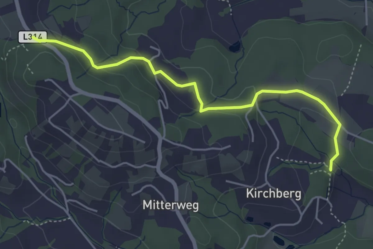
Easy · Trail
Wanderweg S2A
4.4 km · ↑ 131 m · 1 h 20 min
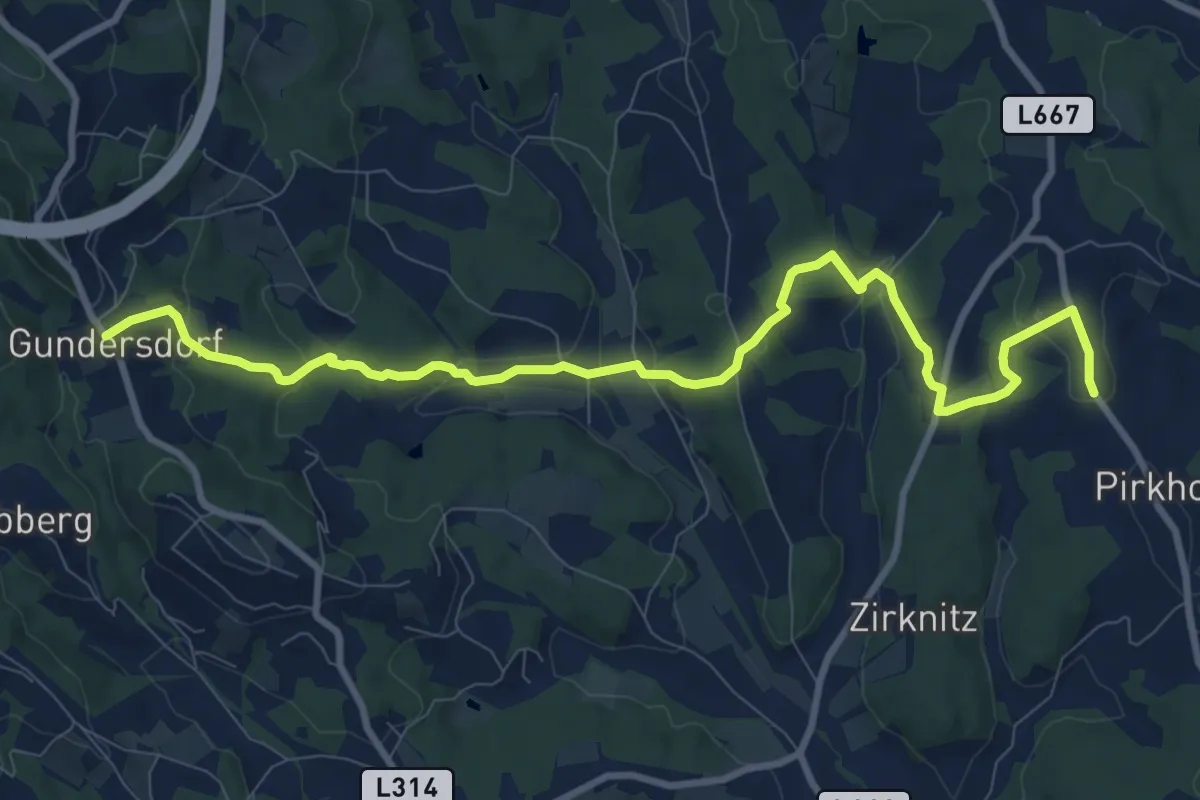
Medium · Trail
Wanderweg S3
11.0 km · ↑ 364 m · 3 h 23 min
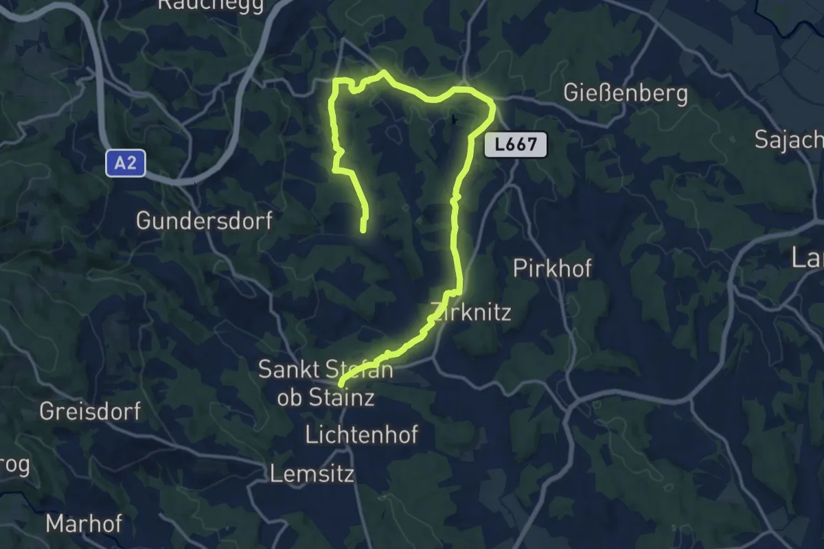
Medium · Trail
Wanderweg S4
8.7 km · ↑ 189 m · 2 h 34 min
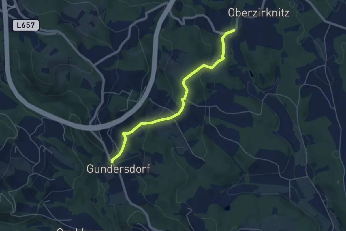
Easy · Trail
Wanderweg S5
4.7 km · ↑ 136 m · 1 h 24 min