Trails in Austria
9,777 hiking trails, each with its route, climb, walking time and grade.
All trails, page 181 of 204
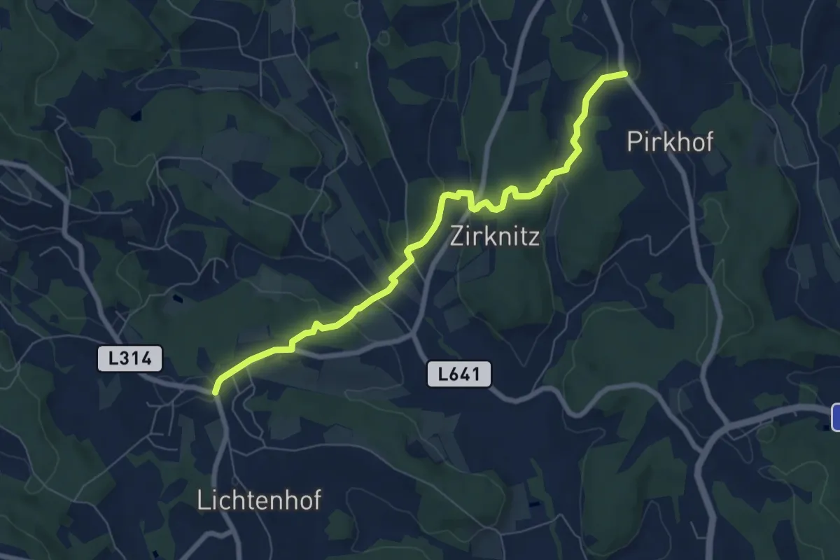
Easy · Trail
Wanderweg S6
7.0 km · ↑ 181 m · 2 h 3 min
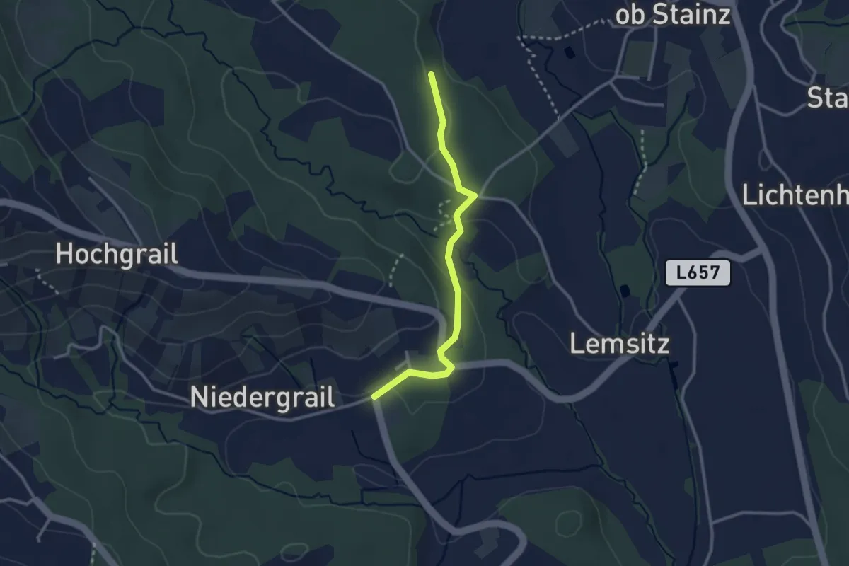
Easy · Trail
Wanderweg S7
2.6 km · ↑ 44 m · 42 min
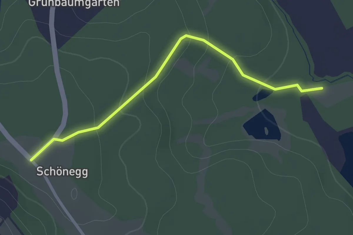
Easy · Trail
Wanderweg S8a
2.3 km · ↑ 65 m · 41 min
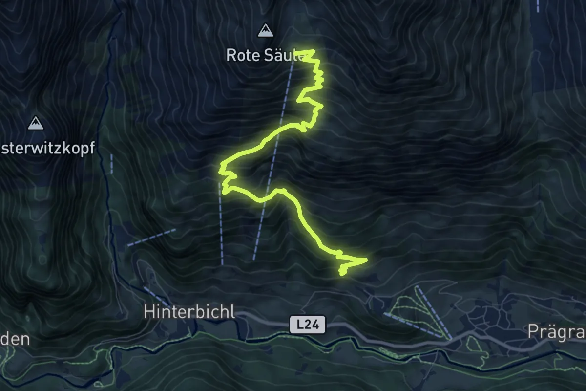
Demanding · Cabin
Wanderweg Sajathuette
9.6 km · ↑ 1057 m · 4 h 33 min
Medium · Trail
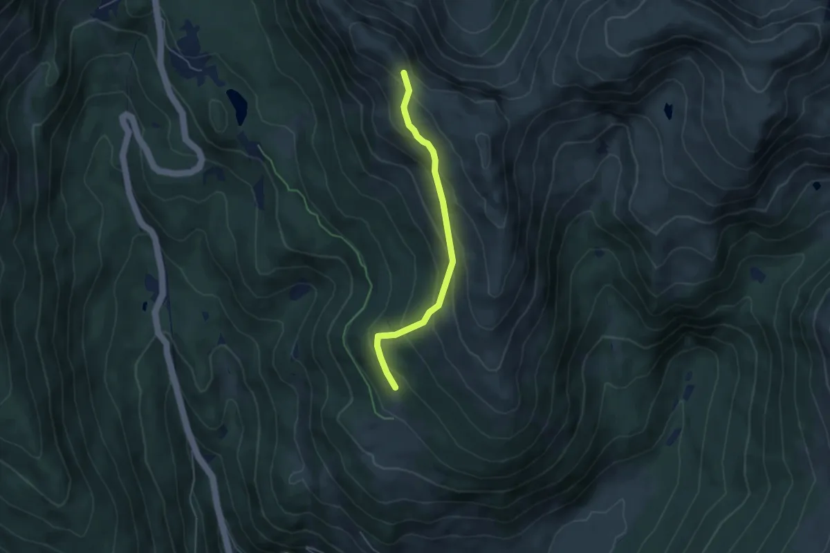
Wanderweg Sam - Weg 153
4.4 km · ↑ 340 m · 1 h 47 min
Medium · Trail
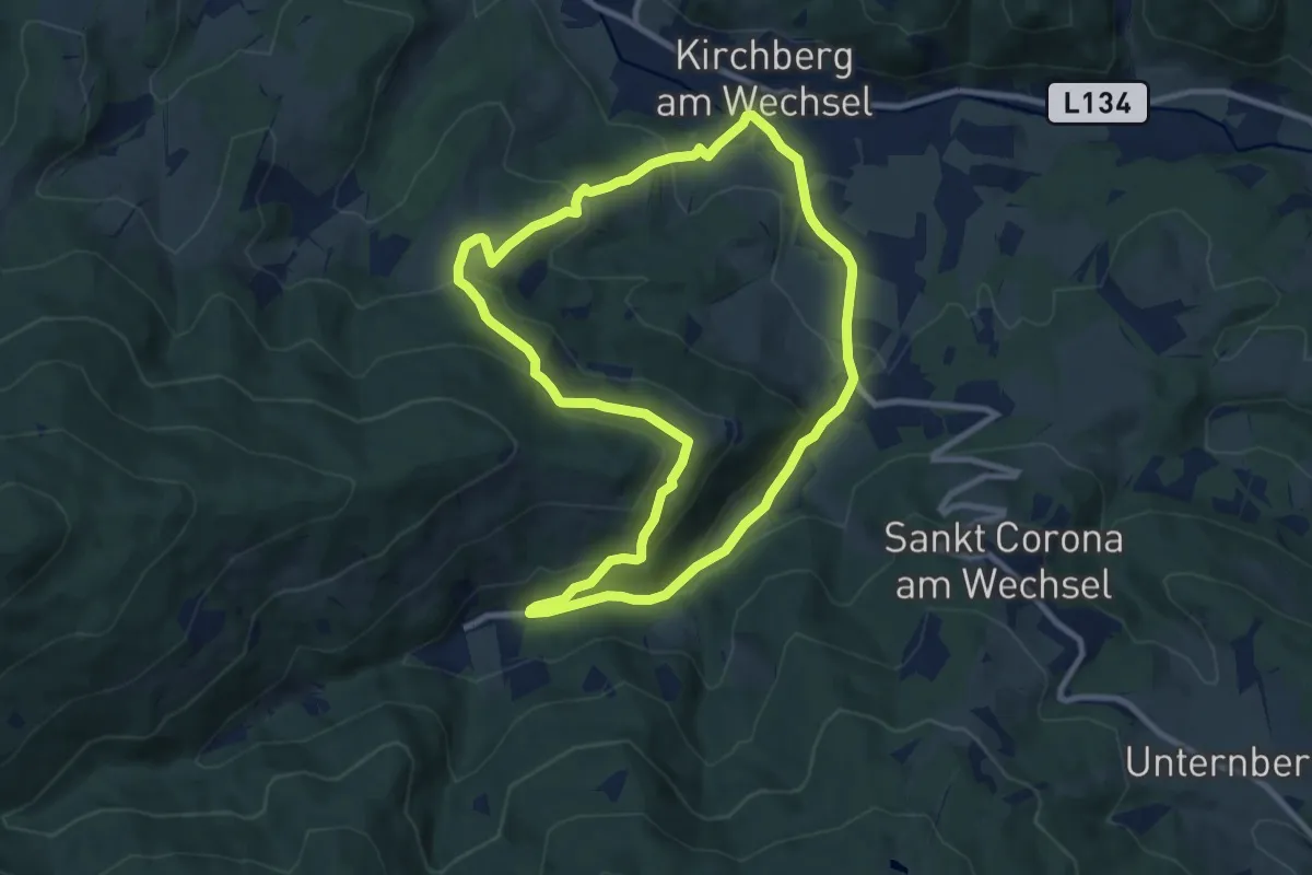
Wanderweg Saurücken
9.0 km · ↑ 310 m · 2 h 55 min
Medium · Summit
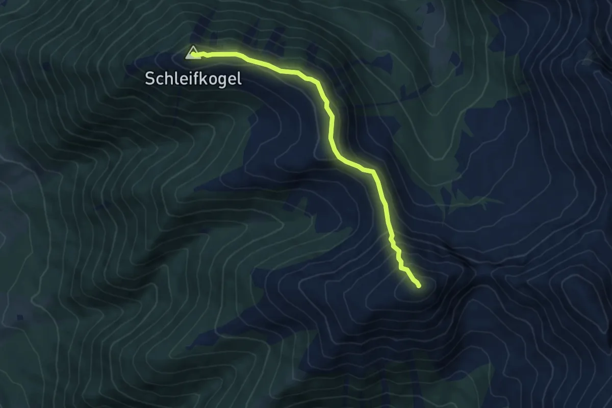
Wanderweg Schleifkogel
5.8 km · ↑ 451 m · 2 h 21 min
Medium · Trail
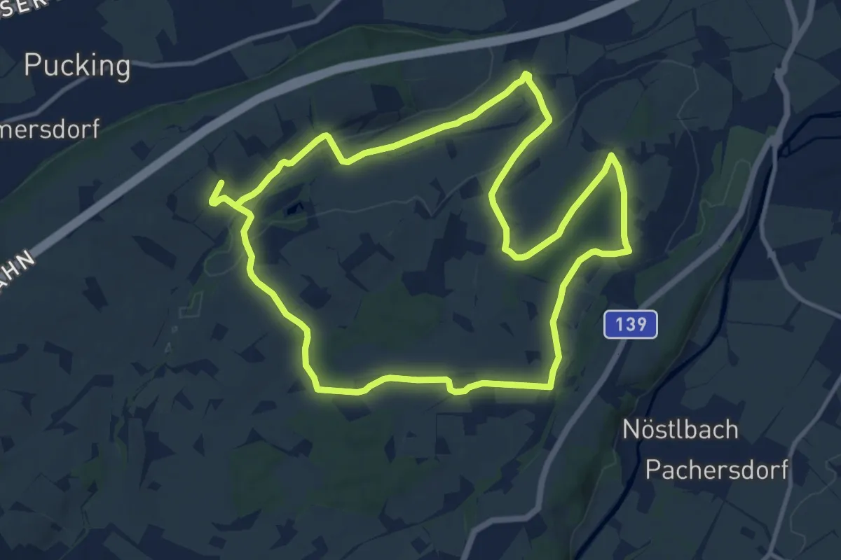
Wanderweg Schnadt
10.6 km · ↑ 169 m · 2 h 59 min
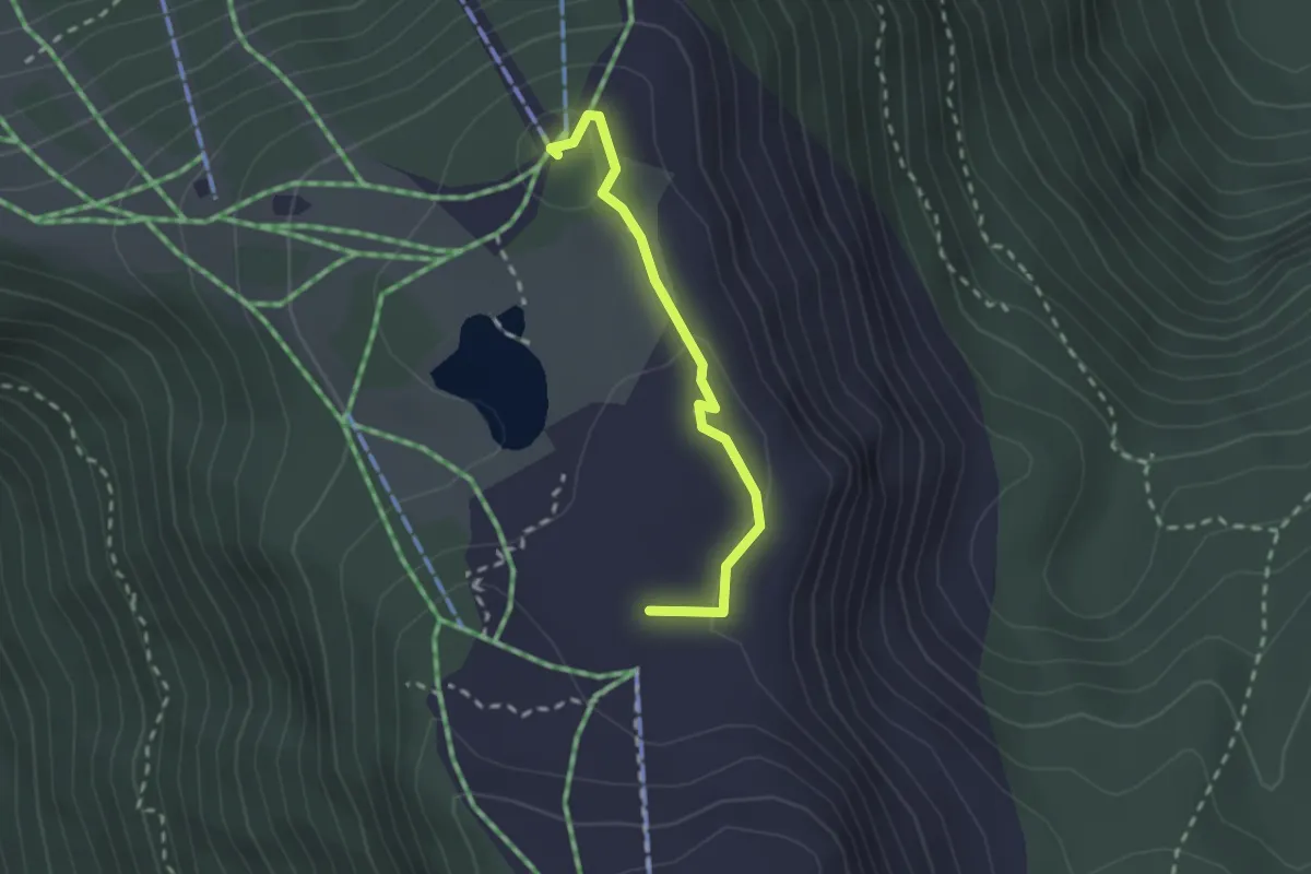
Easy · Summit
Wanderweg Schneeofen
2.0 km · ↑ 48 m · 35 min
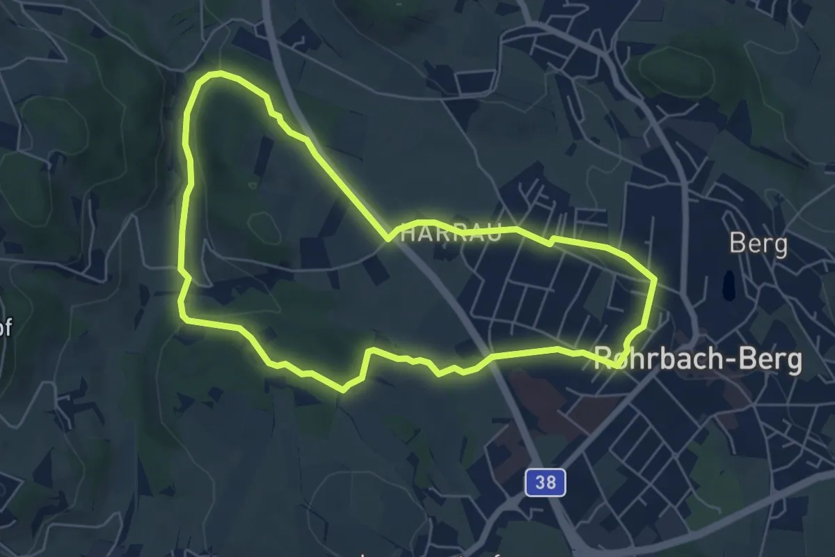
Easy · Trail
Wanderweg sinnenreich
5.5 km · ↑ 113 m · 1 h 37 min
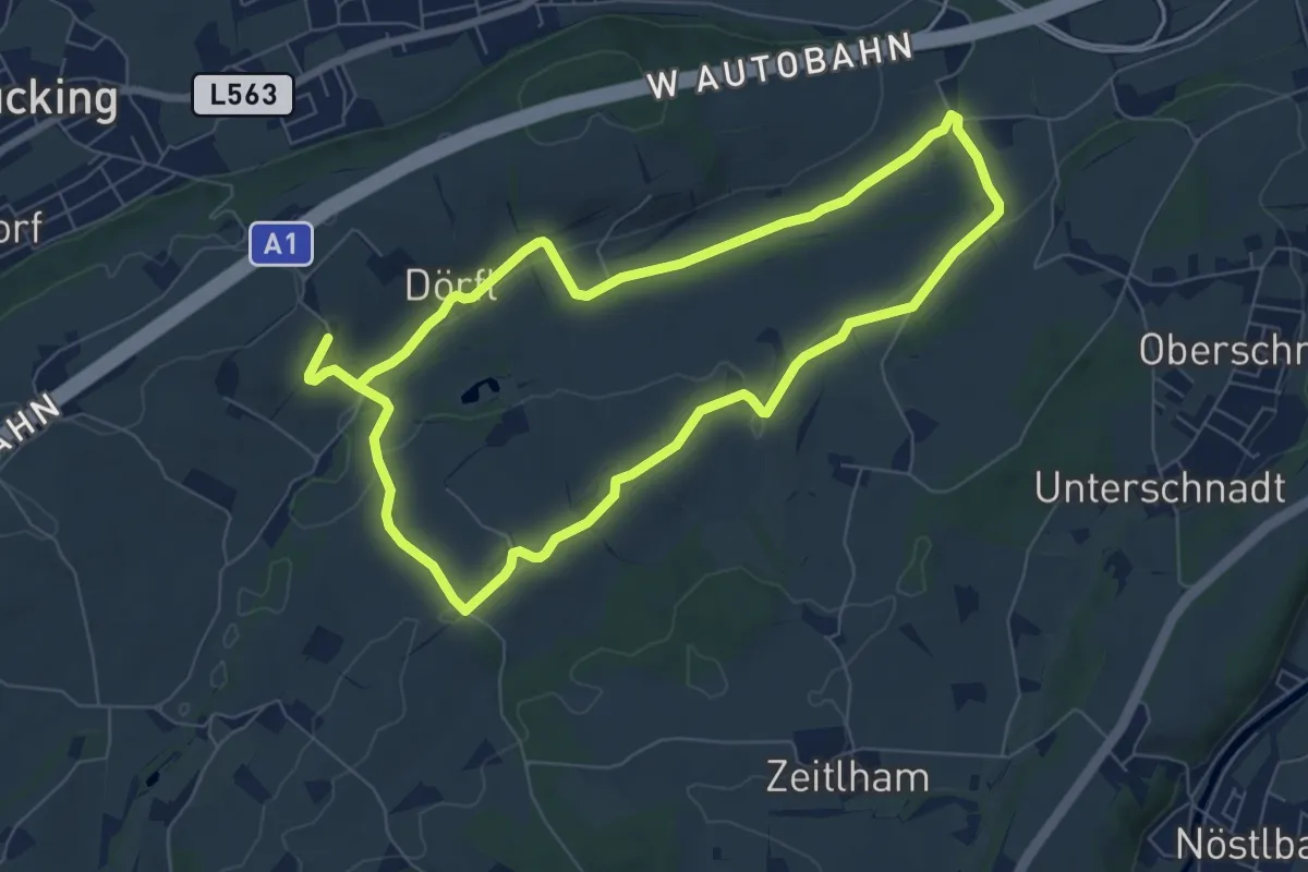
Easy · Trail
Wanderweg Sipbachtal
6.6 km · ↑ 111 m · 1 h 52 min
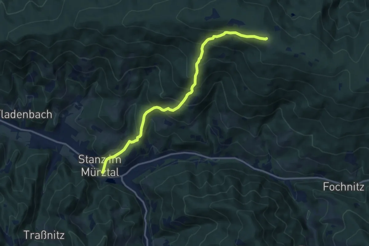
Demanding · Trail
Wanderweg Stanz - Stanglalm
10.7 km · ↑ 821 m · 4 h 19 min
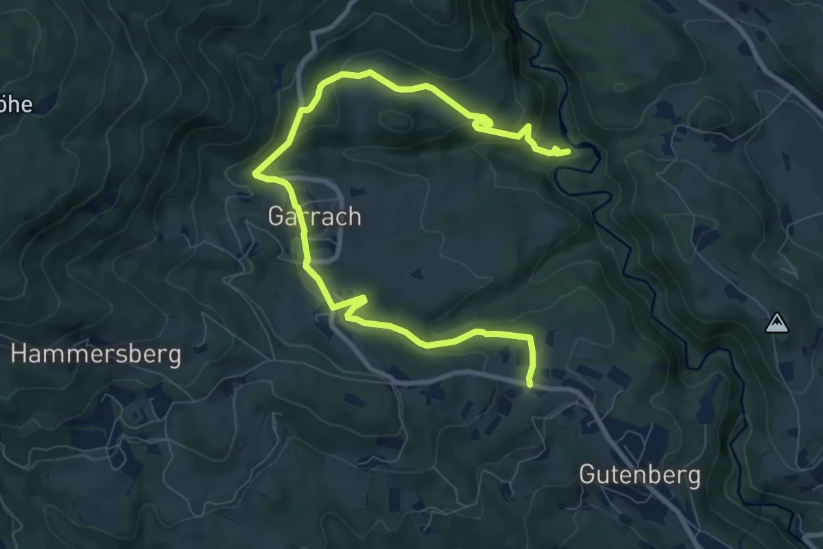
Medium · Trail
Wanderweg Stausee Raabklamm - Gutenberg
10.5 km · ↑ 328 m · 3 h 11 min
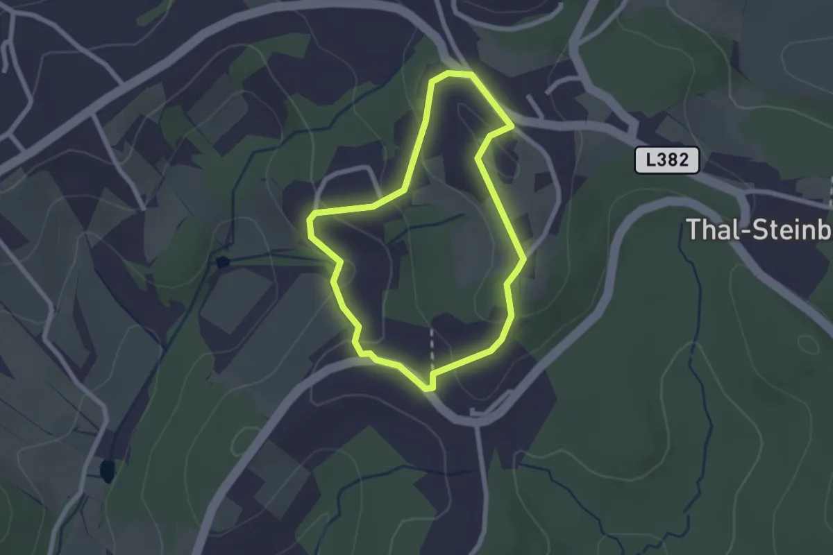
Medium · Trail
Wanderweg Steinbergschleife
1.9 km · ↑ 86 m · 39 min
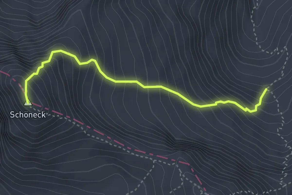
Demanding · Summit
Wanderweg Steirisches Schöneck
3.3 km · ↑ 566 m · 2 h
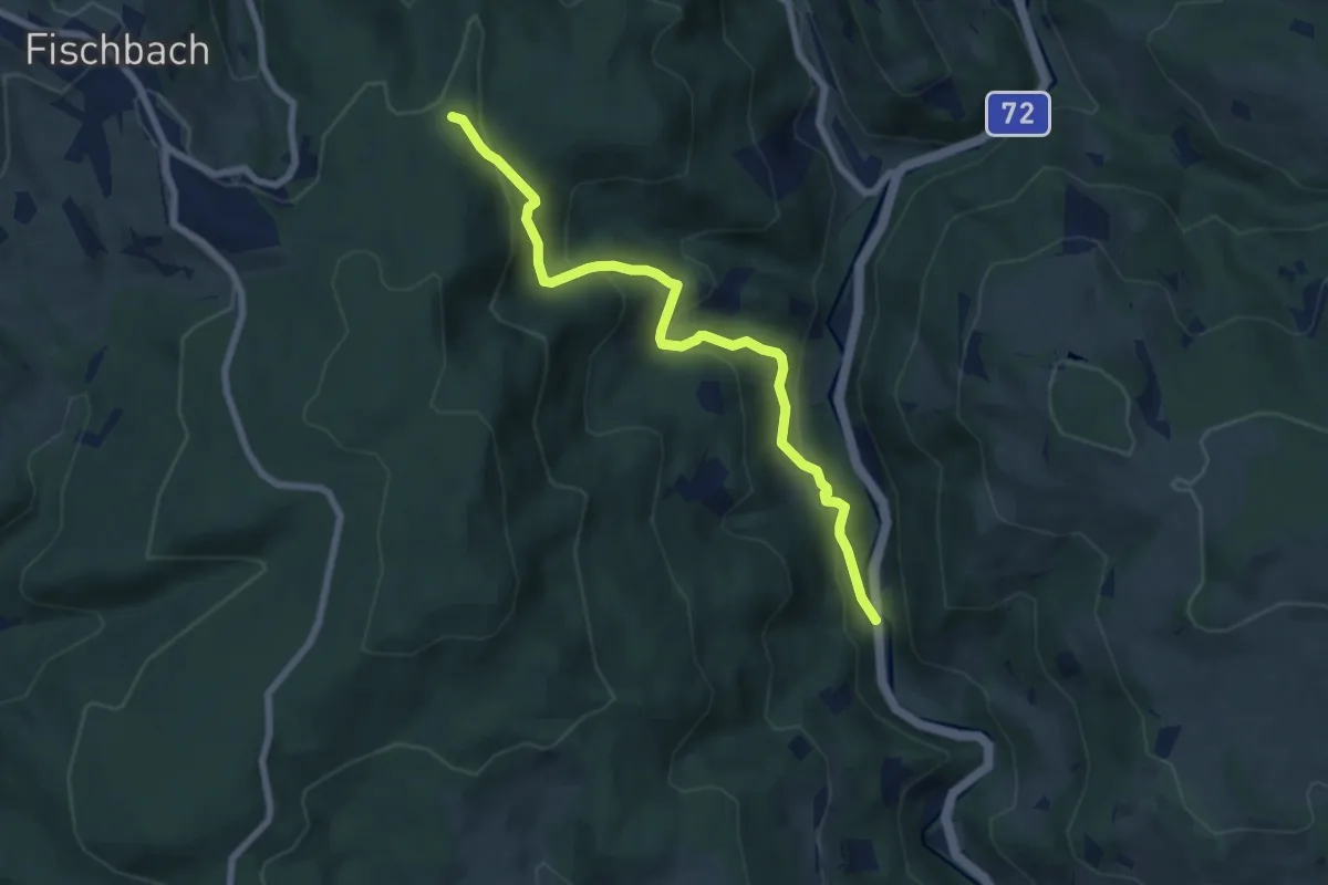
Medium · Trail
Wanderweg Stralleg - Fischbach
7.2 km · ↑ 395 m · 2 h 34 min
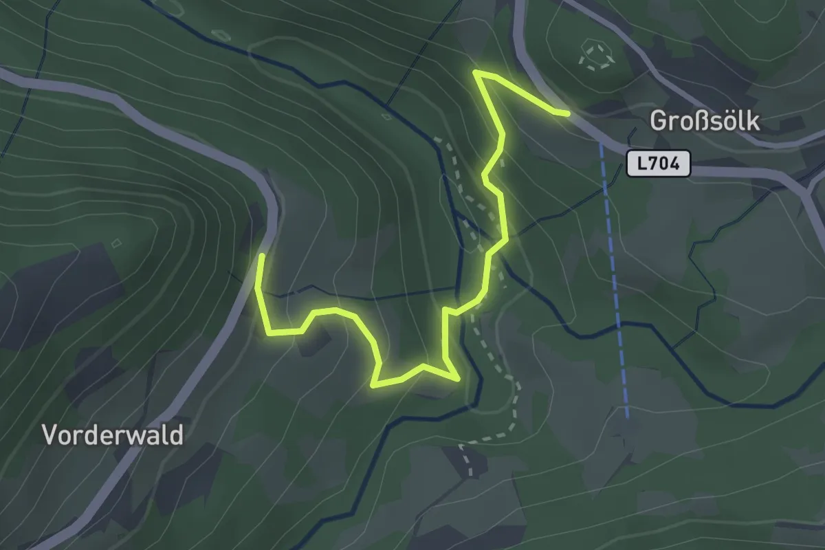
Medium · Trail
Wanderweg Strubschlucht
2.8 km · ↑ 244 m · 1 h 11 min
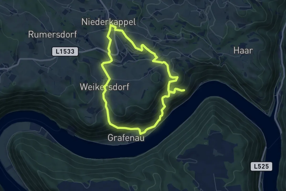
Medium · Trail
Wanderweg Teufelskirche
6.6 km · ↑ 362 m · 2 h 27 min
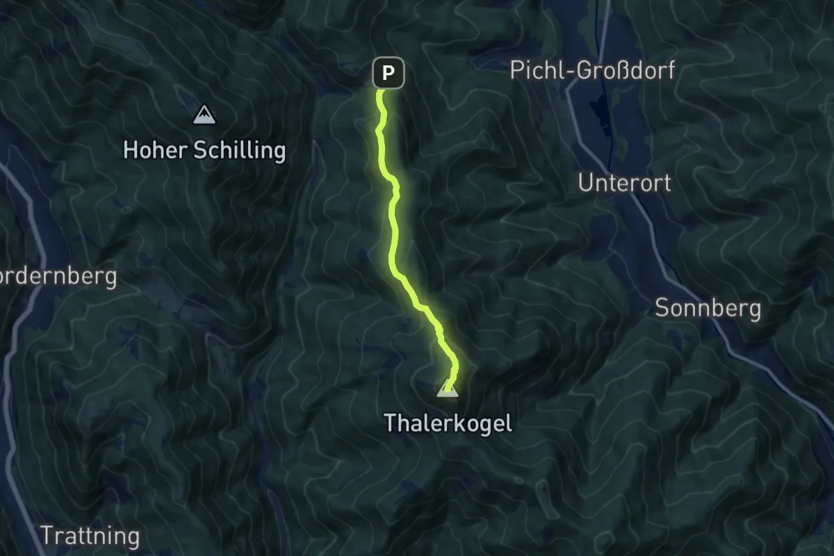
Medium · Summit
Wanderweg Thalerkogel
8.1 km · ↑ 497 m · 3 h
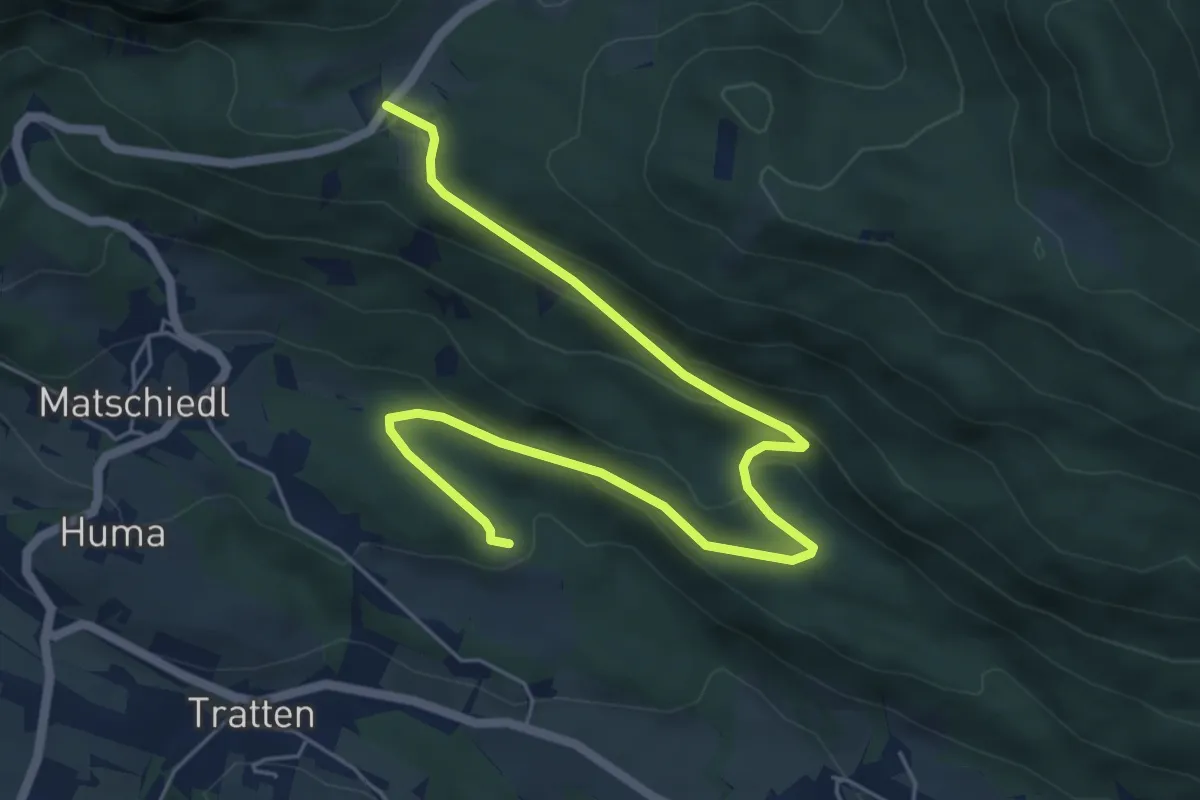
Easy · Trail
Wanderweg Tratten - Windische Hoehe
7.0 km · ↑ 254 m · 2 h 13 min
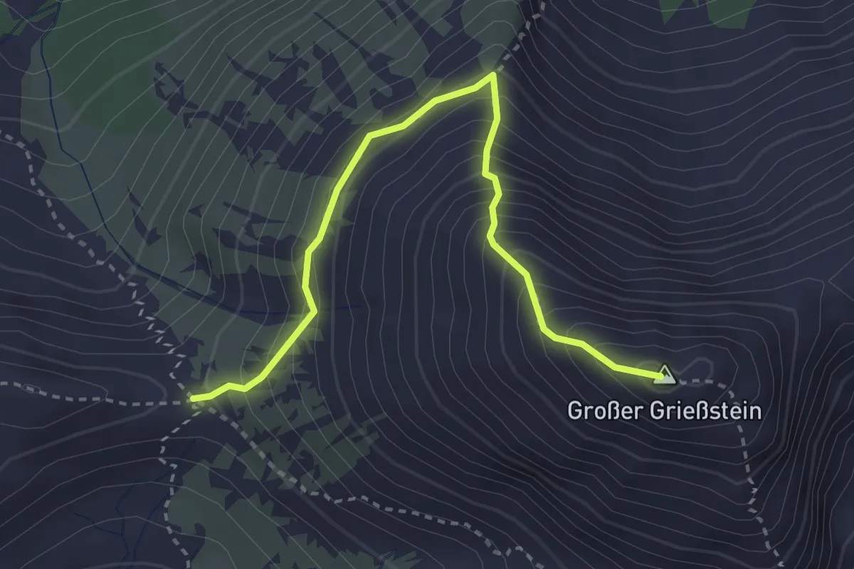
Demanding · Summit
Wanderweg Triebener Törl - Großer Griesstein
3.3 km · ↑ 439 m · 1 h 44 min
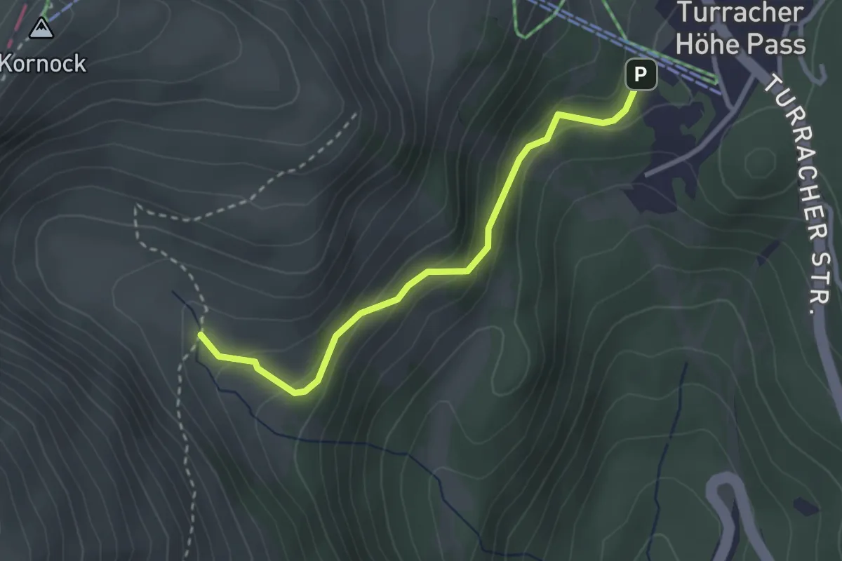
Easy · Trail
Wanderweg Turracher Höhe - Kormulde
2.7 km · ↑ 161 m · 59 min
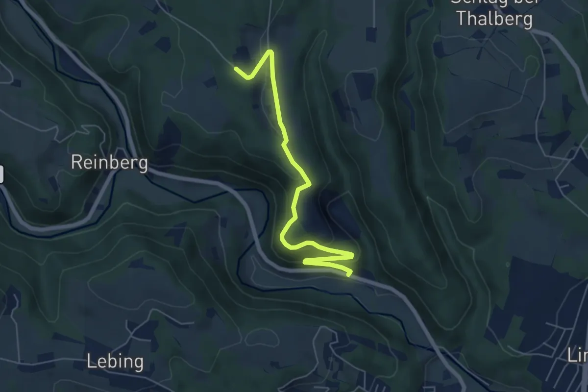
Easy · Trail
Wanderweg Uhl - Römerhütte
5.5 km · ↑ 236 m · 1 h 48 min
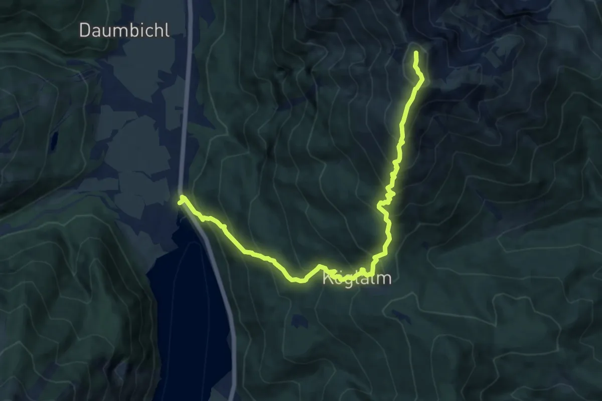
Demanding · Summit
Wanderweg Unnutze
10.8 km · ↑ 1137 m · 5 h
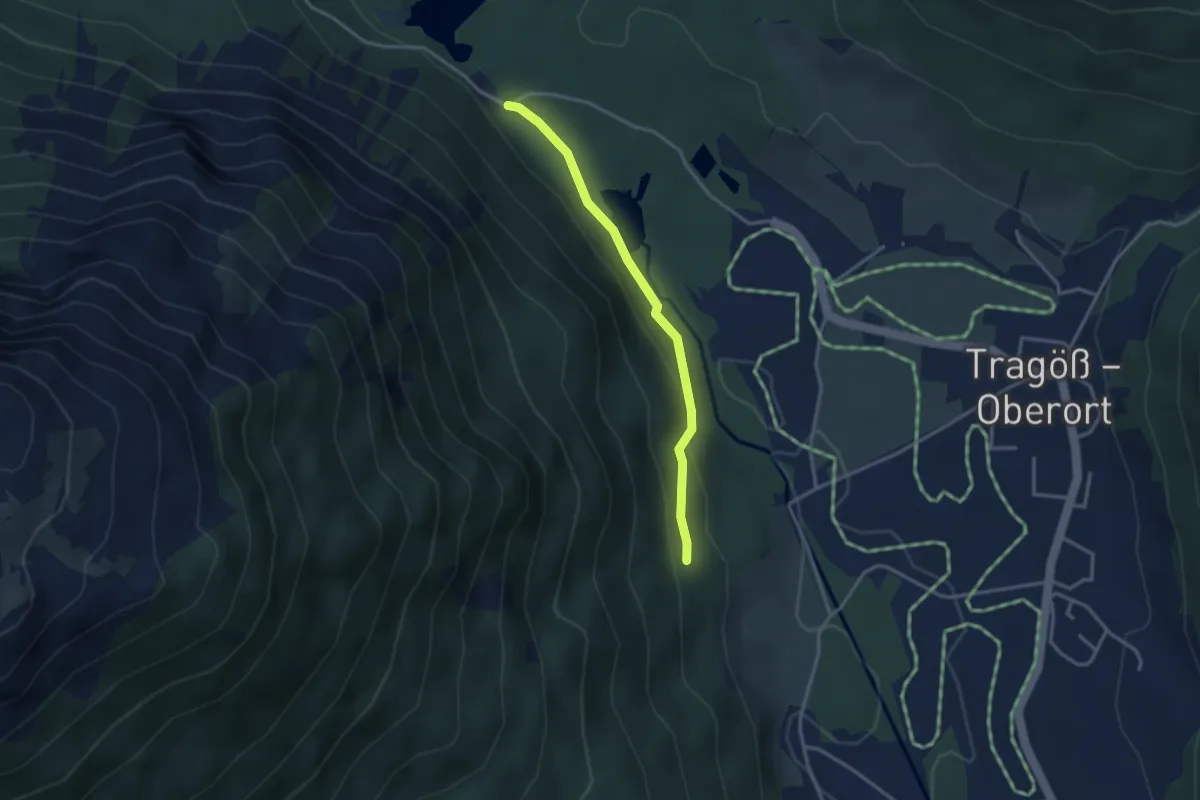
Easy · Trail
Wanderweg Verbindung 832-835
2.9 km · ↑ 88 m · 52 min
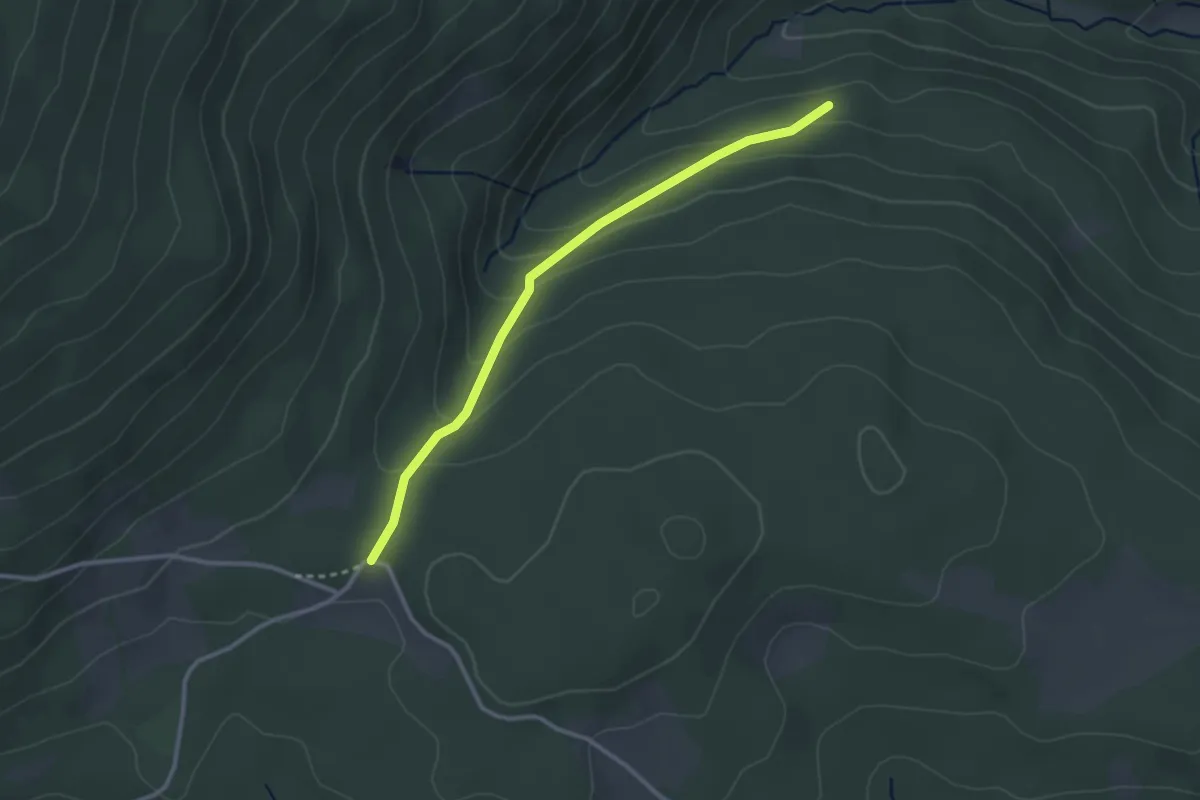
Easy · Trail
Wanderweg Verbindung 938 - Hilmtor
2.8 km · ↑ 148 m · 59 min
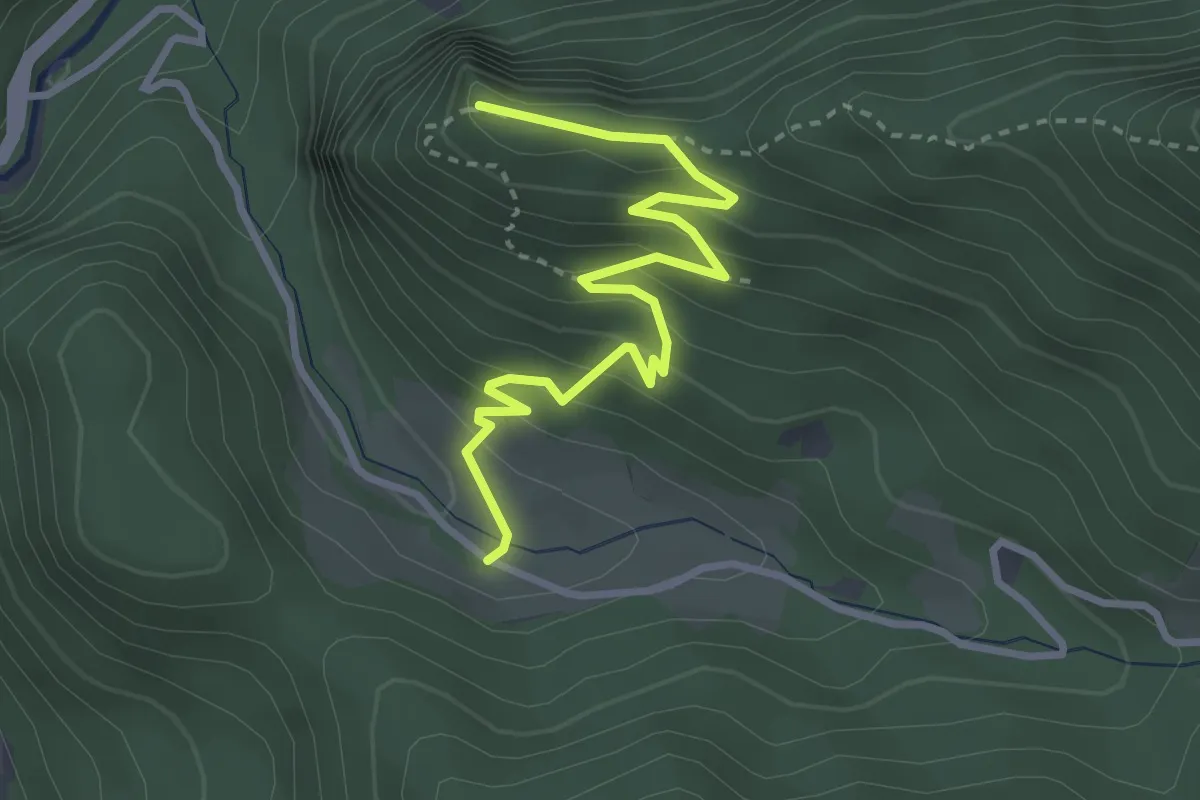
Easy · Summit
Wanderweg Volina - Rechbergkreuz
3.4 km · ↑ 256 m · 1 h 22 min
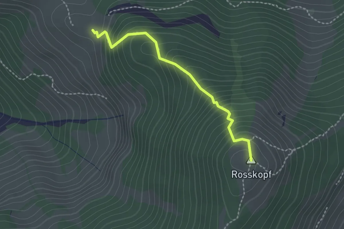
Medium · Summit
Wanderweg von Jausestation Roßkopfhütte zur Bergstation Markbachbahen.
1.9 km · ↑ 243 m · 59 min
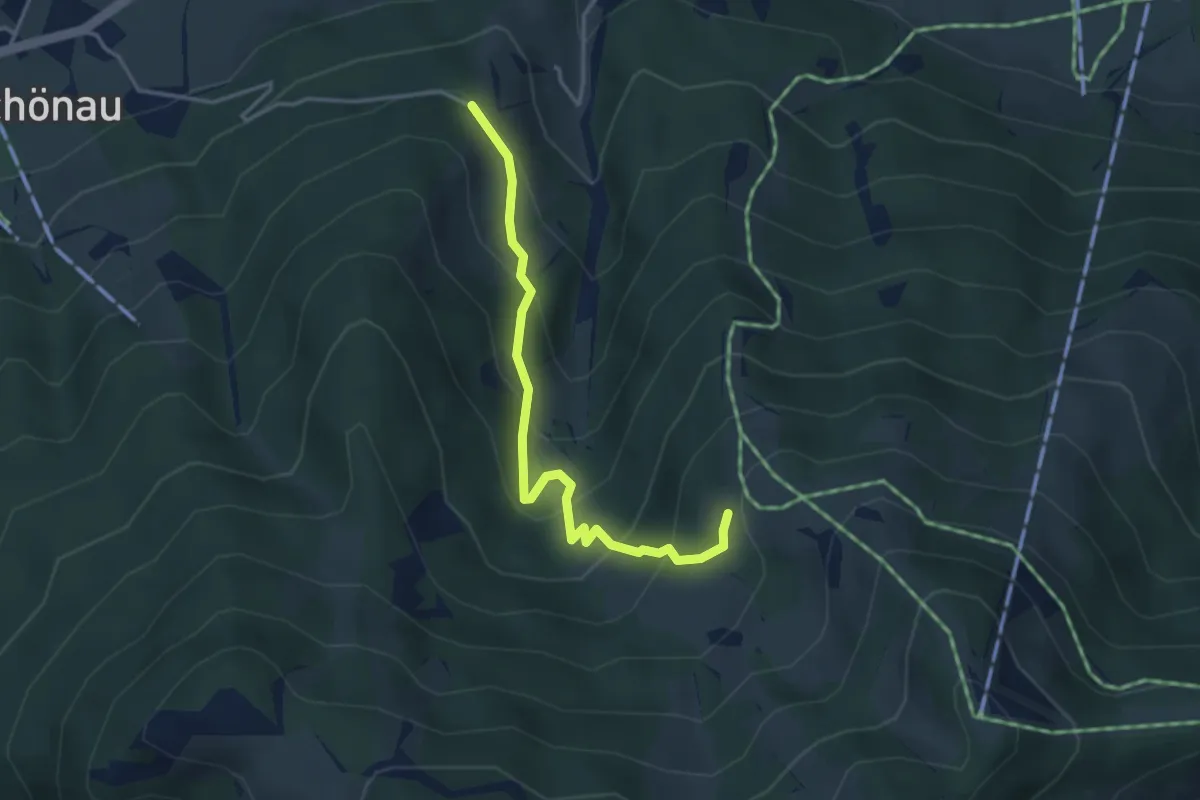
Easy · Trail
Wanderweg von Norderberalm
3.5 km · ↑ 292 m · 1 h 27 min
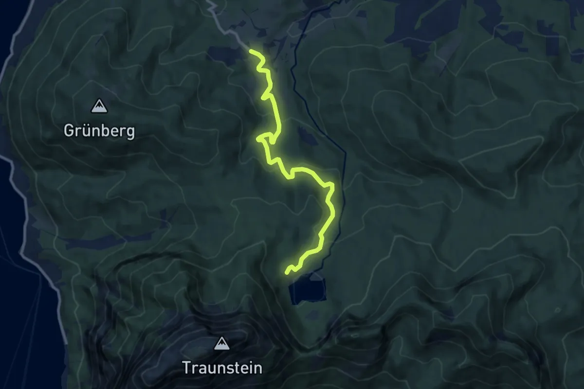
Medium · Trail
Wanderweg W10 Wamering
9.0 km · ↑ 315 m · 2 h 48 min
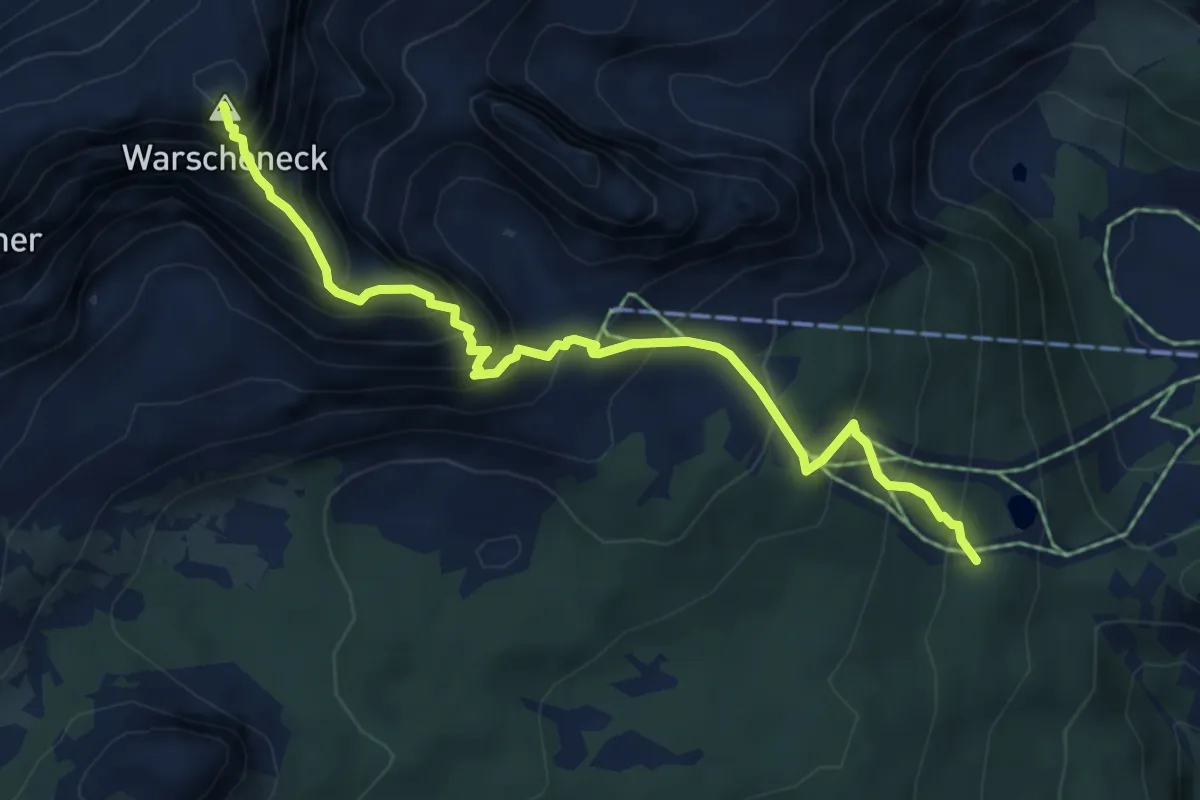
Expert · Summit
Wanderweg Warscheneck SO-Grat
5.9 km · ↑ 838 m · 3 h 12 min
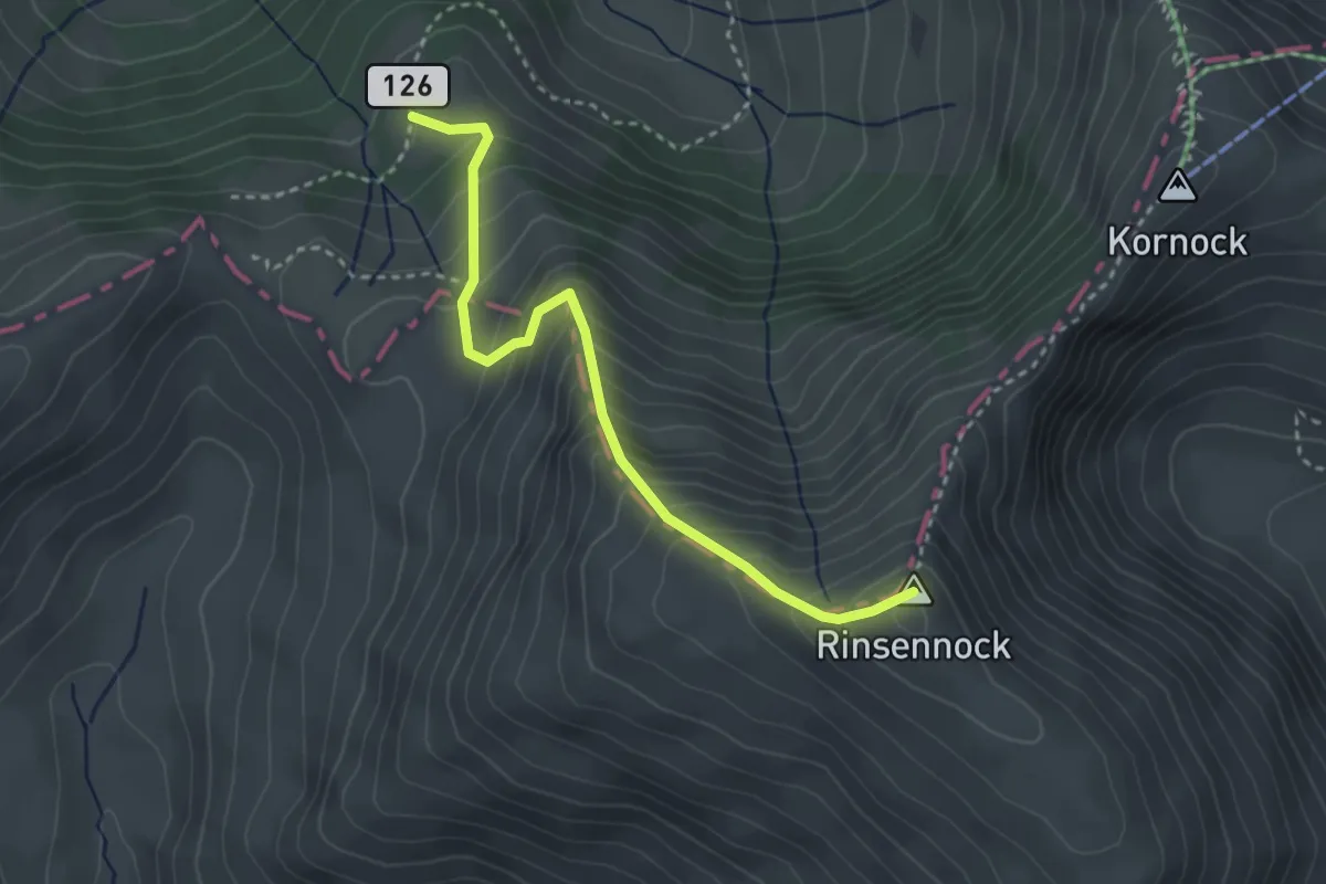
Medium · Summit
Wanderweg Weg 126 - Rinsennock
3.1 km · ↑ 408 m · 1 h 38 min
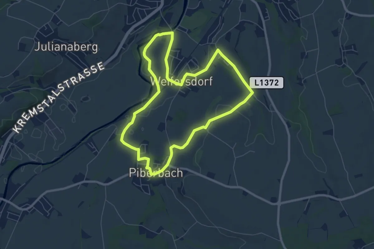
Easy · Trail
Wanderweg Weifersdorf
6.4 km · ↑ 60 m · 1 h 45 min
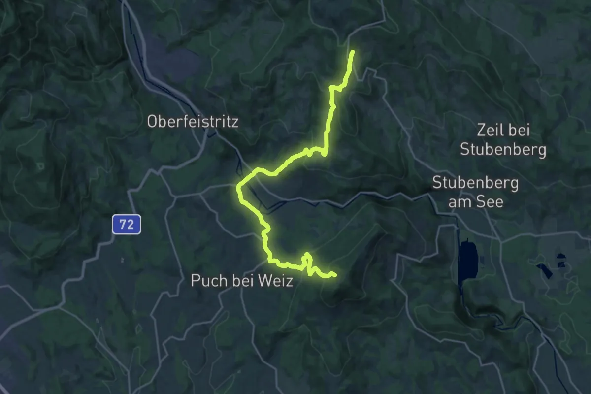
Demanding · Trail
Wanderweg WH
21.5 km · ↑ 929 m · 7 h 5 min
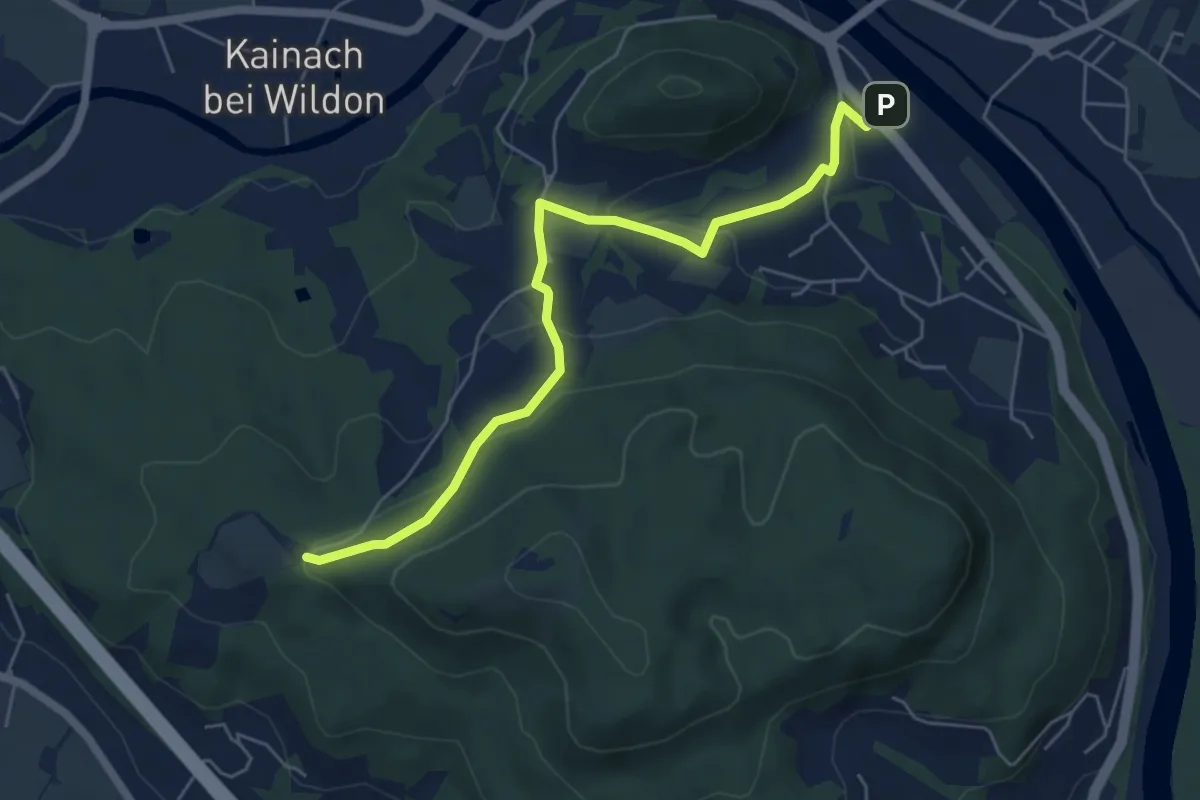
Medium · Trail
Wanderweg Wildon - Bockmoar
6.0 km · ↑ 195 m · 1 h 51 min
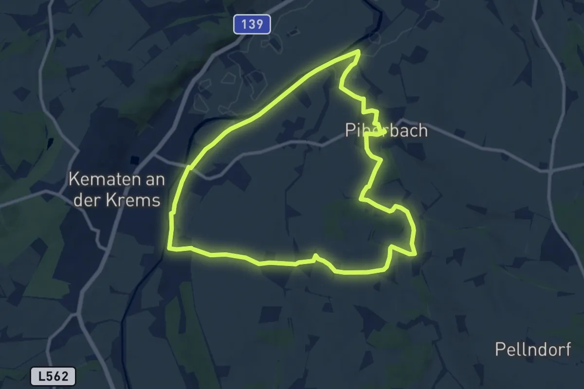
Medium · Trail
Wanderweg Winden
8.3 km · ↑ 54 m · 2 h 11 min
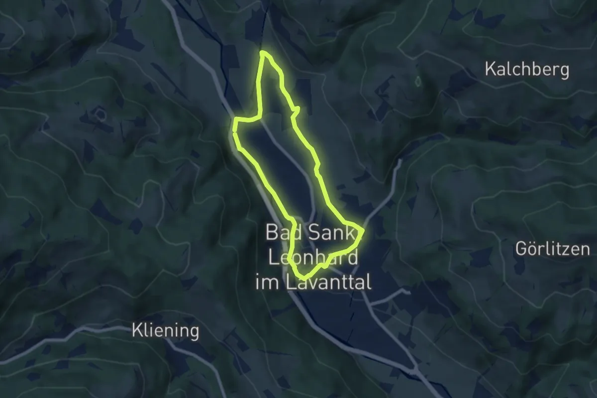
Easy · Trail
Wanderweg Wisperndorf
5.6 km · ↑ 95 m · 1 h 37 min
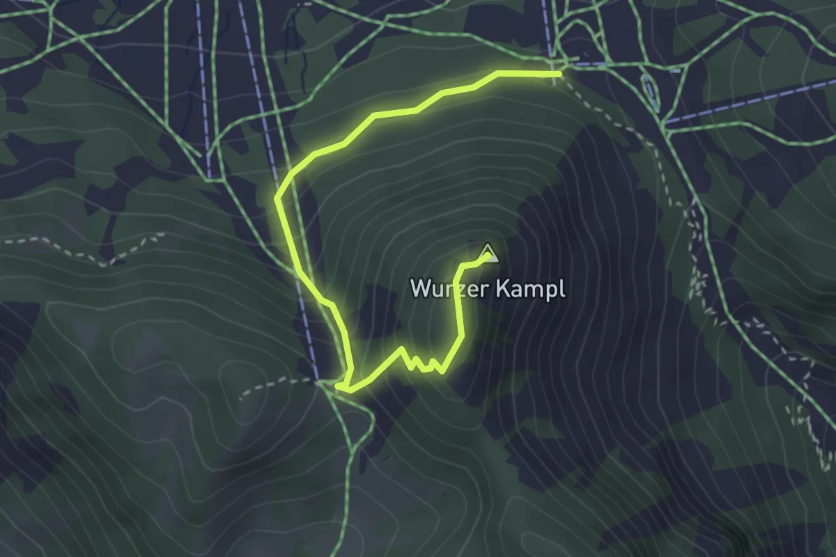
Medium · Summit
Wanderweg Wurzer Kampl
3.2 km · ↑ 293 m · 1 h 24 min
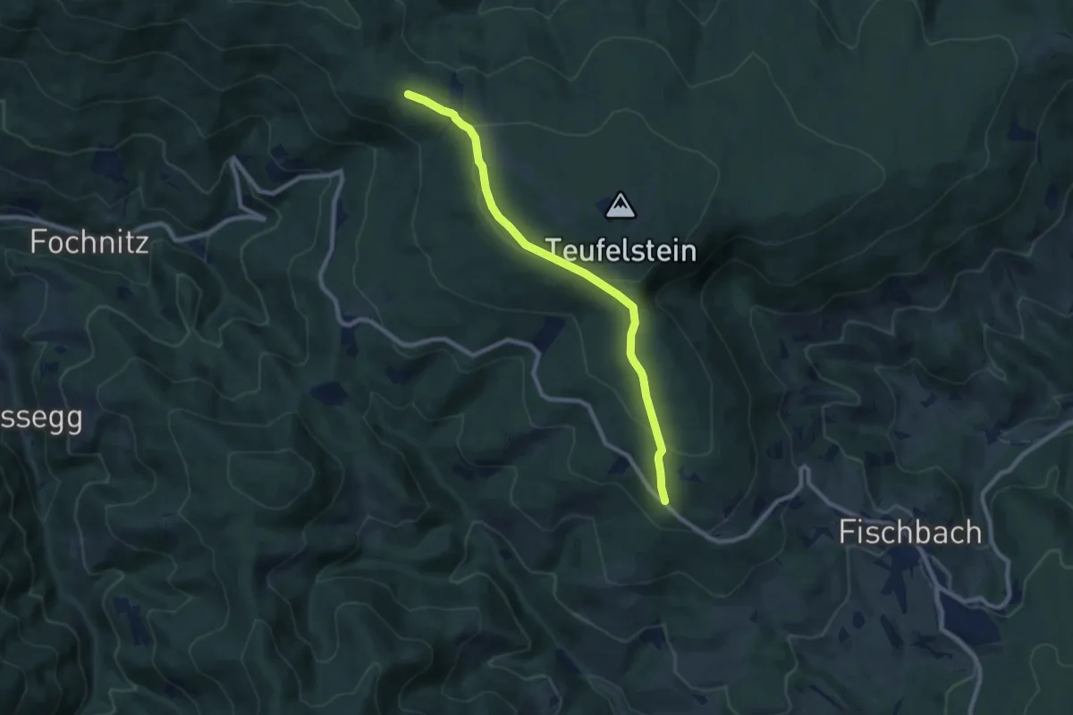
Medium · Trail
Wanderweg Zellerkreuz - Anschluss Mariazeller Weg
8.1 km · ↑ 241 m · 2 h 26 min
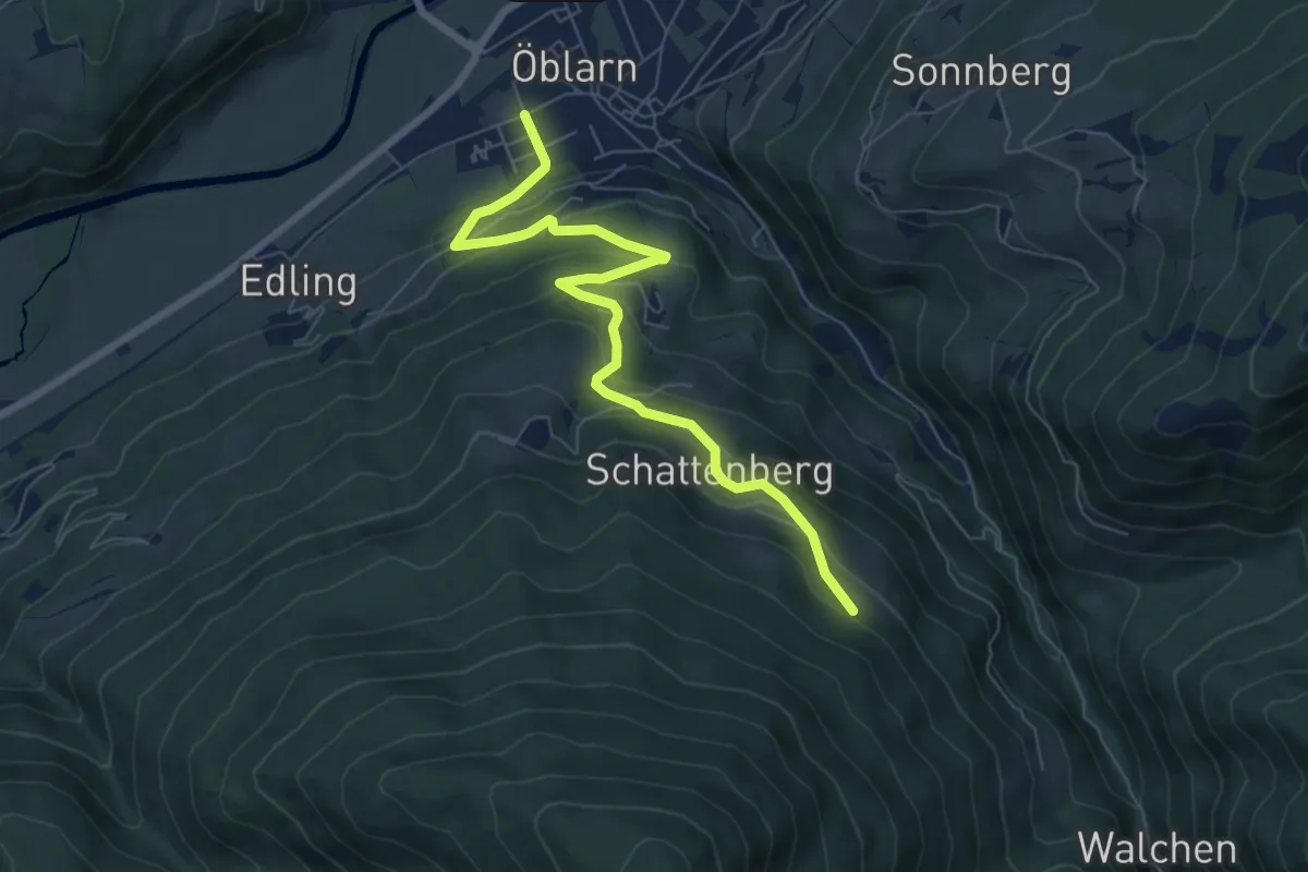
Medium · Trail
Wanderweg zum Gumpeneck
7.3 km · ↑ 361 m · 2 h 31 min
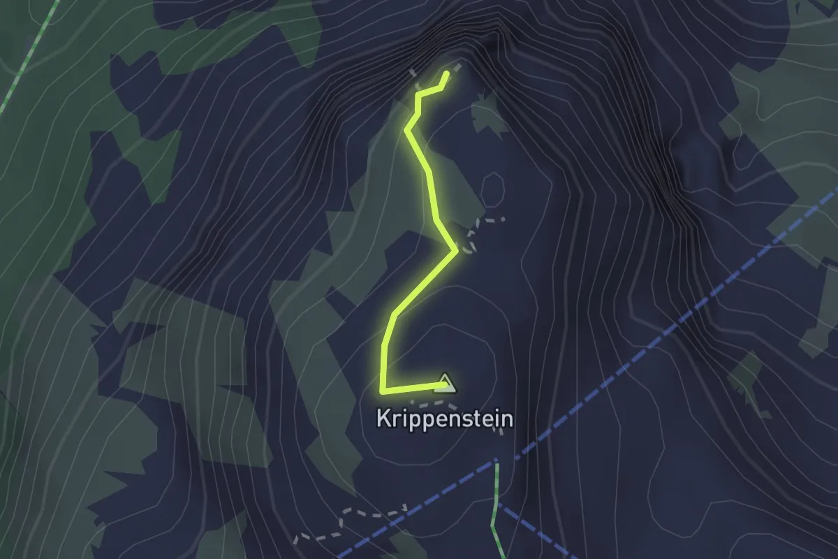
Easy · Summit
Wanderweg zur Aussichtsplattform 5fingers
1.4 km · ↑ 87 m · 31 min
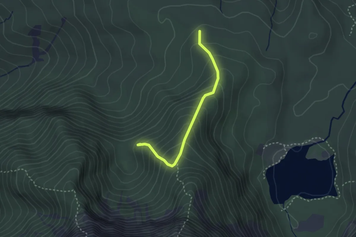
Expert · Summit
Wanderweg zur Freundschaftshöhe
2.6 km · ↑ 314 m · 1 h 17 min
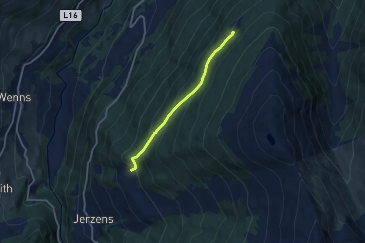
Medium · Trail
Wanderweg zur Leiner Alm.
5.9 km · ↑ 479 m · 2 h 27 min
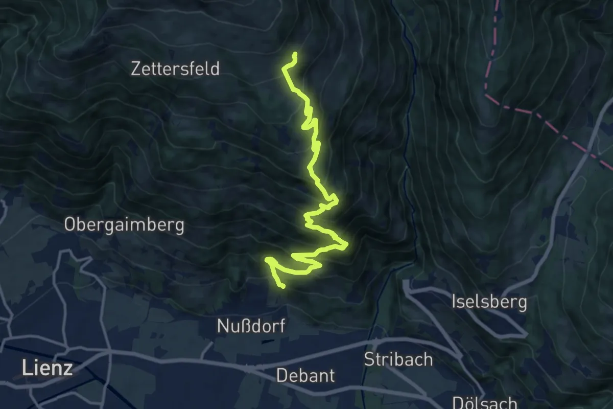
Demanding · Cabin
Wanderwg 32
13.4 km · ↑ 1030 m · 5 h 24 min
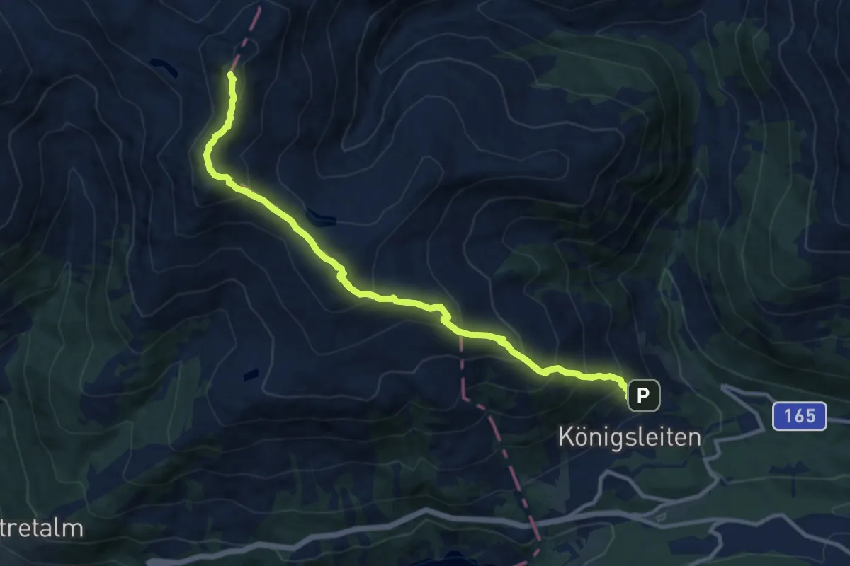
Demanding · Summit
Wanderwge 60 - Gerlos
10.8 km · ↑ 1038 m · 4 h 48 min
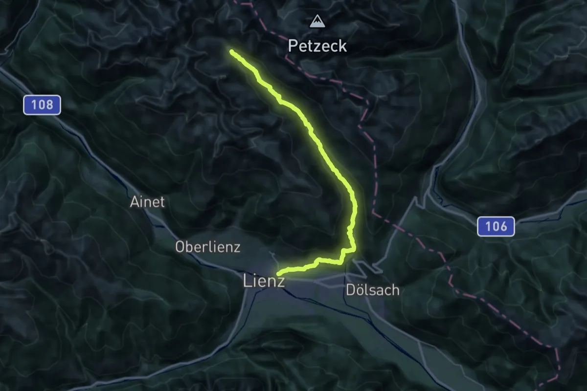
Demanding · Cabin
Wanderwweg 28
18.0 km · ↑ 1320 m · 6 h 43 min
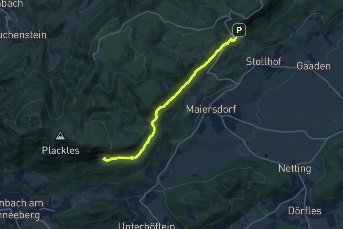
Expert · Summit
Wandfußsteig
10.6 km · ↑ 927 m · 4 h 30 min
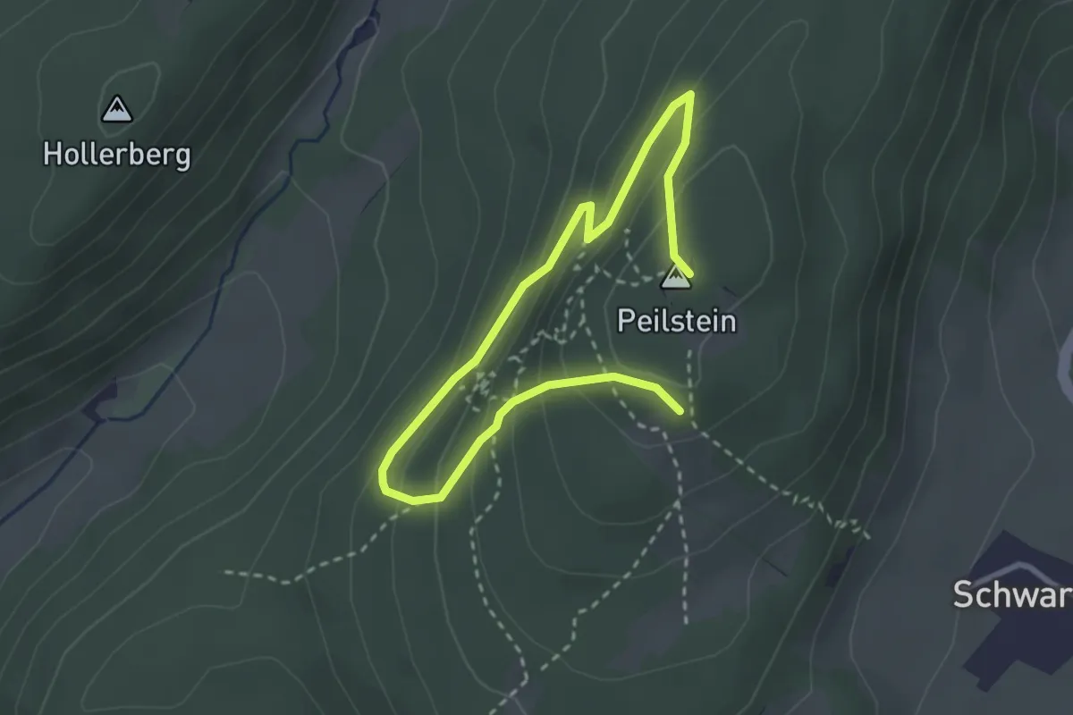
Medium · Summit
Wandfußsteig RWW
3.8 km · ↑ 315 m · 1 h 34 min