Trails in Austria
9,777 hiking trails, each with its route, climb, walking time and grade.
All trails, page 182 of 204
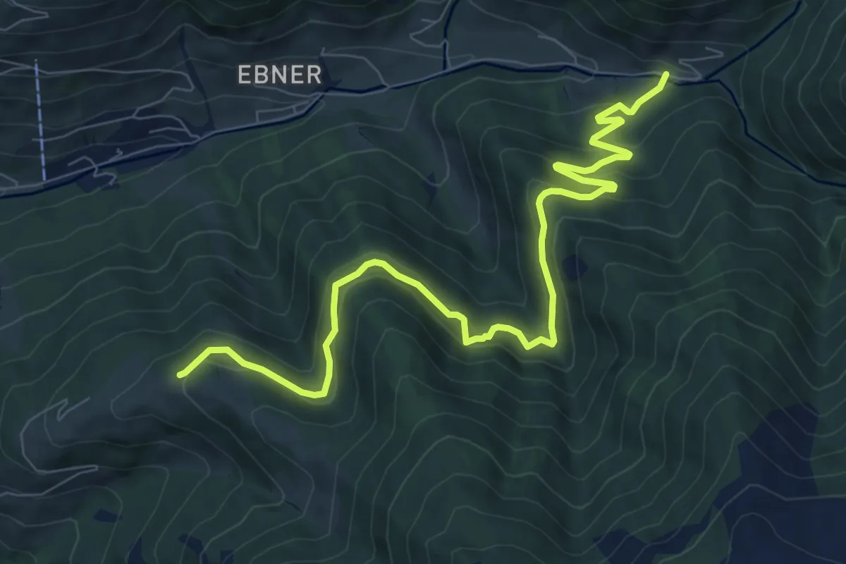
Medium · Trail
Wandrweg 85
9.7 km · ↑ 274 m · 2 h 53 min
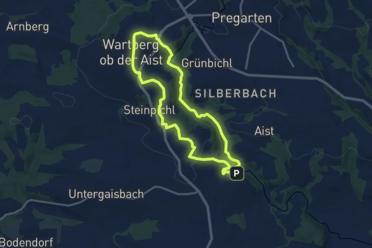
Medium · Trail
Wartberger Aist Rundwanderweg
7.0 km · ↑ 176 m · 2 h 8 min
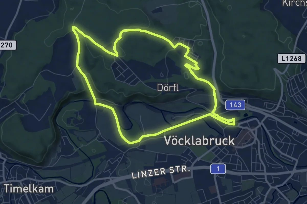
Medium · Trail
Wartenburgerwald
8.0 km · ↑ 123 m · 2 h 16 min
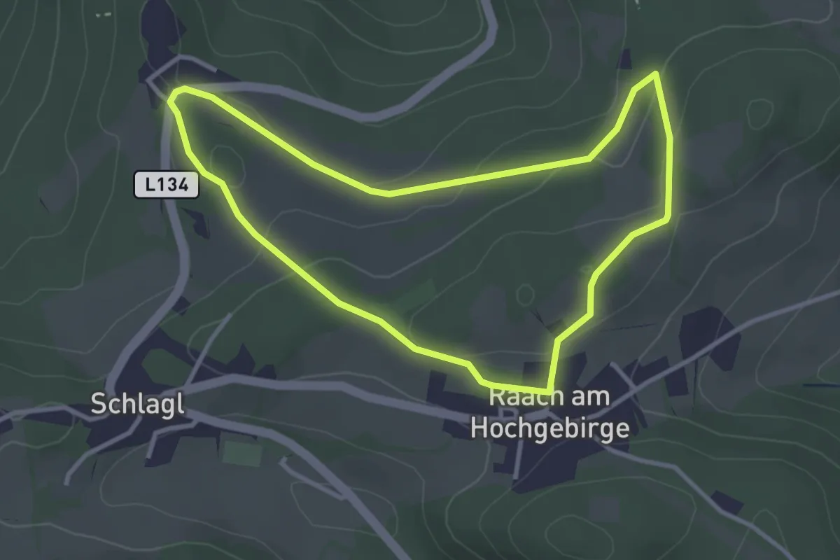
Medium · Trail
Wartenstein Rundwanderweg (Raach/Schlagl)
3.0 km · ↑ 87 m · 57 min
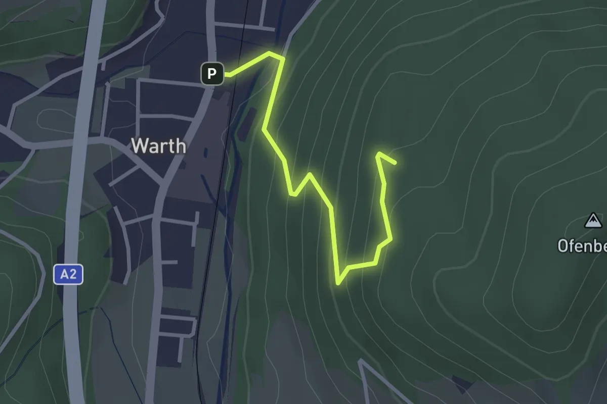
Easy · Trail
Warth - Gretelfelsen
2.8 km · ↑ 205 m · 1 h 6 min
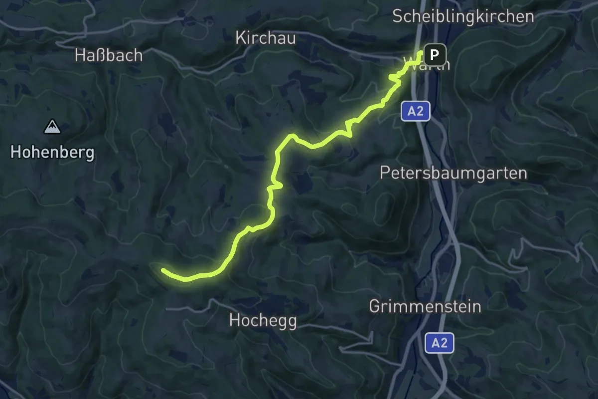
Medium · Summit
Warth Marktplatz - Maierhöfen - Hollerbrunner Riegel - weiter nach Ödenkirchen
15.5 km · ↑ 595 m · 4 h 57 min
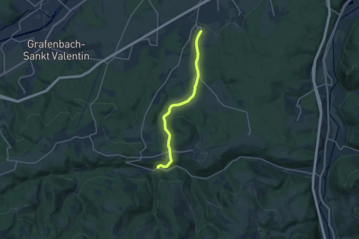
Medium · Trail
Wartmannstetten - Weibnitz - Haßbach
10.6 km · ↑ 281 m · 3 h 6 min
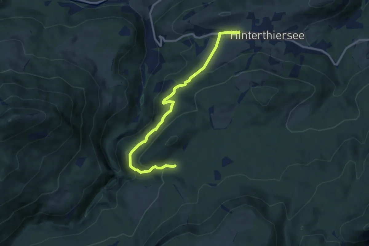
Easy · Trail
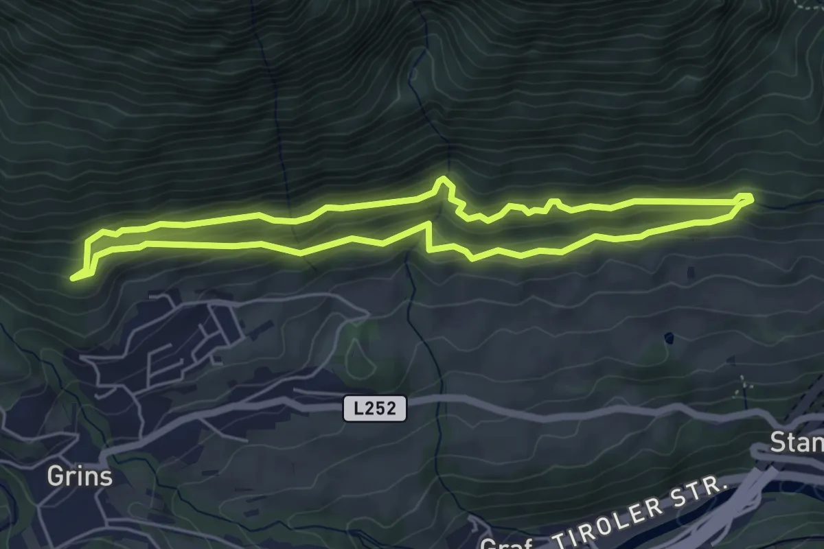
Wäschkogelrunde
7.3 km · ↑ 207 m · 2 h 10 min
Easy · Trail
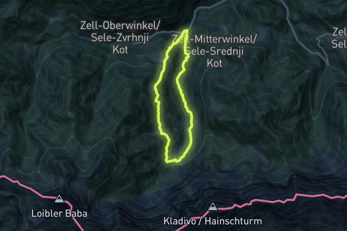
Wasseralb-Runde
4.6 km · ↑ 160 m · 1 h 30 min
Medium · Trail
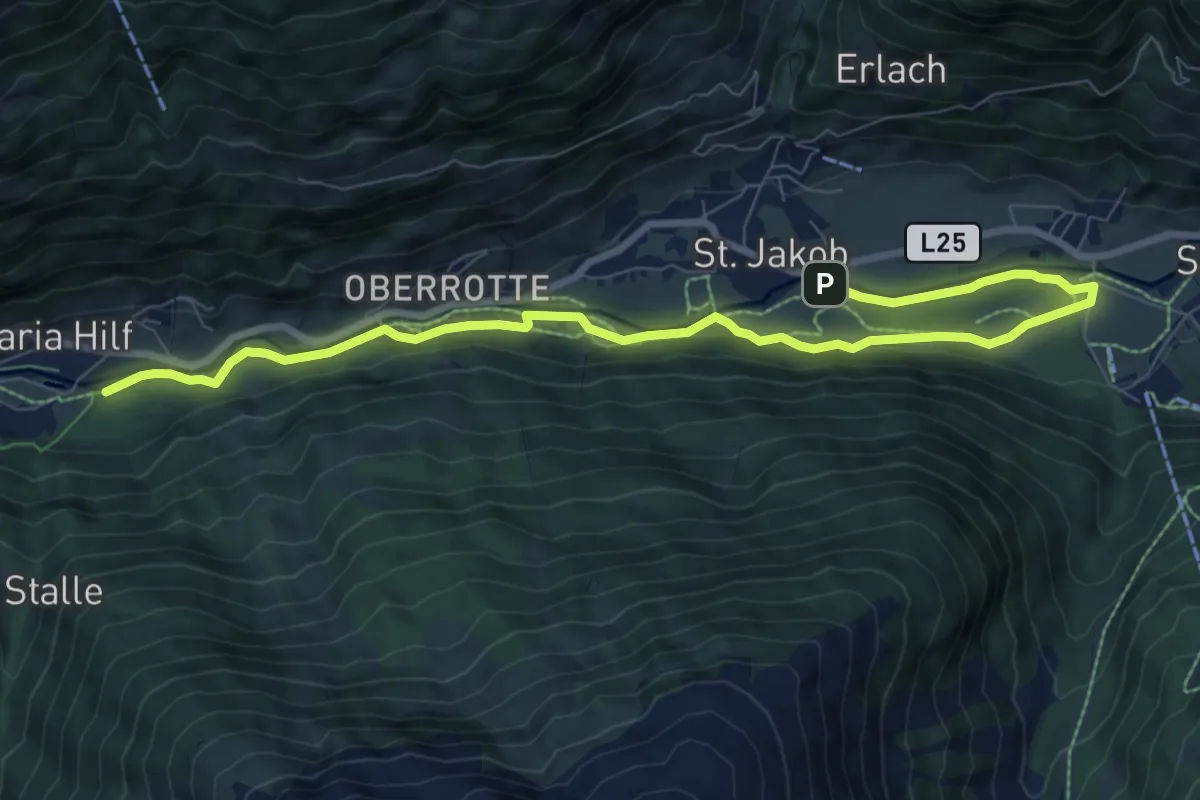
Wassererlebnisweg Hainschgraben
7.2 km · ↑ 433 m · 2 h 44 min
Medium · Trail
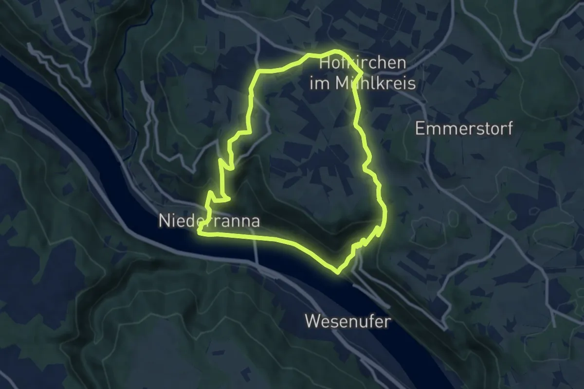
Wassererlebnisweg St. Jakob i. D.
9.9 km · ↑ 43 m · 2 h 25 min
Medium · Trail
Wasserfallrunde
8.2 km · ↑ 318 m · 2 h 44 min
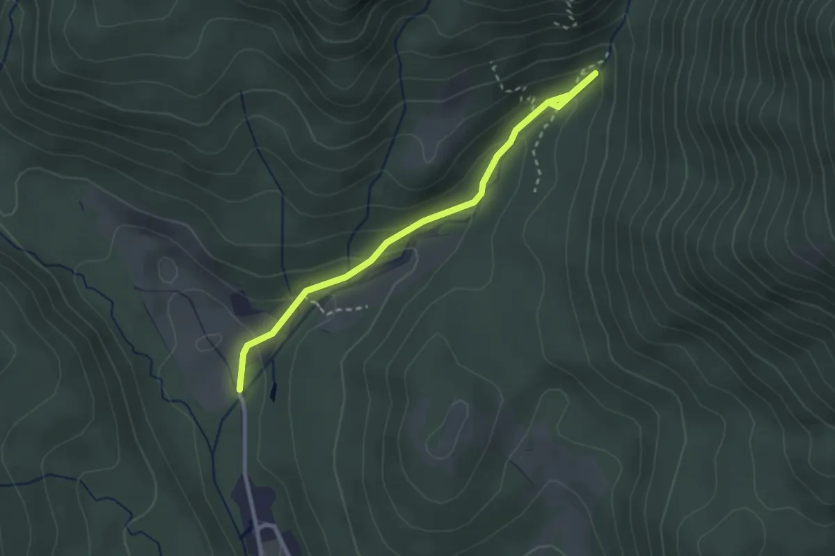
Easy · Trail
Wasserfallrundwanderweg
1.4 km · ↑ 100 m · 31 min
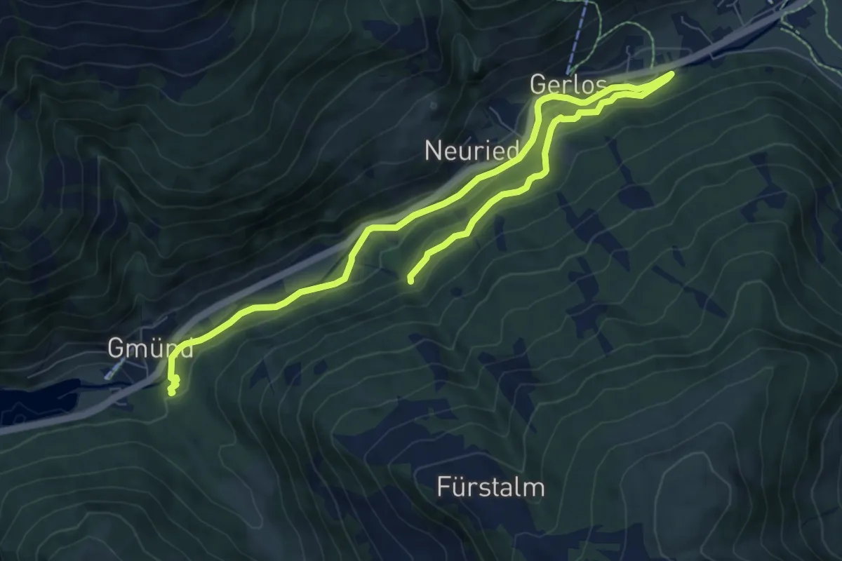
Medium · Trail
Wasserfall-Trail
11.3 km · ↑ 193 m · 3 h 5 min
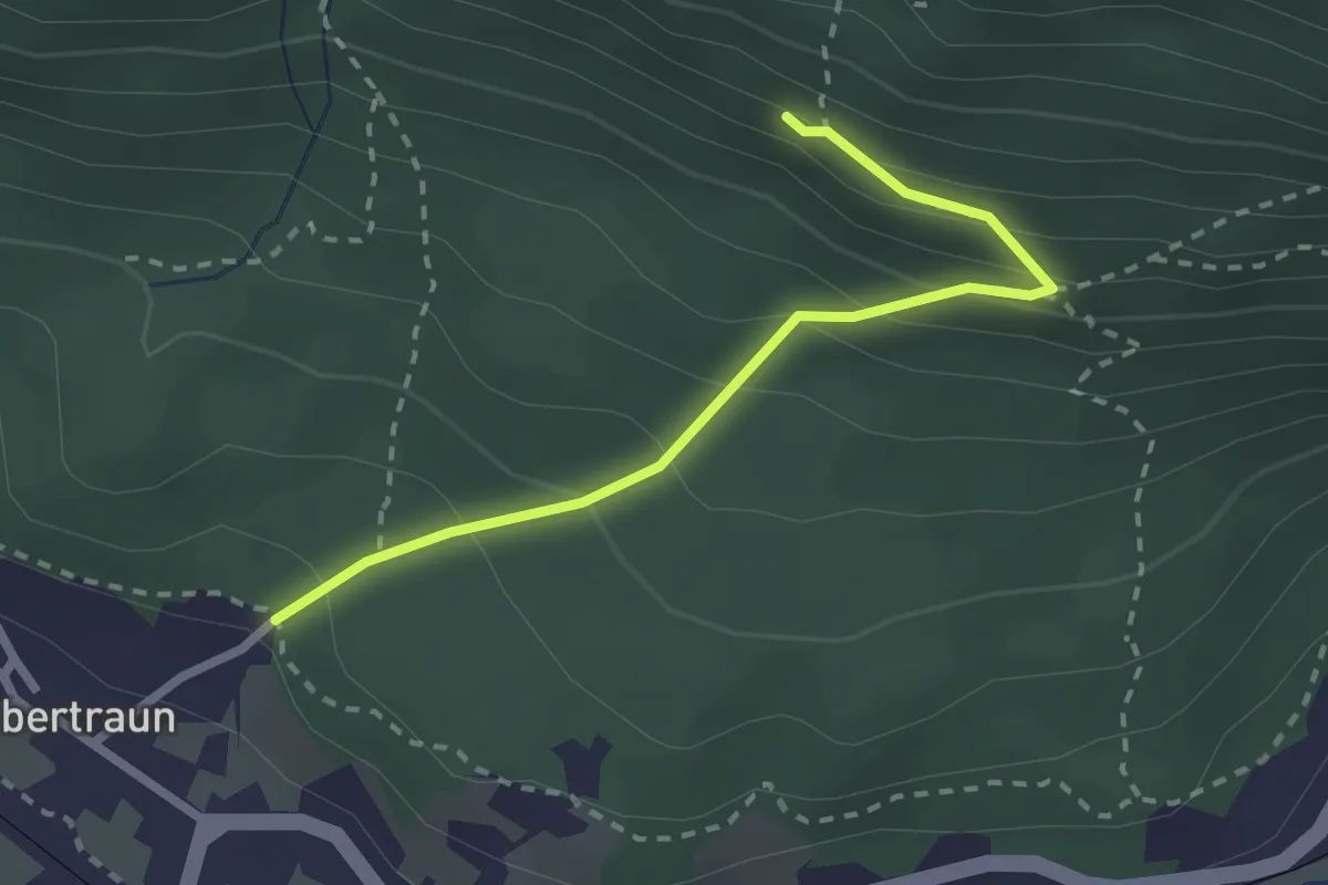
Medium · Trail
Wasserfallwand Wanderweg
2.4 km · ↑ 231 m · 1 h 3 min
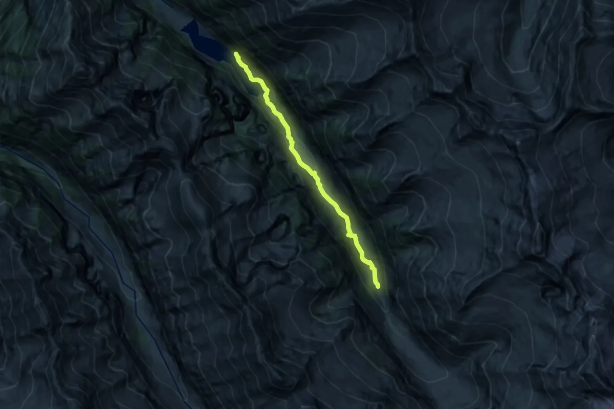
Medium · Trail
Wasserfallweg
12.0 km · ↑ 211 m · 3 h 18 min
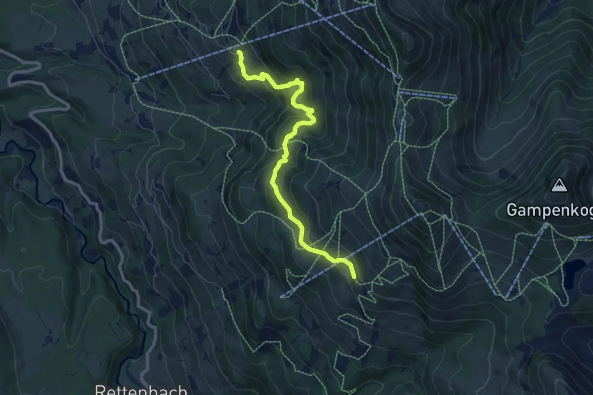
Medium · Trail
Wasserfallweg
6.8 km · ↑ 471 m · 2 h 37 min
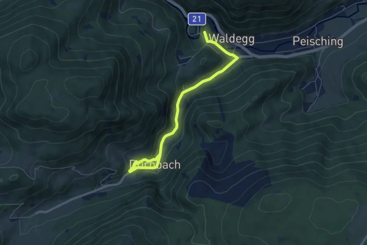
Easy · Summit
Wasserfallweg
6.3 km · ↑ 216 m · 1 h 58 min
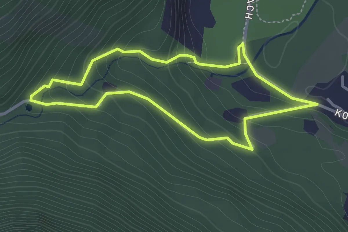
Medium · Trail
Wassergedankenweg Gößfälle
2.3 km · ↑ 124 m · 50 min
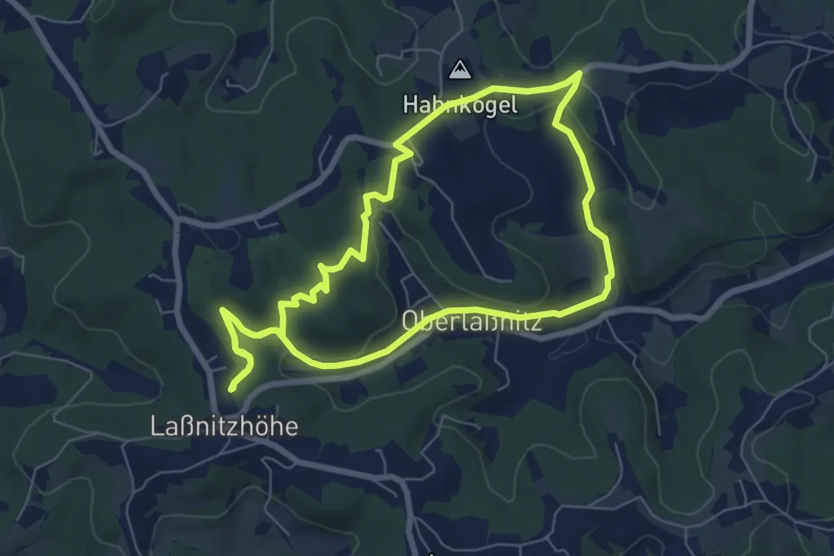
Easy · Summit
Wasser hören
6.1 km · ↑ 170 m · 1 h 53 min
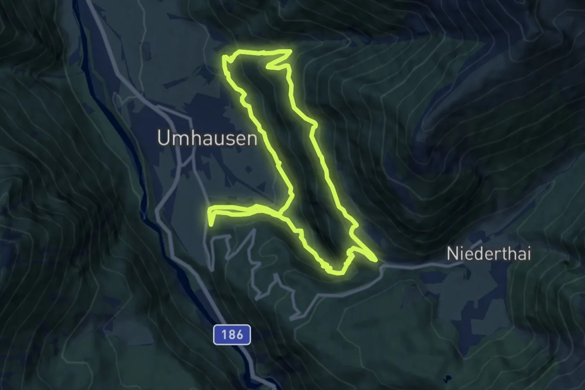
Medium · Trail
Wasserläufer Stuibenfall
9.3 km · ↑ 538 m · 3 h 30 min
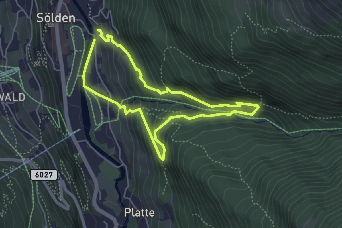
Easy · Trail
Wasserläufer Waalweg Mooserstegle
3.6 km · ↑ 289 m · 1 h 31 min
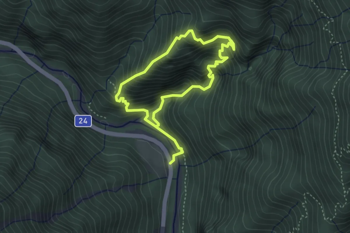
Demanding · Trail
Wasserlochklamm
3.0 km · ↑ 428 m · 1 h 41 min
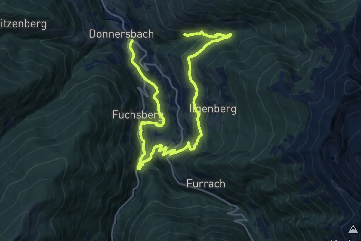
Demanding · Trail
Wasserschloss-Rundweg
19.1 km · ↑ 771 m · 6 h 11 min
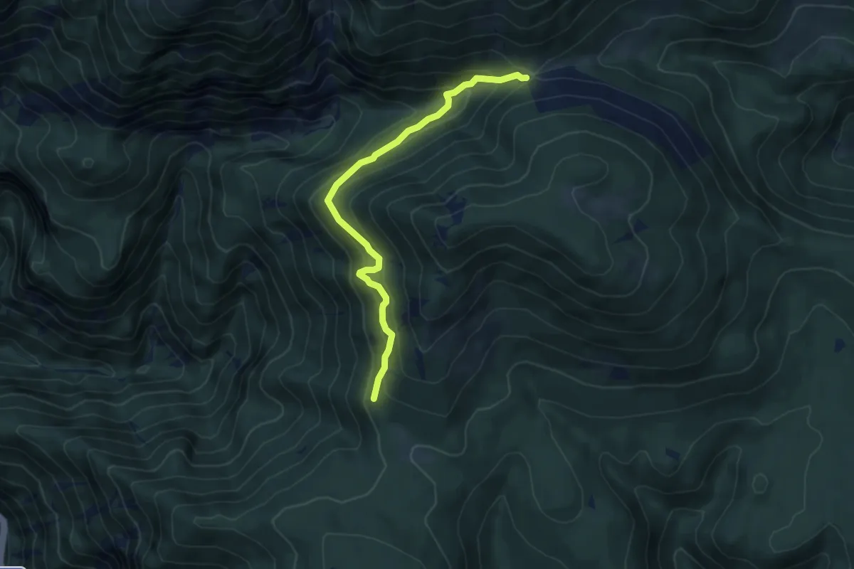
Medium · Trail
Wassersteig
5.3 km · ↑ 378 m · 2 h 5 min
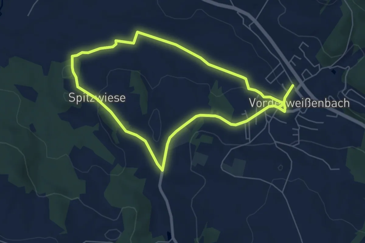
Easy · Trail
Wassersteig
5.1 km · ↑ 60 m · 1 h 25 min
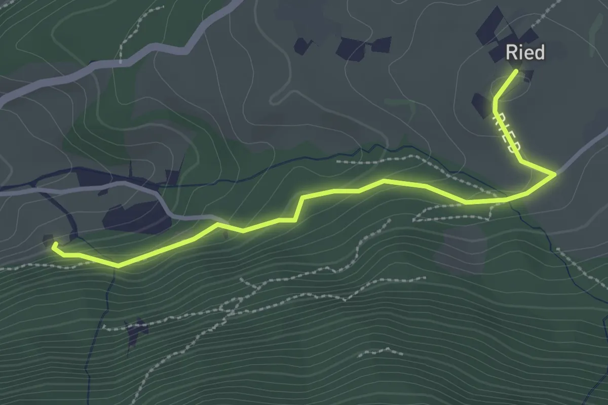
Easy · Trail
Wasserwanderweg
2.8 km · ↑ 104 m · 54 min
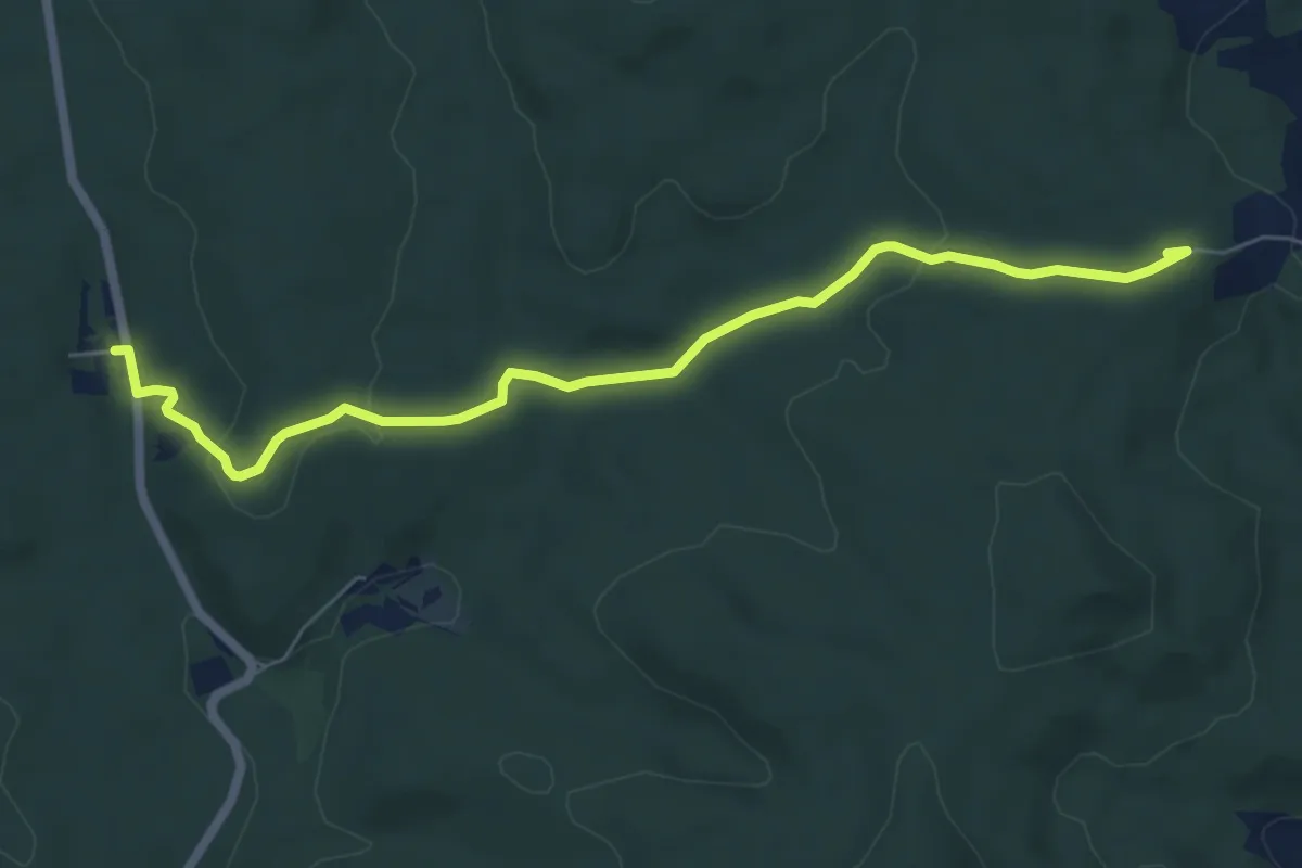
Easy · Summit
Wasserwanderweg
6.5 km · ↑ 156 m · 1 h 53 min
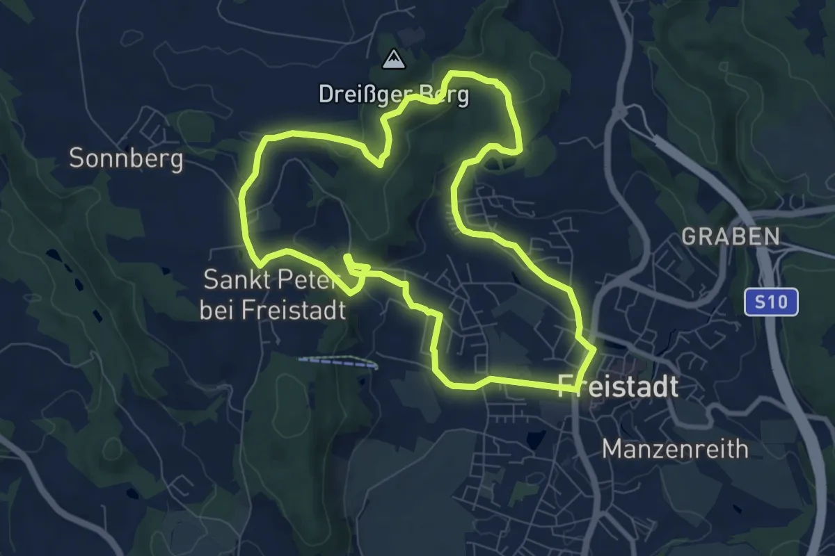
Easy · Trail
Wasserwanderweg
7.8 km · ↑ 176 m · 2 h 20 min
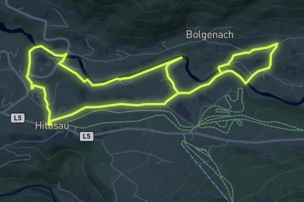
Easy · Trail
Wasserwanderweg Hittisau
6.6 km · ↑ 117 m · 1 h 54 min
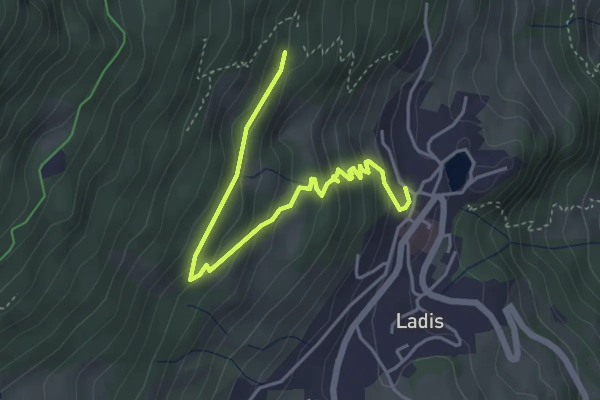
Easy · Trail
Wasserwandsteig
4.0 km · ↑ 228 m · 1 h 26 min
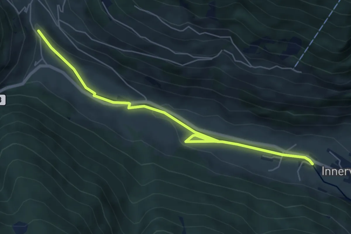
Easy · Trail
Wasserweg
5.9 km · ↑ 79 m · 1 h 34 min
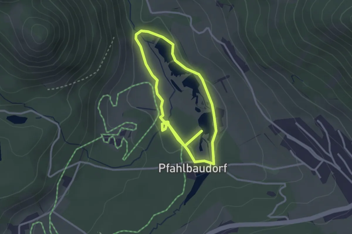
Easy · Trail
Wasserweg
2.3 km · ↑ 25 m · 38 min
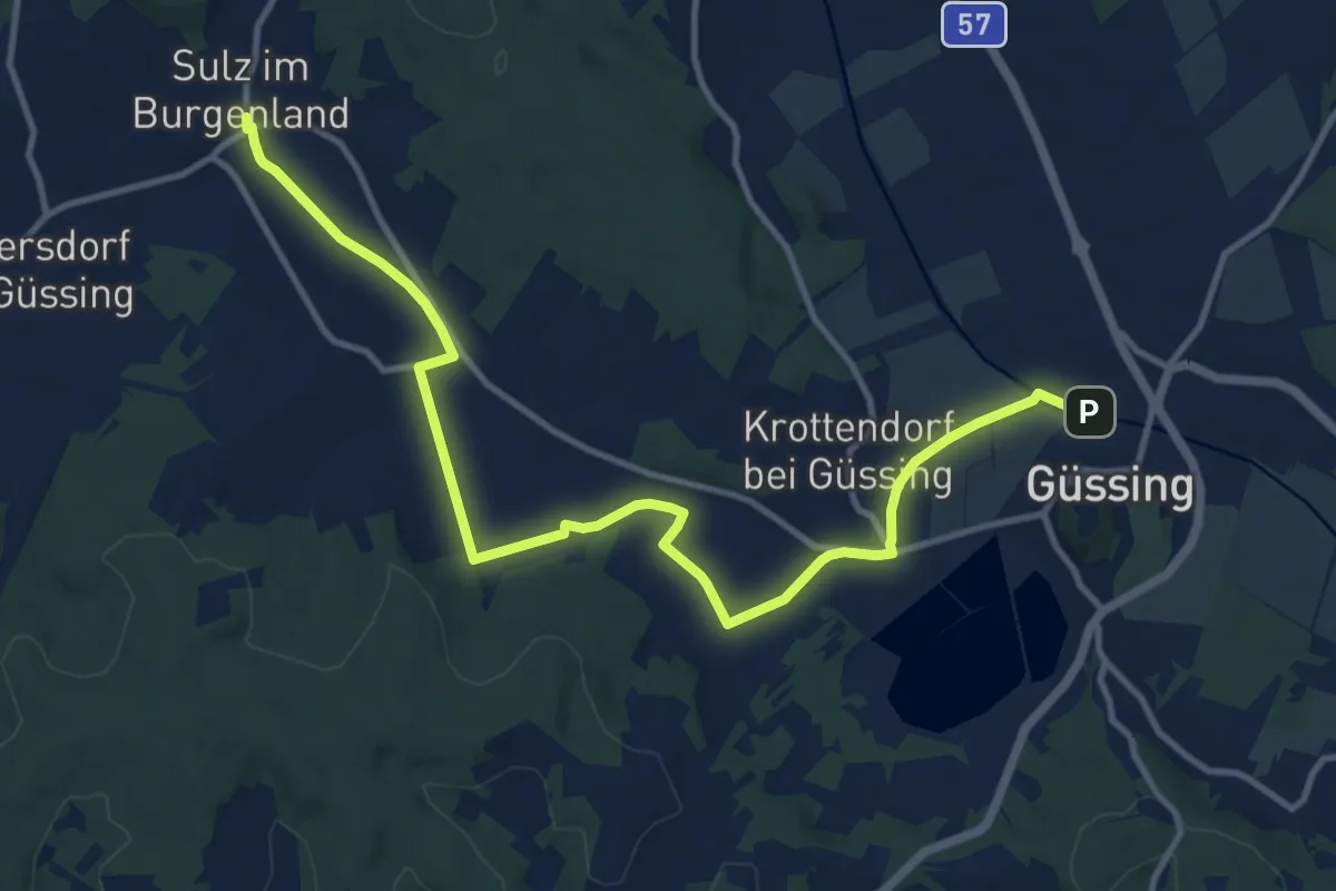
Medium · Trail
Wasserweg
13.7 km · ↑ 38 m · 3 h 19 min
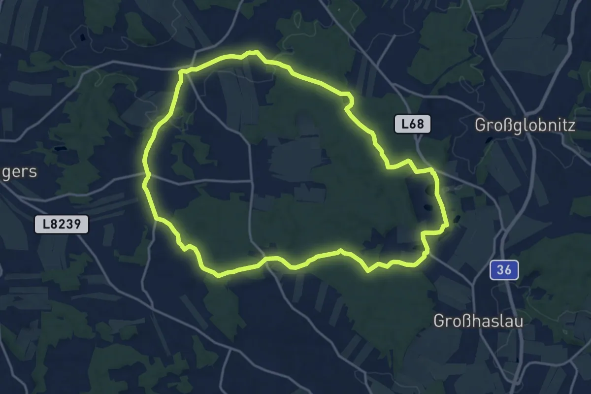
Medium · Trail
Wasser Weg 44
13.8 km · ↑ 125 m · 3 h 43 min
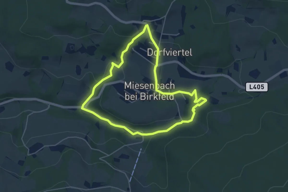
Easy · Trail
Wasserweg Miesenbach
3.9 km · ↑ 124 m · 1 h 15 min
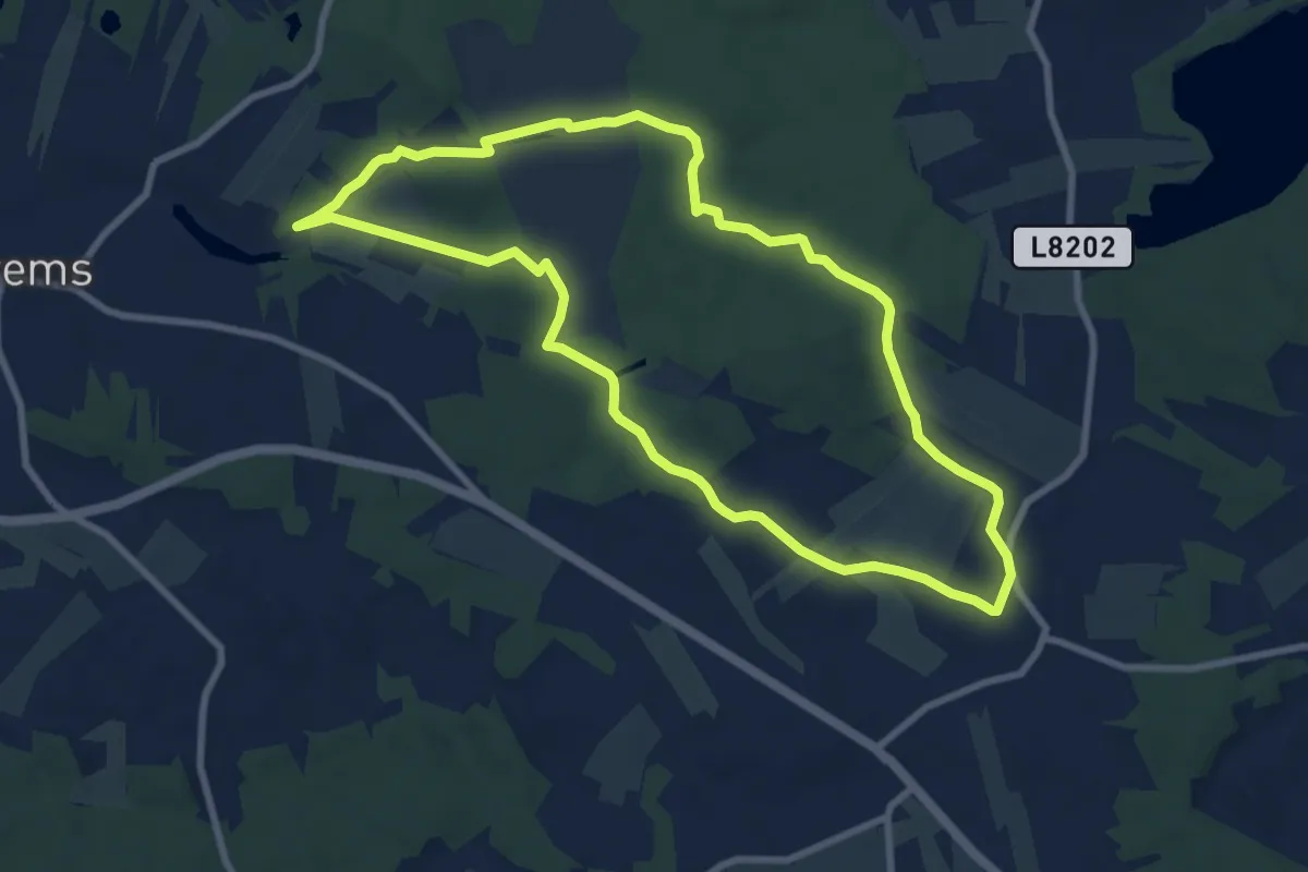
Medium · Trail
Wasser-Wiese-Wald (W6)
8.2 km · ↑ 36 m · 2 h 7 min
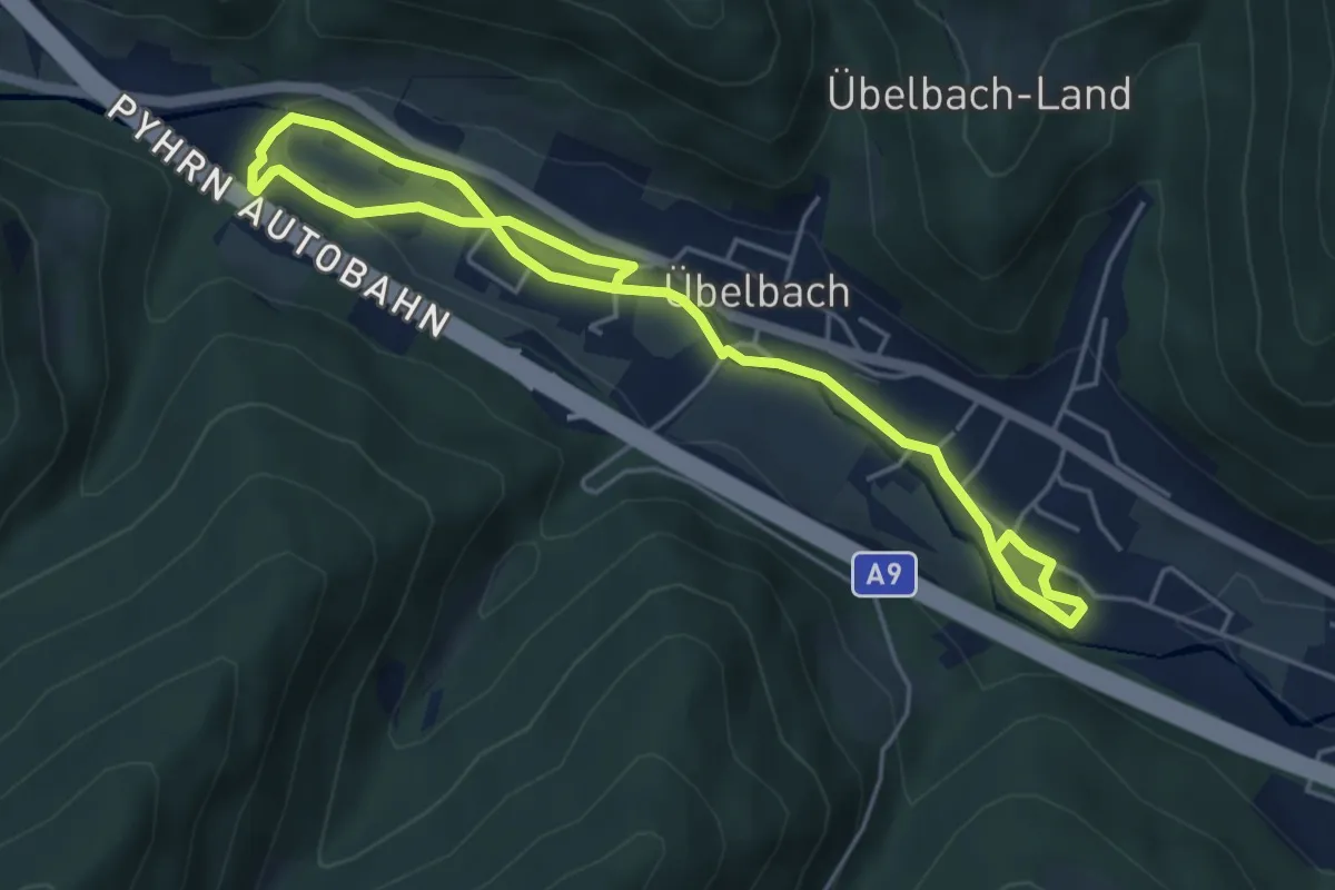
Easy · Trail
Wasserwissenswelt
7.1 km · ↑ 97 m · 1 h 54 min
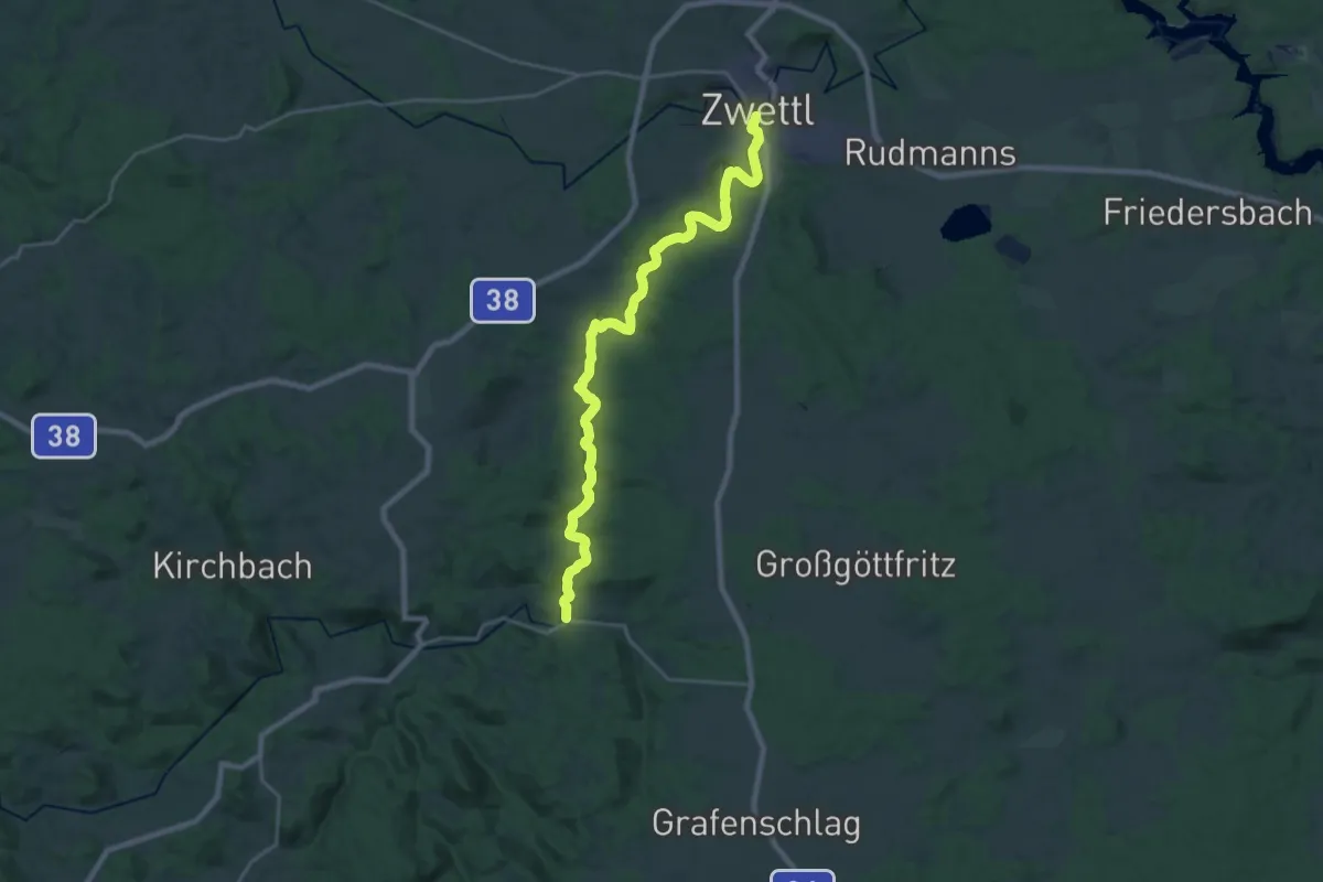
Demanding · Trail
Wasserwunderweg 55a
24.3 km · ↑ 116 m · 5 h 59 min
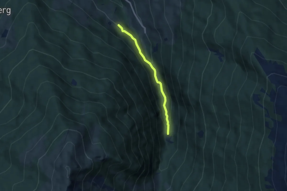
Easy · Trail
Wattenberger Waldrunde
4.7 km · ↑ 116 m · 1 h 22 min
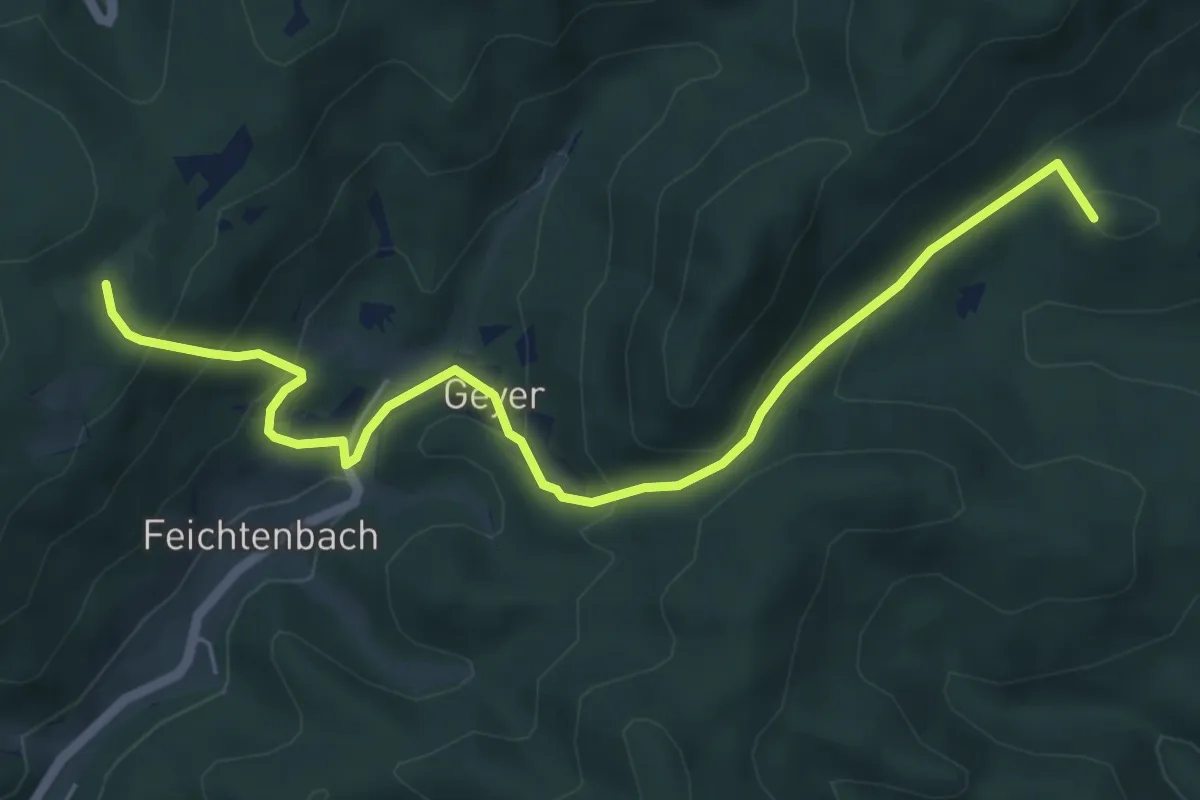
Medium · Summit
Waxeneck - Geyersattel
6.4 km · ↑ 386 m · 2 h 20 min
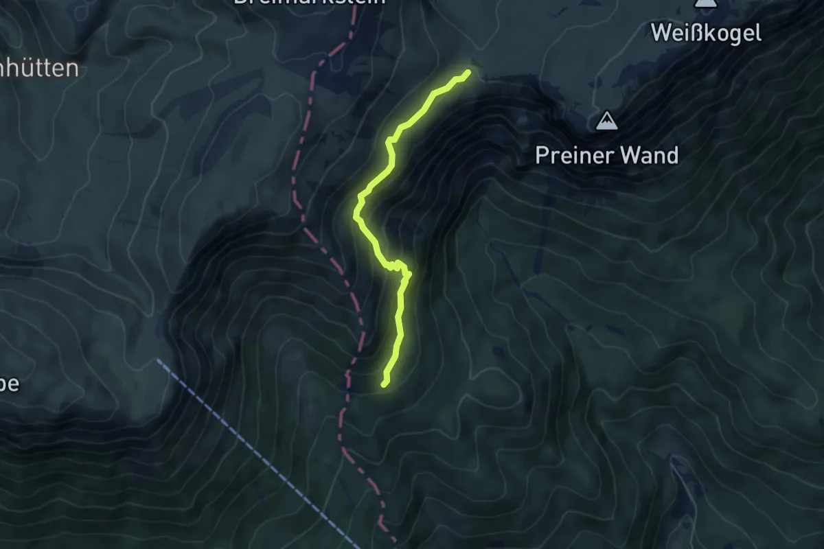
Medium · Cabin
Waxriegelhaus - Neue Seehütte
4.8 km · ↑ 314 m · 1 h 48 min
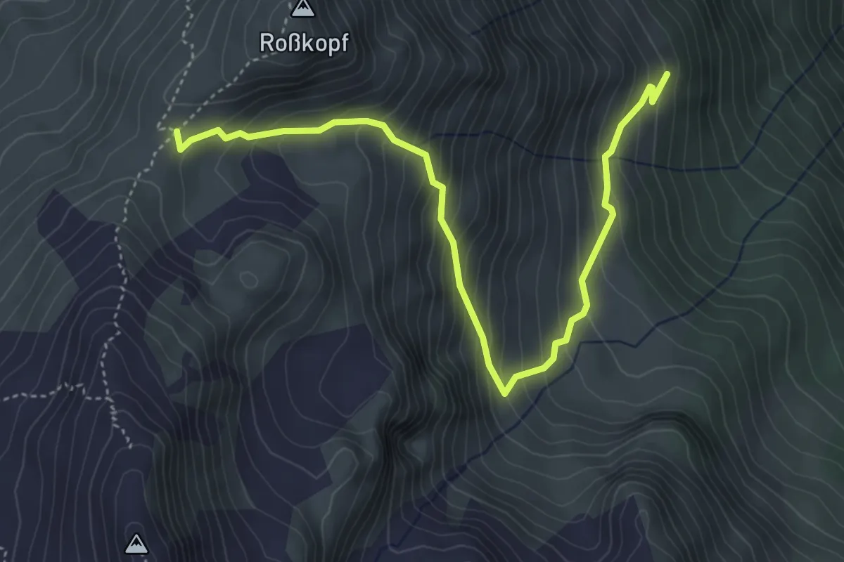
Medium · Trail
Waz Hochleger - Rosskopf
5.0 km · ↑ 494 m · 2 h 15 min
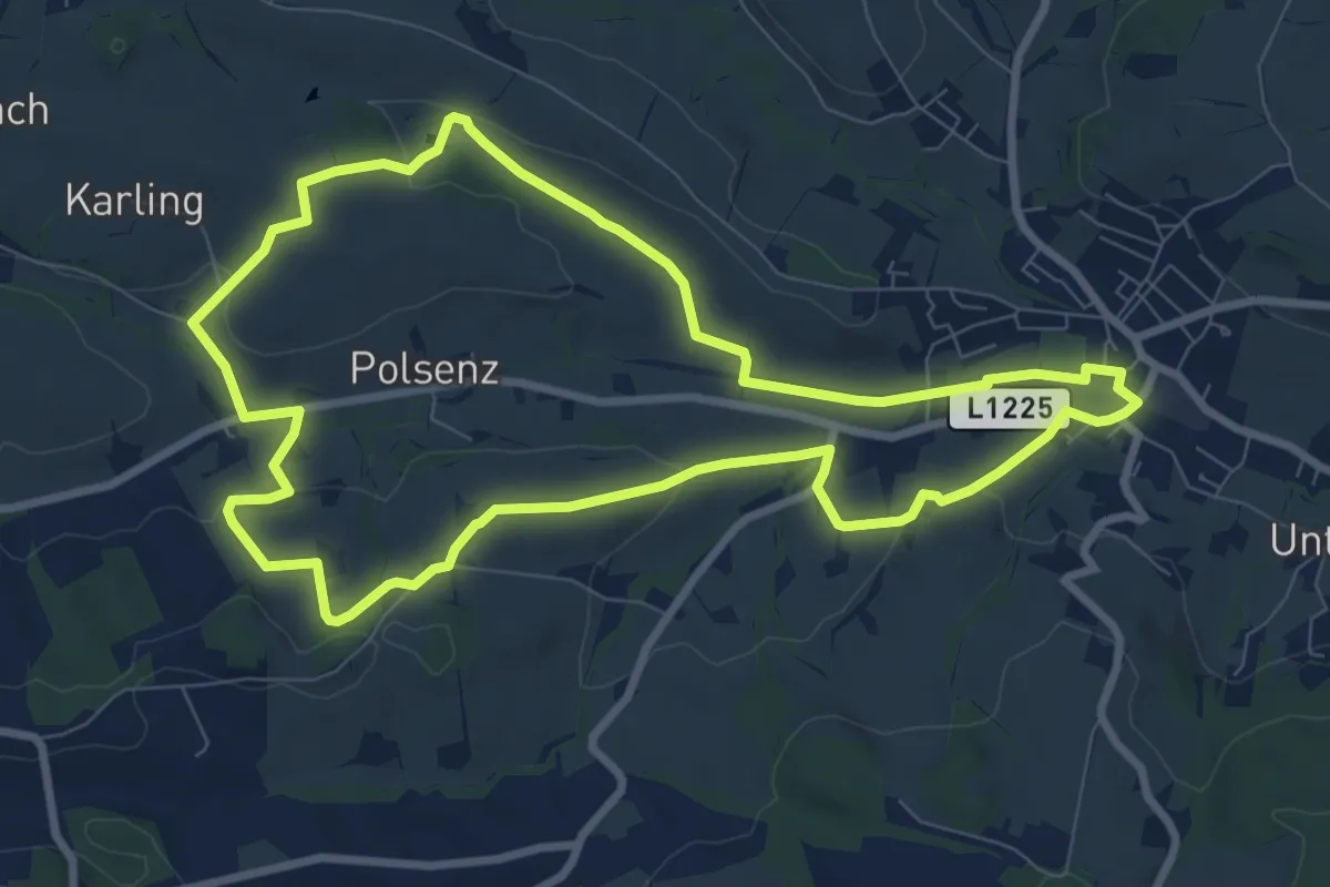
Medium · Trail
Weberbartlweg
8.4 km · ↑ 170 m · 2 h 28 min
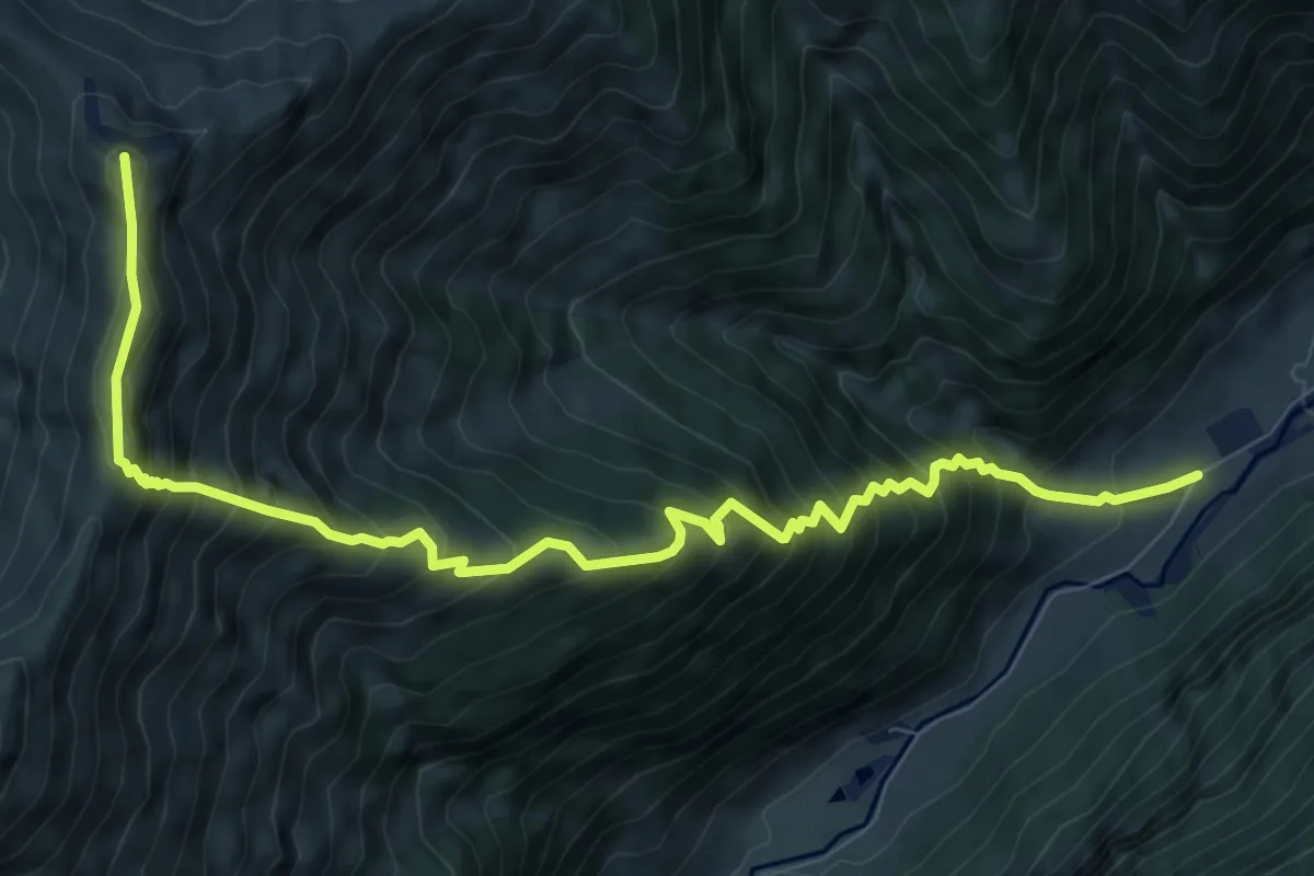
Demanding · Summit
Wechselbachhöhe
9.9 km · ↑ 1270 m · 5 h 5 min
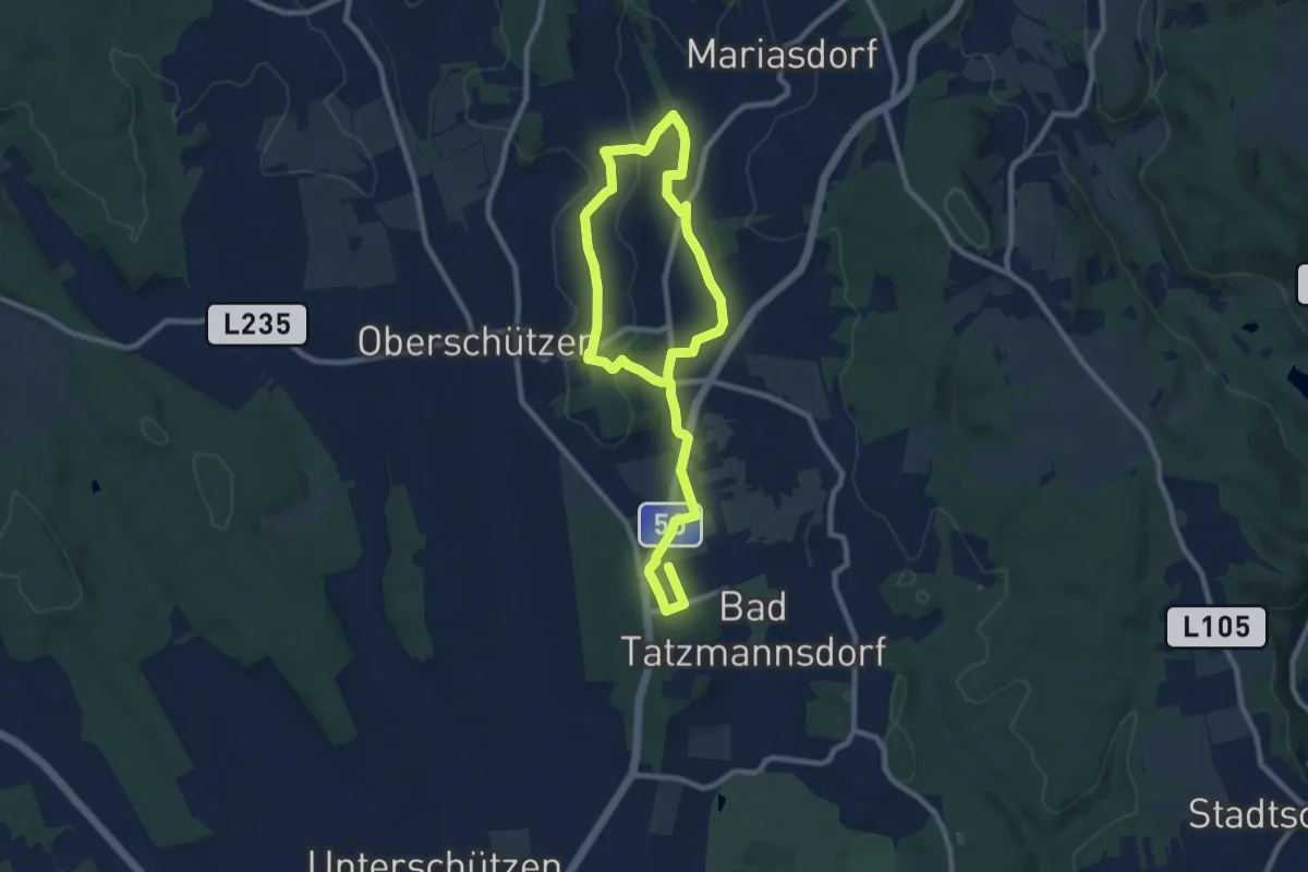
Medium · Trail
Wechselblick
13.7 km · ↑ 254 m · 3 h 47 min
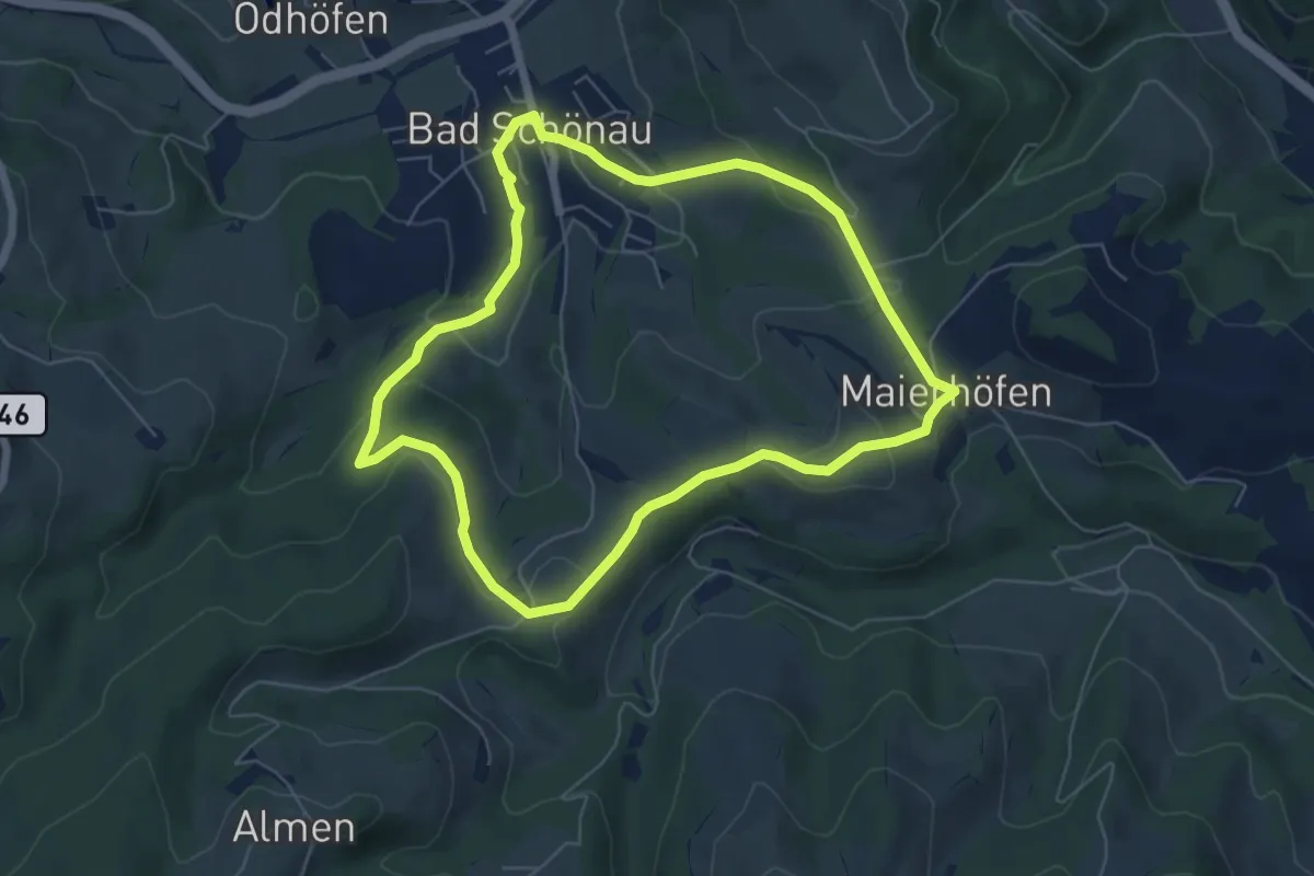
Easy · Trail
Weg der Blicke
5.9 km · ↑ 179 m · 1 h 52 min
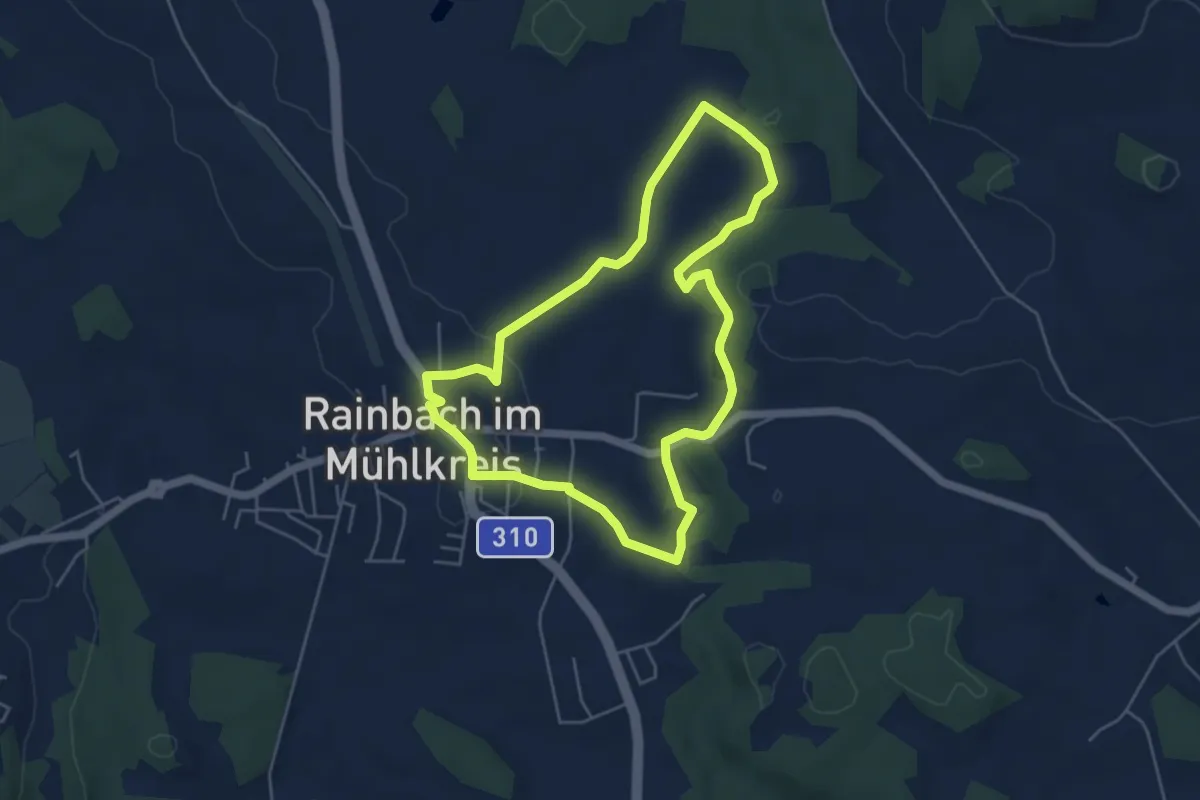
Easy · Trail
Weg der Farben
4.6 km · ↑ 59 m · 1 h 17 min