Trails in Austria
9,777 hiking trails, each with its route, climb, walking time and grade.
All trails, page 186 of 204
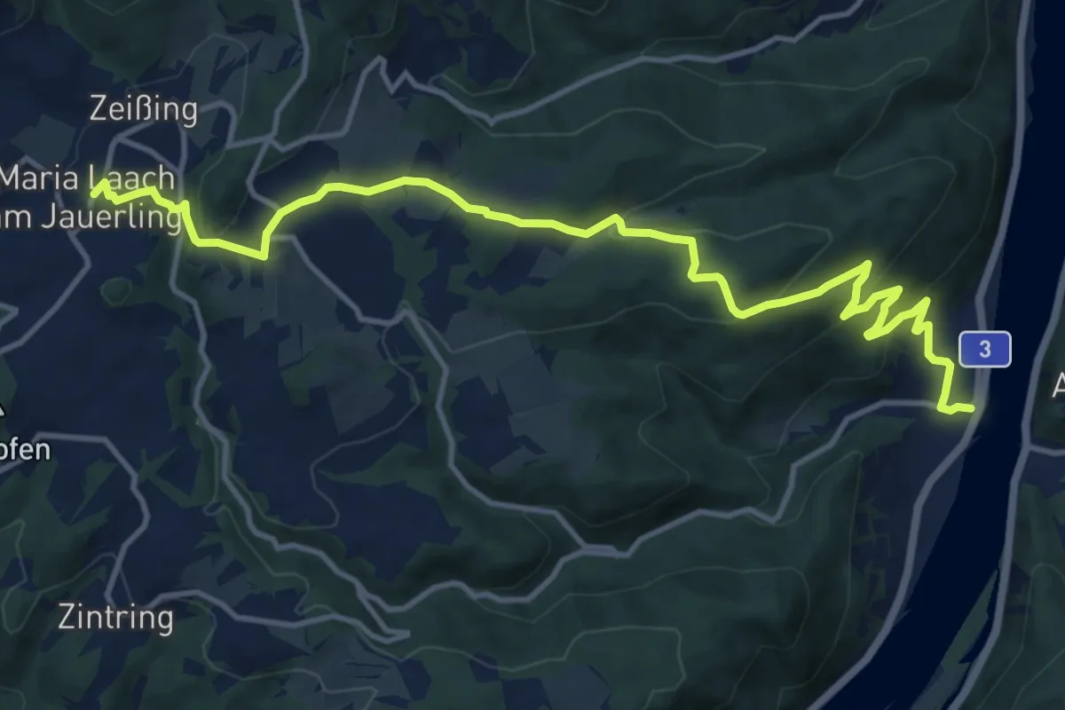
Medium · Trail
Welterbesteig Wachau Etappe 6
14.1 km · ↑ 539 m · 4 h 29 min
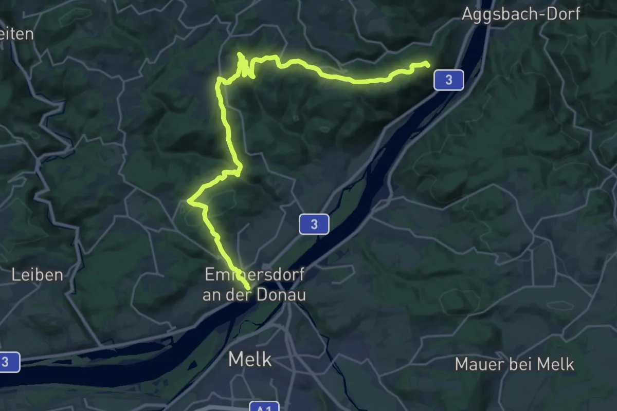
Demanding · Summit
Welterbesteig Wachau Etappe 7
26.3 km · ↑ 921 m · 8 h 13 min
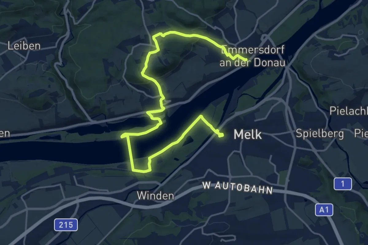
Demanding · Trail
Welterbesteig Wachau Etappe 8
19.1 km · ↑ 377 m · 5 h 19 min
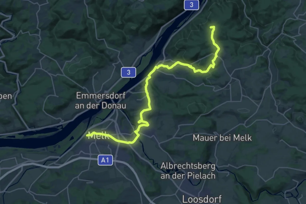
Demanding · Summit
Welterbesteig Wachau Etappe 9
26.4 km · ↑ 716 m · 7 h 47 min
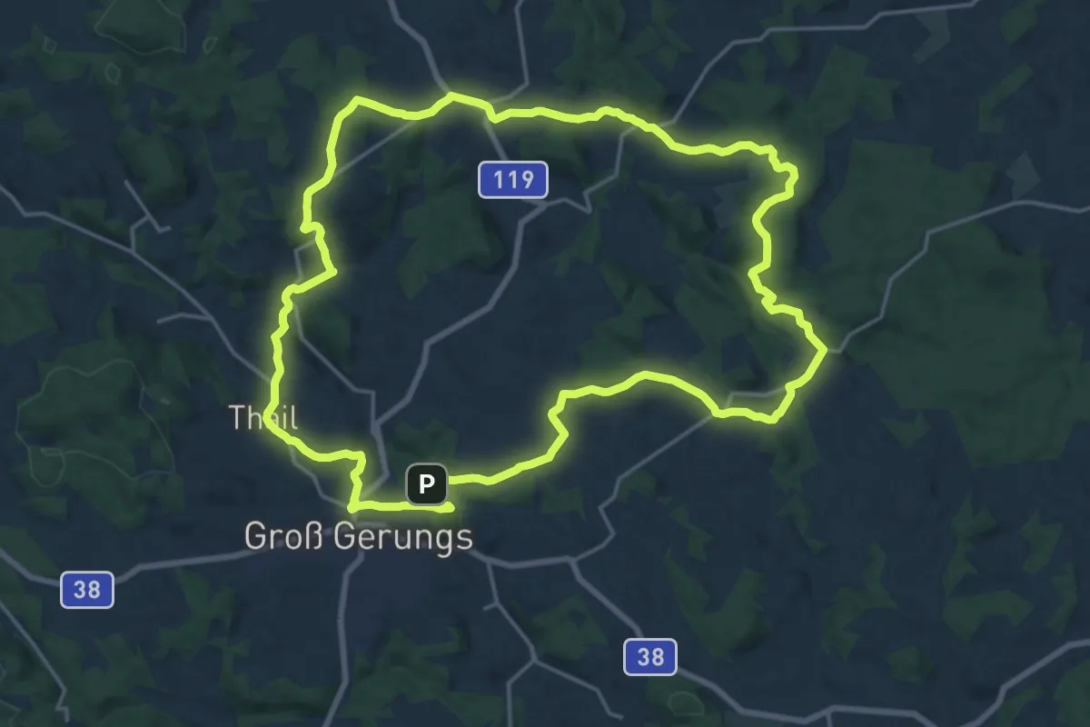
Demanding · Summit
Weltkugel - Wanderweg 31
18.9 km · ↑ 425 m · 5 h 39 min
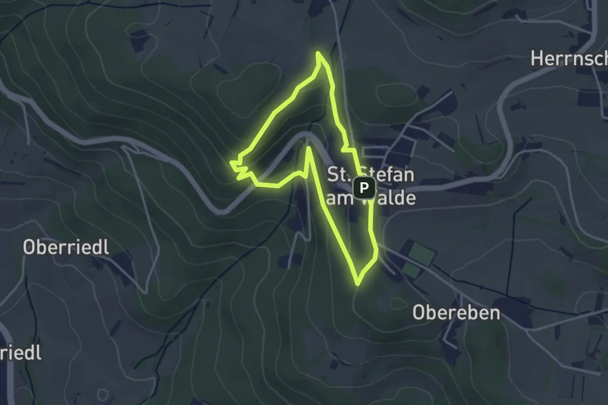
Demanding · Trail
Wendenstein Wanderung
2.8 km · ↑ 100 m · 54 min
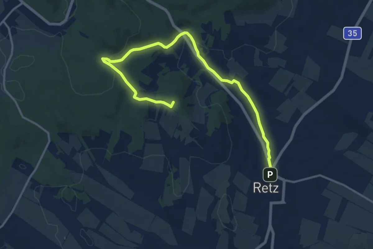
Easy · Summit
Wenzelsteg
7.1 km · ↑ 148 m · 2 h 5 min
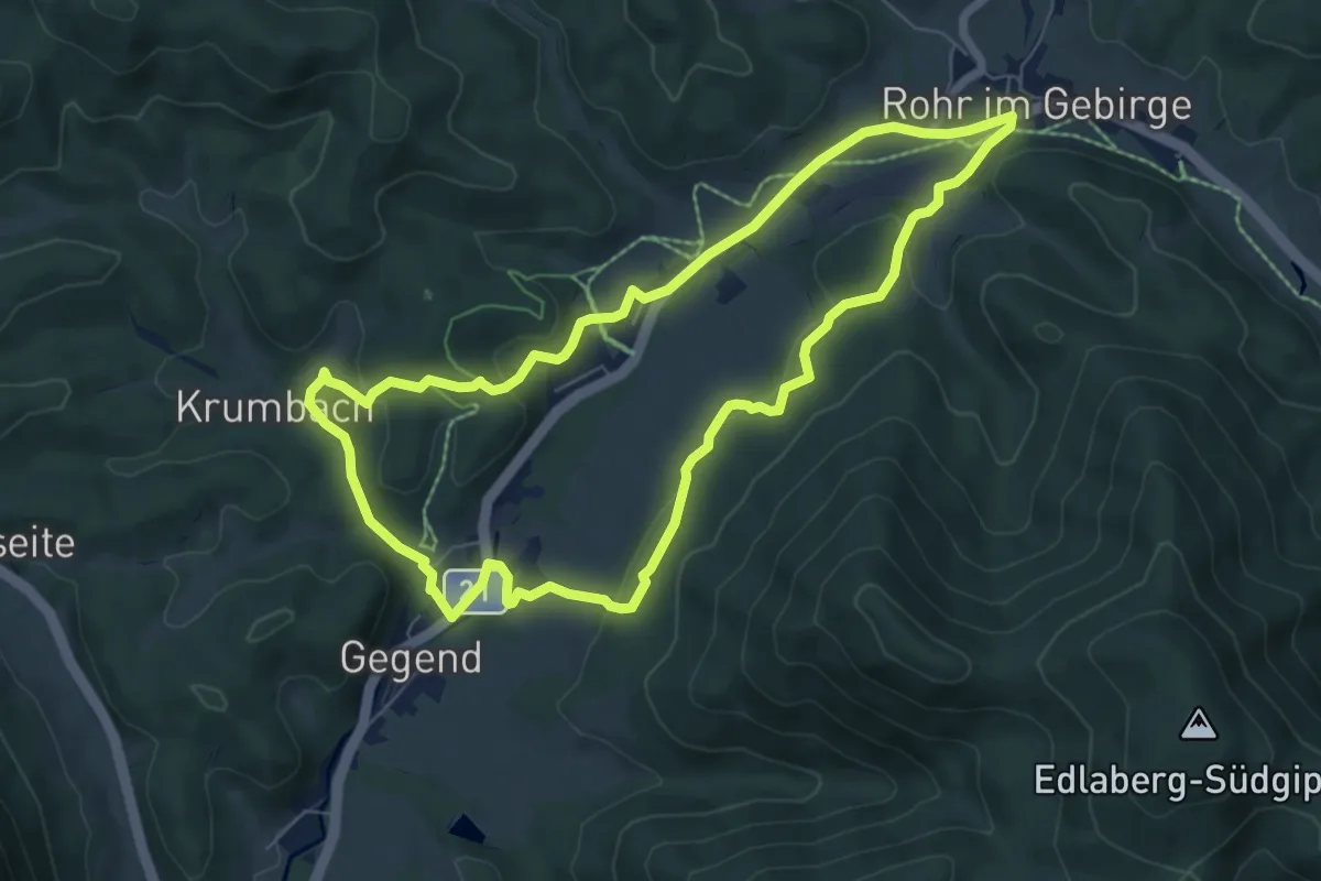
Easy · Trail
Werkstatt, Wald und Wasser
6.7 km · ↑ 142 m · 1 h 59 min
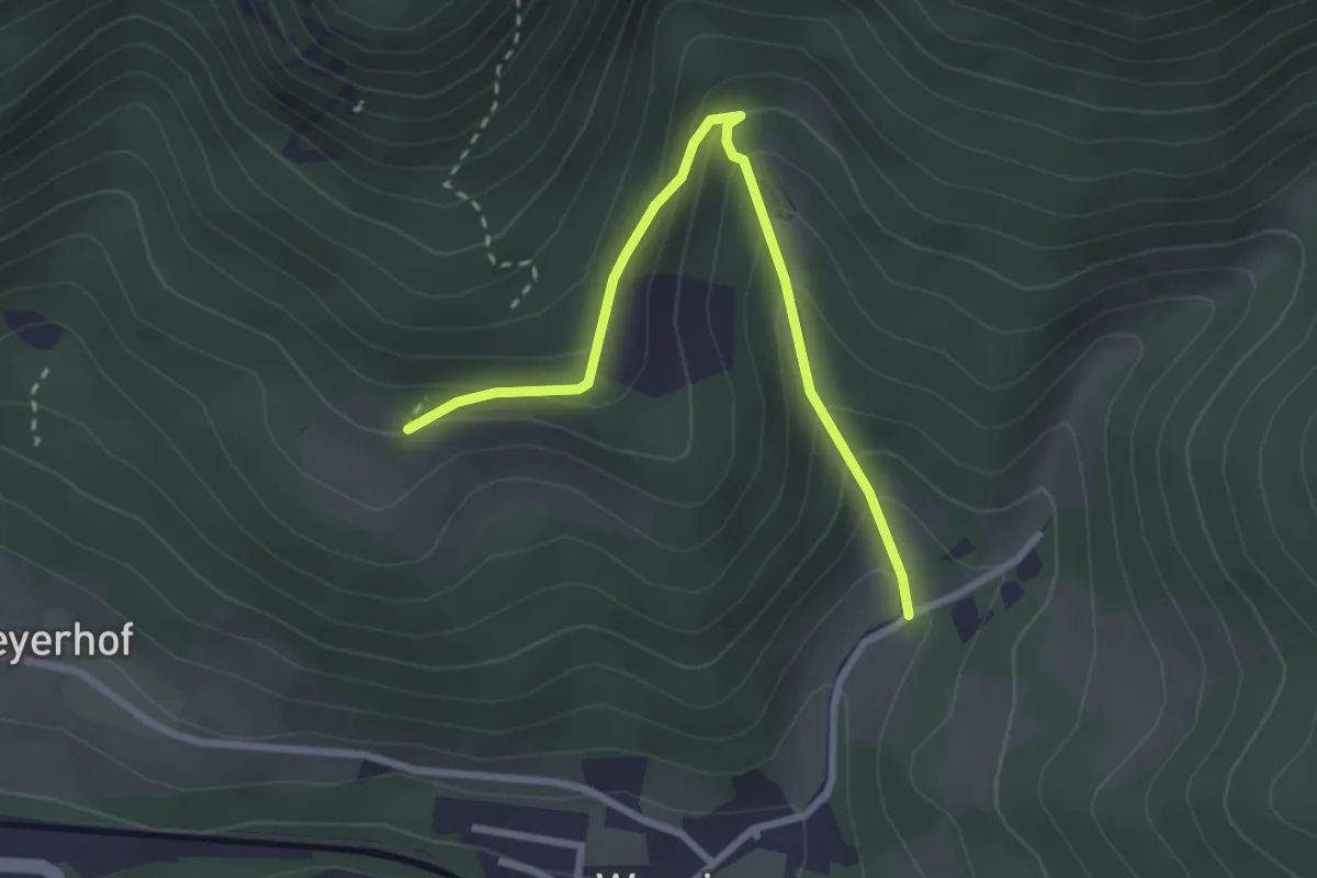
Easy · Trail
Werning - Buchtal - Hochberger
2.8 km · ↑ 200 m · 1 h 5 min
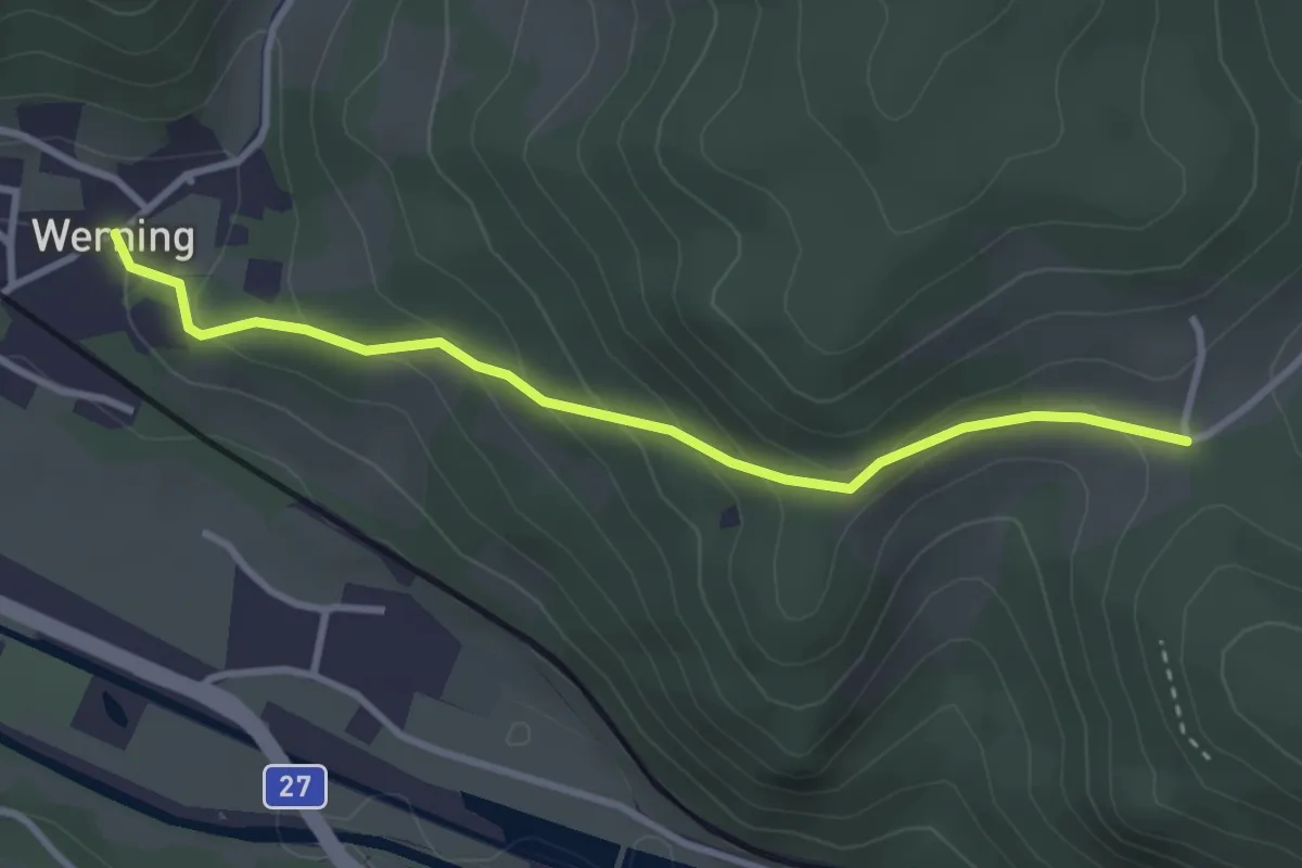
Easy · Trail
Werning - Grillenberg
3.1 km · ↑ 188 m · 1 h 9 min
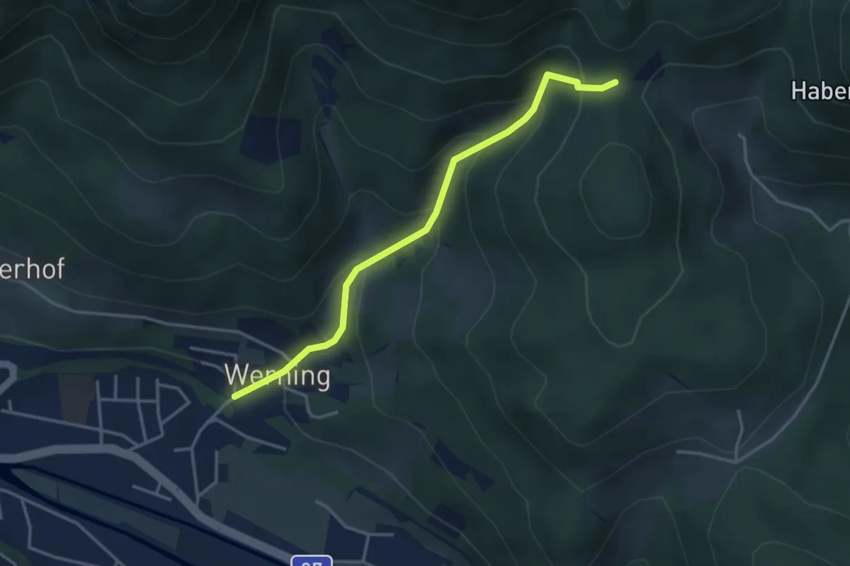
Medium · Trail
Werning - Schedkapelle
3.4 km · ↑ 271 m · 1 h 24 min
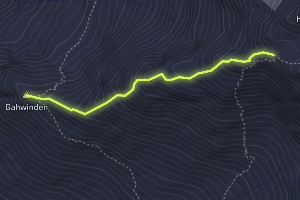
Expert · Summit
Westgrat Hohe Geige
3.1 km · ↑ 593 m · 2 h 1 min
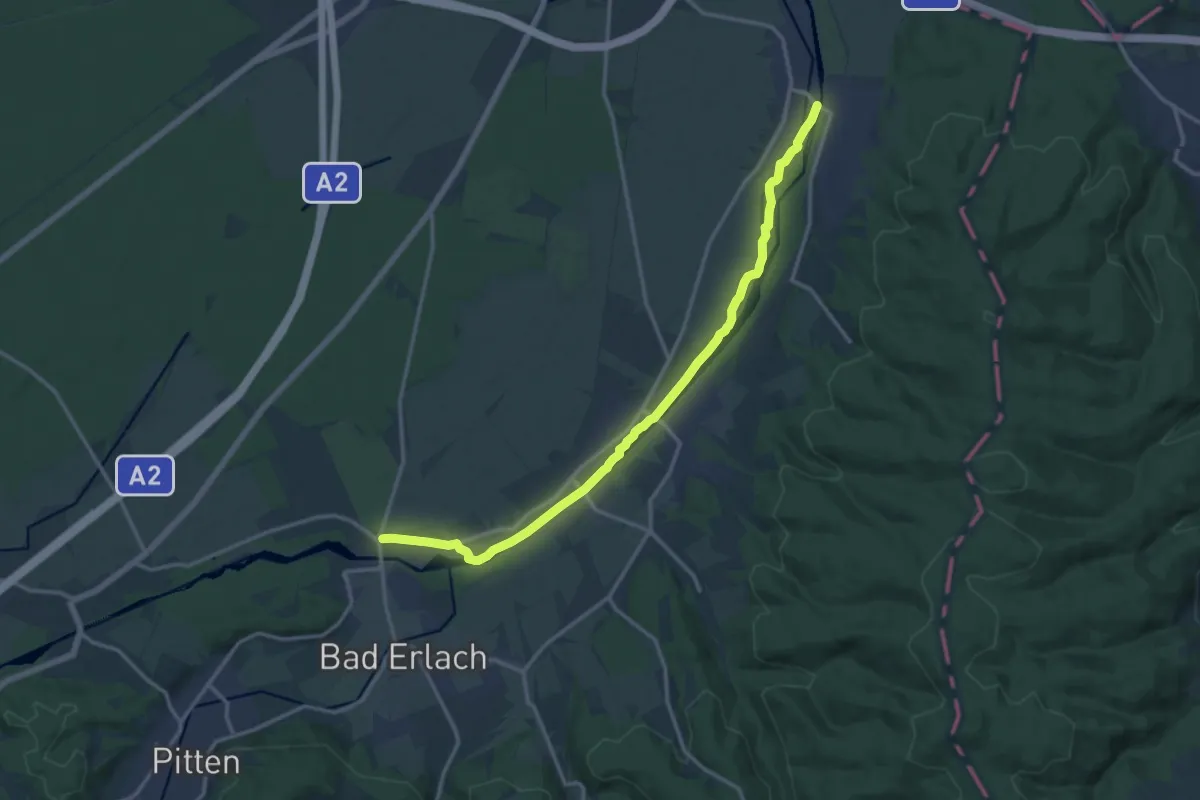
Medium · Trail
Wiener Alpenbogen (Alternative)
14.9 km · ↑ 33 m · 3 h 36 min
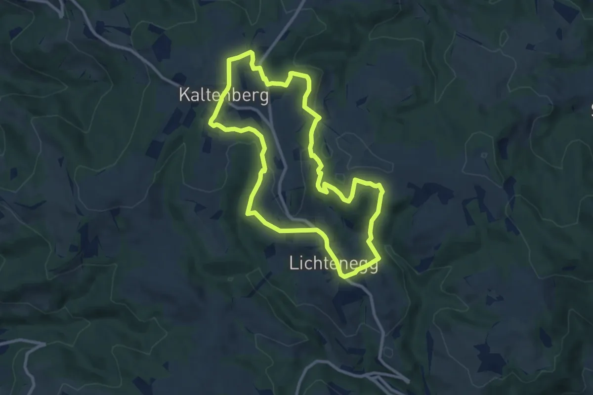
Medium · Trail
Wiener Alpen Themenweg "Spielplatzweg"
8.4 km · ↑ 249 m · 2 h 38 min
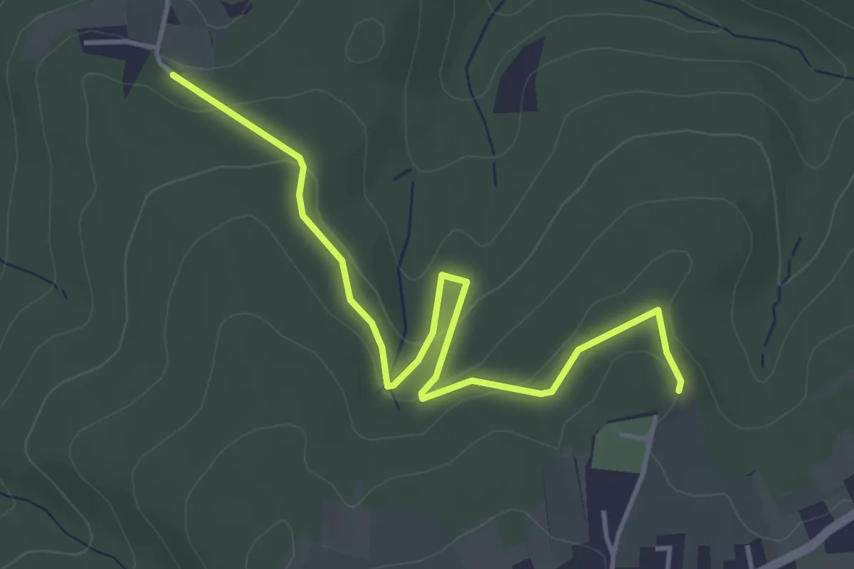
Easy · Trail
Wiener Bründlweg (Penk)
4.4 km · ↑ 116 m · 1 h 17 min
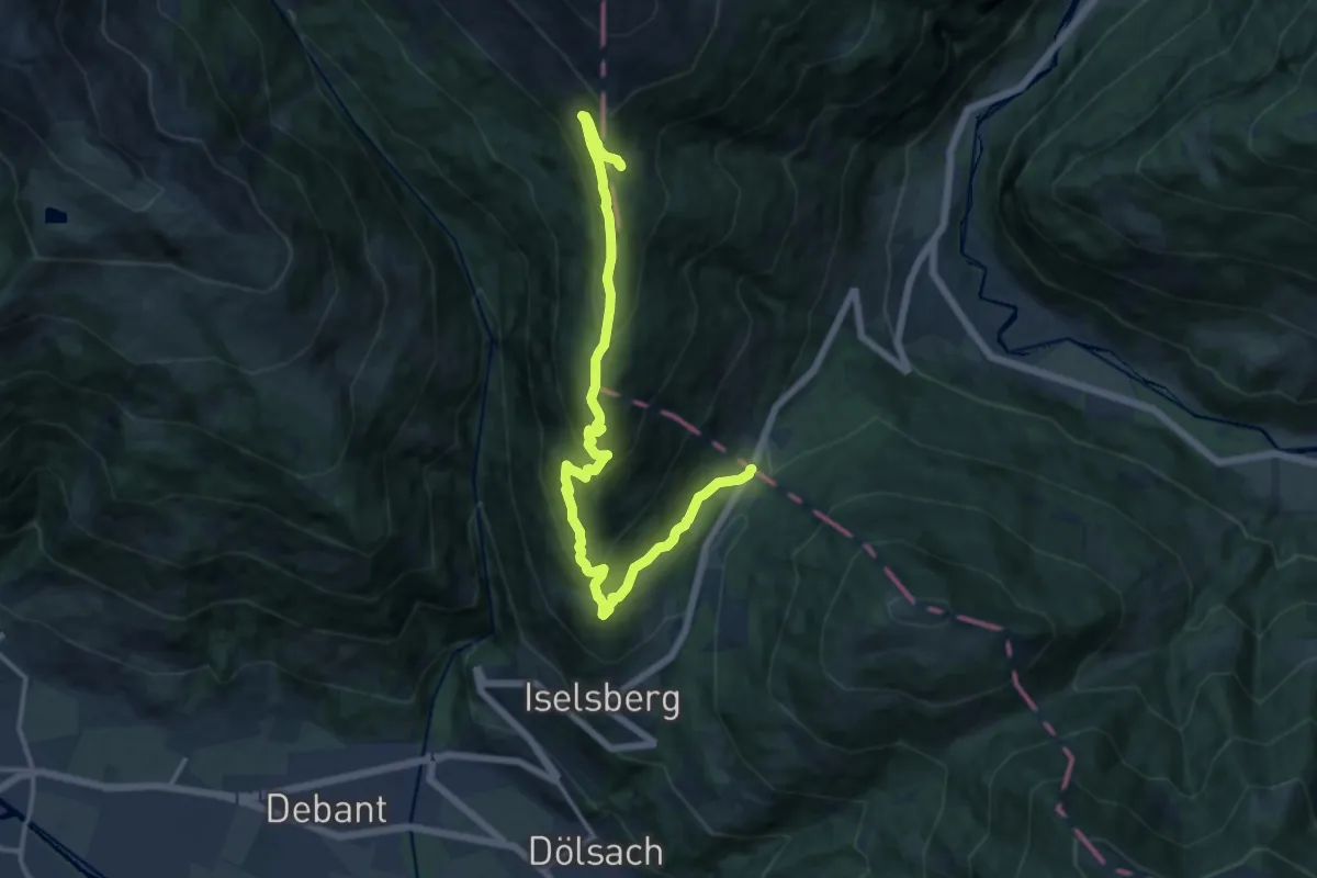
Medium · Cabin
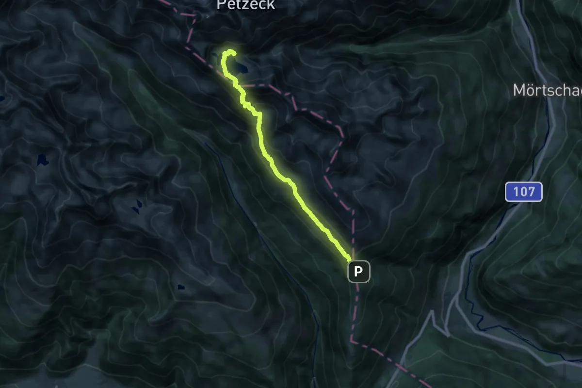
Wiener Höhenweg Etappe 1
15.6 km · ↑ 789 m · 5 h 24 min
Demanding · Cabin
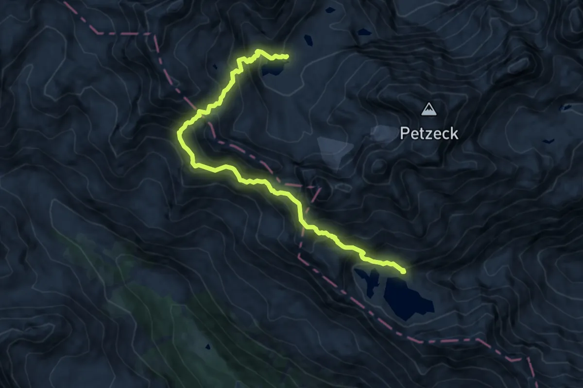
Wiener Höhenweg Etappe 2
16.6 km · ↑ 1023 m · 6 h 8 min
Expert · Cabin
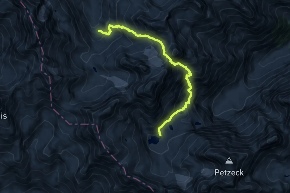
Wiener Höhenweg Etappe 3
12.2 km · ↑ 1240 m · 5 h 34 min
Demanding · Cabin
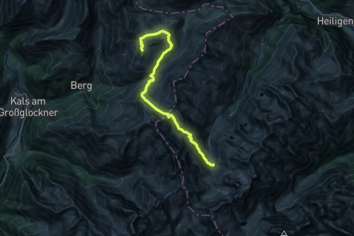
Wiener Höhenweg Etappe 4
12.1 km · ↑ 1456 m · 6 h 1 min
Expert · Summit
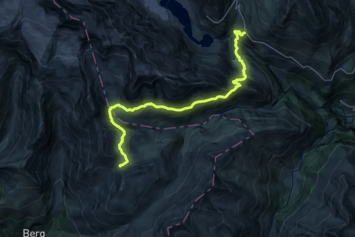
Wiener Höhenweg Etappe 5
23.1 km · ↑ 1684 m · 9 h 7 min
Expert · Cabin
Wiener Höhenweg Etappe 6
20.7 km · ↑ 1292 m · 7 h 41 min
Easy · Summit
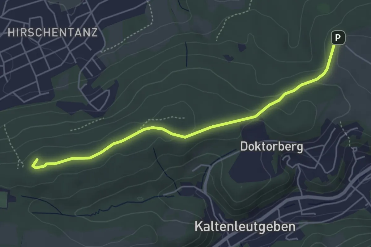
Wiener Hütte - Kaltenleutgeben bzw. Rotes Kreuz - Sportplatz
4.5 km · ↑ 76 m · 1 h 14 min
Demanding · Summit
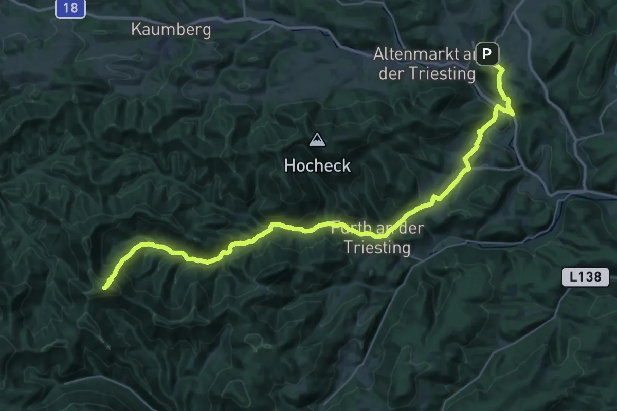
Wiener Mariazellerweg (06A)
34.1 km · ↑ 1291 m · 10 h 51 min
Demanding · Summit
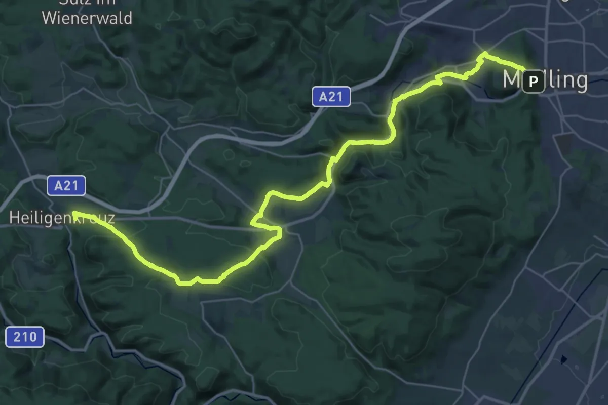
Wiener Mariazellerweg Alternative (Mödling - Heiligenkreuz)
34.7 km · ↑ 784 m · 9 h 53 min
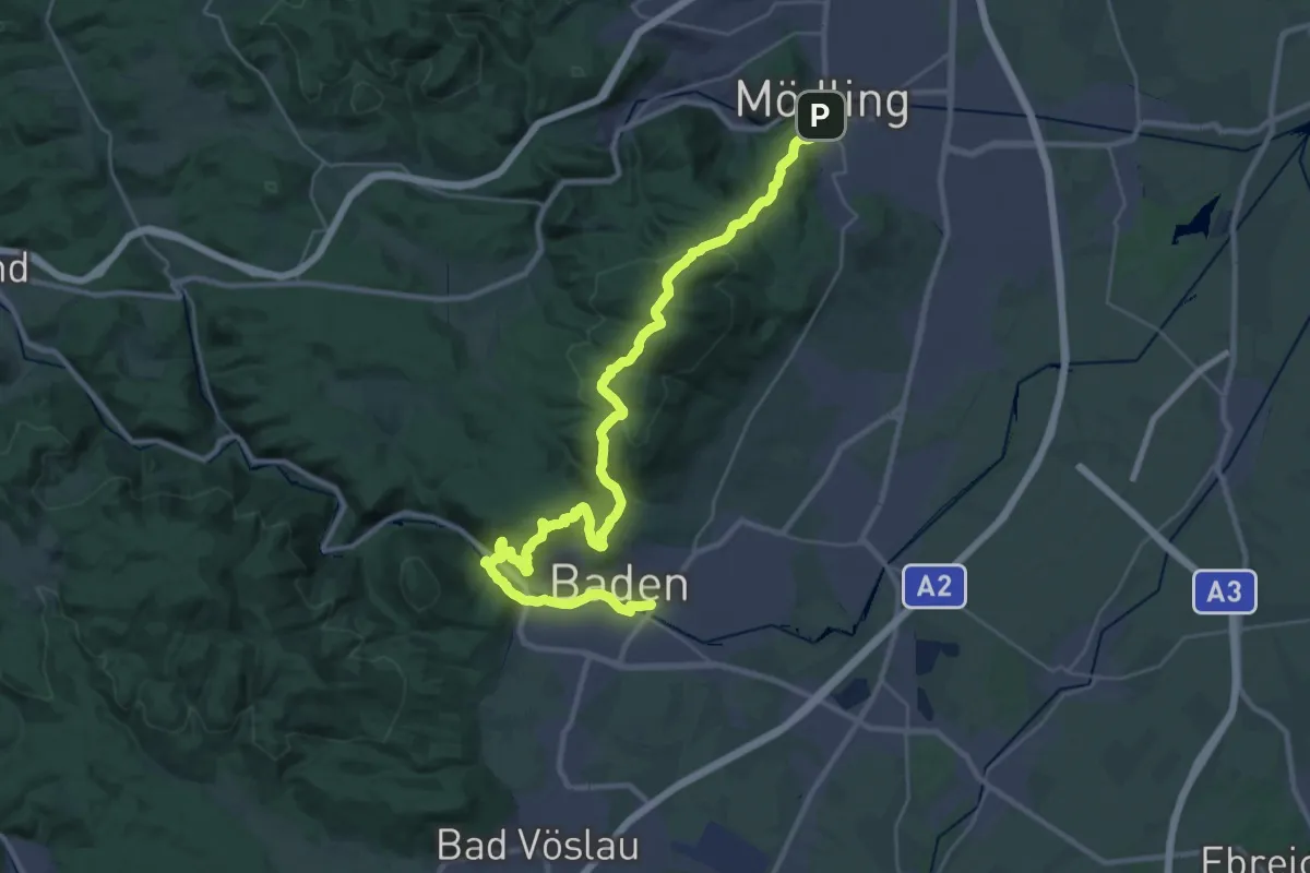
Demanding · Trail
Wienerwald-IML Wanderweg 2 Mödling - Baden
18.7 km · ↑ 610 m · 6 h
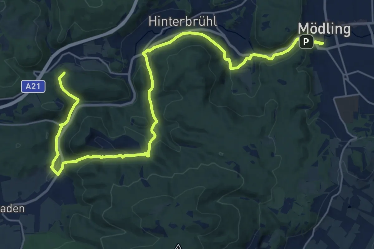
Demanding · Summit
Wienerwald-IML Wanderweg 3 Mödling - Gaden
23.2 km · ↑ 509 m · 6 h 34 min
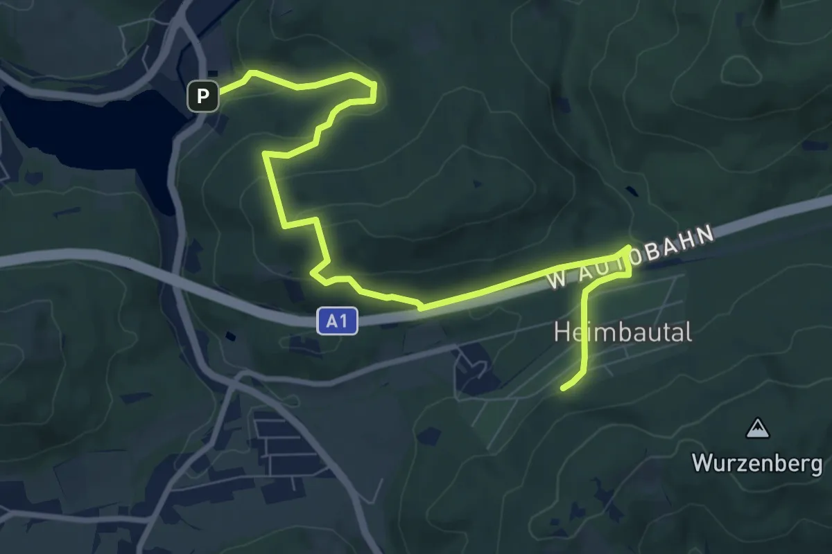
Medium · Trail
Wienerwaldsee - Heimbautal
9.4 km · ↑ 377 m · 3 h 3 min
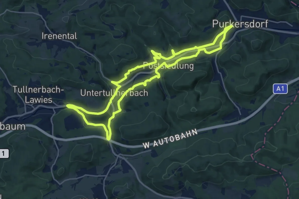
Medium · Trail
Wienerwaldsee-Neupurkersdorf (Purkersdorf) Rundweg
16.3 km · ↑ 161 m · 4 h 26 min
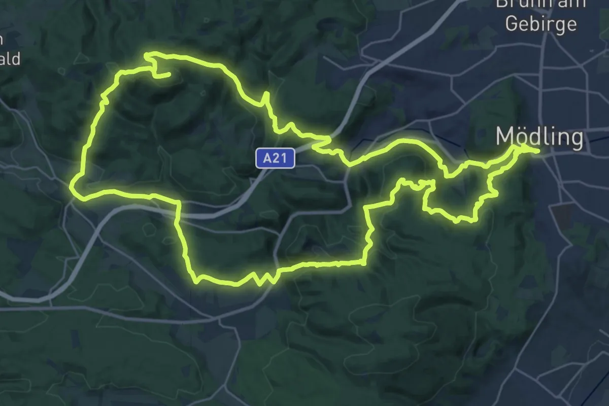
Demanding · Summit
Wienerwald-Sternwanderweg 43
30.1 km · ↑ 940 m · 9 h 34 min
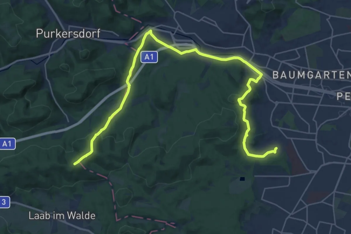
Demanding · Summit
Wienerwald-Sternwanderweg 44
27.6 km · ↑ 794 m · 8 h 14 min
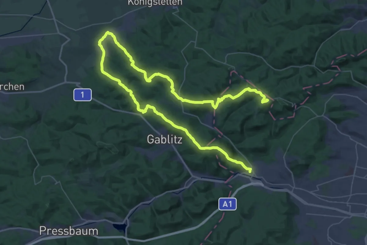
Demanding · Summit
Wienerwald-Sternwanderweg 45
61.1 km · ↑ 1976 m · 18 h 43 min
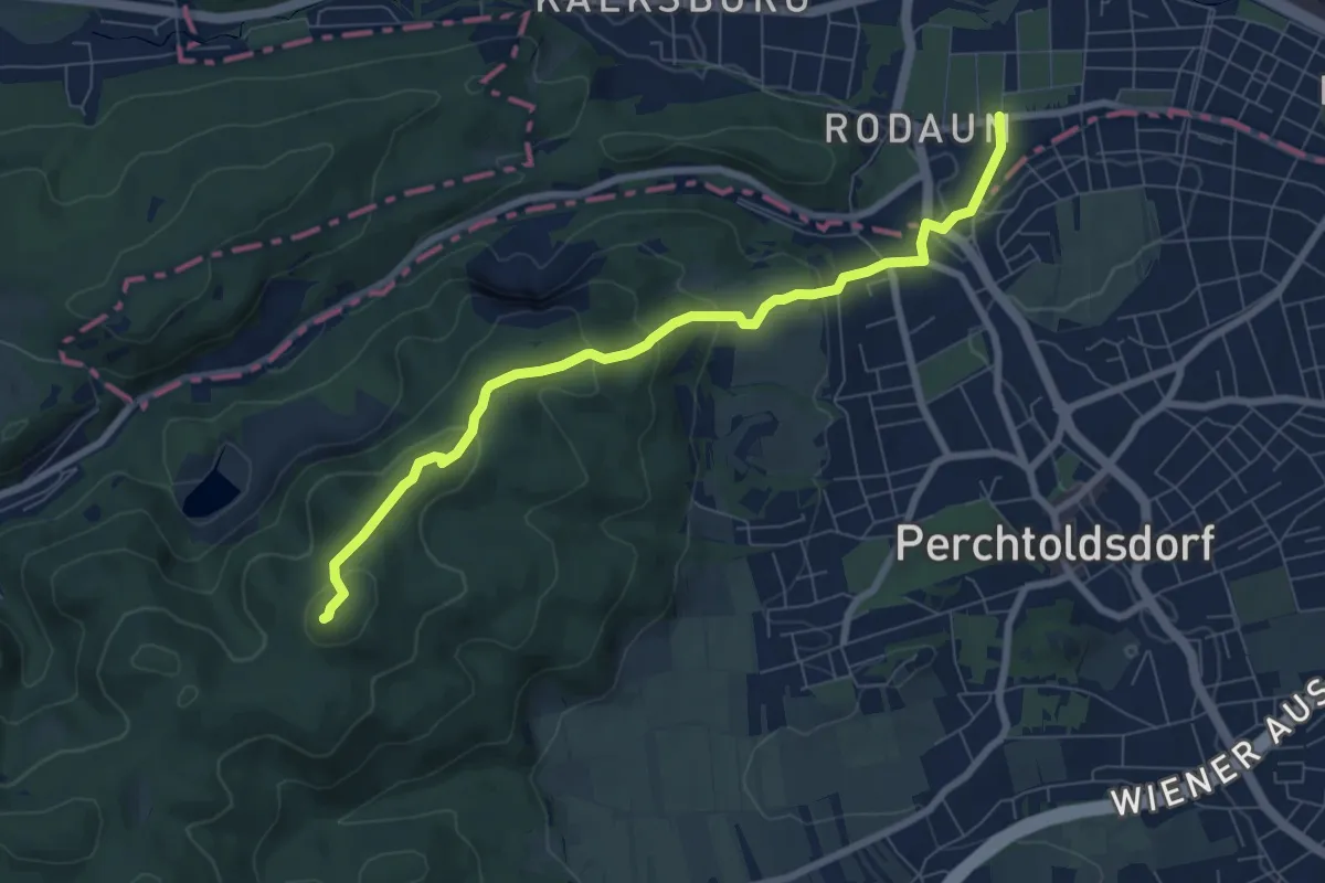
Medium · Summit
Wien Rodaun - Parapluieberg - Kammersteinhütte und Wiener Wallfahrerweg
7.5 km · ↑ 352 m · 2 h 32 min
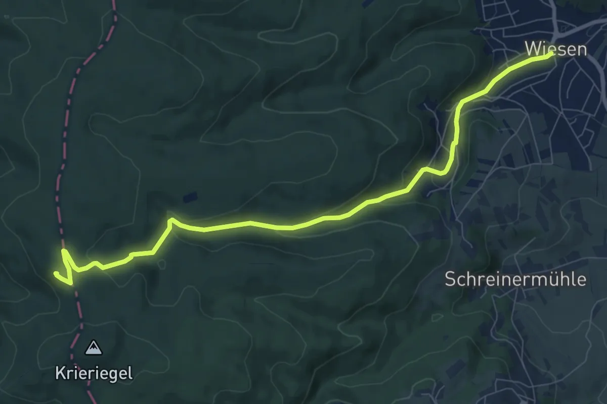
Medium · Summit
Wiesen - Aussichtsturm Wiesen-Lanzenkirchen
9.5 km · ↑ 319 m · 2 h 56 min
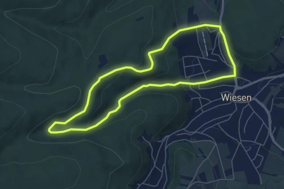
Easy · Trail
Wiesen - Blumaugraben Rundwanderweg
4.9 km · ↑ 158 m · 1 h 34 min
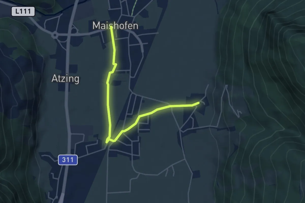
Easy · Trail
Wiesen & Gassenrunde
4.5 km · ↑ 9 m · 1 h 5 min
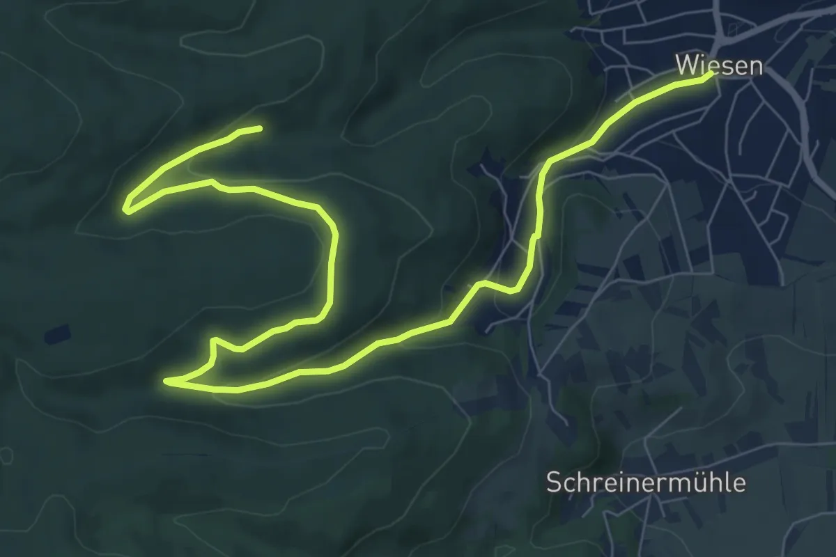
Medium · Trail
Wiesen - Kohlstattgraben Wanderweg
10.8 km · ↑ 283 m · 3 h 10 min
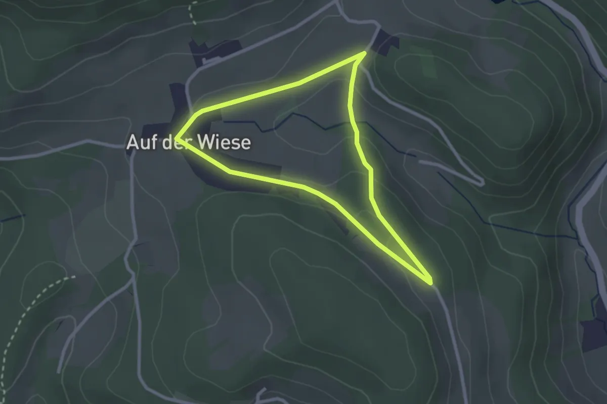
Easy · Trail
Wiesenrundweg
2.3 km · ↑ 53 m · 41 min
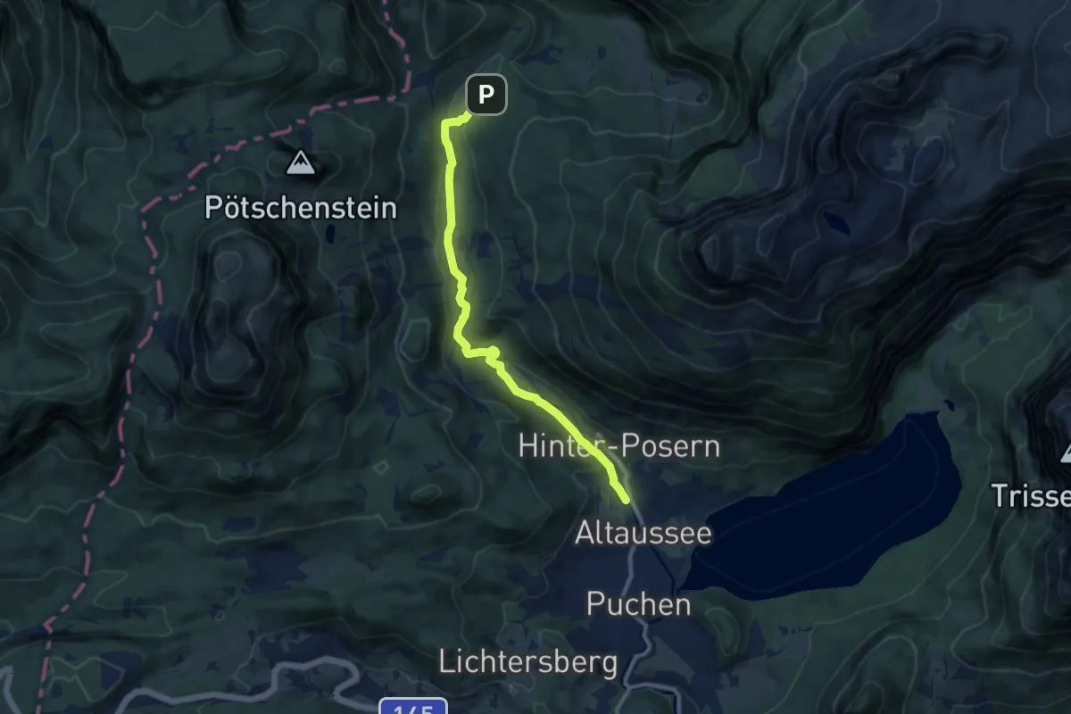
Medium · Trail
Wiesenweg Altaussee - Blaa Alm
9.4 km · ↑ 227 m · 2 h 43 min
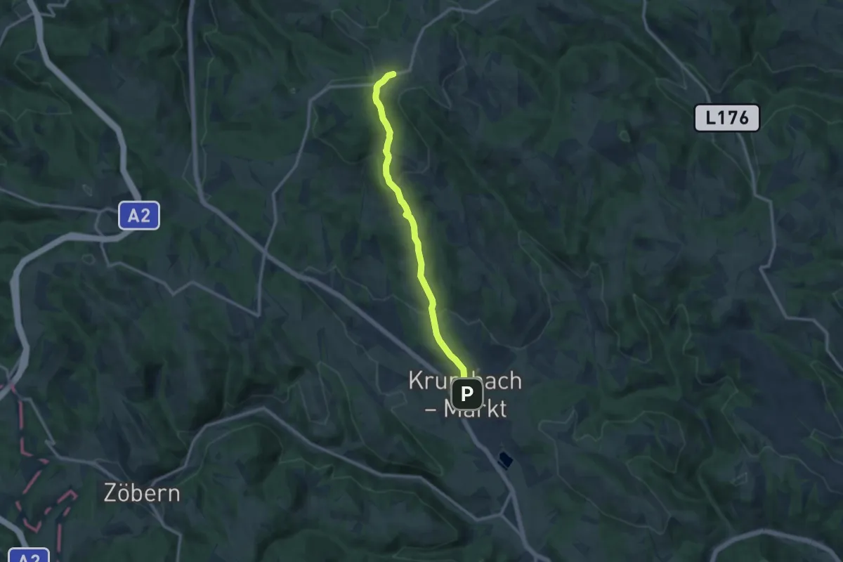
Medium · Trail
Wiesfleck - Krumbach
9.9 km · ↑ 389 m · 3 h 10 min
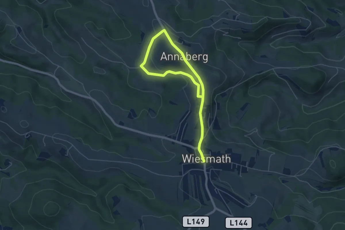
Easy · Trail
Wiesmath - Annaberg - Putzenbauer - Wiesmath
7.1 km · ↑ 145 m · 1 h 59 min
Medium · Trail
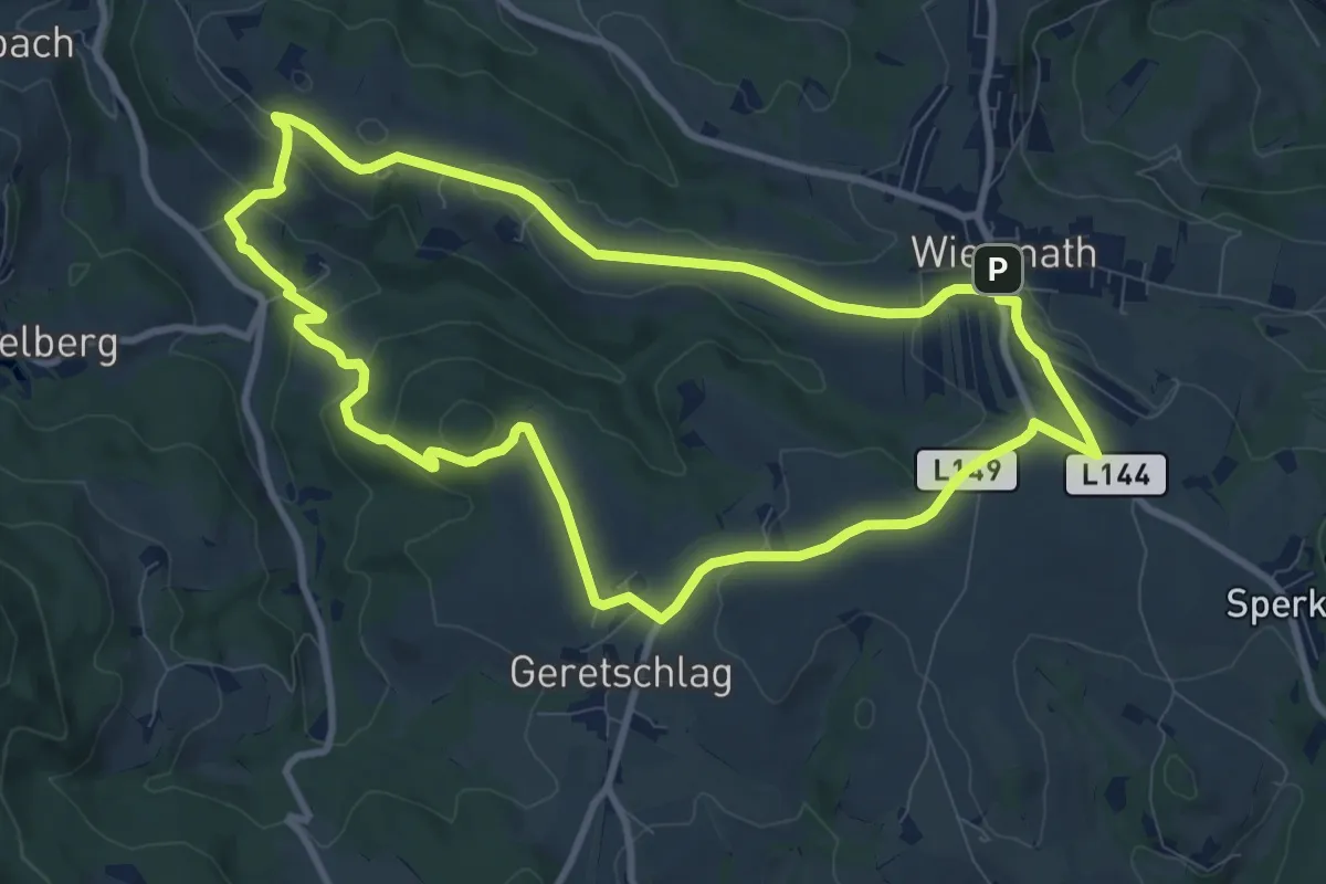
Wiesmath - Badstuberkapelle - Judenbauer - Geretschlag - Wiesmath
9.3 km · ↑ 241 m · 2 h 51 min
Easy · Trail
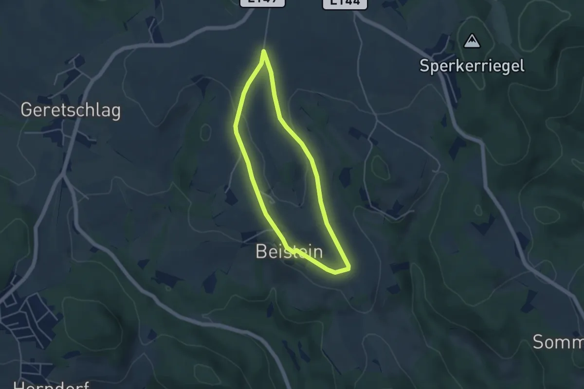
Wiesmath - Beilstein - Wiesmath
3.5 km · ↑ 55 m · 1 h
Easy · Trail
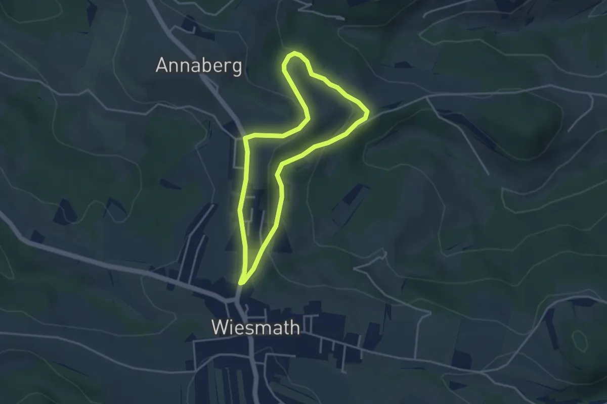
Wiesmath - Hölle Braunstorfer - Annaberg - Wiesmath
3.2 km · ↑ 98 m · 1 h
Easy · Trail
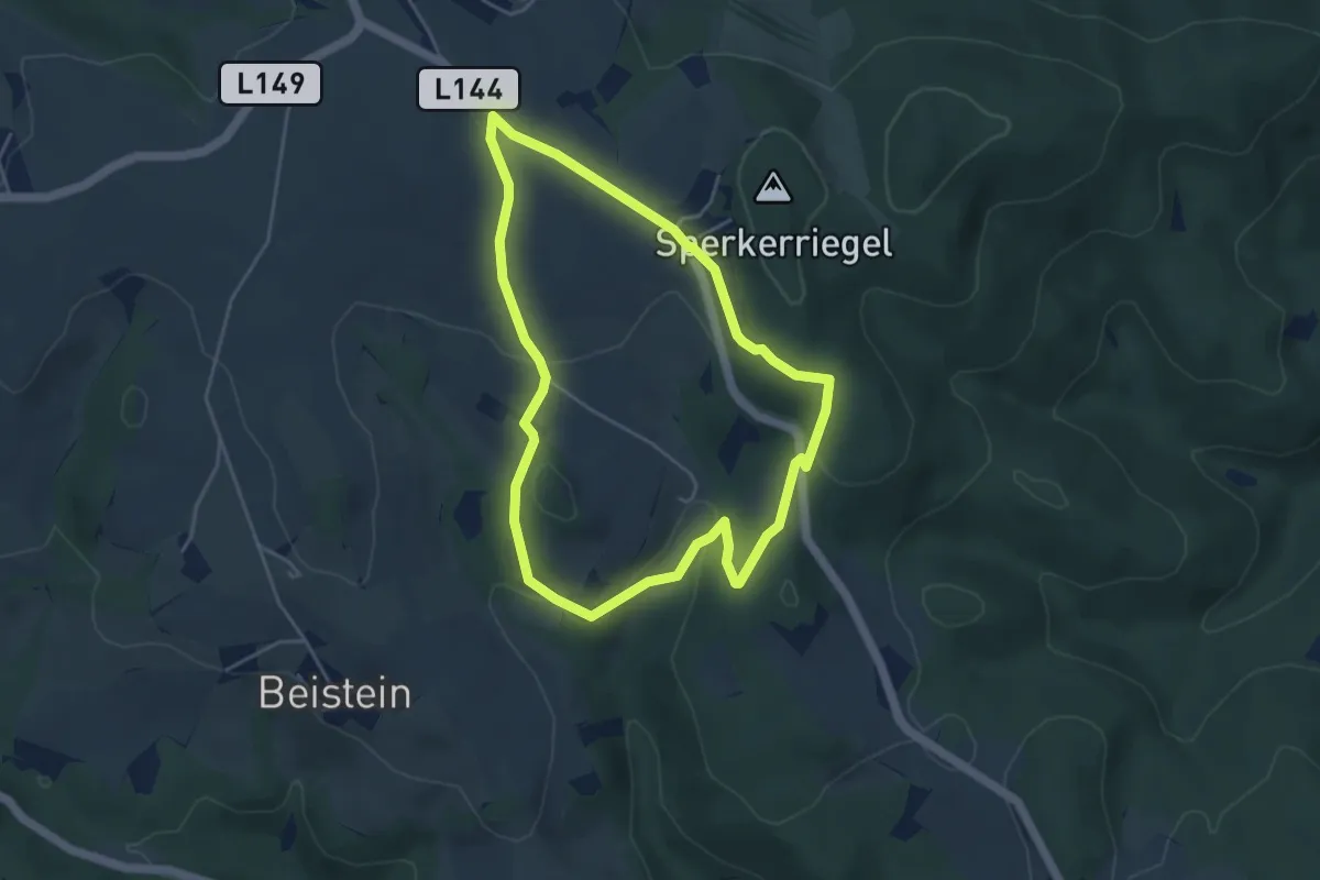
Wiesmath - Lehen - Naturdenkmal Teufelstein - Sperkerriegel - Wiesmath
4.2 km · ↑ 119 m · 1 h 19 min
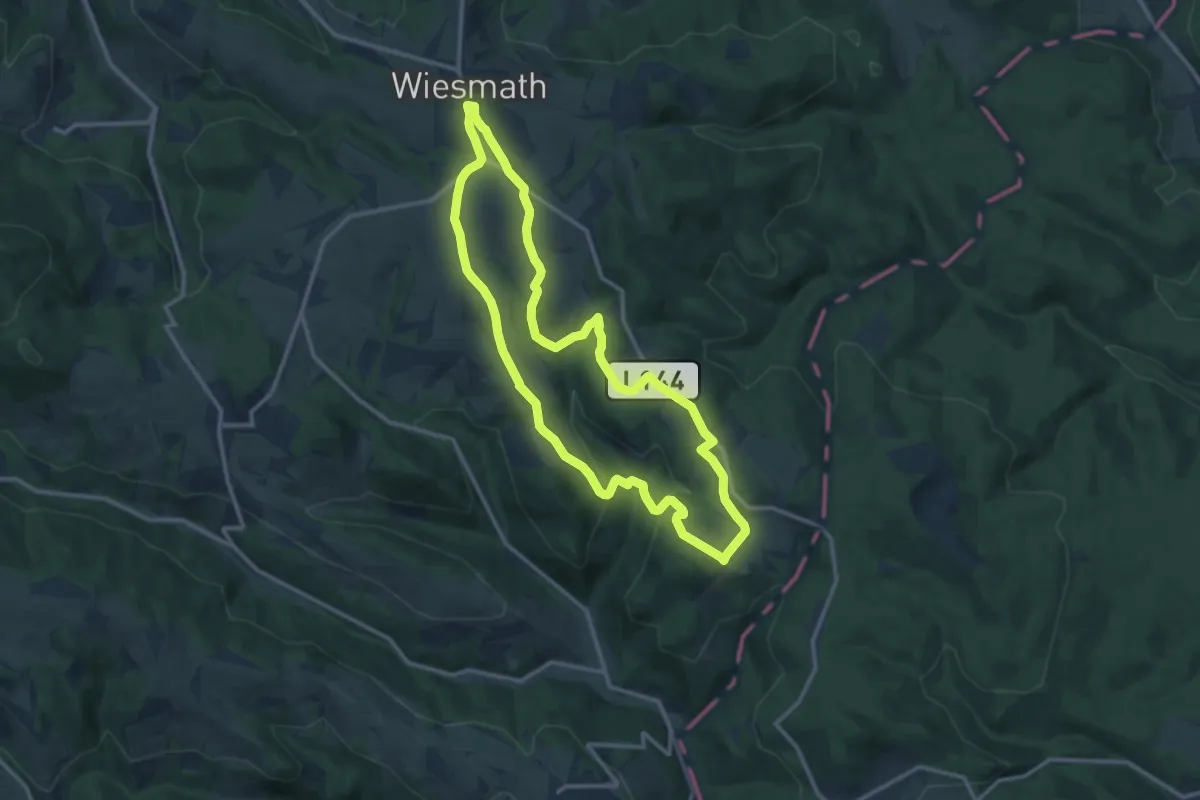
Medium · Trail
Wiesmath - Lehen - Sommerhäuser - Schwarzenberg - Stadtweg - Wiesmath
11.9 km · ↑ 301 m · 3 h 37 min
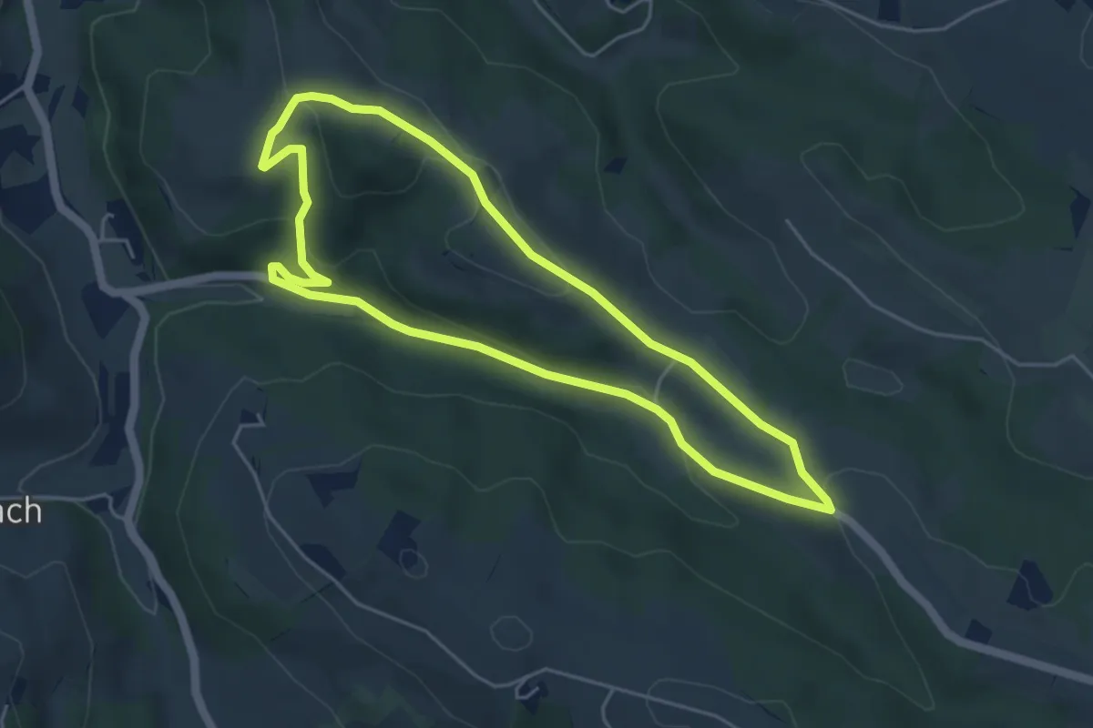
Easy · Trail
Wiesmath - Nußleiten - Süßhof - Wiesmath
4.5 km · ↑ 140 m · 1 h 26 min
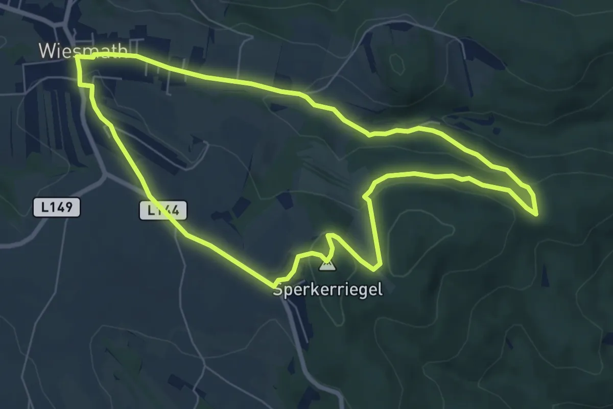
Easy · Summit
Wiesmath -Sperkerriegel - Kindelmühle - Wiesmath
6.7 km · ↑ 177 m · 2 h 3 min
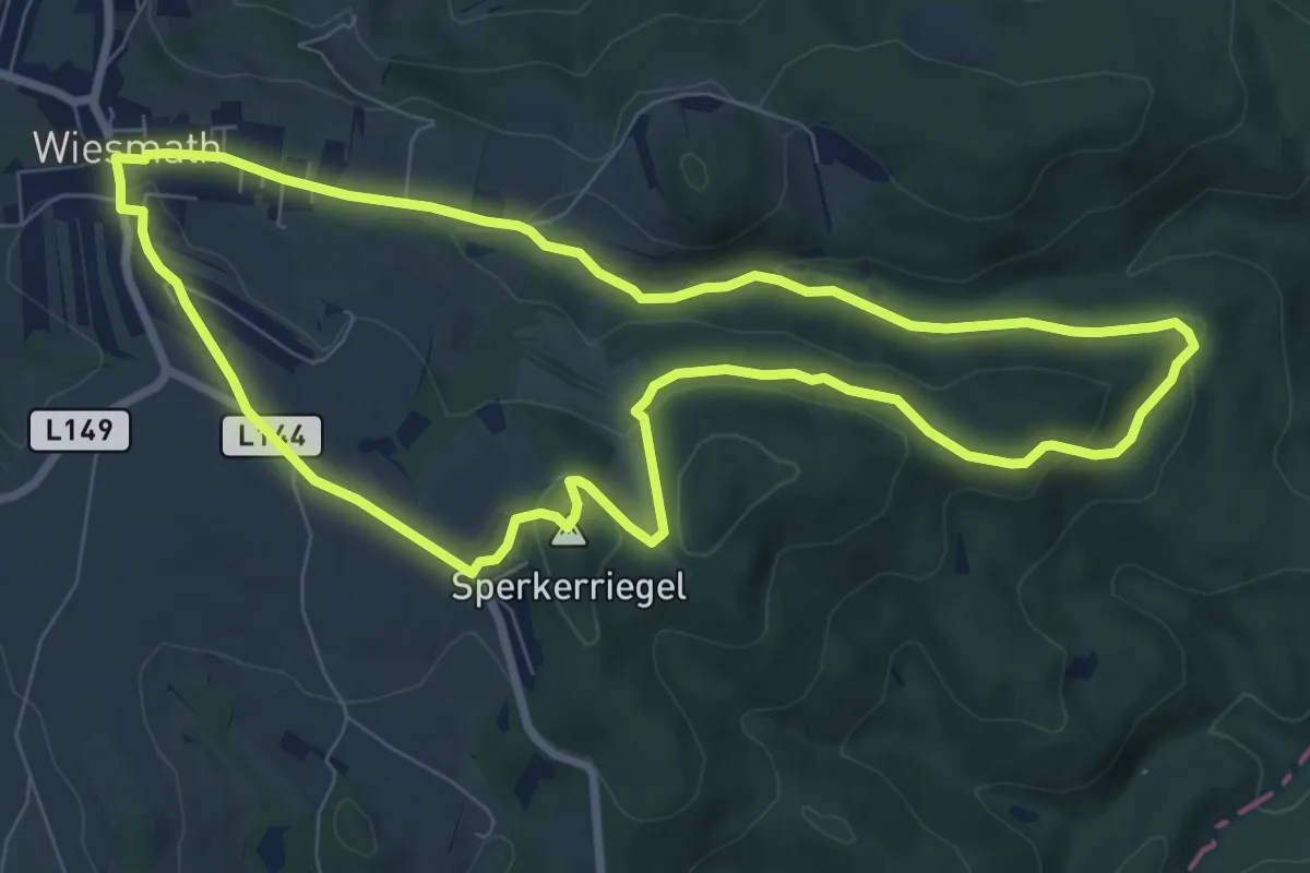
Medium · Summit
Wiesmath - Sperkerriegel - Kreuzeiche - Kindelmühle - Wiesmath
8.2 km · ↑ 232 m · 2 h 33 min