Trails in Austria
9,777 hiking trails, each with its route, climb, walking time and grade.
All trails, page 187 of 204
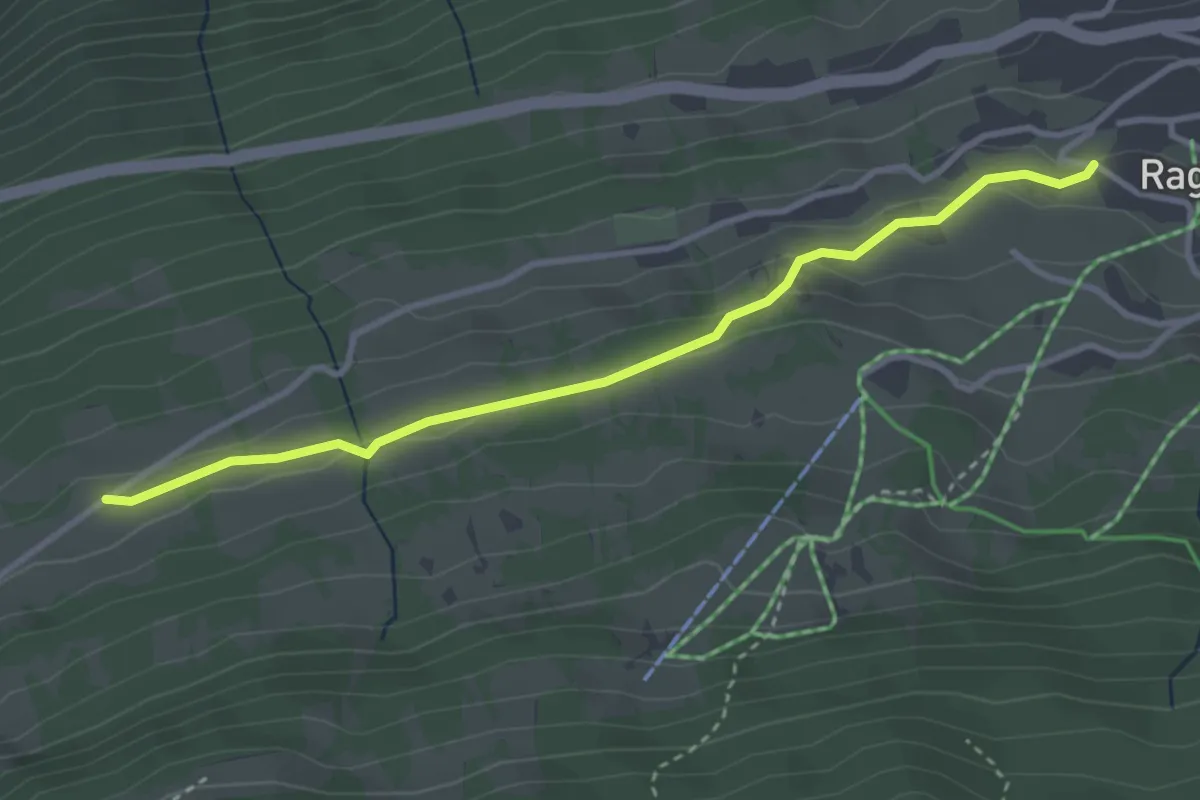
Easy · Trail
Wiesweg
3.3 km · ↑ 86 m · 58 min
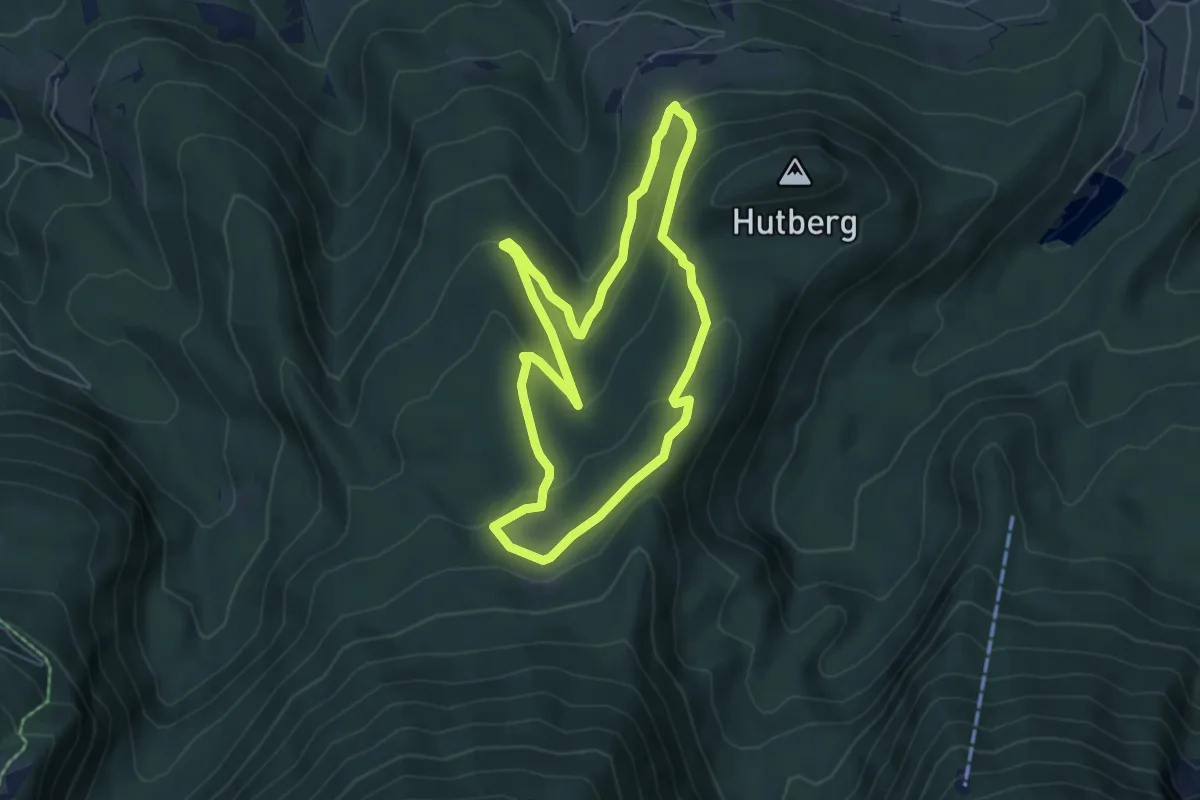
Easy · Trail
Wildererweg
5.3 km · ↑ 199 m · 1 h 45 min
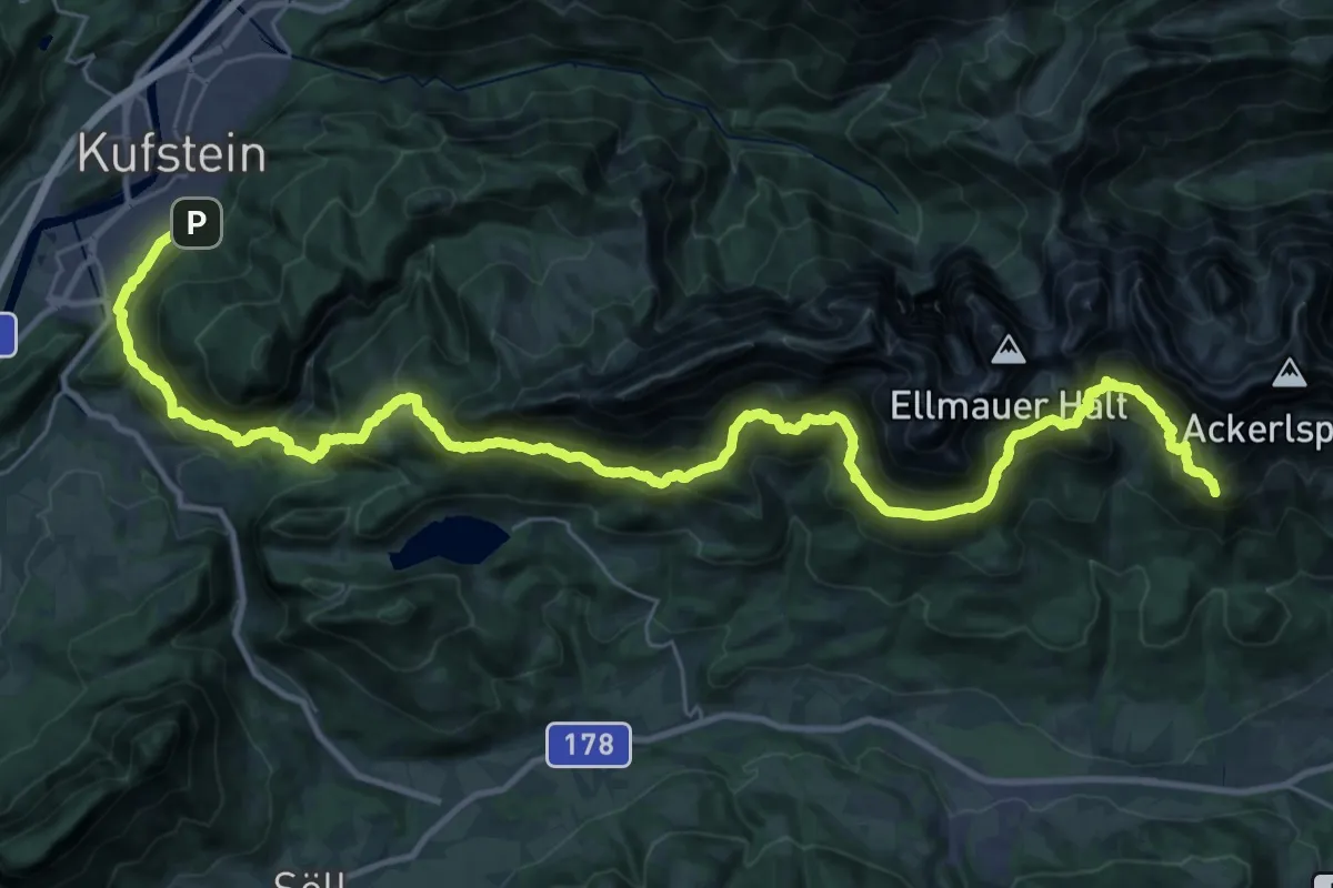
Expert · Summit
Wilder-Kaiser-Steig
41.4 km · ↑ 2559 m · 15 h 20 min
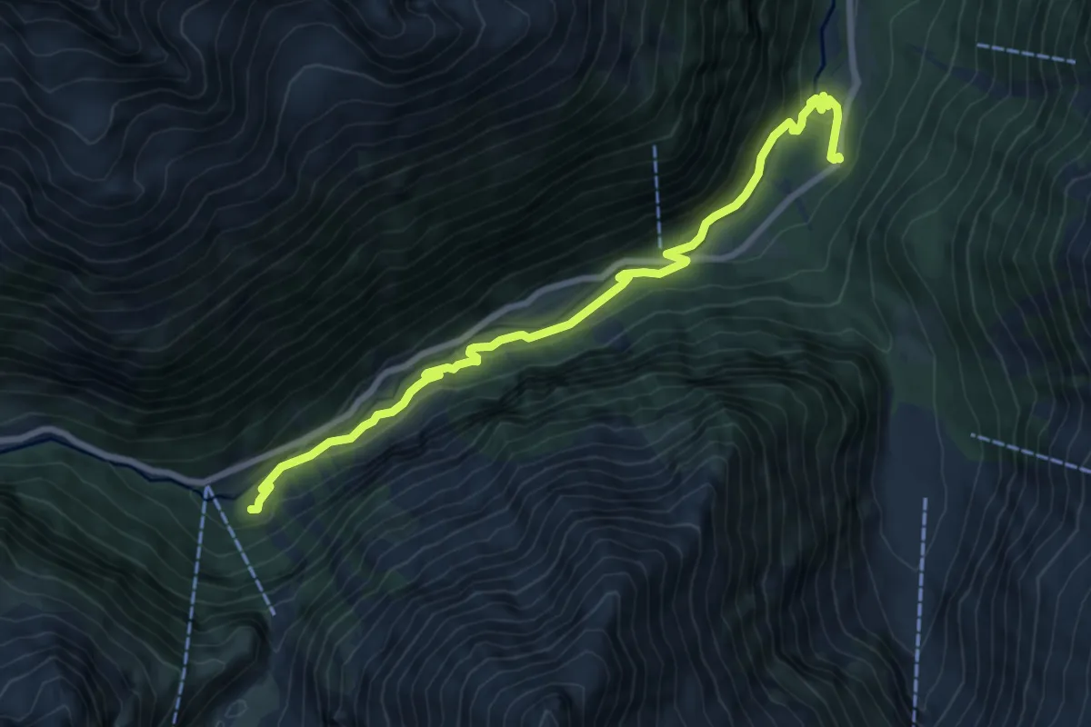
Medium · Trail
Wilde Wasser Weg Etappe 1
8.6 km · ↑ 240 m · 2 h 33 min
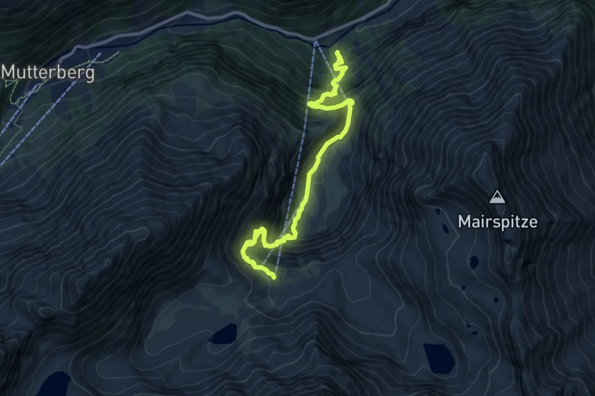
Medium · Cabin
Wilde Wasser Weg Etappe 2
8.2 km · ↑ 693 m · 3 h 26 min
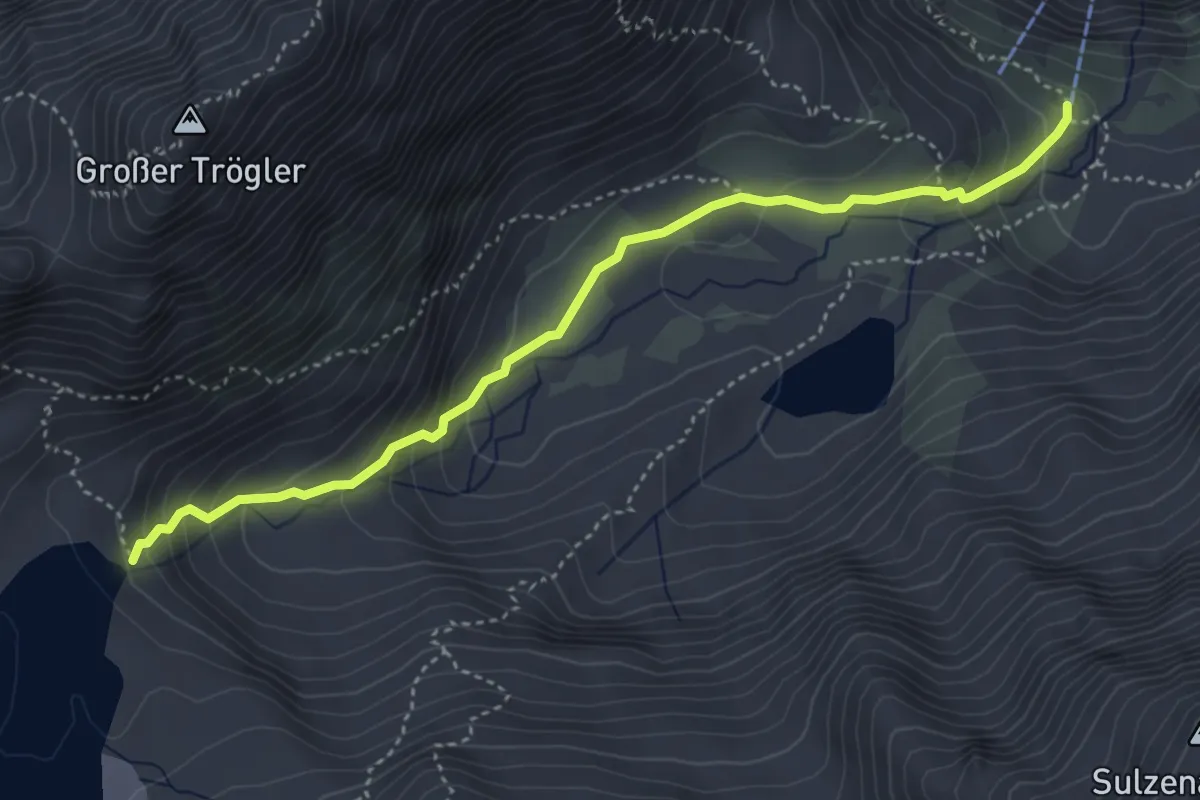
Medium · Cabin
Wilde Wasser Weg Etappe 3
4.3 km · ↑ 293 m · 1 h 39 min
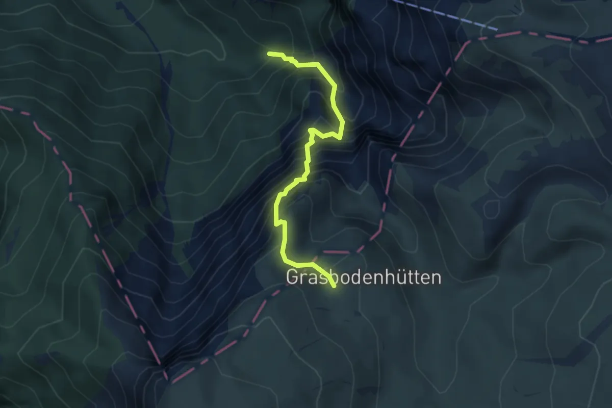
Expert · Trail
Wildfährte 824A
3.6 km · ↑ 705 m · 2 h 23 min
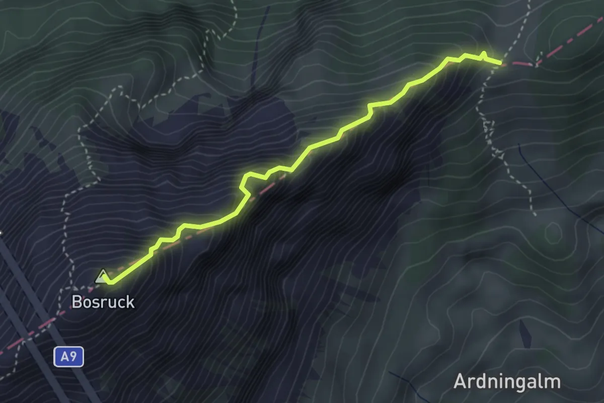
Expert · Summit
Wildfrauensteig
3.3 km · ↑ 606 m · 2 h 5 min
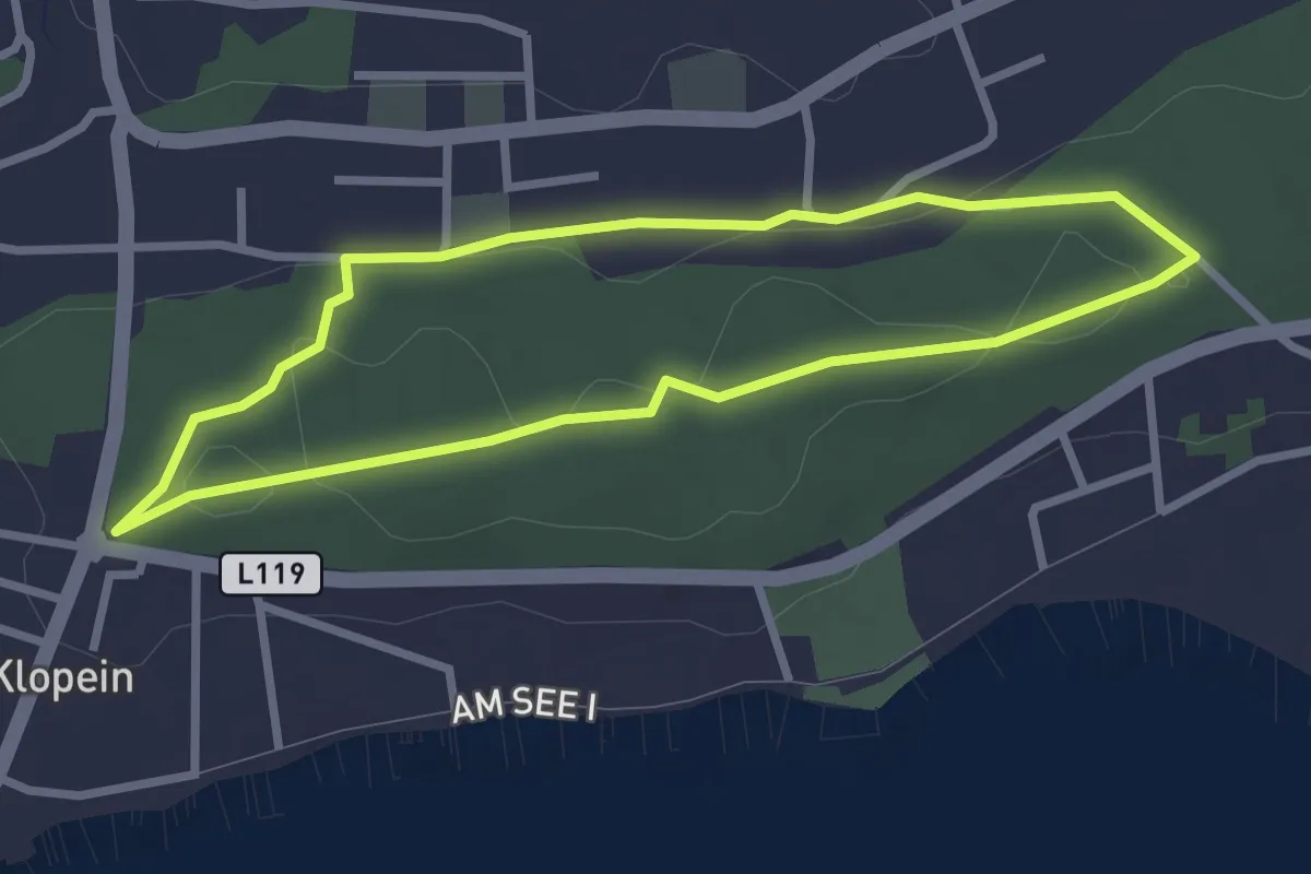
Easy · Trail
Wildgatter Tour
2.6 km · ↑ 35 m · 44 min
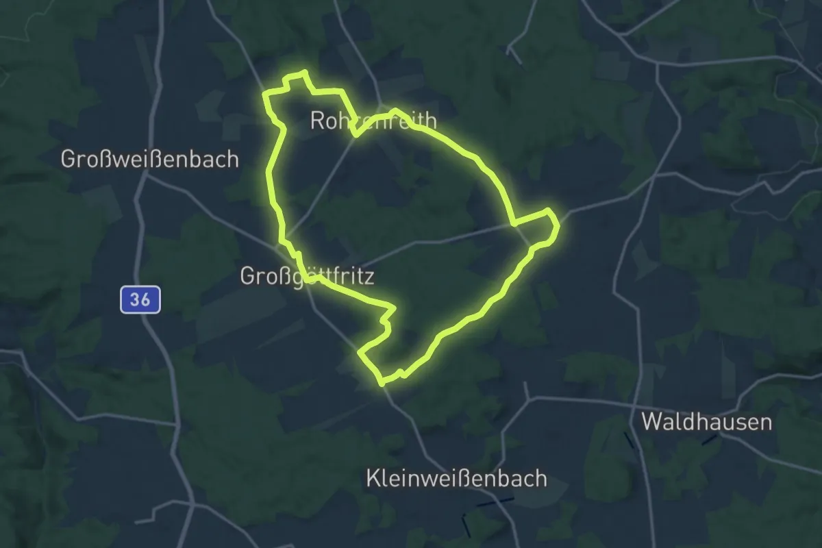
Medium · Summit
Wildkräuterweg
14.4 km · ↑ 254 m · 4 h 9 min
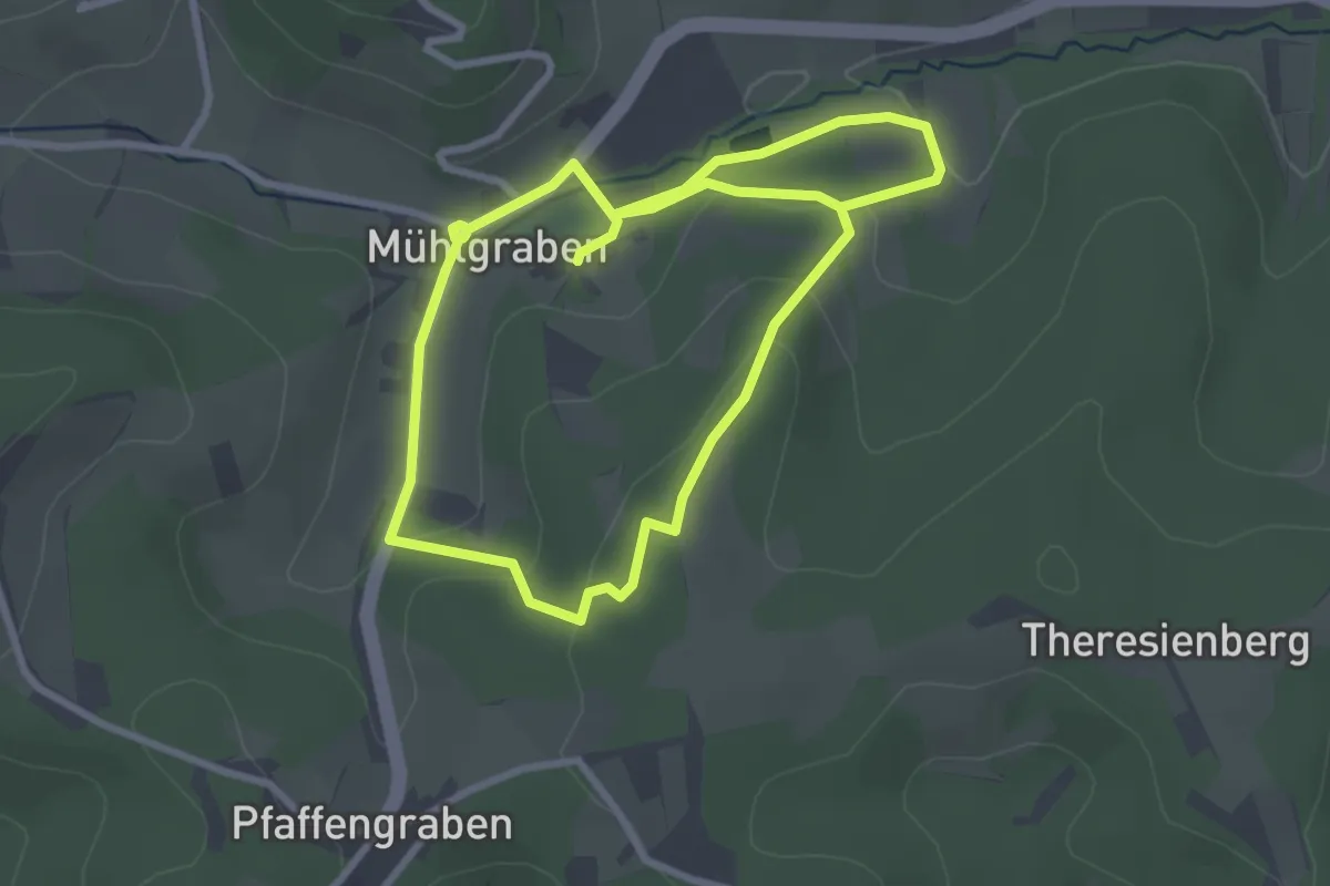
Easy · Trail
Wildwechsel Weg
5.4 km · ↑ 146 m · 1 h 35 min
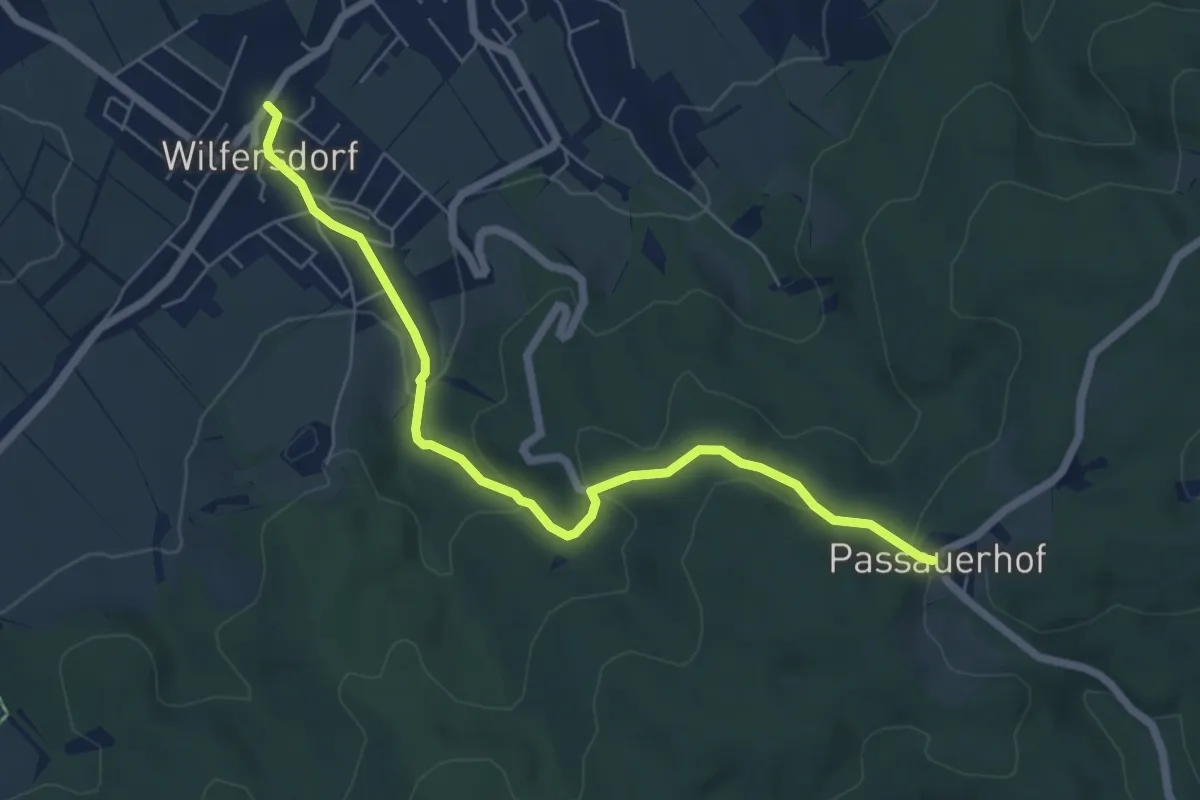
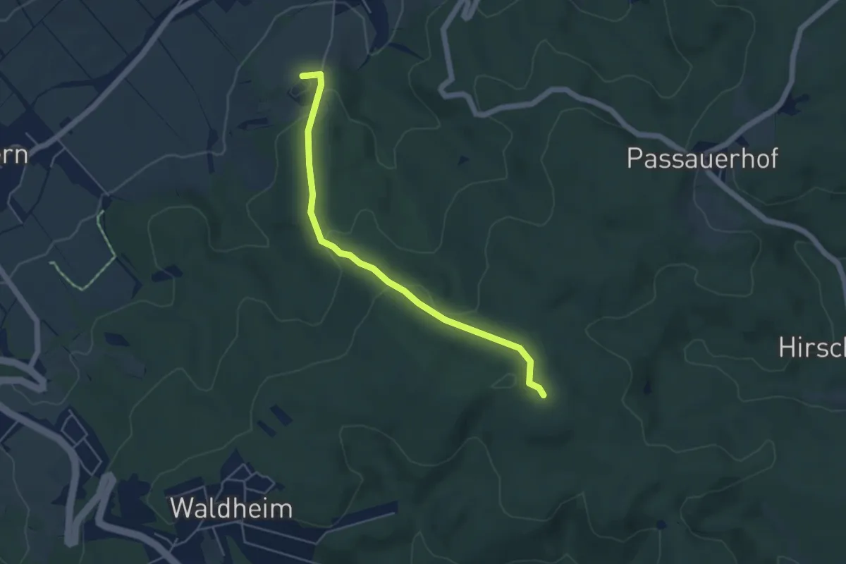
Easy · Trail
Wilfersdorf - Passauerhof
6.2 km · ↑ 185 m · 1 h 52 min
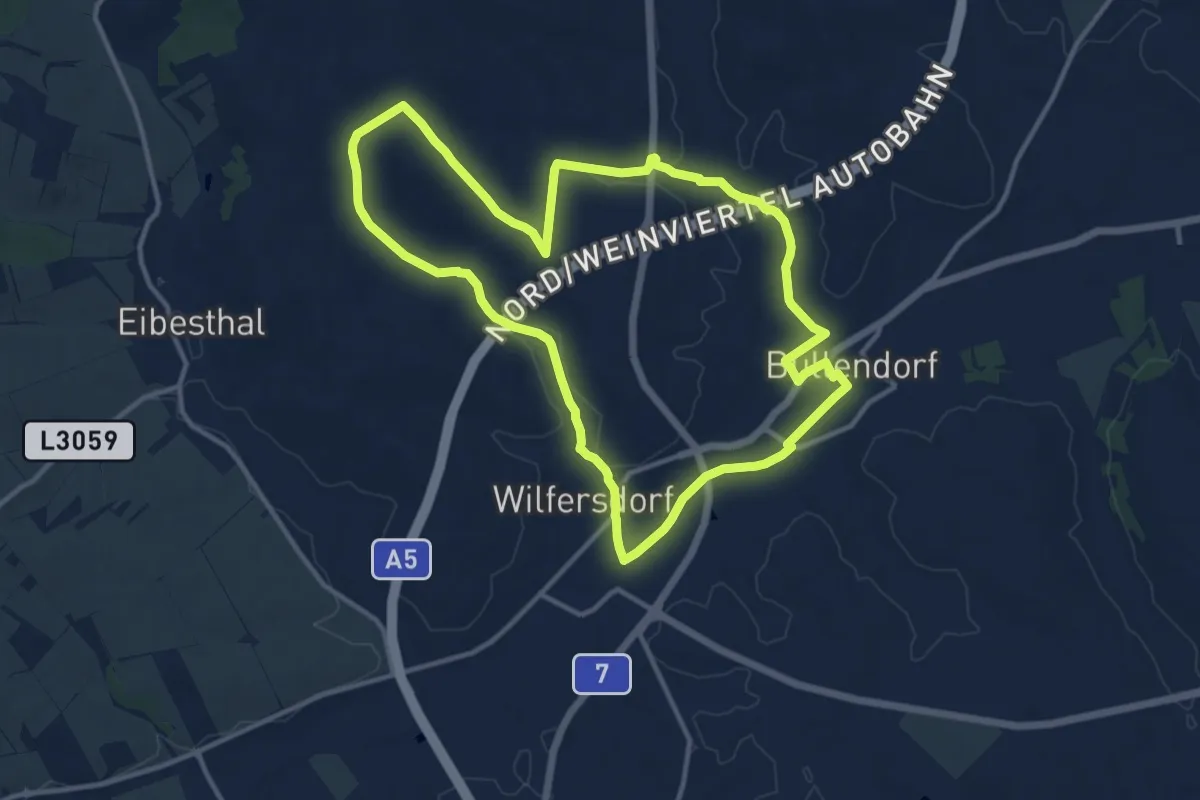
Easy · Summit
Wilfersdorf - Rauchbuchberg
4.5 km · ↑ 148 m · 1 h 23 min
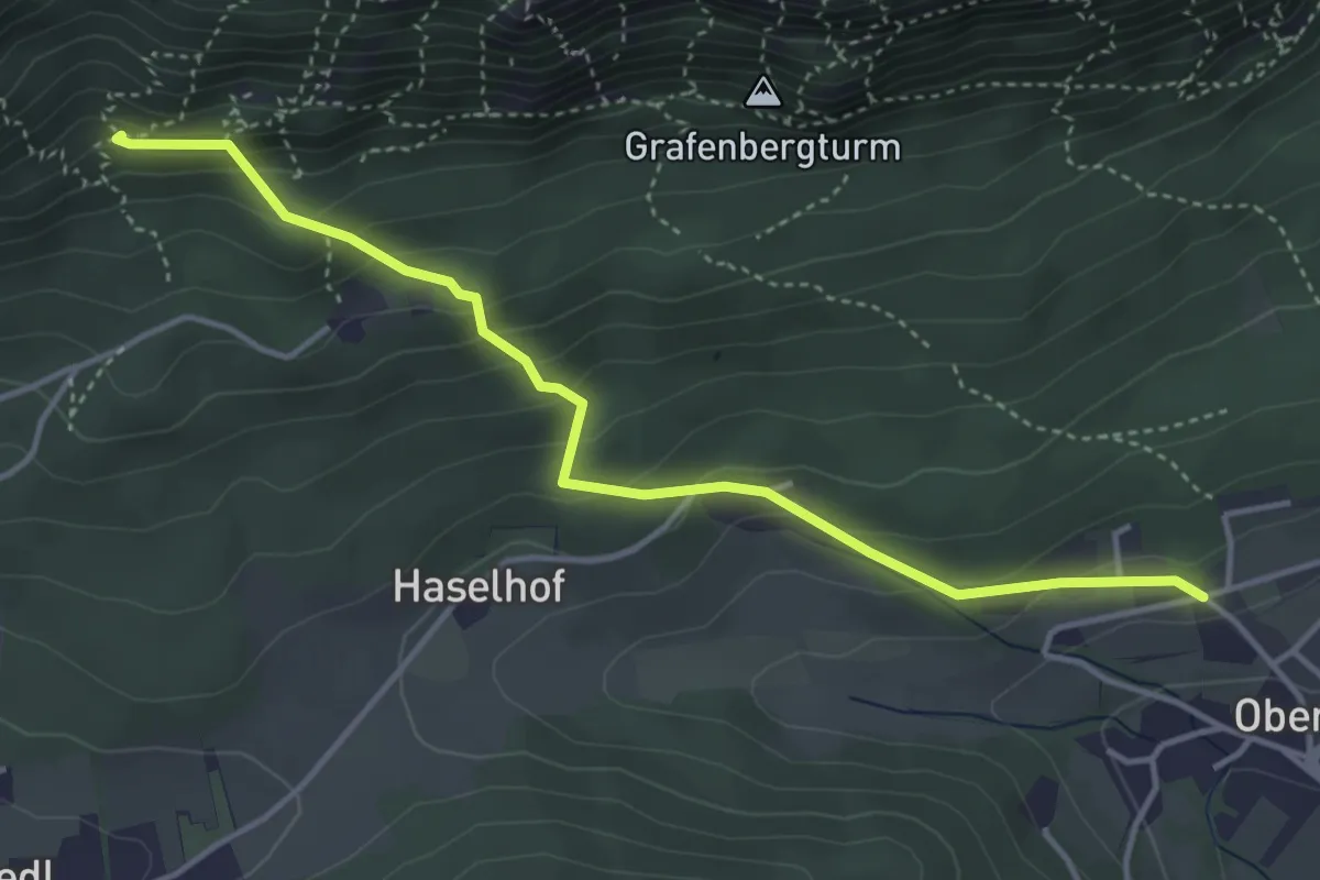
Medium · Trail
Wilfersdorf, Wasserweg
11.9 km · ↑ 99 m · 3 h 11 min
Medium · Trail
Wilh. Eicherthütte über Bindersteig (Oberhöflein - Seiser Toni)
4.2 km · ↑ 298 m · 1 h 38 min
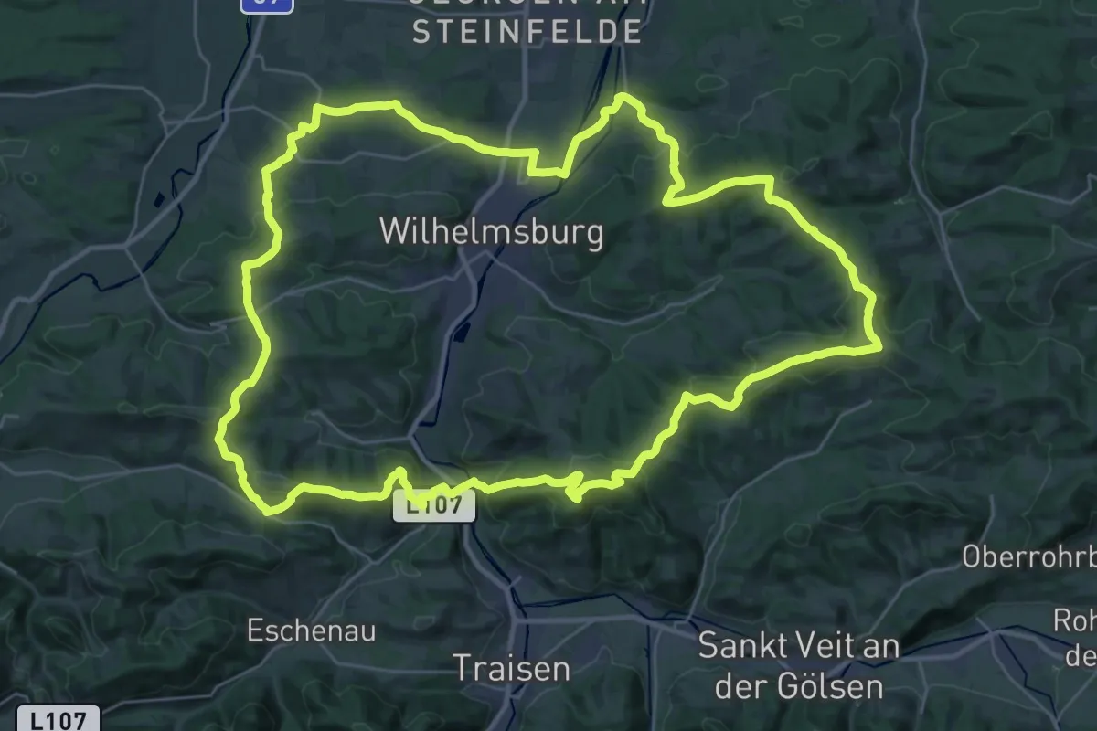
Demanding · Summit
Wilhelmsburger Rundwanderweg
34.5 km · ↑ 1068 m · 10 h 57 min
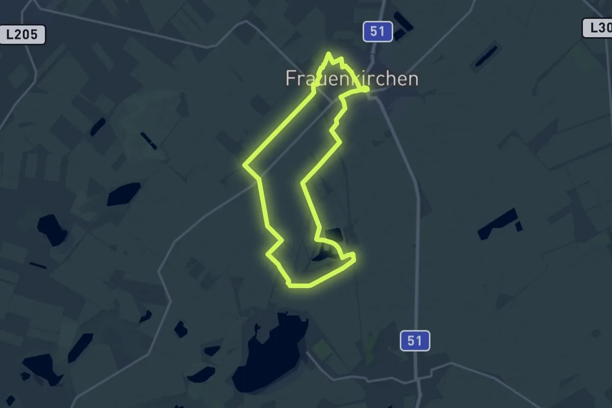
Medium · Trail
Wilhelmshof-Turn
13.6 km · ↑ 4 m · 3 h 24 min
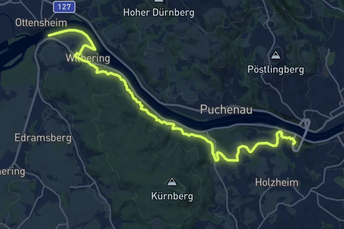
Demanding · Summit
Wilhering - Linz Donausteig Etappe
22.0 km · ↑ 612 m · 6 h 31 min
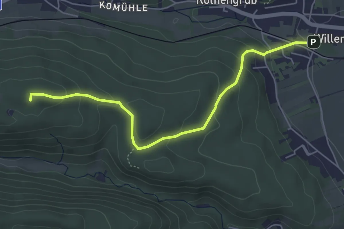
Easy · Summit
Willendorf - Greith
4.8 km · ↑ 184 m · 1 h 32 min
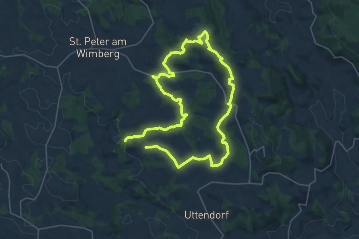
Medium · Trail
Wimberg-Panorama-Mühlenweg
15.0 km · ↑ 360 m · 4 h 34 min
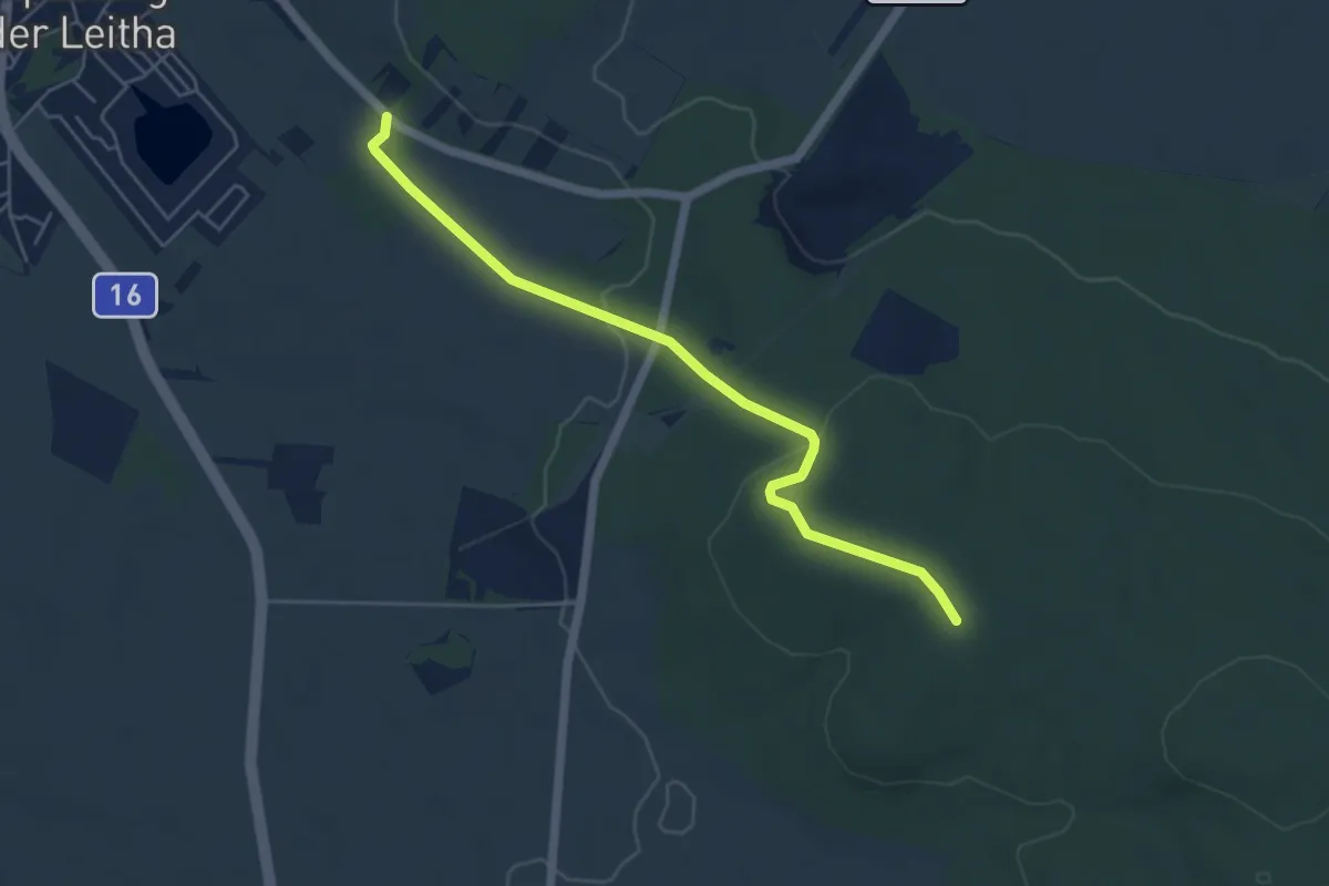
Easy · Summit
Wimpassing - Stern (Anschluß Hornstein - Loretto)
5.2 km · ↑ 118 m · 1 h 29 min
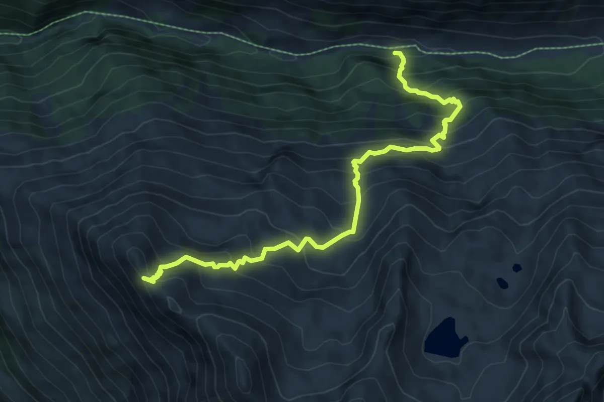
Demanding · Cabin
Windachtal - Brunnenkogel-Schutzhaus
7.8 km · ↑ 823 m · 3 h 38 min
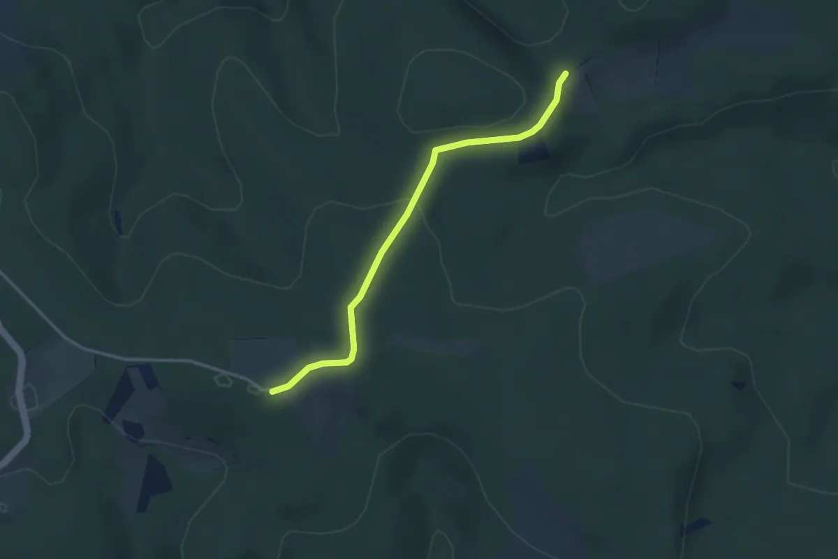
Easy · Trail
Windischhütte - Eichenhain
3.0 km · ↑ 84 m · 54 min
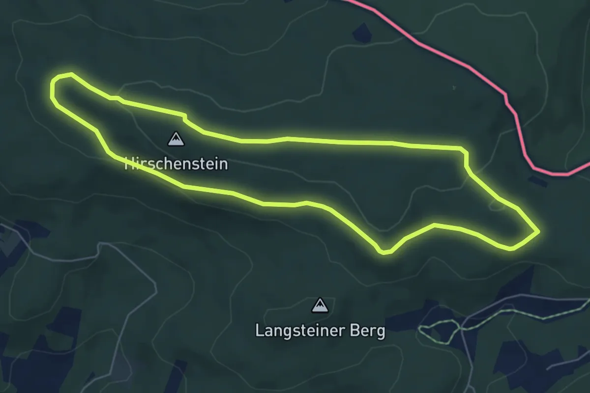
Easy · Summit
Windparkrunde
5.7 km · ↑ 104 m · 1 h 39 min
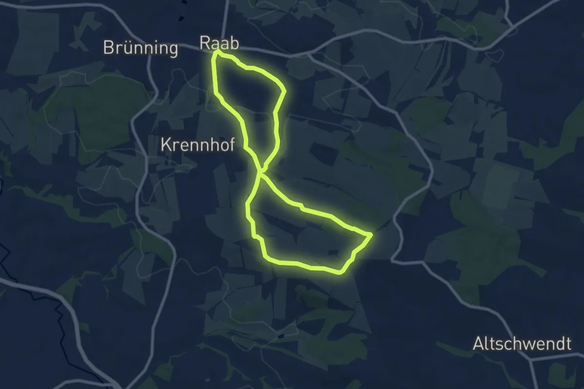
Easy · Summit
Windräderweg
6.9 km · ↑ 129 m · 2 h 1 min
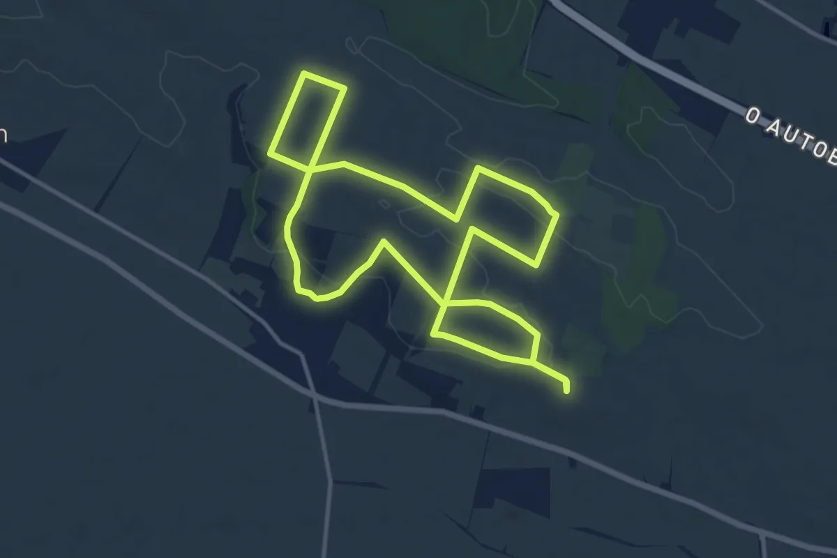
Medium · Summit
Wind-Wein-Weg (Windpark Trautmannsdorf)
10.3 km · ↑ 126 m · 2 h 51 min
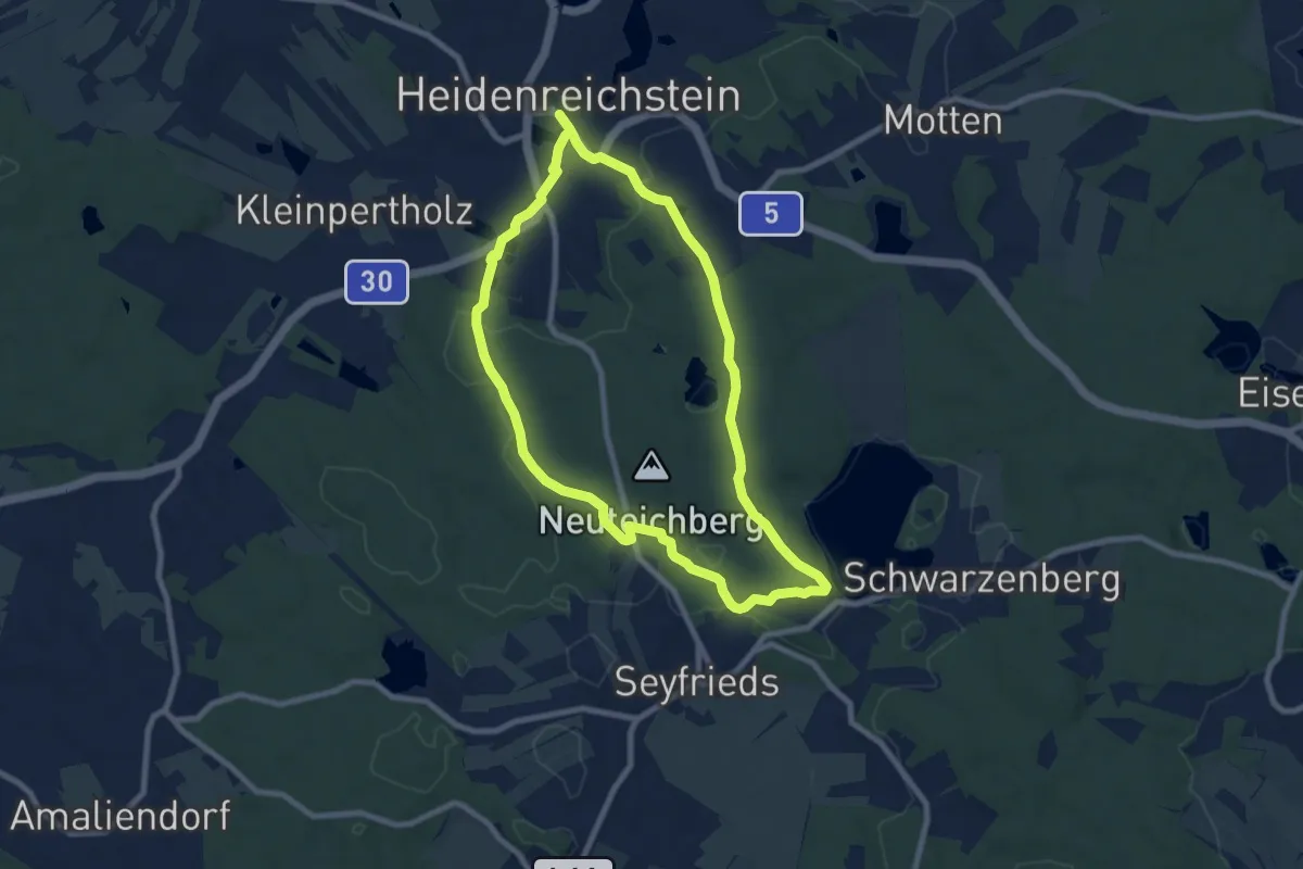
Easy · Summit
Winkelauerteich Weg
7.4 km · ↑ 110 m · 2 h 5 min
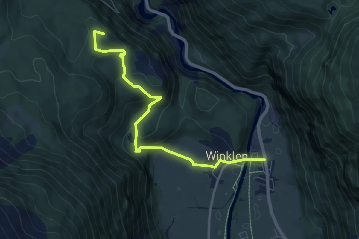
Medium · Summit
Winklen - Köfels
7.4 km · ↑ 290 m · 2 h 23 min
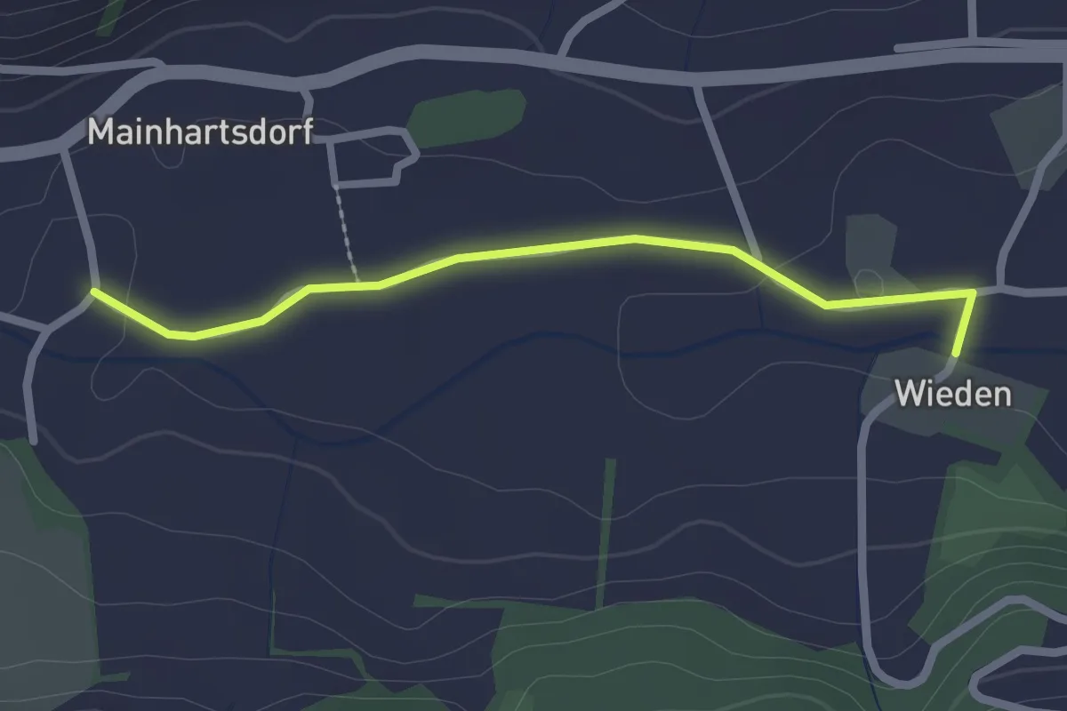
Easy · Trail
Winklern-Rundweg
1.1 km · ↑ 10 m · 17 min
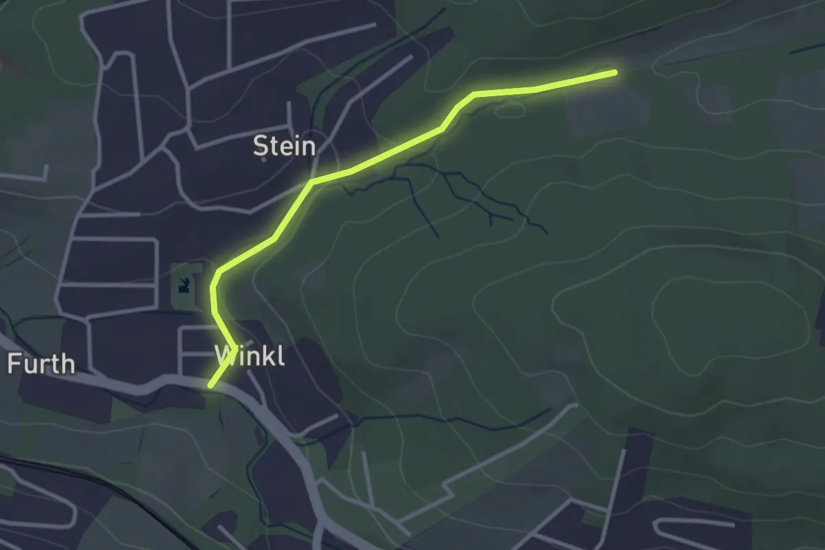
Easy · Trail
Winkl zum Höhenwanderweg
2.8 km · ↑ 54 m · 46 min
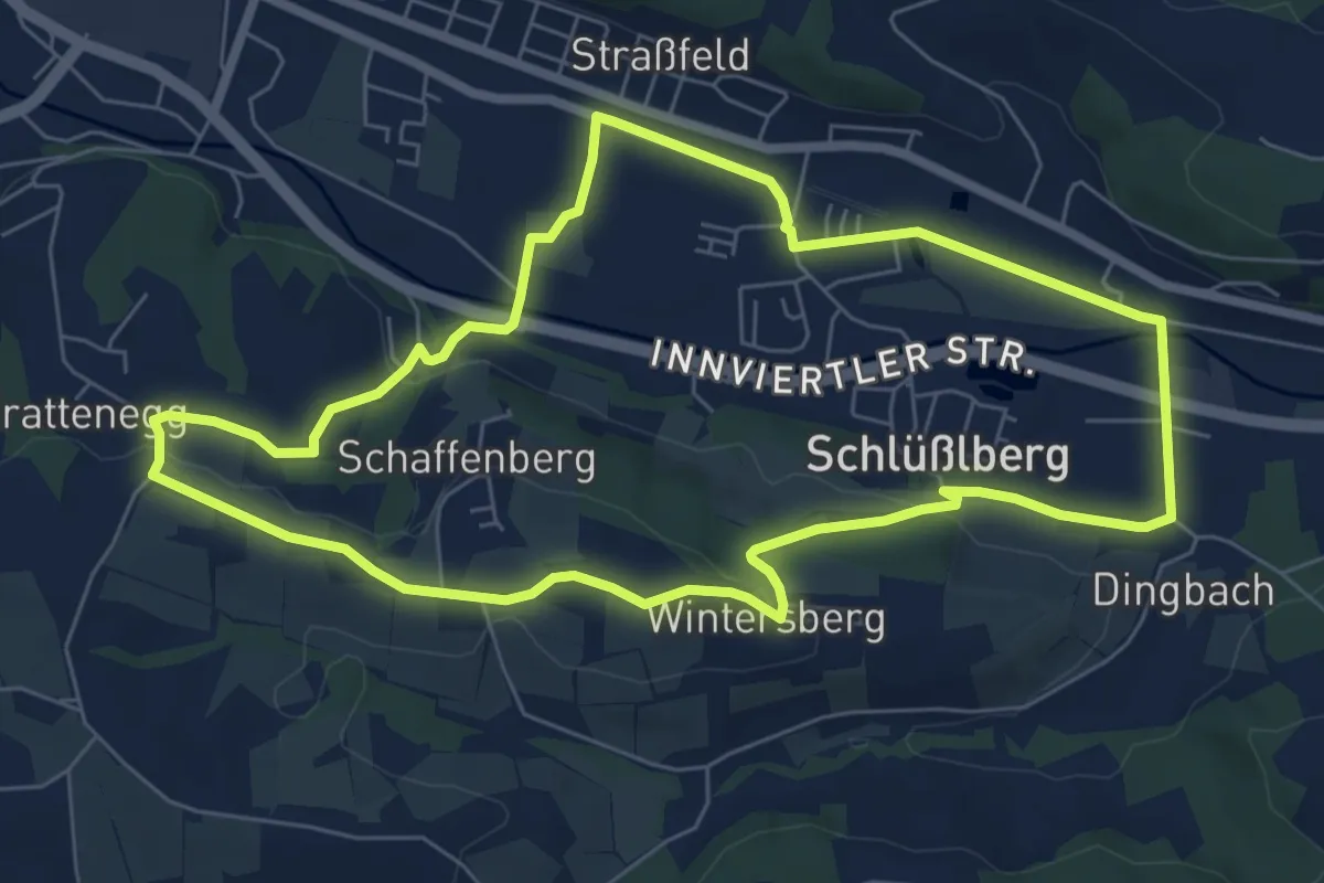
Easy · Trail
Wintersberg-Runde
6.8 km · ↑ 106 m · 1 h 56 min
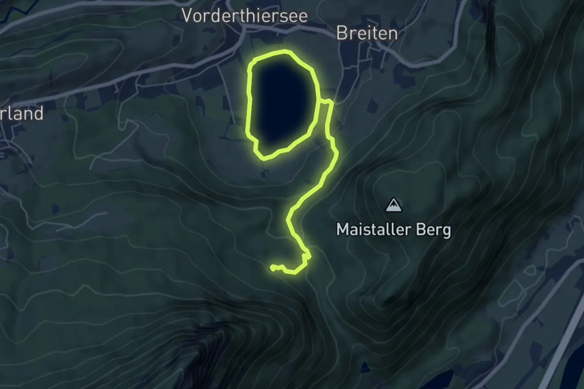
Easy · Trail
Winterwanderweg Breitenau Mitterland Thierseerundweg
7.3 km · ↑ 158 m · 2 h 4 min
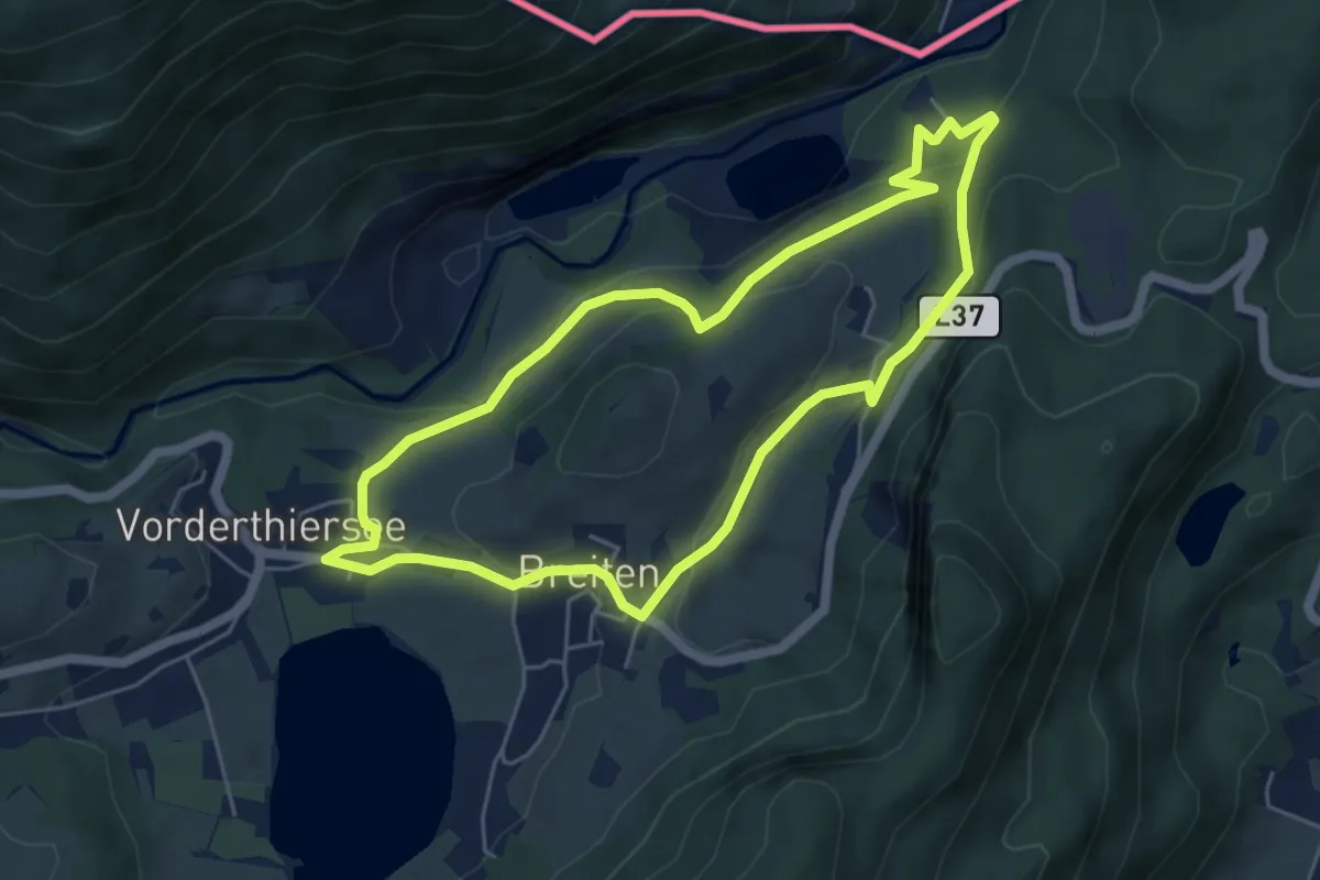
Easy · Trail
Winterwanderweg Vorderthiersee Wachtl
5.1 km · ↑ 145 m · 1 h 35 min
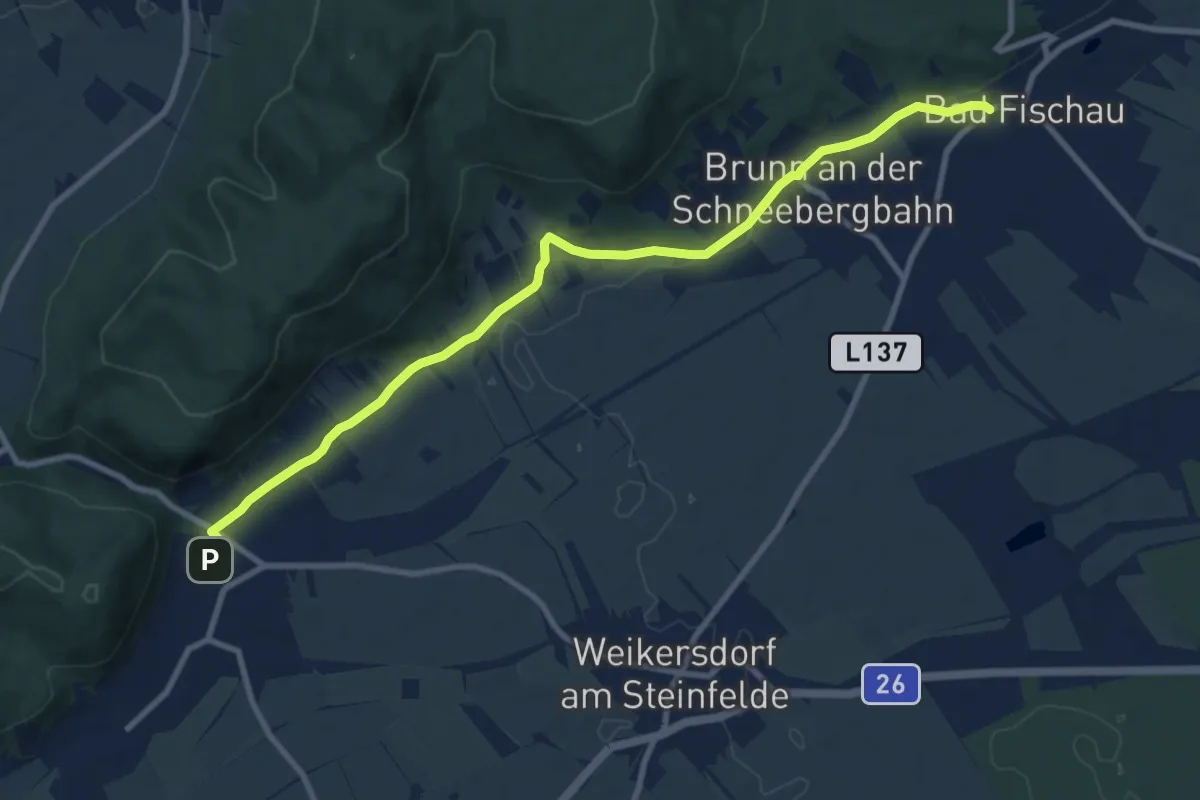
Medium · Trail
Winzendorf - Bad Fischau
10.1 km · ↑ 123 m · 2 h 40 min
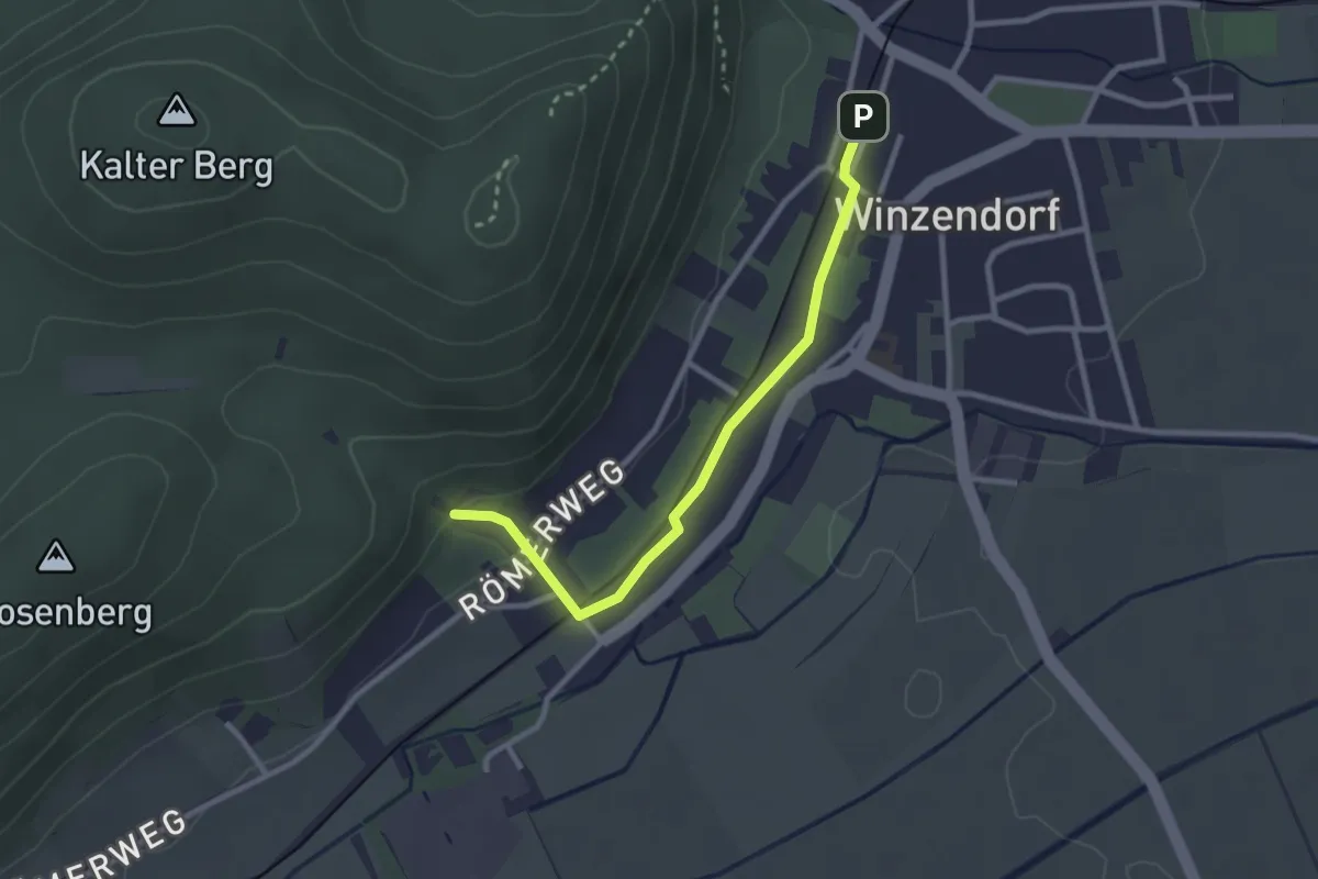
Easy · Trail
Winzendorf Bhf - Anschluß Waldandacht
2.6 km · ↑ 34 m · 41 min
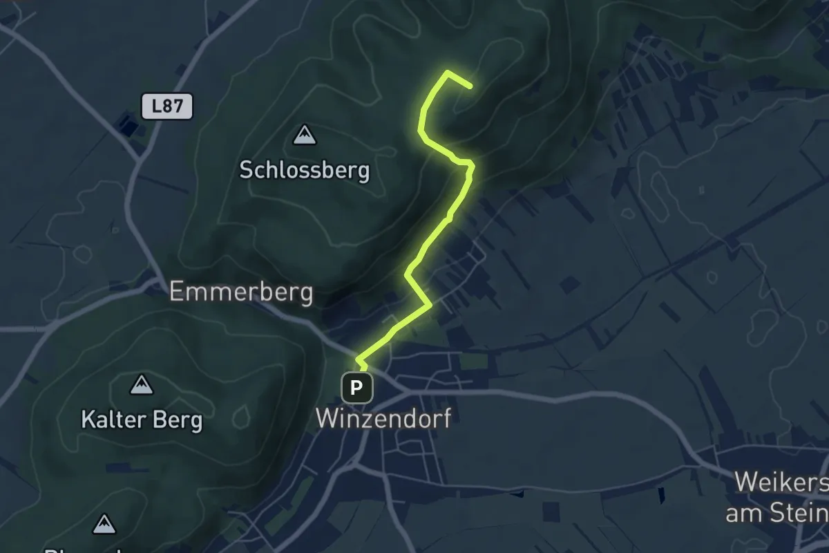
Easy · Summit
Winzendorf - Engelsberg
4.7 km · ↑ 227 m · 1 h 36 min
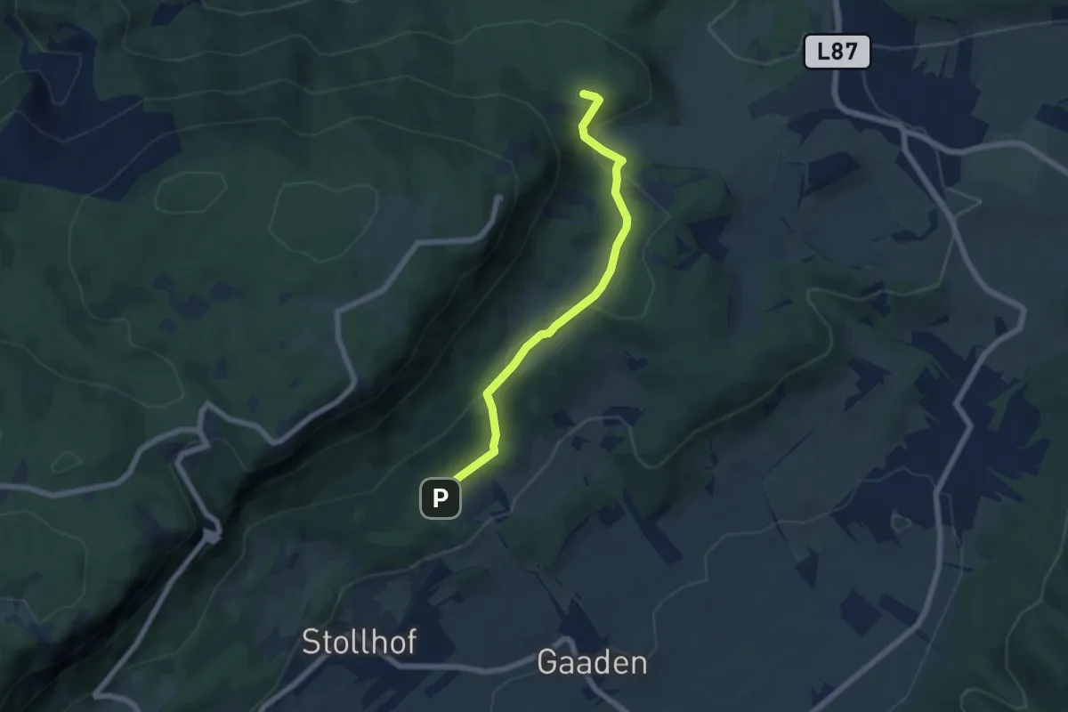
Easy · Trail
Winzendorf - Gaaden - Loderhof - Frankenhof - Drobilsteig
5.5 km · ↑ 162 m · 1 h 40 min
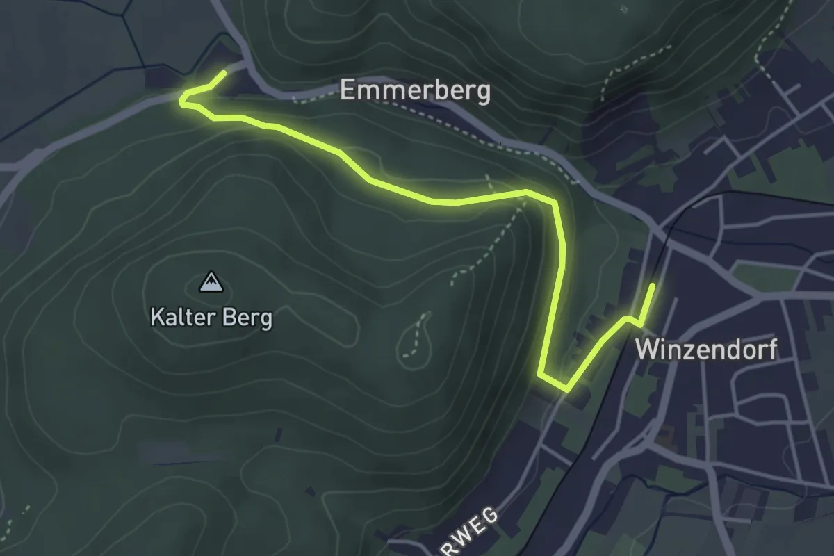
Easy · Trail
Winzendorf - Gasthof Teichmühle
4.1 km · ↑ 143 m · 1 h 17 min
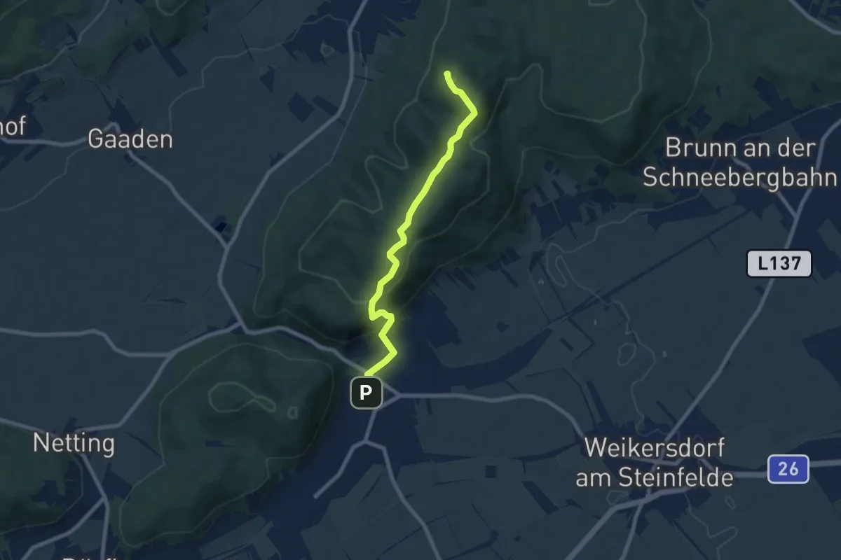
Medium · Summit
Winzendorf - Größenberg
6.8 km · ↑ 384 m · 2 h 27 min
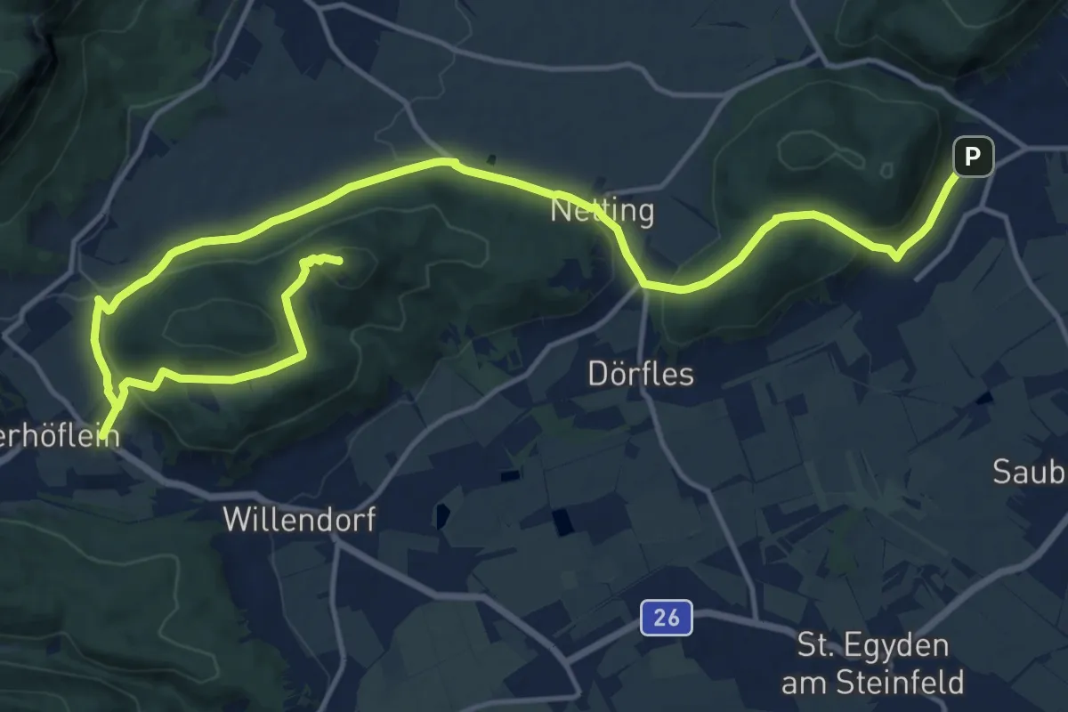
Demanding · Summit
Winzendorf - Netting - Kienberg - Unterhöflein
20.3 km · ↑ 627 m · 6 h 10 min
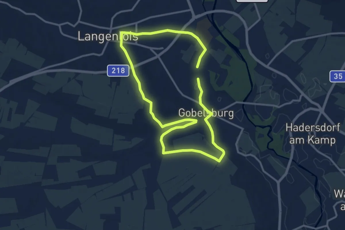
Easy · Trail
Winzerdorfweg, Nr. 63
7.5 km · ↑ 87 m · 2 h 3 min
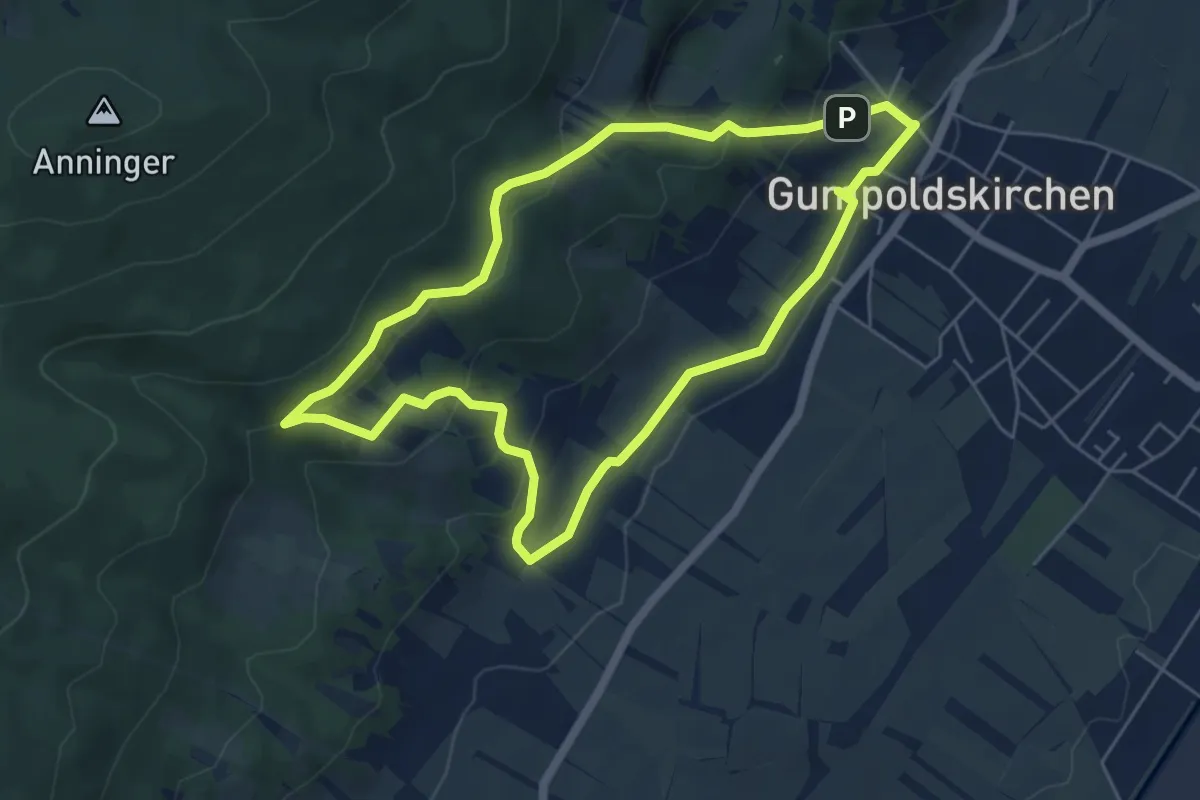
Easy · Summit
Winzerhotel Runde bei Gumpoldskirchen
5.3 km · ↑ 170 m · 1 h 42 min
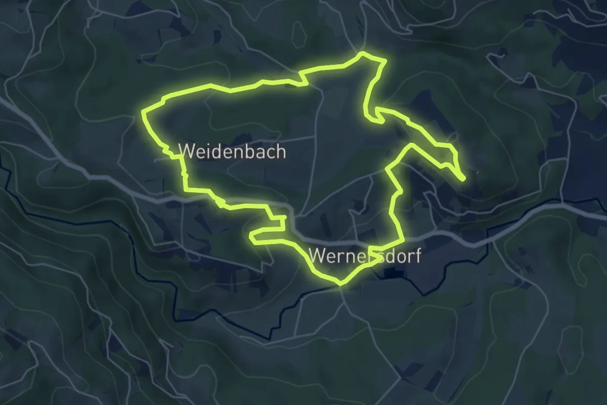
Easy · Trail
Winzerweg
6.6 km · ↑ 258 m · 2 h 12 min
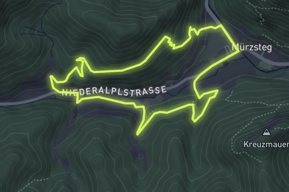
Easy · Trail
Wipploch Rundweg
5.0 km · ↑ 155 m · 1 h 35 min
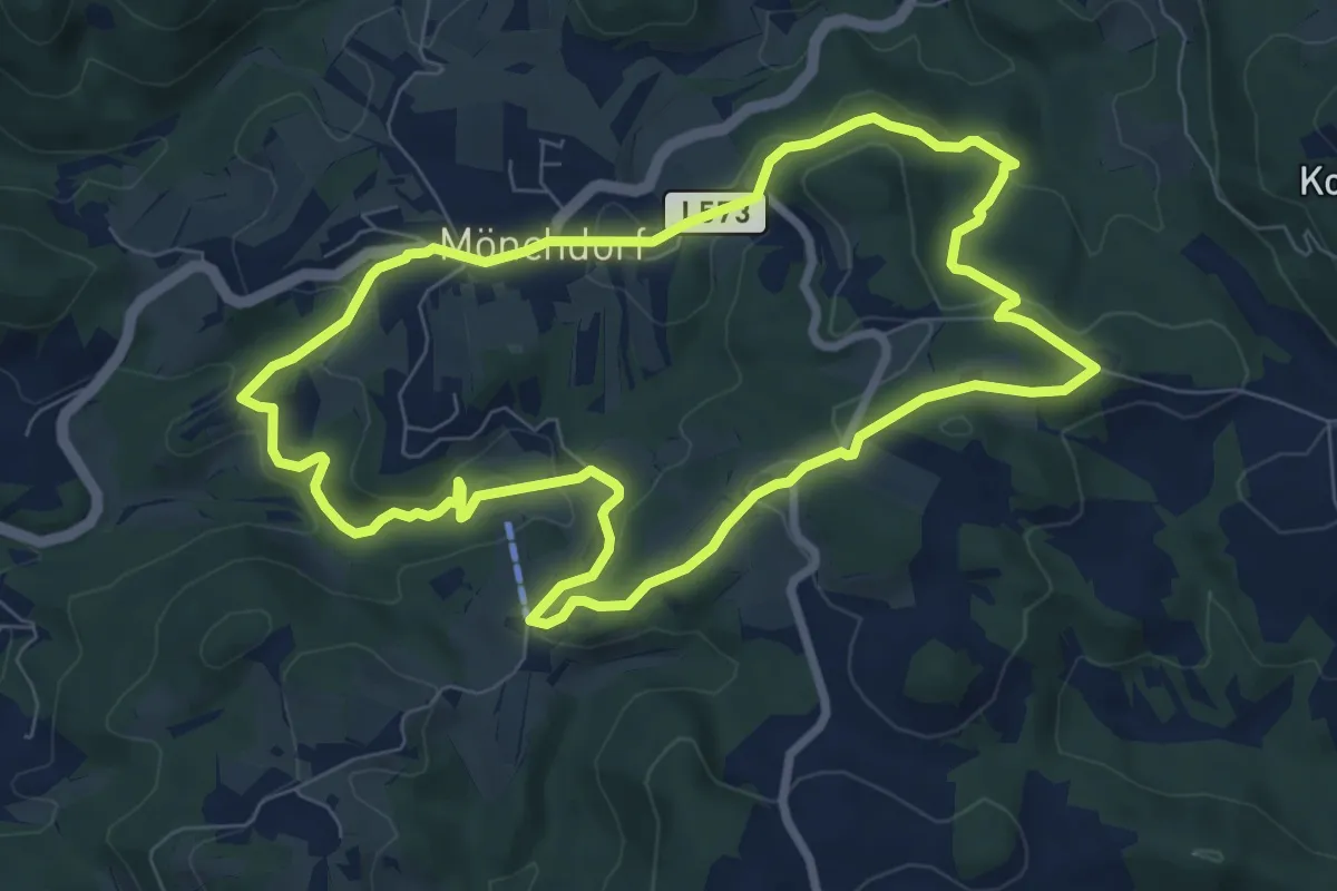
Easy · Trail
Wird Nett Fad Weg
7.7 km · ↑ 241 m · 2 h 27 min
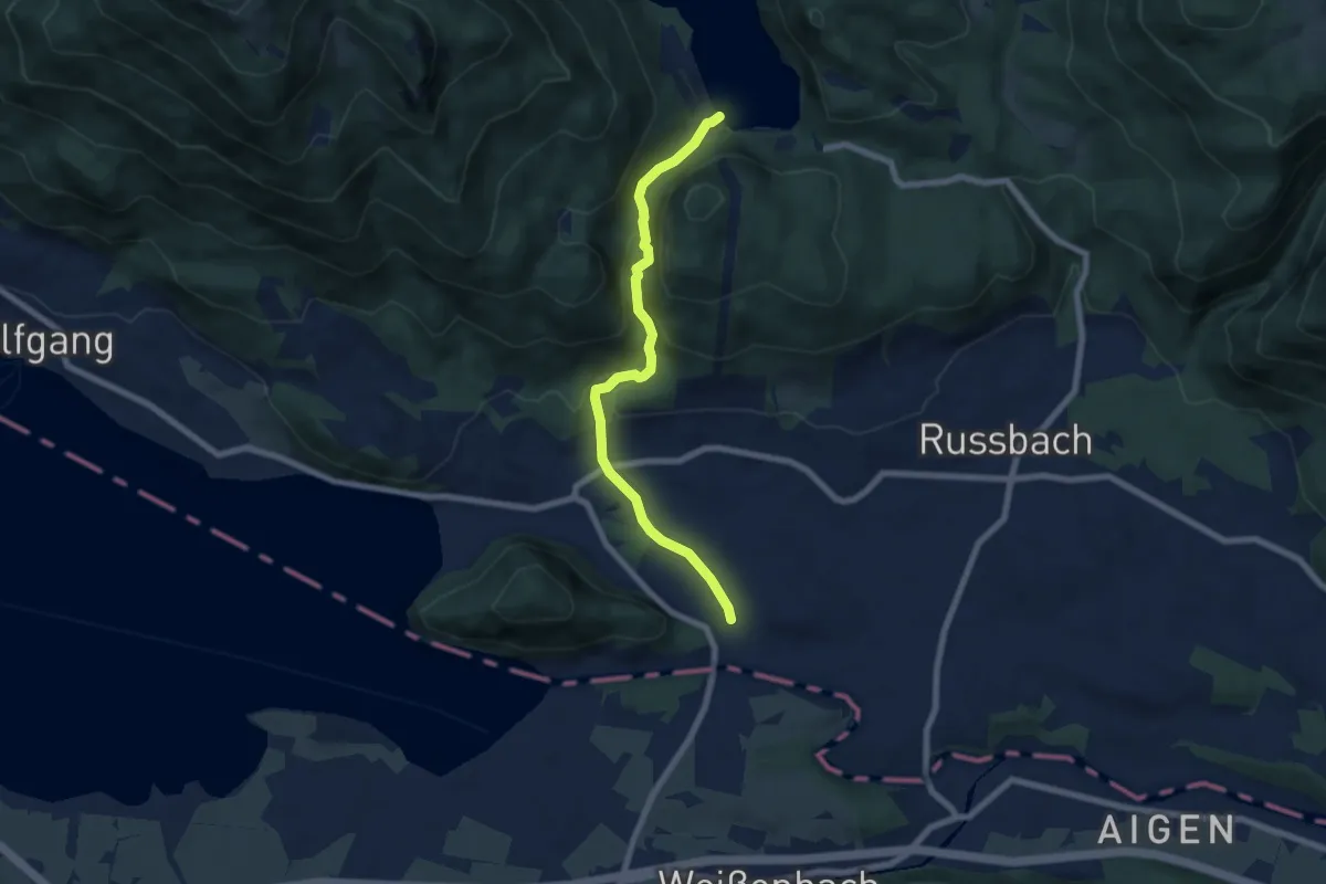
Demanding · Trail
Wirersteig
6.7 km · ↑ 278 m · 2 h 10 min
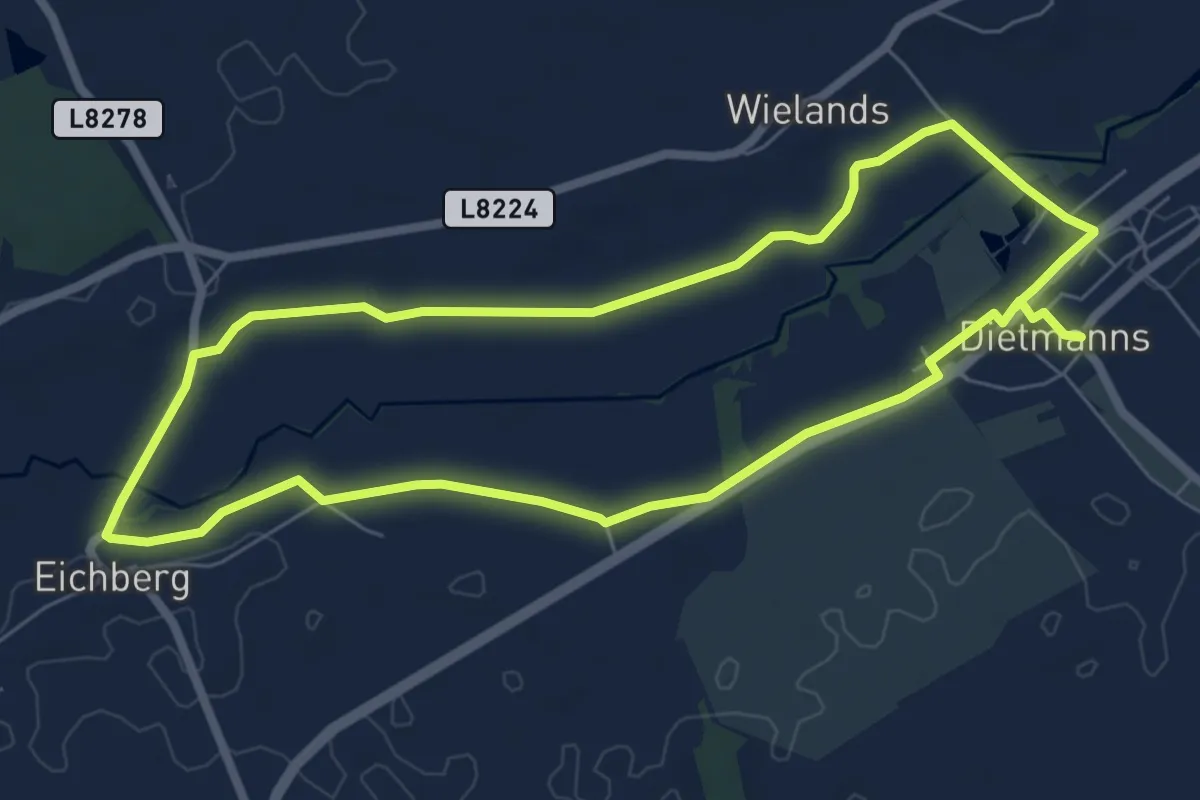
Easy · Trail
Wirlgraben Route
6.4 km · ↑ 4 m · 1 h 37 min
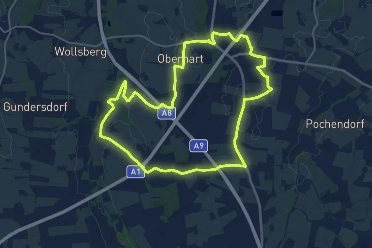
Medium · Trail
Wirte-Runde
11.6 km · ↑ 89 m · 3 h 5 min