Trails in Austria
9,777 hiking trails, each with its route, climb, walking time and grade.
All trails, page 189 of 204
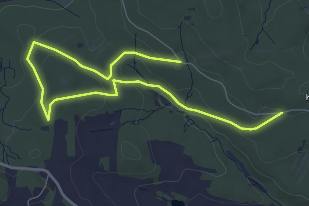
Easy · Trail
Wünschelrutenweg
3.8 km · ↑ 83 m · 1 h 8 min
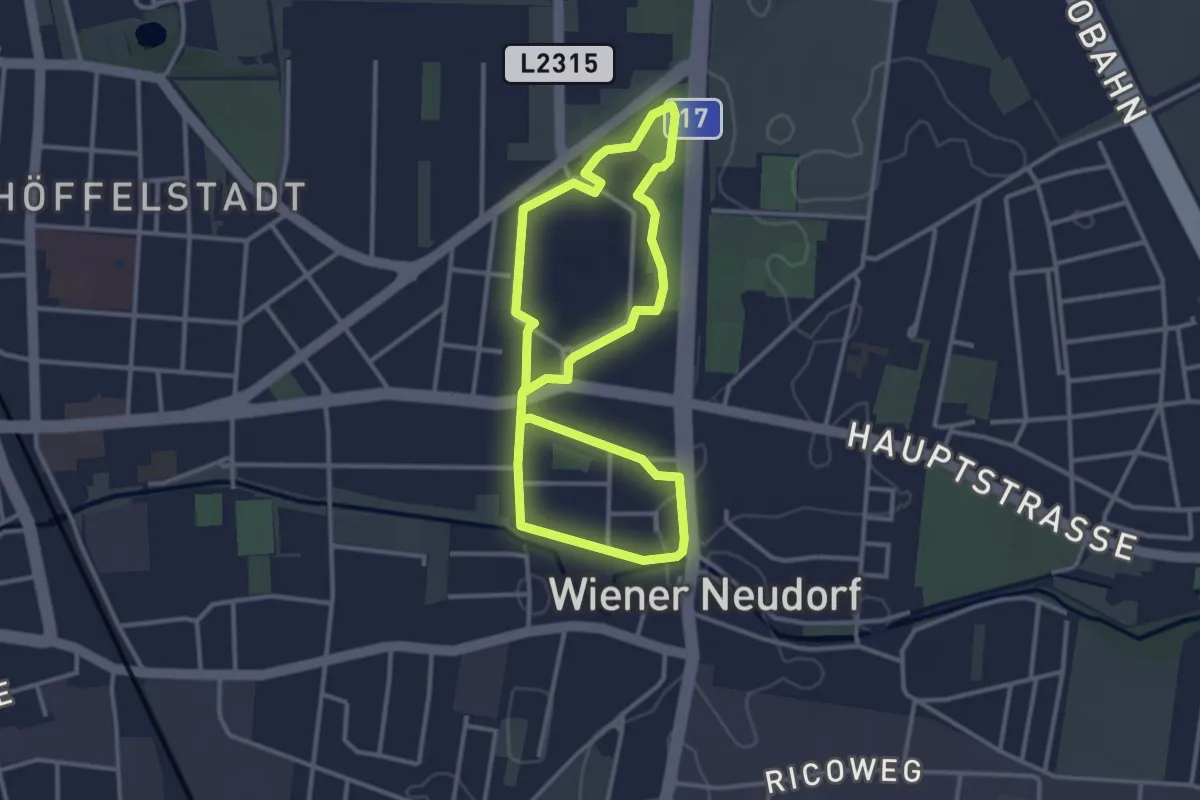
Easy · Trail
Wunschhaus Runde
2.9 km · ↑ 4 m · 44 min
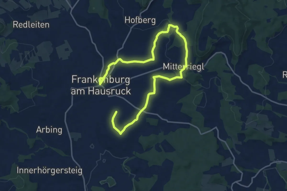
Medium · Trail
Würfelspielwanderweg
15.7 km · ↑ 293 m · 4 h 21 min
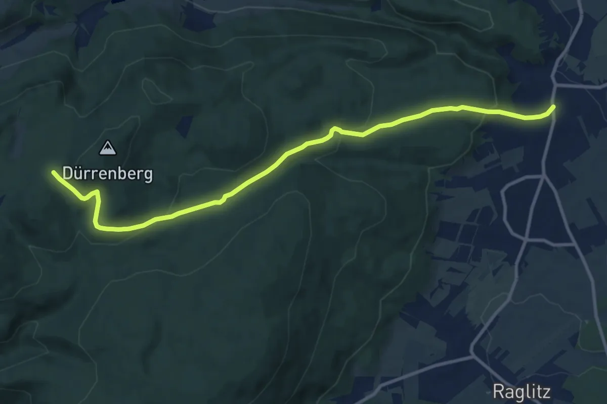
Medium · Trail
Würflach - Lärbaumkreuz
10.5 km · ↑ 327 m · 3 h 11 min
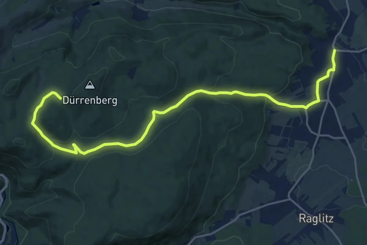
Medium · Trail
Würflach - Lärbaumkreuz
14.9 km · ↑ 431 m · 4 h 28 min
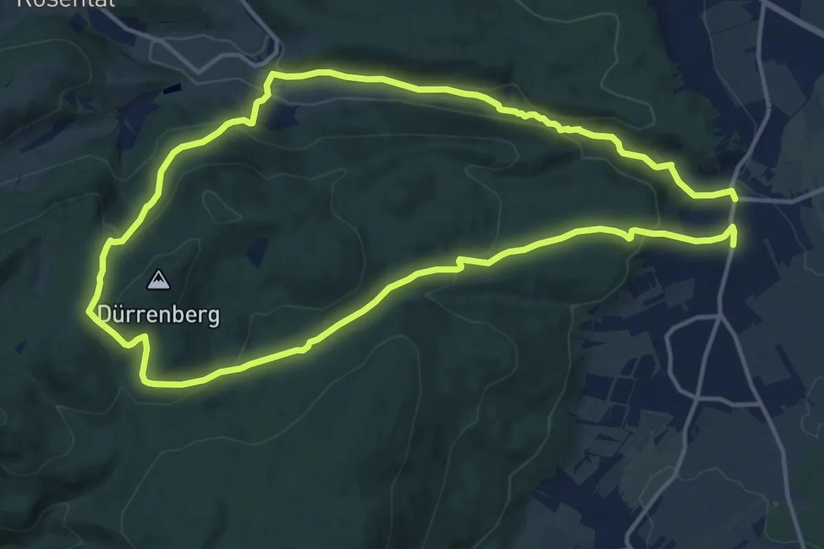
Demanding · Trail
Würflach - Lärbaumkreuz - Johannesbachklamm Rundwanderweg
22.8 km · ↑ 730 m · 6 h 57 min
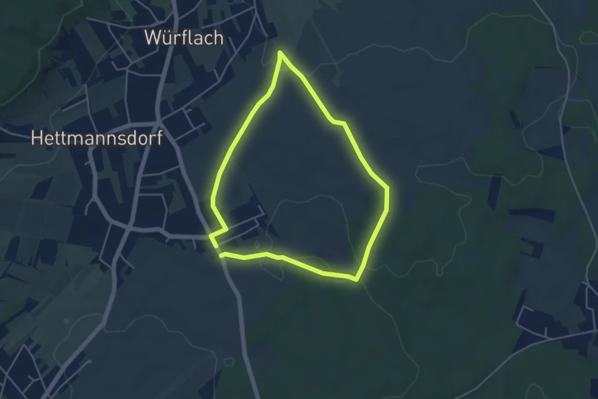
Easy · Trail
Würflach - Marterl Maria Drei Linden (Rundwanderweg)
3.5 km · ↑ 25 m · 56 min
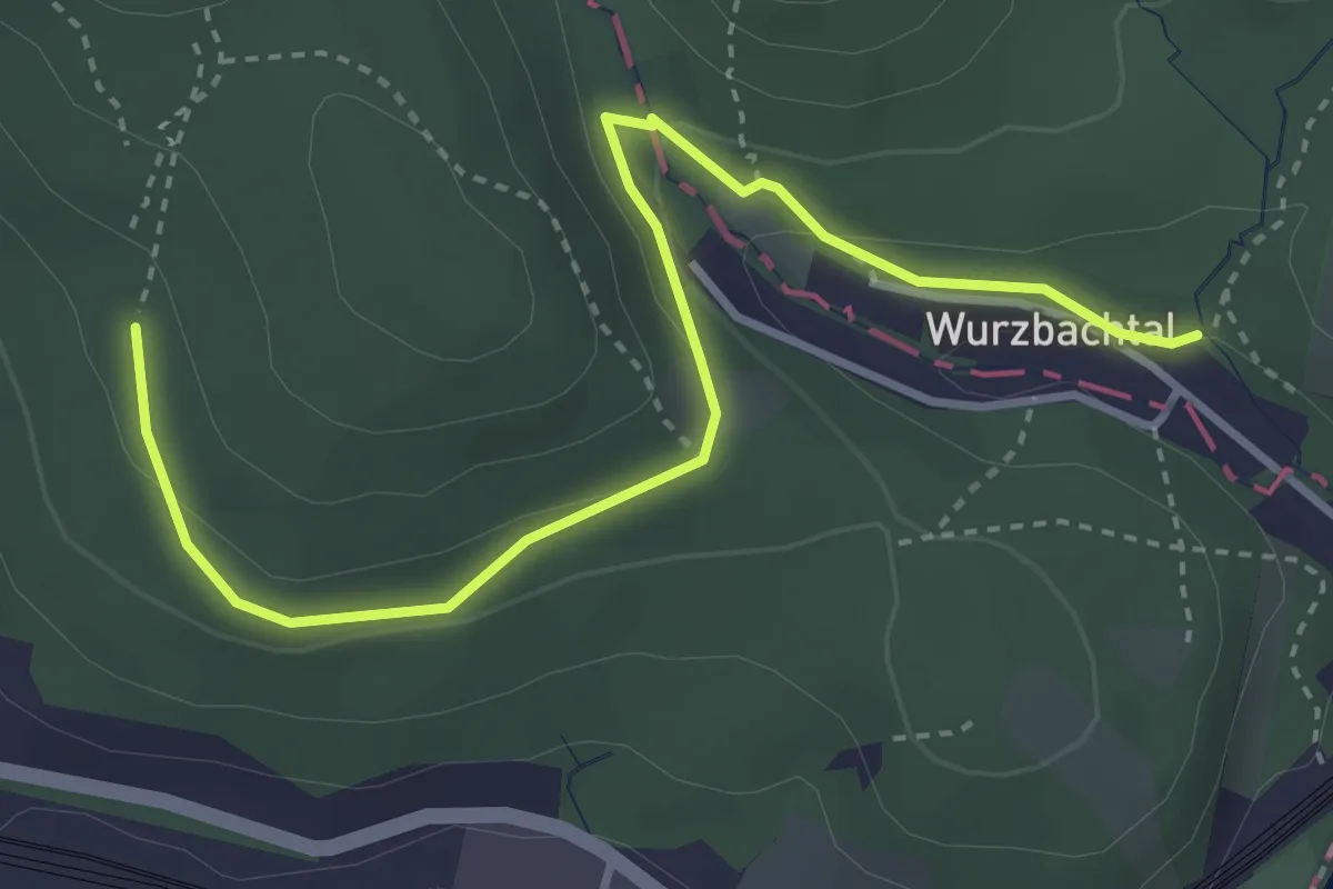
Demanding · Trail
Wurzbachtal - Weidlingauer Eichberg
3.8 km · ↑ 122 m · 1 h 10 min
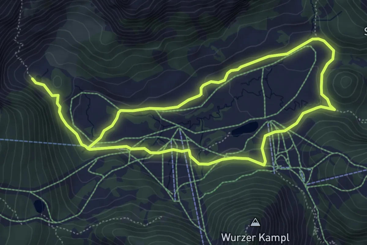
Medium · Trail
Wurzeralm NaturErlebnisWeg
10.1 km · ↑ 179 m · 2 h 47 min
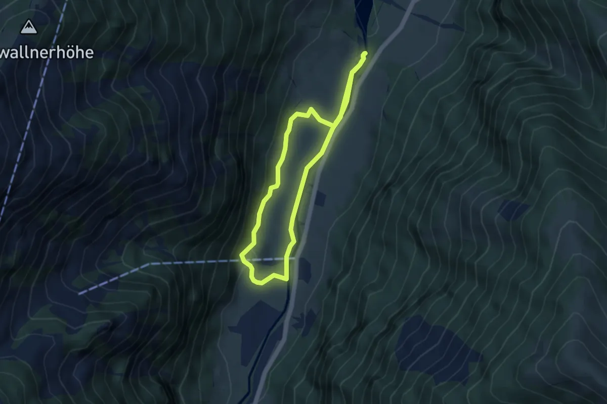
Easy · Trail
Wüstlau-Schleife
7.6 km · ↑ 110 m · 2 h 3 min
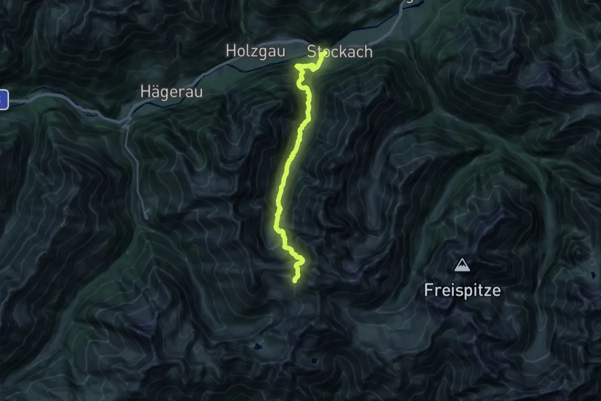
Demanding · Trail
WW08
10.1 km · ↑ 1611 m · 5 h 20 min
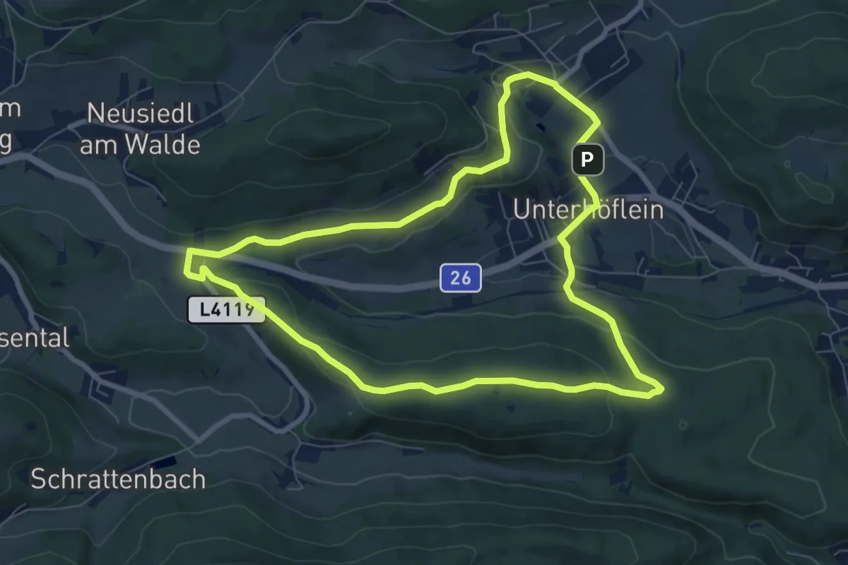
Easy · Summit
Xbionic Runde
7.3 km · ↑ 191 m · 2 h 14 min
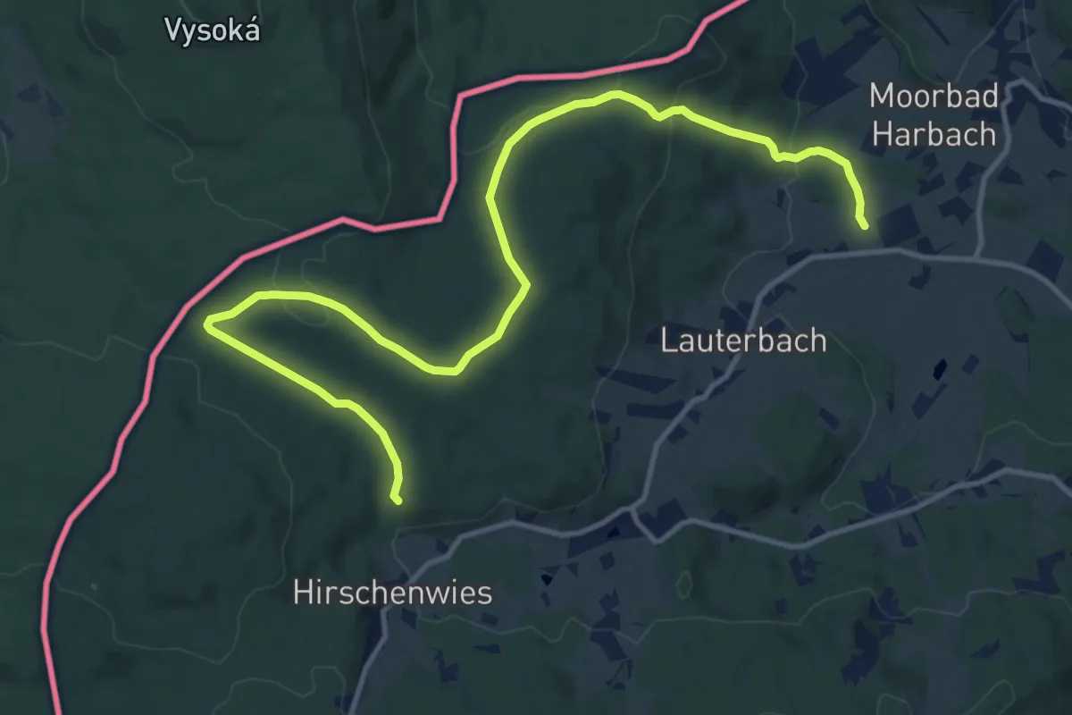
Easy · Trail
Xundwärts-Route Bergfeld (1)
7.0 km · ↑ 92 m · 2 h 1 min
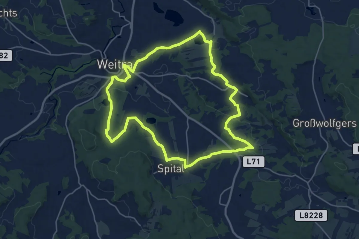
Medium · Trail
Xundwärts-Route Dörferrunde (3)
15.5 km · ↑ 228 m · 4 h 21 min
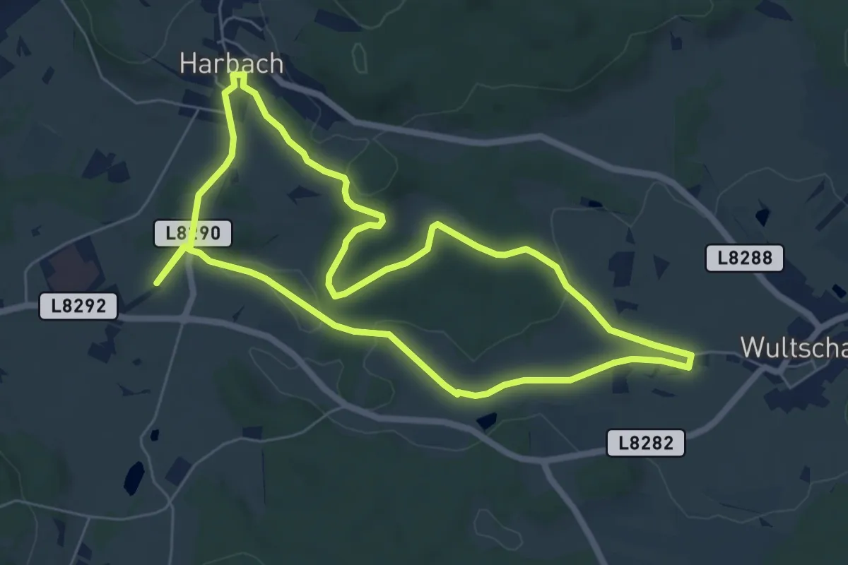
Easy · Trail
Xundwärts-Route Erlwiesen (1)
6.2 km · ↑ 67 m · 1 h 41 min
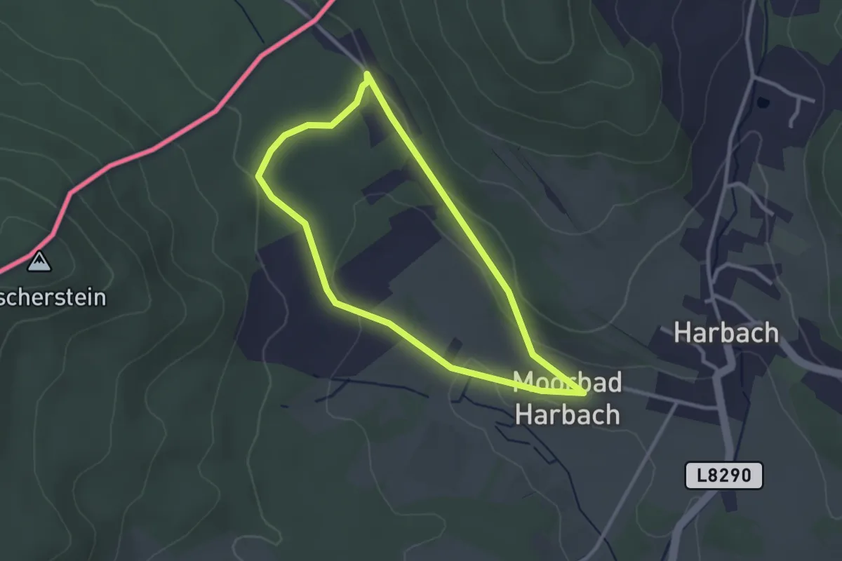
Easy · Trail
Xundwärts-Route Fischerstein (5)
2.5 km · ↑ 36 m · 42 min
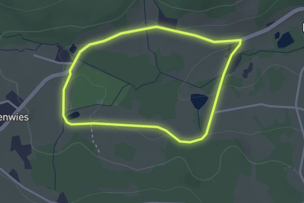
Easy · Trail
Xundwärts-Route Forellenteich (2)
2.1 km · ↑ 28 m · 35 min
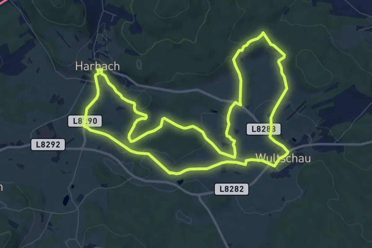
Medium · Trail
Xundwärts-Route Forstlüsse (2)
9.7 km · ↑ 128 m · 2 h 42 min
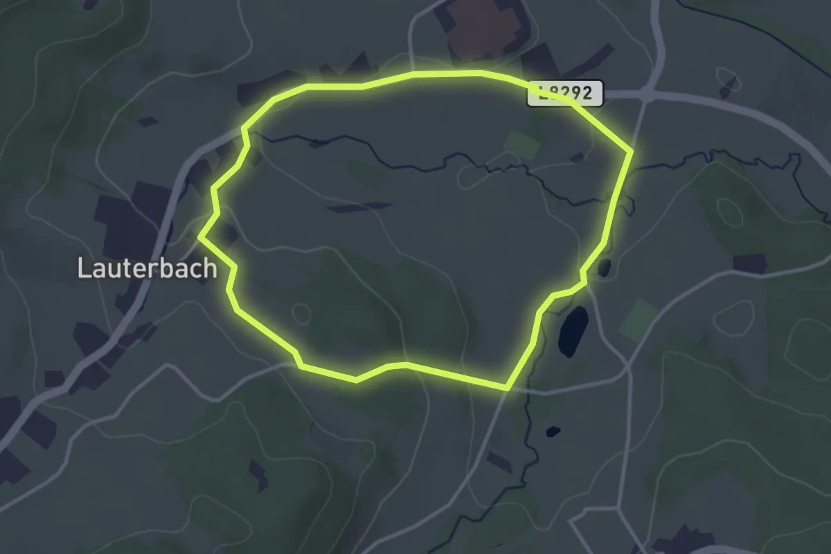
Easy · Trail
Xundwärts-Route Hirschgehege (3)
3.1 km · ↑ 63 m · 55 min
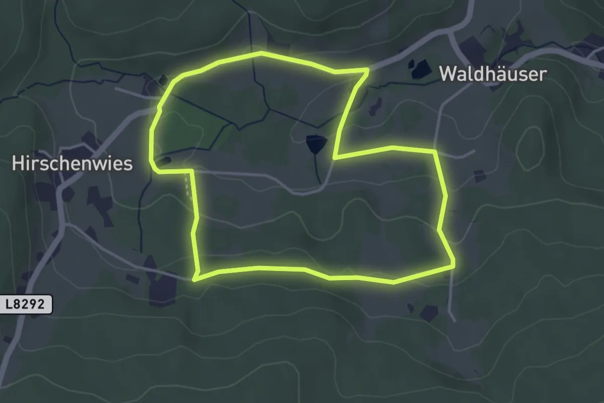
Easy · Trail
Xundwärts-Route Kristall (4)
3.6 km · ↑ 75 m · 1 h 3 min
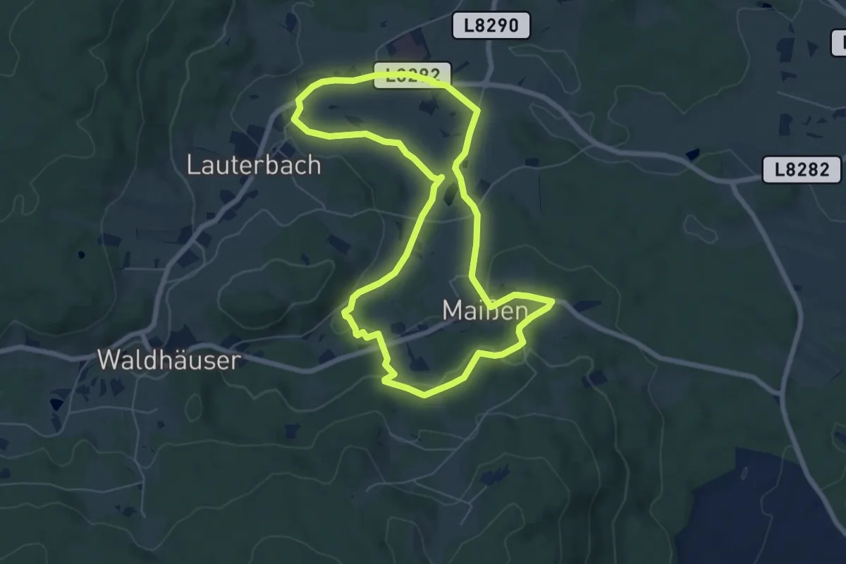
Easy · Trail
Xundwärts-Route Moassla (3)
6.4 km · ↑ 119 m · 1 h 52 min
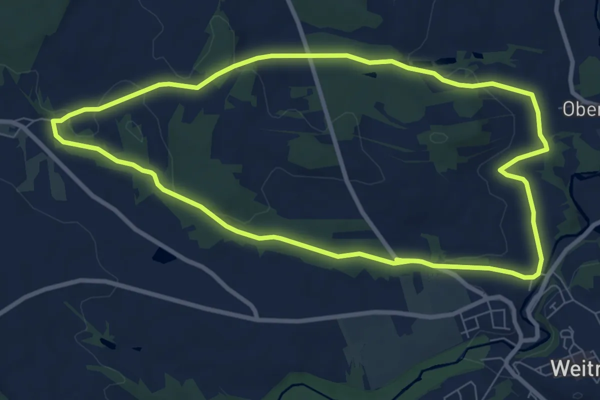
Easy · Trail
Xundwärts-Route Mühlgraben (1)
7.0 km · ↑ 116 m · 2 h
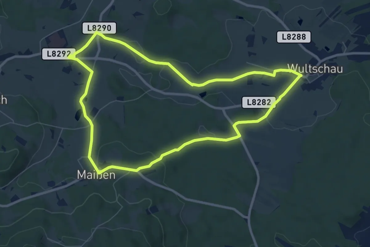
Easy · Trail
Xundwärts-Route Rohrau (2)
7.0 km · ↑ 109 m · 1 h 59 min
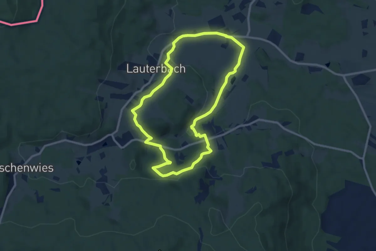
Easy · Trail
Xundwärts-Route Sagberg (4)
6.7 km · ↑ 152 m · 2 h
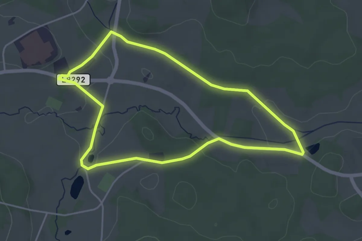
Easy · Trail
Xundwärts-Route Steinernes Weib (1)
3.7 km · ↑ 36 m · 1 h
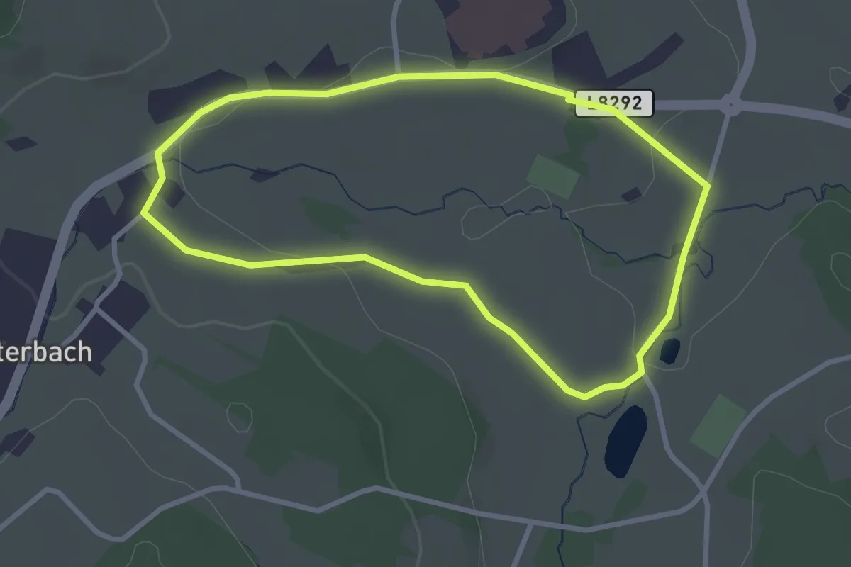
Easy · Trail
Xundwärts-Route Waldlehrpfad (1)
2.6 km · ↑ 33 m · 43 min
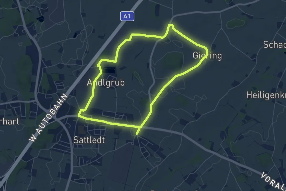
Easy · Trail
XXXLutz-Runde
6.2 km · ↑ 21 m · 1 h 35 min
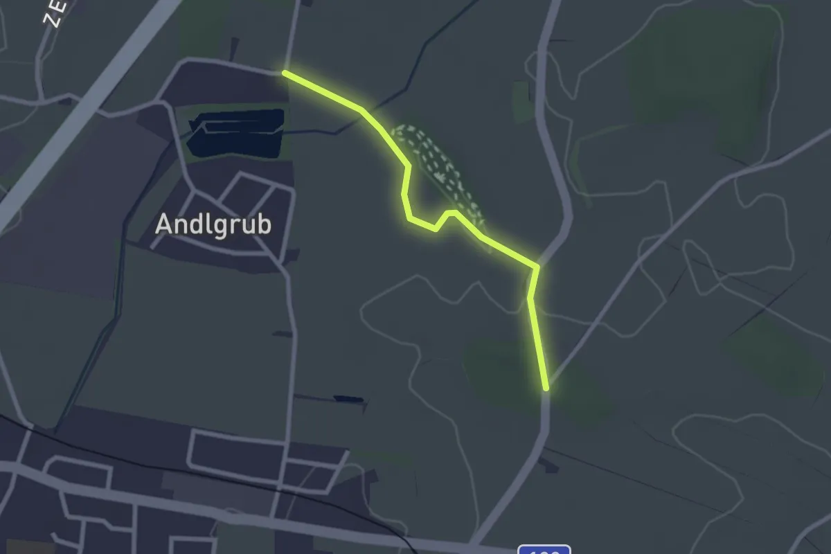
Easy · Trail
XXXLutz-Runde Abkürzung
2.1 km · ↑ 21 m · 33 min
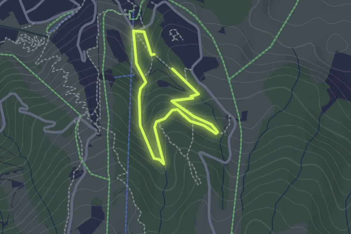
Easy · Trail
YOLATESPFAD
1.5 km · ↑ 69 m · 32 min
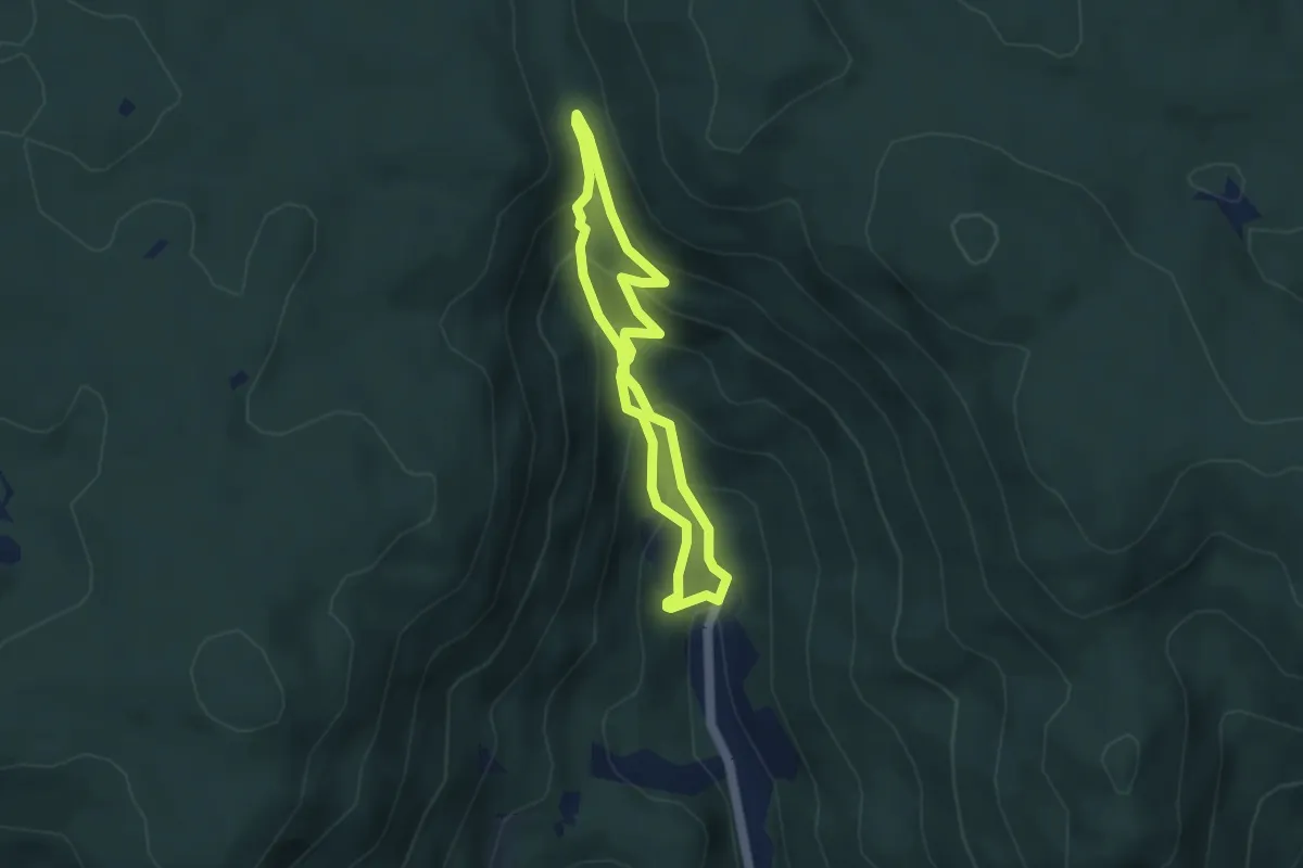
Easy · Trail
Ysperklamm
3.2 km · ↑ 269 m · 1 h 24 min
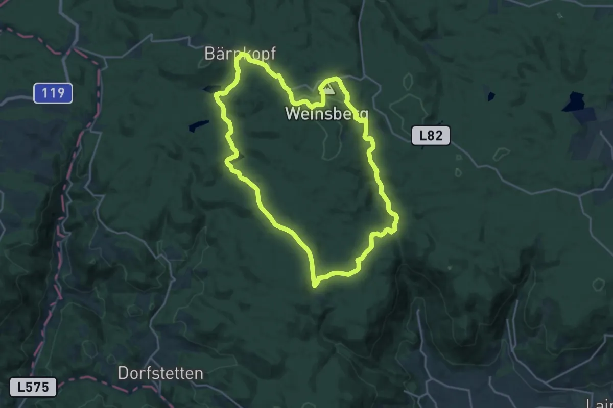
Medium · Summit
Ysperklammweg Bärnkopf
16.8 km · ↑ 312 m · 4 h 53 min
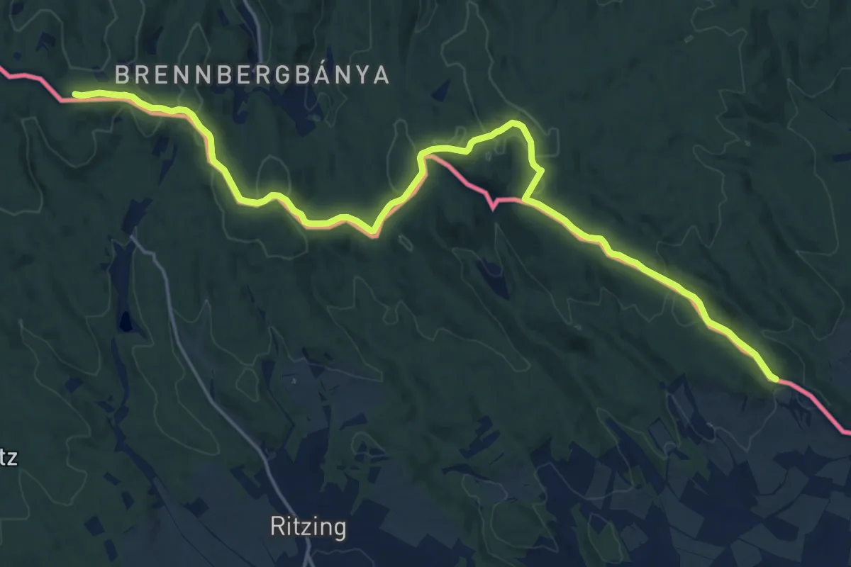
Demanding · Summit
Z
20.9 km · ↑ 566 m · 6 h 10 min
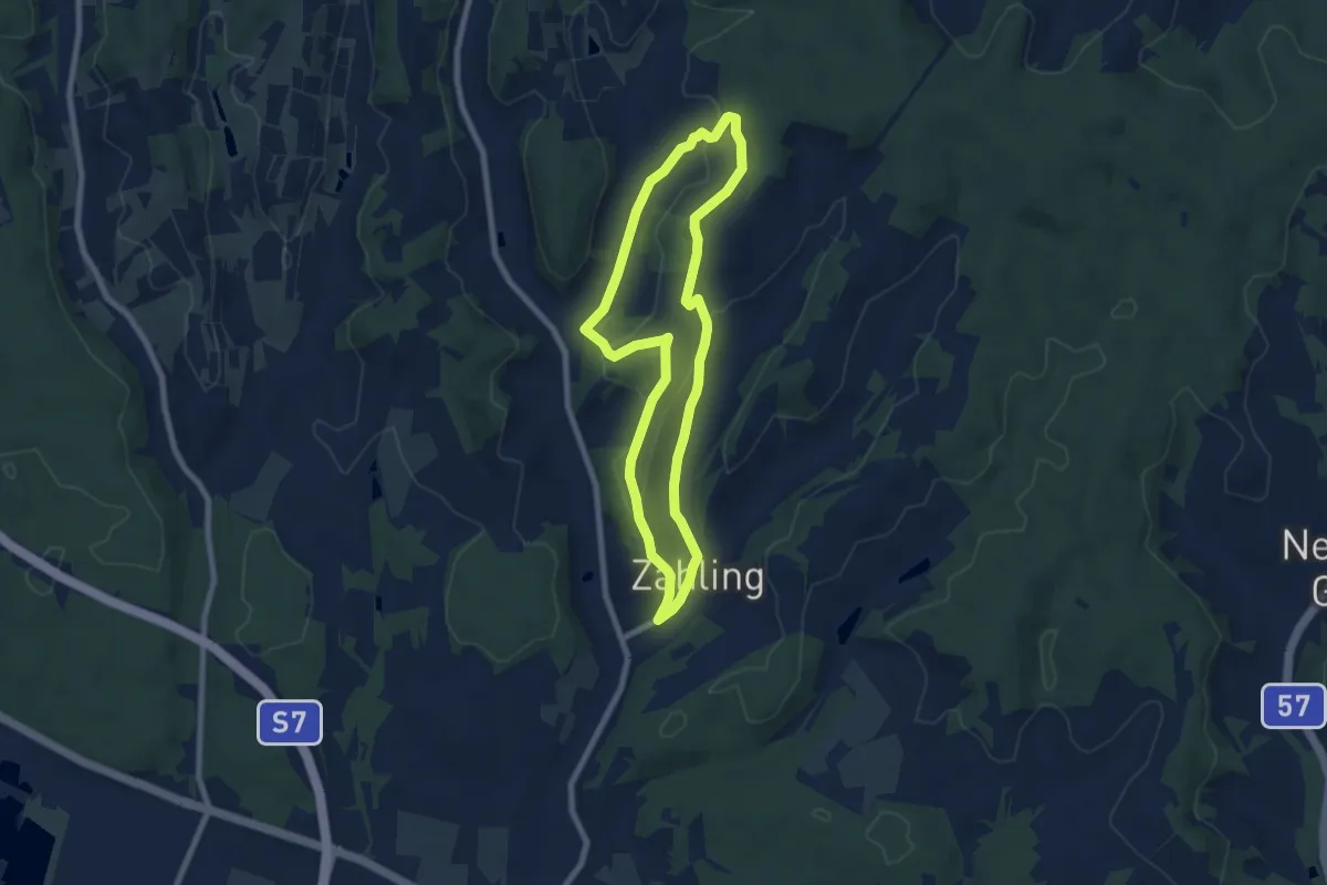
Easy · Trail
Zahlinger Schmankerlweg
6.9 km · ↑ 136 m · 2 h 2 min
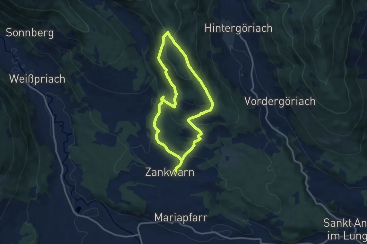
Medium · Trail
Zankwarnerbergrundweg
7.6 km · ↑ 331 m · 2 h 38 min
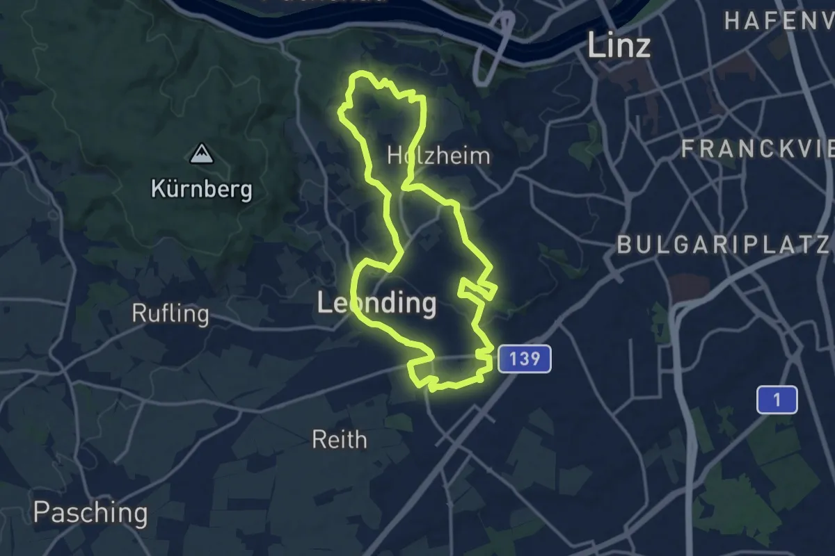
Medium · Summit
Zaubertalrunde
12.5 km · ↑ 235 m · 3 h 37 min
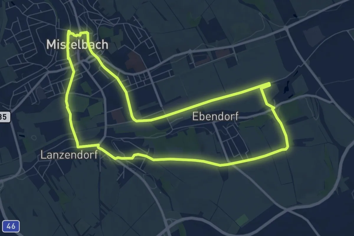
Medium · Trail
Zayarundwanderweg
8.3 km · ↑ 48 m · 2 h 11 min
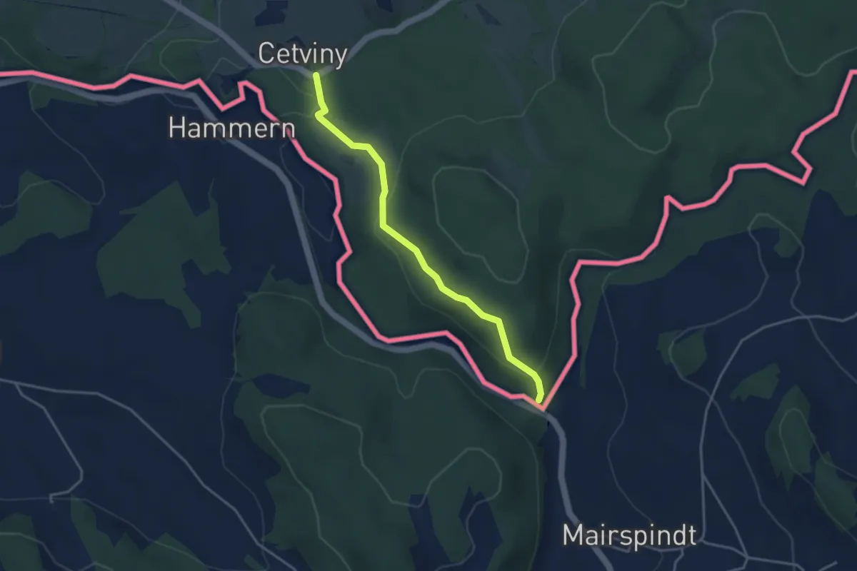
Easy · Trail
[Ž] Cetviny - Cetviny CZ/A
3.4 km · ↑ 118 m · 1 h 3 min
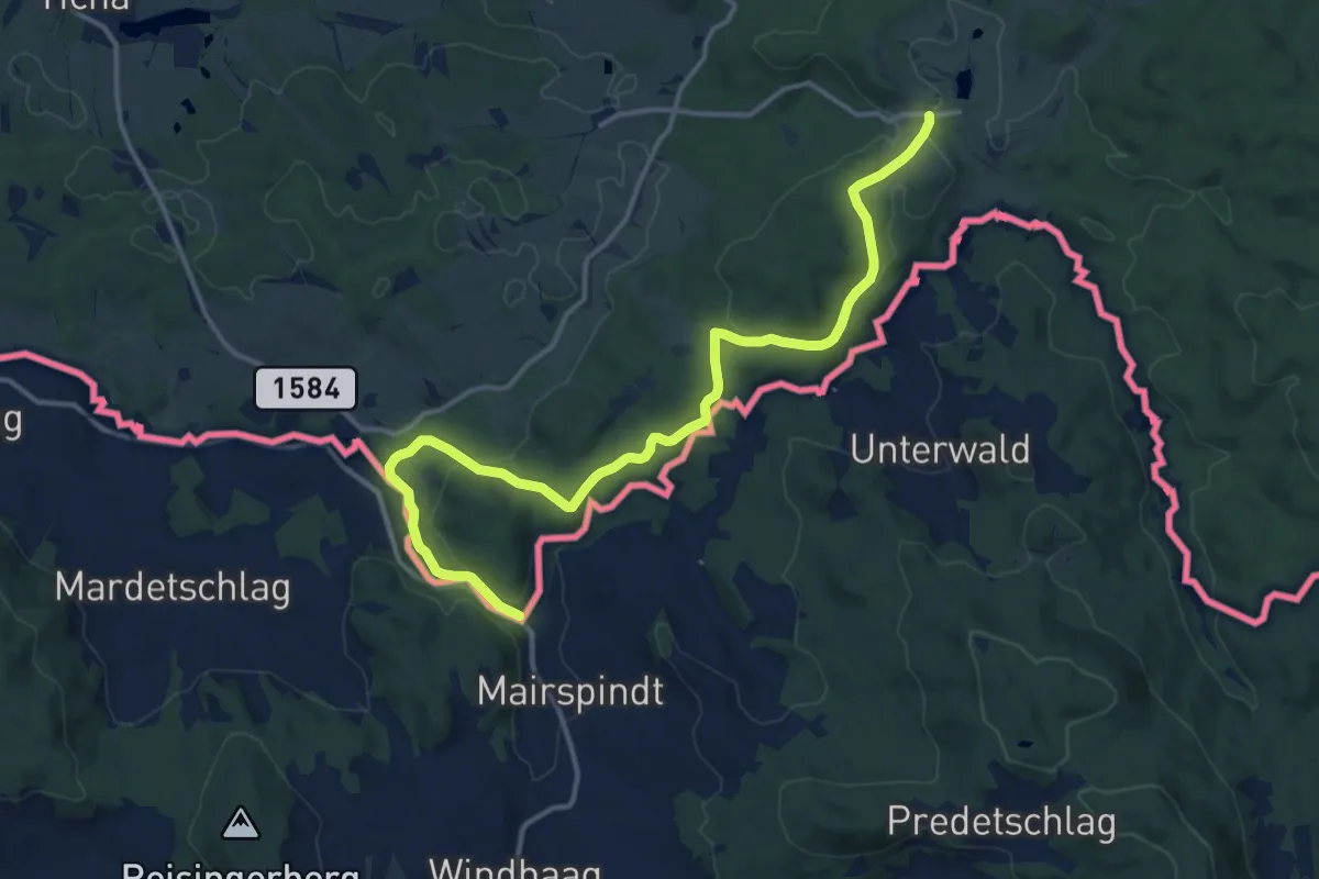
Medium · Trail
[Z] Dolní Příbrání - Cetviny (CZ/A)
15.1 km · ↑ 263 m · 4 h 8 min
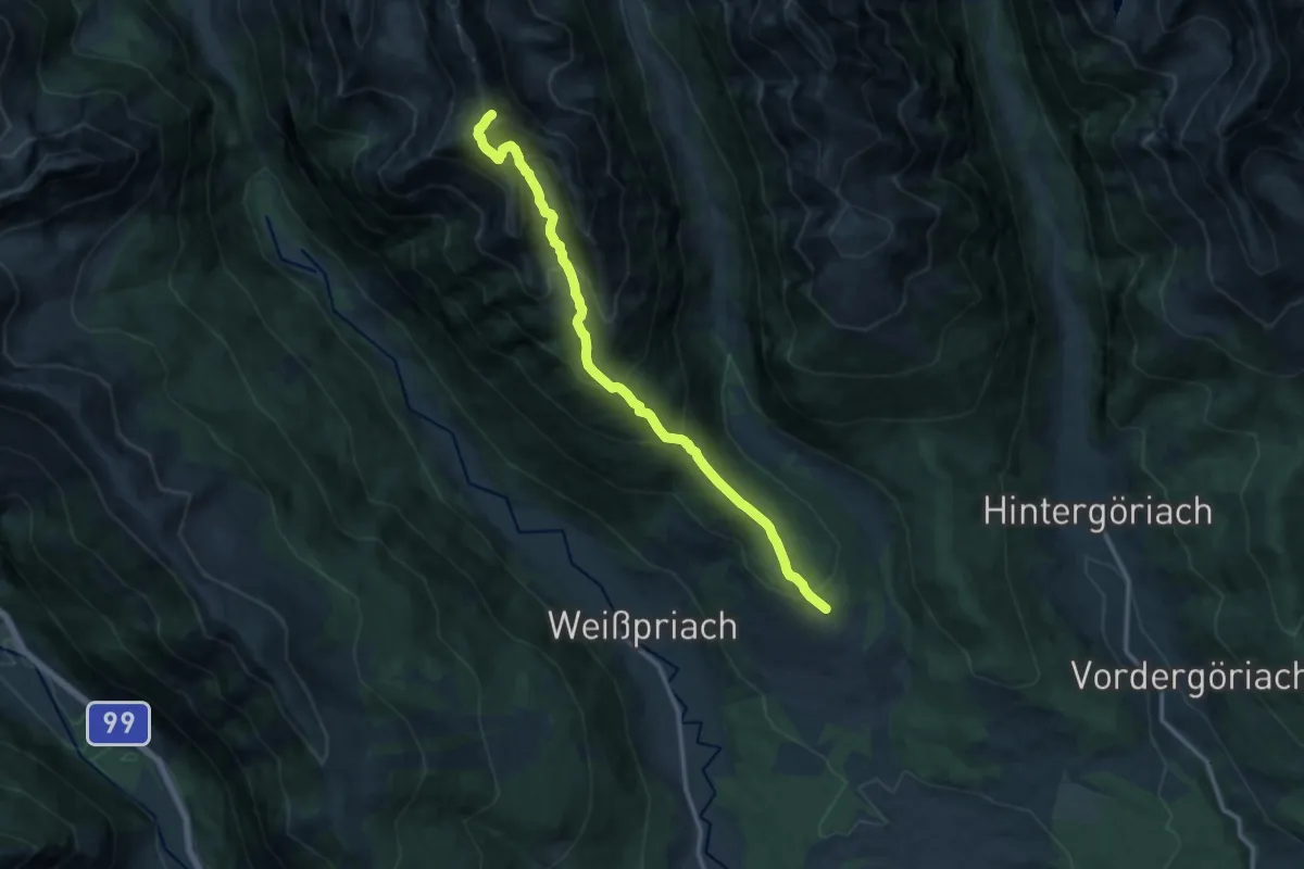
Demanding · Summit
Zechnerkarspitzweg
12.6 km · ↑ 1079 m · 5 h 19 min
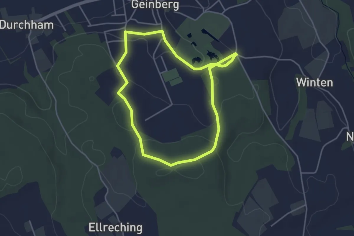
Easy · Trail
Zechprobst Runde
3.4 km · ↑ 72 m · 1 h
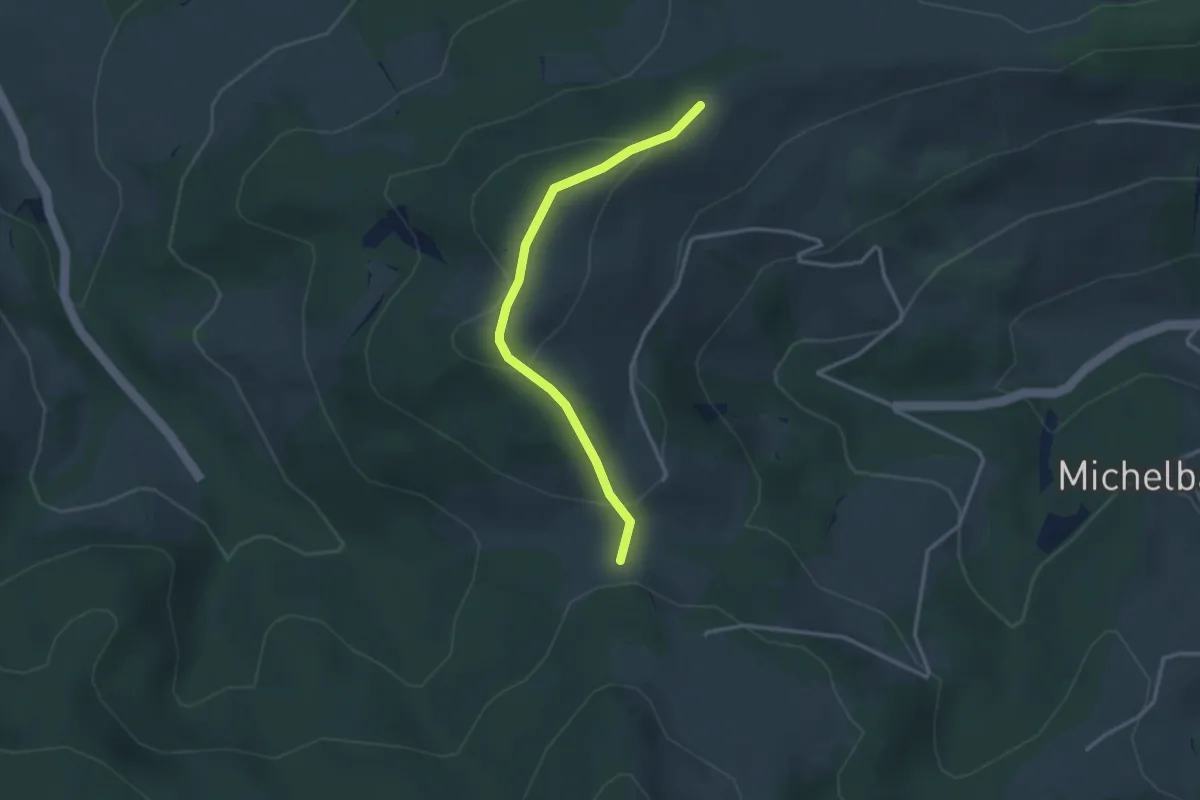
Easy · Trail
Zehethof - Gaishof
2.9 km · ↑ 118 m · 57 min
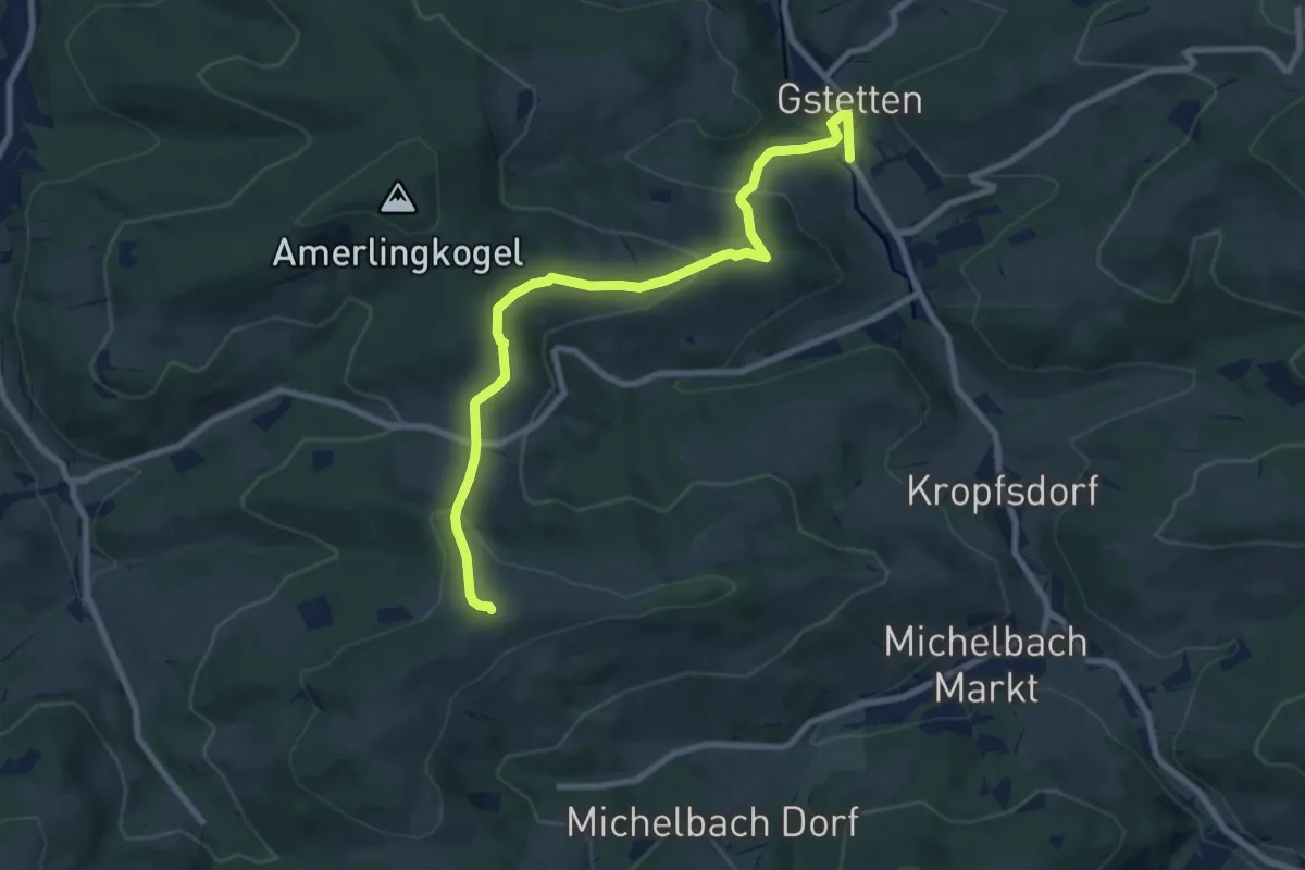
Medium · Trail
Zehethof - Gstetten
8.6 km · ↑ 374 m · 2 h 51 min
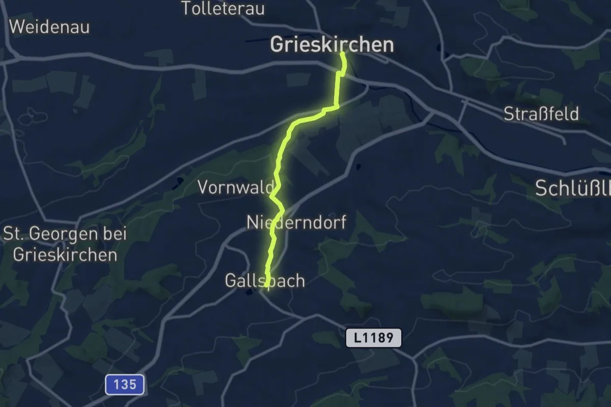
Easy · Trail
Zeileisweg
7.5 km · ↑ 130 m · 2 h 4 min
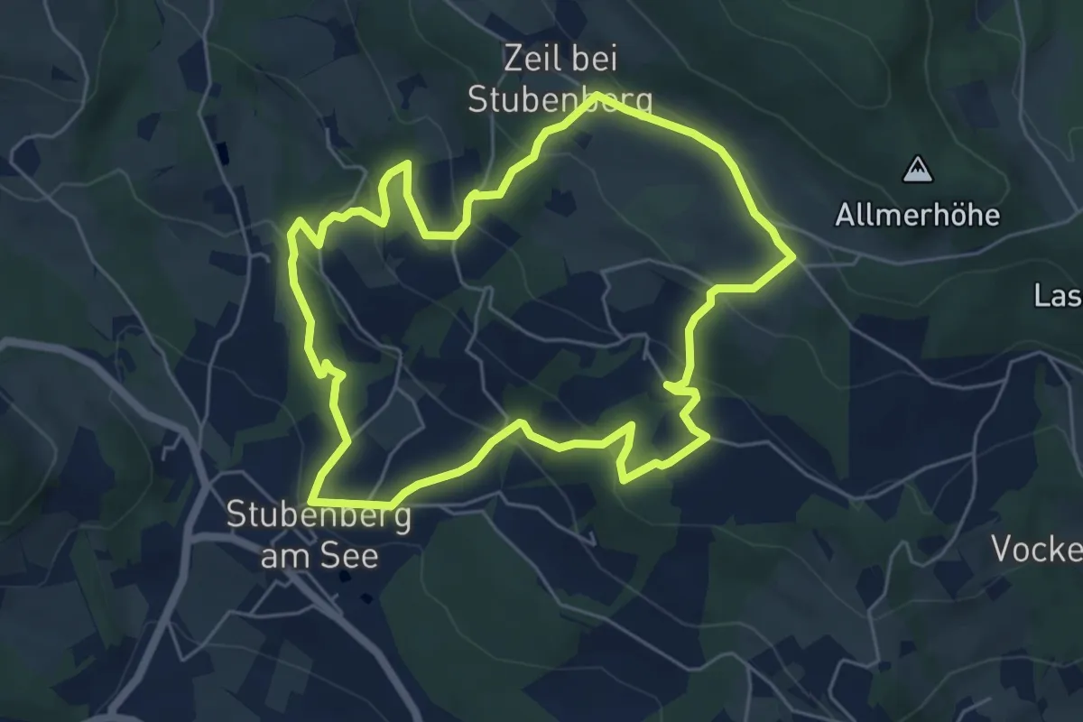
Easy · Trail
Zeilrundweg
5.5 km · ↑ 267 m · 1 h 57 min
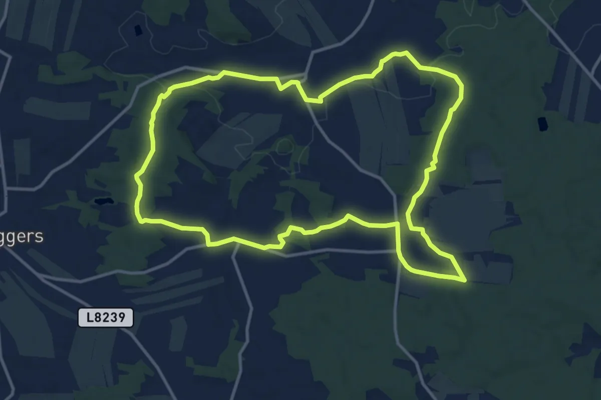
Medium · Trail
Zeiten Weg 43
11.0 km · ↑ 136 m · 3 h 3 min
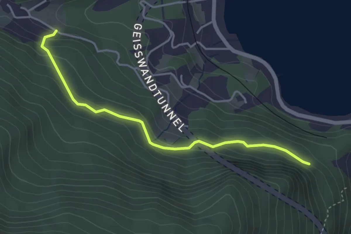
Easy · Trail
Zellerlweg
3.5 km · ↑ 159 m · 1 h 10 min
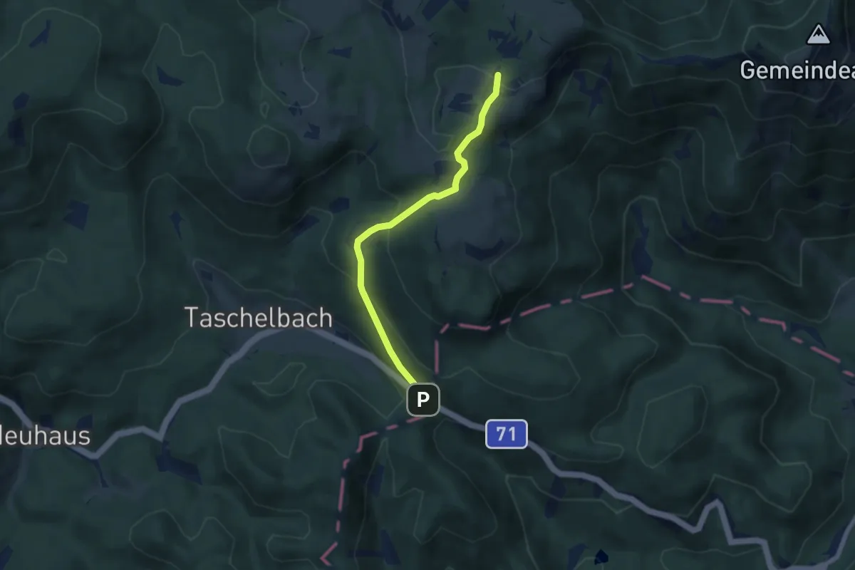
Easy · Trail
Zeller Rain - Eisener Hergott
5.6 km · ↑ 277 m · 1 h 55 min
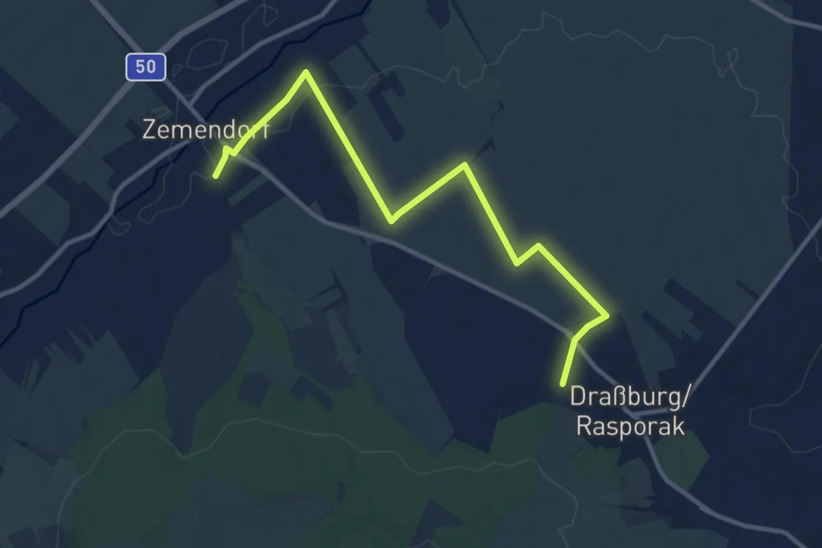
Medium · Trail
Zemendorf - Draßburg (Nordic Walking)
9.2 km · ↑ 95 m · 2 h 23 min