Trails in Austria
9,777 hiking trails, each with its route, climb, walking time and grade.
All trails, page 190 of 204
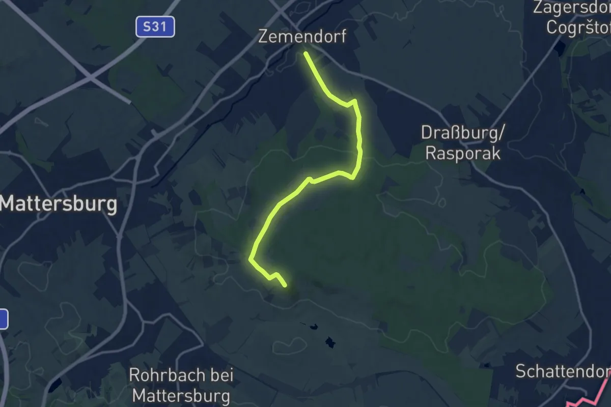
Medium · Summit
Zemendorf - Kogel (Nordic Walking)
11.7 km · ↑ 199 m · 3 h 12 min
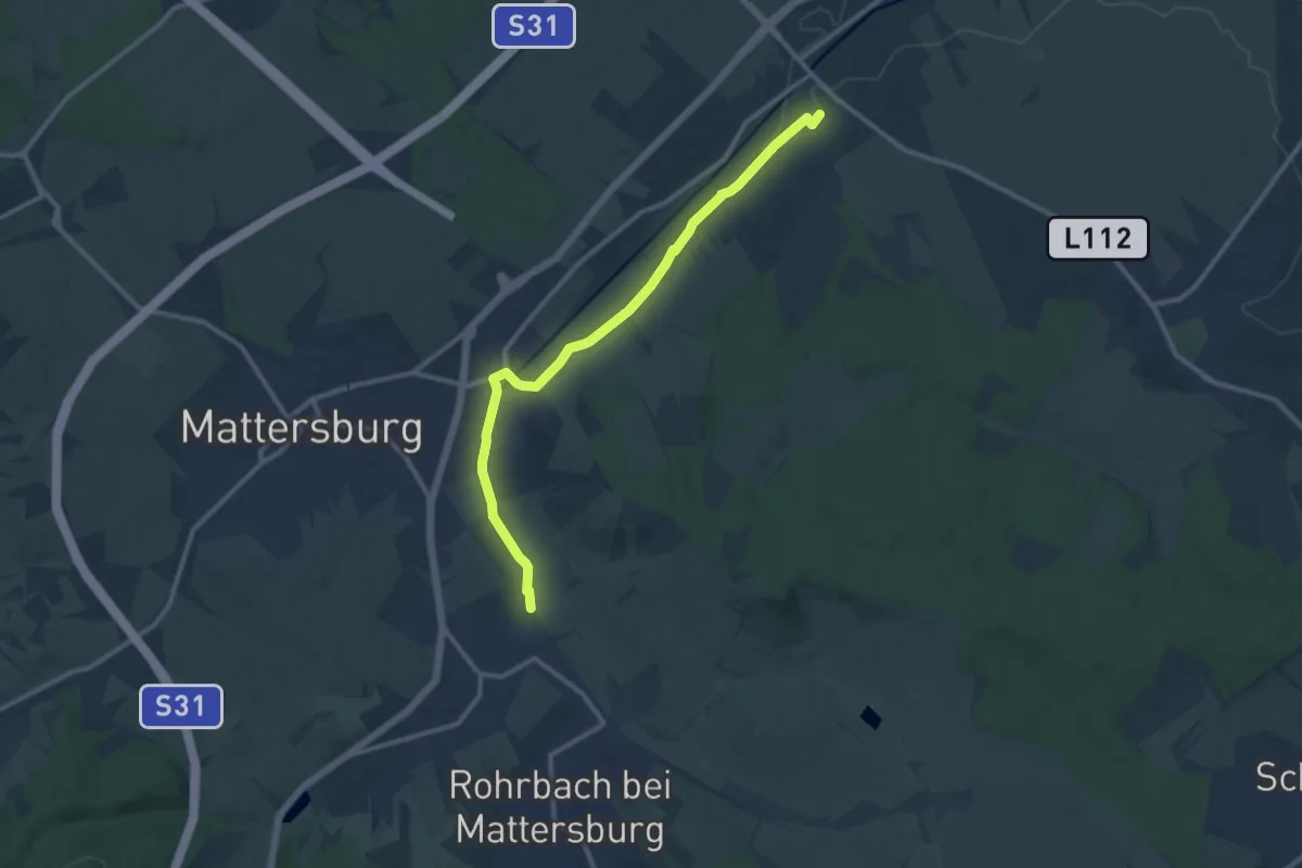
Medium · Trail
Zemendorf - Pöttelsdorf - Walbersdorf - Marz (Nordic Walking)
11.2 km · ↑ 59 m · 2 h 46 min
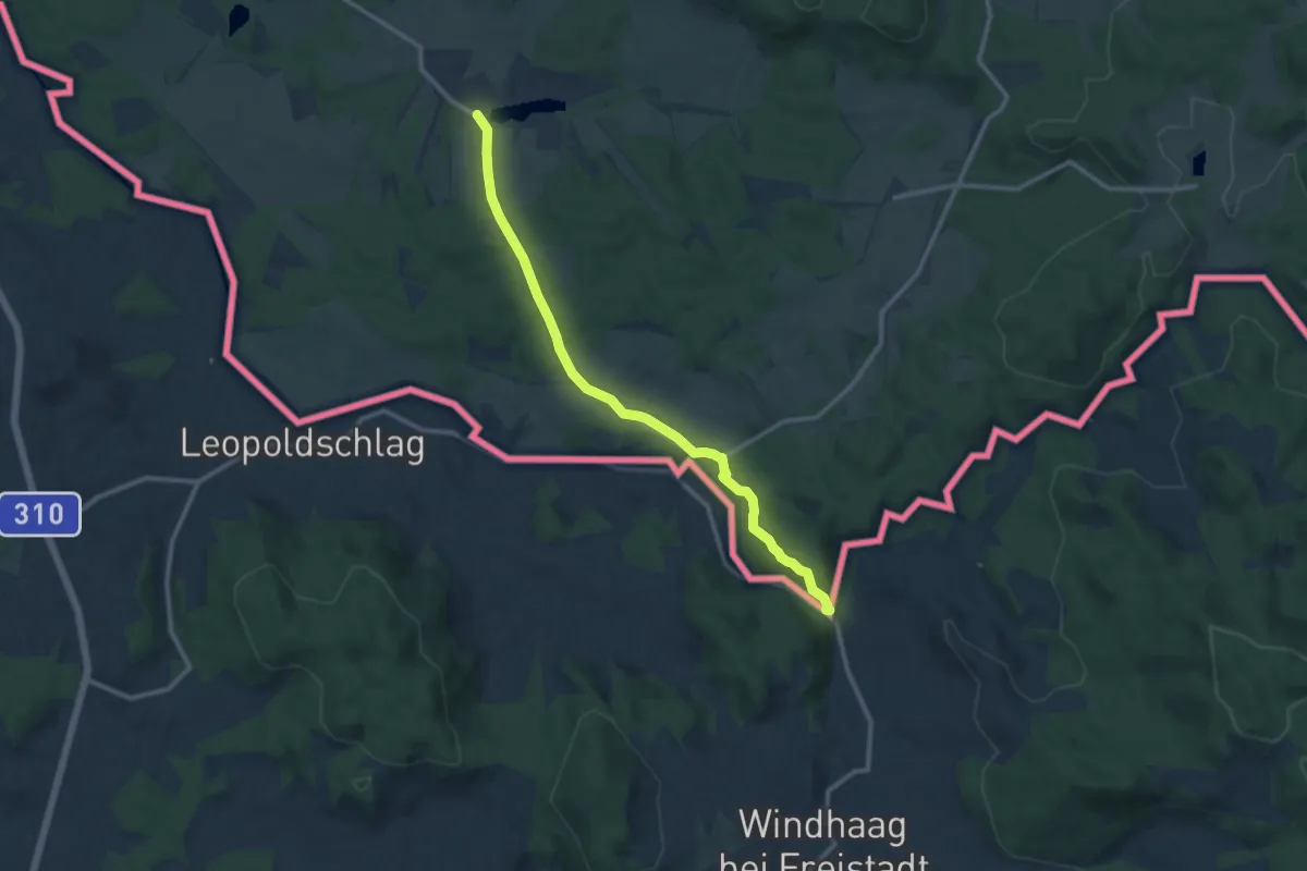
Medium · Trail
Zemská cesta (CZ)
10.9 km · ↑ 202 m · 3 h 1 min
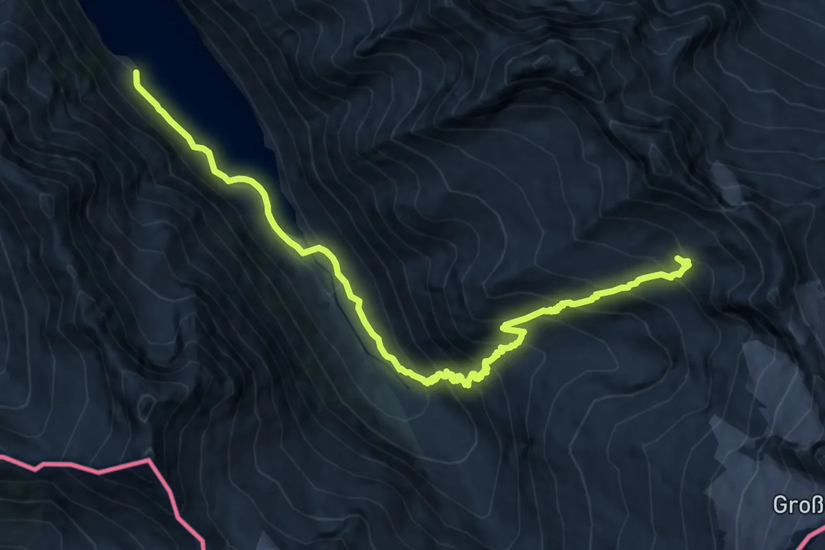
Demanding · Trail
Zentralalpenweg 02
14.3 km · ↑ 1046 m · 5 h 38 min
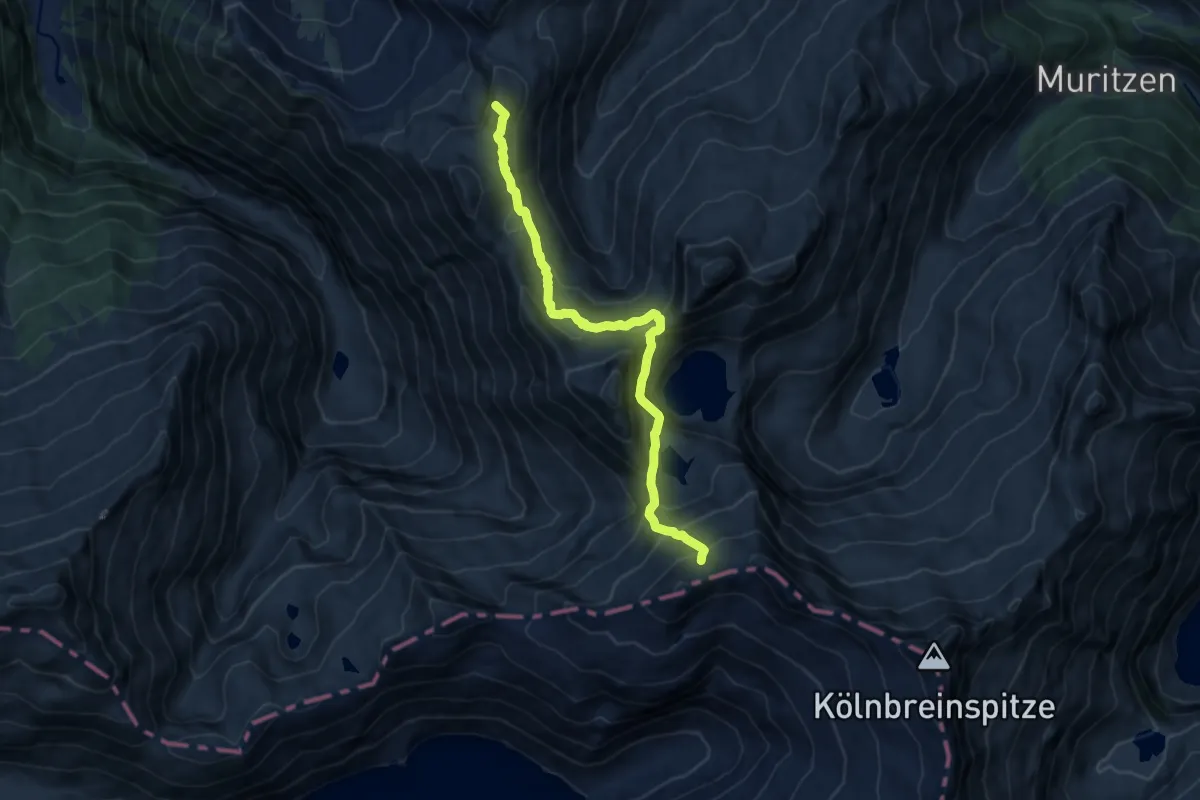
Expert · Summit
Zentralalpenweg 02
10.0 km · ↑ 790 m · 4 h 5 min
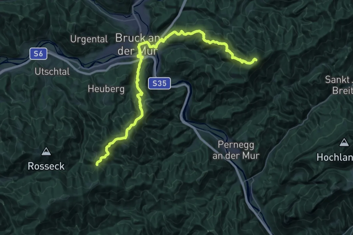
Demanding · Summit
Zentralalpenweg 02A Variante Bruck/Mur
36.8 km · ↑ 2150 m · 13 h 21 min
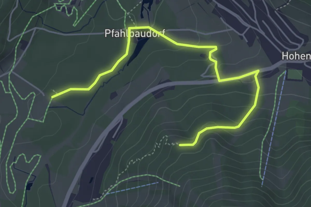
Easy · Trail
Zentralalpenweg 02A Variante Hohentauern
5.2 km · ↑ 198 m · 1 h 39 min
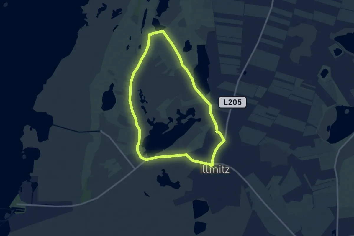
Medium · Trail
Zicklacken-Runde (30)
8.5 km · ↑ 0 m · 2 h 7 min
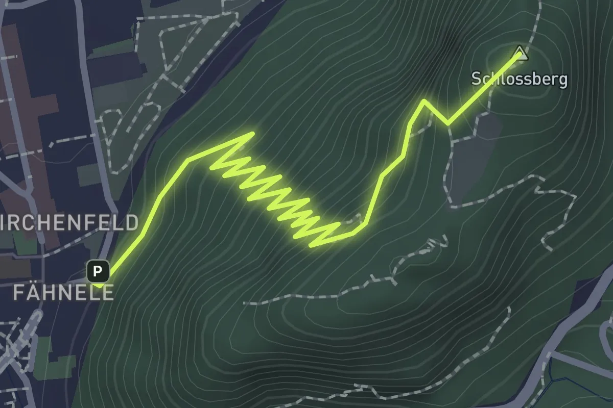
Medium · Summit
Zick-Zackweg
3.0 km · ↑ 251 m · 1 h 16 min
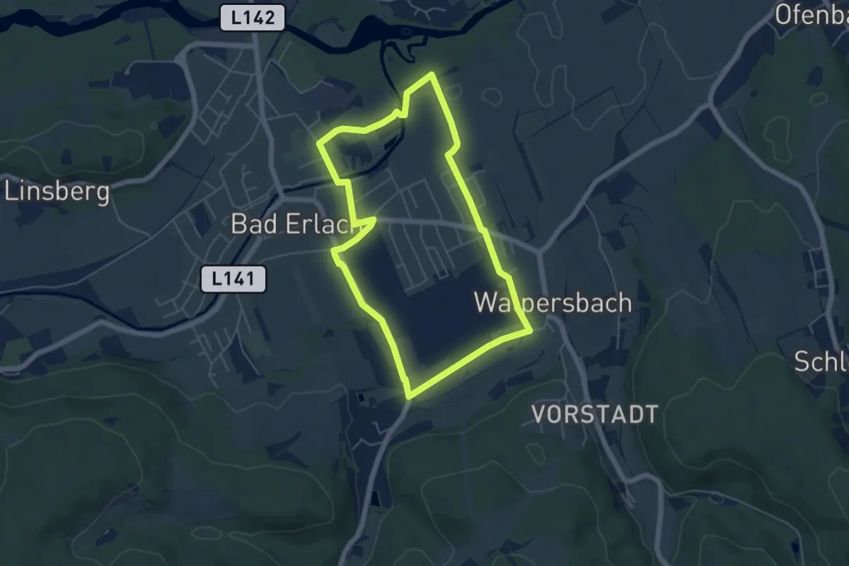
Easy · Trail
Ziegelofenrunde (E5)
4.8 km · ↑ 23 m · 1 h 15 min
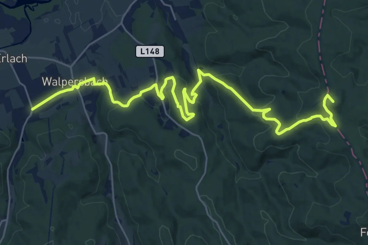
Demanding · Summit
Ziegelöfen - Walpersbach - Ofenbach - Tobiaskreuz - Katzelsdorf
21.1 km · ↑ 690 m · 6 h 29 min
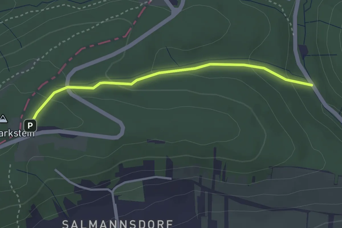
Easy · Trail
Zierleiten - Dreimarkstein/Häuserl am Roan
2.7 km · ↑ 136 m · 57 min
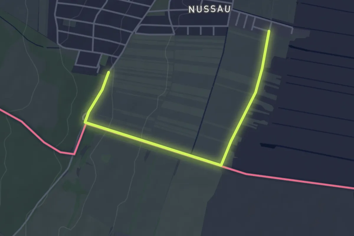
Easy · Trail
Zigeunerbaronweg
2.1 km · ↑ 5 m · 33 min
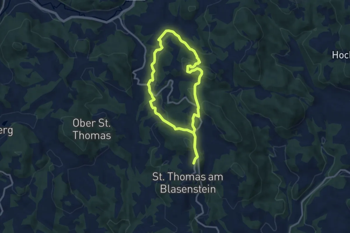
Easy · Summit
Zigeunermauern
7.1 km · ↑ 272 m · 2 h 22 min
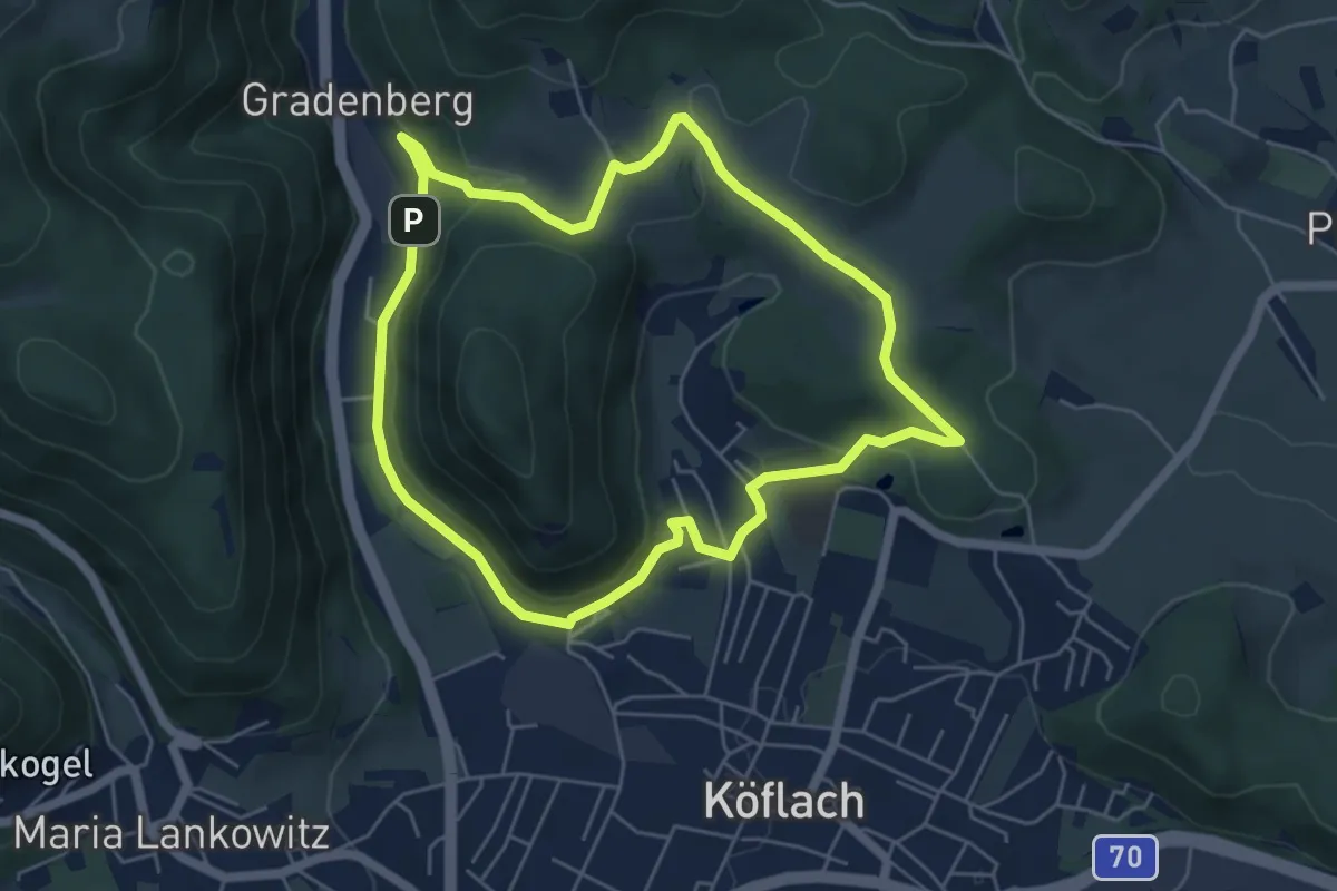
Medium · Trail
Zigöllerkogel Rundweg
5.2 km · ↑ 135 m · 1 h 36 min
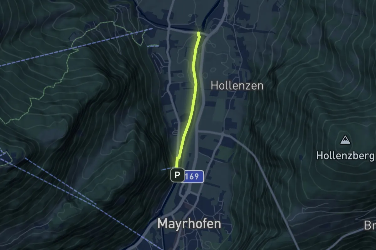
Easy · Trail
Zillerpromenade
3.9 km · ↑ 21 m · 58 min
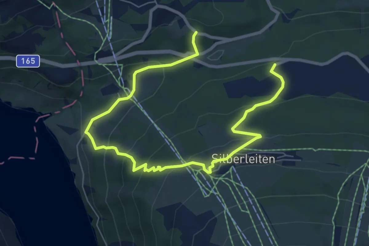
Medium · Trail
Zillertal Arena Runde 5
7.8 km · ↑ 446 m · 2 h 49 min
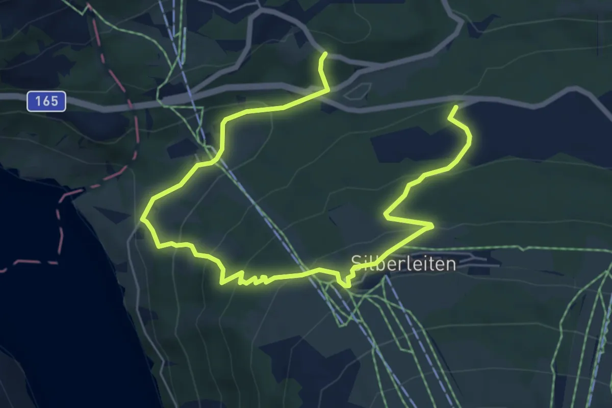
Medium · Trail
Zillertal Arena Runde 6
7.8 km · ↑ 446 m · 2 h 49 min
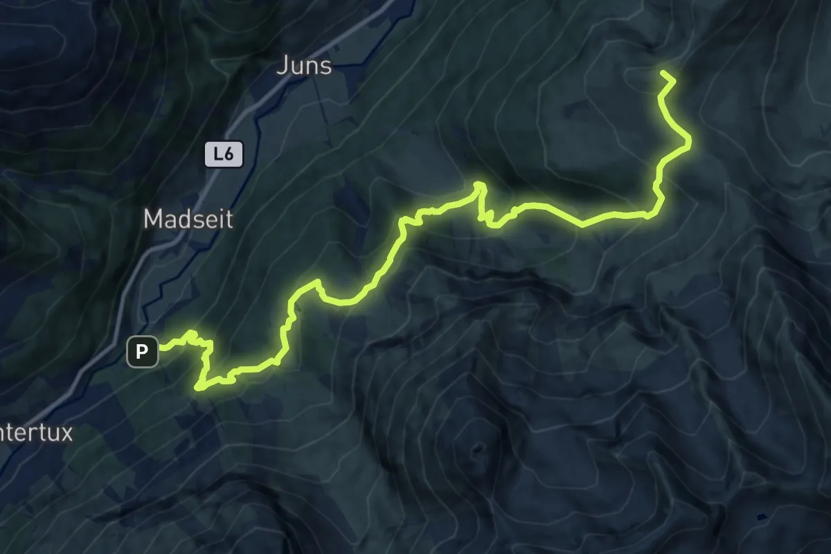
Demanding · Summit
Zillertal Wanderweg 20
14.1 km · ↑ 1277 m · 6 h 6 min
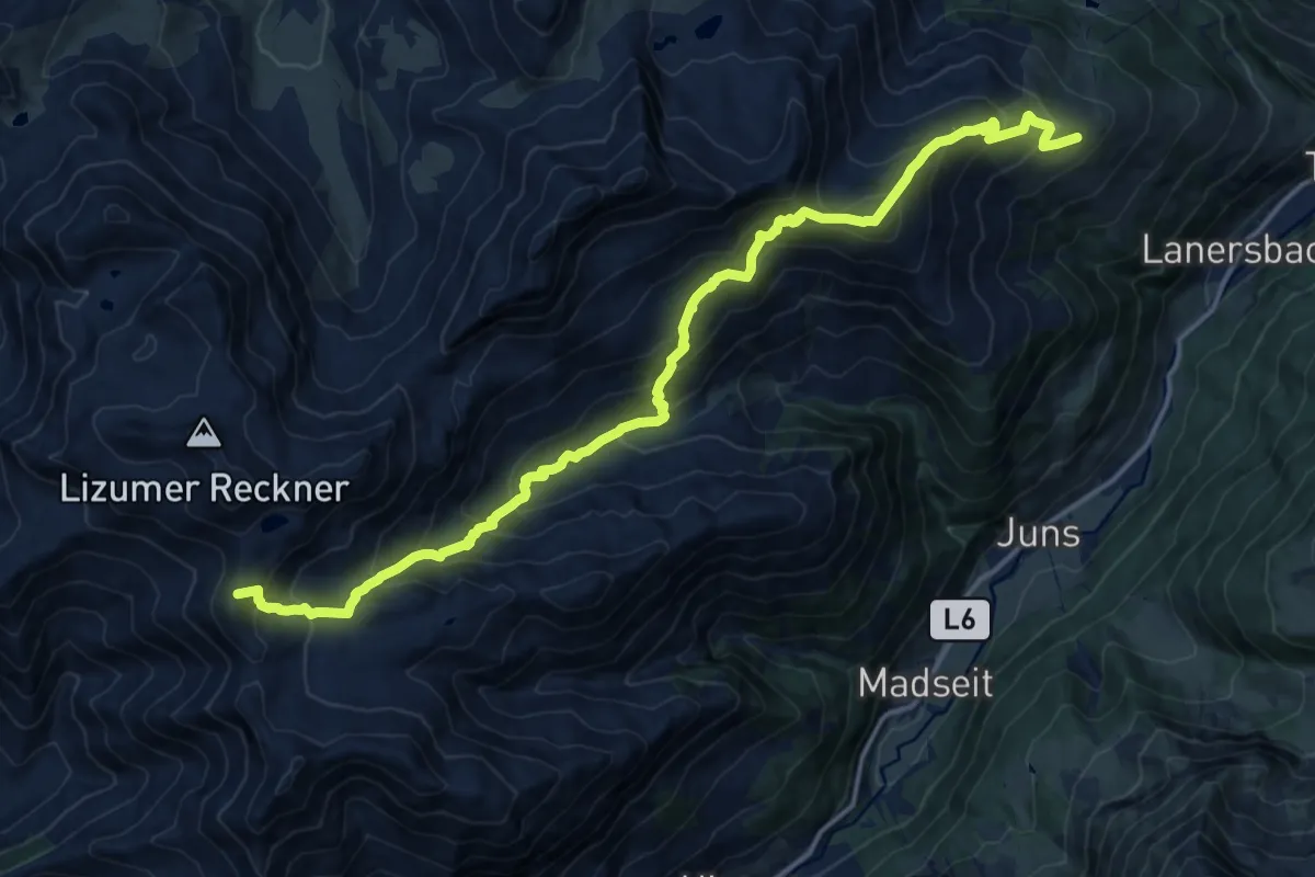
Demanding · Summit
Zillertal Wanderweg 35
17.9 km · ↑ 1625 m · 7 h 44 min
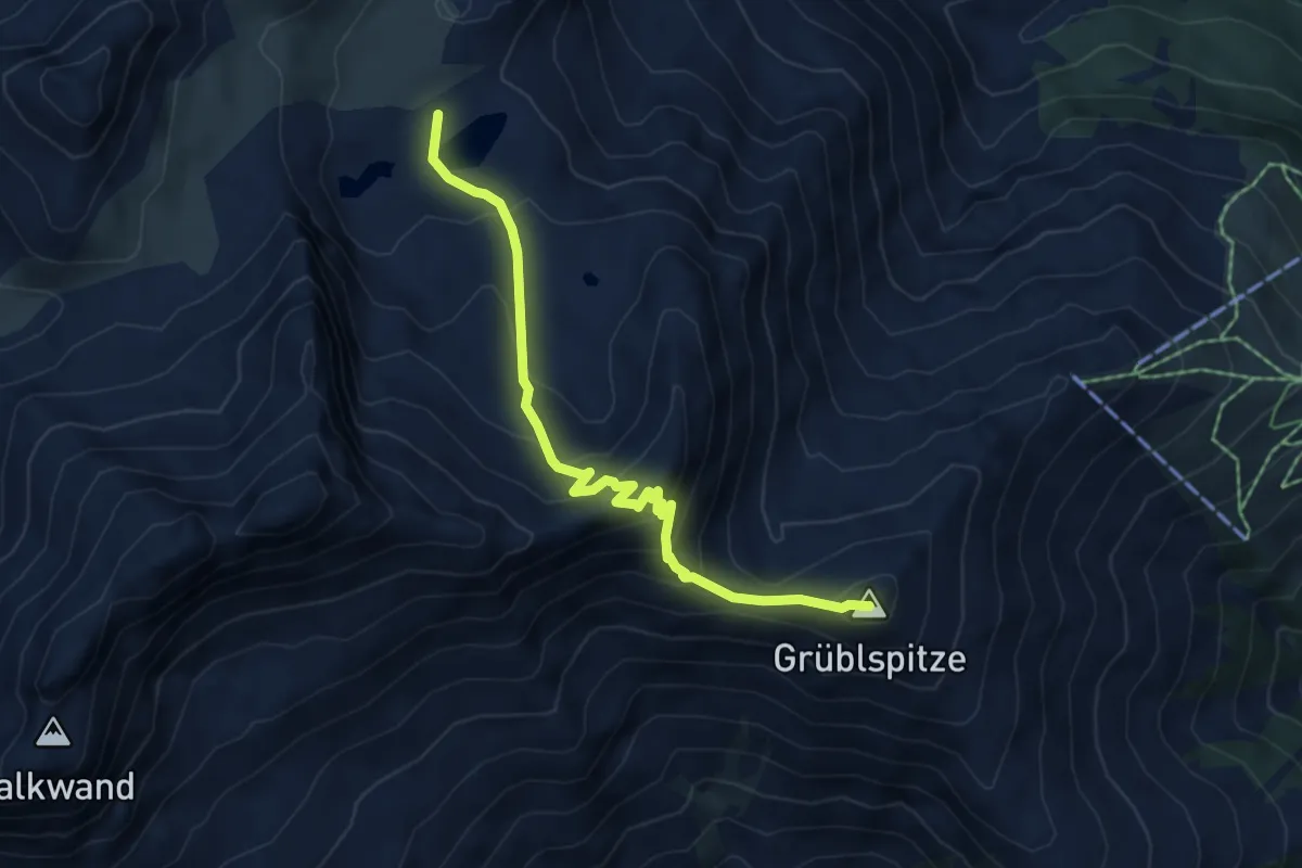
Medium · Summit
Zillertal Wanderweg 45
5.6 km · ↑ 478 m · 2 h 21 min
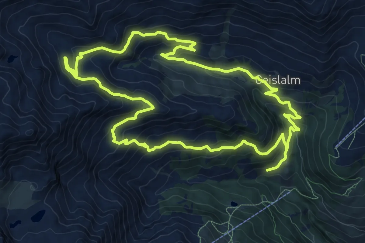
Medium · Trail
Zillertal Wanderweg 47
12.7 km · ↑ 630 m · 4 h 32 min
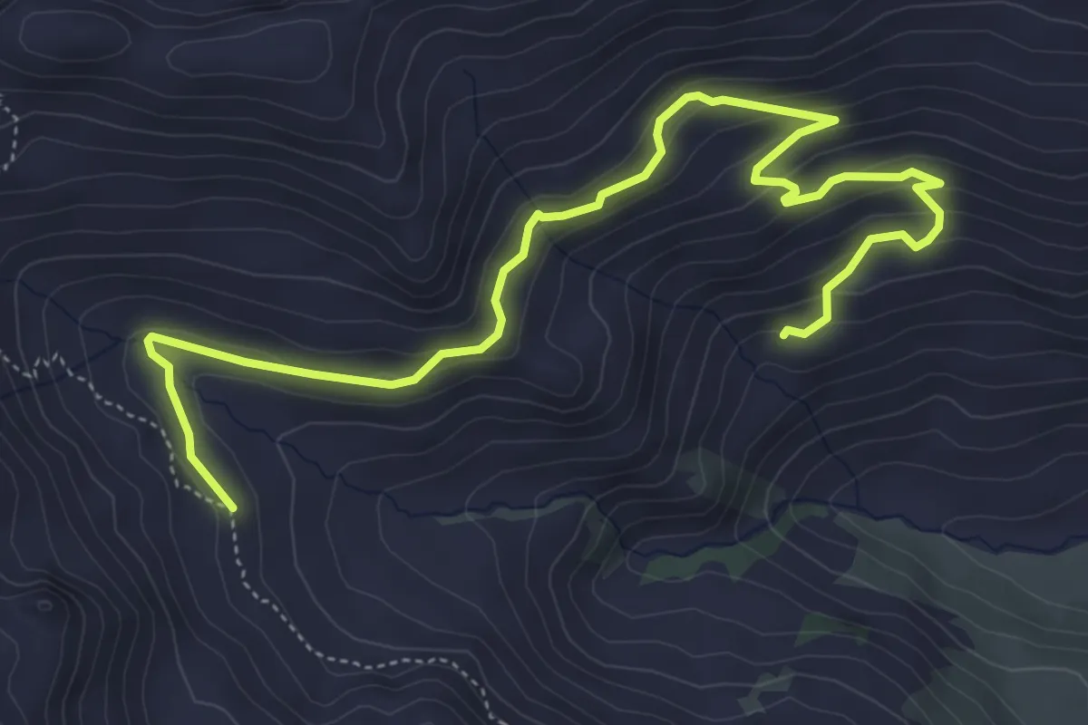
Easy · Trail
Zillertal Wanderweg 49
6.5 km · ↑ 234 m · 2 h 3 min
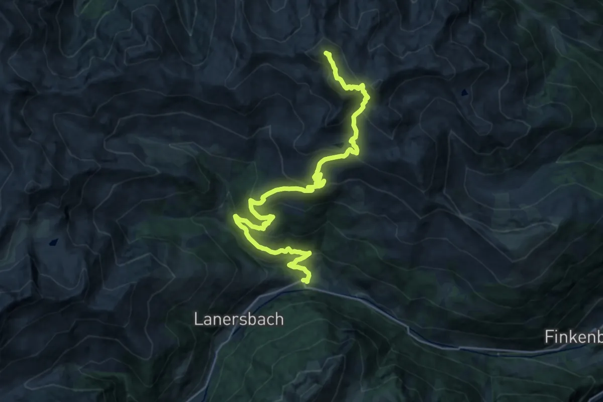
Demanding · Summit
Zillertal Wanderweg 51
23.4 km · ↑ 1548 m · 8 h 52 min
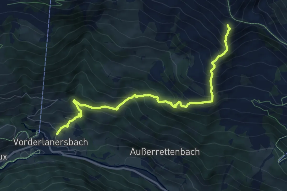
Demanding · Trail
Zillertal Wanderweg 55
8.4 km · ↑ 837 m · 3 h 48 min
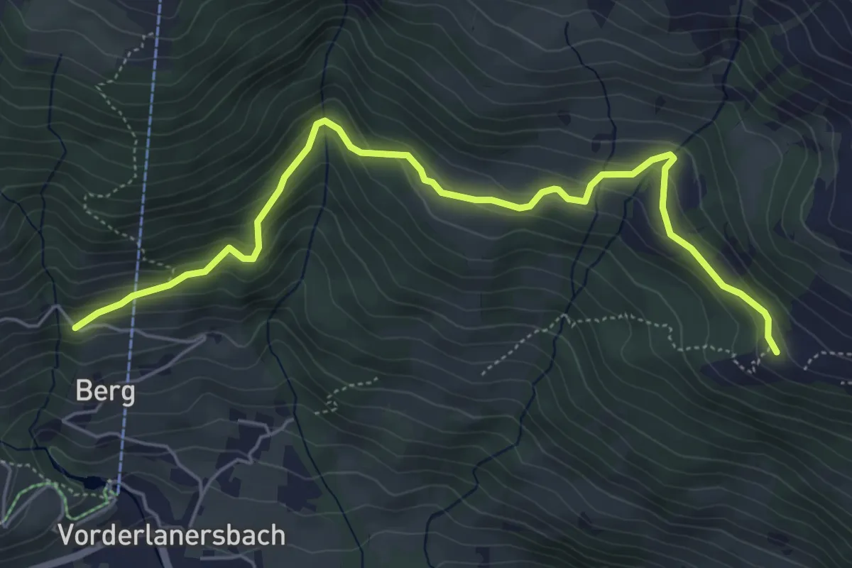
Easy · Trail
Zillertal Wanderweg 59
6.0 km · ↑ 287 m · 2 h 2 min
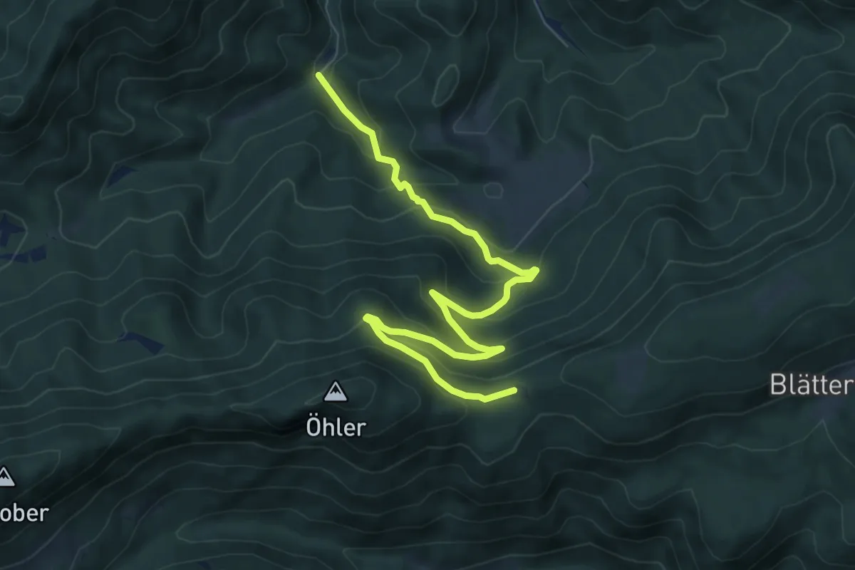
Medium · Cabin
Zinsenstein-Öhlerschutzhaus
8.3 km · ↑ 487 m · 3 h 1 min
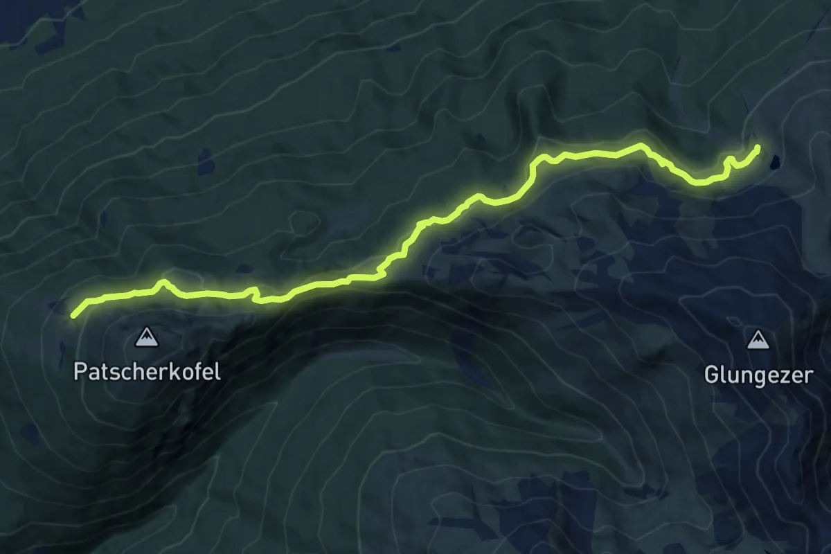
Medium · Cabin
Zirbenweg
14.2 km · ↑ 386 m · 4 h 11 min
Medium · Cabin
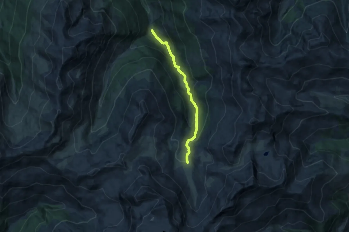
Zirbenweg
11.1 km · ↑ 662 m · 4 h 4 min
Medium · Trail
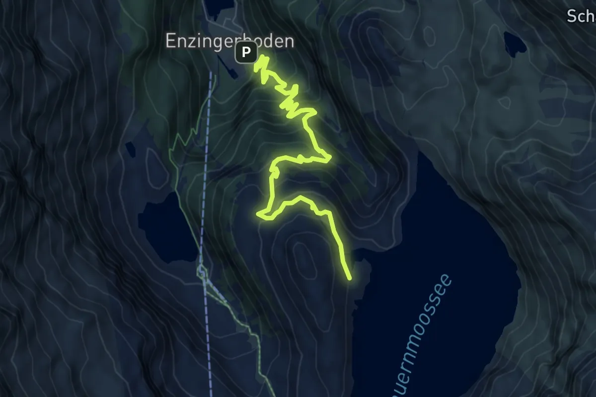
Zirbenweg
8.7 km · ↑ 631 m · 3 h 25 min
Medium · Trail
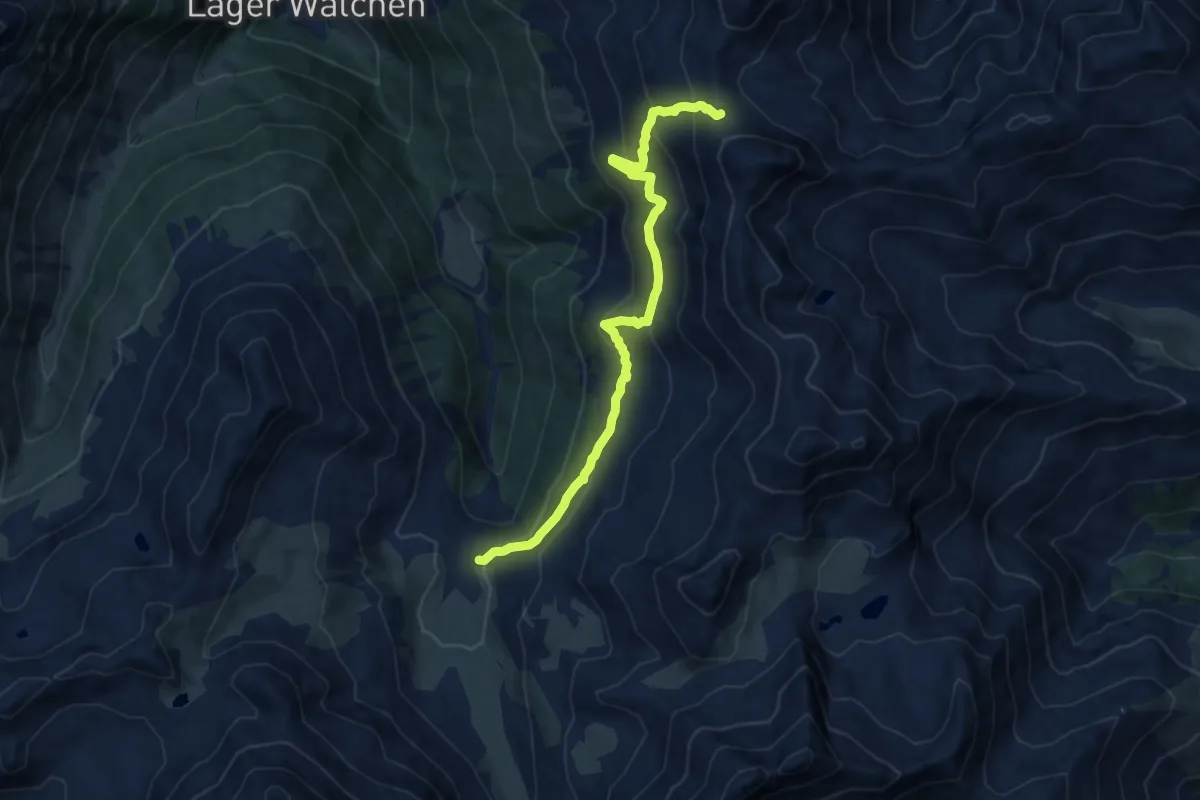
Zirbenweg - Krovenzjoch
10.3 km · ↑ 637 m · 3 h 49 min
Medium · Summit
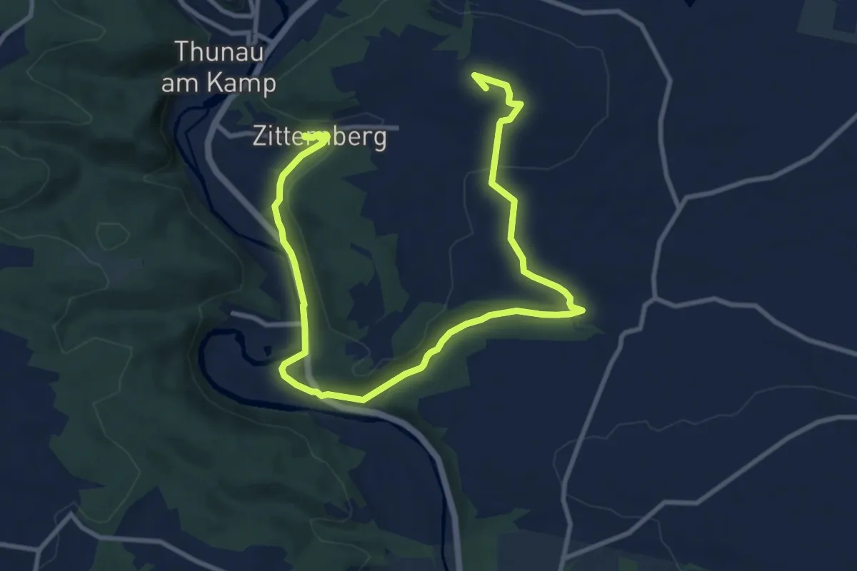
Zitternberg - Gars am Kamp
12.4 km · ↑ 227 m · 3 h 25 min
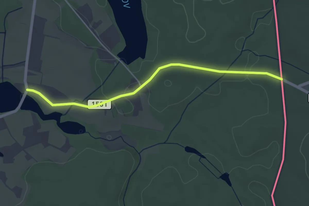
Easy · Trail
[Ž] Na Chalupách - Chlum u Třeboně (CZ/A)
3.9 km · ↑ 40 m · 1 h 1 min
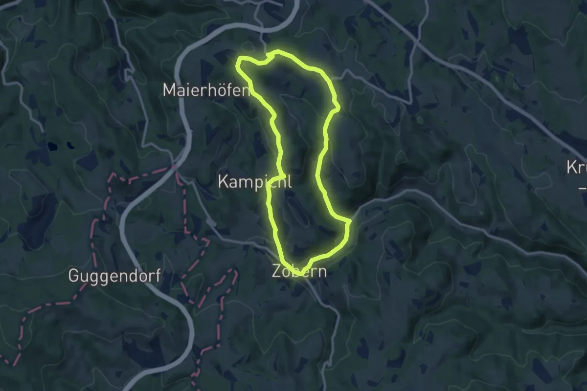
Medium · Summit
Zöbern - Hotel Czerwenka
8.8 km · ↑ 225 m · 2 h 41 min
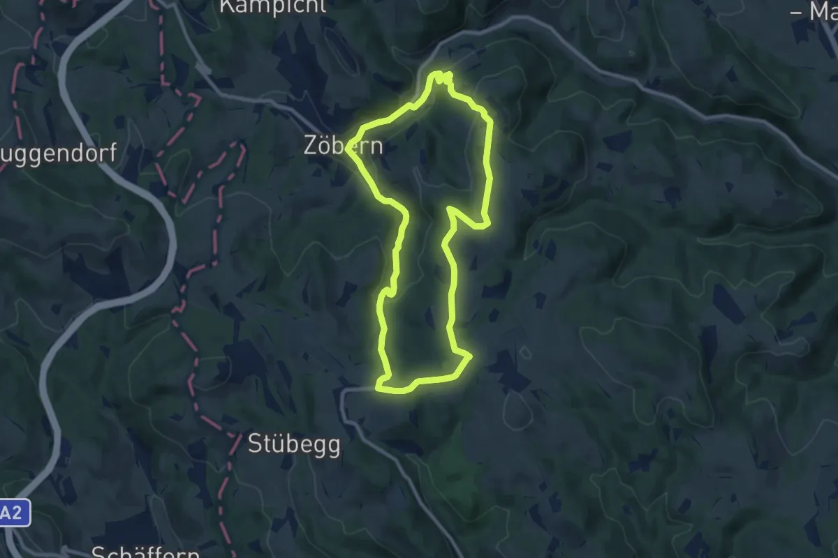
Medium · Trail
Zöbern - Zöberner Au - Heißenberg - Winkelbauer
8.4 km · ↑ 226 m · 2 h 36 min
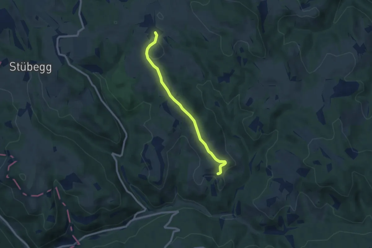
Easy · Trail
Zöbersdorf - Pichl
5.8 km · ↑ 123 m · 1 h 39 min
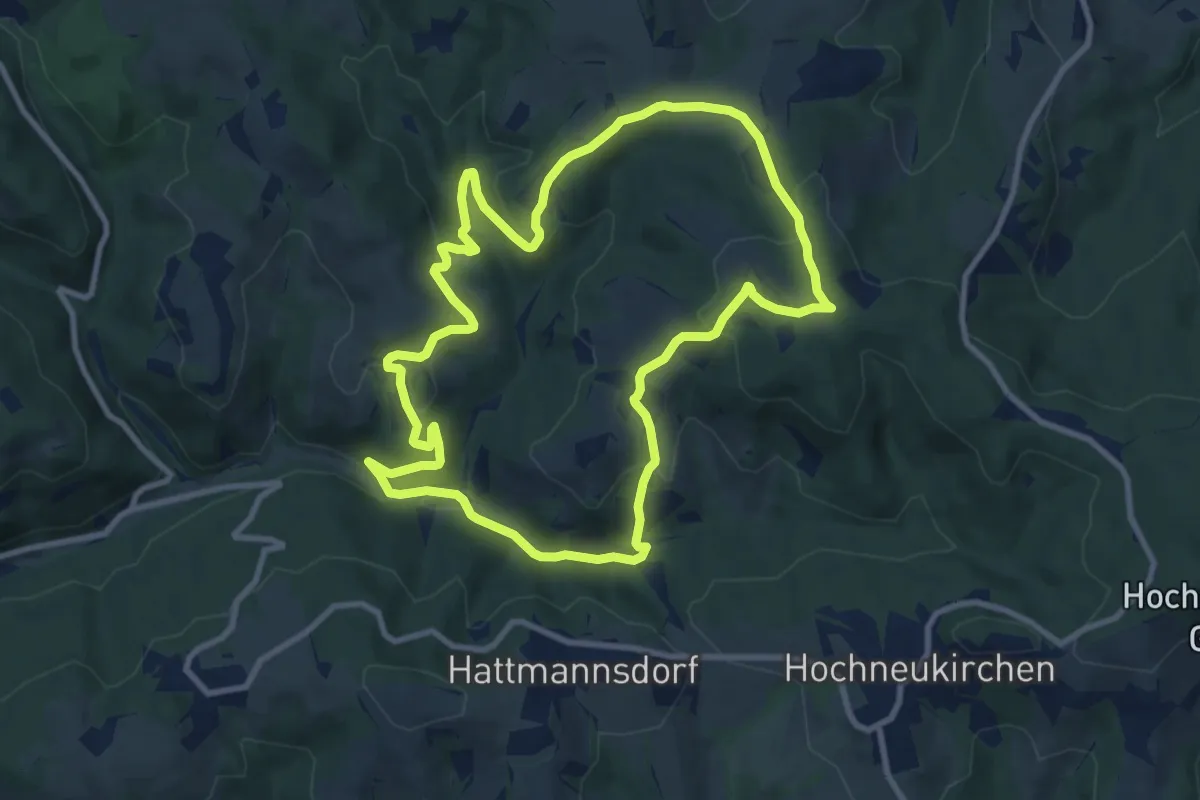
Medium · Trail
Zöbersdorfwanderweg (Zöbersdorf - Gumpoldshof - Hosien - Mölterner Höhe - Saubichl - Kranzmühle - Rodlmühle)
9.5 km · ↑ 330 m · 3 h 5 min
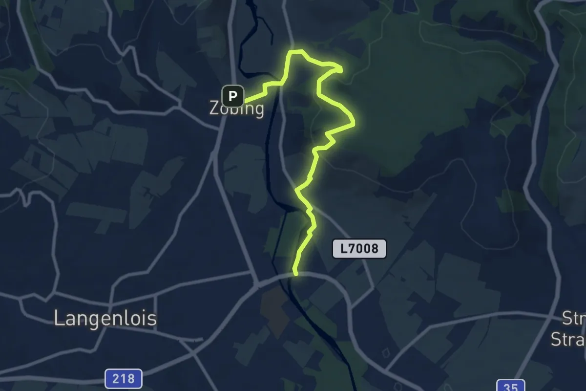
Medium · Trail
Zöbing - Haindorf
8.1 km · ↑ 284 m · 2 h 31 min
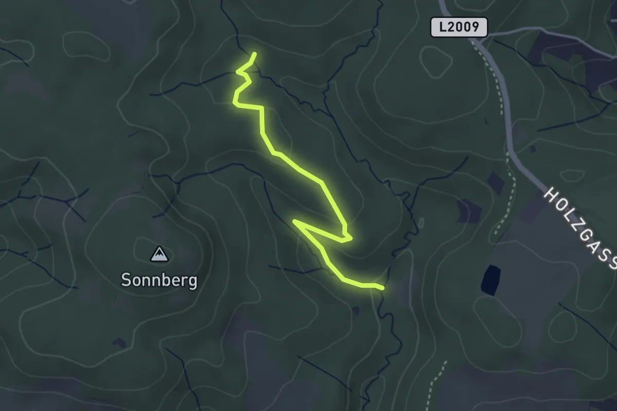
Easy · Trail
Zogelweg
3.3 km · ↑ 117 m · 1 h 1 min
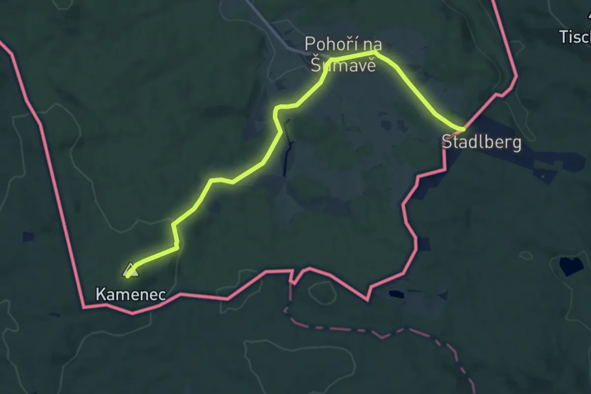
Medium · Summit
[Z] Pohoří CZ/A - Pod Kamencem CZ/A
10.0 km · ↑ 215 m · 2 h 49 min
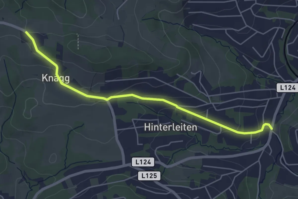
Easy · Trail
Zubringer 10 Höhenwanderweg um Eichgraben
4.6 km · ↑ 142 m · 1 h 23 min
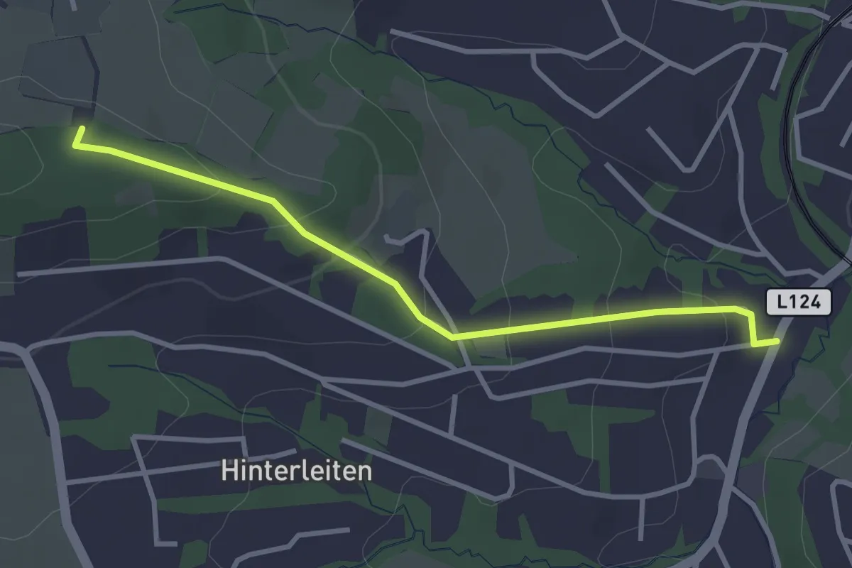
Easy · Trail
Zubringer 11 Höhenwanderweg um Eichgraben
2.9 km · ↑ 144 m · 1 h
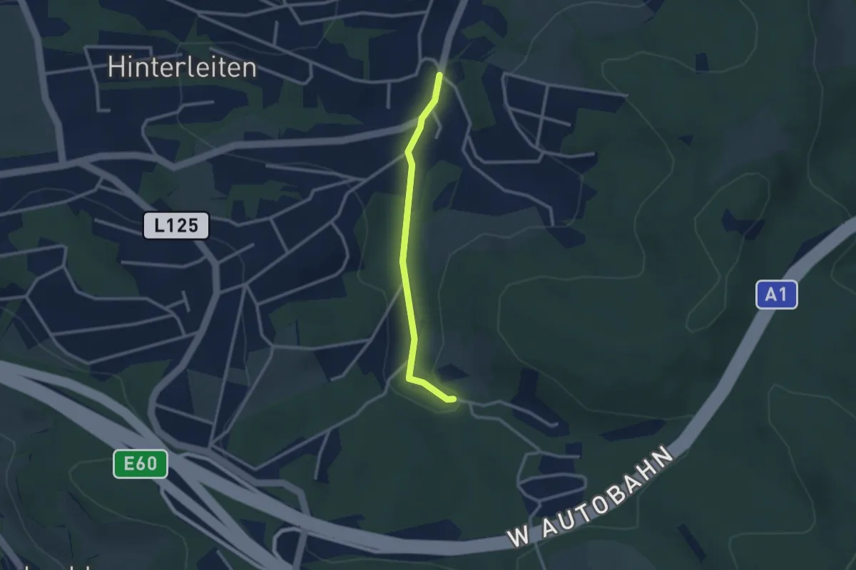
Easy · Trail
Zubringer 8 Höhenwanderweg um Eichgraben
2.2 km · ↑ 44 m · 37 min
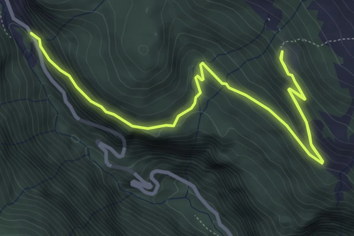
Medium · Trail
Zubringer Kattowitzer Hütte
8.0 km · ↑ 415 m · 2 h 47 min
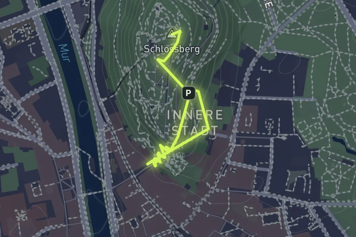
Easy · Summit
Zugangsweg
2.1 km · ↑ 270 m · 1 h 4 min
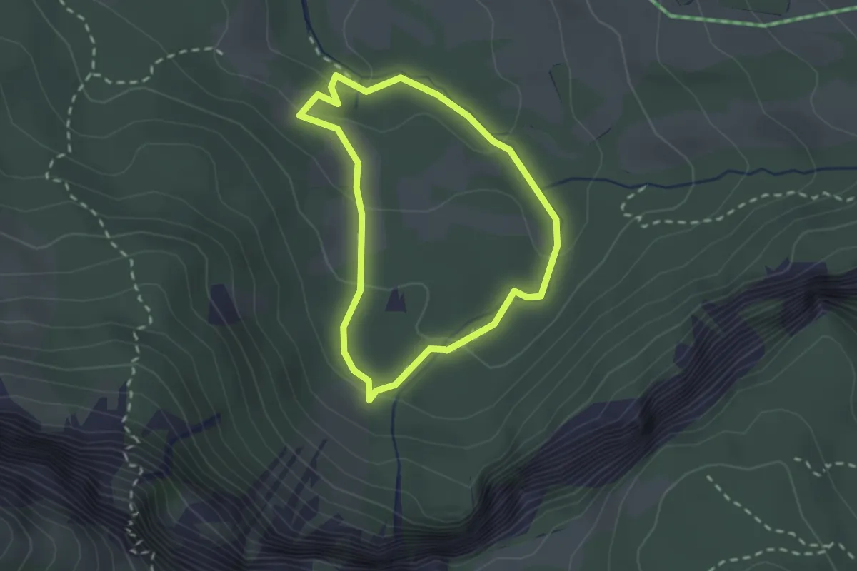
Medium · Trail
Zugspitzi am Gaisbach
1.9 km · ↑ 92 m · 41 min
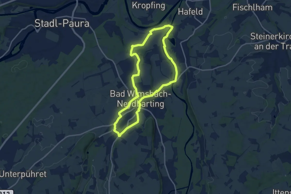
Medium · Trail
Zum Almspitz
9.8 km · ↑ 61 m · 2 h 35 min
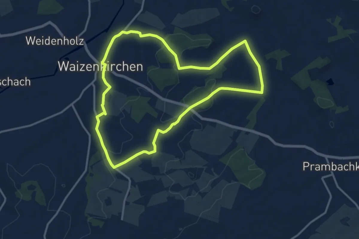
Medium · Trail
Zum Bauernmöbelmuseum
8.4 km · ↑ 84 m · 2 h 17 min