Trails in Austria
9,777 hiking trails, each with its route, climb, walking time and grade.
All trails, page 191 of 204
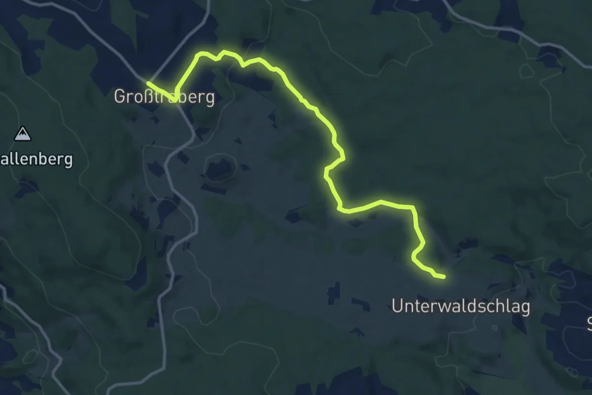
Medium · Trail
Zum Golfplatz
10.3 km · ↑ 196 m · 2 h 52 min
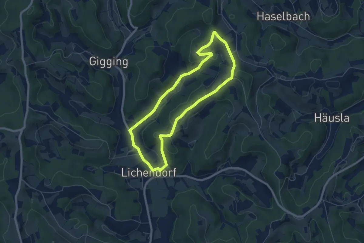
Easy · Trail
Zum höchsten Punkt
5.5 km · ↑ 127 m · 1 h 39 min
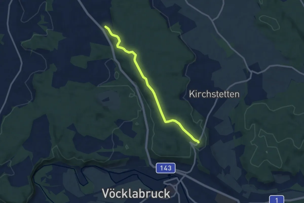
Easy · Trail
Zum Höcknerkeller
6.7 km · ↑ 65 m · 1 h 44 min
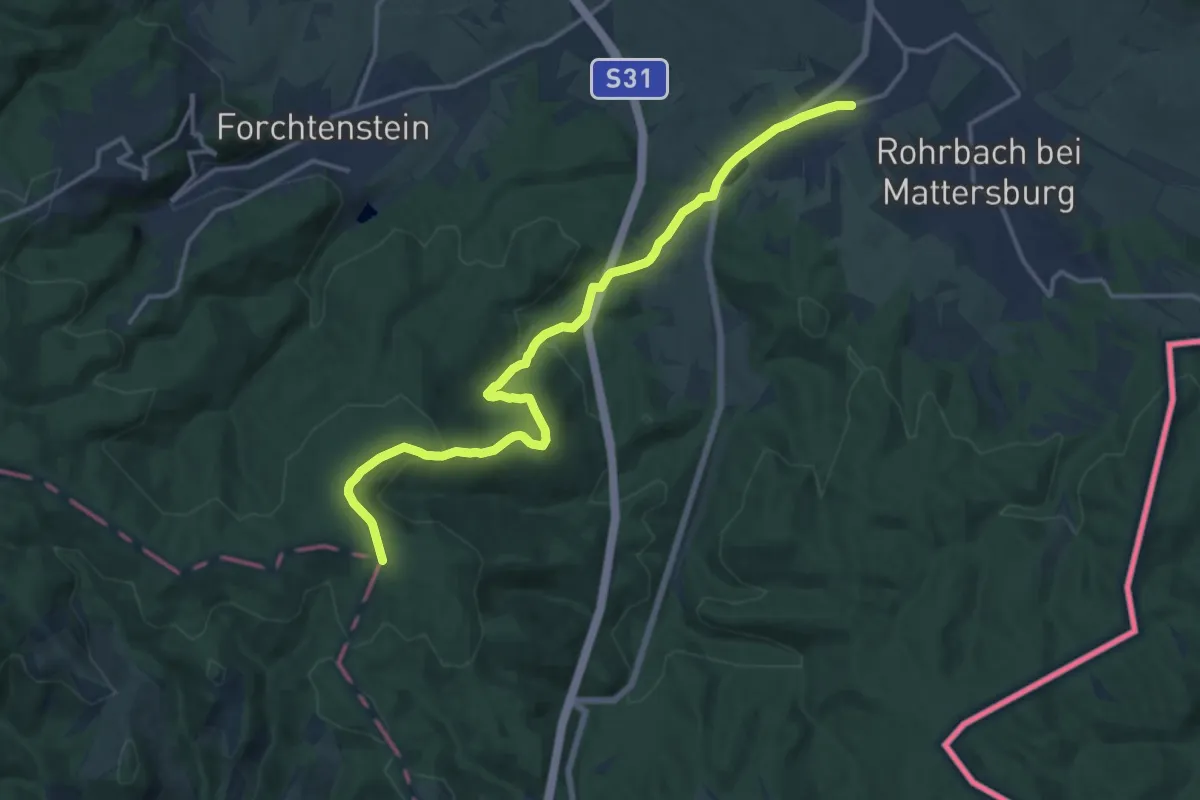
Medium · Trail
Zum Narr (Marz)
15.5 km · ↑ 415 m · 4 h 33 min
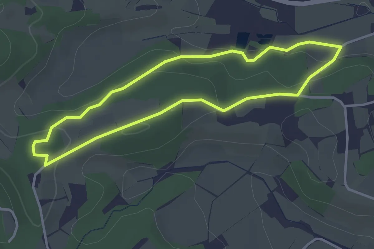
Easy · Trail
Zum Naturlehrpfad
2.8 km · ↑ 75 m · 51 min
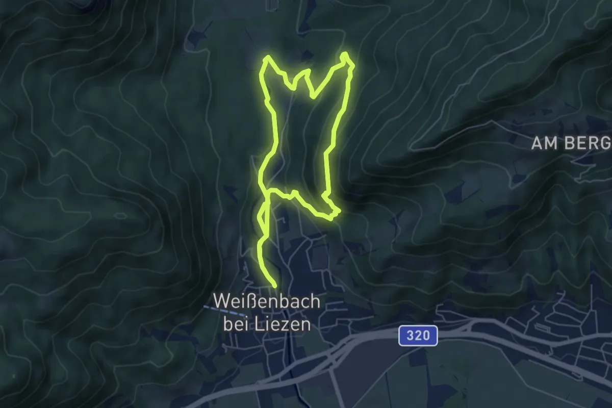
Medium · Trail
Zur kleinen Schale-Runde
5.6 km · ↑ 189 m · 1 h 48 min
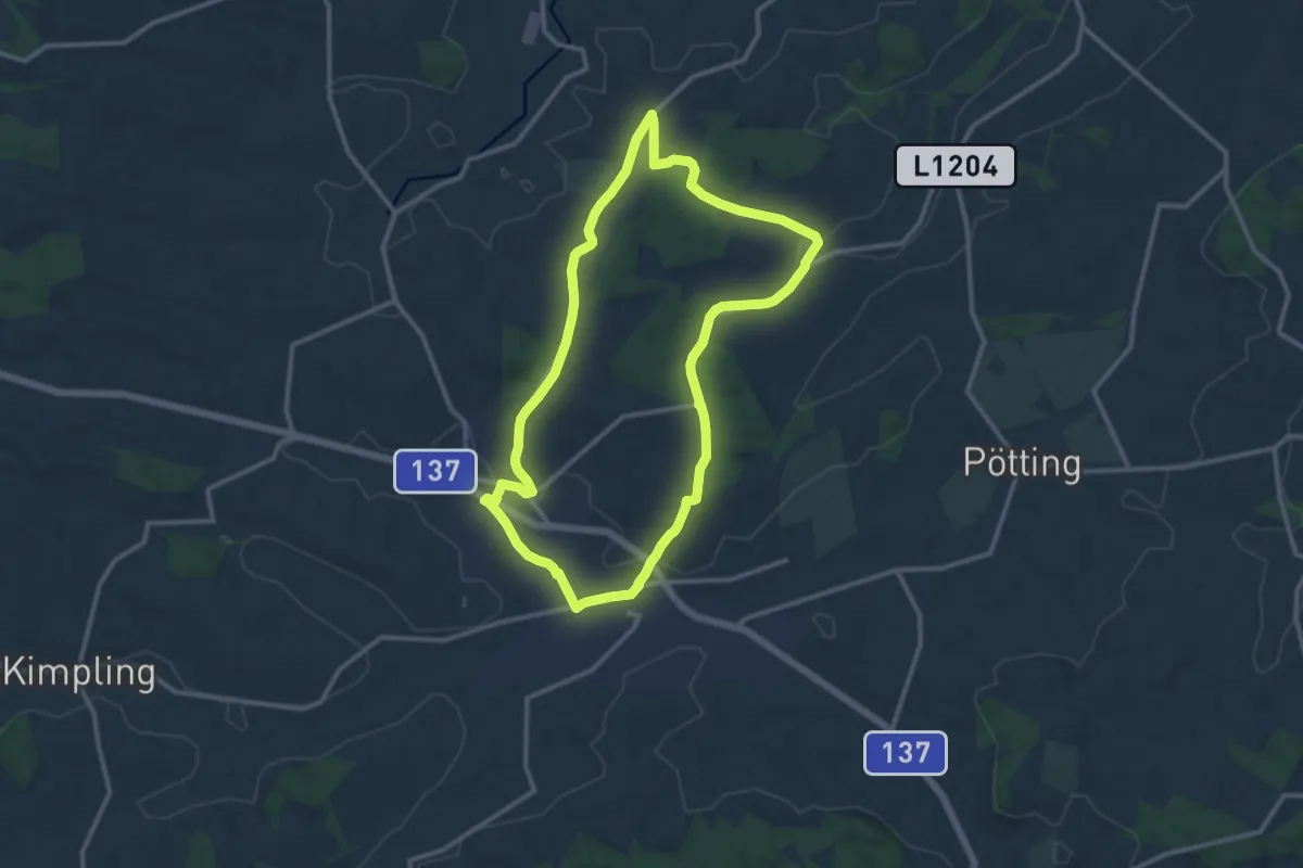
Medium · Trail
Zur Mostschänke Oberndorf
11.3 km · ↑ 128 m · 3 h 6 min
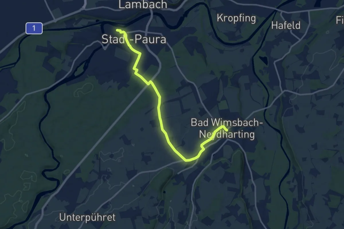
Medium · Trail
Zur Paurakirche
11.9 km · ↑ 75 m · 2 h 59 min
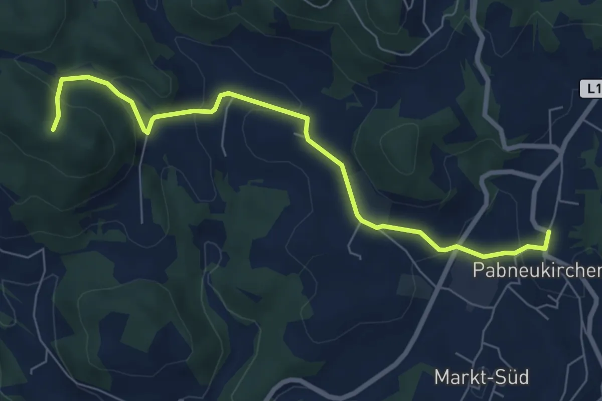
Easy · Trail
Zur Ruine Klingenberg
3.2 km · ↑ 173 m · 1 h 7 min
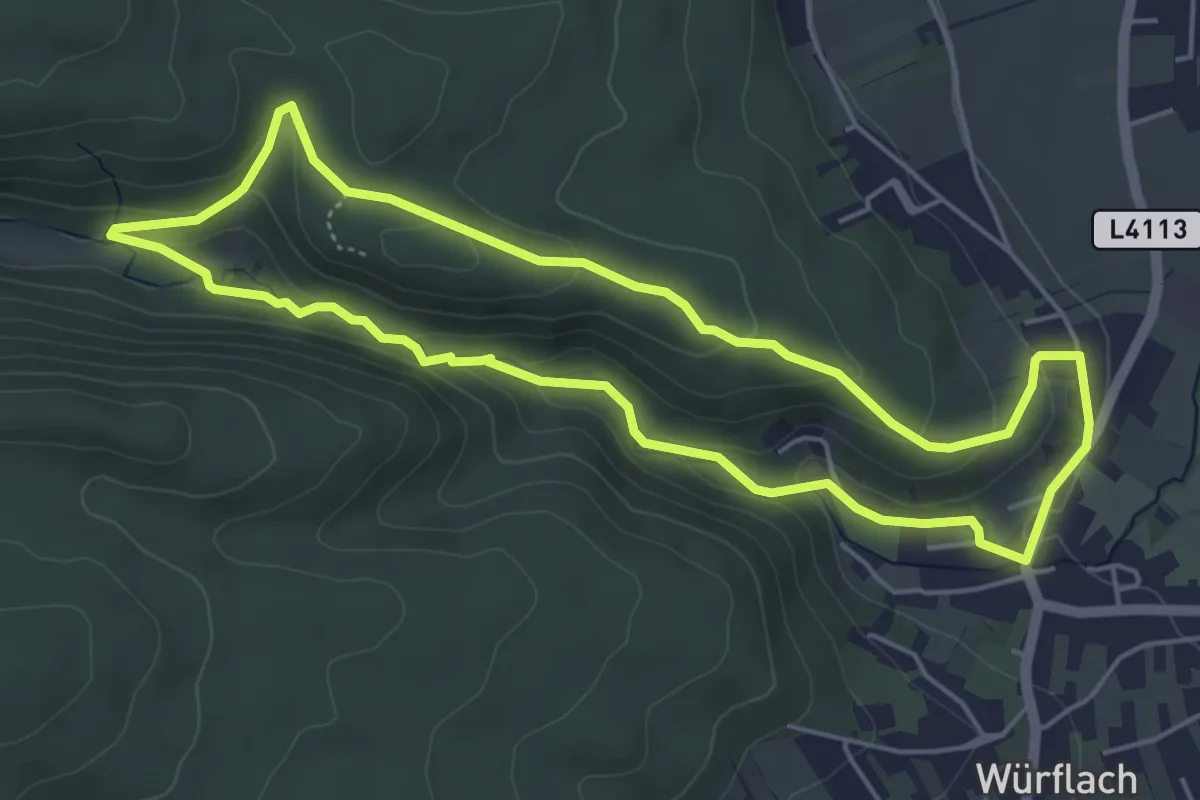
Easy · Trail
Zur Schubertlinde Runde bei Würflach
4.9 km · ↑ 128 m · 1 h 30 min
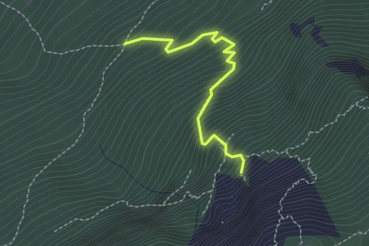
Demanding · Trail
Zustieg Franz-Scheikl-Klettersteig
1.9 km · ↑ 308 m · 1 h 6 min
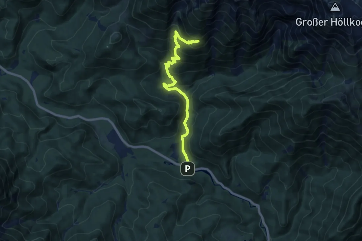
Medium · Trail
Zustieg Hubertushütte
10.0 km · ↑ 551 m · 3 h 33 min
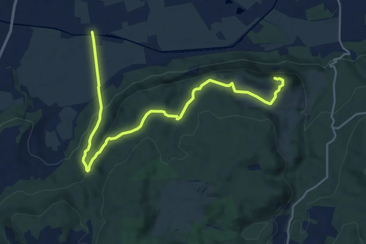
Medium · Summit
Zwanzigerberg
12.4 km · ↑ 382 m · 3 h 46 min
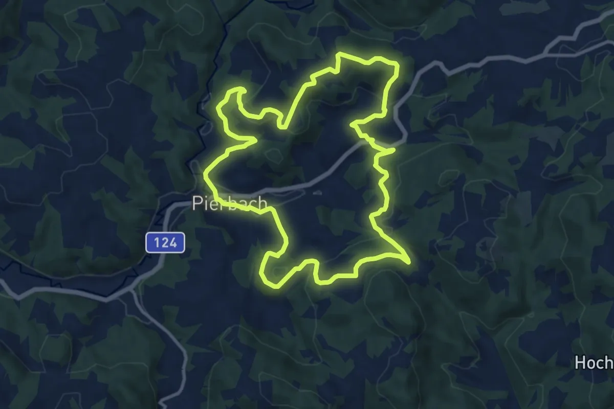
Medium · Trail
Zweibergweg
10.2 km · ↑ 375 m · 3 h 22 min
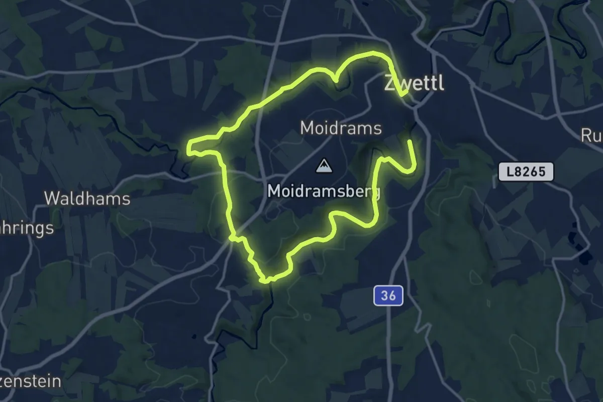
Demanding · Trail
Zwei Flüsse Rundwanderweg 58
21.0 km · ↑ 279 m · 5 h 34 min
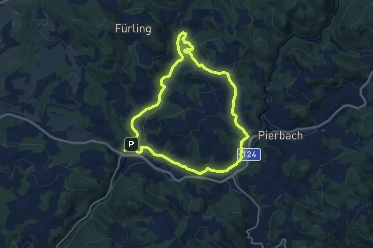
Medium · Trail
Zweiflüsseweg
9.3 km · ↑ 160 m · 2 h 41 min
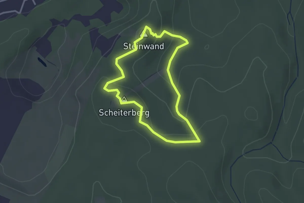
Easy · Summit
Zwei Gipfel Rundwanderweg
2.4 km · ↑ 117 m · 51 min
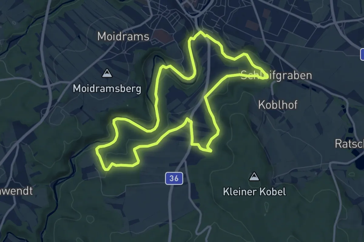
Medium · Summit
Zwettler Bierweg 52
9.0 km · ↑ 151 m · 2 h 34 min
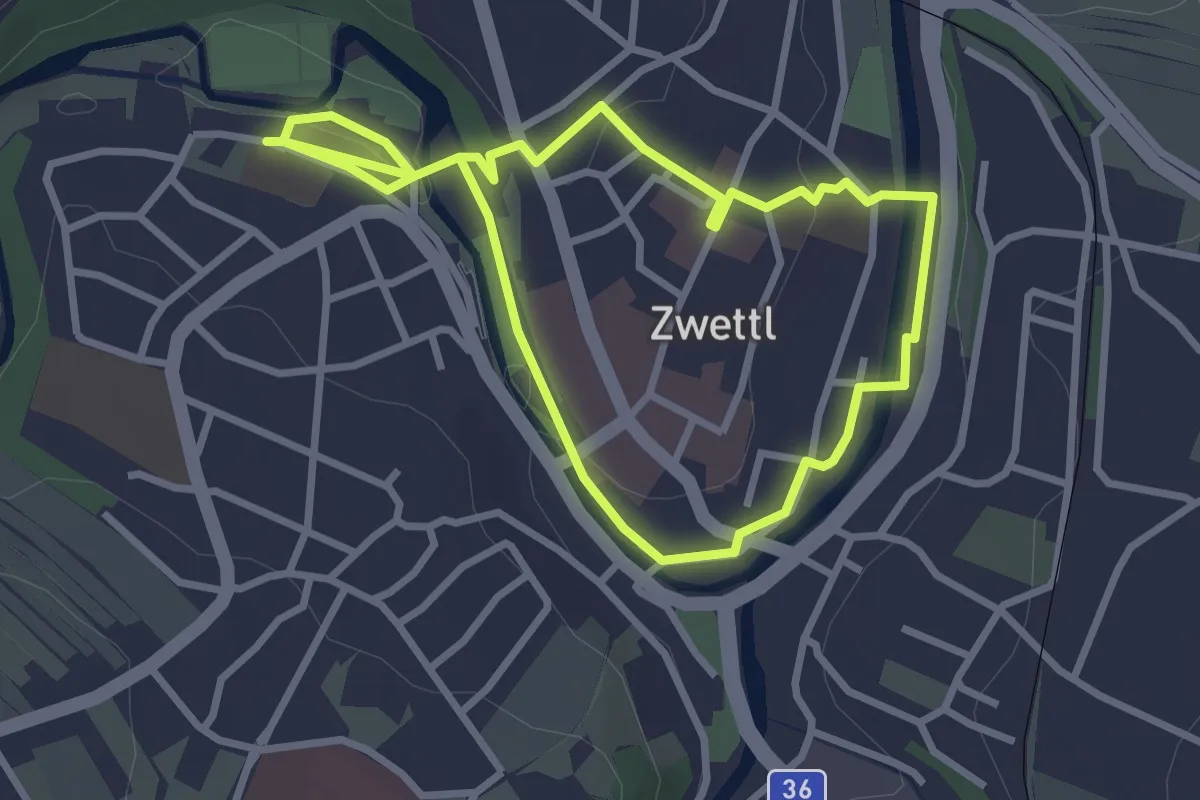
Easy · Trail
Zwettler Skulpturenweg Stat. 1 - 13
2.7 km · ↑ 29 m · 44 min
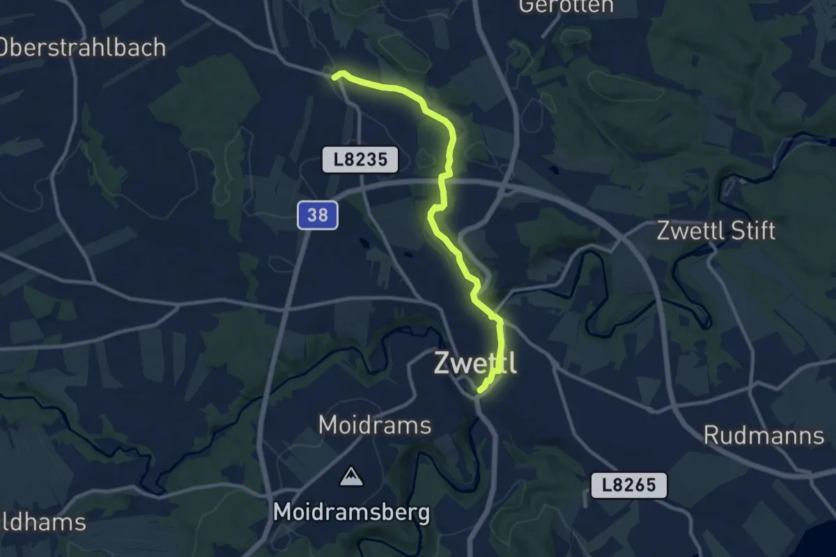
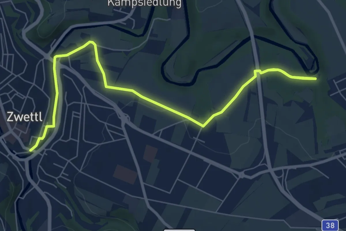
Medium · Trail
Zwettl - Gradnitz 9
9.0 km · ↑ 84 m · 2 h 18 min
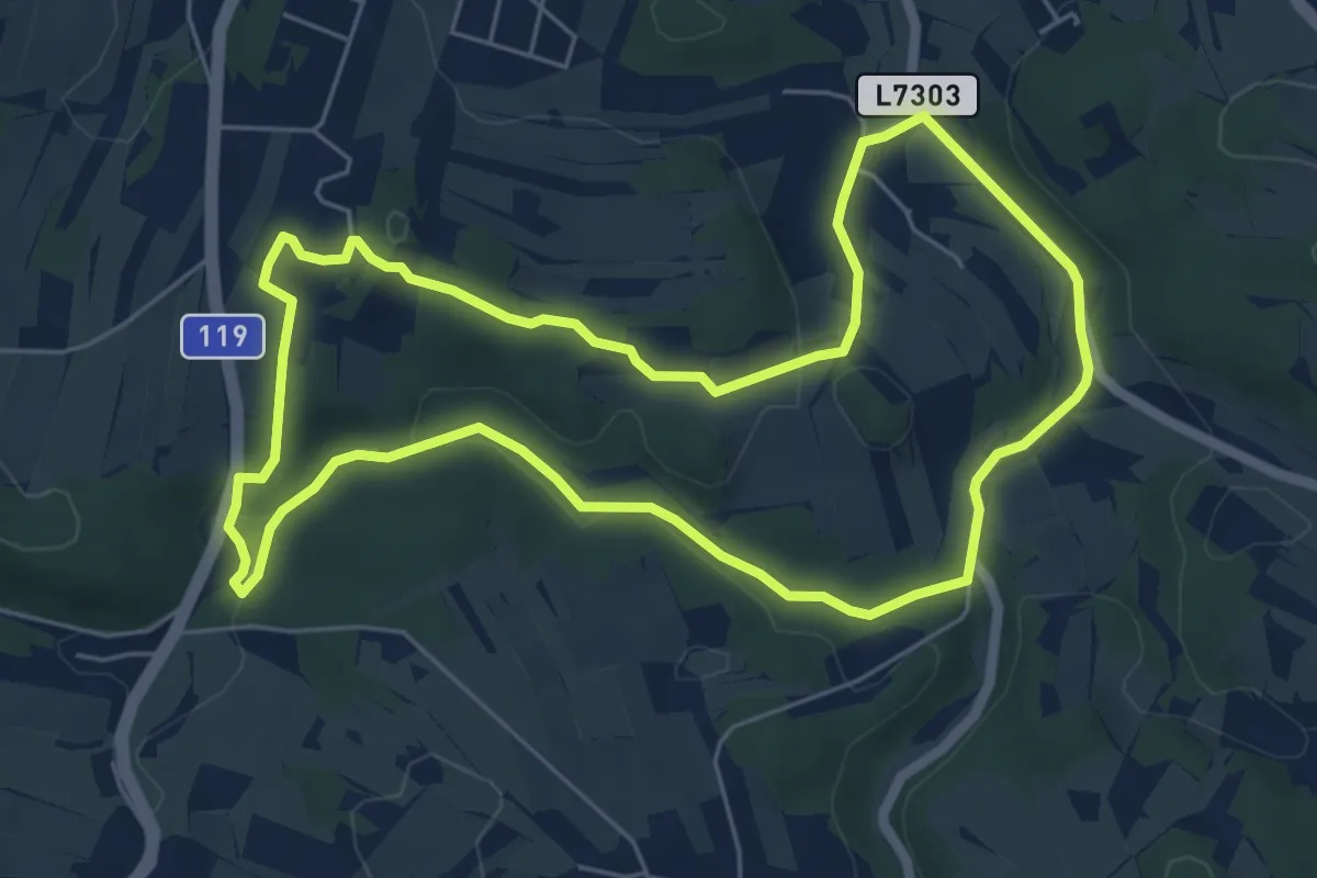
Easy · Trail
Zwettl - Stift Zwettl 8
7.9 km · ↑ 109 m · 2 h 6 min
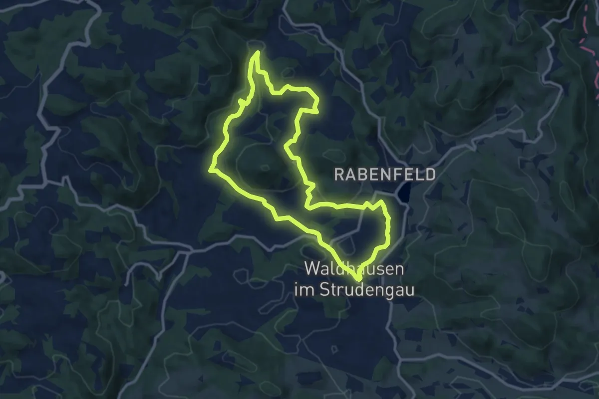
Easy · Trail
Zwettltal 1
5.8 km · ↑ 105 m · 1 h 41 min
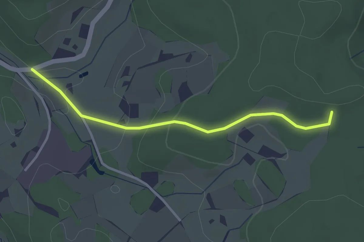
Medium · Trail
Zwickelgrabenrunde
9.1 km · ↑ 228 m · 2 h 47 min
Easy · Trail
06, 620
2.5 km · ↑ 69 m · 45 min
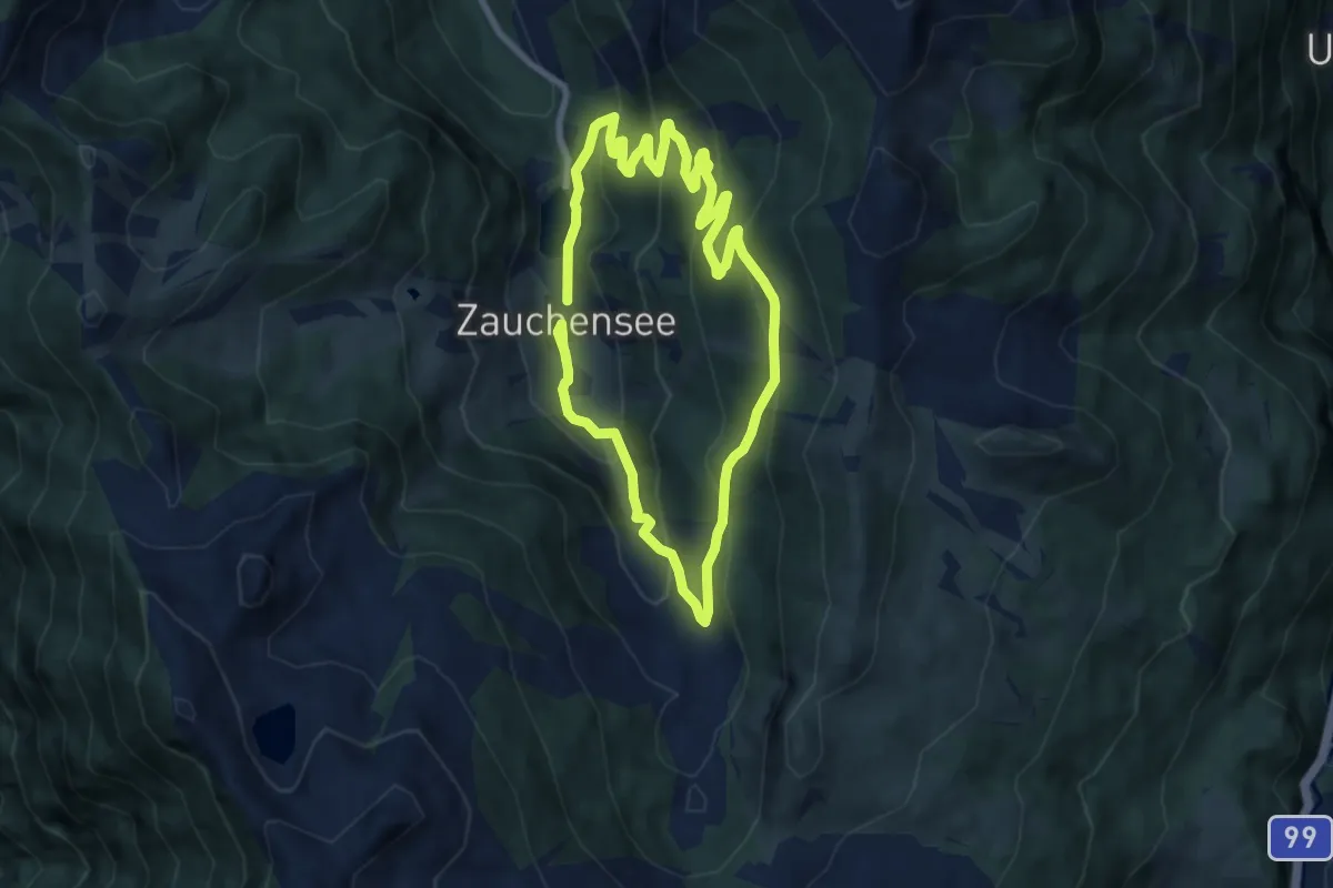
Medium · Trail
07 Sonnalm Runde
7.3 km · ↑ 384 m · 2 h 39 min
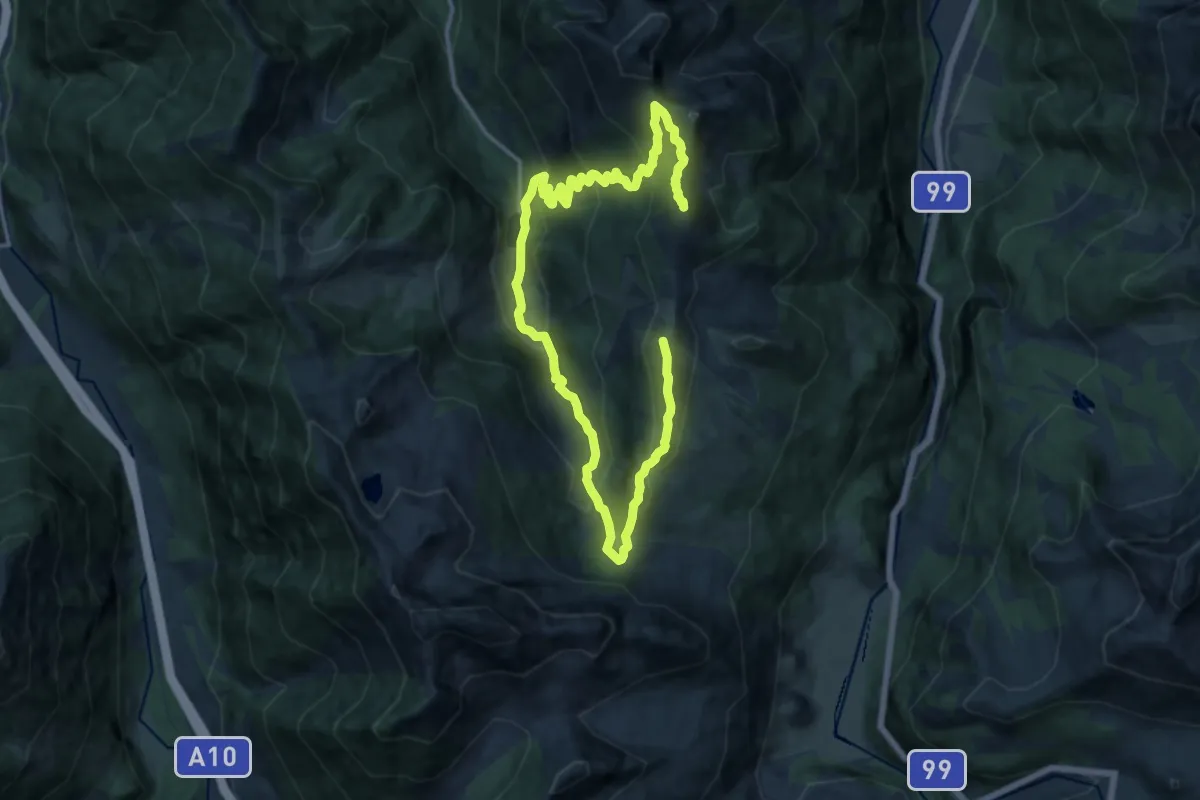
Demanding · Summit
08 Strimskogel Runde
20.2 km · ↑ 1414 m · 7 h 50 min
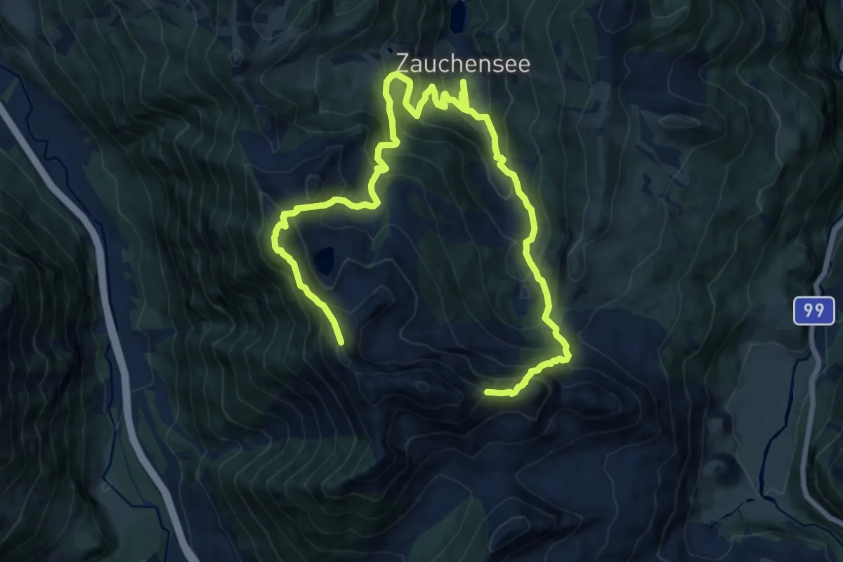
Expert · Summit
09 Alpin-Rundtour Zauchtal
19.8 km · ↑ 1796 m · 8 h 35 min
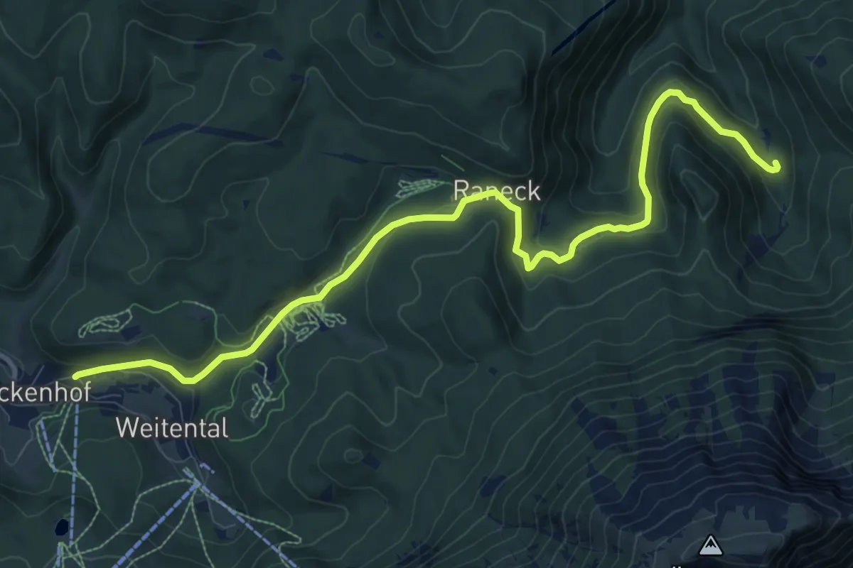
Medium · Trail
1
11.5 km · ↑ 329 m · 3 h 25 min
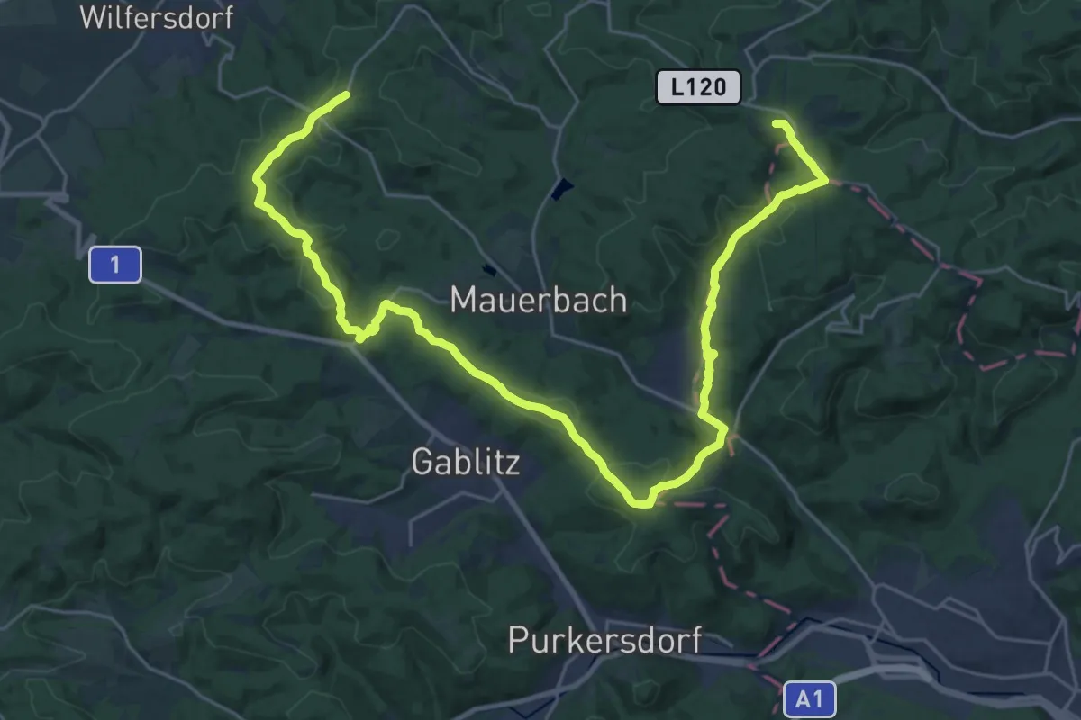
Demanding · Summit
1
32.3 km · ↑ 964 m · 9 h 43 min
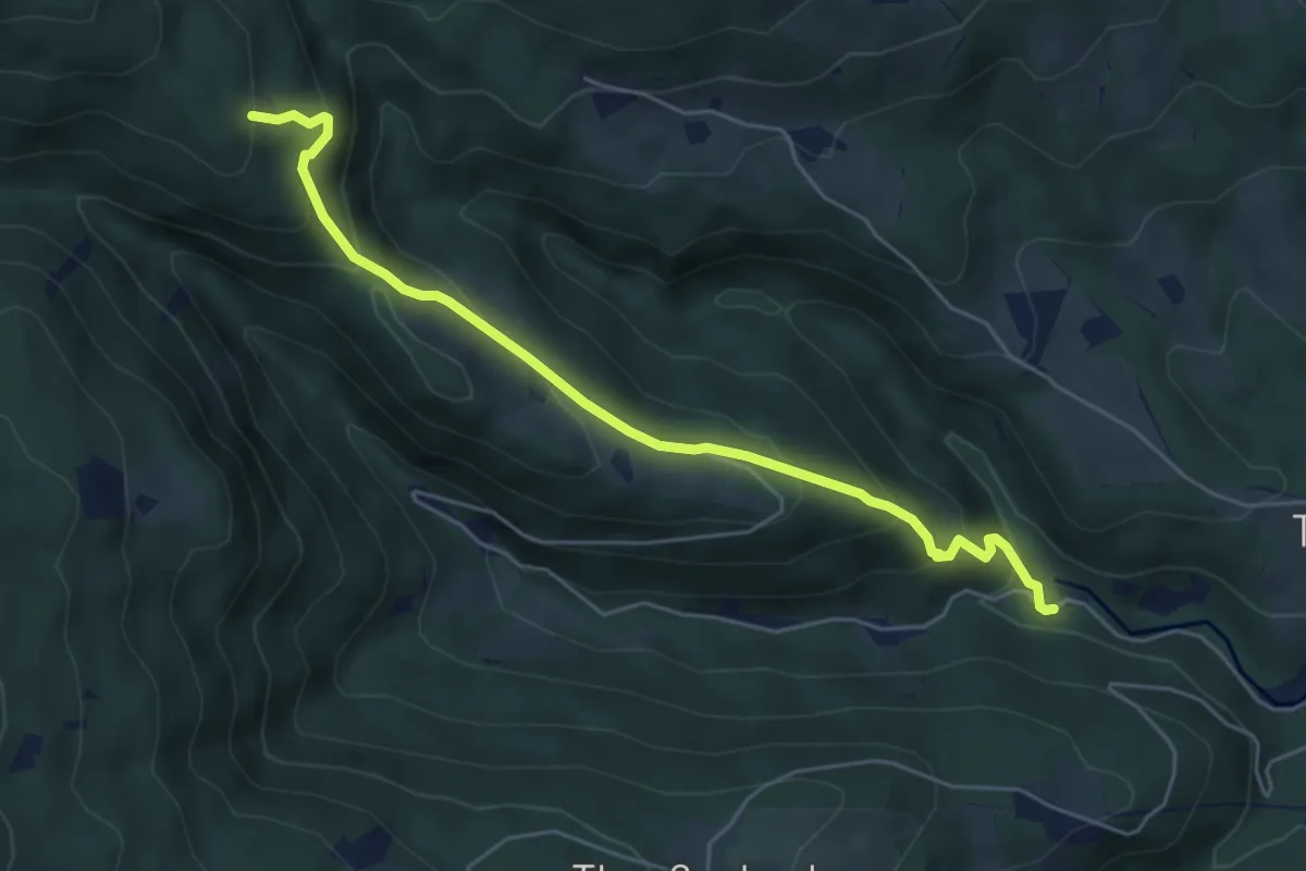
Medium · Trail
10
5.5 km · ↑ 366 m · 2 h 6 min
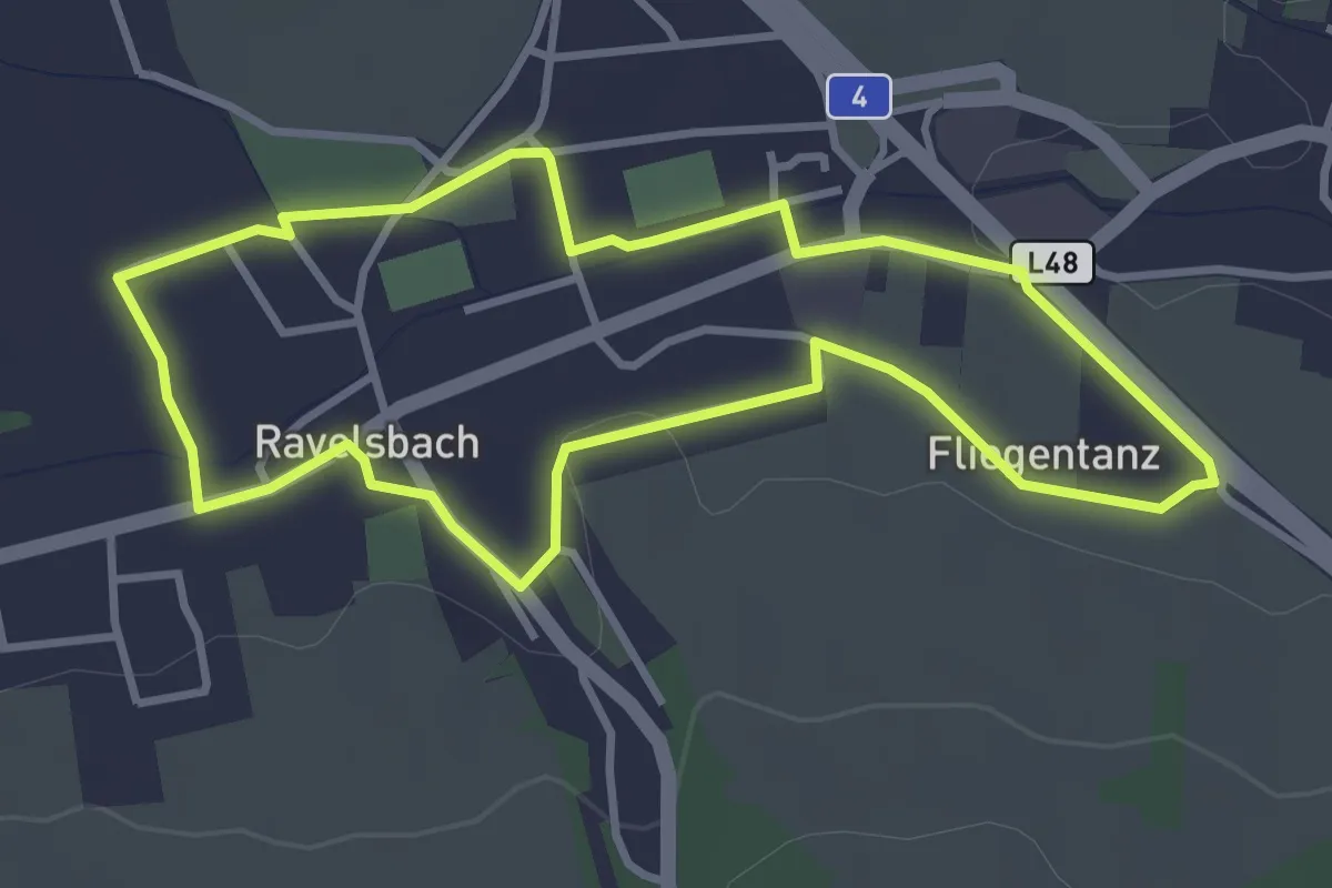
Easy · Trail
1.000 Schritte-Weg
3.2 km · ↑ 24 m · 52 min
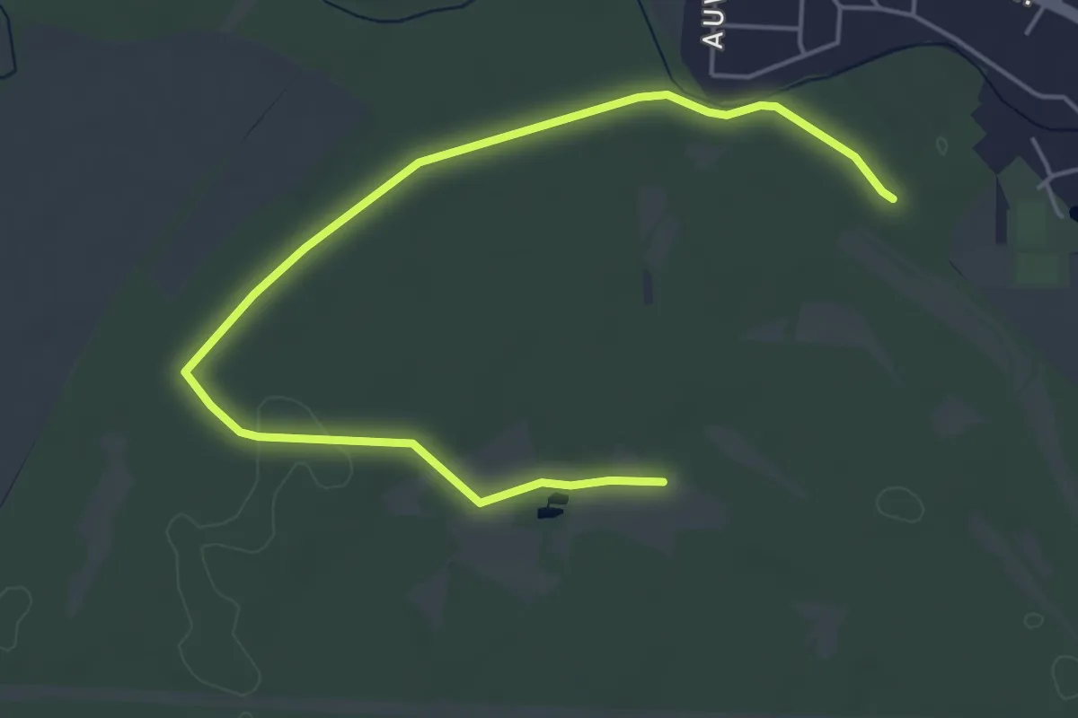
Easy · Trail
1000 Schritte Weg
5.9 km · ↑ 0 m · 1 h 24 min
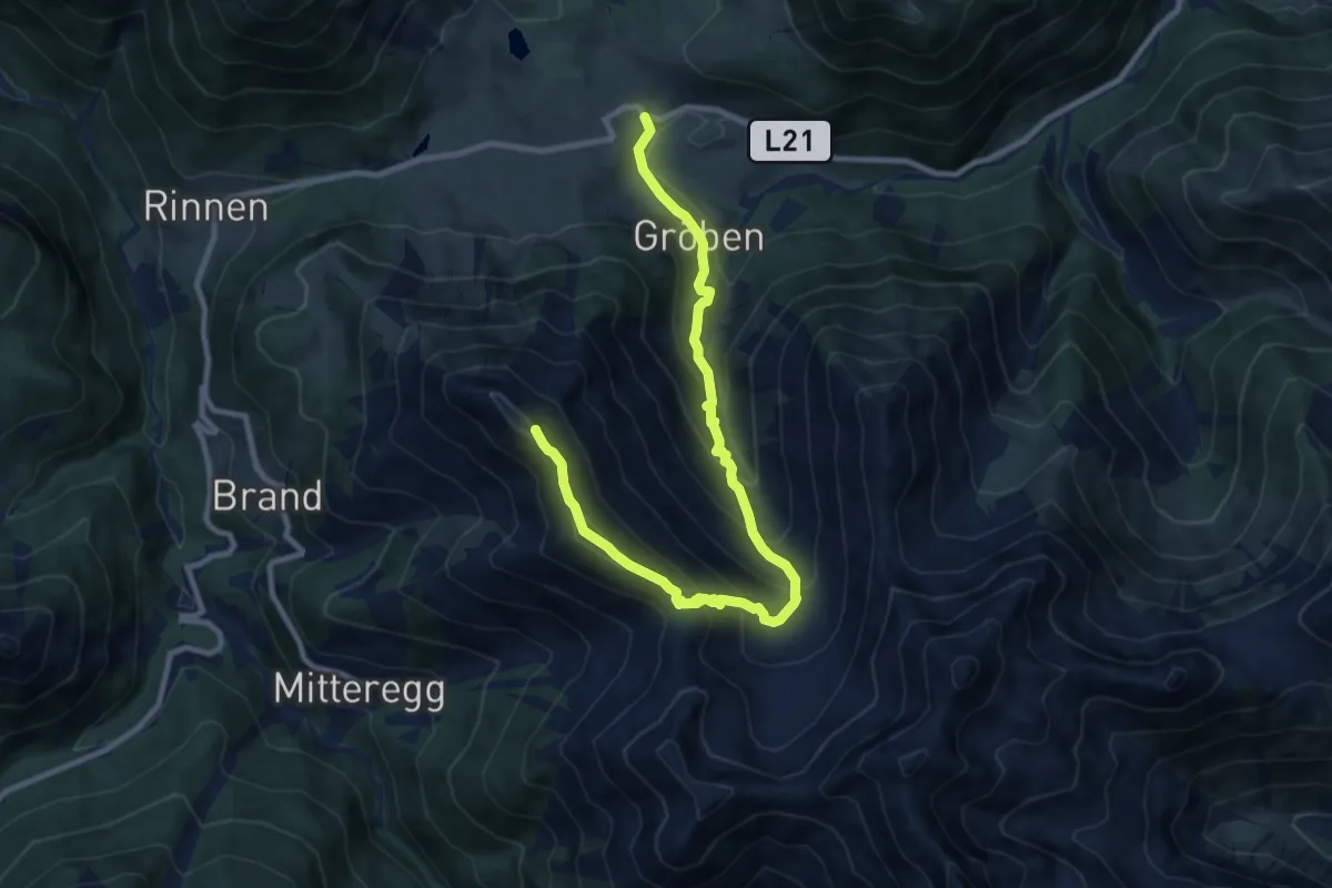
Demanding · Summit
103 Berwang - Älple - Hönig
10.8 km · ↑ 853 m · 4 h 24 min
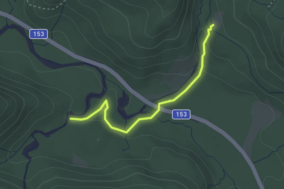
Easy · Trail
10A: Gimbach Kaskaden
2.5 km · ↑ 73 m · 45 min
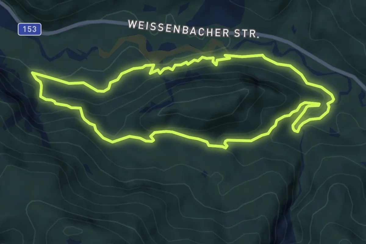
Demanding · Trail
10: Eibenberg-Rundwanderweg
7.0 km · ↑ 270 m · 2 h 20 min
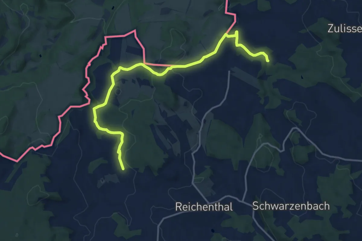
Easy · Trail
10 Mühlenwanderweg
6.9 km · ↑ 161 m · 2 h 2 min
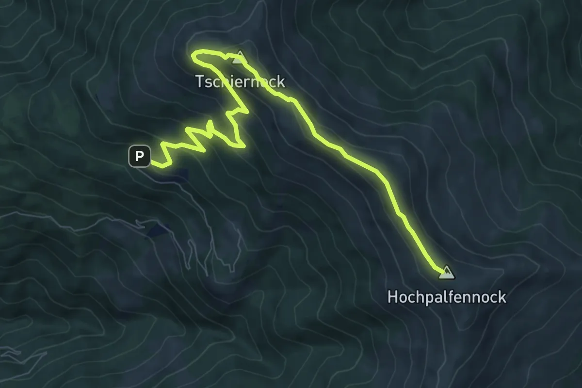
Medium · Summit
11
9.9 km · ↑ 540 m · 3 h 30 min
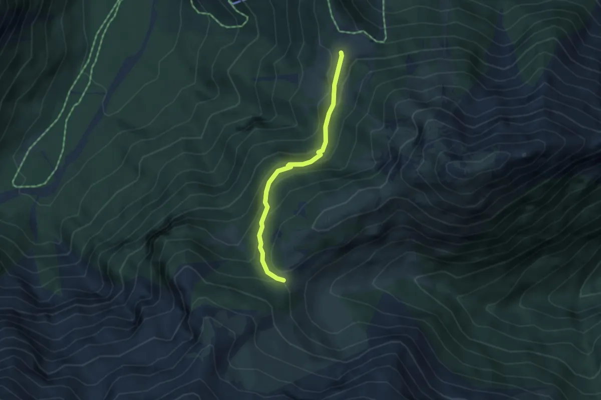
Medium · Trail
11
3.4 km · ↑ 247 m · 1 h 21 min
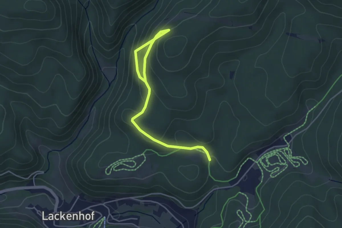
Easy · Trail
11
4.1 km · ↑ 212 m · 1 h 26 min
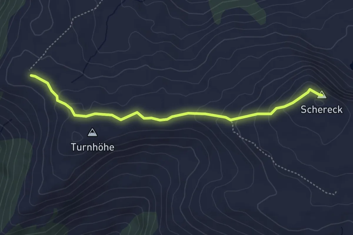
Easy · Summit
114a
4.4 km · ↑ 164 m · 1 h 24 min
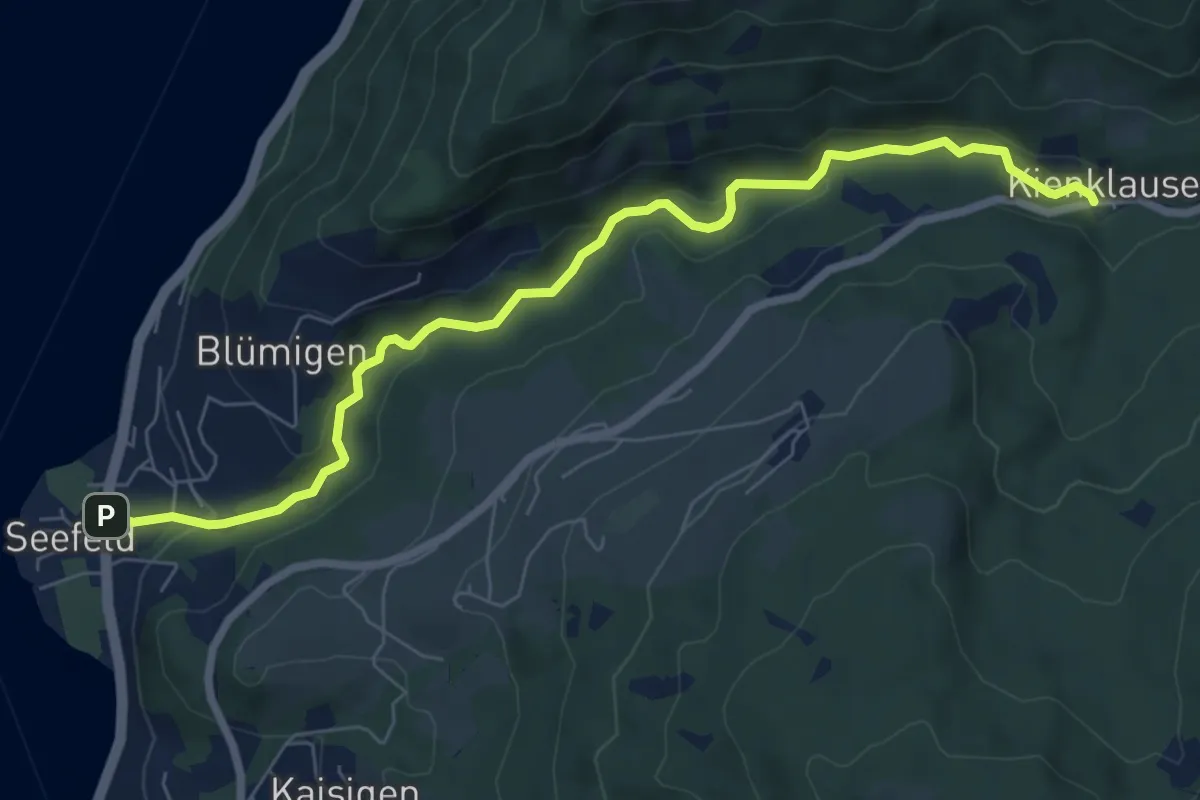
Easy · Trail
11: Kientalstraße
7.5 km · ↑ 176 m · 2 h 10 min
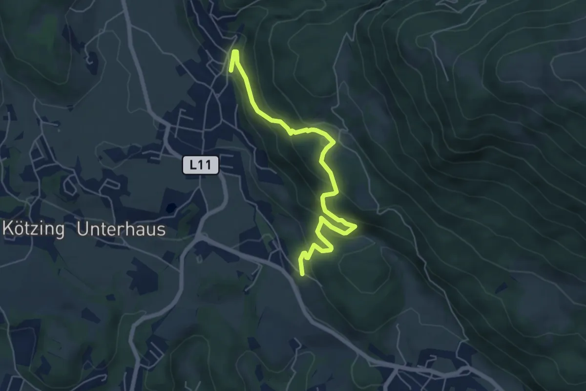
Medium · Trail
12
5.5 km · ↑ 370 m · 2 h 6 min
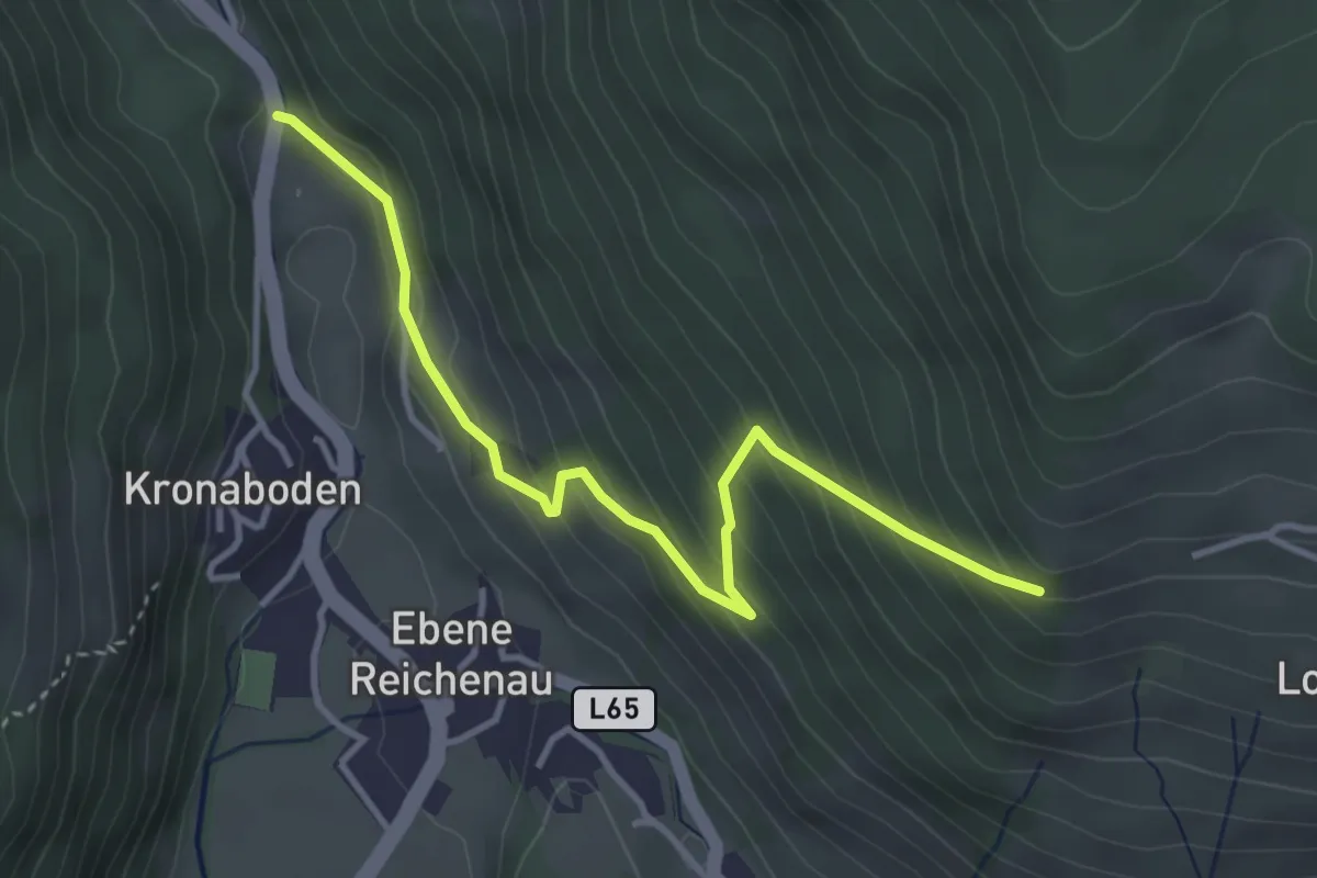
Medium · Trail
12
3.9 km · ↑ 332 m · 1 h 38 min
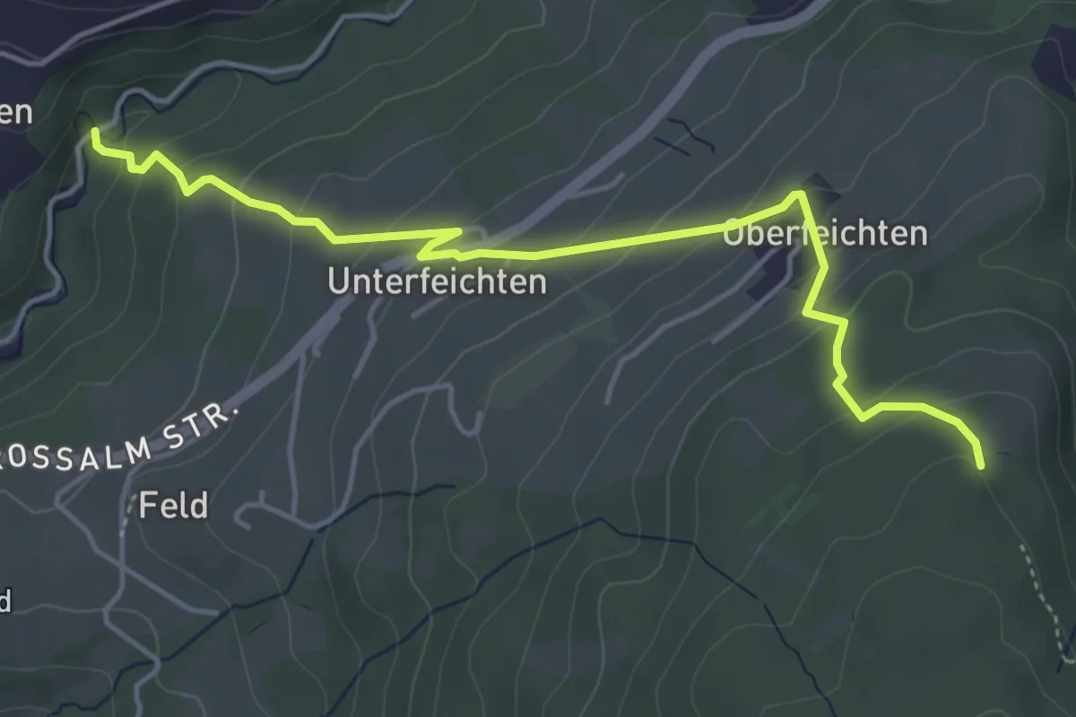
Medium · Trail
12: Adlerspitzweg
4.7 km · ↑ 328 m · 1 h 50 min
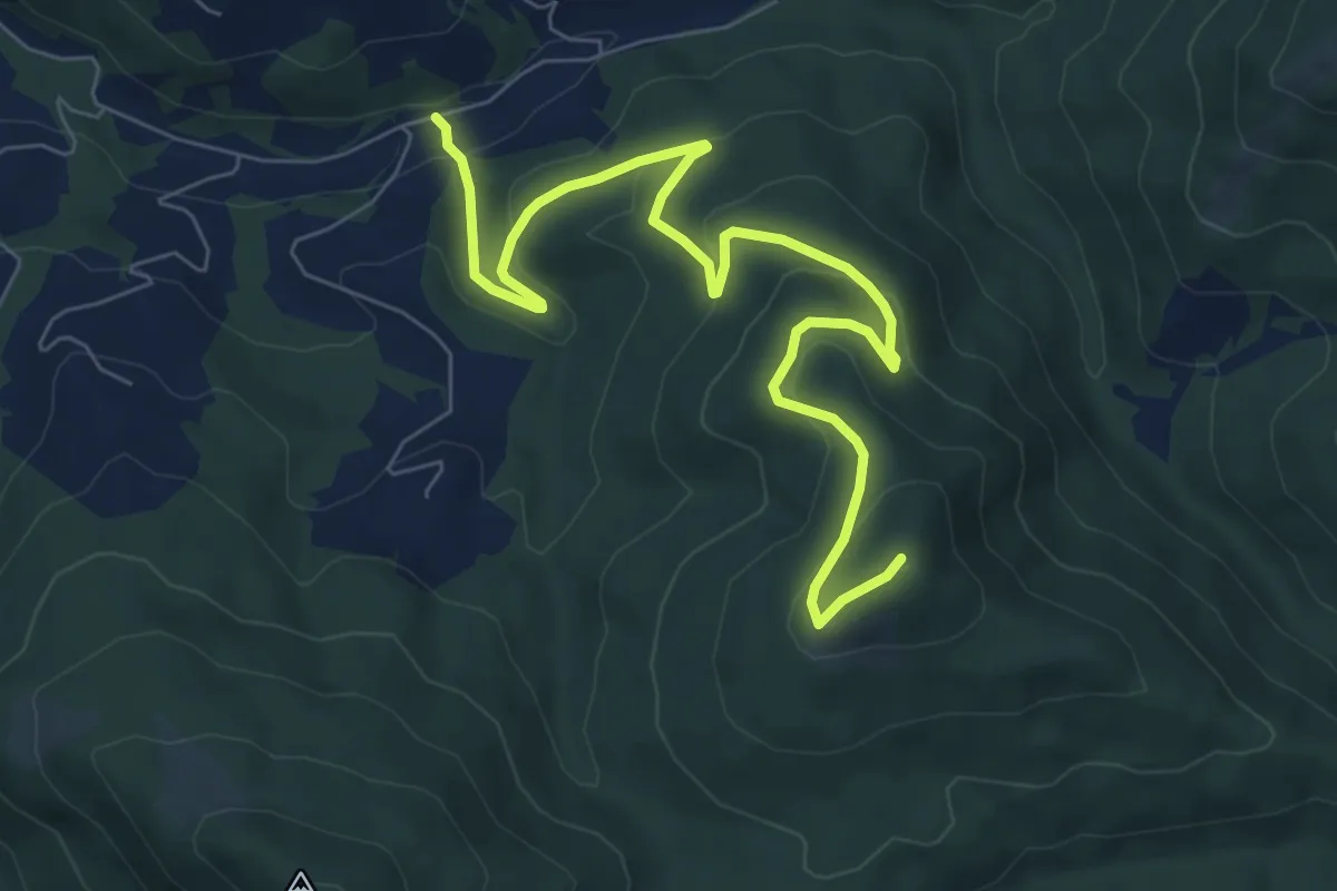
Medium · Summit
12: Bach - Kienesberg/Födinger Alm
8.6 km · ↑ 353 m · 2 h 47 min
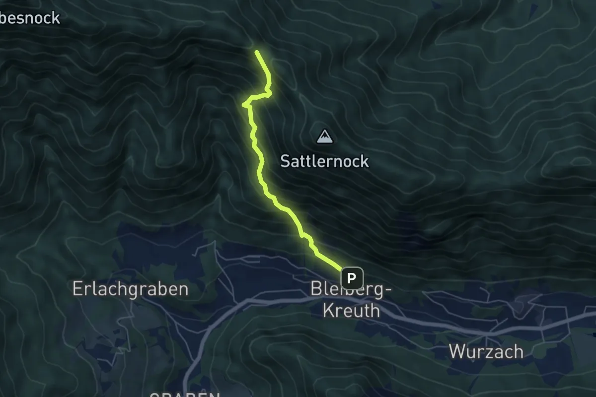
Demanding · Trail
12 Bleiberg Kreuth - Kobesnock
4.4 km · ↑ 583 m · 2 h 18 min
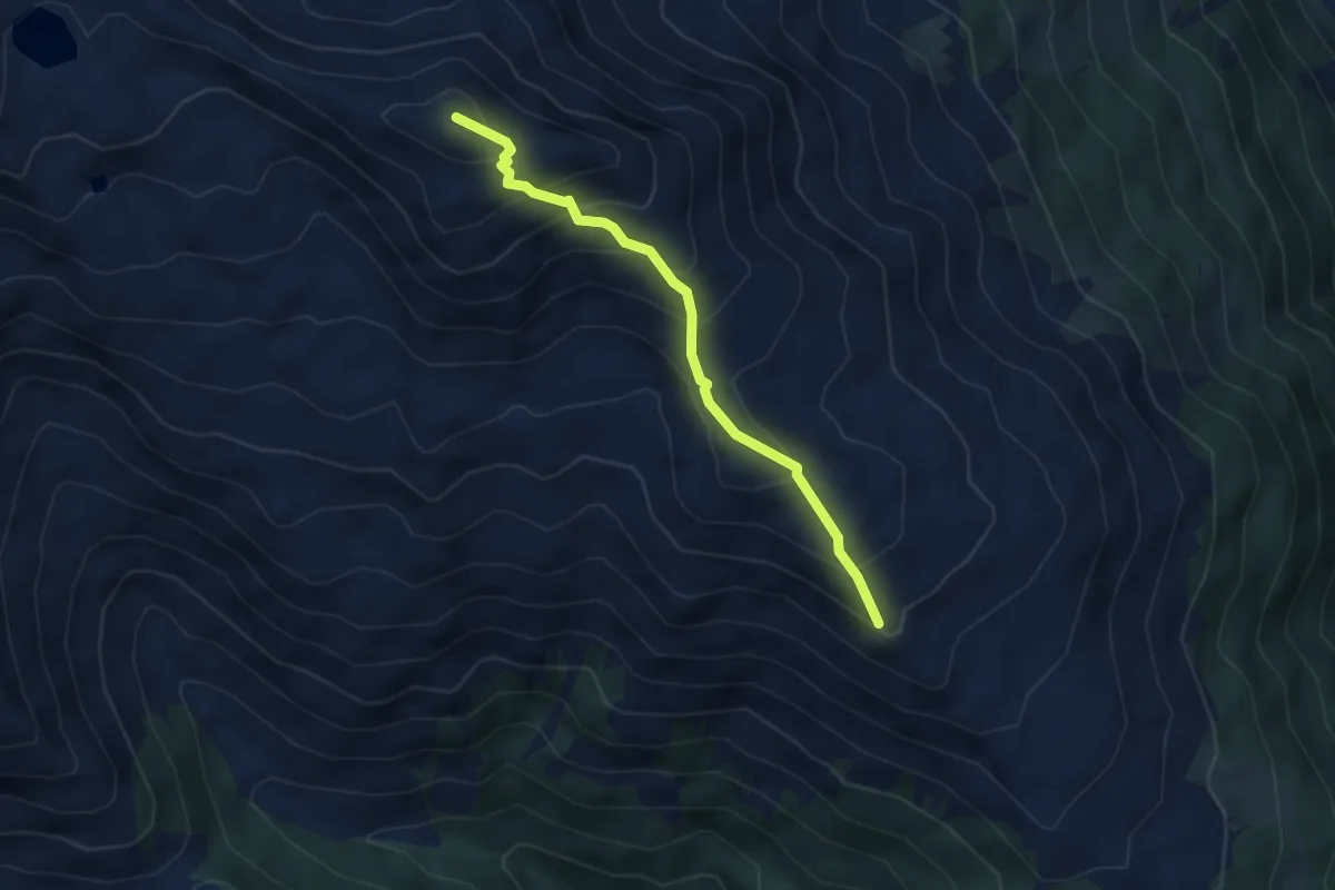
Medium · Summit
13a
3.9 km · ↑ 392 m · 1 h 46 min
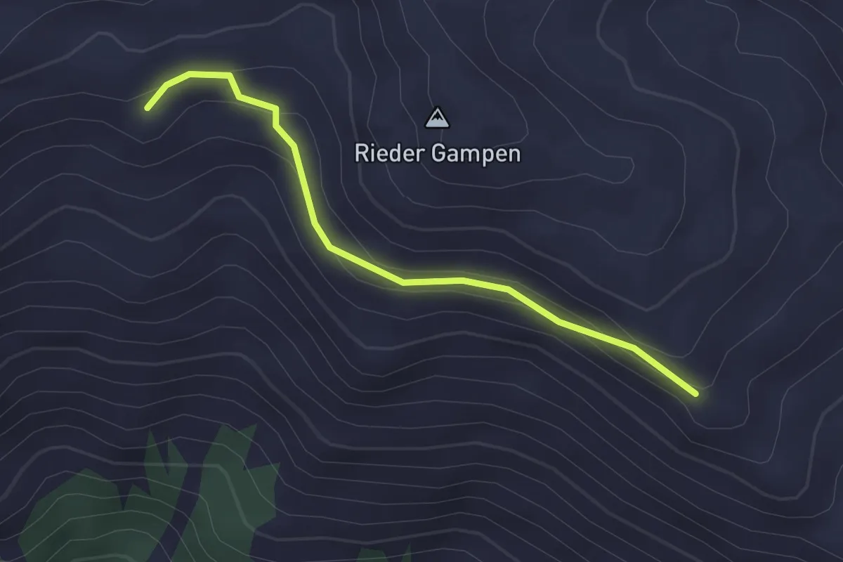
Easy · Trail
13b
2.3 km · ↑ 77 m · 43 min