Trails in Austria
9,777 hiking trails, each with its route, climb, walking time and grade.
All trails, page 192 of 204
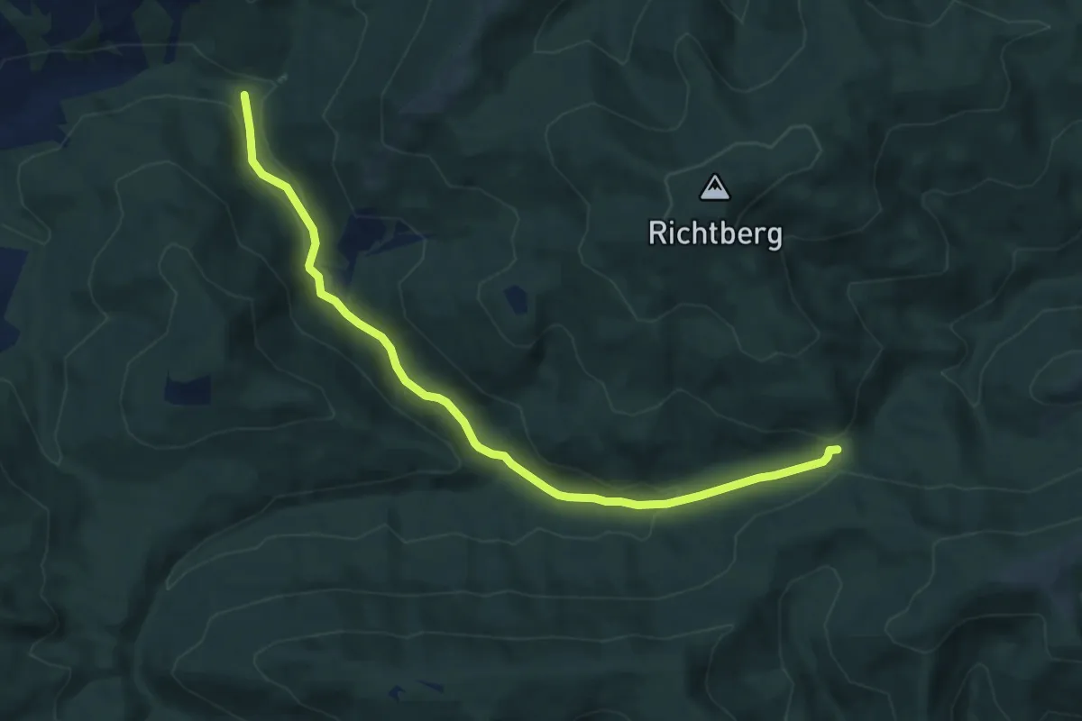
Medium · Trail
13: Bach - Schwarzenbachsattel
8.8 km · ↑ 212 m · 2 h 32 min
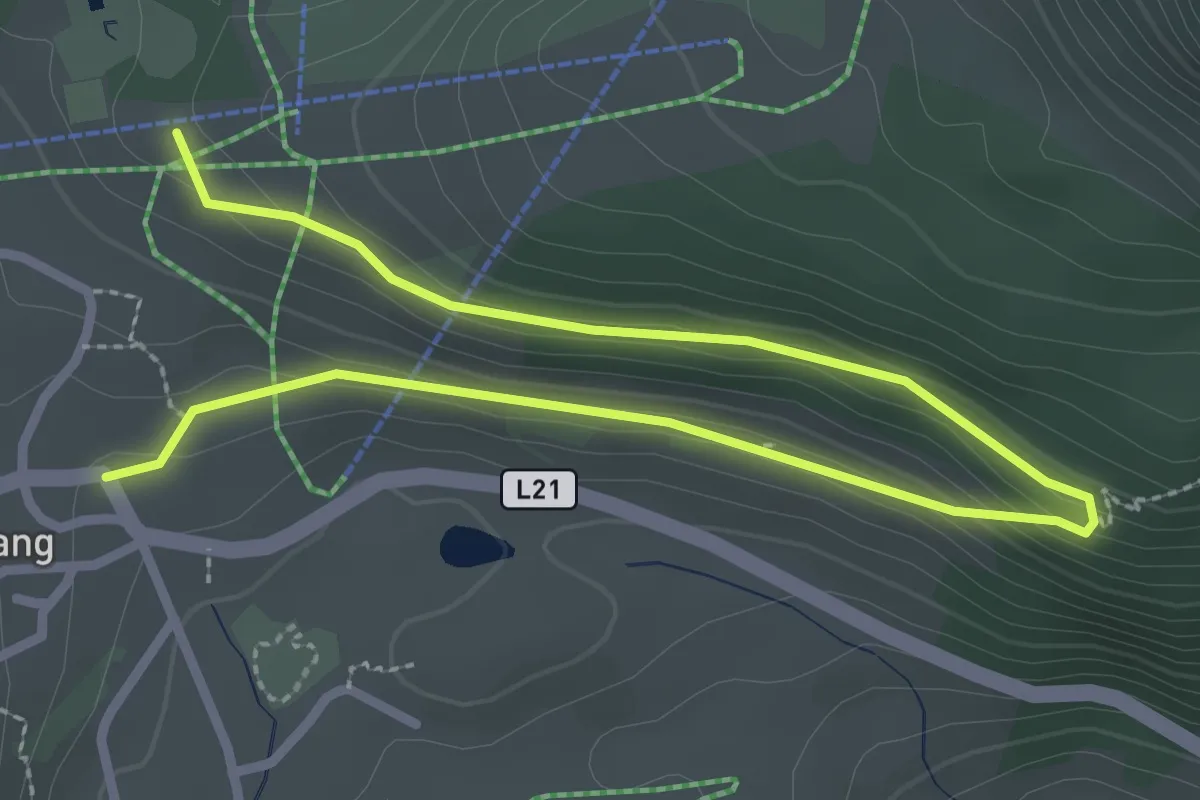
Easy · Trail
13 Brentweg Berwang
3.8 km · ↑ 93 m · 1 h 7 min
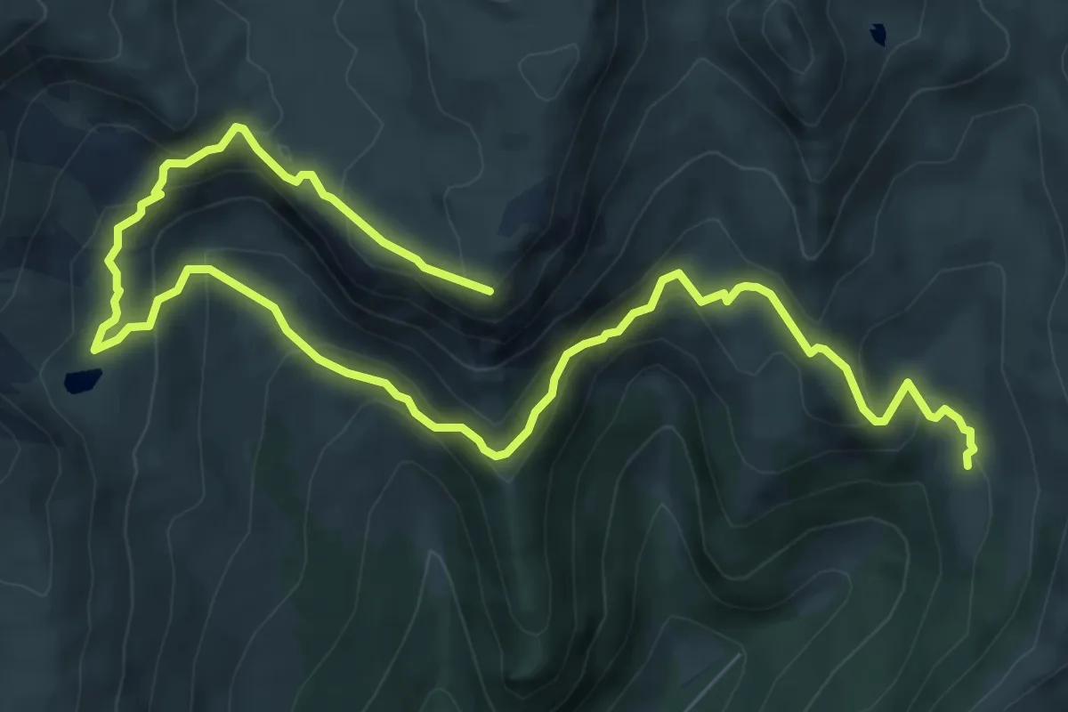
Demanding · Summit
13 - St. Oswalder Bockhütte - Predigerstuhl
10.8 km · ↑ 689 m · 4 h 3 min
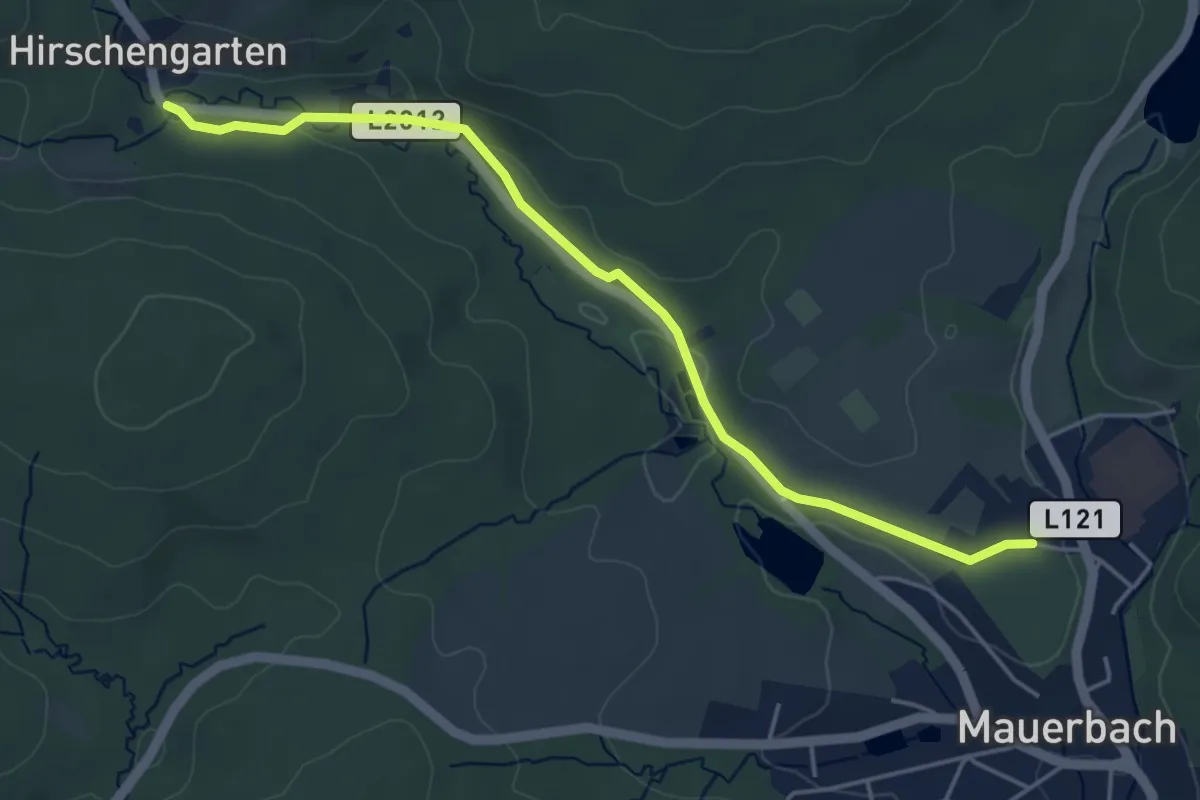
Easy · Trail
14
4.6 km · ↑ 32 m · 1 h 9 min
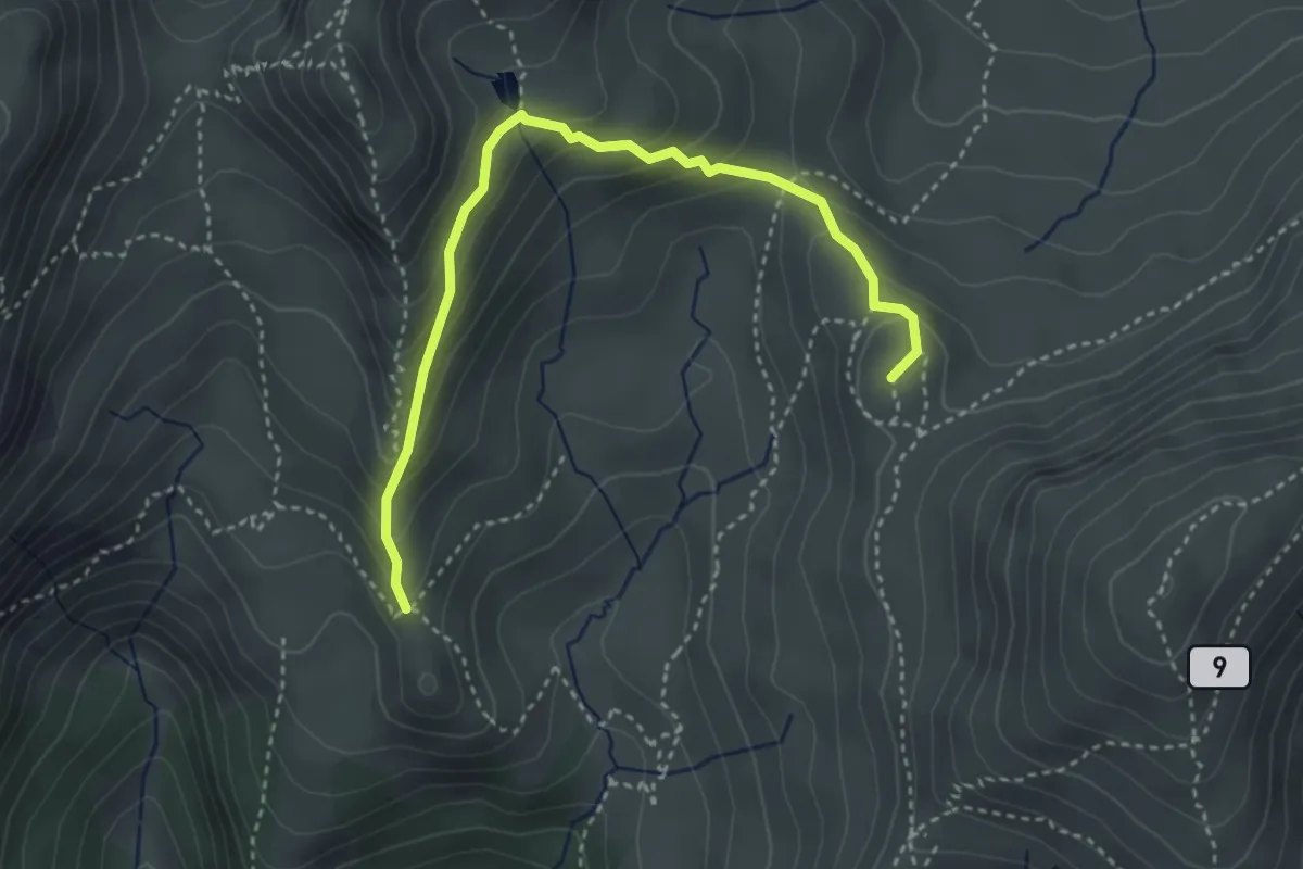
Medium · Summit
14 - Arkersattel / Oswalder Bock-Sattel-Pfannock
3.8 km · ↑ 293 m · 1 h 31 min
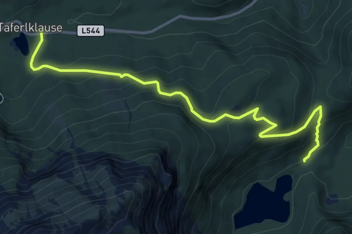
Medium · Trail
14: Froschweg
8.1 km · ↑ 406 m · 2 h 47 min
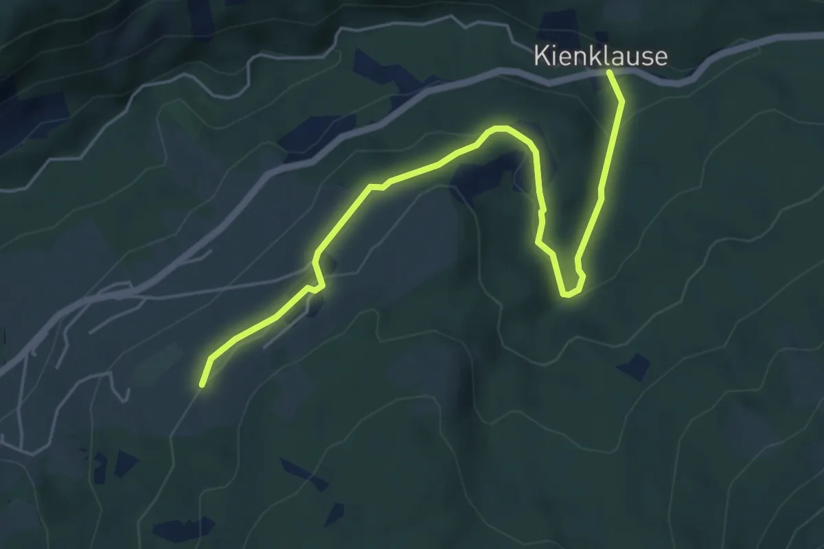
Easy · Trail
14: Kienklause - Oberfeichten
5.5 km · ↑ 134 m · 1 h 35 min
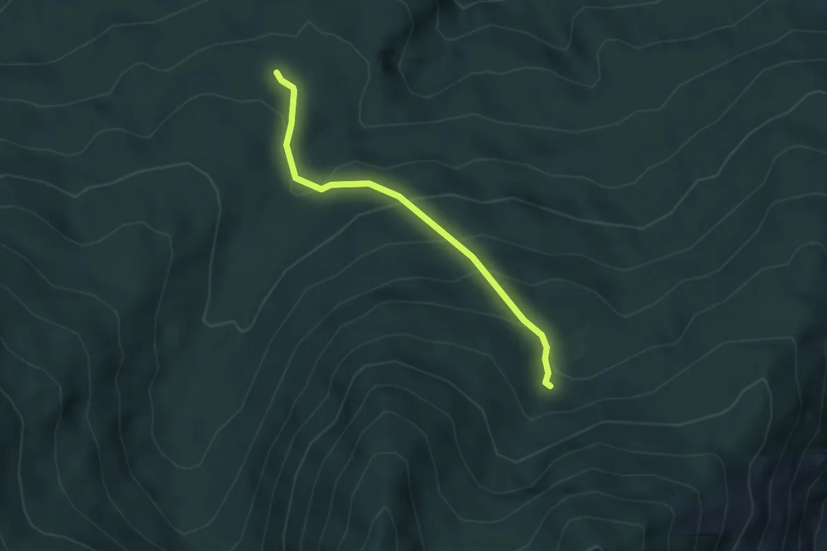
Easy · Trail
15
3.3 km · ↑ 234 m · 1 h 18 min
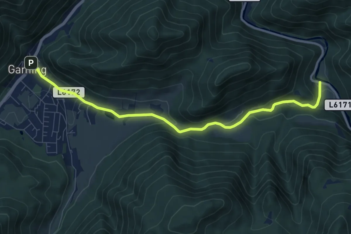
Medium · Trail
15
8.5 km · ↑ 227 m · 2 h 29 min
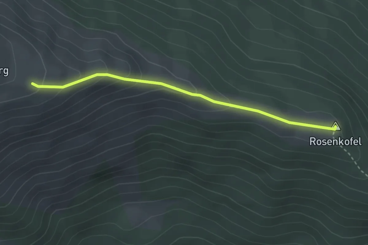
Easy · Summit
153
2.8 km · ↑ 140 m · 58 min
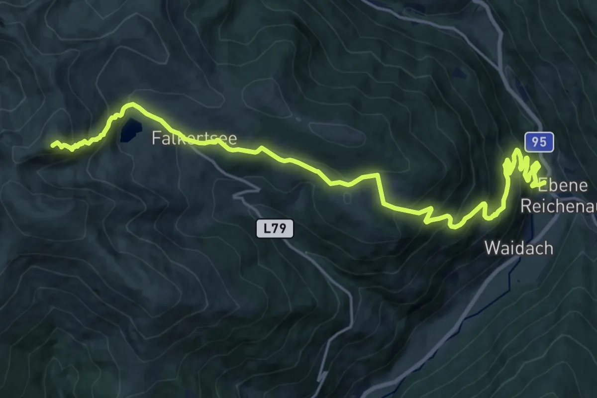
Demanding · Summit
159
18.8 km · ↑ 1387 m · 7 h 27 min
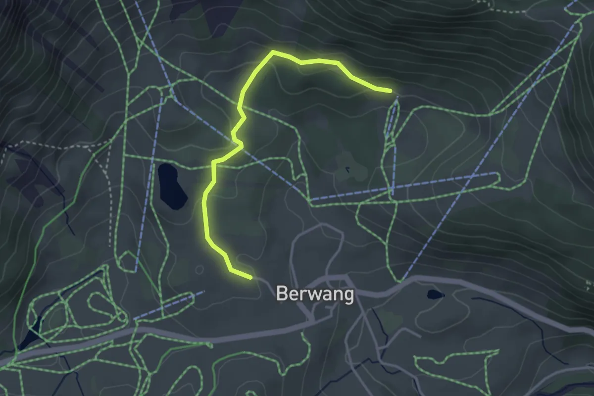
Easy · Trail
15 Bilig-Rundweg - Berwang - Jägerhaus
3.1 km · ↑ 80 m · 55 min
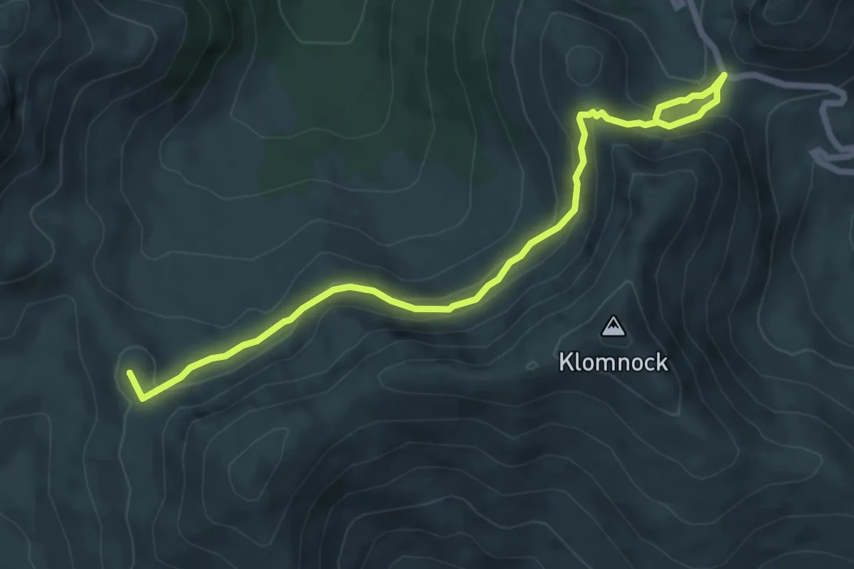
Medium · Summit
15 - Hoher Steig
6.9 km · ↑ 383 m · 2 h 27 min
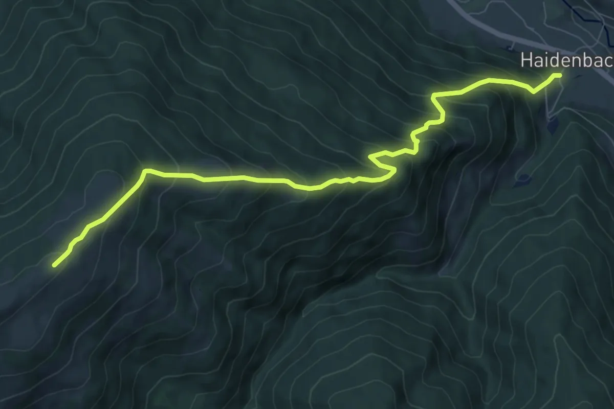
Demanding · Summit
165
9.3 km · ↑ 891 m · 4 h 8 min
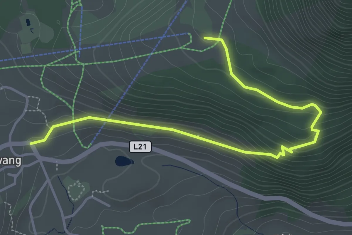
Easy · Trail
16 Berwang - Jägerhaus
3.7 km · ↑ 153 m · 1 h 13 min
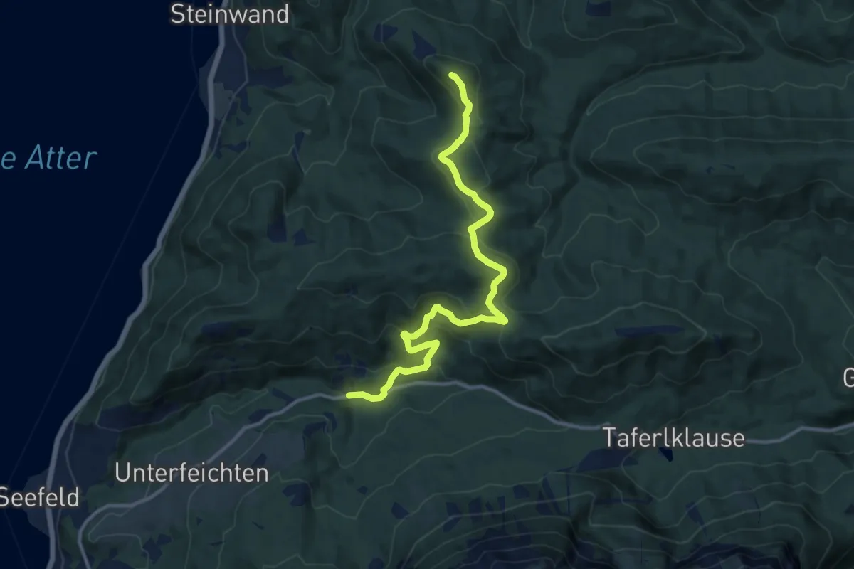
Medium · Summit
16: Kienklause - Praterstern - Gupfalm - Bach
12.1 km · ↑ 466 m · 3 h 51 min
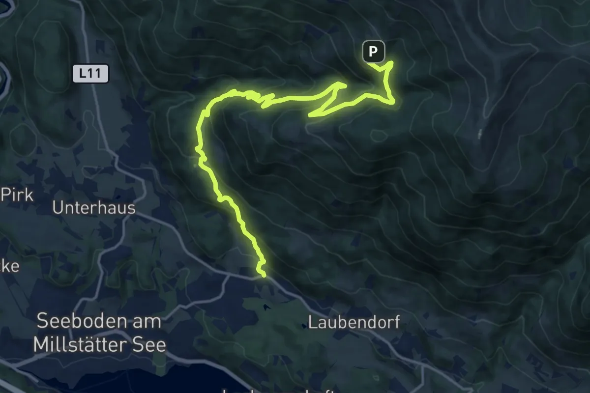
Demanding · Trail
17
16.8 km · ↑ 955 m · 6 h 2 min
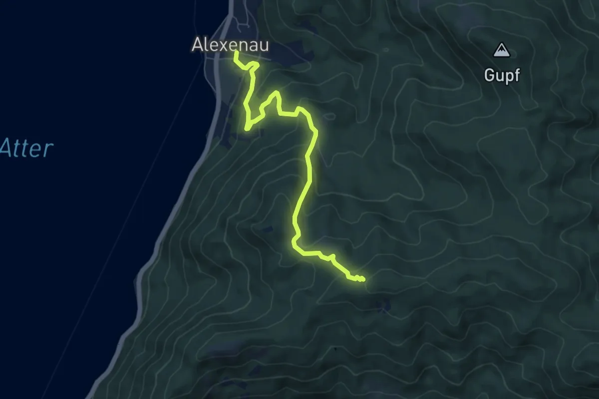
Medium · Trail
17: Alexenau - Bramhosen
7.3 km · ↑ 451 m · 2 h 42 min
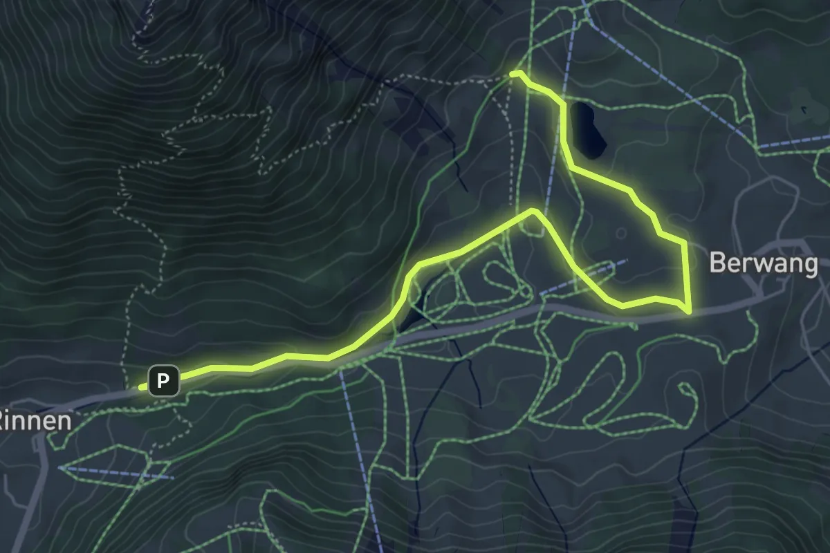
Easy · Trail
17 Berwang - Rinnen
6.3 km · ↑ 116 m · 1 h 44 min
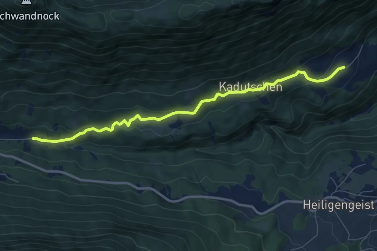
Easy · Trail
17 Hüttendorf - Kadutschen
7.5 km · ↑ 192 m · 2 h 11 min
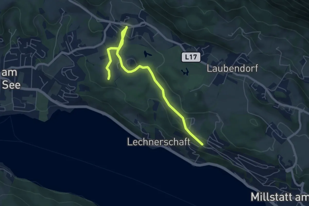
Easy · Trail
18
6.2 km · ↑ 137 m · 1 h 45 min
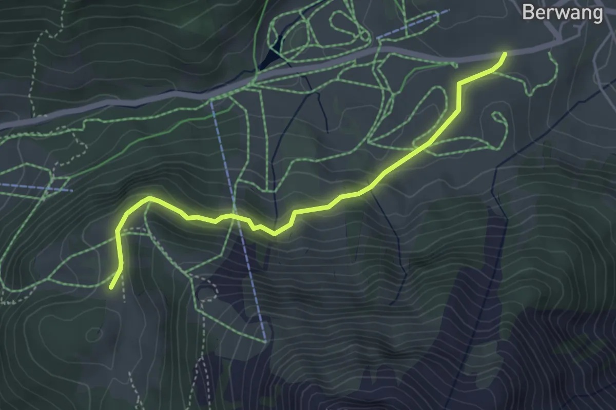
Easy · Cabin
18 Berwang - Kögele-Hütte
4.2 km · ↑ 191 m · 1 h 24 min
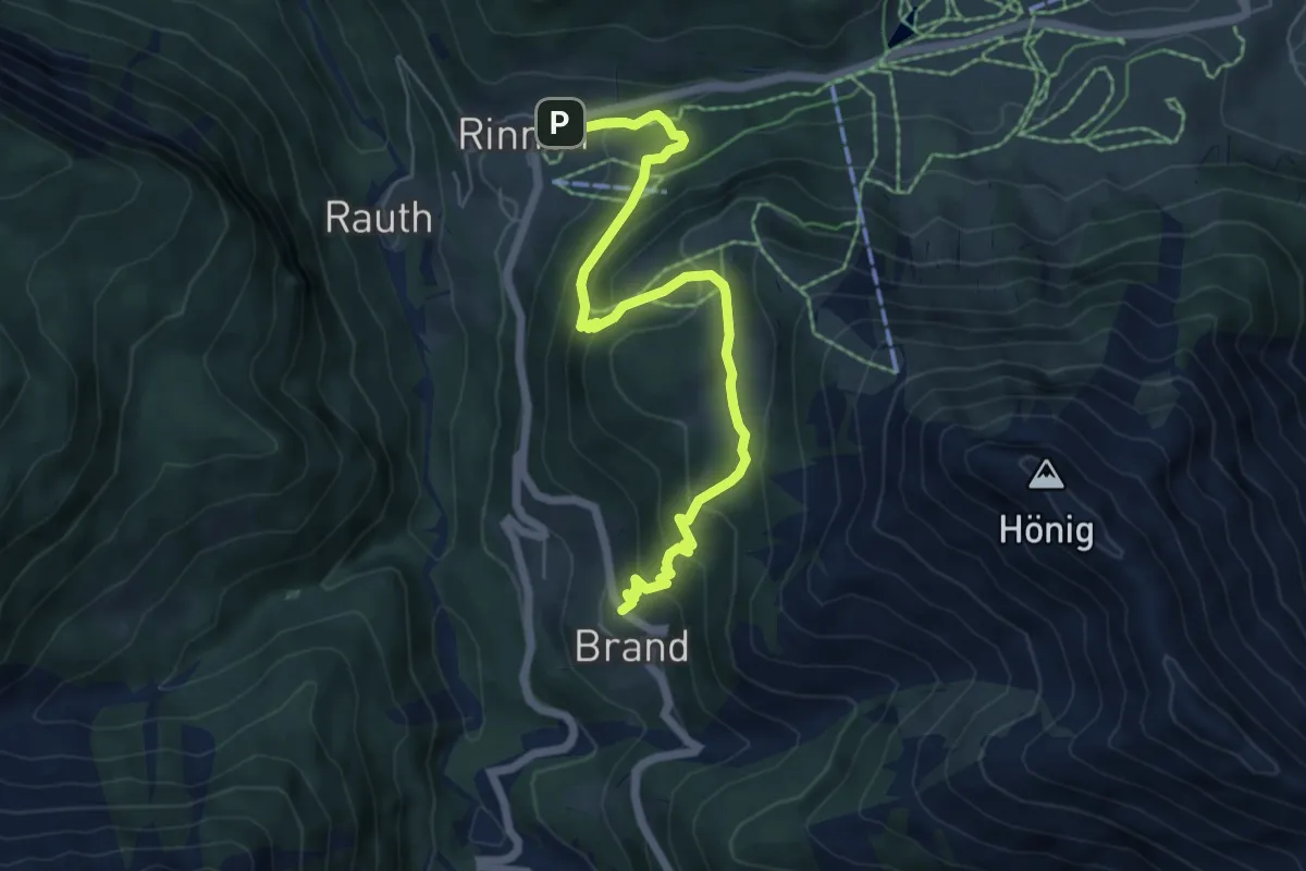
Medium · Trail
18 Brand - Rinnen
6.4 km · ↑ 428 m · 2 h 26 min
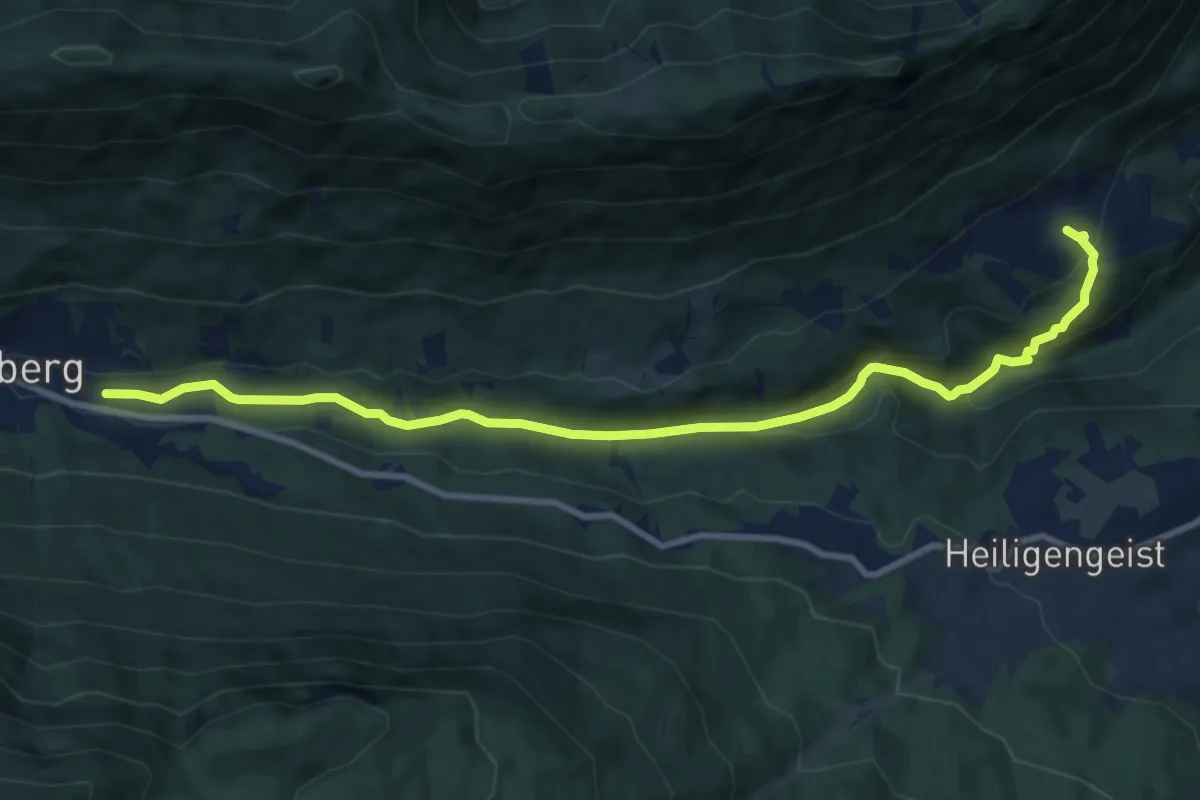
Medium · Trail
18 Hüttendorf - Kadutschen
10.4 km · ↑ 363 m · 3 h 15 min
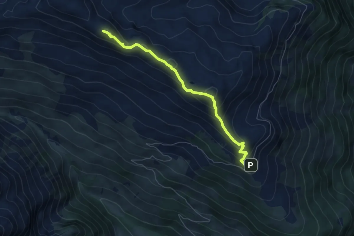
Medium · Summit
19
5.8 km · ↑ 447 m · 2 h 21 min
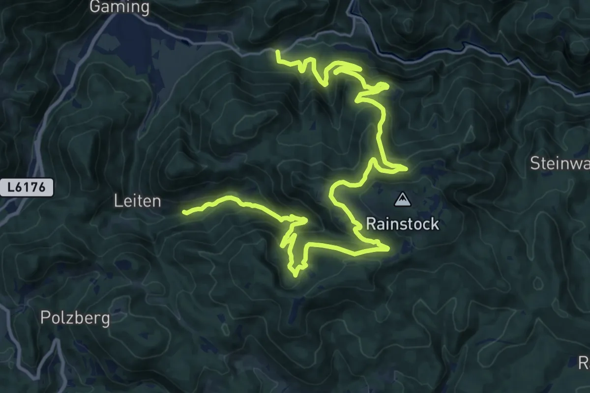
Medium · Trail
19
14.2 km · ↑ 590 m · 4 h 53 min
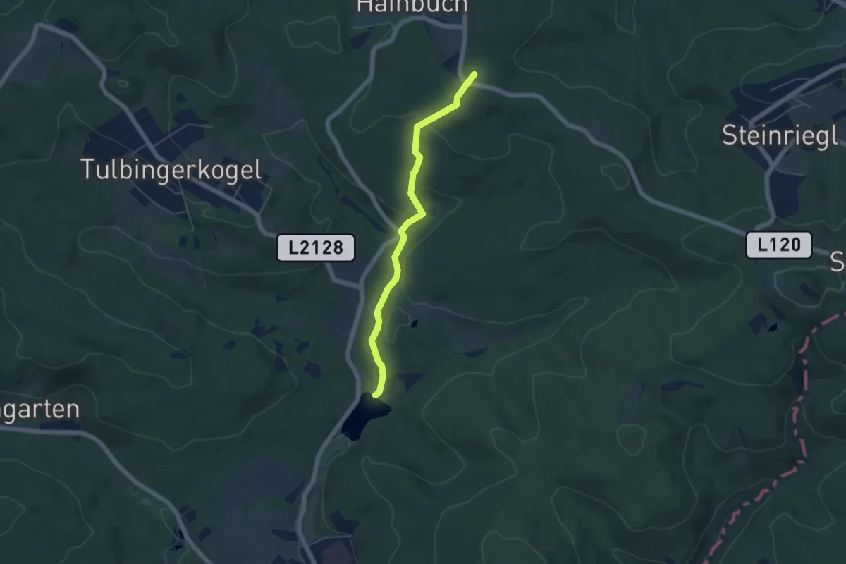
Easy · Summit
19
4.6 km · ↑ 168 m · 1 h 26 min
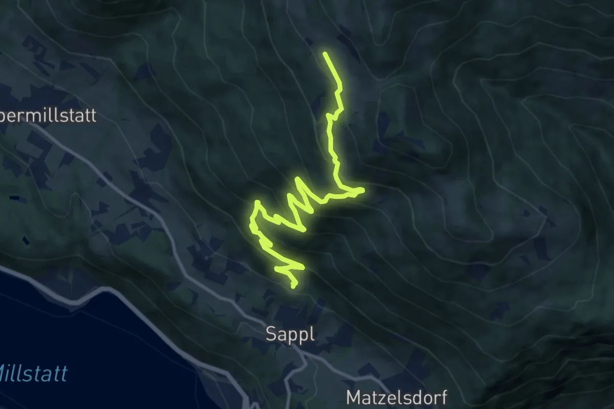
Medium · Cabin
1914 Steggaberhof - Lammersdorfer Hütte
11.0 km · ↑ 718 m · 4 h 9 min
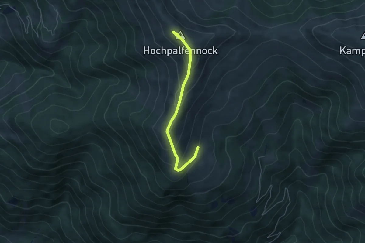
Medium · Summit
1931
4.4 km · ↑ 265 m · 1 h 37 min
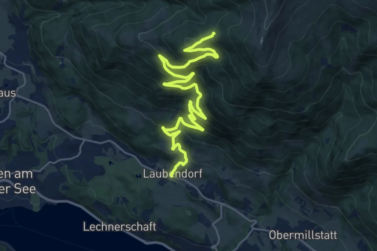
Demanding · Trail
1941
18.4 km · ↑ 917 m · 6 h 21 min
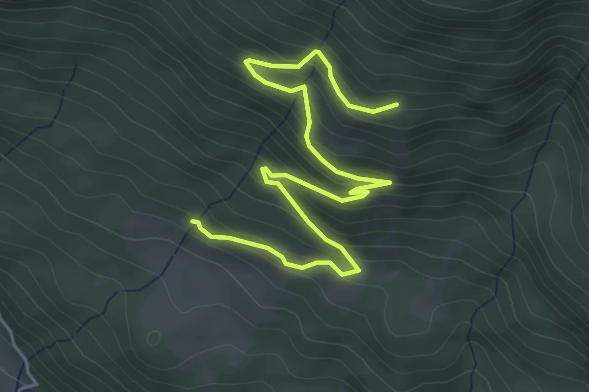
Easy · Trail
1942
5.5 km · ↑ 305 m · 1 h 57 min
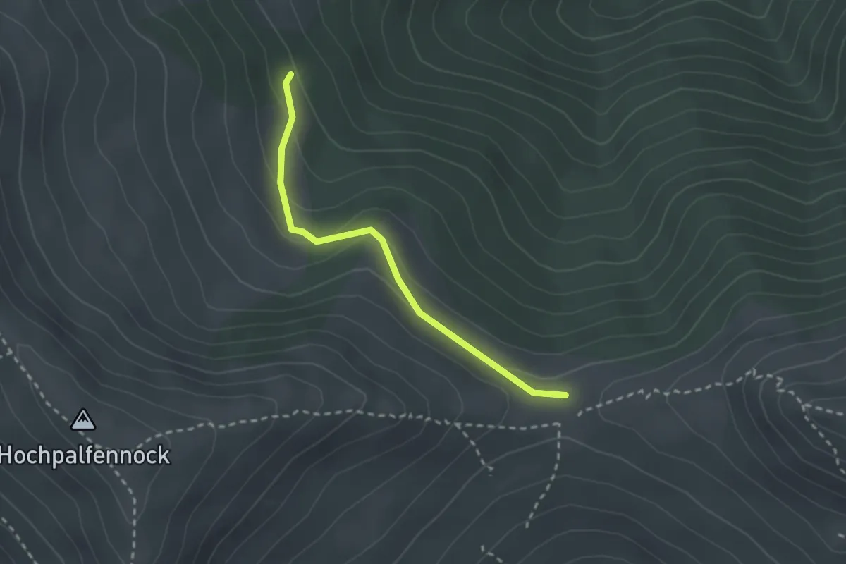
Easy · Trail
197
2.3 km · ↑ 107 m · 47 min
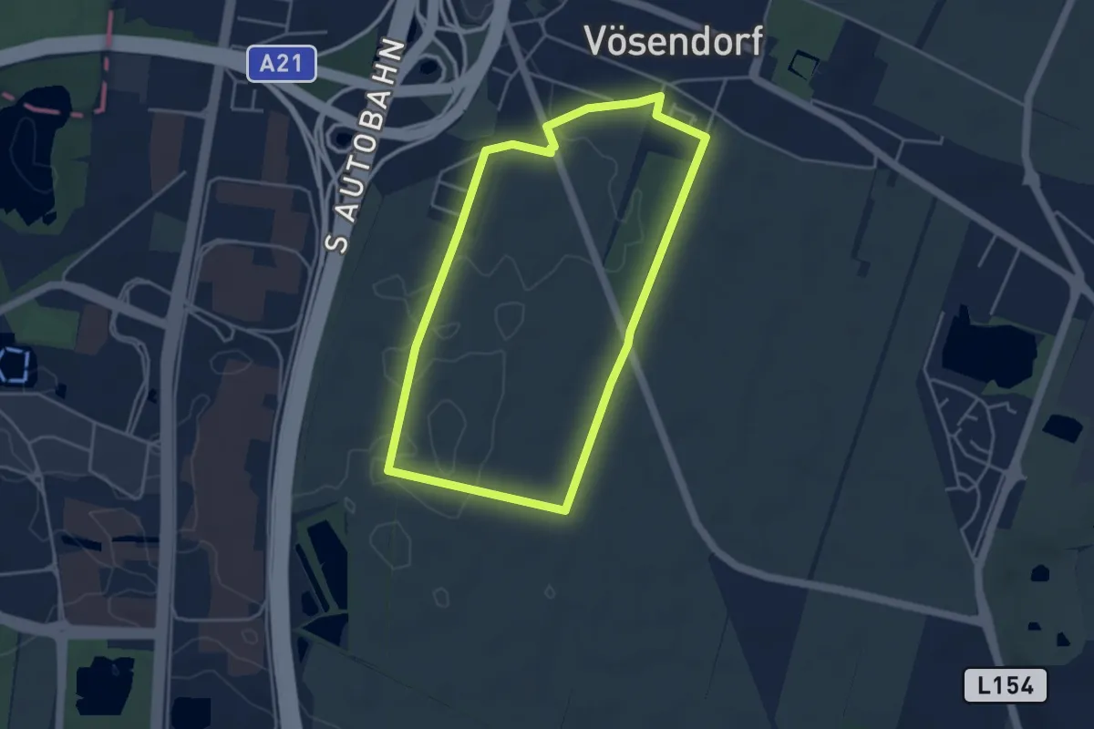
Easy · Trail
1A Installateur Runde
3.8 km · ↑ 8 m · 59 min
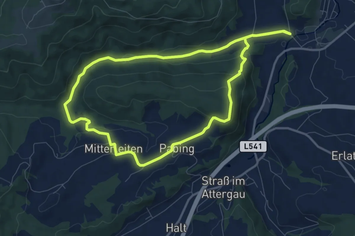
Easy · Summit
1a Rundweg Ahberg
7.9 km · ↑ 171 m · 2 h 20 min
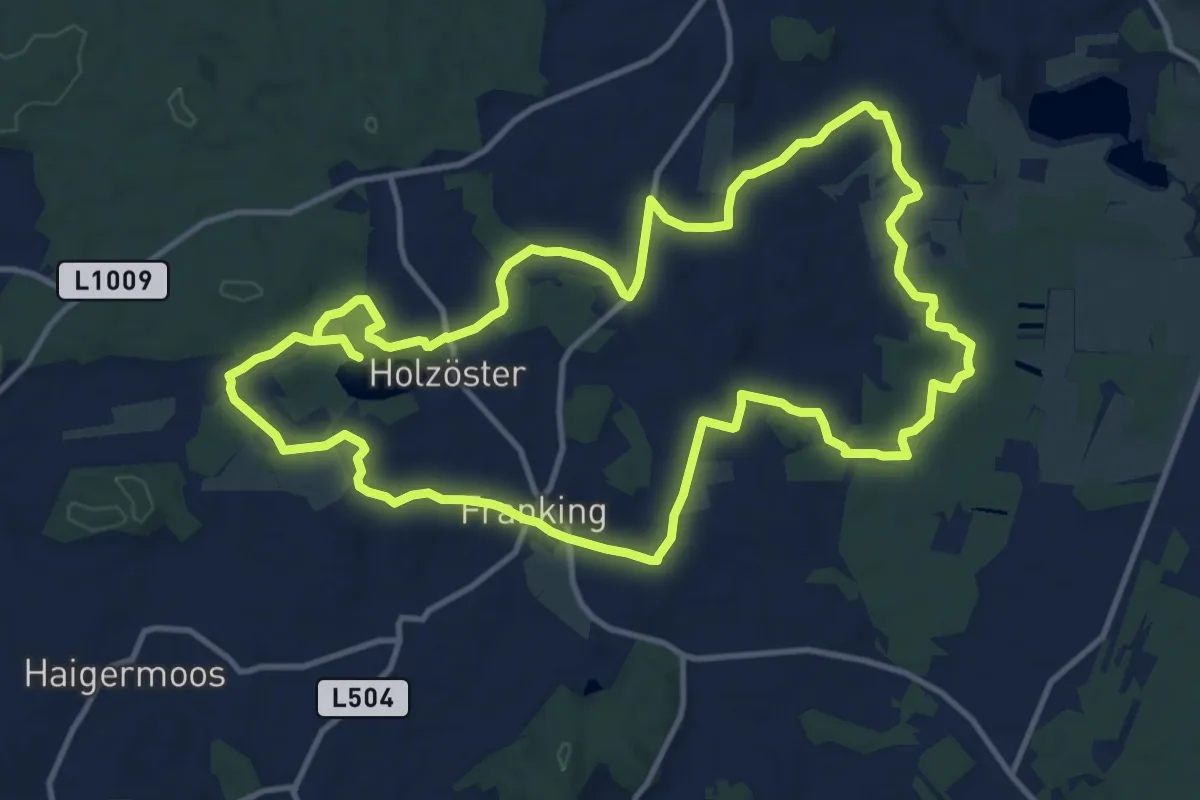
Medium · Trail
1. Bauerngolf Wanderweg - große Runde
12.9 km · ↑ 106 m · 3 h 27 min
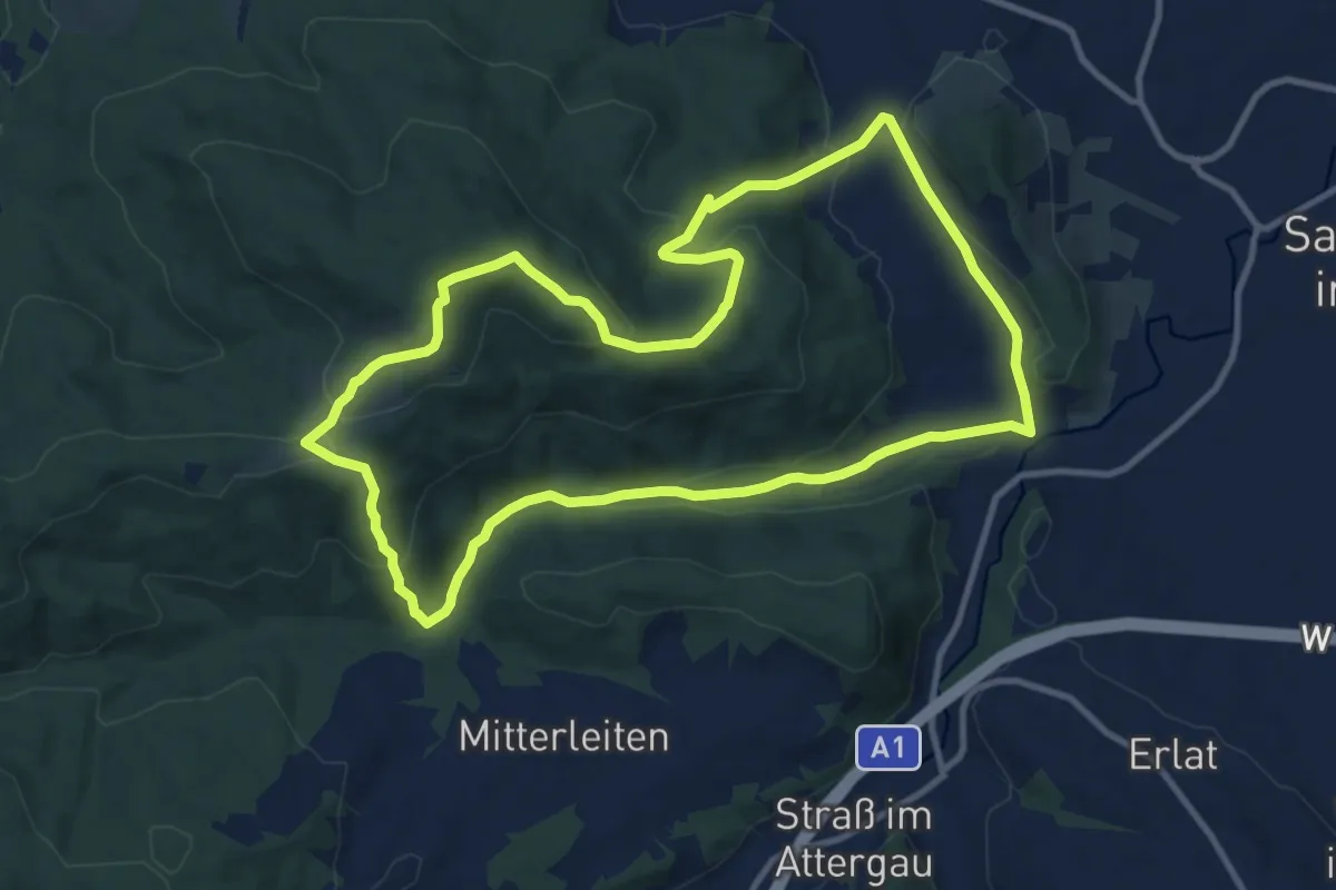
Medium · Trail
1b Rundweg Klauswald
10.7 km · ↑ 315 m · 3 h 22 min
Medium · Trail
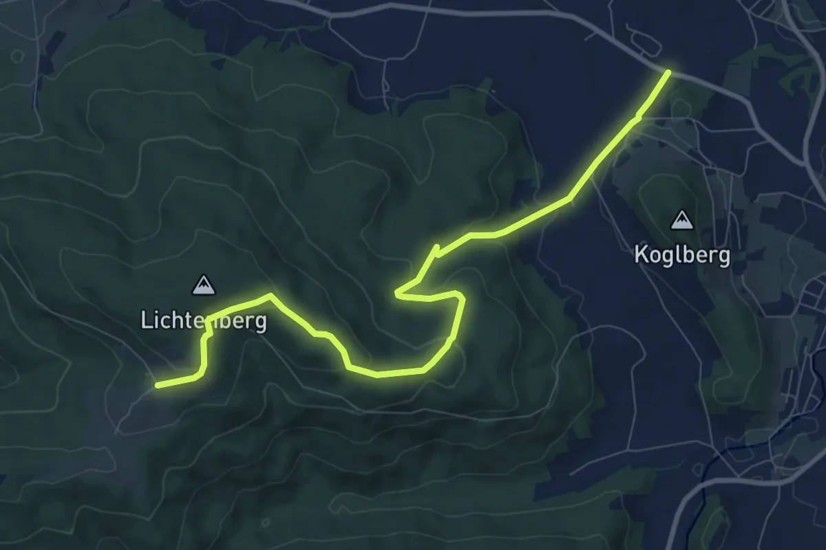
1c Vom Rehazentrum zum Attergauer Aussichtsturm
9.7 km · ↑ 326 m · 3 h
Medium · Summit
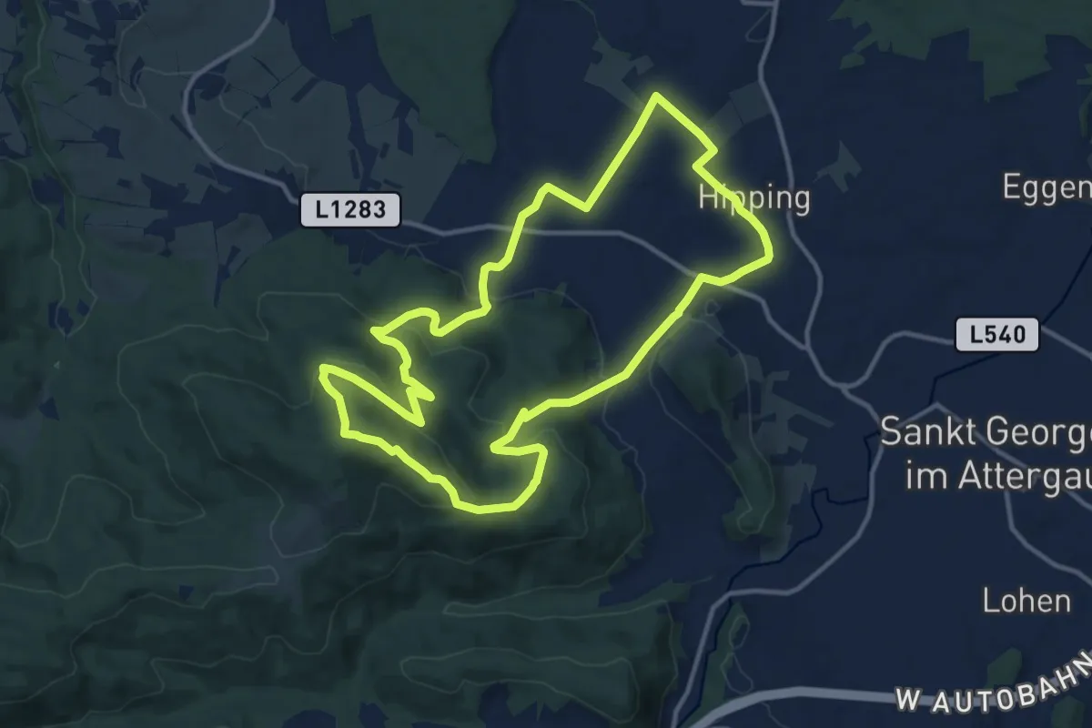
1d RW Hipping-Hag
12.3 km · ↑ 360 m · 3 h 51 min
Medium · Trail
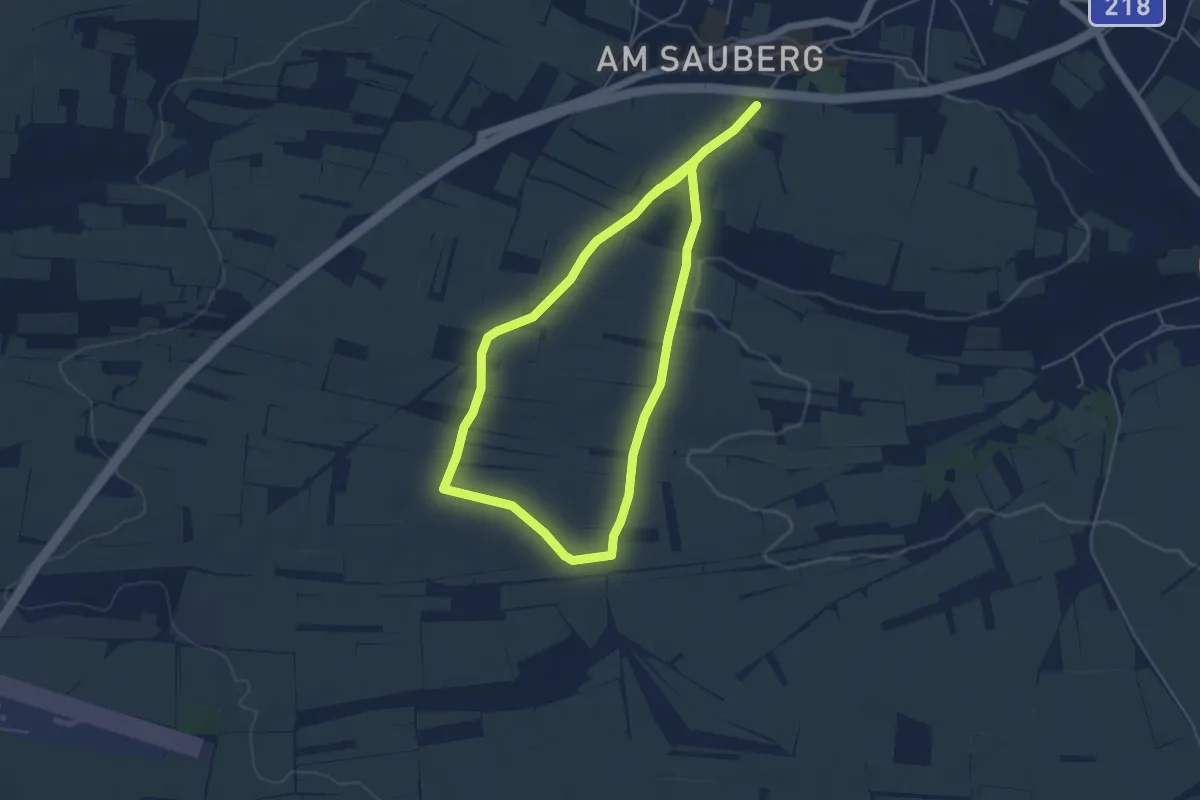
1. Europäischer Hohlweg-Lehrpfad
9.0 km · ↑ 117 m · 2 h 23 min
Medium · Trail
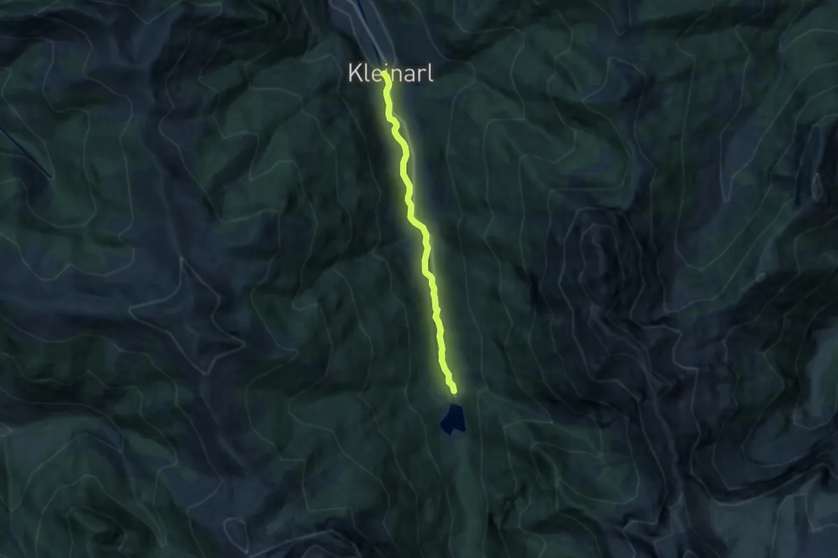
1 Jägersee
9.4 km · ↑ 102 m · 2 h 26 min
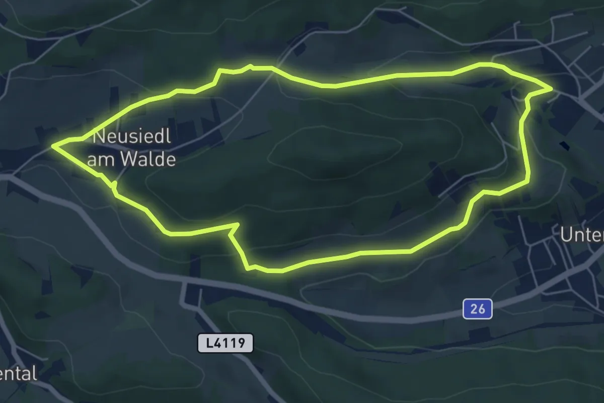
Easy · Trail
1. Rundwanderweg um den Sonnleitenberg
5.7 km · ↑ 163 m · 1 h 47 min
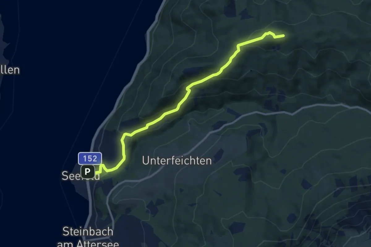
Medium · Summit
1: Seefeld - Bramhosen - Kienklause
8.9 km · ↑ 479 m · 3 h 8 min
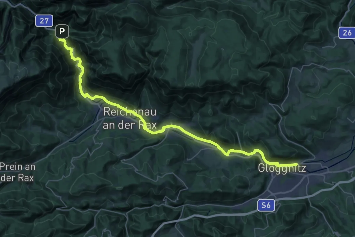
Medium · Trail
1. Wiener Wasserwanderweg
17.5 km · ↑ 155 m · 4 h 46 min
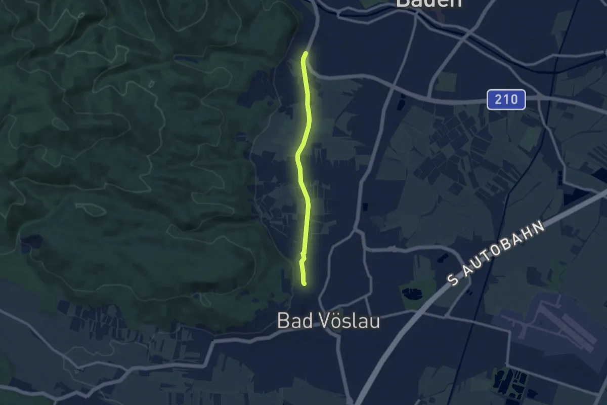
Easy · Trail
1. Wiener Wasserwanderweg
6.9 km · ↑ 18 m · 1 h 40 min
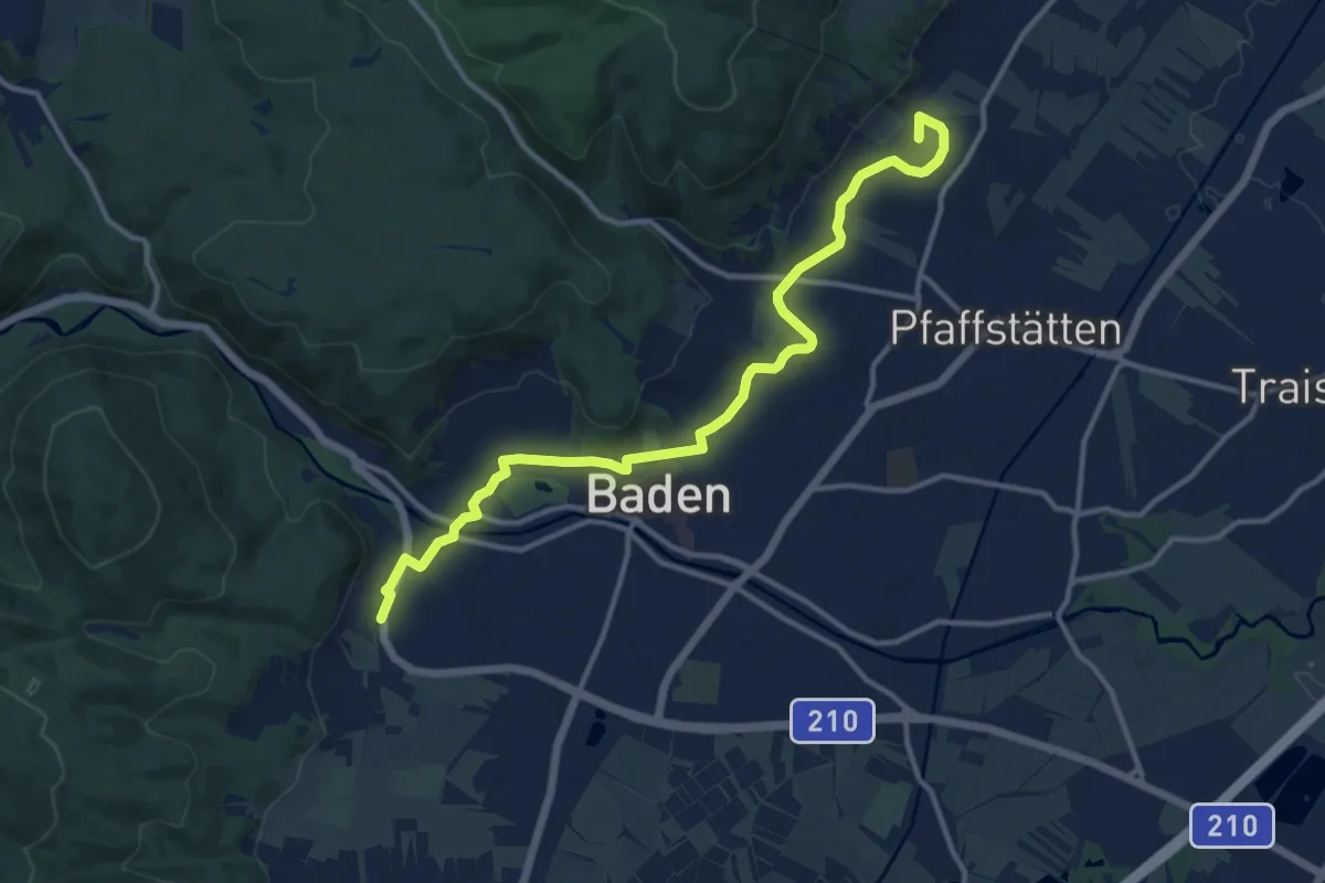
Medium · Summit
1. Wiener Wasserwanderweg
13.1 km · ↑ 82 m · 3 h 17 min
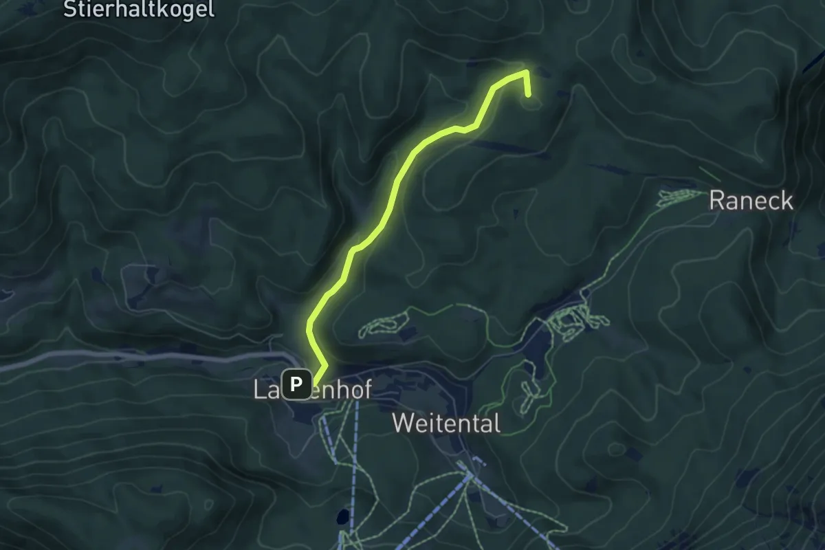
Easy · Summit
2
5.5 km · ↑ 280 m · 1 h 54 min
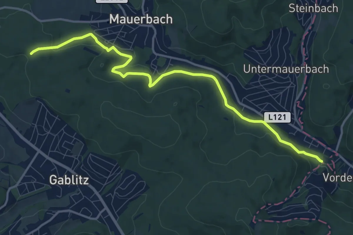
Medium · Trail
2
10.3 km · ↑ 171 m · 2 h 48 min
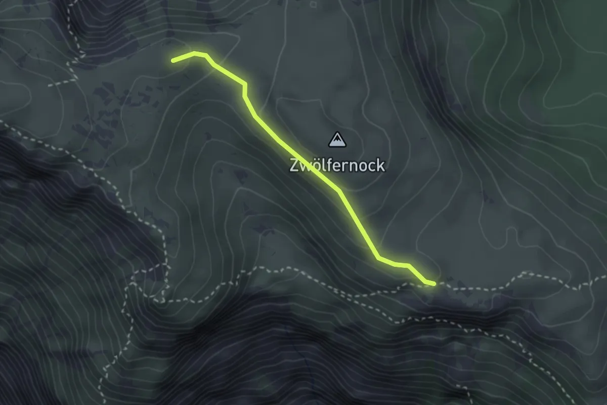
Medium · Trail
201A
2.4 km · ↑ 139 m · 52 min