Trails in Austria
9,777 hiking trails, each with its route, climb, walking time and grade.
All trails, page 193 of 204
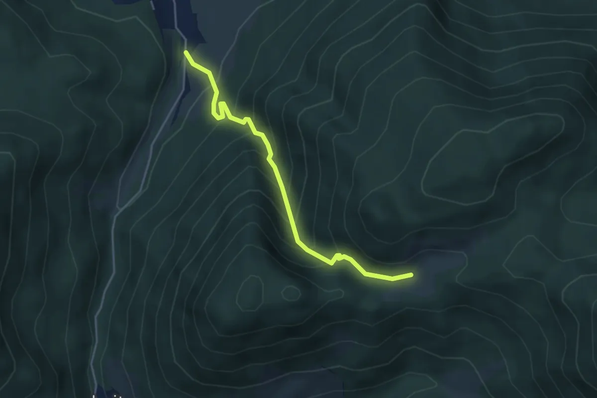
Medium · Trail
20a
3.9 km · ↑ 444 m · 1 h 53 min
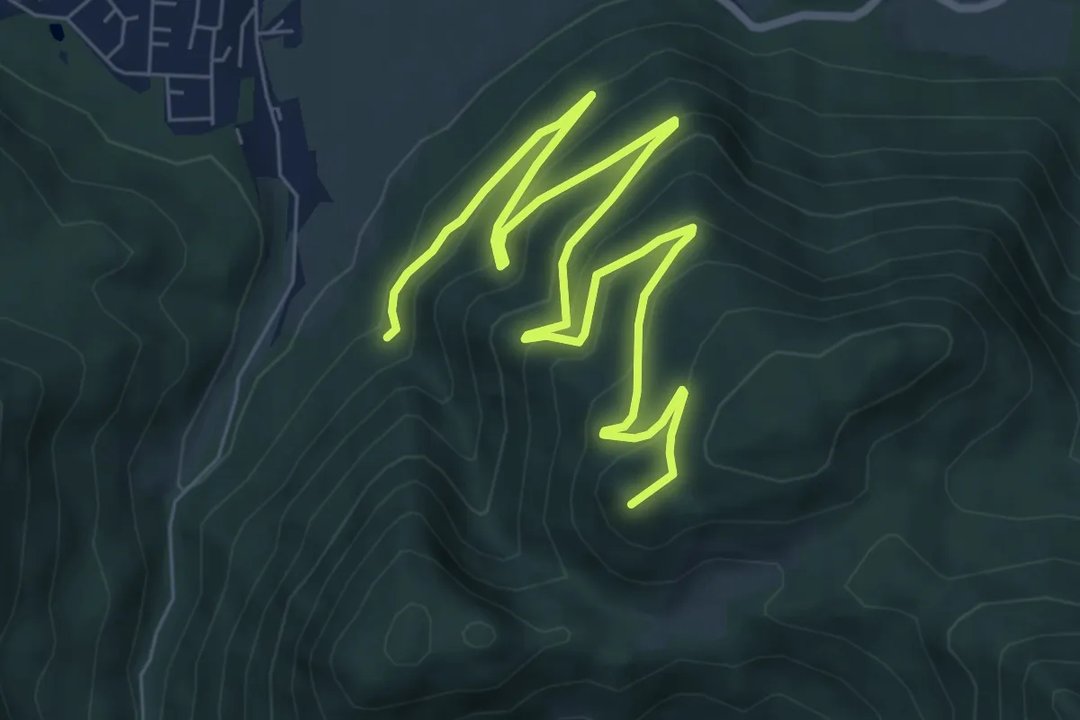
Medium · Summit
21
9.9 km · ↑ 438 m · 3 h 17 min
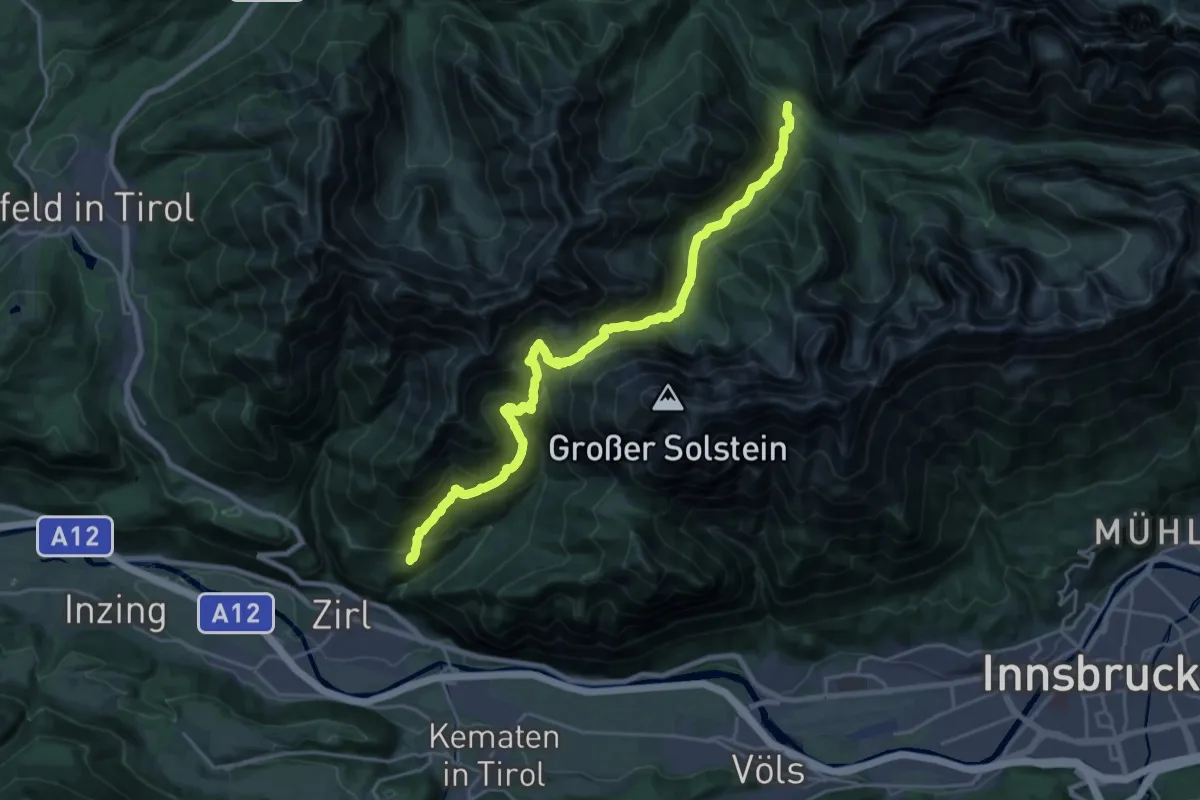
Demanding · Trail
213 Hochzirl - Solsteinhaus - Kristenalm
12.0 km · ↑ 903 m · 4 h 50 min
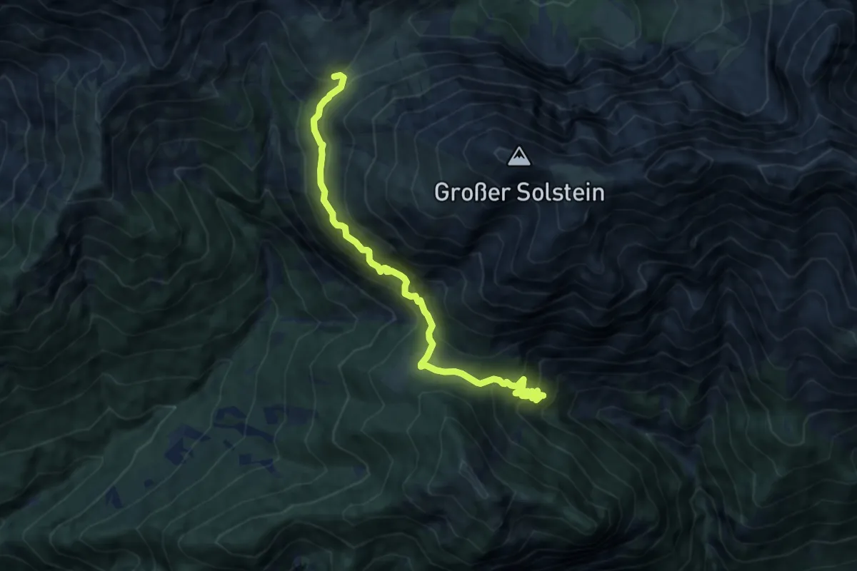
Expert · Cabin
214 Kranebitten - Neue Magdeburger Hütte - Solsteinhaus
9.1 km · ↑ 651 m · 3 h 34 min
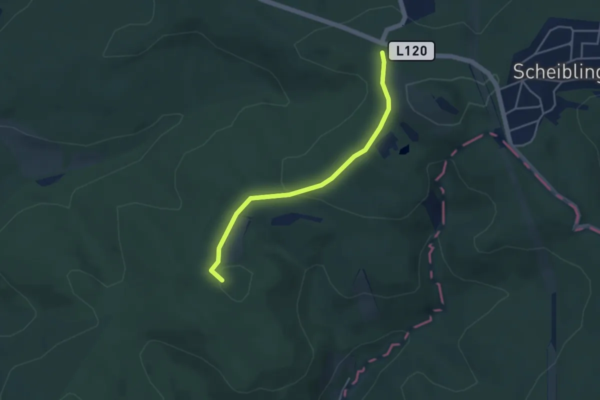
Easy · Summit
22
3.3 km · ↑ 62 m · 55 min
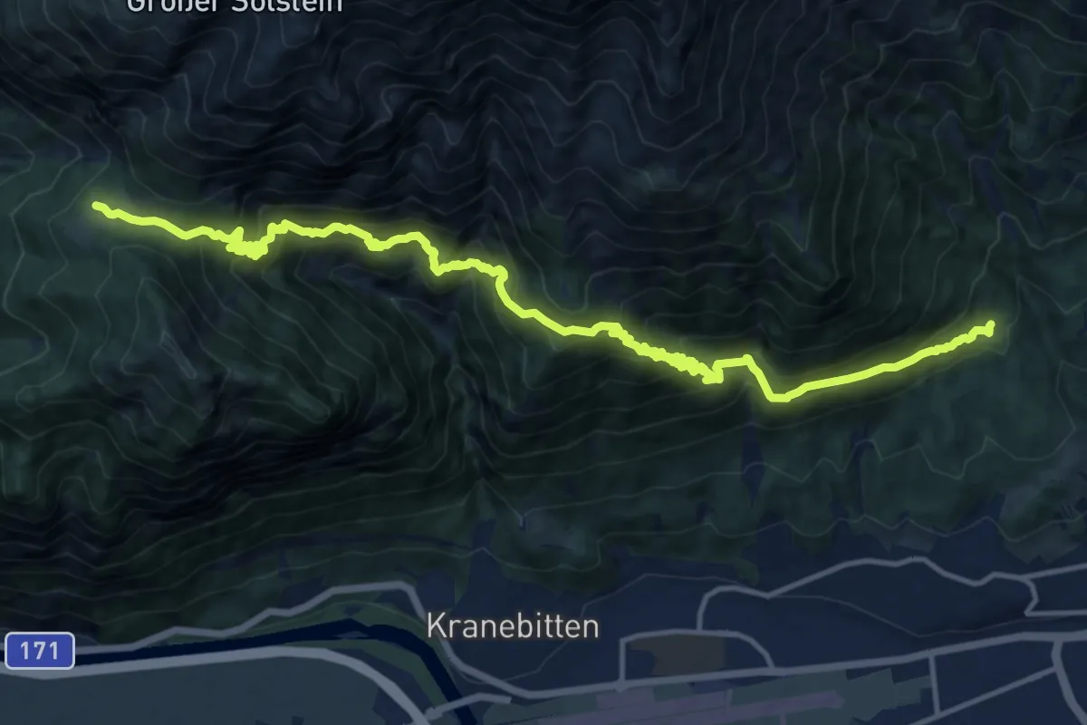
Demanding · Cabin
220 Höttinger Bild - Neue Magdeburger Hütte
17.1 km · ↑ 1368 m · 7 h
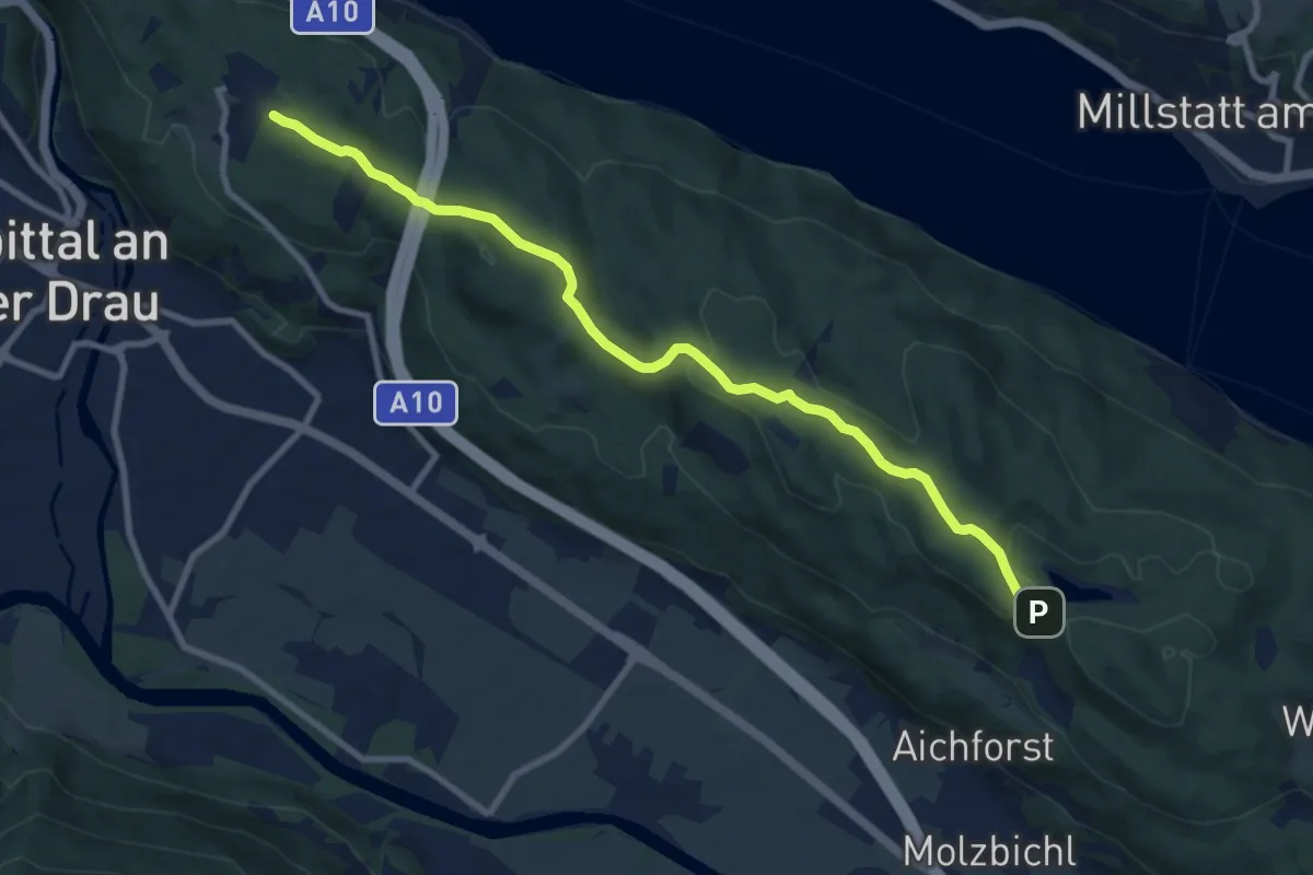
Medium · Trail
23: Samkt Wolfgang - Egelsee
9.7 km · ↑ 178 m · 2 h 40 min
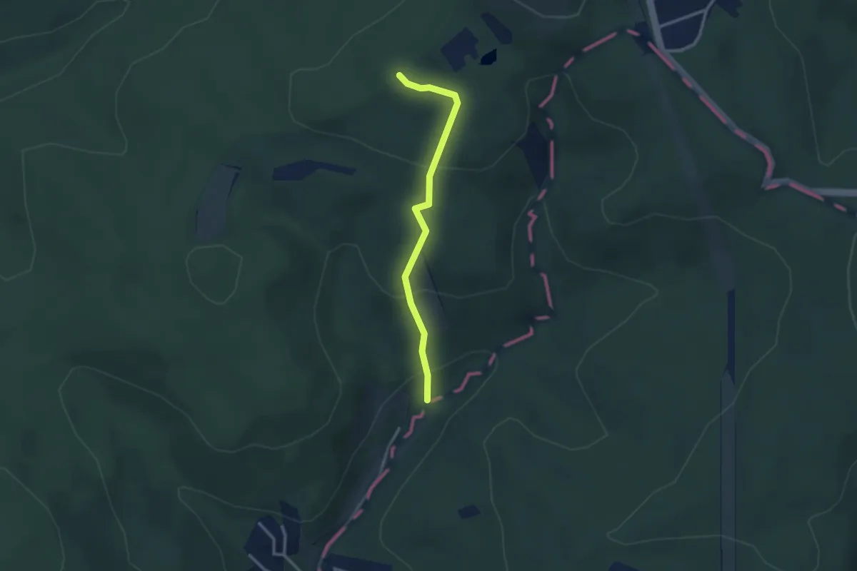
Easy · Trail
24
2.4 km · ↑ 141 m · 53 min
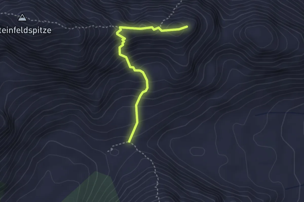
Demanding · Trail
26
2.9 km · ↑ 342 m · 1 h 26 min
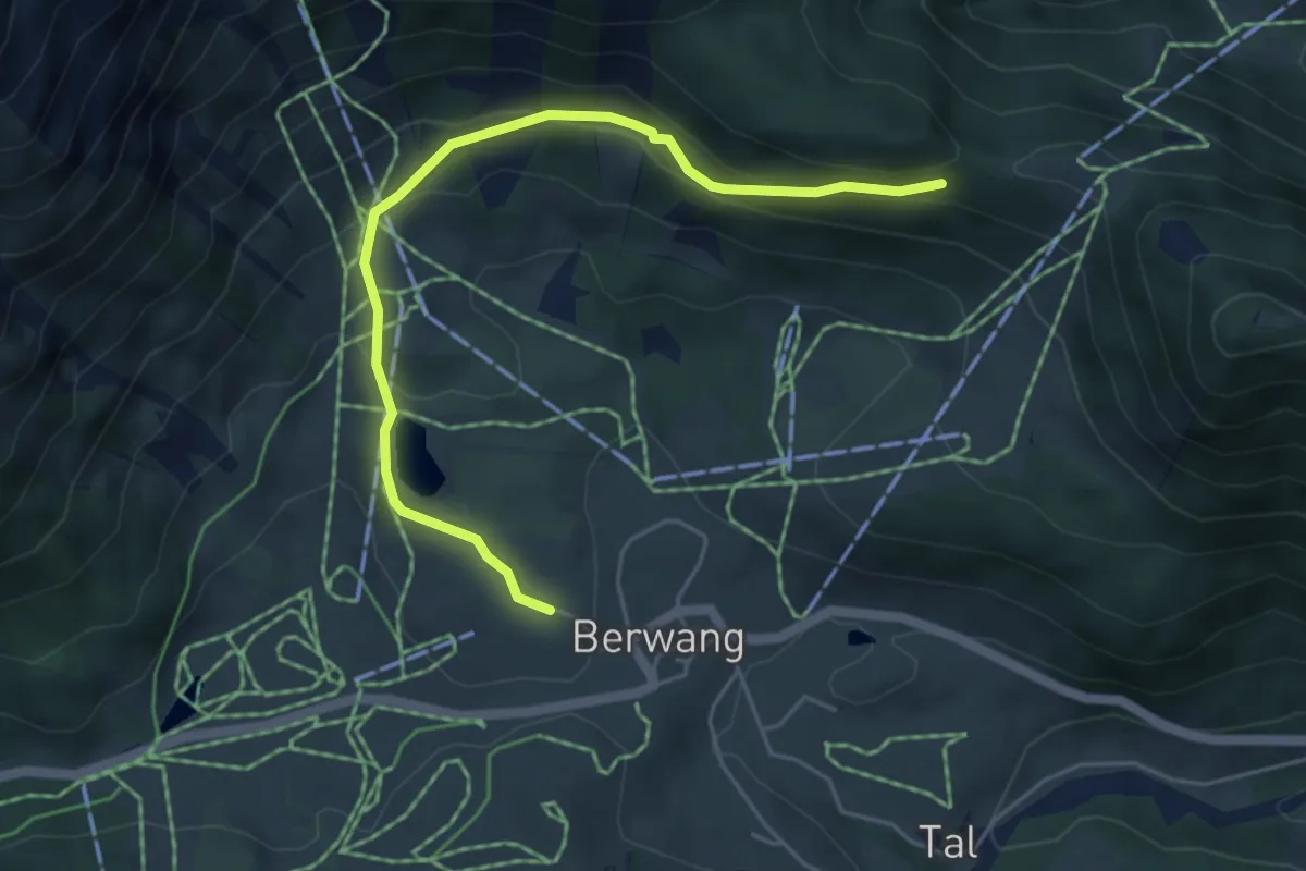
Easy · Trail
27 Höhenweg Berwang
5.1 km · ↑ 217 m · 1 h 40 min
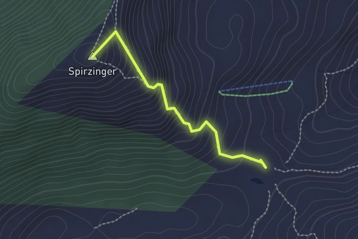
Medium · Summit
27 Südwiener Hütte - Hafeichtscharte
1.9 km · ↑ 261 m · 1 h 1 min
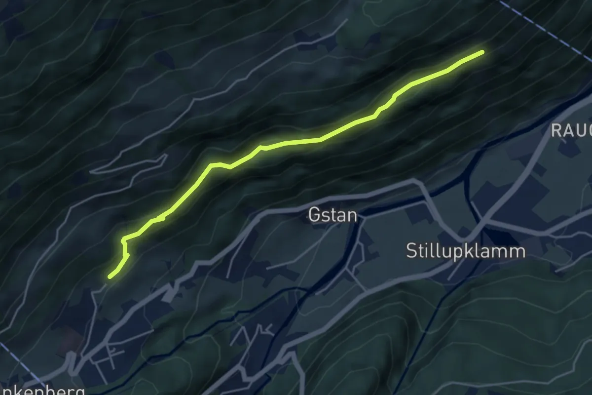
Medium · Trail
28
4.3 km · ↑ 164 m · 1 h 23 min
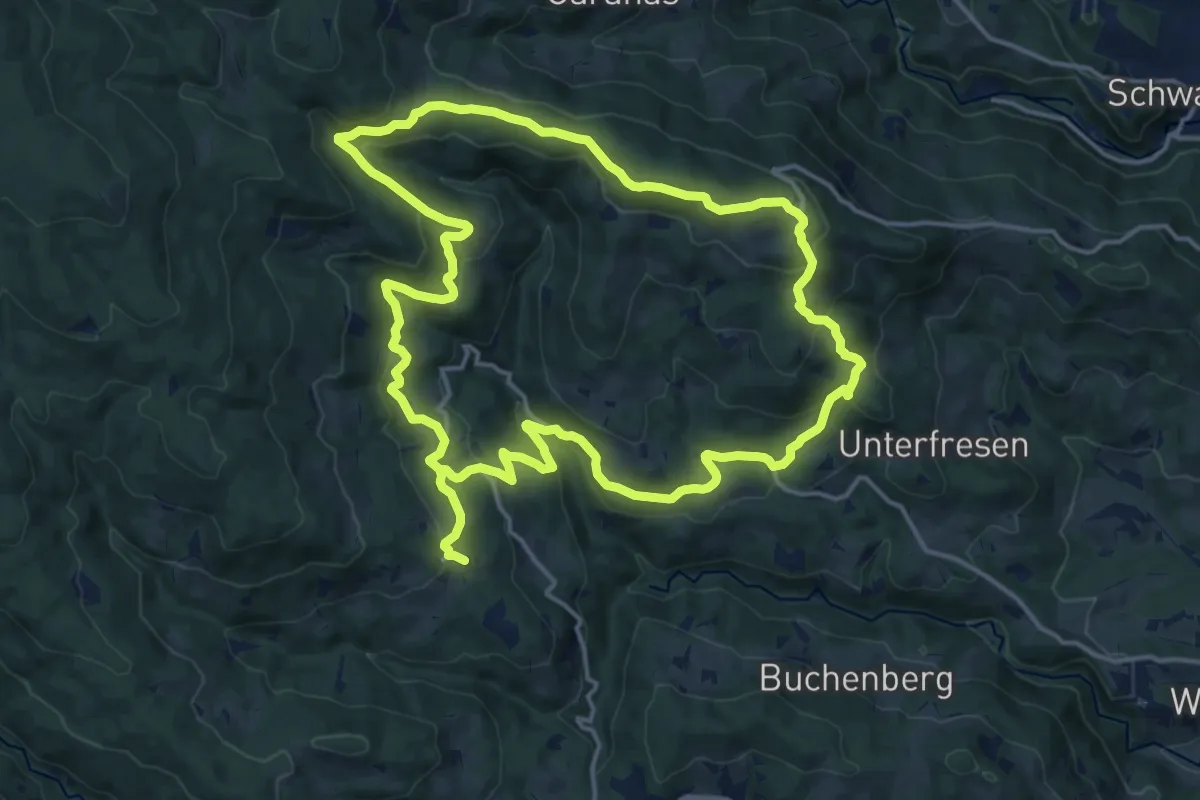
Medium · Trail
2-Elemente-Weg
15.8 km · ↑ 498 m · 5 h 3 min
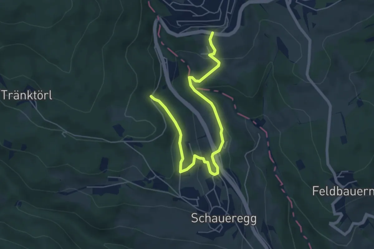
Easy · Trail
2 Grenzen (Schaueregg.Mönichkirchen)
5.8 km · ↑ 212 m · 1 h 50 min
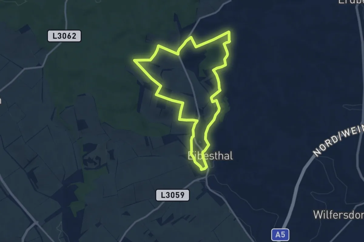
Medium · Trail
2 Hügel-Rundwanderweg
9.4 km · ↑ 153 m · 2 h 40 min
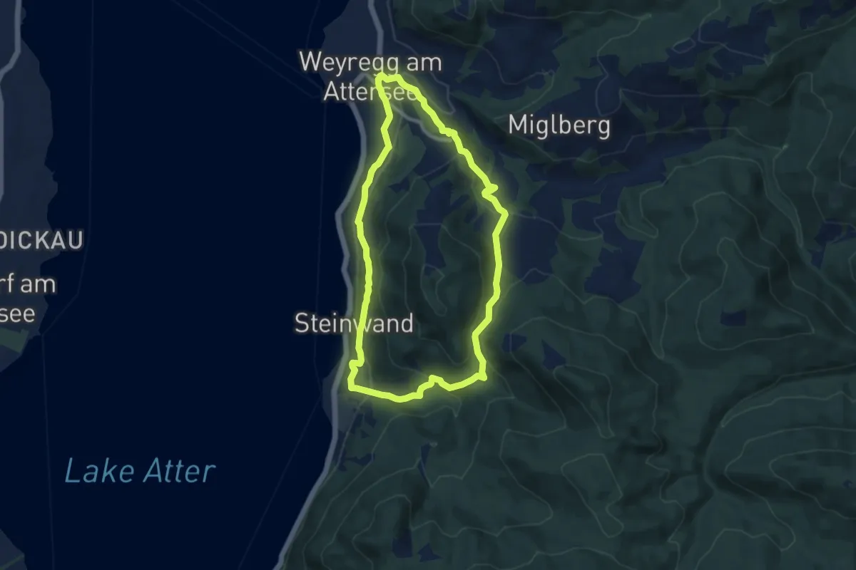
Medium · Trail
2: Rund um den Wachtberg
8.4 km · ↑ 287 m · 2 h 44 min
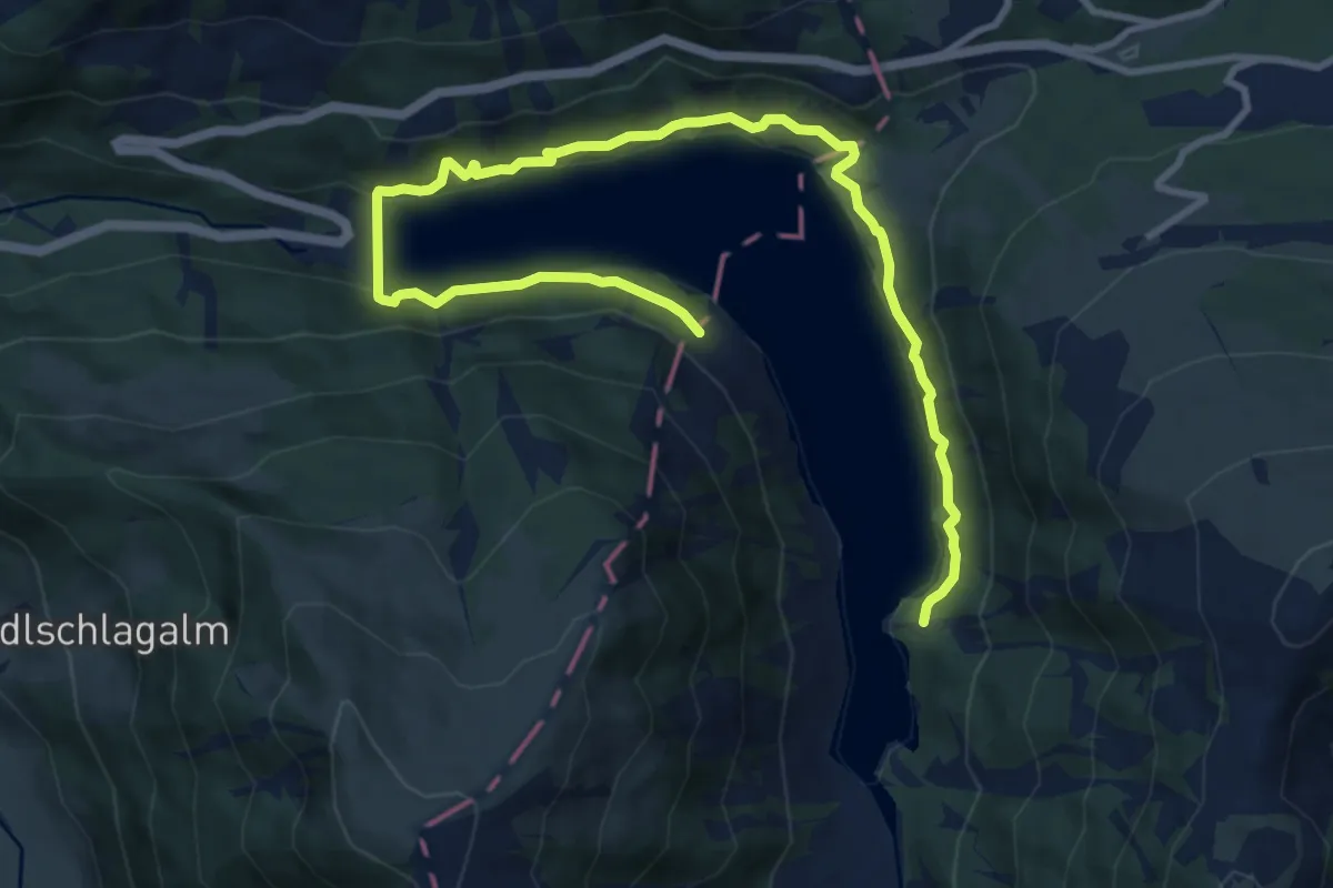
Medium · Trail
2-Seen-Runde
12.5 km · ↑ 226 m · 3 h 26 min
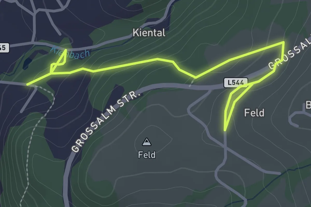
Easy · Trail
2: Von Seefeld nach Unterfeichten
3.3 km · ↑ 151 m · 1 h 6 min
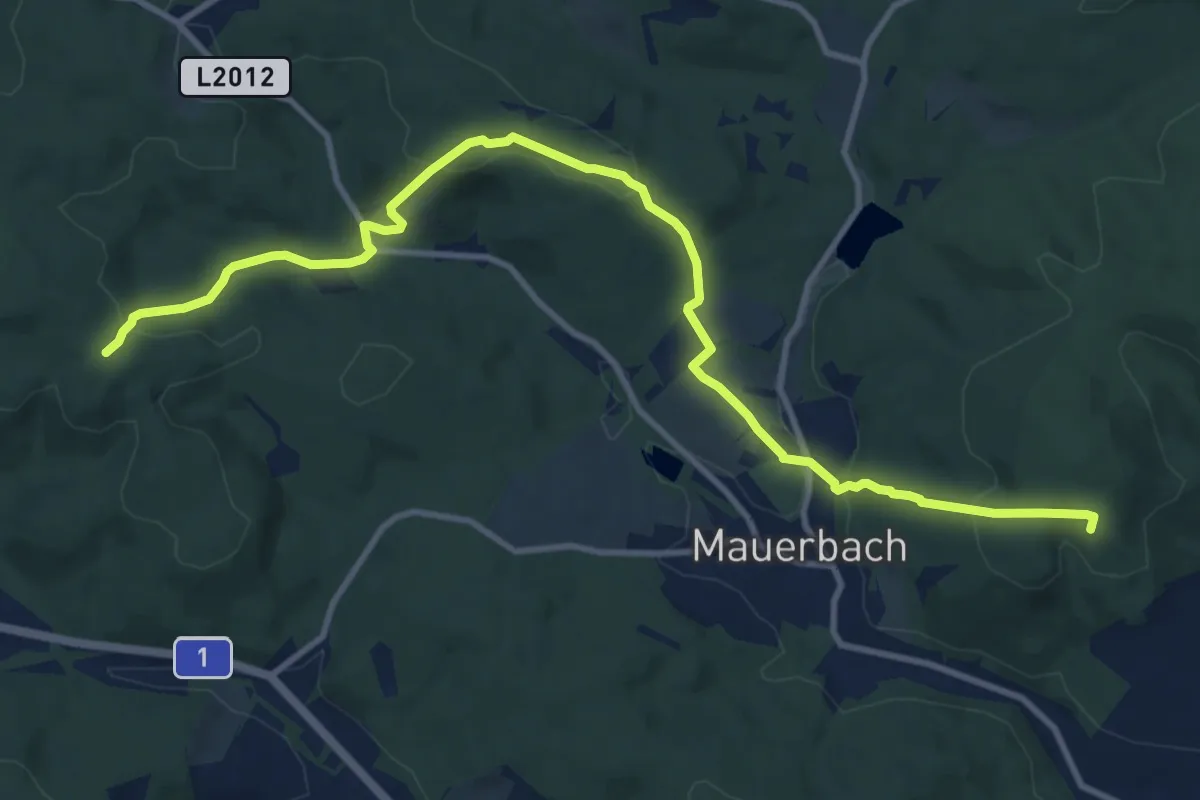
Medium · Summit
3
12.4 km · ↑ 447 m · 3 h 54 min
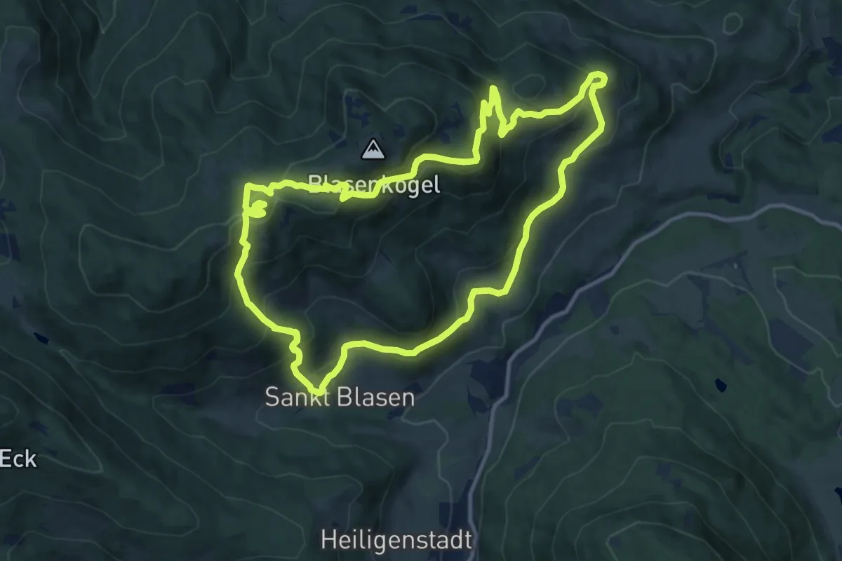
Medium · Summit
30er Runde
11.9 km · ↑ 661 m · 4 h 22 min
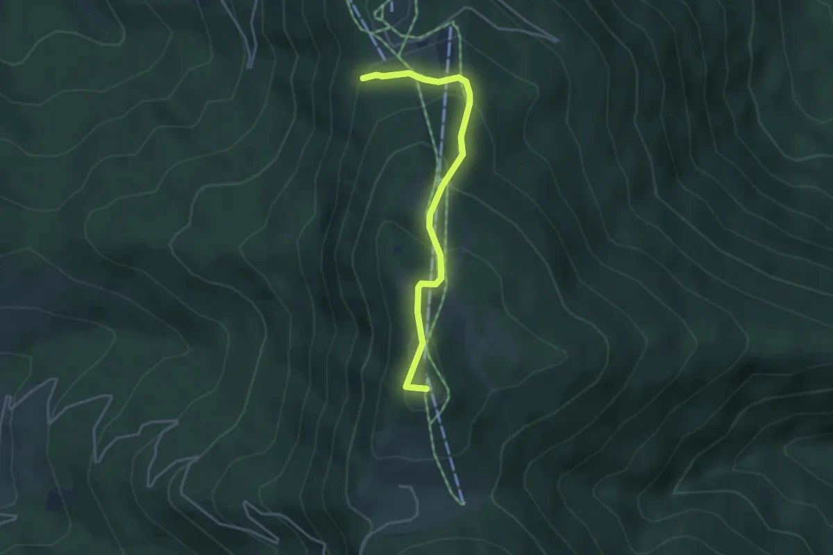
Easy · Summit
314
3.7 km · ↑ 217 m · 1 h 20 min
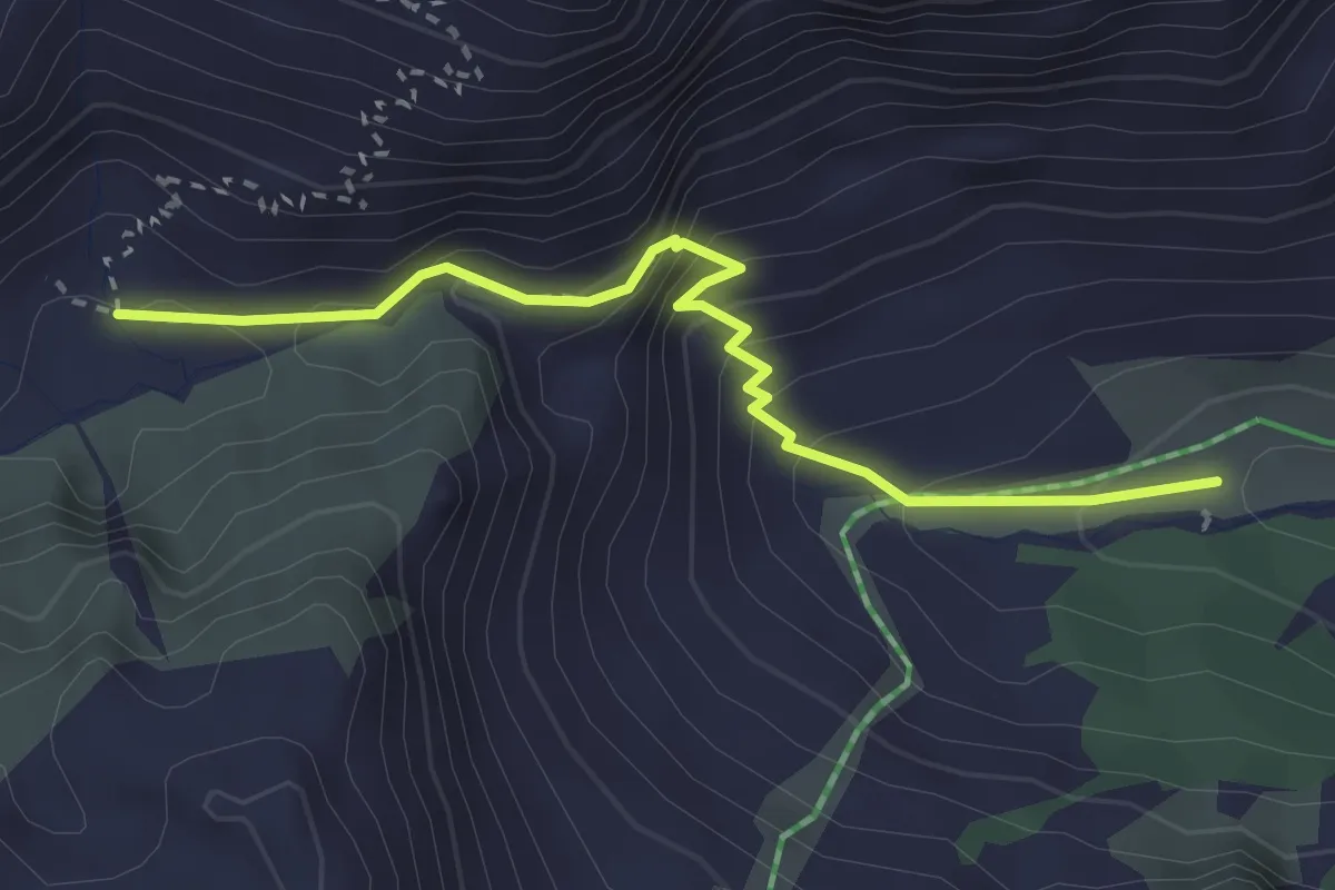
Medium · Trail
323
2.9 km · ↑ 234 m · 1 h 12 min
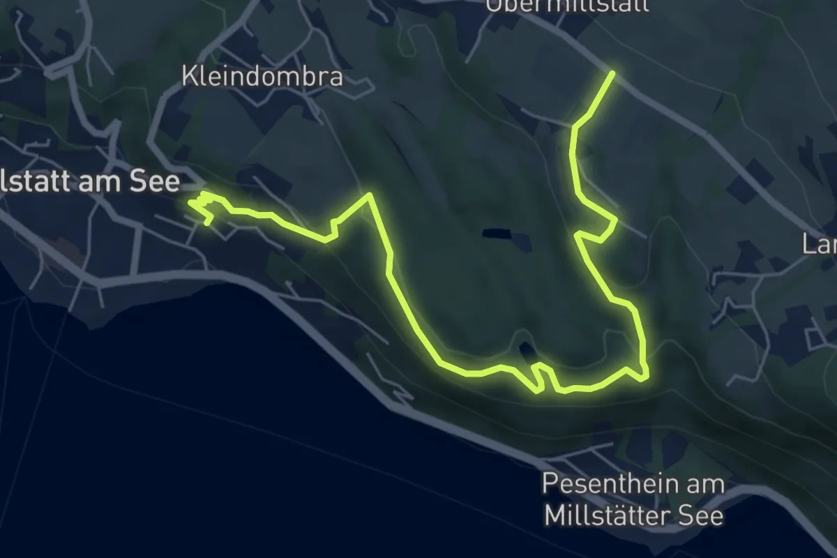
Easy · Trail
33-Millstatt Zwergensee Obermillstatt
7.1 km · ↑ 291 m · 2 h 19 min
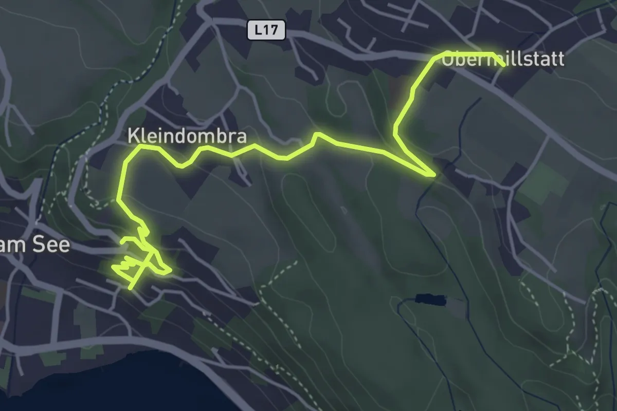
Easy · Trail
35 - Millstatt-Kleindombra-Obermillstatt
5.7 km · ↑ 285 m · 1 h 57 min
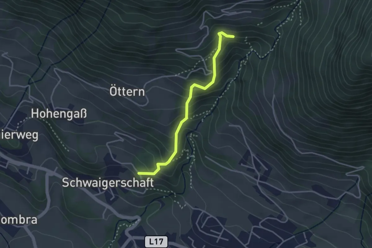
Medium · Trail
36a Schwaigerschaft-Alexanderhütte (alter Bergweg)
2.9 km · ↑ 259 m · 1 h 15 min
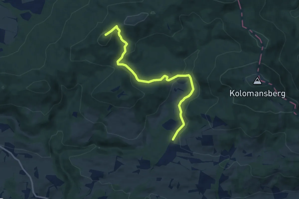
Medium · Summit
36/H4: Große Plaike
8.5 km · ↑ 267 m · 2 h 35 min
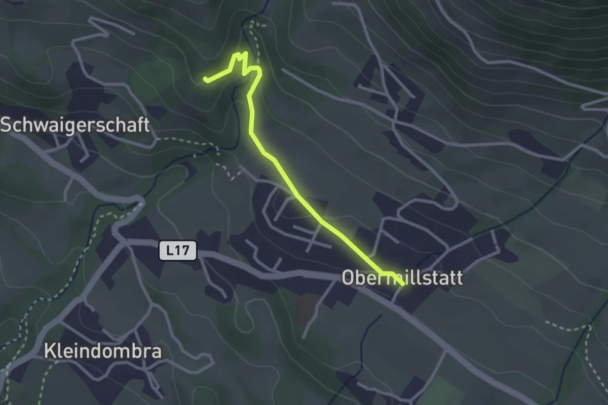
Medium · Trail
36 - Schwaigerschaft-Obermillstatt
2.5 km · ↑ 87 m · 46 min
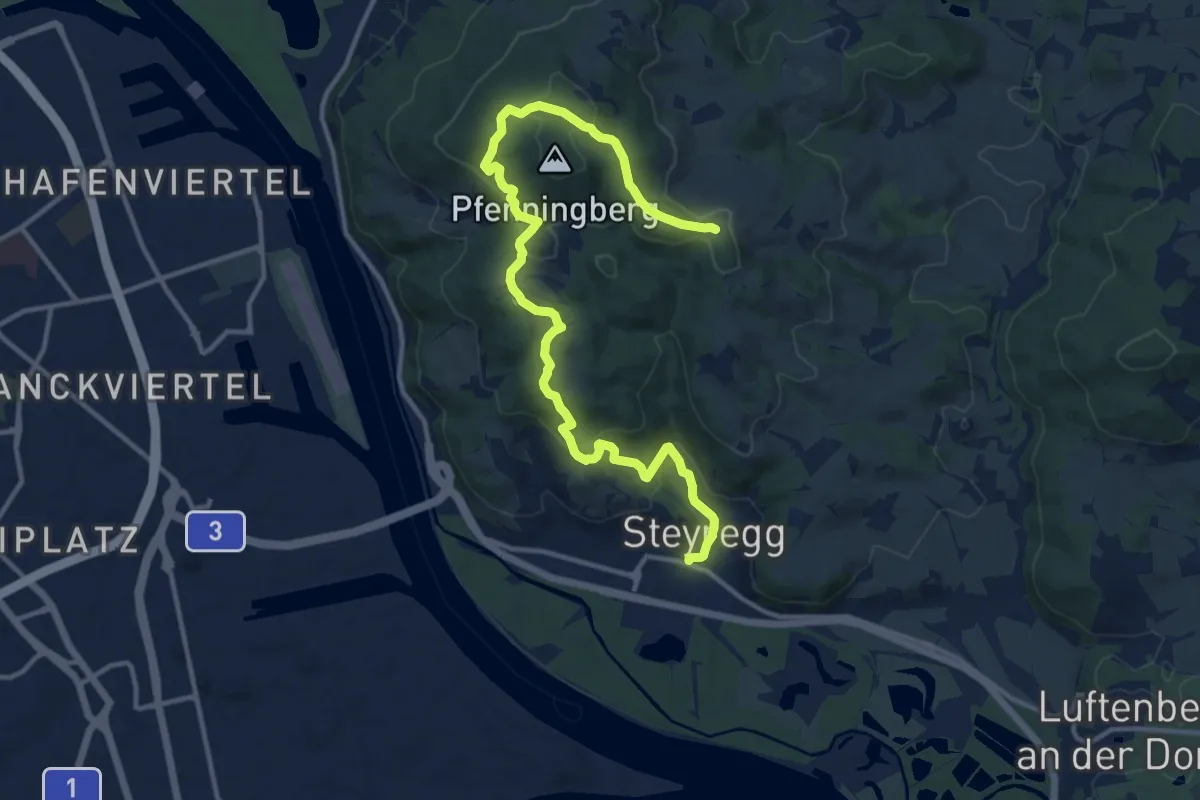
Medium · Trail
3 Buchen Weg
14.8 km · ↑ 514 m · 4 h 36 min
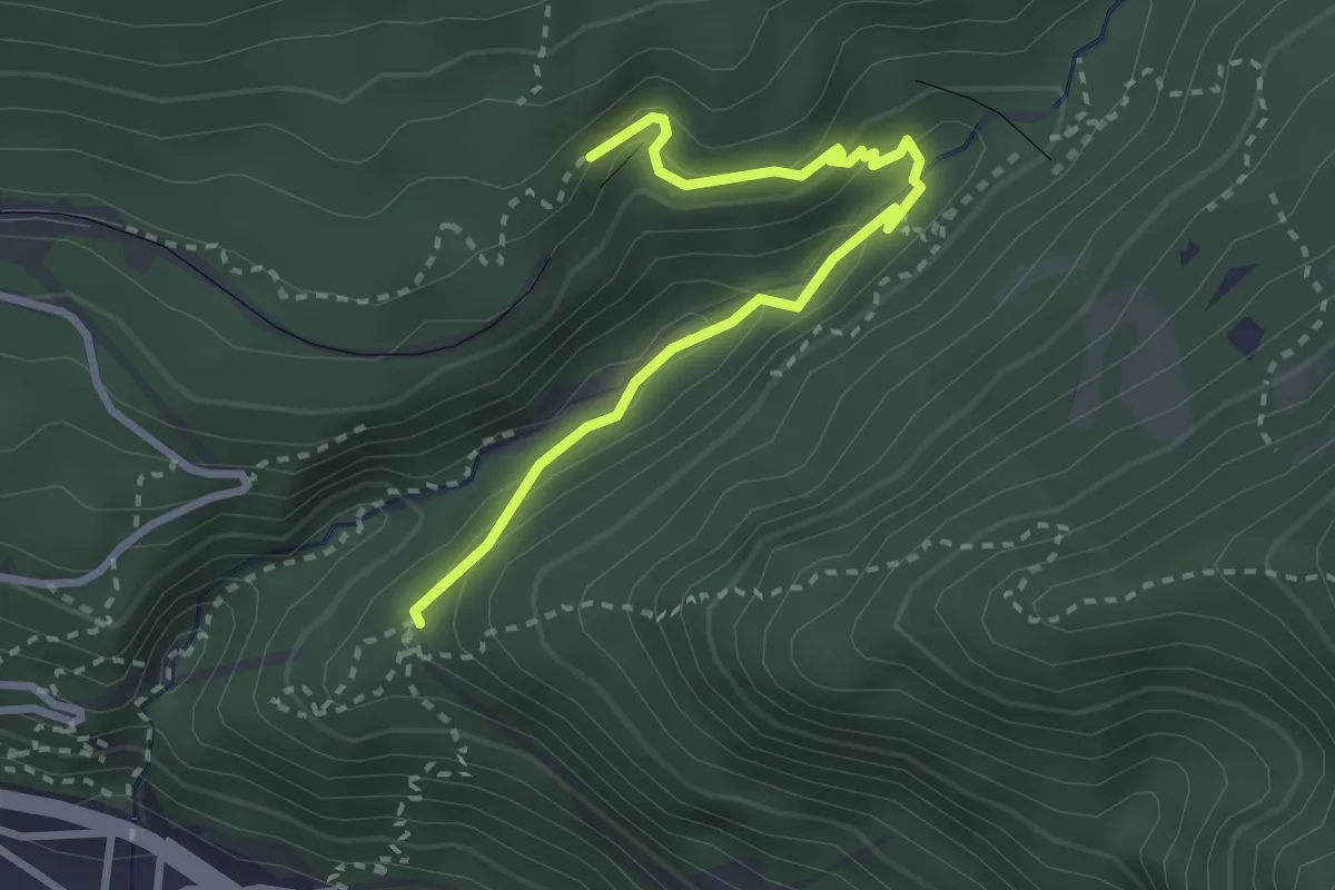
Medium · Trail
3 Ehnbachklamm - Zirl
3.0 km · ↑ 208 m · 1 h 9 min
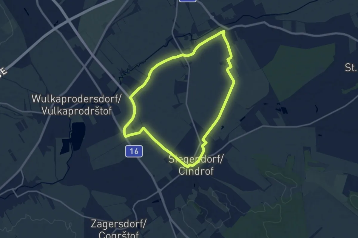
Medium · Trail
3-Gemeinde-Tour (Vital-Parcours Siegendorf)
10.9 km · ↑ 34 m · 2 h 48 min
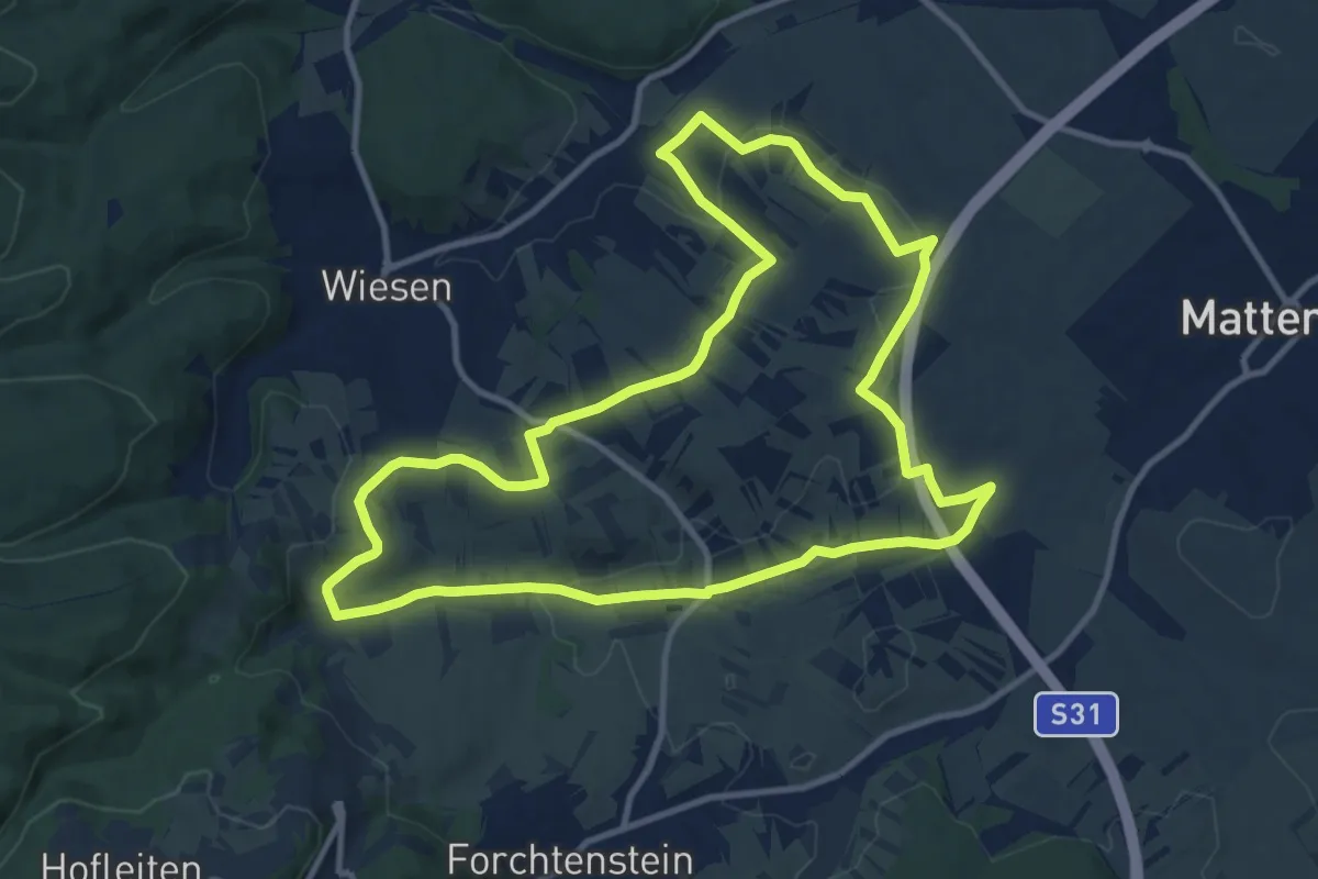
Medium · Trail
3-Hotter-Strecke
11.3 km · ↑ 191 m · 3 h 14 min
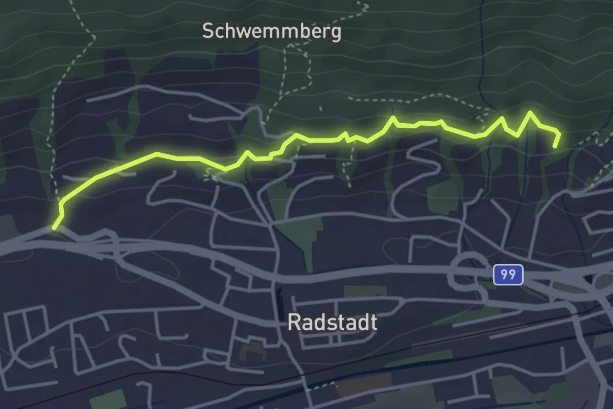
Easy · Trail
3 Kaiserpromenade Rundweg
3.8 km · ↑ 119 m · 1 h 9 min
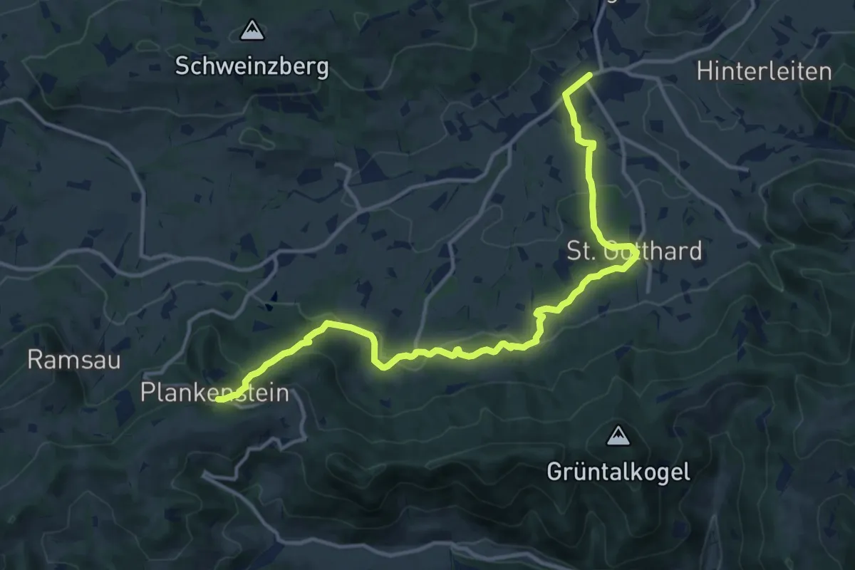
Medium · Trail
3-Kirchen-Weg
14.1 km · ↑ 462 m · 4 h 20 min
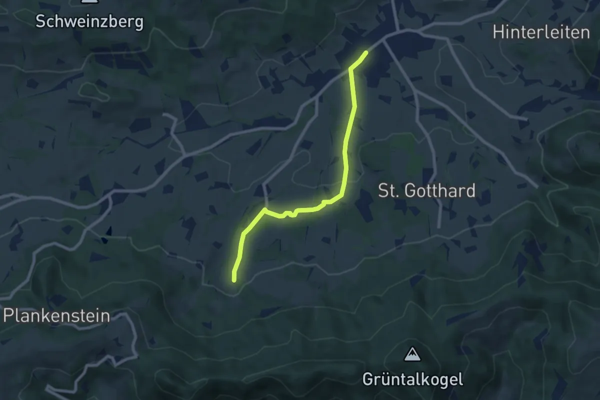
Easy · Trail
3-Kirchen-Weg alternative
6.3 km · ↑ 152 m · 1 h 50 min
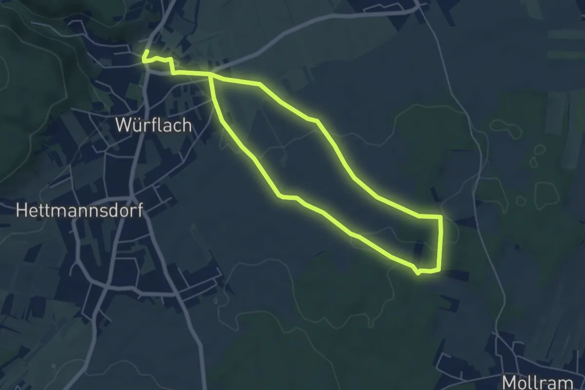
Easy · Trail
3 Linden Runde
4.8 km · ↑ 45 m · 1 h 18 min
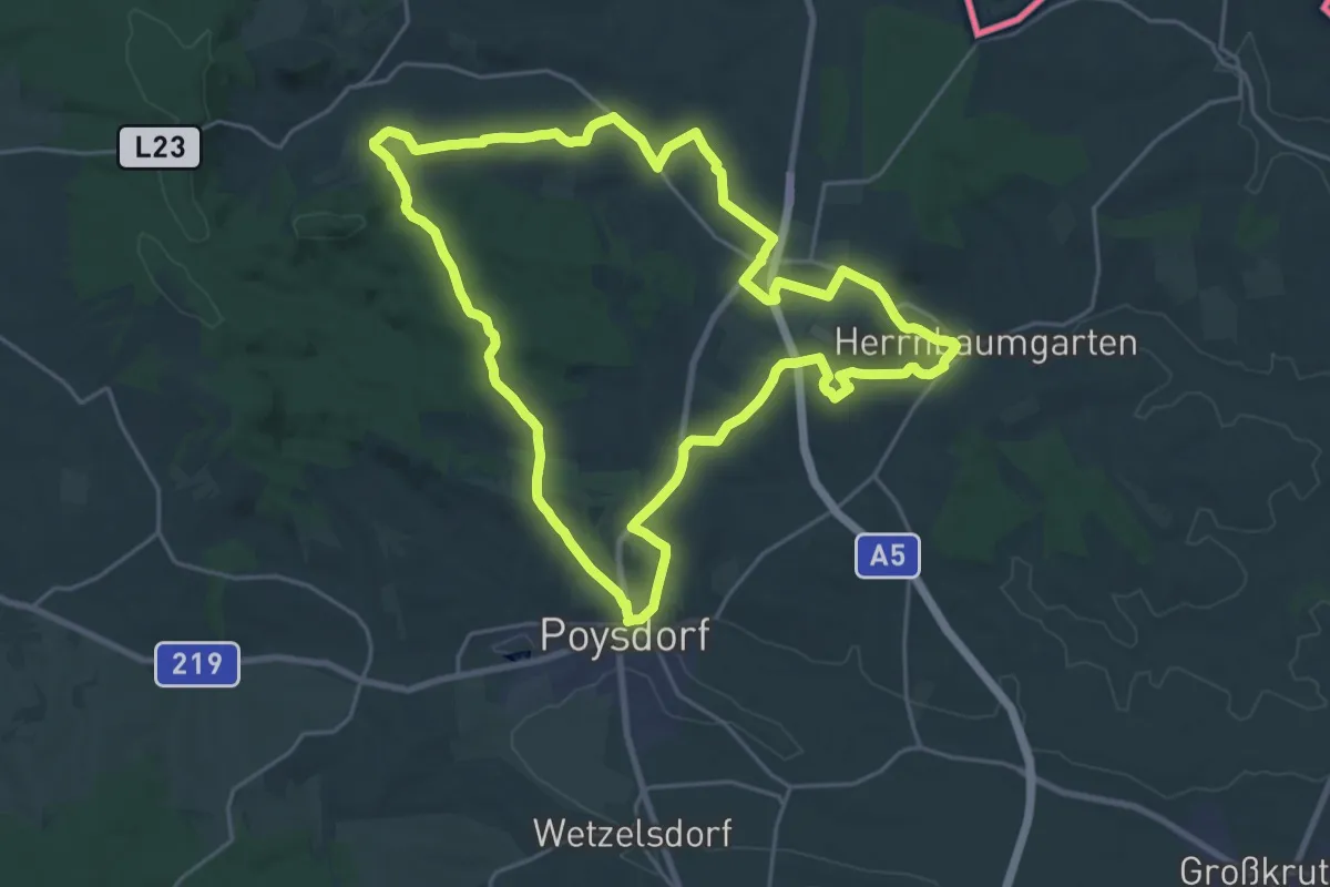
Demanding · Trail
3-Schwestern-Weg
23.0 km · ↑ 424 m · 6 h 41 min
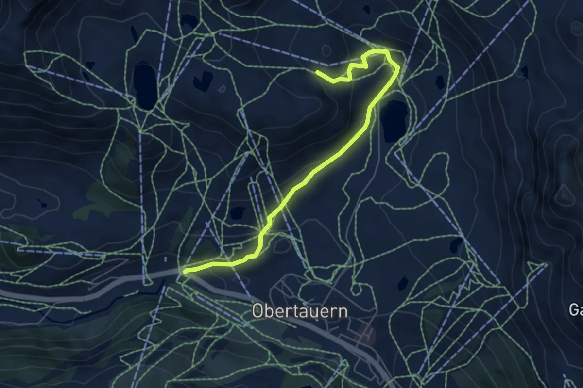
Easy · Trail
3-Seen-Wanderung
5.6 km · ↑ 232 m · 1 h 50 min
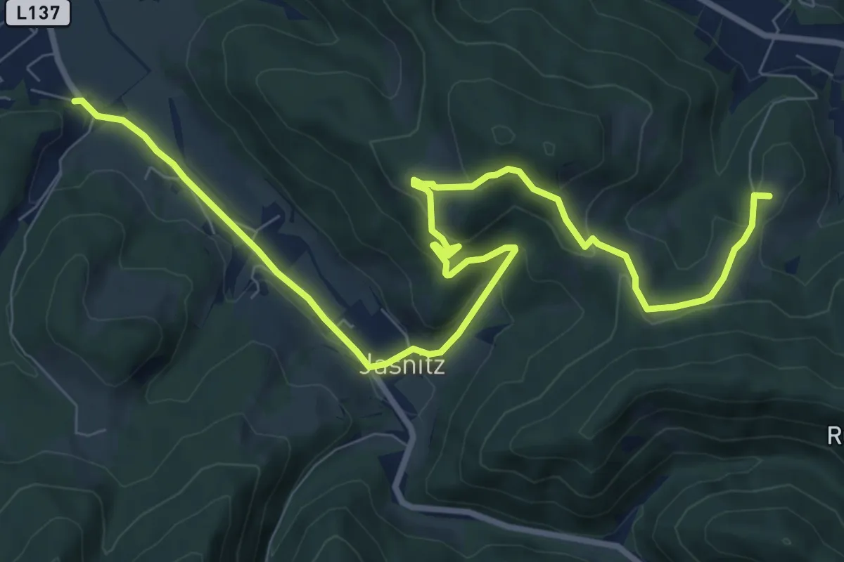
Medium · Summit
3 Täler Wanderweg
11.1 km · ↑ 376 m · 3 h 26 min
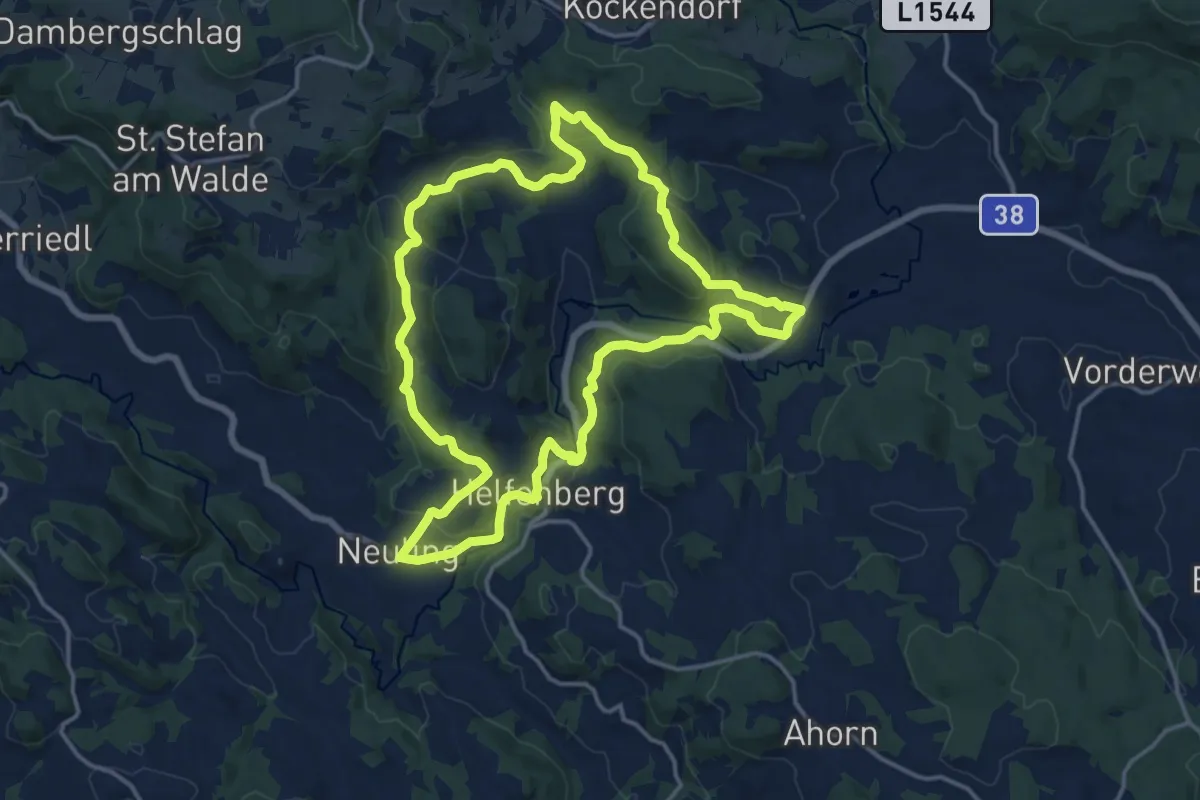
Medium · Trail
3 Themen Weg
14.8 km · ↑ 431 m · 4 h 38 min
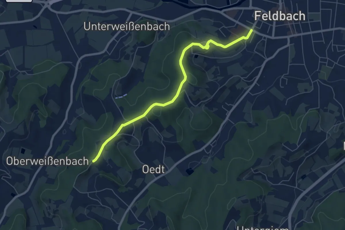
Easy · Trail
3-Vulkane-Weg
6.4 km · ↑ 217 m · 2 h
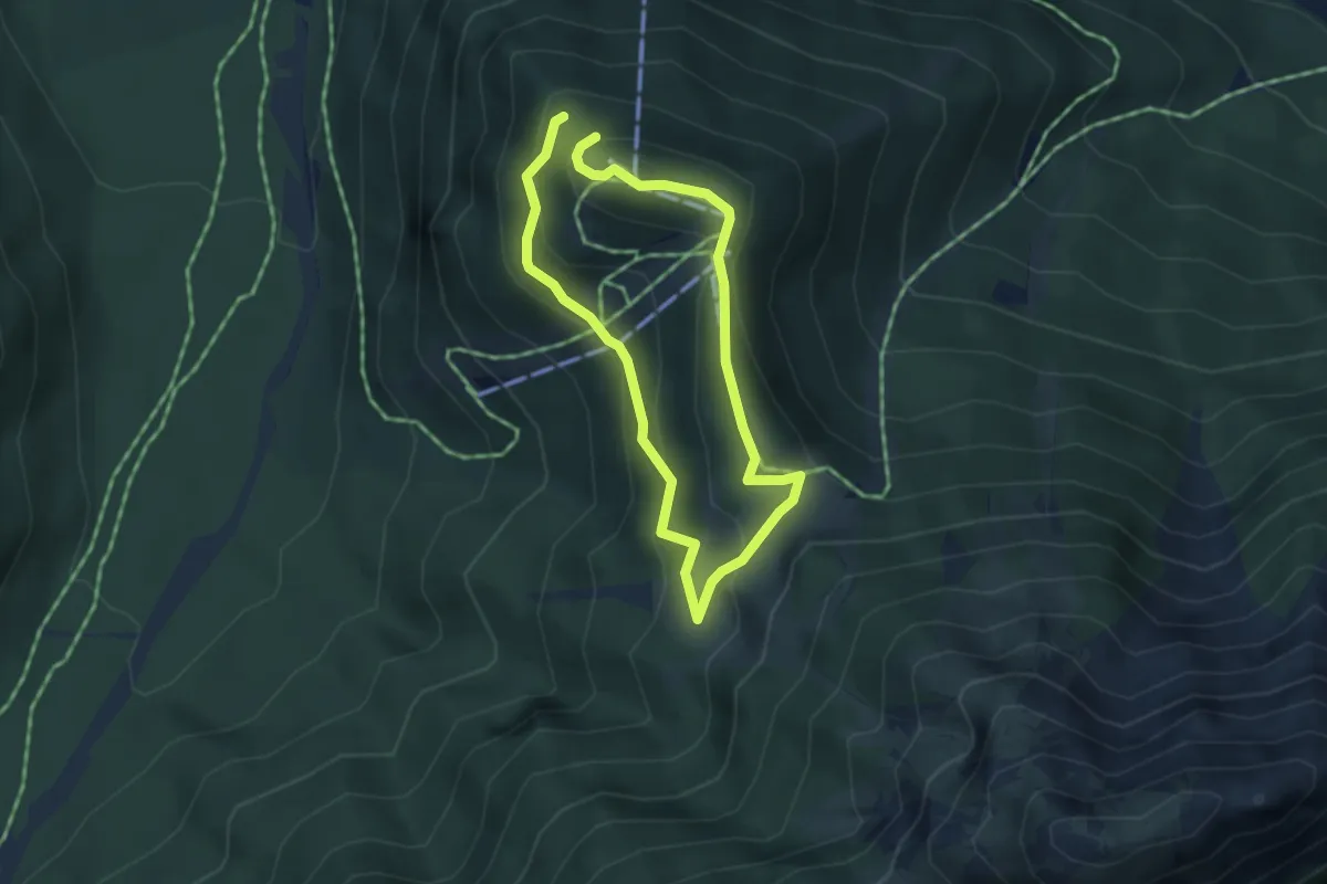
Medium · Summit
4
3.0 km · ↑ 166 m · 1 h 5 min
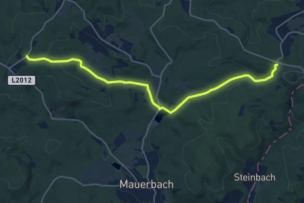
Medium · Trail
4
12.2 km · ↑ 286 m · 3 h 30 min
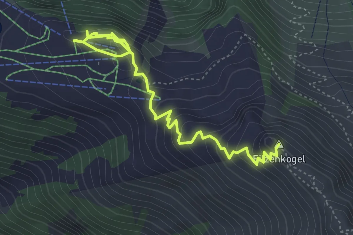
Easy · Summit
42a
4.8 km · ↑ 307 m · 1 h 47 min
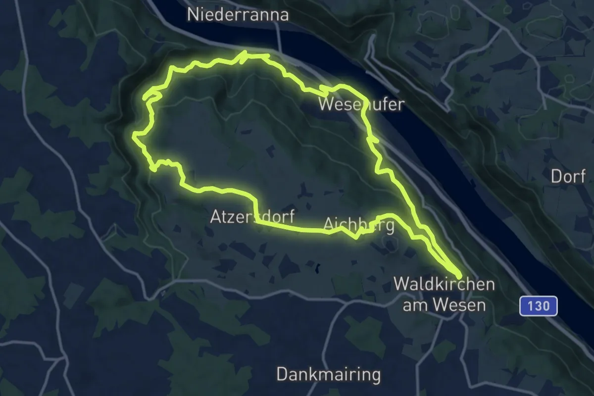
Medium · Trail
4/4-Blick-Runde
12.8 km · ↑ 406 m · 4 h 5 min
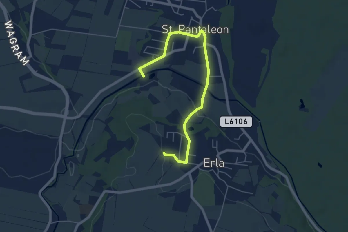
Easy · Trail
466
5.0 km · ↑ 67 m · 1 h 20 min
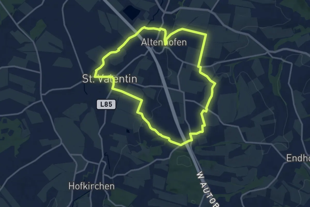
Medium · Trail
478
9.3 km · ↑ 143 m · 2 h 39 min
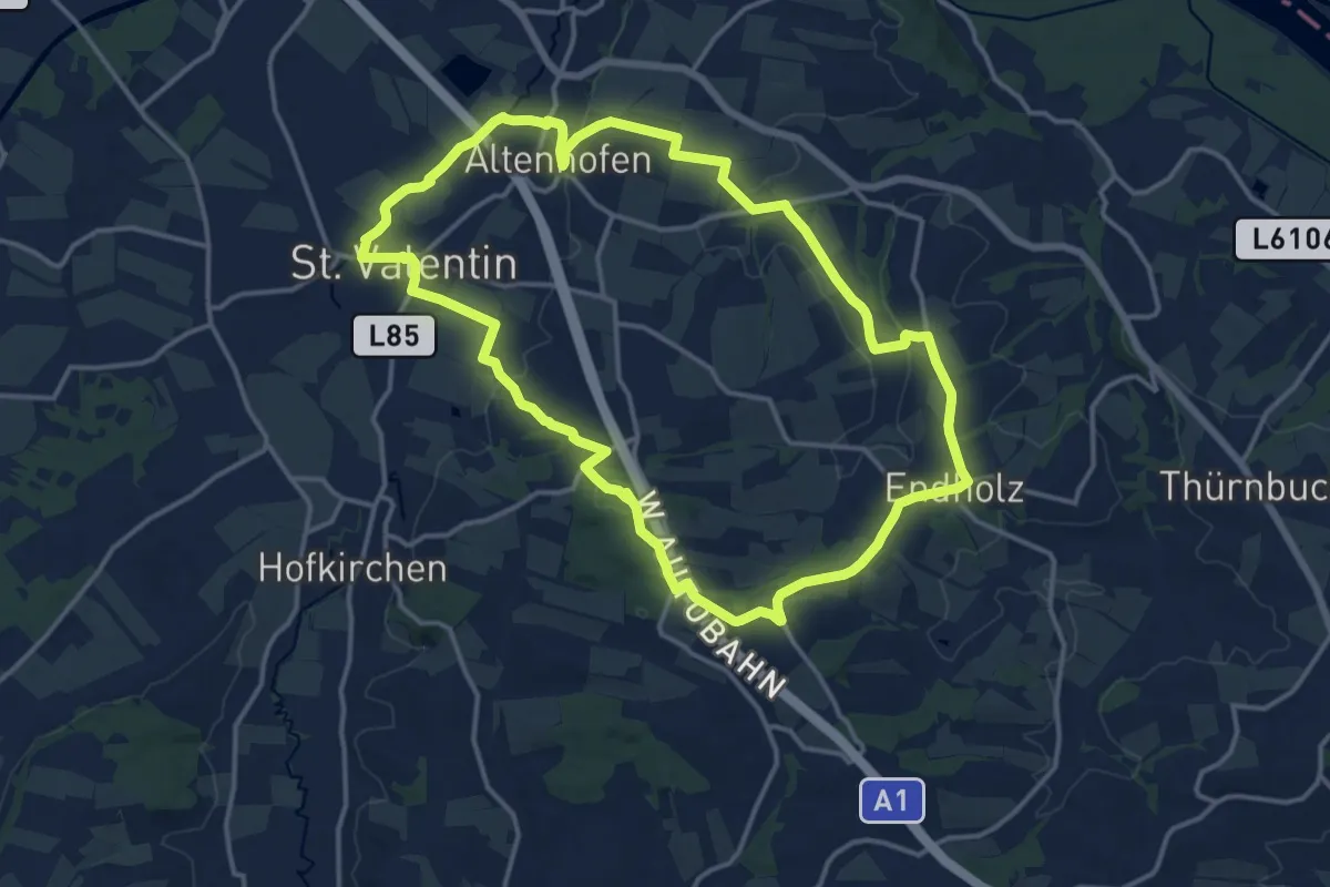
Medium · Trail
479
14.7 km · ↑ 212 m · 4 h 8 min
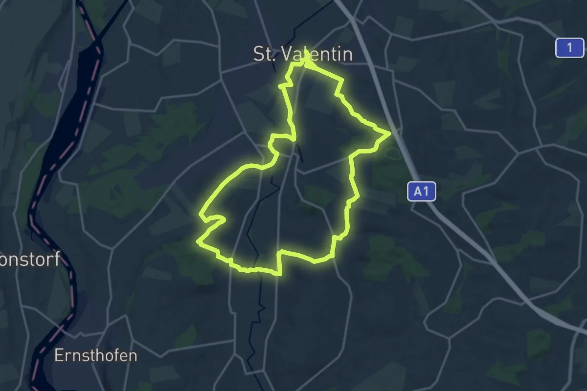
Demanding · Trail
480
28.7 km · ↑ 372 m · 7 h 34 min