Trails in Austria
9,777 hiking trails, each with its route, climb, walking time and grade.
All trails, page 194 of 204
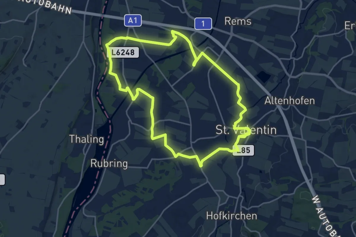
Medium · Trail
481
15.7 km · ↑ 22 m · 3 h 59 min
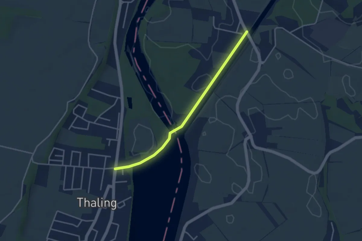
Easy · Trail
481a
3.0 km · ↑ 10 m · 43 min
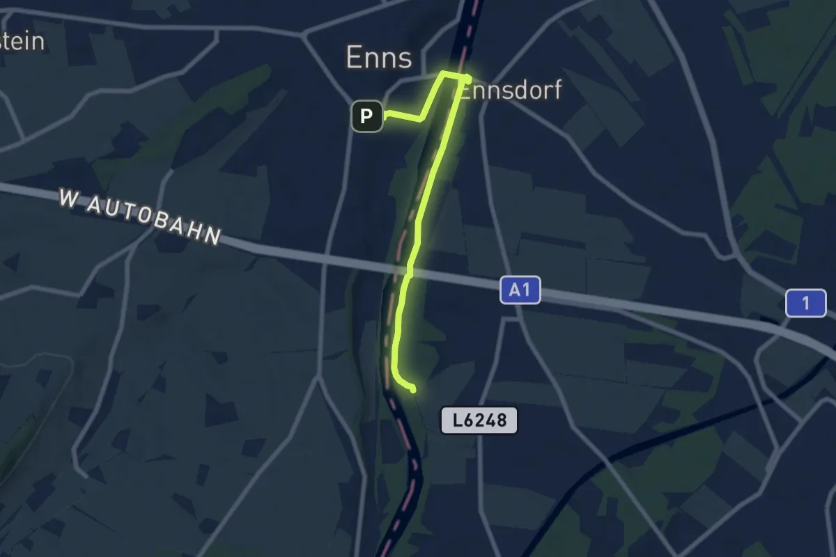
Easy · Trail
481b
6.2 km · ↑ 20 m · 1 h 31 min
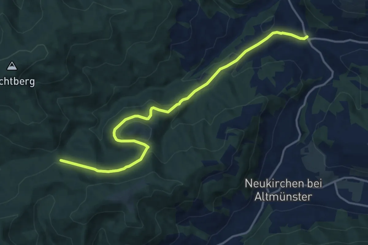
Medium · Trail
4A: Abkürzung Richtberg-Runde
11.5 km · ↑ 306 m · 3 h 22 min
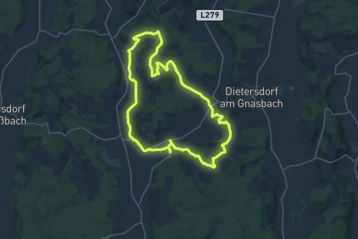
Medium · Trail
4-Berge-Weg
15.5 km · ↑ 293 m · 4 h 31 min
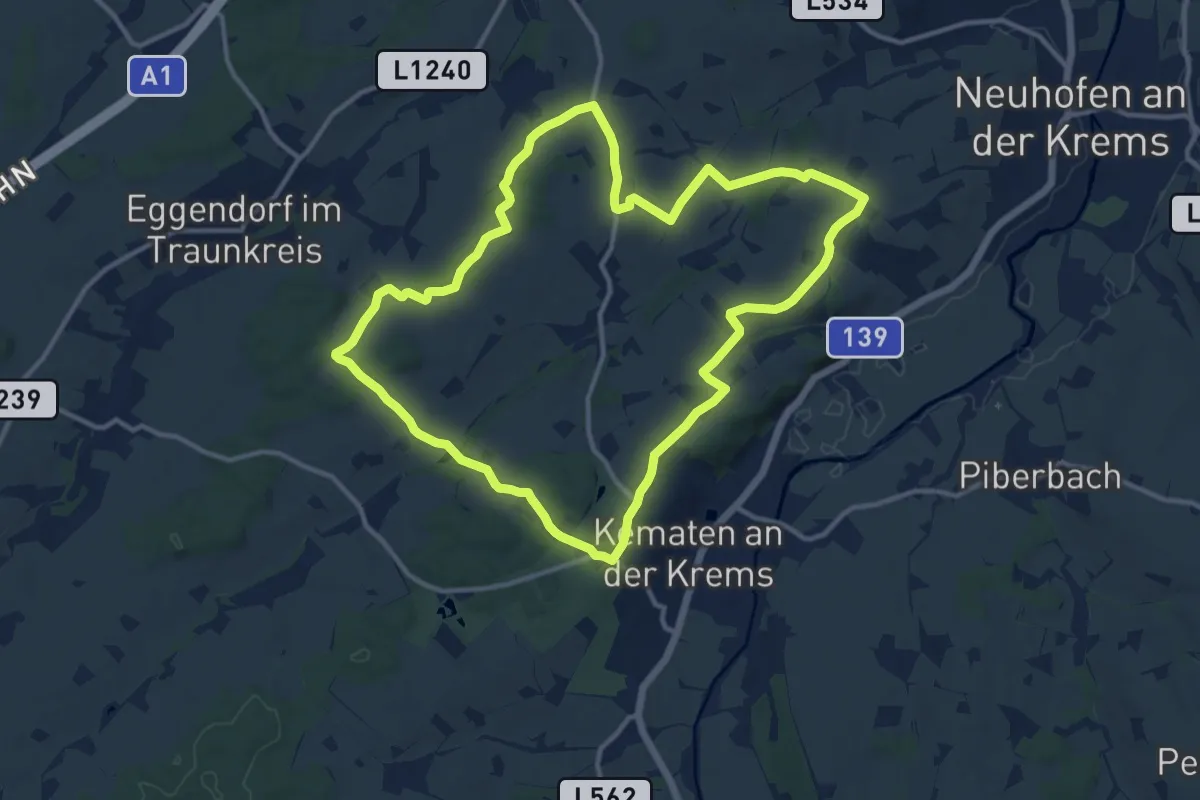
Medium · Trail
4 Gemeinden Wanderweg
12.2 km · ↑ 123 m · 3 h 20 min
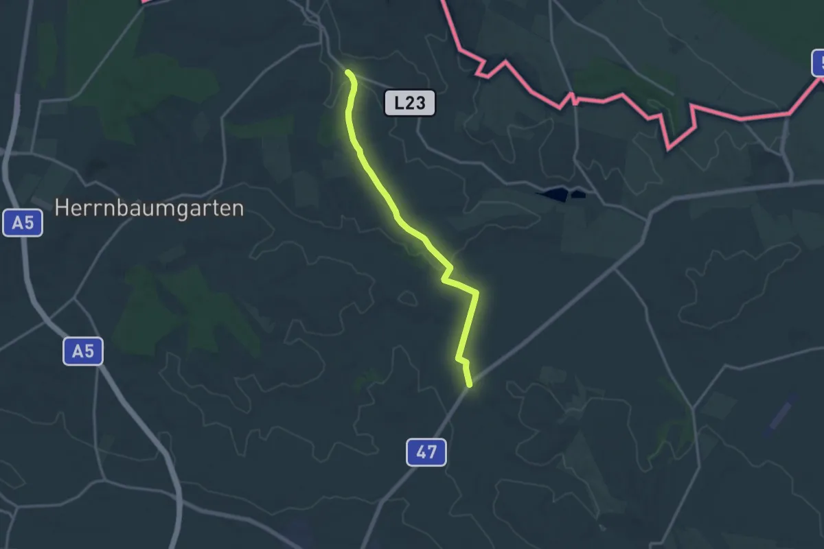
Medium · Trail
4-Gemeindenweg
12.6 km · ↑ 121 m · 3 h 14 min
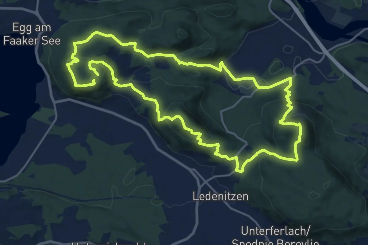
Medium · Summit
4-Gipfel-Aussichtstour
12.0 km · ↑ 619 m · 4 h 20 min
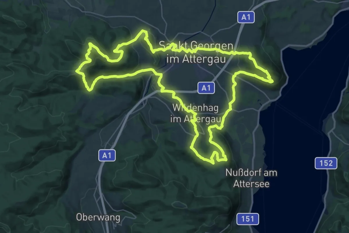
Demanding · Summit
4-Gipfel-Tour
33.8 km · ↑ 976 m · 10 h 34 min
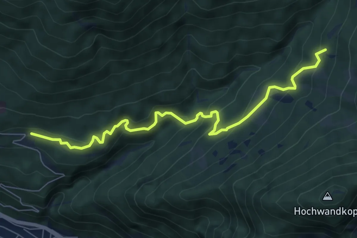
Medium · Trail
4 Hochzirl - Rasthaus Brunntal
7.0 km · ↑ 368 m · 2 h 27 min
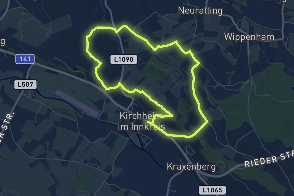
Easy · Trail
4-Hügel-Tour
7.0 km · ↑ 174 m · 2 h 8 min
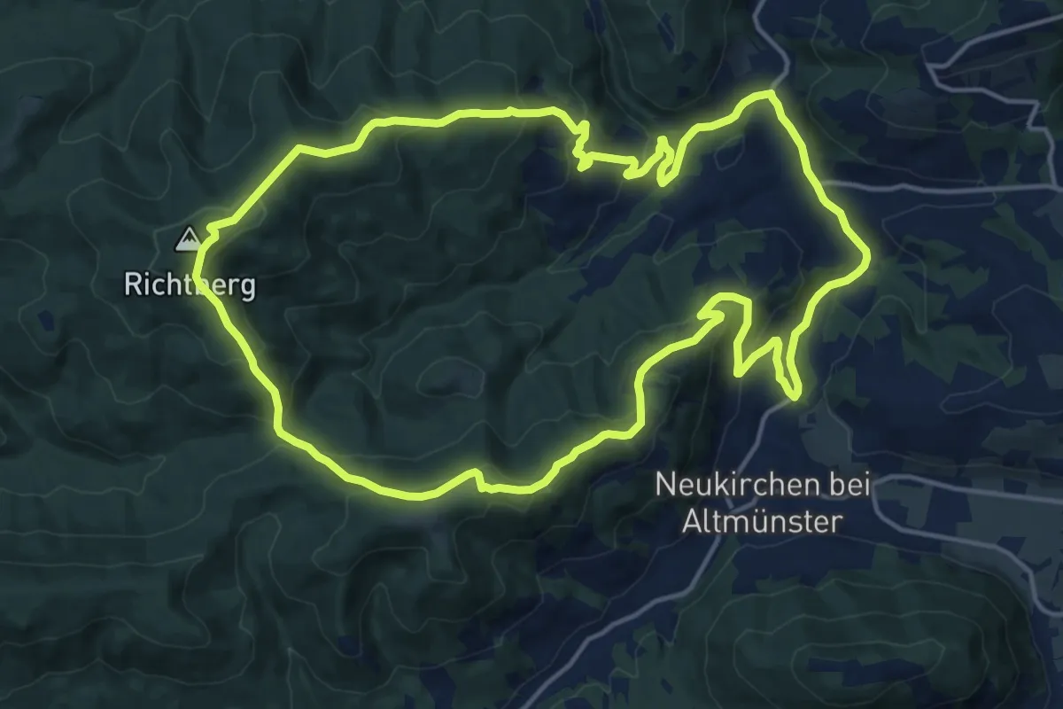
Medium · Summit
4: Richtberg-Runde von Reindlmühl
16.4 km · ↑ 655 m · 5 h 31 min
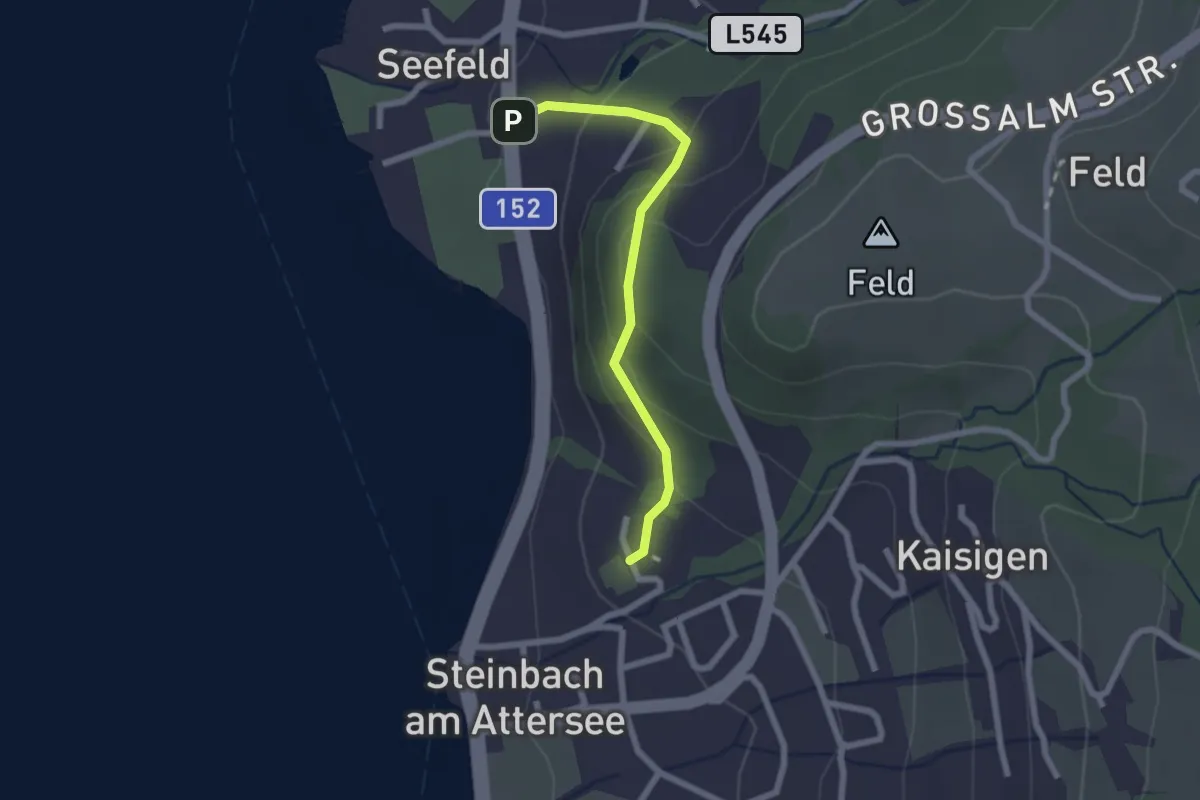
Easy · Trail
4: Variante des Kirchenweges
2.0 km · ↑ 109 m · 43 min
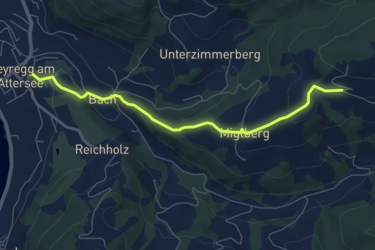
Easy · Trail
4: Weyregg - Miglberg
5.7 km · ↑ 276 m · 1 h 57 min
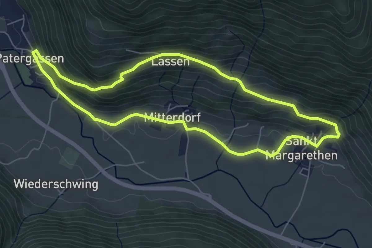
Easy · Trail
5
5.0 km · ↑ 196 m · 1 h 40 min
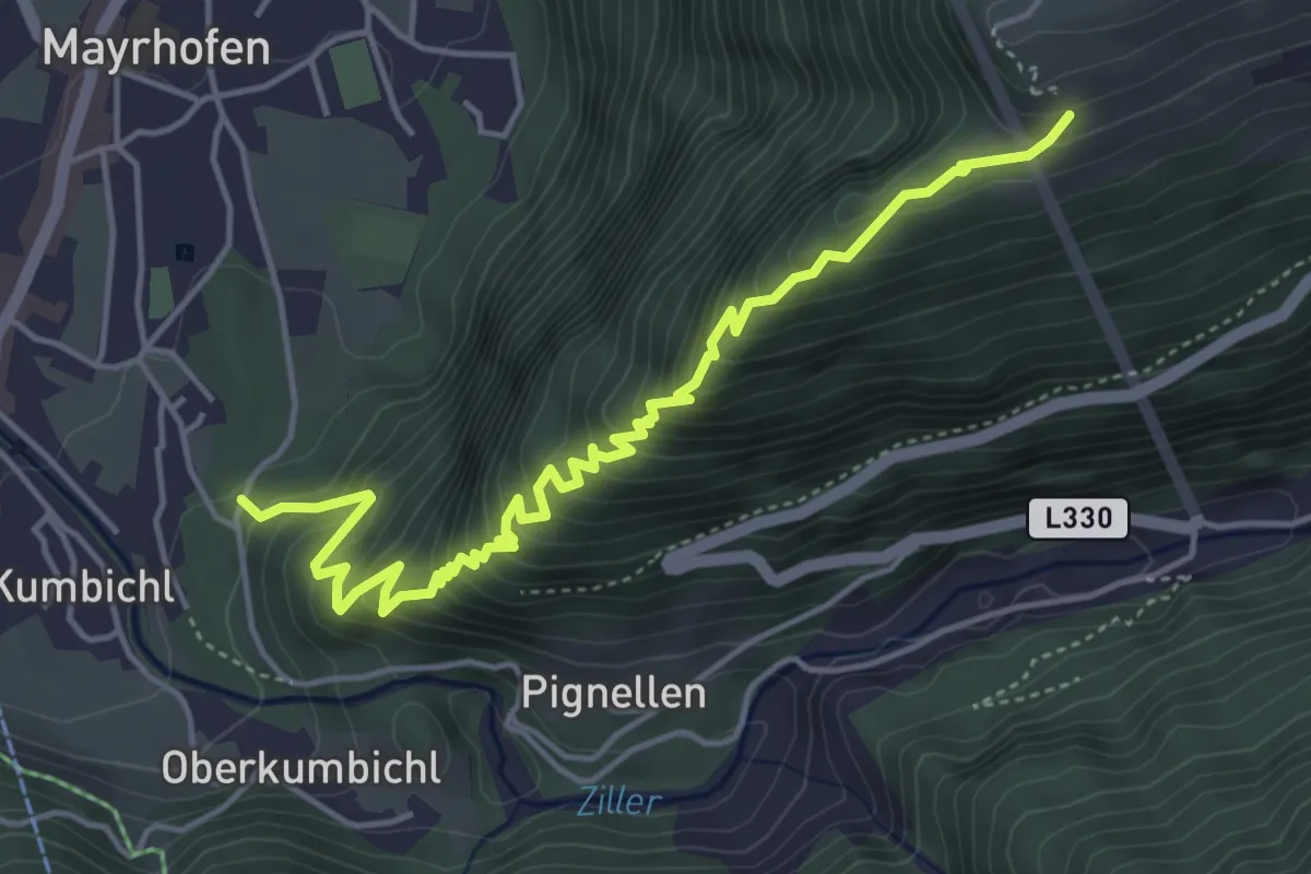
Medium · Trail
5
5.4 km · ↑ 545 m · 2 h 27 min
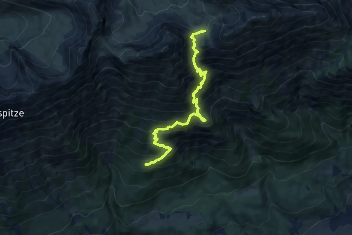
Demanding · Trail
5
9.5 km · ↑ 1011 m · 4 h 26 min
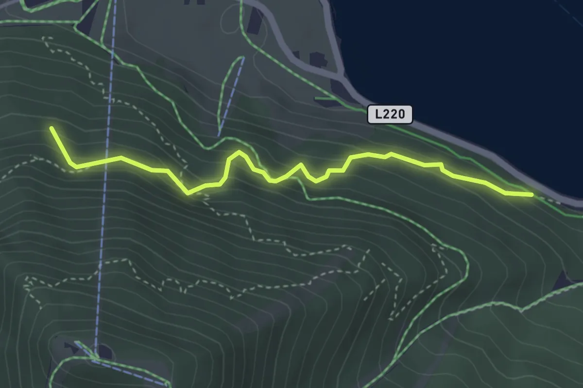
Medium · Cabin
5
3.4 km · ↑ 215 m · 1 h 16 min
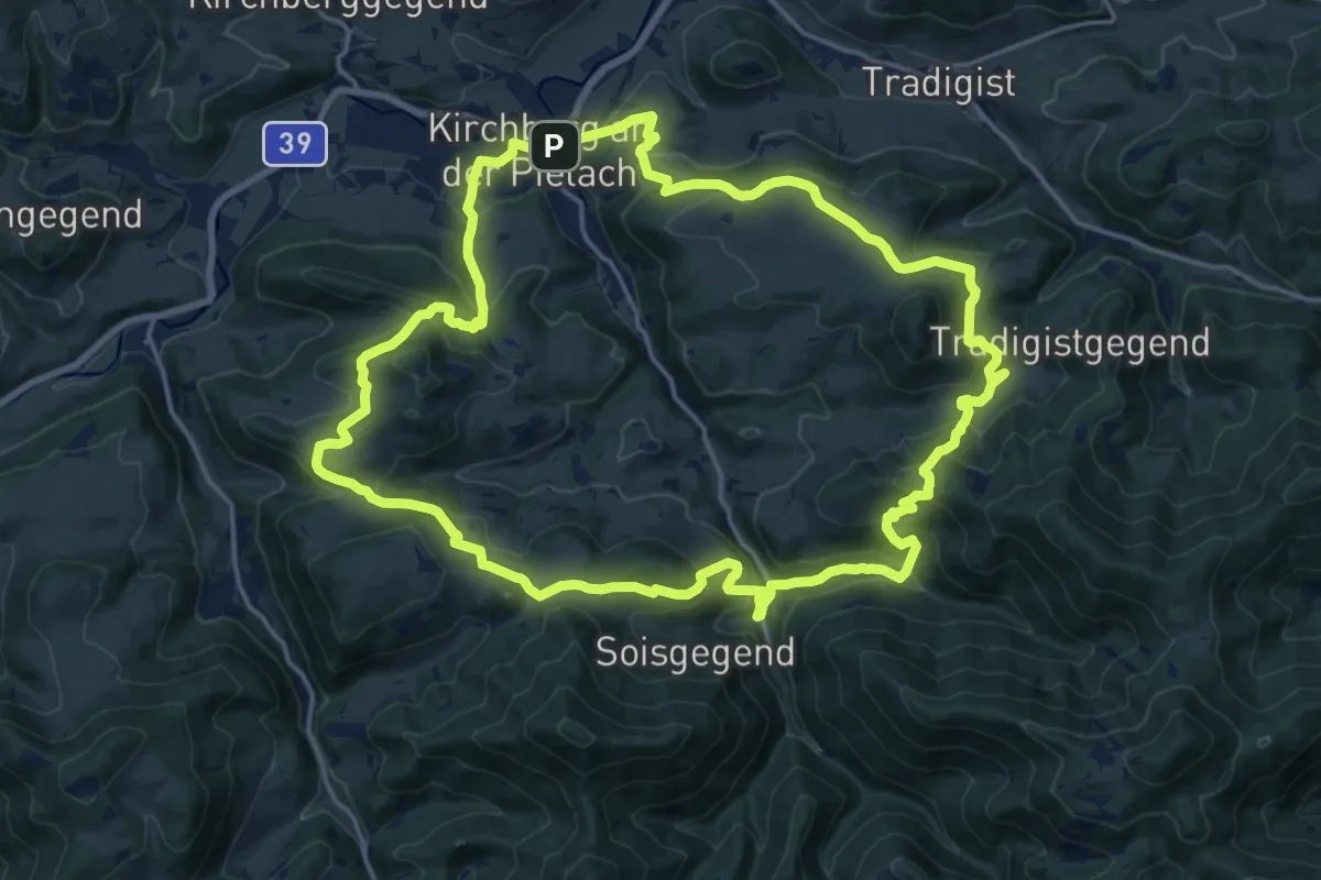
Demanding · Trail
5/03 Sois-Wanderroute
18.4 km · ↑ 814 m · 6 h 22 min
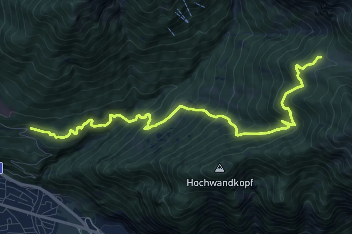
Demanding · Cabin
50 / 4a Hochzirl - Magdeburger Hütte
11.7 km · ↑ 864 m · 4 h 38 min
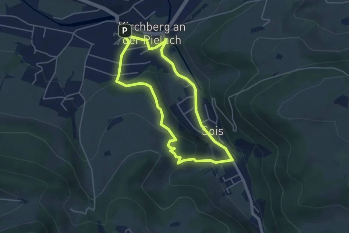
Medium · Trail
5/04 Karl-Stolz-Weg
3.4 km · ↑ 123 m · 1 h 8 min
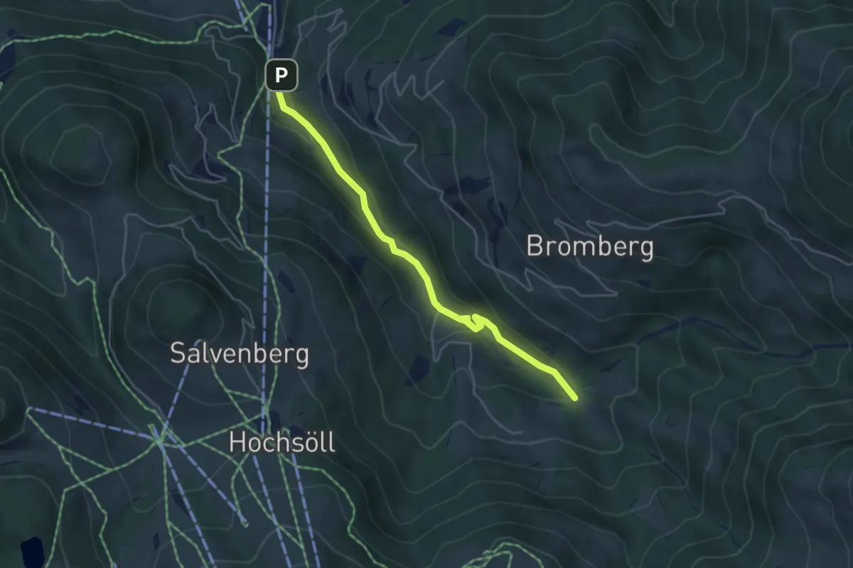
Easy · Trail
51
4.3 km · ↑ 183 m · 1 h 25 min
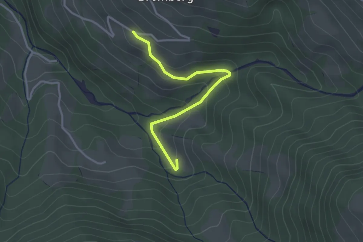
Easy · Trail
51B
2.7 km · ↑ 148 m · 58 min
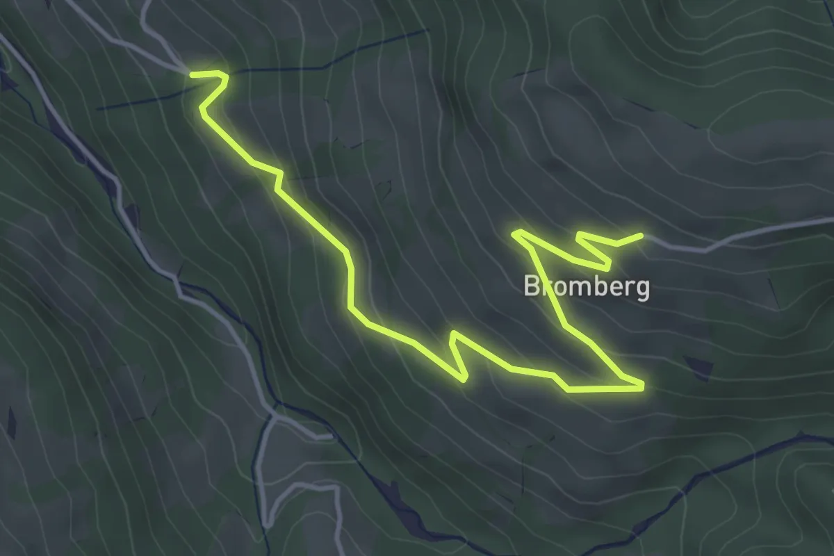
Easy · Trail
52
4.8 km · ↑ 270 m · 1 h 42 min
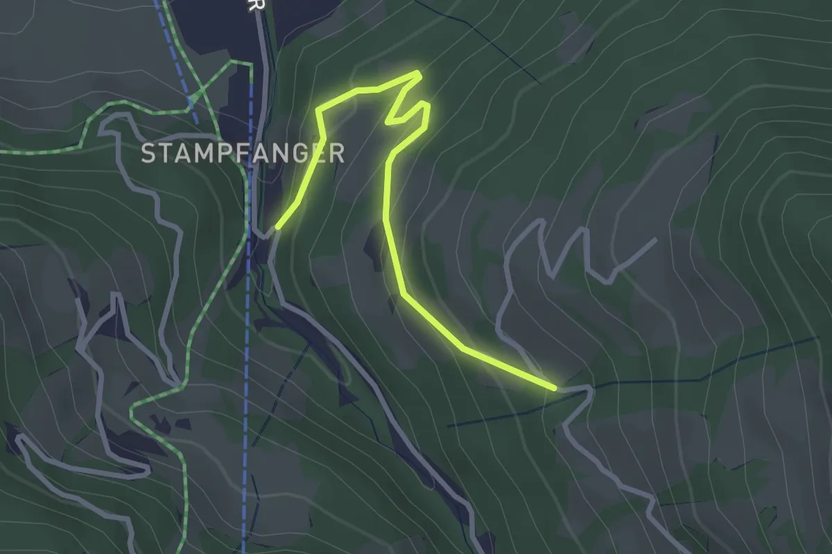
Easy · Trail
52
2.7 km · ↑ 153 m · 58 min
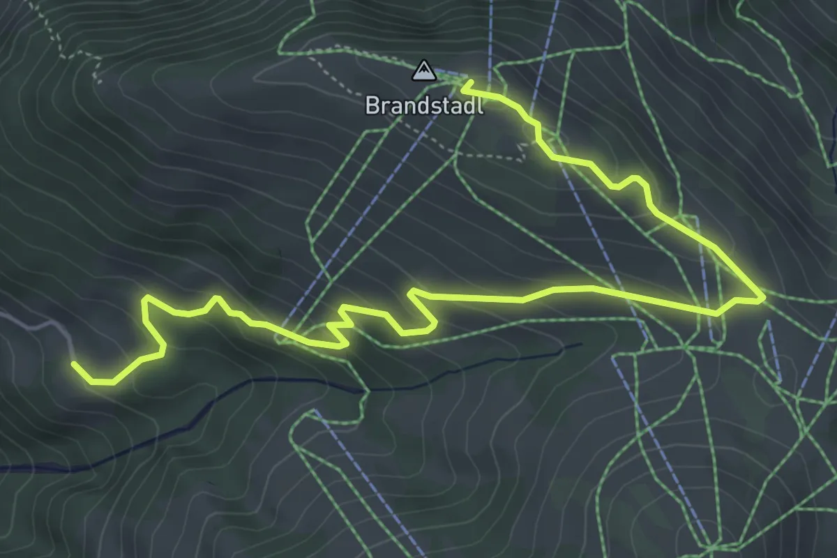
Medium · Summit
52
6.8 km · ↑ 343 m · 2 h 20 min
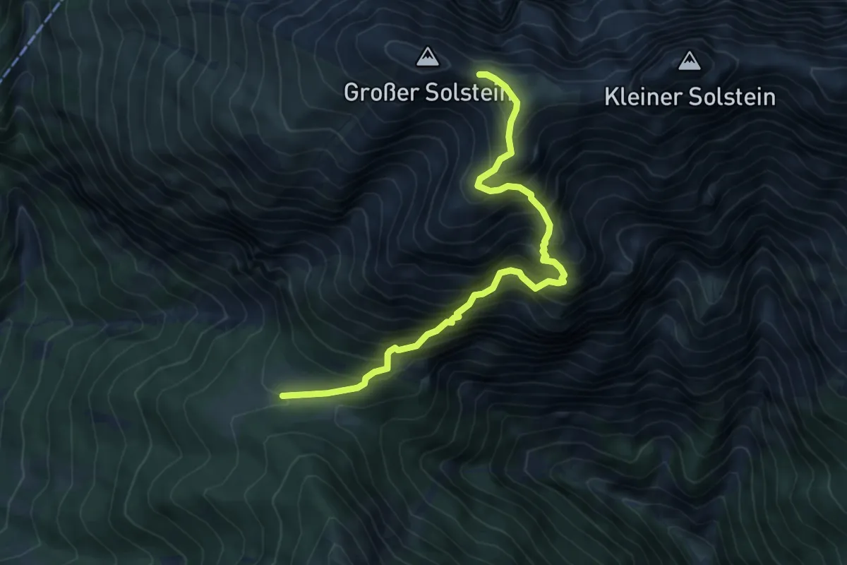
Expert · Cabin
53 Neue Magdeburger Hütte - Kleiner und Großer Solstein
6.4 km · ↑ 921 m · 3 h 30 min
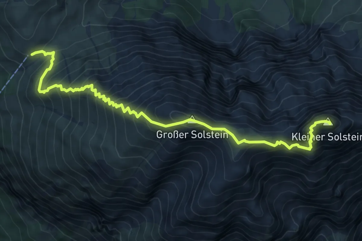
Expert · Summit
56 Kleiner Solstein
8.6 km · ↑ 1161 m · 4 h 33 min
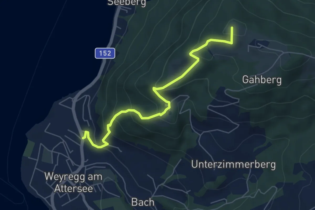
Medium · Summit
5: Brandsteig
5.5 km · ↑ 381 m · 2 h 8 min
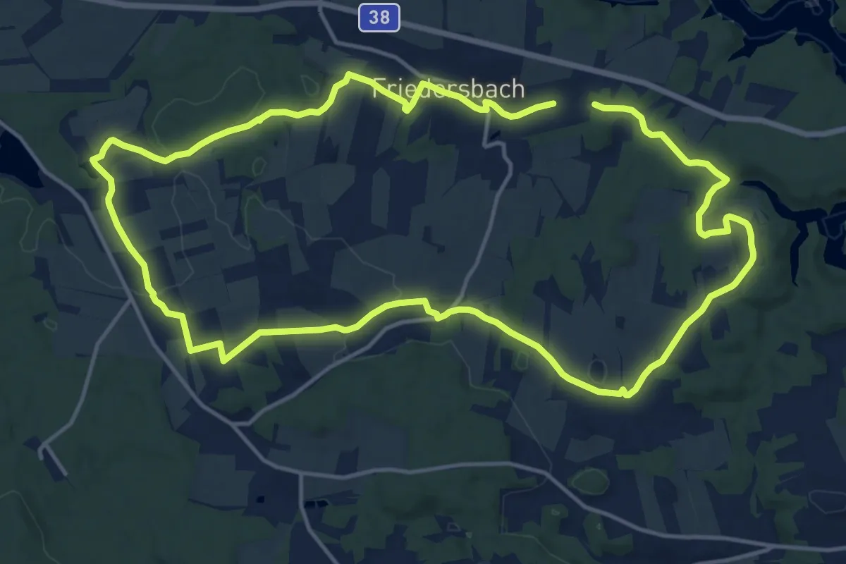
Medium · Trail
5-Dörfer-Weg 57
13.9 km · ↑ 184 m · 3 h 53 min
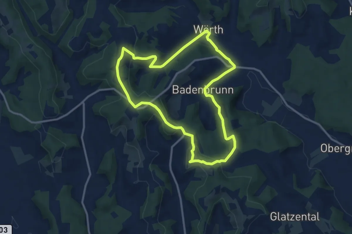
Easy · Summit
5 Elemente Weg Nr. 2
7.5 km · ↑ 193 m · 2 h 18 min
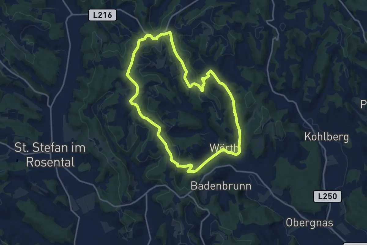
Medium · Trail
5 Elemente Weg Nr. 3
11.2 km · ↑ 188 m · 3 h 13 min
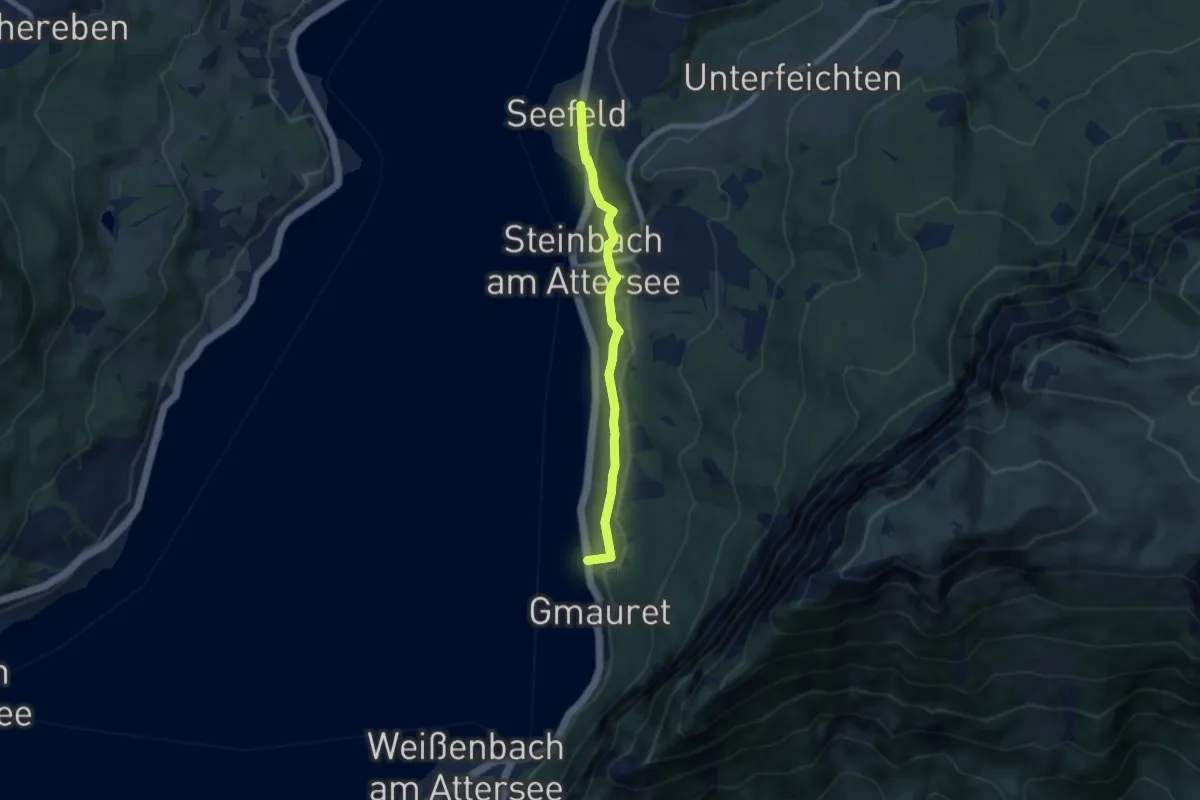
Easy · Trail
5: Kirchenweg
6.7 km · ↑ 70 m · 1 h 44 min
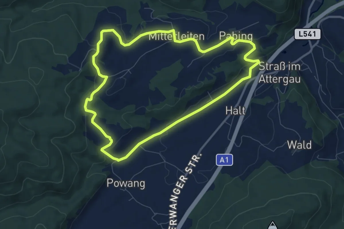
Easy · Trail
5 Rundweg Wimberg
7.7 km · ↑ 169 m · 2 h 17 min
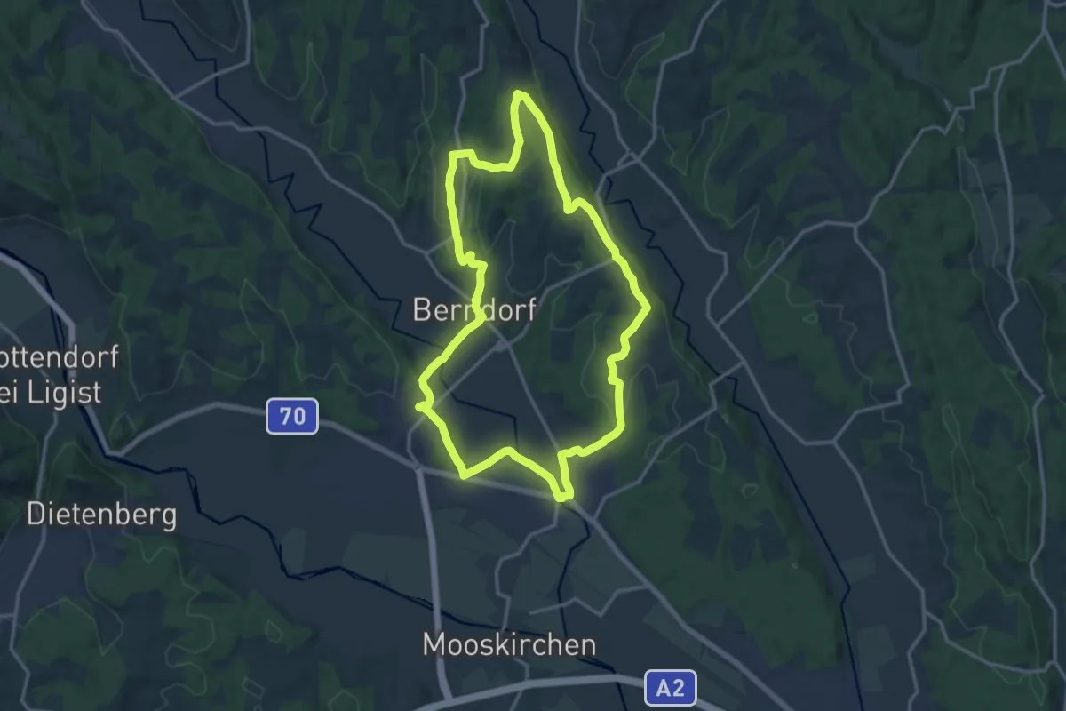
Medium · Trail
5-Schlösser-Weg
13.7 km · ↑ 240 m · 3 h 56 min
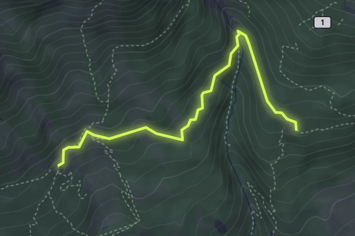
Medium · Trail
6
3.9 km · ↑ 160 m · 1 h 16 min
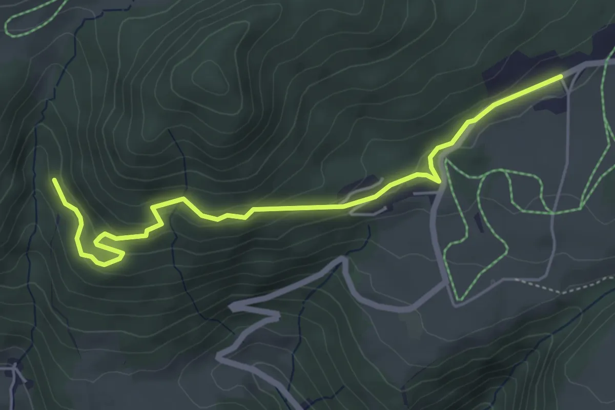
Easy · Trail
6
5.2 km · ↑ 158 m · 1 h 34 min
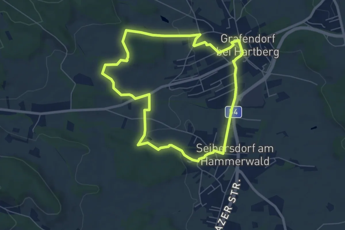
Easy · Trail
60er Roas
5.6 km · ↑ 64 m · 1 h 32 min
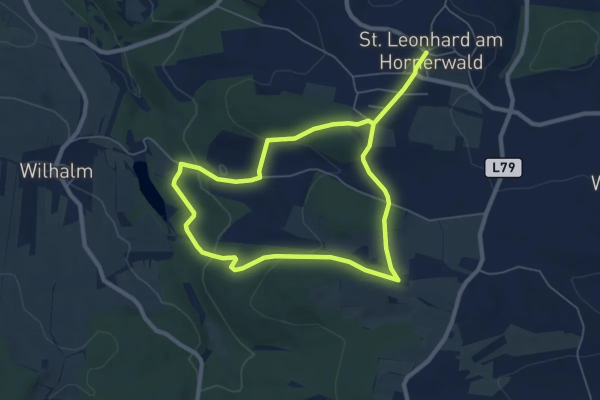
Medium · Trail
61
9.1 km · ↑ 260 m · 2 h 42 min
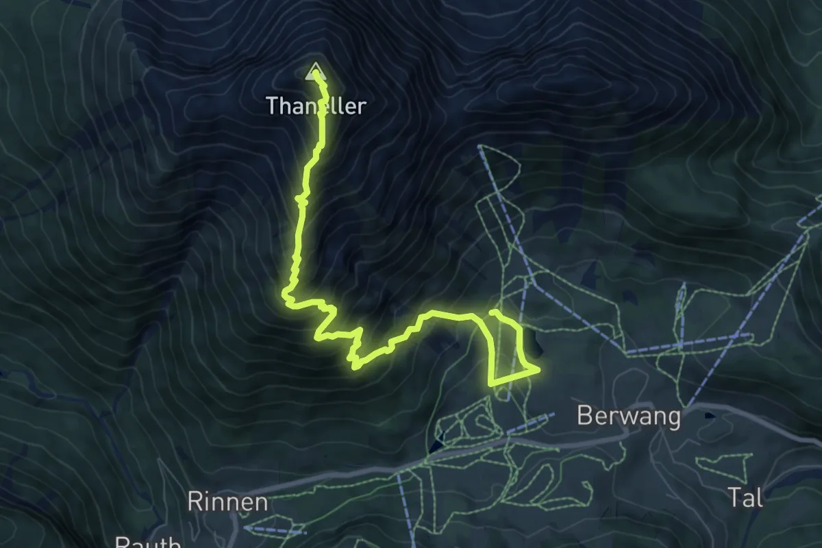
Demanding · Summit
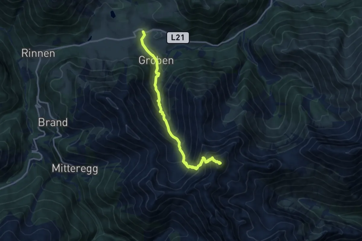
611 Berwang - Thaneller
9.4 km · ↑ 1069 m · 4 h 32 min
Demanding · Summit
612 Berwang - Roter Stein
10.1 km · ↑ 1101 m · 4 h 47 min
Medium · Trail
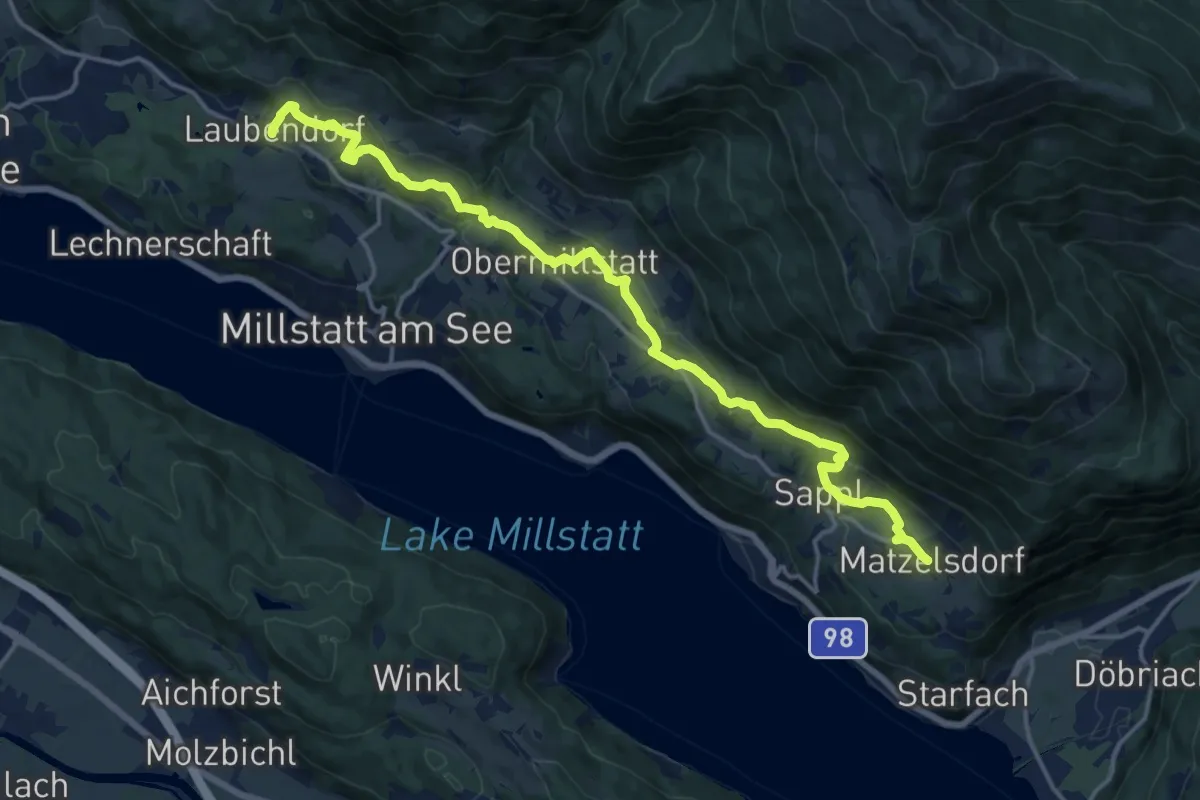
61 - Laubendorf-Tschierweg-Schwaigerschaft-Obermillstatt - Lammersdorf
17.6 km · ↑ 584 m · 5 h 26 min
Easy · Trail
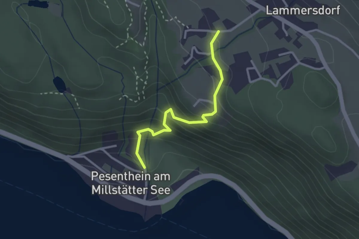
62 Pesenthein - Lammersdorf
2.3 km · ↑ 208 m · 1 h
Demanding · Summit
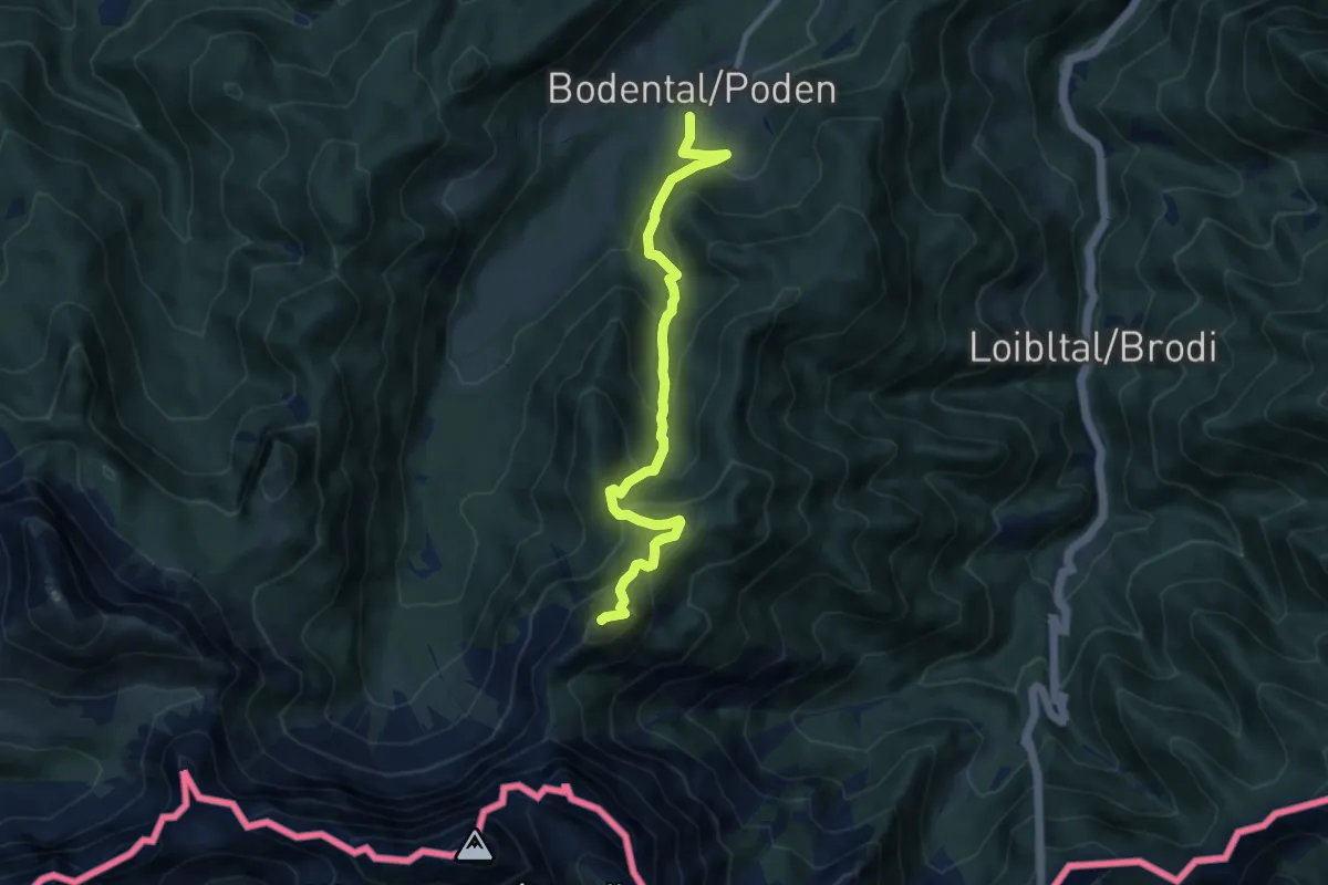
663 Rjautza
8.7 km · ↑ 788 m · 3 h 46 min
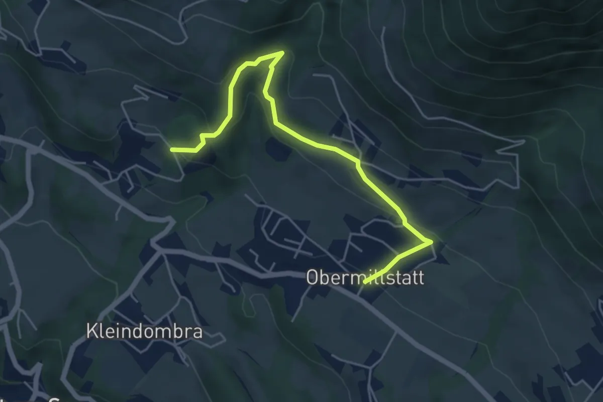
Medium · Trail
66-Obermillstatt-Öttern-Schwaigerschaft
4.7 km · ↑ 271 m · 1 h 42 min
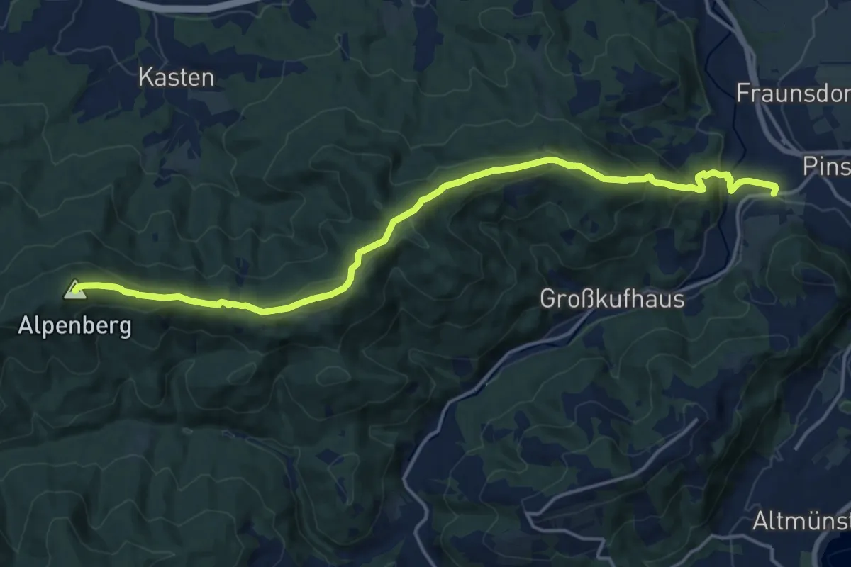
Medium · Summit
6: Hongar-Überschreitung
16.8 km · ↑ 709 m · 5 h 30 min
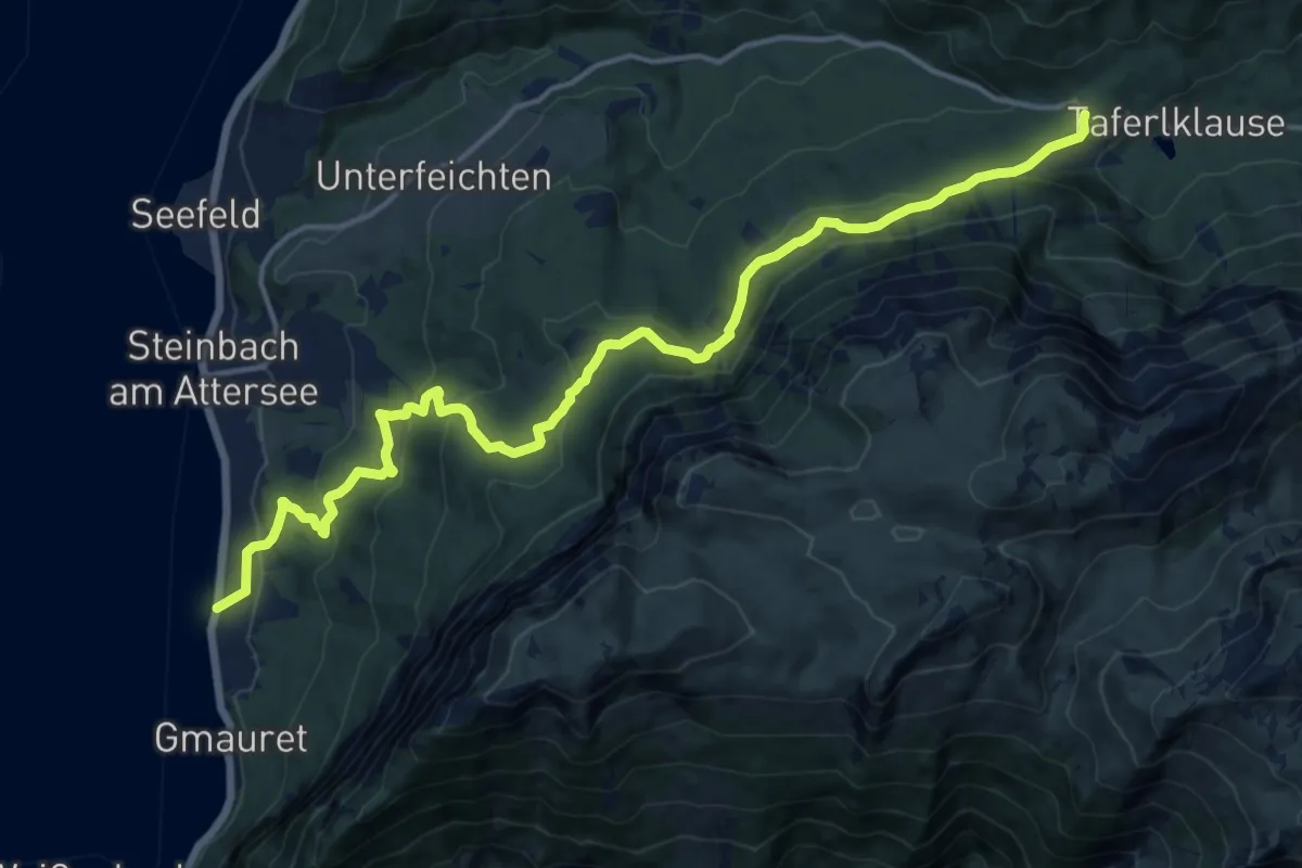
Medium · Trail
6: Valerieweg
17.0 km · ↑ 762 m · 5 h 40 min
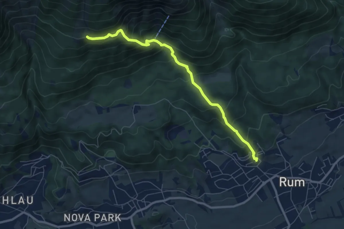
Medium · Trail
7
6.5 km · ↑ 585 m · 2 h 48 min