Trails in Austria
9,777 hiking trails, each with its route, climb, walking time and grade.
All trails, page 195 of 204
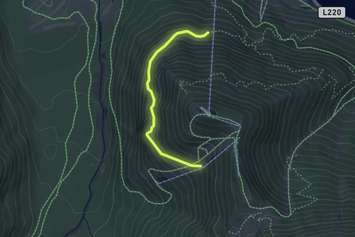
Medium · Trail
7
3.0 km · ↑ 241 m · 1 h 14 min
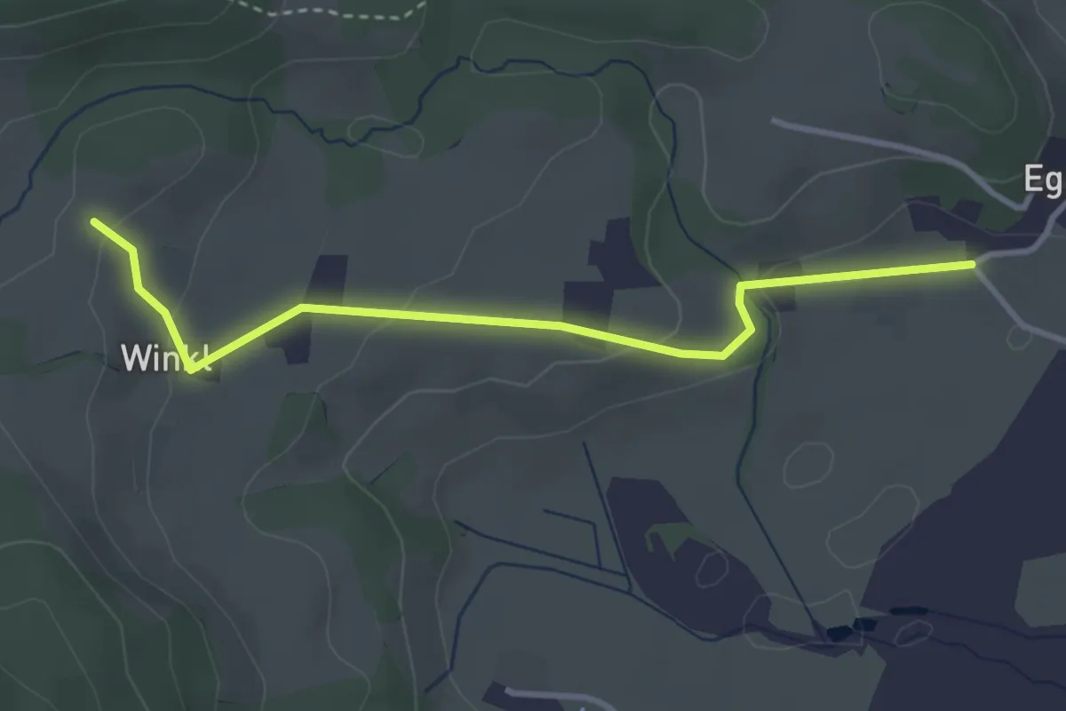
Medium · Trail
70a
3.3 km · ↑ 98 m · 1 h
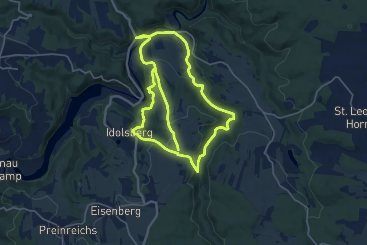
Demanding · Trail
72
20.8 km · ↑ 582 m · 6 h 11 min
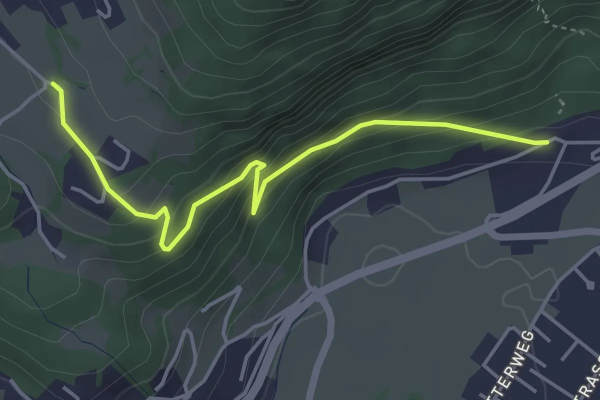
Medium · Trail
72 Koflachsteig
3.9 km · ↑ 225 m · 1 h 25 min
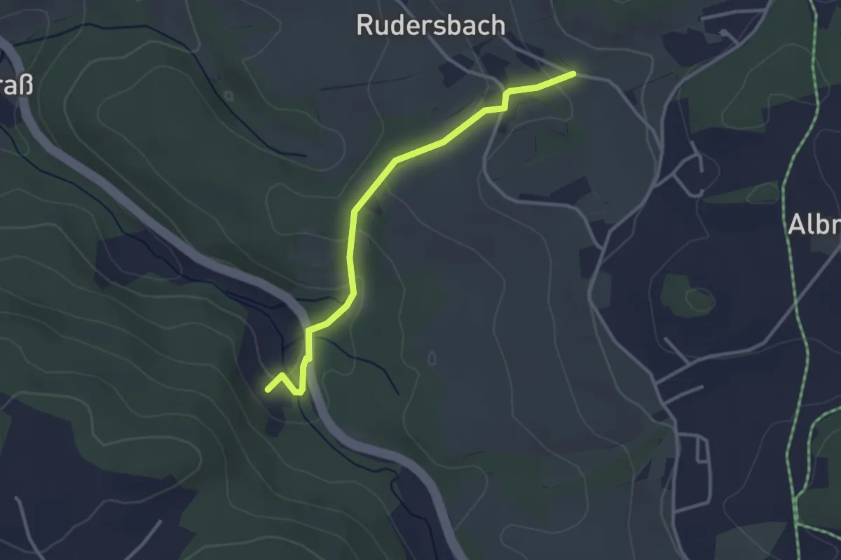
Easy · Trail
72 Rudersbach - Pöllersmühle
2.9 km · ↑ 115 m · 56 min
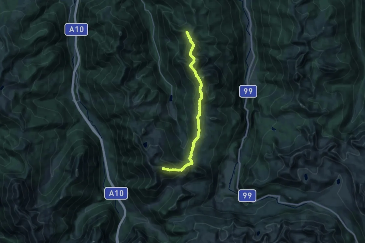
Expert · Summit
73
18.2 km · ↑ 1696 m · 7 h 58 min
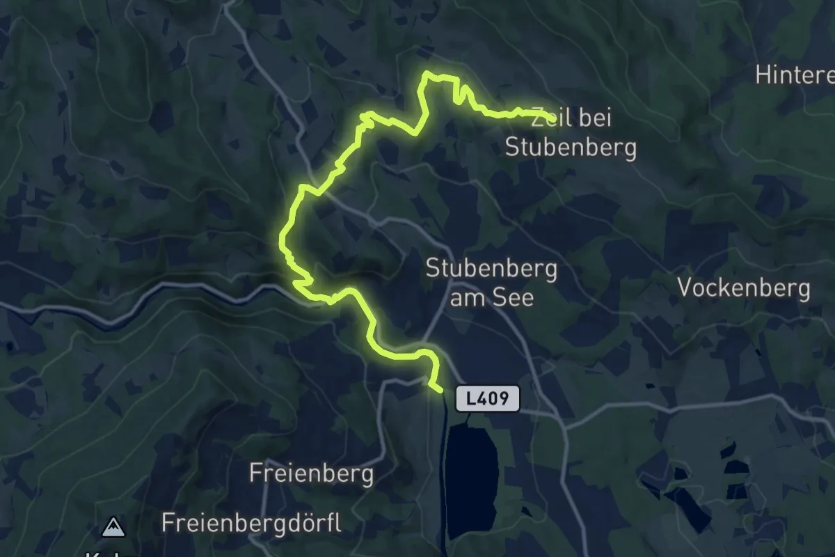
Medium · Trail
7-Bacherl Weg
13.9 km · ↑ 687 m · 4 h 47 min
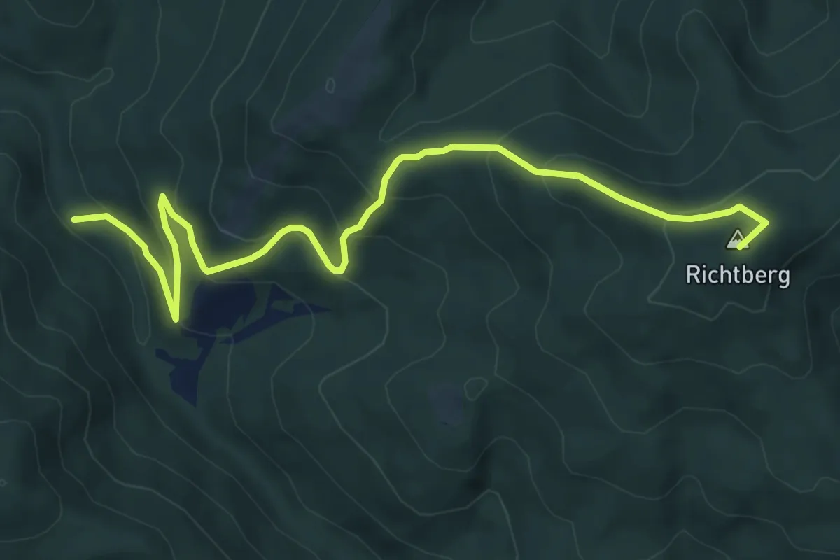
Medium · Summit
7: Bach - Richtberg
7.8 km · ↑ 467 m · 2 h 52 min
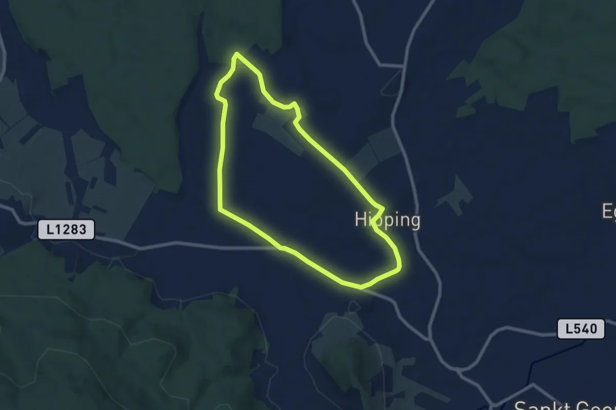
Easy · Trail
7 Genussroas Runde
6.0 km · ↑ 62 m · 1 h 39 min
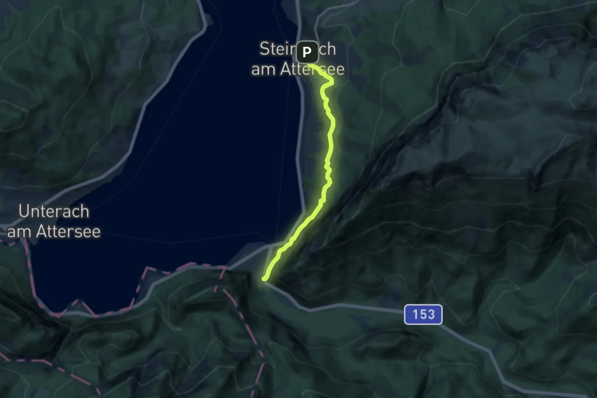
Medium · Trail
7: Nikoloweg
9.9 km · ↑ 362 m · 3 h 8 min
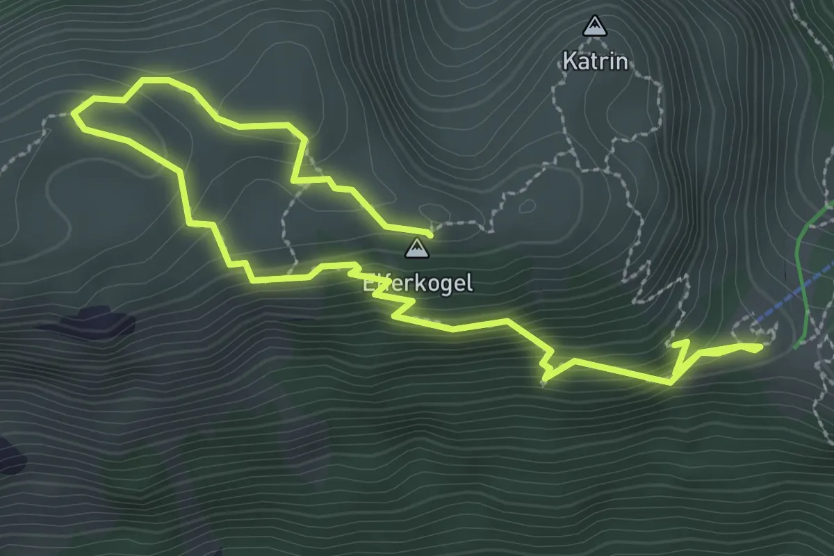
Demanding · Summit
7-Seenblick-Wanderung & 3-Gipfel-Tour
3.6 km · ↑ 351 m · 1 h 37 min
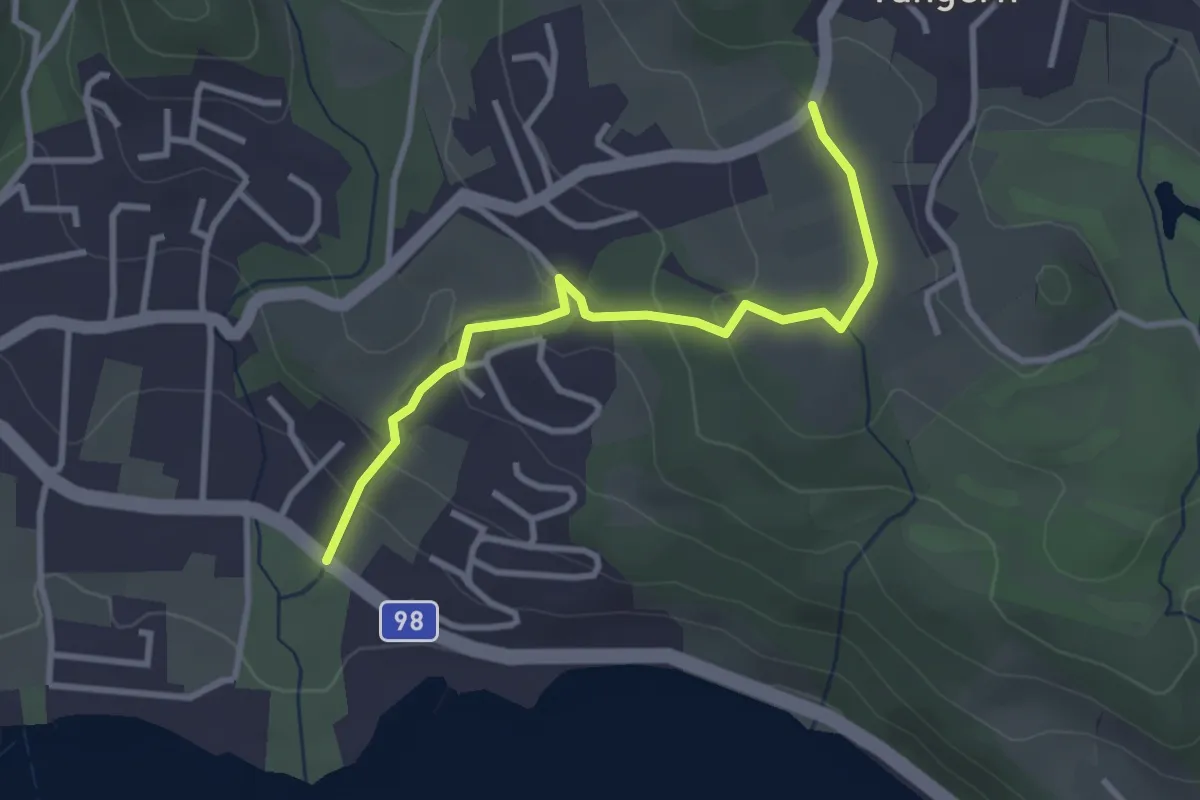
Easy · Trail
8
3.1 km · ↑ 125 m · 1 h
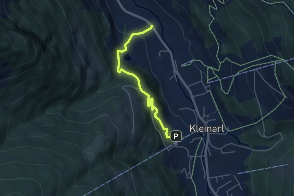
Medium · Trail
80 Kesselfall Rundwanderweg
3.6 km · ↑ 292 m · 1 h 29 min
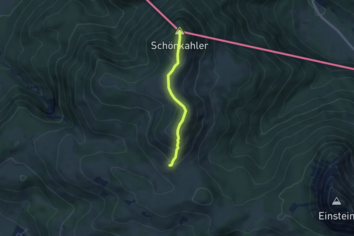
Medium · Summit
82
3.5 km · ↑ 257 m · 1 h 23 min
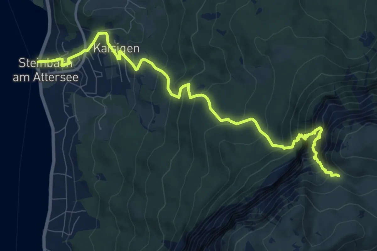
Demanding · Trail
822: Stieg
10.3 km · ↑ 992 m · 4 h 34 min
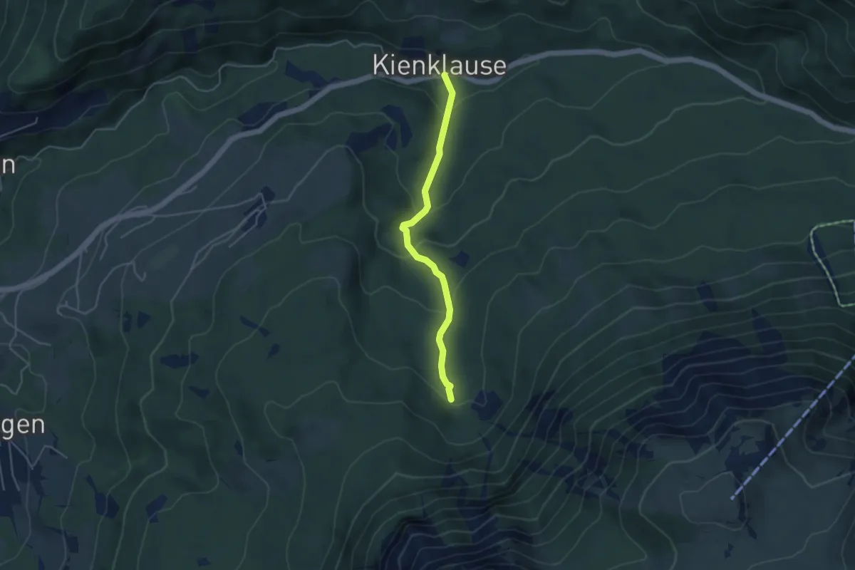
Medium · Trail
824: Kienklause - zum Hochleckenweg 823
3.7 km · ↑ 207 m · 1 h 20 min
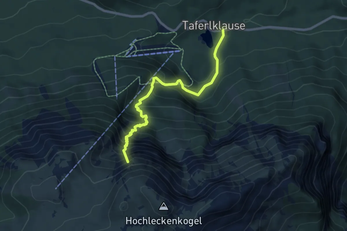
Medium · Summit
826: Vorderes Aurachkar
5.5 km · ↑ 702 m · 2 h 49 min
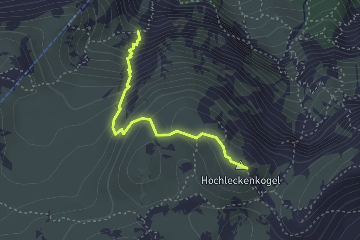
Medium · Summit
827: Oberes Aurachkar
2.7 km · ↑ 367 m · 1 h 26 min
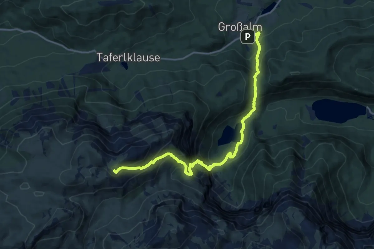
Demanding · Summit
828: Schafluckensteig
12.6 km · ↑ 1258 m · 5 h 42 min
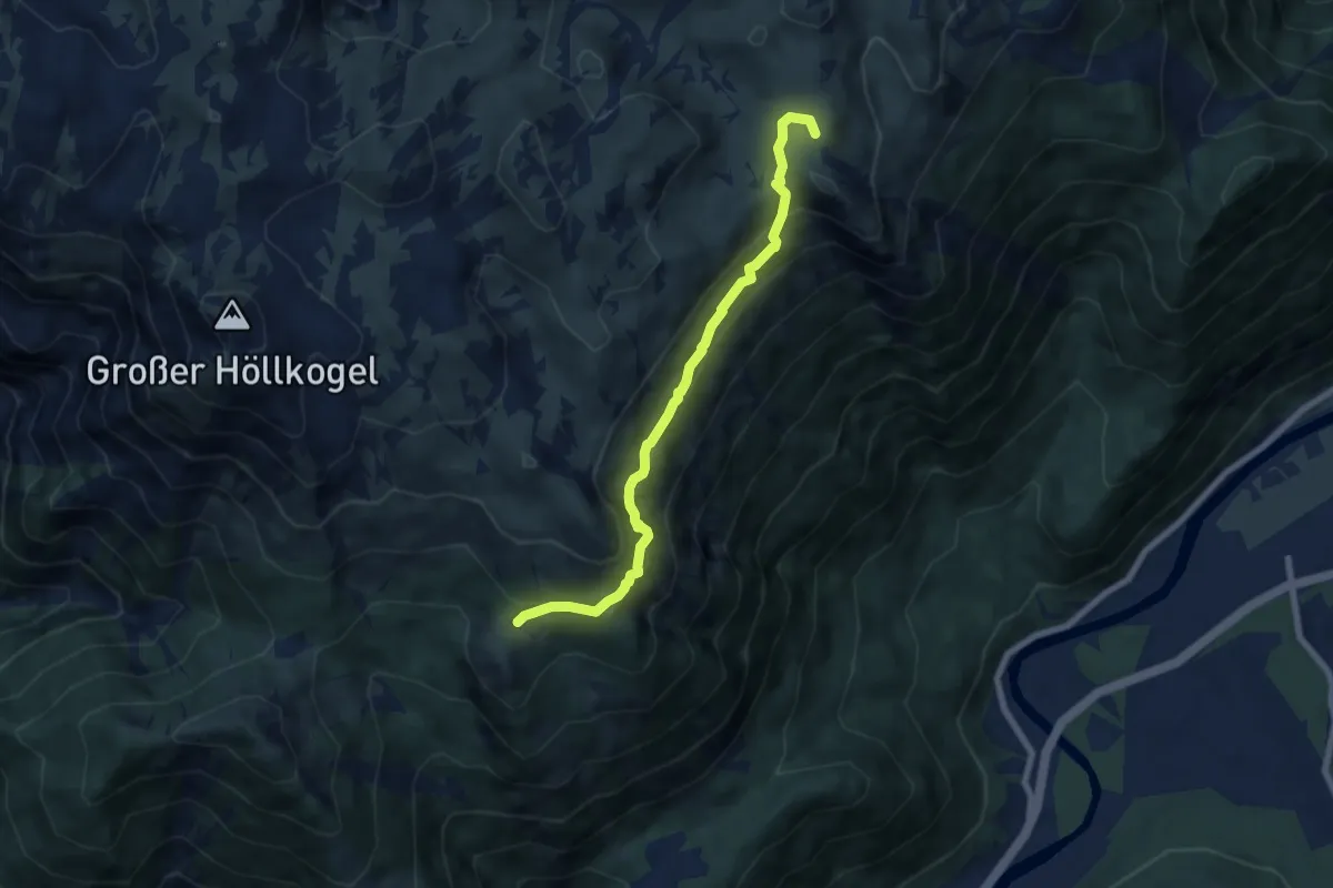
Demanding · Summit
837: Kaiserweg
6.8 km · ↑ 391 m · 2 h 28 min
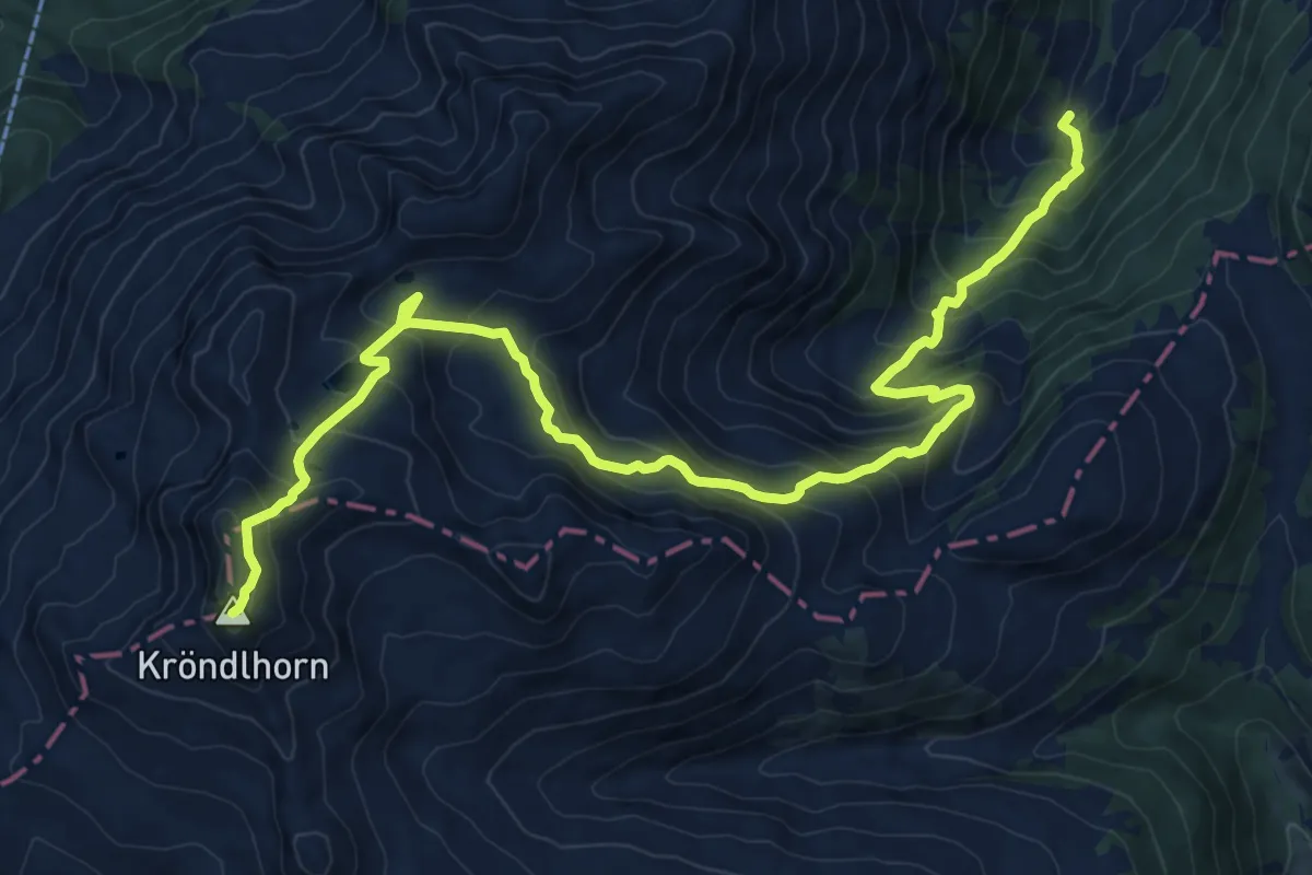
Demanding · Summit
87
13.3 km · ↑ 1207 m · 5 h 45 min
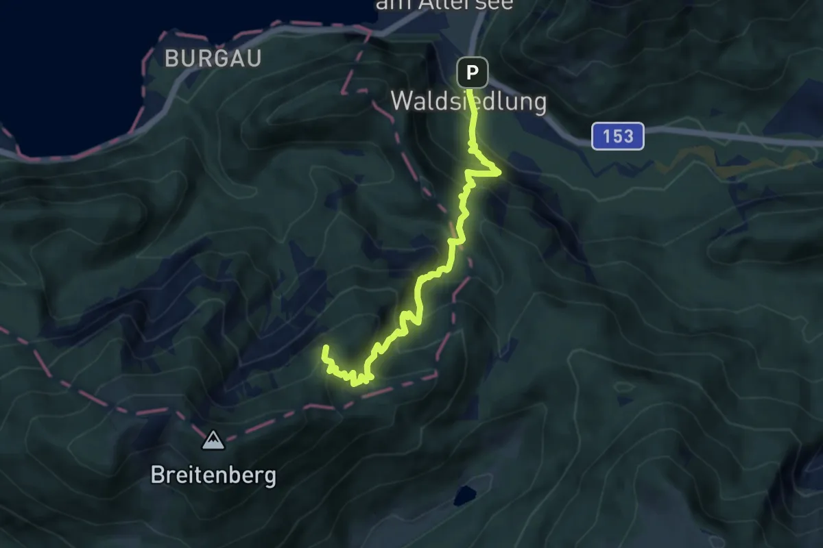
Demanding · Trail
8: Meisterebenweg
8.0 km · ↑ 824 m · 3 h 41 min
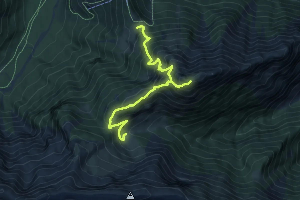
Demanding · Trail
9
8.5 km · ↑ 900 m · 3 h 58 min
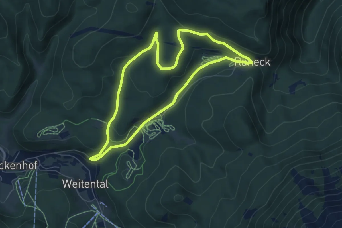
Easy · Trail
9
5.8 km · ↑ 120 m · 1 h 42 min
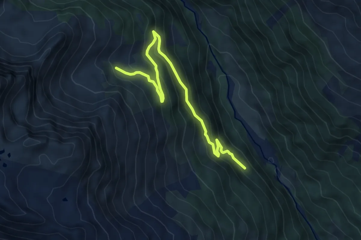
Medium · Trail
942
7.3 km · ↑ 371 m · 2 h 31 min
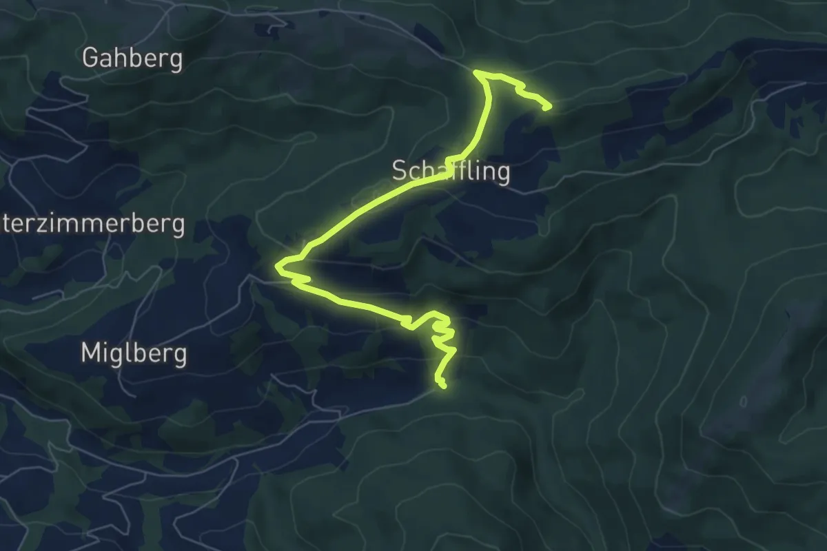
Medium · Summit
9: Bach - Schaffling - Kreuzingalm
7.5 km · ↑ 362 m · 2 h 33 min
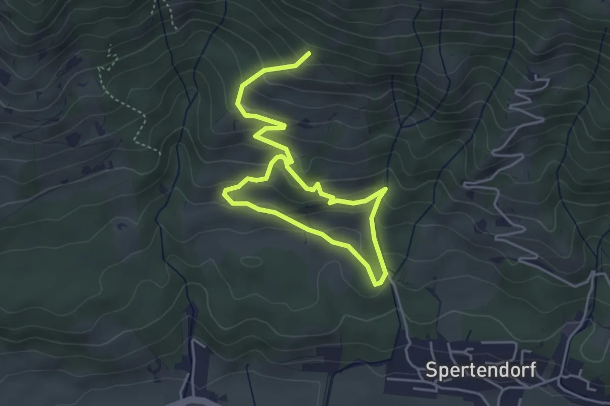
Easy · Trail
9 Kirchberg - Rauher Kopf
5.8 km · ↑ 320 m · 2 h 3 min
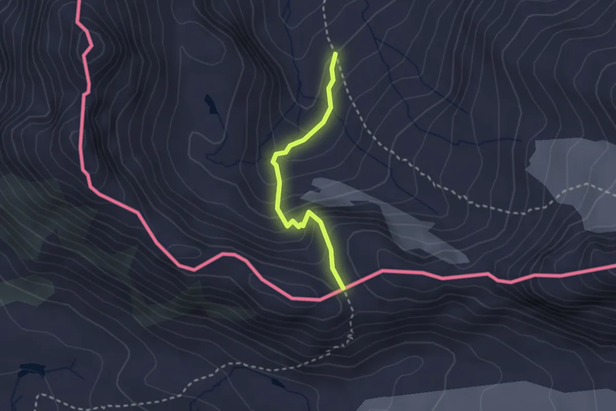
Demanding · Trail
Klostertaler Hütte – Rote Furka
2.1 km · ↑ 184 m · 53 min
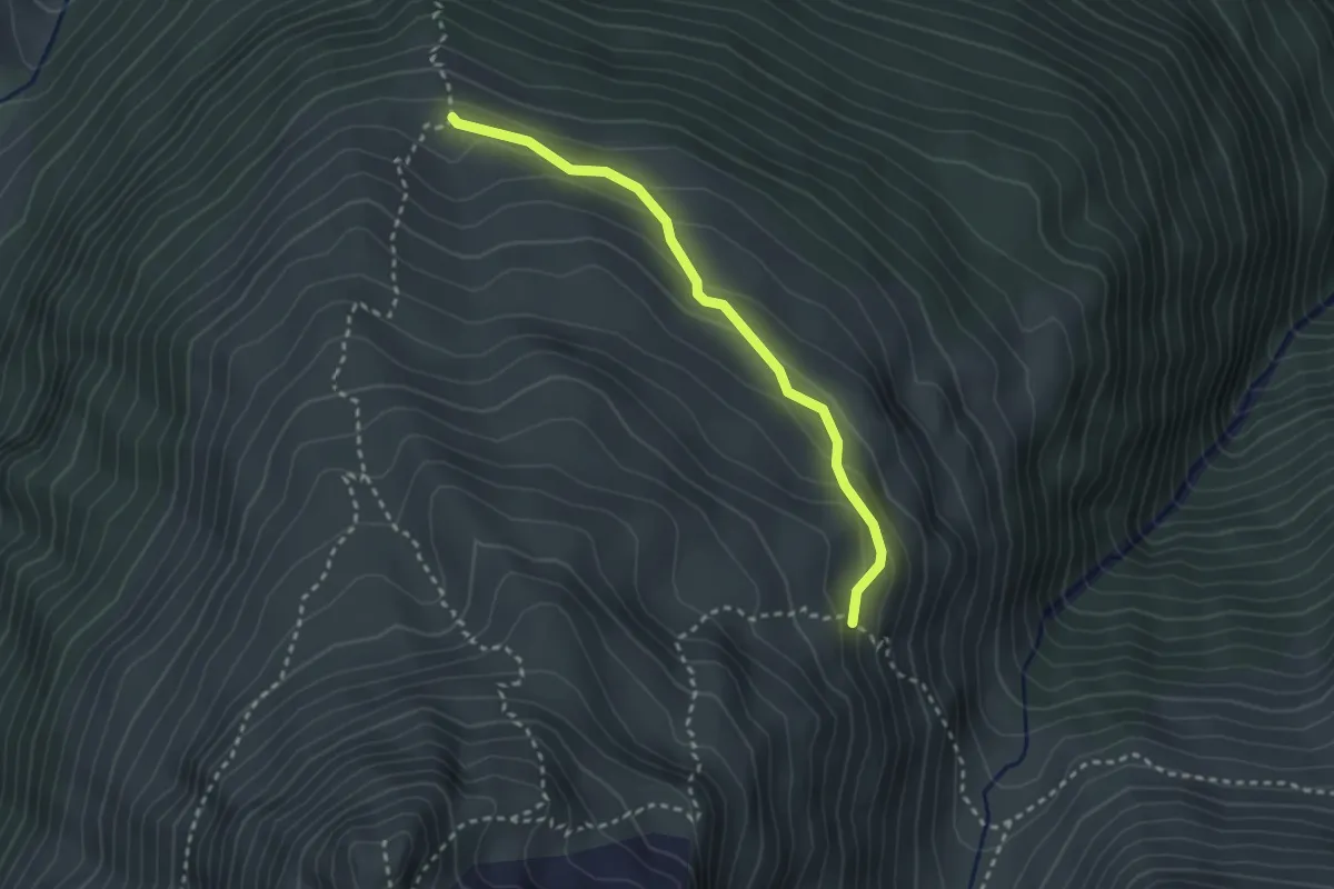
Medium · Trail
Neualpe – (Tromenier)
2.7 km · ↑ 138 m · 56 min
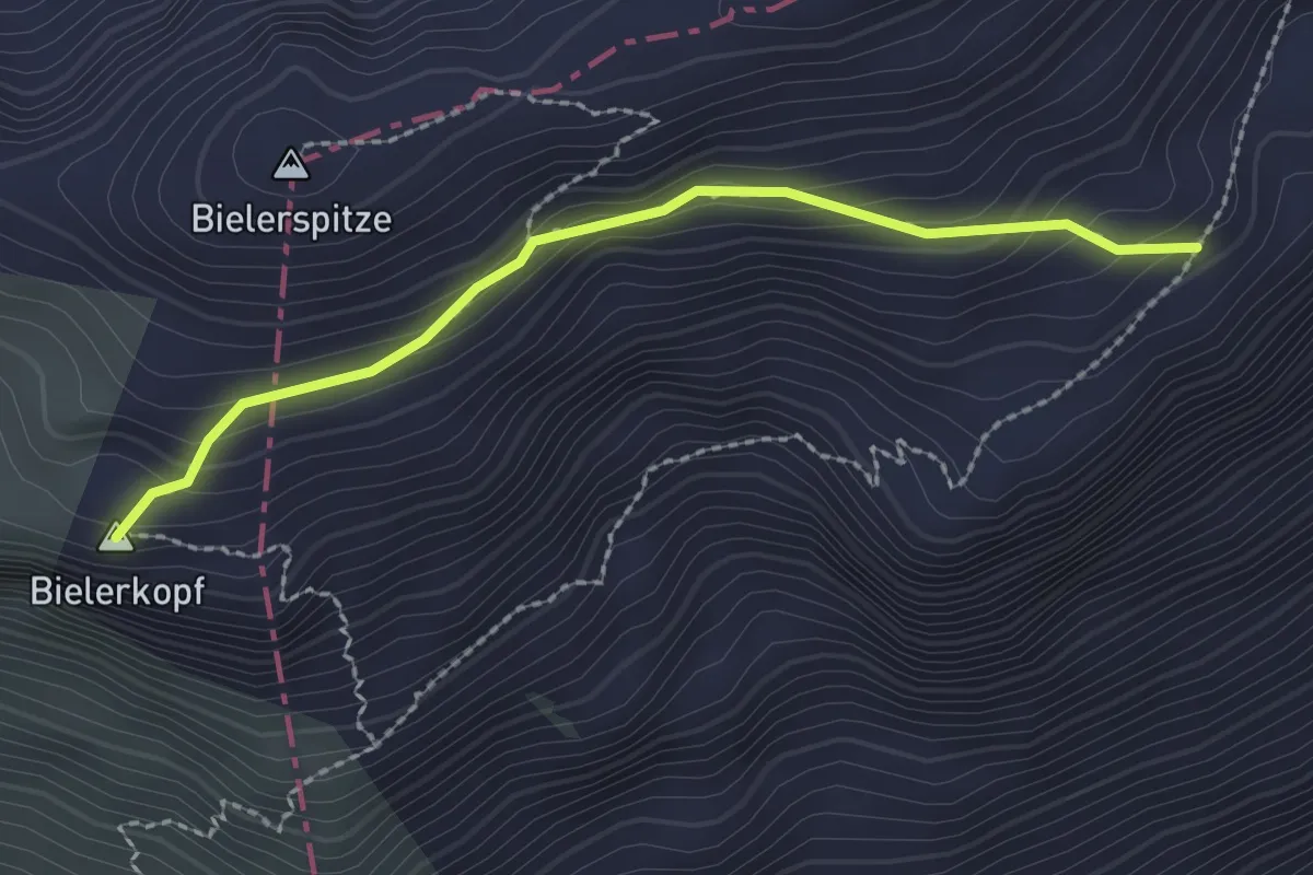
Demanding · Summit
(Flamjöchle) – Bielerkopf
2.2 km · ↑ 136 m · 49 min
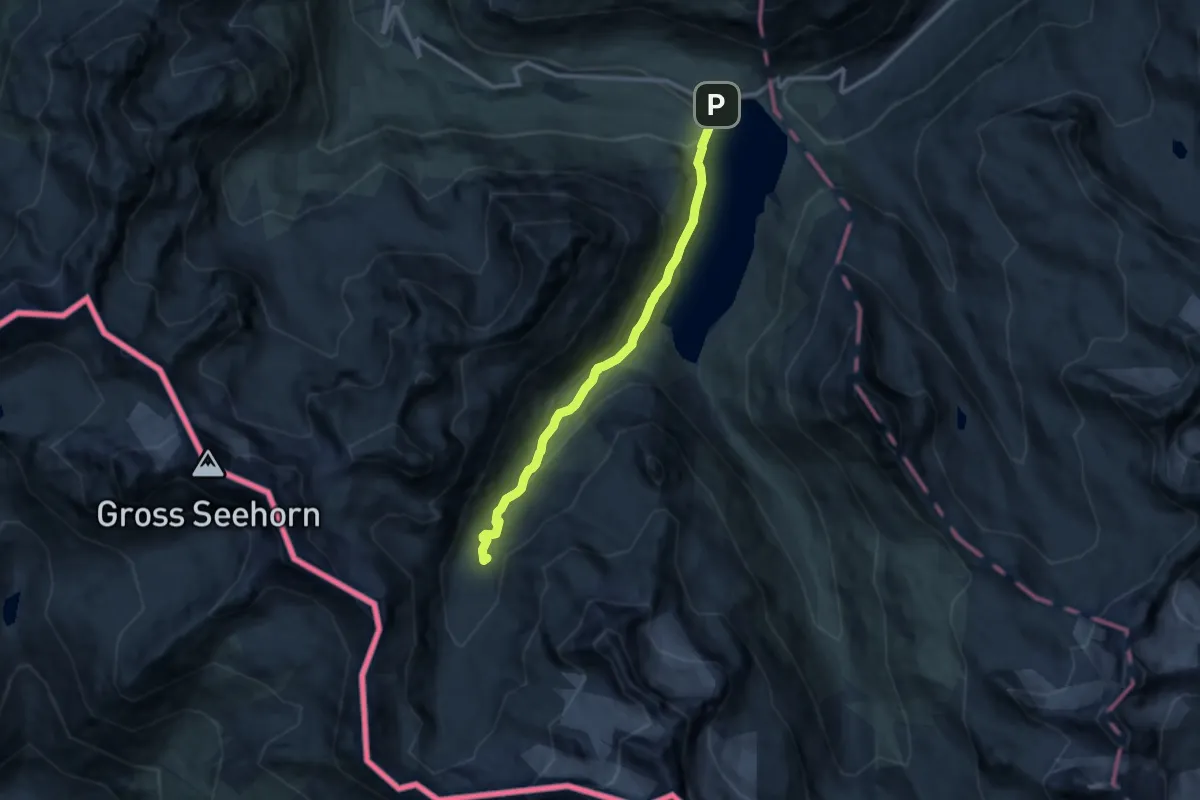
Medium · Cabin
Bielerhoehe – Klostertaler Hütte
10.1 km · ↑ 399 m · 3 h 15 min
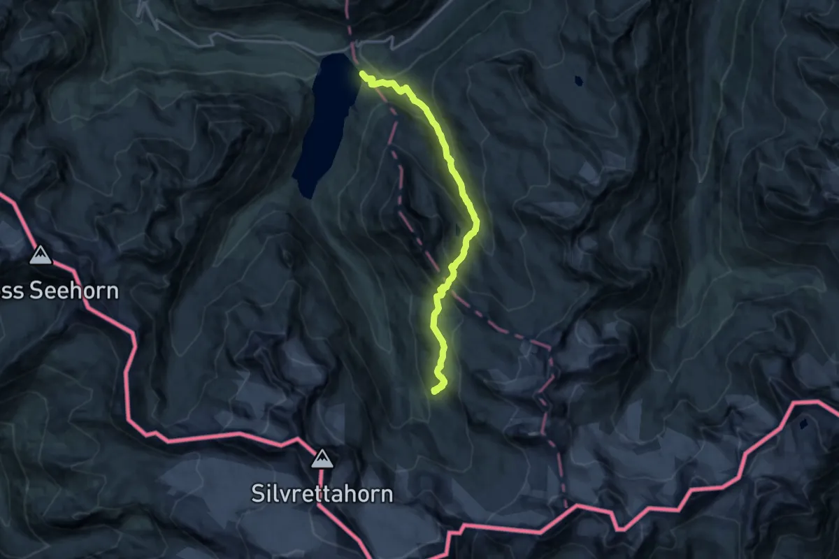
Demanding · Cabin
Bielerhöhe – Wiesbadener Hütte
14.3 km · ↑ 1000 m · 5 h 32 min
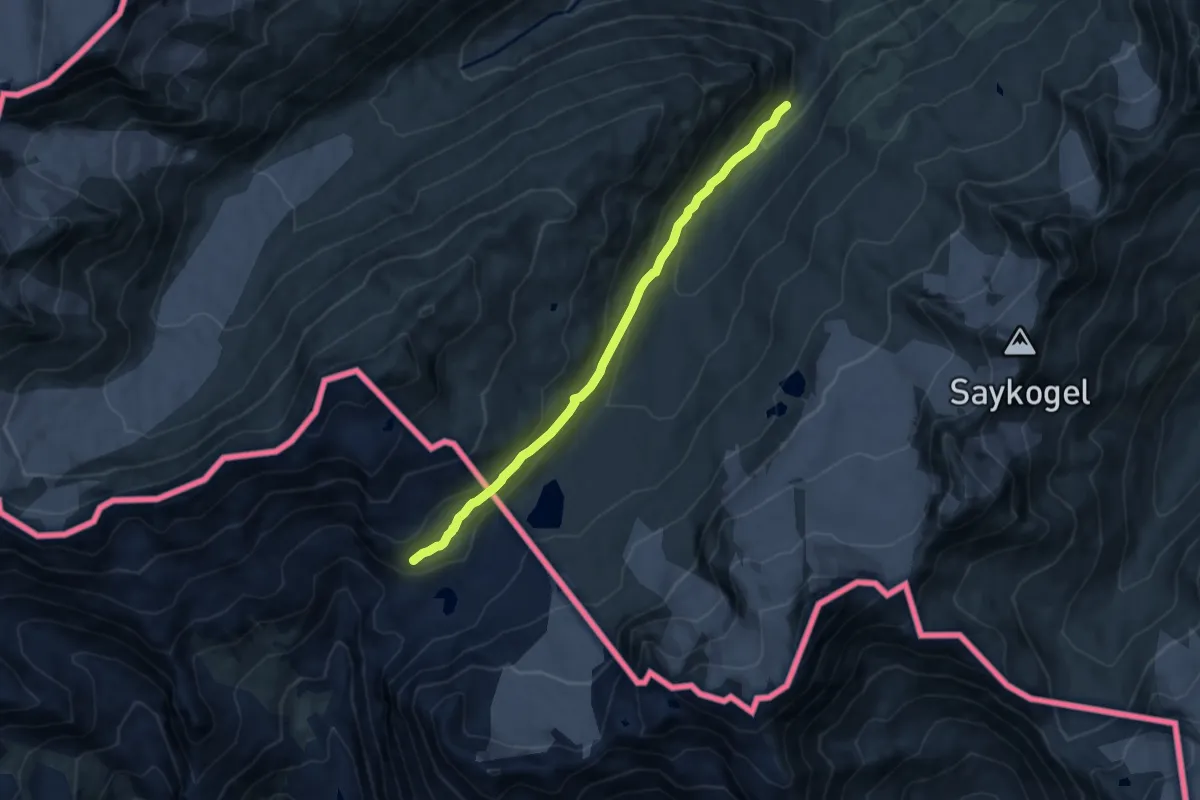
Medium · Cabin
Vernagthütte – Schöne-Aussicht-Hütte
9.2 km · ↑ 432 m · 3 h 6 min
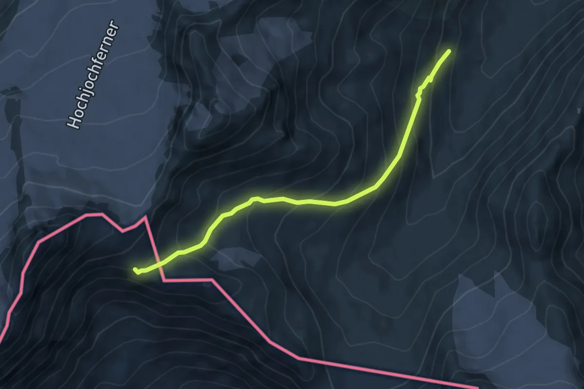
Demanding · Trail
Vent – Ötzi-Denkmal - Stele della Mummia del Similaun
5.3 km · ↑ 502 m · 2 h 21 min
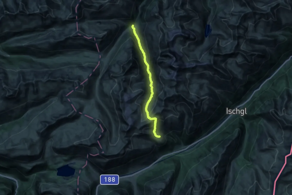
Demanding · Cabin
Friedrichshafener Hütte – Konstanzer Hütte
20.0 km · ↑ 1444 m · 7 h 51 min
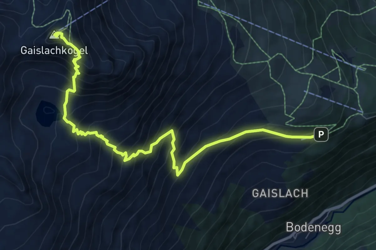
Expert · Summit
Gaislachalm – Gaislachkogel
9.0 km · ↑ 1062 m · 4 h 26 min
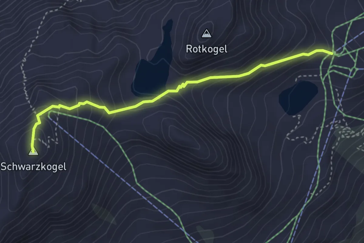
Medium · Summit
Rotkogeljochhütte – Schwarzkogel
3.4 km · ↑ 344 m · 1 h 33 min
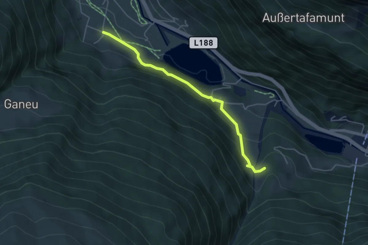
Easy · Trail
Obertrantrauas – (Tromenier)
3.9 km · ↑ 173 m · 1 h 18 min
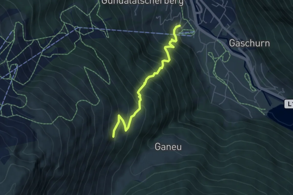
Medium · Trail
(Gaschurn) – Lifinar
4.5 km · ↑ 625 m · 2 h 25 min
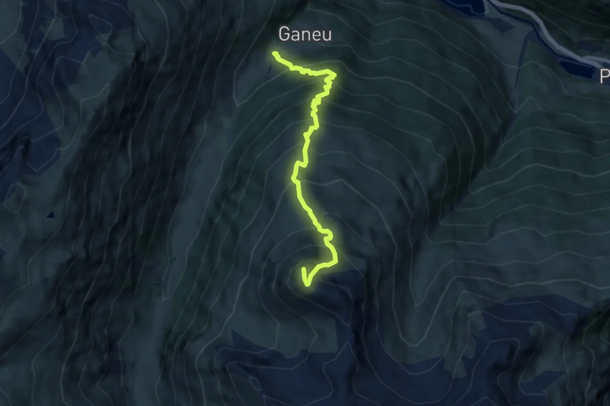
Demanding · Trail
Ganeu – Schafboden
7.1 km · ↑ 940 m · 3 h 43 min
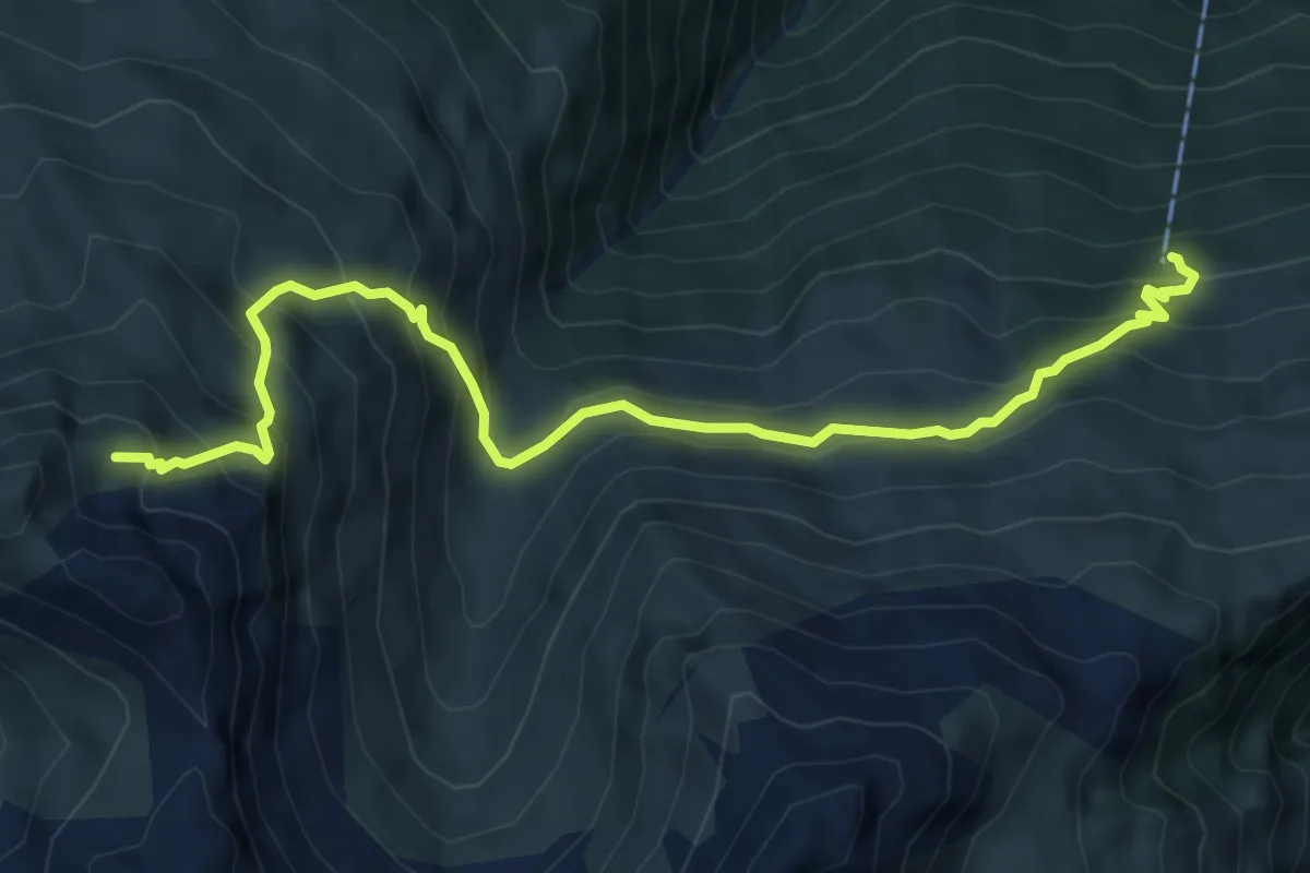
Medium · Trail
Tromenier – (Schafboden)
7.1 km · ↑ 662 m · 3 h 6 min
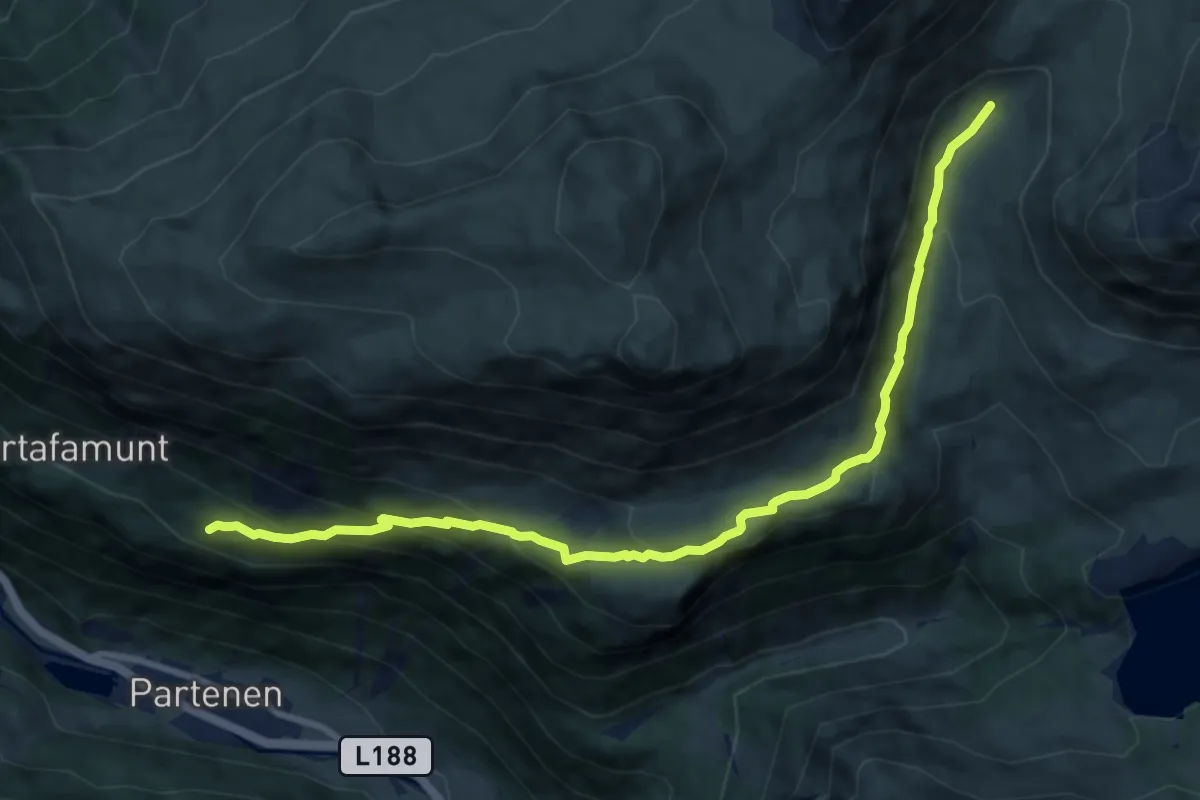
Medium · Trail
Tafamunt – Verbellaalpe
10.1 km · ↑ 527 m · 3 h 31 min
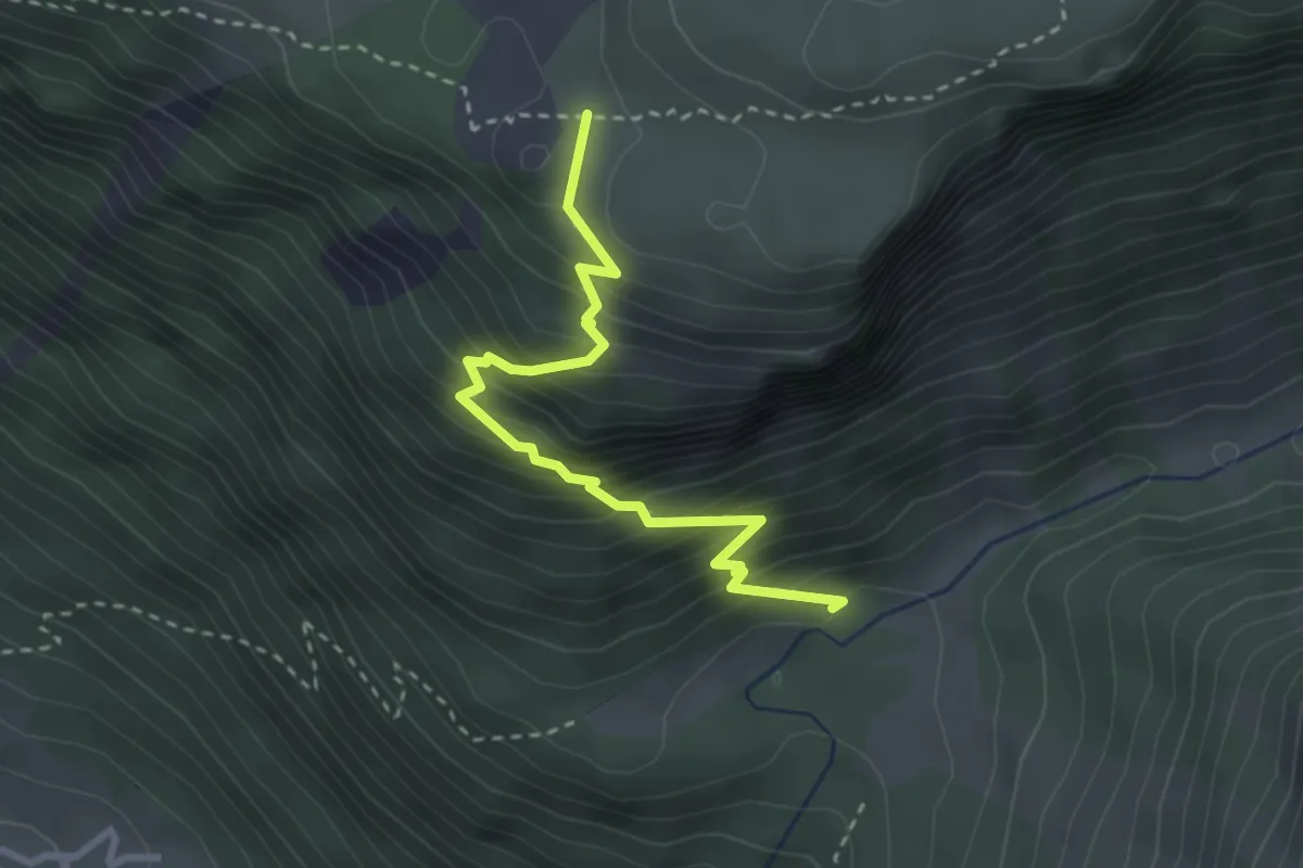
Demanding · Trail
Ganifer – (Wiegensee)
3.0 km · ↑ 400 m · 1 h 34 min
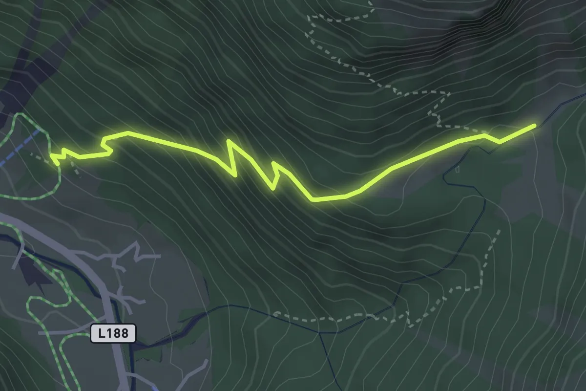
Demanding · Trail
(Partenen) – Ganifer
3.6 km · ↑ 337 m · 1 h 35 min
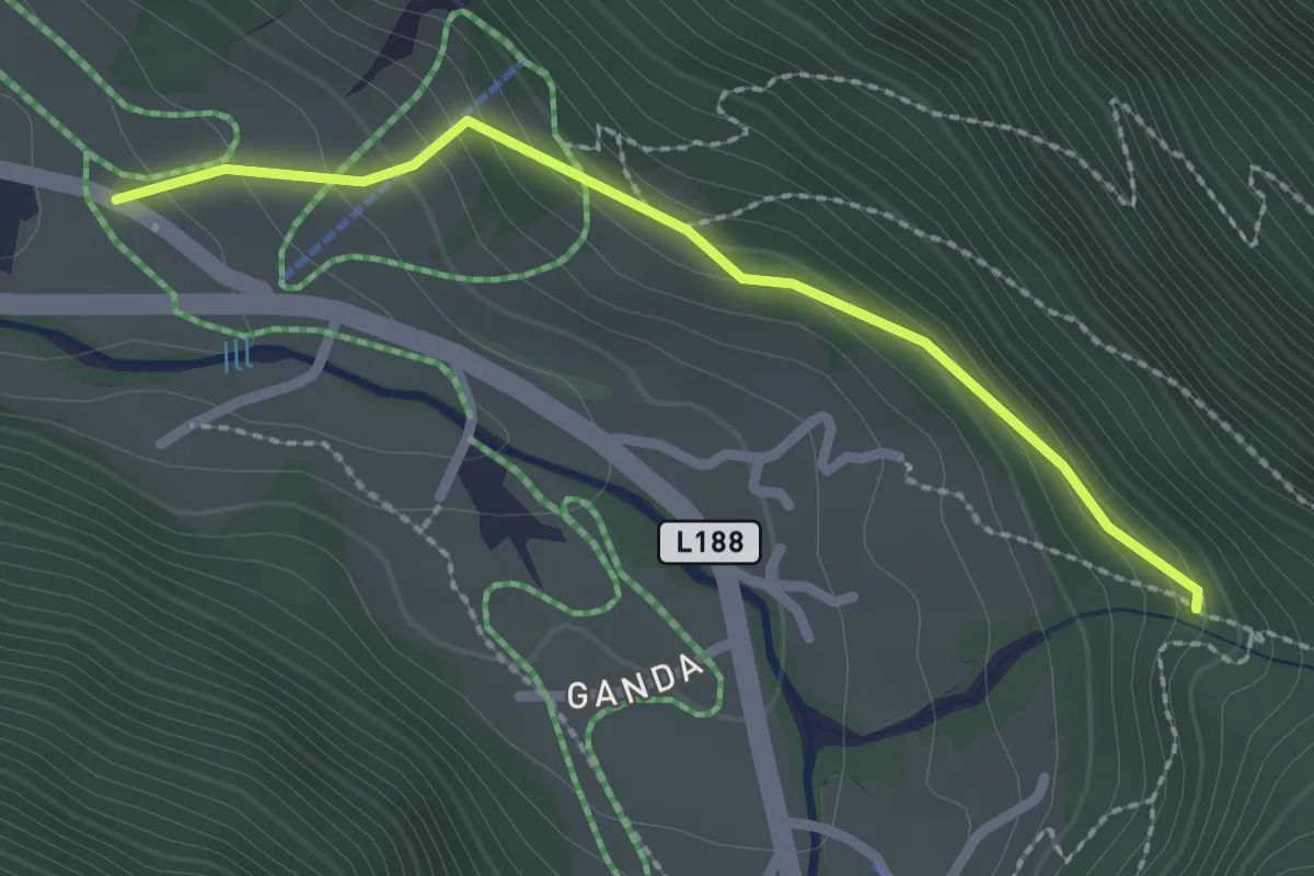
Medium · Trail
(Partenen) – (Untervallüla)
2.2 km · ↑ 129 m · 48 min
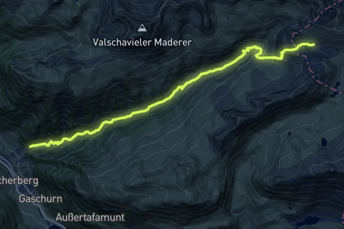
Demanding · Trail
Gaschurn – (Heilbronner Hütte)
19.9 km · ↑ 1305 m · 7 h 32 min
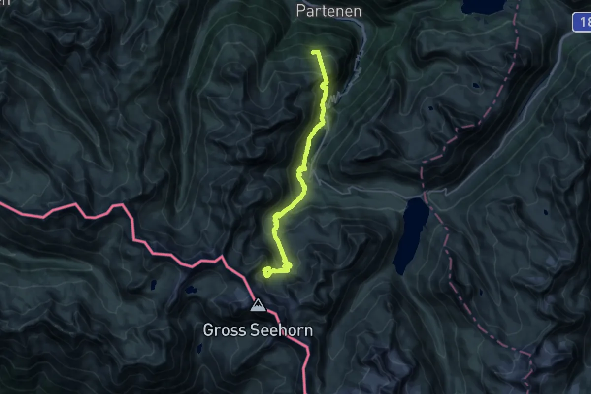
Demanding · Cabin
Tromenier – Saarbrücker Hütte
10.0 km · ↑ 1203 m · 4 h 42 min
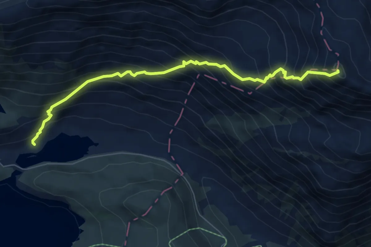
Demanding · Summit
Zeinisjochhaus – Fädnerspitze
6.5 km · ↑ 969 m · 3 h 38 min