Trails in Austria
9,777 hiking trails, each with its route, climb, walking time and grade.
All trails, page 196 of 204
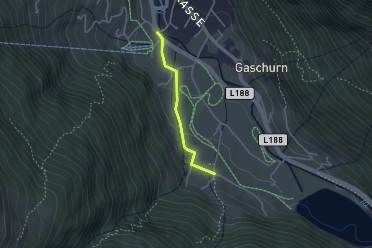
Easy · Trail
Versettlabahn Talstation – Obertrantrauas
2.1 km · ↑ 55 m · 36 min
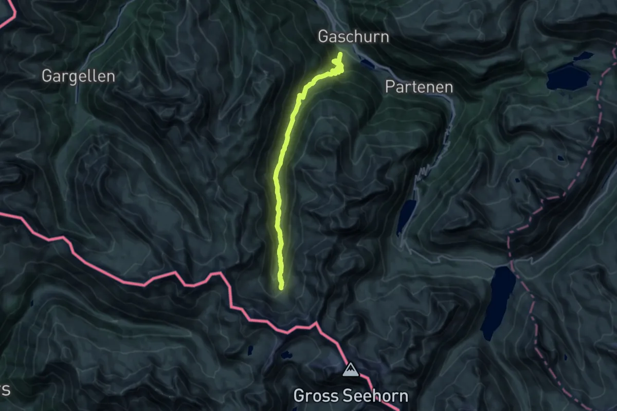
Demanding · Cabin
(Gaschurn) – Tübinger Hütte
19.6 km · ↑ 1179 m · 7 h 11 min
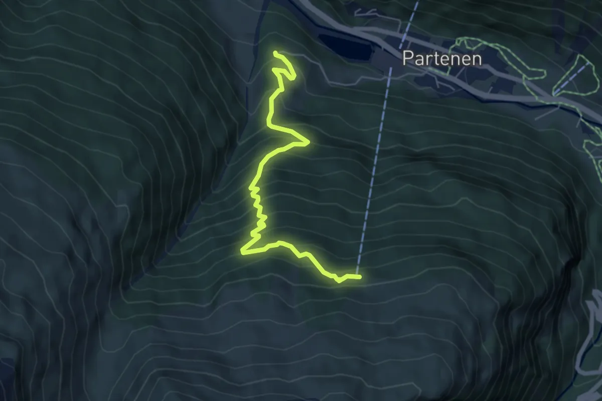
Medium · Trail
(Partenen) – Tromenier
5.7 km · ↑ 620 m · 2 h 42 min
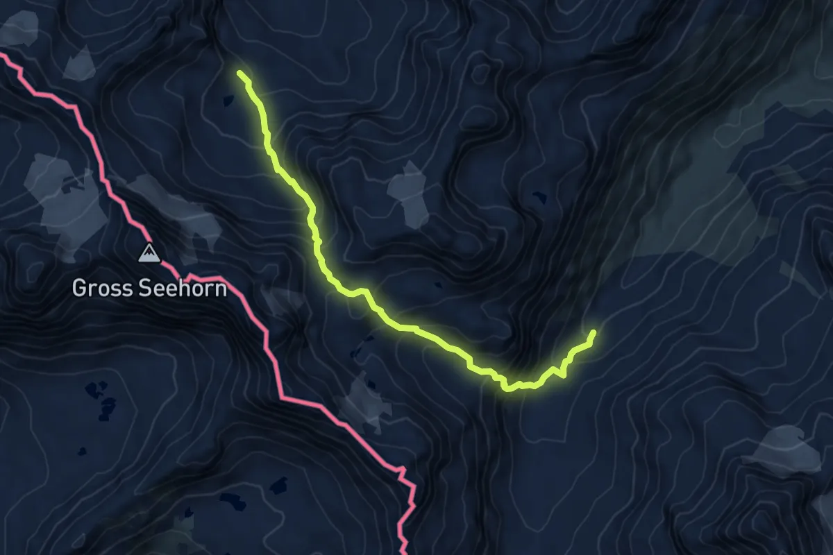
Demanding · Trail
(Wiesbadner Hütte) – (Saarbrücker Hütte)
7.1 km · ↑ 793 m · 3 h 23 min
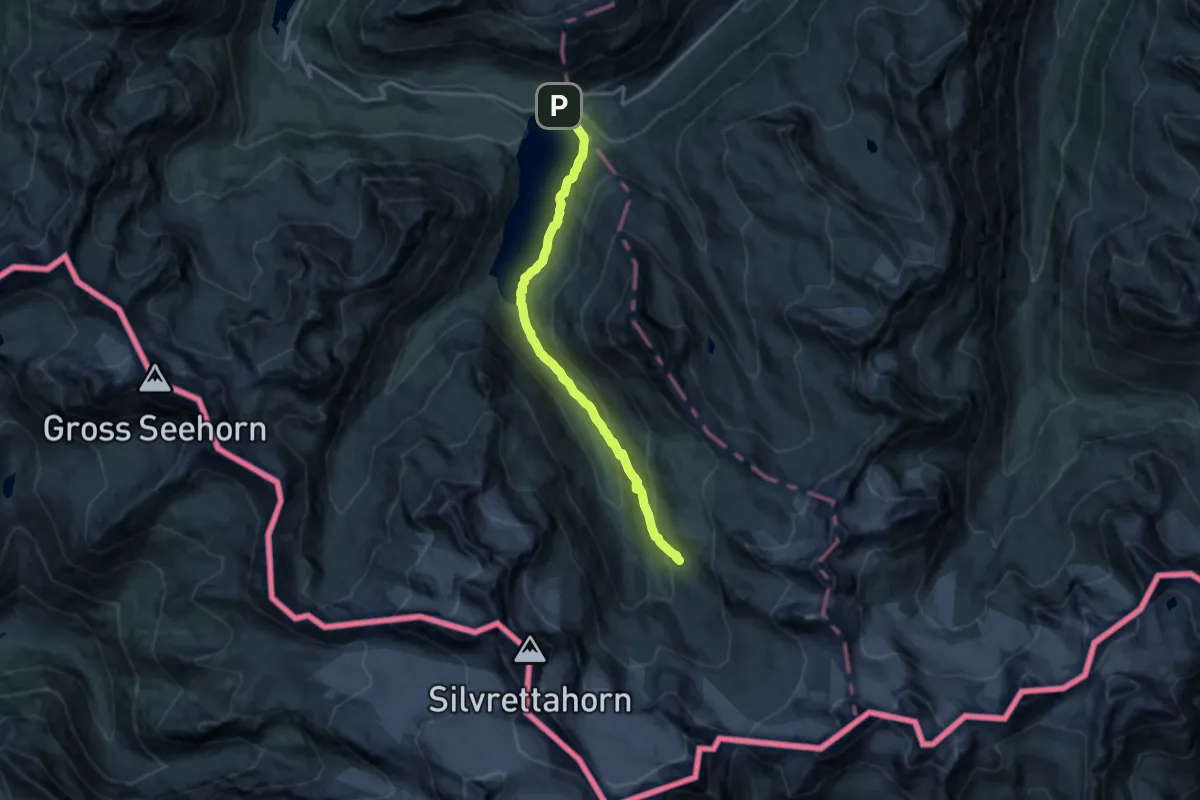
Medium · Cabin
Bielerhöhe – Wiesbadner Hütte
13.6 km · ↑ 441 m · 4 h 9 min
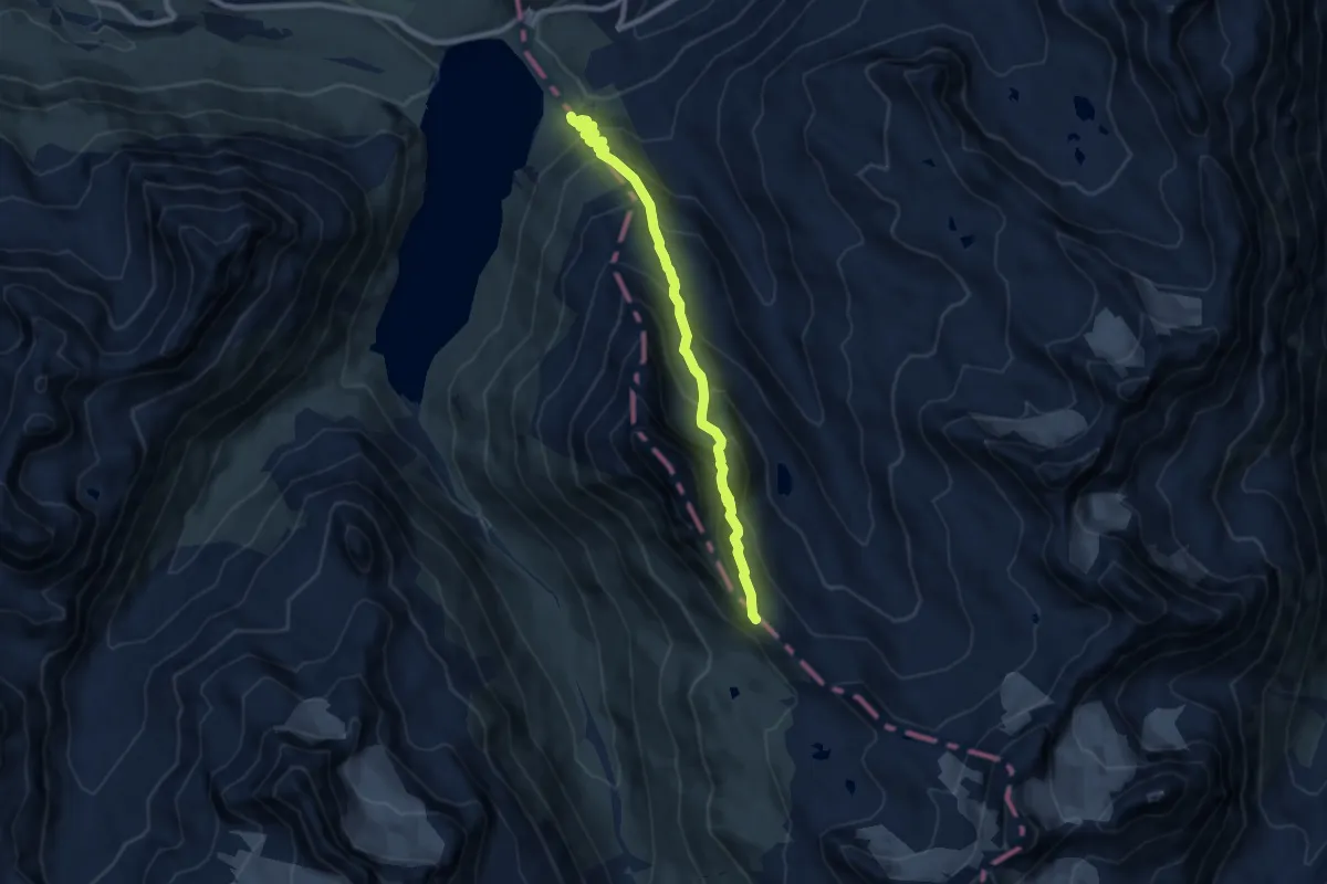
Demanding · Trail
(Bielerhöhe) – Radsattel
8.3 km · ↑ 788 m · 3 h 41 min
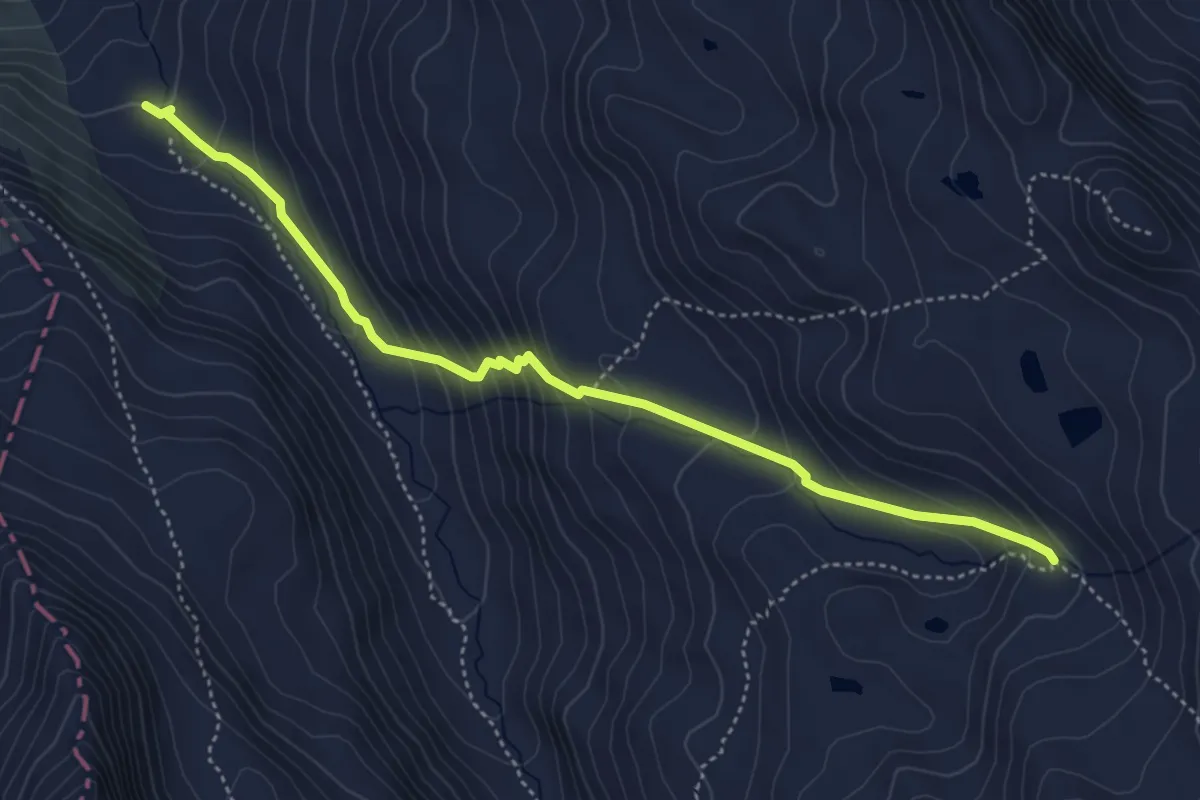
Demanding · Trail
(Bielerhöhe) – (Jamtal Hütte)
4.8 km · ↑ 385 m · 1 h 58 min
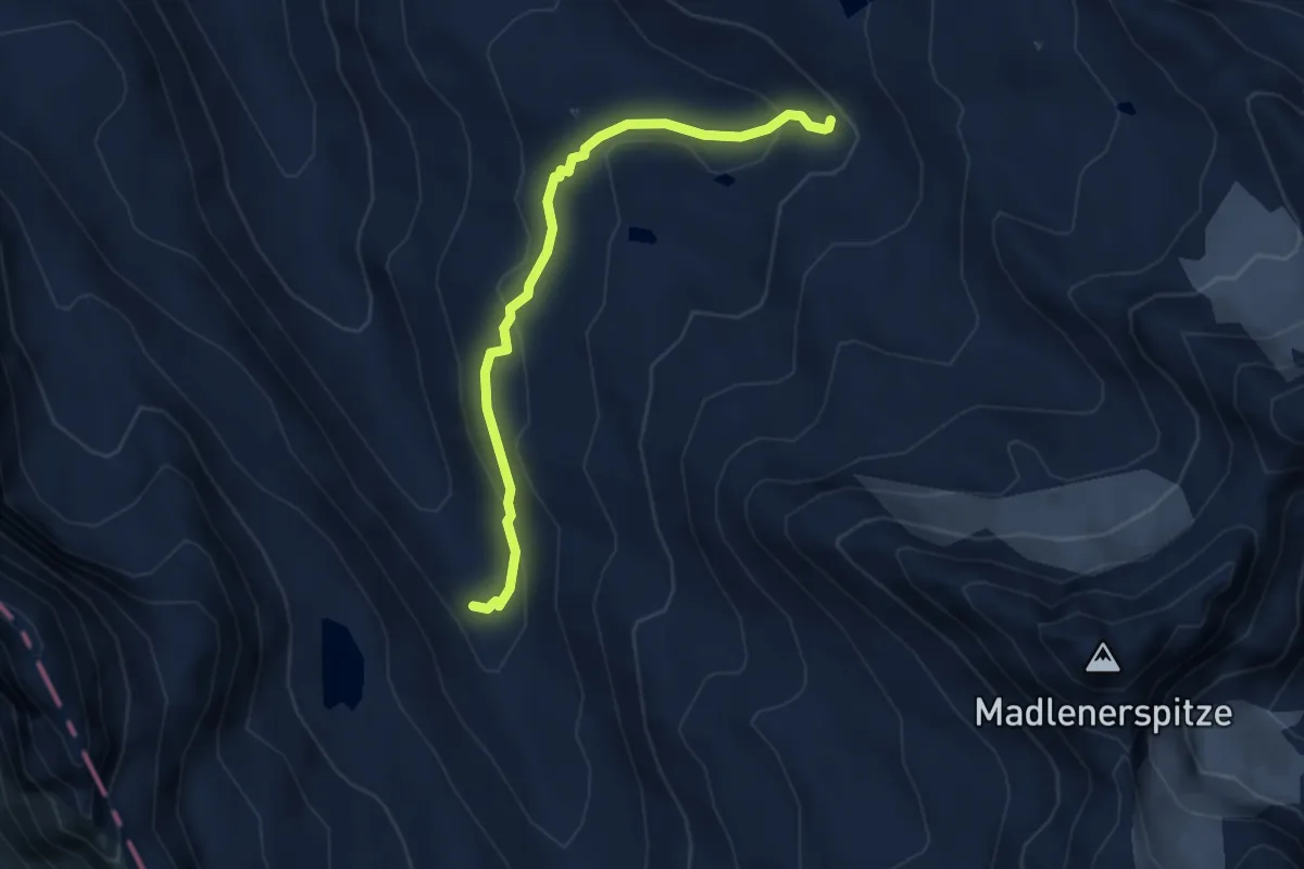
Demanding · Trail
(Radsattel) – (Jamtal Hütte)
3.9 km · ↑ 199 m · 1 h 21 min
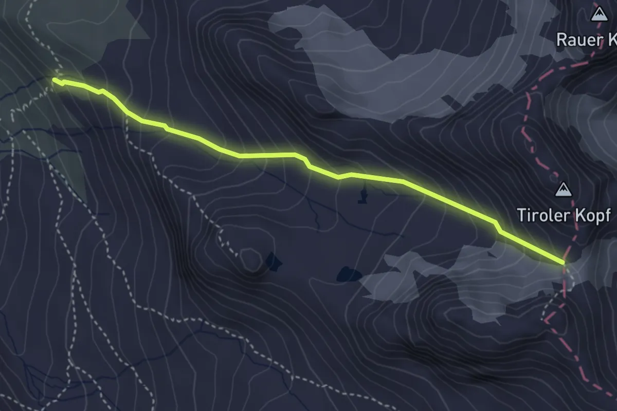
Expert · Trail
Wiesbadner Hütte – Tiroler Scharte
3.7 km · ↑ 403 m · 1 h 45 min
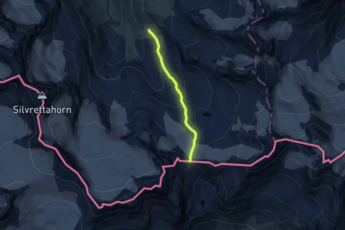
Expert · Cabin
Wiesbadner Hütte – Vermuntpass
5.1 km · ↑ 356 m · 1 h 58 min
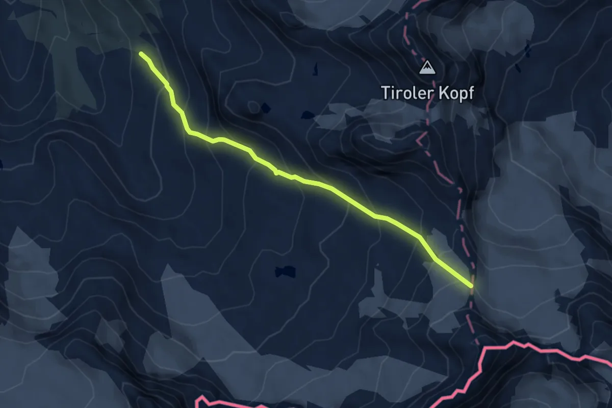
Expert · Trail
Wiesbadner Hütte – Obere Ochsenscharte
5.1 km · ↑ 489 m · 2 h 15 min
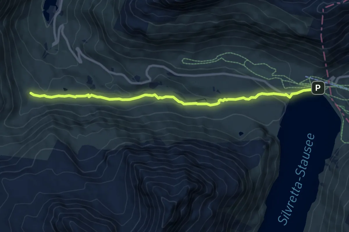
Medium · Trail
(Vermuntstausee) – Bielerhöhe
7.8 km · ↑ 204 m · 2 h 18 min
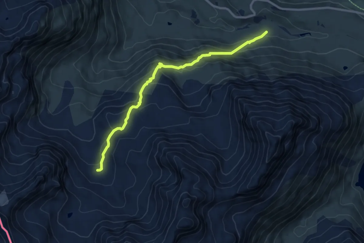
Medium · Trail
(Madlenerhaus) – (Saarbrücker Hütte)
6.7 km · ↑ 419 m · 2 h 29 min
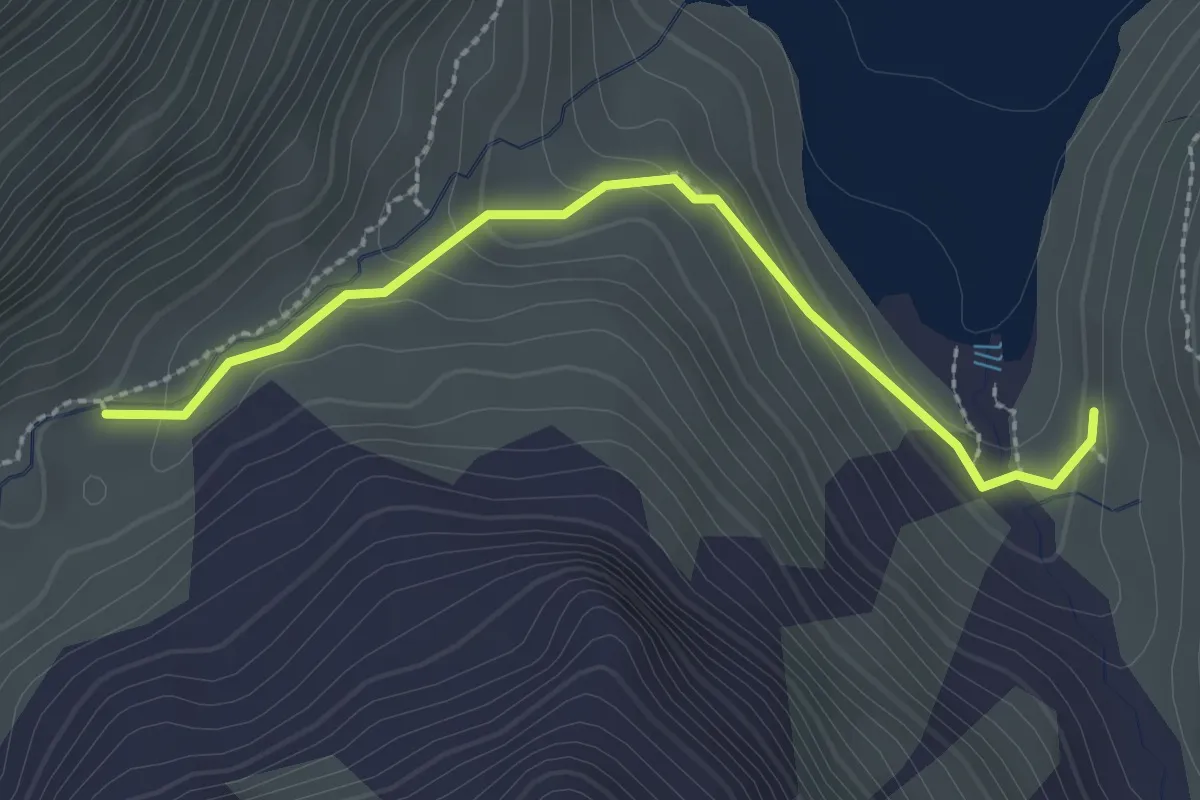
Easy · Trail
(Wiesbadner Hütte) – (Klostertaler Hütte)
2.5 km · ↑ 118 m · 50 min
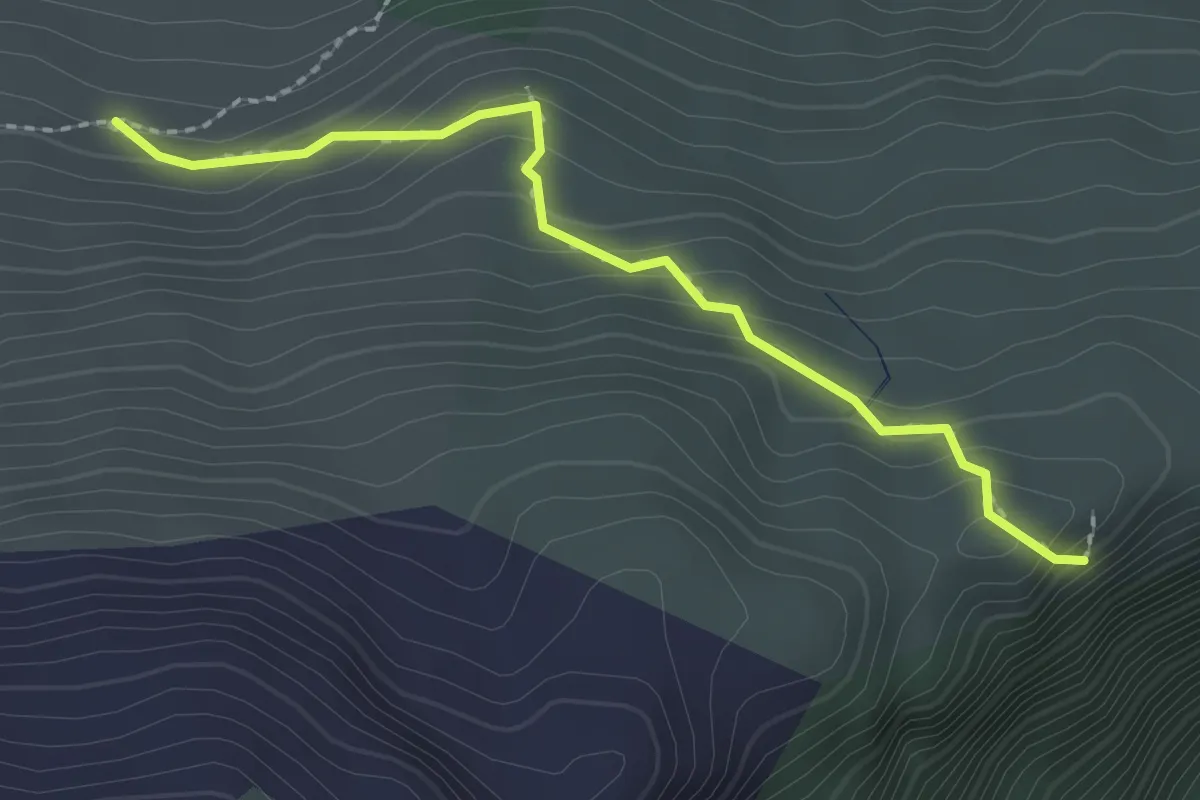
Medium · Trail
(Tromenier) – Obertromenier
2.1 km · ↑ 147 m · 49 min
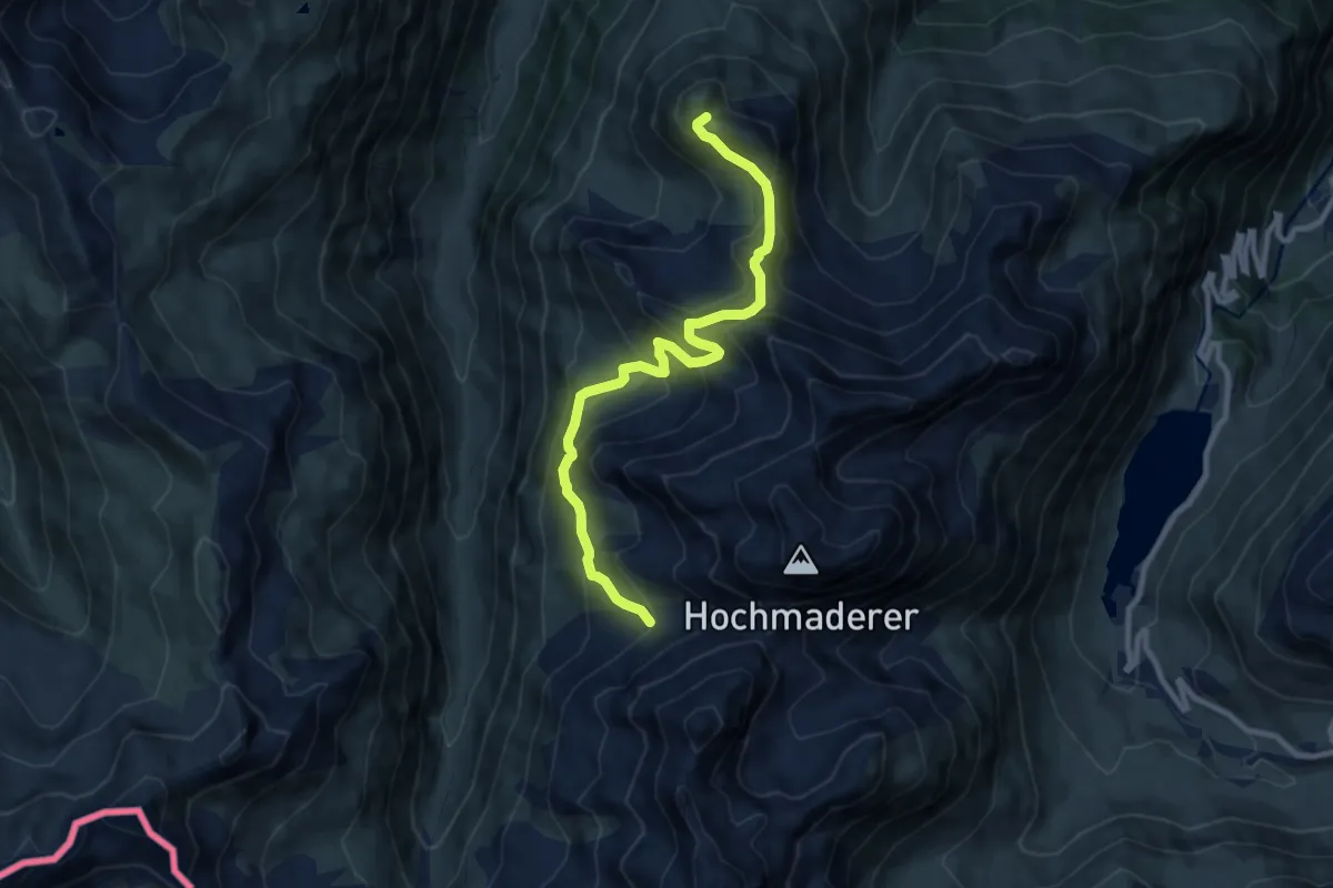
Demanding · Trail
(Tübinger Hütte) – Schafboden
9.6 km · ↑ 693 m · 3 h 47 min
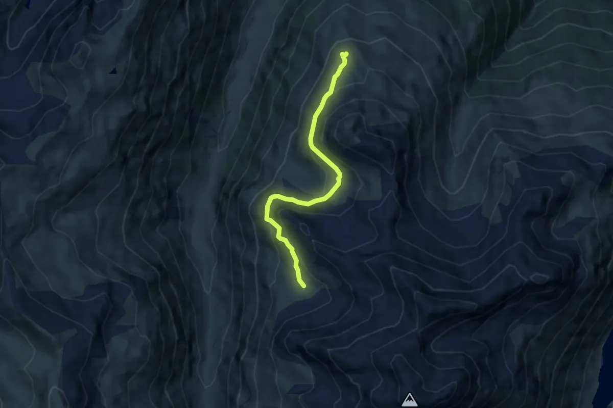
Demanding · Trail
(Neualpe) – Innere Alpila
6.6 km · ↑ 237 m · 2 h 4 min
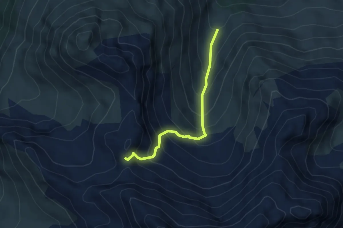
Demanding · Trail
(Tromenier) – Schafbodenjöchli
3.7 km · ↑ 505 m · 1 h 58 min
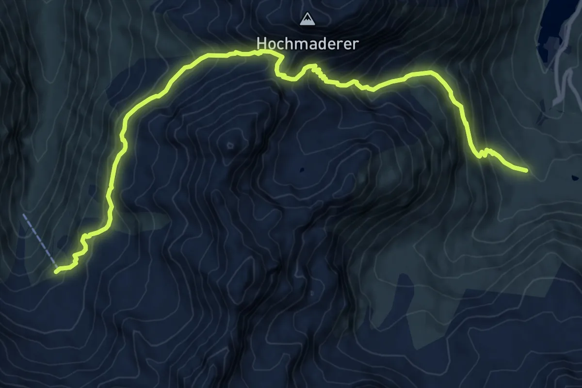
Demanding · Cabin
(Vermuntstausee) – Tübinger Hütte
11.7 km · ↑ 991 m · 4 h 54 min
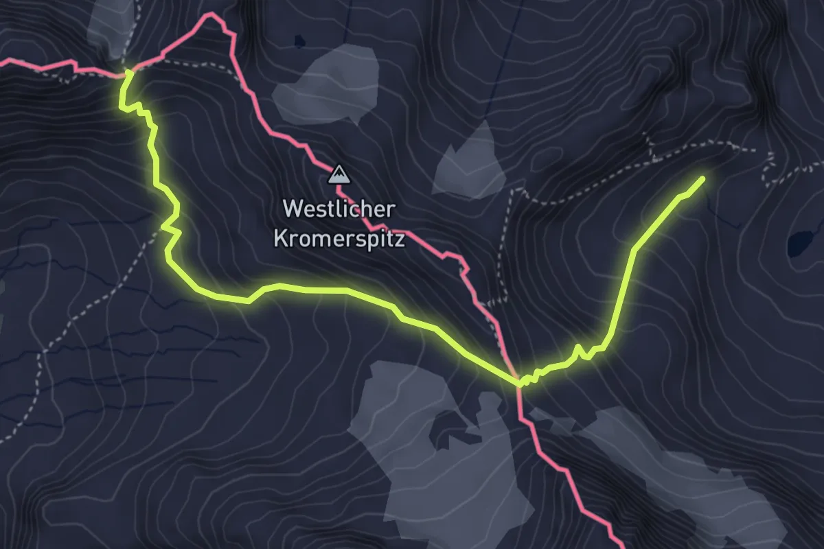
Demanding · Trail
Saarbrücker Hütte – Plattenjoch
5.2 km · ↑ 587 m · 2 h 29 min
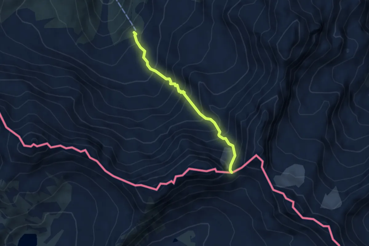
Demanding · Trail
Tübinger Hütte – Plattenjoch
3.6 km · ↑ 536 m · 2 h 1 min
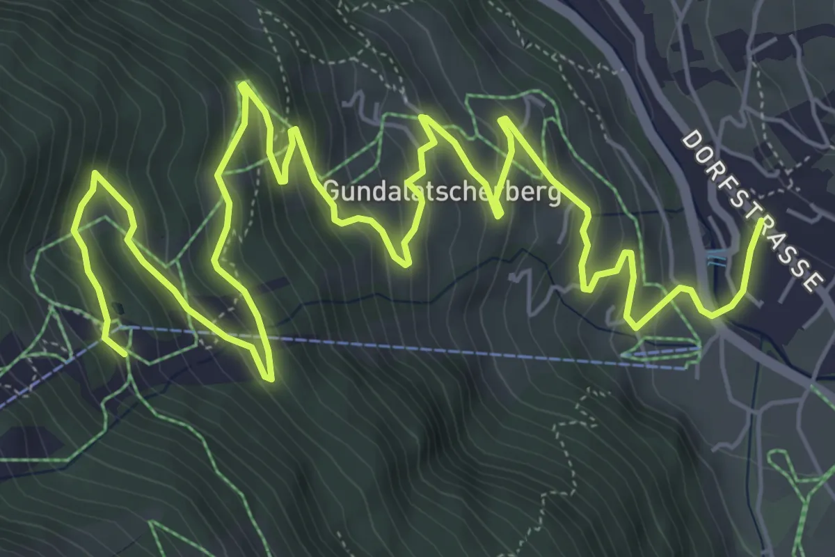
Medium · Trail
Gaschurn – Versettlabahn Mittelstation
10.1 km · ↑ 538 m · 3 h 34 min
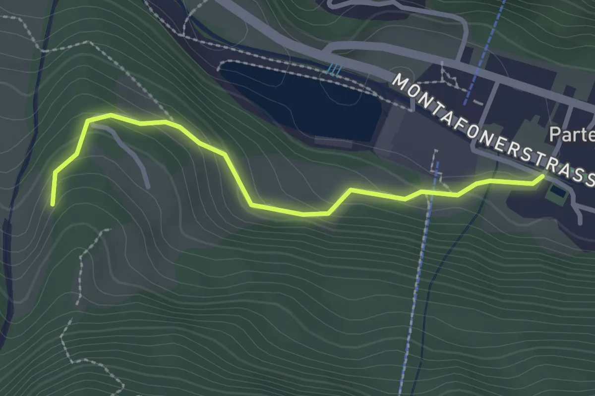
Easy · Trail
Partenen – (Tromenier)
2.4 km · ↑ 120 m · 49 min
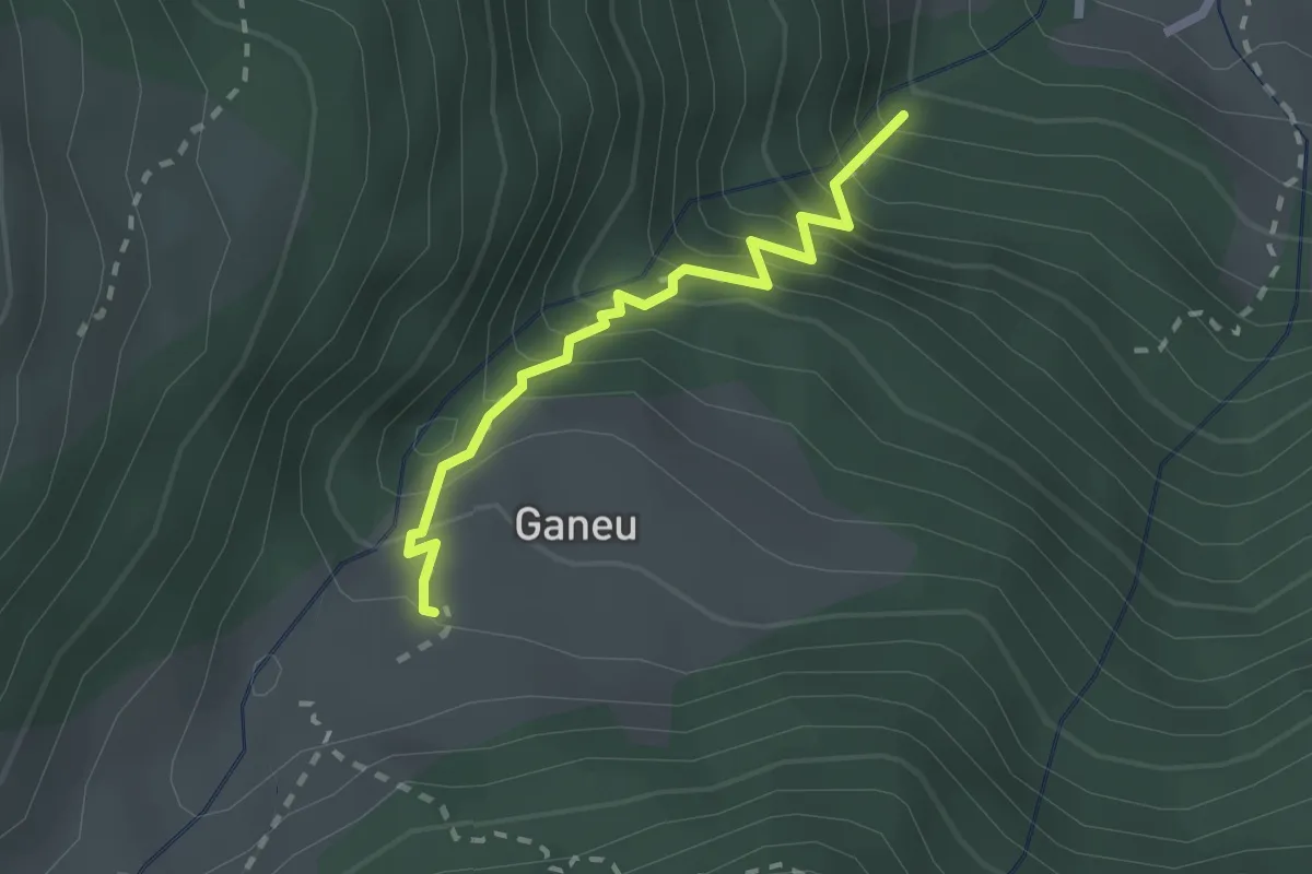
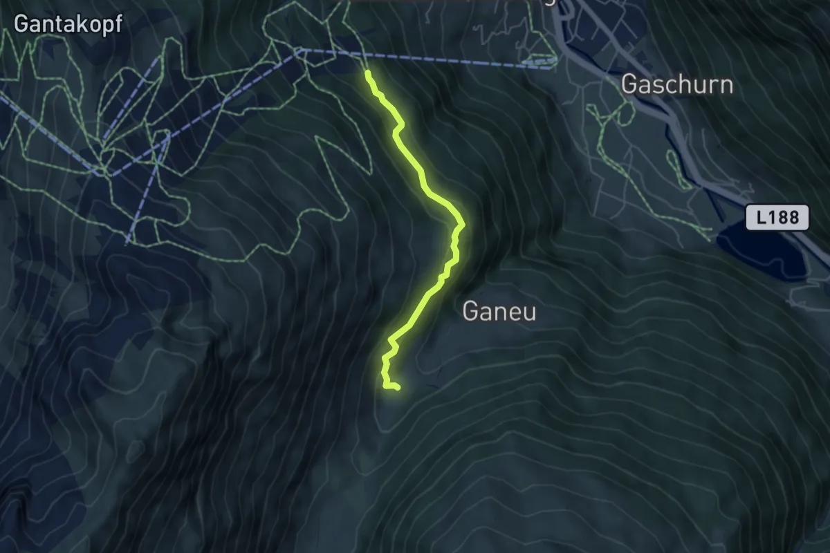
Demanding · Trail
(Gaschurn) – Ganeu
2.0 km · ↑ 340 m · 1 h 13 min
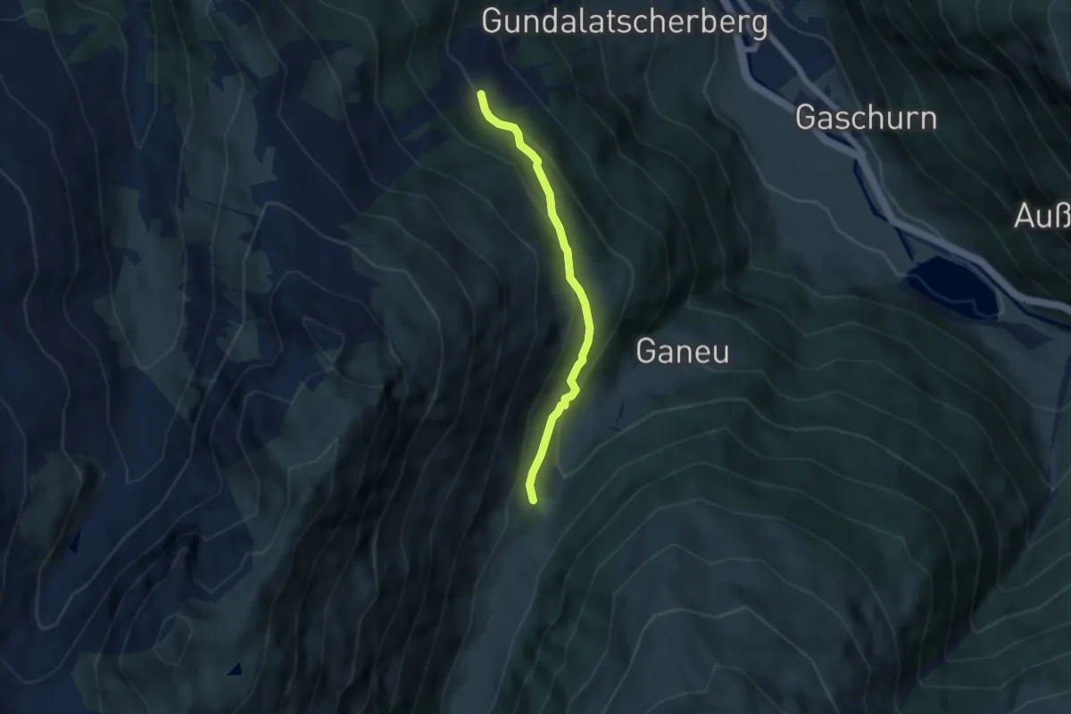
Easy · Trail
Mittelmaisäß – (Ganeu)
4.3 km · ↑ 216 m · 1 h 29 min
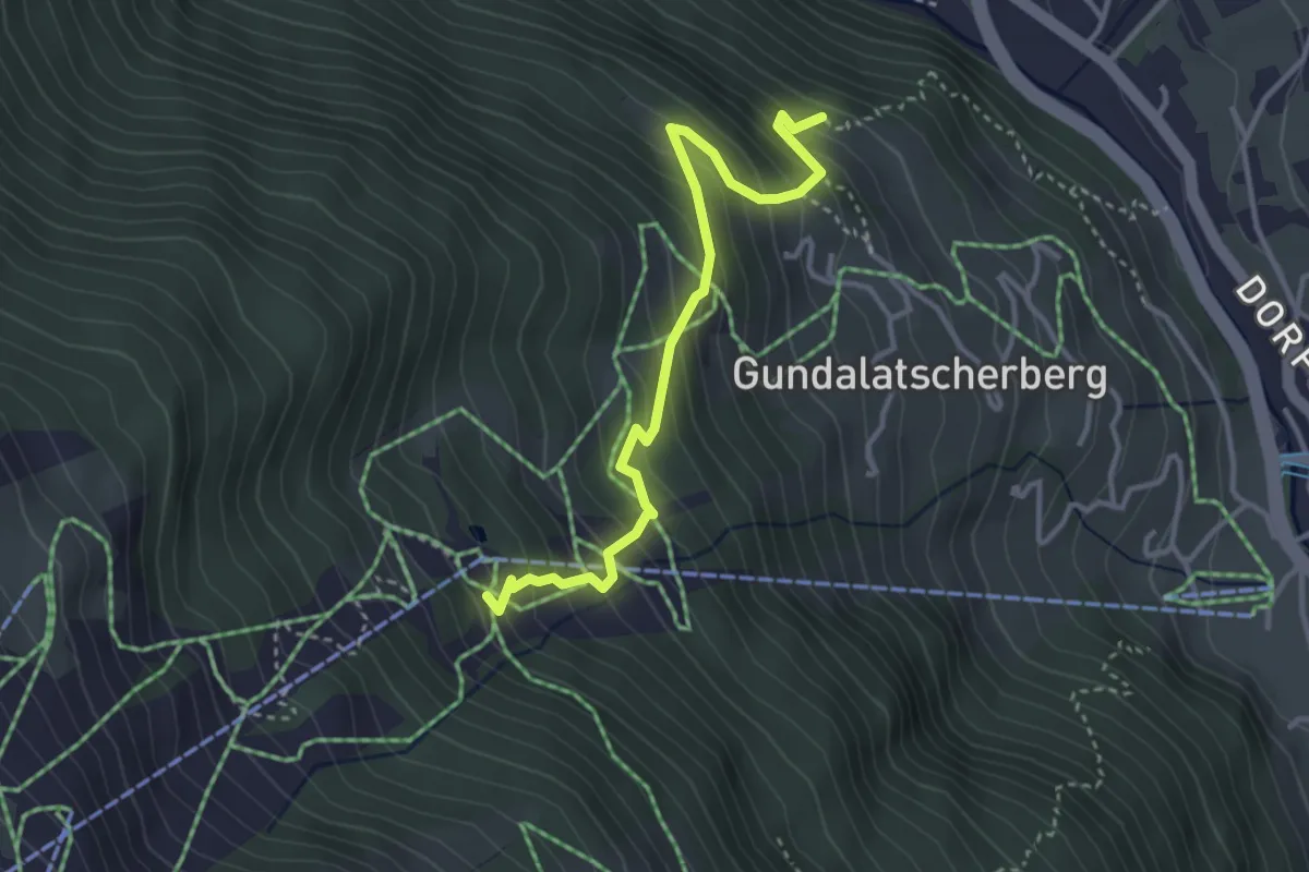
Easy · Trail
Versettlabahn Mittelstation – Garneraalpe
4.8 km · ↑ 263 m · 1 h 42 min
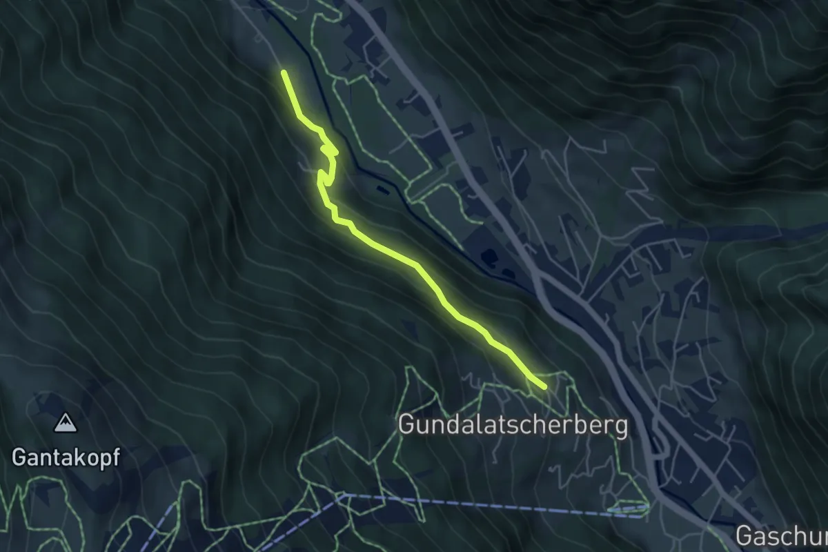
Medium · Trail
(Gaschurn) – Versettlabahn Mittelstation
3.5 km · ↑ 387 m · 1 h 40 min
Medium · Trail
Schattenort – (Gaschurn)
4.4 km · ↑ 231 m · 1 h 32 min
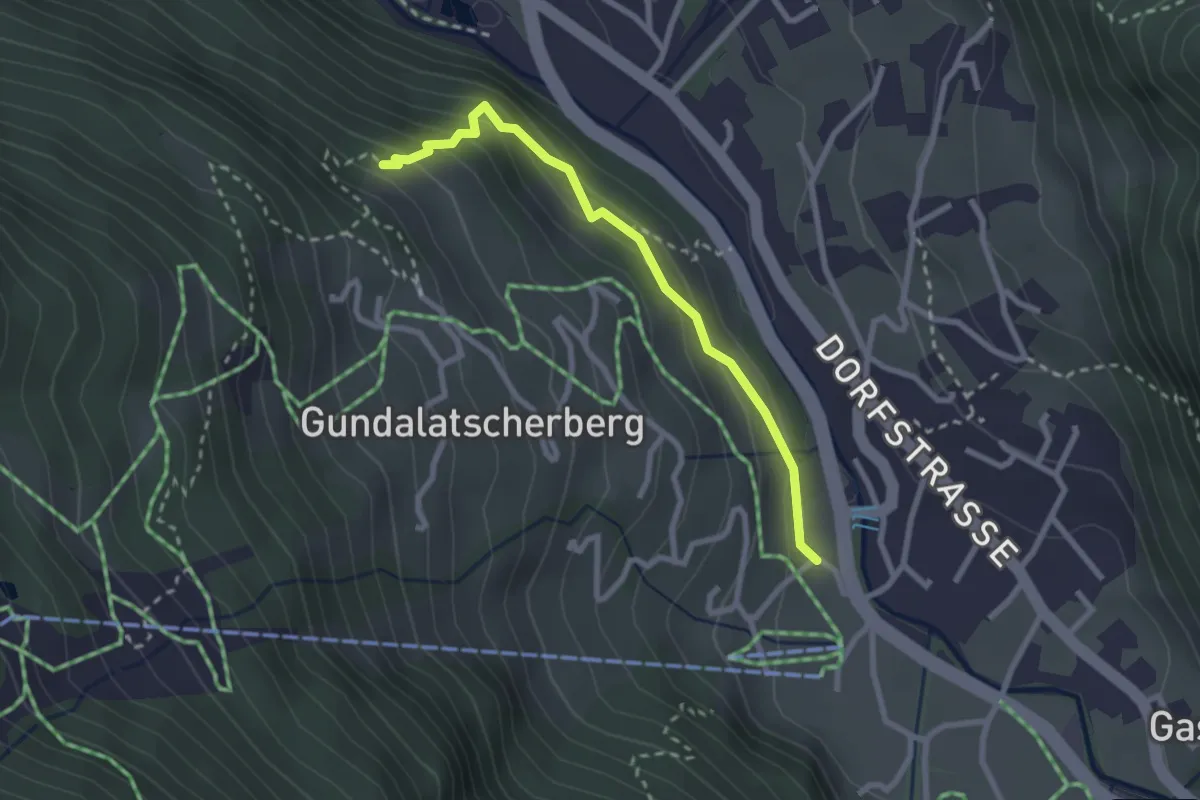
Easy · Trail
Gaschurn – (Schattenort)
2.5 km · ↑ 184 m · 59 min
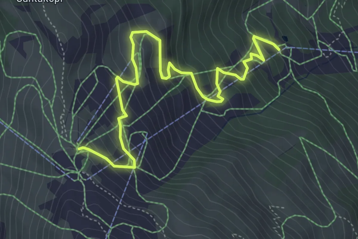
Medium · Trail
Versettlabahn Mittelstation – Versettlabahn Bergstation
5.7 km · ↑ 493 m · 2 h 25 min
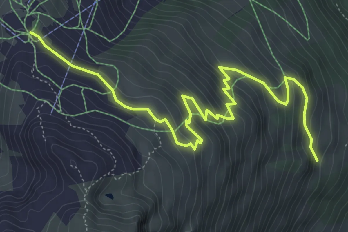
Demanding · Trail
Lifinar – Versettlabahn Bergstation
6.7 km · ↑ 454 m · 2 h 33 min
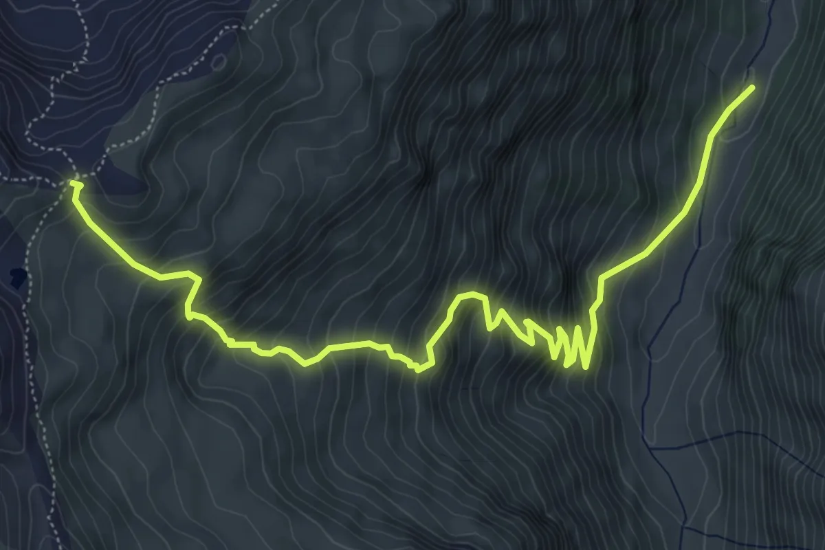
Demanding · Trail
Garneraalpe – Matschunerjoch
7.7 km · ↑ 805 m · 3 h 33 min
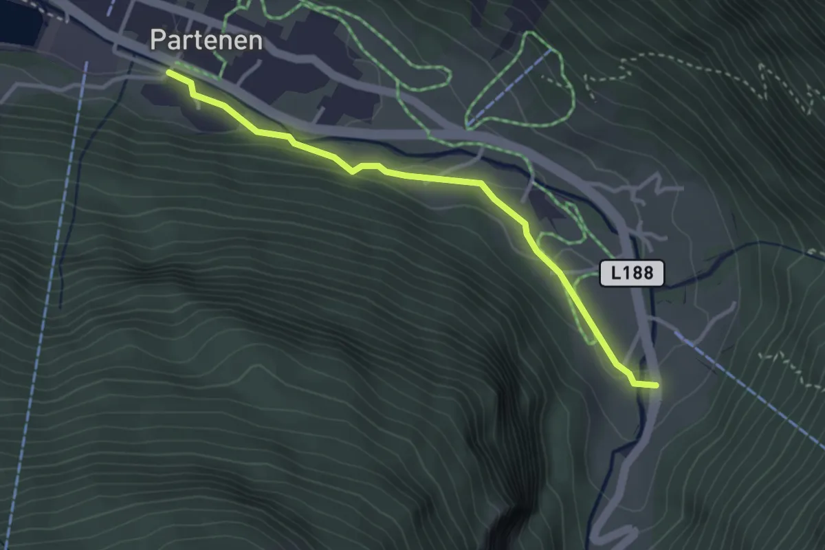
Easy · Trail
Vermuntbahn Talstation – Bellamaisäß
3.1 km · ↑ 79 m · 54 min
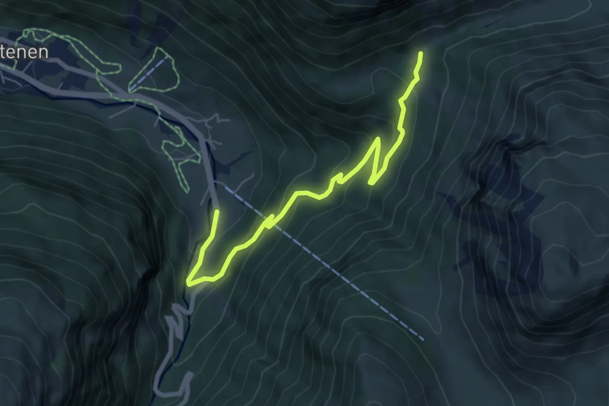
Medium · Trail
Bellamaisäß – Ganifer
6.1 km · ↑ 331 m · 2 h 9 min
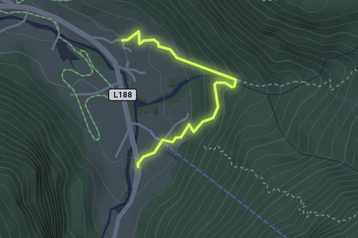
Easy · Trail
Partenen Loch – Bellamaisäß
2.4 km · ↑ 154 m · 54 min
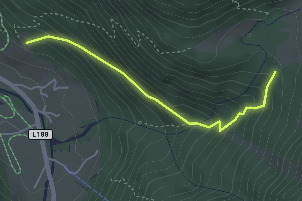
Demanding · Trail
(Partenen Ortsmitte) – (Ganifer)
2.9 km · ↑ 280 m · 1 h 17 min
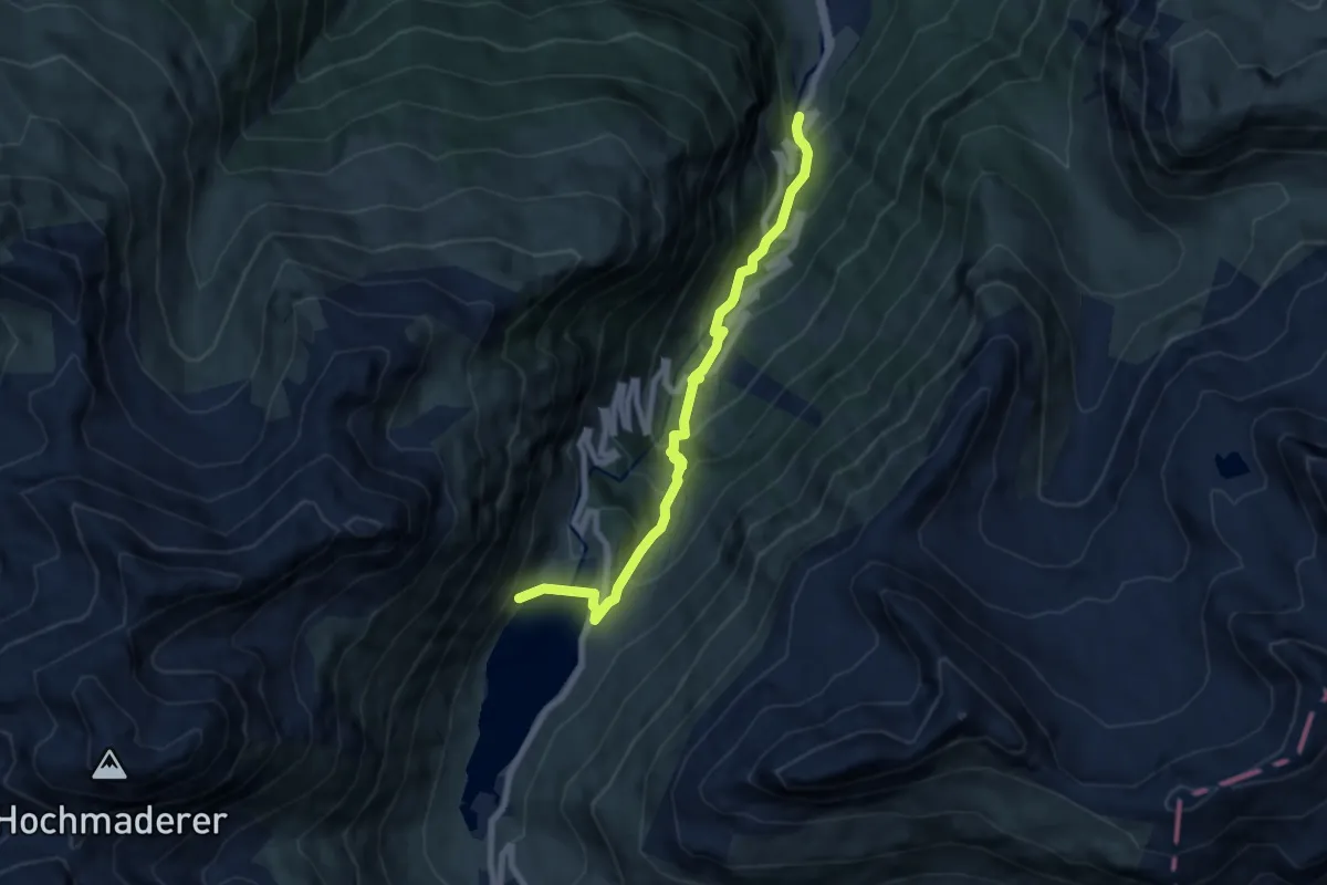
Medium · Trail
(Partenen) – (Bielerhöhe)
7.3 km · ↑ 609 m · 3 h 2 min
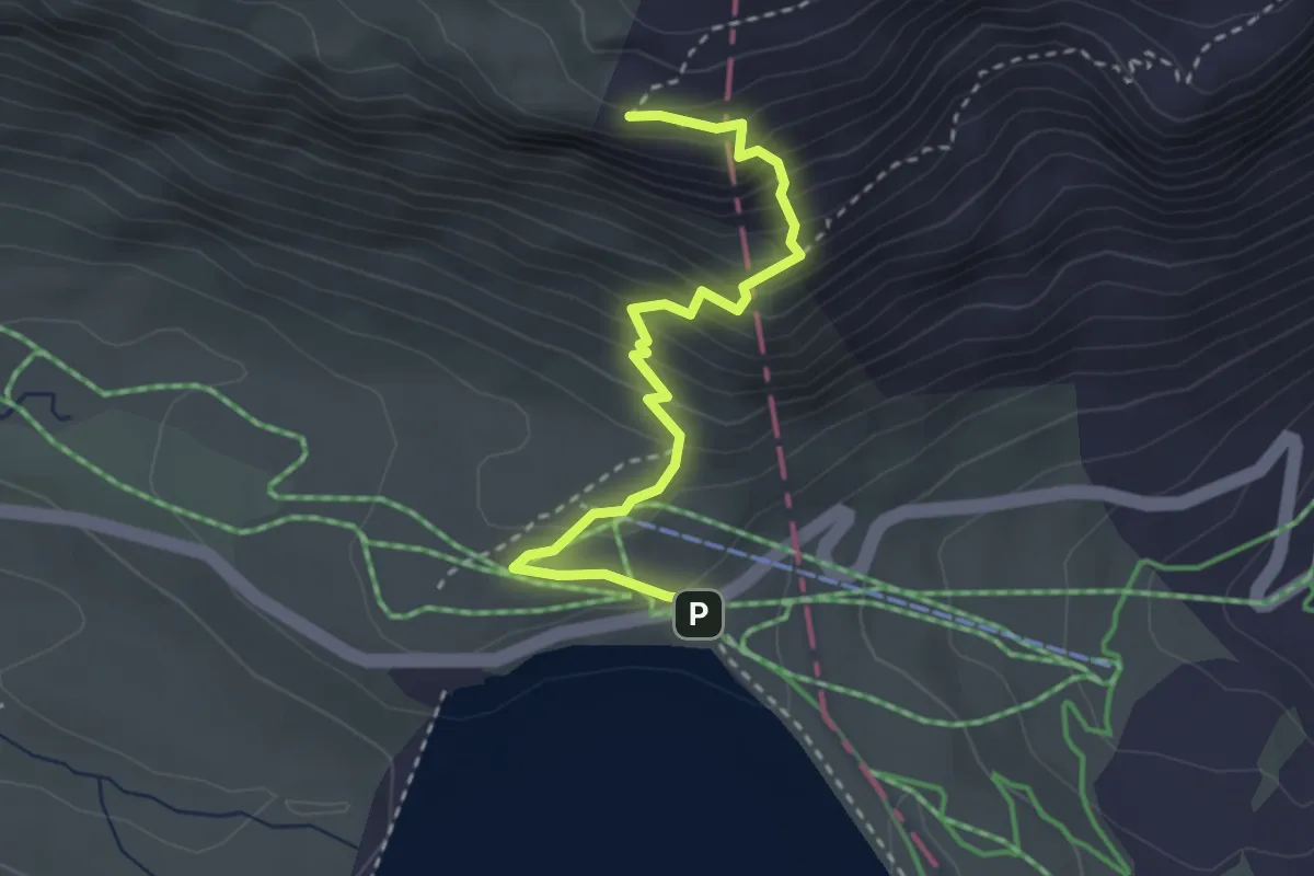
Demanding · Summit
Bielerhöhe – Bielerkopf
3.1 km · ↑ 351 m · 1 h 30 min
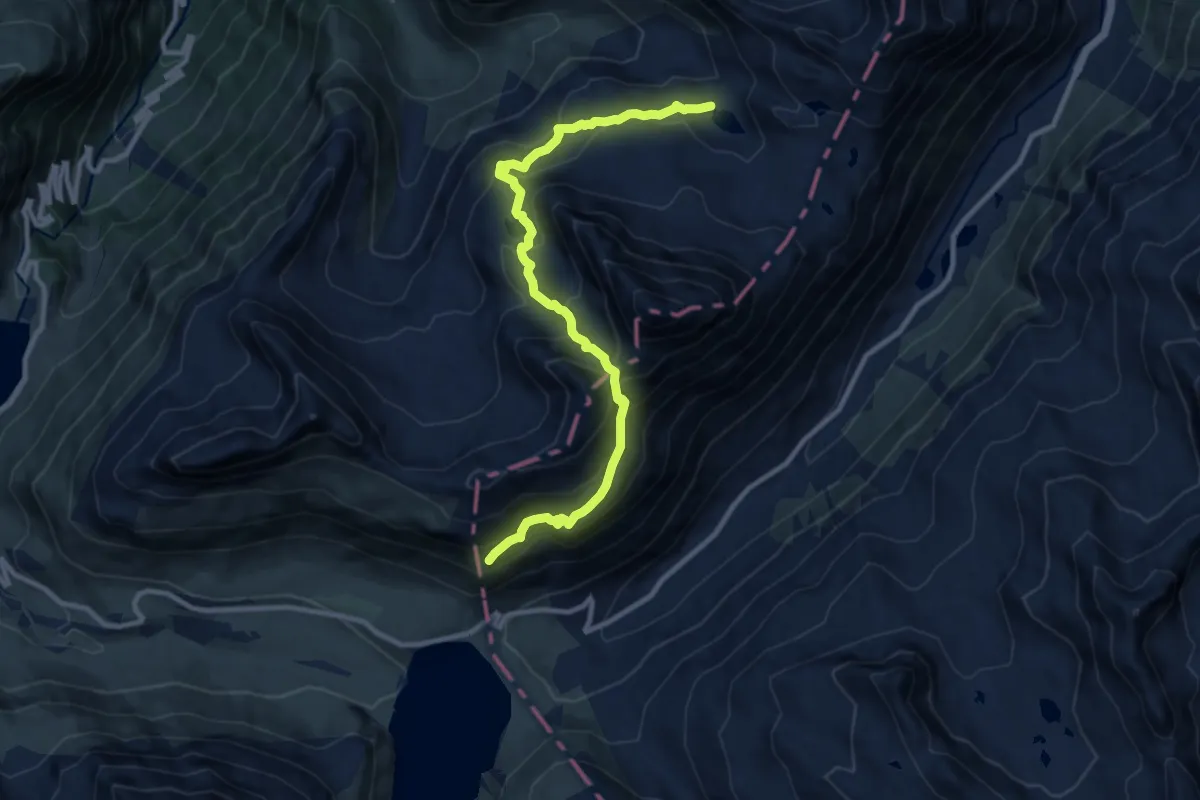
Demanding · Trail
Vallülasee – (Bielerhöhe)
11.0 km · ↑ 882 m · 4 h 30 min
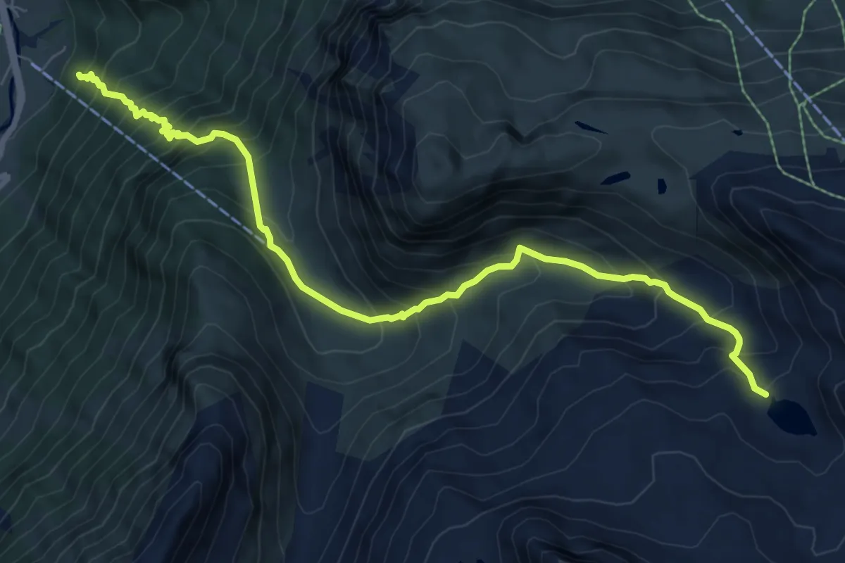
Demanding · Trail
(Partenen) – Vallülasee
8.7 km · ↑ 994 m · 4 h 13 min
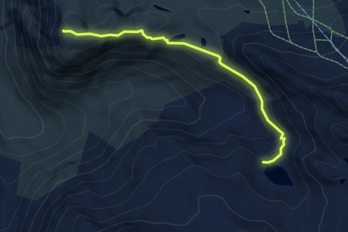
Medium · Summit
Vallülasee – Breitspitze
4.9 km · ↑ 240 m · 1 h 41 min
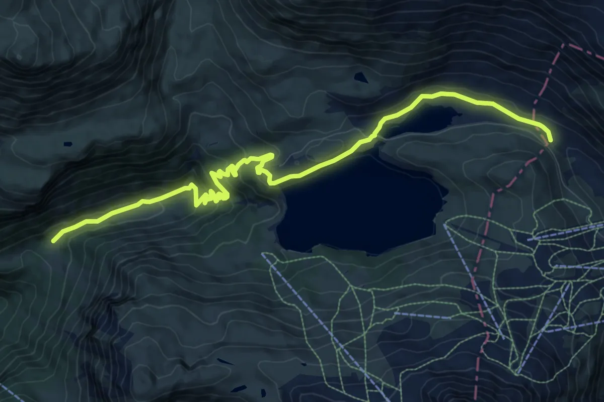
Medium · Trail
(Partenen) – Zeinisjoch
12.4 km · ↑ 481 m · 3 h 59 min
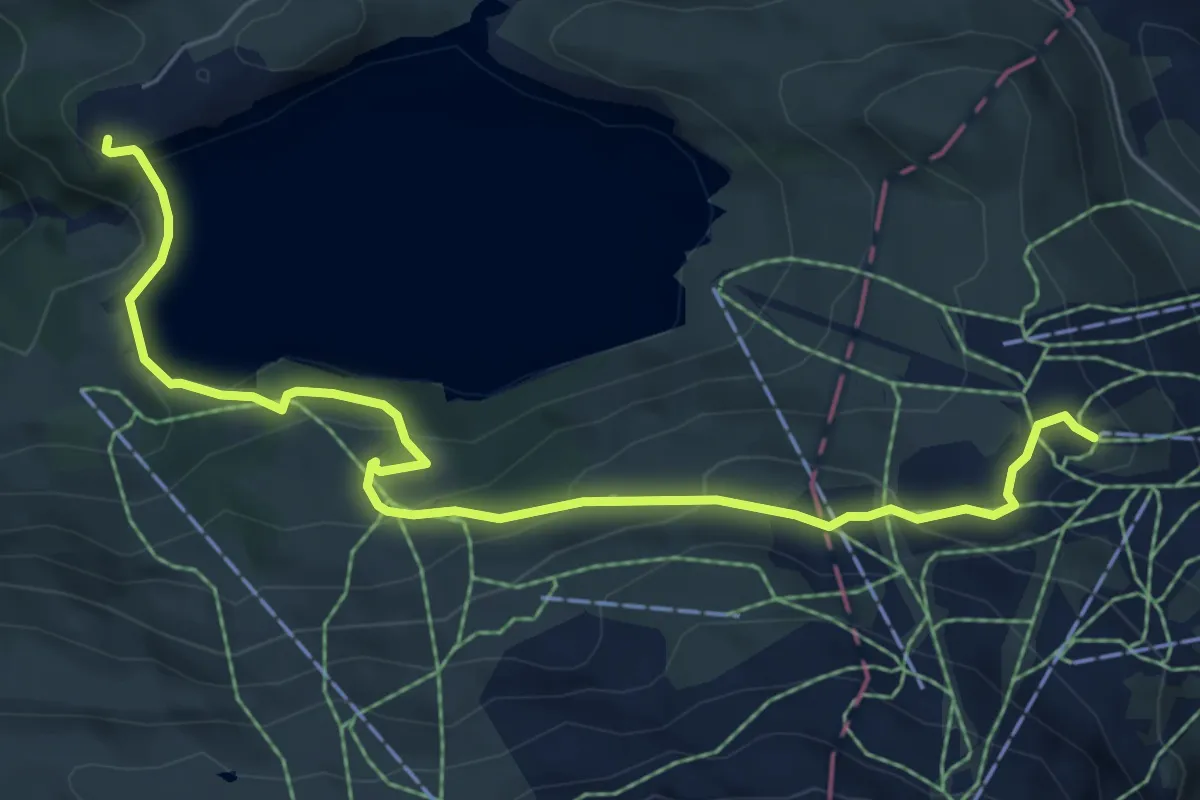
Medium · Trail
Kops – Alpkogelbahn Bergstation
7.2 km · ↑ 396 m · 2 h 34 min
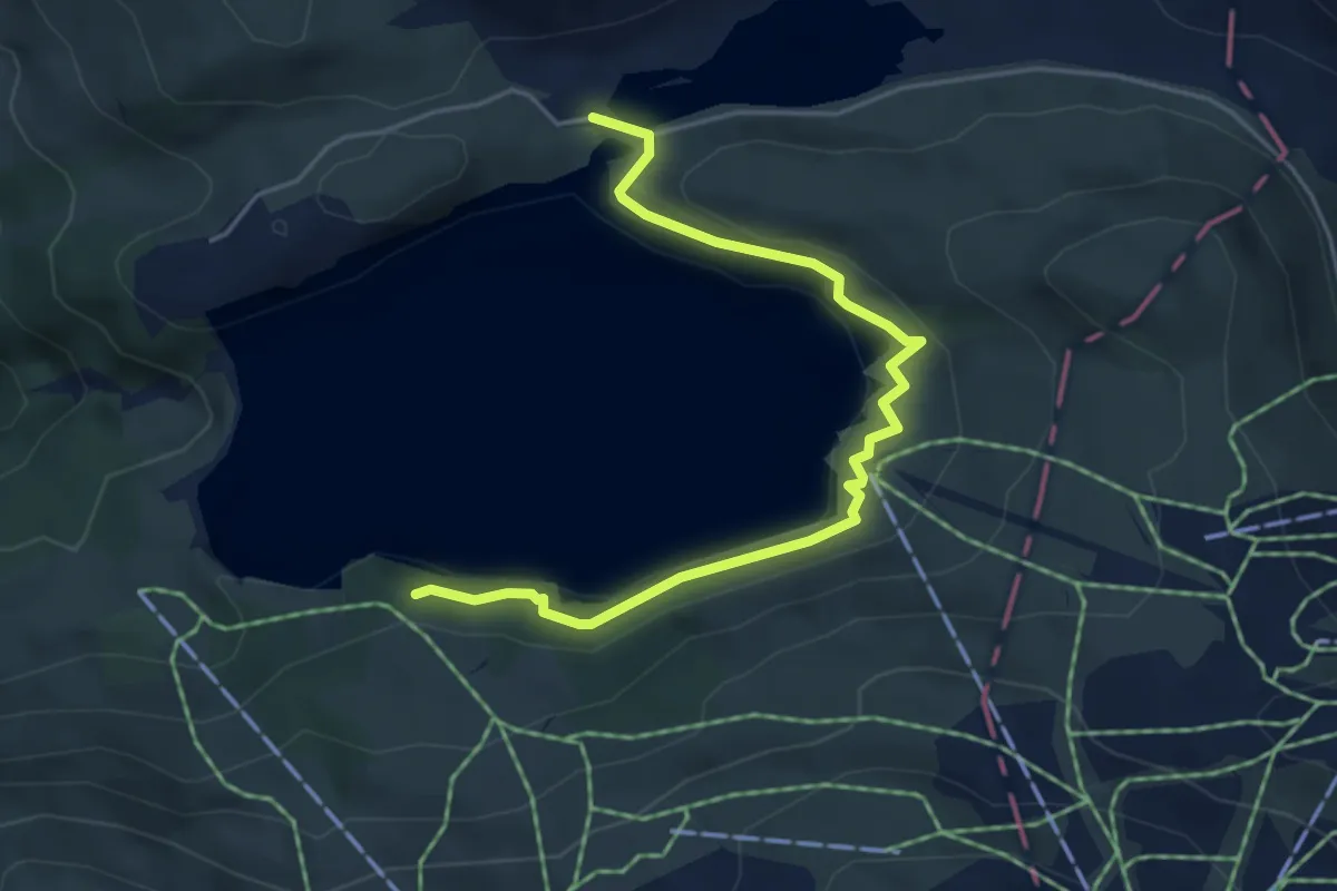
Easy · Trail
Zeinisjochhaus – (Alpkogelbahn Bergstation)
5.0 km · ↑ 81 m · 1 h 22 min
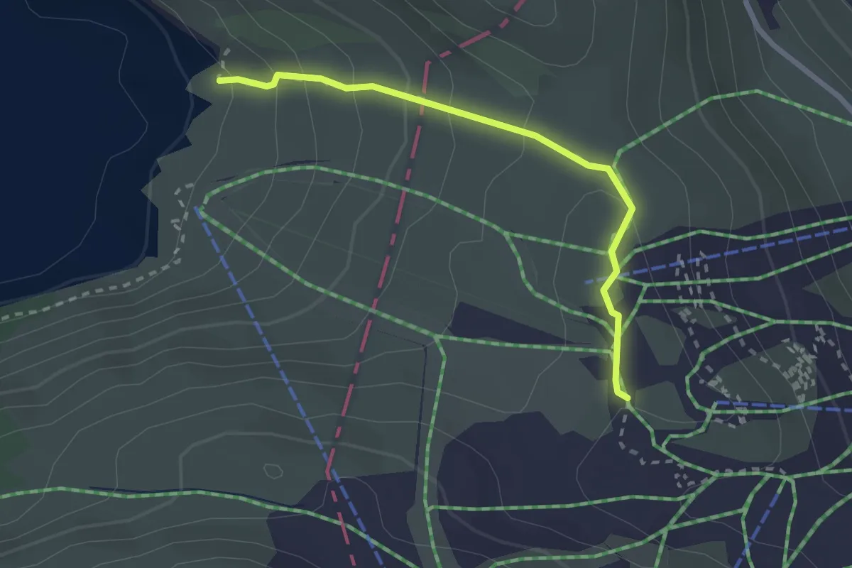
Easy · Trail
(Zeinisjochhaus) – Alpkogelbahn Bergstation
2.4 km · ↑ 174 m · 56 min
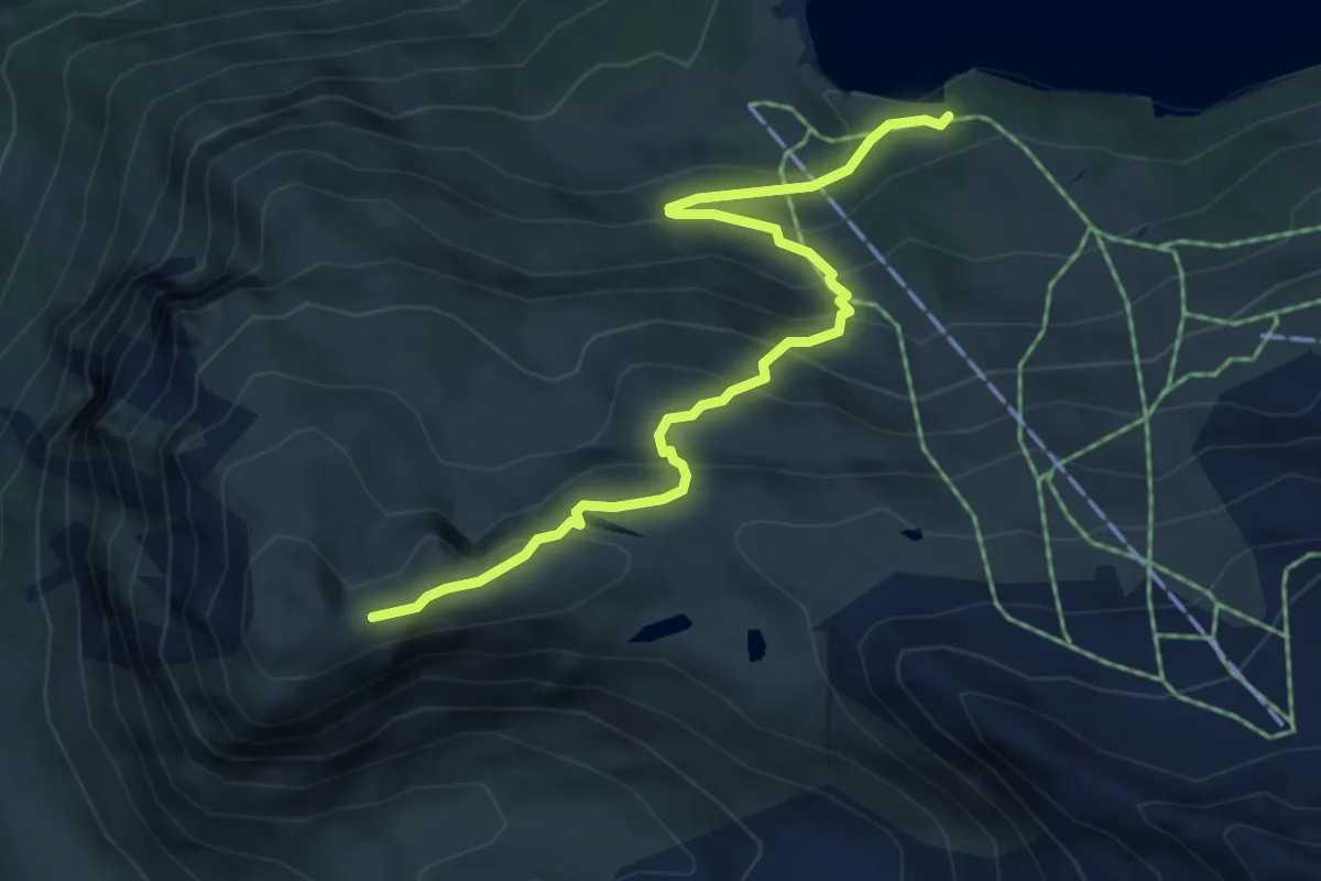
Medium · Trail
(Kops) – Breitspitze
5.3 km · ↑ 440 m · 2 h 12 min
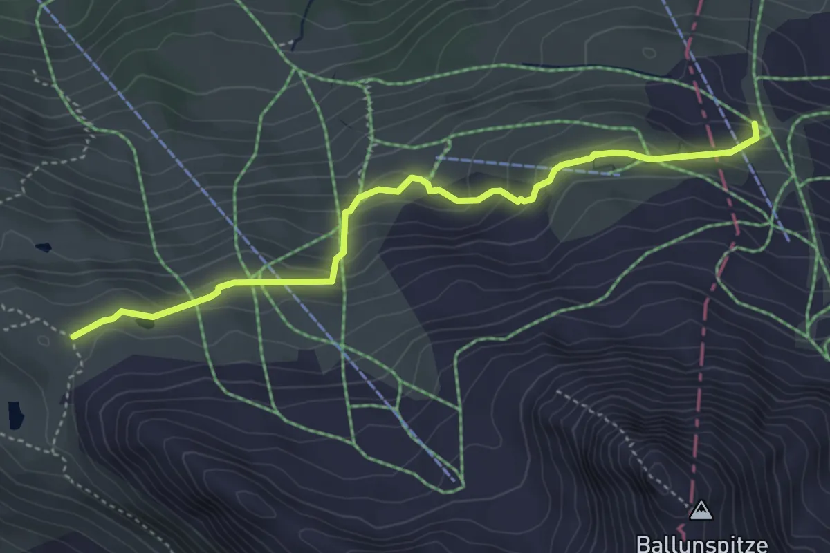
Medium · Trail
(Alpkogelbahn Bergstation) – (Breitspitze)
4.3 km · ↑ 247 m · 1 h 32 min
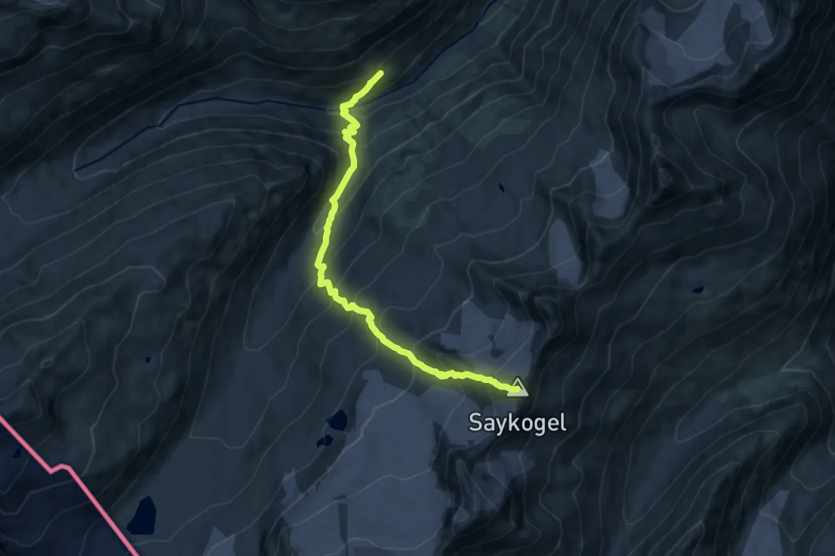
Demanding · Summit
Martin-Busch-Hütte – Hochjoch-Hospiz
10.4 km · ↑ 1142 m · 4 h 55 min