Trails in Austria
9,777 hiking trails, each with its route, climb, walking time and grade.
All trails, page 197 of 204
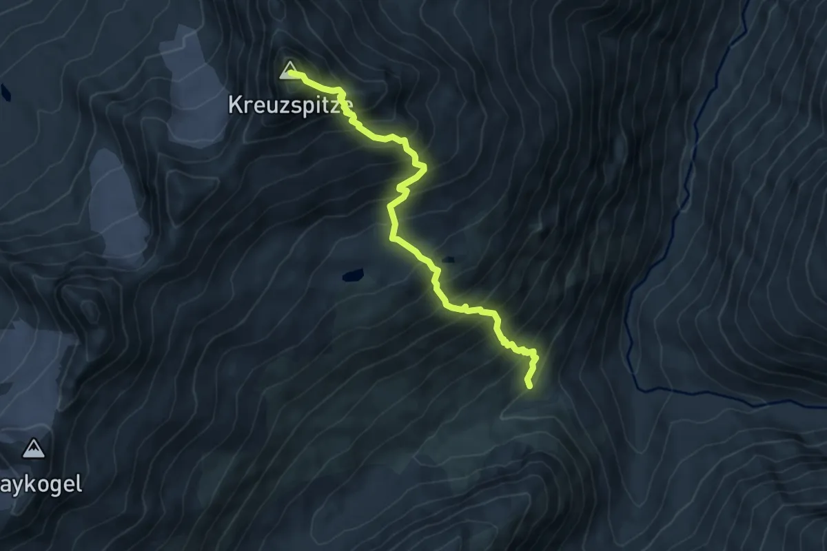
Demanding · Summit
Martin-Busch-Hütte – Kreuzspitze
6.0 km · ↑ 933 m · 3 h 26 min
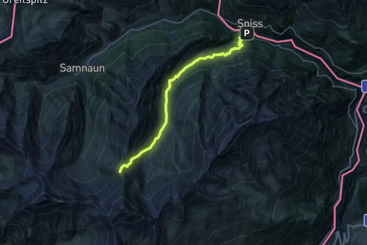
Demanding · Trail
Acla da Fans Pfansdorf – Rossbodenjoch
15.8 km · ↑ 1273 m · 6 h 30 min
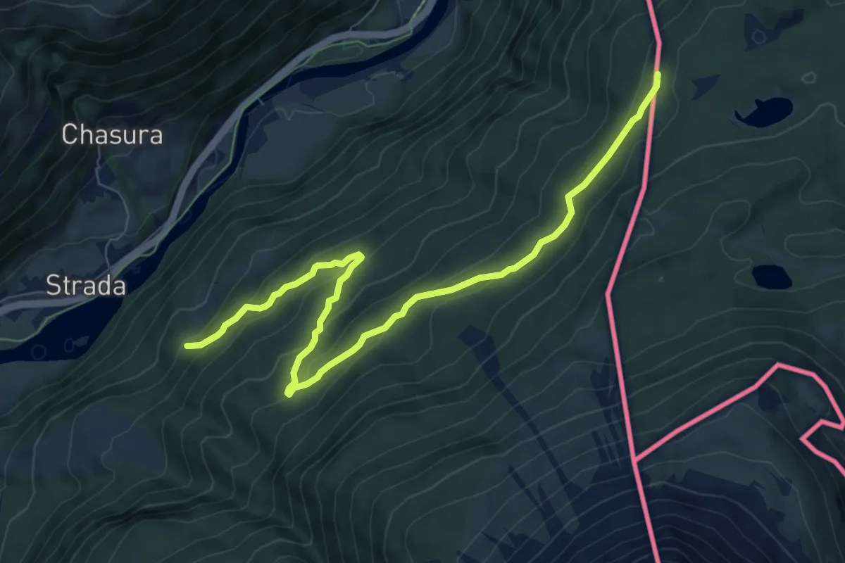
Medium · Trail
Pra Vegl – Hochegg
8.6 km · ↑ 406 m · 2 h 55 min
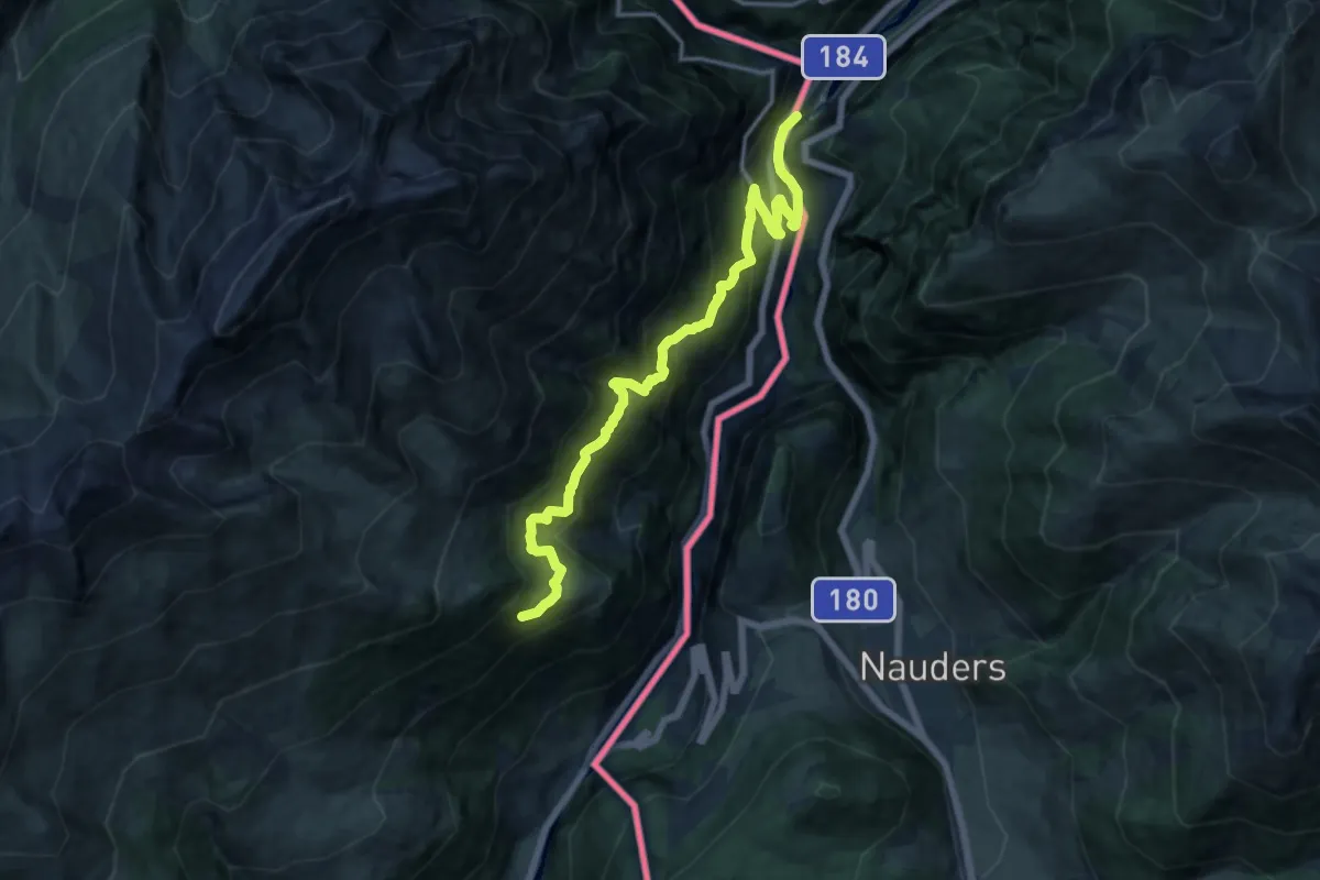
Demanding · Trail
Schalkl – Vadrain
15.3 km · ↑ 1190 m · 6 h 12 min
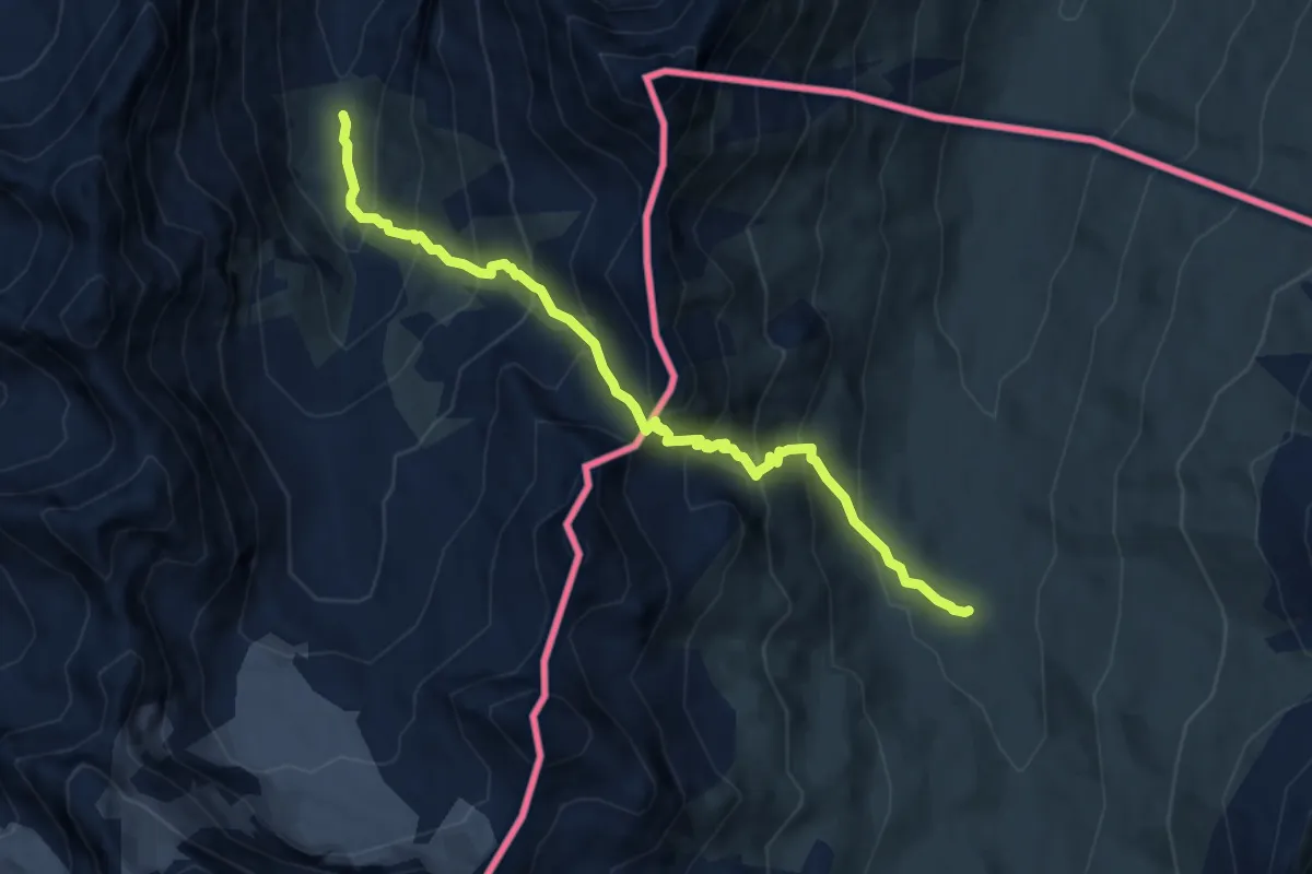
Demanding · Cabin
Heidelberger Hütte – Lareinalm
9.0 km · ↑ 991 m · 4 h 17 min
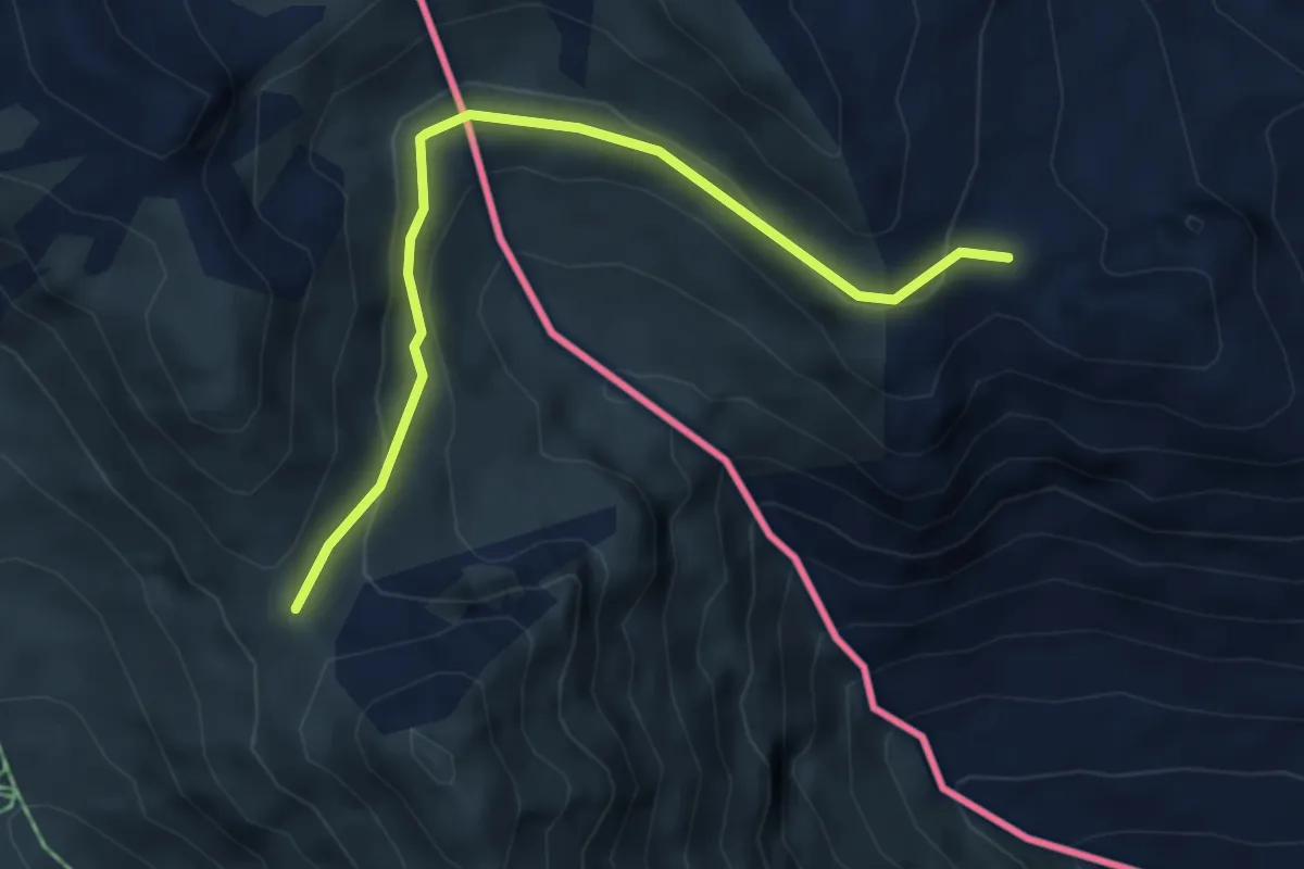
Easy · Trail
Fuorcla – Fliesser Berg
4.7 km · ↑ 181 m · 1 h 30 min
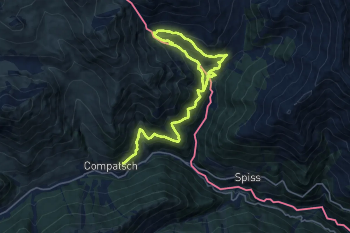
Medium · Summit
Samnau Compatsch – Zanderwiesen (AT)
7.9 km · ↑ 445 m · 2 h 57 min
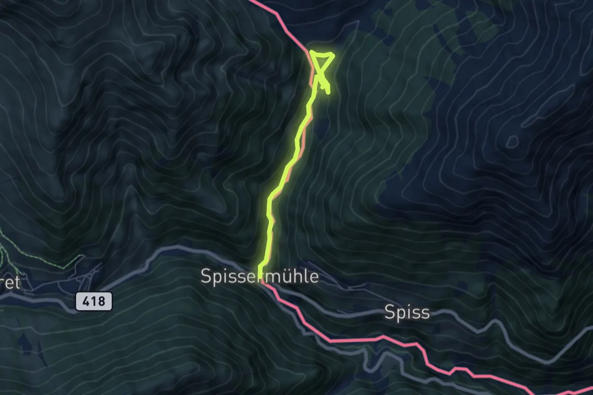
Easy · Trail
Spissermuhle – Zanderwiesen (AT)
5.1 km · ↑ 246 m · 1 h 44 min
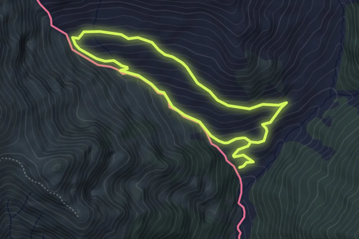
Easy · Trail
Zanderswiesen – Fliesser Alpe
4.0 km · ↑ 254 m · 1 h 35 min
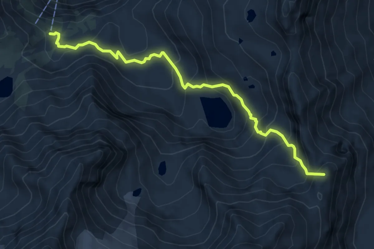
Demanding · Summit
Nürnberger Hütte – Sulzenauhütte
6.9 km · ↑ 659 m · 3 h 3 min
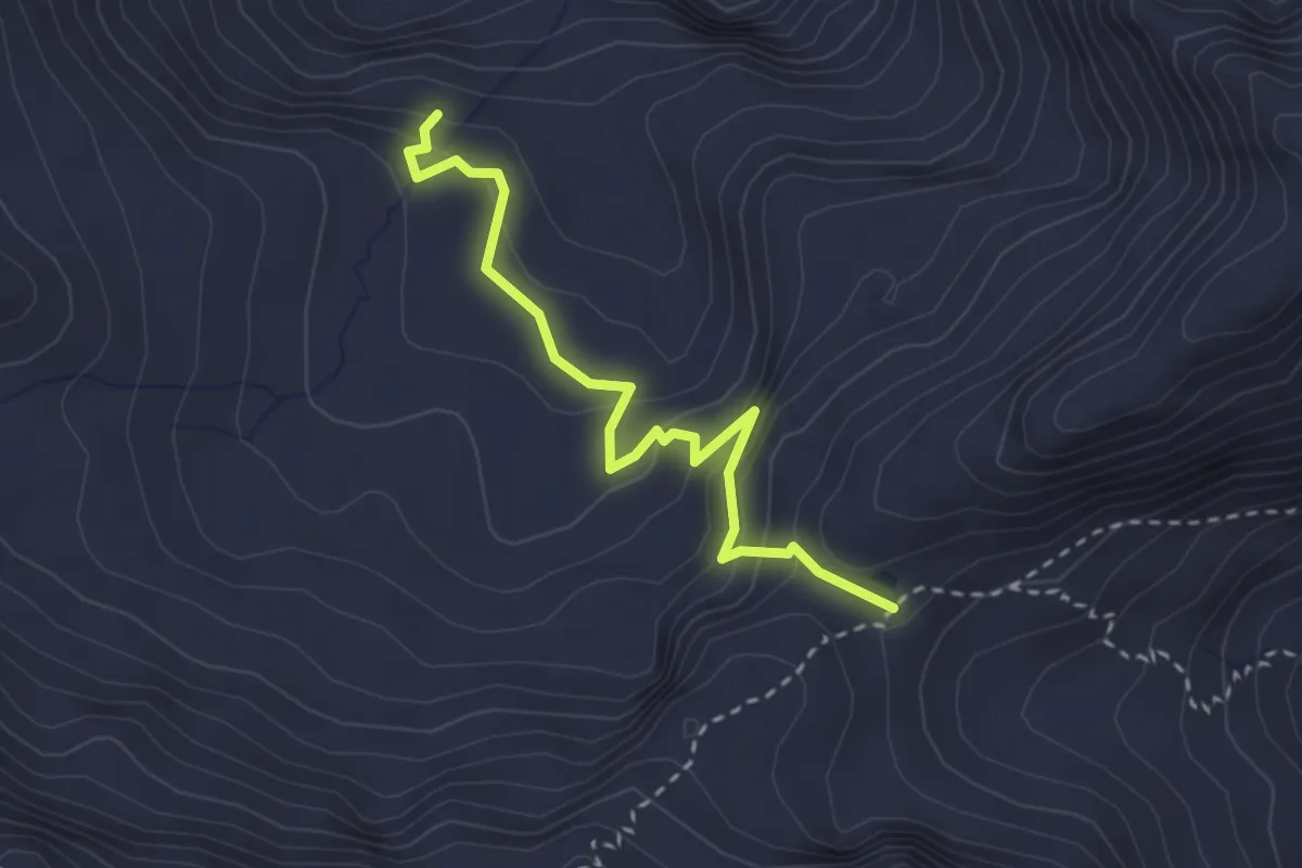
Easy · Trail
Maria Luggau – Luggauer Törl
2.8 km · ↑ 210 m · 1 h 8 min
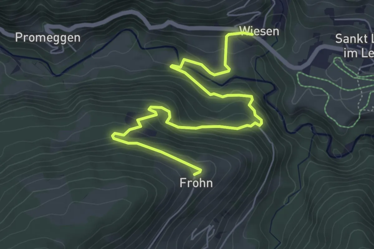
Medium · Trail
St. Lorenzen – Frohn
6.9 km · ↑ 355 m · 2 h 24 min
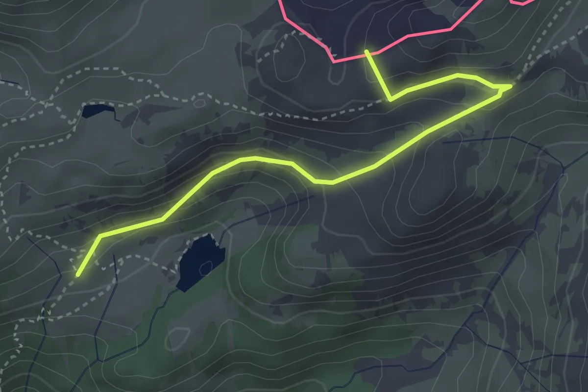
Medium · Summit
Casera Bordaglia di sopra (quota 1823 m) – Sella di Sissanis (bivio sentiero n. 142) (quota 1975 m)
3.6 km · ↑ 374 m · 1 h 39 min
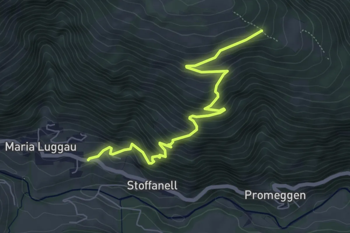
Medium · Trail
Maria Luggau – Samalm
6.1 km · ↑ 519 m · 2 h 34 min
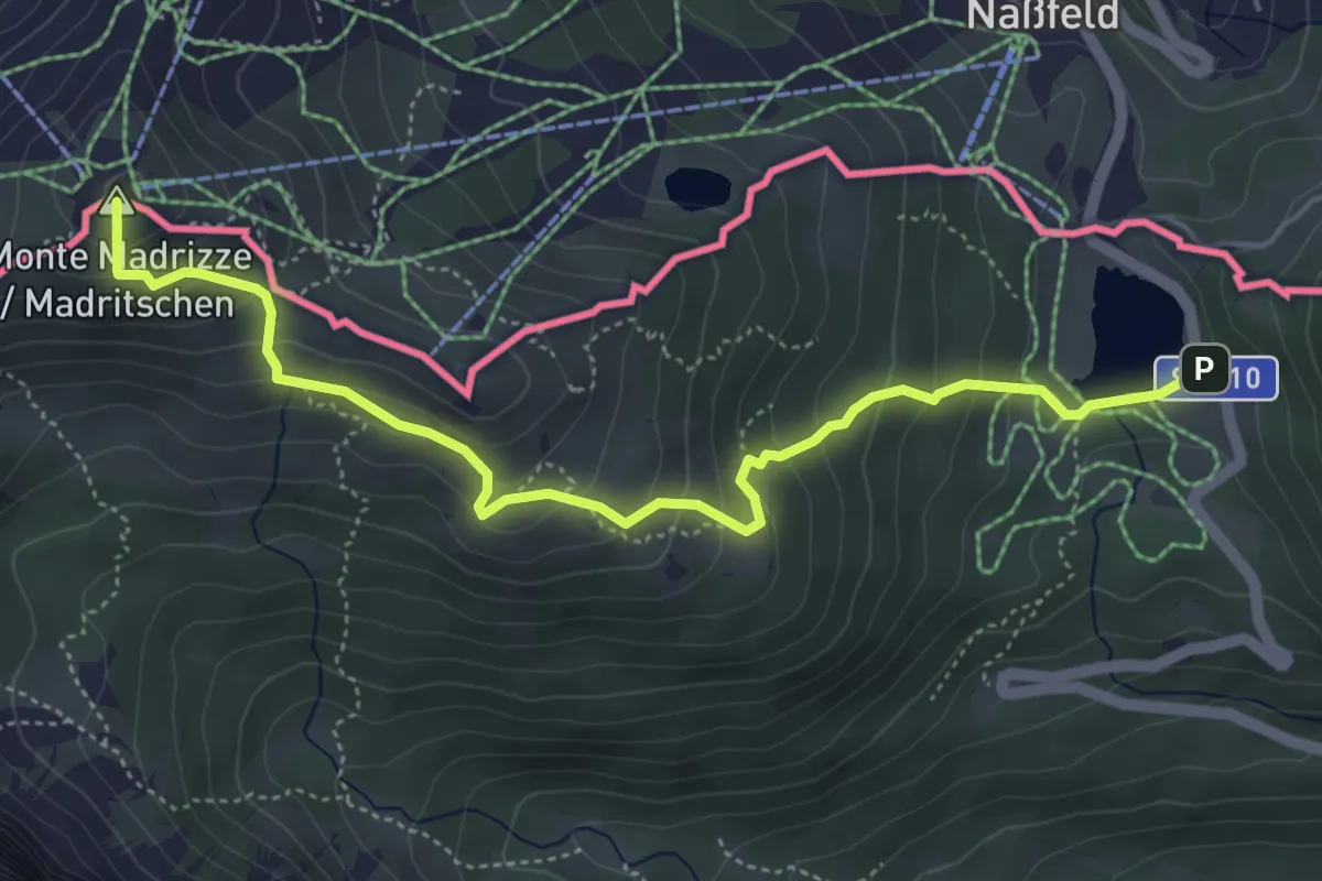
Medium · Summit
Passo Pramollo (quota 1470 m) – Sella Madrizze (quota 1833 m)
5.4 km · ↑ 392 m · 2 h 7 min
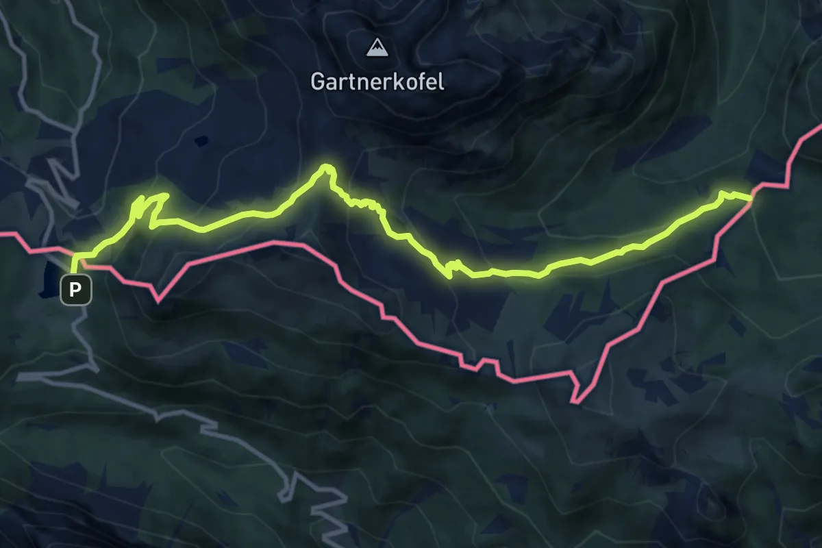
Medium · Summit
Passo Pramollo – Egger Alm
12.7 km · ↑ 713 m · 4 h 33 min
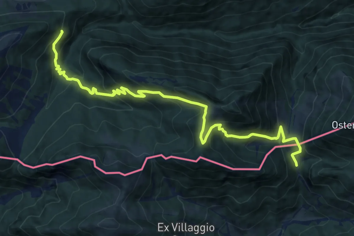
Demanding · Cabin
Egger Alm – Rifugio Nordio
15.5 km · ↑ 1164 m · 6 h 11 min
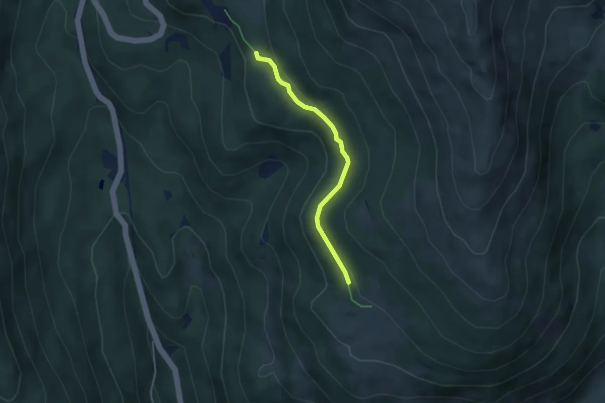
Easy · Trail
Grünsee – Vastlhütte
3.2 km · ↑ 50 m · 51 min
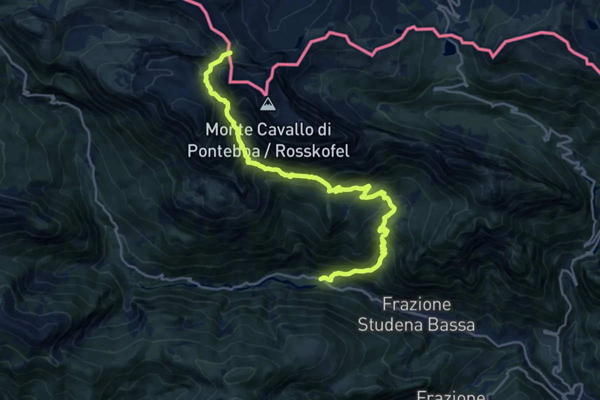
Demanding · Trail
Studena Bassa (quota 730 m) – Sella Aip (quota 1942 m)
16.0 km · ↑ 1551 m · 7 h 8 min
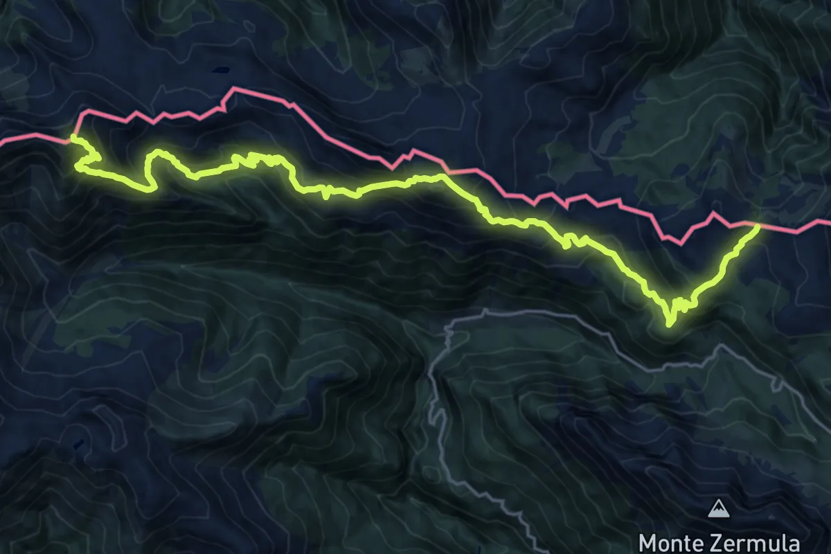
Demanding · Summit
Passo Promosio (quota 1804 m) – Sella di Cordin (quota 1776 m)
24.0 km · ↑ 1990 m · 9 h 59 min
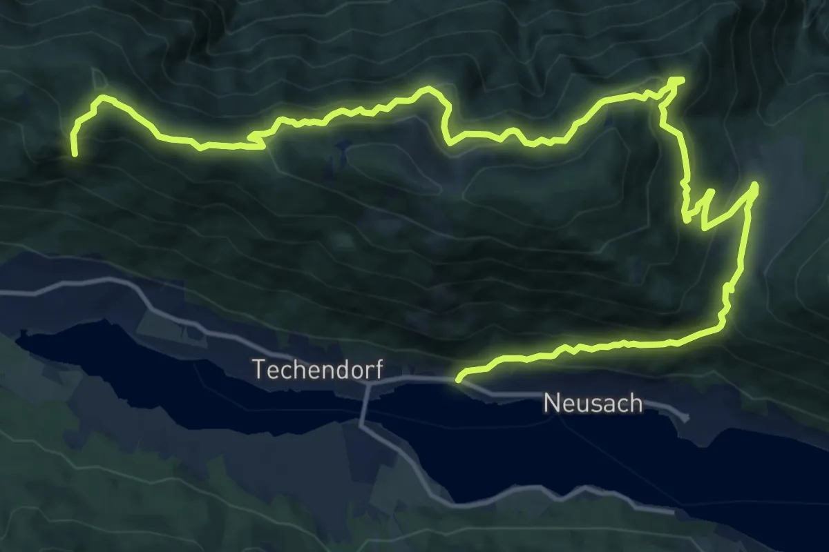
Demanding · Summit
Neusach – Praditz
21.1 km · ↑ 970 m · 7 h 5 min
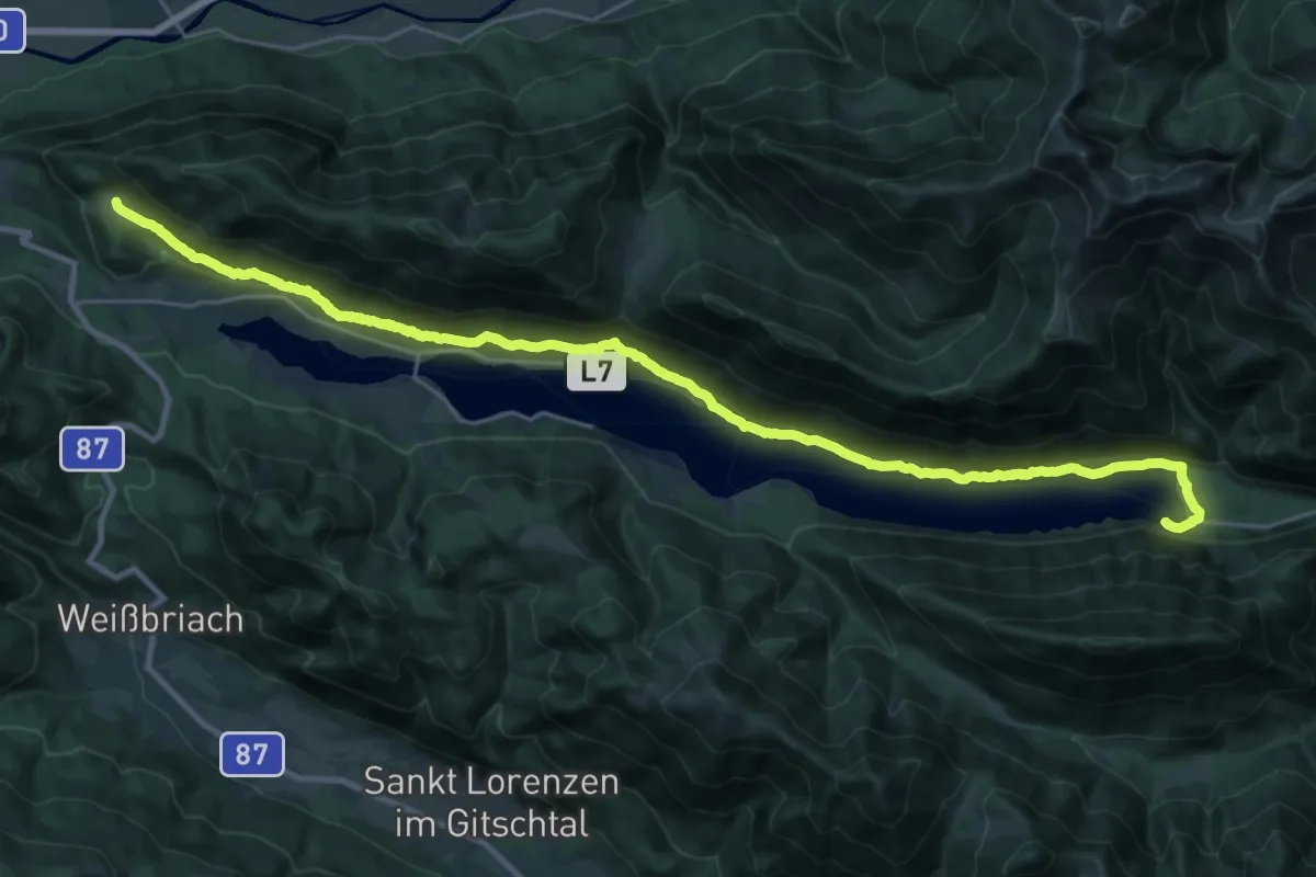
Demanding · Trail
Tschabitscher – Dolomitenblick
15.1 km · ↑ 375 m · 4 h 31 min
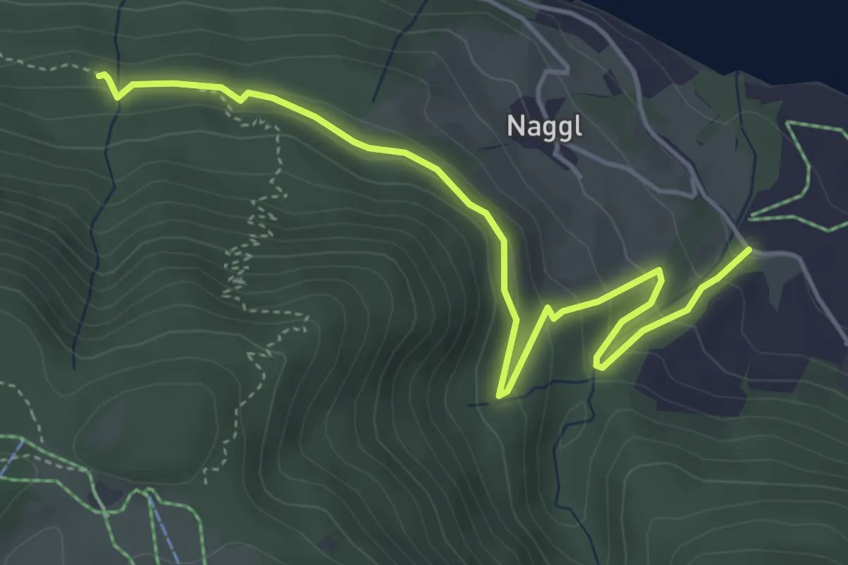
Easy · Trail
25/Weissensee Bergbahn – Raderhof
5.1 km · ↑ 150 m · 1 h 32 min
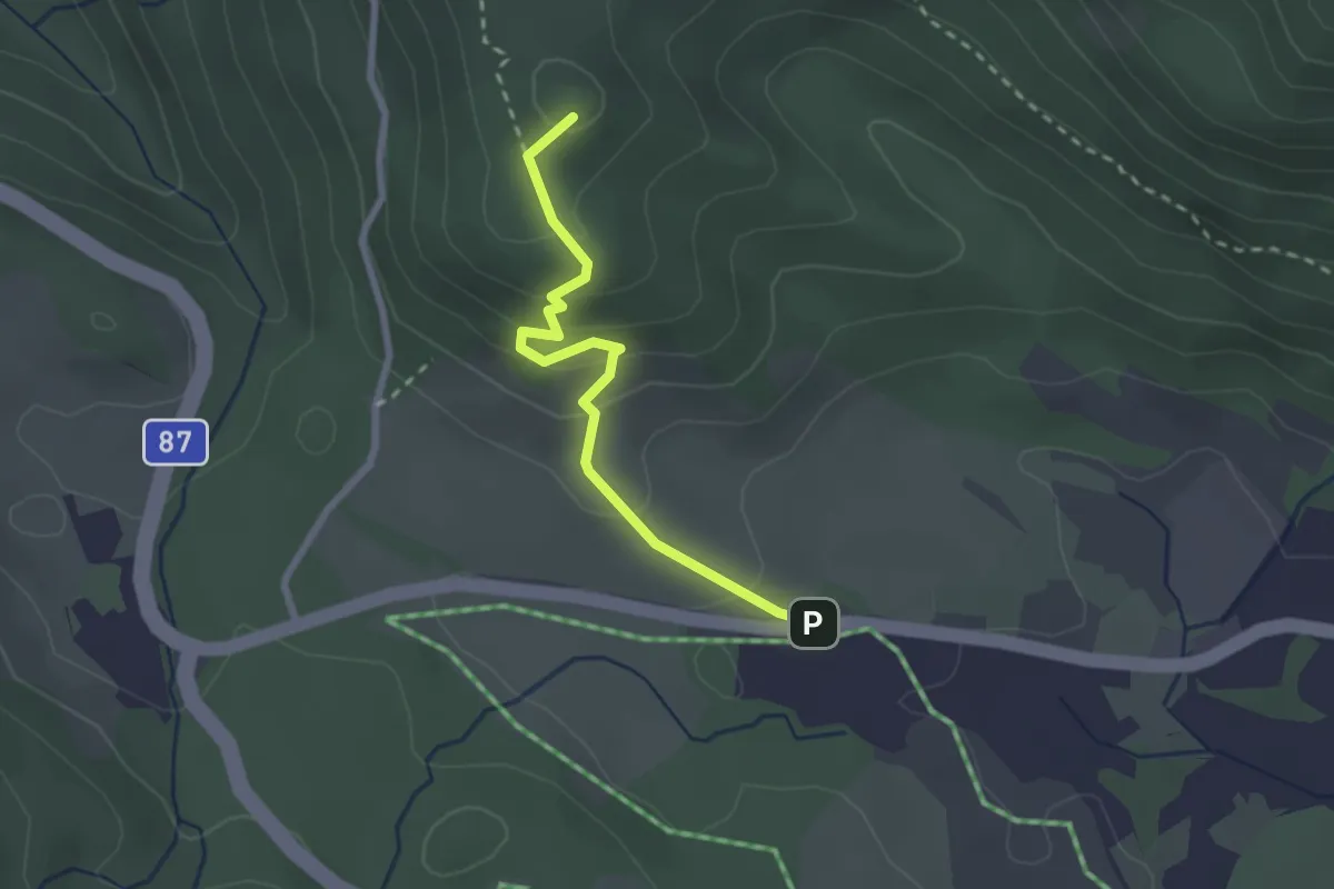
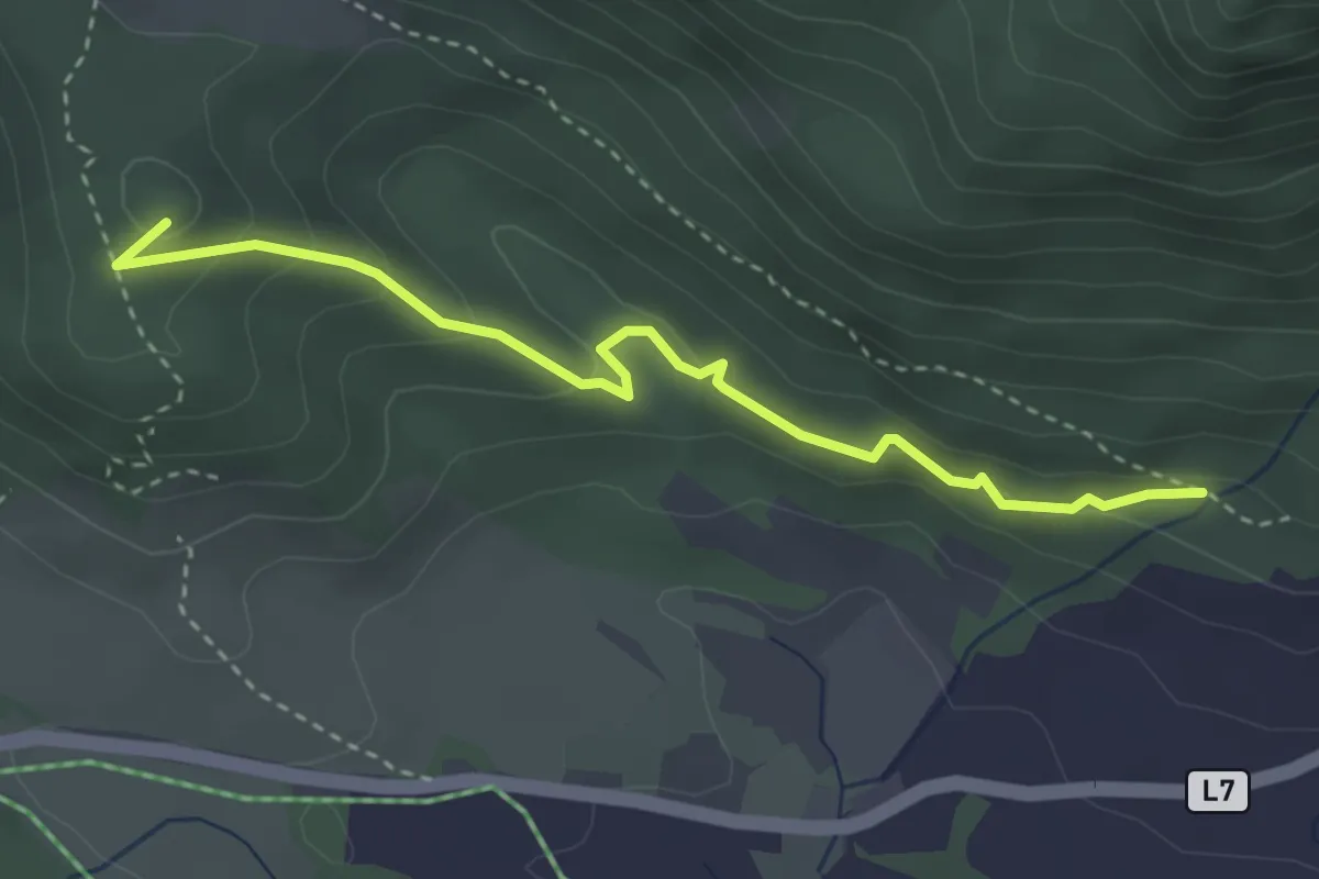
Medium · Summit
Urschitz – Parkplatz Praditz West
2.4 km · ↑ 146 m · 53 min
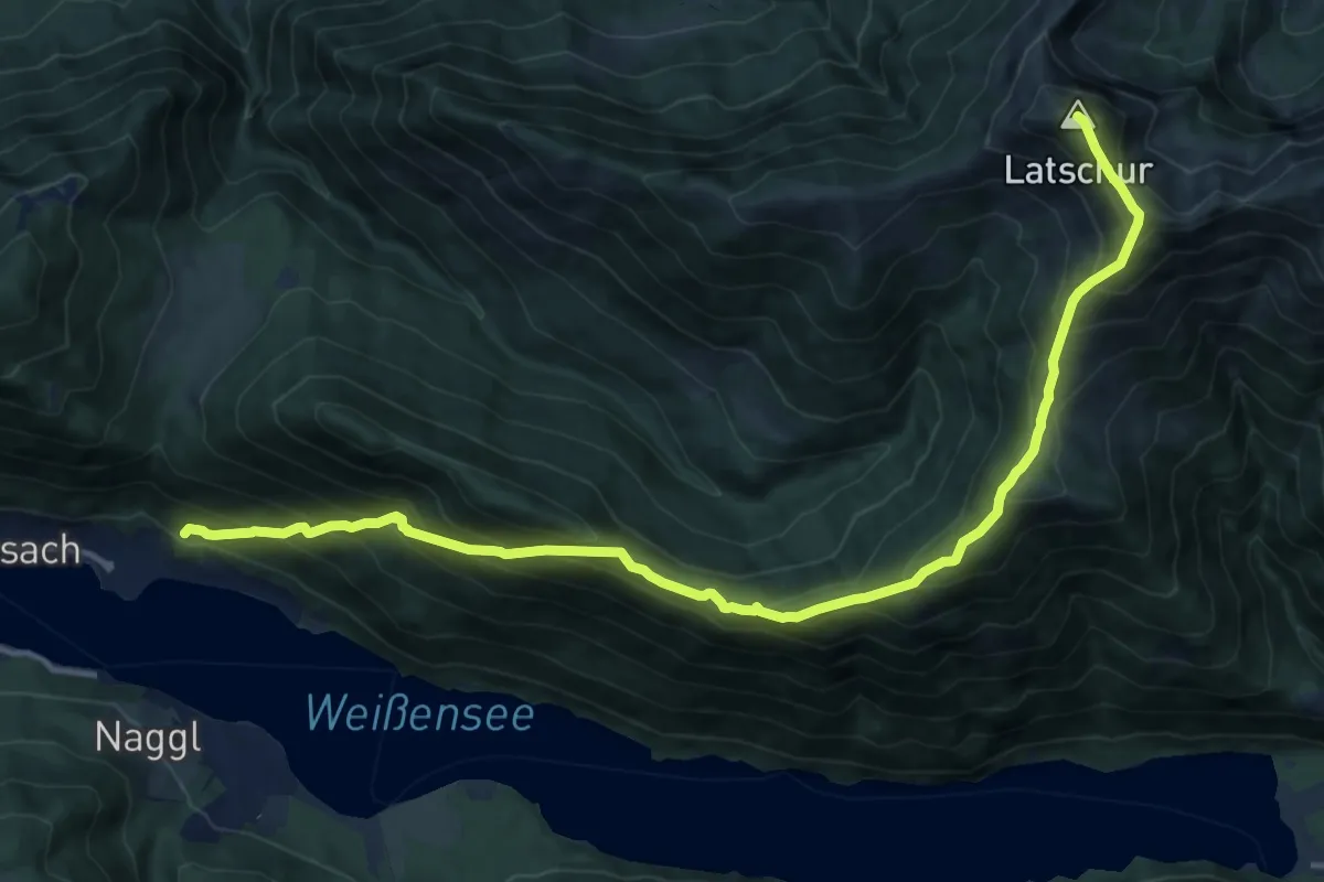
Medium · Summit
Trabitscher – Oberdorf
3.4 km · ↑ 174 m · 1 h 11 min
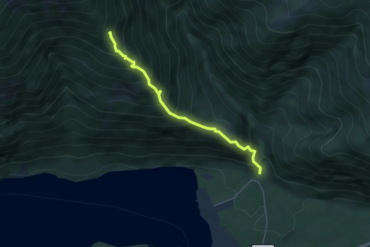
Demanding · Summit
Neusach – Latschur
15.8 km · ↑ 1394 m · 6 h 46 min
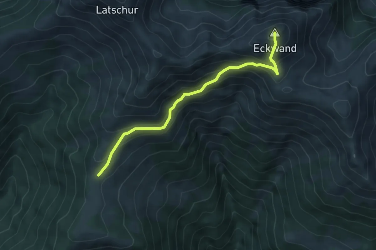
Medium · Trail
Ortsee – 9b/Techendorfer Alm
4.0 km · ↑ 585 m · 2 h 12 min
Medium · Summit
Stosia – Latschur
5.1 km · ↑ 451 m · 2 h 11 min
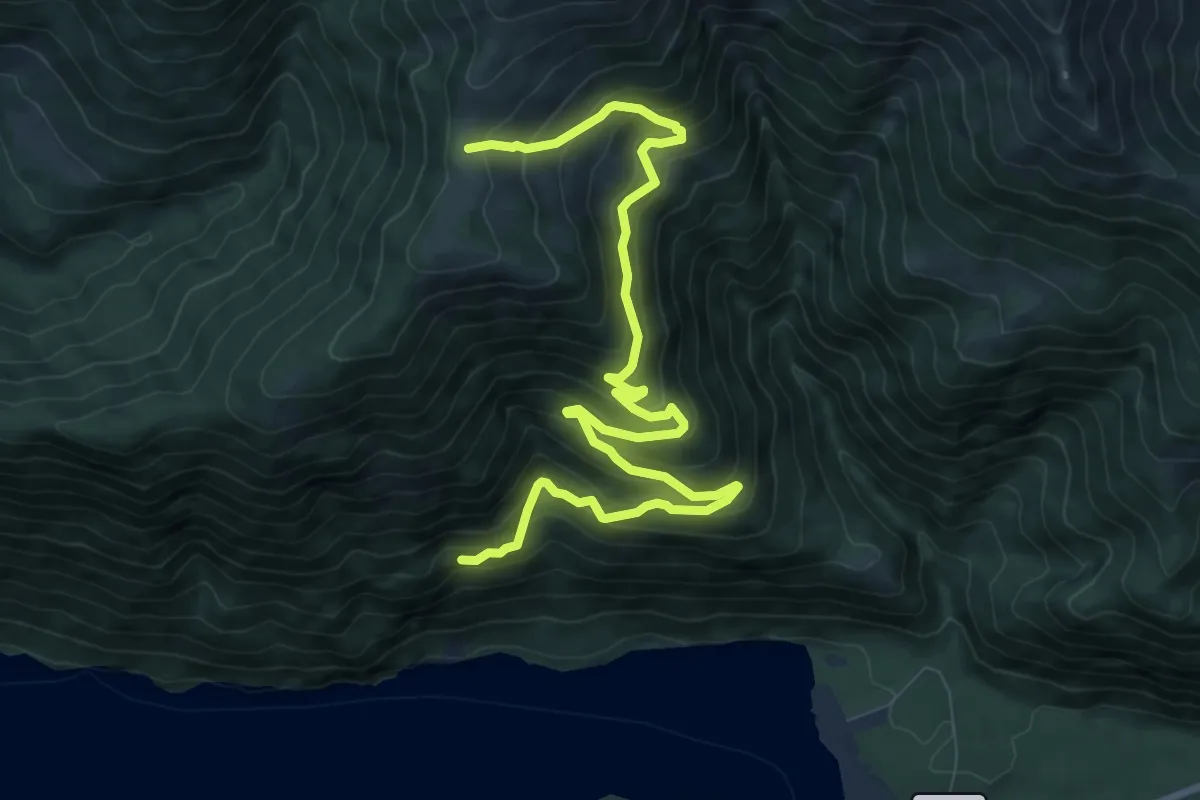
Medium · Trail
10/Ostufer – Stosia
11.1 km · ↑ 647 m · 4 h 2 min
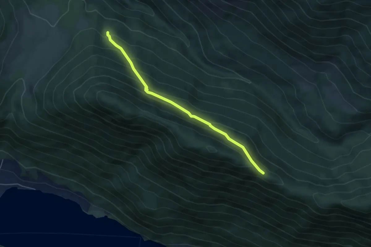
Easy · Trail
Fellschartenhütte – Zihagas
4.7 km · ↑ 293 m · 1 h 45 min
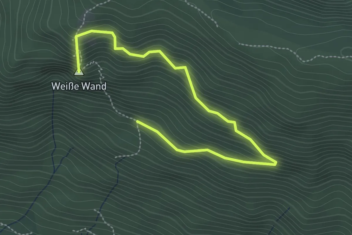
Medium · Summit
7/Oberdorf – 7/Weiße Wand
3.4 km · ↑ 245 m · 1 h 20 min
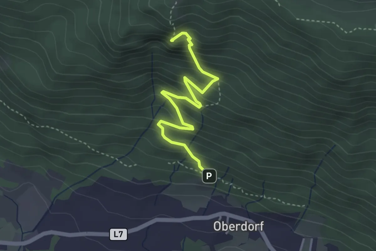
Demanding · Summit
Oberdorf – Weiße Wand
3.6 km · ↑ 354 m · 1 h 36 min
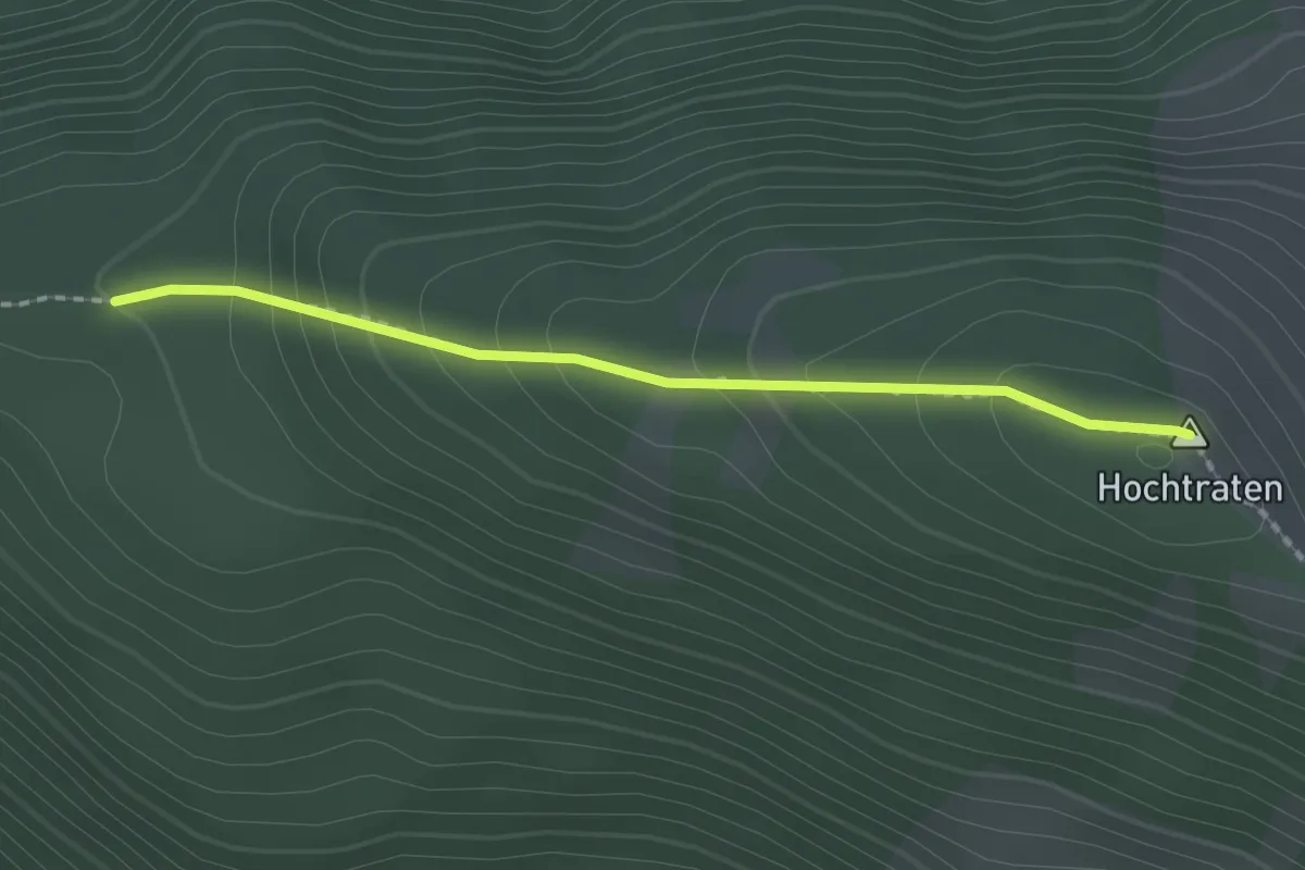
Medium · Summit
Hochtraten – 2/Weiße Wand
1.8 km · ↑ 146 m · 45 min
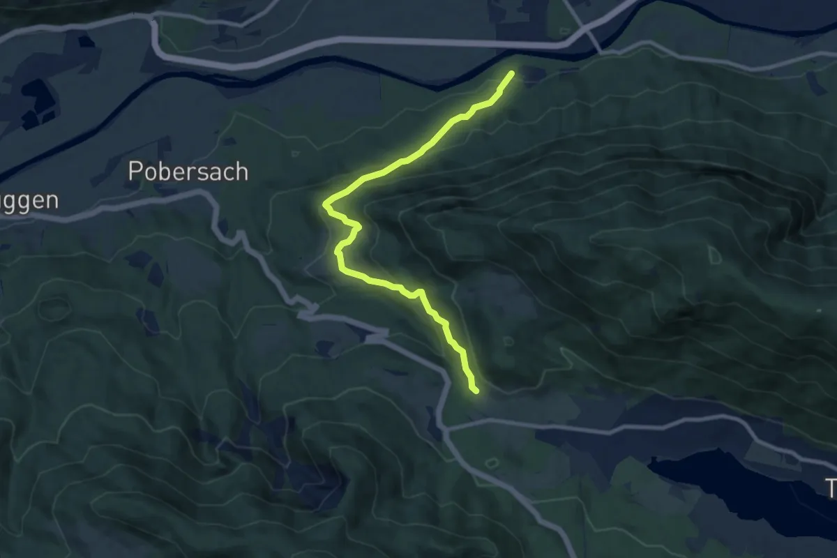
Medium · Trail
Steinfeld – Kreuzberg
8.9 km · ↑ 402 m · 2 h 59 min
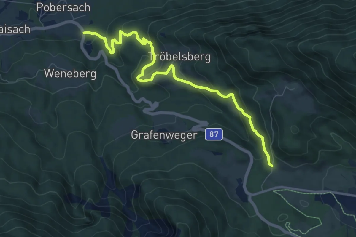
Medium · Trail
Pobersach – Kreuzberg
8.6 km · ↑ 329 m · 2 h 44 min
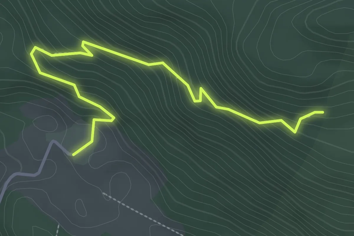
Medium · Trail
2/Praditz – Tschabitscher
3.4 km · ↑ 243 m · 1 h 20 min
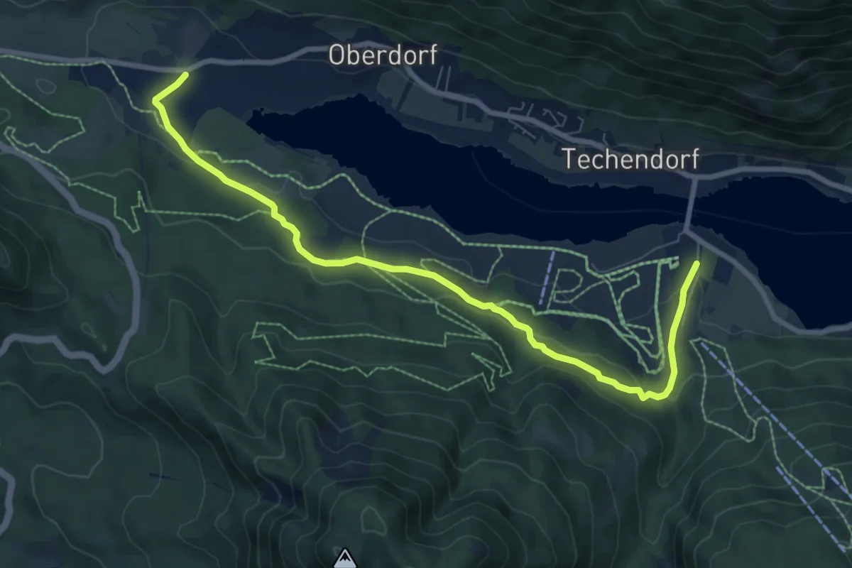
Medium · Trail
Praditz – Weissensee Bergbahn Talstation
8.6 km · ↑ 171 m · 2 h 24 min
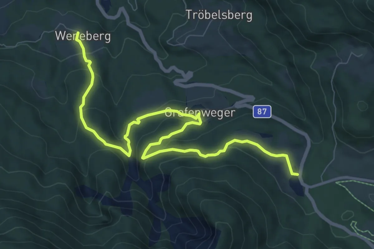
Medium · Trail
Weneberg – Kreuzwirt
10.0 km · ↑ 412 m · 3 h 15 min
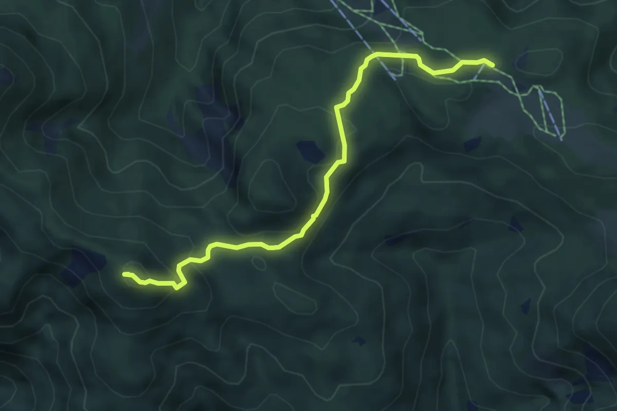
Demanding · Summit
21/Techendorf – Naggler Alm
5.7 km · ↑ 233 m · 1 h 50 min
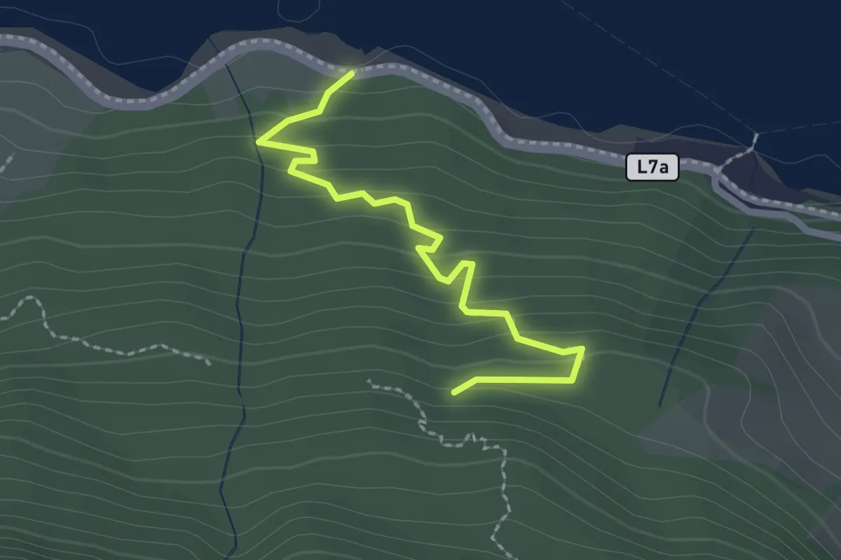
Easy · Trail
Nockgraben Mündung – Gelintzen
2.2 km · ↑ 121 m · 47 min
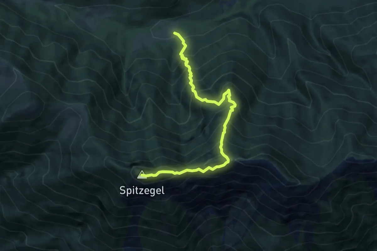
Demanding · Summit
Fischeralm – Spitzegel
8.9 km · ↑ 1178 m · 4 h 39 min
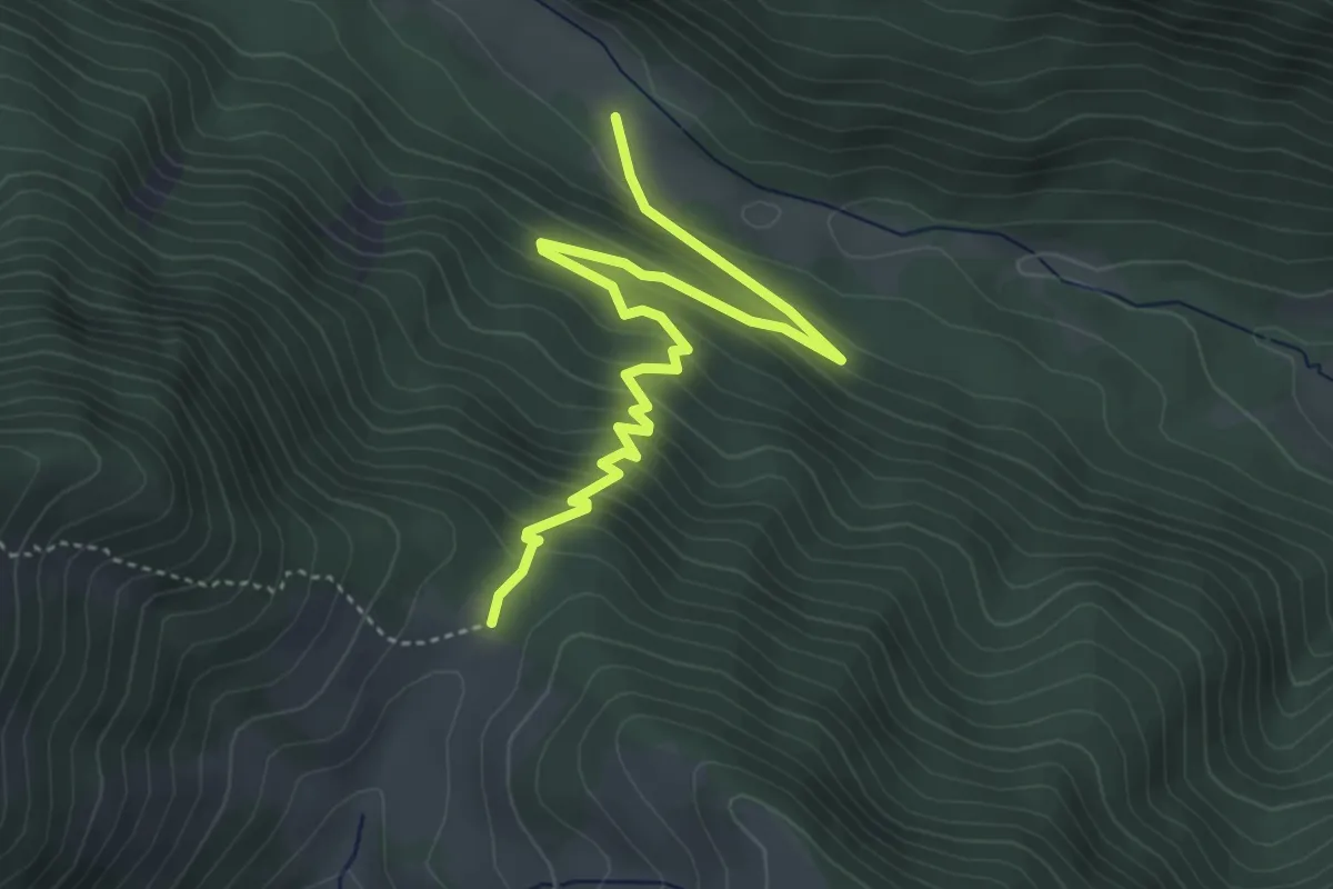
Medium · Trail
Hermagorer Bodenalm – Radniger Sattel
4.8 km · ↑ 331 m · 1 h 51 min
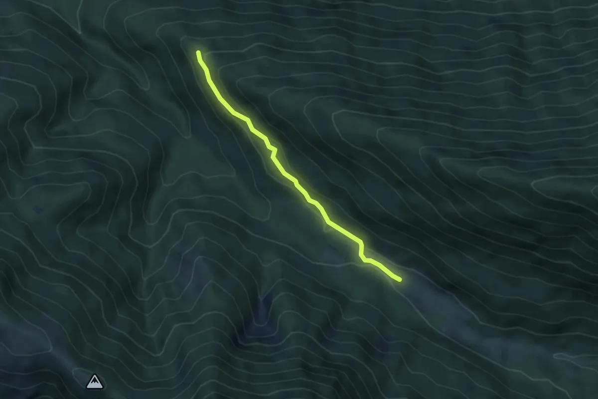
Easy · Cabin
30/Paterzipf – Hermagorer Bodenalm
4.2 km · ↑ 89 m · 1 h 11 min
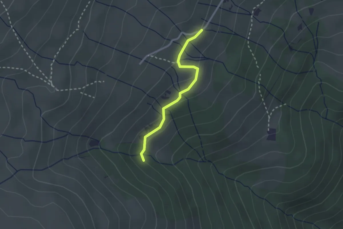
Medium · Trail
Pöllinger Hütte – Parkplatz Wolfsberger Hütte
2.0 km · ↑ 67 m · 38 min
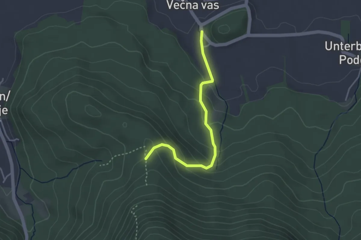
Easy · Trail
Wackendorf – Abz. 640
3.0 km · ↑ 173 m · 1 h 5 min
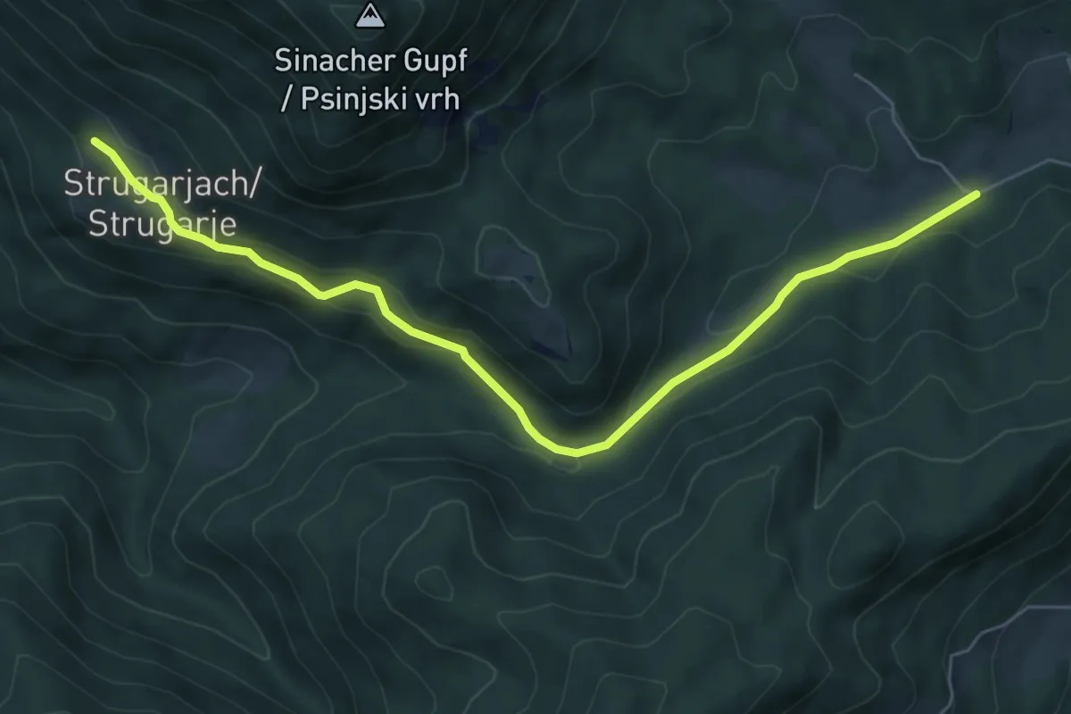
Easy · Trail
Windisch Bleiberg – Strugarjach
6.8 km · ↑ 192 m · 2 h 2 min
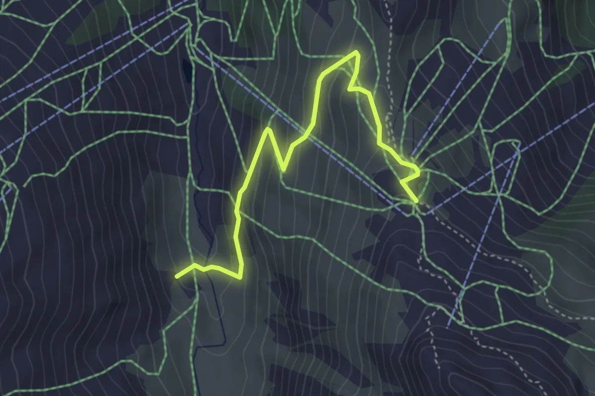
Medium · Trail
Alp Nova – Versettlabahn Bergstation
4.1 km · ↑ 291 m · 1 h 35 min
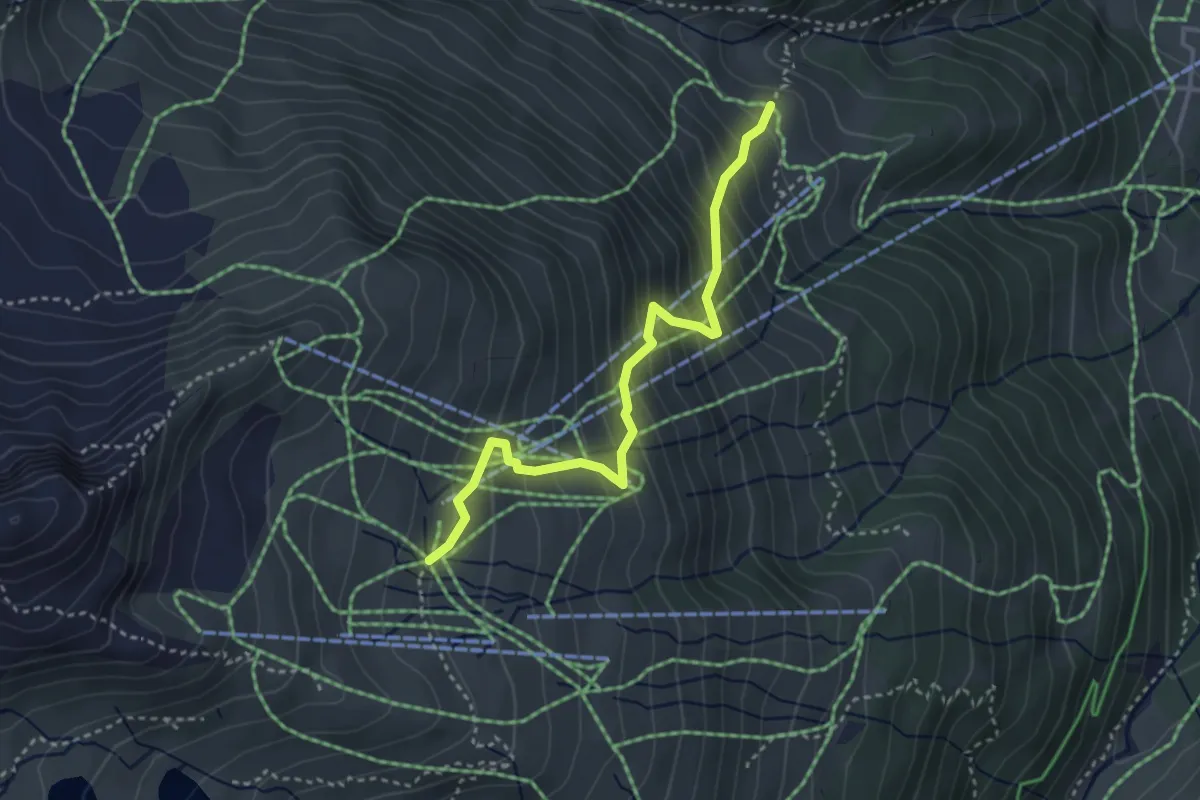
Medium · Trail
Gargellenalpe/Kessl-Hütte – Schafberg
3.4 km · ↑ 391 m · 1 h 39 min