Trails in Austria
9,777 hiking trails, each with its route, climb, walking time and grade.
All trails, page 198 of 204
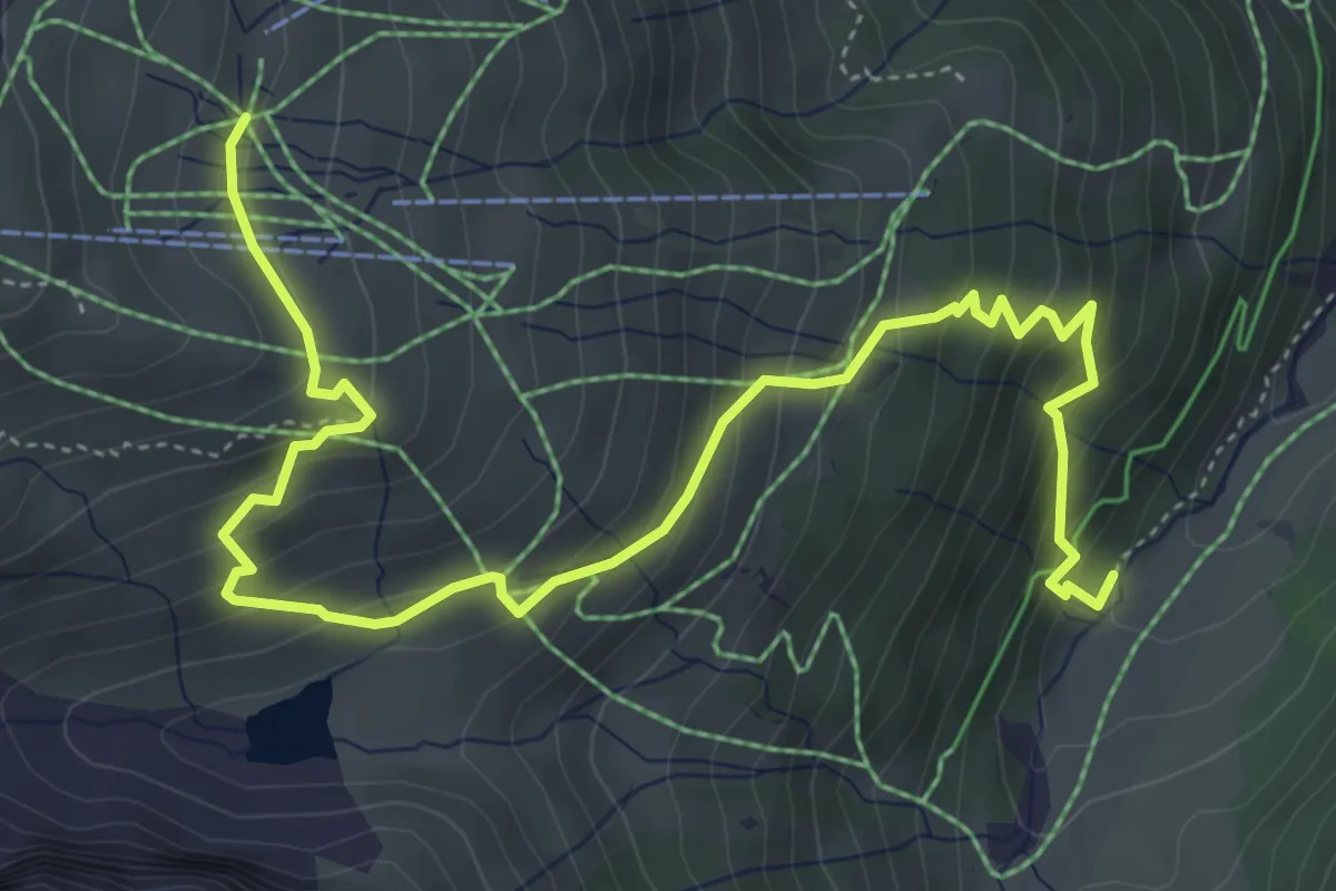
Medium · Cabin
(Valifenzalpe) – Schafberg
6.2 km · ↑ 486 m · 2 h 31 min
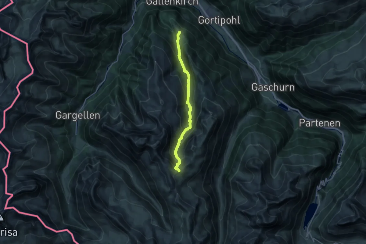
Demanding · Trail
Garfreschabahn Bergstation – Matschuner Joch
14.8 km · ↑ 917 m · 5 h 28 min
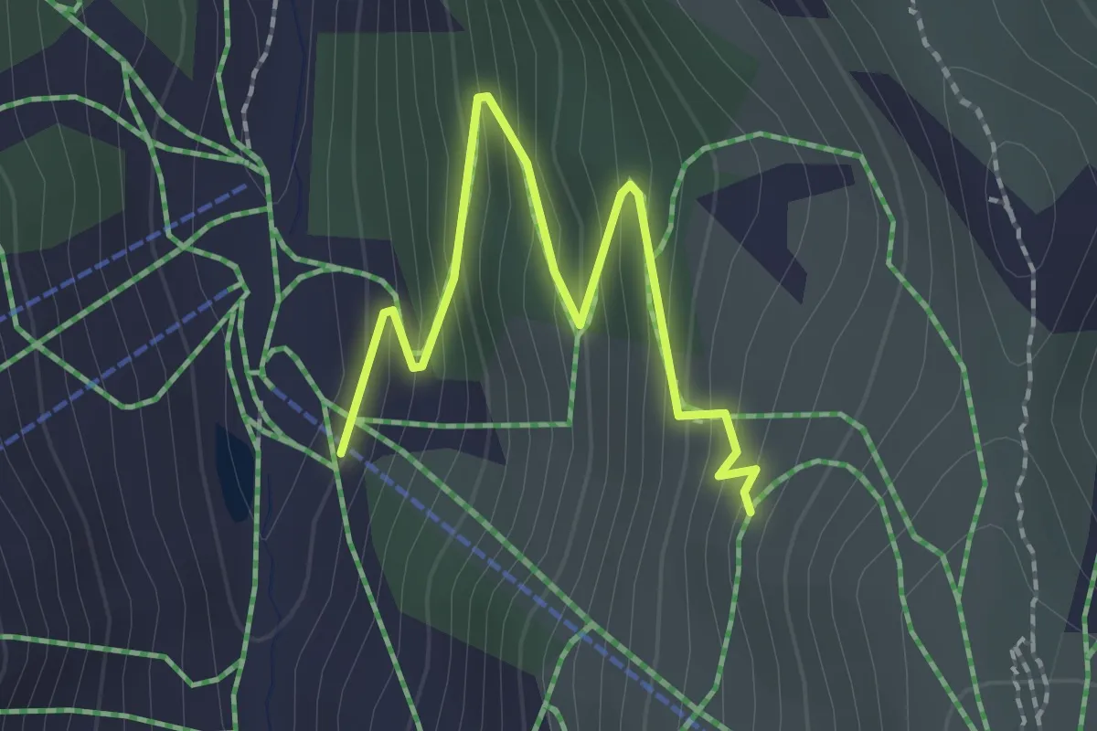
Easy · Trail
(Novatal) – (Versettlabahn Bergstation)
2.2 km · ↑ 191 m · 57 min
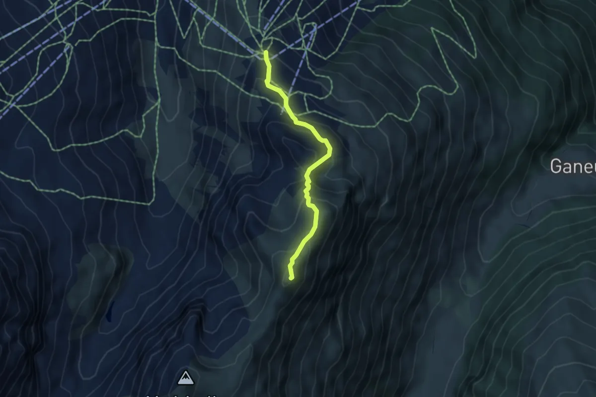
Medium · Summit
Versettlabahn Bergstation – Matschuner Joch
3.9 km · ↑ 362 m · 1 h 42 min
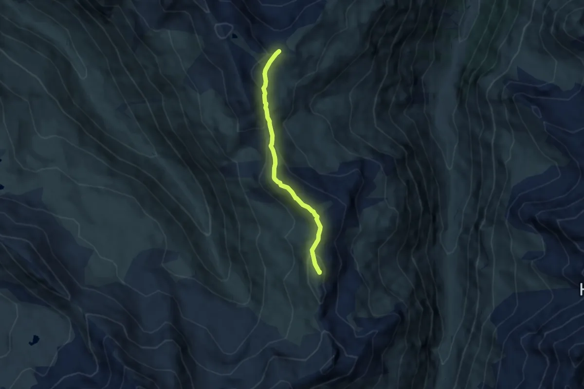
Medium · Summit
Matschuner Joch – Vergaldner Joch
5.6 km · ↑ 329 m · 2 h 1 min
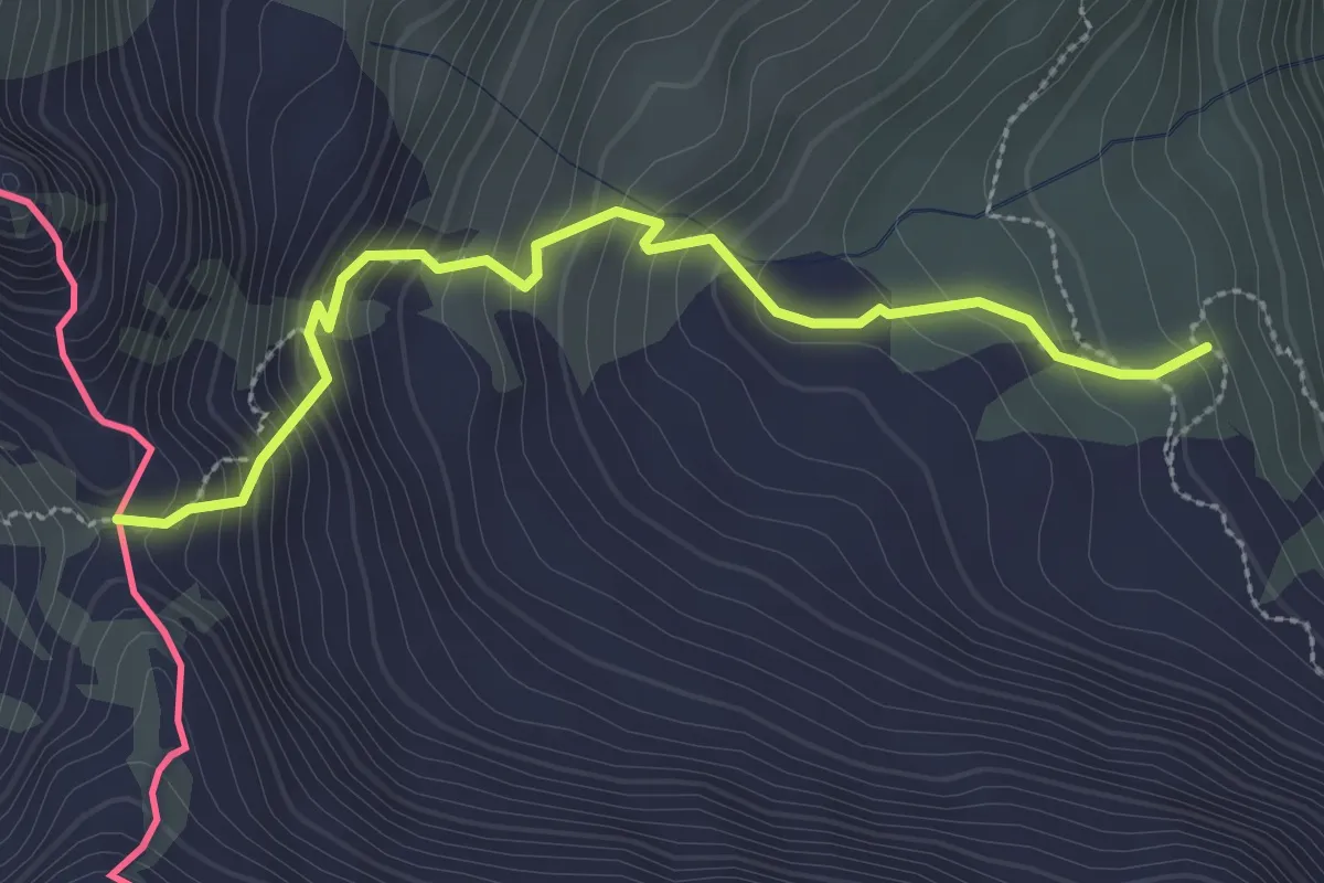
Easy · Trail
(Gaschurn) – Garnerajoch
2.9 km · ↑ 307 m · 1 h 21 min
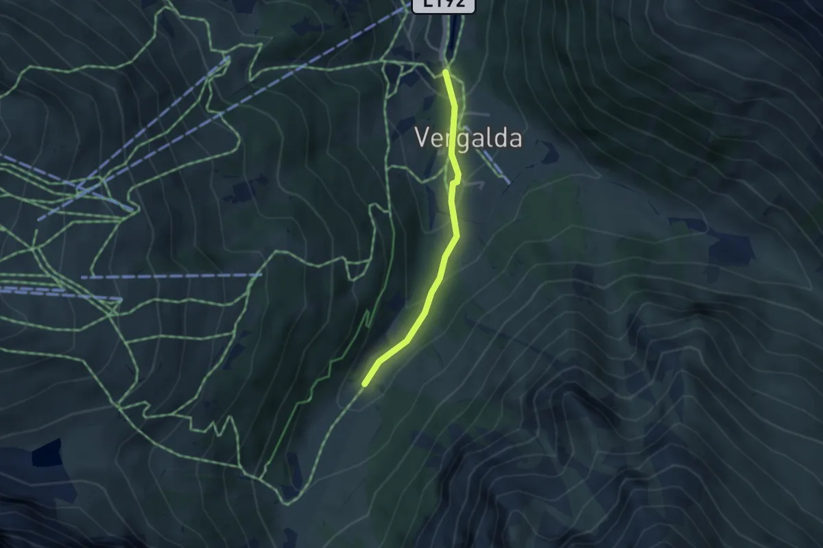
Medium · Trail
(Gargellen) – (Valifenzalpe)
2.9 km · ↑ 165 m · 1 h 2 min
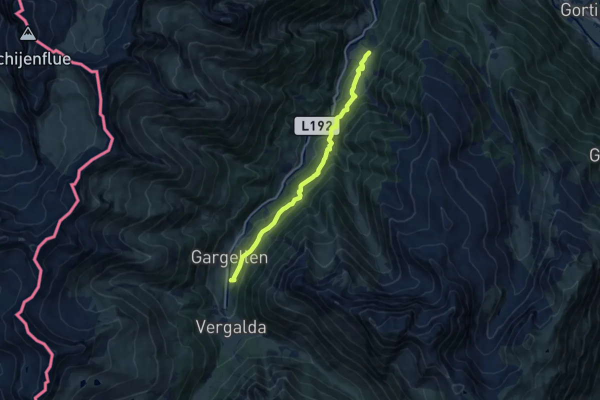
Medium · Trail
(St. Gallenkirch) – Gargellen
10.3 km · ↑ 471 m · 3 h 27 min
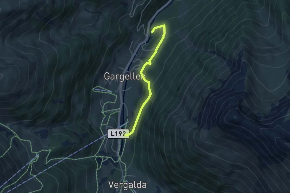
Easy · Trail
(Fideliskapelle) – Gargellen
3.3 km · ↑ 192 m · 1 h 11 min
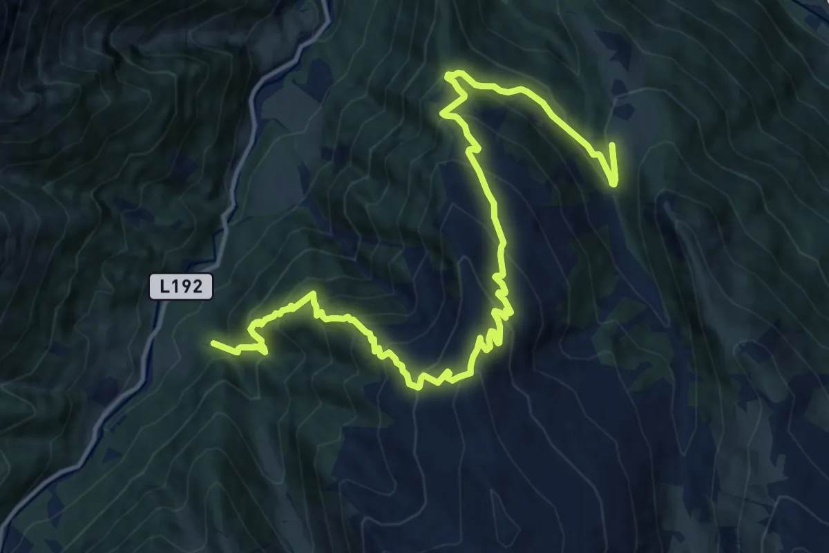
Demanding · Trail
(Gargellen) – Garfrescha
15.8 km · ↑ 1437 m · 6 h 50 min
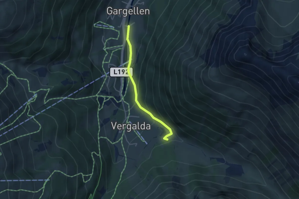
Easy · Trail
Gargellen – Vergalda
2.9 km · ↑ 180 m · 1 h 4 min
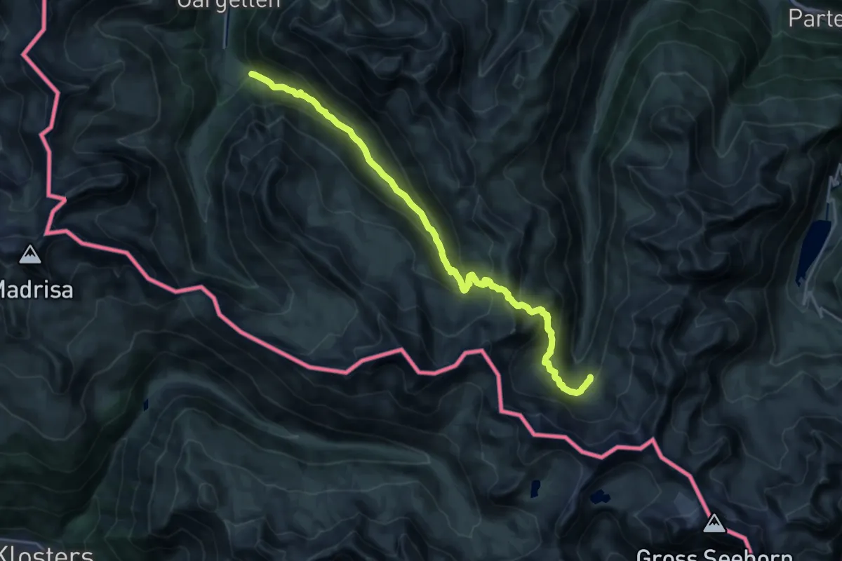
Demanding · Cabin
(Gargellen) – Tübinger Hütte
20.9 km · ↑ 1282 m · 7 h 42 min
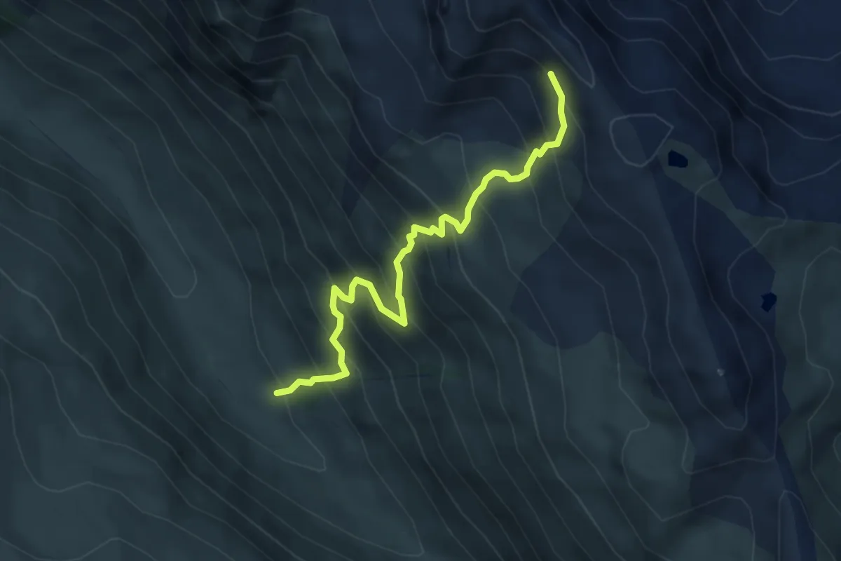
Medium · Trail
(Vergaldaalpe) – (Heimspitze)
4.6 km · ↑ 607 m · 2 h 24 min
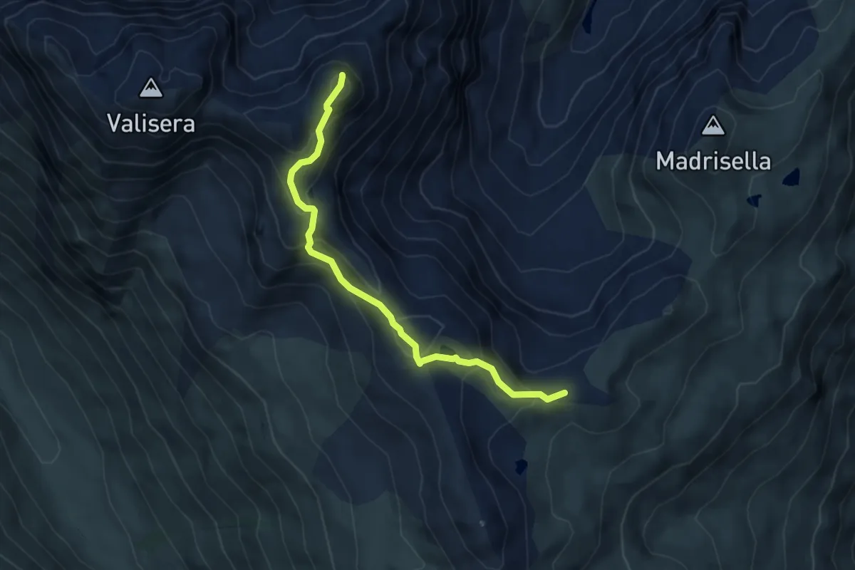
Medium · Summit
Matschunerjoch – Heimspitze
4.5 km · ↑ 439 m · 2 h 1 min
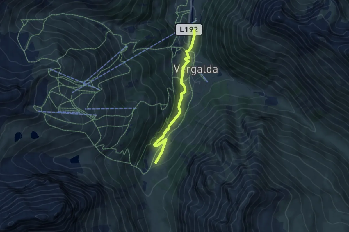
Medium · Trail
(Gargellen) – Valifenzalpe
5.1 km · ↑ 273 m · 1 h 47 min
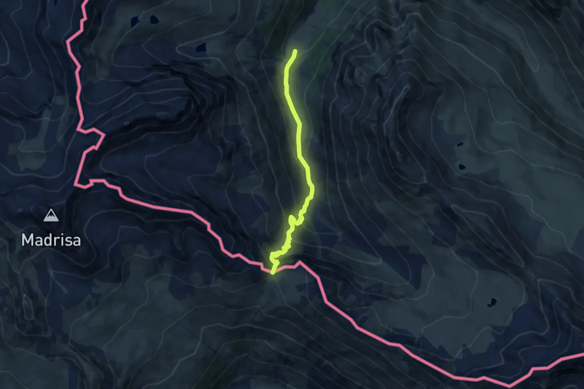
Medium · Trail
Valifenzalpe – Schlappiner Joch
7.3 km · ↑ 512 m · 2 h 50 min
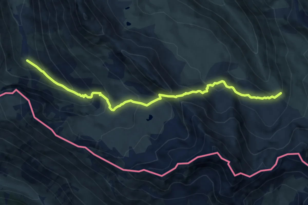
Demanding · Trail
(Valifenzalpe) – (Vergaldaalpe)
11.1 km · ↑ 970 m · 4 h 44 min
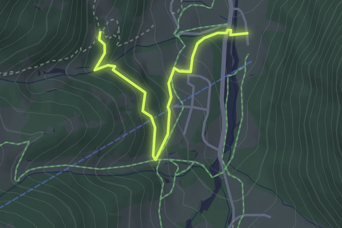
Easy · Trail
Schafbergbahn Talstation – Rüti
3.0 km · ↑ 195 m · 1 h 7 min
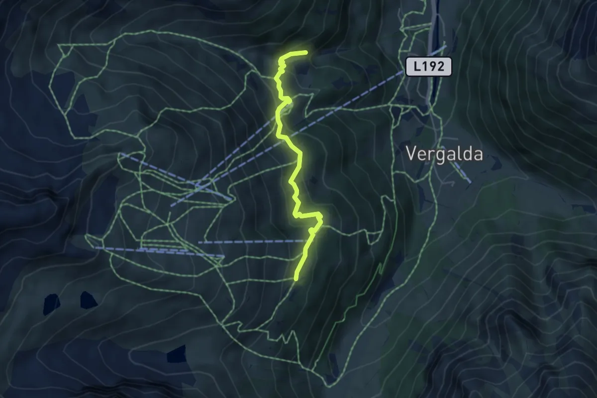
Medium · Trail
(Gargellen) – Obwaldhütte
4.3 km · ↑ 268 m · 1 h 36 min
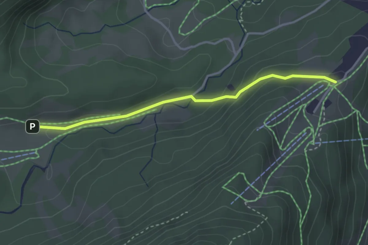
Easy · Trail
Auenhütte – Schöntal
2.9 km · ↑ 107 m · 55 min
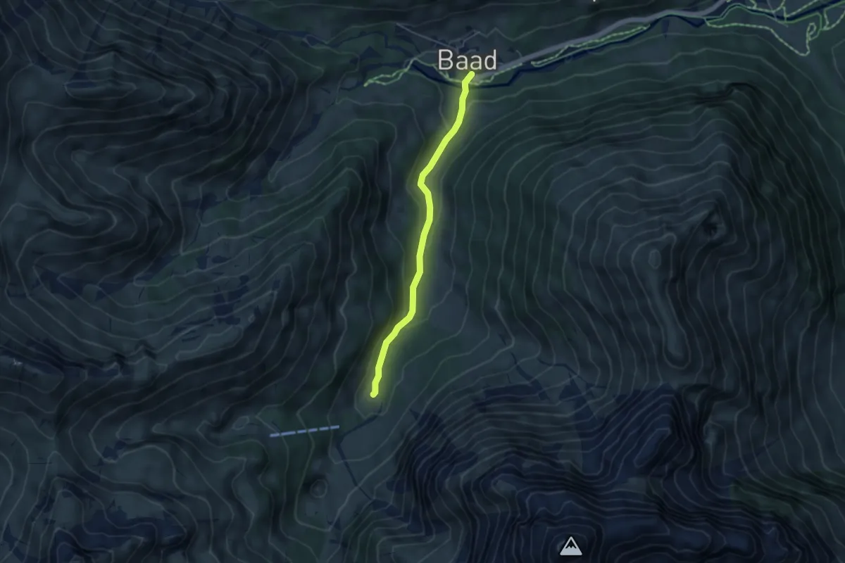
Easy · Trail
Baad – Bärgunthütte
4.1 km · ↑ 158 m · 1 h 19 min
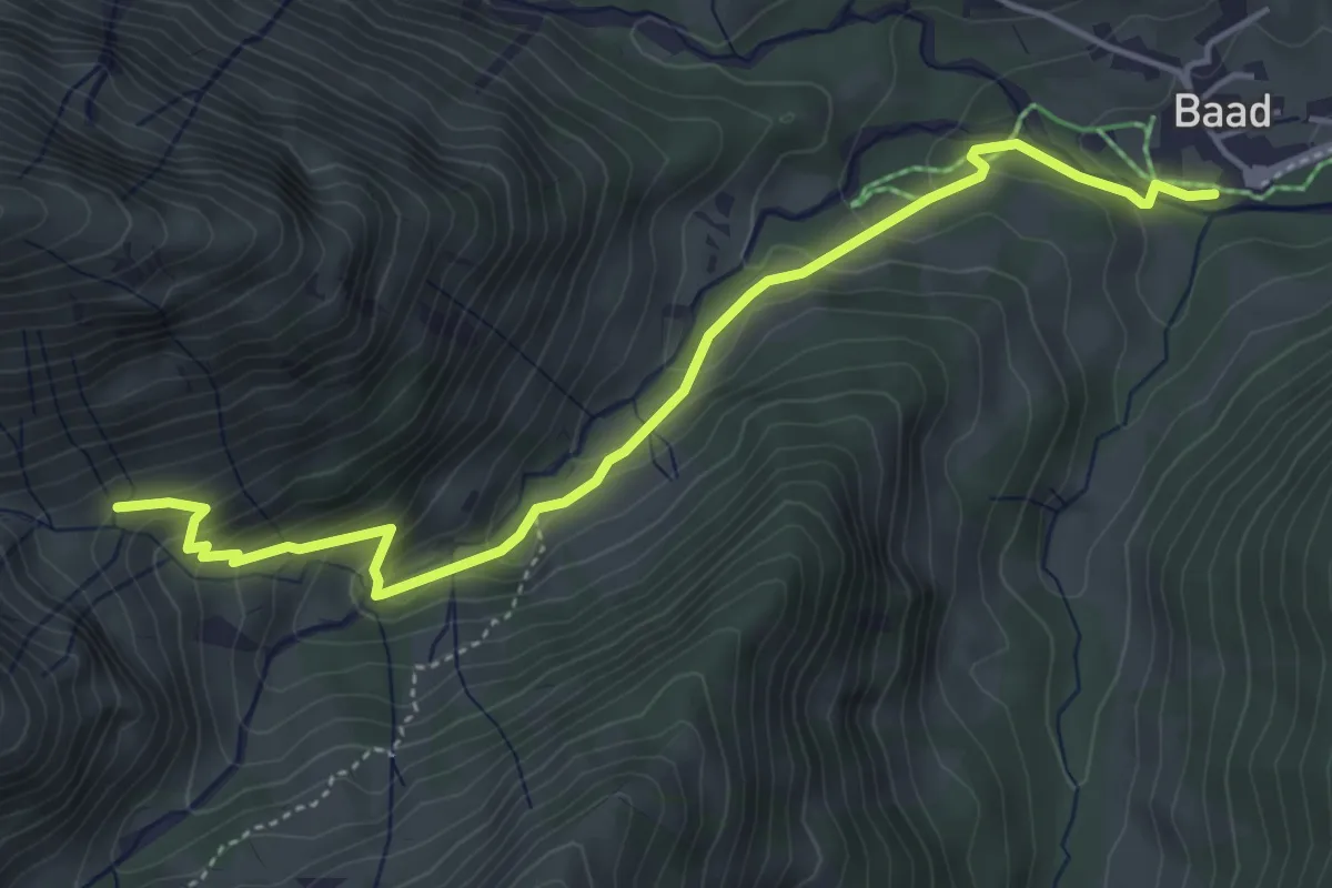
Medium · Trail
Baad – Mittlere Spitalalpe
4.9 km · ↑ 315 m · 1 h 50 min
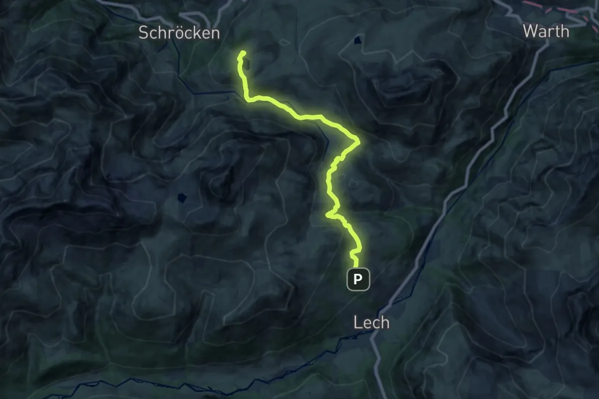
Medium · Trail
Oberlech – Körbersee
14.1 km · ↑ 520 m · 4 h 28 min
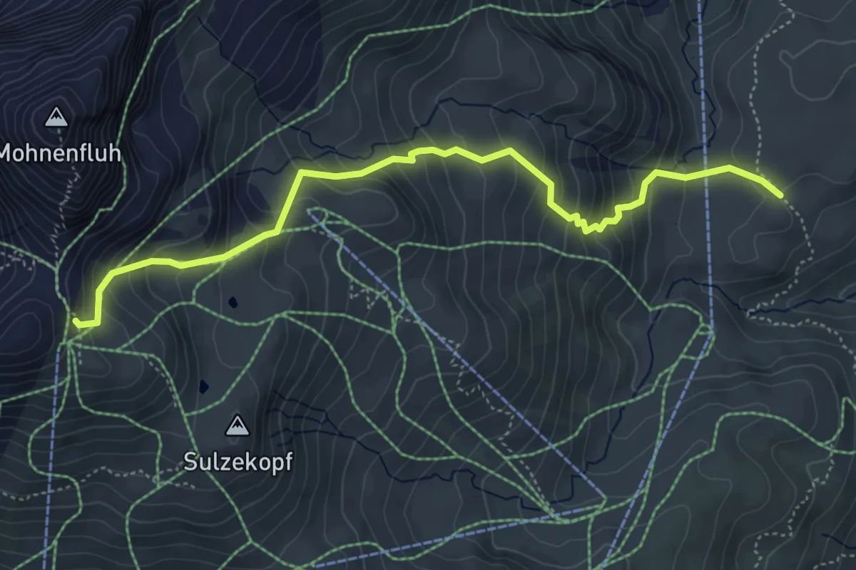
Medium · Trail
Untere Gaisbühelalpe – Mohnenfluhsattel
5.4 km · ↑ 531 m · 2 h 26 min
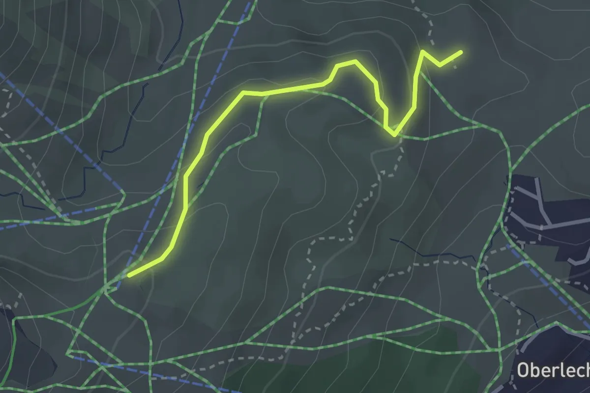
Easy · Trail
(Auenfeldsattel) – (Kriegersattel)
2.8 km · ↑ 135 m · 57 min
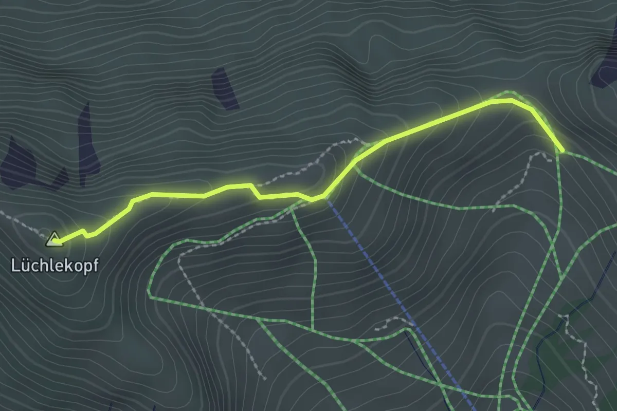
Demanding · Summit
(Walmendinger Horn) – Ochsenhofer Scharte
2.2 km · ↑ 213 m · 58 min
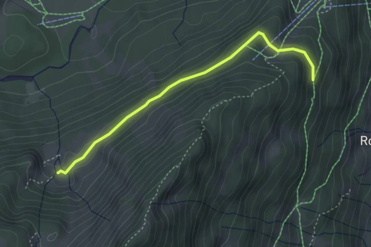
Medium · Trail
(Heuberg Bergstation) – Walmendingeralpe
3.5 km · ↑ 101 m · 1 h 2 min
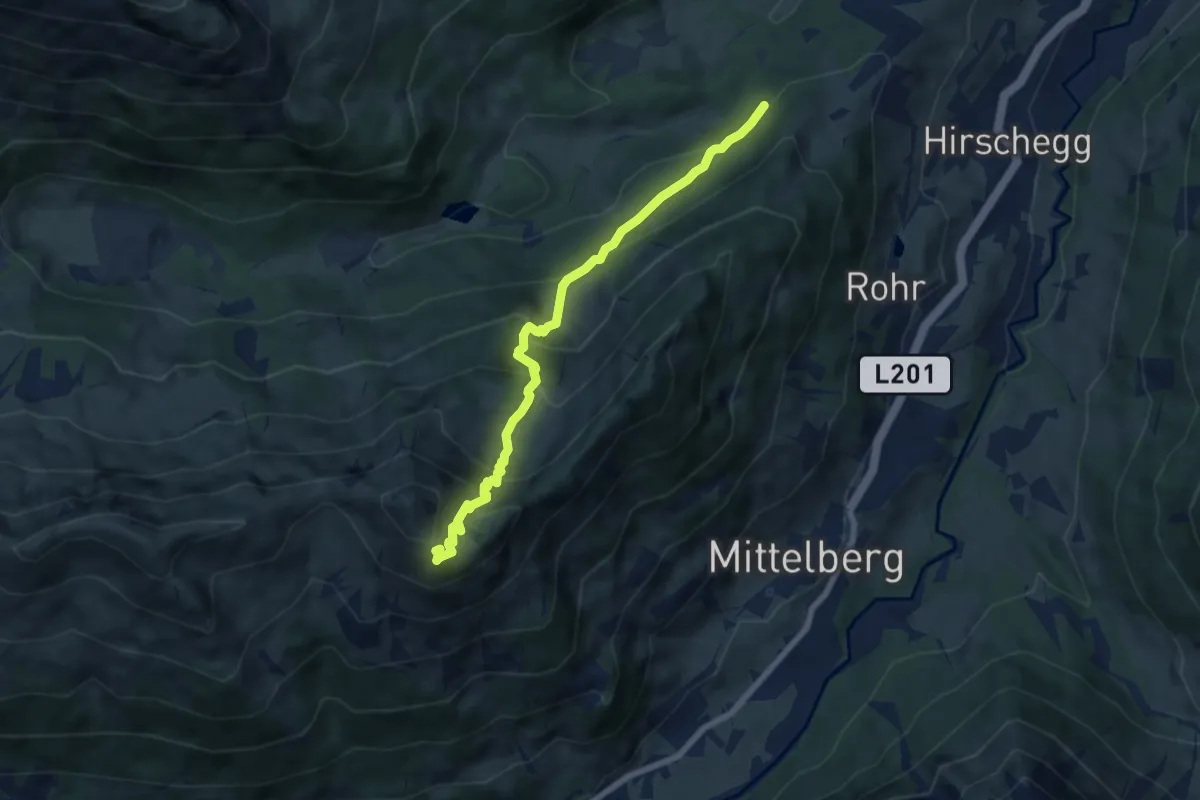
Medium · Trail
(Wäldele) – (Walmendinger Horn)
7.0 km · ↑ 616 m · 2 h 59 min
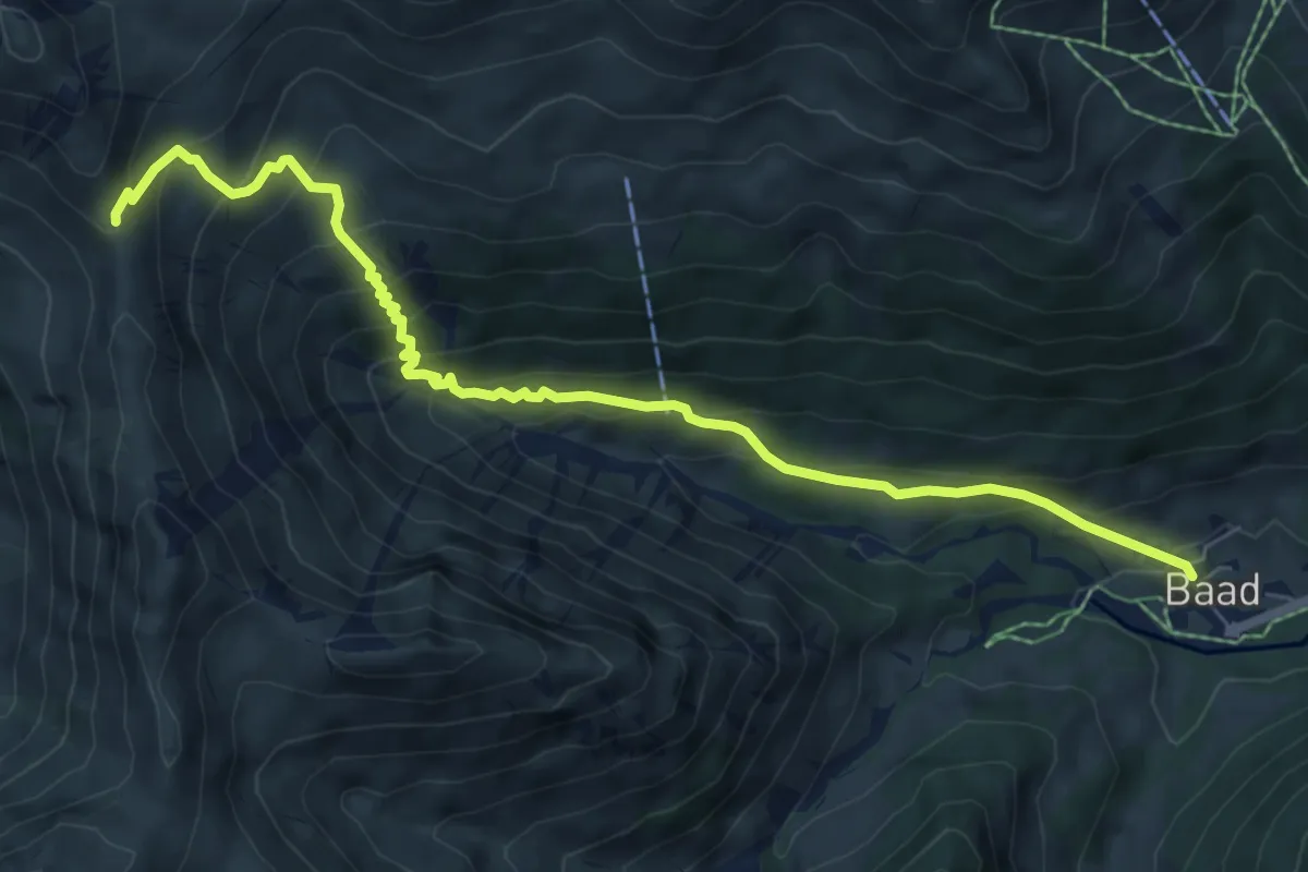
Demanding · Trail
Baad – Starzeljoch
7.7 km · ↑ 638 m · 3 h 12 min
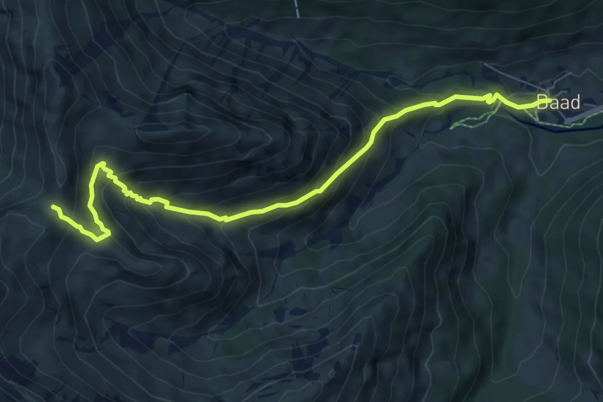
Medium · Trail
Baad – Derrenjoch
7.8 km · ↑ 660 m · 3 h 17 min
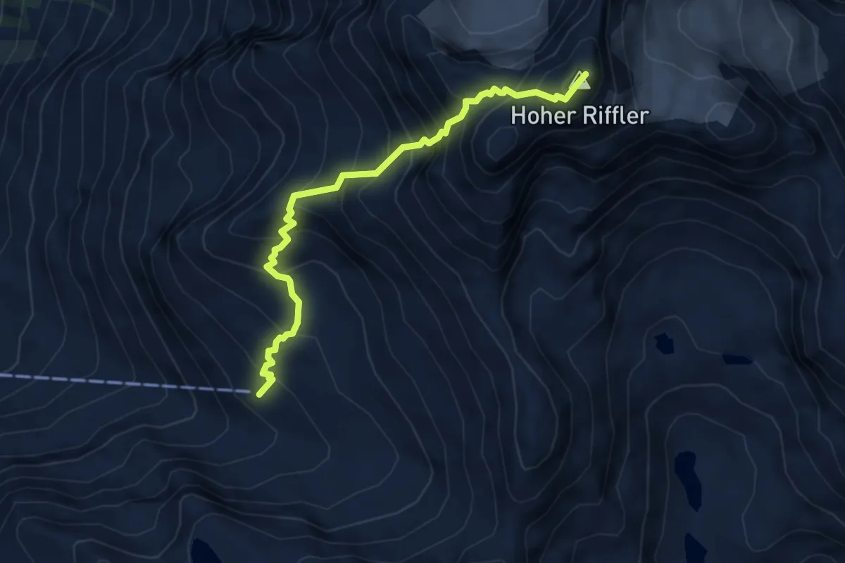
Demanding · Summit
Edmund-Graf-Hütte – Hoher Riffler
4.6 km · ↑ 778 m · 2 h 47 min
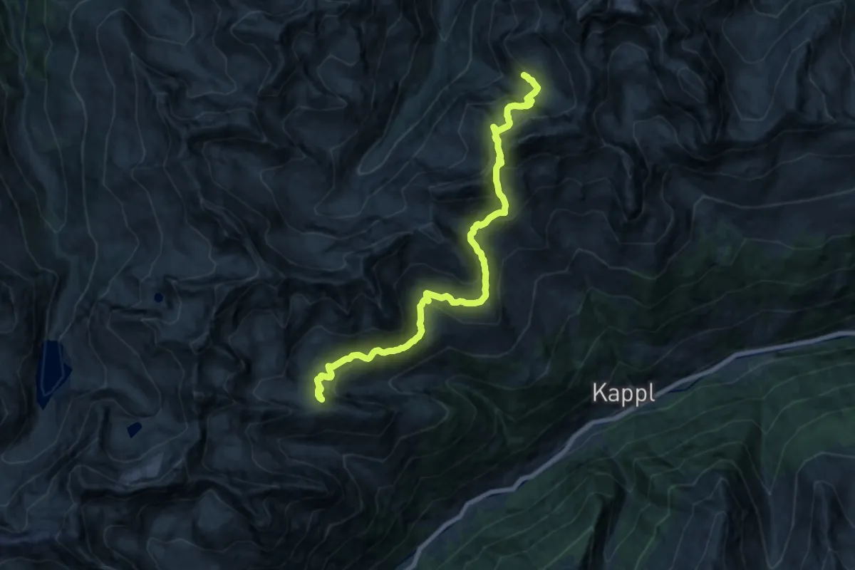
Demanding · Cabin
Edmund-Graf-Hütte – Niederelbehütte
17.9 km · ↑ 1101 m · 6 h 37 min
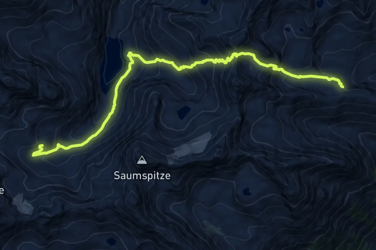
Demanding · Cabin
Niederelbehütte – Darmstädter Hütte
16.5 km · ↑ 1528 m · 7 h 12 min
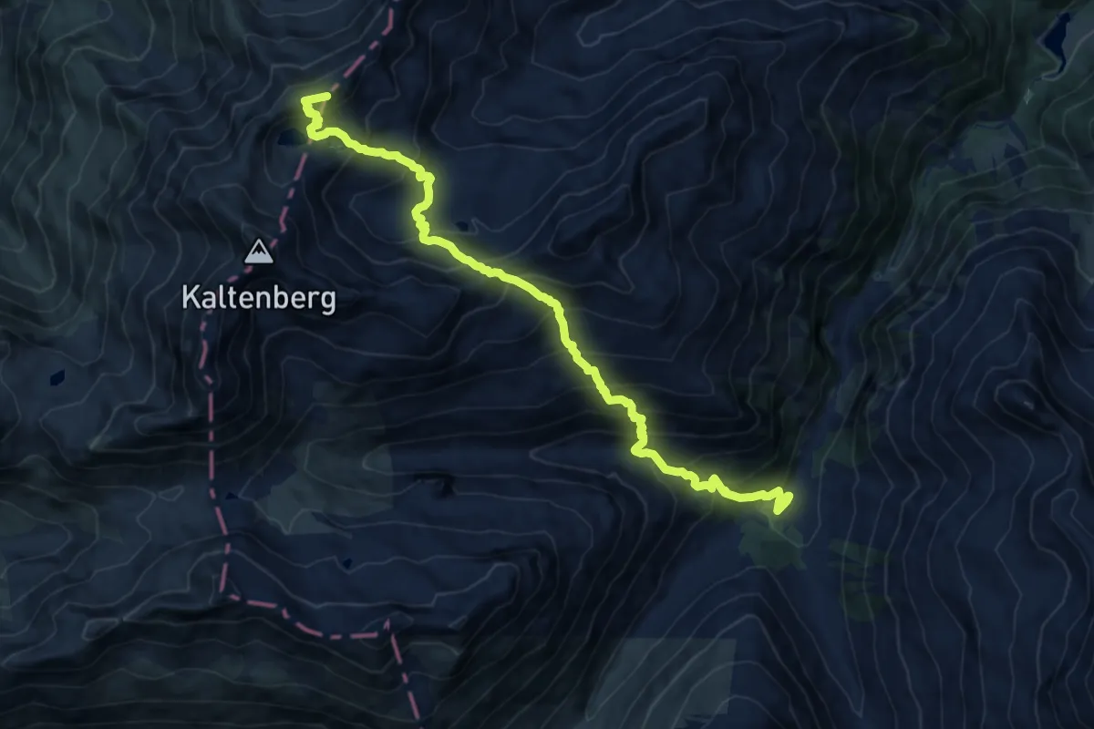
Demanding · Summit
Konstanzer Hütte – Kaltenberghütte
13.4 km · ↑ 1479 m · 6 h 22 min
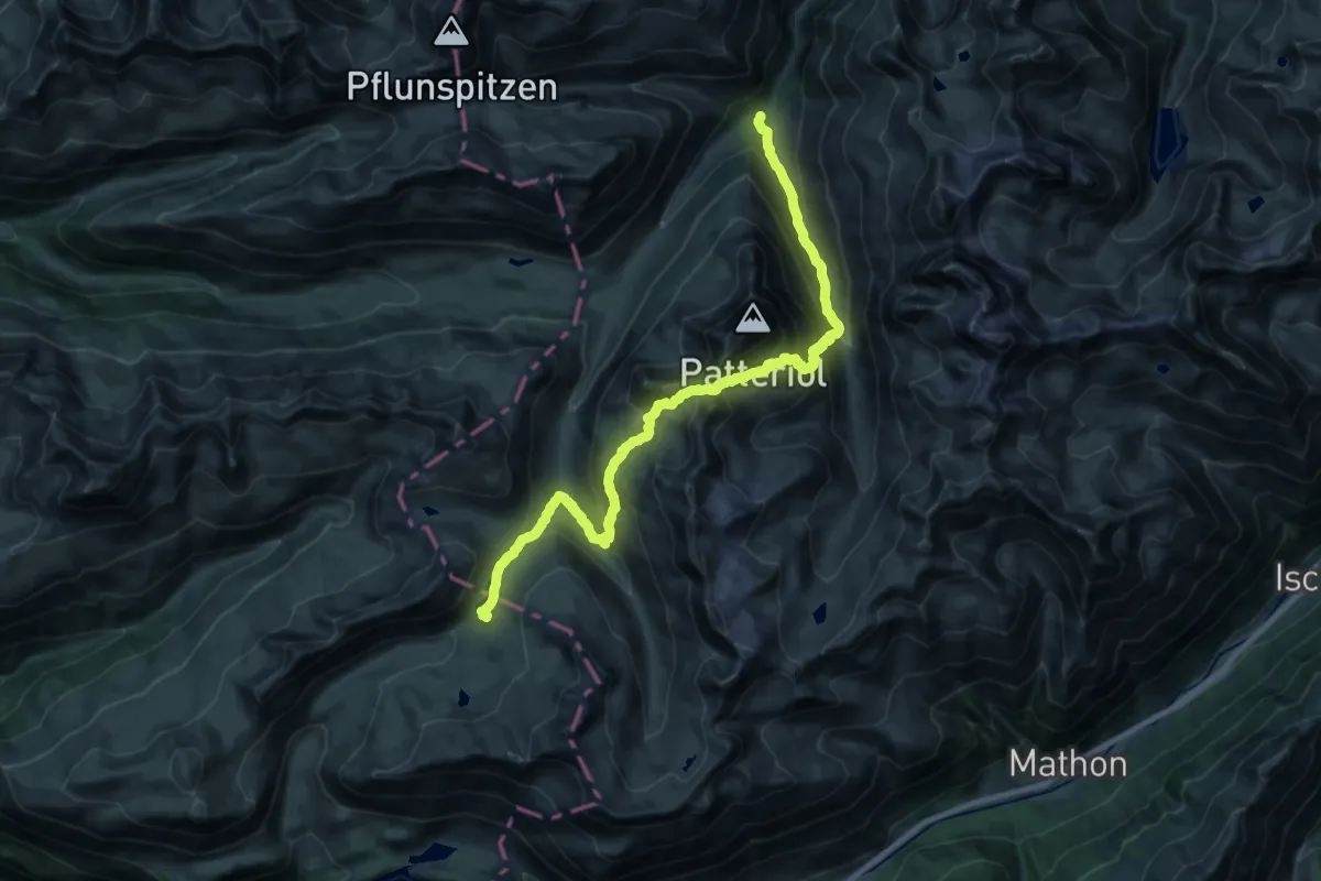
Demanding · Cabin
Konstanzer Hütte – Heilbronner Hütte
12.8 km · ↑ 1288 m · 5 h 41 min
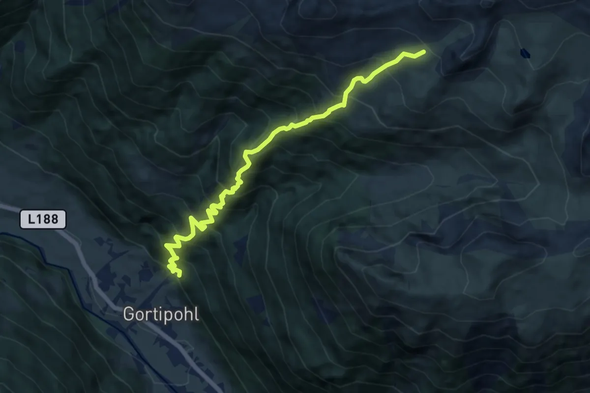
Demanding · Trail
Gortipohl – Roßberg
9.3 km · ↑ 1211 m · 4 h 49 min
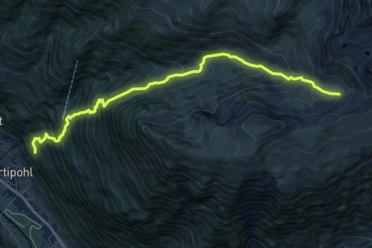
Demanding · Trail
(Gortipohl) – (Grat)
10.1 km · ↑ 1091 m · 4 h 45 min
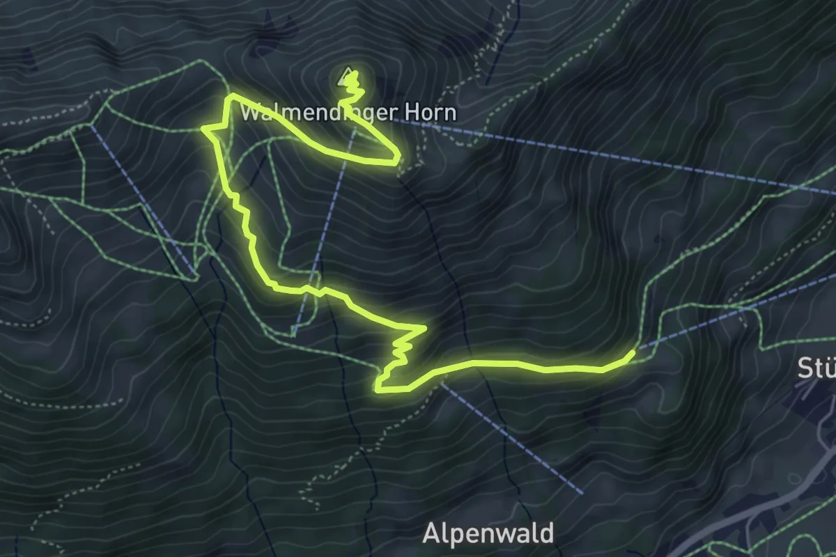
Medium · Summit
Bühlalpe – Walmendinger Horn
7.0 km · ↑ 542 m · 2 h 49 min
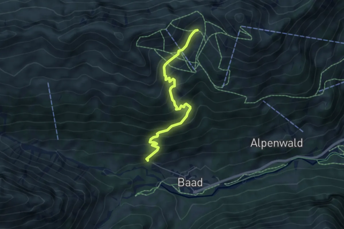
Medium · Trail
(Baad) – (Walmendinger Horn)
5.0 km · ↑ 437 m · 2 h 7 min
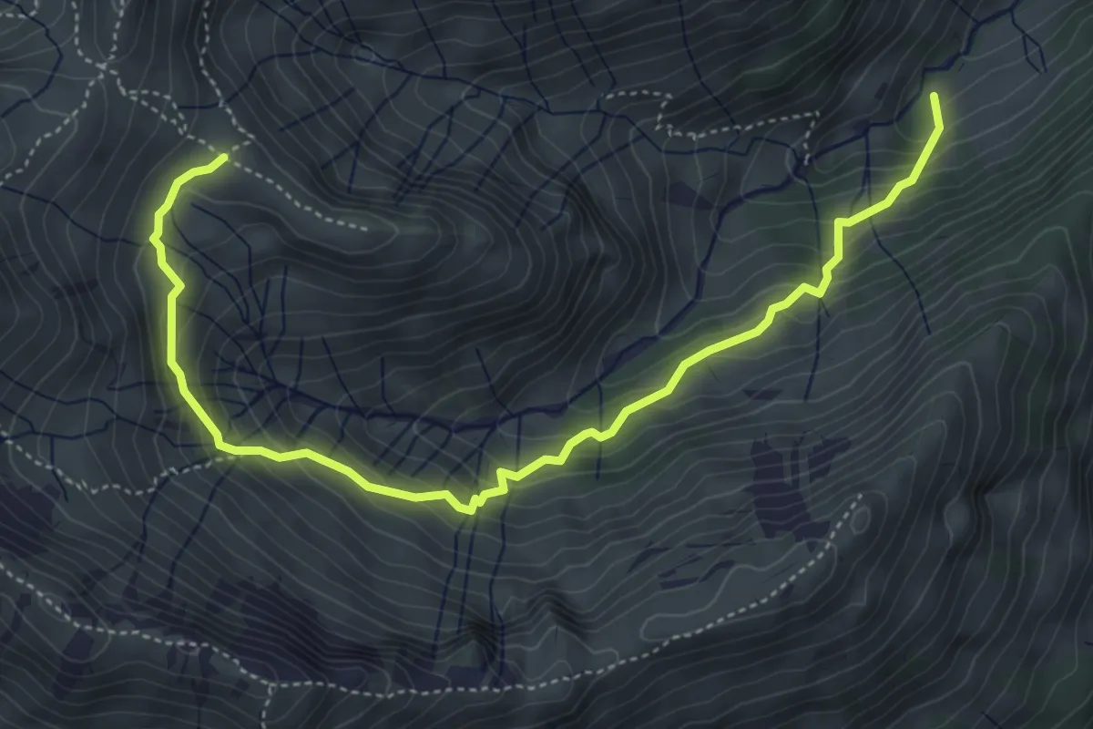
Medium · Trail
(Baad) – Derrenalpe
5.5 km · ↑ 465 m · 2 h 18 min
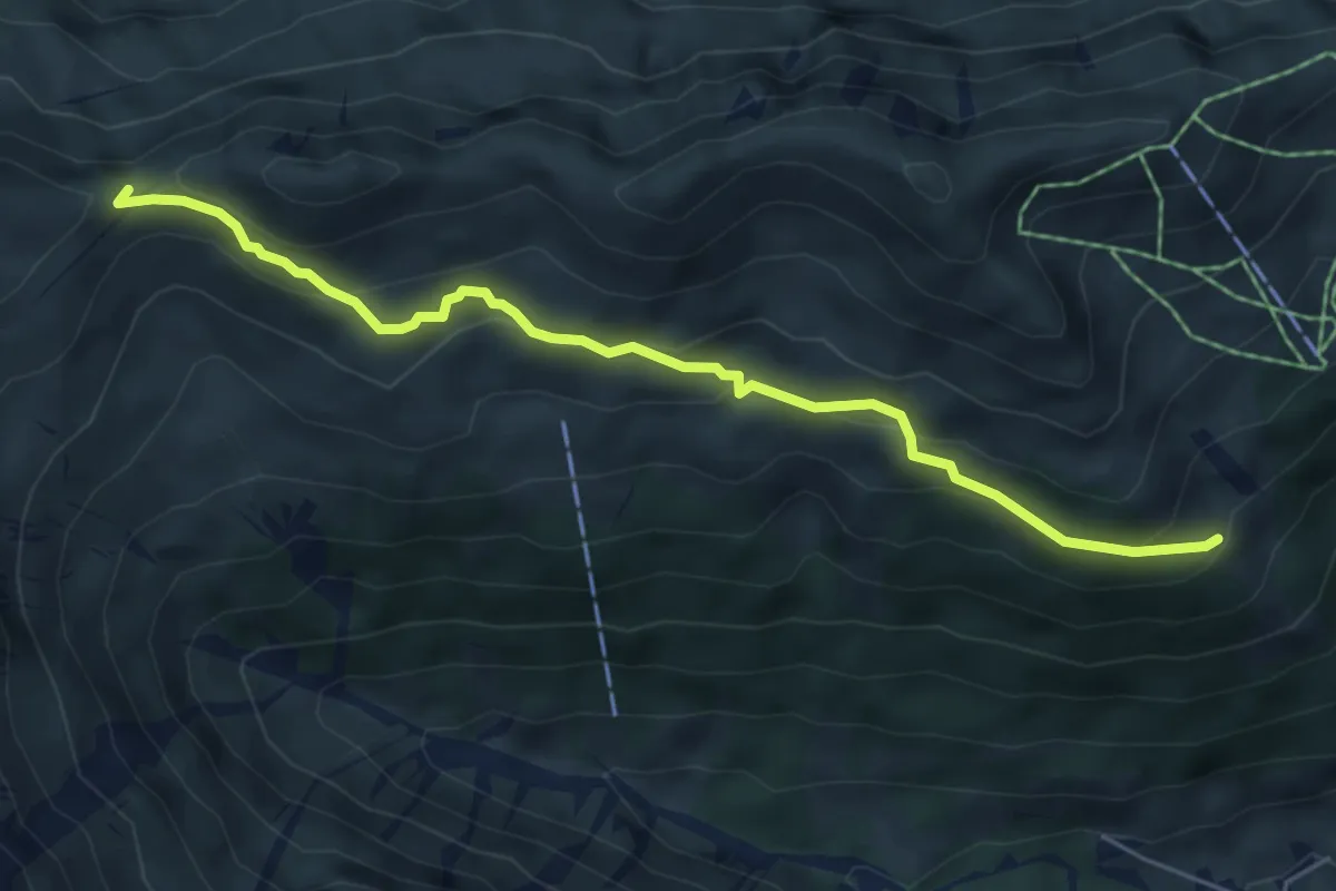
Medium · Trail
(Baad) – Ochsenhofer Scharte
5.5 km · ↑ 289 m · 1 h 56 min
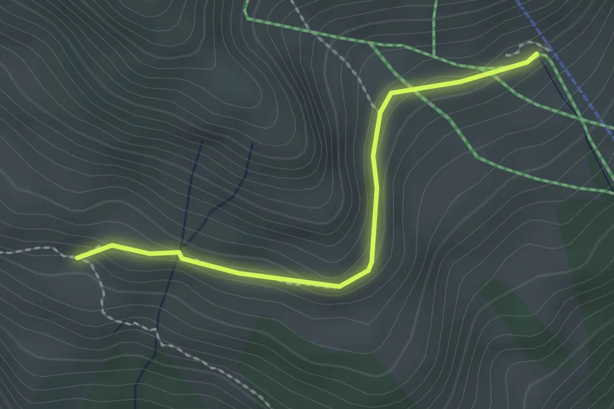
Medium · Trail
(Ochsenhofer Scharte) – Obere Lüchlealpe
2.0 km · ↑ 67 m · 38 min
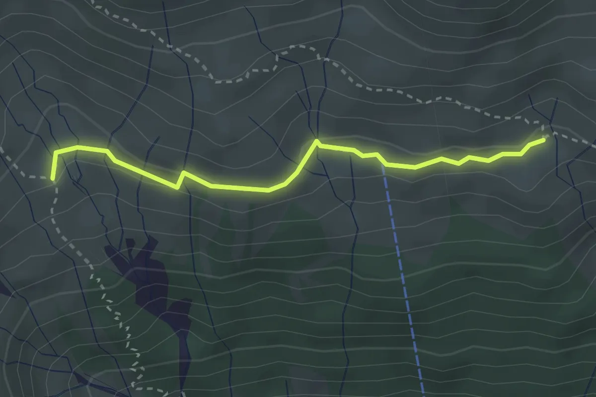
Medium · Trail
Starzelalpe – (Walmendinger Horn)
2.7 km · ↑ 33 m · 43 min
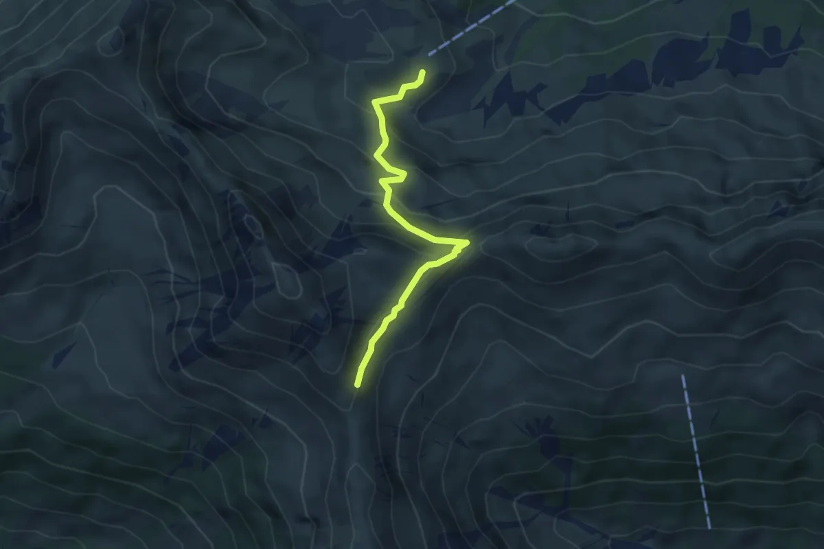
Medium · Cabin
Schwarzwasserhütte – Starzeljoch
4.0 km · ↑ 284 m · 1 h 34 min
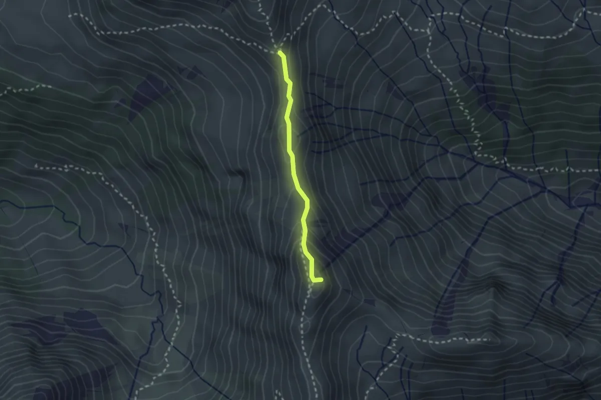
Expert · Summit
Starzeljoch – Derrenjoch
1.9 km · ↑ 155 m · 48 min
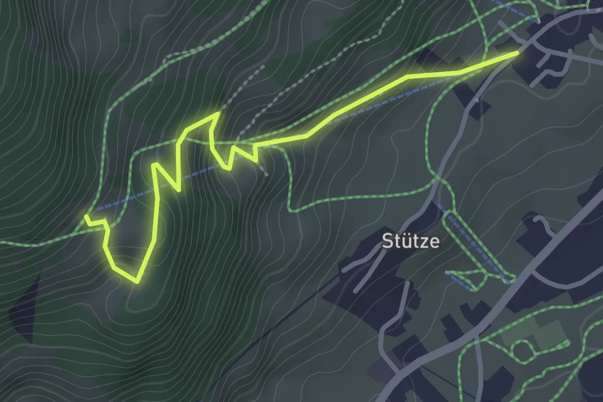
Easy · Trail
(Mittelberg) – Bühlalpe
2.9 km · ↑ 235 m · 1 h 12 min
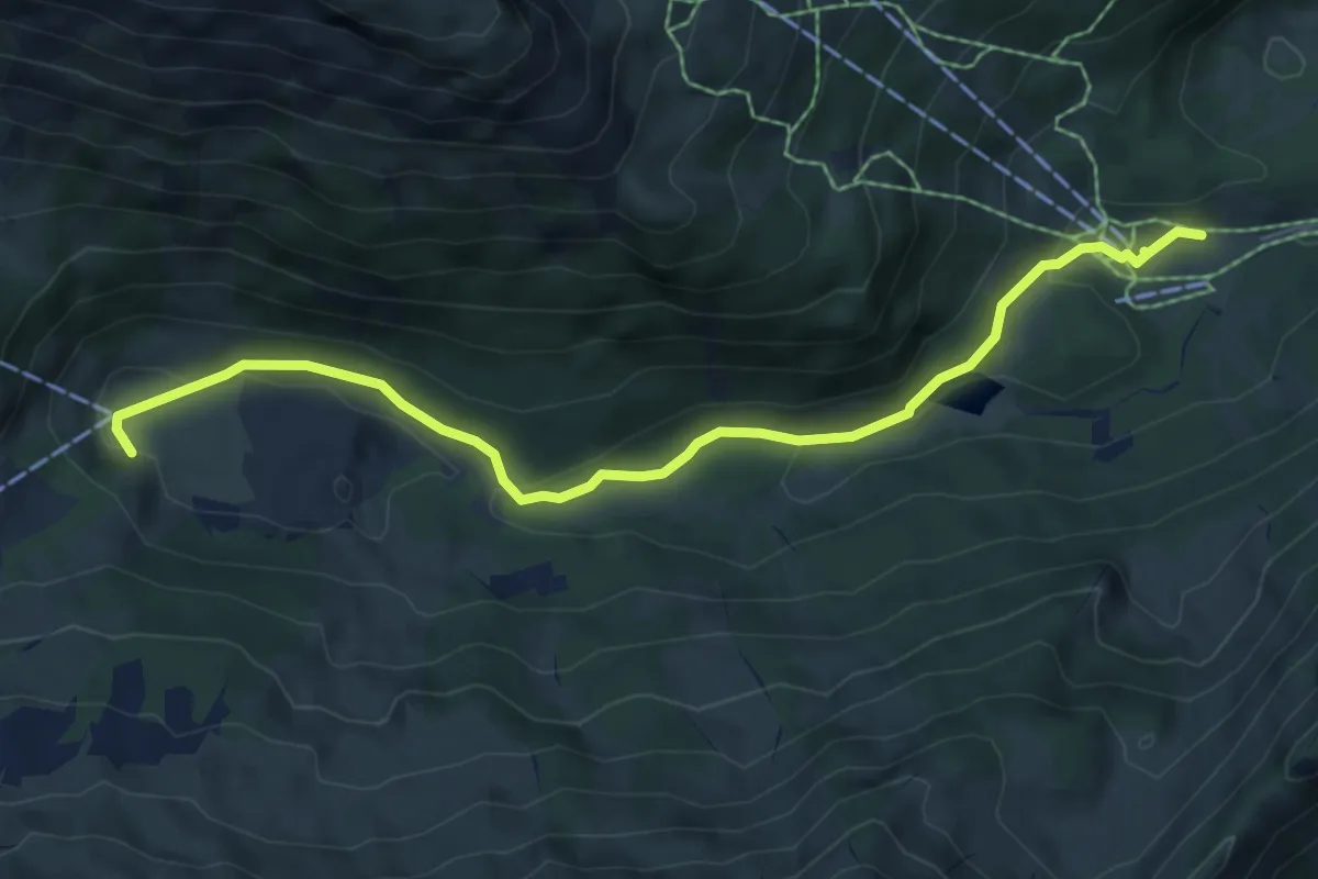
Easy · Trail
Auenhütte – Melköde
6.6 km · ↑ 141 m · 1 h 52 min
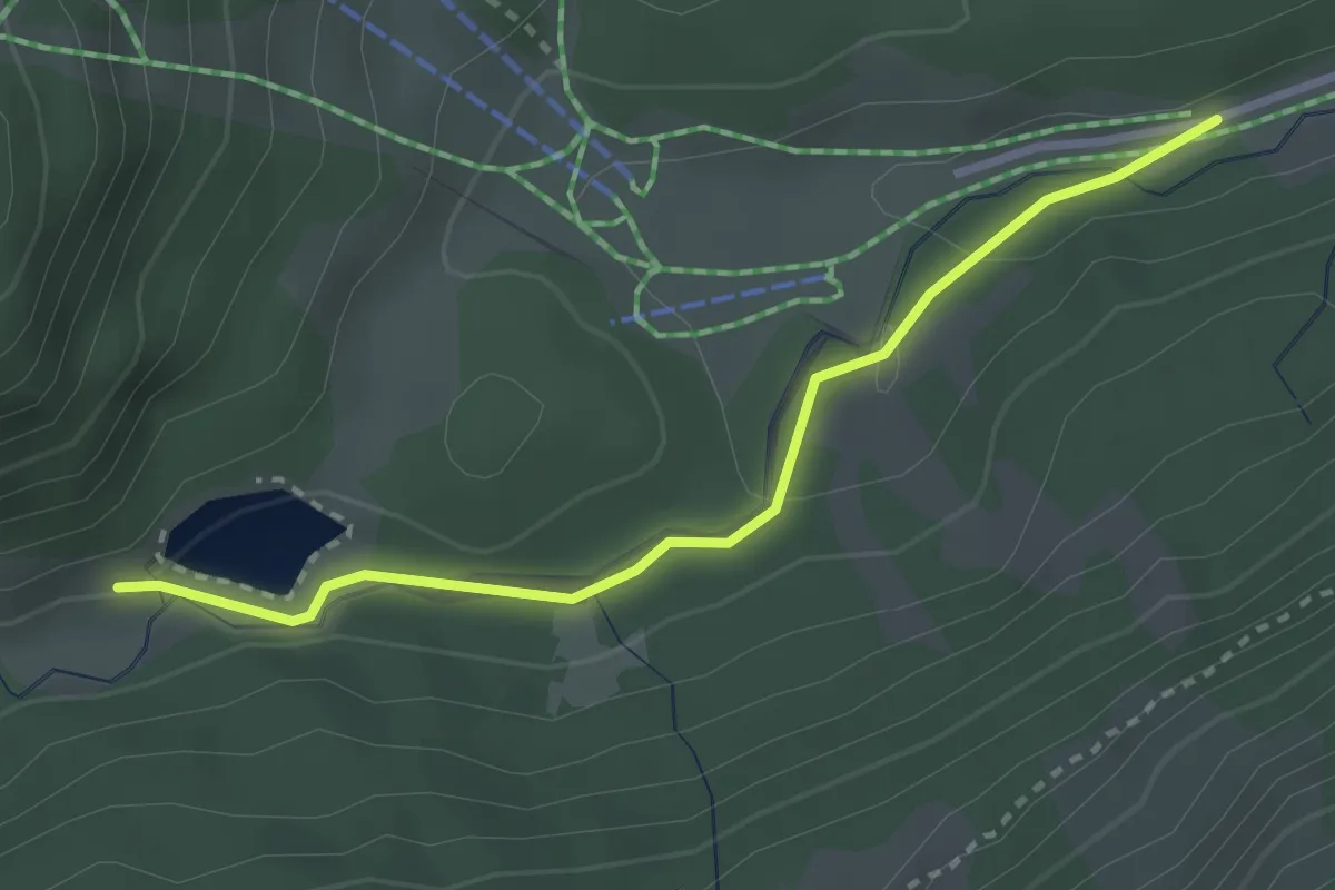
Easy · Trail
(Hirschegg) – (Melköde)
2.8 km · ↑ 39 m · 45 min