Trails in Austria
9,777 hiking trails, each with its route, climb, walking time and grade.
All trails, page 199 of 204
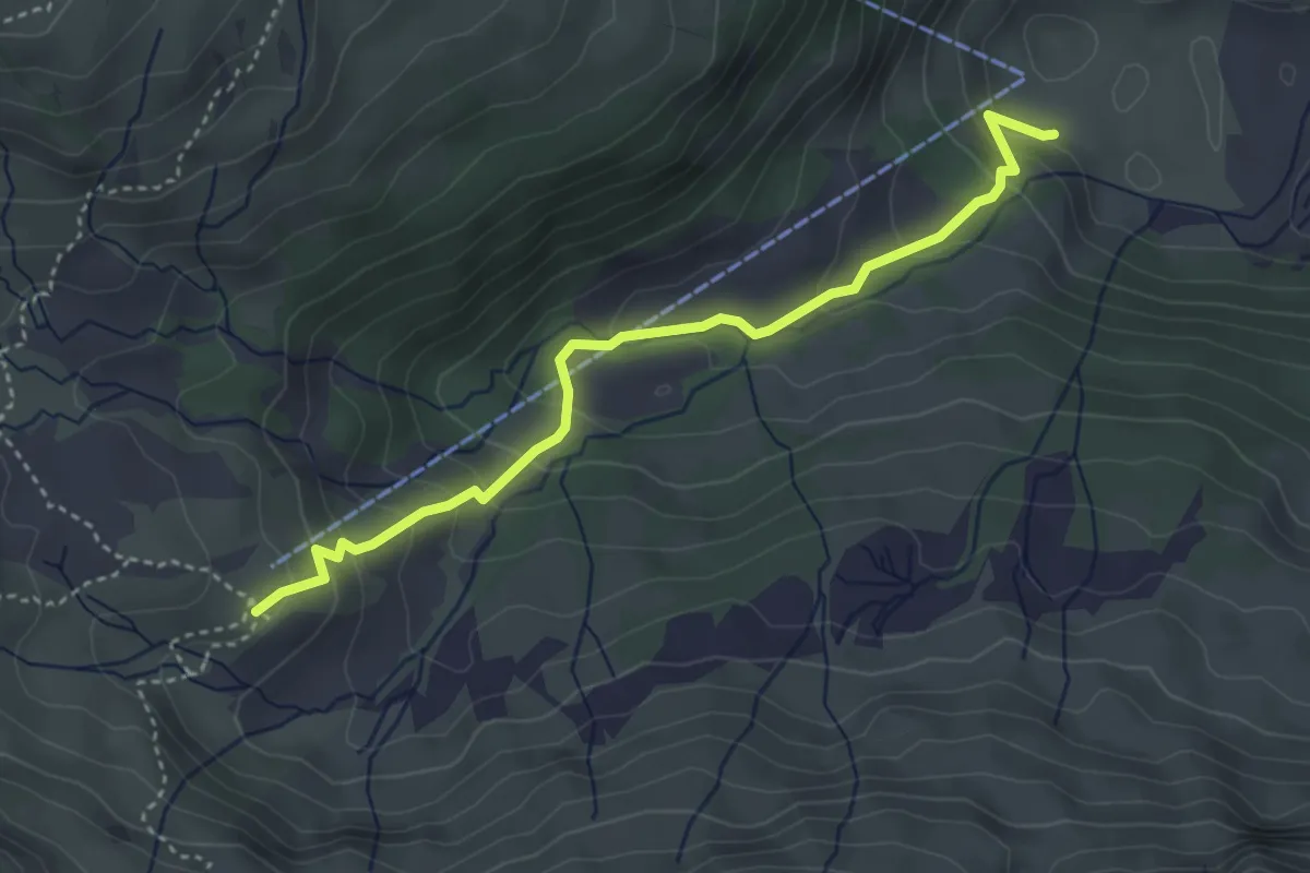
Medium · Cabin
Melköde – Schwarzwasserhütte
3.8 km · ↑ 279 m · 1 h 29 min
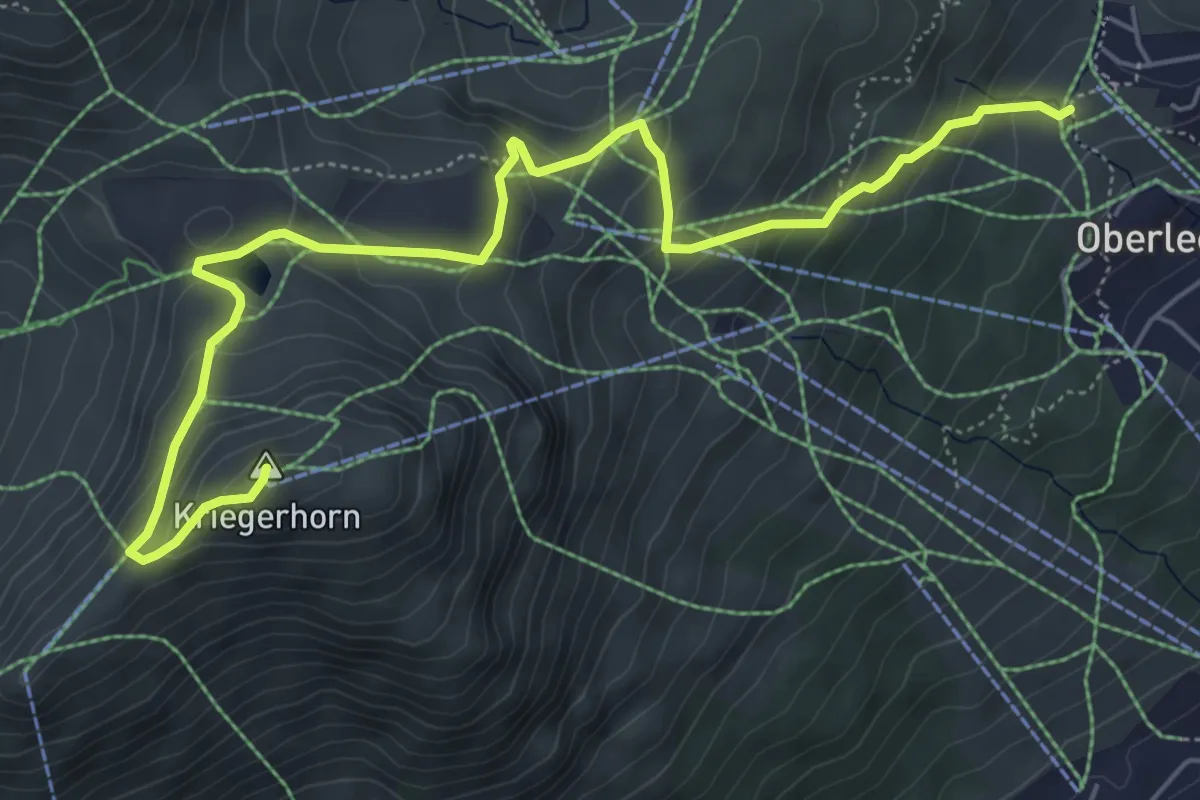
Medium · Summit
Oberlech – Kriegerhorn
6.8 km · ↑ 464 m · 2 h 37 min
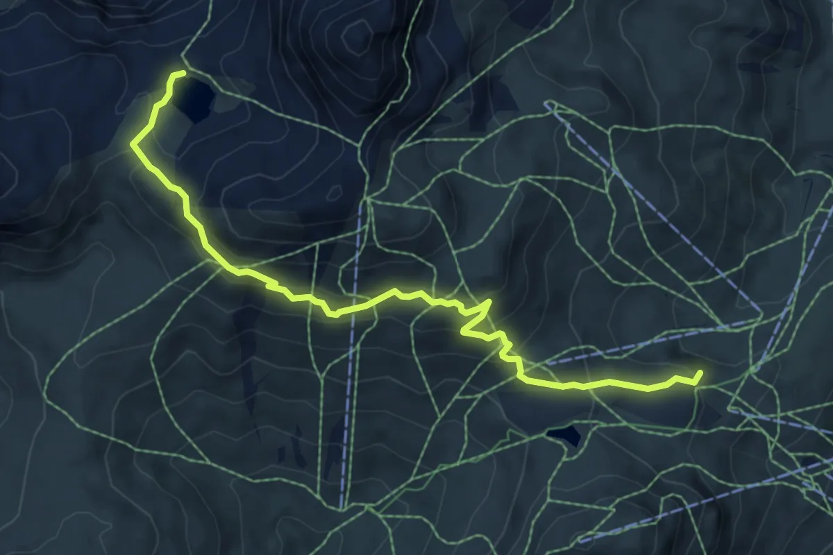
Medium · Trail
(Oberlech) – Butzensee
7.3 km · ↑ 378 m · 2 h 32 min
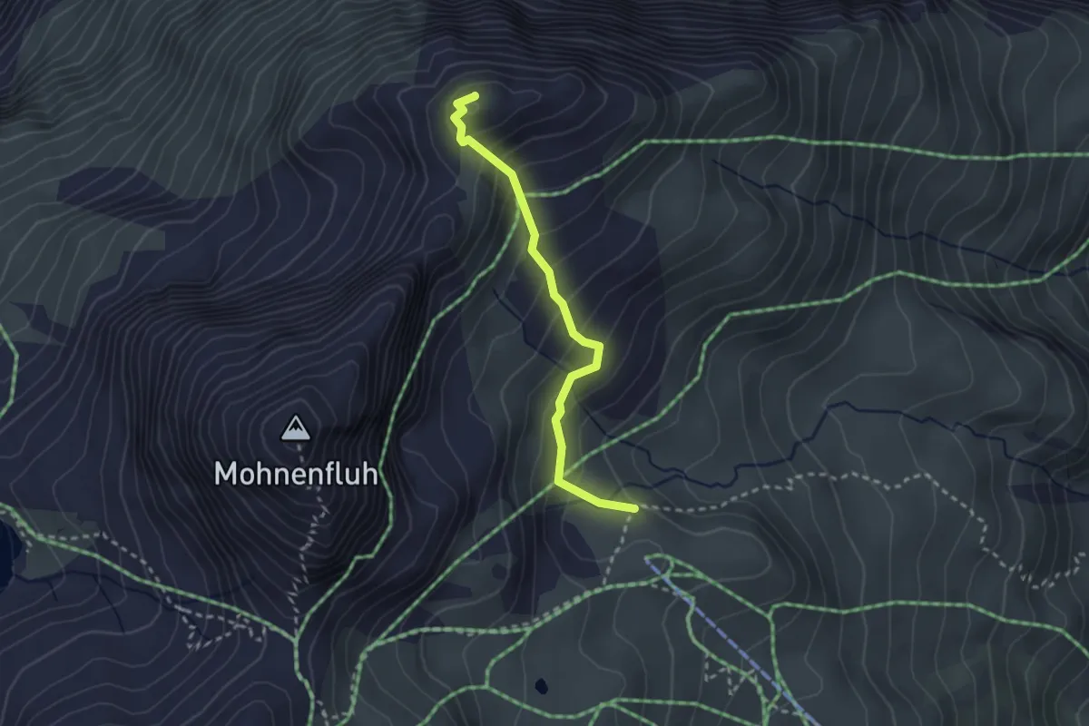
Easy · Summit
(Untere Gaisbühelalpe) – Juppenspitze
2.4 km · ↑ 291 m · 1 h 13 min
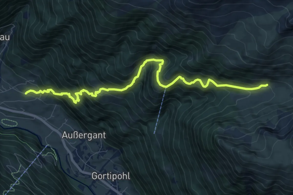
Demanding · Trail
(St. Gallenkirch) – Netzaalpe
10.9 km · ↑ 909 m · 4 h 33 min
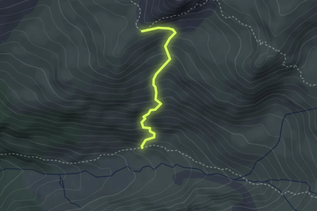
Medium · Trail
Netzaalpe – (Roßberg)
2.4 km · ↑ 349 m · 1 h 19 min
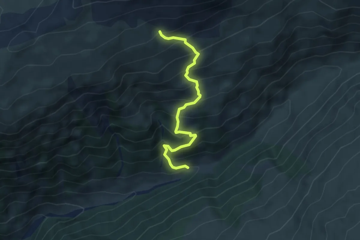
Medium · Trail
Valschaviel – (Grat)
4.5 km · ↑ 514 m · 2 h 11 min
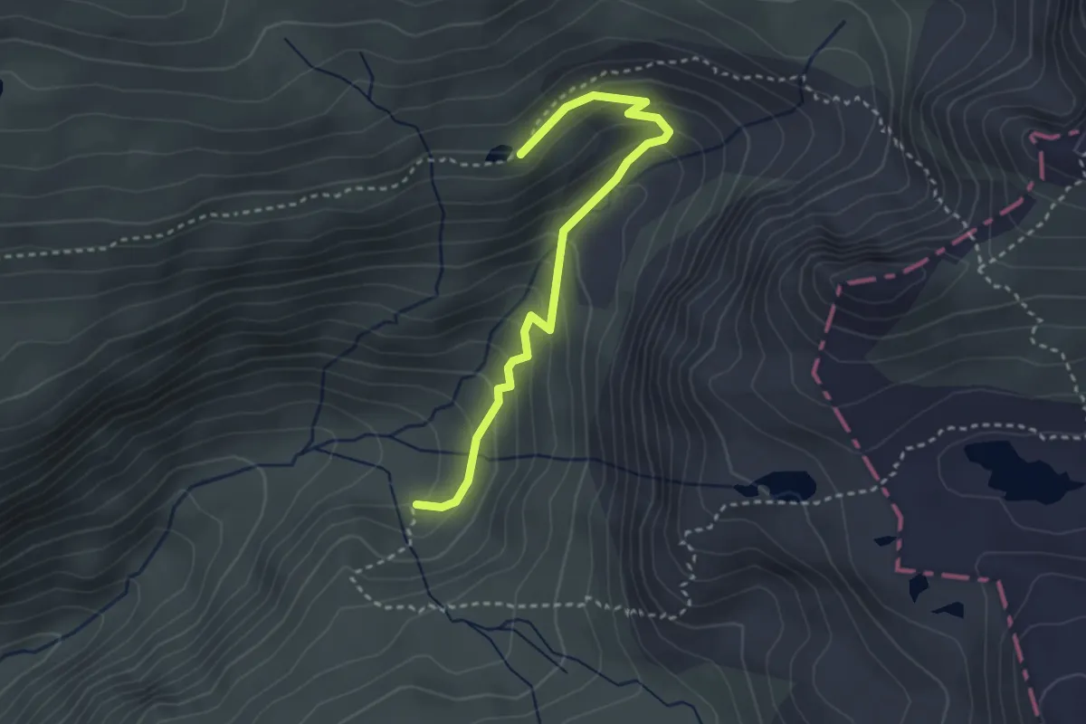
Easy · Trail
Mardusa – Innerer Roßberg
3.1 km · ↑ 232 m · 1 h 14 min
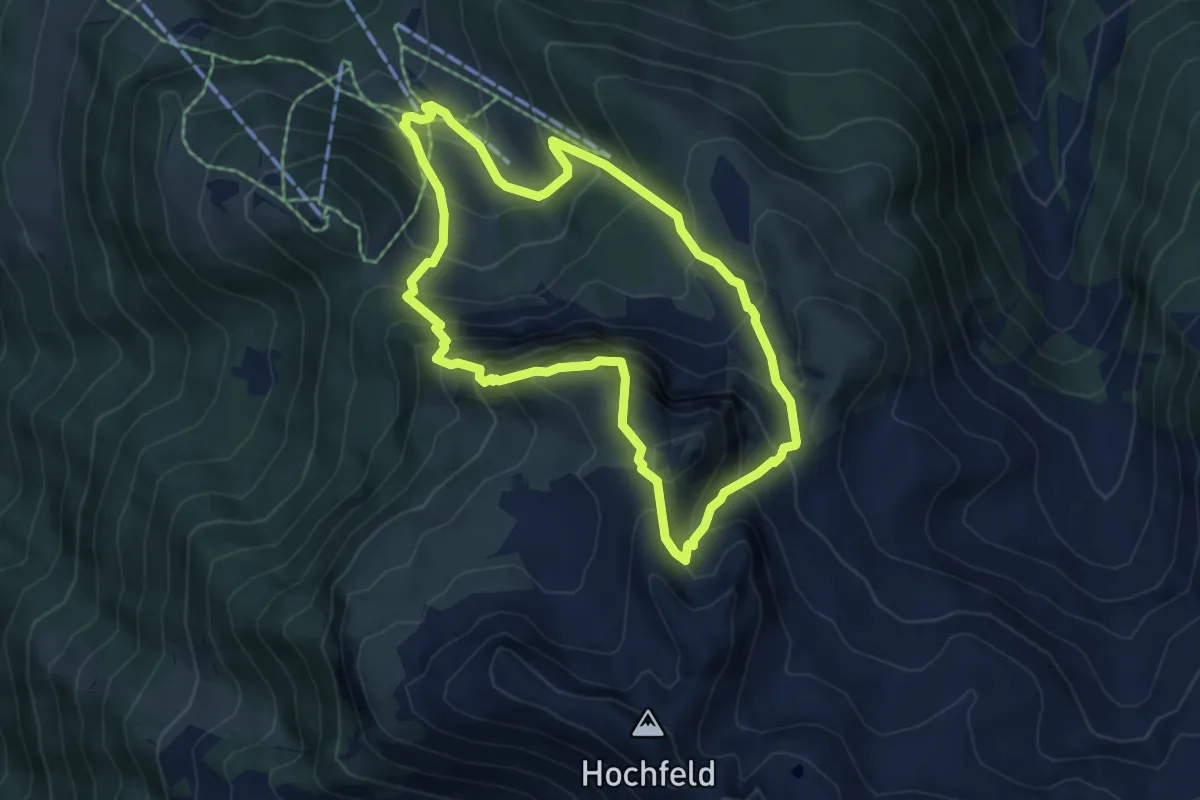
Medium · Summit
Gerlossteinbahn – Gerlossteinbahn
5.2 km · ↑ 556 m · 2 h 30 min
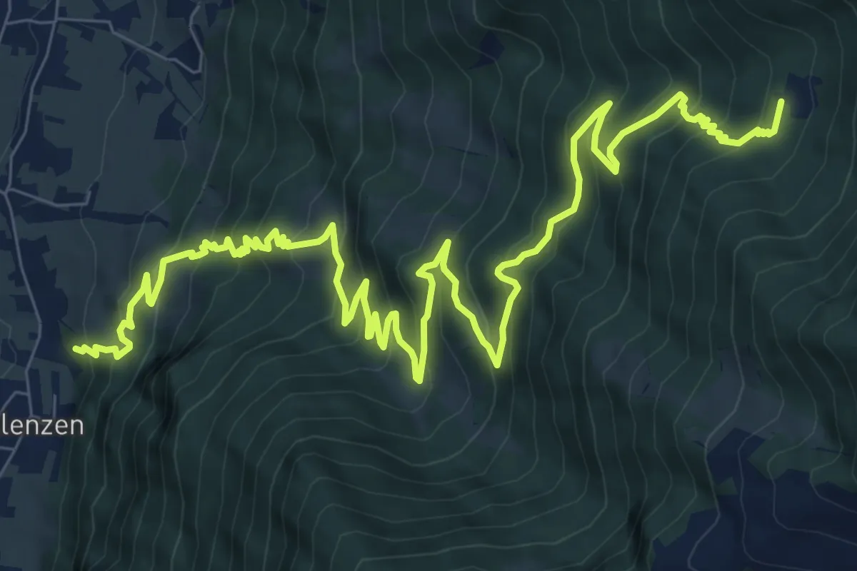
Demanding · Trail
Bichl-Eckartau – Kotahorn
13.7 km · ↑ 998 m · 5 h 23 min
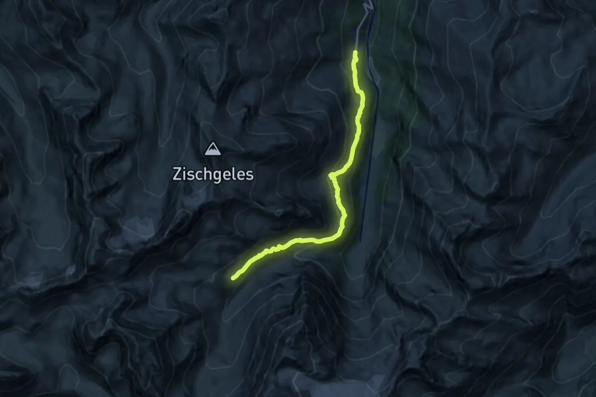
Medium · Cabin
Praxmar – Westfalenhaus
13.7 km · ↑ 786 m · 4 h 56 min
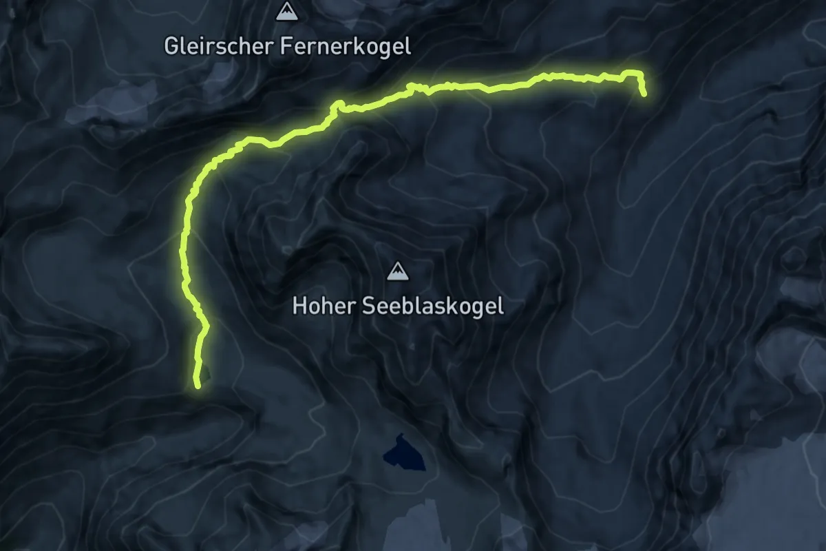
Demanding · Cabin
Westfalenhaus – Winnebachseehütte
12.4 km · ↑ 978 m · 5 h 3 min
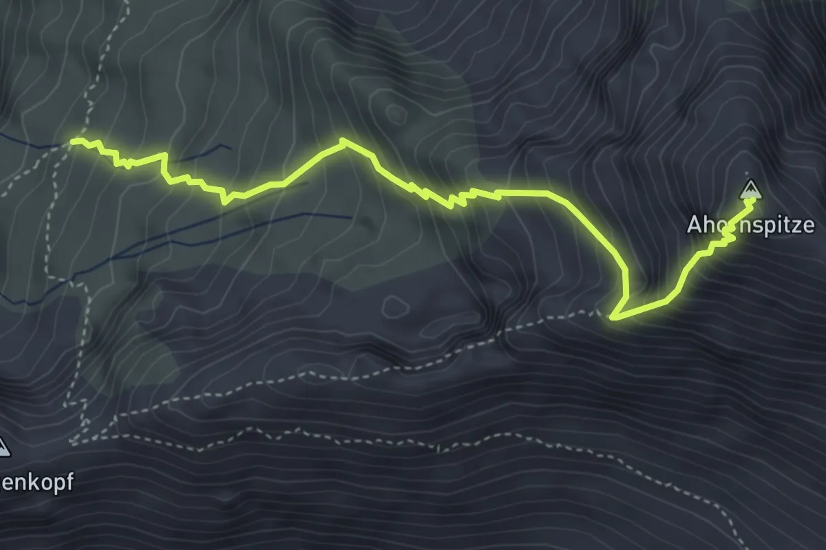
Expert · Summit
Karl-von-Edel-Hütte – Ahornspitze
4.6 km · ↑ 718 m · 2 h 39 min
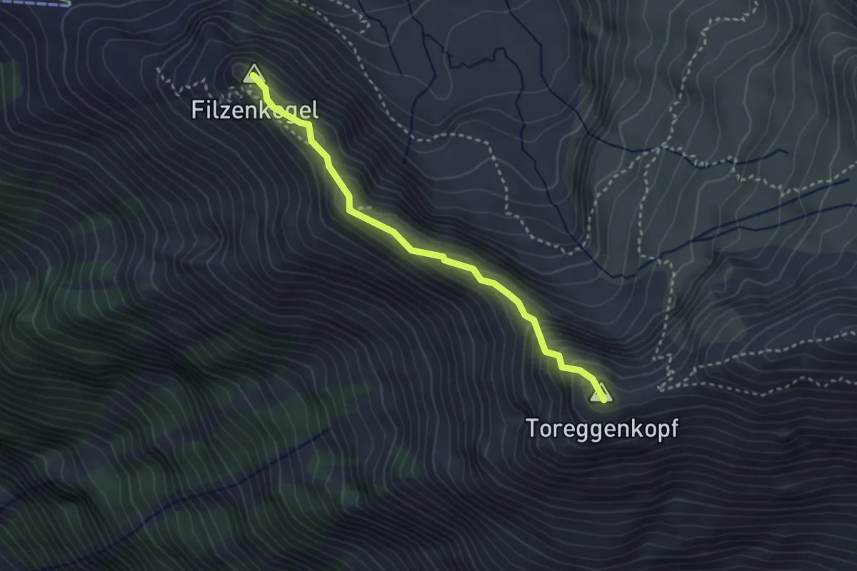
Expert · Summit
Filzenkogel – Popbergnieder
2.9 km · ↑ 361 m · 1 h 29 min
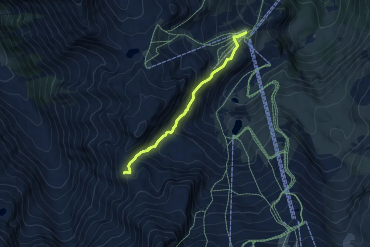
Medium · Trail
Sommerbergalm – Kaserer Schartl
5.1 km · ↑ 411 m · 2 h 6 min
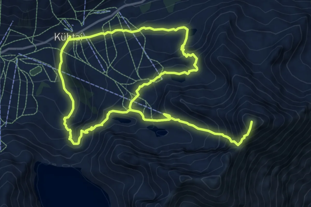
Demanding · Summit
Kühtai – Gaiskogel
16.7 km · ↑ 1285 m · 6 h 43 min
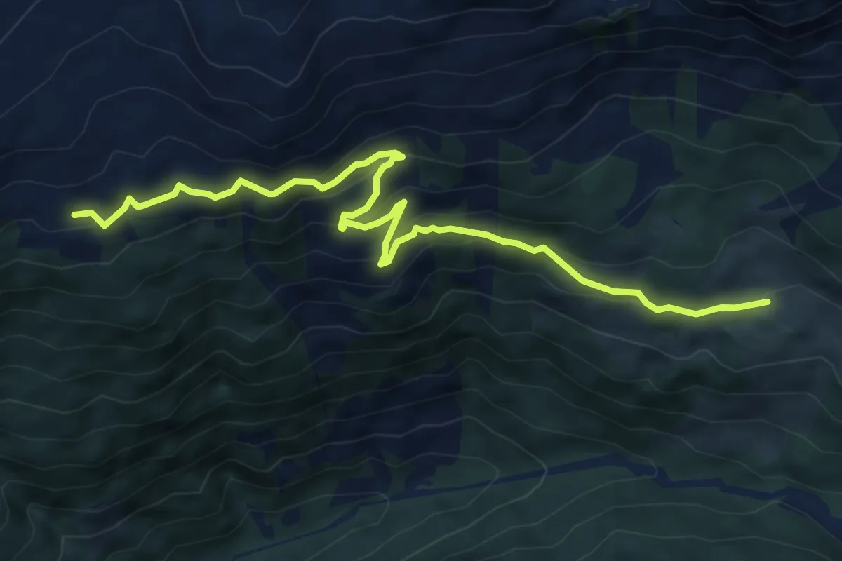
Easy · Trail
Hochstadlalm – Obweinalm
7.5 km · ↑ 301 m · 2 h 26 min
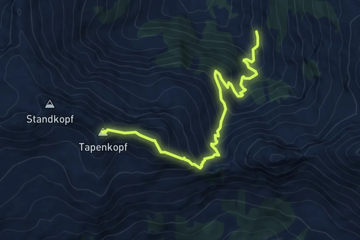
Expert · Summit
Farmkehralm – Tapenkopf
7.9 km · ↑ 847 m · 3 h 42 min
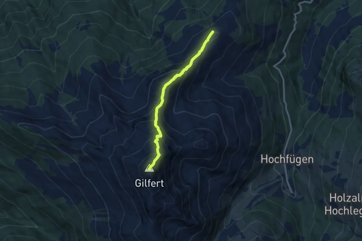
Demanding · Summit
Loasalm – Gilfert
11.7 km · ↑ 998 m · 4 h 55 min
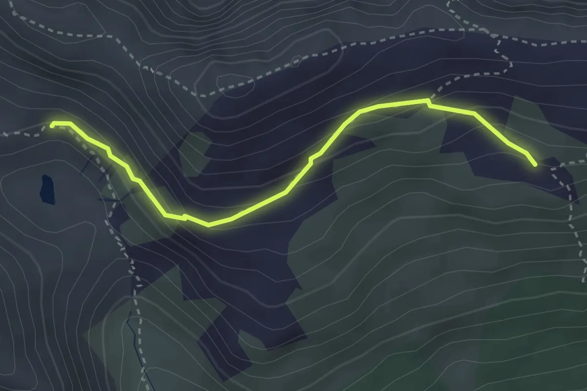
Medium · Trail
Stanser-Alm (Hochleger) – Ochsenkar-Alm
2.9 km · ↑ 226 m · 1 h 11 min
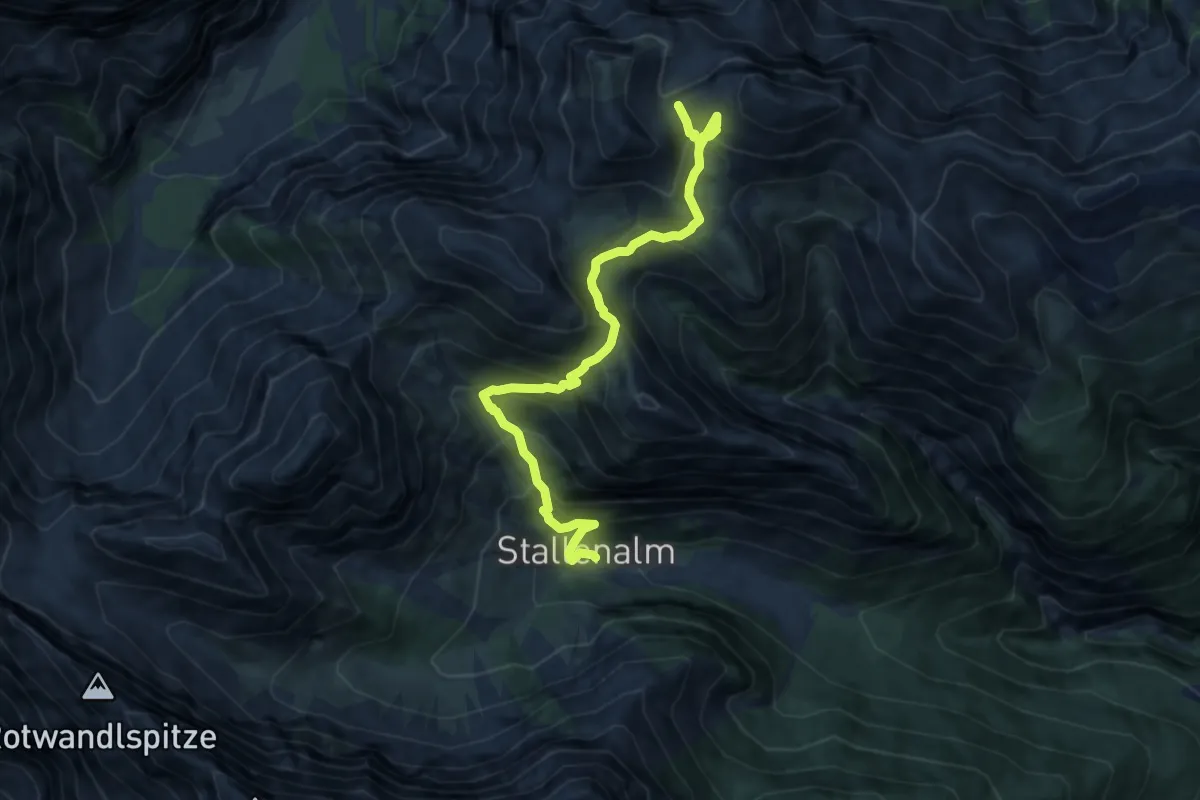
Demanding · Trail
Kaserjoch – Stallenalm
9.7 km · ↑ 1016 m · 4 h 30 min
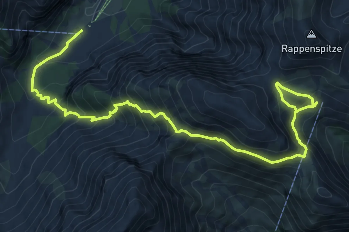
Expert · Trail
Gramainalm – Rappenspitze
11.8 km · ↑ 980 m · 4 h 55 min
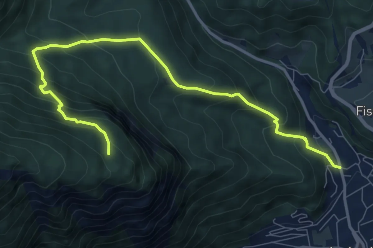
Medium · Trail
Jenbach – Kohlplatz
8.4 km · ↑ 741 m · 3 h 35 min
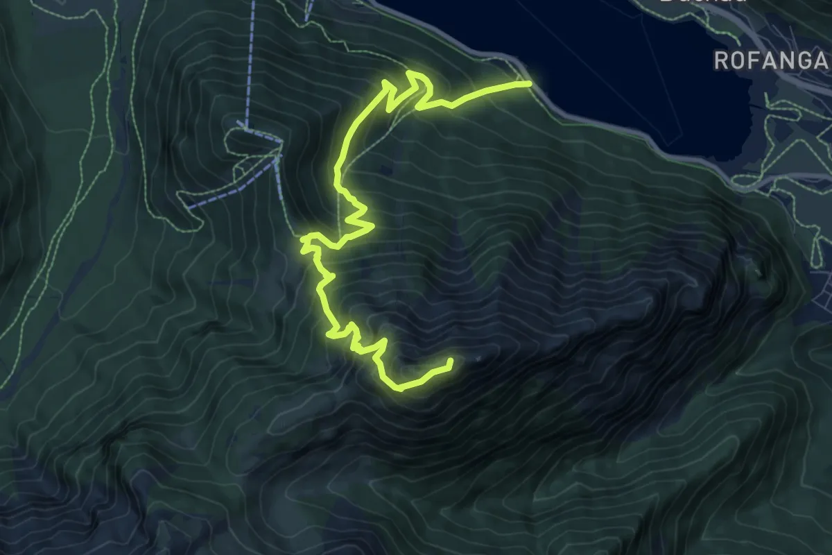
Demanding · Summit
Hubertus – Bärenkopf
10.9 km · ↑ 1054 m · 4 h 52 min
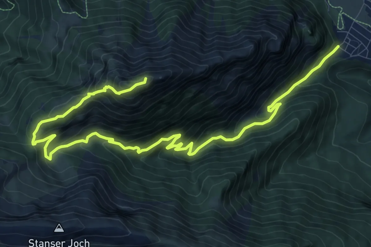
Demanding · Summit
Lärchenwiese – Bärenkopf
15.2 km · ↑ 1041 m · 5 h 50 min
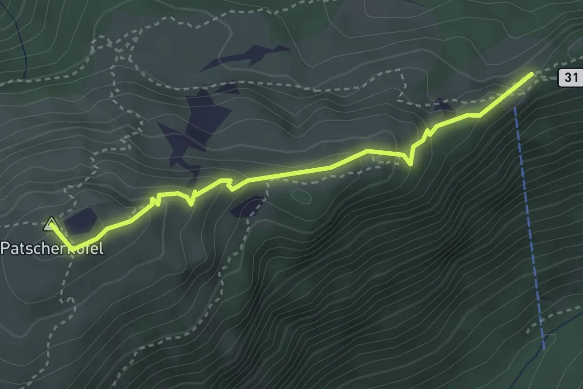
Medium · Summit
Boscheben – Patscherkofel
3.2 km · ↑ 220 m · 1 h 14 min
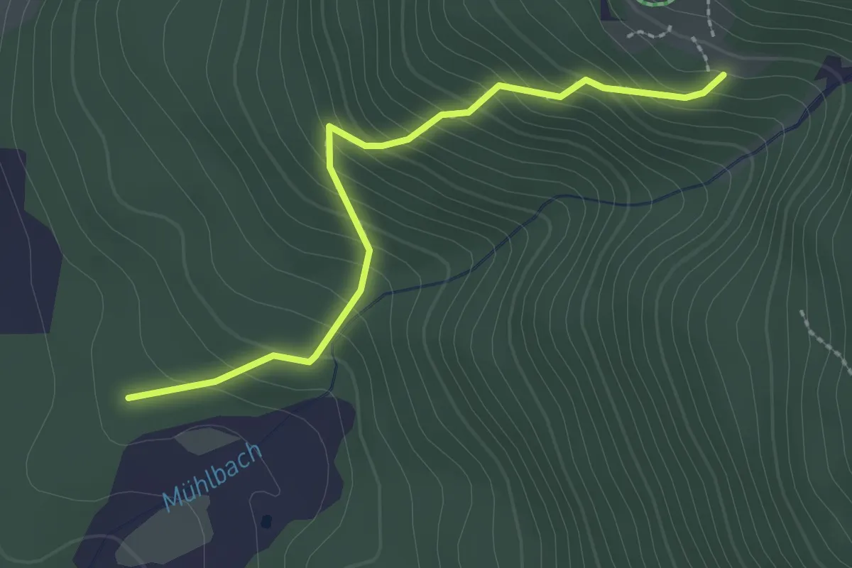
Easy · Trail
Seefeld – Nördlinger Hütte
2.4 km · ↑ 275 m · 1 h 10 min
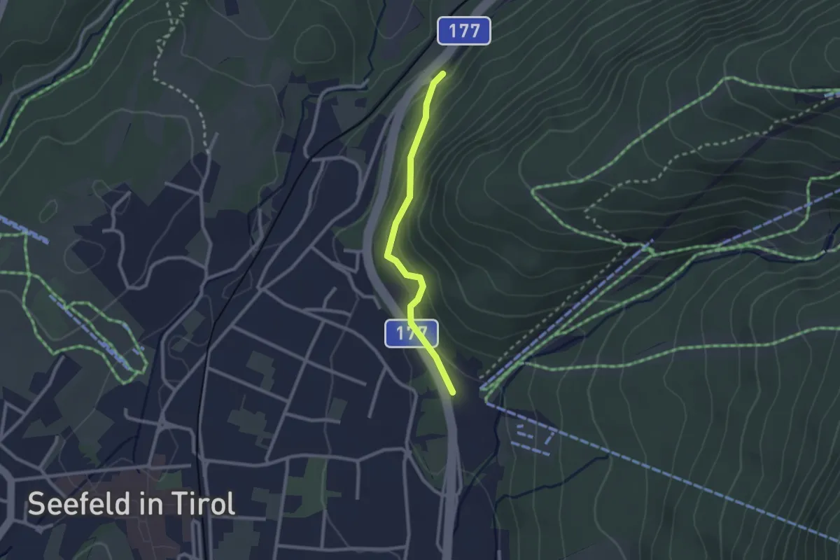
Easy · Trail
Seefeld – Gießenbach
2.1 km · ↑ 80 m · 40 min
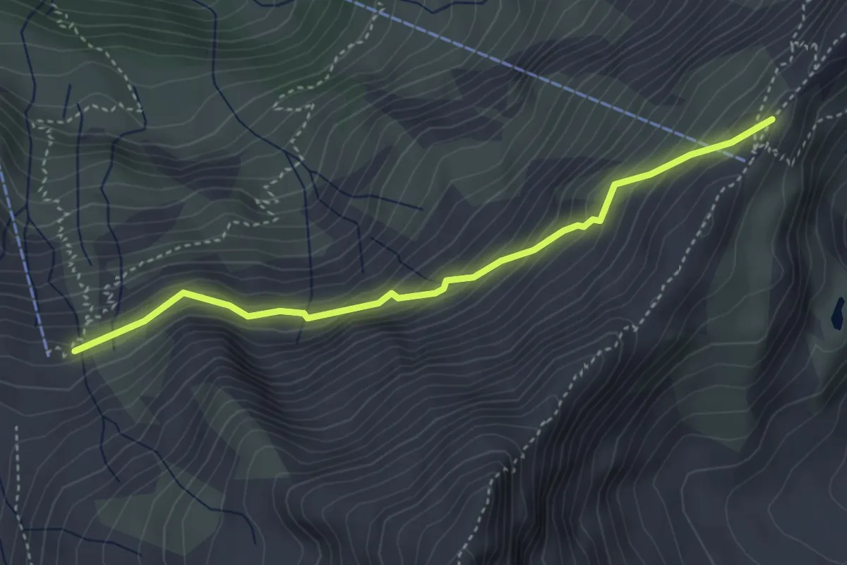
Demanding · Cabin
Naturfrendehaus Neubau – Niedersachsenhaus
3.9 km · ↑ 302 m · 1 h 34 min
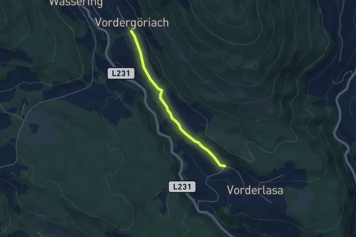
Easy · Trail
Lasa – Göriach
3.9 km · ↑ 101 m · 1 h 8 min
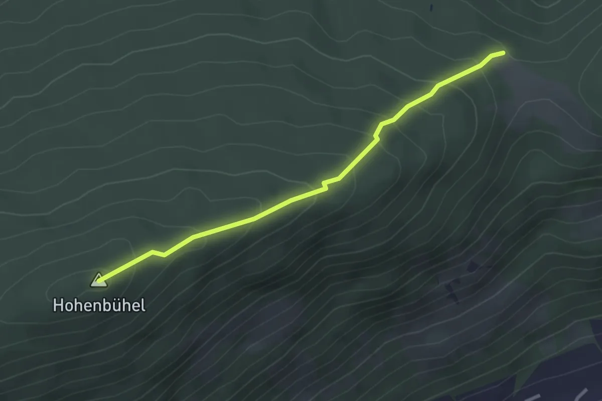
Easy · Summit
Frimlkapelle – Moosham
2.9 km · ↑ 221 m · 1 h 10 min
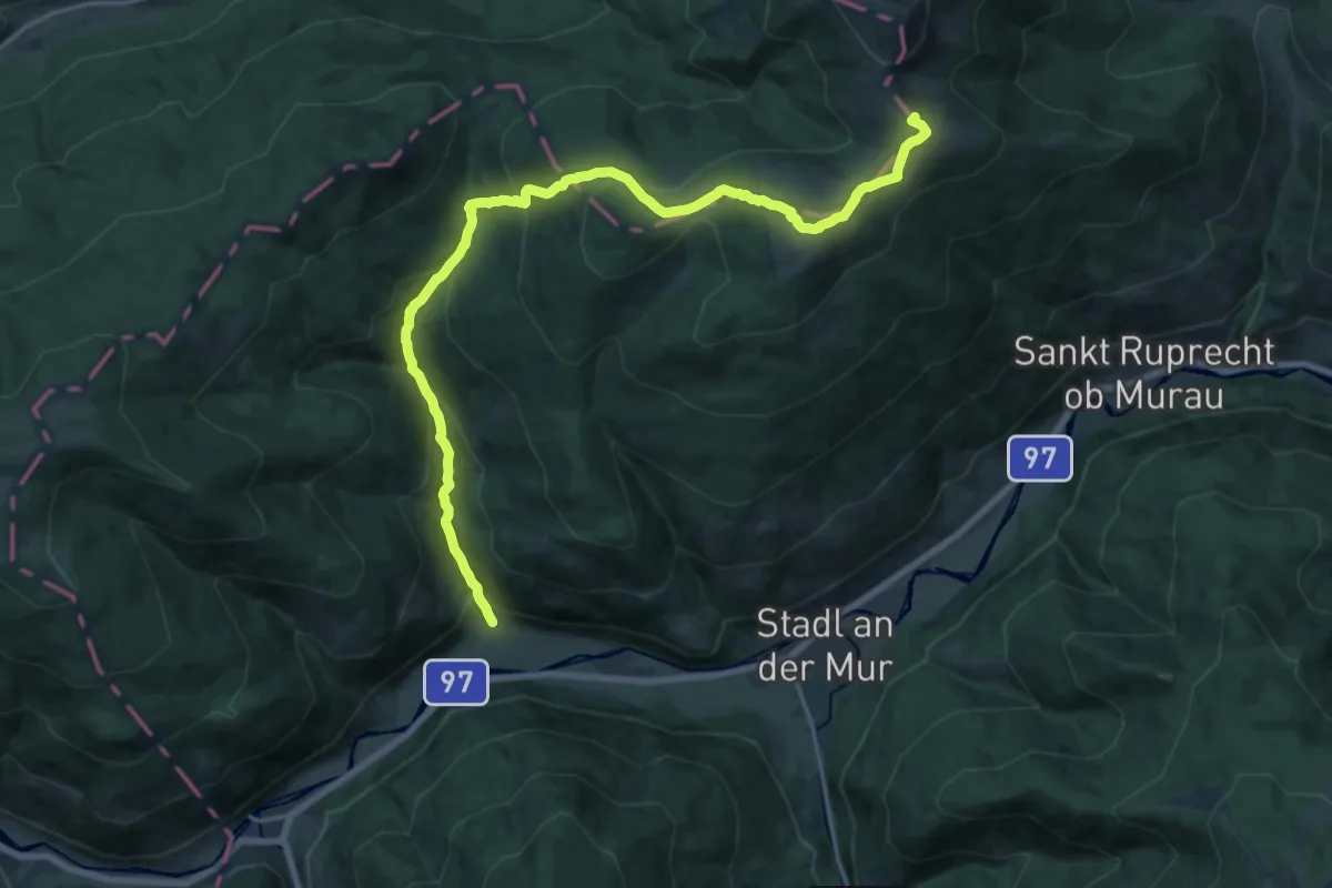
Demanding · Trail
Gstoder – Einach
20.9 km · ↑ 1254 m · 7 h 39 min
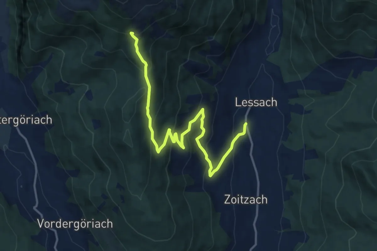
Medium · Cabin
Lessach – Wildbachhütte
11.2 km · ↑ 645 m · 4 h 2 min
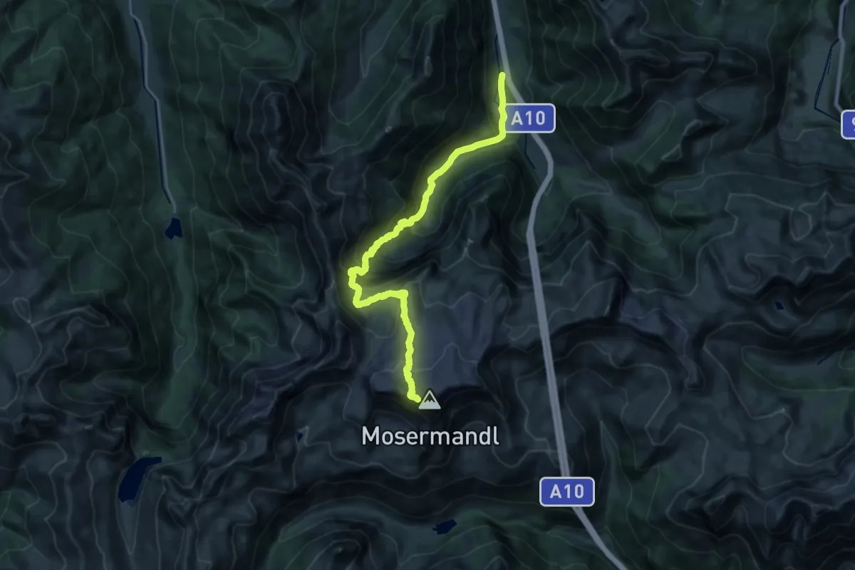
Expert · Trail
Marbach – Mosermandl
10.3 km · ↑ 1462 m · 5 h
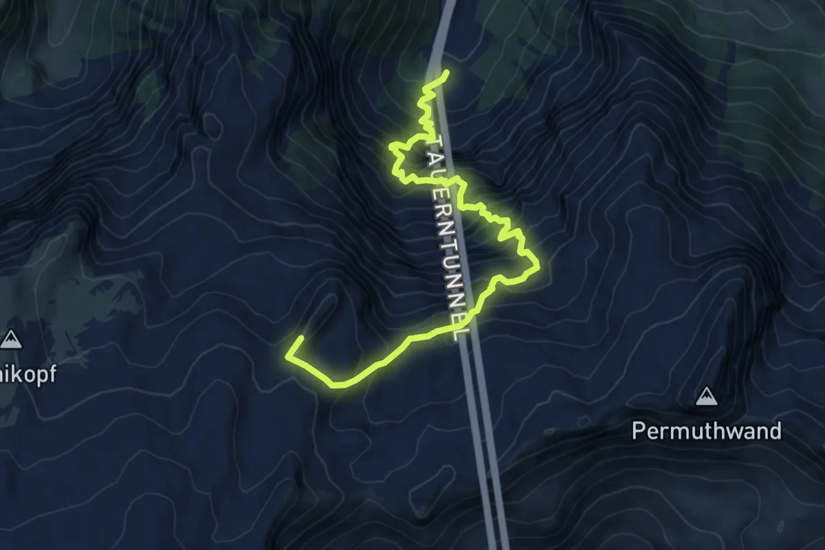
Demanding · Summit
Untere Gasthofalm – Mosermandl
8.4 km · ↑ 1043 m · 4 h 15 min
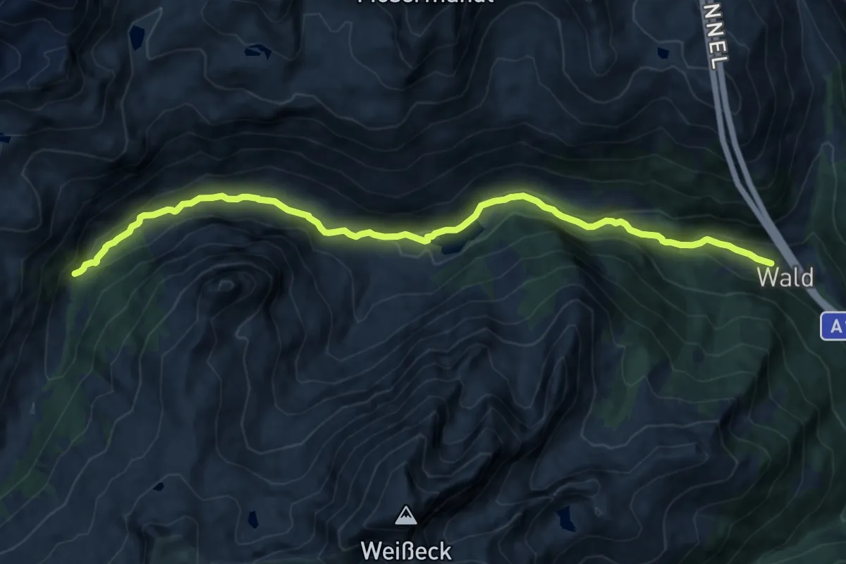
Medium · Trail
Wald – Hinter Riedingtal
13.8 km · ↑ 320 m · 3 h 57 min
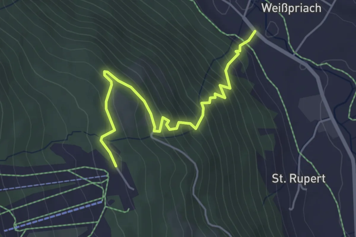
Medium · Trail
Weißpriach – Fanningberg-Parkplatz
4.4 km · ↑ 391 m · 1 h 54 min
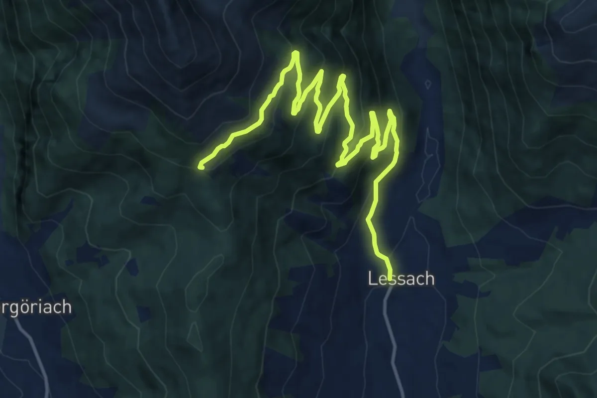
Medium · Cabin
Lessach – Wildbachhütte
15.7 km · ↑ 702 m · 5 h 14 min
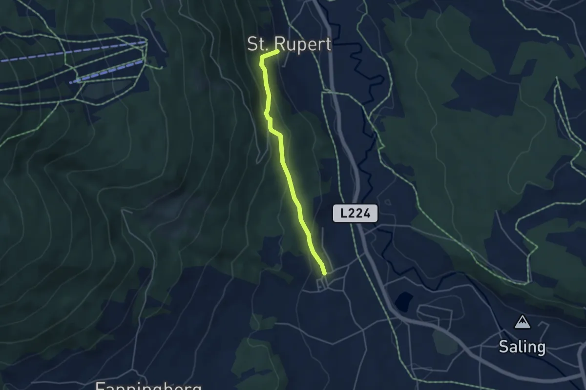
Easy · Trail
St.Rupert – Fanning
3.5 km · ↑ 185 m · 1 h 14 min
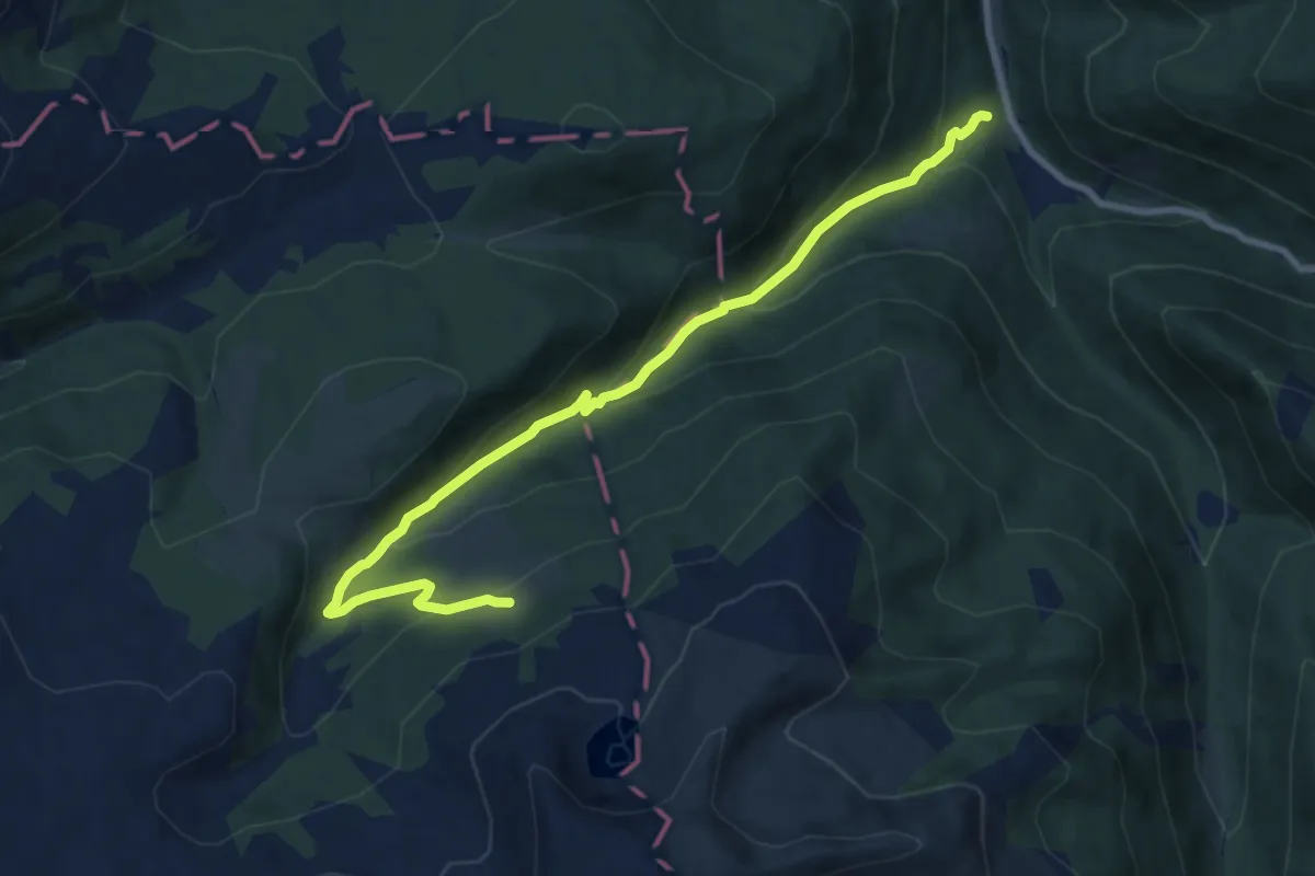
Medium · Cabin
Bundschuh-Hubertuskapelle – Leißnitzeralm
9.7 km · ↑ 500 m · 3 h 22 min
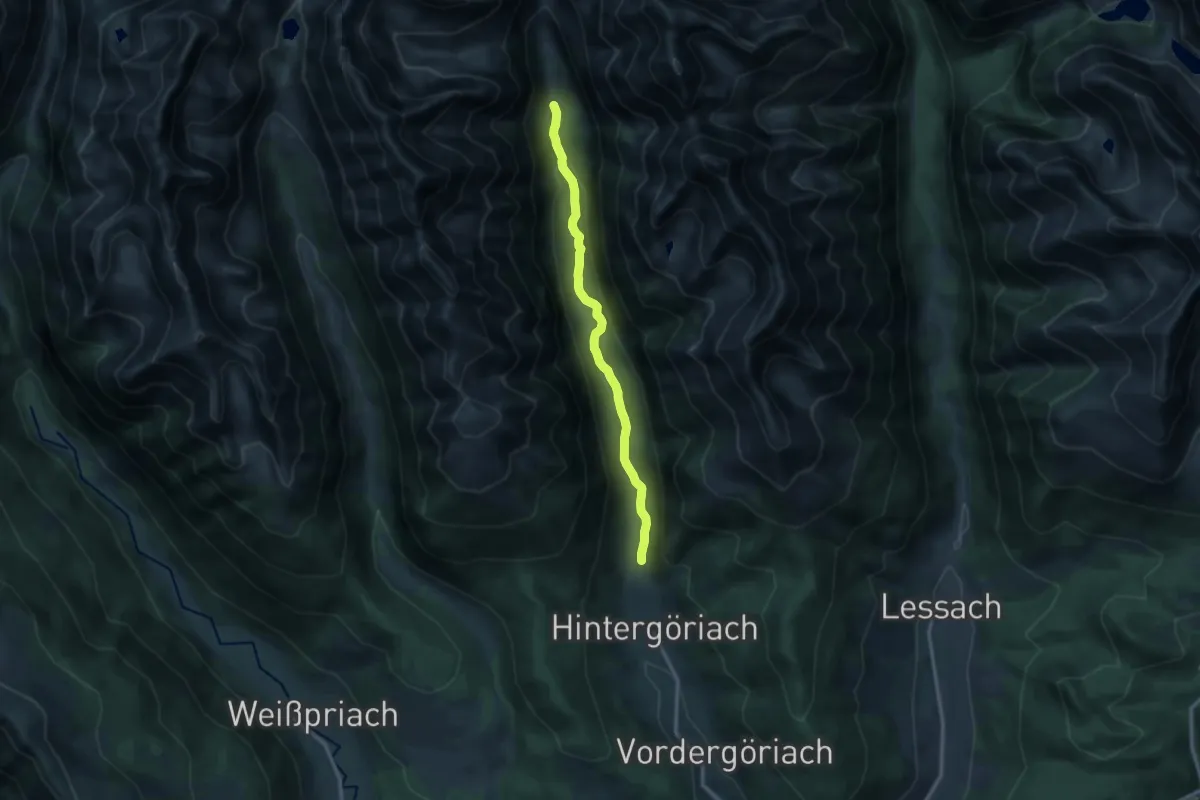
Medium · Trail
Parkplatz Hintergöriach – Hüttendorf
12.1 km · ↑ 184 m · 3 h 15 min
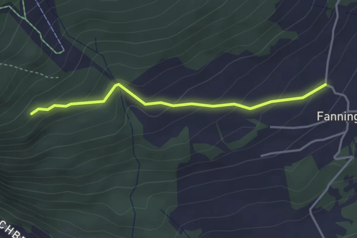
Easy · Trail
Faningberg – 46
2.9 km · ↑ 159 m · 1 h 2 min
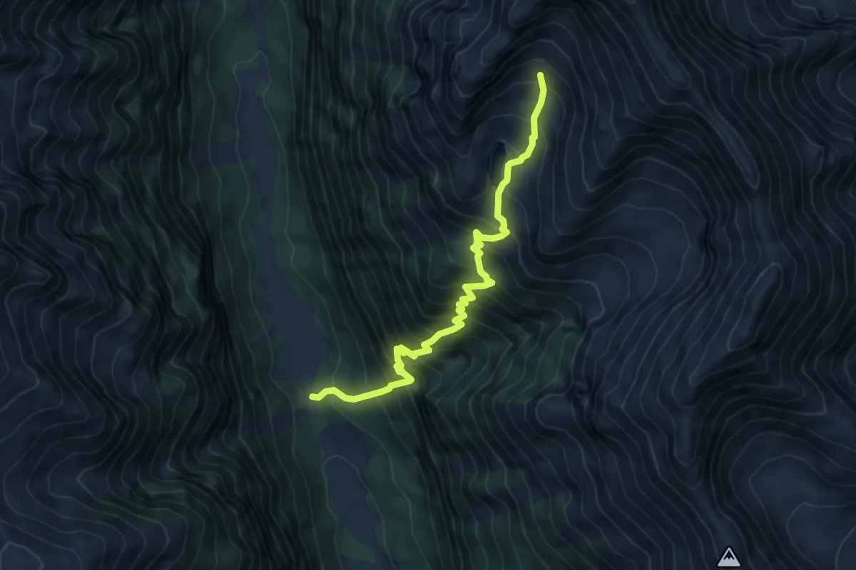
Demanding · Trail
Unterer Piendlalm – Kasereck
6.4 km · ↑ 846 m · 3 h 21 min
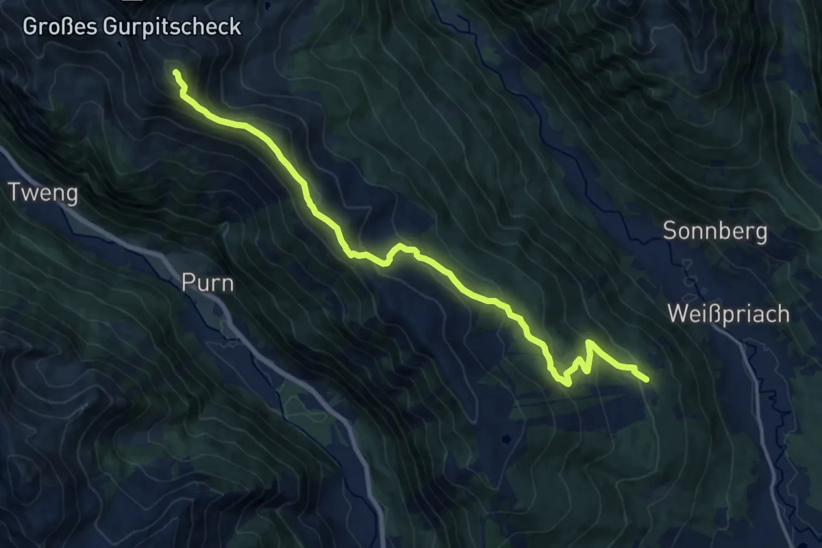
Demanding · Summit
Fanningberghöhe – Kleines Gurpitscheck
16.6 km · ↑ 950 m · 5 h 58 min
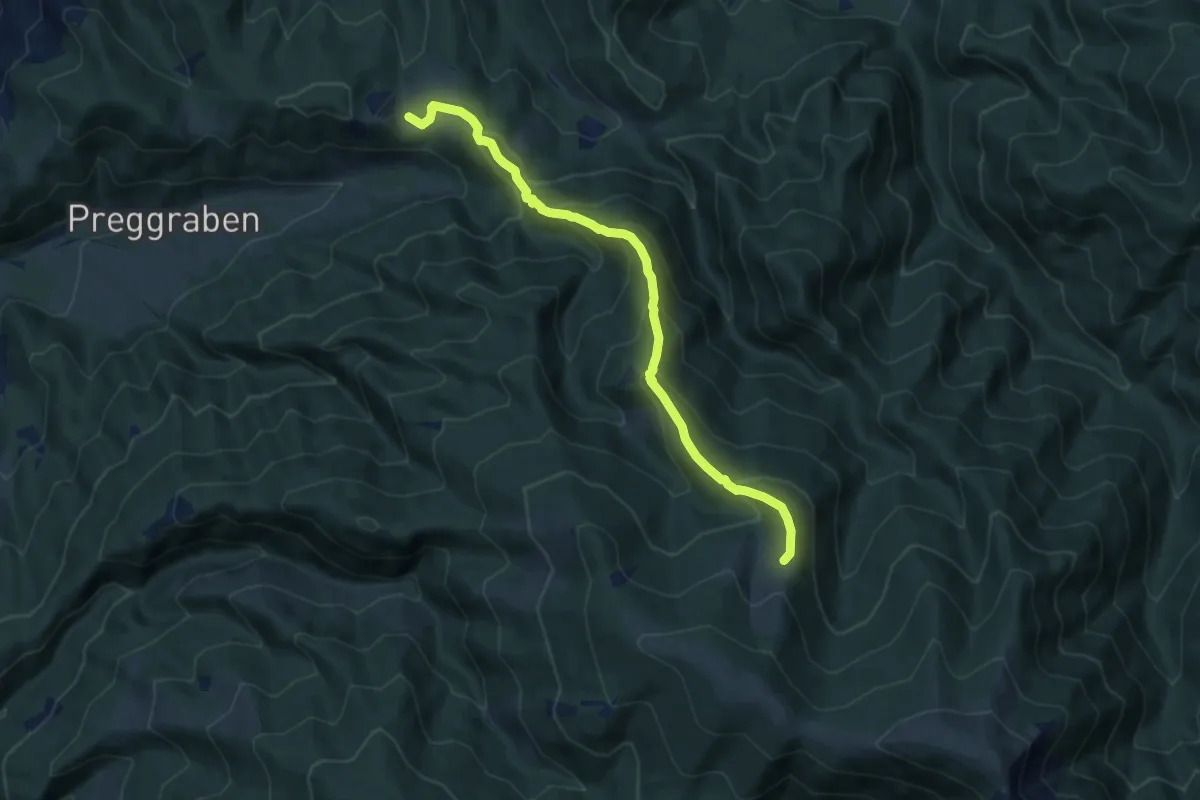
Medium · Trail
GH Spitzer – Vorderleitenhütte
9.5 km · ↑ 696 m · 3 h 45 min
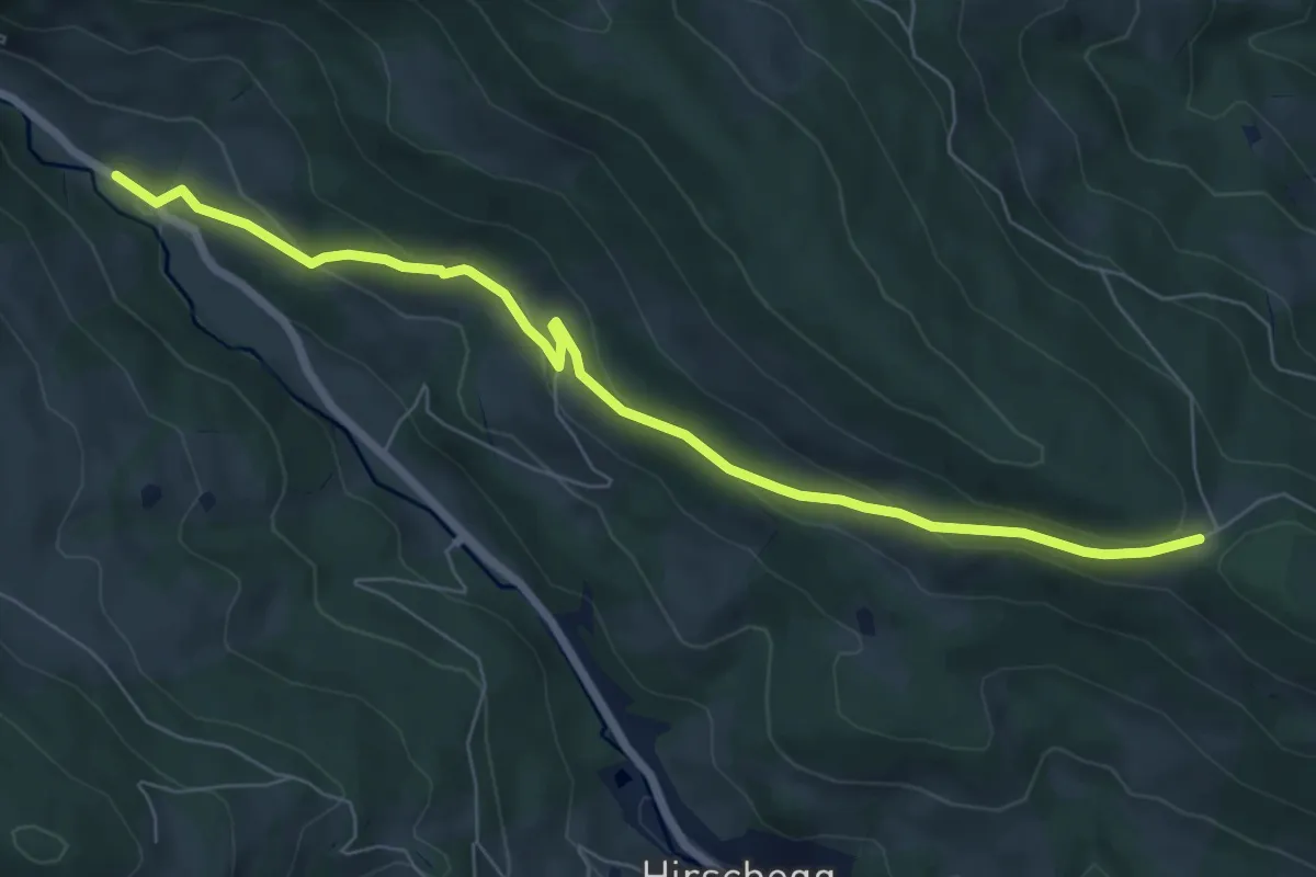
Easy · Trail
GH Sprengerwirt – Neuhäusl
7.4 km · ↑ 238 m · 2 h 15 min
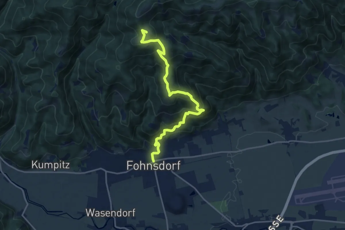
Medium · Summit
Fohnsdorf – Hammerleck
12.6 km · ↑ 730 m · 4 h 34 min
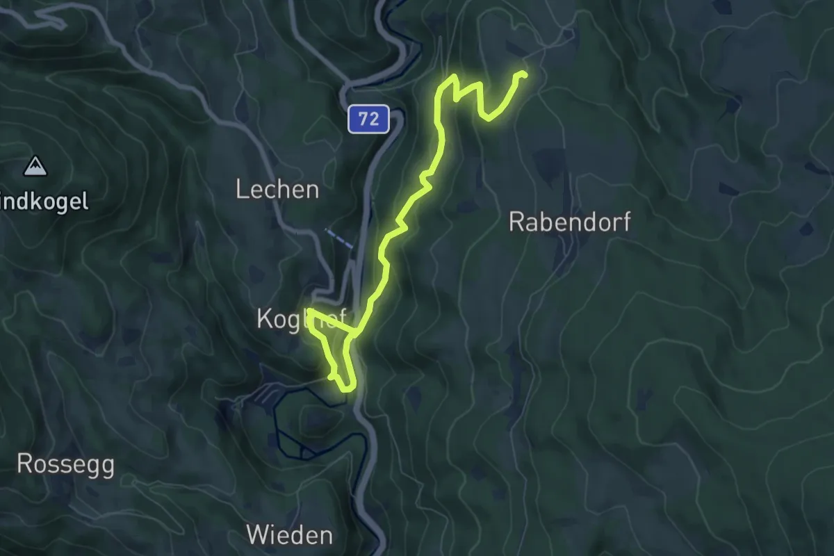
Medium · Trail
Koglhof – Rabendorf
8.3 km · ↑ 426 m · 2 h 53 min