Trails in Austria
9,777 hiking trails, each with its route, climb, walking time and grade.
All trails, page 200 of 204
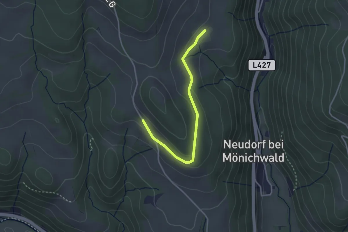
Easy · Trail
Lechenweg – Festenburg
2.8 km · ↑ 39 m · 45 min
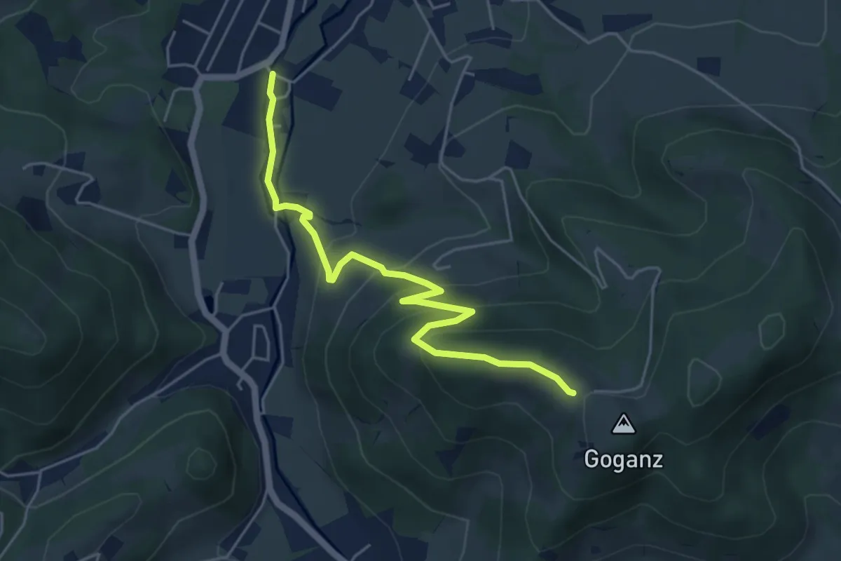
Easy · Trail
Johanneskapelle – Goganz
5.0 km · ↑ 288 m · 1 h 49 min
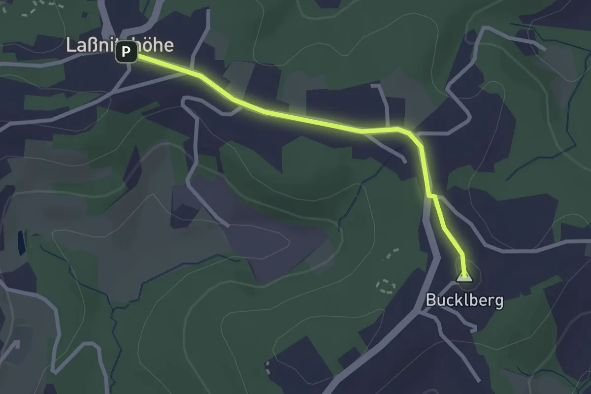
Easy · Summit
Laßnitzhöhe Hauptplatz – Bucklberg
2.2 km · ↑ 29 m · 36 min
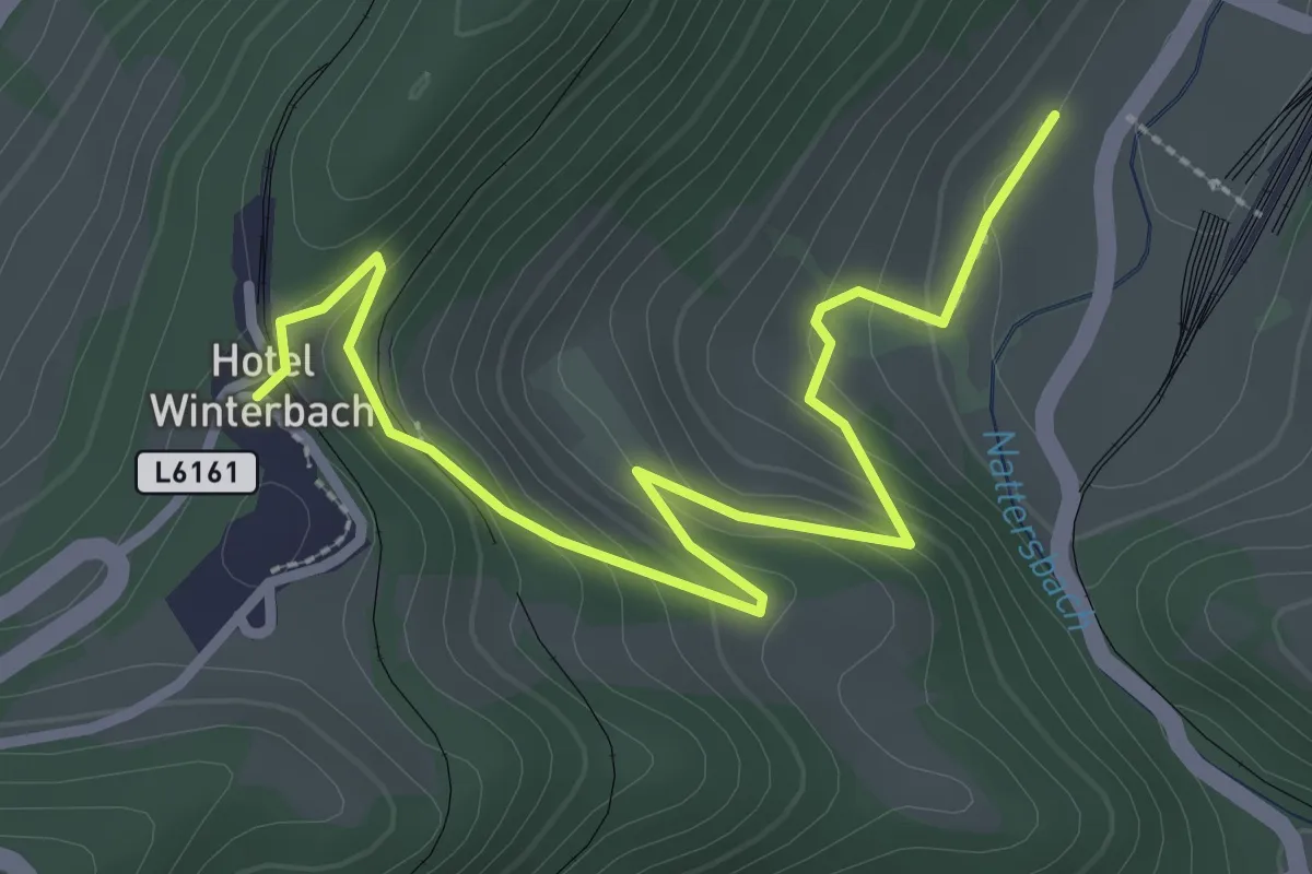
Easy · Trail
Laubenbachmühle Bahnhof – Winterbach
3.2 km · ↑ 182 m · 1 h 10 min
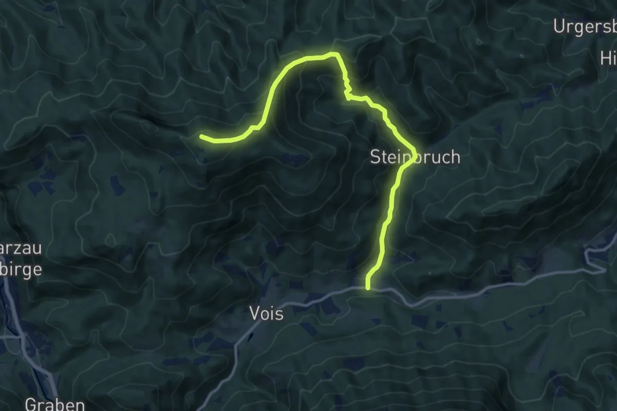
Medium · Summit
Vois – Handlesberg
12.1 km · ↑ 800 m · 4 h 36 min
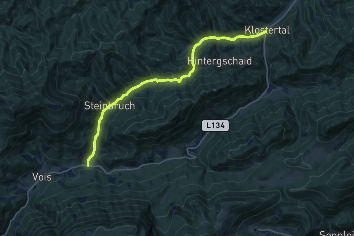
Medium · Trail
Gutenstein-Klostertal – Vois
14.9 km · ↑ 401 m · 4 h 24 min
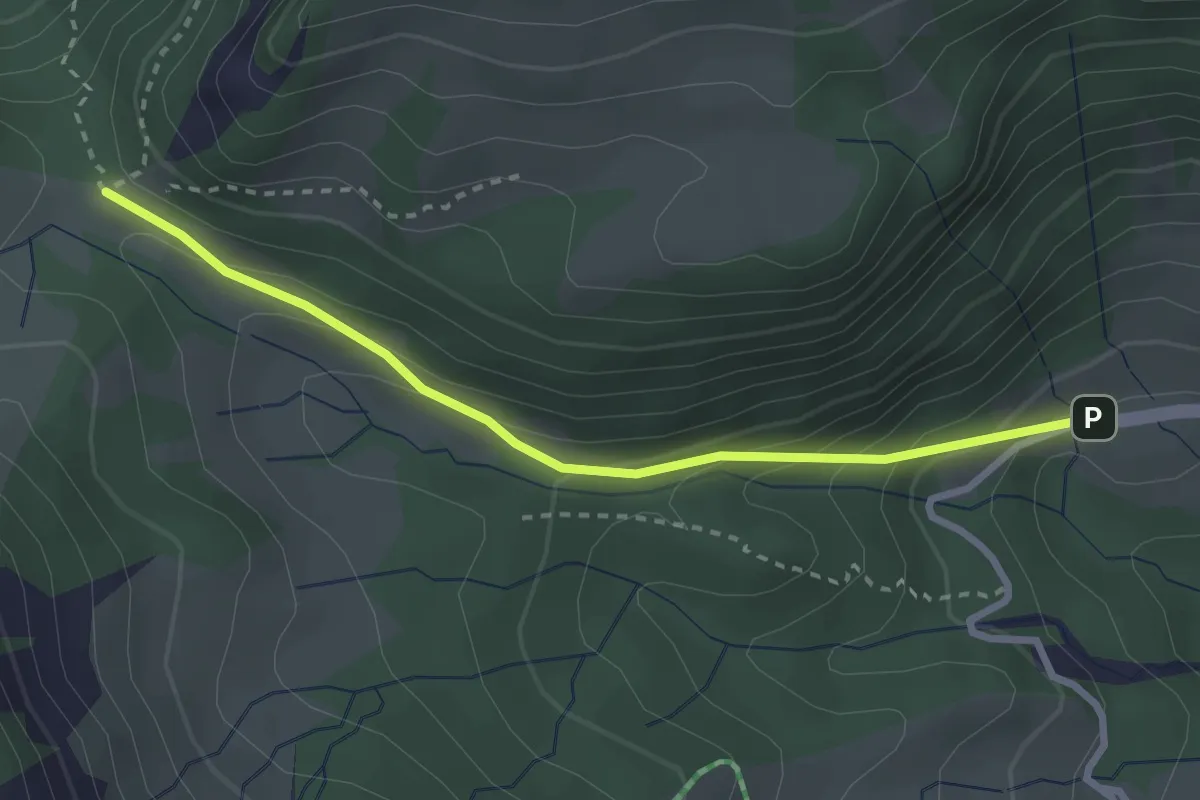
Easy · Trail
Ebnit – Fluhereck
2.8 km · ↑ 190 m · 1 h 4 min
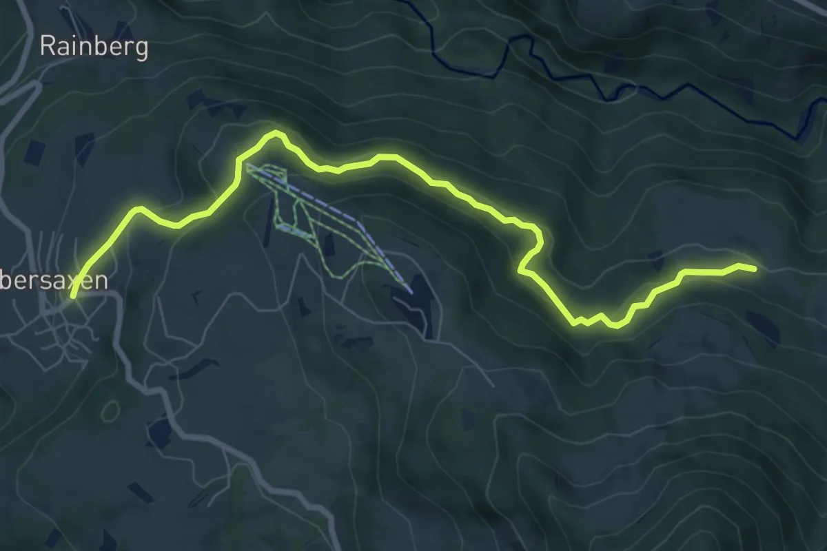
Easy · Trail
Übersaxen – Wiesalpe
7.8 km · ↑ 220 m · 2 h 19 min
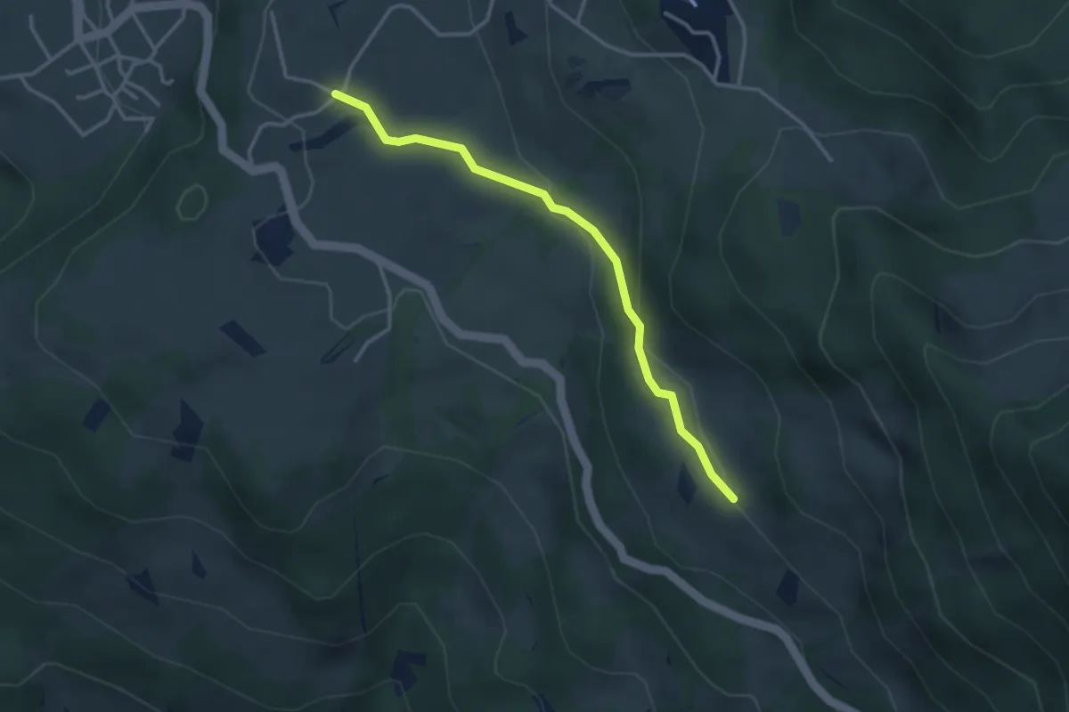
Easy · Trail
Weiherberg – Satteinser Gulmalpe
3.1 km · ↑ 84 m · 55 min
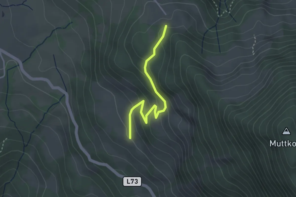
Easy · Trail
Satteinser Gulmalpe – Übersaxner Gulmalpe
2.8 km · ↑ 125 m · 57 min
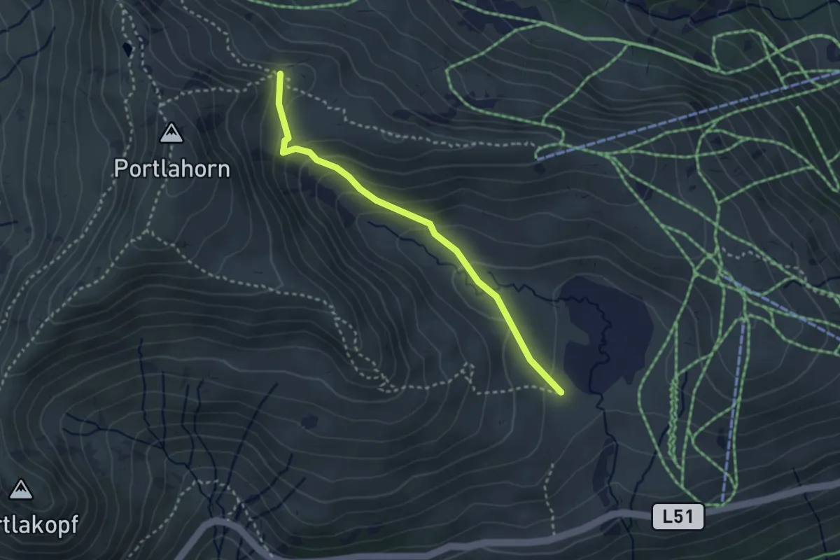
Easy · Trail
Oberdamülser Alpe – (Sünser Joch)
2.9 km · ↑ 178 m · 1 h 4 min
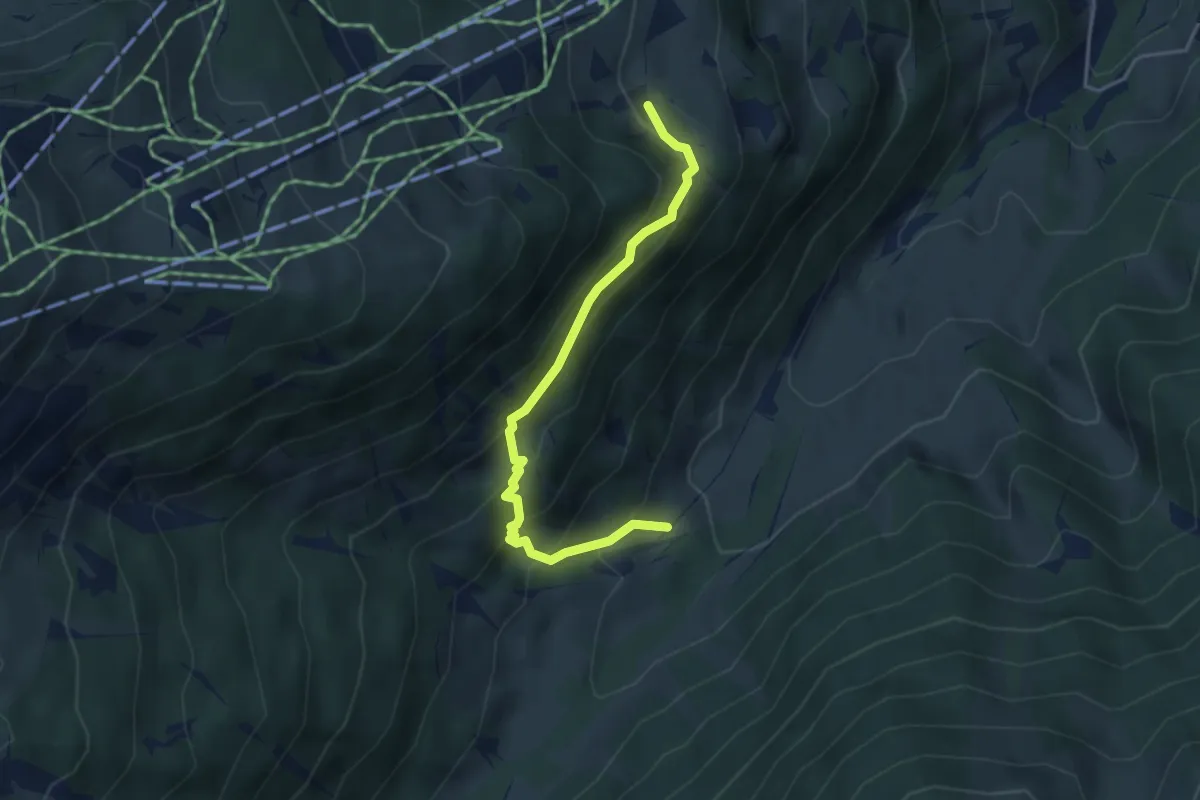
Medium · Trail
Gauen – (Matschwitz)
3.8 km · ↑ 288 m · 1 h 32 min
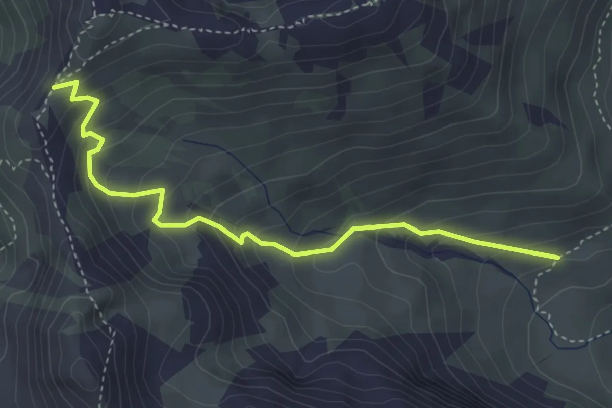
Medium · Trail
(Latschätzalpe) – (Hätaberger Joch)
3.8 km · ↑ 362 m · 1 h 42 min
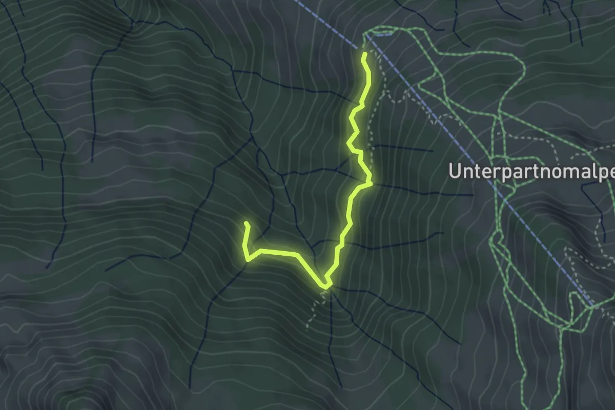
Medium · Trail
Stein – (Sterisalpe)
3.1 km · ↑ 124 m · 1 h 1 min
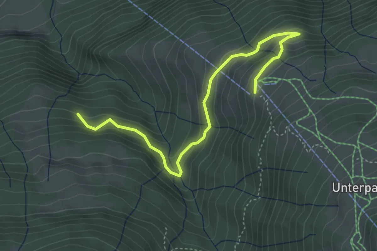
Easy · Trail
(Sonntag) – Stein
4.4 km · ↑ 196 m · 1 h 28 min
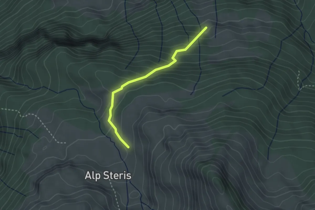
Easy · Trail
Bickelwald – (Sterisalpe)
2.6 km · ↑ 220 m · 1 h 5 min
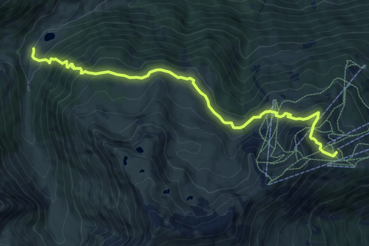
Medium · Trail
Rells – Golm-Grüneck
10.1 km · ↑ 591 m · 3 h 40 min
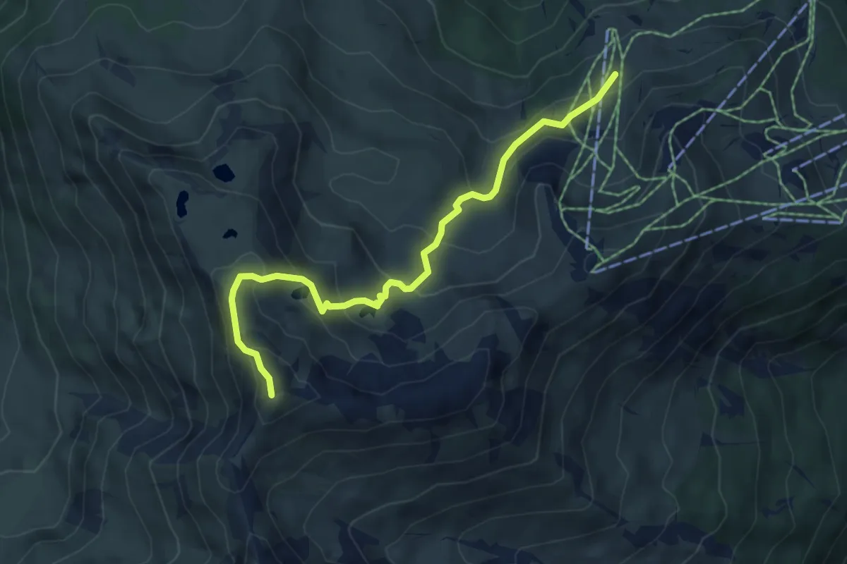
Medium · Summit
Außergolmalpe – Kreuzjoch
5.6 km · ↑ 445 m · 2 h 18 min
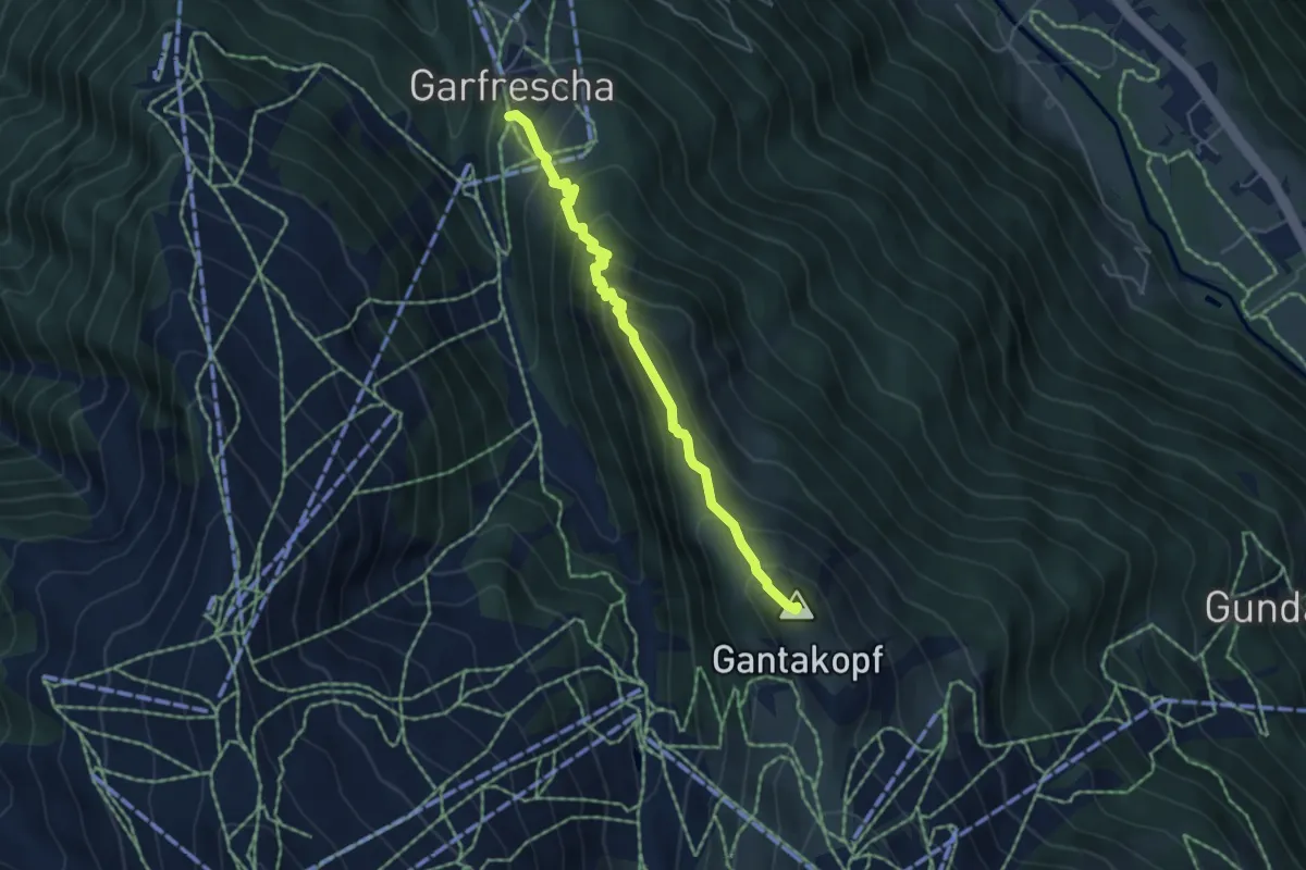
Medium · Summit
Garfrescha – Versettlabahn Bergstation
4.7 km · ↑ 468 m · 2 h 7 min
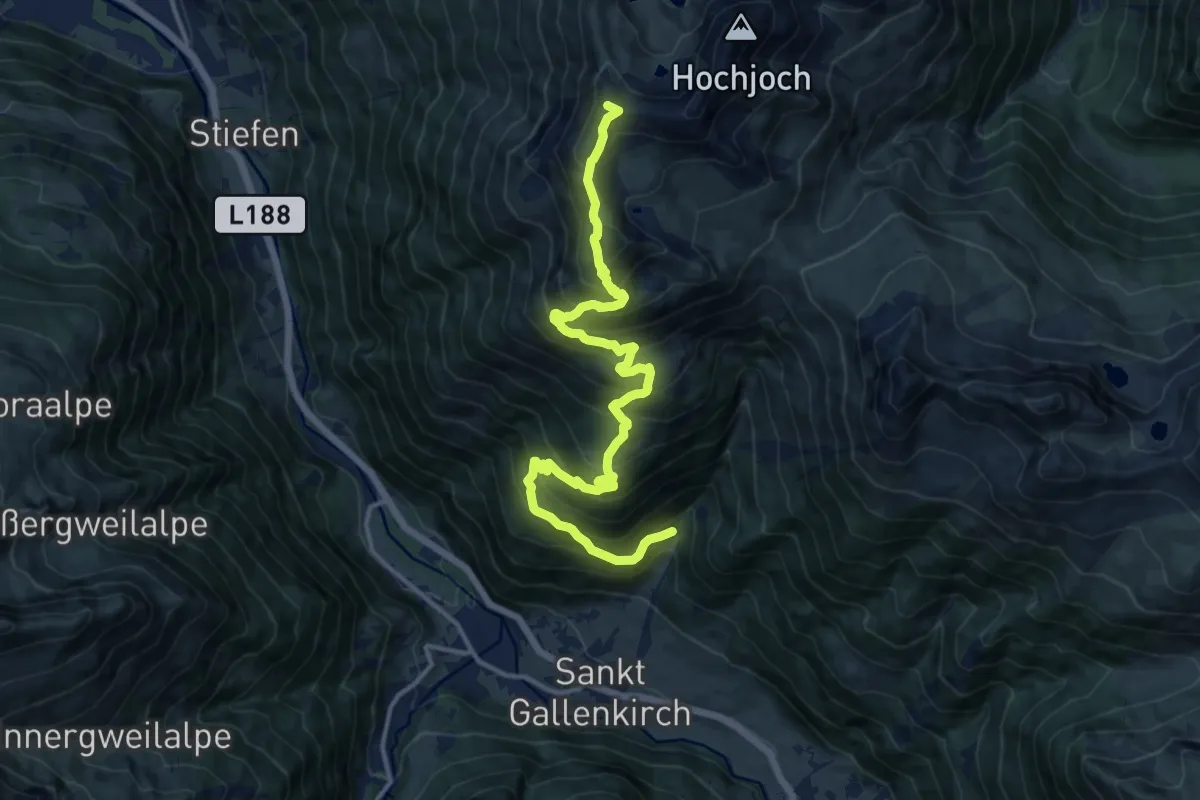
Demanding · Summit
(St. Gallenkirch) – Wormser Hütte
15.4 km · ↑ 1318 m · 6 h 29 min
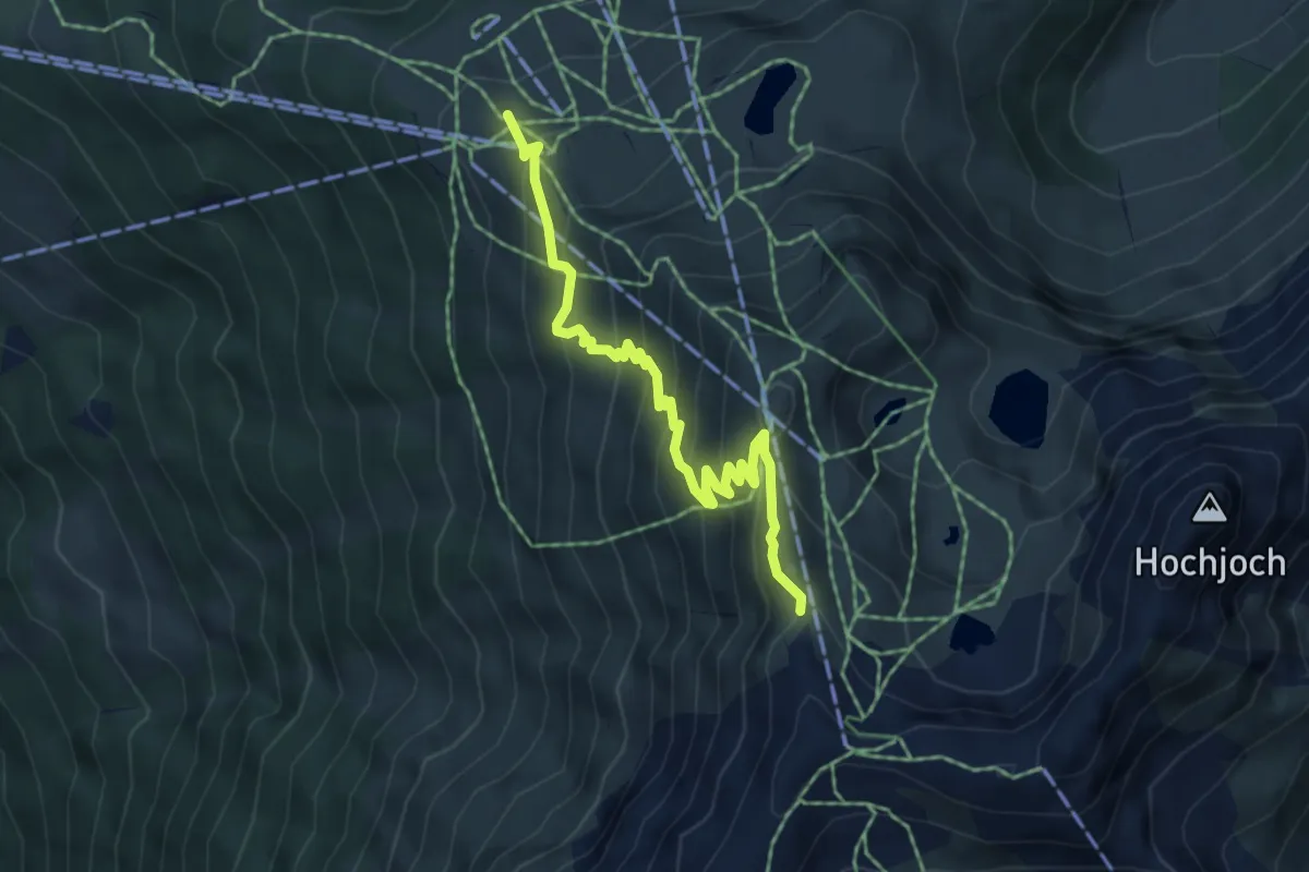
Medium · Cabin
Kapell Bergstation – Wormser Hütte
5.2 km · ↑ 431 m · 2 h 10 min
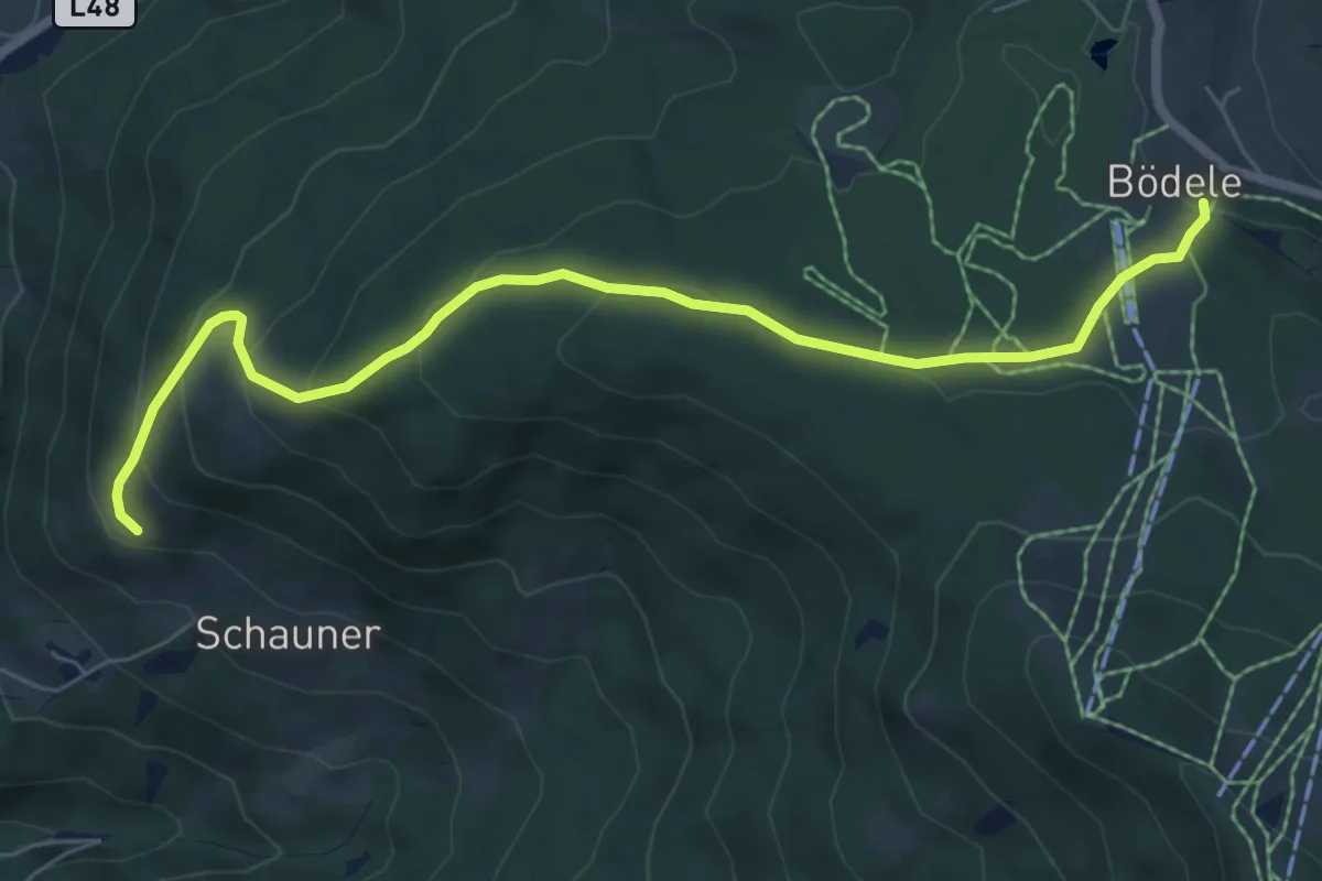
Medium · Trail
Schwende – (Bödele)
7.1 km · ↑ 340 m · 2 h 25 min
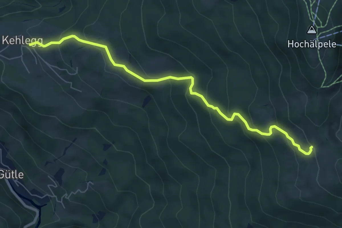
Medium · Trail
Kehlegg – Gschwendtalpe
6.7 km · ↑ 452 m · 2 h 34 min
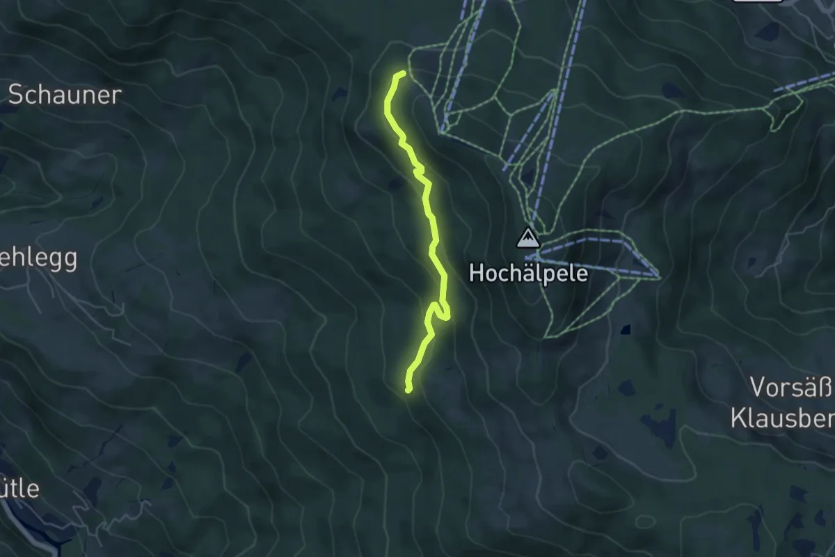
Easy · Trail
(Kehlegg) – (Lank)
4.2 km · ↑ 215 m · 1 h 28 min
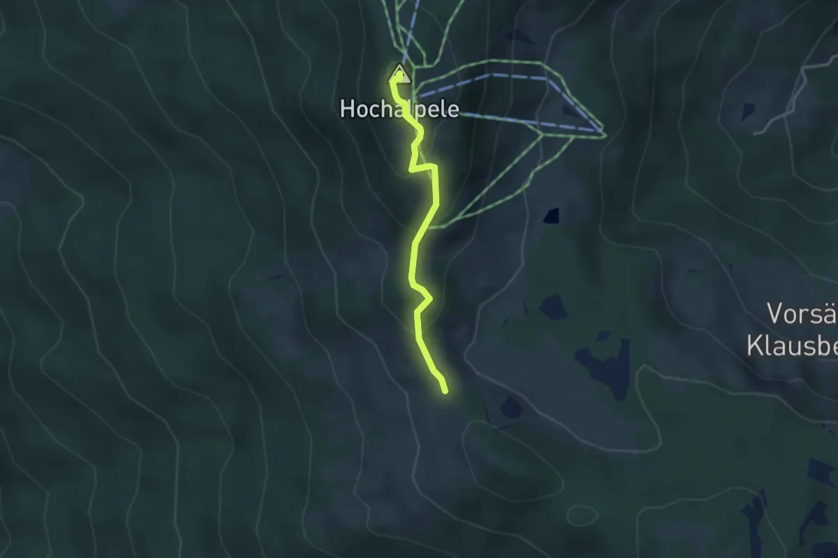
Medium · Summit
(Gschwendtalpe) – Hochälpele
2.6 km · ↑ 175 m · 1 h
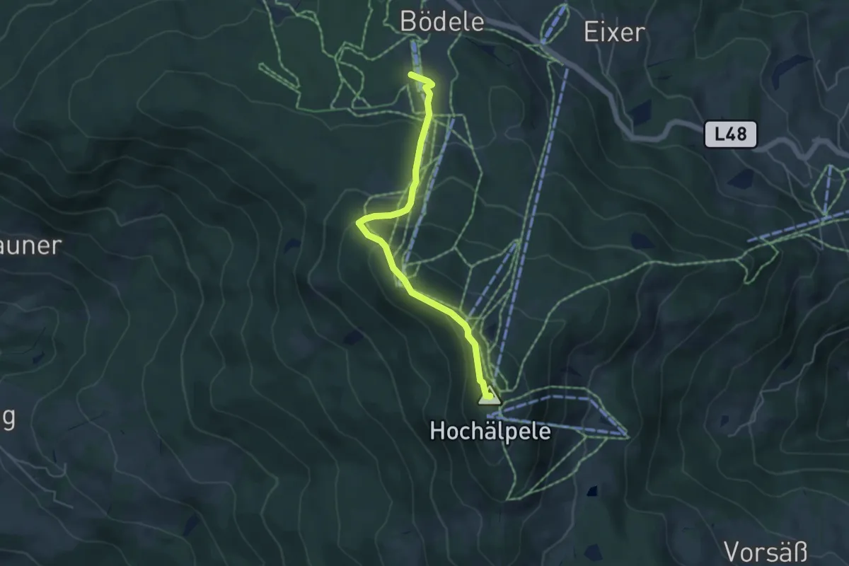
Medium · Summit
(Bödele) – Hochälpele
4.5 km · ↑ 292 m · 1 h 41 min
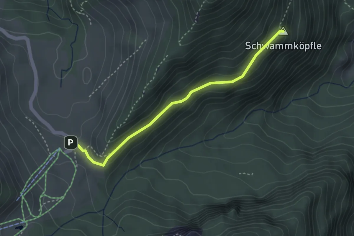
Easy · Summit
(Karren) – Schuttannen
3.1 km · ↑ 82 m · 54 min
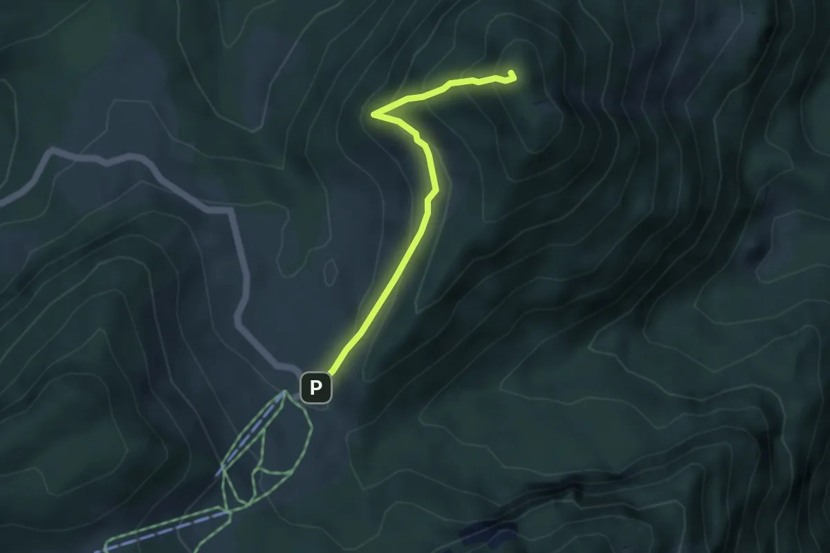
Medium · Summit
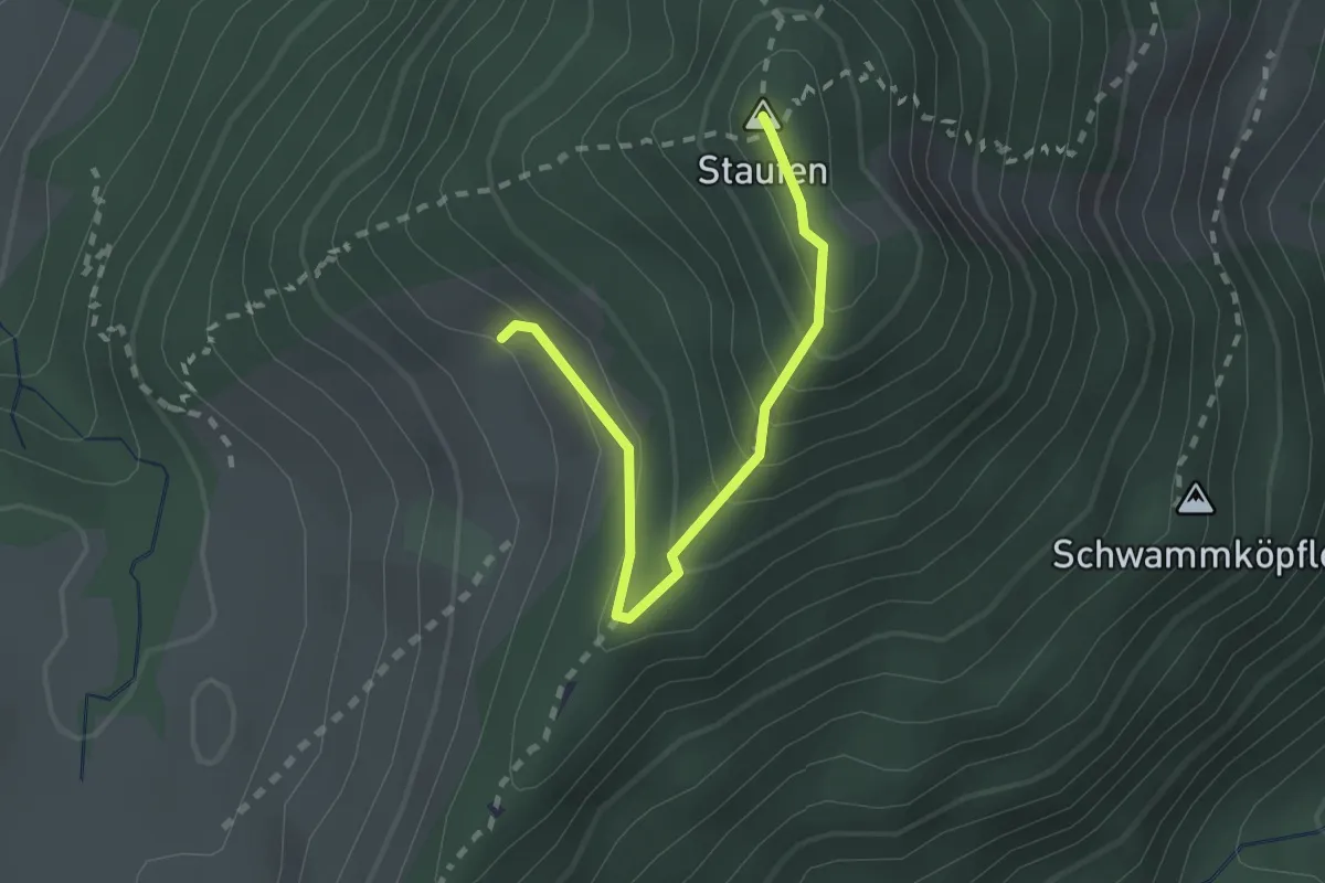
Schuttannen – Staufenspitze
3.4 km · ↑ 319 m · 1 h 29 min
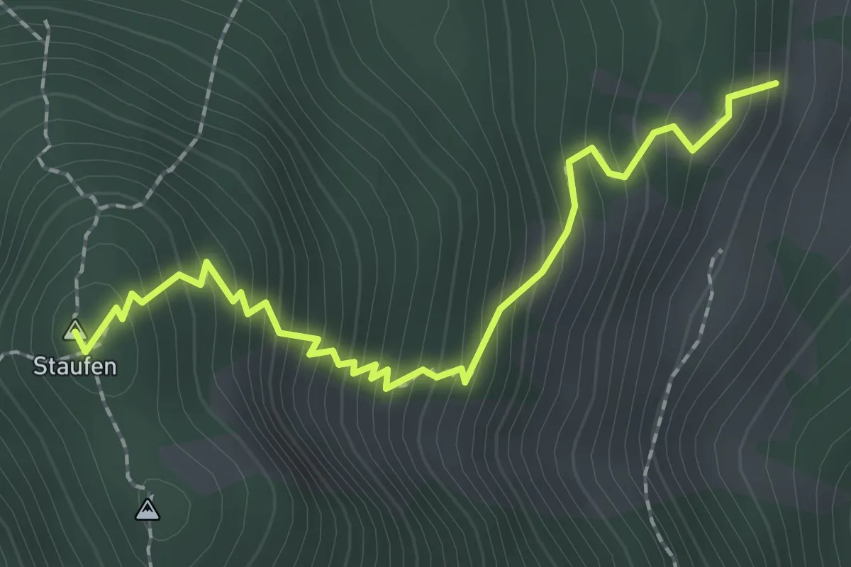
Demanding · Summit
(Schuttannen) – Staufenspitze
2.1 km · ↑ 238 m · 1 h 1 min
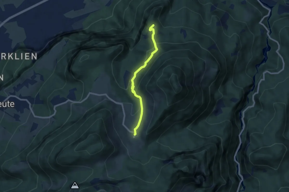
Demanding · Summit
Staufenalpe – Staufenspitze
2.1 km · ↑ 351 m · 1 h 16 min
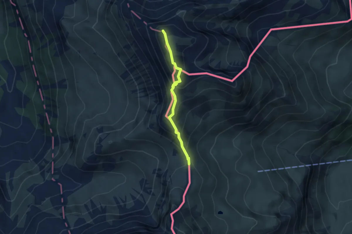
Medium · Trail
(Karren) – Schuttannen
5.3 km · ↑ 275 m · 1 h 51 min
Medium · Summit
Augstenberg – Pfälzerhütte
3.1 km · ↑ 303 m · 1 h 23 min
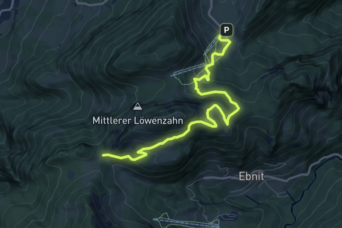
Medium · Trail
Schuttannen – Fluhereck
9.6 km · ↑ 437 m · 3 h 13 min
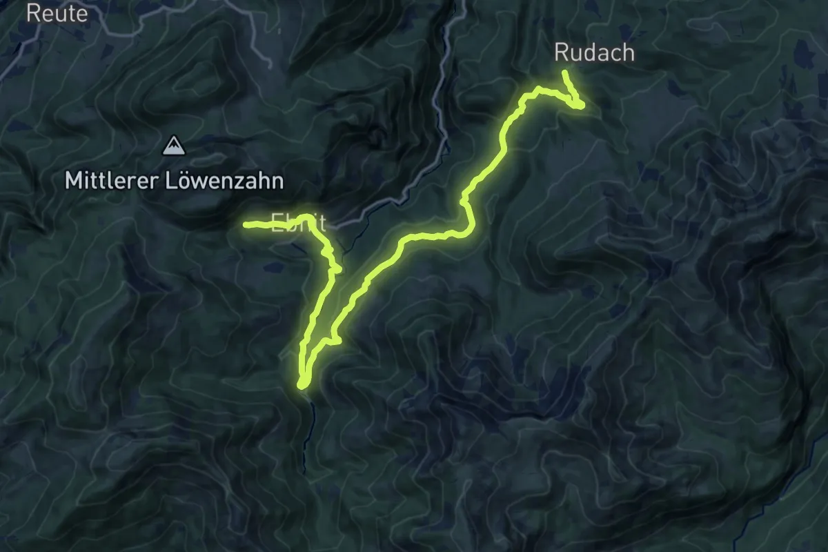
Demanding · Trail
Kobelalpe – Ebnit
19.3 km · ↑ 594 m · 5 h 50 min
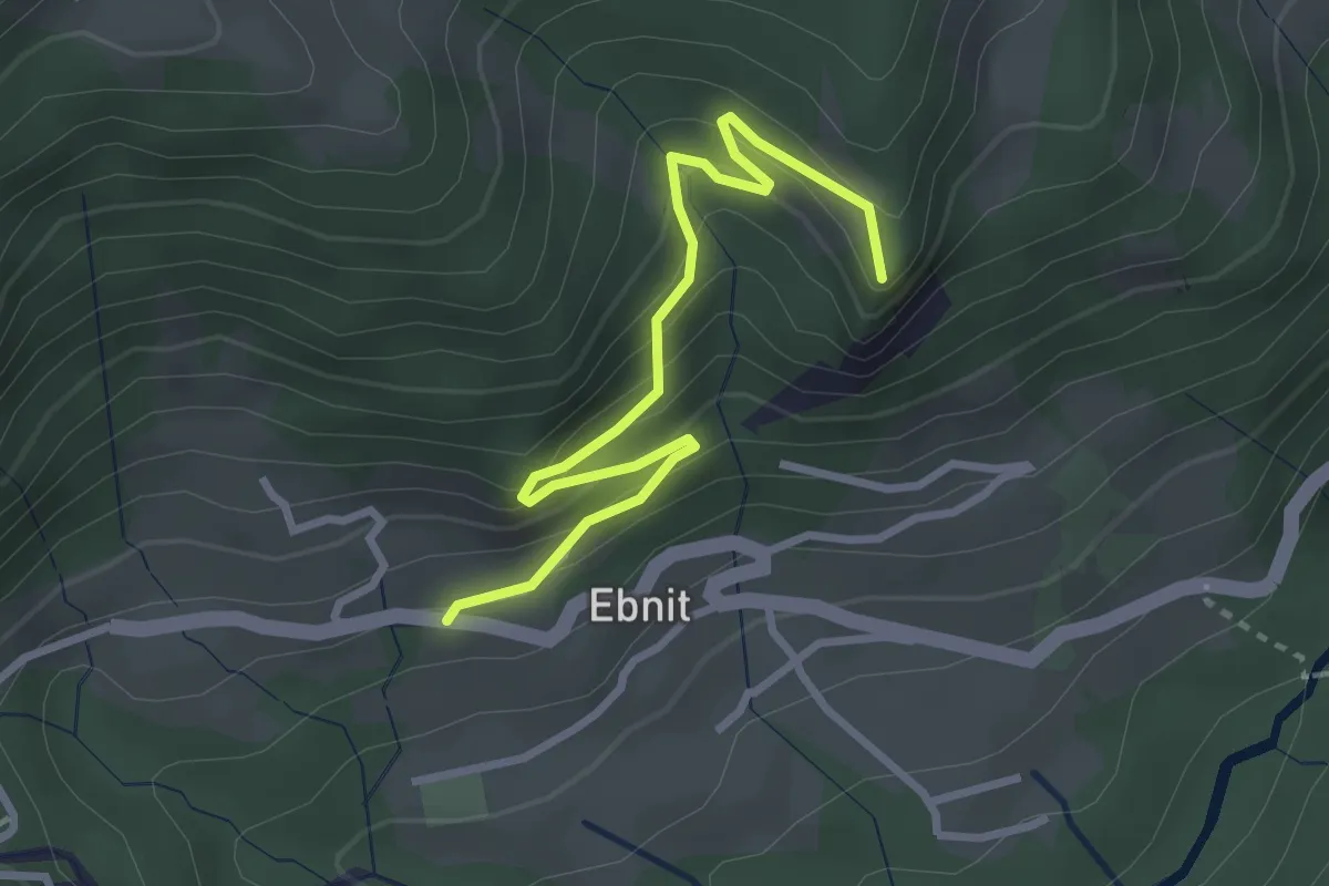
Easy · Summit
(Ebnit) – (Schuttannen)
3.1 km · ↑ 239 m · 1 h 15 min
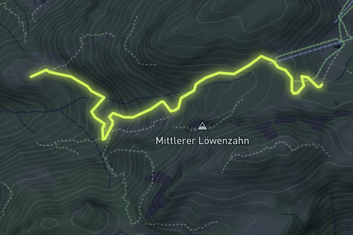
Medium · Summit
Ranzenbergalpe – (Schuttannen)
5.6 km · ↑ 411 m · 2 h 13 min
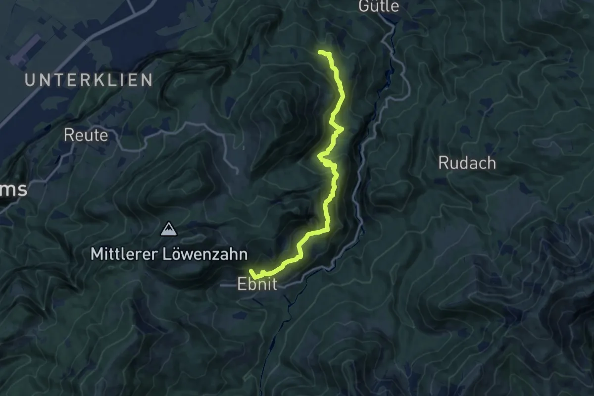
Medium · Summit
(Karren) – (Ebnit)
11.4 km · ↑ 726 m · 4 h 15 min
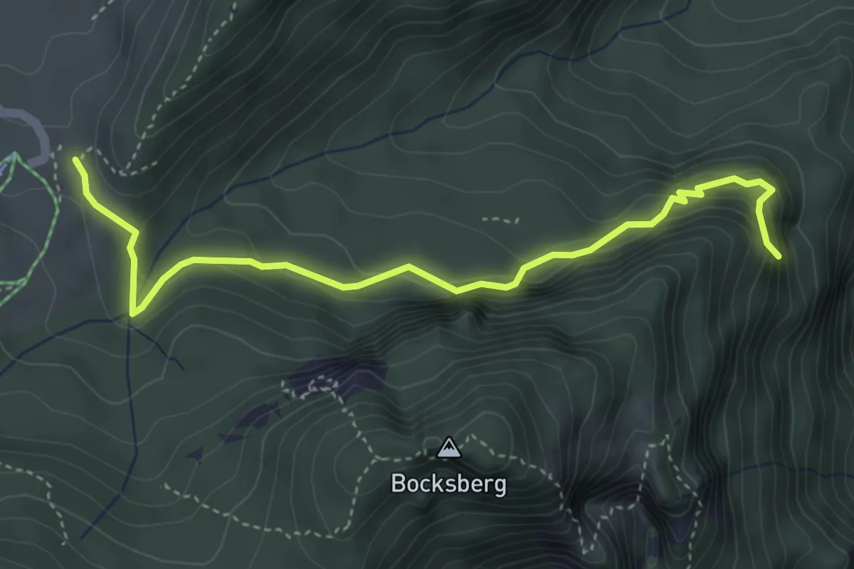
Easy · Trail
(Ebnit) – Schuttannen
4.3 km · ↑ 239 m · 1 h 32 min
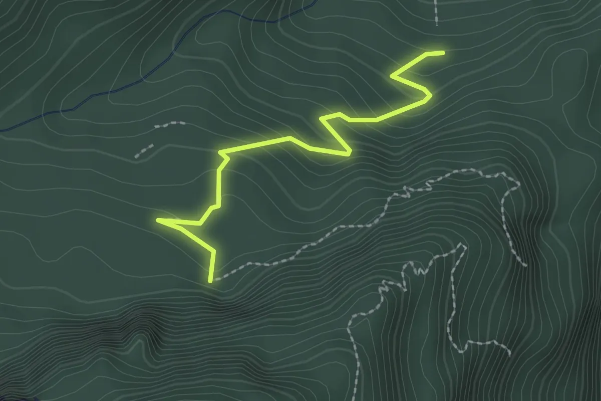
Easy · Trail
(Spätenbachalpe) – (Schuttannen)
2.1 km · ↑ 155 m · 50 min
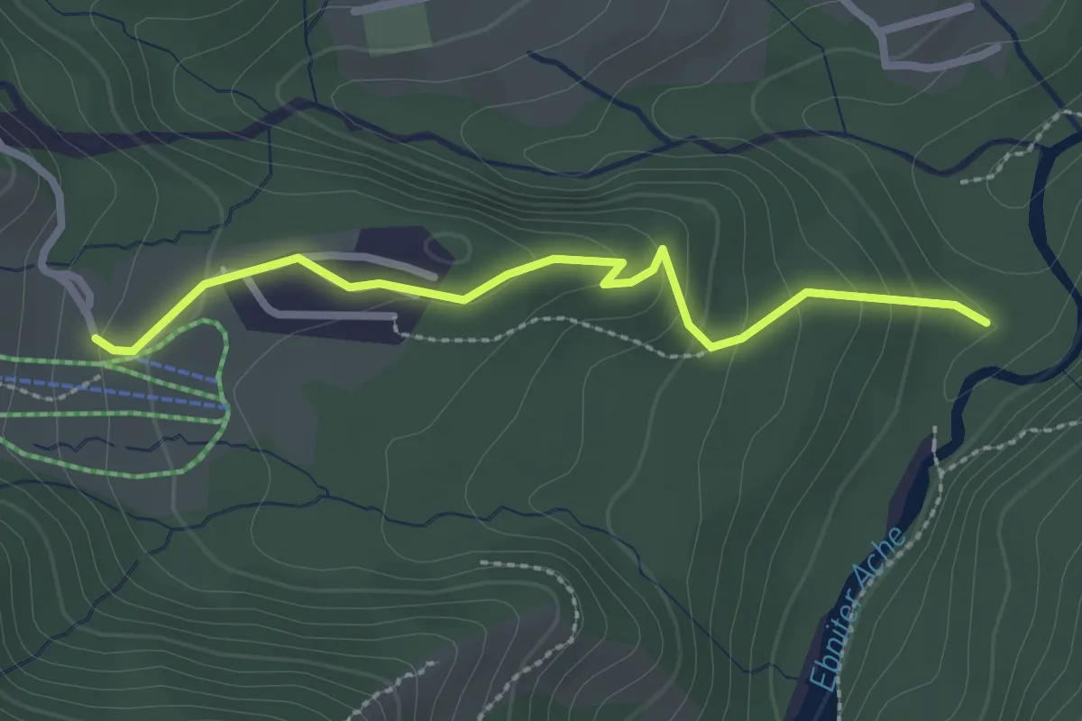
Easy · Trail
Heumöseralpe – (Untere Wäldlealpe)
2.5 km · ↑ 117 m · 50 min
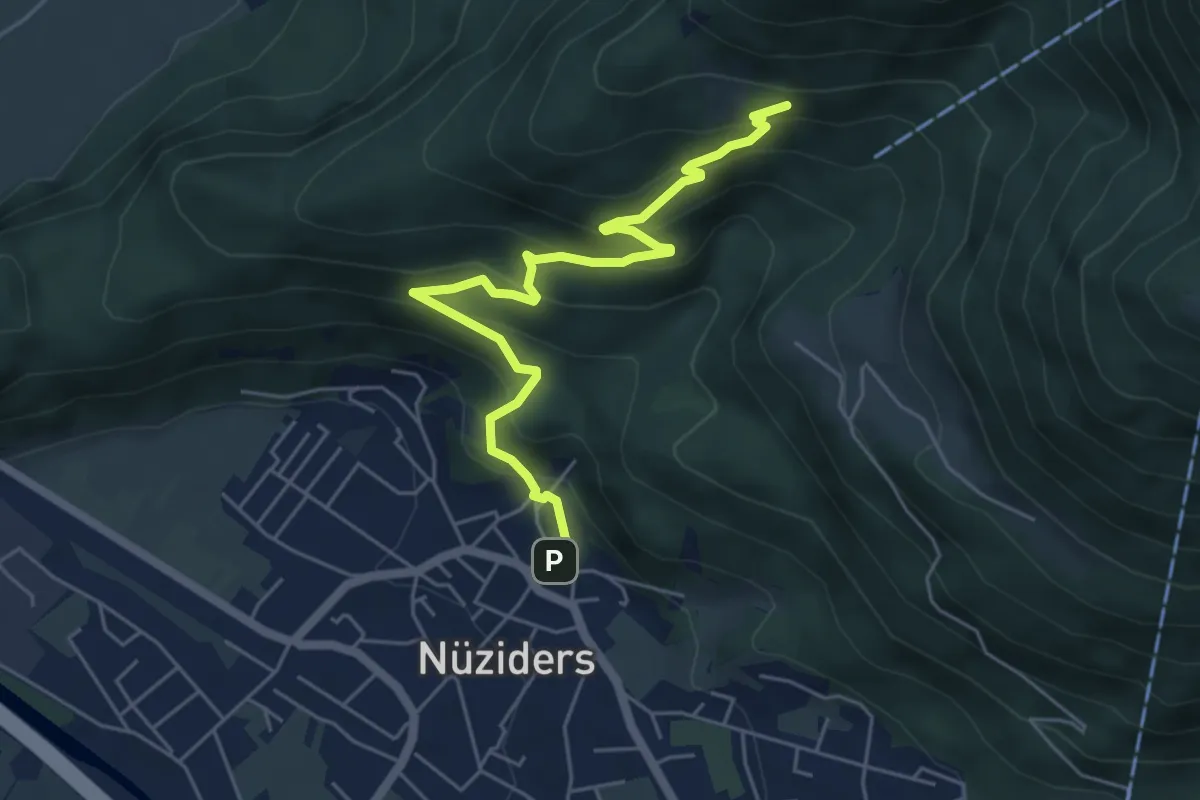
Medium · Trail
(Nüziders) – (Ludescherberg)
5.7 km · ↑ 395 m · 2 h 12 min
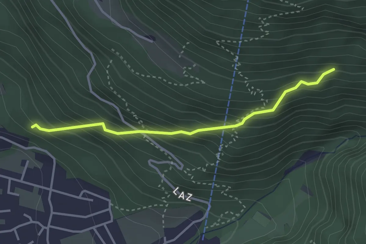
Medium · Trail
(Nüziders) – (Muttersberg)
2.9 km · ↑ 339 m · 1 h 25 min
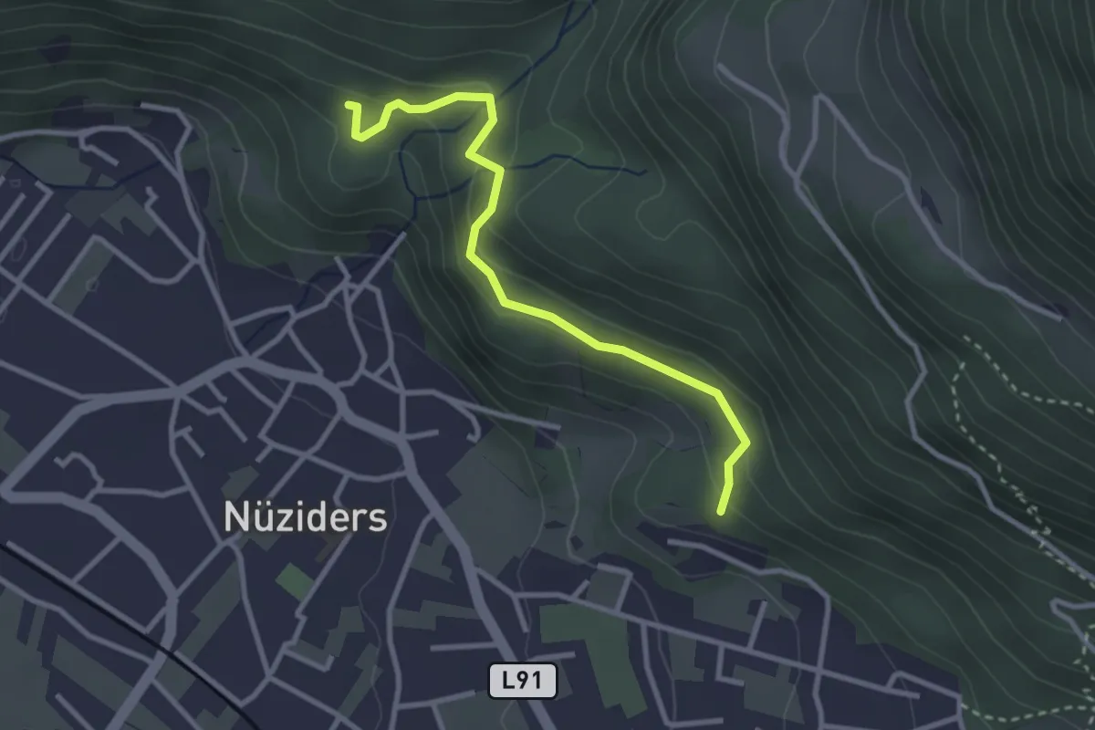
Easy · Trail
(Kreuzboden) – (Außerberg)
2.9 km · ↑ 131 m · 58 min
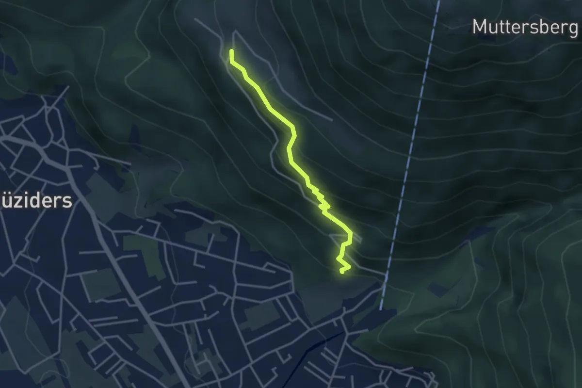
Easy · Trail
(Bludenz) – (Laz)
2.8 km · ↑ 255 m · 1 h 13 min
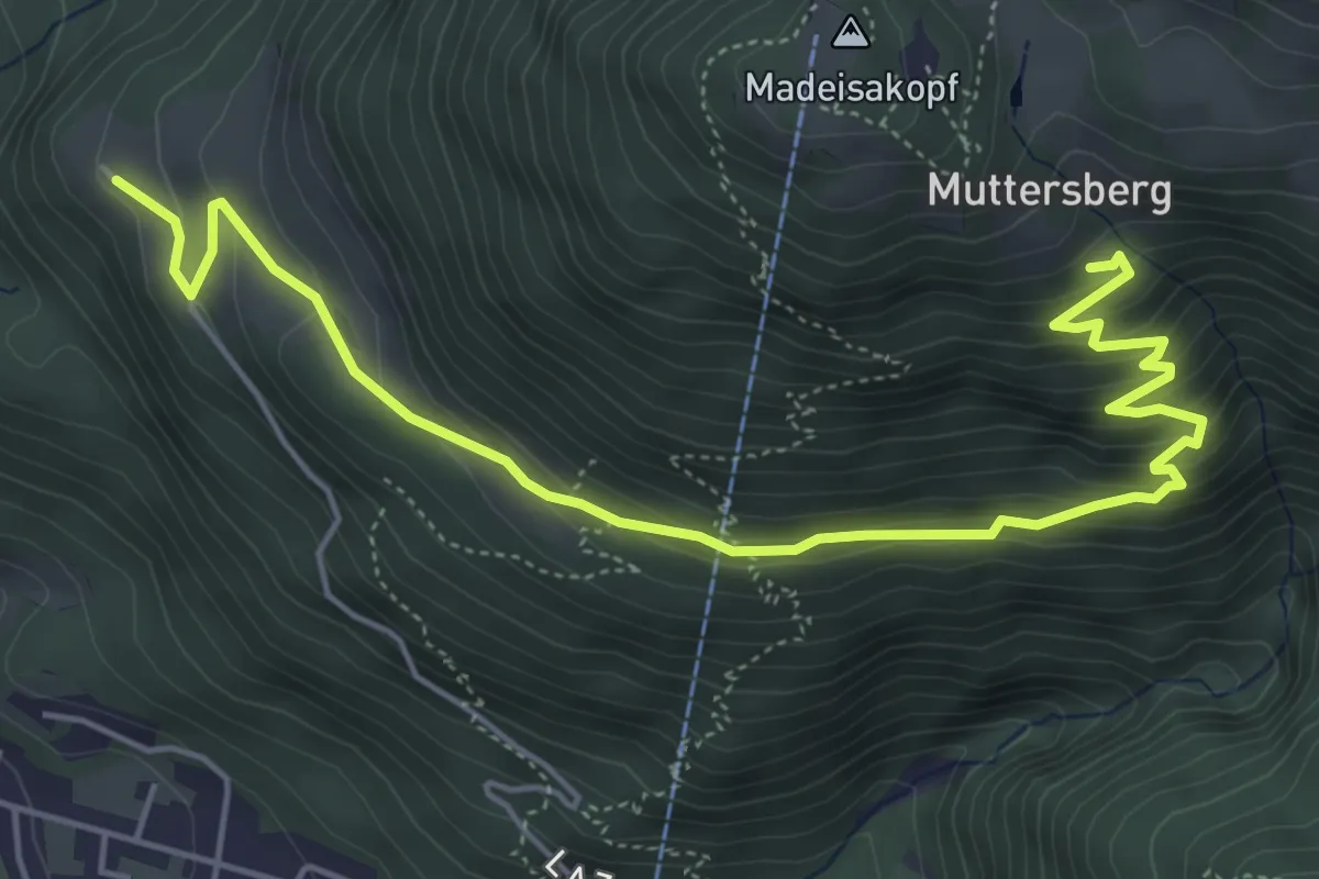
Medium · Trail
Laz – (Muttersberg)
6.3 km · ↑ 371 m · 2 h 17 min
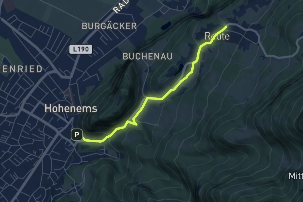
Easy · Trail
Hohenems – Reute
5.3 km · ↑ 257 m · 1 h 49 min
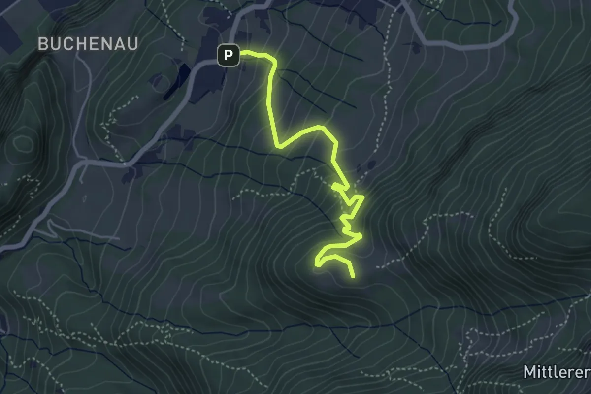
Medium · Summit
Reute – Ranzenbergalpe
4.2 km · ↑ 350 m · 1 h 45 min
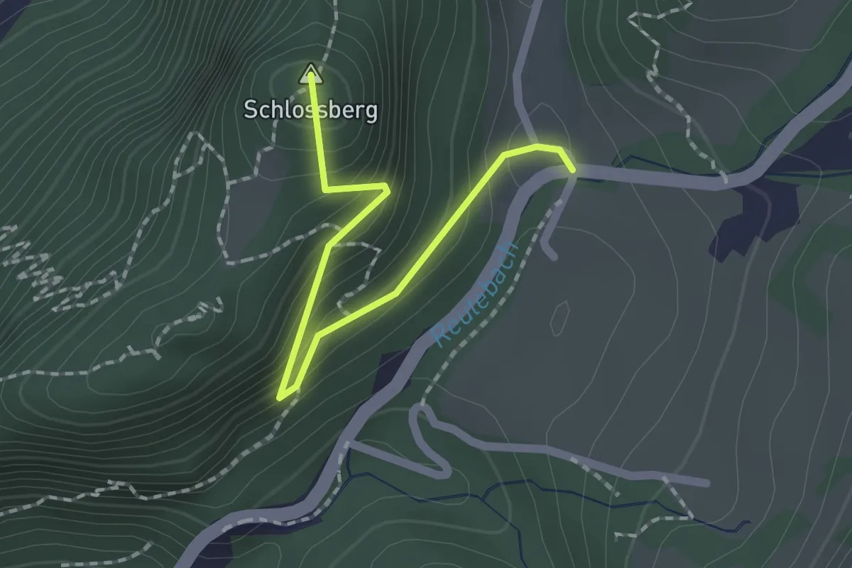
Easy · Summit
Buchenau Bus-Hst. – Ruine Alt-Ems
1.8 km · ↑ 157 m · 46 min