Trails in Austria
9,777 hiking trails, each with its route, climb, walking time and grade.
All trails, page 201 of 204
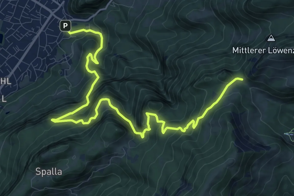
Demanding · Trail
Hohenems – Fluehereck
15.1 km · ↑ 897 m · 5 h 30 min
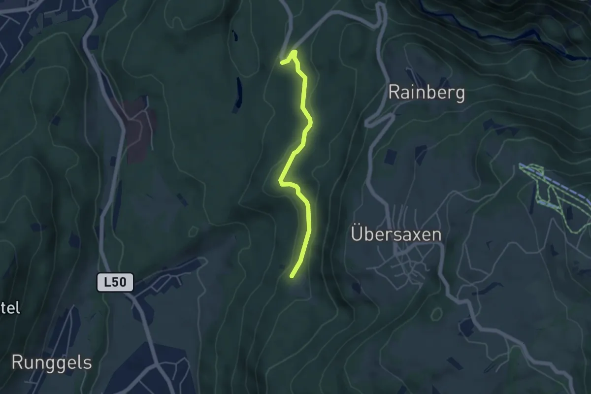
Easy · Trail
Schönebühelrank – Lorex
3.8 km · ↑ 52 m · 1 h
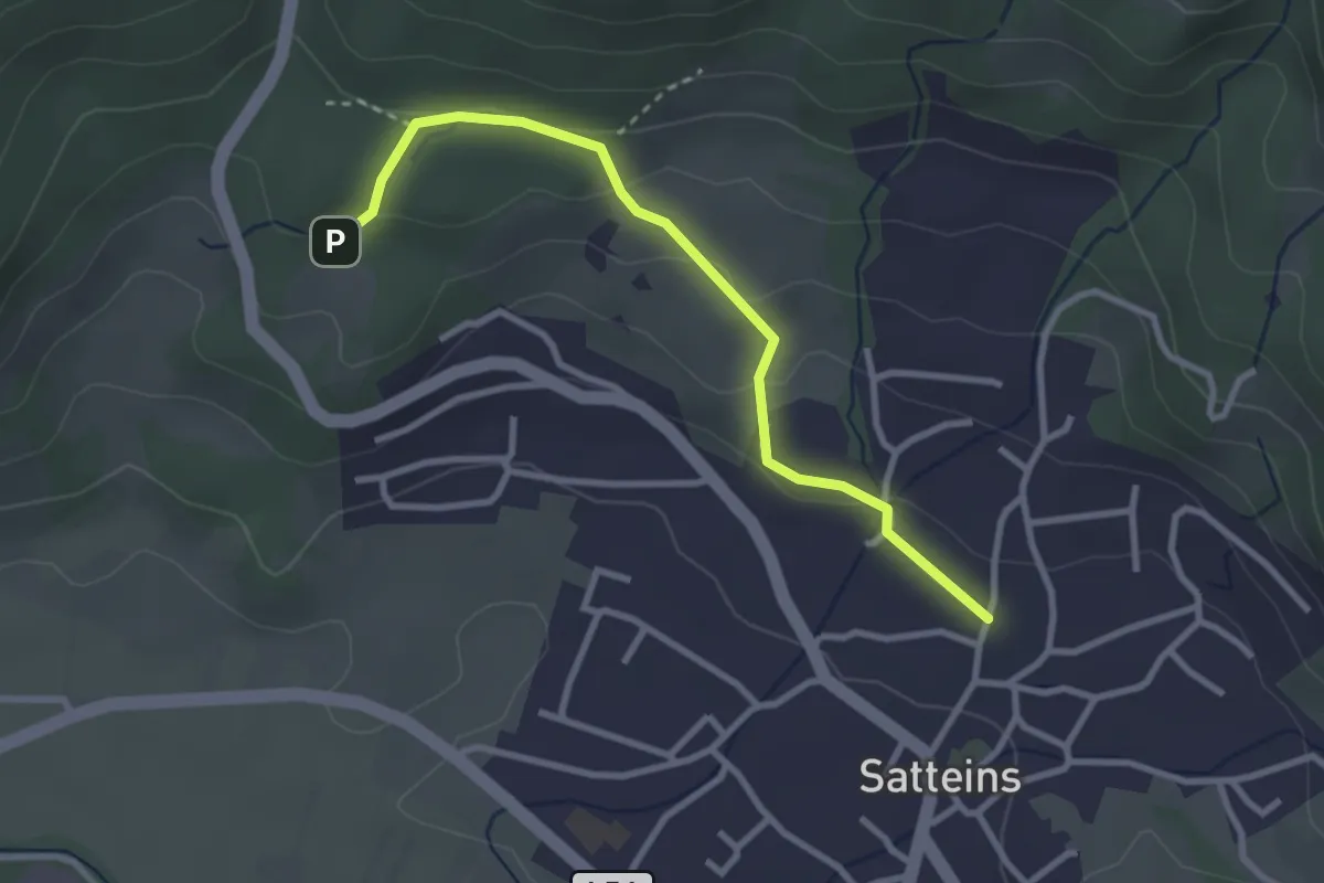
Easy · Trail
Satteins – (Schwarzer See)
2.9 km · ↑ 80 m · 52 min
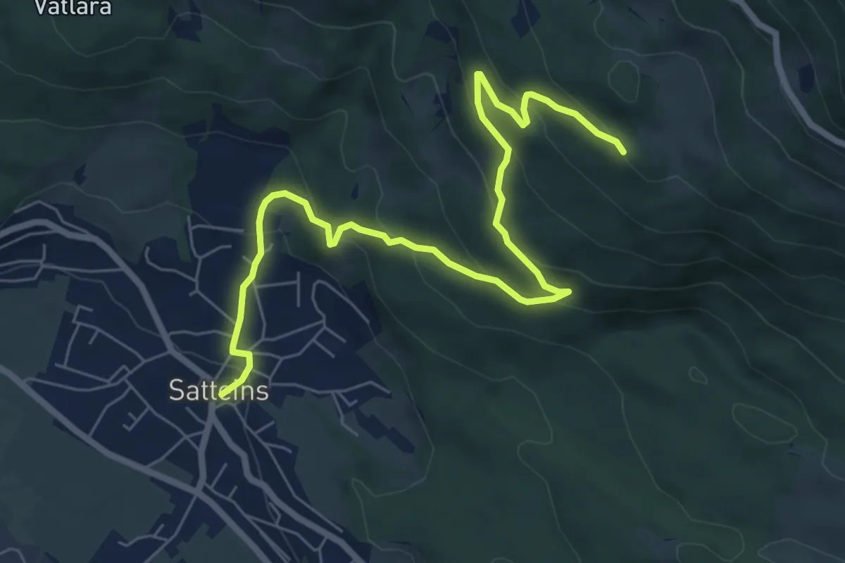
Medium · Trail
Satteins – (Gartis)
7.7 km · ↑ 388 m · 2 h 40 min
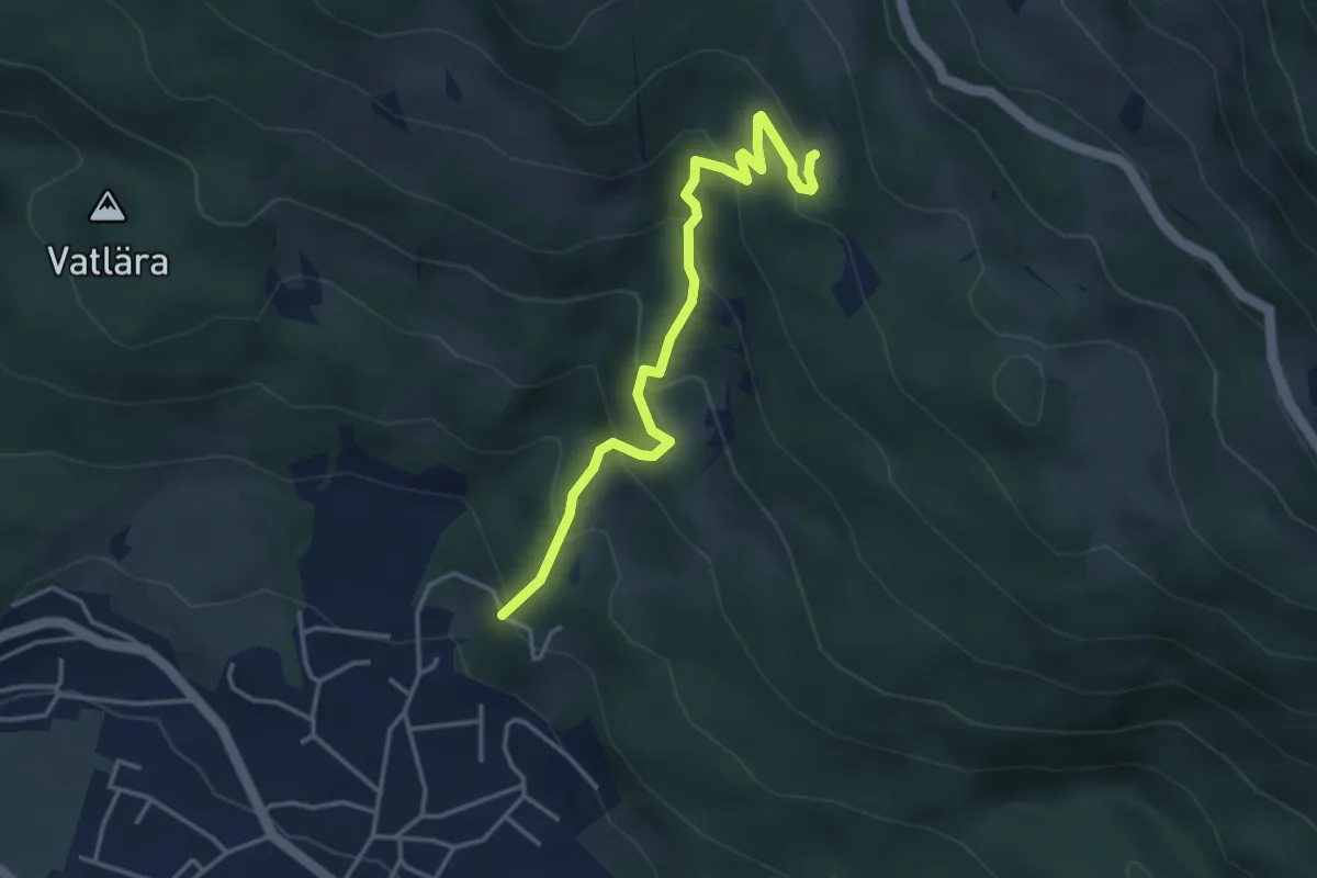
Medium · Trail
(Satteins) – (Gartis)
3.9 km · ↑ 322 m · 1 h 37 min
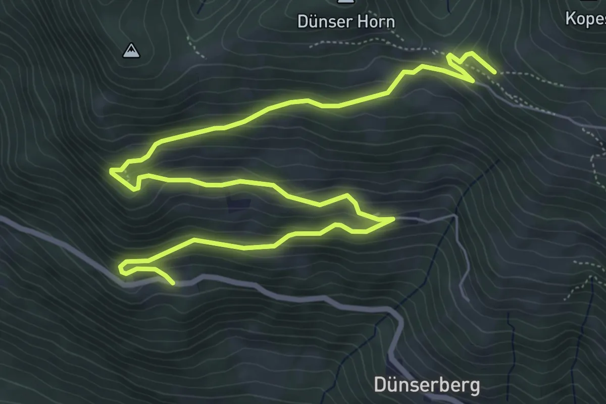
Medium · Cabin
Dünserberg Fuatsch – Gerachhaus
9.2 km · ↑ 436 m · 3 h 7 min
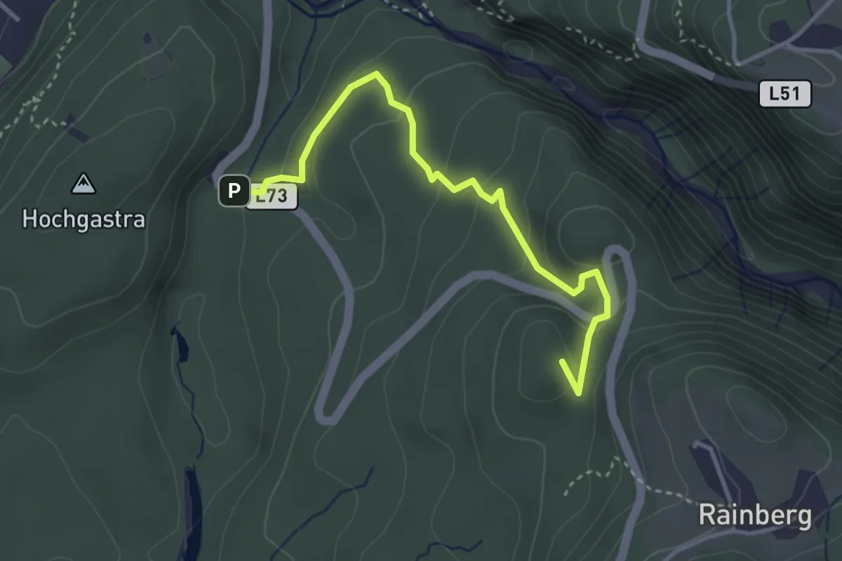
Medium · Summit
(Rankweil) – (Übersaxen)
3.5 km · ↑ 162 m · 1 h 11 min
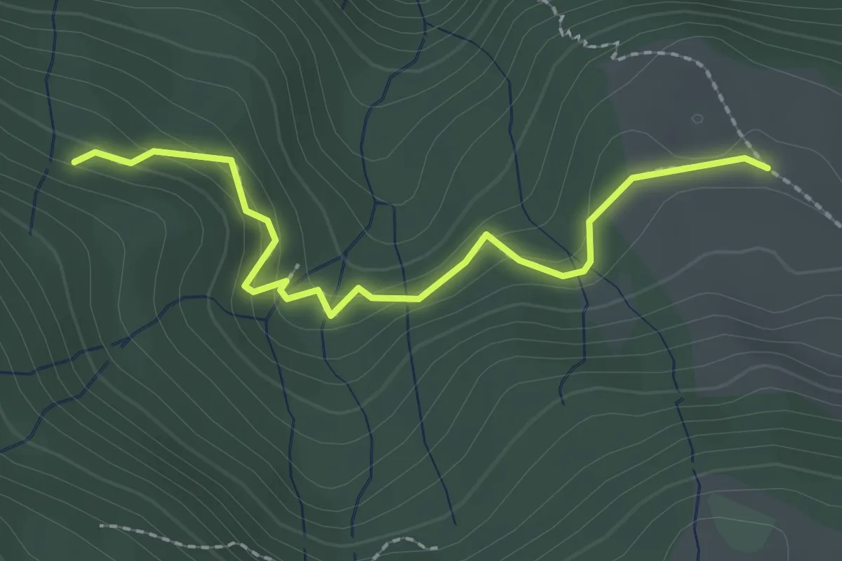
Medium · Trail
(Übersaxen) – Wiesalpe
2.3 km · ↑ 120 m · 48 min
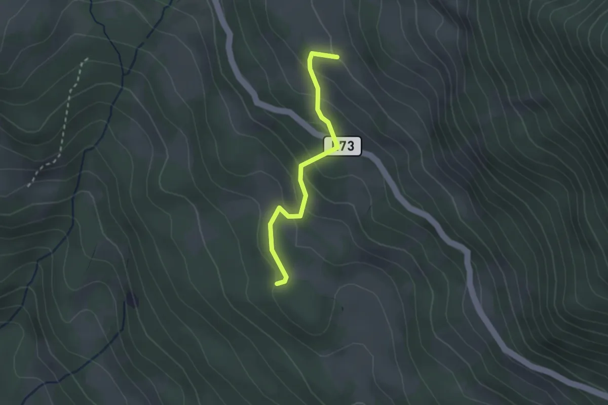
Easy · Trail
(Satteins) – Satteinser Gulmalpe
2.2 km · ↑ 179 m · 55 min
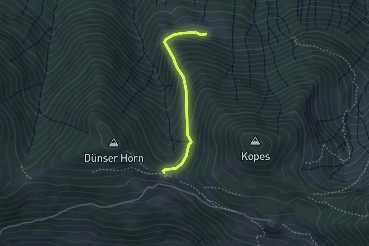
Easy · Trail
Bäckenwaldalpe – (Gerachhaus)
2.7 km · ↑ 260 m · 1 h 12 min
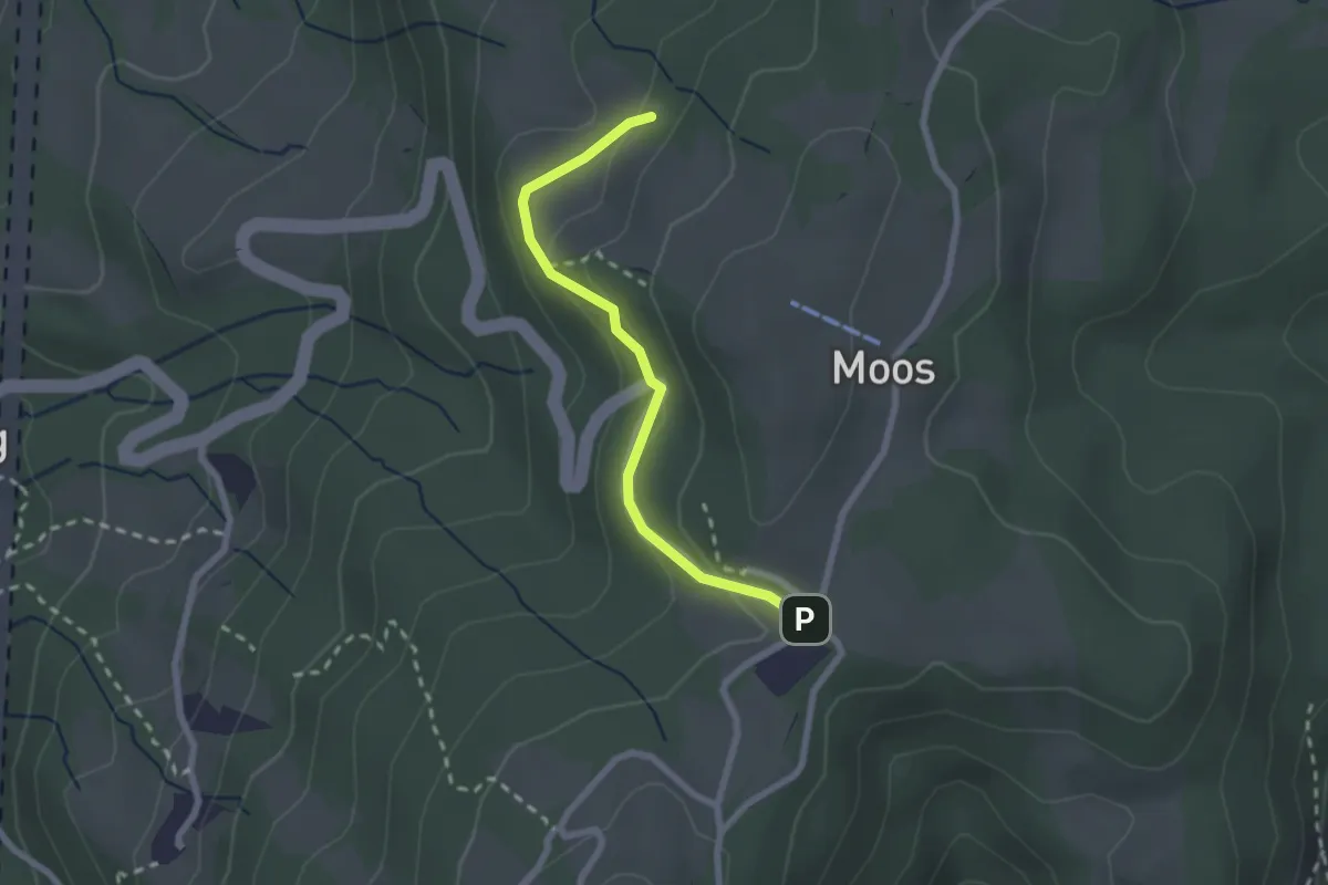
Easy · Trail
Sorgen – Moosegg
2.1 km · ↑ 60 m · 38 min
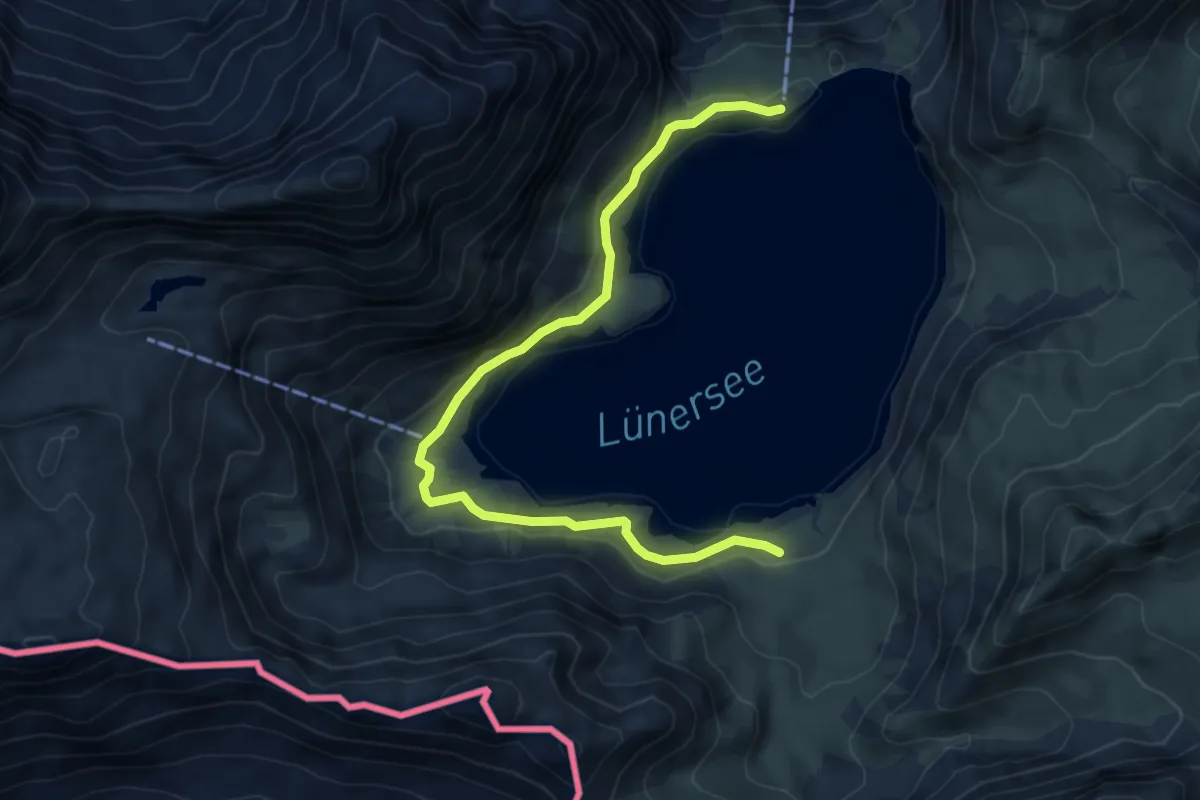
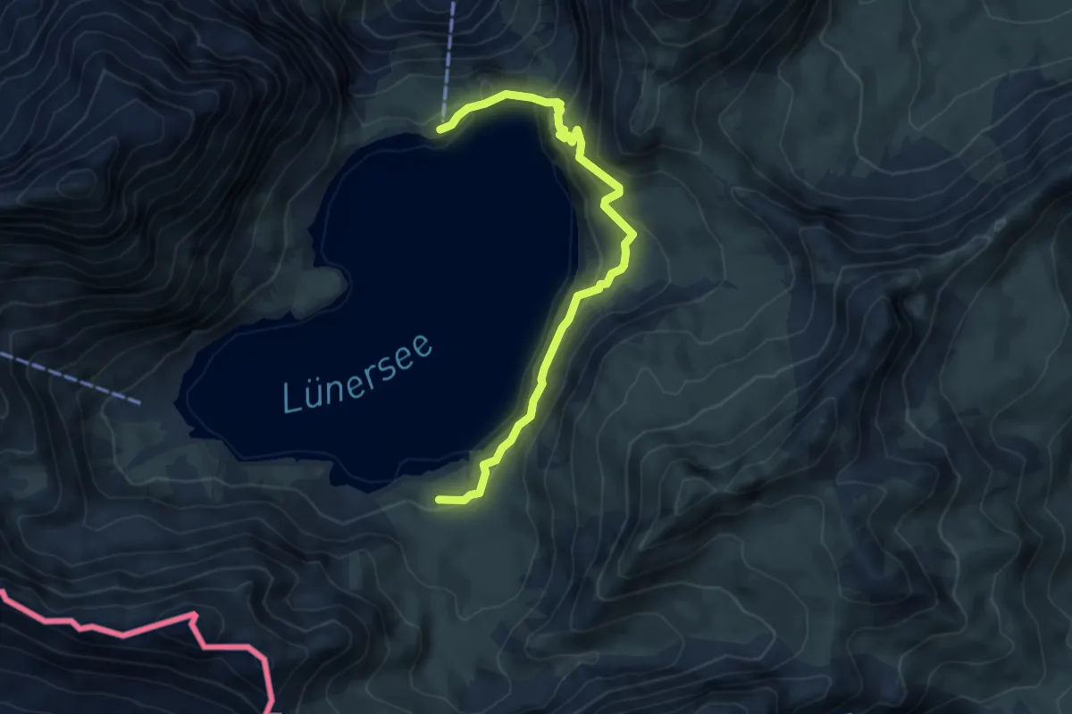
Easy · Cabin
Douglasshütte – Lünersee-Alpe
6.5 km · ↑ 69 m · 1 h 40 min
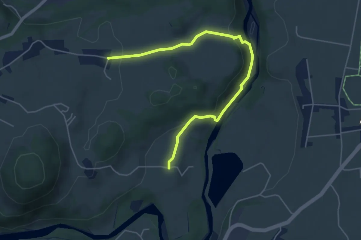
Medium · Cabin
Douglasshütte – Lünersee-Alpe
5.5 km · ↑ 237 m · 1 h 49 min
Easy · Trail
Au – Schwarzen
4.7 km · ↑ 155 m · 1 h 27 min
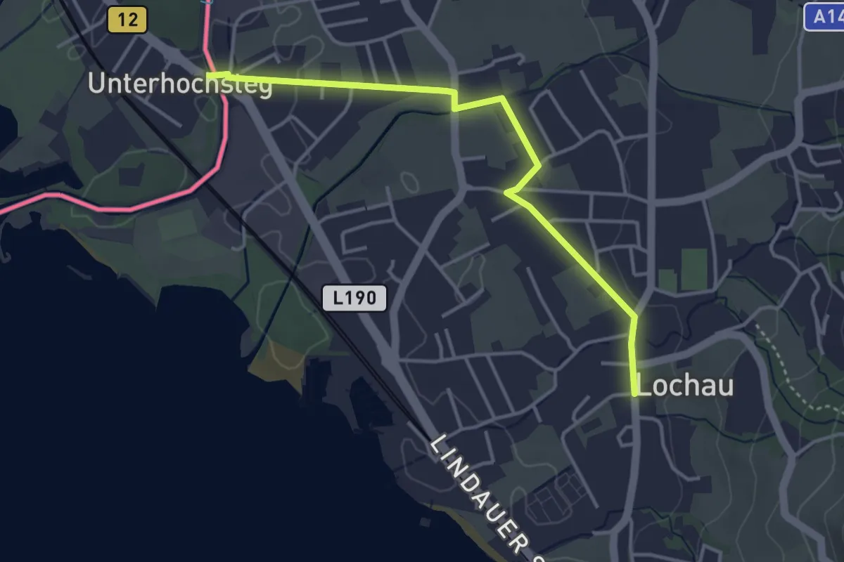
Easy · Trail
Lindau – Lochau
3.7 km · ↑ 16 m · 55 min
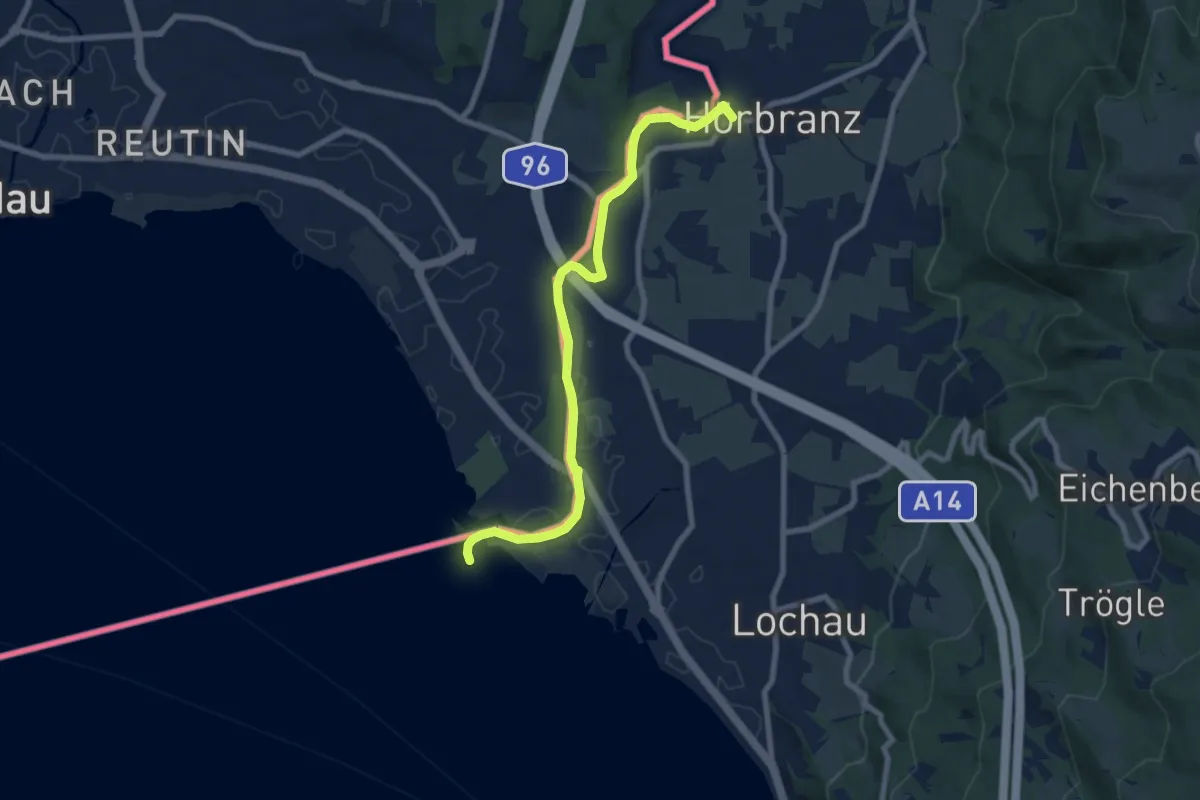
Easy · Trail
Leiblachmündung – Hörbranz
8.0 km · ↑ 21 m · 1 h 56 min
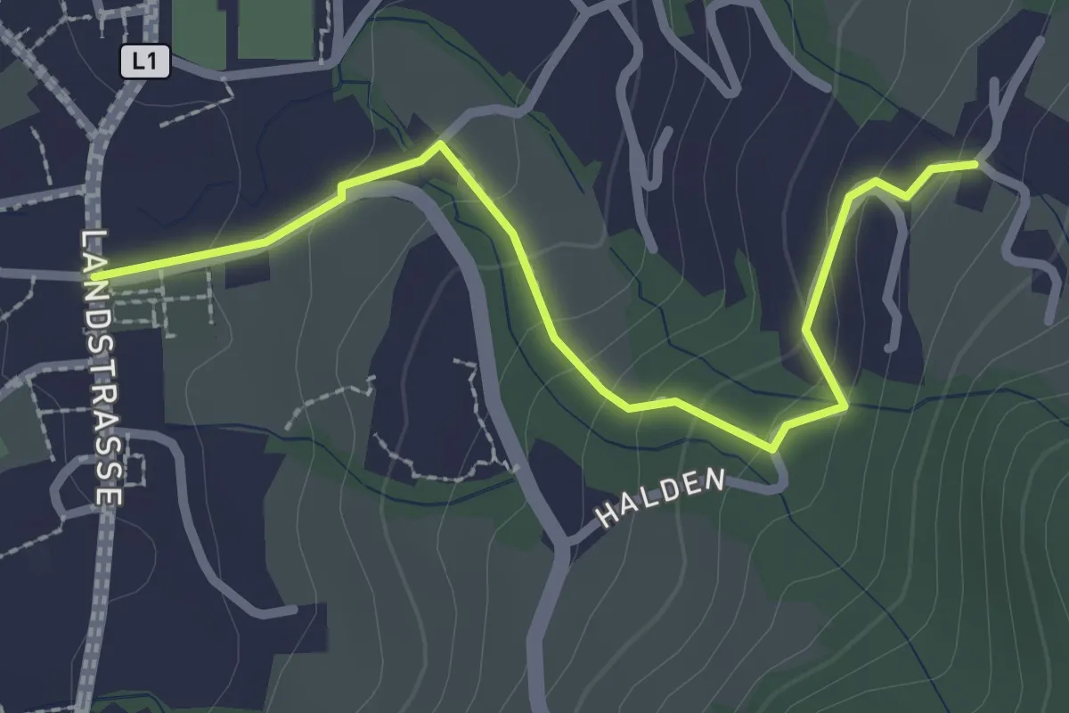
Easy · Trail
Lochau – Halden
2.5 km · ↑ 115 m · 50 min
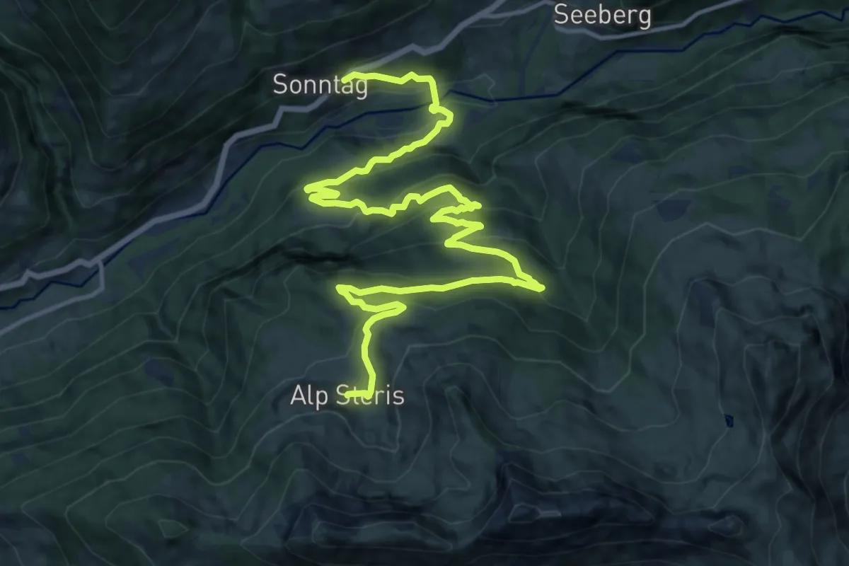
Medium · Trail
Sonntag – Sterisalpe
17.3 km · ↑ 741 m · 5 h 41 min
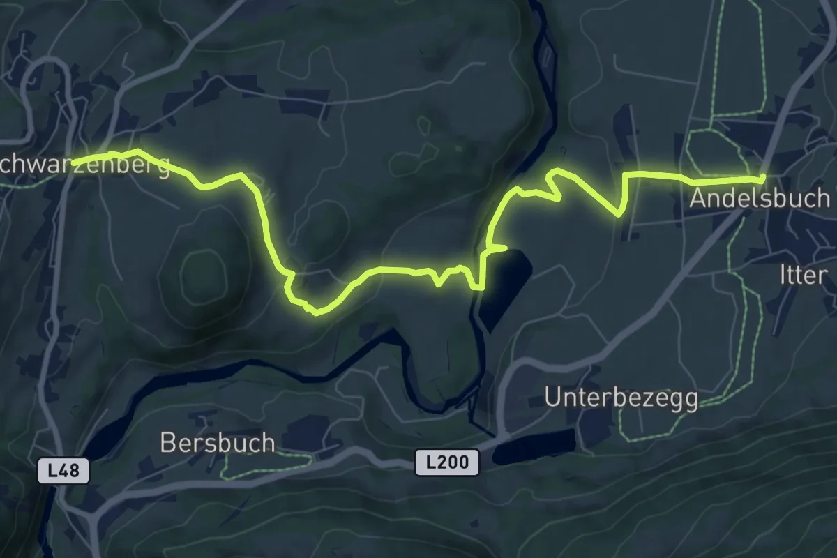
Medium · Trail
Andelsbuch – Schwarzenberg
9.8 km · ↑ 216 m · 2 h 47 min
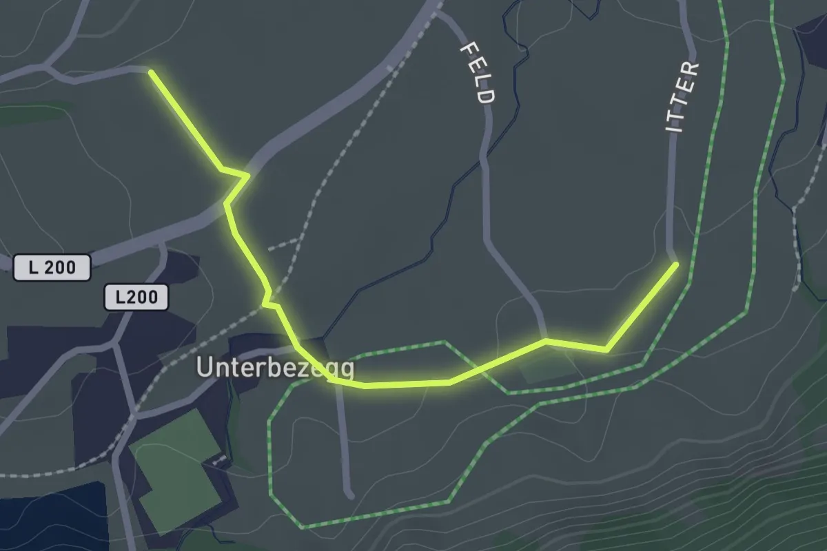
Easy · Trail
Heimgarten – Unterbezegg
2.0 km · ↑ 28 m · 33 min
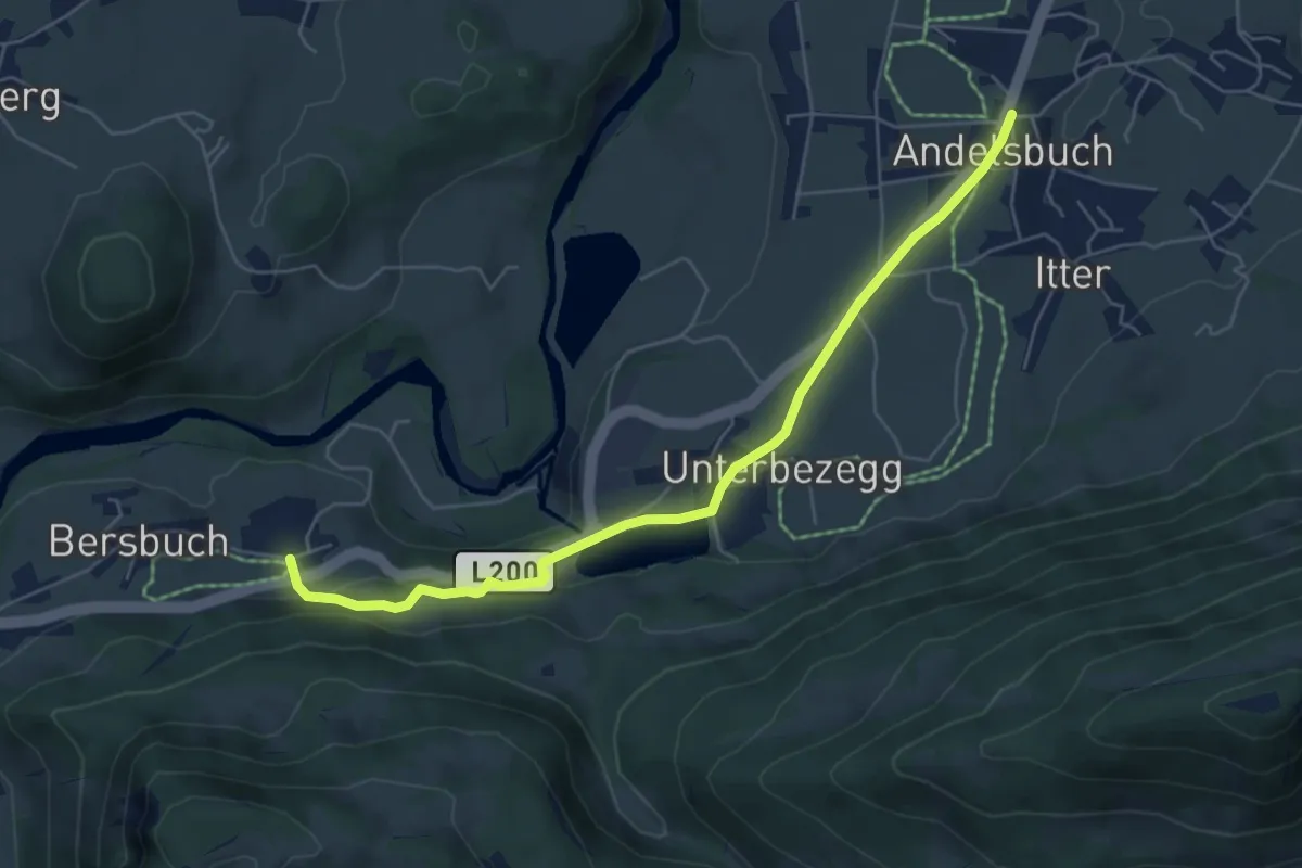
Easy · Trail
Andelsbuch – Bersbuch
5.9 km · ↑ 79 m · 1 h 33 min
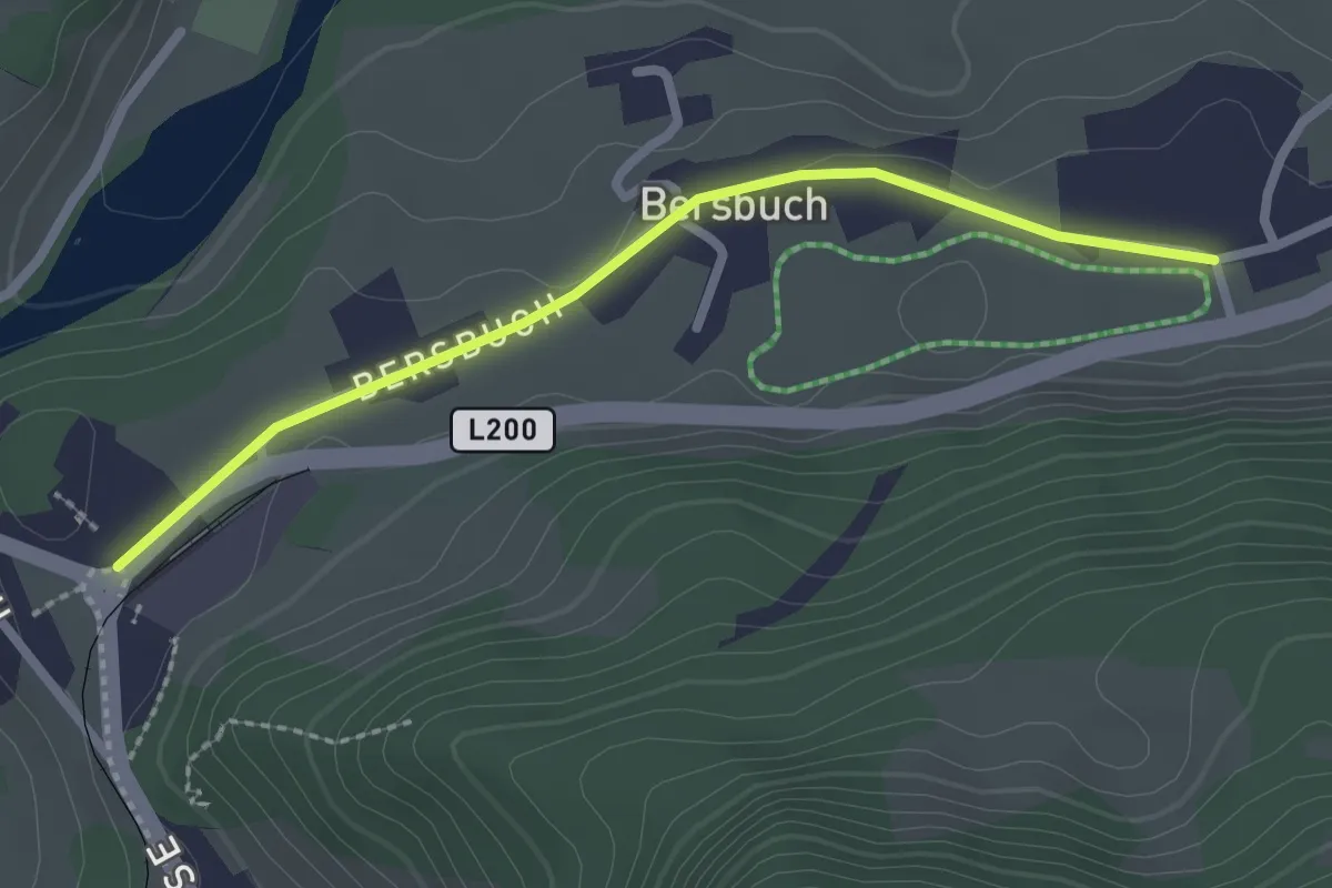
Easy · Trail
Bersbuch Kapelle – Bahnhof Museumsbahn
2.3 km · ↑ 4 m · 33 min
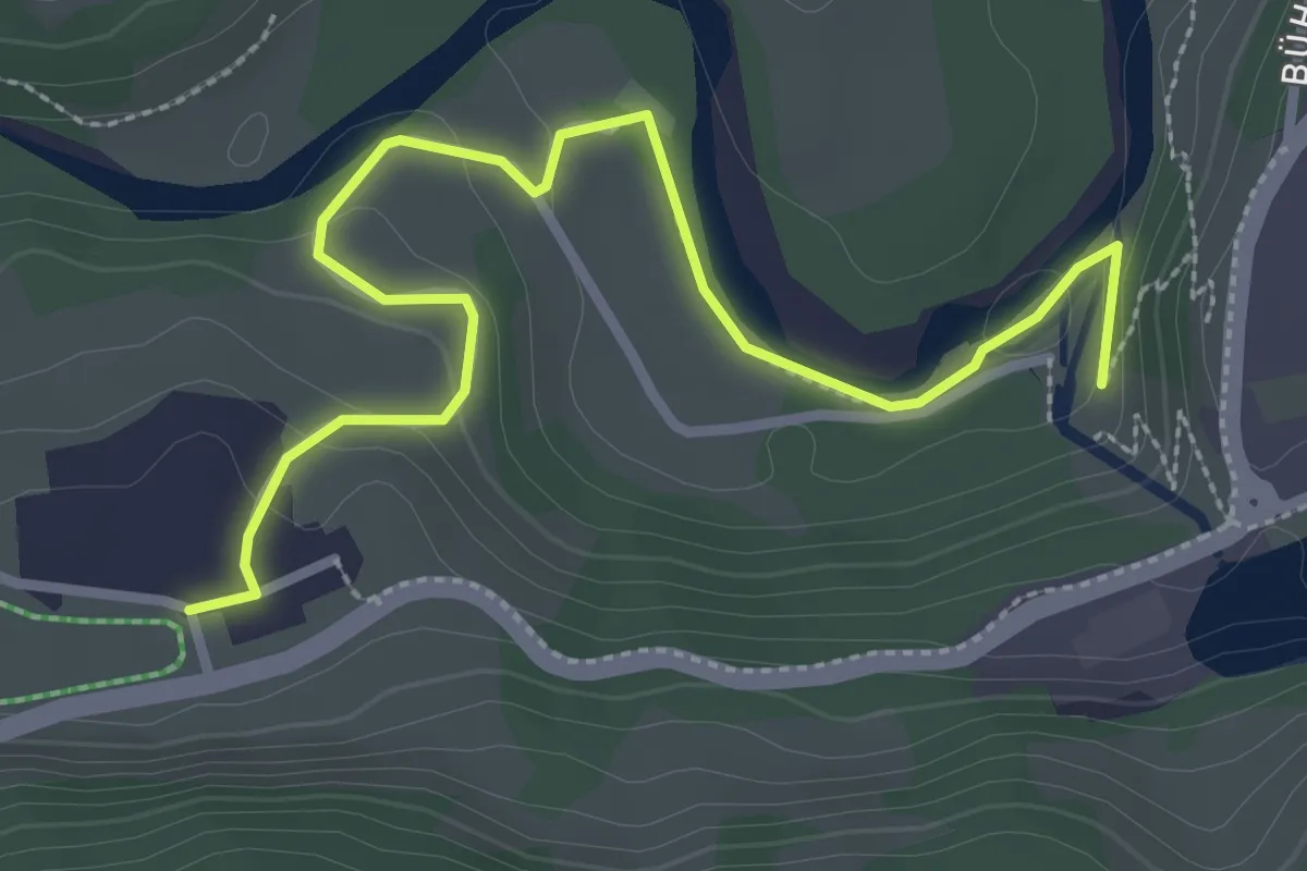
Easy · Trail
Kraftwerk Andelsbuch – Bersbuch
3.3 km · ↑ 83 m · 58 min
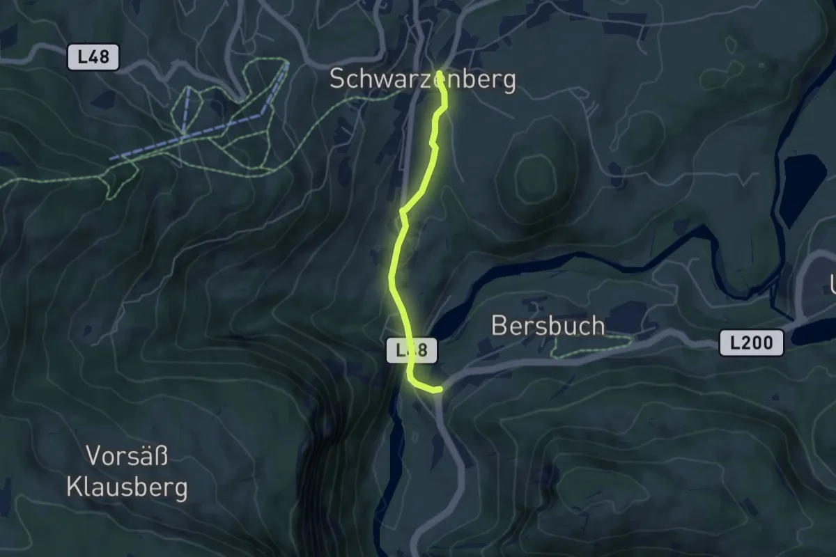
Easy · Trail
Bersbuch – Schwarzenberg
3.8 km · ↑ 143 m · 1 h 13 min
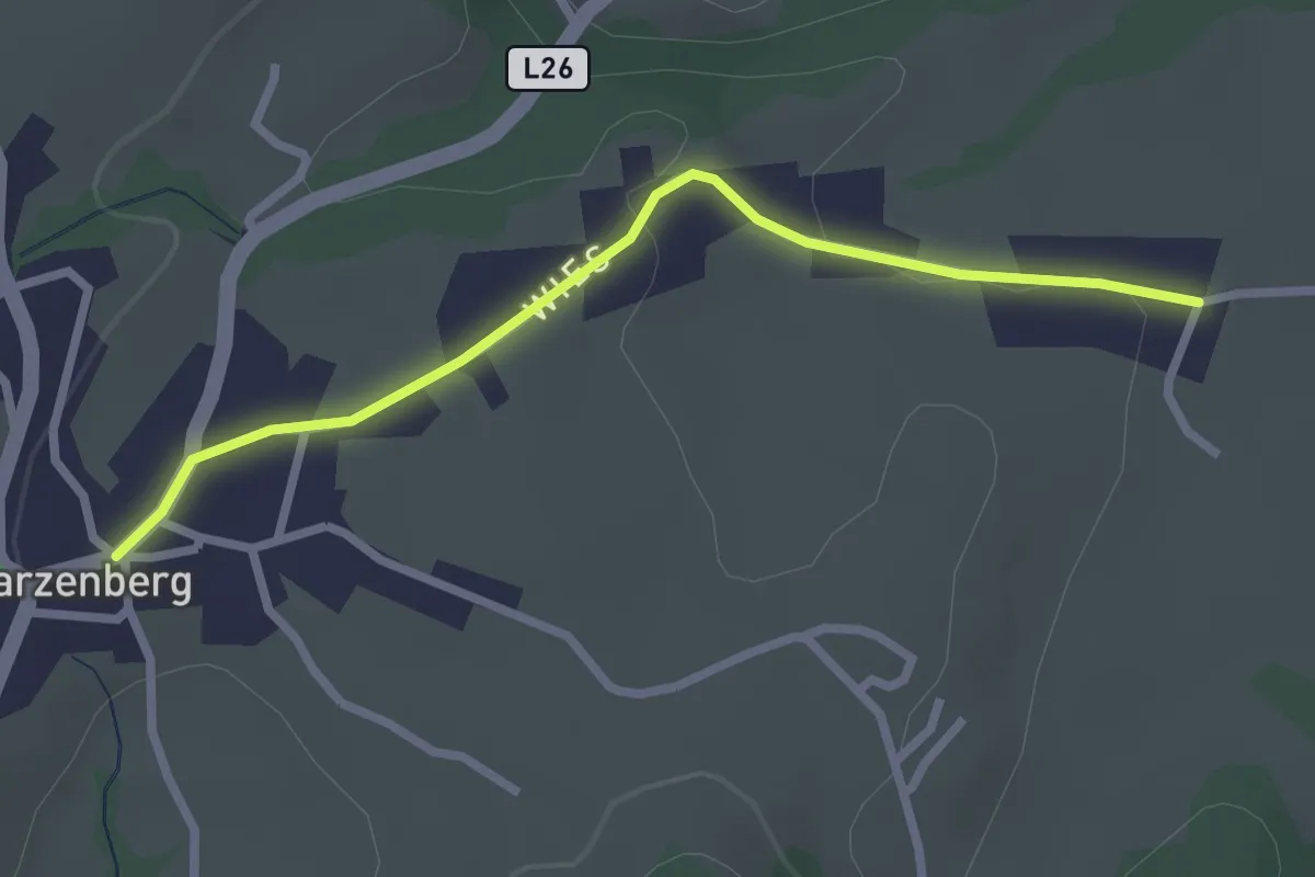
Easy · Trail
Schwarzen – Schwarzenberg
2.5 km · ↑ 54 m · 43 min
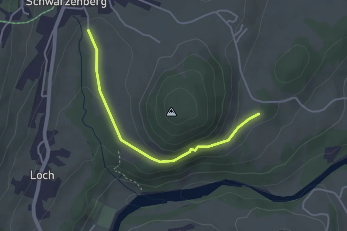
Easy · Trail
(Rain) – (Schwarzenberg)
2.8 km · ↑ 49 m · 47 min
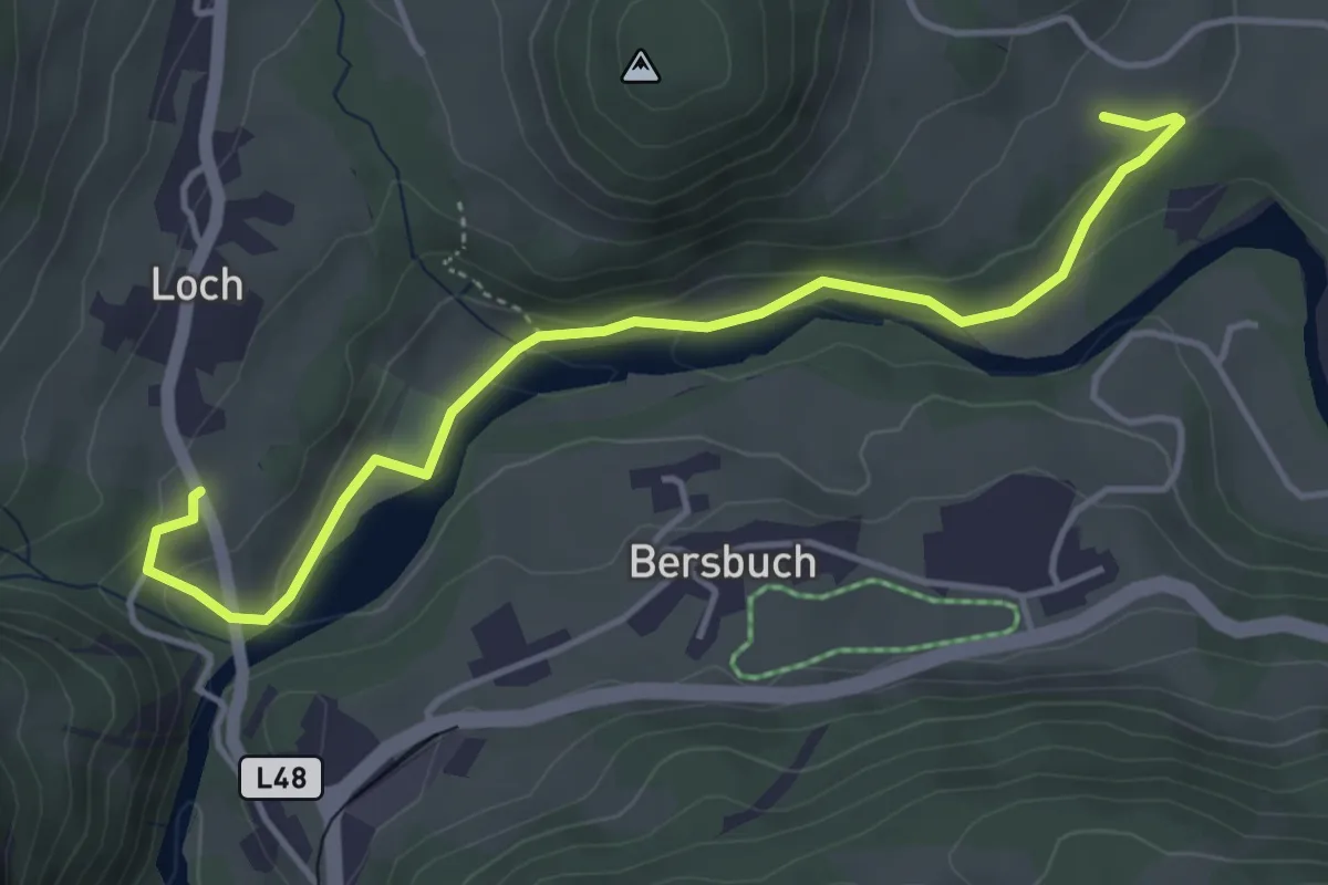
Easy · Trail
(Andelsbuch) – Bersbuch
4.5 km · ↑ 127 m · 1 h 20 min
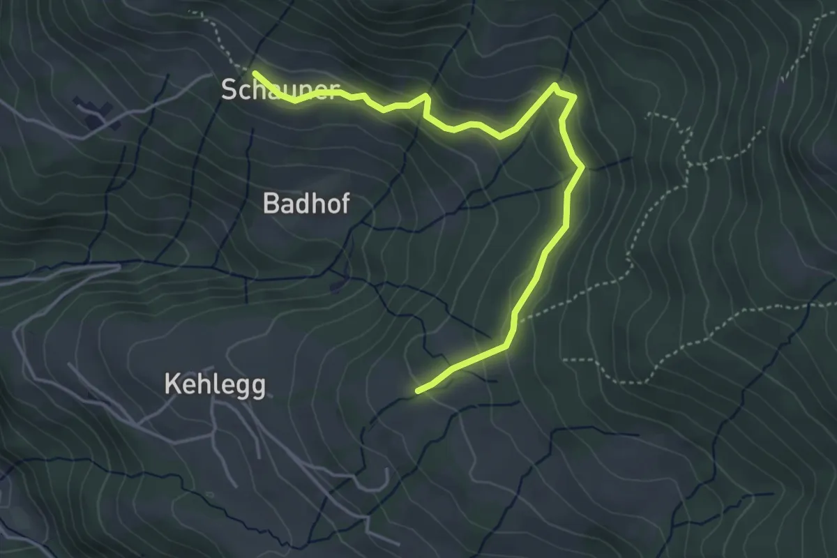
Easy · Trail
Schauner – (Kehlegg)
4.5 km · ↑ 151 m · 1 h 23 min
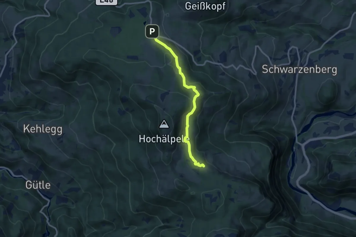
Easy · Cabin
Bödele – Lustenauer Hütte
7.8 km · ↑ 241 m · 2 h 22 min
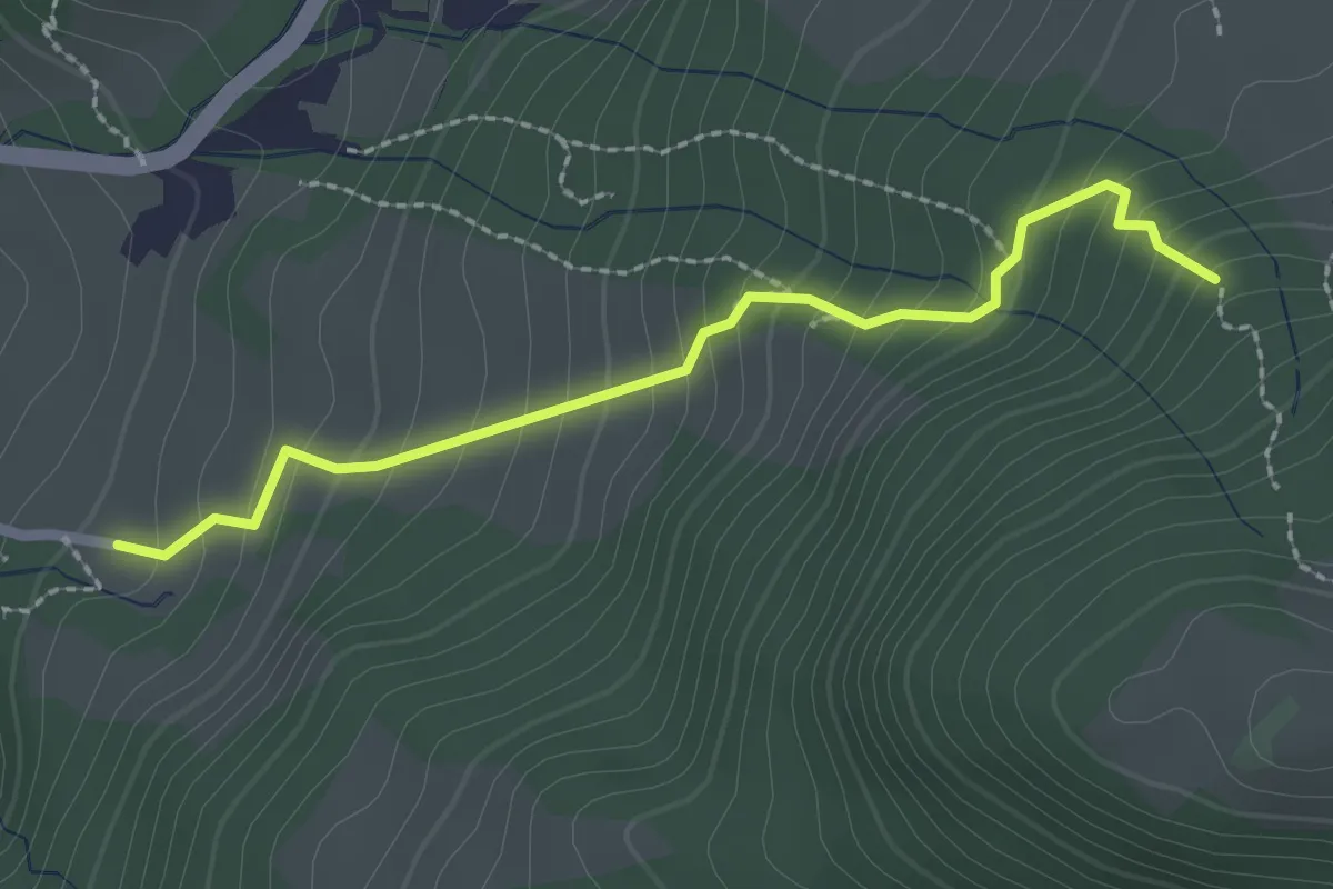
Demanding · Trail
Tugstein – (Ranzenbergalpe)
2.3 km · ↑ 245 m · 1 h 4 min
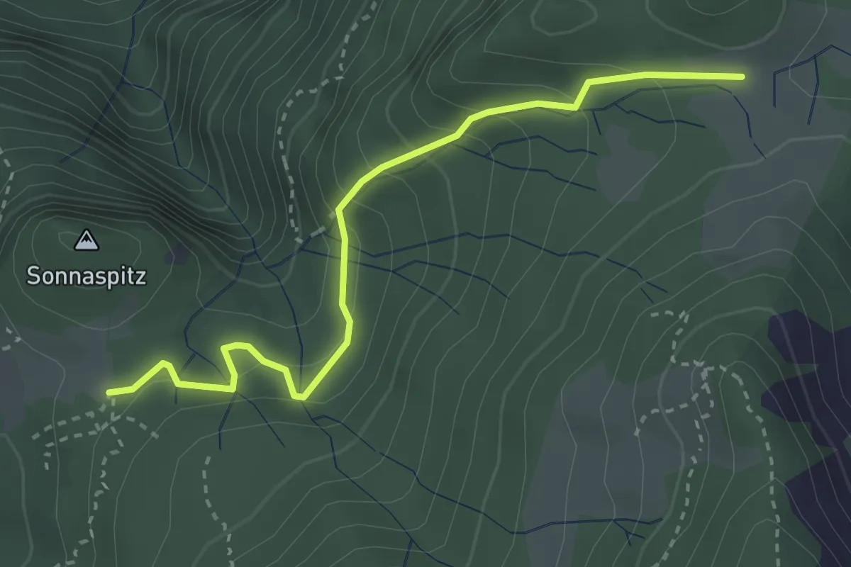
Medium · Cabin
Älpele – Emser Hütte
3.2 km · ↑ 206 m · 1 h 12 min
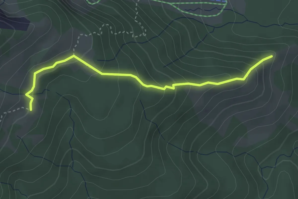
Medium · Summit
(Heumöseralpe) – Schneewaldalpe
3.3 km · ↑ 249 m · 1 h 19 min
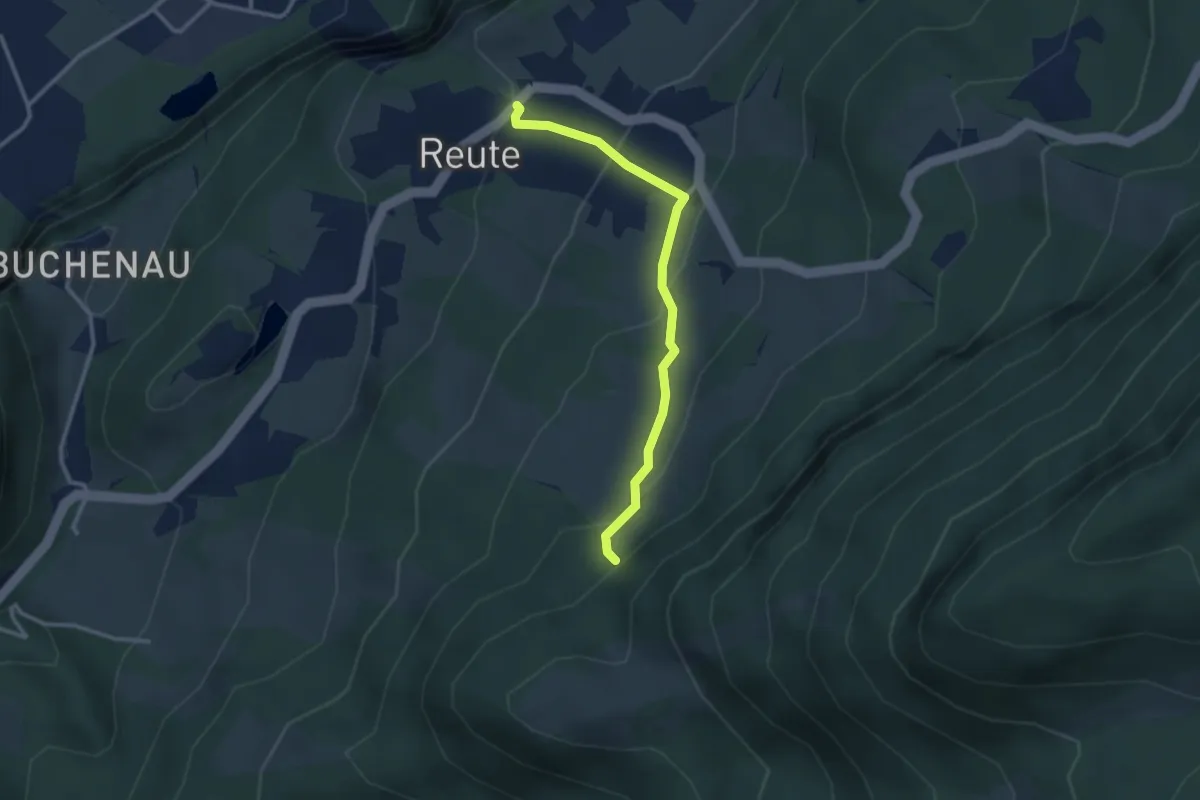
Medium · Trail
Feuerwehr Reute – (Ranzenbergalpe)
2.7 km · ↑ 173 m · 1 h 1 min
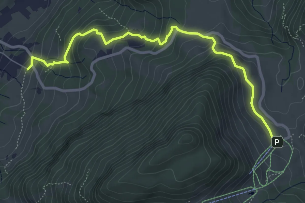
Medium · Trail
(Reute) – Schuttannen
6.1 km · ↑ 406 m · 2 h 19 min
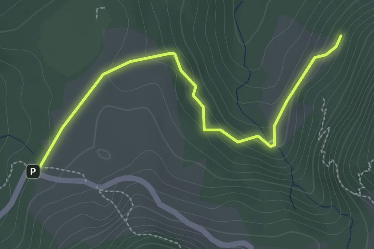
Easy · Trail
(Kreiersalpe) – (Kühberg)
2.7 km · ↑ 88 m · 50 min
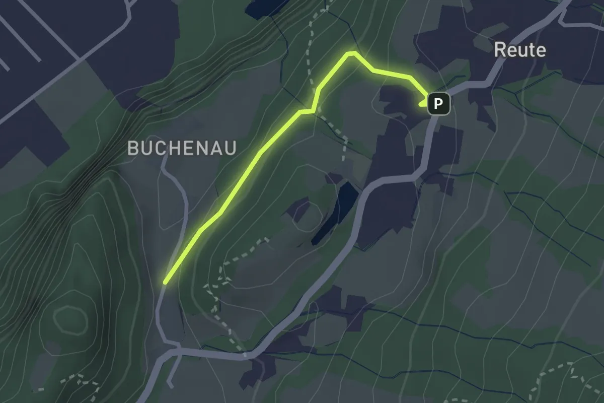
Medium · Trail
Buchenau – (Reute Feuerwehr)
2.1 km · ↑ 90 m · 42 min
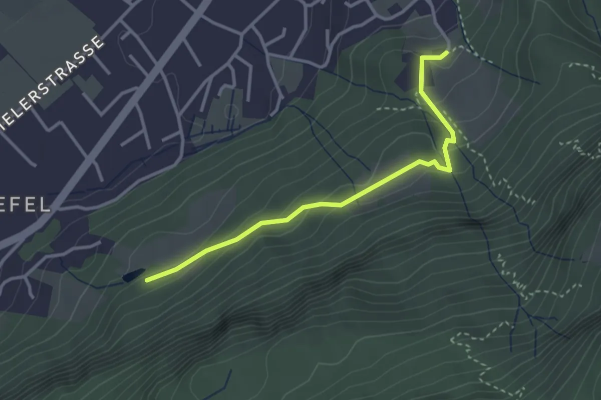
Easy · Trail
Schwefelberg – Berg
3.0 km · ↑ 165 m · 1 h 3 min
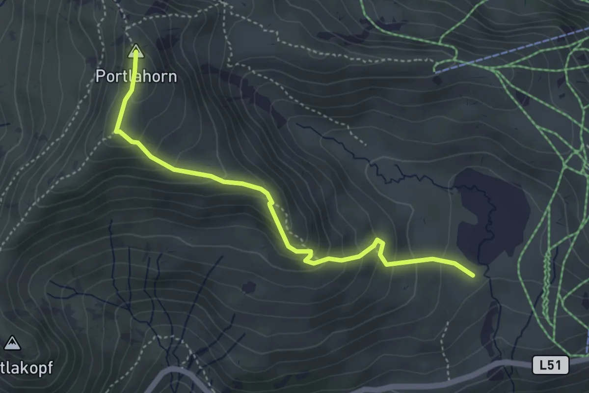
Medium · Summit
Oberdamülser Alpe – Portlahorn
4.1 km · ↑ 345 m · 1 h 43 min
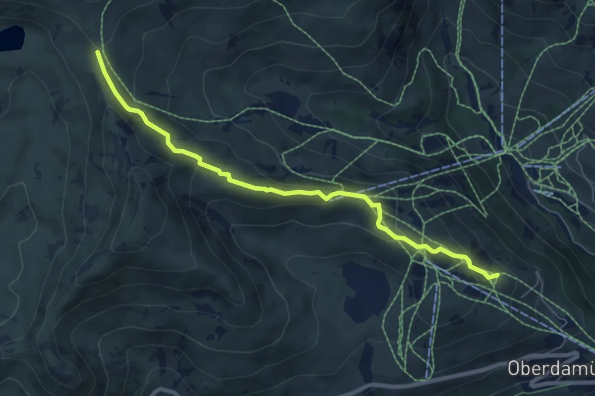
Medium · Trail
(Damüls) – Sünser Joch
6.1 km · ↑ 313 m · 2 h 7 min
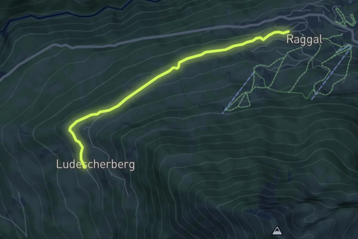
Easy · Trail
Raggal – Ludescherberg
6.1 km · ↑ 122 m · 1 h 42 min
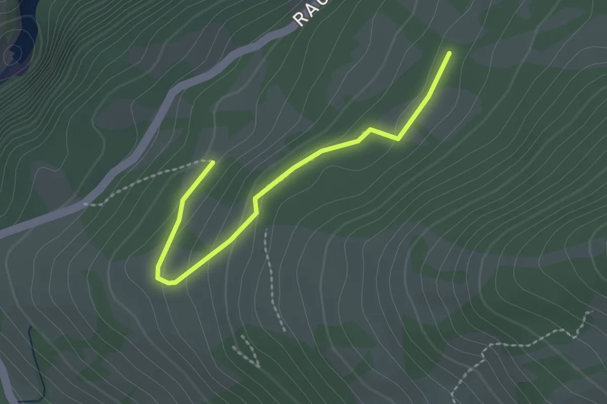
Easy · Trail
(Bofel Stuba) – (Raggal)
2.2 km · ↑ 73 m · 40 min
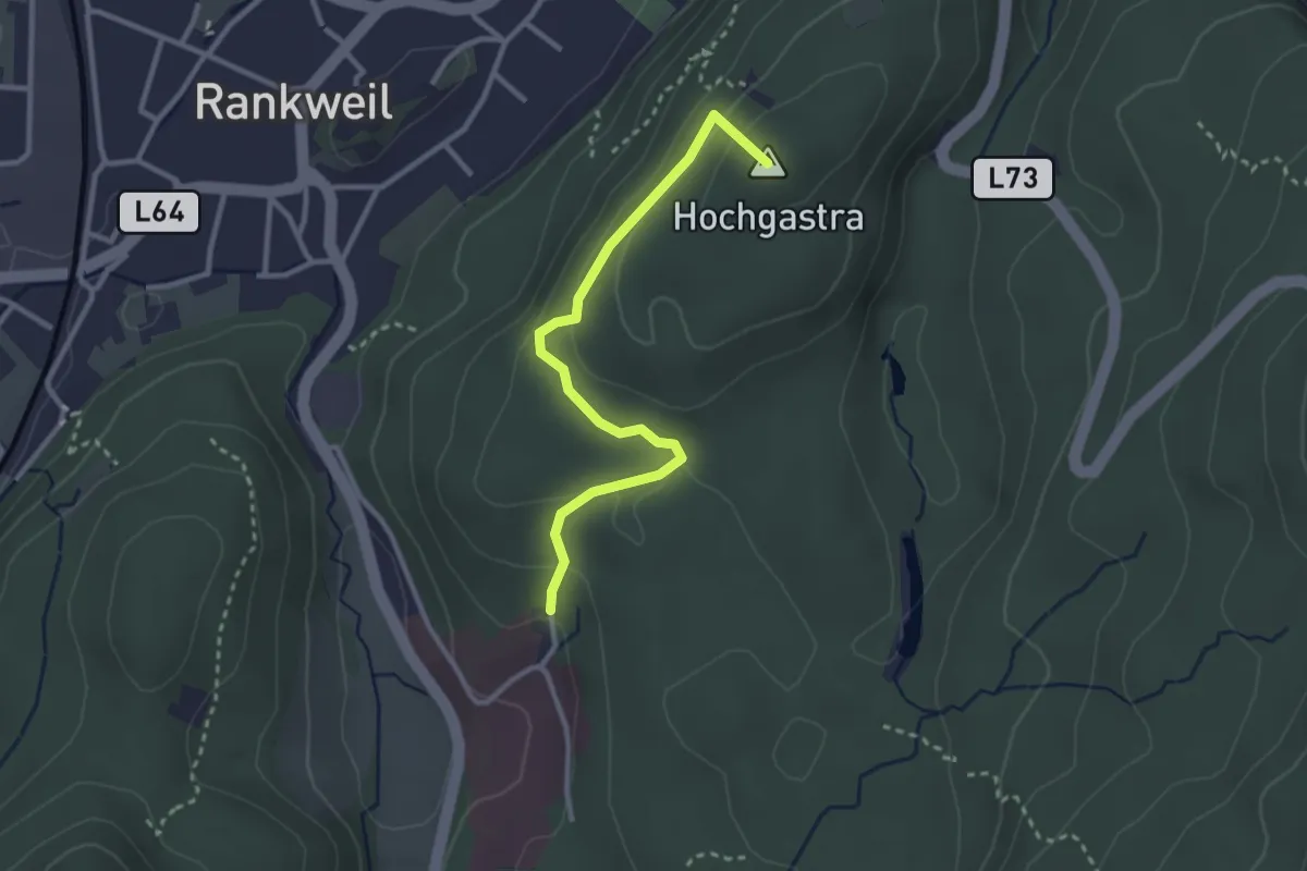
Easy · Summit
Gewerbepark – Valduna LKH
2.8 km · ↑ 124 m · 56 min
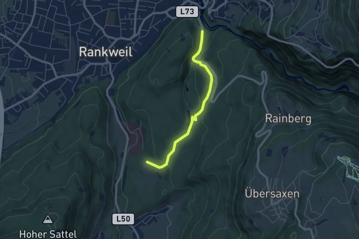
Easy · Trail
(Valduna LKH) – (Gewerbepark)
4.8 km · ↑ 111 m · 1 h 23 min
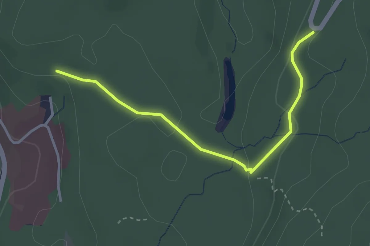
Easy · Trail
(Valduna LKH) – (Rainberg)
2.8 km · ↑ 78 m · 50 min
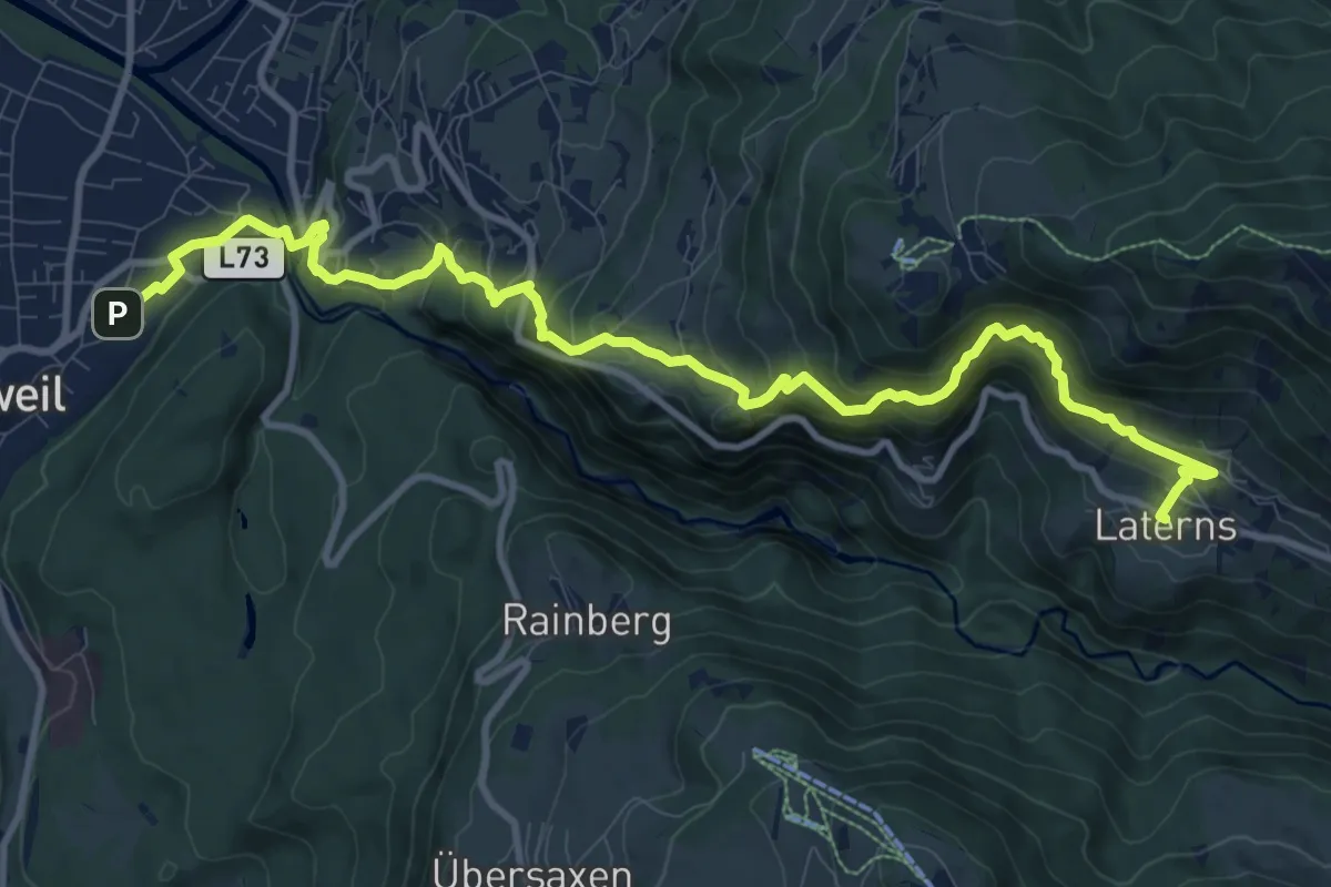
Medium · Trail
Rankweil – Laterns Thal
12.4 km · ↑ 688 m · 4 h 26 min
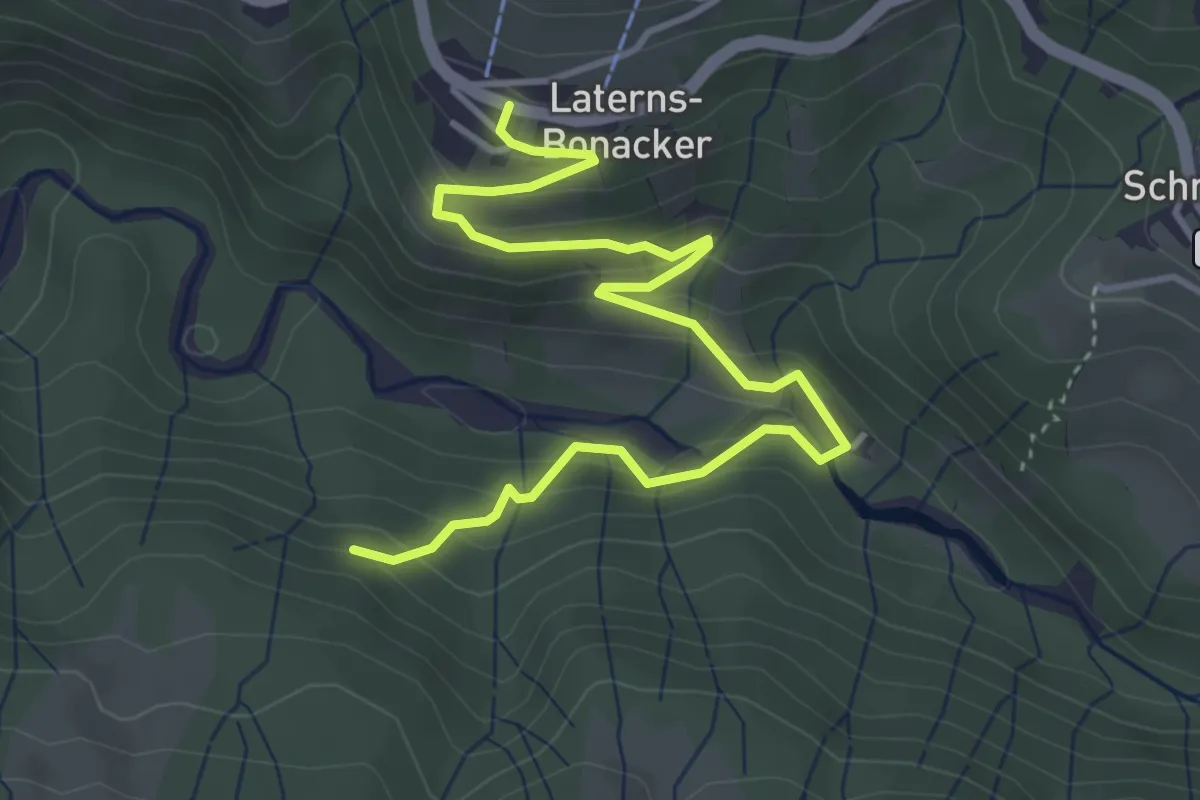
Easy · Trail
Bonacker – Wiesalpe
4.8 km · ↑ 256 m · 1 h 41 min
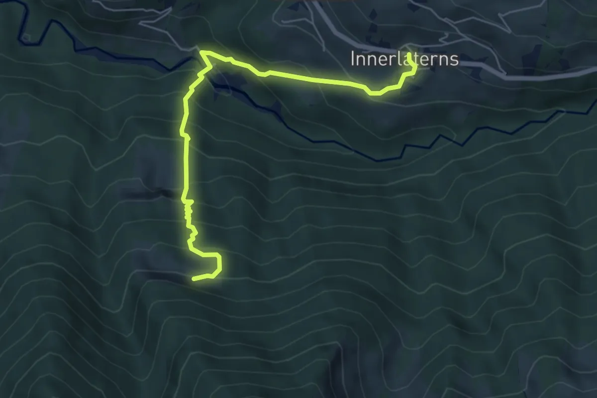
Medium · Trail
Innerlaterns – Obere Bäckenwaldalpe
5.8 km · ↑ 632 m · 2 h 44 min
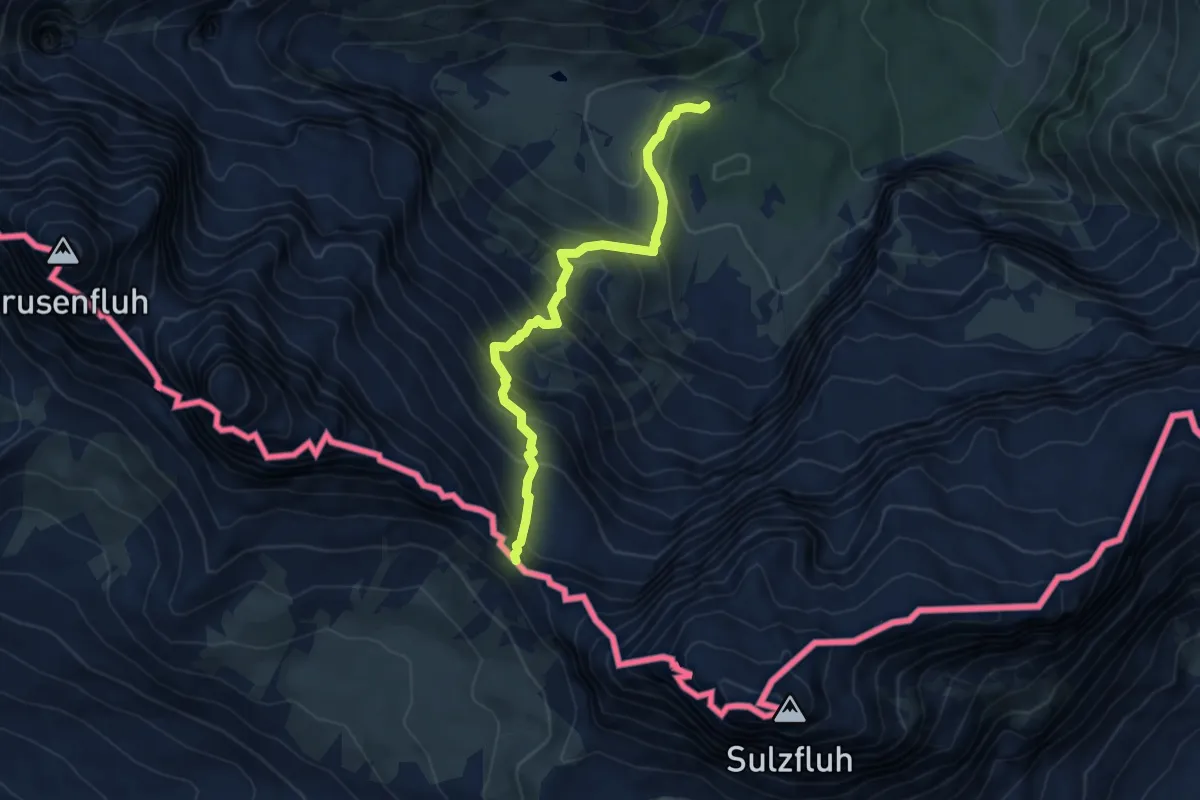
Demanding · Trail
Lindauer Hütte – Drusentor
5.5 km · ↑ 594 m · 2 h 35 min