Trails in Austria
9,777 hiking trails, each with its route, climb, walking time and grade.
All trails, page 202 of 204
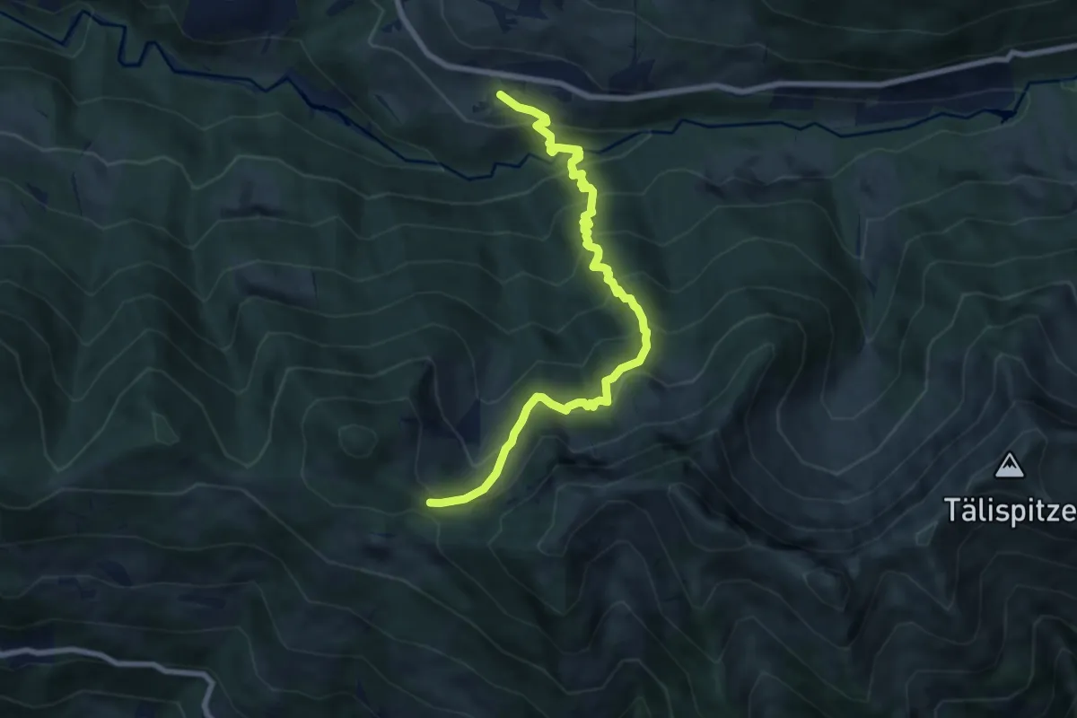
Demanding · Trail
Innerlaterns – (Dünserberg Älpele)
7.9 km · ↑ 831 m · 3 h 40 min
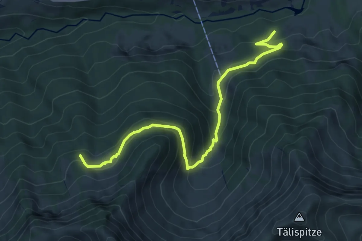
Medium · Trail
Untere Leuealpe – Obere Hensleralpe
7.0 km · ↑ 418 m · 2 h 34 min
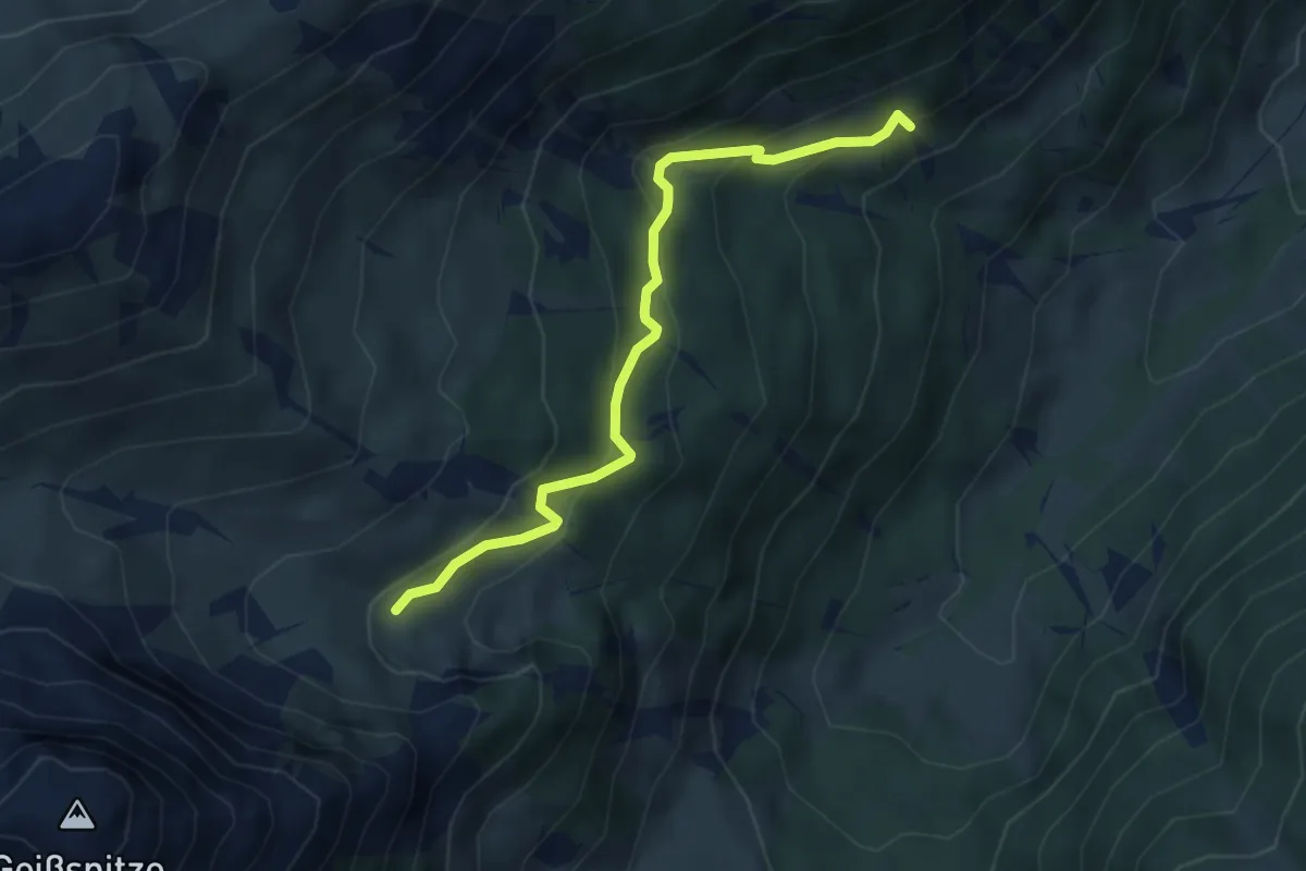
Medium · Trail
Wachters Dieja – Latschätzalpe
4.1 km · ↑ 204 m · 1 h 25 min
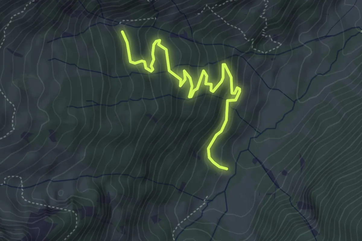
Easy · Trail
(Gauen) – (Obere Latschätzalpe)
5.2 km · ↑ 281 m · 1 h 50 min
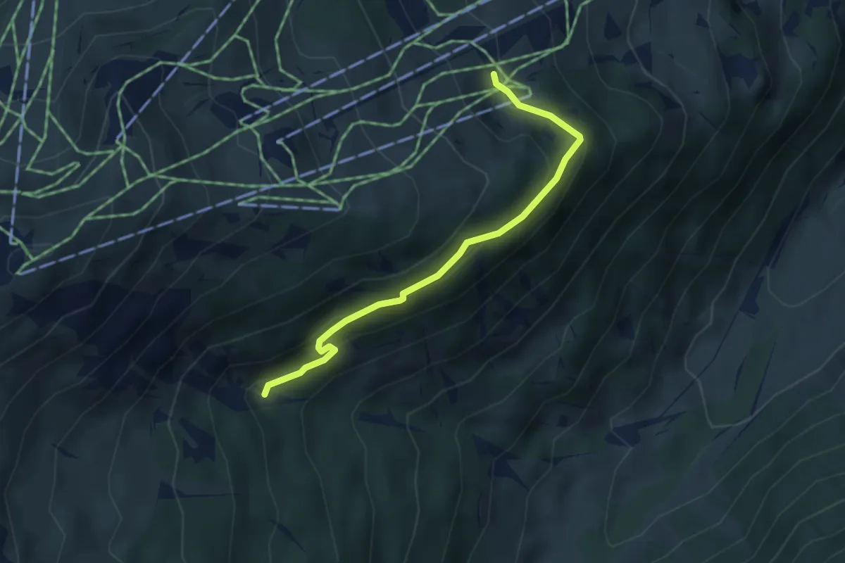
Medium · Trail
Wachters Dieja – Golmalpe
3.6 km · ↑ 150 m · 1 h 10 min
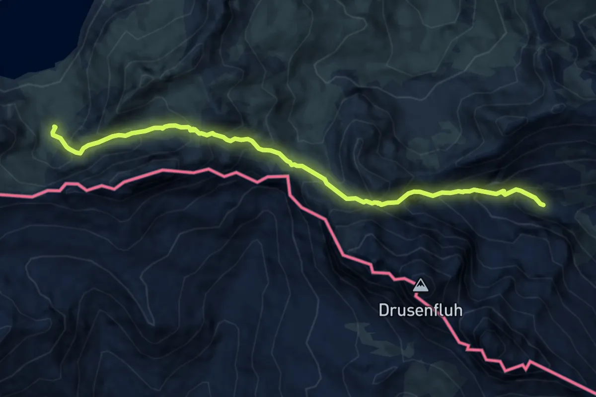
Demanding · Trail
Lindauer Hütte – Lünersee
10.8 km · ↑ 1051 m · 4 h 50 min
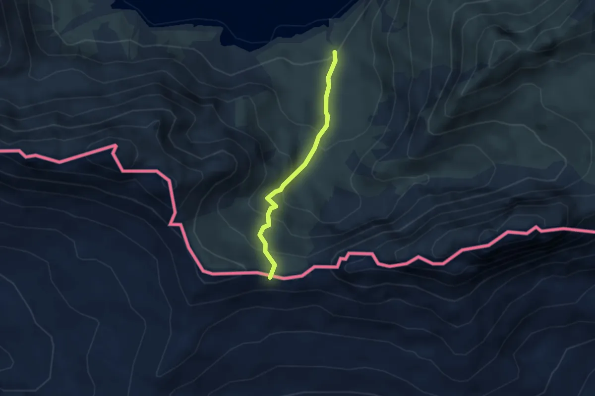
Medium · Trail
Lünersee – Gafalljoch
2.7 km · ↑ 241 m · 1 h 9 min
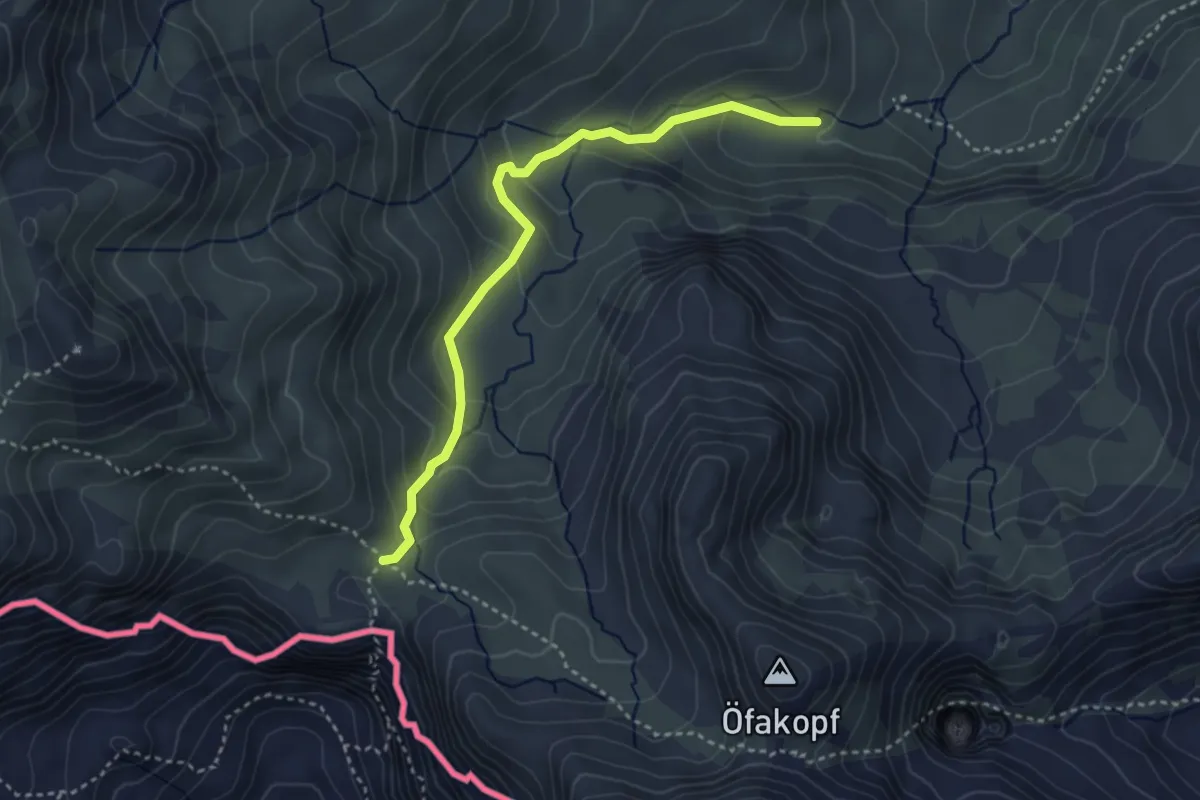
Medium · Trail
Rells – Schweizertor
3.5 km · ↑ 250 m · 1 h 22 min
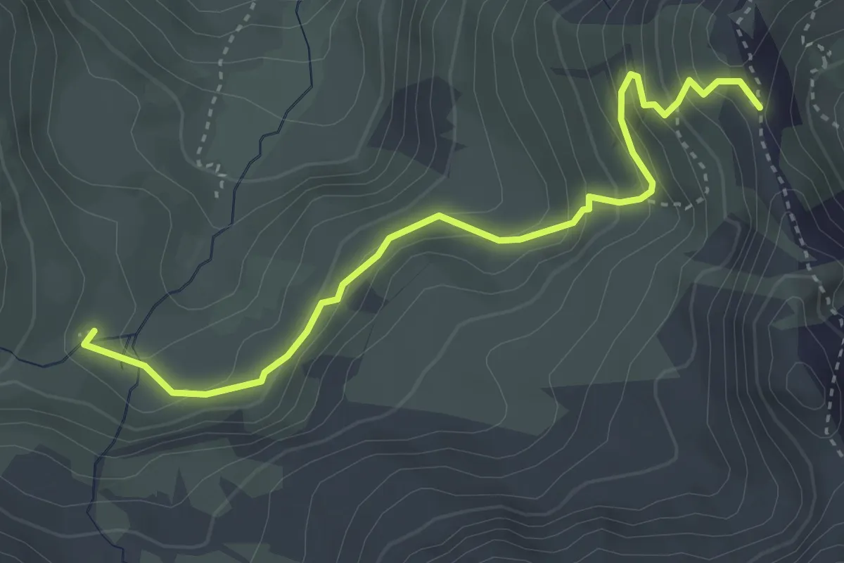
Medium · Trail
Obere Zaluandaalpe – Hätaberger Joch
3.9 km · ↑ 303 m · 1 h 34 min
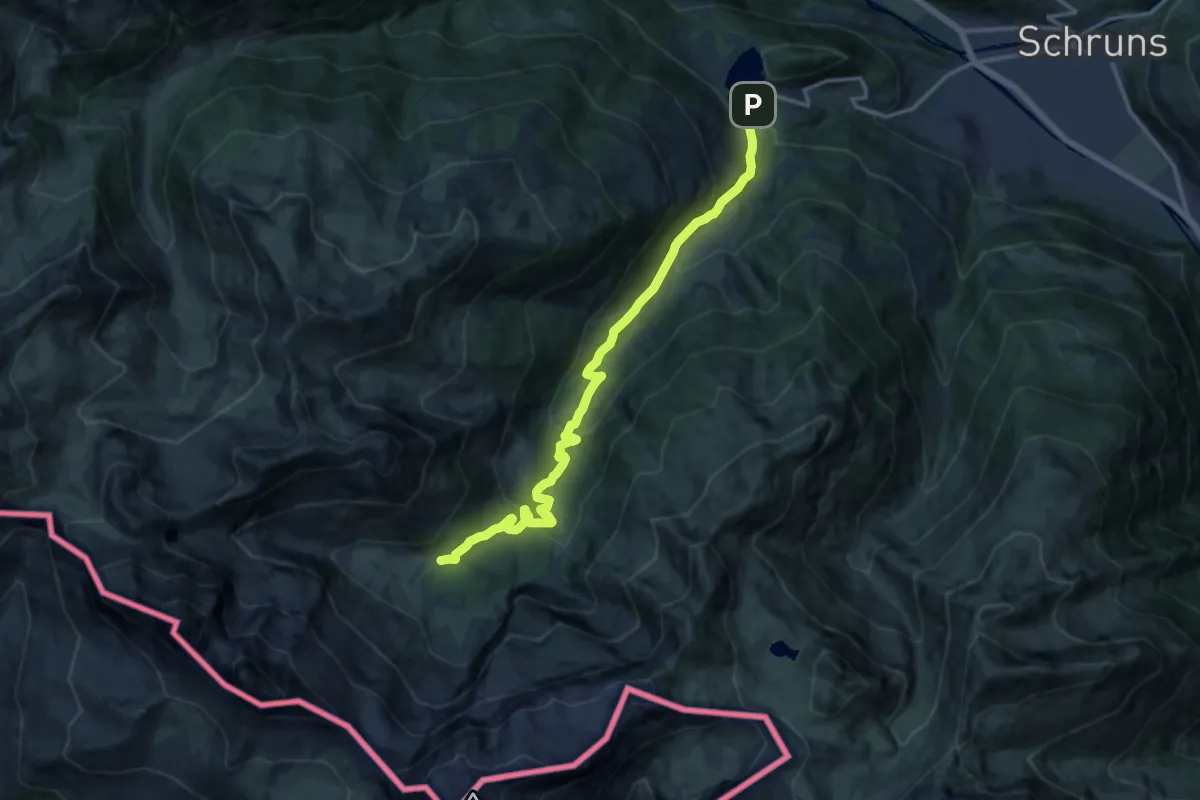
Medium · Cabin
Latschau – Lindauer Hütte
14.6 km · ↑ 749 m · 5 h 4 min
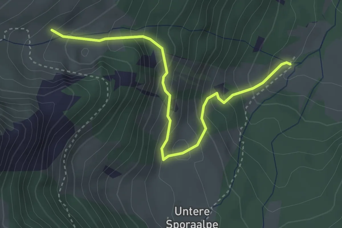
Medium · Trail
Untere Latschätzalpe – Obere Latschätzalpe
3.6 km · ↑ 366 m · 1 h 38 min
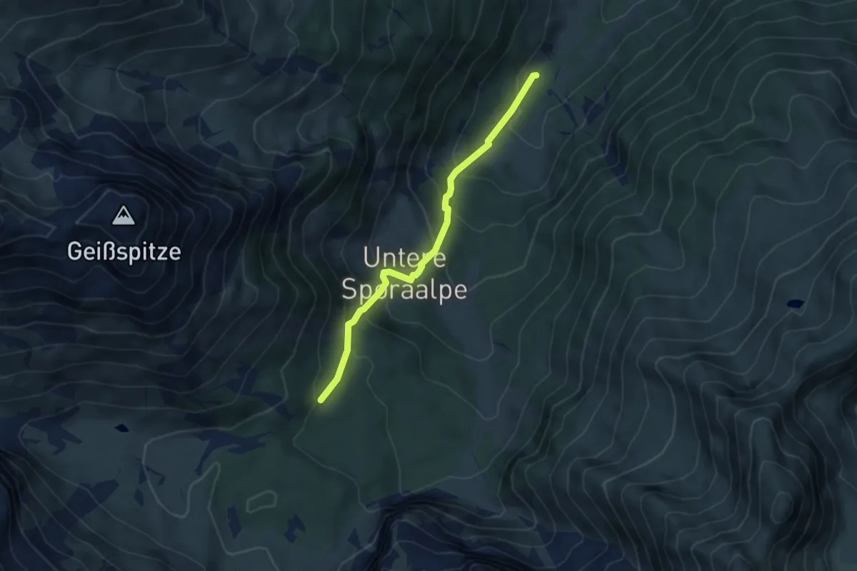
Medium · Trail
(Latschau) – (Lindauer Hütte
4.3 km · ↑ 363 m · 1 h 48 min
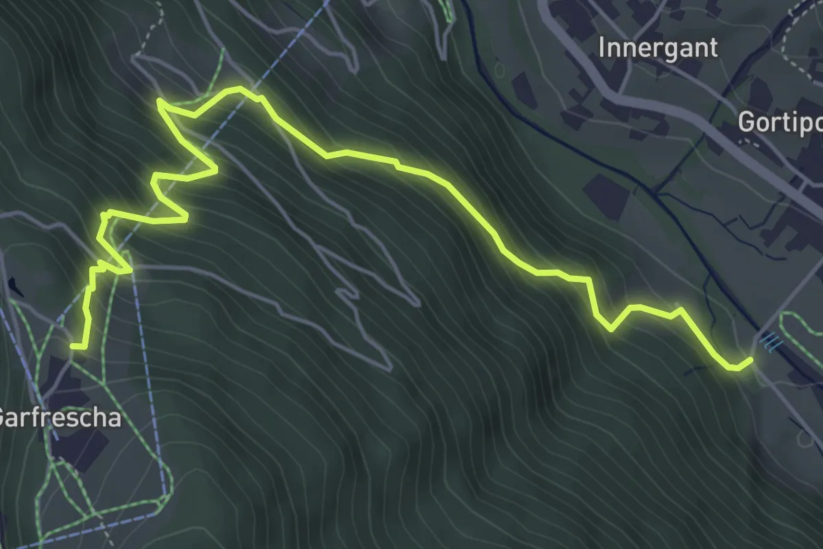
Medium · Trail
(Gortipohl) – Garfrescha
6.1 km · ↑ 583 m · 2 h 43 min
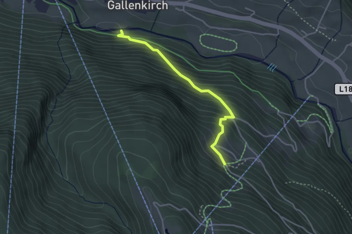
Medium · Trail
(St. Gallenkirch) – Grandau
2.9 km · ↑ 350 m · 1 h 27 min
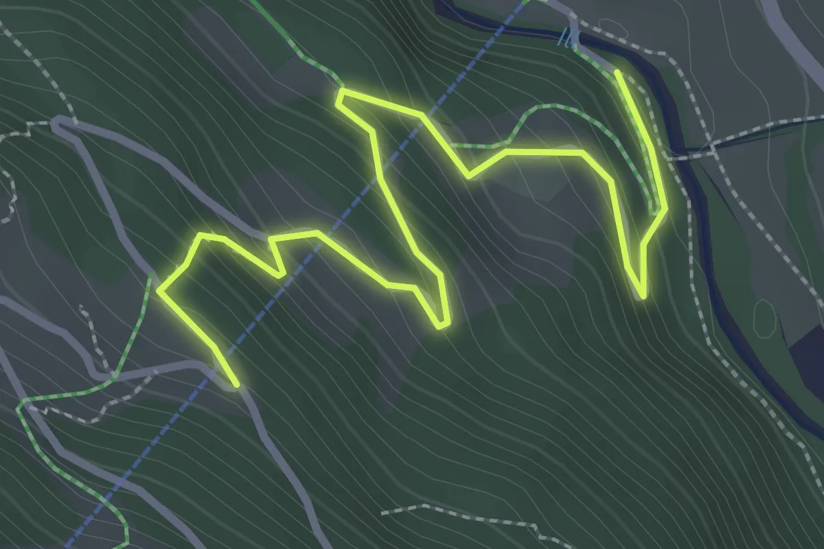
Easy · Trail
Garfreschabahn Talstation – (Grandau)
3.3 km · ↑ 253 m · 1 h 19 min
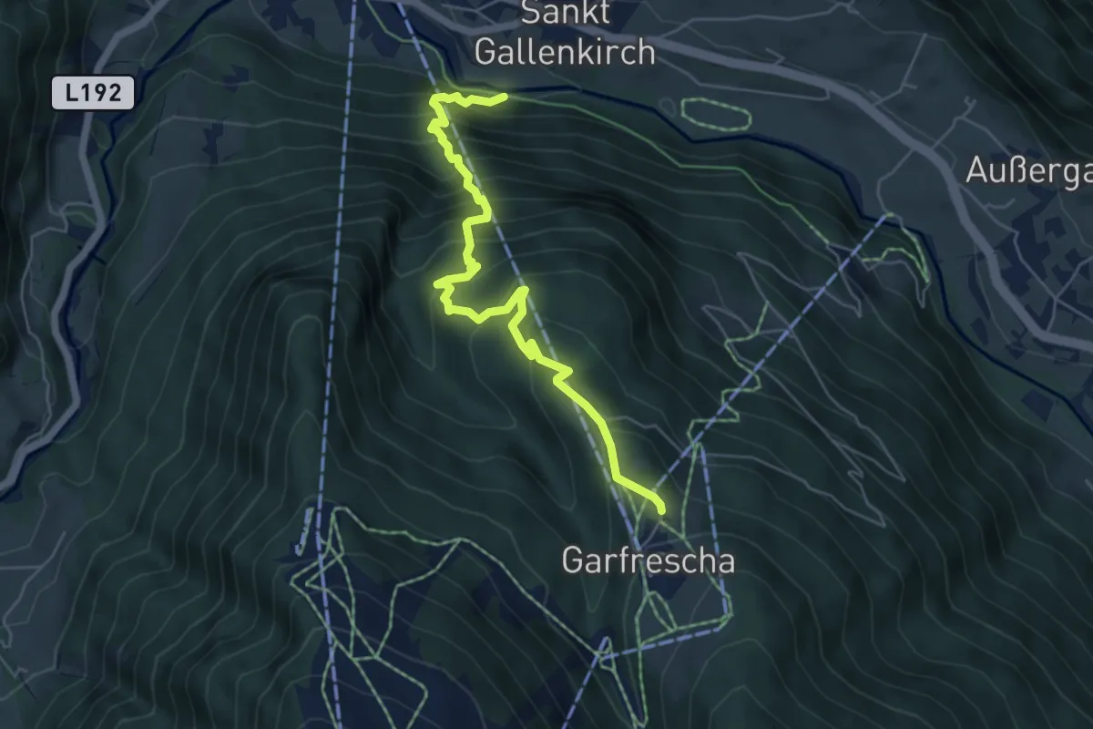
Medium · Trail
(St. Gallenkirch) – Garfrescha
5.7 km · ↑ 643 m · 2 h 45 min
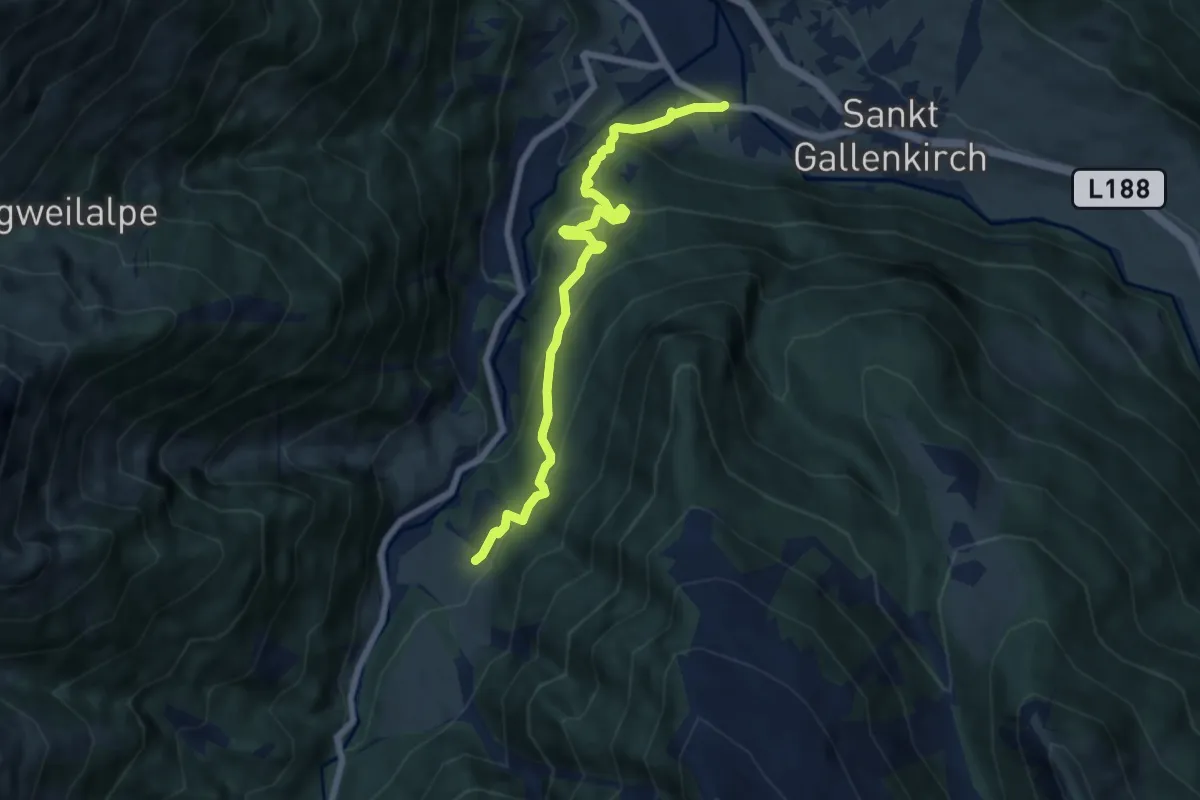
Demanding · Trail
Galgenul – Außergampaping
6.8 km · ↑ 422 m · 2 h 31 min
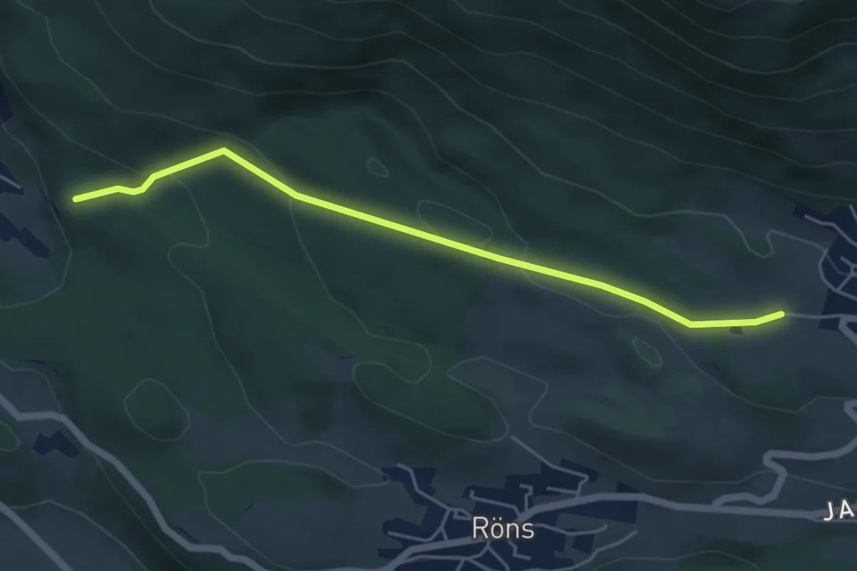
Easy · Trail
(Satteins) – (Düns)
4.6 km · ↑ 165 m · 1 h 27 min
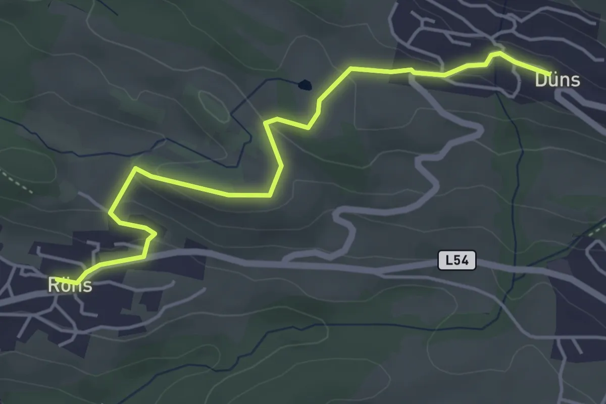
Easy · Trail
Röns – Düns
4.7 km · ↑ 162 m · 1 h 28 min
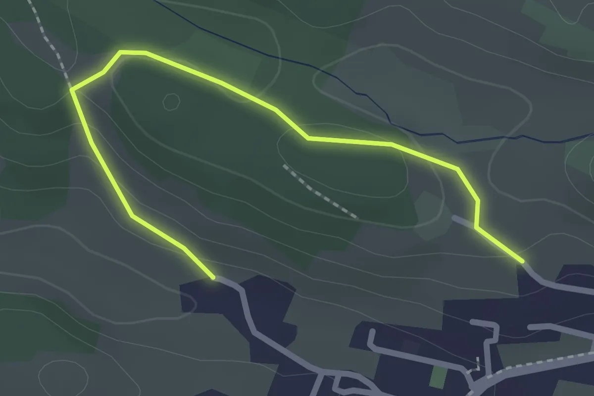
Easy · Trail
(Satteins) – (Düns)
2.3 km · ↑ 62 m · 40 min
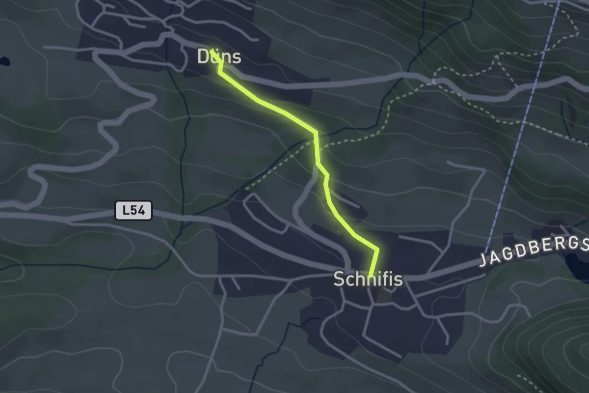
Easy · Trail
Schnifis – Düns
2.2 km · ↑ 95 m · 43 min
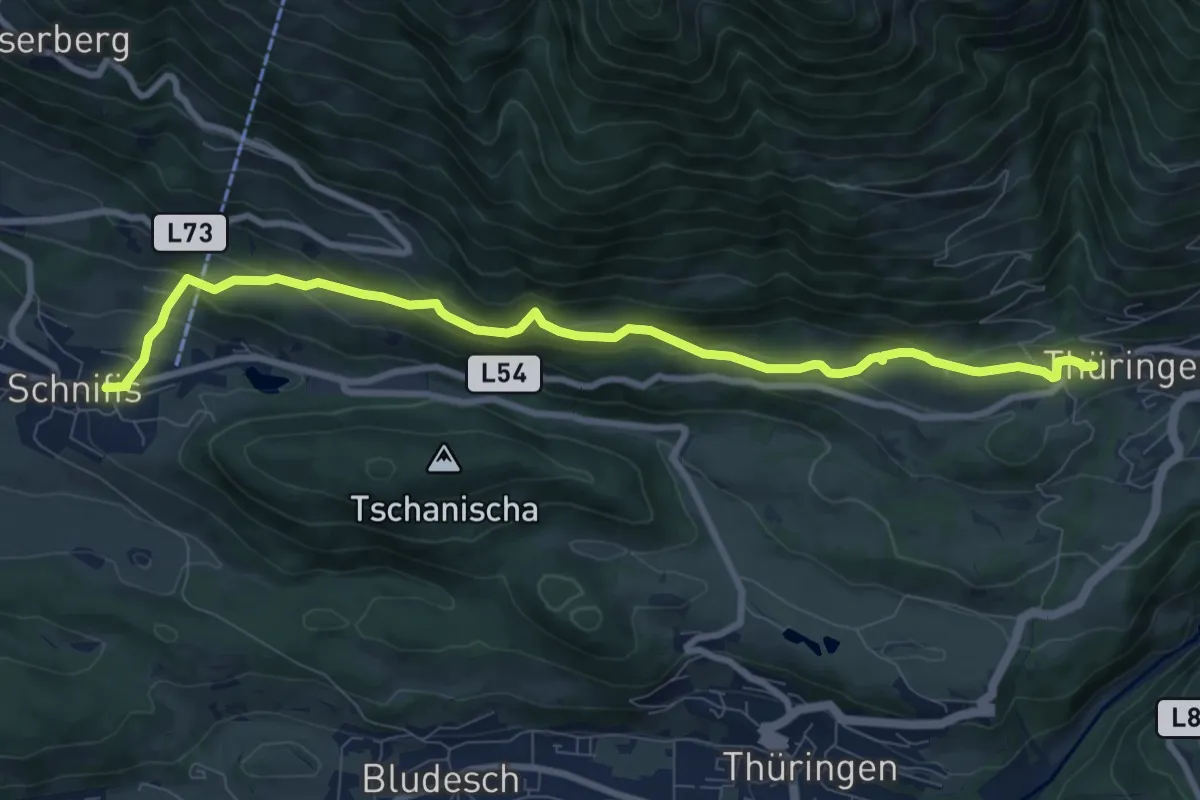
Medium · Trail
Schnifis – Thüringerberg
9.4 km · ↑ 388 m · 3 h 3 min
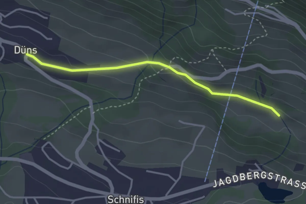
Easy · Trail
Düns – Thüringerberg
2.9 km · ↑ 87 m · 52 min
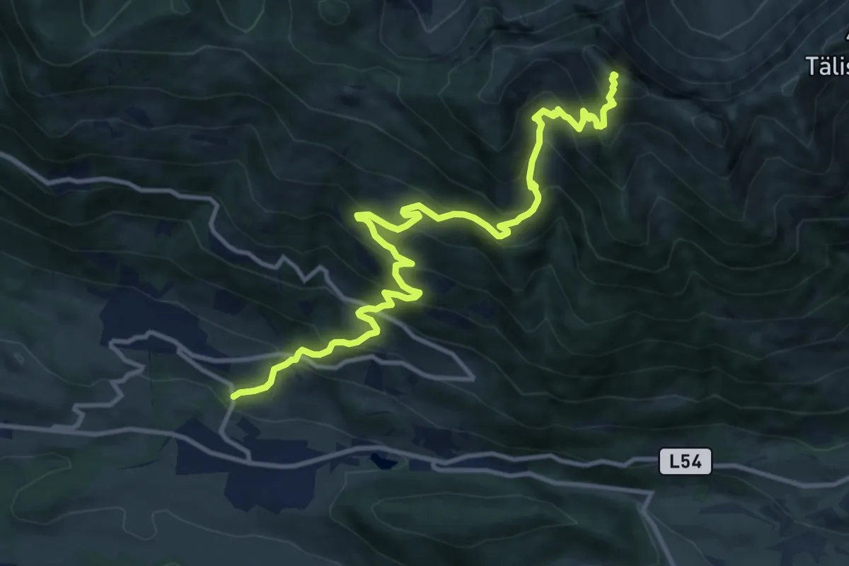
Demanding · Summit
(Schnifis) – Hochgerach
12.6 km · ↑ 1275 m · 5 h 45 min
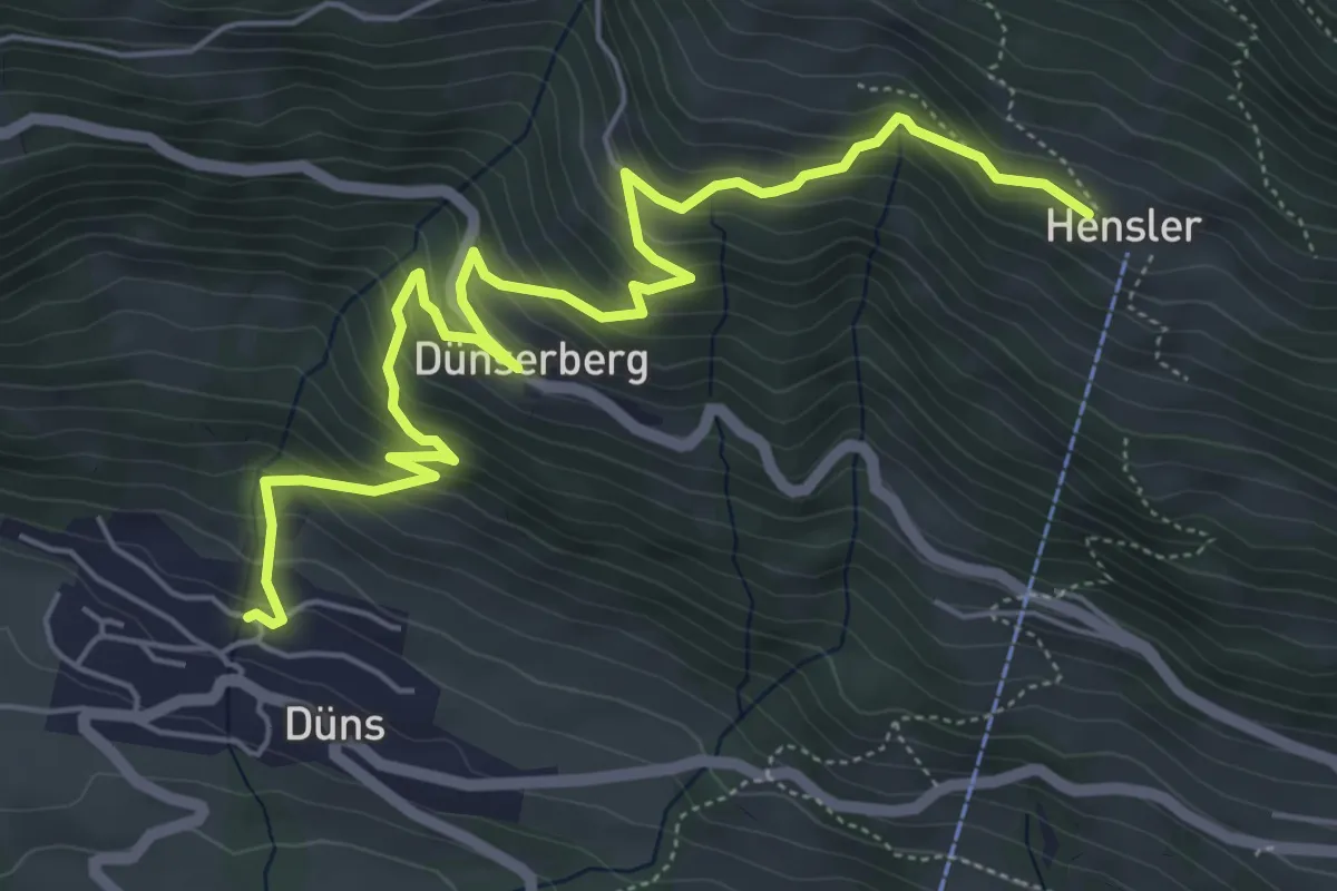
Medium · Trail
Düns – Hensler
6.9 km · ↑ 565 m · 2 h 51 min
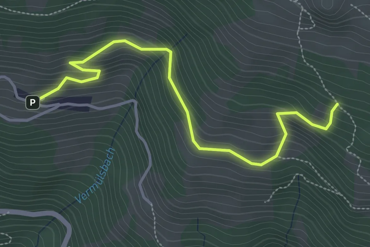
Easy · Trail
Dünserberg-Boden – (Älpele/Sender)
3.5 km · ↑ 208 m · 1 h 17 min
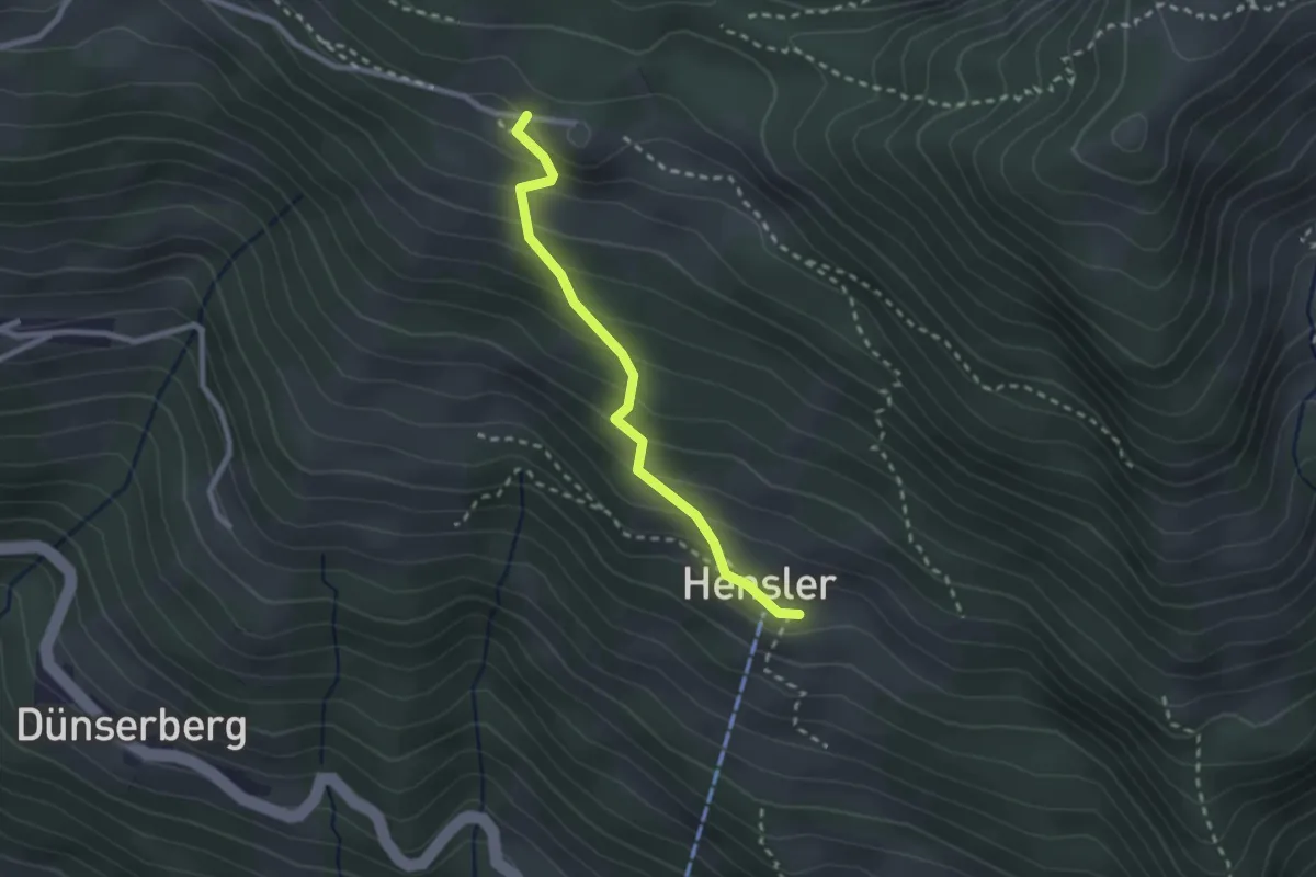
Medium · Trail
Hensler – Älpele/Sender
2.3 km · ↑ 225 m · 1 h 1 min
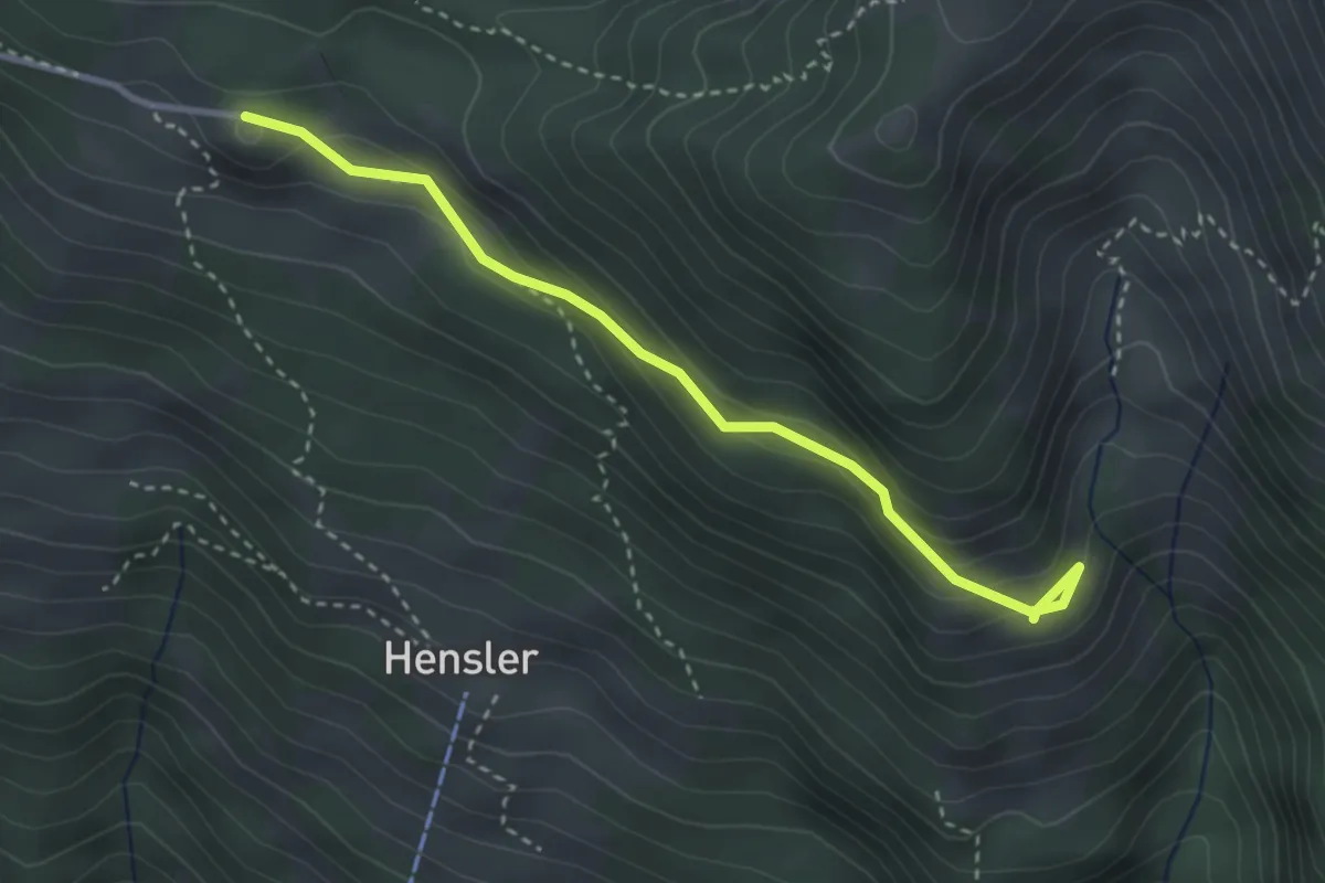
Medium · Trail
Äußere Alpila – Älpele/Sender
3.2 km · ↑ 129 m · 1 h 2 min
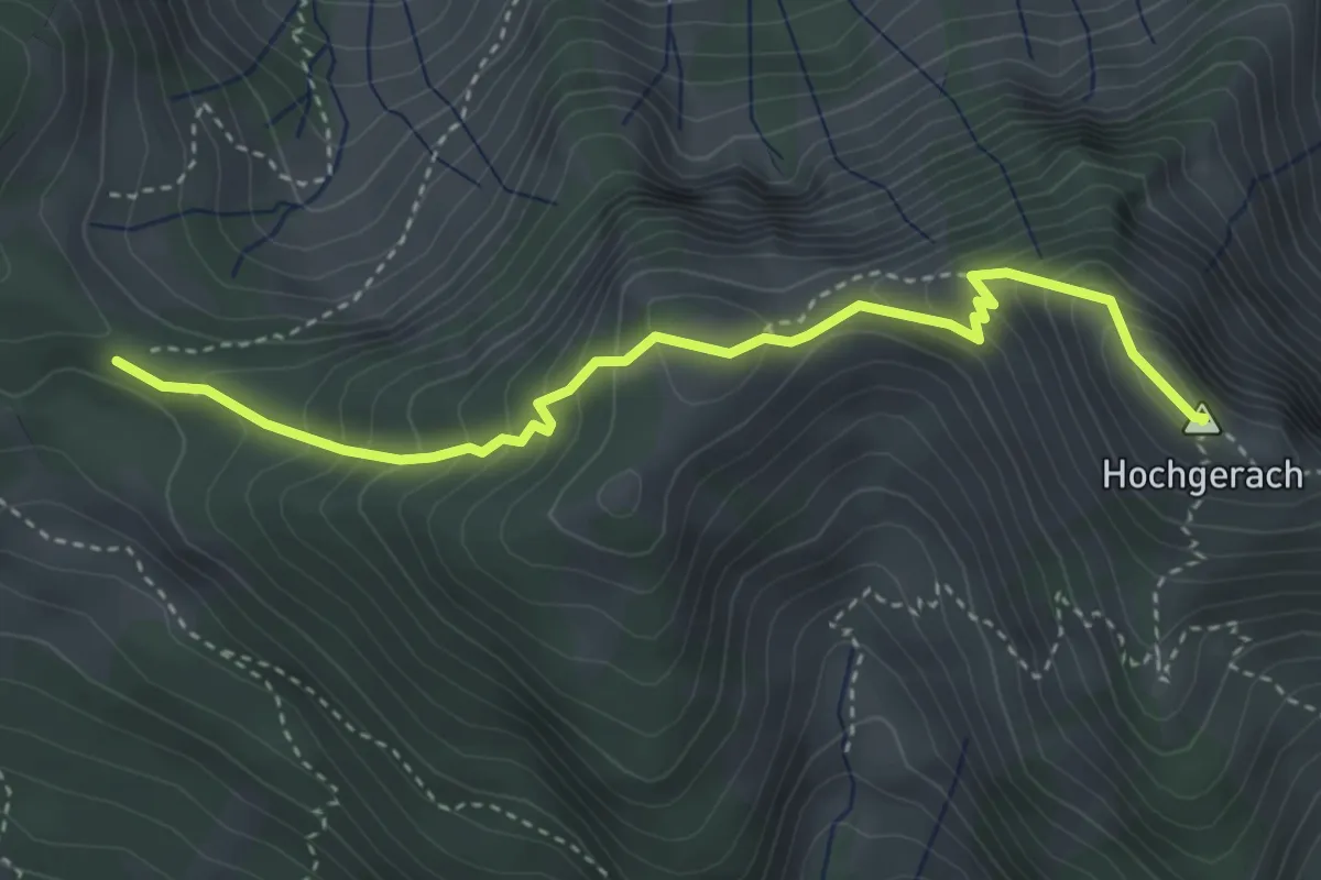
Demanding · Summit
Älpele/Sender – Hochgerach
3.8 km · ↑ 419 m · 1 h 48 min
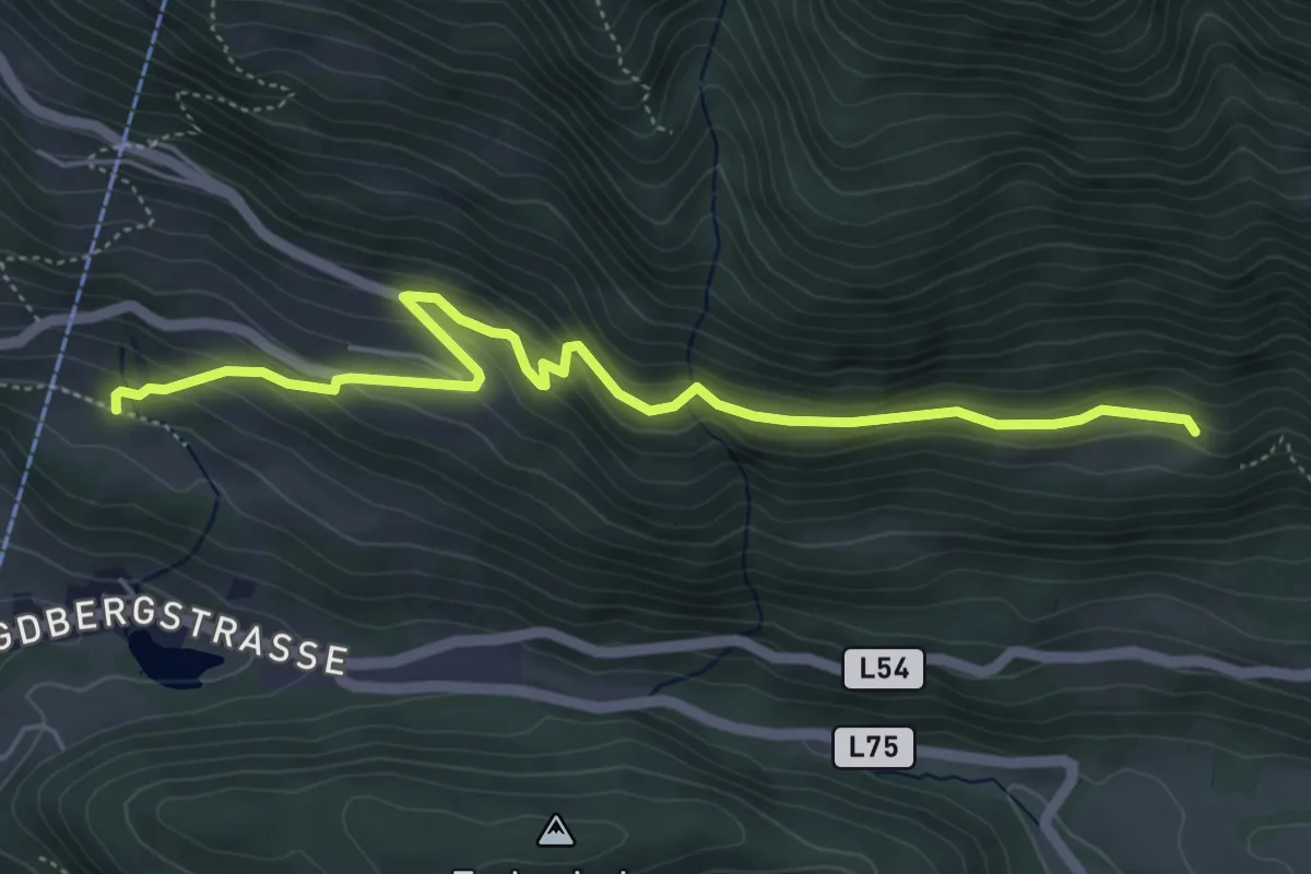
Medium · Trail
(Schnifis) – Gampelin-Alpe
5.6 km · ↑ 267 m · 1 h 54 min
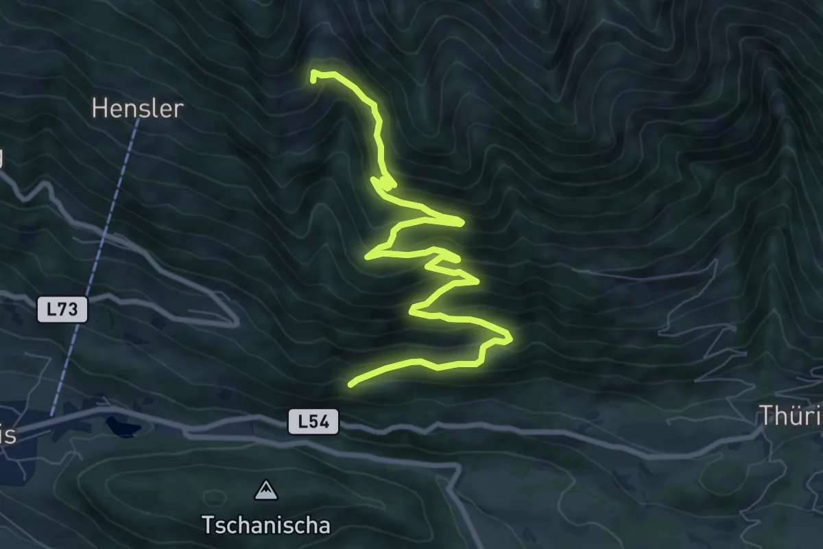
Medium · Trail
(Schnifis) – Äußere Alpila
9.9 km · ↑ 658 m · 3 h 46 min
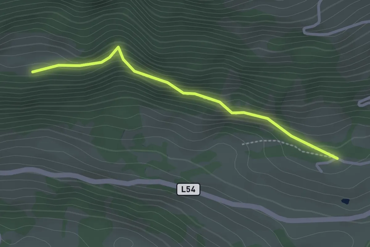
Easy · Trail
(Thüringerberg) – Gampelin-Alpe
2.3 km · ↑ 107 m · 47 min
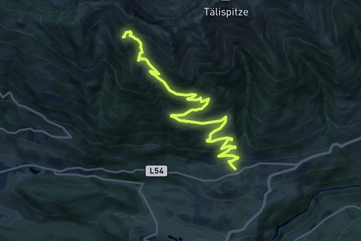
Demanding · Summit
Thüringerberg – (Hochgerach)
13.8 km · ↑ 959 m · 5 h 20 min
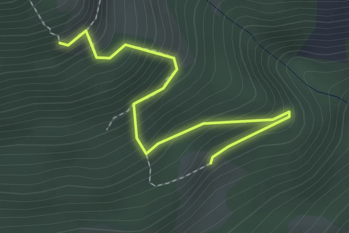
Medium · Trail
Fäschaalpe – Alpilaalpe
2.1 km · ↑ 236 m · 1 h
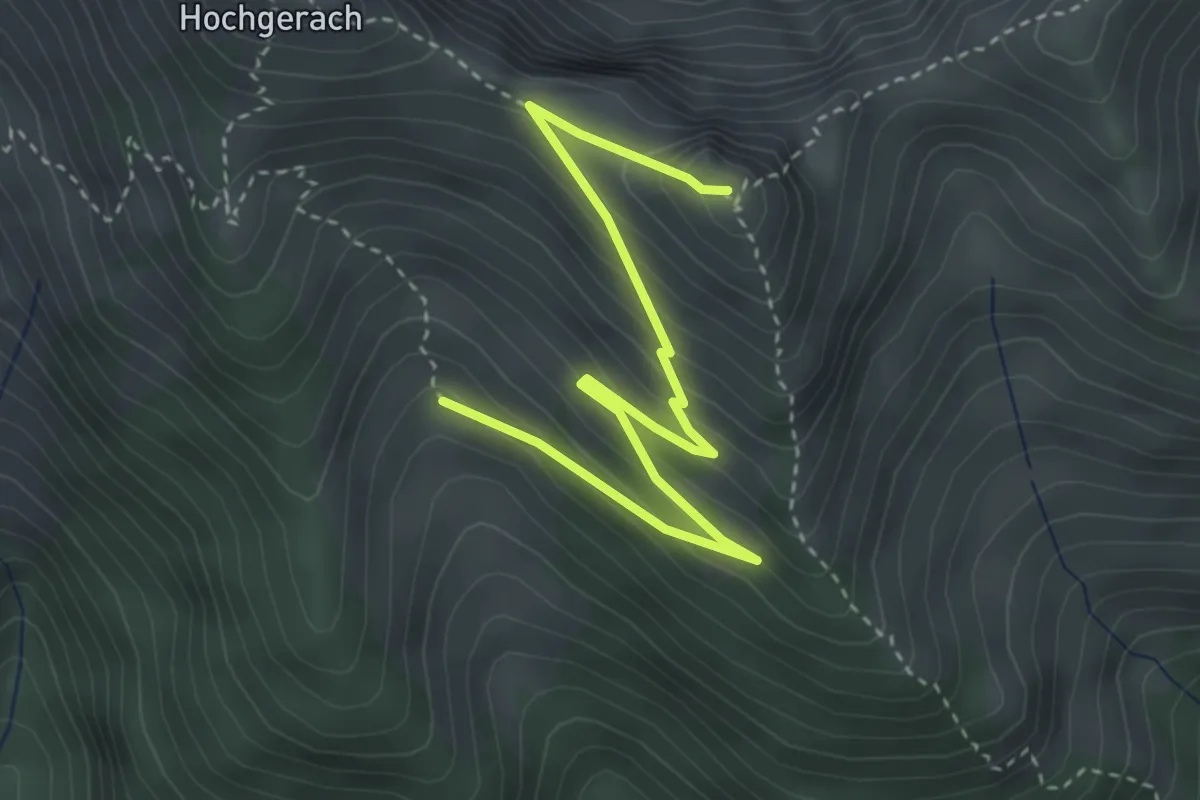
Medium · Summit
(Thüringerberg) – Hüttenkopf
3.9 km · ↑ 315 m · 1 h 37 min
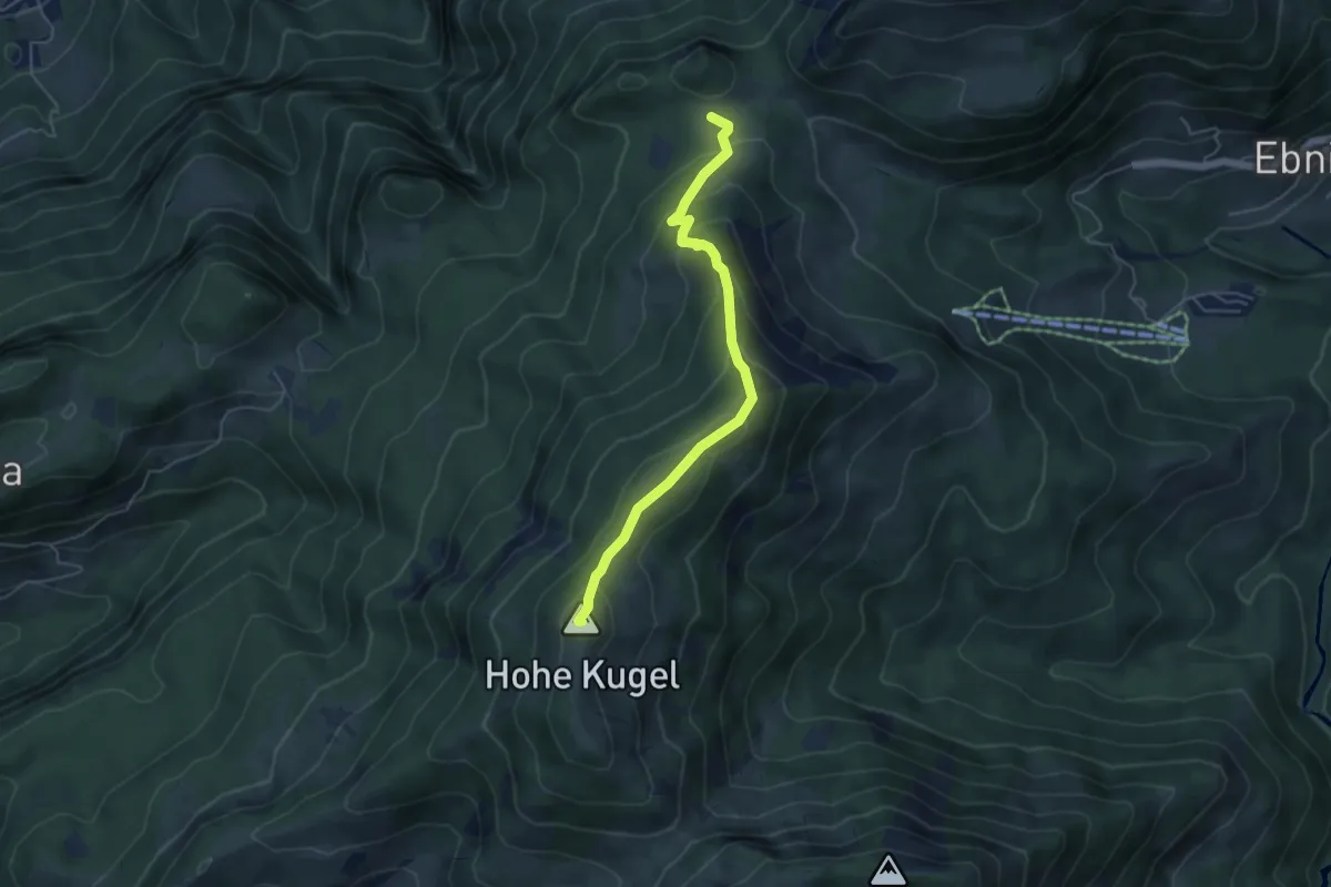
Medium · Summit
(Fluhereck) – Hohe Kugel
4.8 km · ↑ 381 m · 1 h 57 min
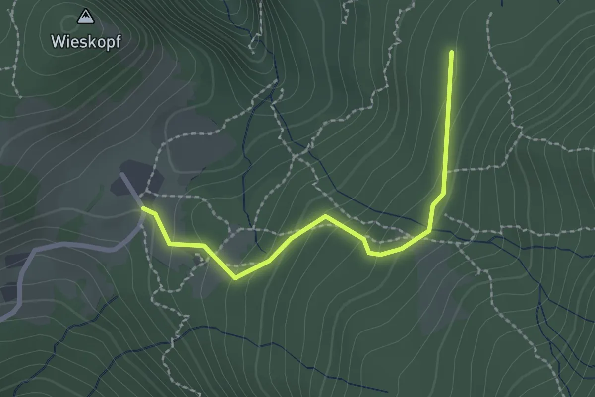
Easy · Cabin
Millrütte – (Fluhereck)
2.0 km · ↑ 87 m · 40 min
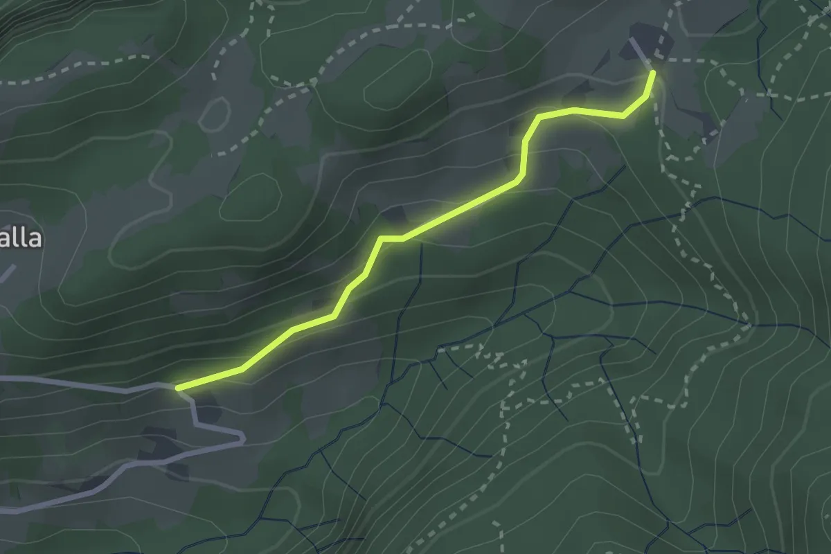
Easy · Cabin
Berghof – Millrütte
2.2 km · ↑ 153 m · 51 min
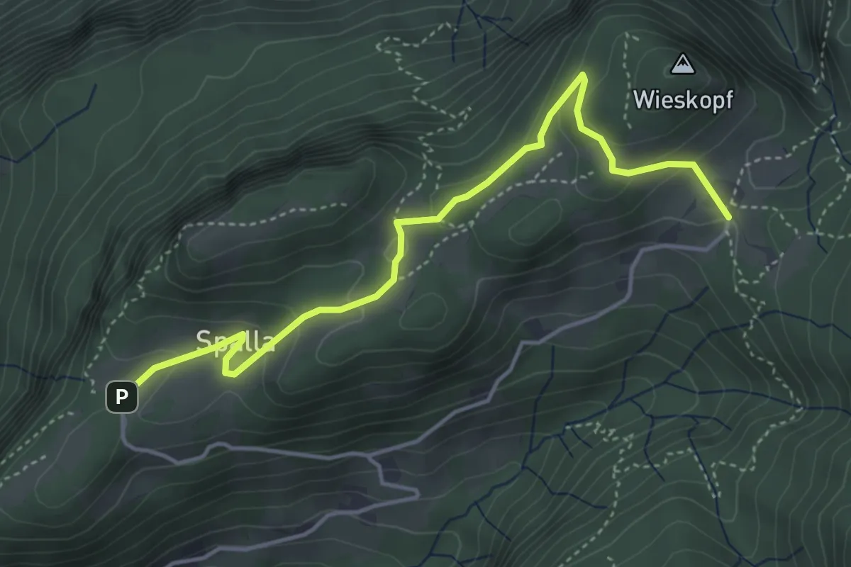
Easy · Cabin
Spalla – Millrütte
4.4 km · ↑ 162 m · 1 h 24 min
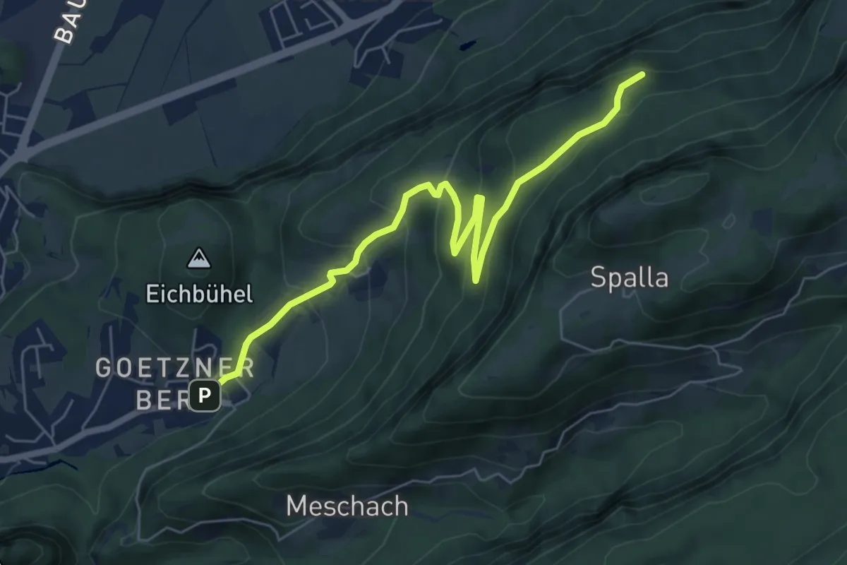
Medium · Trail
Götznerberg Oberer Parkplatz – Langer Rank
6.5 km · ↑ 352 m · 2 h 18 min
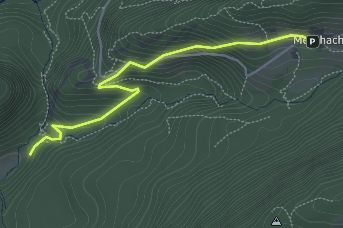
Easy · Trail
Örflaschlucht – Meschach
3.1 km · ↑ 236 m · 1 h 15 min
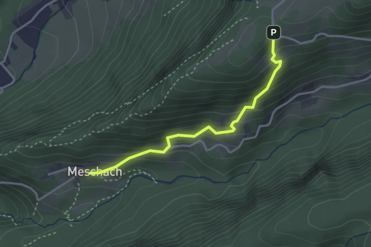
Easy · Trail
Meschach – Spalla
2.7 km · ↑ 267 m · 1 h 13 min
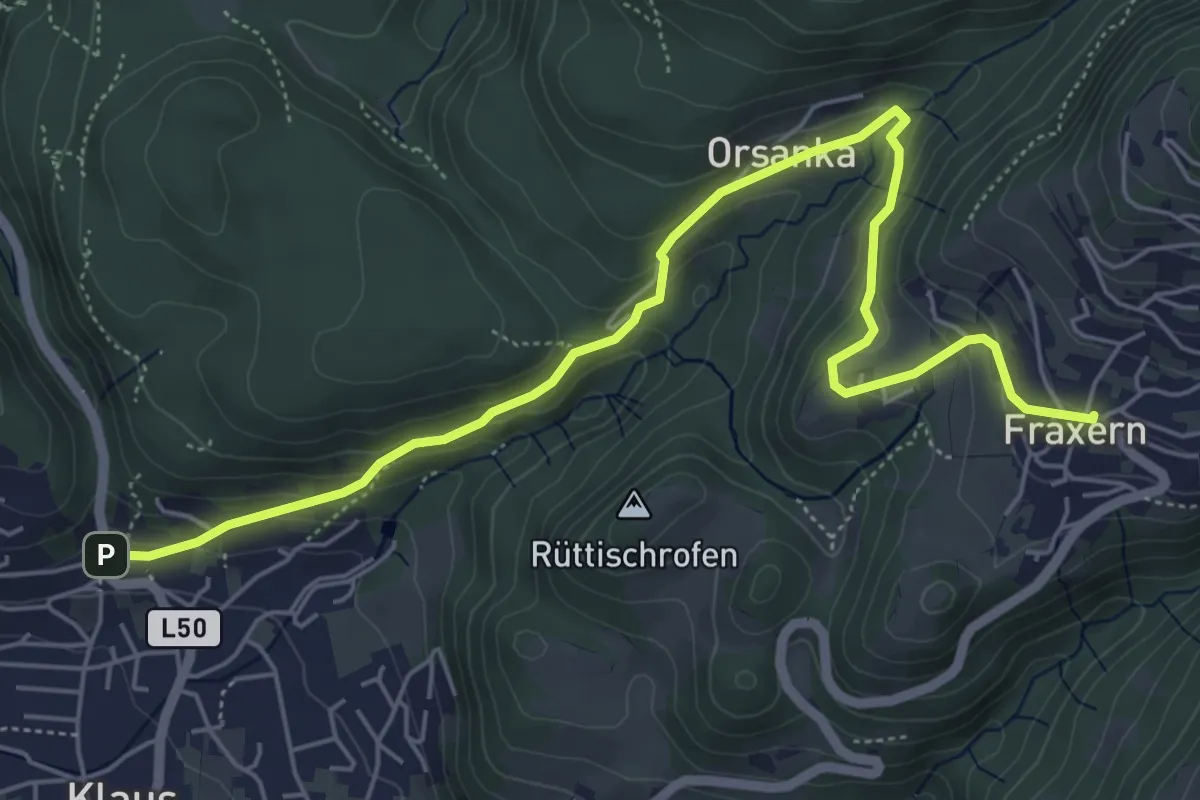
Medium · Trail
Klaus – Fraxern
6.6 km · ↑ 307 m · 2 h 14 min
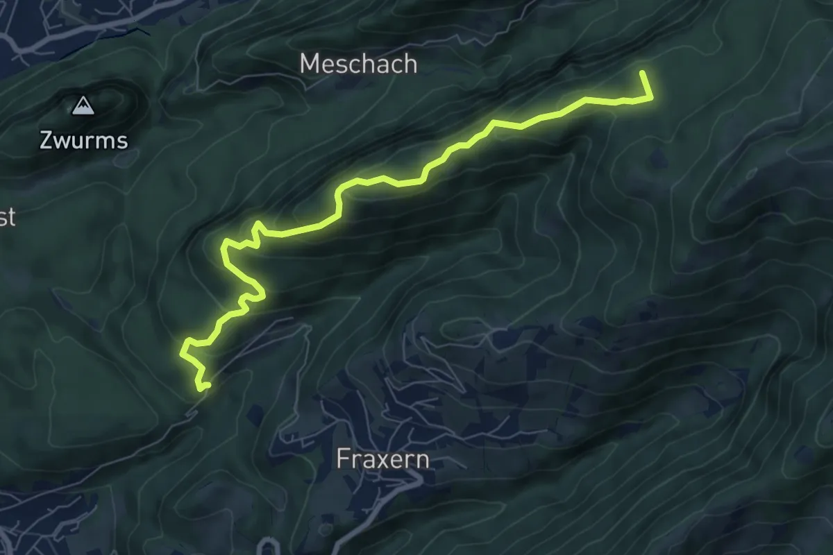
Medium · Summit
(Klaus) – Götzner Moos
7.9 km · ↑ 469 m · 2 h 52 min
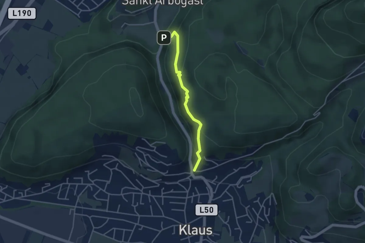
Medium · Trail
(St. Arbogast) – Klaus
3.1 km · ↑ 231 m · 1 h 14 min
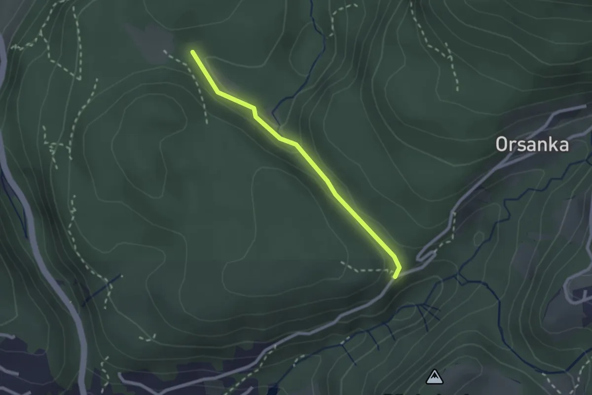
Easy · Trail
Mathionswiesen – Dernsebene
2.0 km · ↑ 43 m · 34 min
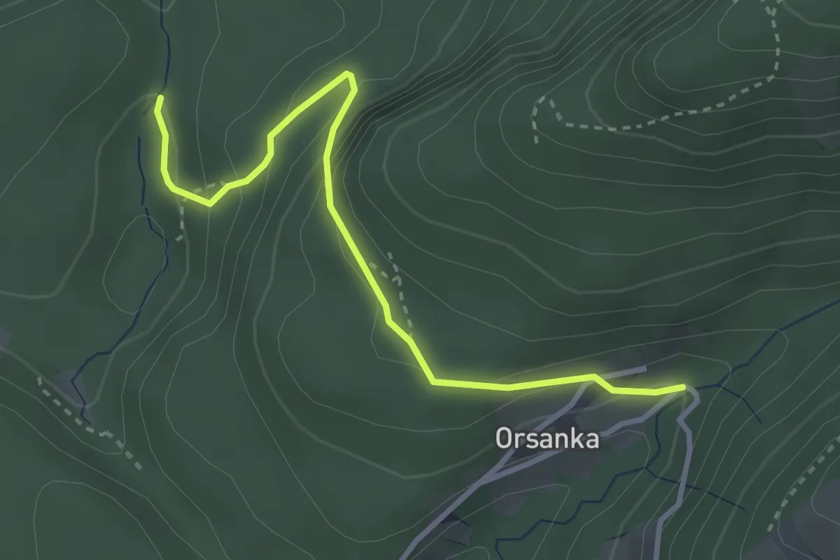
Easy · Trail
(Götzis) – (Fraxern)
3.2 km · ↑ 205 m · 1 h 12 min
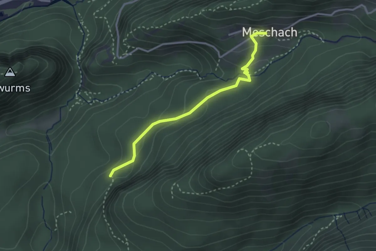
Medium · Trail
(St. Arbogast) – Meschach
2.7 km · ↑ 110 m · 53 min